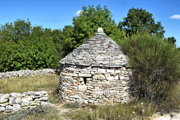
Name: Ethnological and archaeological park Vodnjan.
Place: Vodnjan
Coordinates: Kazun Santolina 44.99434 N – 13.82328 E, Crossroad “Crossera de Strupa de Lion” 44.98642 N – 13.81858 E, Church St. Thomas 44.98677 N – 13.82321 E.

Name: Ethnological and archaeological park Vodnjan.
Place: Vodnjan
Coordinates: Kazun Santolina 44.99434 N – 13.82328 E, Crossroad “Crossera de Strupa de Lion” 44.98642 N – 13.81858 E, Church St. Thomas 44.98677 N – 13.82321 E.
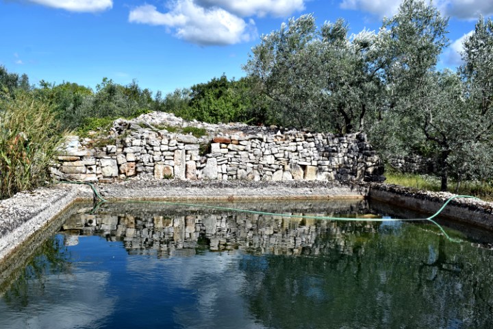
Name: Cisterna – Villa Rustica Visan near Fažana.
Place: Fažana.
Coordinates: 44.93814 N – 13.83346 E.
In 2005 archaeologists discovered a Villa Rustica on site of a gas pipeline to be constructed. The built-up area was approximately 400 m2 and U-shaped, with a courtyard inside.
Archaeological research and findings have shown that not only food was produced here for own use, but also wine and olive oil for the market.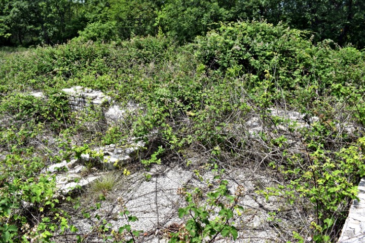
Name: Villa Rustica near Krvaviči.
Place: Krvavici – (Marčana).
Coordinates: 44.97622 N – 13.92178 E.
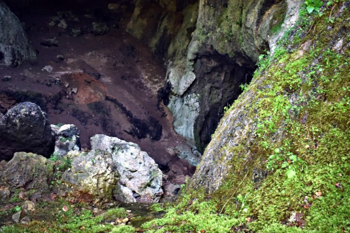
This cave is situated about 1,3 kilometers north of Marčana and has several cave rooms and pits, interconnected by channels.
The cave is developed in the limestone of the cretaceous age (approximately 144 till 65 million years ago). This karst phenomenon was created by the action of water enriched with carbon dioxide that dissolved the mineral calcite in the limestone.
On basis of archaeological research in 1991 when they found ceramics and bones was concluded that people lived in the cave in the Neolithic age (about 10.000 years BC) till the Bronze age (2nd millennium BC).
Name: Peruhova / Ljubićava cave.
Place: NearLjubićevastancija-Marčana.
Coordinates: 44.97207 N – 13.95182 E.
Archaelogical research has been carried out at this location, located at the Lunga bay, since 1994. It has been established that over a length of 140 meters and a width of 90 meters inland in the first to the 4th century AD, mainly the production of ceramic oil amphora took place. This was done in 2 batteries with 2 ovens each. A large water basin of 150 m3 was available for the manufacture of the amphorae. In addition to the larger ovens, smaller ovens have also been established here for the production of crockery and other ceramic utensils.
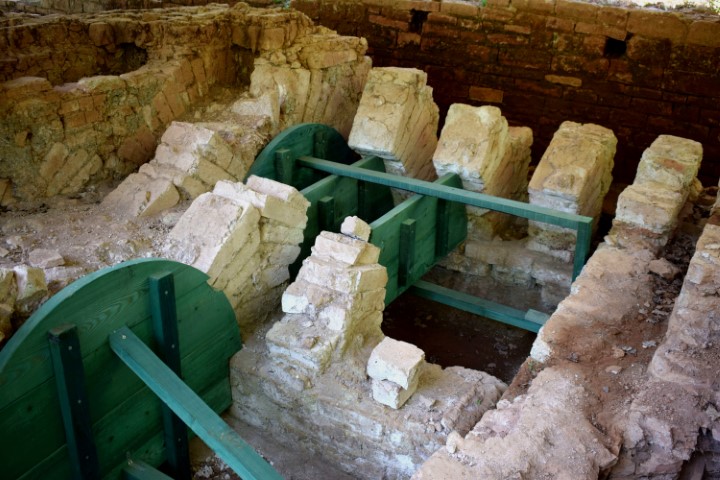
Name: Villa Rustica Loran.
Place: Červar Porat- (Poreč).
Coordinates: 45.27825 N – 13.59937 E.
Based on ceramics found, it has been established that people lived here from the Neolithic period and this location later developed into a walled gradine. The walls have largely collapsed and are covered with soil. Earlier research in the beginning of the last century found many jewelry in stone coffins next to bones.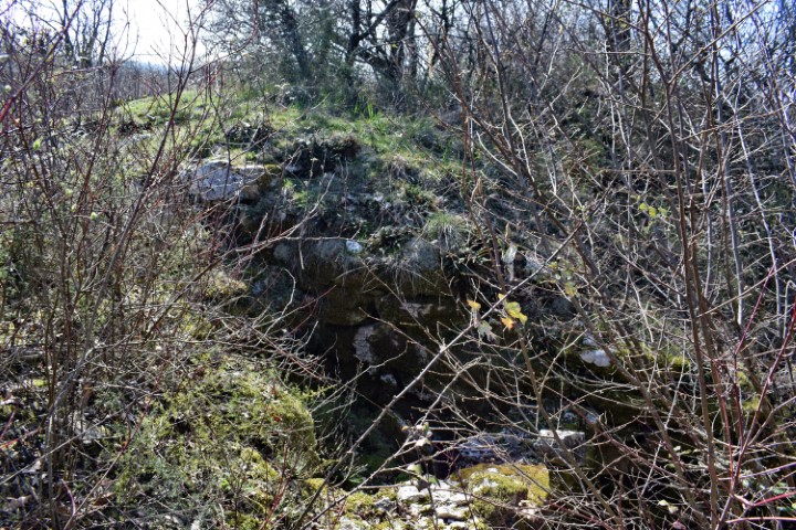
Name: Vrčin (Monte Orsino).
Place: Near Butkovići – (Svetvinčenat).
Coordinates: 45.00351 N – 13.90000 E.
This prehistoric settlement was located near the Mirna on a steep cliff with a height of 36 meters. From here they had a good overview of movements in the valley and the mouth of the Mirna and the Adria. After the Roman period, a castle and a church were built within the fortress in the Middle Ages.
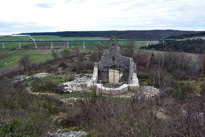
Name: Castle Sv. Juraj.
Place: Near Srbani – (Brtonigla).
Coordinates: 45.33709 N – 13.63343 E.
This well-defended settlement from the Bronze and Iron Ages was located on a rock with a height of approximately 120 meters above the Mirna River. At the place where now is a cemetery and the church Sv. Mihovil.
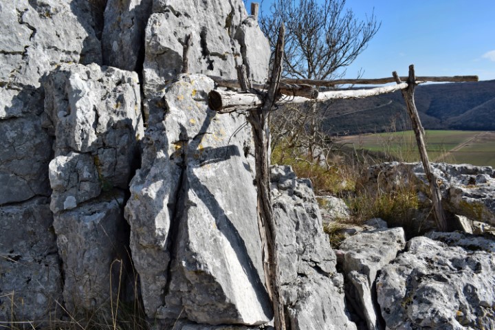
Name: Prehistoric settlement Sv. Dionizij near D. Srbani.
Place: Near D. Srbani – (Brtonigla).
Coordinates: 45.33858 N – 13.64705 E.