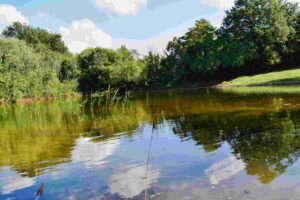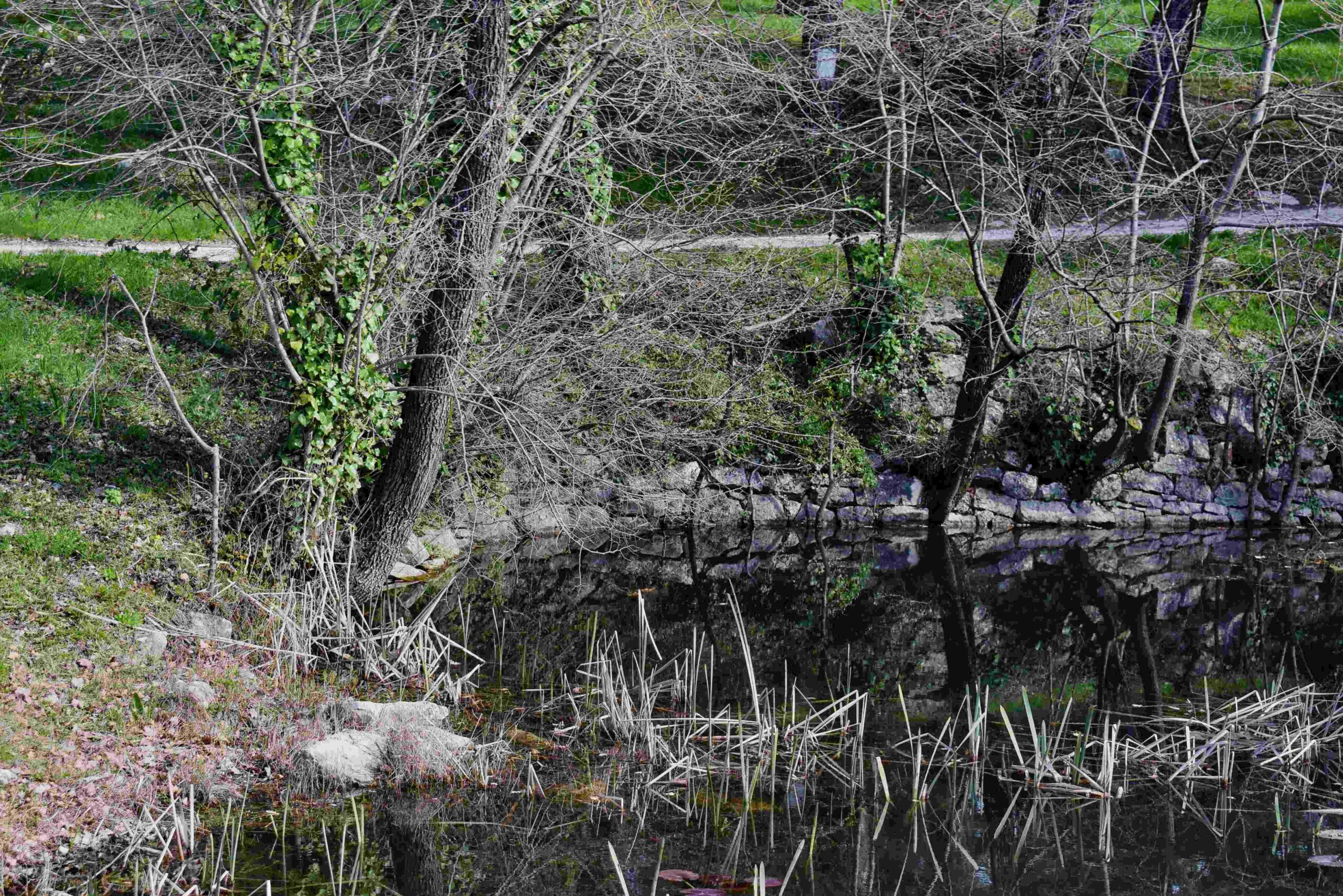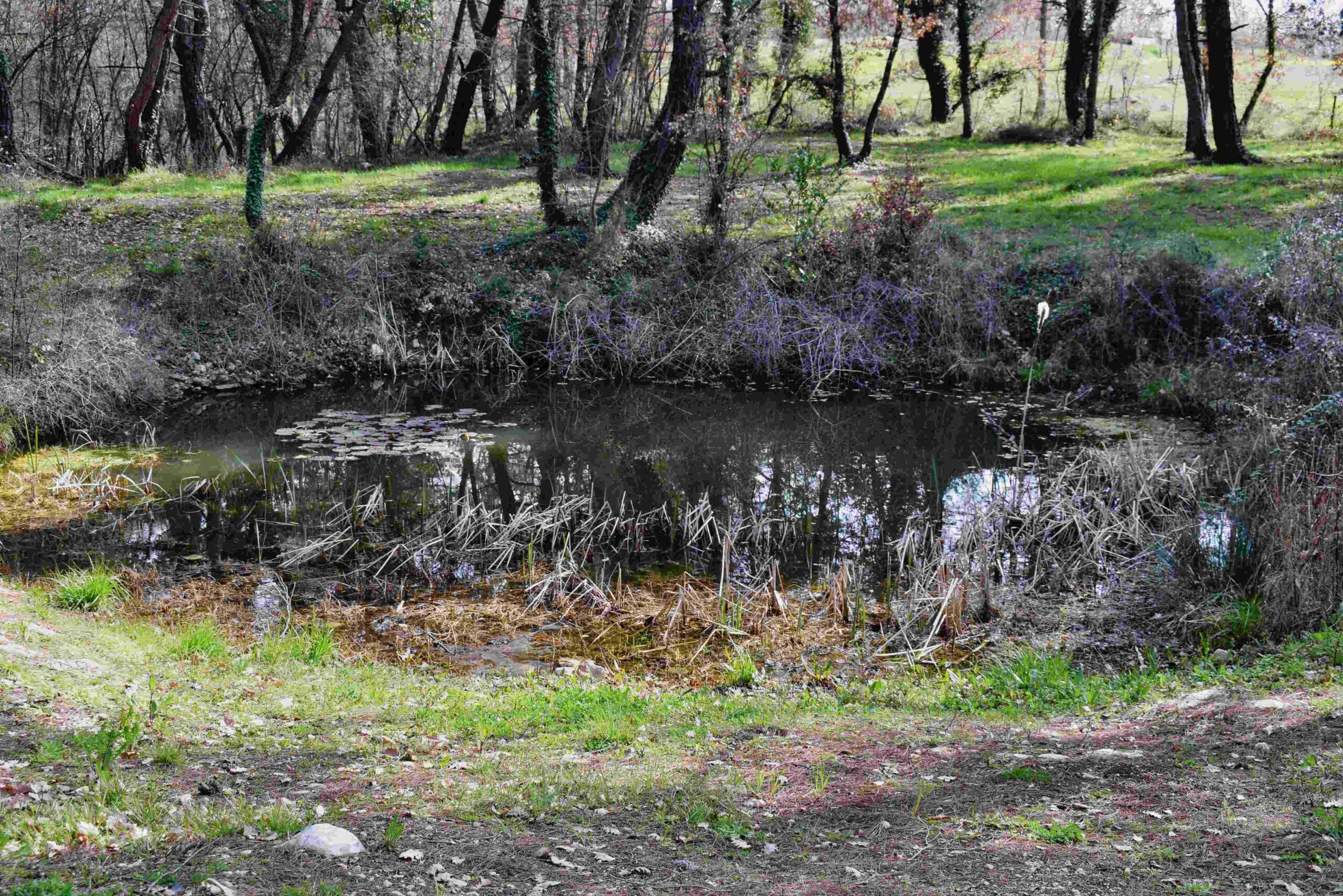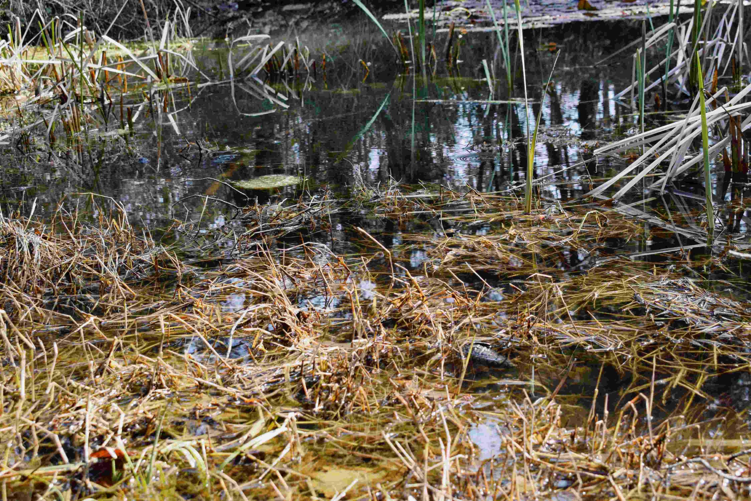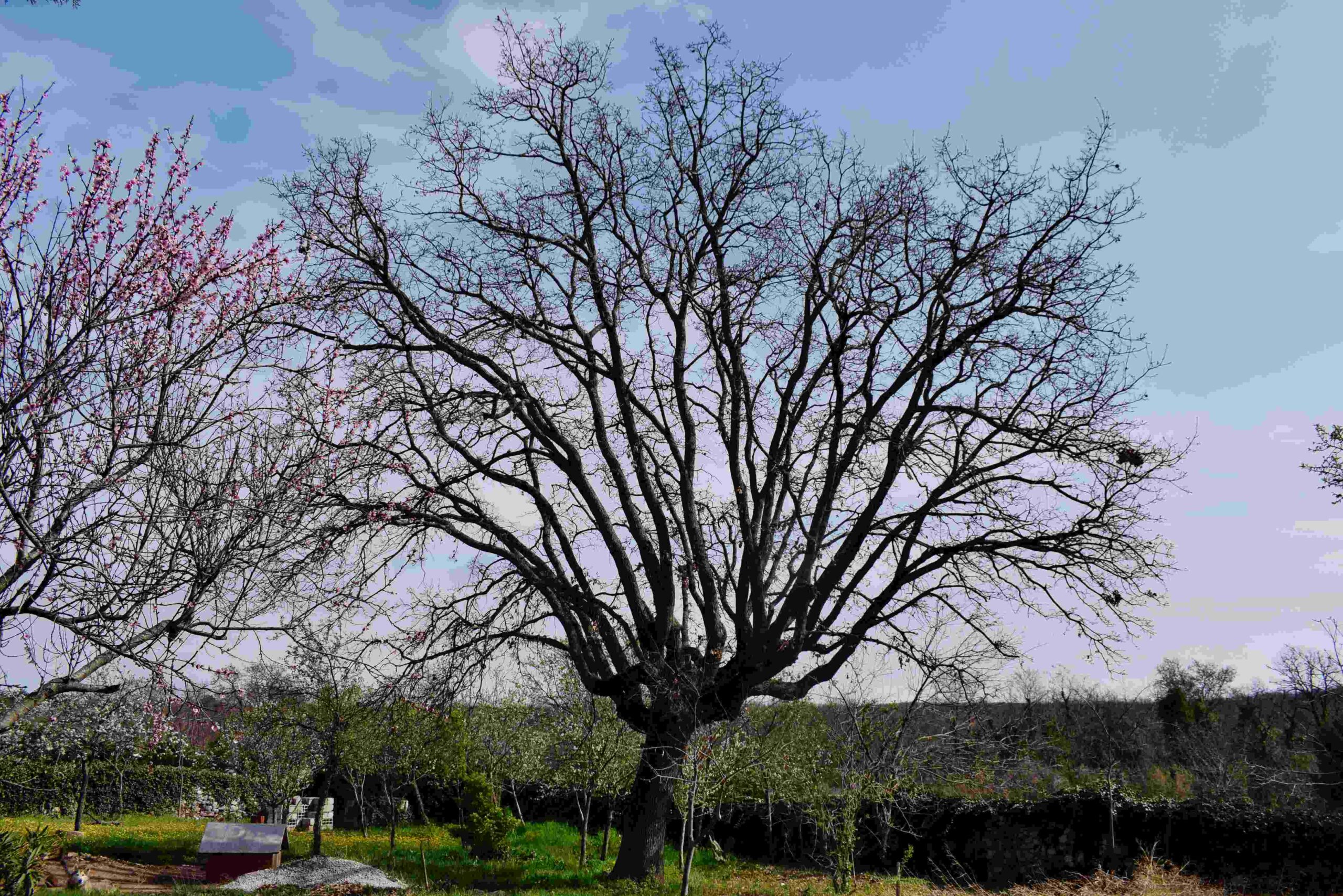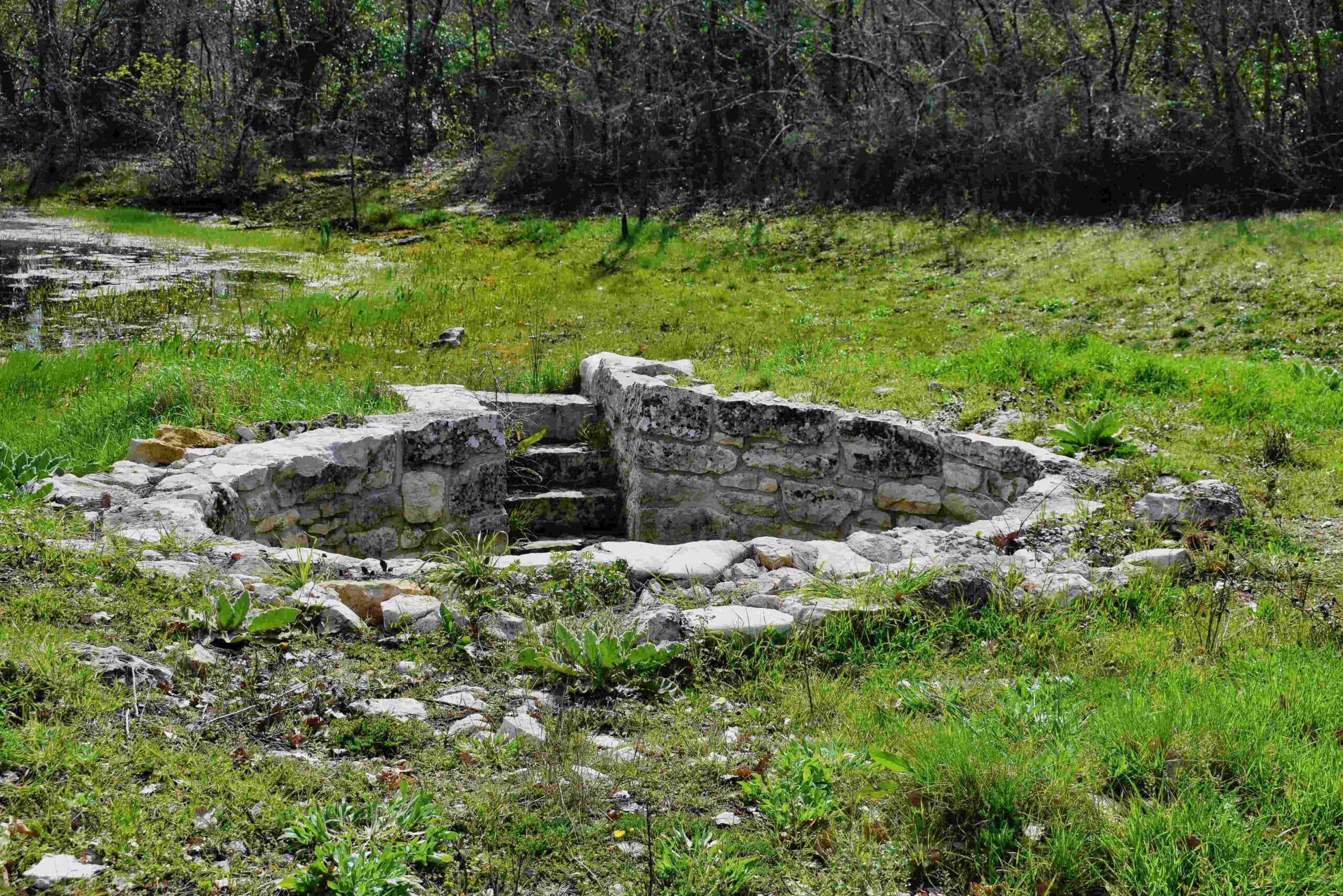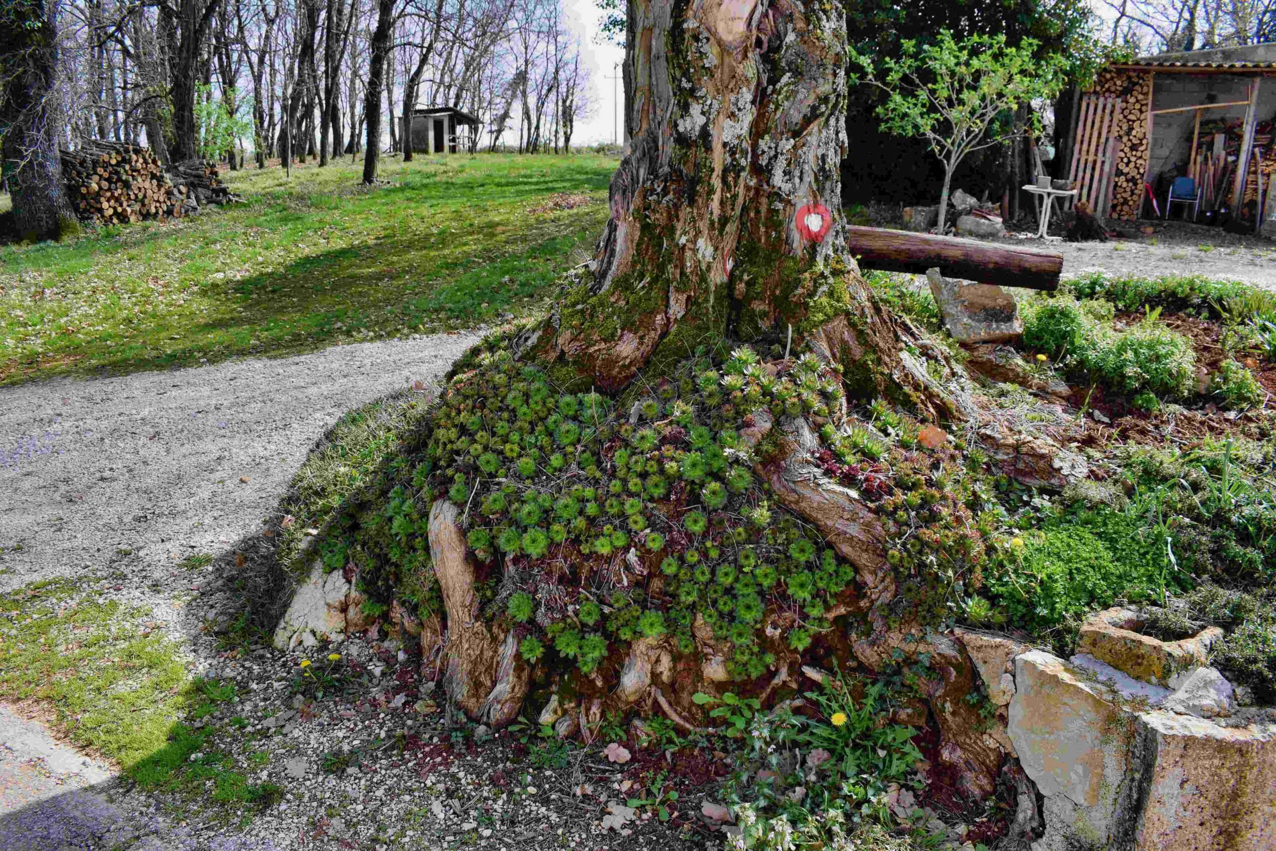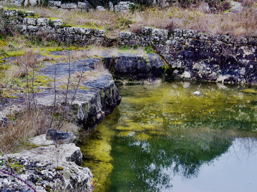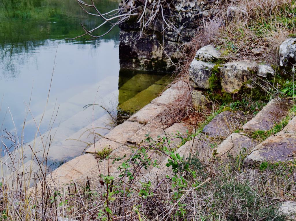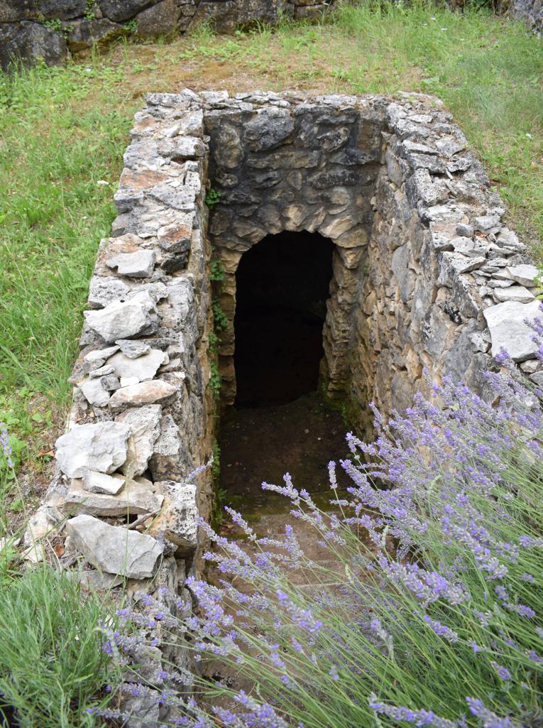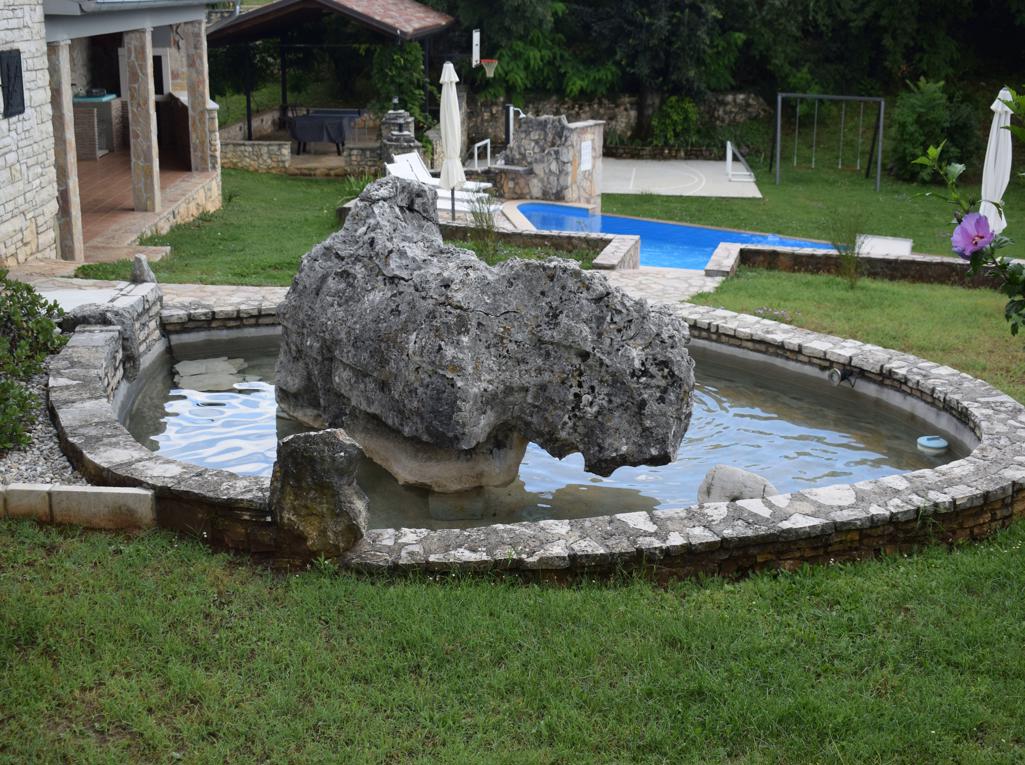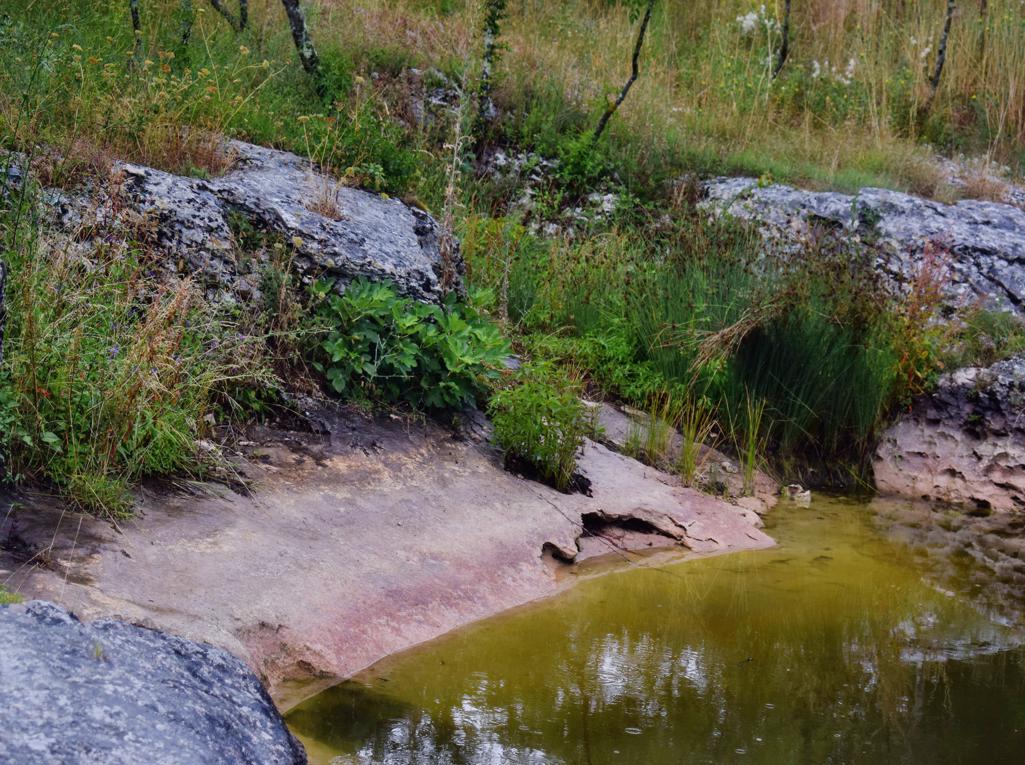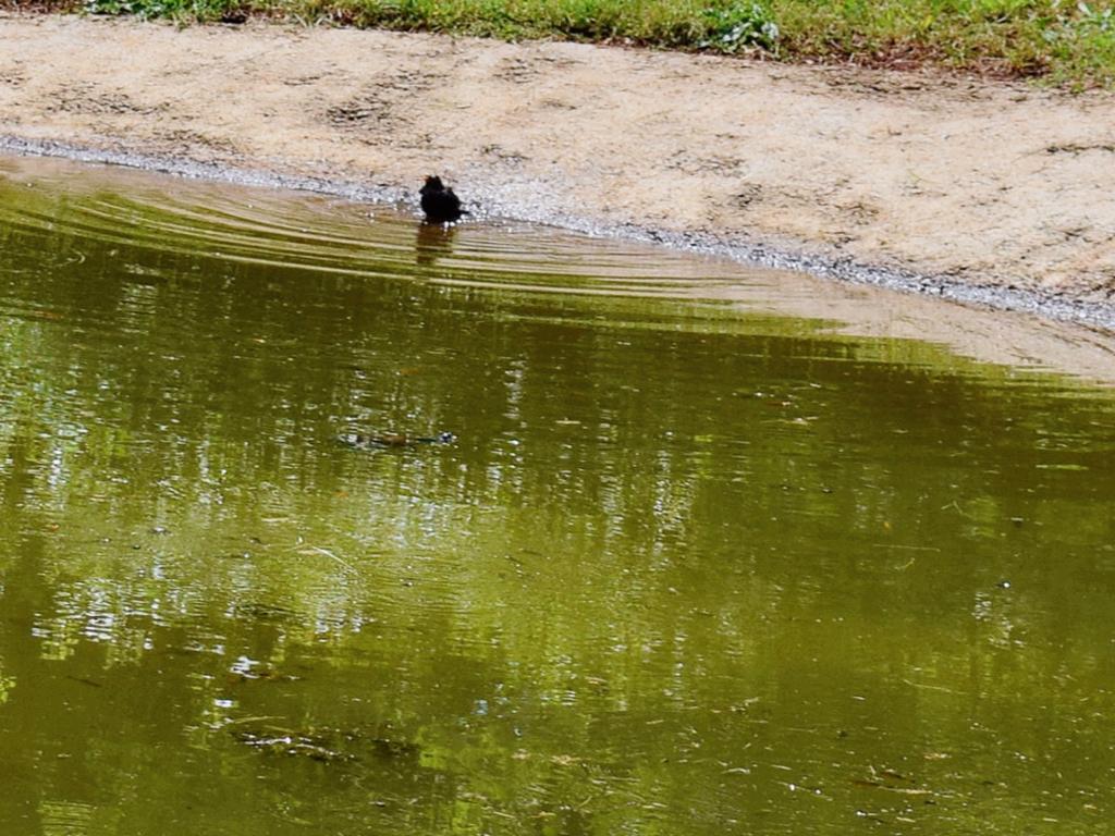

Name: Lokva Gregori.
Place: Bale.
Coordinates: 45.04317 N – 13.75074 E.
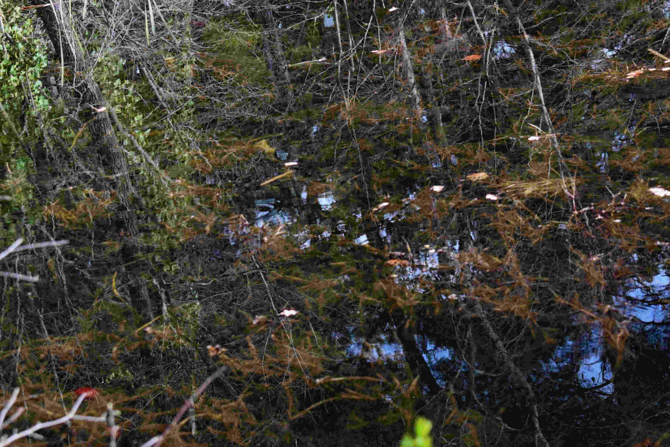
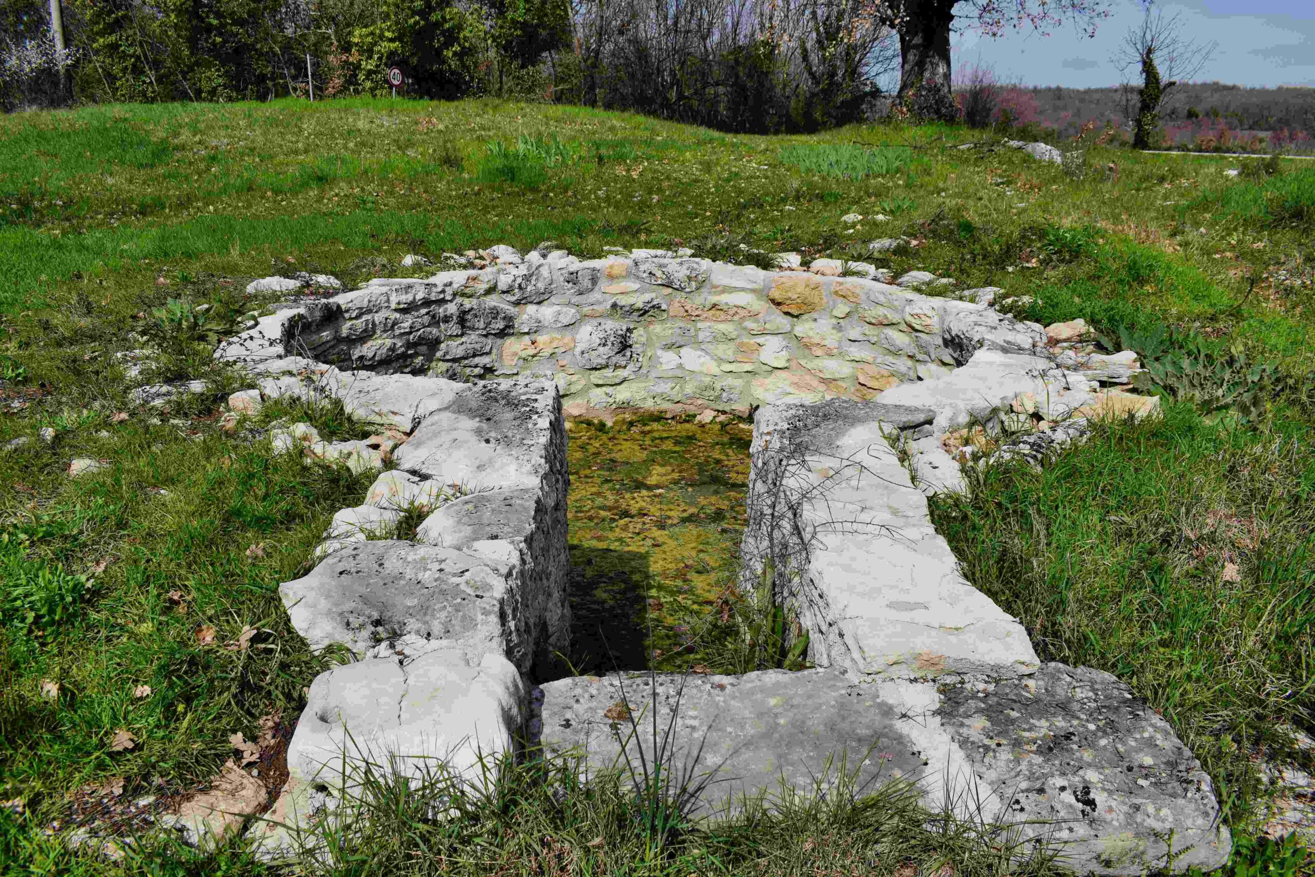
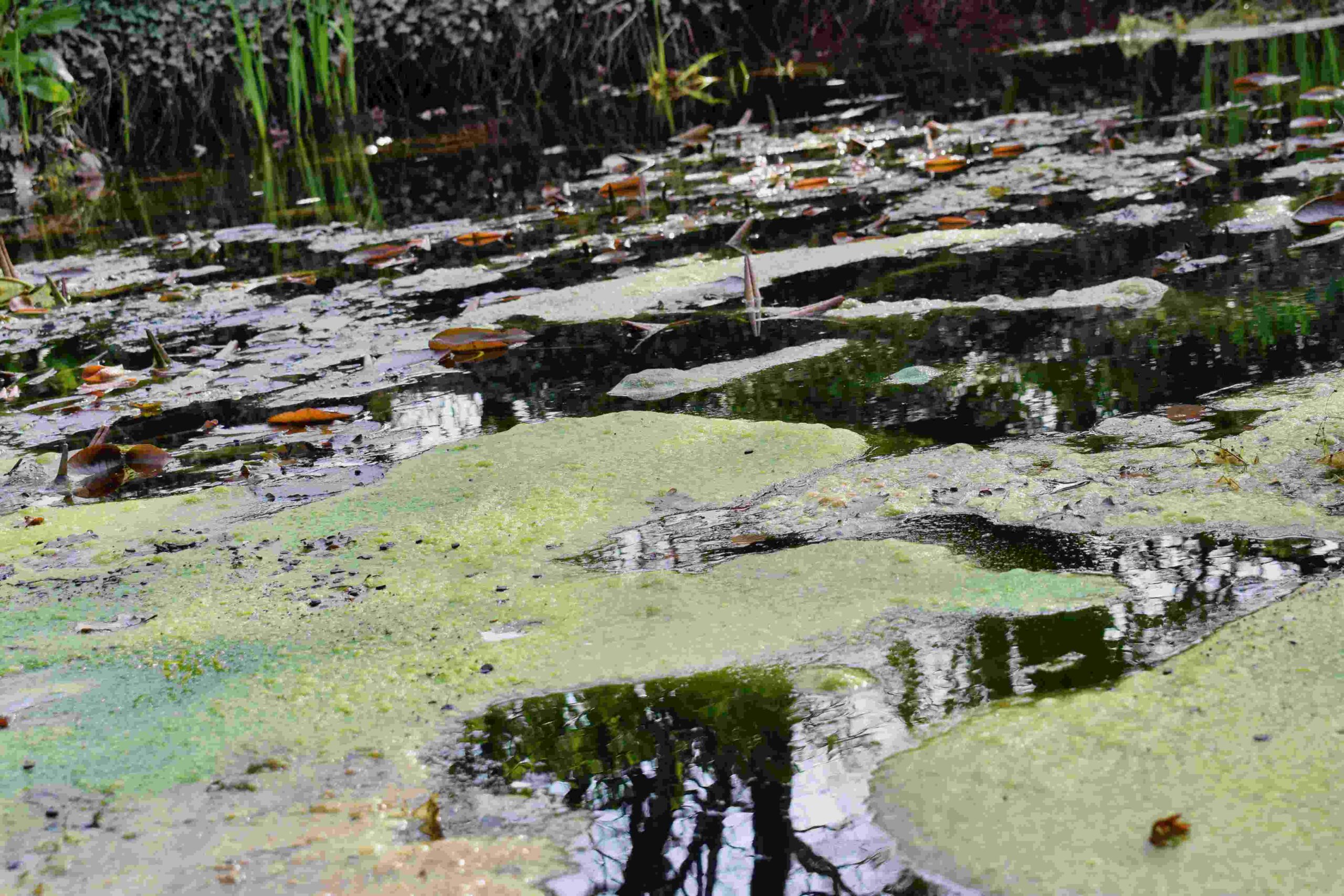
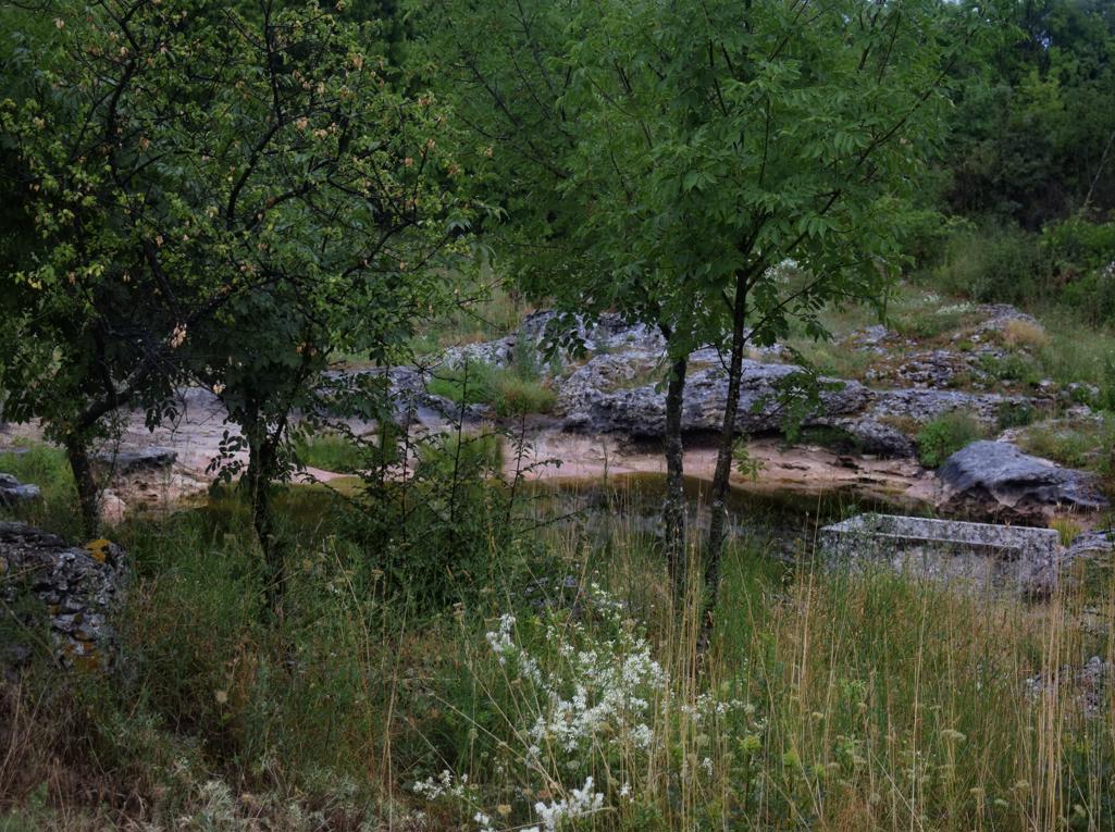
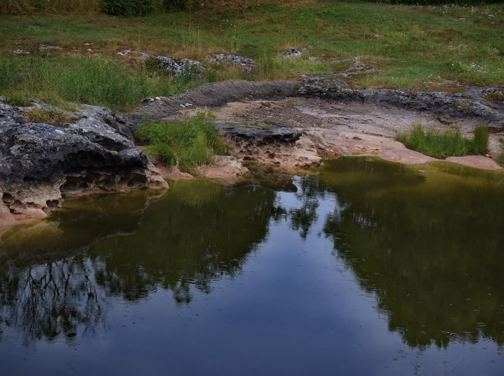
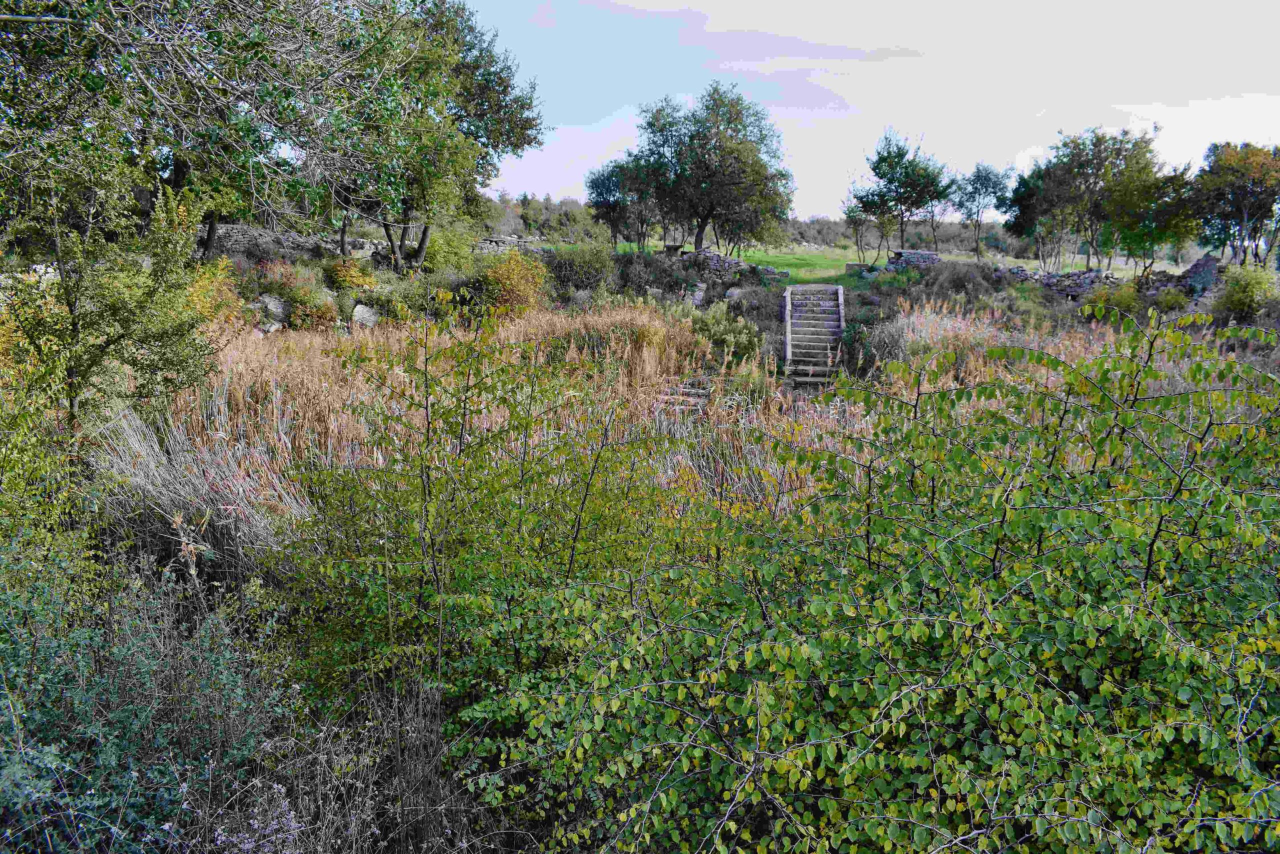
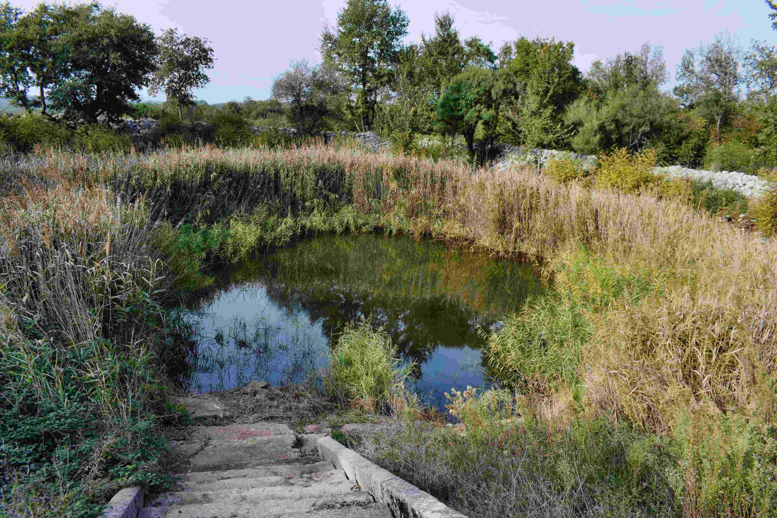
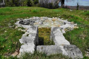
Name: Puddle Spinjovica, and 2 pit caves.
Place: Mrgani – (Kanfanar).
Coordinates: puddle 45.13075 N – 13.78396 E, cave 1 45.13653 N – 13. 77412 E, cave 2 45.12800 N – 13.78241 E.
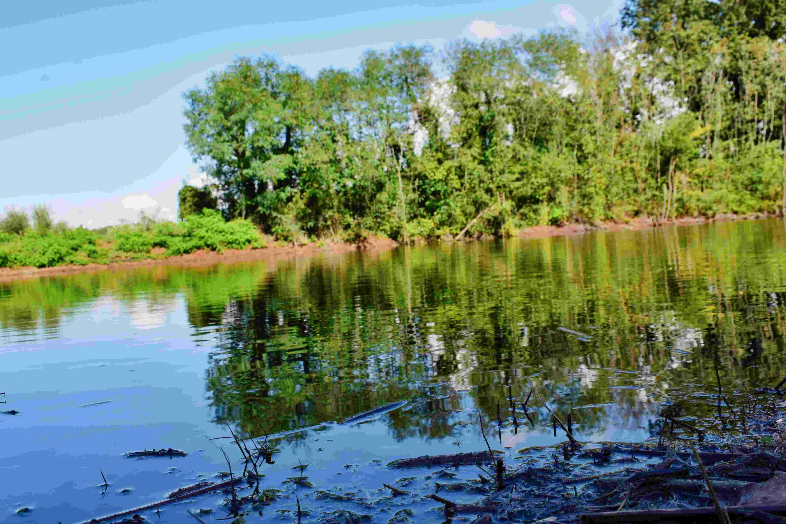
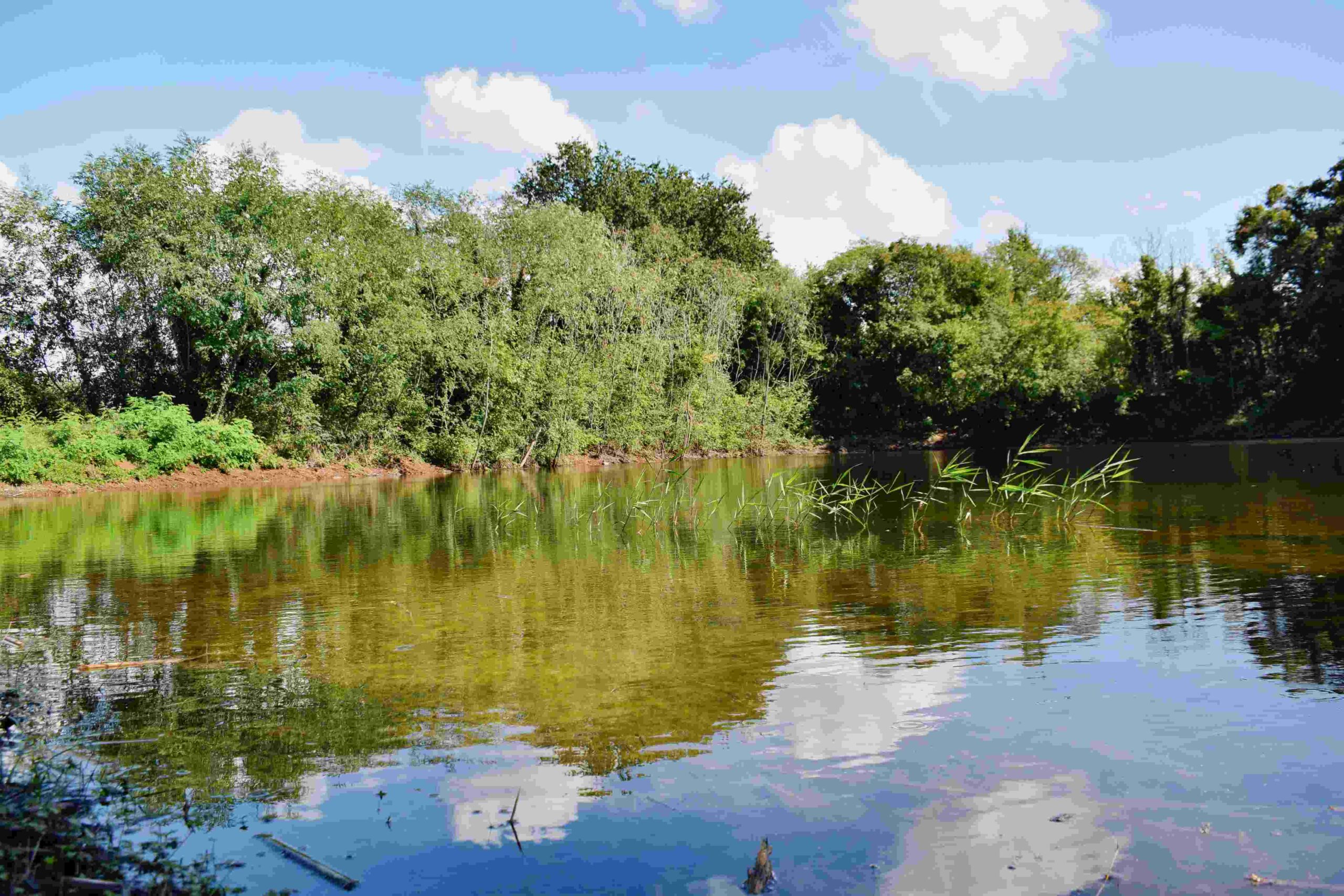
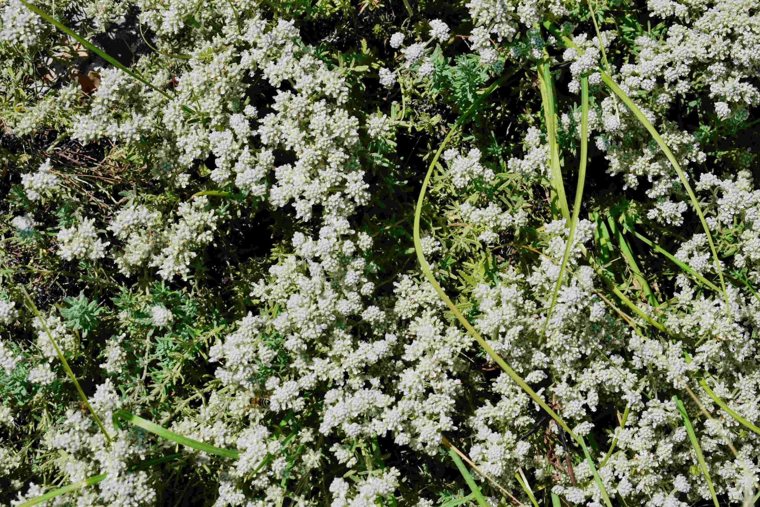
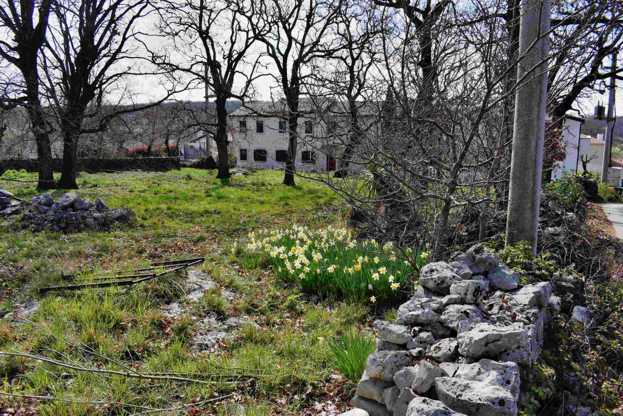
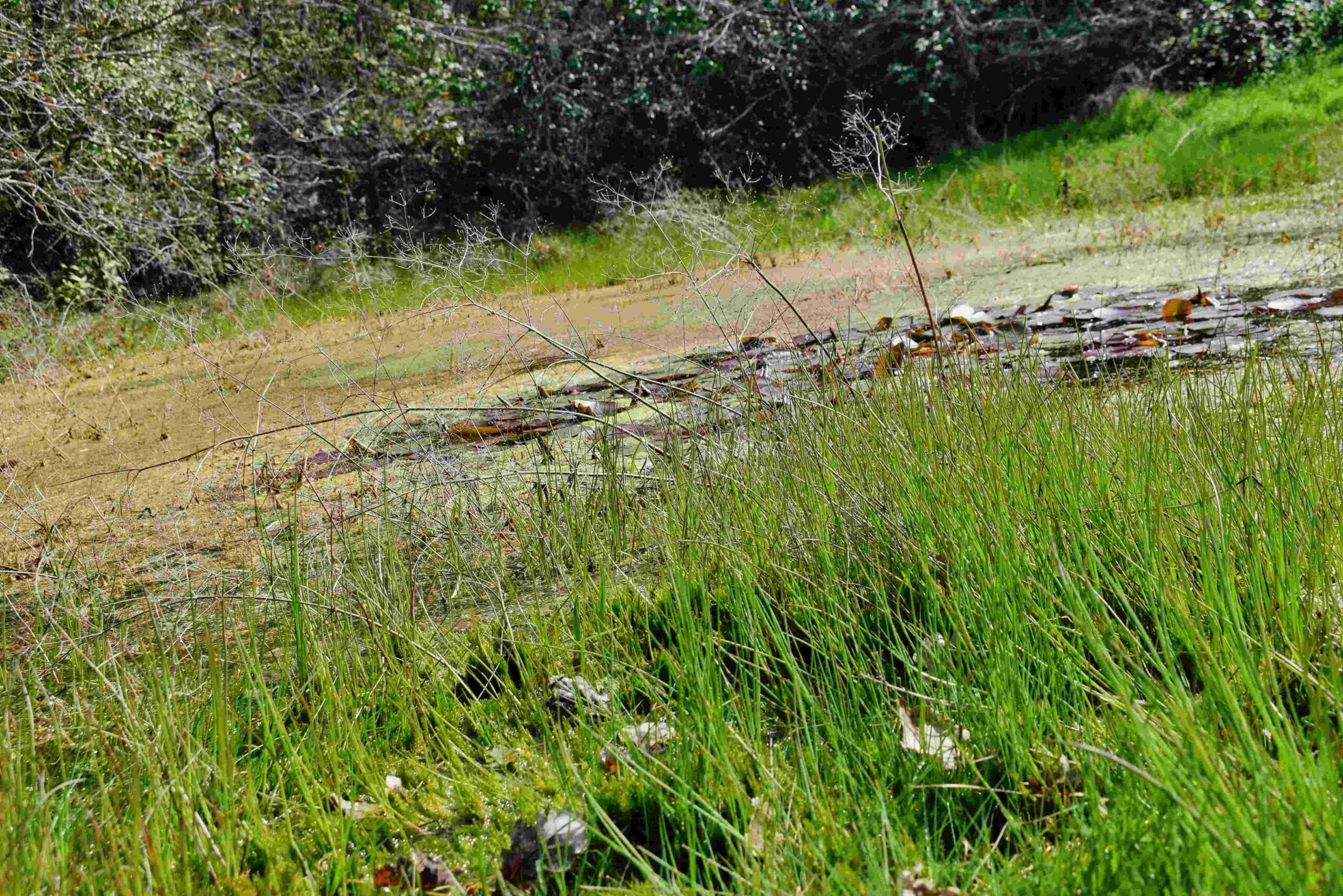
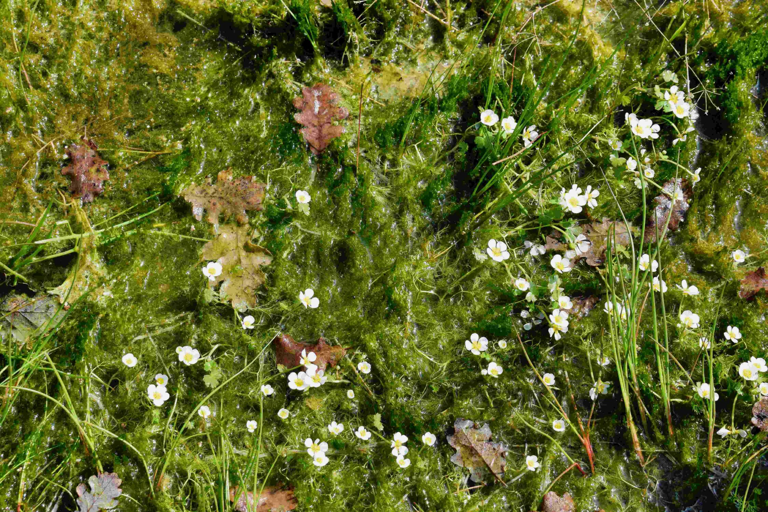
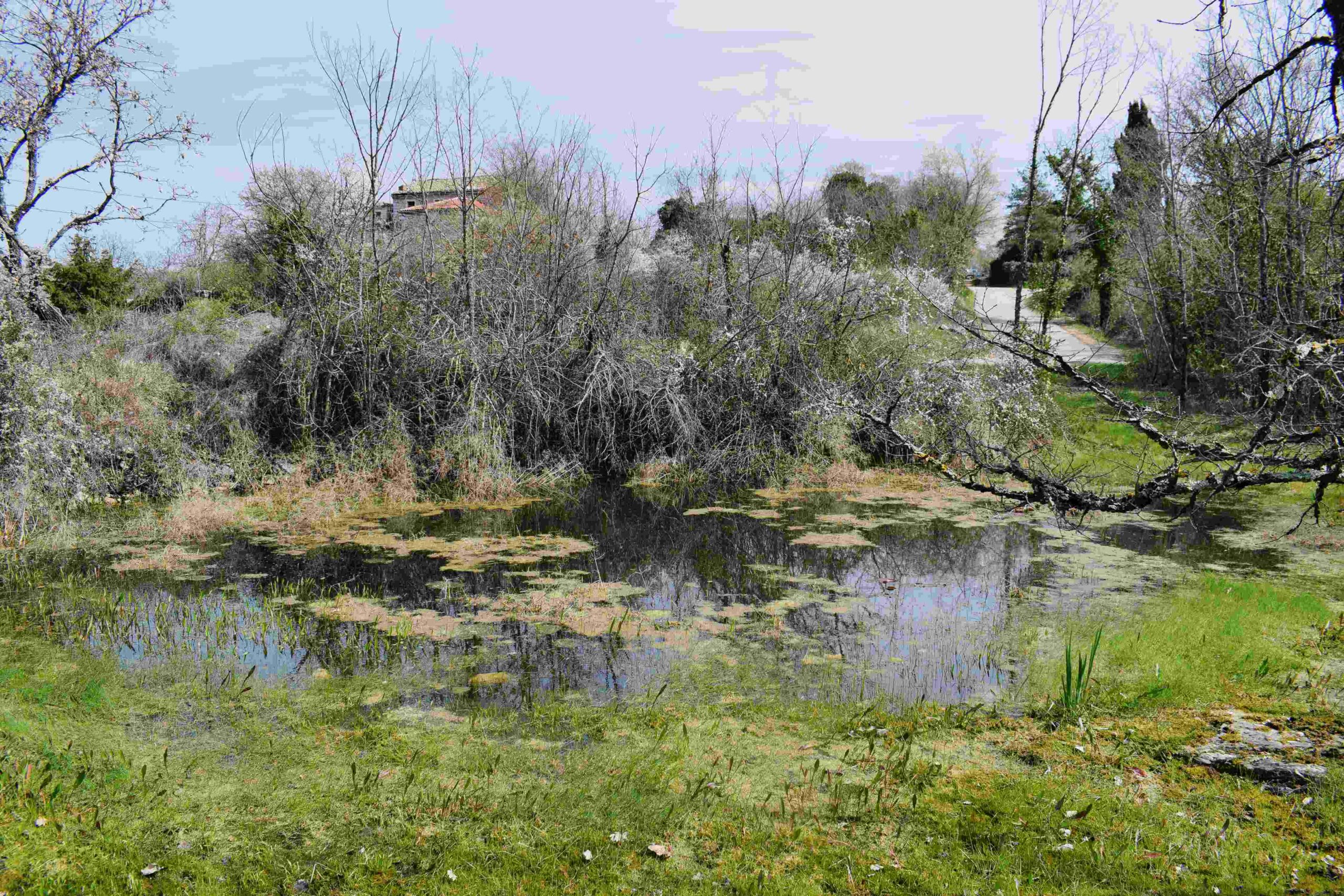
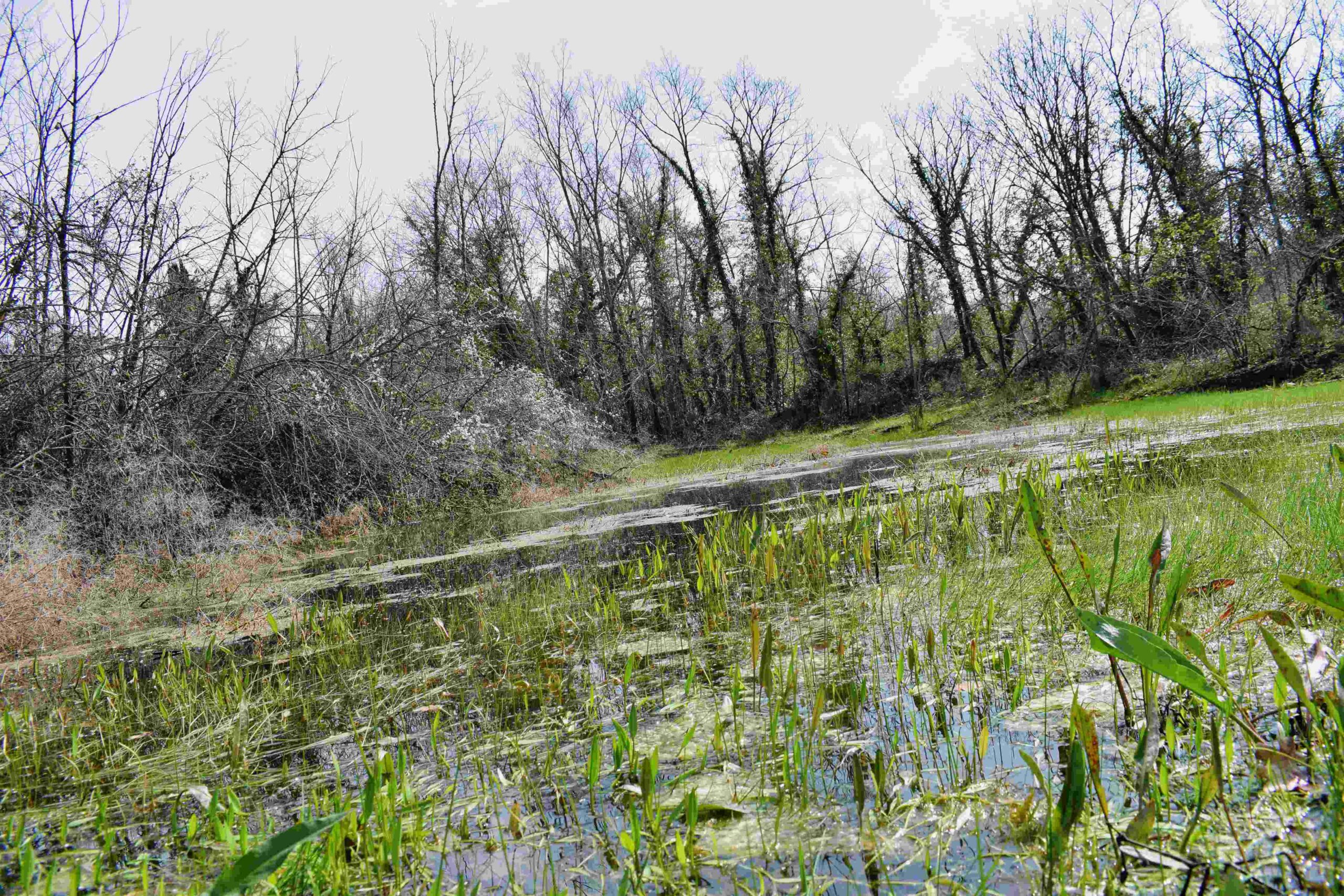
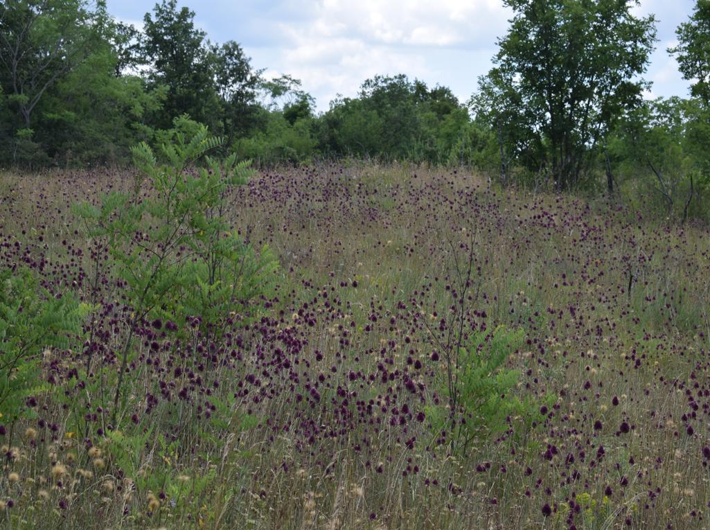
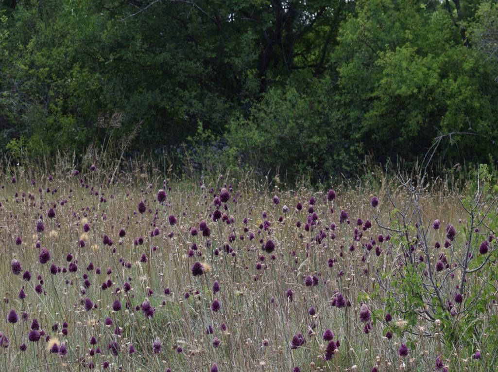
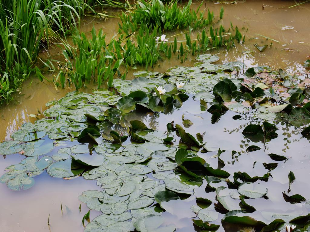
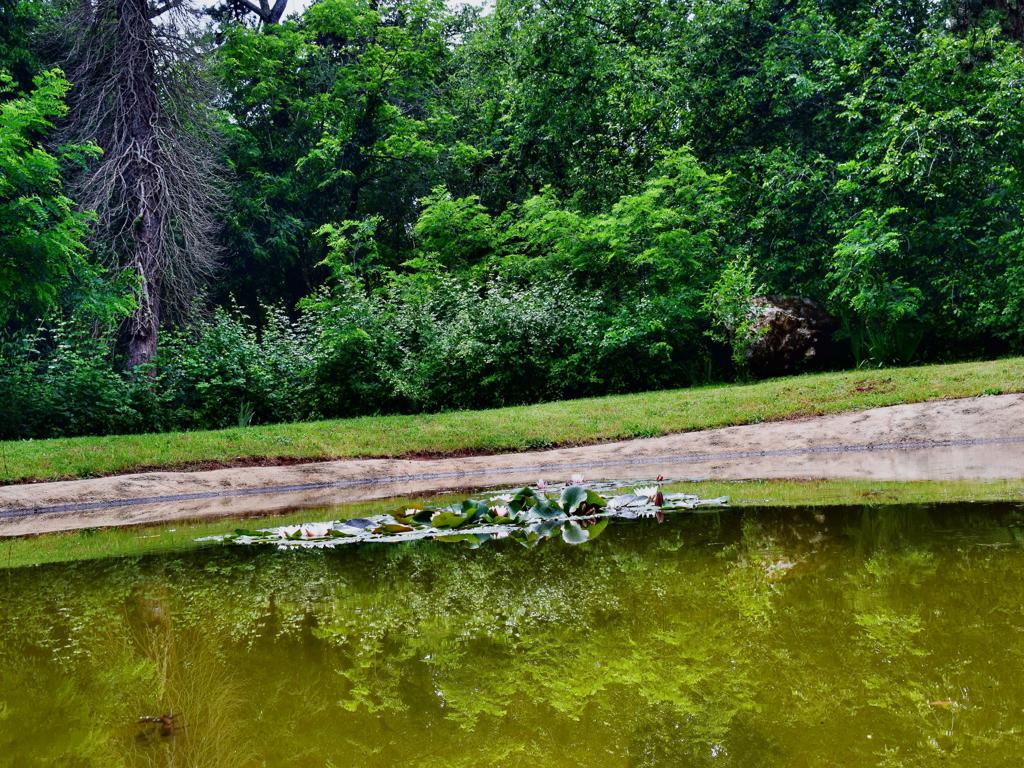
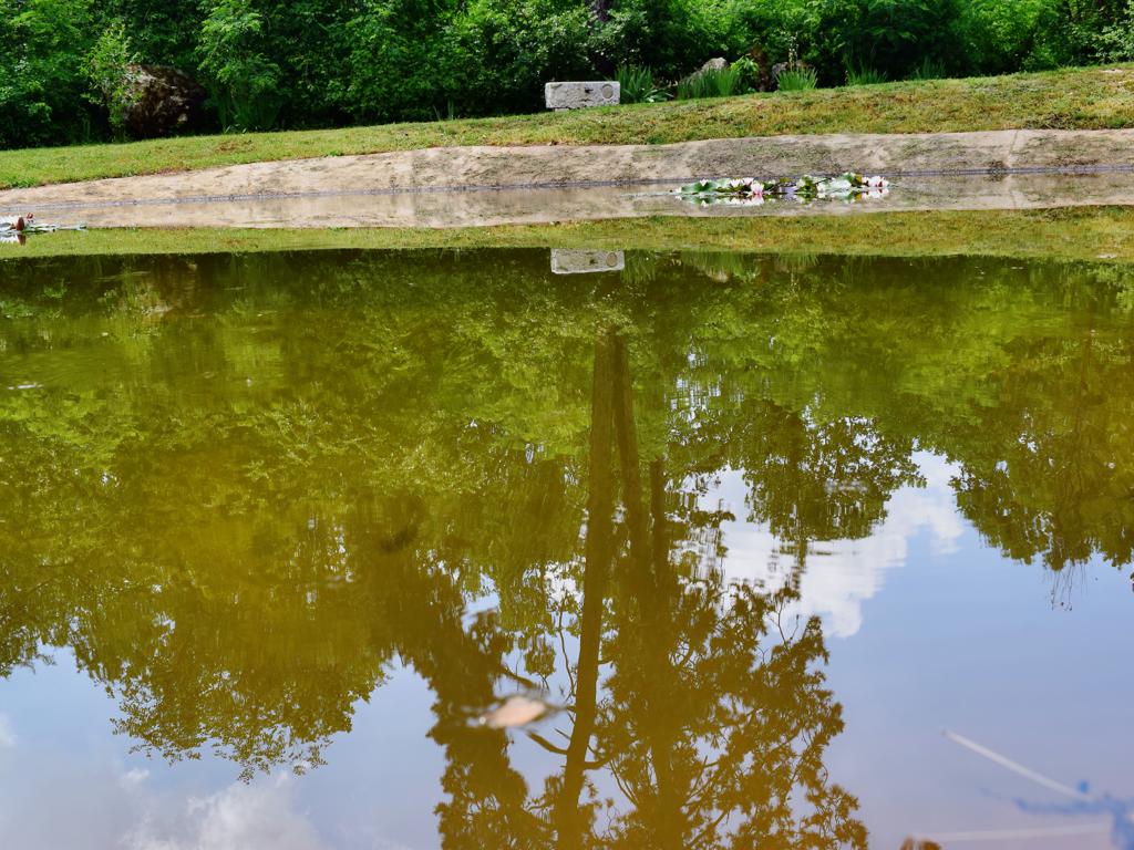
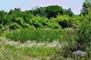
Ponds: Lako Neto, Lako Vivo, Lokva Legovići, Lokva Bucalovići, Mala Lokva, Tičan, Kalić Bristovića.
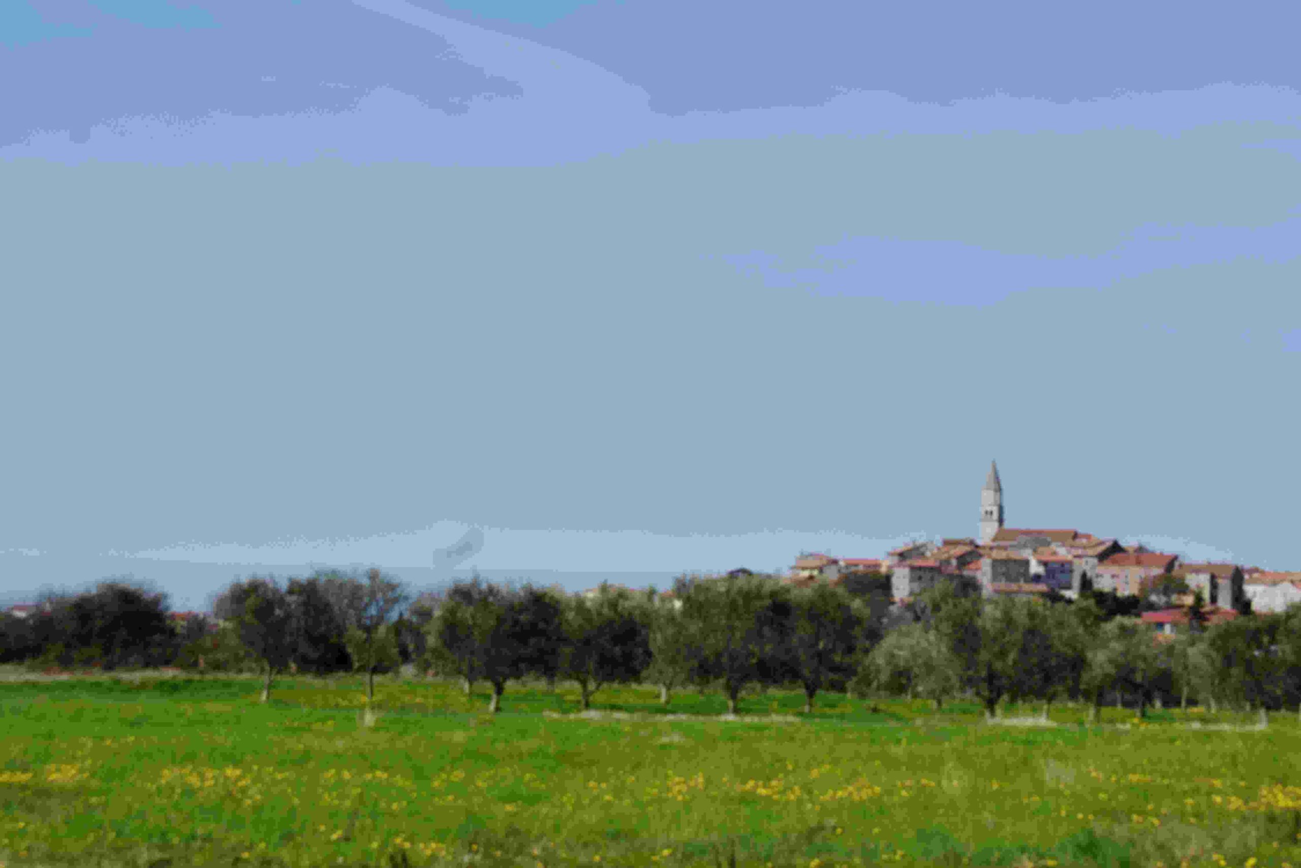
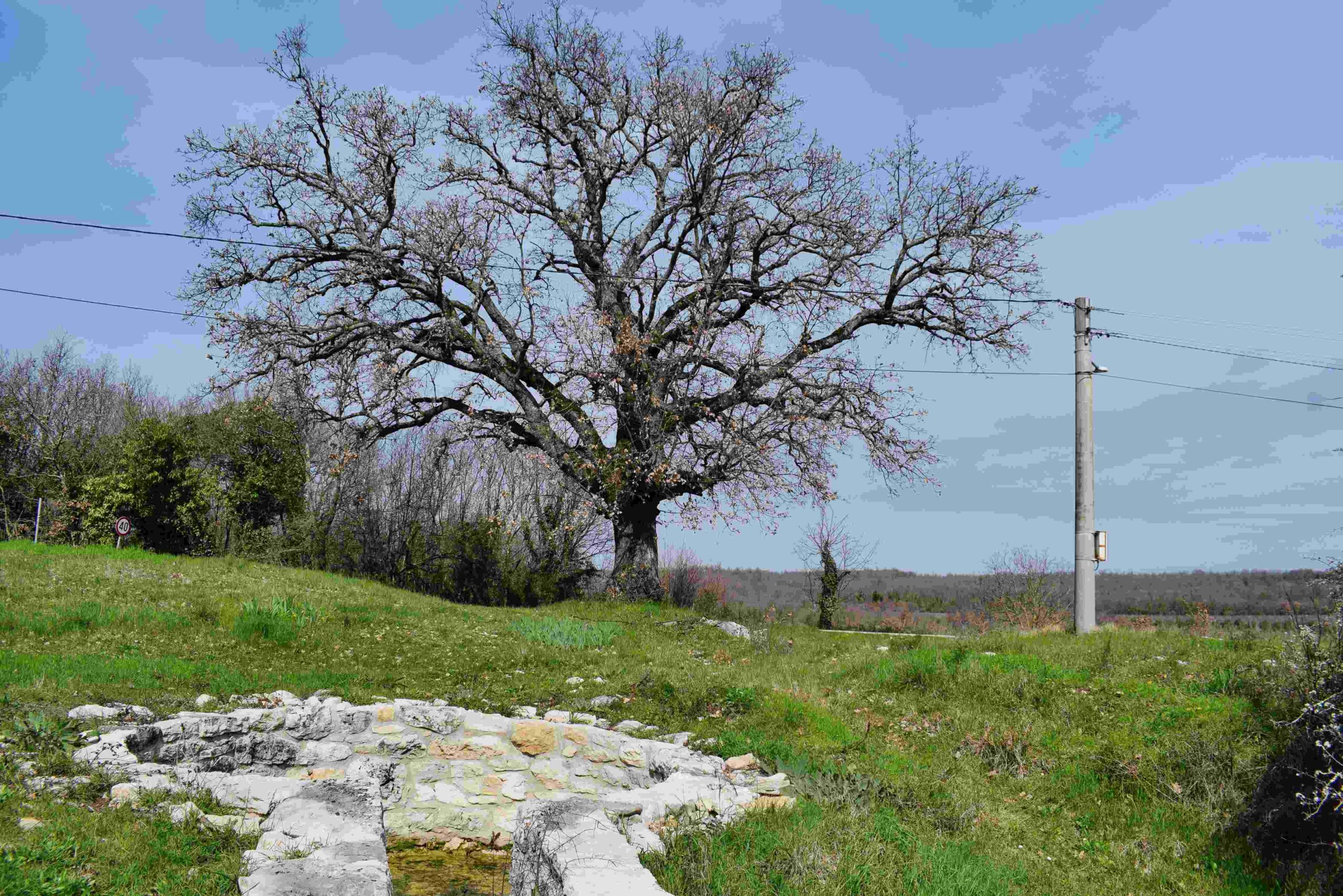
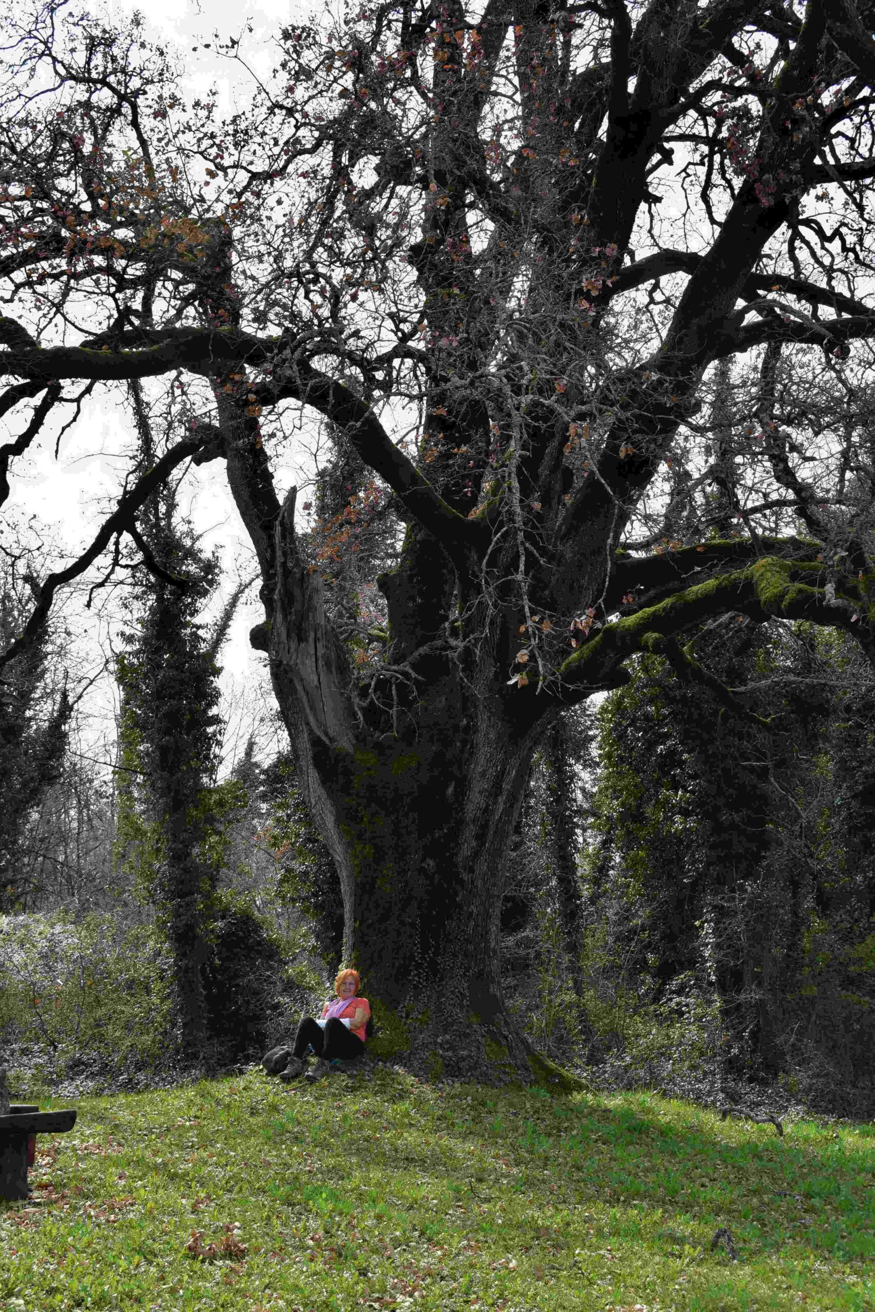
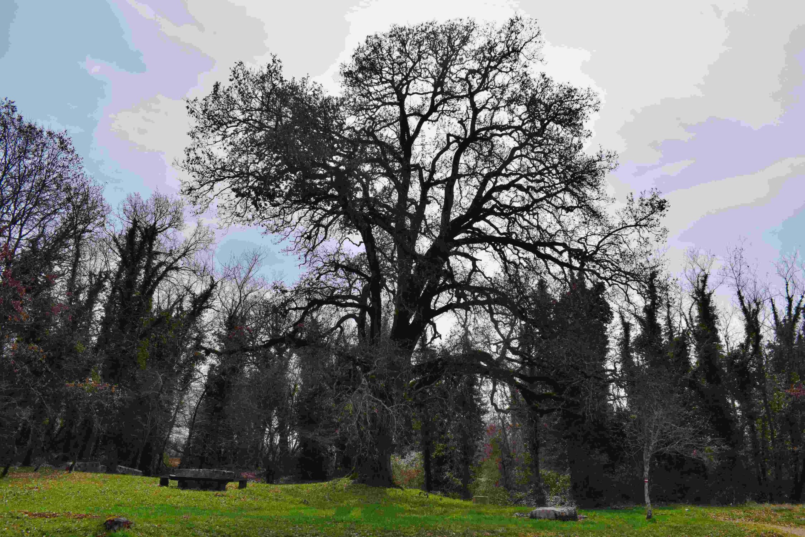
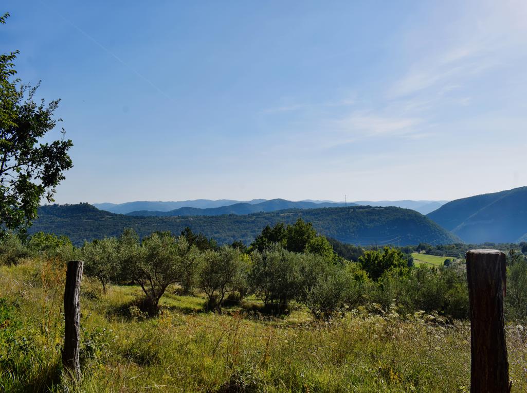
Name: Trail ponds Višnjan.
Place: Višnjan.
Coordinates: Start 45.27768 N – 13.72774 E.
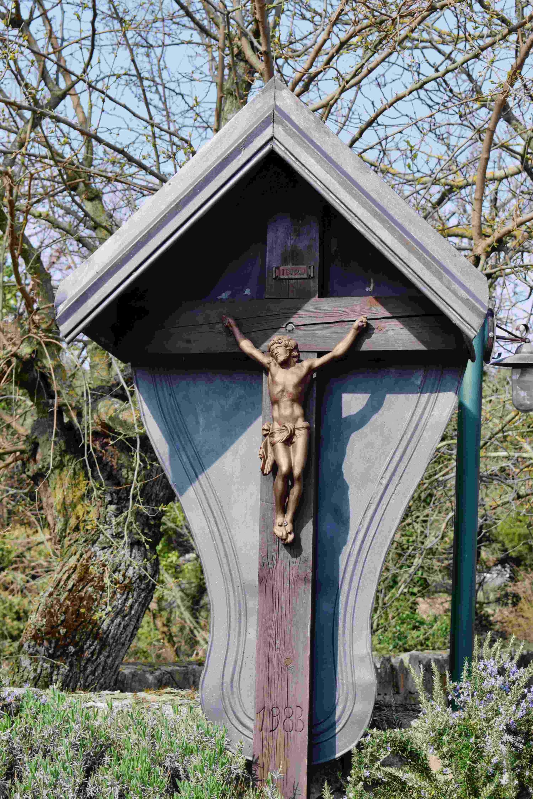
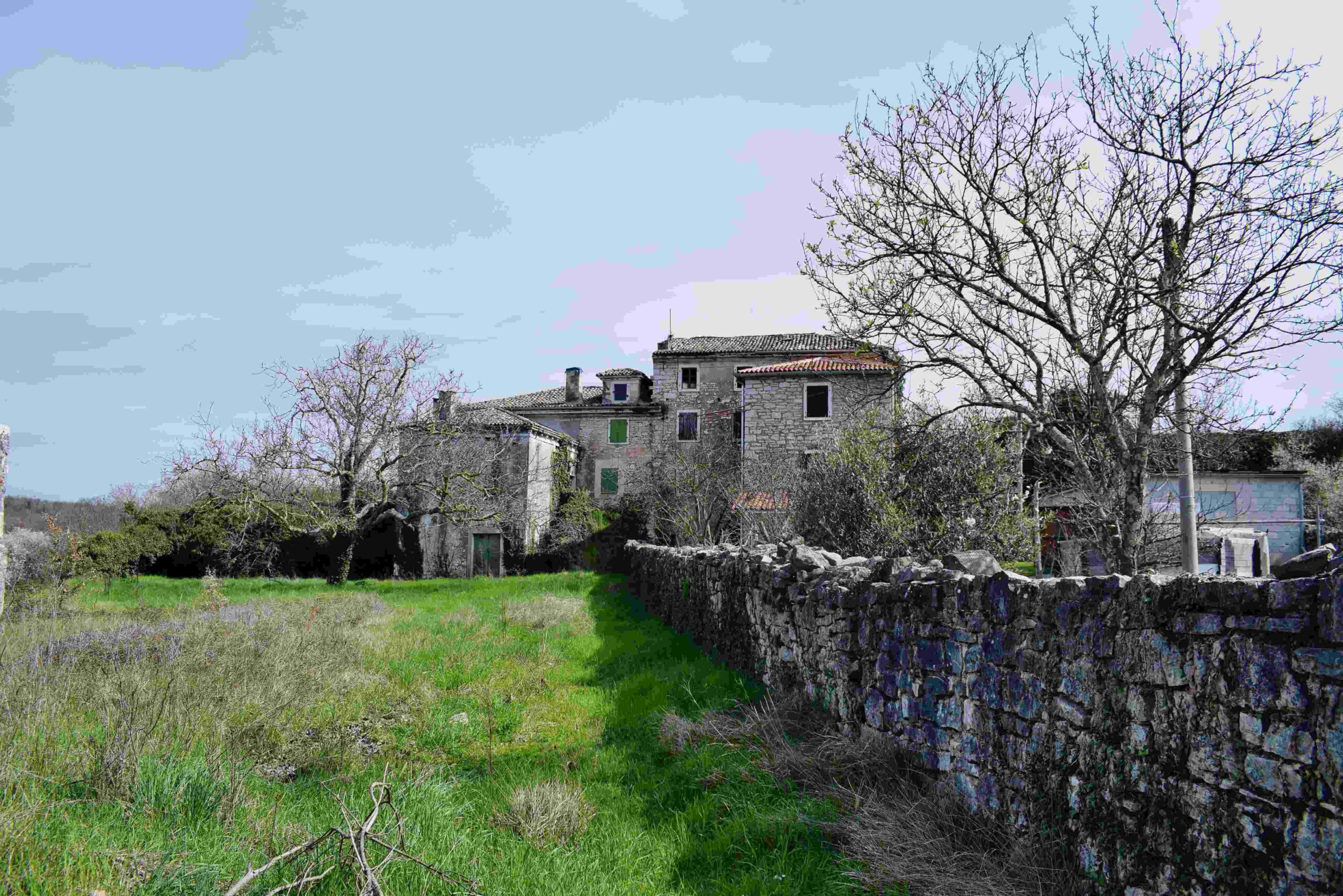
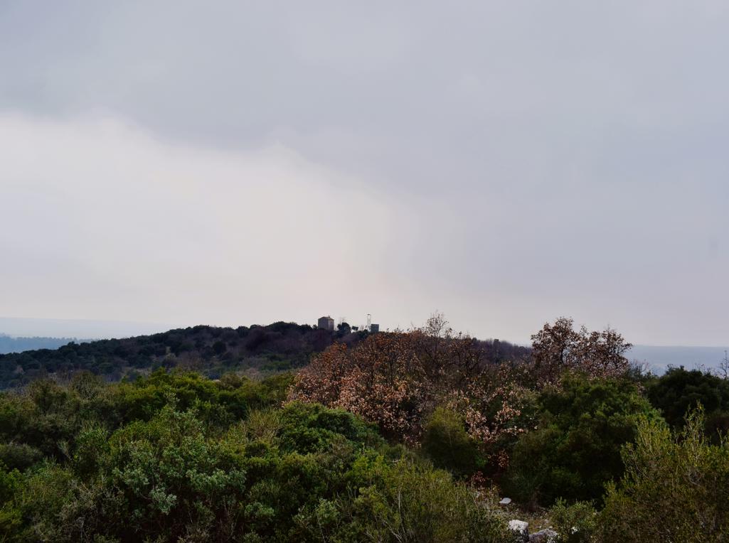
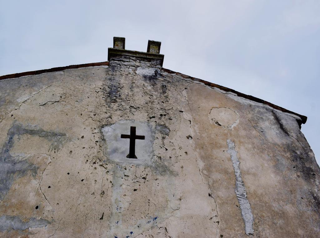
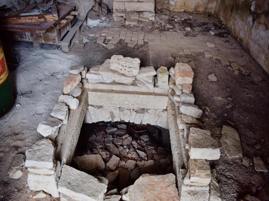
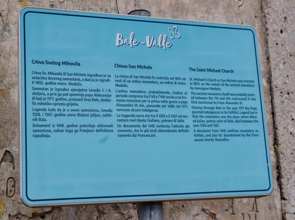
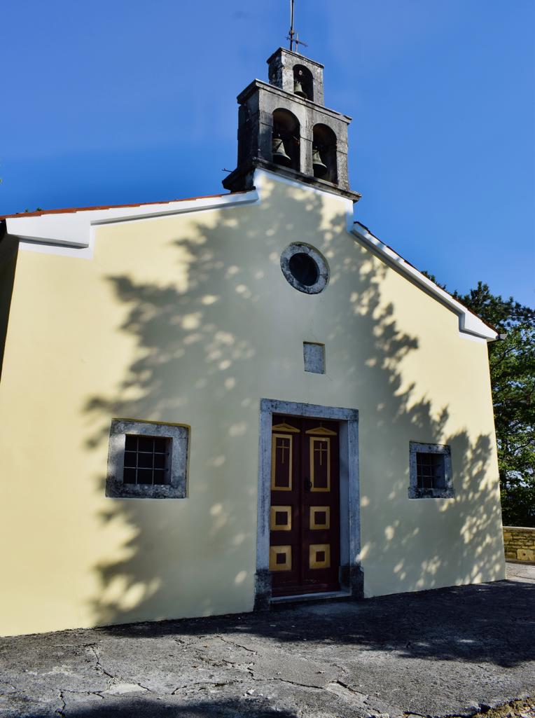
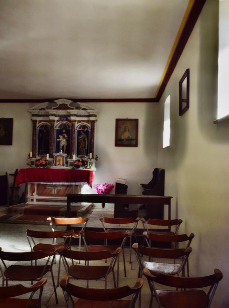
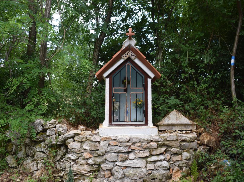
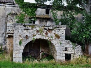
On the hill Sv. Mihovil was built a monastery in the 7th century and in 1855 a church named St. Michael.
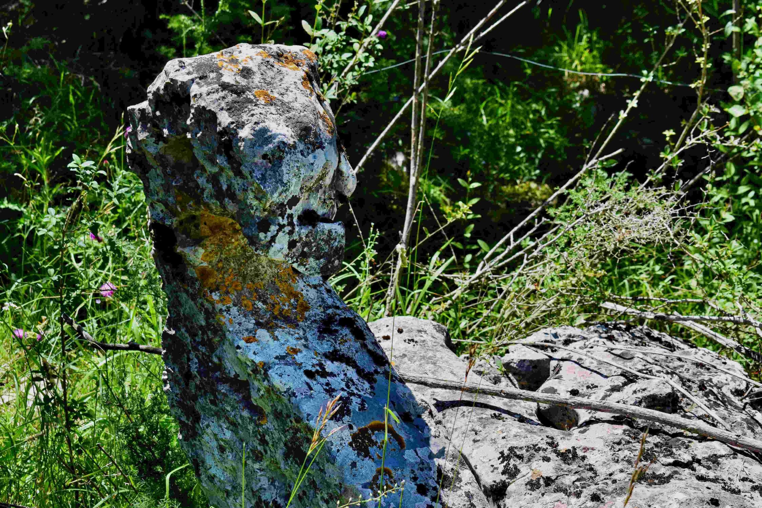
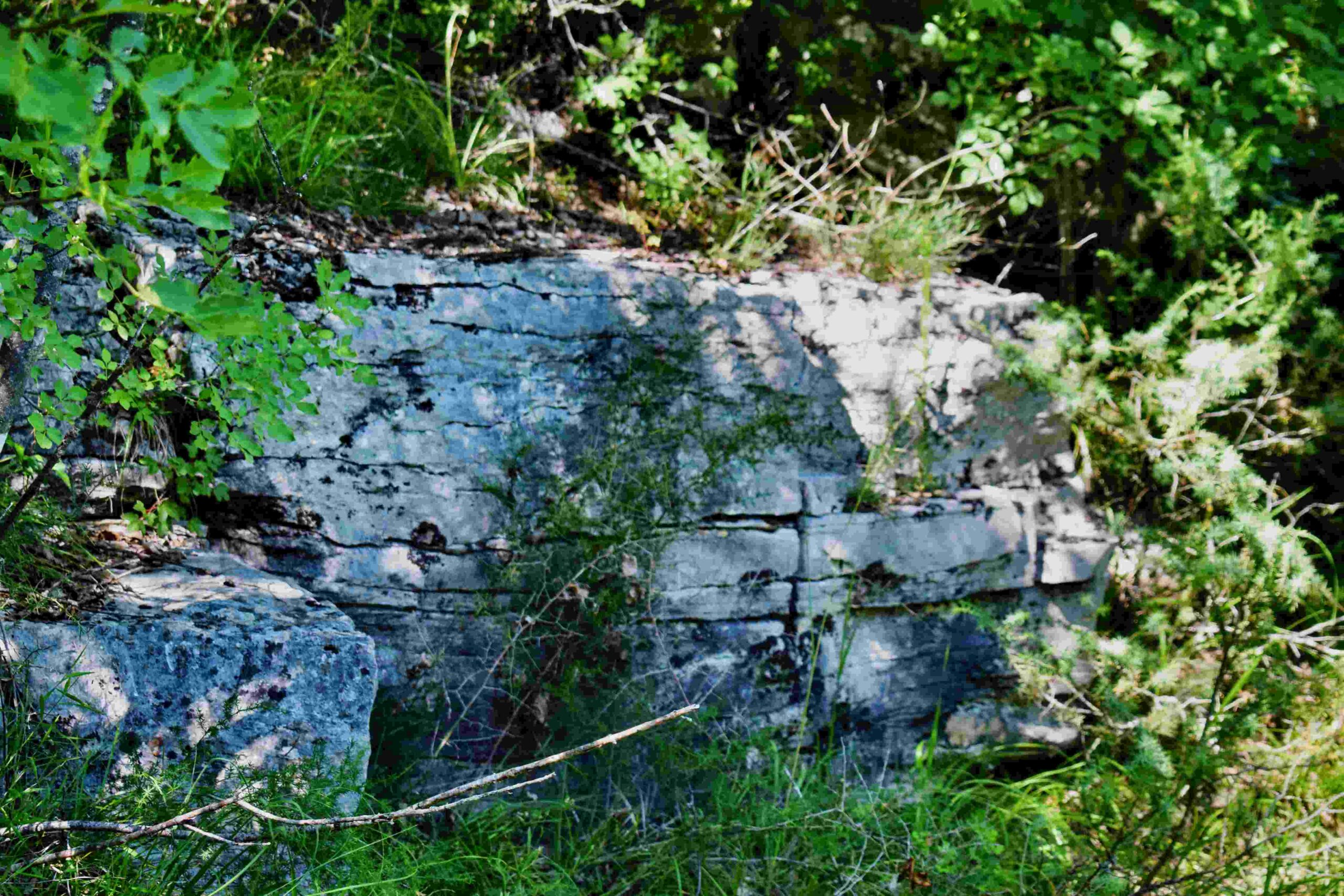
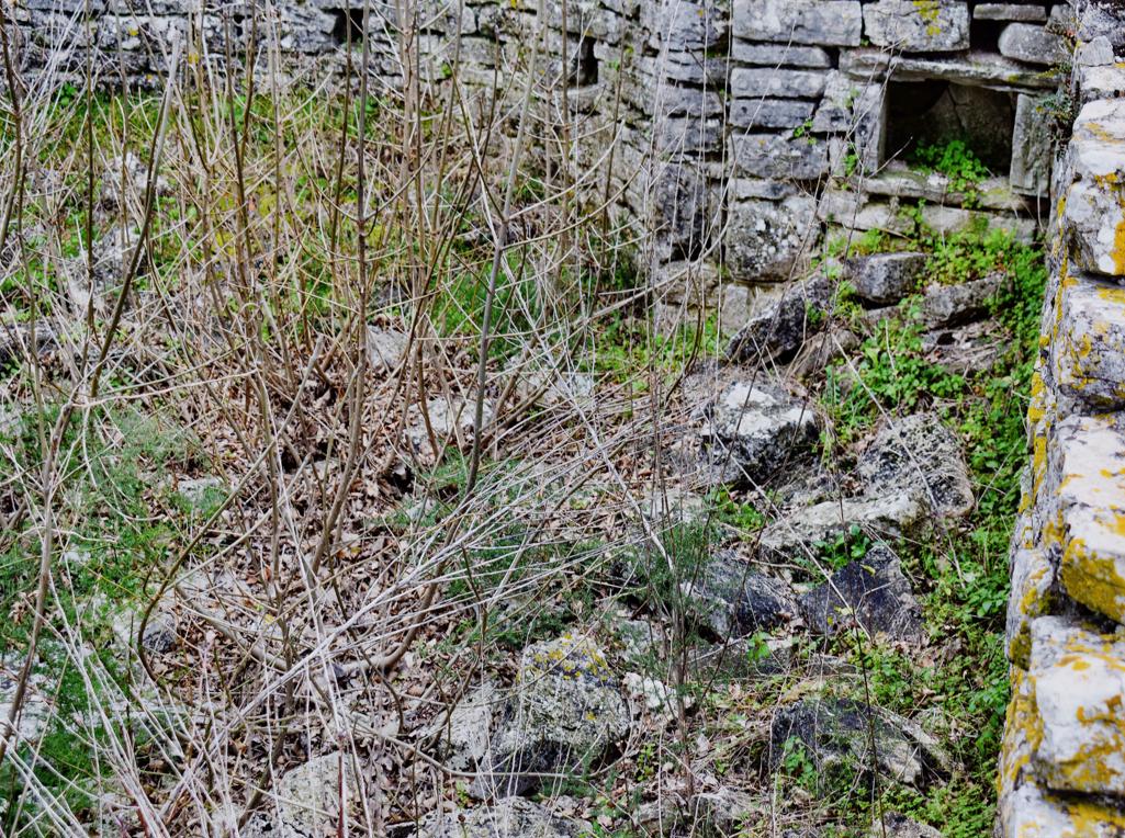
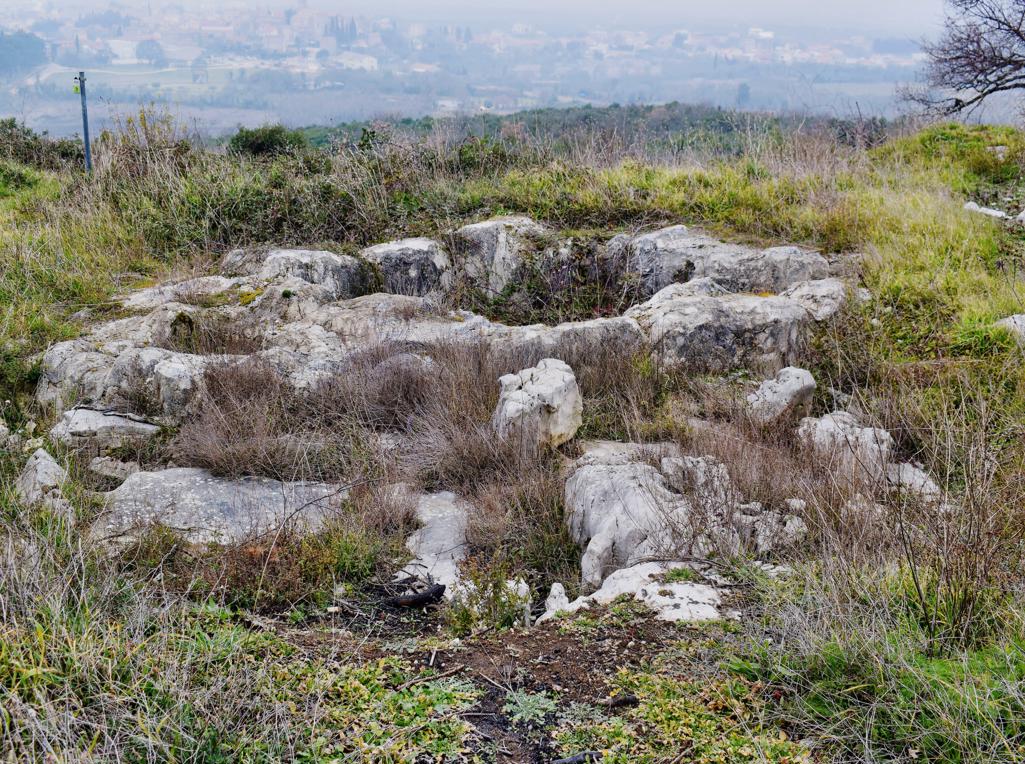
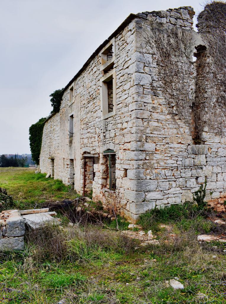
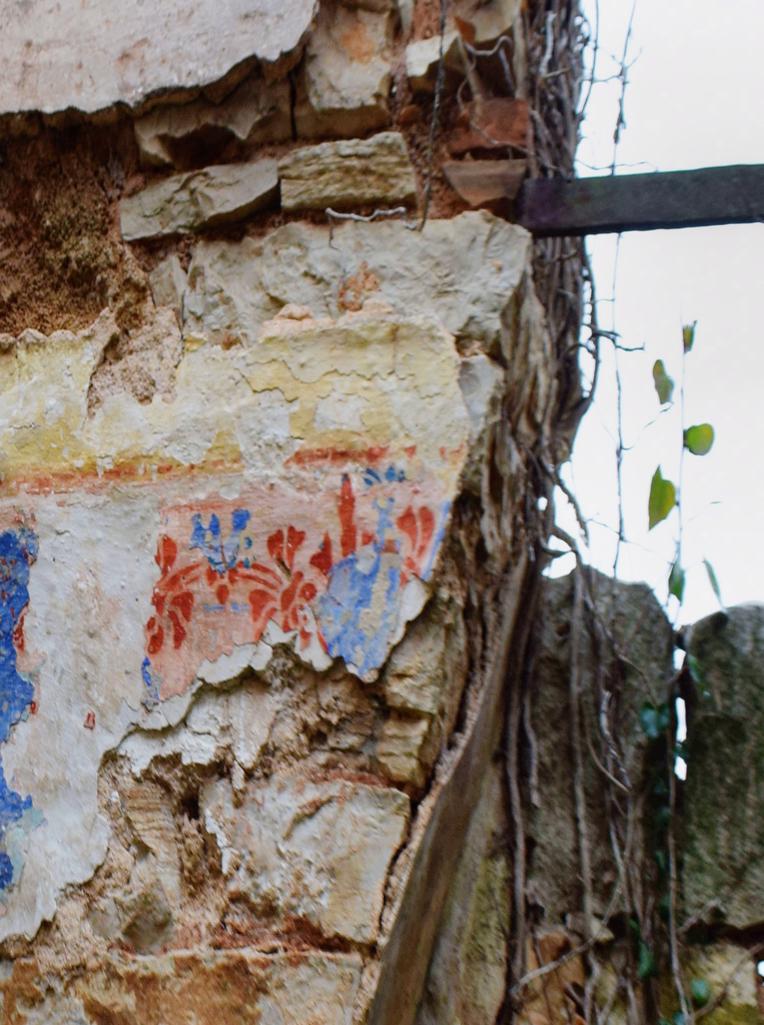
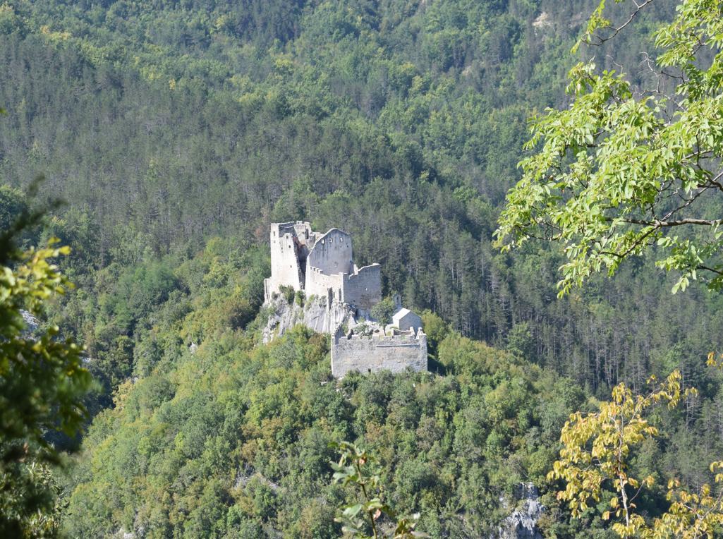
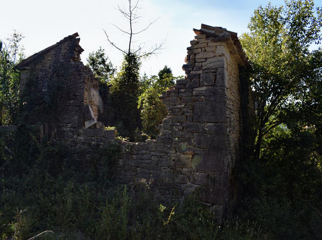
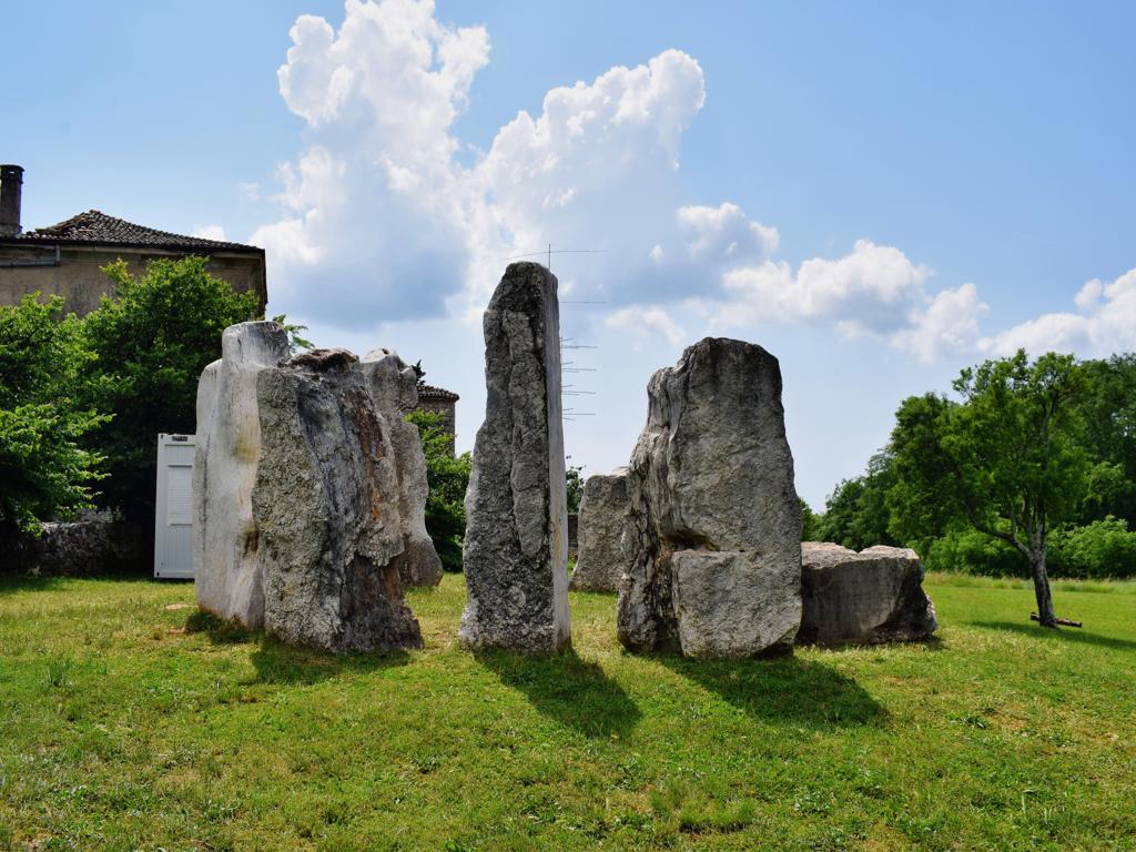
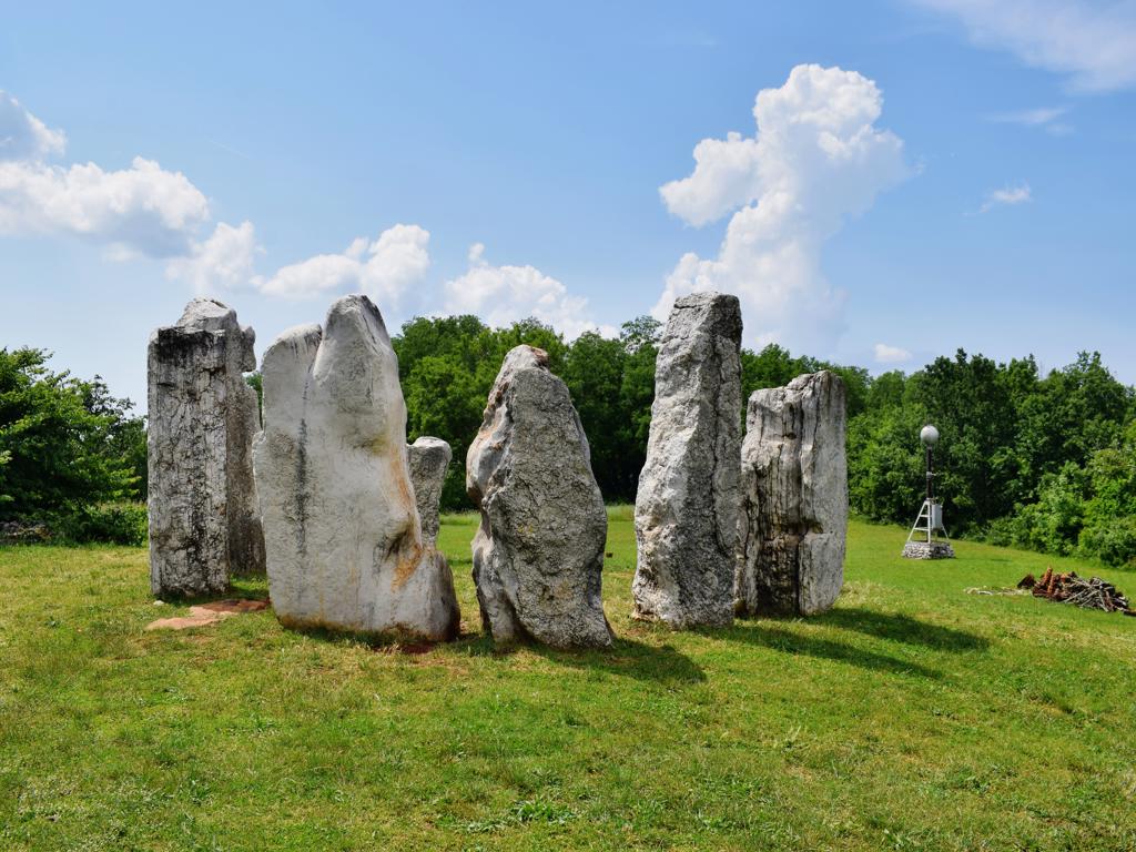
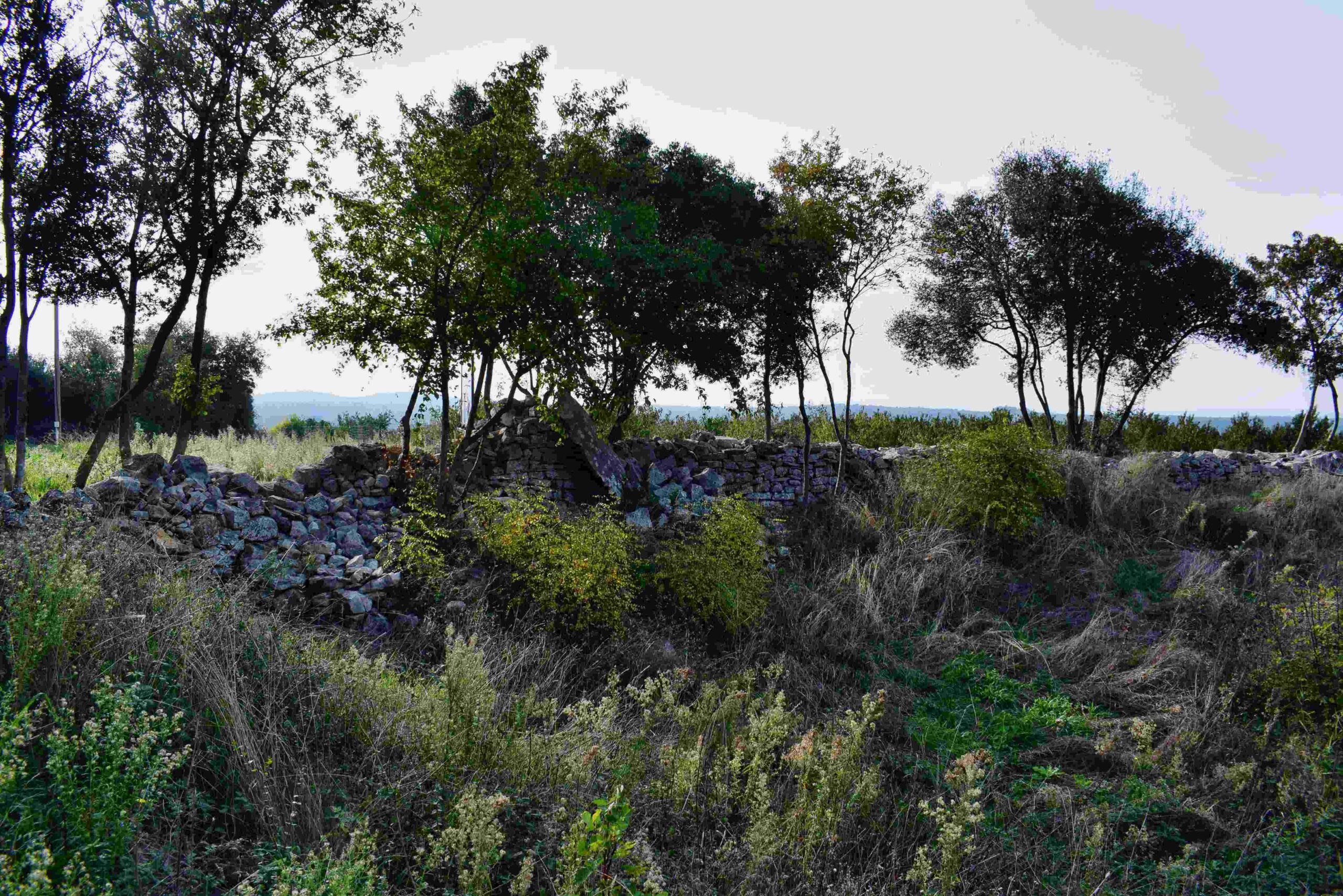
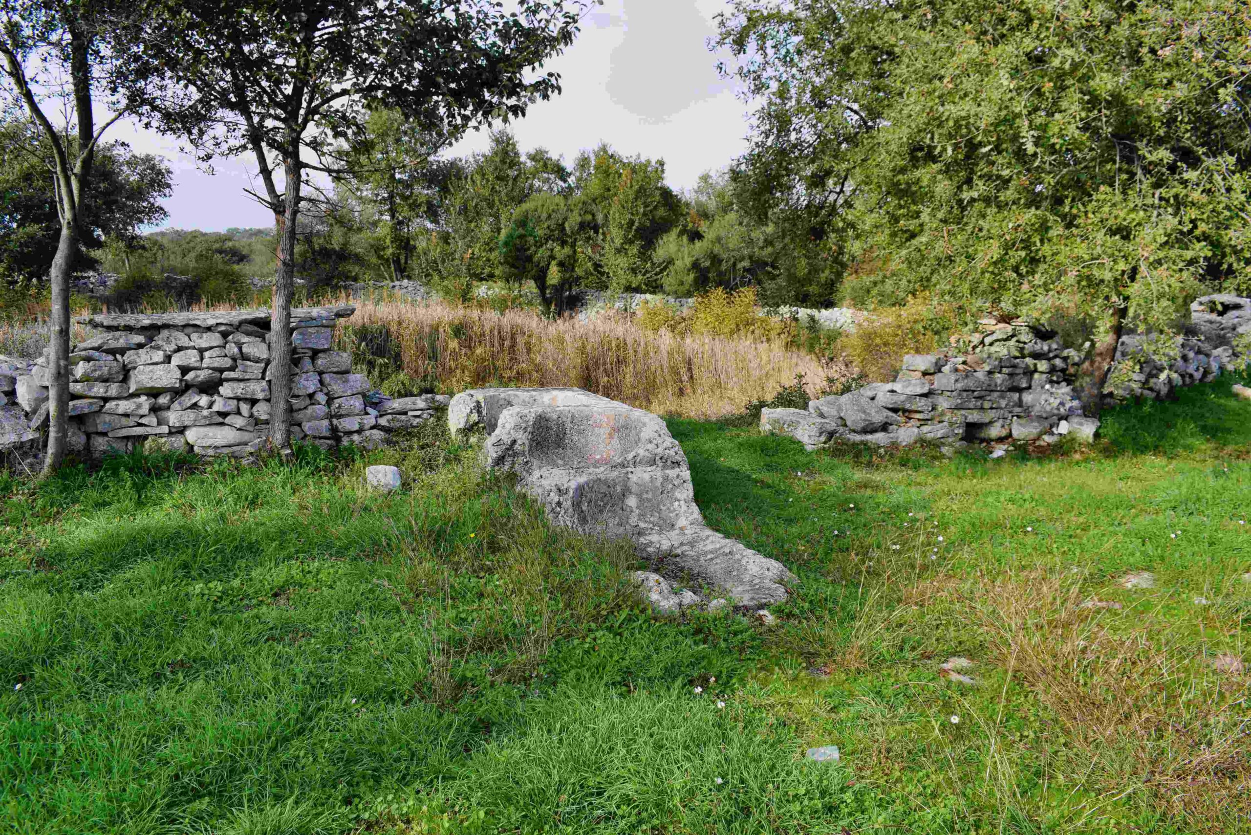
Name: Prehistoric settlement on the hills Sveti Mihovil and Forke .
Place: Bale
Coordinates. Church St. Michael 45.03820 N -13.79952 E, Top Forke
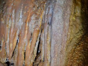
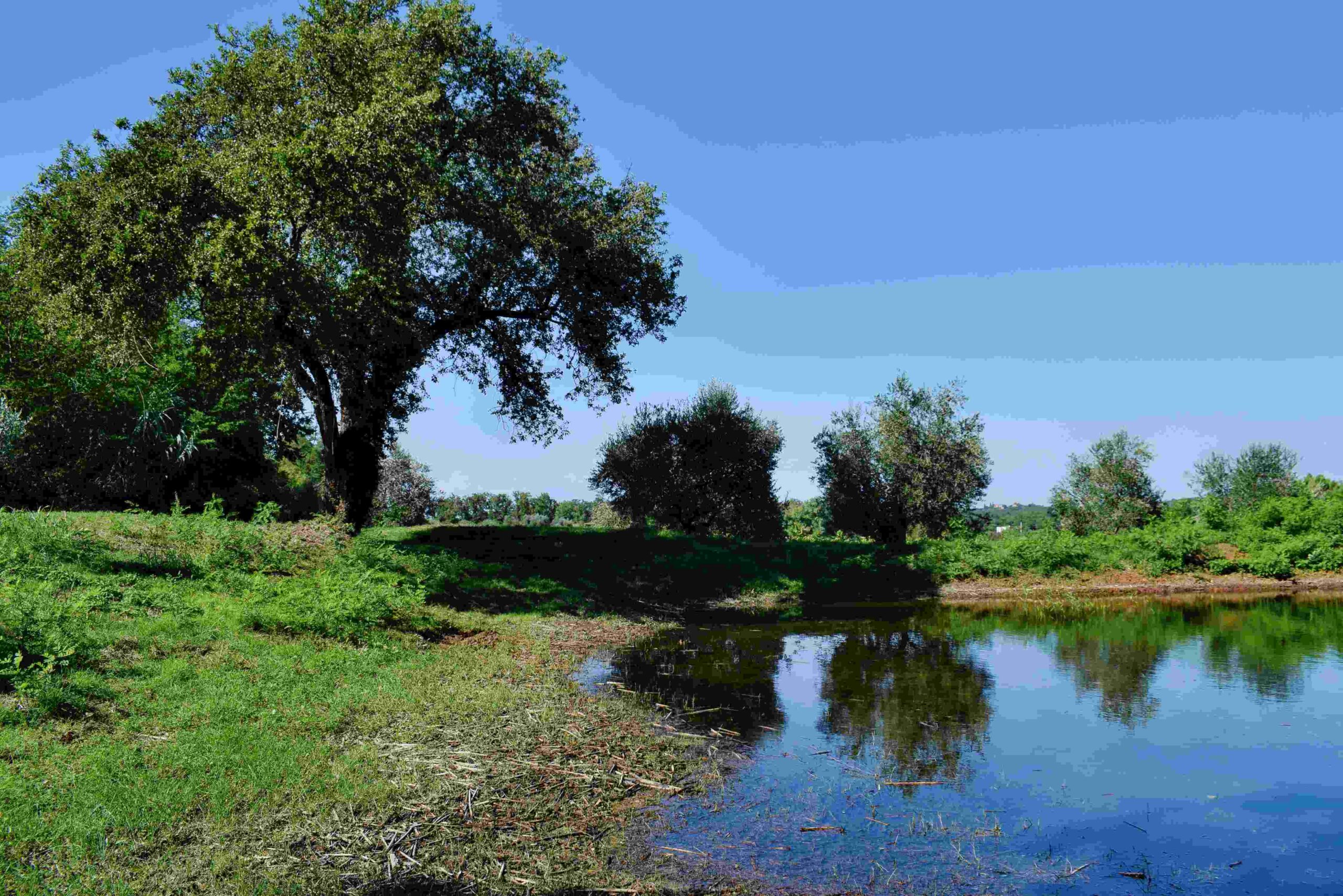
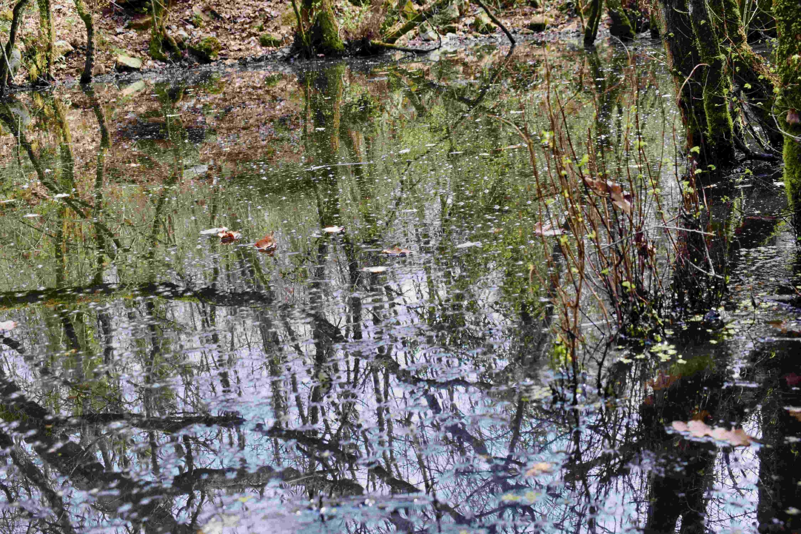
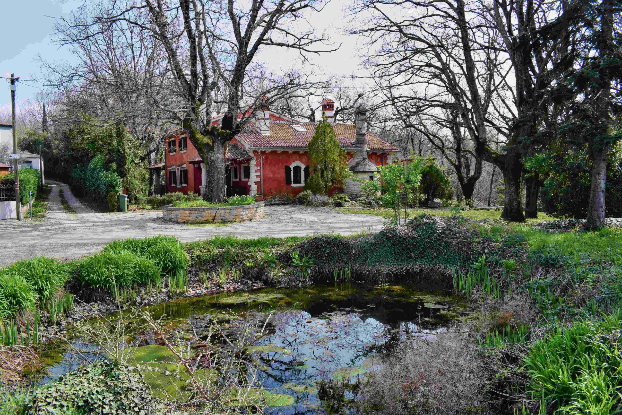
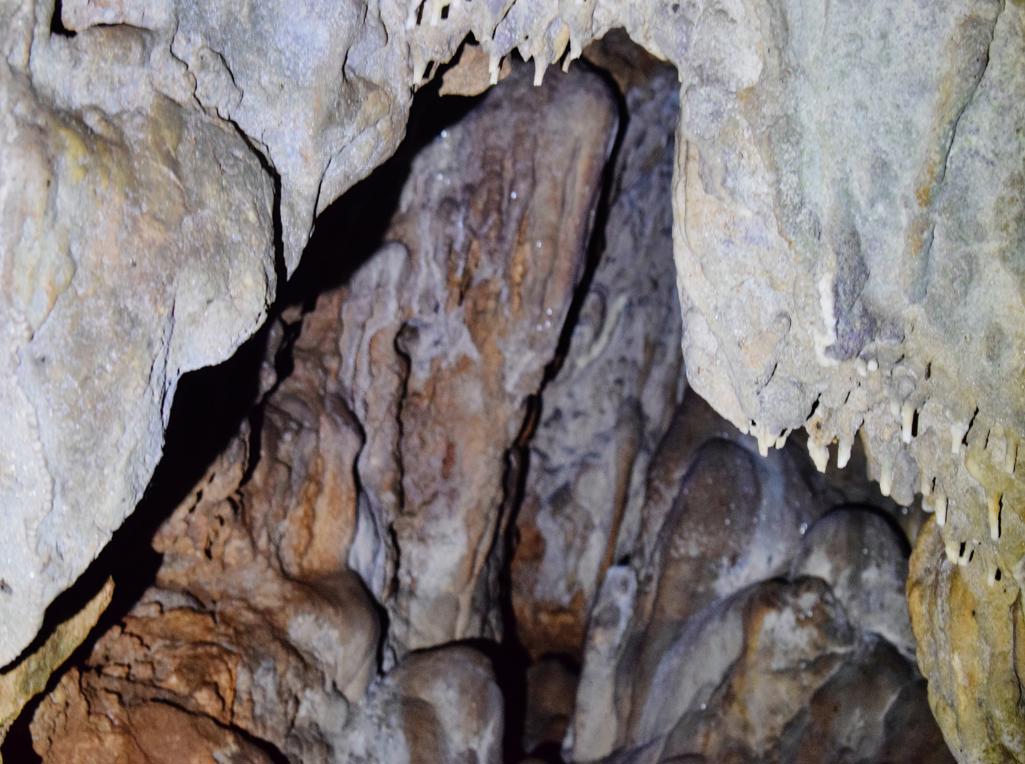
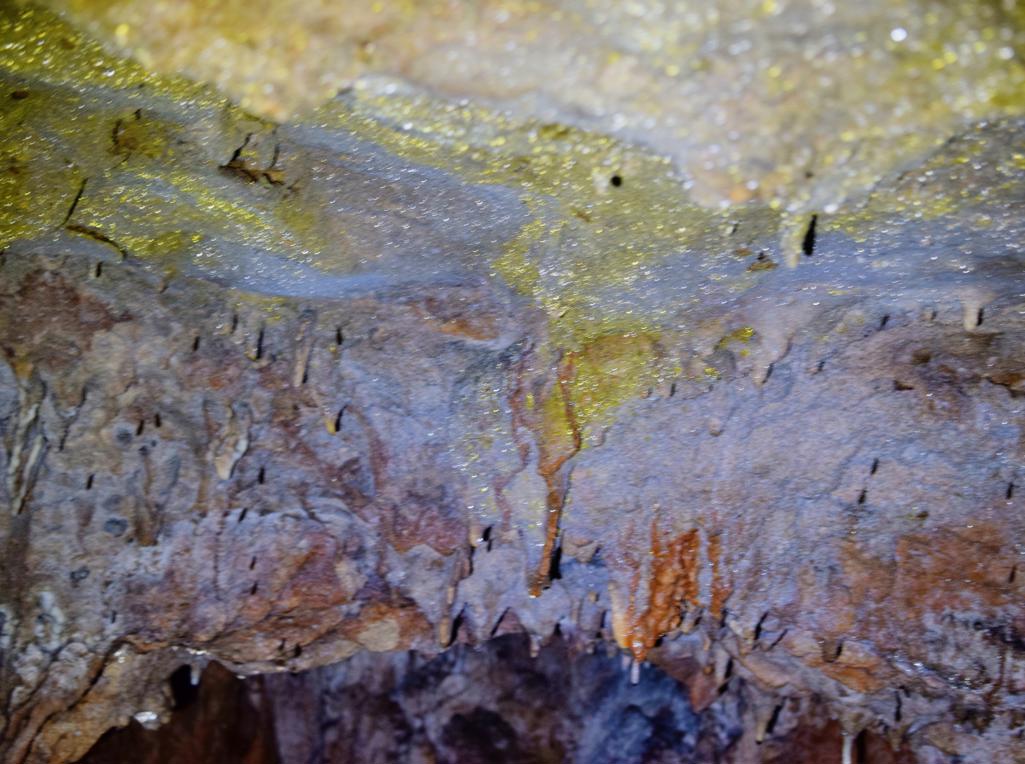
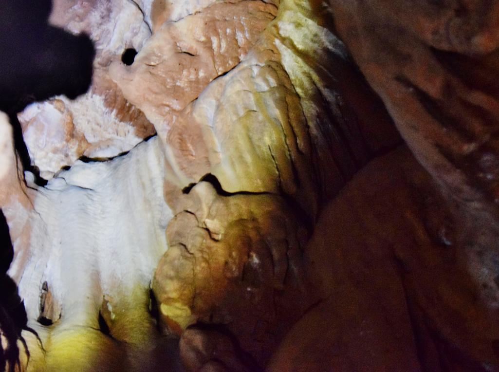
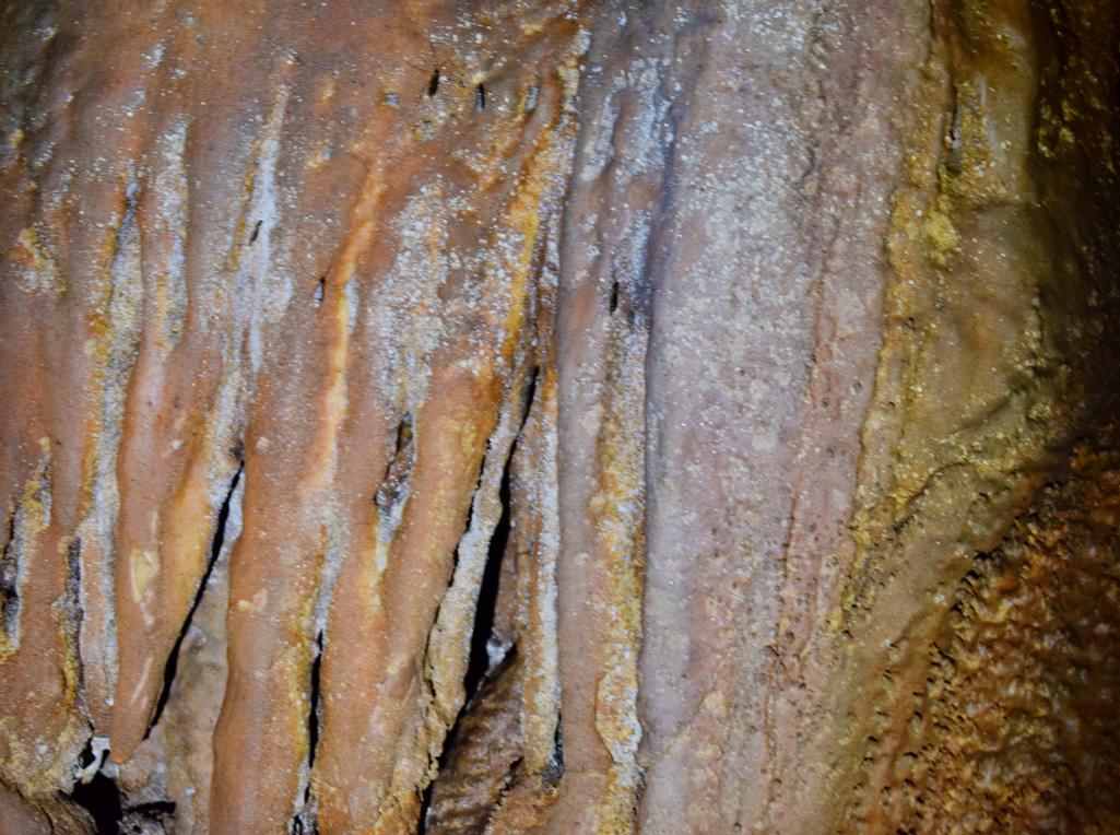
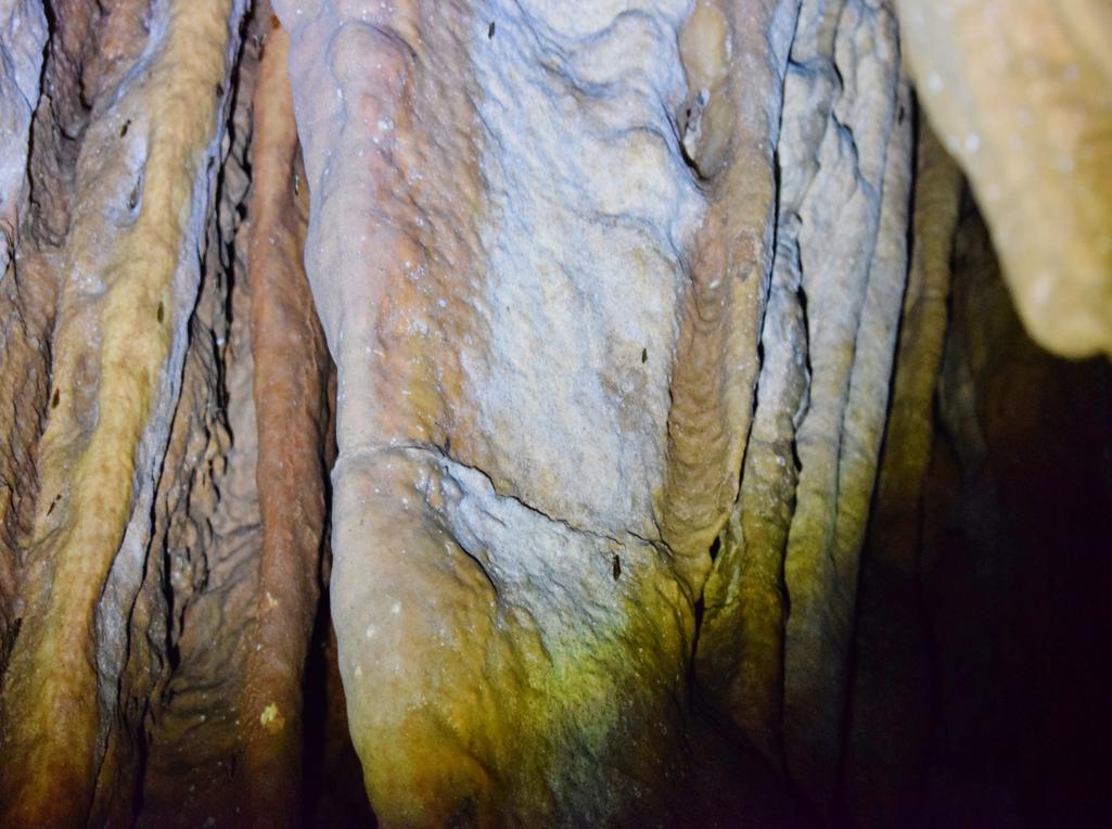
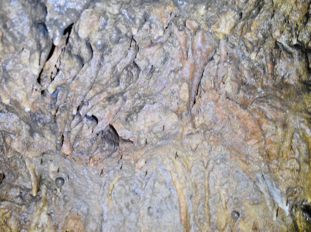
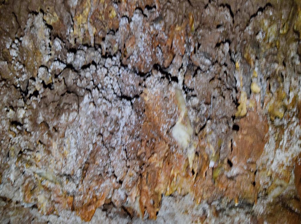
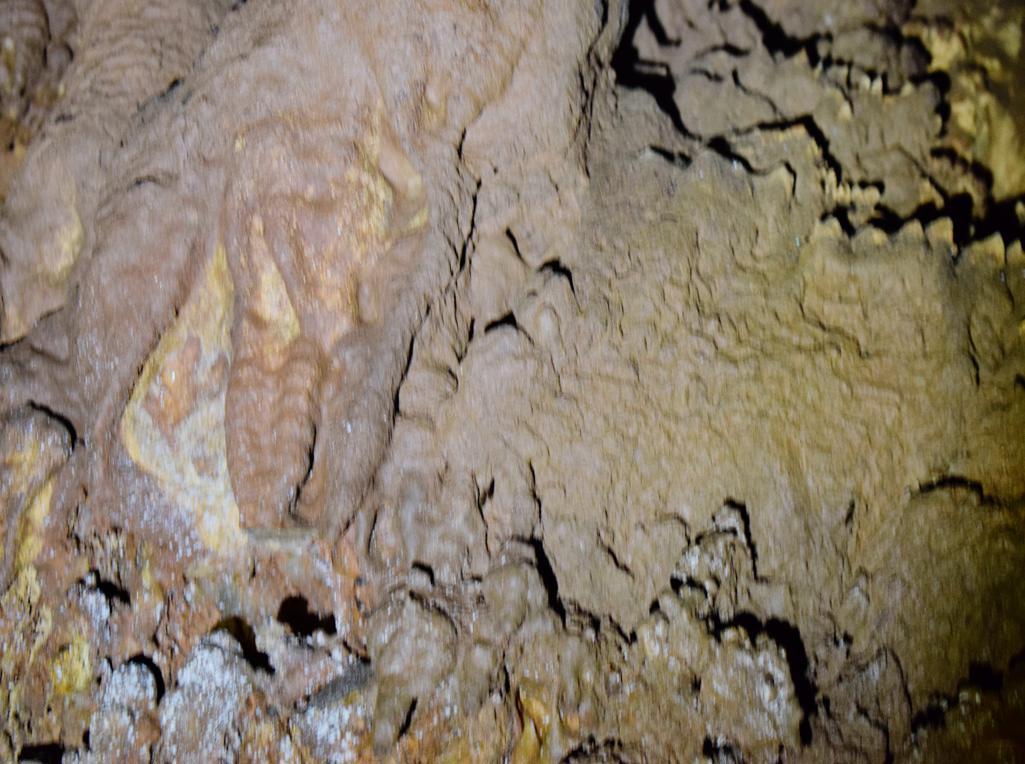
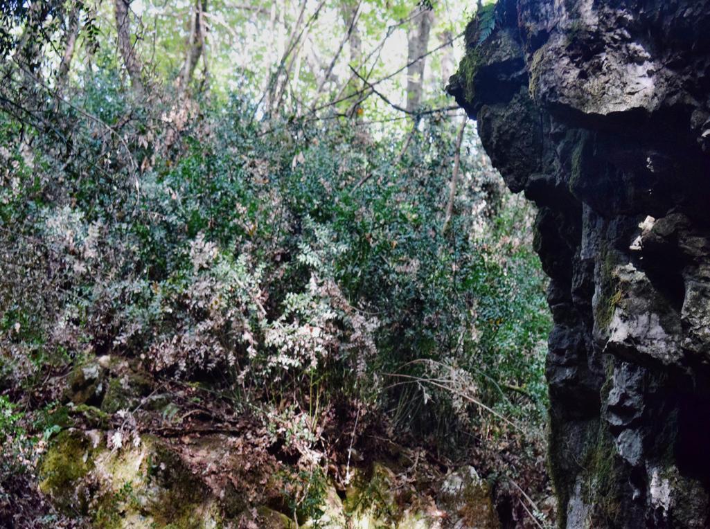
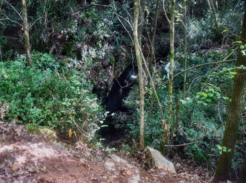
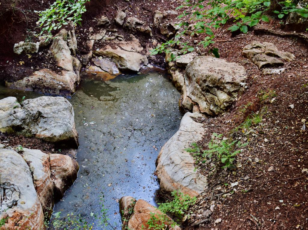
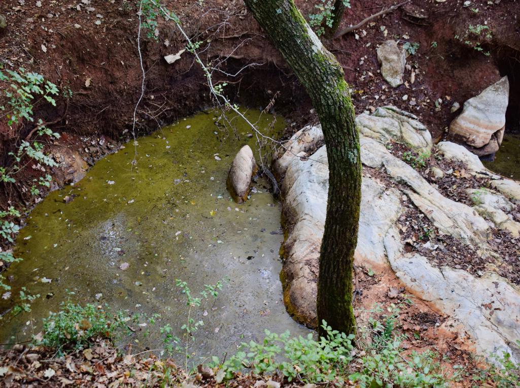
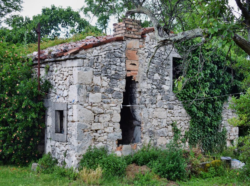
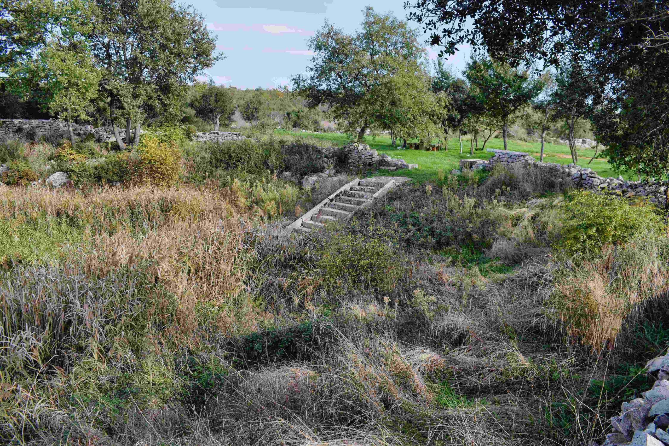
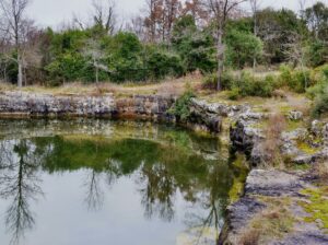
Name: Perecinova cave.
Place: Pecinova Dvori – Marčana.
Coordinates; Start 44.94369 N – 13.92753 E., Perecinova cave: 44.94847 N – 13.92879 E, puddele 44.94910 N – 13.92785 E
From there to the church Sveti Ivan, and the small village Pruhari with a puddle.

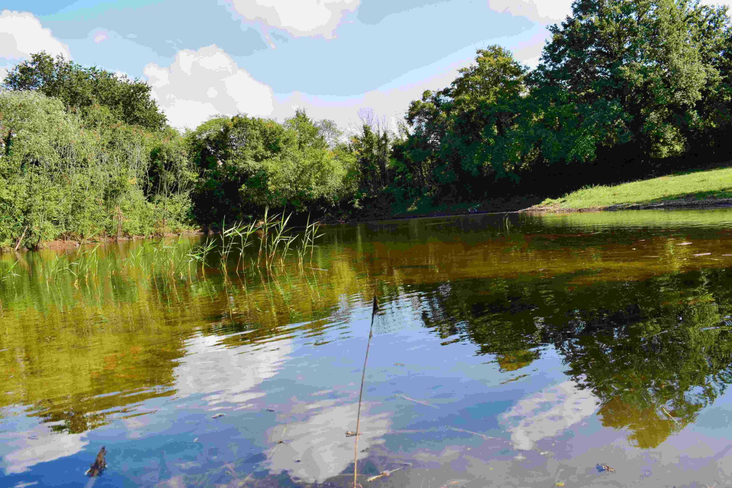
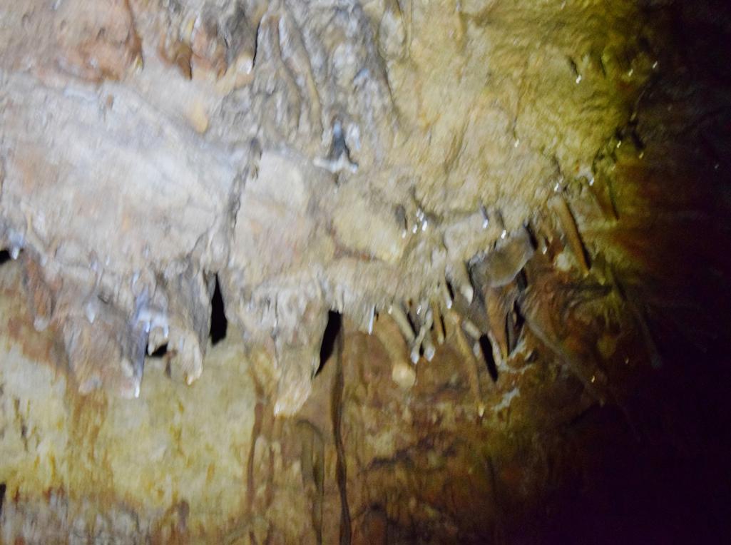
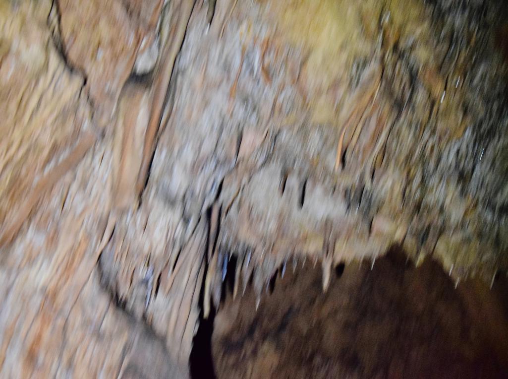
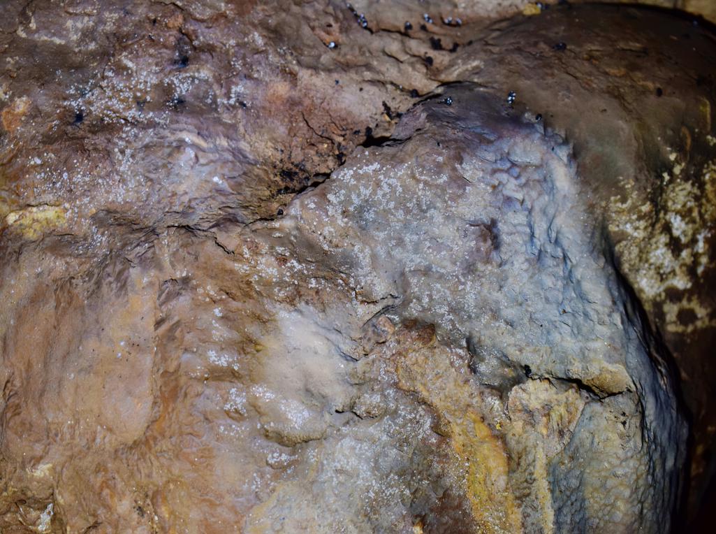
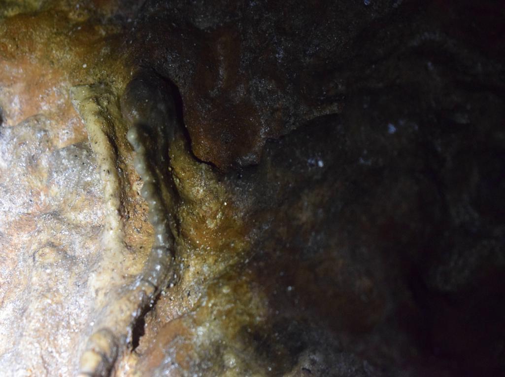
Name: Trail from Mali Mlun to the caves Veli- and mali pecina on the hill Zelena trava.
Place: Mali Mlun – (Buzet).
Coordinates: Start: 45.40112 N – 13.90691 E, Veli and Mali Pecina 45.40419 N – 13.90436 E, 45.40493 N – 13.90473 E, Church Sv. Ivan 45.4043 N – 13.91695 E, Pruhari 45.40435 N – 13.91708 E
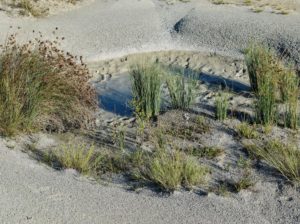
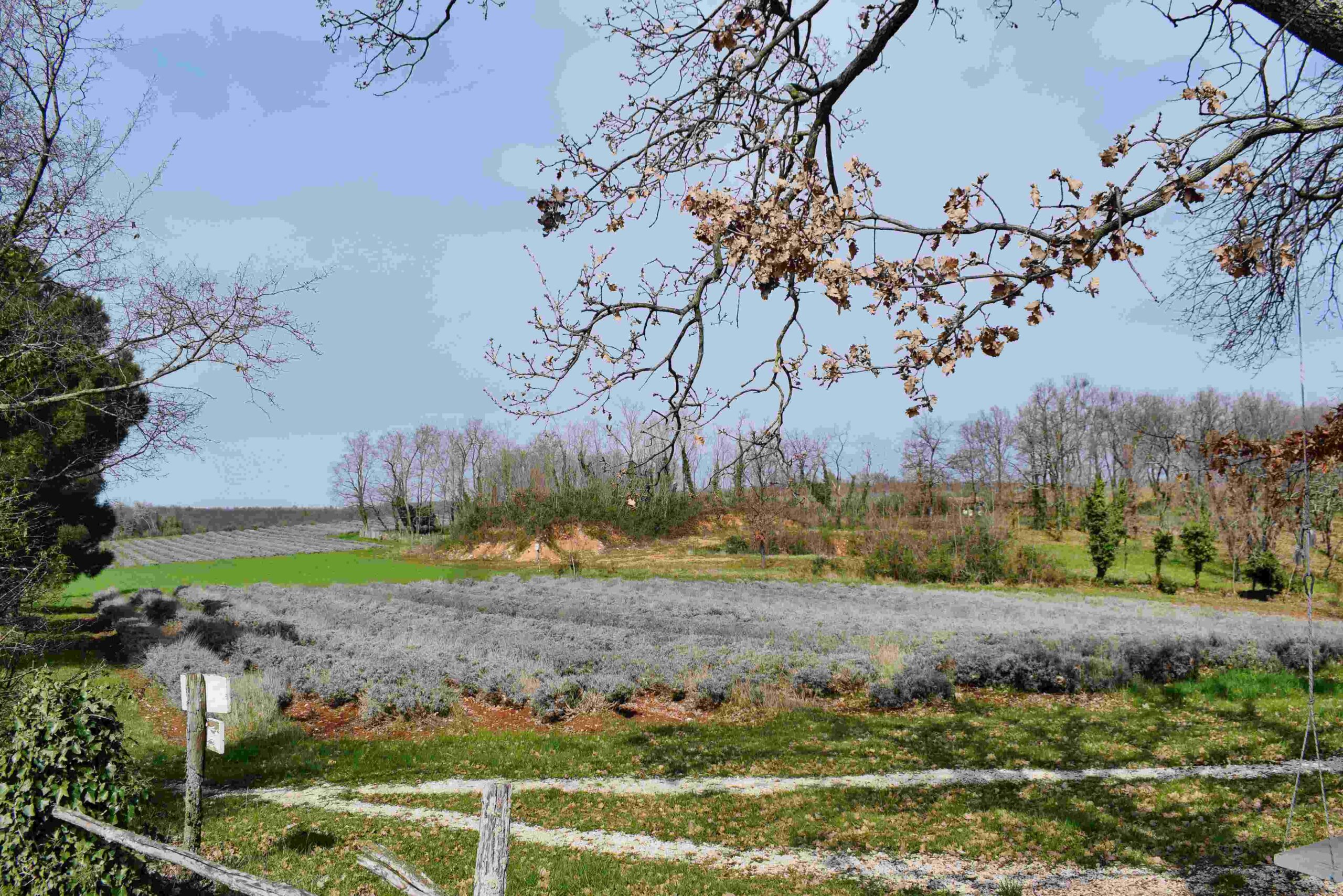
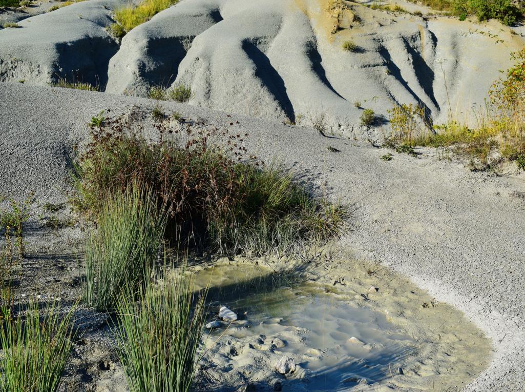
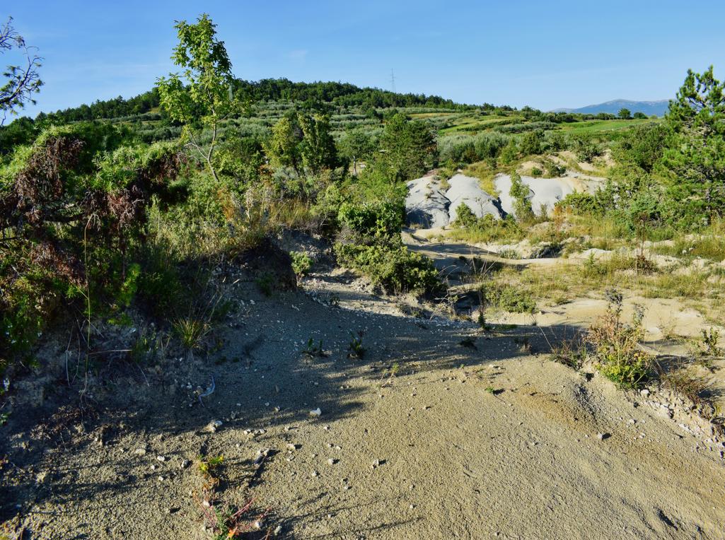
Name: Marl dunes Mali Mlun.
Place: Mali Mlun – (Buzet)
Coordinates: 45.39984 N – 13.92055 E.
See too the post ” Trail 861 “Sveta Nedelja along ponds and puddles”. Dated: 2023-02-01.
Name: Sveta Nedelja – Trail 861.
See also the post on 2021 the eight february.
Name: Hiking trail 521 “Owl” from Višnjan to the observatory Tićan and the Dubrova forests.
Place: Višnjan
Coordinates: Star/end: 45.27964 N – 1372835 E.