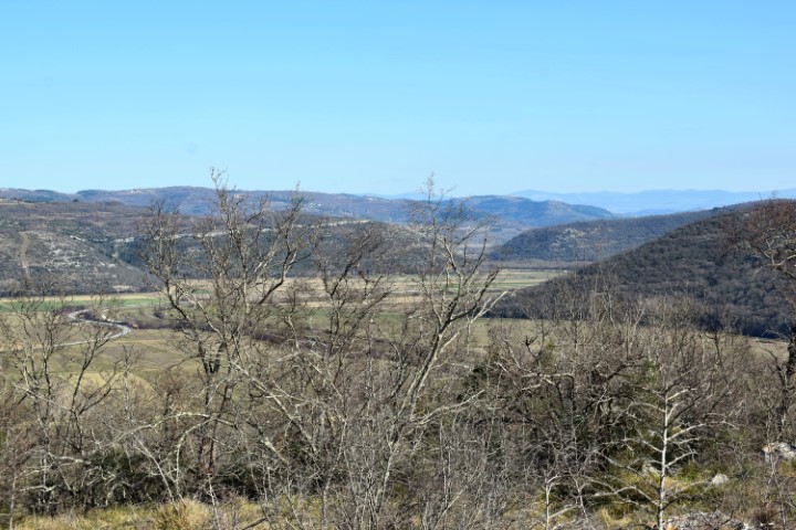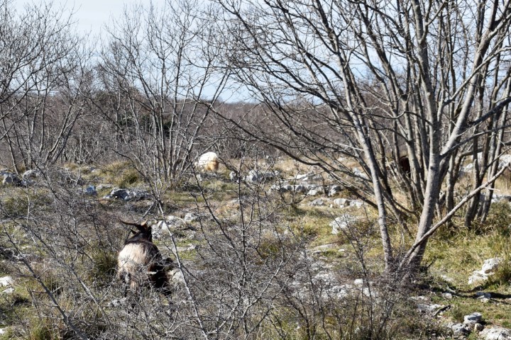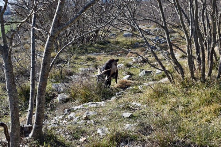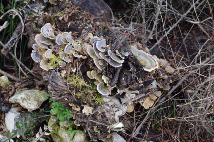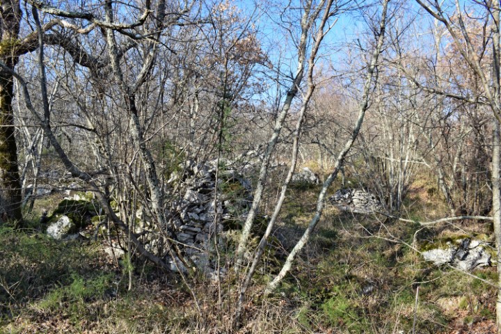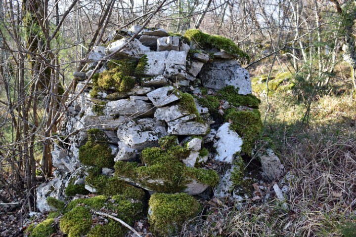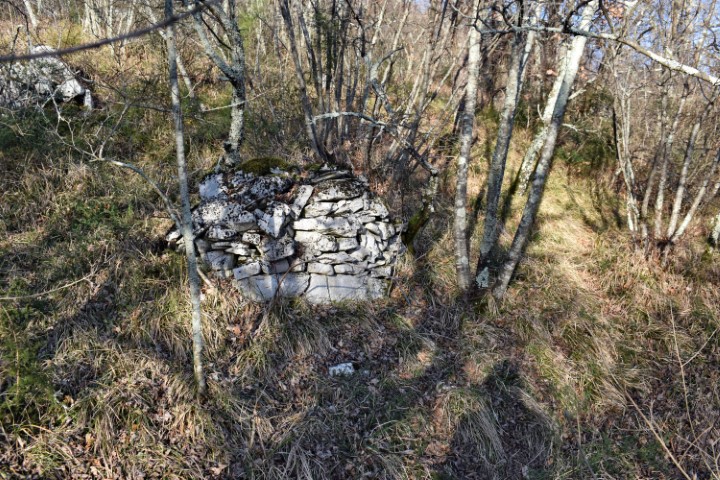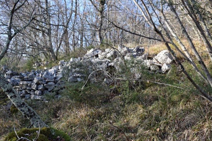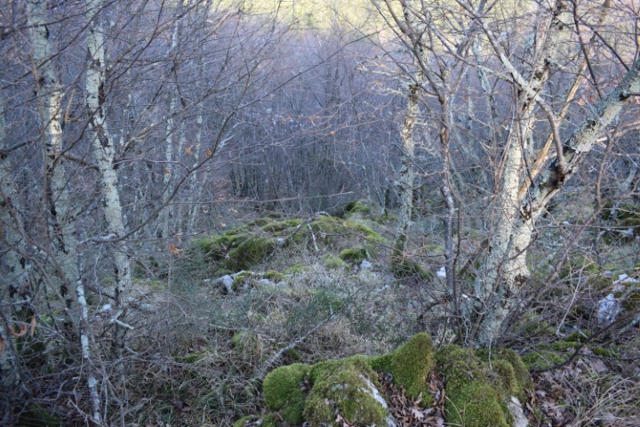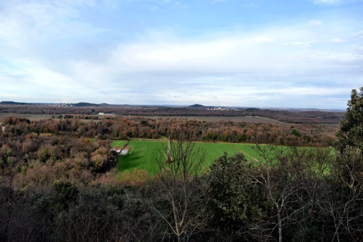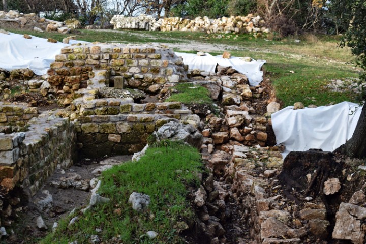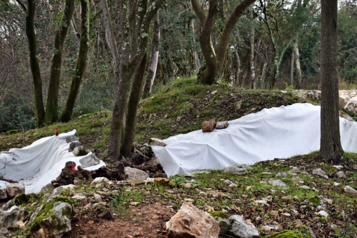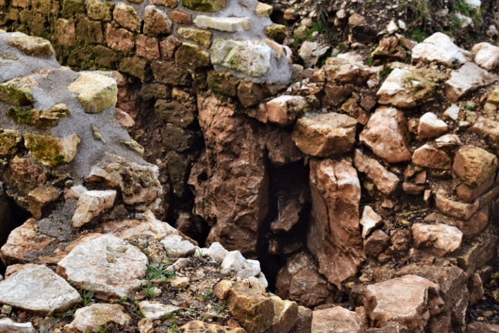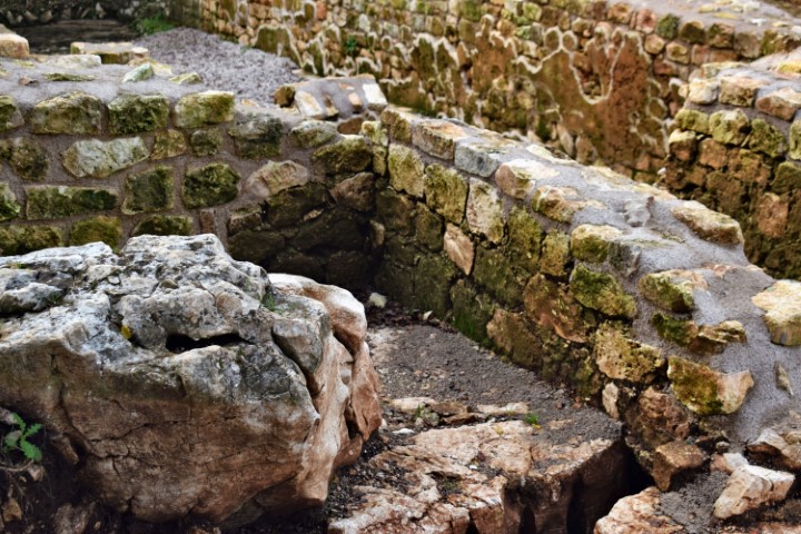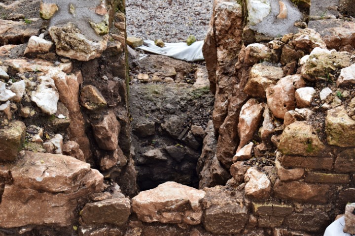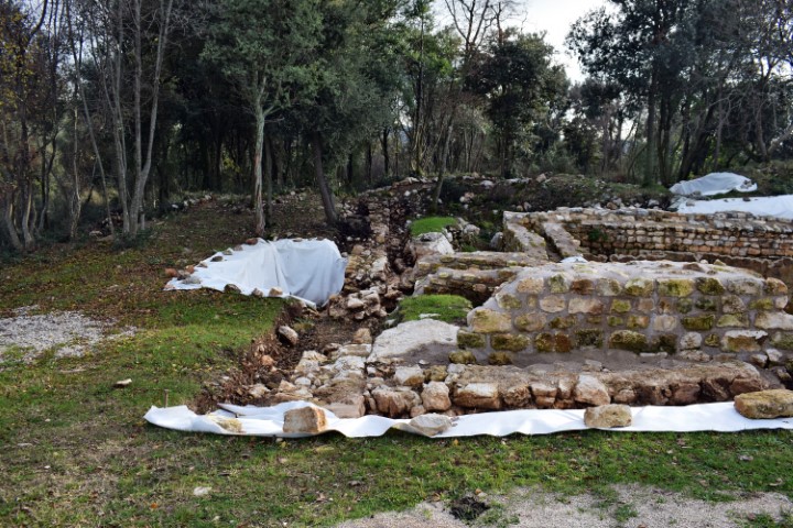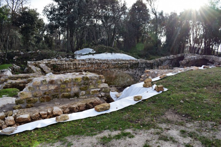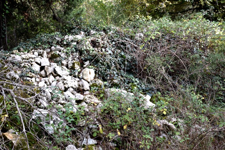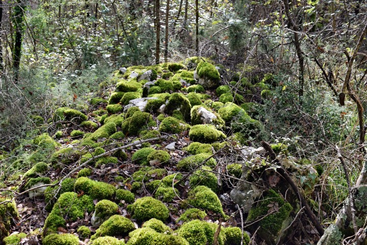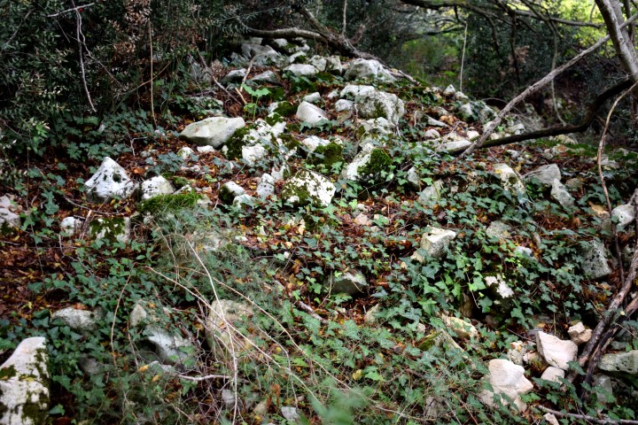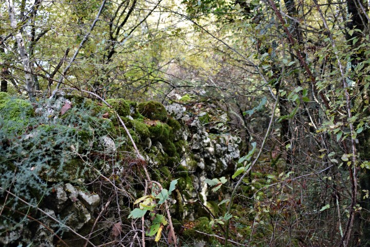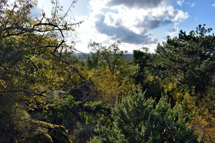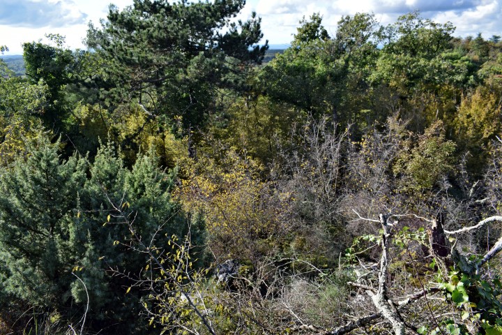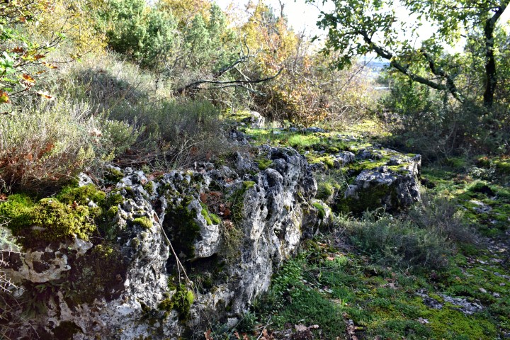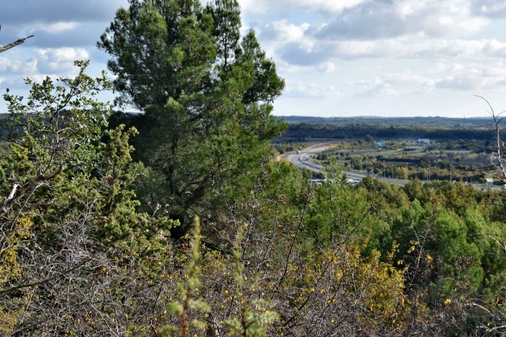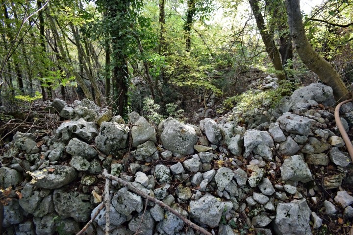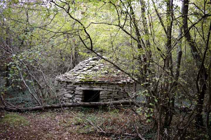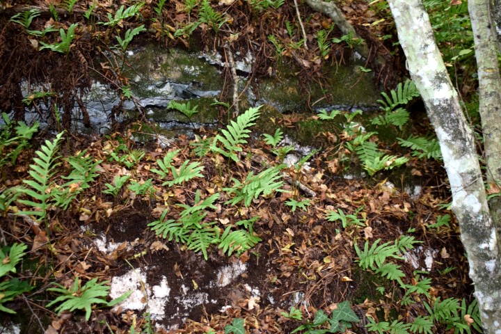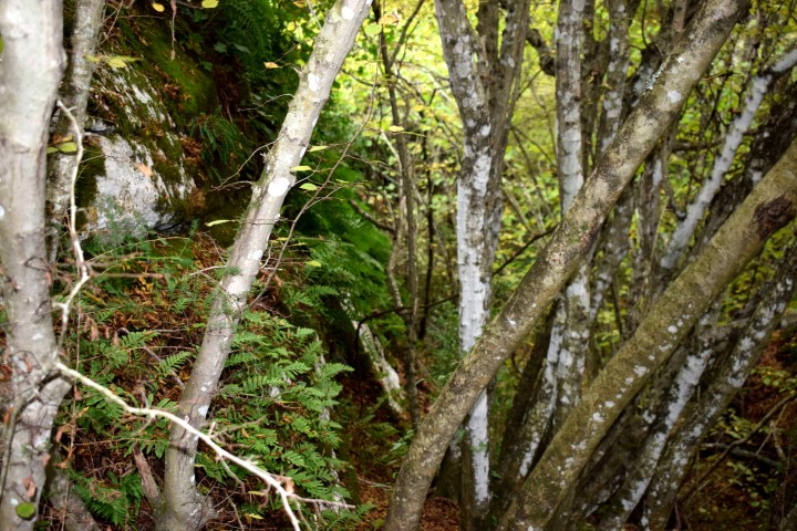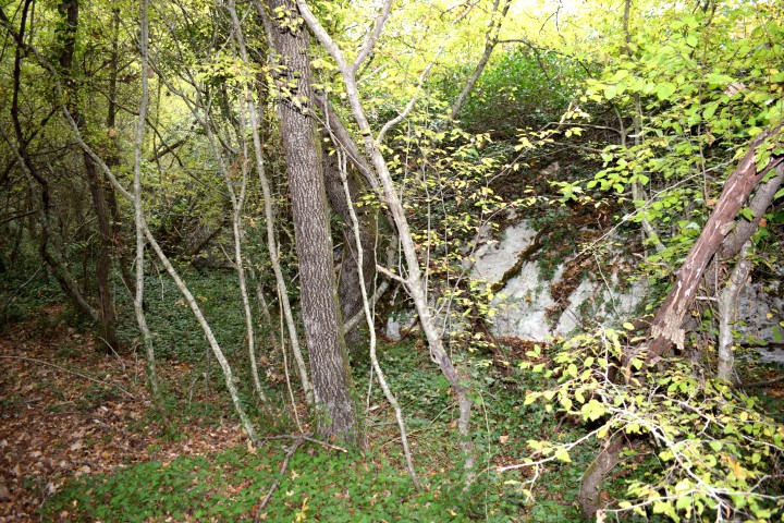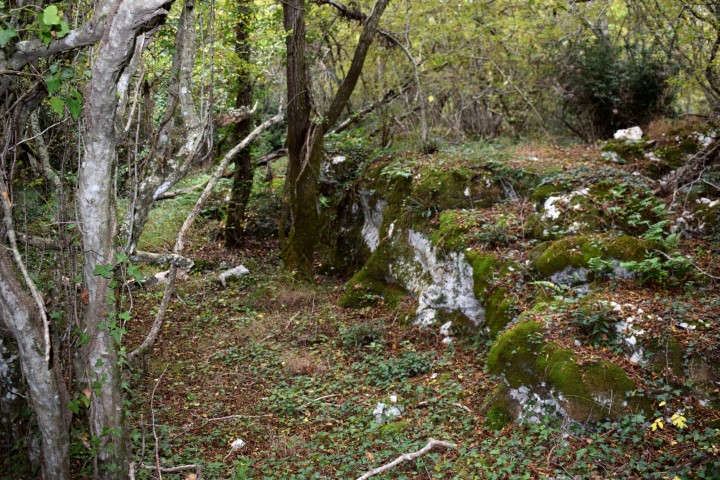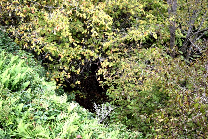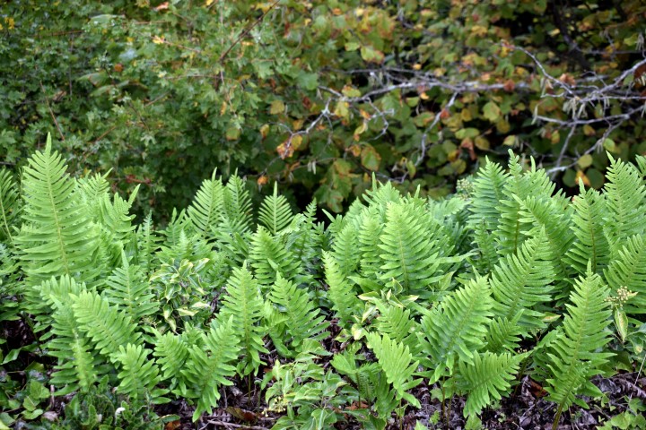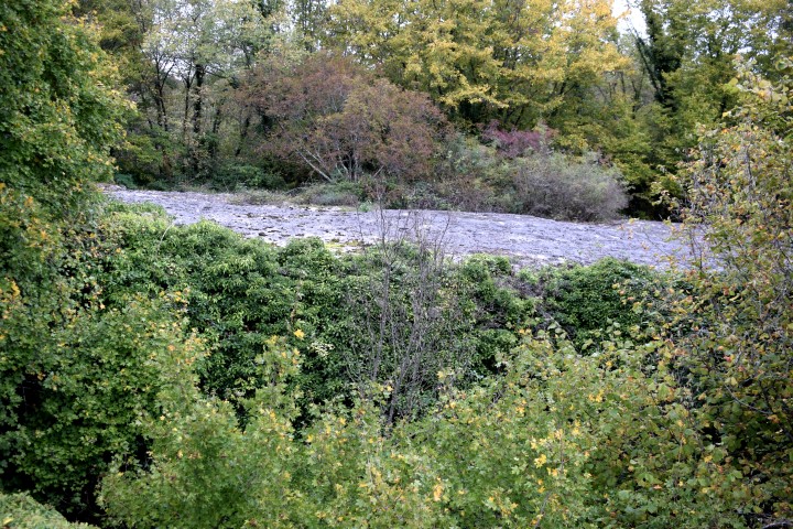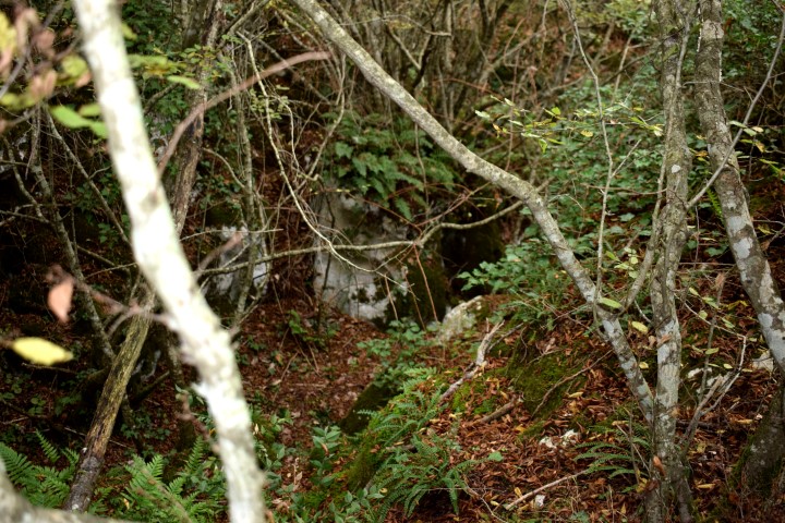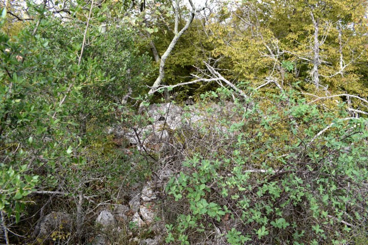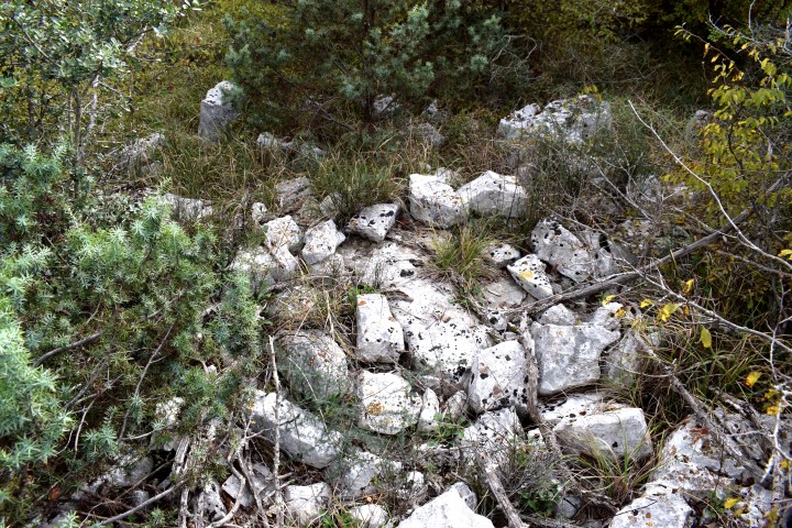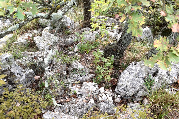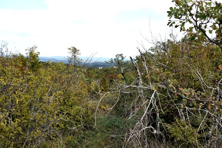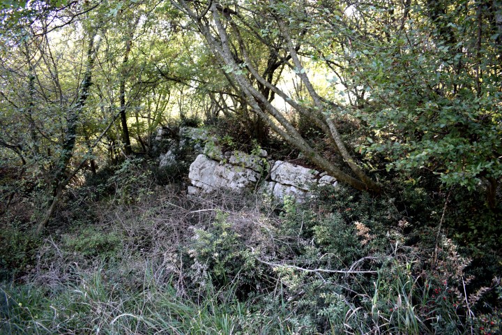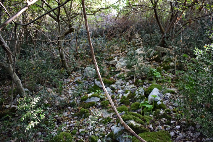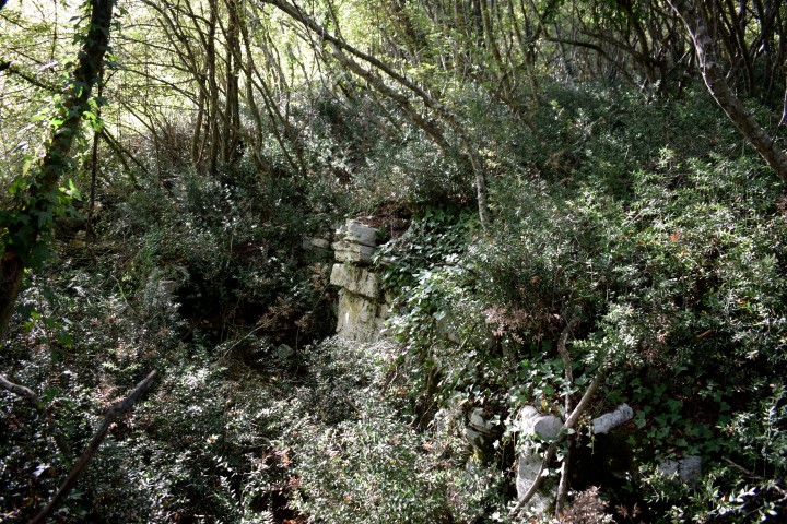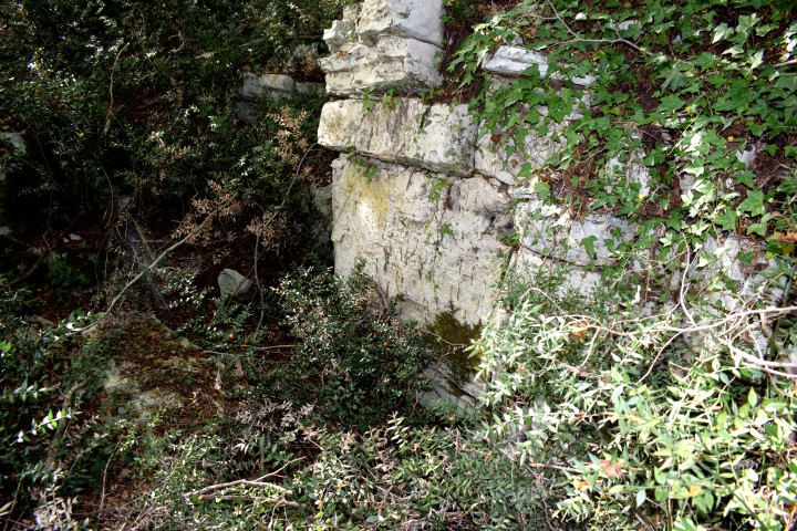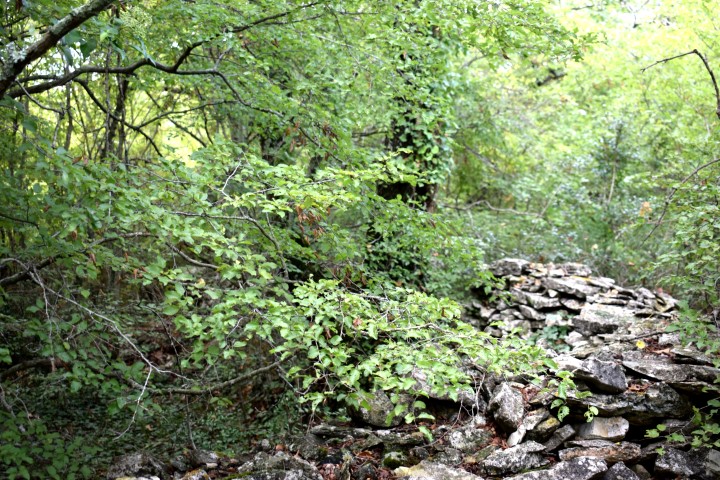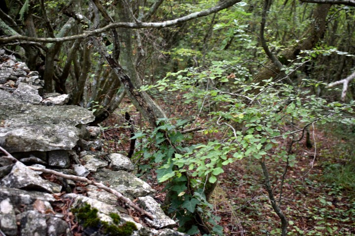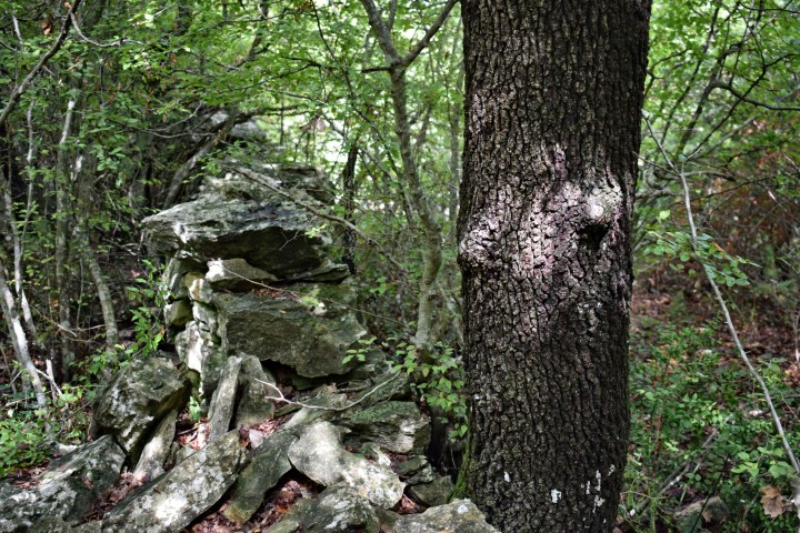
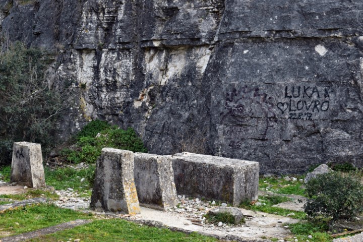
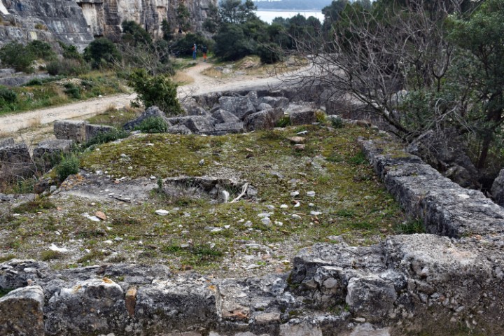
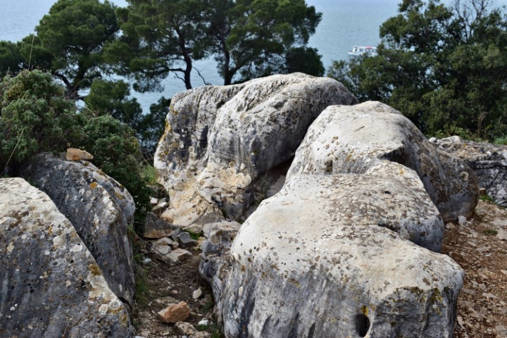
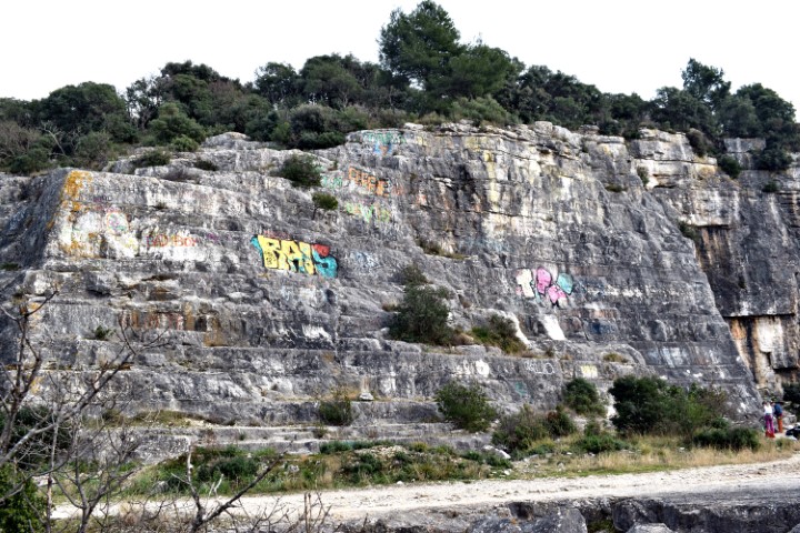
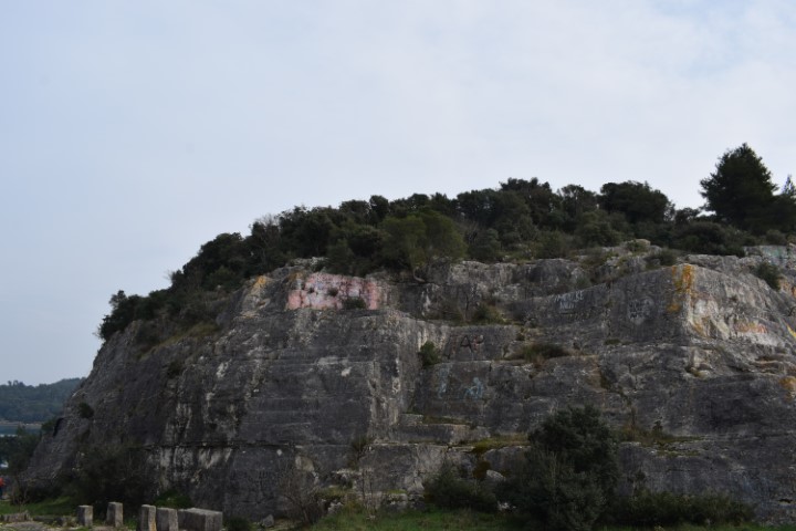
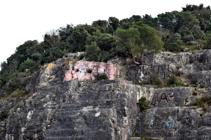
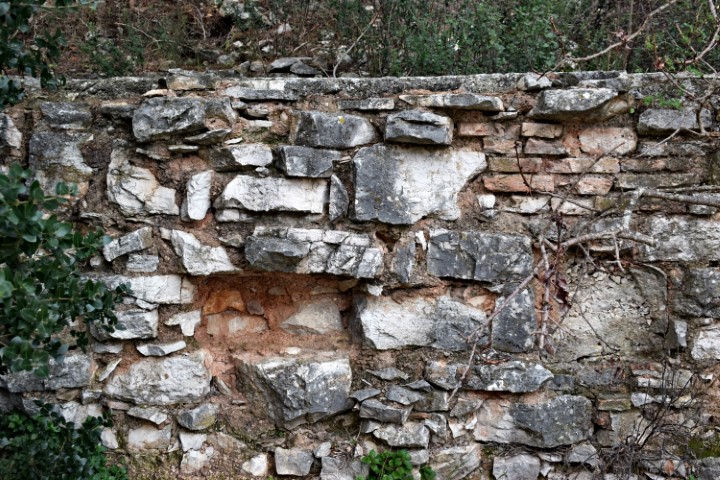
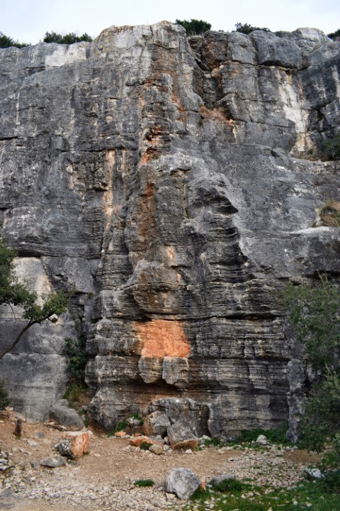
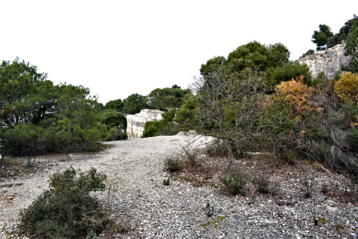
Name: Park šuma Zlatni – Rovinj (part III).
Place: Rovinj.
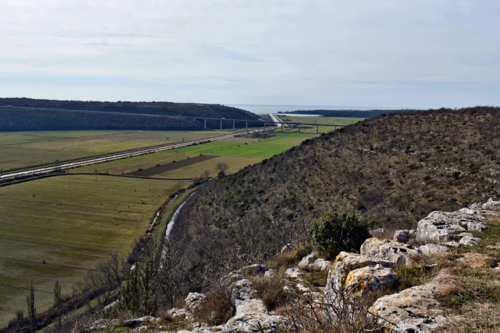
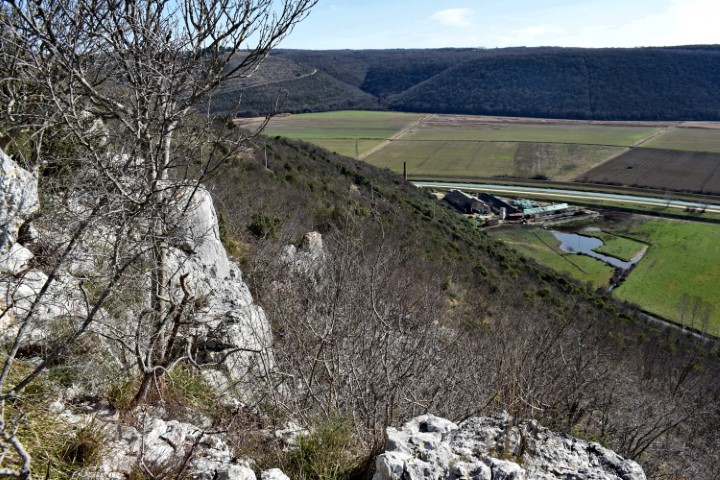
This well-defended settlement from the Bronze and Iron Ages was located on a rock with a height of approximately 120 meters above the Mirna River. At the place where now is a cemetery and the church Sv. Mihovil.
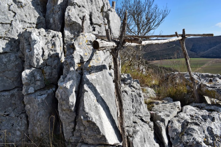
Name: Prehistoric settlement Sv. Dionizij near D. Srbani.
Place: Near D. Srbani – (Brtonigla).
Coordinates: 45.33858 N – 13.64705 E.
This large settlement with a length of 500 m and a width of 250 meters was located to the West of Nova Vas at an altitude of approximately 95 m. Surrounded by a steep slope on three sides, with on the West side a high wall and the access. Occupation took place from the Bronze Age up to and including Roman rule of Istria.
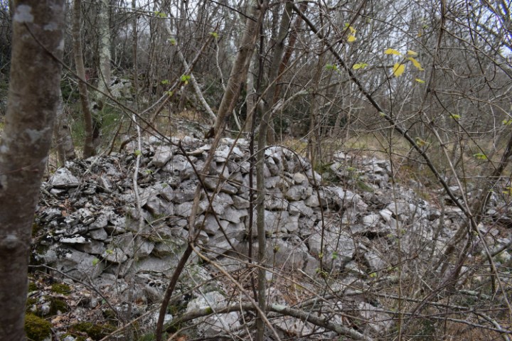
Name: Prehistoric settlement Kaštelir.
Place: Near Nova Vas – (Brtonigla).
Coordinates: Starting point Nova Vas 45.36014 N – 13.64114 E, Entrance Kaštelir 45.36485 N – 13.65468 E.
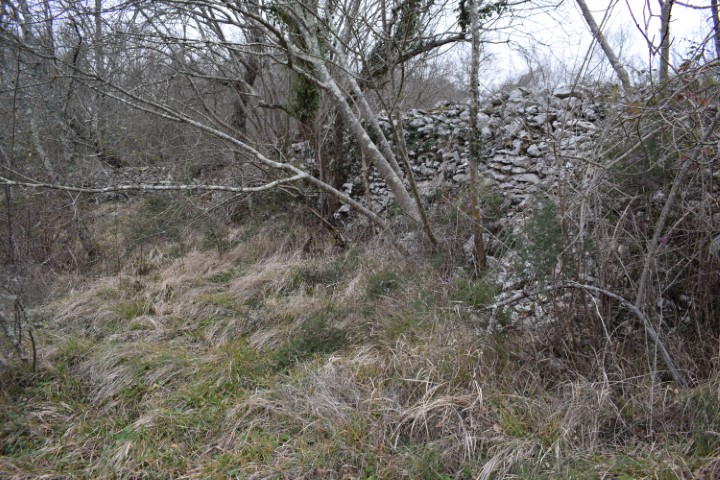
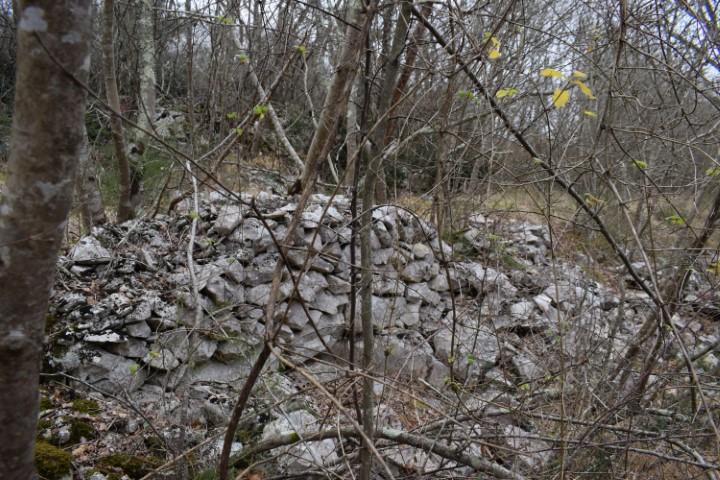
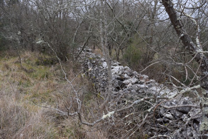
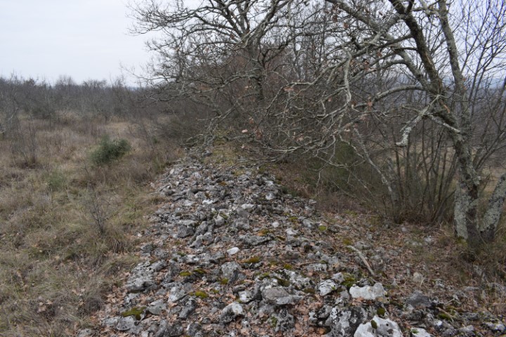
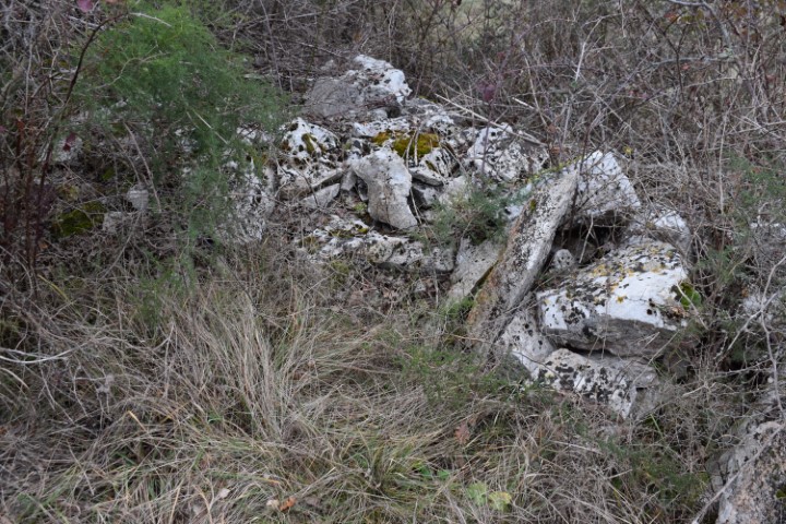
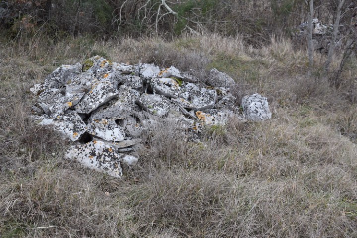
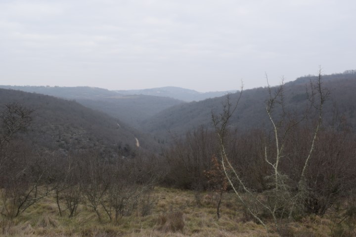
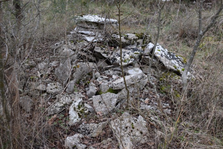
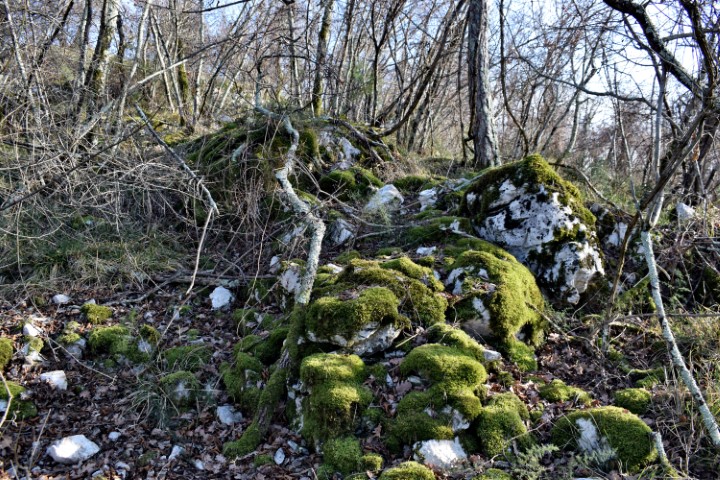
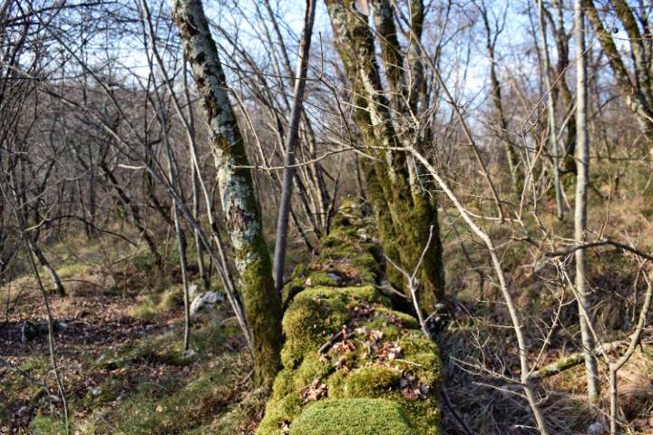
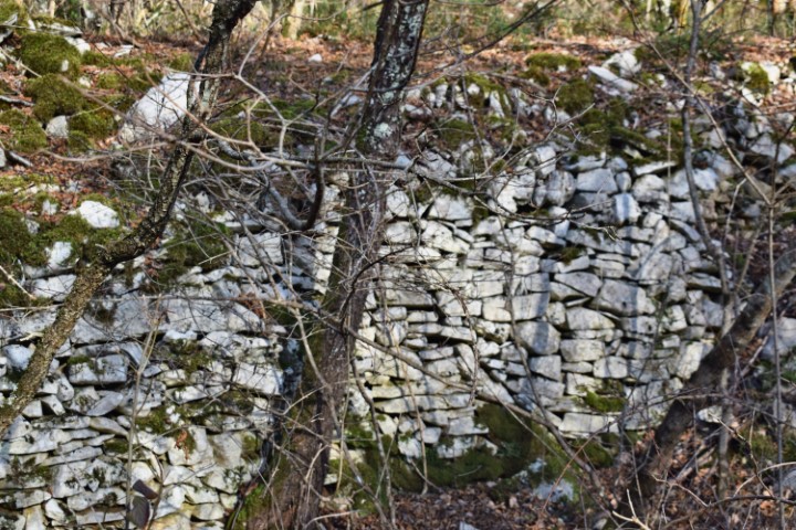
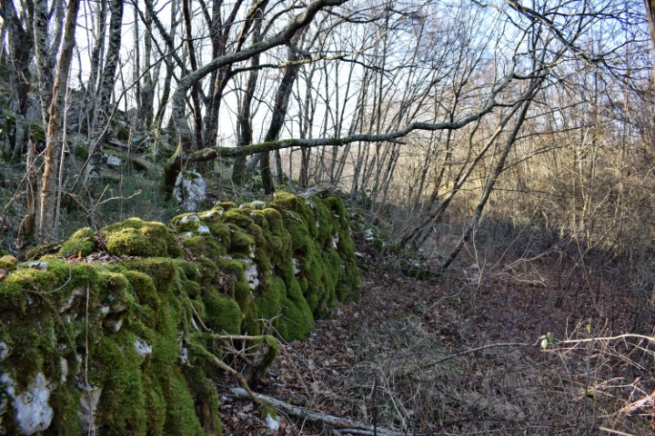
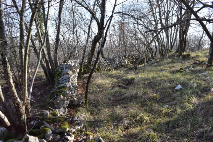
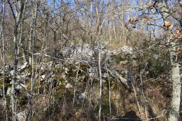
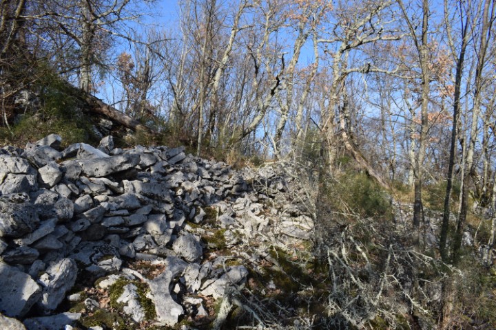
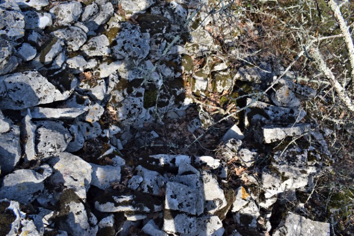
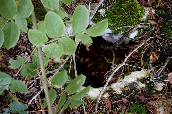
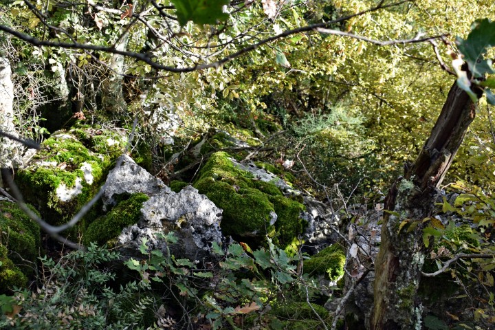
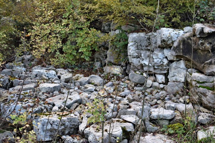
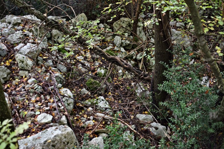
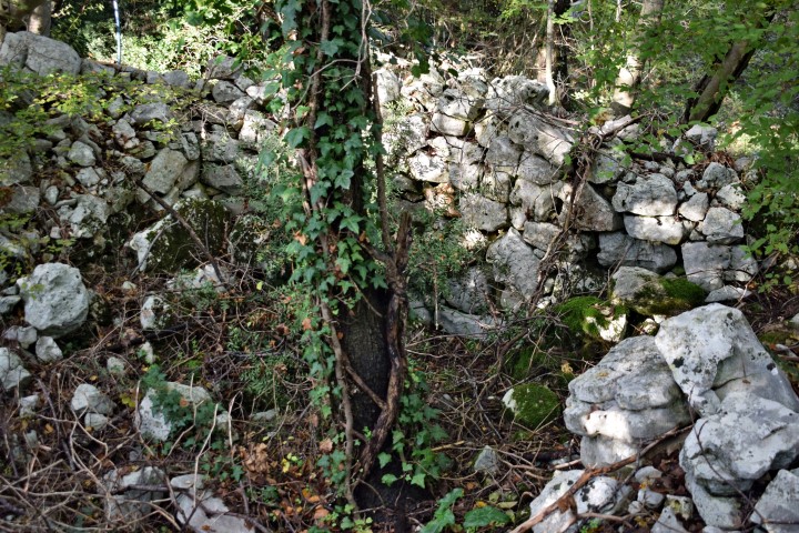
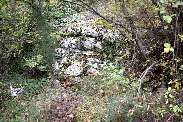
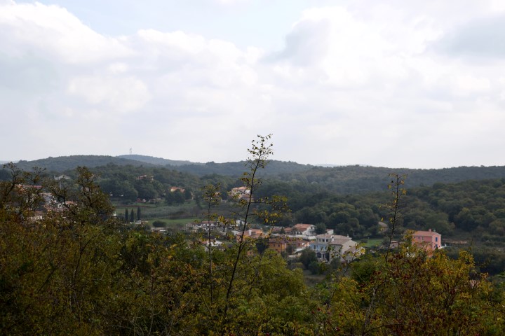
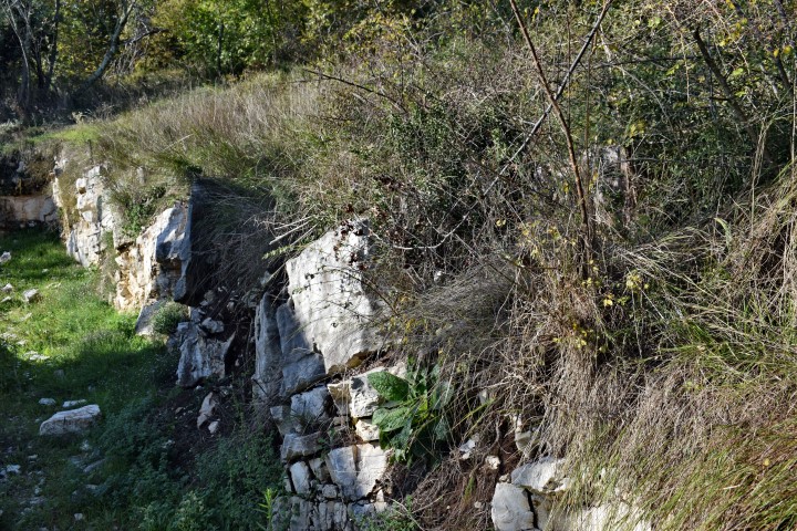
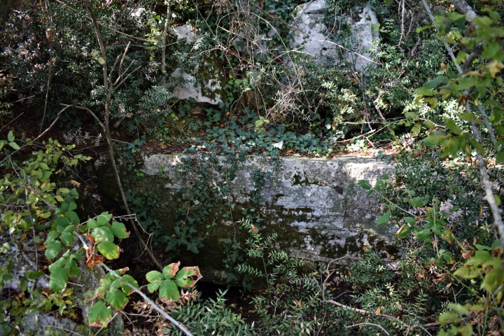
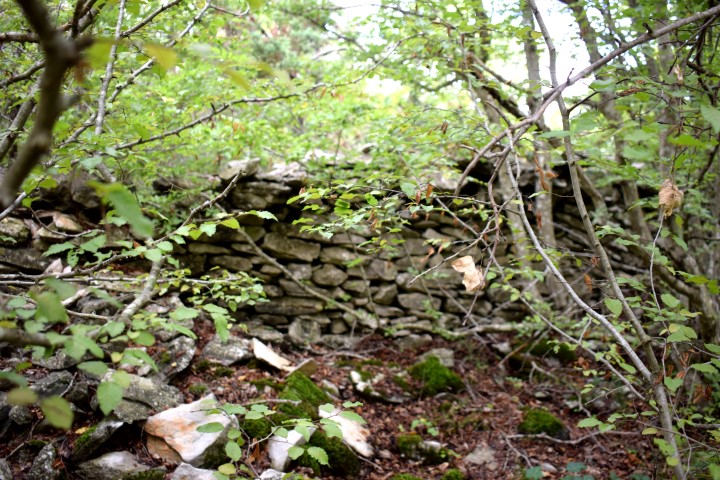
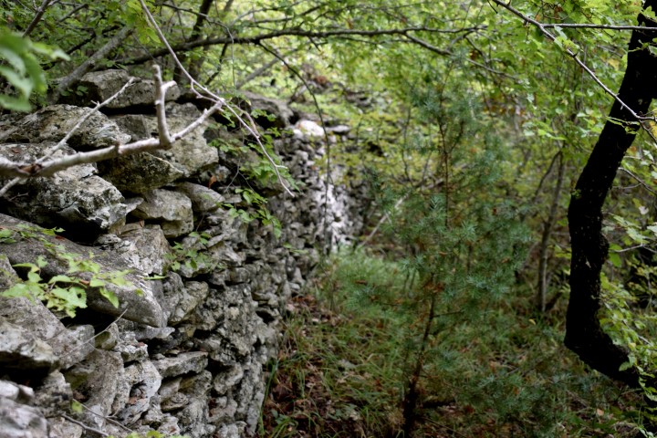
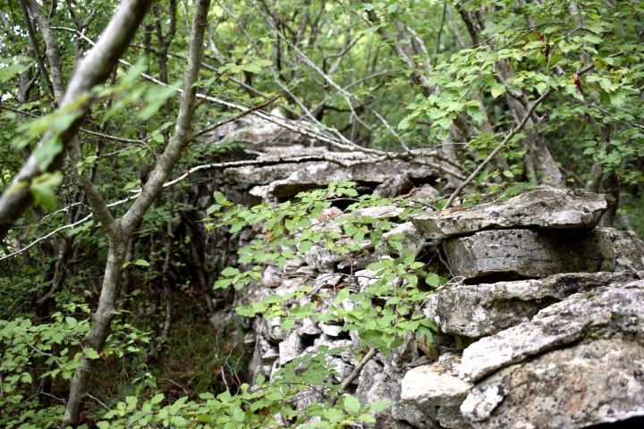
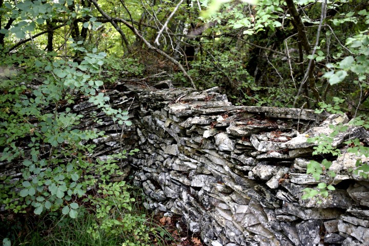
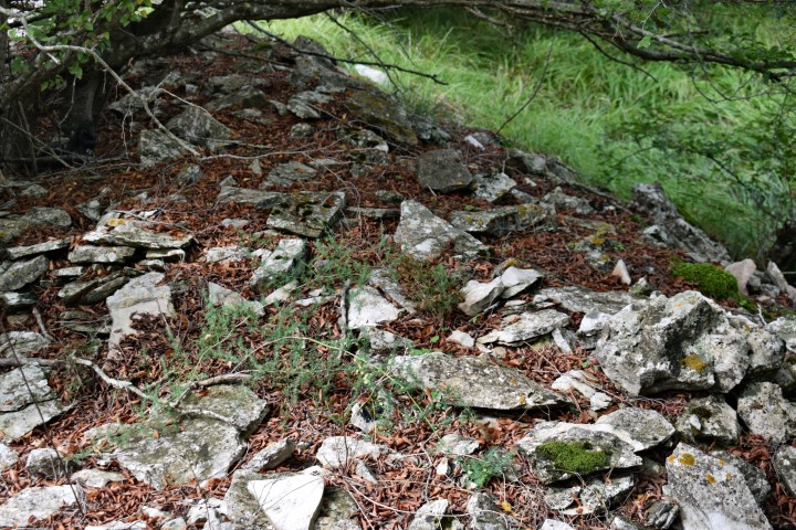
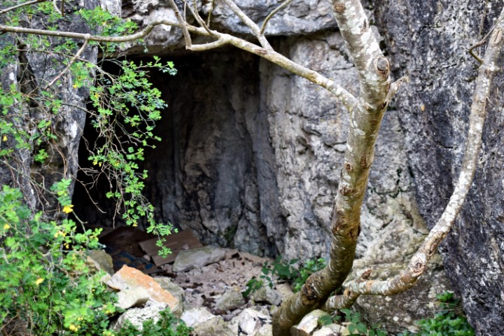
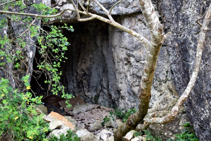
Partly due to the ceramics found and the dry technique applied to the walls, it is clearly recognizable that this was a prehistoric settlement. This gradina extended over two small landscaped plateaus. The small cave outside the gradina may have served as a water reservoir.
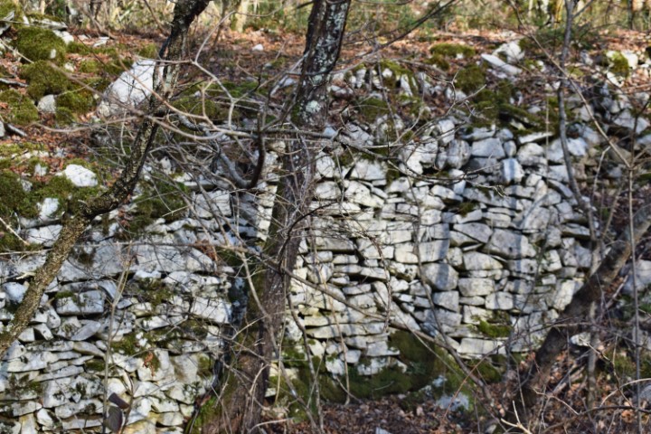
Name: Kukuj.
Place: Near Sorgi – (Oprtalj).
Coordinates: Starting point 45.40941 N – 13.84477 E.;
Top 45.40925 N – 13.84624 E (456 meters above s.l.).
See also the posts dated: 2019-03-13, 2016-10-11 and 2014-11-22.
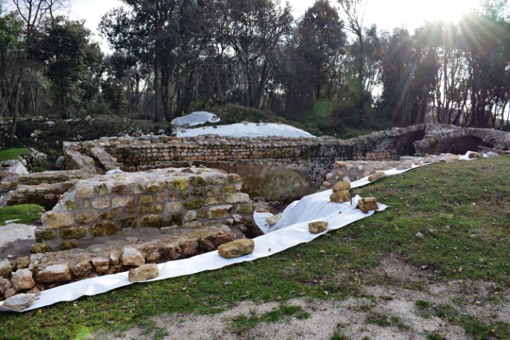
Name: Villa Rustica Monte Ricco.
Place: Stancija Velika – (Vrsar).
This settlement has been used from the middle Bronze age to the end of the Histrian period. Perhaps also hereafter through the discovery of Roman clay fragments.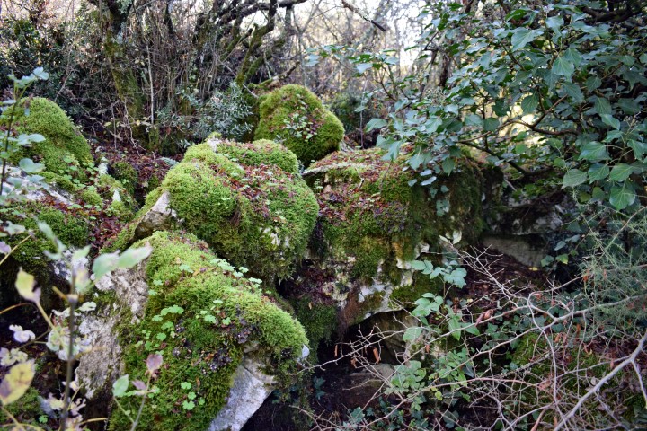
Name: Prehistoric settlement / gradine Petrovac.
Place: Near Bačva – (Višnjan).
Coordinates: Starting point 45.24287 N – 13.71310 E ; top: 45.24448 N . 13.71369 E.
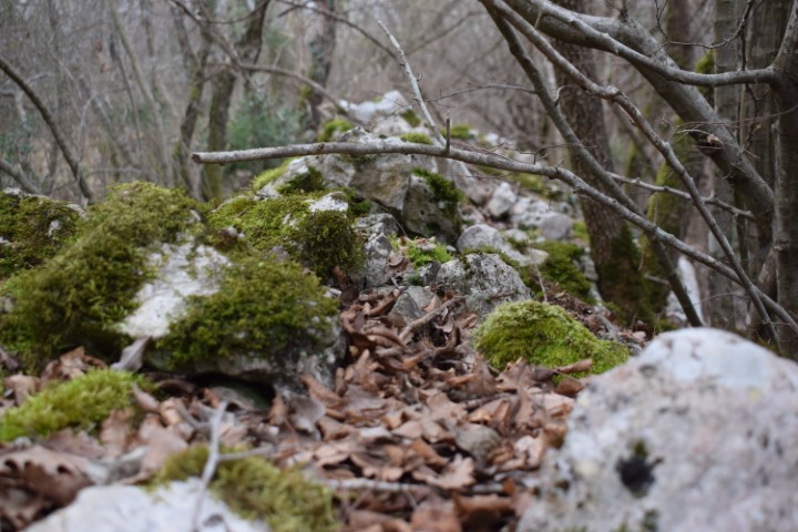
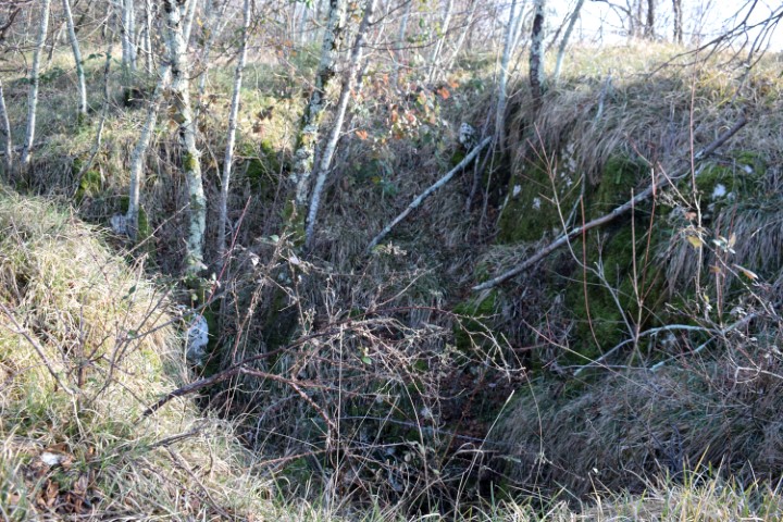
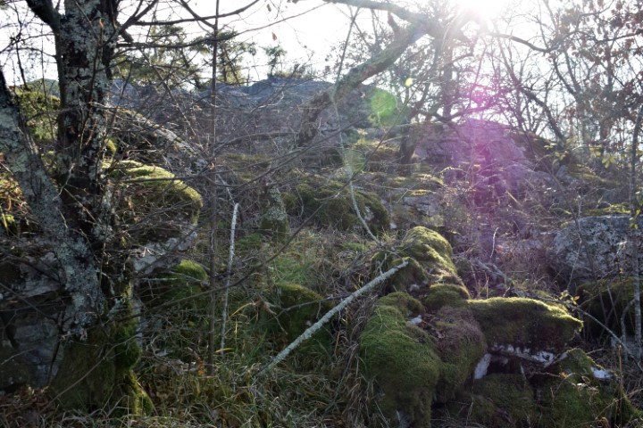
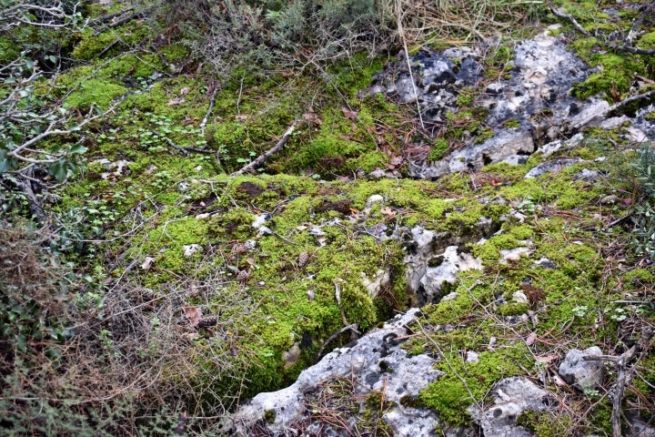
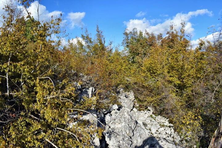
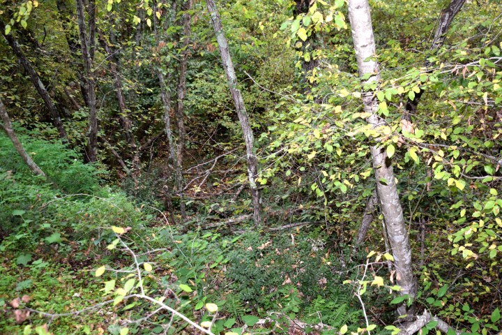
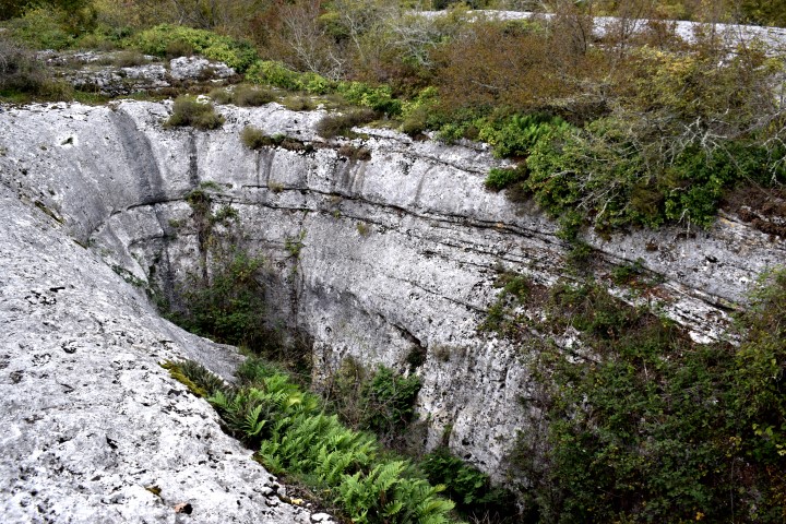
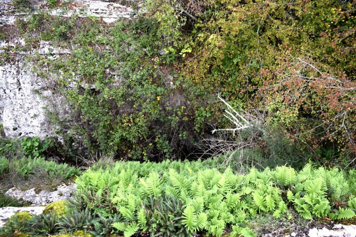
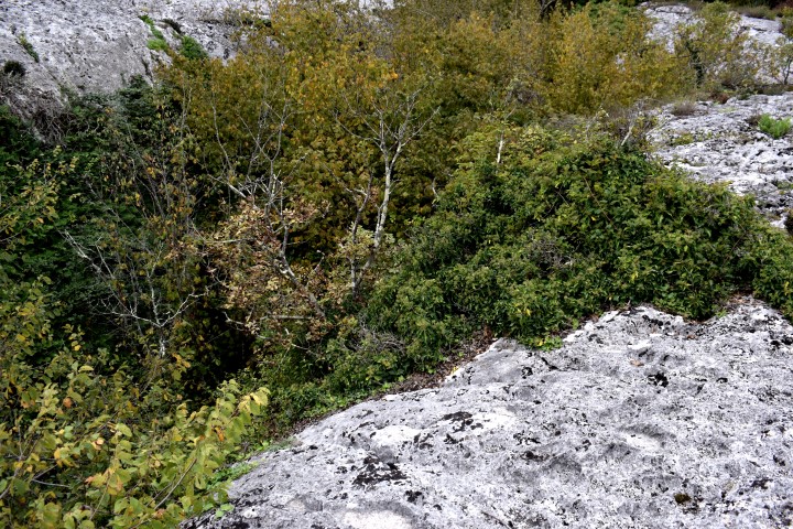
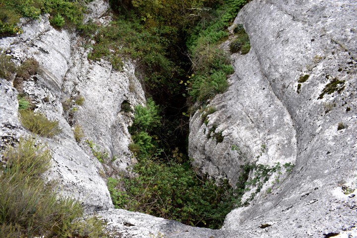
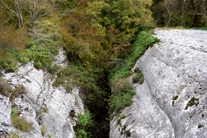
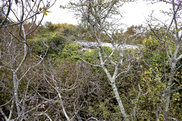
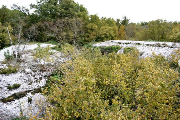
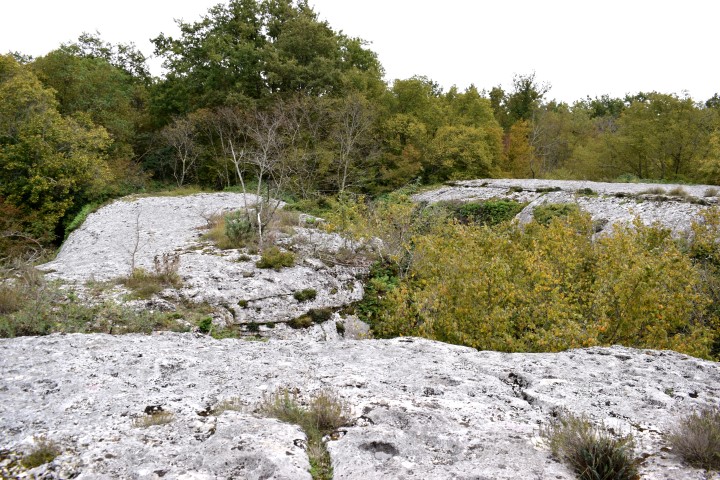
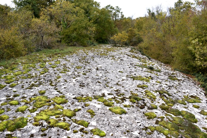
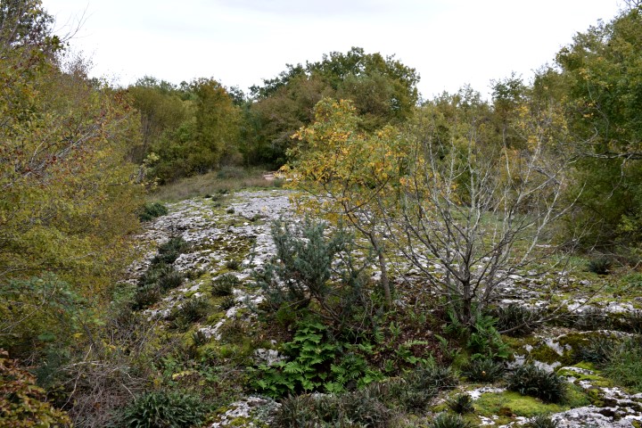
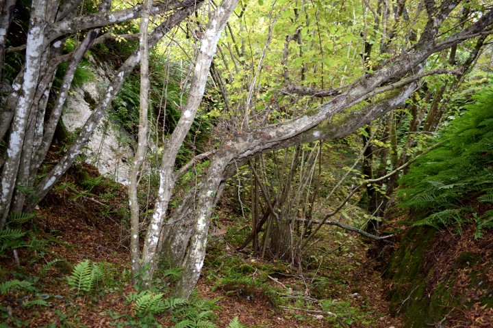
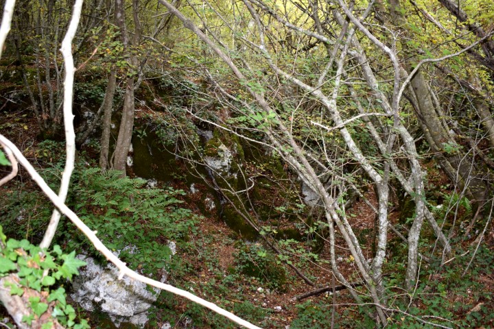
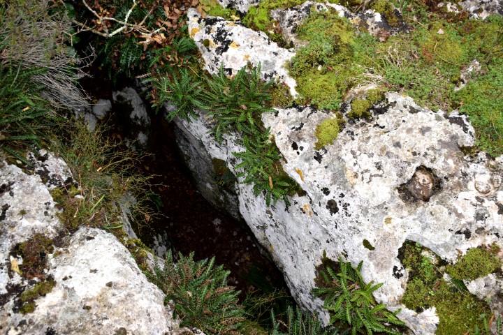
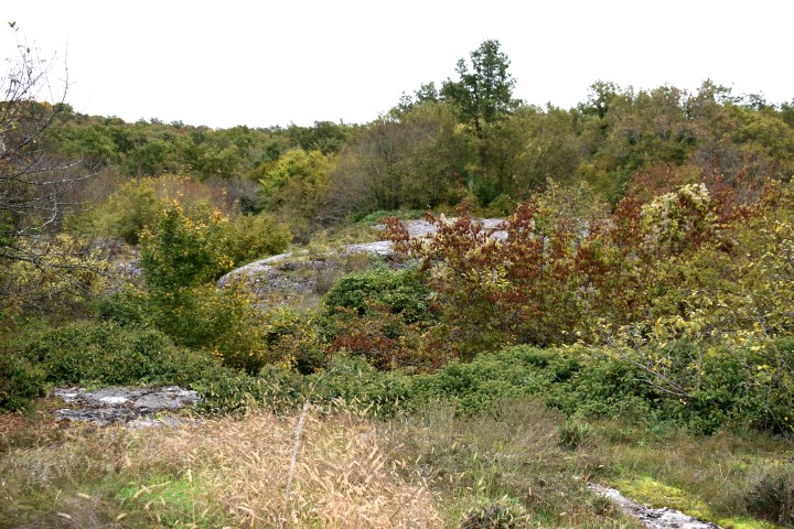
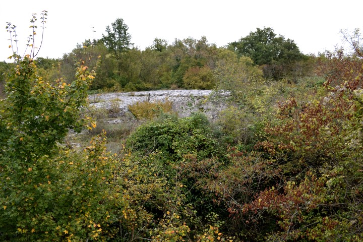
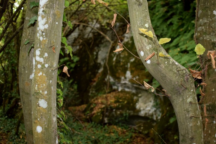
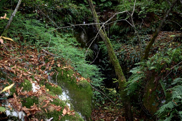
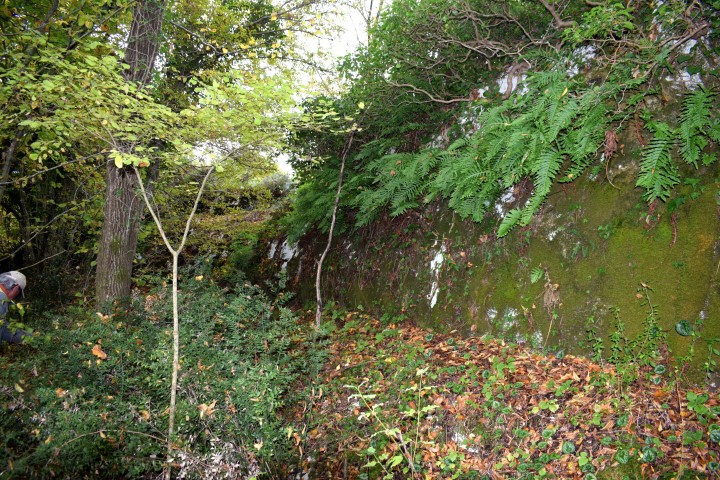
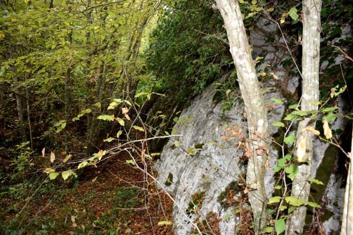
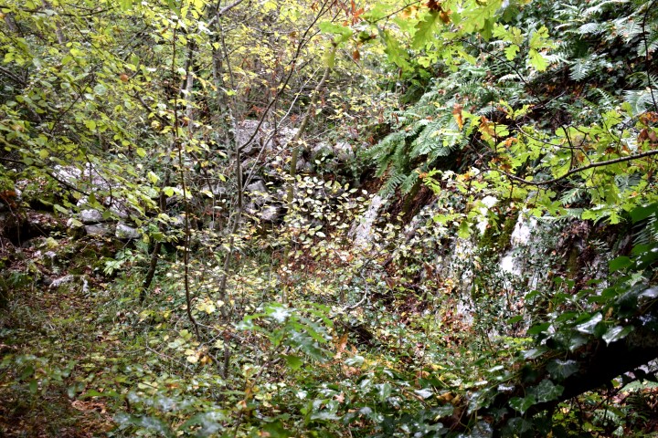
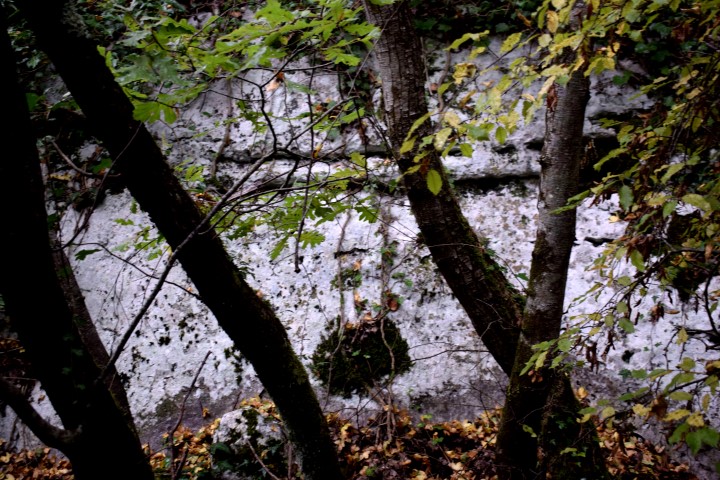
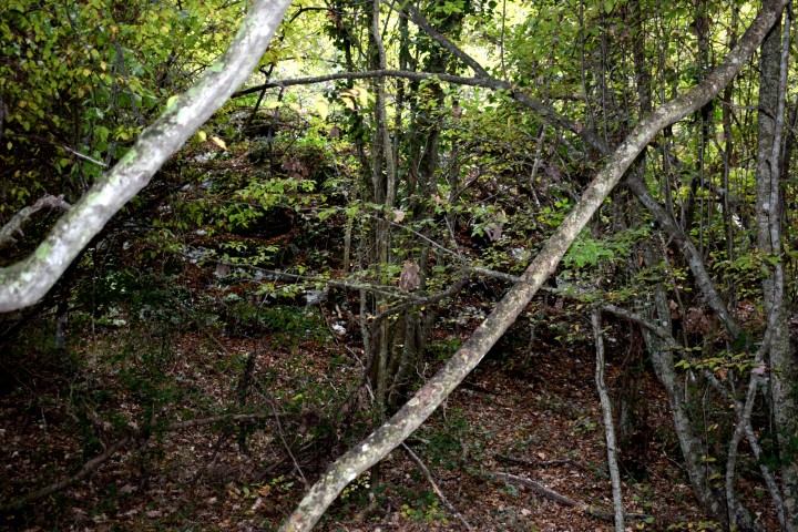
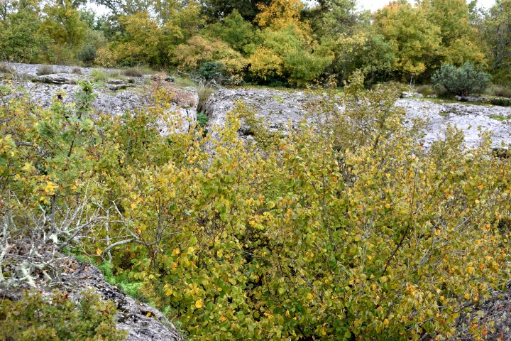
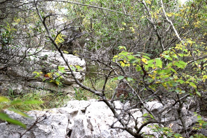
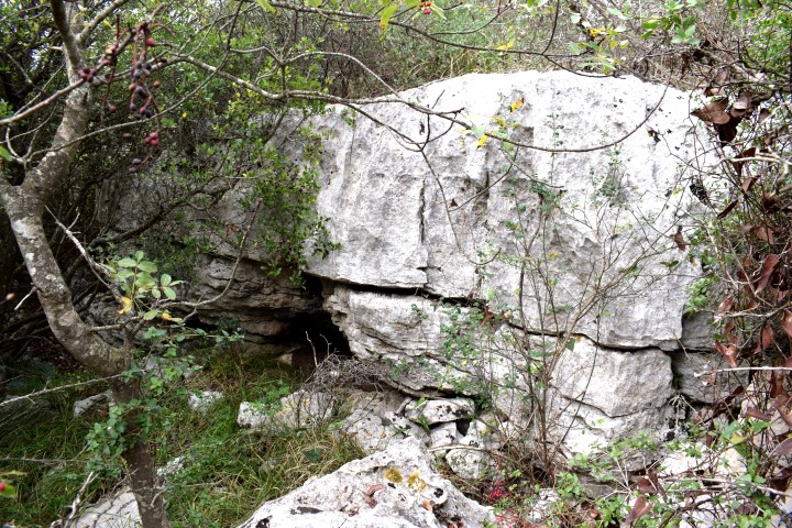
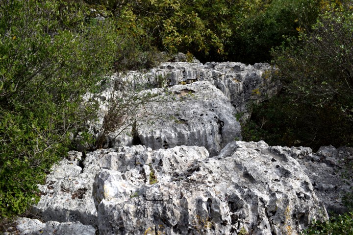
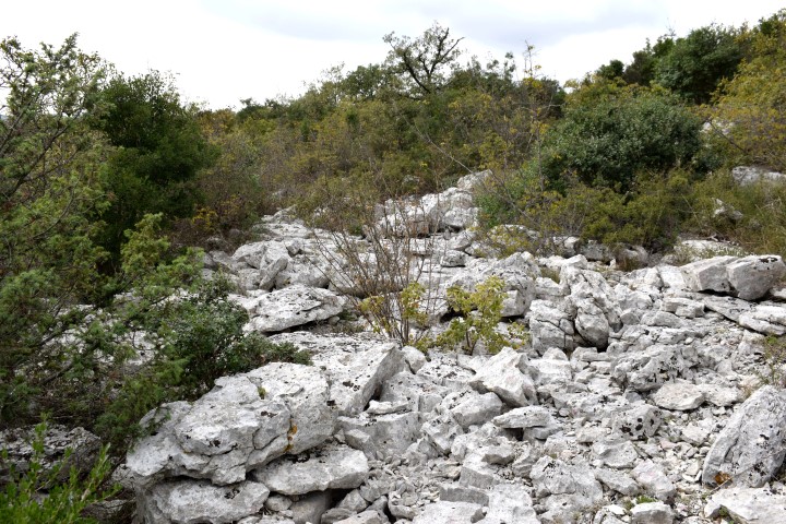
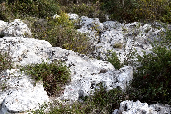
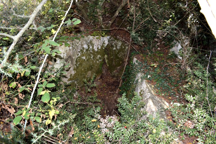
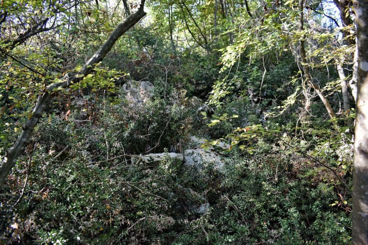
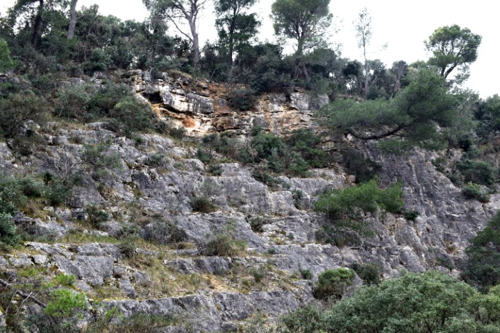
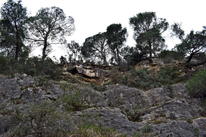
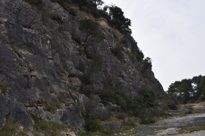
This settlement is characterized by deep gullies, caves and rocks in an area of limestone. The ceramics found here date from the Neolithic period (last phase Stone Age).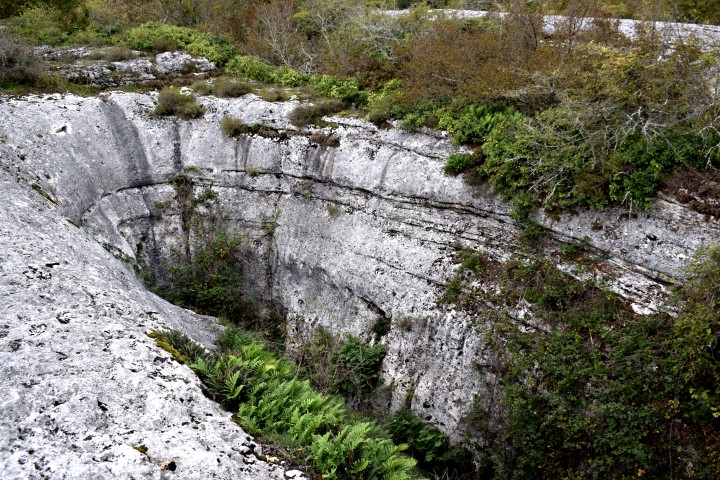
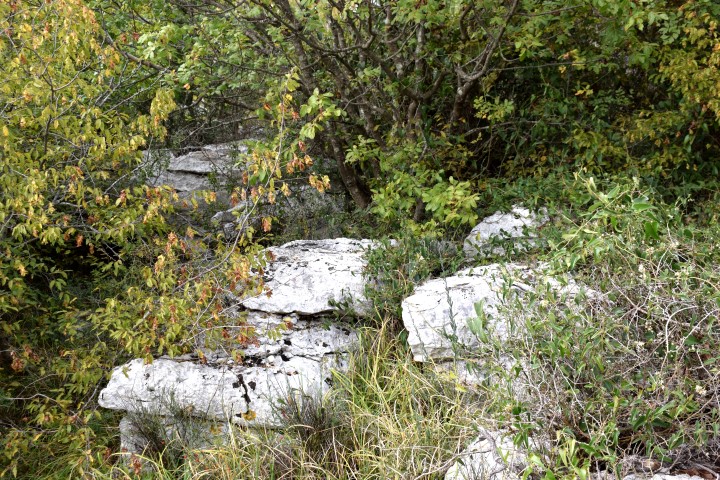
Name: Prehistoric settlement Škrače.
Place: Korenići – (Kanfanar).
Coordinates: Entrance forest path to settlement near kazun: 45.13417 N – 13.79954 E, settlement : 45.13605 N – 13.79815 E.
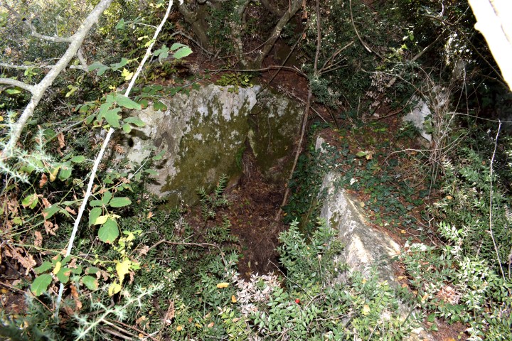
Name: Prehistoric settlement / gradine “Žvenke”.
Place: Putini – (Kanfanar).
Coordinates: Startpoint: 45.107121 N – 13.74328 E., Top: 45.10874 N . 13.74174 E.
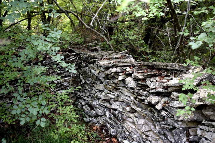
Name: Prehistoric settlement “Monkastel”.
Place: ČervarPorat – (poreč).
Coordinates:
Entrance from way: 45.269995 N – 13.6o7502 E. Top: 45.270728 N -13.606304 E.
Name: Prehistoric settlement (Gradina) “Mekinjevac” (Zavoj).
Place: Mrgani – (Kanfanar).
Coordinates: Underpass A9 near Mrgani 45.12486 N – 13.78240 E. Entrance to Gradina: 45.12333 N – 13.78669 E 198 m.