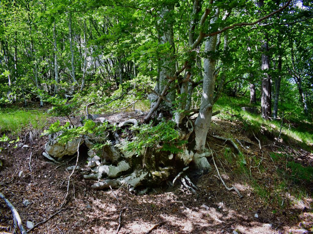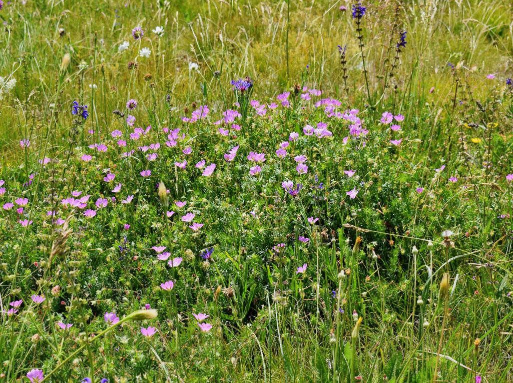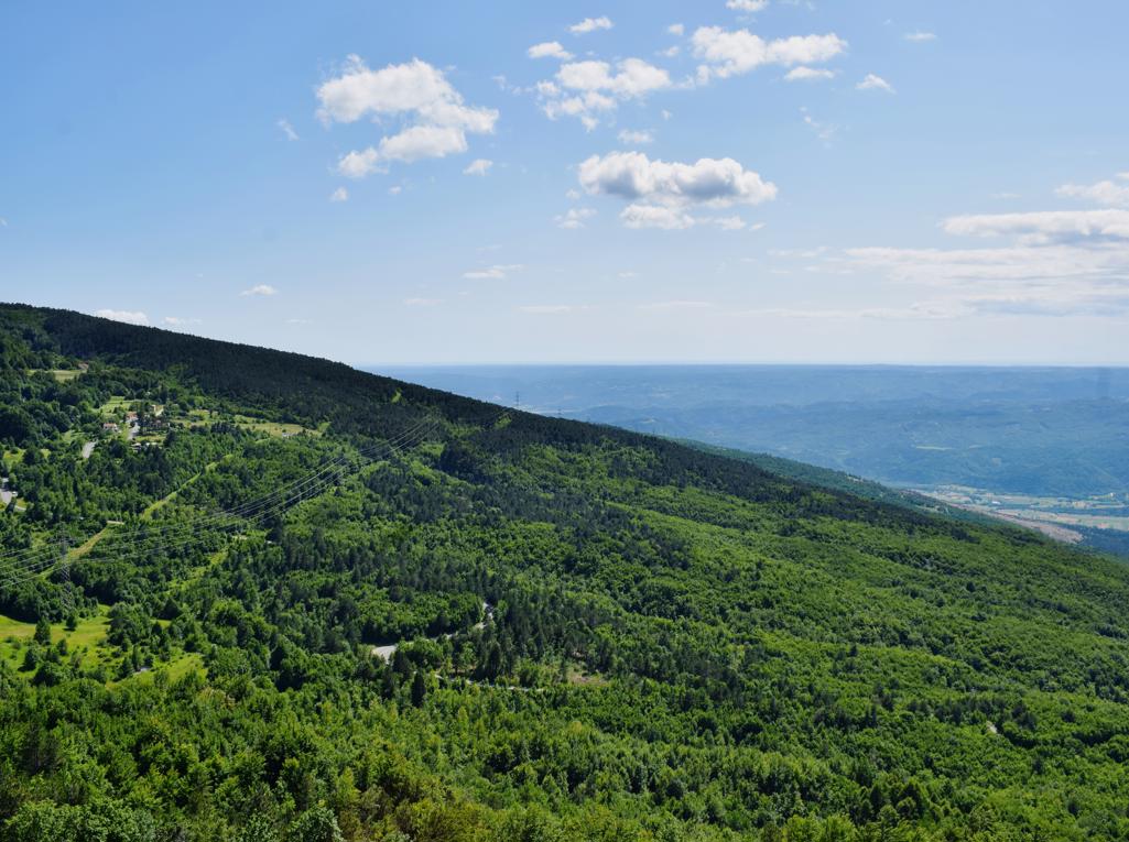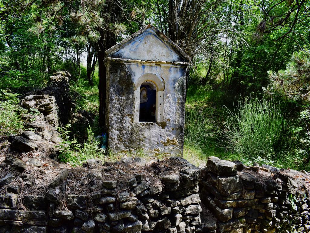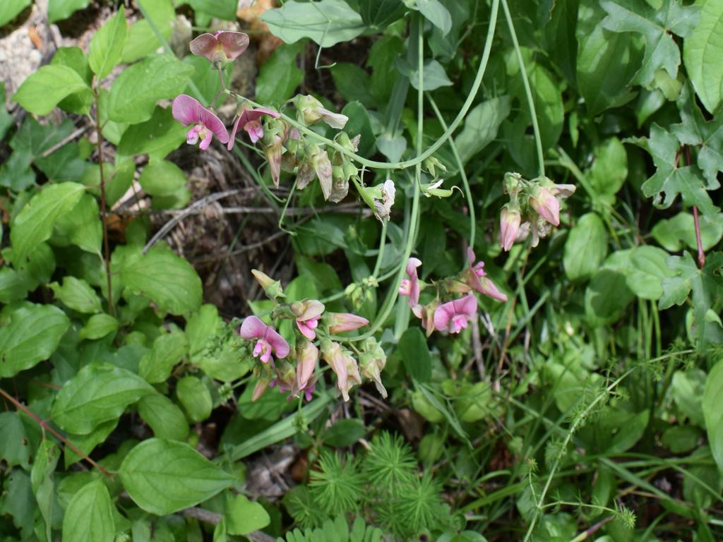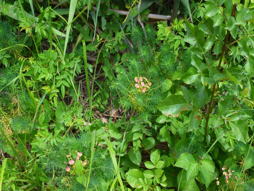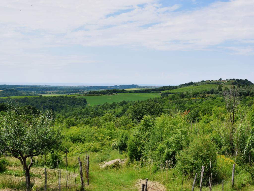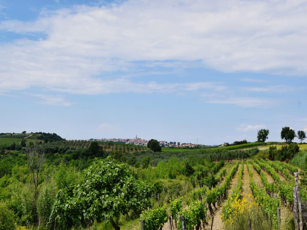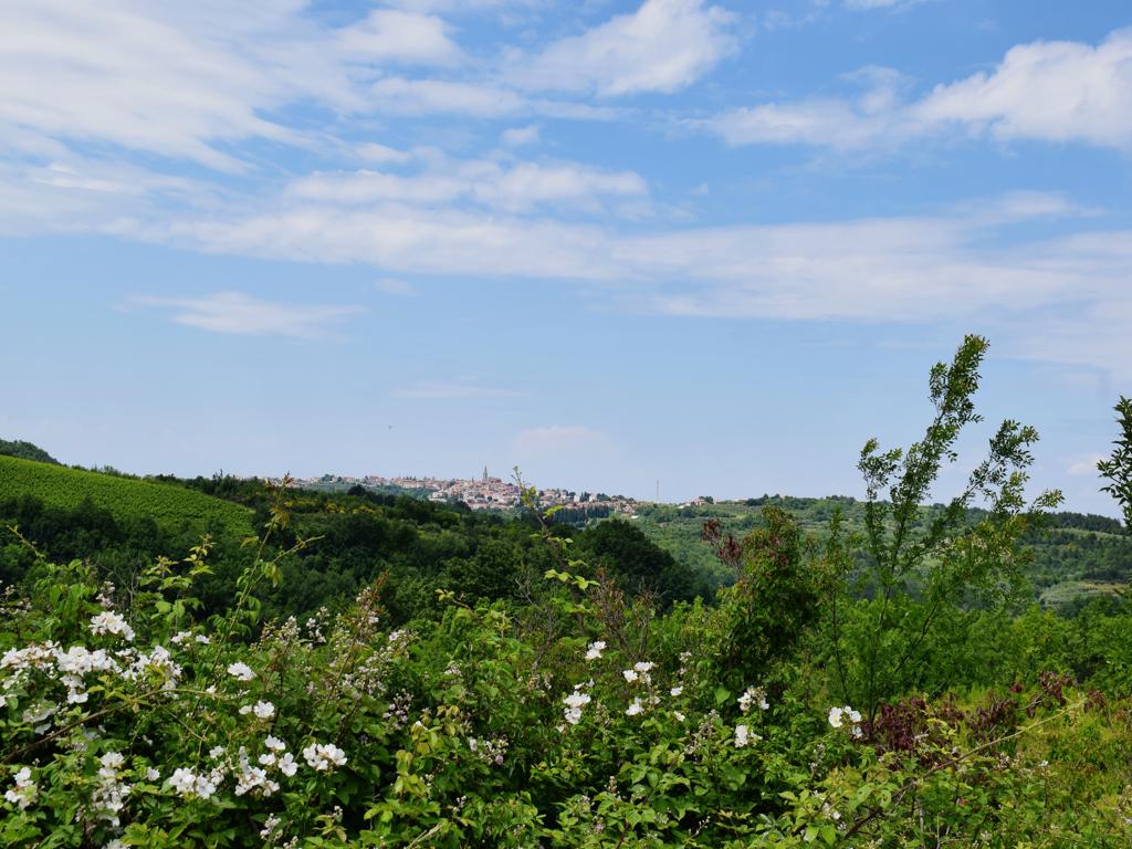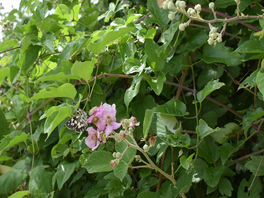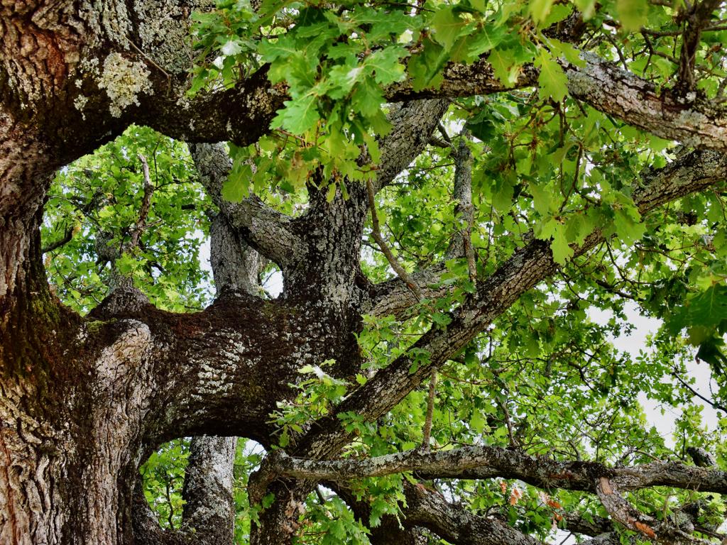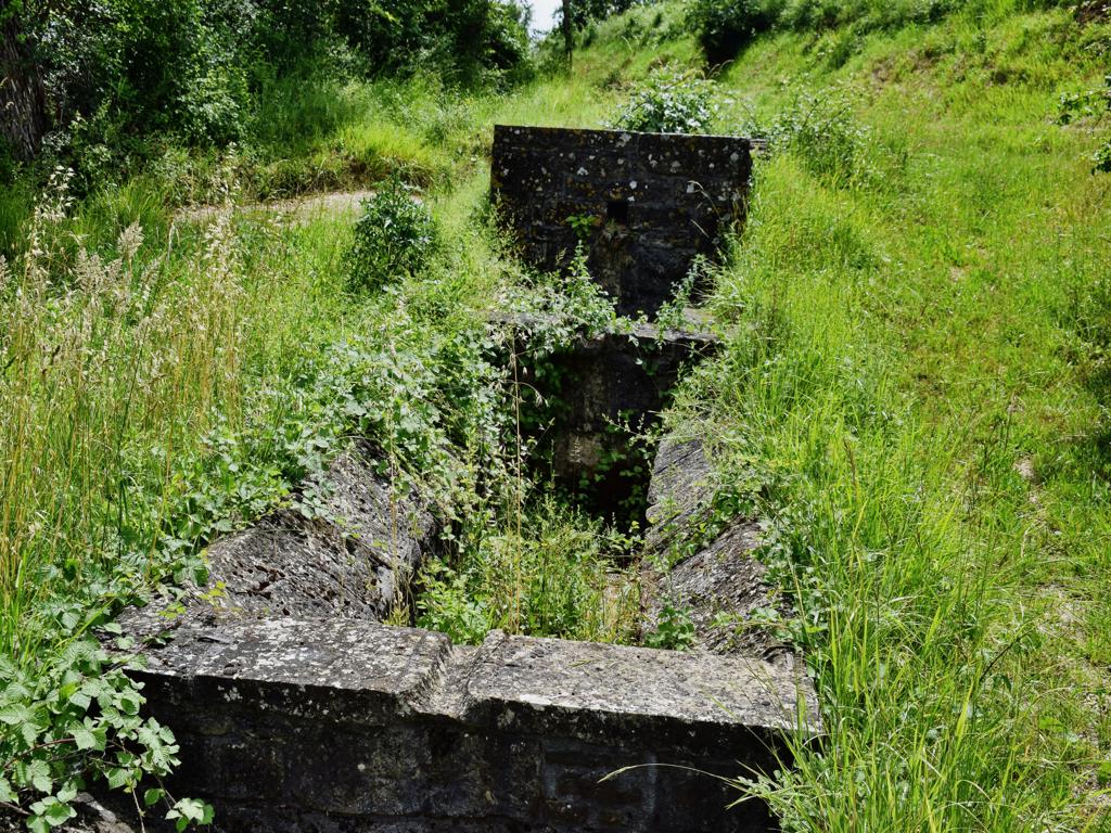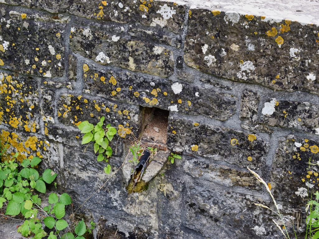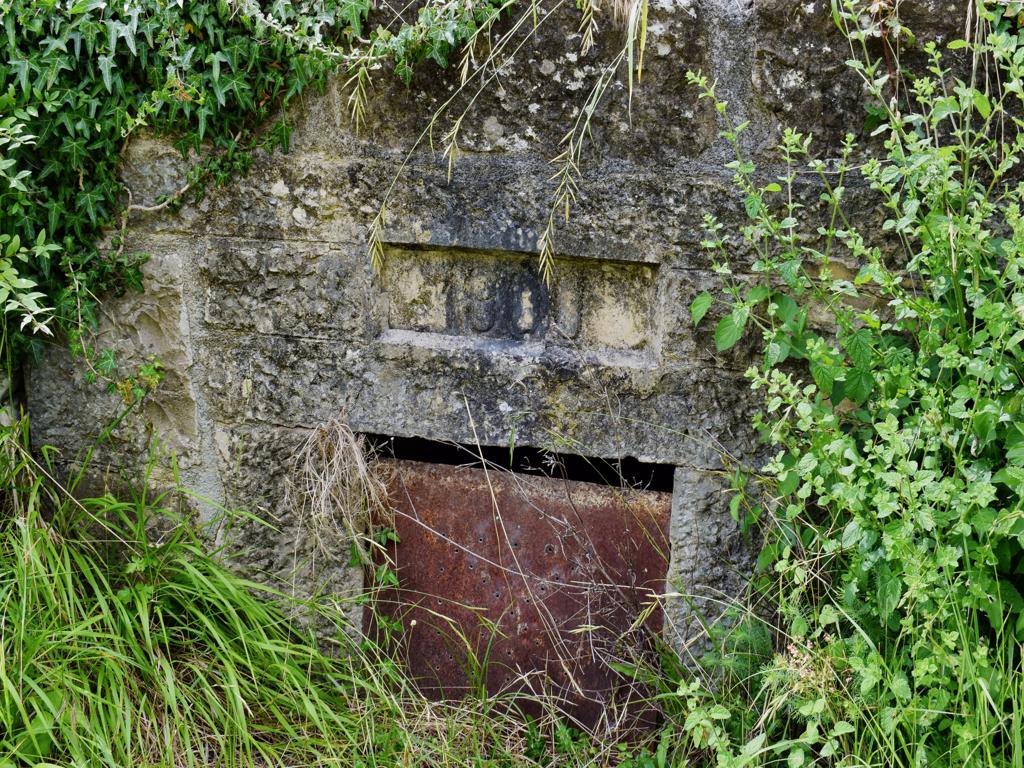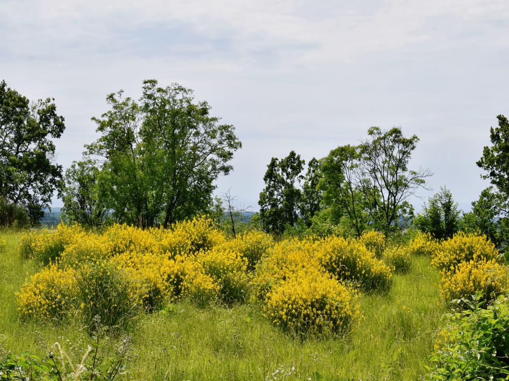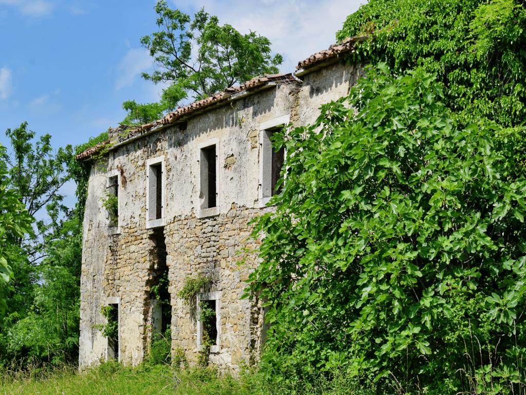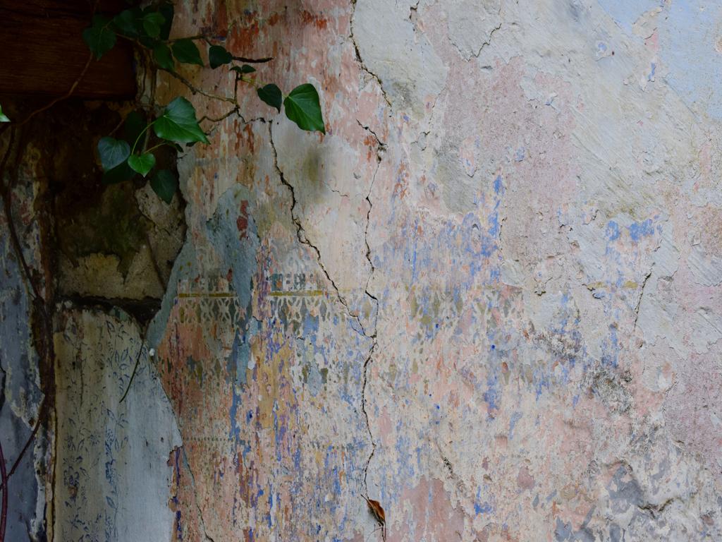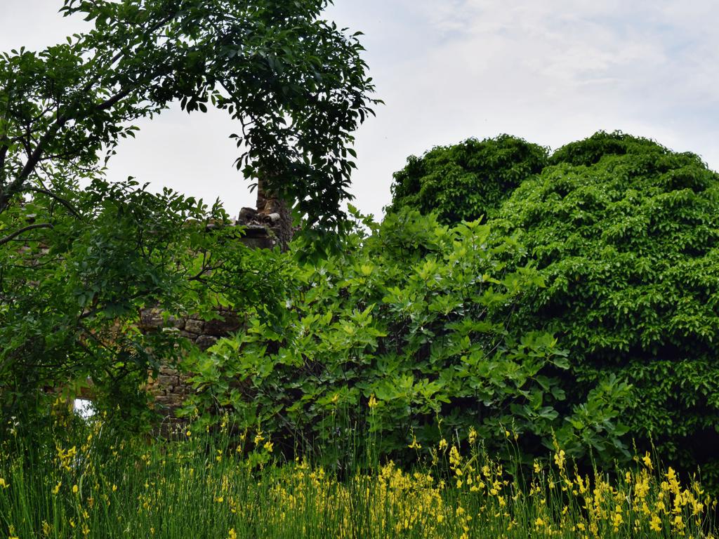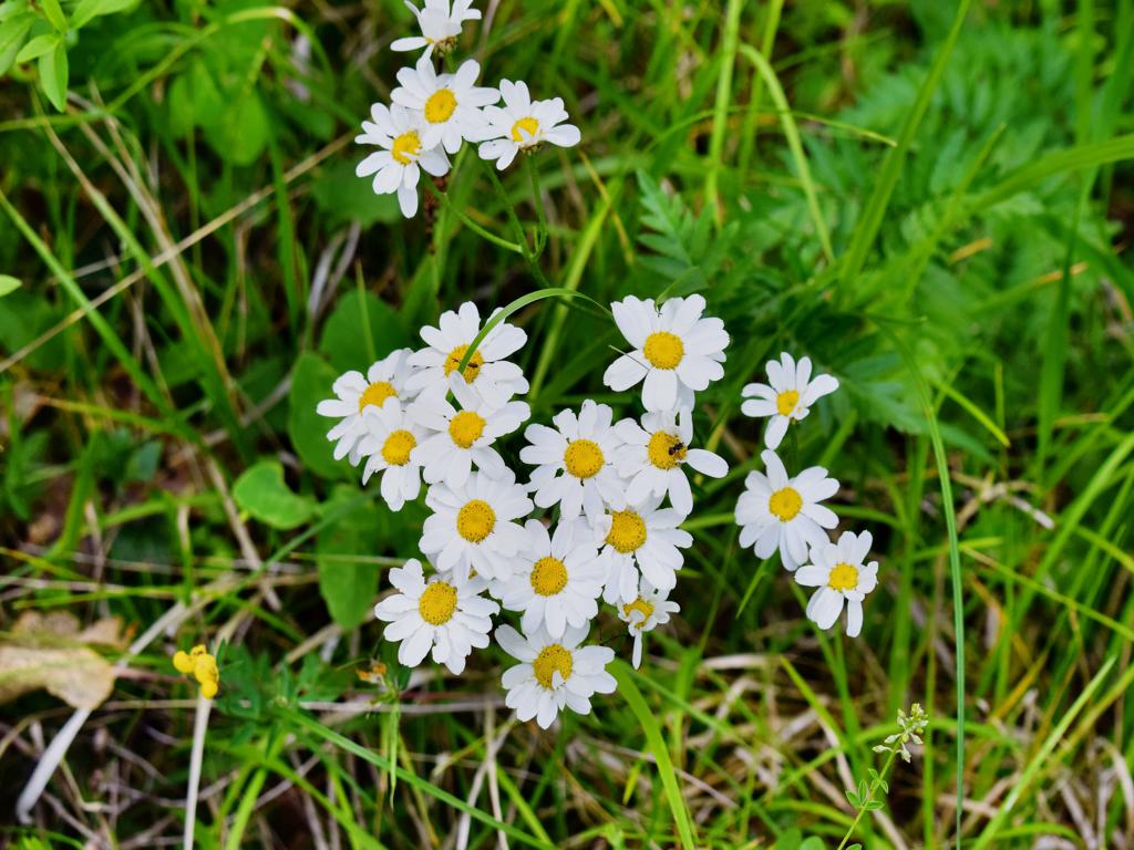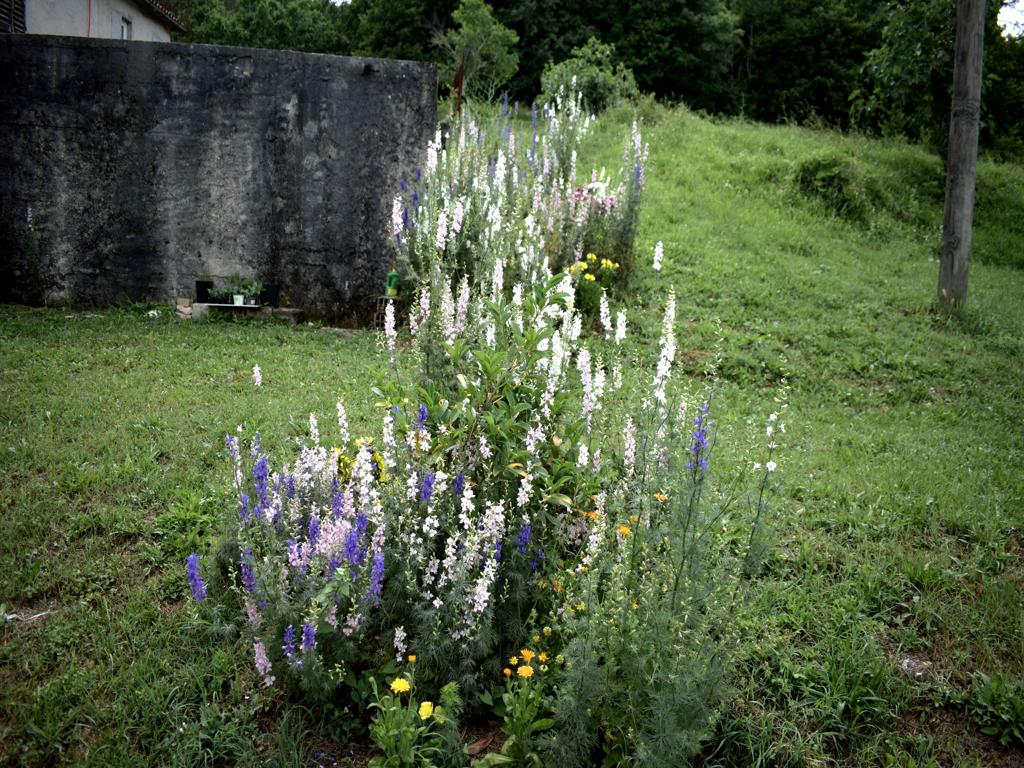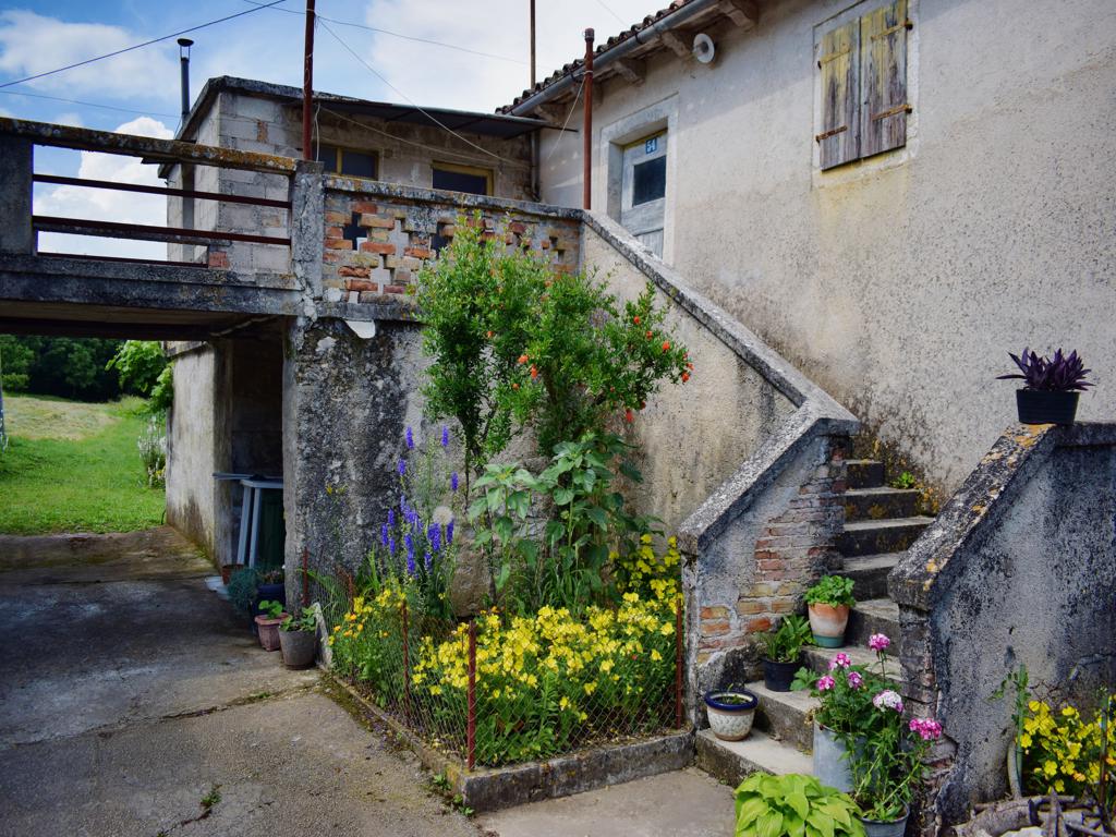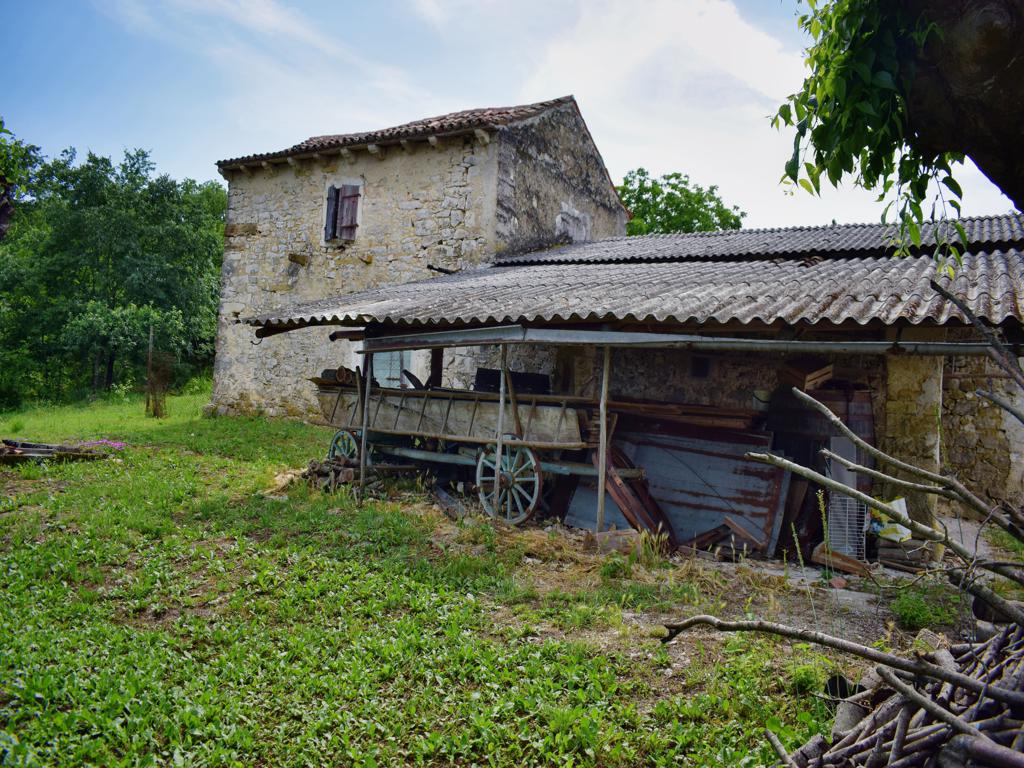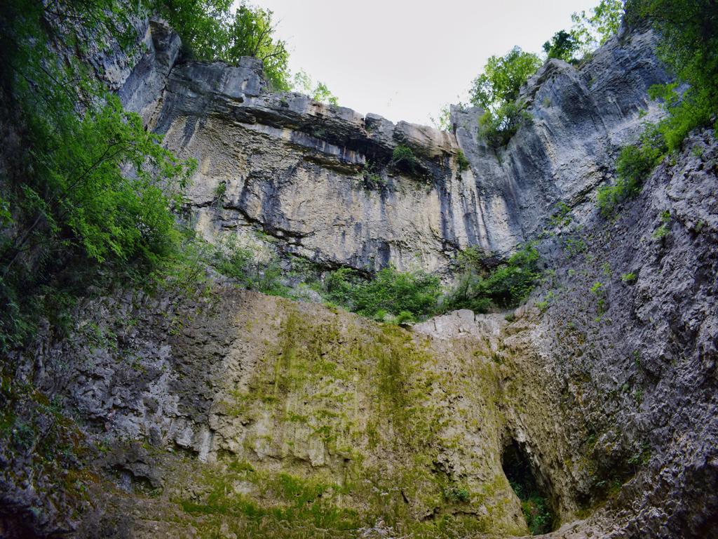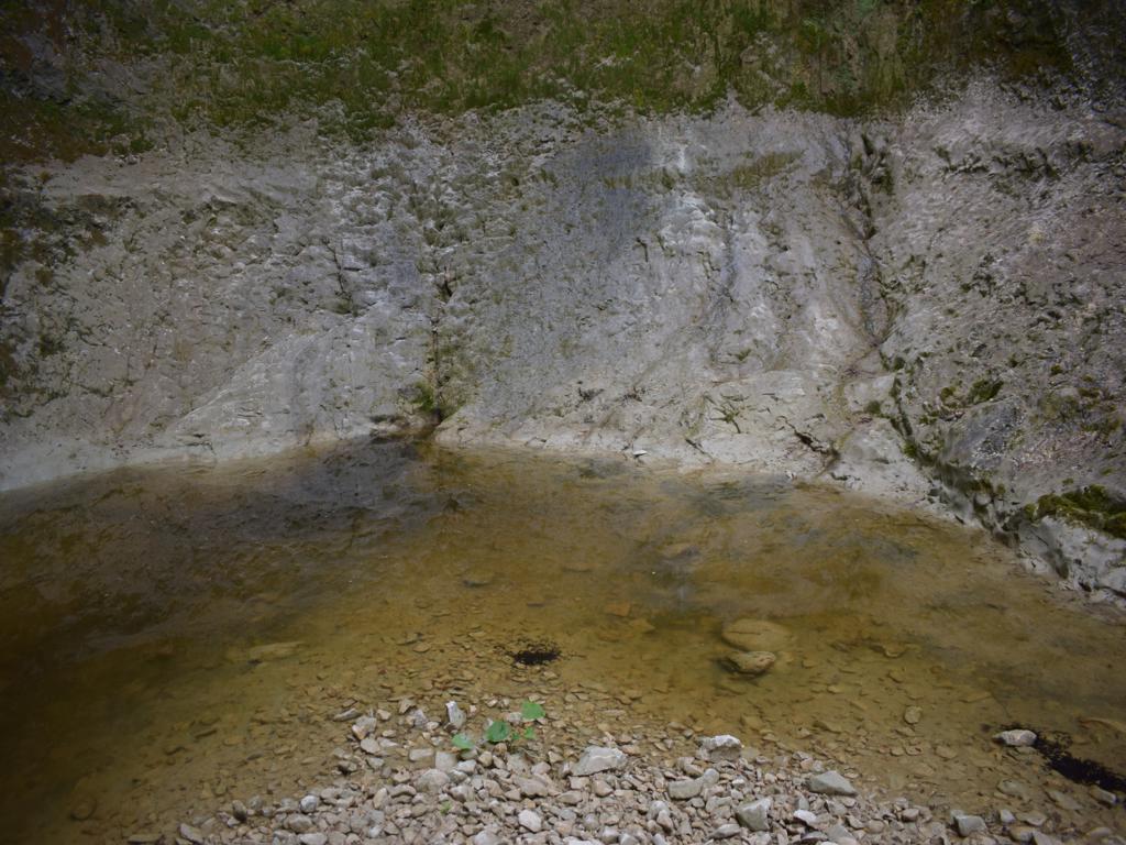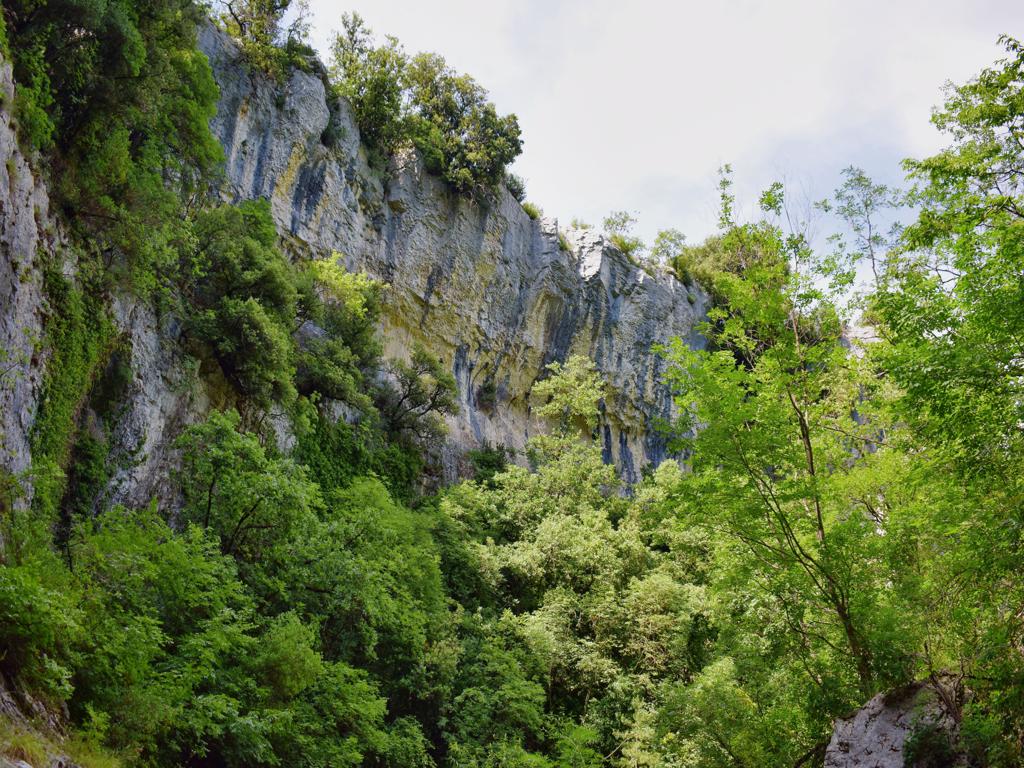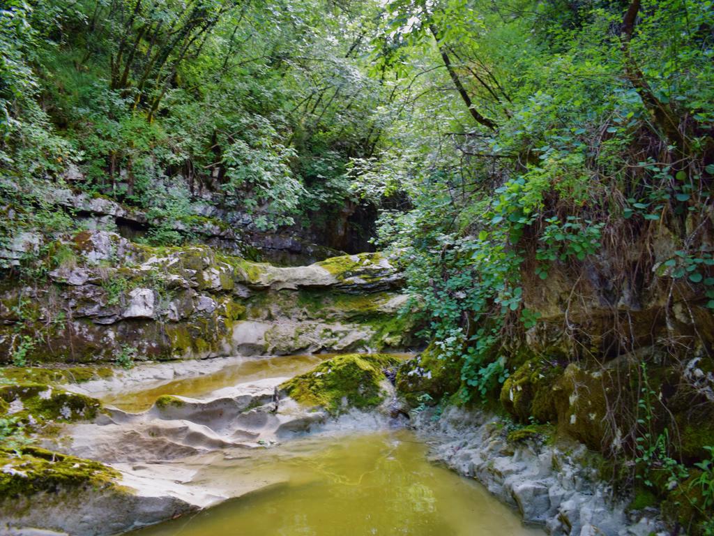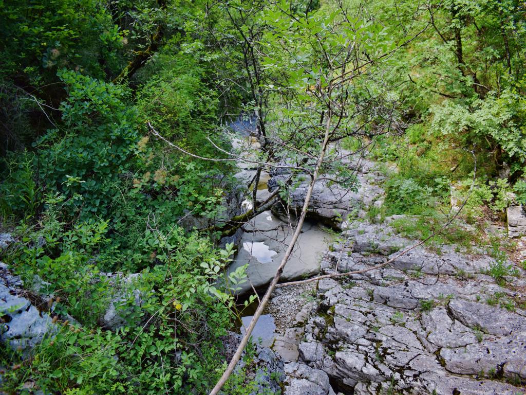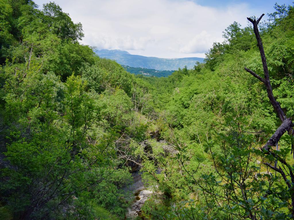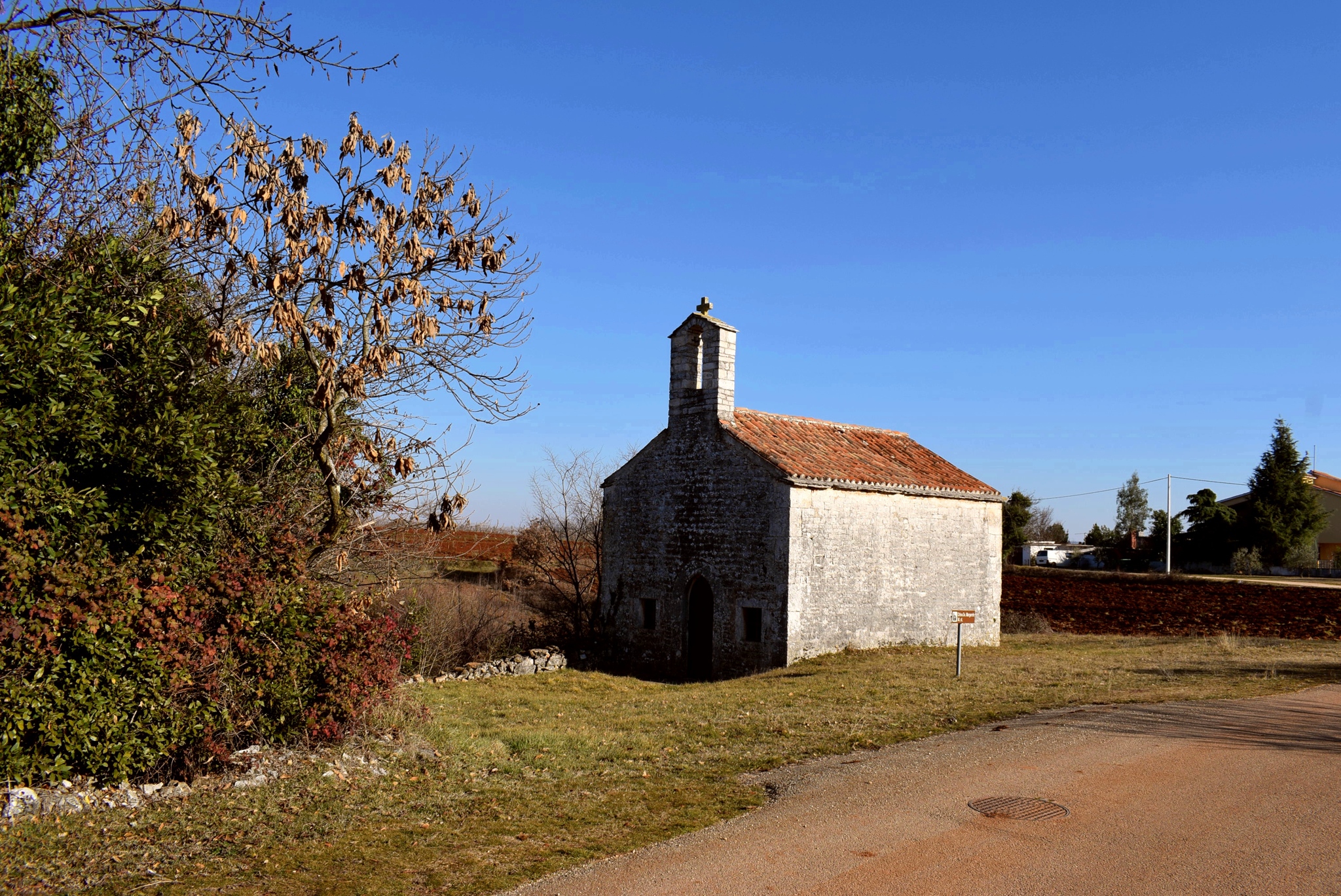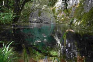
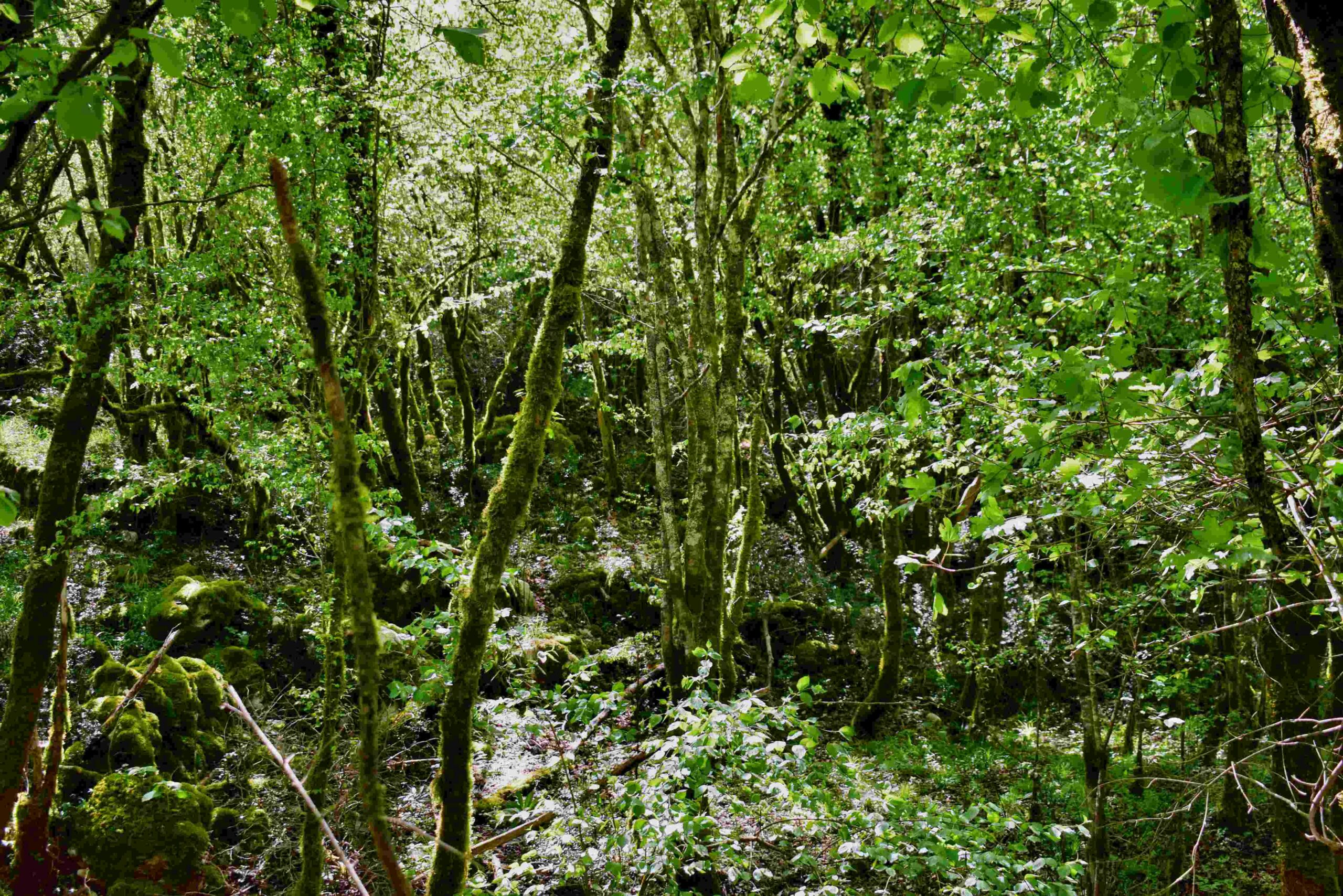
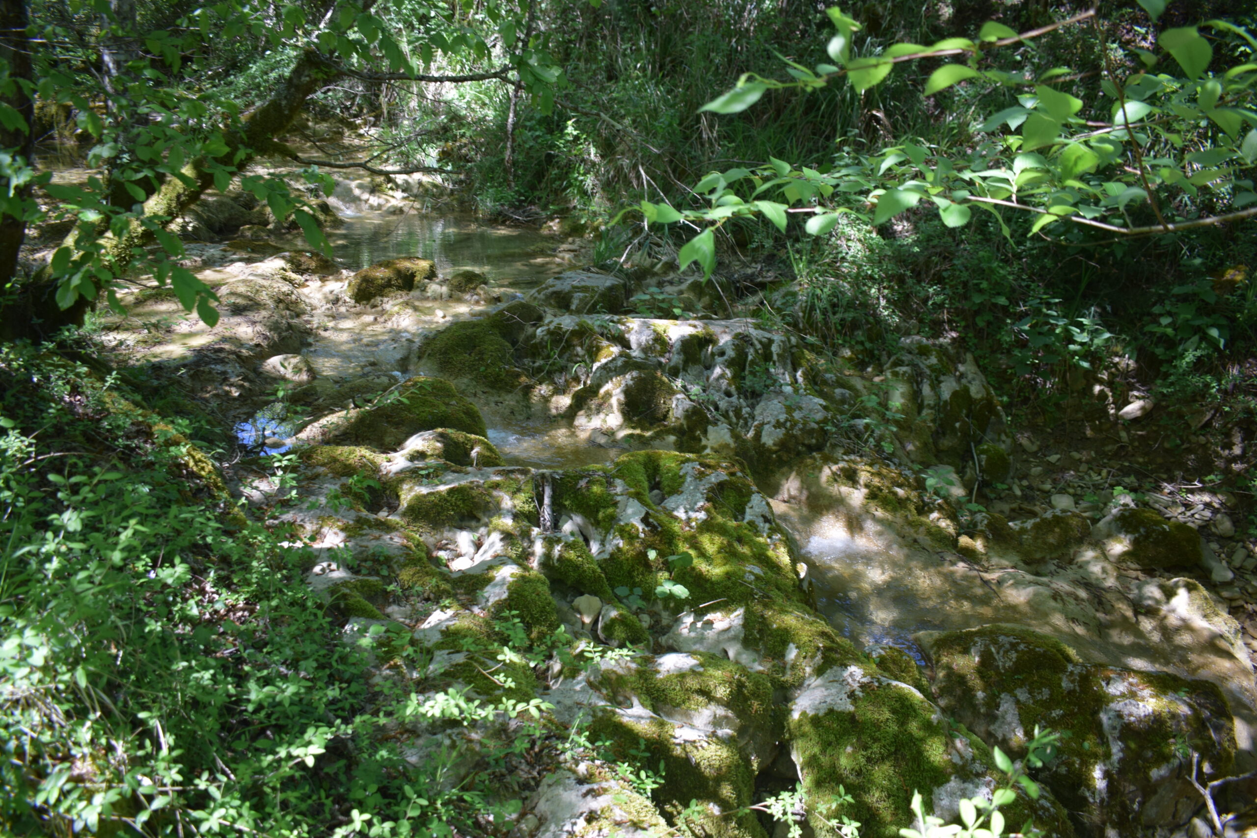
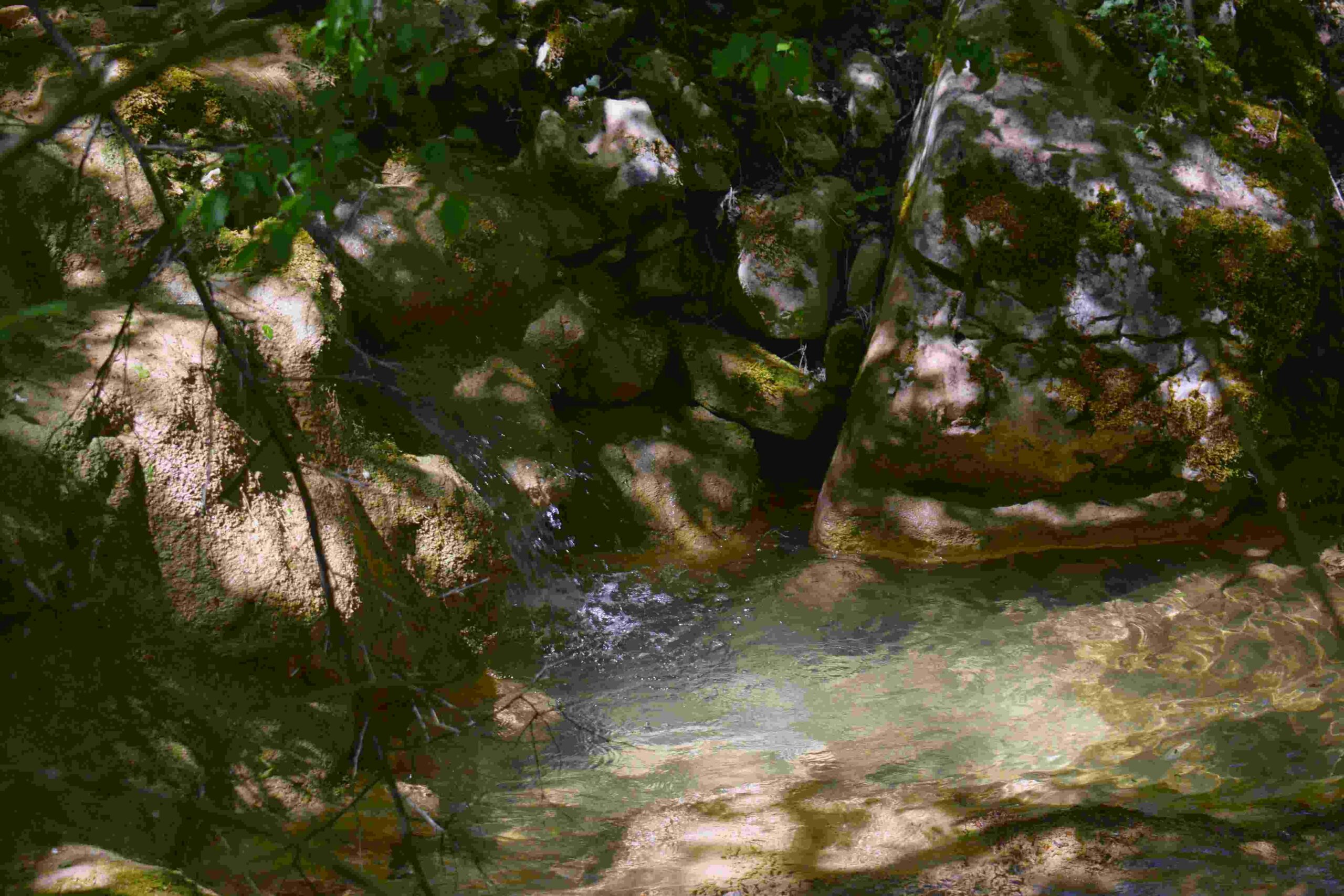
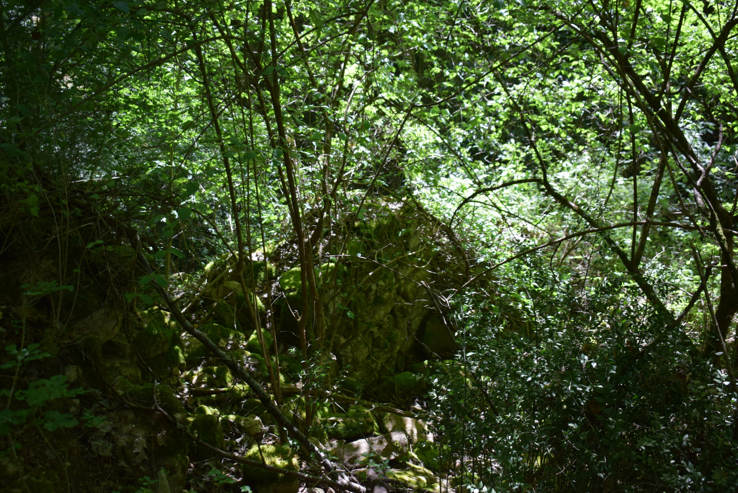
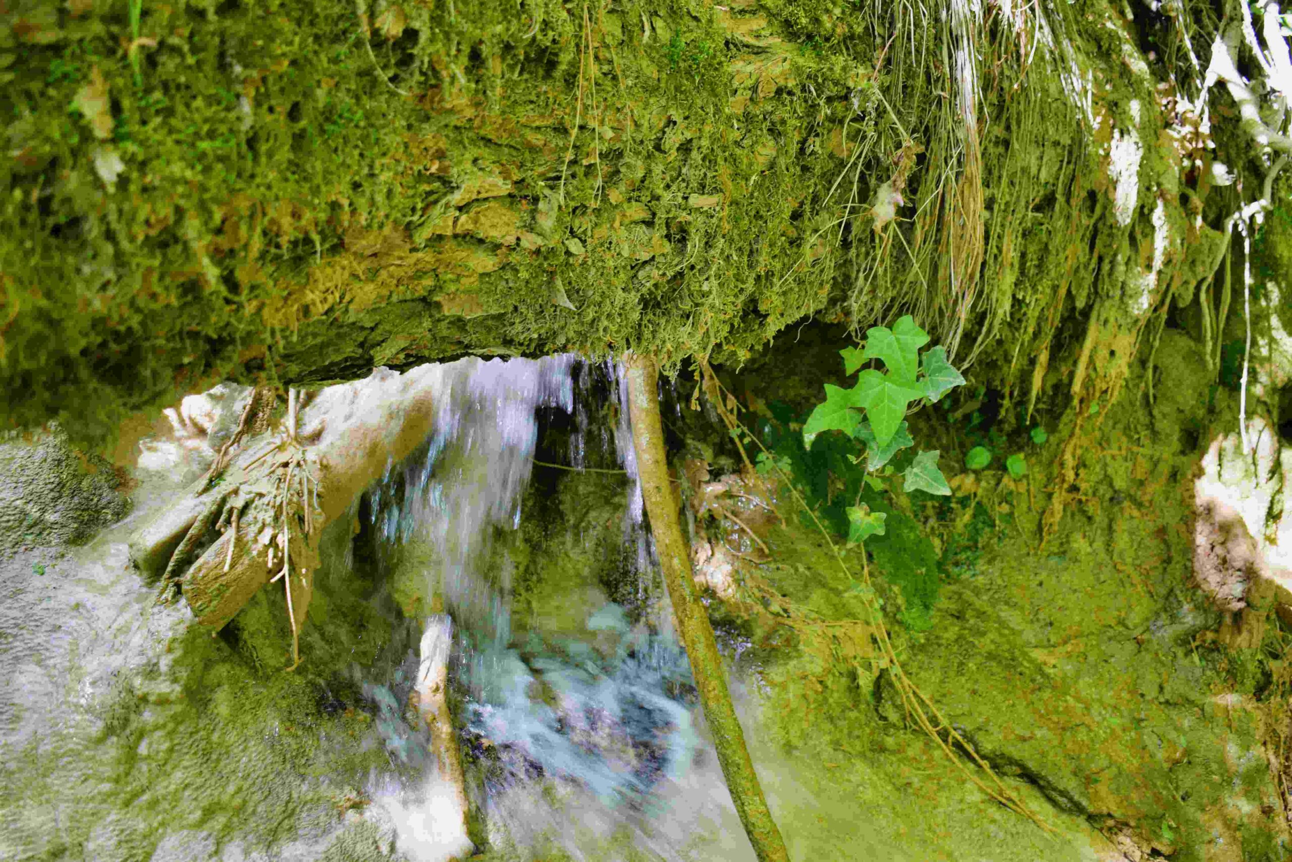
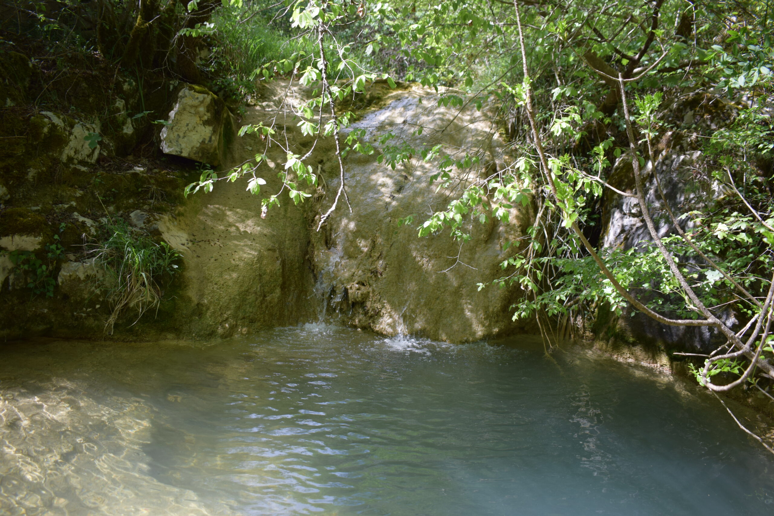
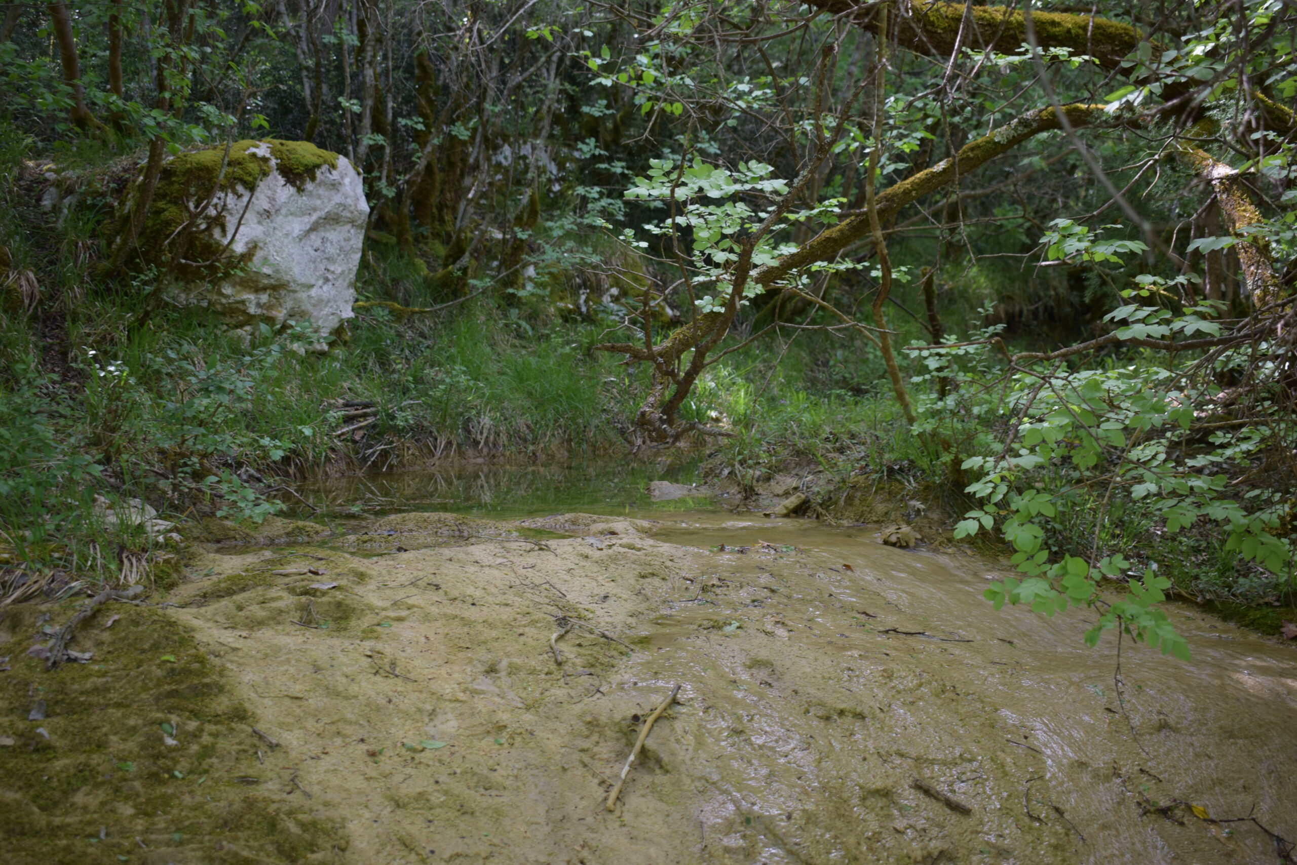
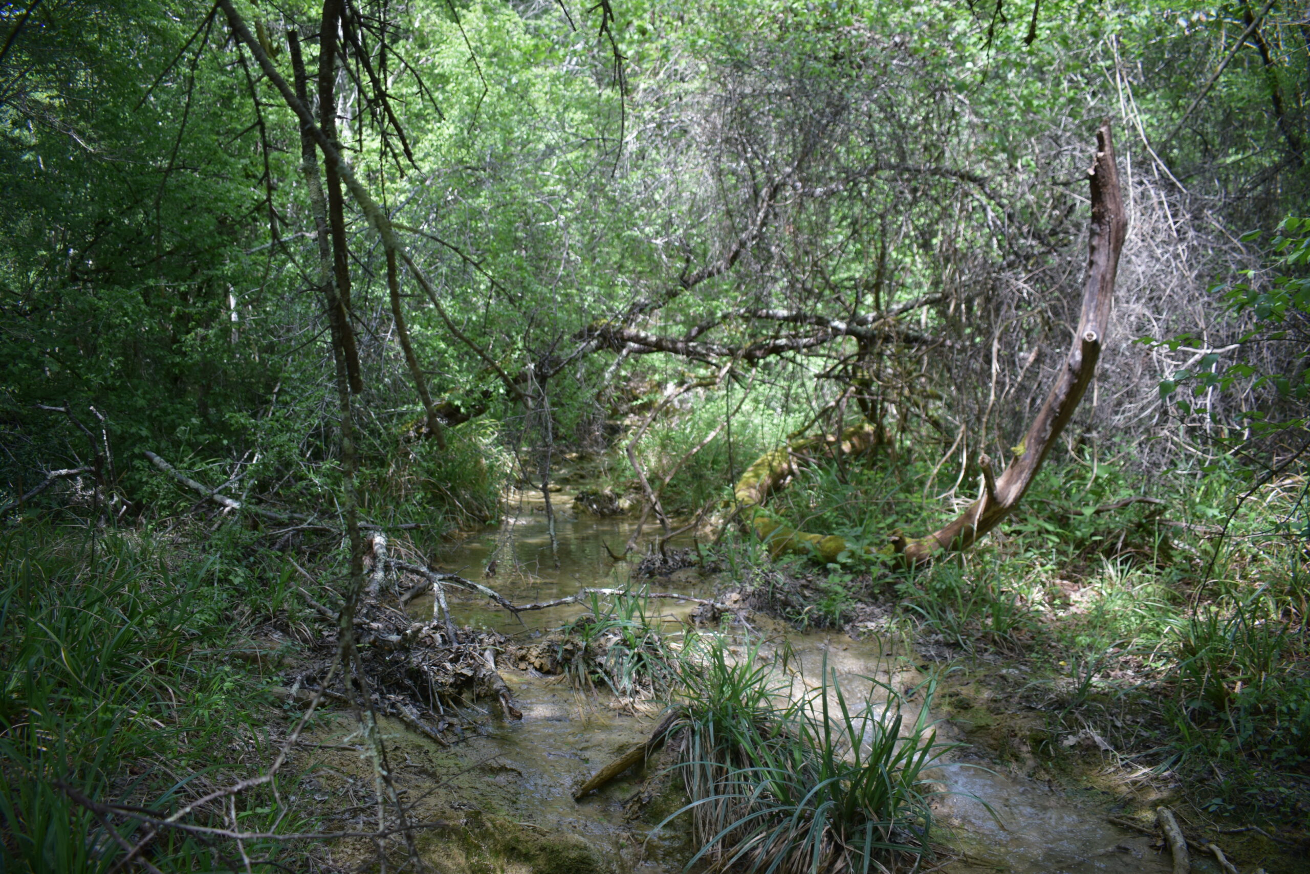
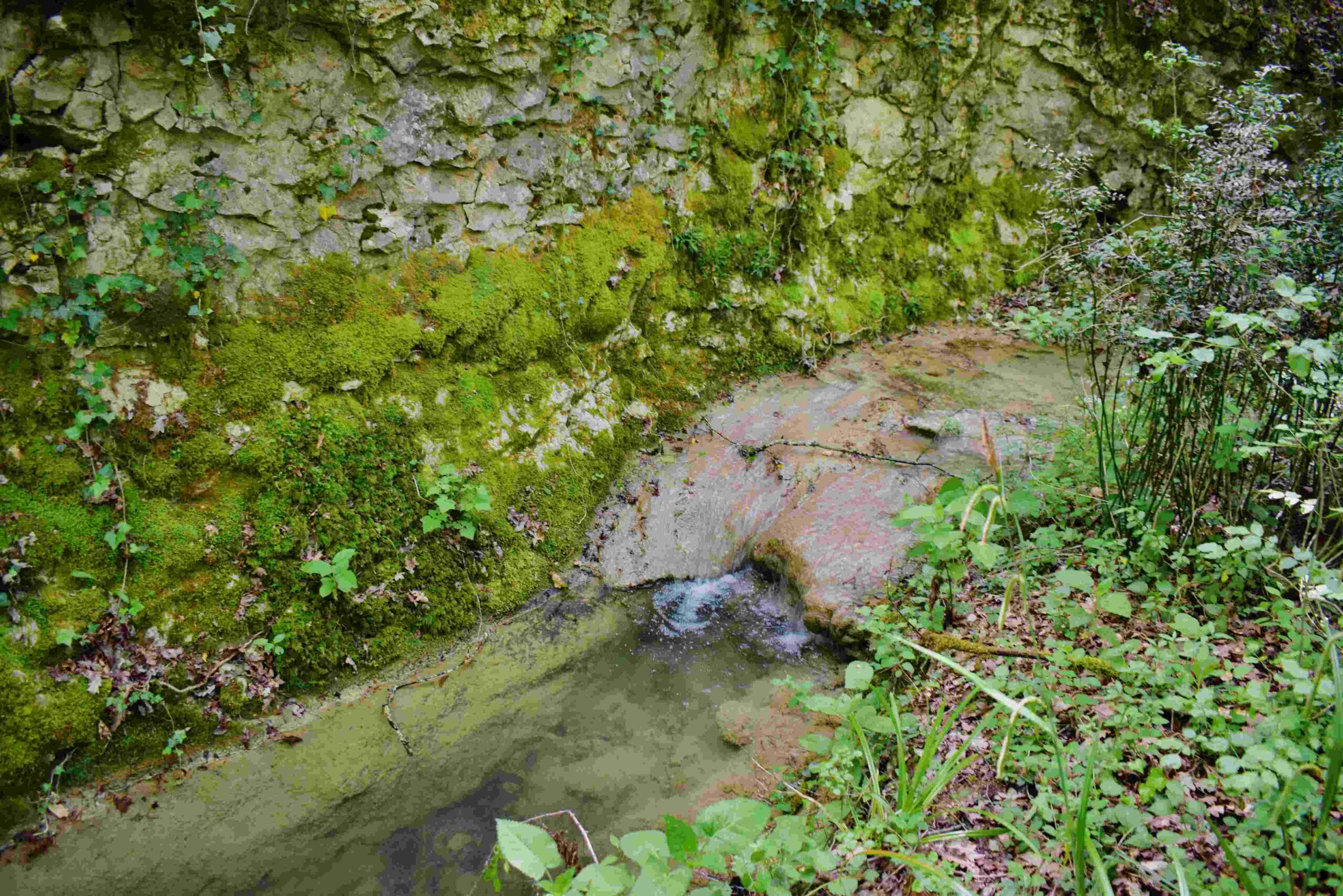
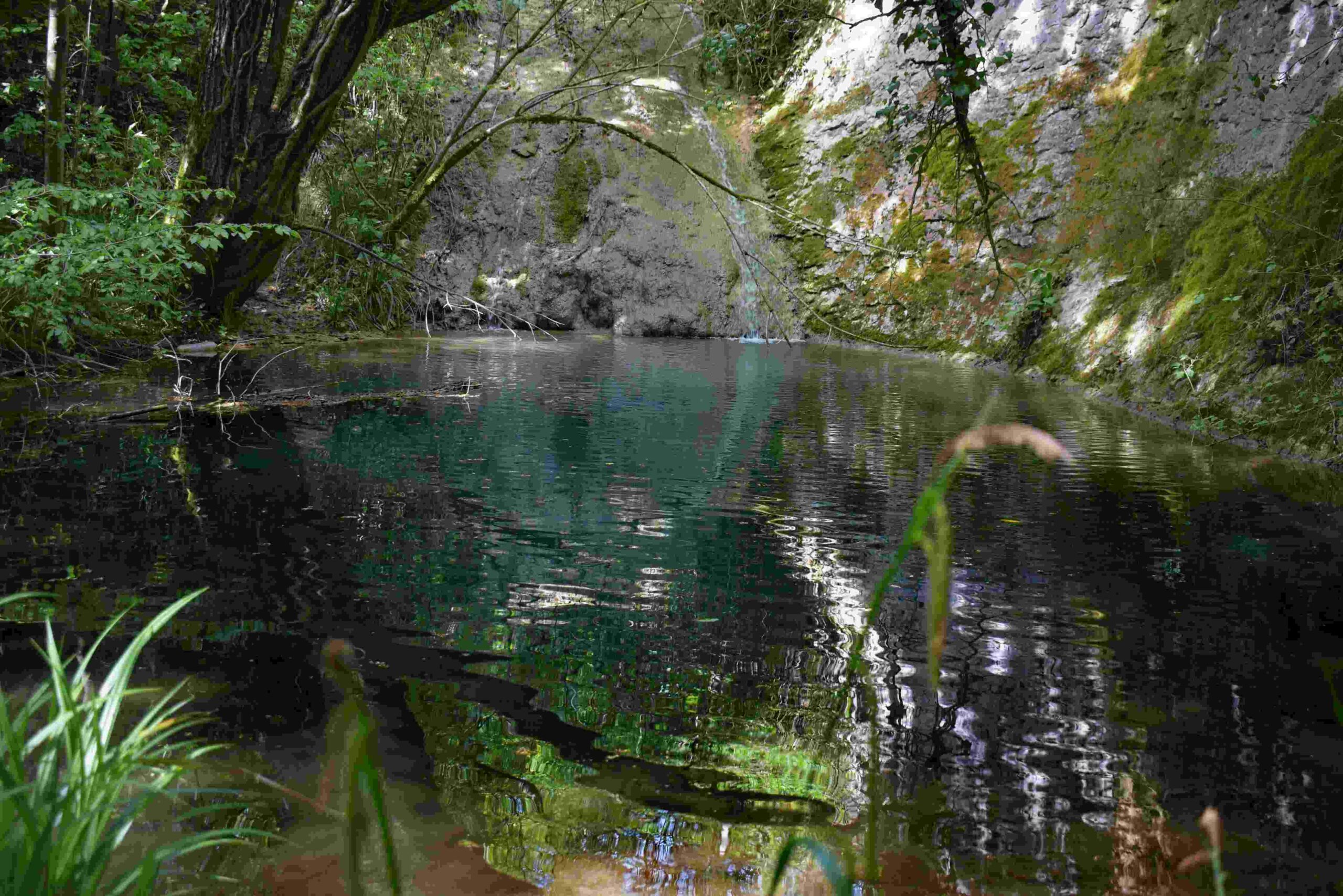
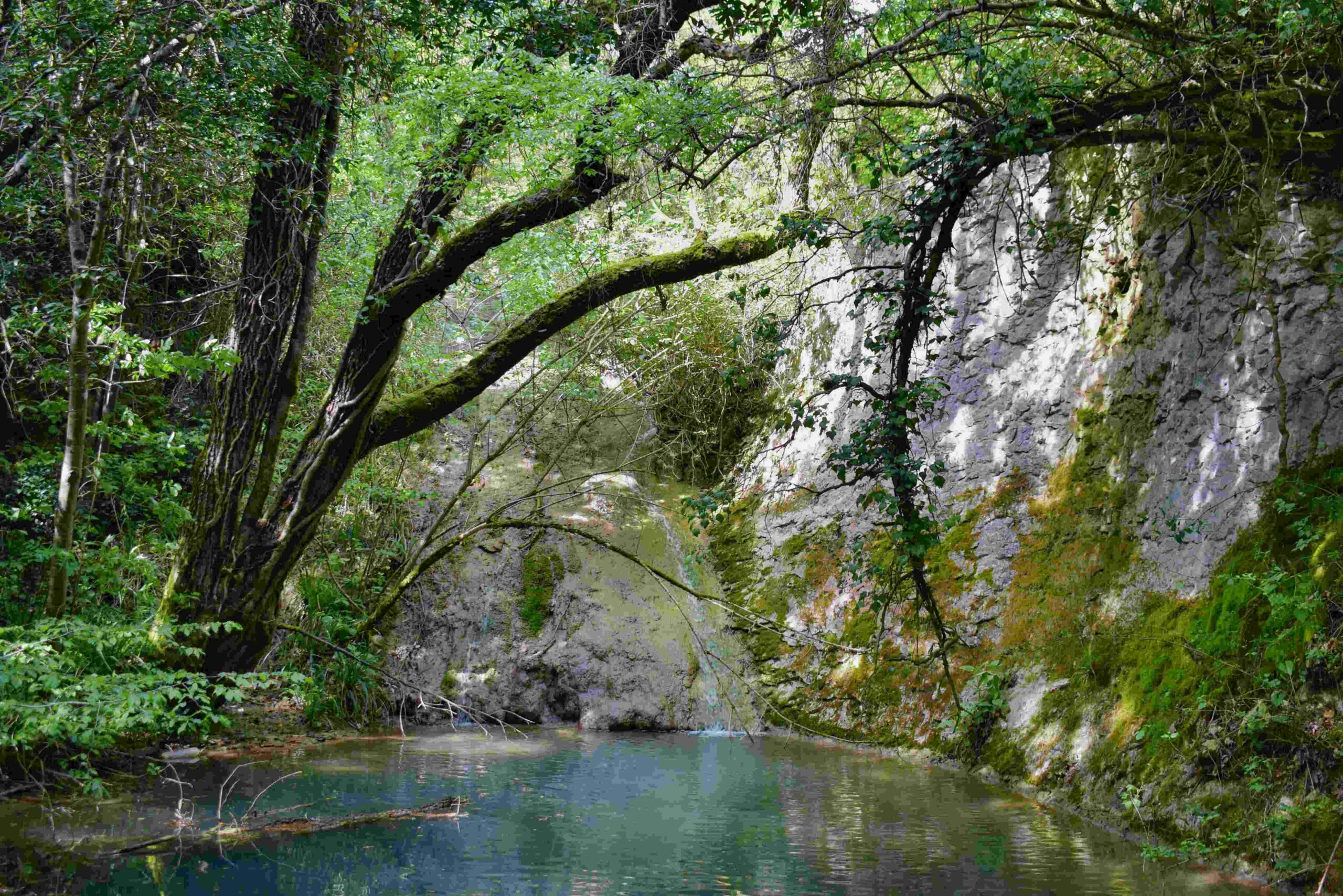
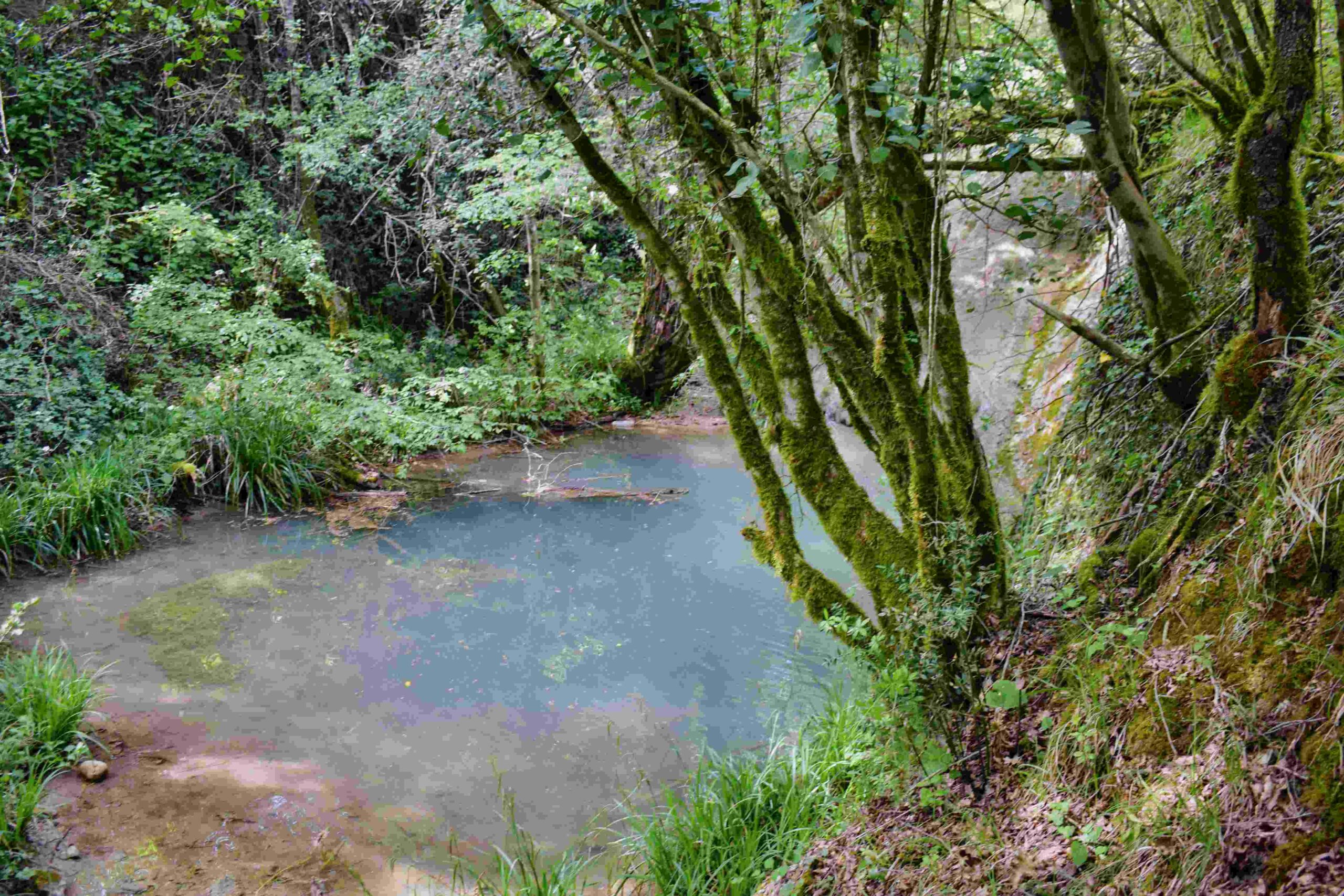
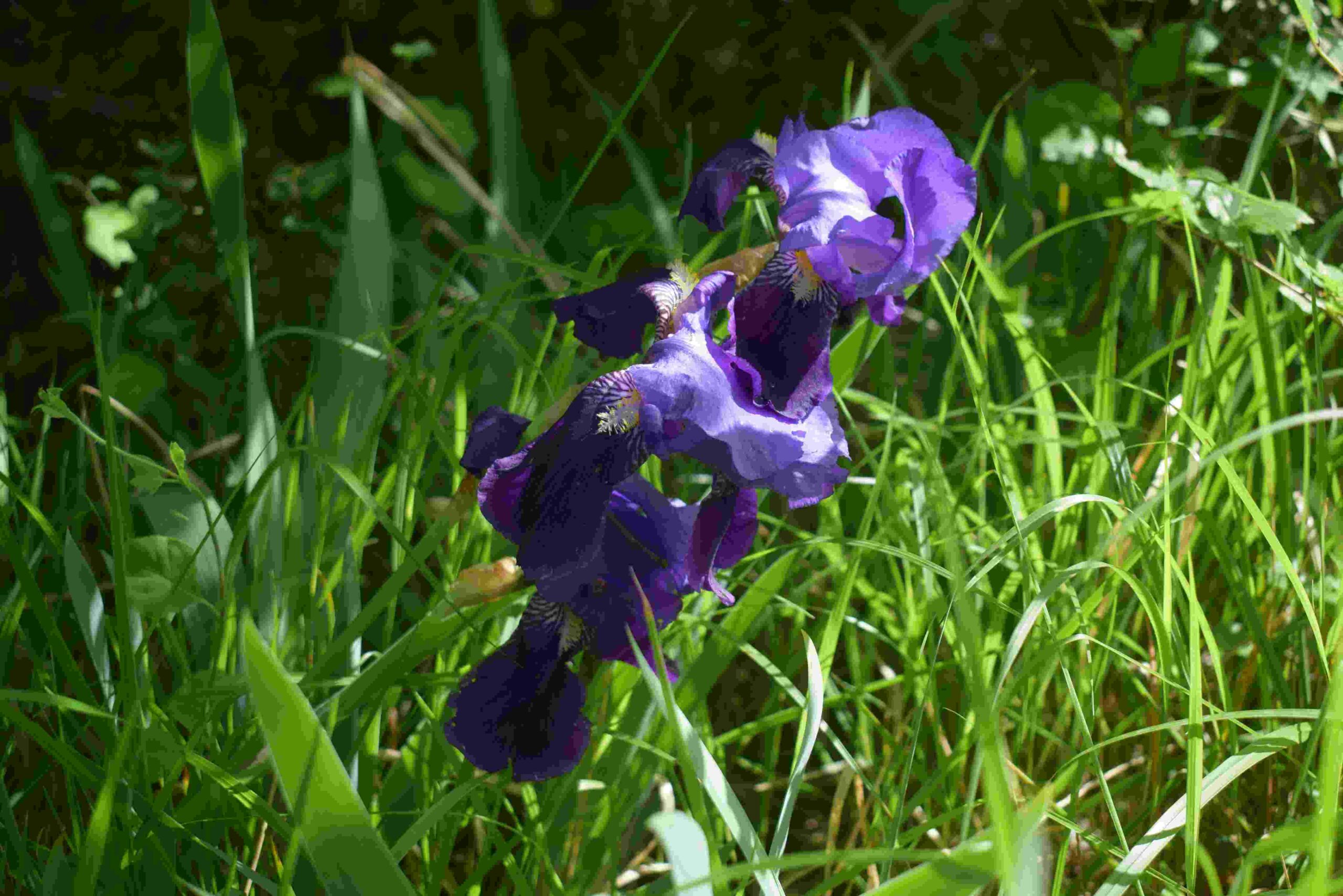
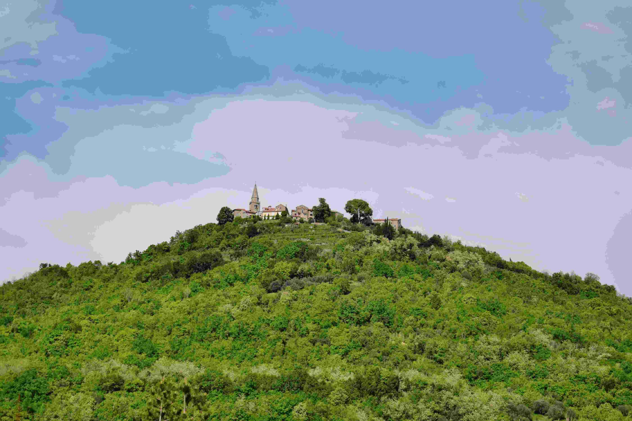
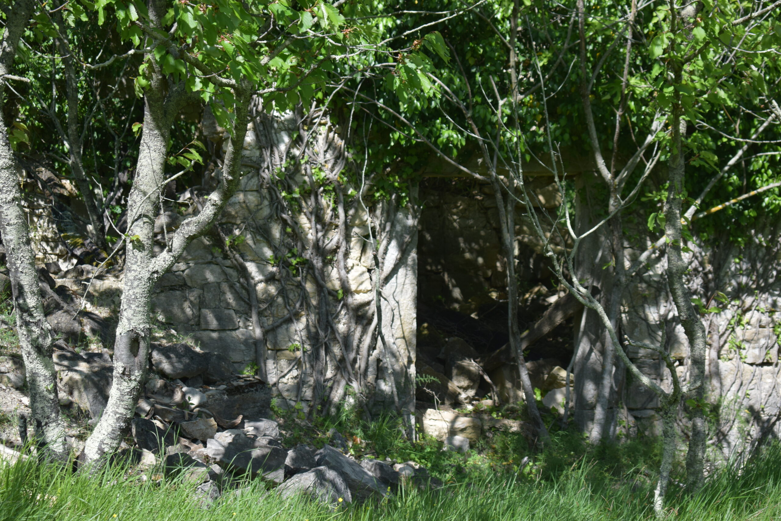
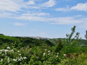
Name: Trail from Ponte Porton along the stream Codegragne and the source, and back via the hamlets Ragaćin and Kovačić.
Place: Ponte Porton – (Grožnjan).
Coordinates: Ponte Porton 45.36115 N – 13.73438 E, source Codegragne 45.37458 N – 13.71672 E.
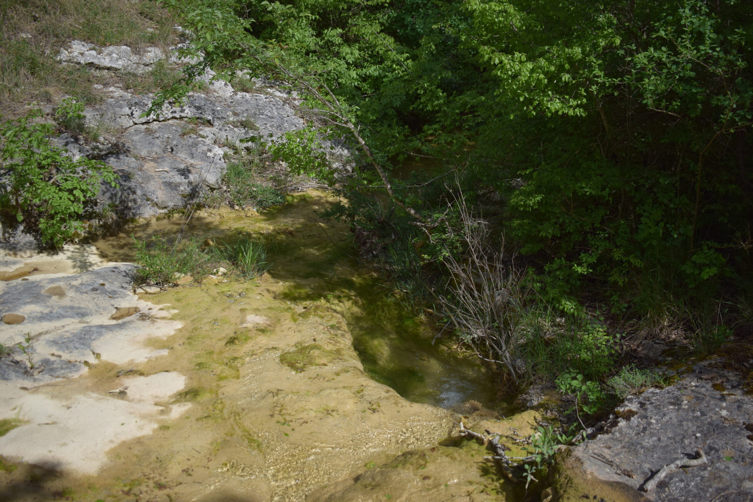
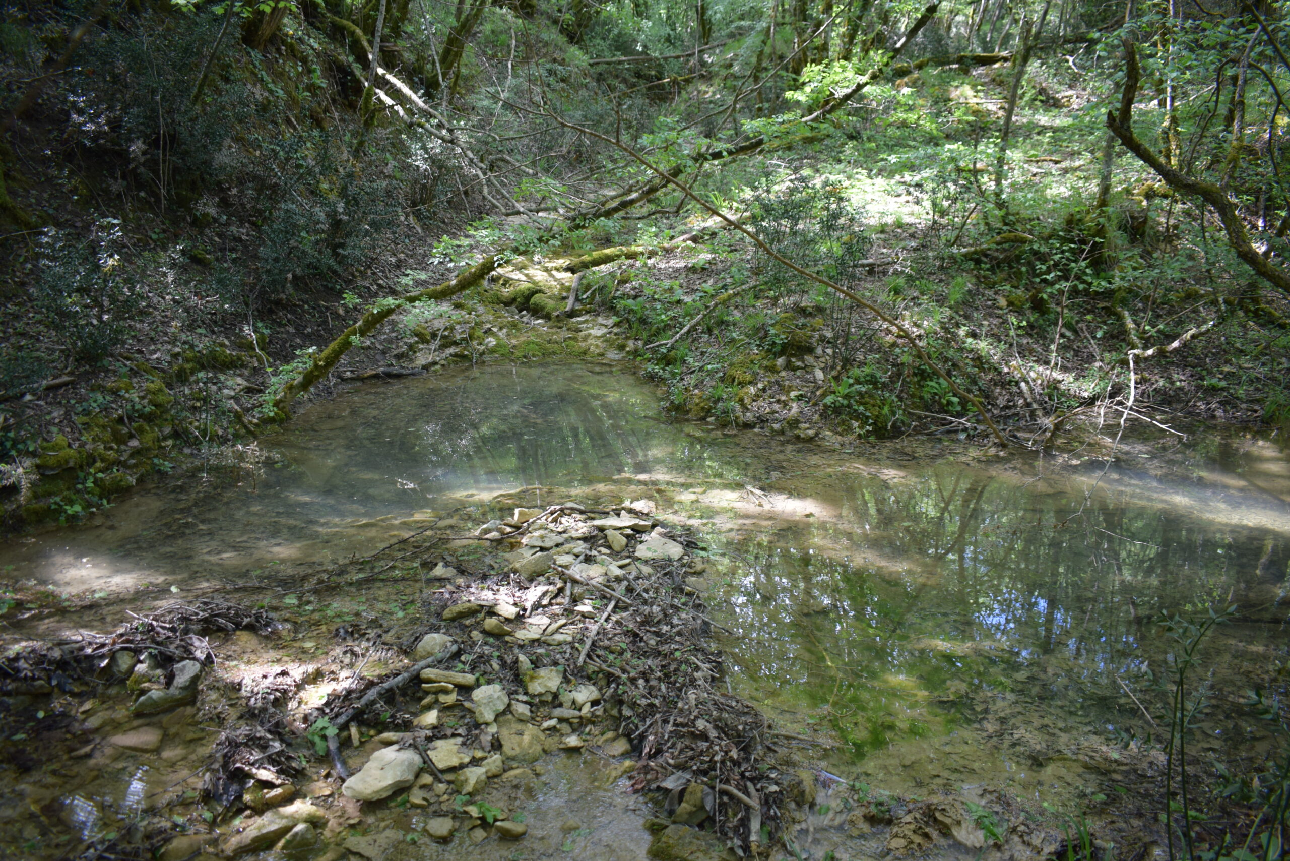
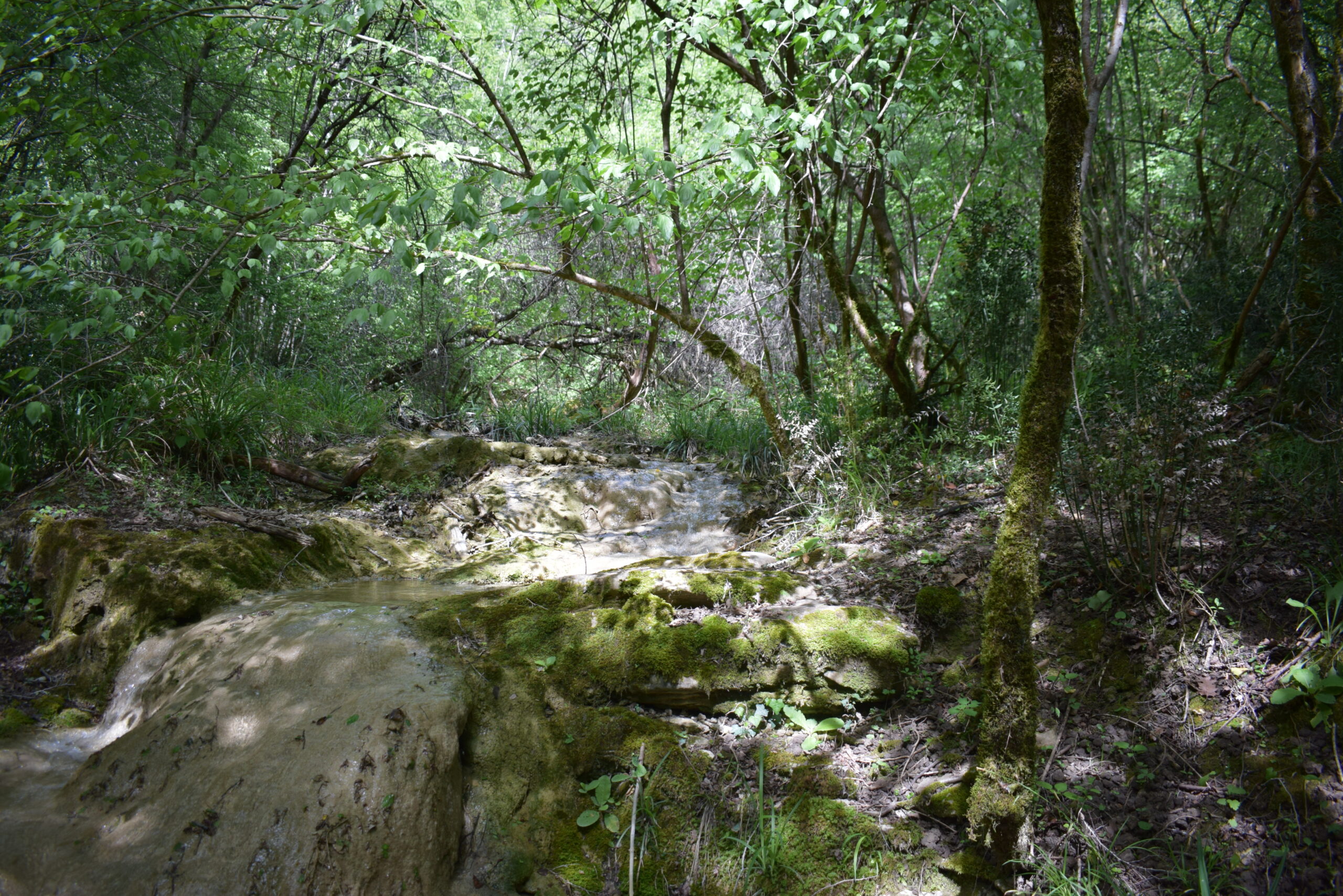
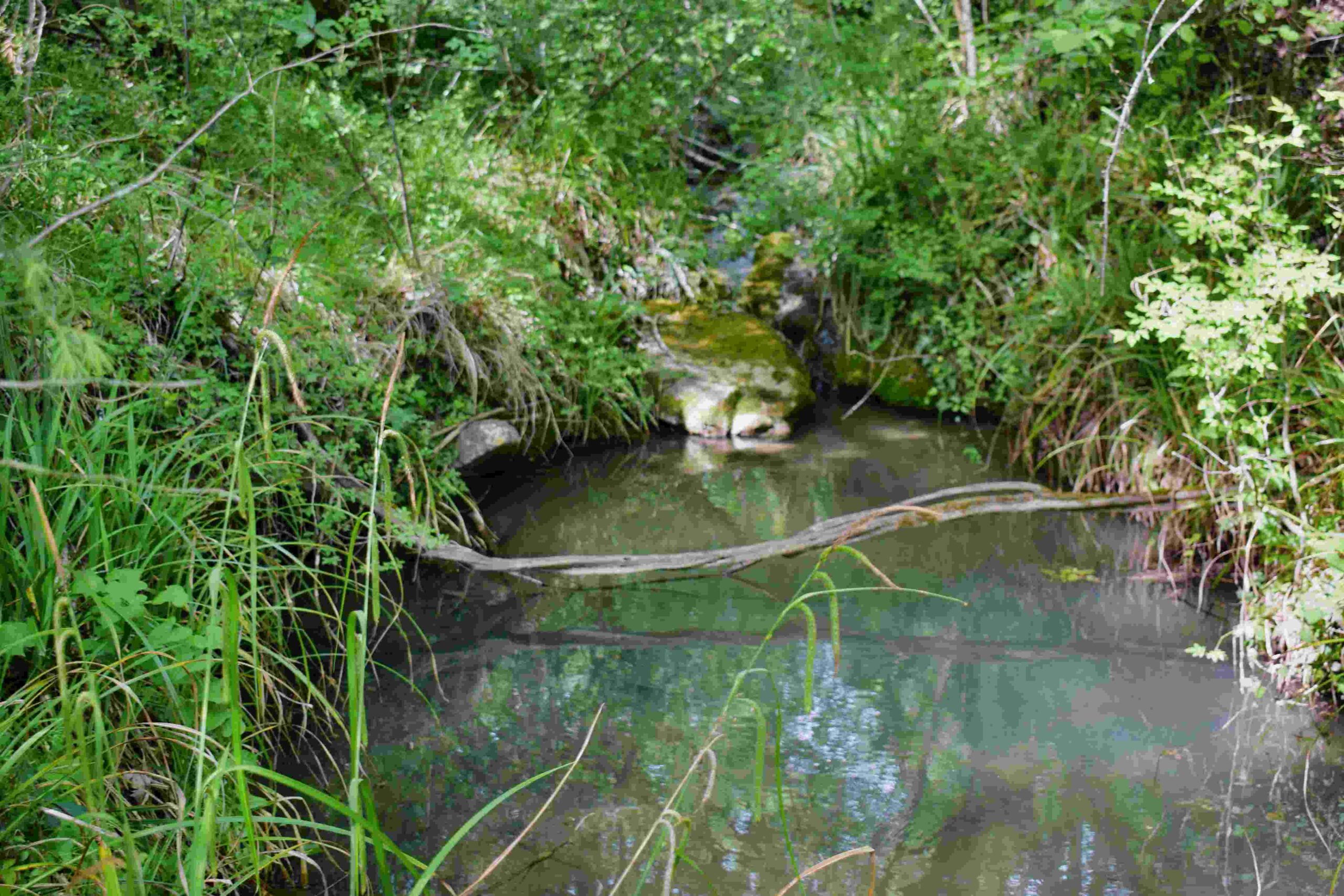
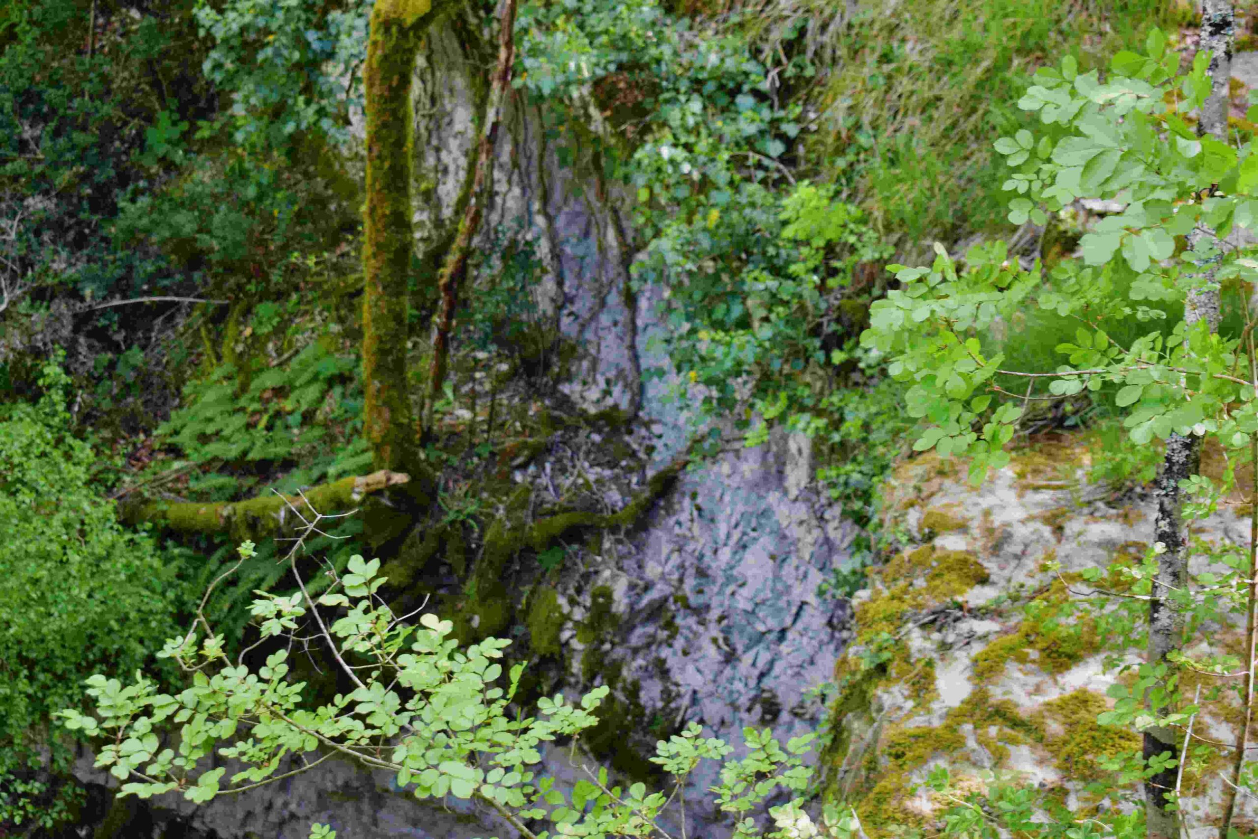
Name: Trail from Ponte Porton along the stream Codegragne and the source, and back via the hamlets Ragaćin and Kovačić.
Place: Ponte Porton – (Grožnjan).
Coordinates: Ponte Porton 45.36115 N – 13.73438 E, source Codegragne 45.37458 N – 13.71672 E.

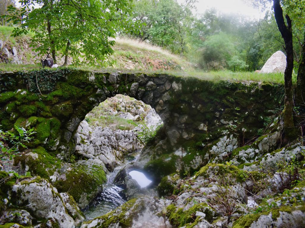
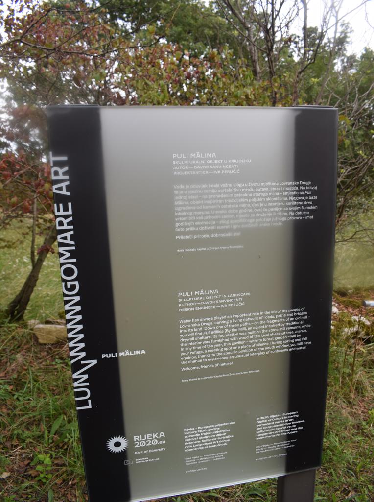
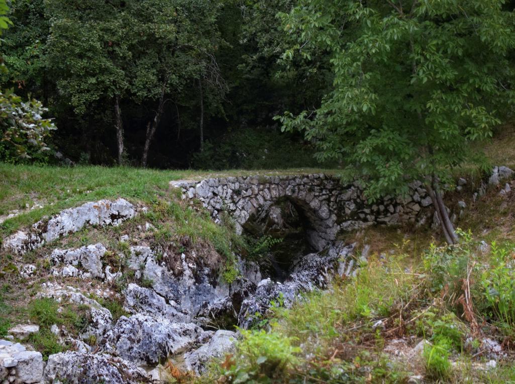
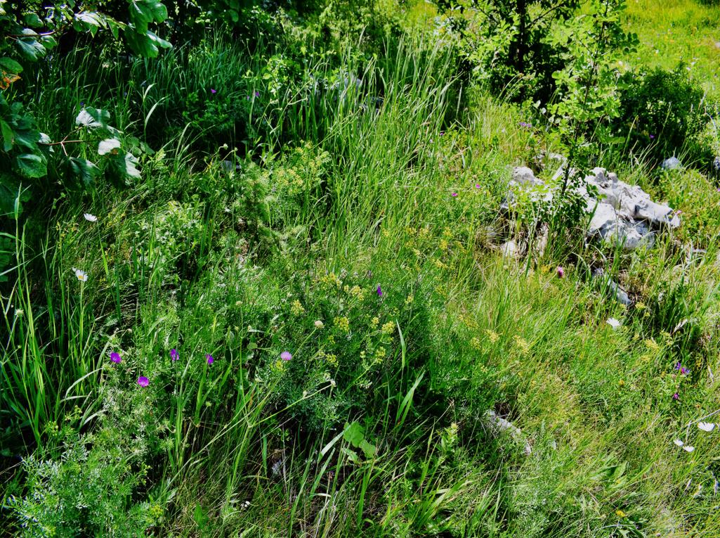
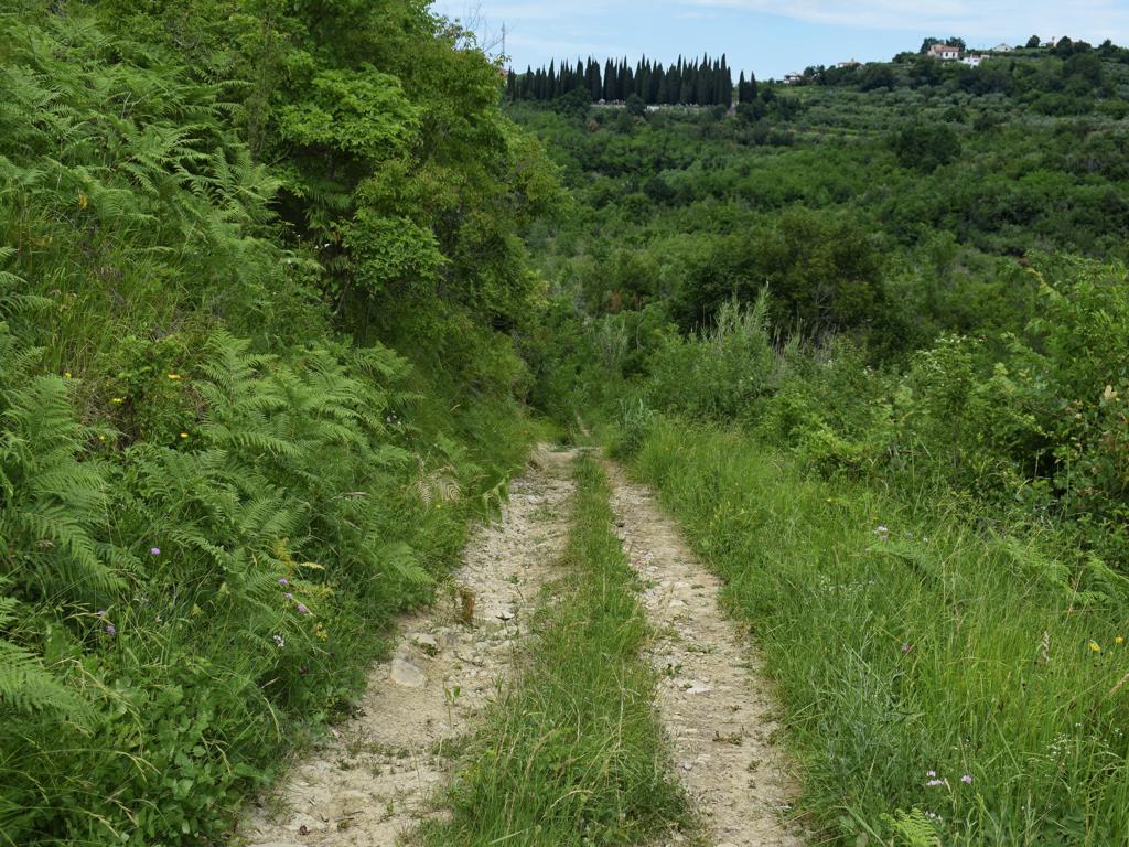
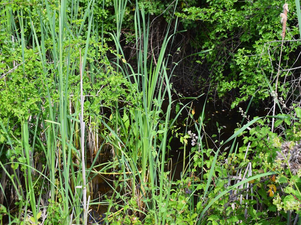
Name: Lovranska Draga – Trail to Medveje – “Puli Malina”.
Place: Lovranka Draga-
Coordinates: start 45.27893 N – 14.24379 E, Puli Malina 45.27775 N – 14.244-70 E.
See too the former posts from 2020-07-29 and 2020-07-21-
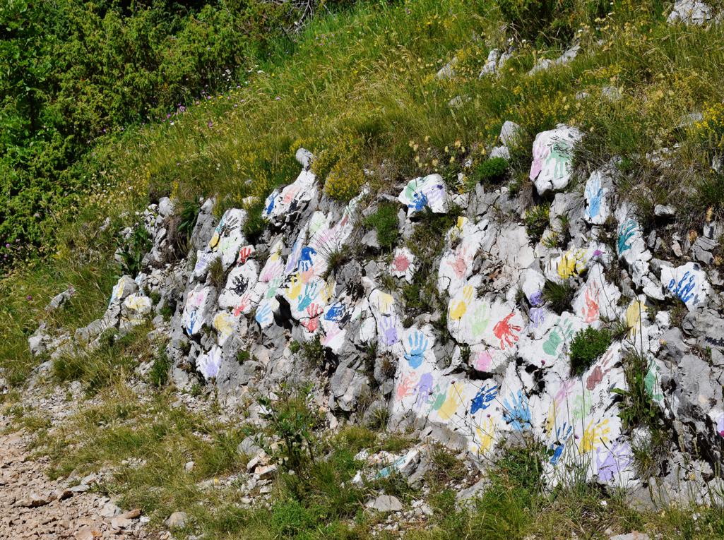
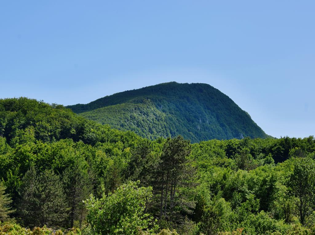
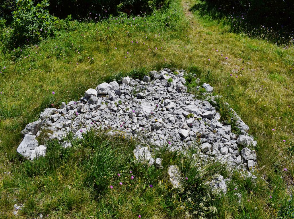
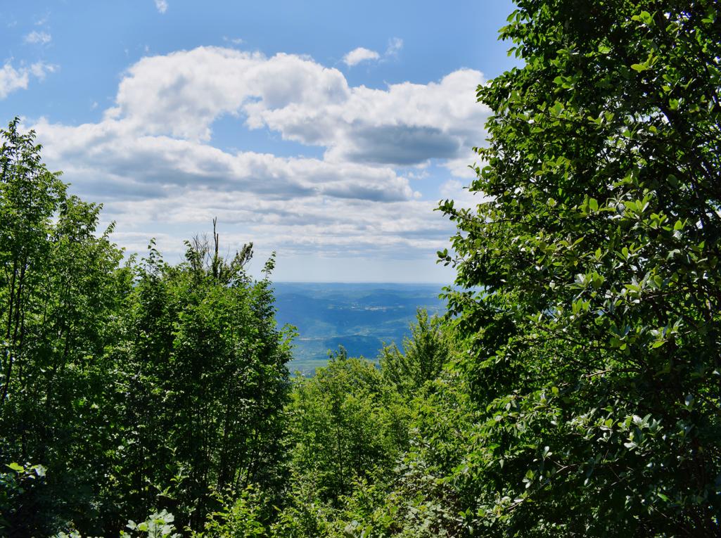
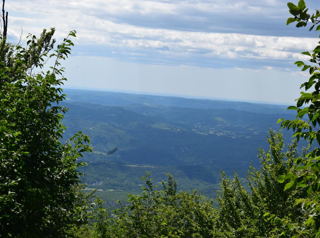
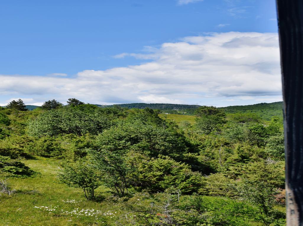
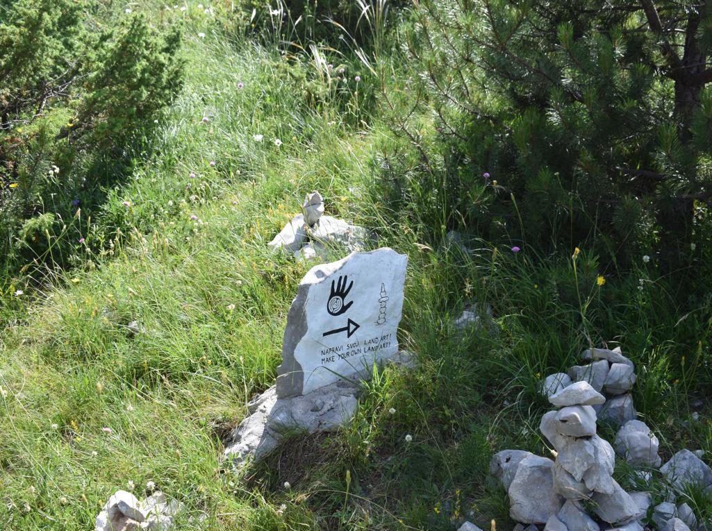
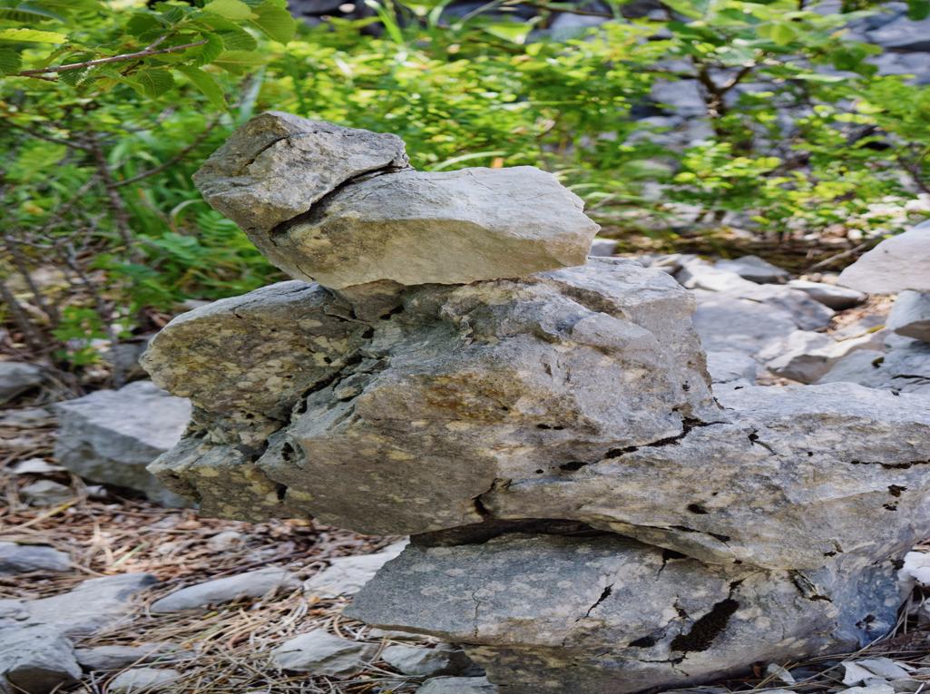
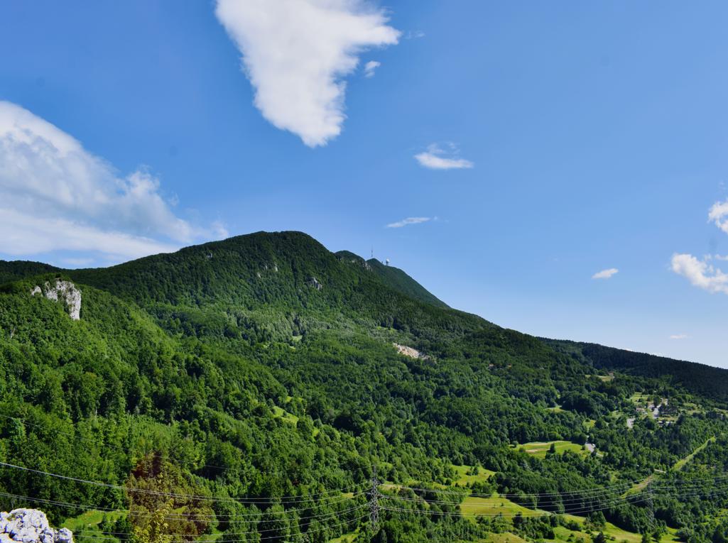
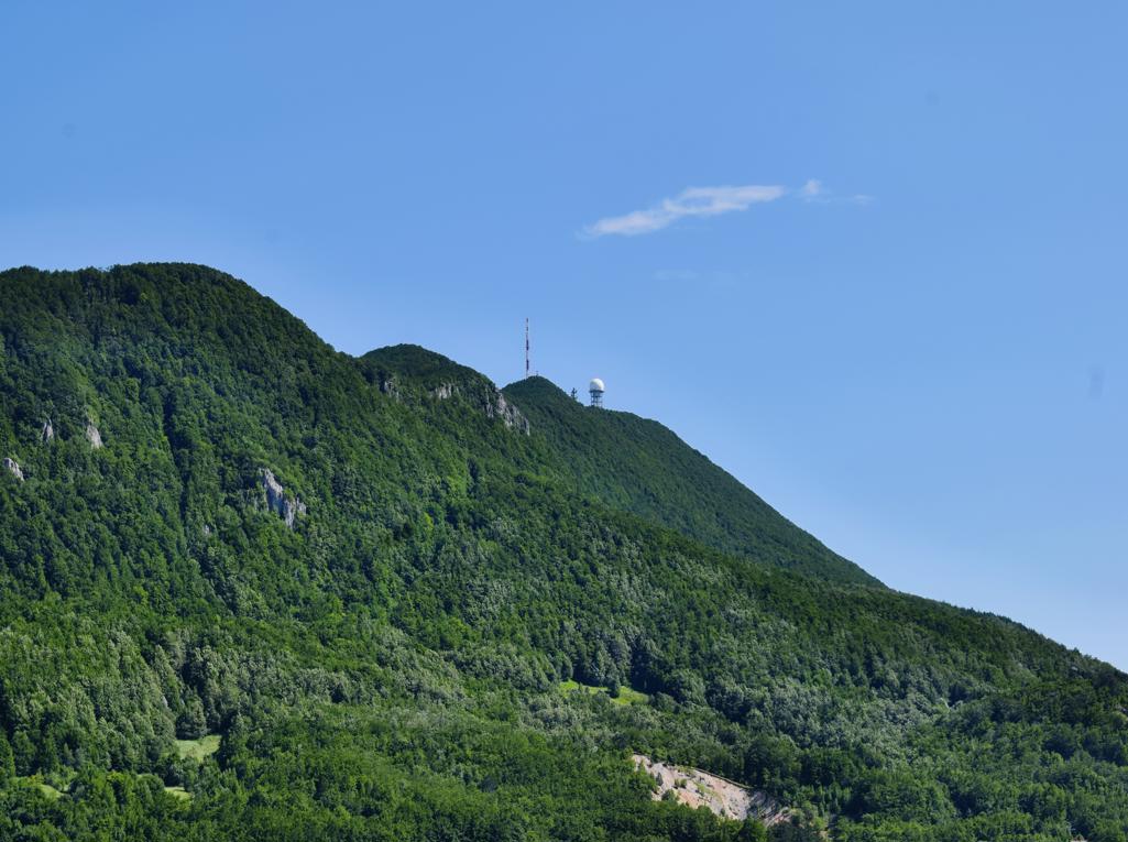
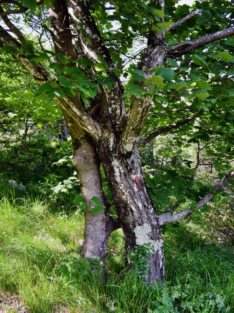
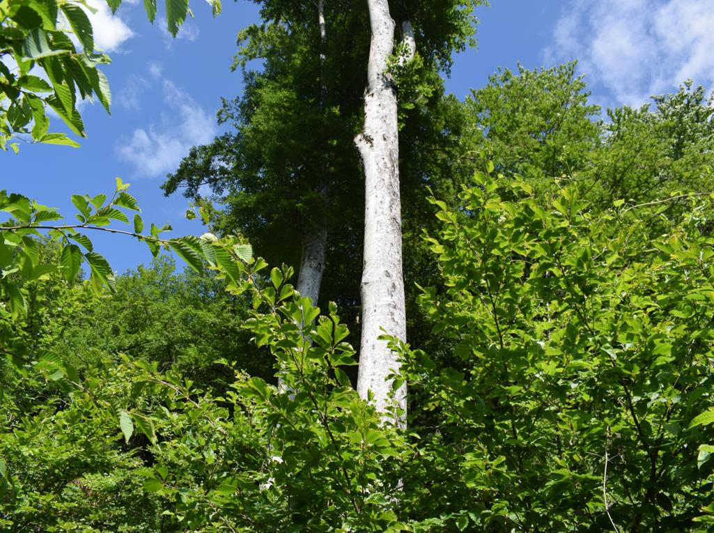
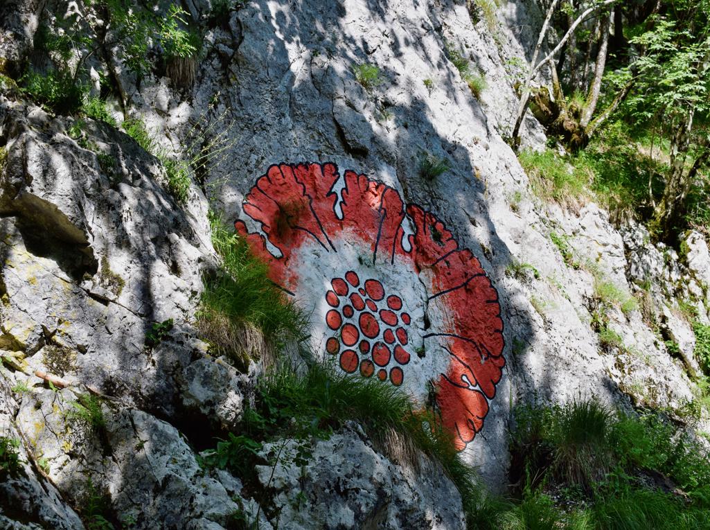
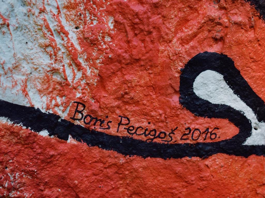
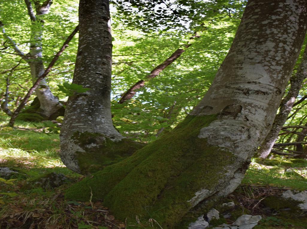
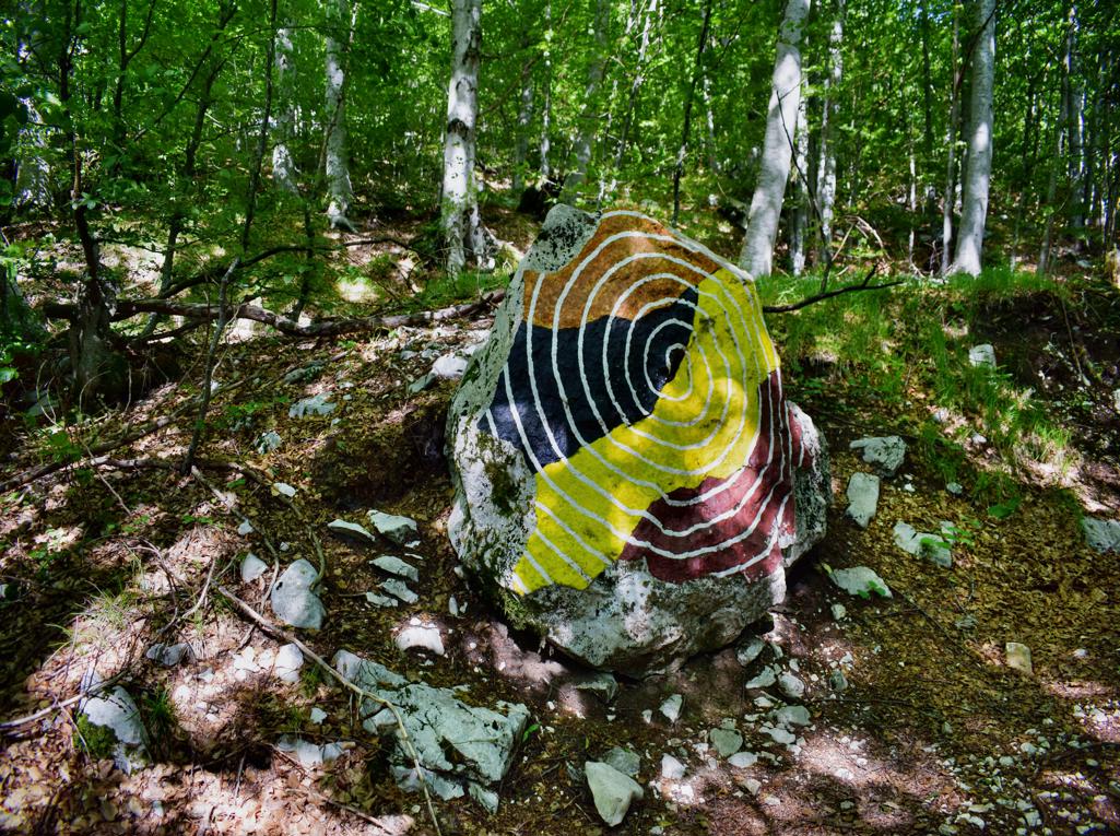
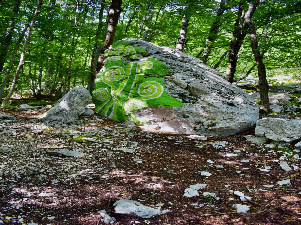
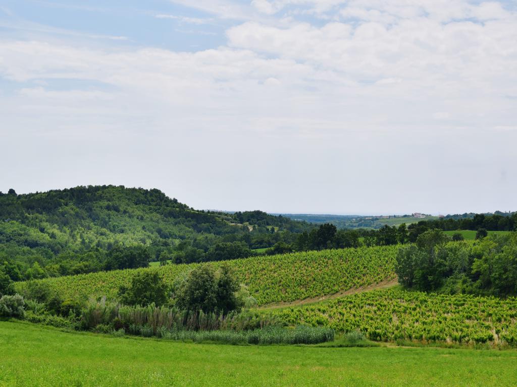
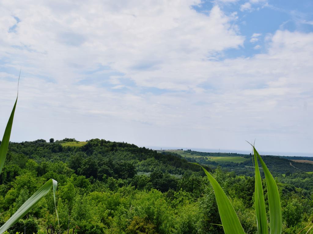
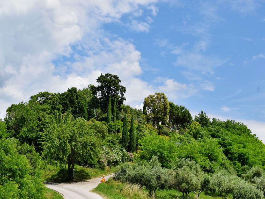
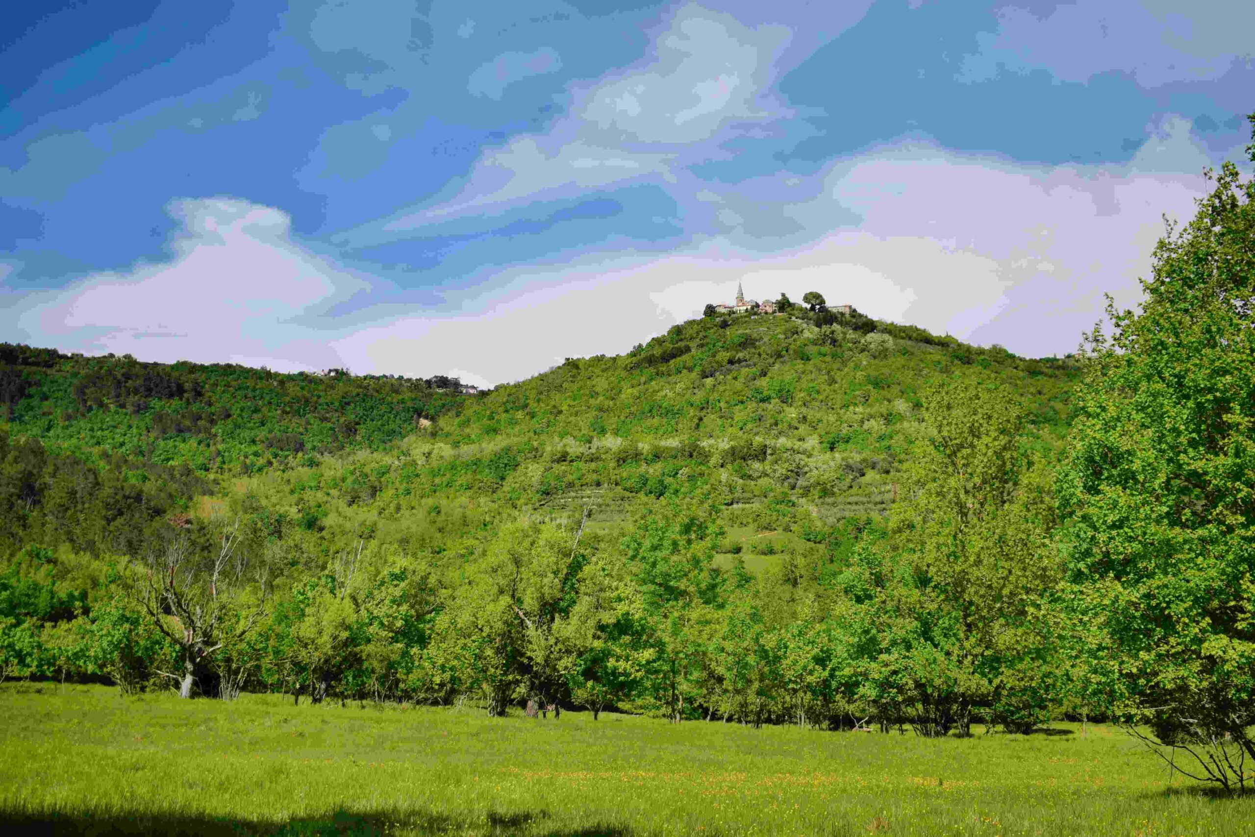
Name: Land Art Trail Stražica – Sapaćiča on the Mount Učka.
Place: Učka.
Coordinates: Start/finish 45.30951N – 14.21317 E.
” limit=”100″ link=”image” title=”never”]
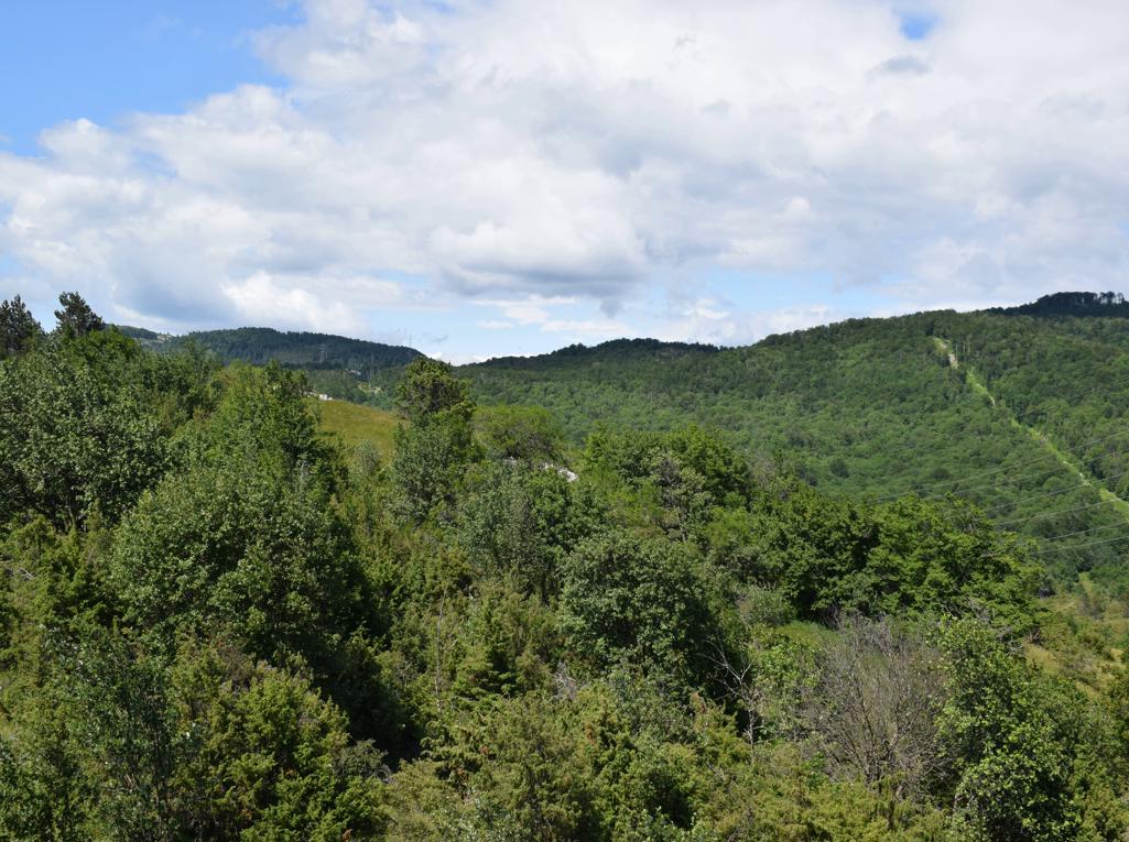
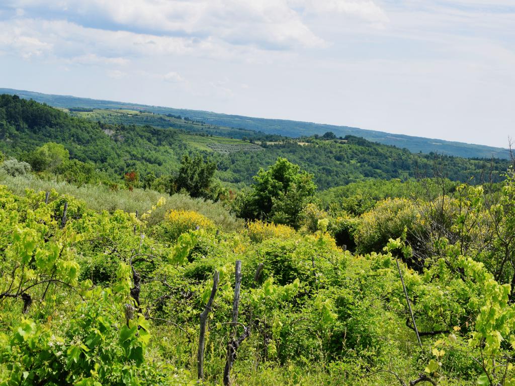
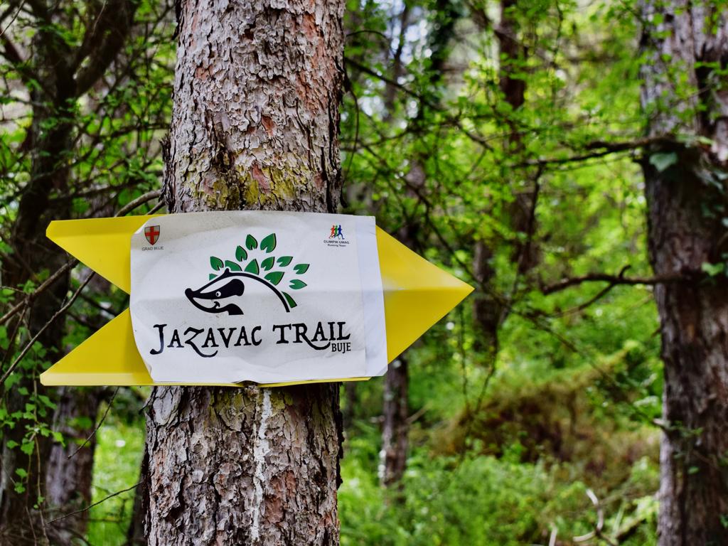
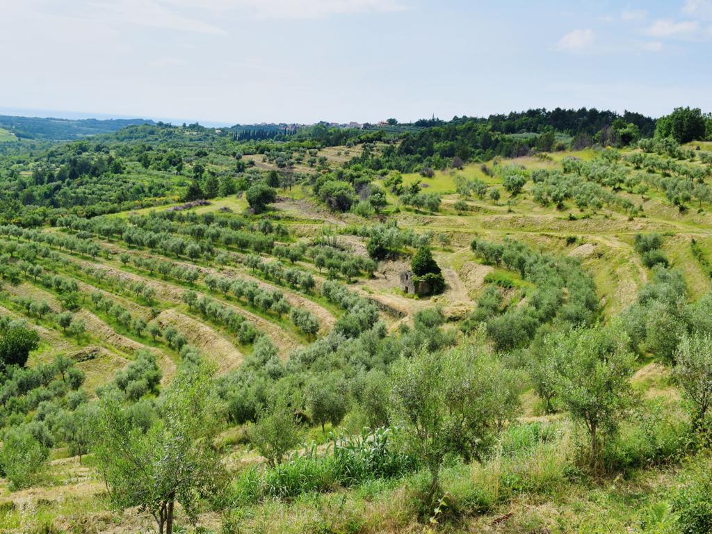
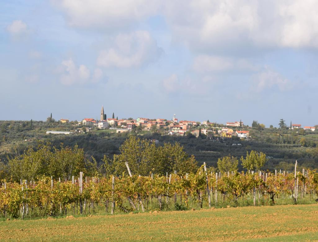
Name: Trail 282 from the town Buje to the villages Krasica and Gardoši and from there the Badges (Jazavac) trail.
Place: Krasica – Gardoši – (Buje).
Coordinates; Start45.40790 N – 13.66089E, Krasica 45.38213 N – 13.69116 E, Jazavac trail 45.38565 N – 13. 69864 E.
See too the posts 2018-01-18, 2018-12-07 and 2021-05-08.
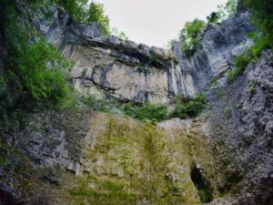
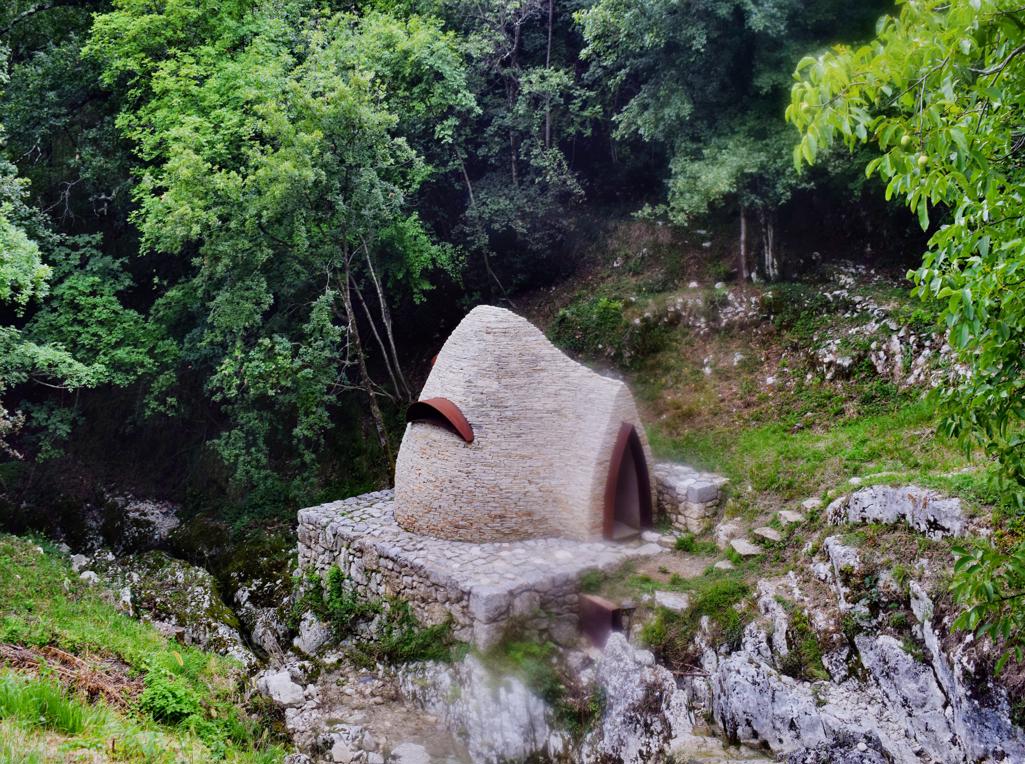
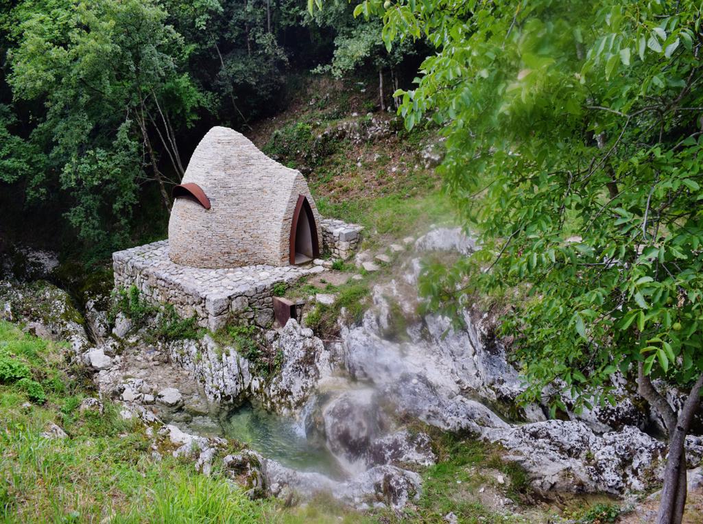
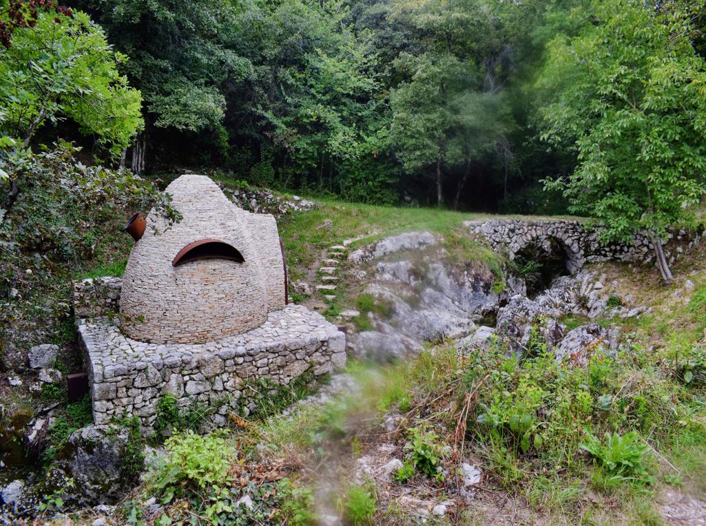
Name: Benkovski waterfall.
Place: Zajci – (Pičan).
Coordinates: 45.20356 N -14.06152 E, waterfall 45.200464 N – 14.14.05746 E.
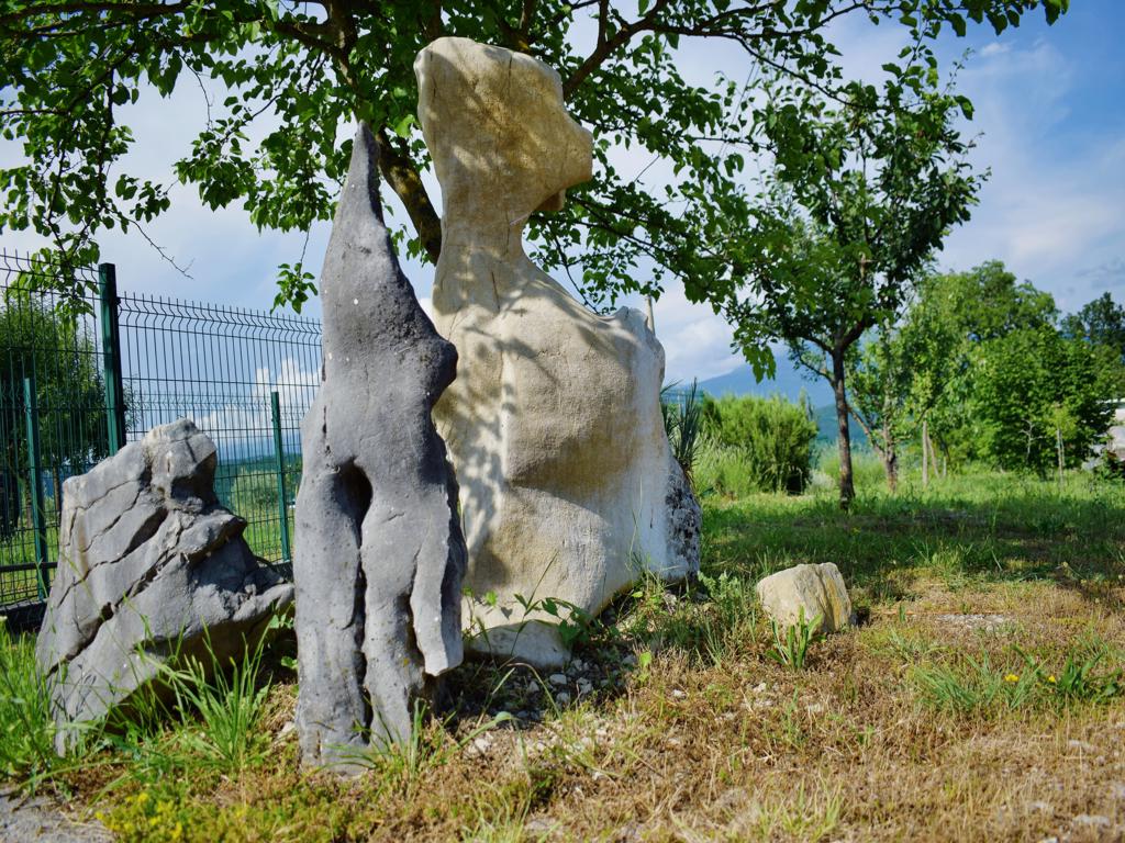
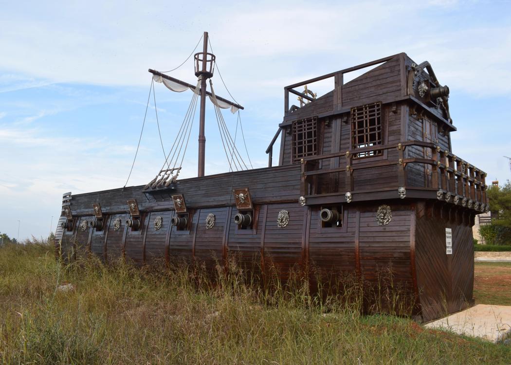
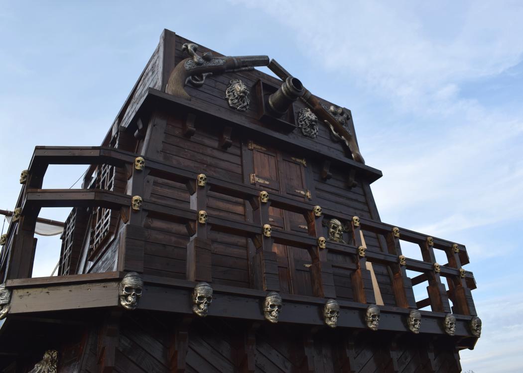
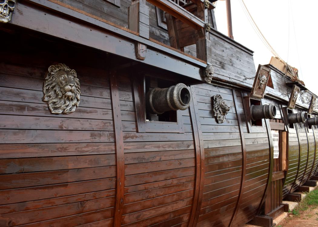
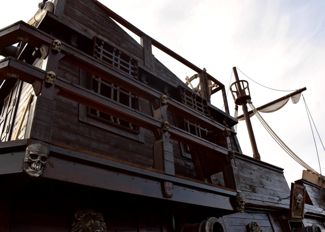
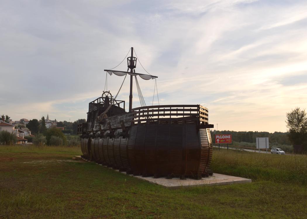
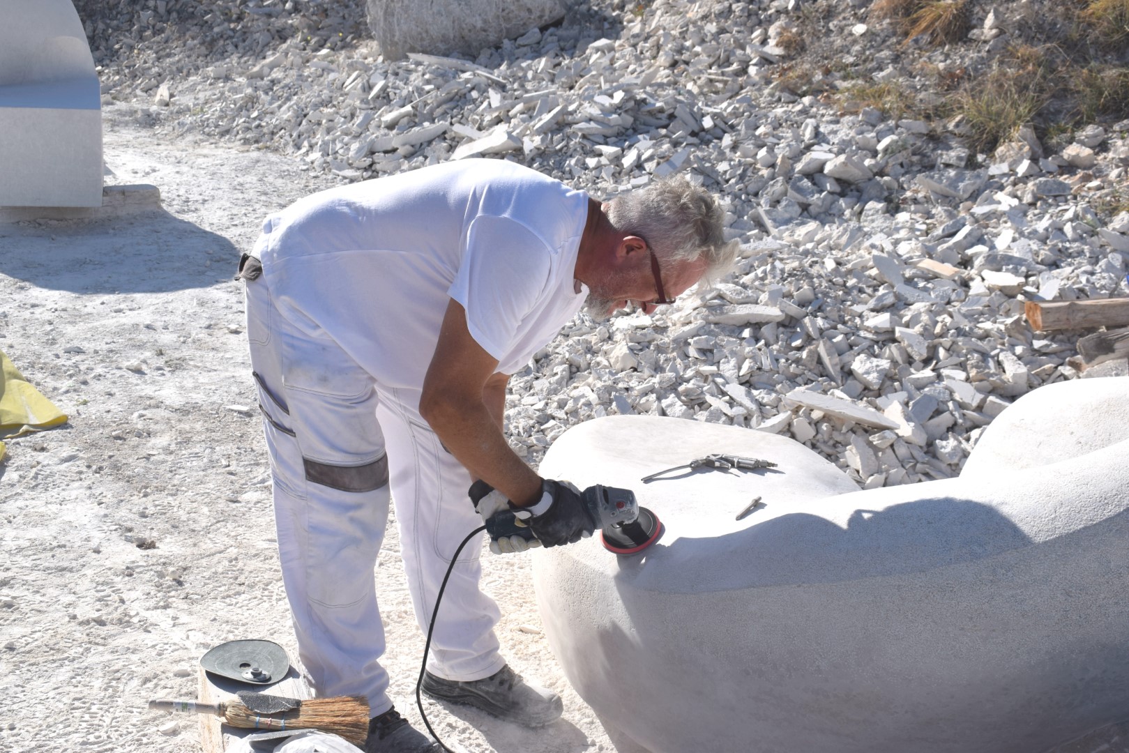
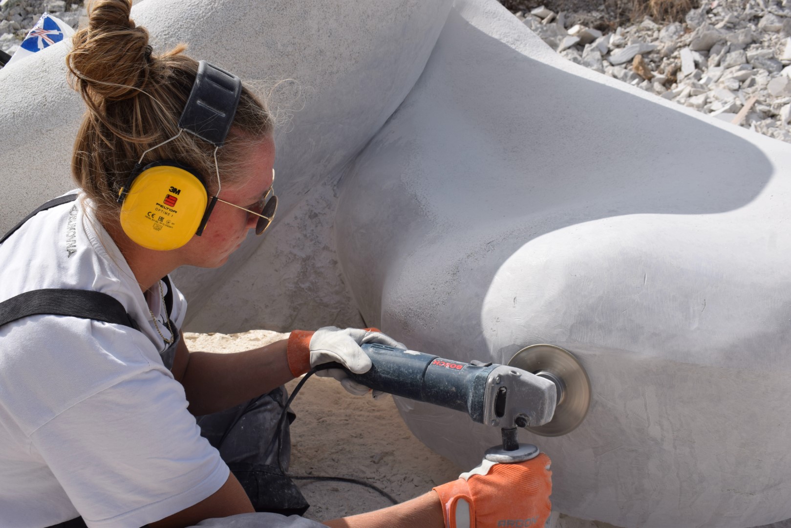
The sculpture is from 2013 and made by Prof. Atilio Radojković / Sergio Baris. The boat is standing on privat ground and may have a touristic destination /use.
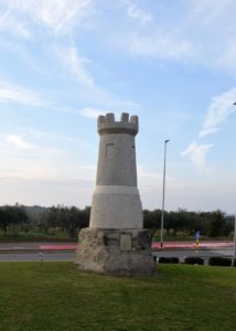
Place: Tar
Coordinates: 45.30670 N – 13.62307 E

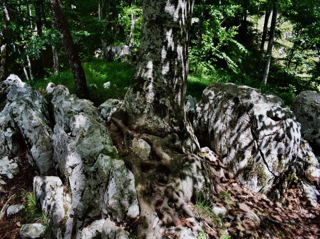
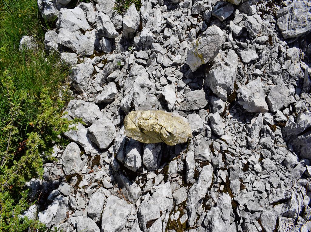
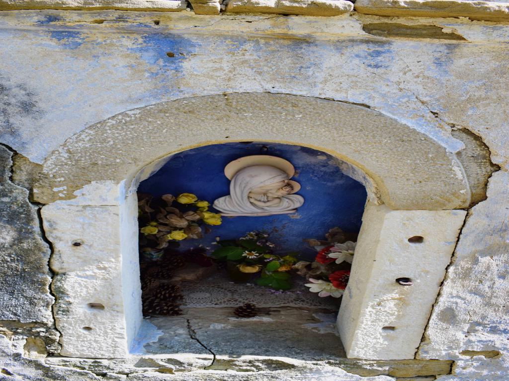
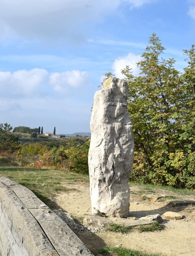
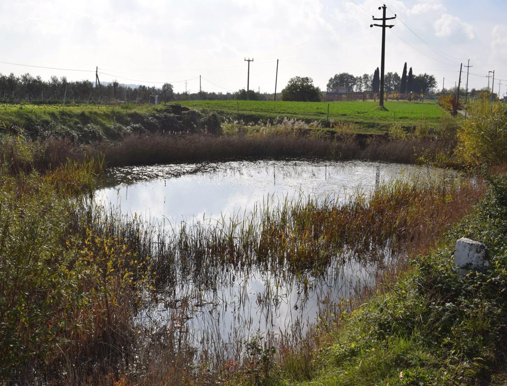
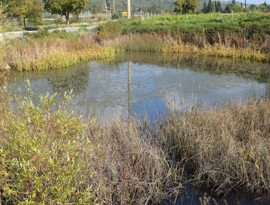
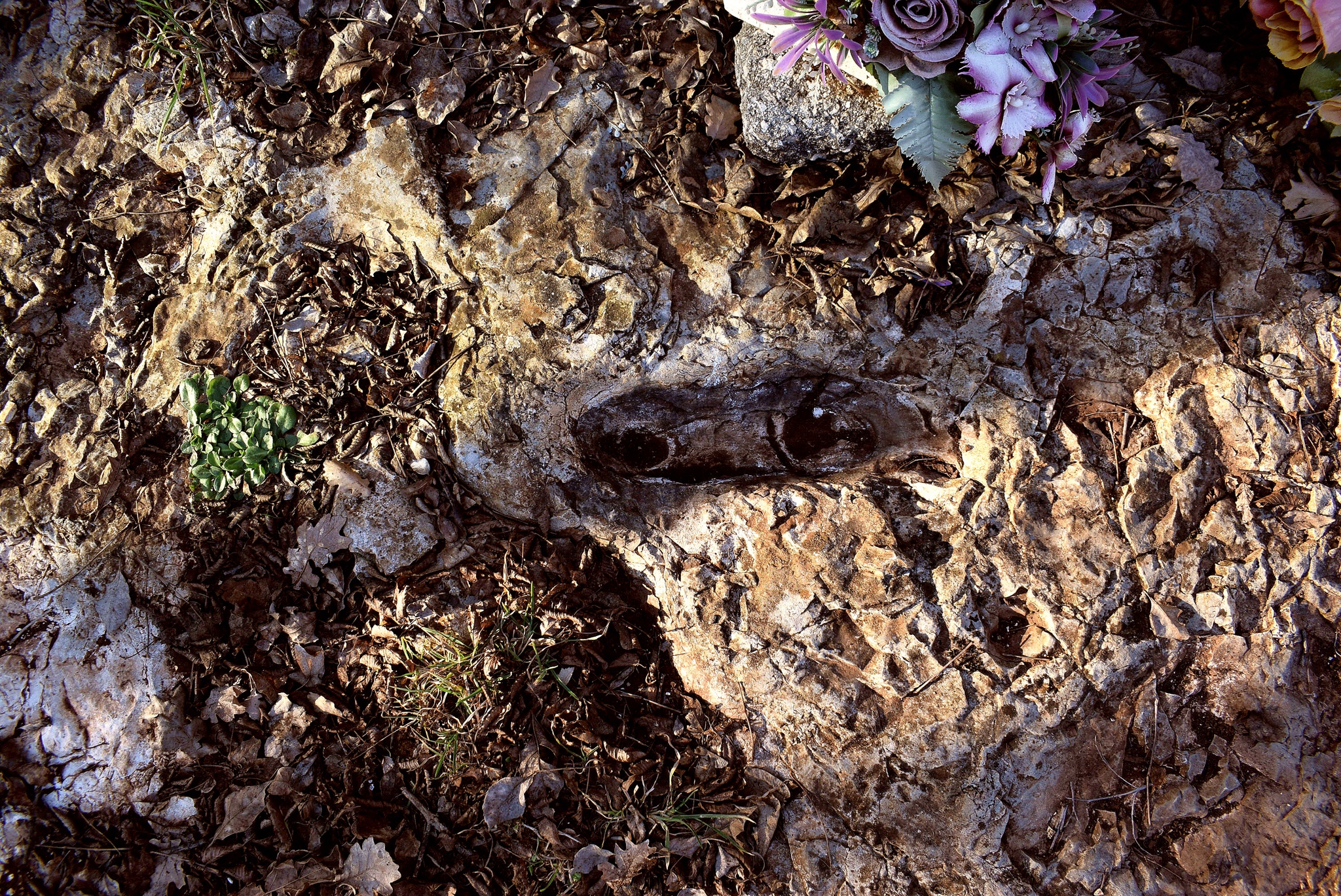
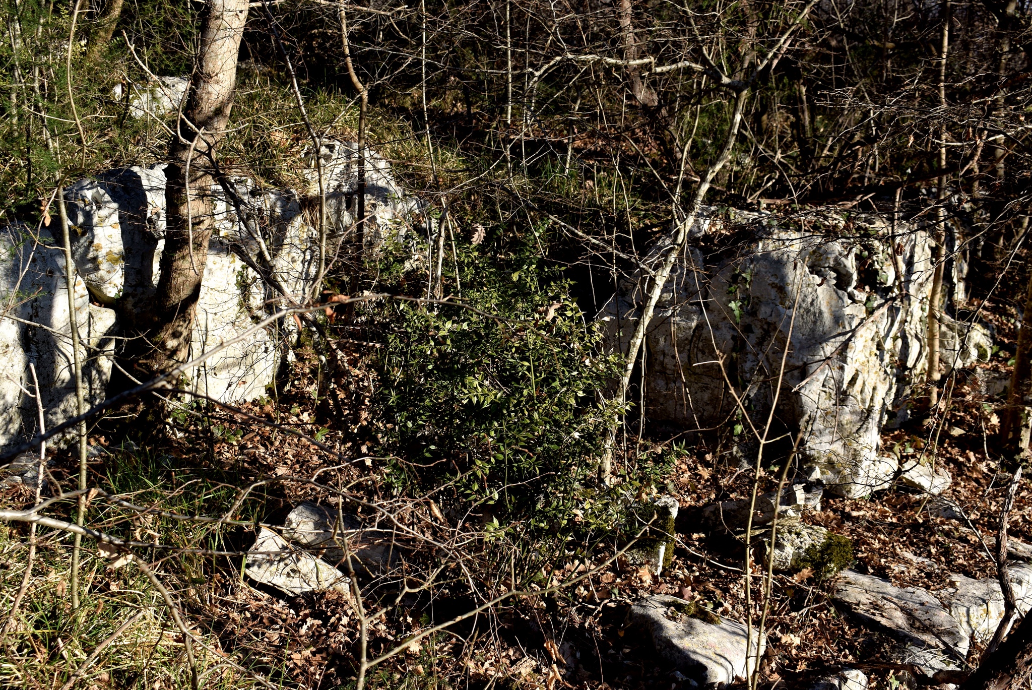
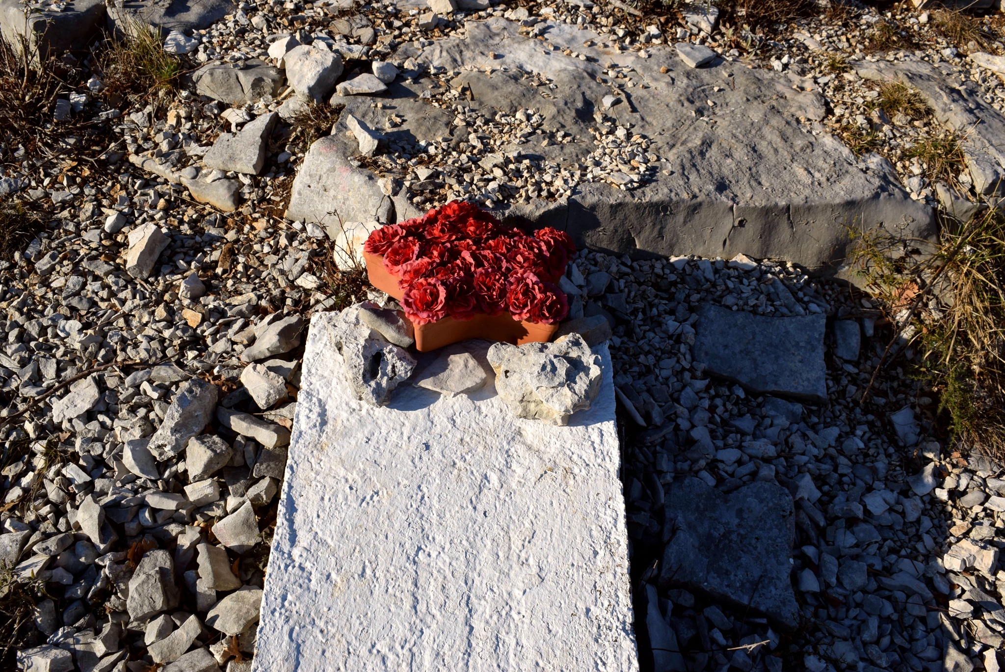
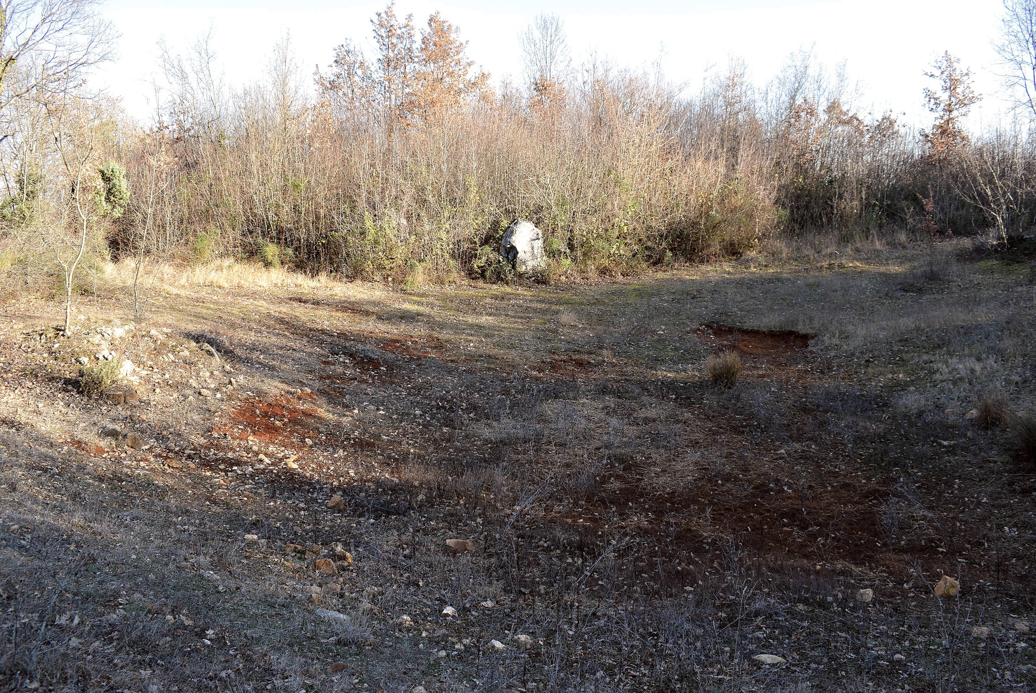
Name: Puddle and monolith near the quarry Krkavče.
Place: Krkavče – (Koper)..
Coordinates: Puddle 4547178 N – 13.7028 E, monolith.46803 N – 13.70782 E.
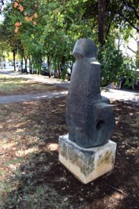
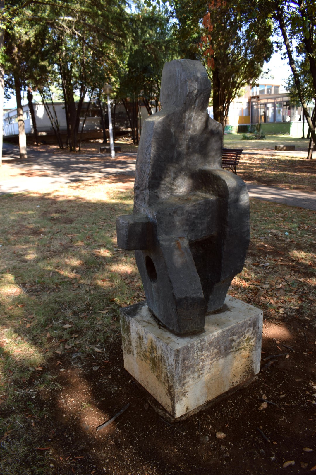
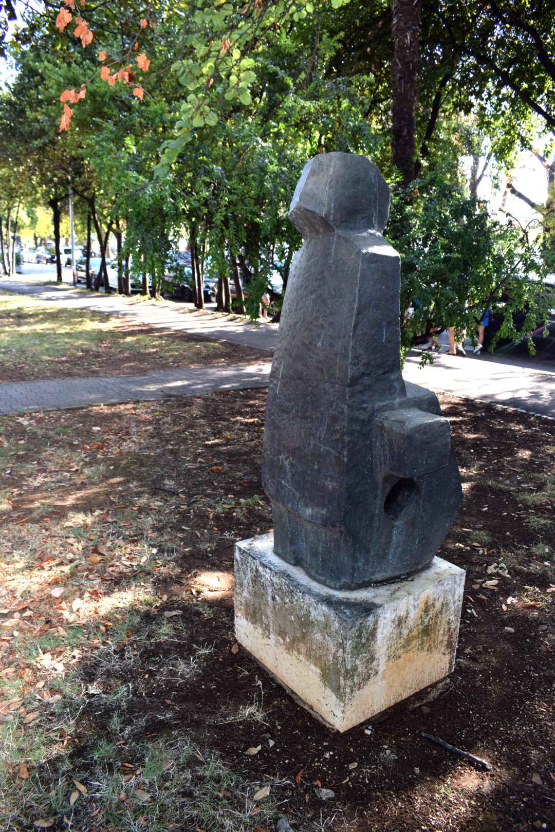
Name: Sculpture near Ulica Rade Končara/ Ulica Huguesa.45.22482
Place: Poreč
Coordinates: 45.22482 N – 13.59675 E.

Name: Trail from St. Margareta to the “Foot of the Mother God, the puddle Jurosovac, the ruins of the church St. Jelene and a monument of Tito.
Place: Prnjani – (Barban).
Coordinates: From 45.08711 N – 14.00194 N to 45.07448 N – 14.01735 E.