Source Kašteljir, church St. Agata, Dvigrad.

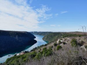
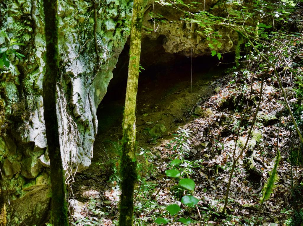
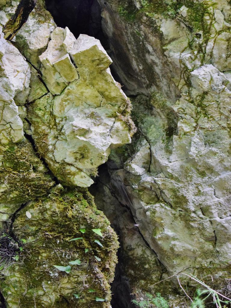
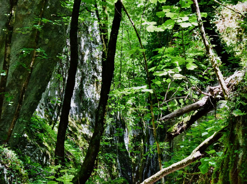
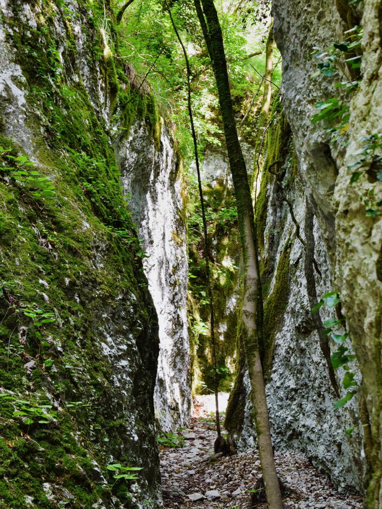
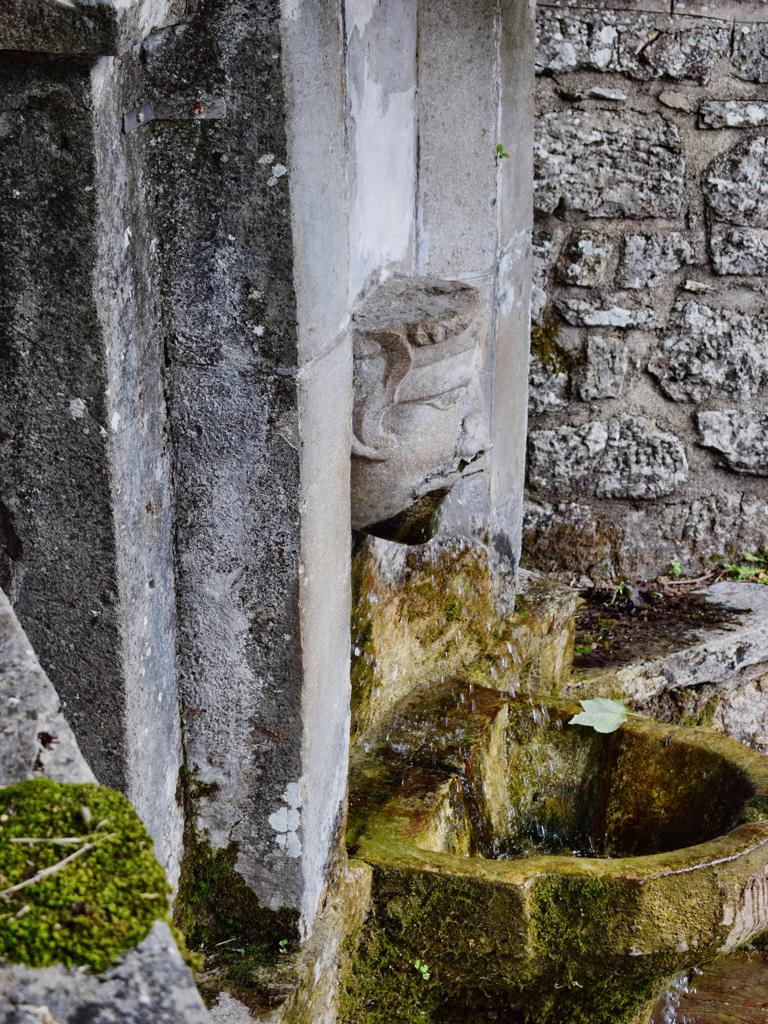
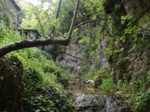
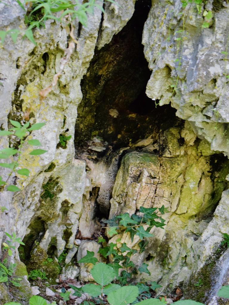
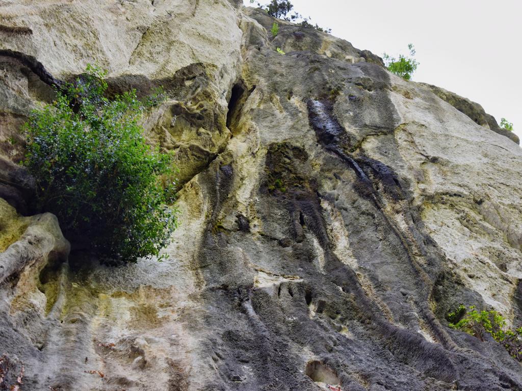
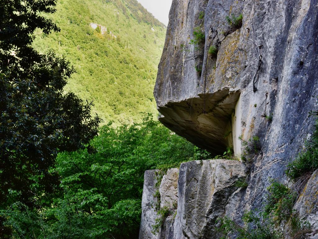
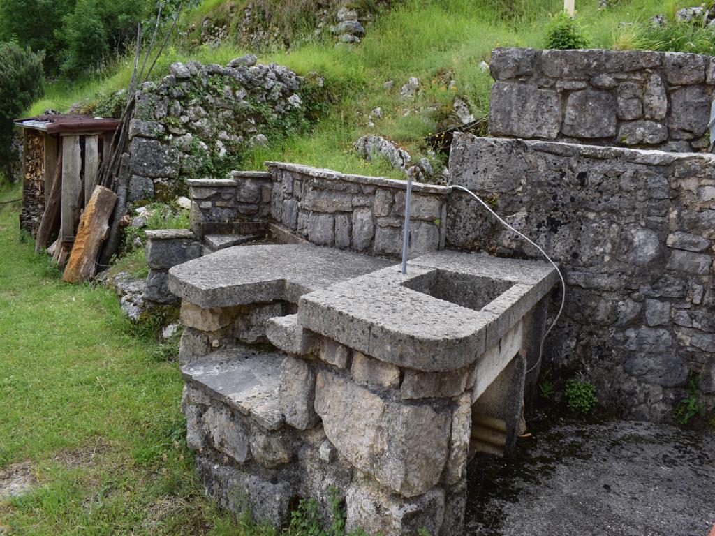
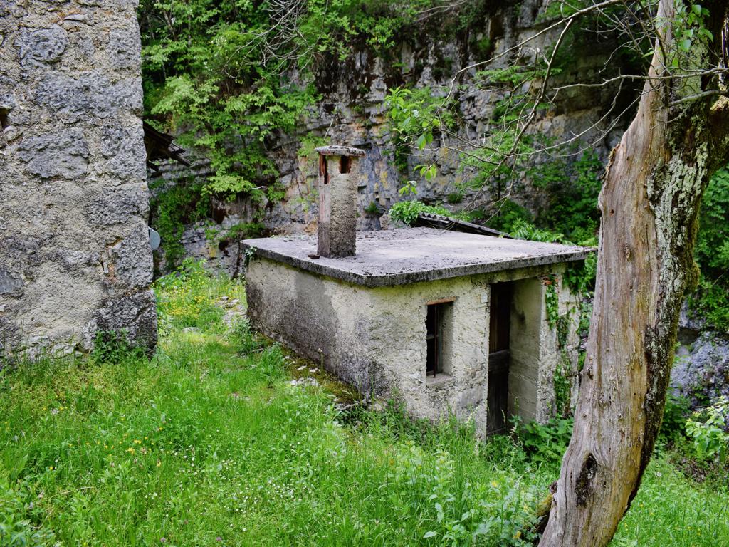
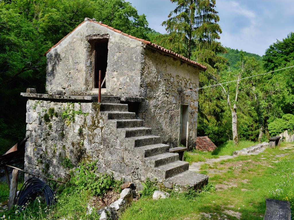
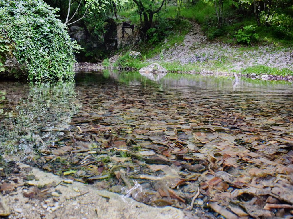
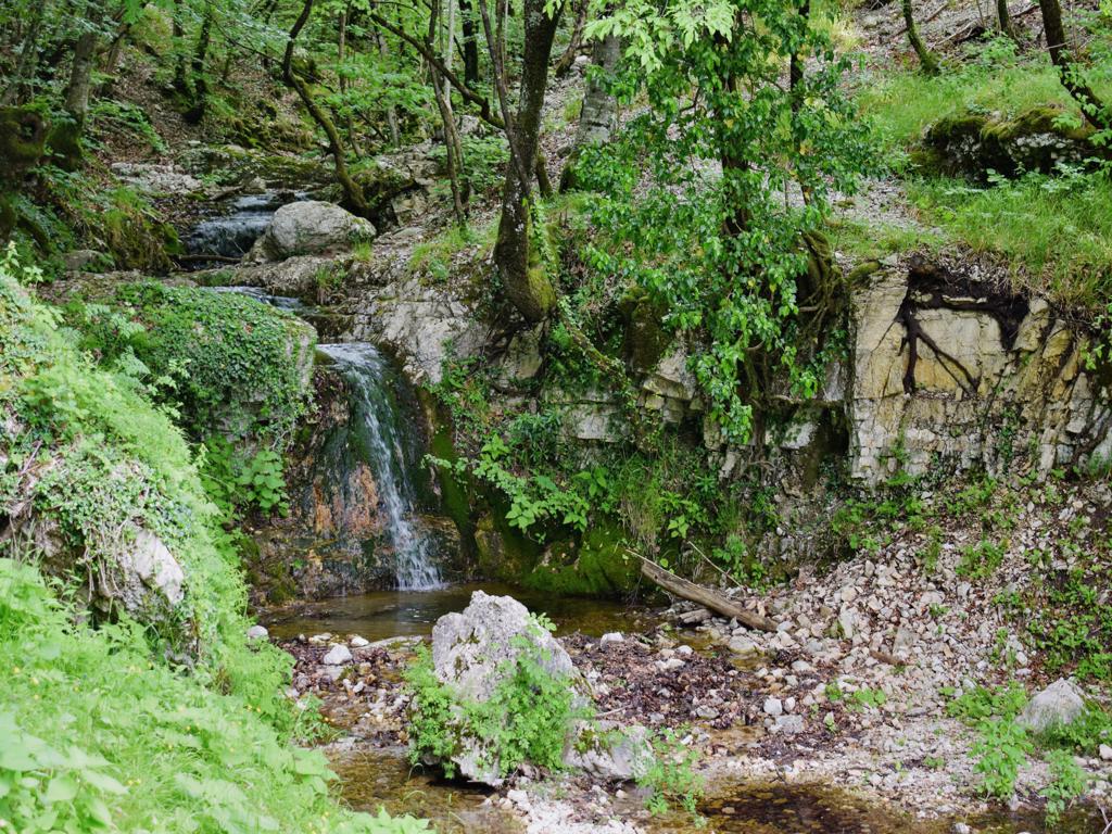
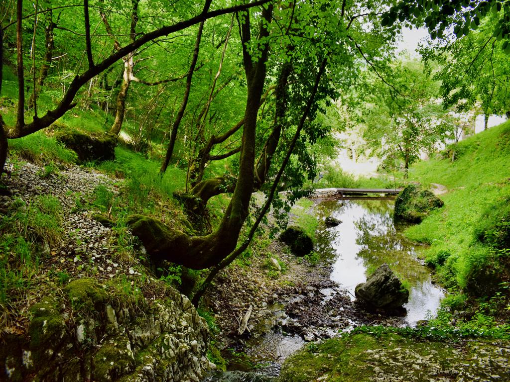
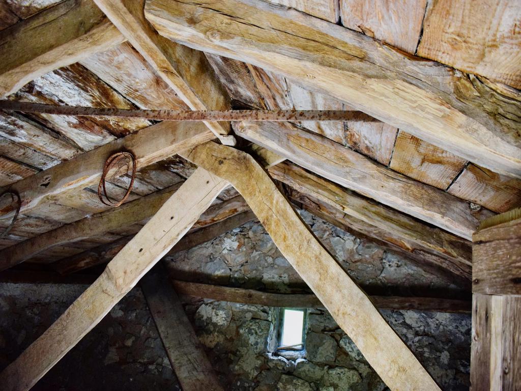
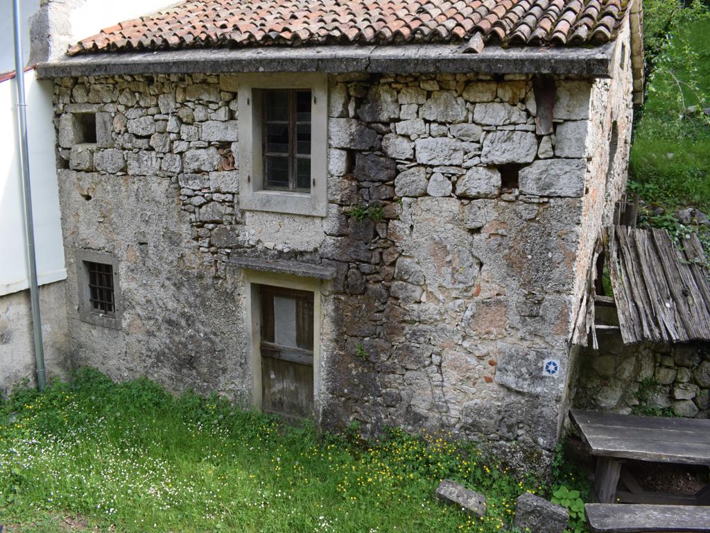
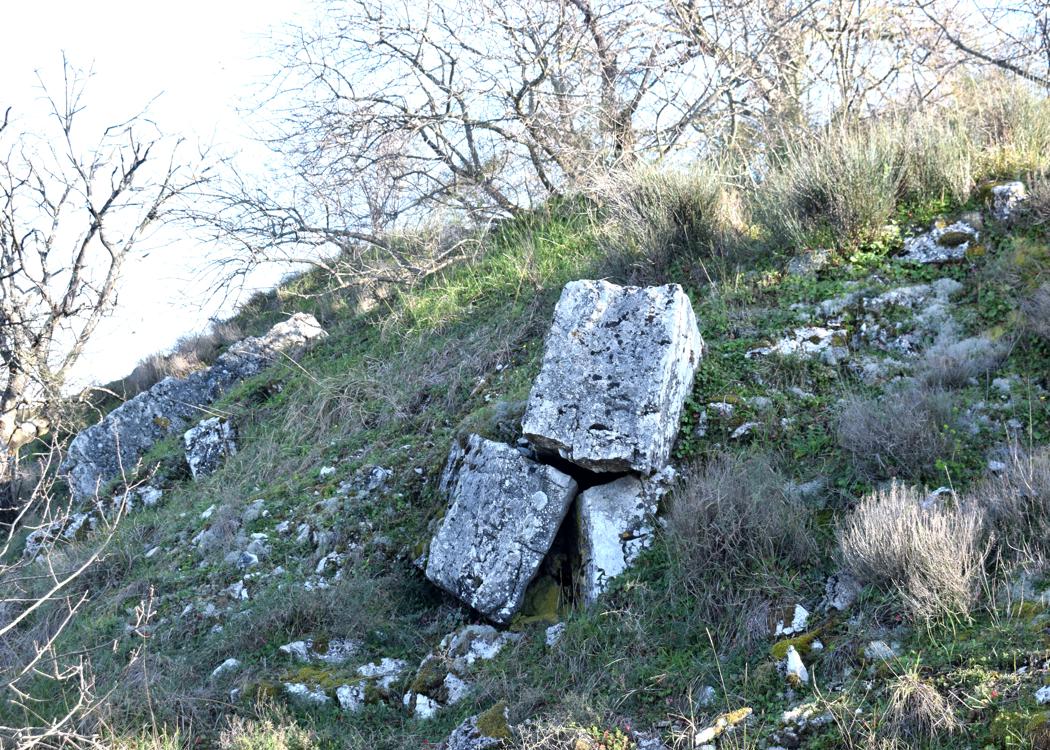
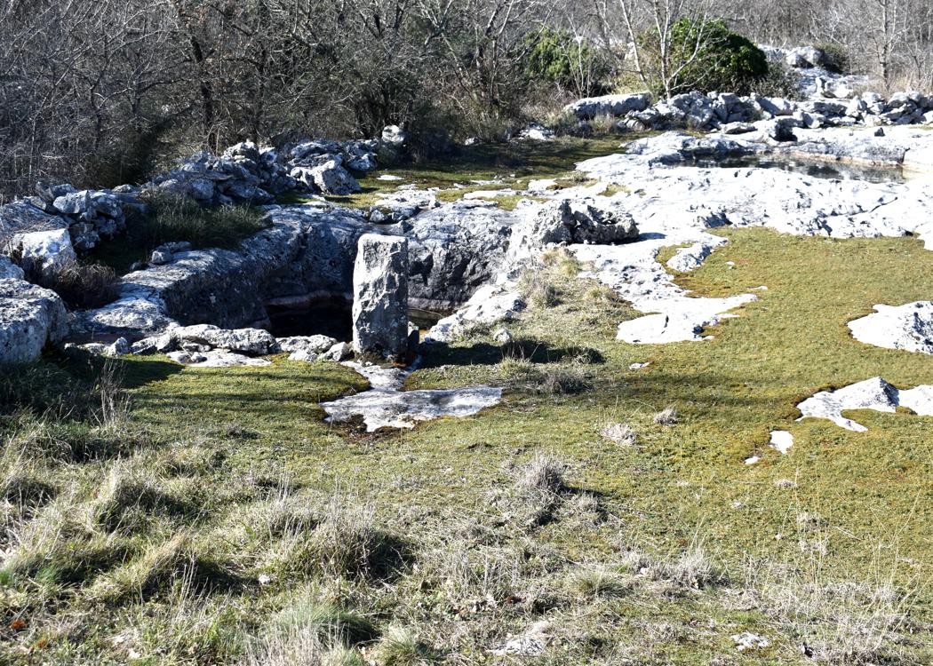
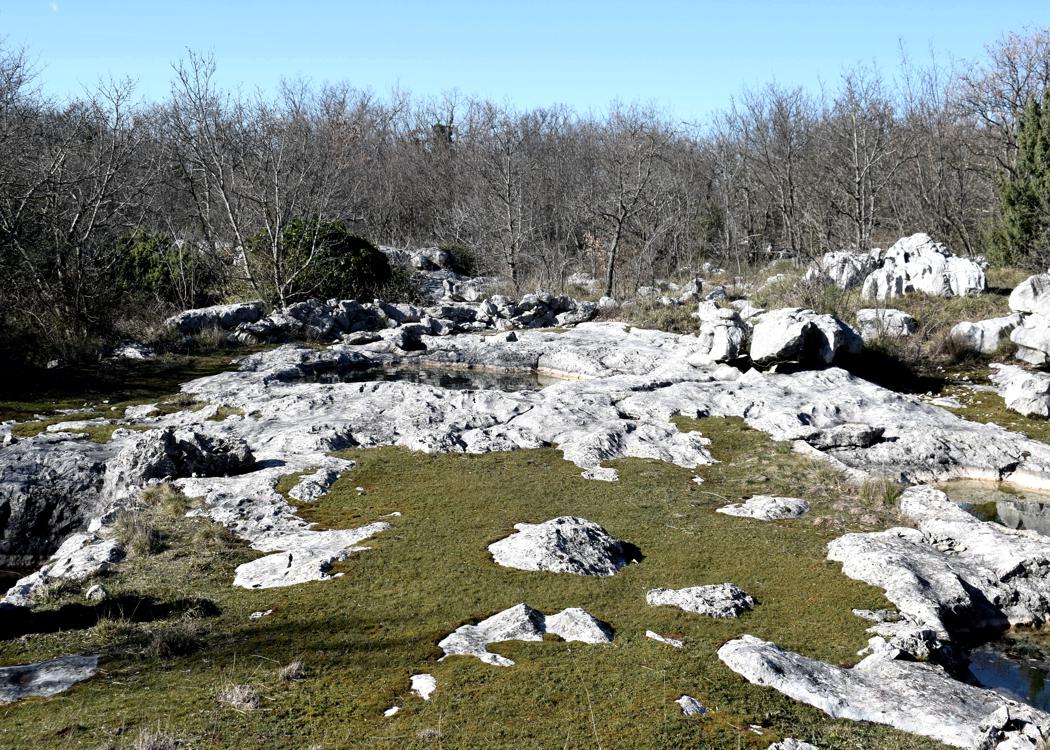
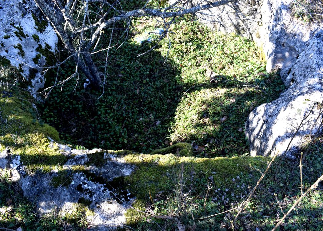
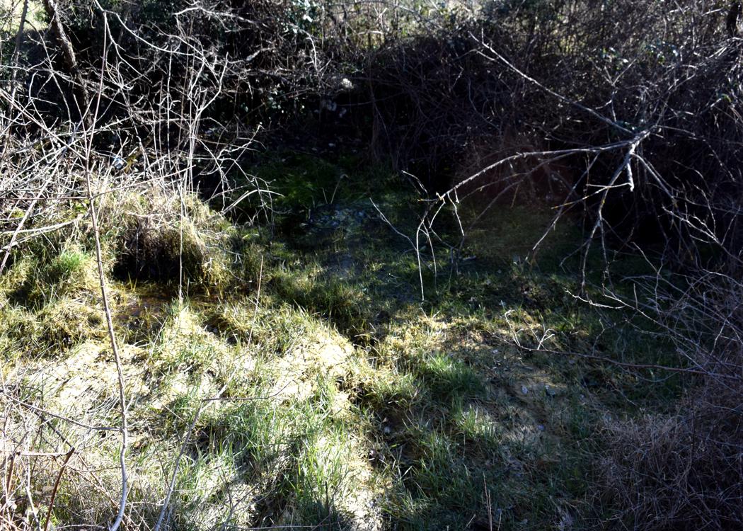
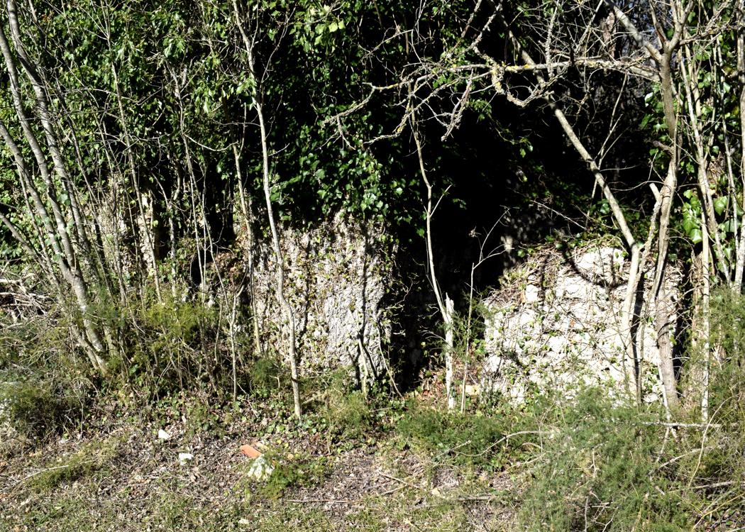
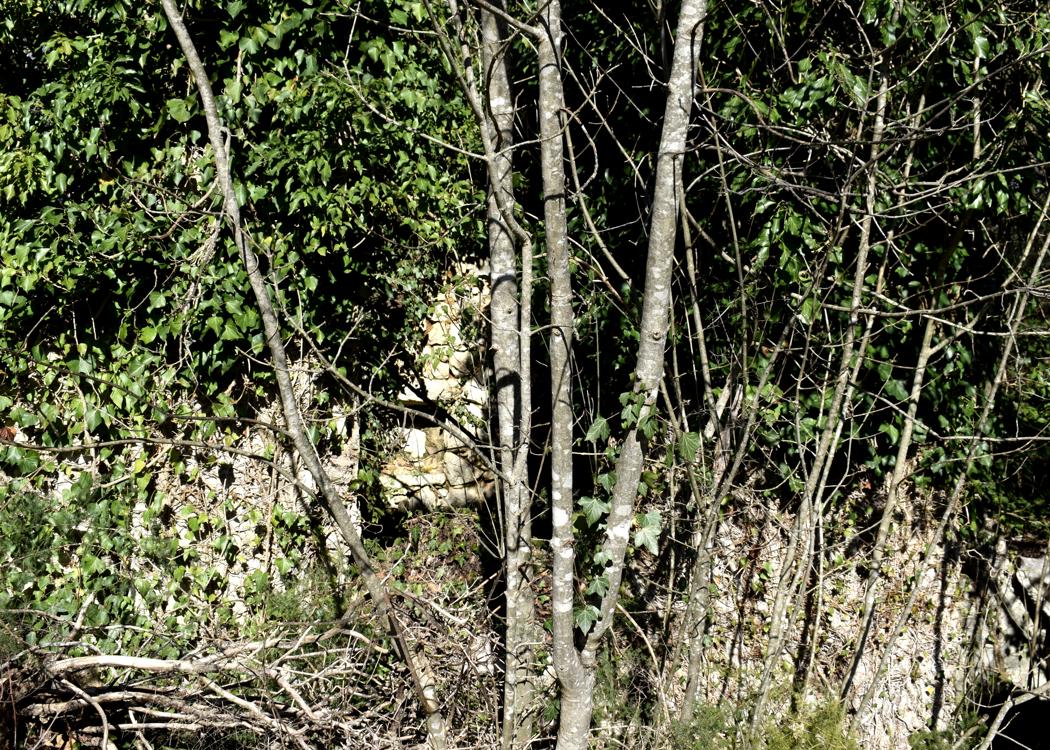
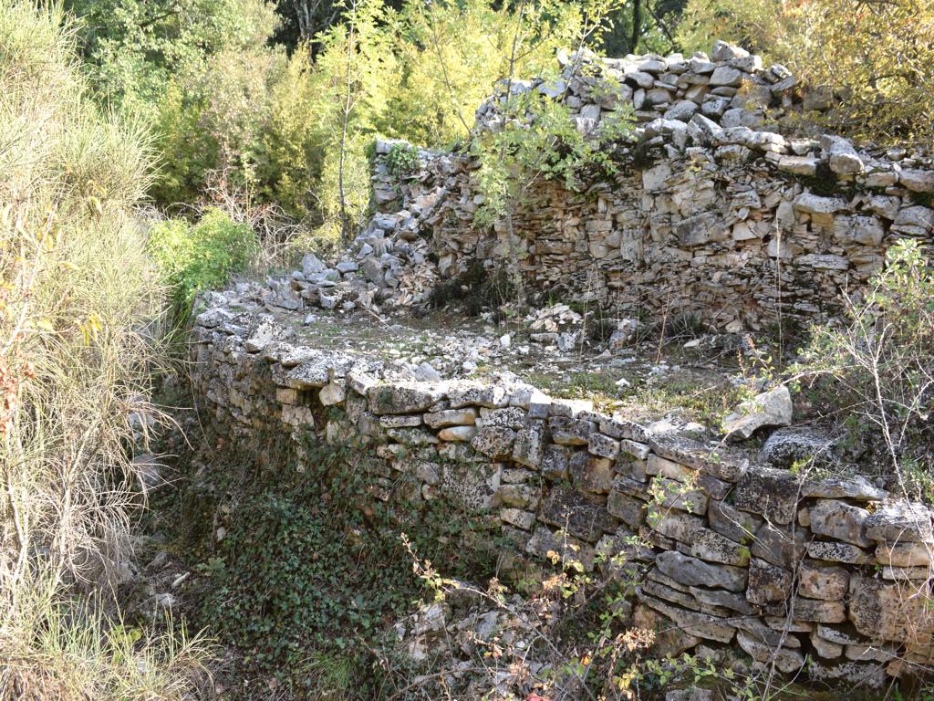
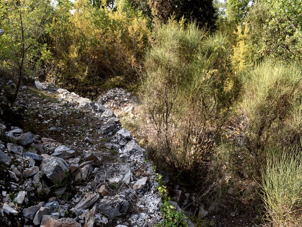
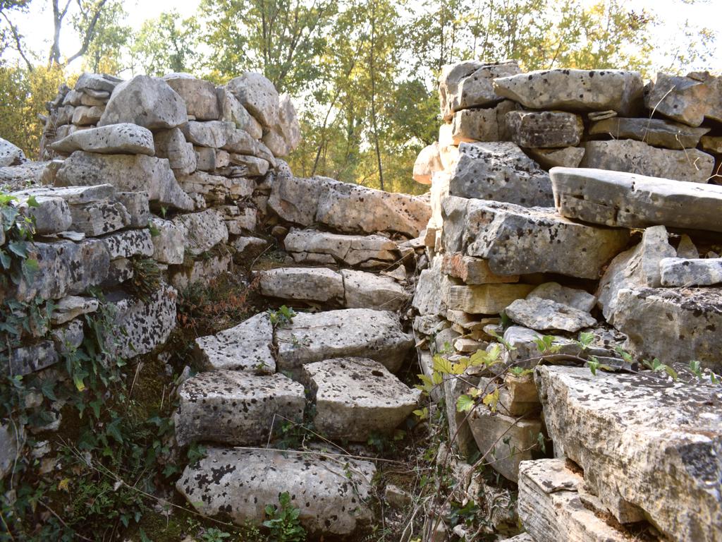
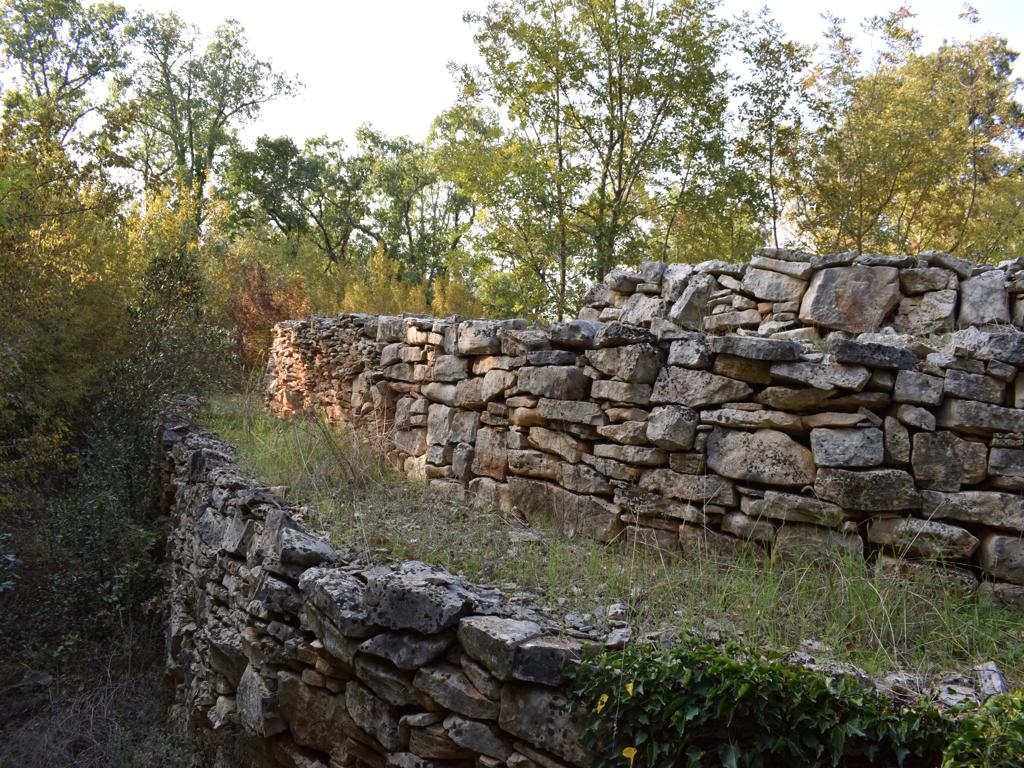
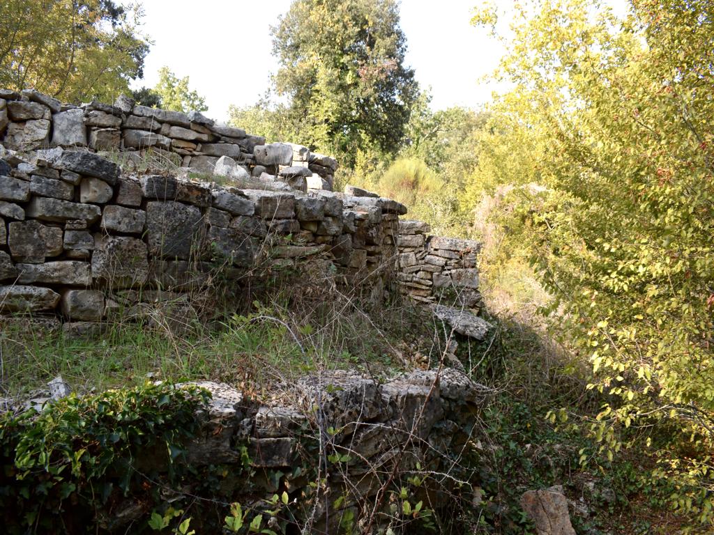
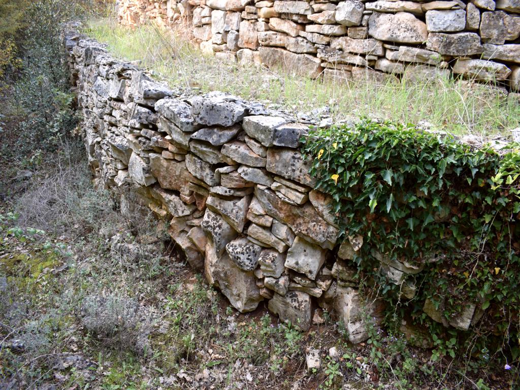
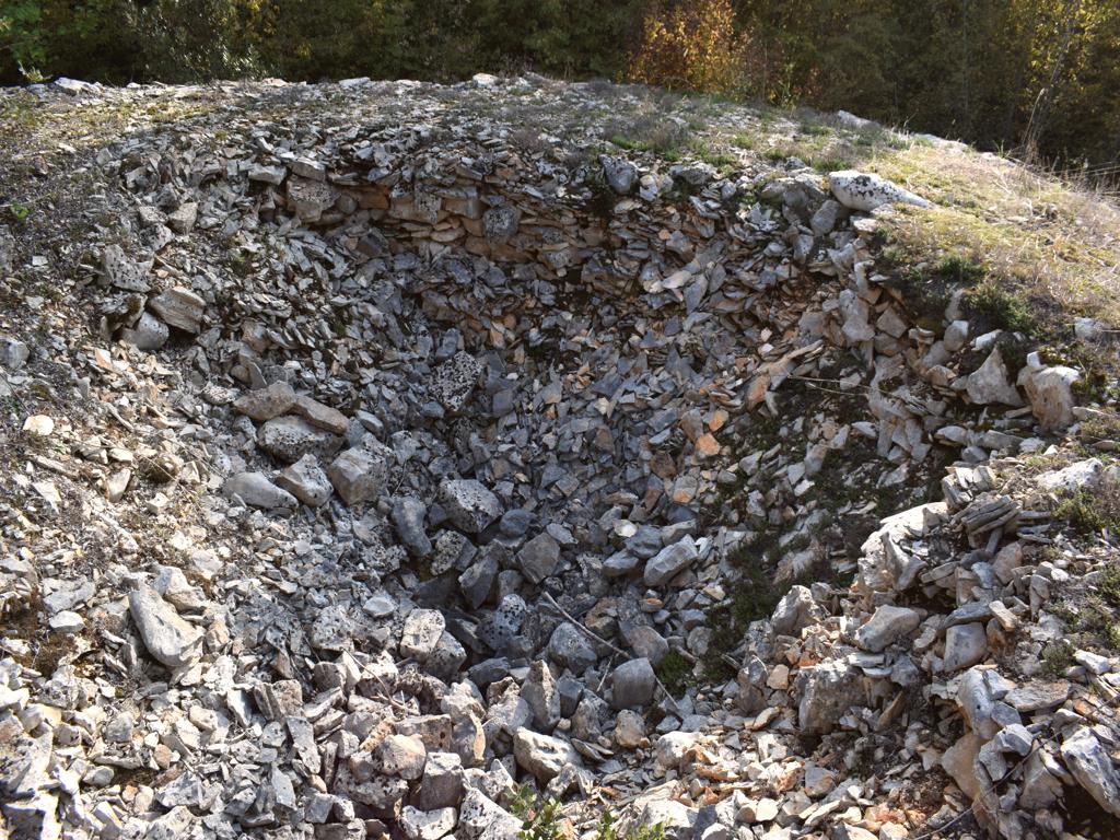
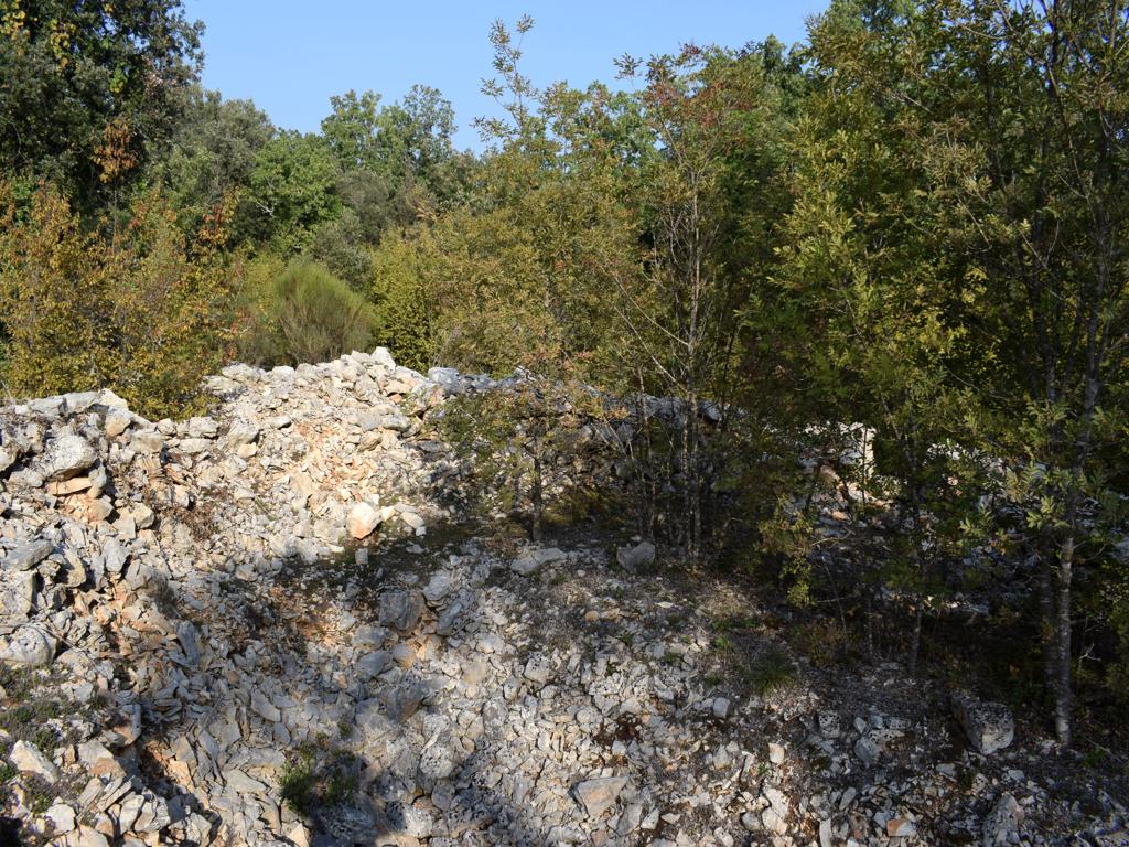
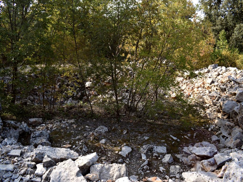
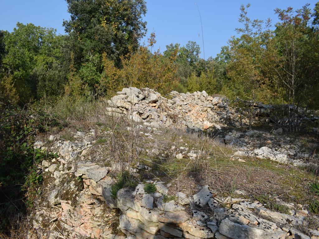
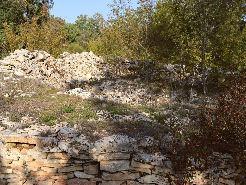
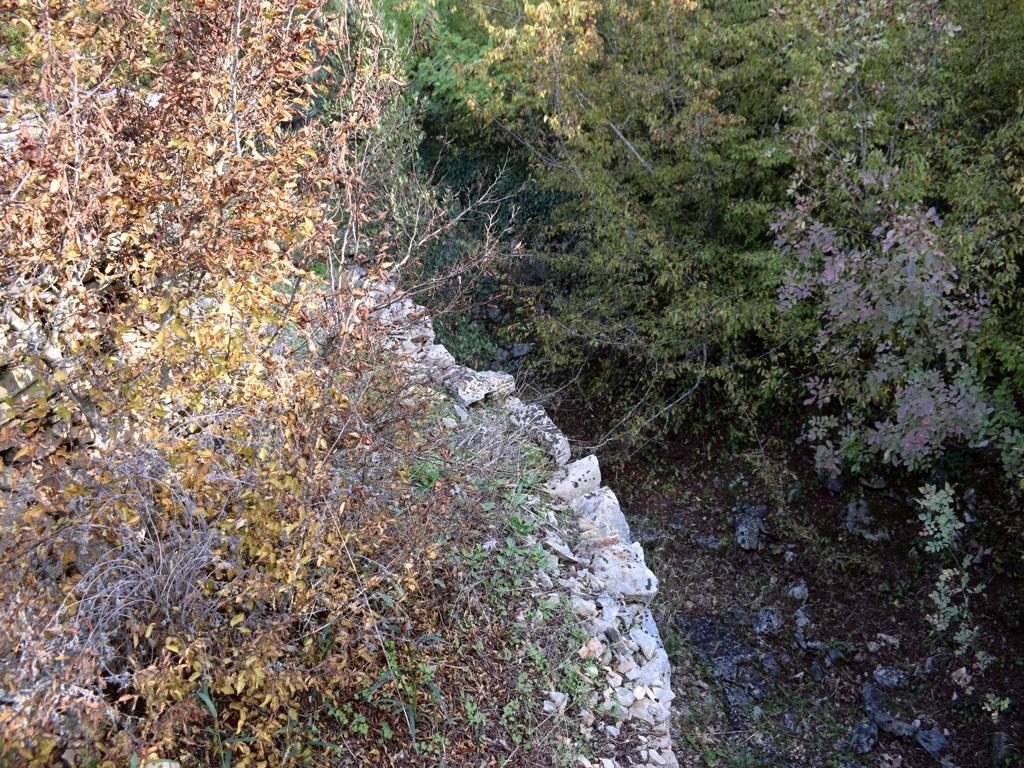
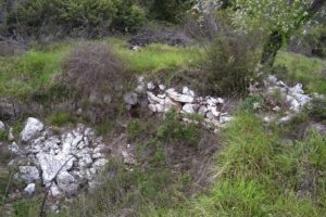
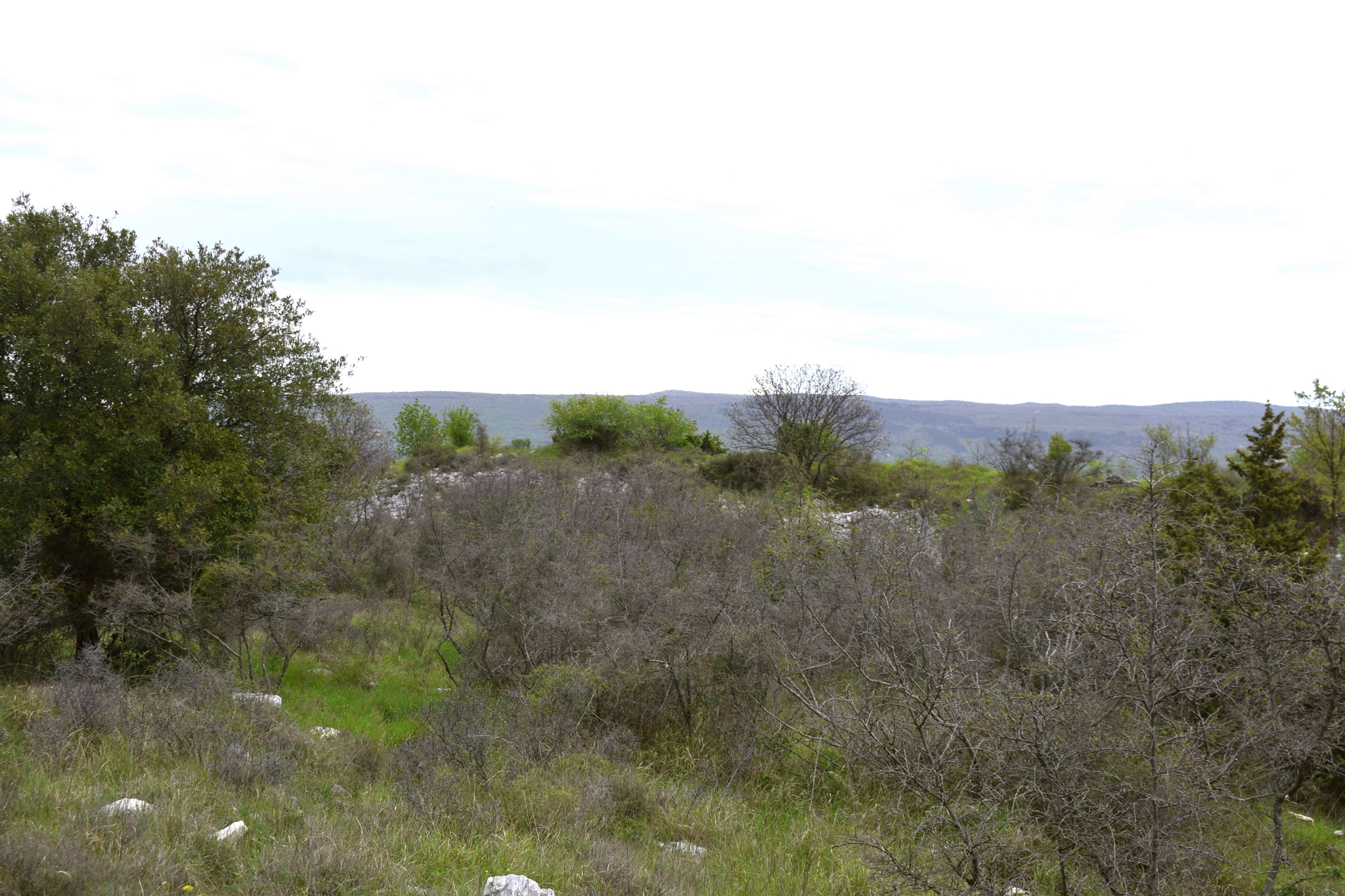
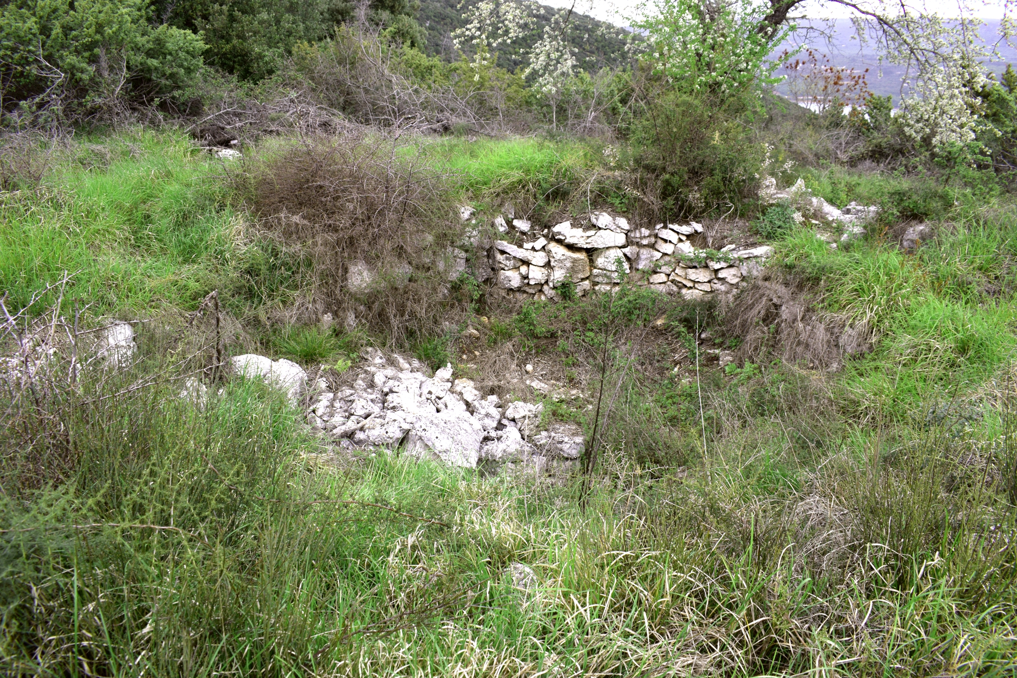
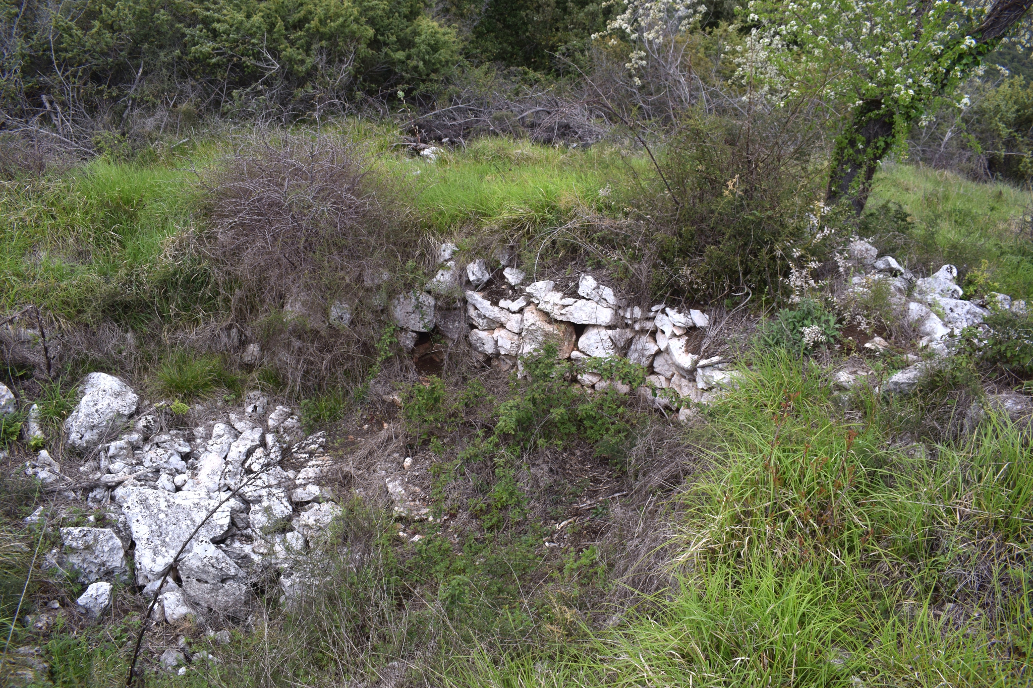
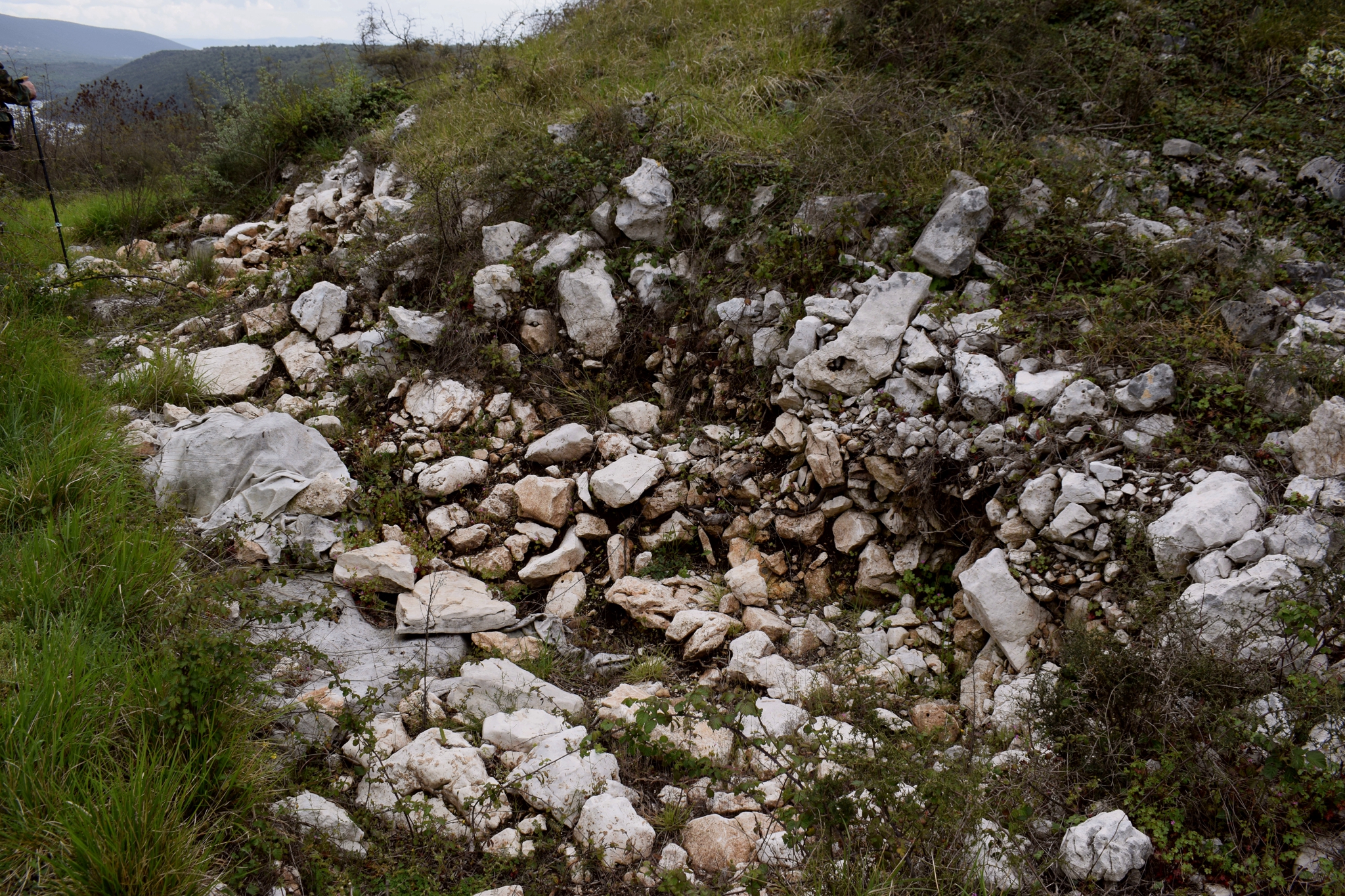
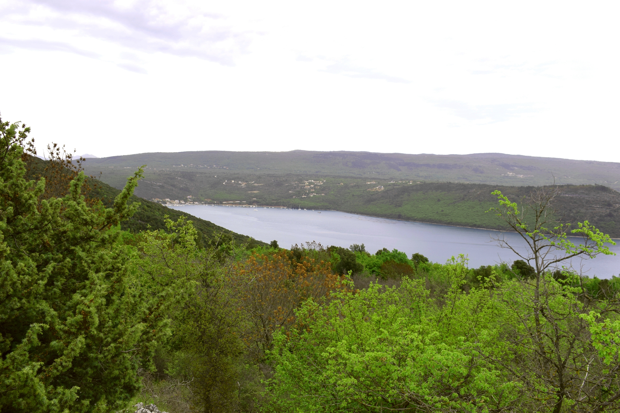
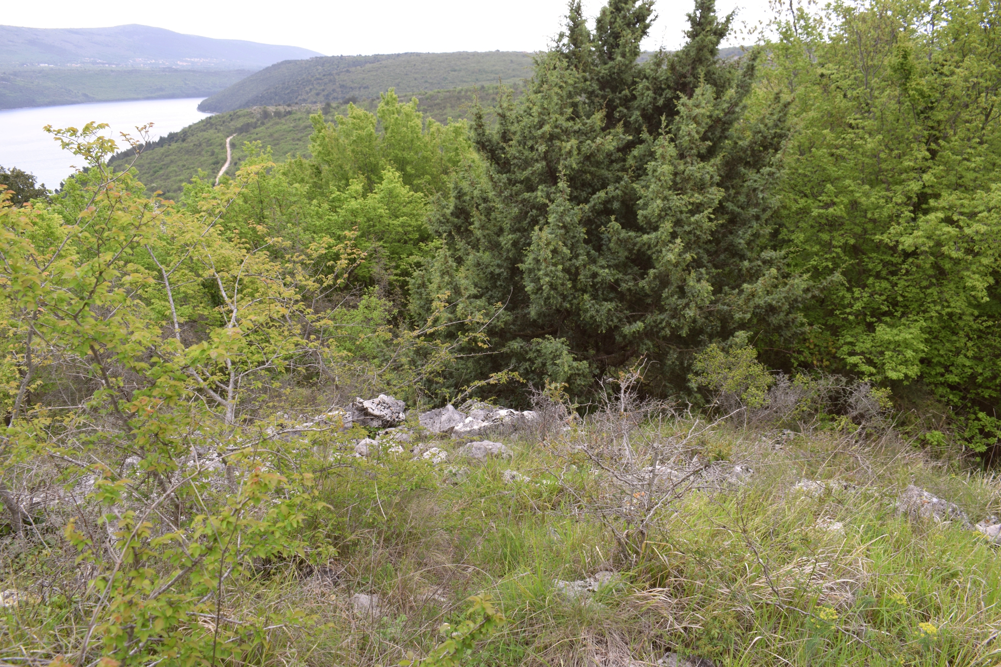
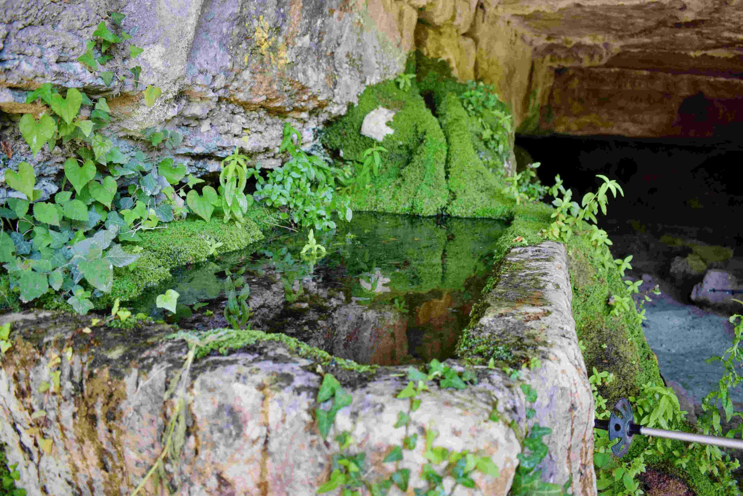
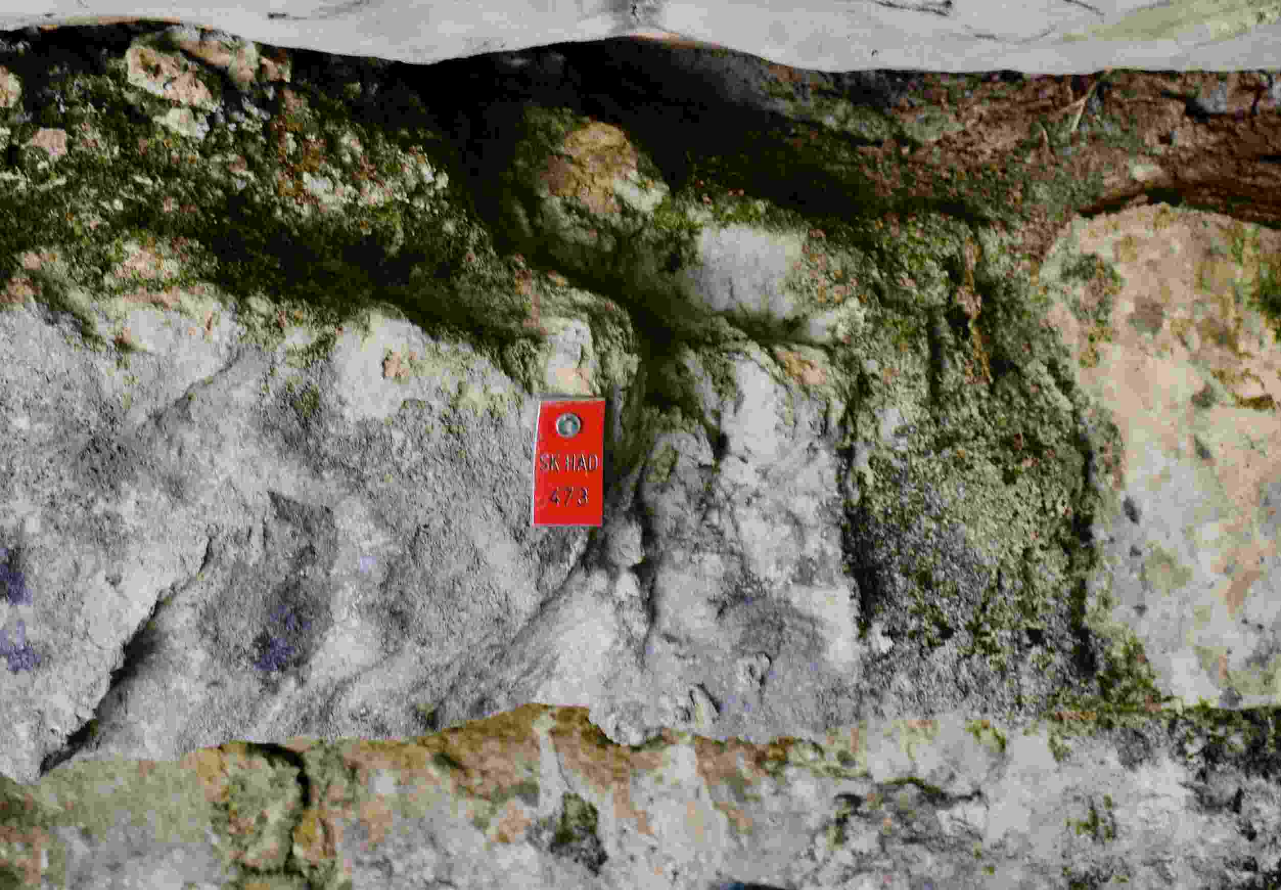
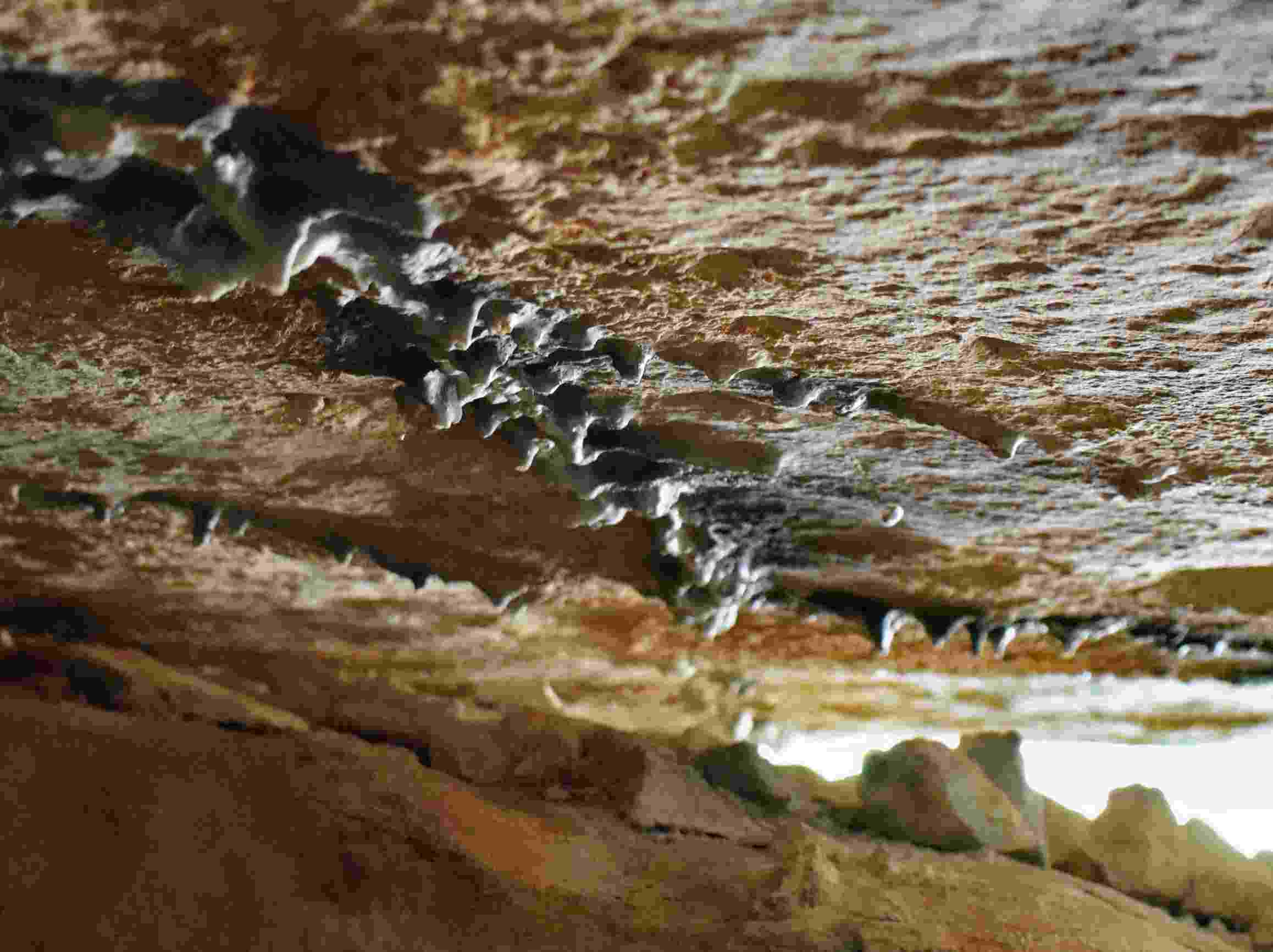
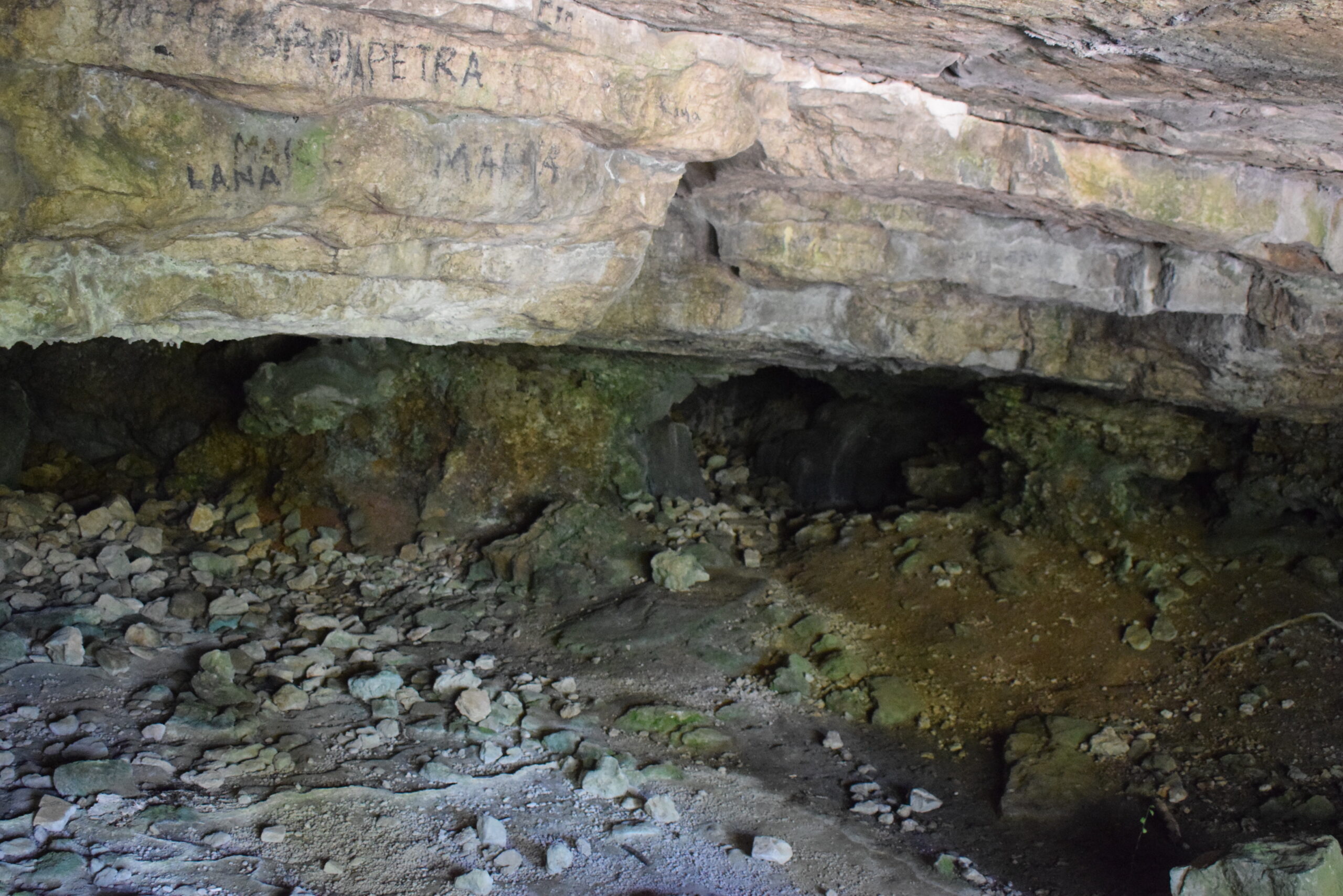
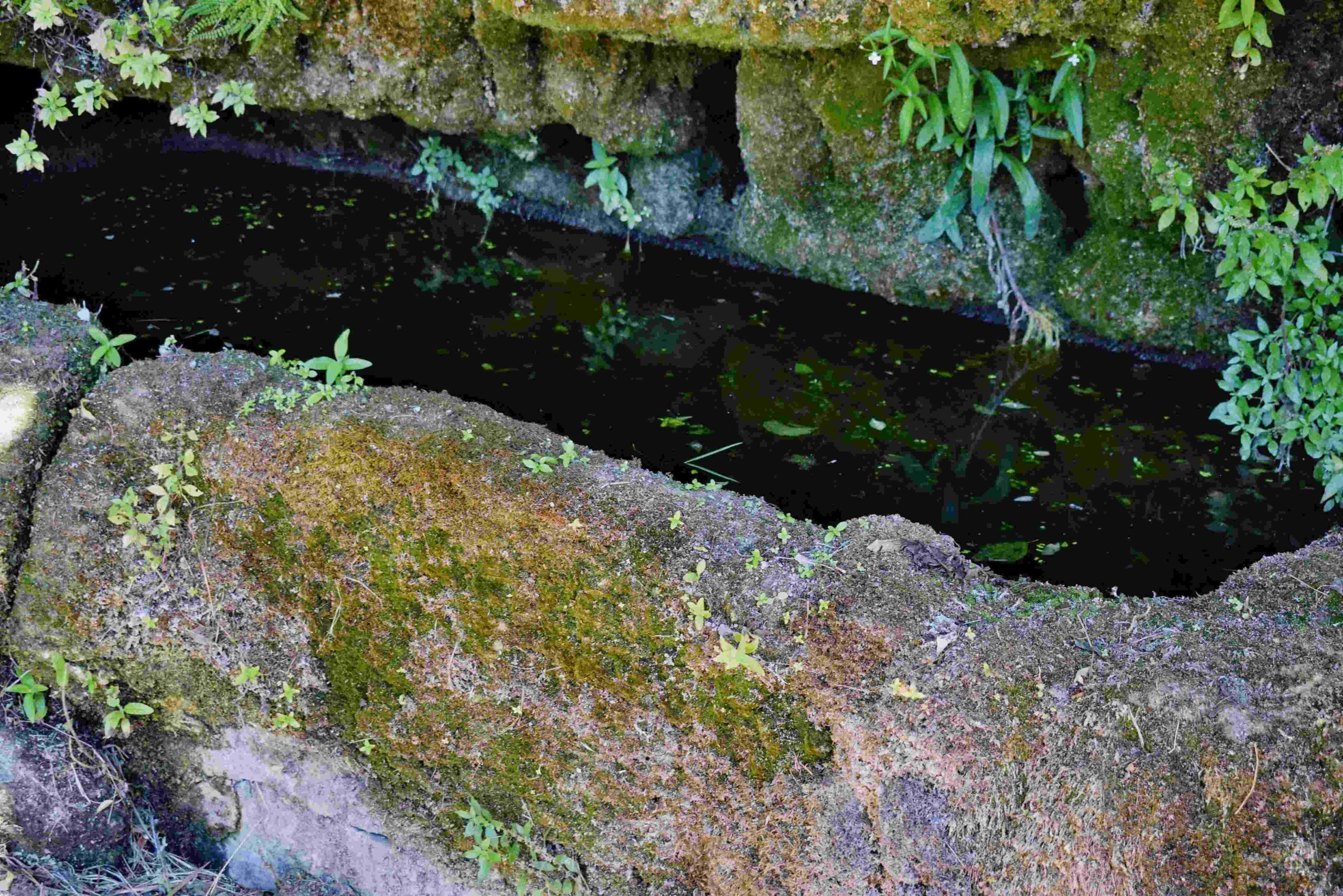
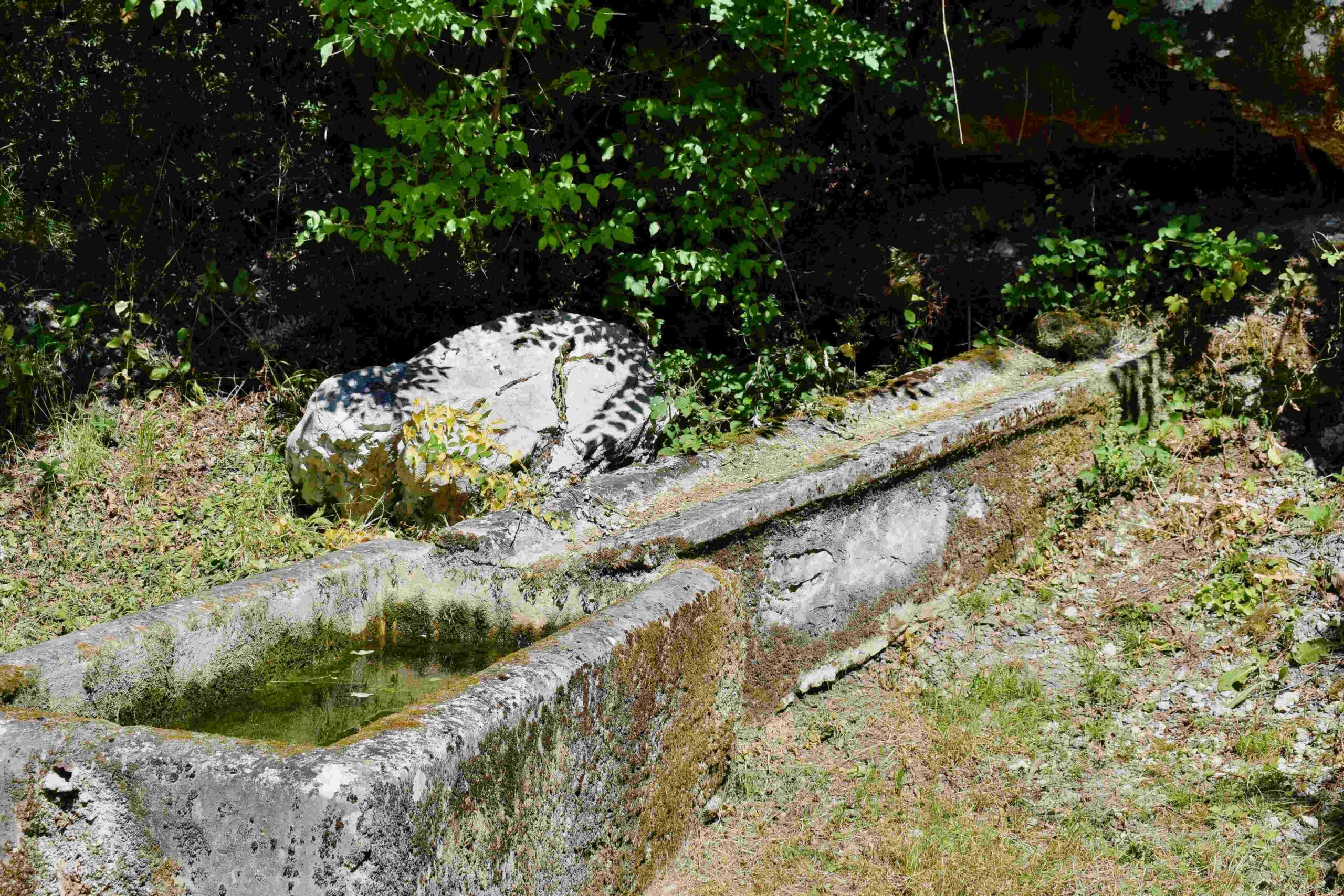
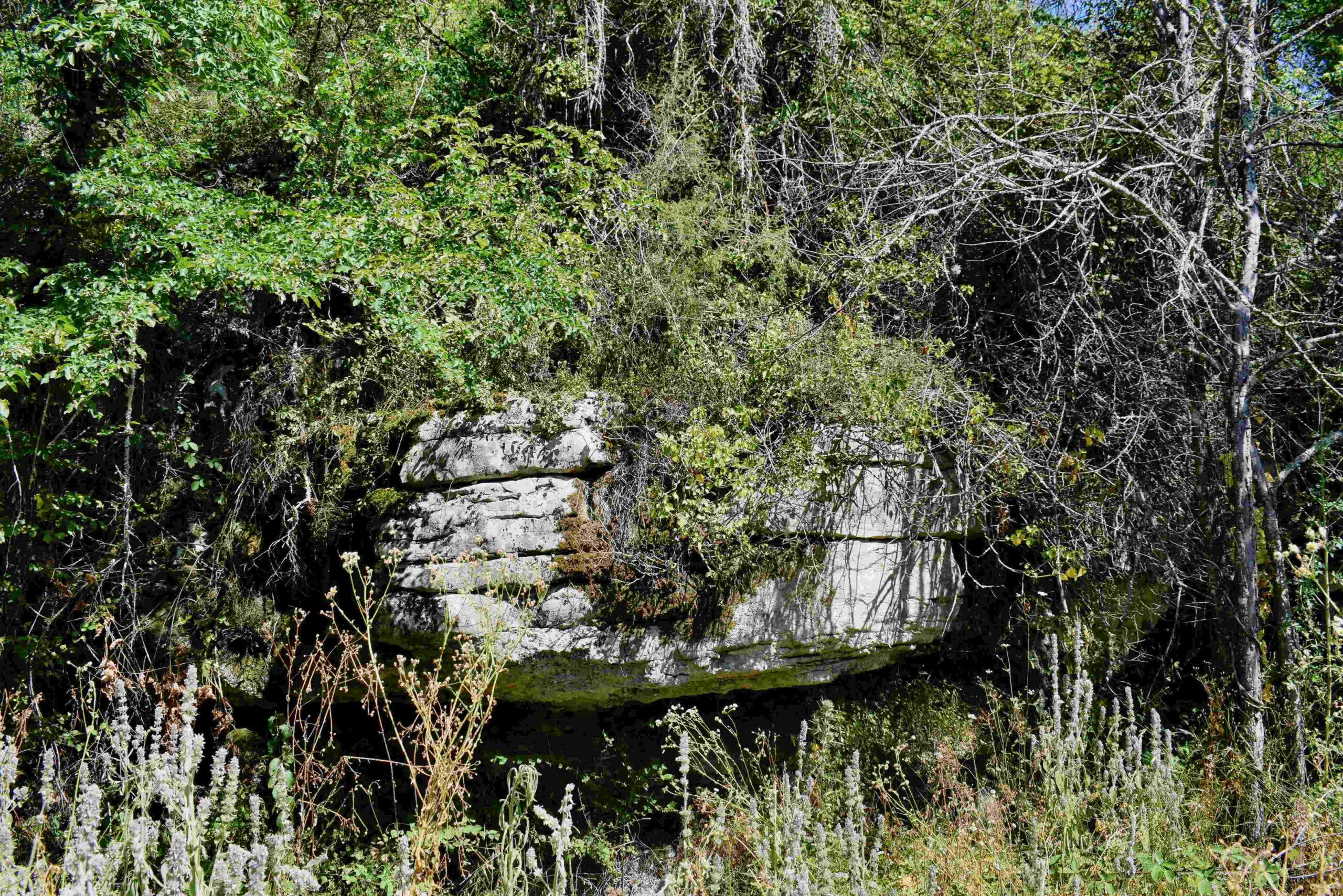
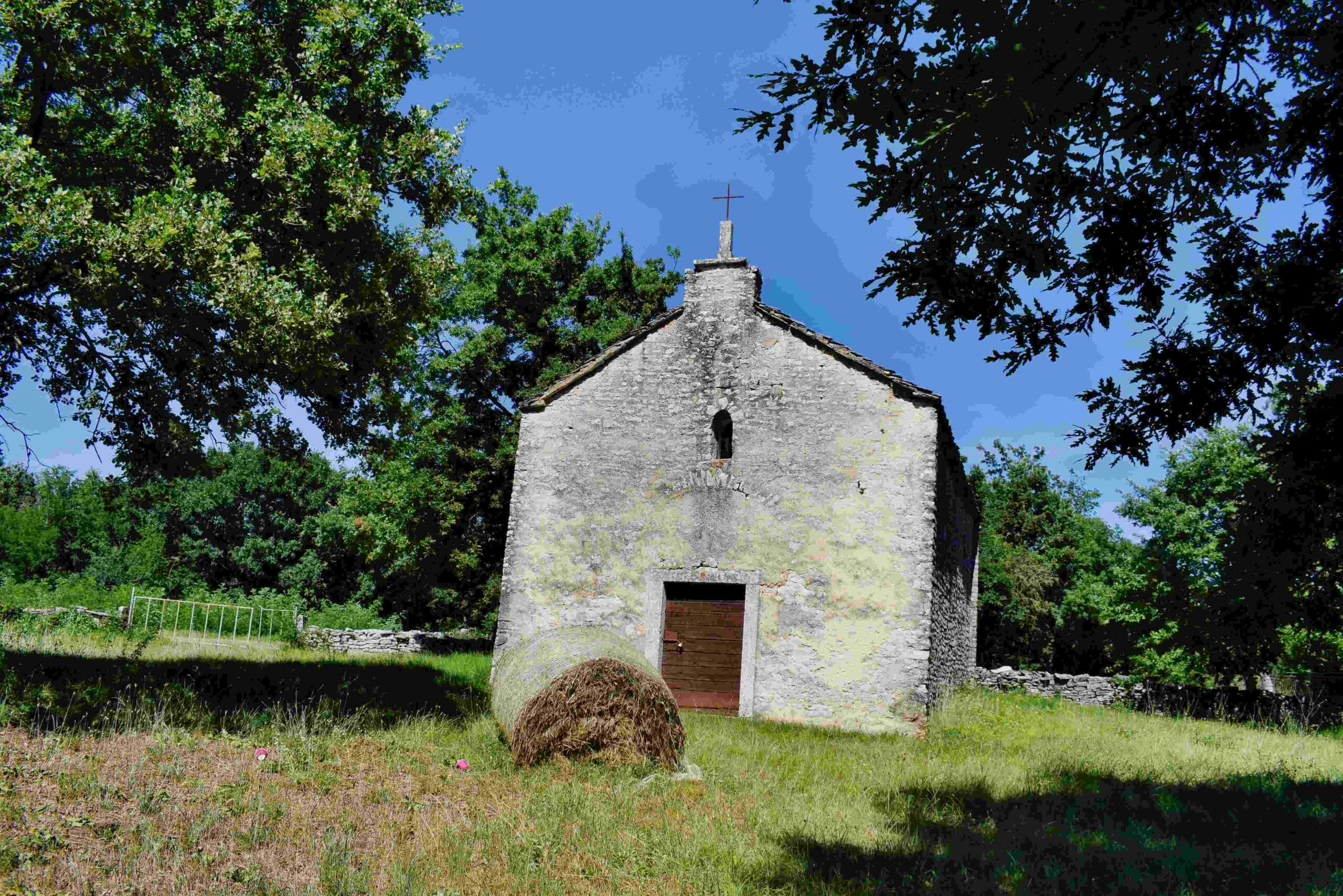
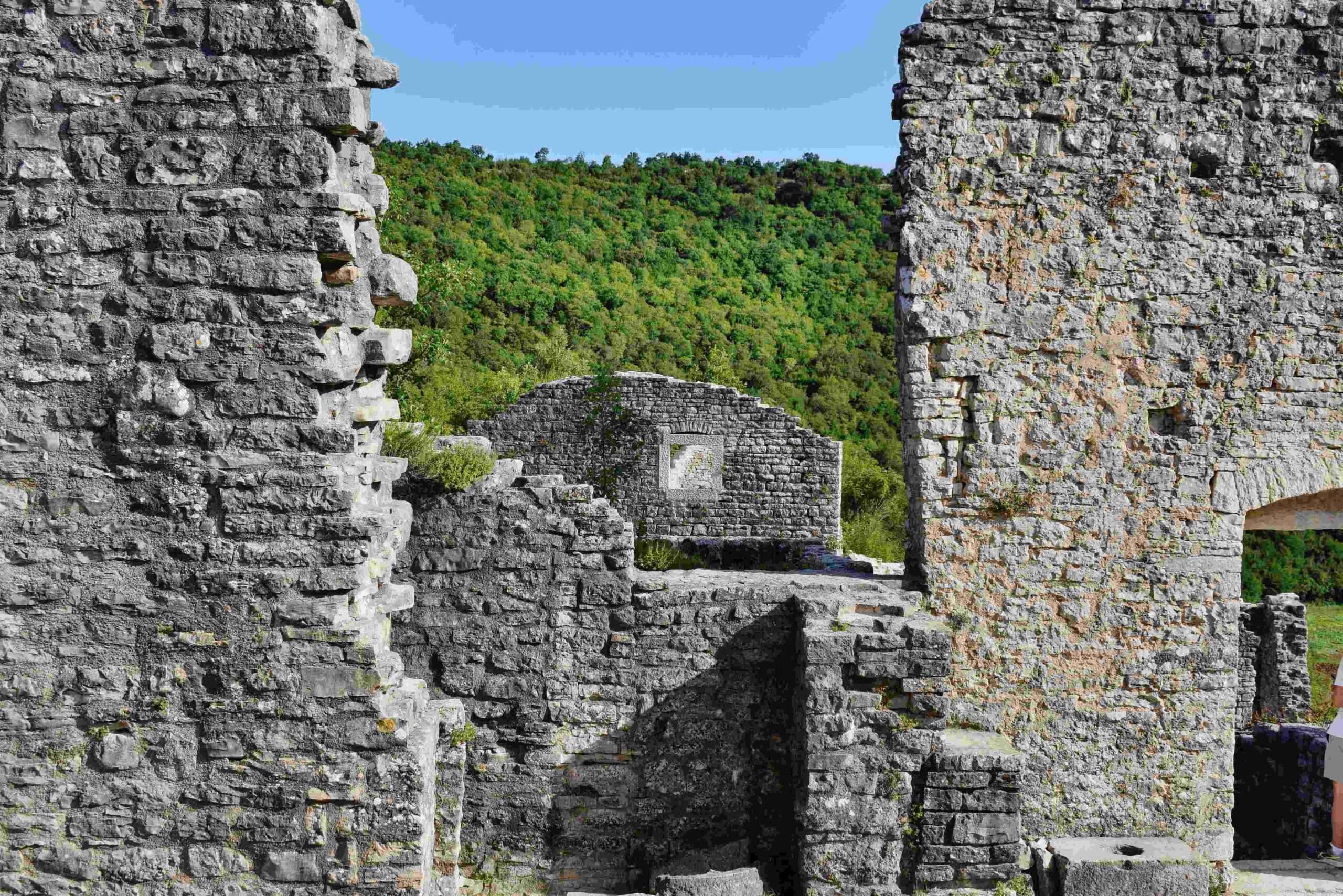
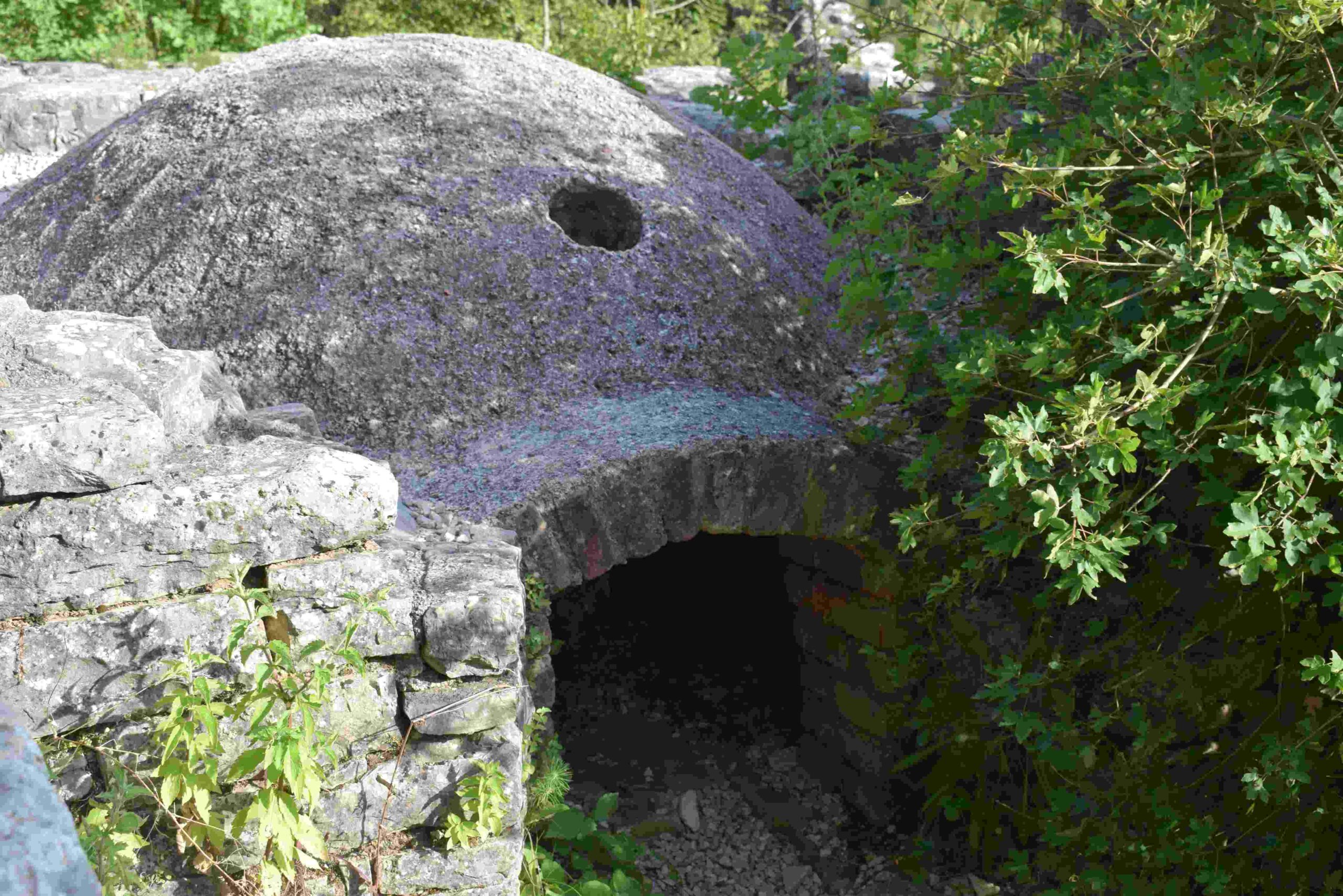
Name: Source Kašteljir, church St. Agata, Dvigrad.
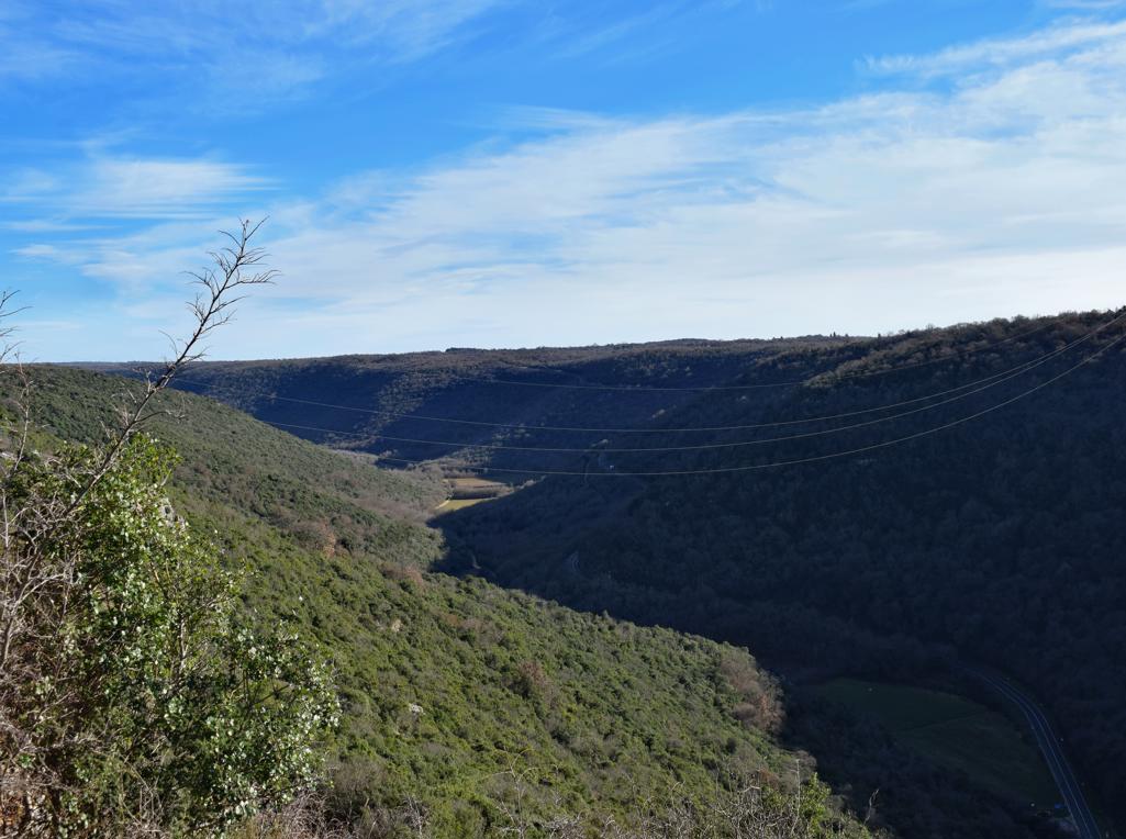
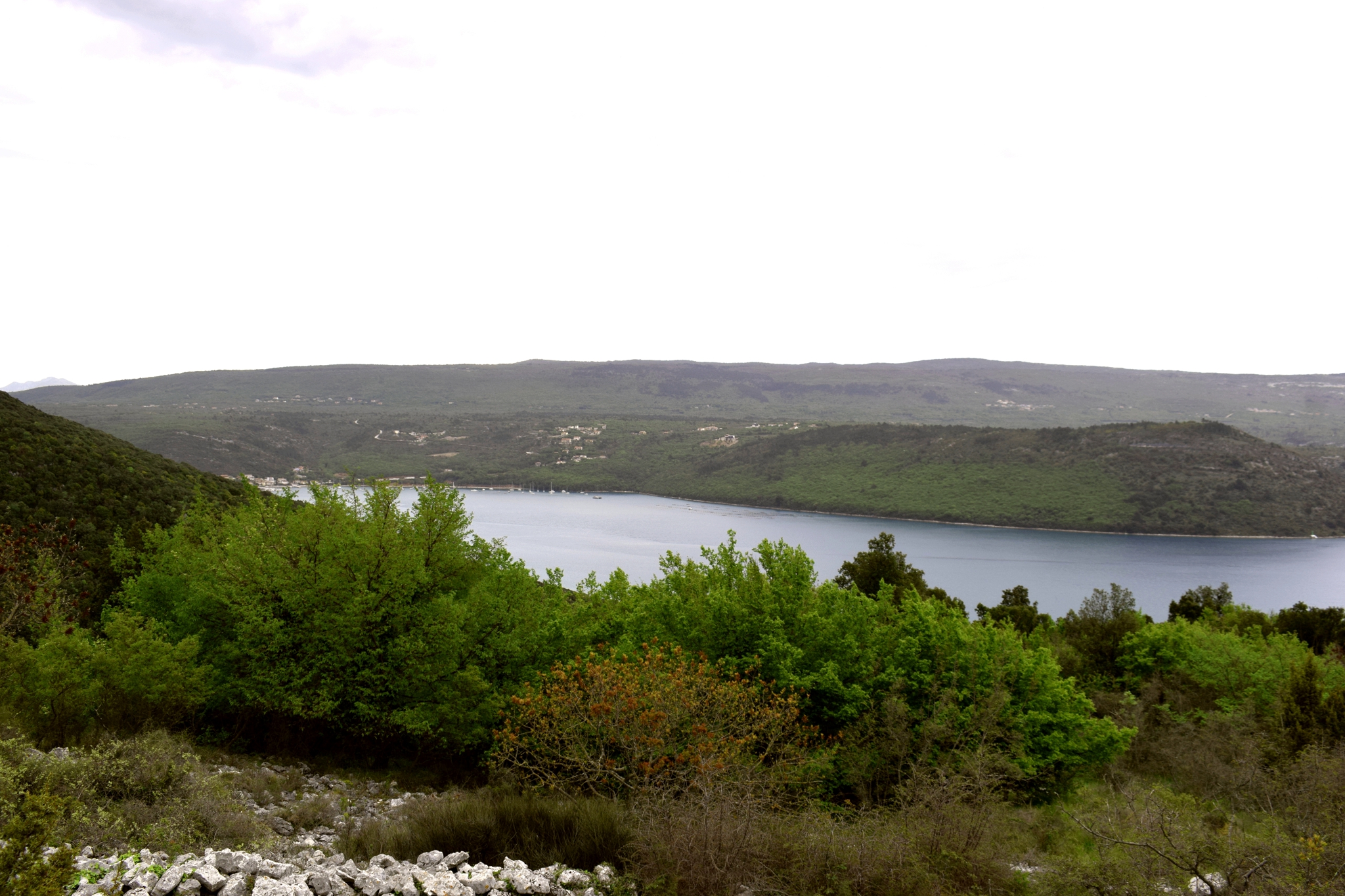
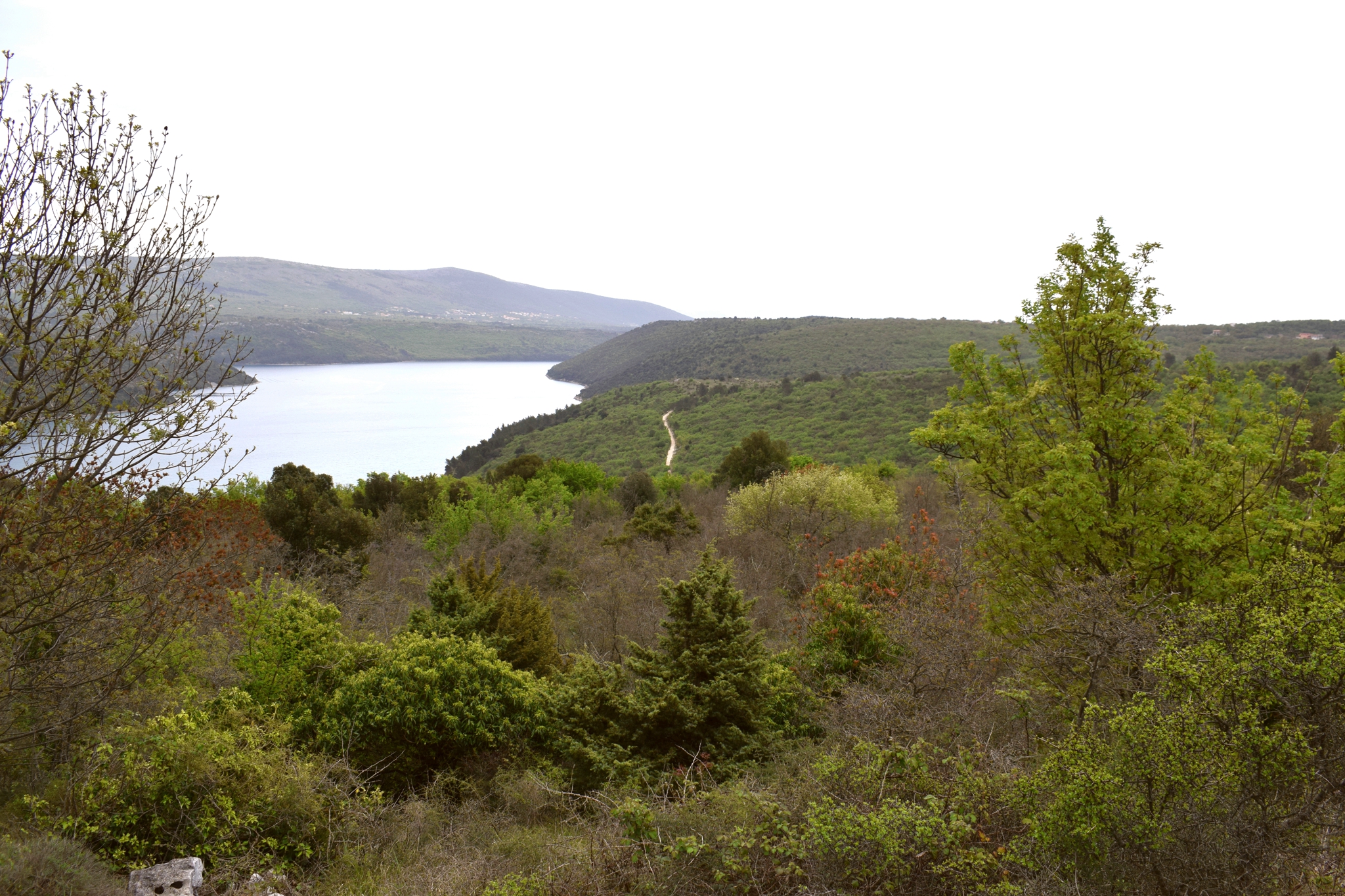
Place: Kanfanar

Coordinates: Start 45.12969 N – 13.84347  E, source 45.13378 N – 13.84004 E, split to the church Sv. Agata 45.13477 N – 13.84050 E, Sv. Agata, 45.13663 N – 13.84534 E. Dvigrad, 45.12644 N – 13.81306 E.

Trail from the town Mošćiniča Draga to the cave Podosogna and the hamlets Potoki and Trebišca with a watermill.


Name: Trail from the town Mošćiniča Draga to the cave Podosogna and the hamlets Potoki and Trebišca with a watermill.

Place: Potoki – Trebišca – (Mošćinička Draga).

Coordinates: Start 45.24090 N – 14.24973 E, hiking trail to the cave 45.24827 N – 14.23204 E, cave Podosogna 45.24802 N – 14.23909 E,

Potoki: 4525207 N – 14.22627 E, Trebišca 45.25511 N – 14.21760 E.

Prehistoric settlement Siljar.

The prehistoric settlement Siljar with a view of the Rasa Bay, is surrounded on 3 sides by steep slopes and on one side reinforced by a 4 to 5 meter high wall, which is still well recognizable.


Name: Prehistoric settlement Siljar.

Place: Near  Krasa – (Marčana).

Coordinates: Entrance trai 44.99240 N 14.03000 E, Siljar 45.00375 N – 14.03115 E