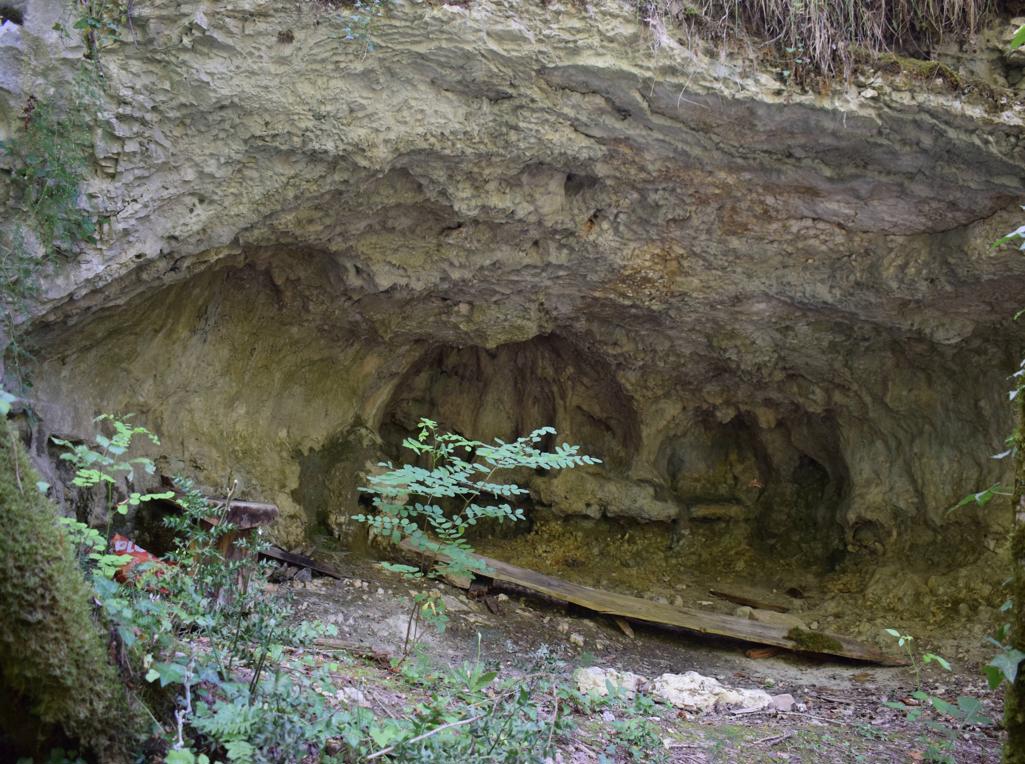
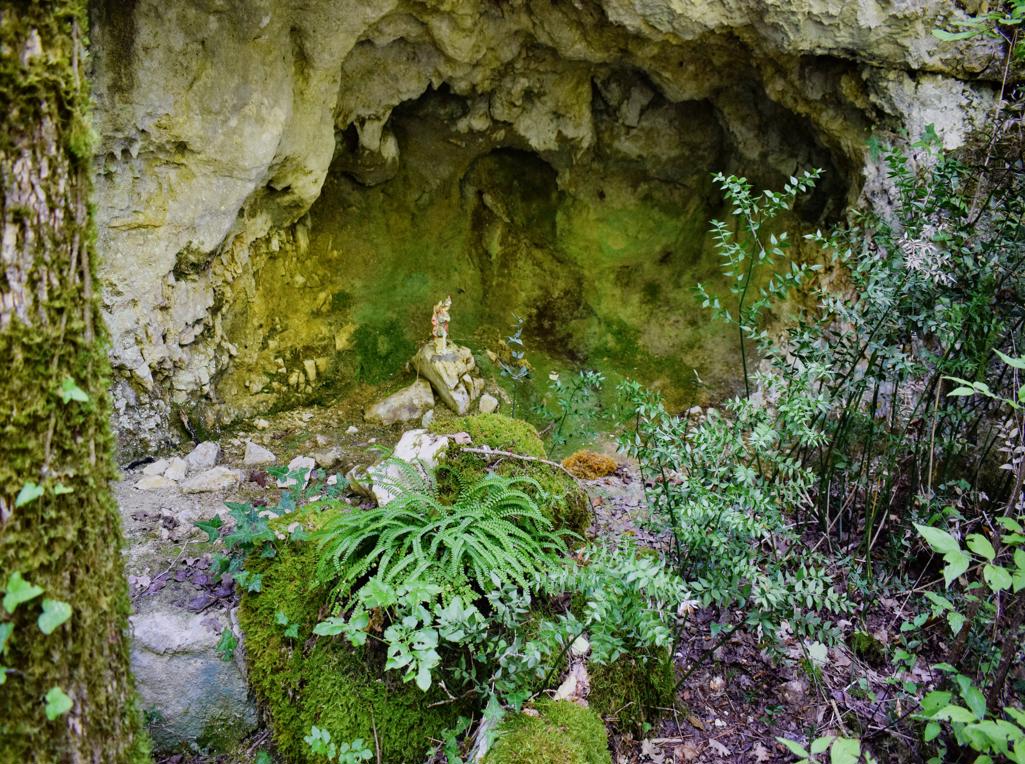
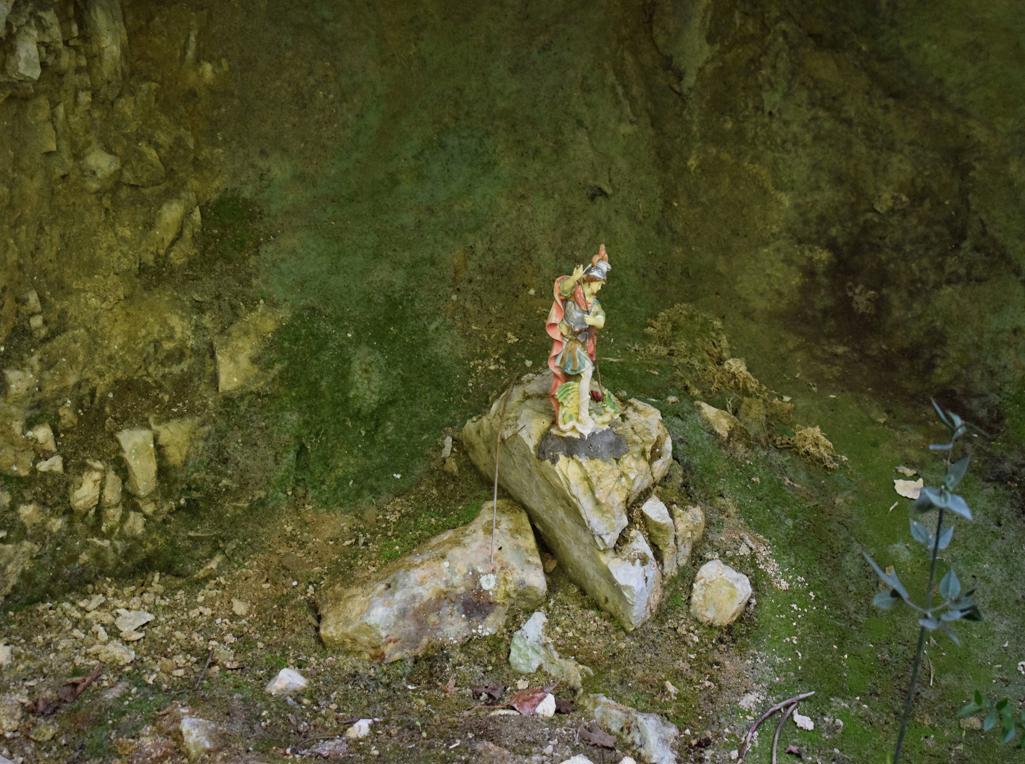
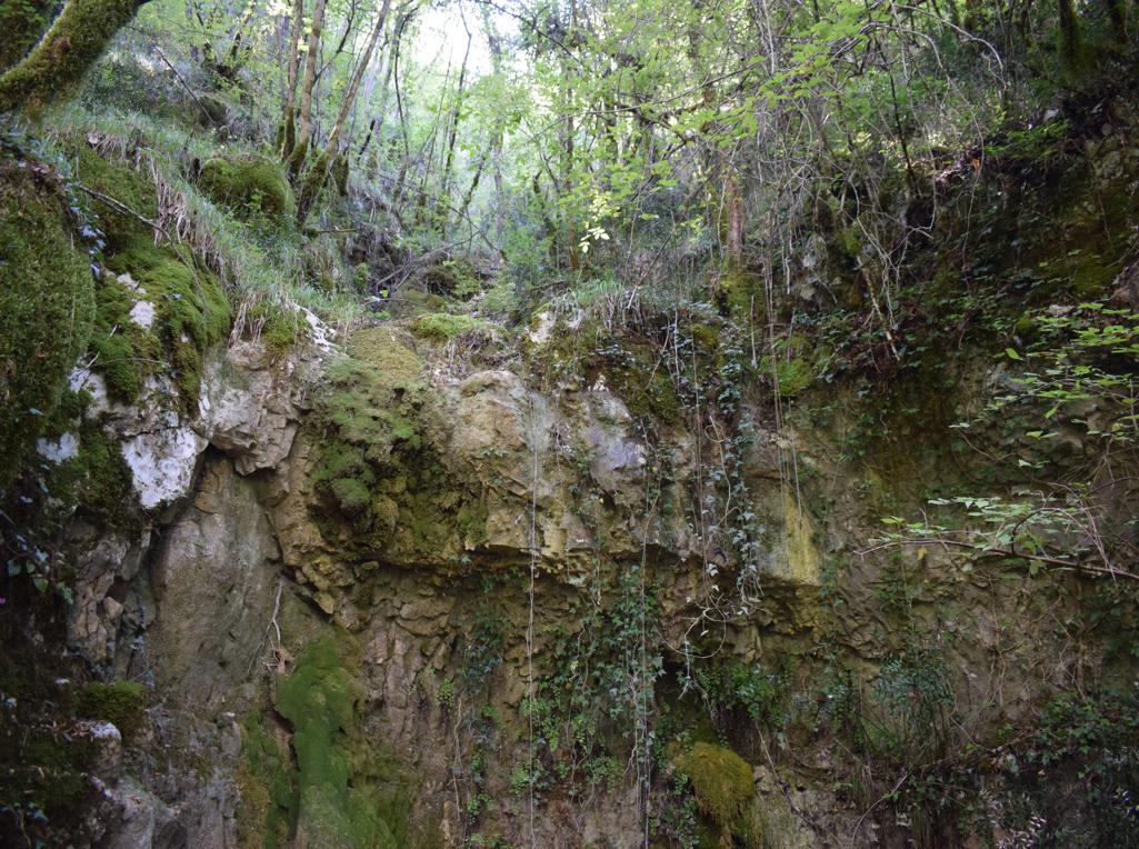
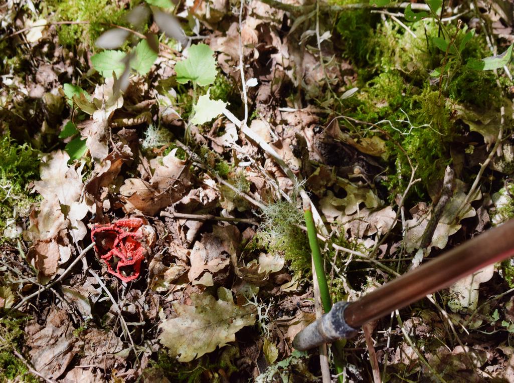
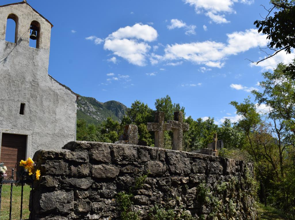
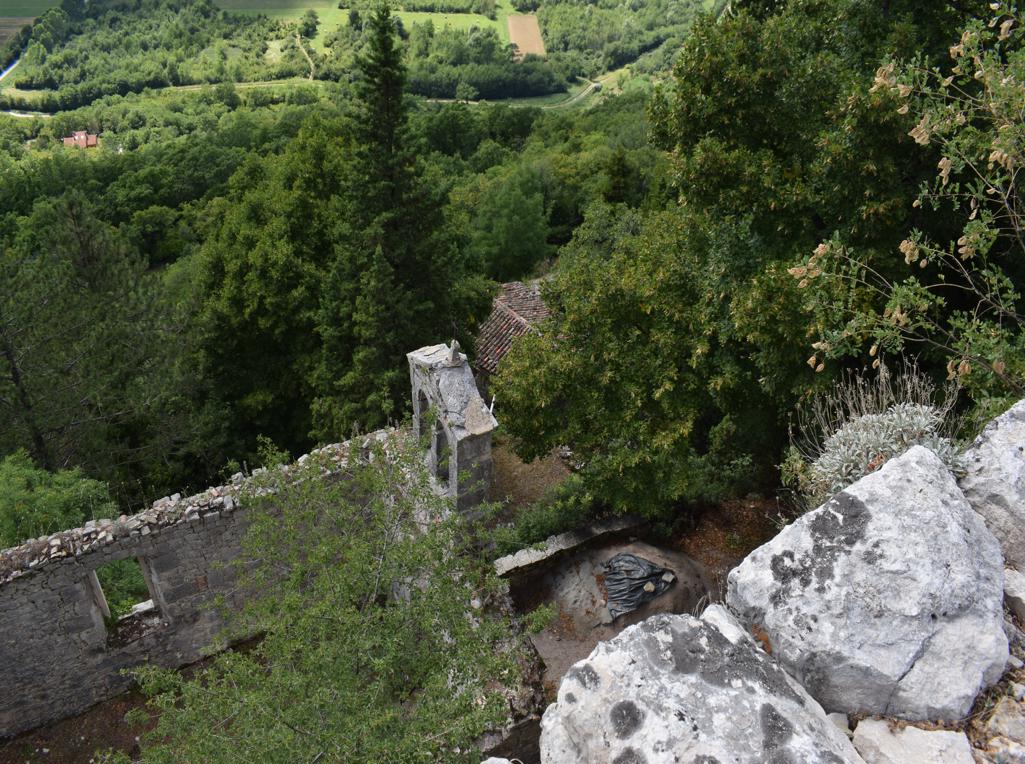
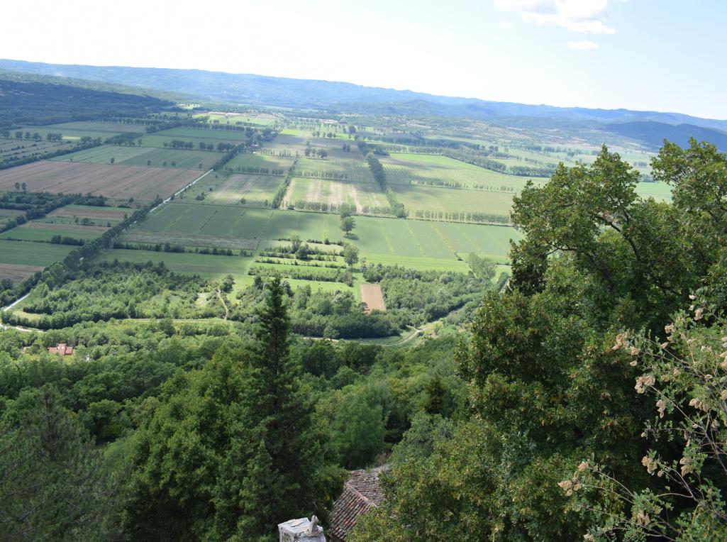
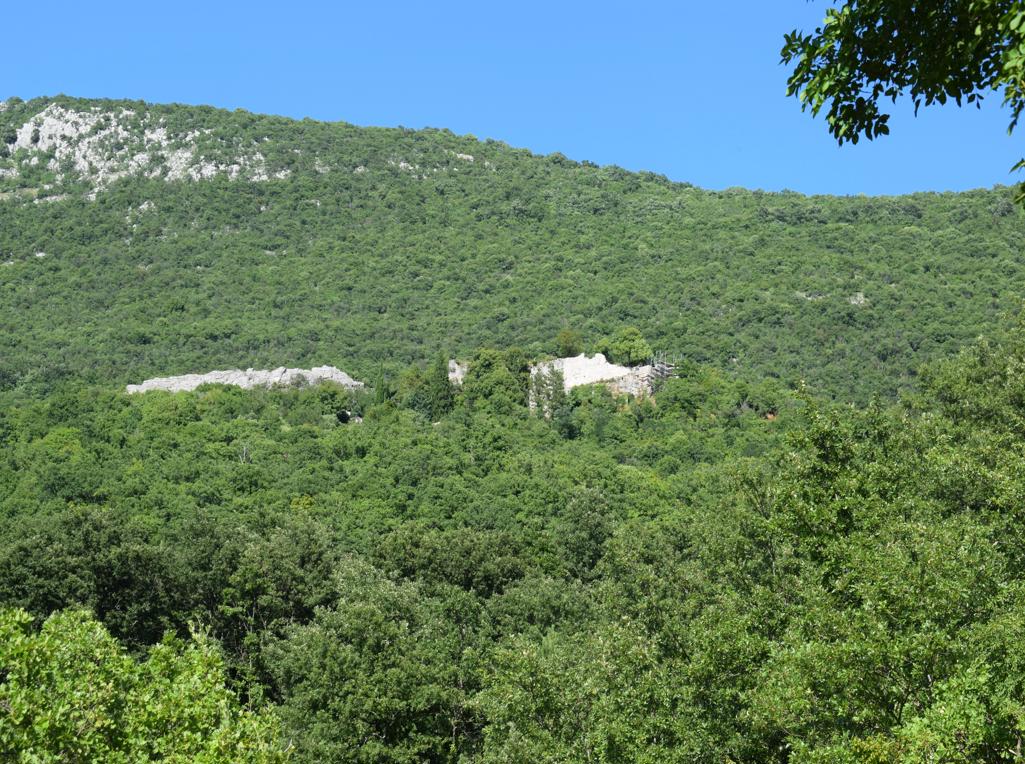
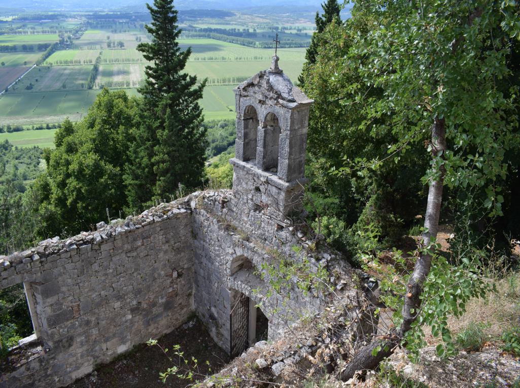
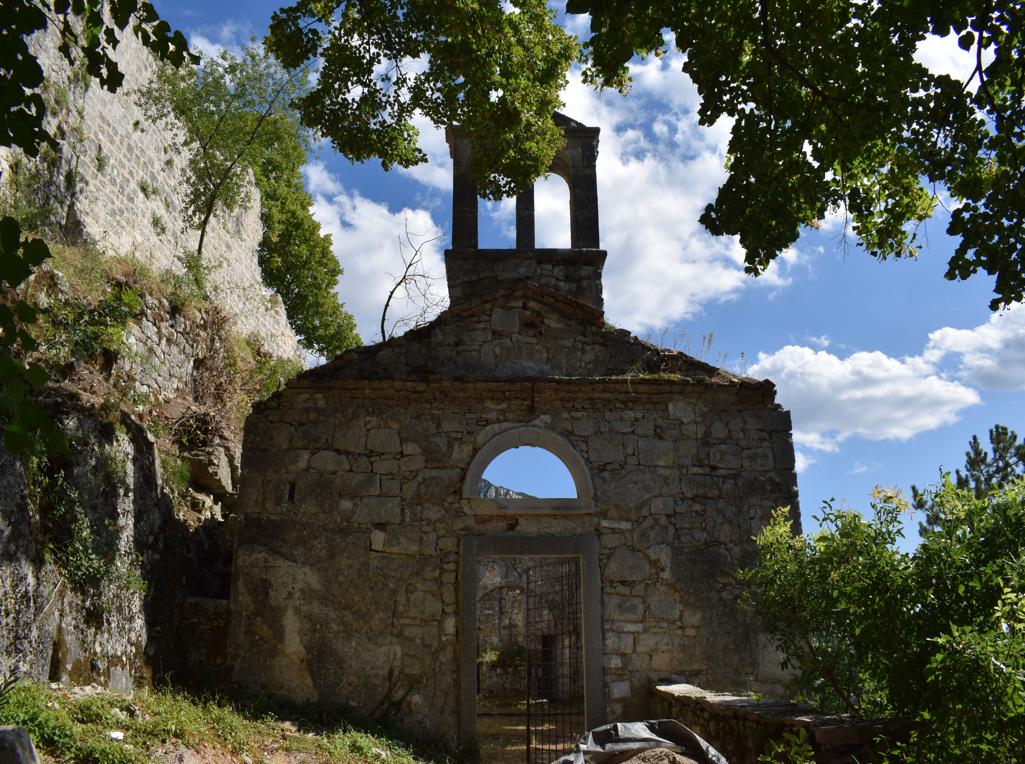
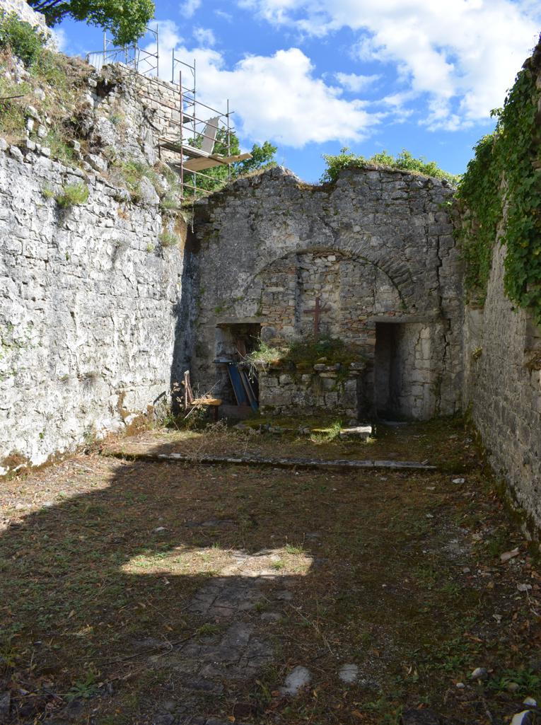
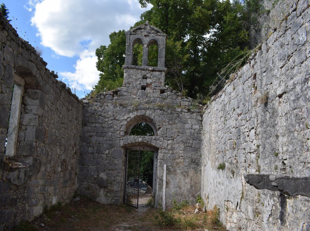
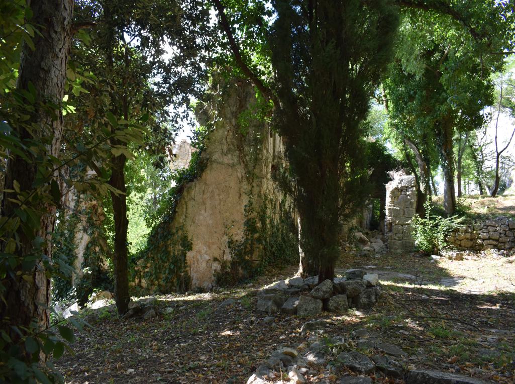
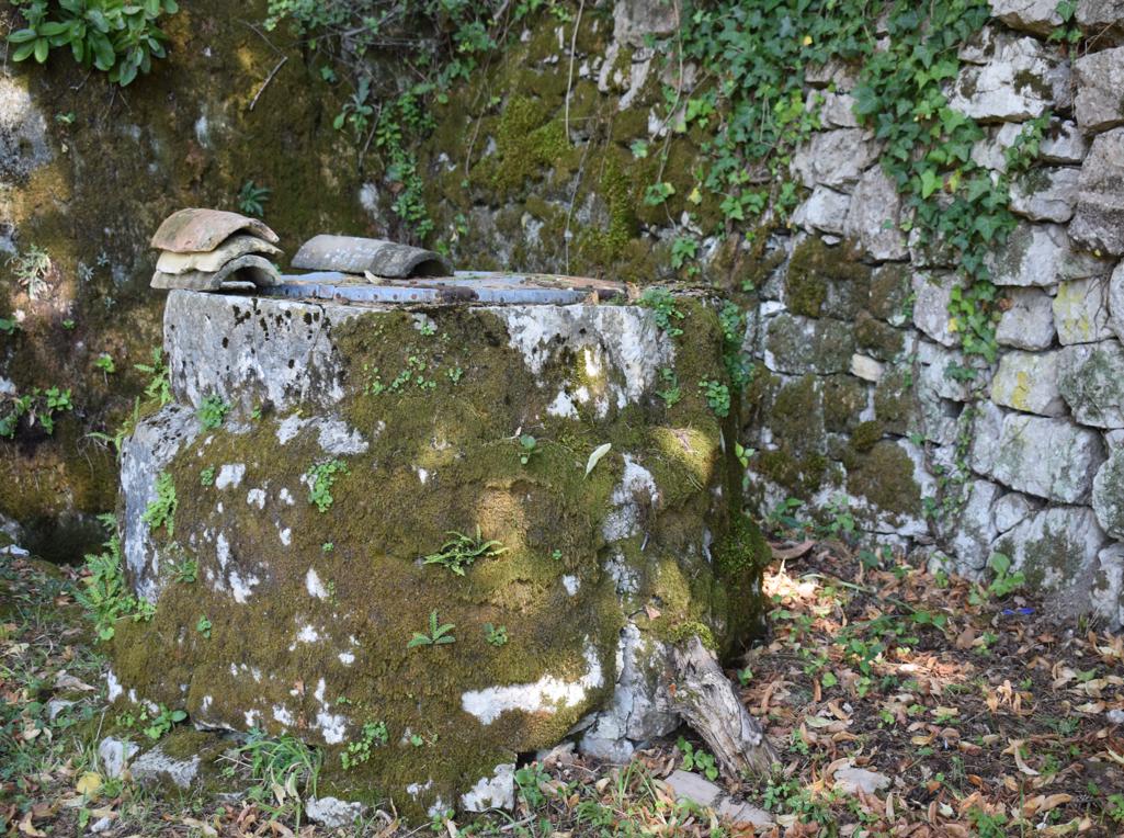
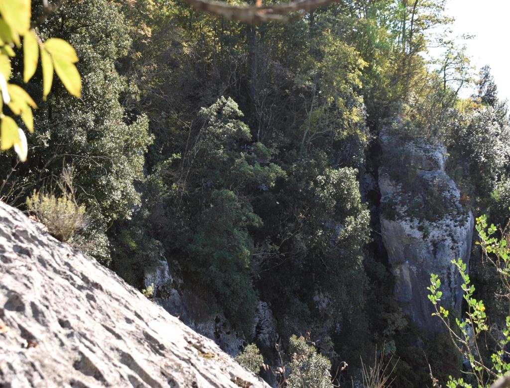
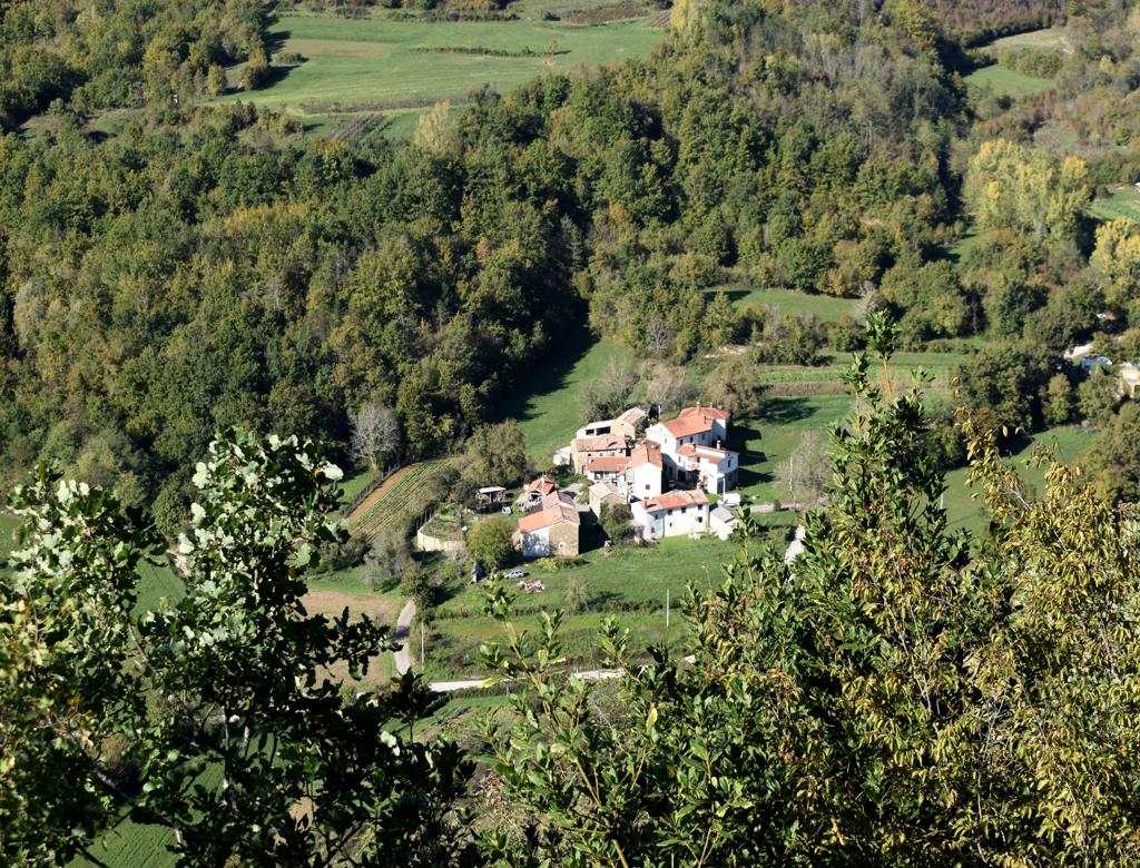
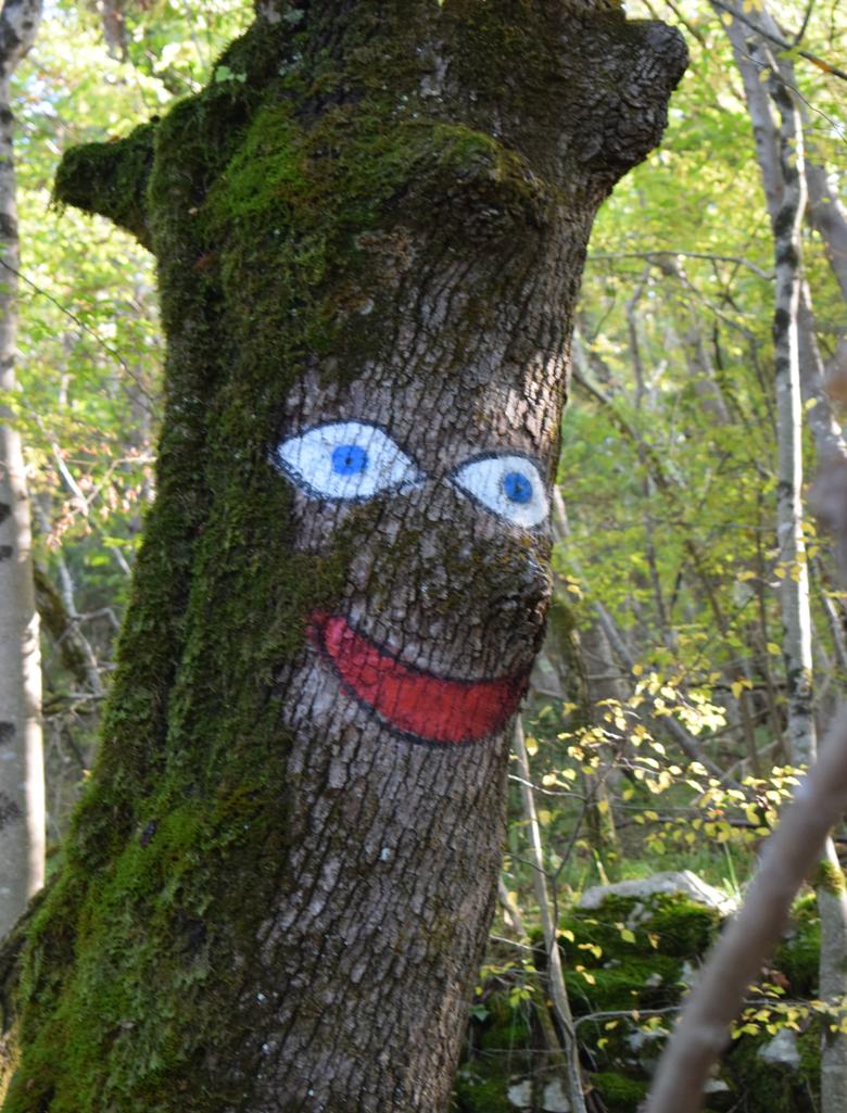
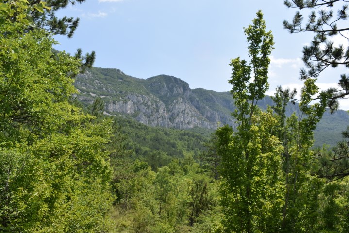
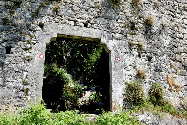
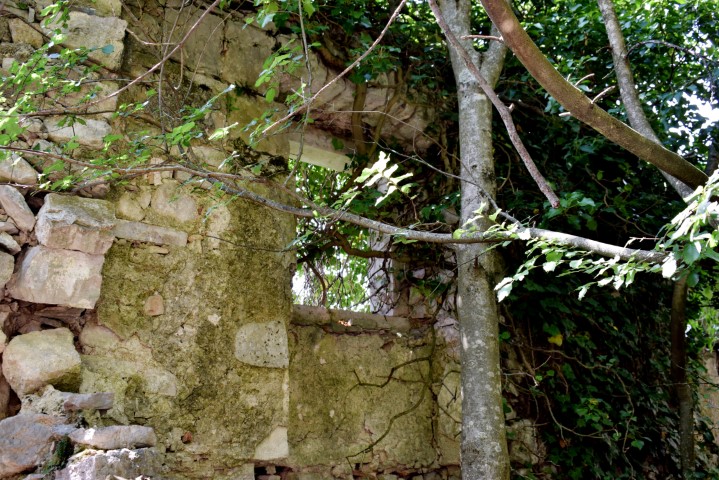
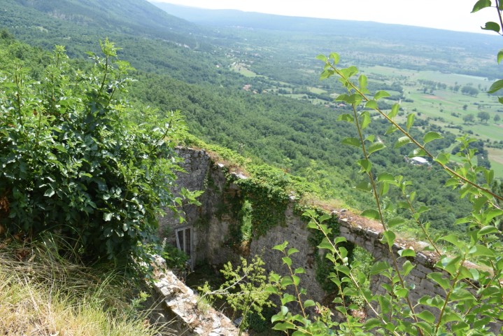
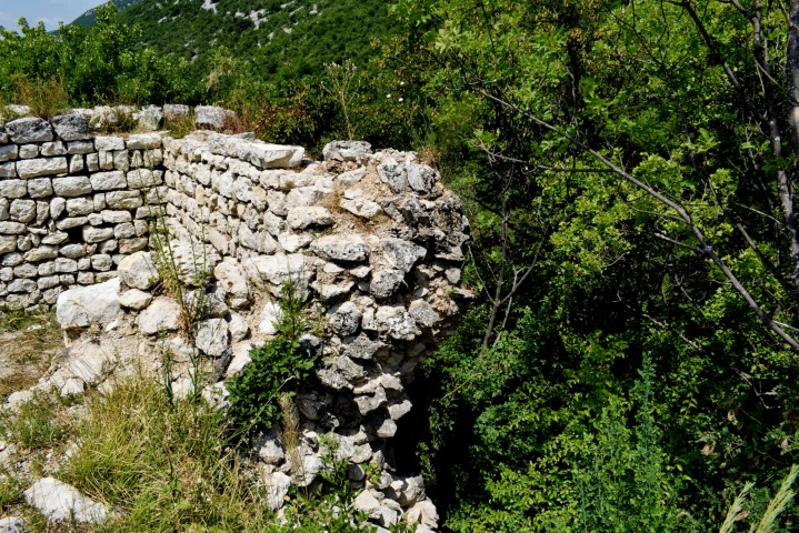
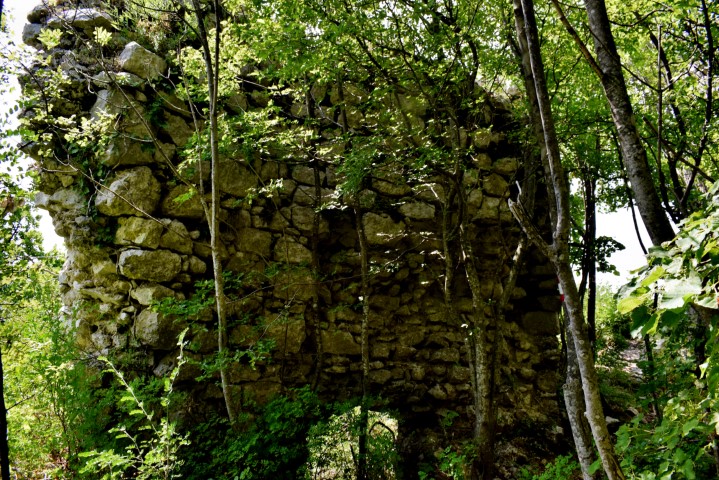
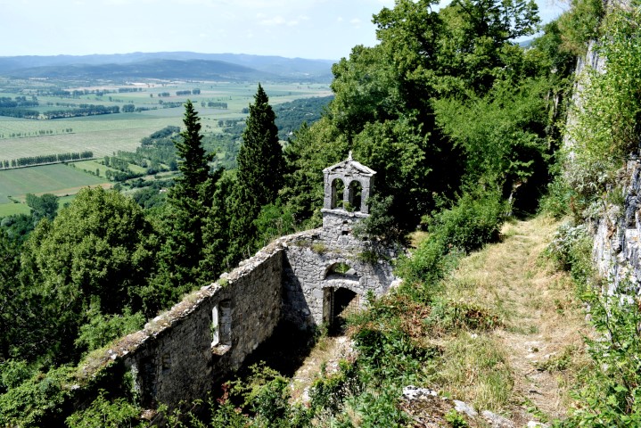
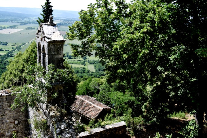
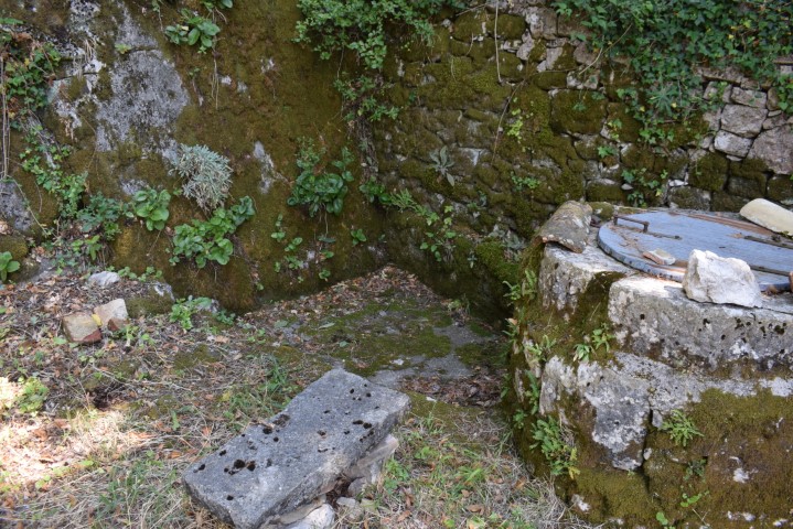
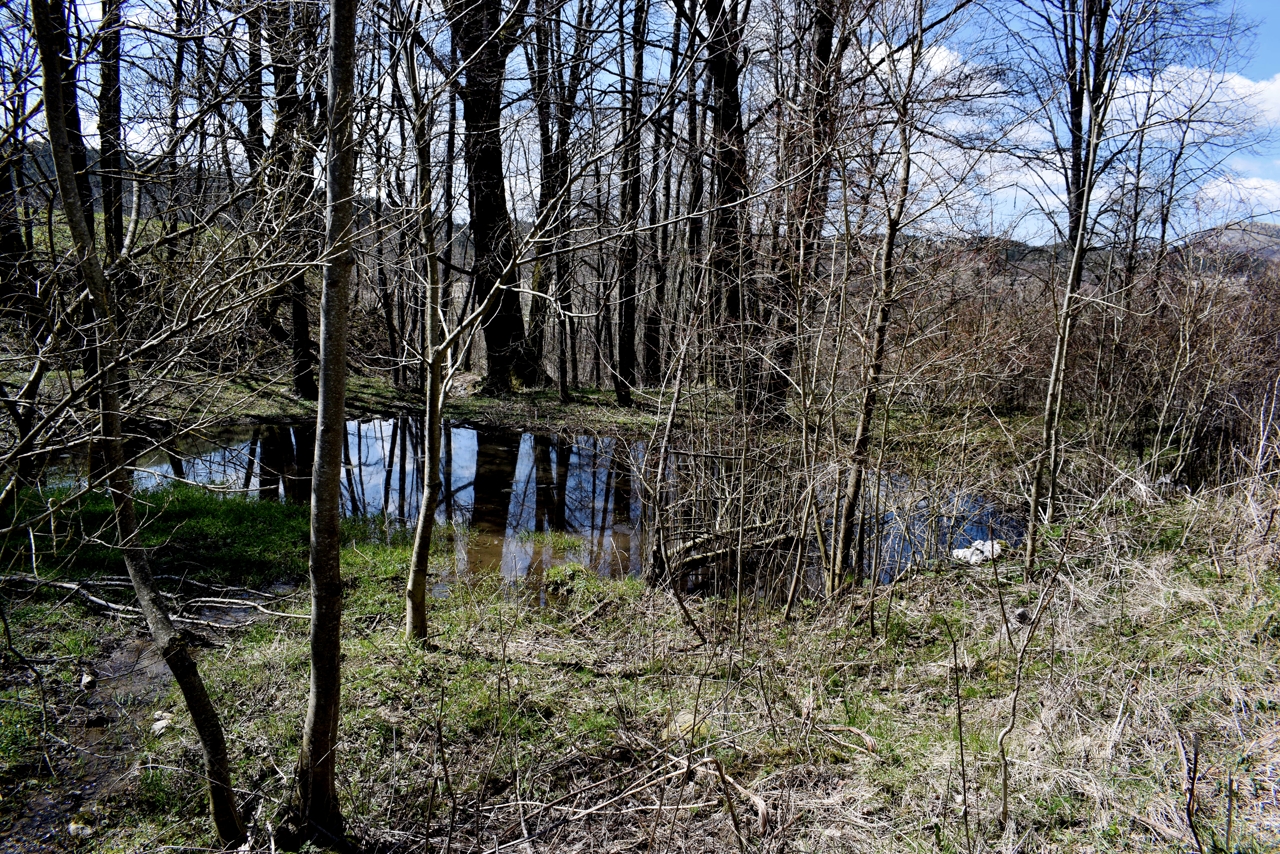
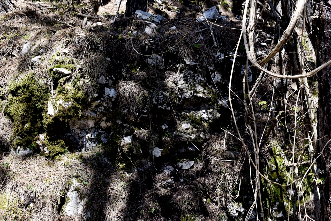
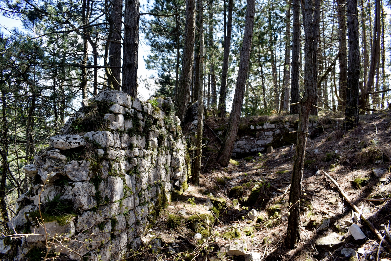
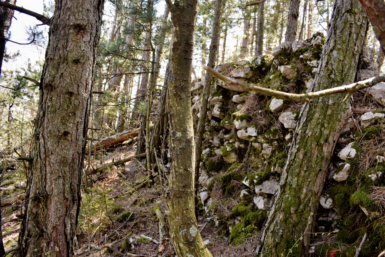
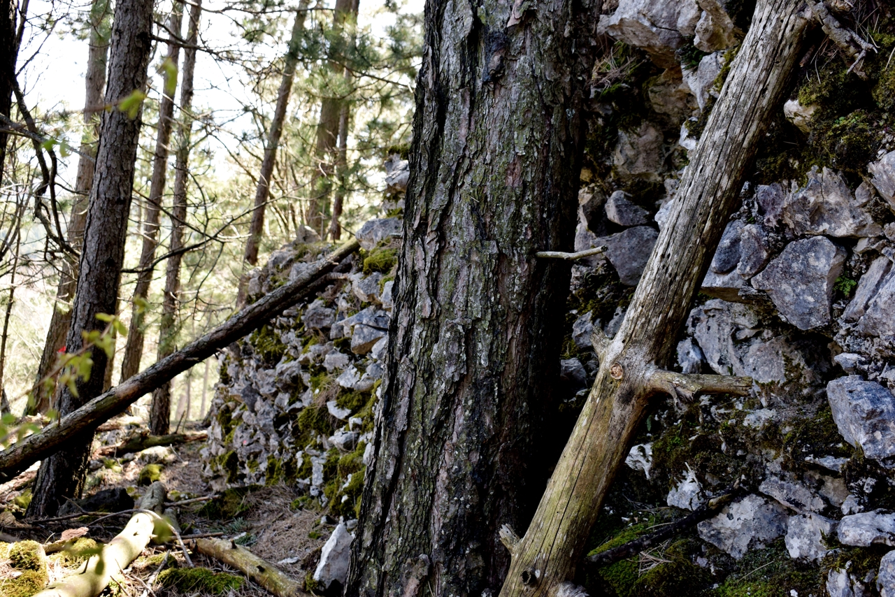
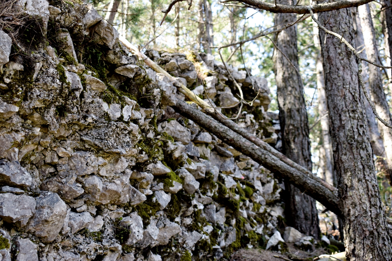
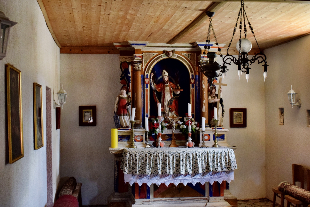
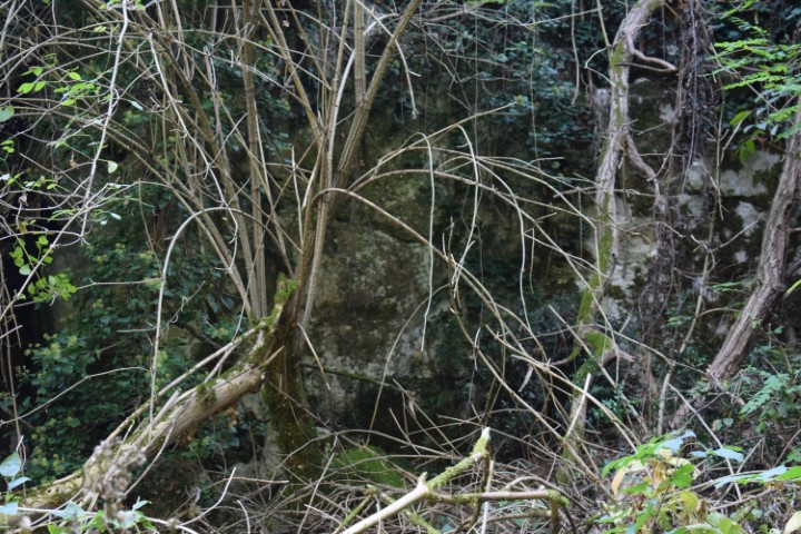
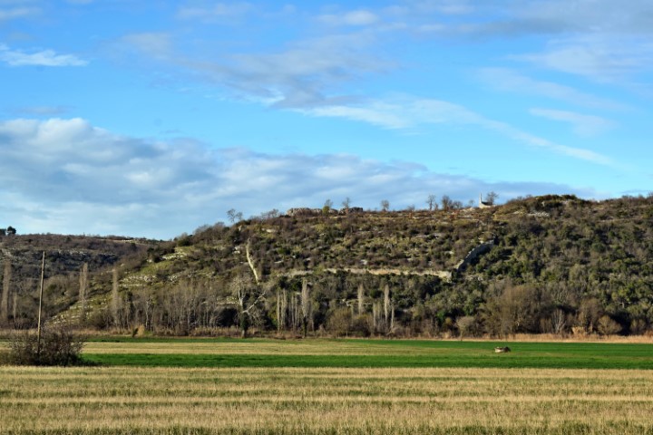
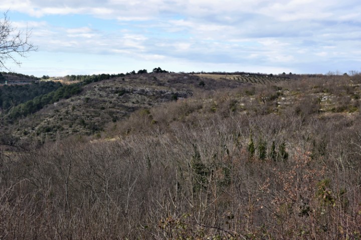
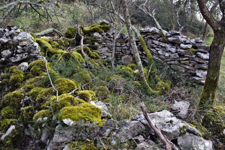
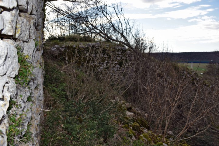
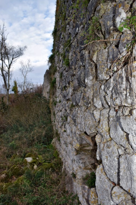
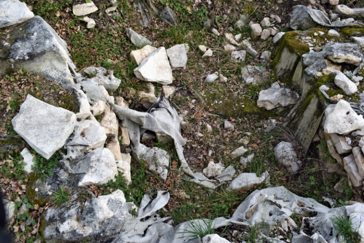
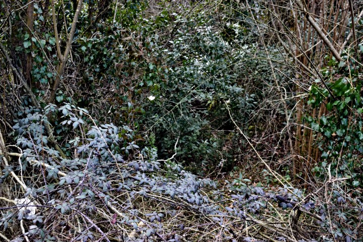
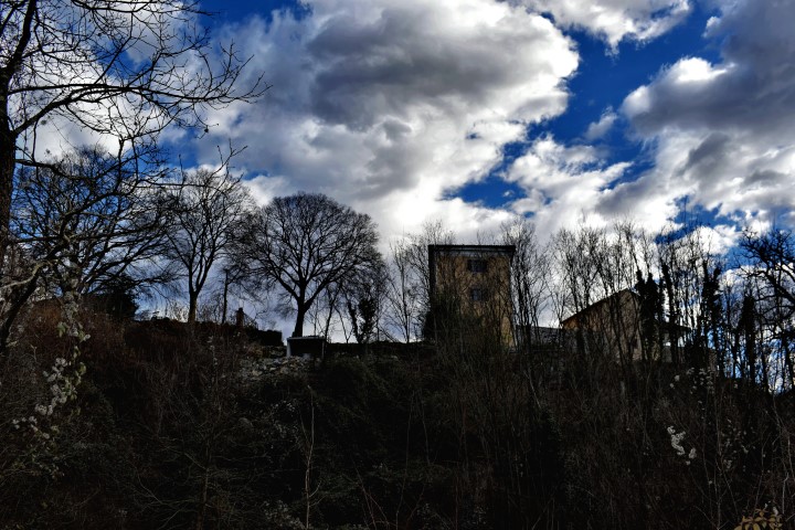
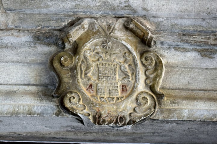
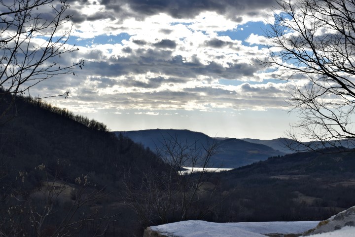
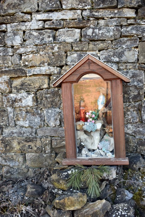
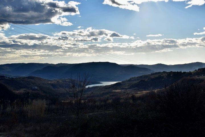
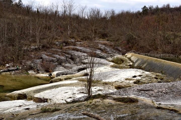
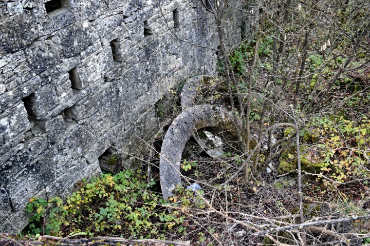
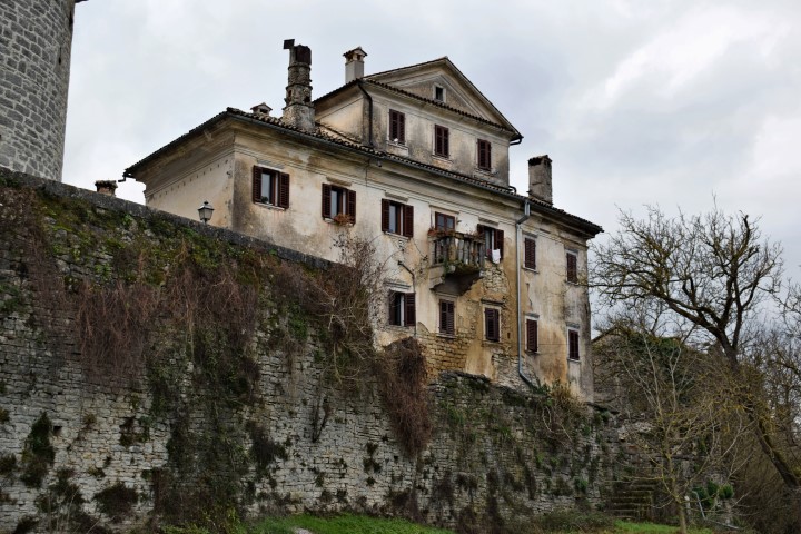
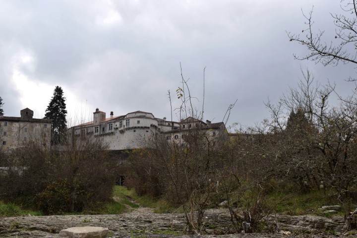
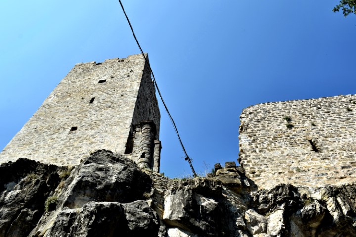
Momjan castle built by Wosalecus de Mimilianico.

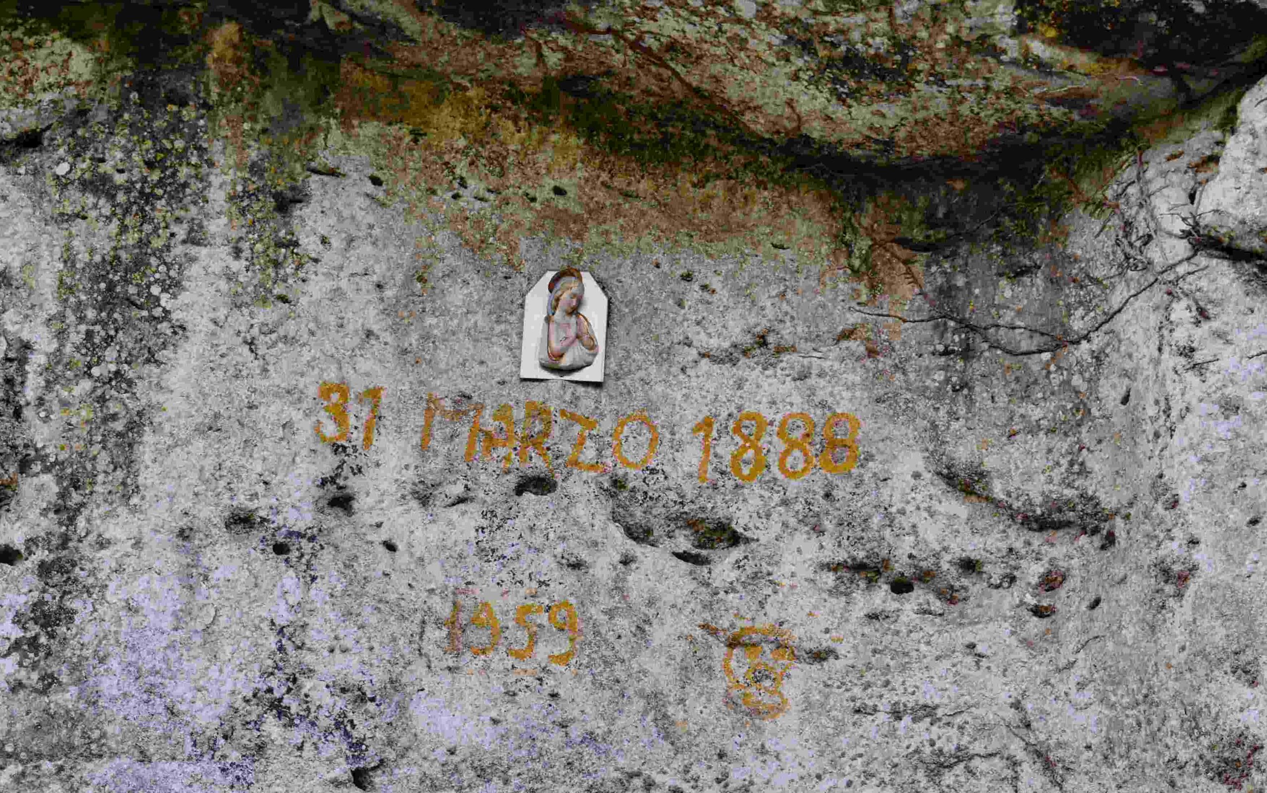
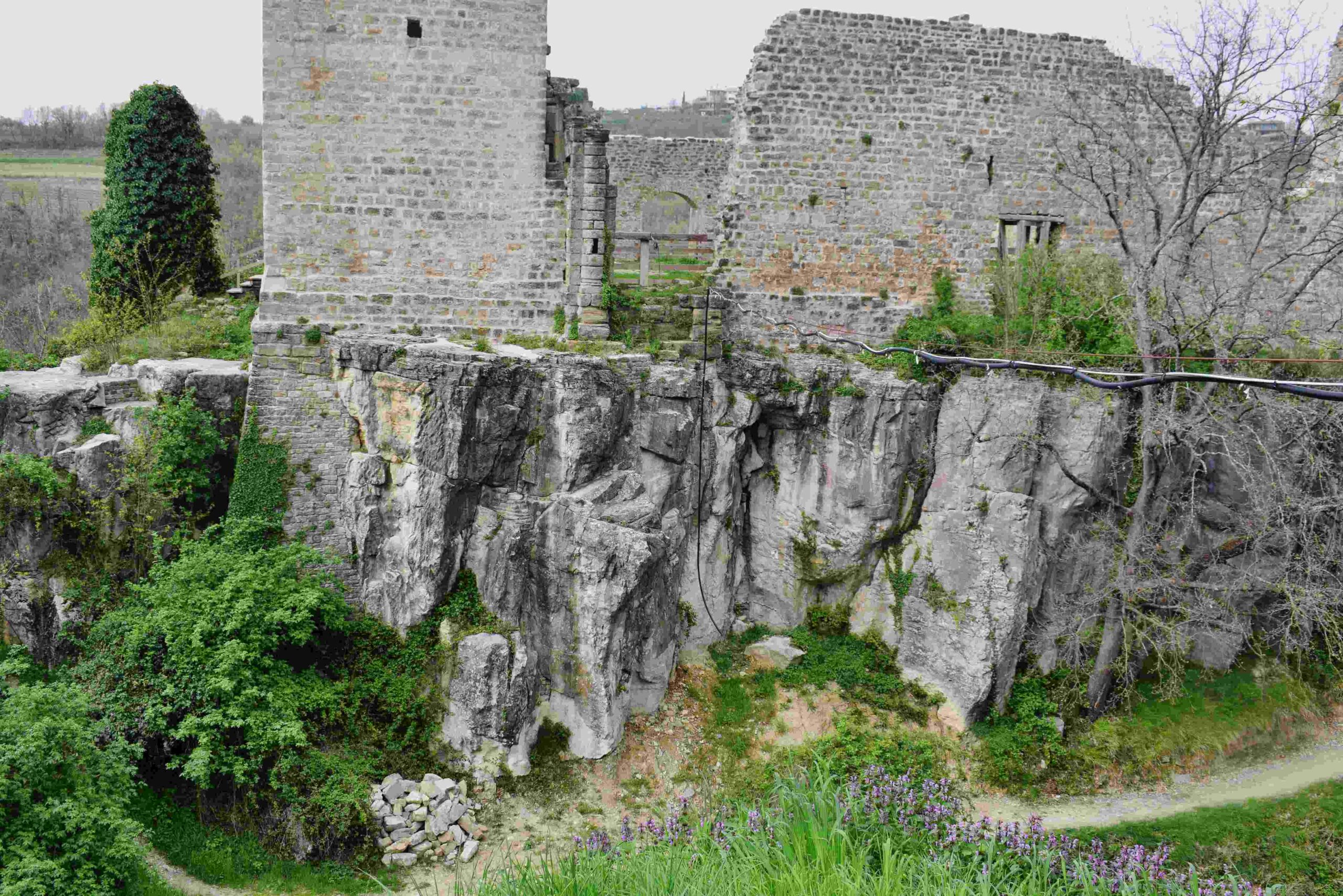
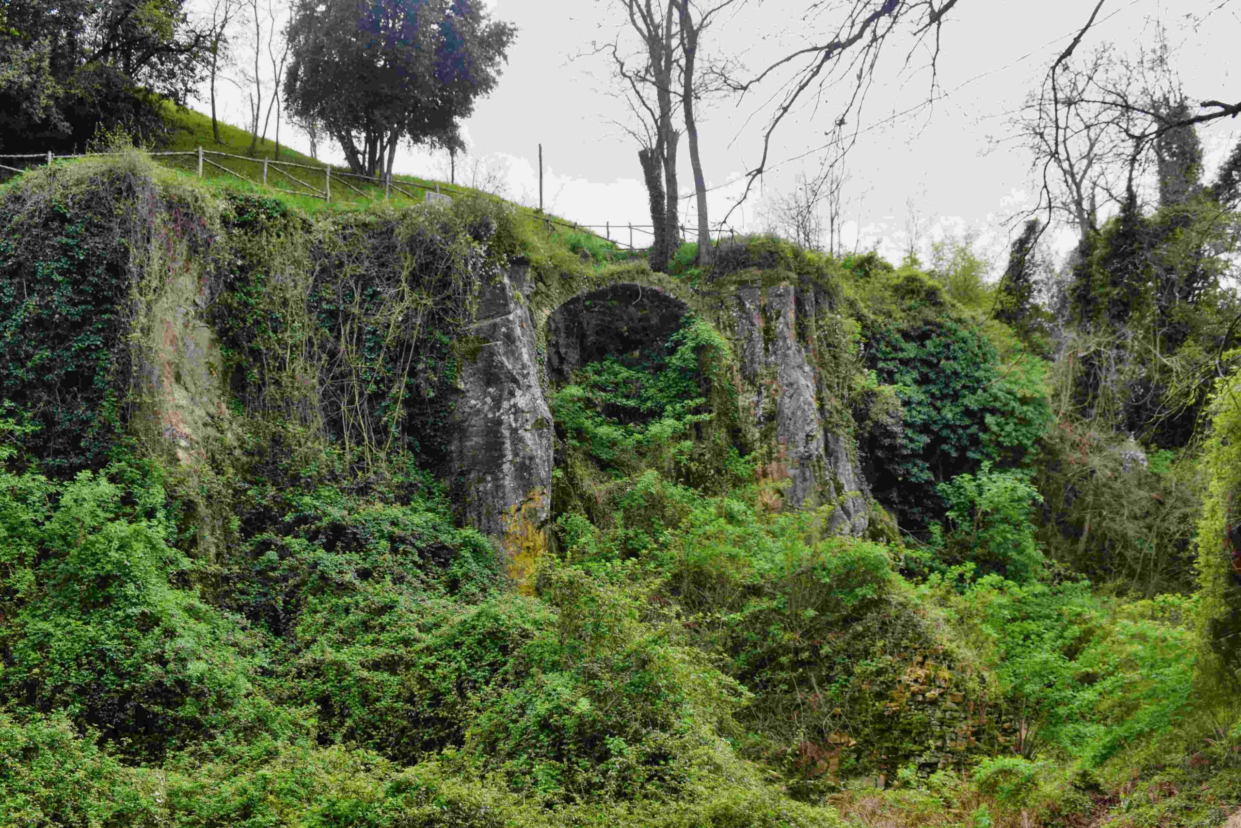
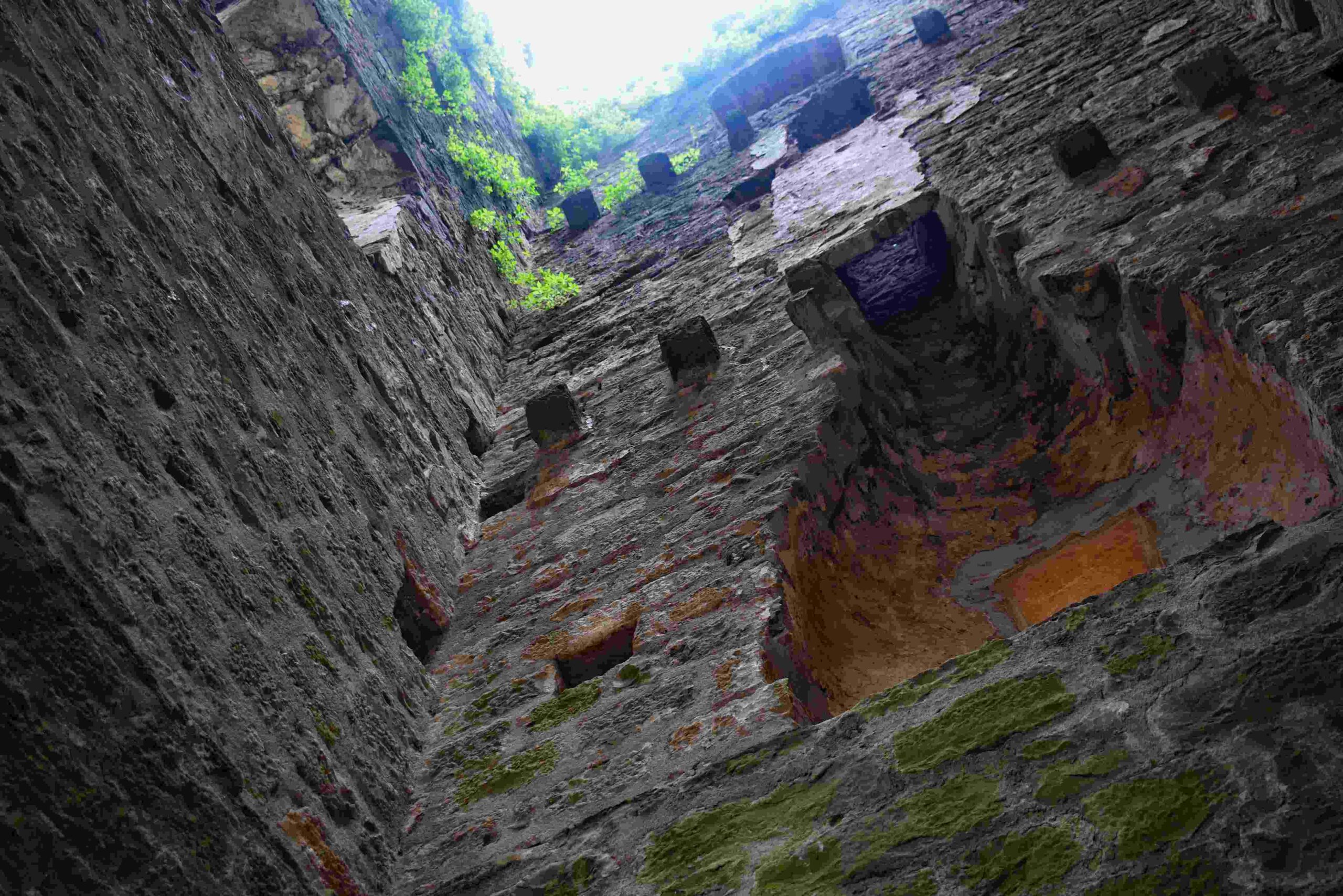
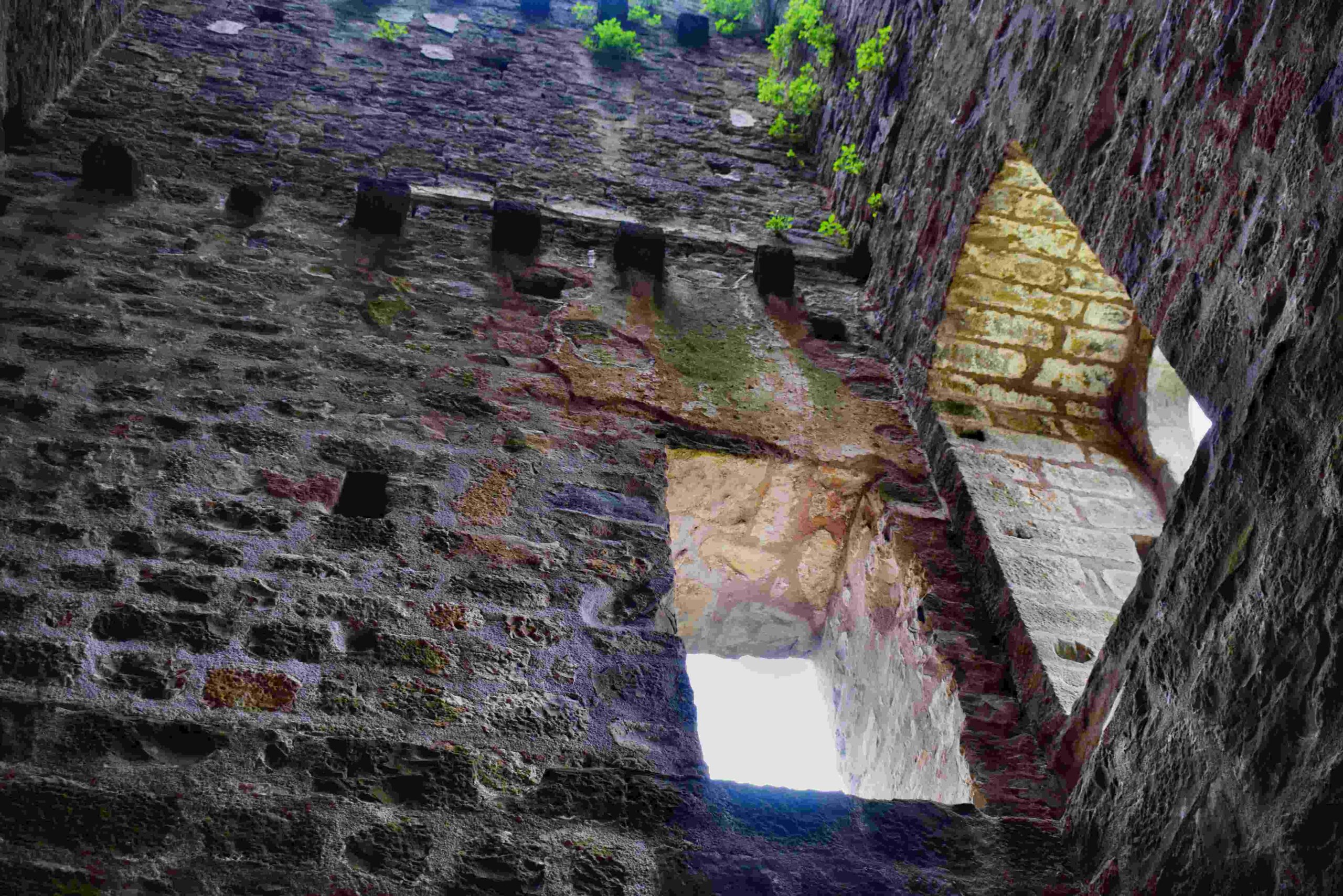
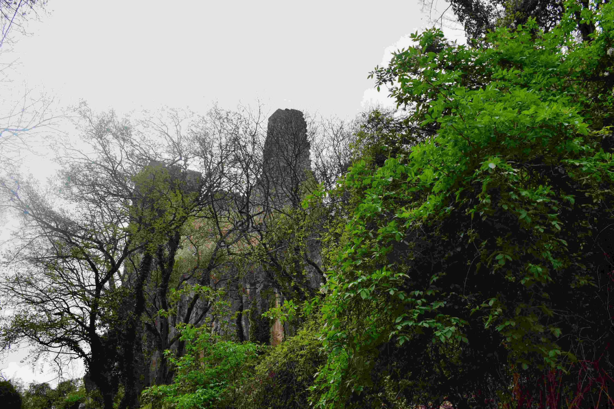
Name: Izvor and castle Momjan.
Place: Momjan – (Buje).
Coordinates: Izvor 45.44131 N – 13.71183 E, Castle 45. 44083 N – 13.70733 E.
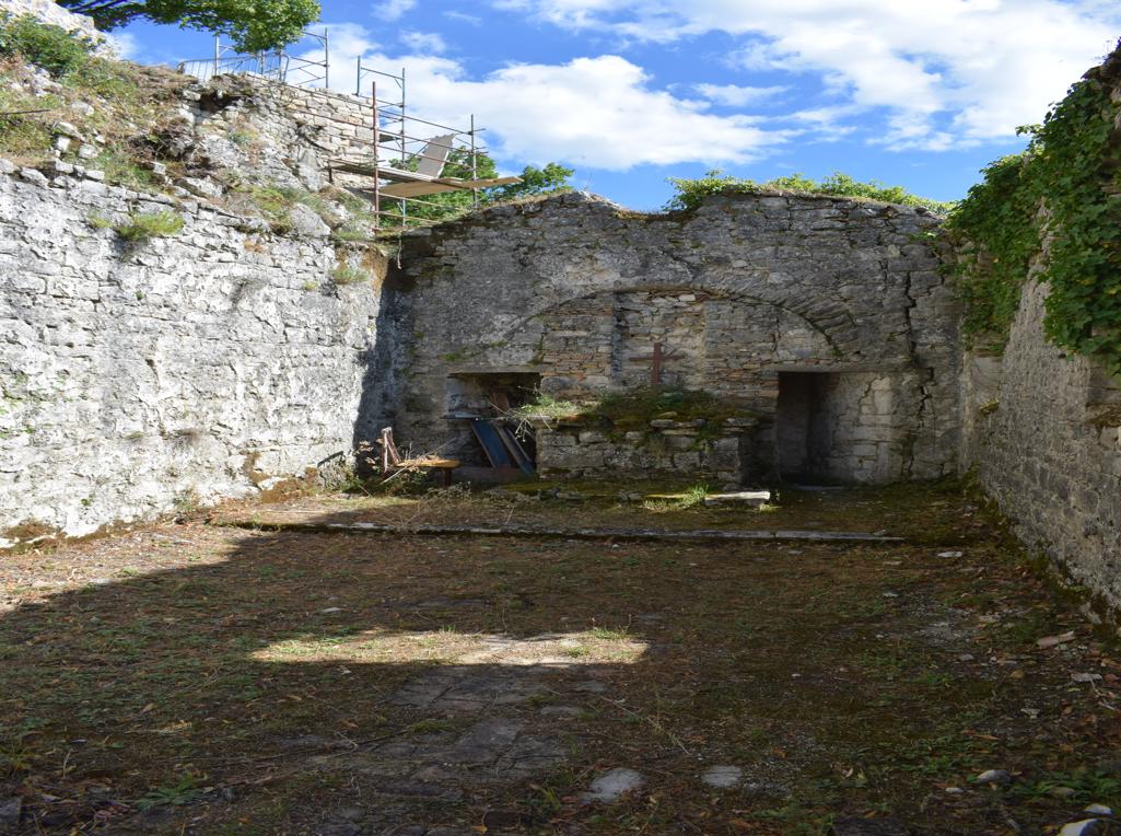
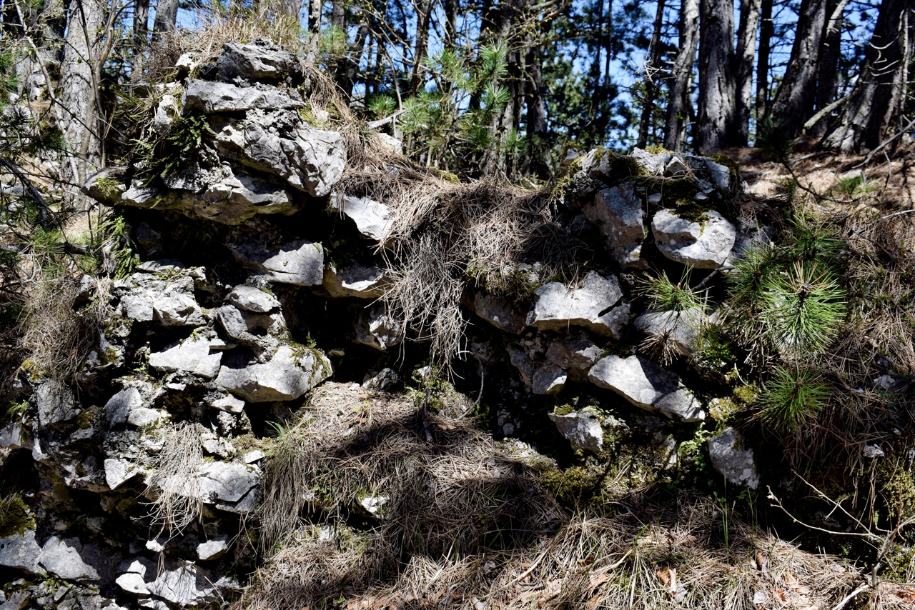
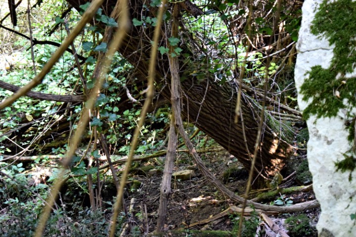
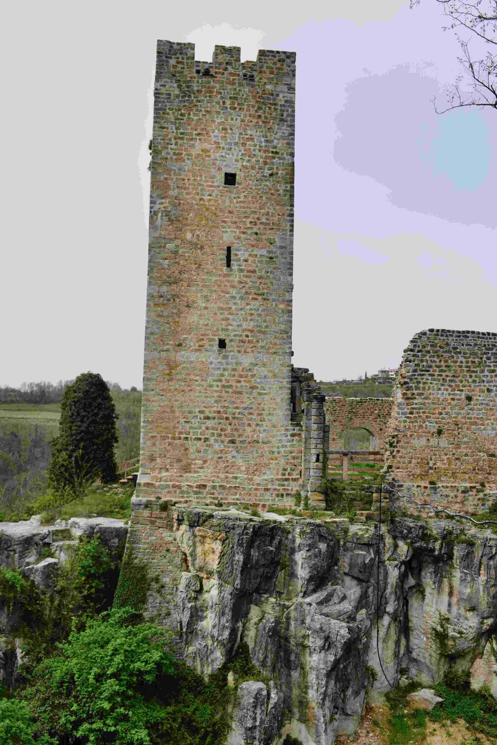
Momjan castle built by Wosalecus de Mimilianico.
Name: Izvor and castle Momjan.
Place: Momjan – (Buje).
Coordinates: Izvor 45.44131 N – 13.71183 E, Castle 45. 44083 N – 13.70733 E.

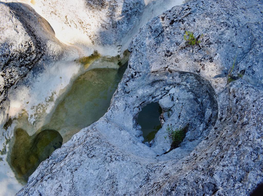
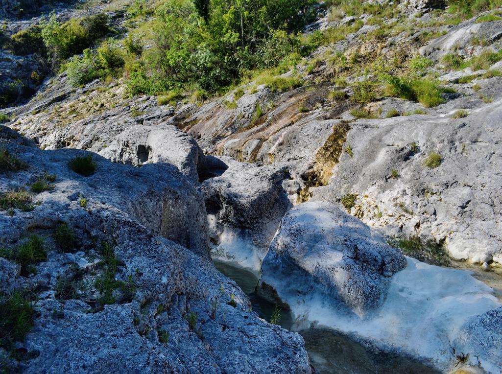
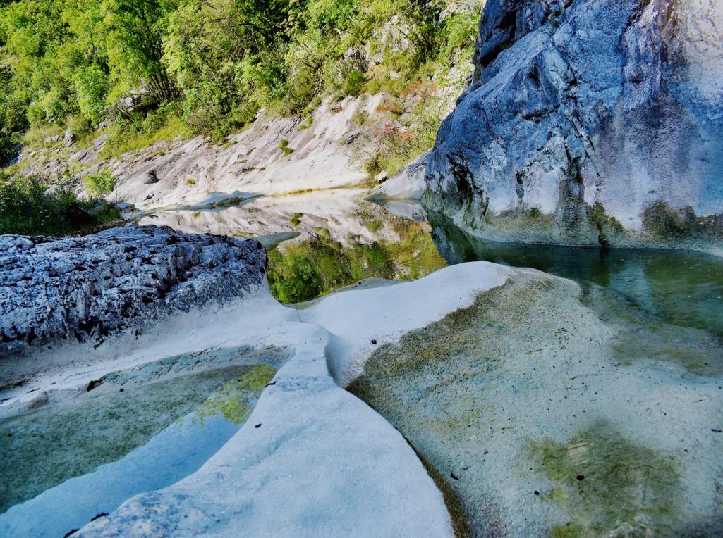
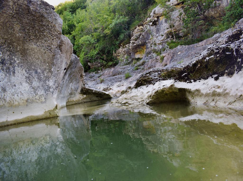
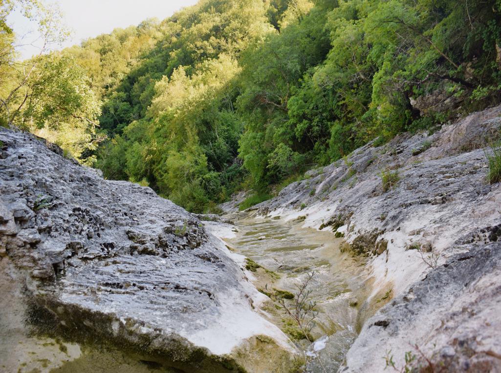
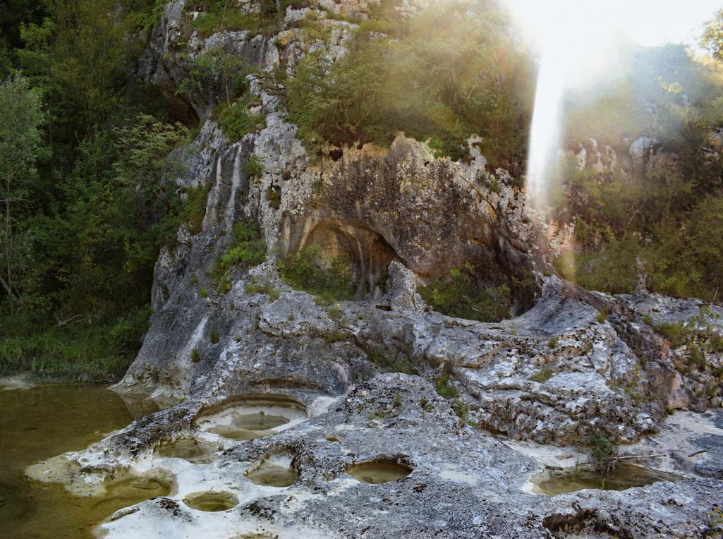
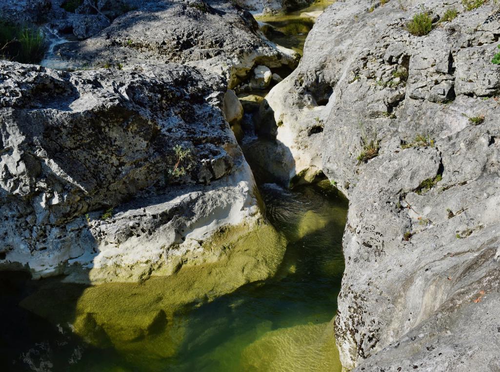
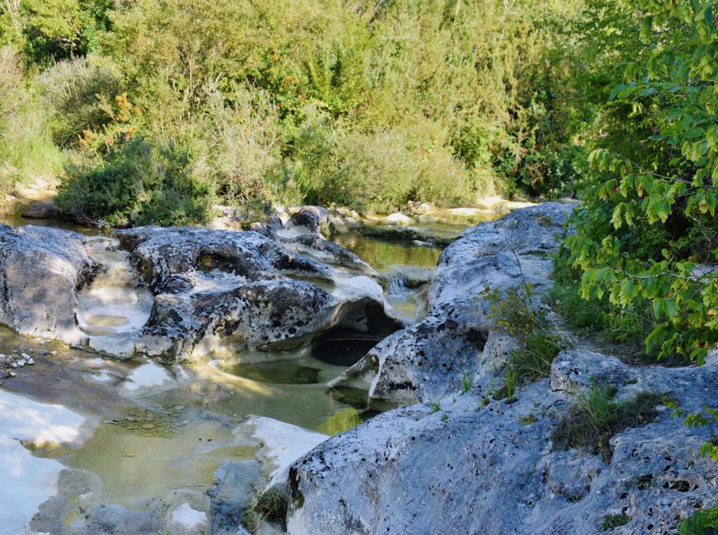
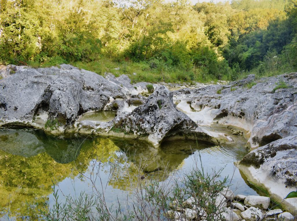
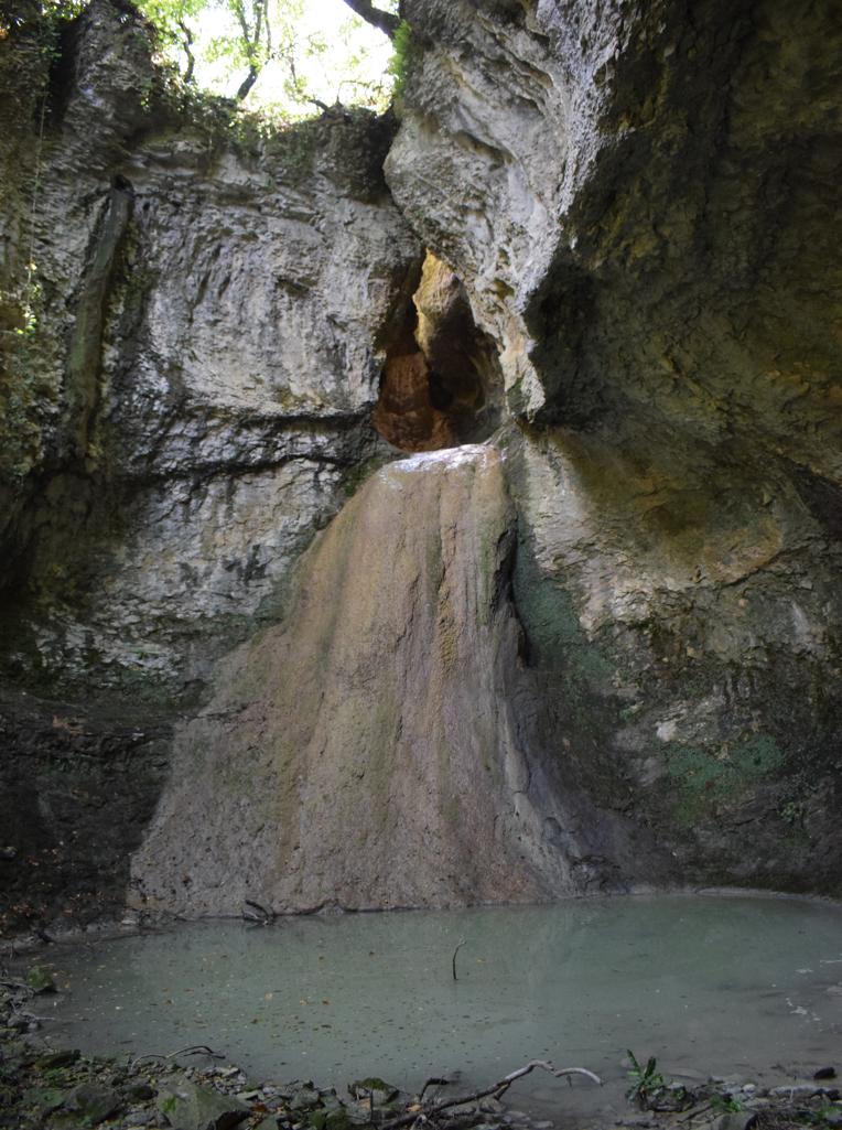
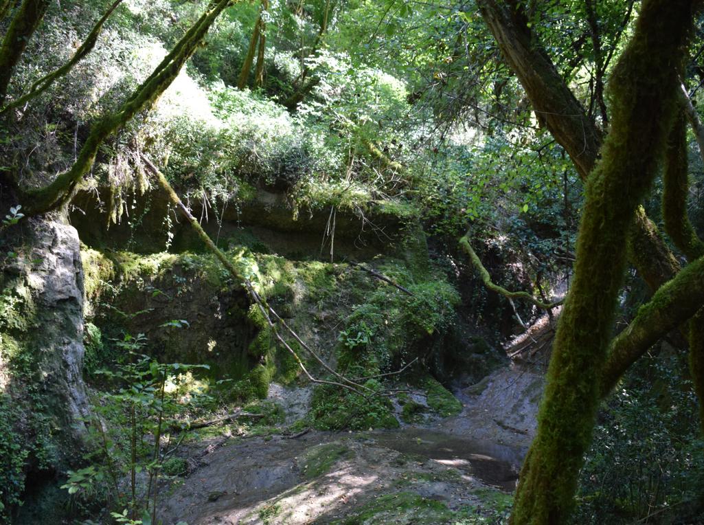
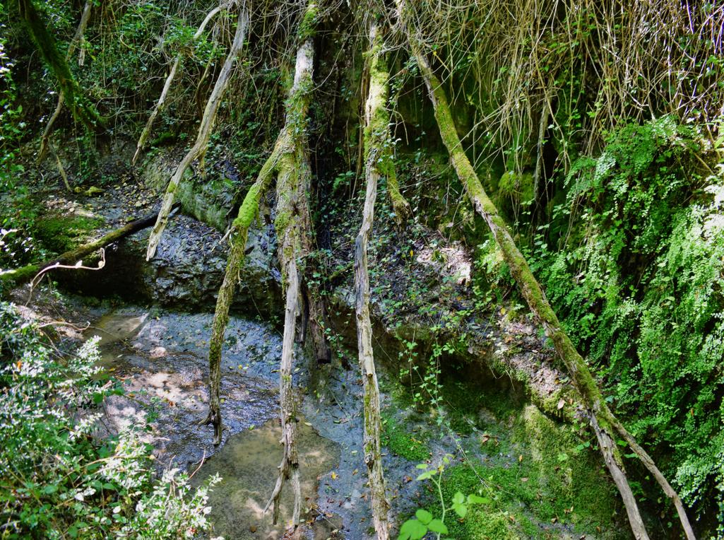
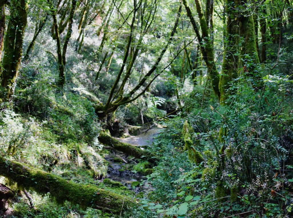
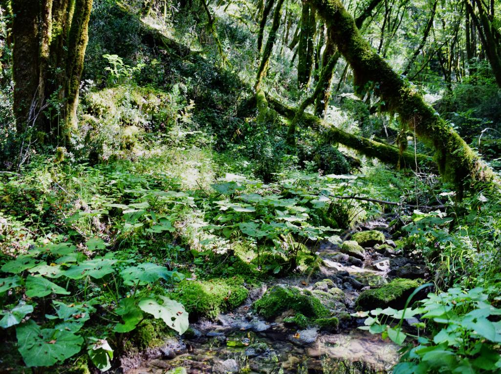
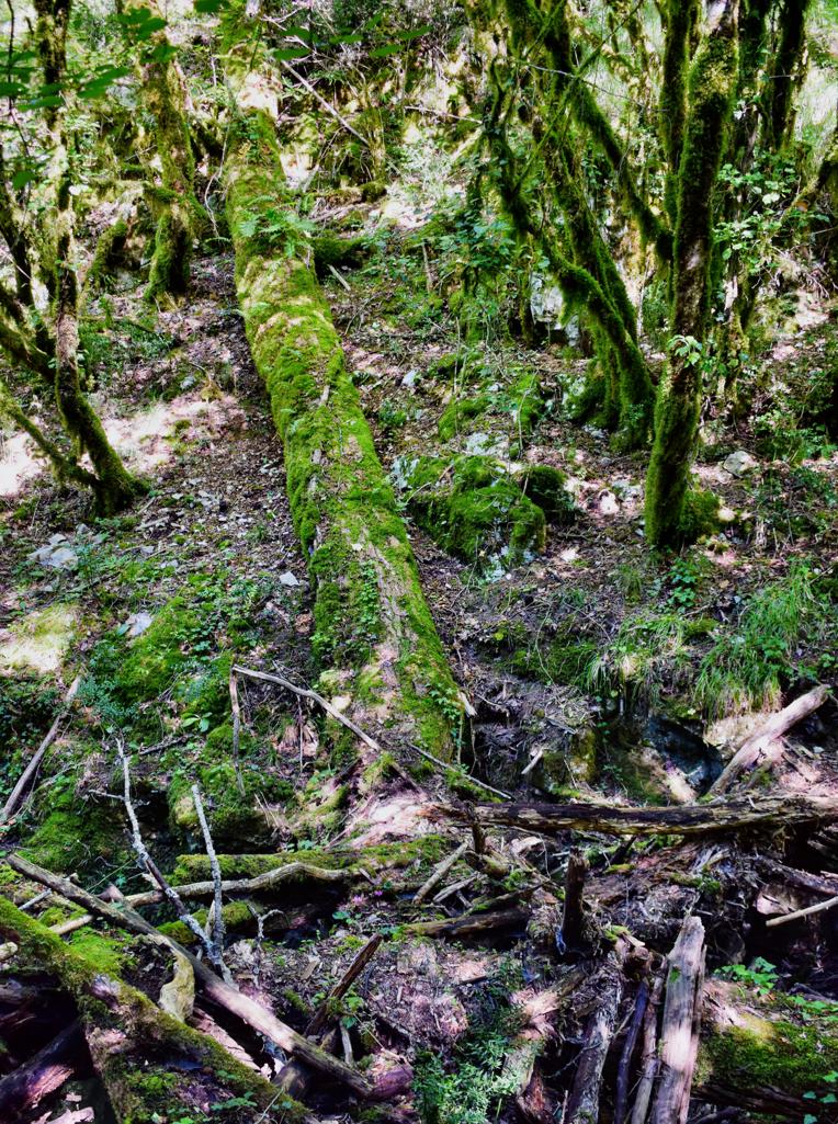
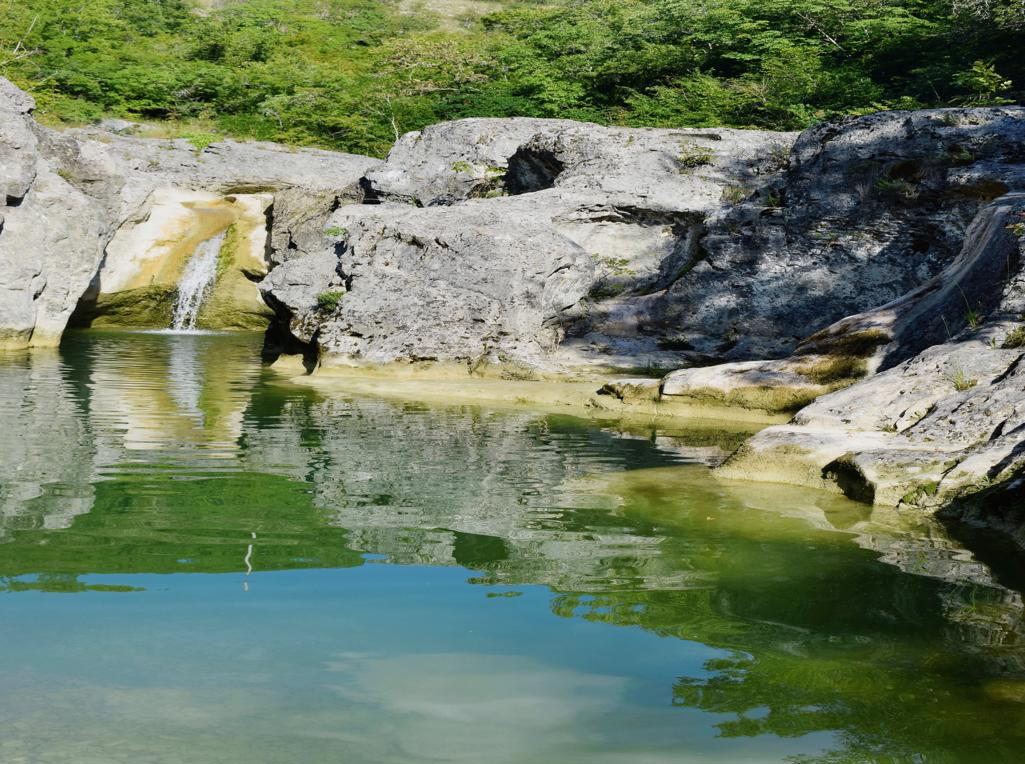
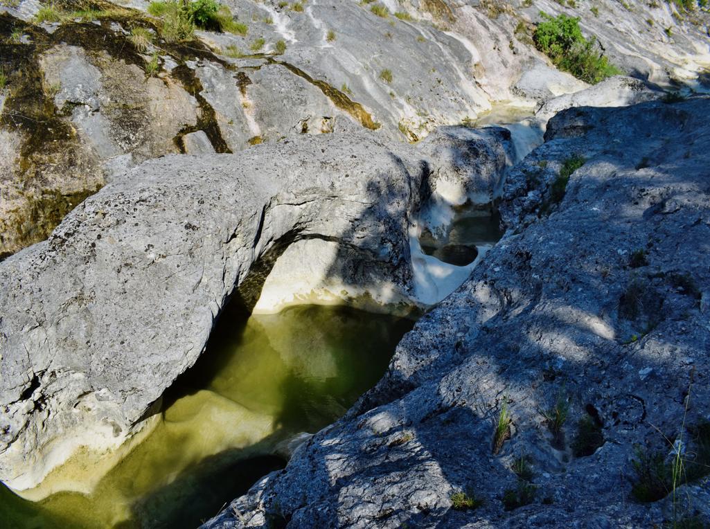
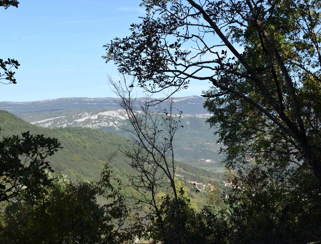
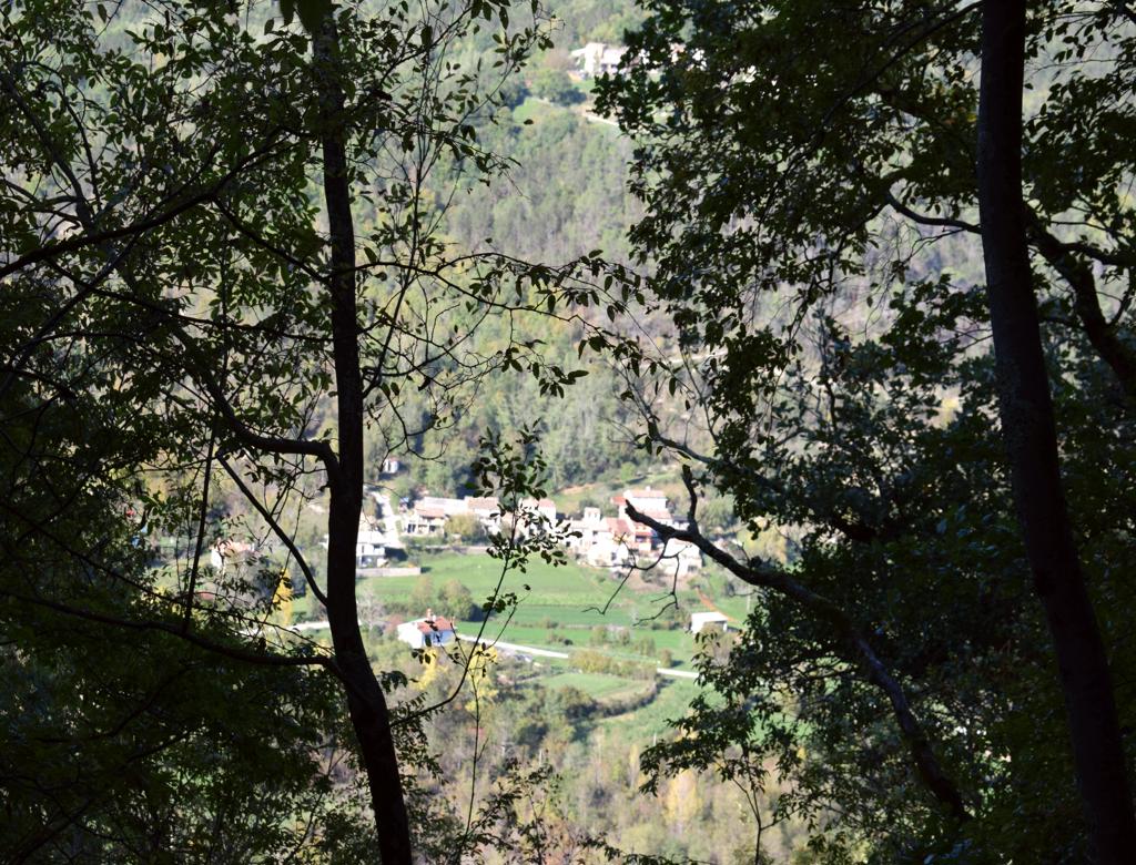
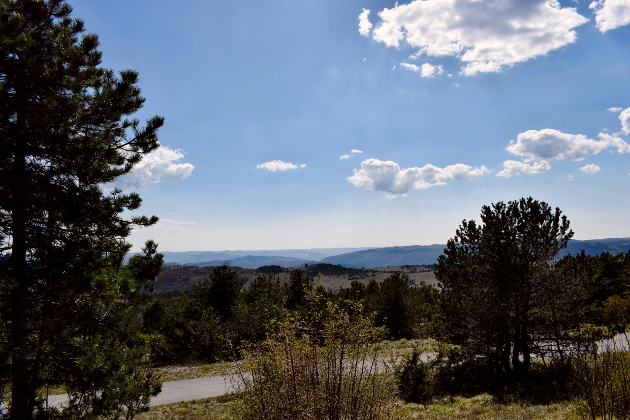
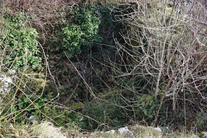
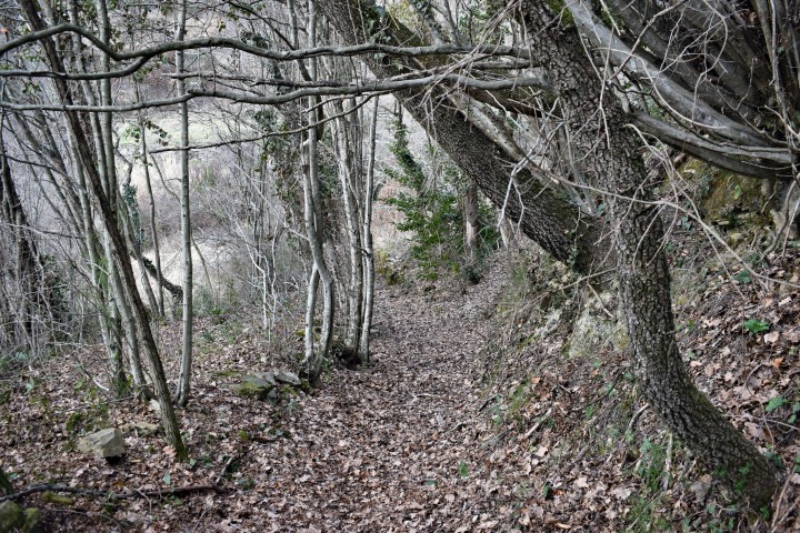
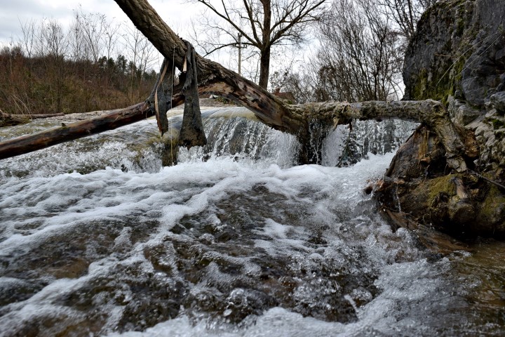
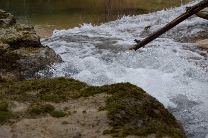
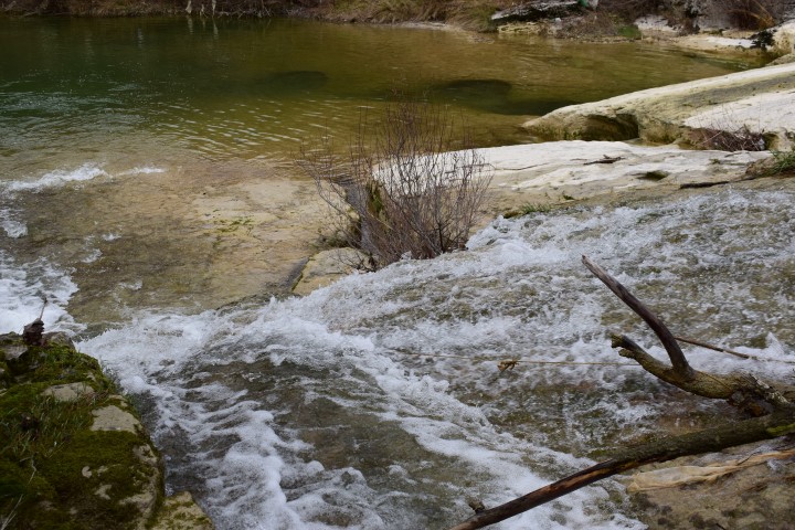
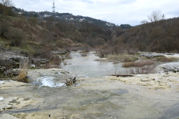
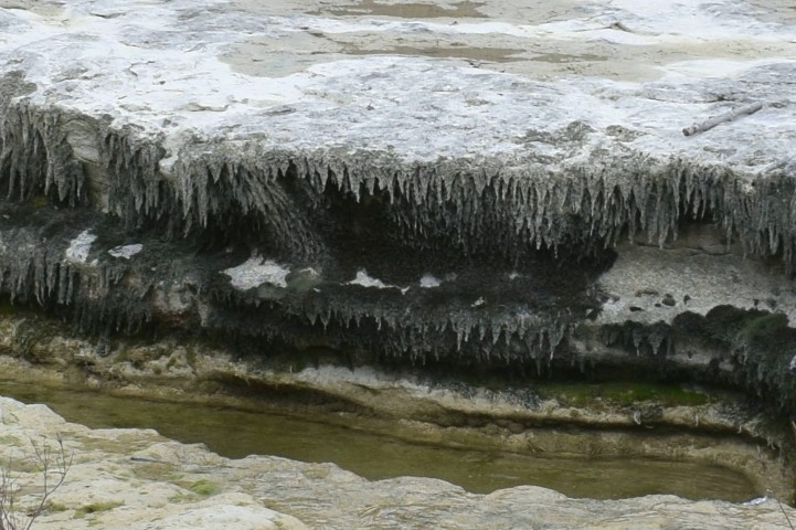
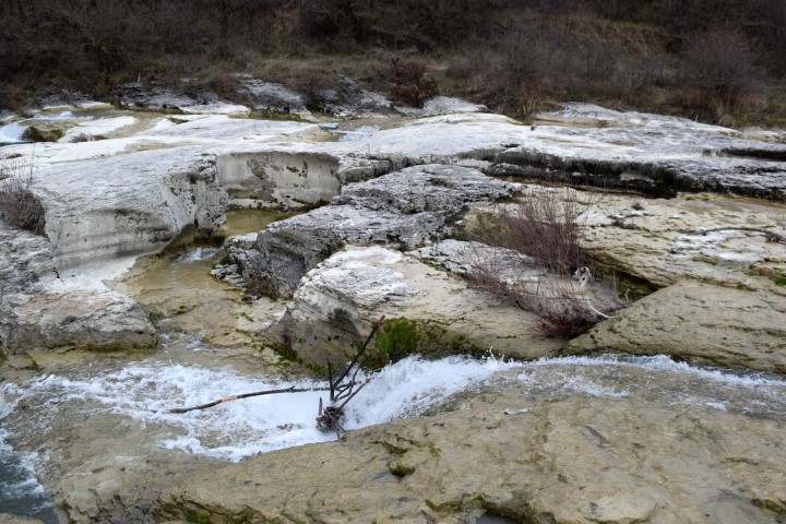
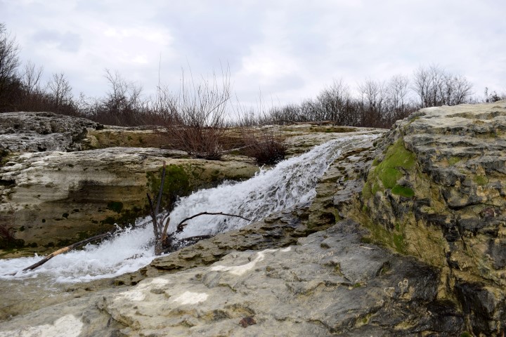
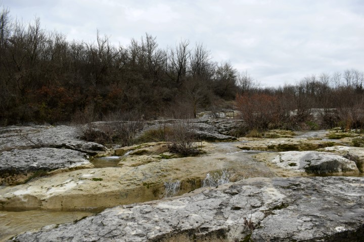
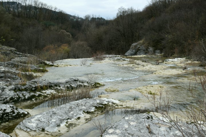
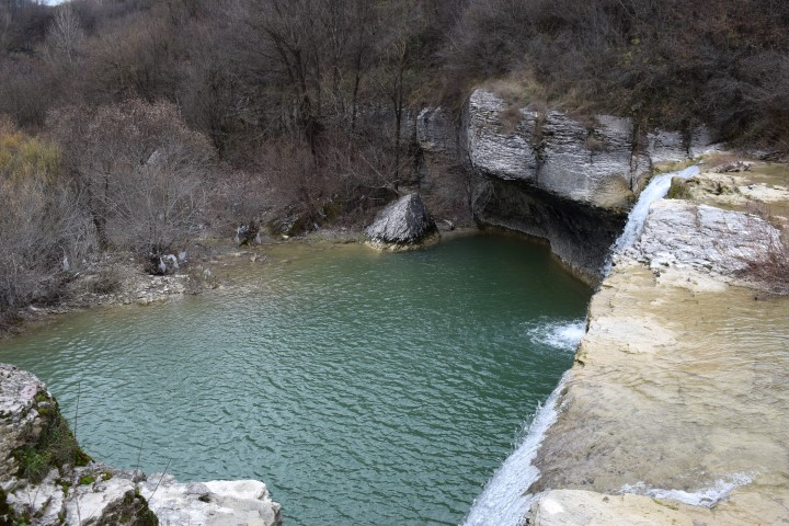
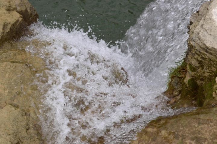
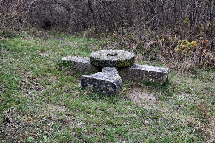
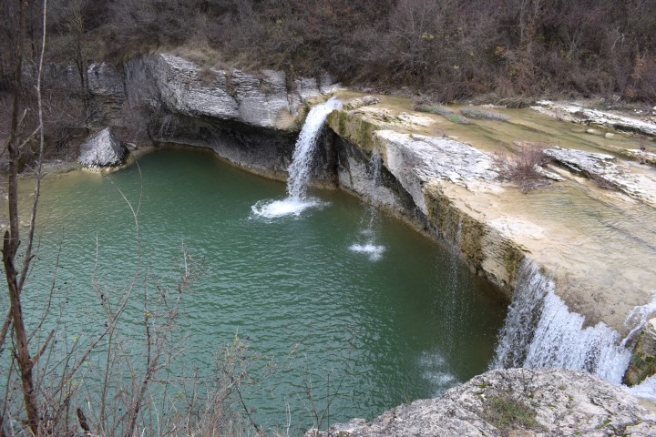
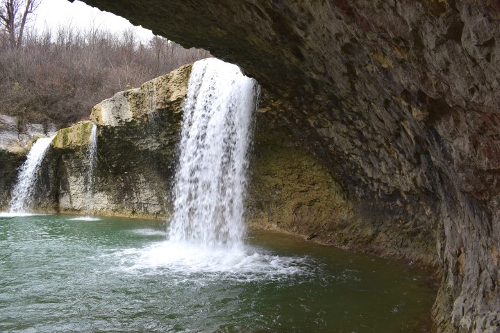
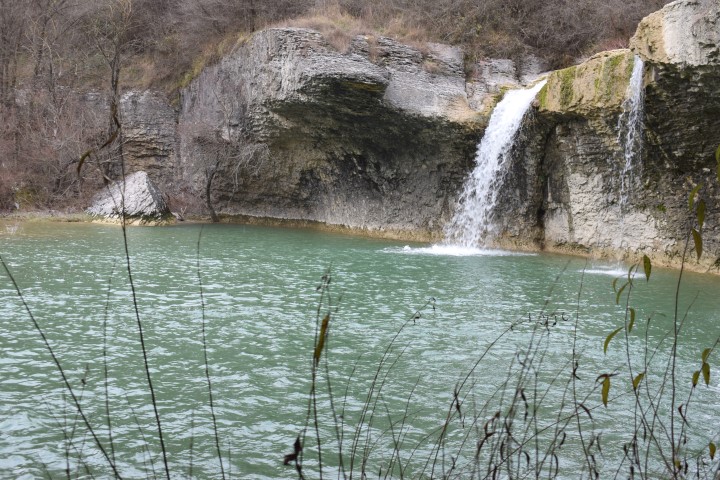
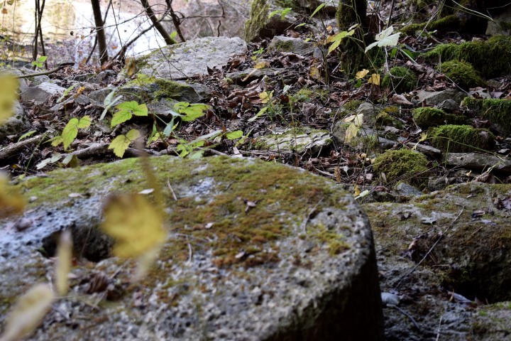
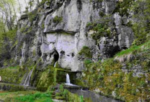
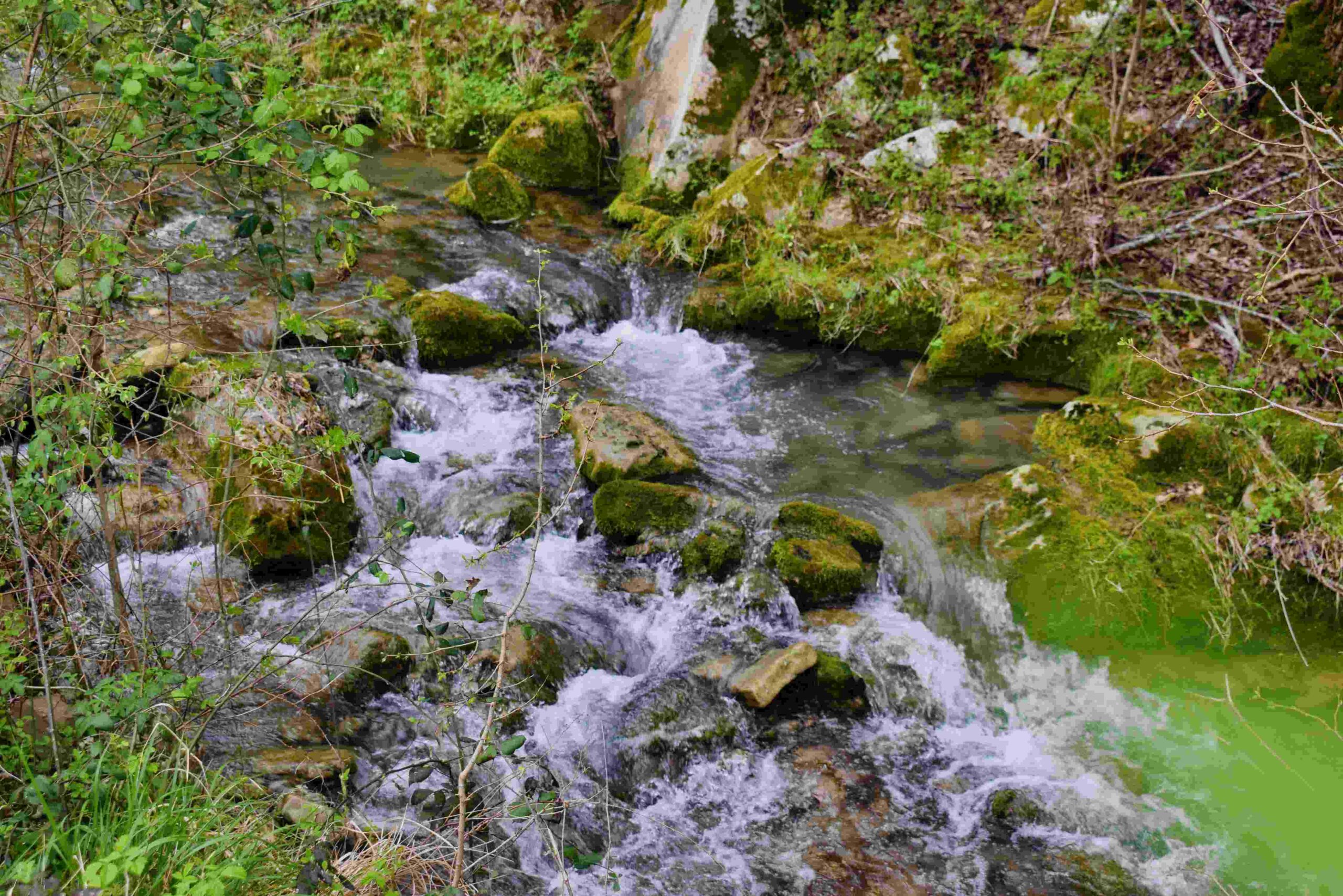
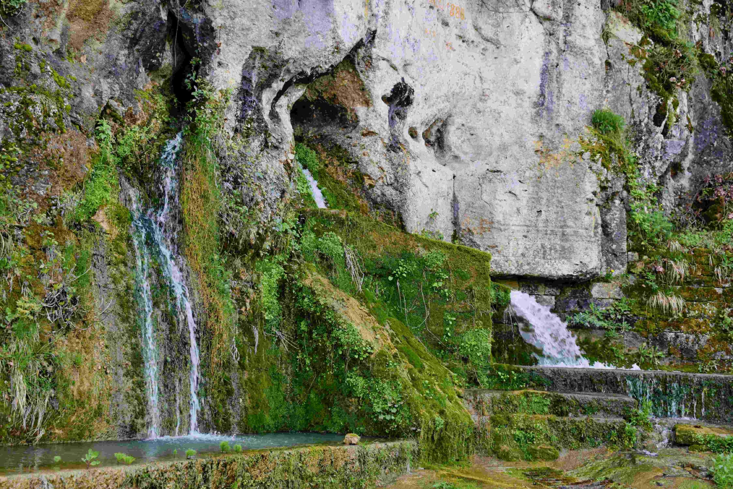
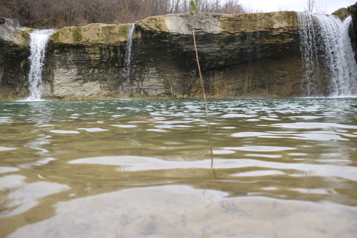
Name: Trail from the village Grdoselo, along the Grdoselski stream to Zelena Grad and the waterfall M. Slap.
Place: Grdoselo _ (pazin).
Coordinates: Start 45.27960N – 13.93997 E, Waterfall Grdoselo 45.27936 N – 13.93960 E, Watersource Malenice 45.28285 N – 13.94031 E, Waterfall Crni Puć 45.29195 N – 13.94636 E, Mali Slap 45.29195 N – 13.94636 E.
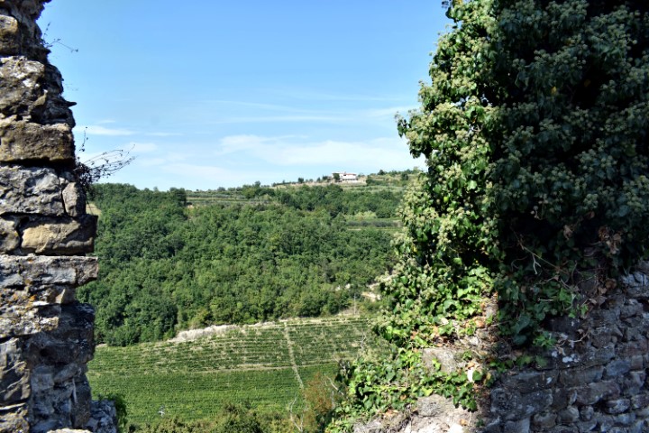
Views to the castle Petra Peloza and the villages Opatija, Zonti and Kastelani.
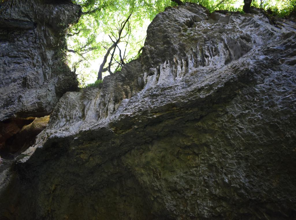
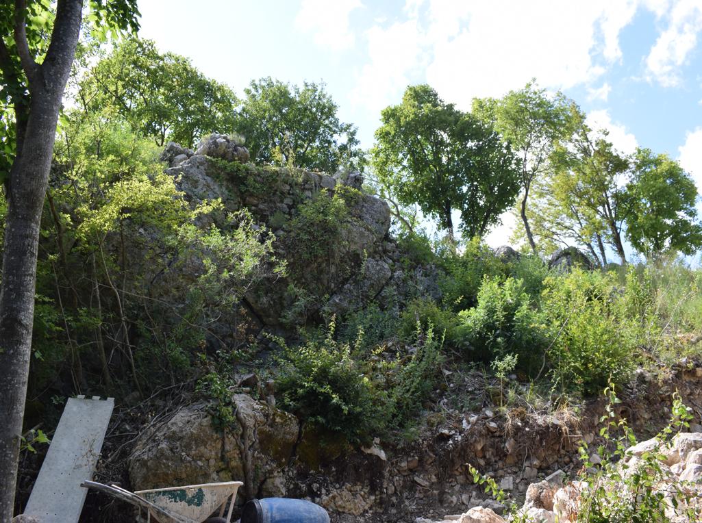
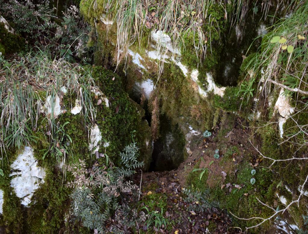
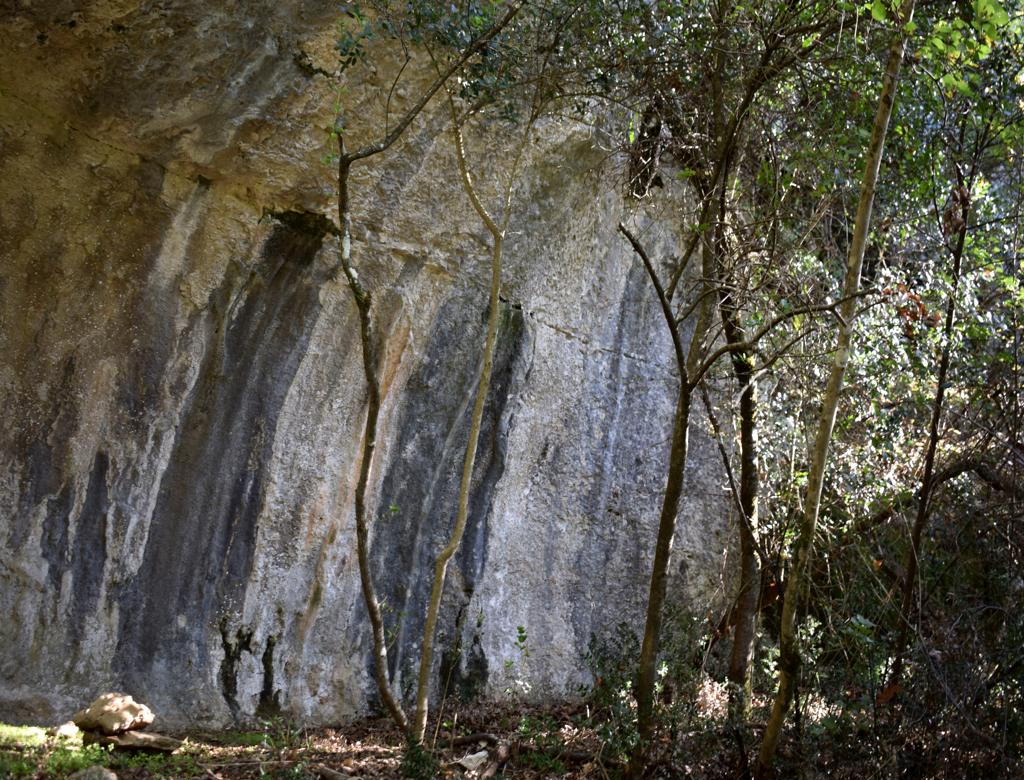
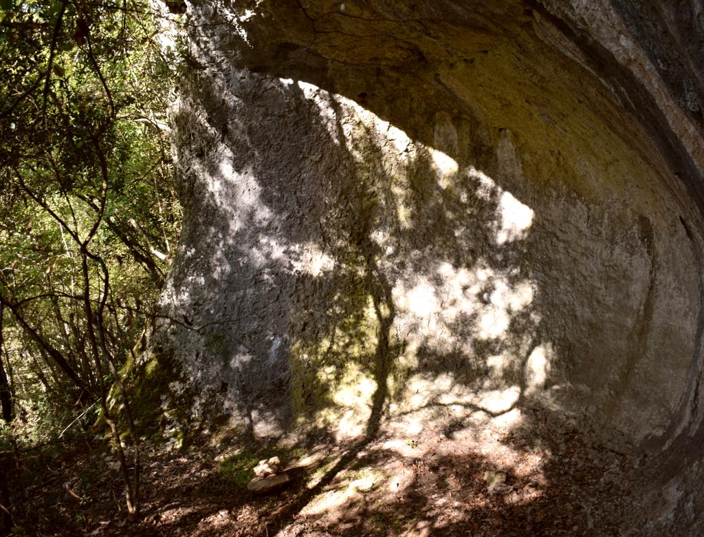
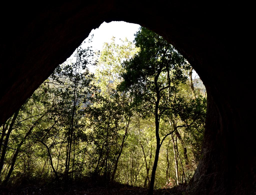
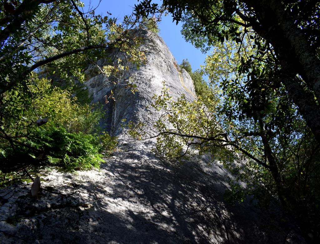
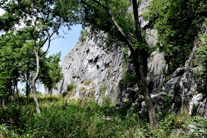
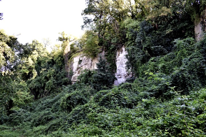
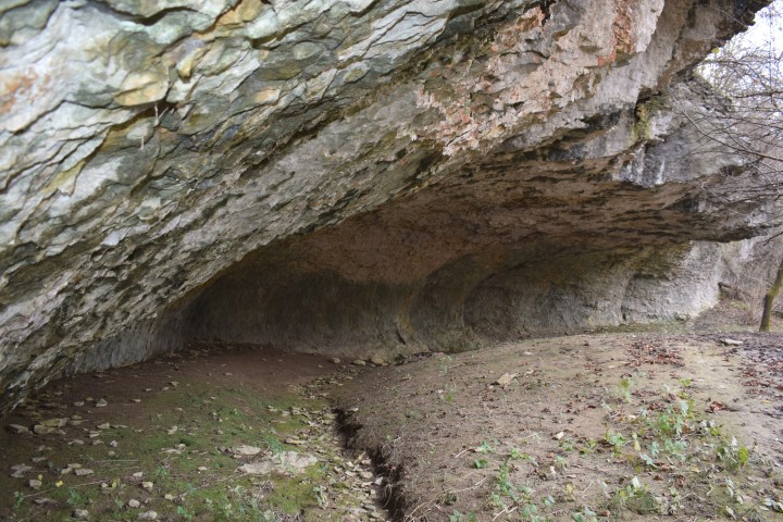
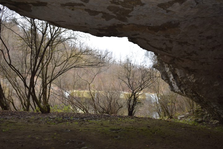
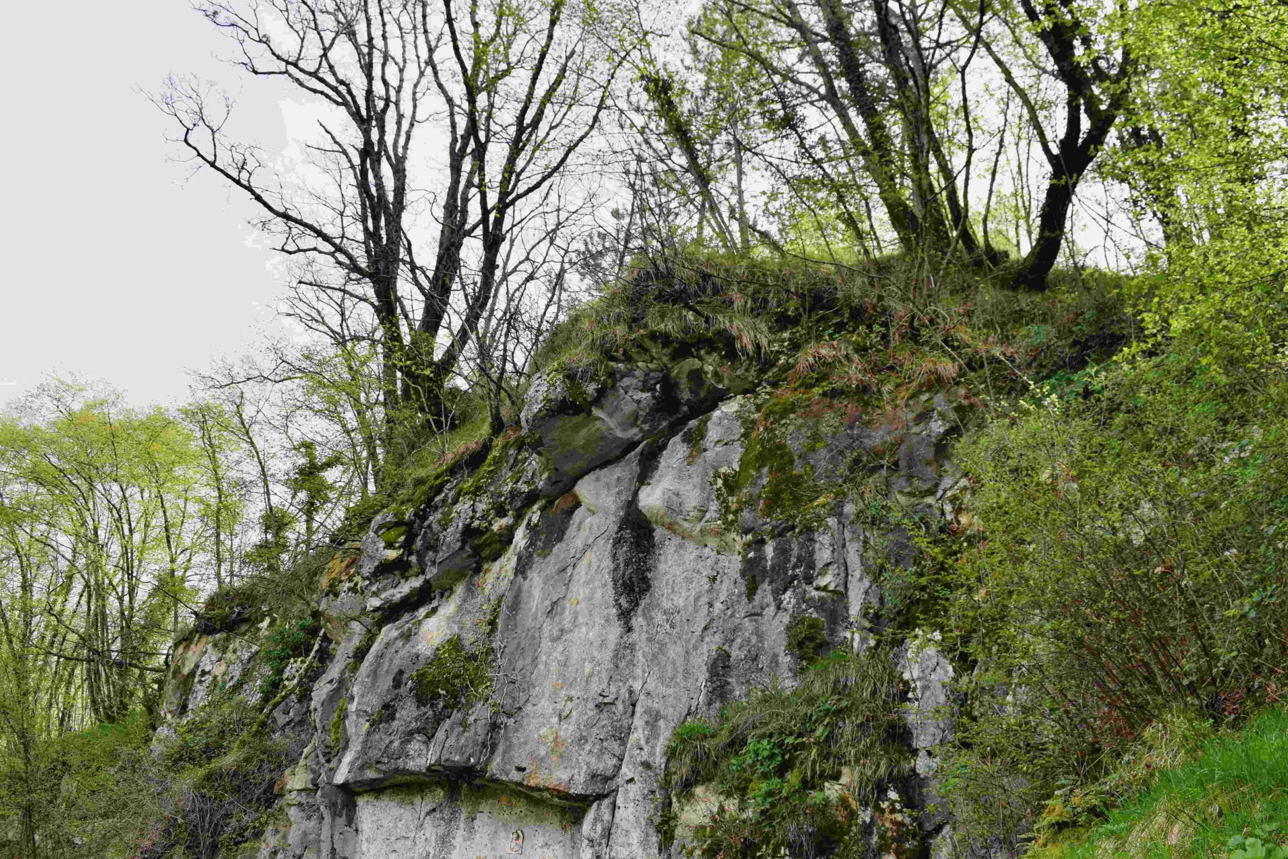
Name: Hiking trail from Mali Mlun to a small and big cave on the hill Zelena trava.
Place: Mali Mlun – (Buzet).
Coordinates: Start Mali Mlun 45.40112 N – 13.90691 E, mali cave 45.40493 N -13.90473 E, big cave 45.40419 N – 13.90436 E.
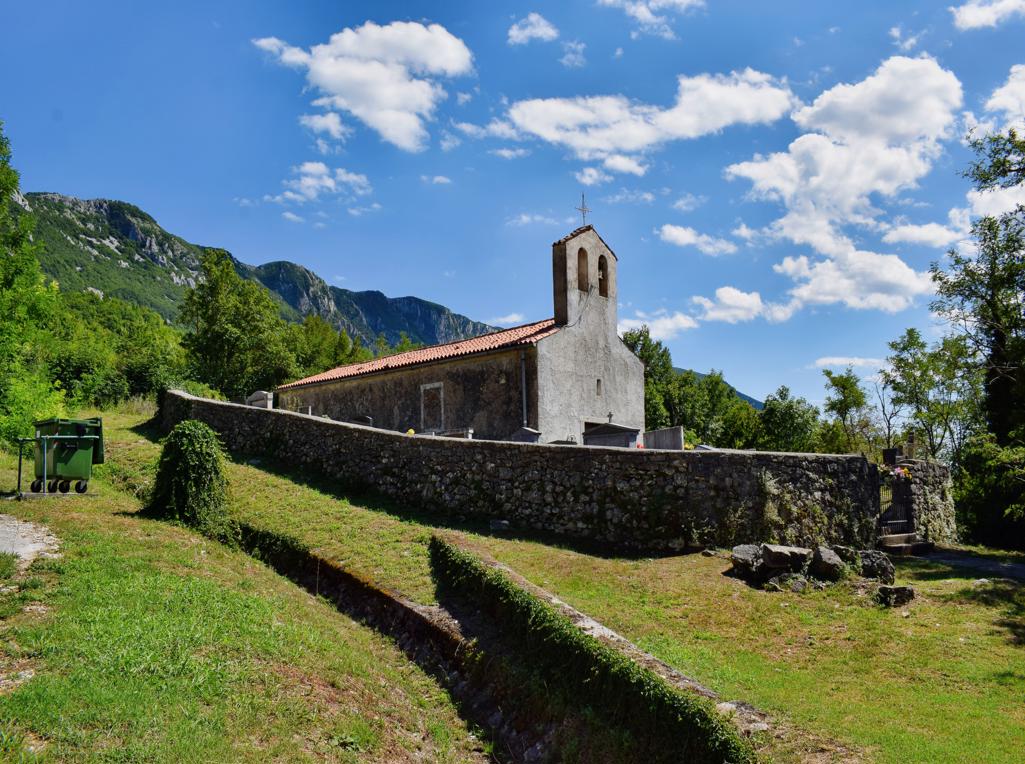
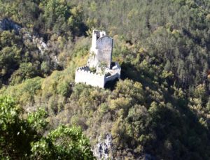
The castle is built on a steep cliff on a southern slope of the Učka Mountains. From written sources it appears that the castle already existed in 1102 and was then called Losilach or Giosilach and later Wachsenstein. Inhabited by Counts of Gorizia, Venetians, the Patriarch of Aquiliea and by Austria. The name of the Romanesque church is St. Hadrianus.
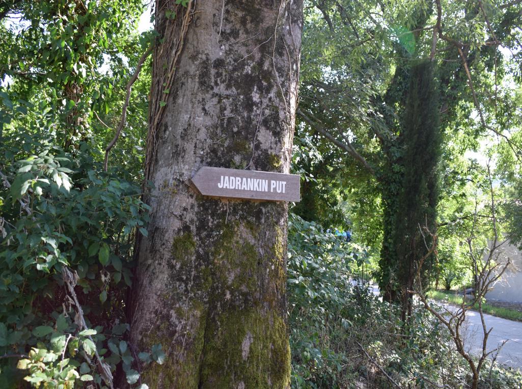
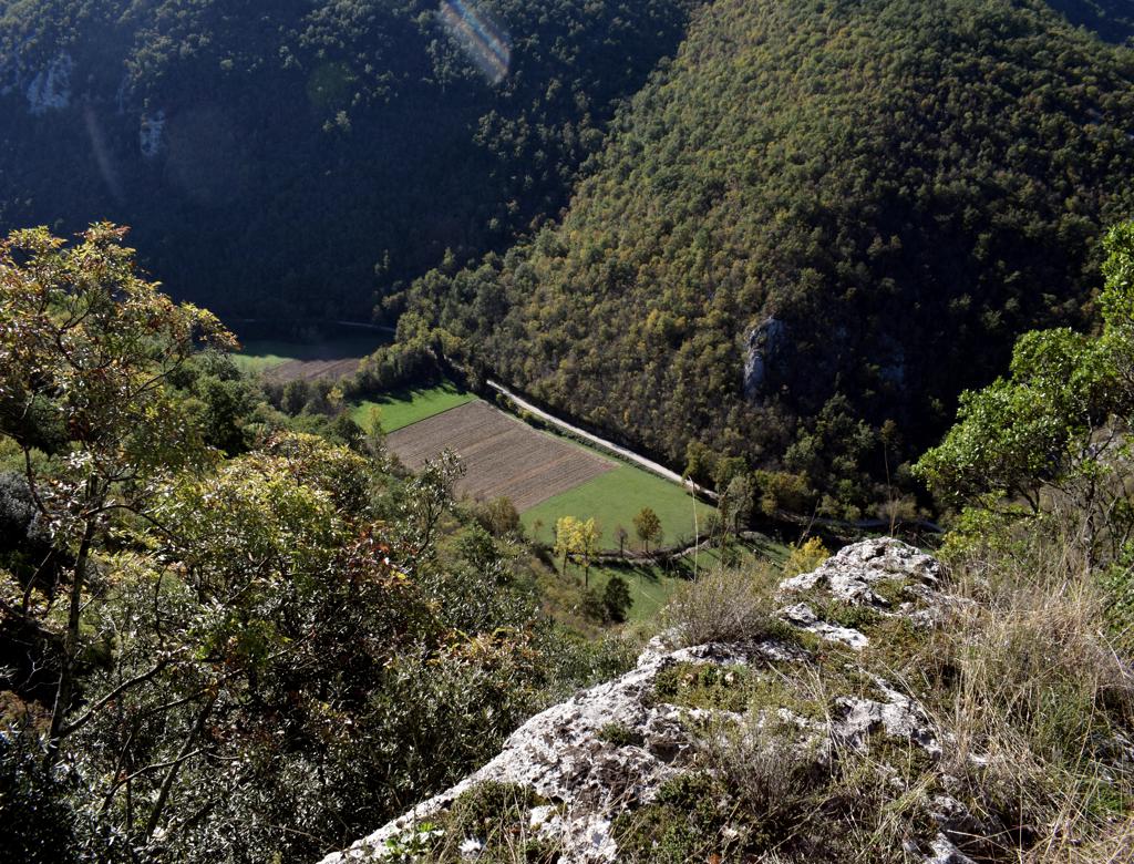
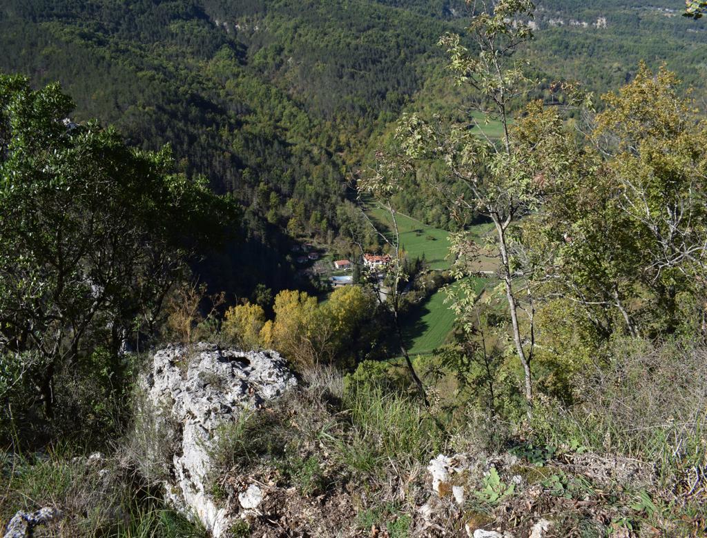
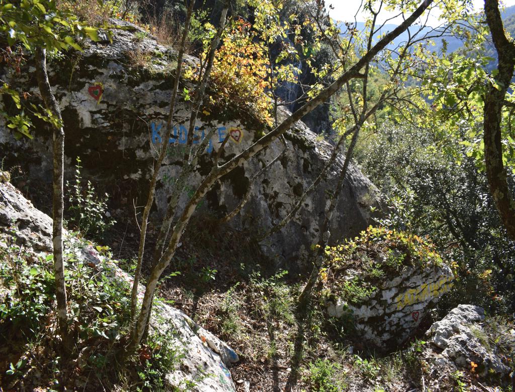
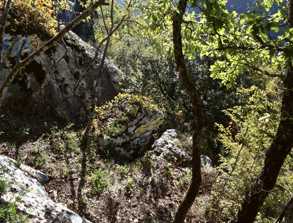
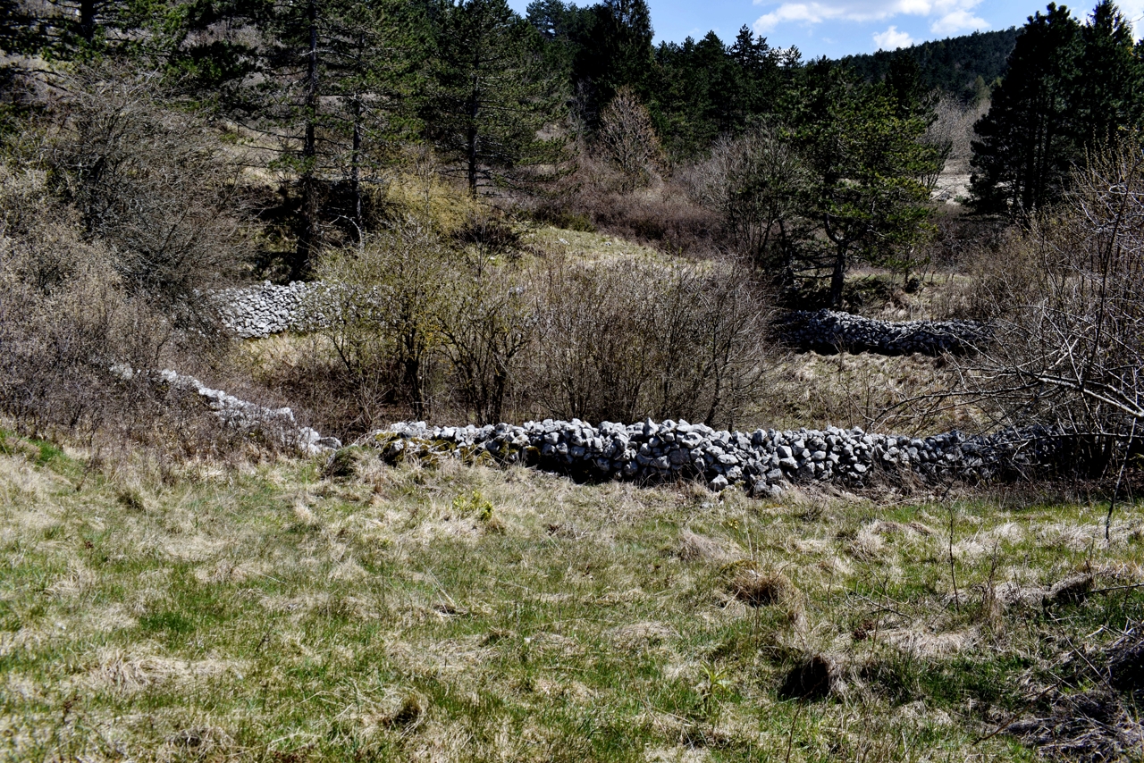
Name: Hiking trail from the village Bačvari through the “Jadrankin put” to the Kožljak castle.
Place: Kožljak – (Kršan).
Coordinates: Bačvari 45.18767 N -14.18471 E, Kožljak castle 45.19469 N – 14.19221 E.
Archaeological research started here in 2021.
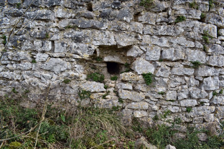
The name of the church in Rašpor is the St. Helena.
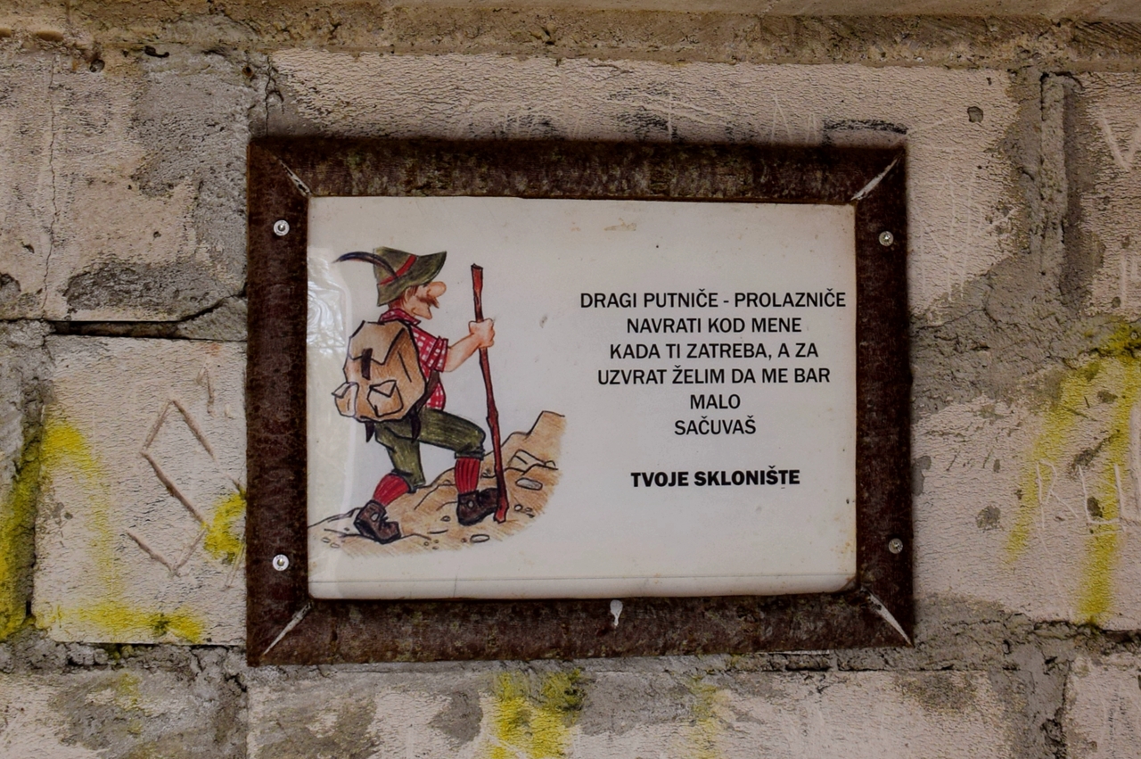
See also the former post 2018-08-02.
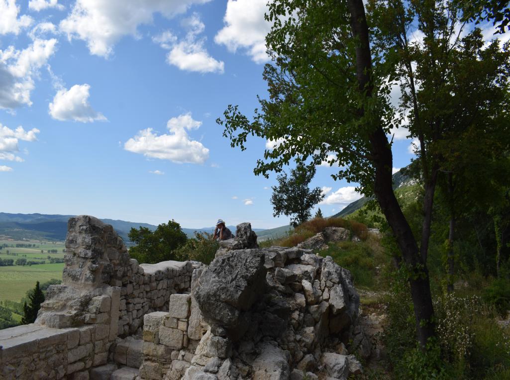
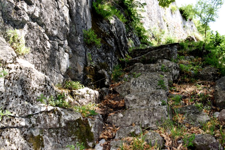
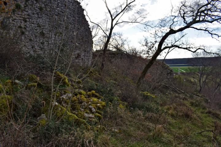
Name: Trail Rašpor to Rašpor castle.
Place: Rašpor – (Lanišće).
Coordinates: Start Rašpor 45.39165 N – 14.10546 E, Rašpor castle 45.4437 N -14.08107 E.
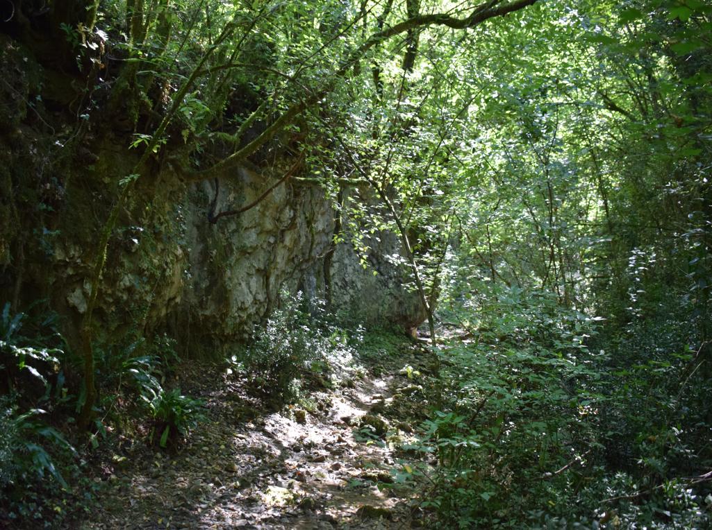
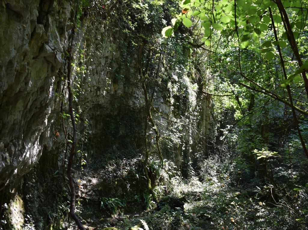
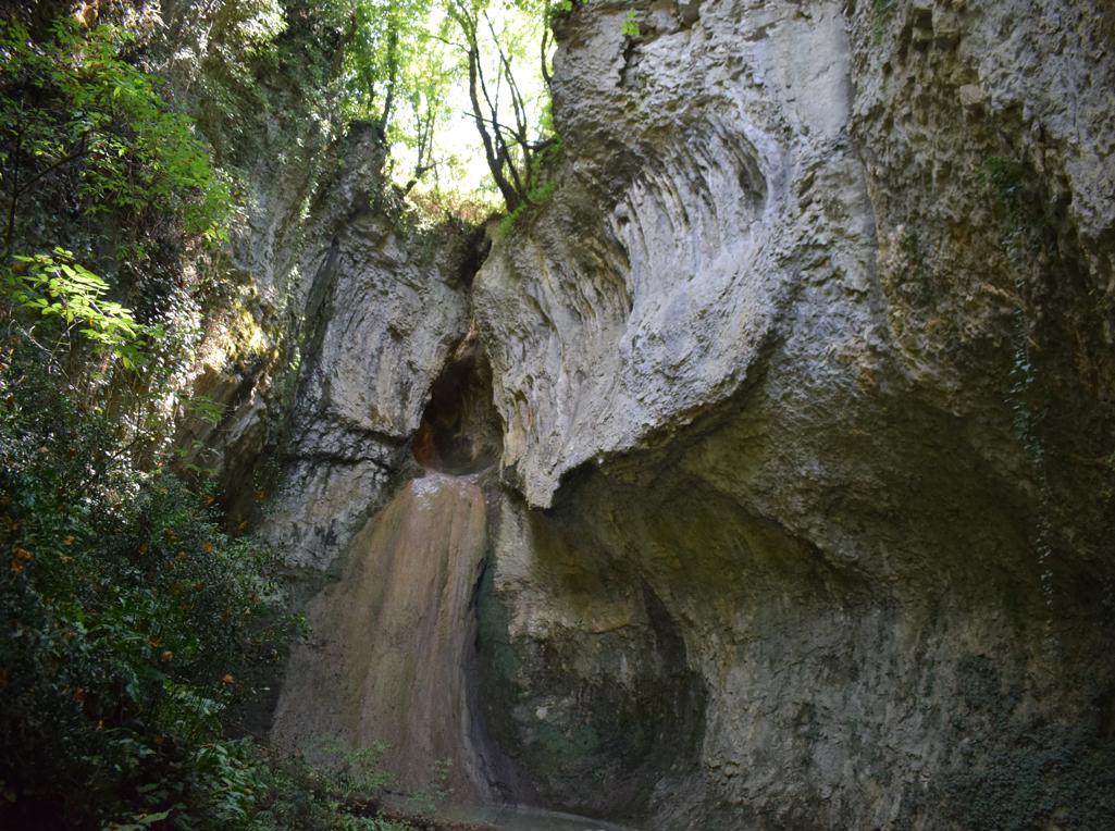
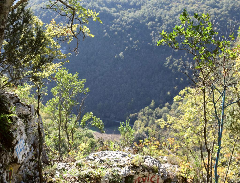
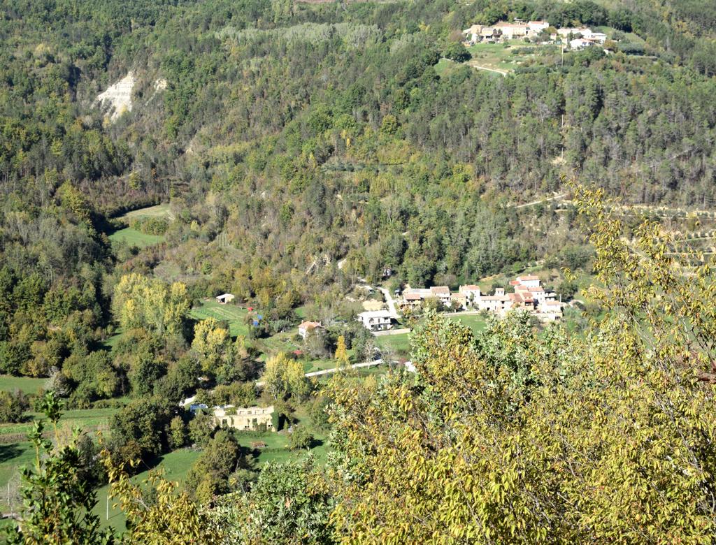
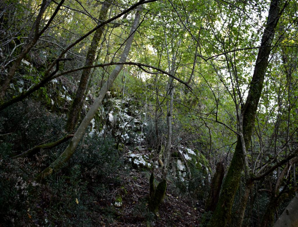
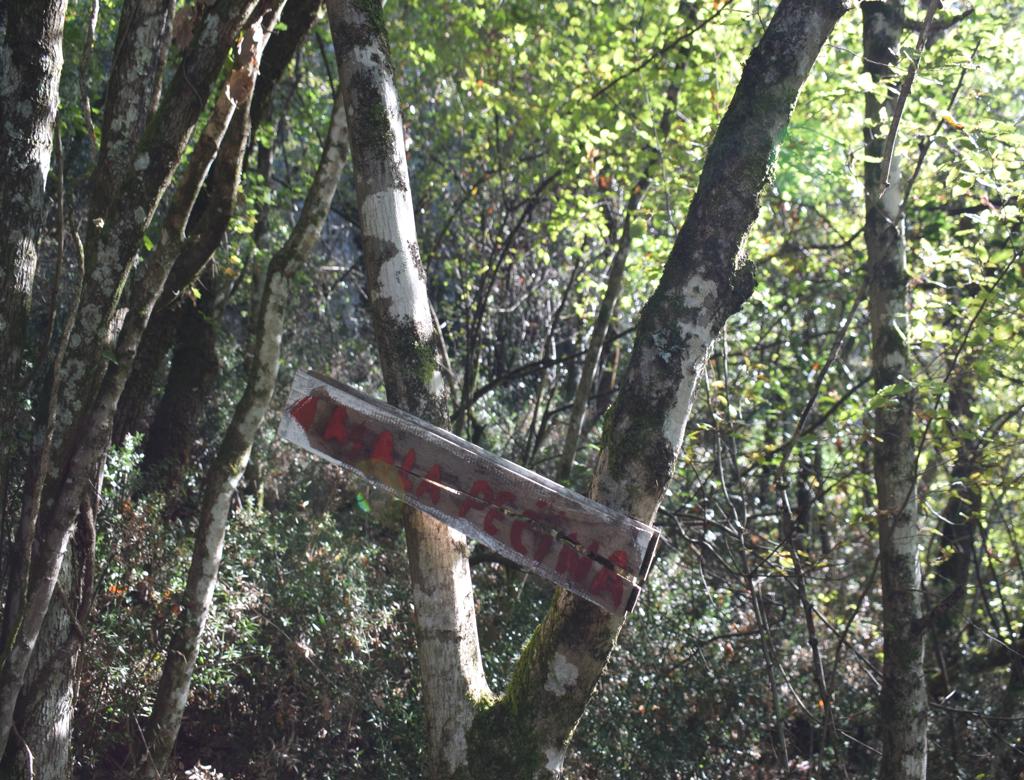
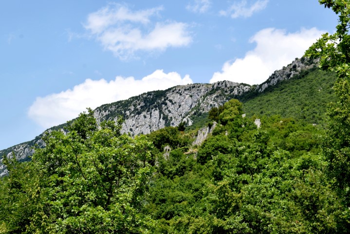
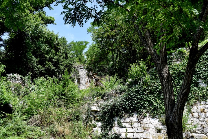
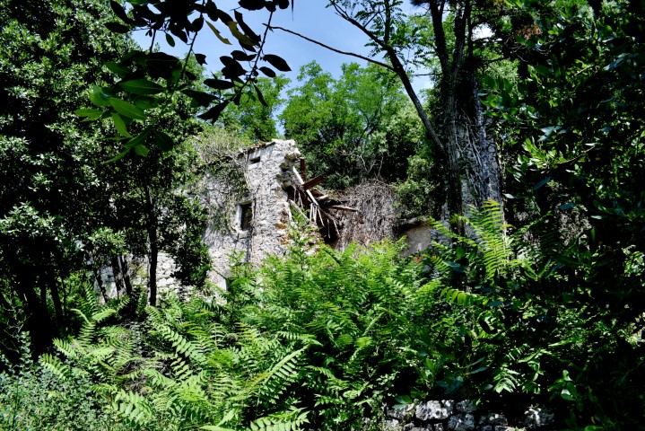
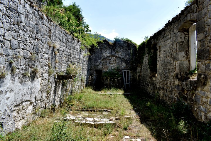
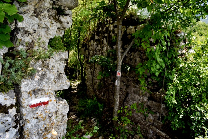
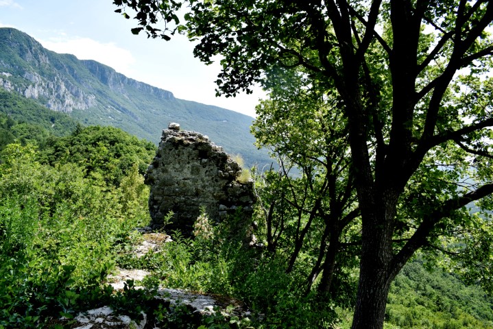
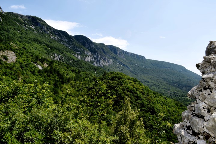
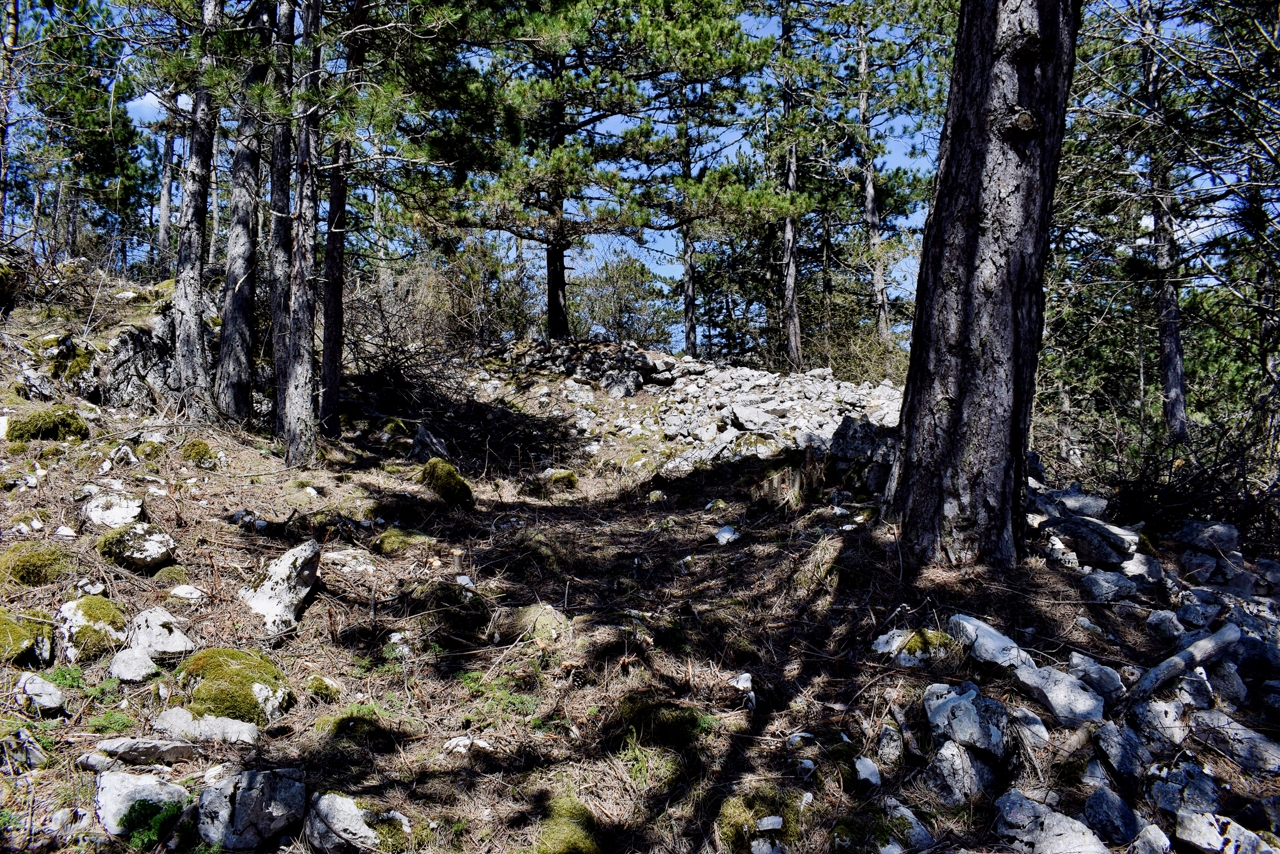
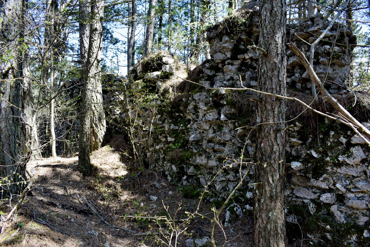
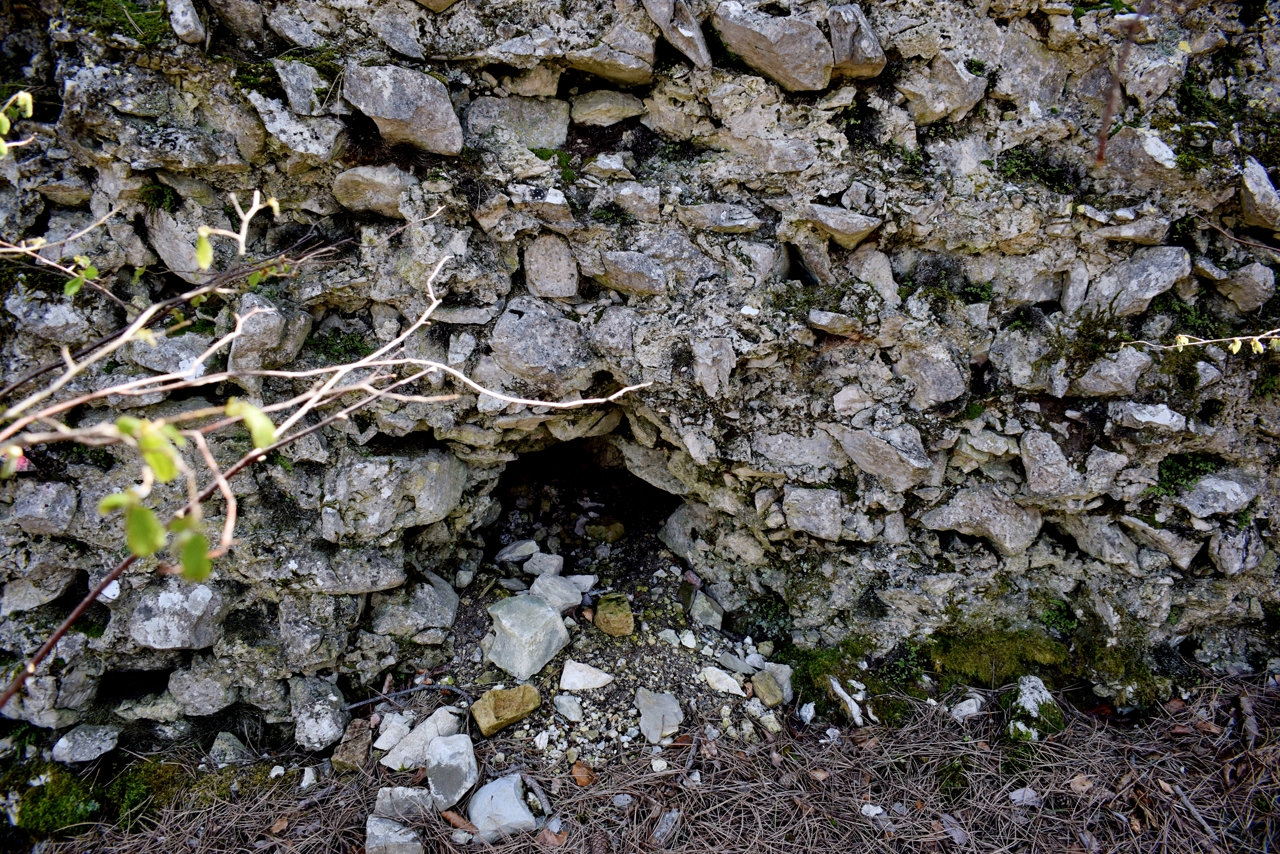
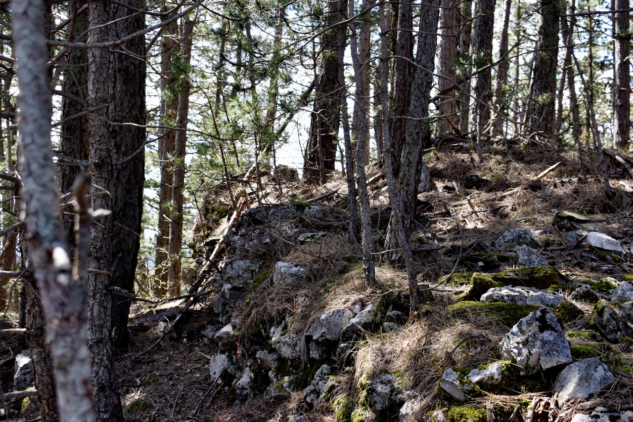
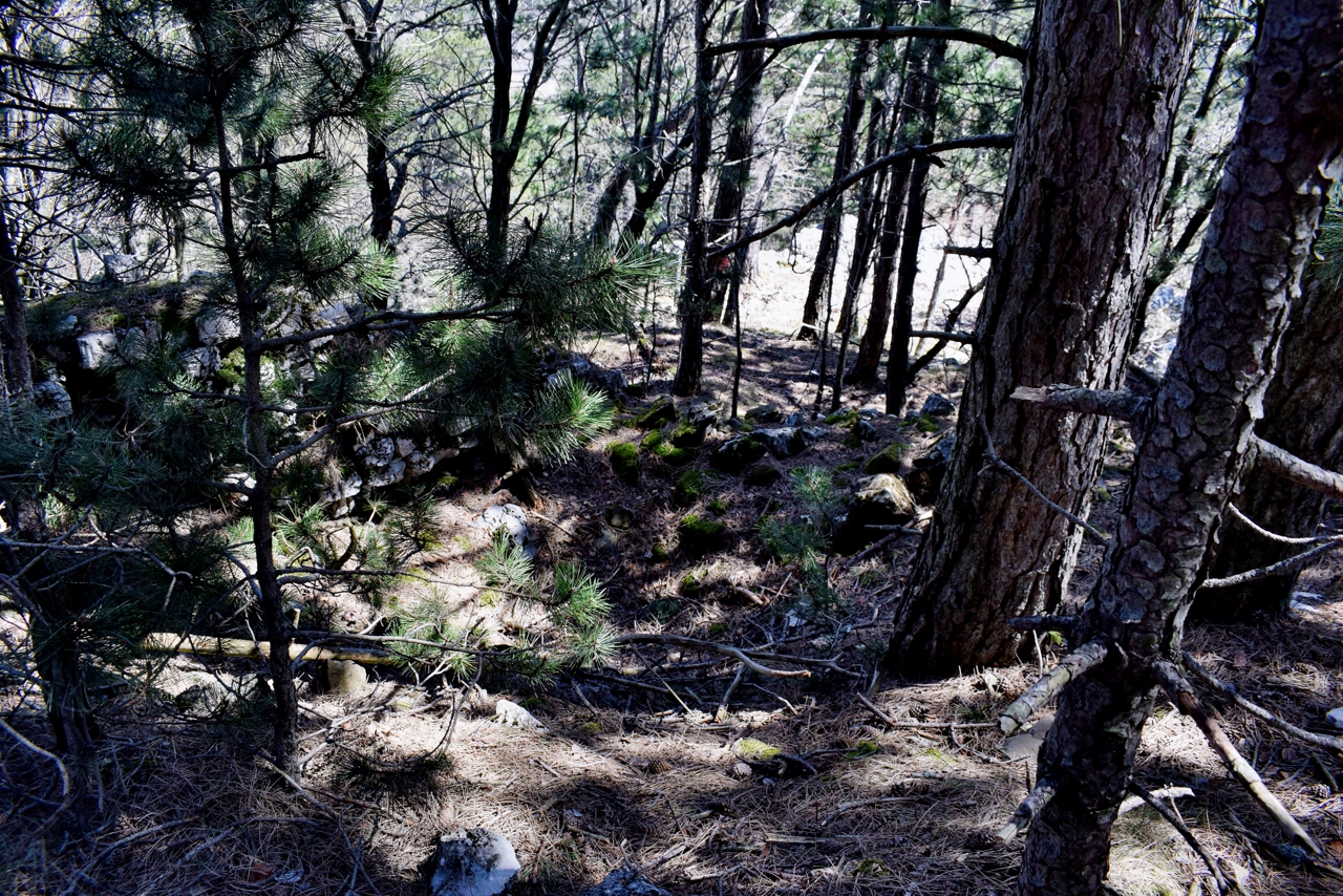
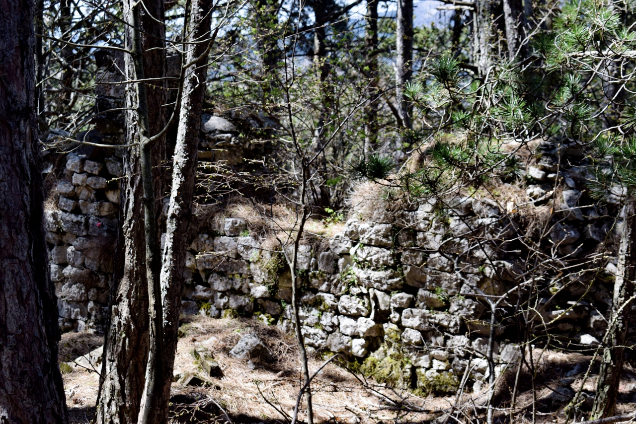
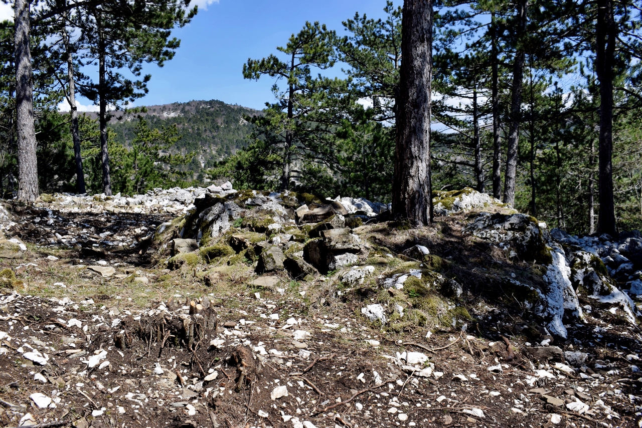
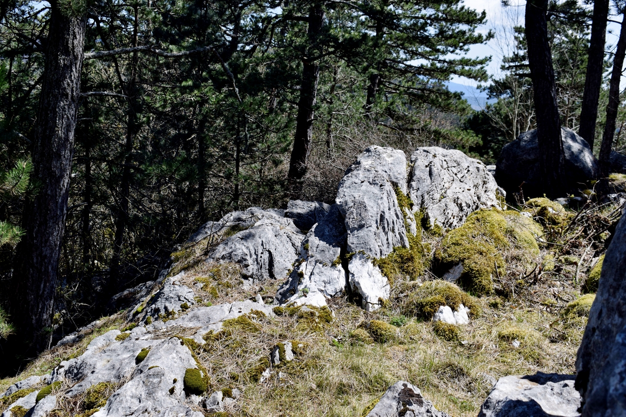
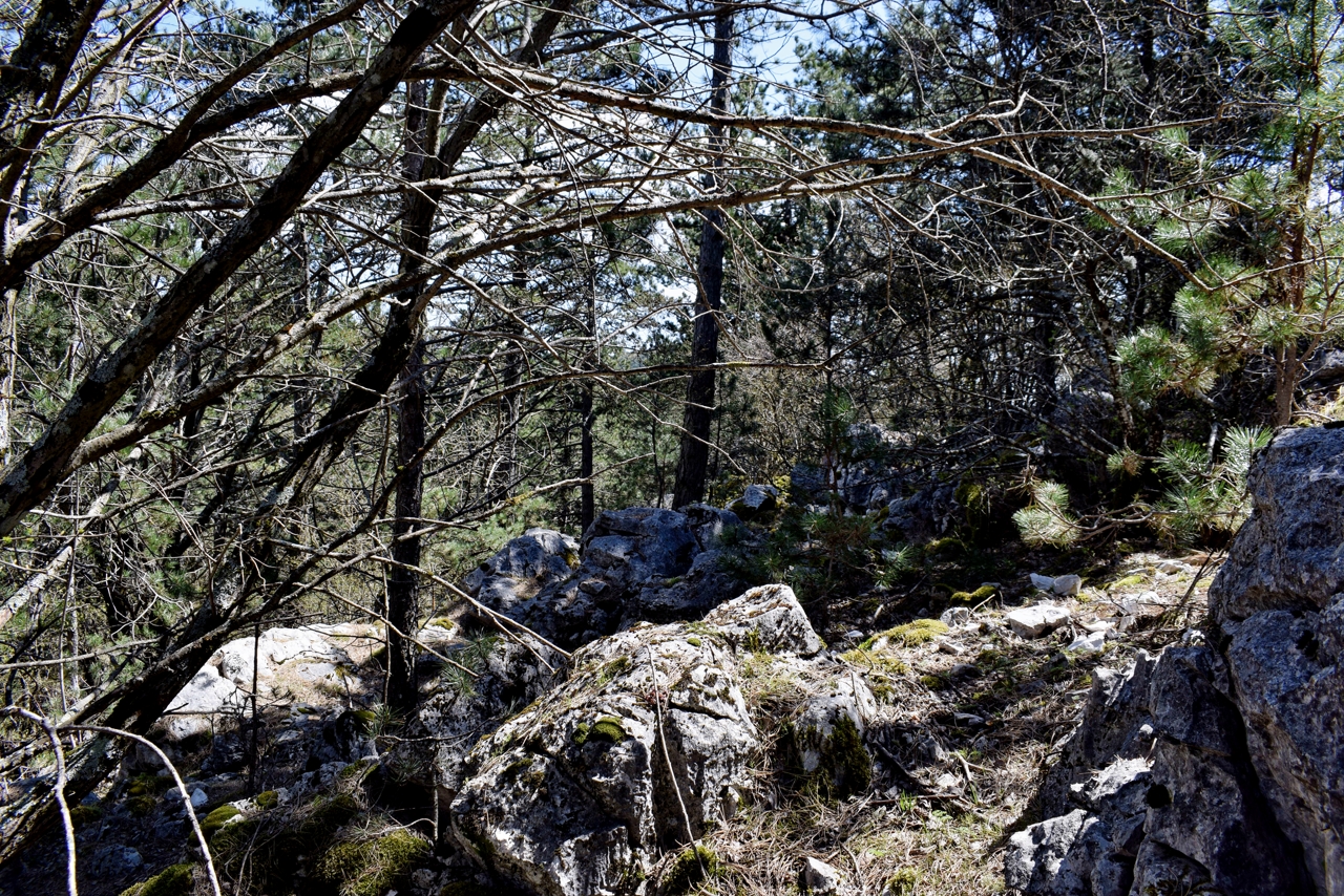
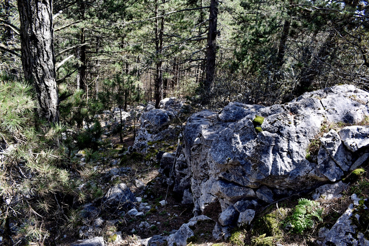
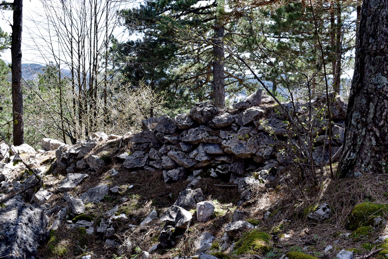
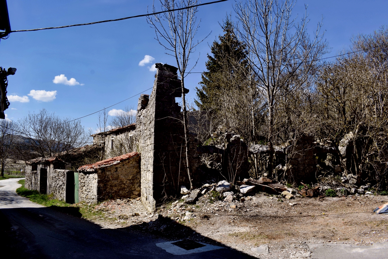
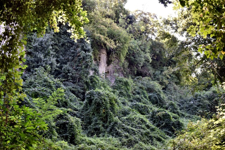
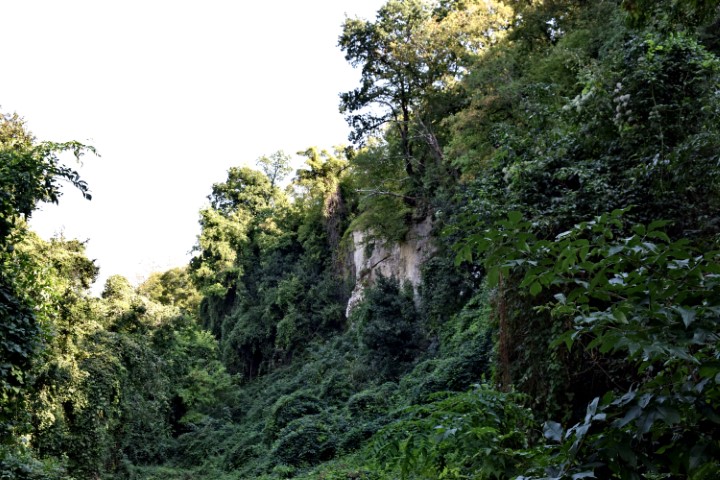
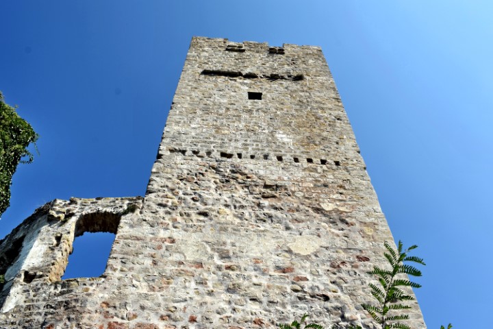
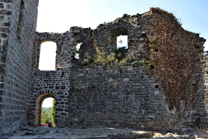
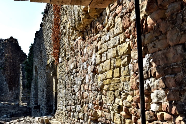
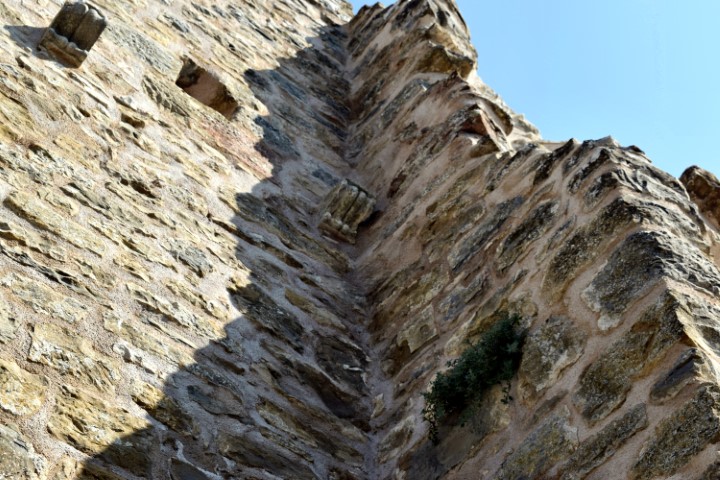
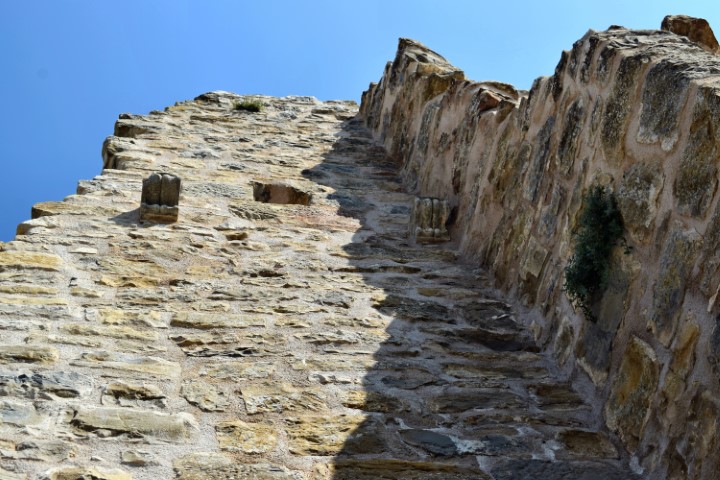
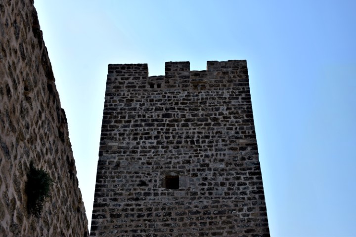
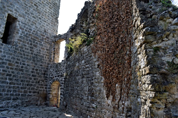
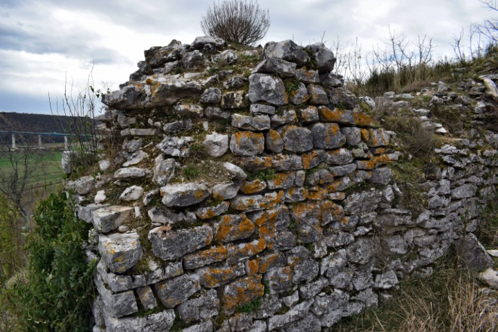
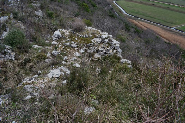
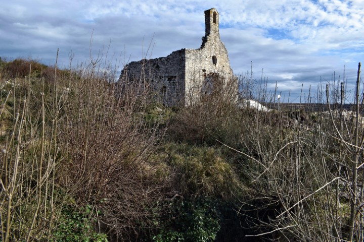
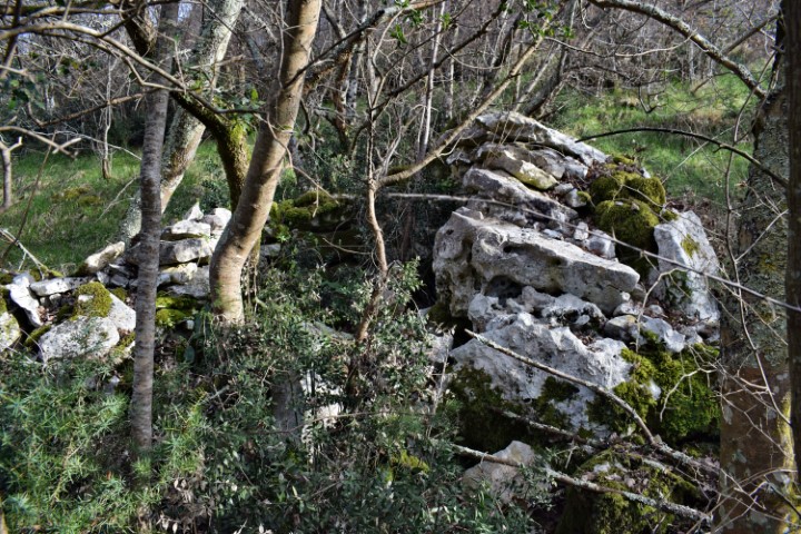
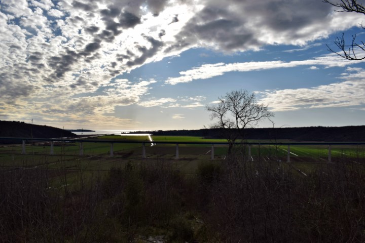
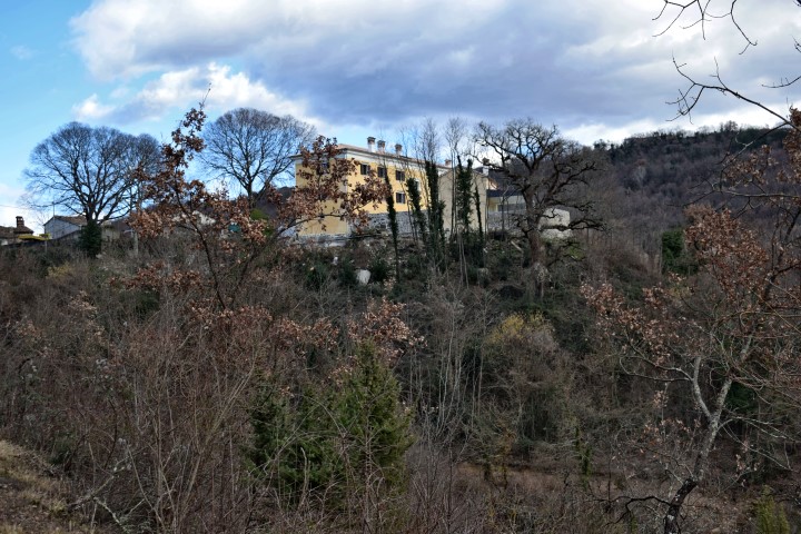
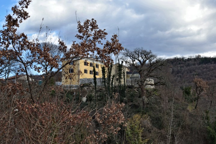
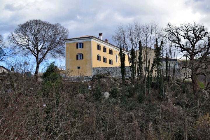
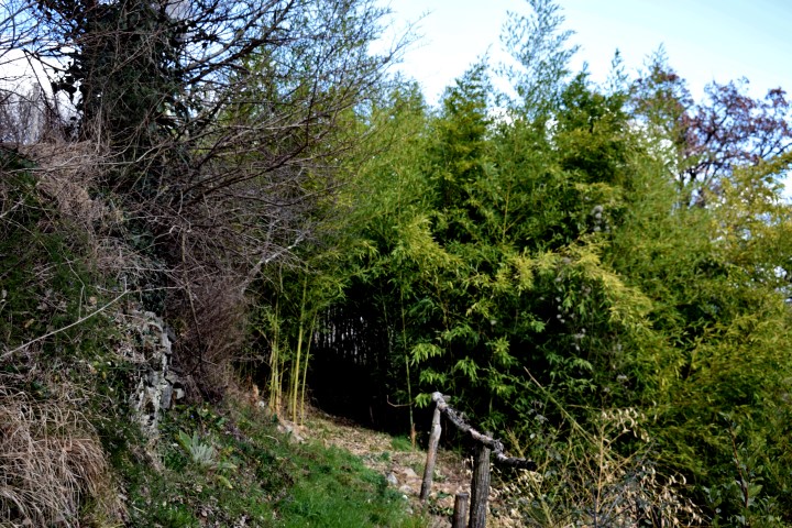
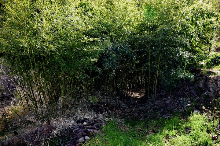
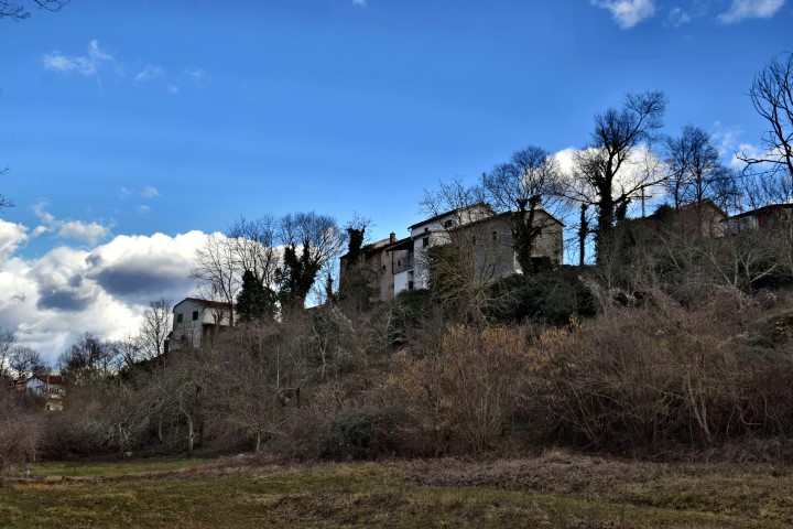
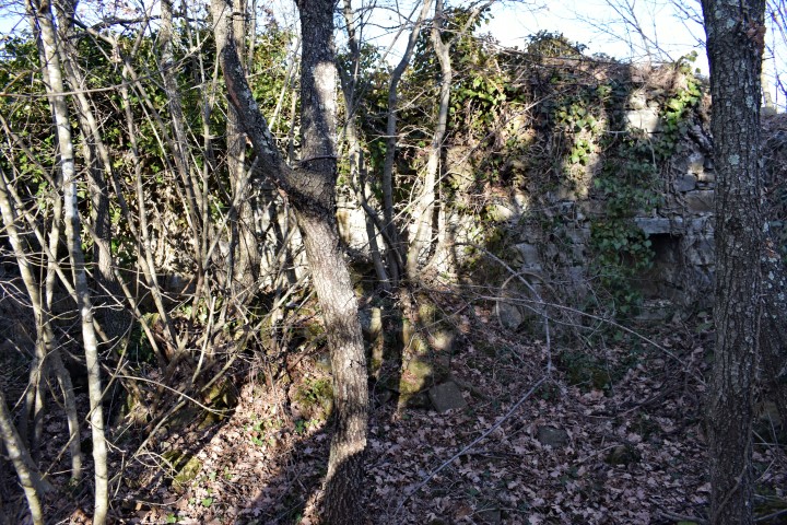
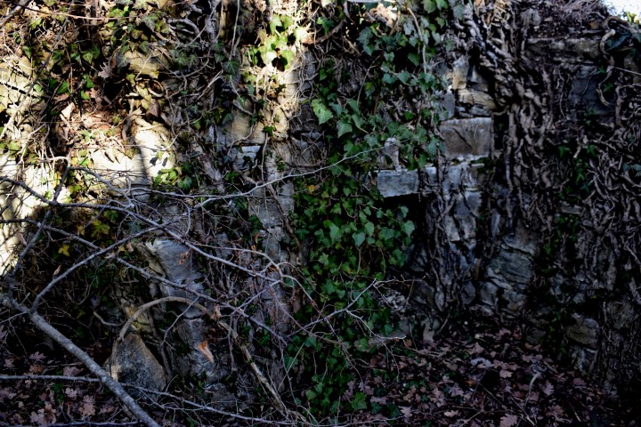
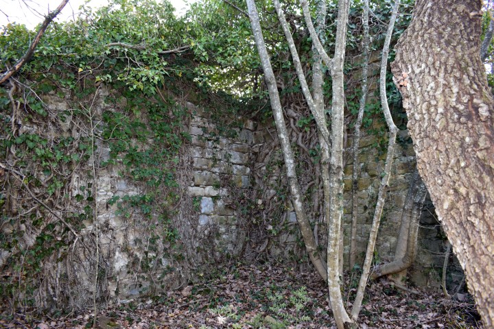
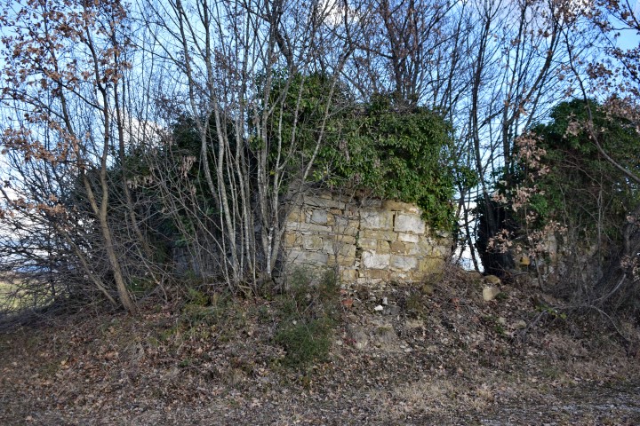
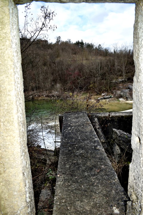
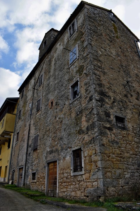
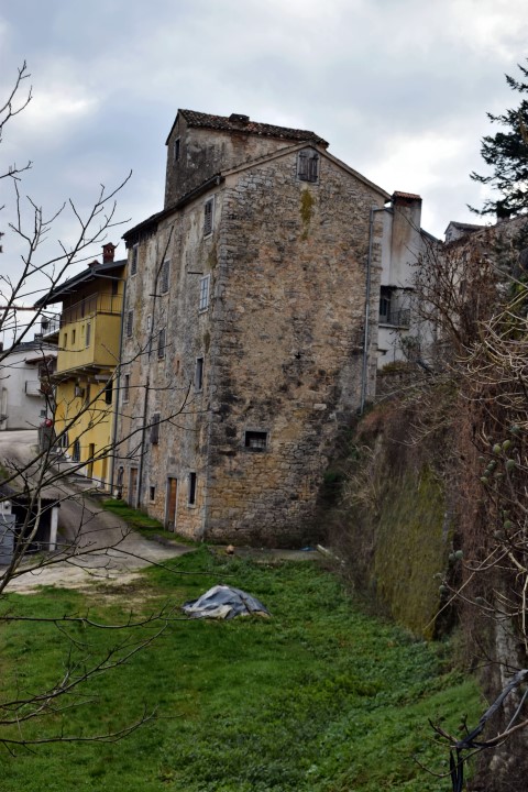
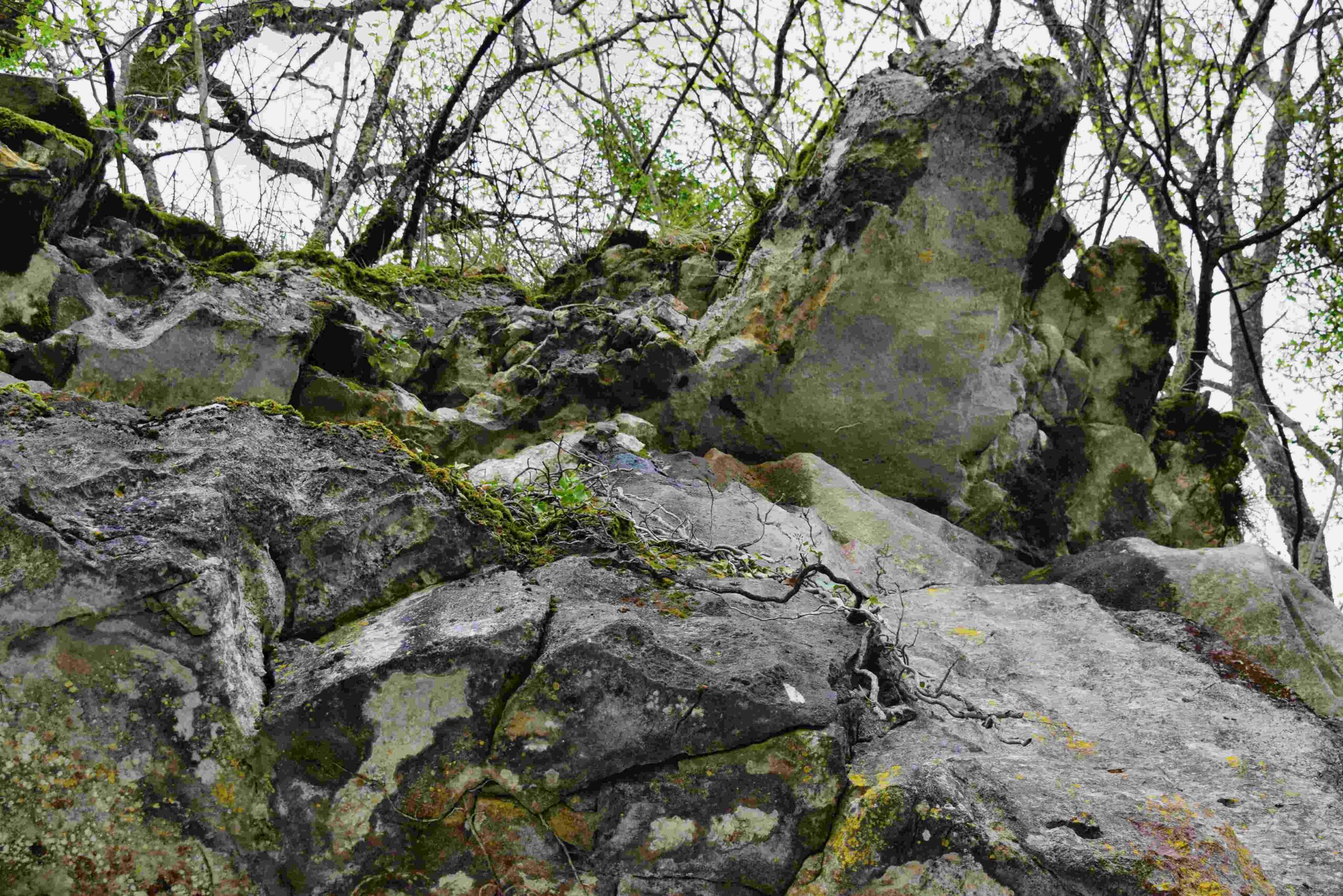
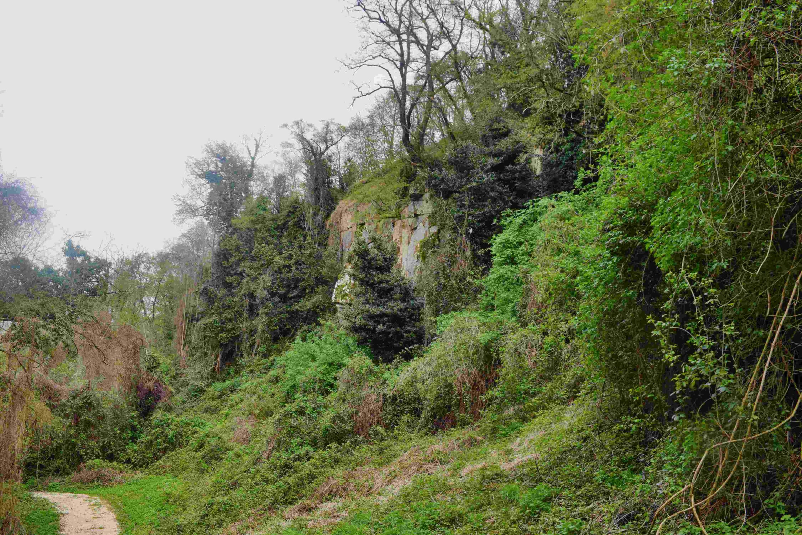
Name: Hiking trail to Castle Momjan – Castle Momjan.
Place: Momjan – (Buje).
Coordinatie: Startpoint trail 45.44184 N – 13.7098 E, castle: 45.44108 N – 13.70851 E.
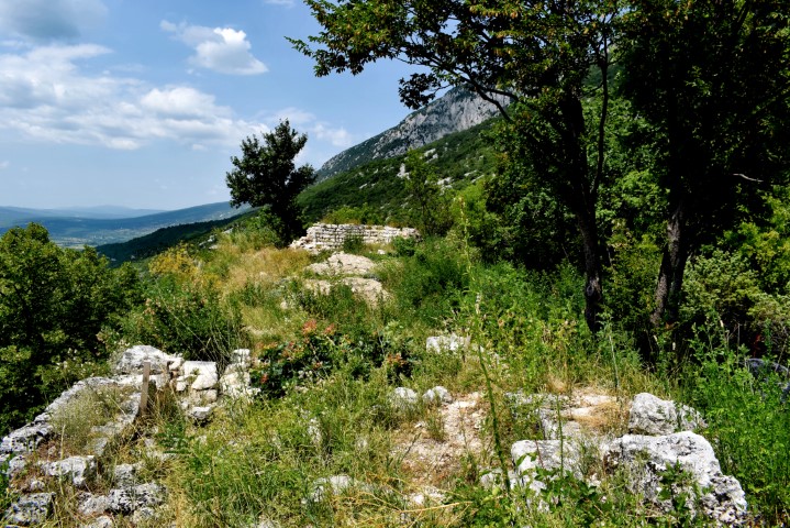
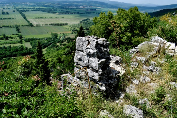
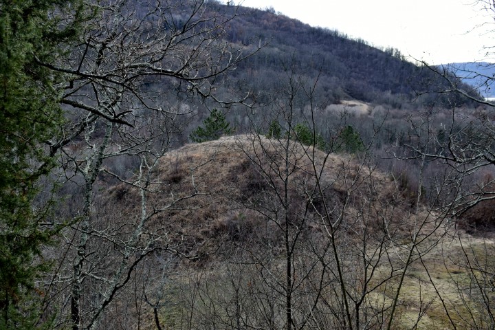
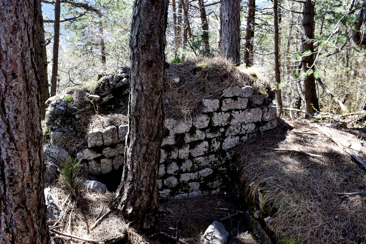
This prehistoric settlement was located near the Mirna on a steep cliff with a height of 36 meters. From here they had a good overview of movements in the valley and the mouth of the Mirna and the Adria. After the Roman period, a castle and a church were built within the fortress in the Middle Ages.
Name: Castle Sv. Juraj.
Place: Near Srbani – (Brtonigla).
Coordinates: 45.33709 N – 13.63343 E.
See also the posts of 2018-11-15, 2018-04-14 and 2015-04-06.

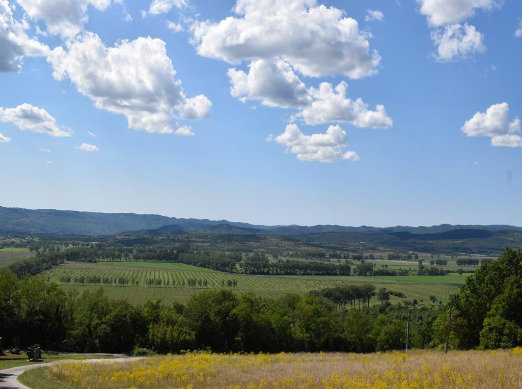
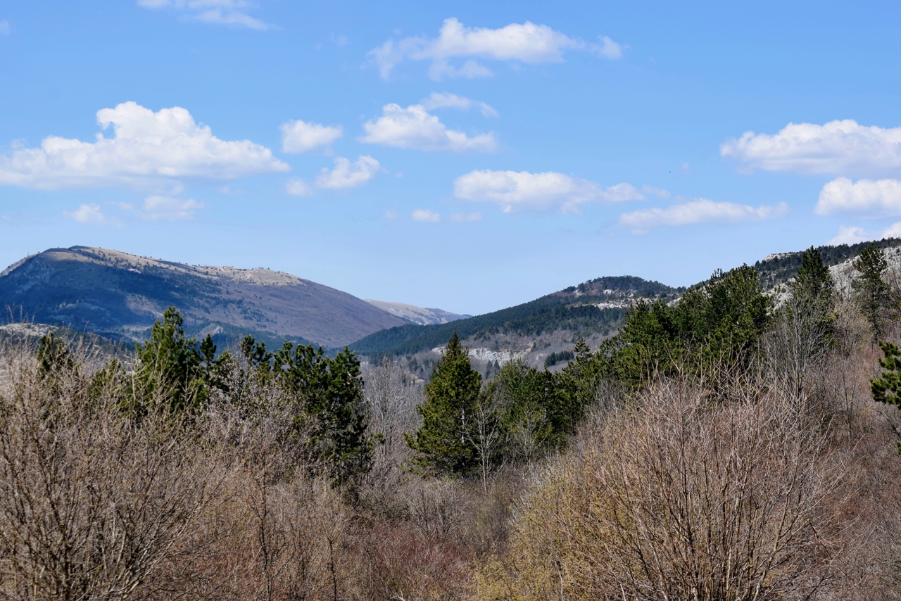
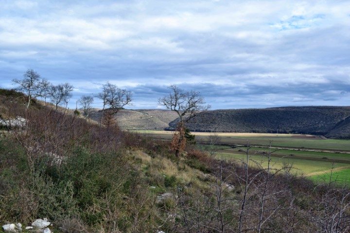
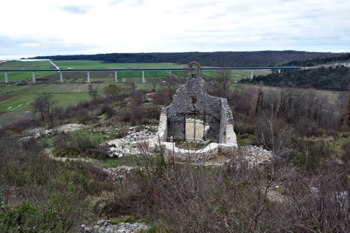
Name: View on and around Walderstein palace, and hill of Madonna with the remains of St. Mary’s church.
Place: Račice – (Buzet).
Coordinates St Mary:45.35529 N – 13.98086 E.
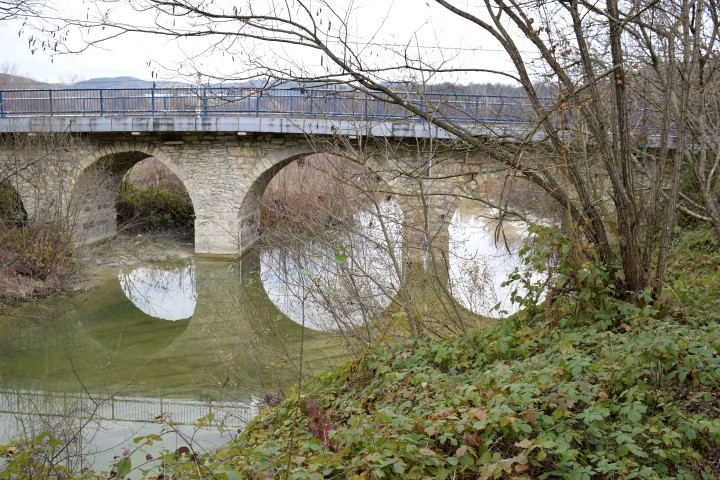
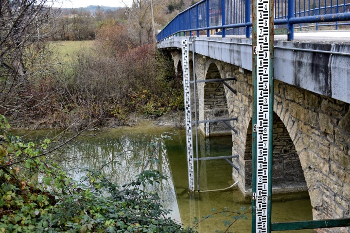
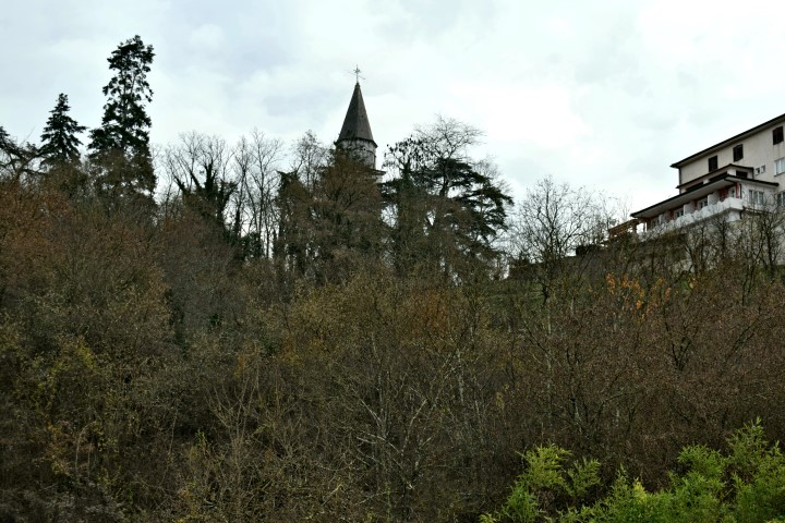
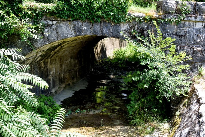
Name: Pazinski krov – Pazinćica stream.
Place: Pazin
Coordinates: Start near bridge St.Jožefa, 45,24498 N – 13.93867 E.
Pazinski krov: 45.24354 N – 13.93536 E.
Prilaz Kaštelu Pazin: 45.24032 N – 13,93126 E,
(more…)