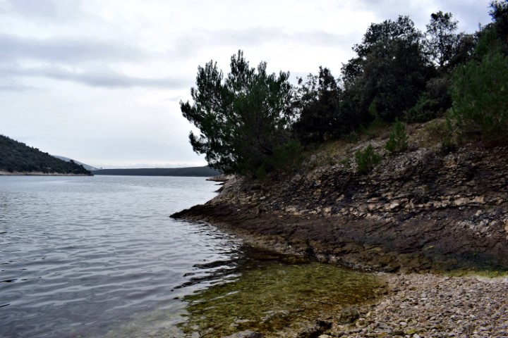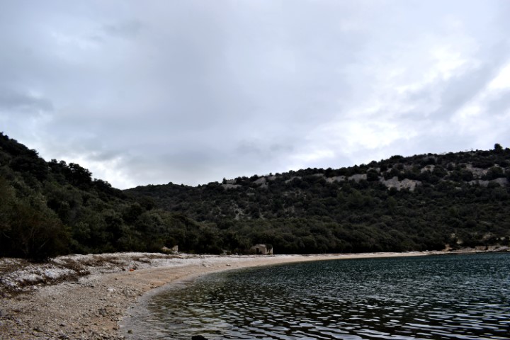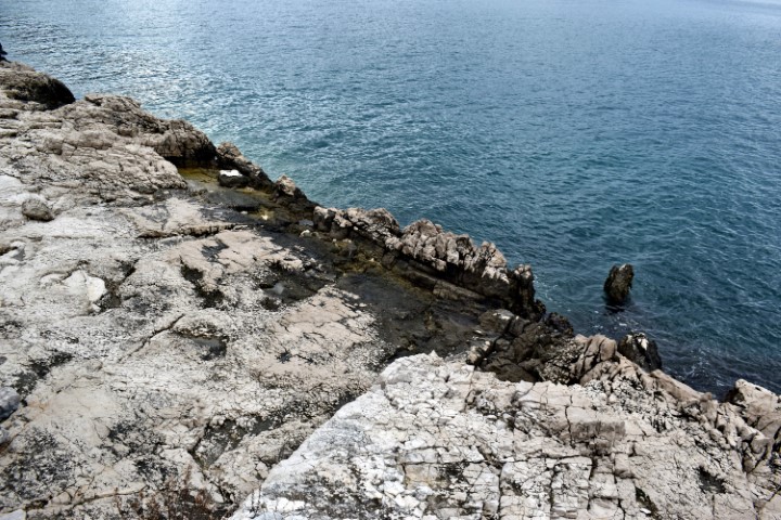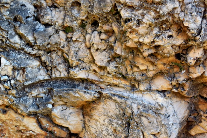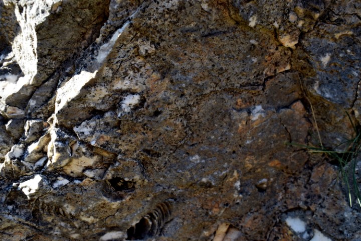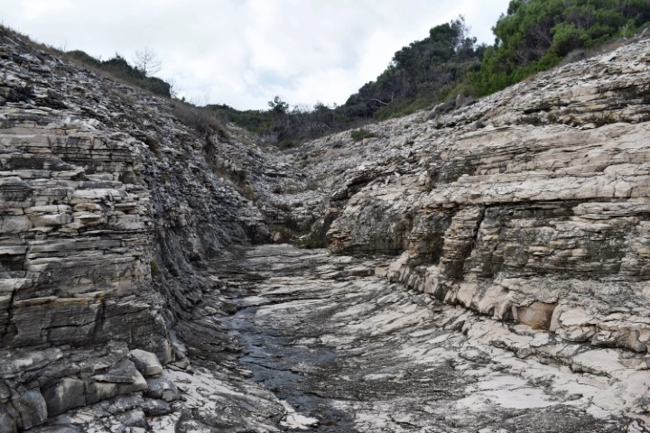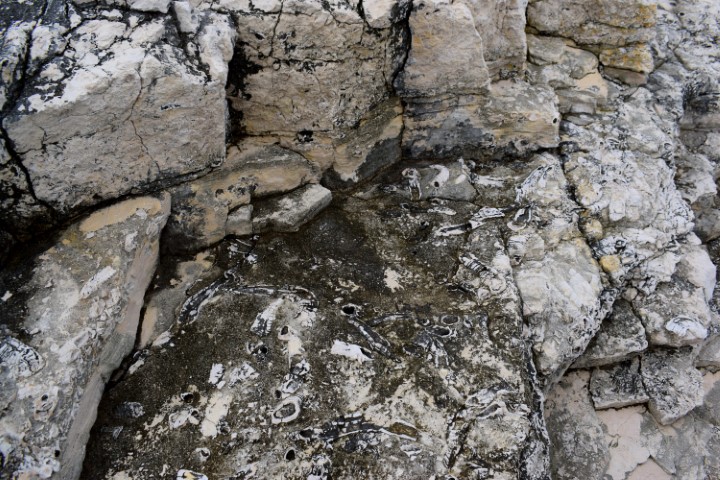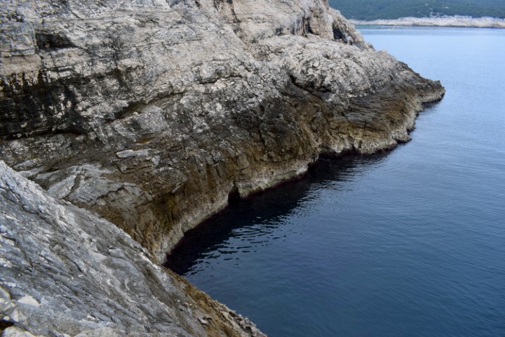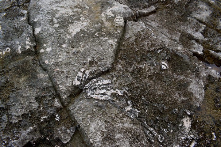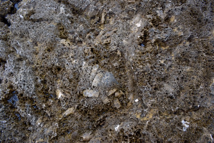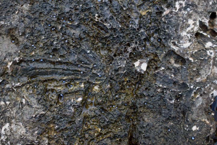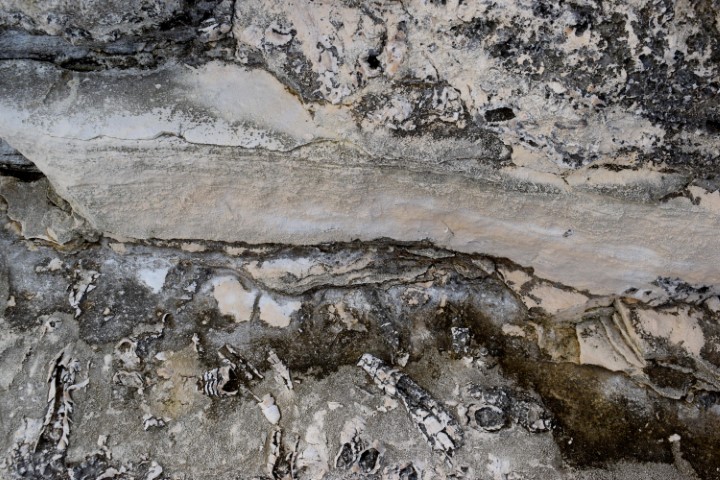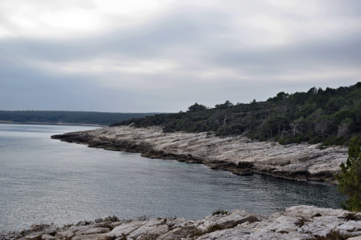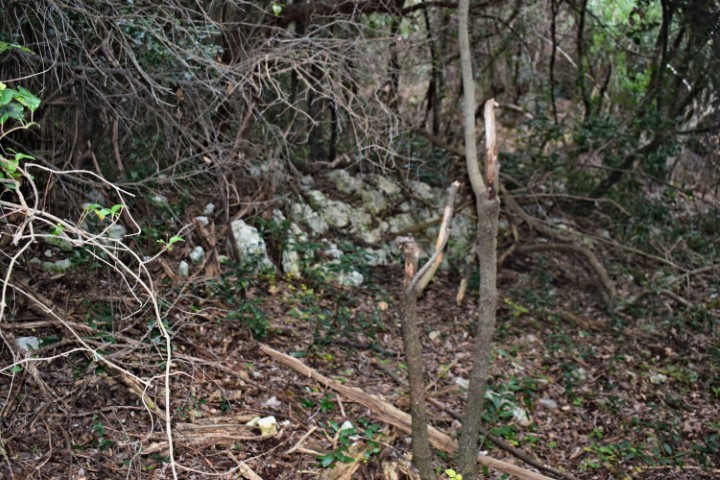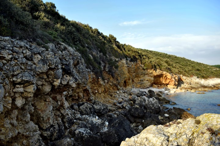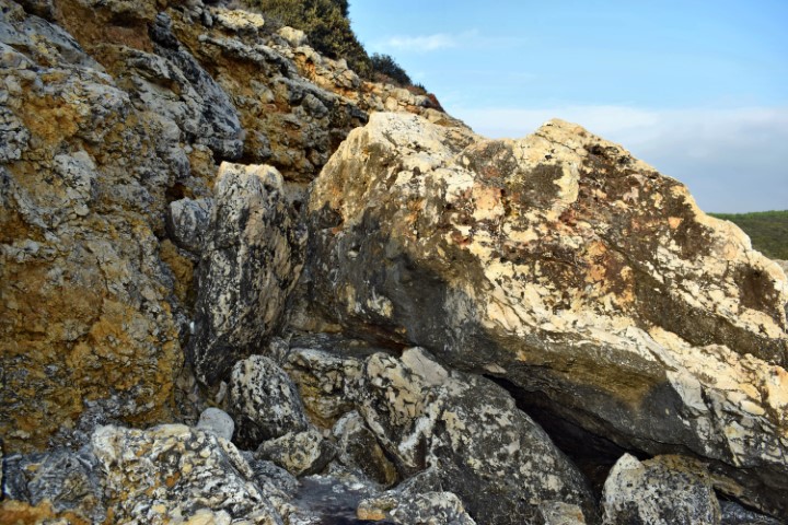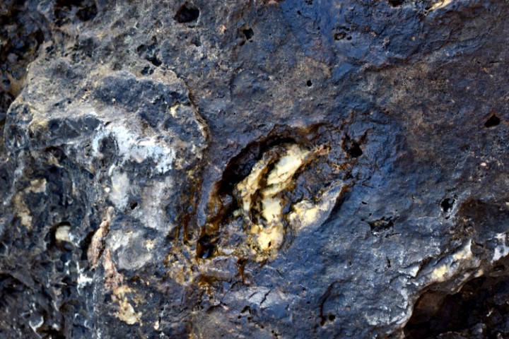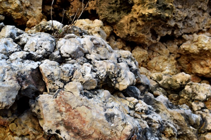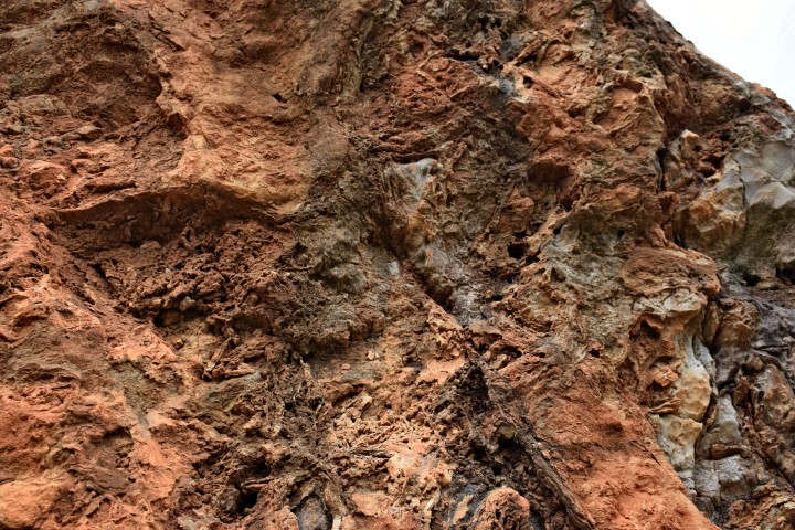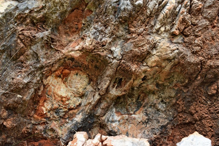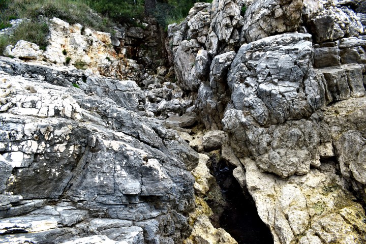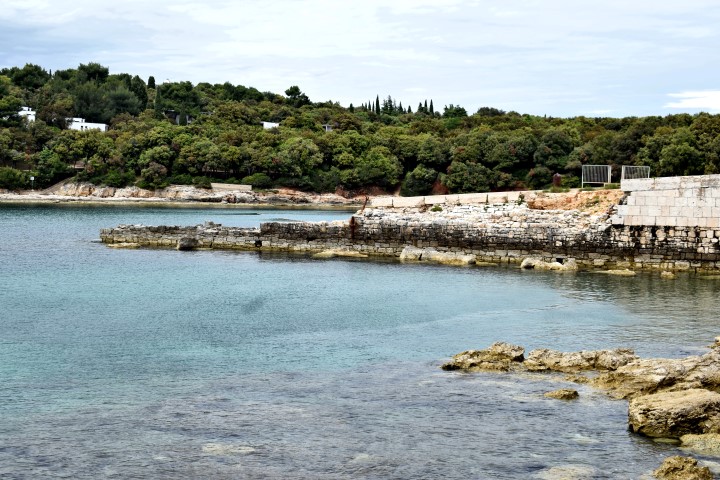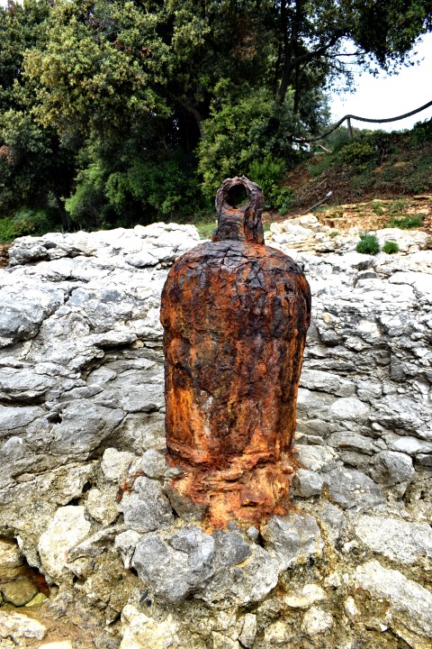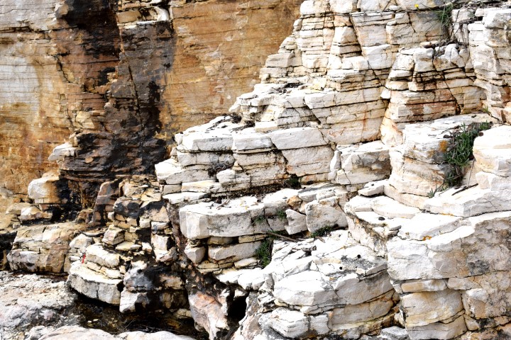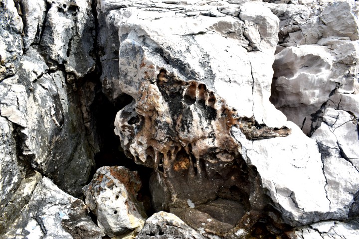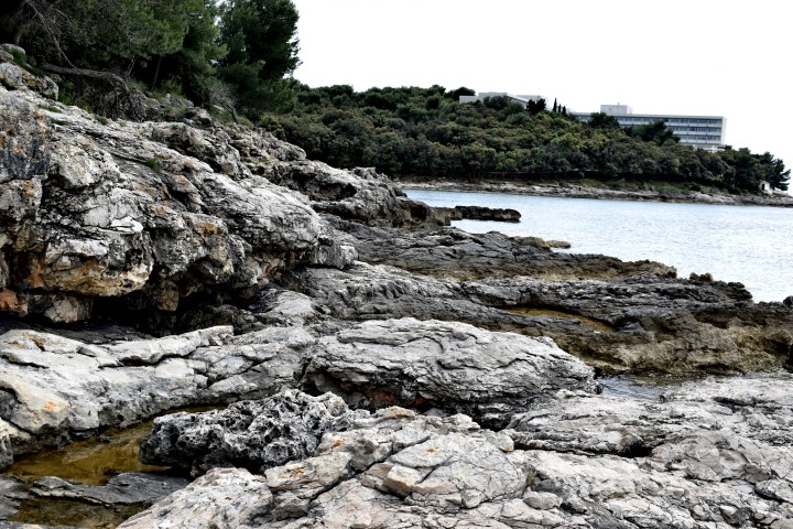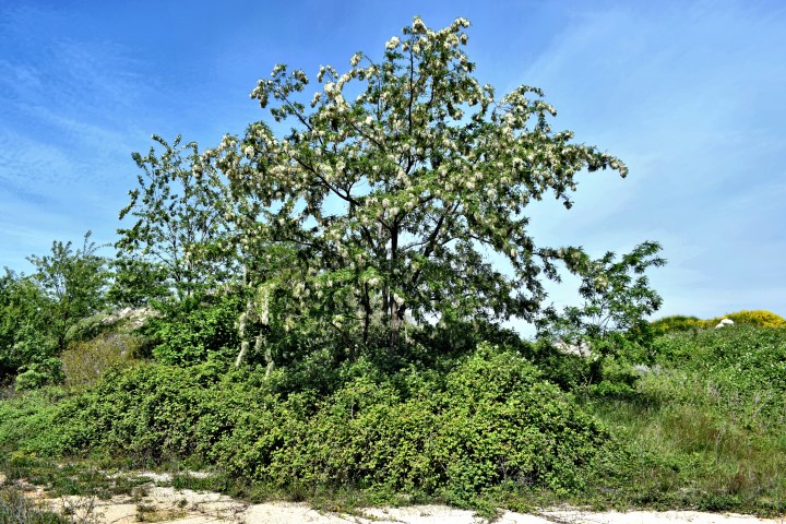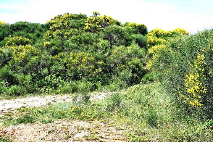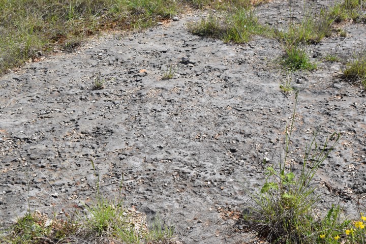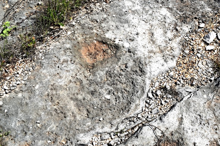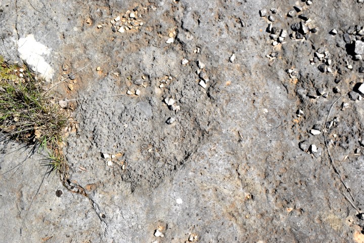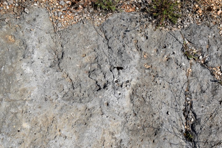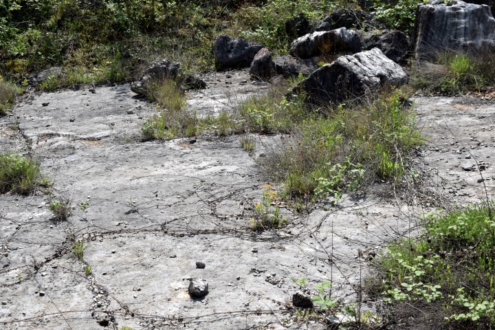
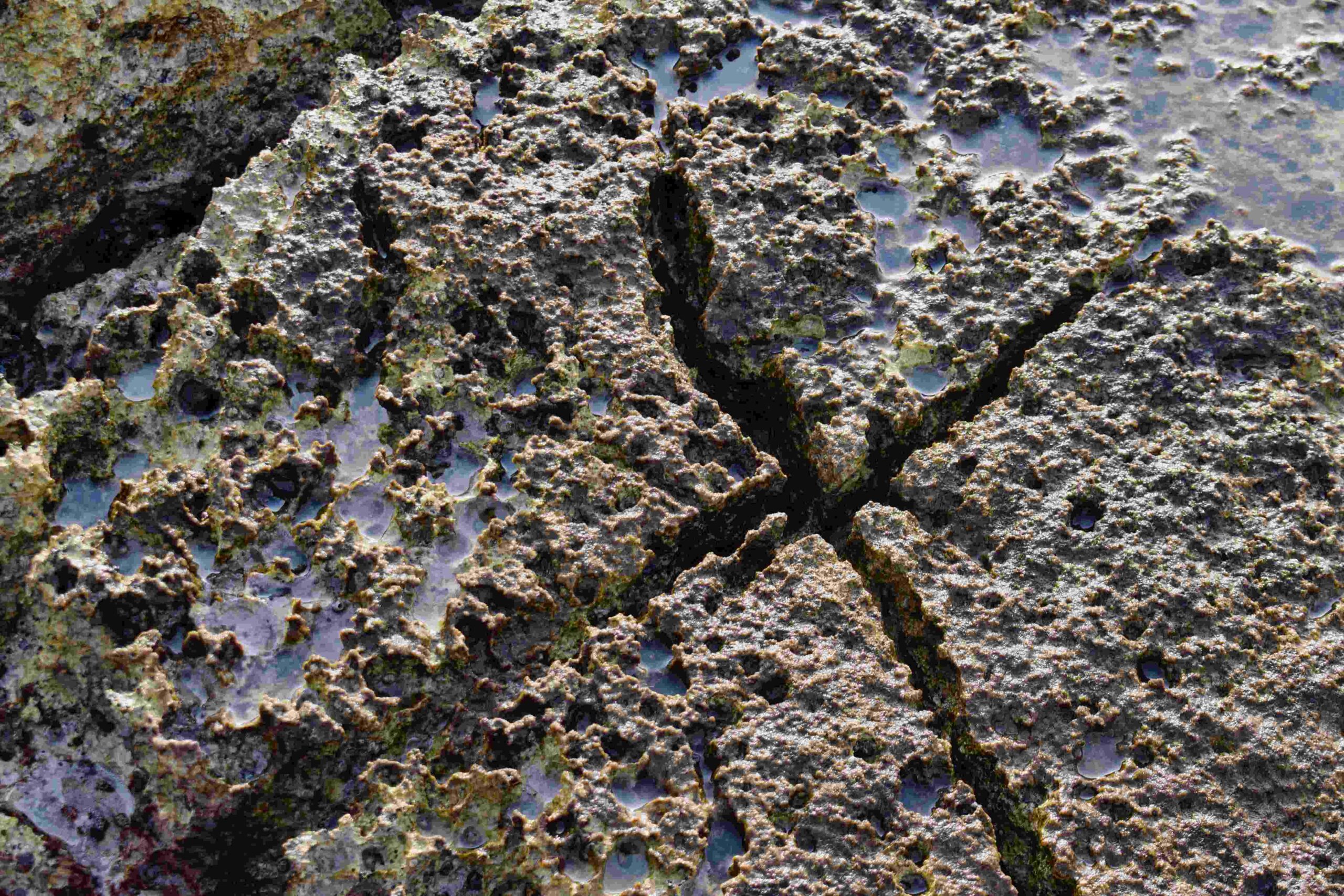
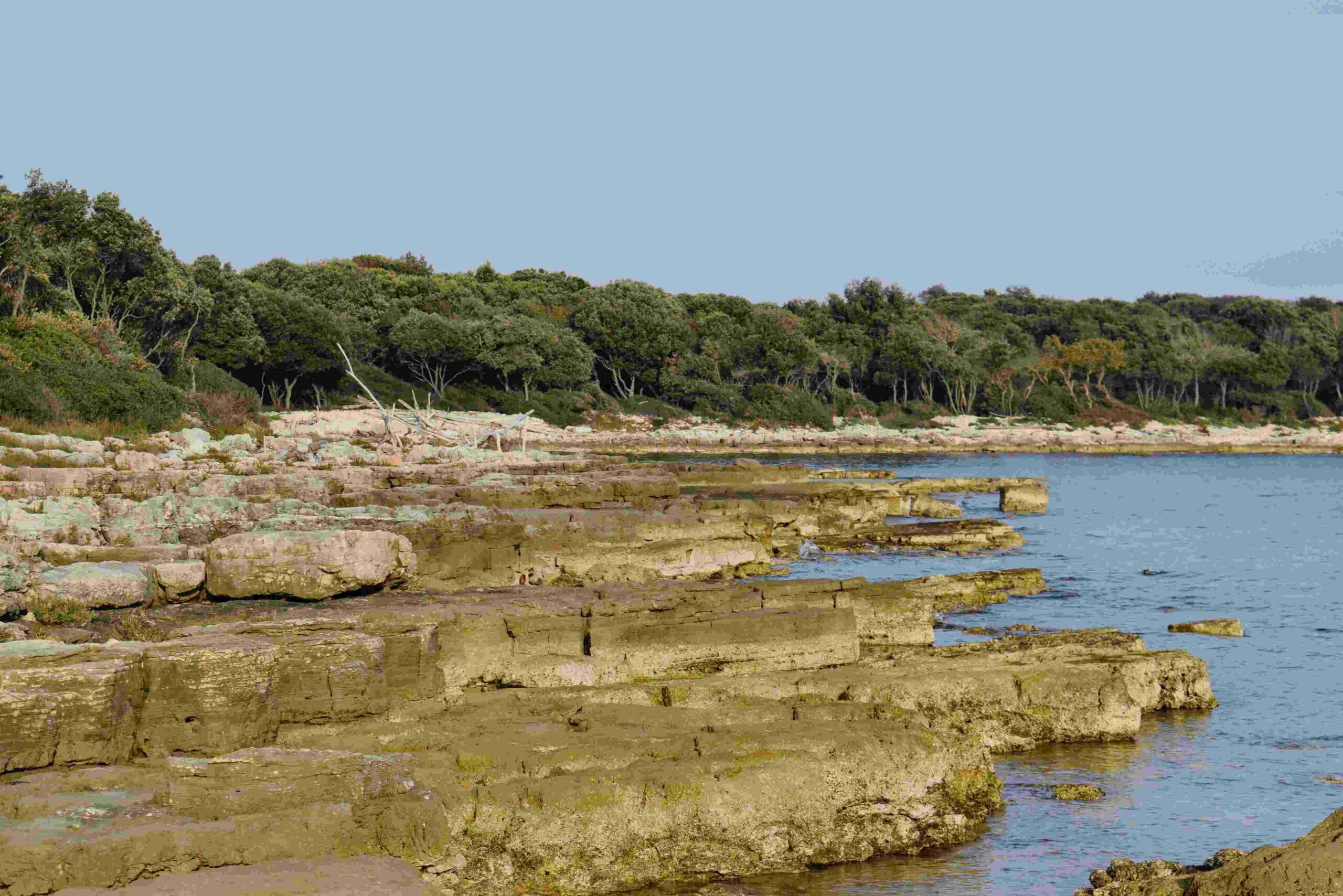
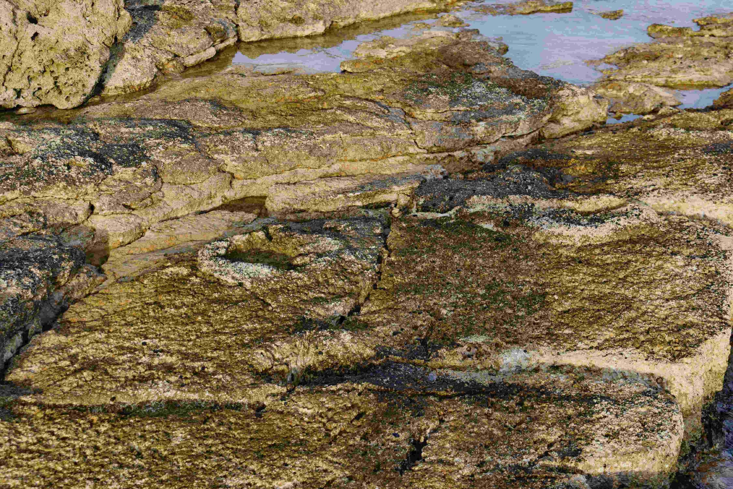
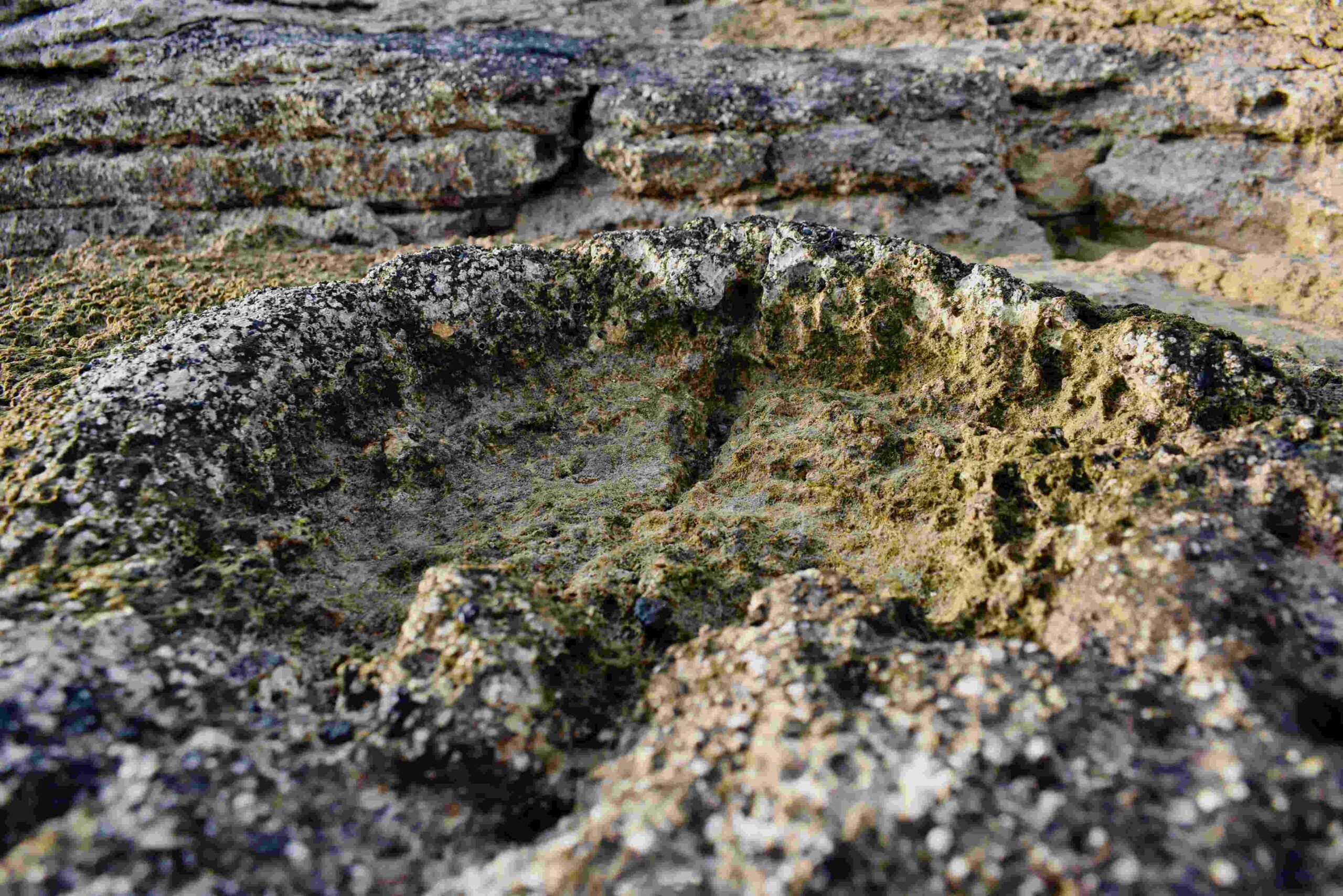
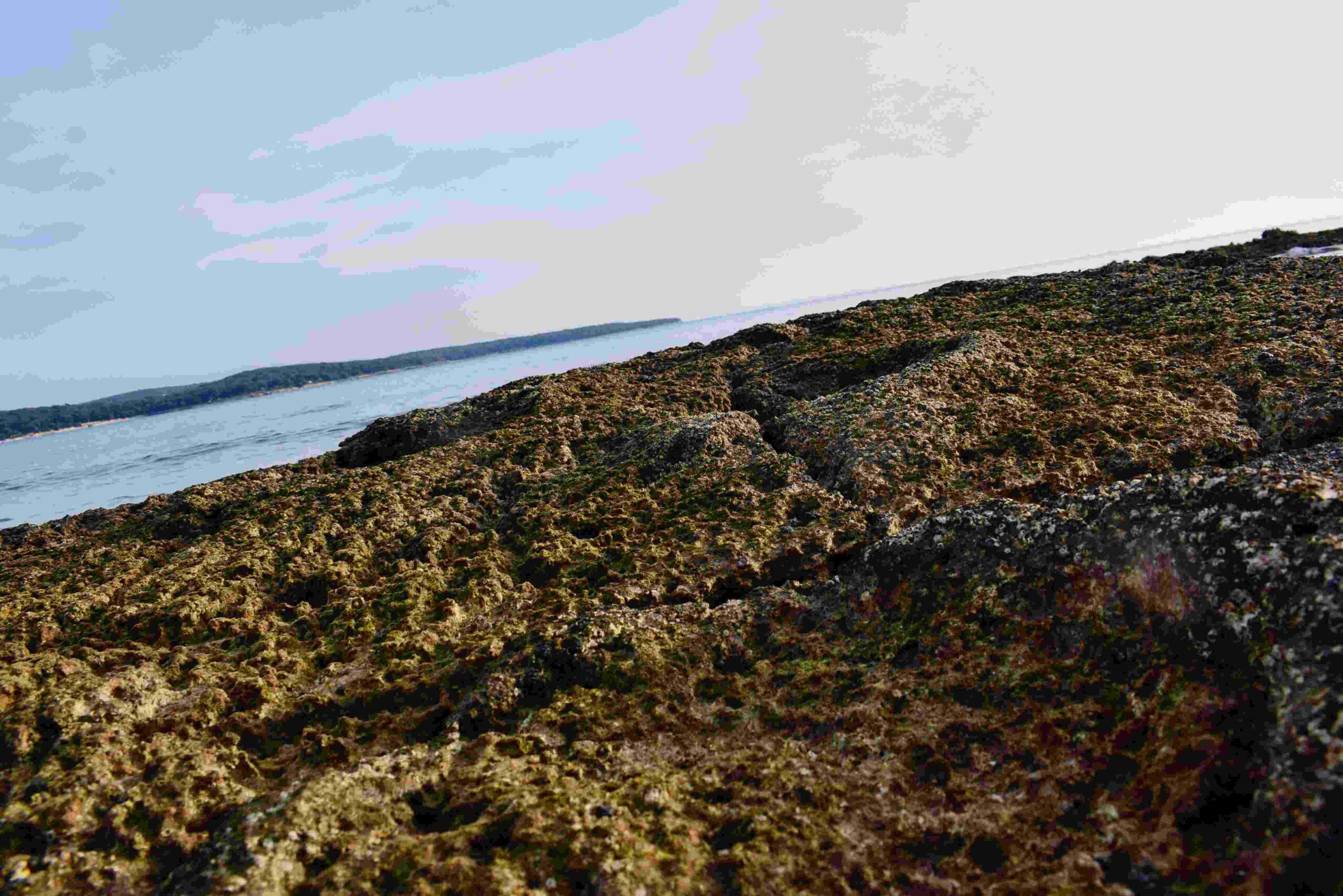
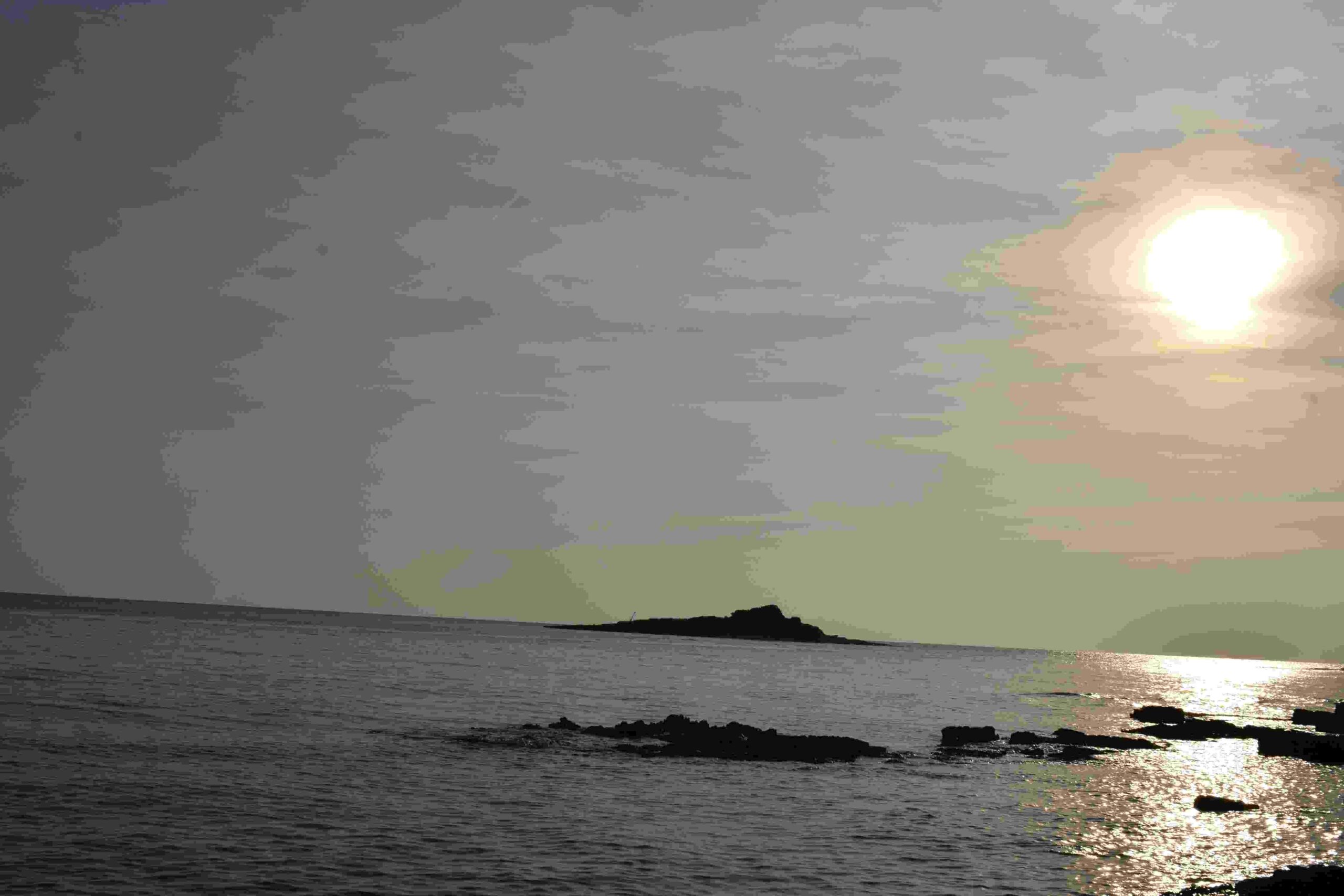
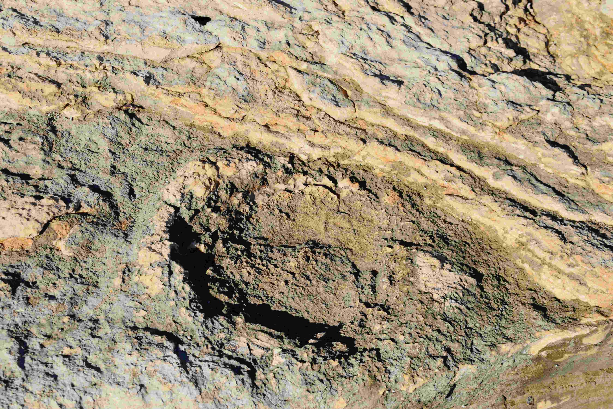
Name: Coast near bay Palud with dinosaurus footprints, opposite the island Pisulj.
Place: Rovinj.
Coordinates: 45.02254 N – 13.69768 E.
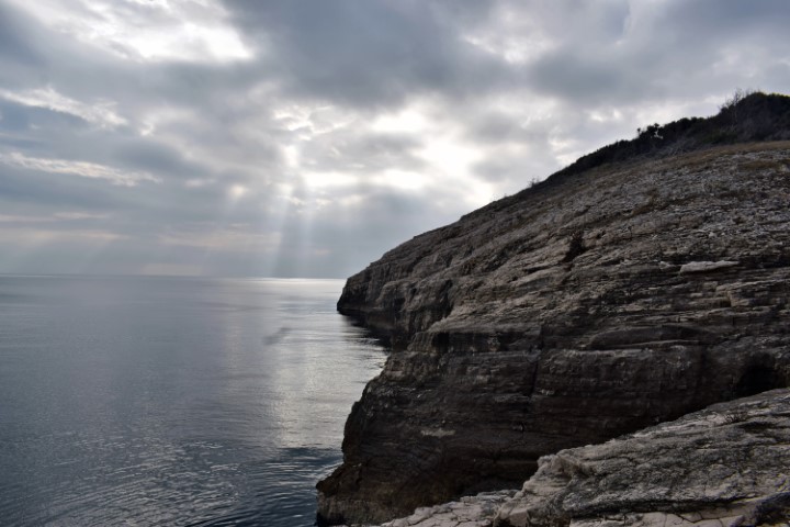
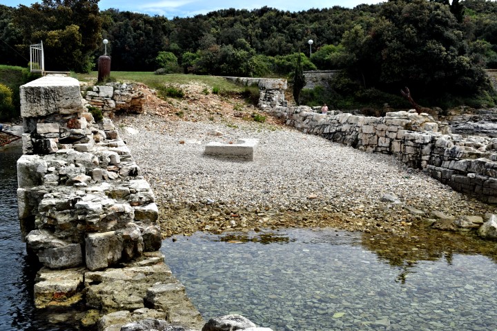
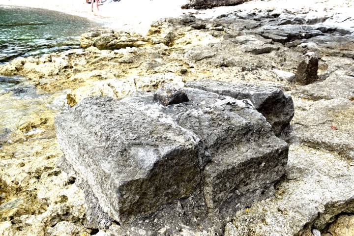
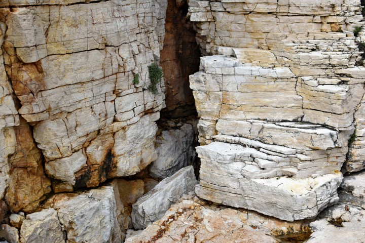
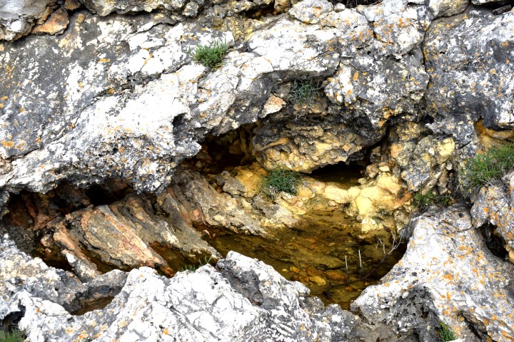
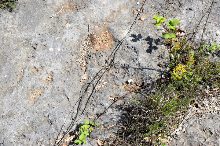
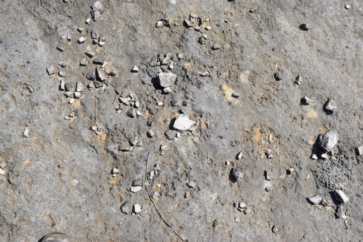
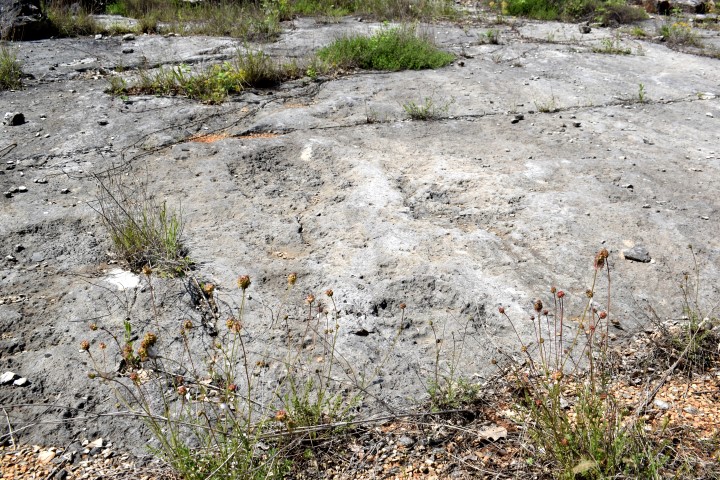
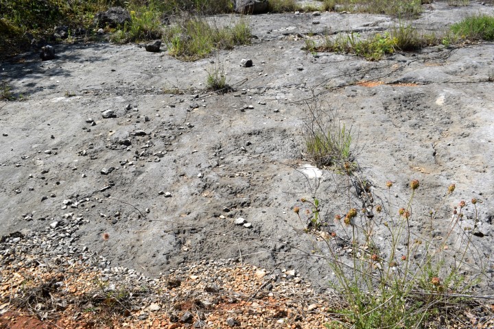
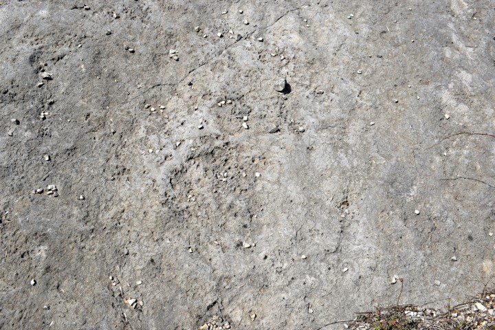
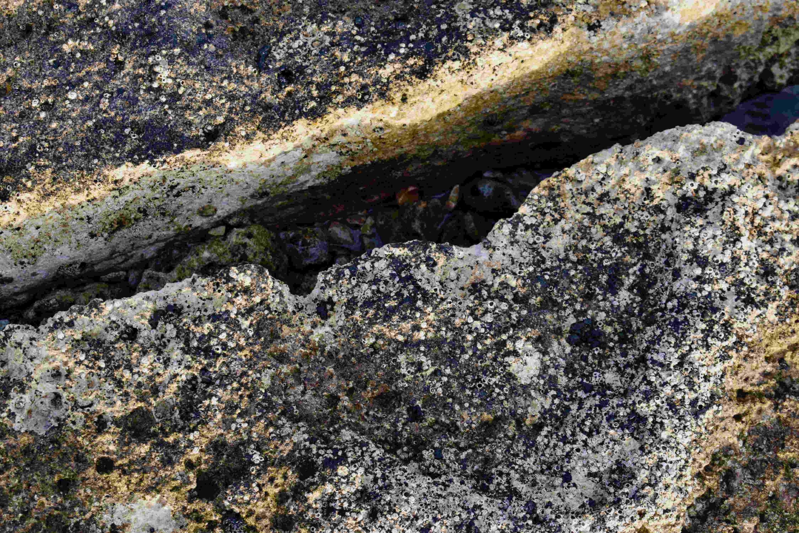
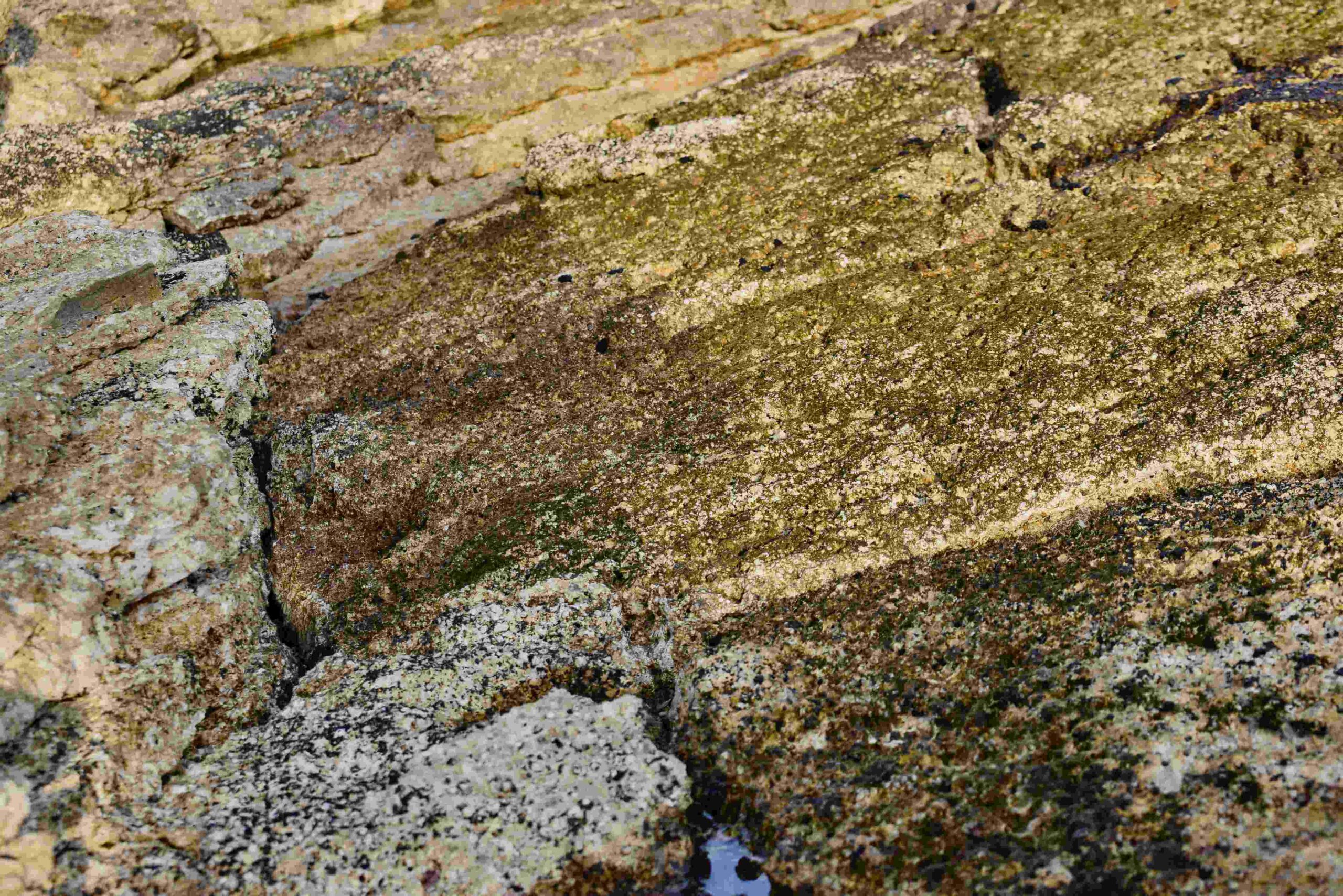
Name: Coast near bay Palud with dinosaurus footprints, opposite the island Pisulj.
Place: Rovinj.
Coordinates: 45.02254 N – 13.69768 E.
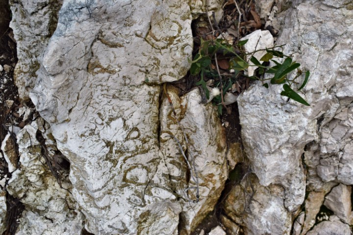
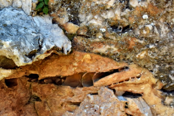
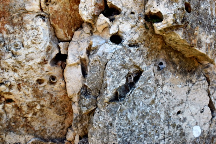
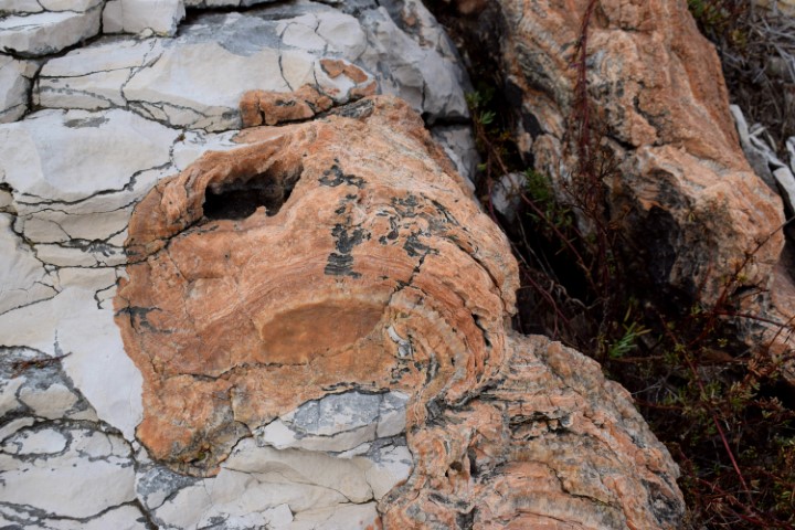
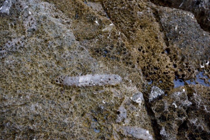
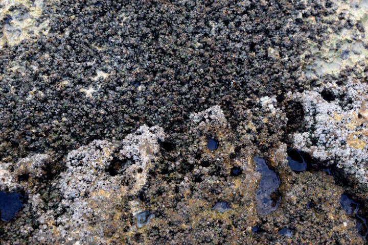
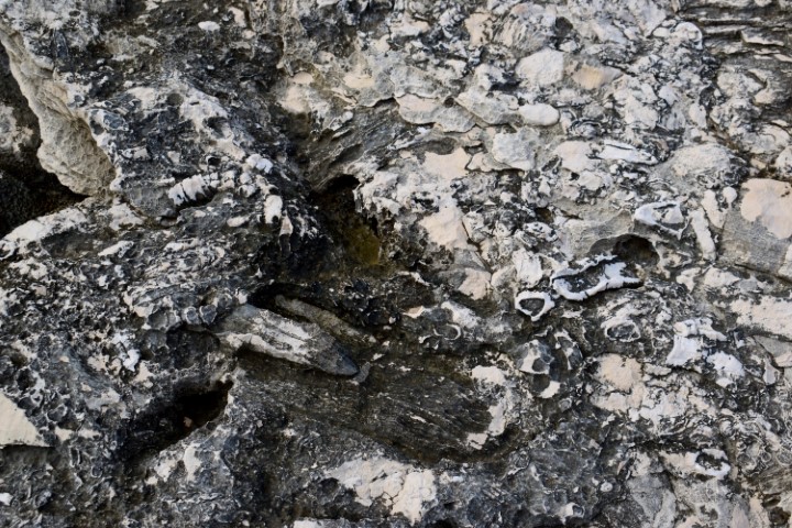
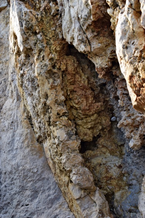
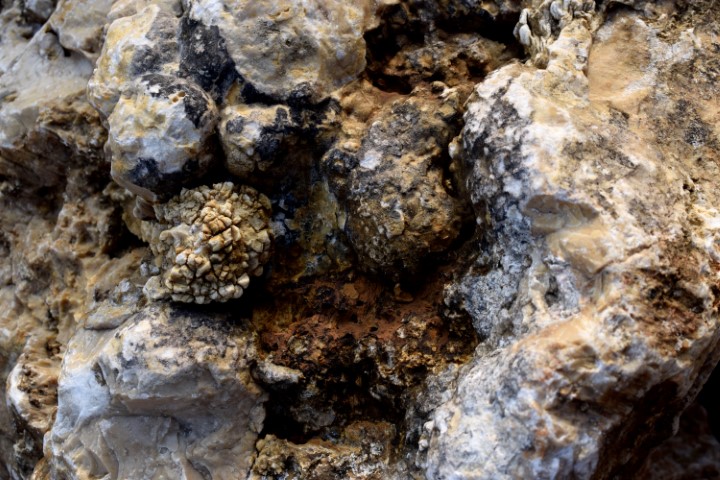
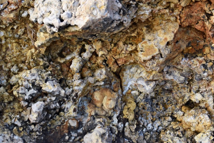
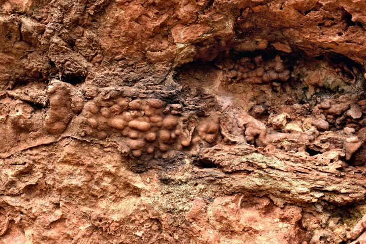
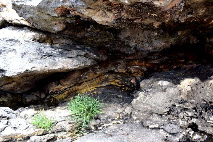
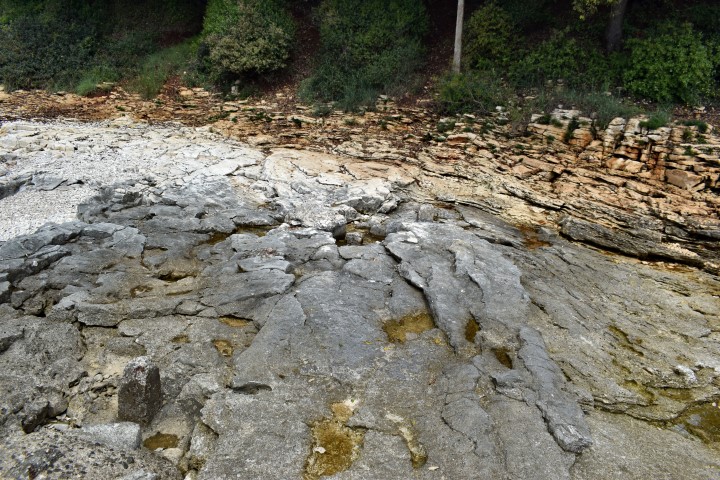
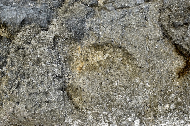
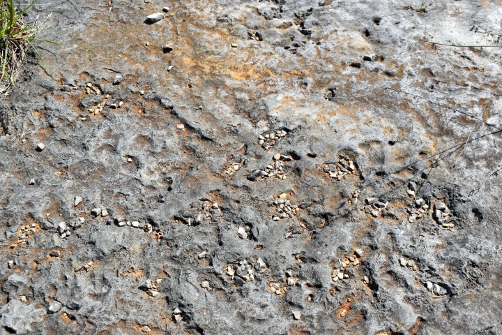
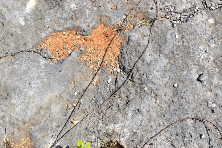
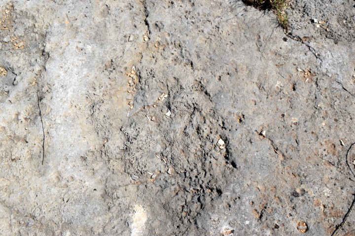
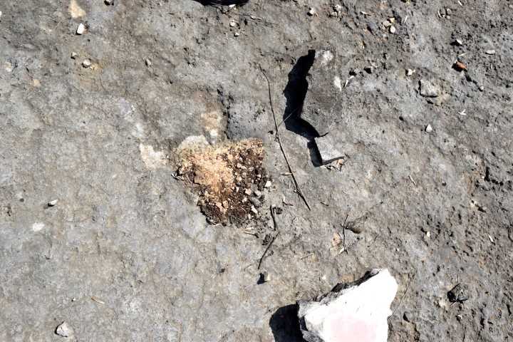
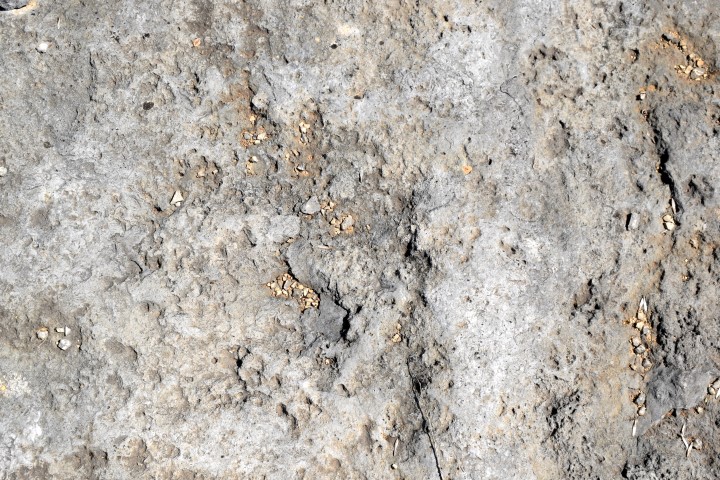
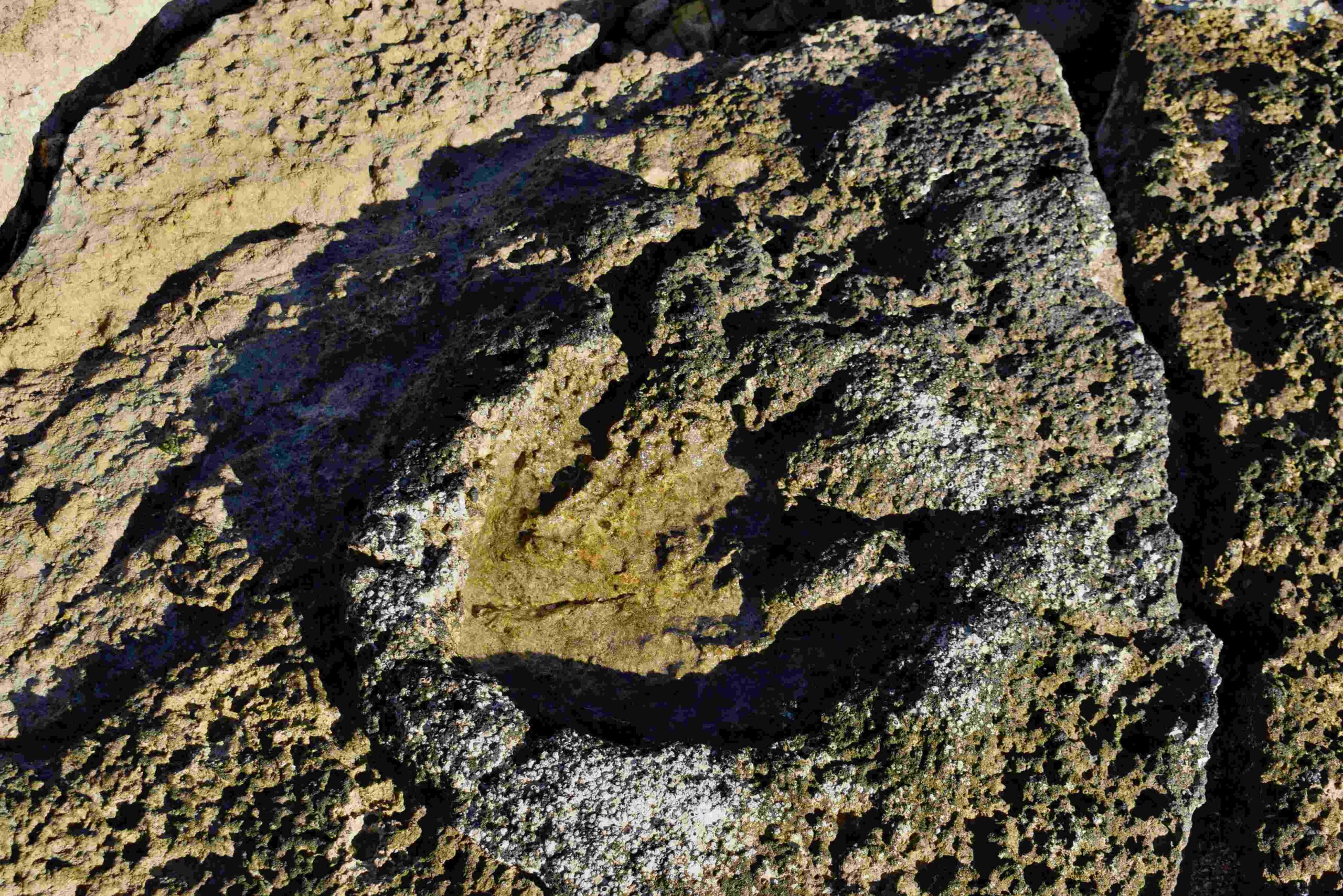
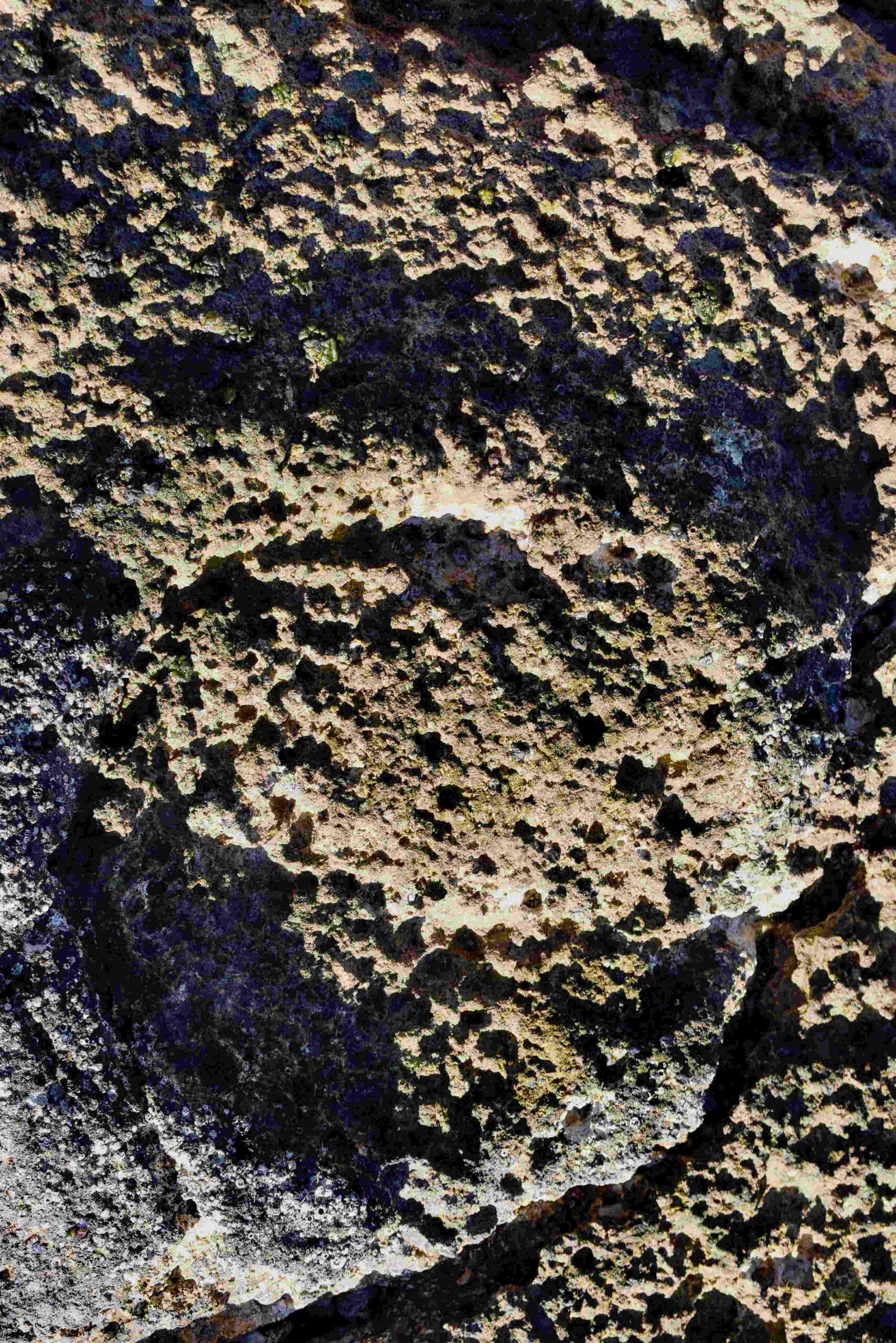
Possible is this a fossil of the horseshoe crab?
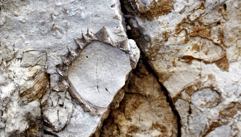
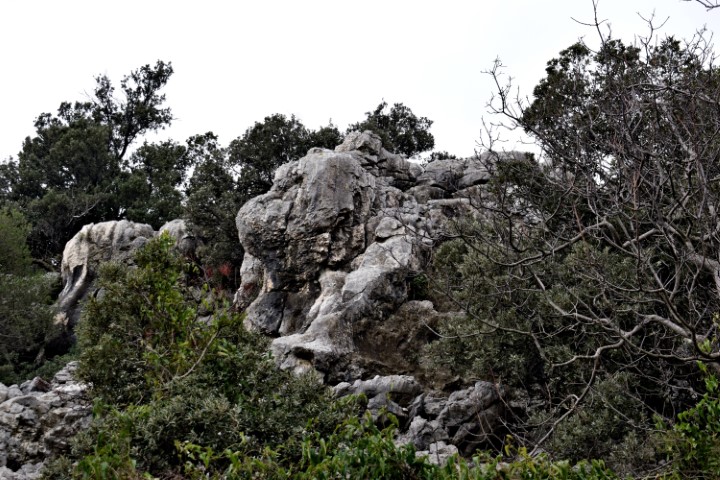
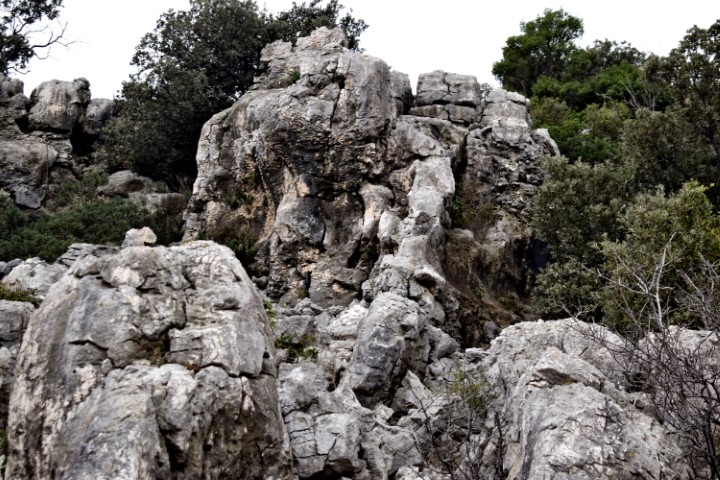
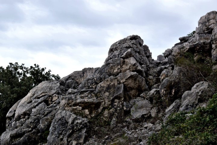
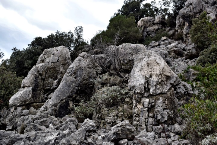
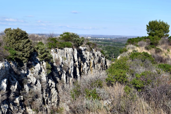
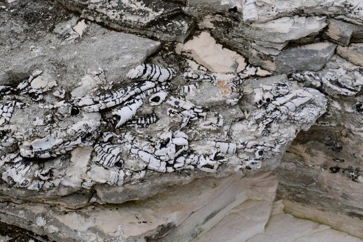
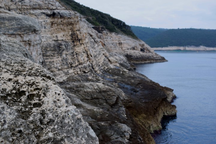
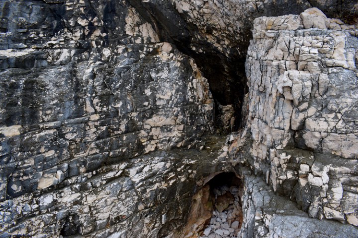
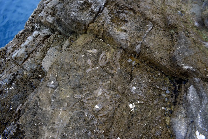
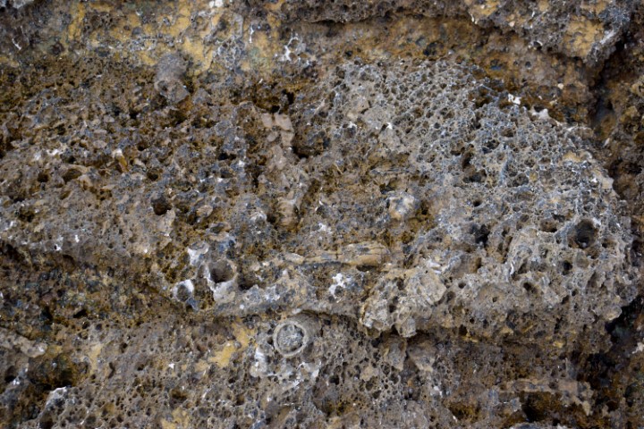
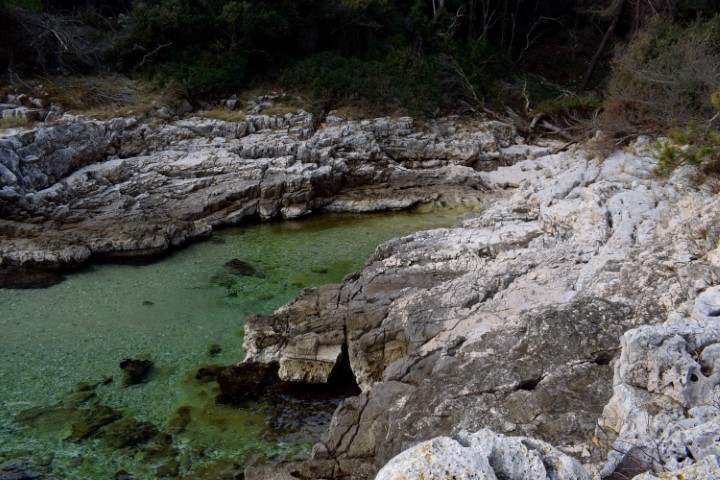
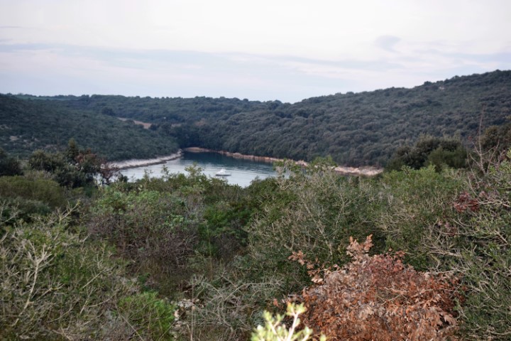
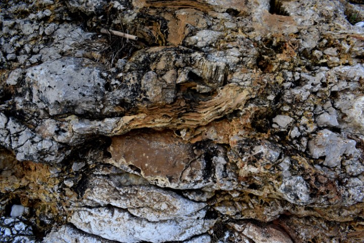
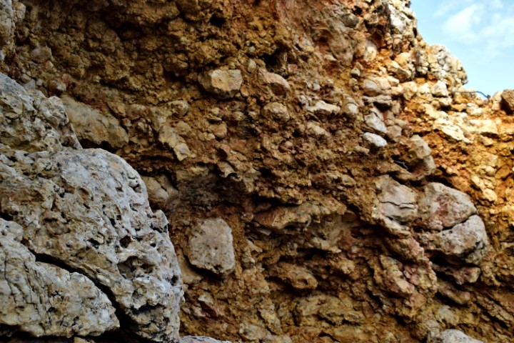
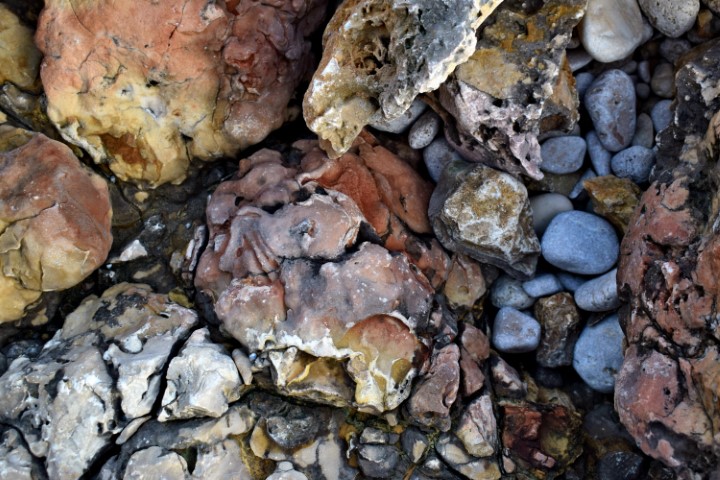
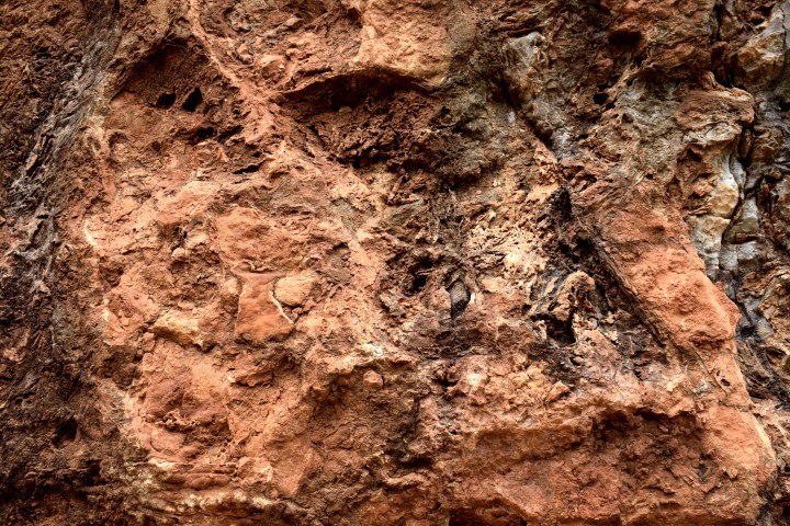
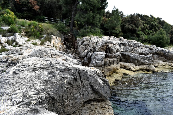
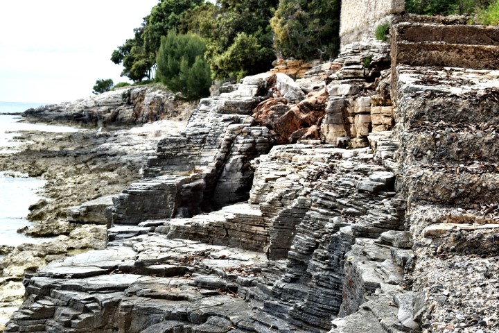
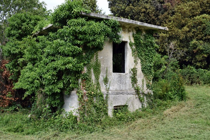
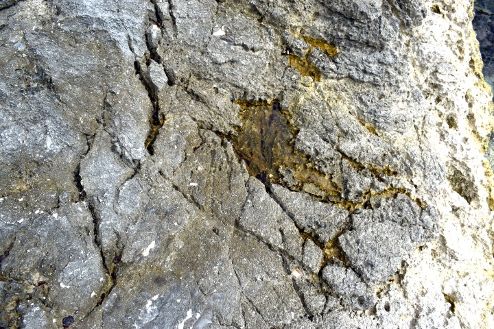
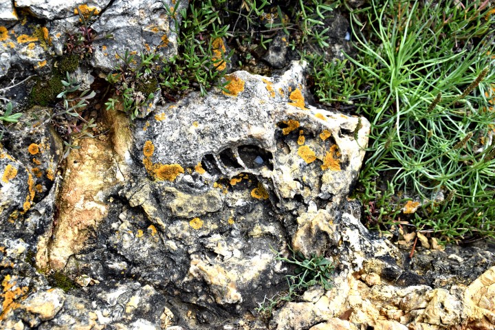
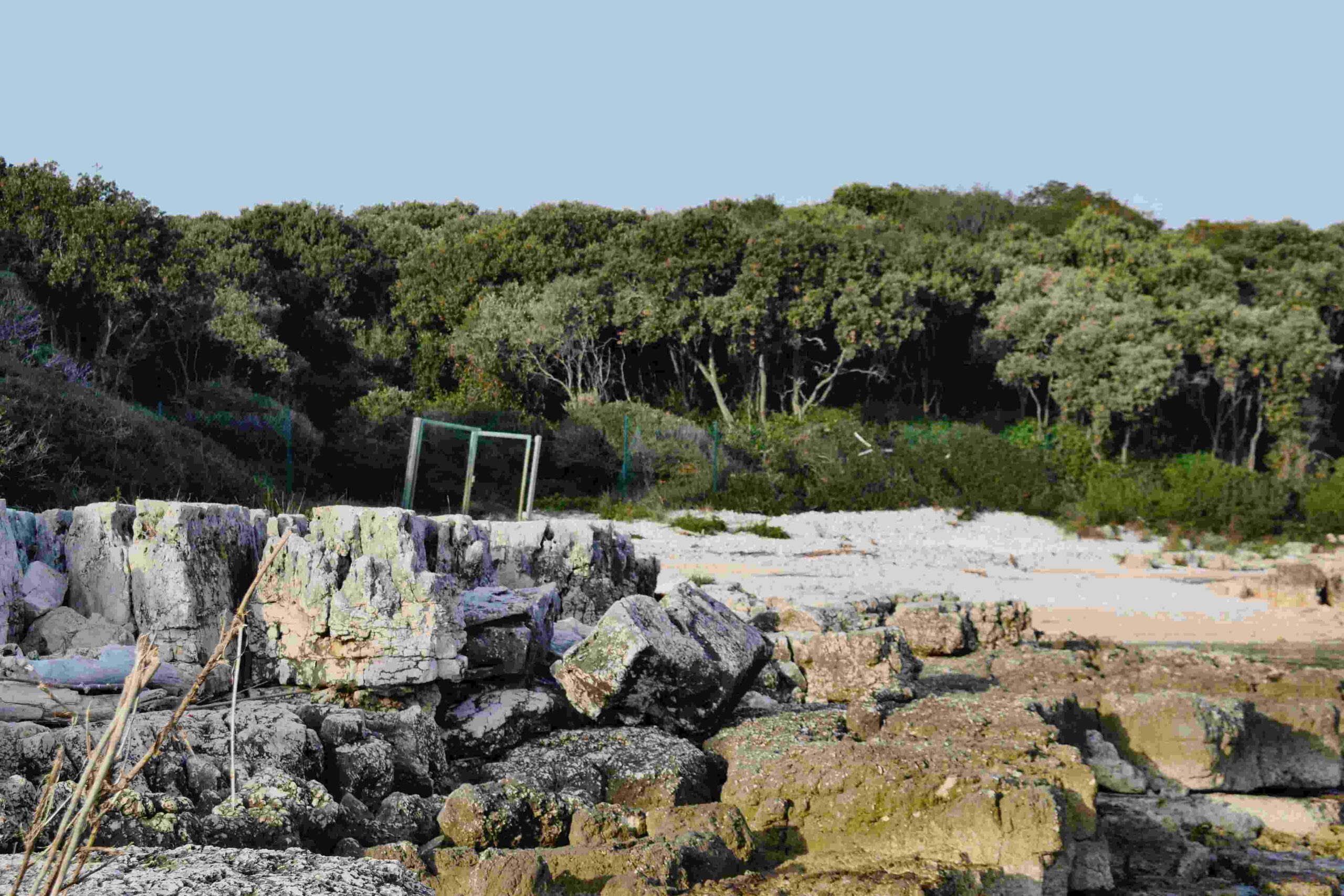
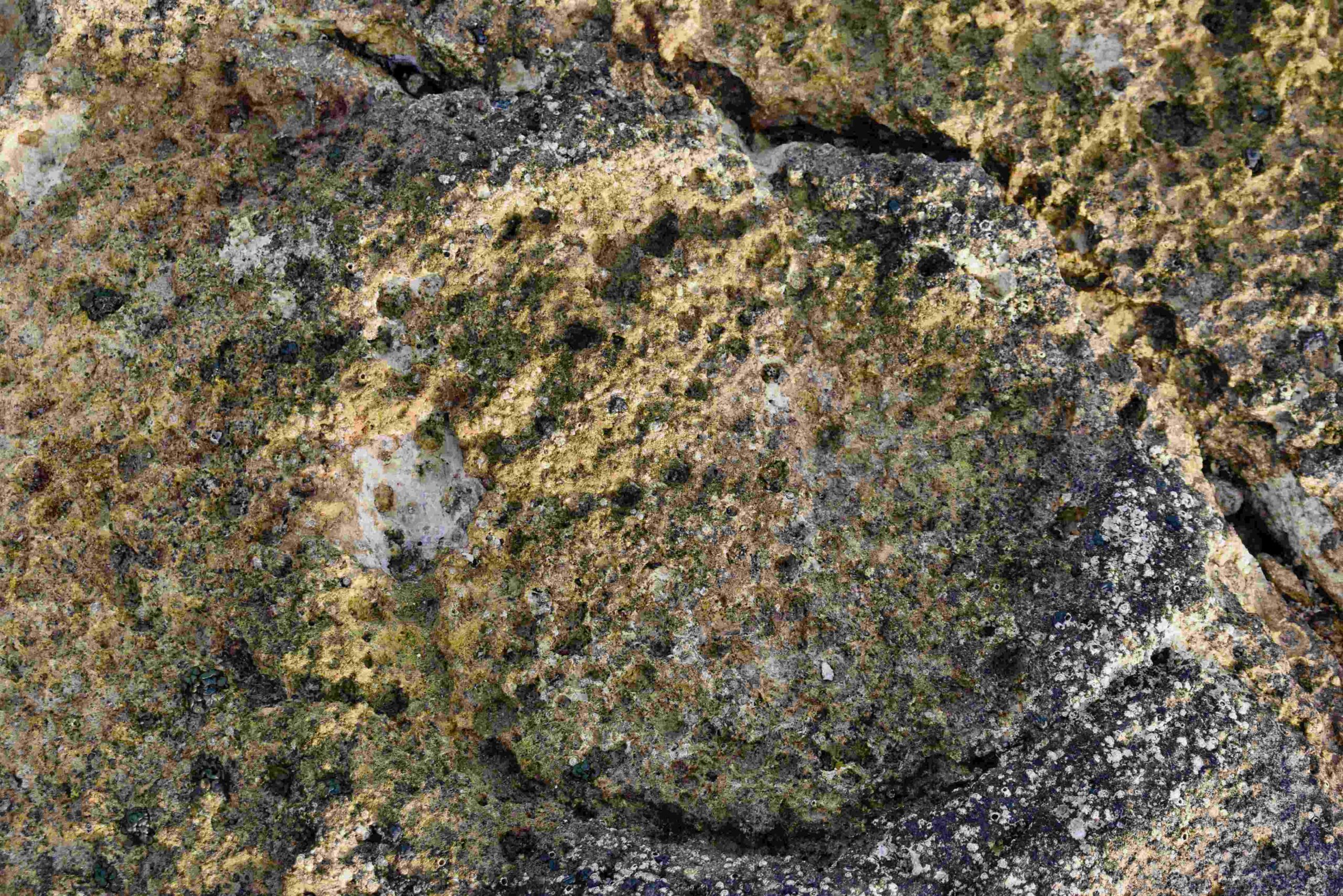
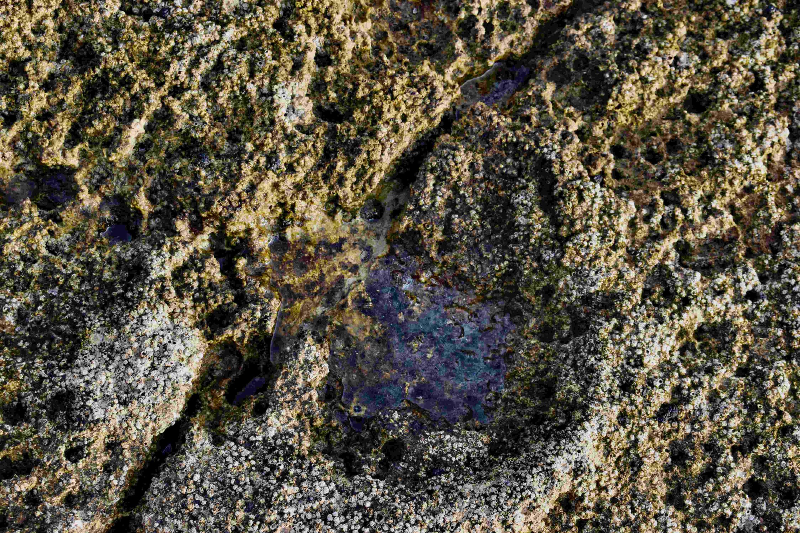
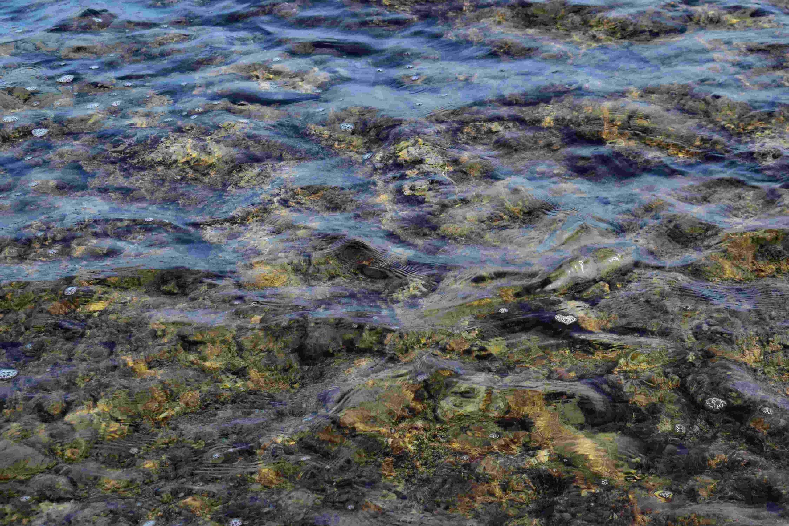
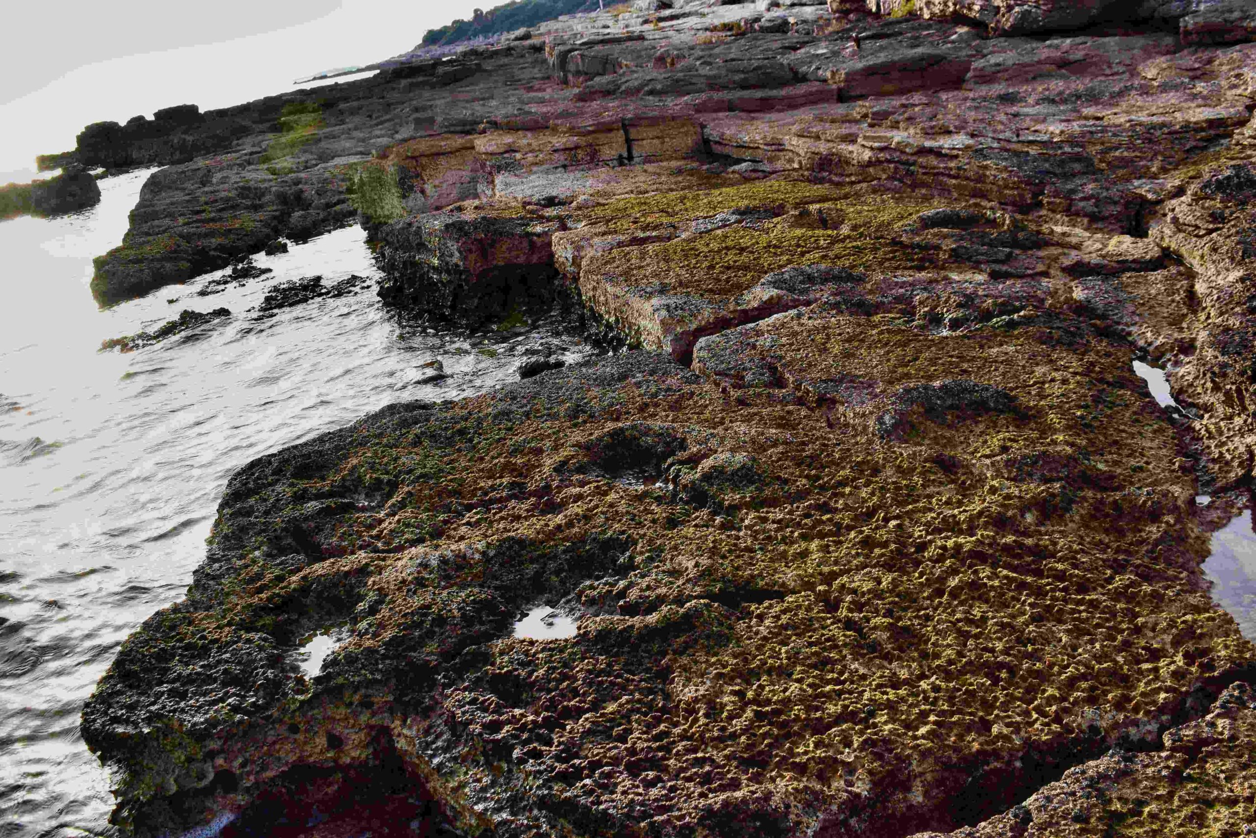
Name: Fossils in the limestone cliffs along Luka Bay near Rakalj.
Place: Rakalj – (Marčana).
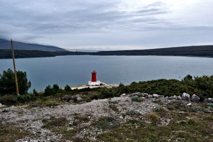
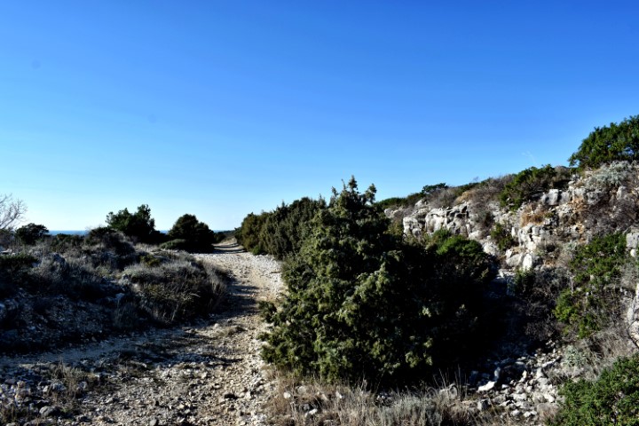
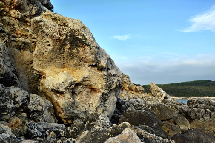
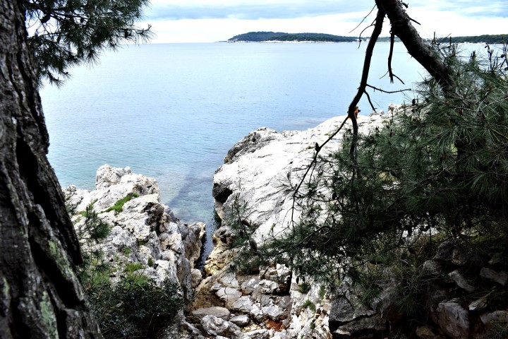
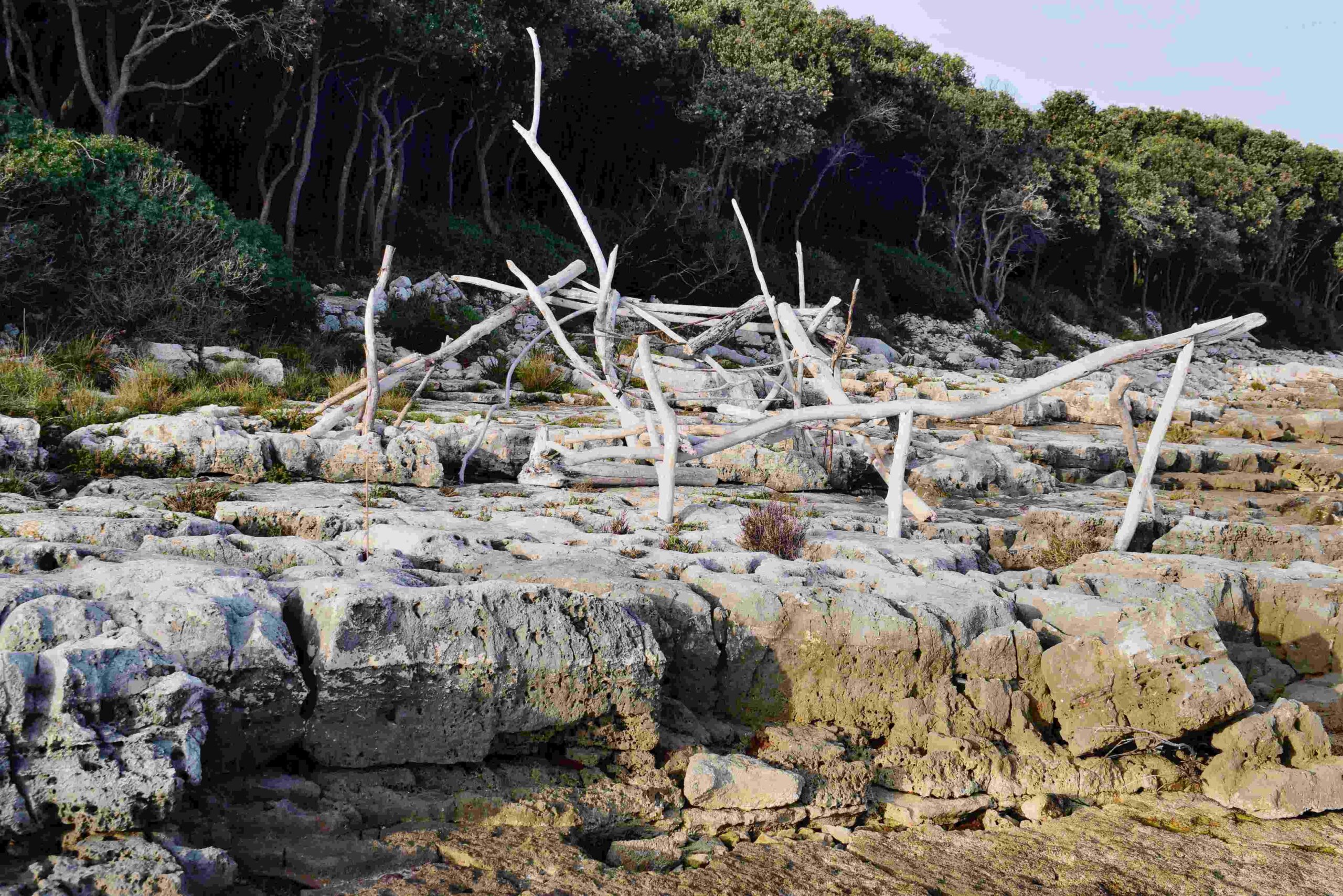
This trail along the bay Kula and part of the Raša bay is also called the Stephan Hauser trail. Stephan Hauser is a famous cellist, who lives in Rakalj.
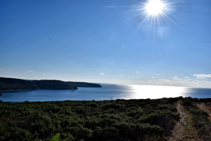
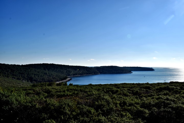
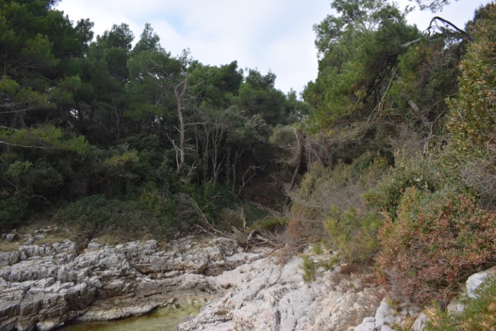
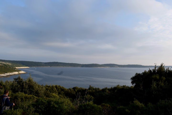
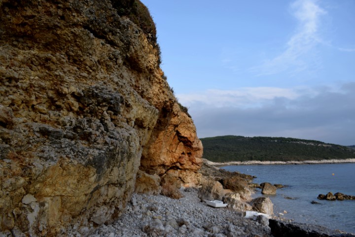
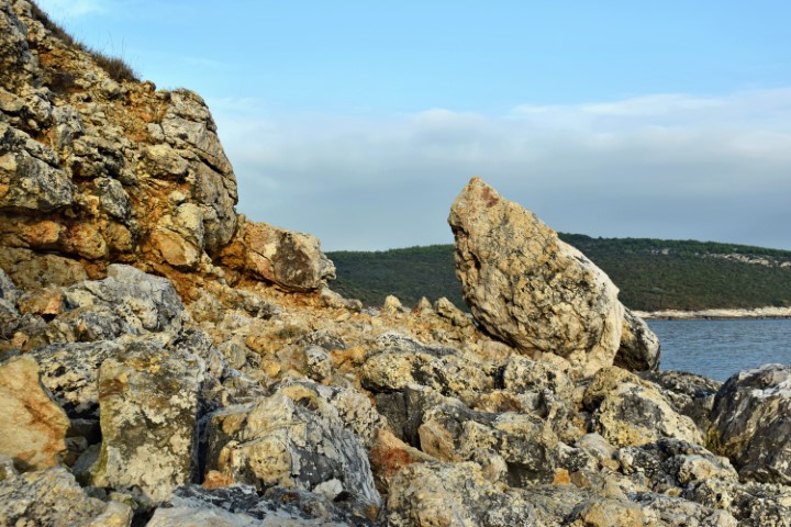
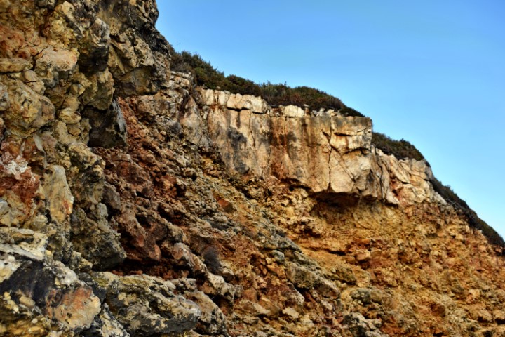
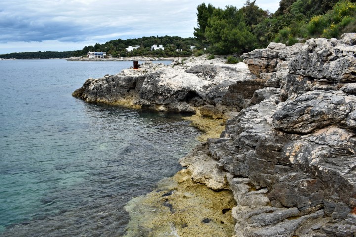
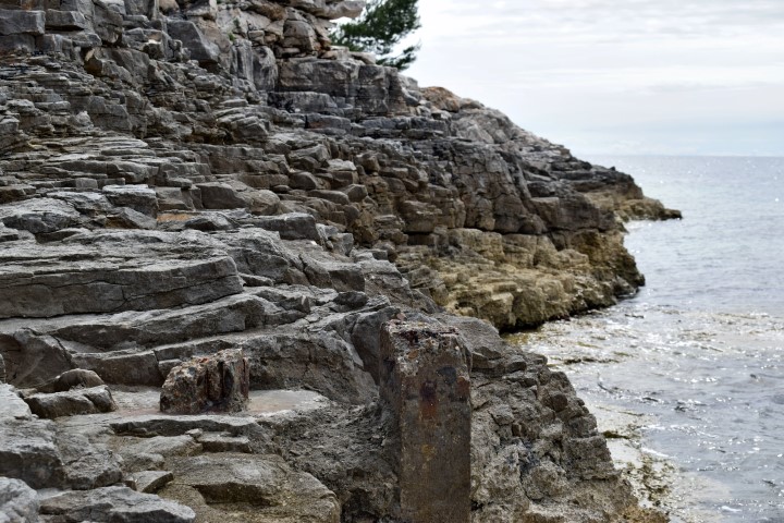
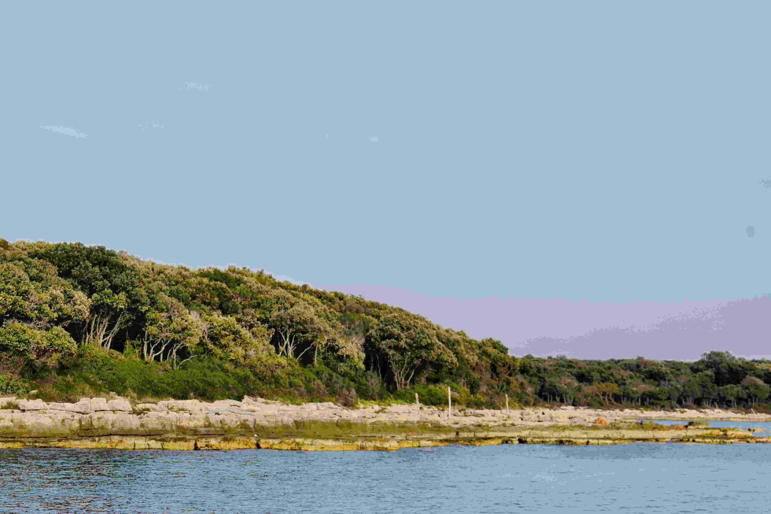
Name: Hiking trail from cape Sveti Mikula to cape Kalavojna.
Place: Rakalj – (Marčana).
Coordinates: Start 44.97683 N – 14.07401 E, Cape Kalavojna 44.96391 N – 14.03668 E.
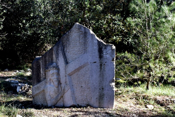
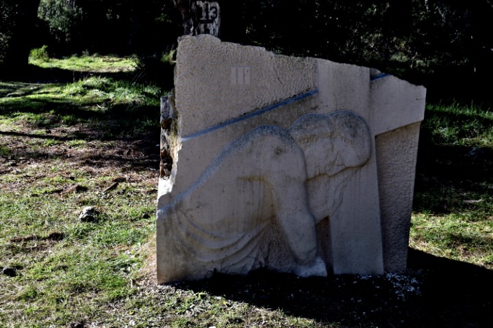
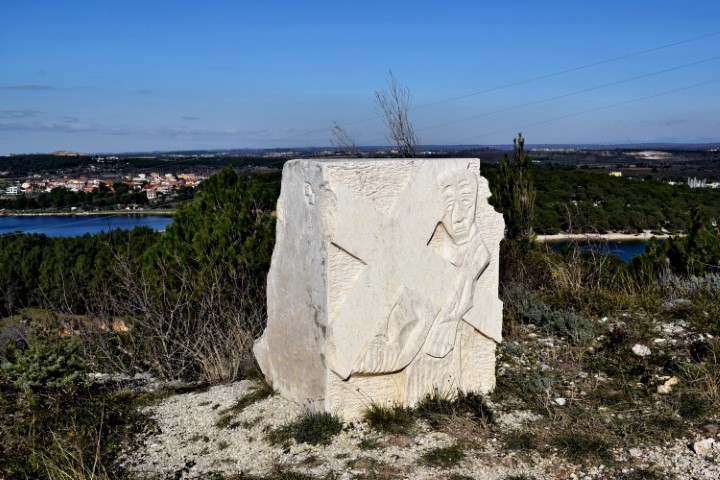
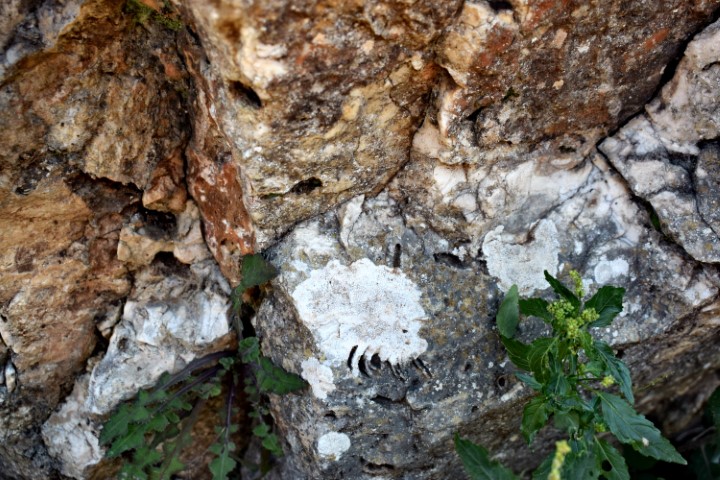
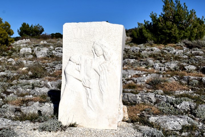
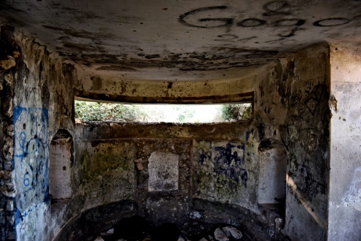
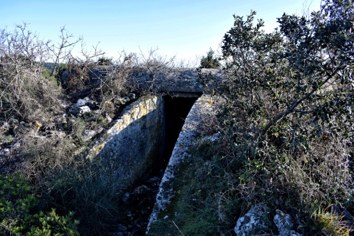
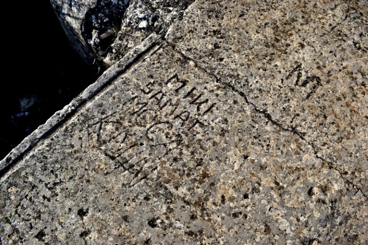
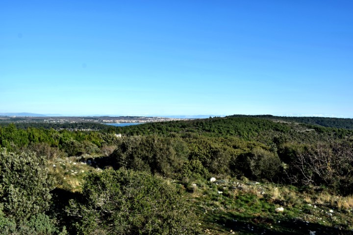
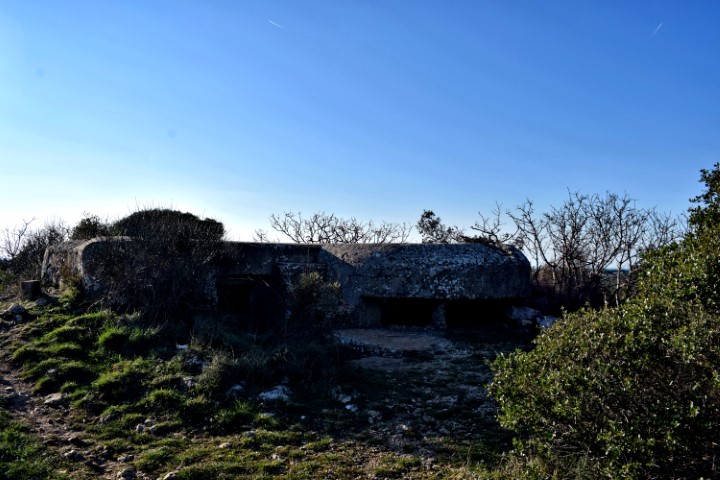
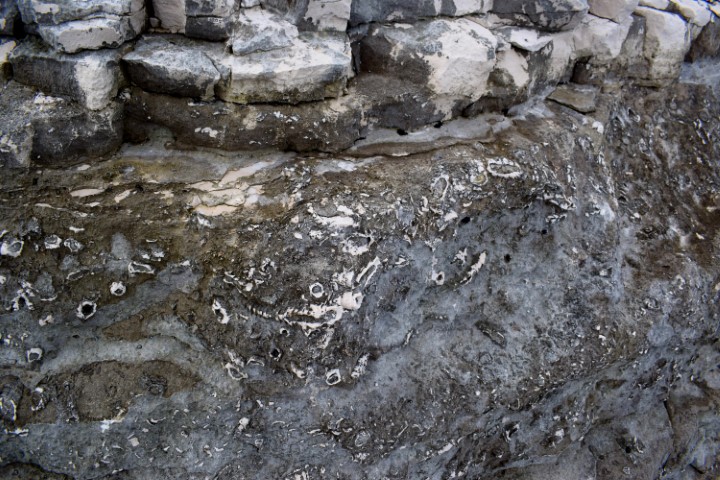
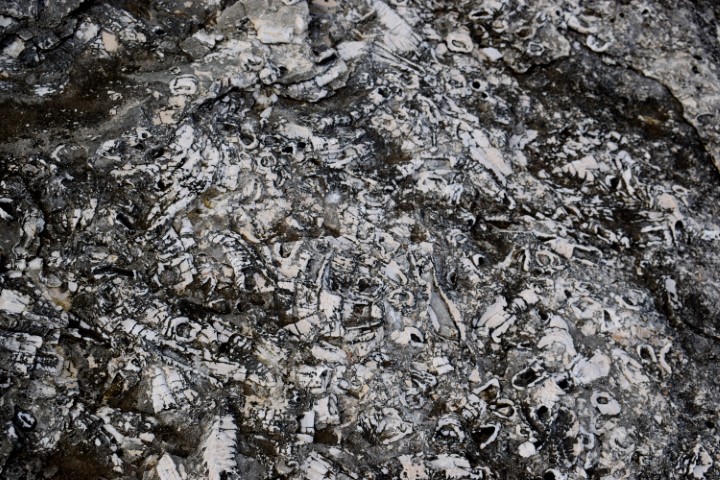
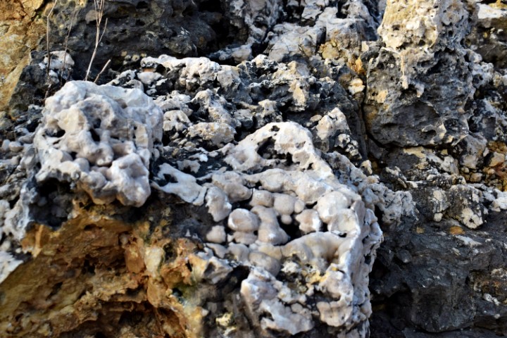
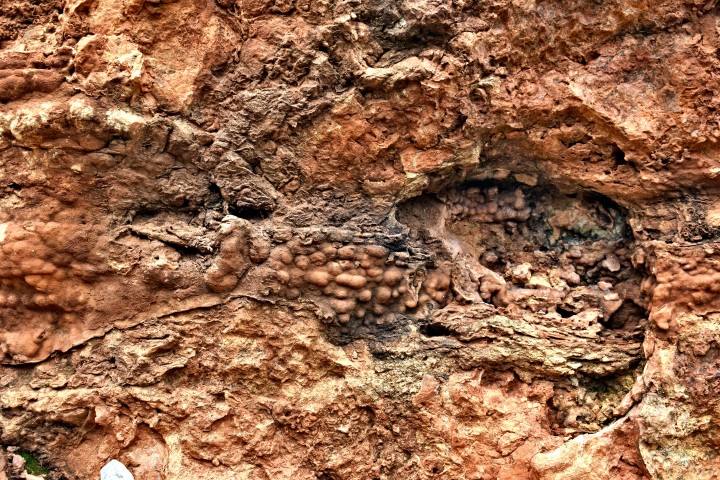
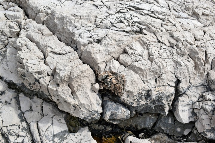
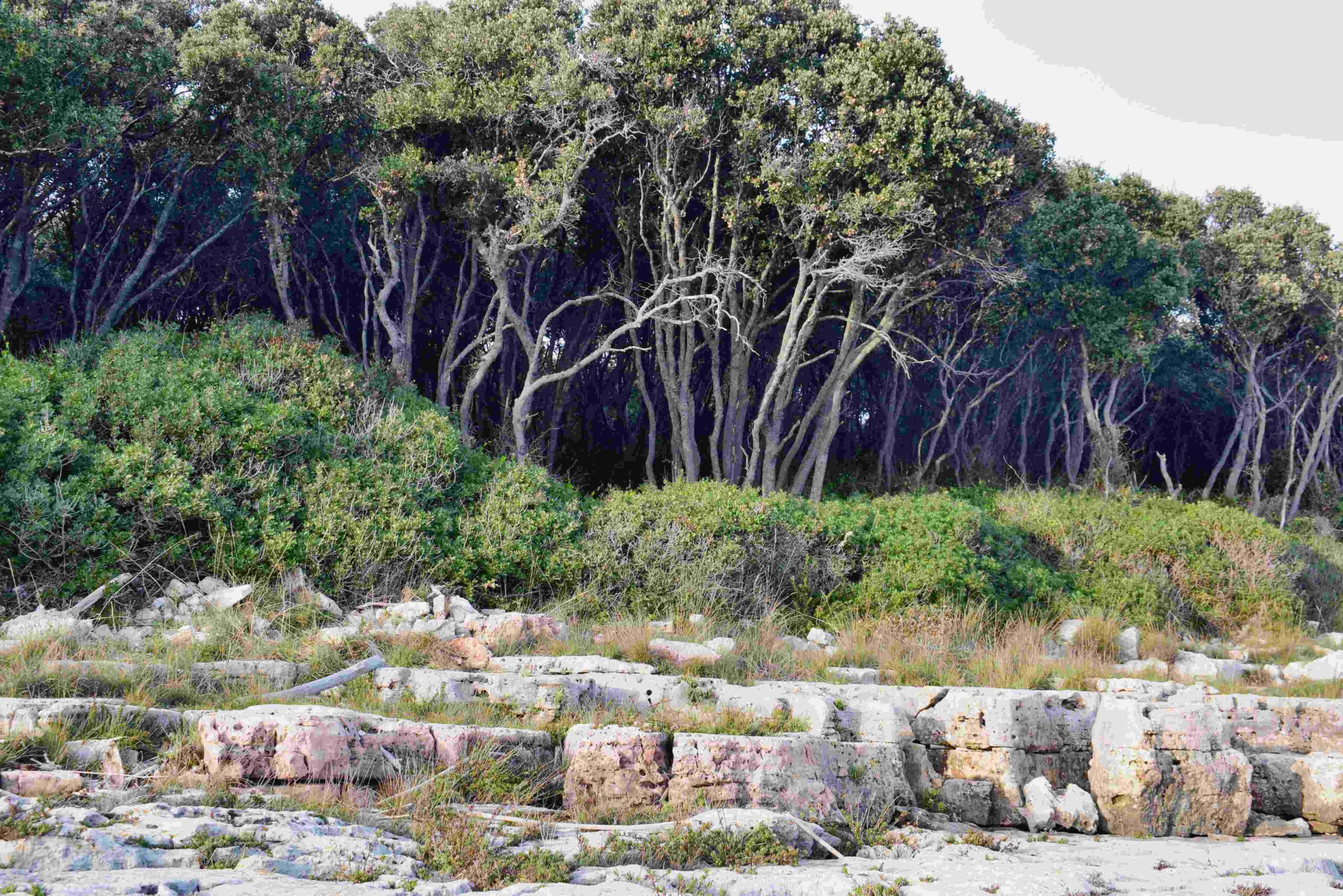
This part of the peninsula is located over a length of 3.5 km between the villages of Prementura and Volme and is bordered on the north side by the bay of Medulin.This nature protected area has many special features such as a prehistoric settlement – a Gradina – from the Bronze Age, and a cave that was inhabited not only in the Bronze Age but also in the Middle Ages. Military facilities such as pillboxes and an artillery battery near Gomila hill. This as part of the Austo-Hungarian defense system in the early 19th century to defend the marina port of Pula. The presence of limestone rocks with bivalve molluscs (rudists). There is also a path over Upper Kamenjak with Stations of the Cross built in 2013.
Name: Upper Kamenjak – Monte Kope.
Place: Prementura – (Medulin).
Coordinates: Start 44.8o676 N – 13.90818 E to 44.81419 N – 13.87769 E.
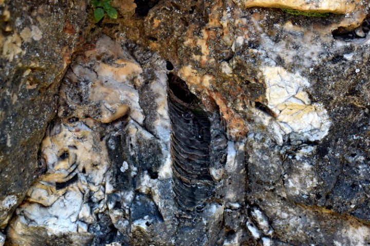
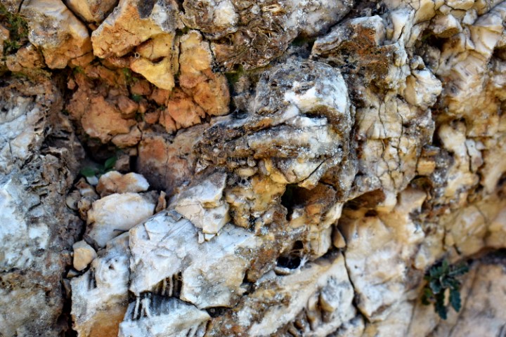
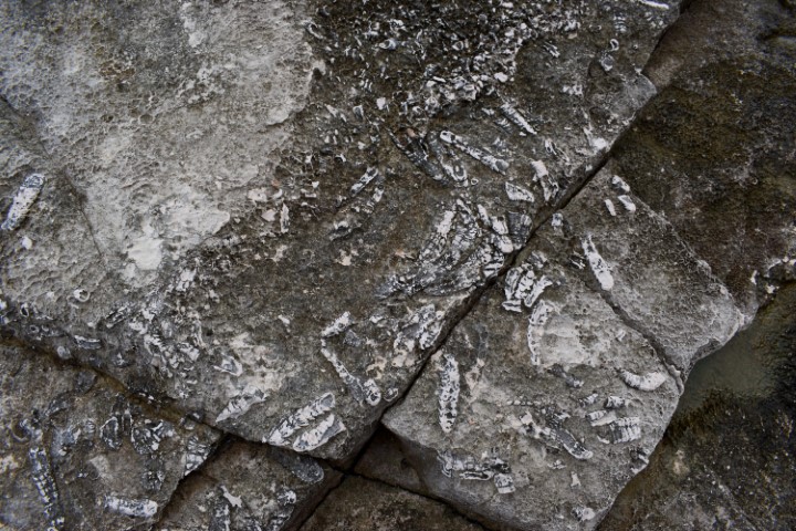
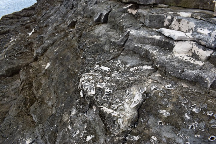
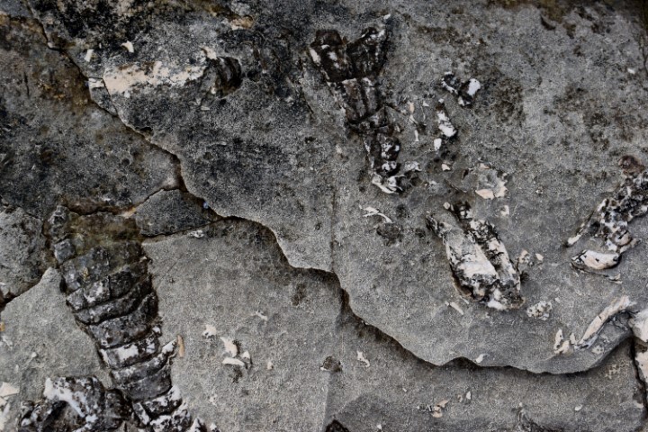
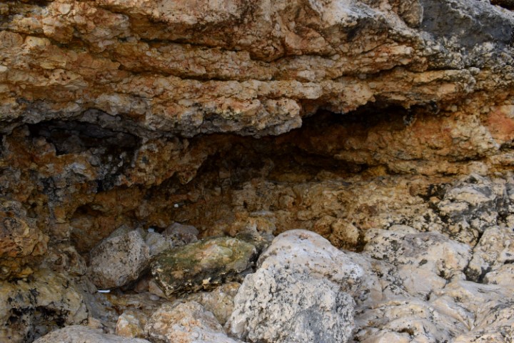
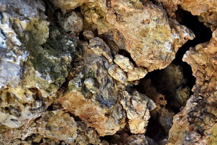
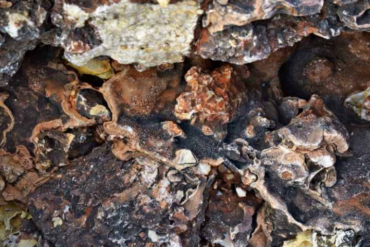
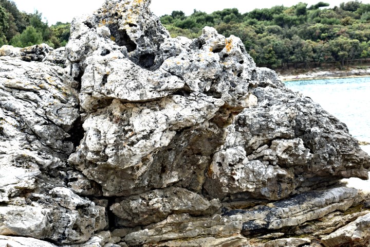
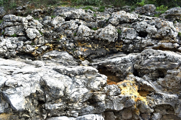
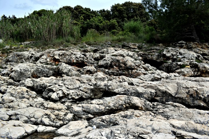
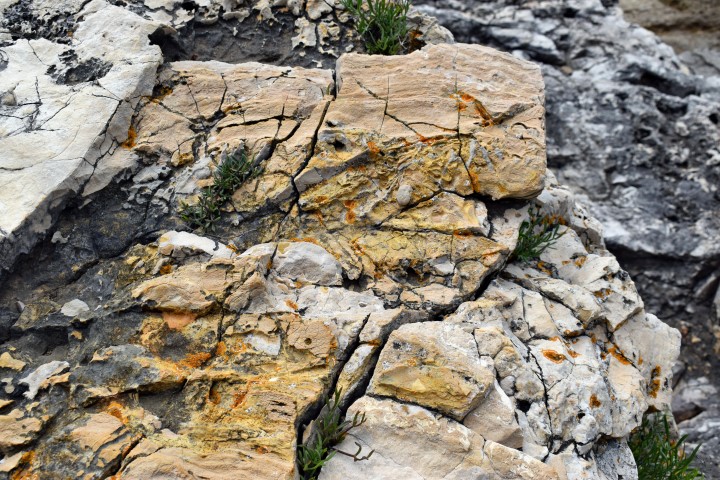
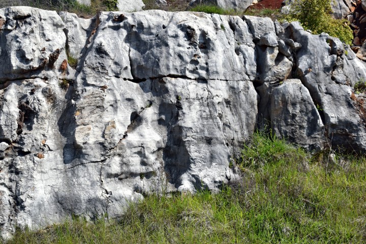
Cuf (M. Zuffo) was a prehistoric settlement with a good view on the gradina’s Sanapu, Kitica, Kaštelir (Valtura) and the big settlement Nesactium.
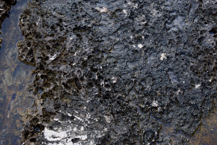
On the rocks are probably fossils of rudists. They lived from the Late Jurassic to the late Cretaceous periods.

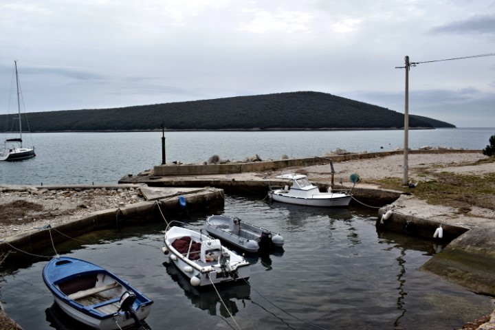
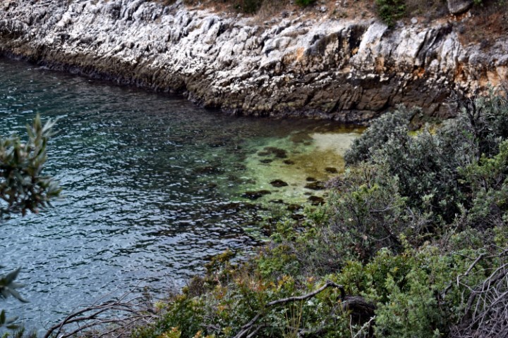
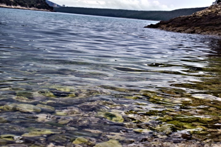
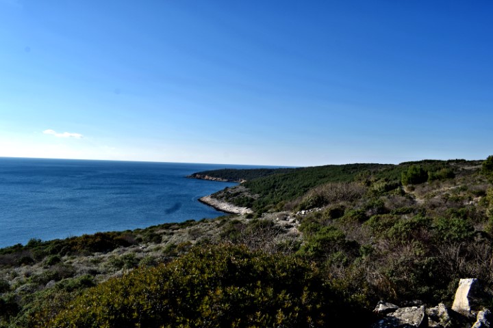
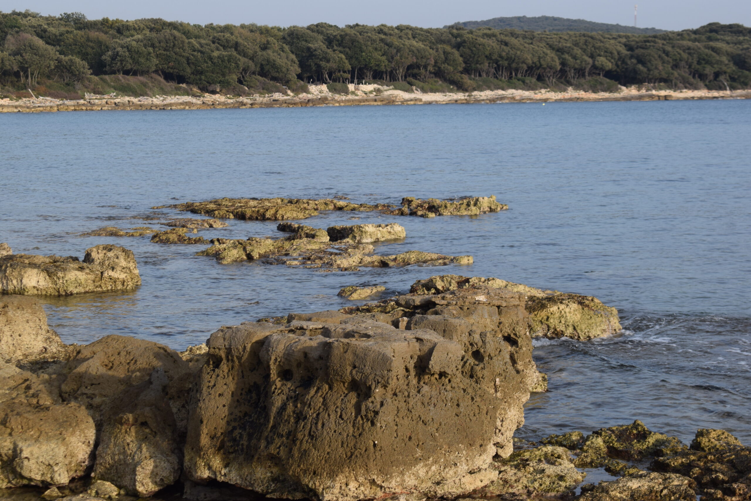
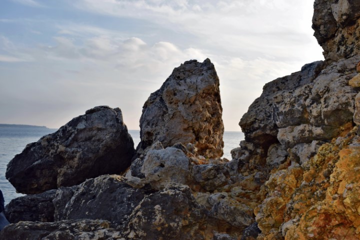
Name: Cape Cuf – Kvarnar near Lake Baduva.
Place: Ližnjan.
Coordinates: Starting point trail 44.88642 N – 13.96607 E , Cape Cuf 44.88567 N – 14.00298 E,
Bay Škorpula 44.88274 N – 14.00174 E.
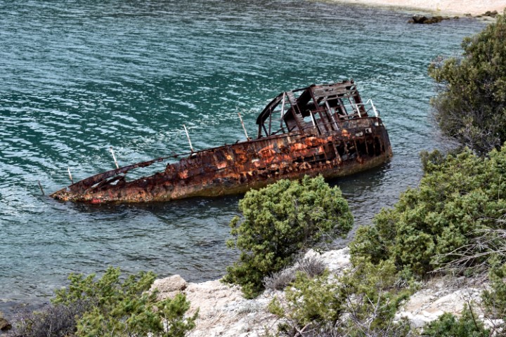
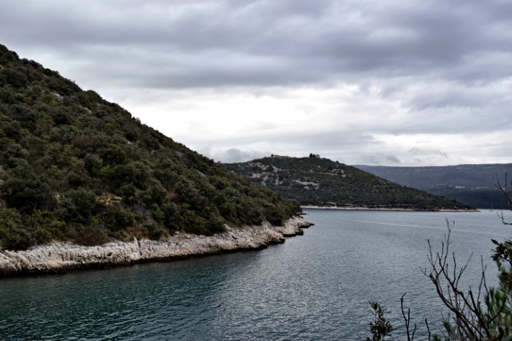
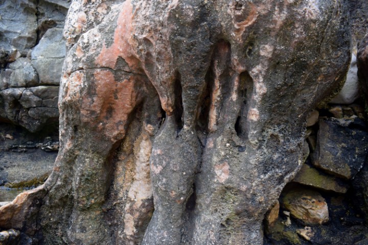
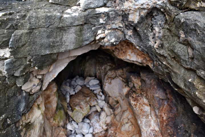
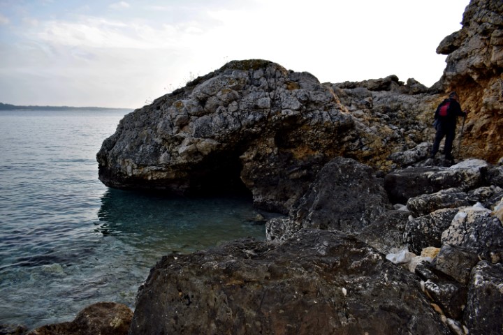
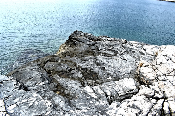
Coast between Bay Valun and Bay Teradige with Cape Crijene Stine.
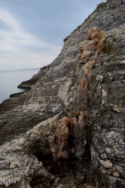
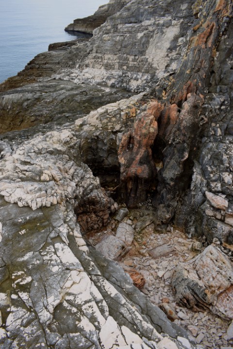
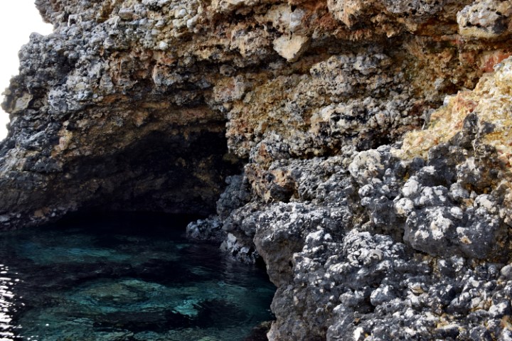
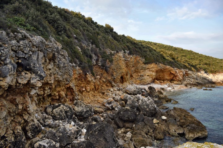
Name: Upper Premantura – Red Rocks.
Place: Premantura – (Medulin).
Coordinates: Starting point trail to coast 44.80675 N – 13.87808 E, Coast: 44.80827 N 13.88275 E, Cave: 44.80653 N – 13.88110 E.

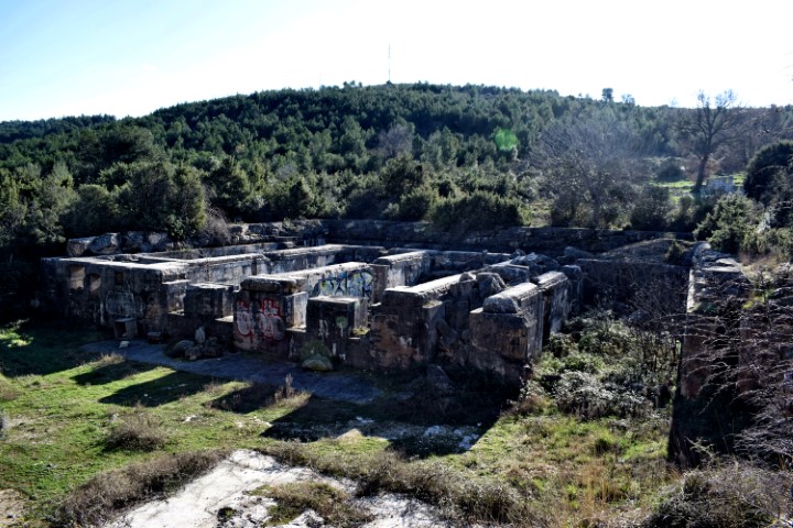
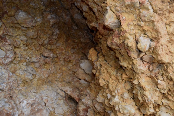
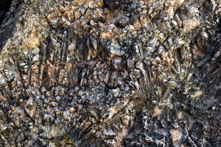
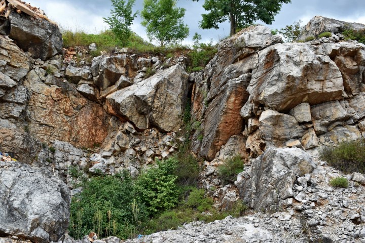
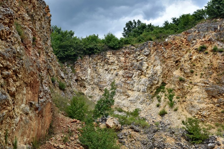
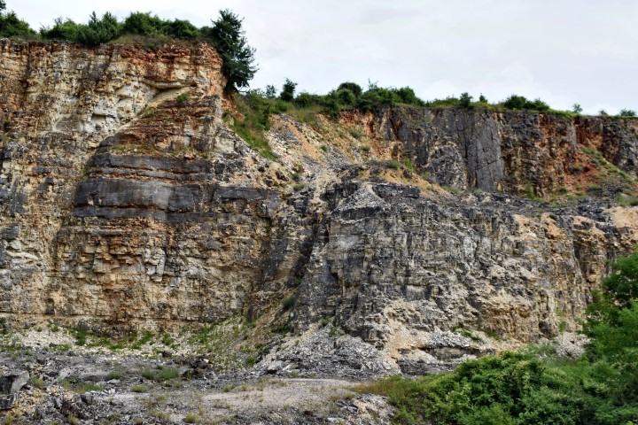
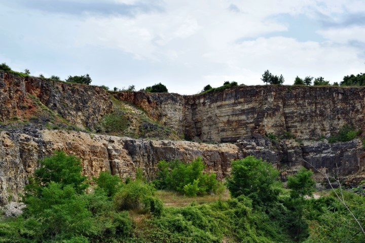
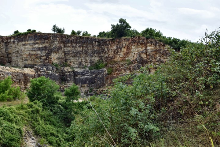
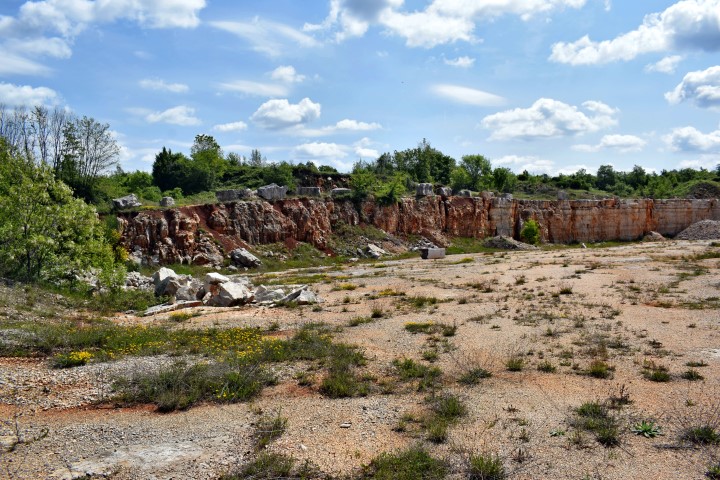
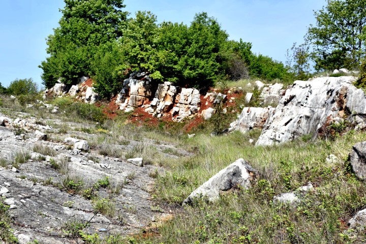
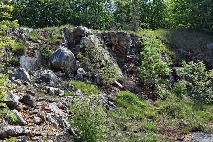
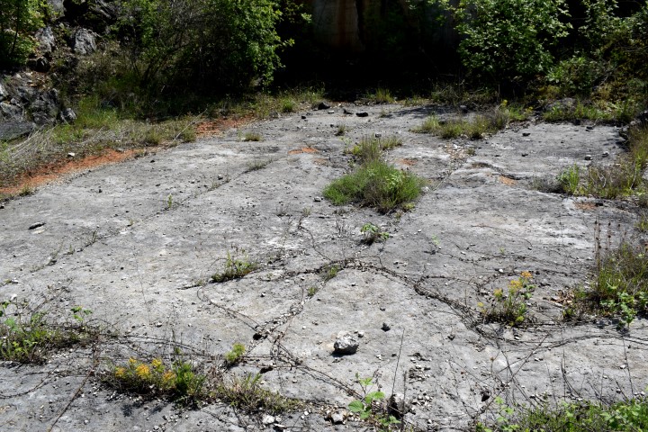
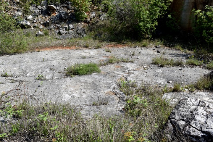
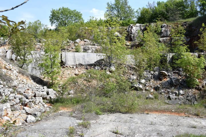
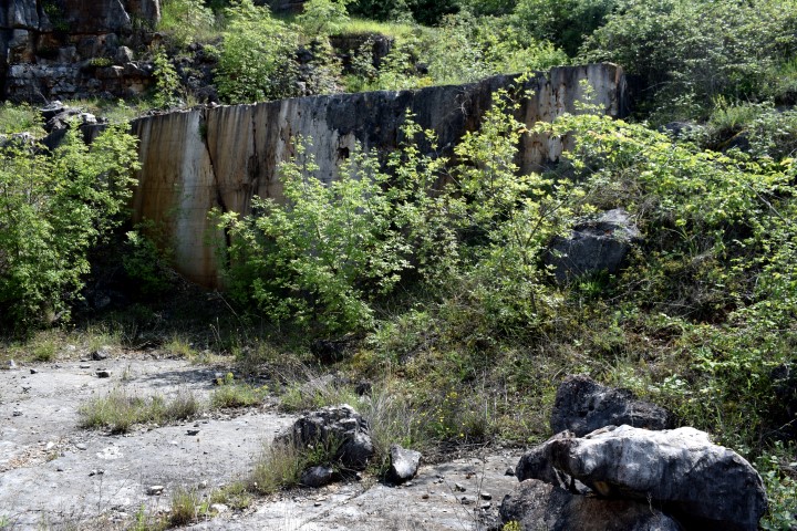
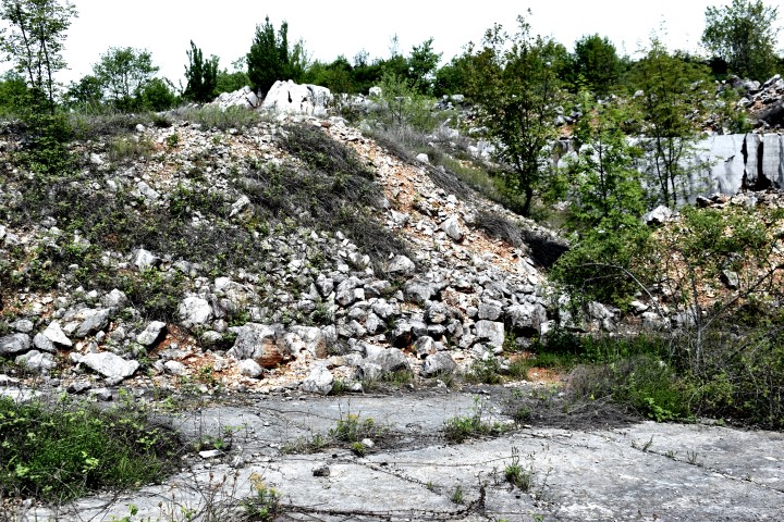
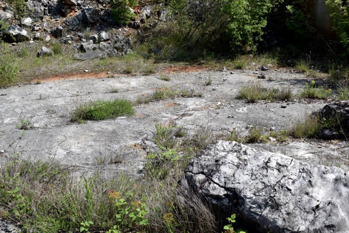
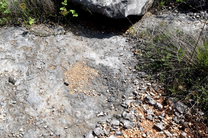
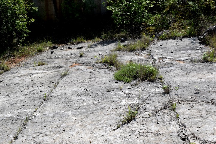
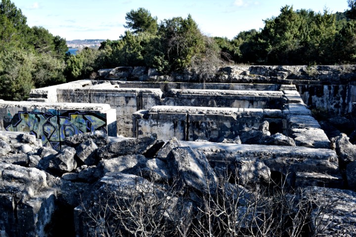
Name: Quarry Stara Finada.
Place: Near Banki – (Poreč).
Coordinates: 45.21488 N – 13.78582 E.
Dinosaur tracksites were found on this part of the Zlatne Stijene in 2006. These belonged to theropods from the geological period Late Albian (about 110 million years ago).

Name: Bay Sakućani / Bay Sv. Ivan.
Place: Zlatne Stijena (Golden Rocks) – (Pula).
Coordinates: 44.84372 N – 13.83352 E to 44.83909 N – 13.83138 E.
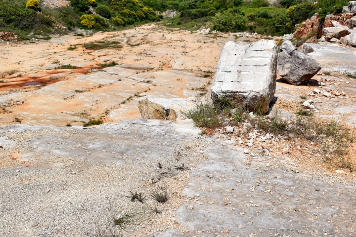
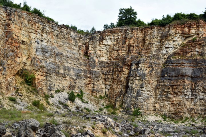
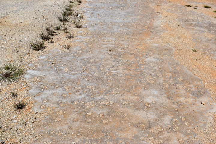
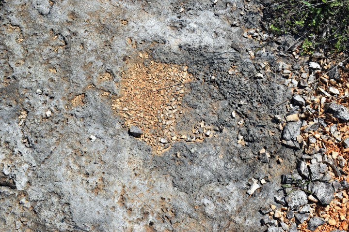
Name: Kirmenjak “prints”.
Place: Near Begi – (Poreć).
Coordinates: 45.16791 N – 13.69966 E.
Elevation: 136 m.
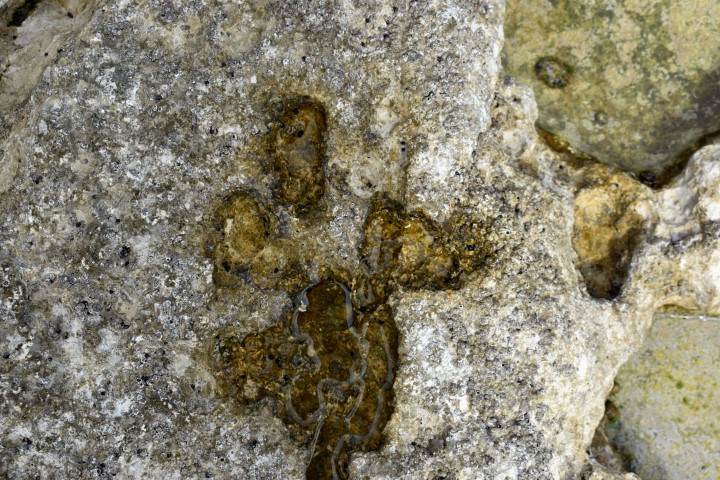
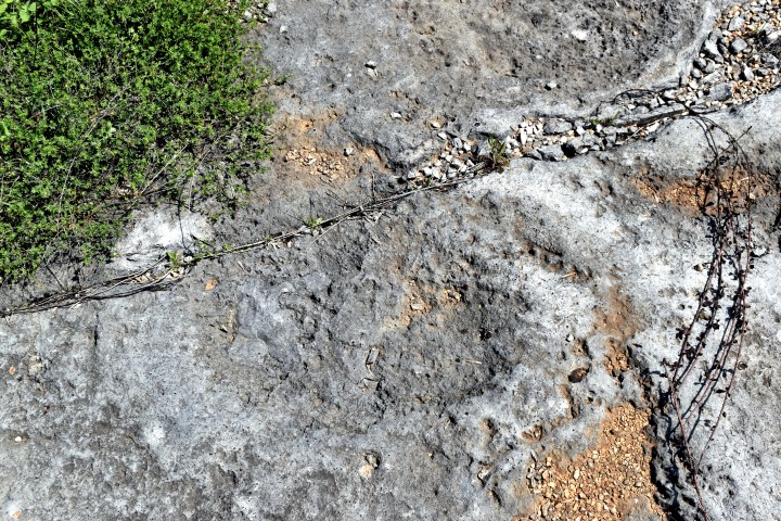
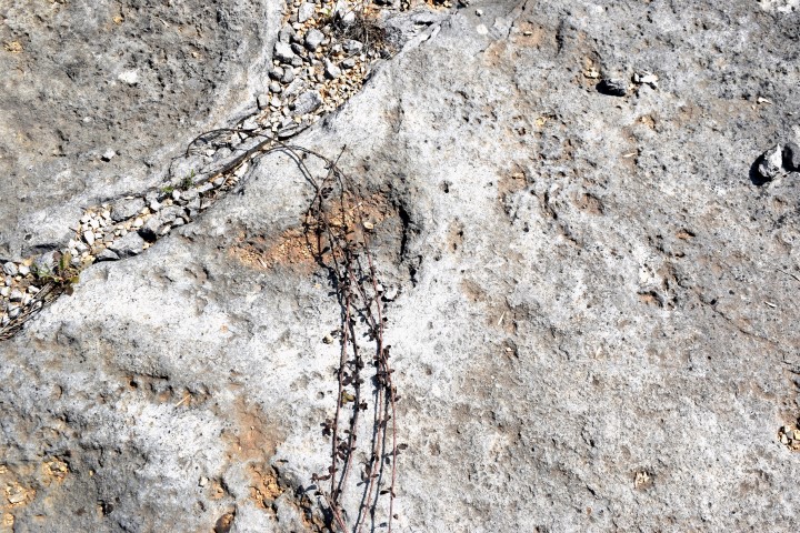
These dinosaur tracks were found in 2007, about 1 km south of earlier finds in 2003, and were formed in the Jurassic period during the late Tithonian (145 – 152.1 mya). Research of the 15 footprints present here has shown that these belong to the Sauropod dinosaur with a length of 16 meters and a walking speed of 2 km / hour.
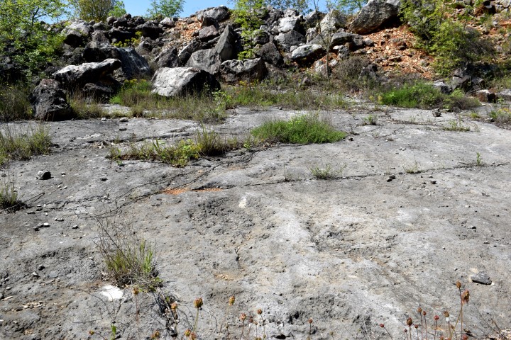
Name: Dinosaur tracksite Kirmenjak quarry.
Place: Near Begi – (Poreć).
Coordinates: 45.17159 N – 13.6821
Elevation: 119 meter.