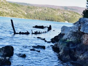
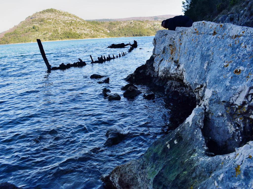
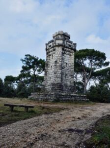
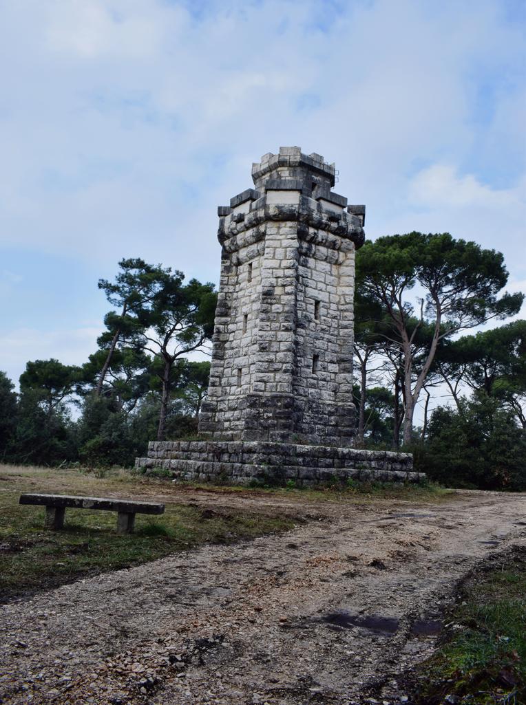
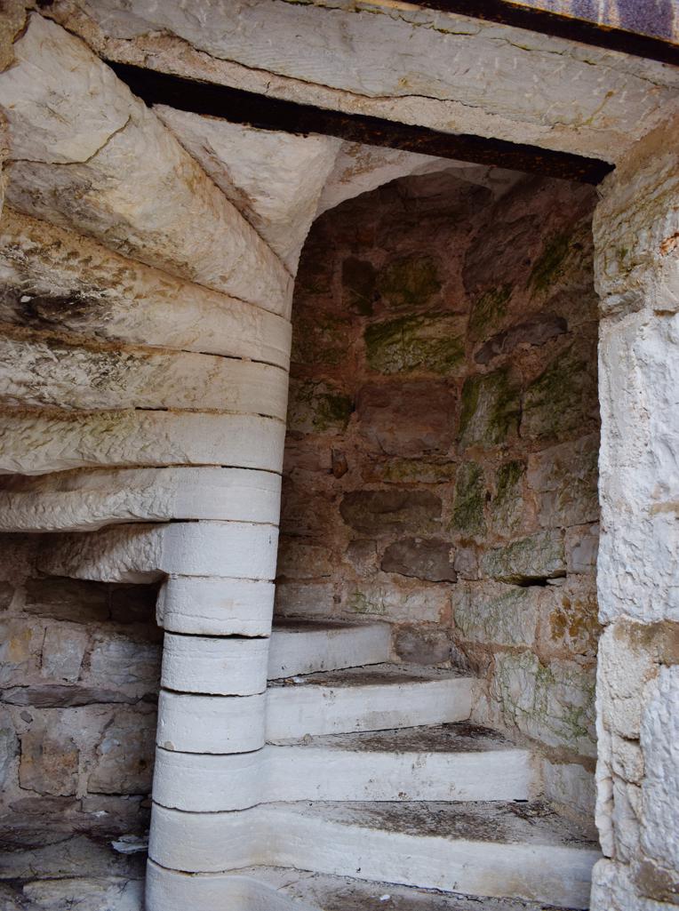
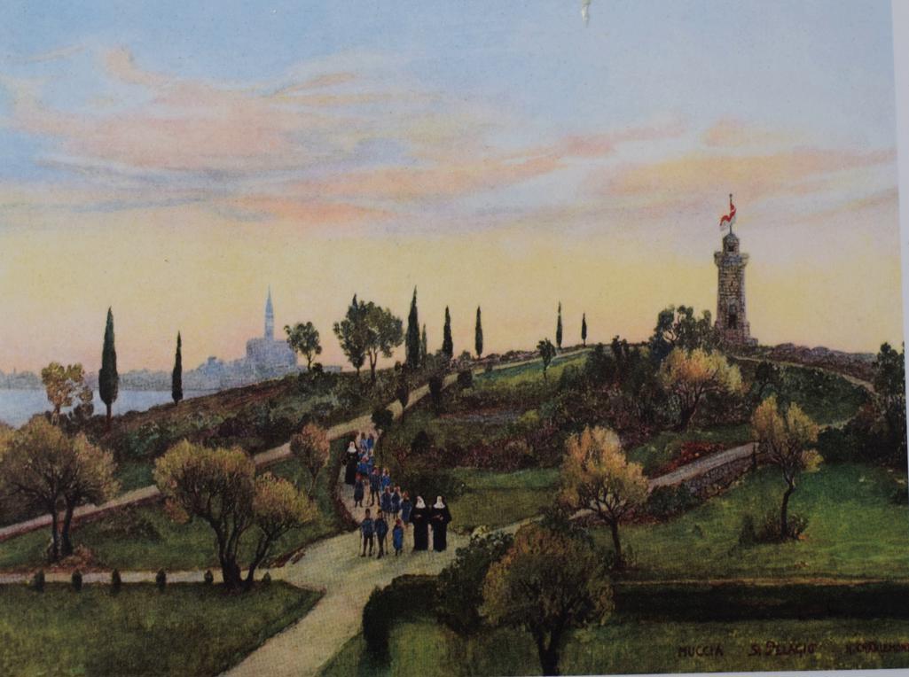
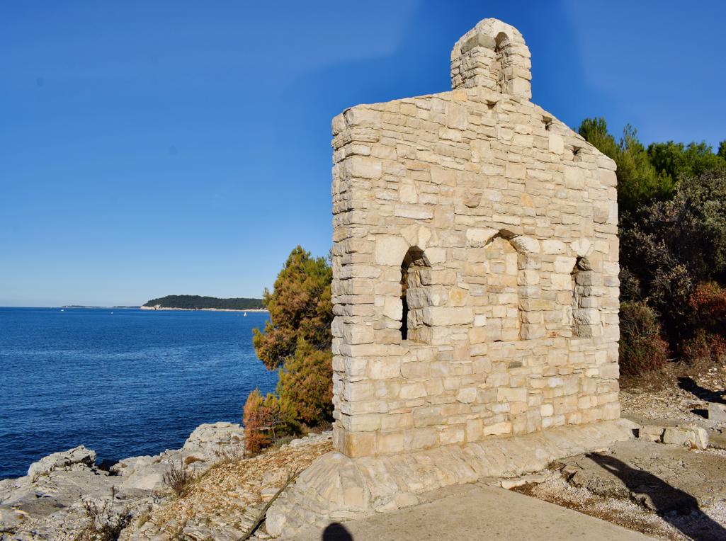
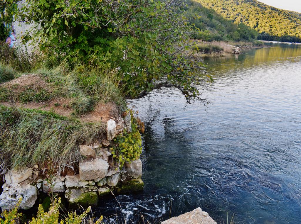
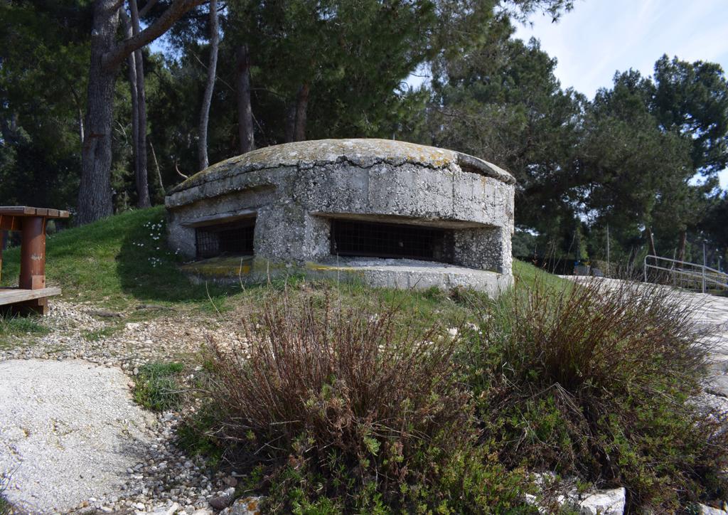
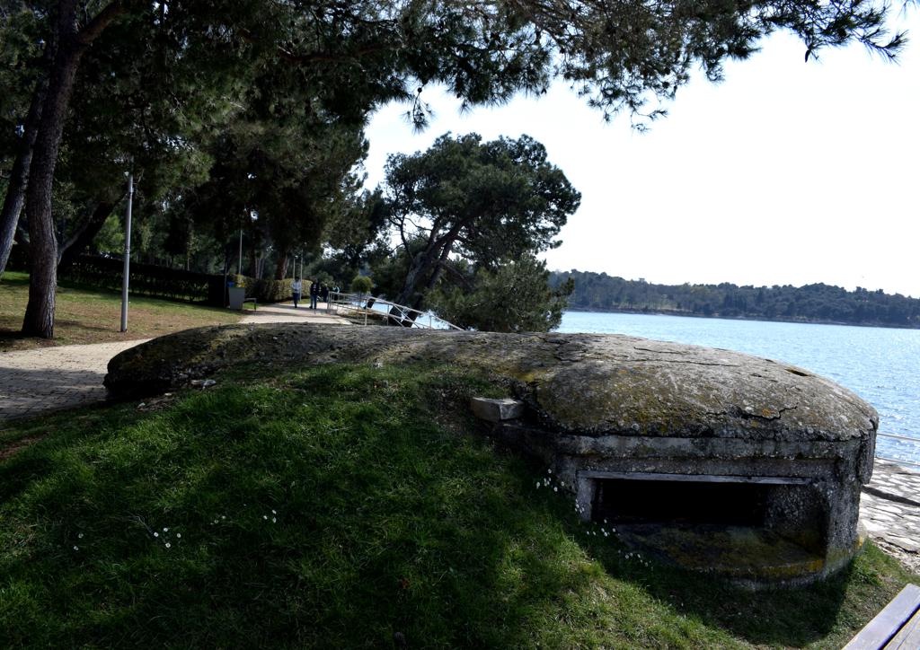
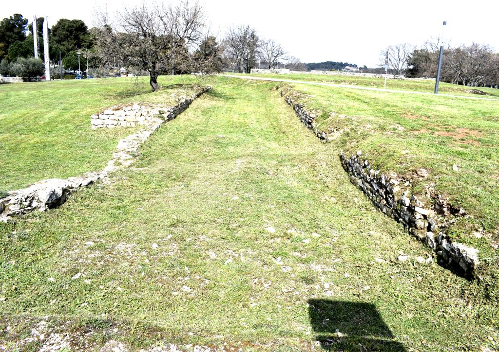
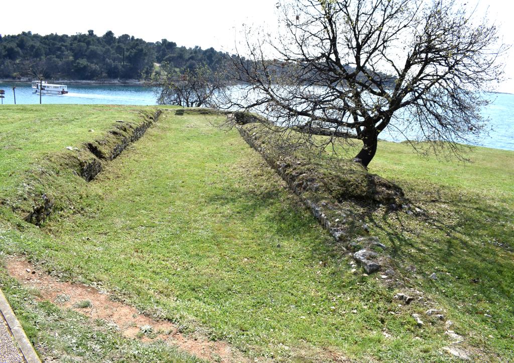
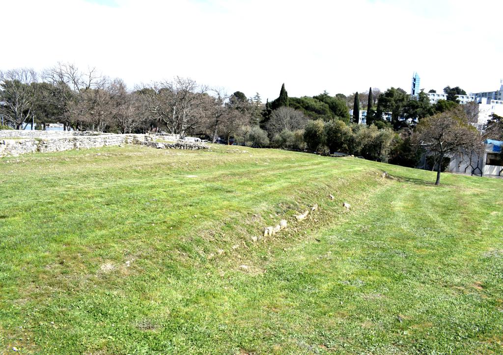
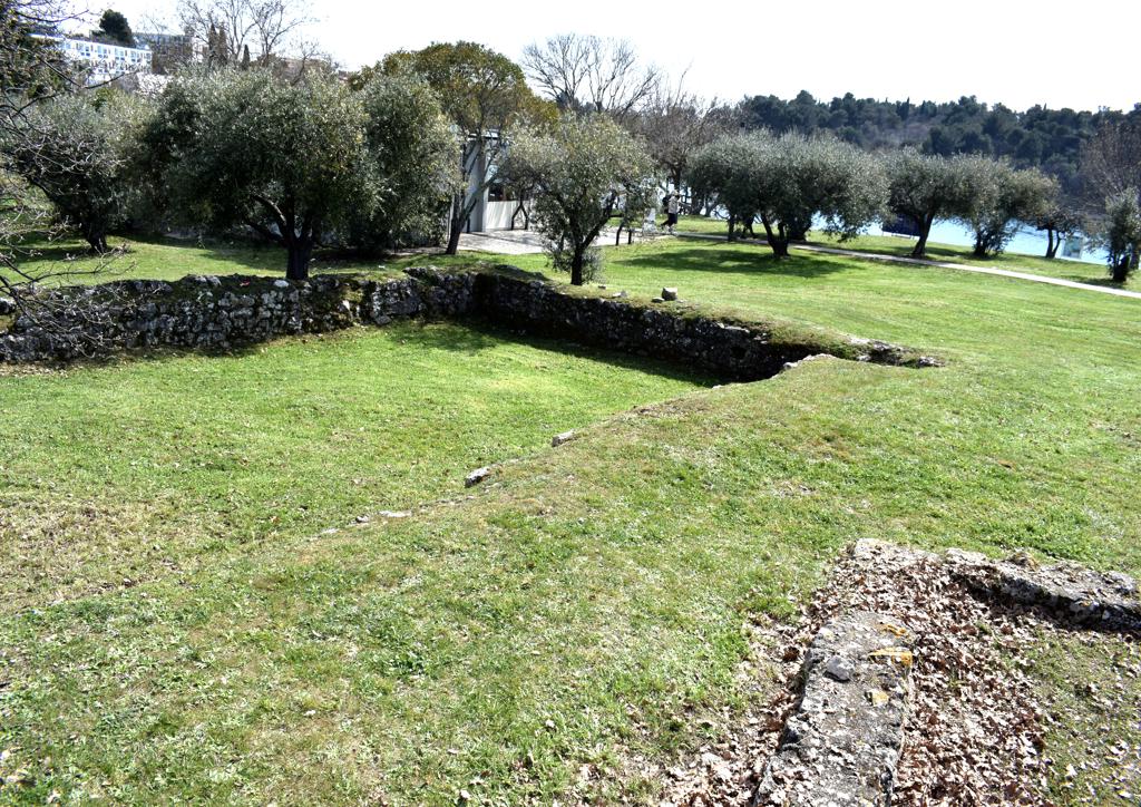
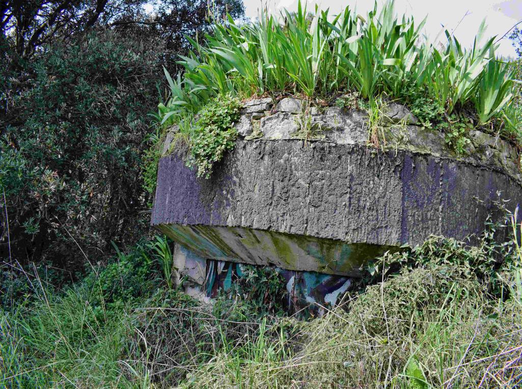
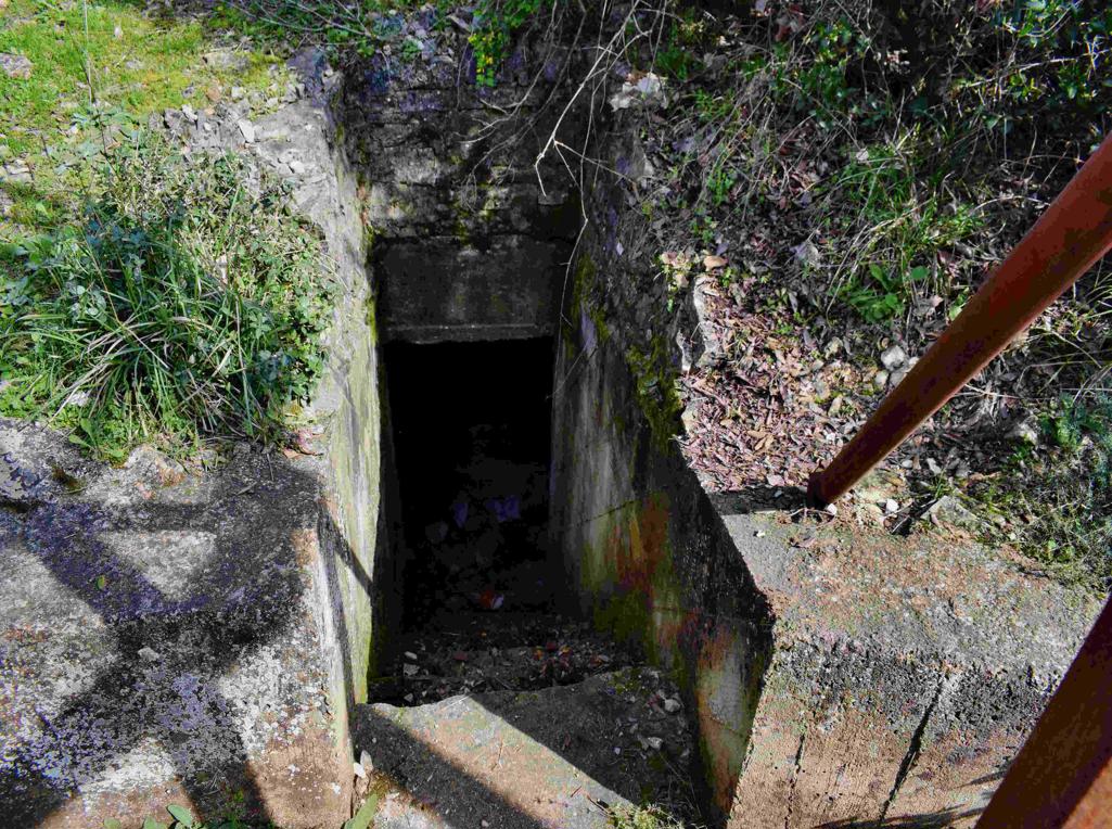
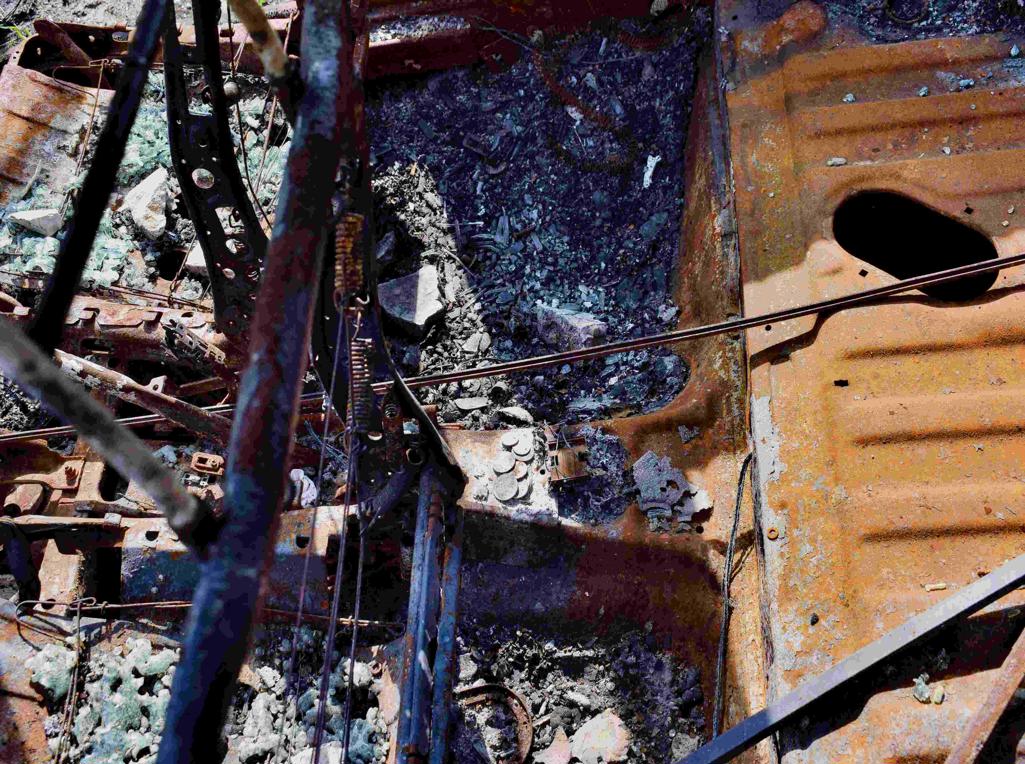
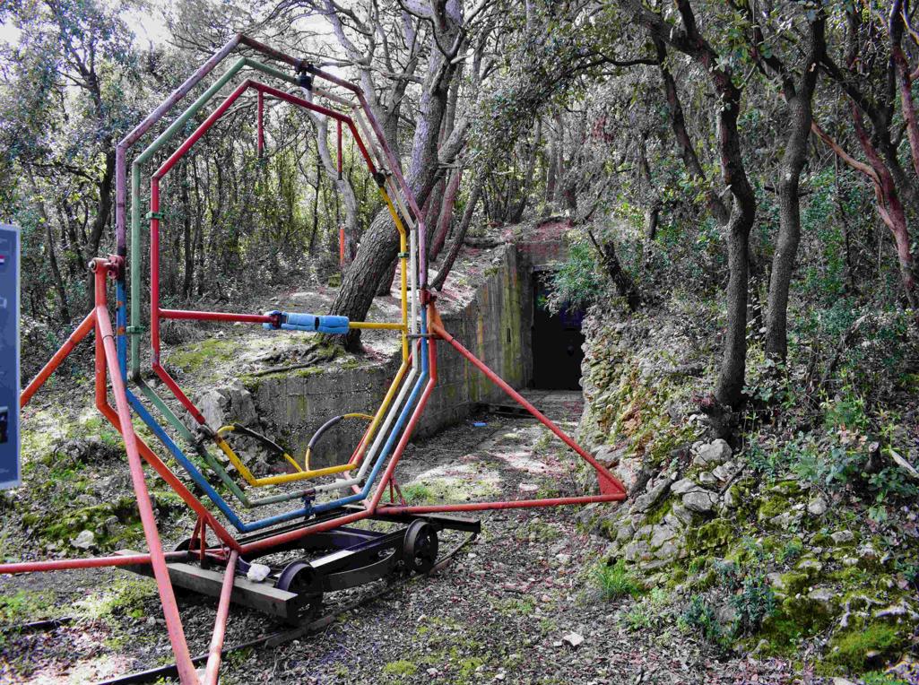
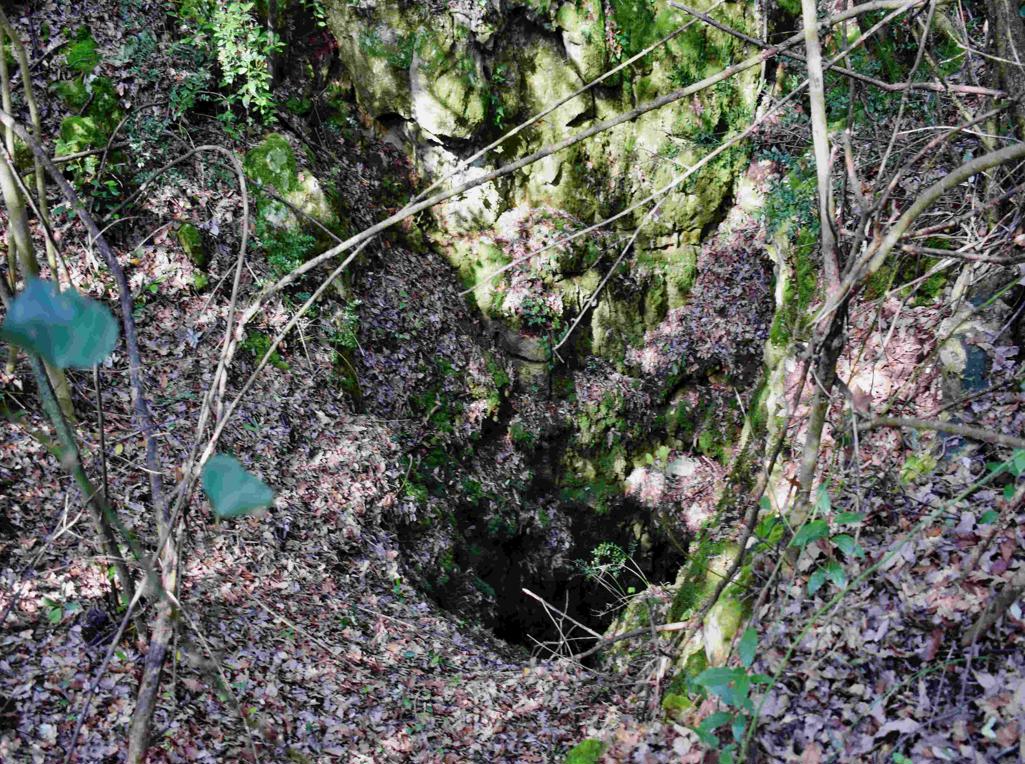
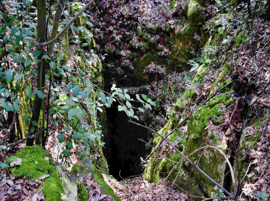
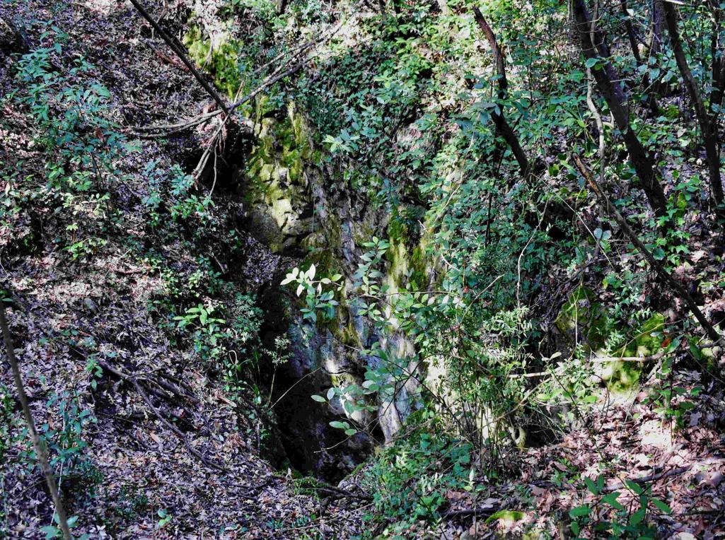
On the Madonna hill near the Kvarnar where built, in the Austria-.Hungarian period 1813-1918, underground batteries, to protect the harbour of Pula.
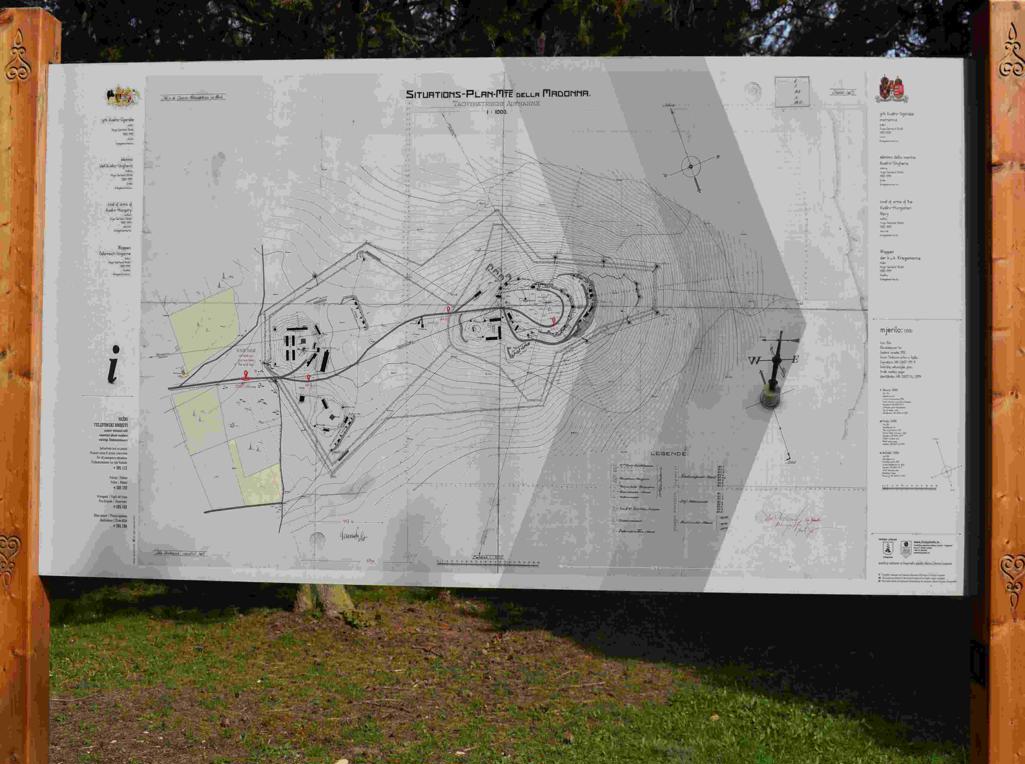
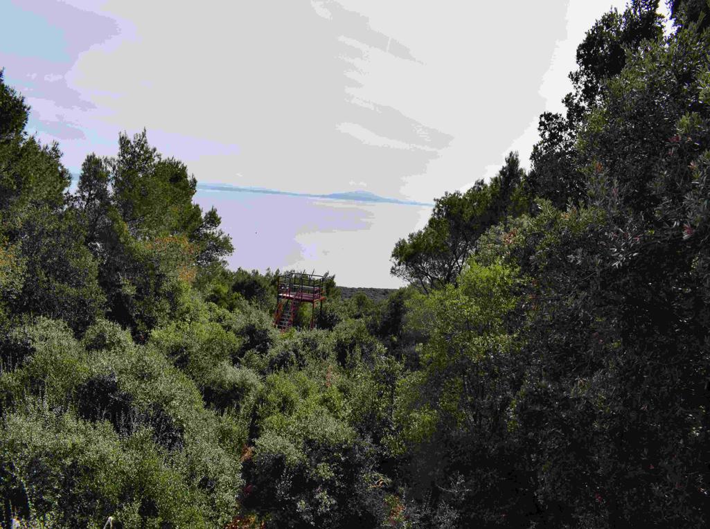
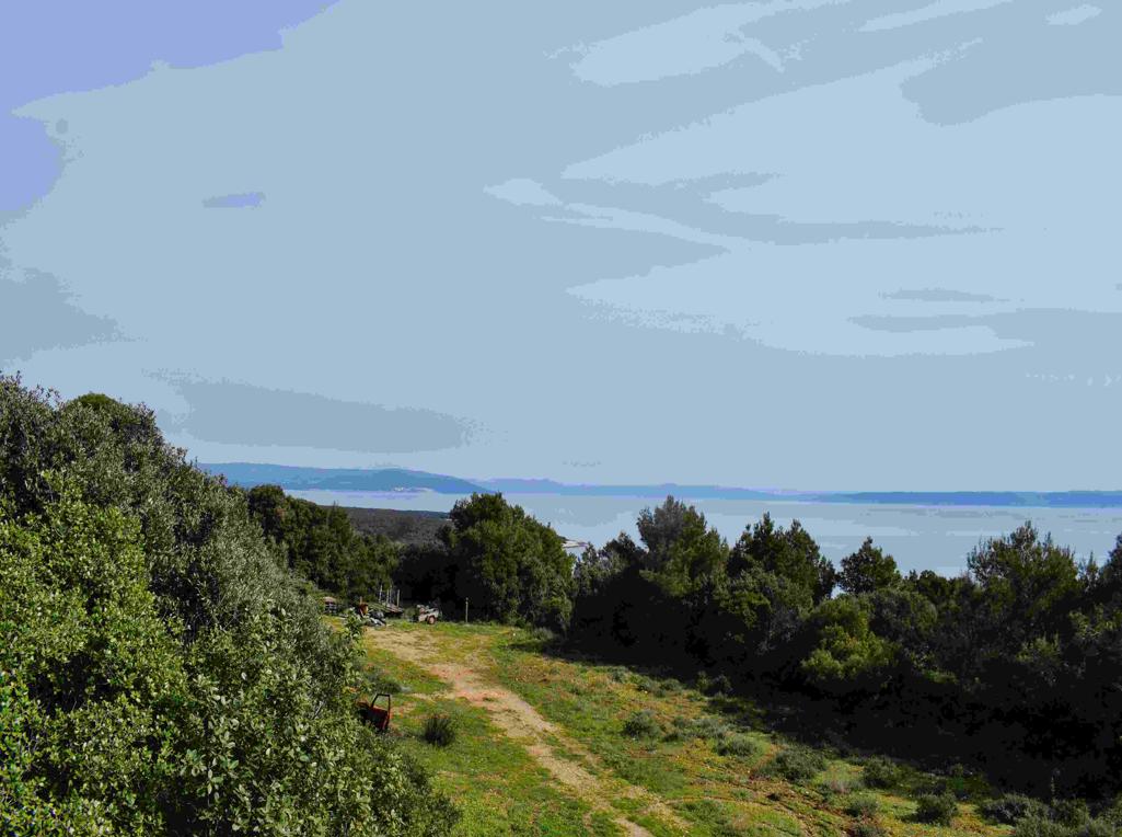
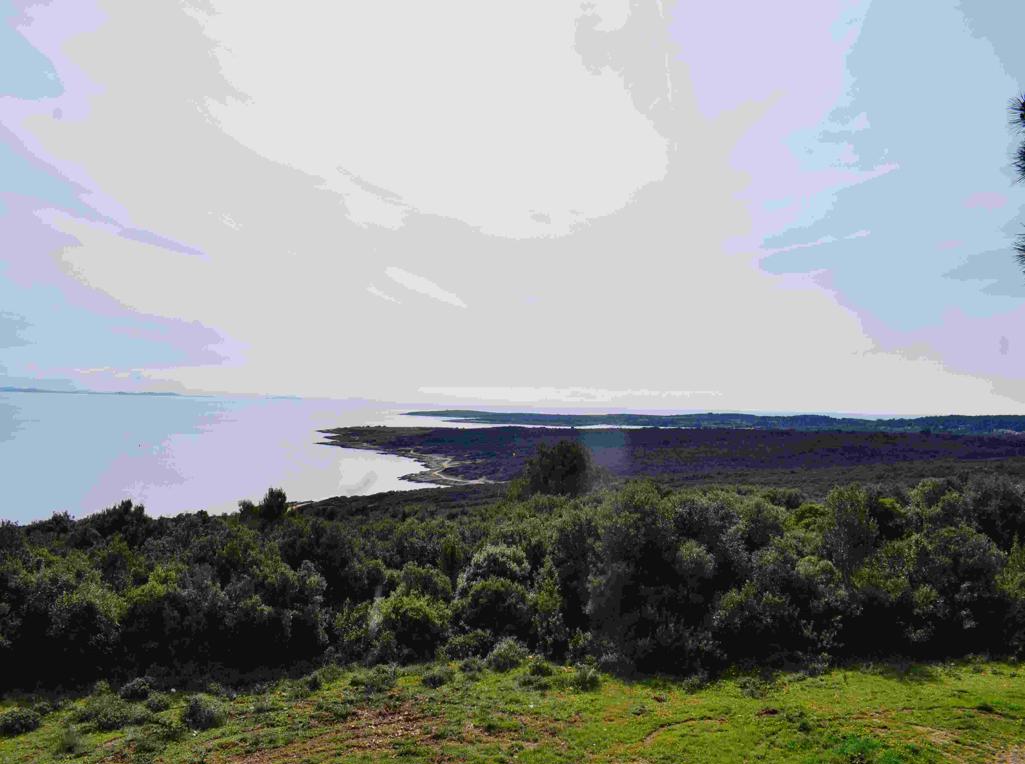
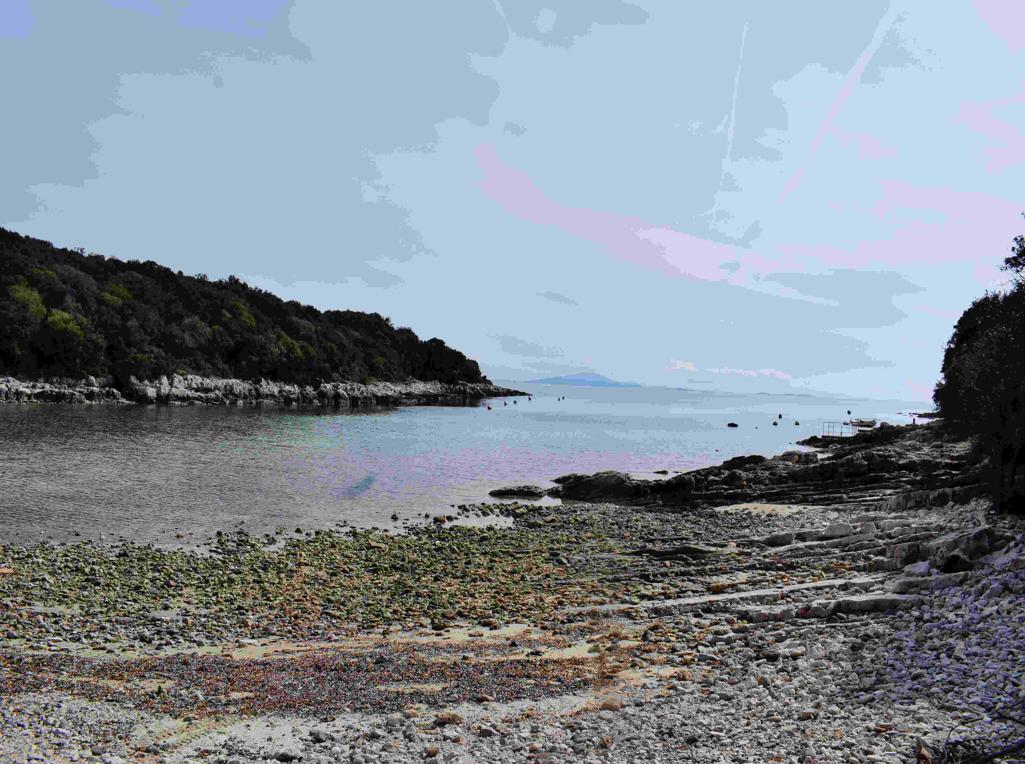
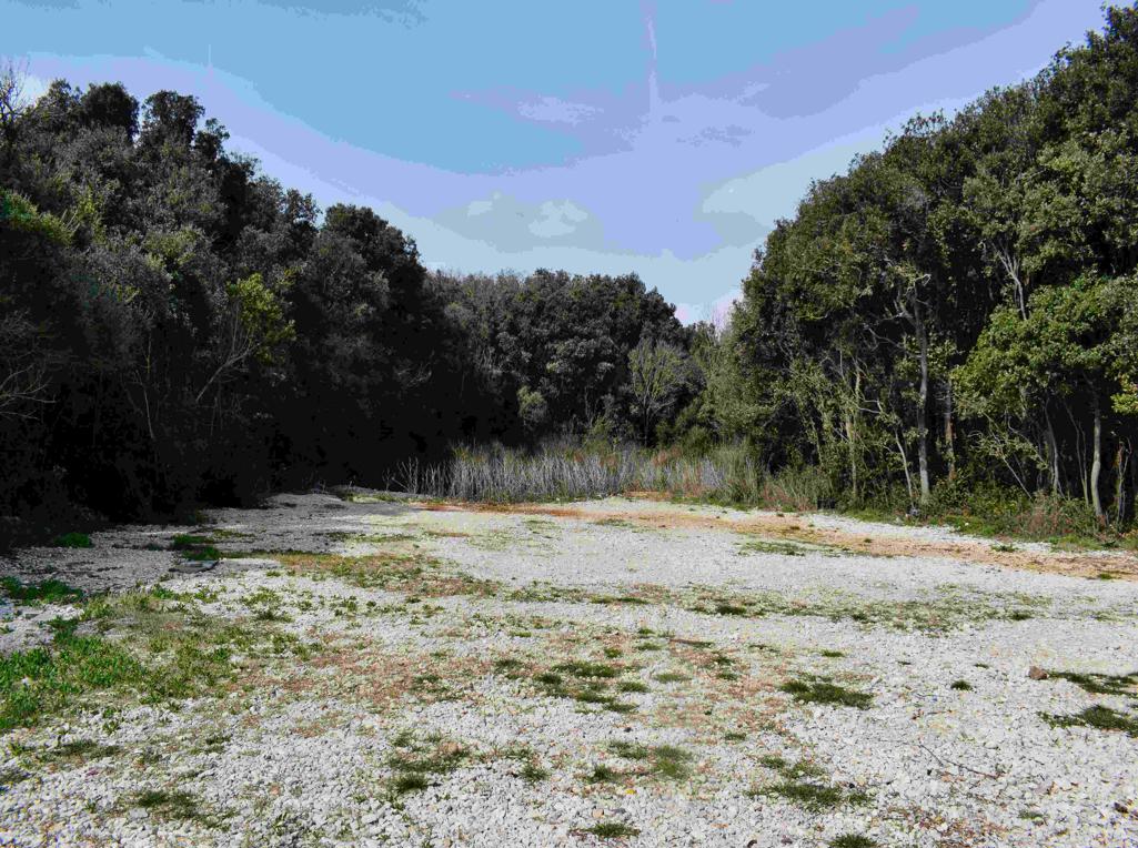
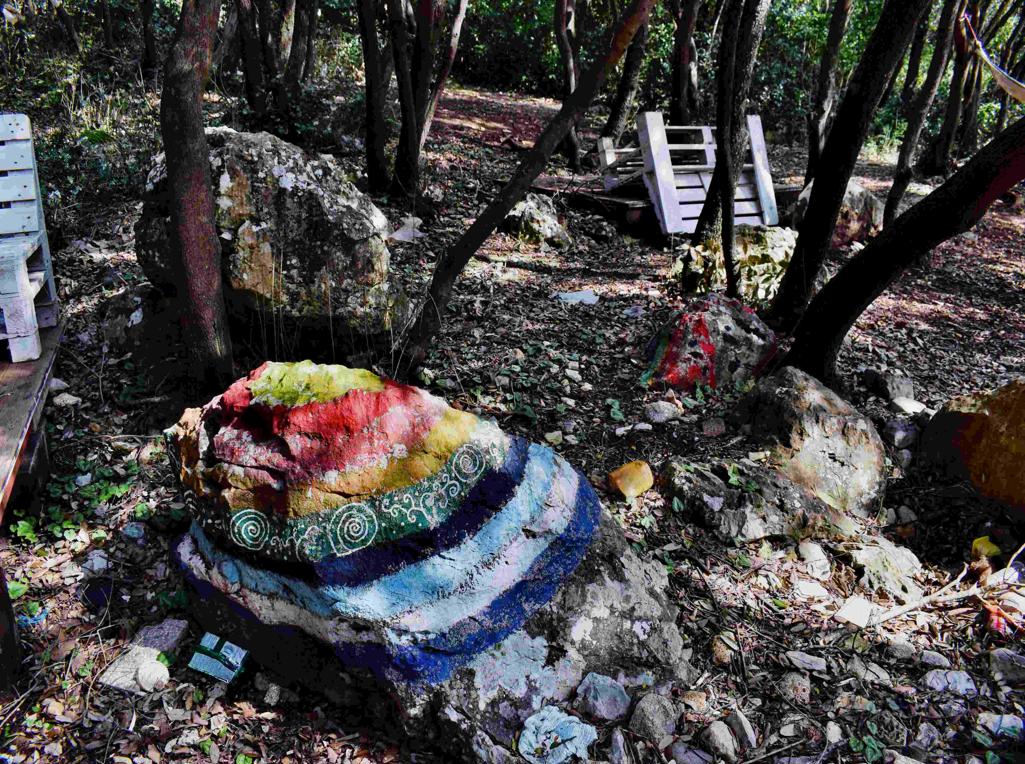
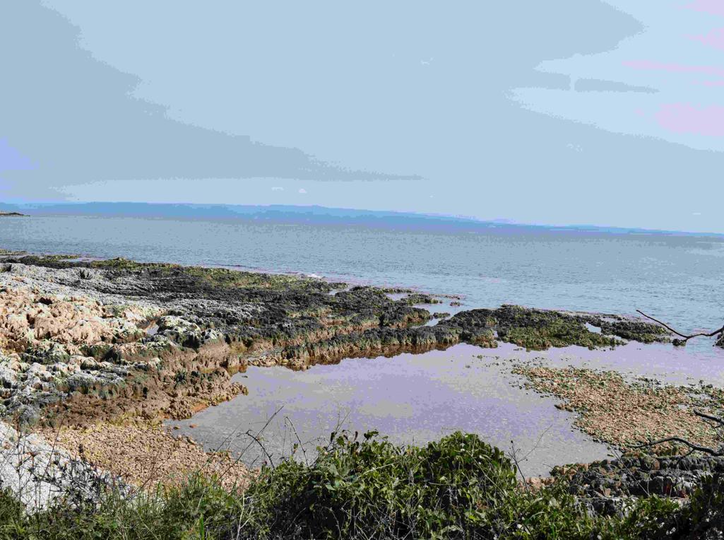
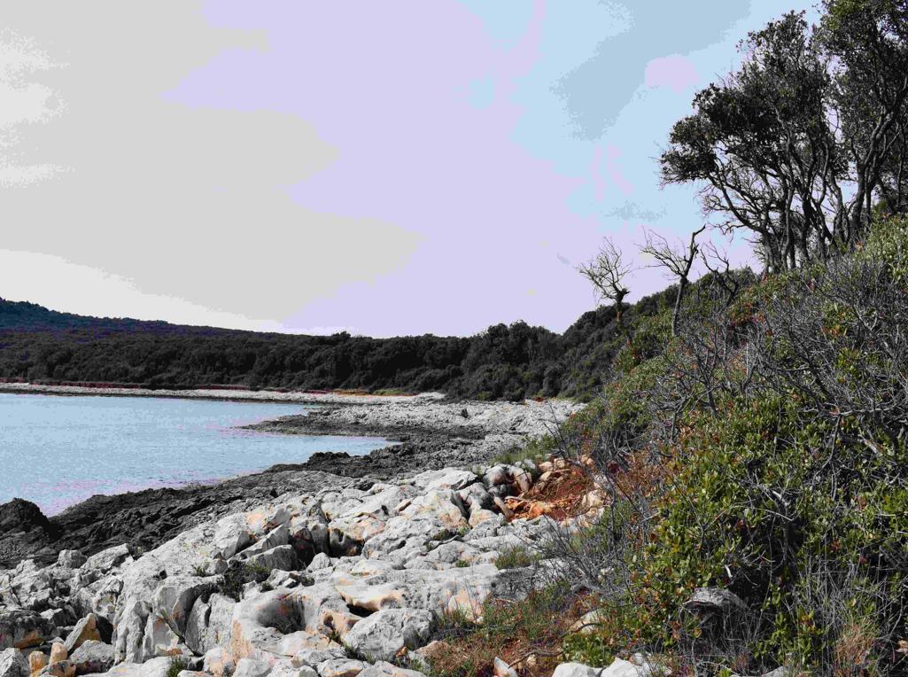
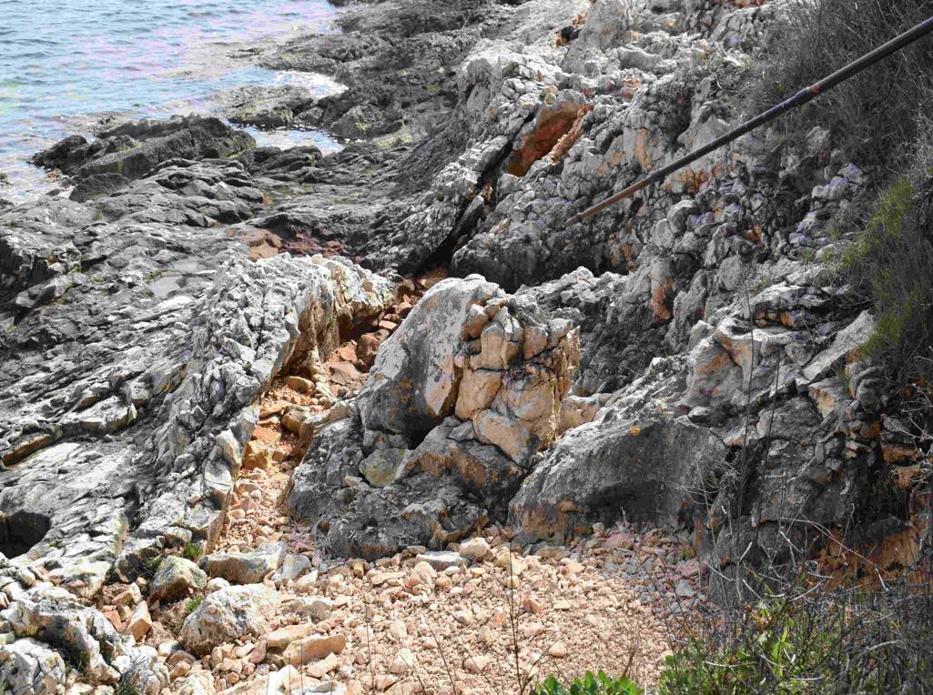
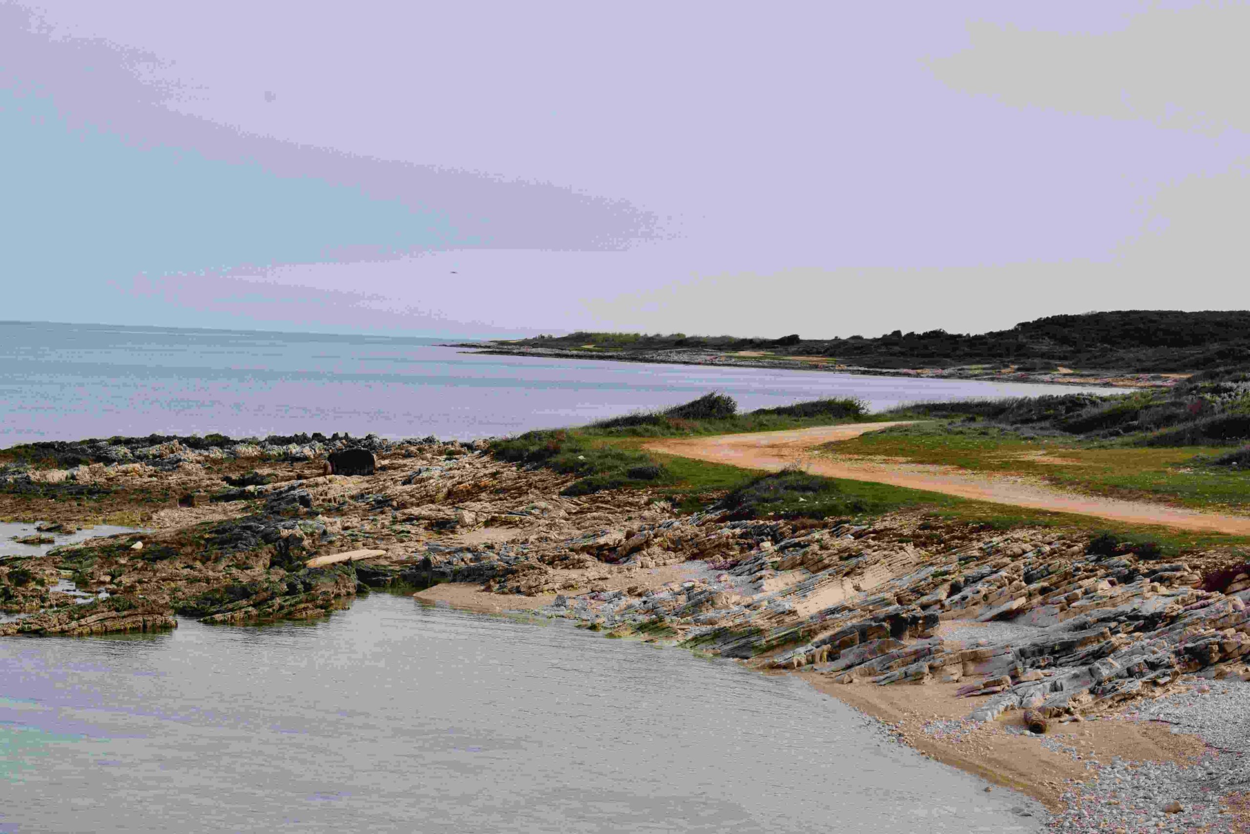
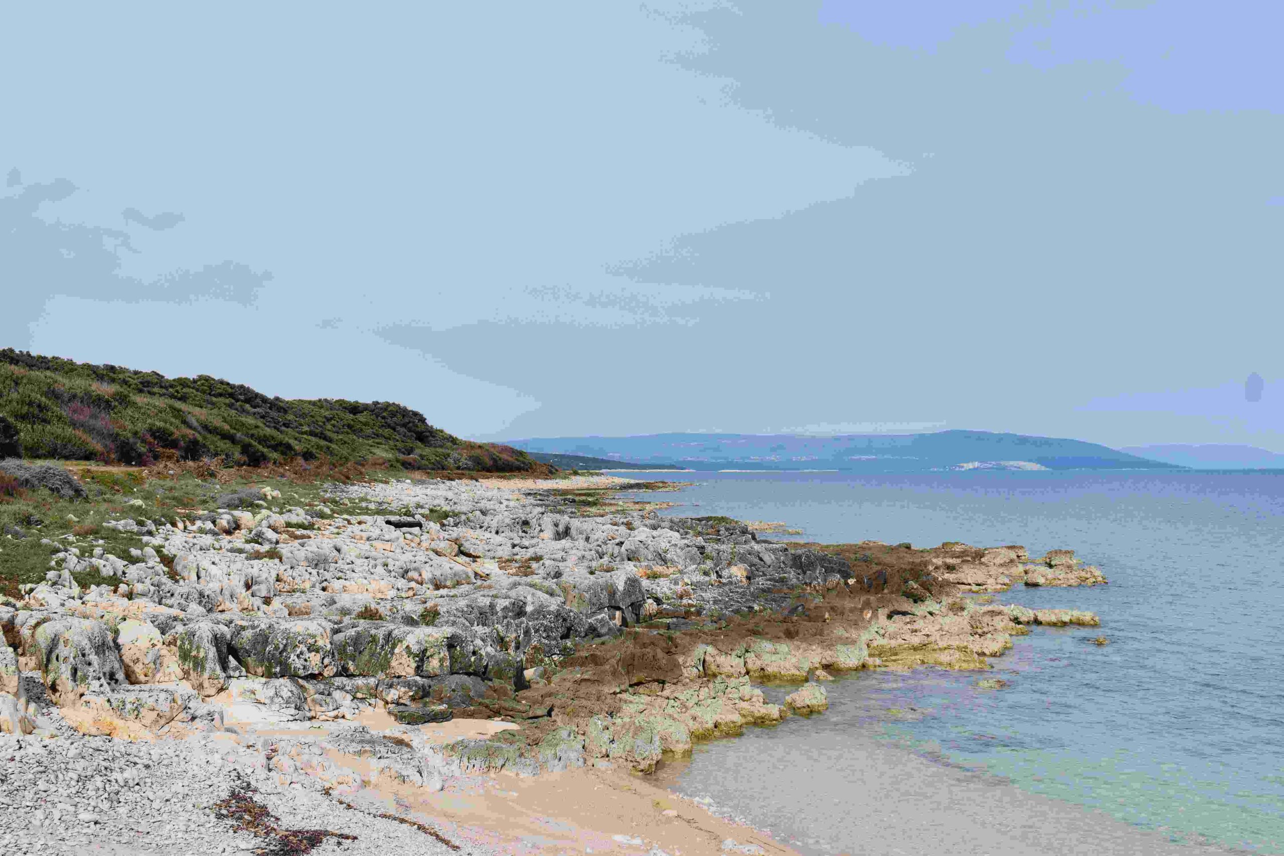
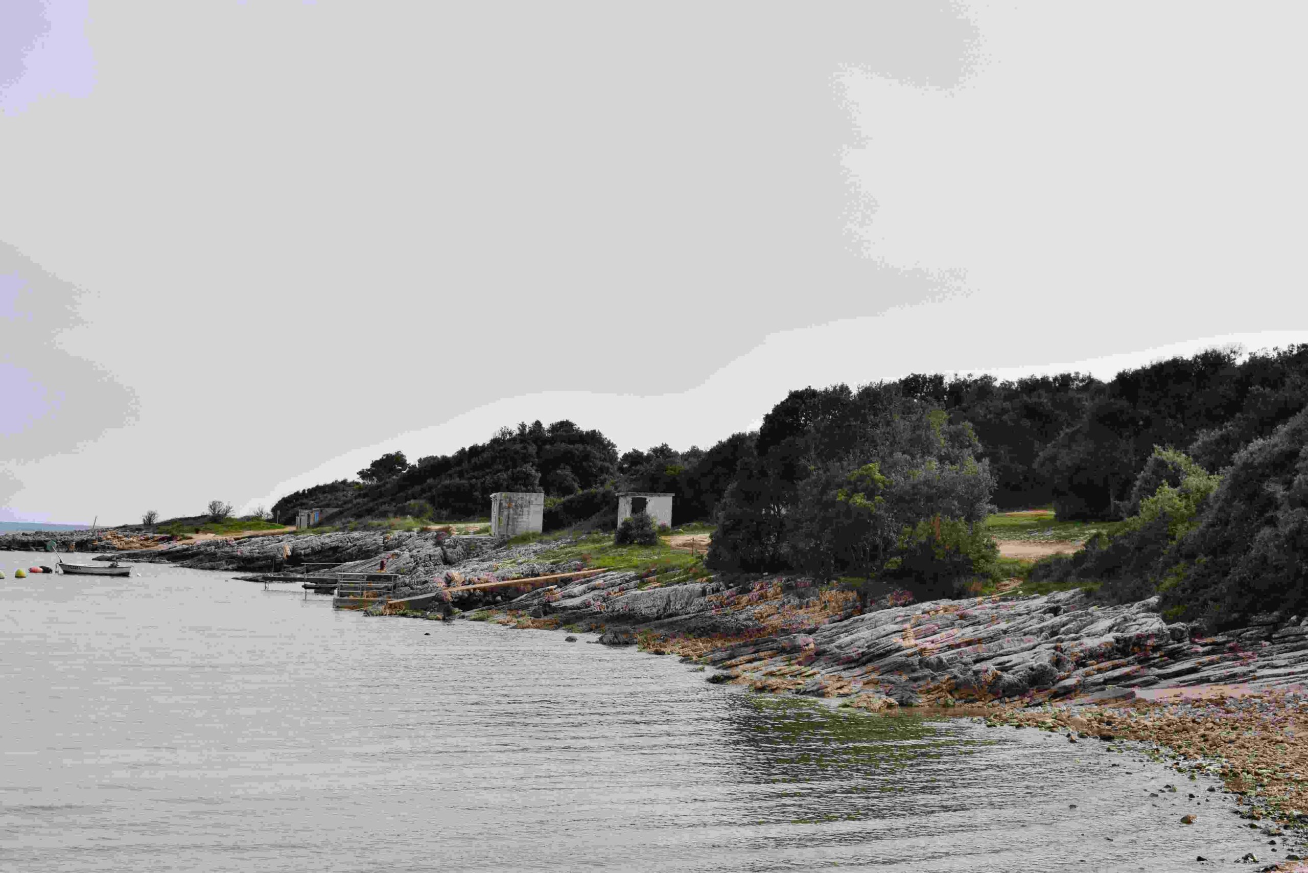
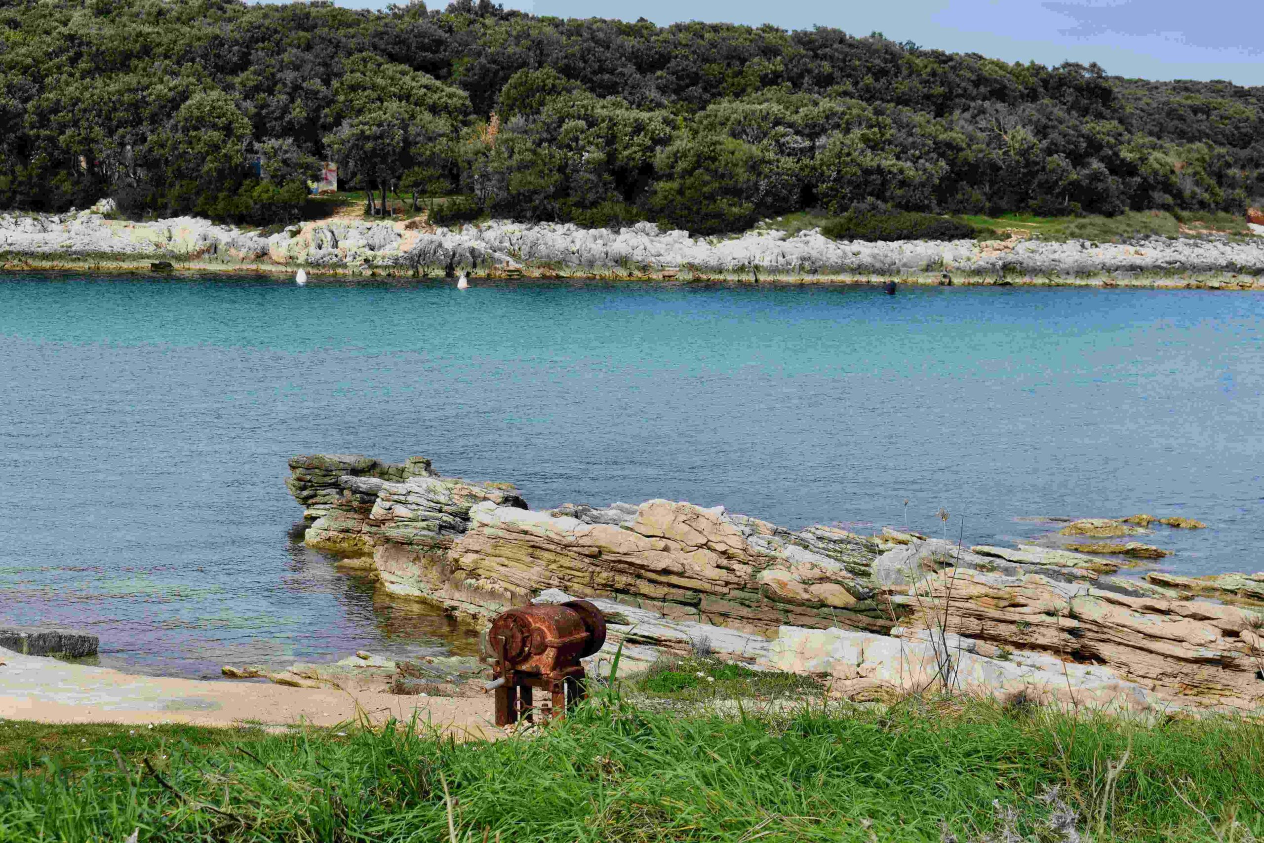
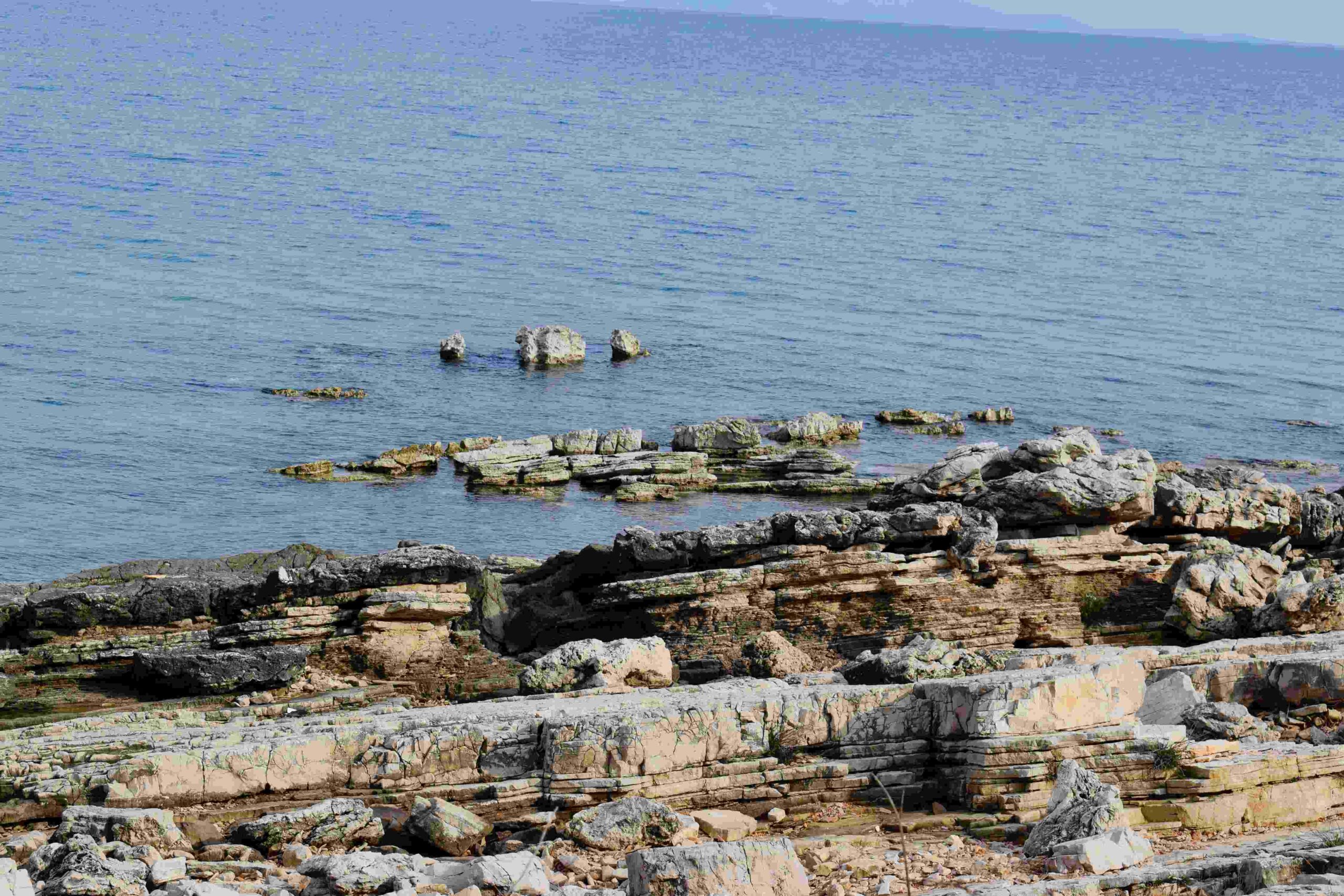
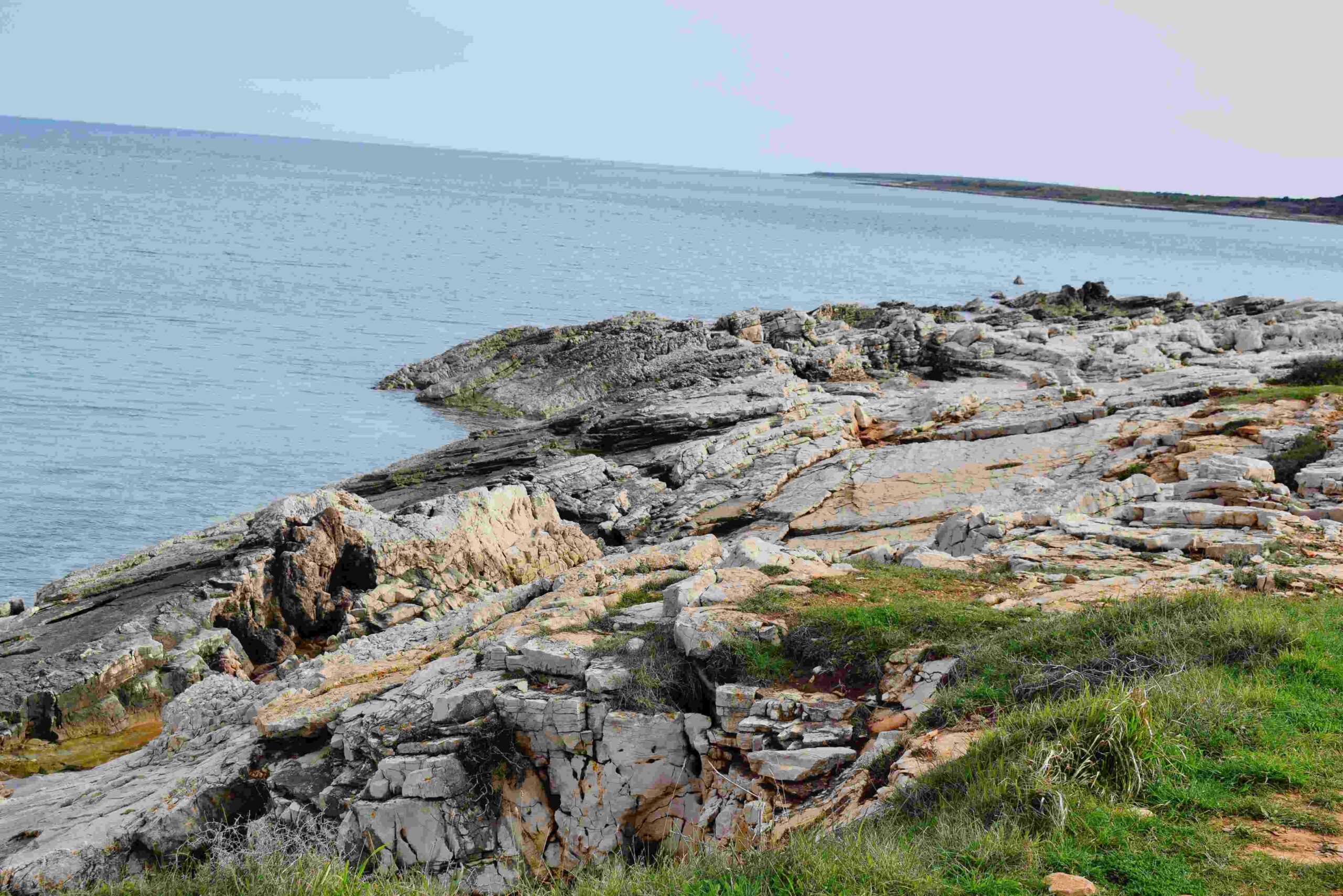
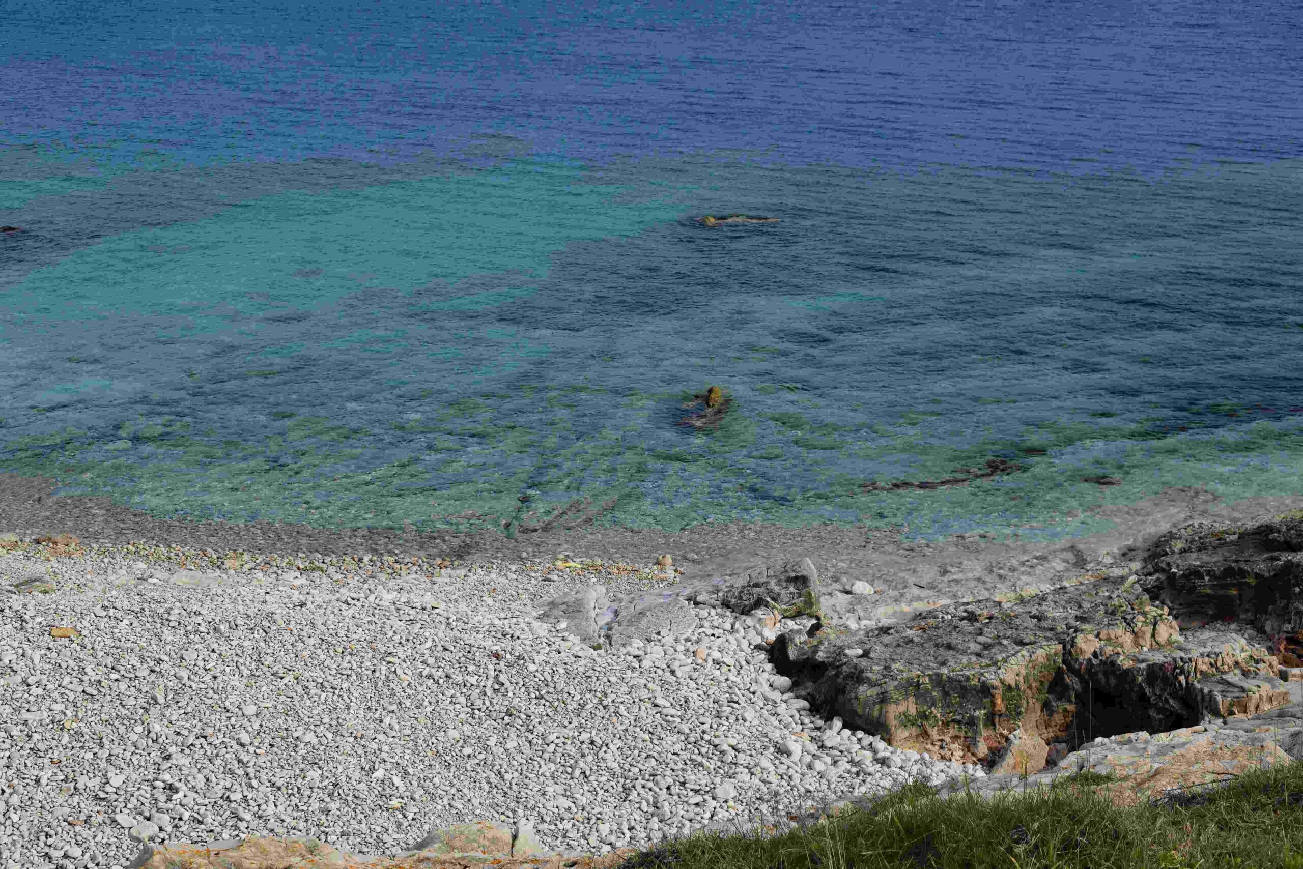
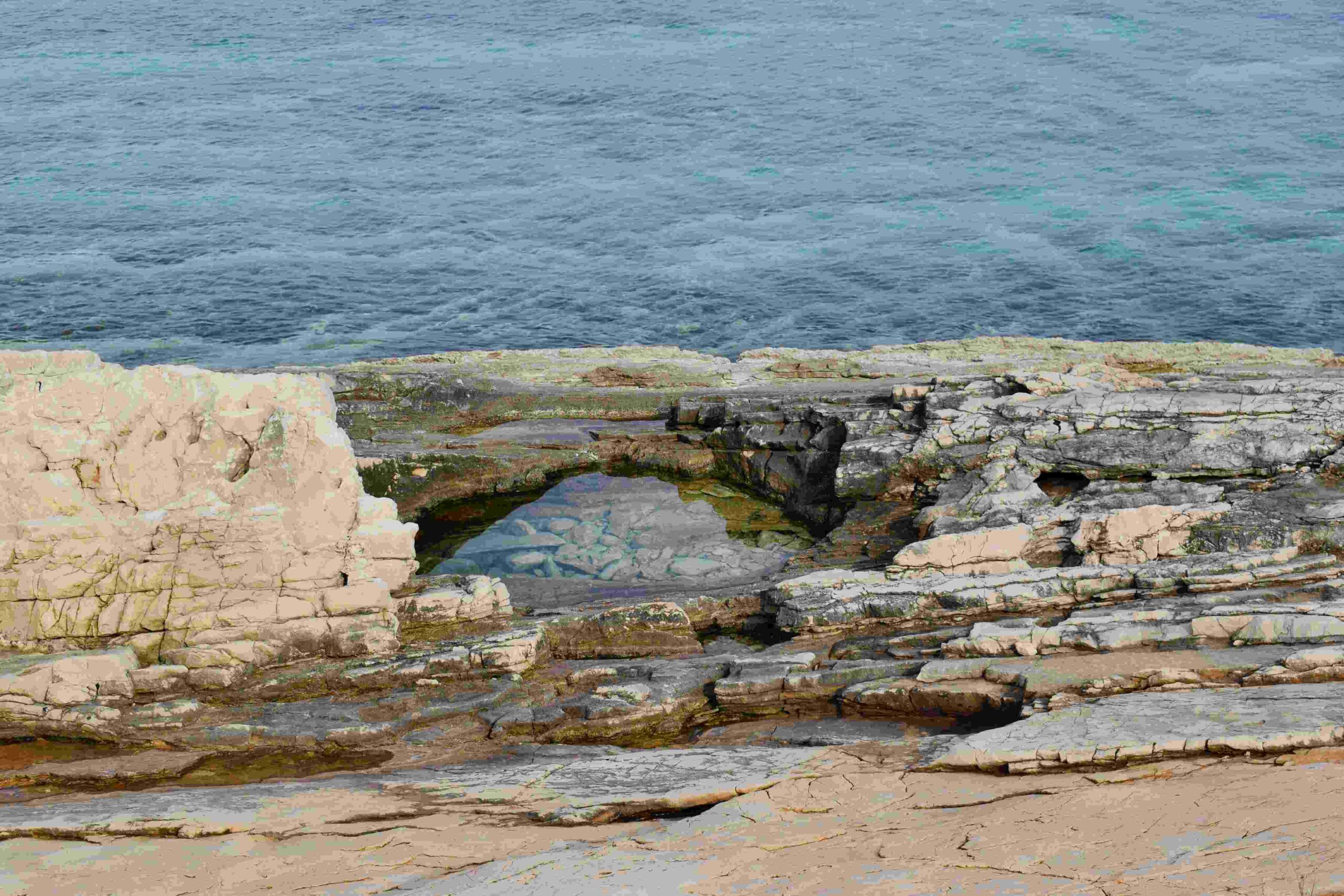
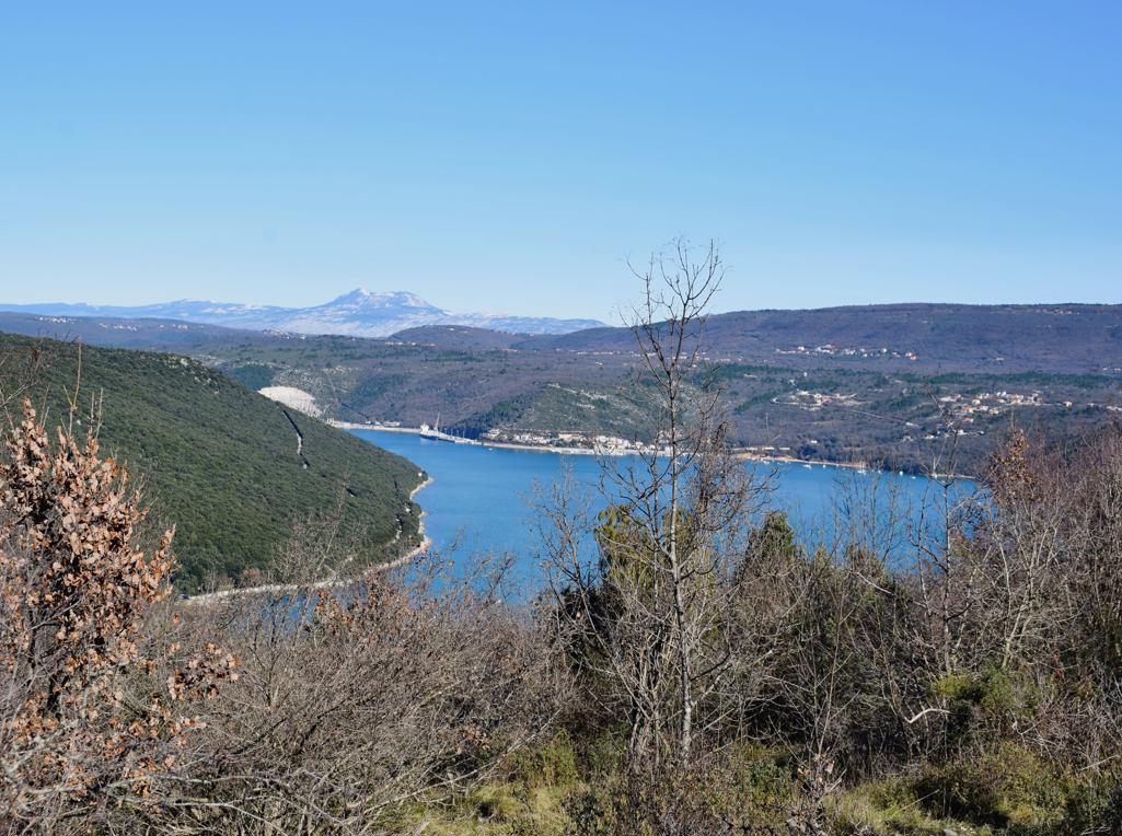
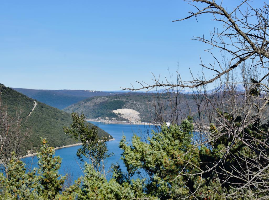
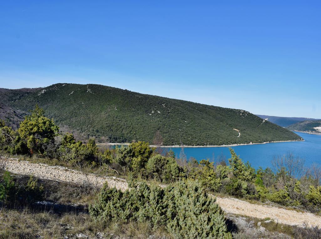
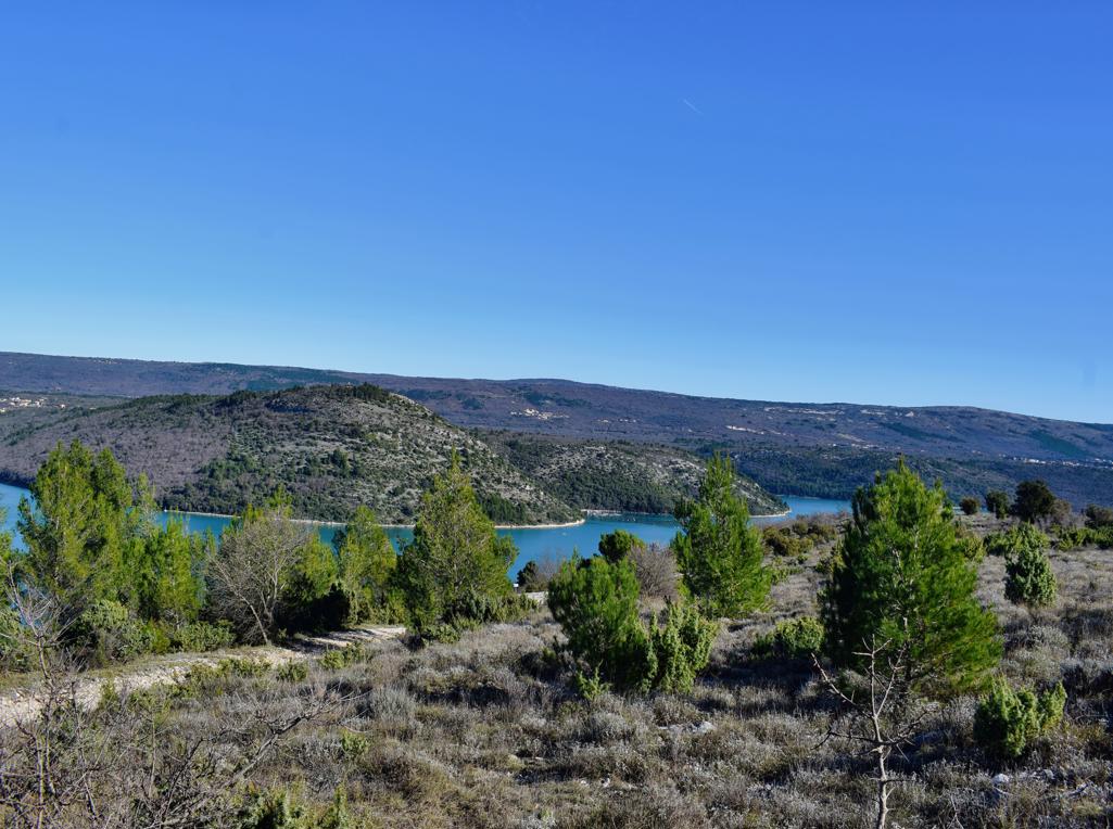
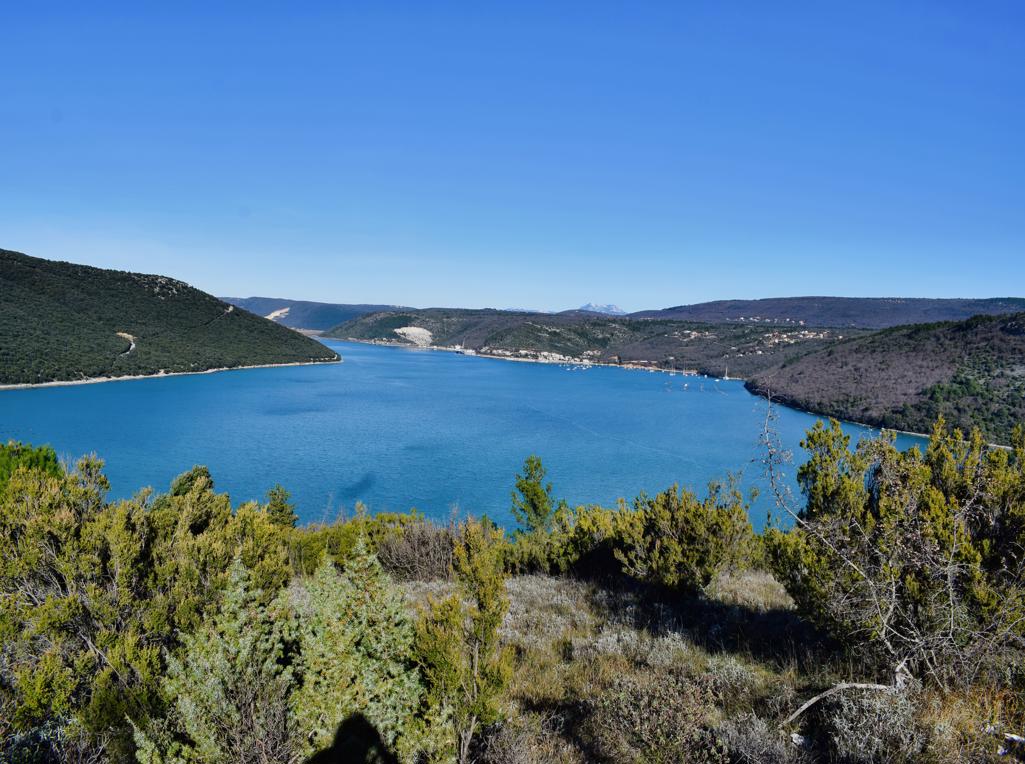
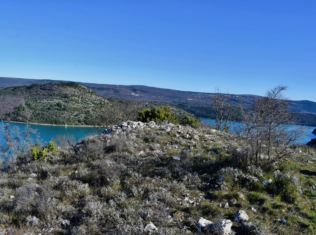
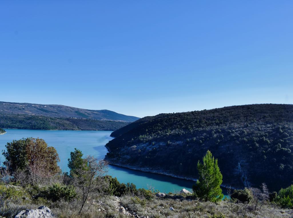
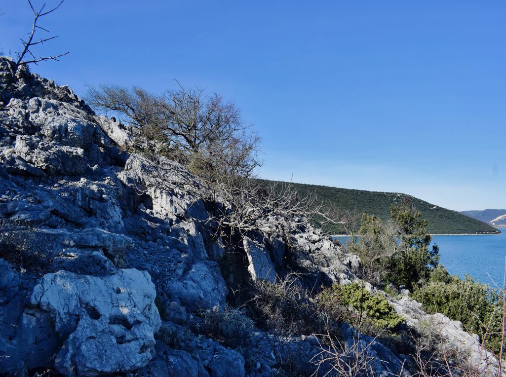
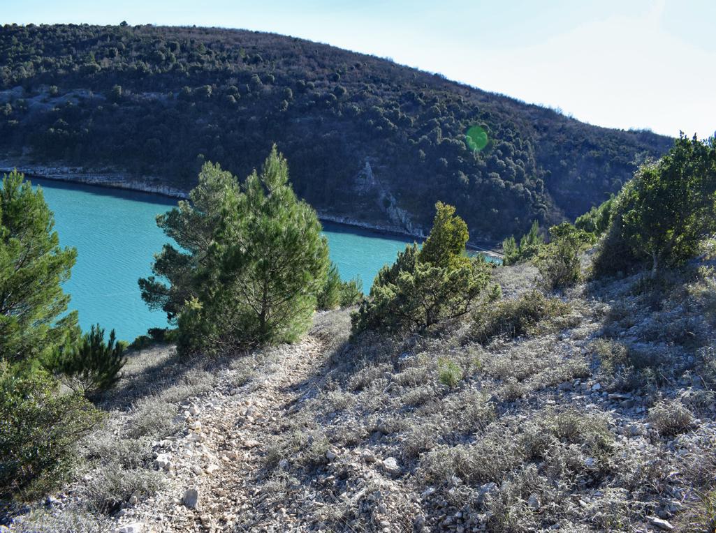
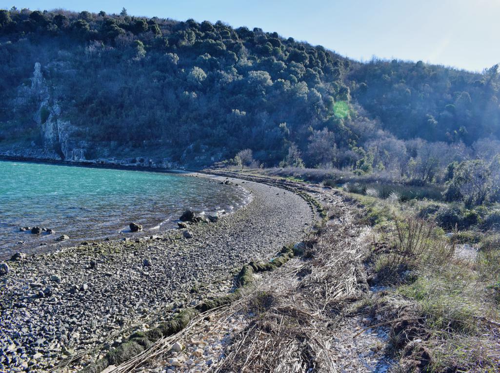
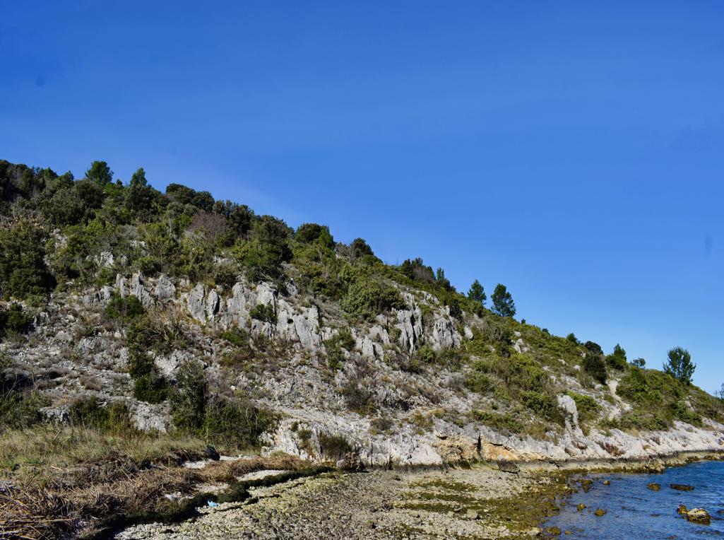
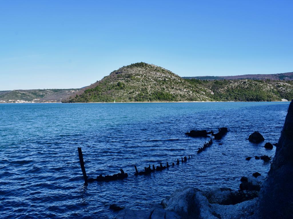
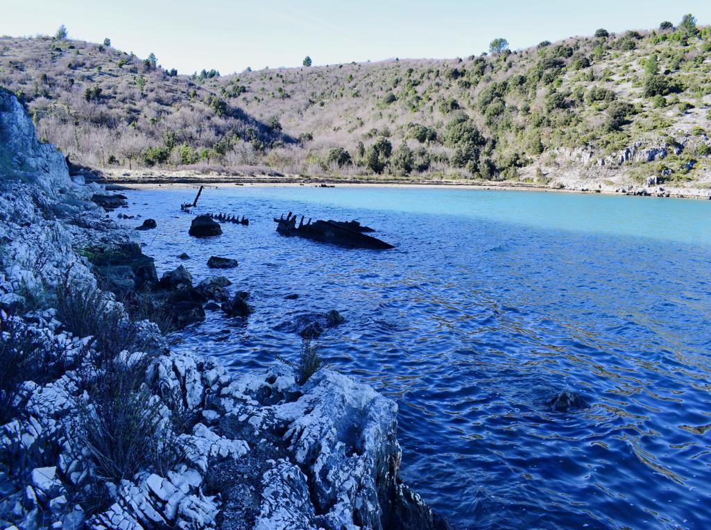
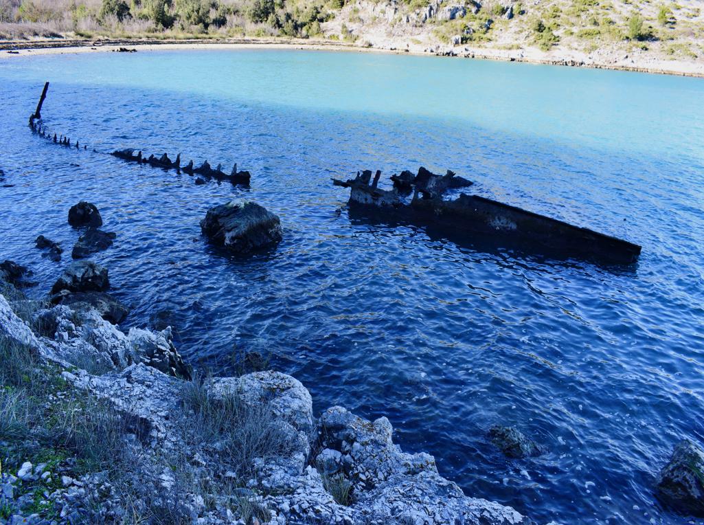
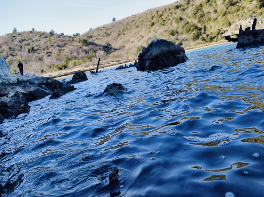
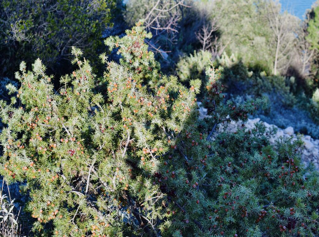
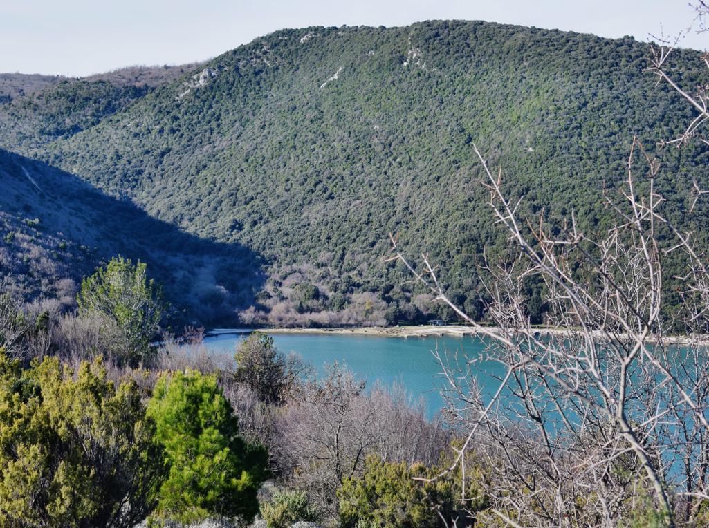
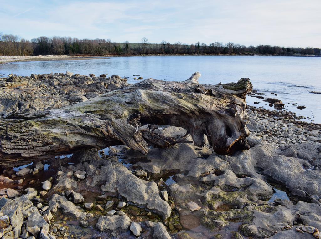
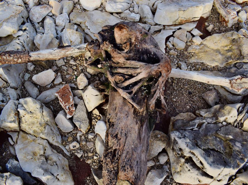
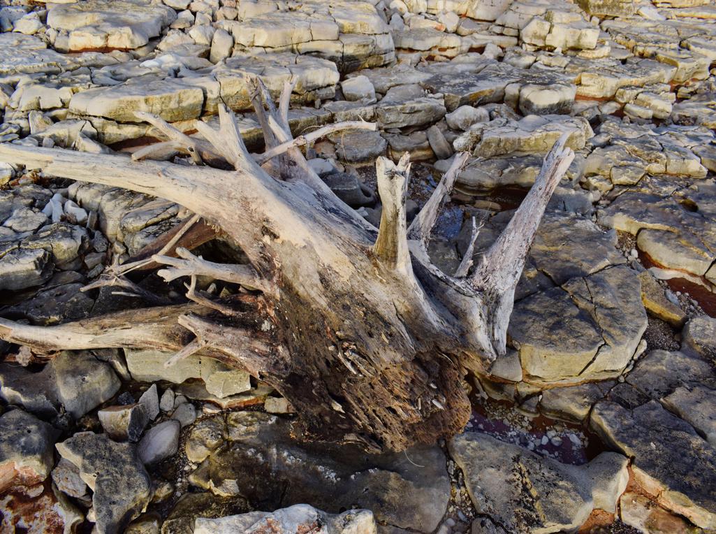
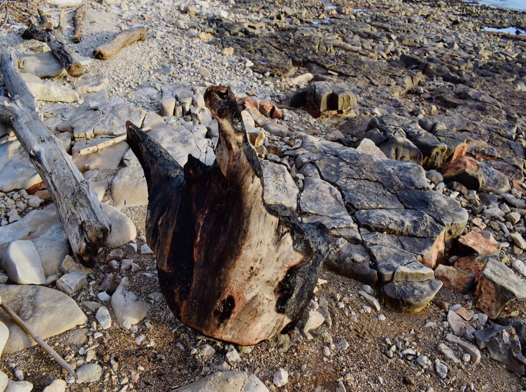
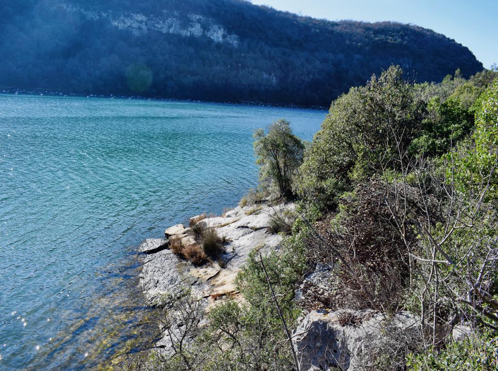
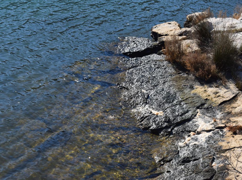
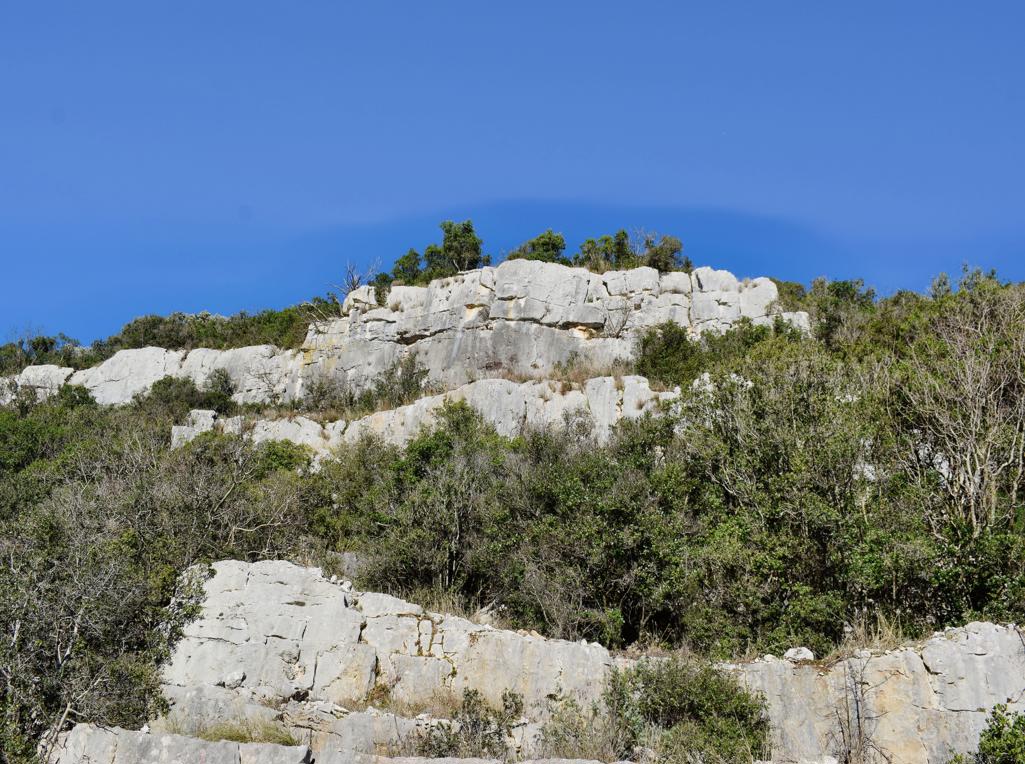
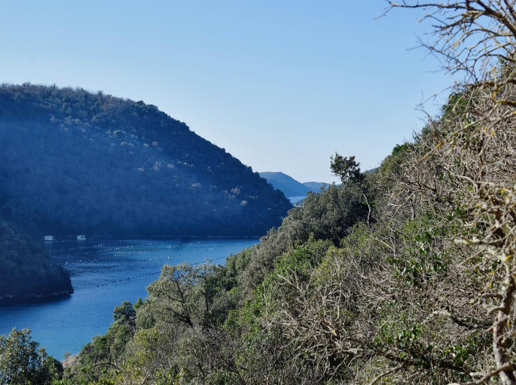
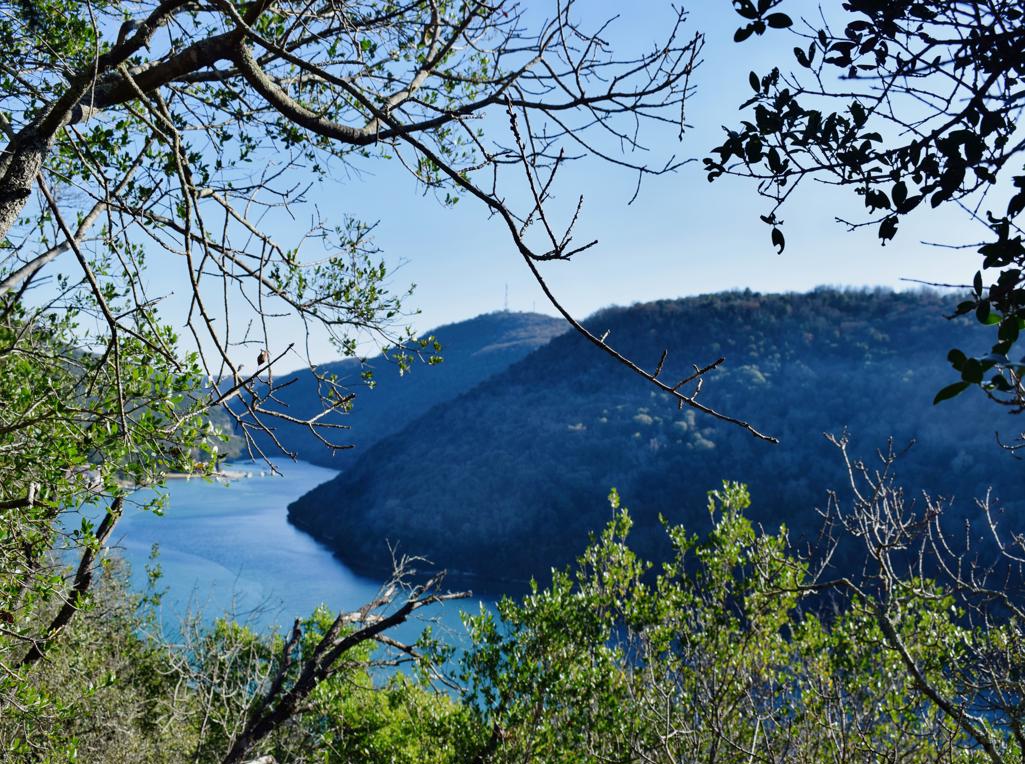
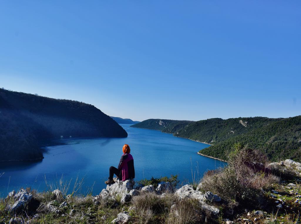
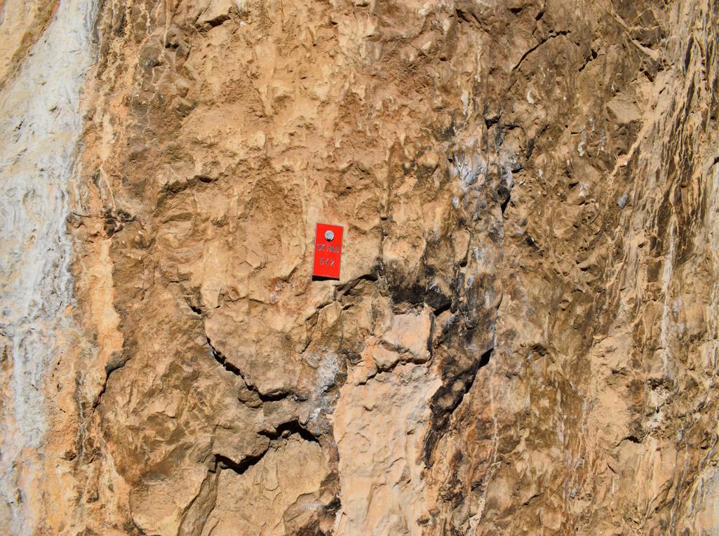
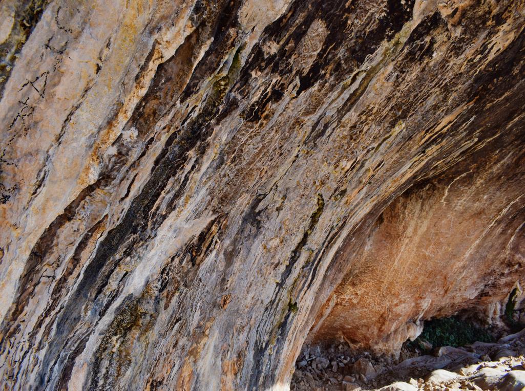
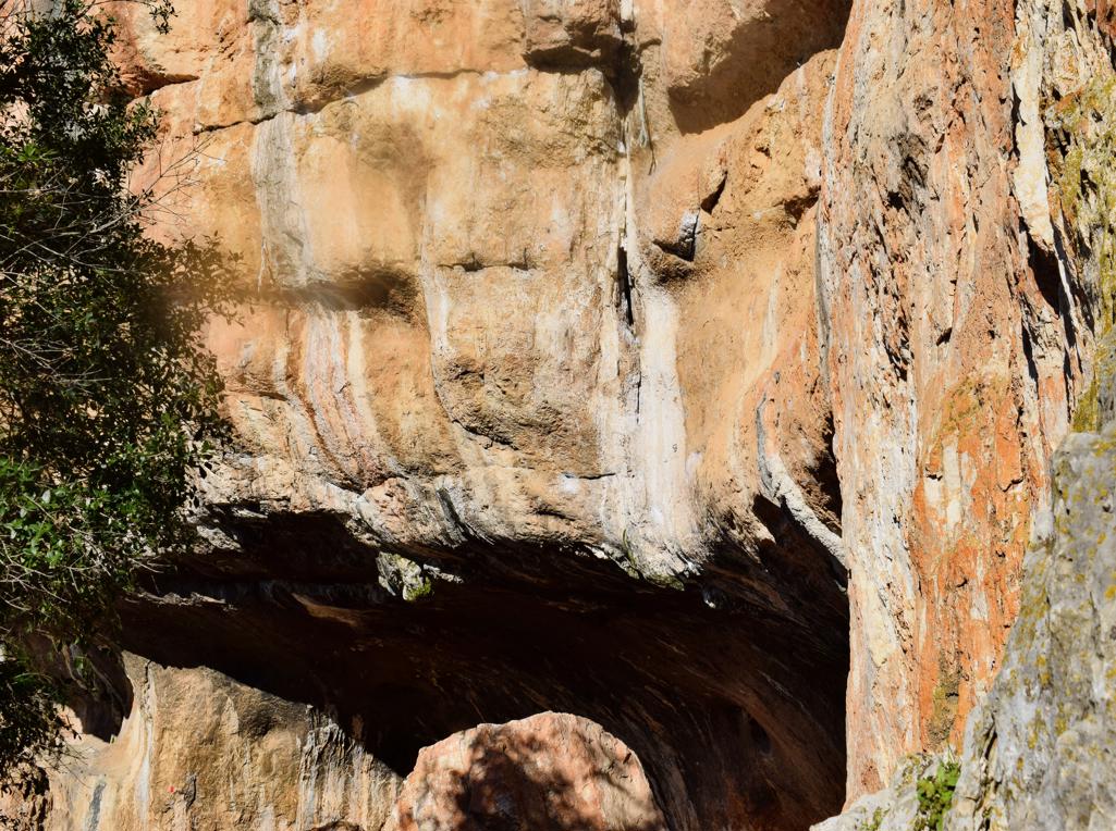
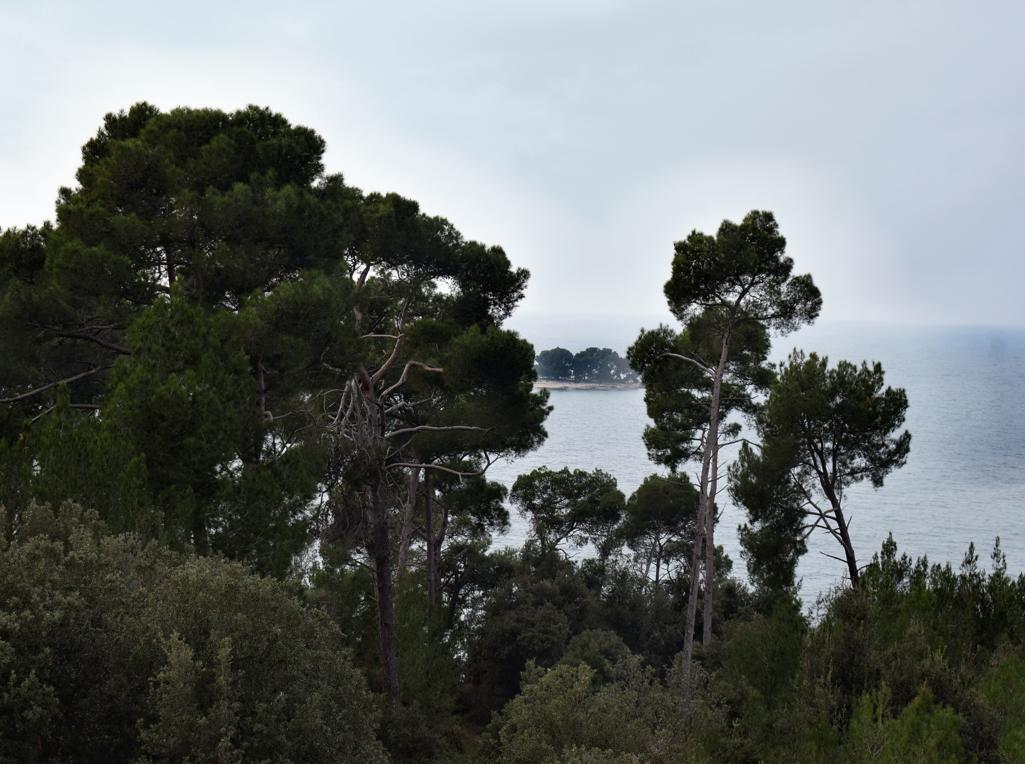
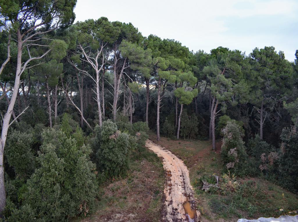
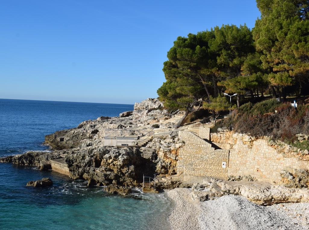
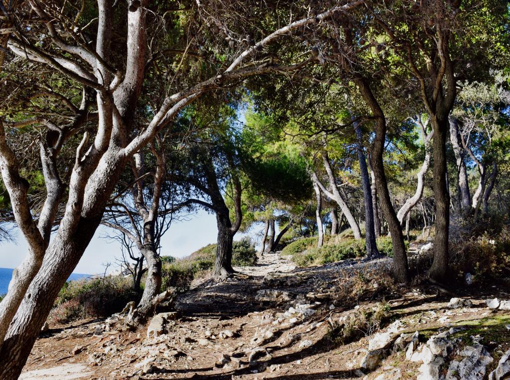
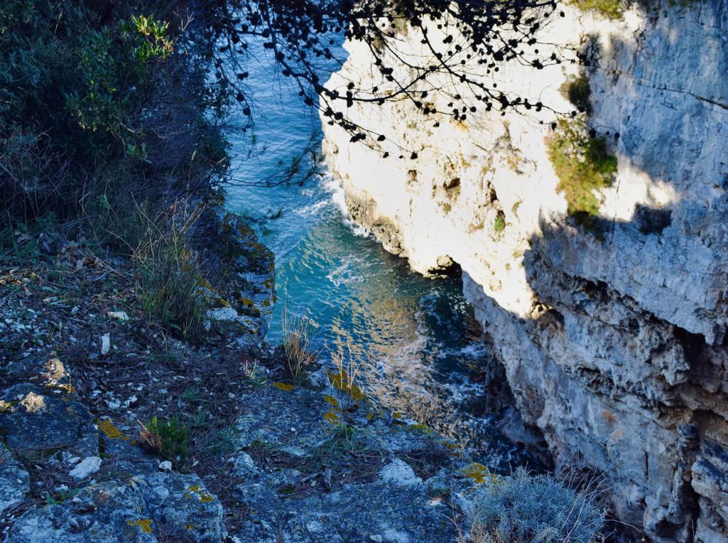
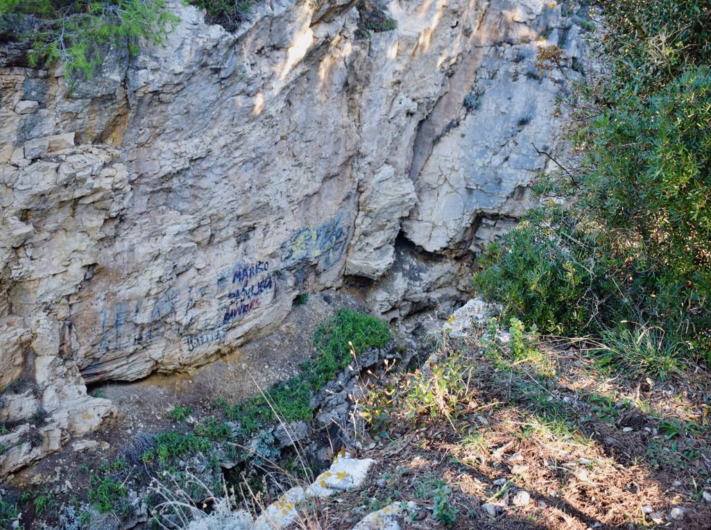
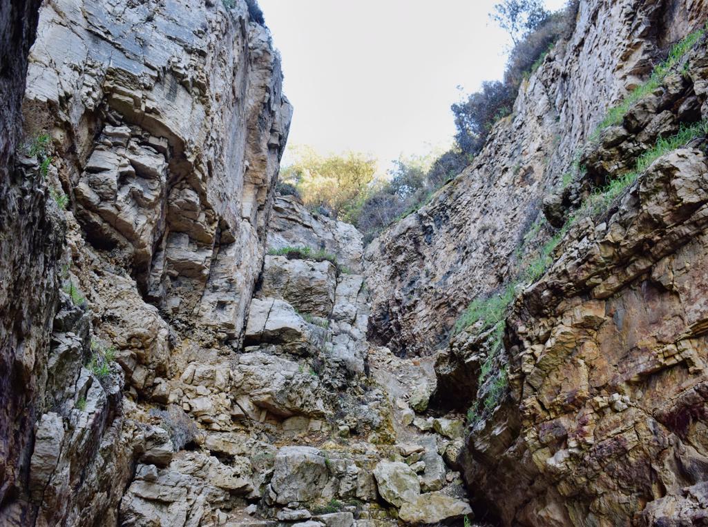
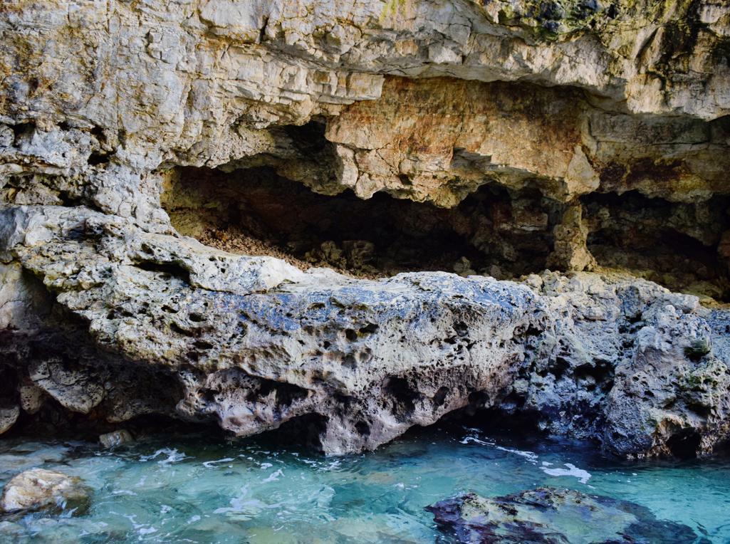
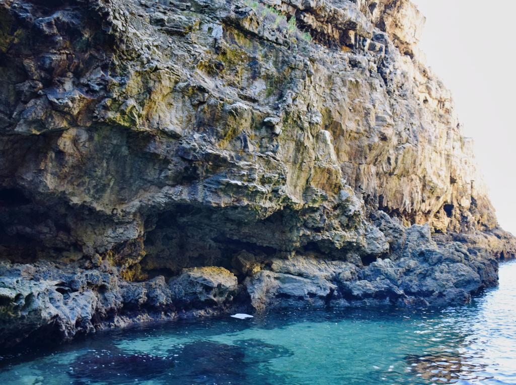
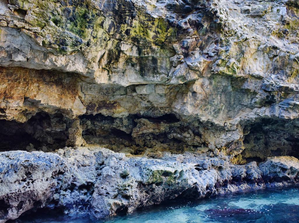
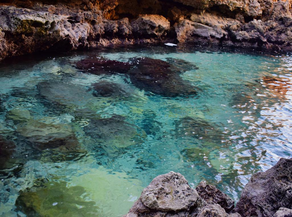
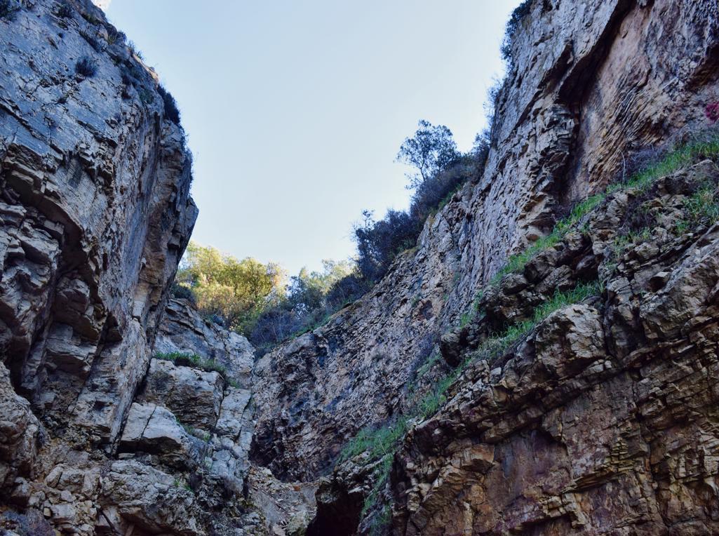
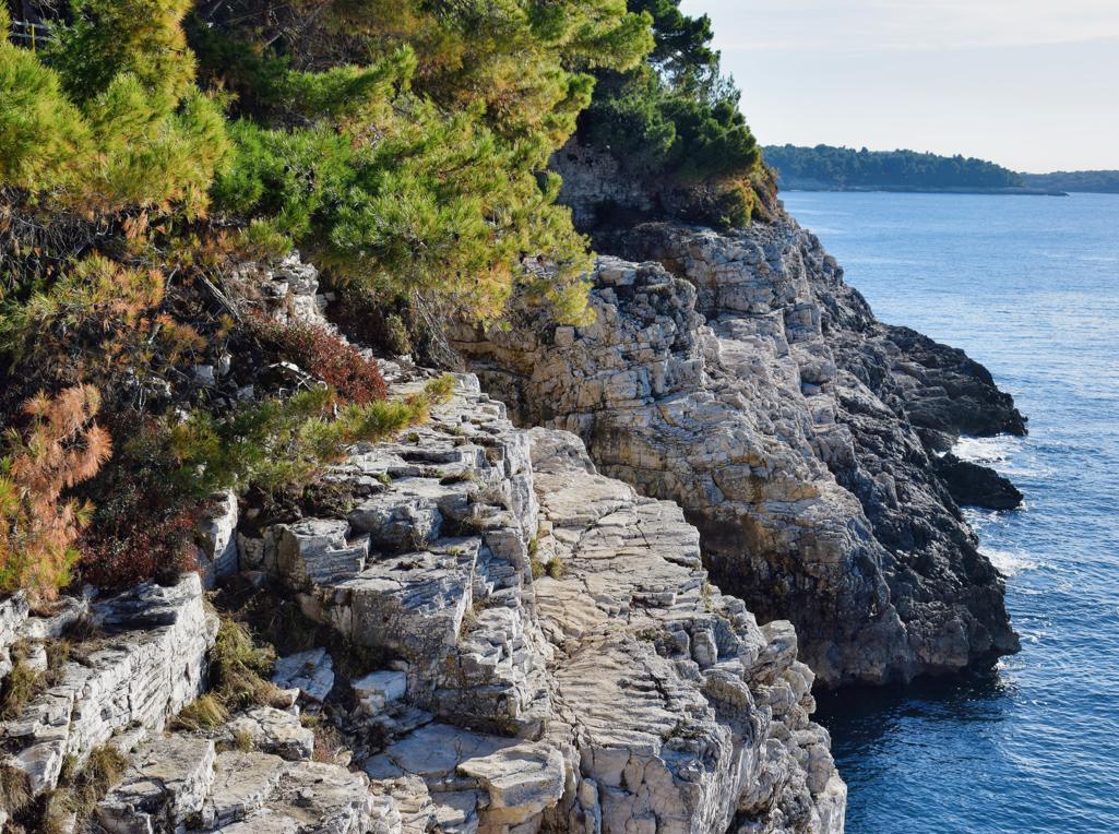
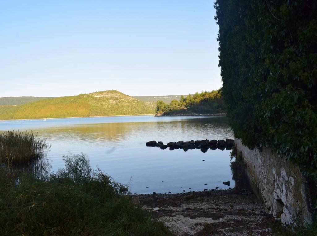
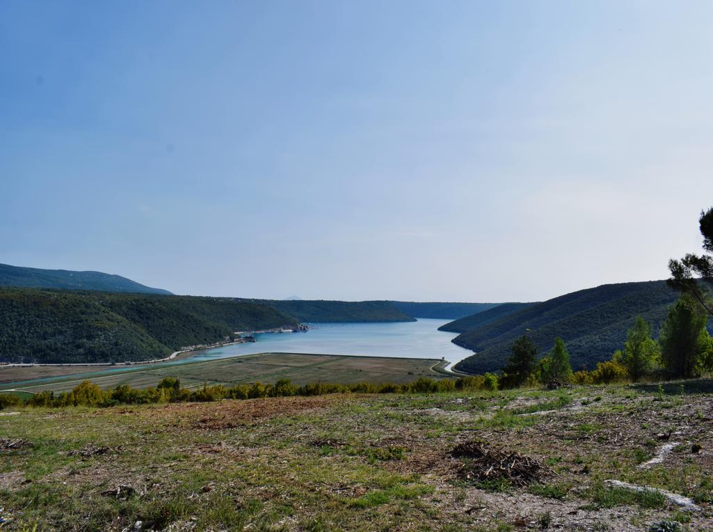
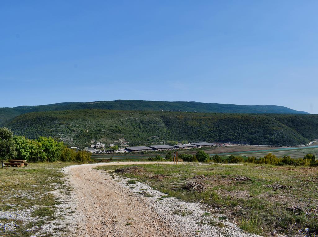
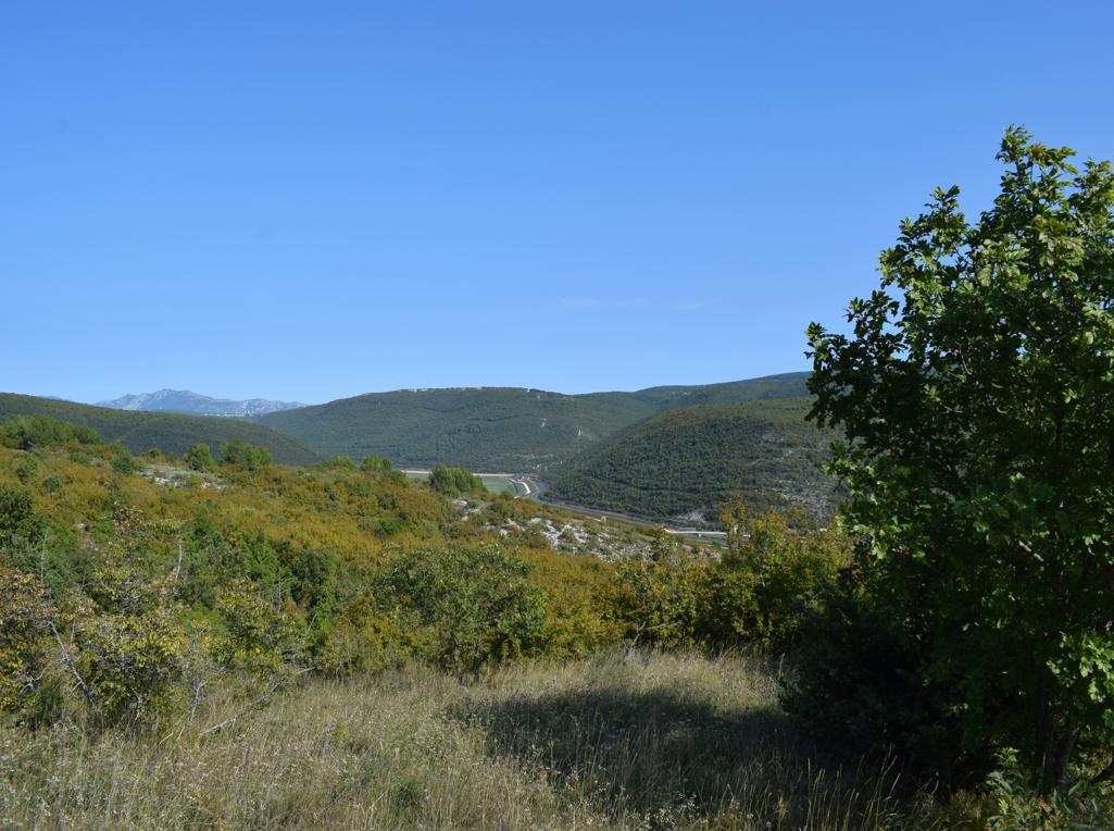
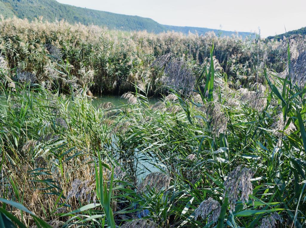
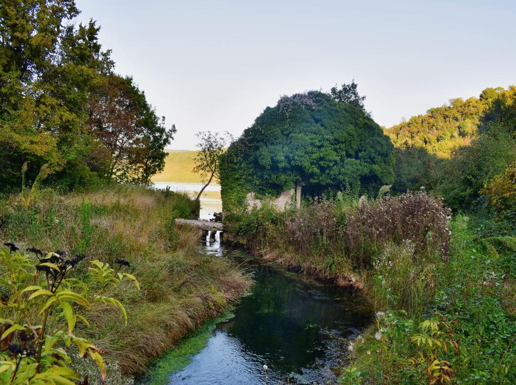
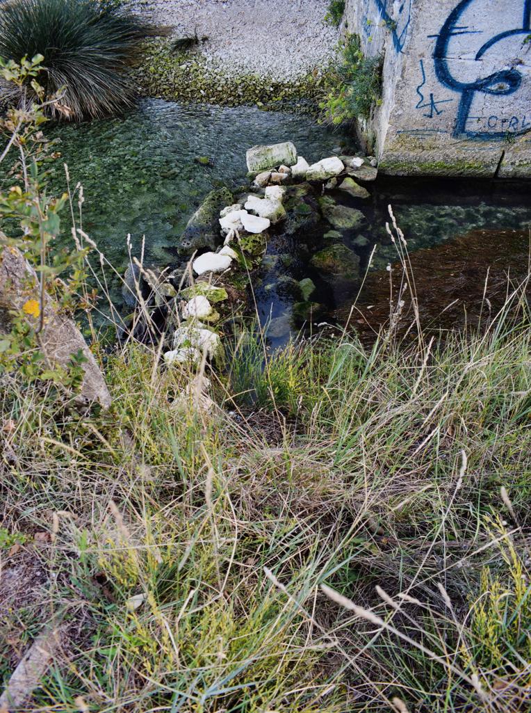
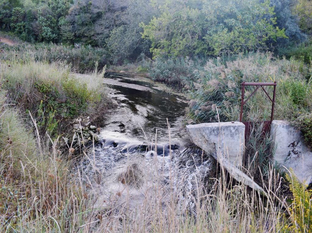
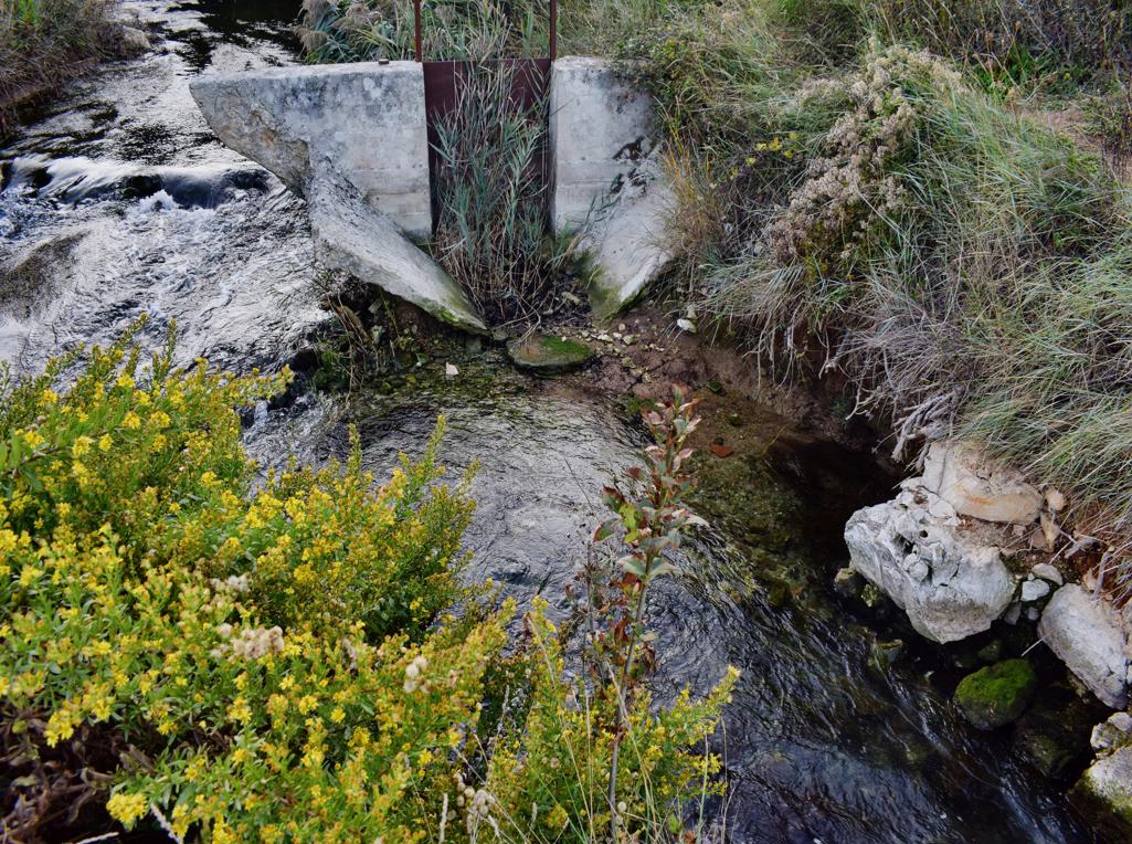
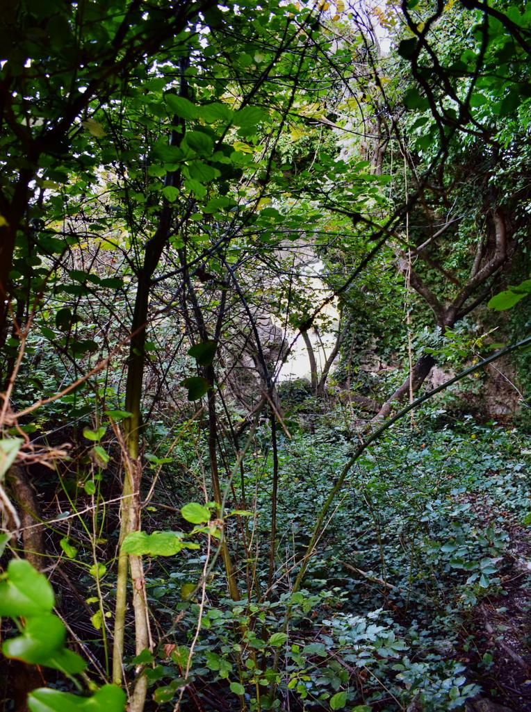
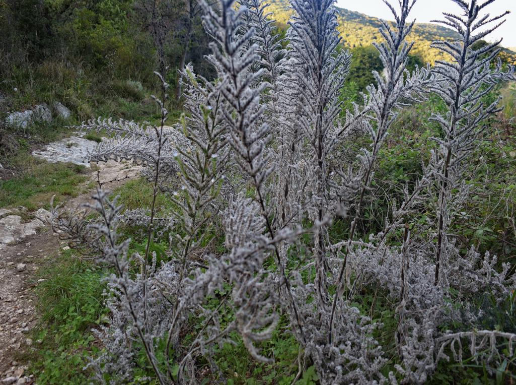
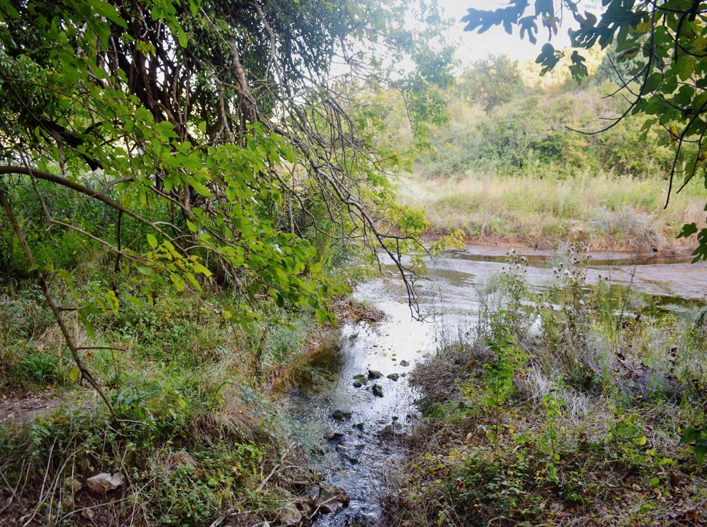
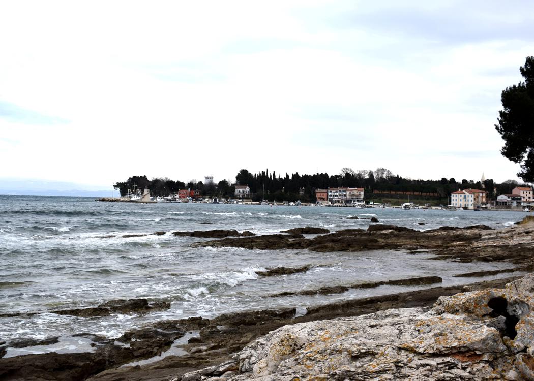
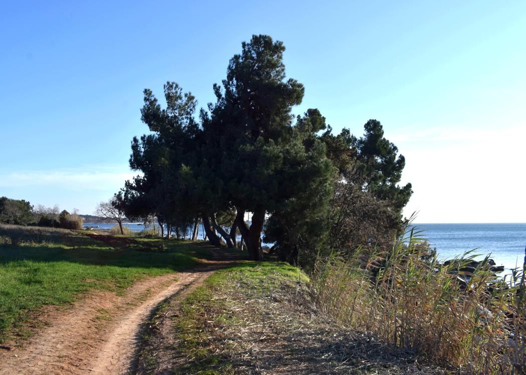
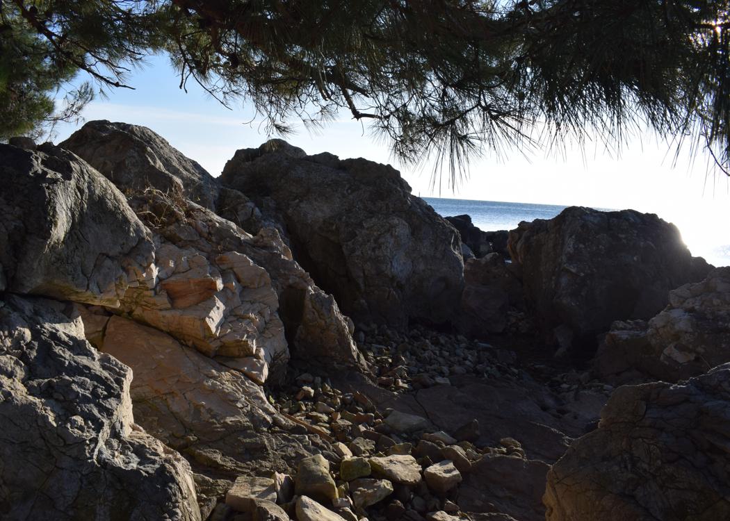
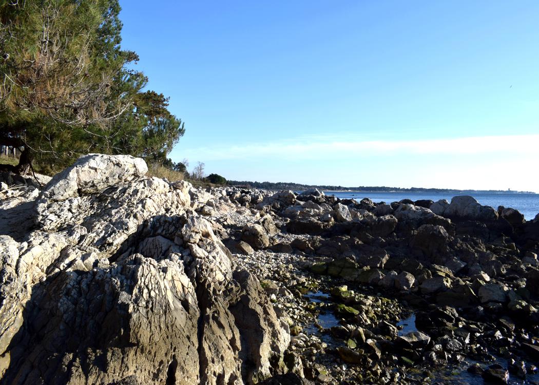
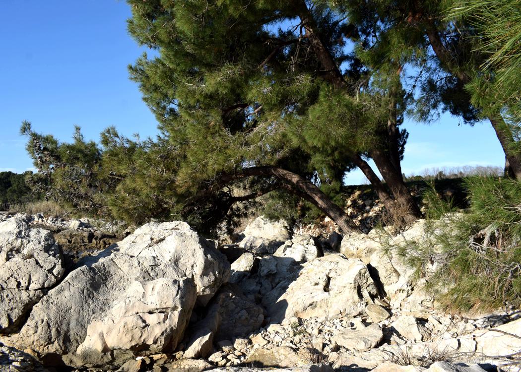
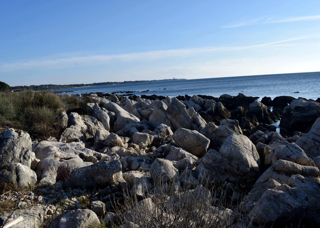
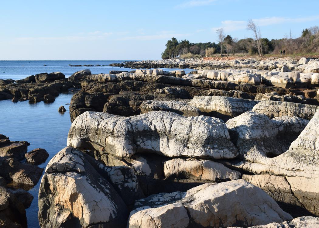
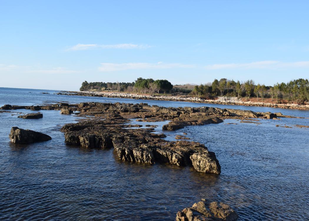
Name: Hiking trail 141 from Sišan to the cape Sv. Stipan, and to the bay Vela Draga.
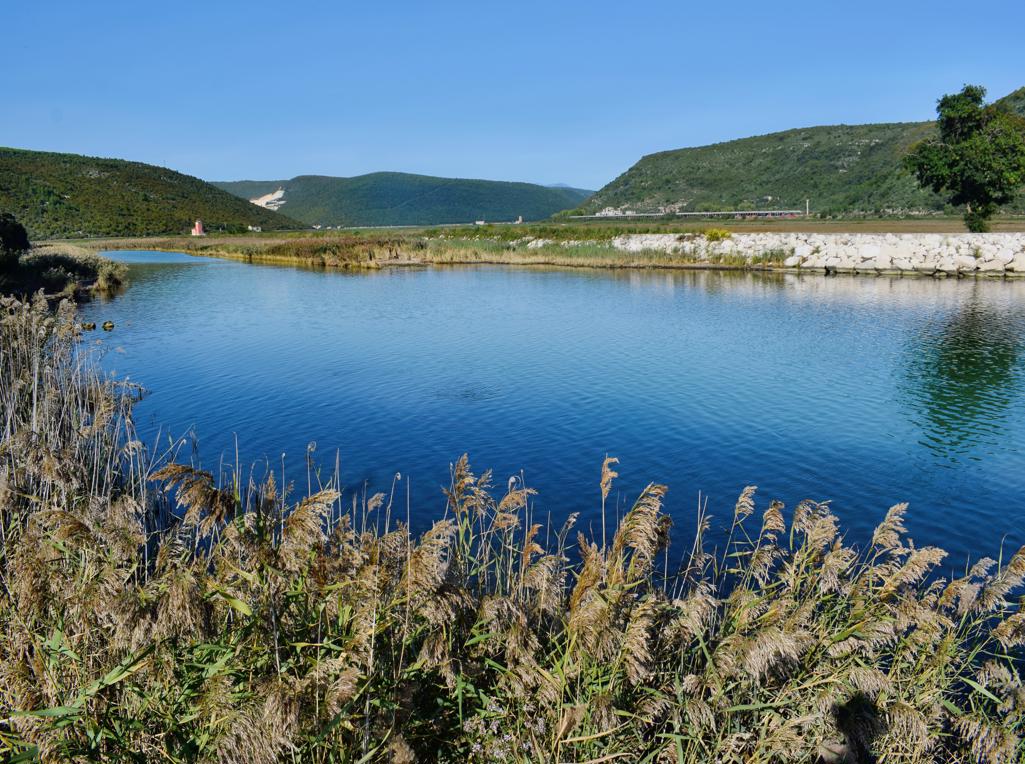
Place: Sišan – (Ližnjan).
Coordinates: Sišan 44.84824 N – 13.96539 E , Cape Sv. Stipan 44.86313 N – 13.99916 E, Bay Vela Draga 44.84312 N – 13.97867 E.