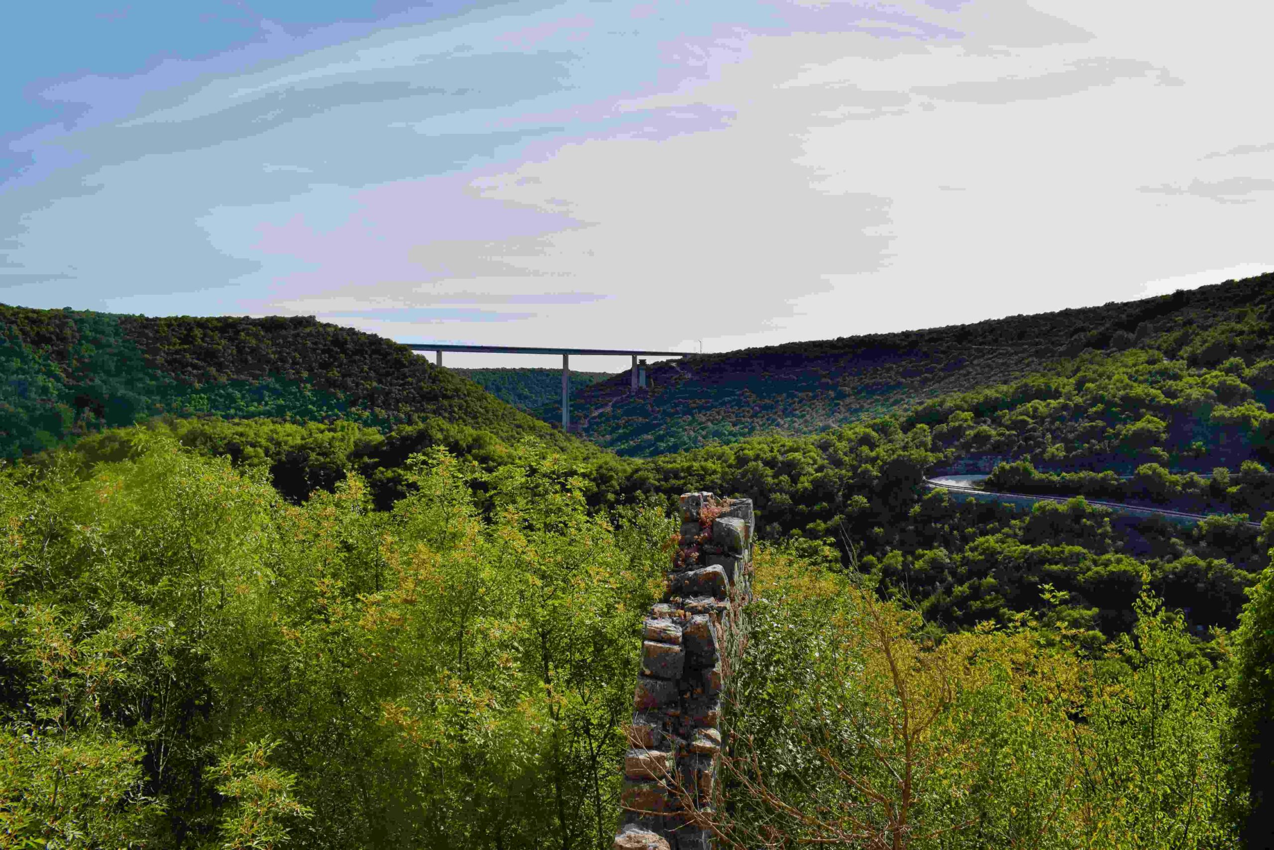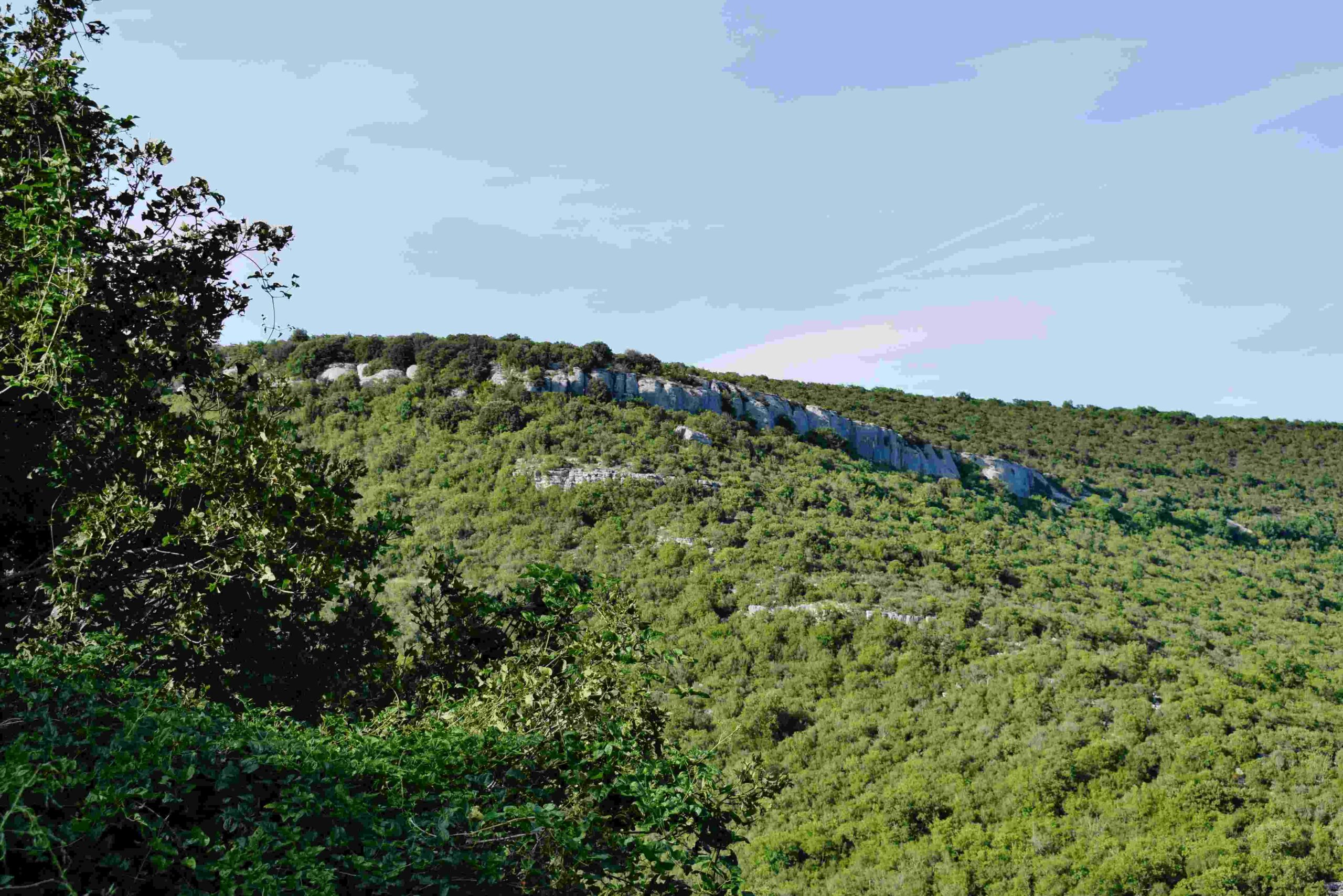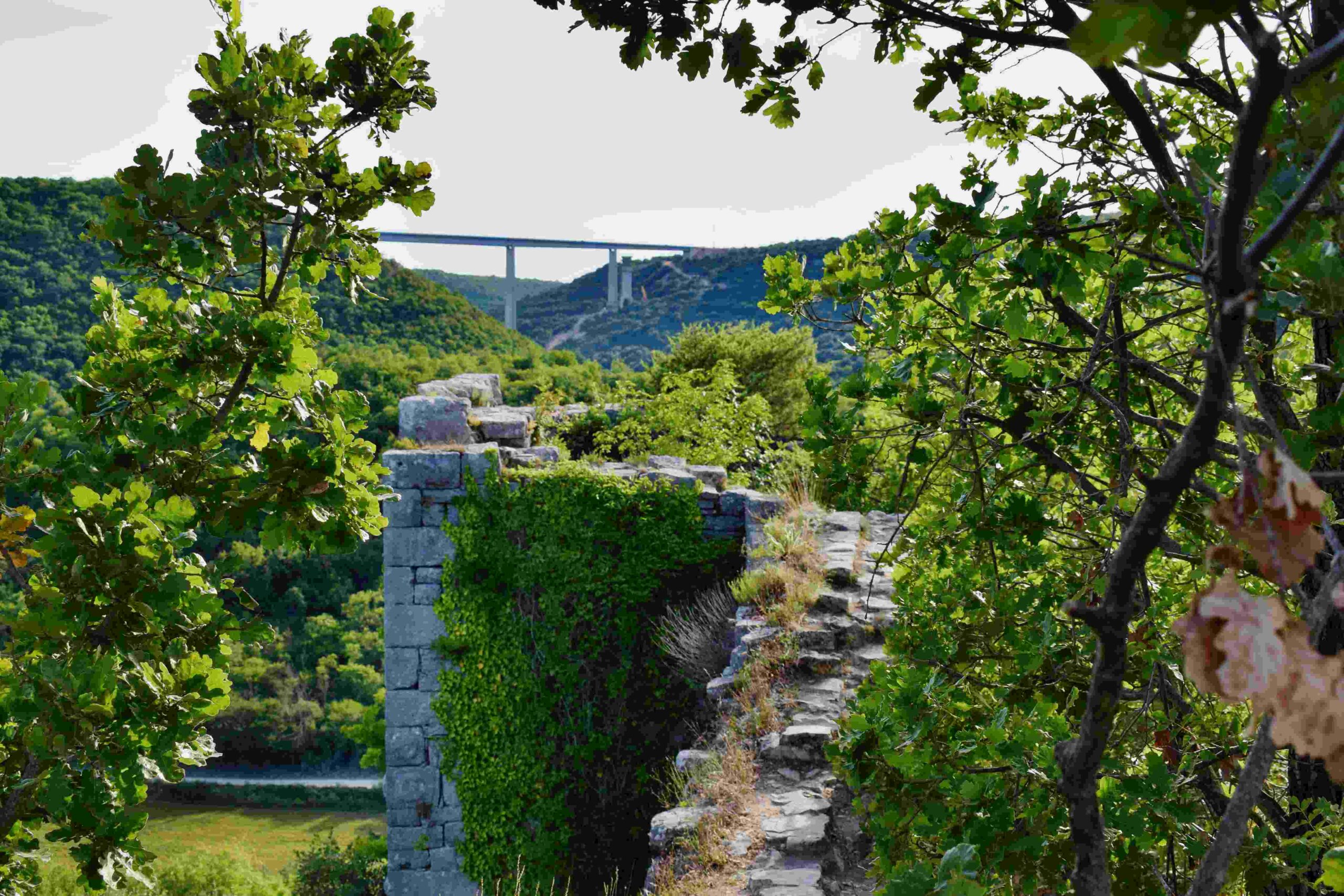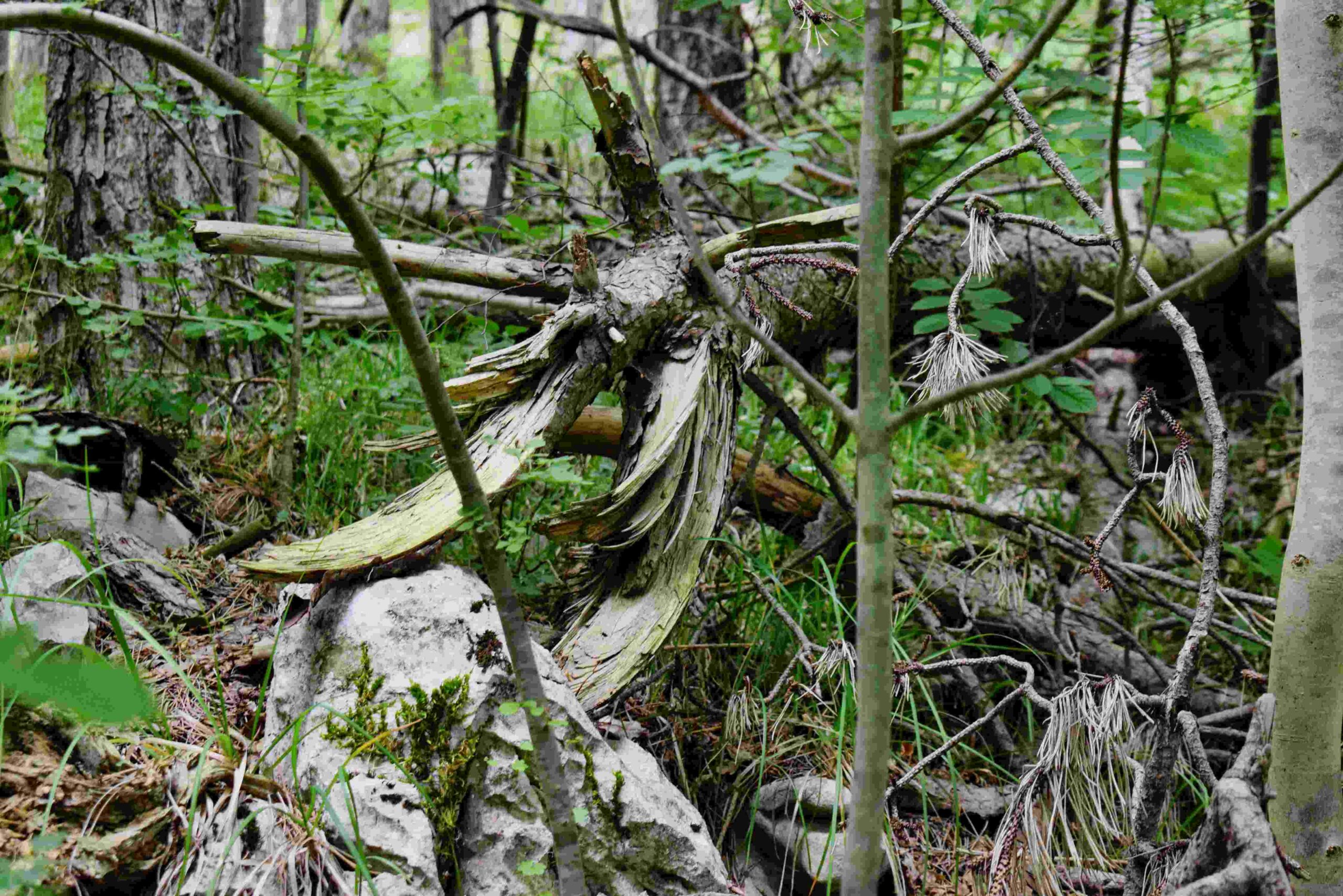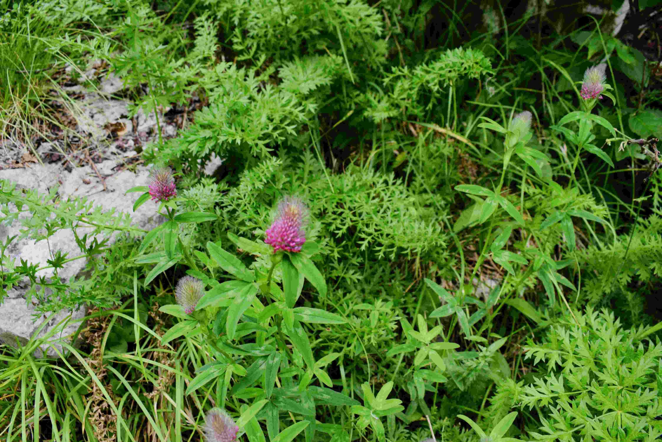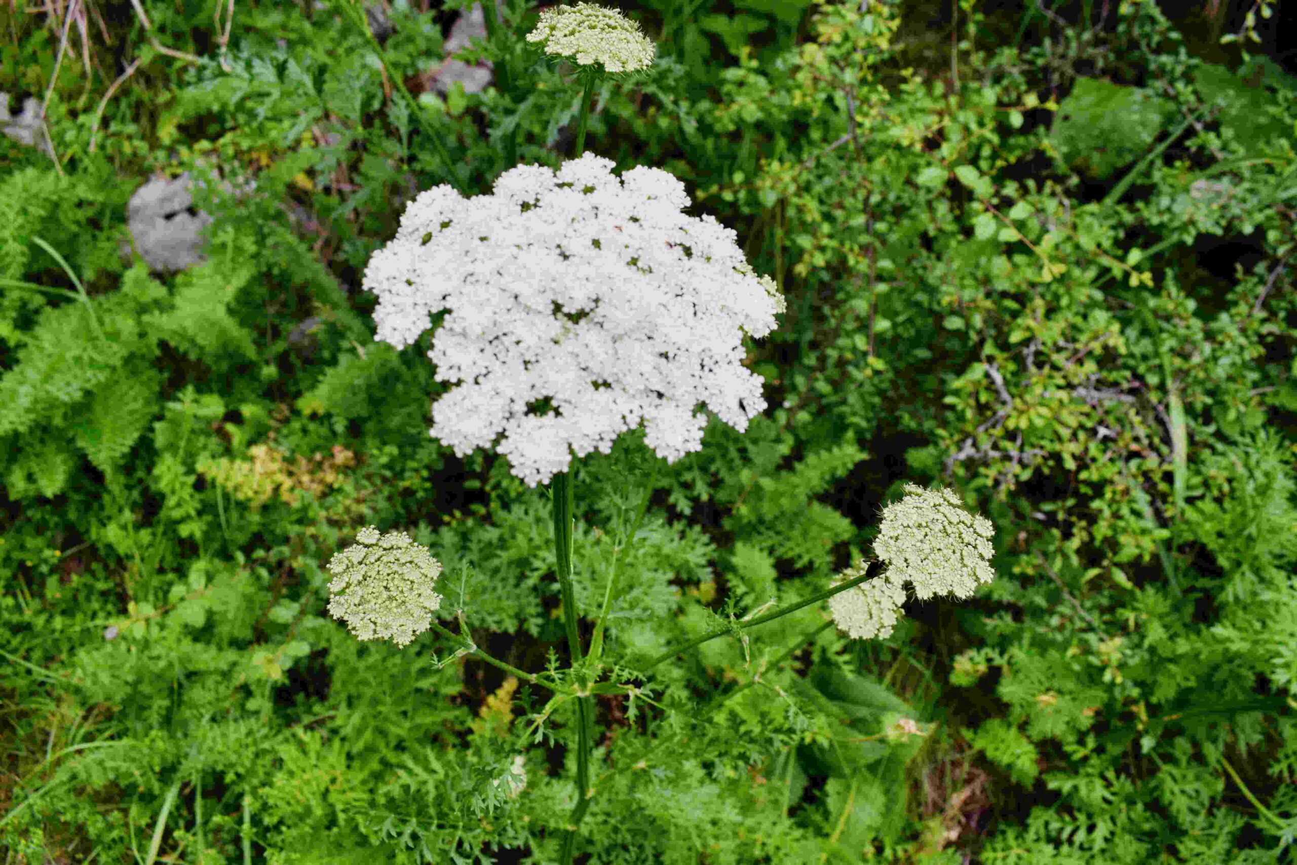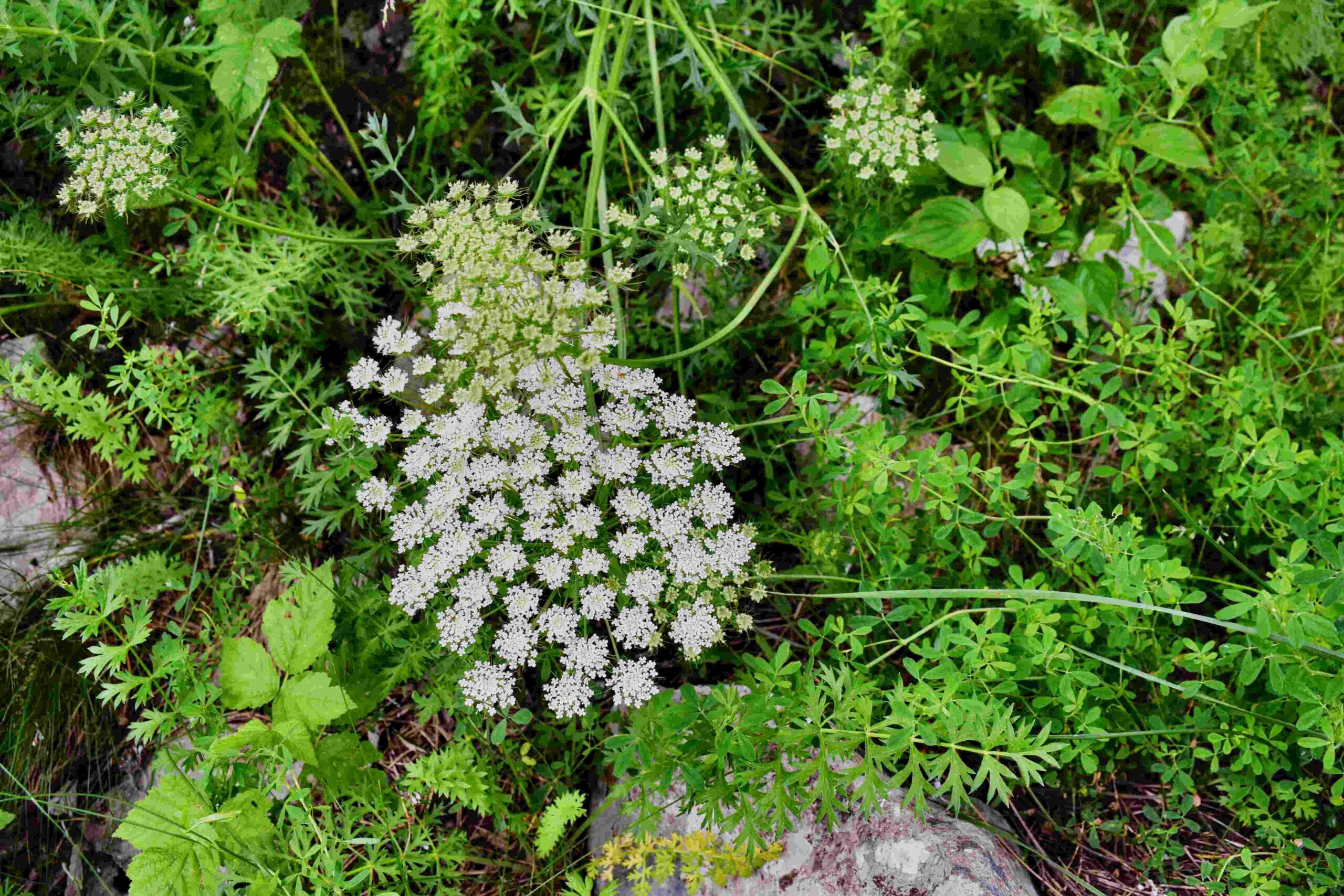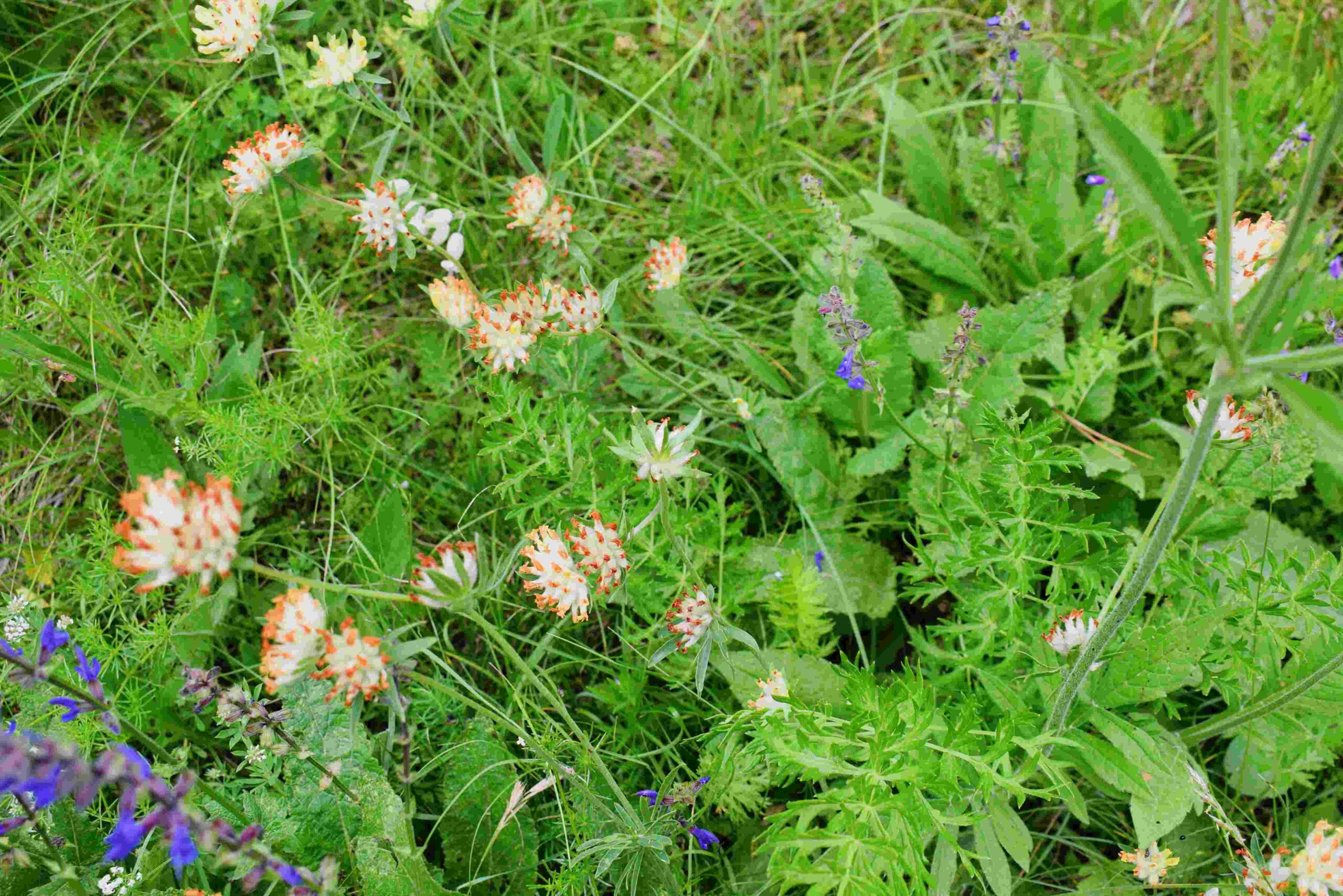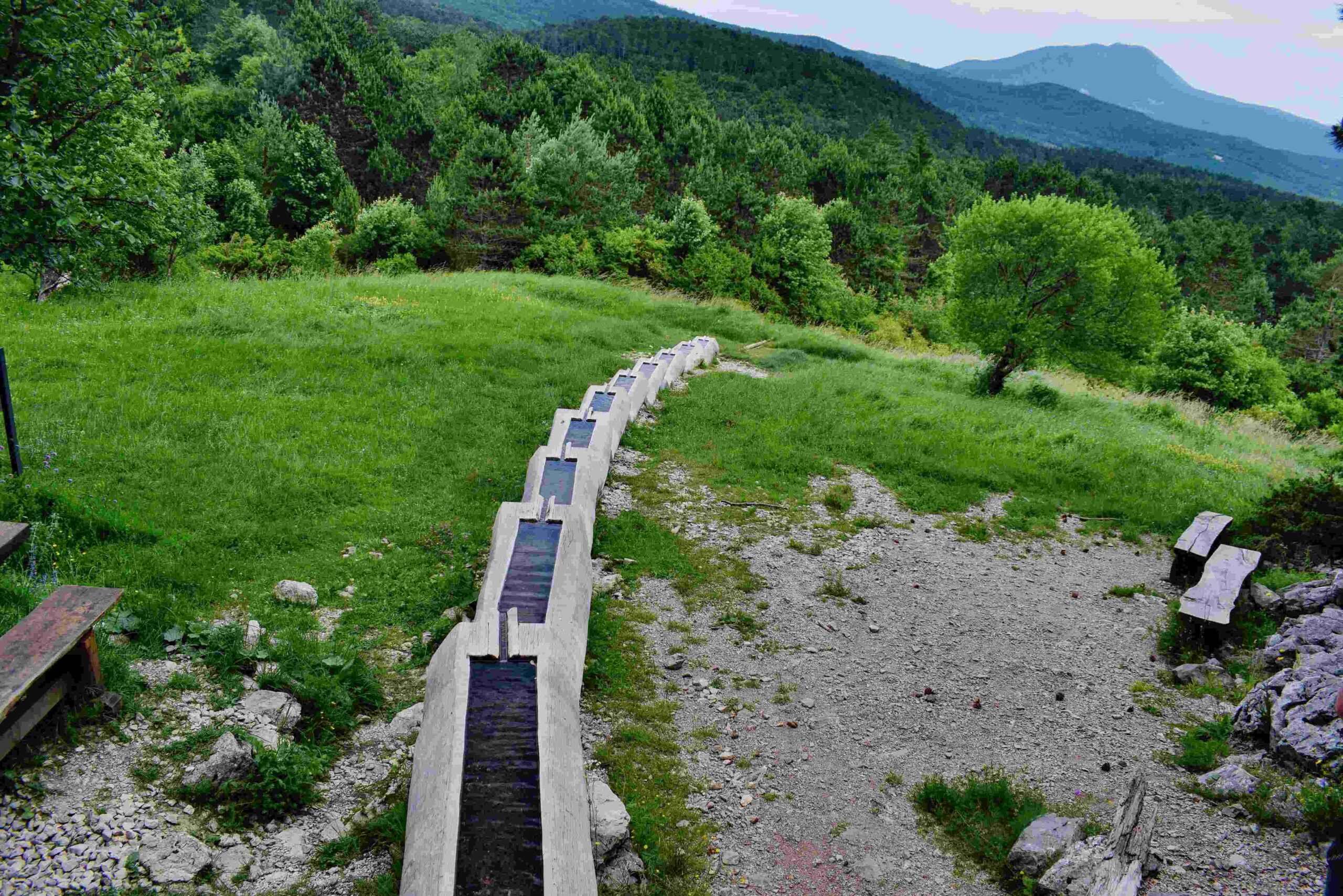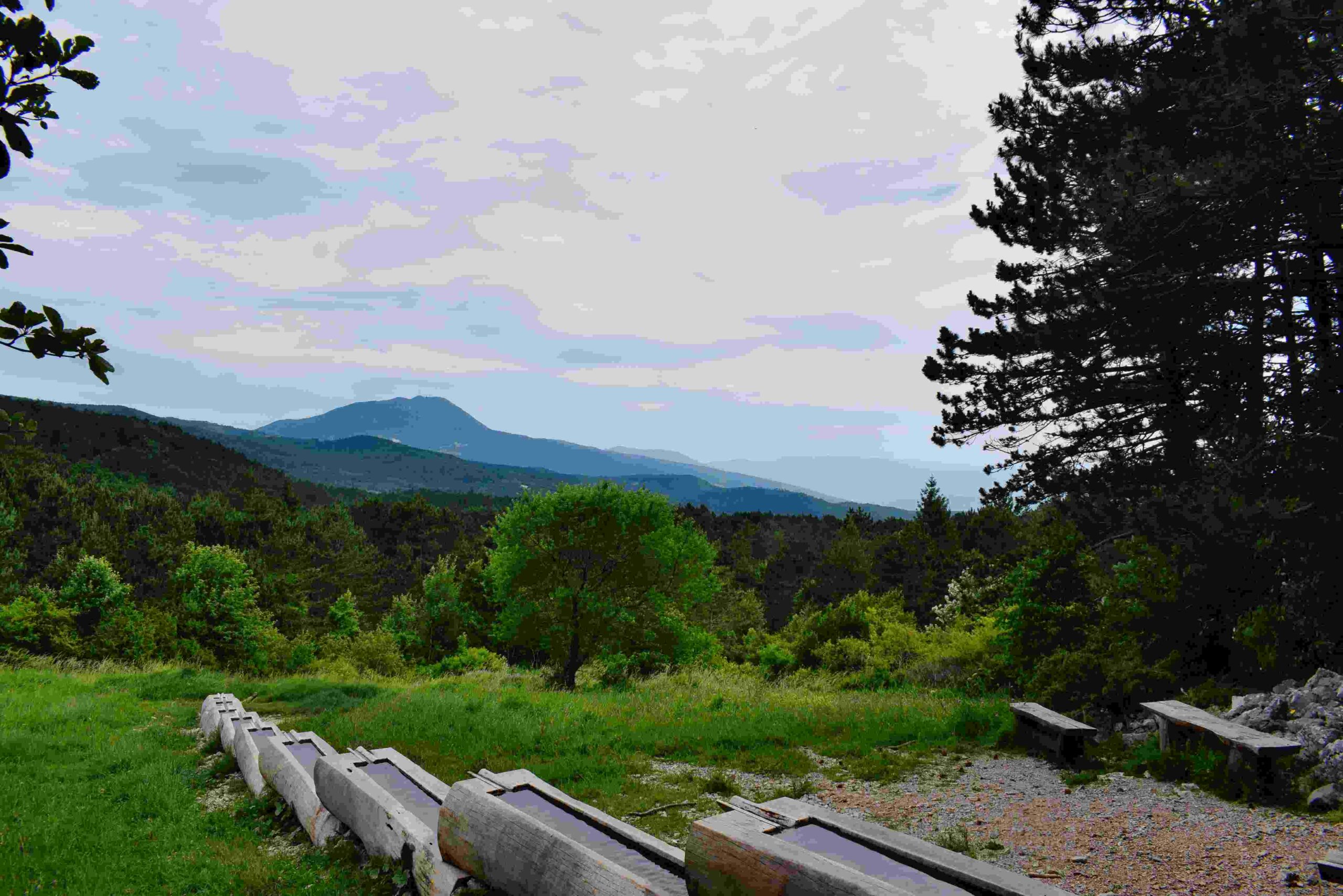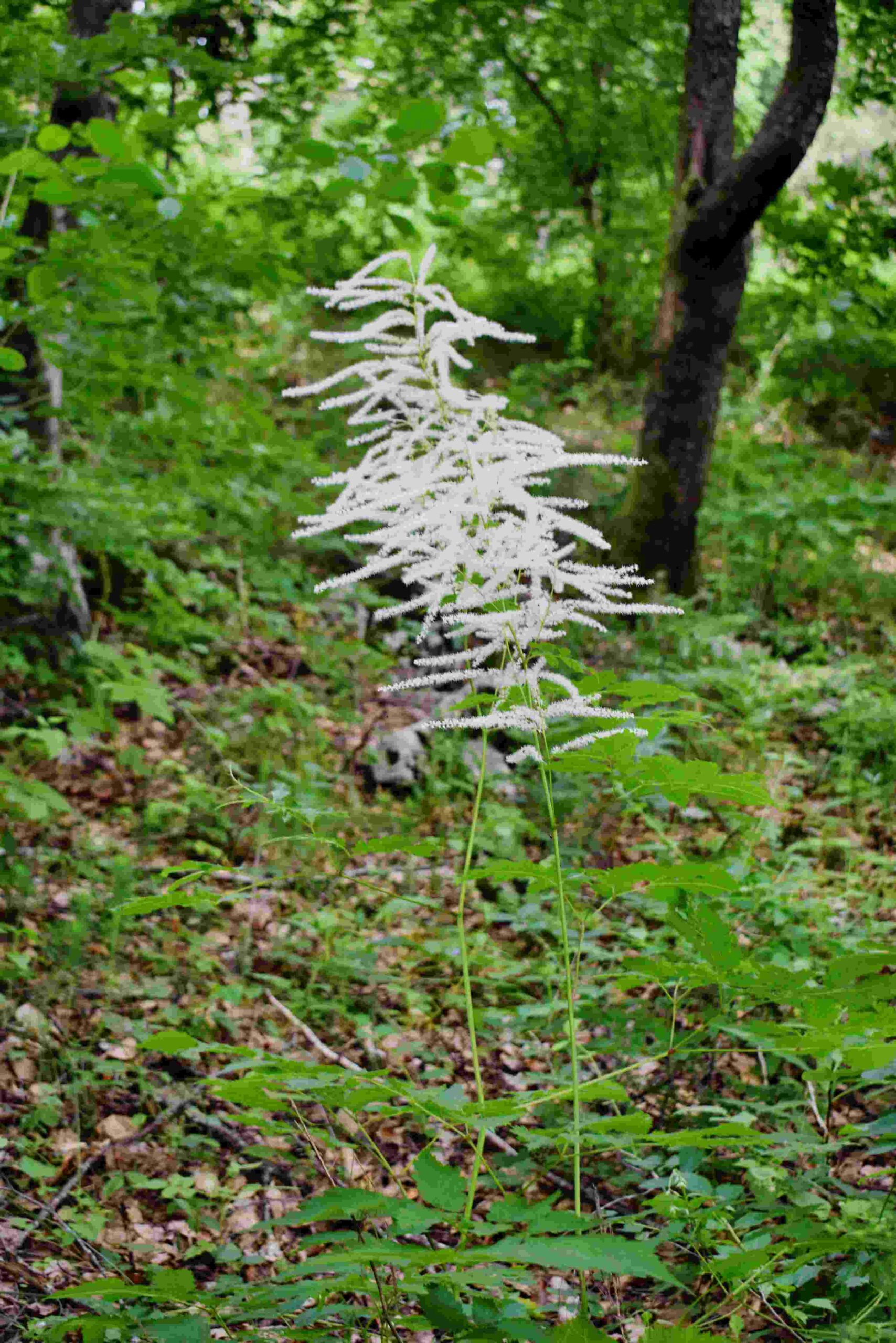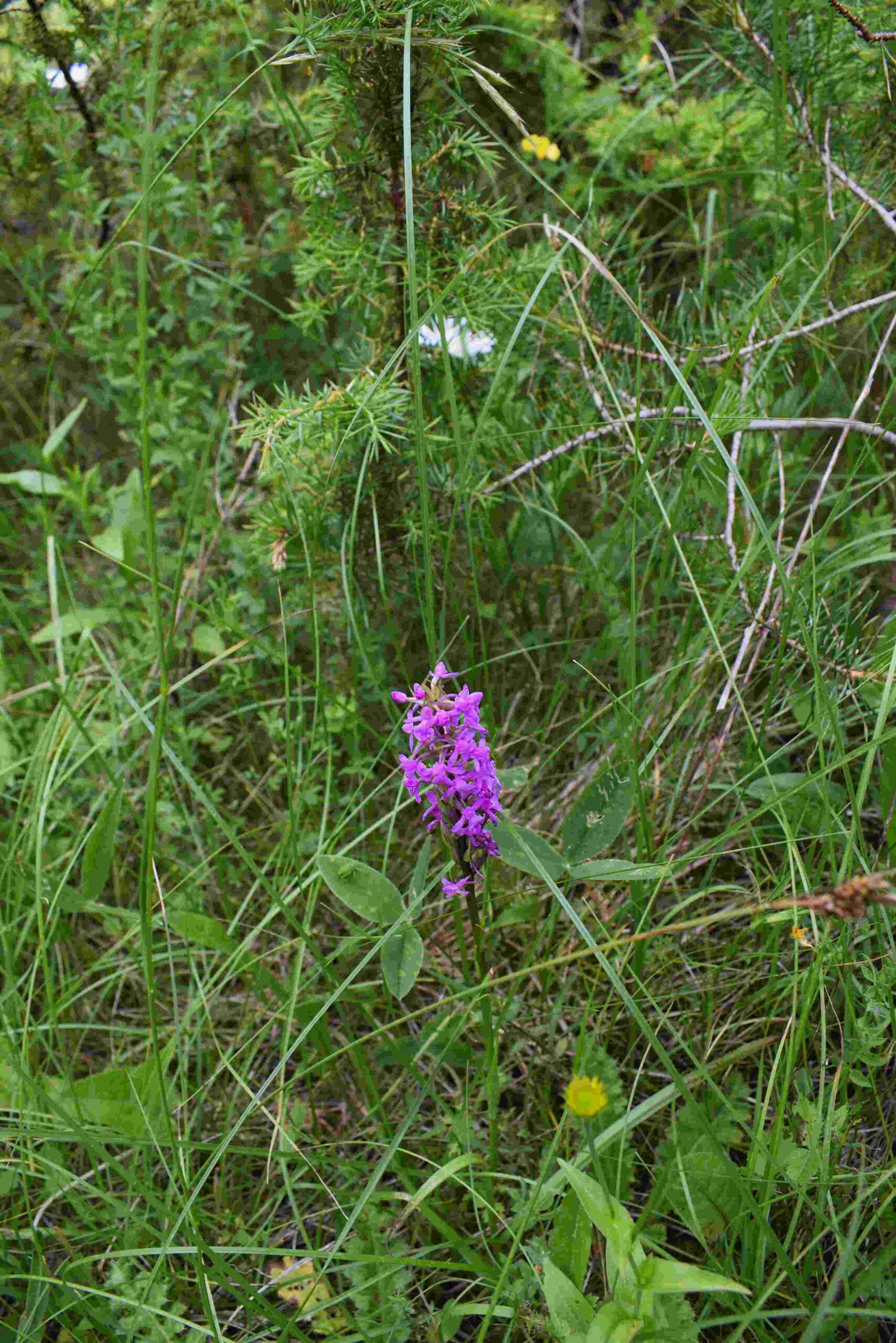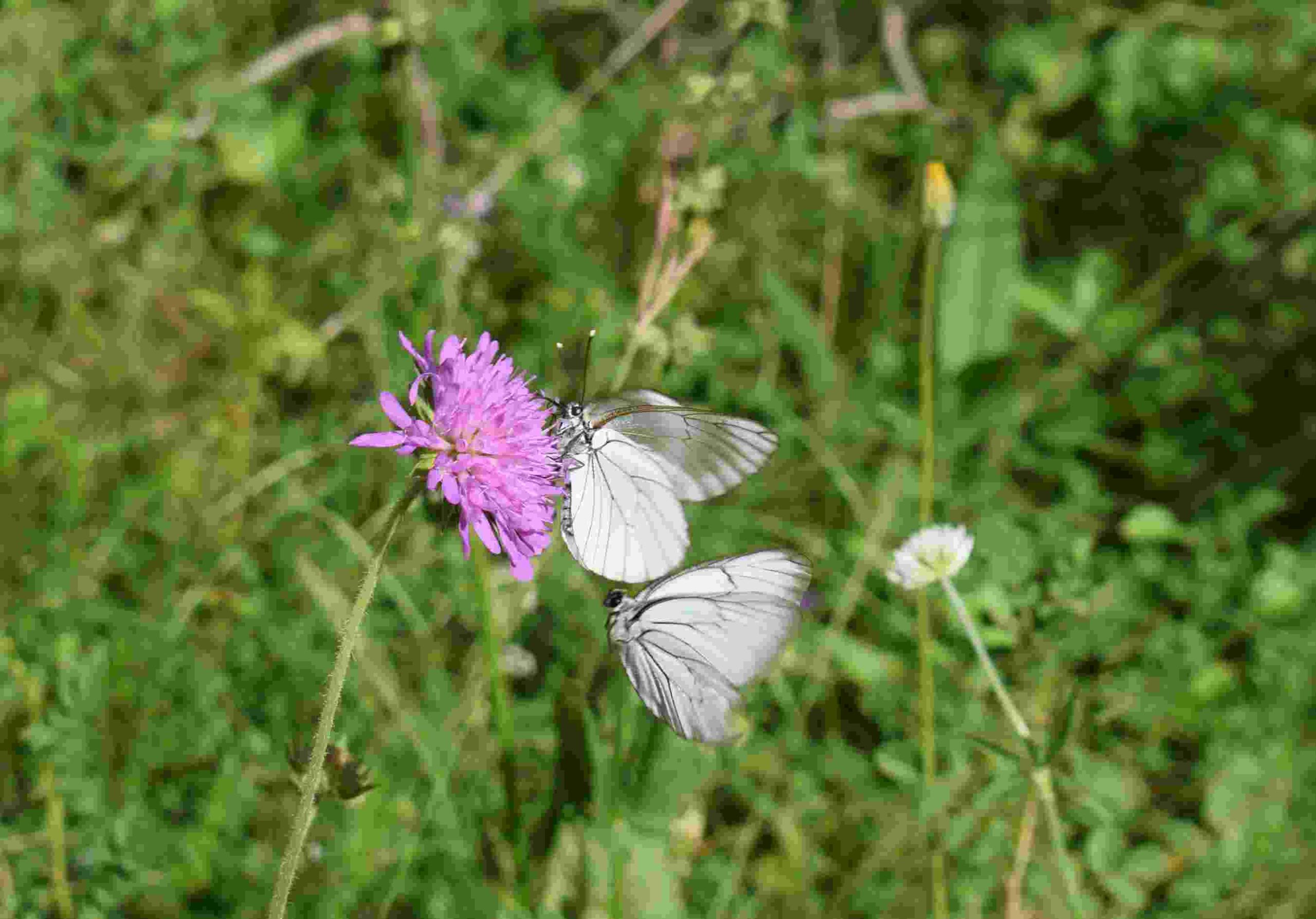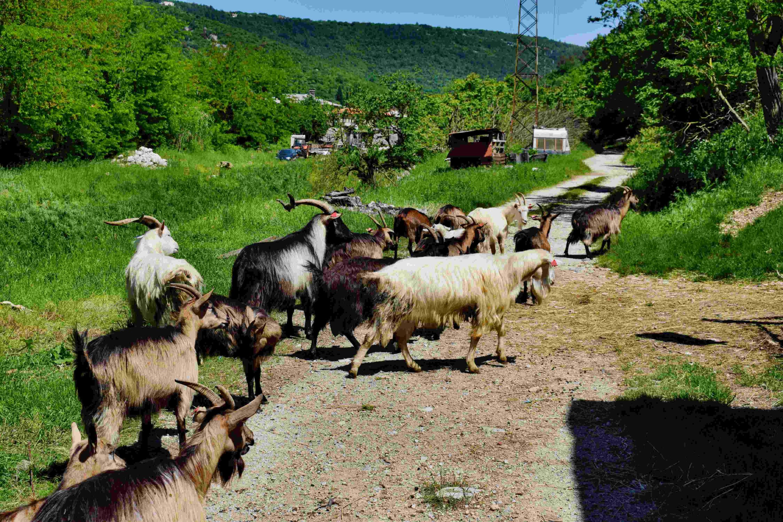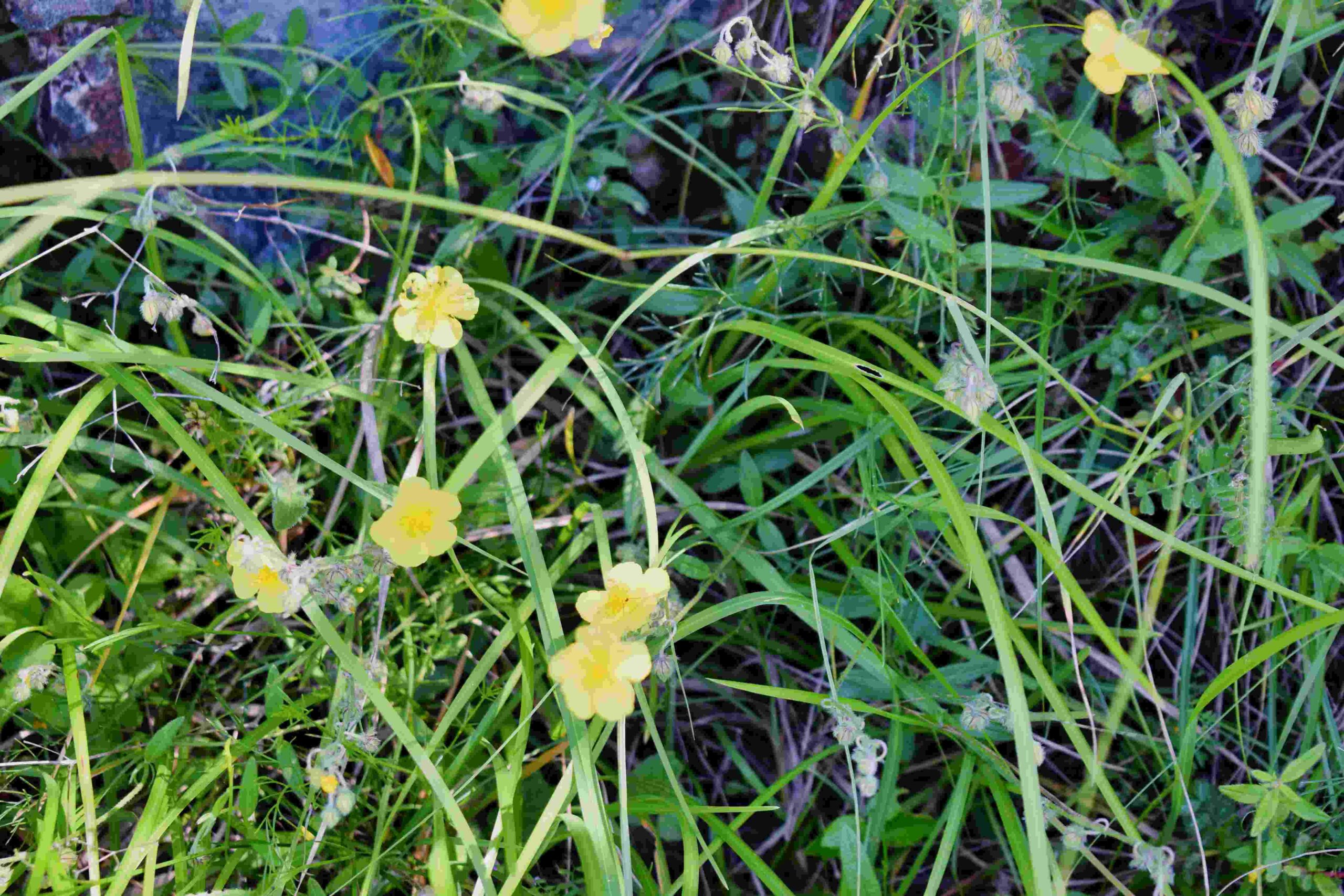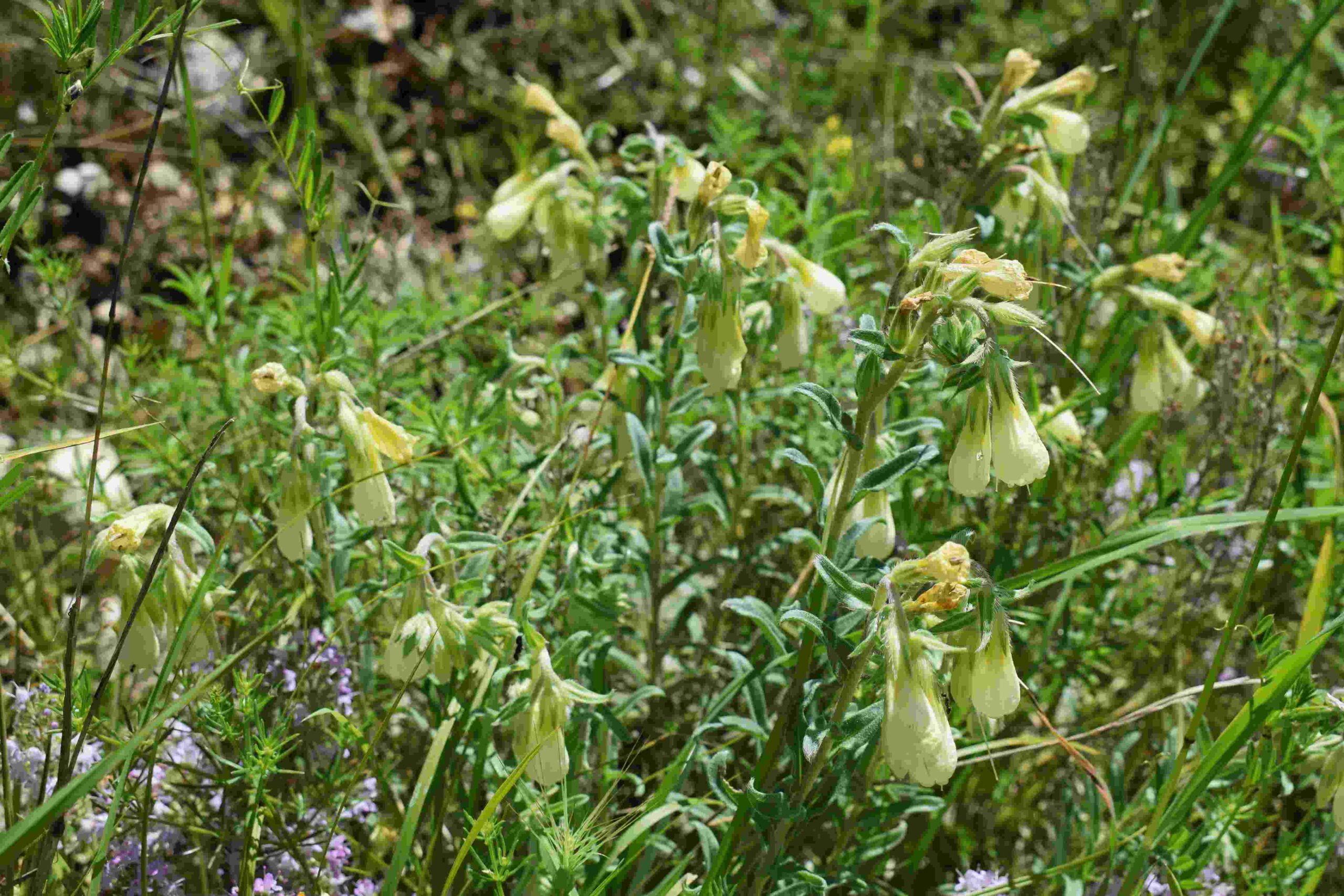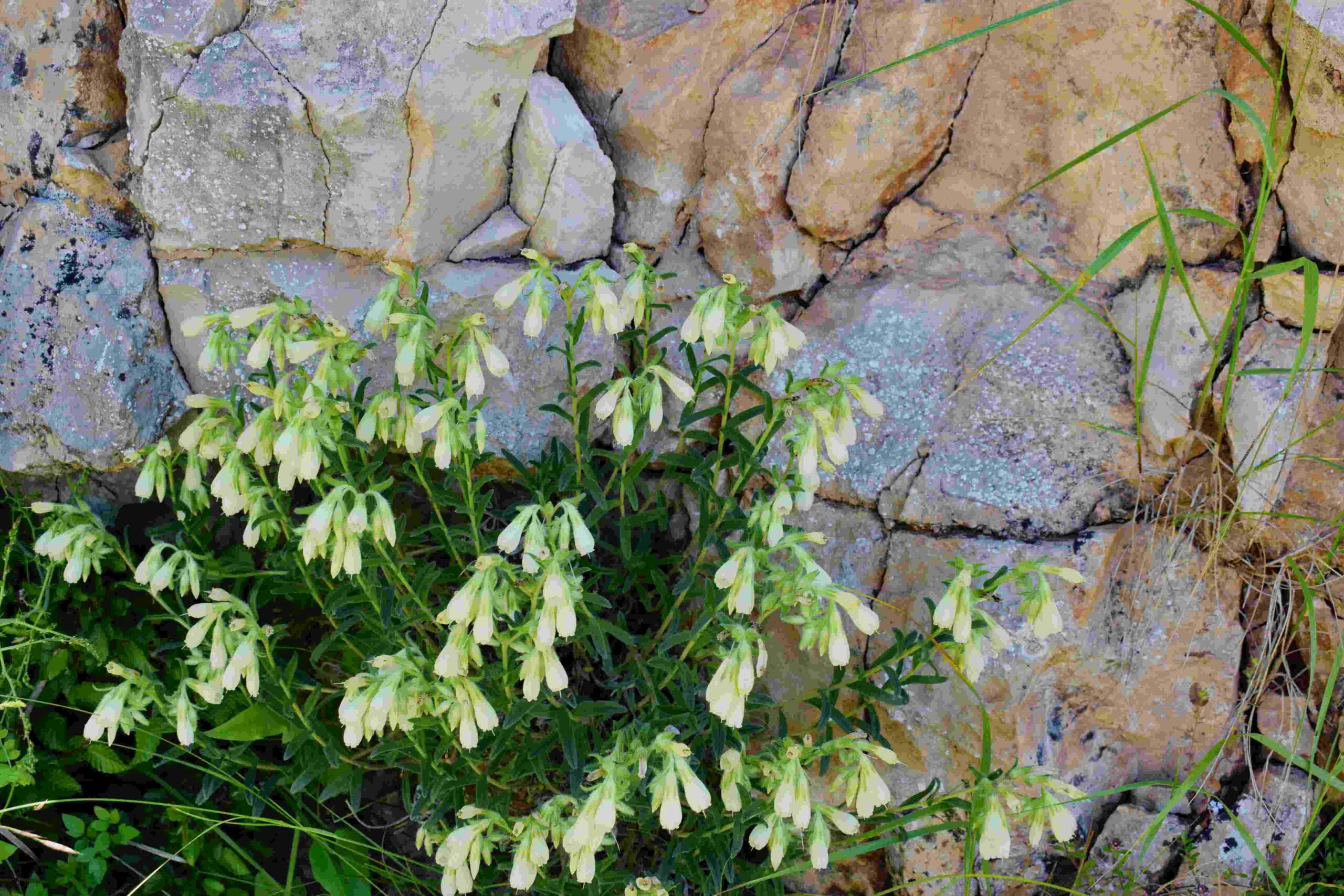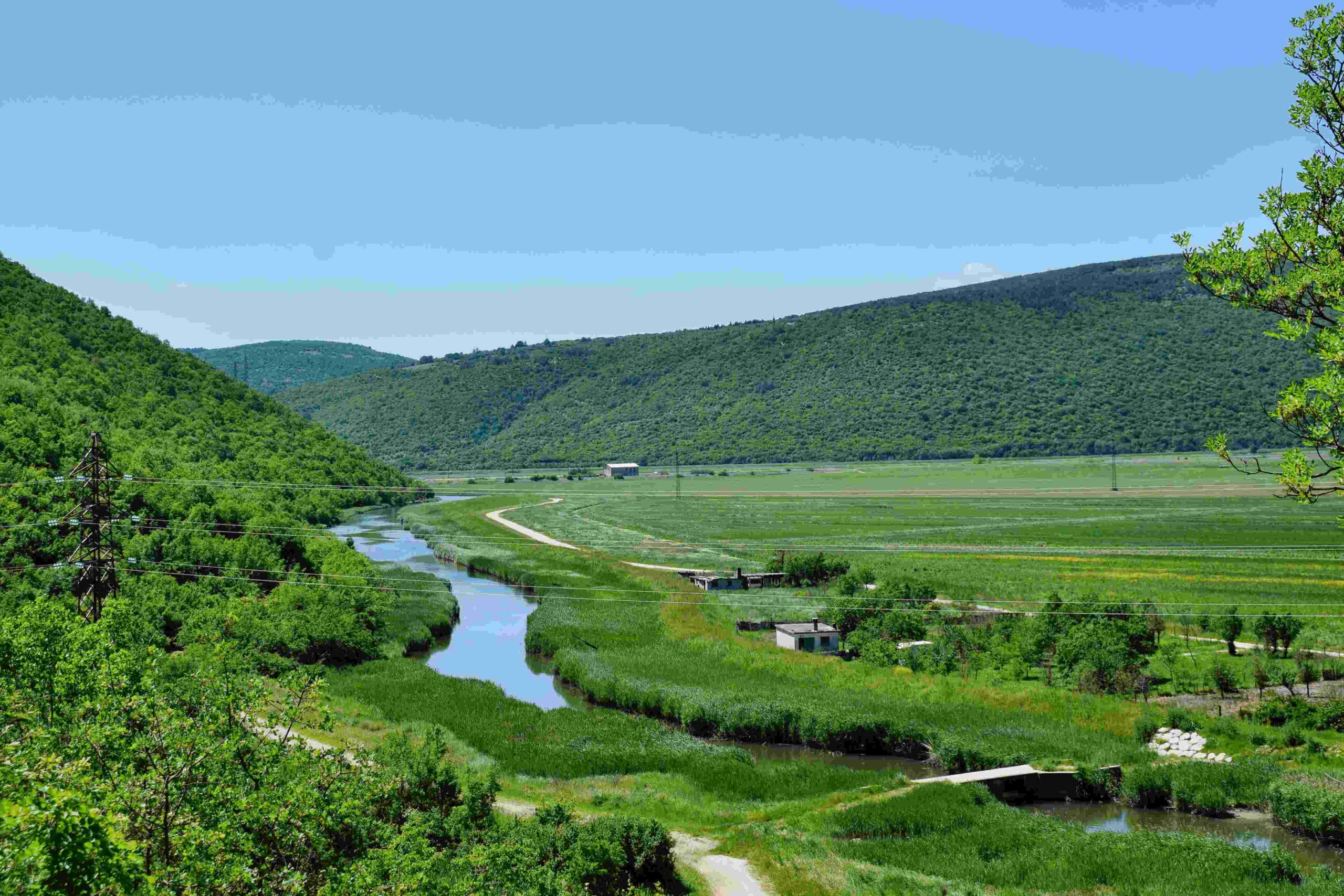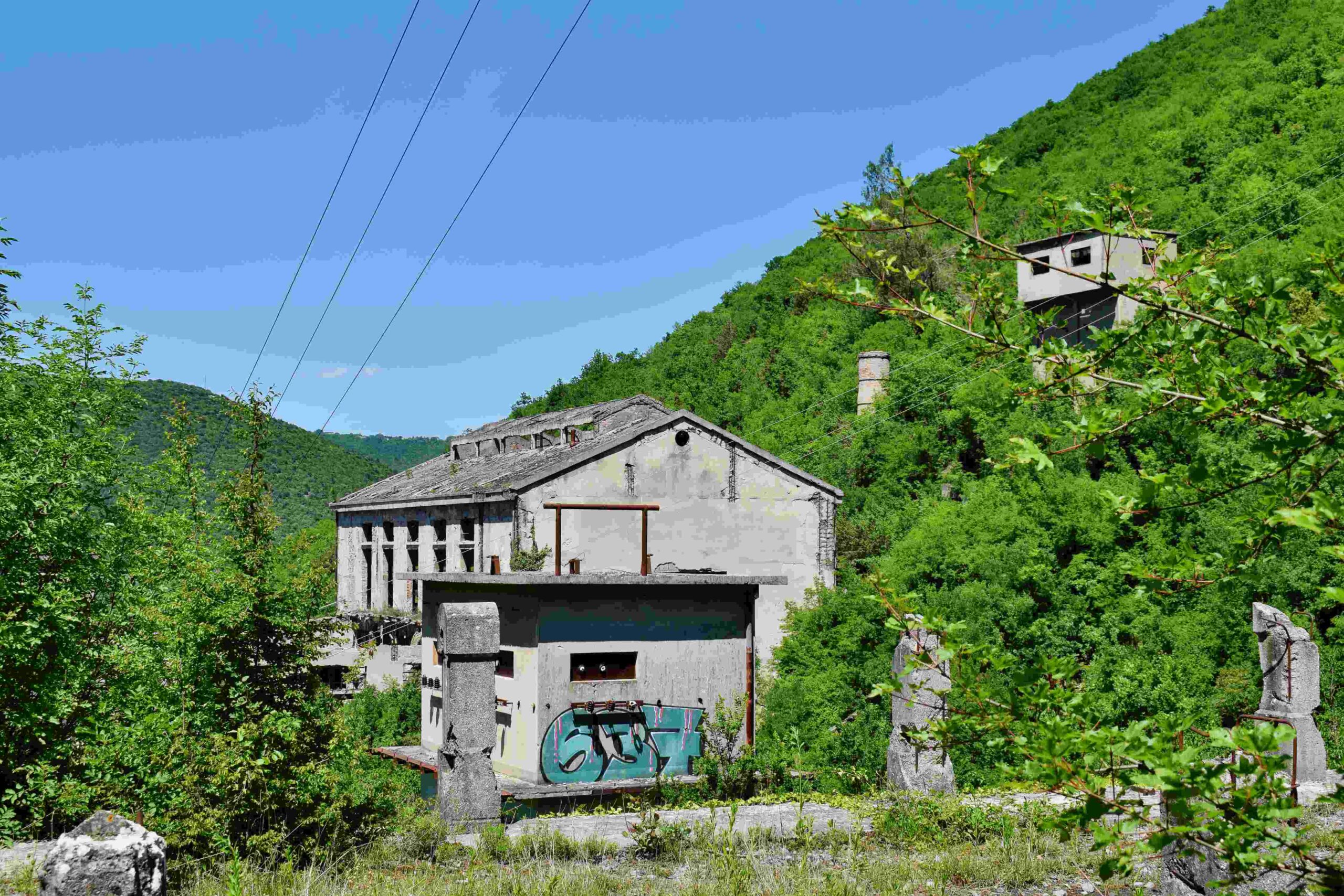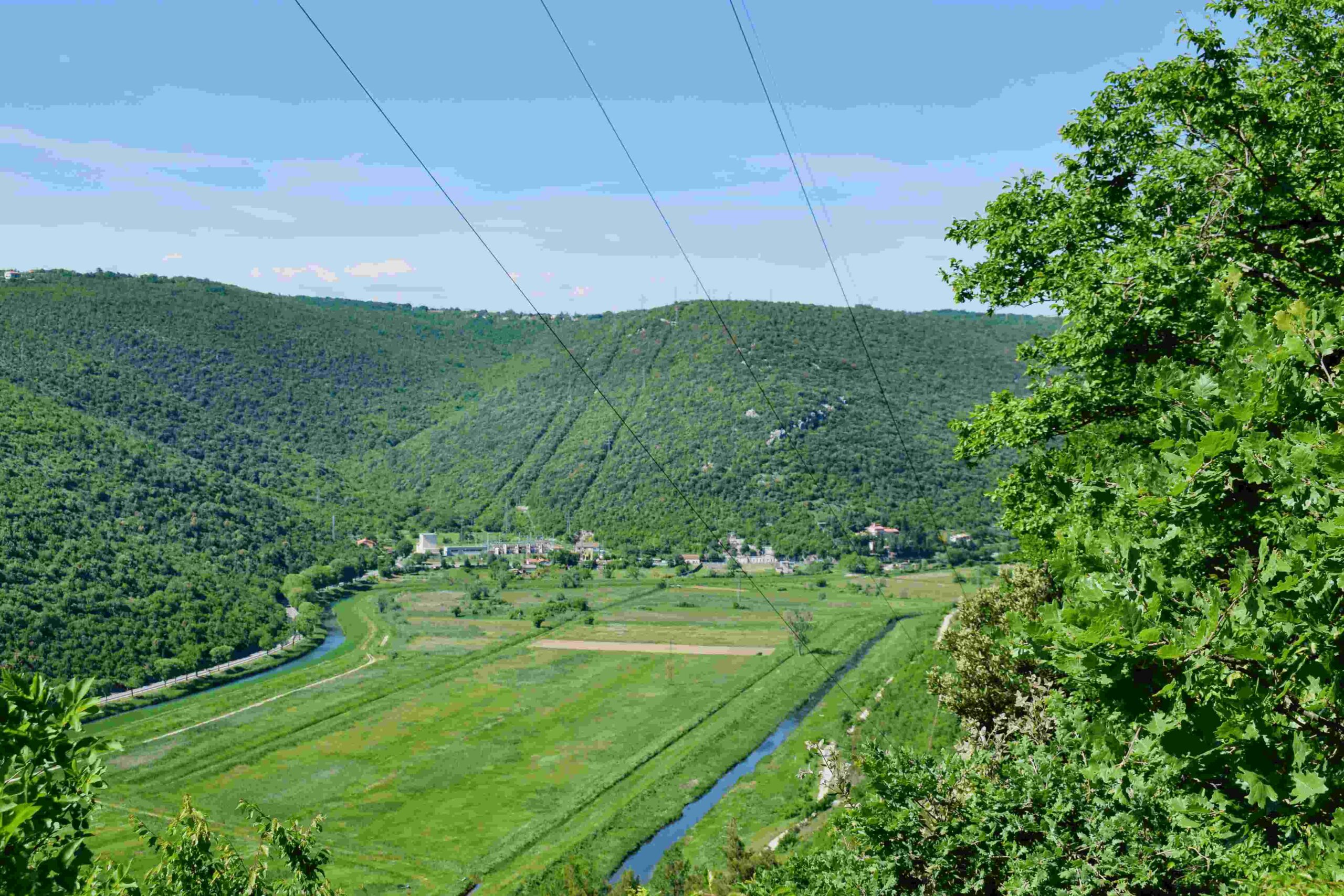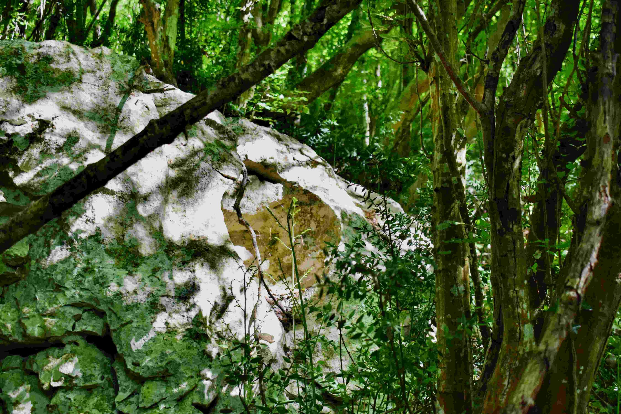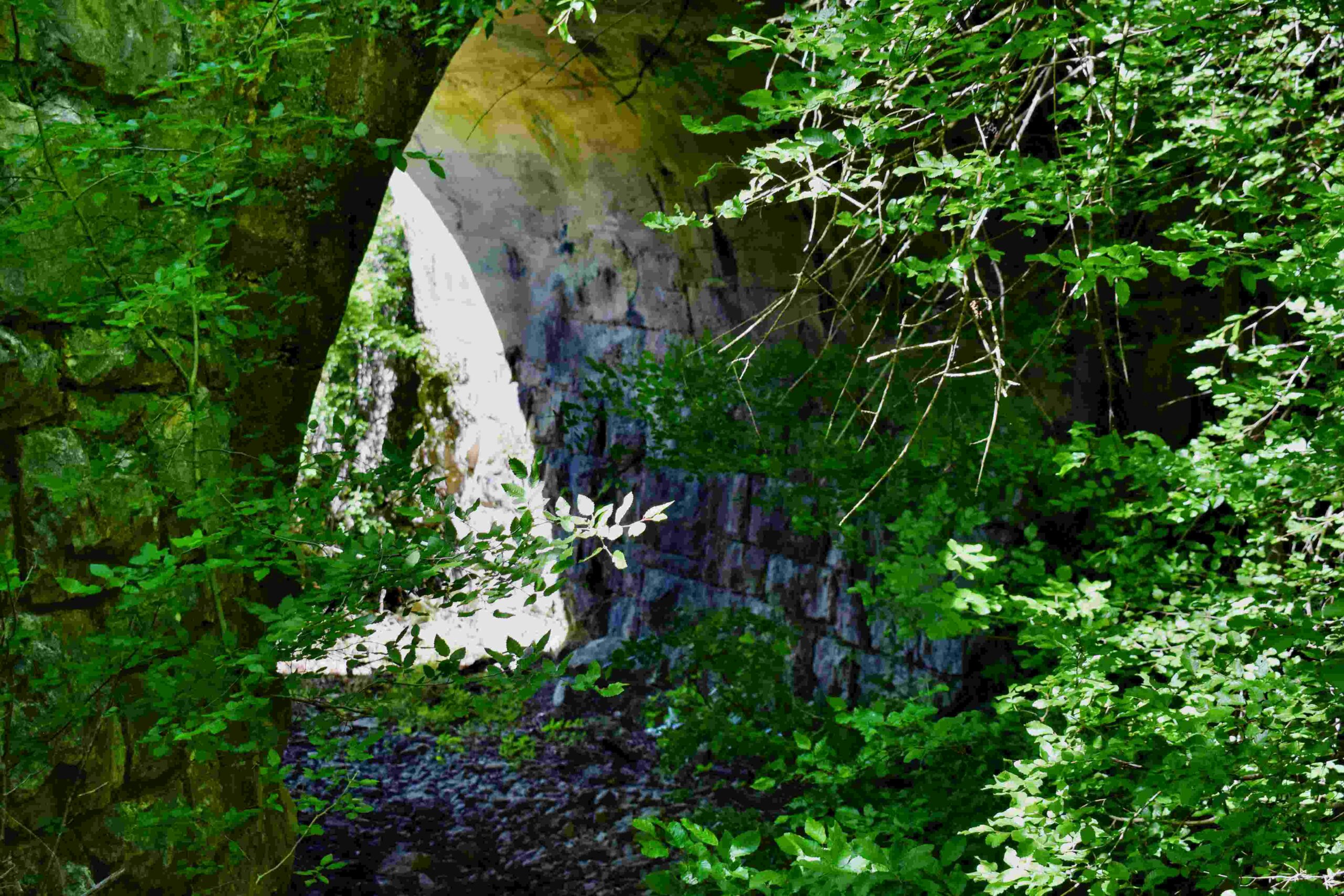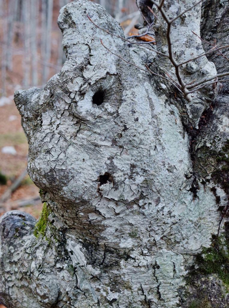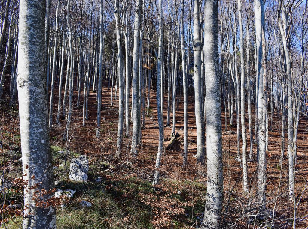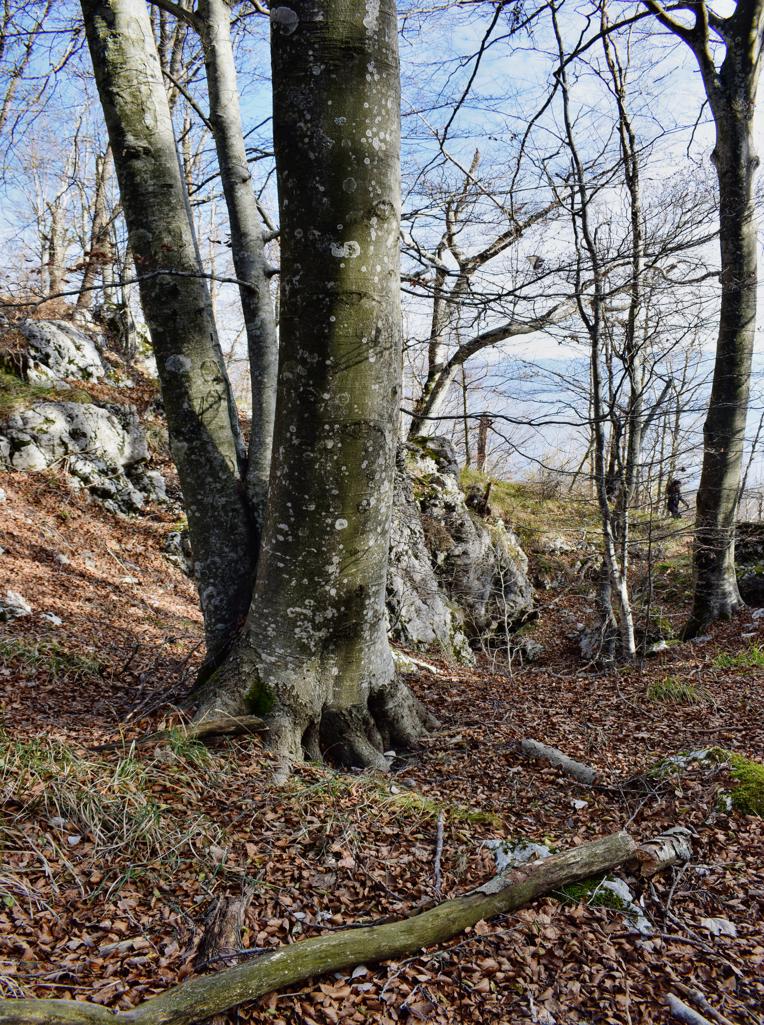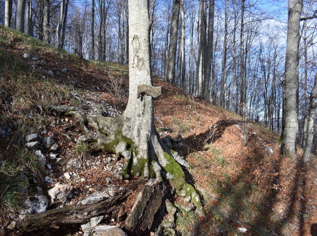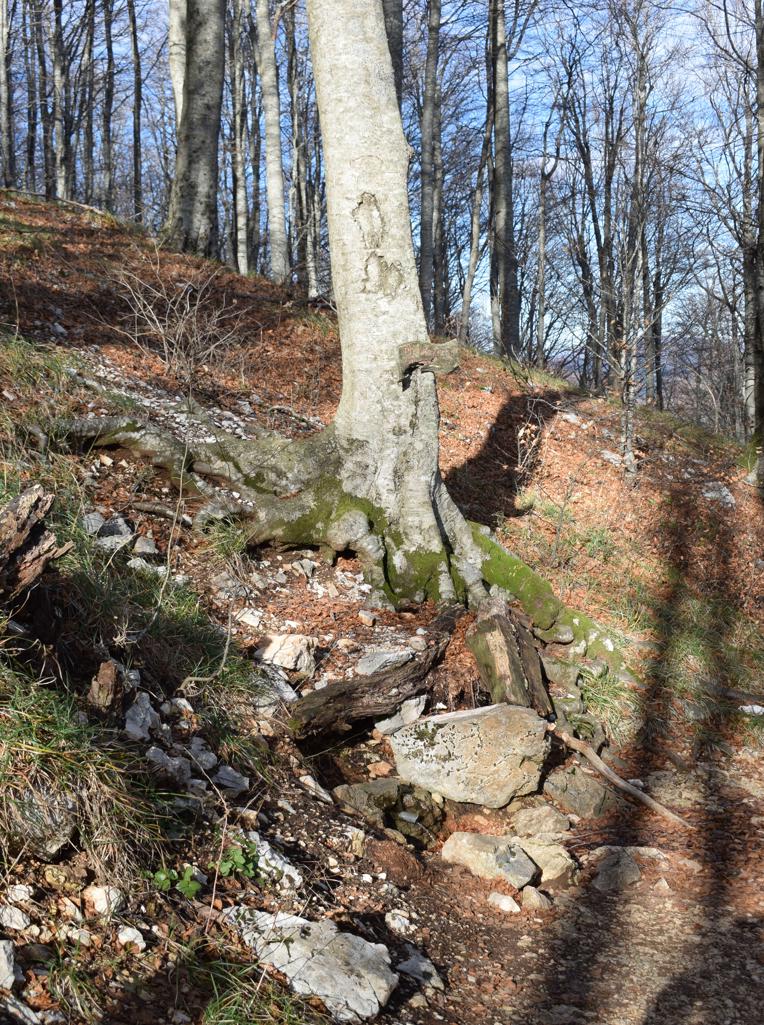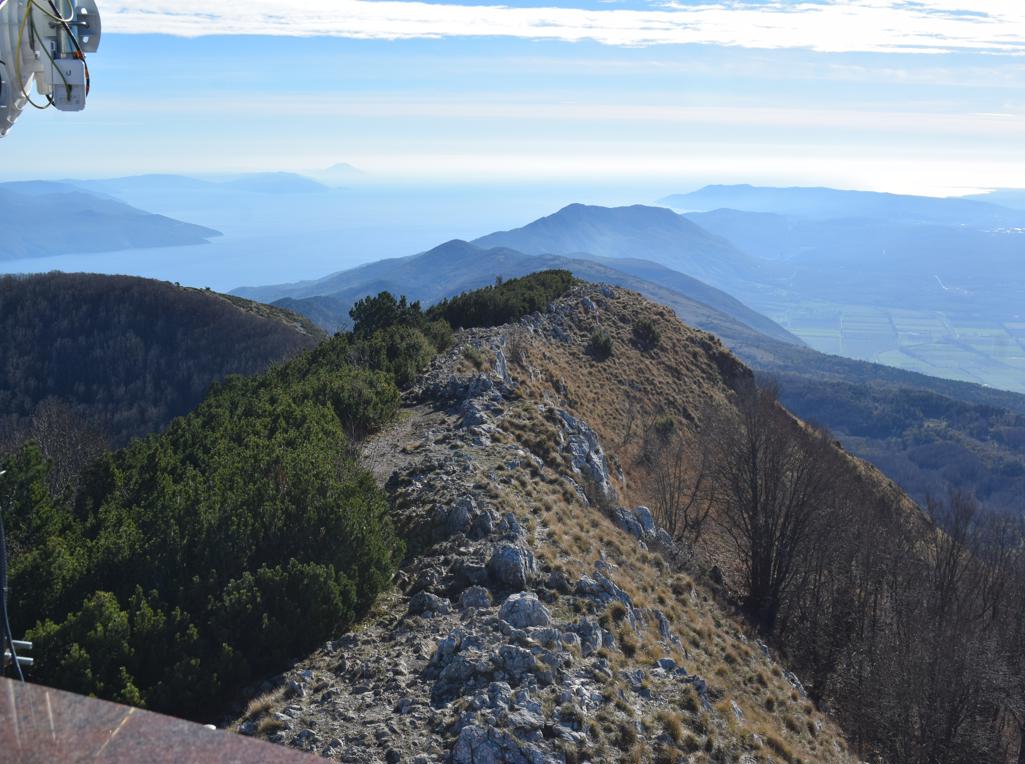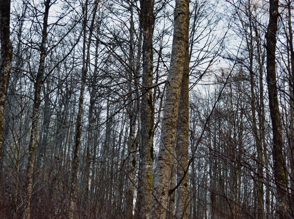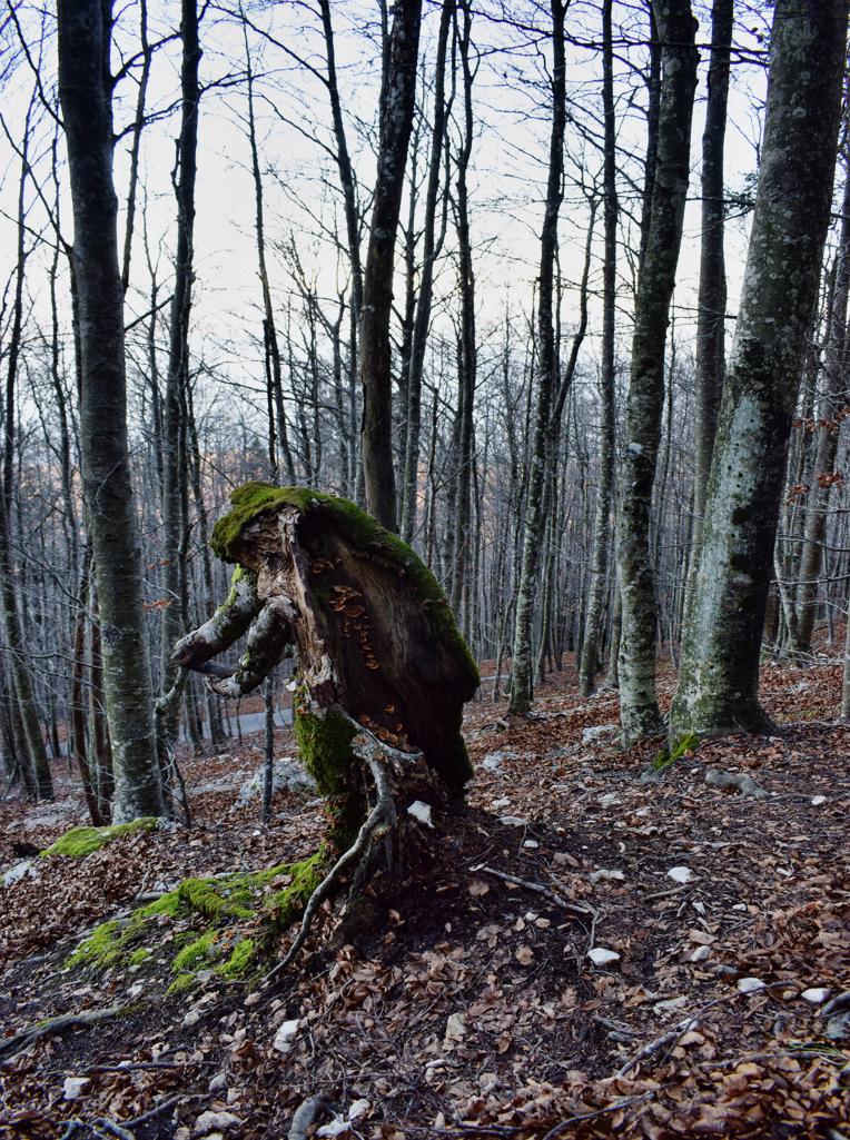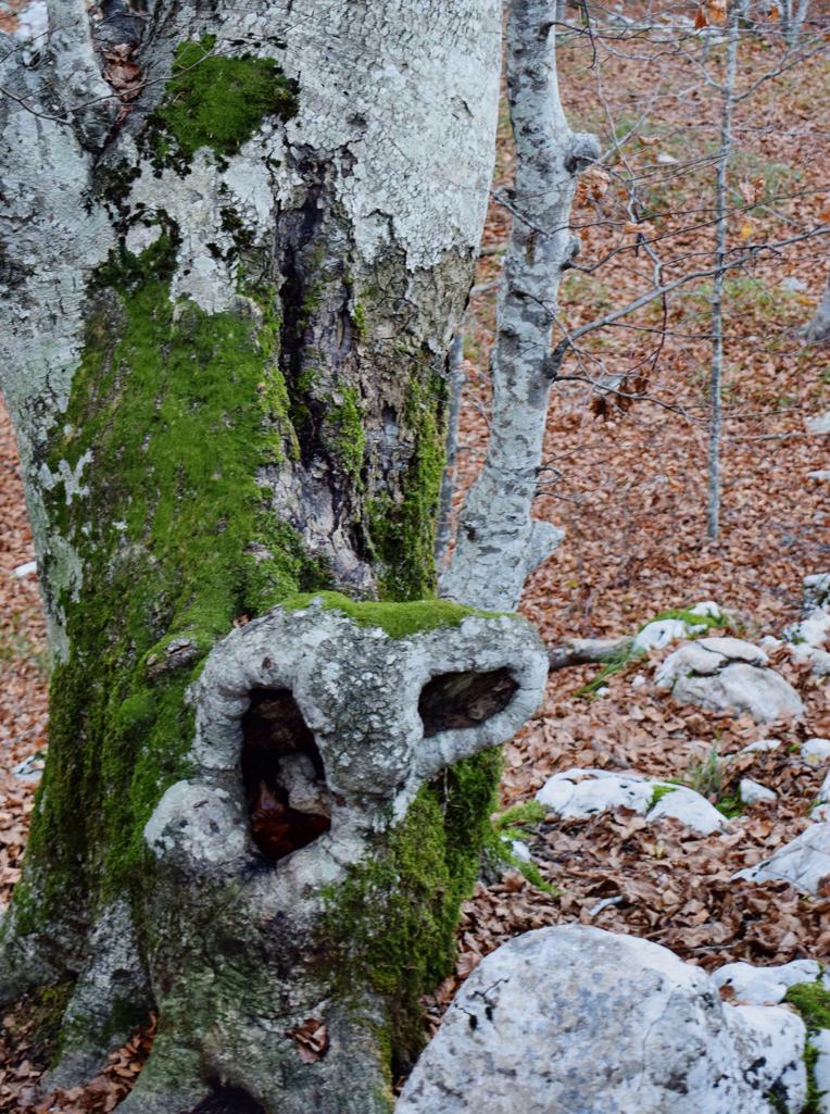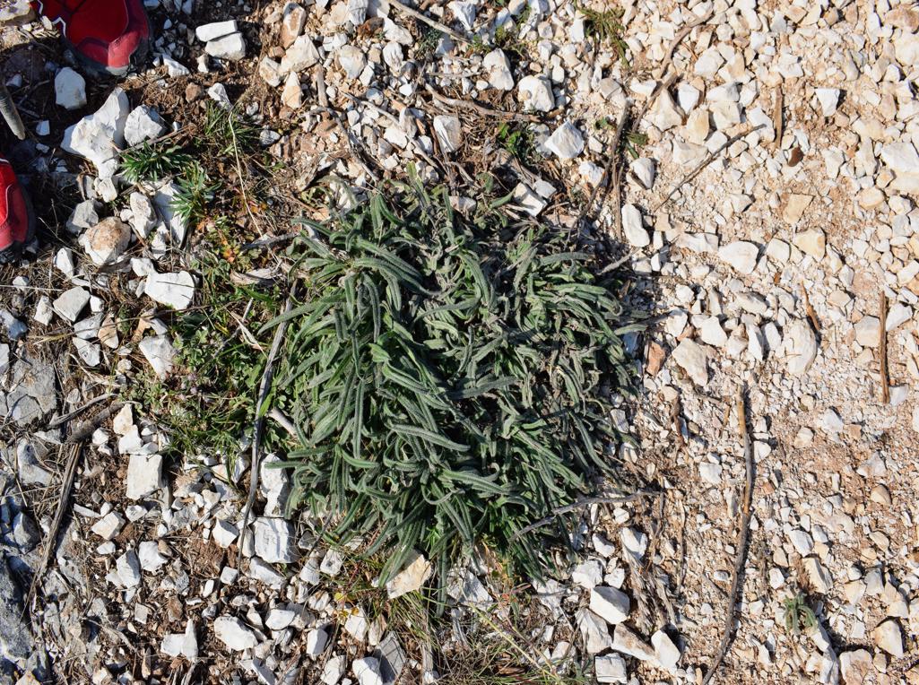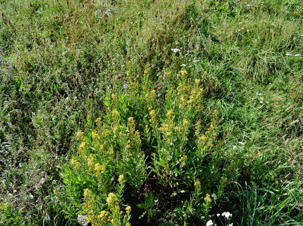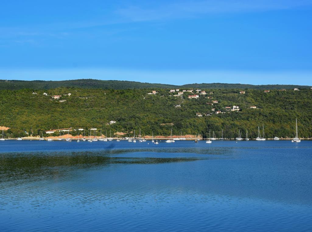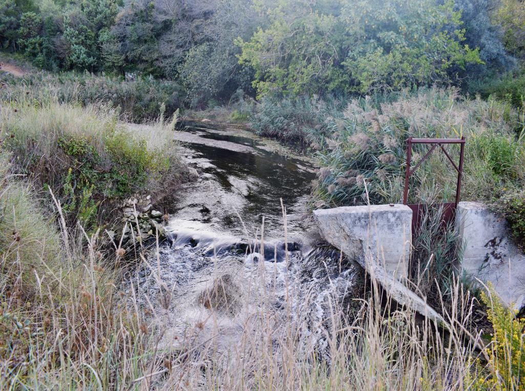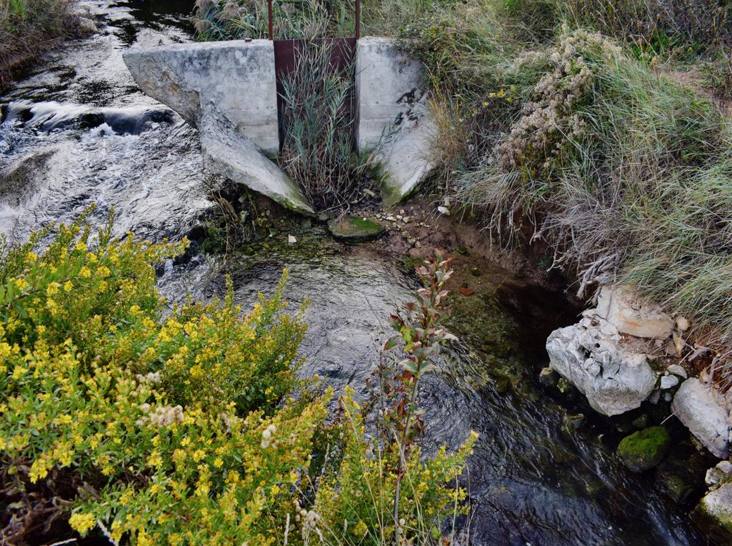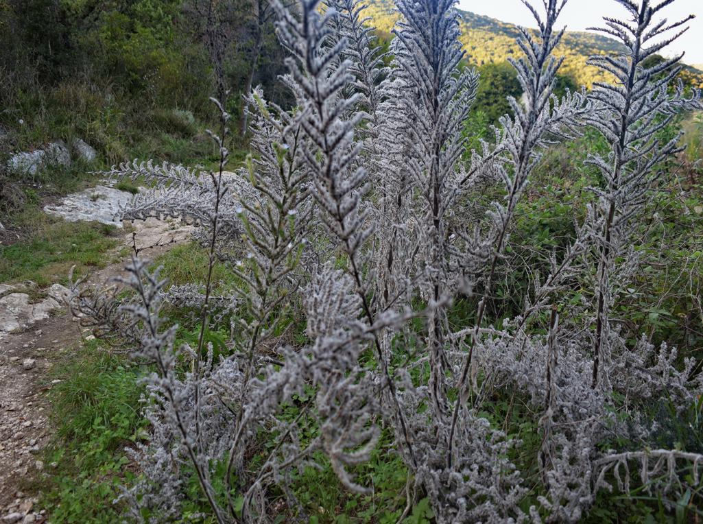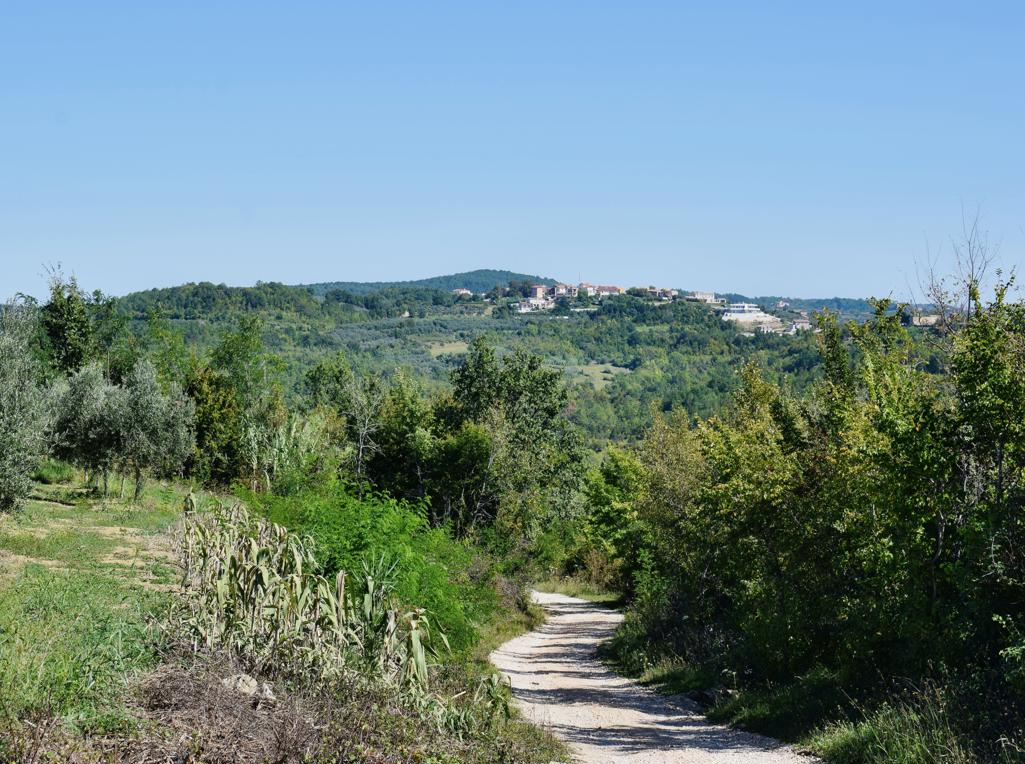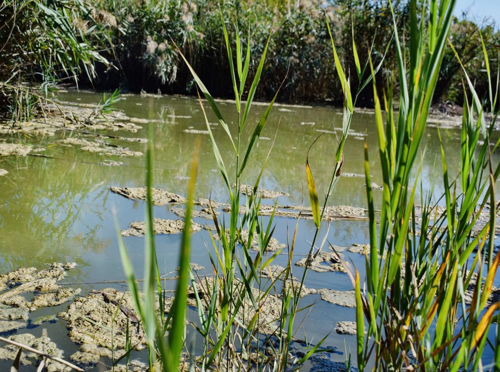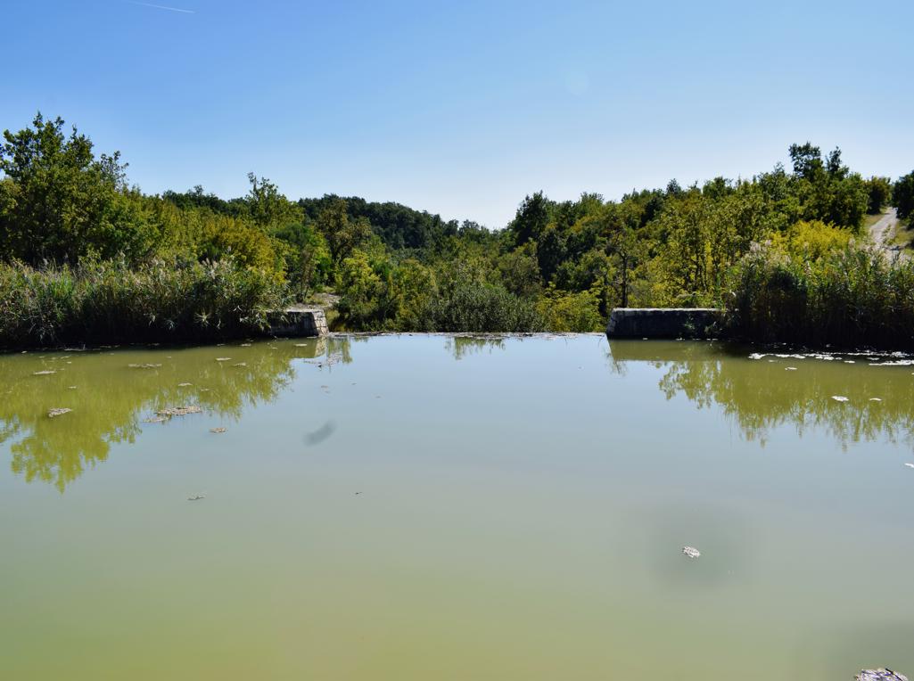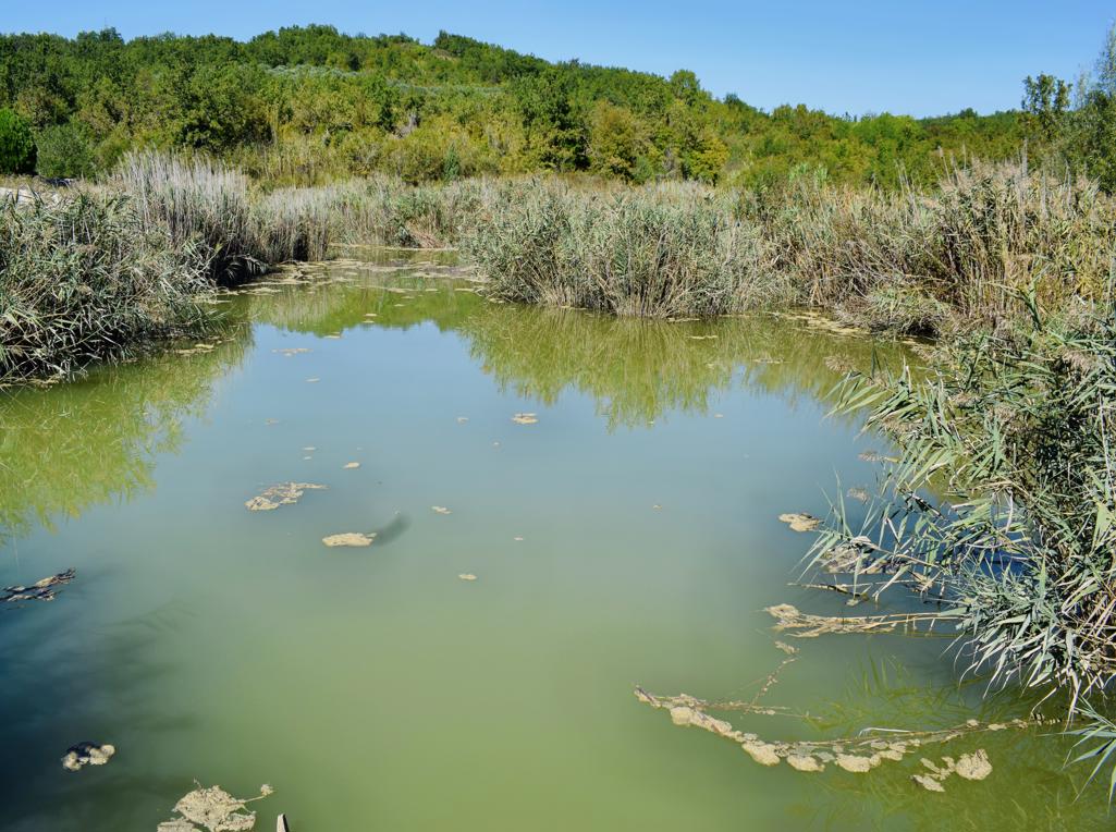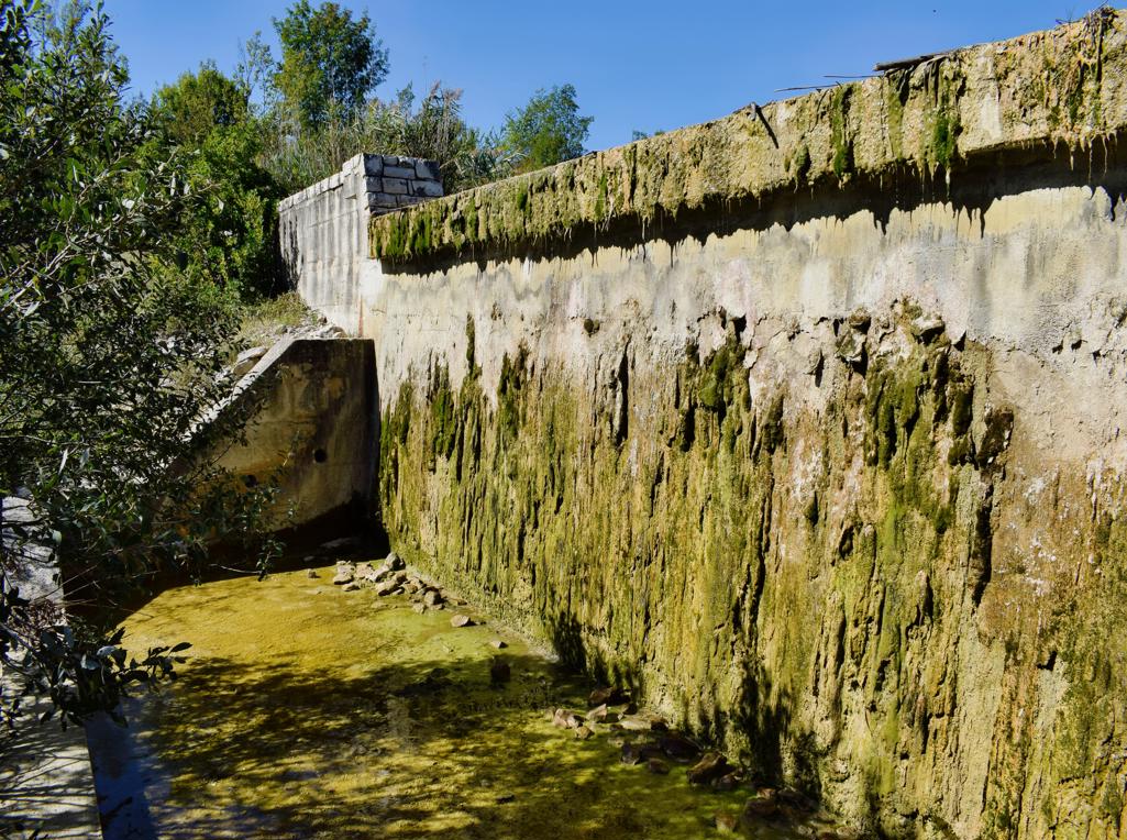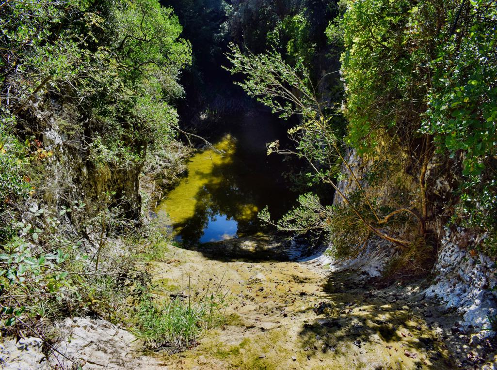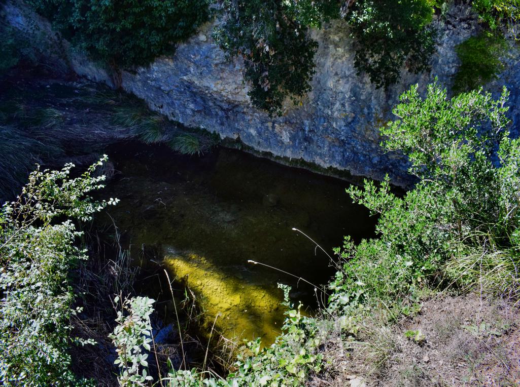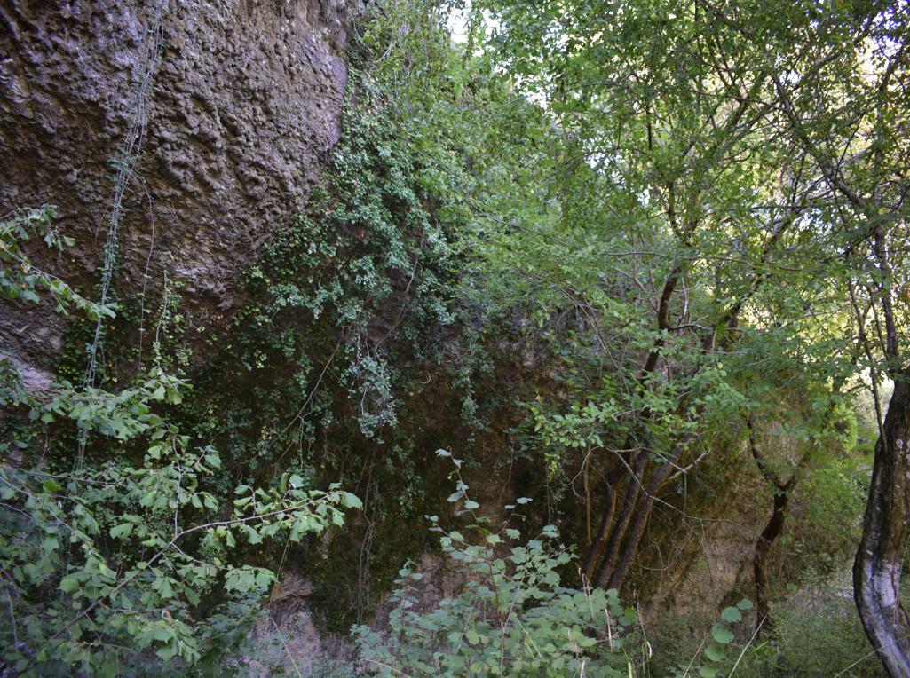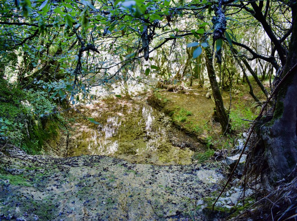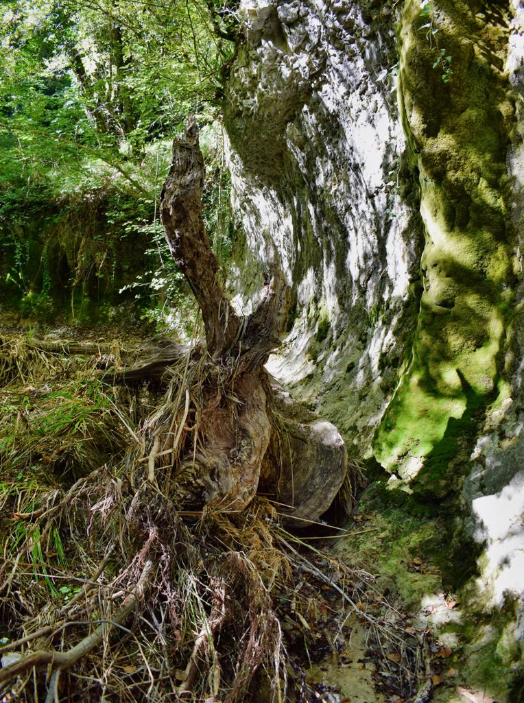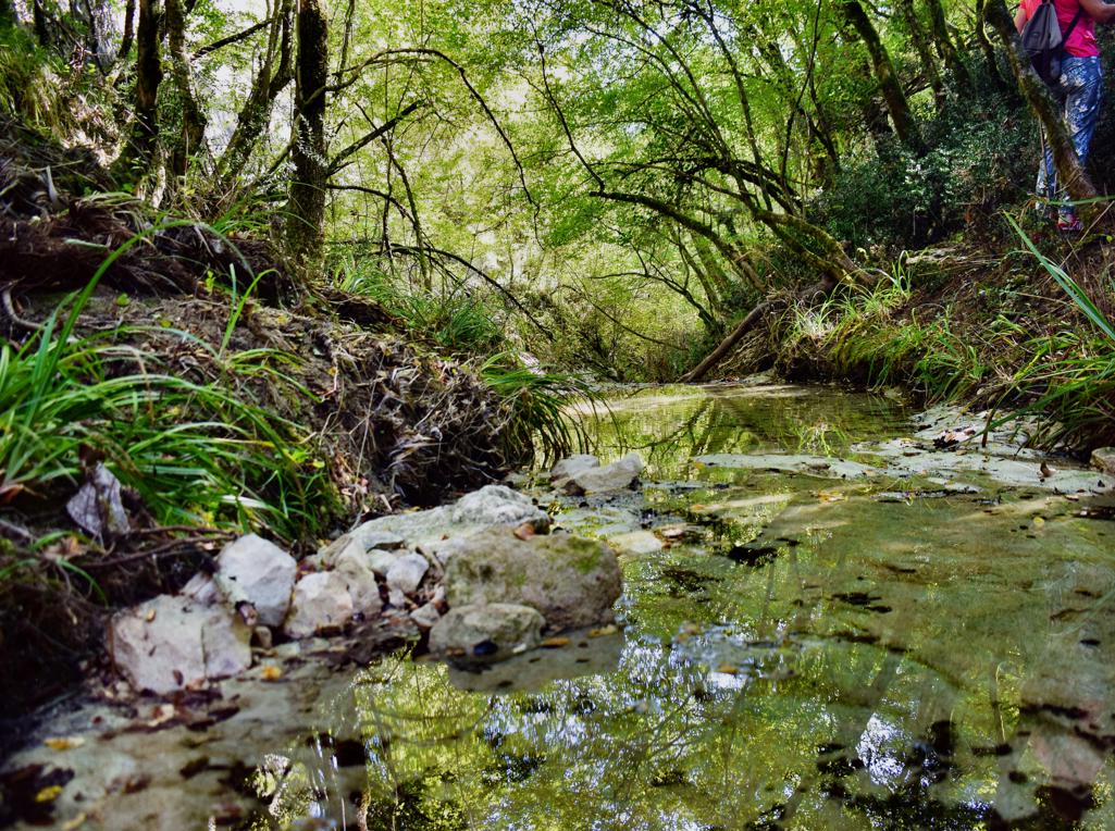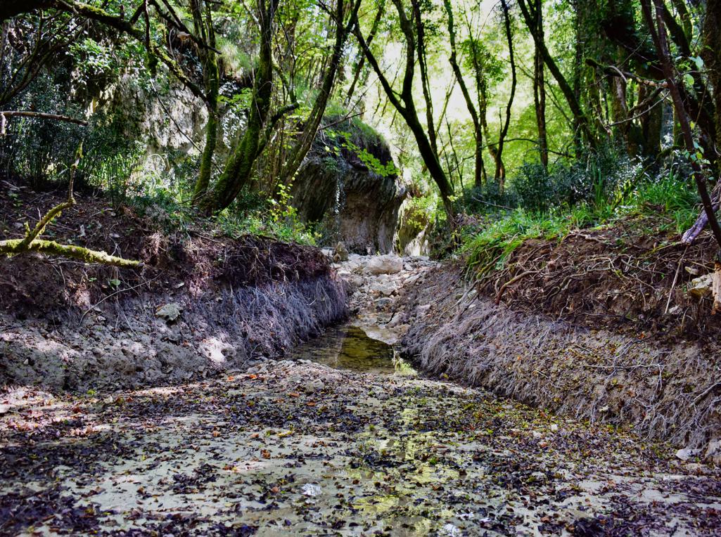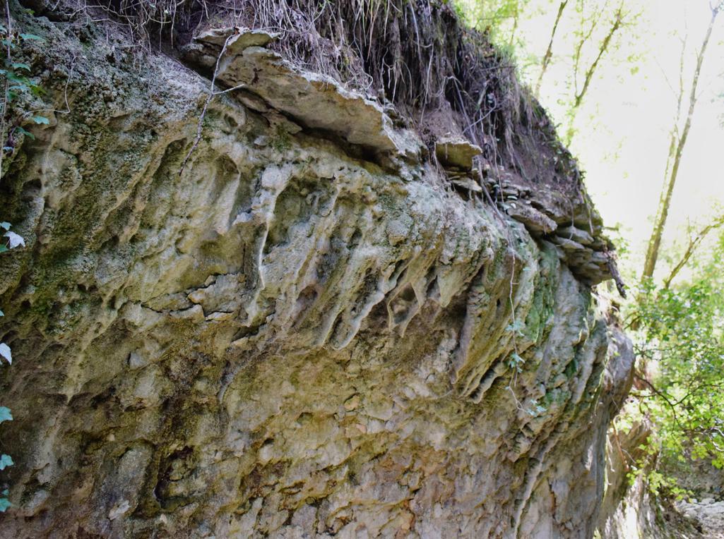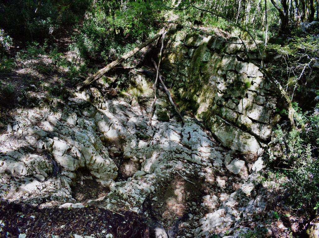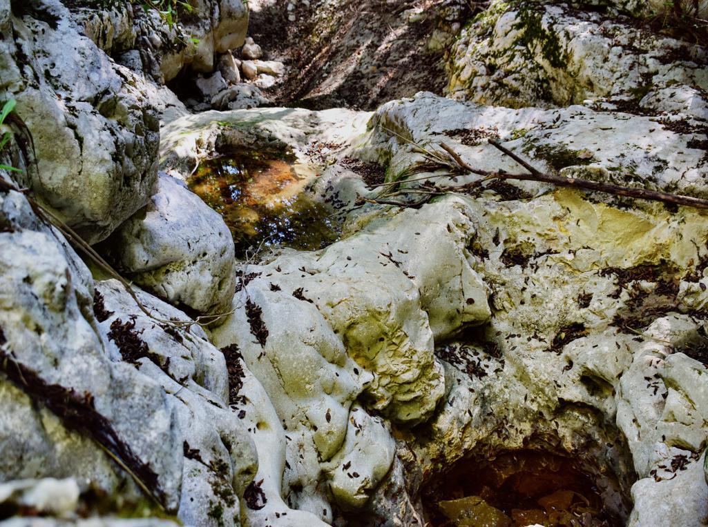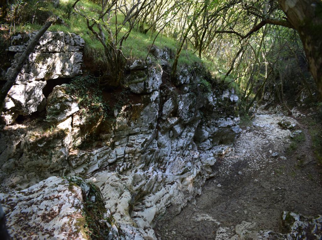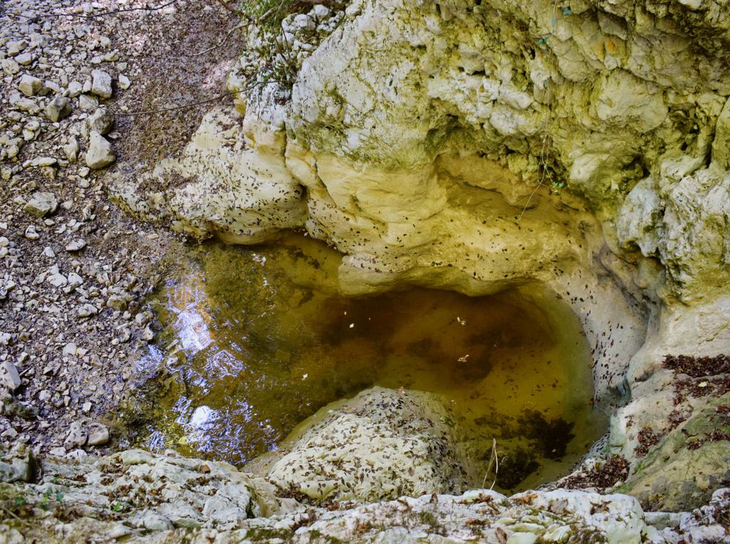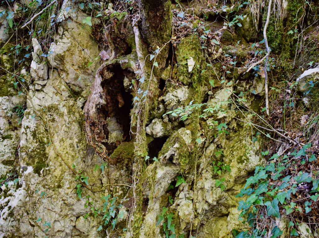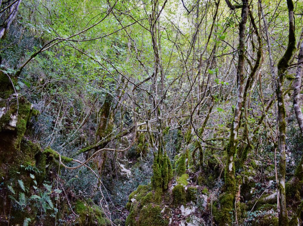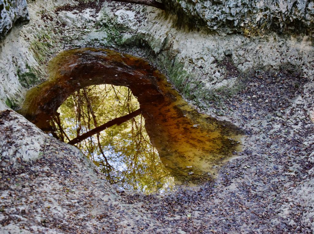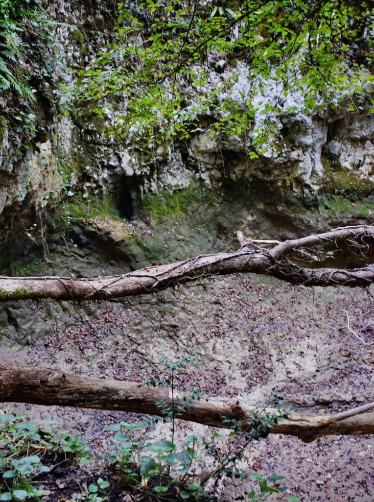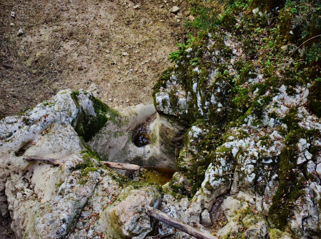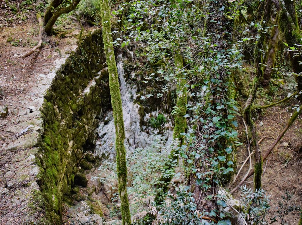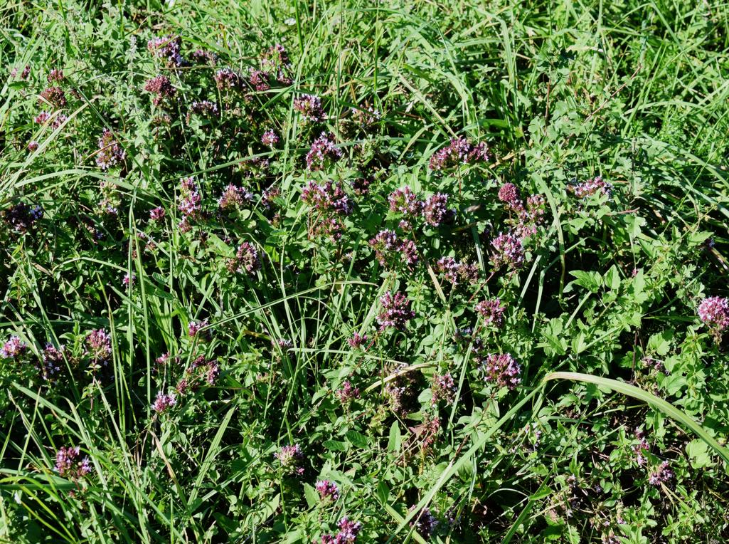
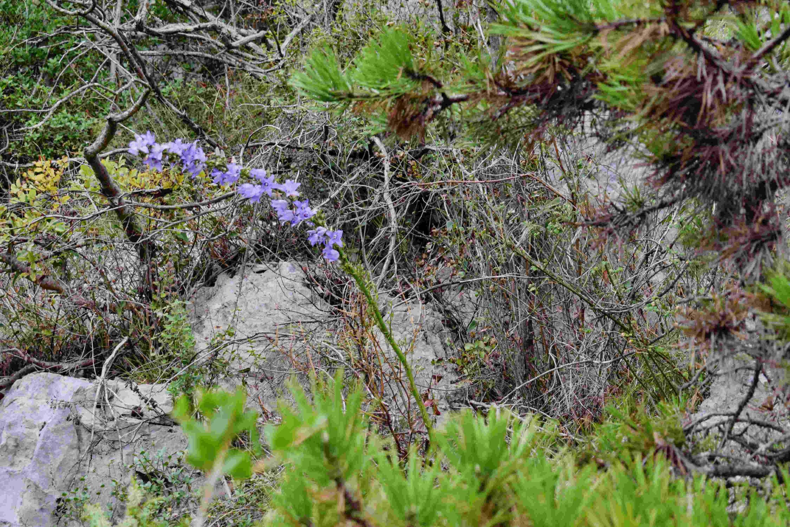
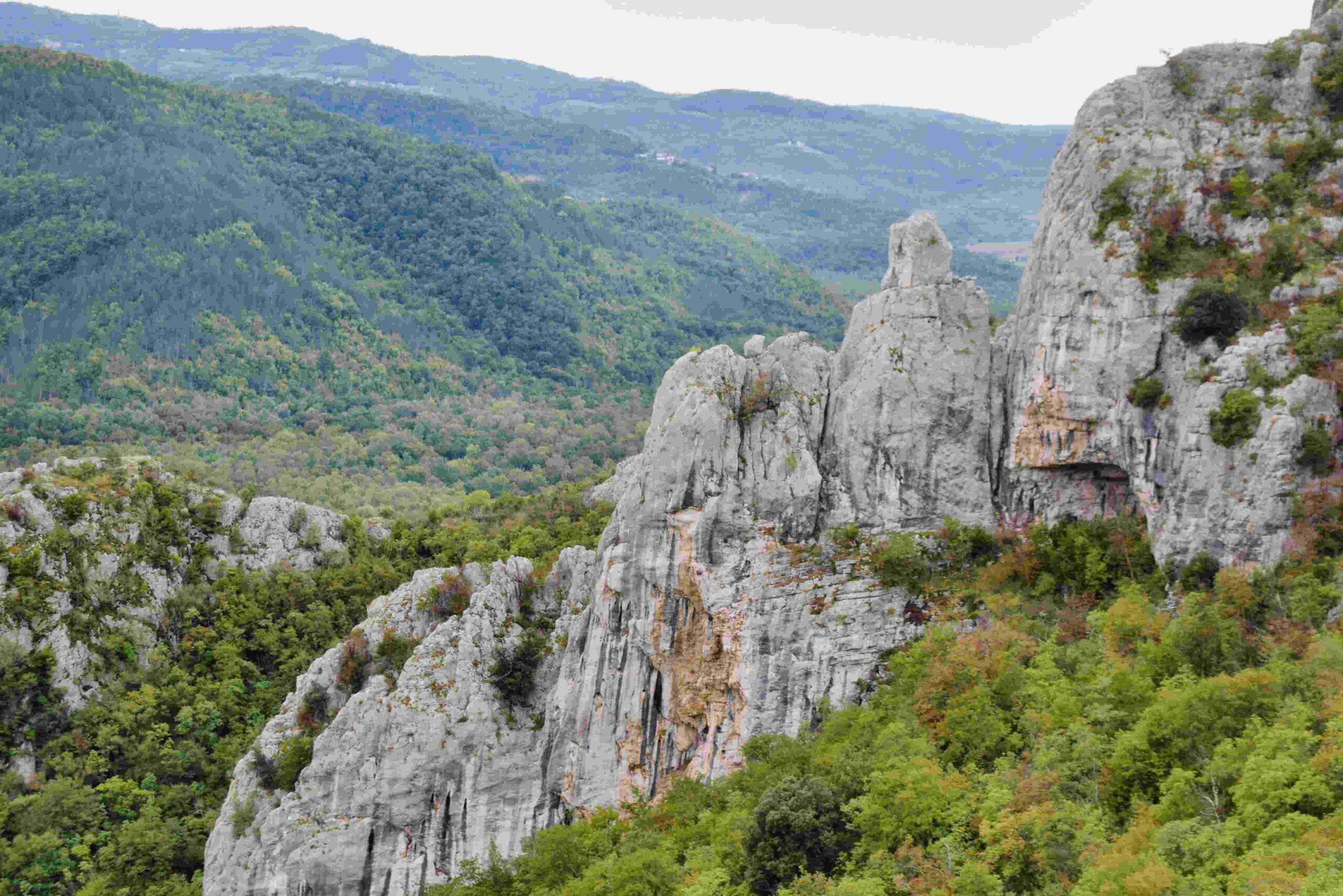
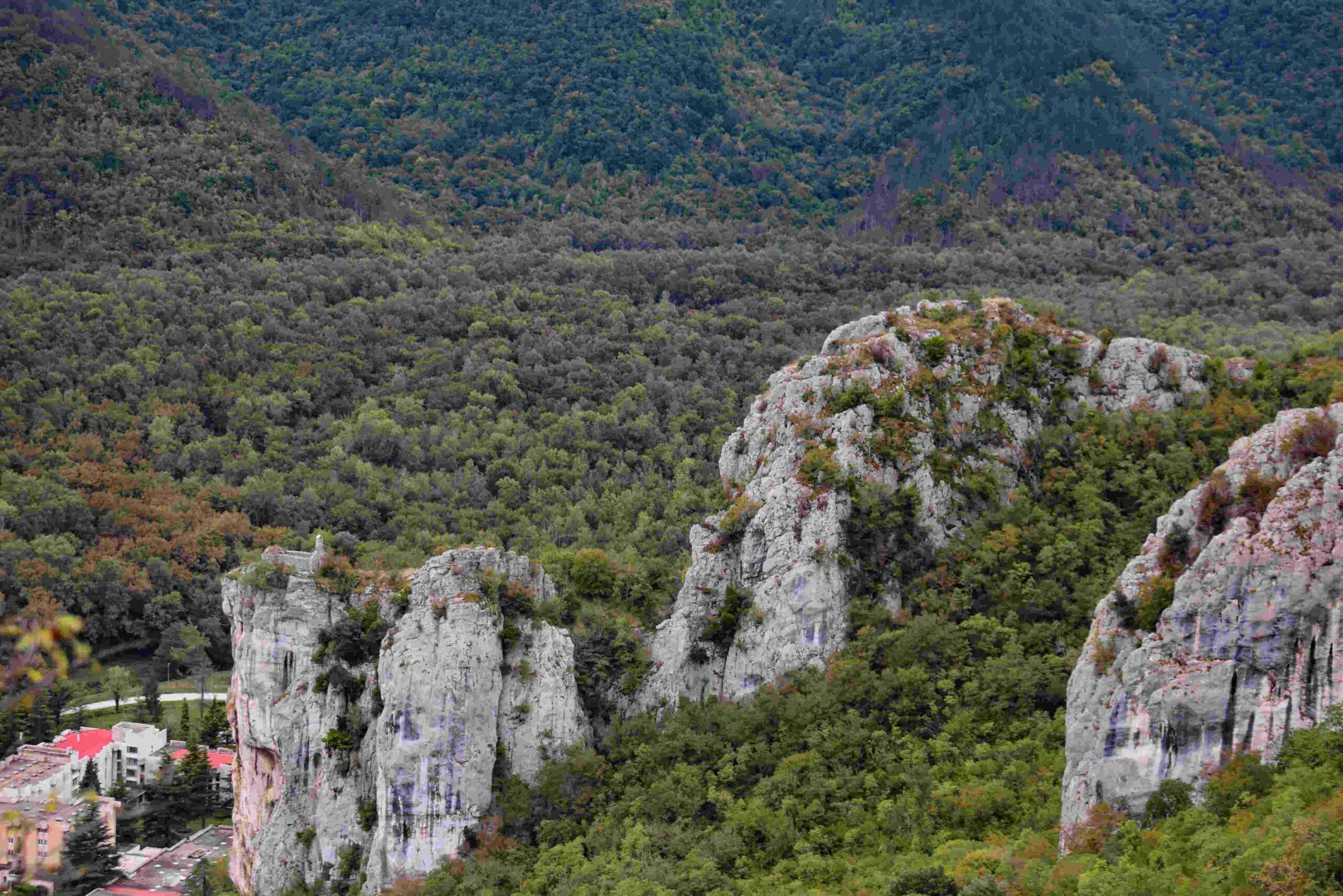
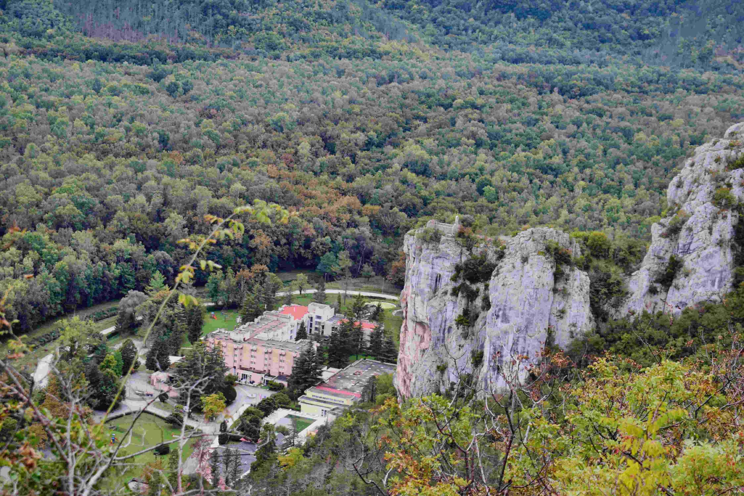
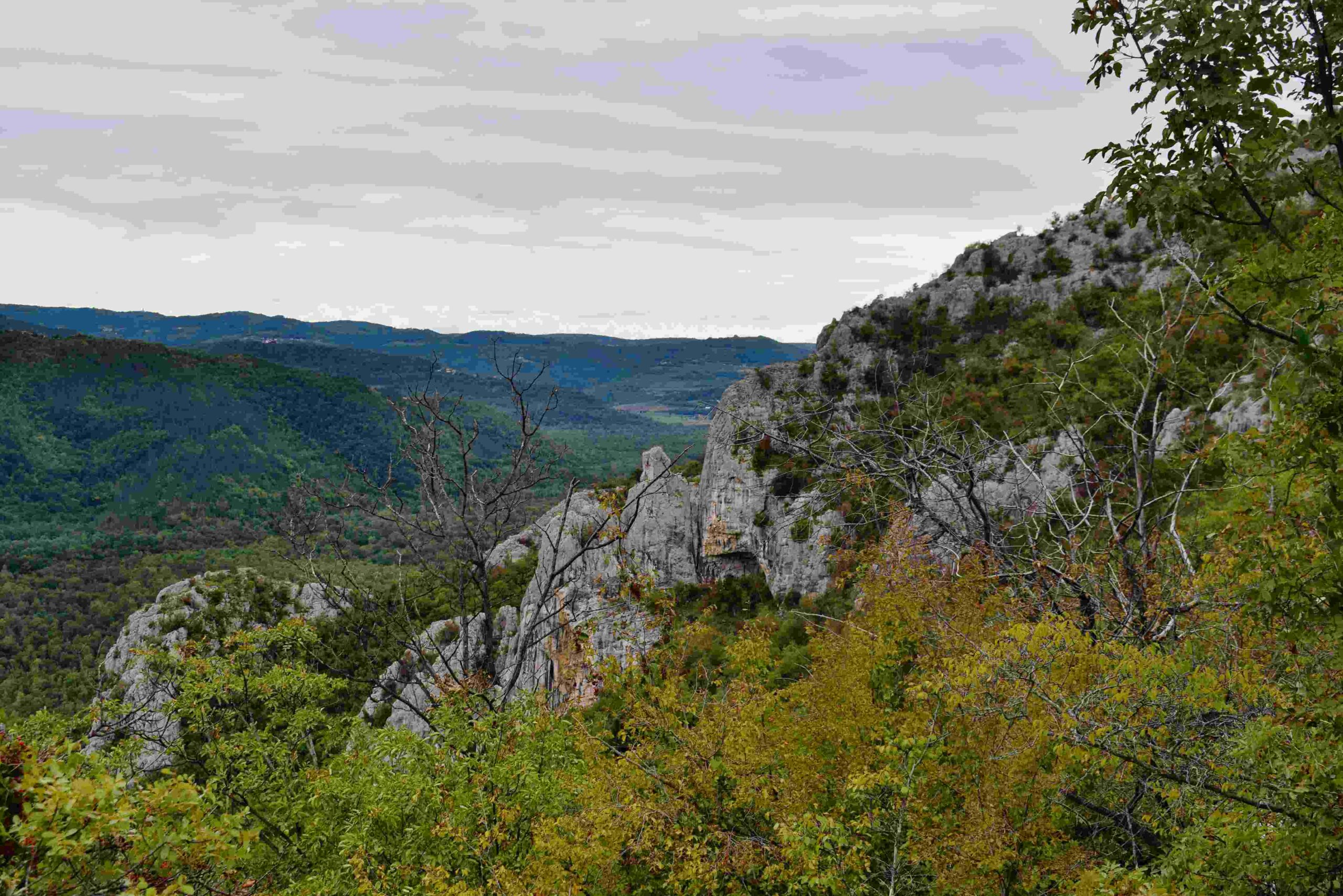
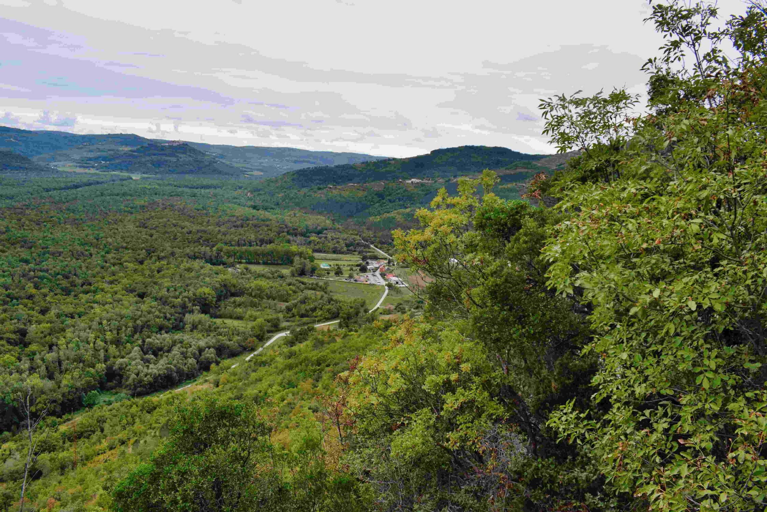
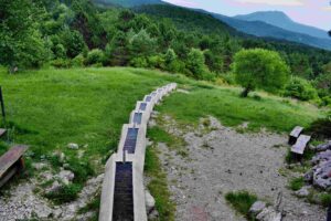
Name: Trail from Istarske Toplice to Znjidarici.
Place: Gradinje – (Buzet).
Coordinates: Start Istarske Toplice 45.38021 N – 13.88602 E, End 45.38626 N – 13.87621 E.
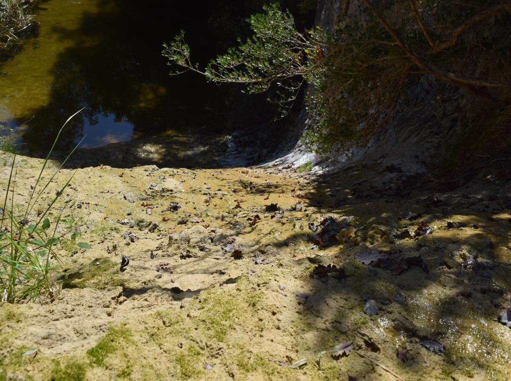
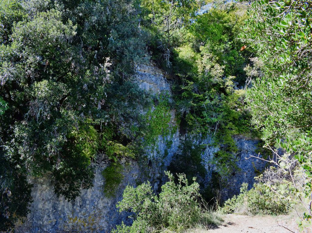
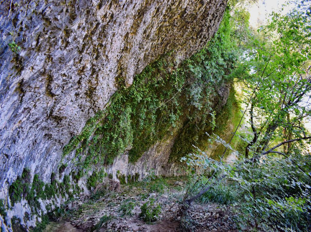
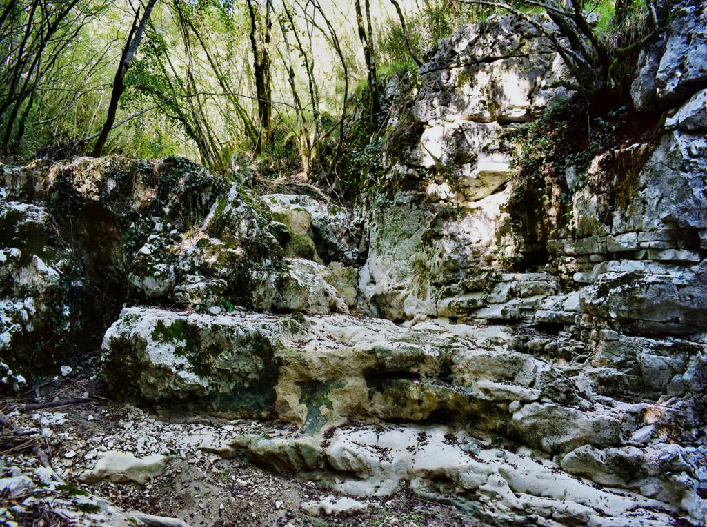
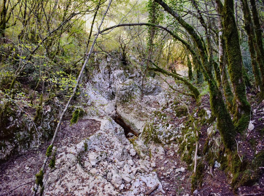
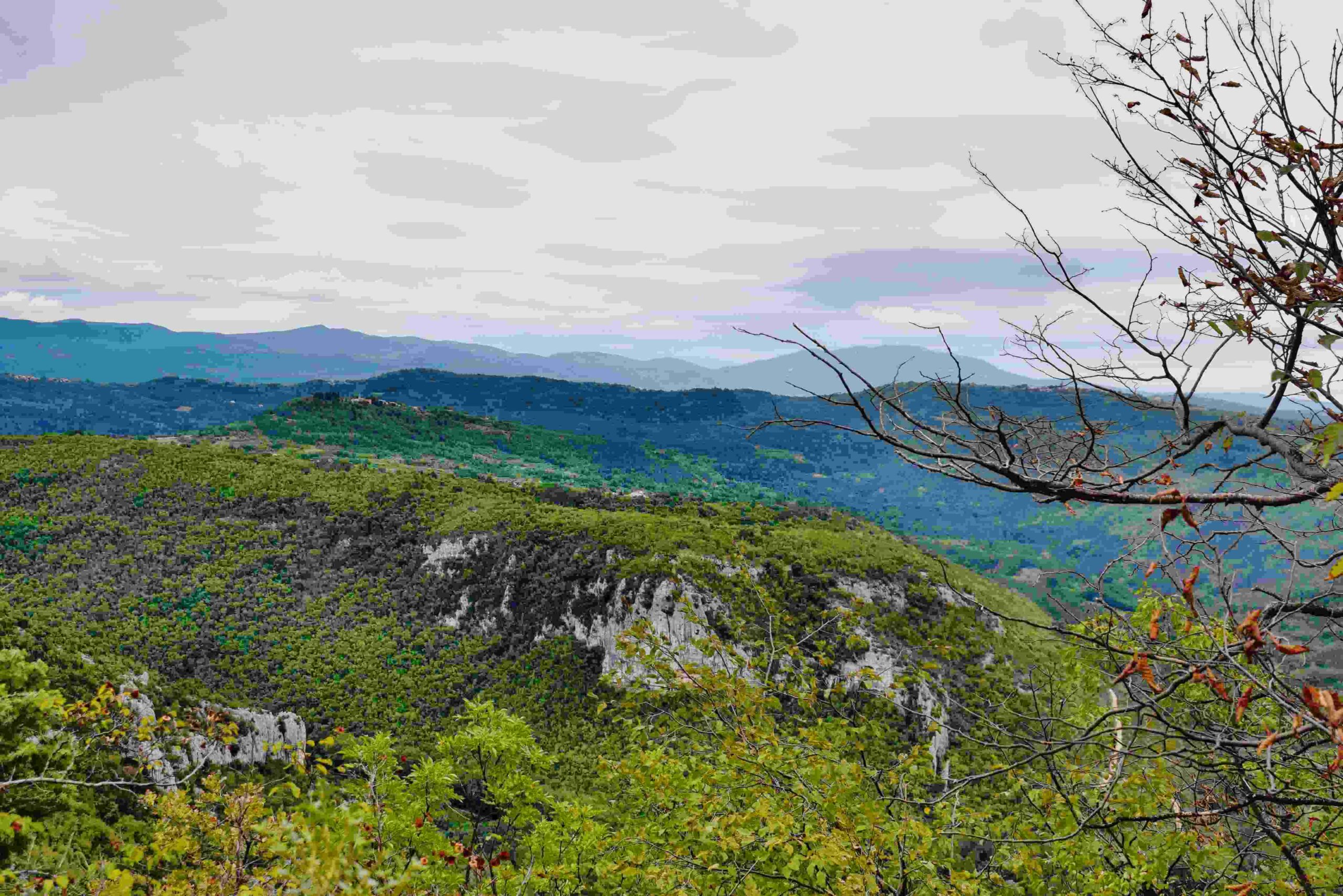
Name: Trail from Istarske Toplice to Znjidarici.
Place: Gradinje – (Buzet).
Coordinates: Start Istarske Toplice 45.38021 N – 13.88602 E, End 45.38626 N – 13.87621 E.

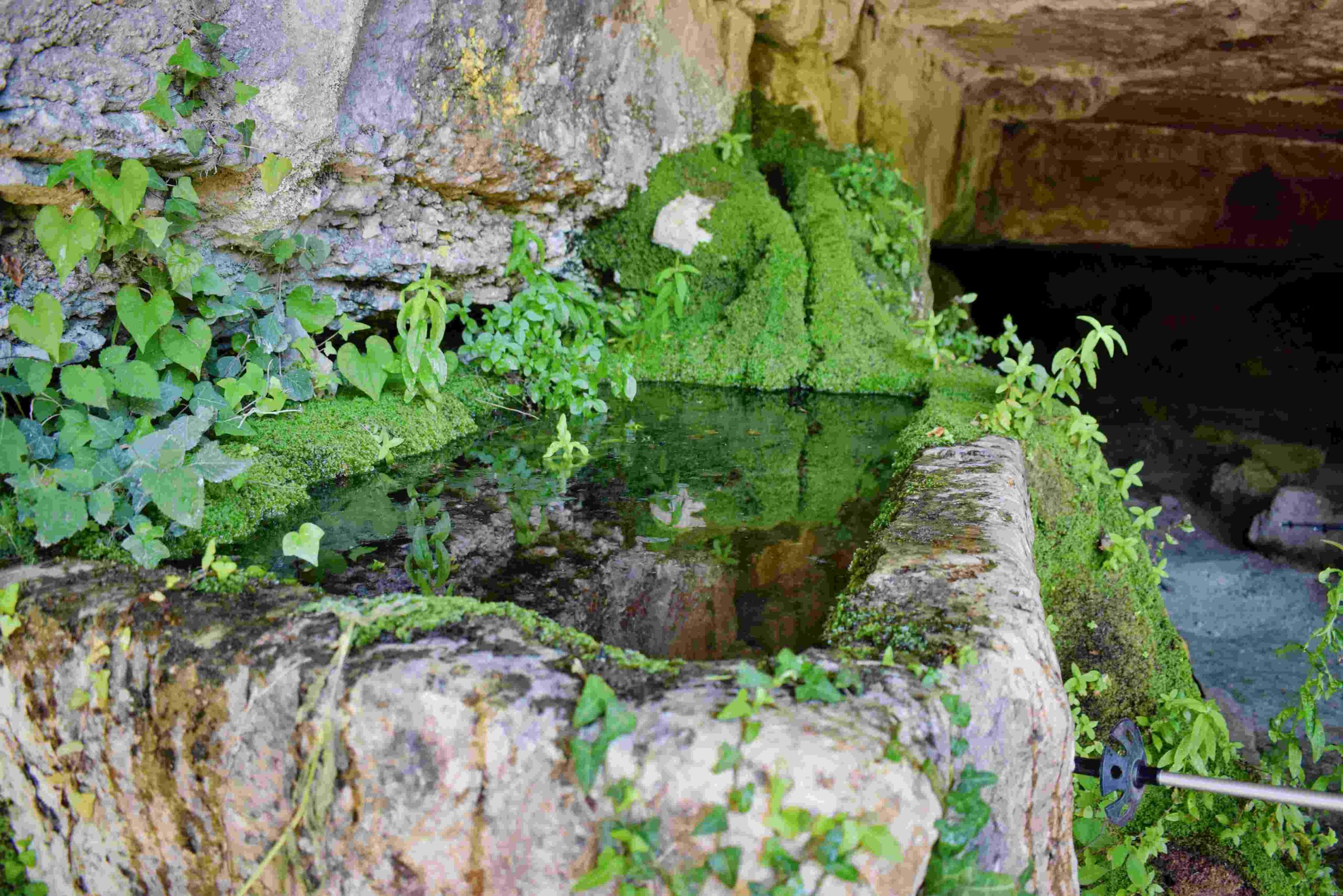
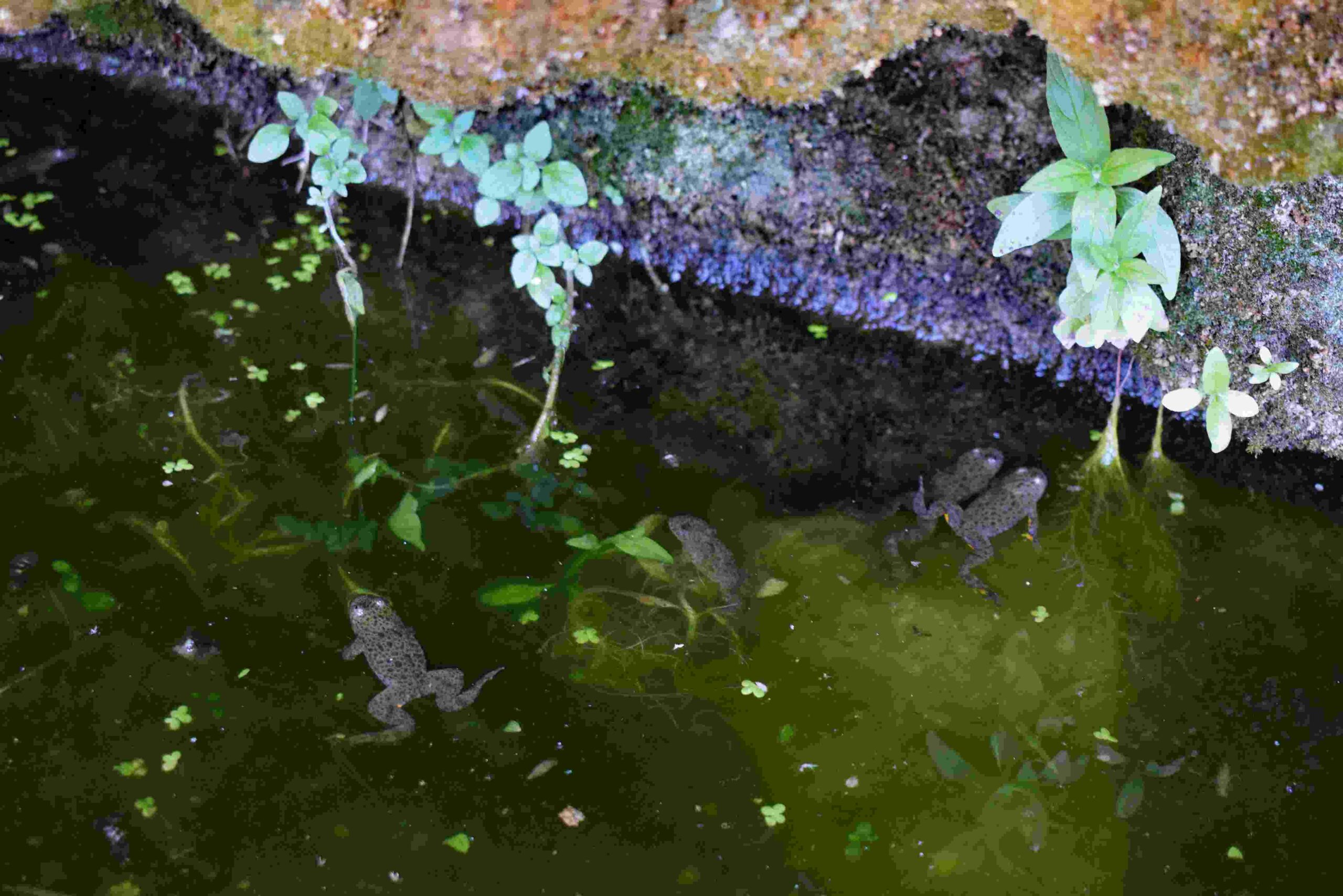
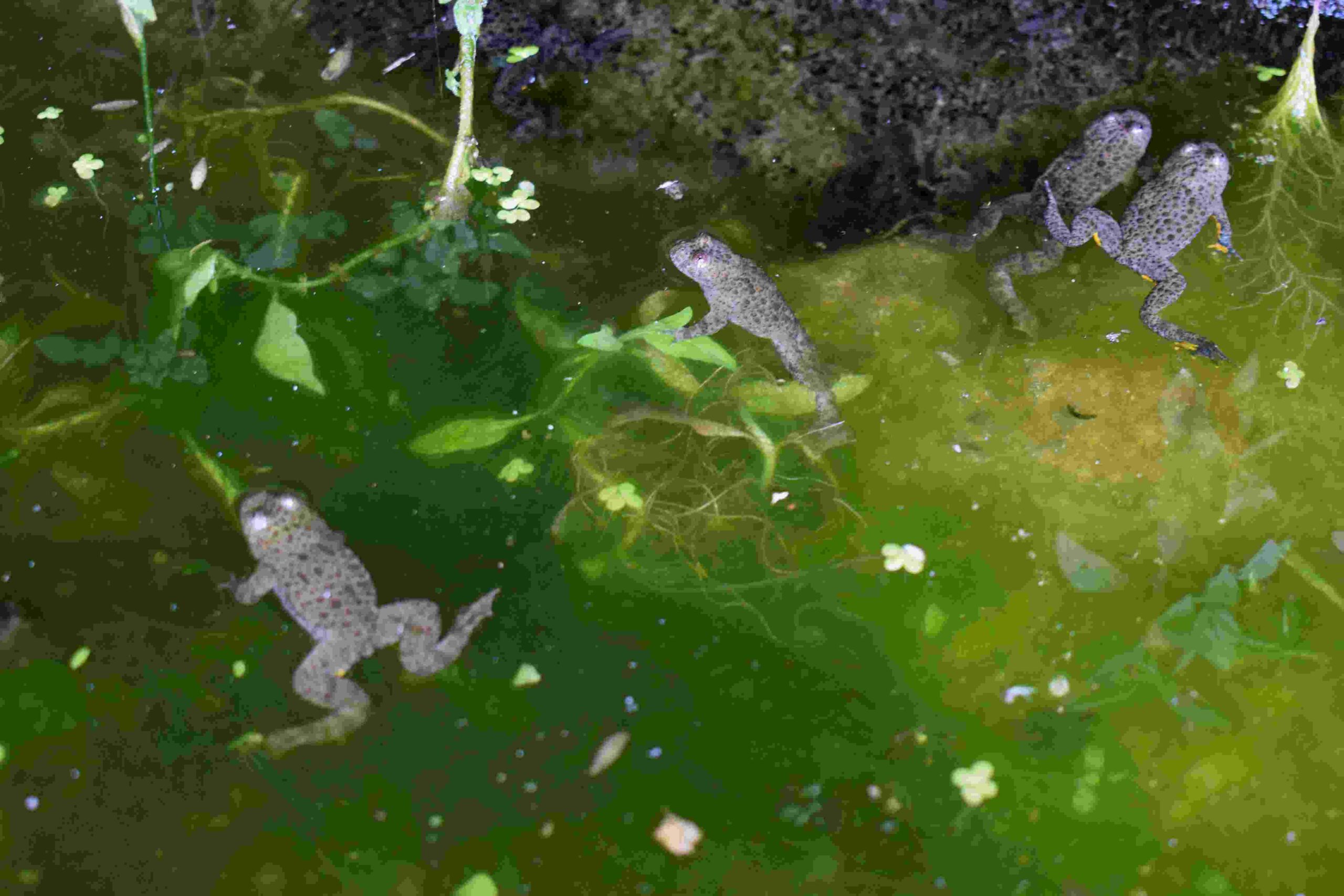
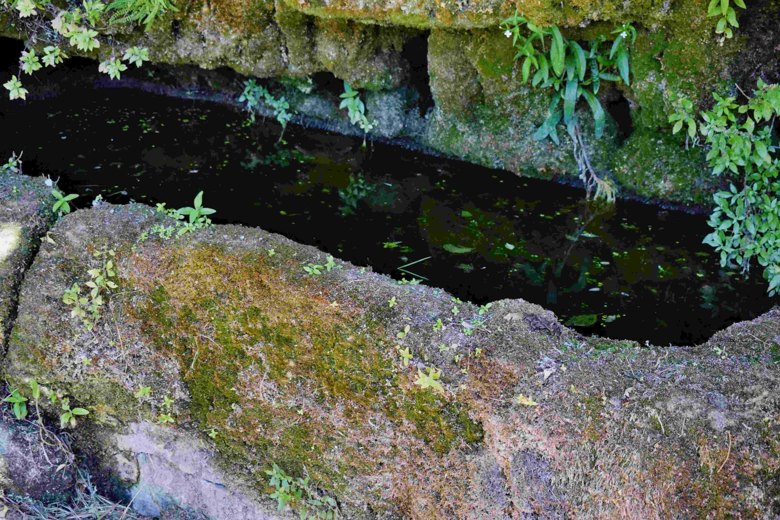
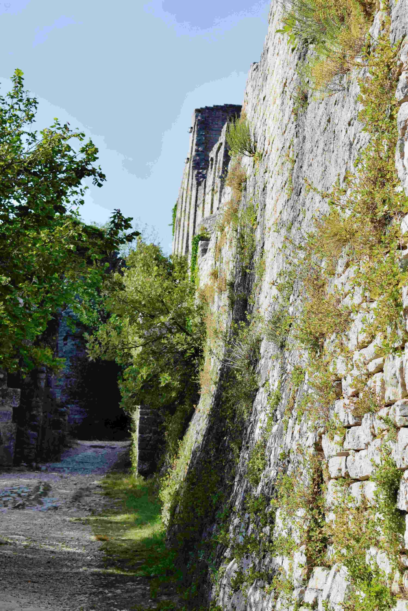
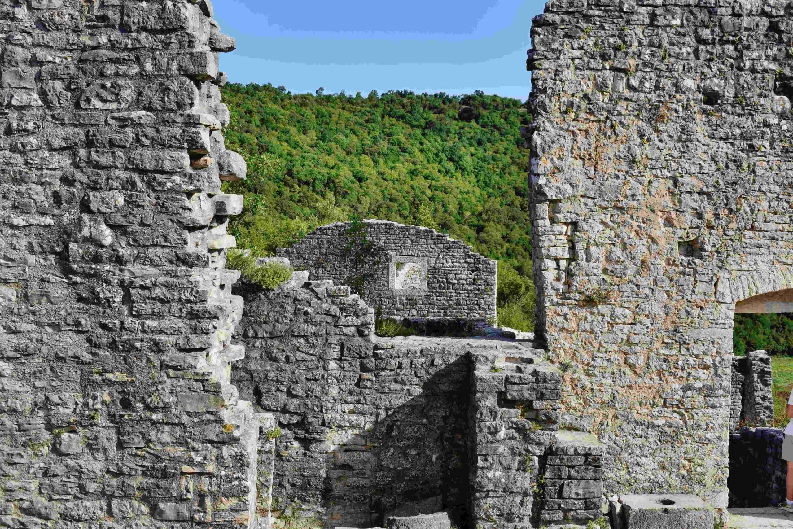
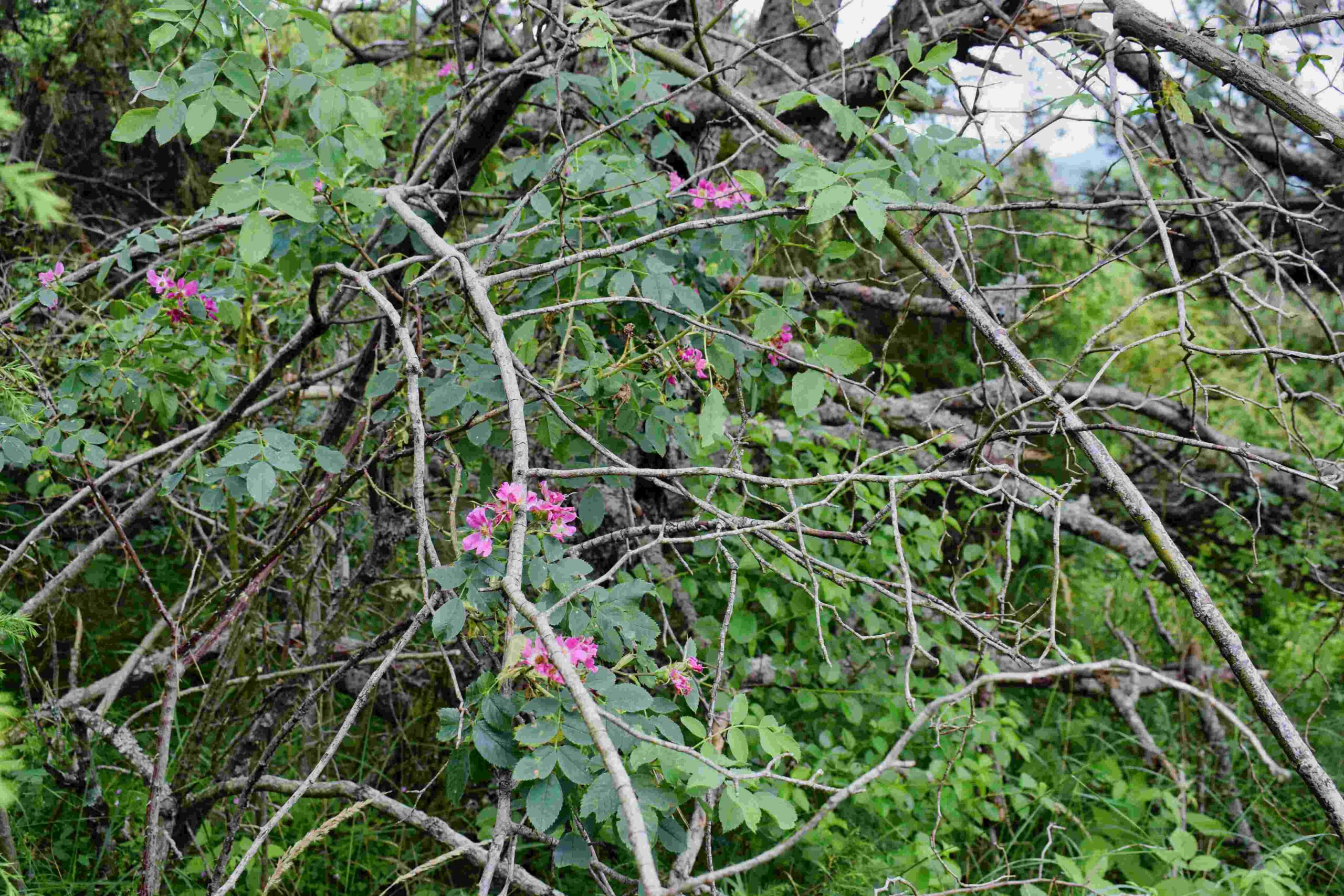
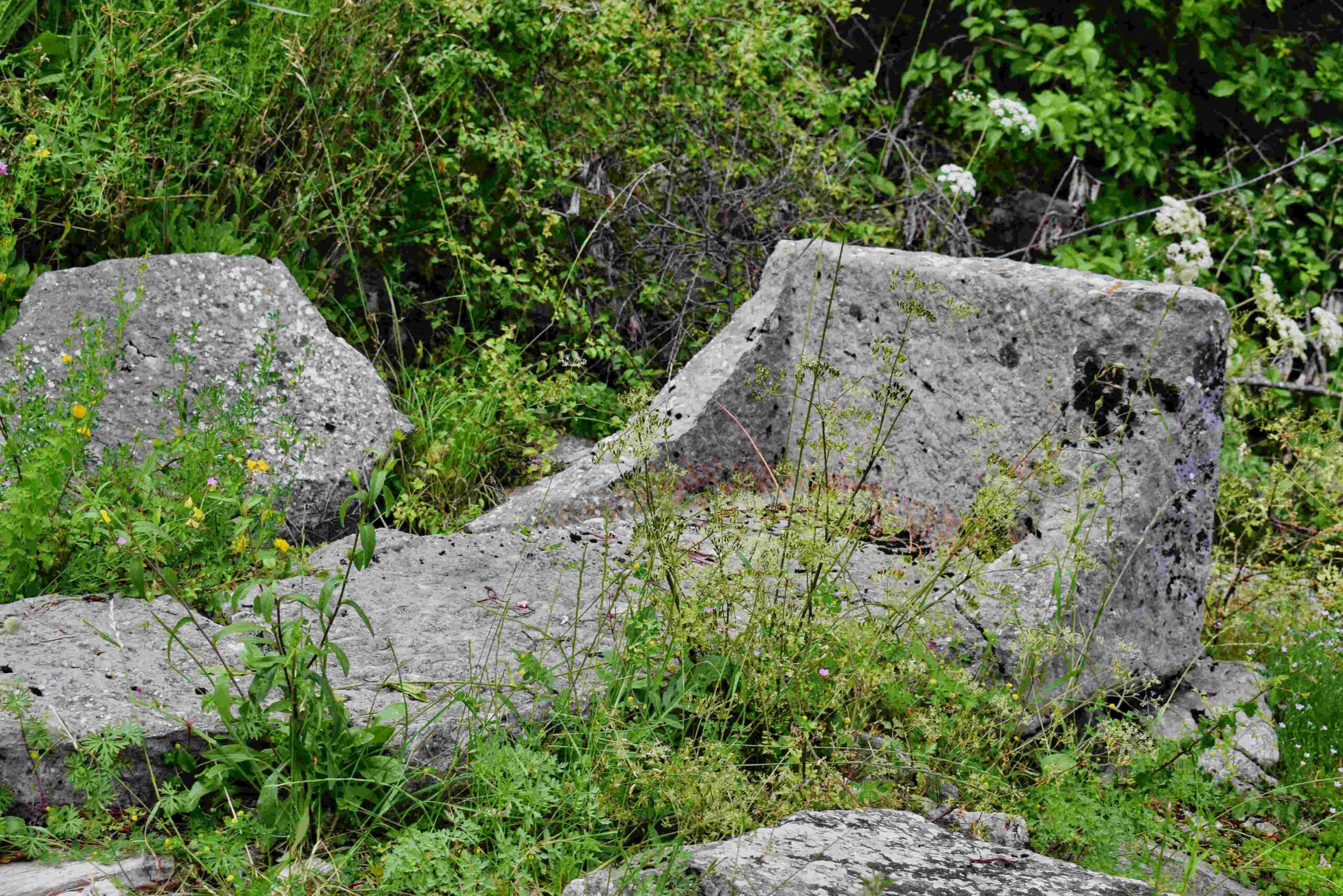
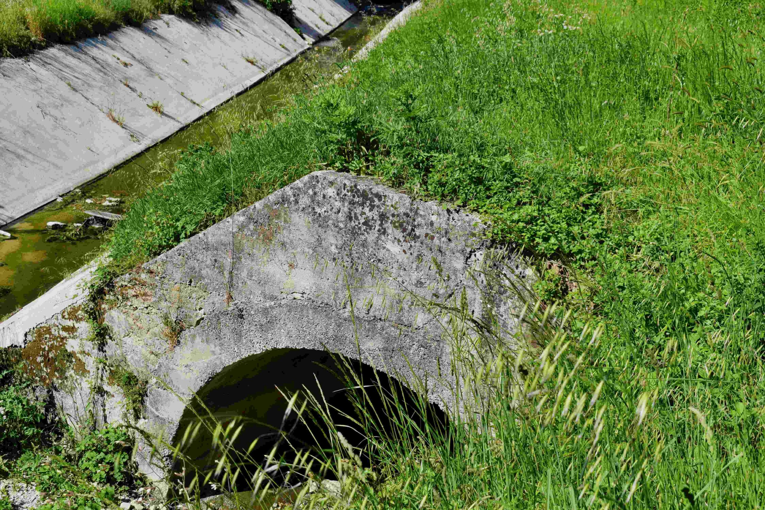
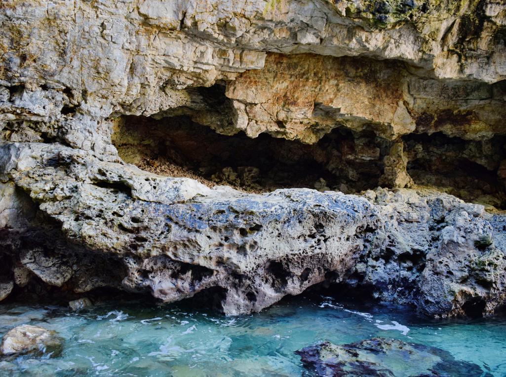
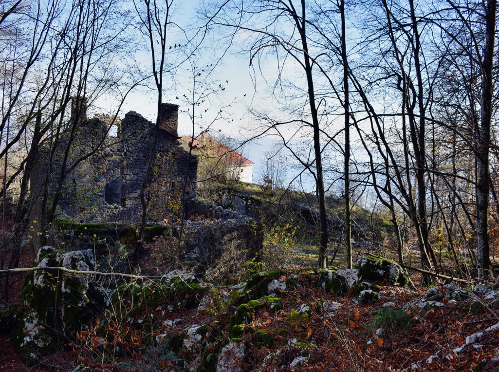
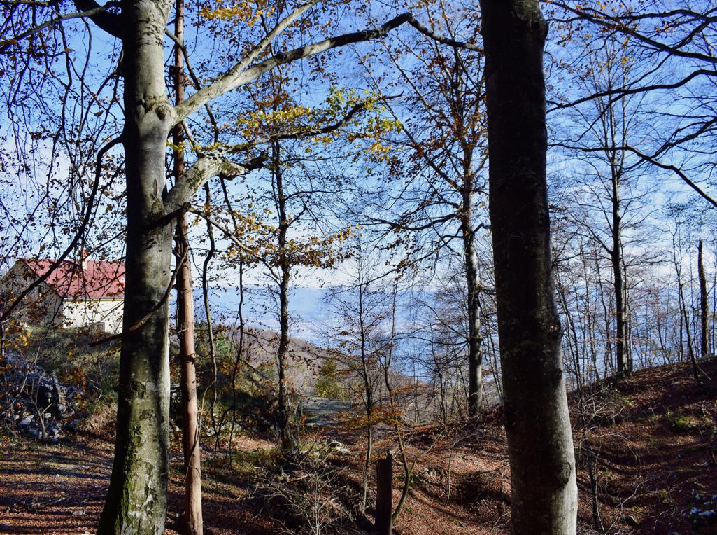
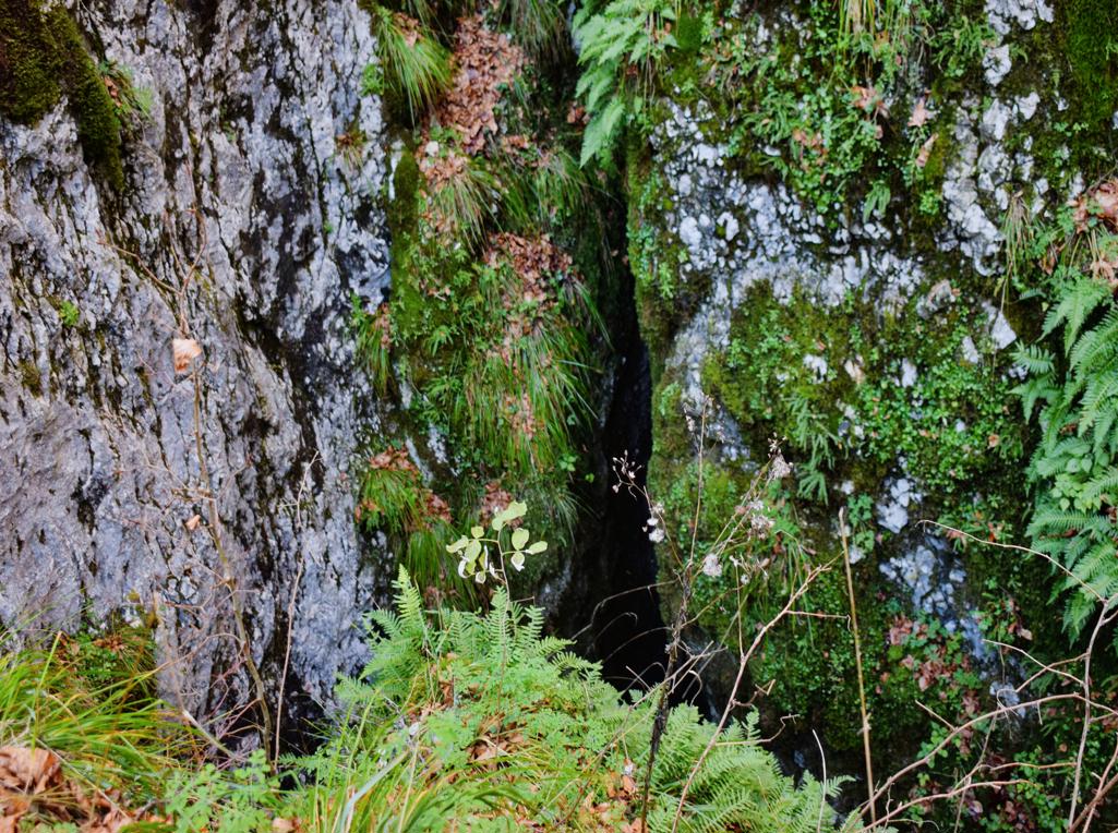
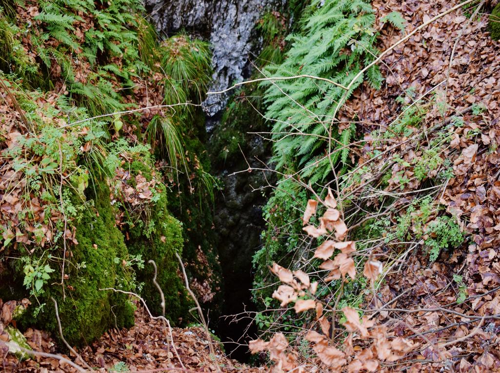
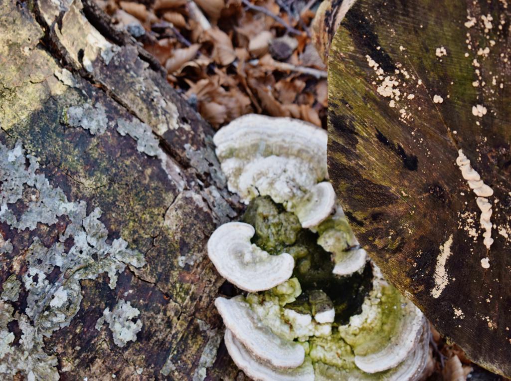
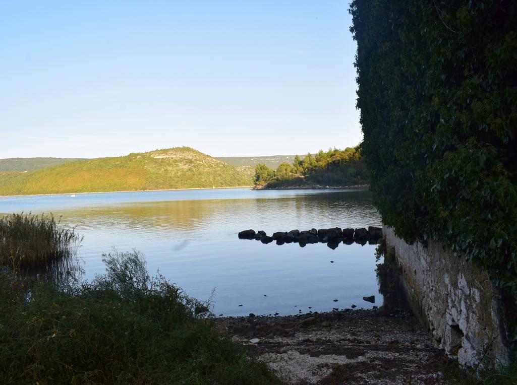
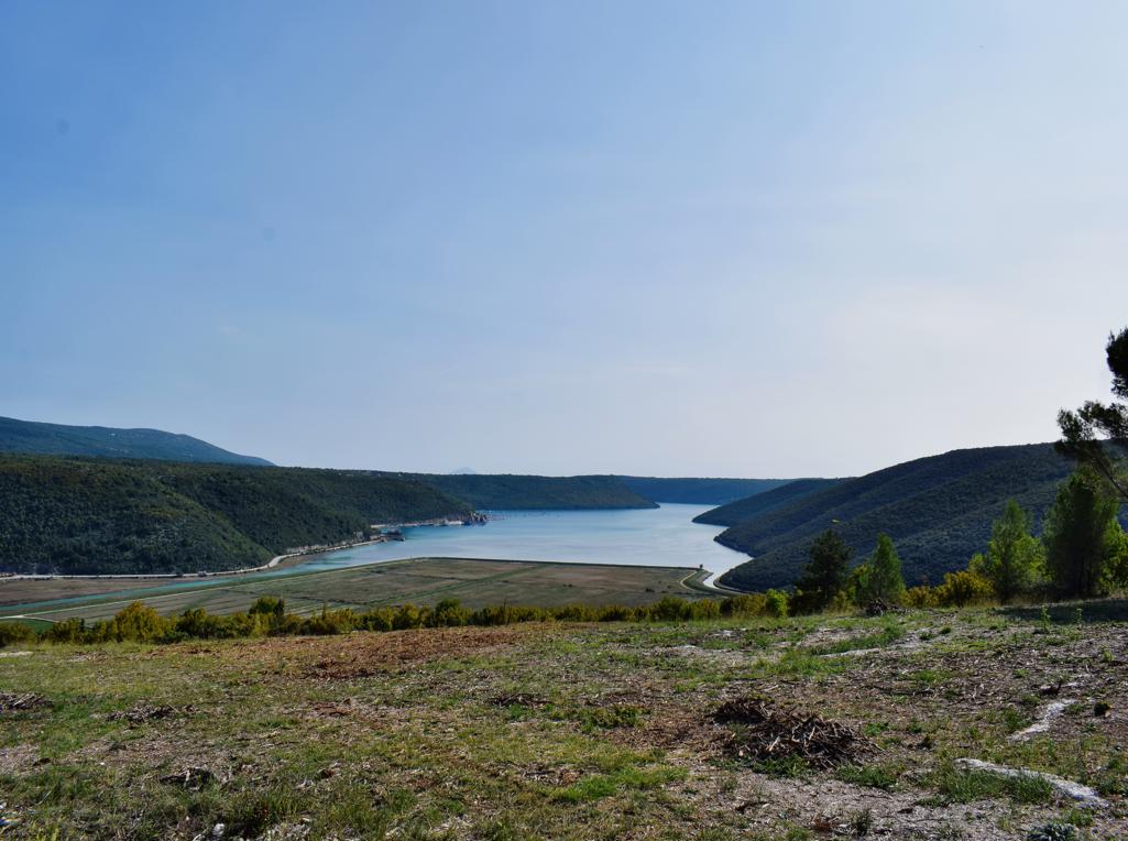
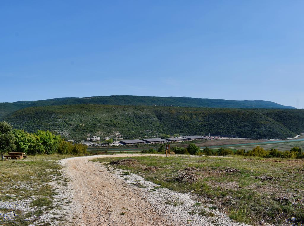
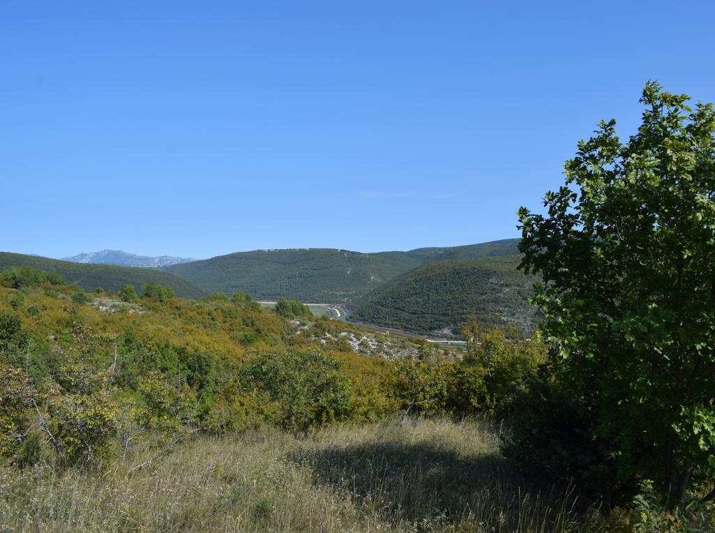
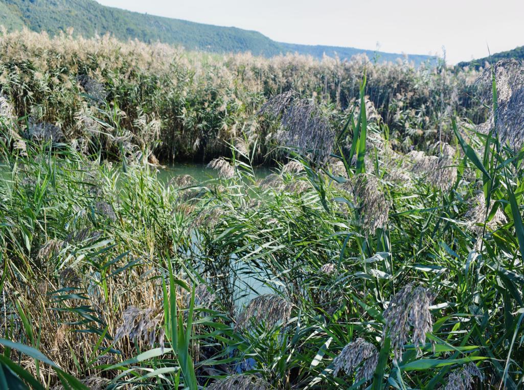
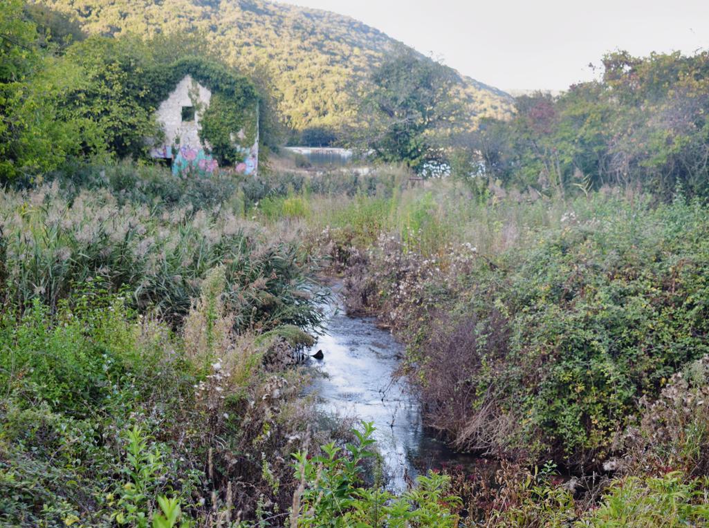
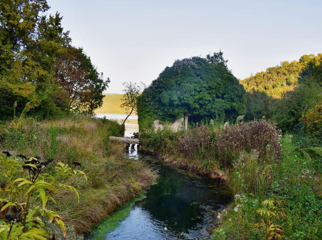
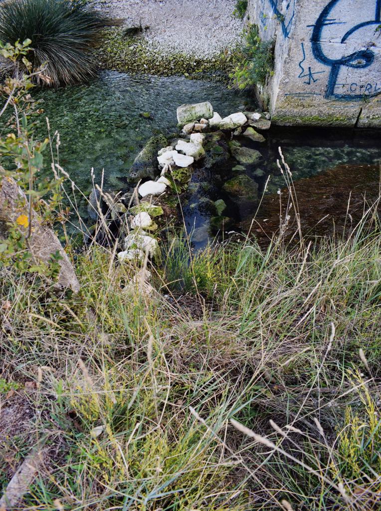
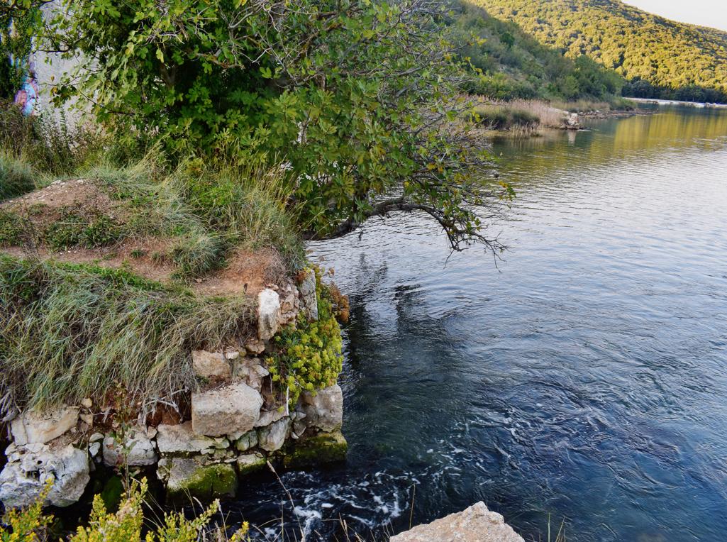
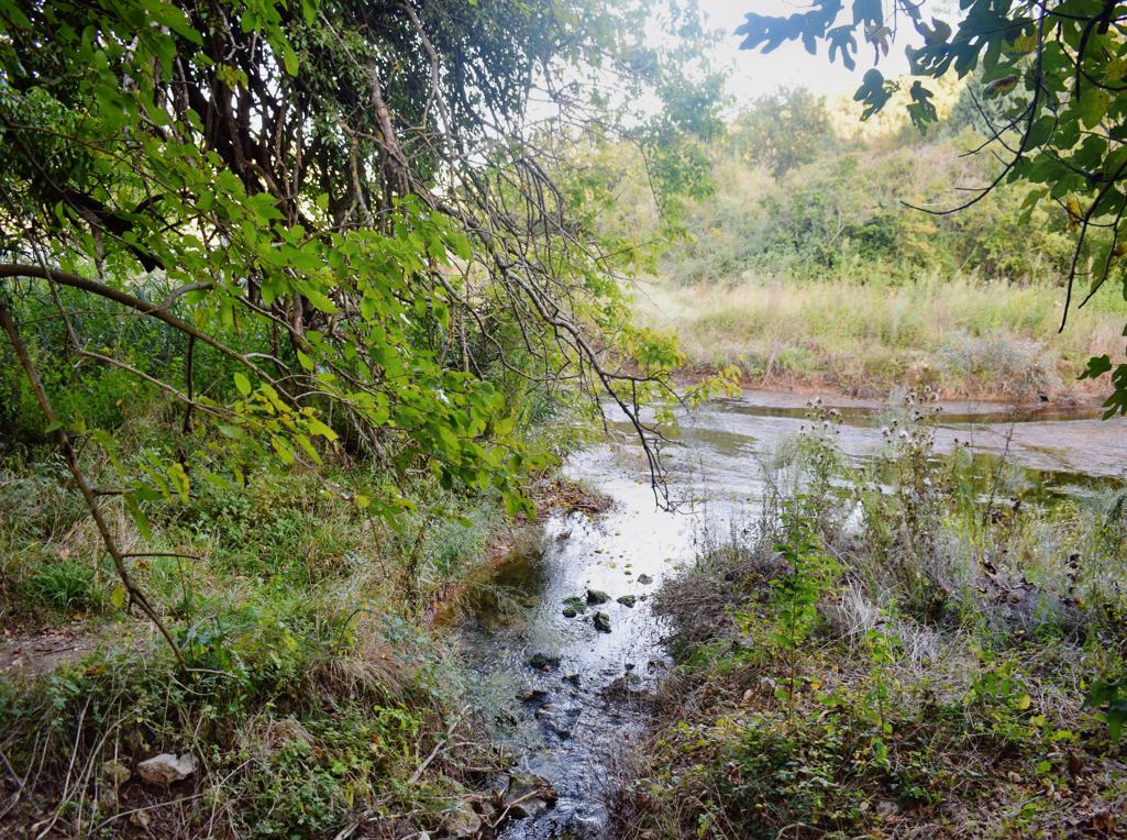
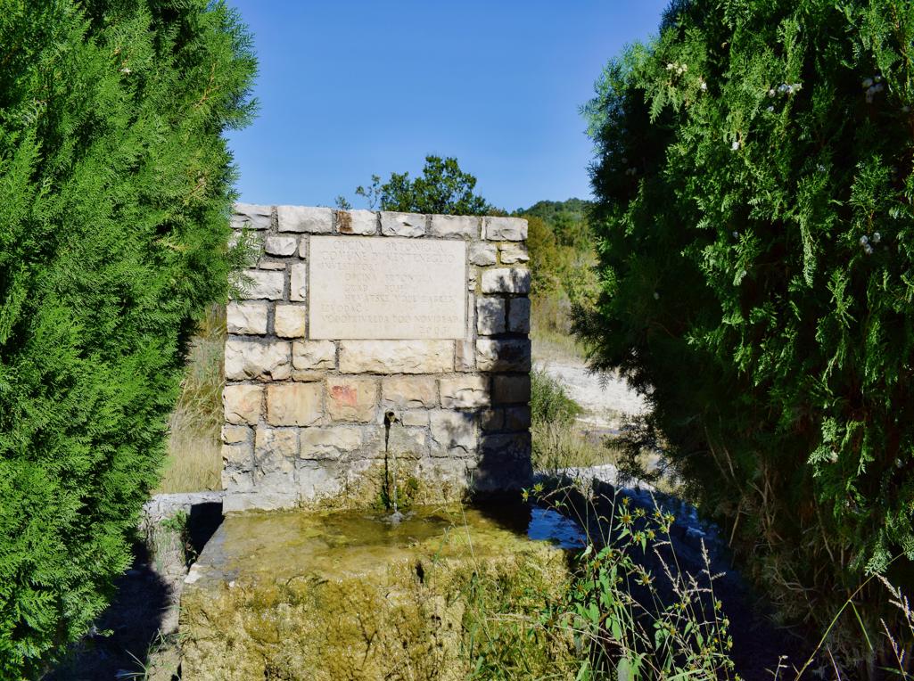
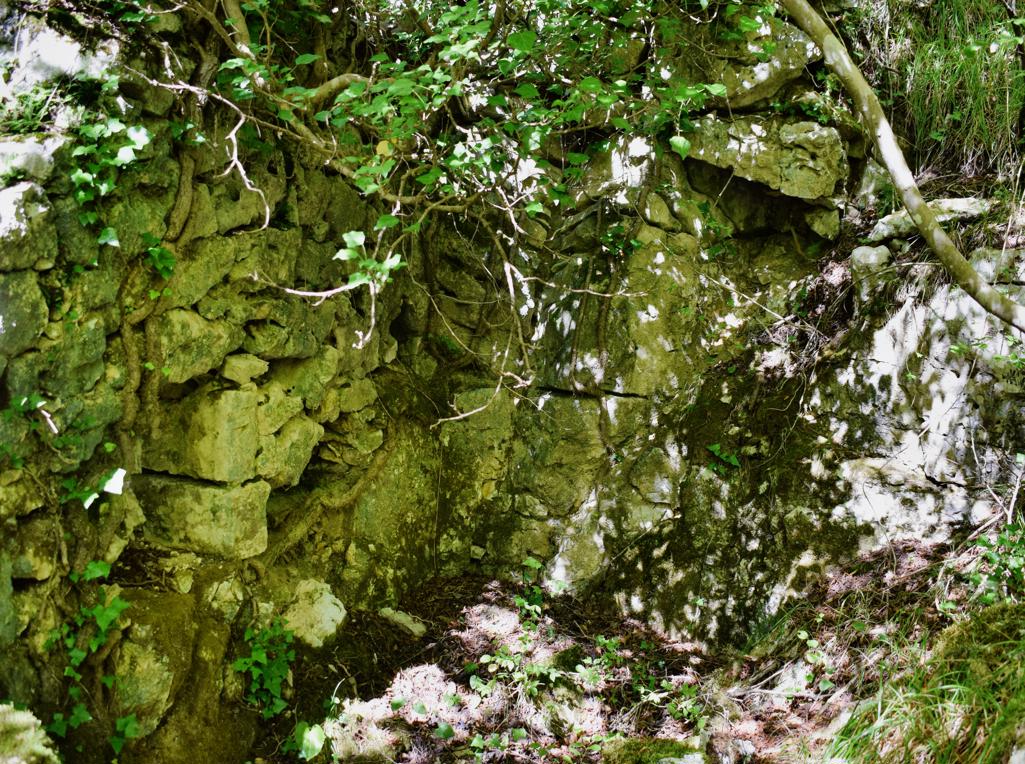
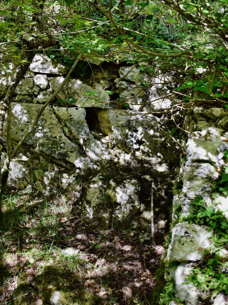
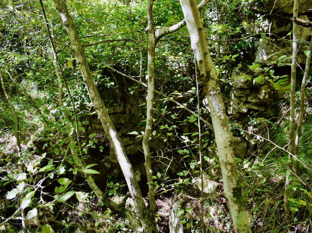
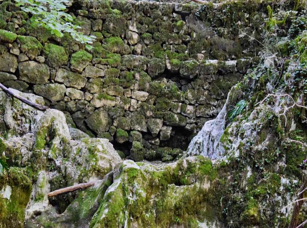
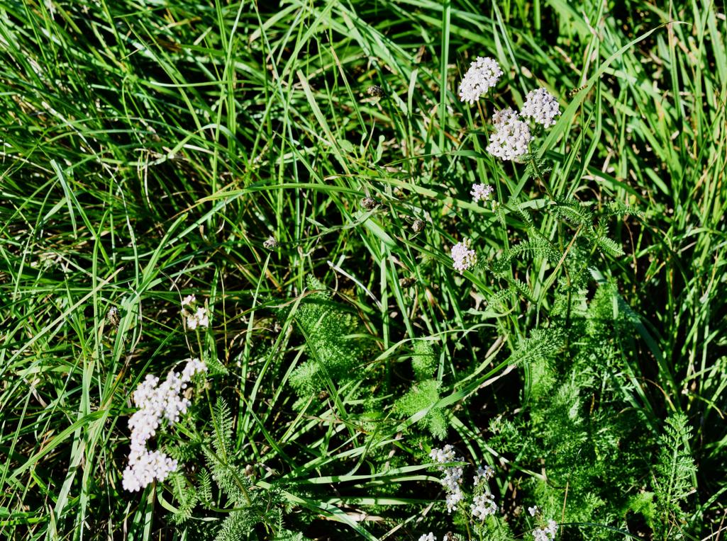
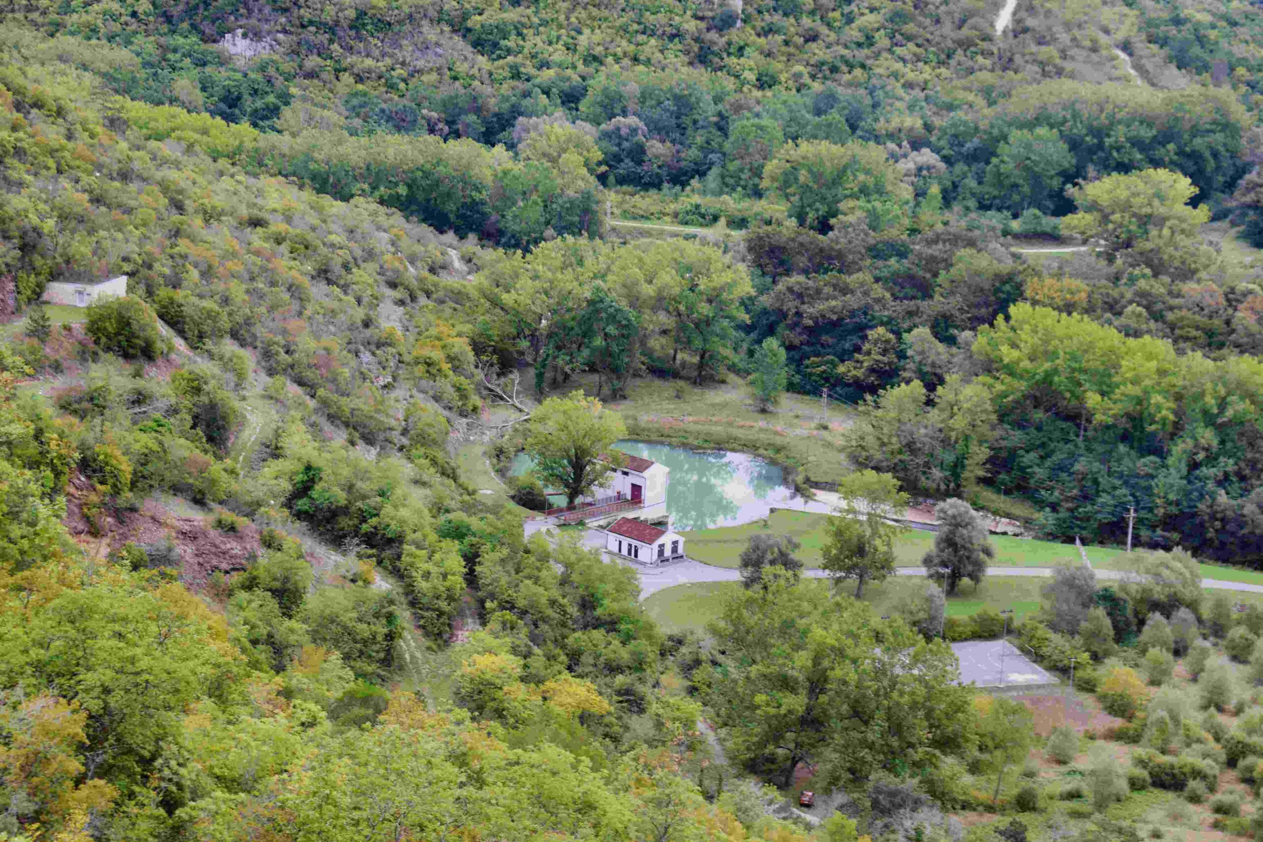
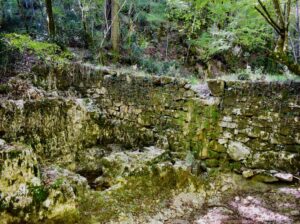
Name: Source Kašteljir, church St. Agata, Dvigrad.
Place: Kanfanar
Coordinates: Start 45.12969 N – 13.84347 E, source 45.13378 N – 13.84004 E, split to the church Sv. Agata 45.13477 N – 13.84050 E, Sv. Agata, 45.13663 N – 13.84534 E. Dvigrad, 45.12644 N – 13.81306 E.
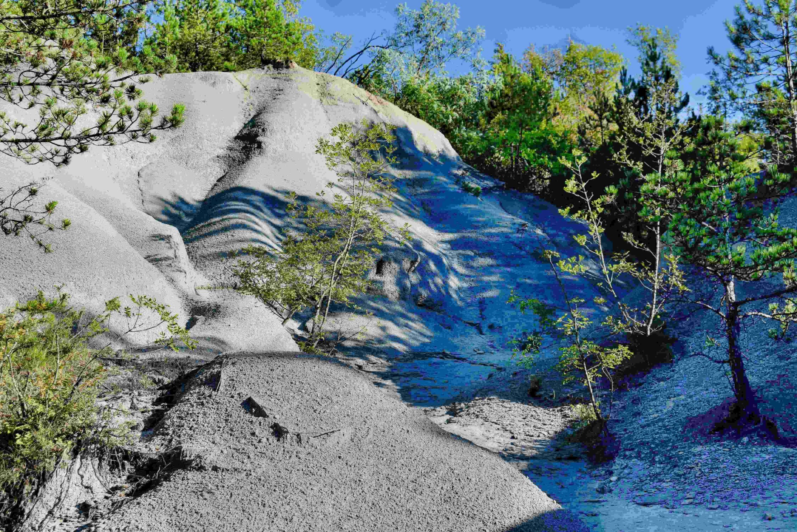
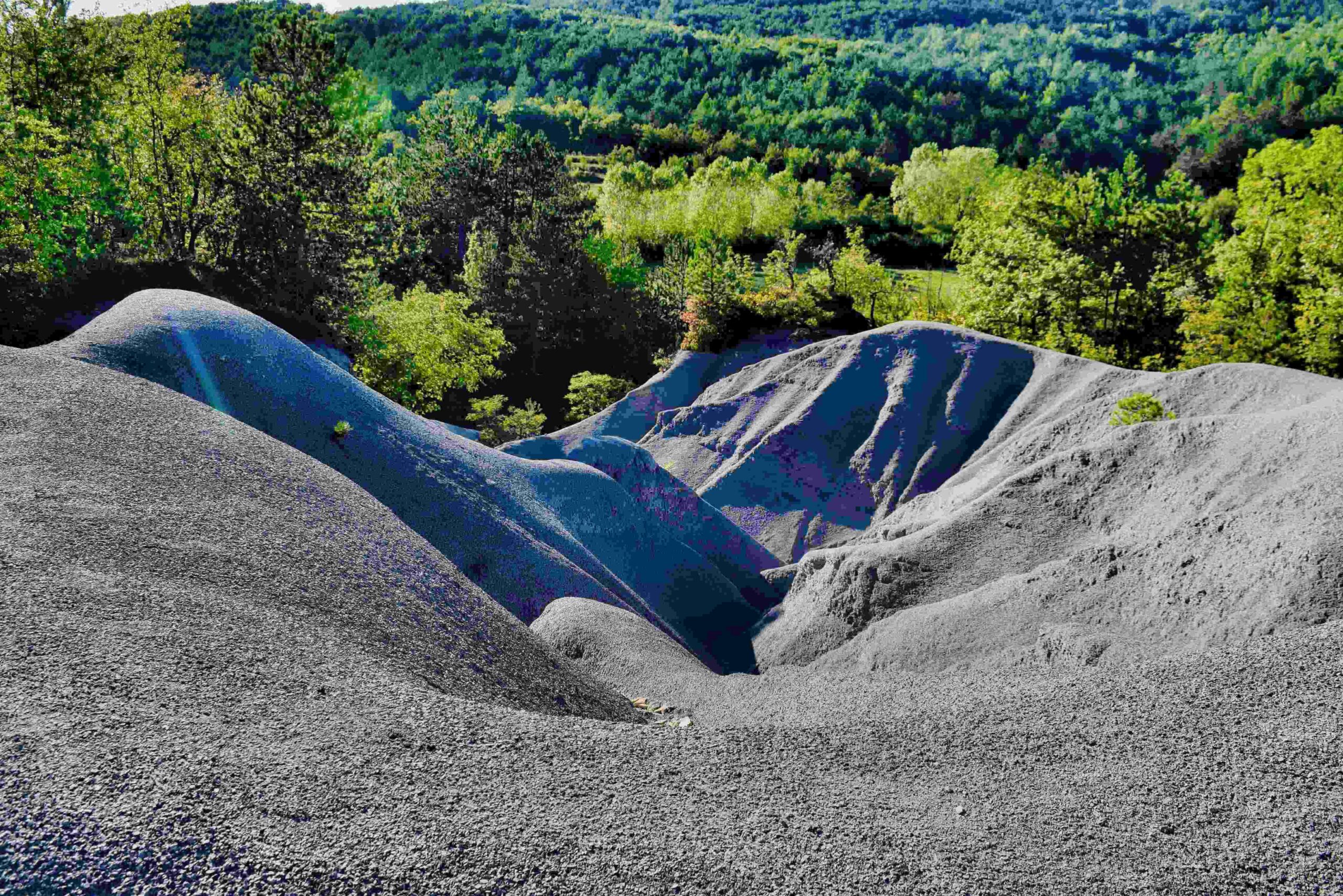
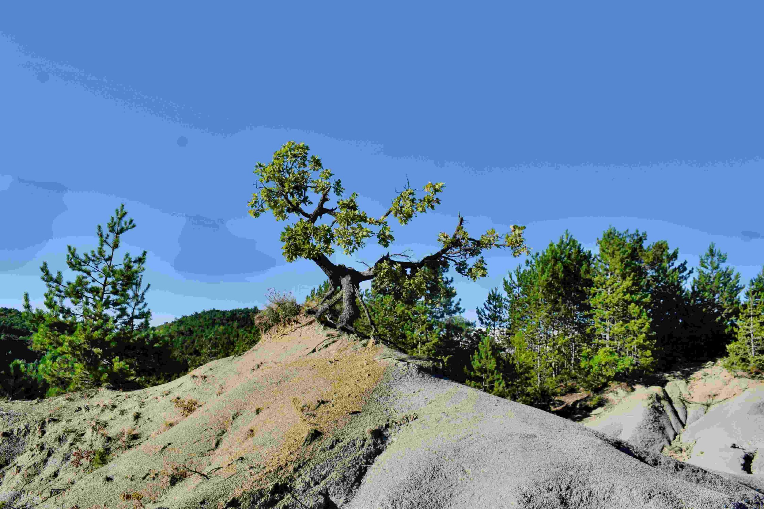
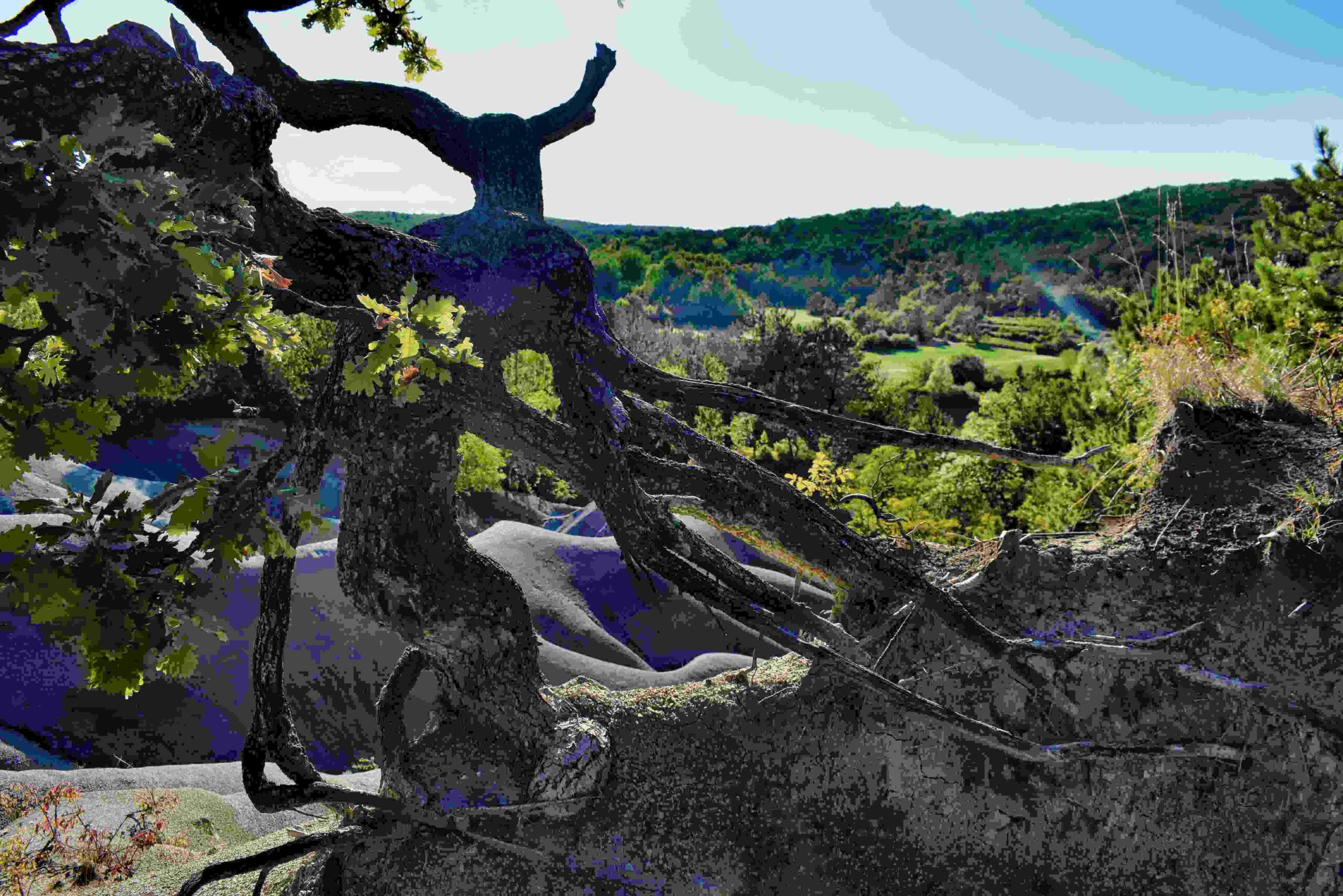
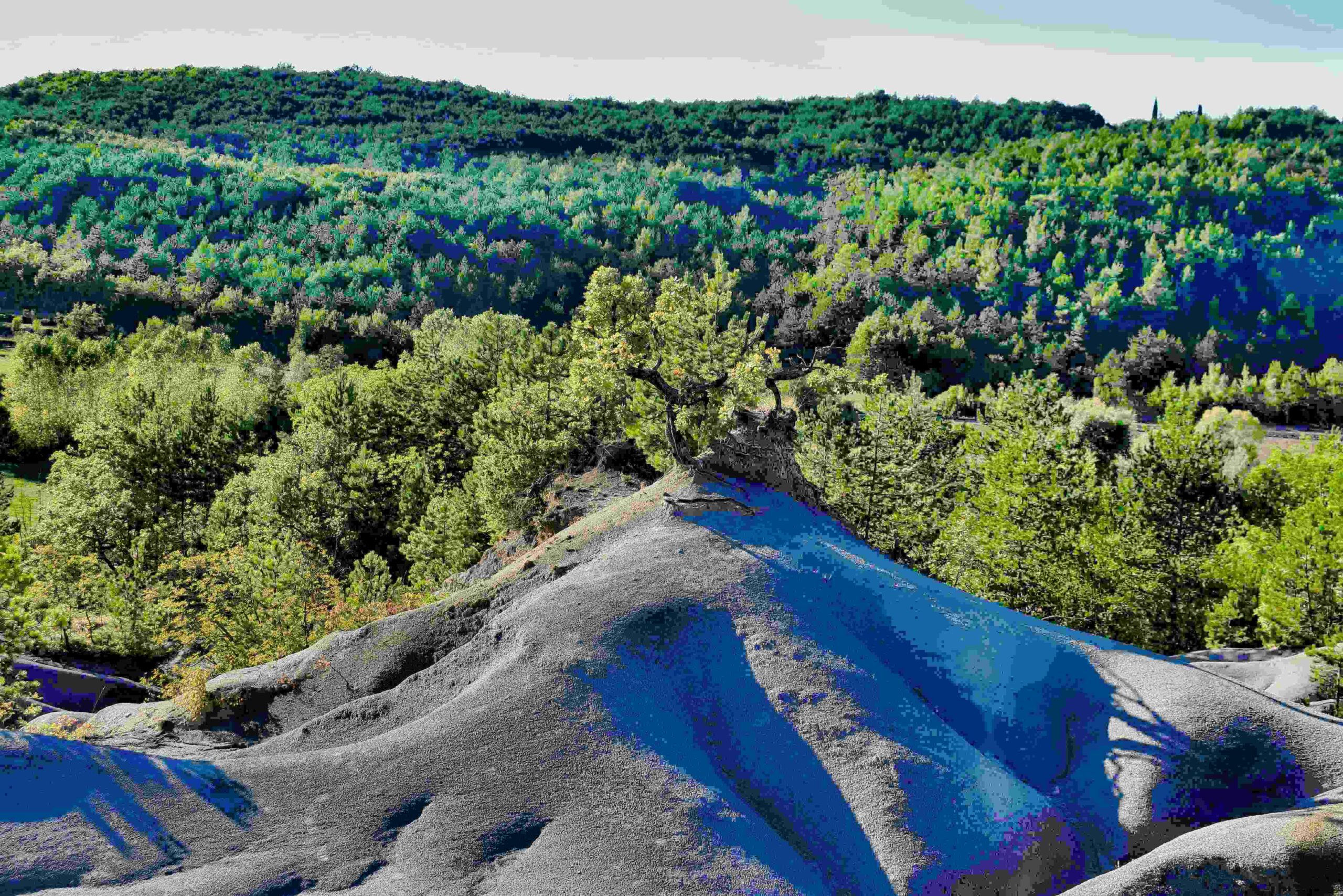
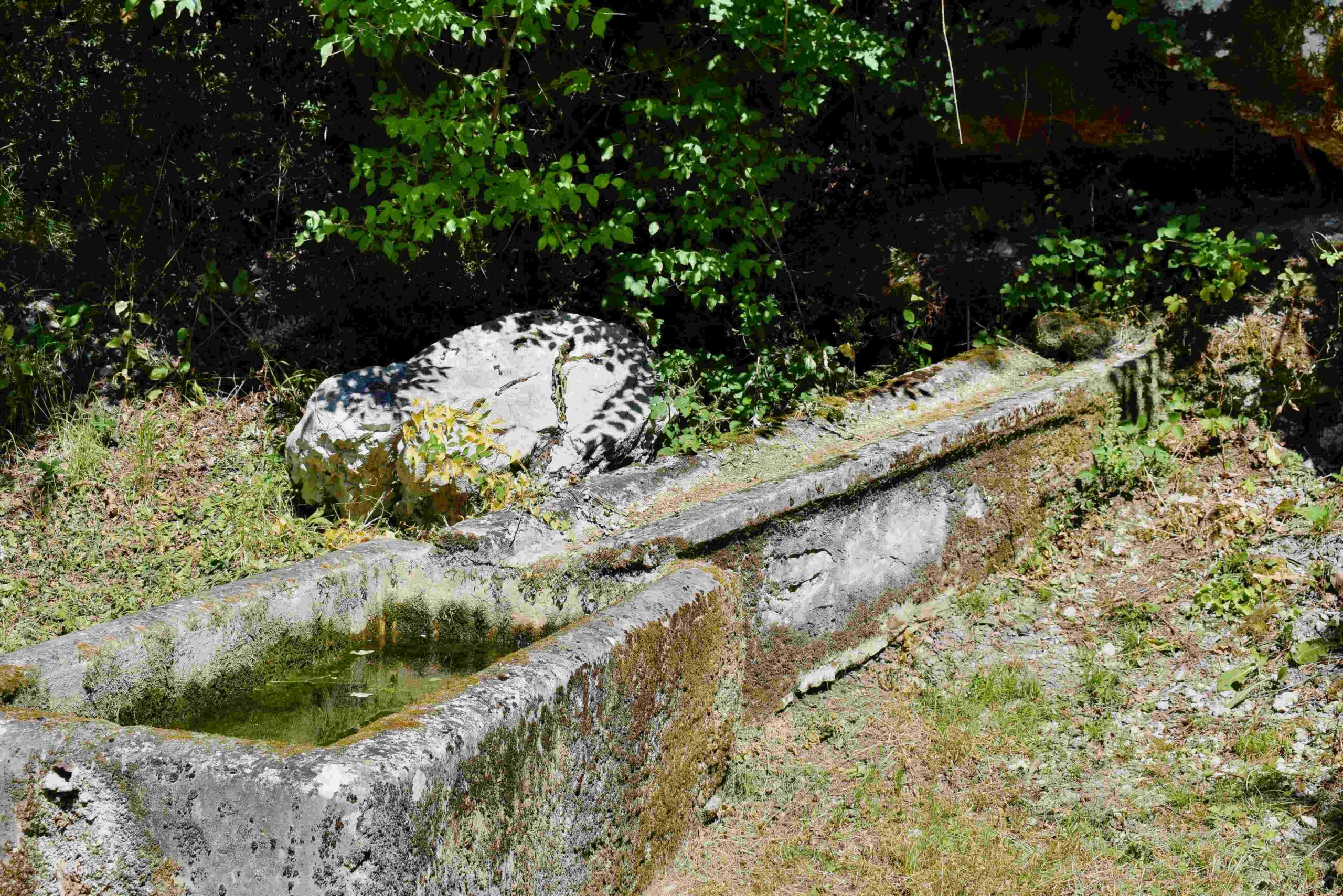
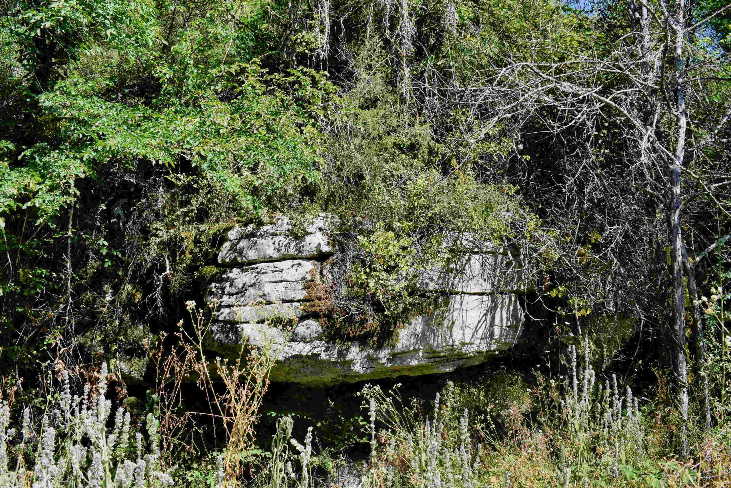
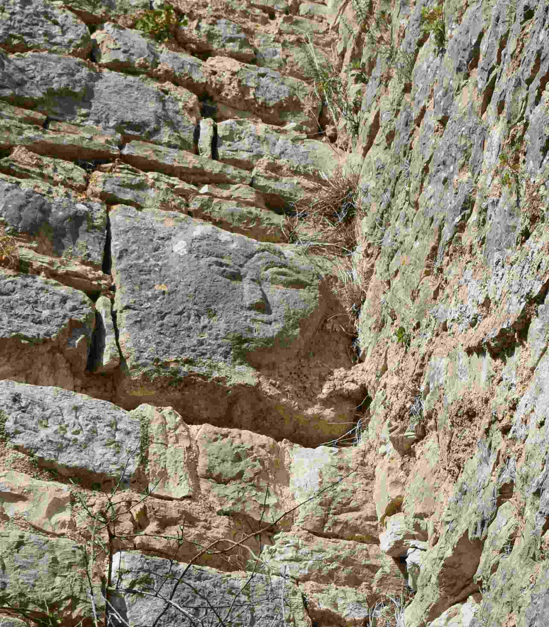
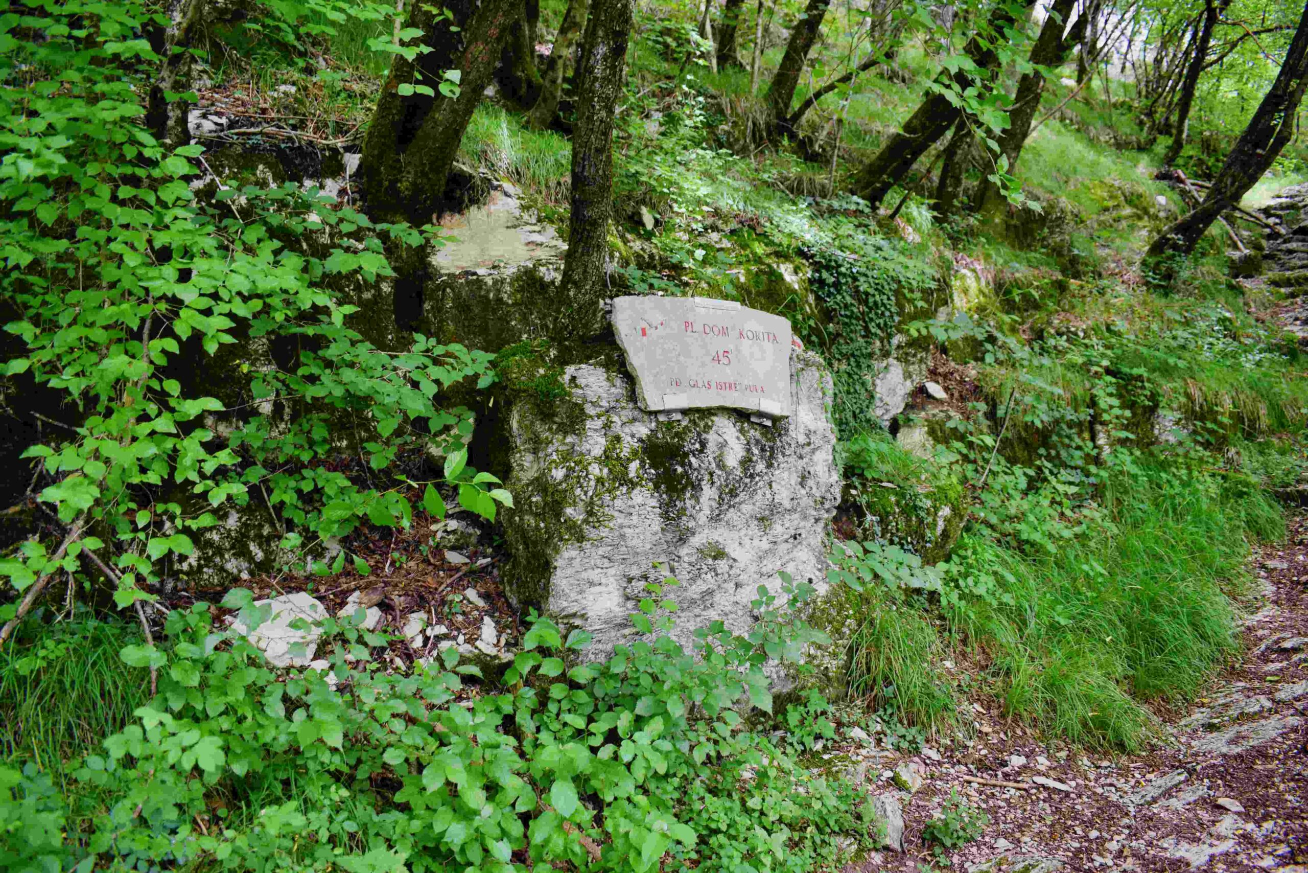
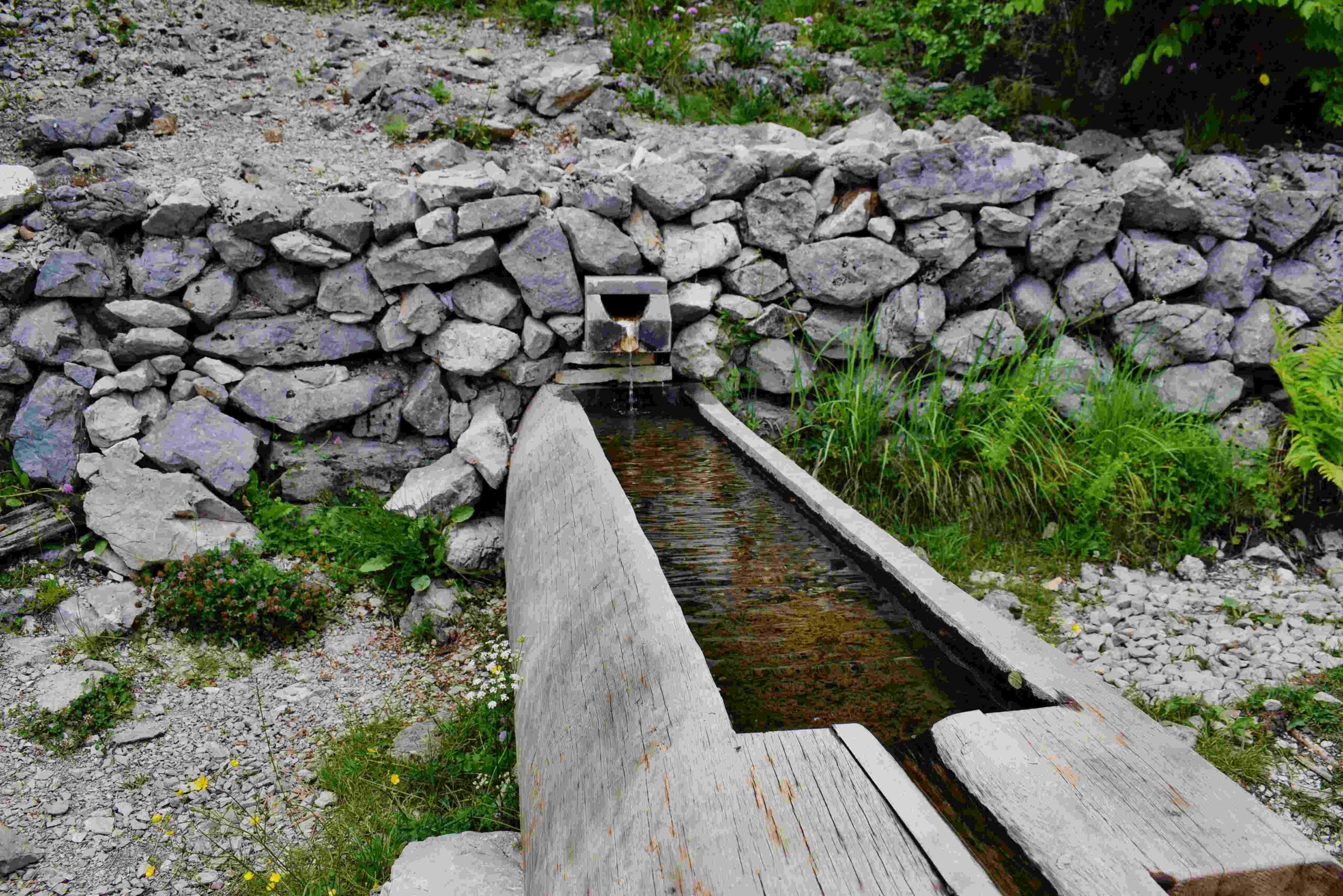
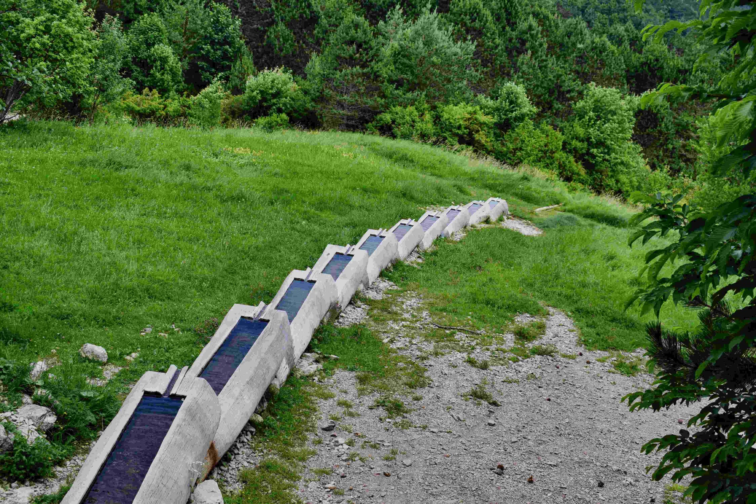
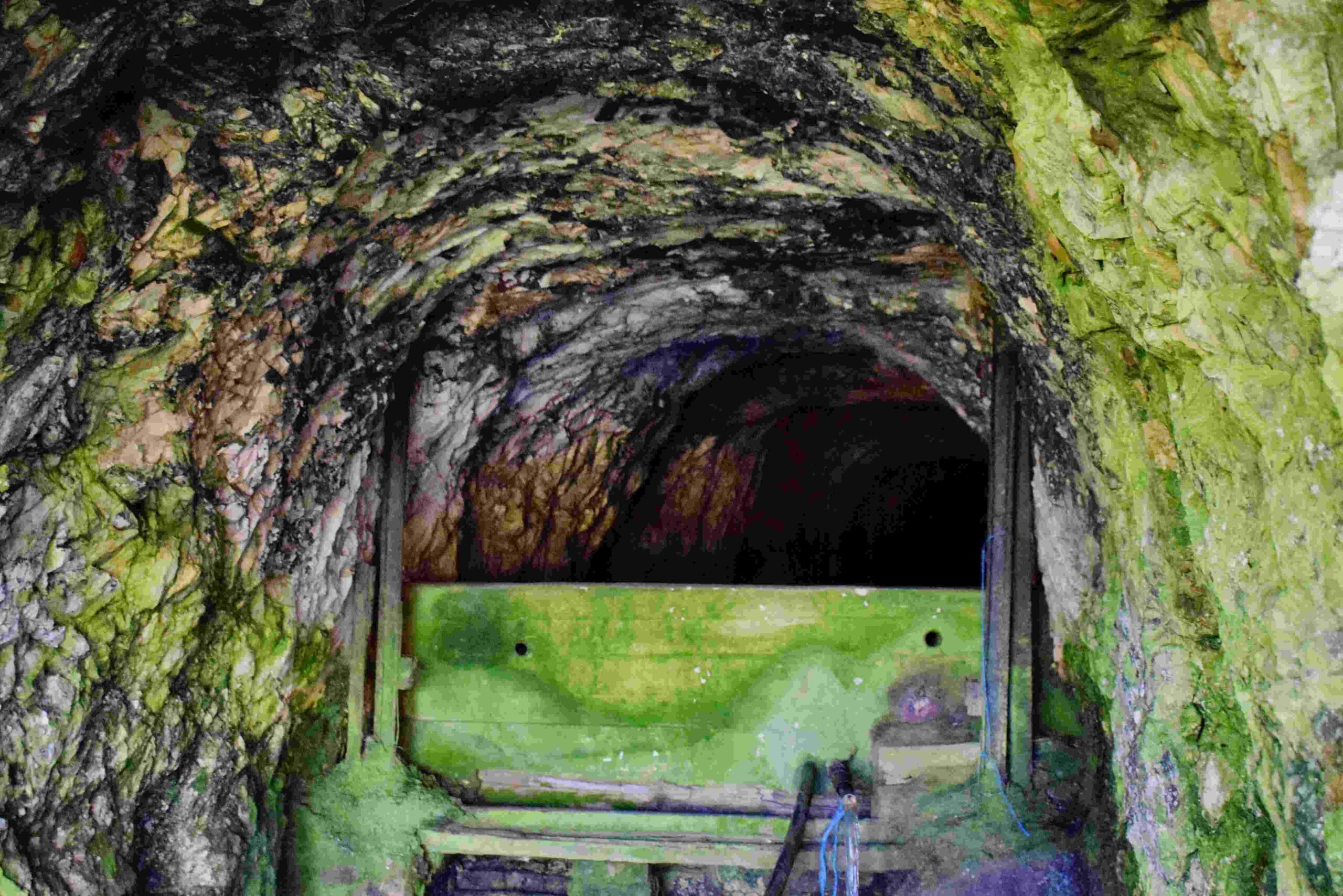
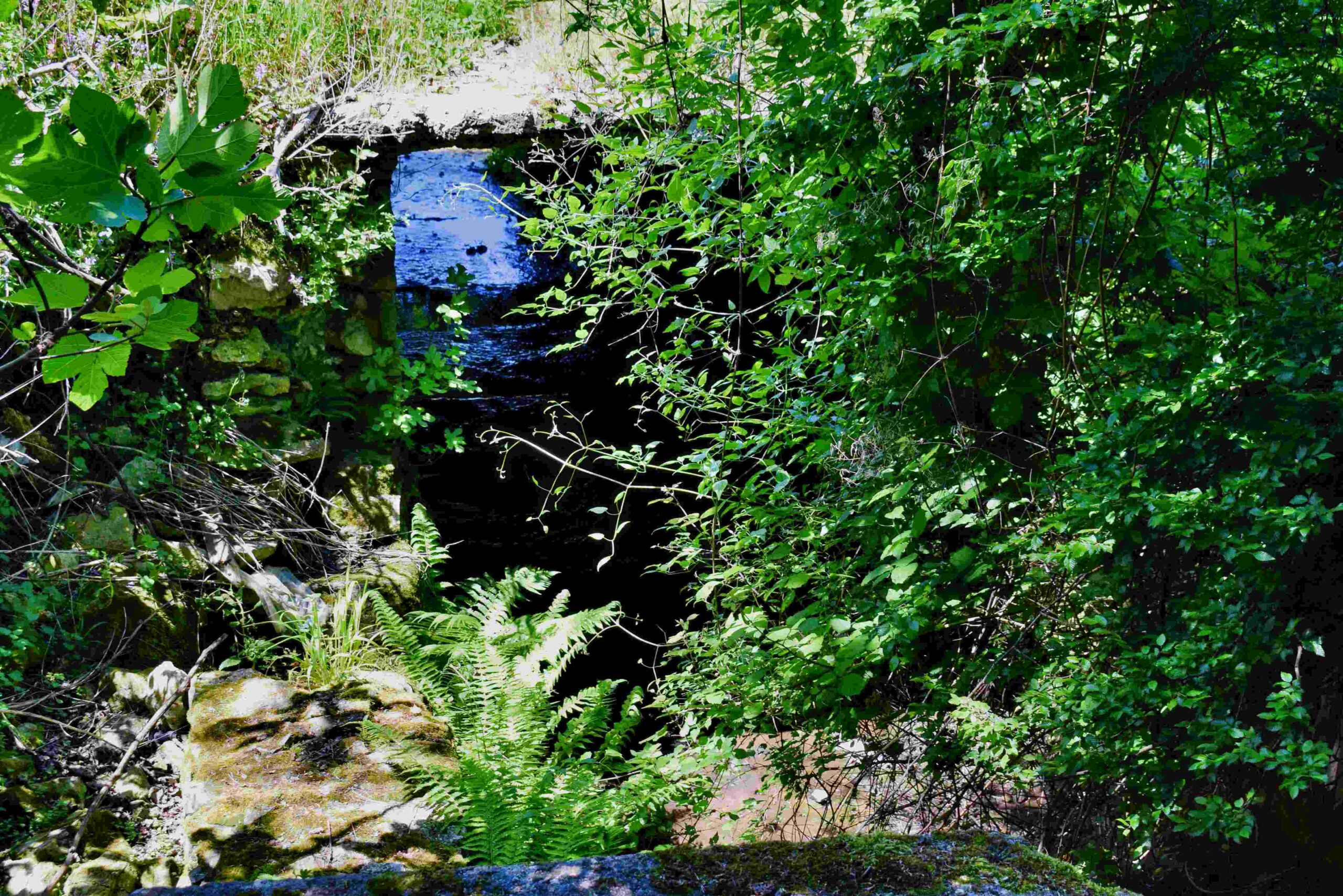
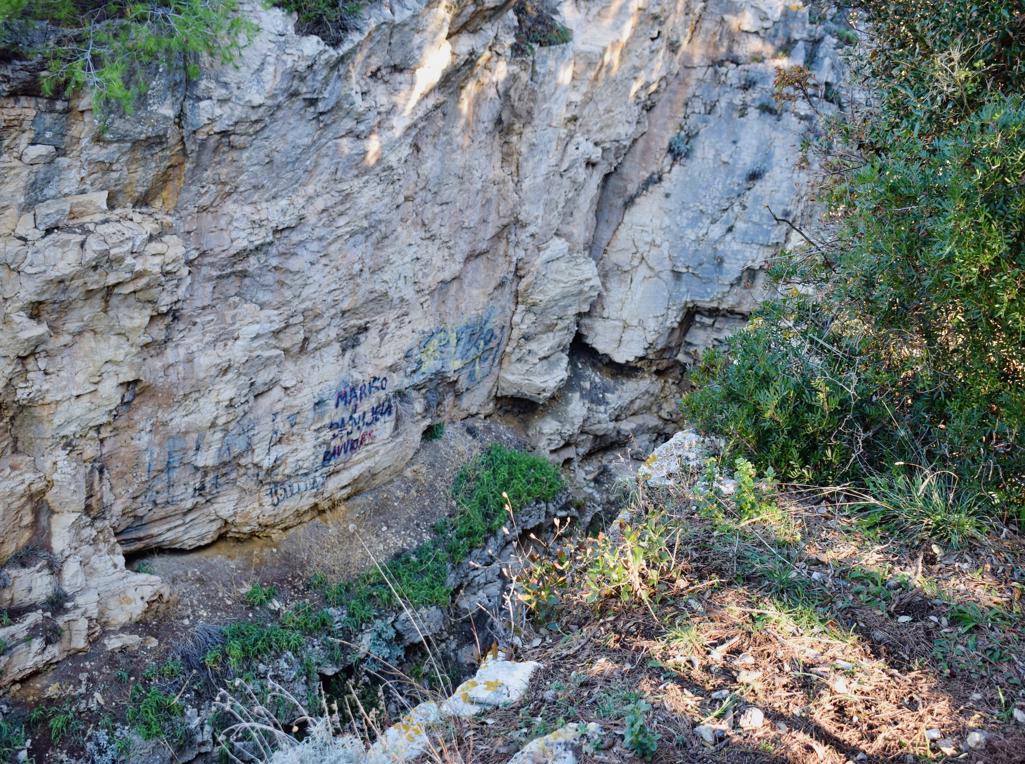
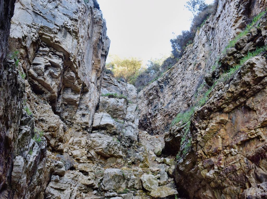
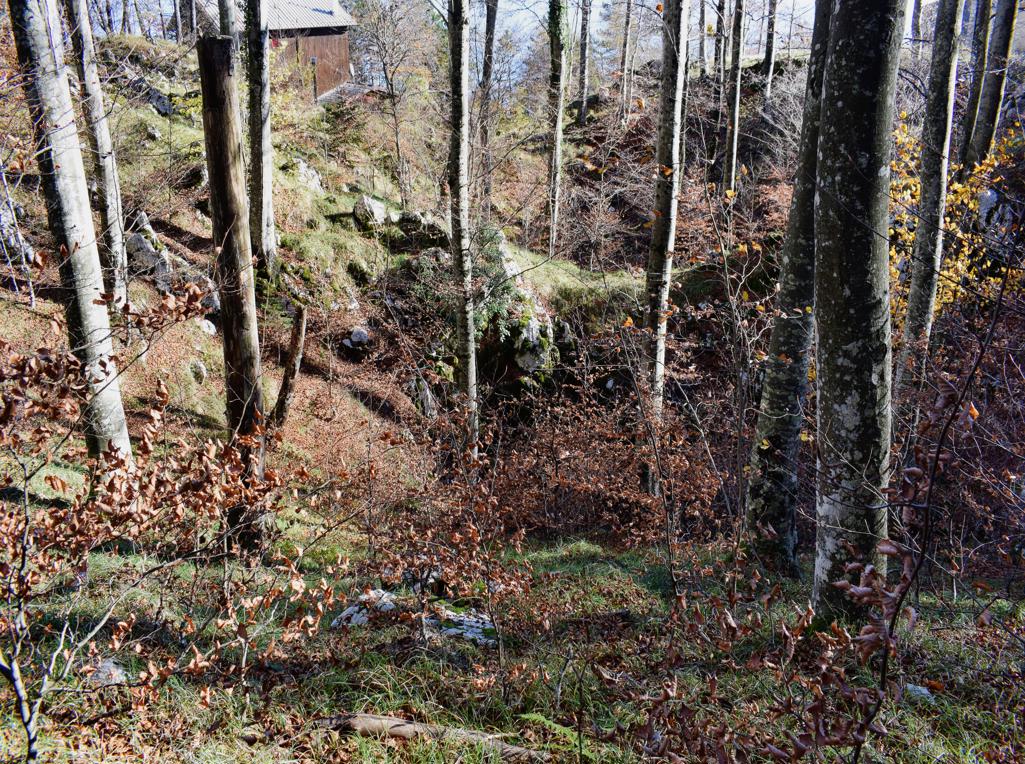
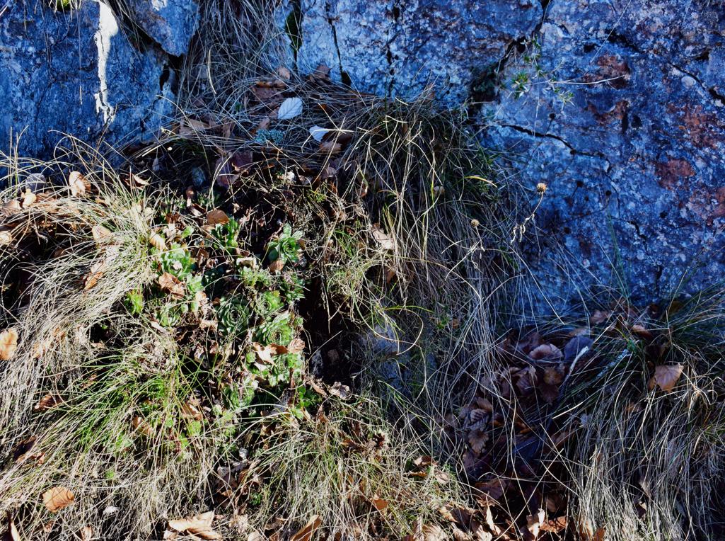
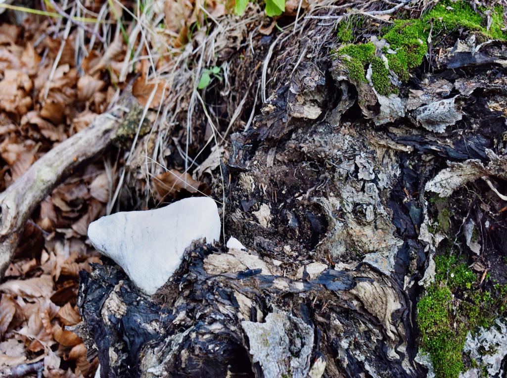
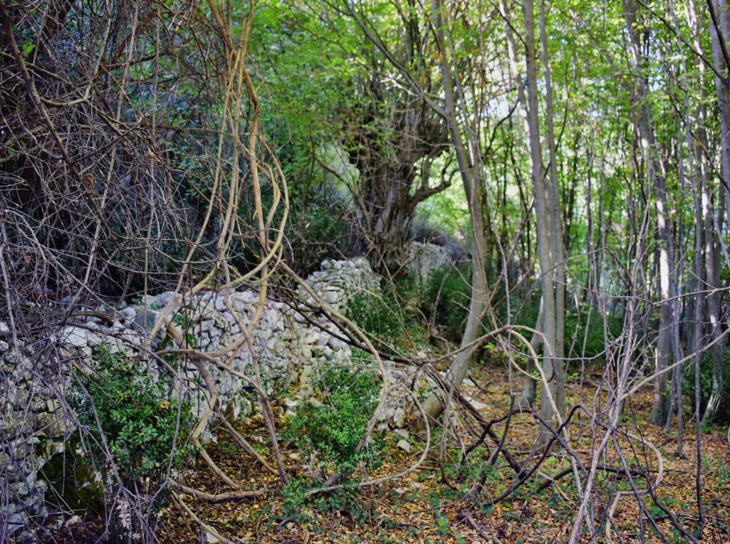
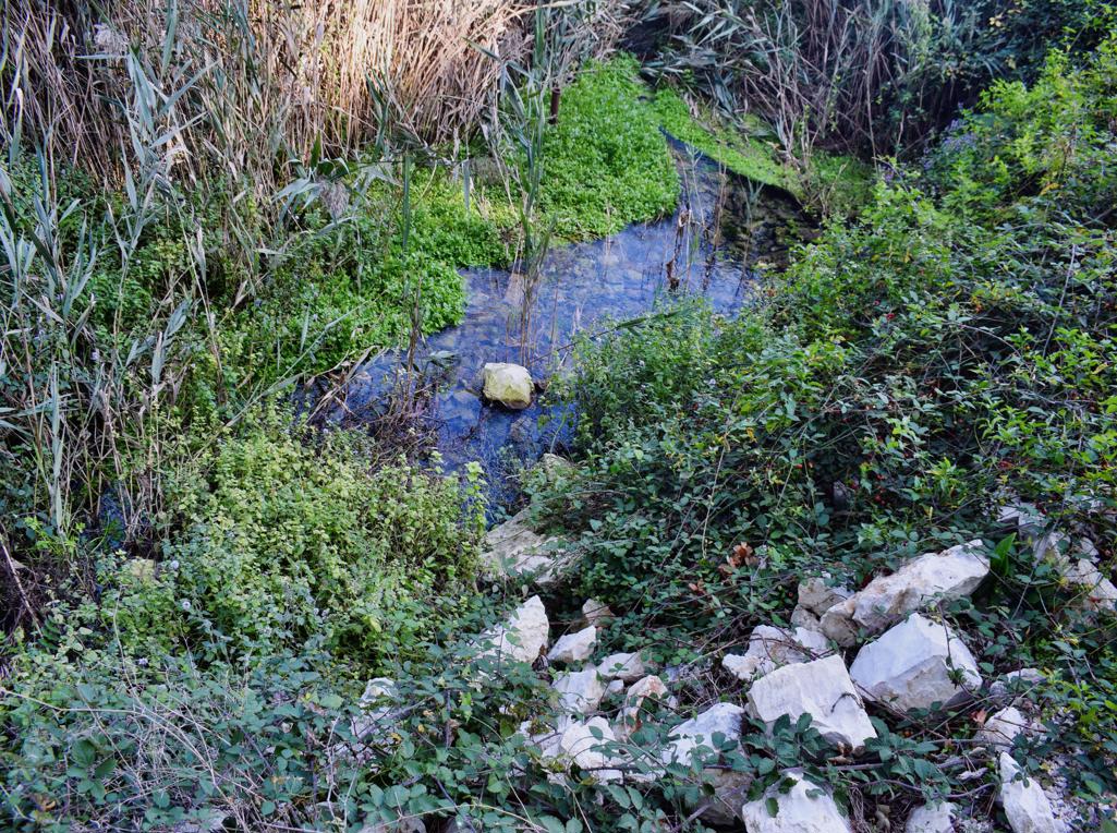
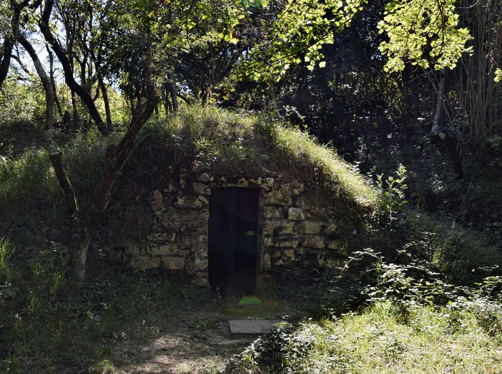
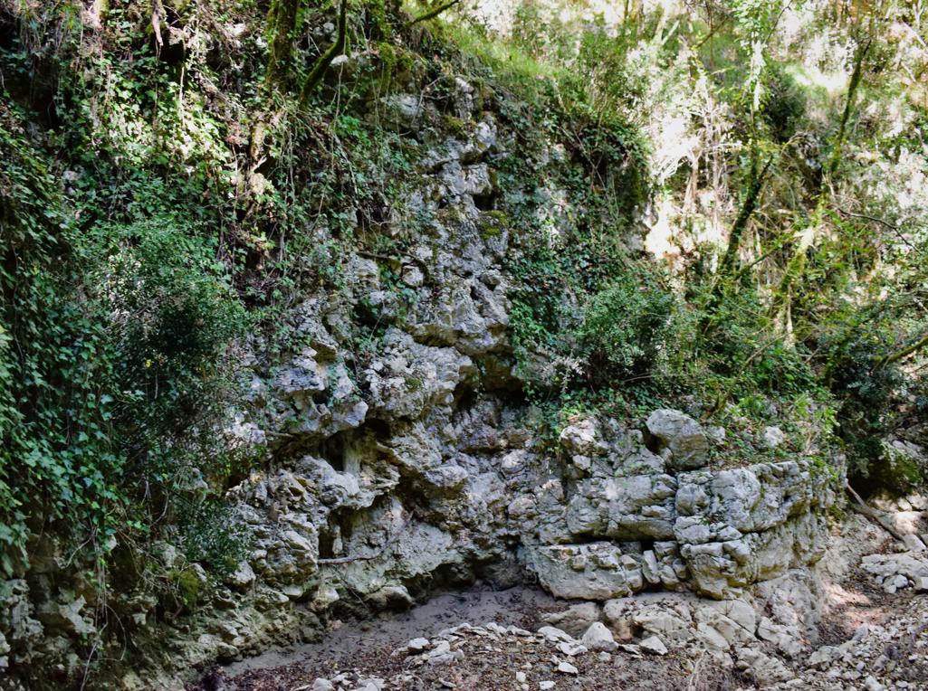
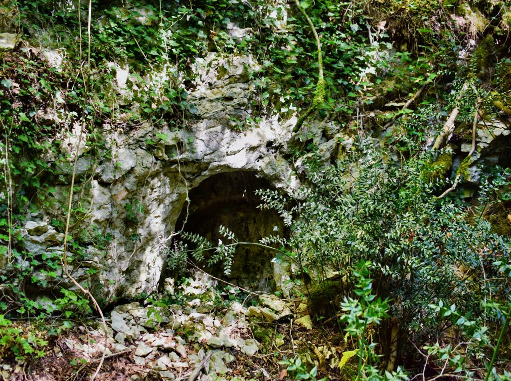
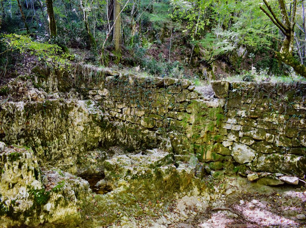
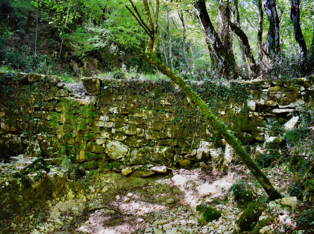
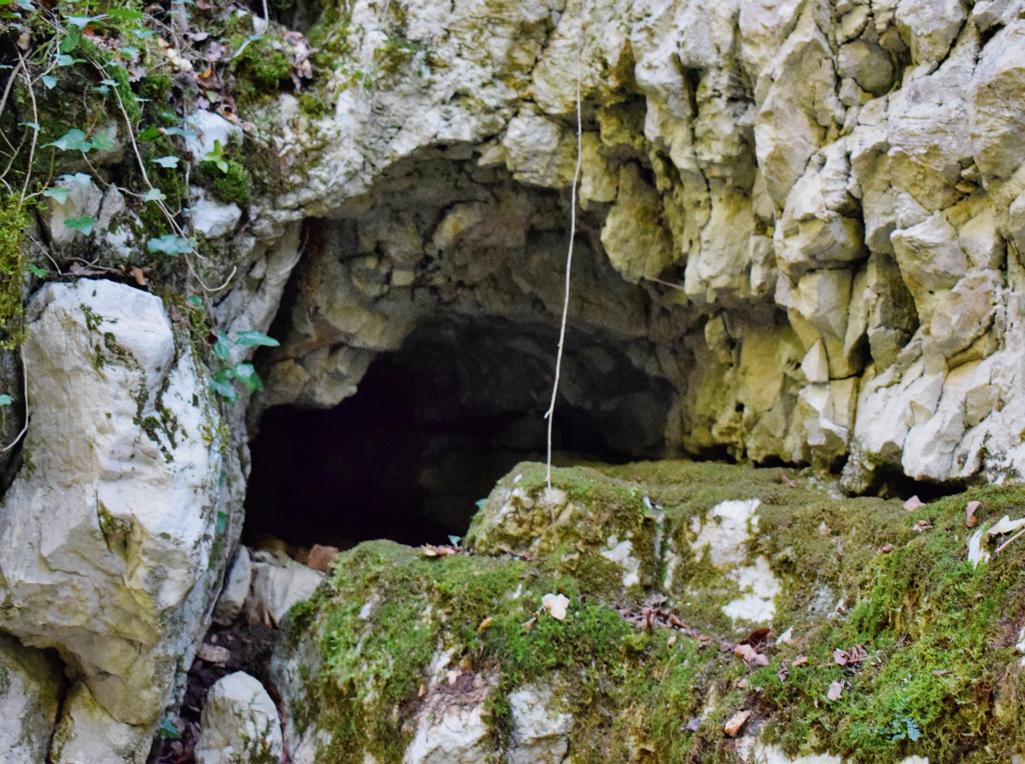
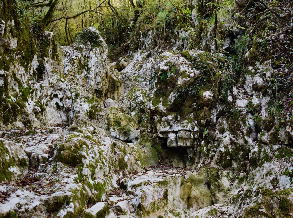
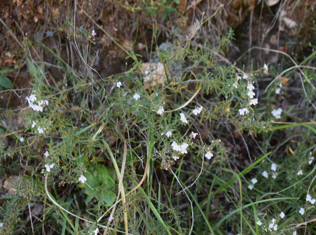
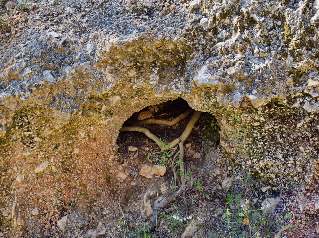
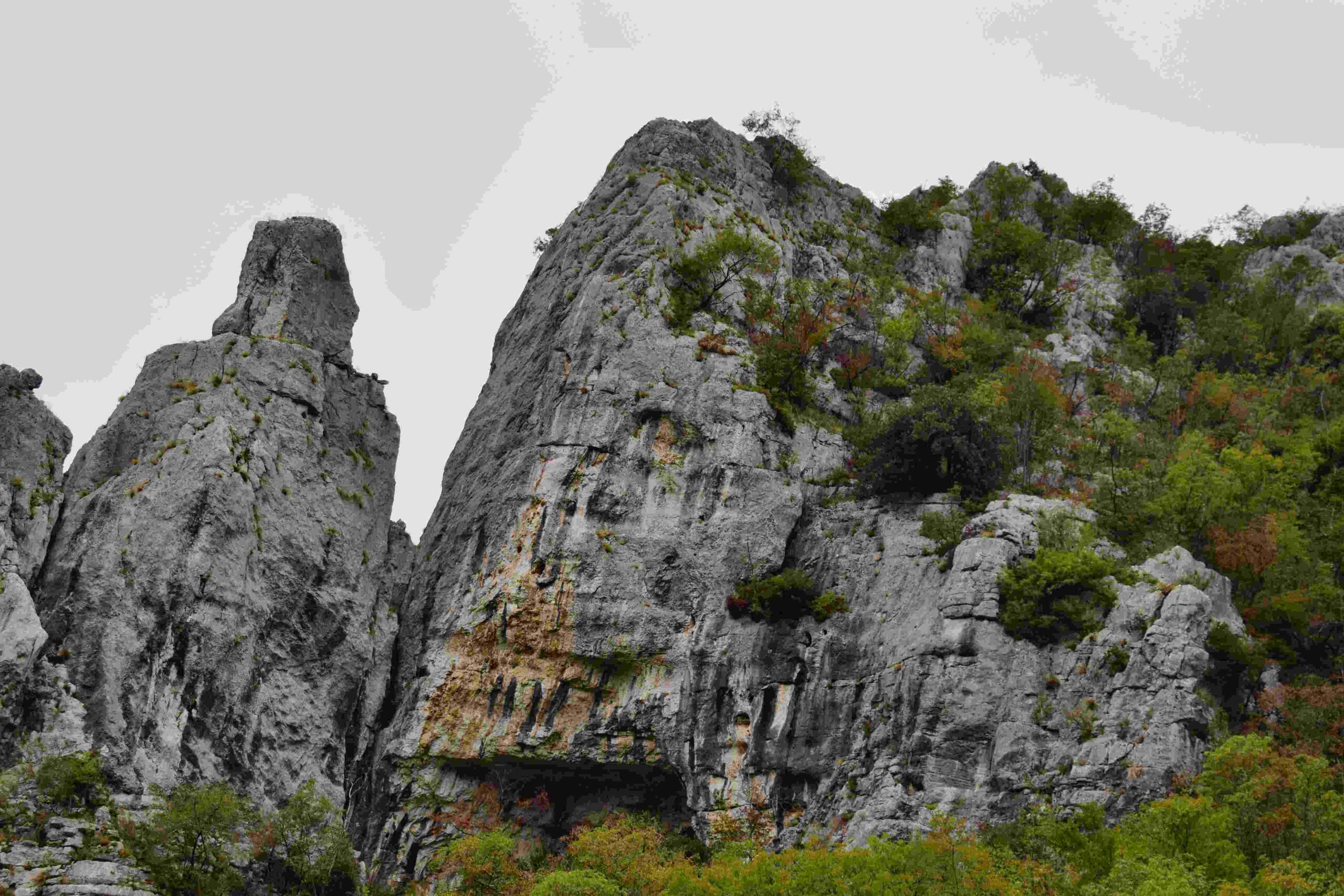
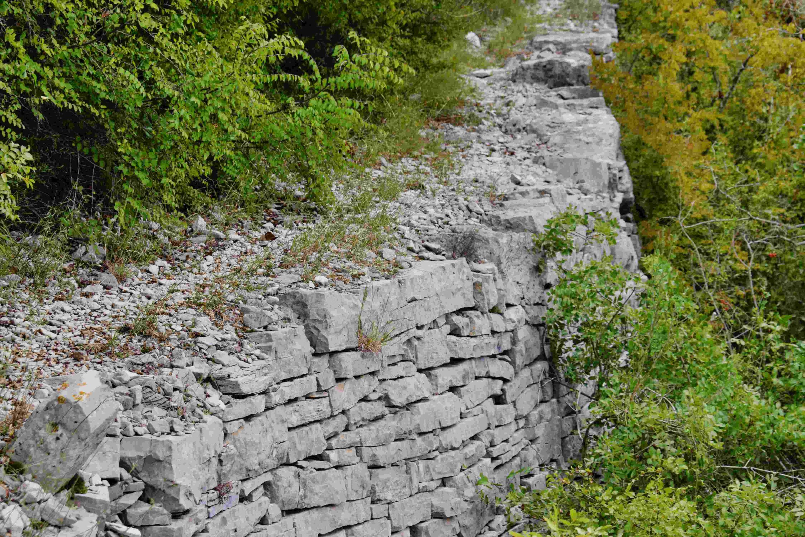
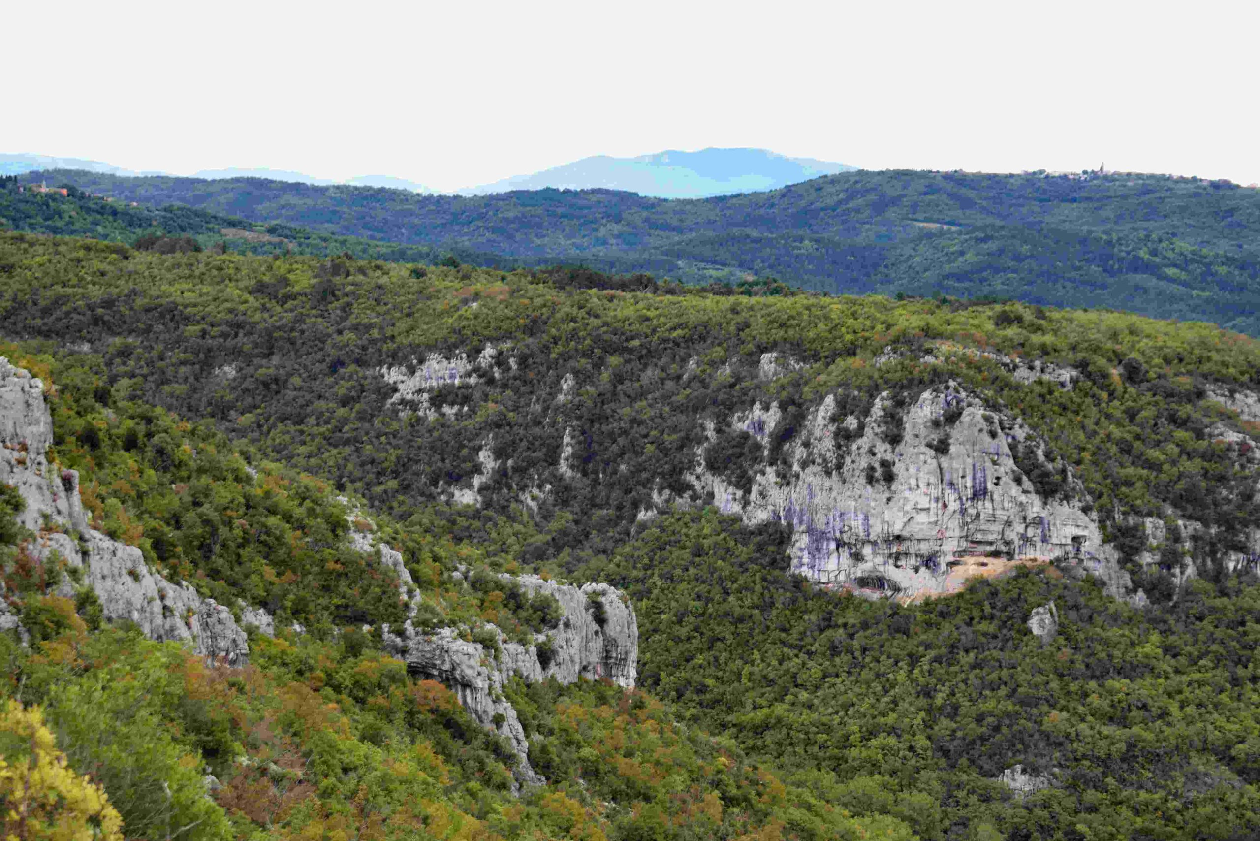
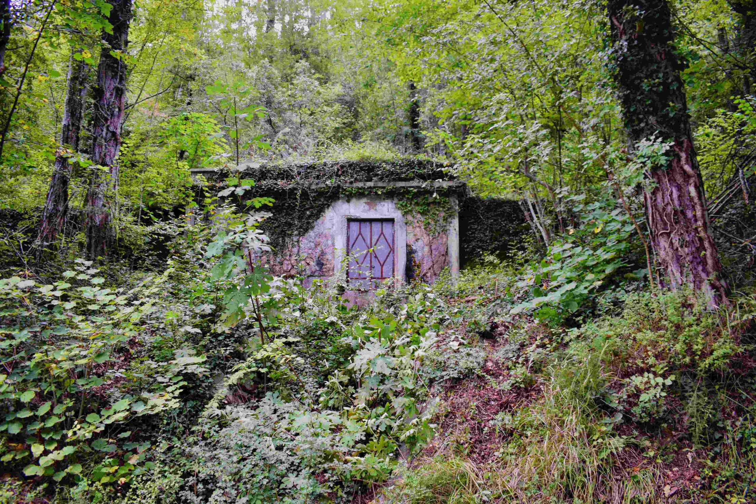
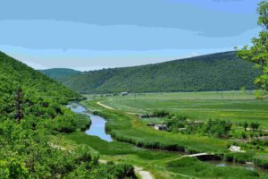
Name: Hiking trail from Brgudac to the source Korita.
Place: Brgudac – (Lanišće).
Coordinates: start 45.38034 N – 14.14475 E, source 45.37892 N – 14.15963 E.
Name: Trail 823 “Gustavo Pulitzer”, Rasa.
Place: Rasa.
Coordinates: Start – finish 45.08146 N – 14.08715 E.
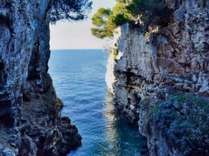
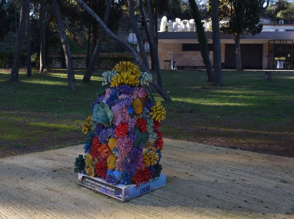
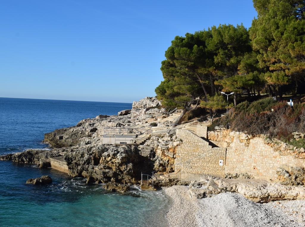
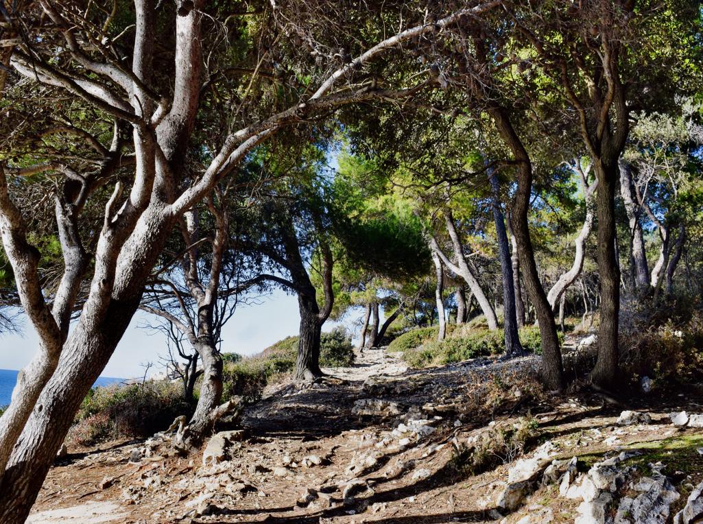
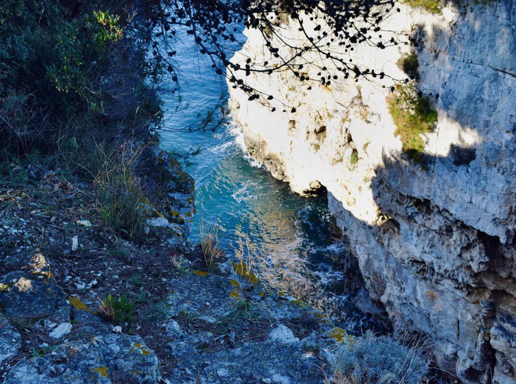
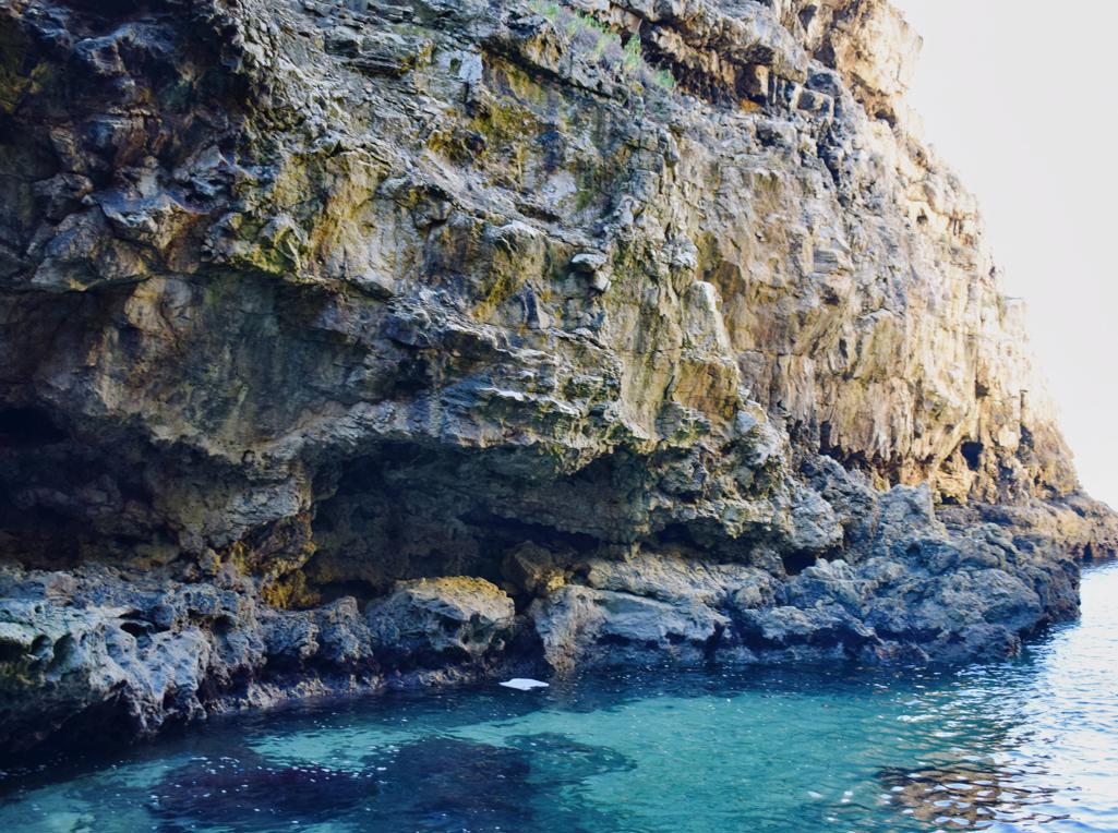
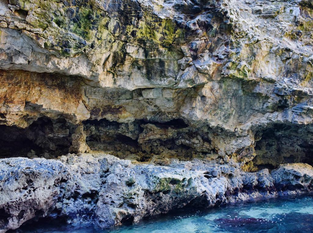
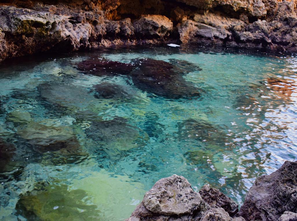
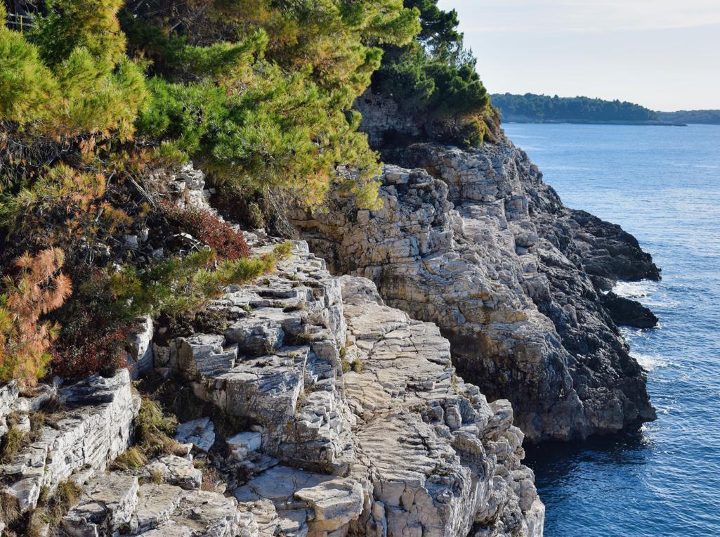
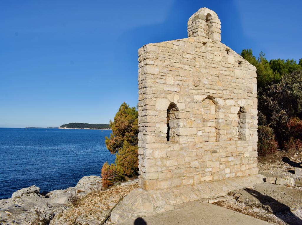
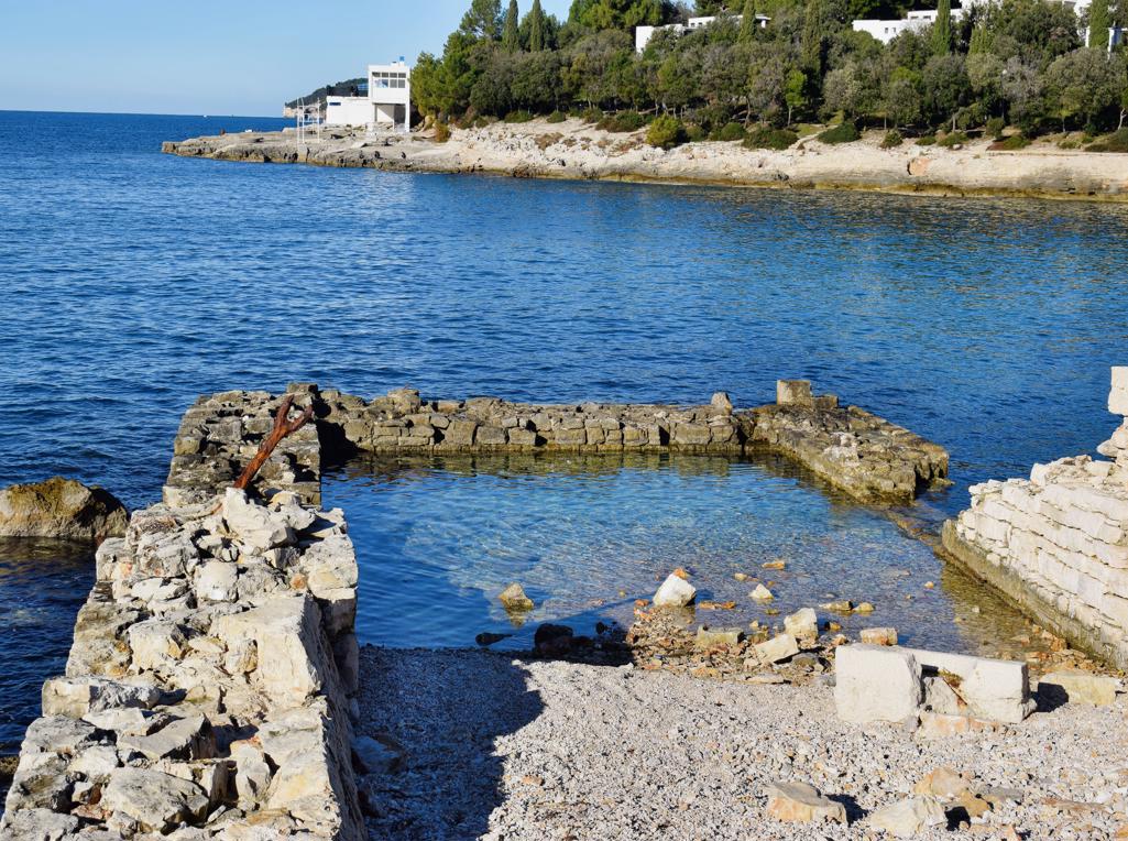
Name: Trail along the coast from the Canyon Verudela to the Fort Bourguignon.
Place: Verudela – Pula.
Coordinates: 44.83599 N – 13.82865, 44.84863 N – 13.83258 E.
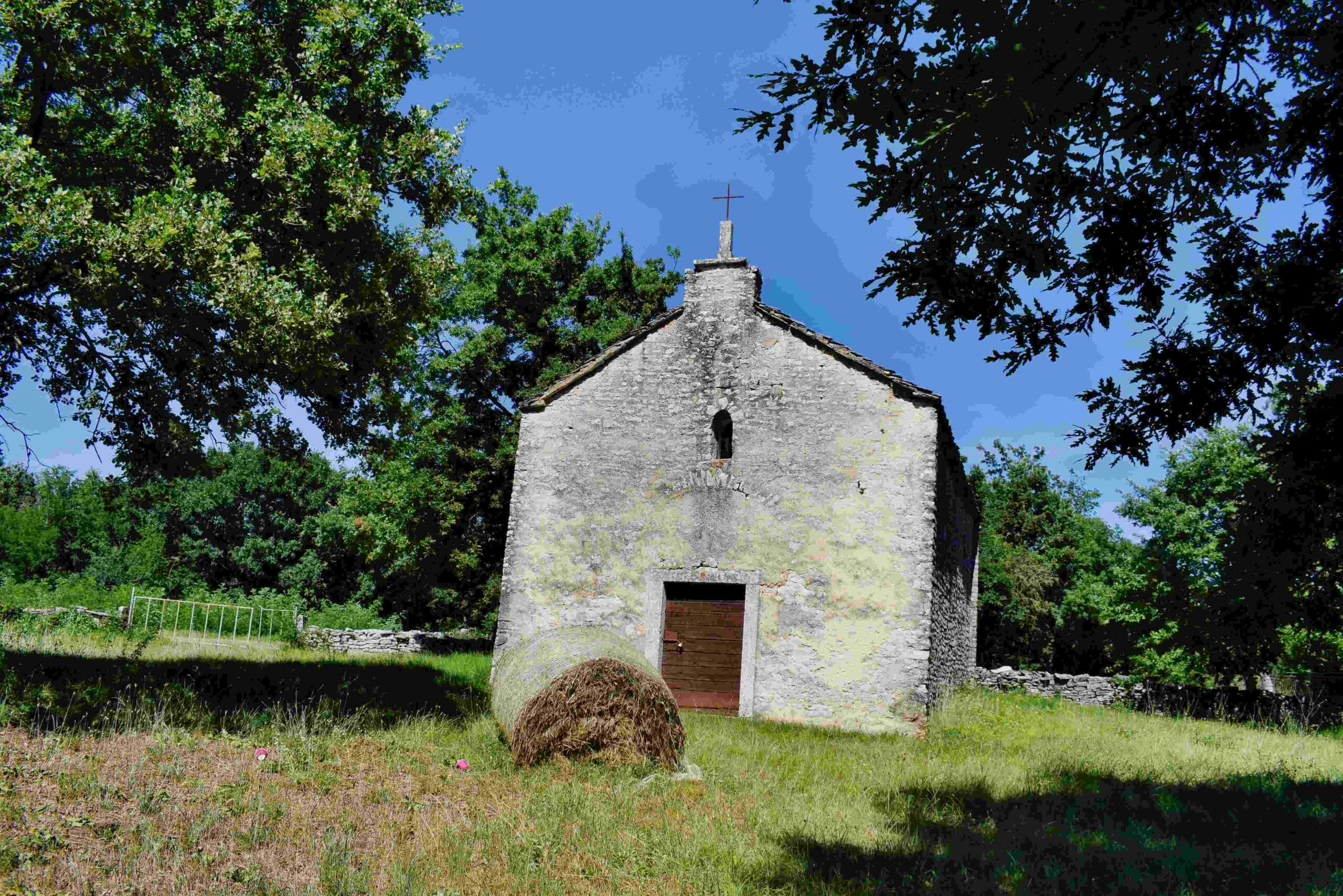
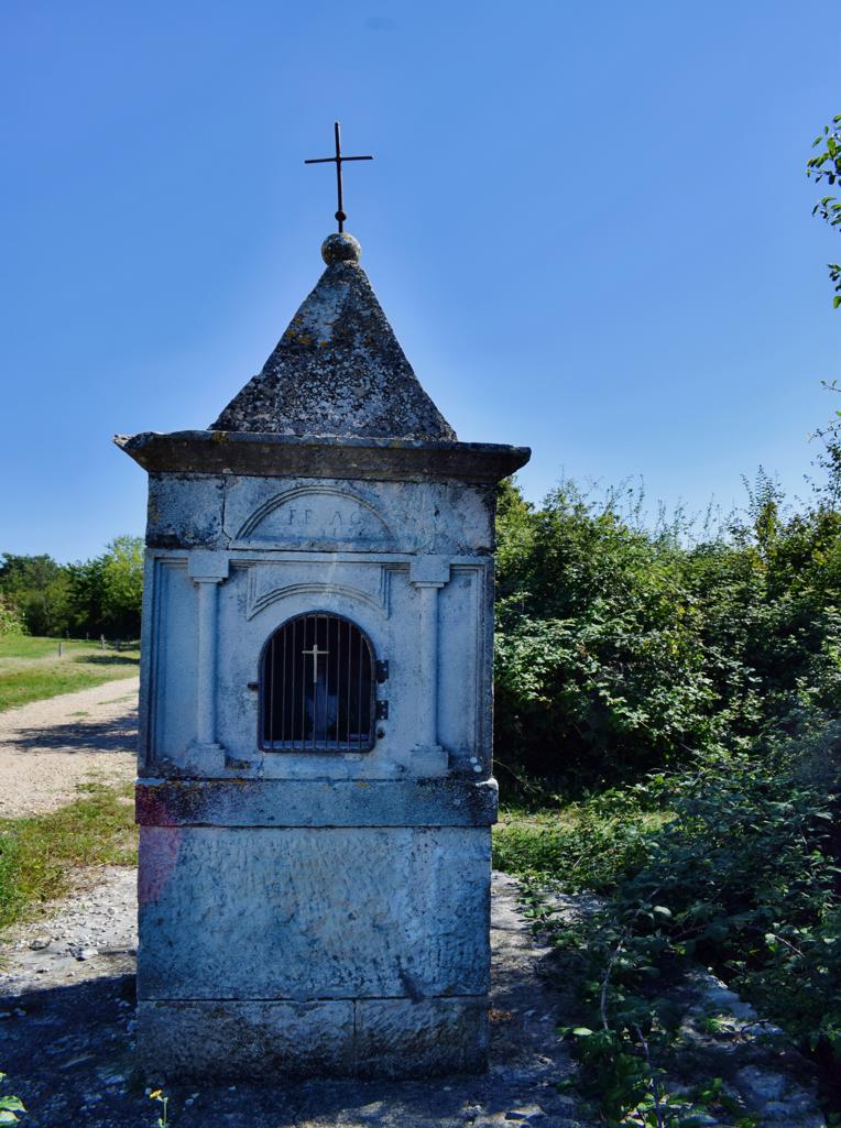
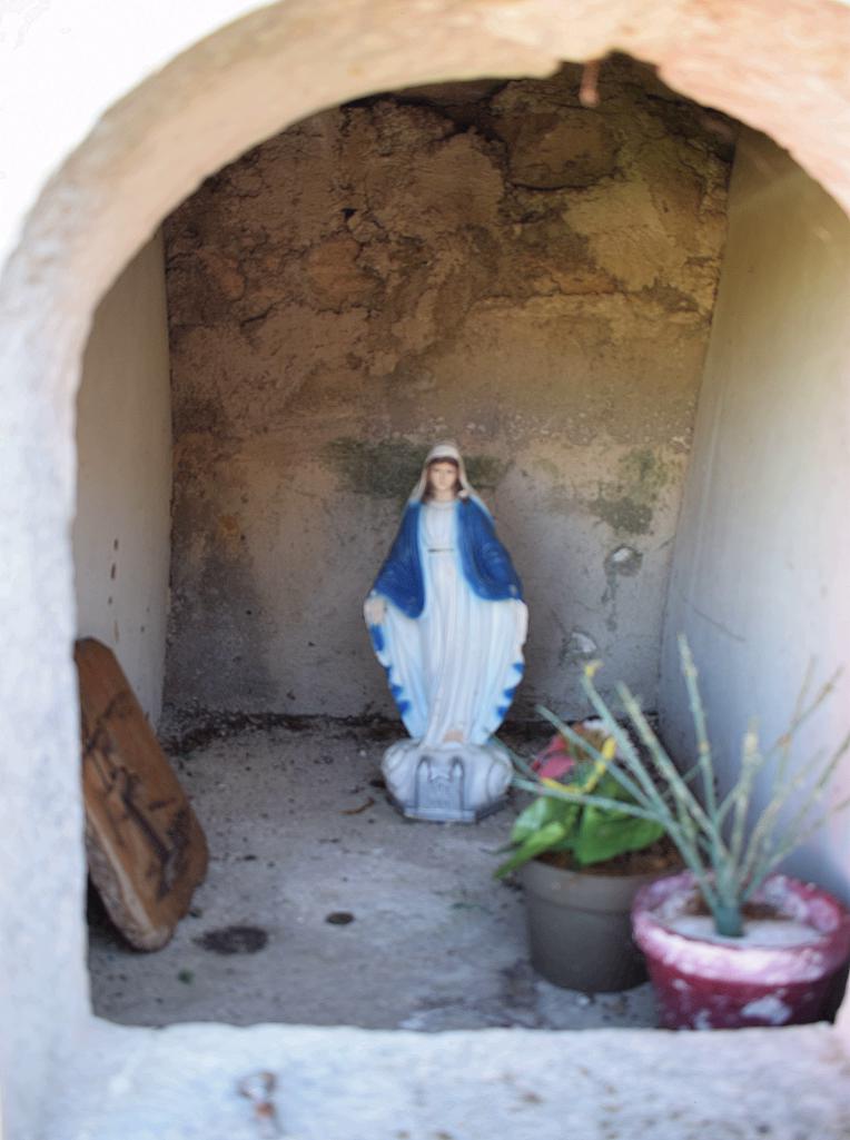
Church St.Peter built in the 14th century, renovated in 1904, 2019 and 2023. (more…)

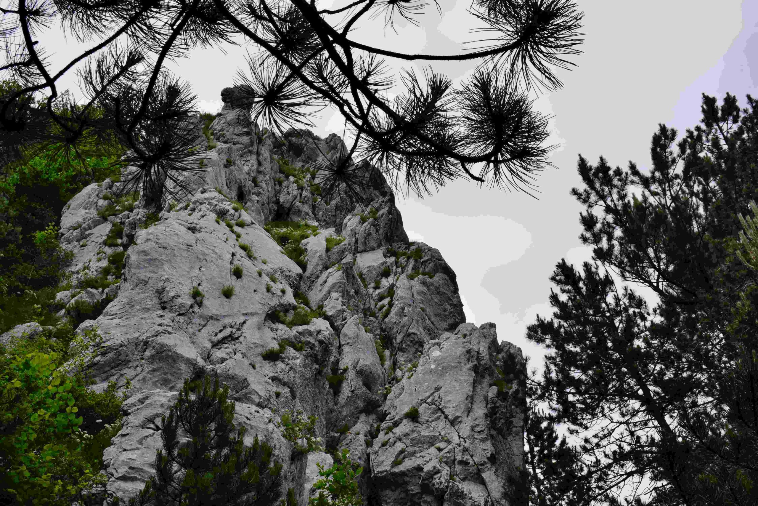
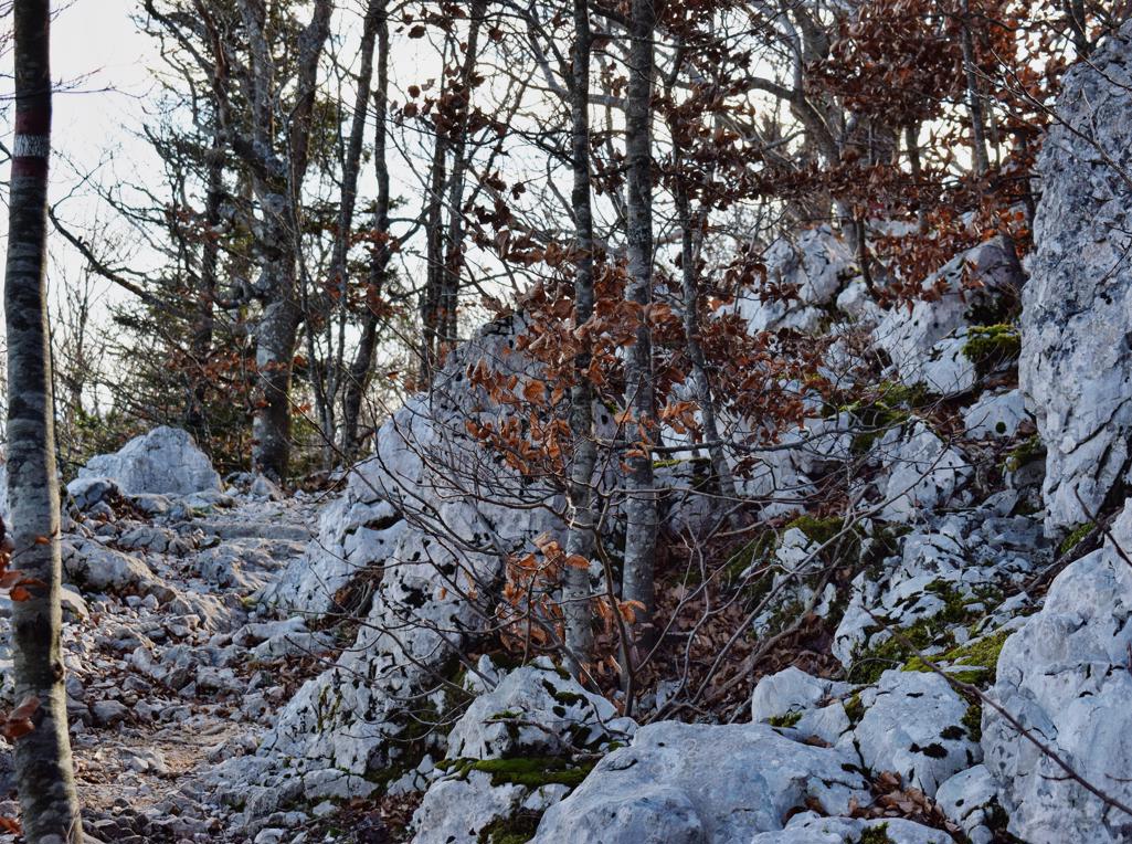
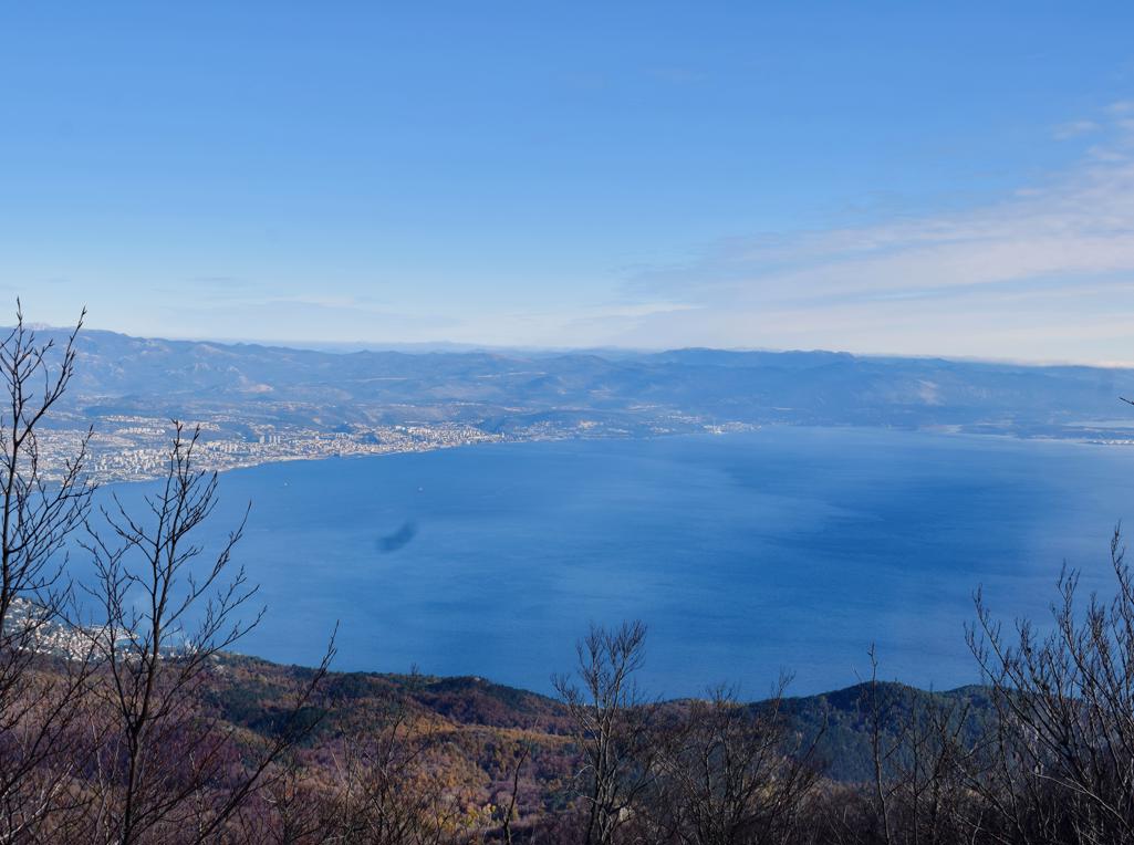
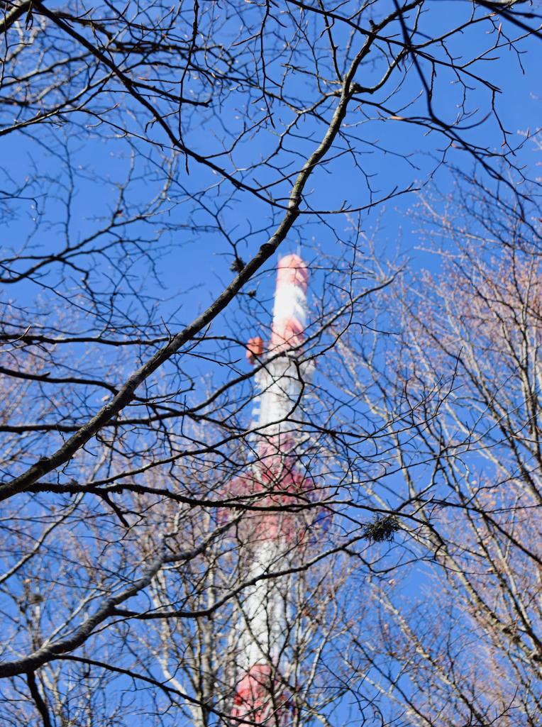
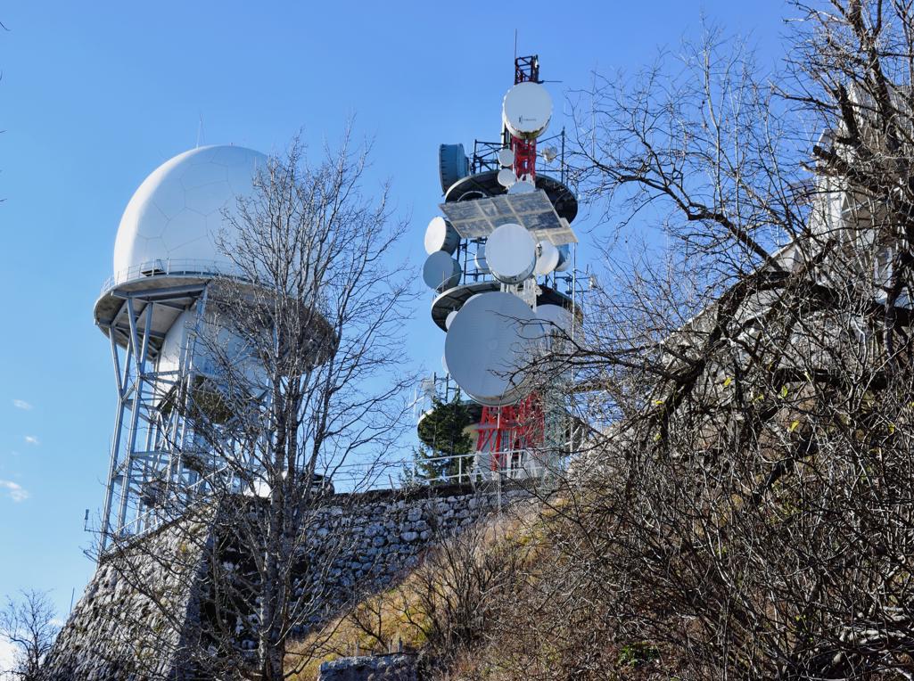
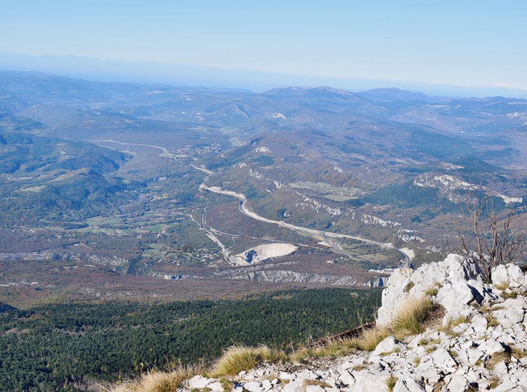
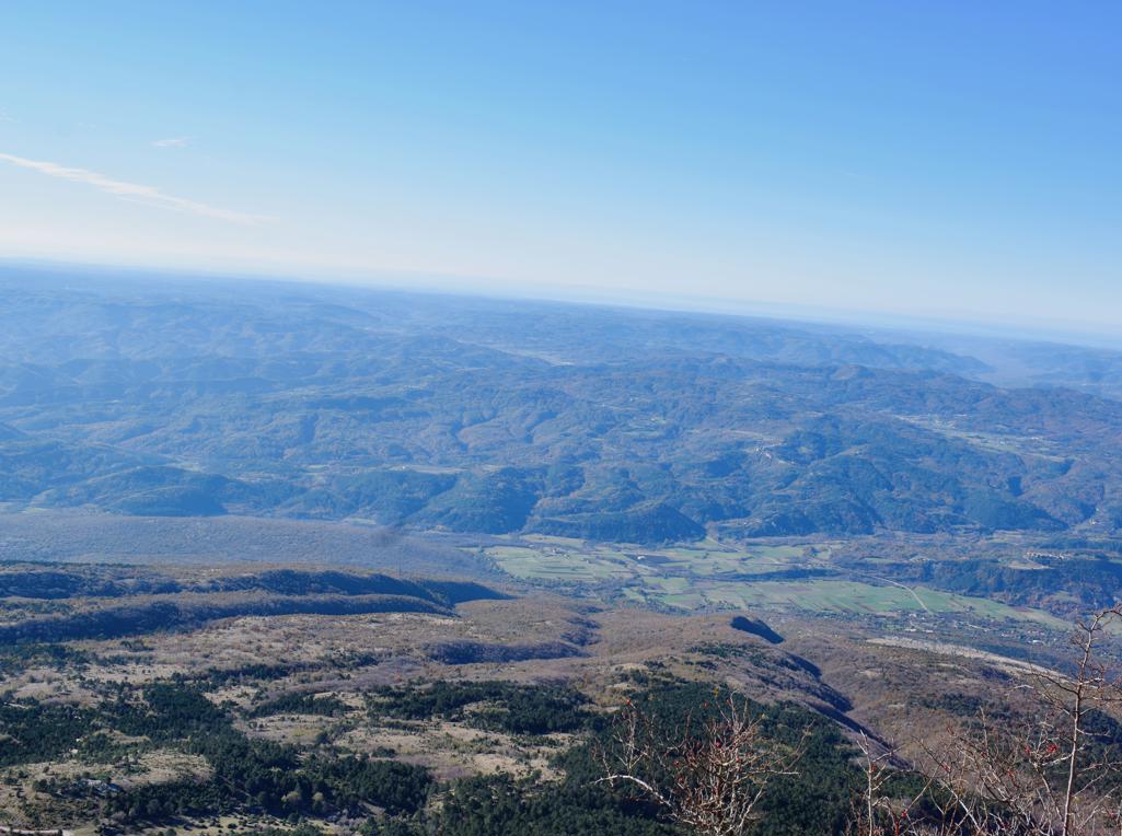
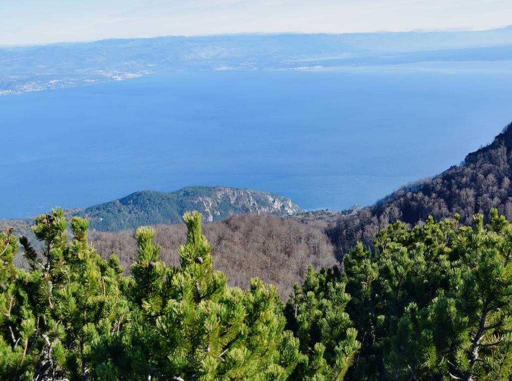
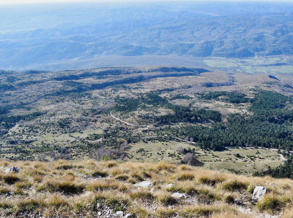
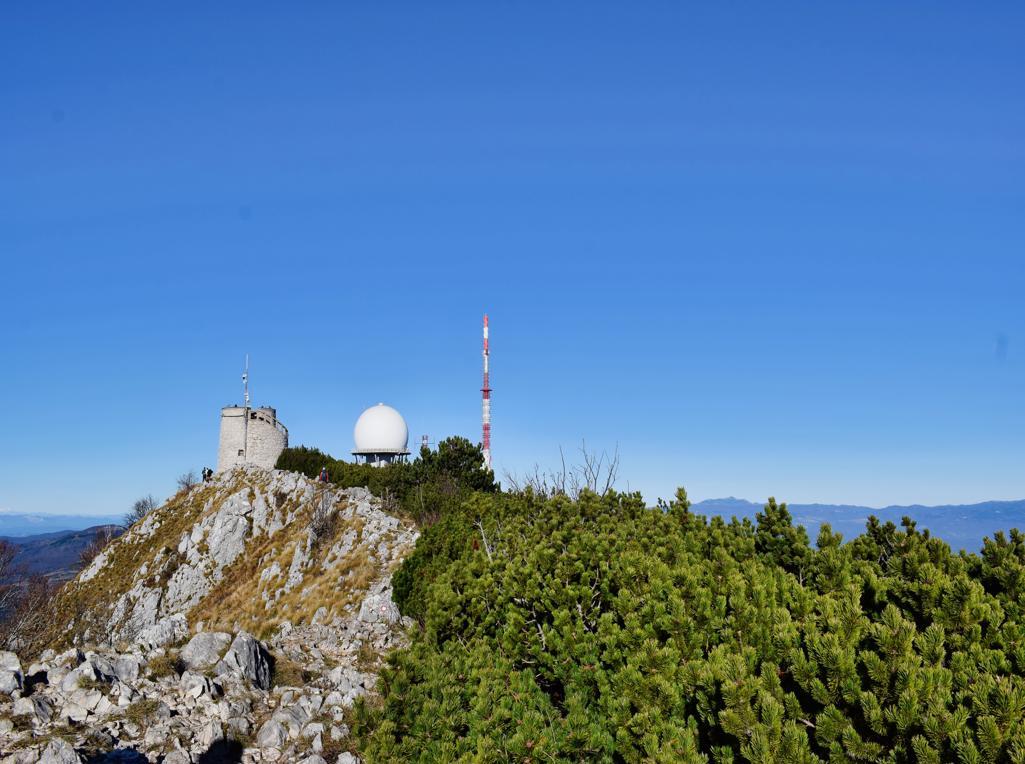
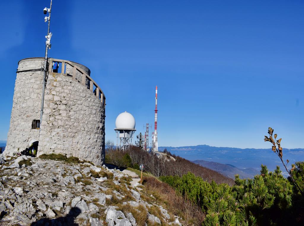
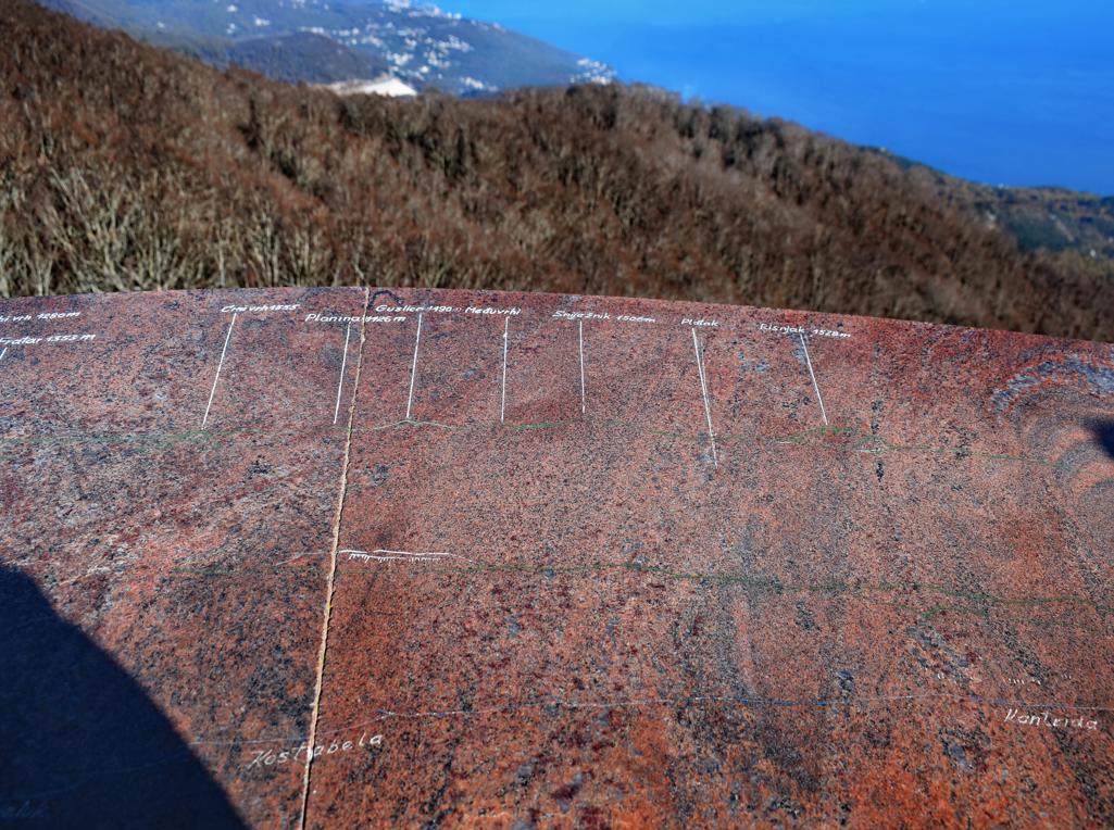
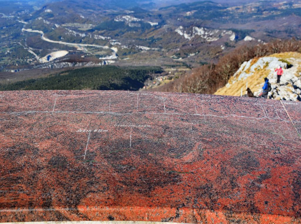
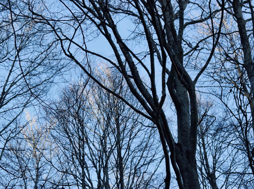
Name: Hiking trail from Poklon at an altitude of 925 meters to Vojak at an altitude of 1400 meters asl.
Place: Učka.
Coordinates:
Name: Hiking trail from Puntera to the bay Blaž.
Place: Puntera – (Barban).
Coordinates: Puntera 45.05228 N – 14.02312 E, Bay Blaž 45.00070 N – 14.03843 E.
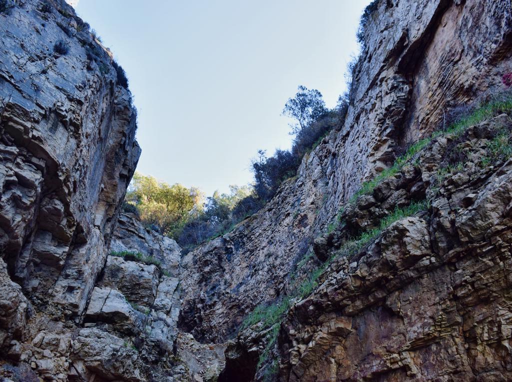
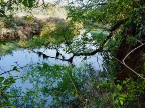
Name: Hiking trail Skarline canyon – stream Lavre – Rocco Sentiero.
Place: Bertonigla
Coordinates: start/finish 45.37828 N – 13.62926 E, Skarlinski park 45.37507 N – 13.65217 E, Canyon 45.37484 N – 13.65284 E, path to Baredine Donje 45. 36623 N – 13.66395 E, back to startpoint 45.37445 N – 3.65824 E.