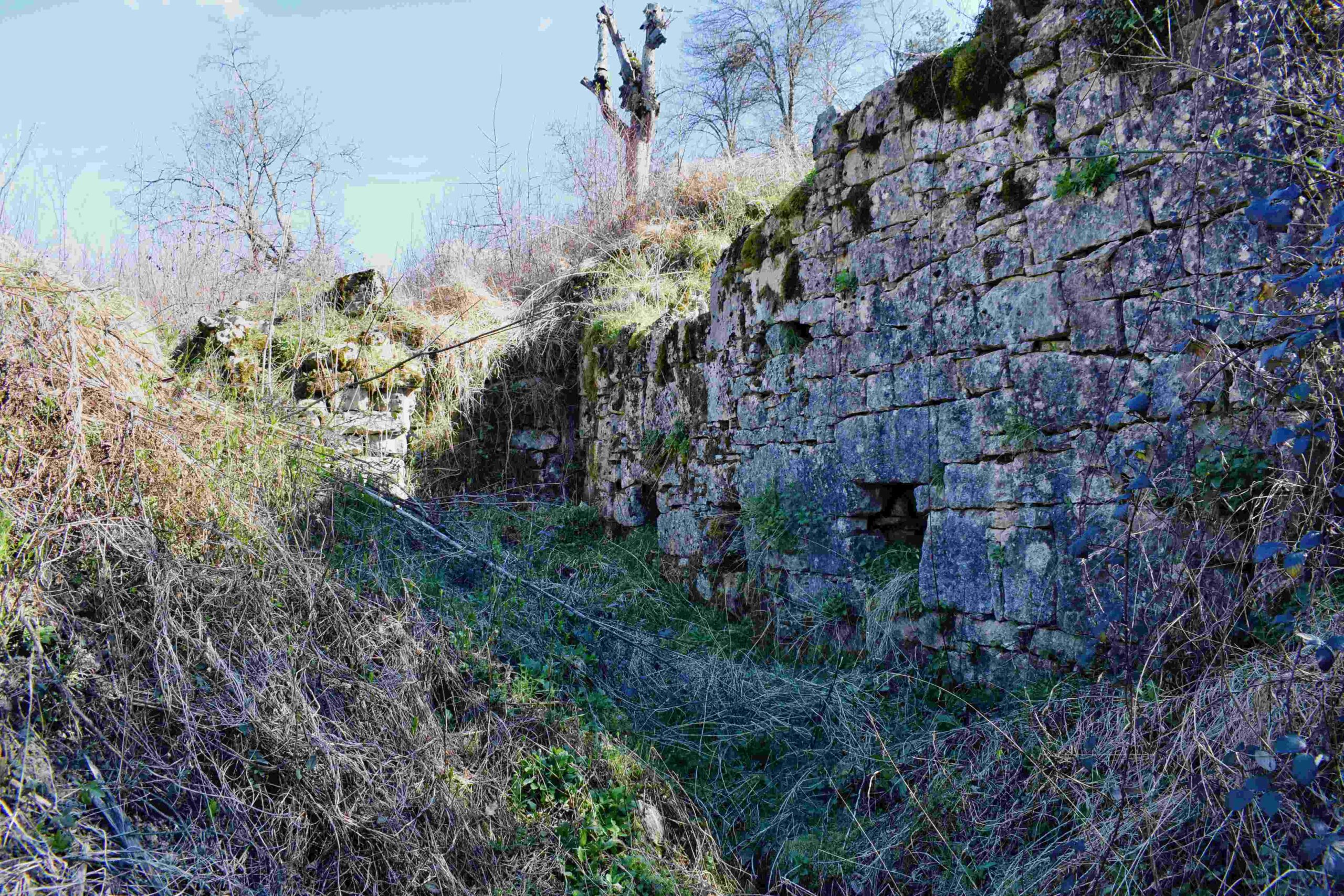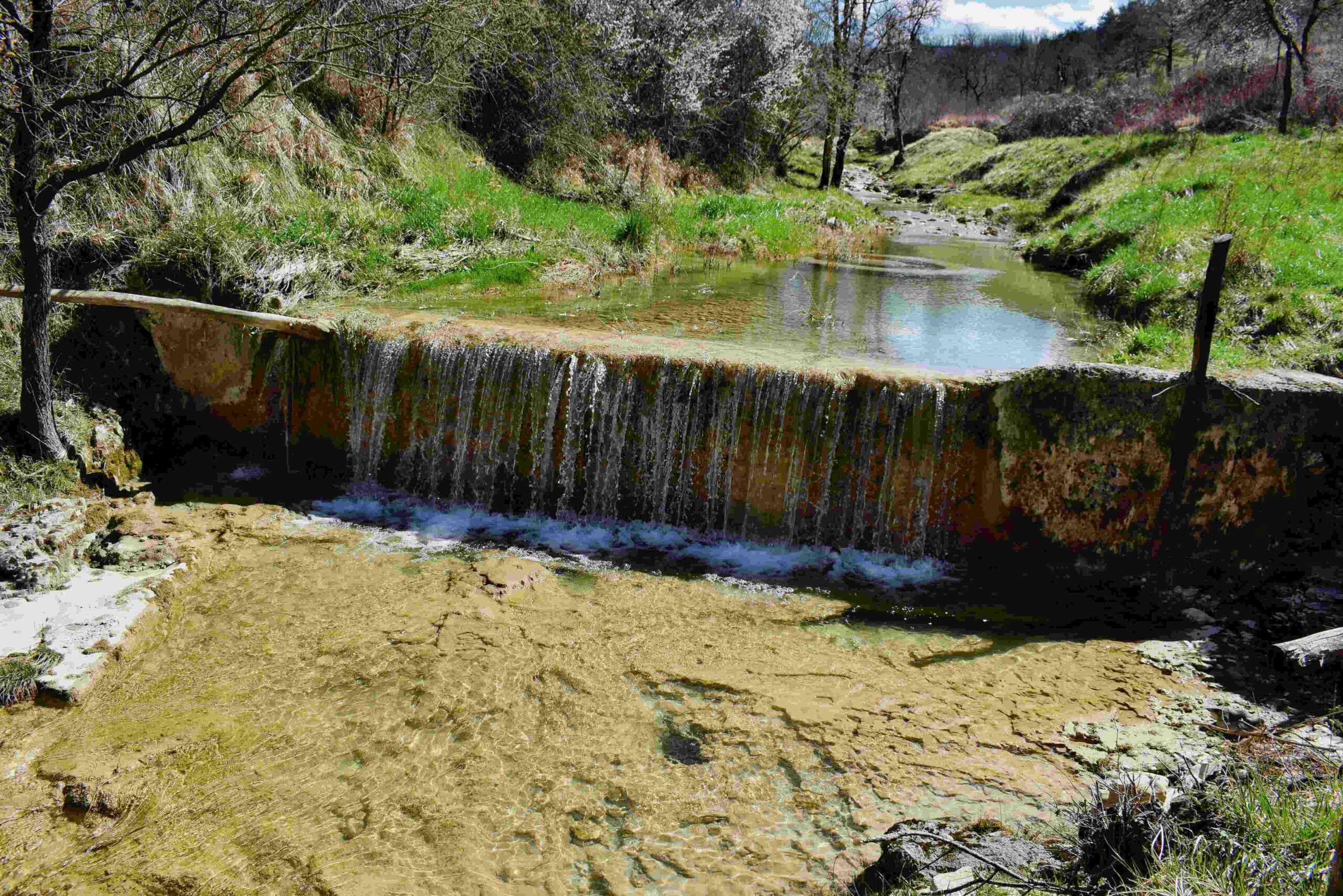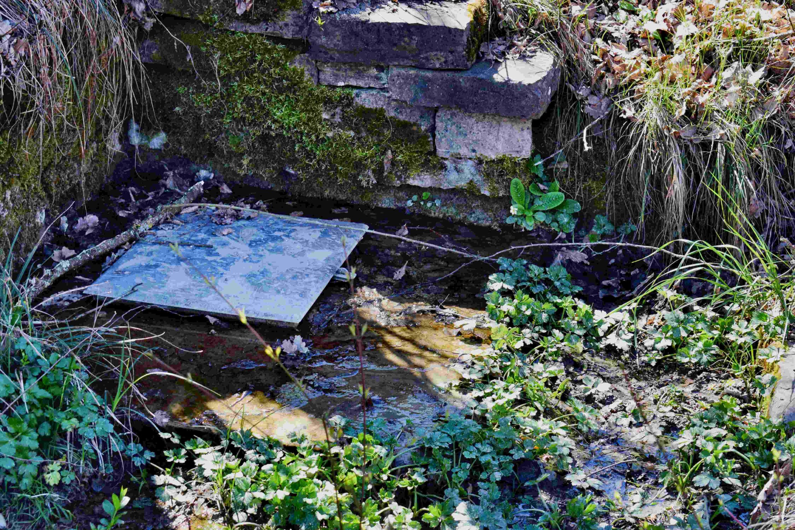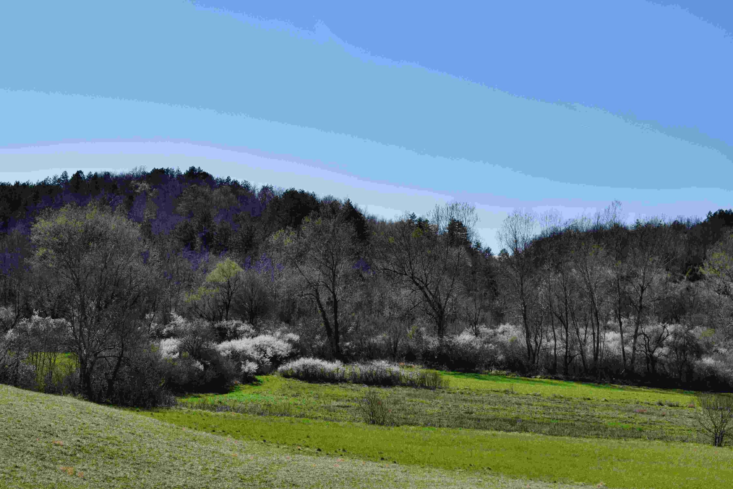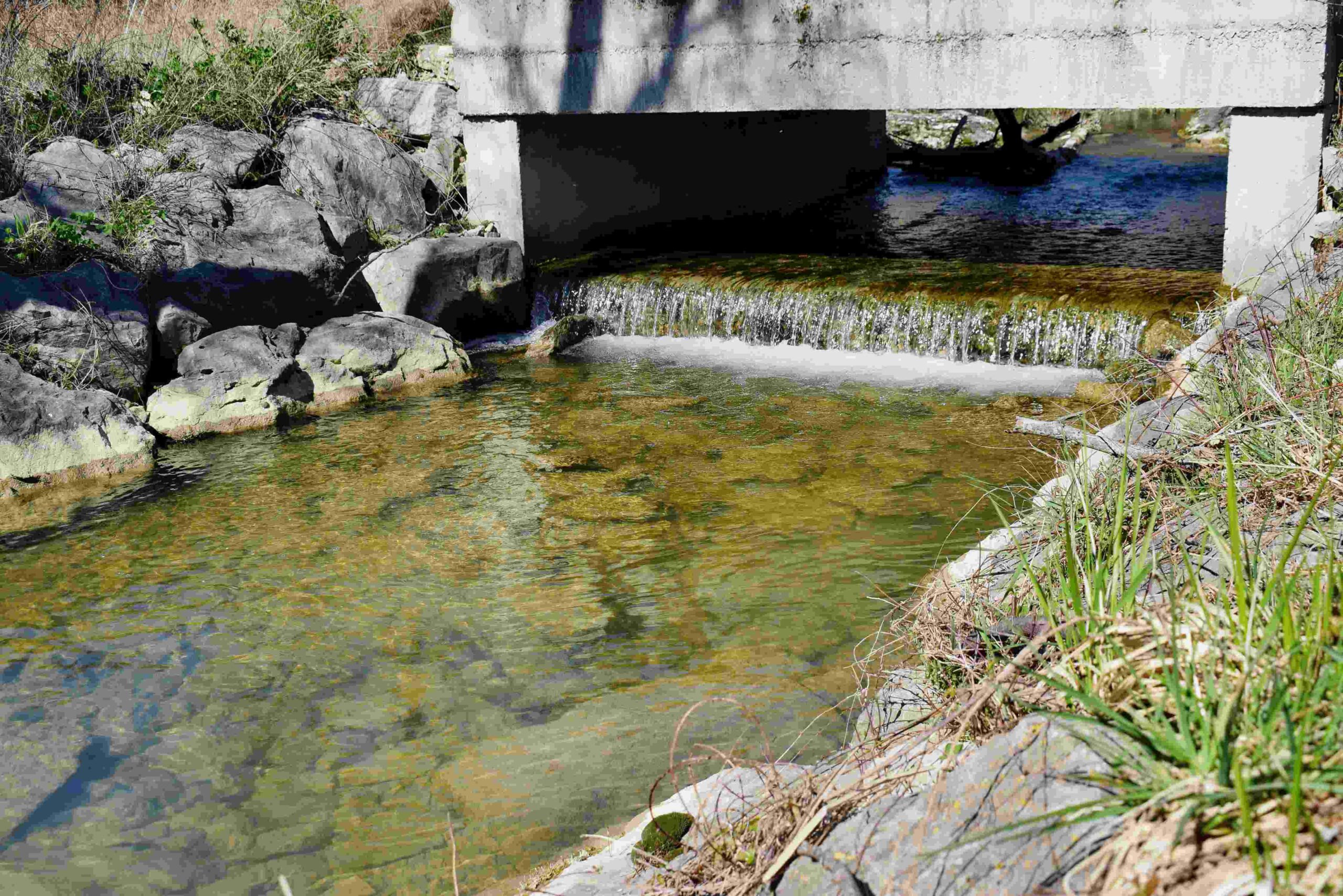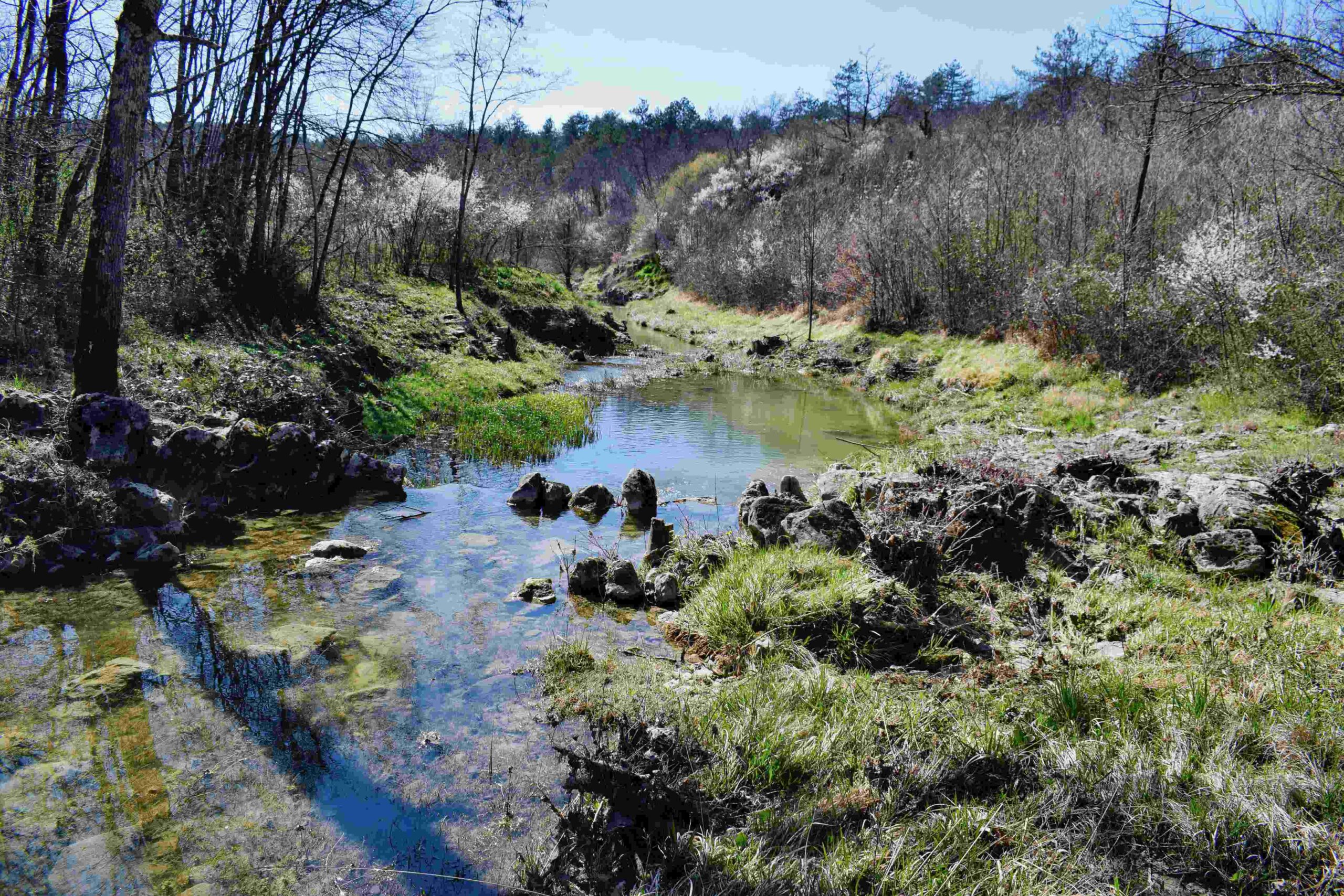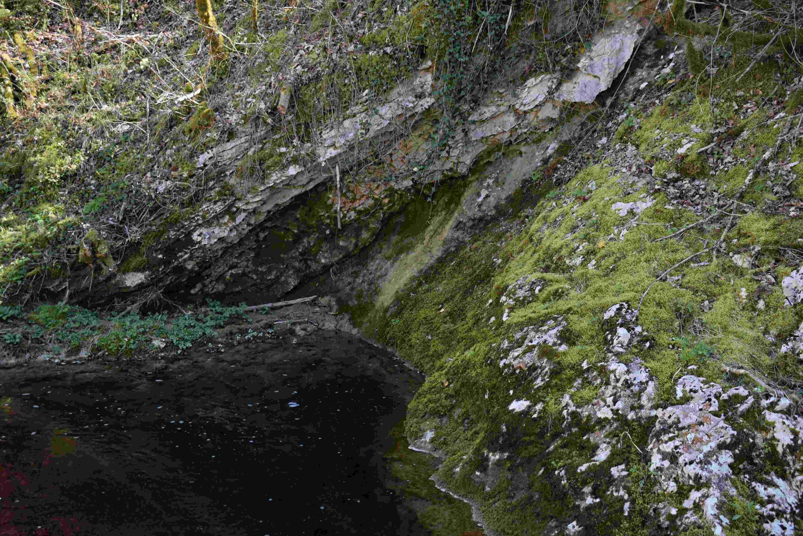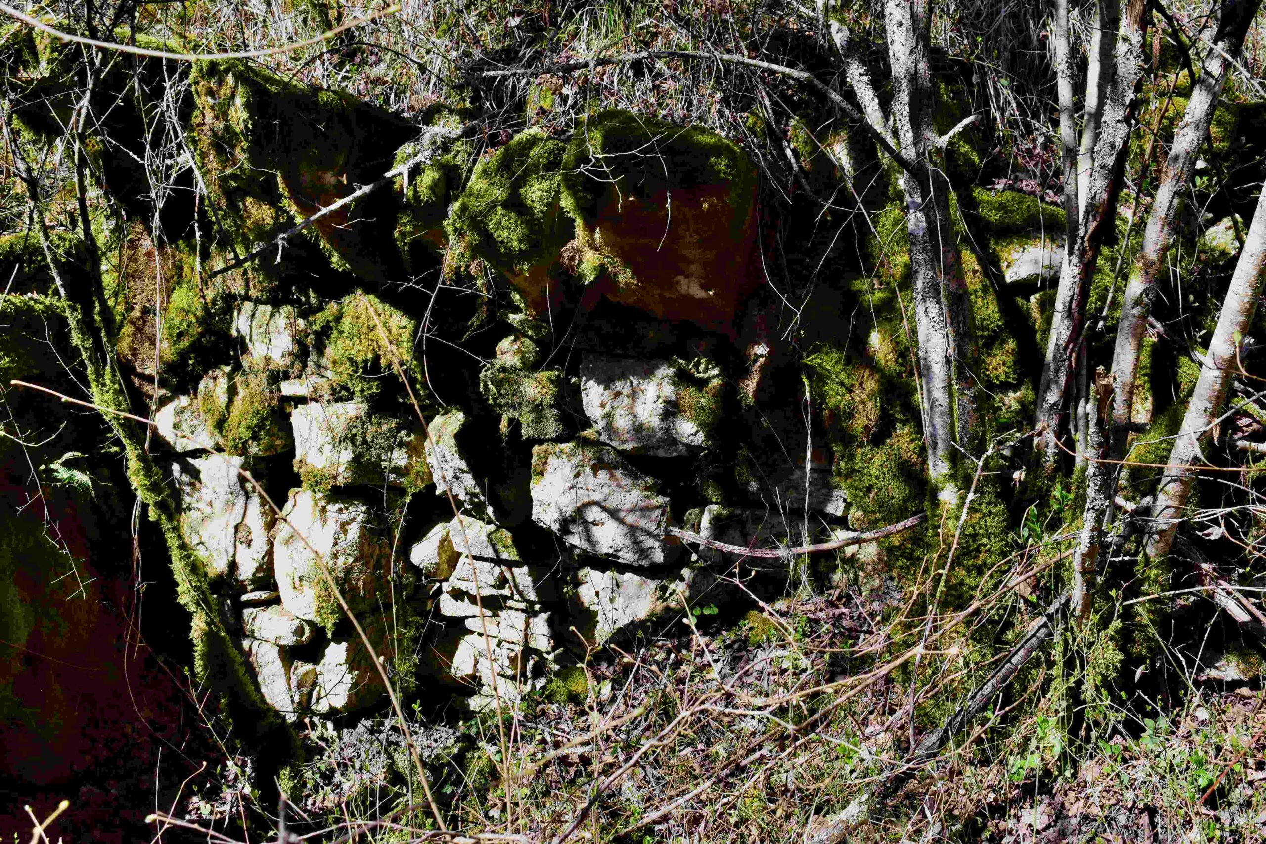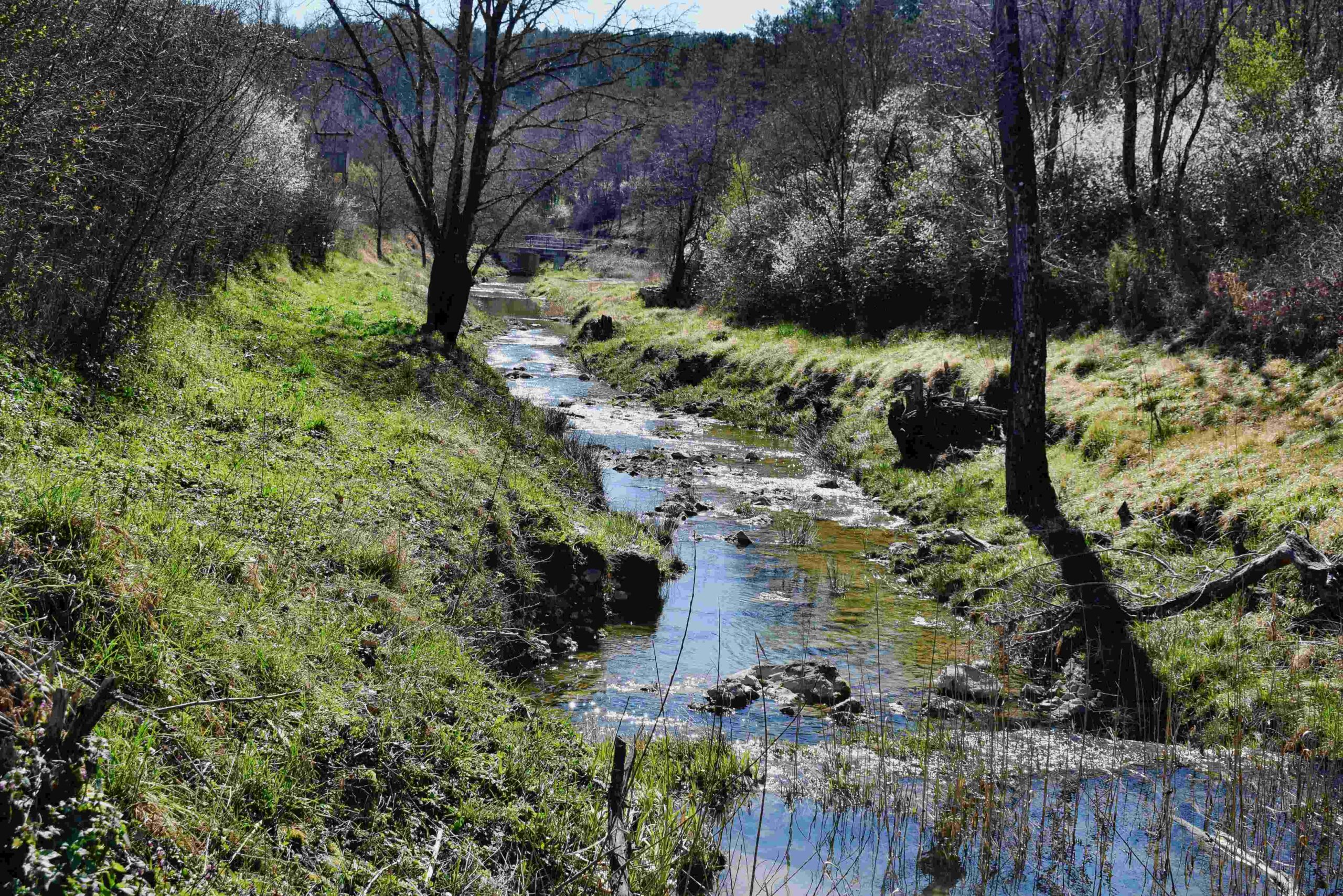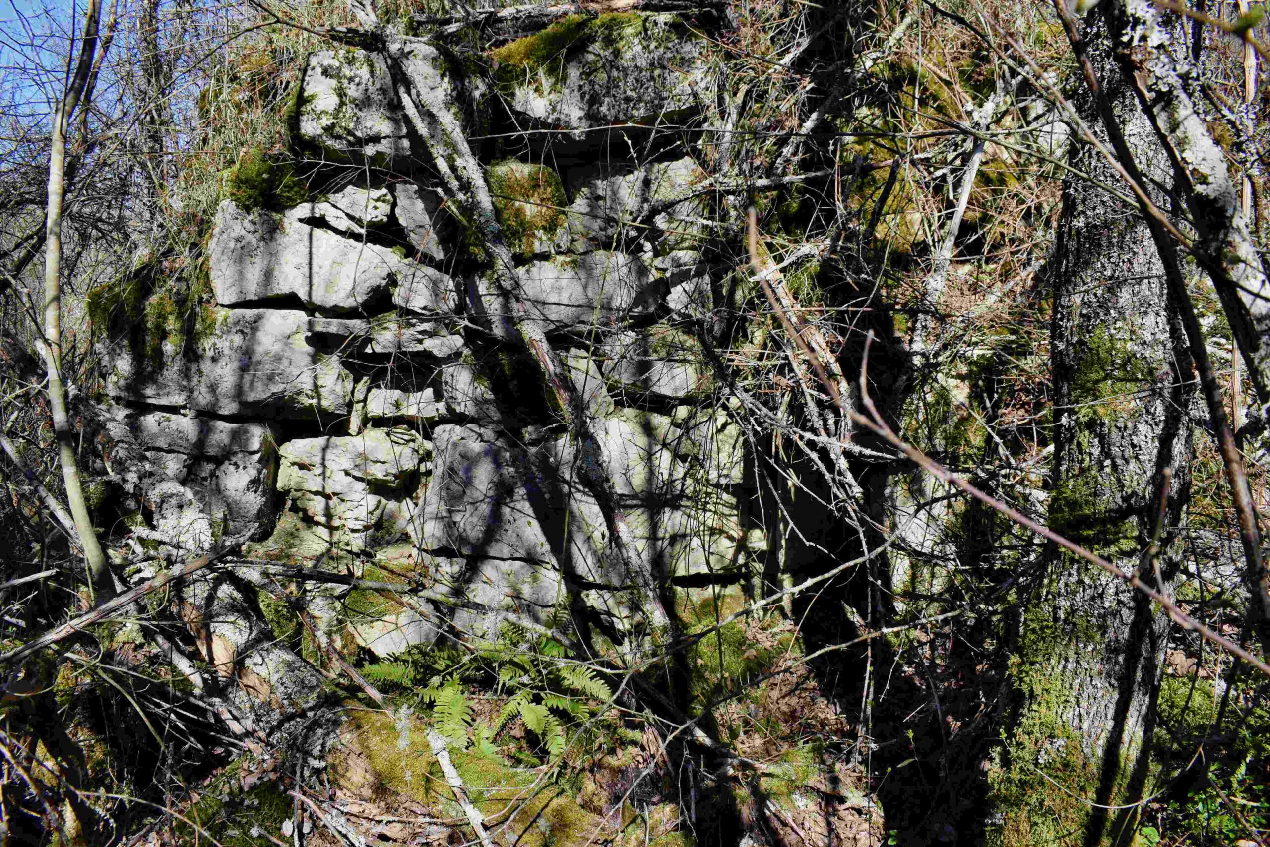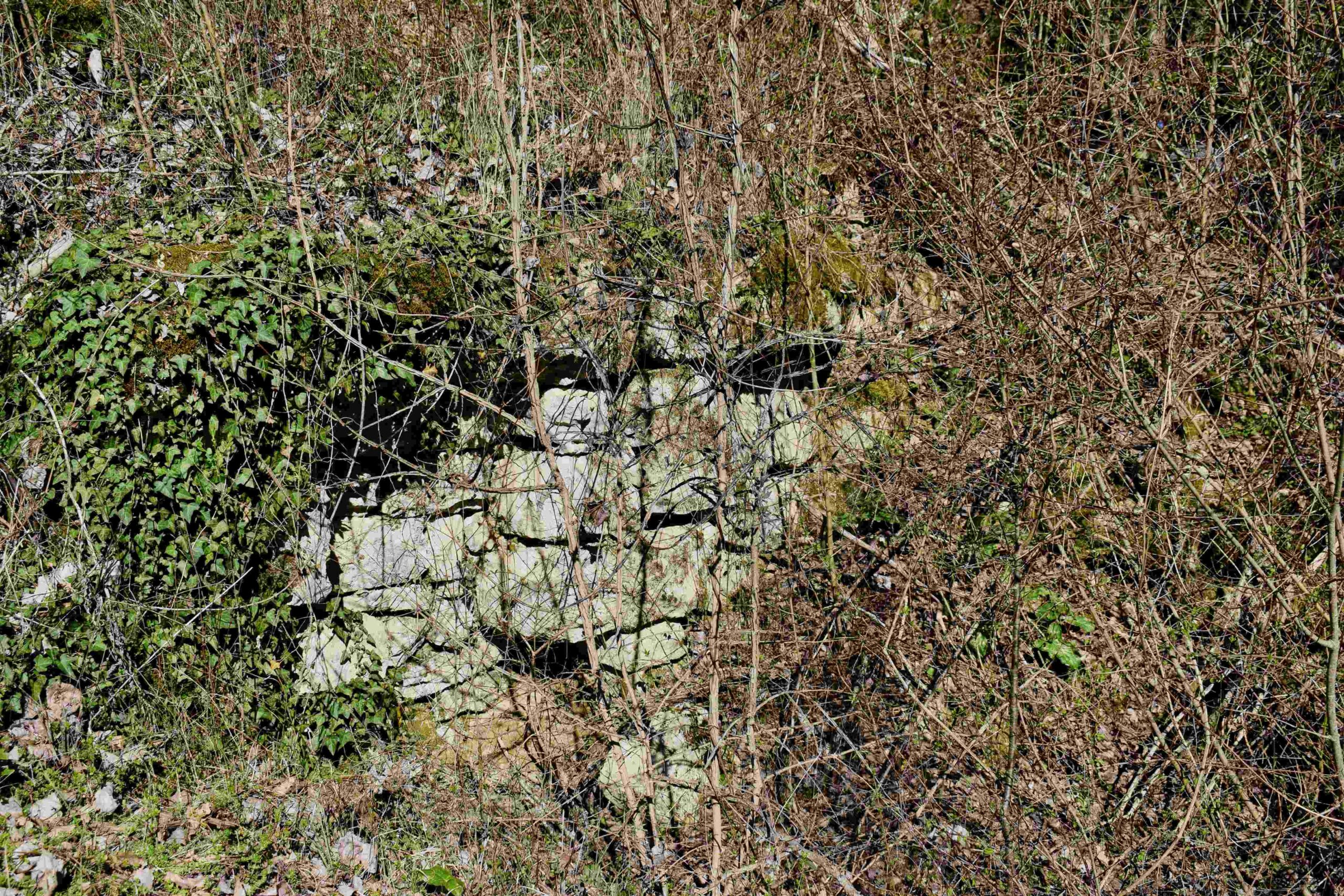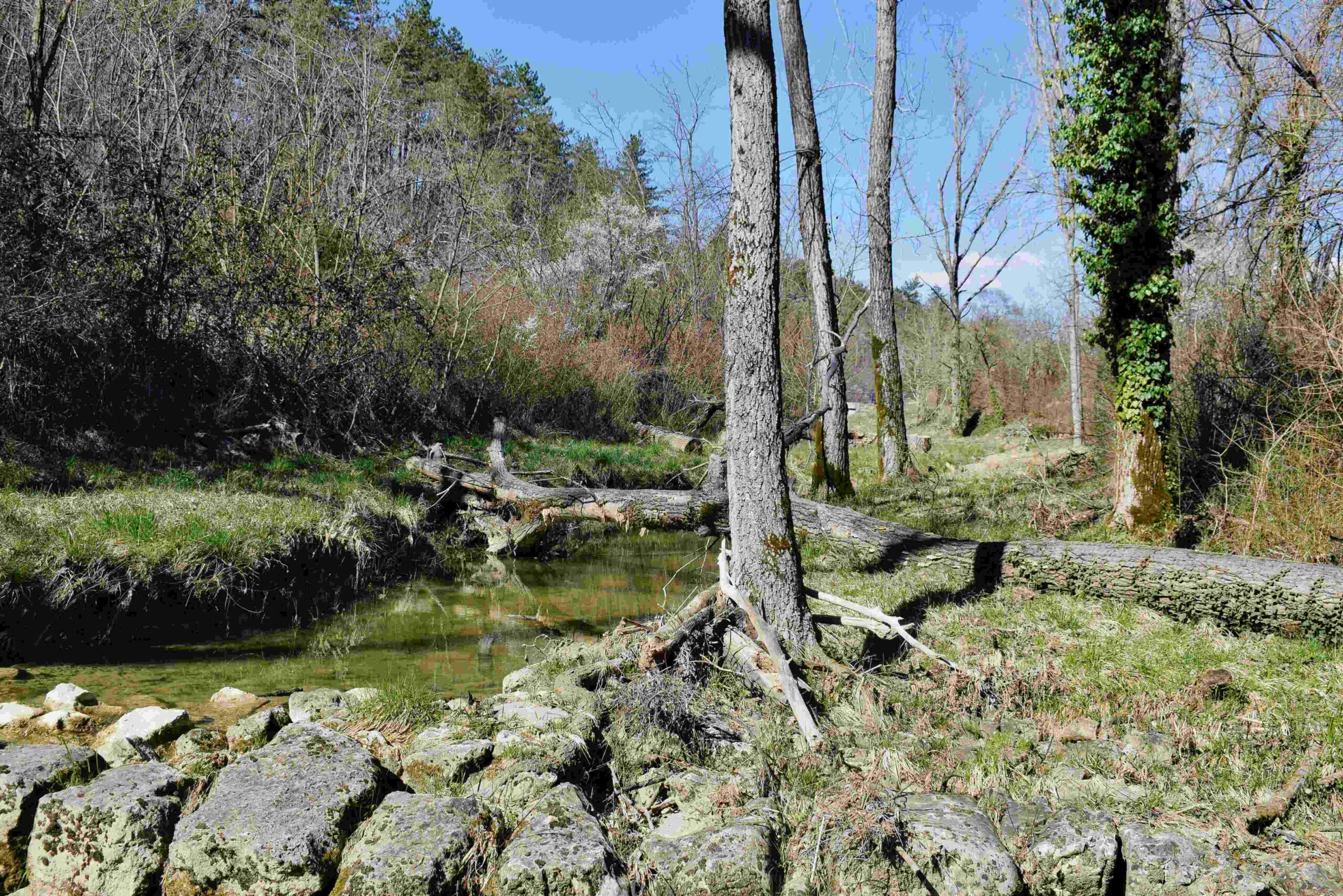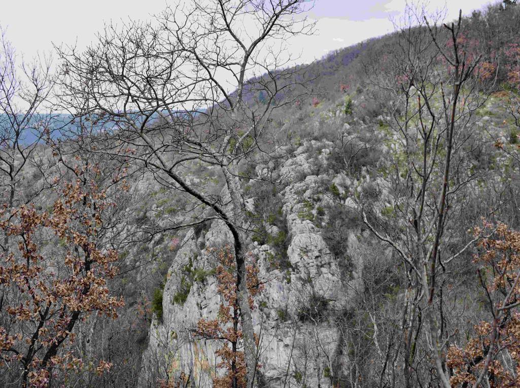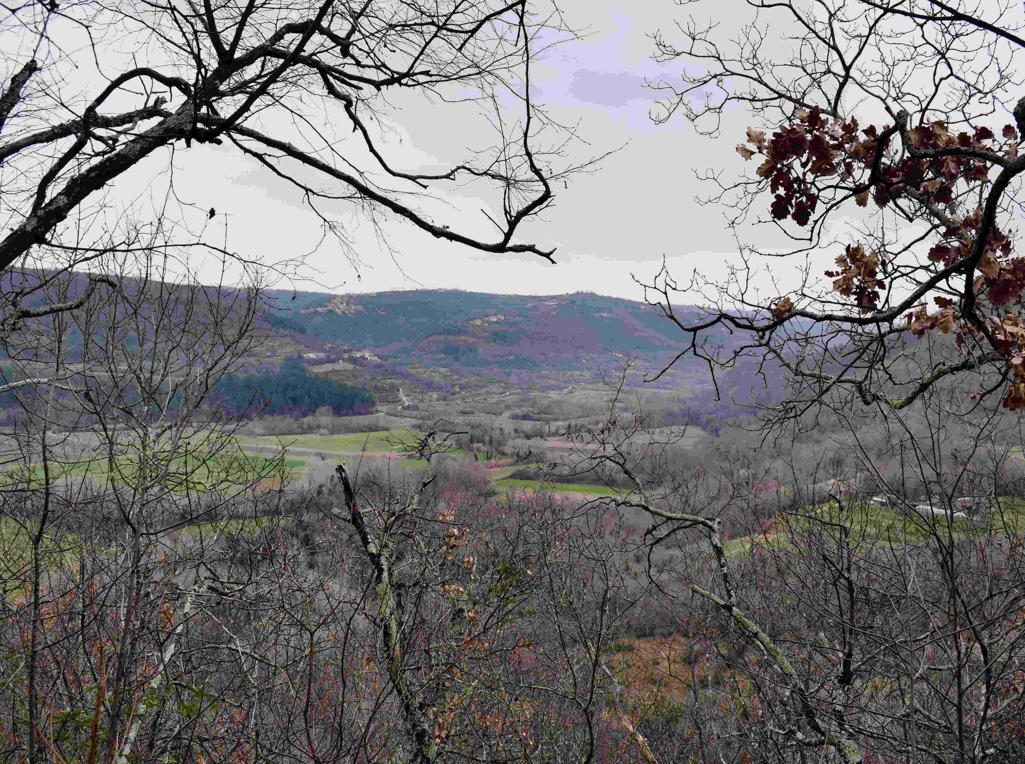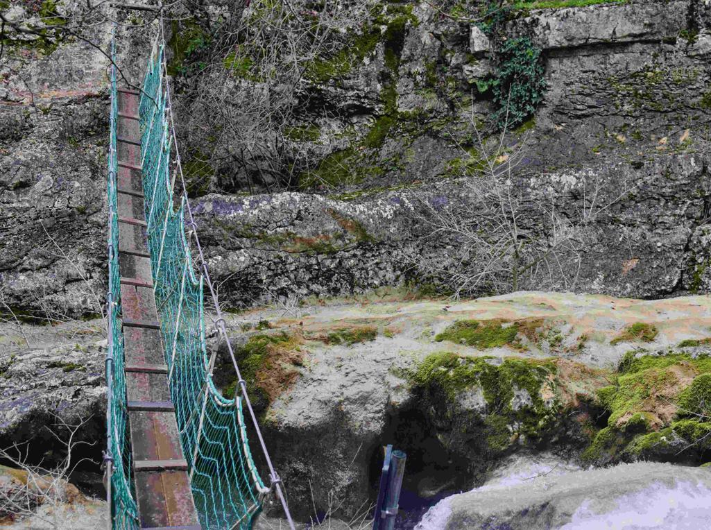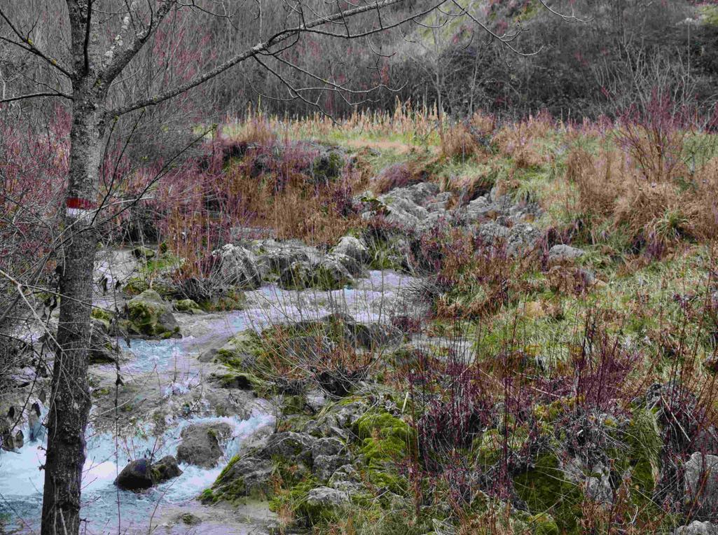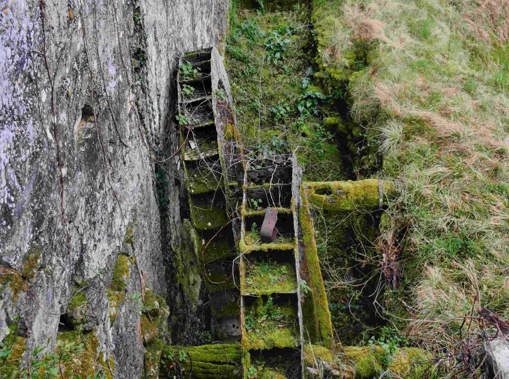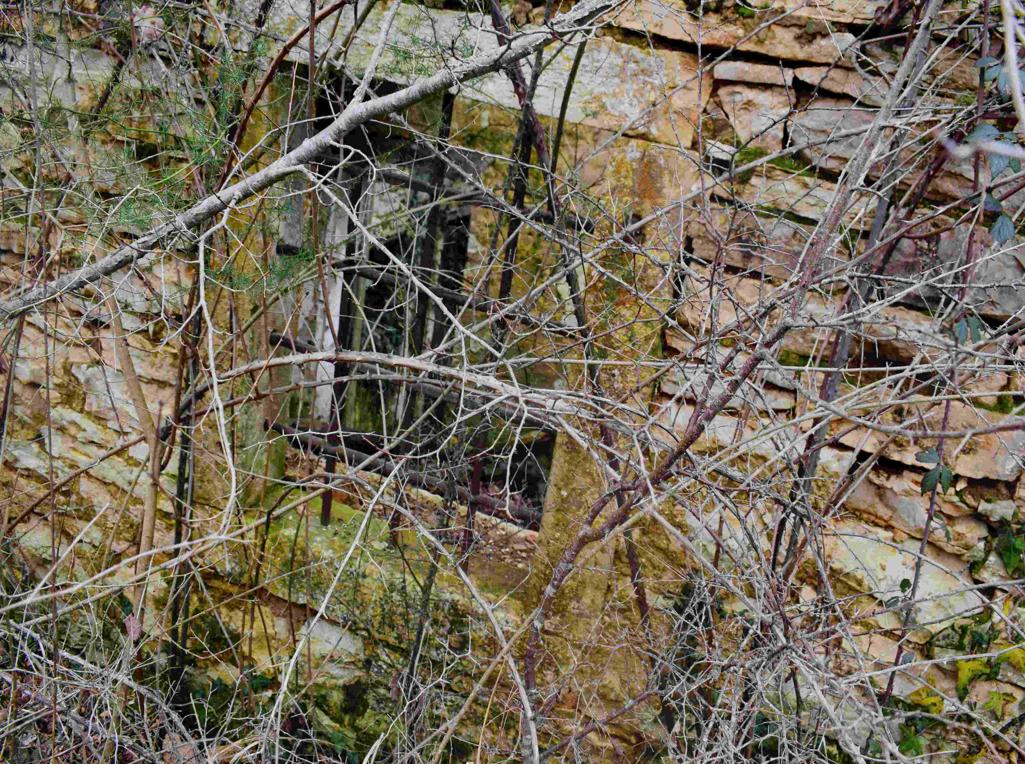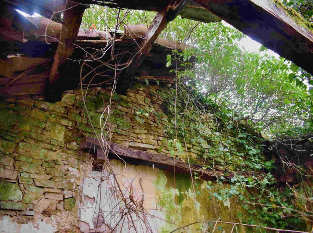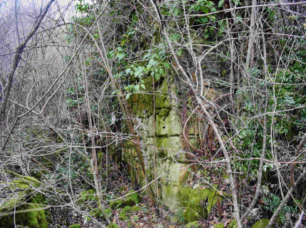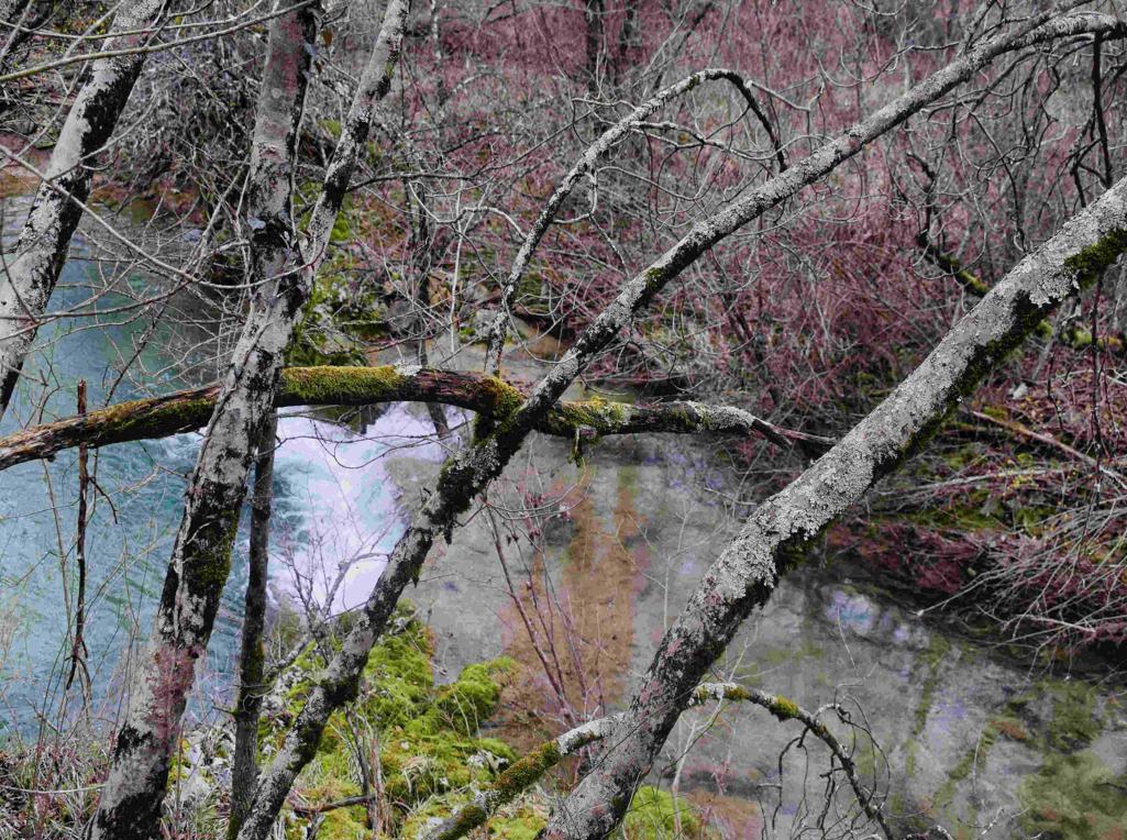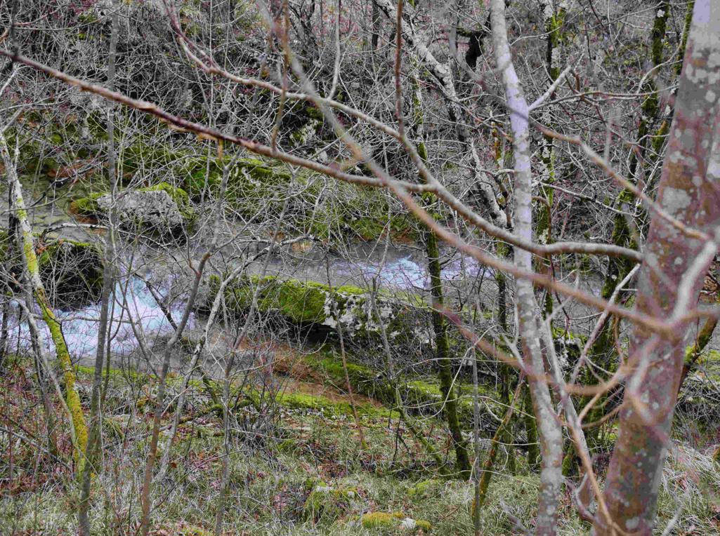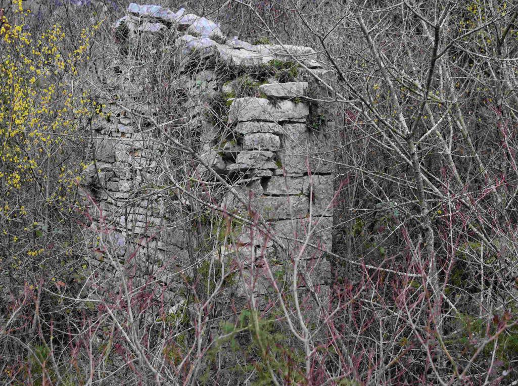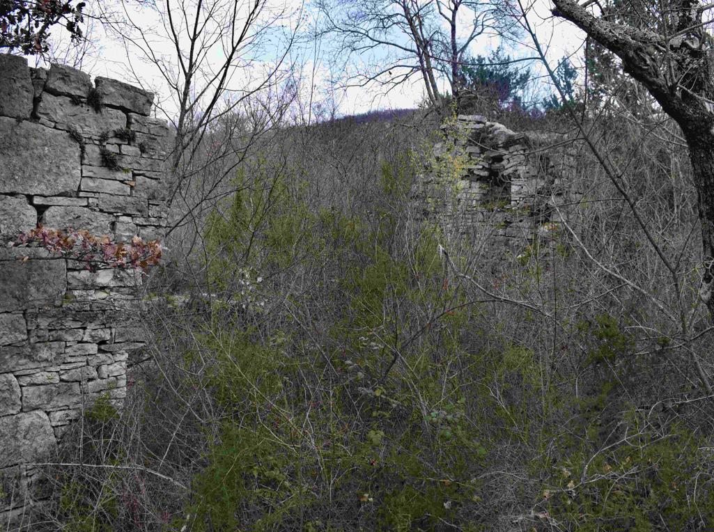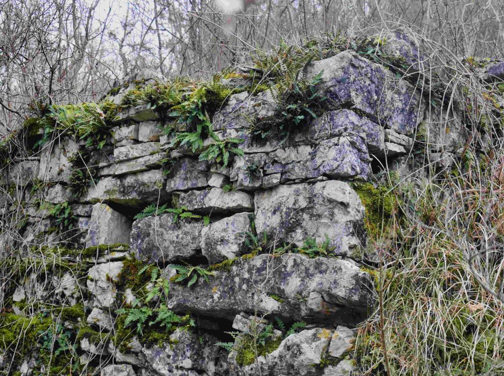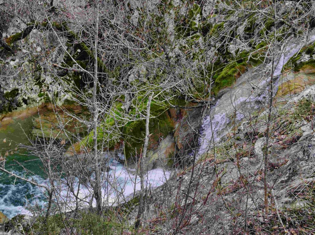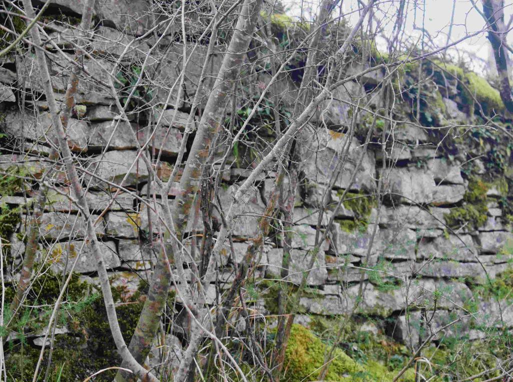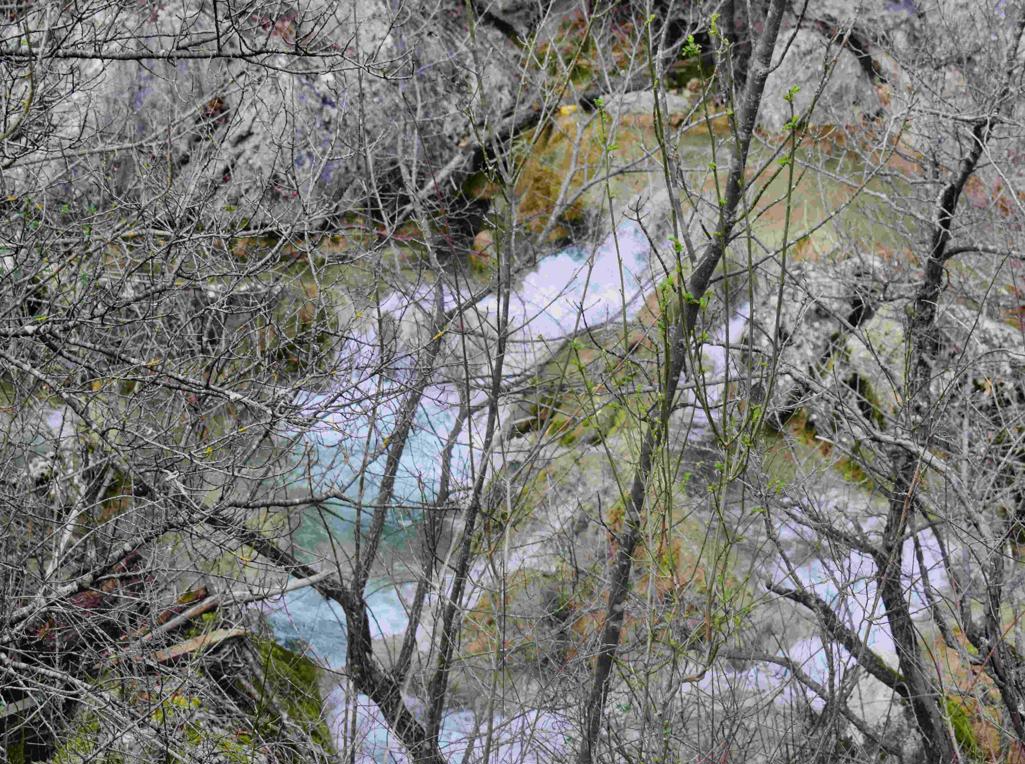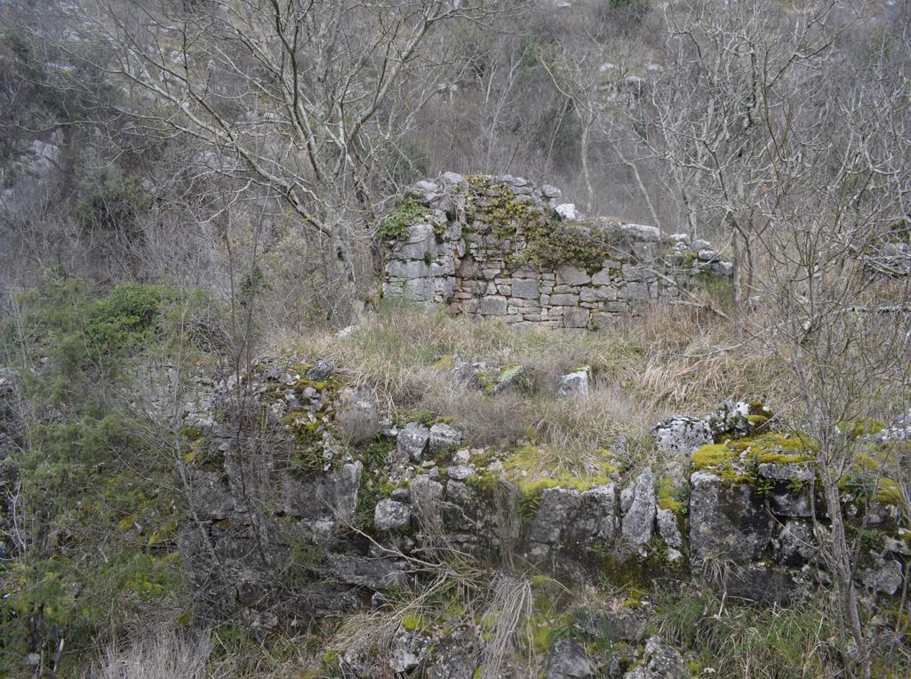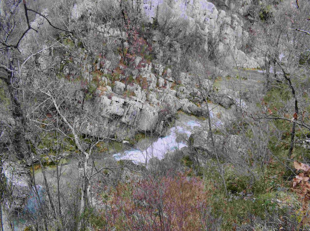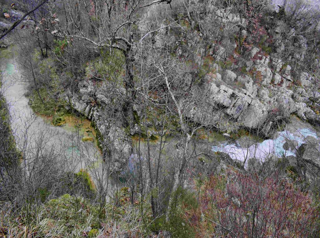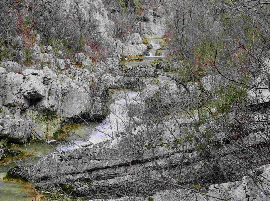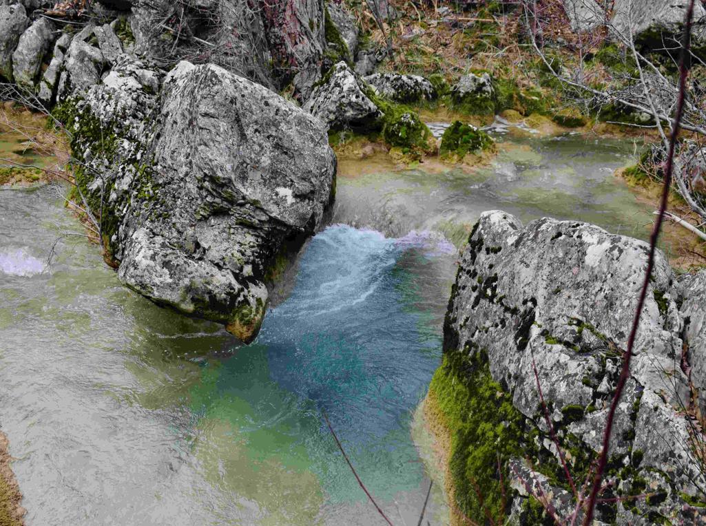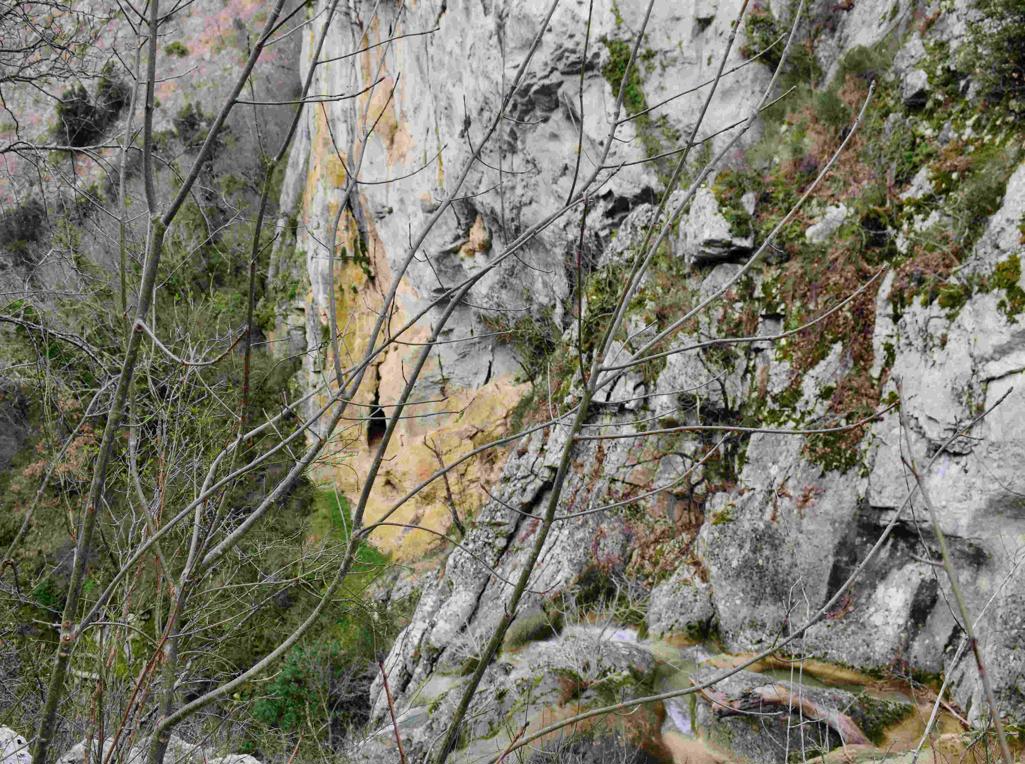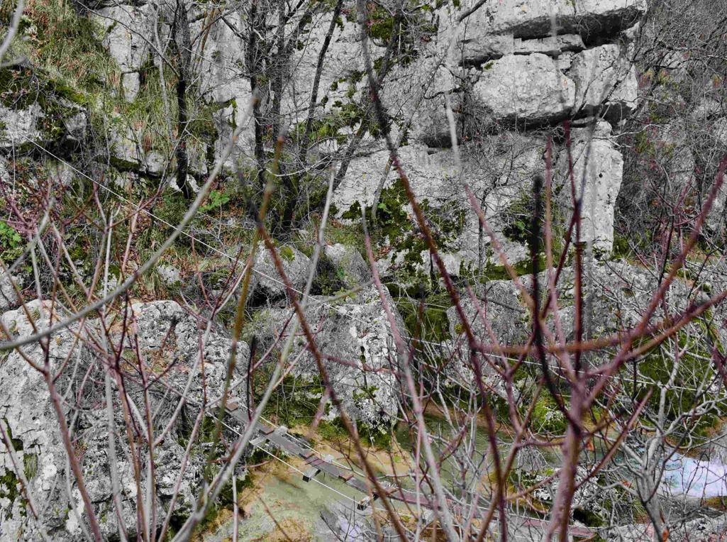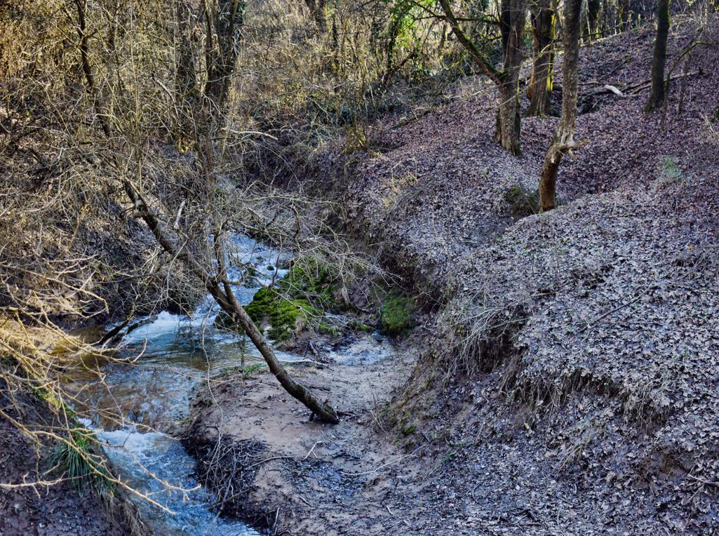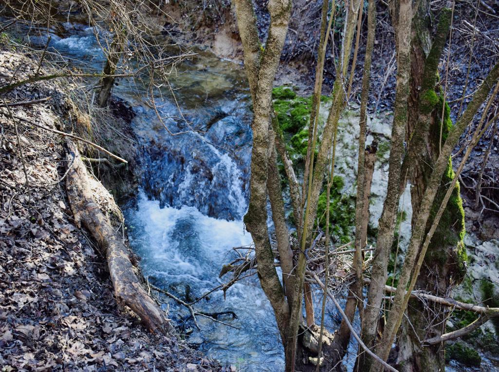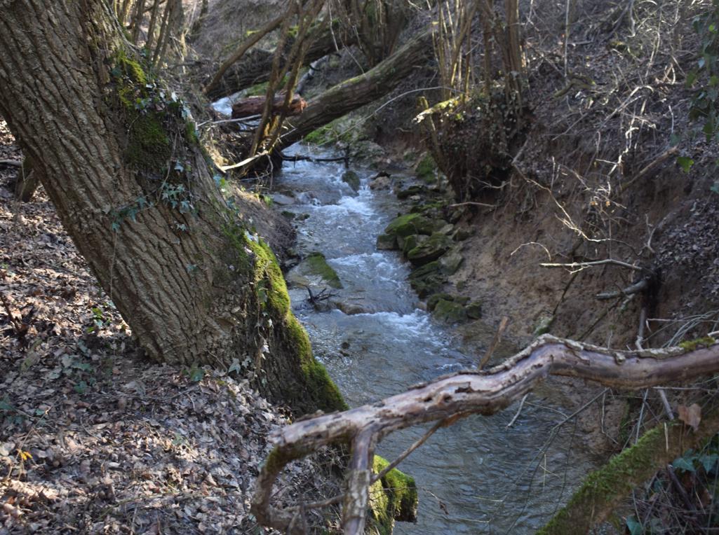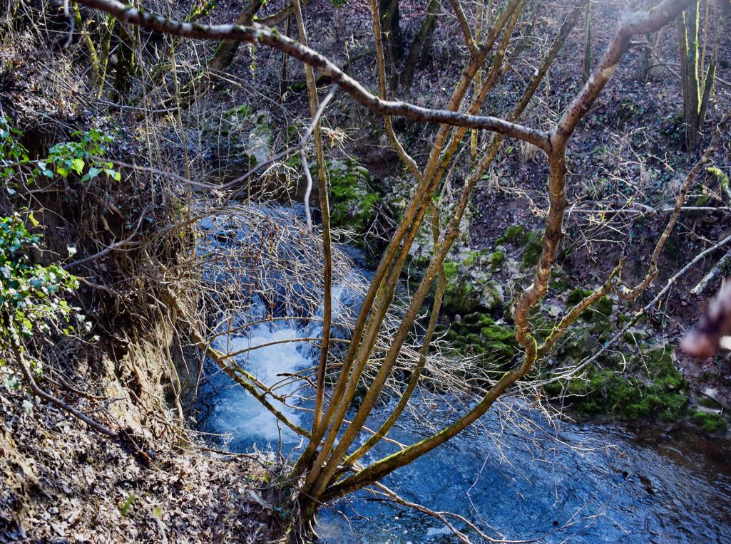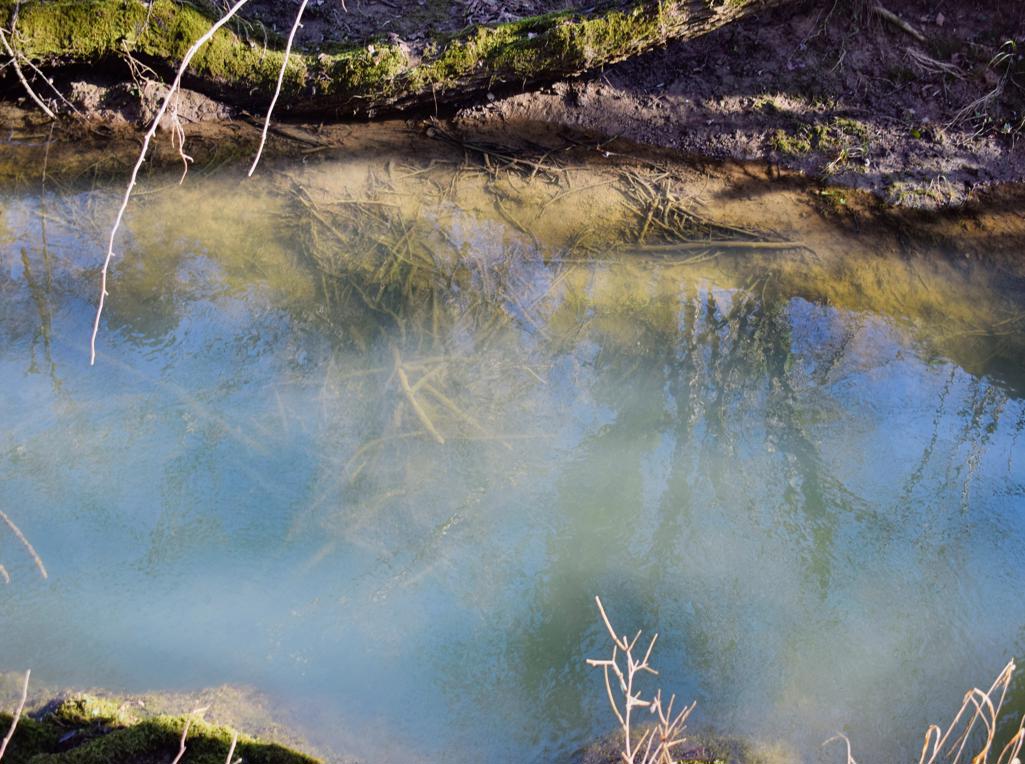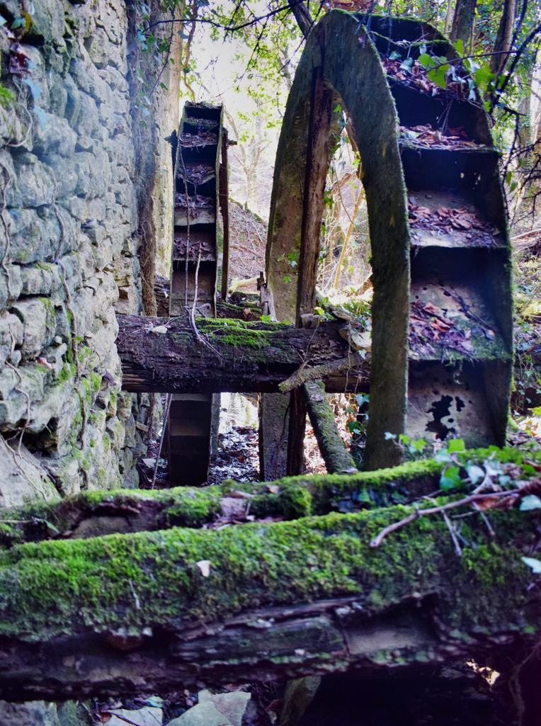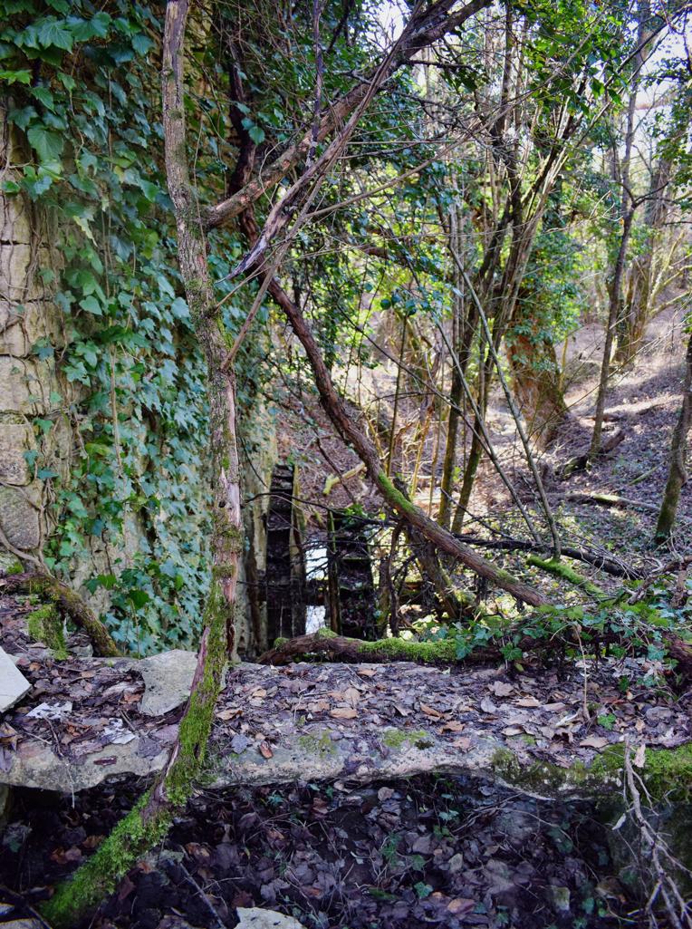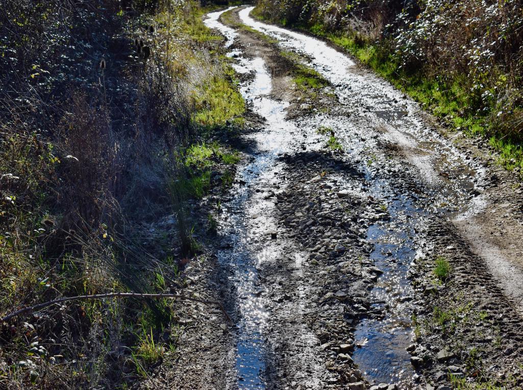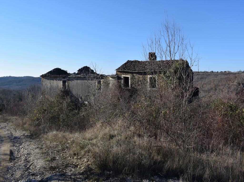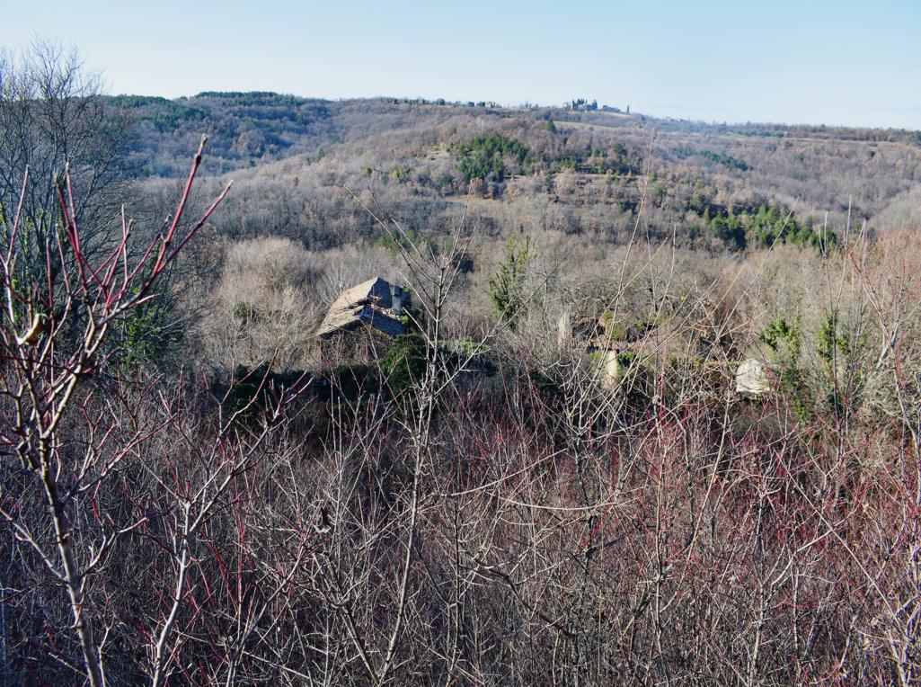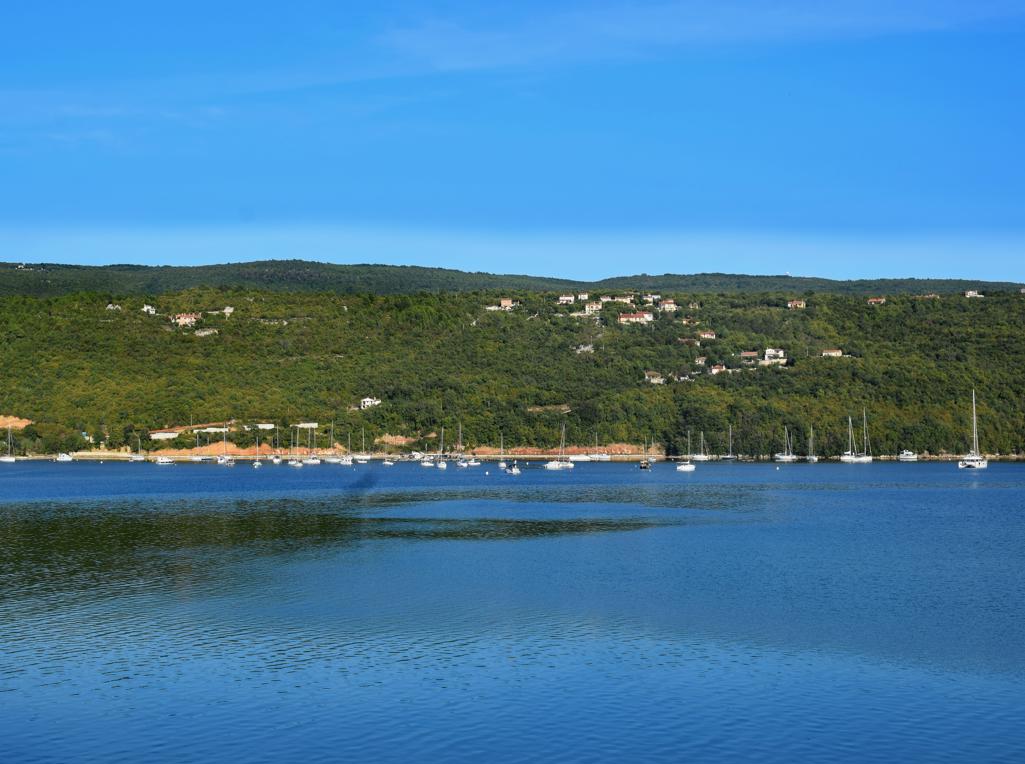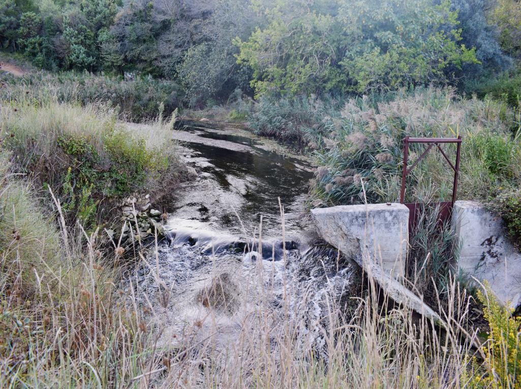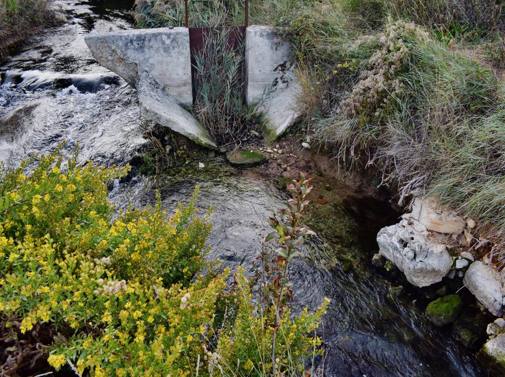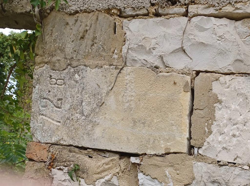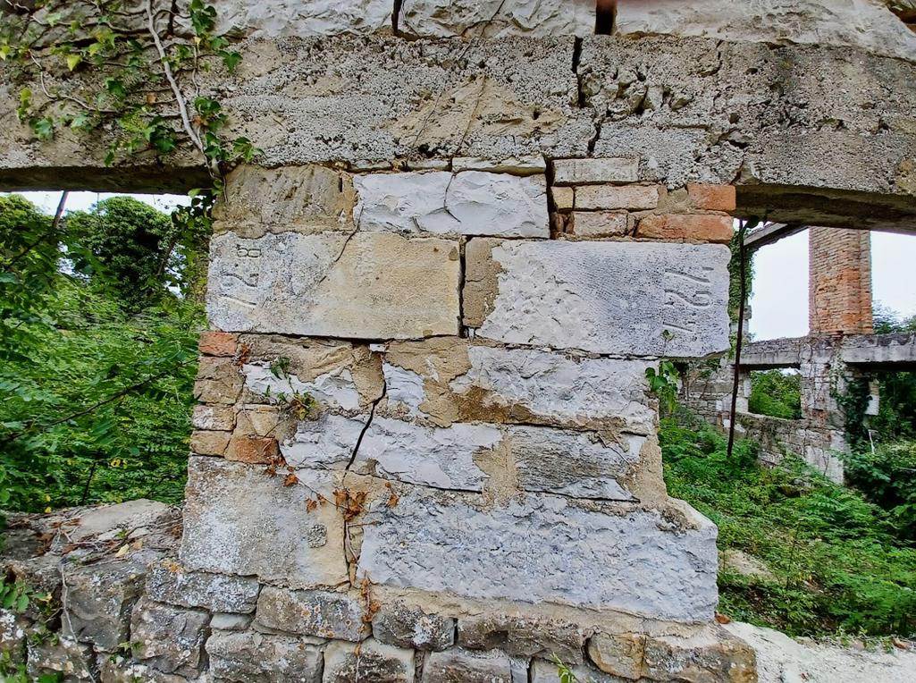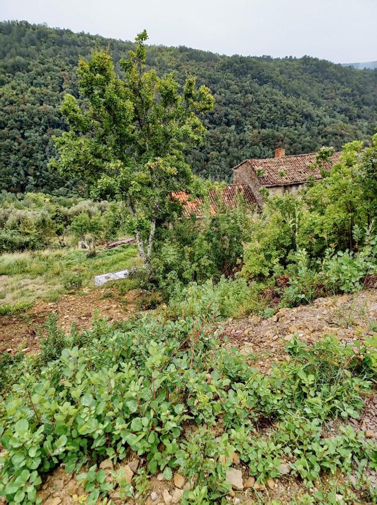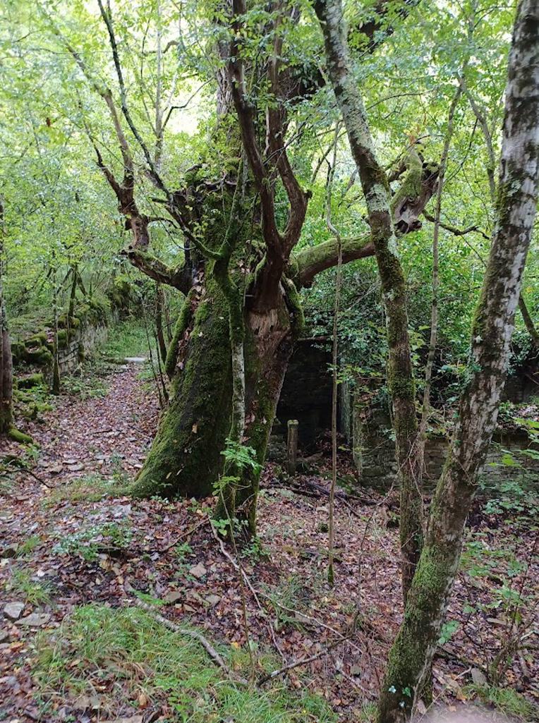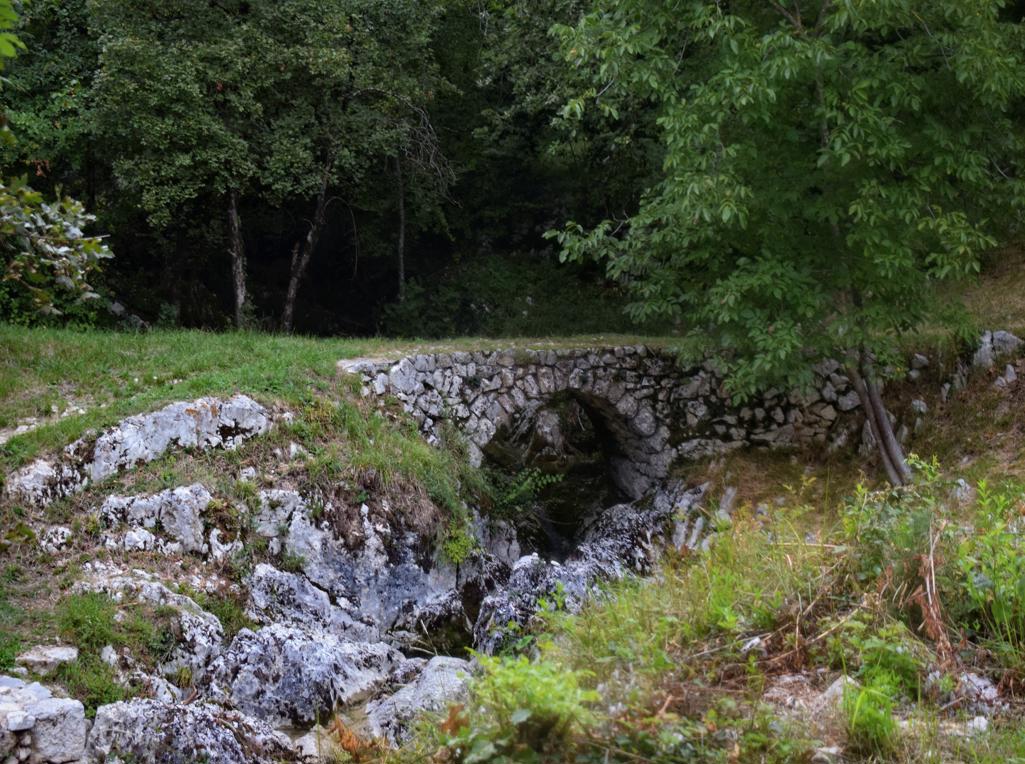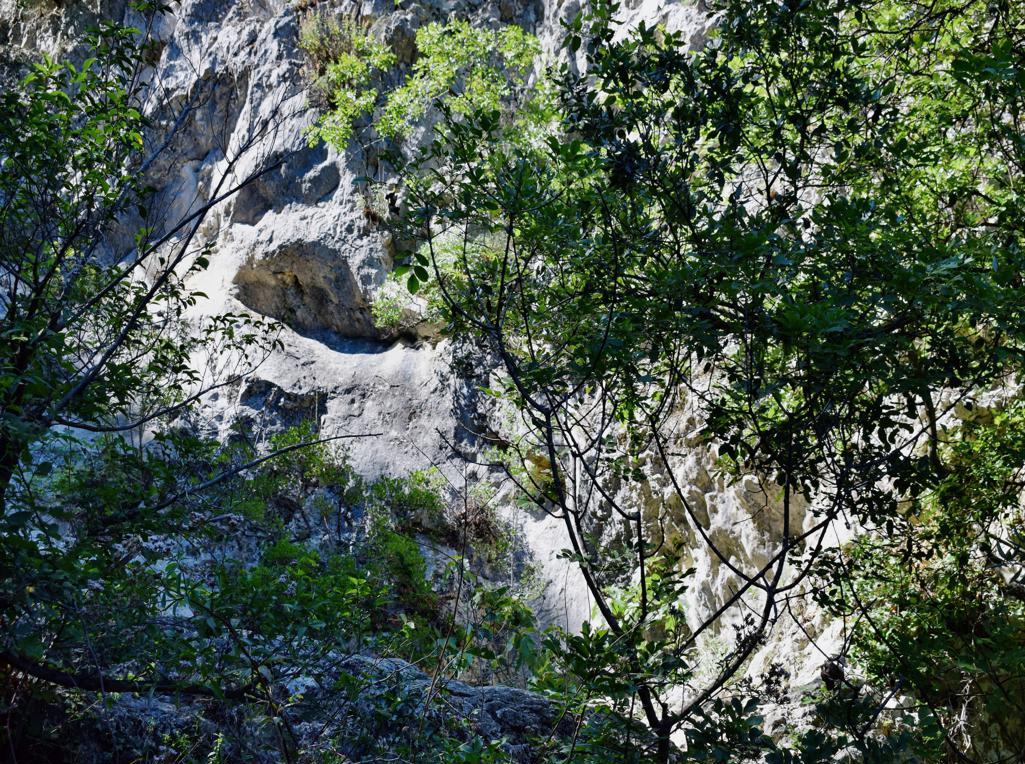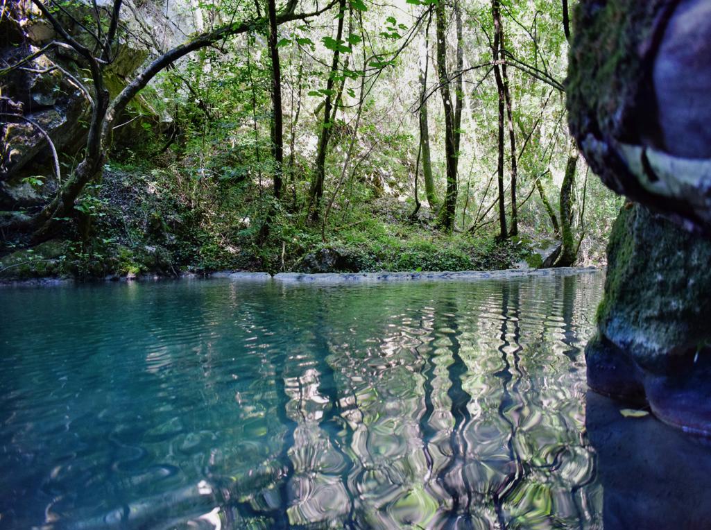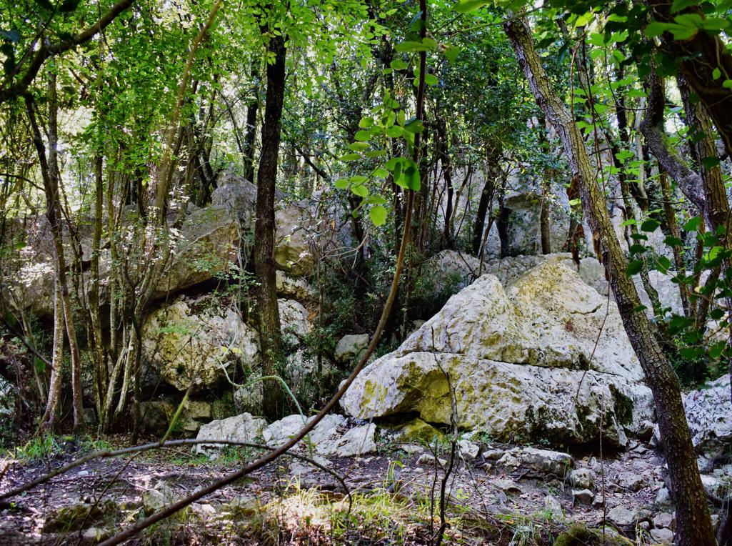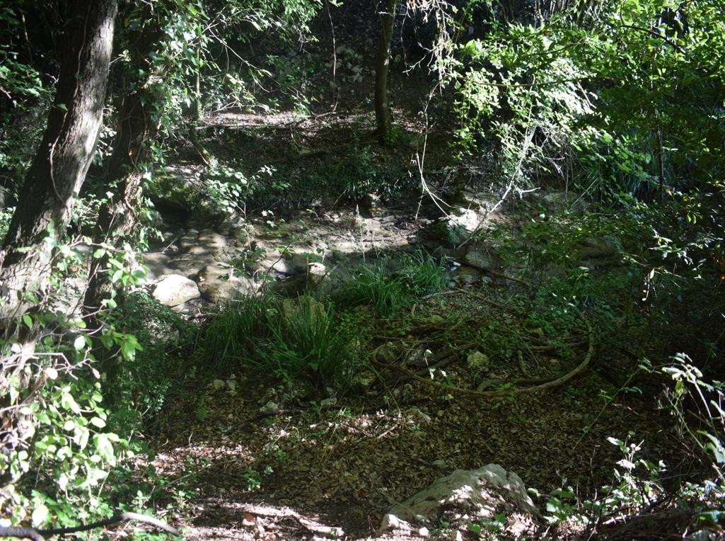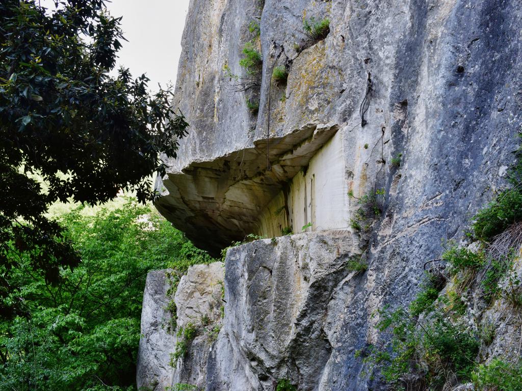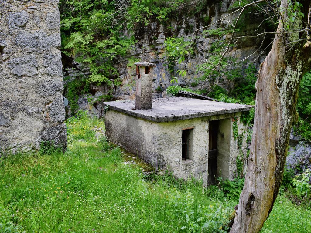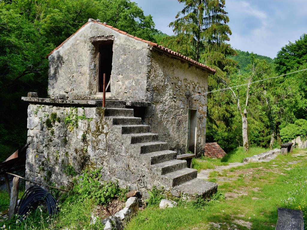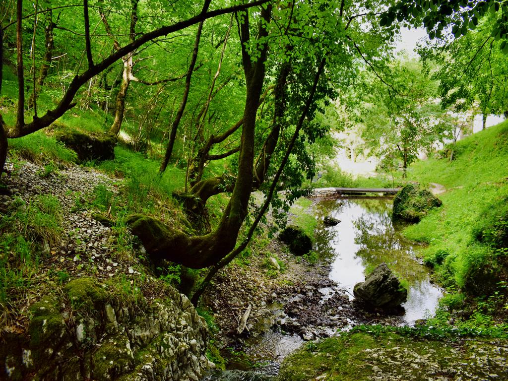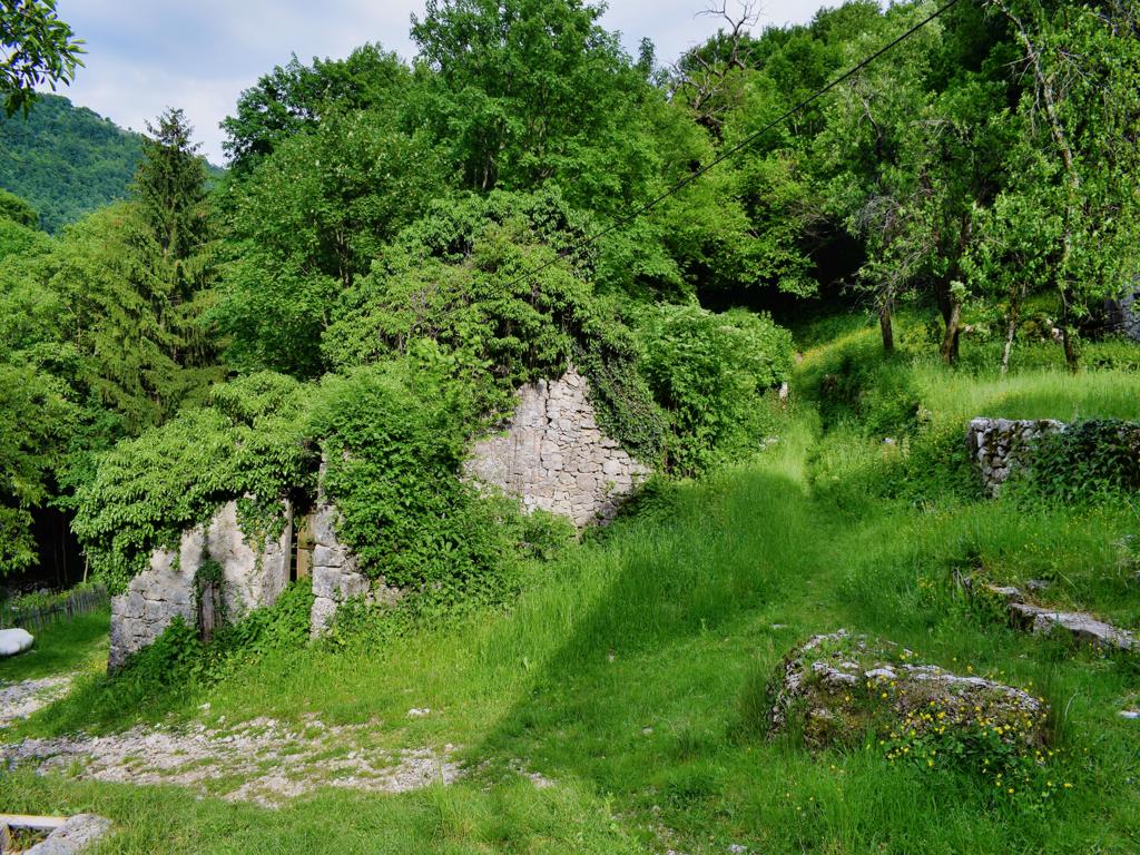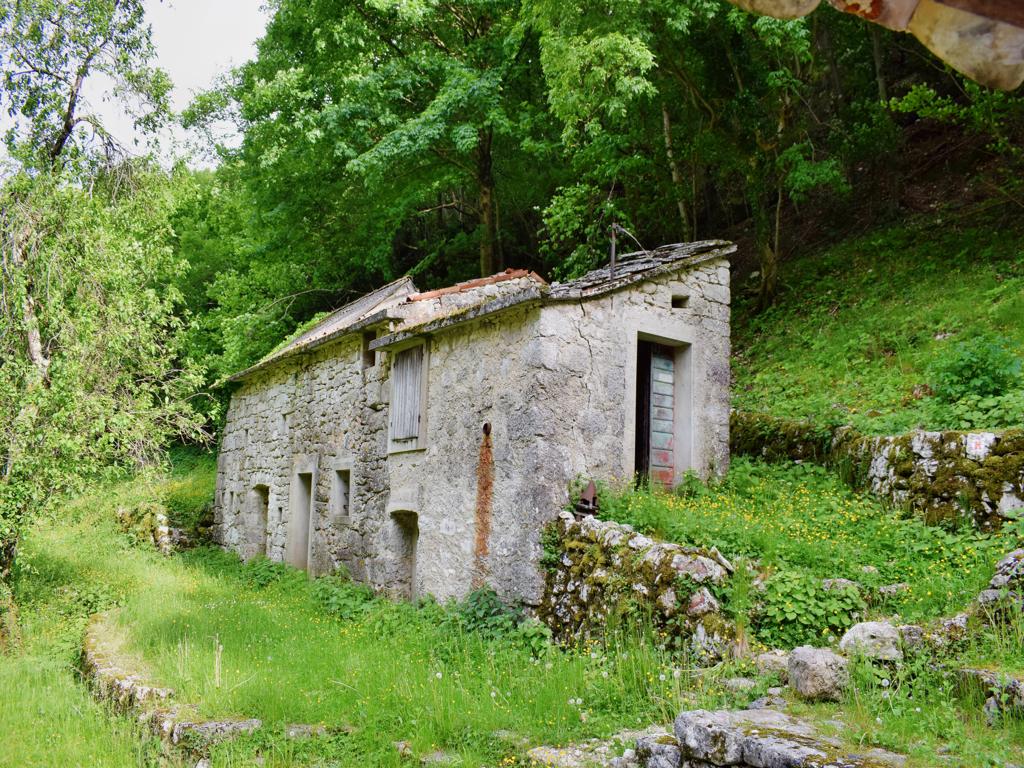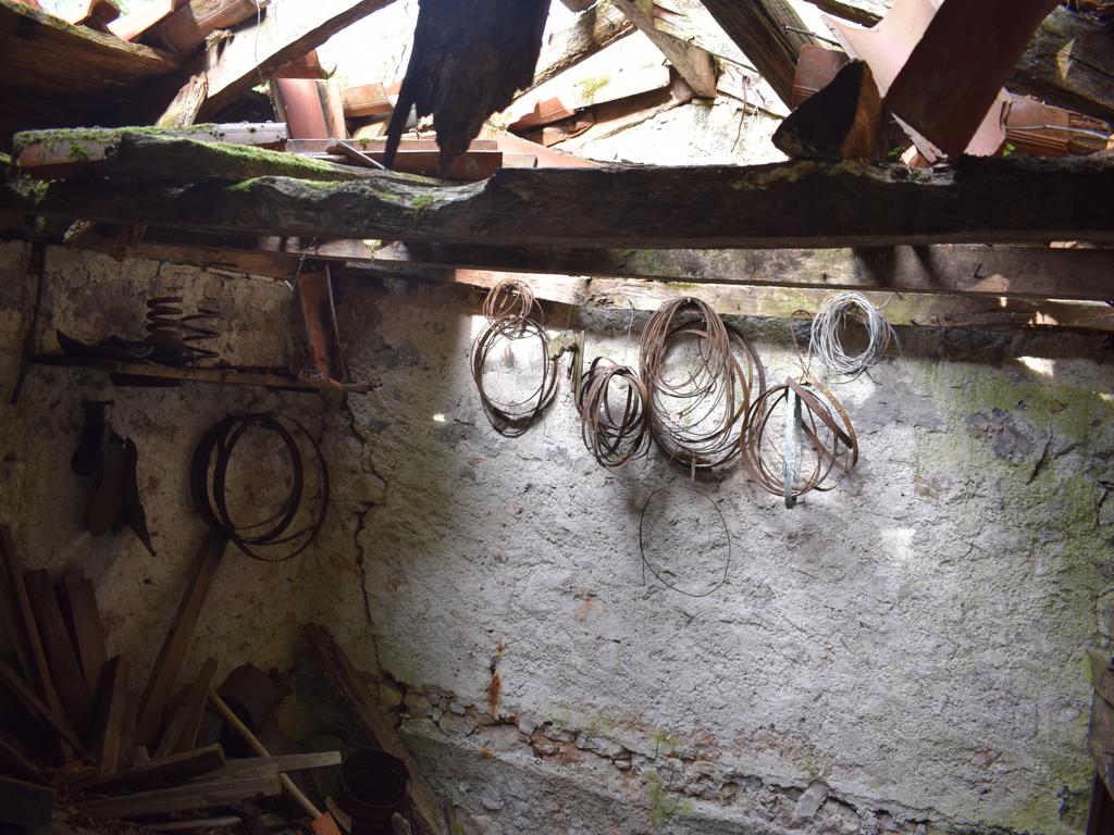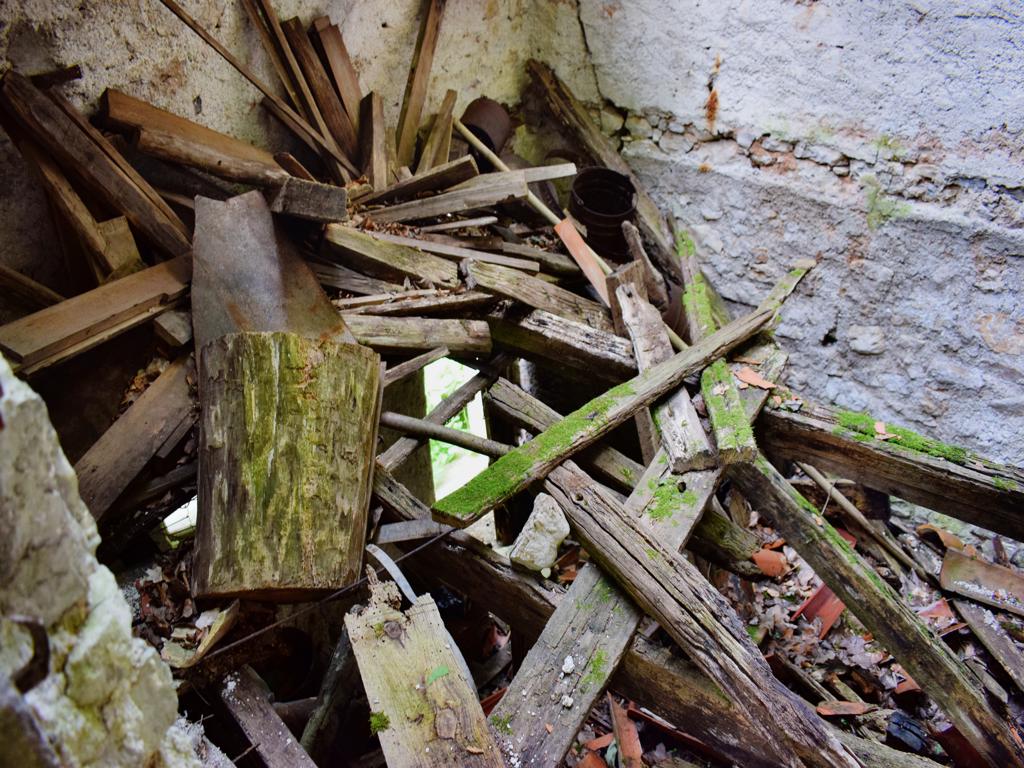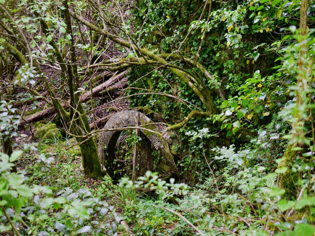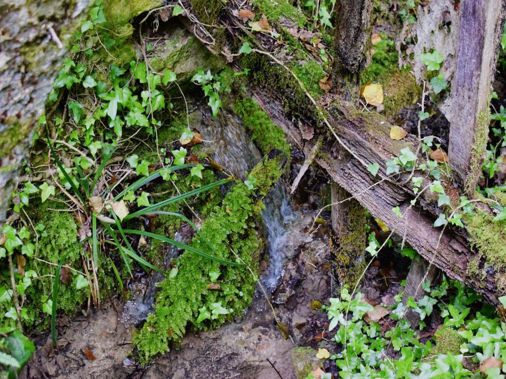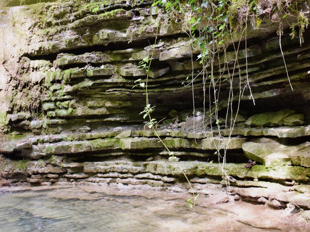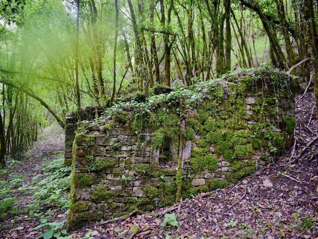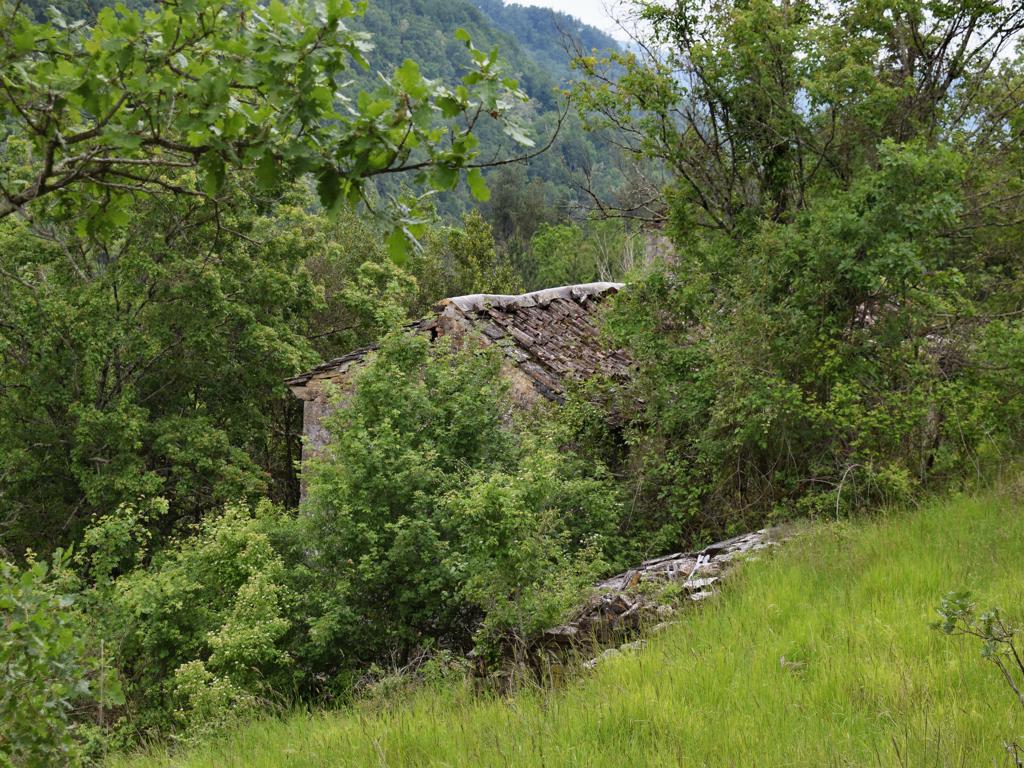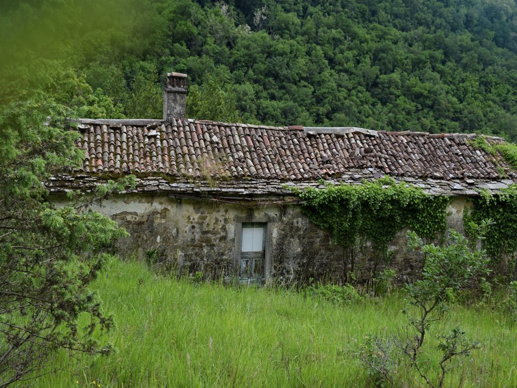
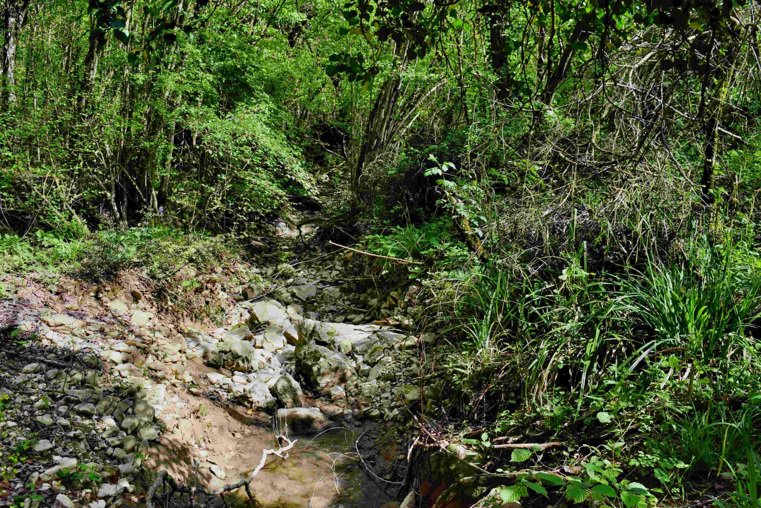
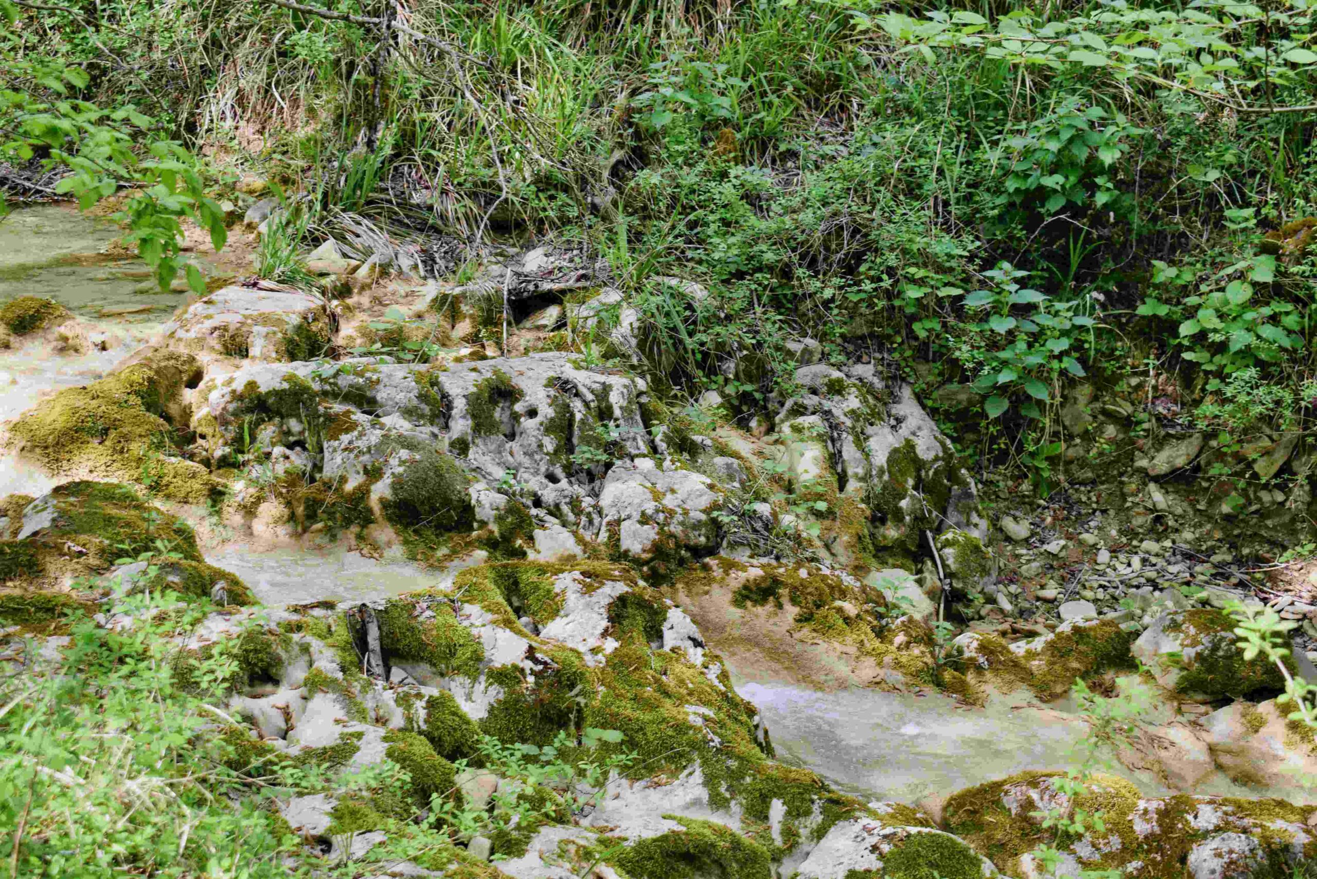
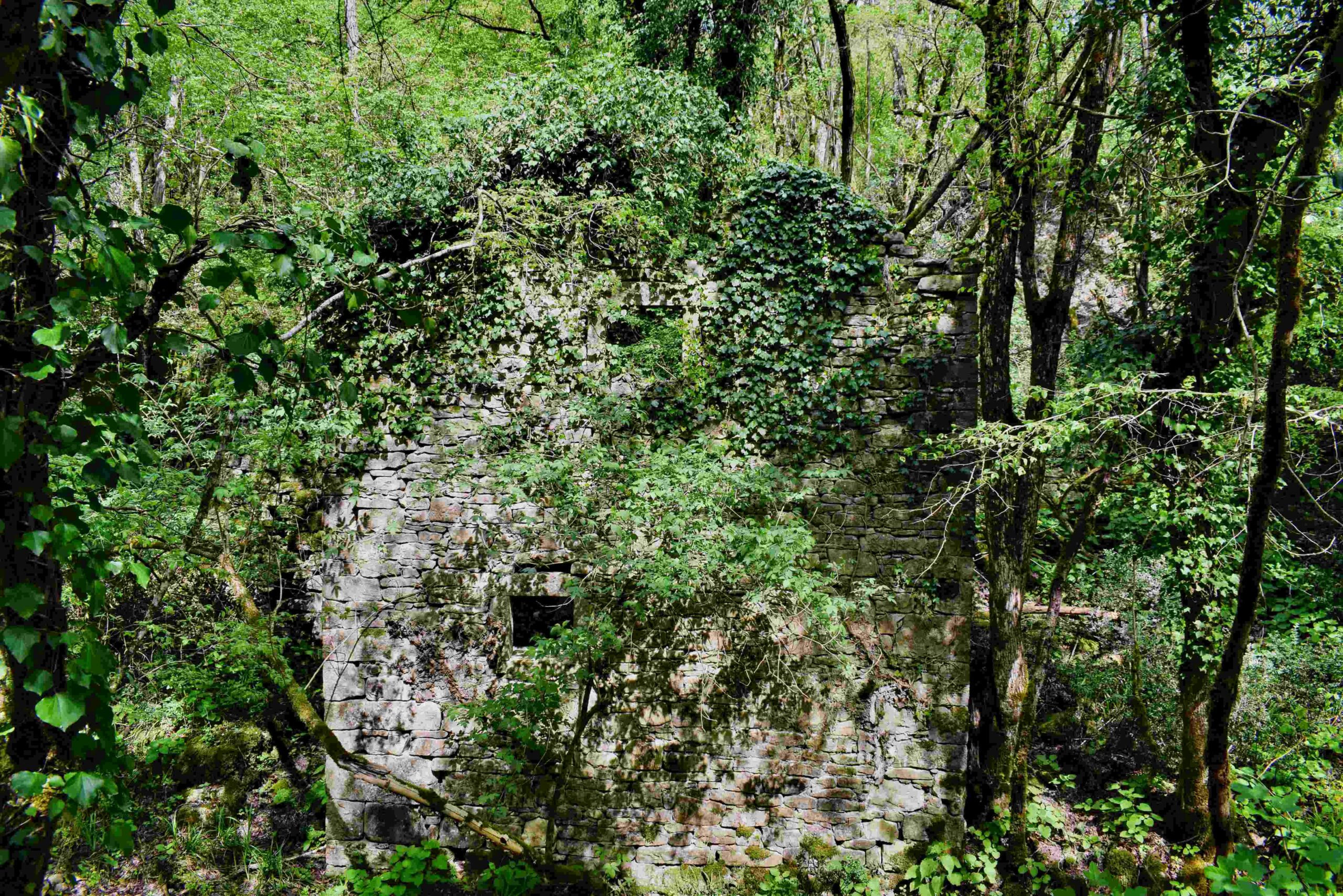
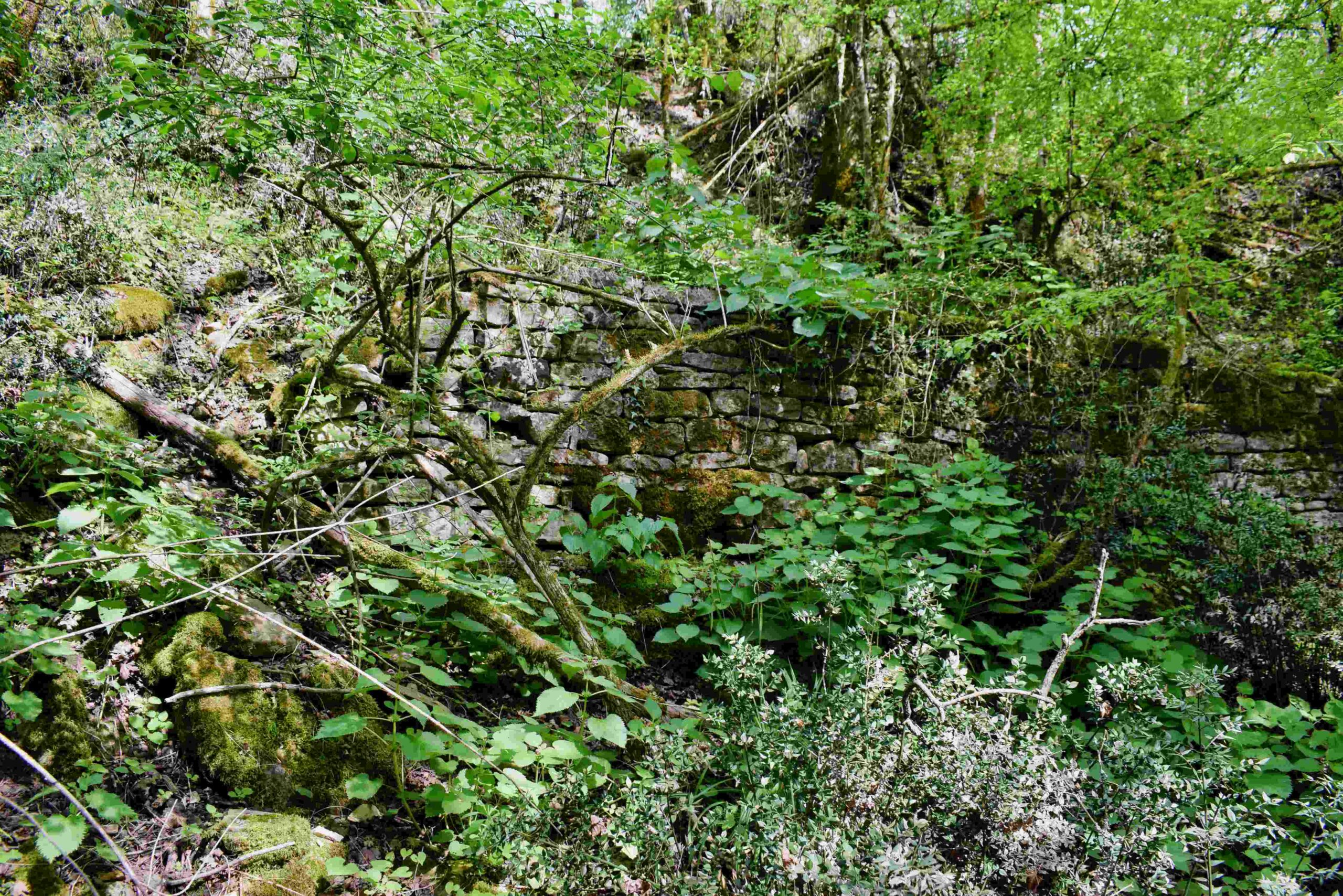
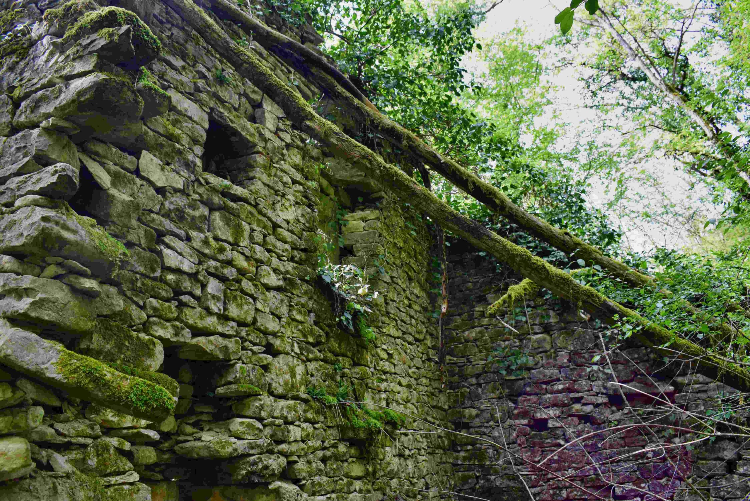
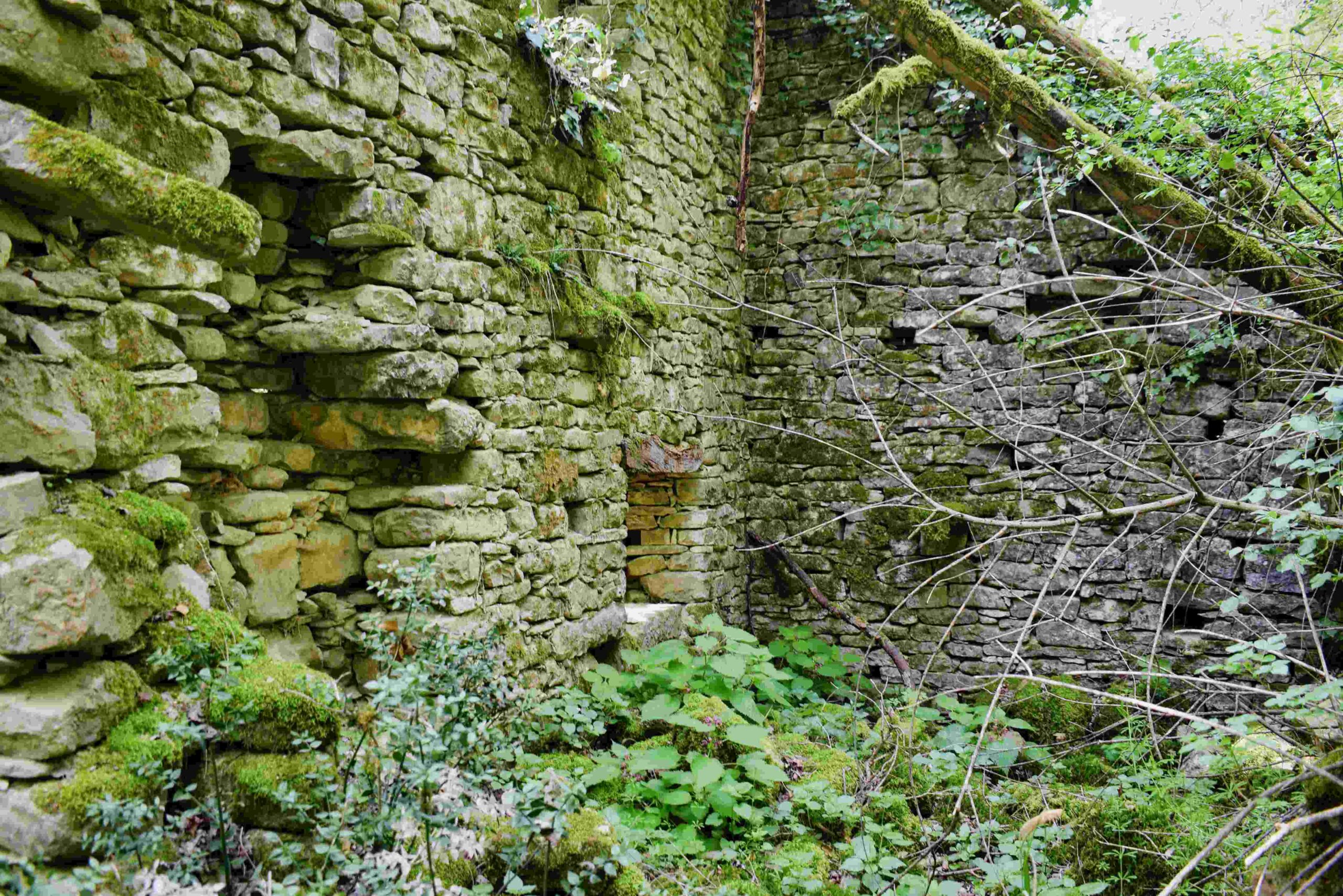
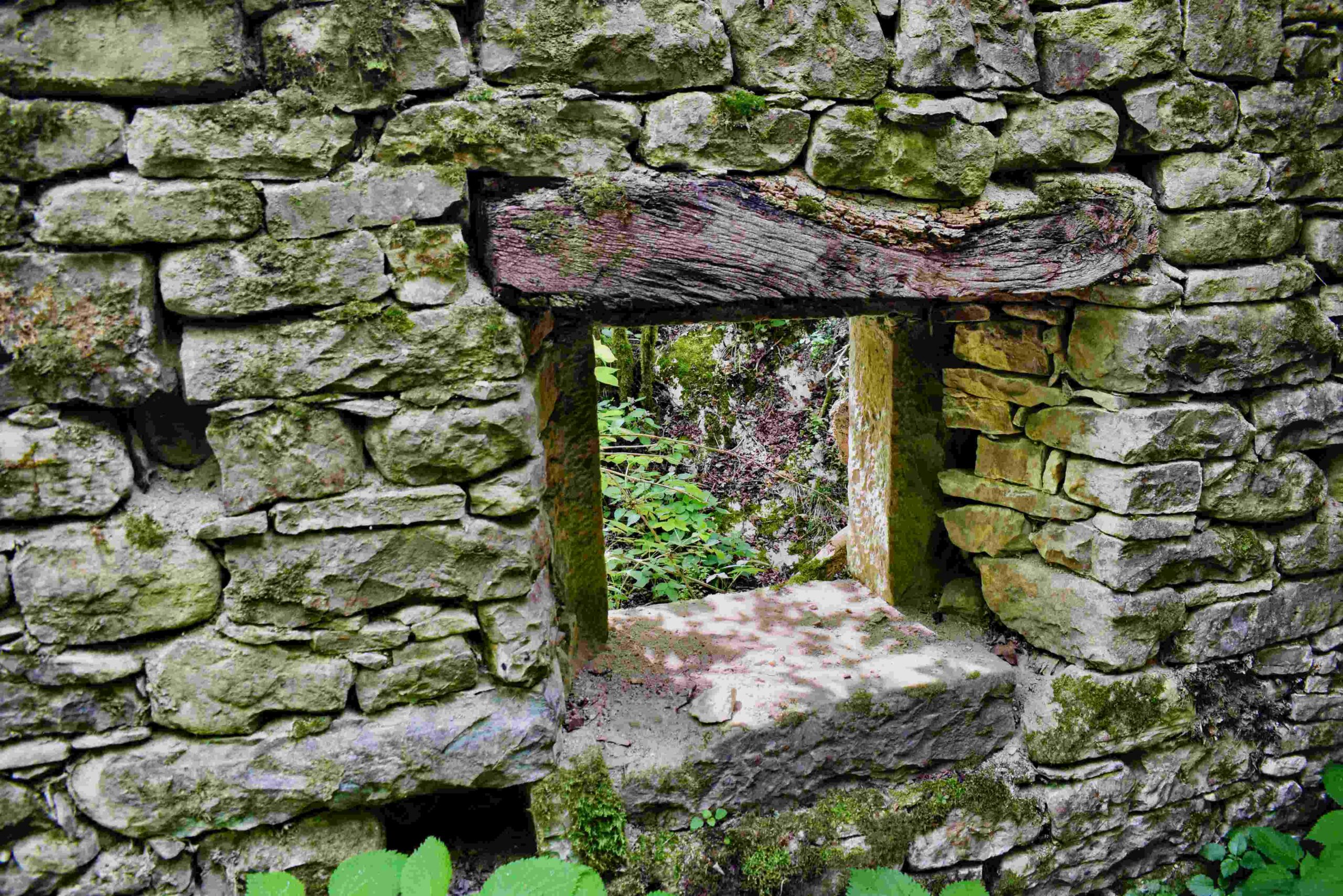
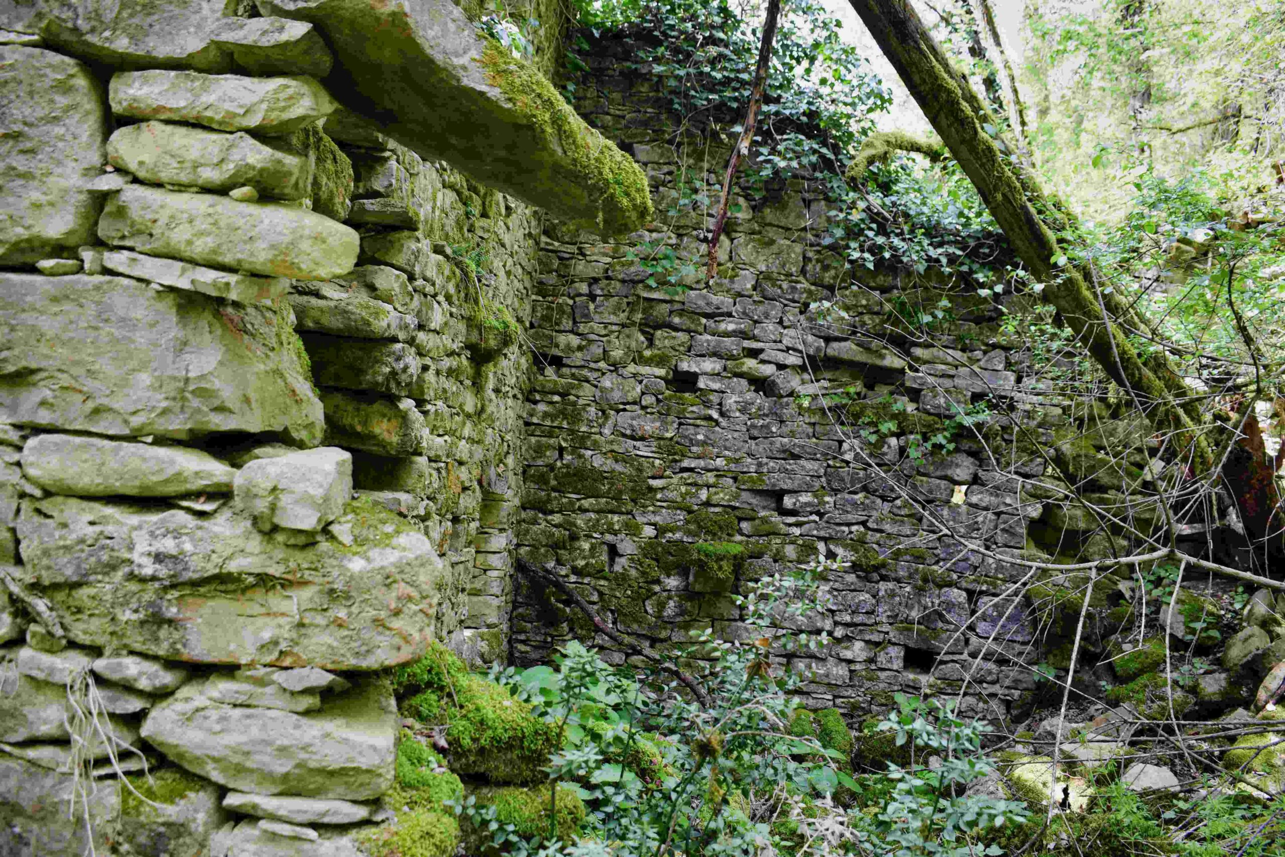
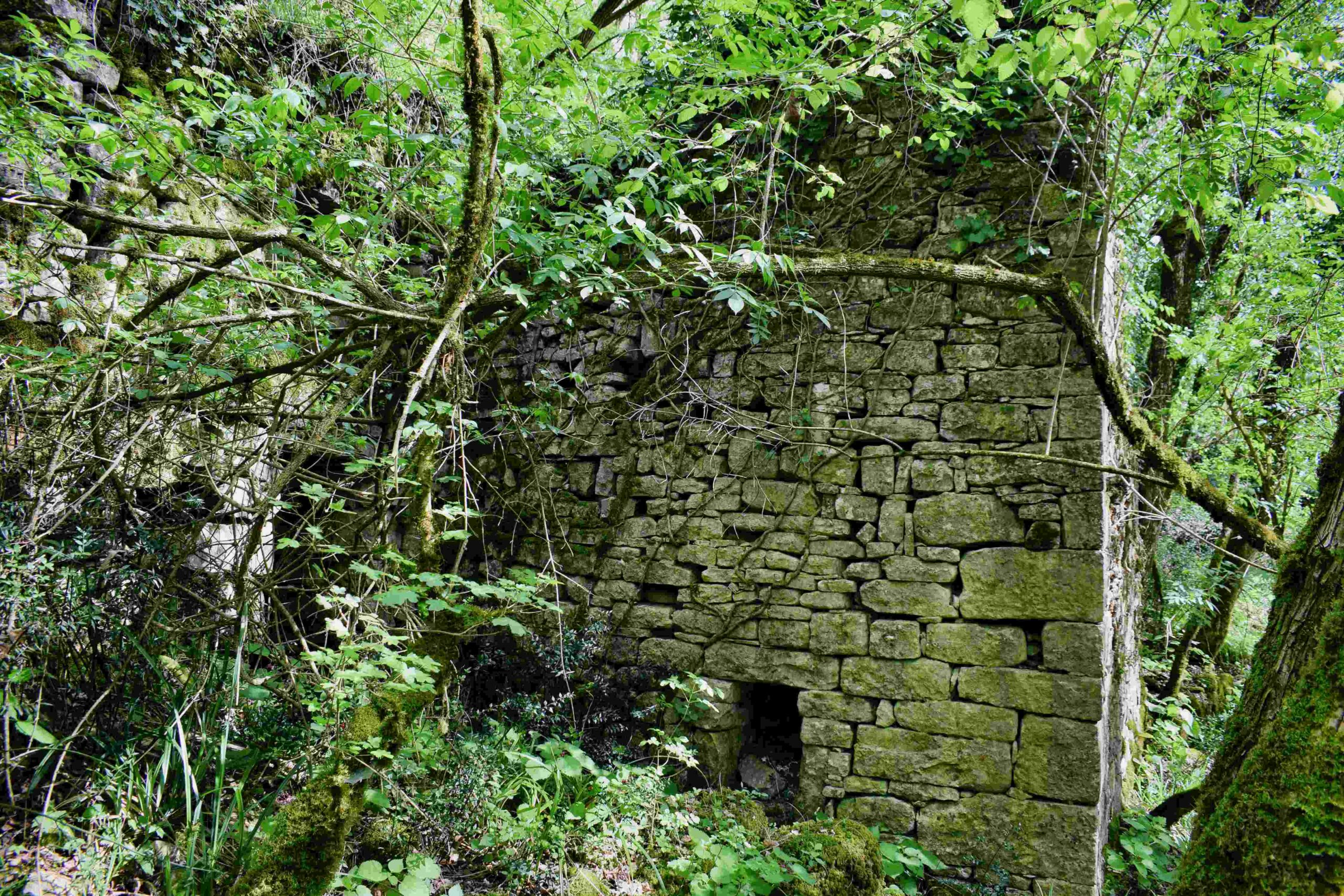
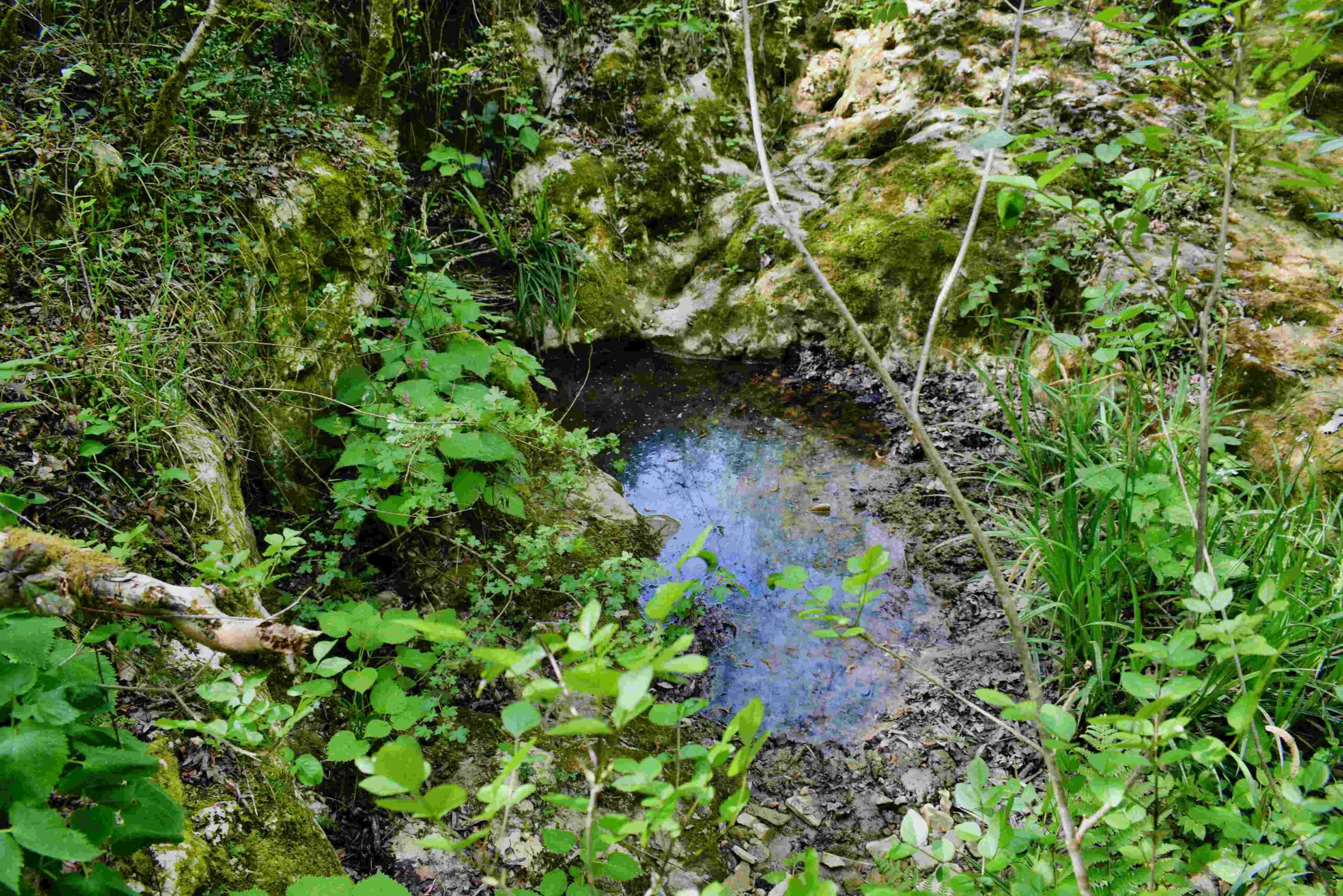

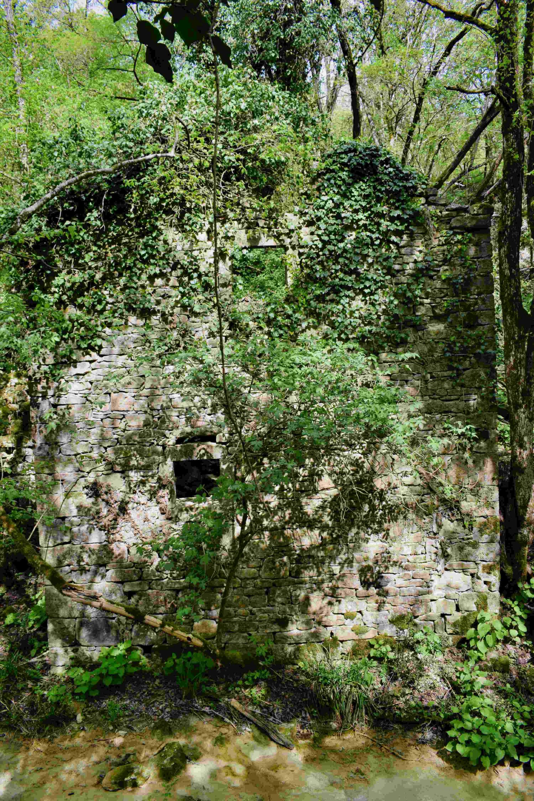
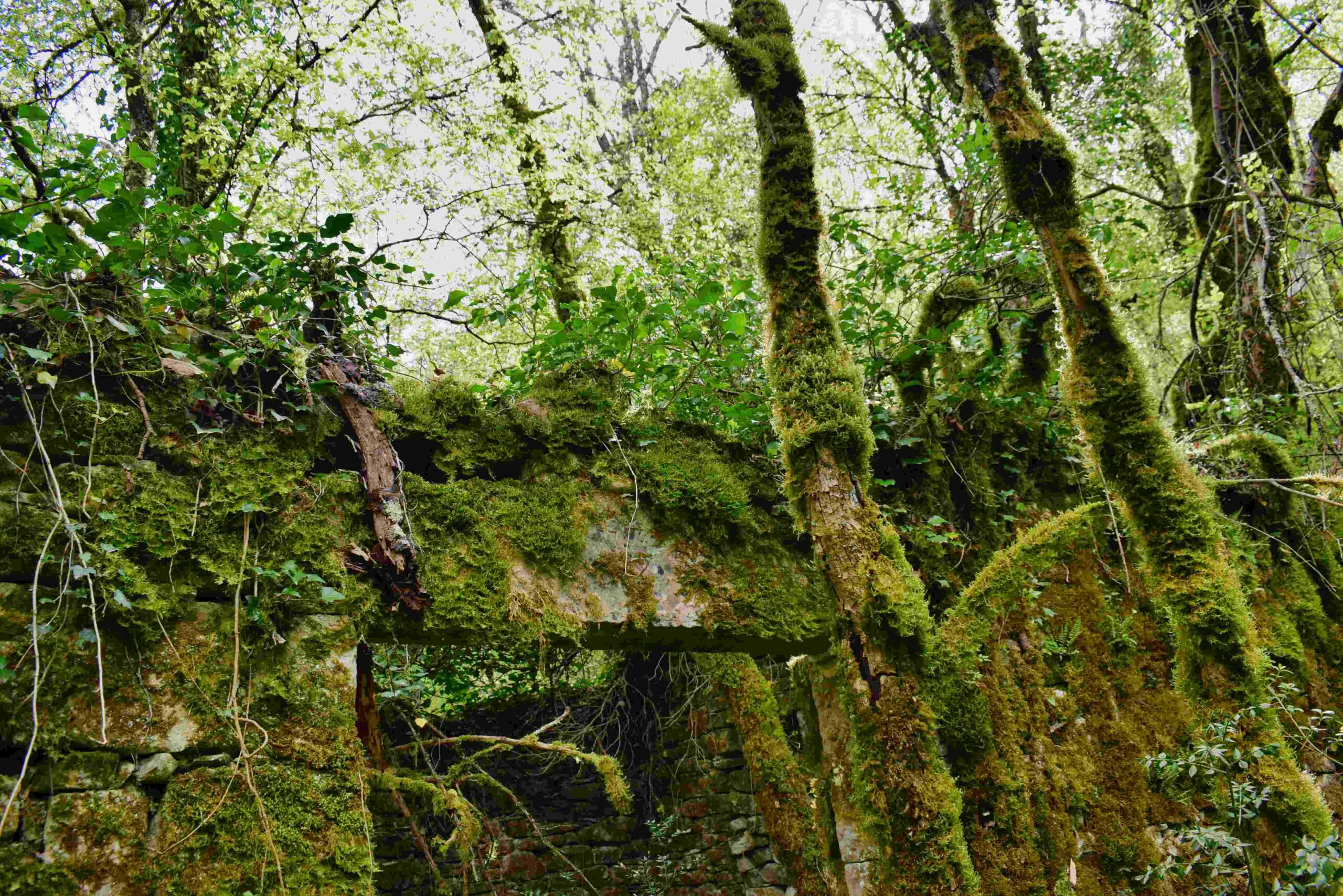
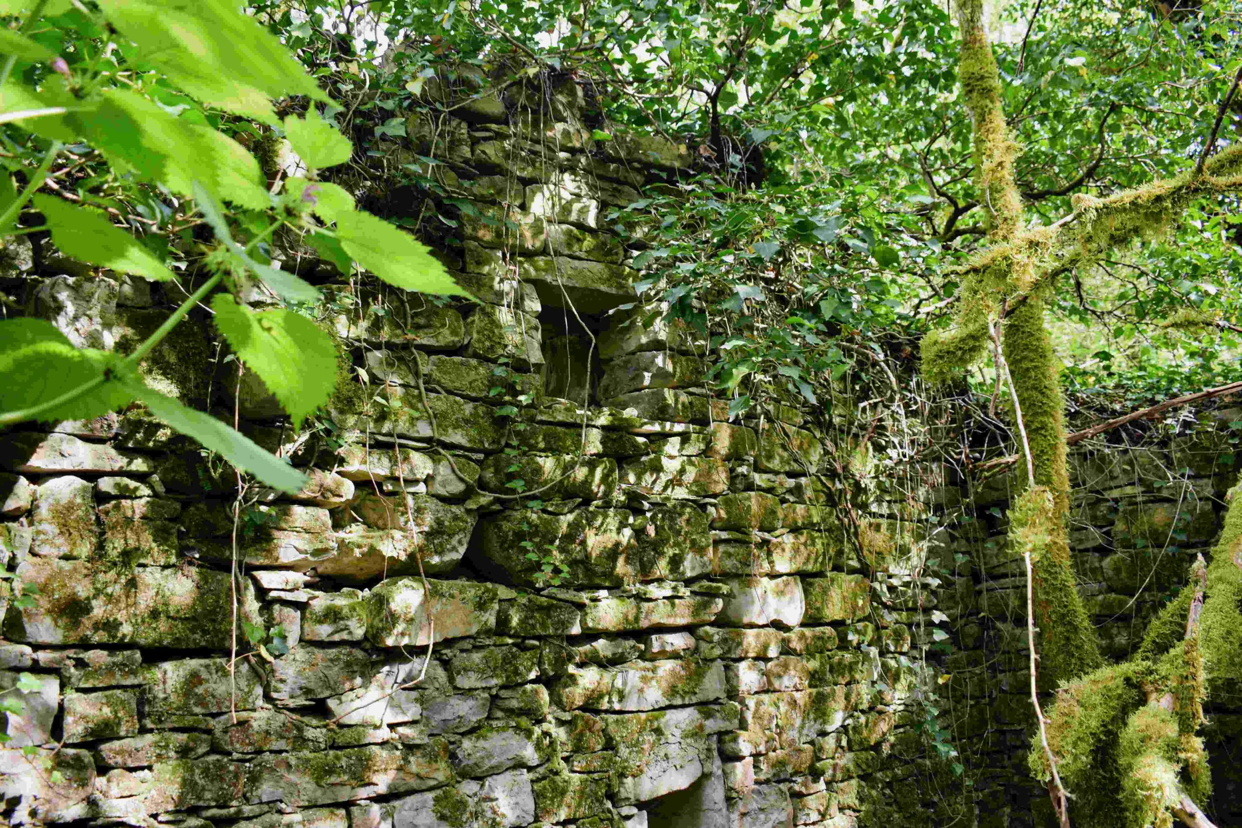
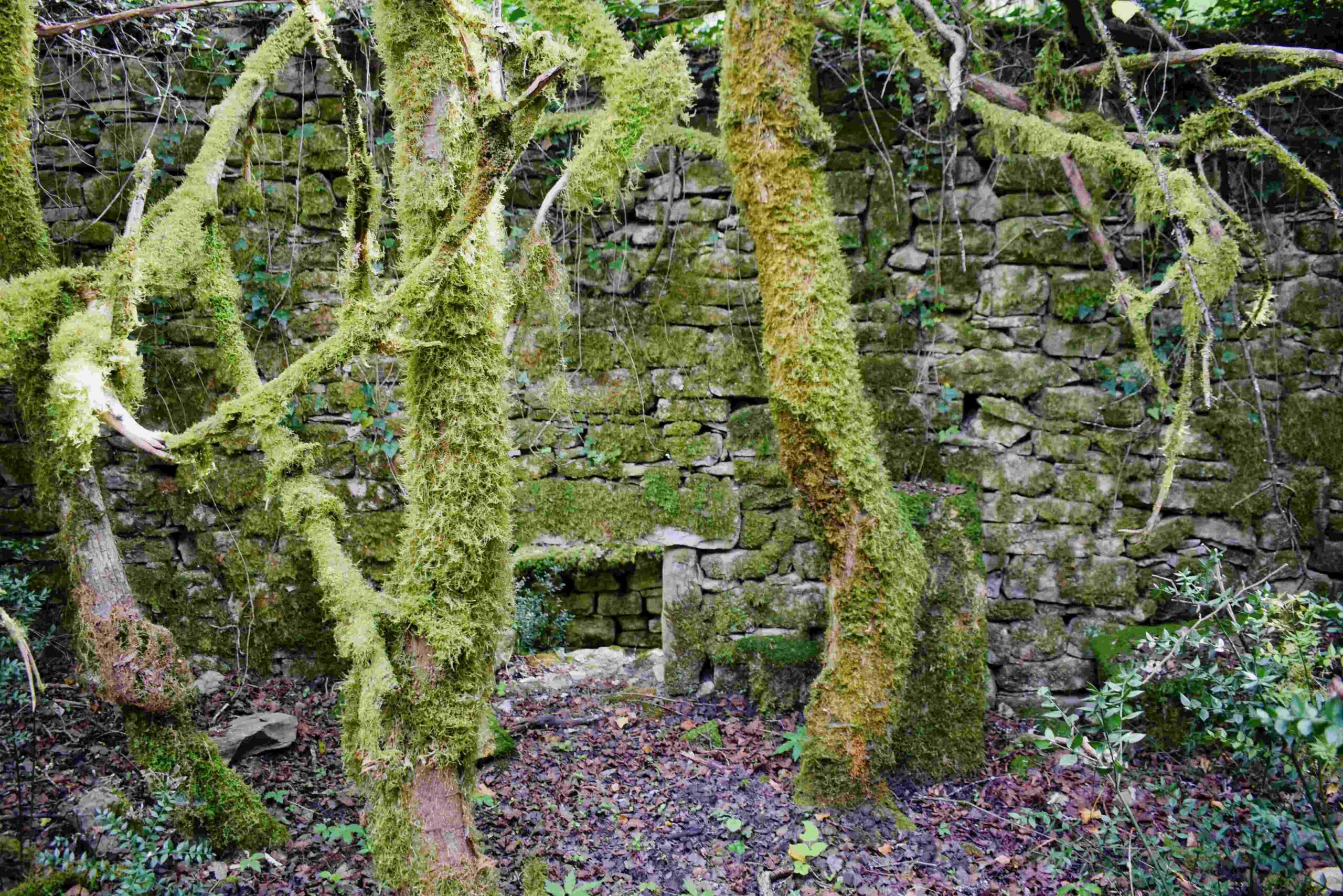
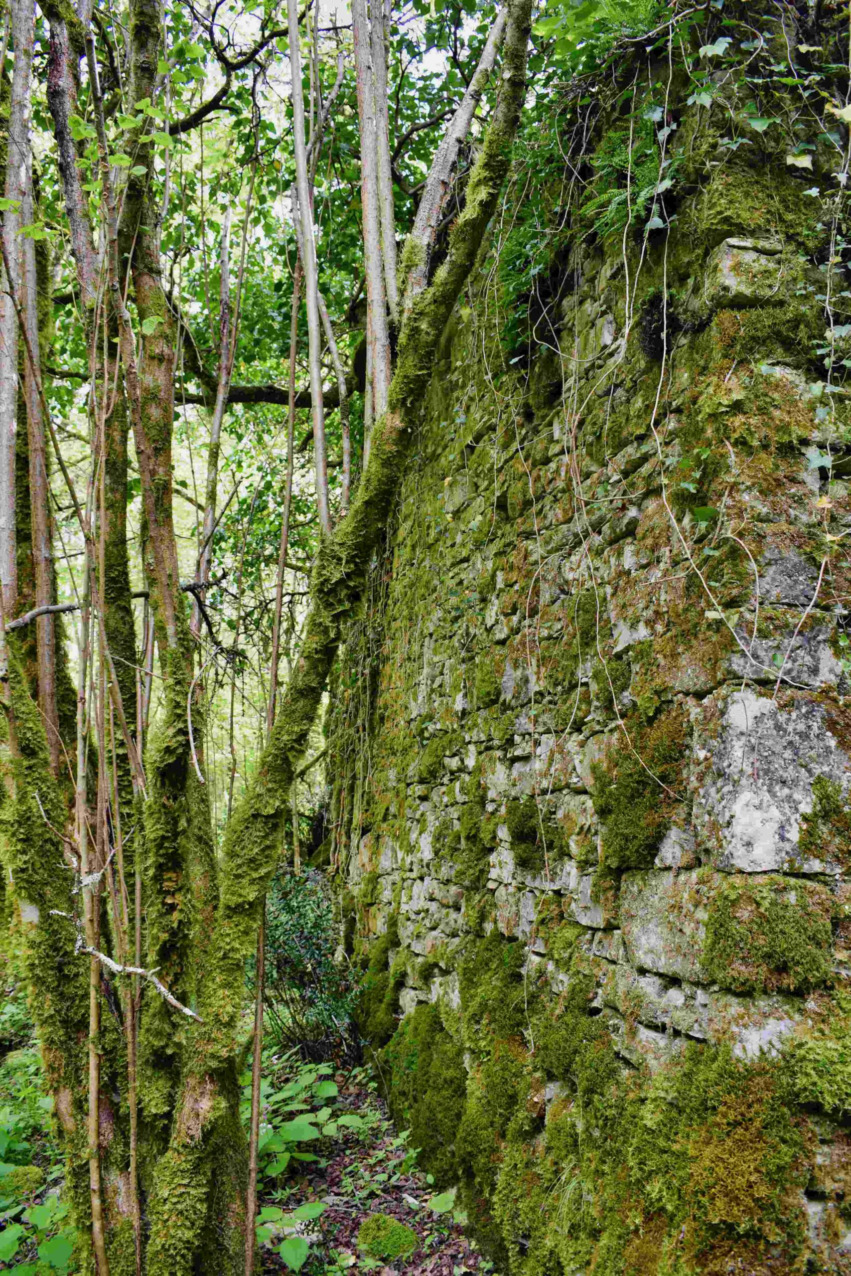
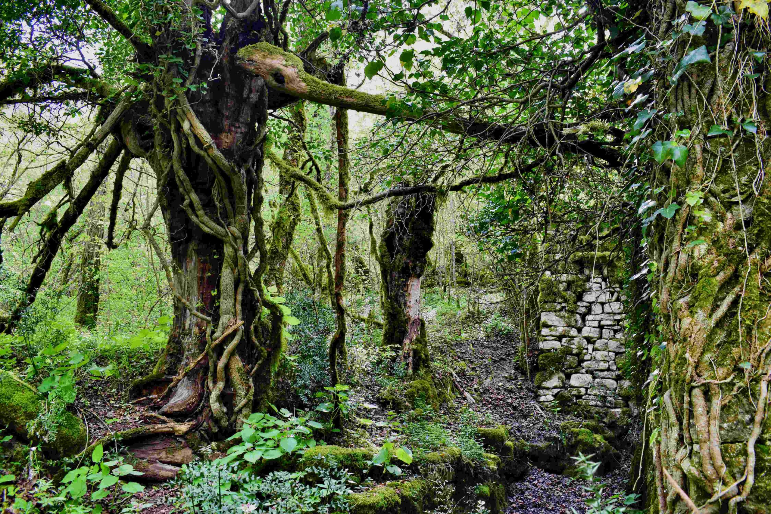
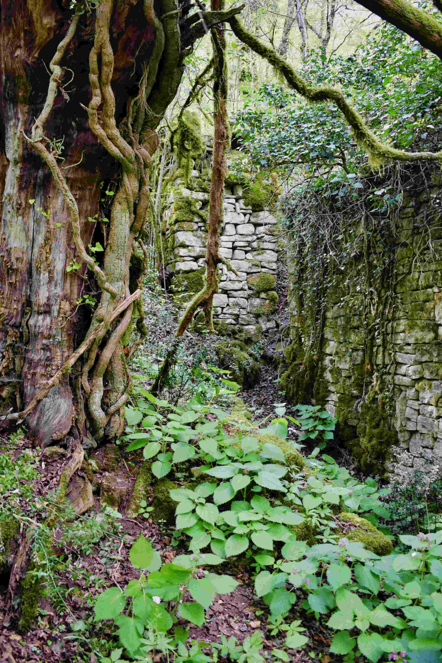
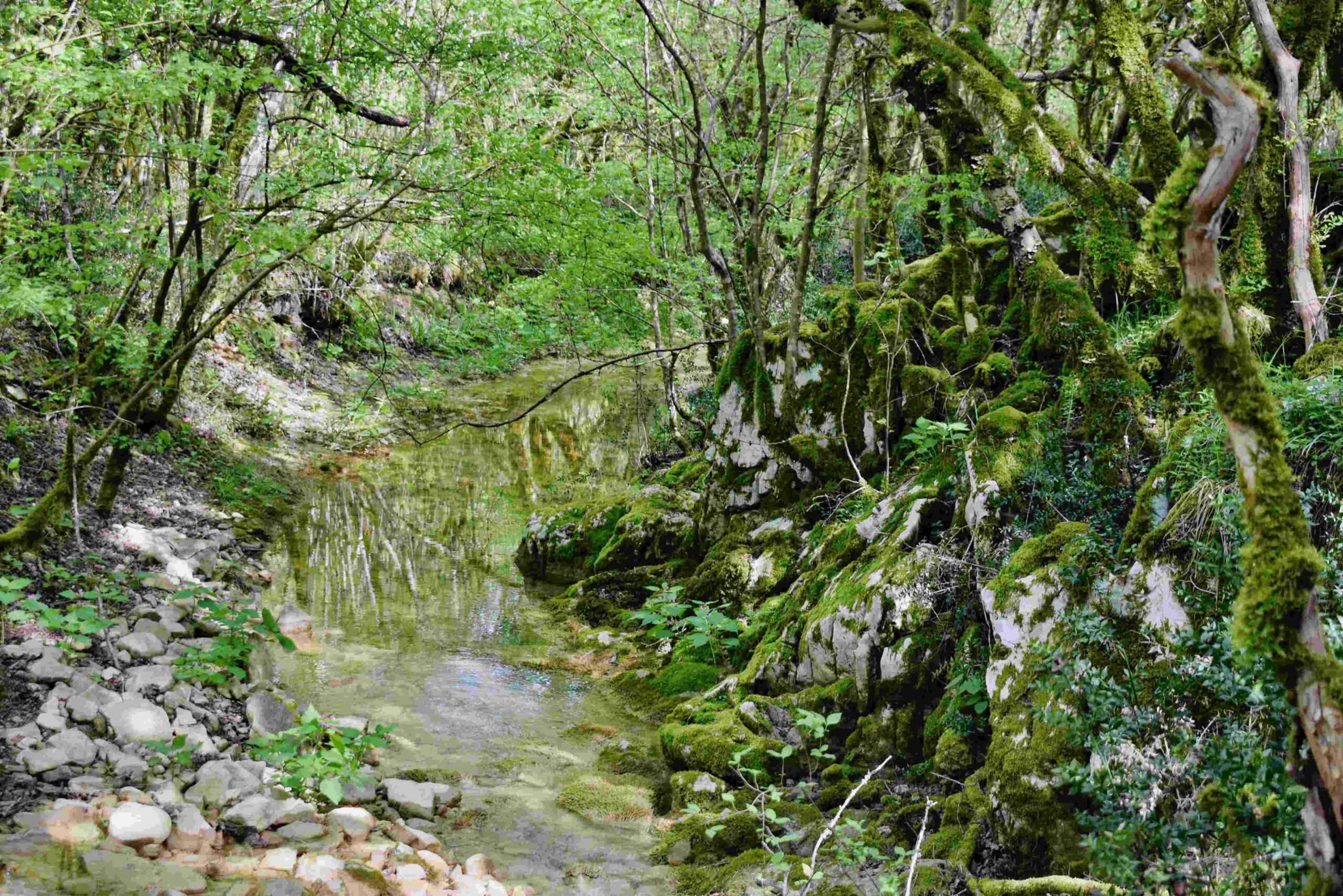
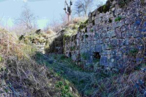
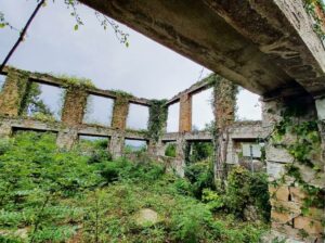
Name: Trail along the stream Codegargna with 2 ruins (206 and 207)
from former watermills.
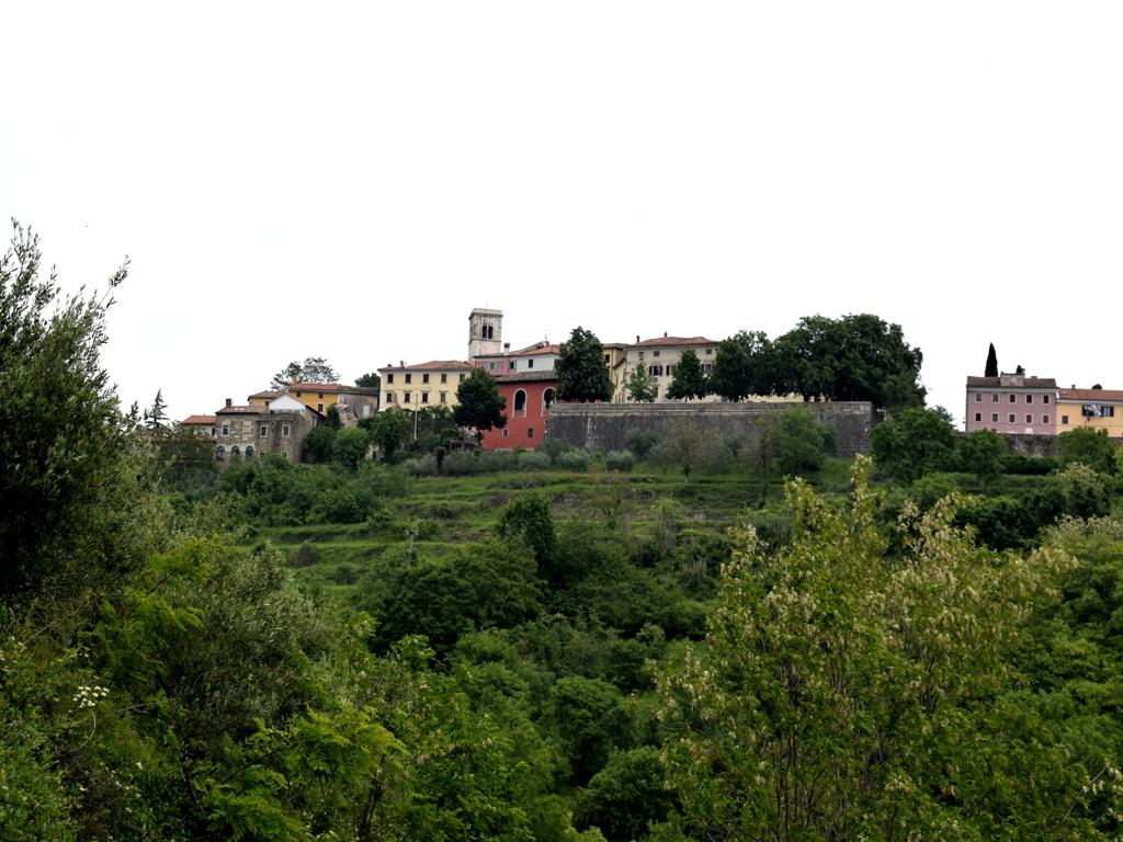
Place: (Grožnjan).
Coordinates: Start 45.36113 N – 13.73024 E, watermill 107: 45.36907 N / 13.72239E, waterrmill 106: 45.37155/13.71978 E.
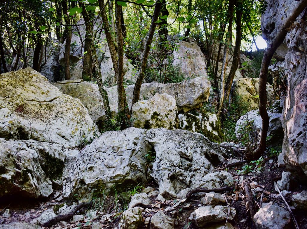
Name: Trail along the stream Codegargna with 2 ruins (206 and 207)
from former watermills.
Place: (Grožnjan).
Coordinates: Start 45.36113 N – 13.73024 E, watermill 107: 45.36907 N / 13.72239E, waterrmill 106: 45.37155/13.71978 E.
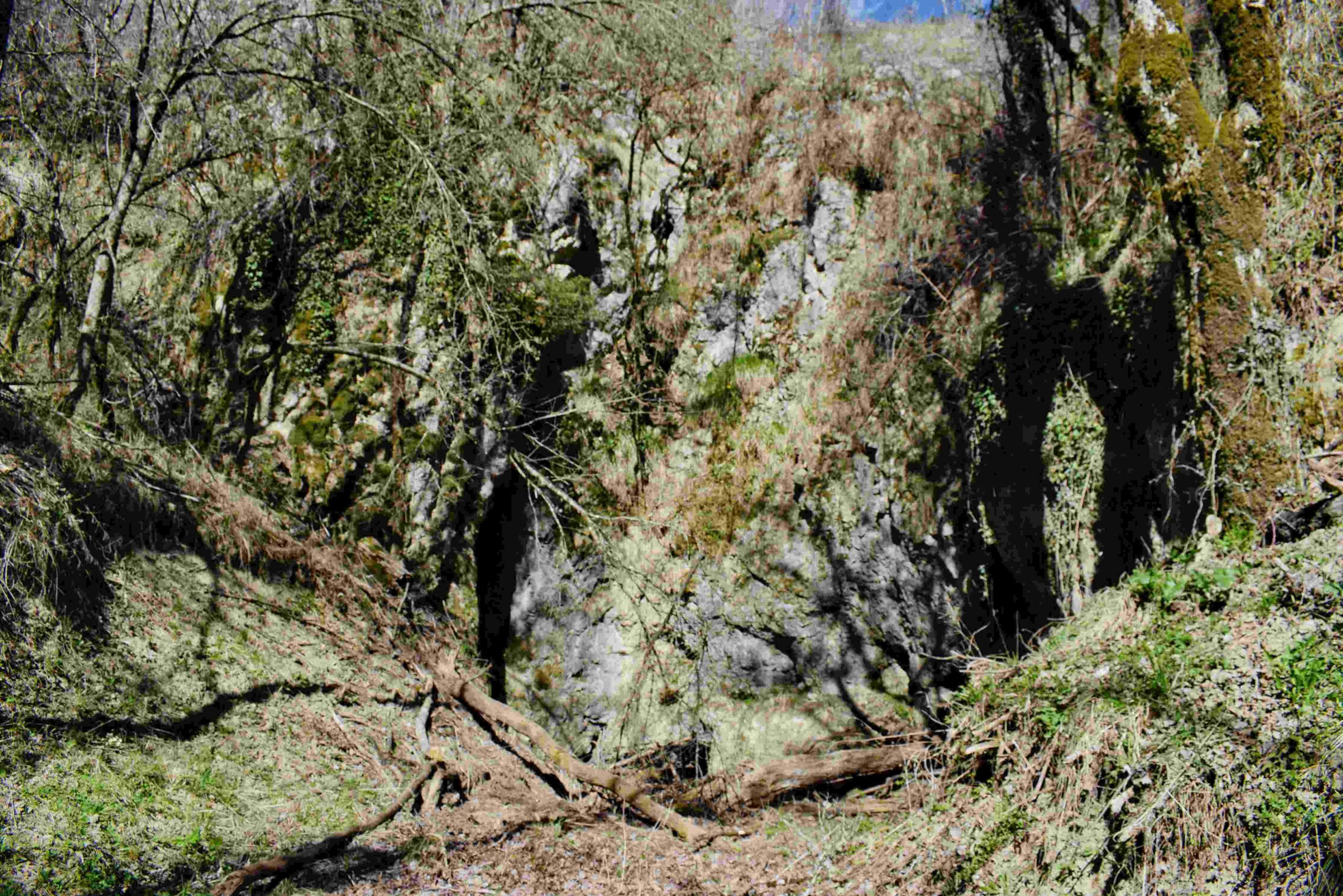
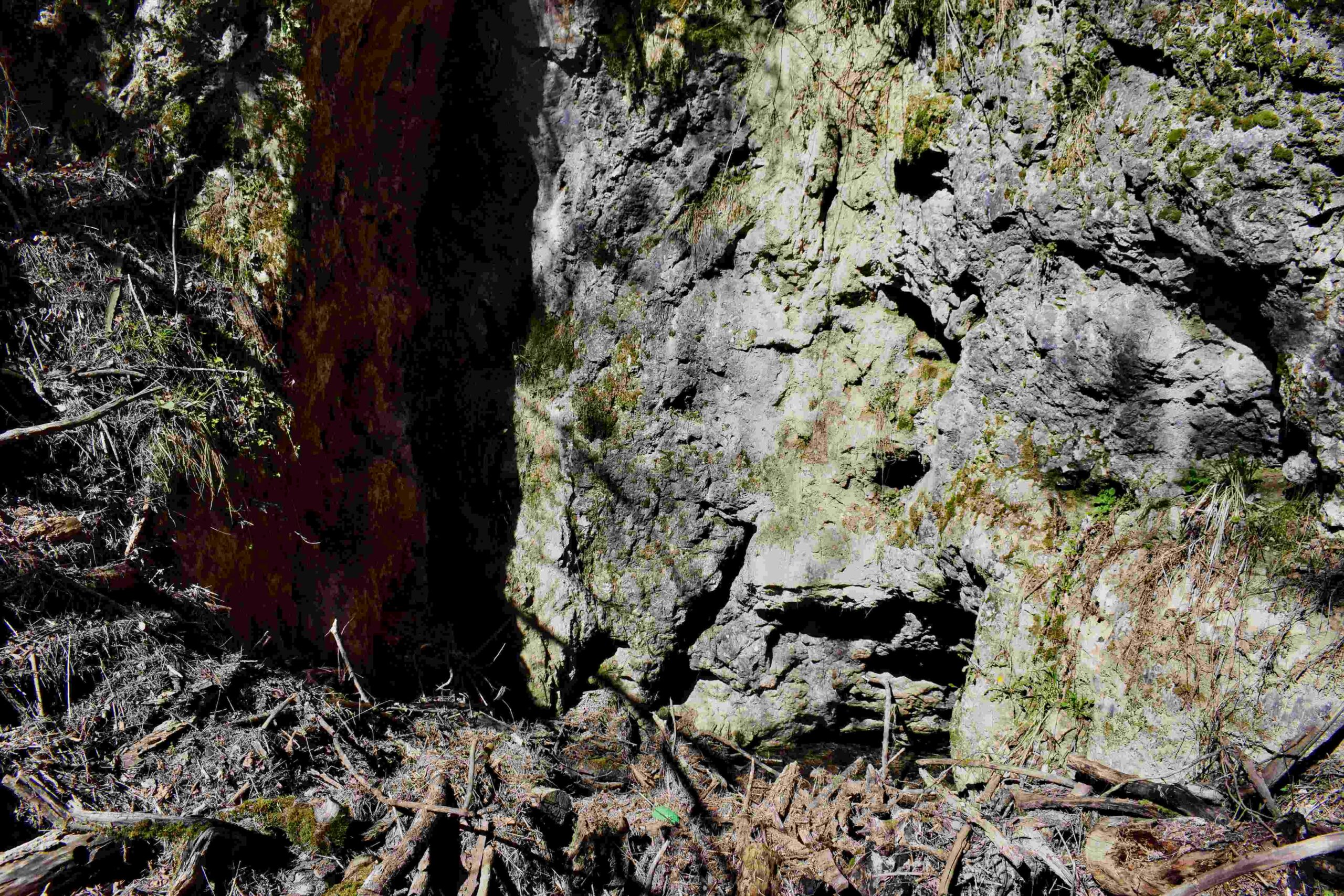
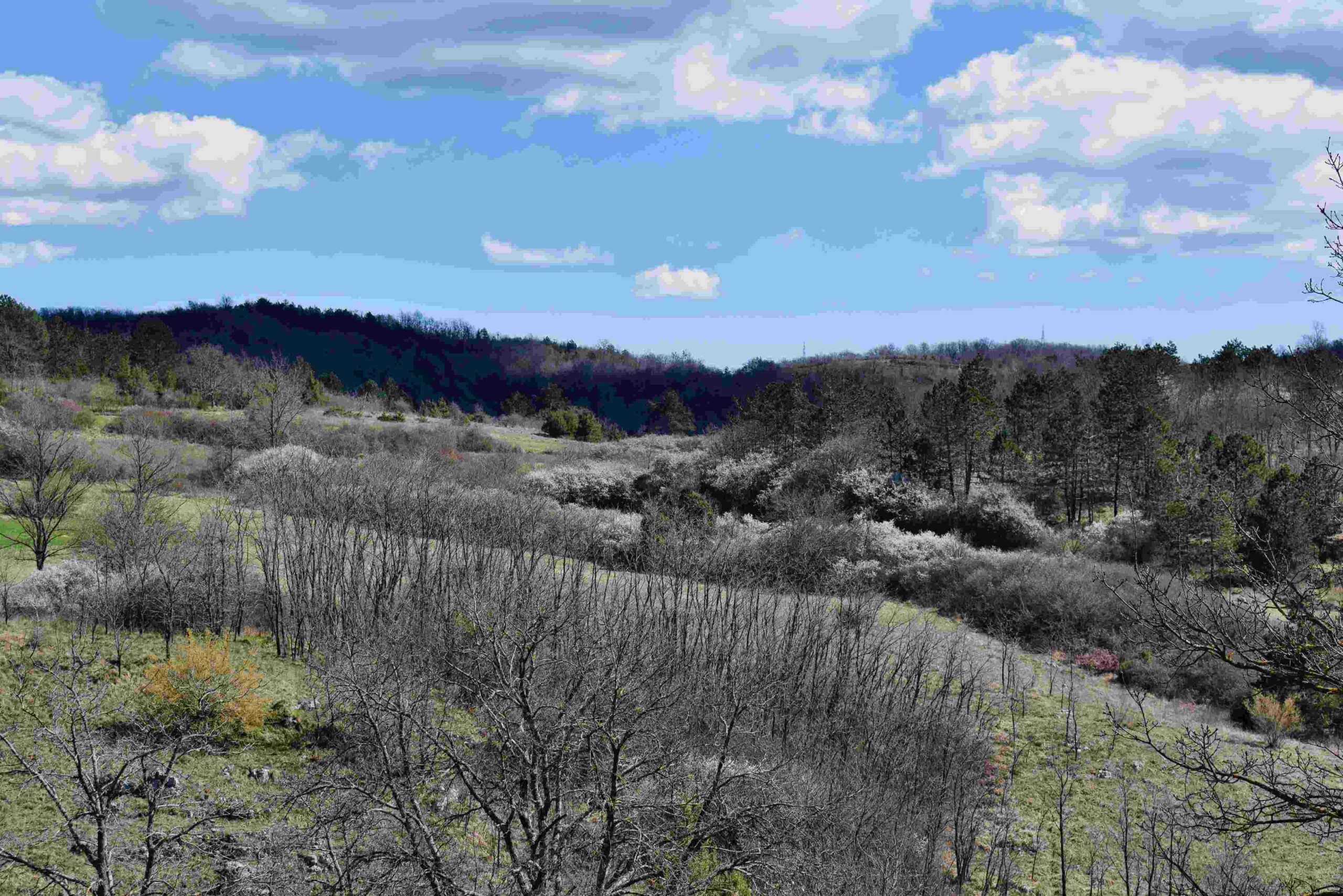
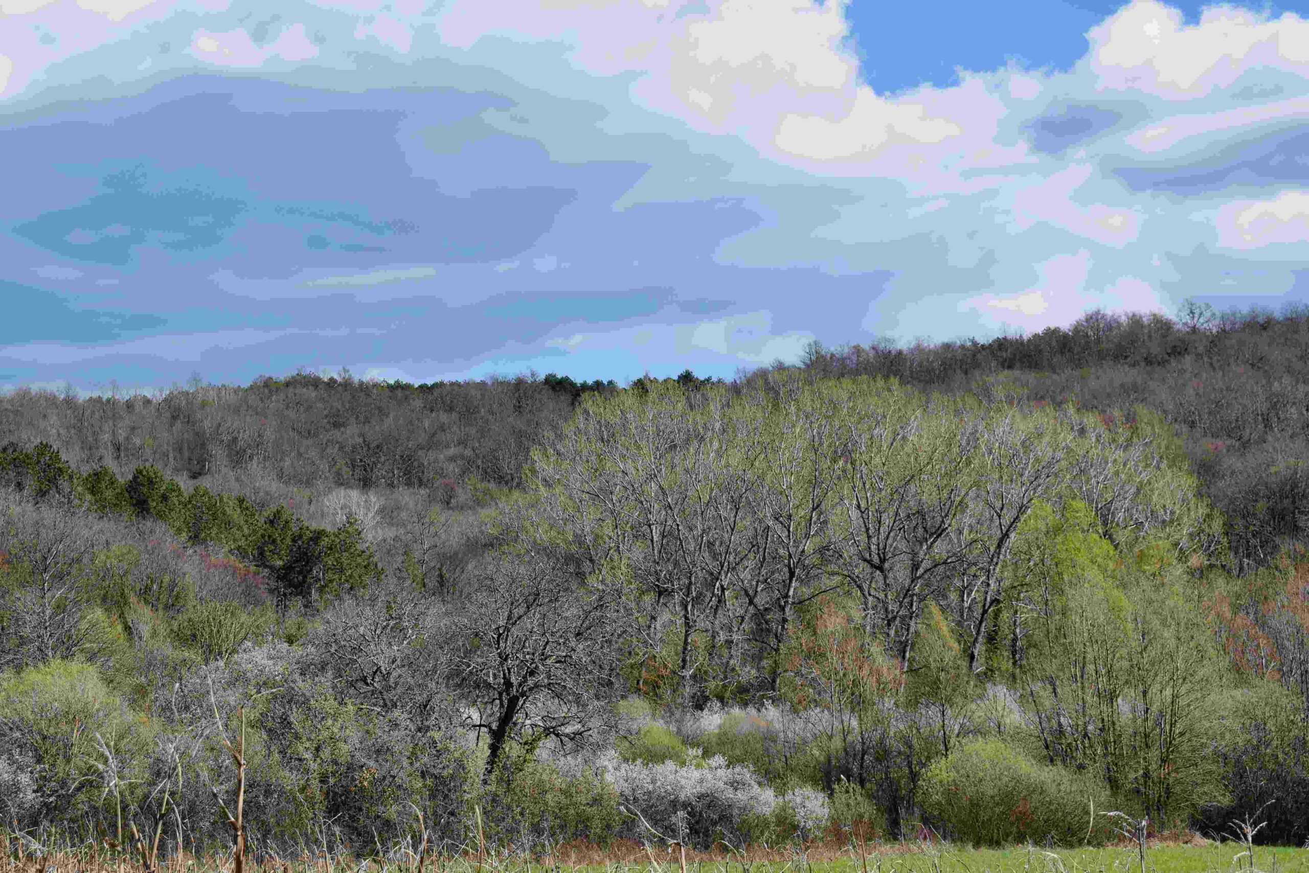
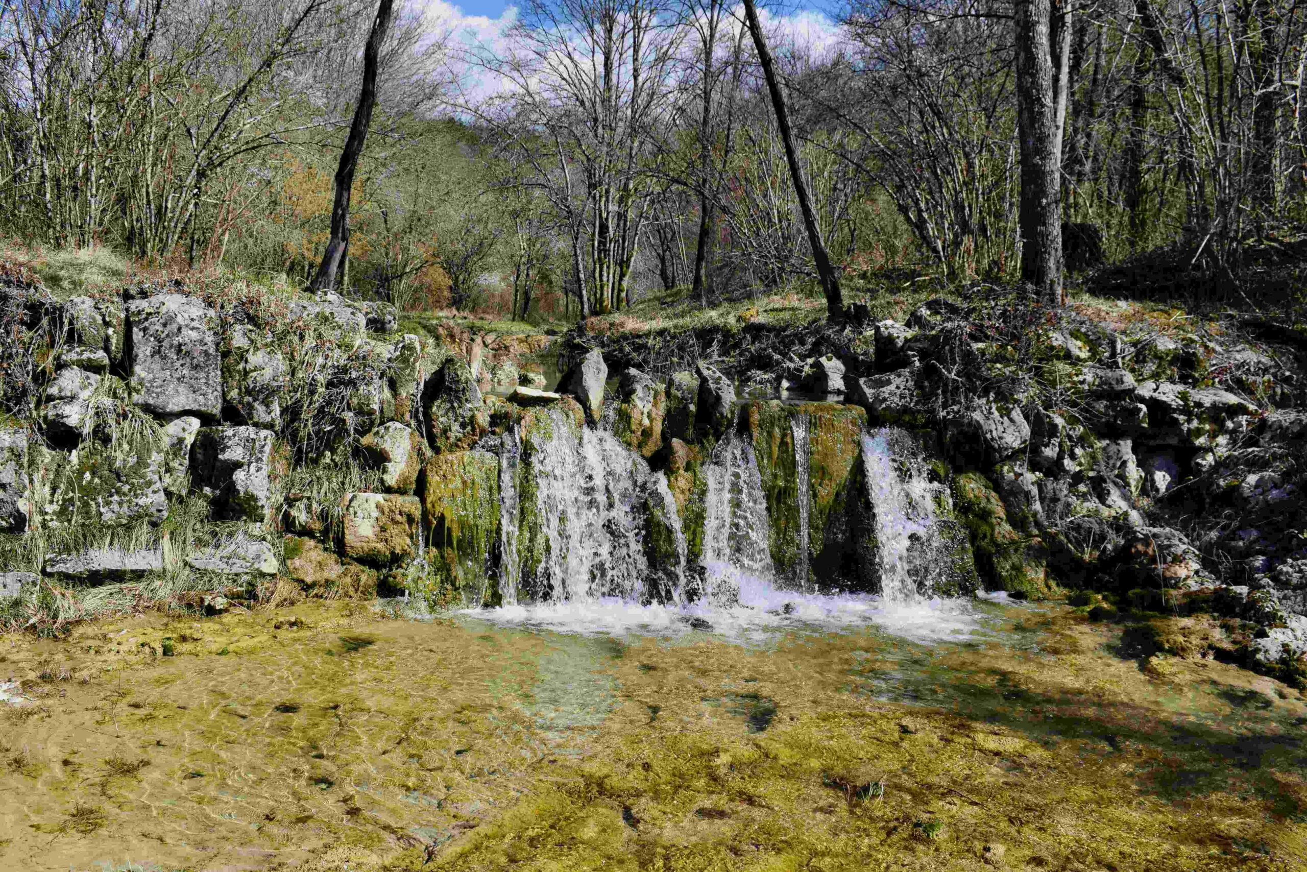
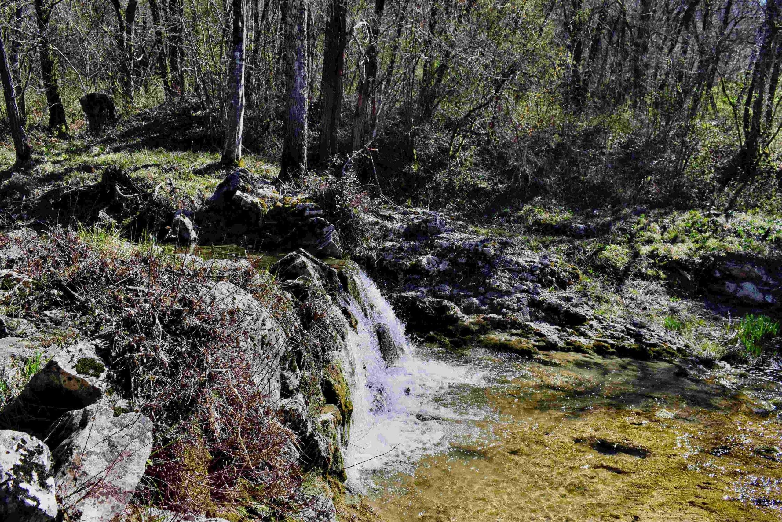
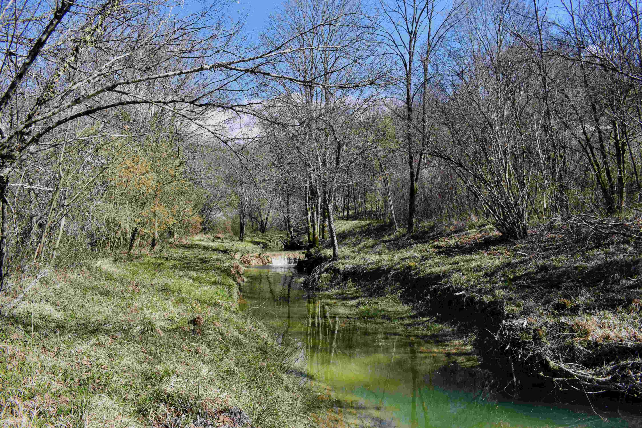
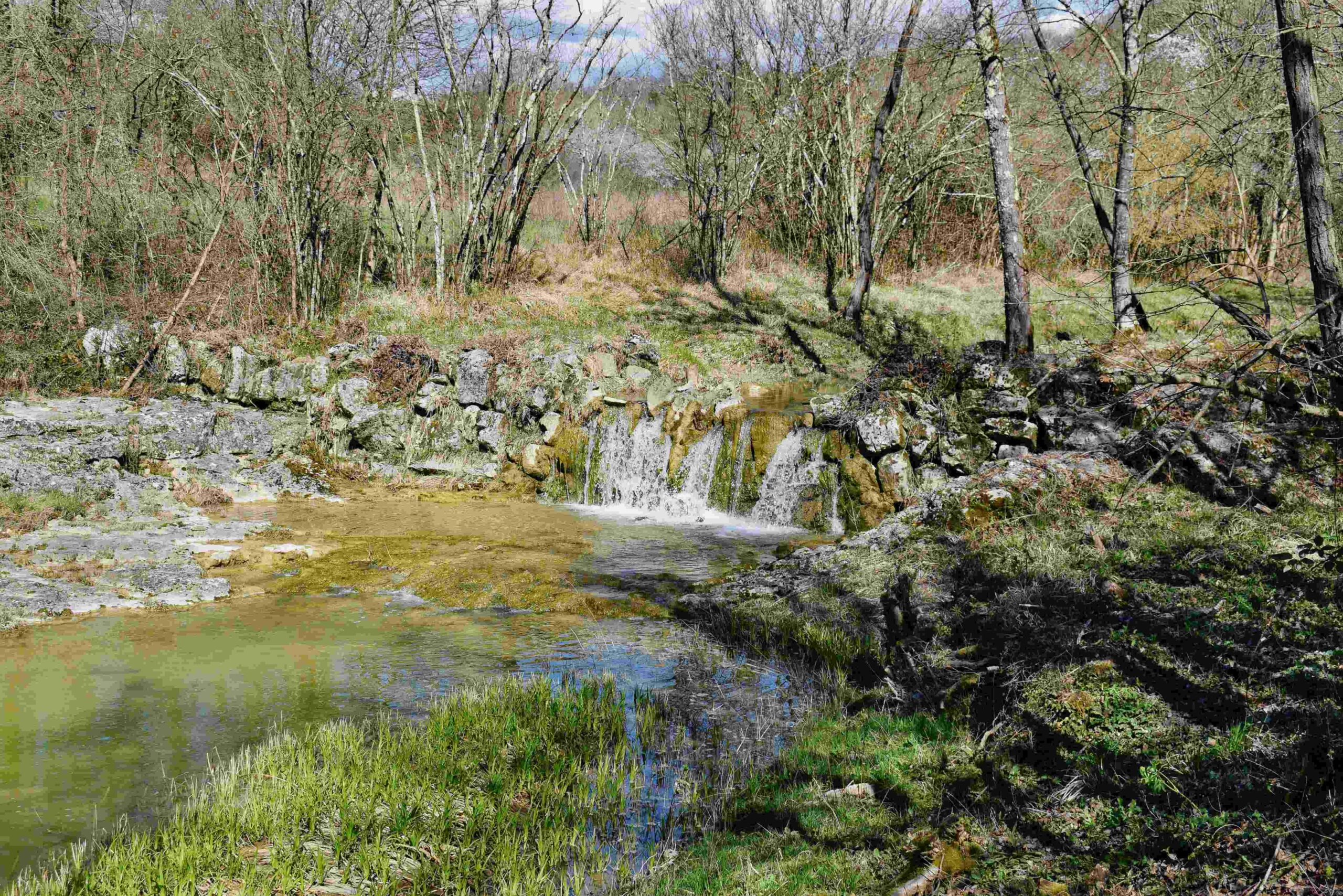
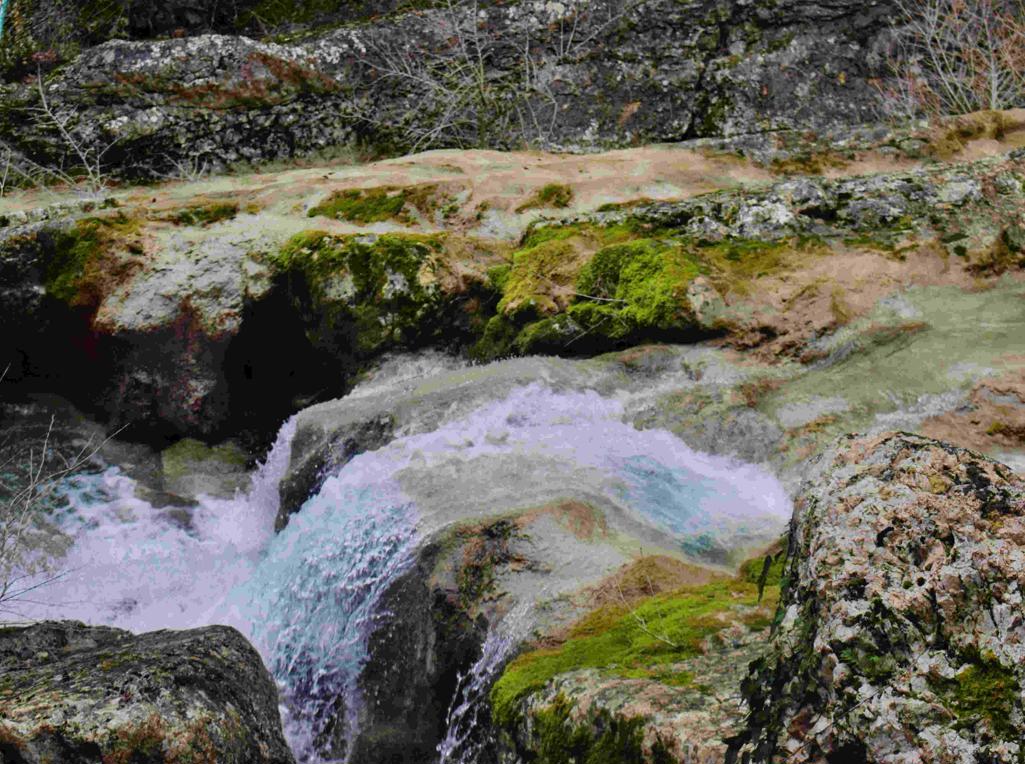
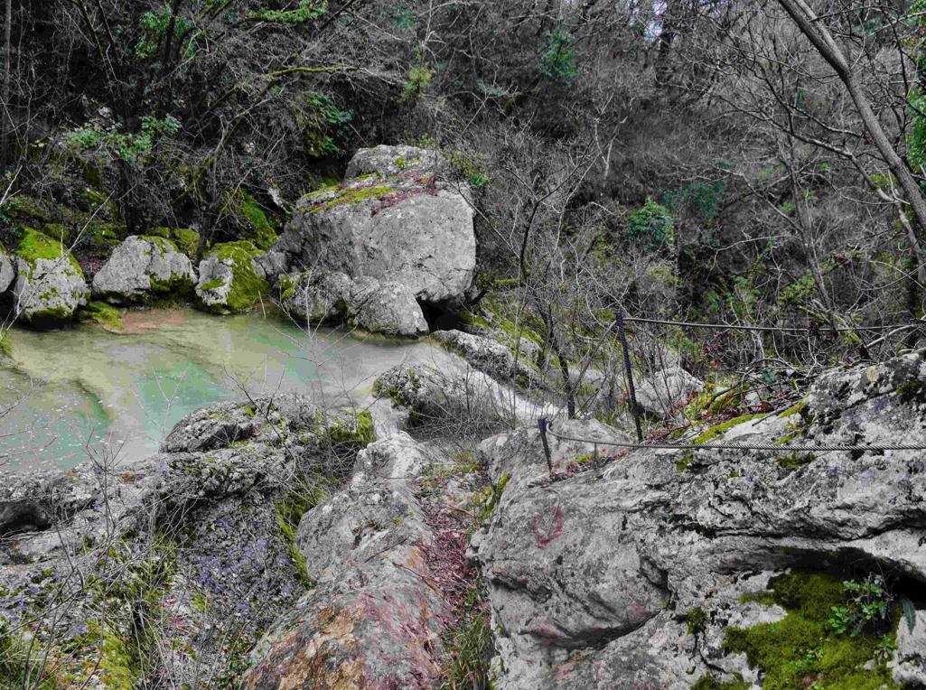
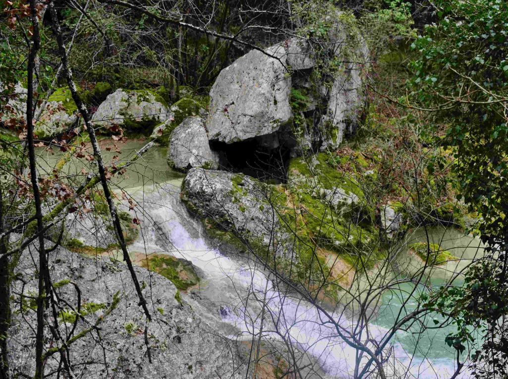
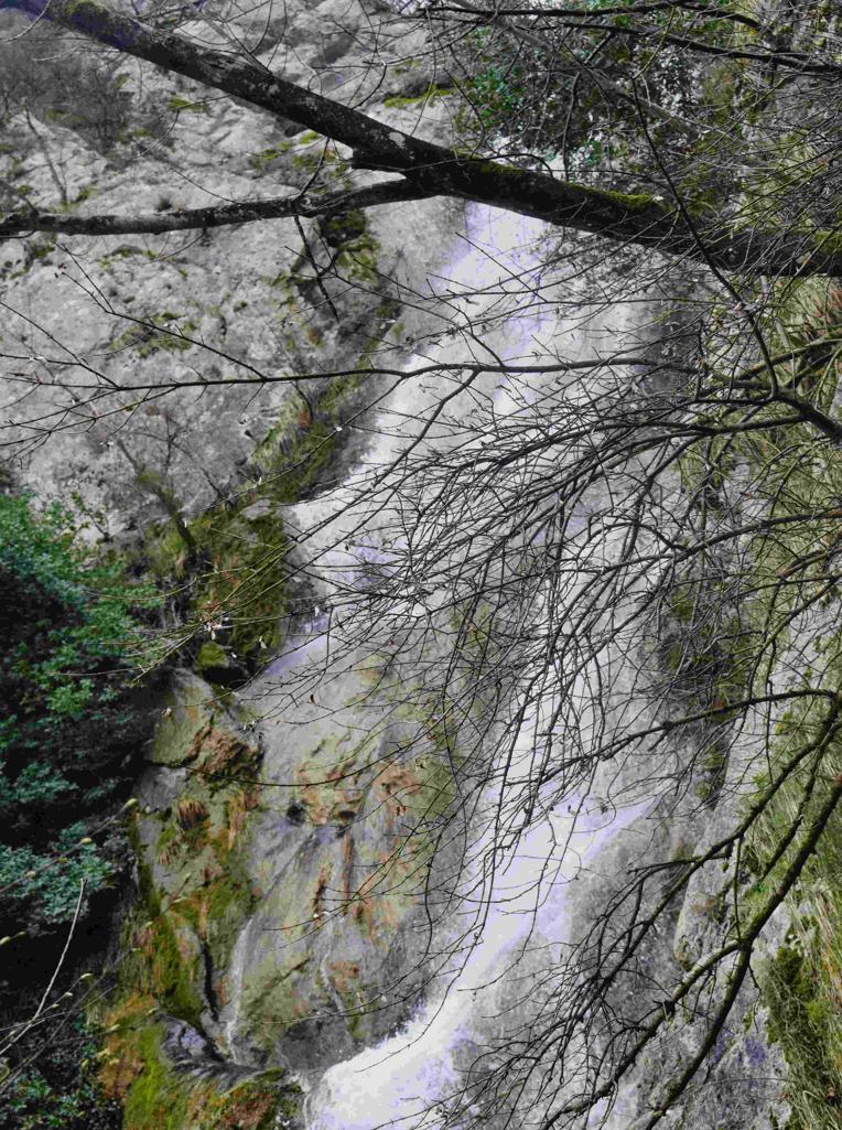
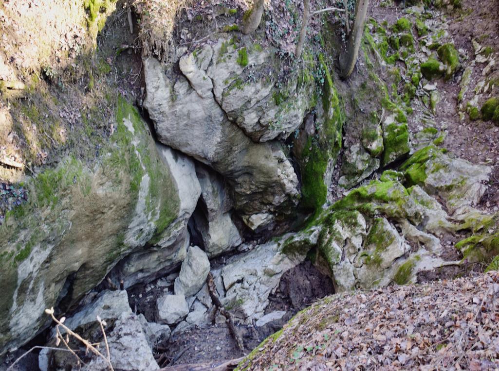
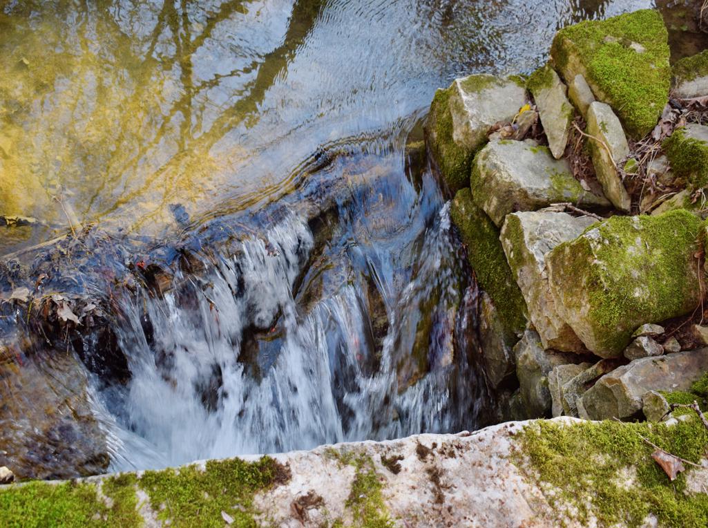
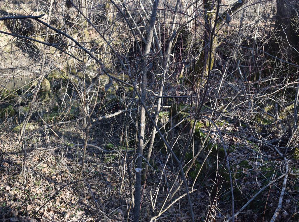
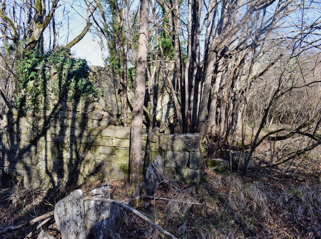
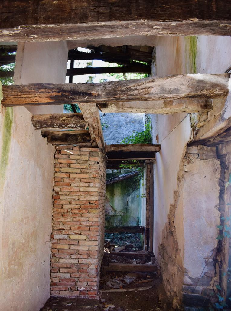
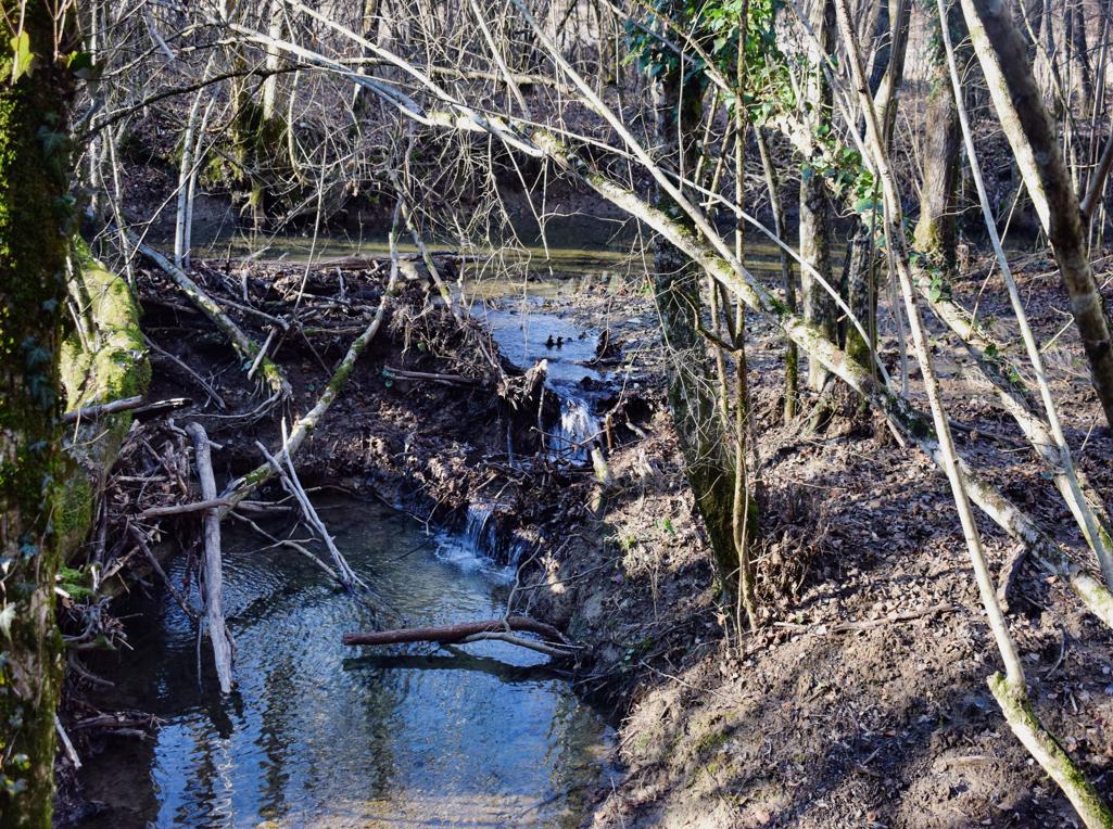
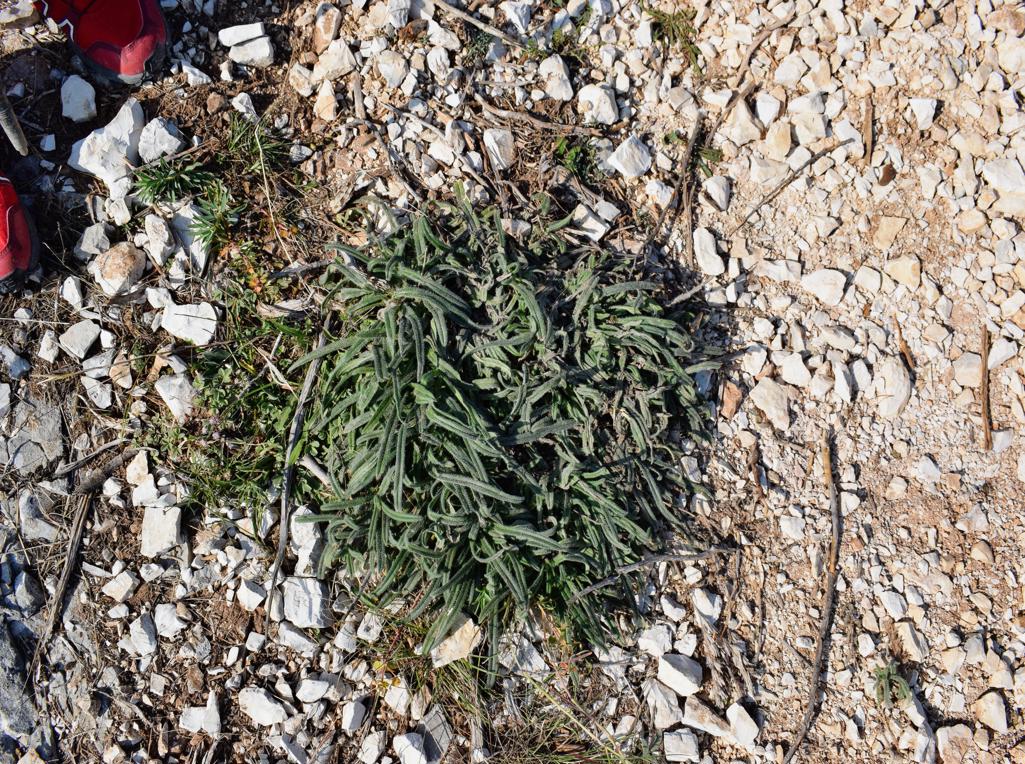
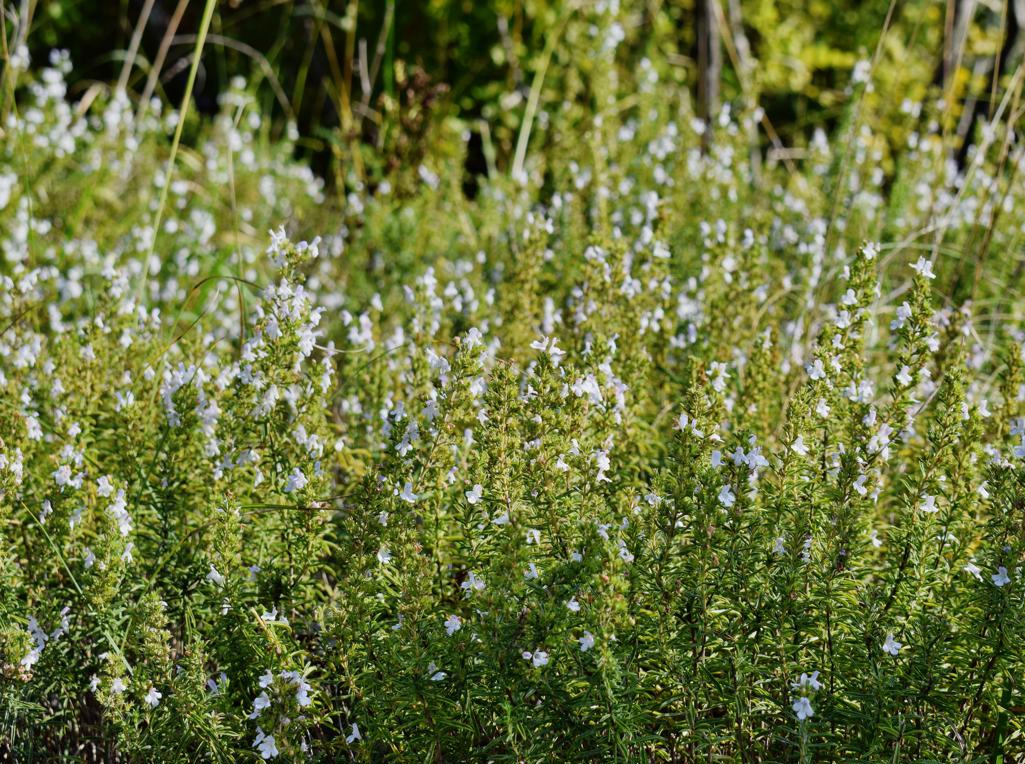
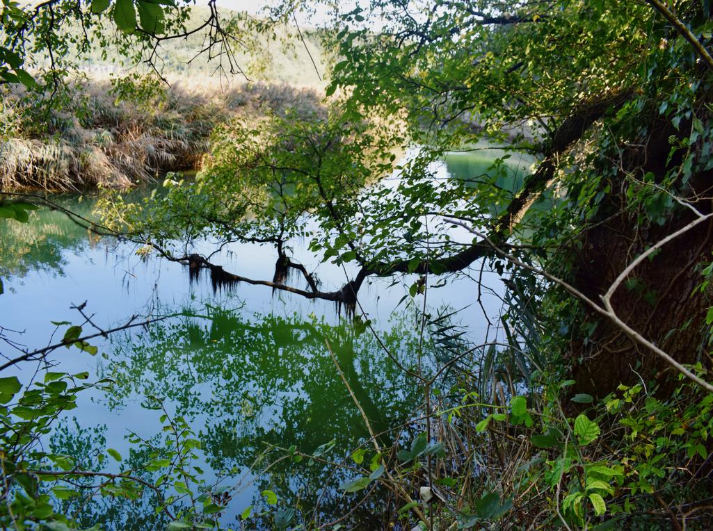
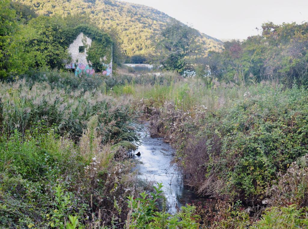
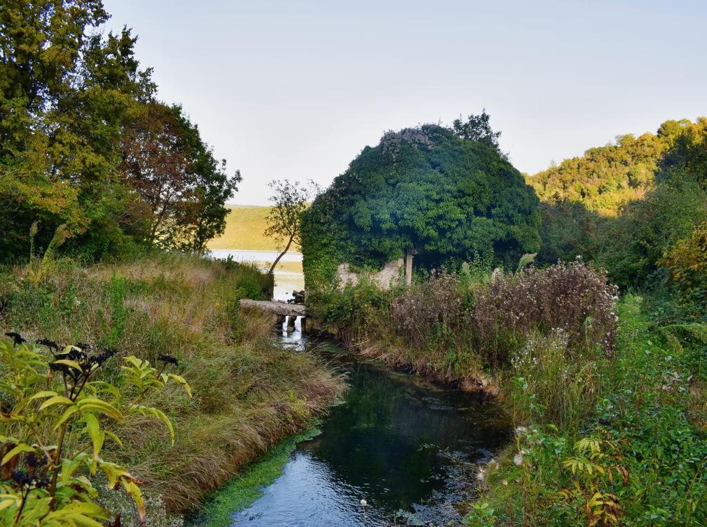
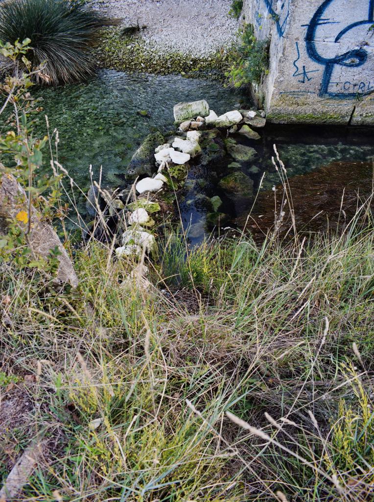
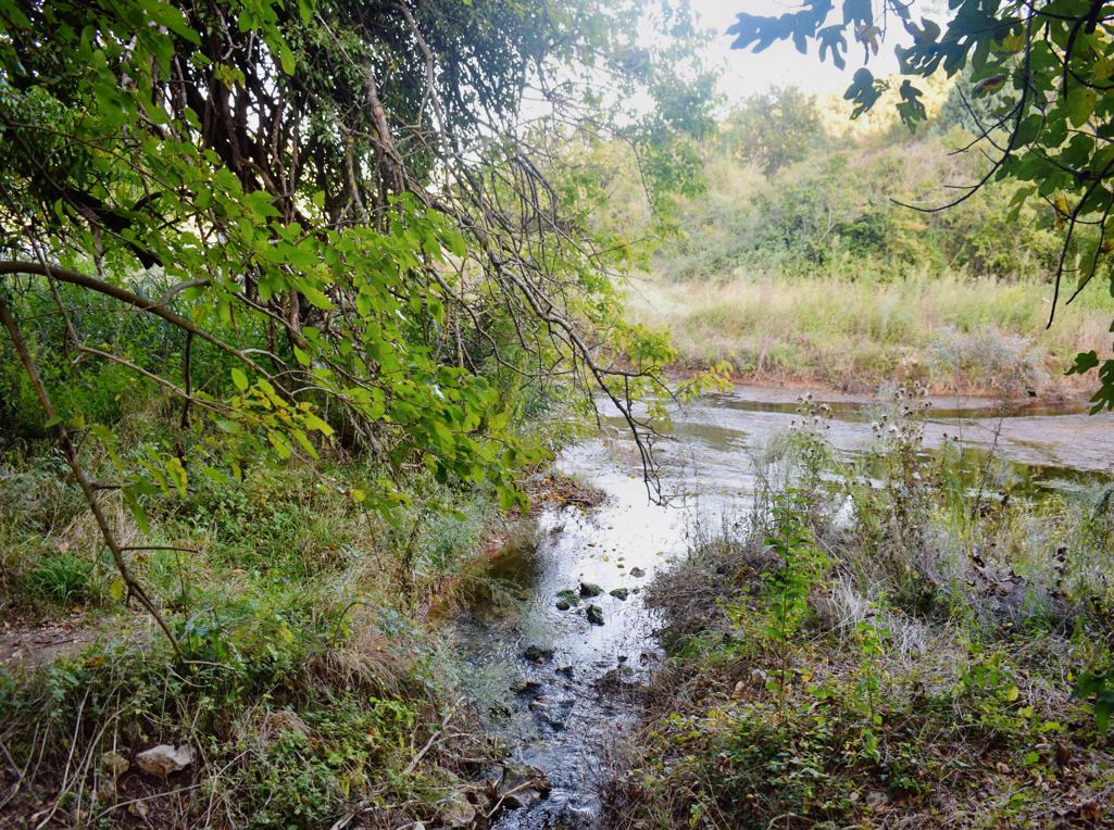
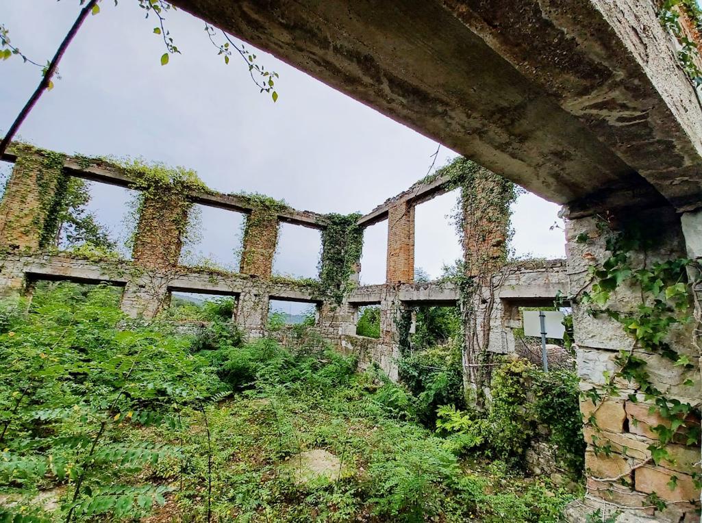
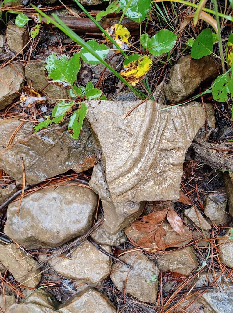
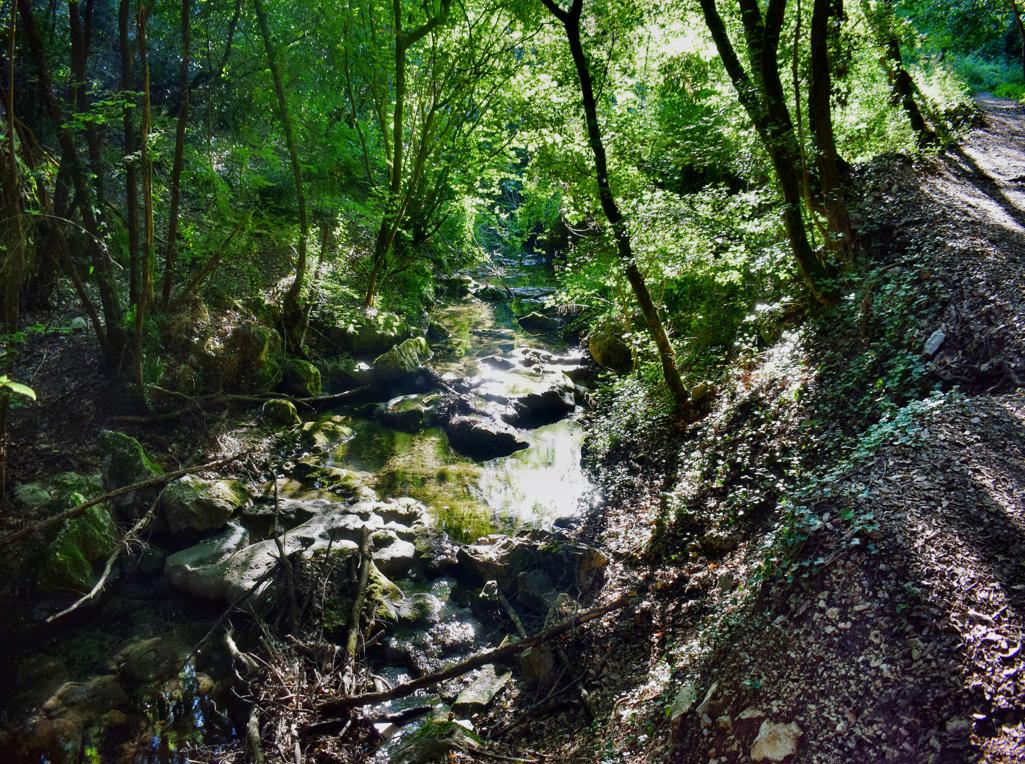
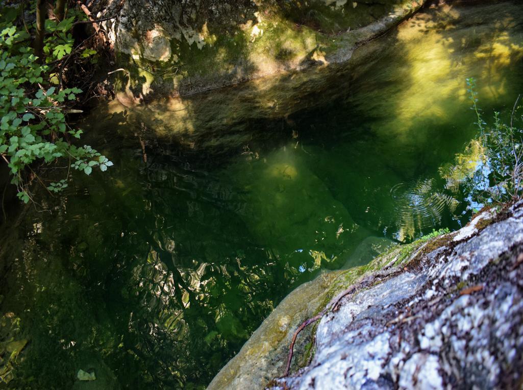
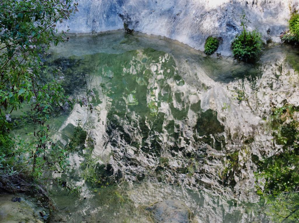
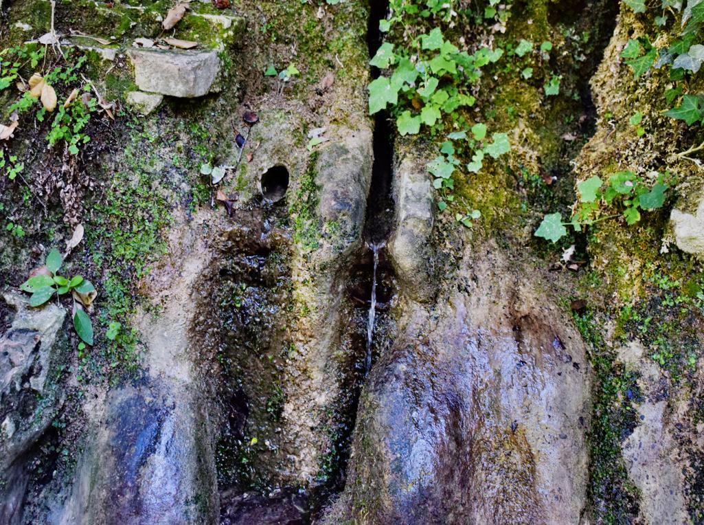
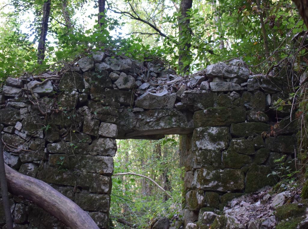
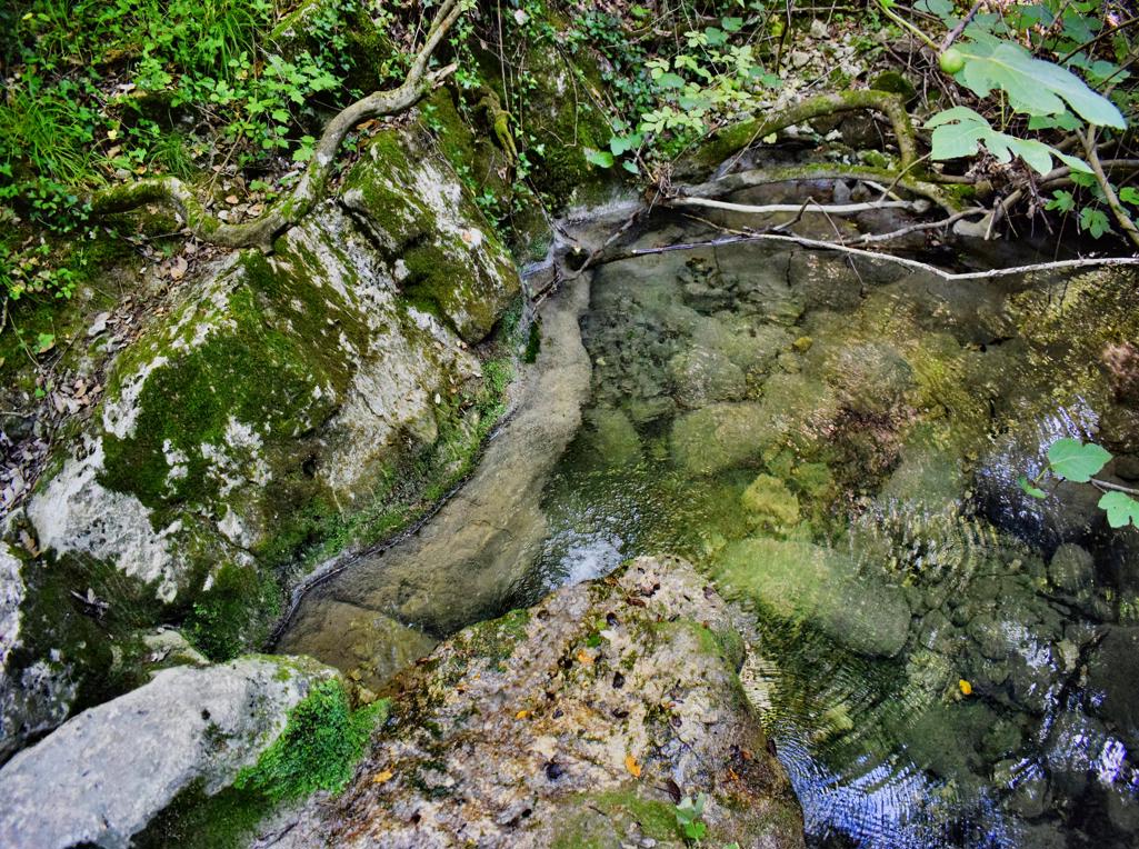
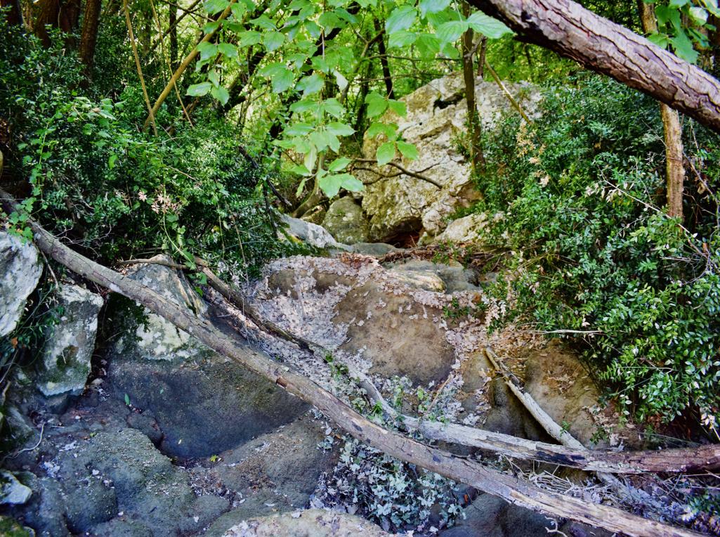
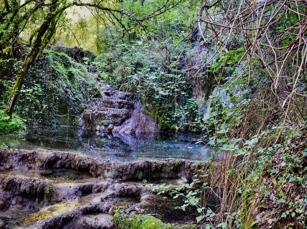
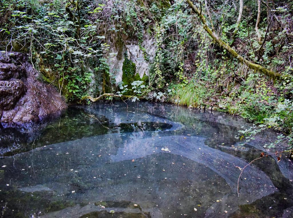
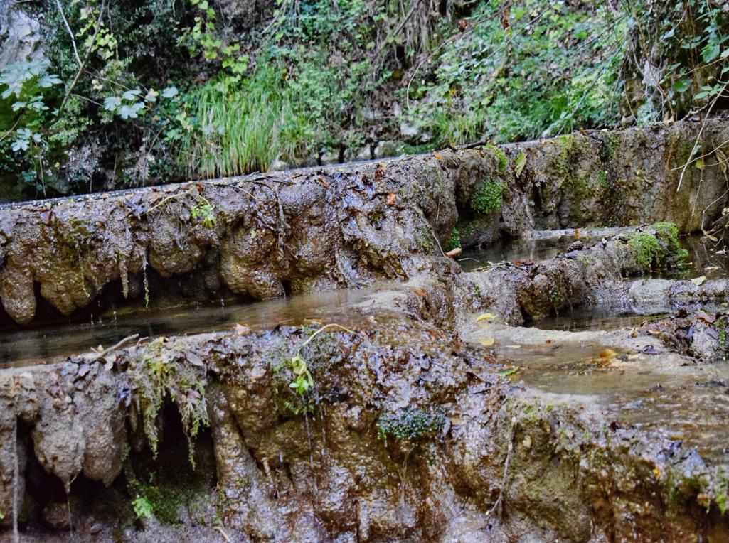
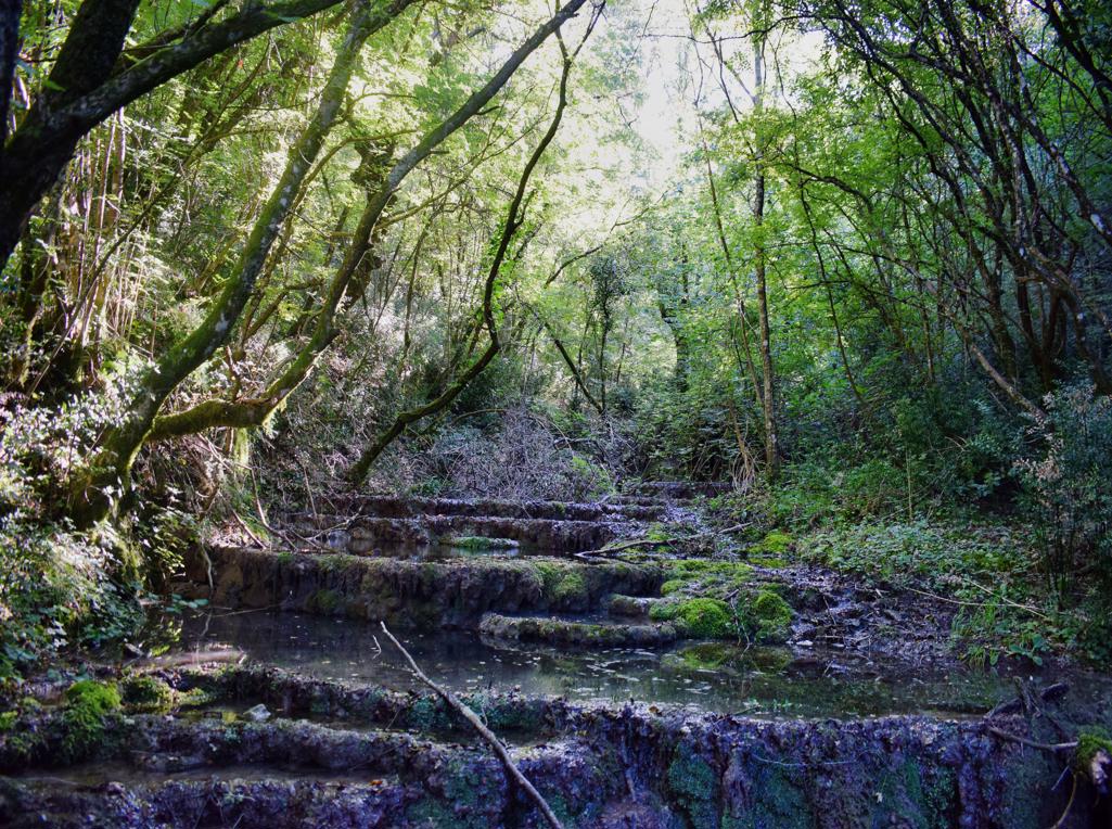
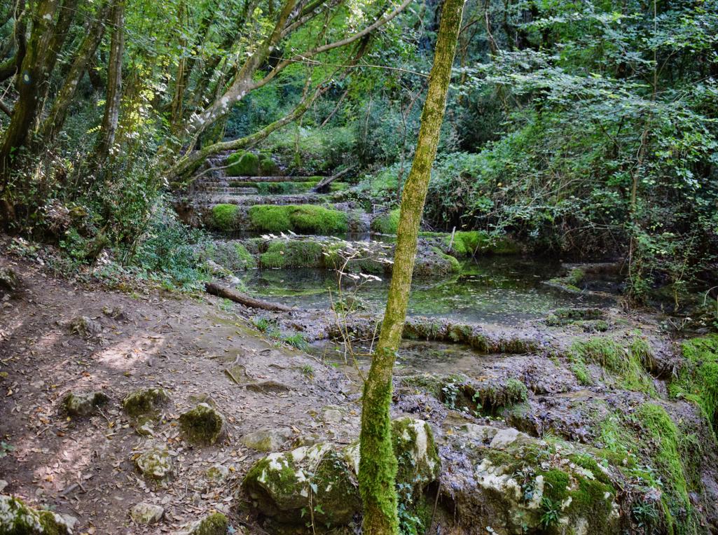
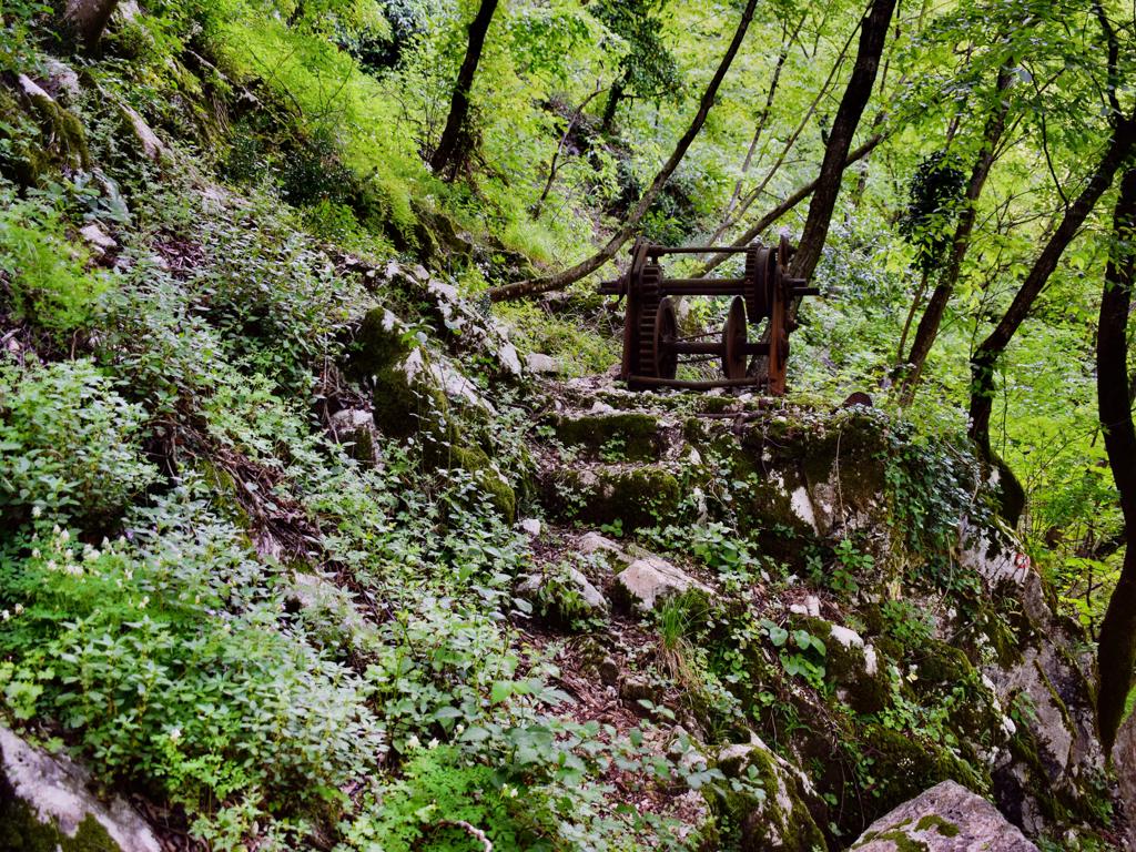
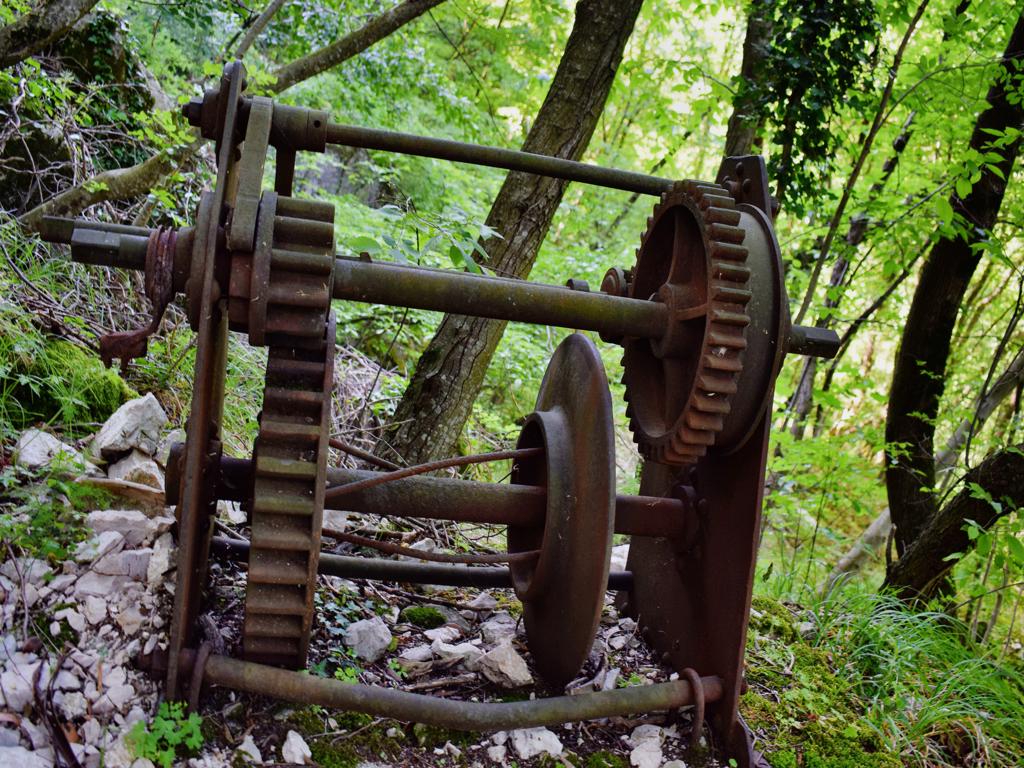
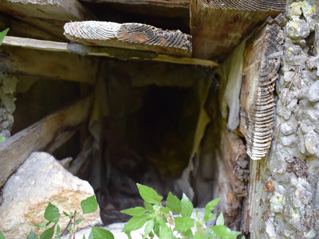
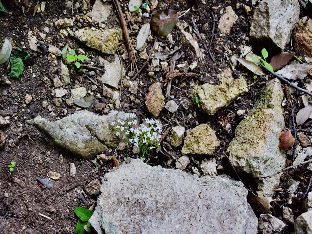
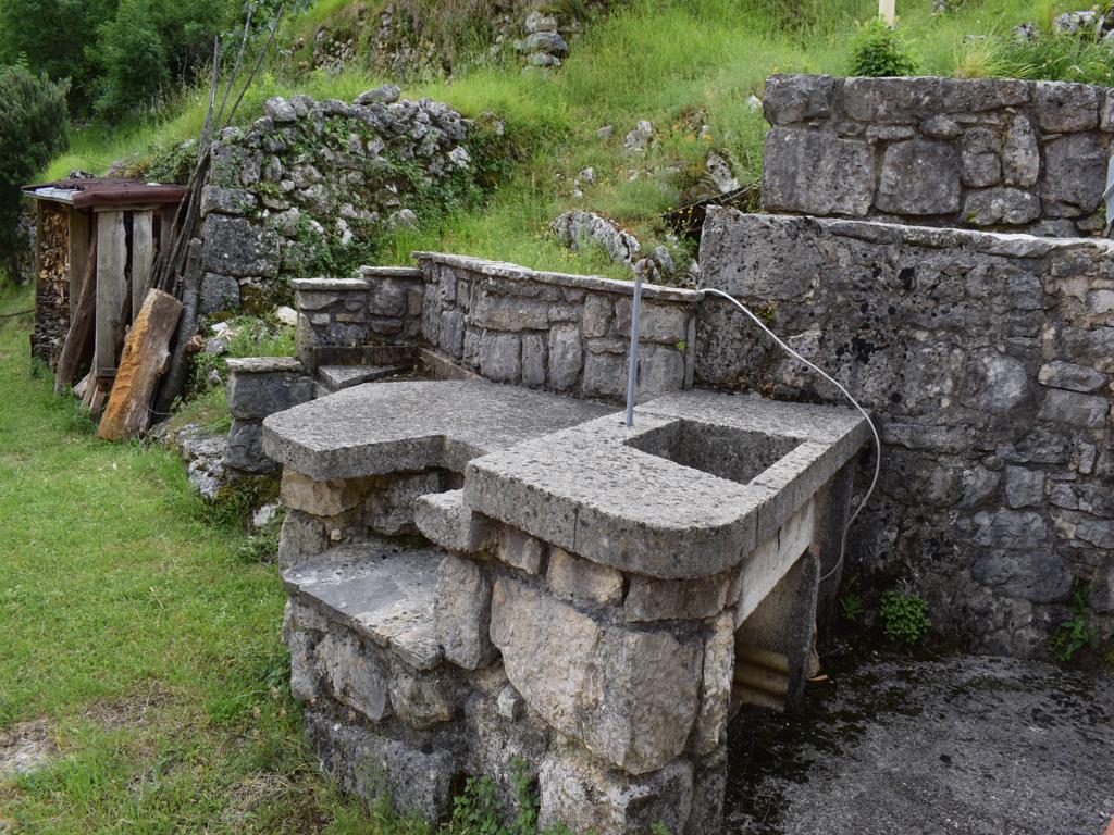
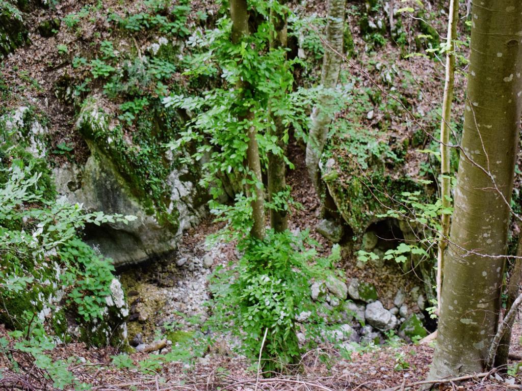
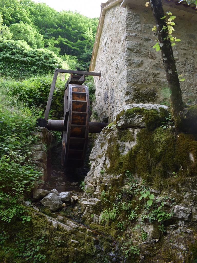
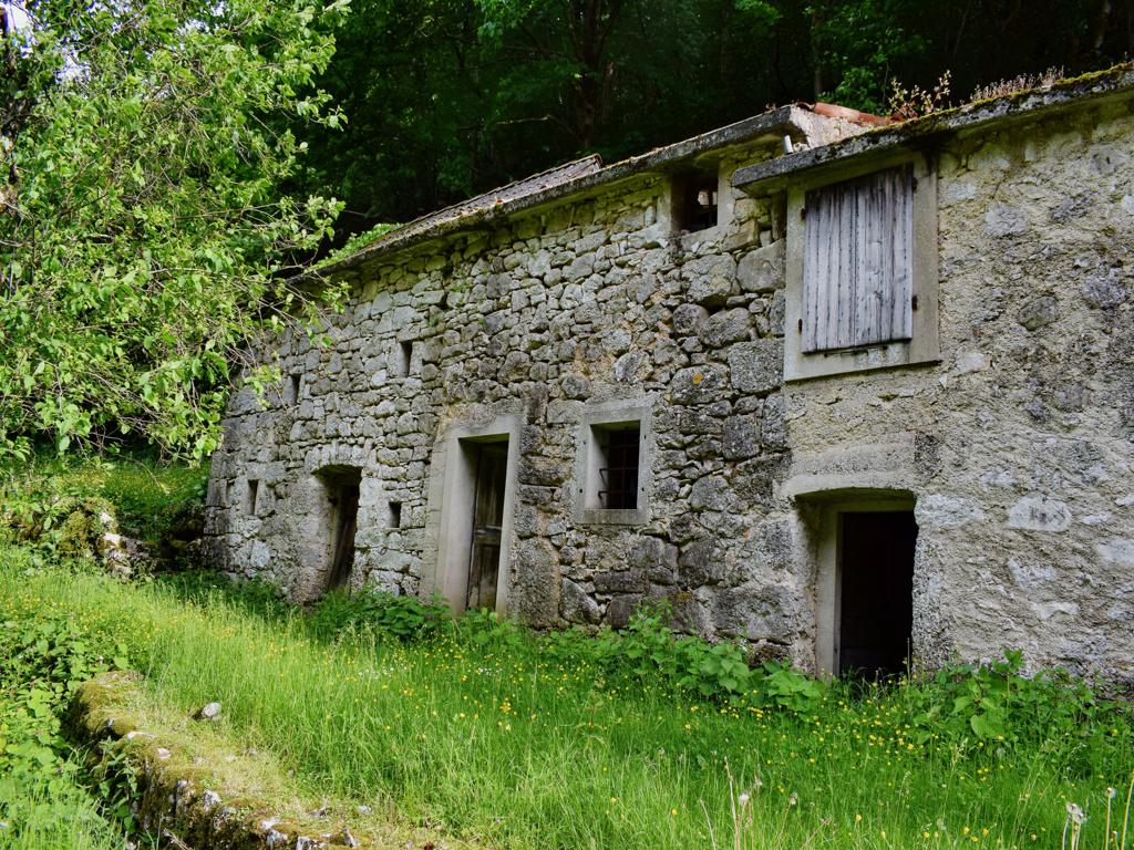
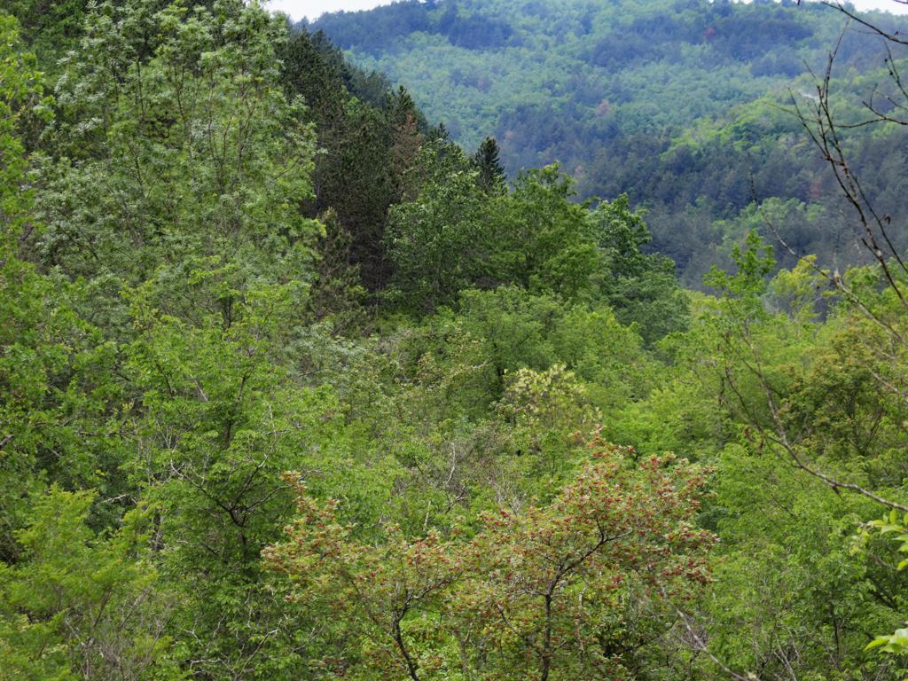
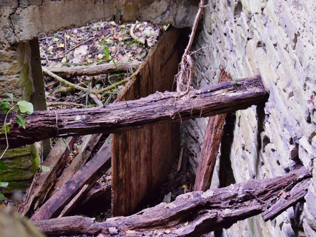
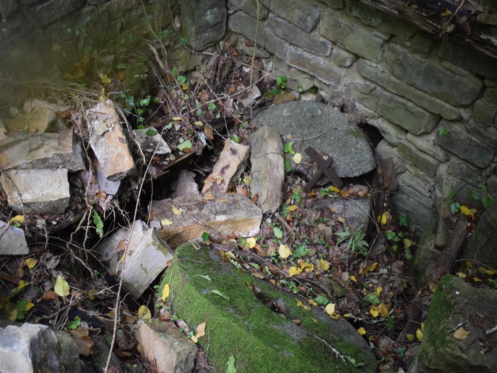
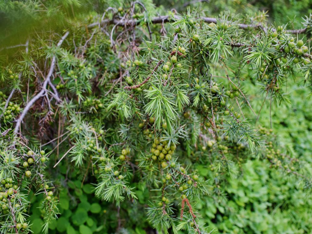
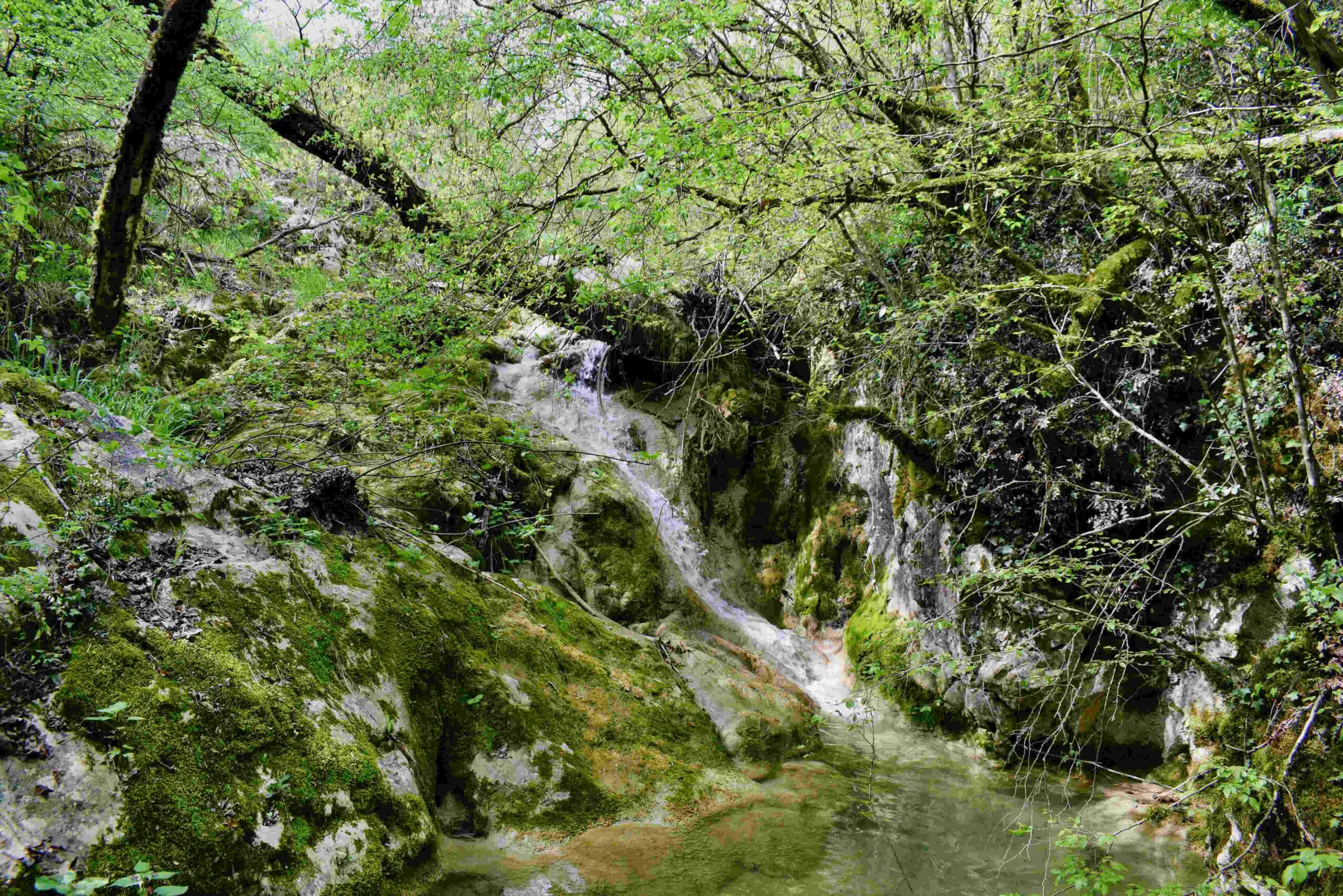
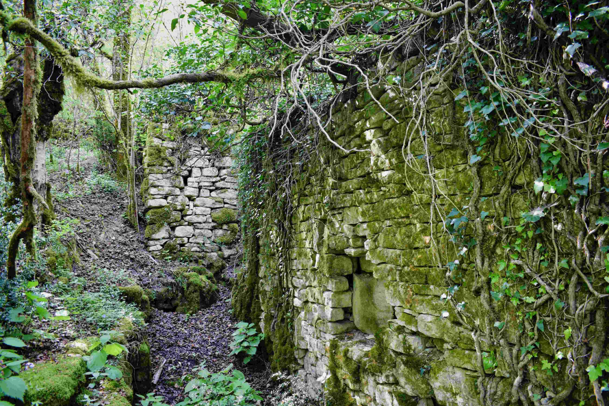
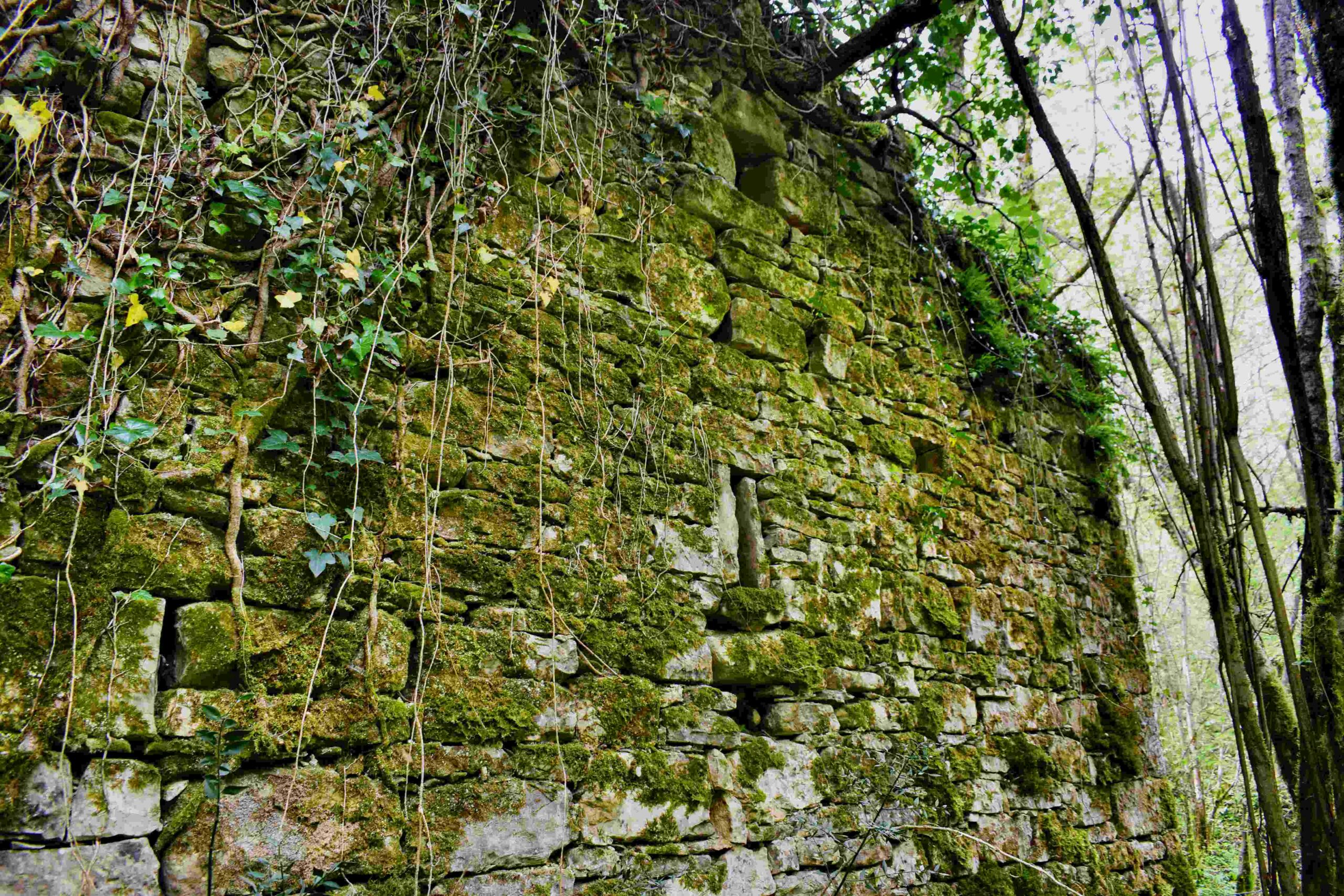
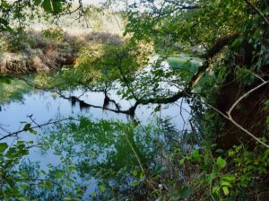
Along the Topolovica with the former name Bach Marganizza (Brestovae) there were 7 water mills for grinding grain.
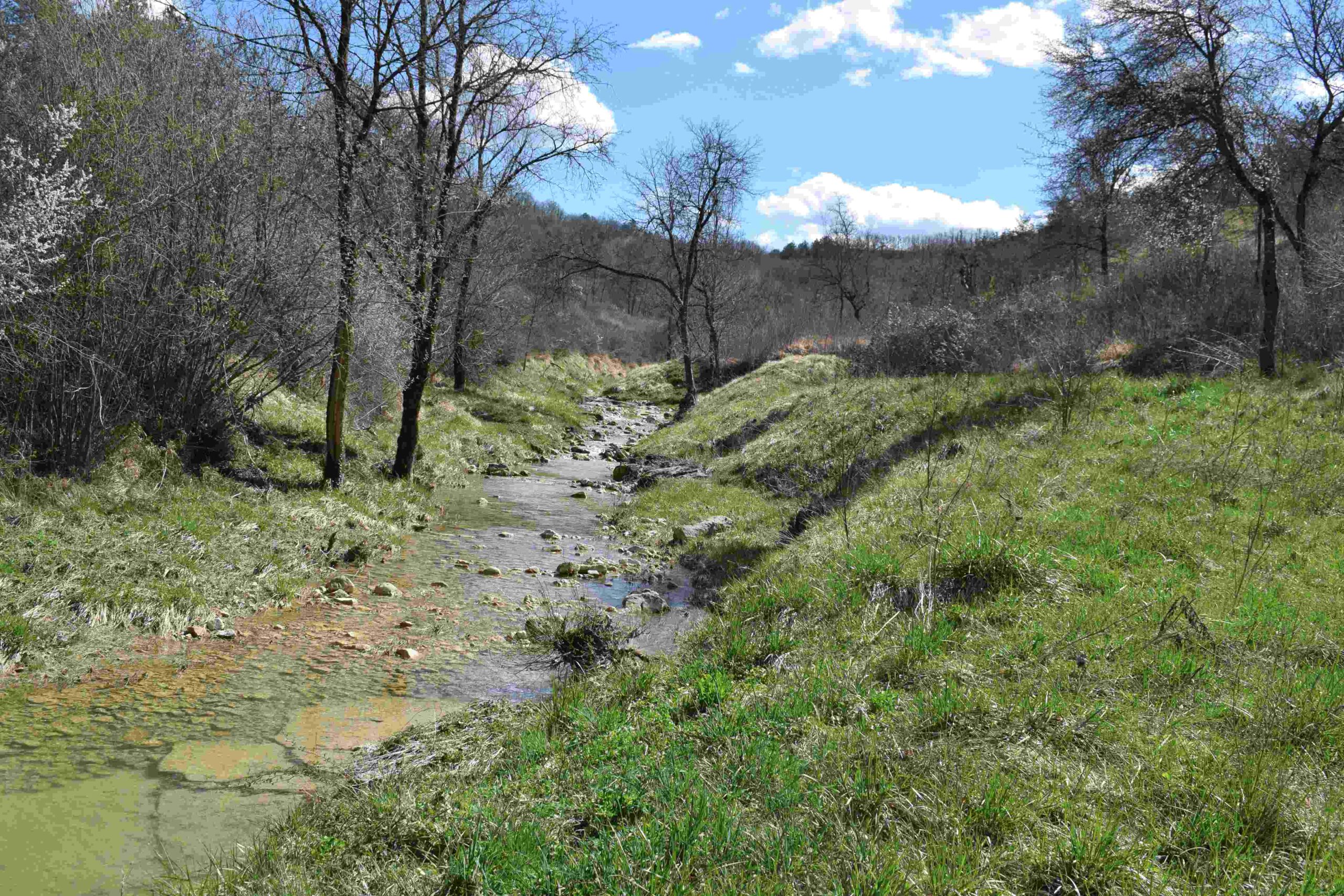
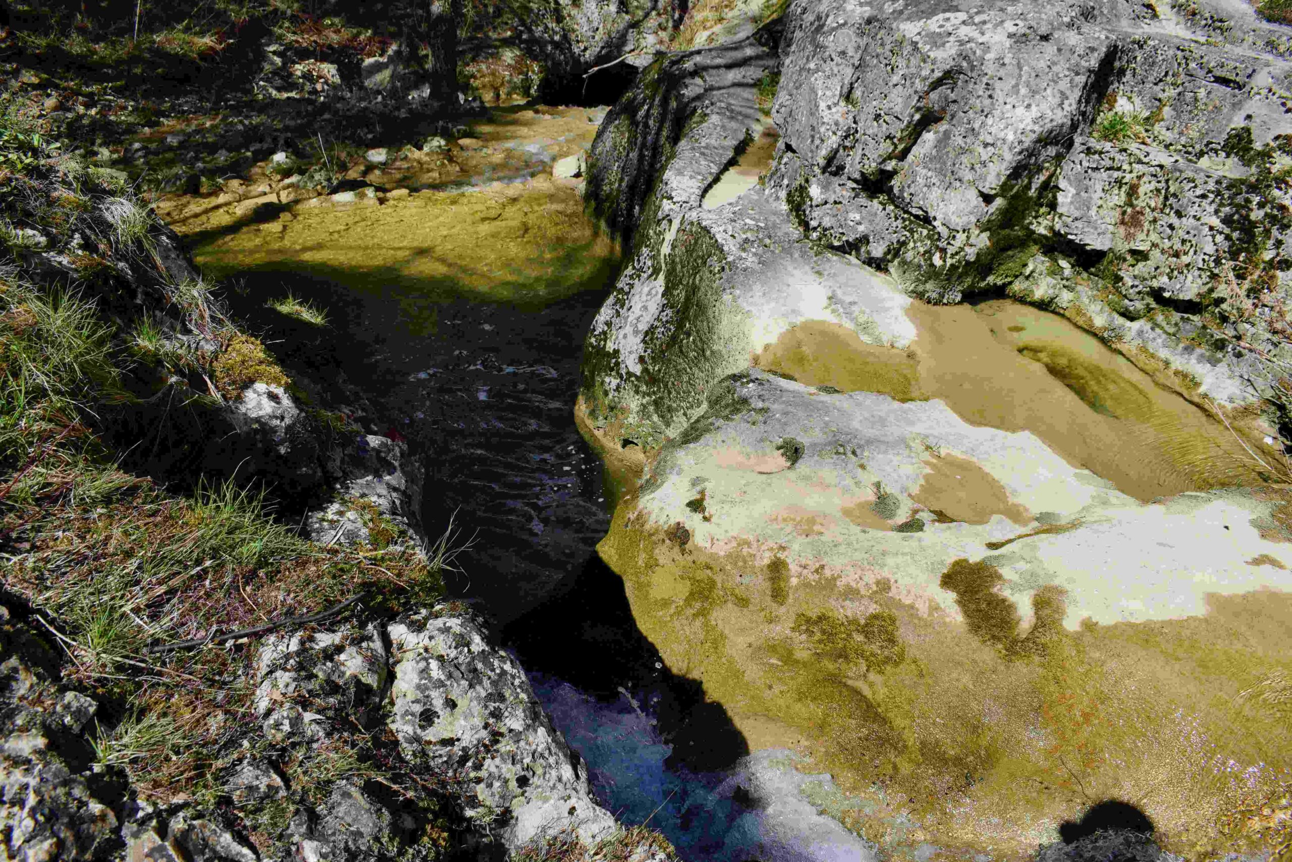
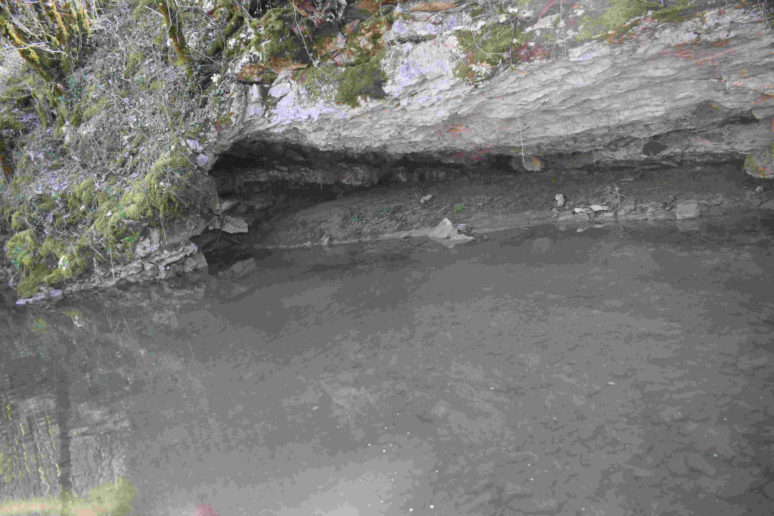
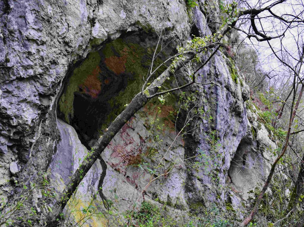
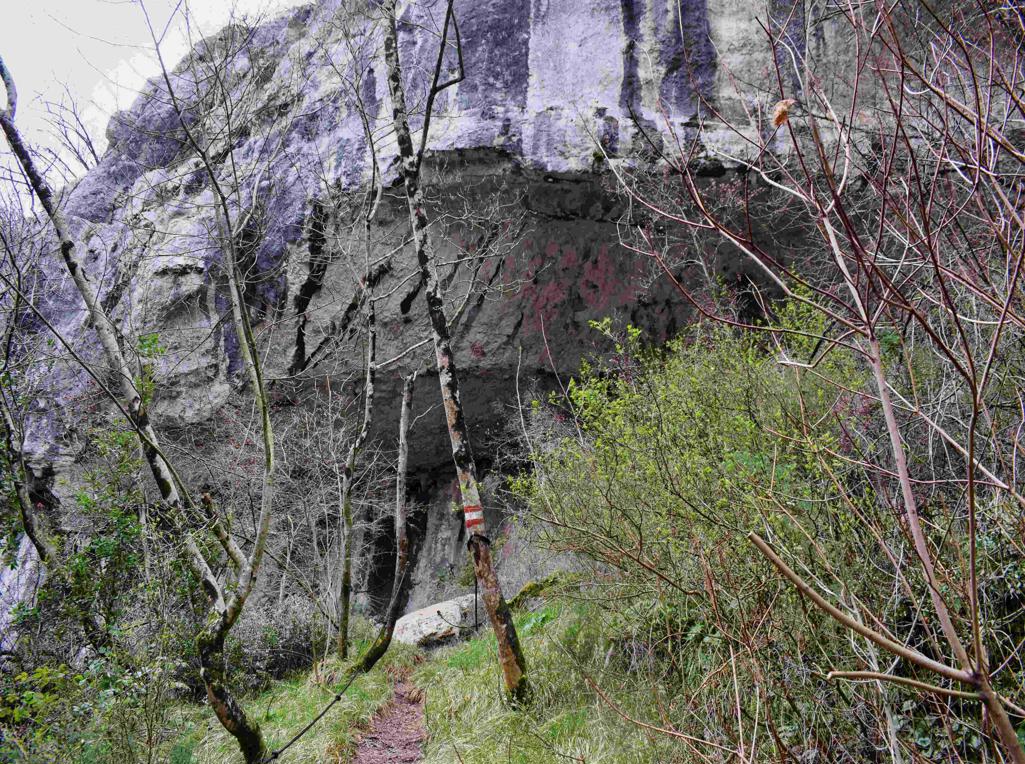
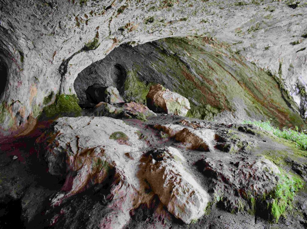
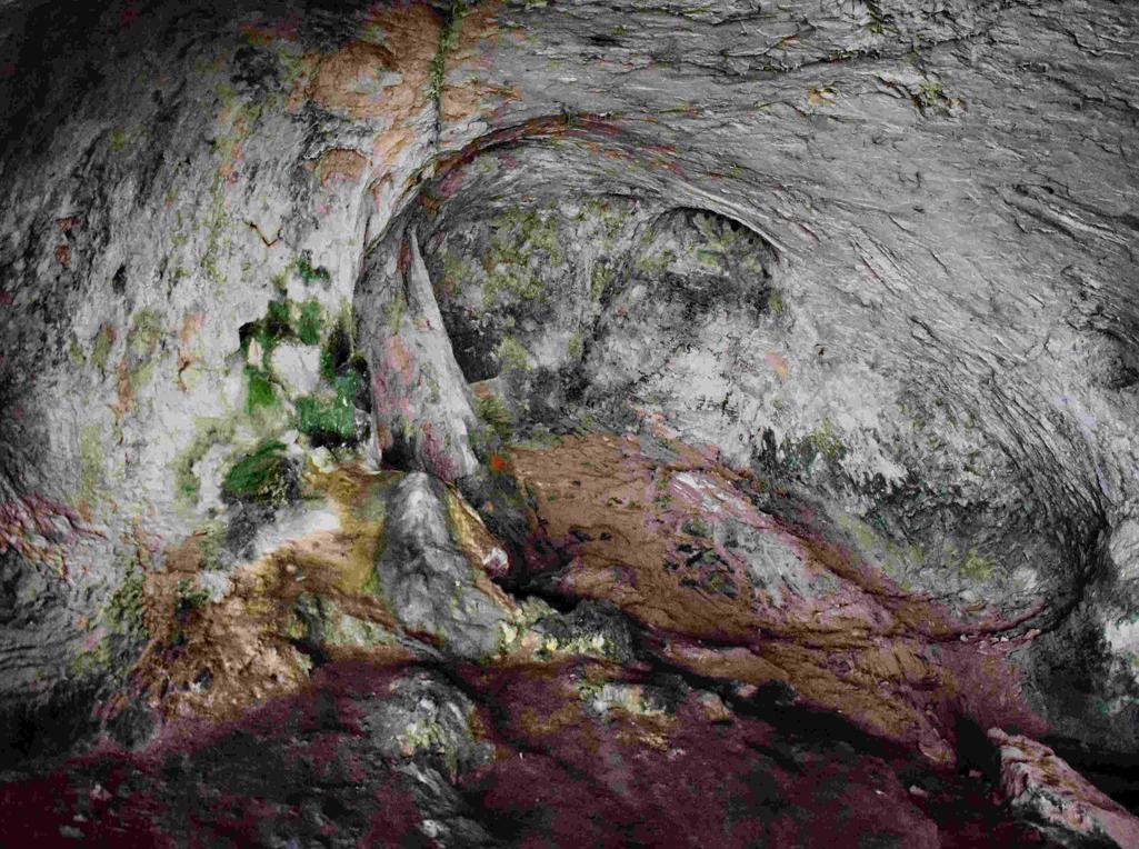
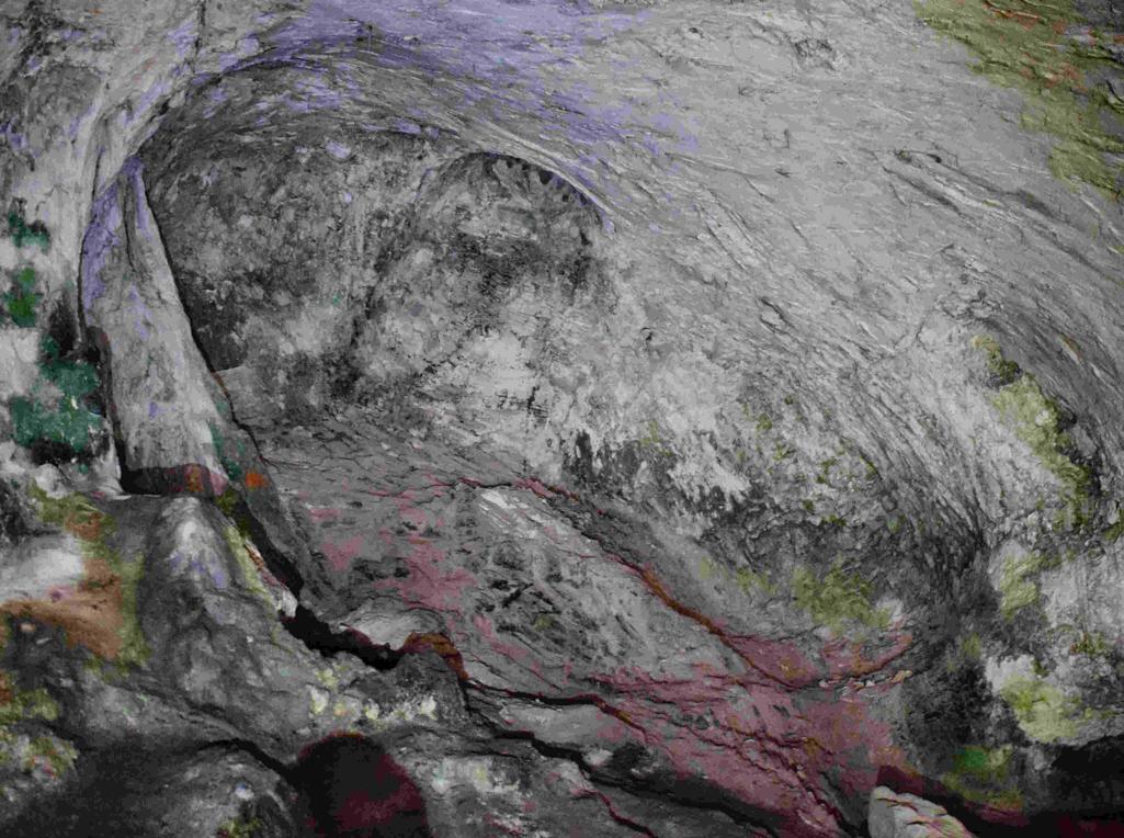
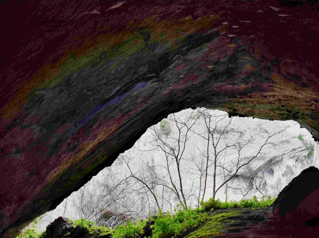
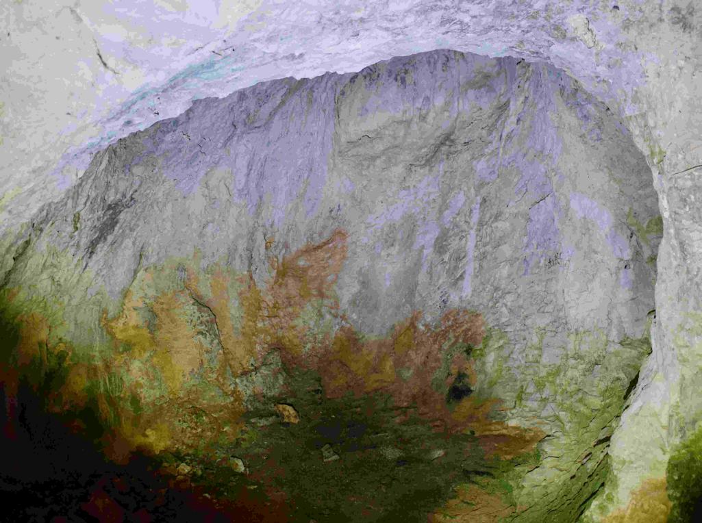
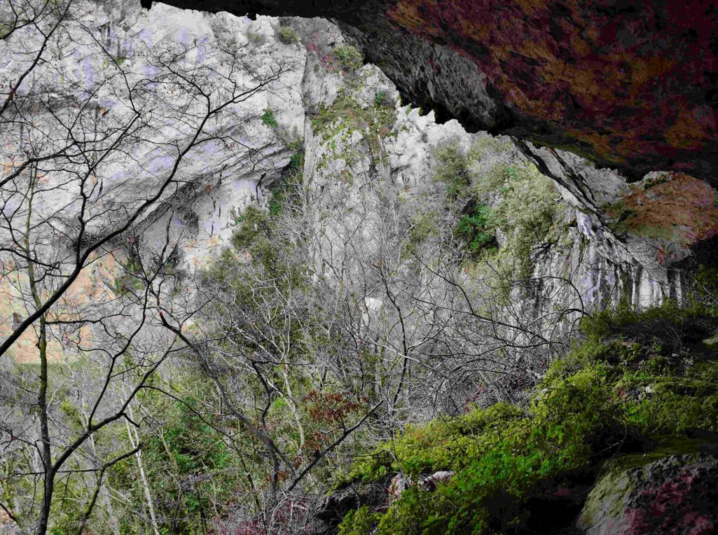
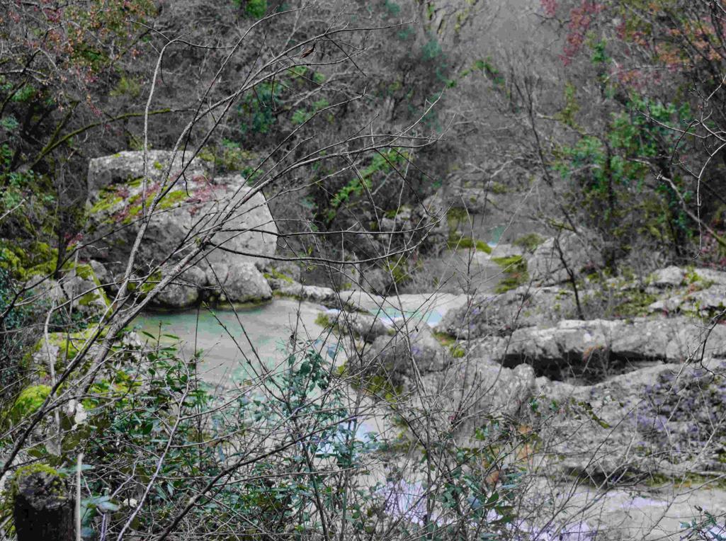
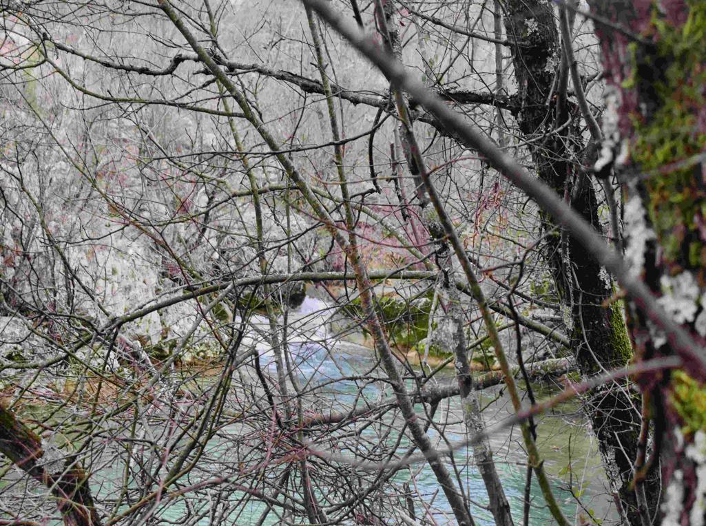
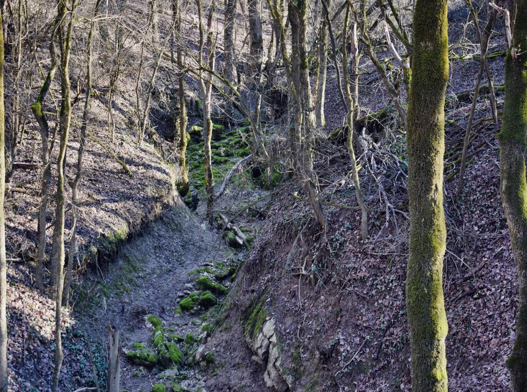
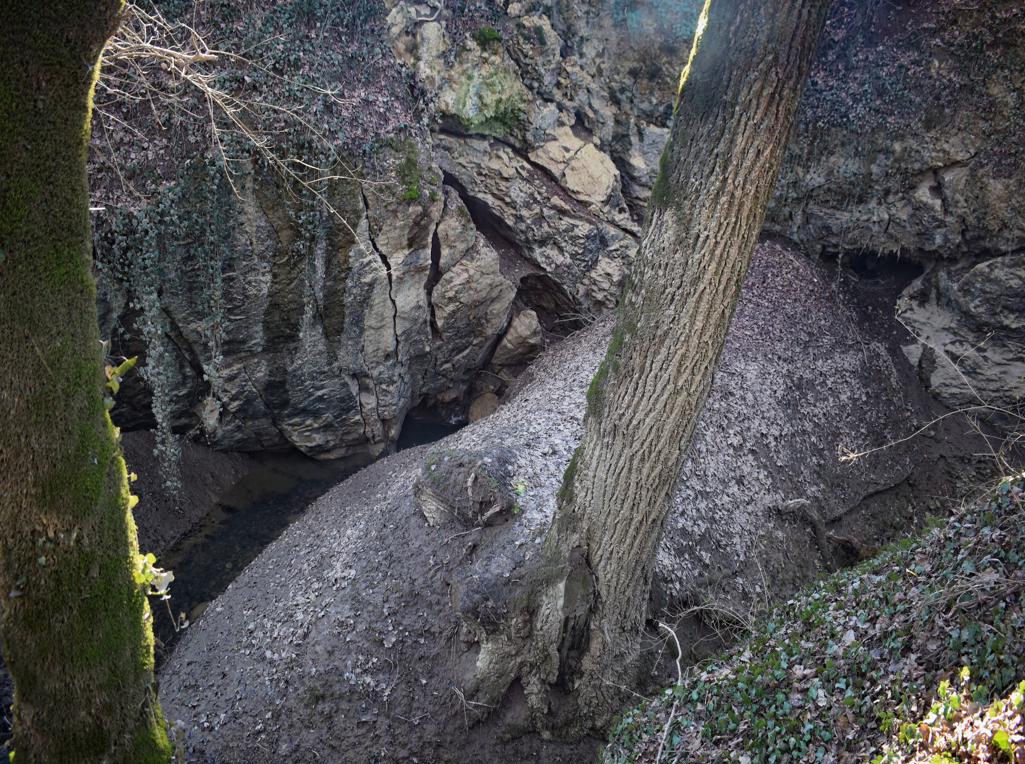
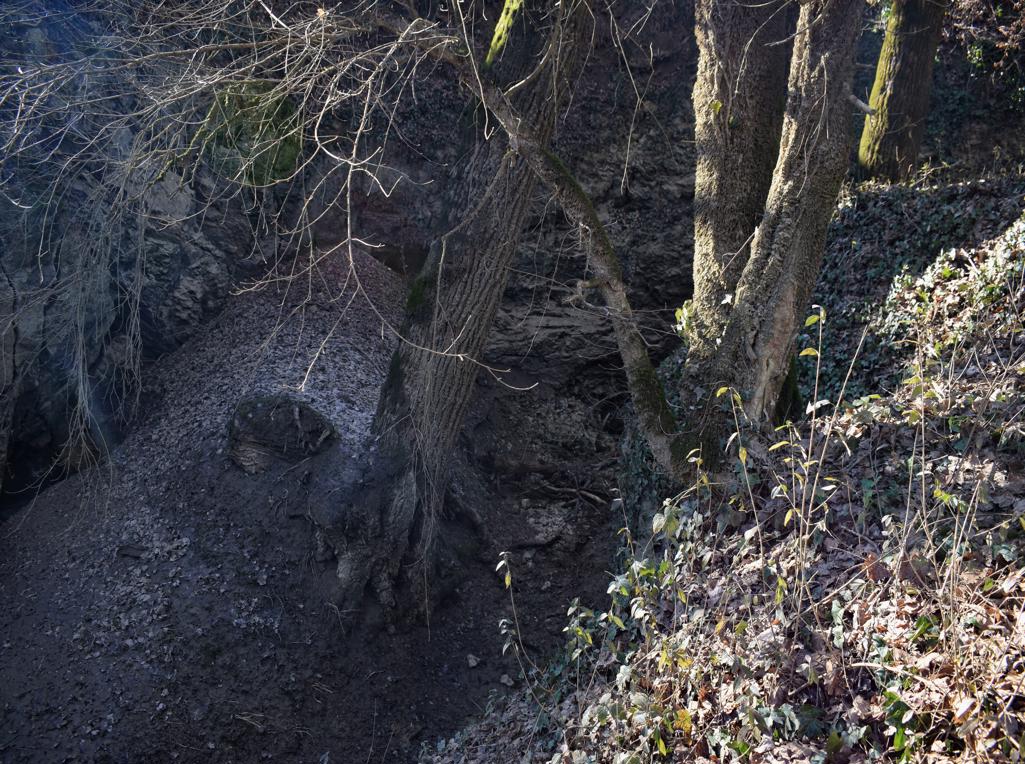
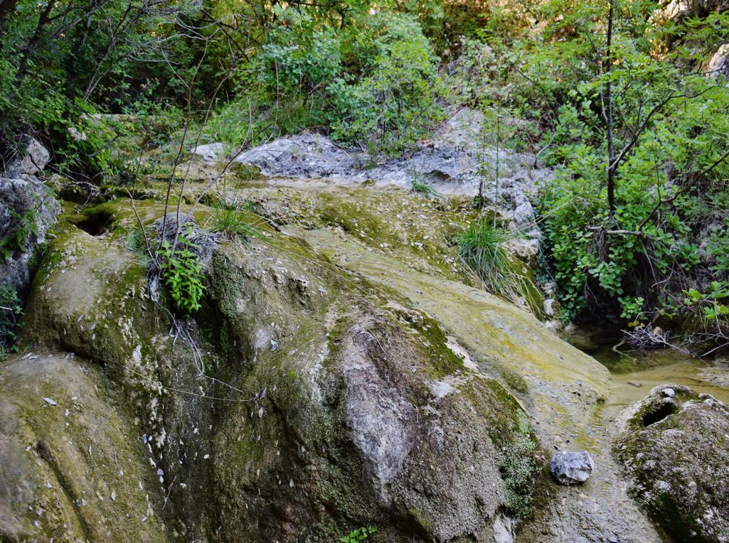
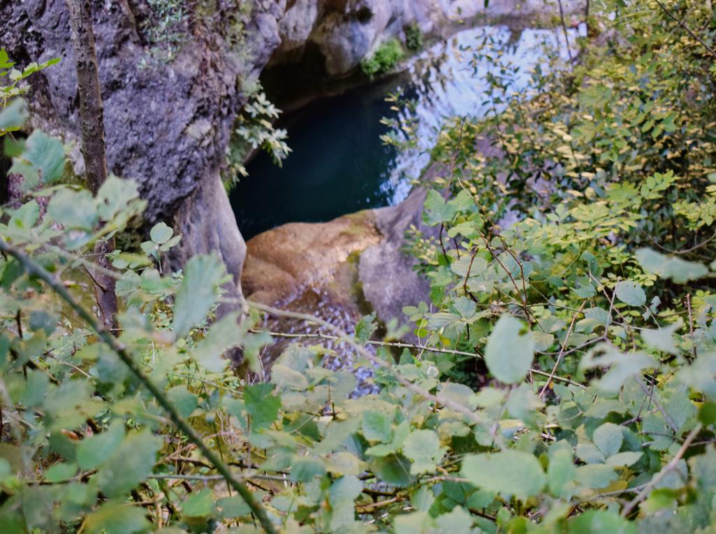
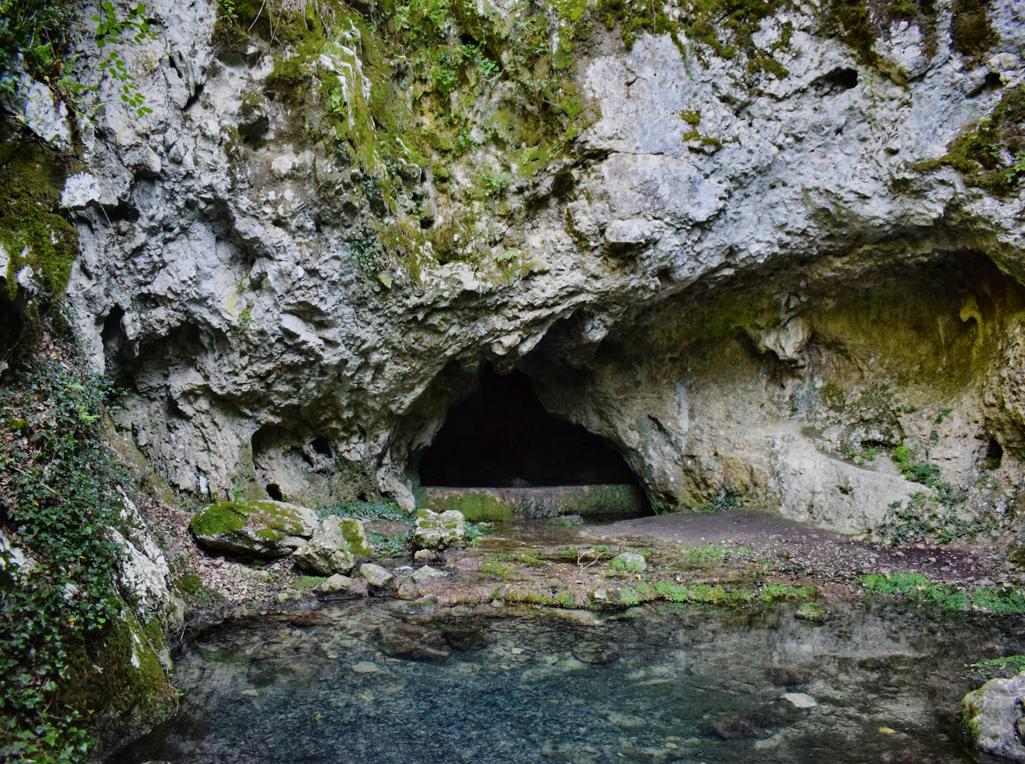
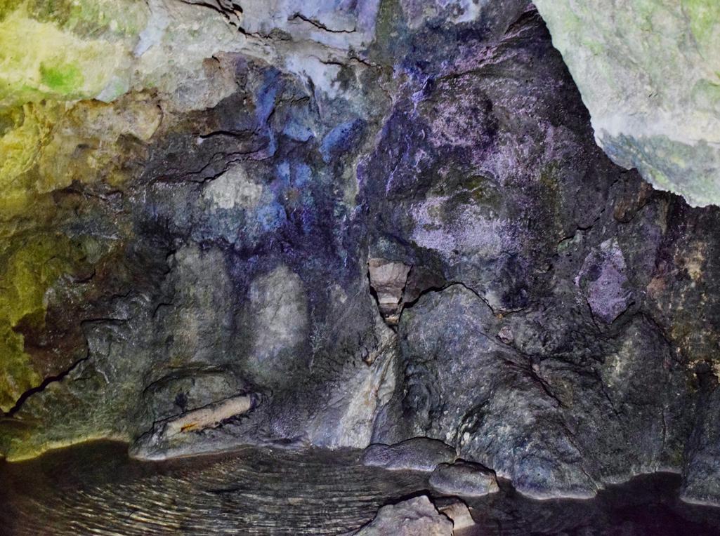
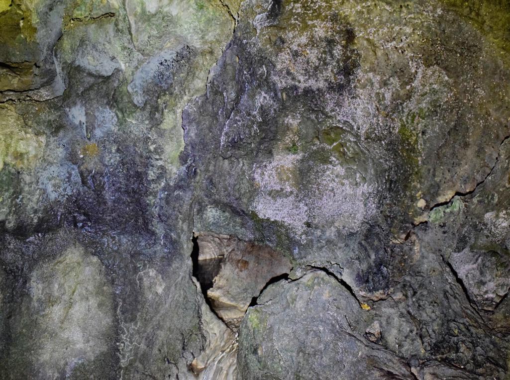
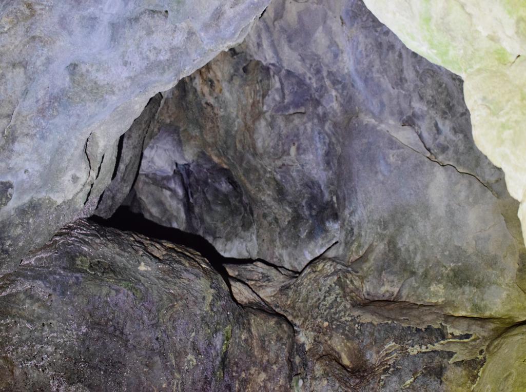
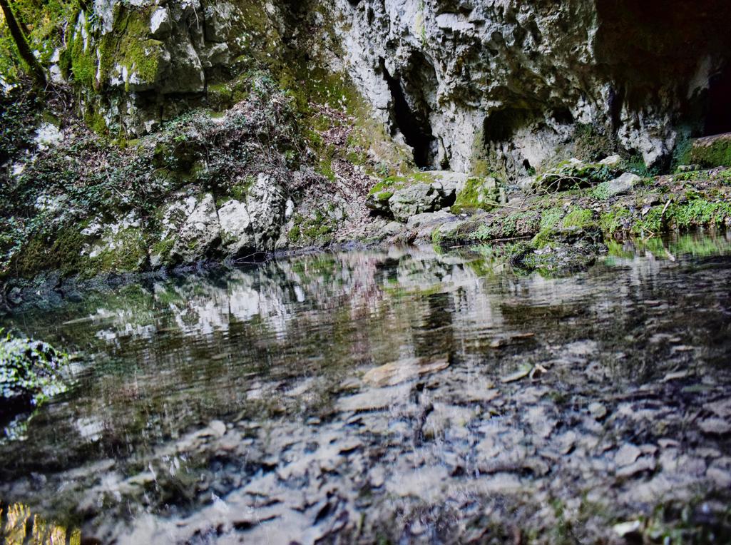
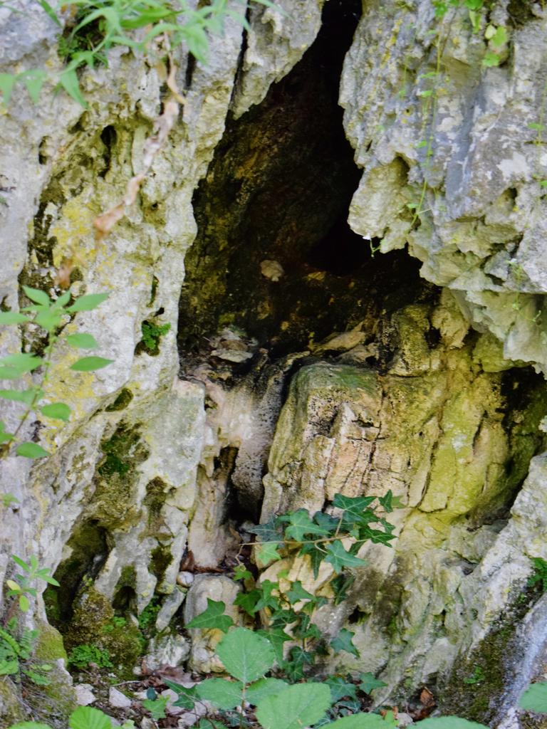
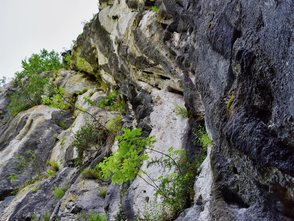
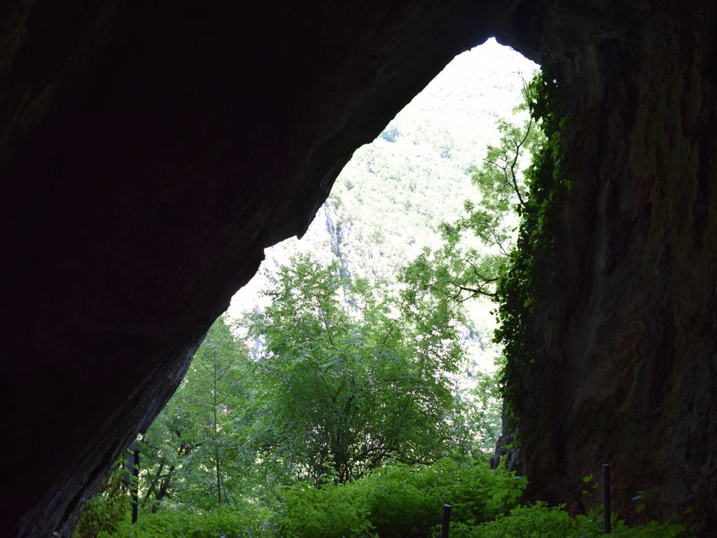
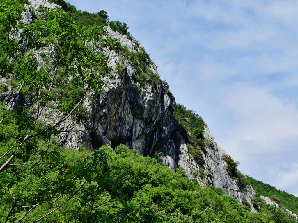
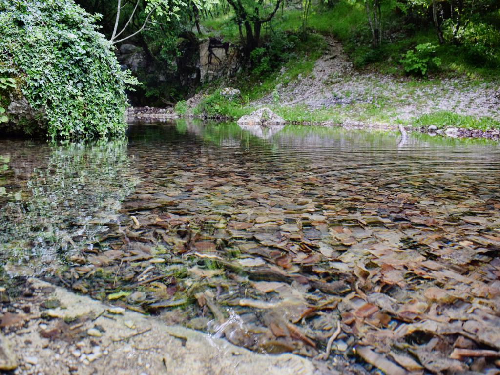
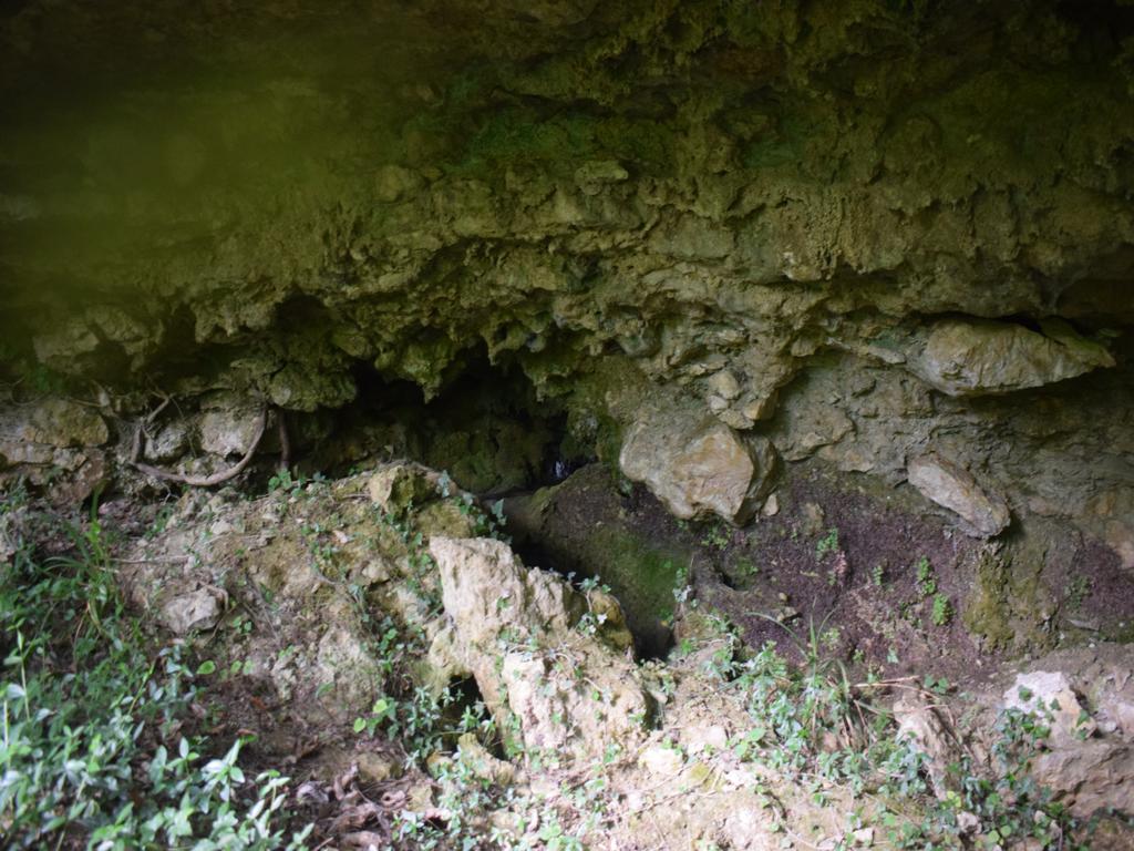
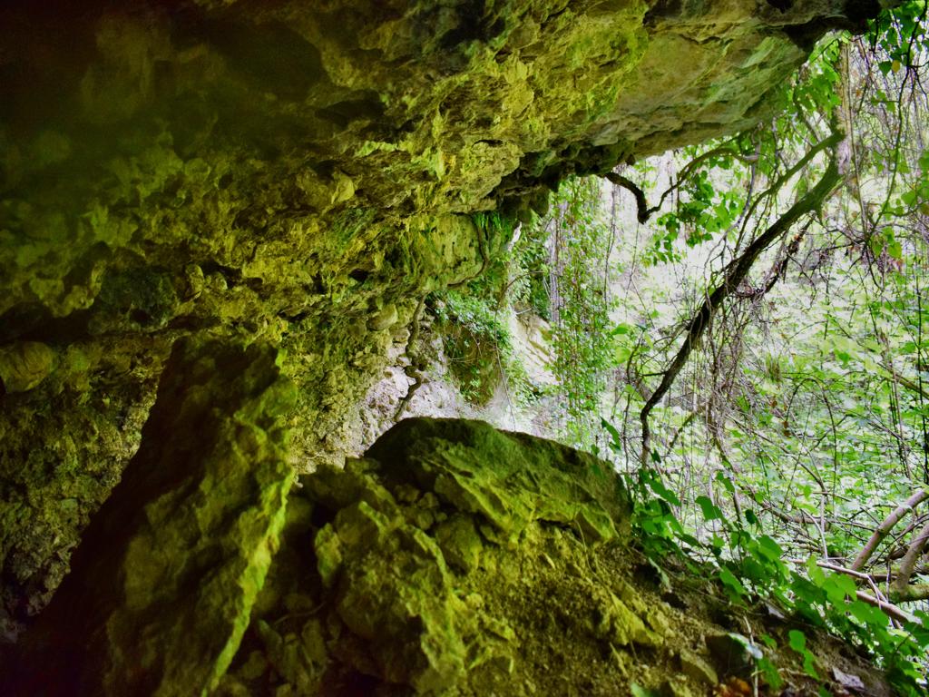
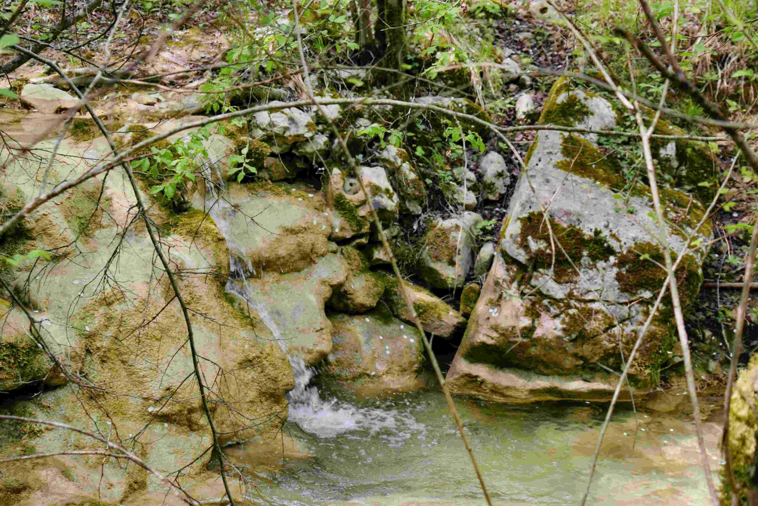
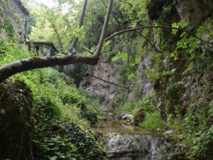
Name: Trail near Triviž along the streams Siže and Topolovica, with on the end cave Siže.
Place: Trivž – (Pazin).
Coordinates: cave (ponor Siže 45.27202 N -13.86110 E-
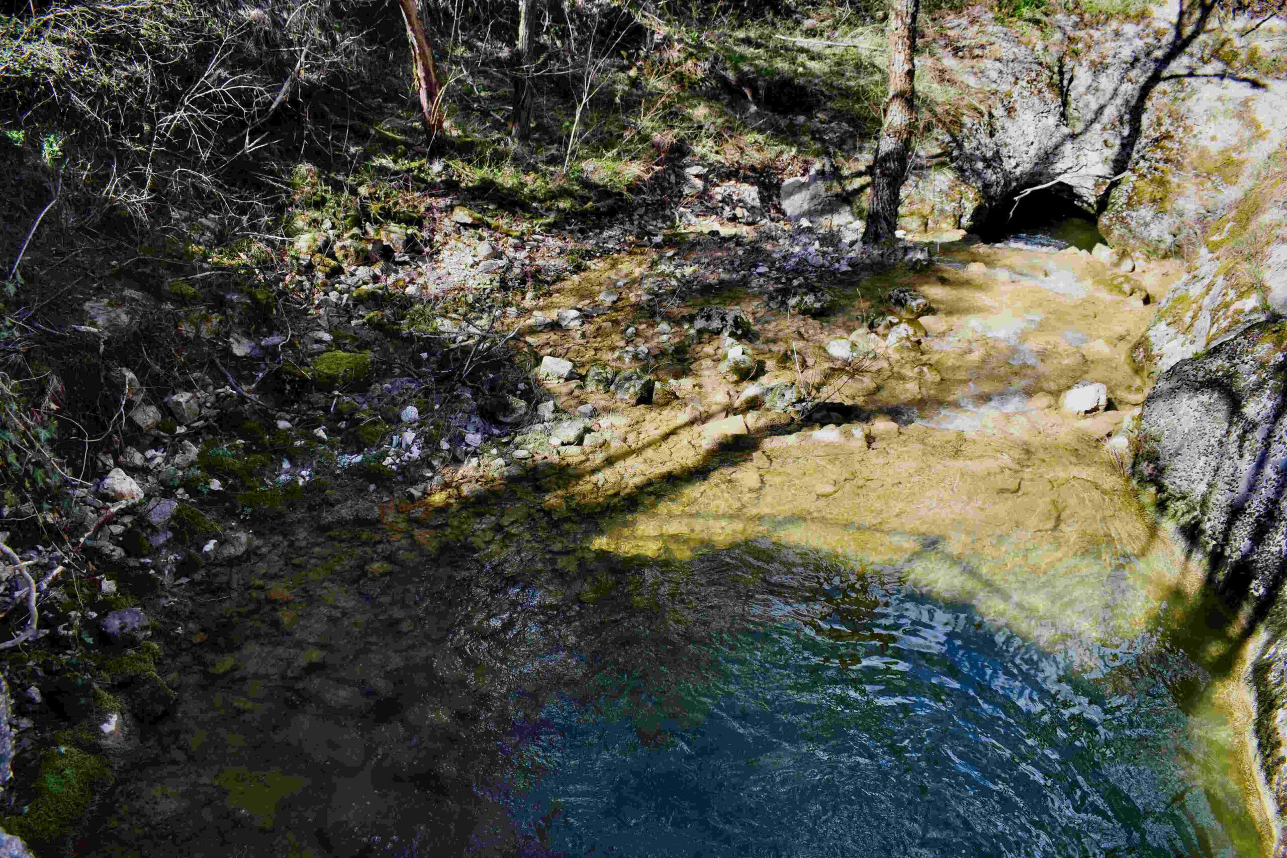
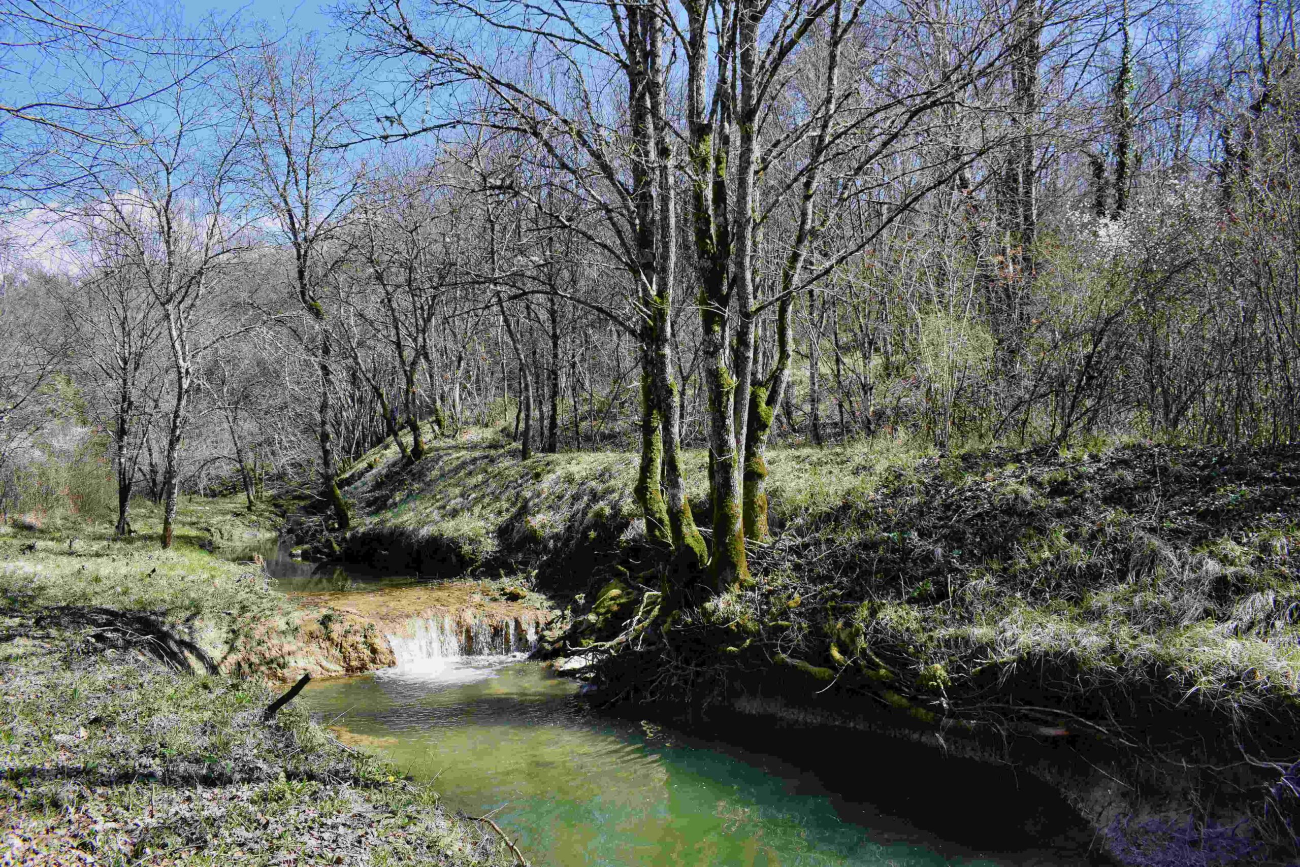
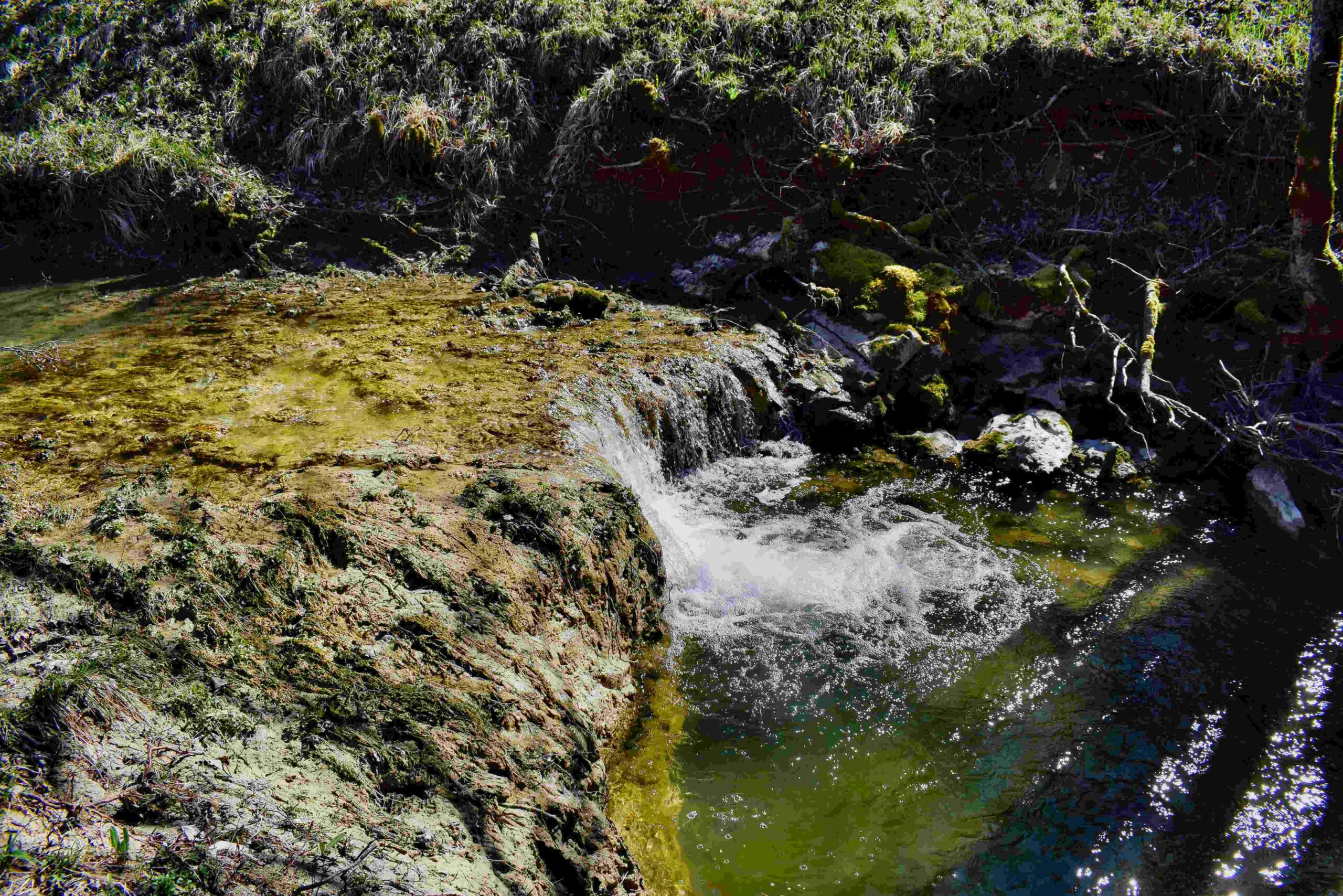
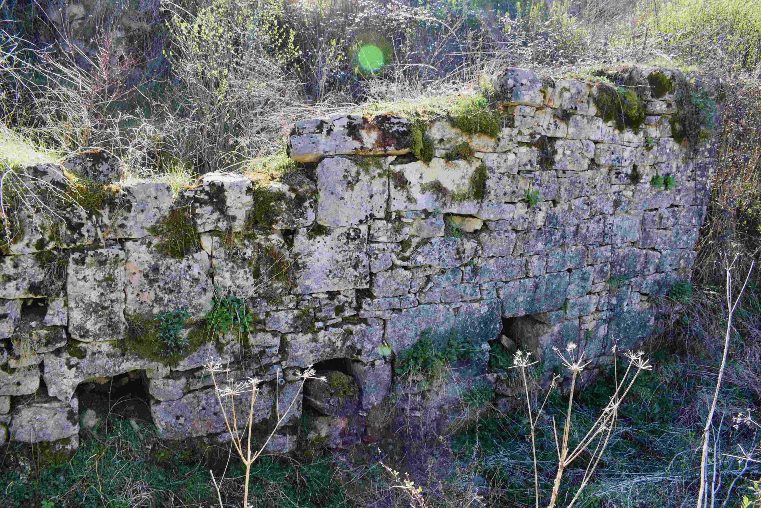
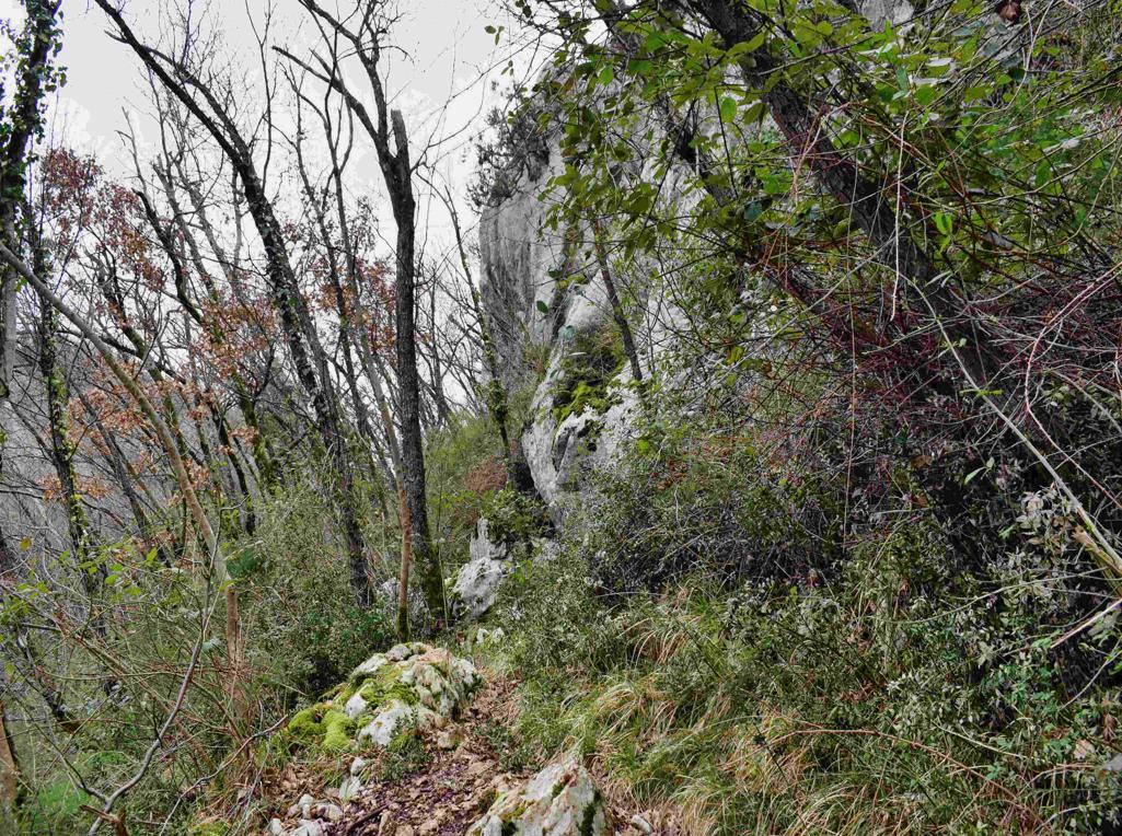
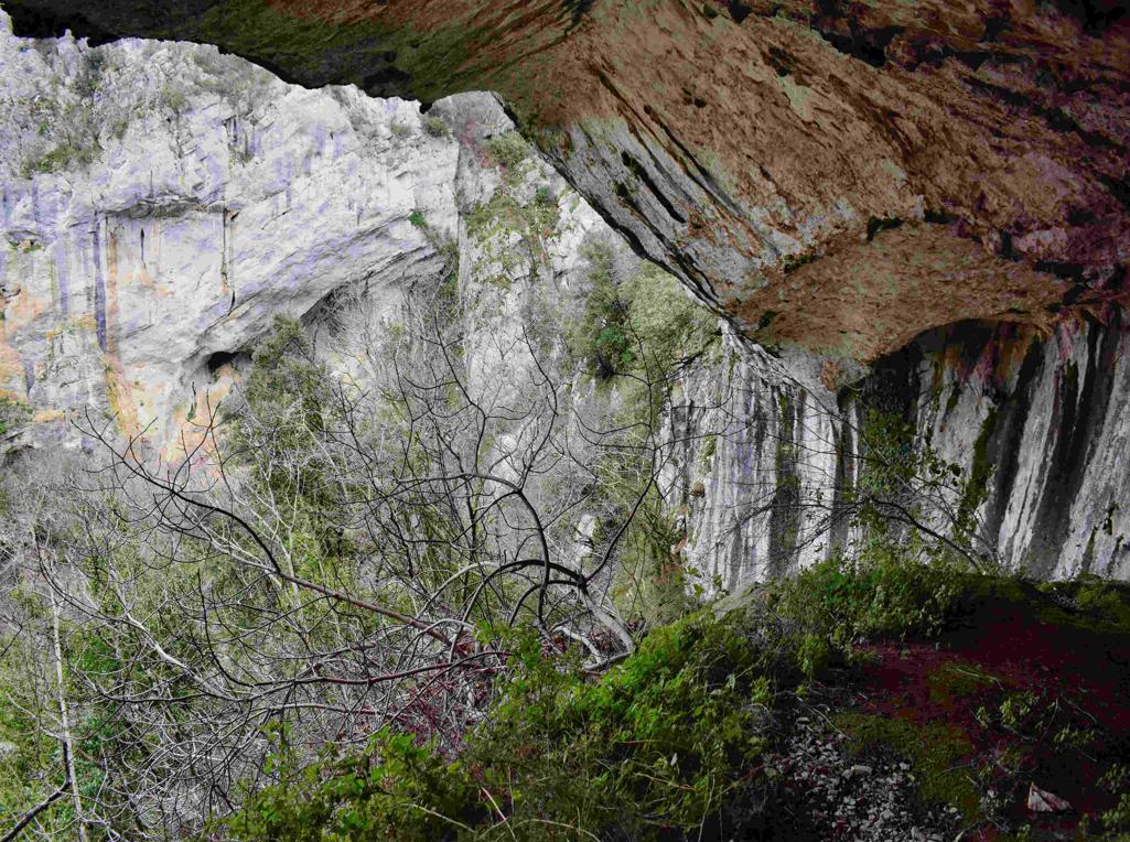
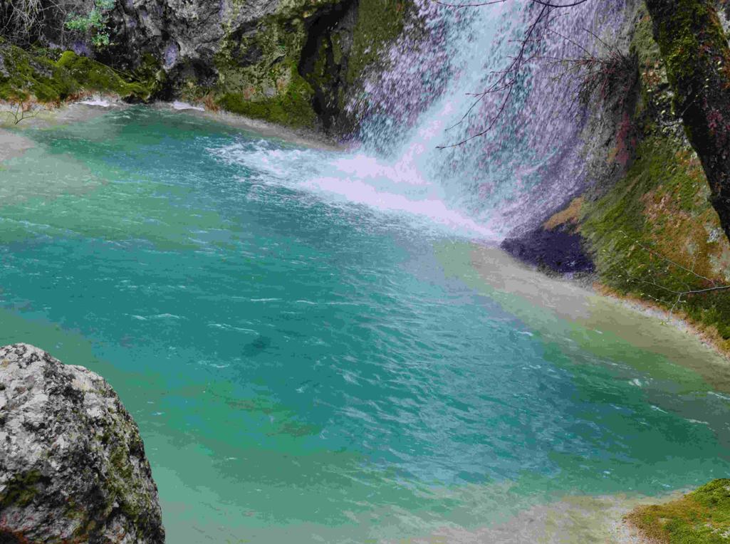
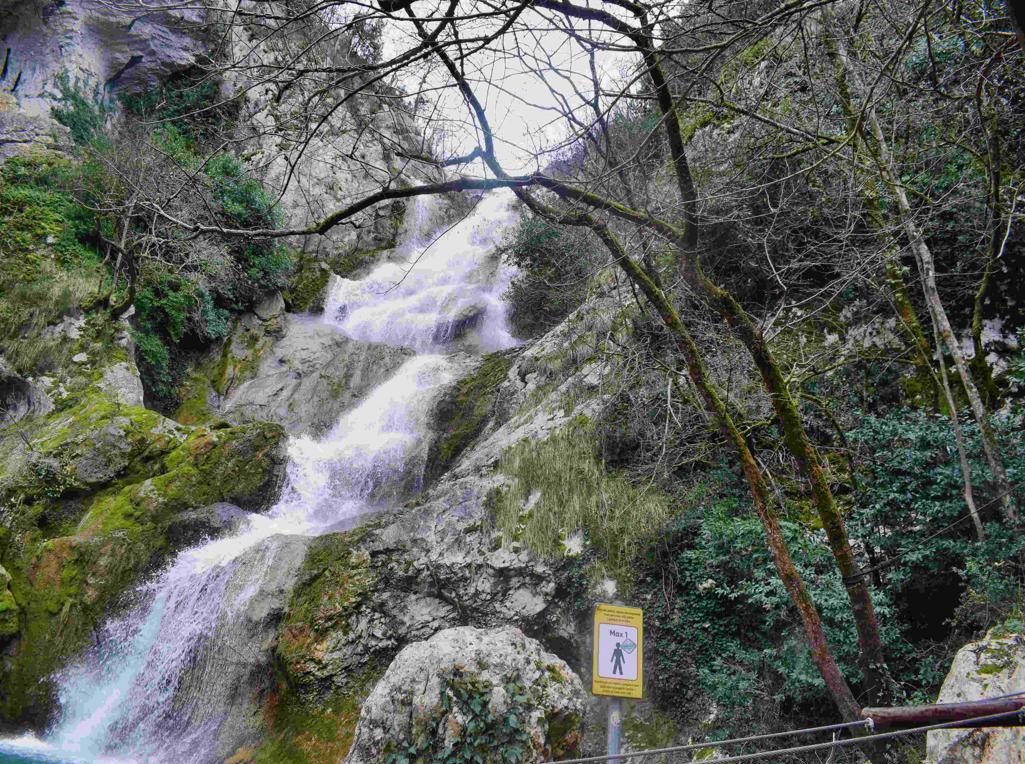
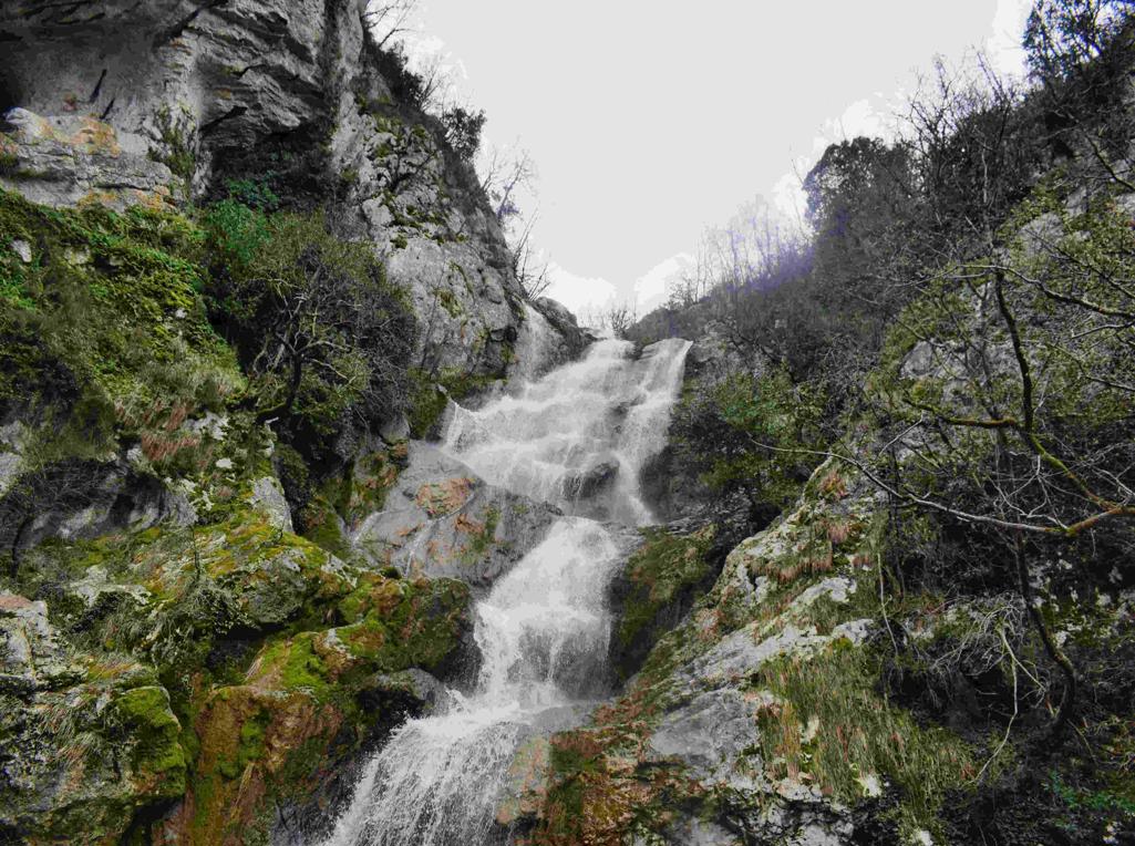
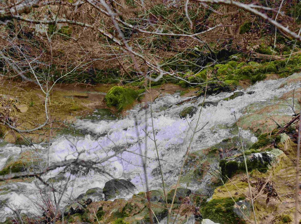
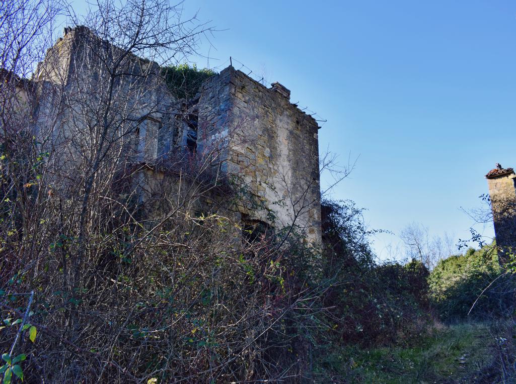
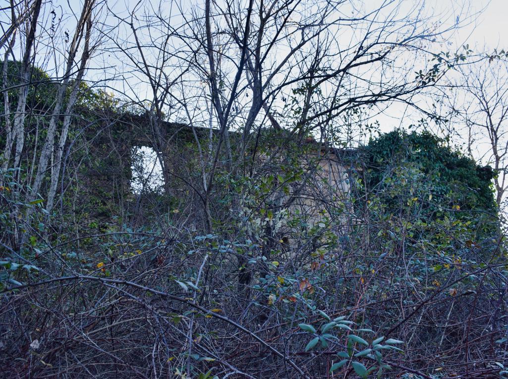
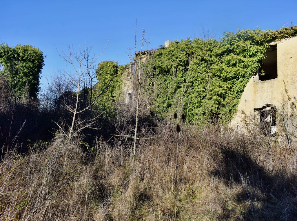
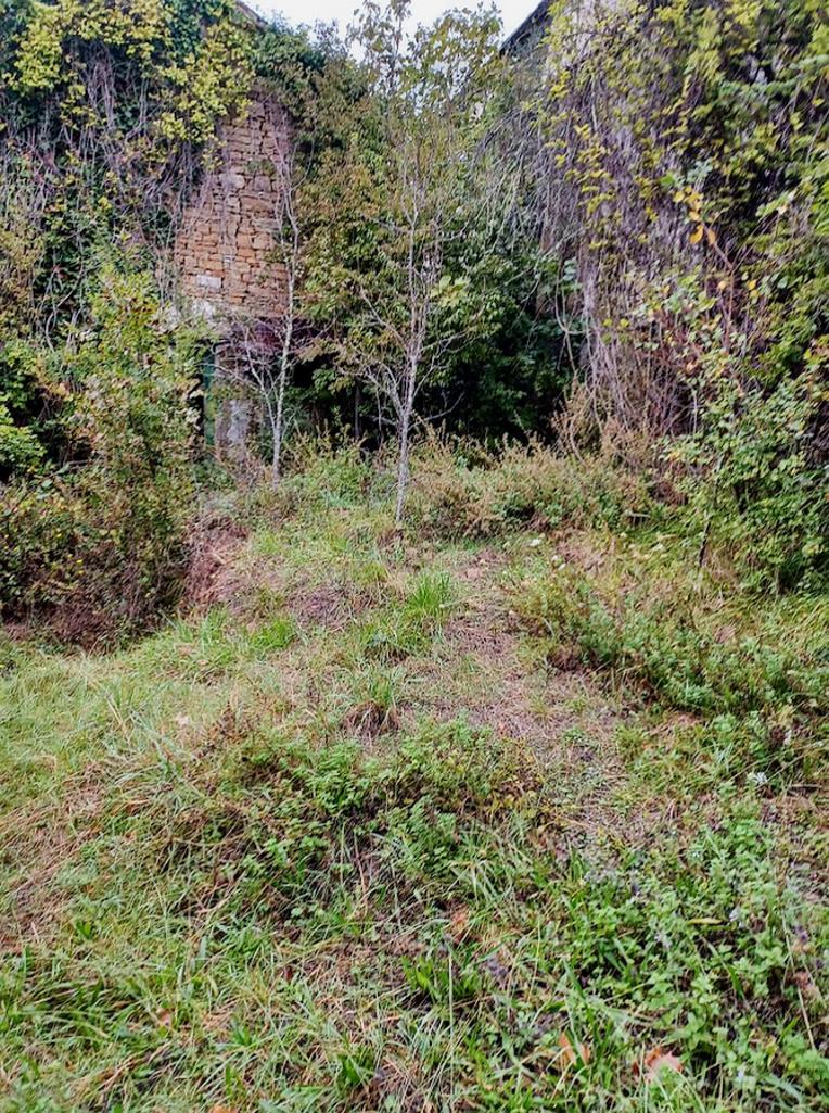
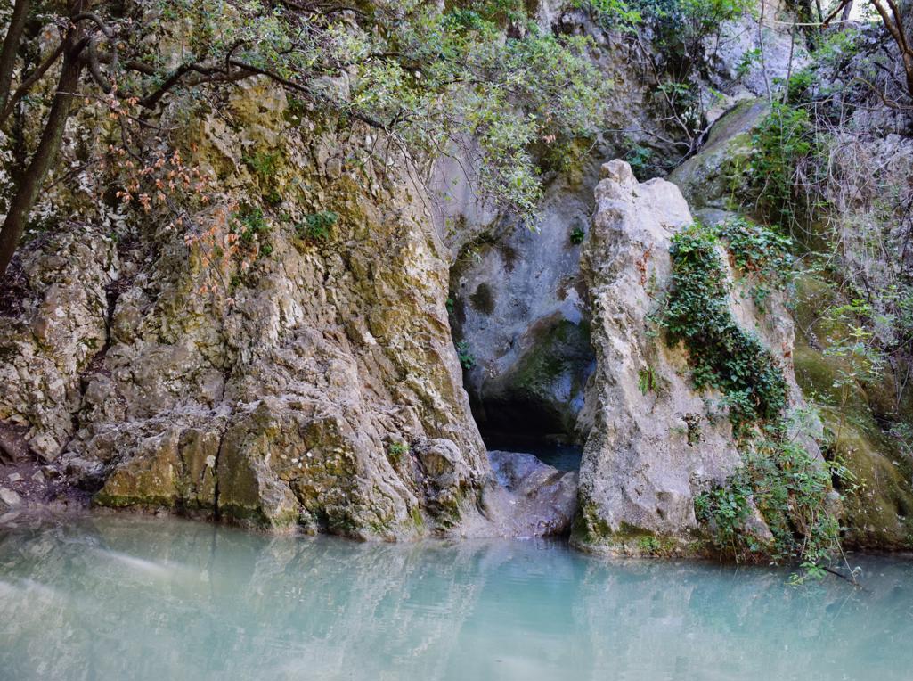
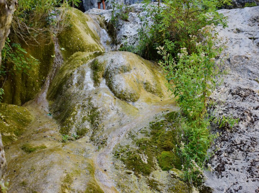
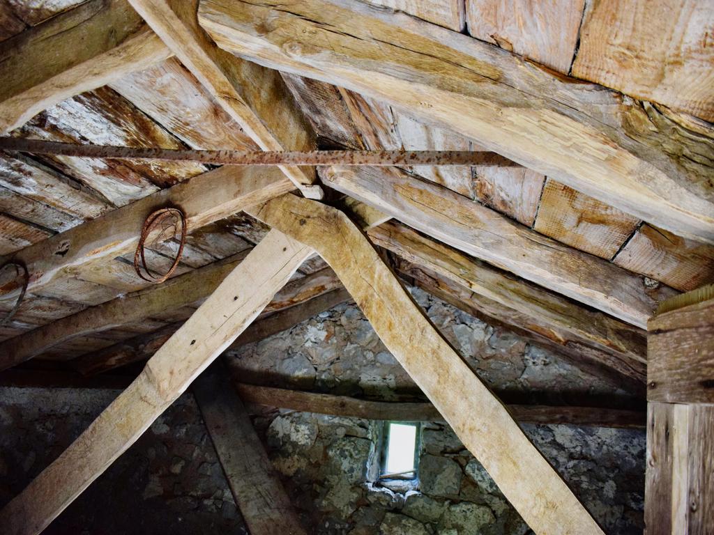
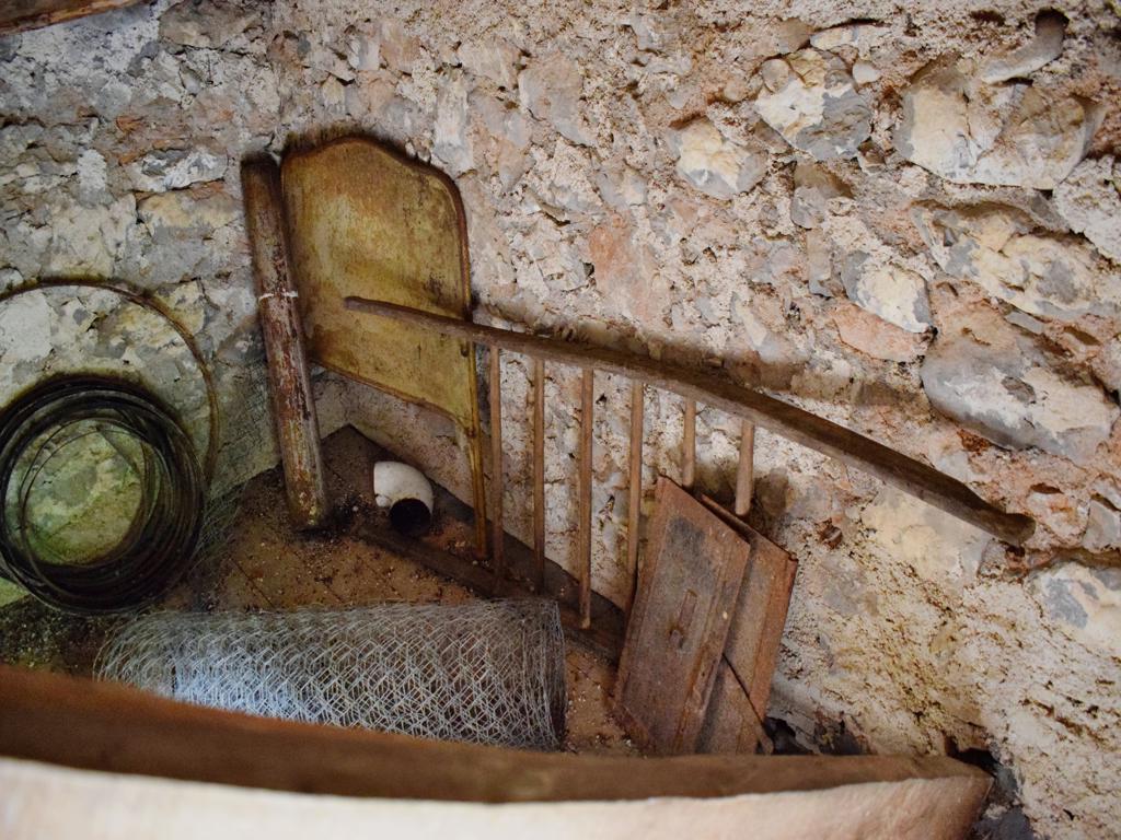
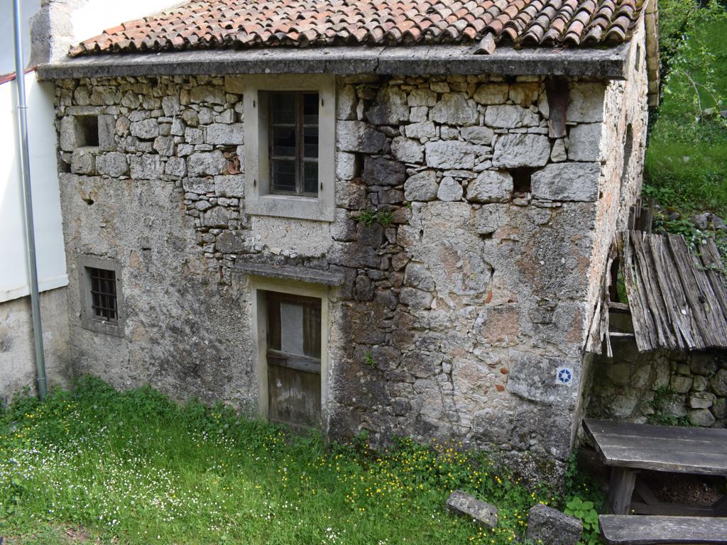
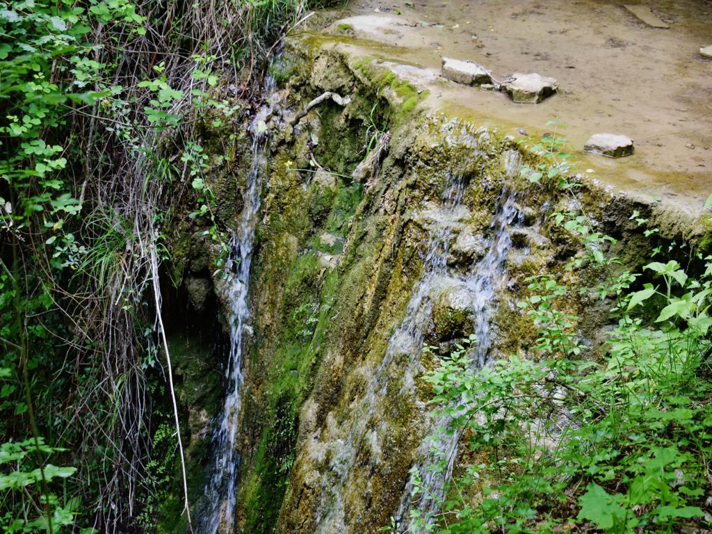
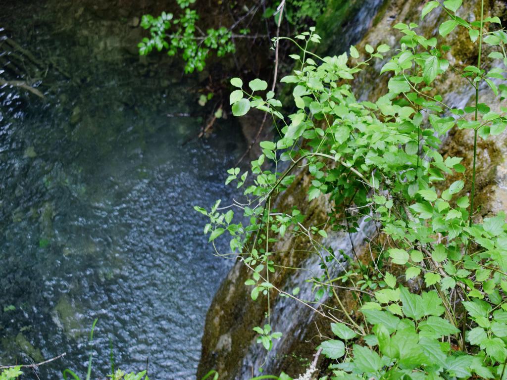
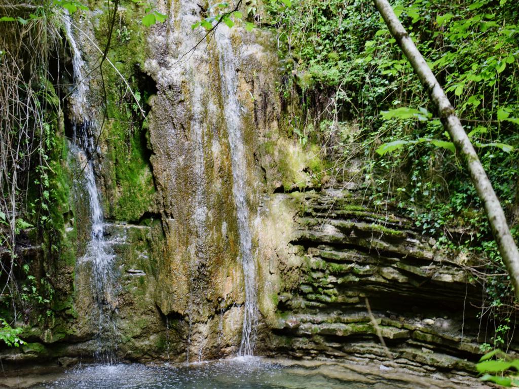
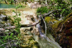
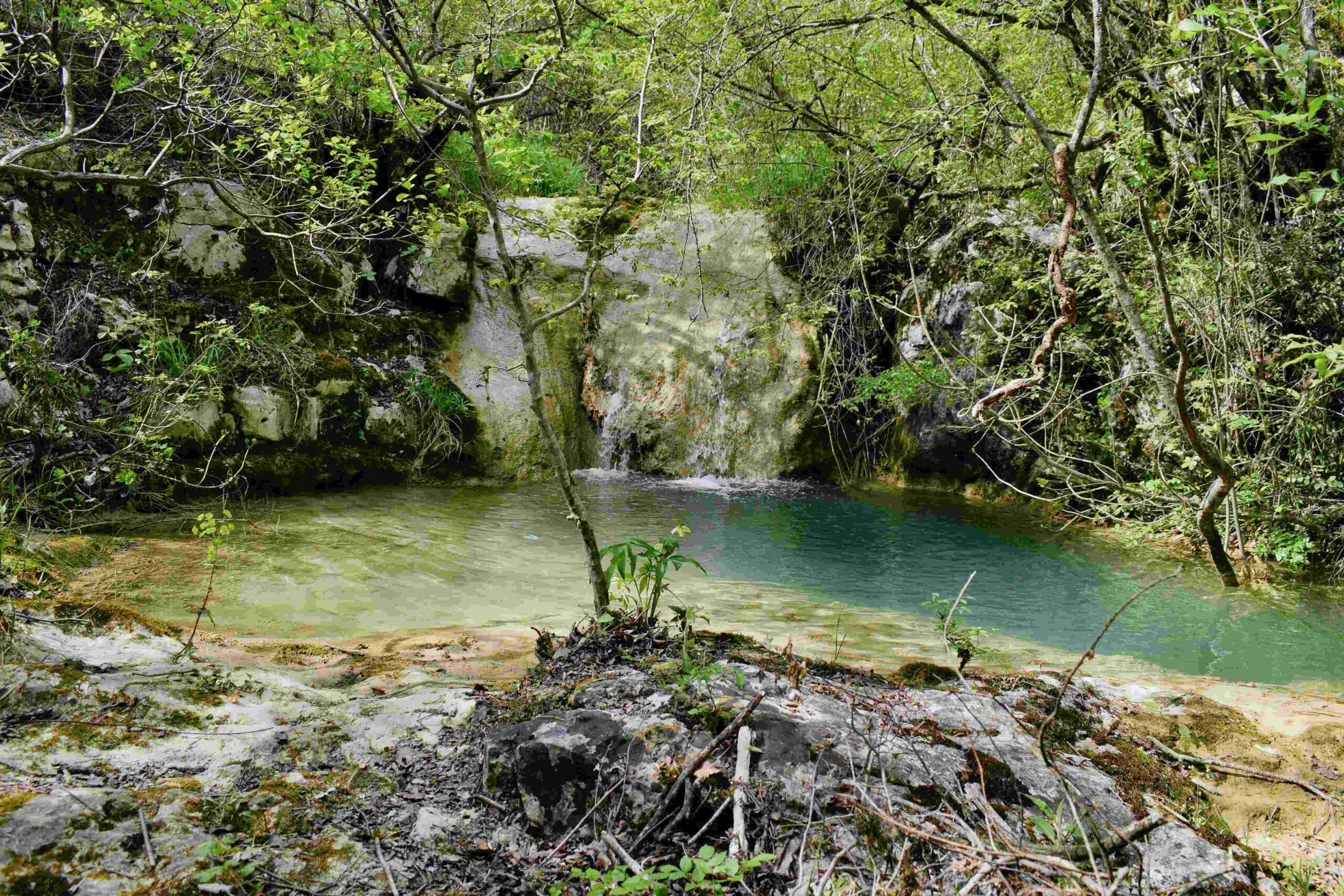
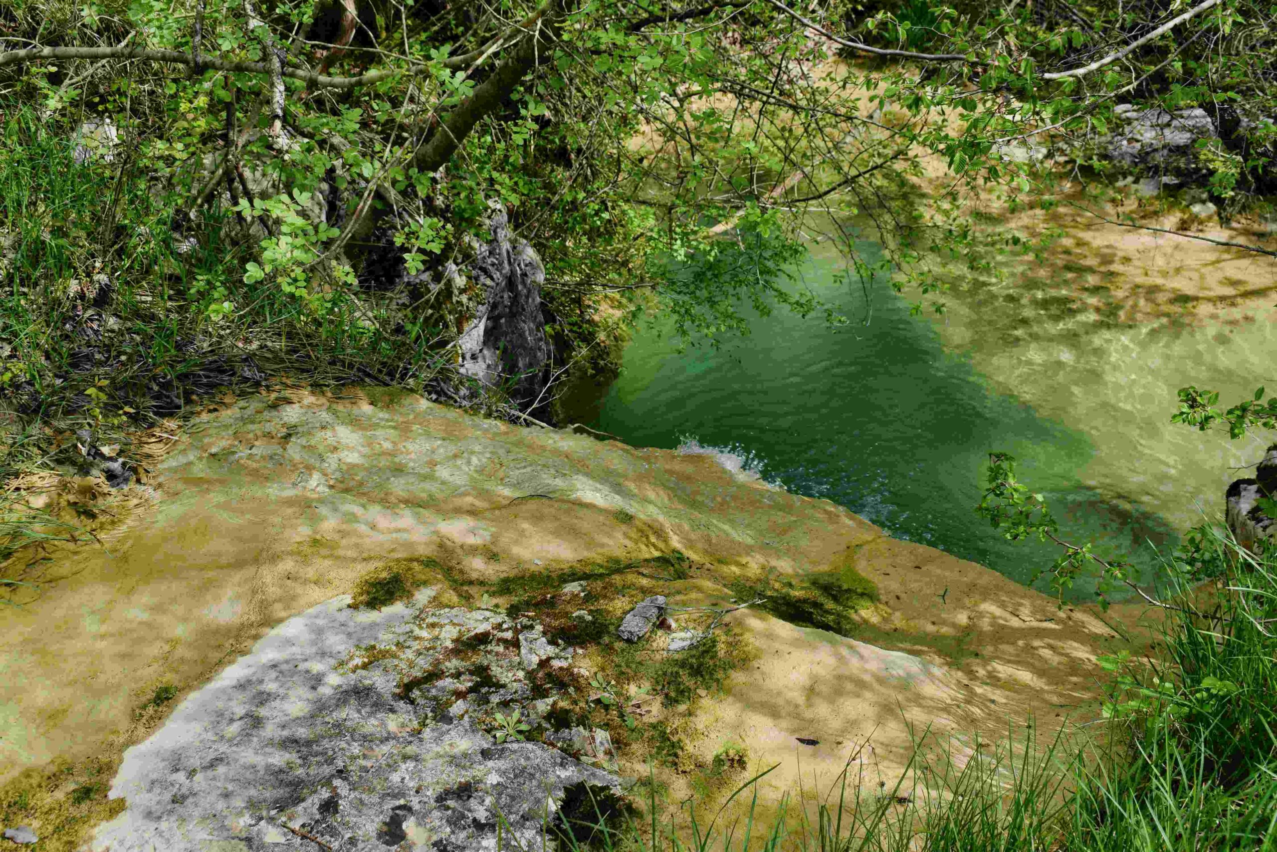
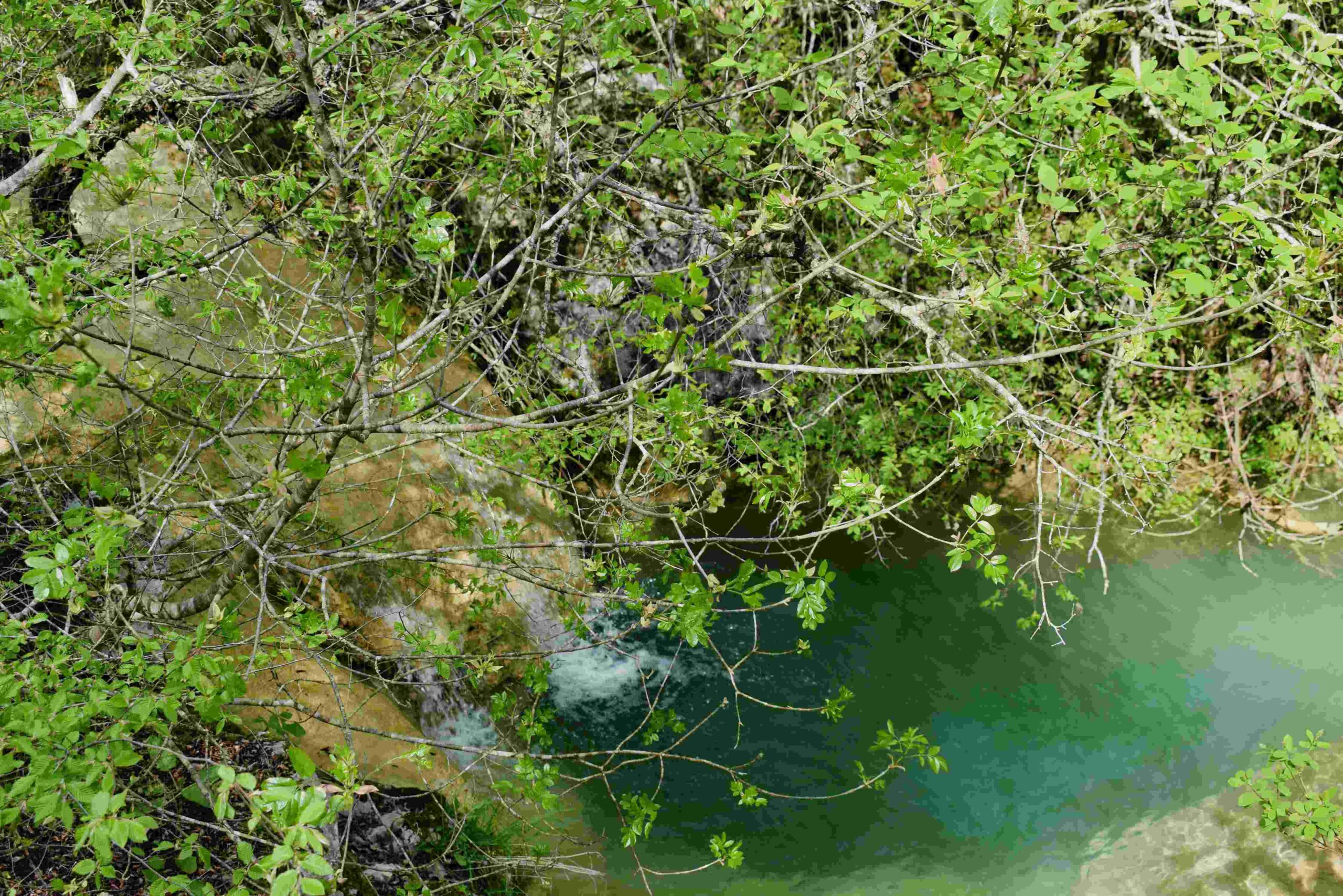
Name: Hiking trail to the Cingarella cave and waterfall and along the Argila river to the former watermills.
Place: Momjan – (Buje).
Coordinates: Start 45.43584 N – 13.67604 E, Cingarella 45.43563 N – 13.68466 E, Watermill Nr 49 near the bridge 45. 43481 N – 13.69178 E, Ruins watermills numbers 50, 51, 52 en 53 along the river Argila from 45.43200 N – 13.68999 E to 45.43471 N – 13.68549 E.
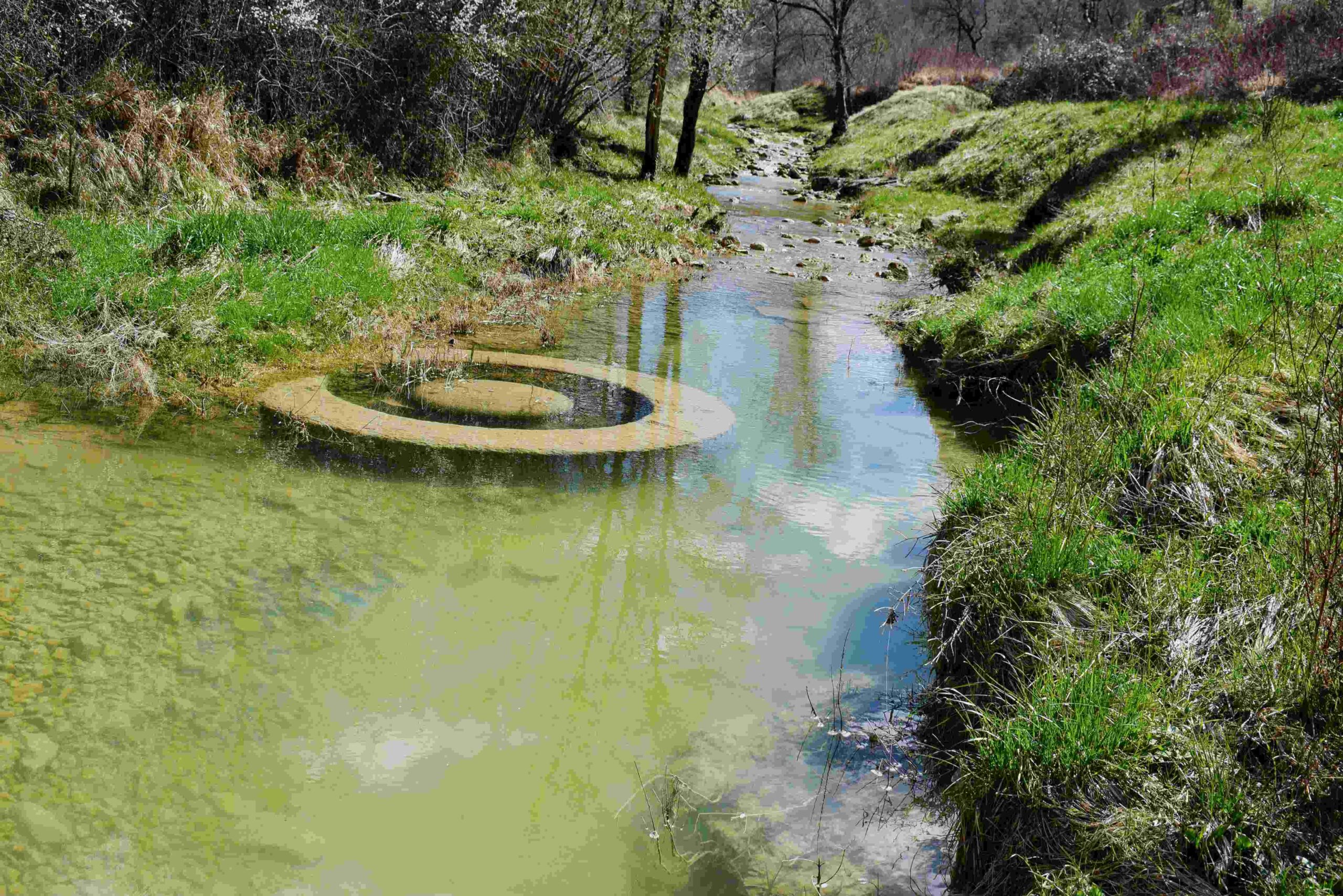
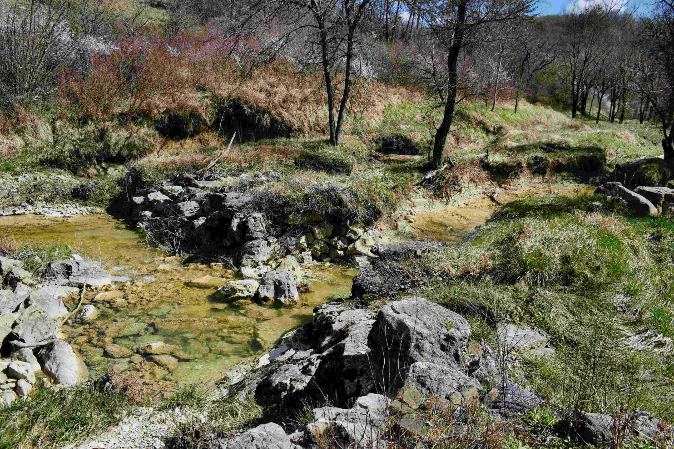
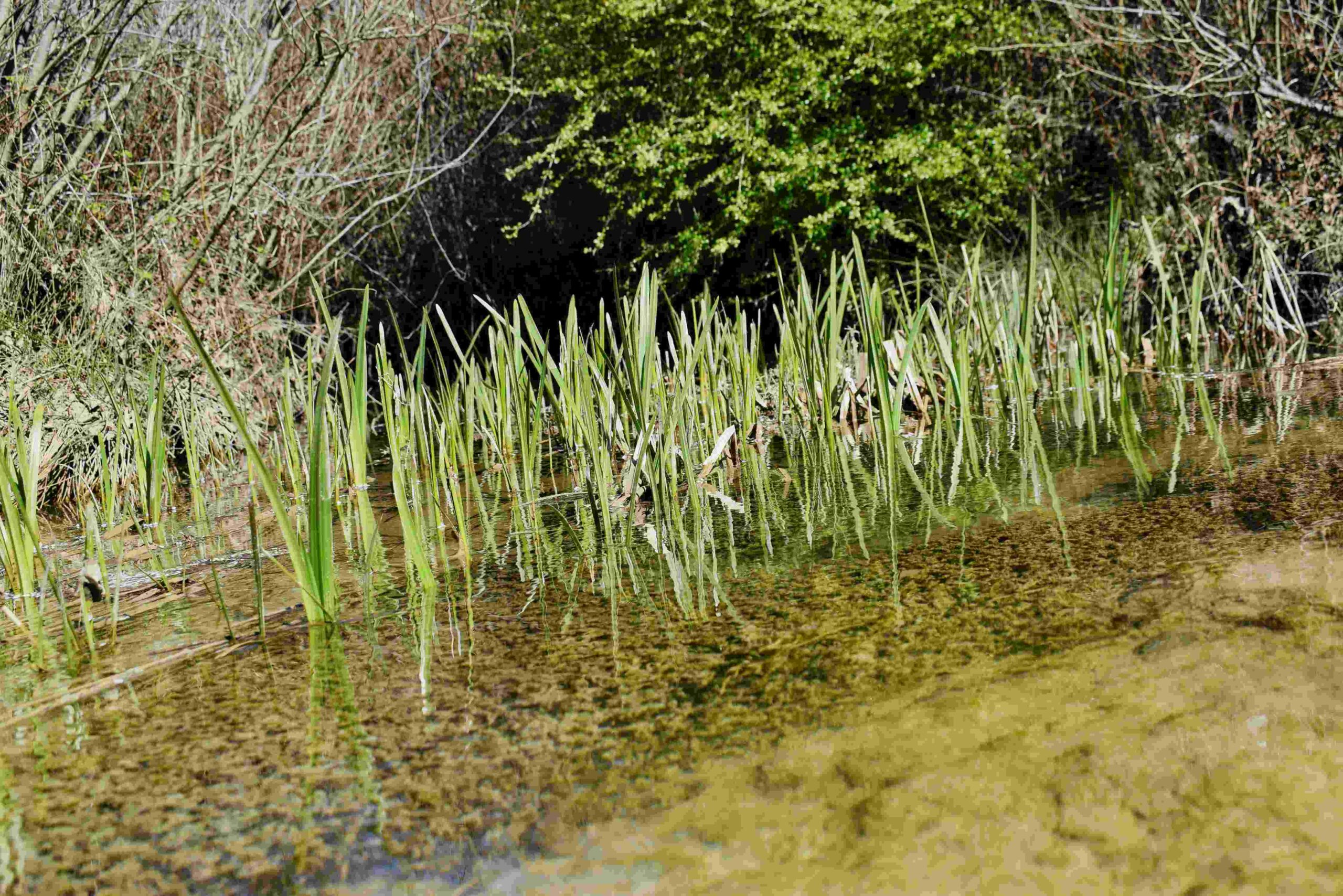
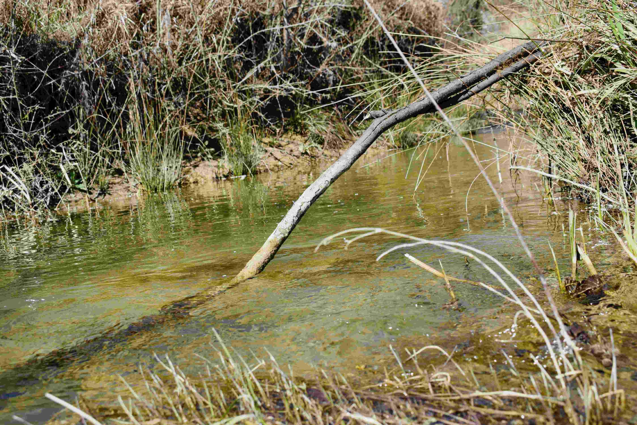
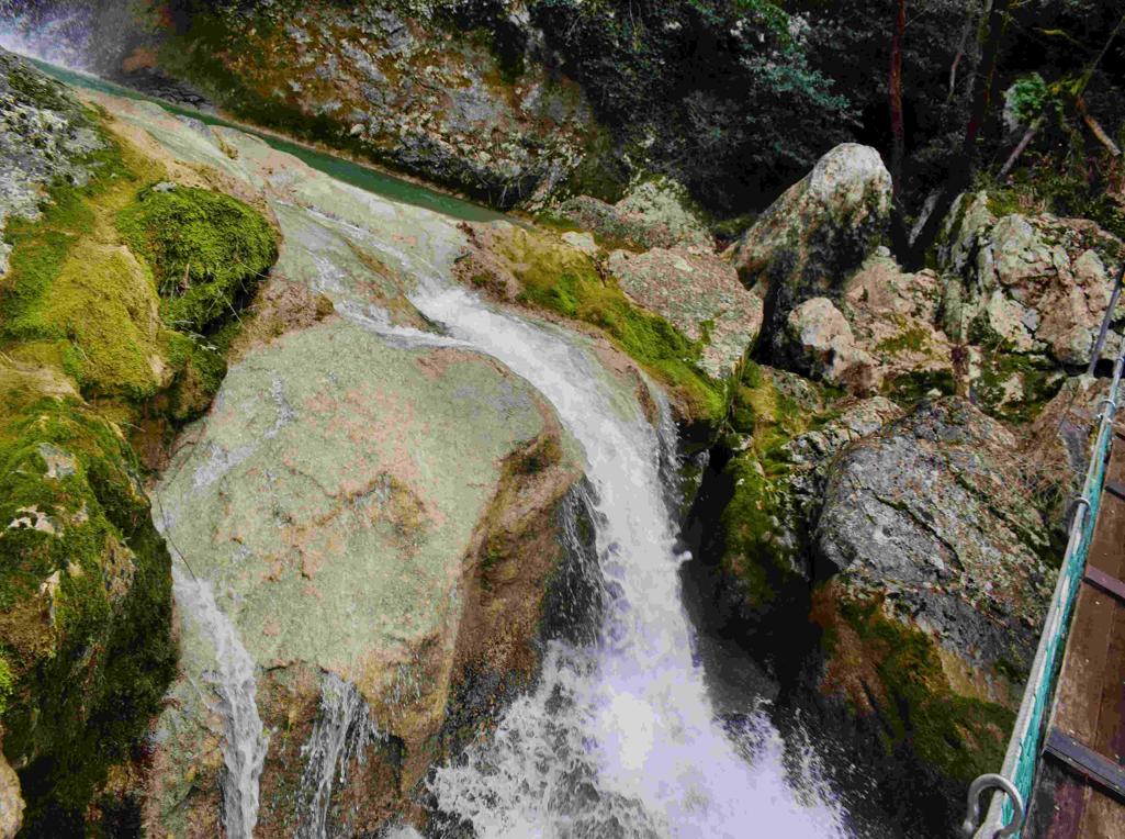
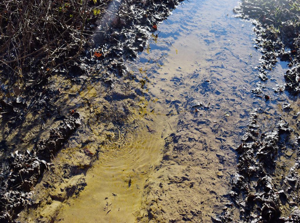
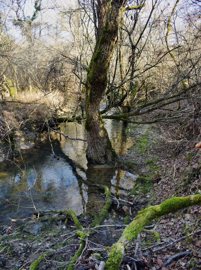
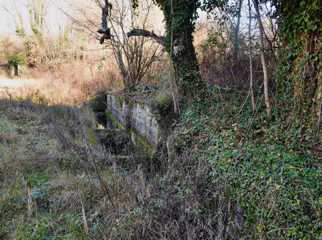
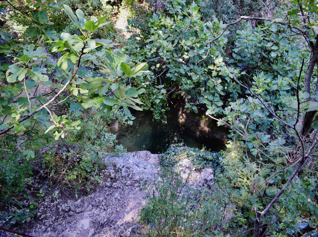
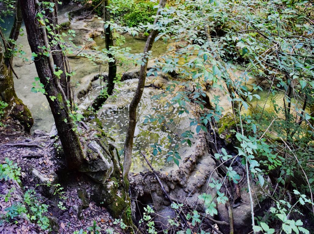
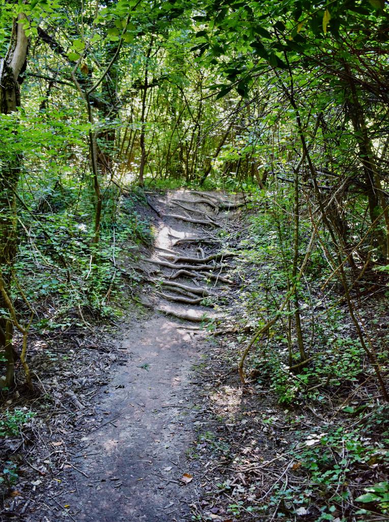
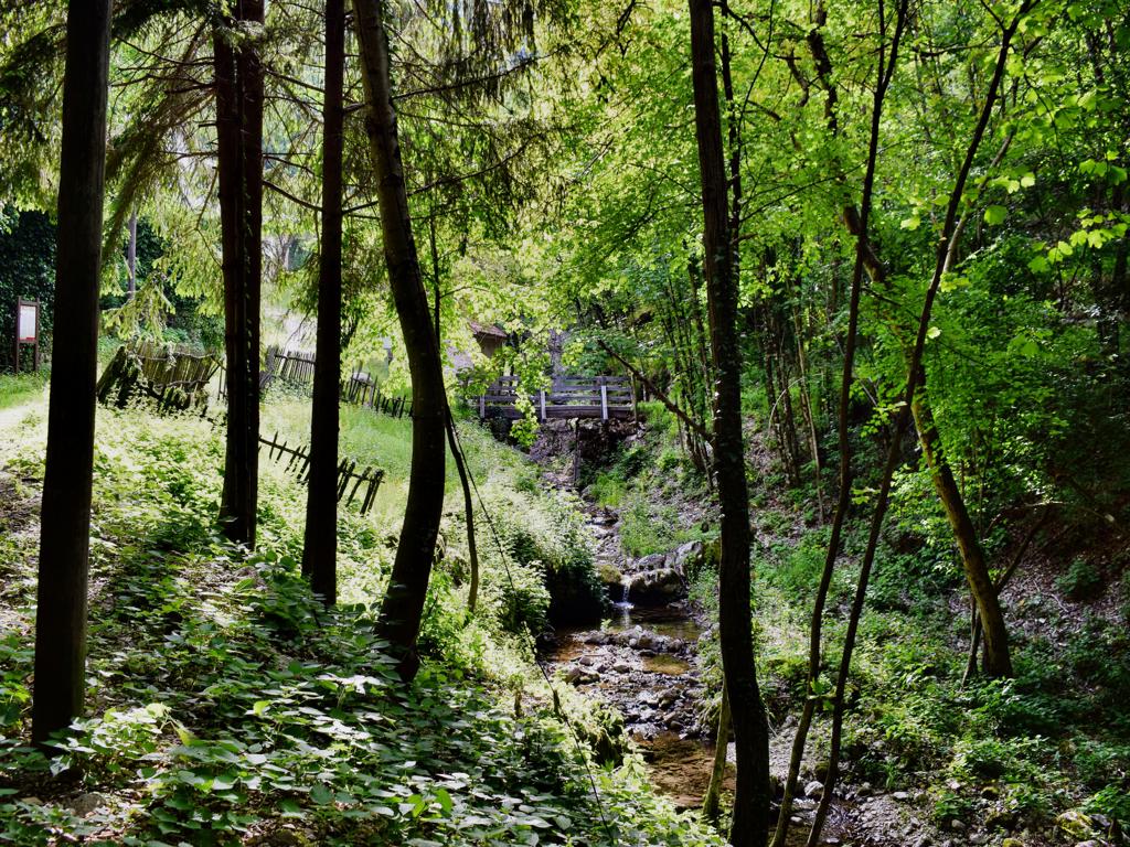
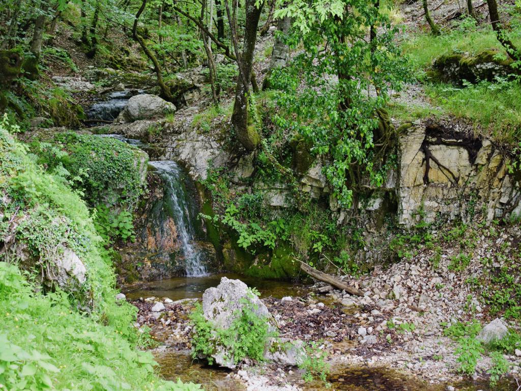
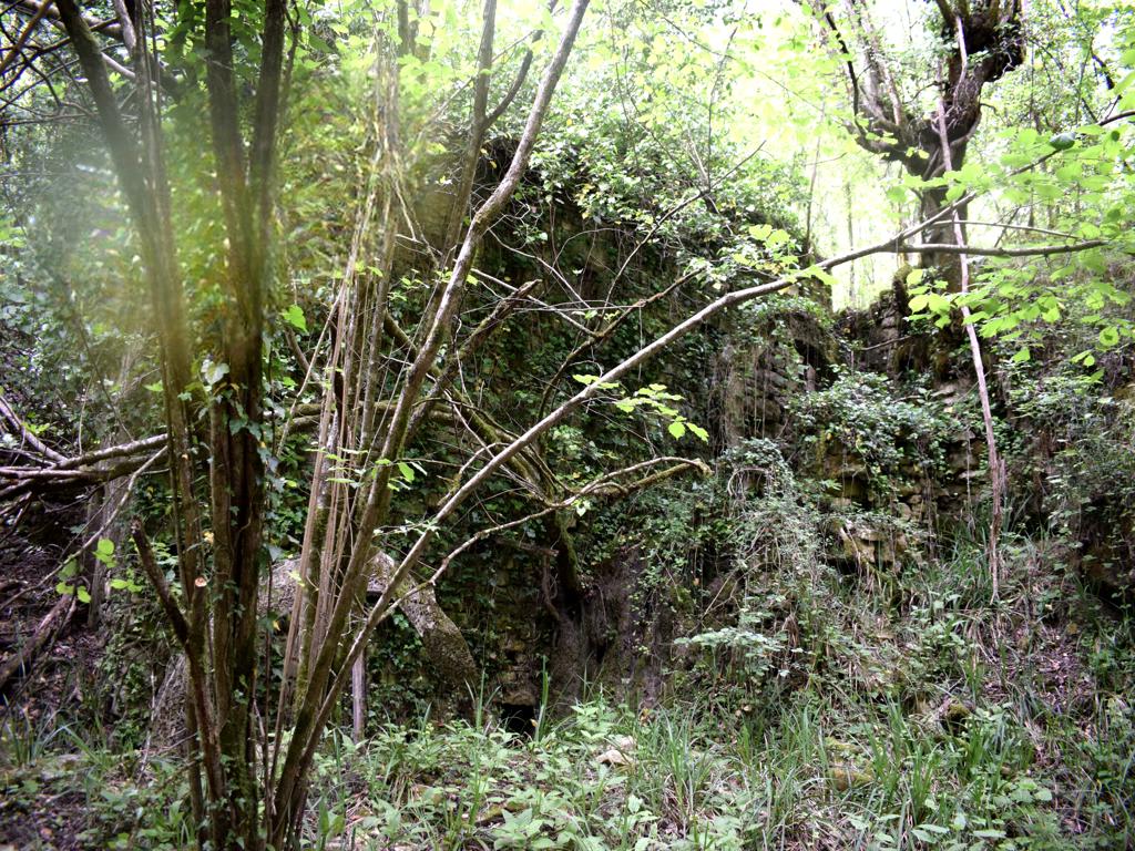
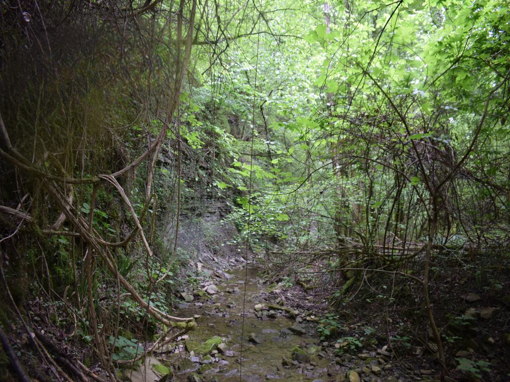
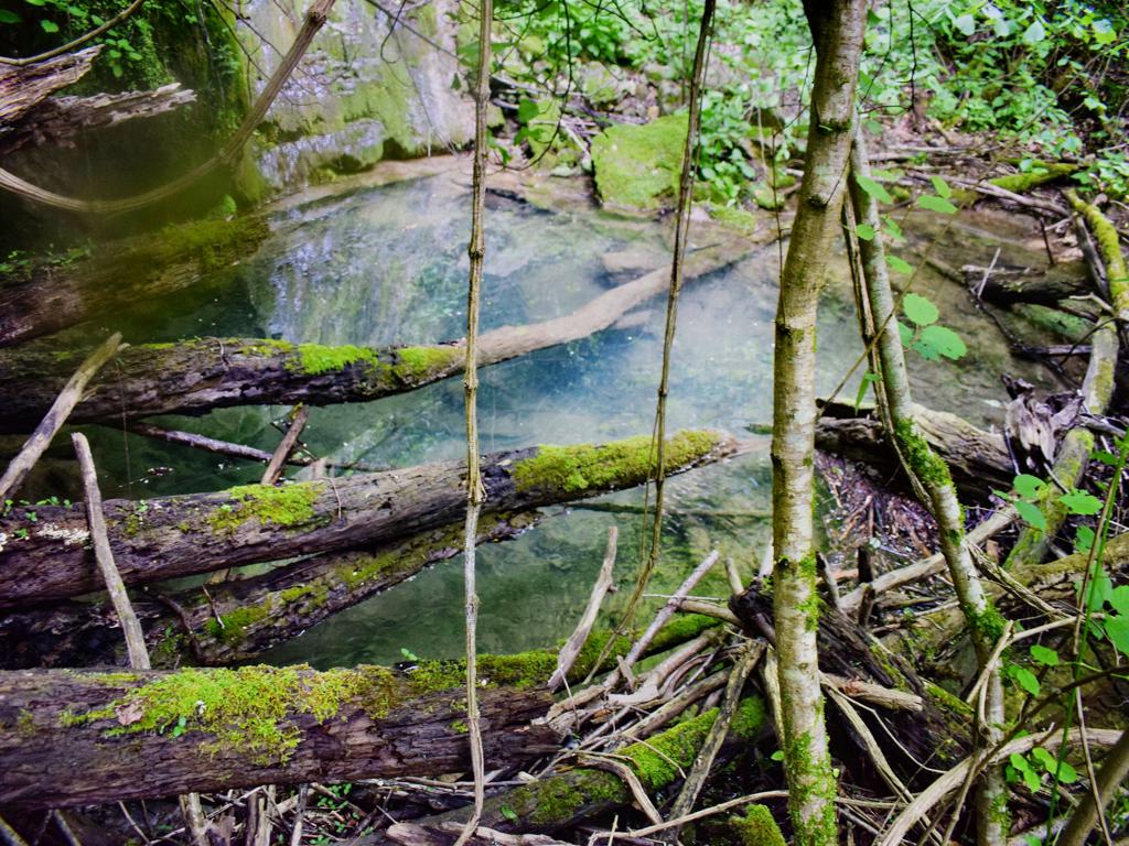
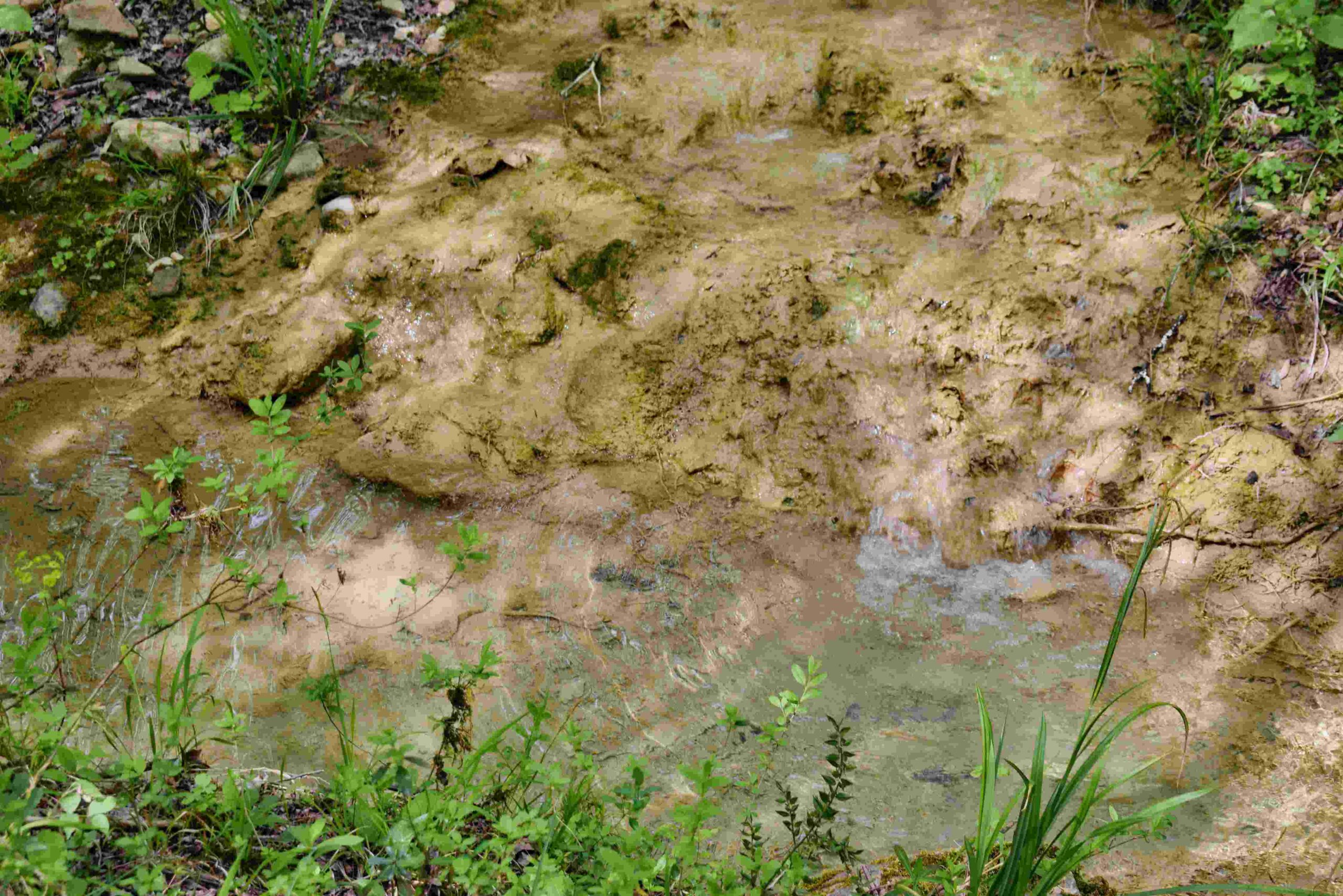
The trail is along the stream Buzuje with caves and a spring, and three former watermills.

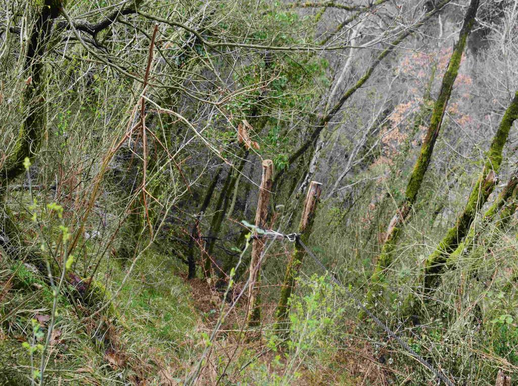
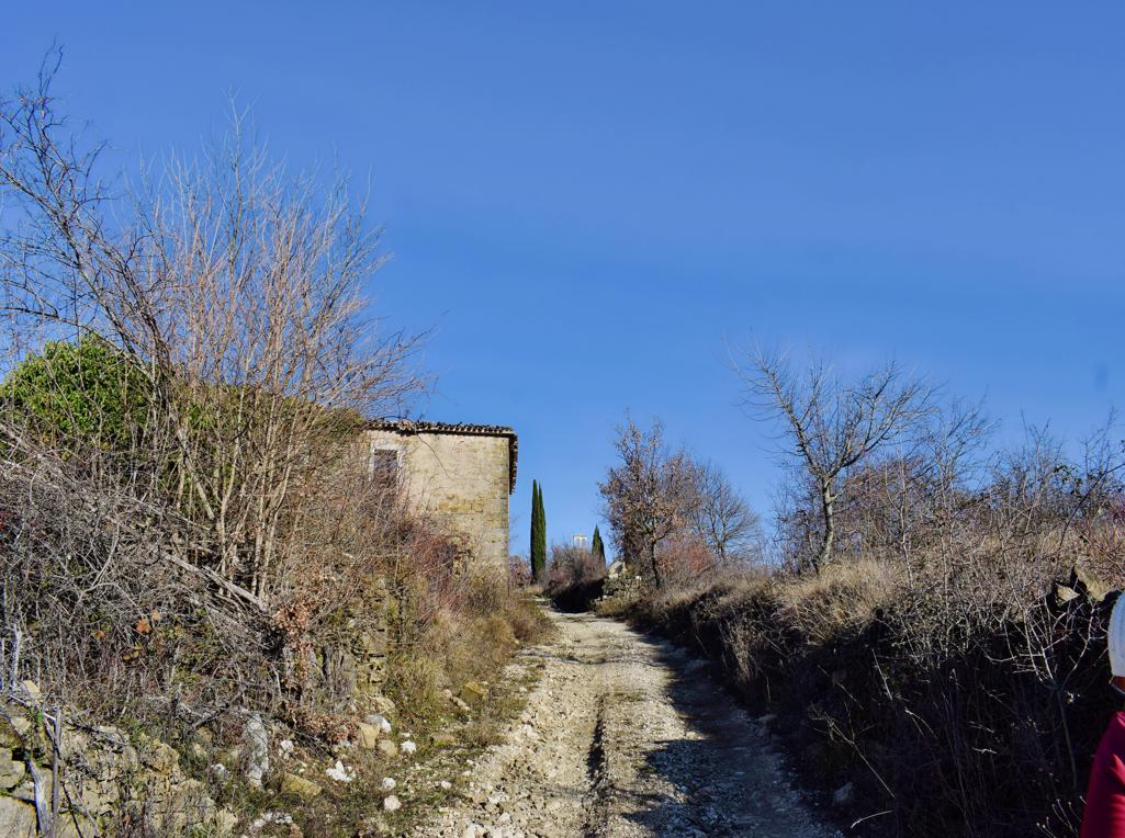
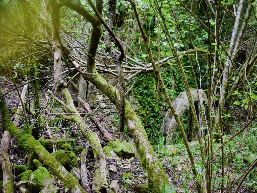
Name: Hiking trail from the village Bazuje to the abandoned village Vrnjak.
Place: Bazuje – Vrnjak – (Grožnjan).
Start: Bazuje 45.41723 N – 13.73696 E, caves 45.41723 N – 13.774101 E, 45.41706 N -13.74309 E, 45.41783 N – 13.74462 E,watermills. 45. 41793 N -13.74435 E, 45.41932 N – 13. 74551 E, 45.42699 – 13 74912 E, Vrnjak: 45.43981 N – 13. 76807 E.
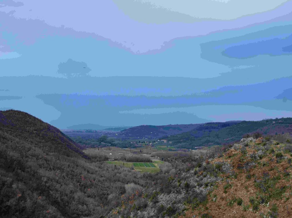
Name: Hiking trail from Puntera to the bay Blaž.
Place: Puntera – (Barban).
Coordinates: Puntera 45.05228 N – 14.02312 E, Bay Blaž 45.00070 N – 14.03843 E.
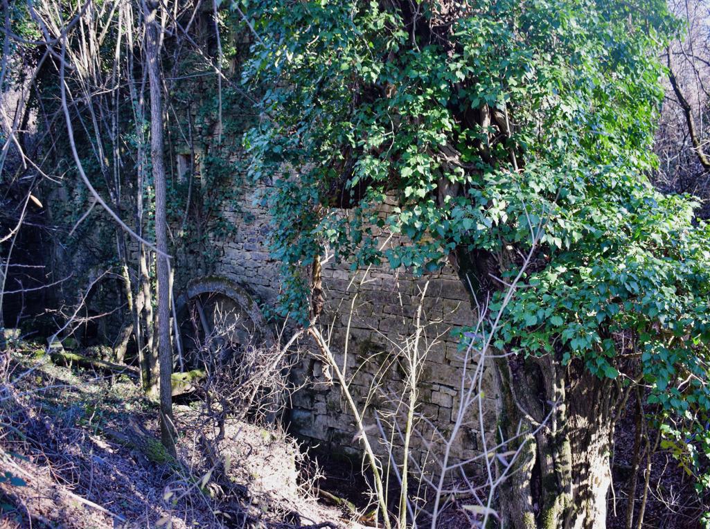
and from there down to the Blaškici watermill and back via the village Antonci,
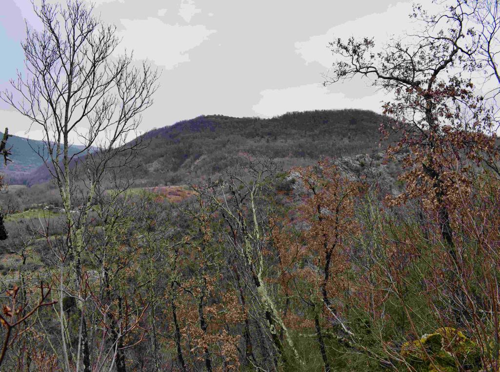
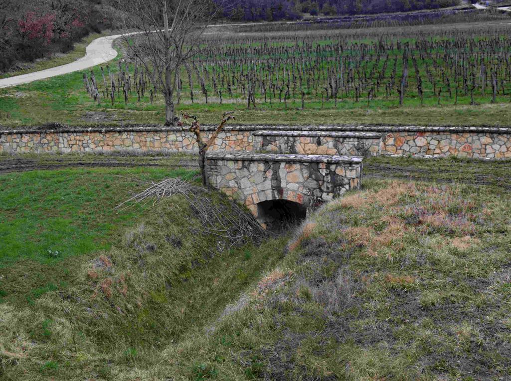
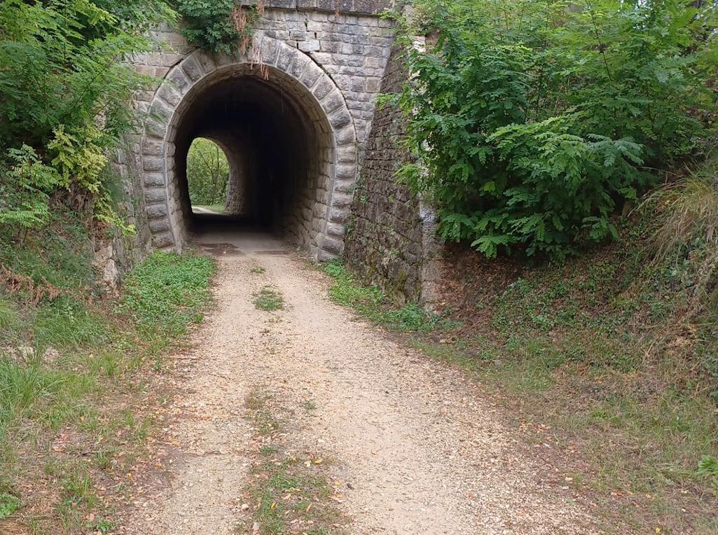
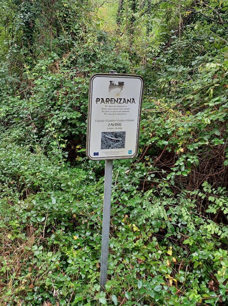
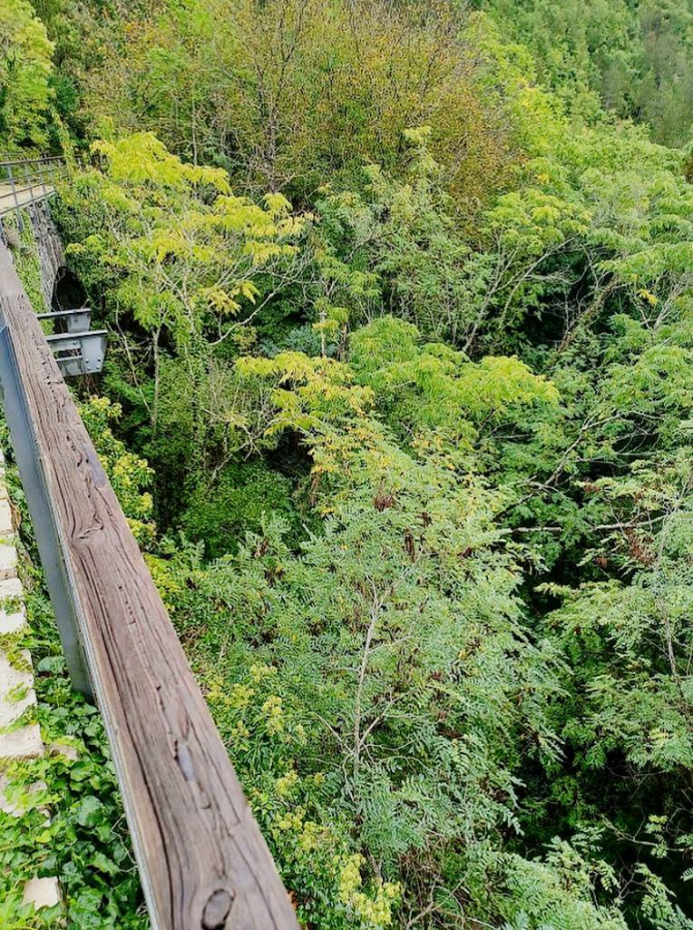
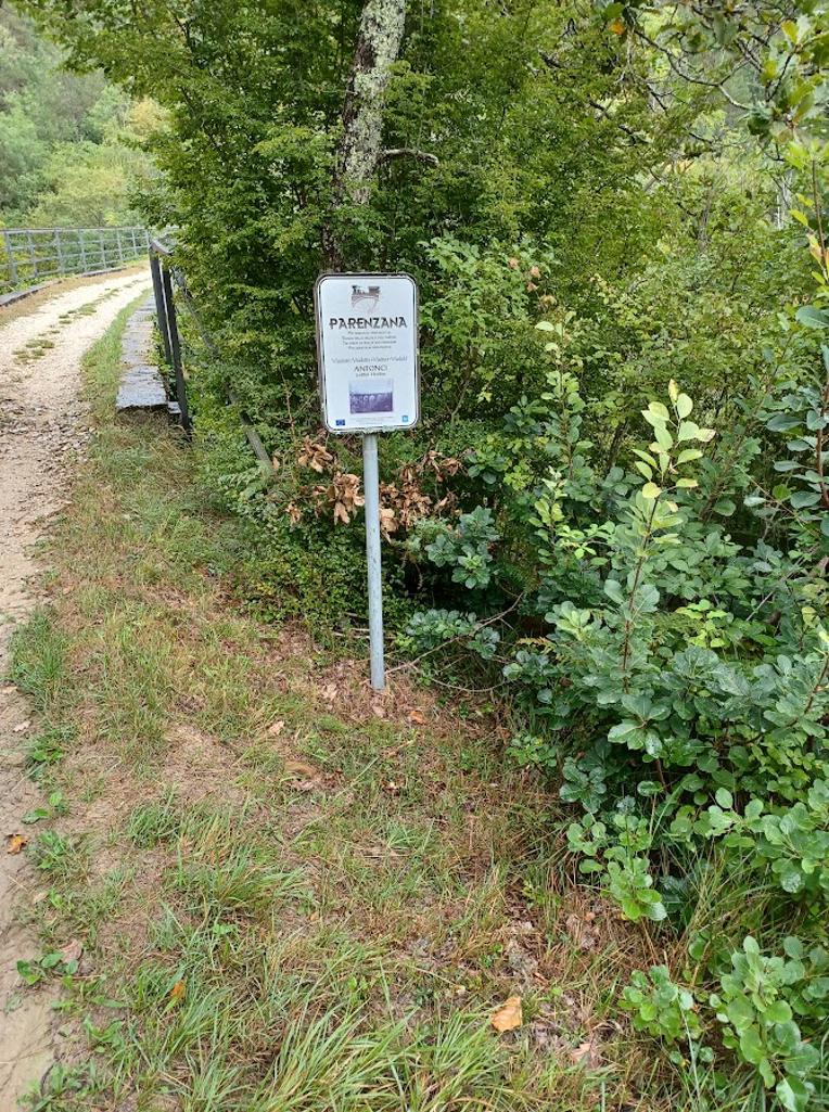
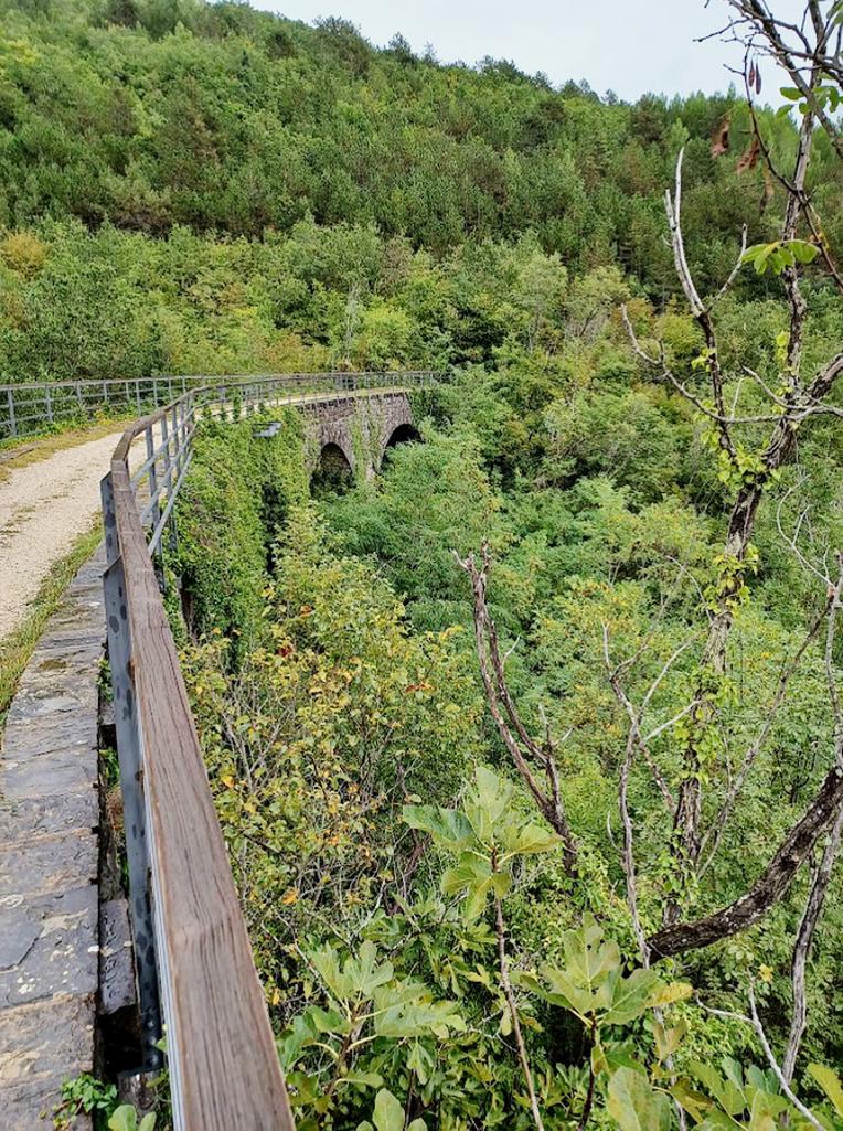
Name: Trail from the former railway Parenzana station Ravršje to the split Oprtalj/Levada, …..
Place: Grožnjan – Oprtalj.
Coordinates: Start 45.36823 N – 13.77499 E, split Oprtalj/Levada 45.37040 N – 13.80755 E, Antonci 453.6760 N – 13.78778 E.

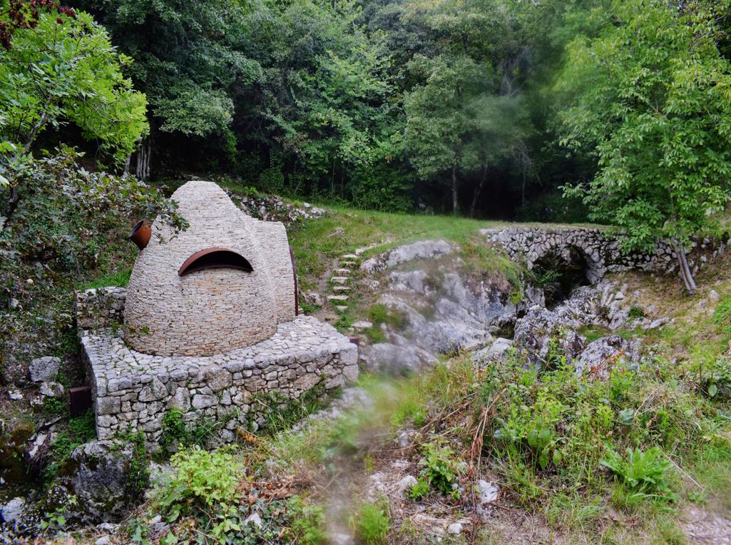
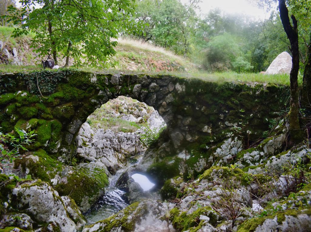
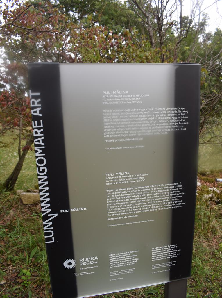
Name: Lovranska Draga – Trail to Medveje – “Puli Malina”.
Place: Lovranka Draga-
Coordinates: start 45.27893 N – 14.24379 E, Puli Malina 45.27775 N – 14.244-70 E.
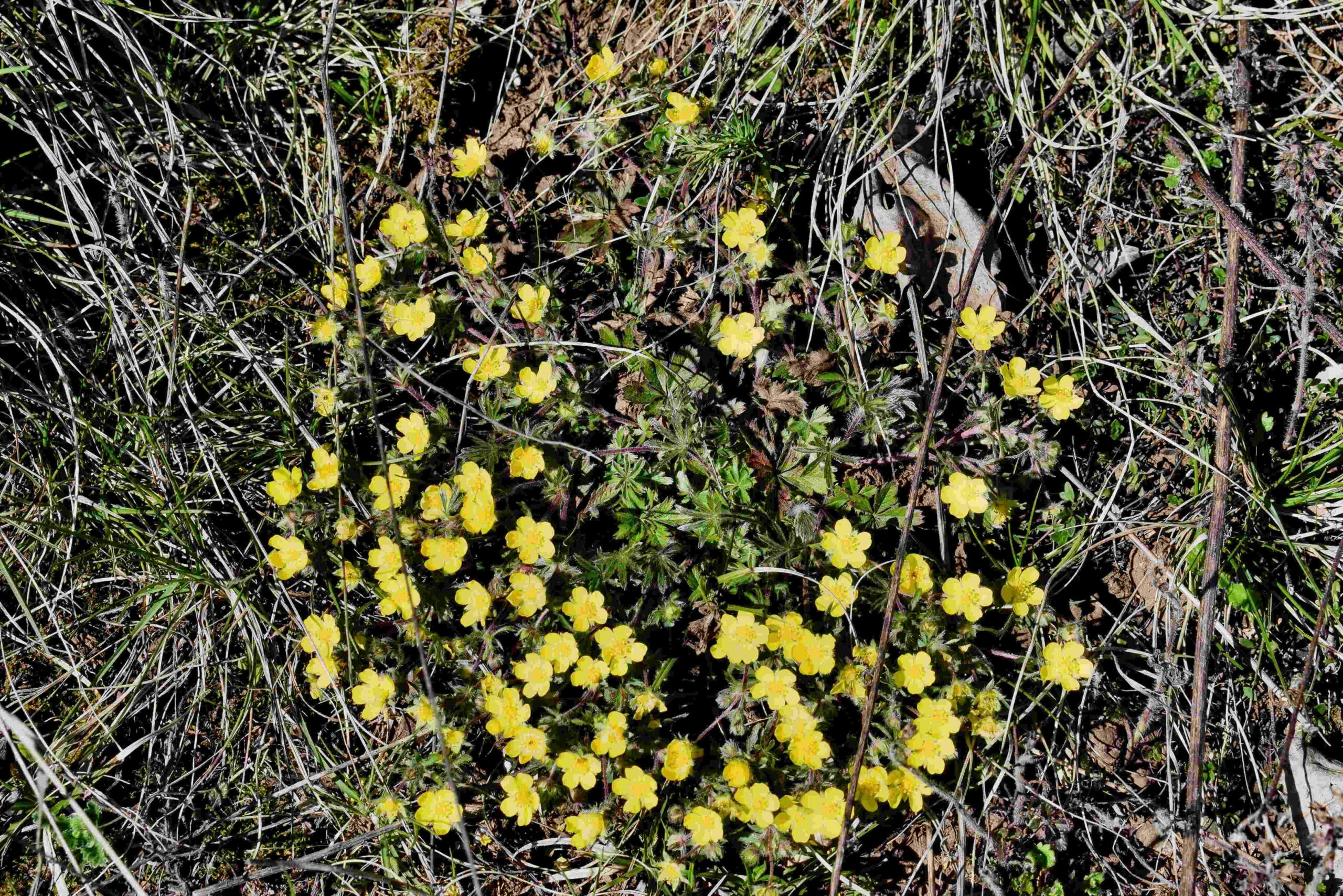
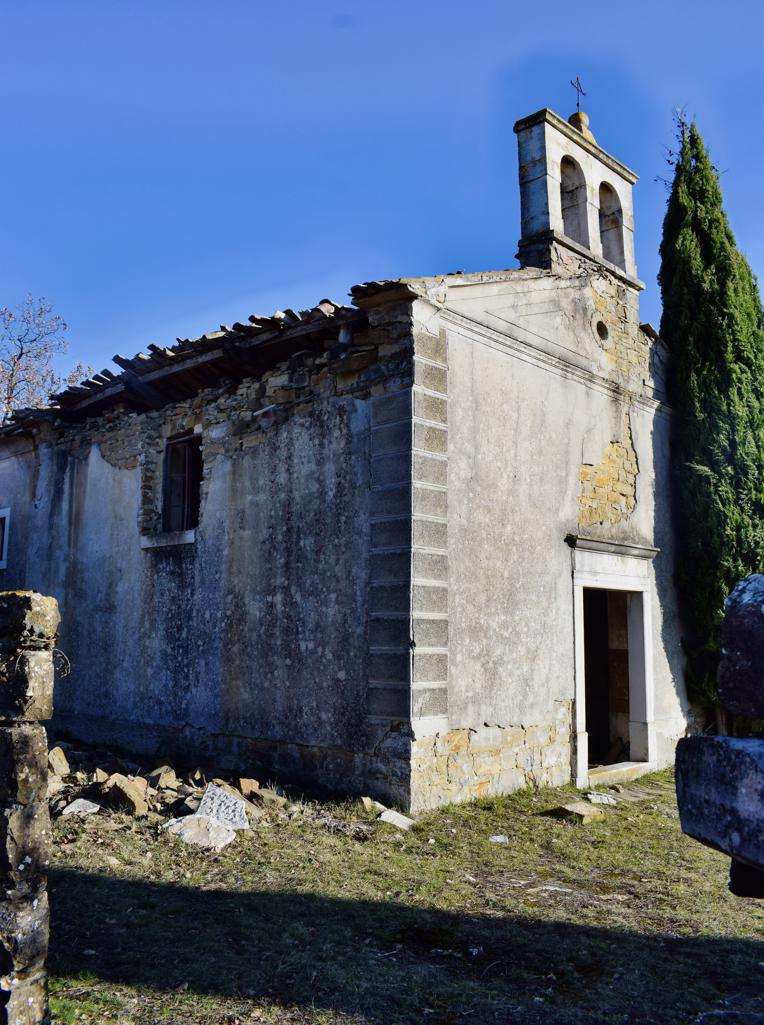
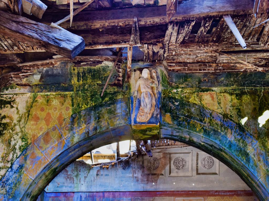
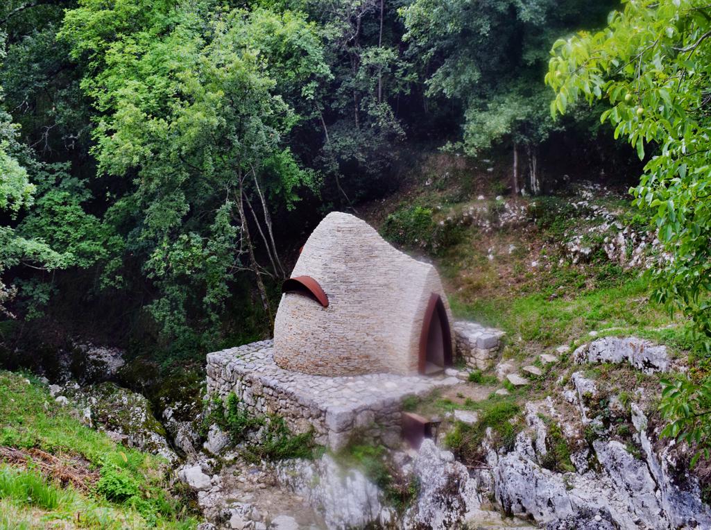
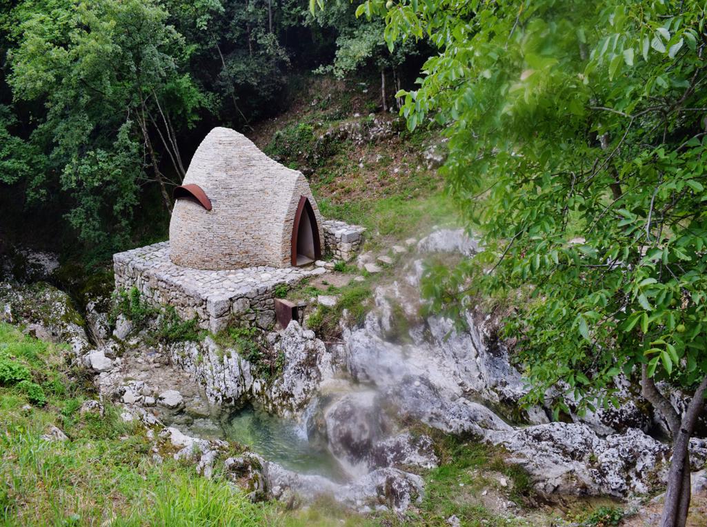
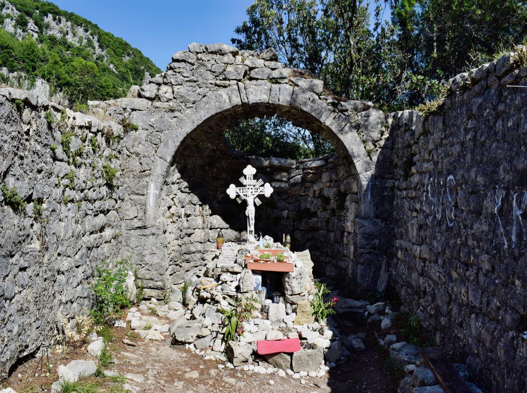
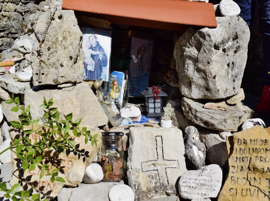
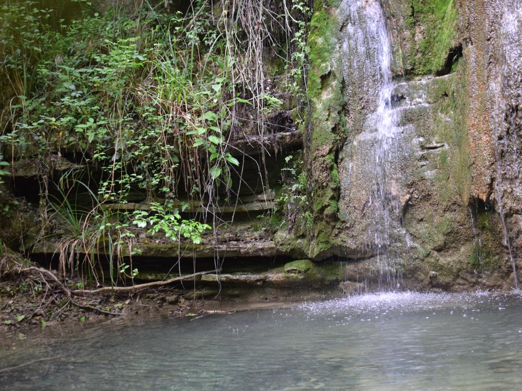
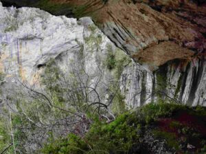
“The Goddess of Sendon” was a patron saint of travelers. The trail partly along the stream Pecina has several waterfalls, ruins of water mills and water springs. The name of the cave with a water source is called the Nigri. The church along the path is St. Hidran from the 12th/13th century.

Name: Trail of Goddess Sedon from Rabac to Labin.
Place: Rabac – Labin.
Coordinates: Start trail 45.08126 N – 14.14586 E.
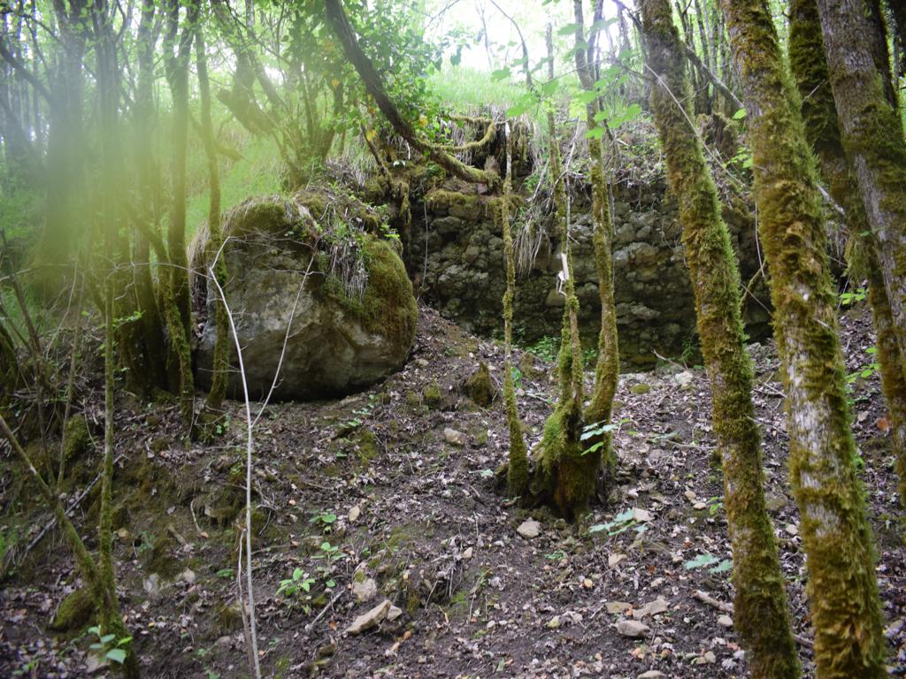
Name: Trail from the town Mošćiniča Draga to the cave Podosogna and the hamlets Potoki and Trebišca with a watermill.
Place: Potoki – Trebišca – (Mošćinička Draga).
Coordinates: Start 45.24090 N – 14.24973 E, hiking trail to the cave 45.24827 N – 14.23204 E, cave Podosogna 45.24802 N – 14.23909 E,
Potoki: 4525207 N – 14.22627 E, Trebišca 45.25511 N – 14.21760 E.
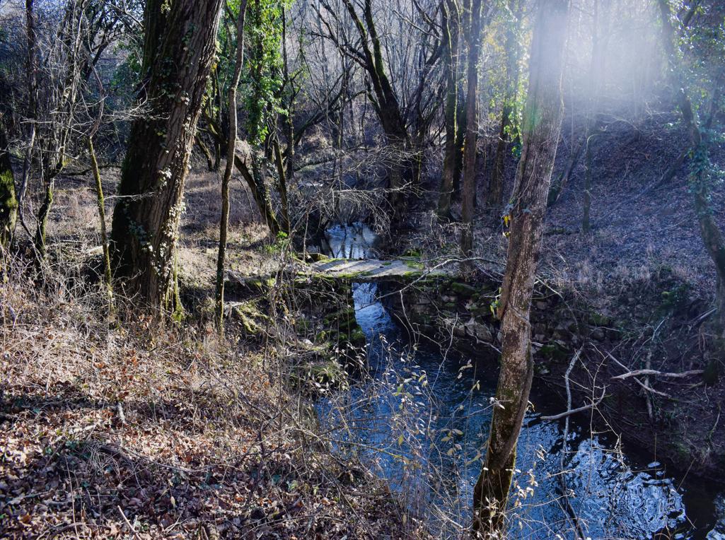
Name: Trail Parenzana from Oprtalj to the split Livade, and from there to the watermill Blaškici.
Place: Blaškici – Oprtalj.
Coordinates: Oprtalj 45.38347 N – 13.82185 E, split Livade 45.37033 N – 13.80742 E, Blaškici 45.36951 N – 13.80487 E.