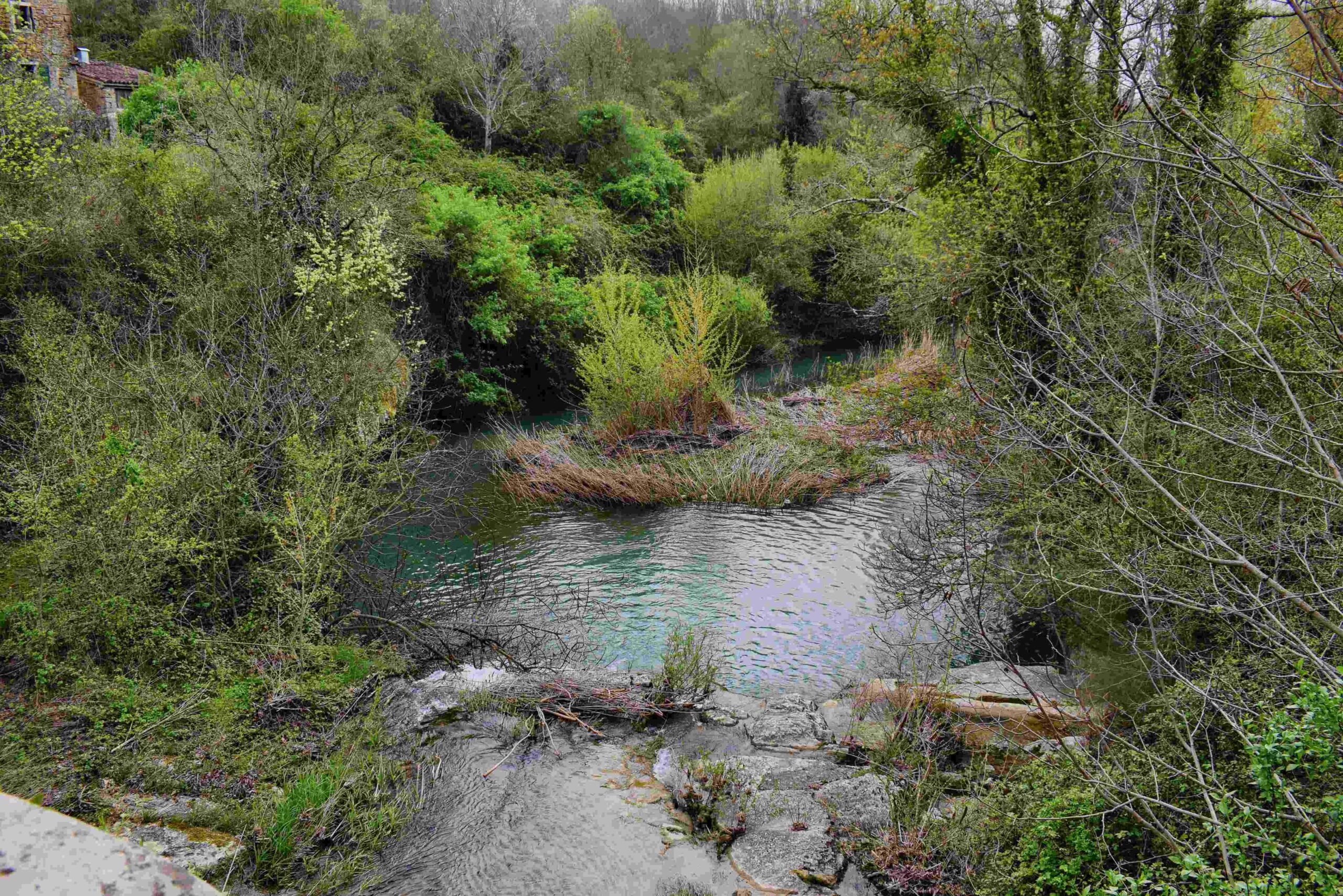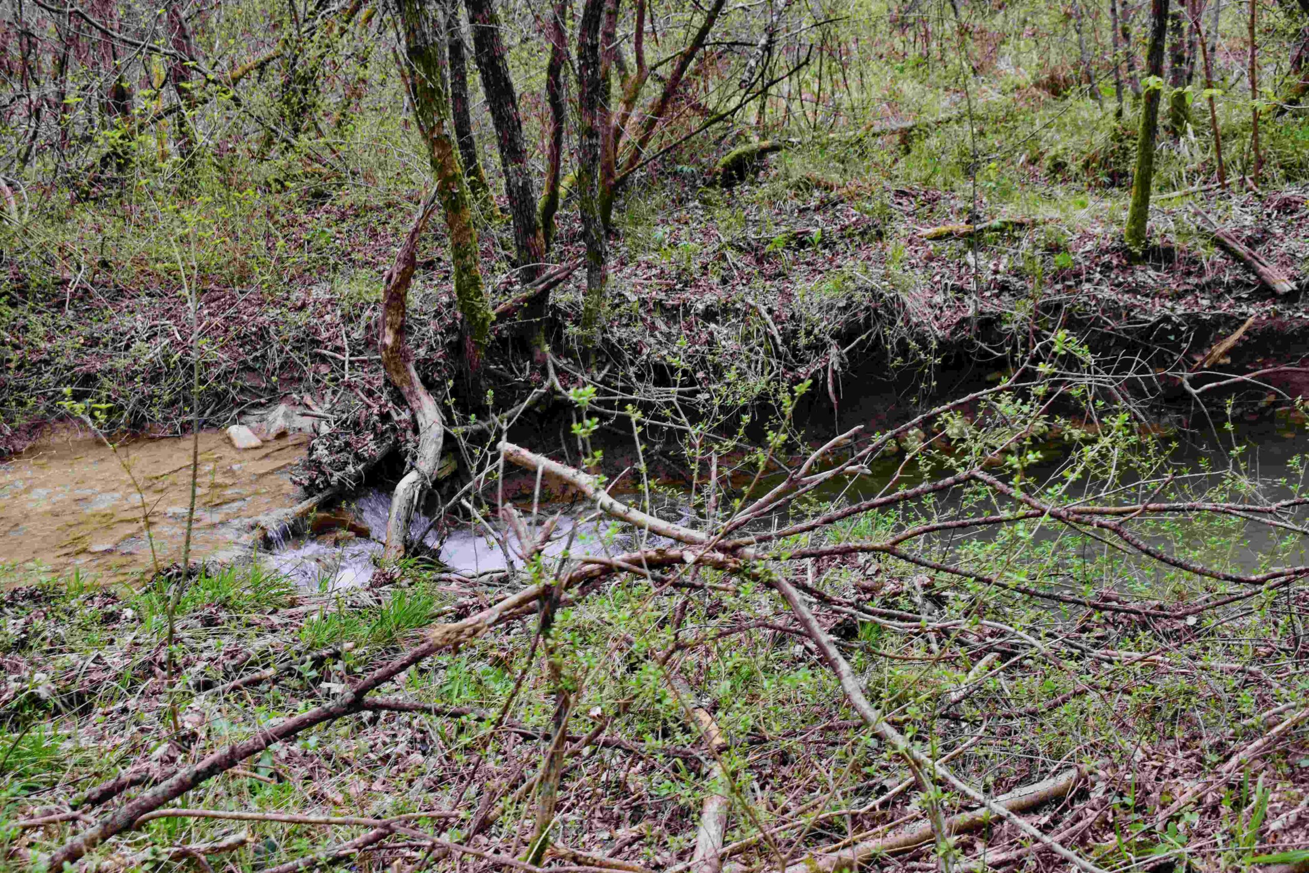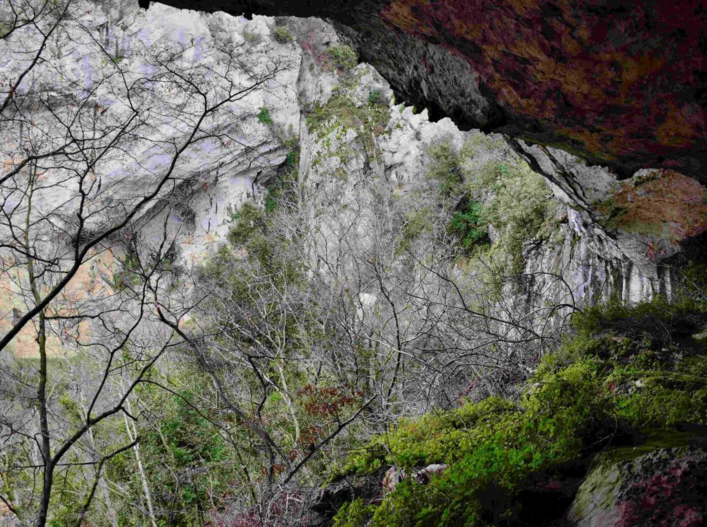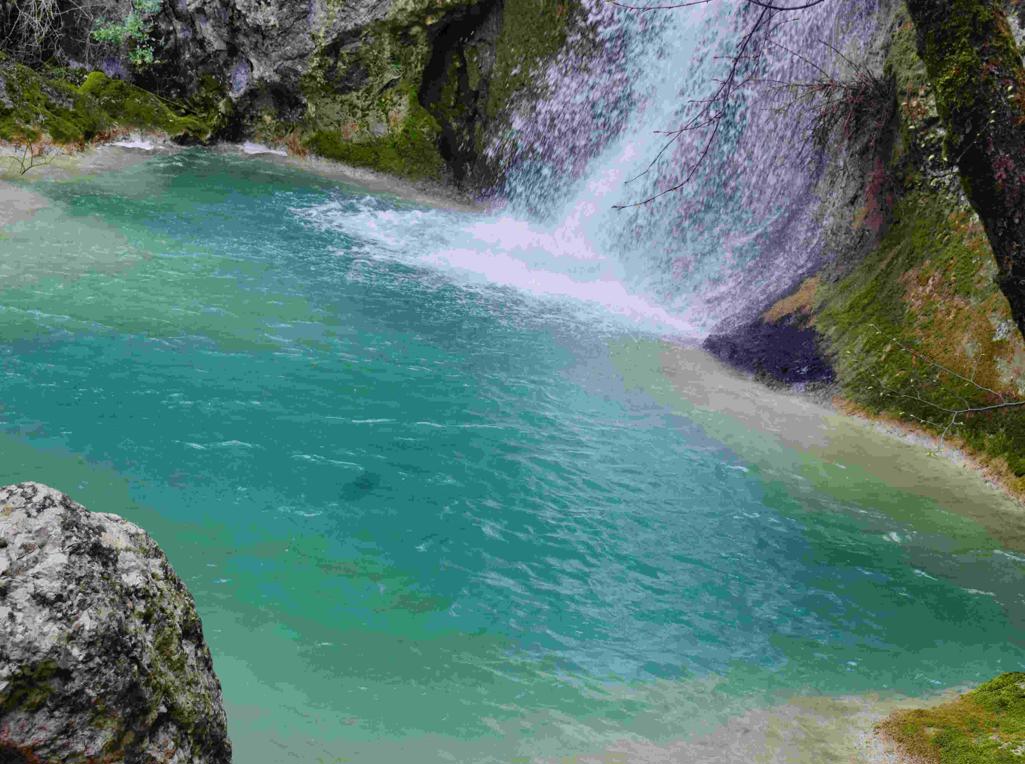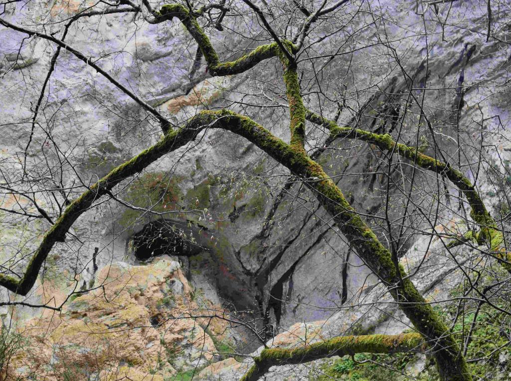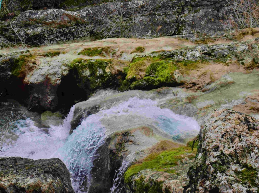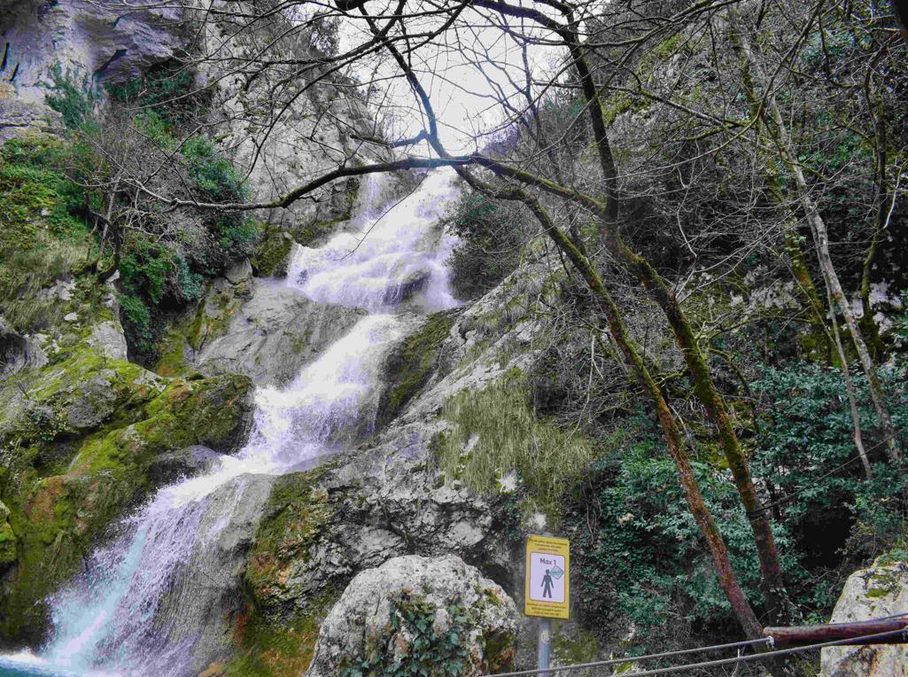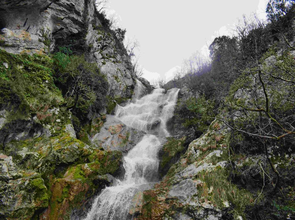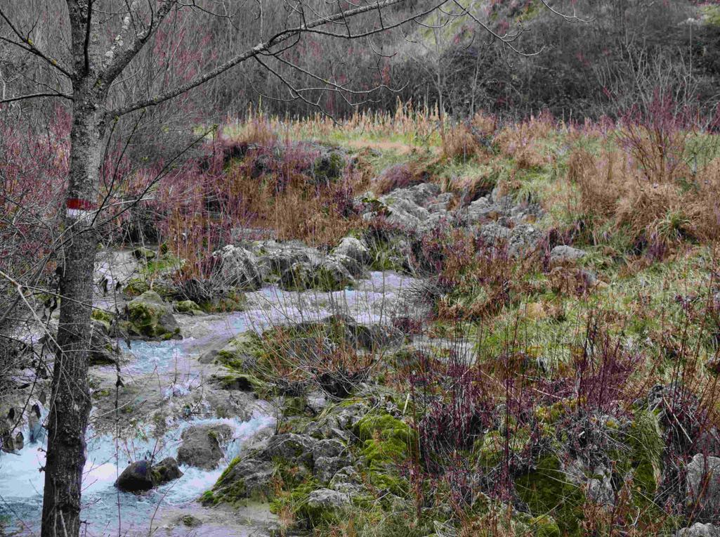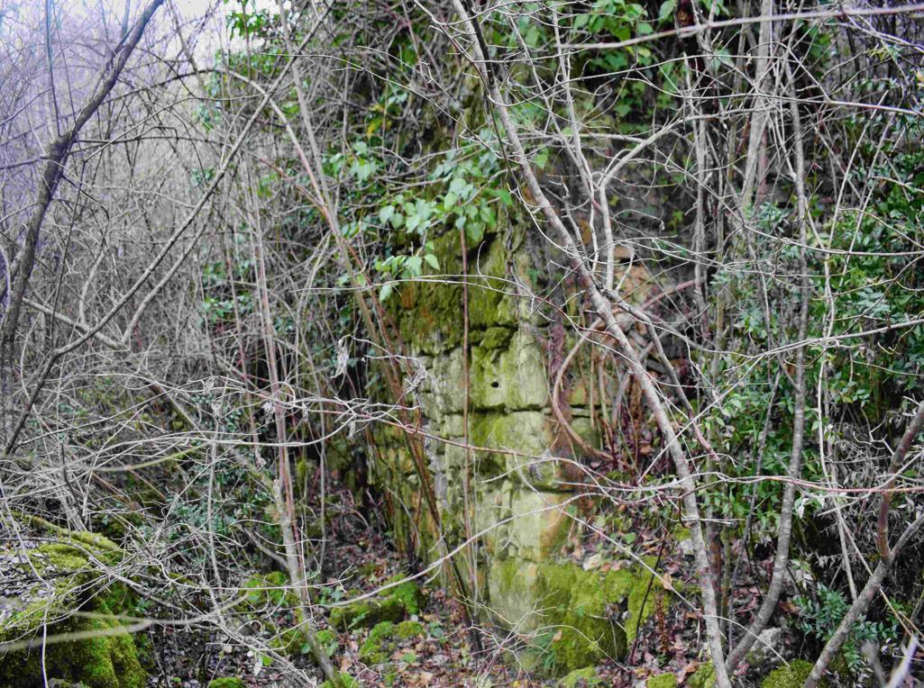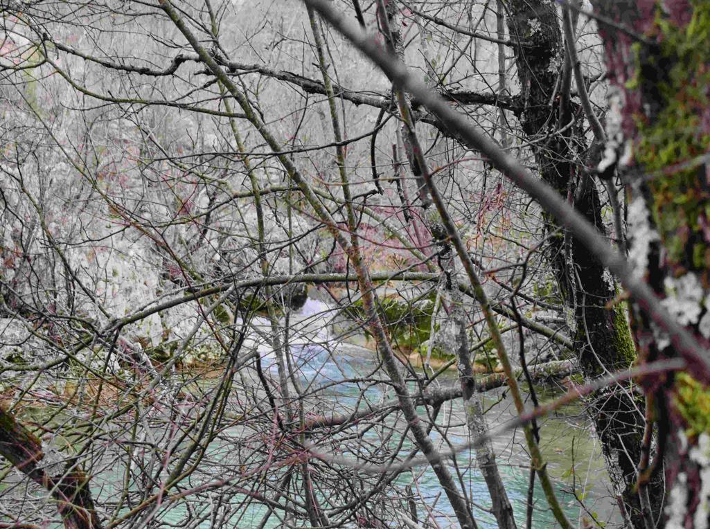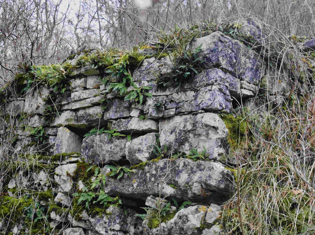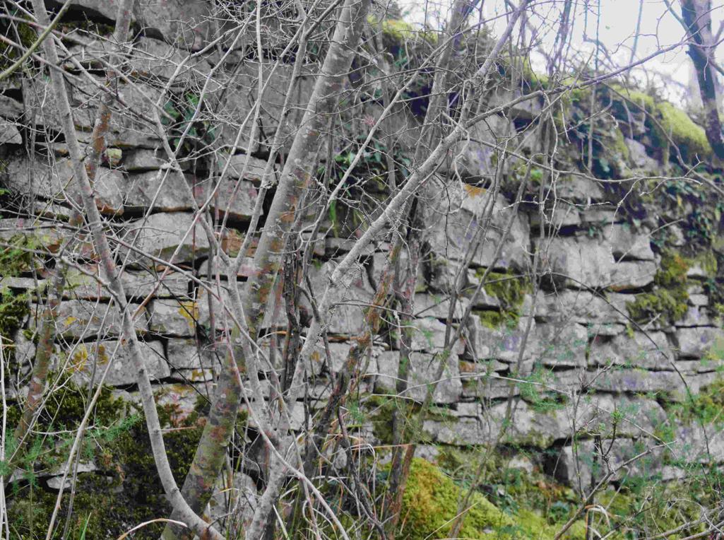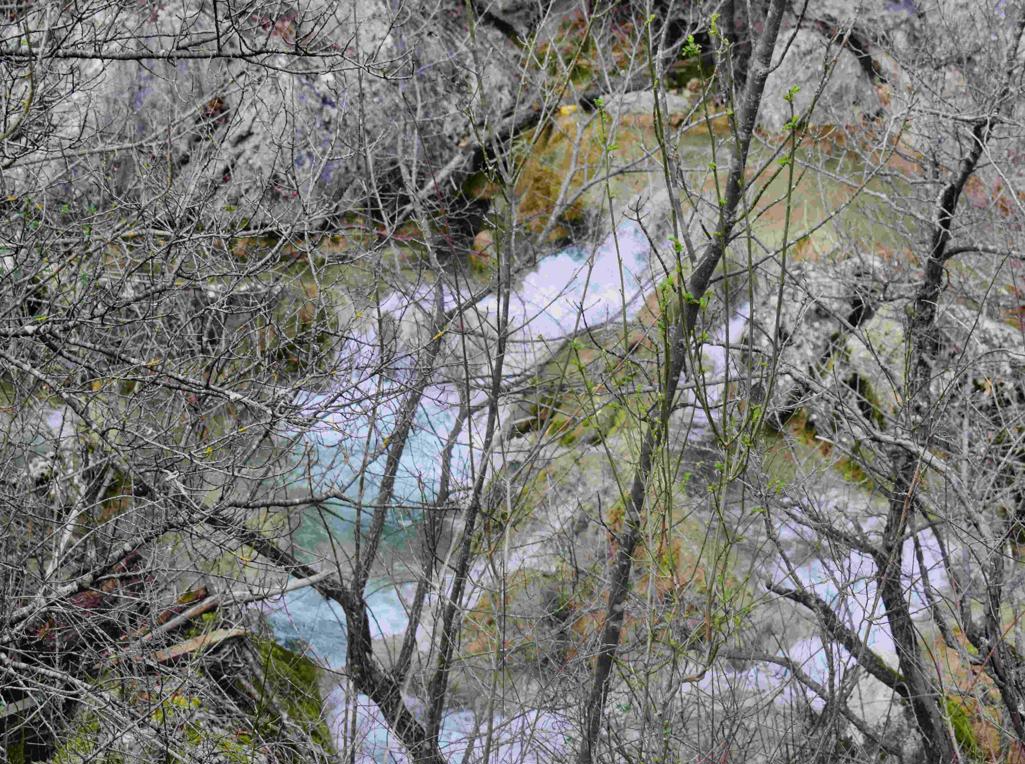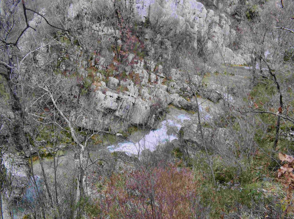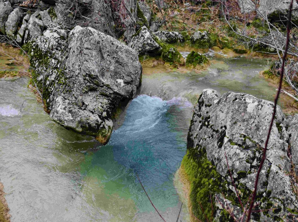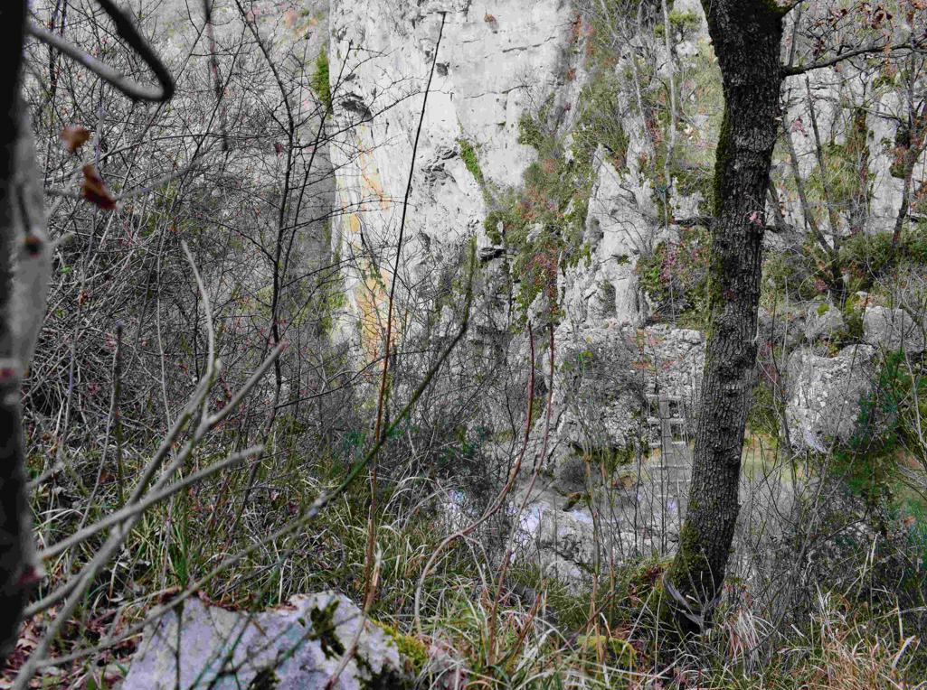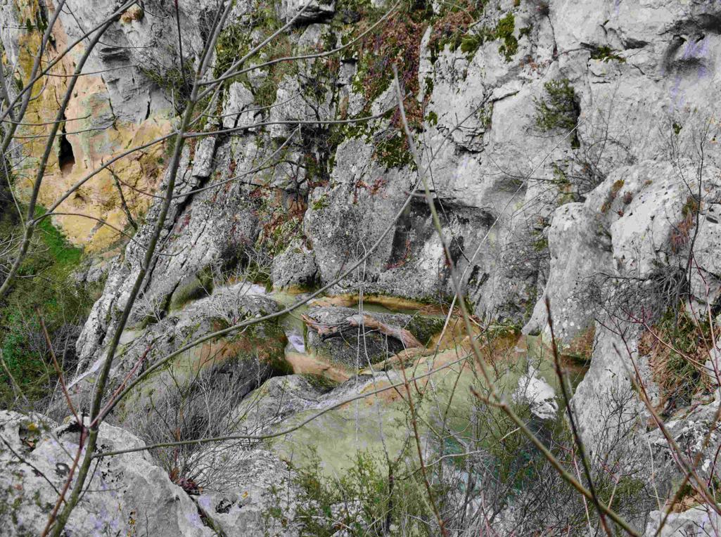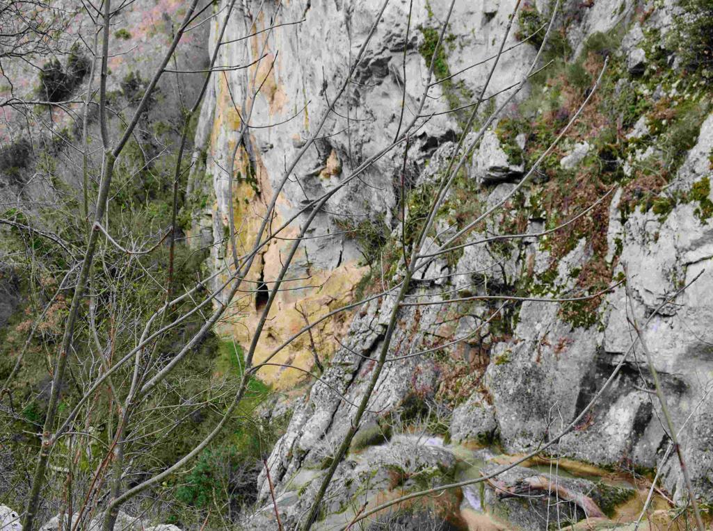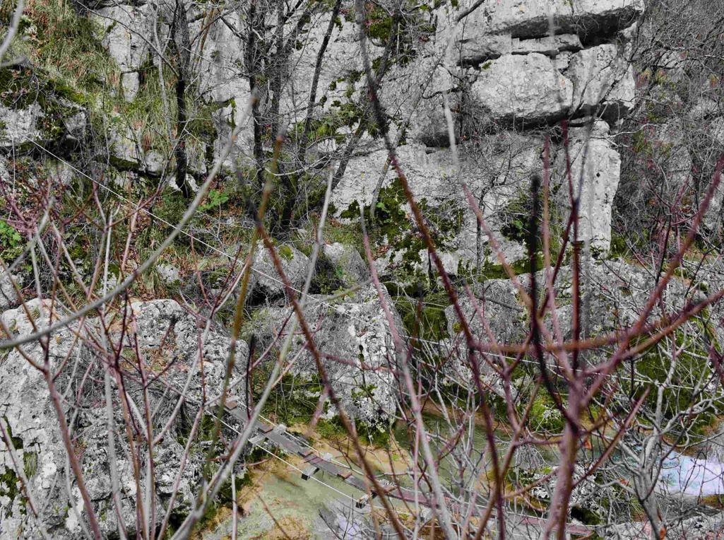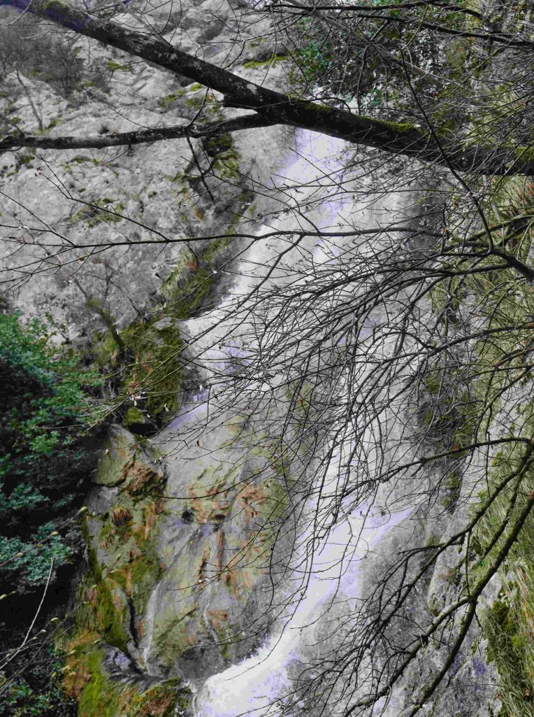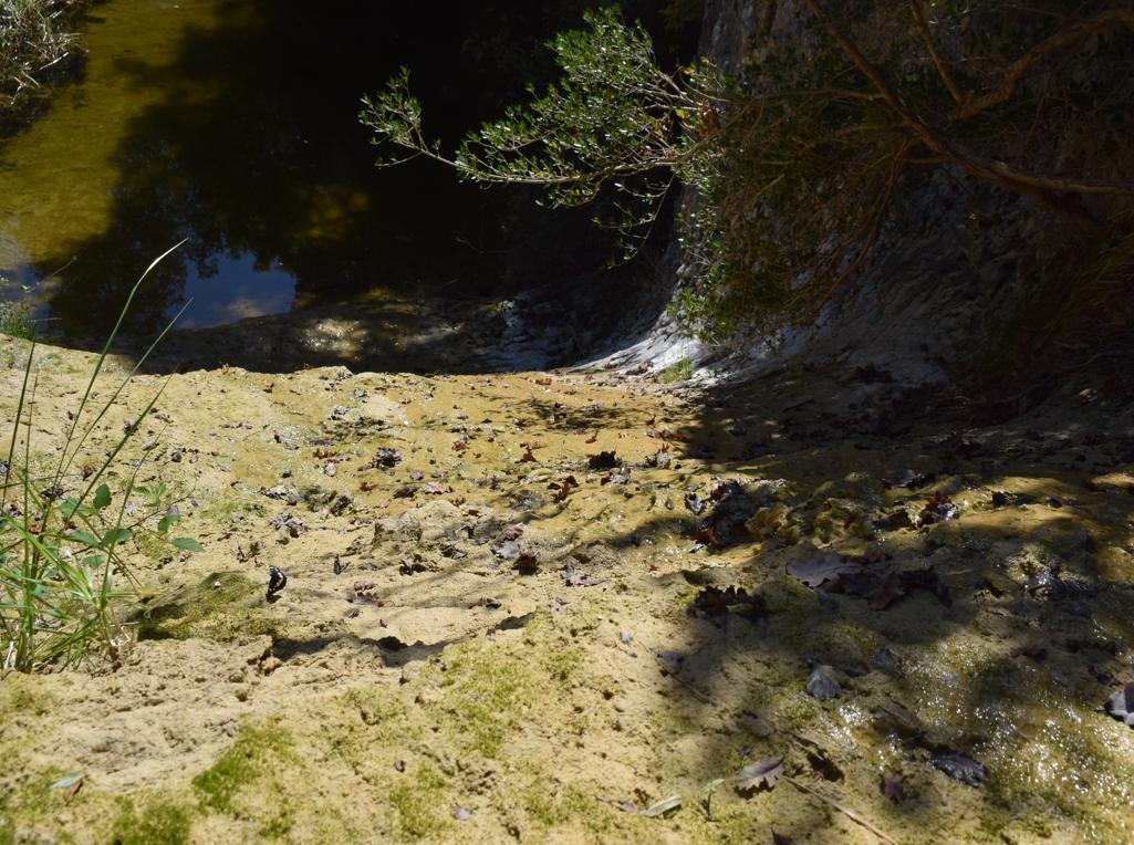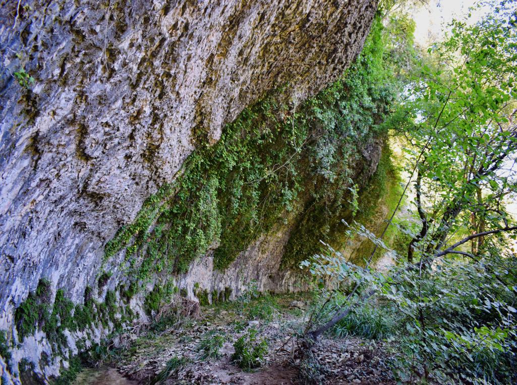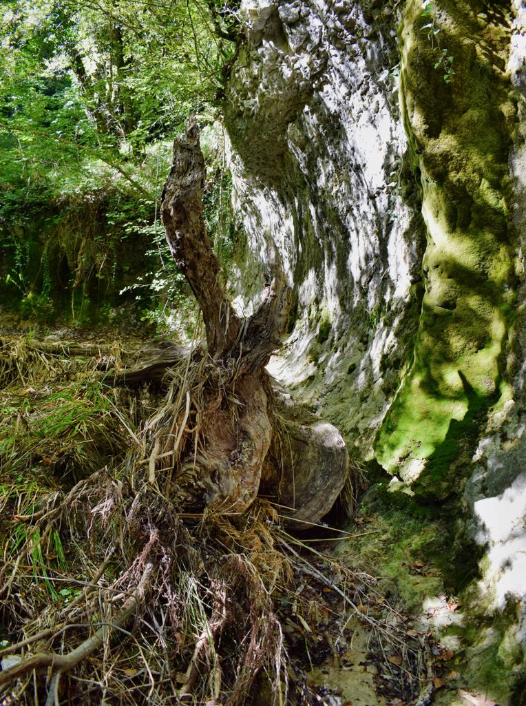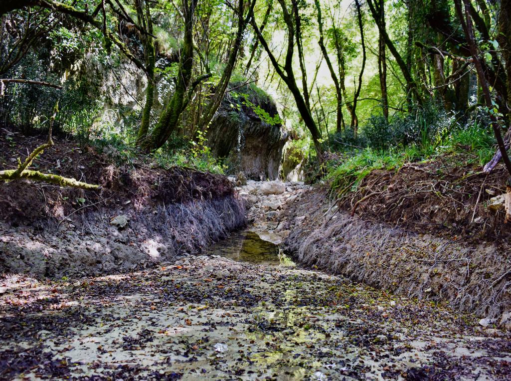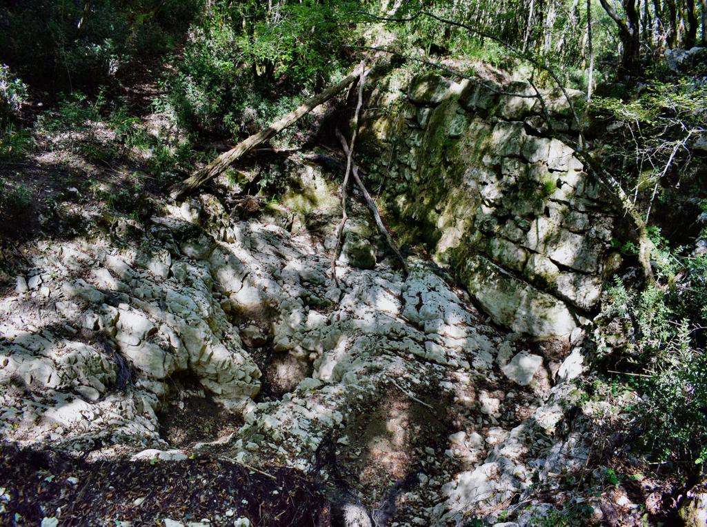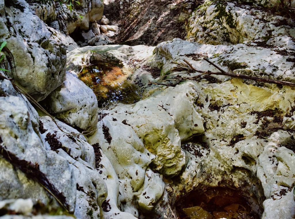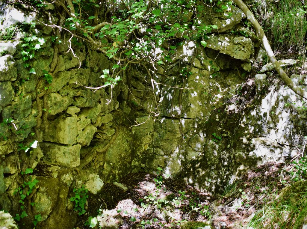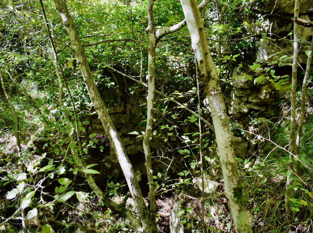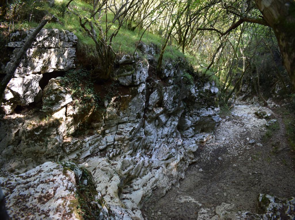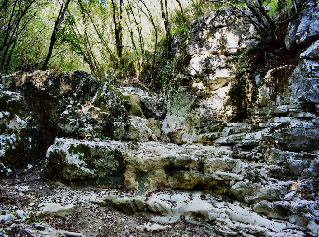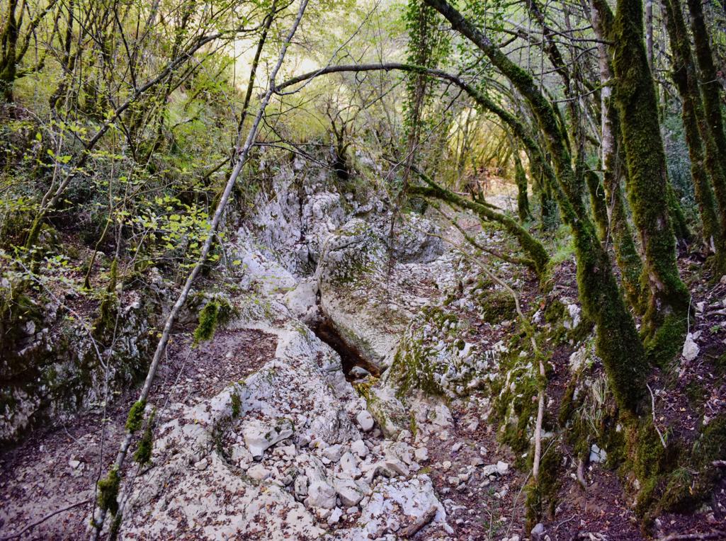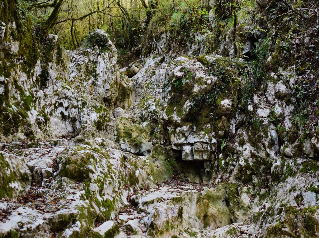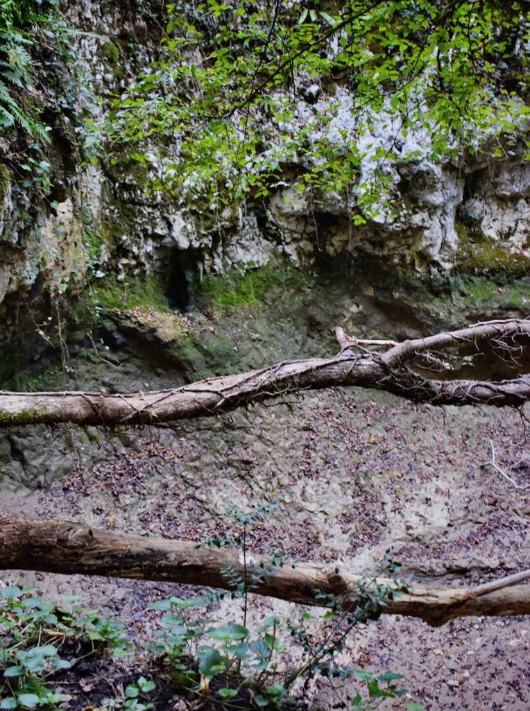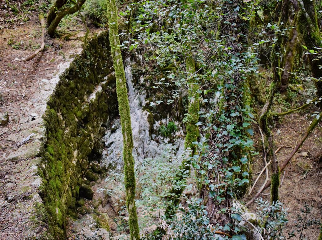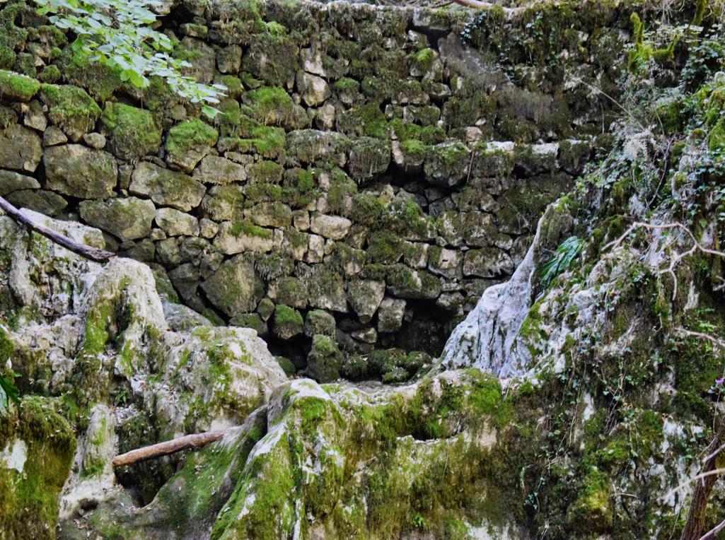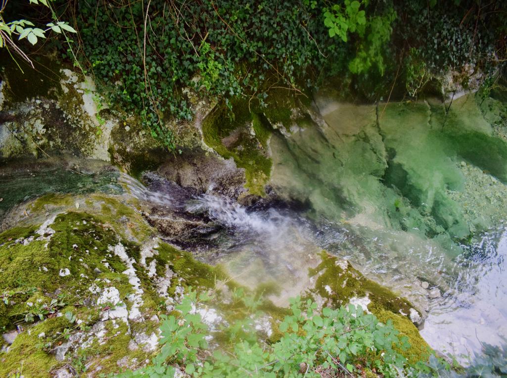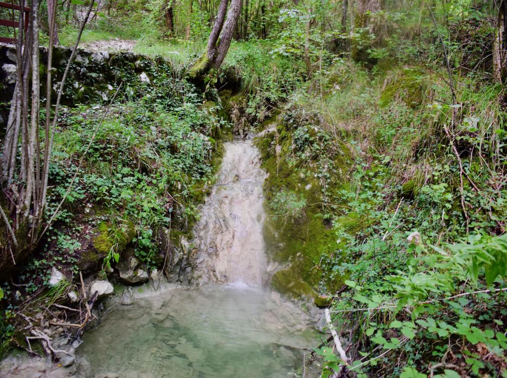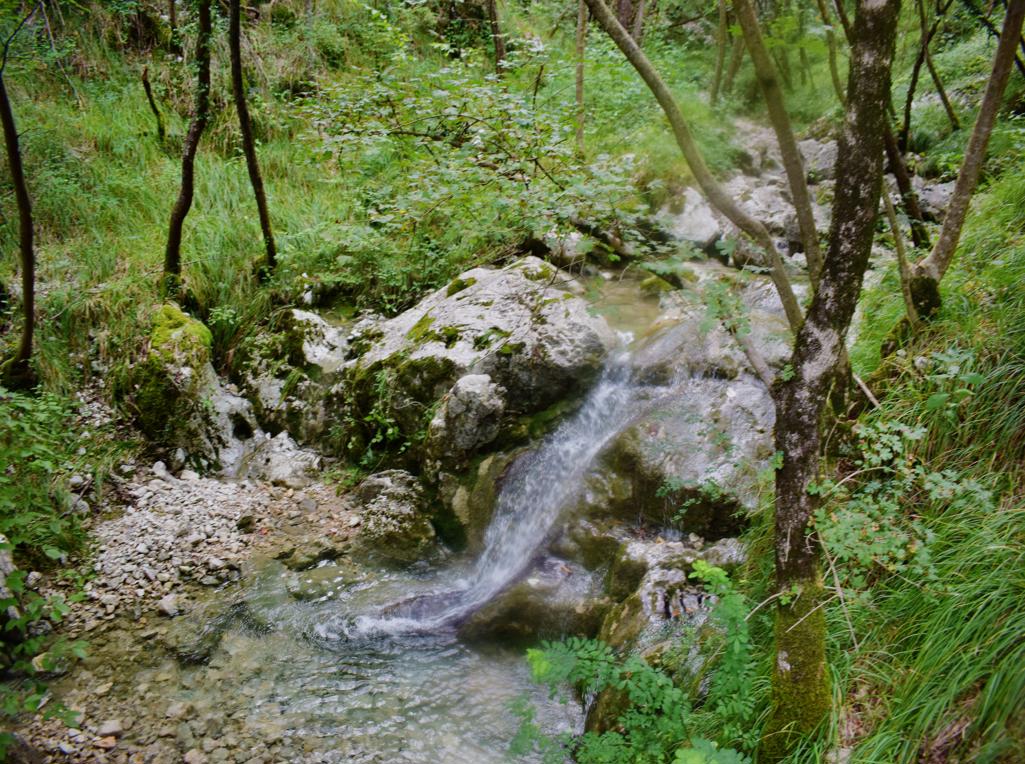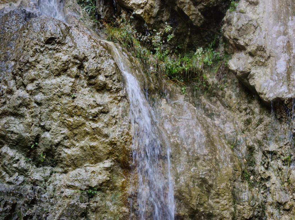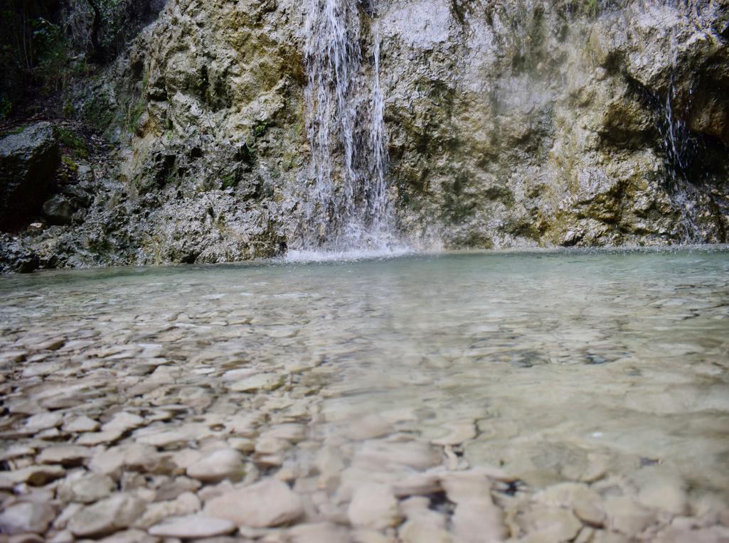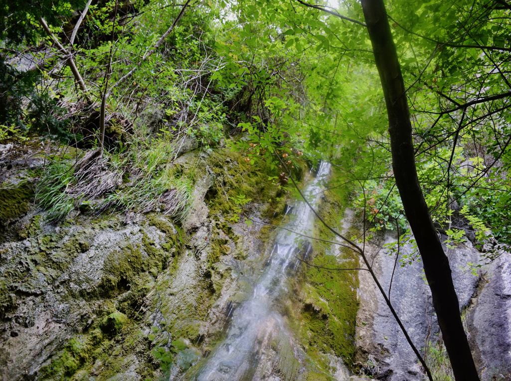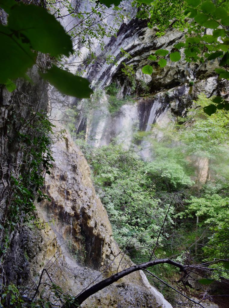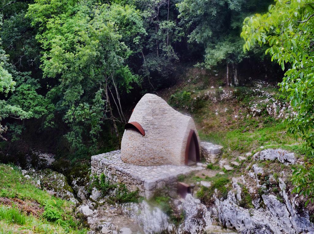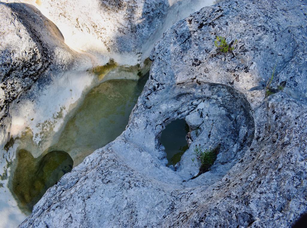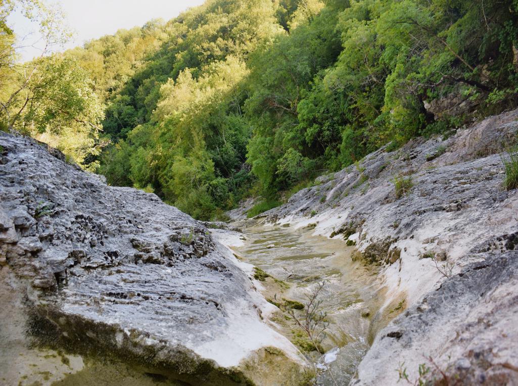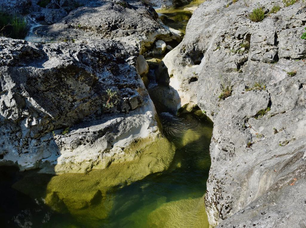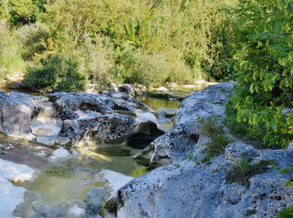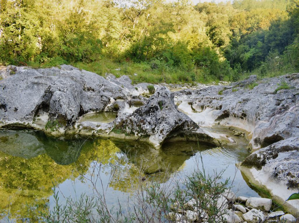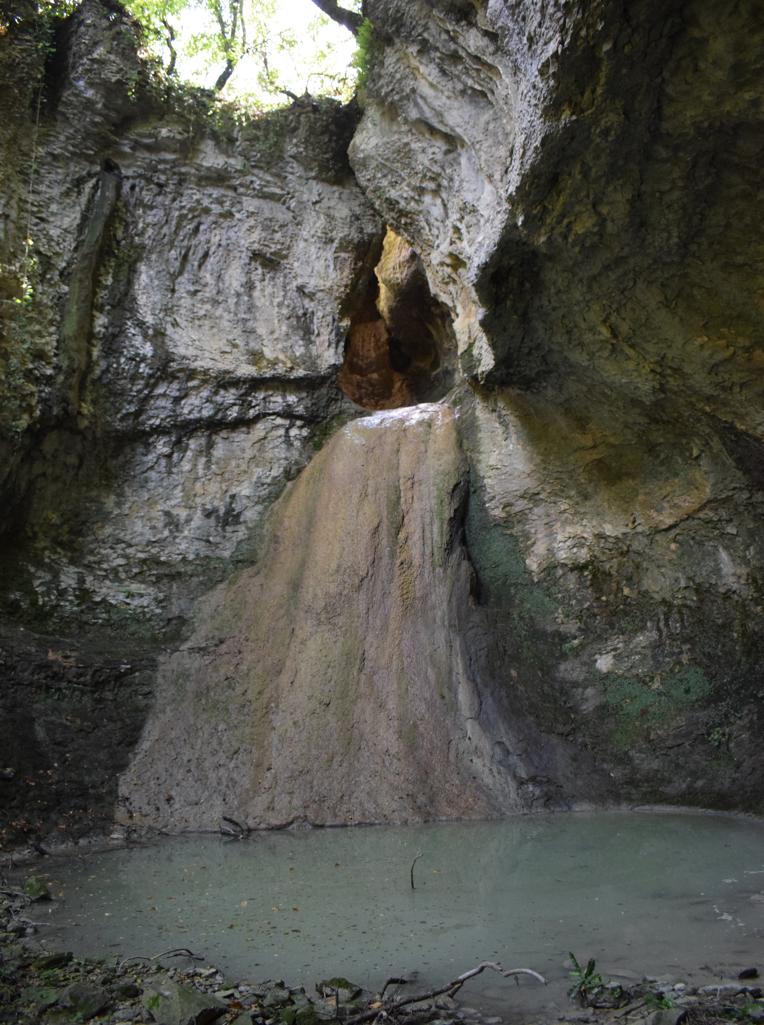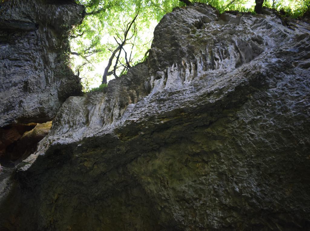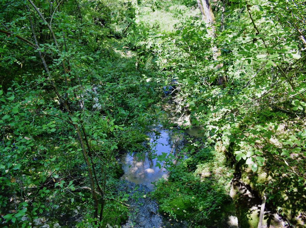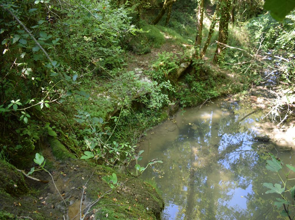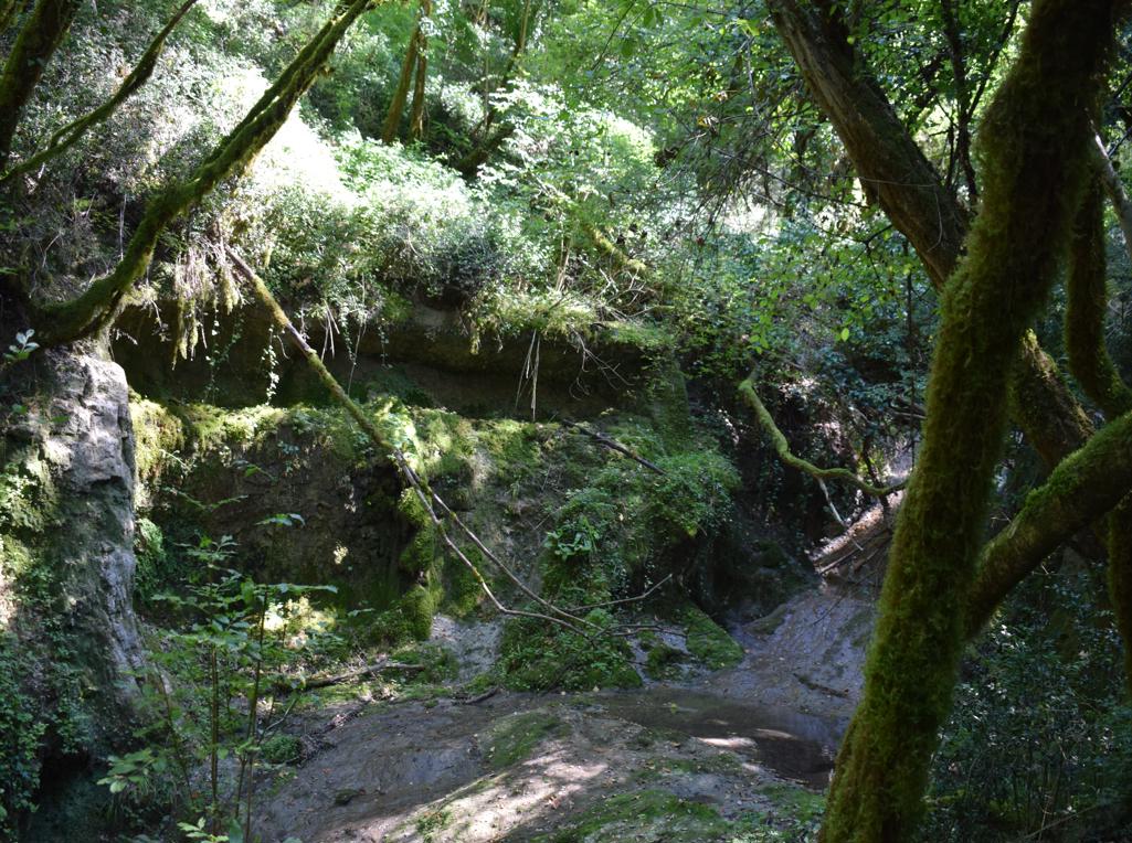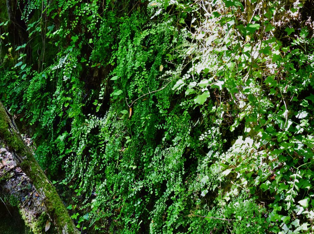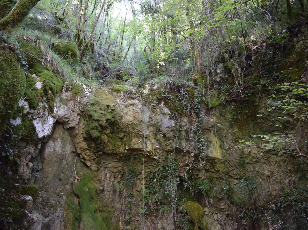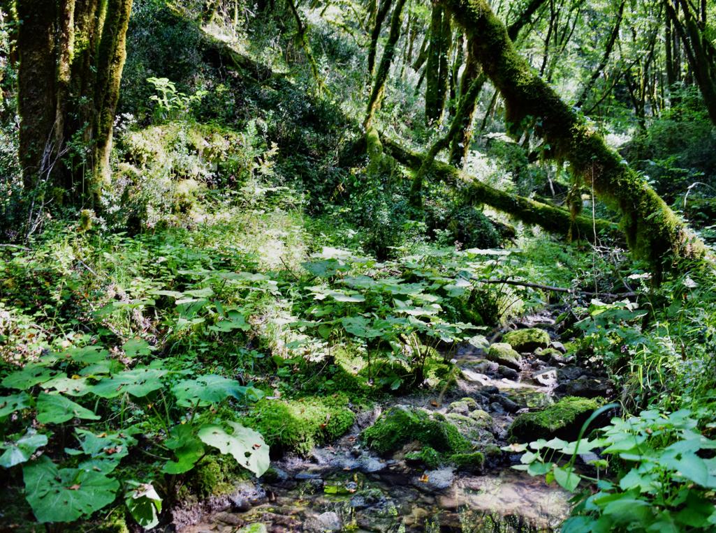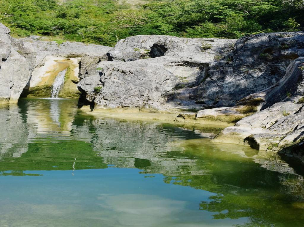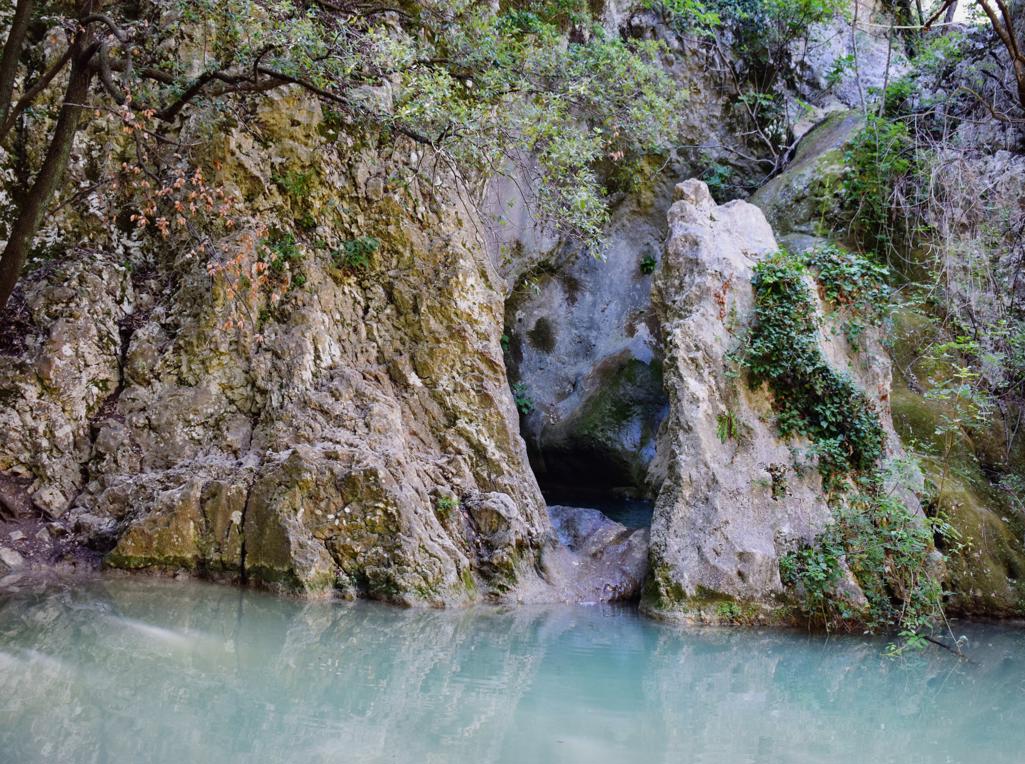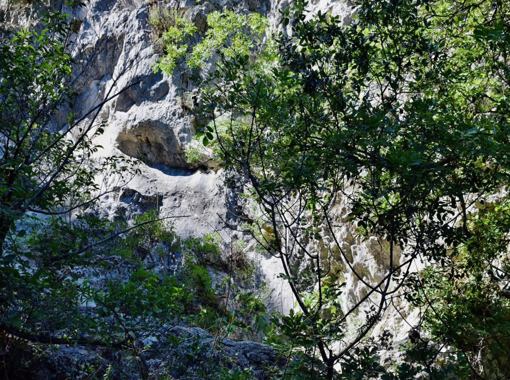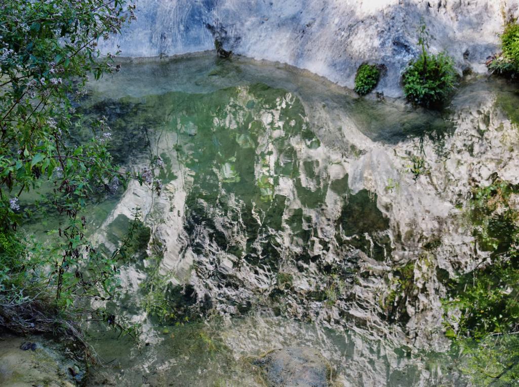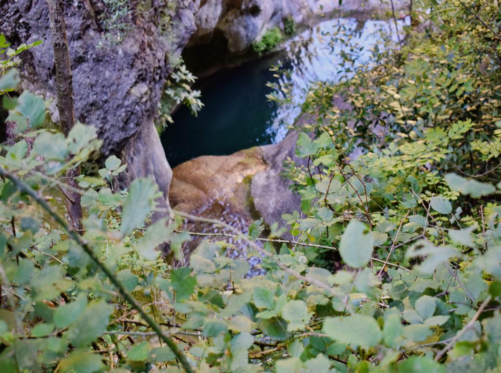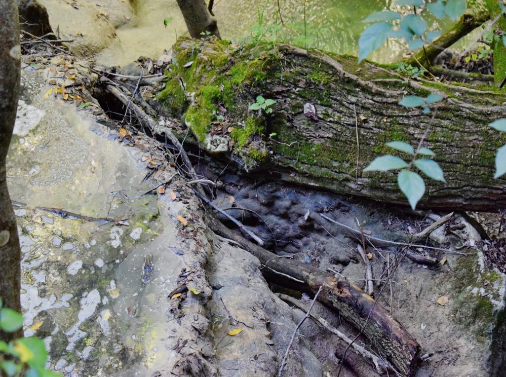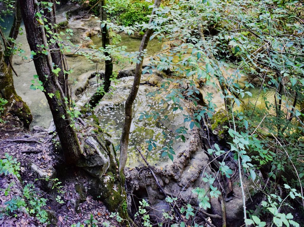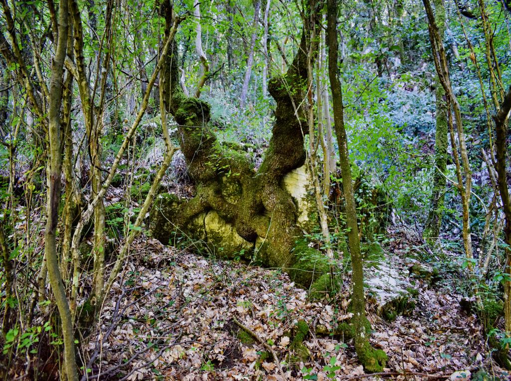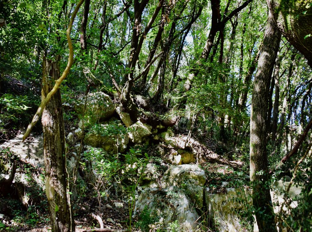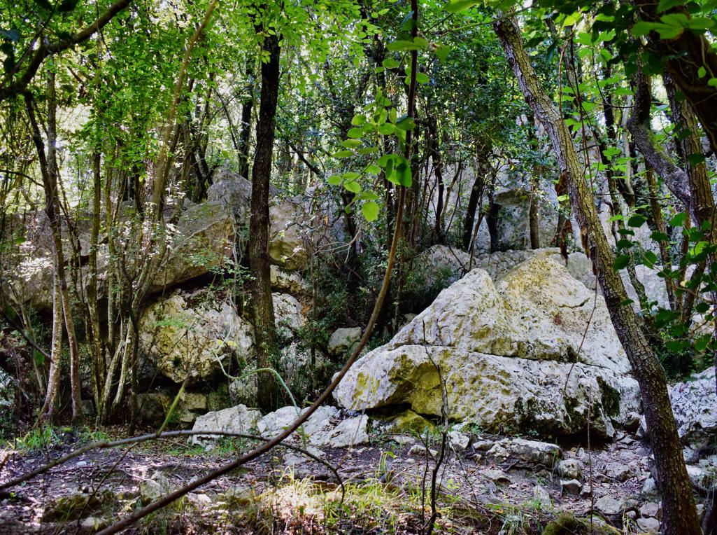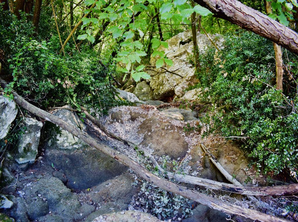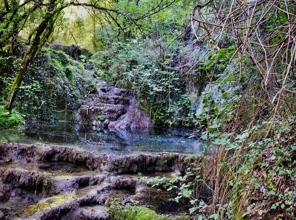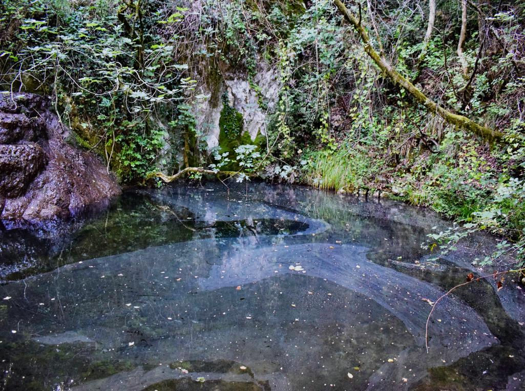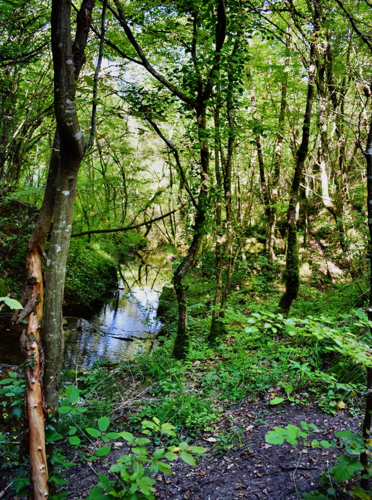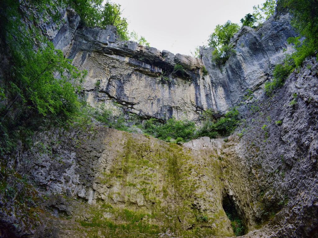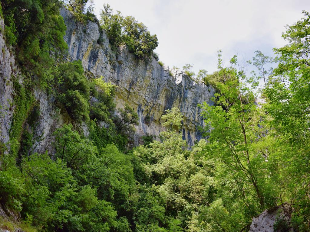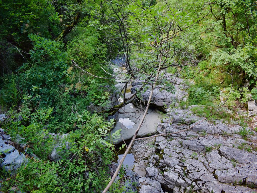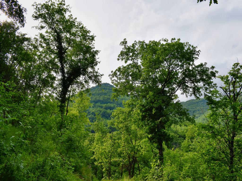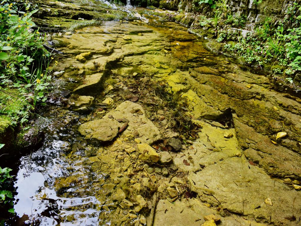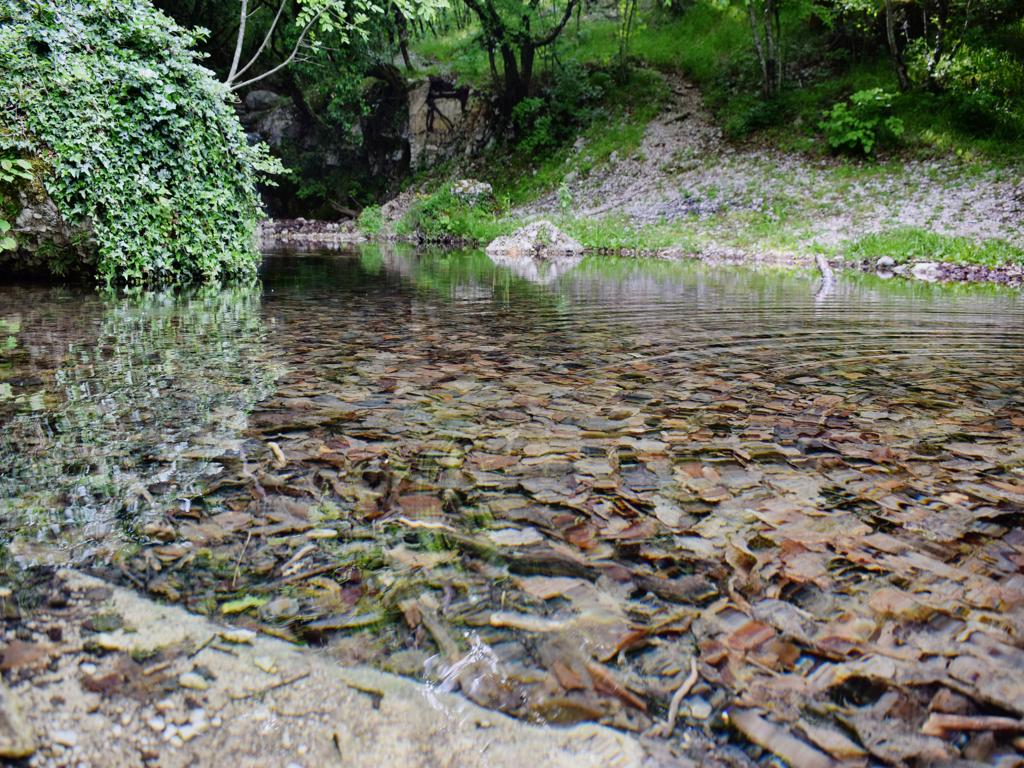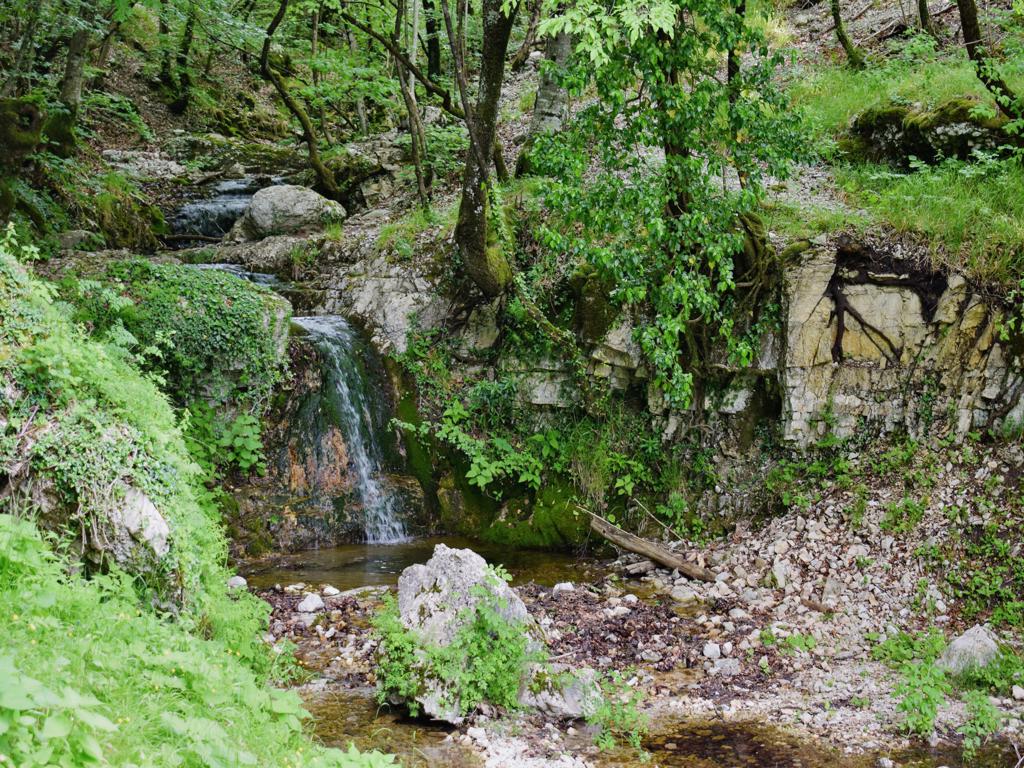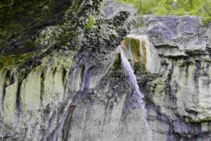
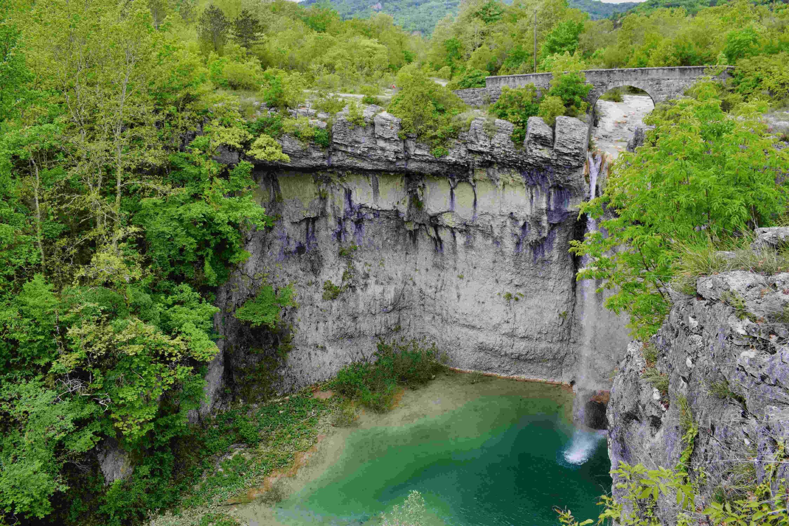

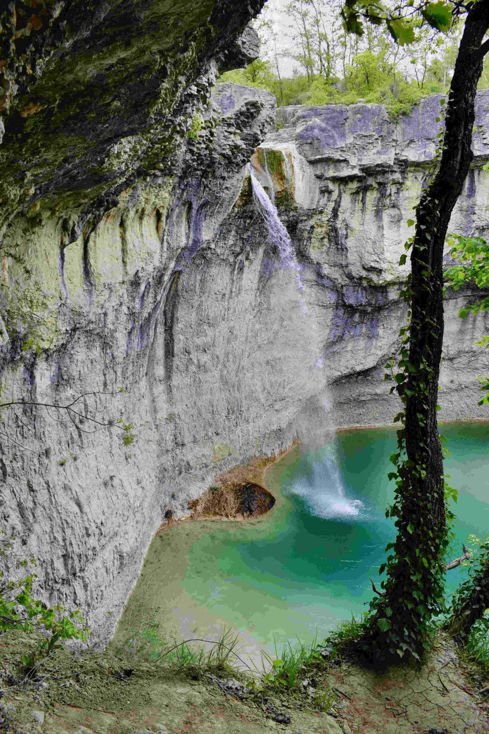
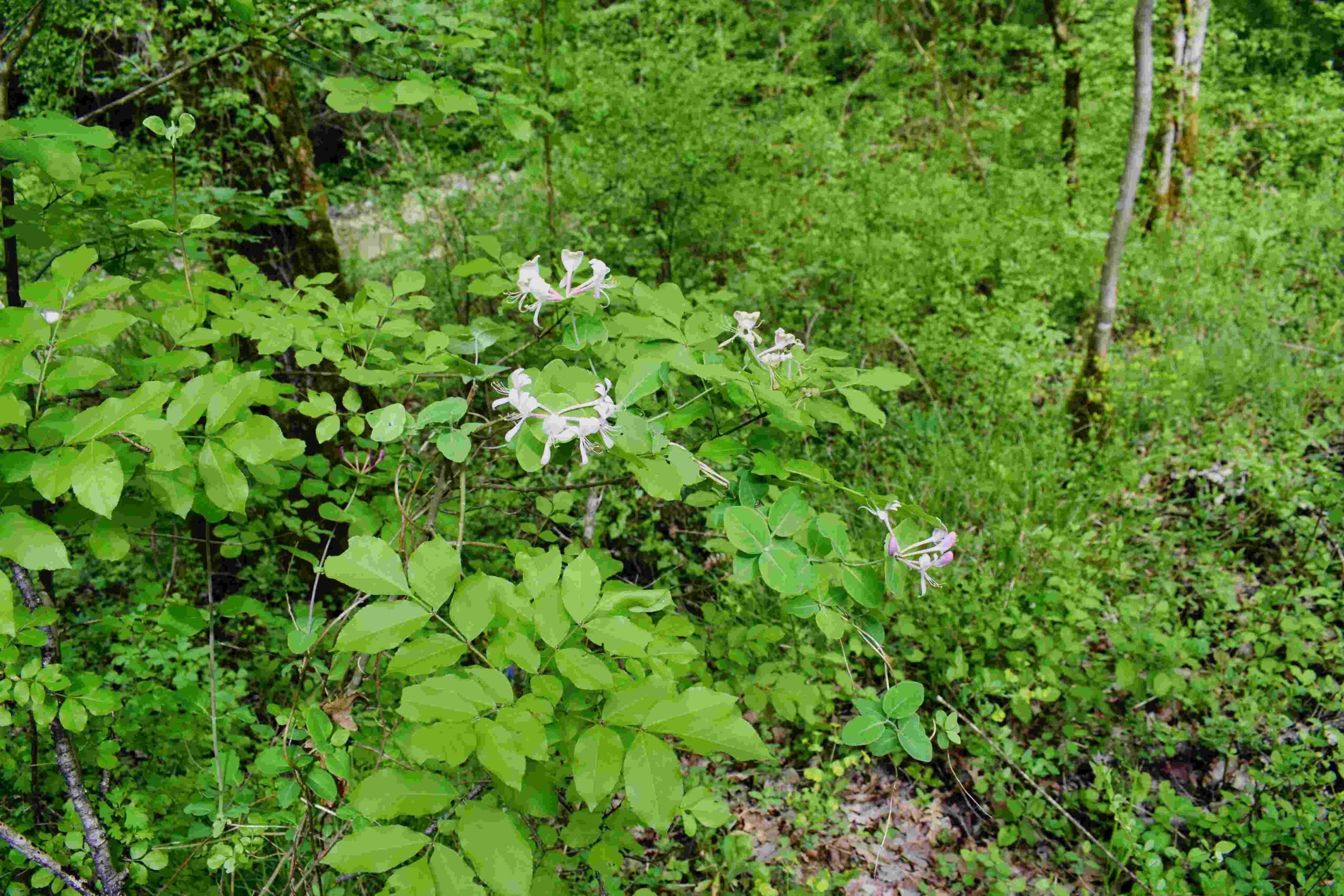
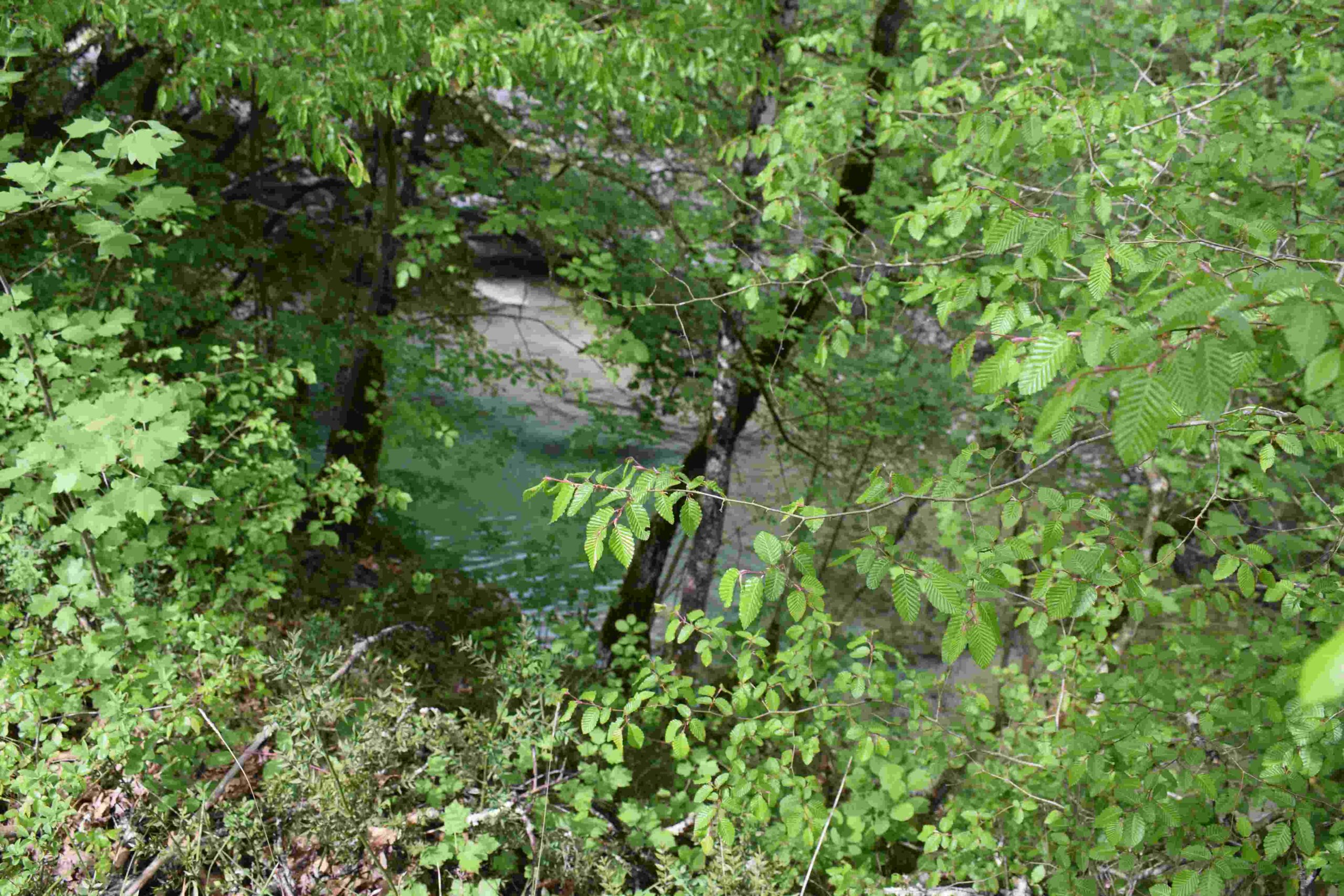
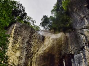
Name: Floričići waterfall in the stream Svićki potok.
Place: Floričići – (Gračišće – Pičan).
Coordinates: 45.22119 N – 14.04730 E
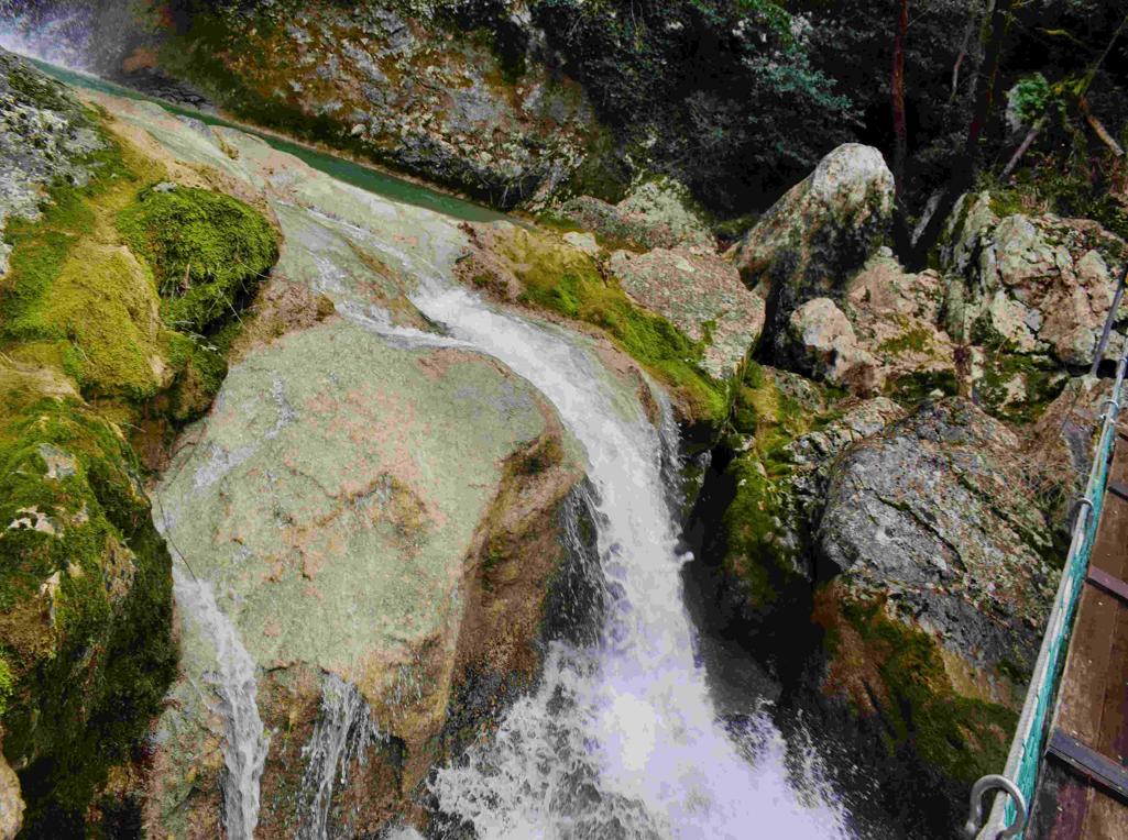
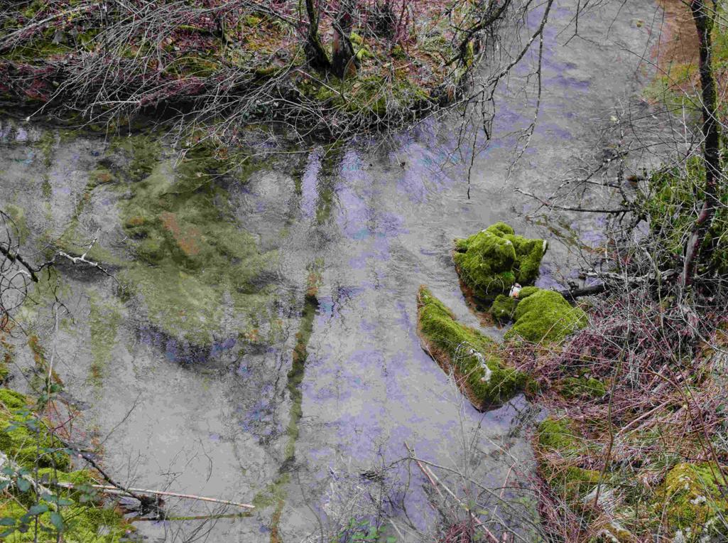
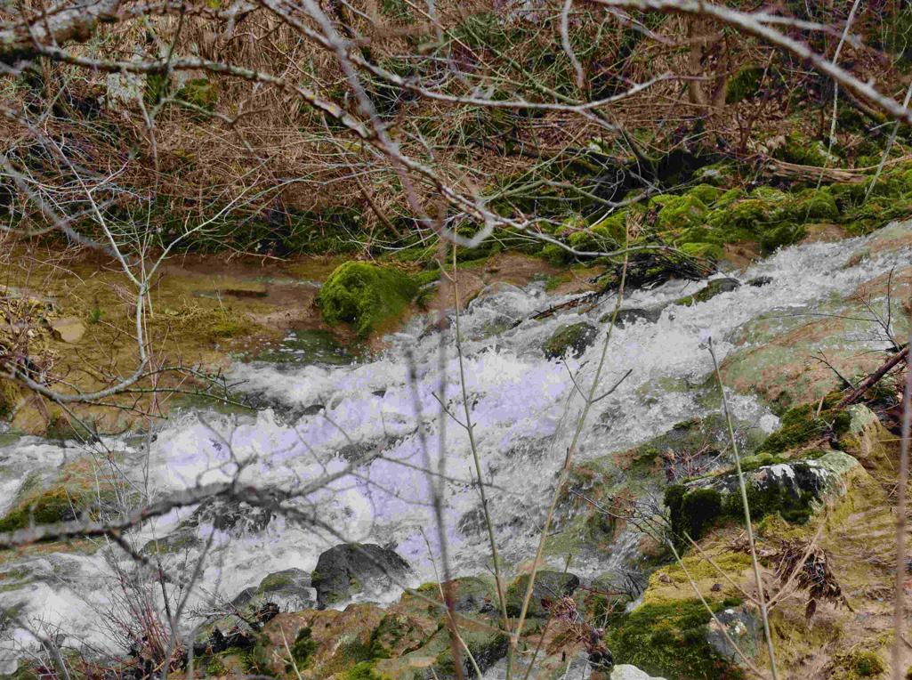
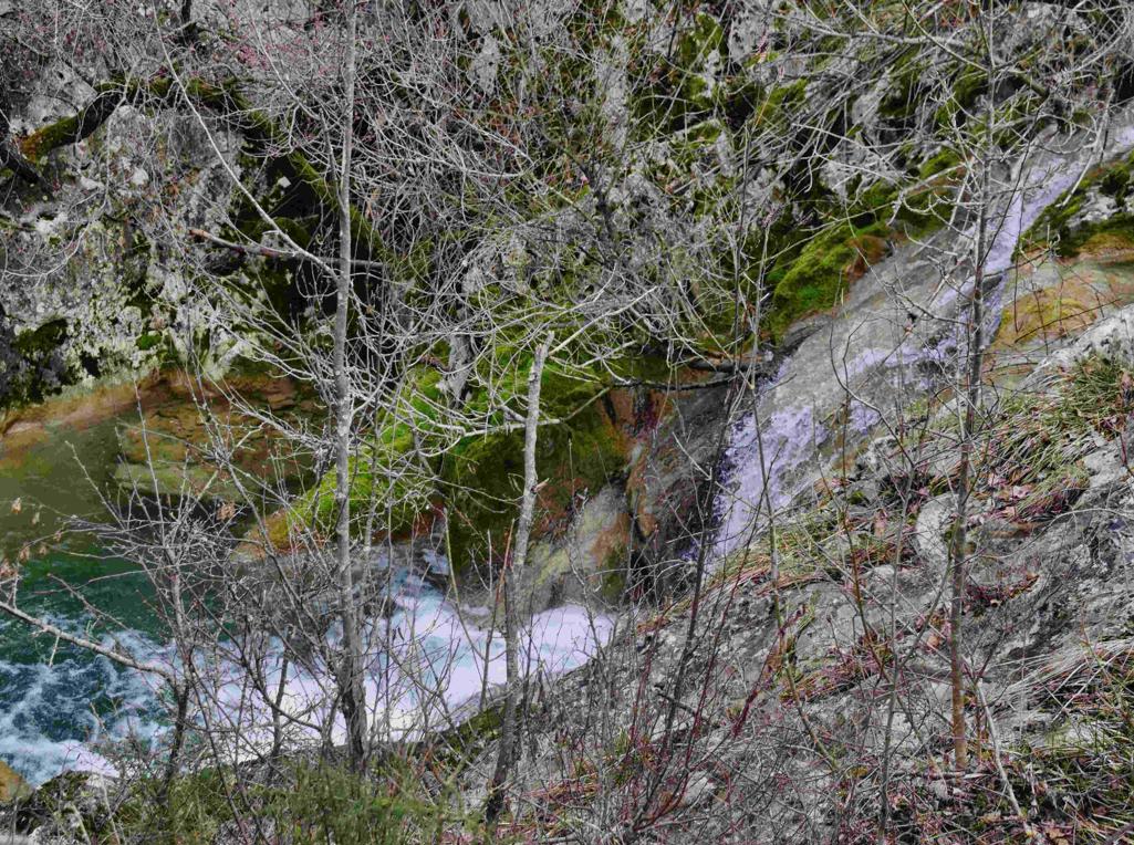
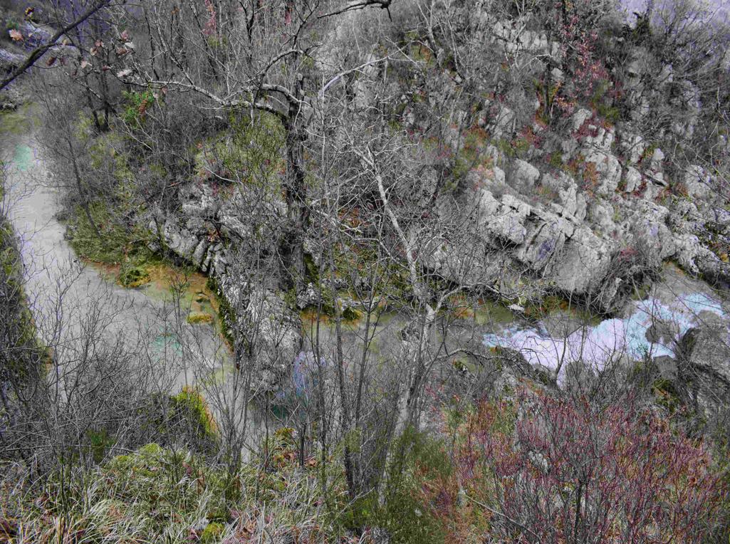
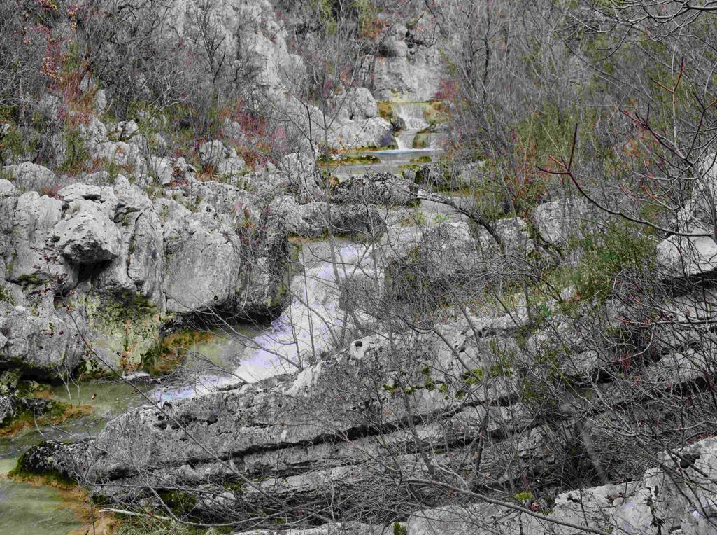
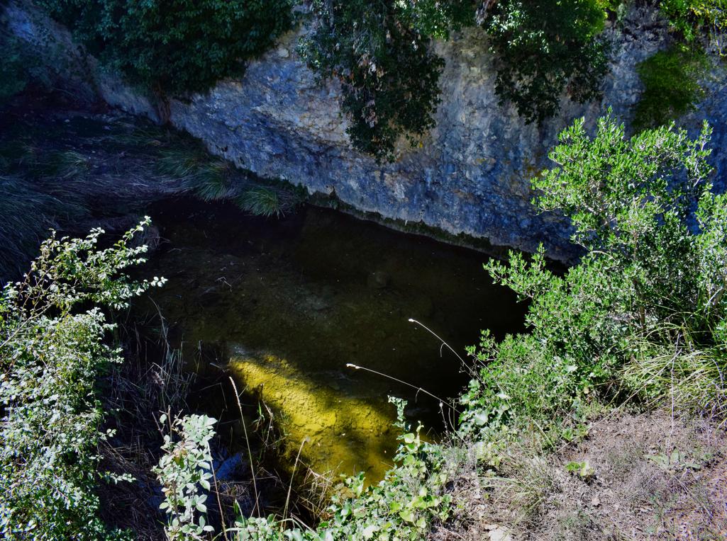
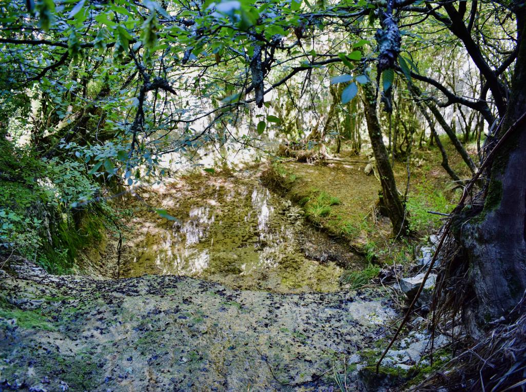
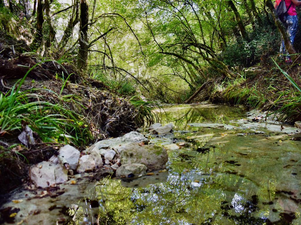
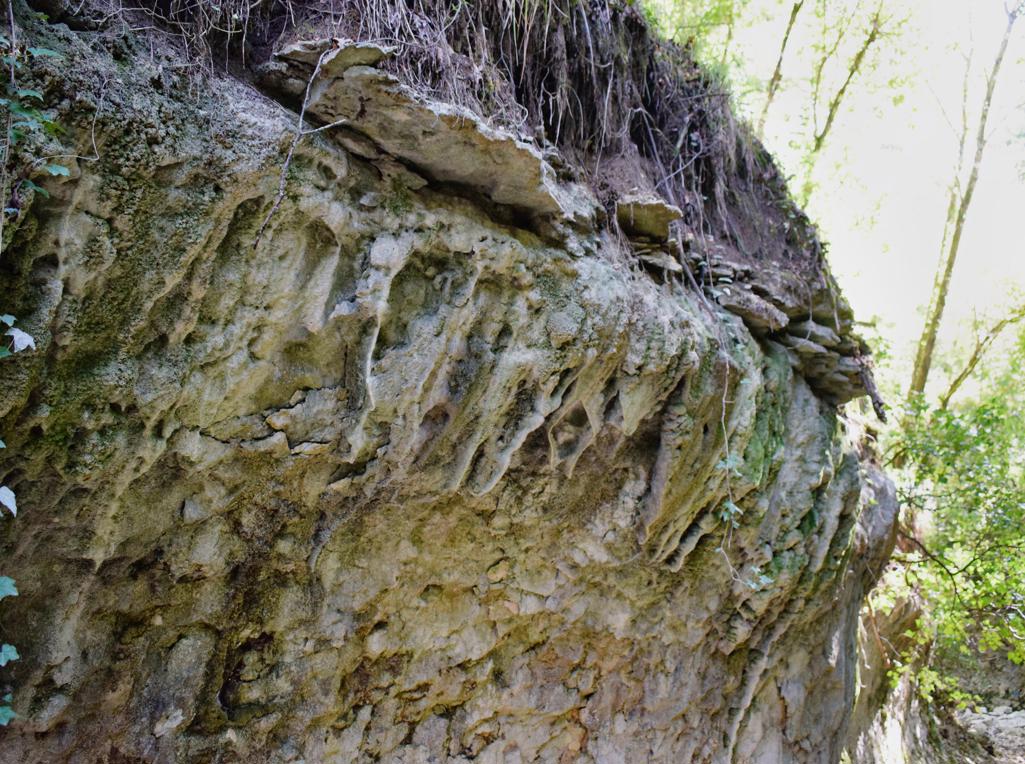
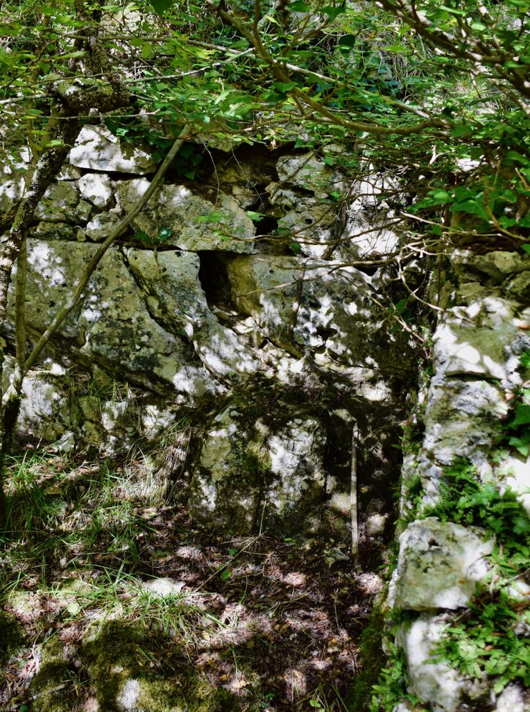
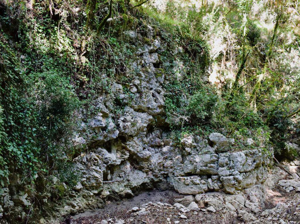
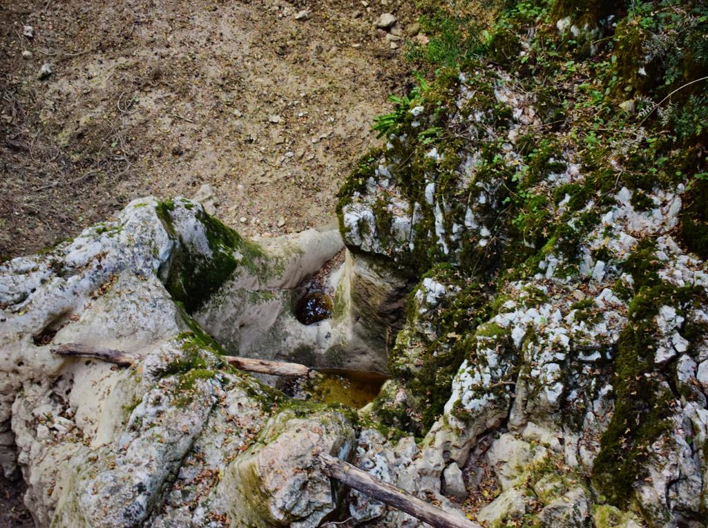
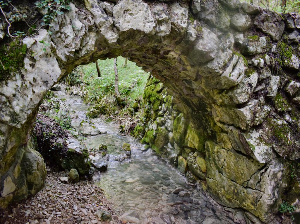
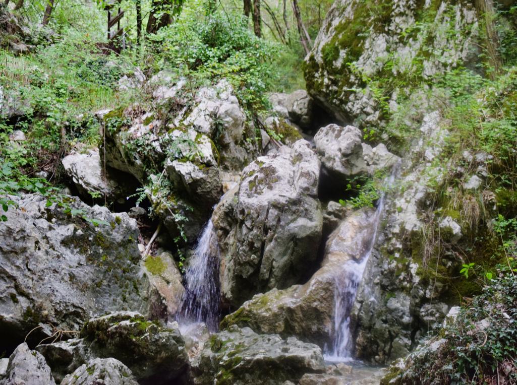
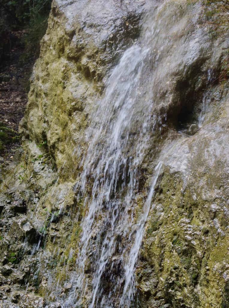
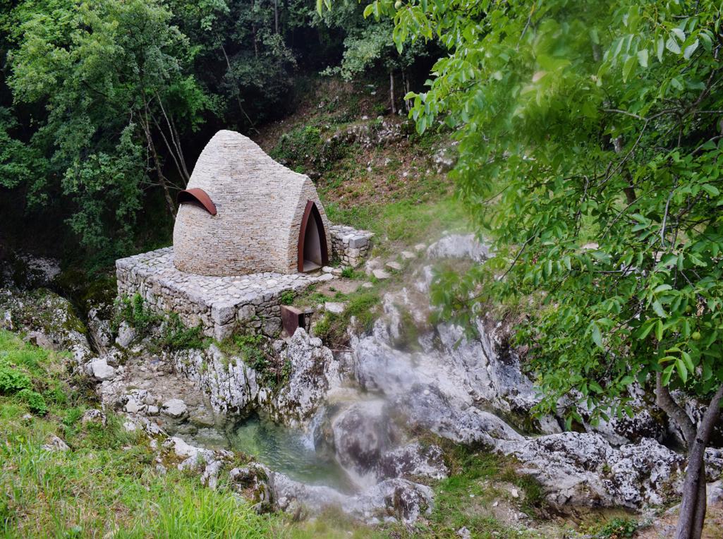
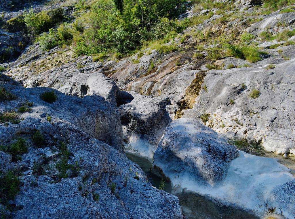
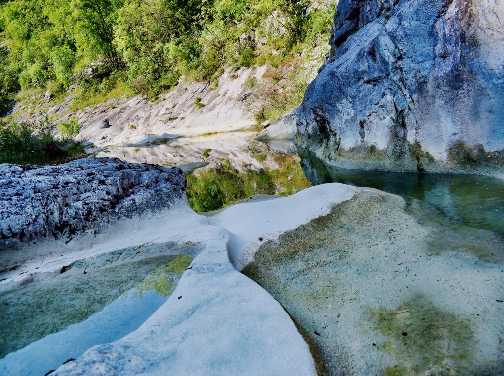
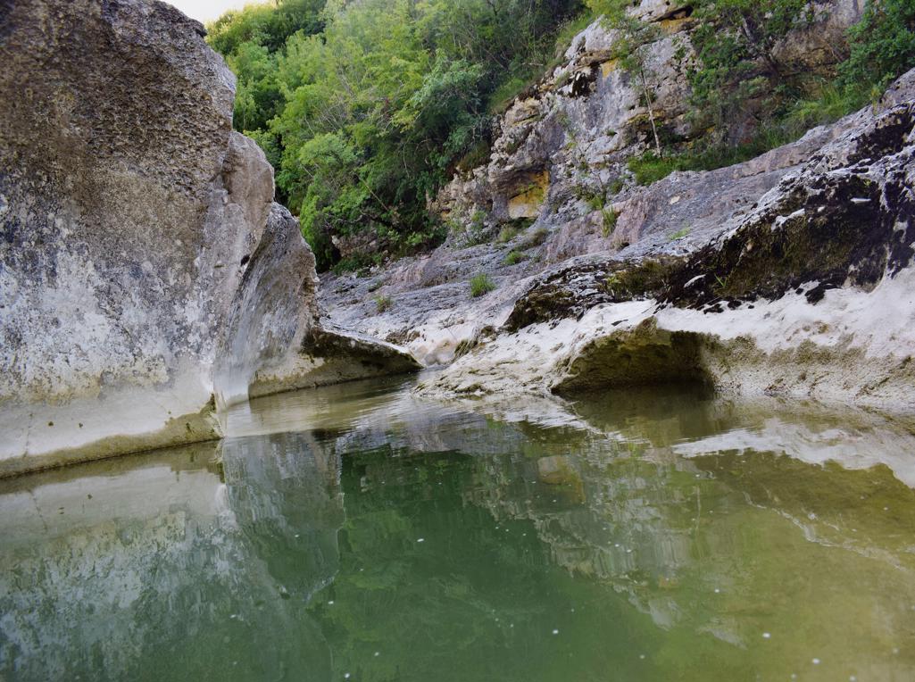
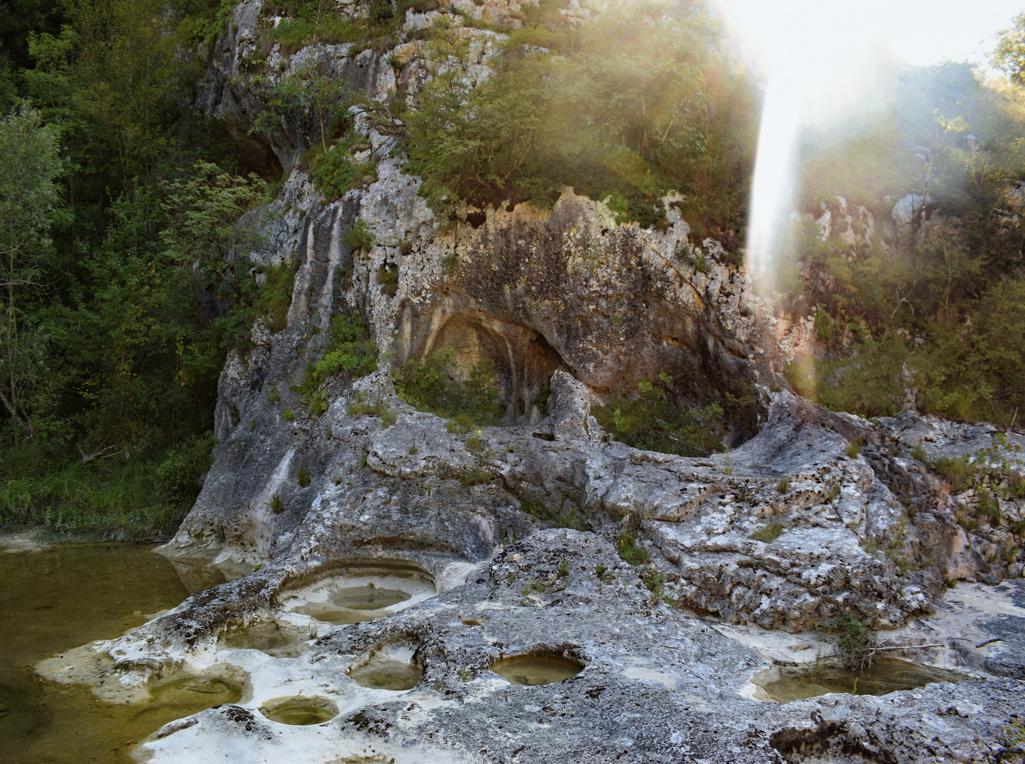
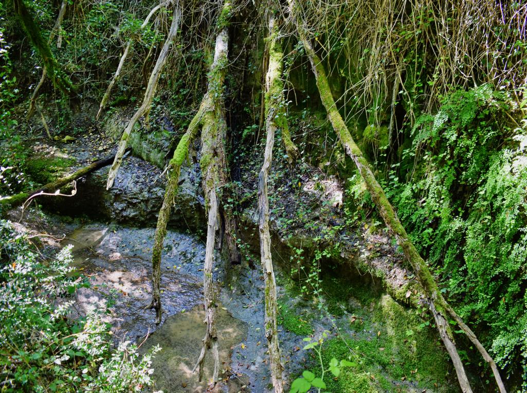
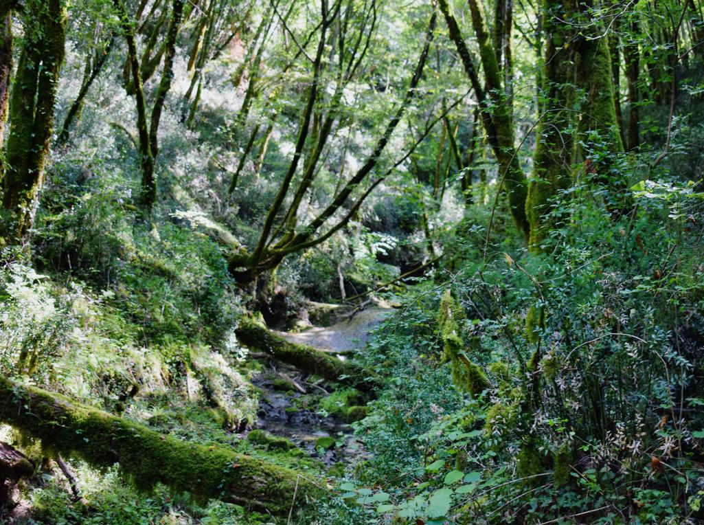
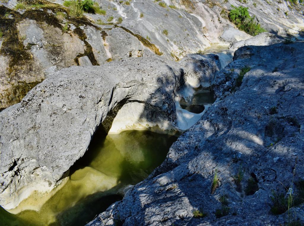
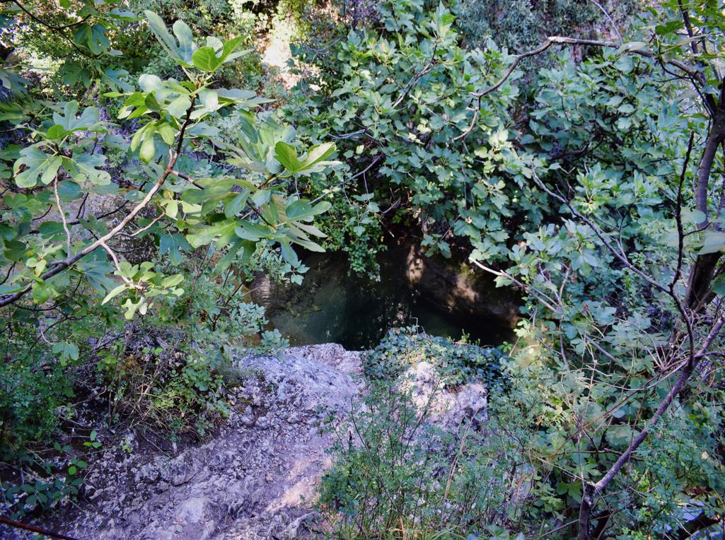
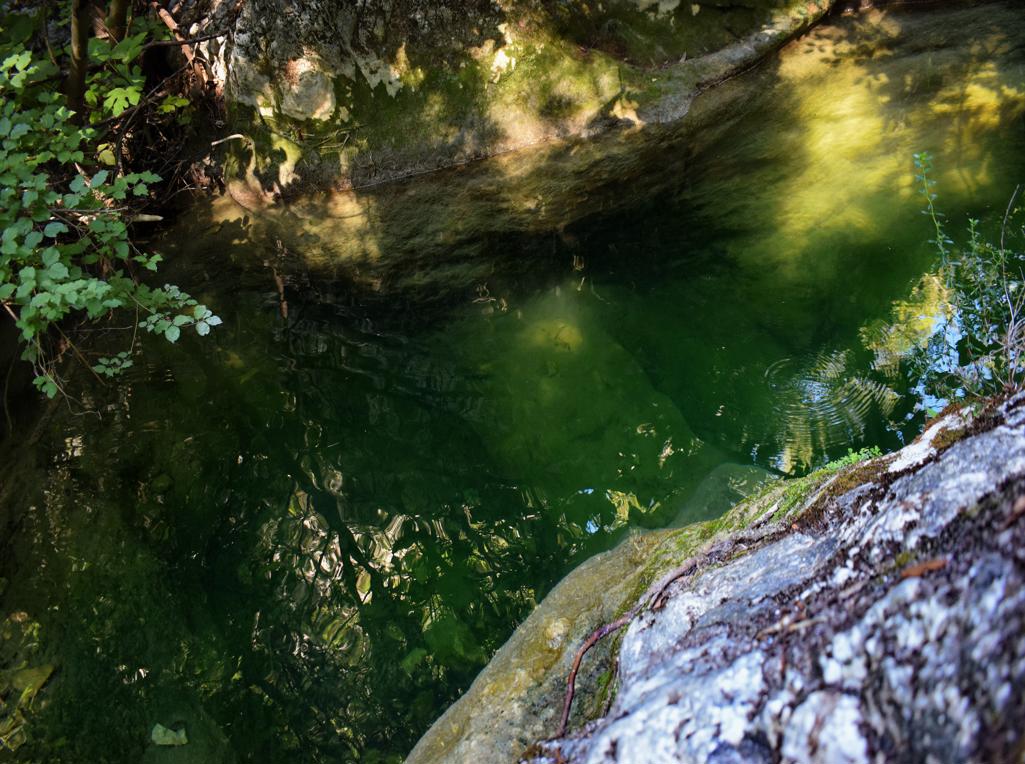
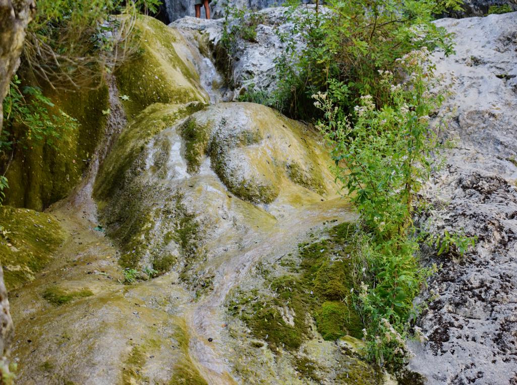
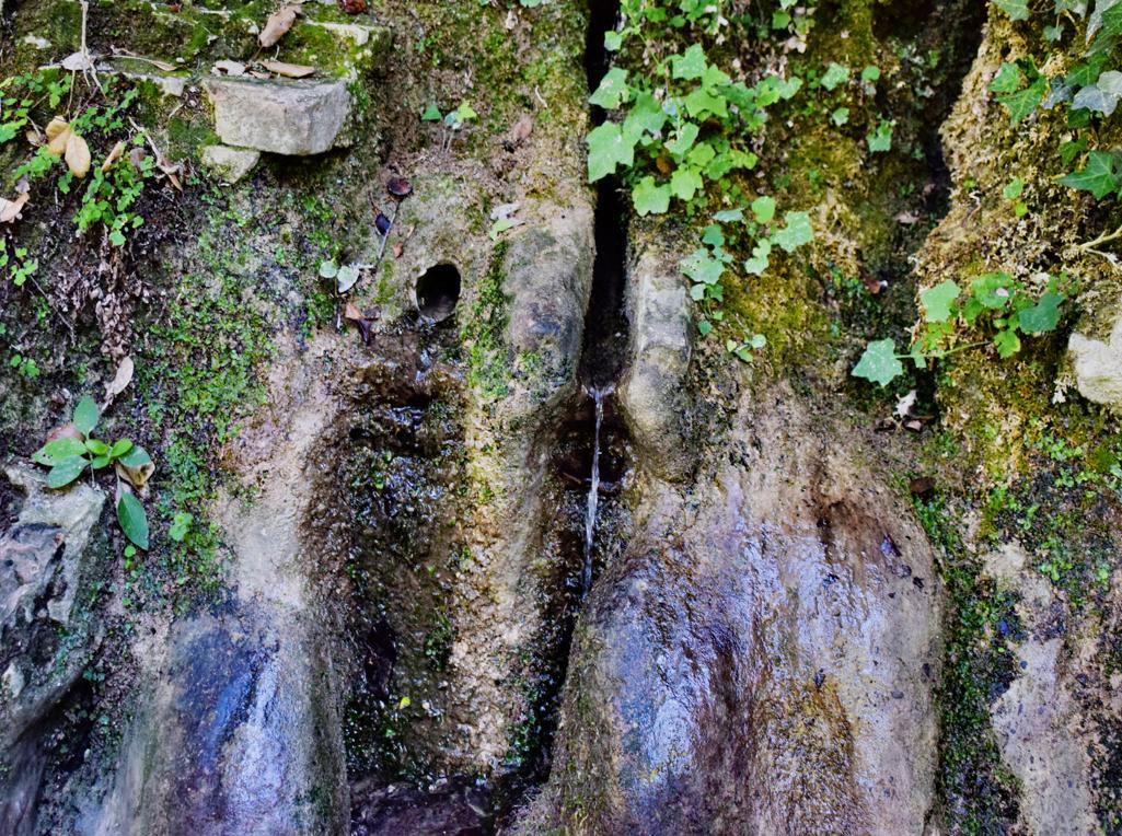
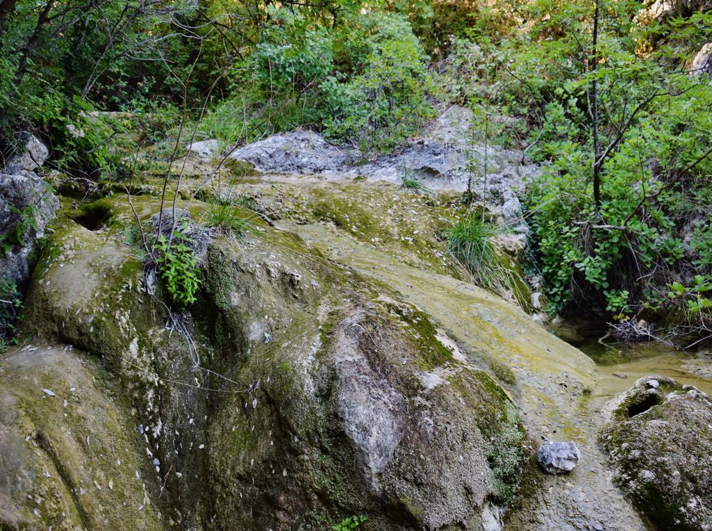
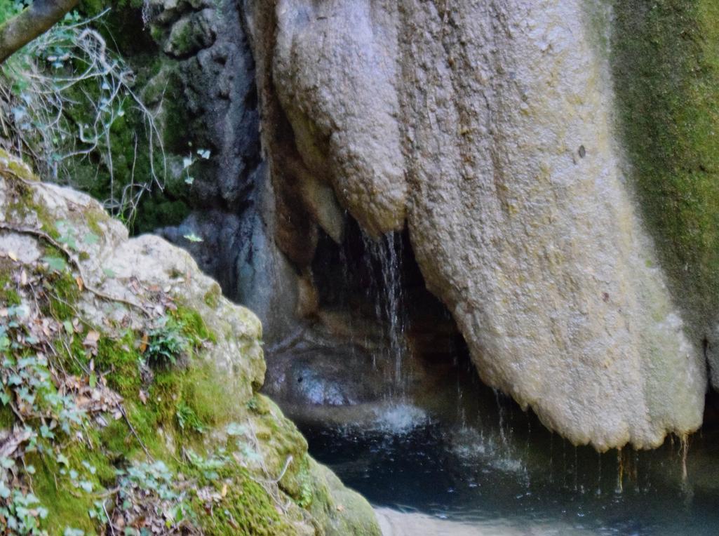
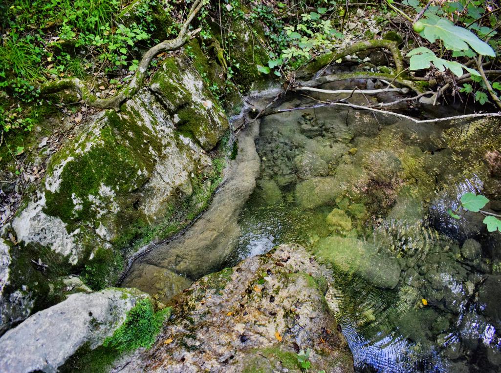
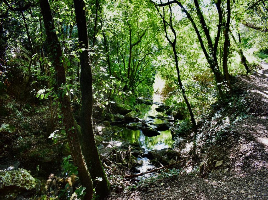
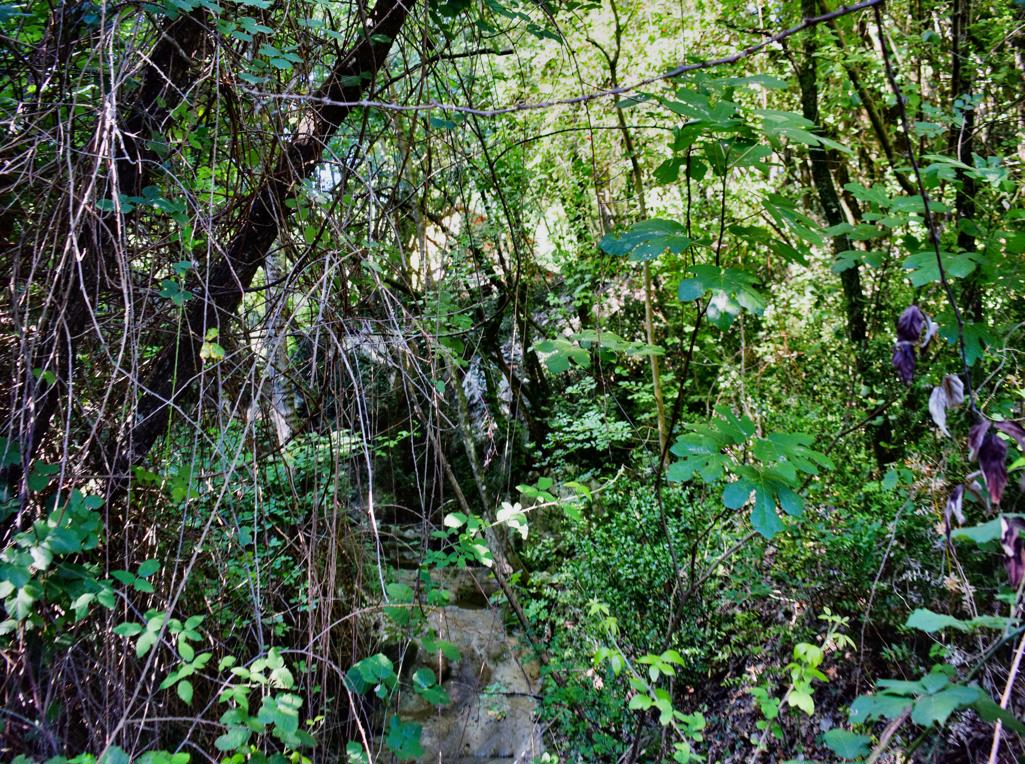
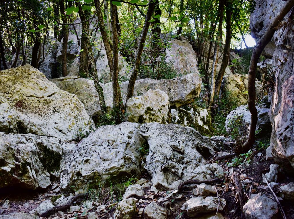
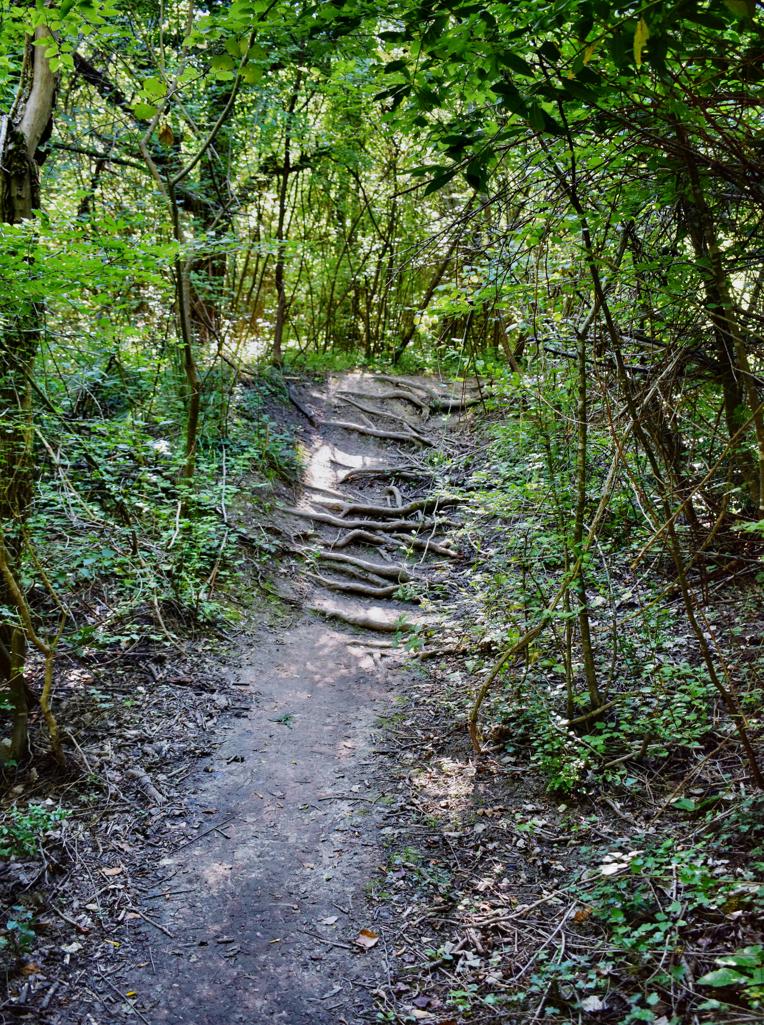
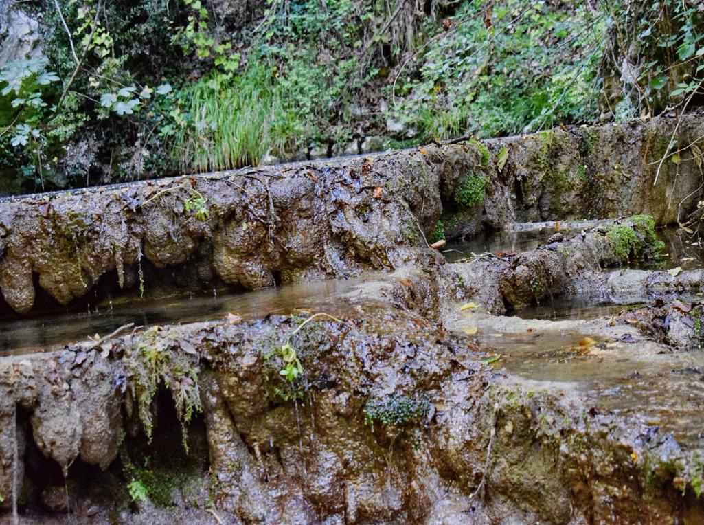
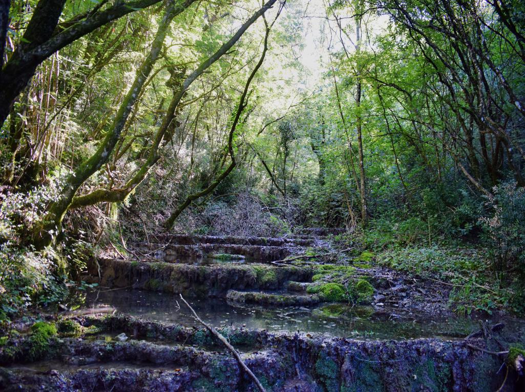
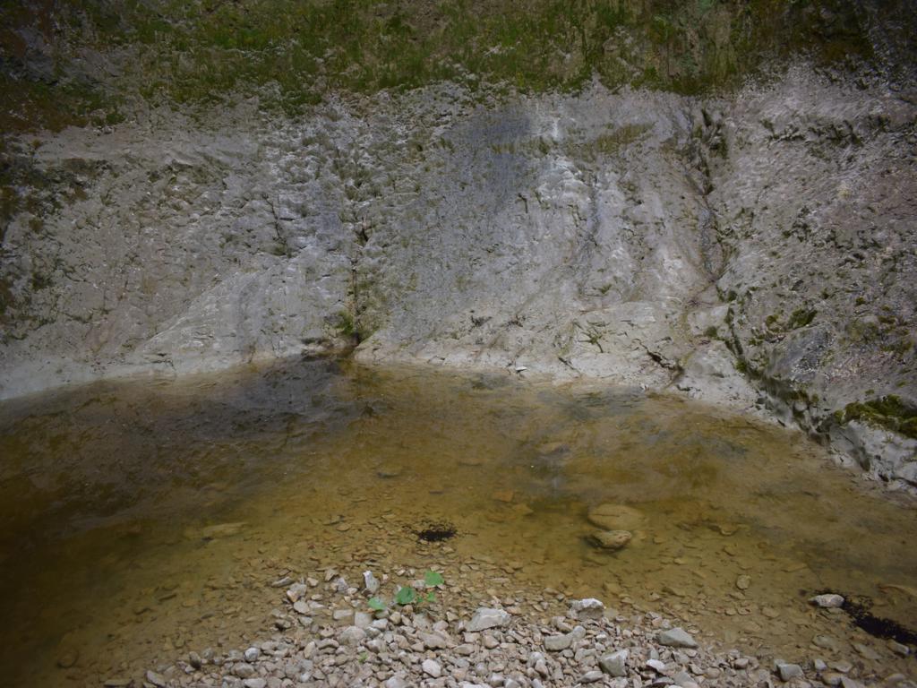
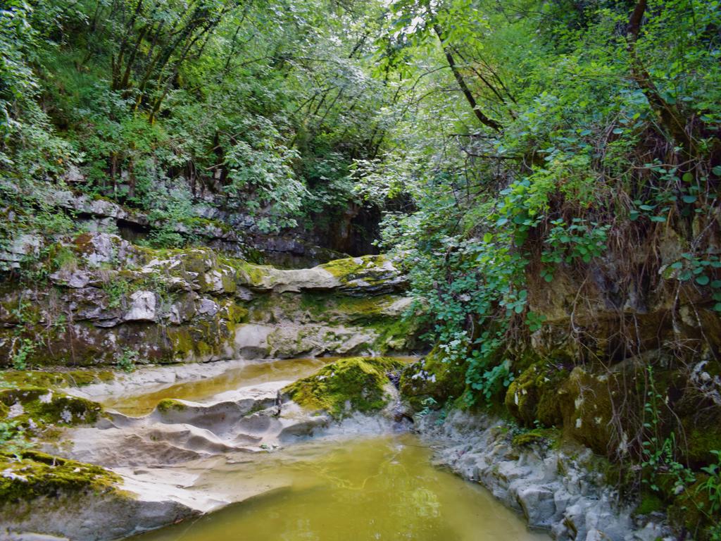
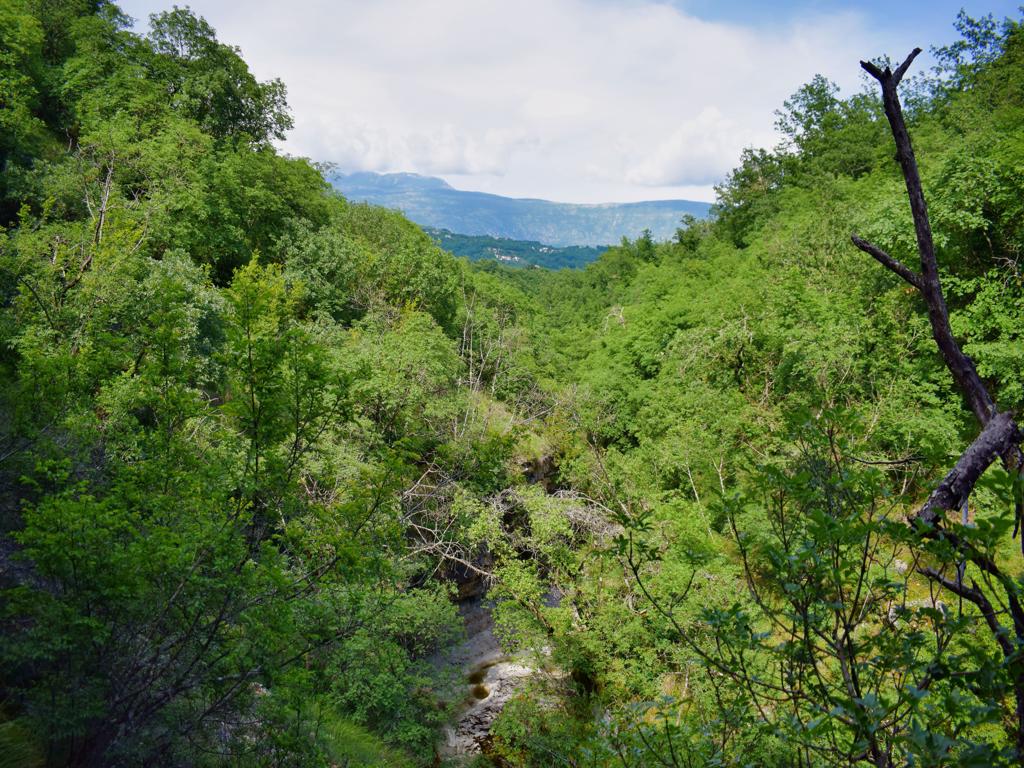
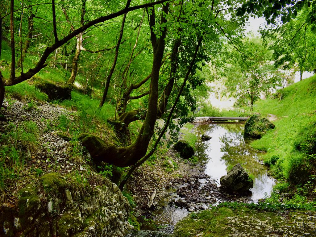
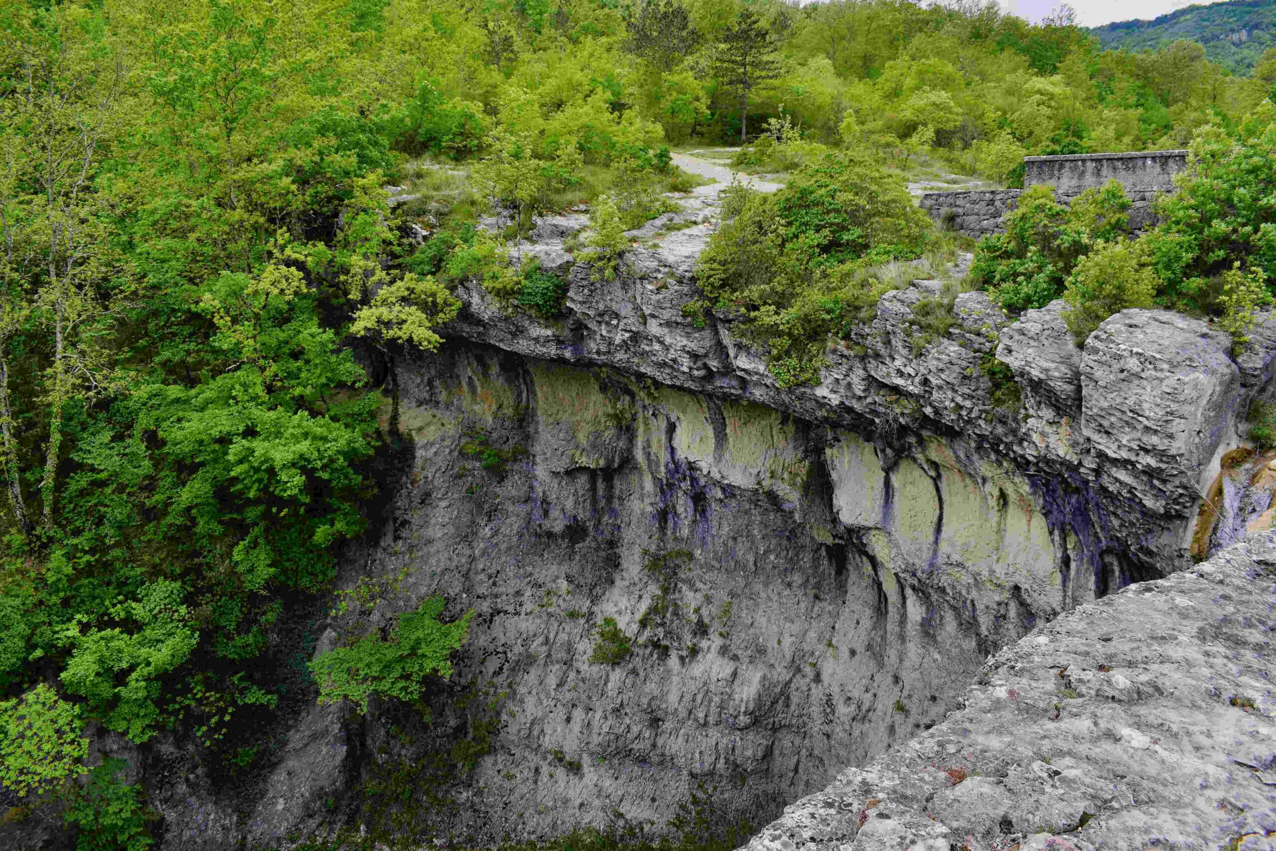
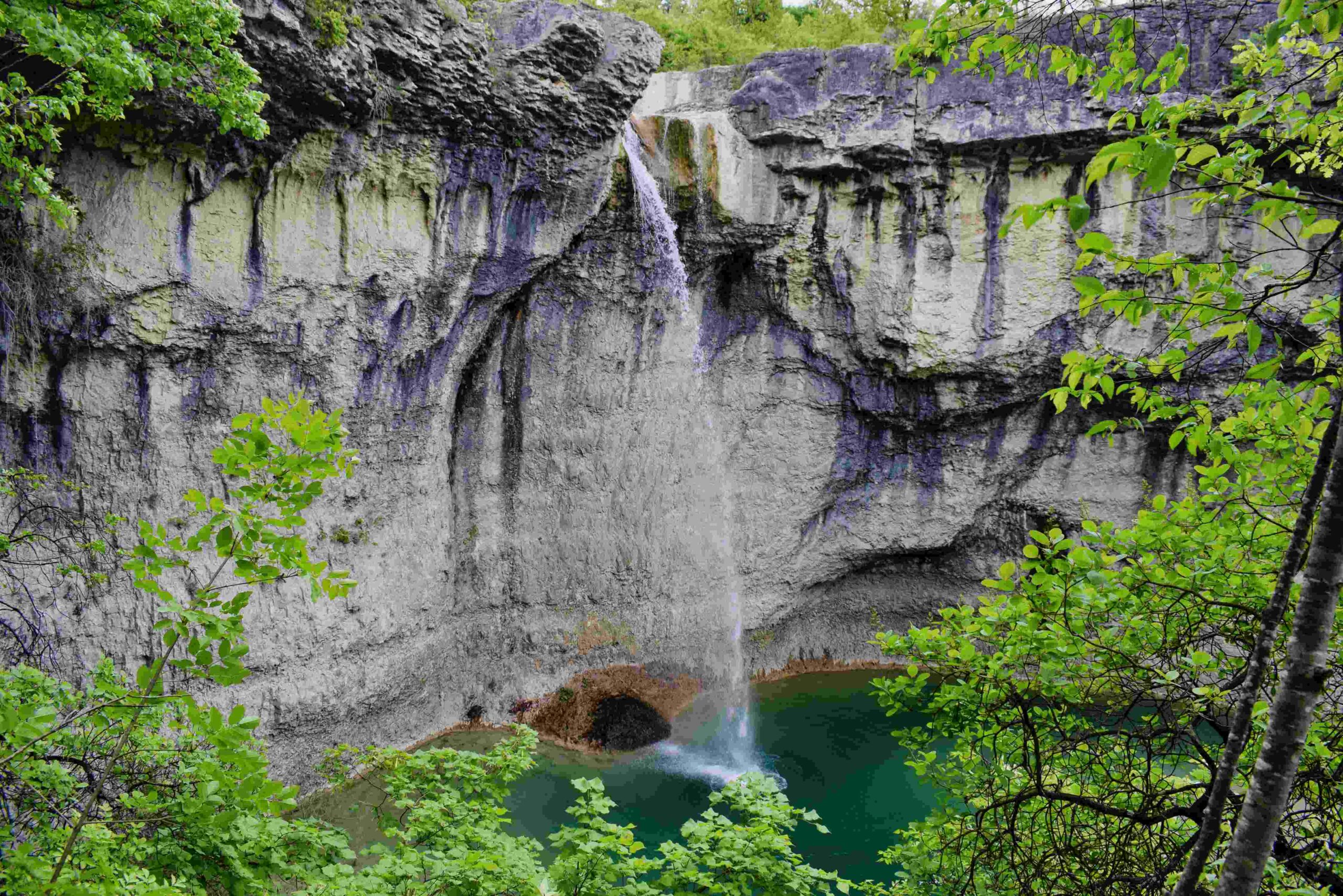
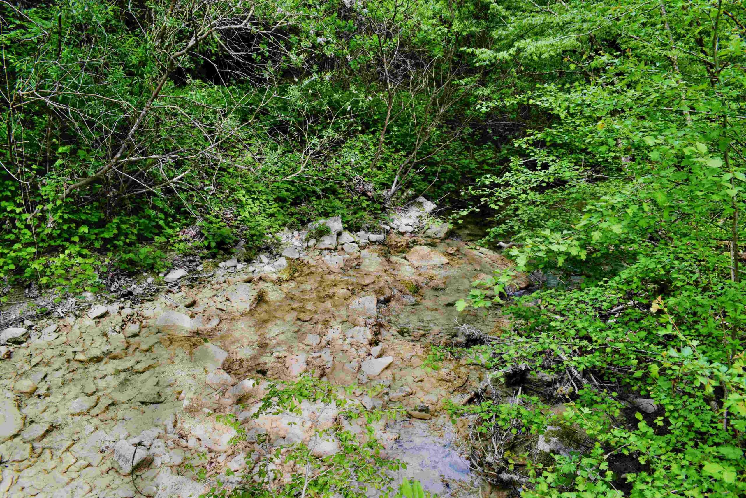
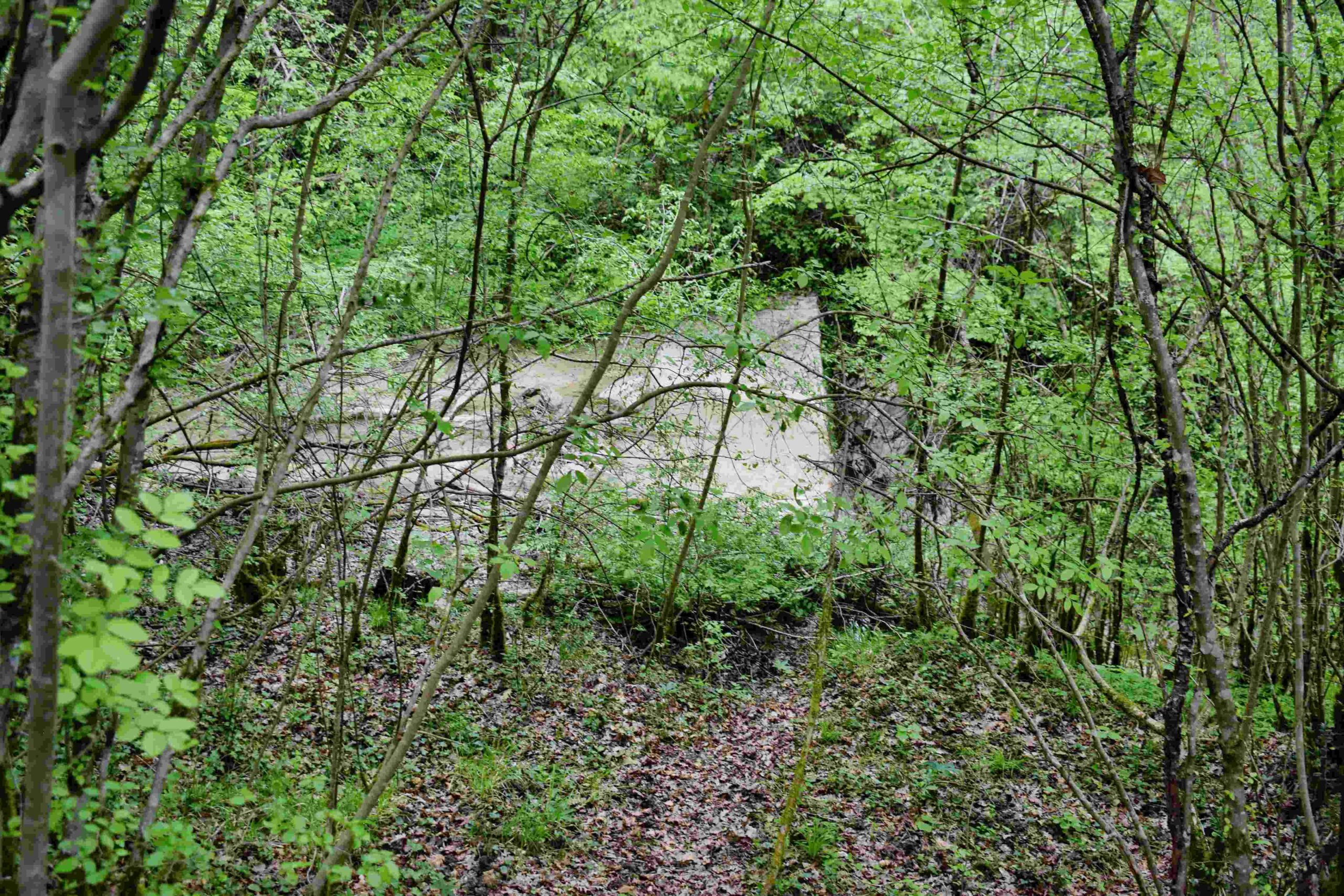
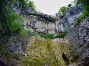
Name: Floričići waterfall in the stream Svićki potok.
Place: Floričići – (Gračišće – Pičan).
Coordinates: 45.22119 N – 14.04730 E
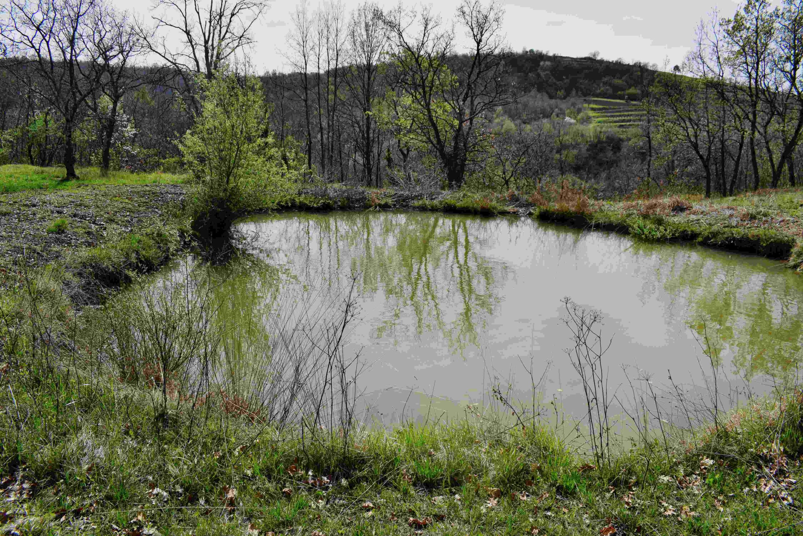
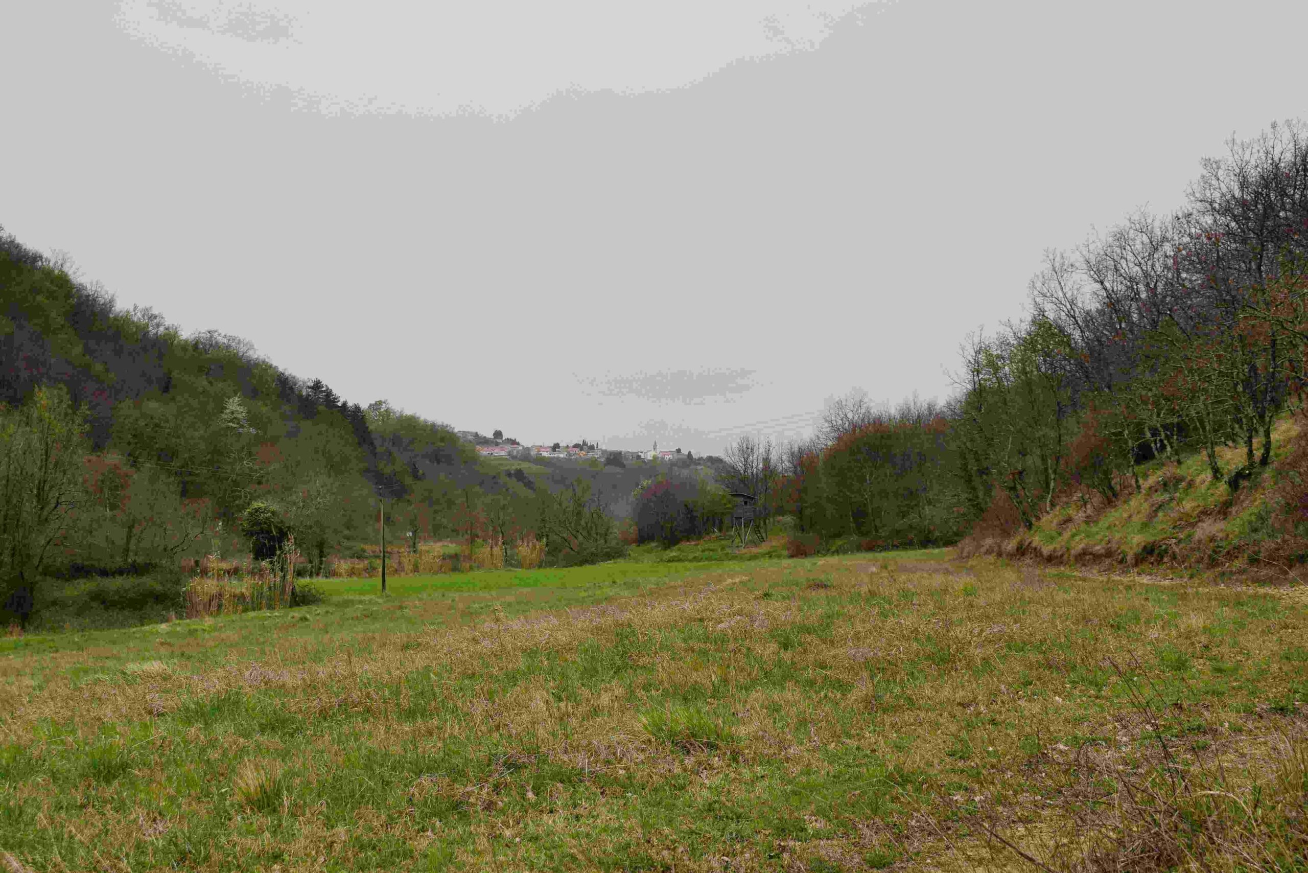
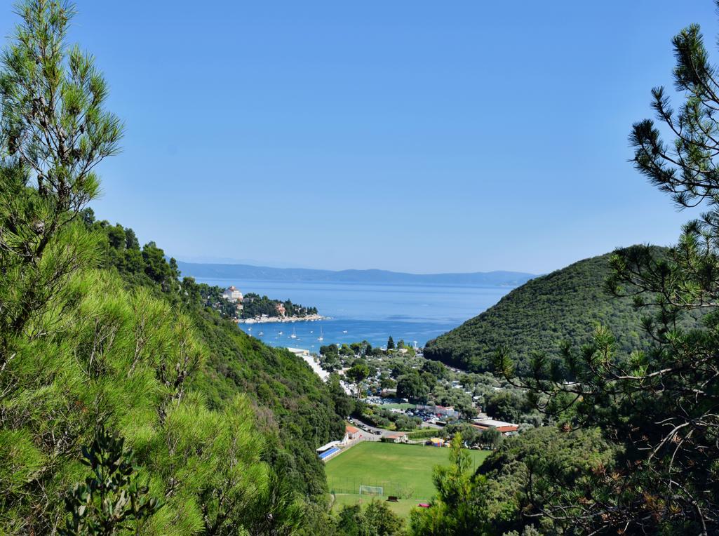
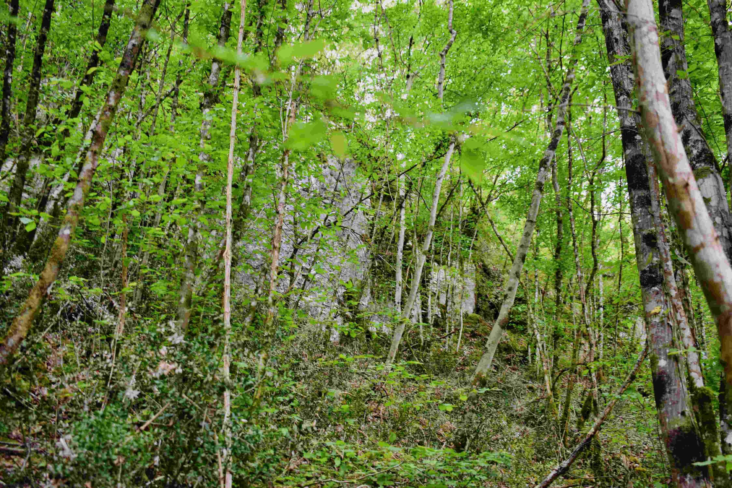
Name: Trail Momjan to Brič, and back along the streams Rusik, Rustik and Argila back to Momjan.
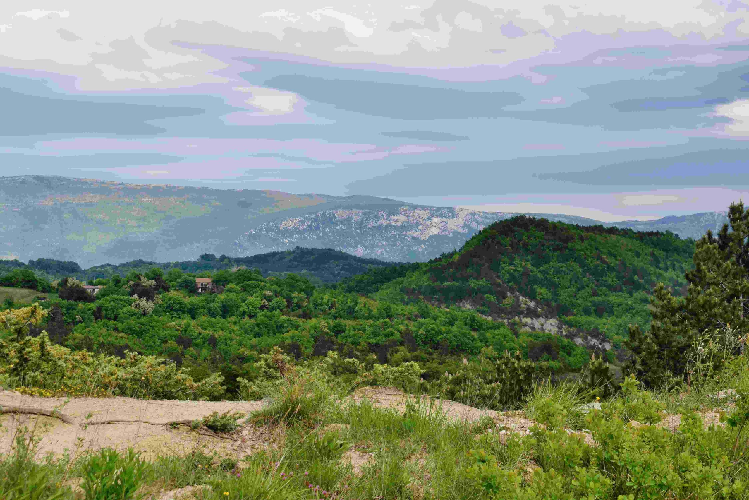
Place: Momjan, Oskorus, Kortina, Brič – (Buje).
Coordinates: Start 45. 44365 N – 13.71643 E, Oskorus 45.45154 N – 13.773054 E, Brić 45.45765 N – 13.75992 E.
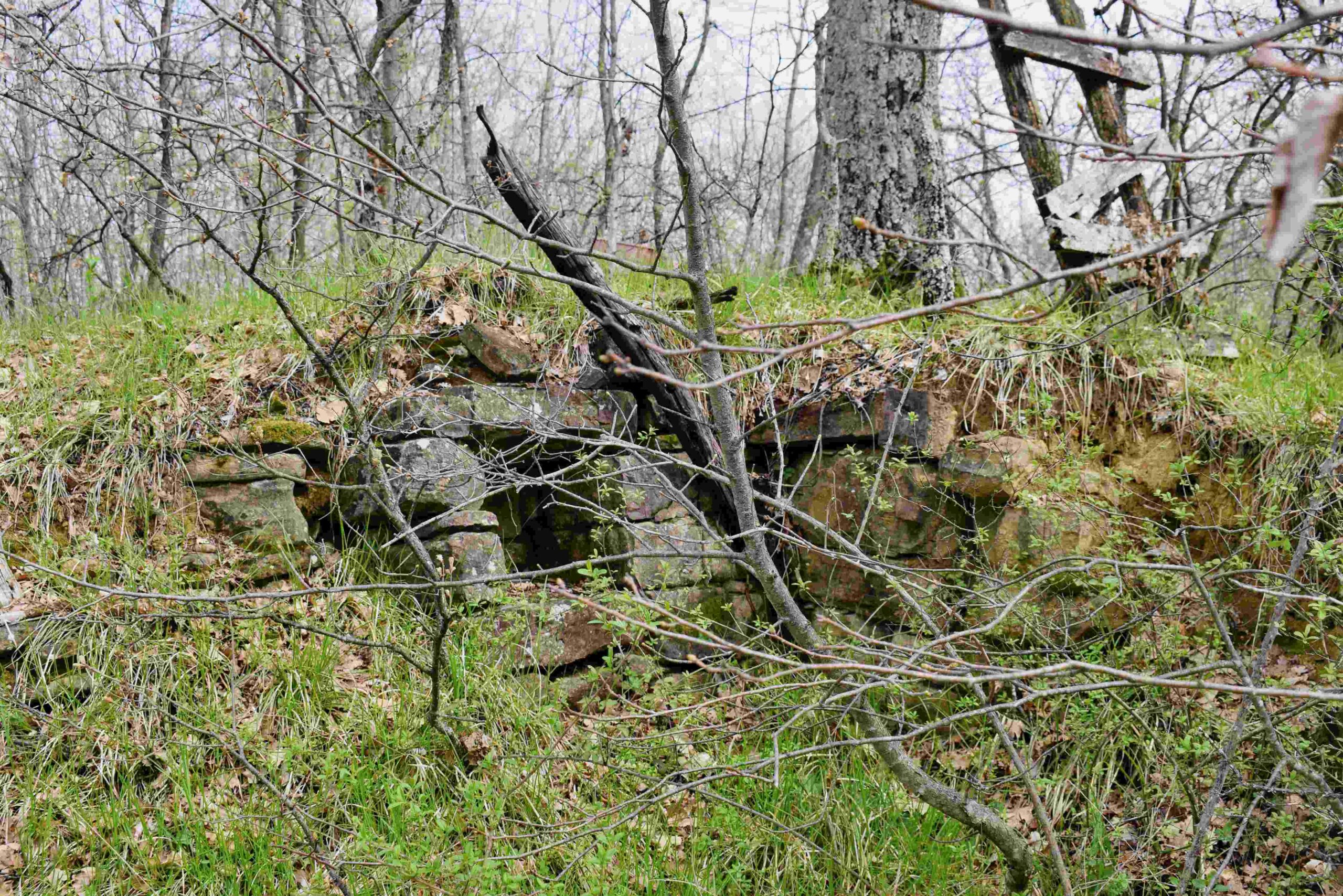
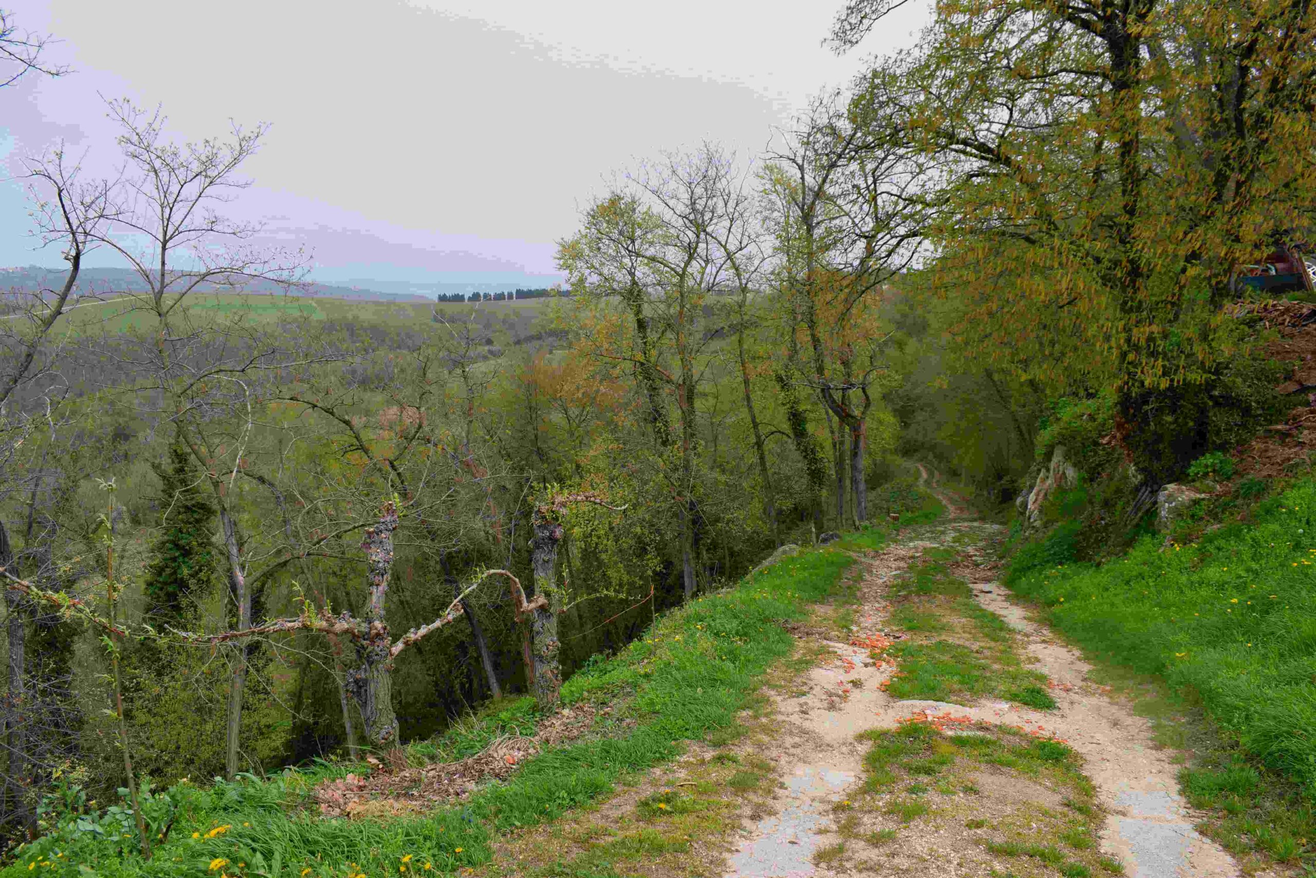
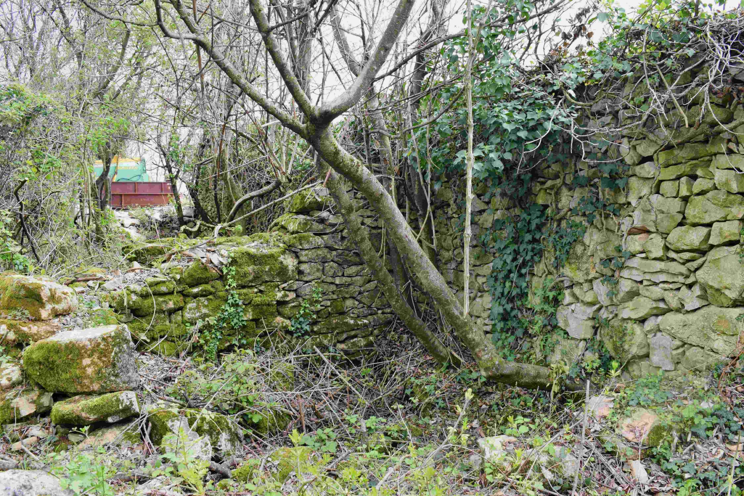
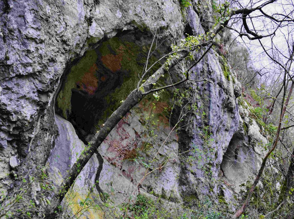
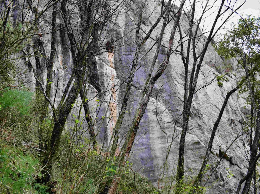
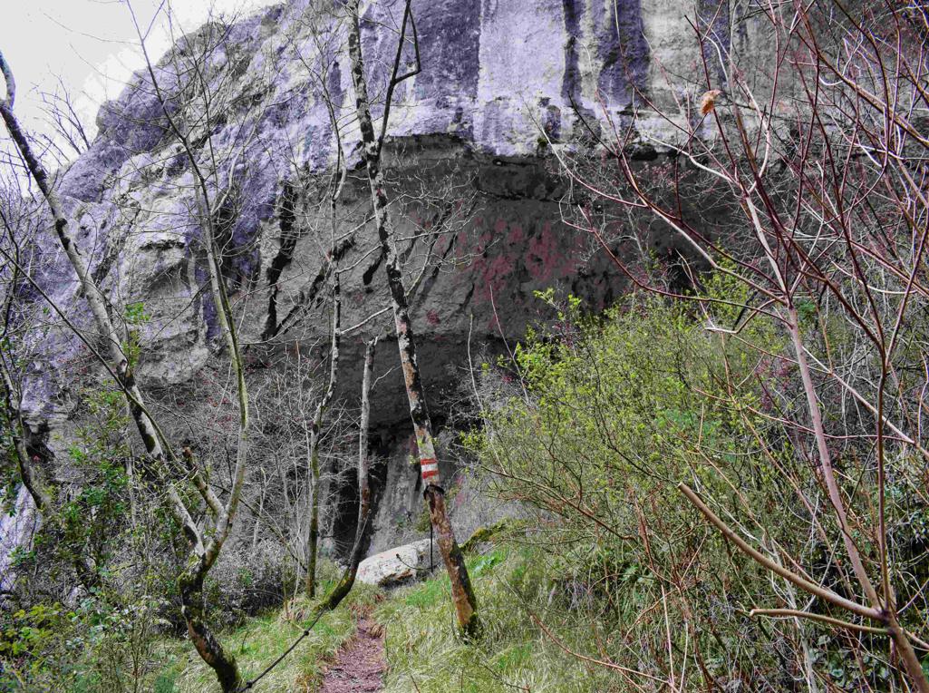
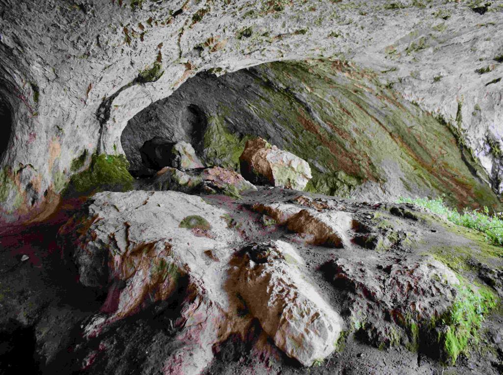
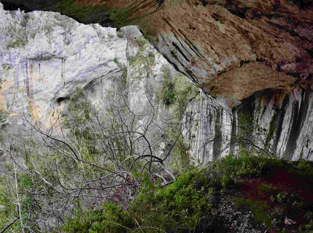
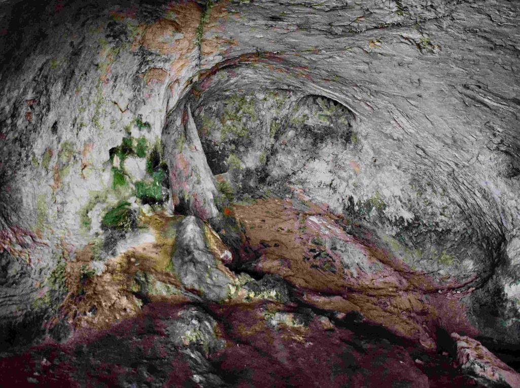
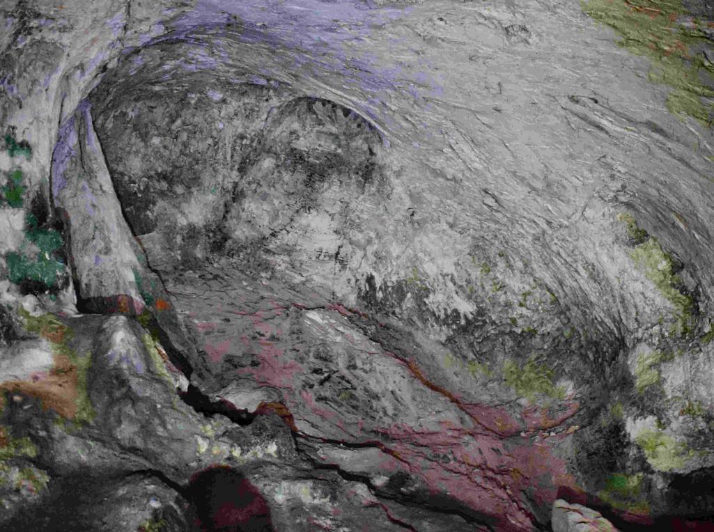
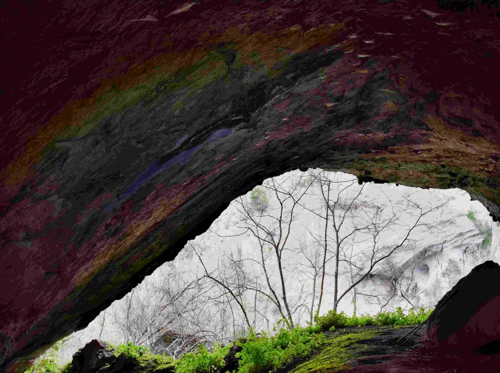
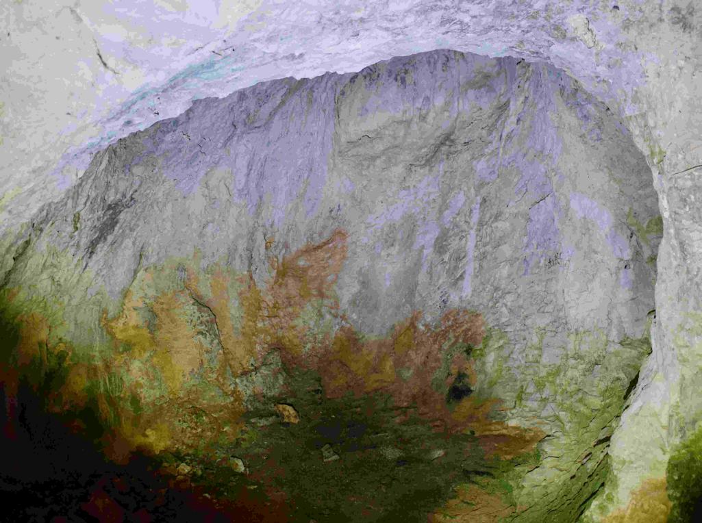
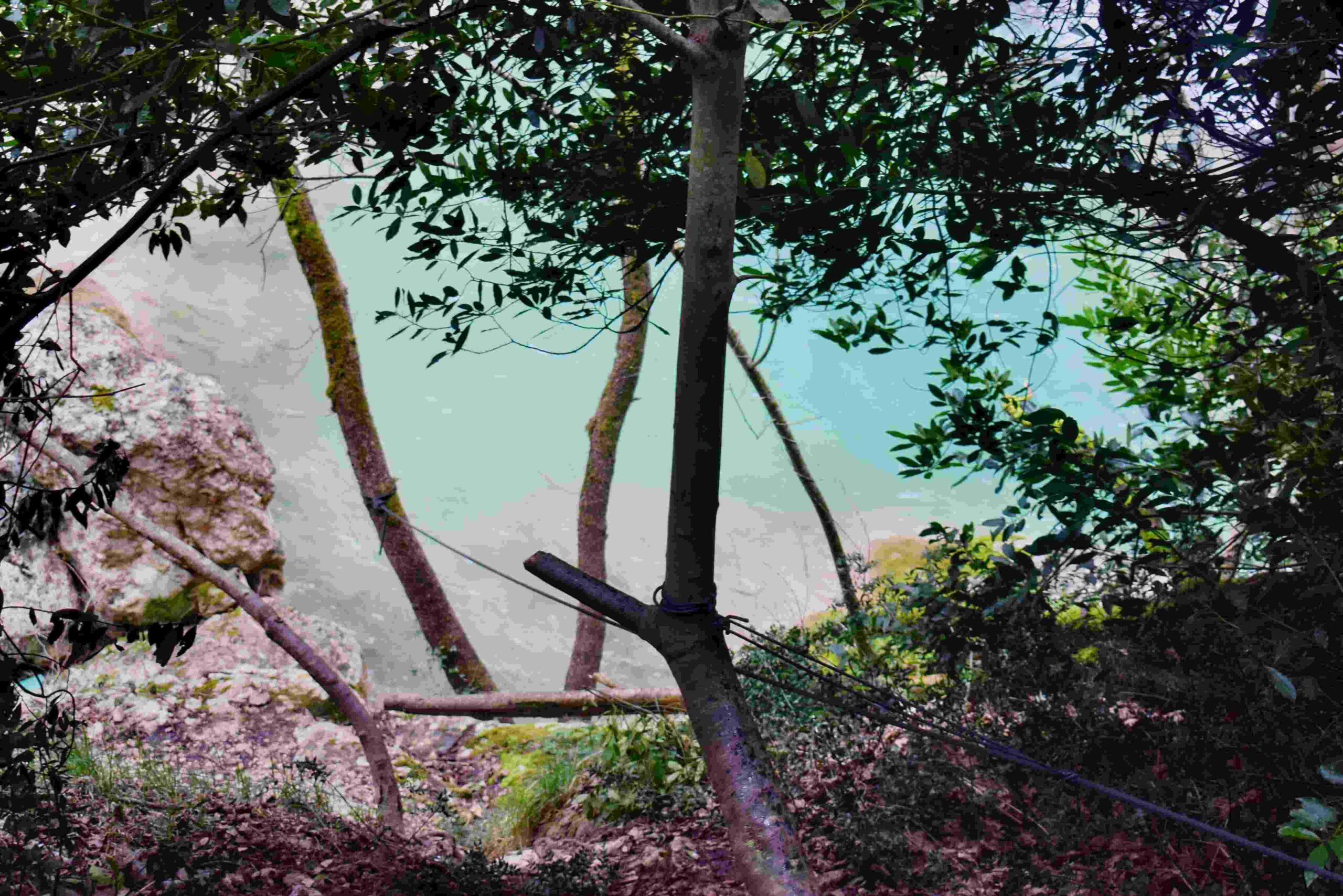
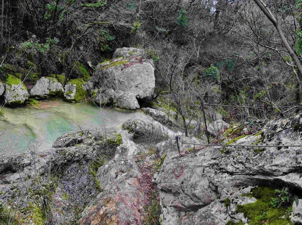
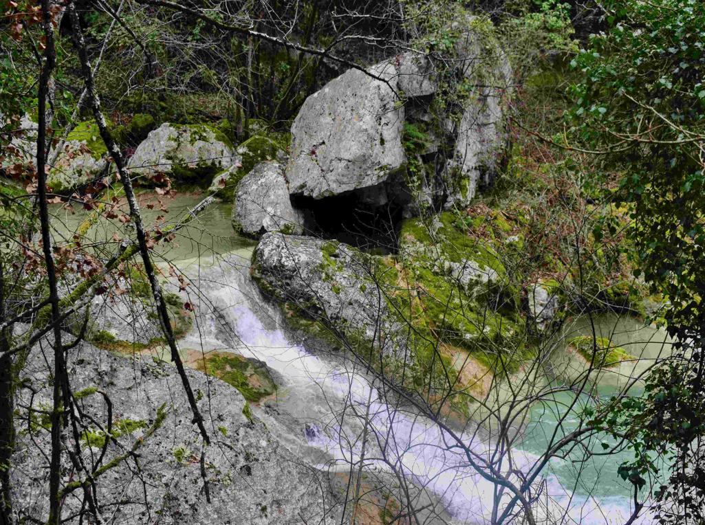
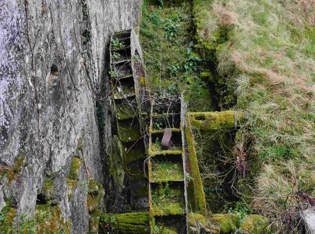
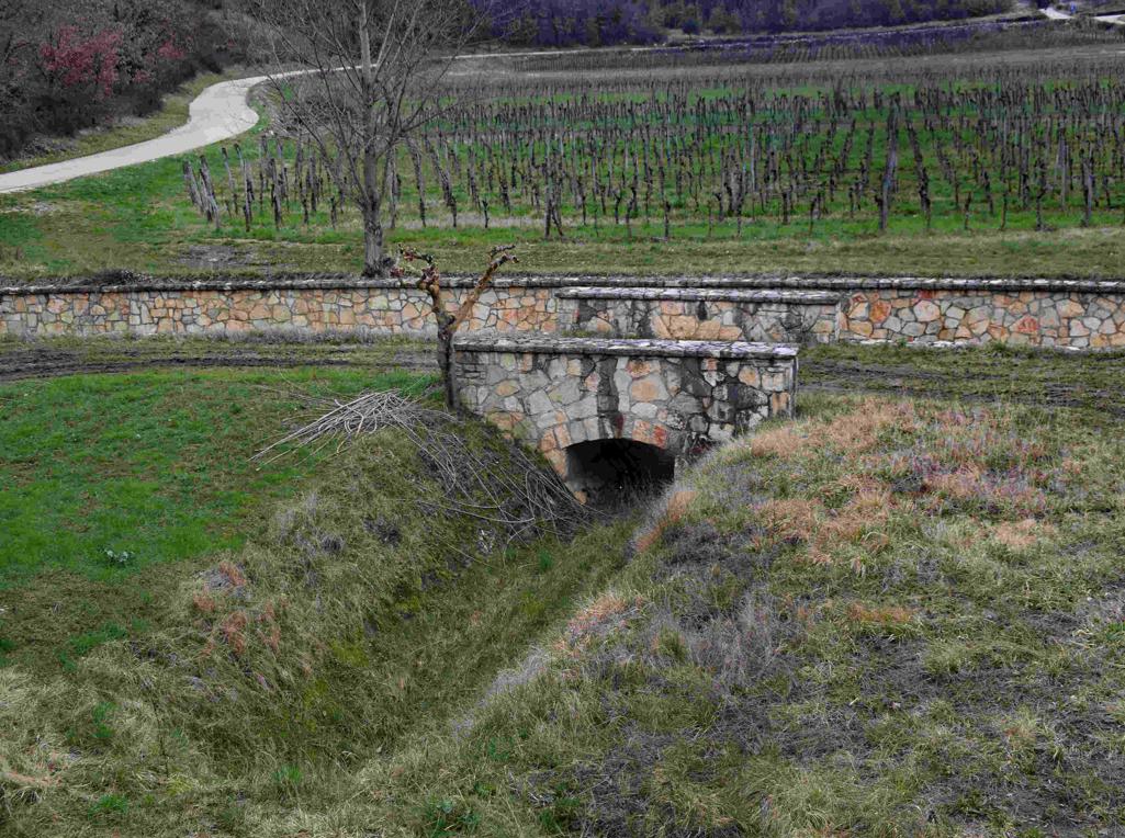
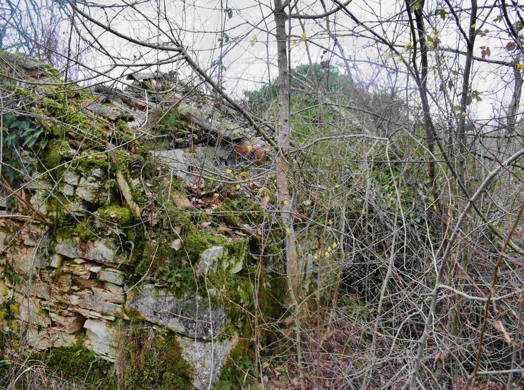
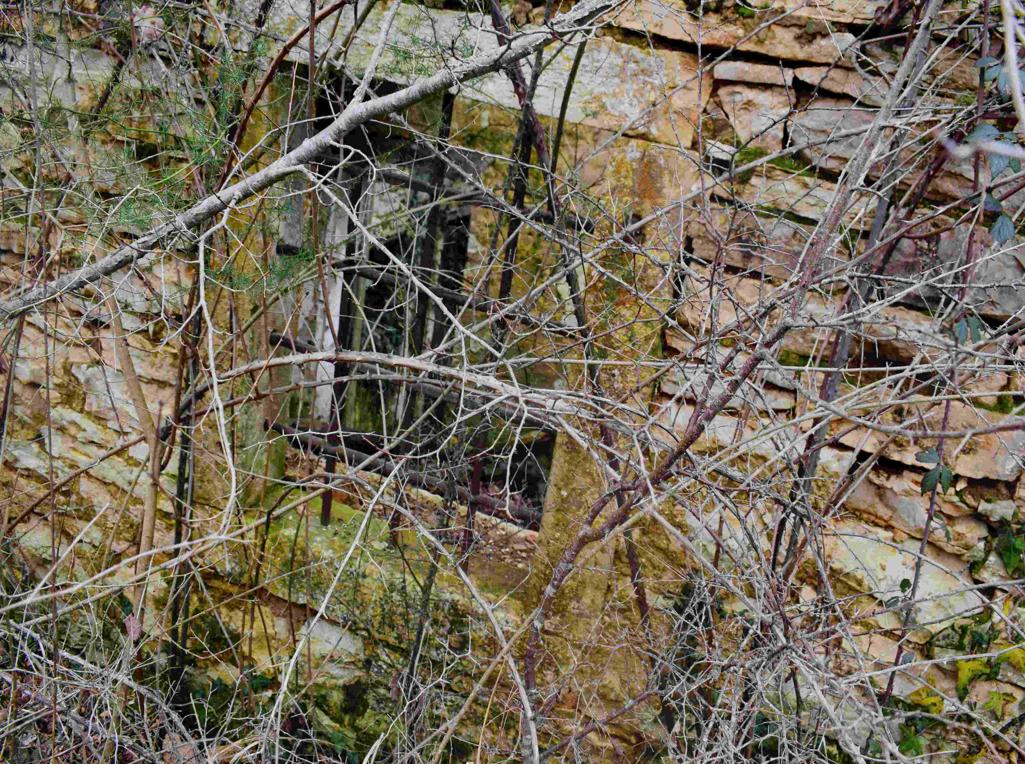
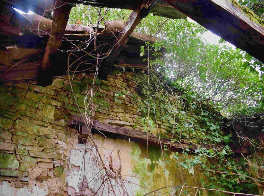
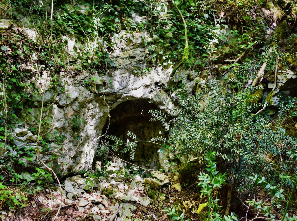
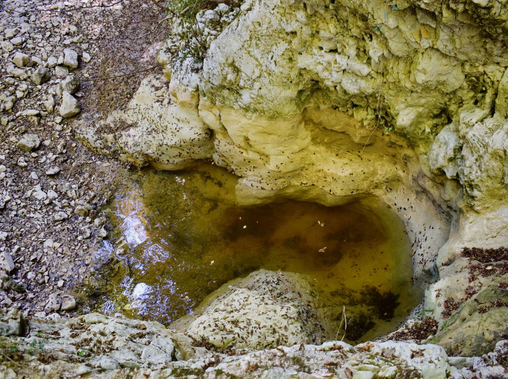
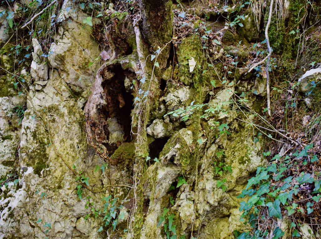
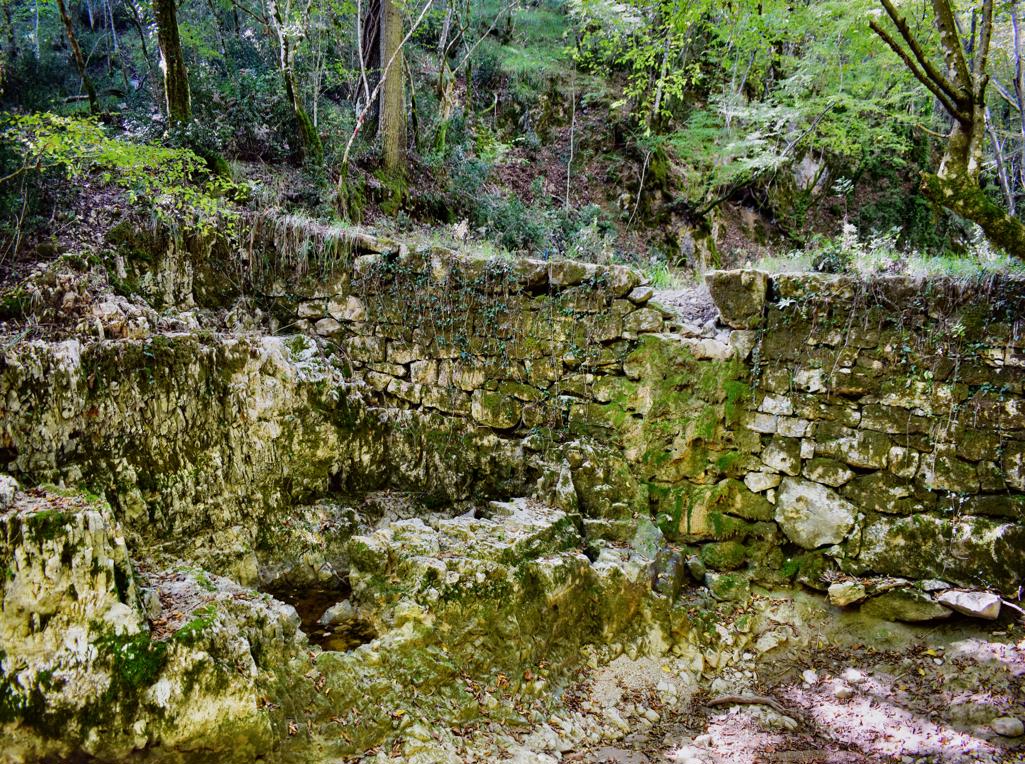
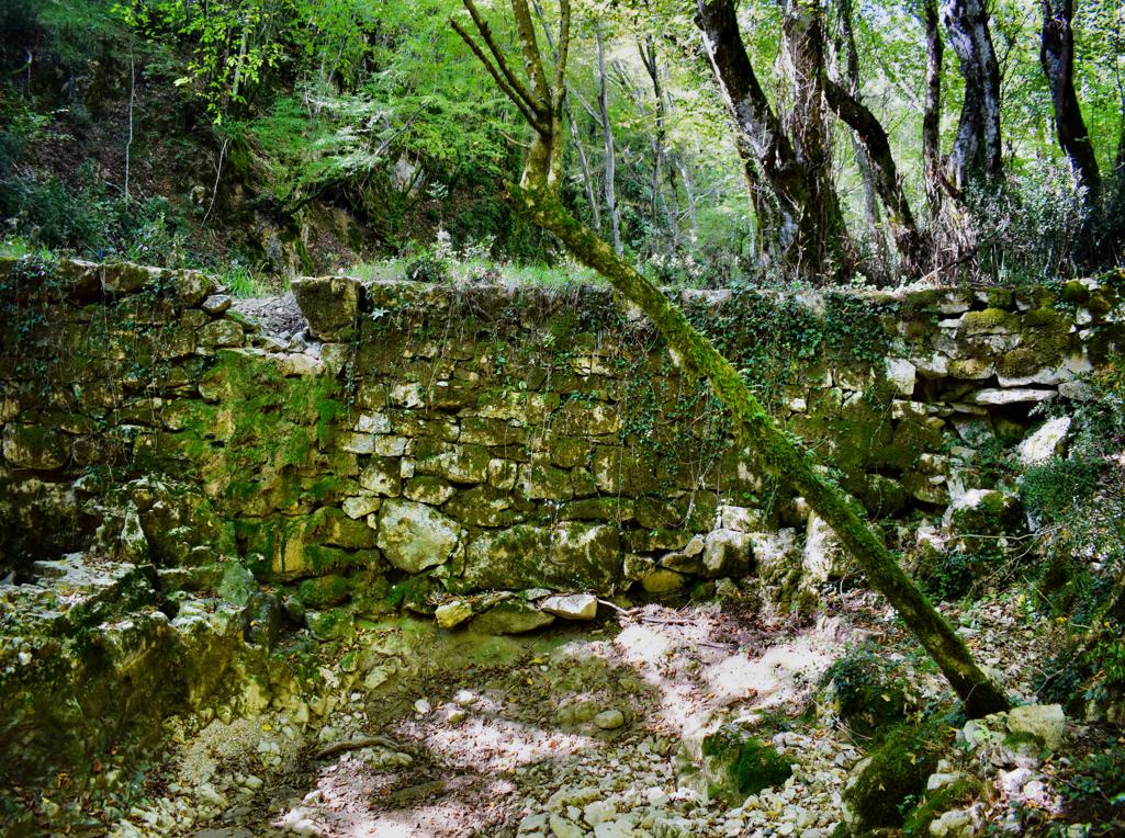
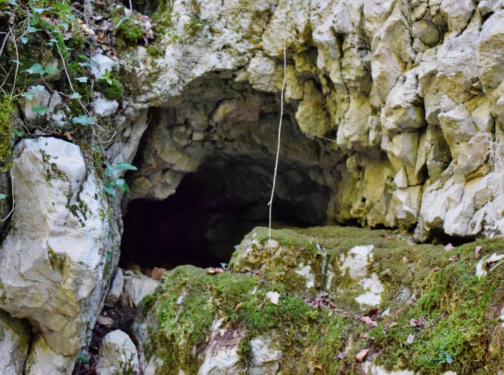
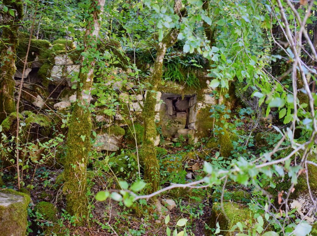
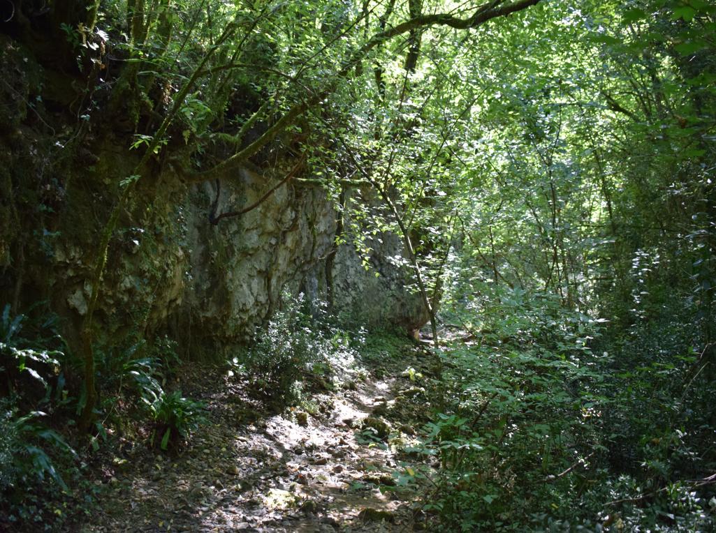
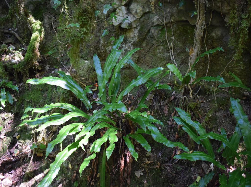
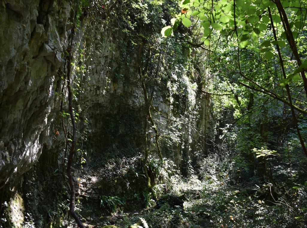
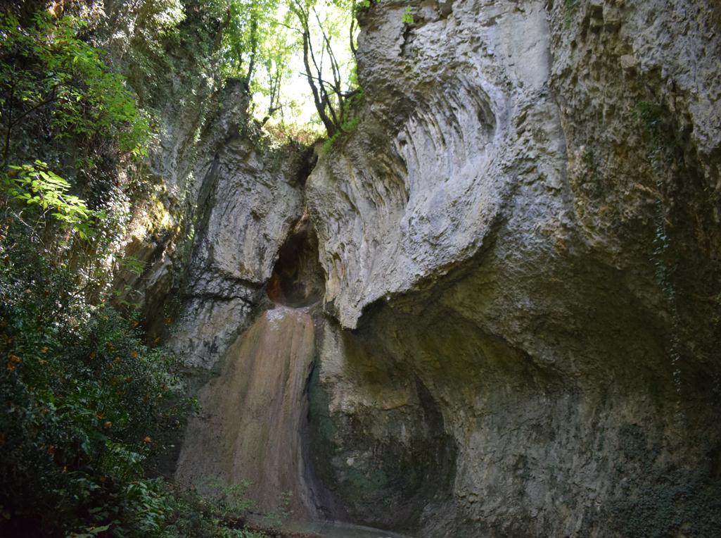
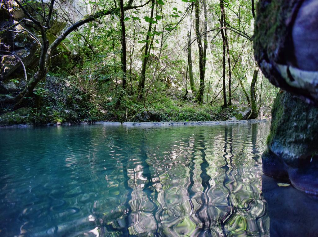
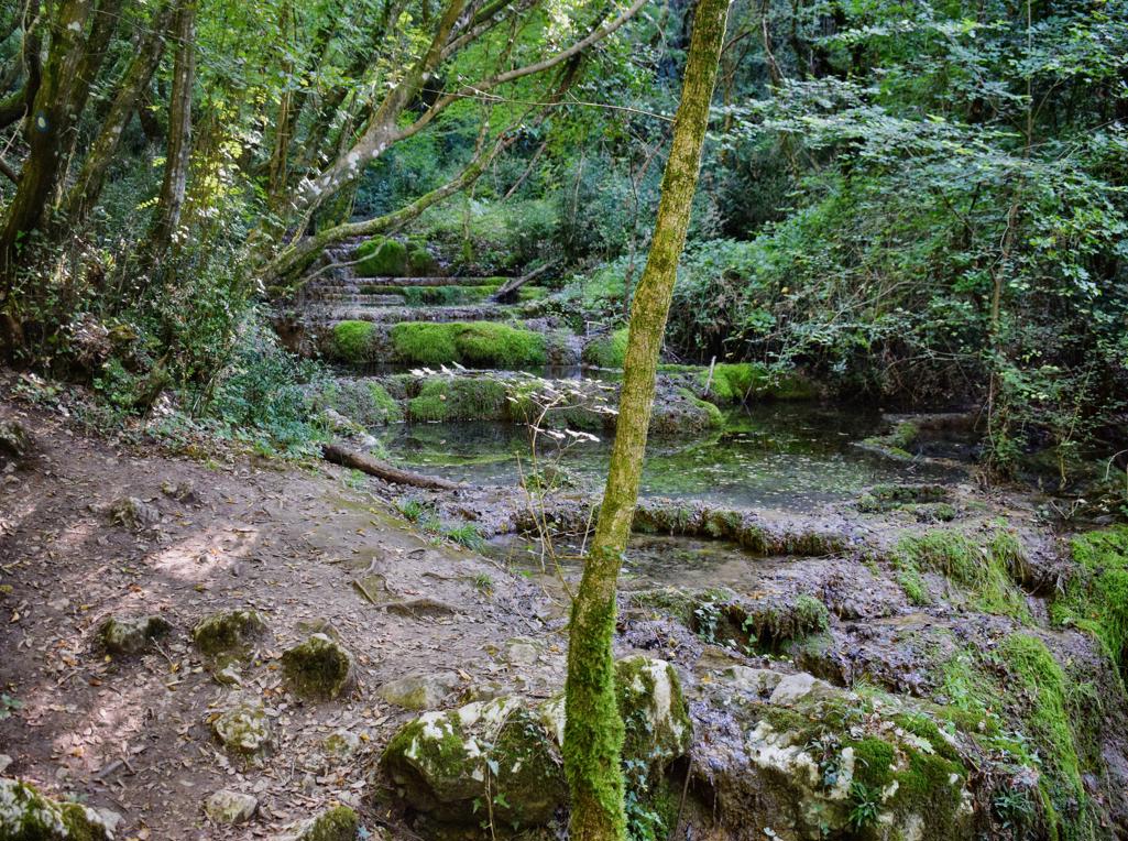
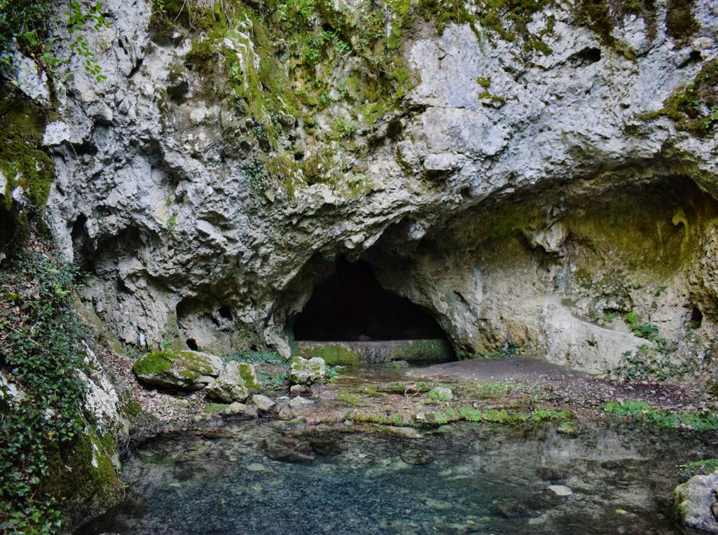
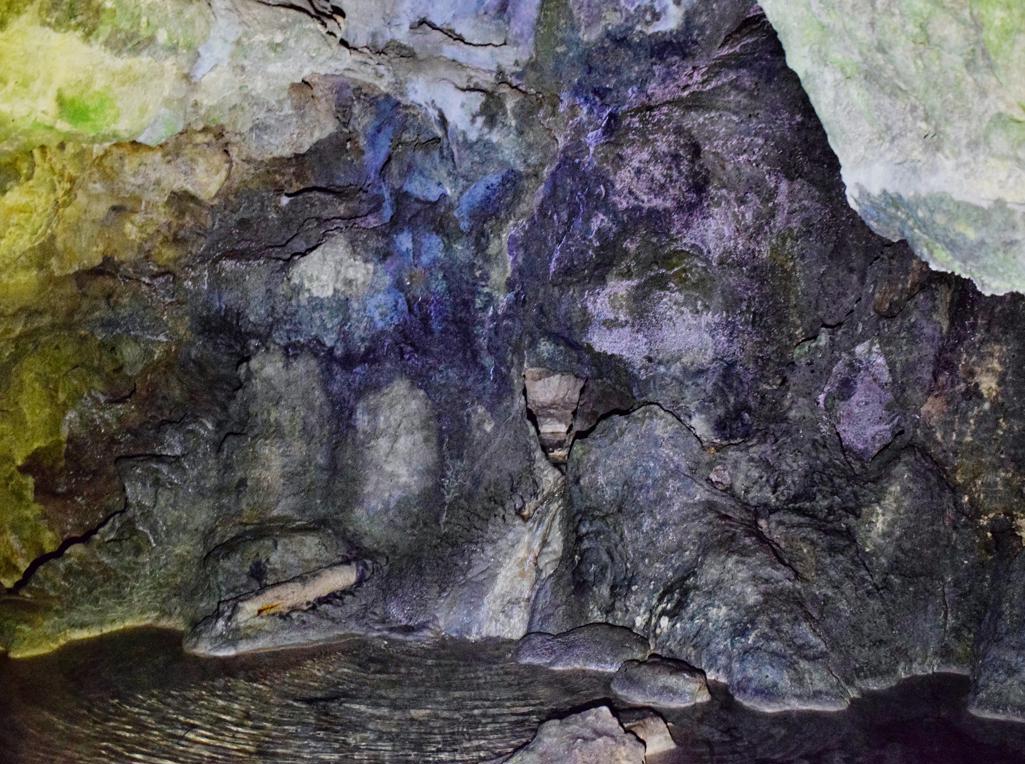
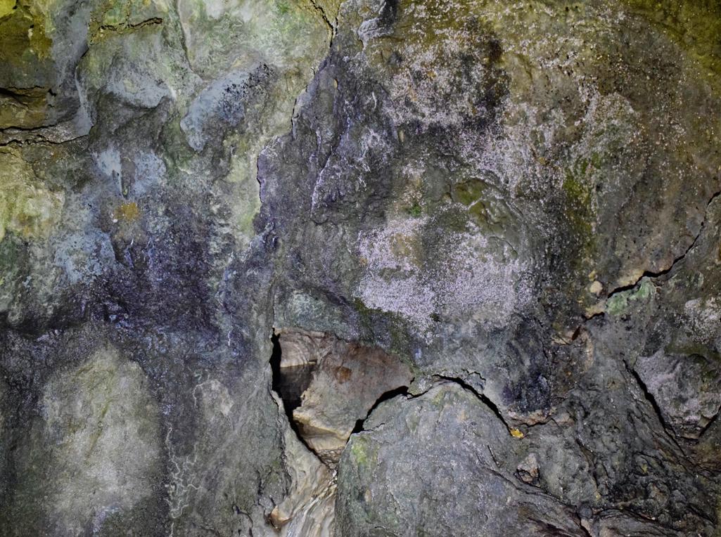
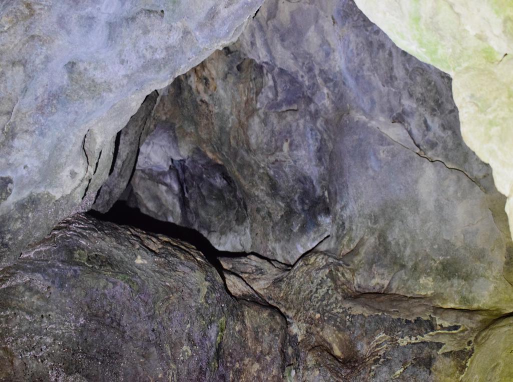
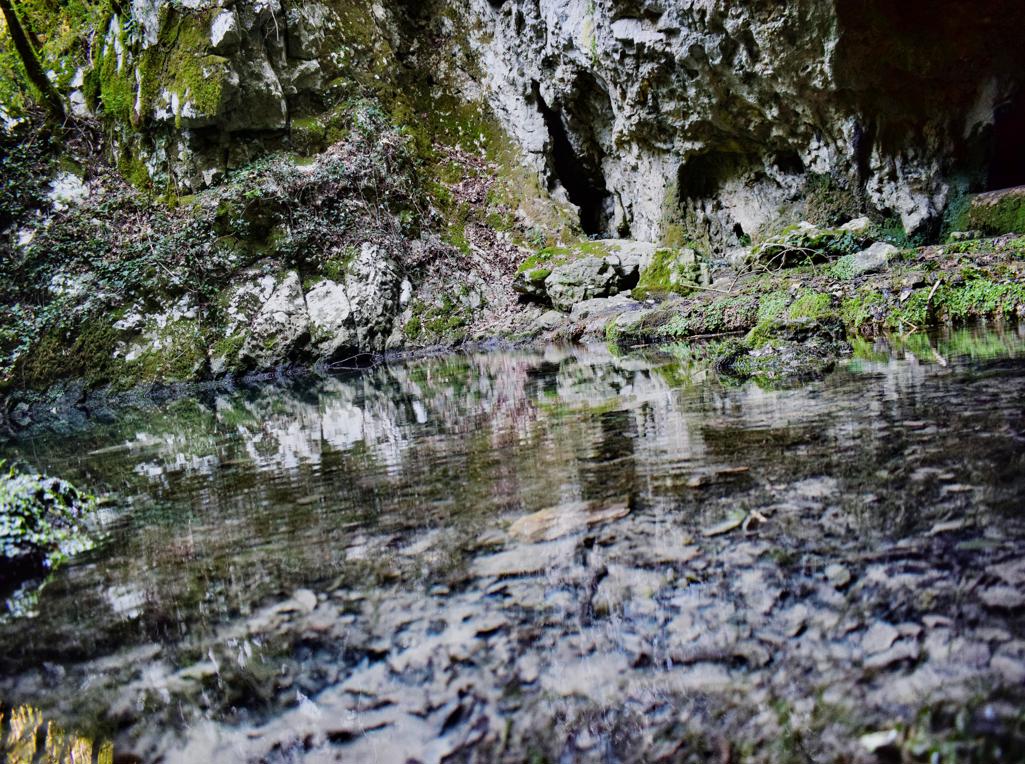
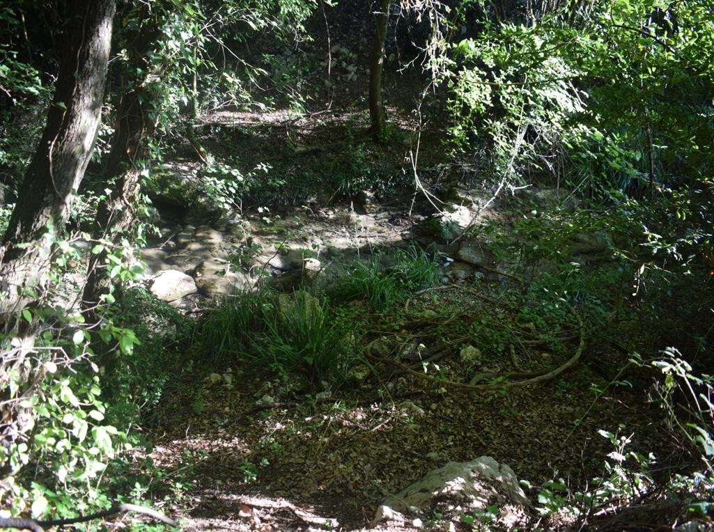
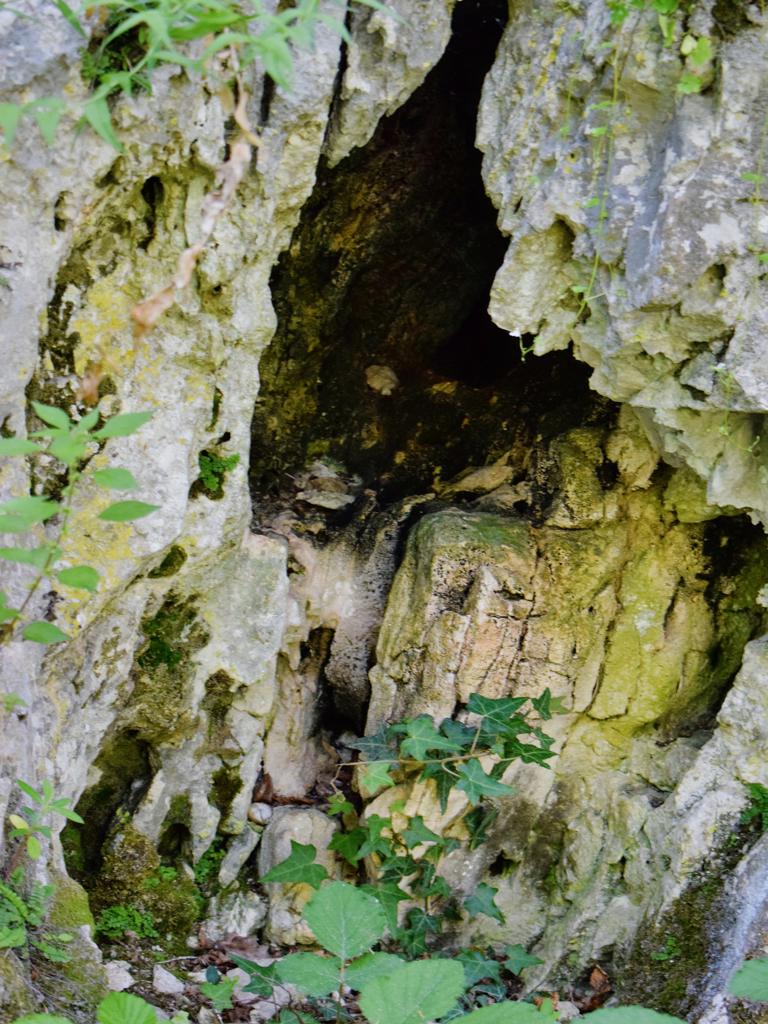
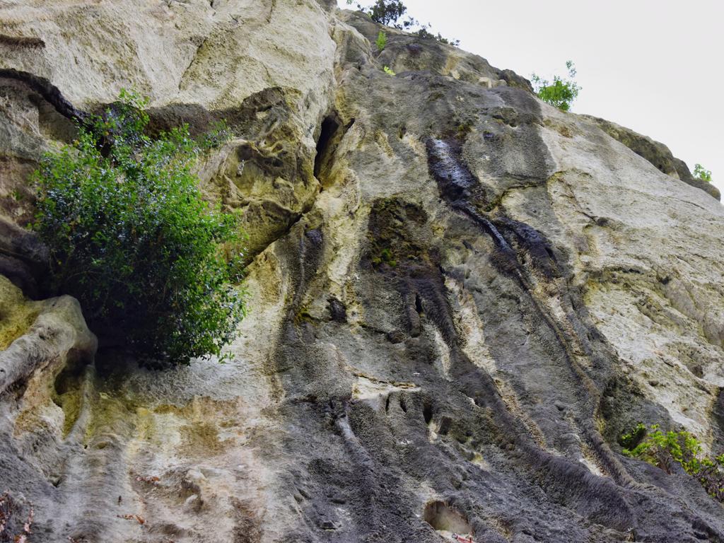
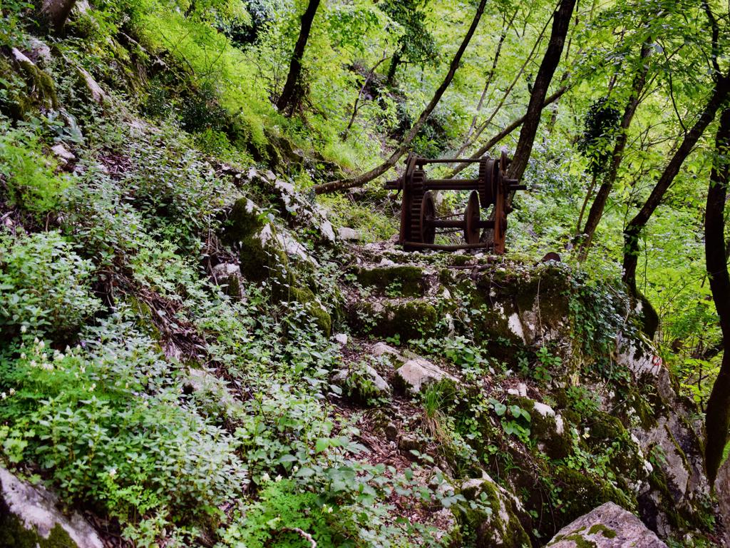
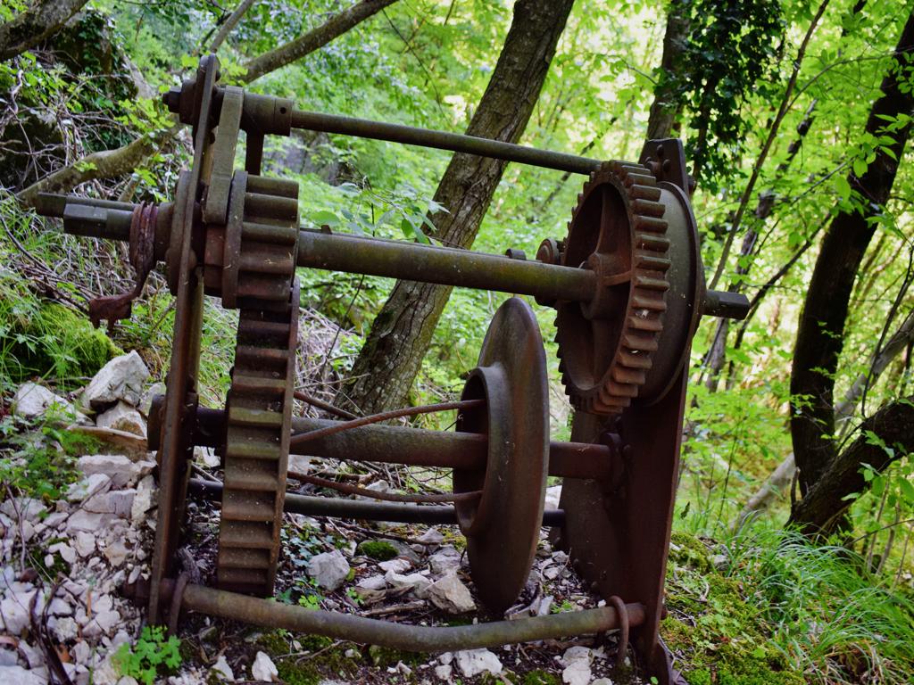
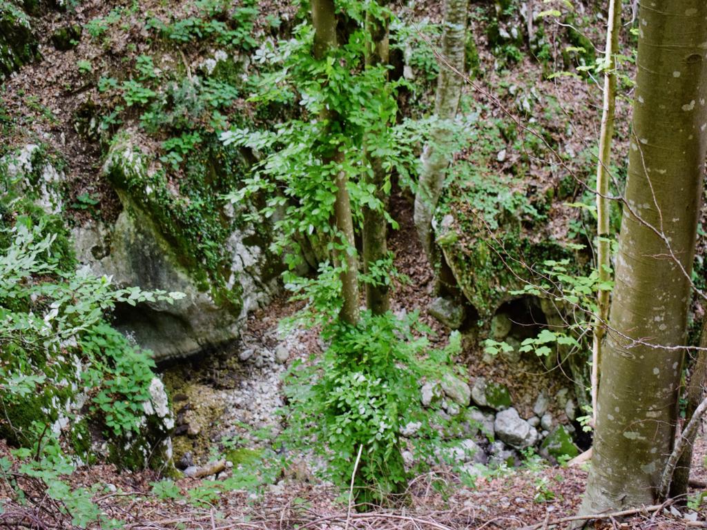
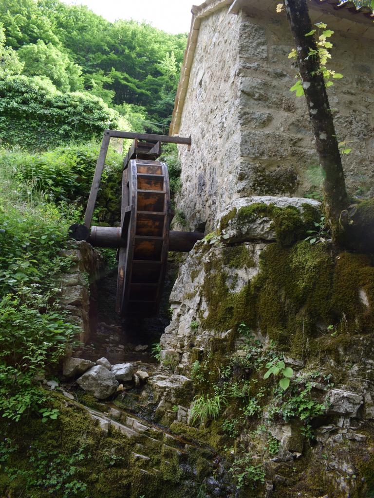
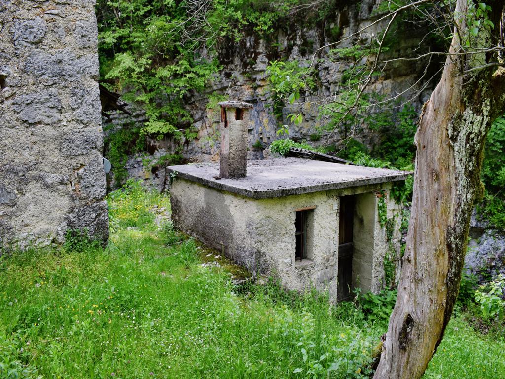
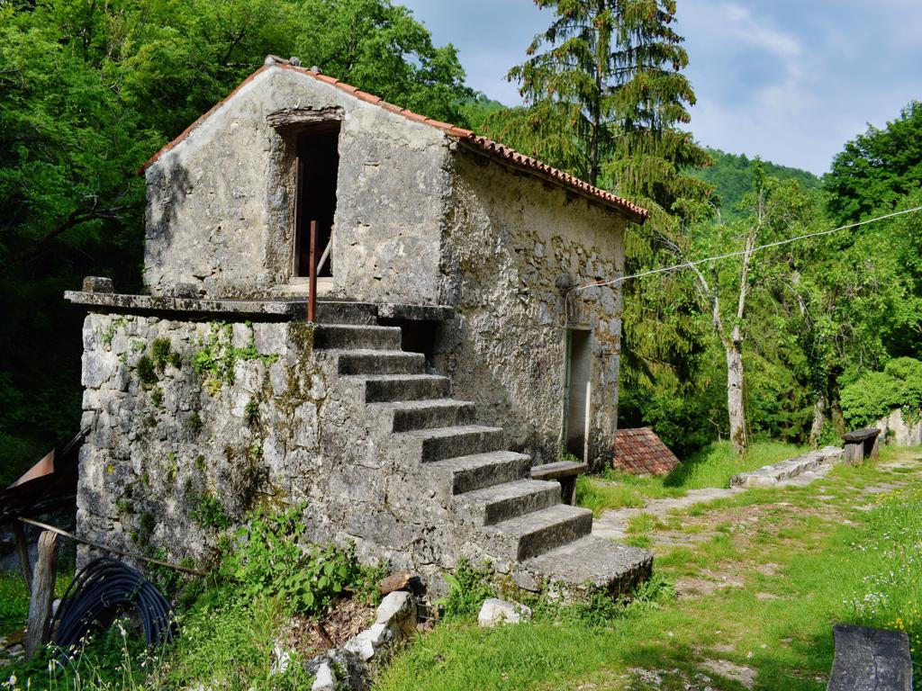
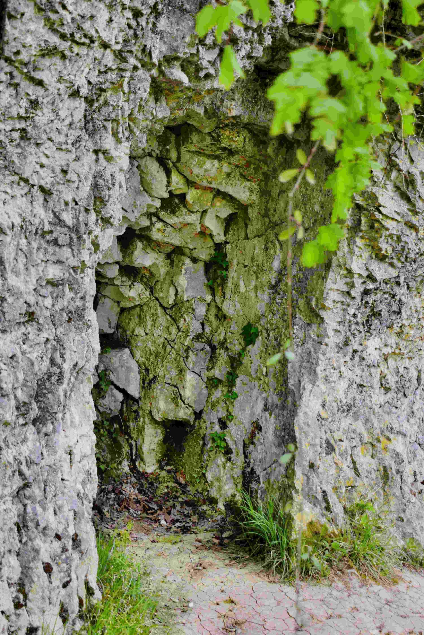
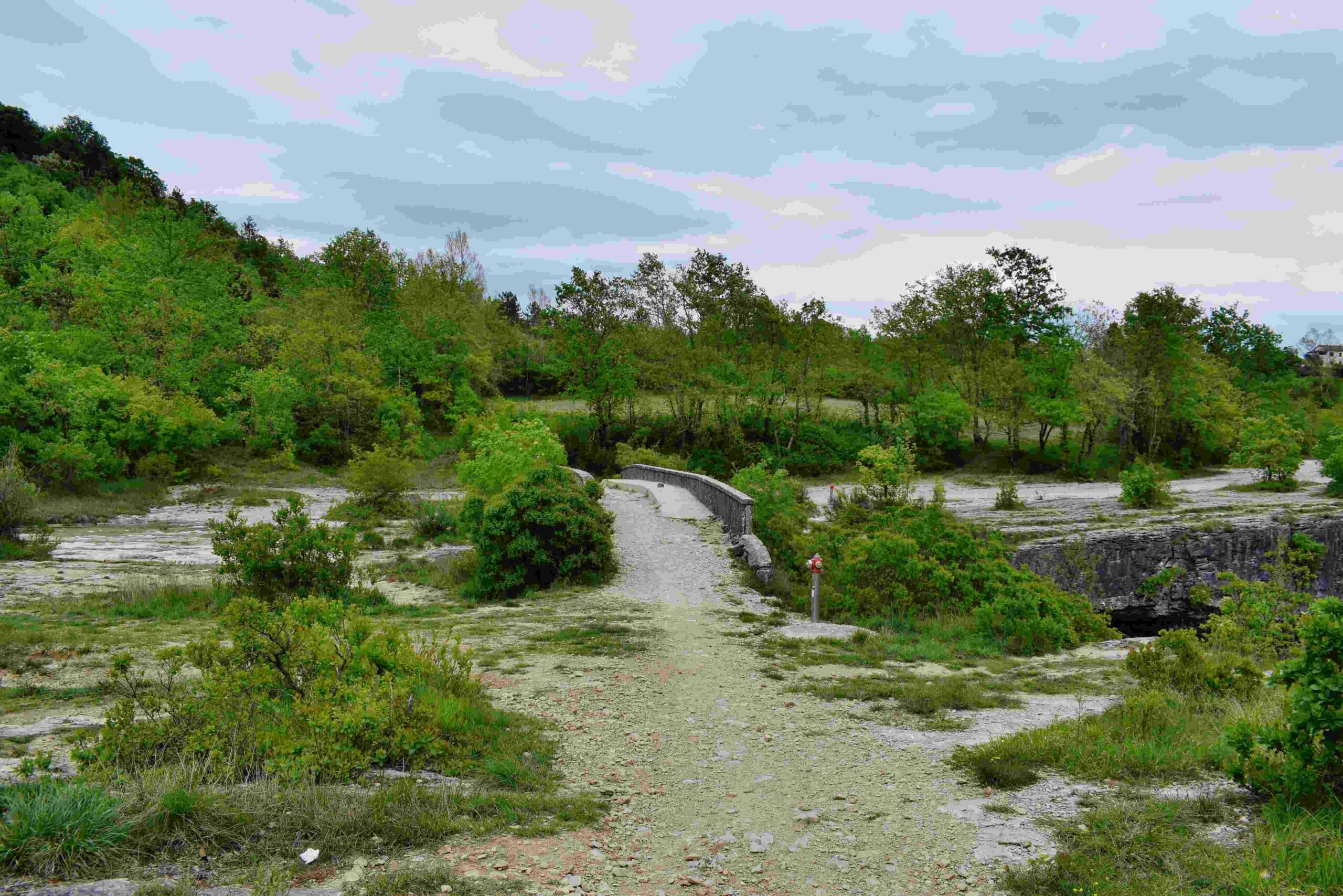
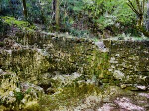
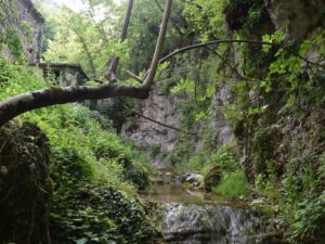
Name: Hiking trail to the Cingarella cave and waterfall and along the Argila river to the former watermills.
Place: Momjan – (Buje).
Coordinates: Start 45.43584 N – 13.67604 E, Cingarella 45.43563 N – 13.68466 E, Watermill Nr 49 near the bridge 45. 43481 N – 13.69178 E, Ruins watermills numbers 50, 51, 52 en 53 along the river Argila from 45.43200 N – 13.68999 E to 45.43471 N – 13.68549 E.
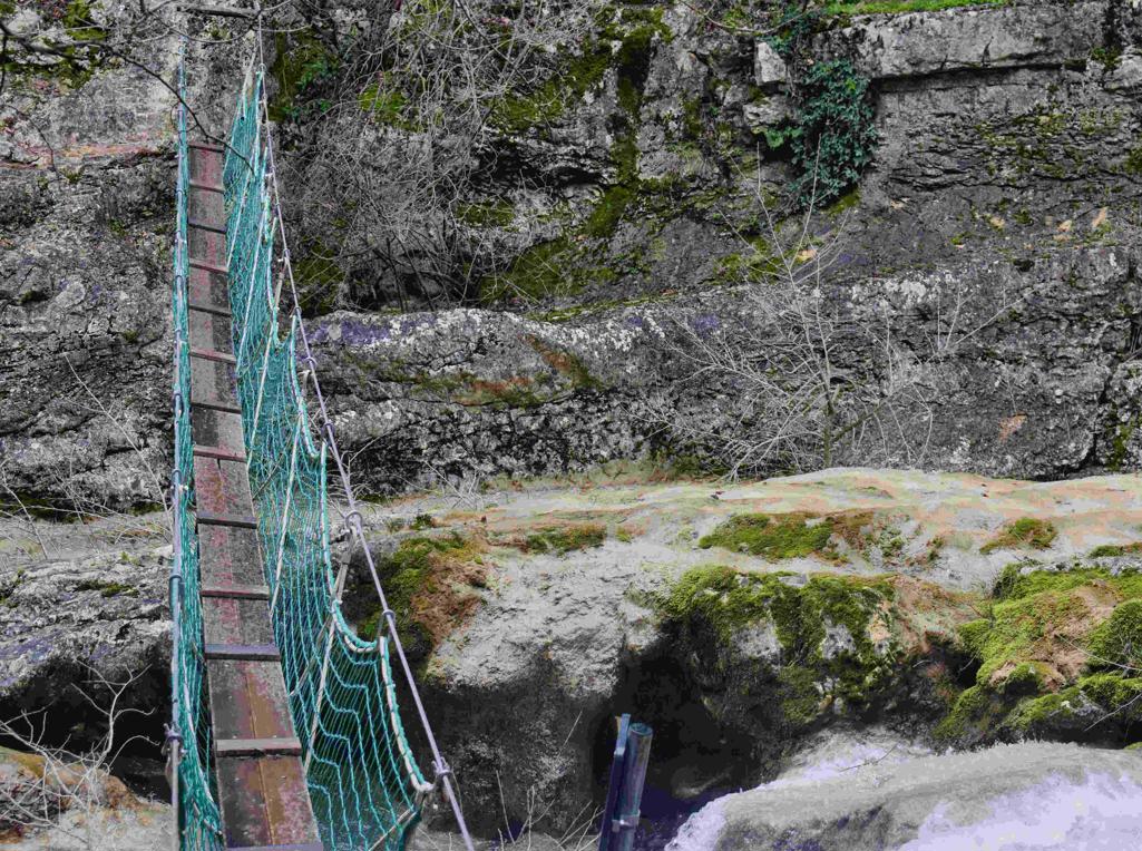
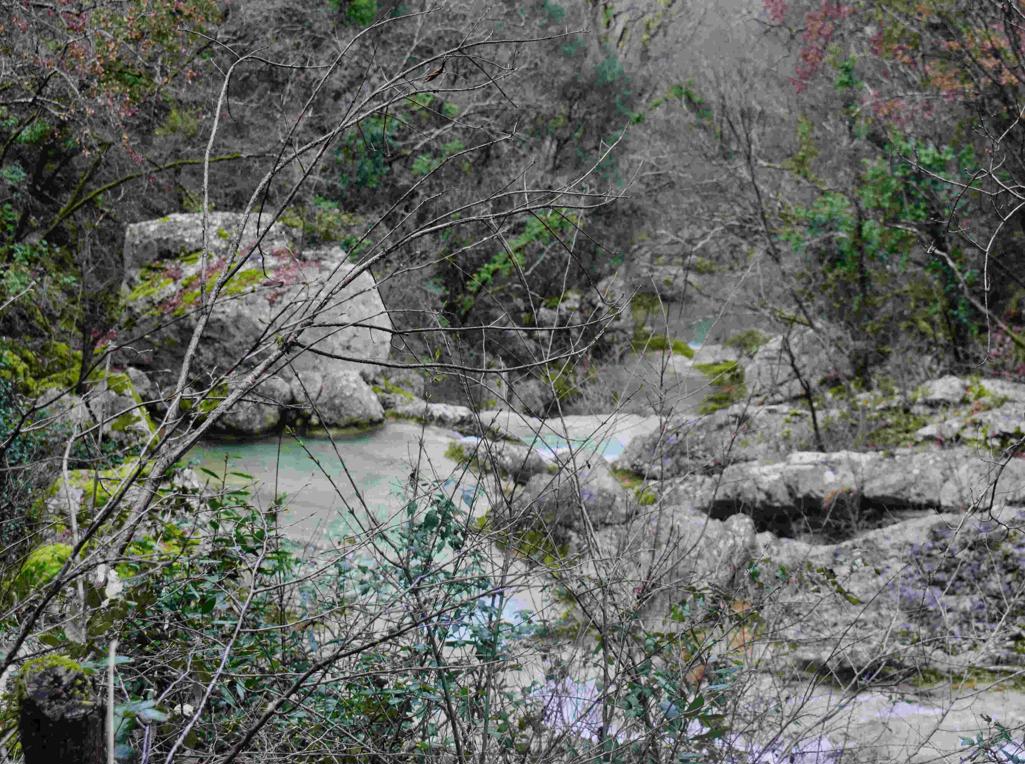
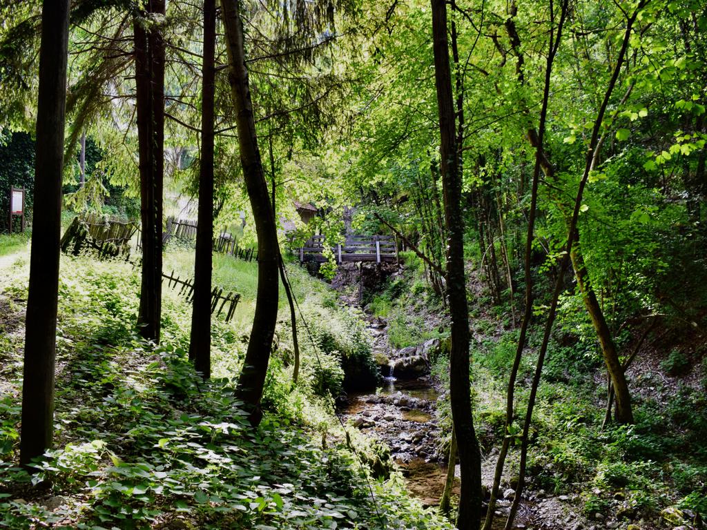
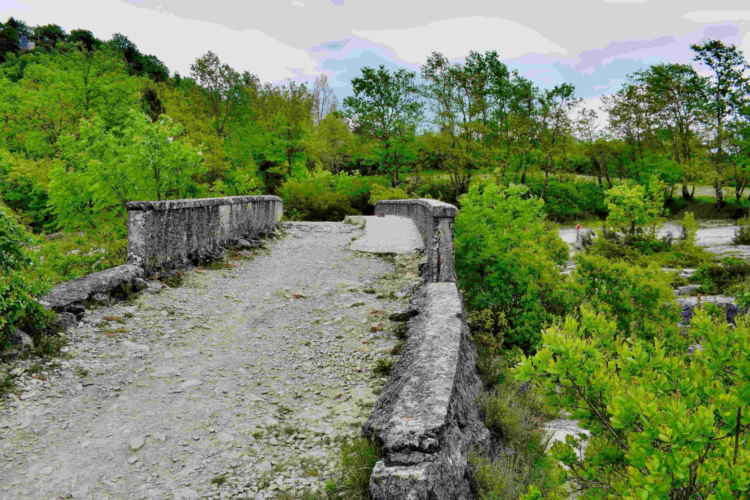
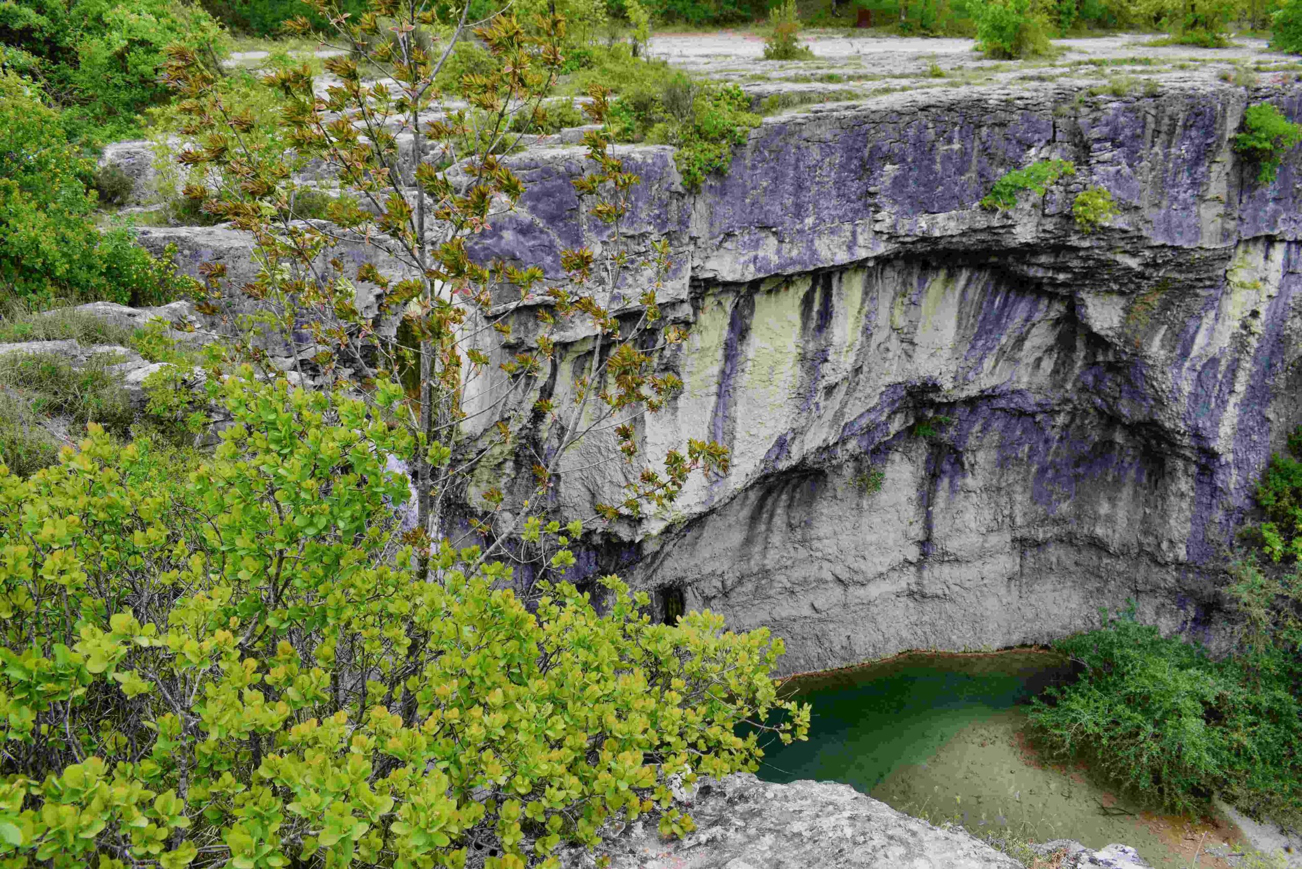
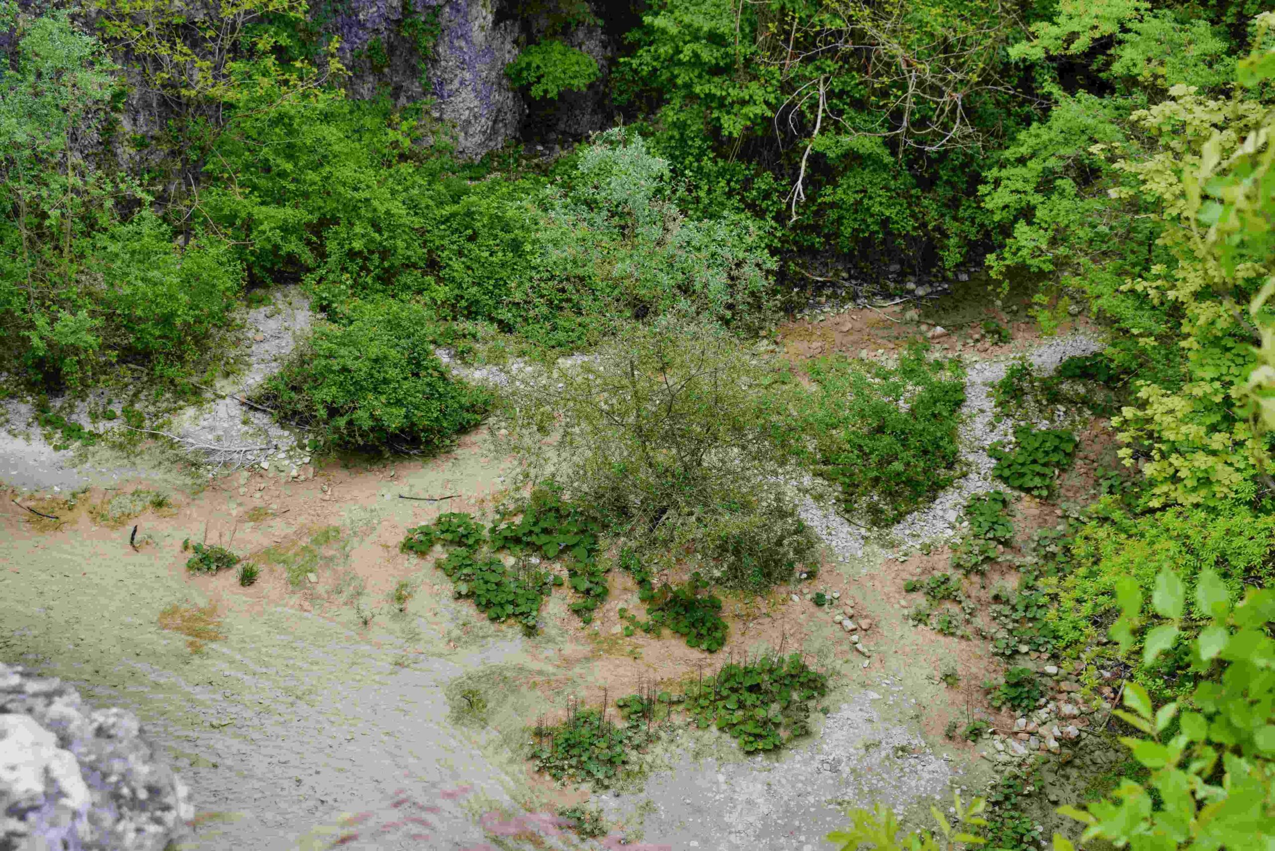
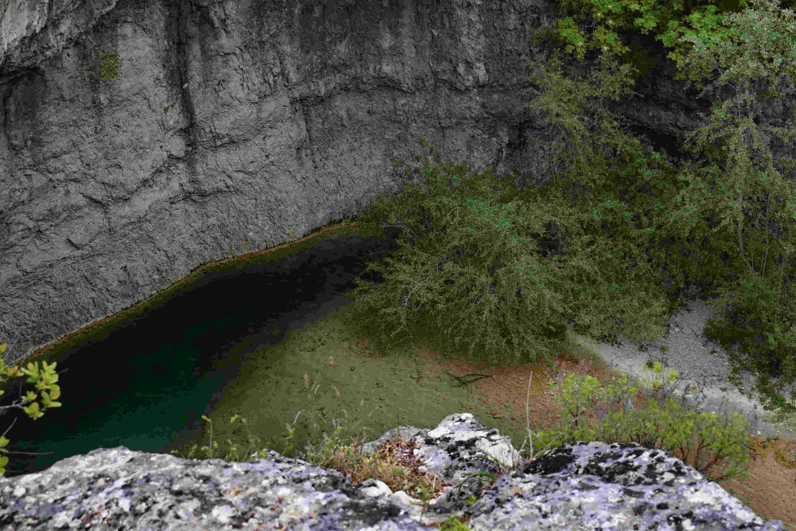
Name: Hiking trail Skarline canyon – stream Lavre – Rocco Sentiero.
Place: Bertonigla
Coordinates: start/finish 45.37828 N – 13.62926 E, Skarlinski park 45.37507 N – 13.65217 E, Canyon 45.37484 N – 13.65284 E, path to Baredine Donje 45. 36623 N – 13.66395 E, back to startpoint 45.37445 N – 3.65824 E.
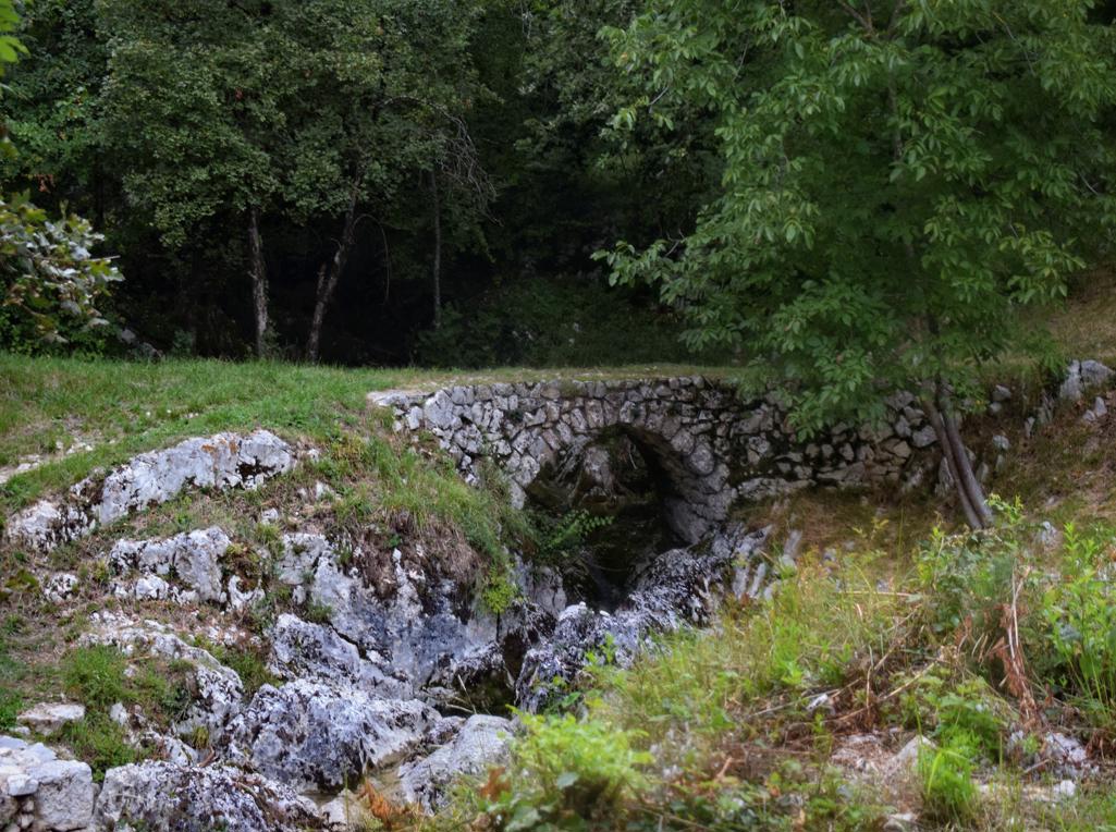
Name: Trail to the waterfall Šetnica – Draški slap.
Place: Lovranska Draga
Coordinates: start 45.27905 n – 14.24382 E, waterfall 45.28373 N – 14.24103 E.

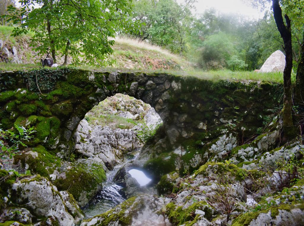
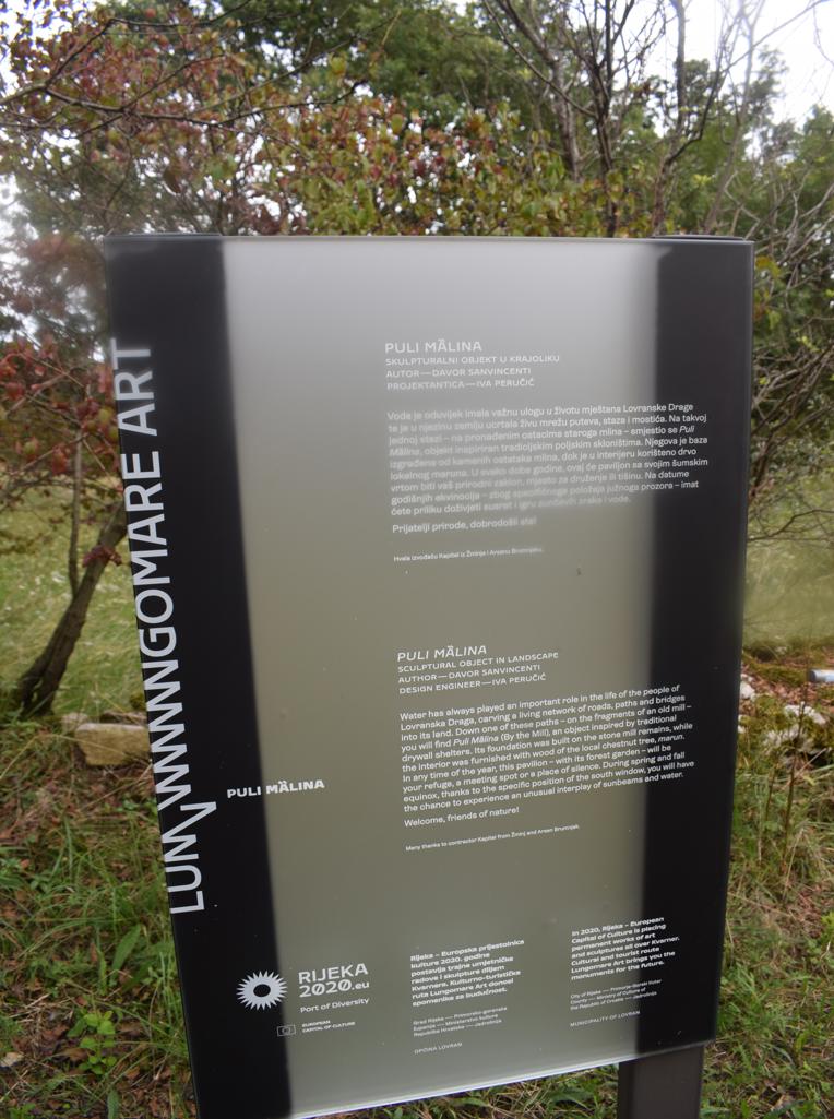
Name: Lovranska Draga – Trail to Medveje – “Puli Malina”.
Place: Lovranka Draga-
Coordinates: start 45.27893 N – 14.24379 E, Puli Malina 45.27775 N – 14.244-70 E.

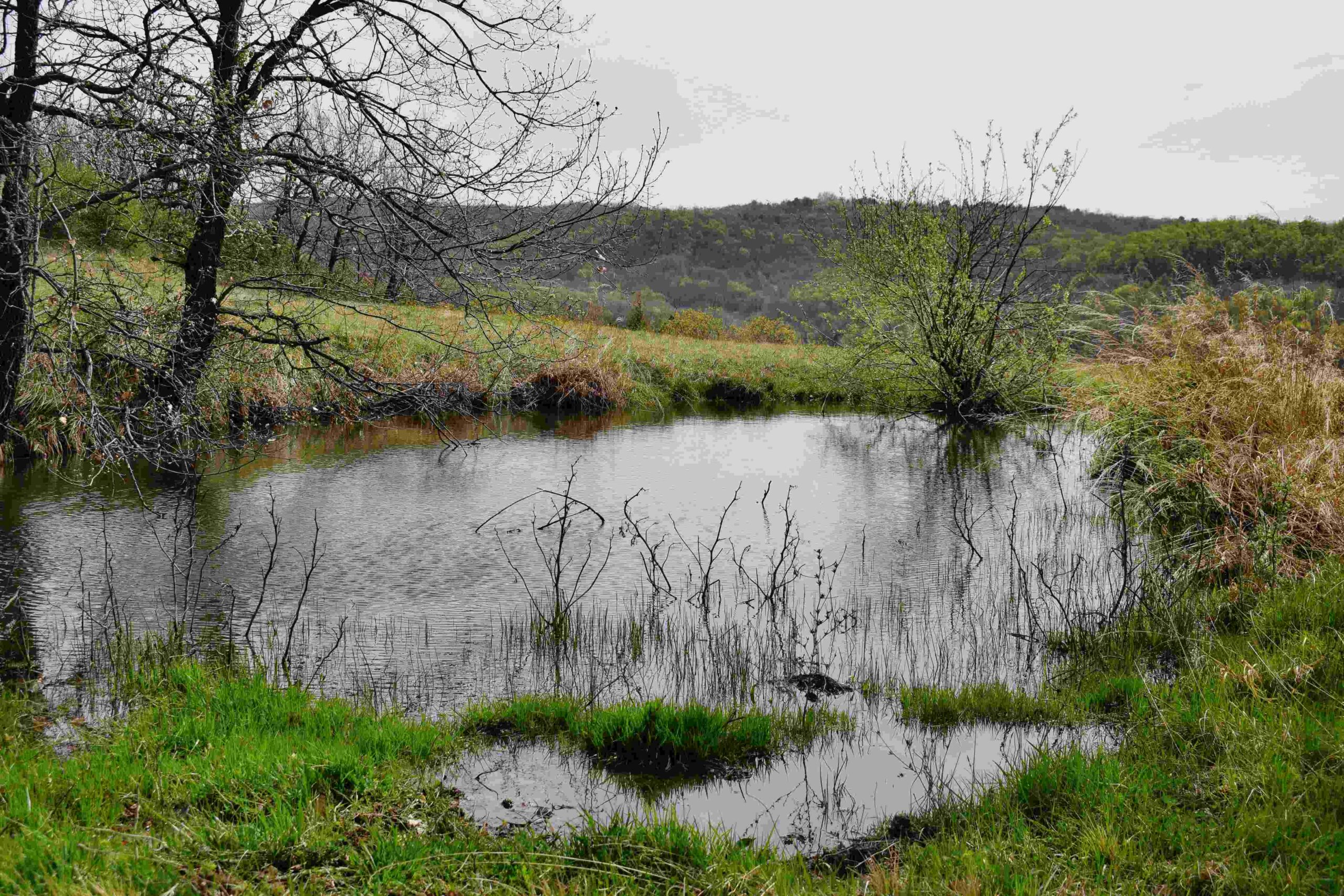
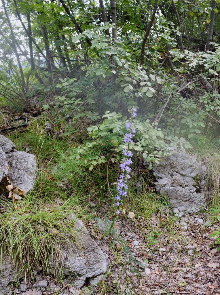
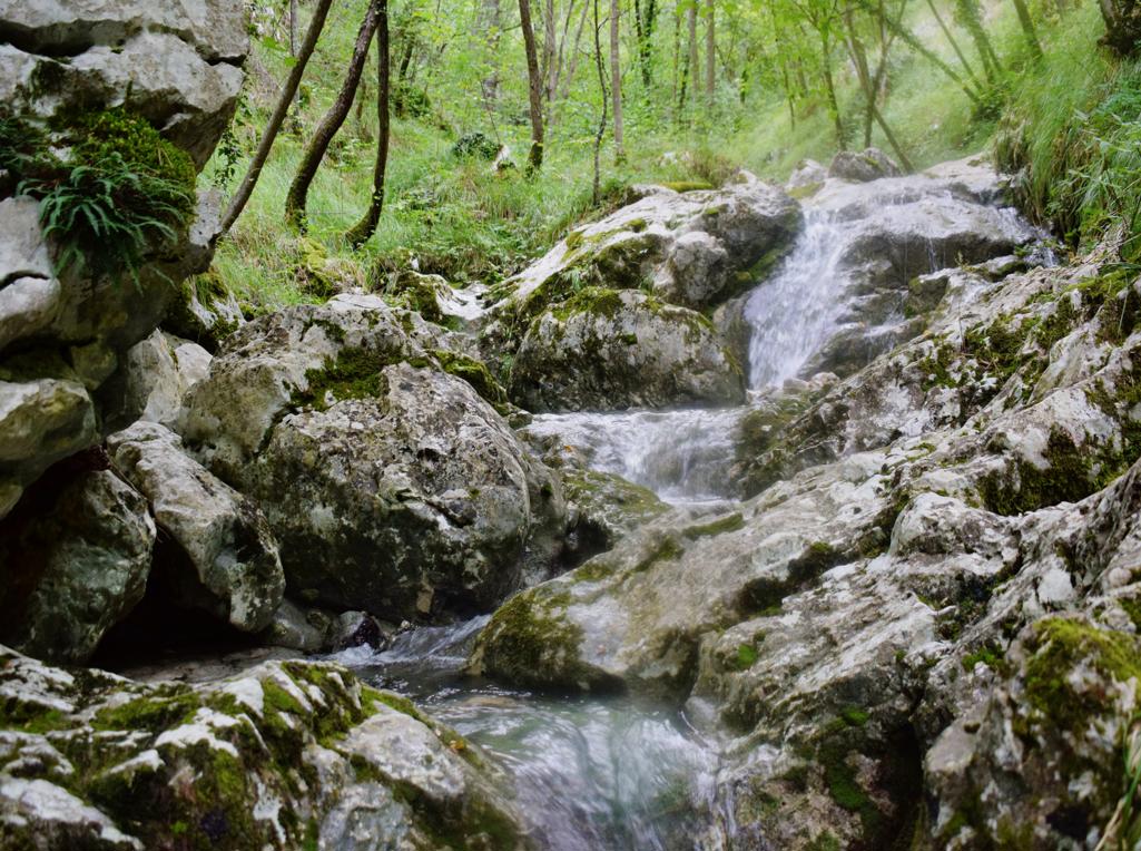
Name: Trail from the village Grdoselo, along the Grdoselski stream to Zelena Grad and the waterfall M. Slap.
Place: Grdoselo _ (pazin).
Coordinates: Start 45.27960N – 13.93997 E, Waterfall Grdoselo 45.27936 N – 13.93960 E, Watersource Malenice 45.28285 N – 13.94031 E, Waterfall Crni Puć 45.29195 N – 13.94636 E, Mali Slap 45.29195 N – 13.94636 E.
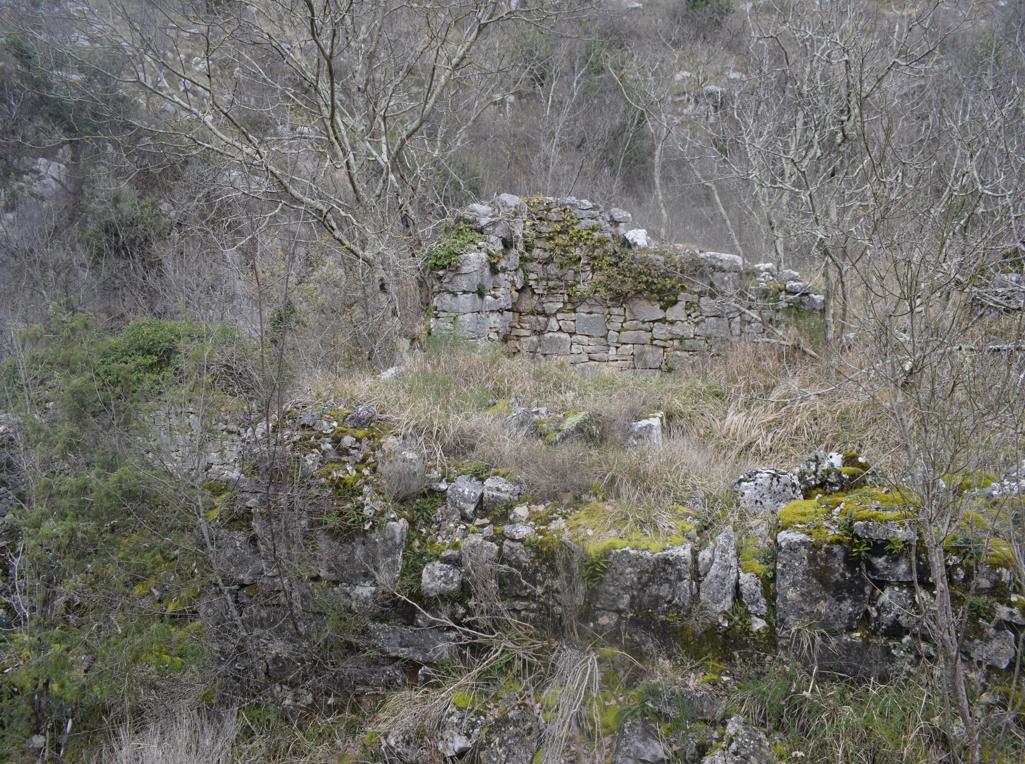
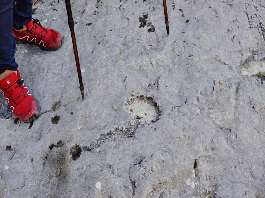
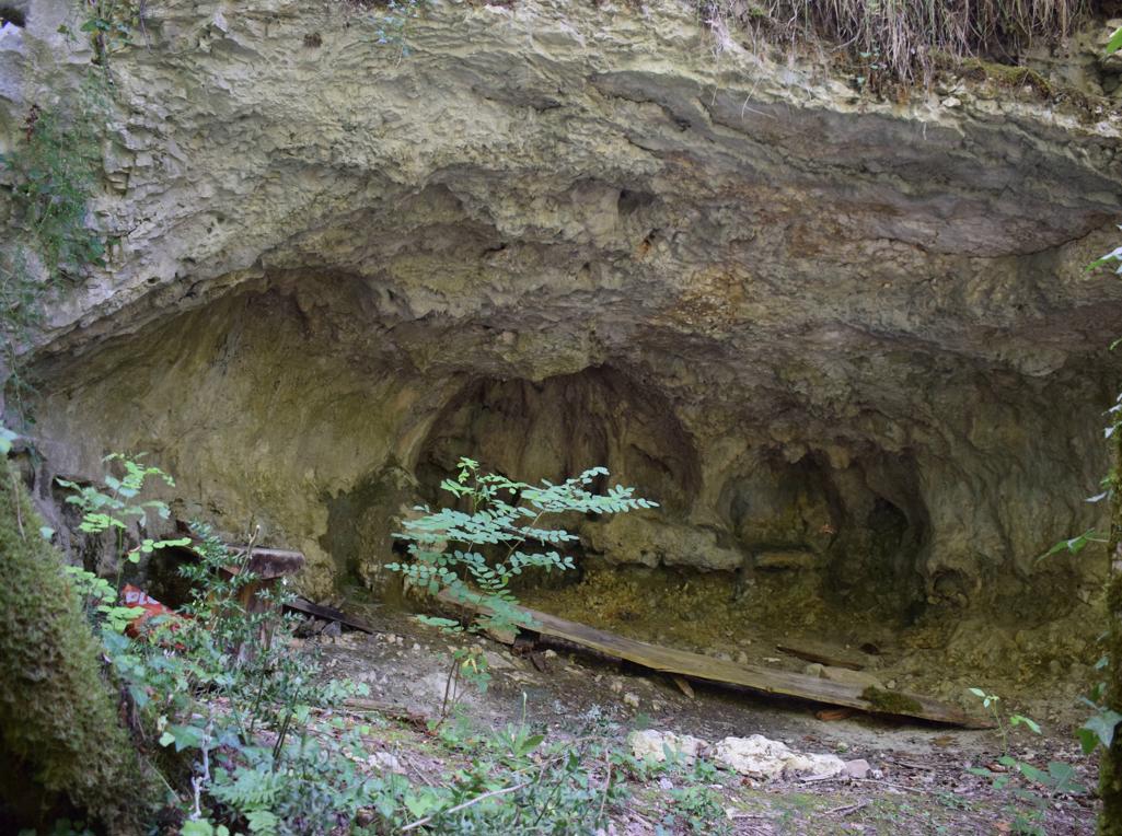
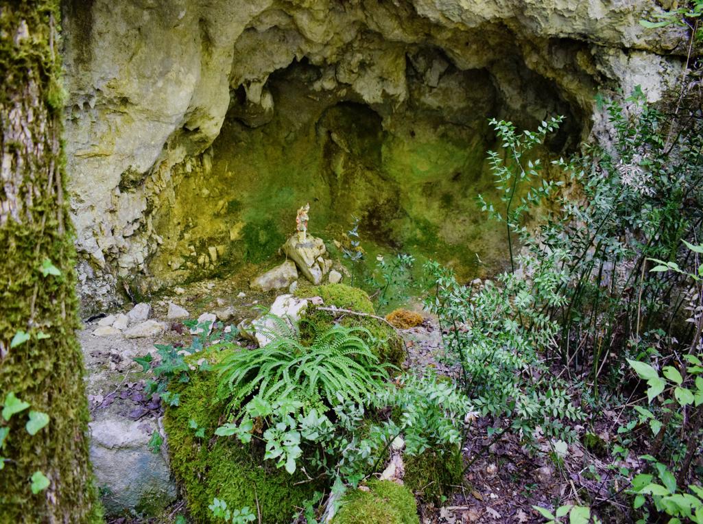
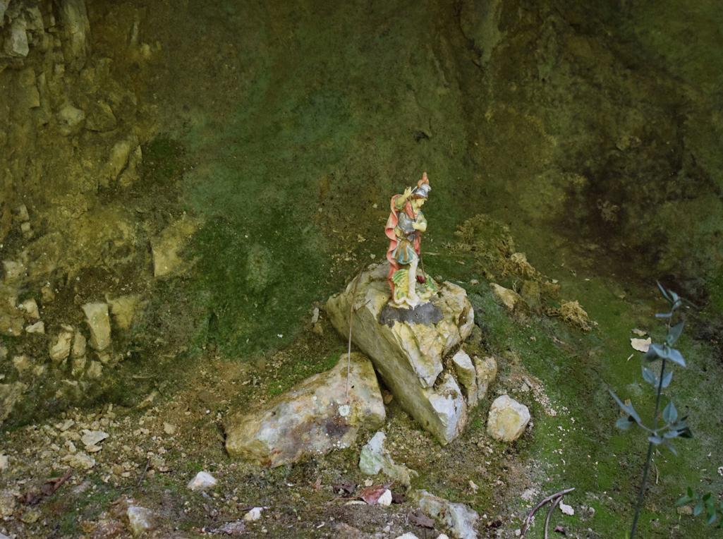
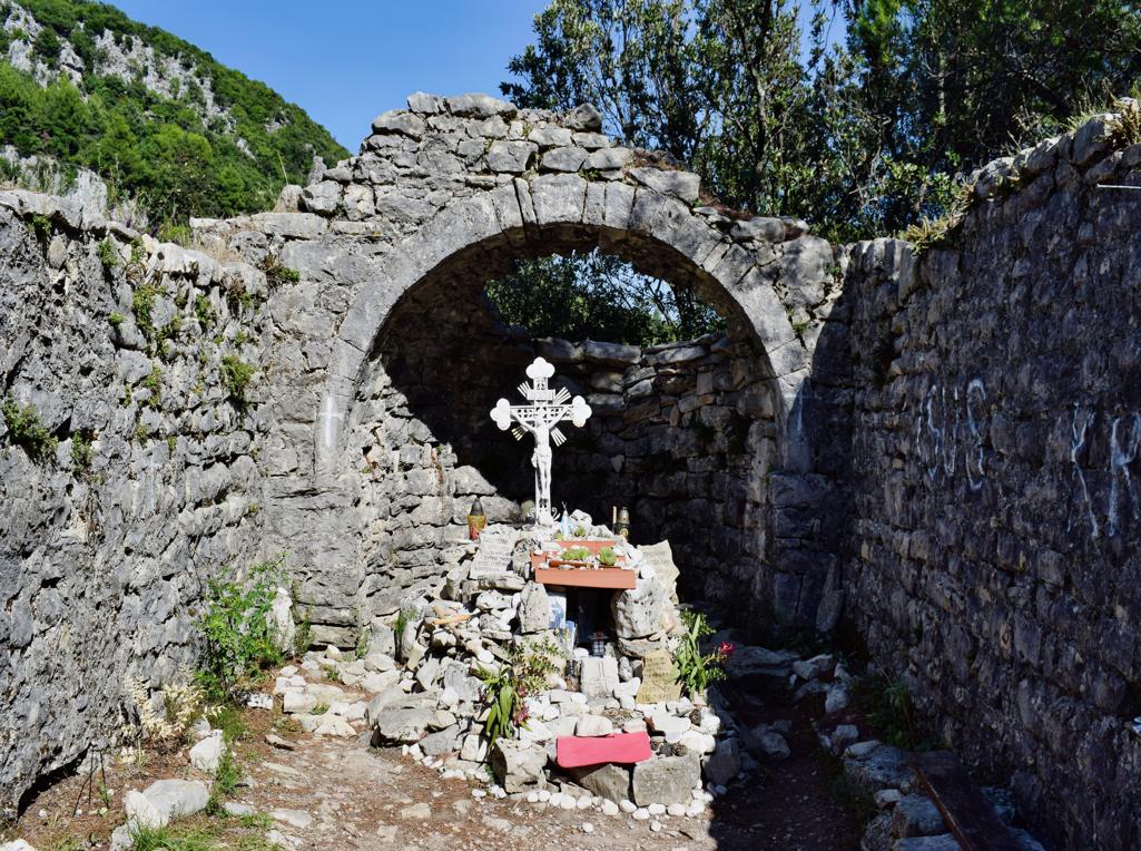
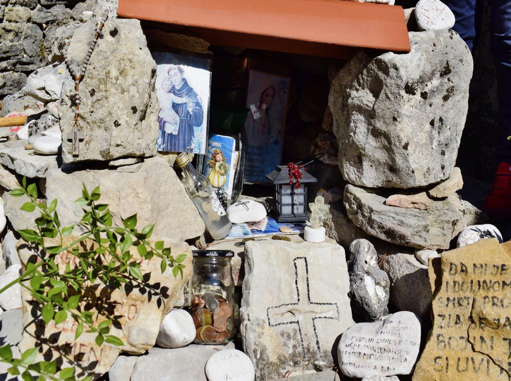
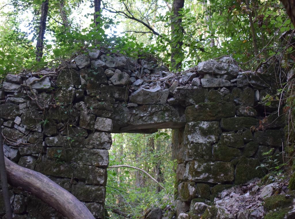
“The Goddess of Sendon” was a patron saint of travelers. The trail partly along the stream Pecina has several waterfalls, ruins of water mills and water springs. The name of the cave with a water source is called the Nigri. The church along the path is St. Hidran from the 12th/13th century.

Name: Trail of Goddess Sedon from Rabac to Labin.
Place: Rabac – Labin.
Coordinates: Start trail 45.08126 N – 14.14586 E.
See too the posts 2018-01-18, 2018-12-07 and 2021-05-08.
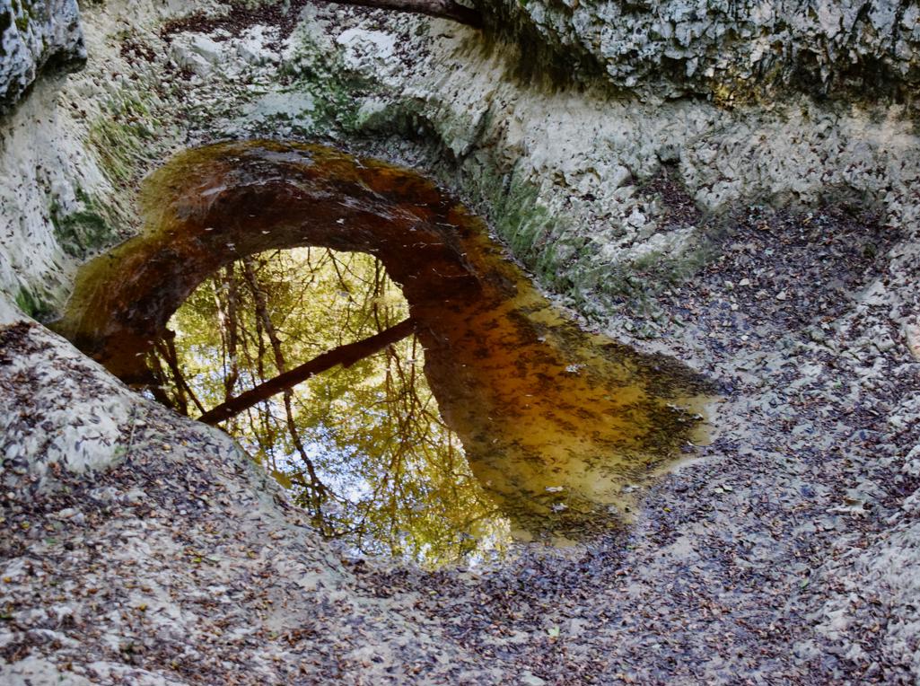
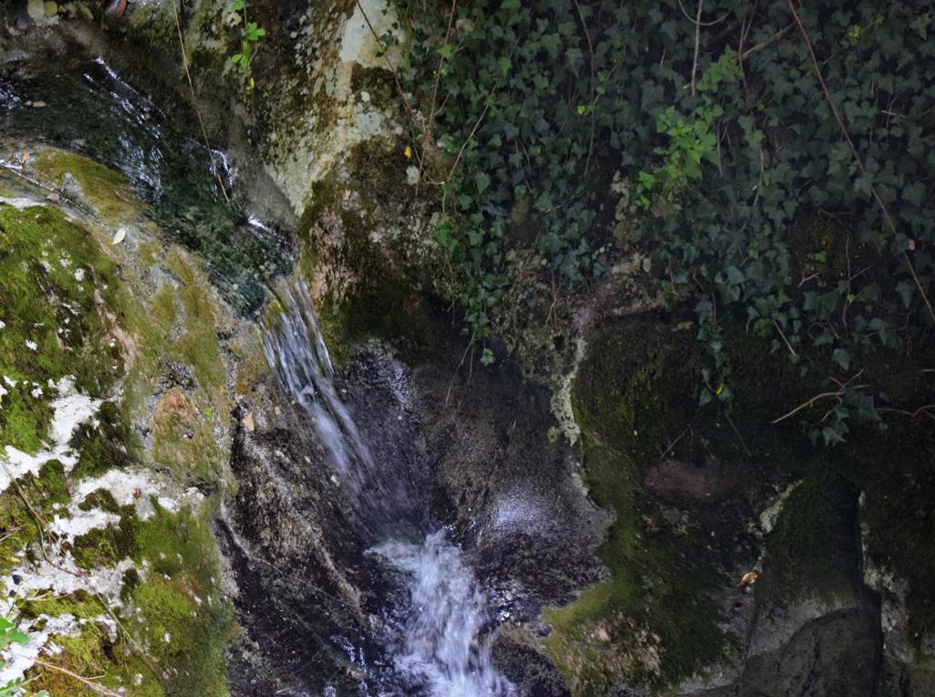
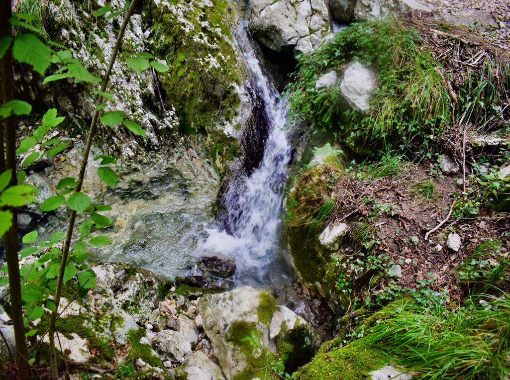
Name: Benkovski waterfall.
Place: Zajci – (Pičan).
Coordinates: 45.20356 N -14.06152 E, waterfall 45.200464 N – 14.14.05746 E.
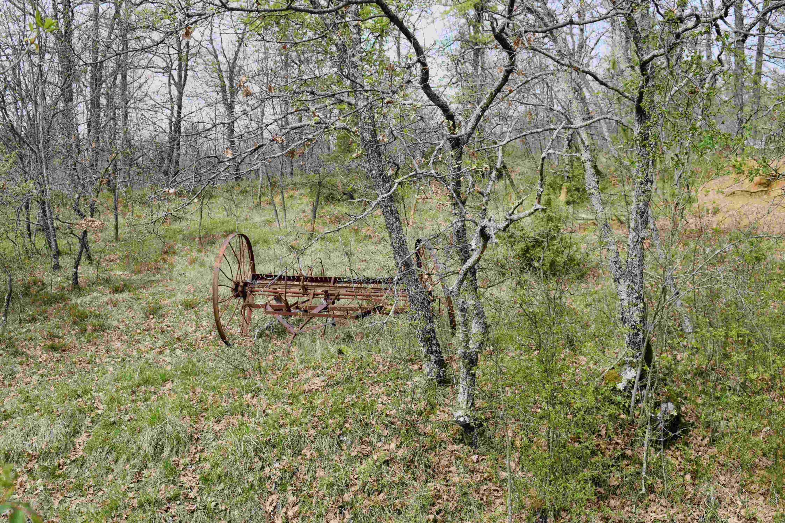
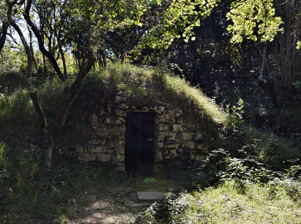
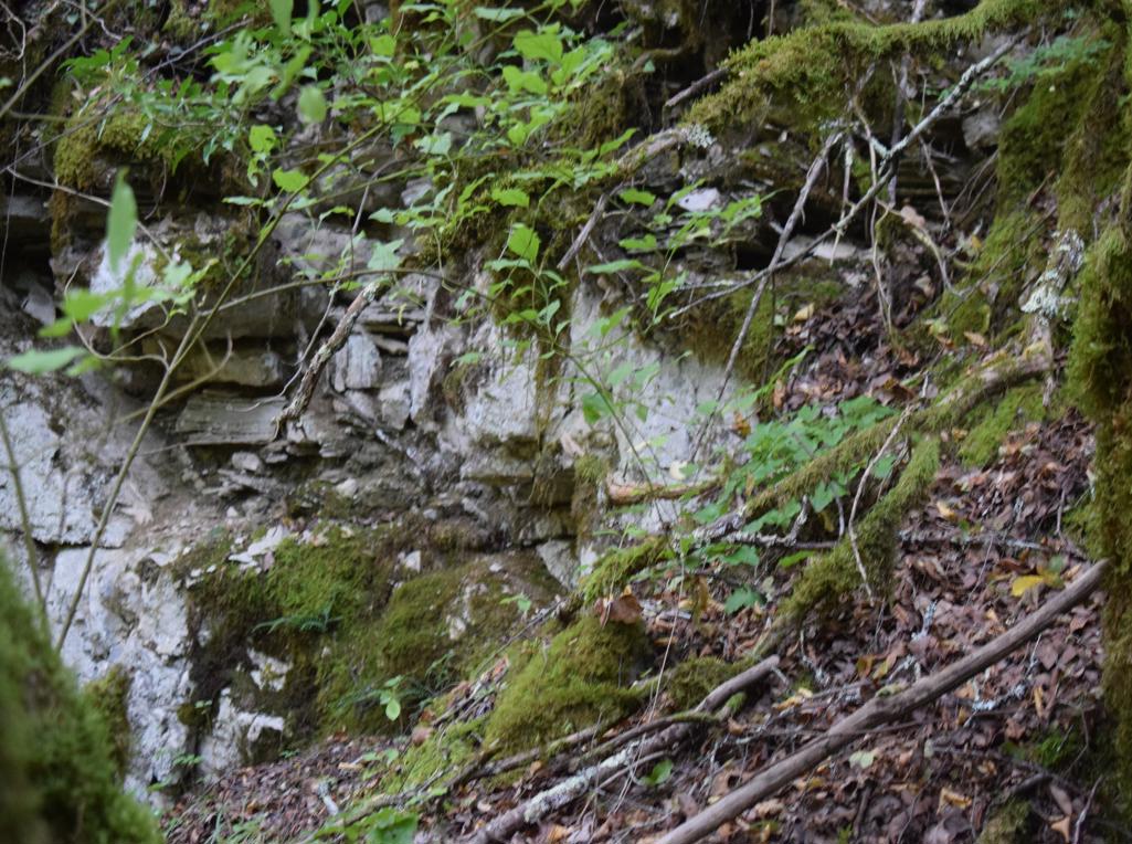
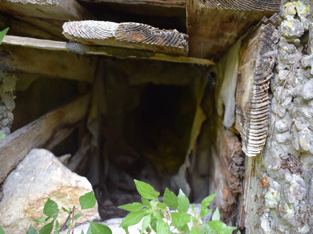
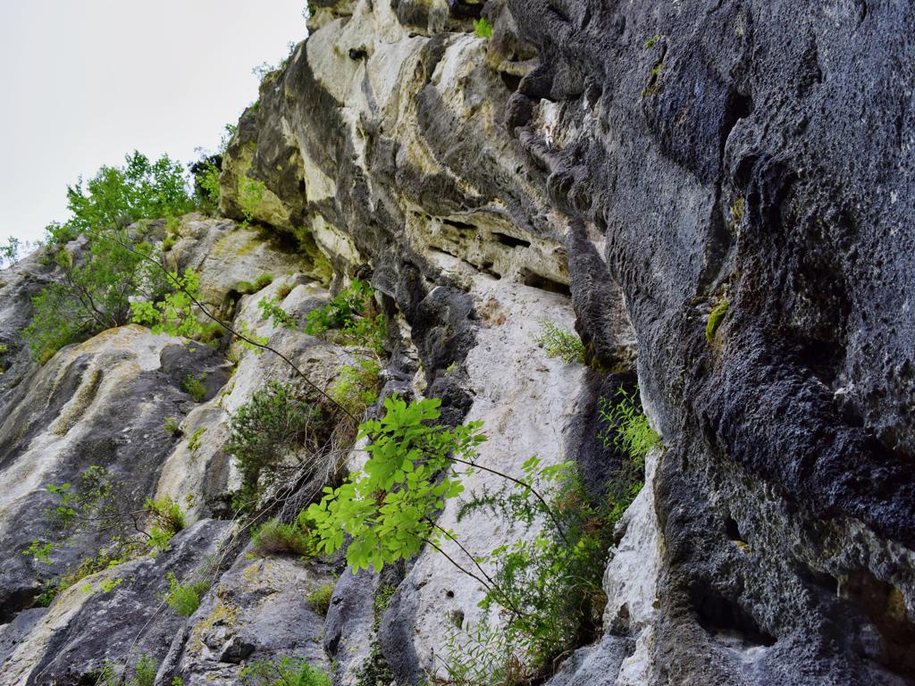
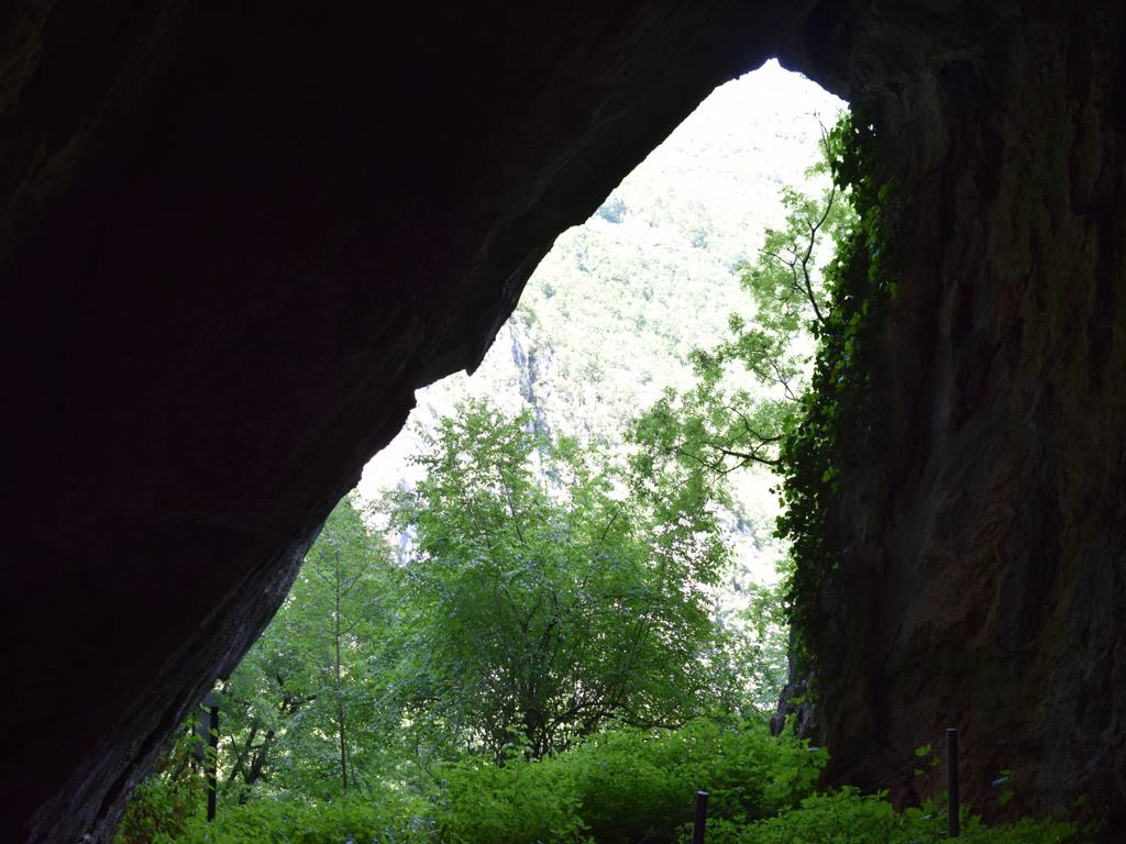
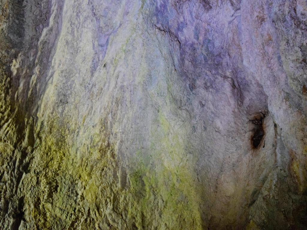
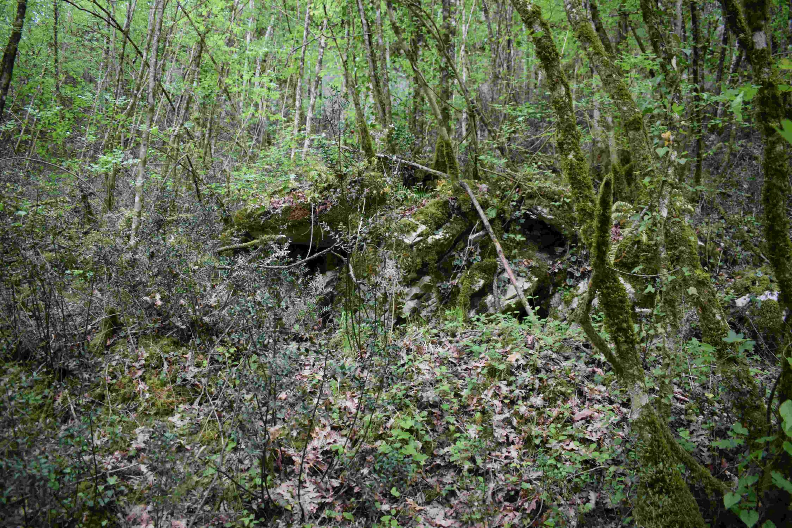
Name: Trail from the town Mošćiniča Draga to the cave Podosogna and the hamlets Potoki and Trebišca with a watermill.
Place: Potoki – Trebišca – (Mošćinička Draga).
Coordinates: Start 45.24090 N – 14.24973 E, hiking trail to the cave 45.24827 N – 14.23204 E, cave Podosogna 45.24802 N – 14.23909 E,
Potoki: 4525207 N – 14.22627 E, Trebišca 45.25511 N – 14.21760 E.