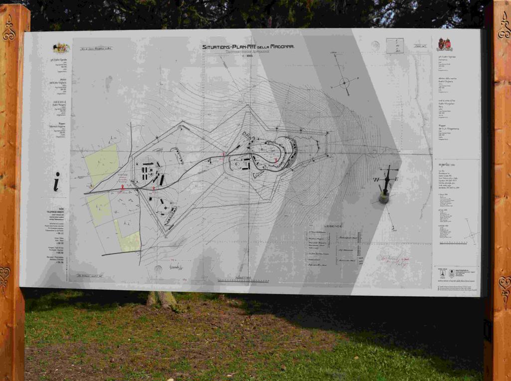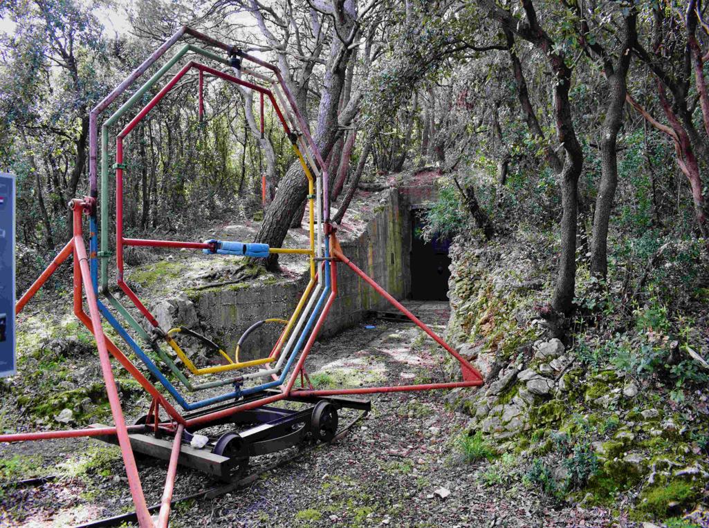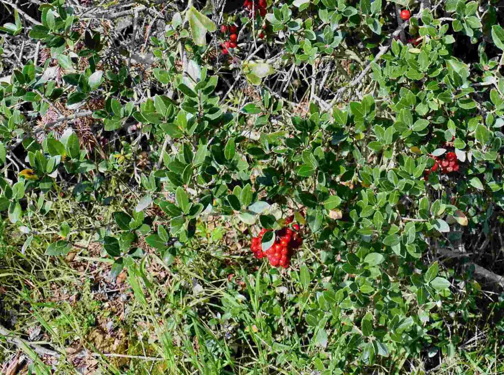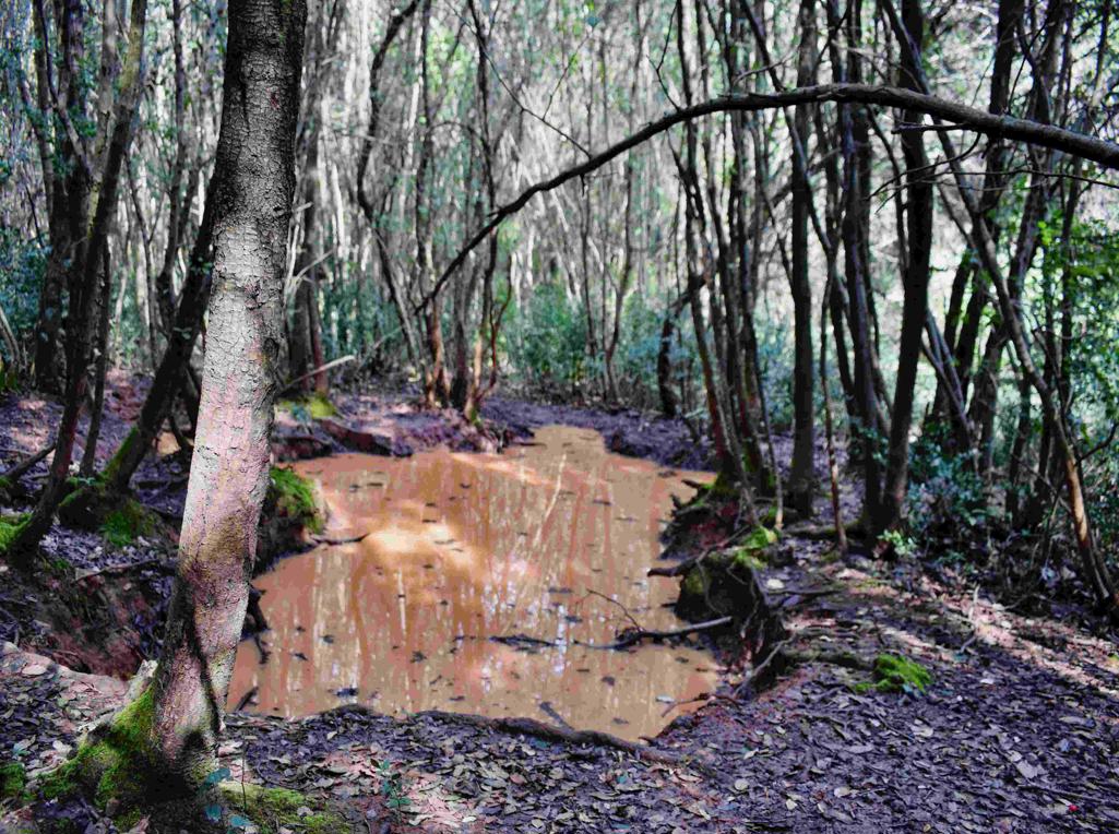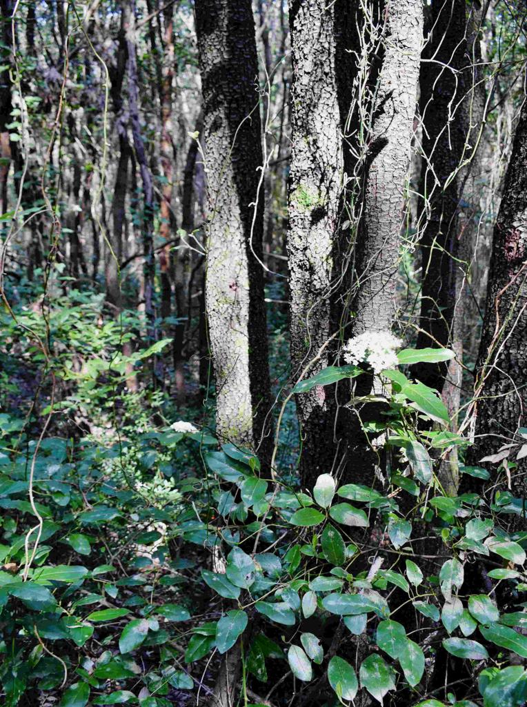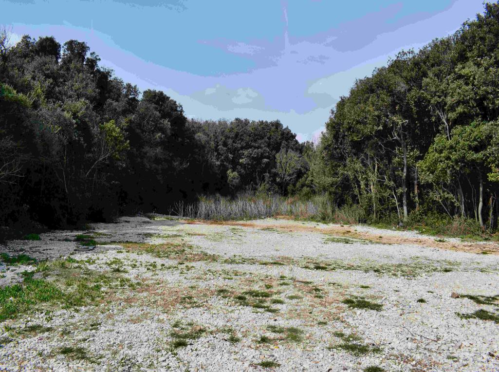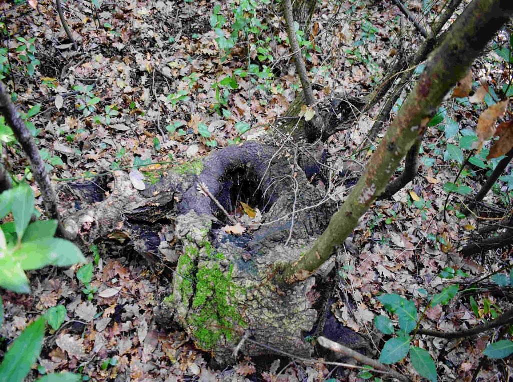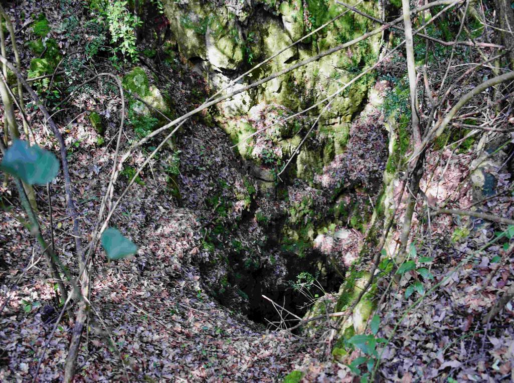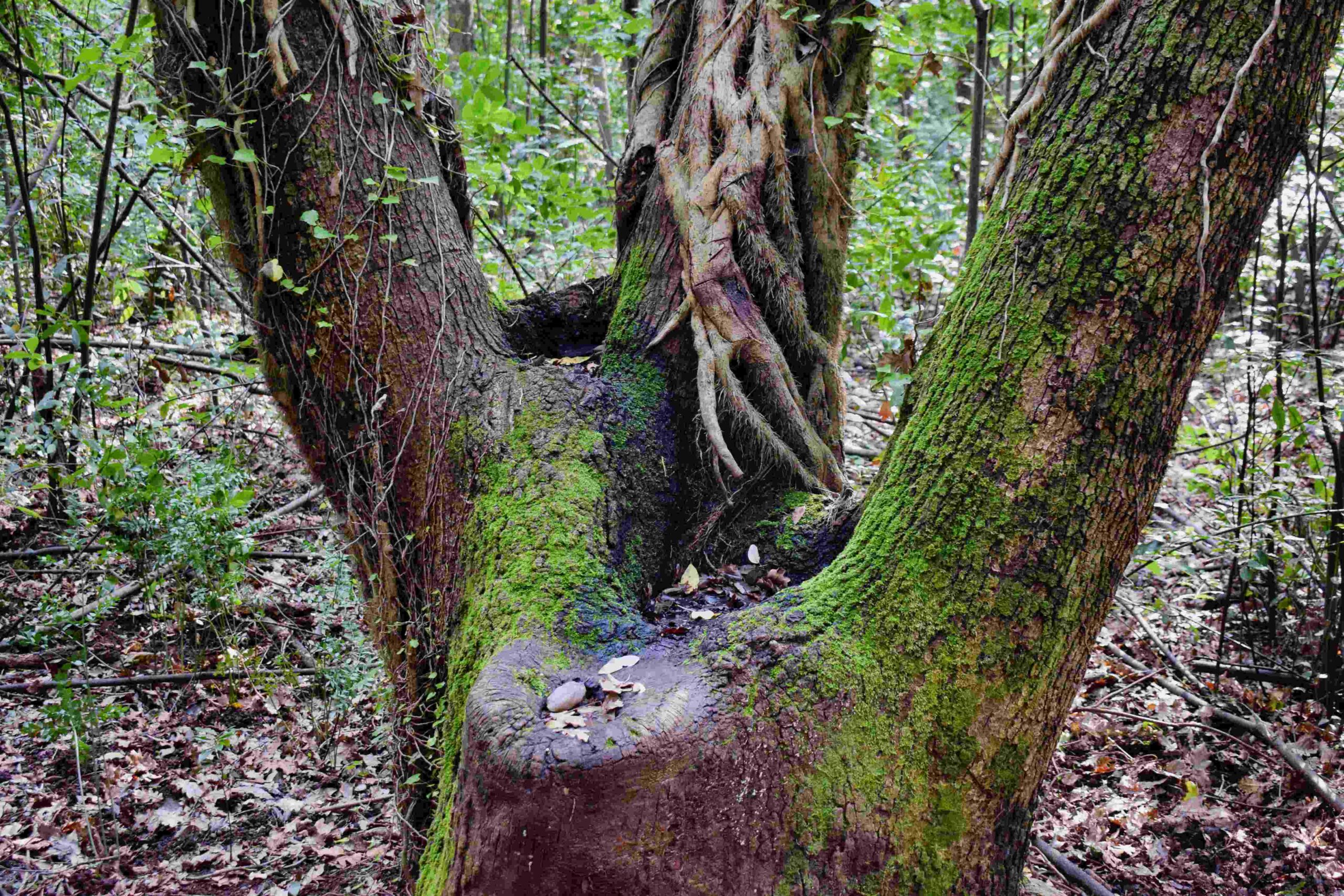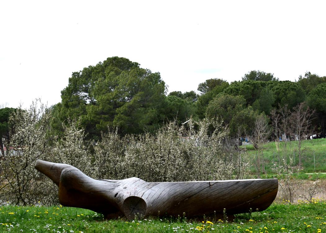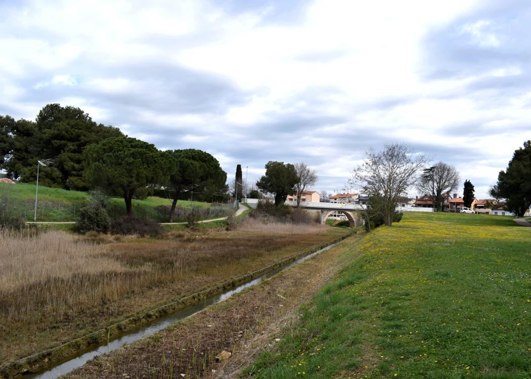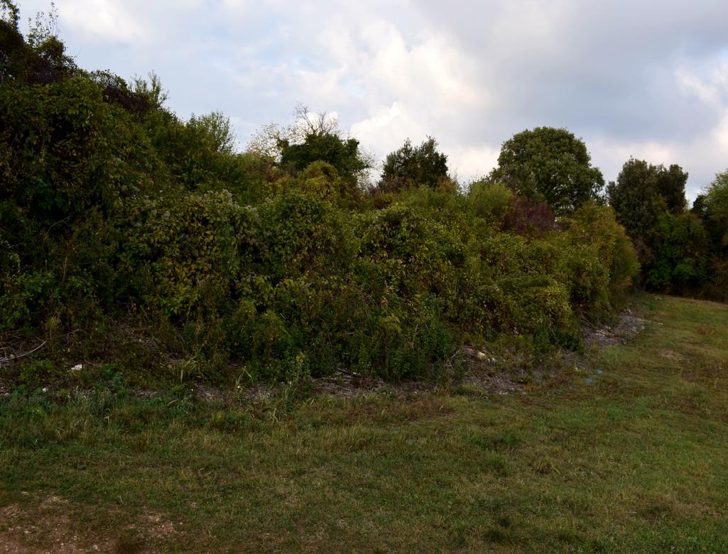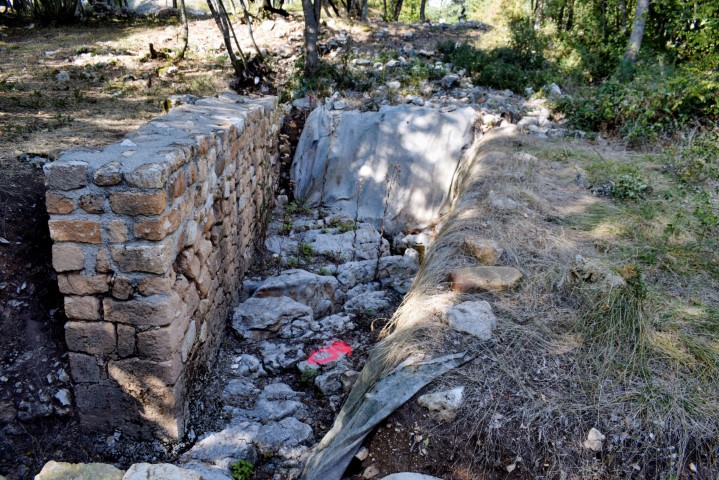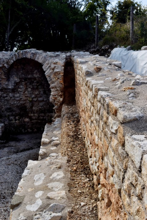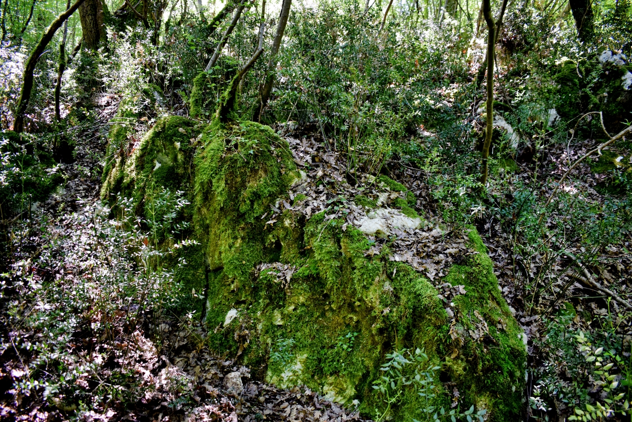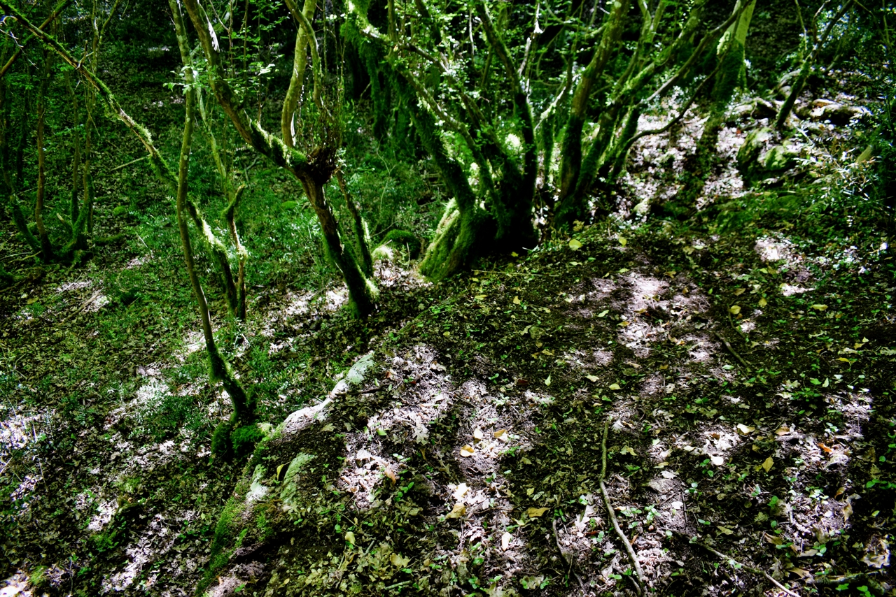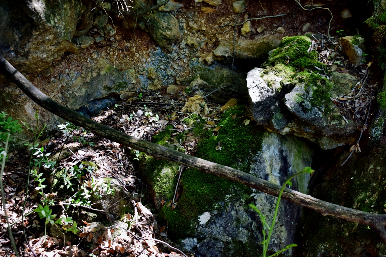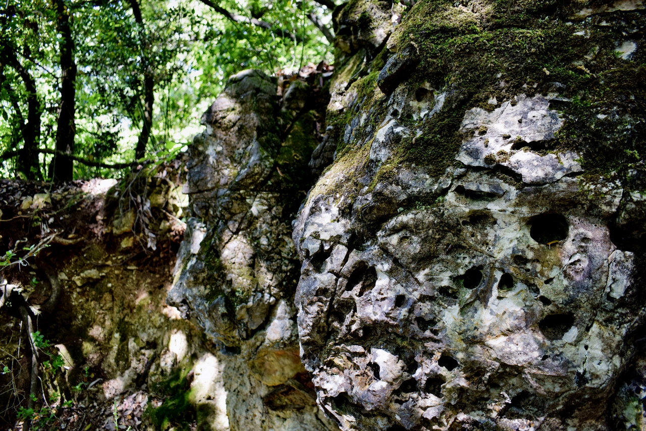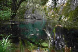
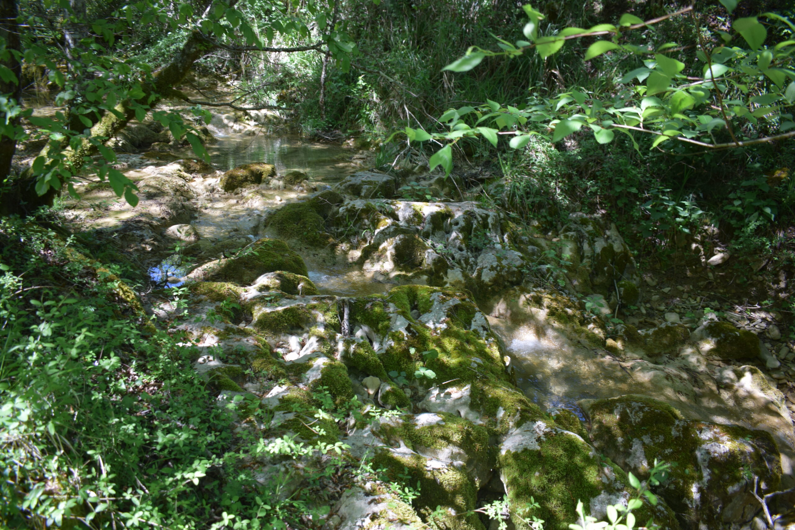
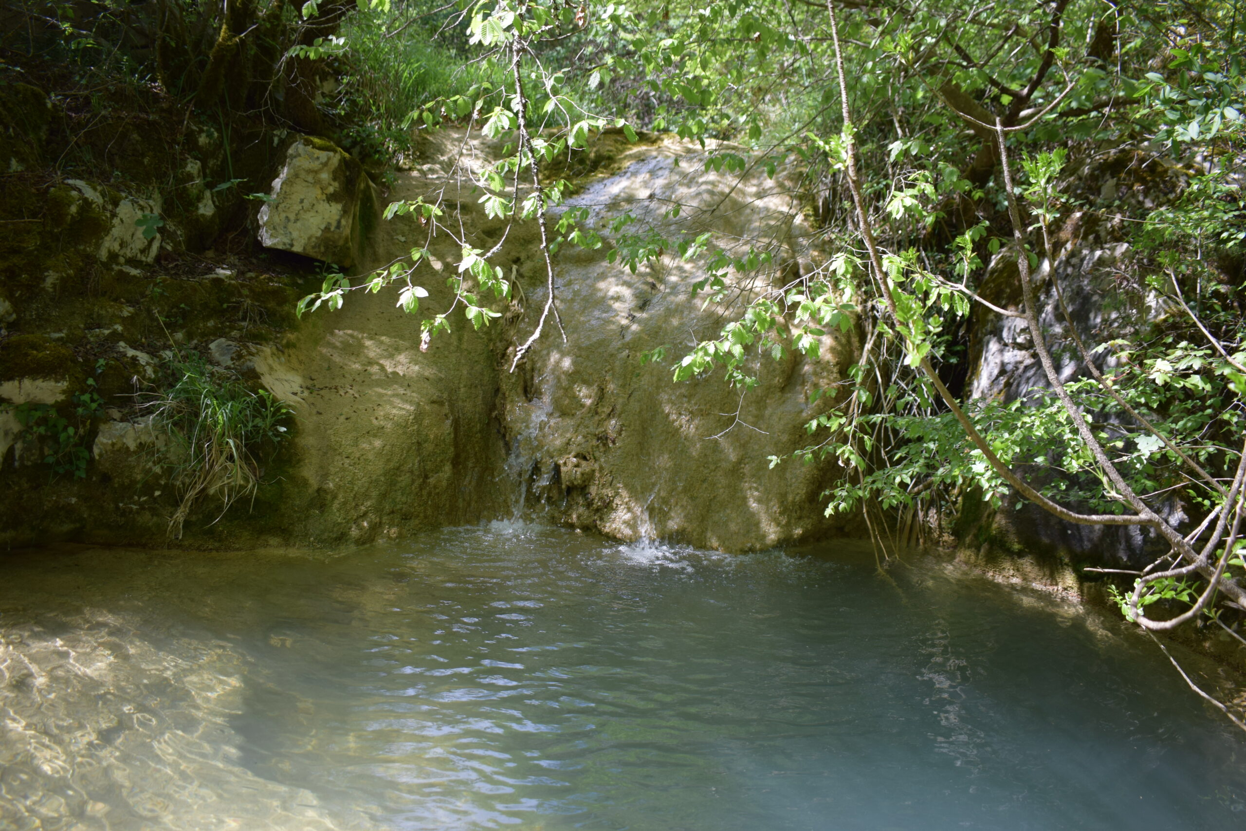
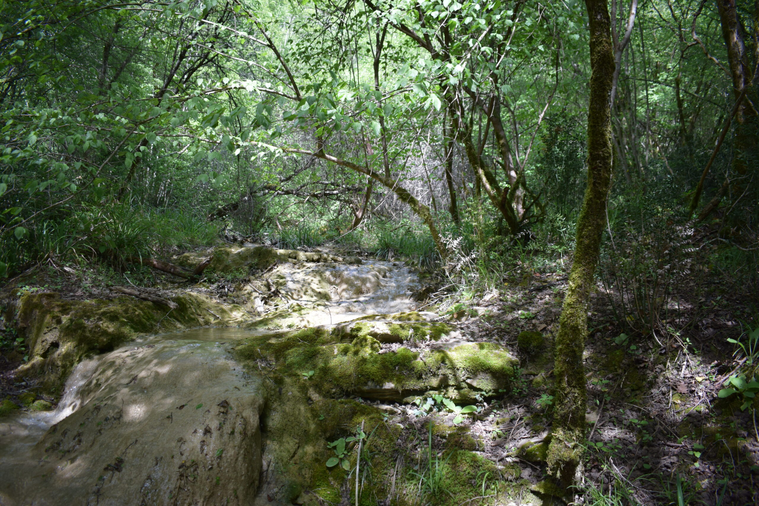
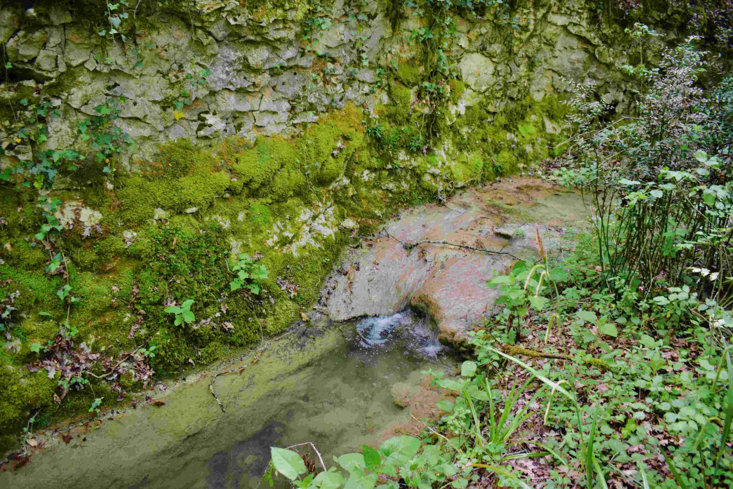
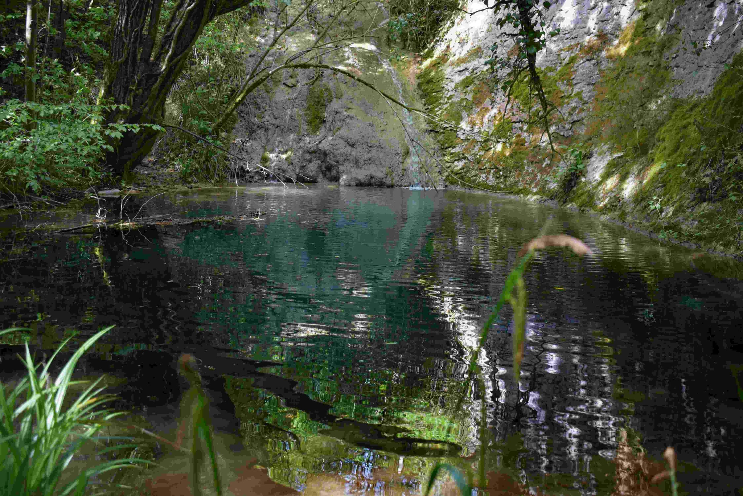
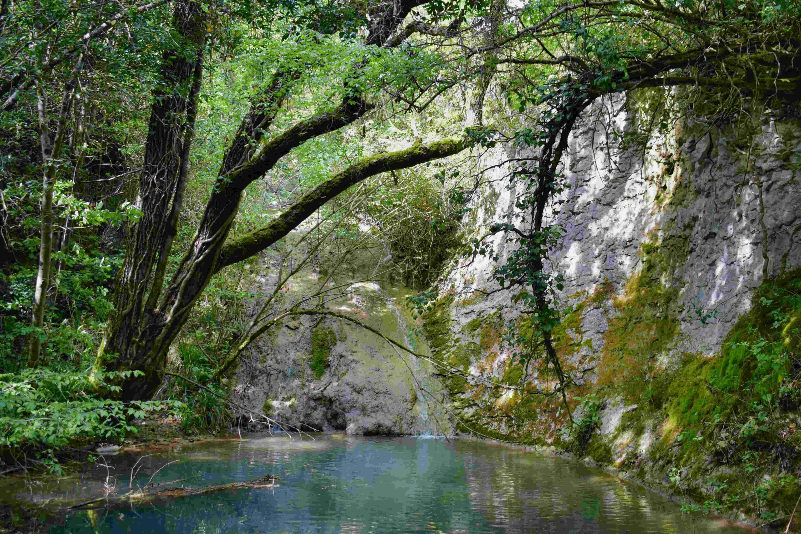
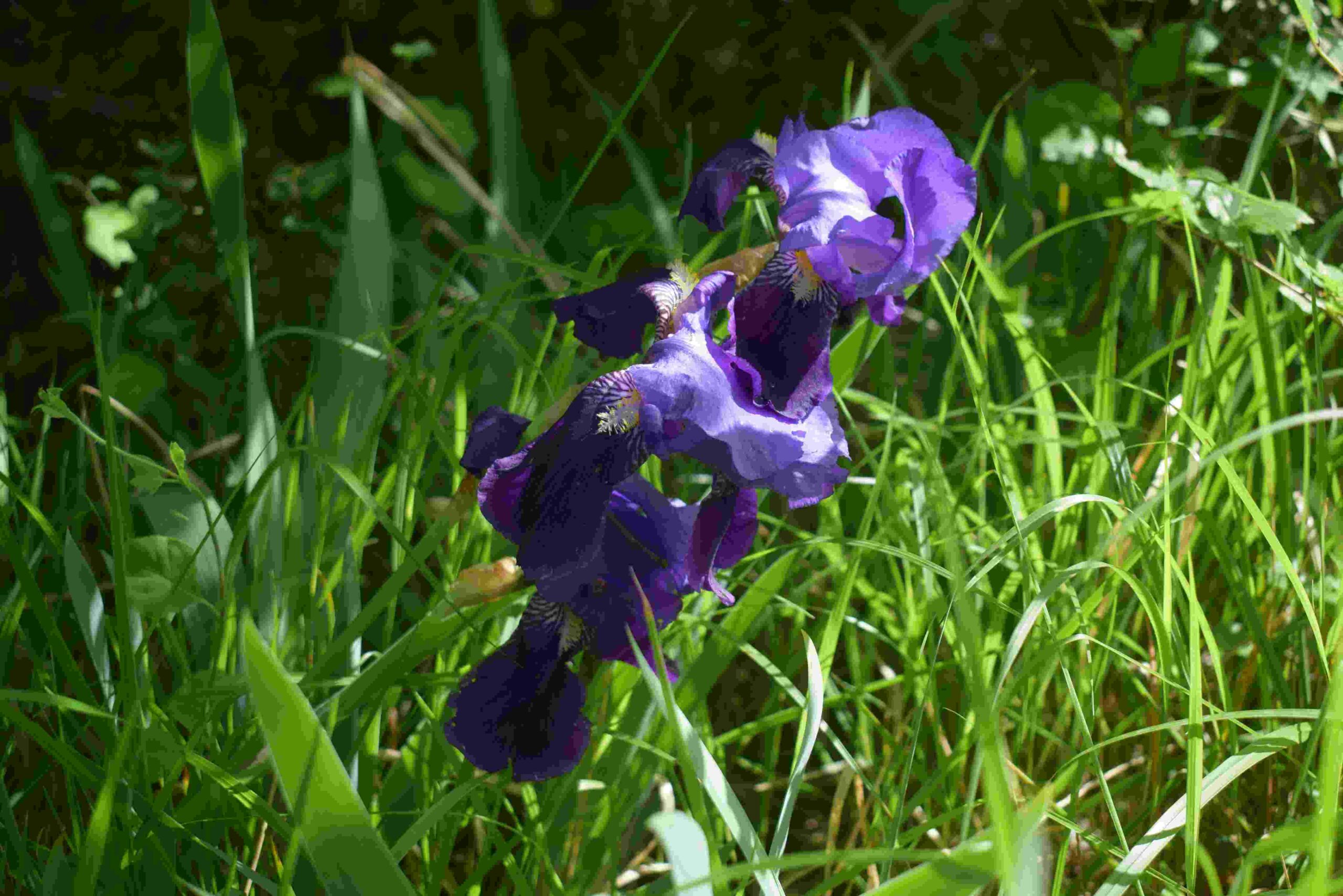
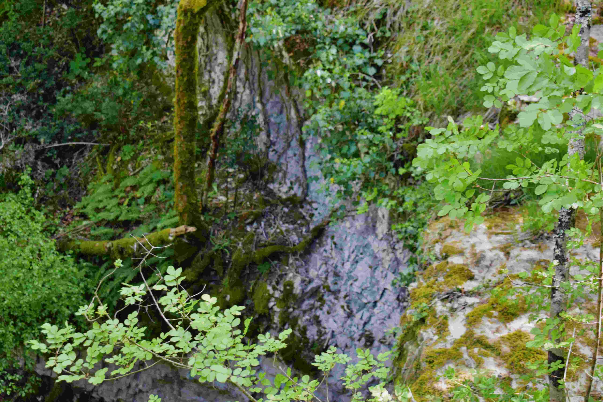
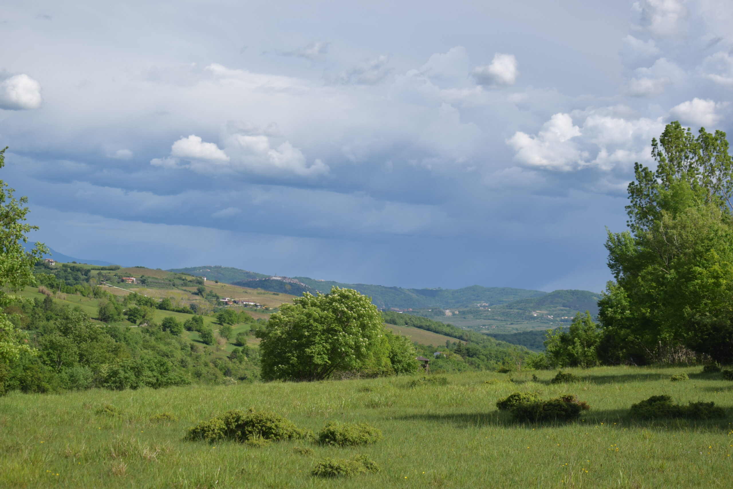
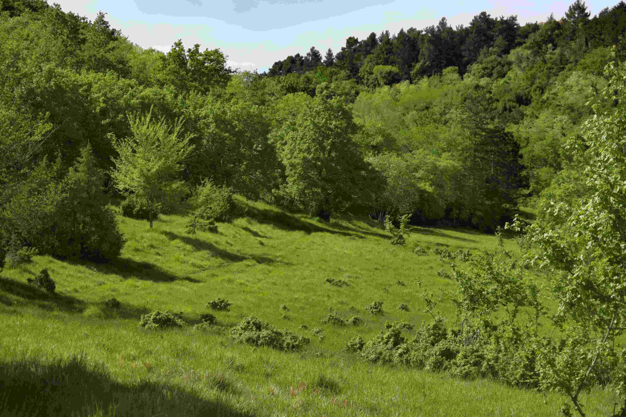
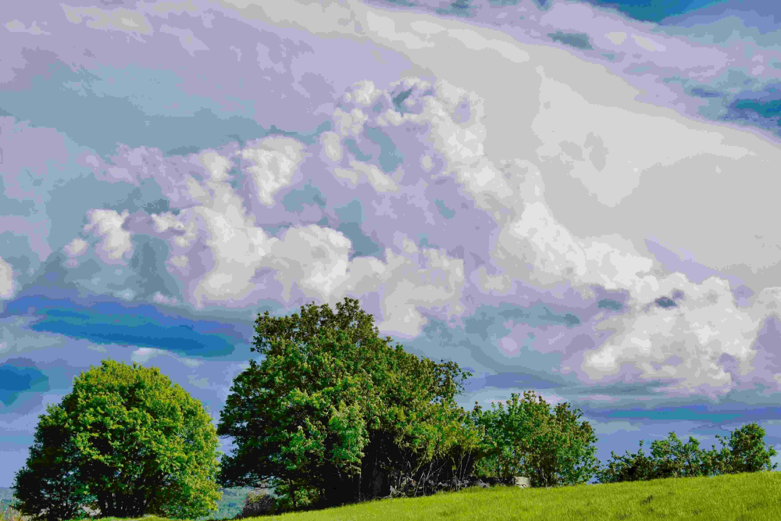
Name: Trail from Ponte Porton along the stream Codegragne and the source, and back via the hamlets Ragaćin and Kovačić.
Place: Ponte Porton – (Grožnjan).
Coordinates: Ponte Porton 45.36115 N – 13.73438 E, source Codegragne 45.37458 N – 13.71672 E.
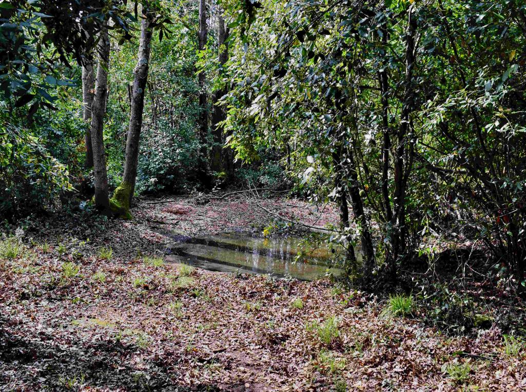
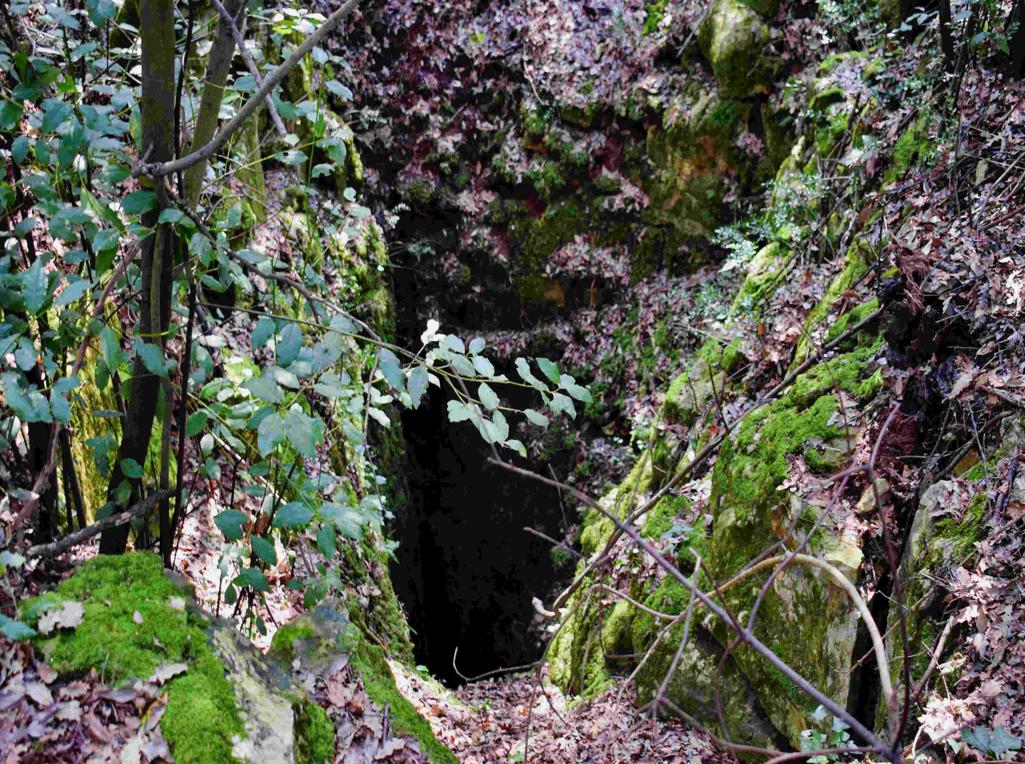
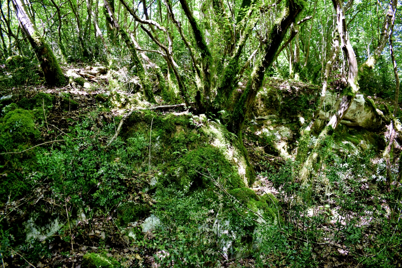
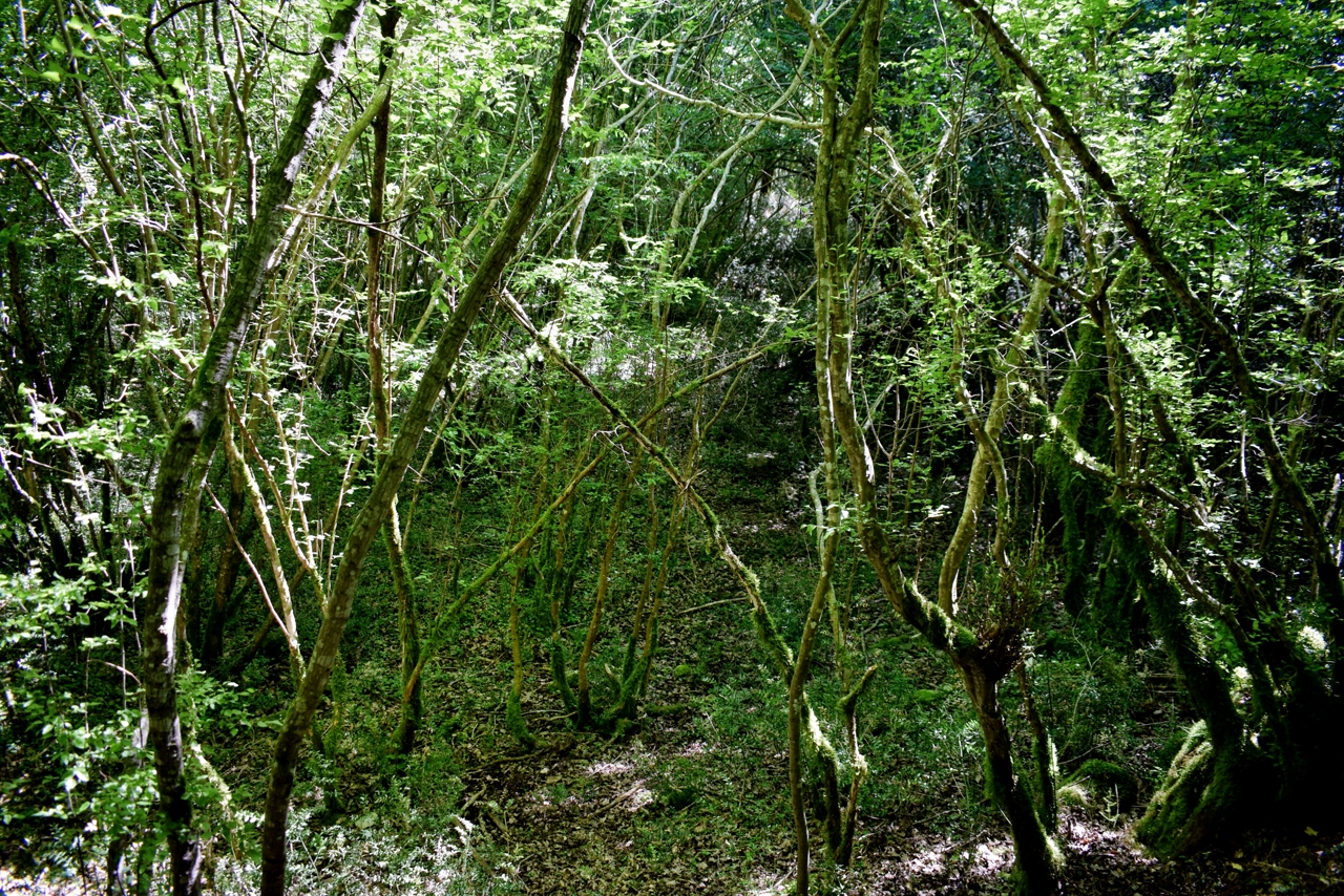
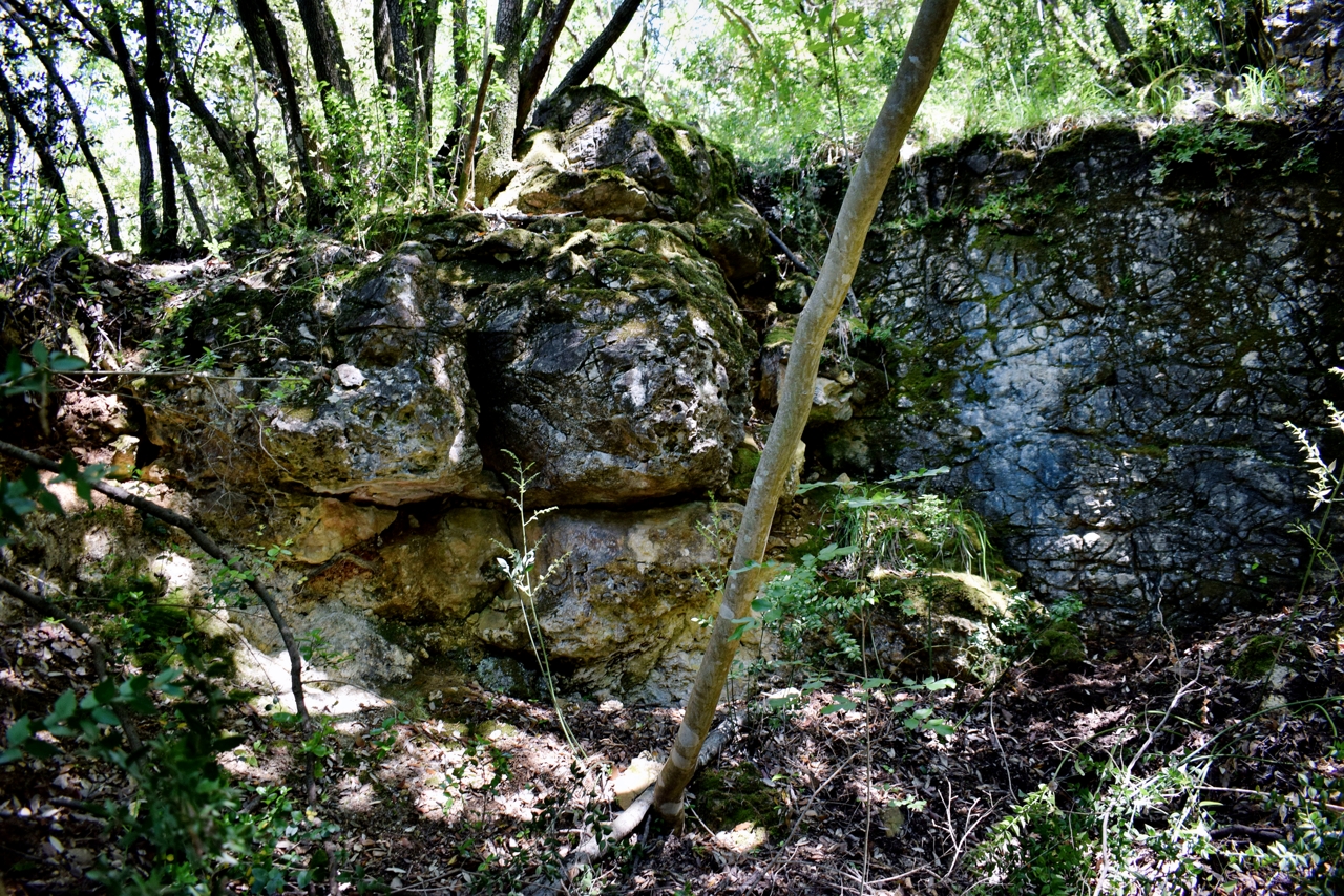
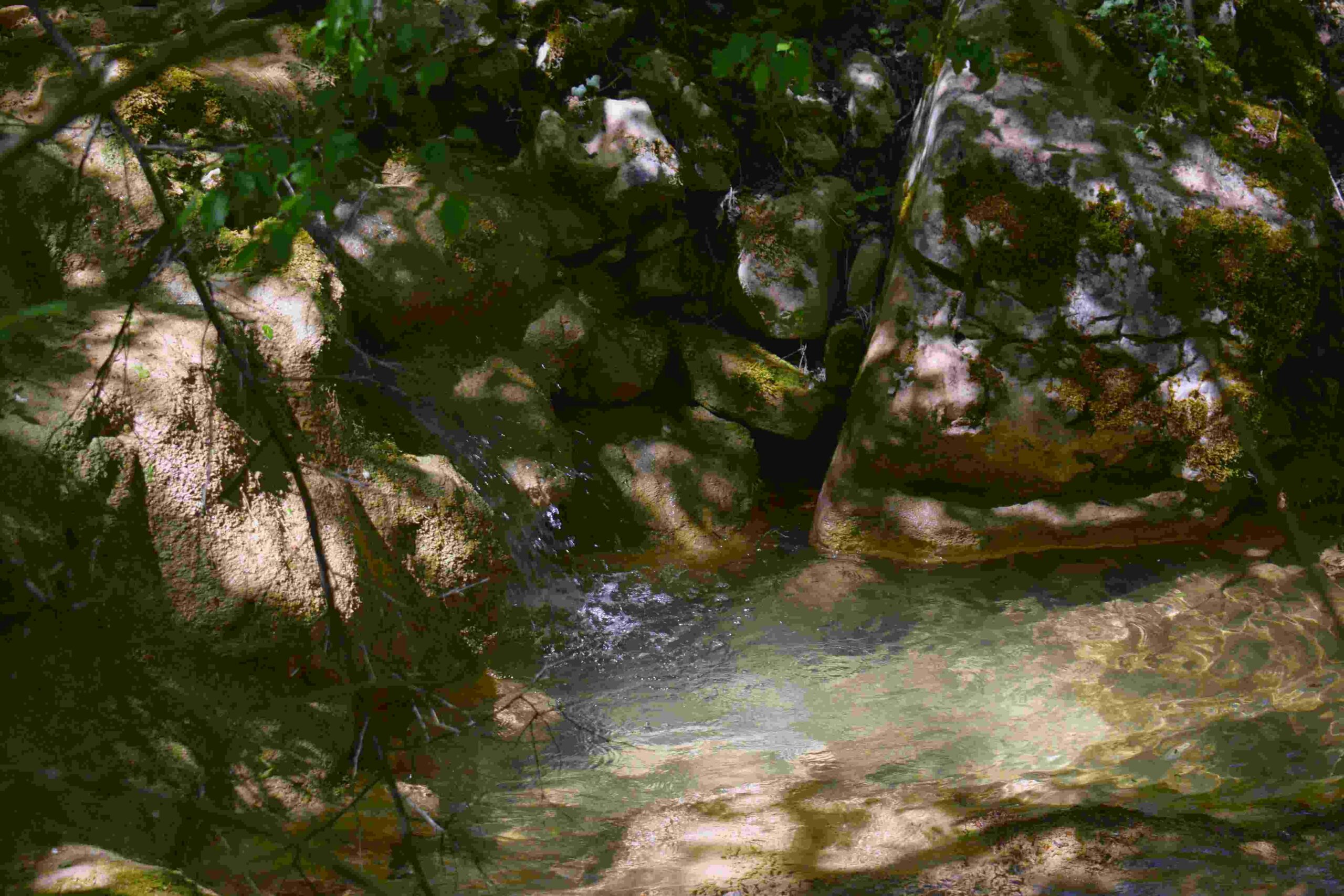
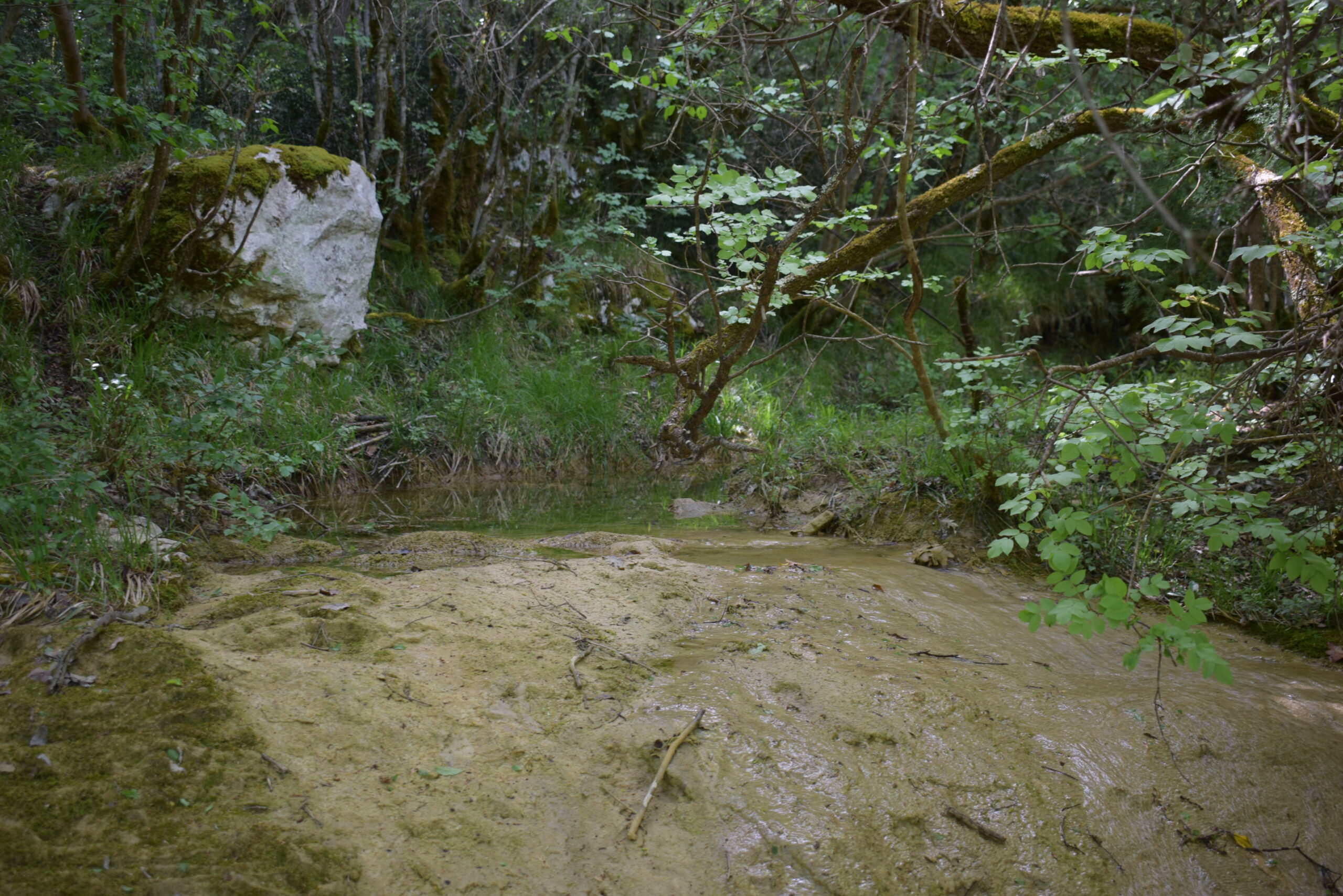
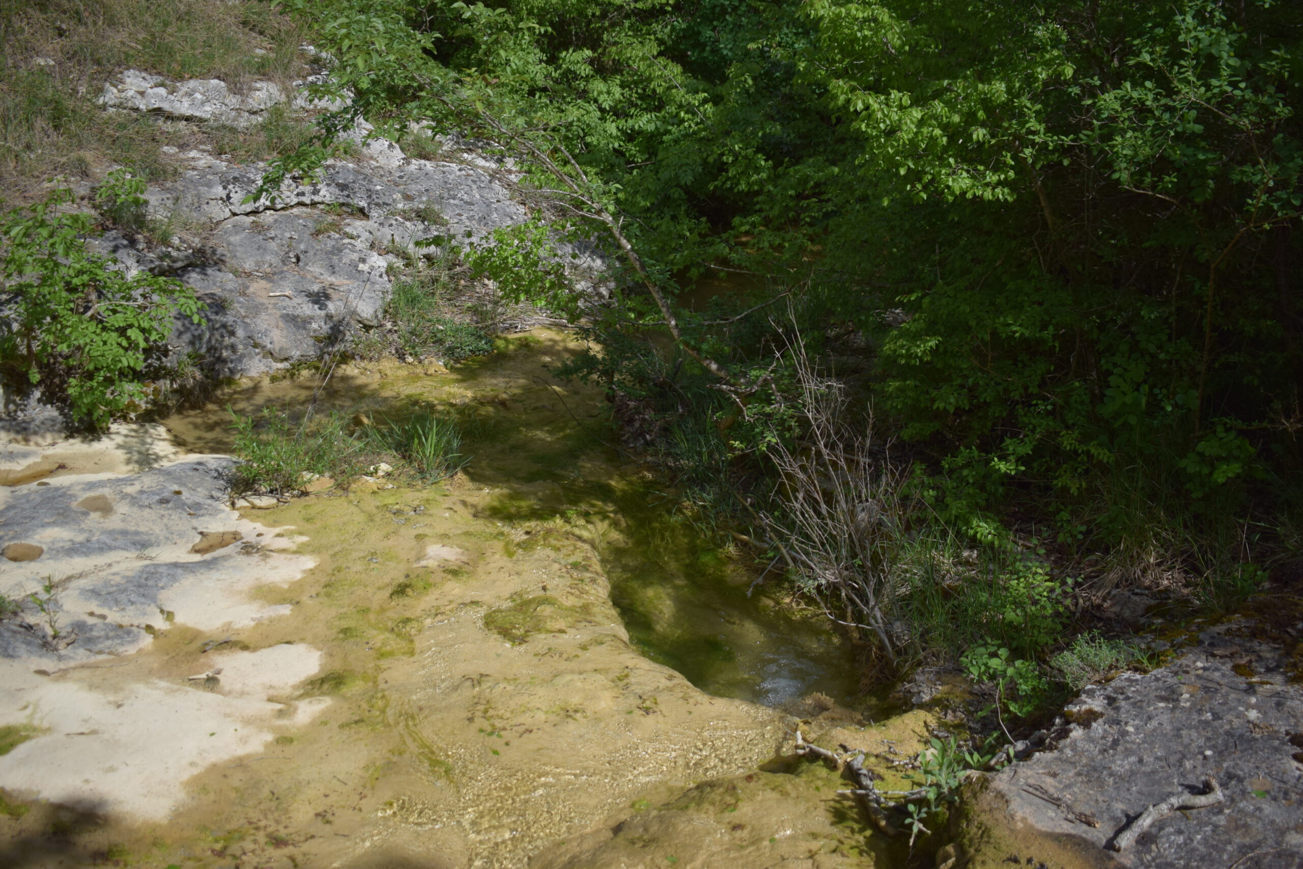
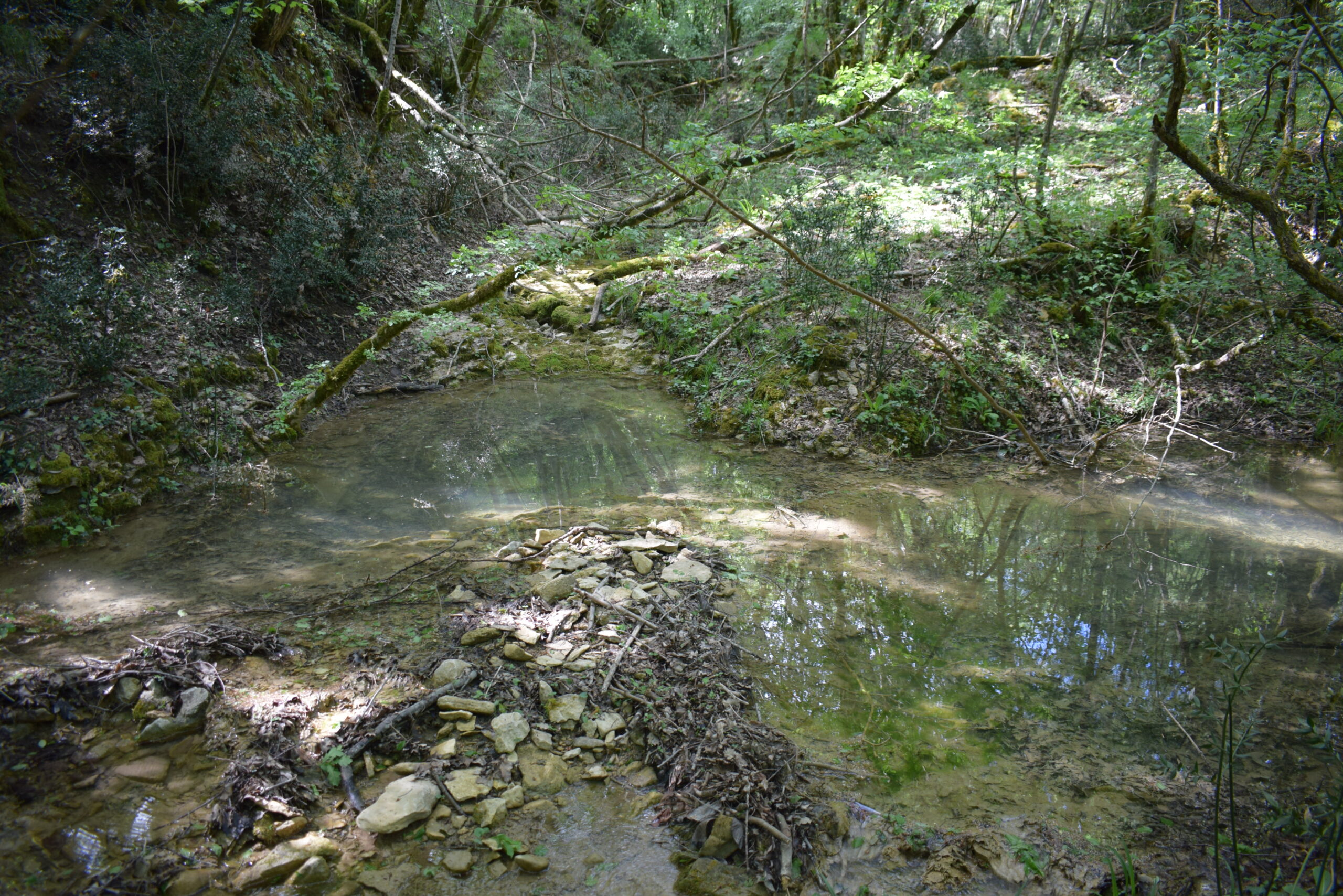
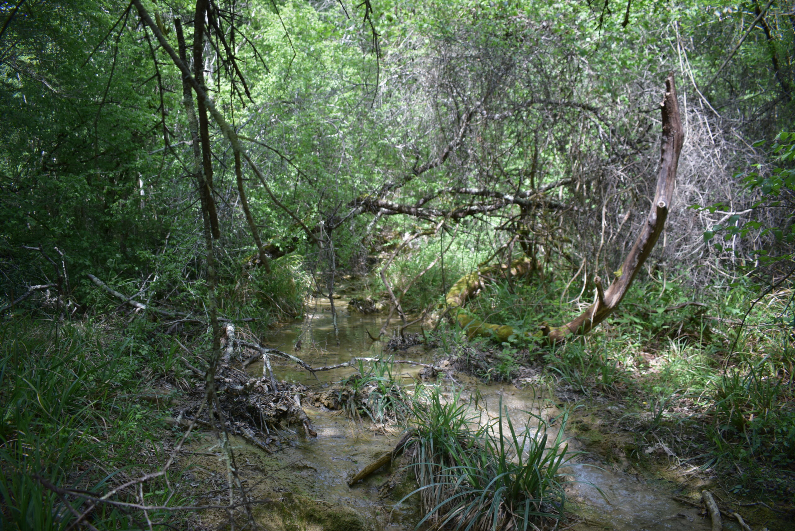
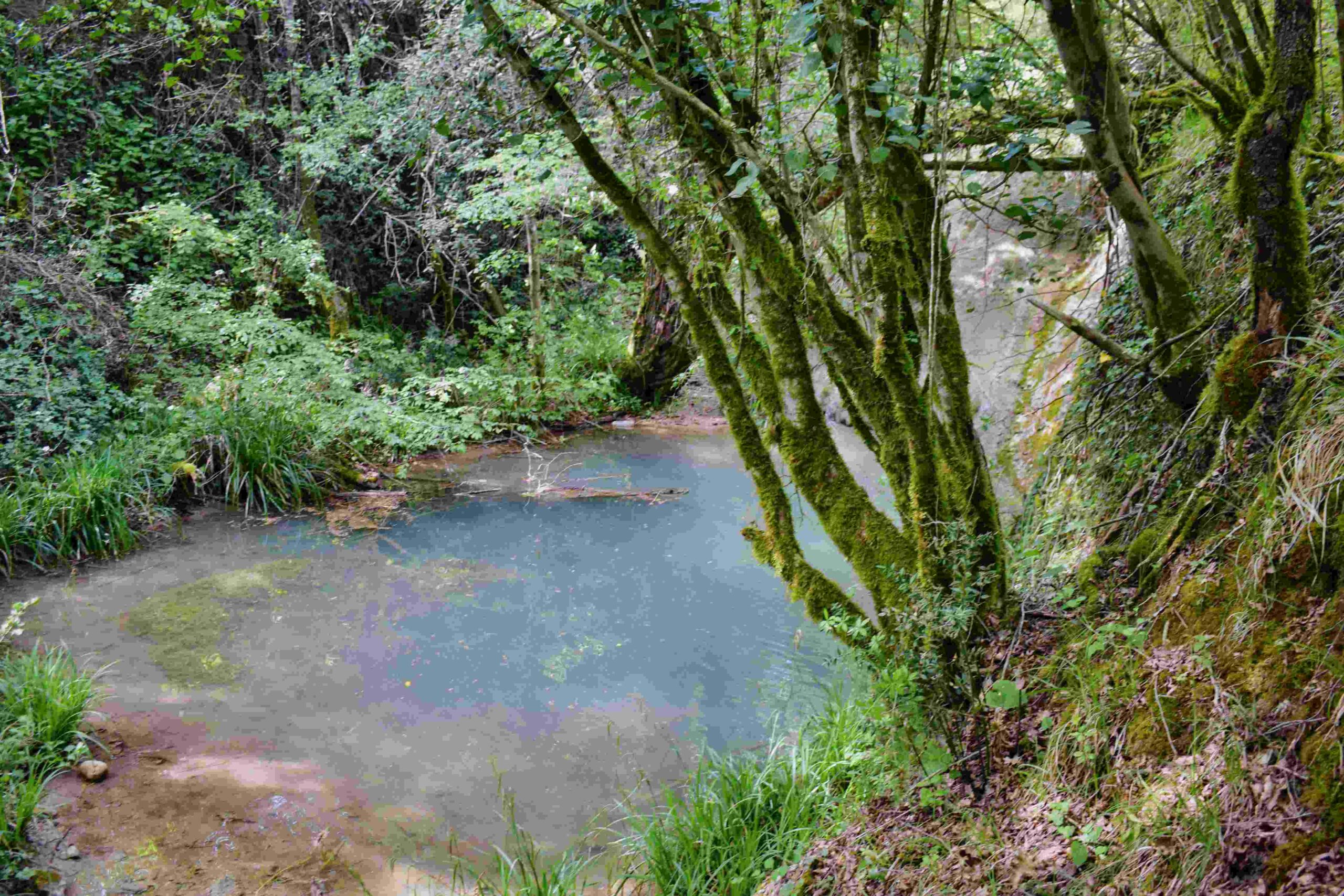
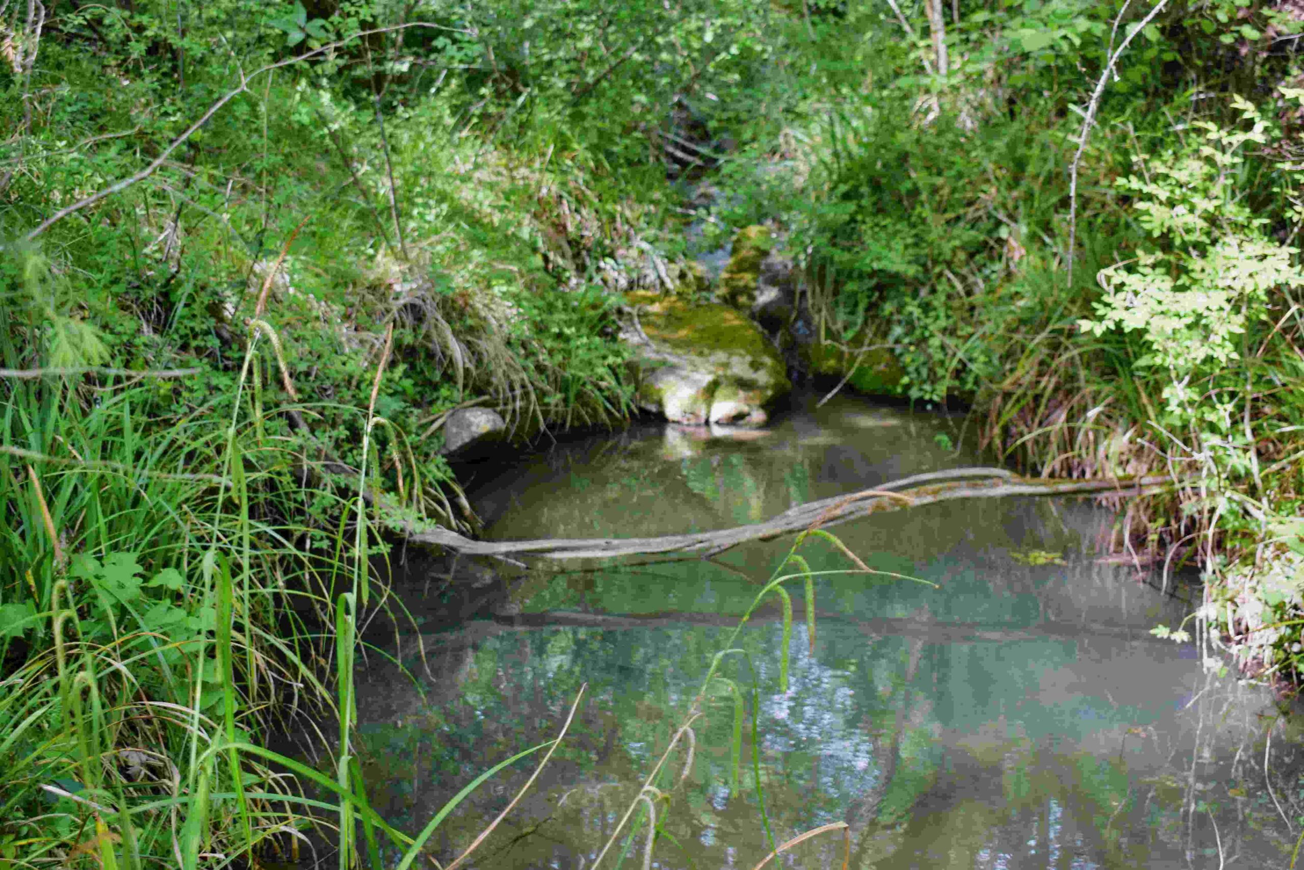
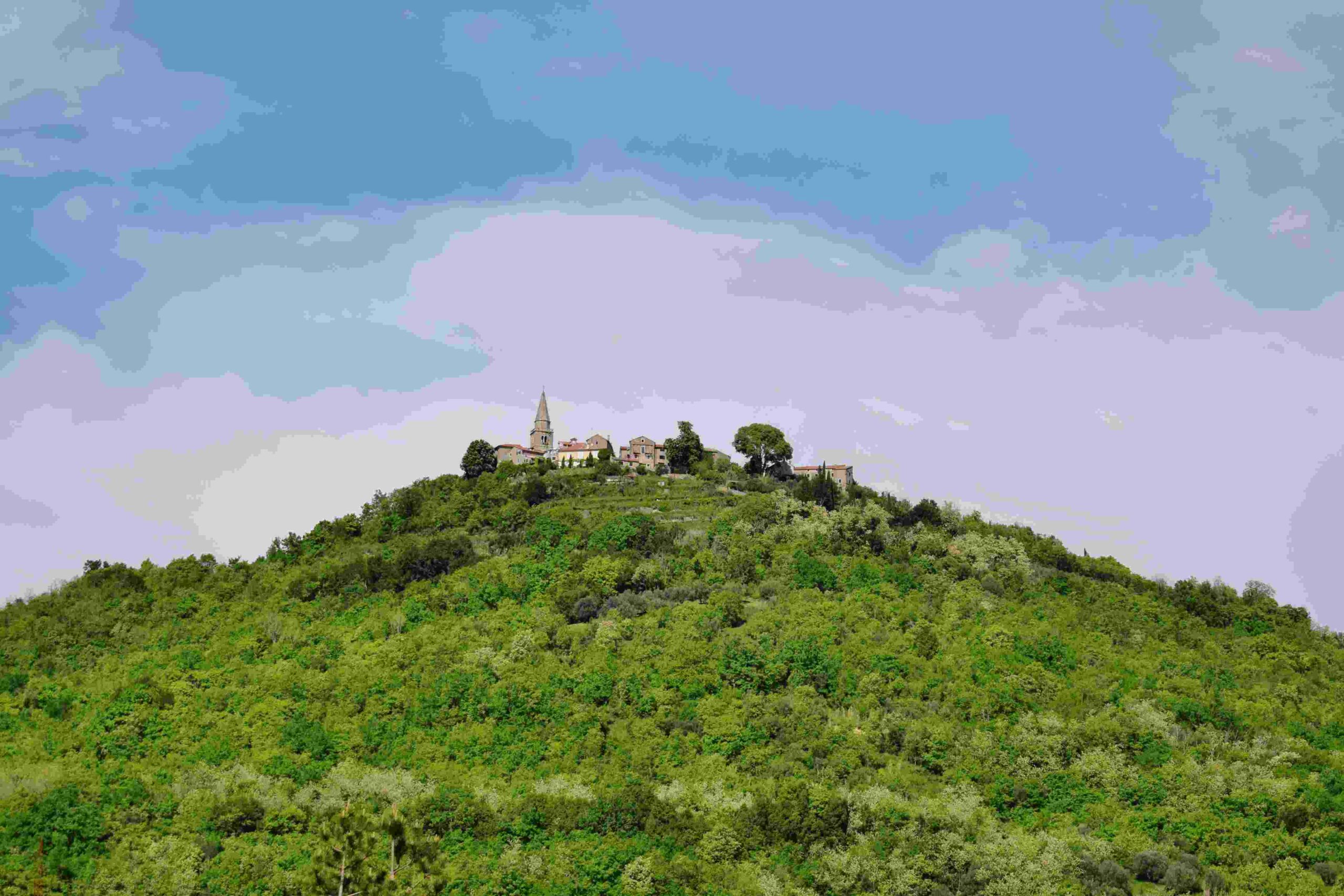
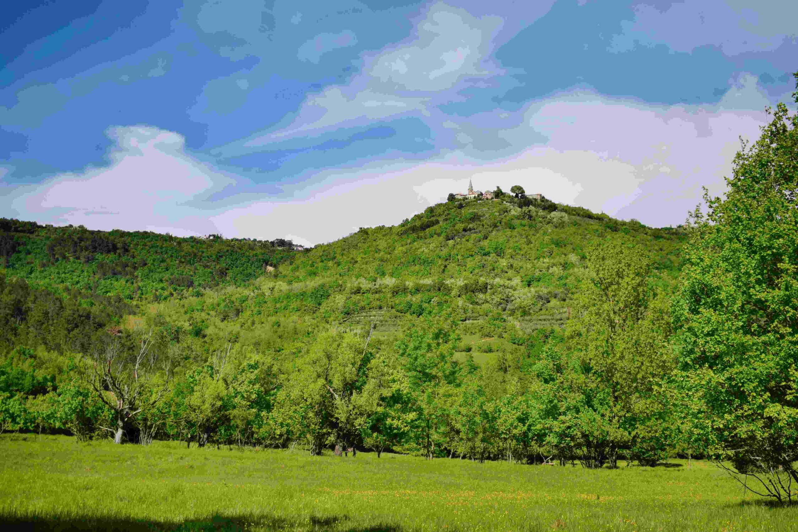
Name: Trail from Ponte Porton along the stream Codegragne and the source, and back via the hamlets Ragaćin and Kovačić.
Place: Ponte Porton – (Grožnjan).
Coordinates: Ponte Porton 45.36115 N – 13.73438 E, source Codegragne 45.37458 N – 13.71672 E.
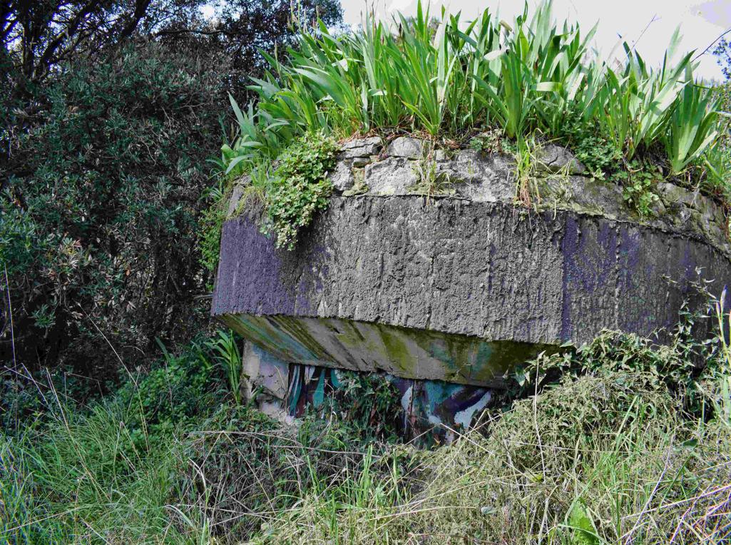
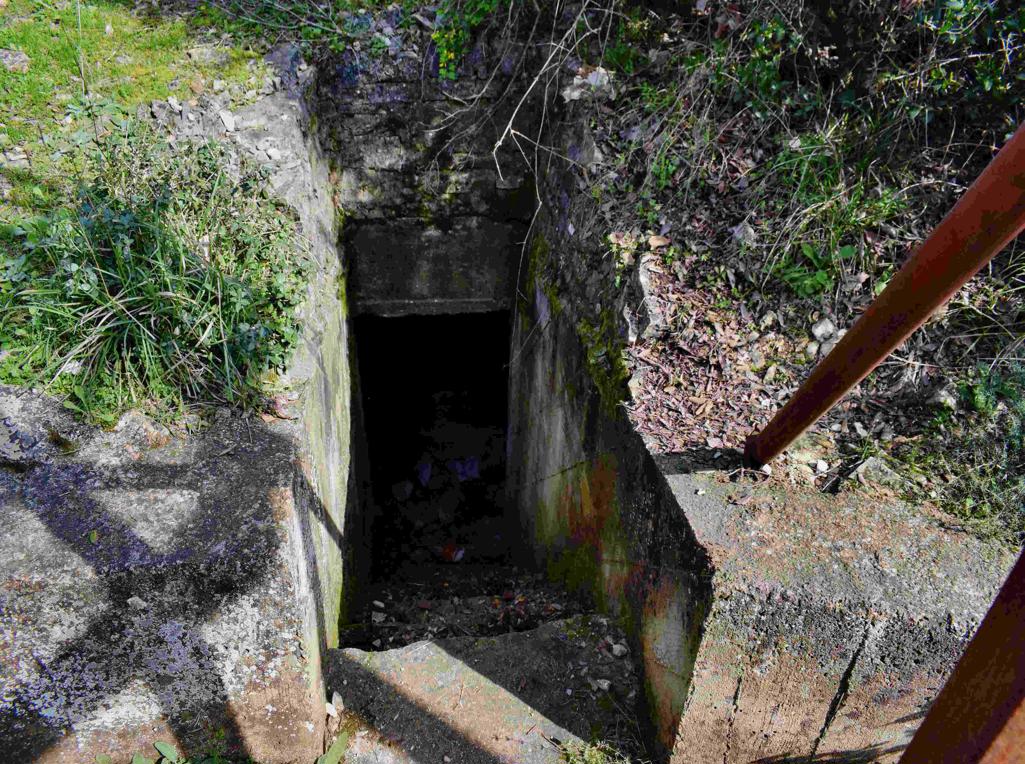
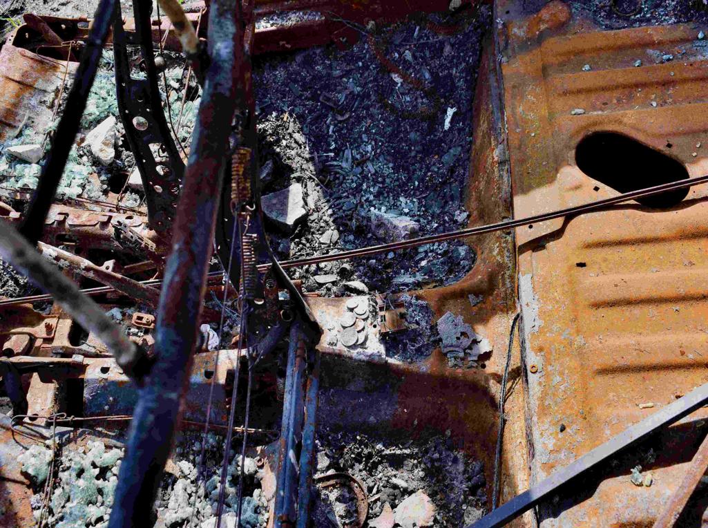
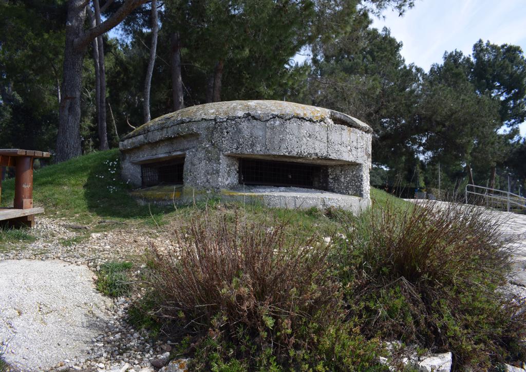
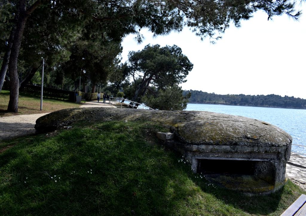
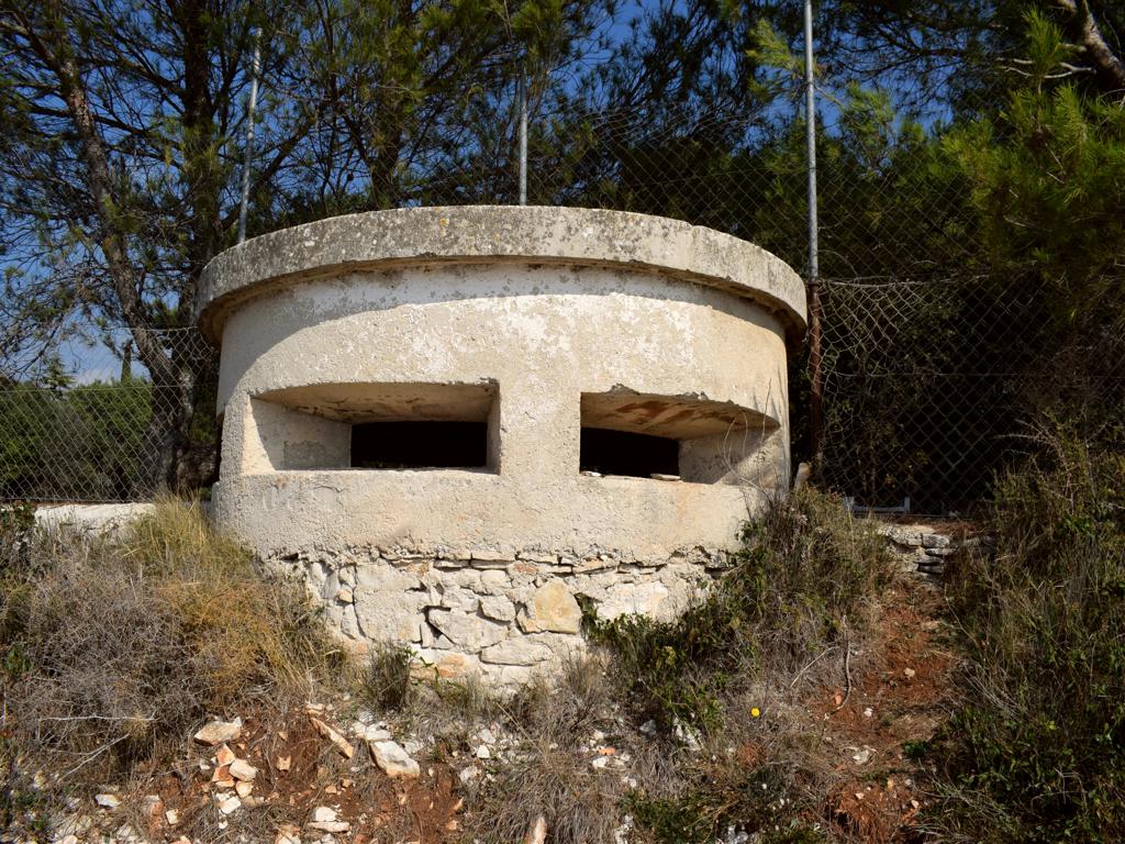
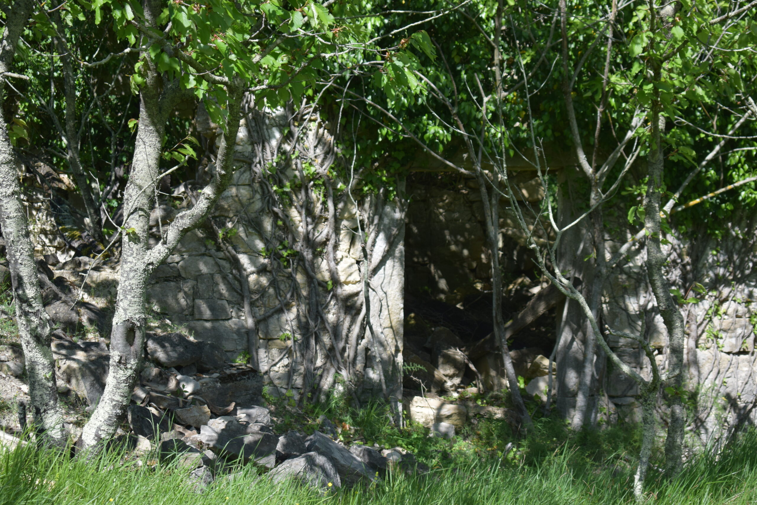
On the Madonna hill near the Kvarnar where built, in the Austria-.Hungarian period 1813-1918, underground batteries, to protect the harbour of Pula.
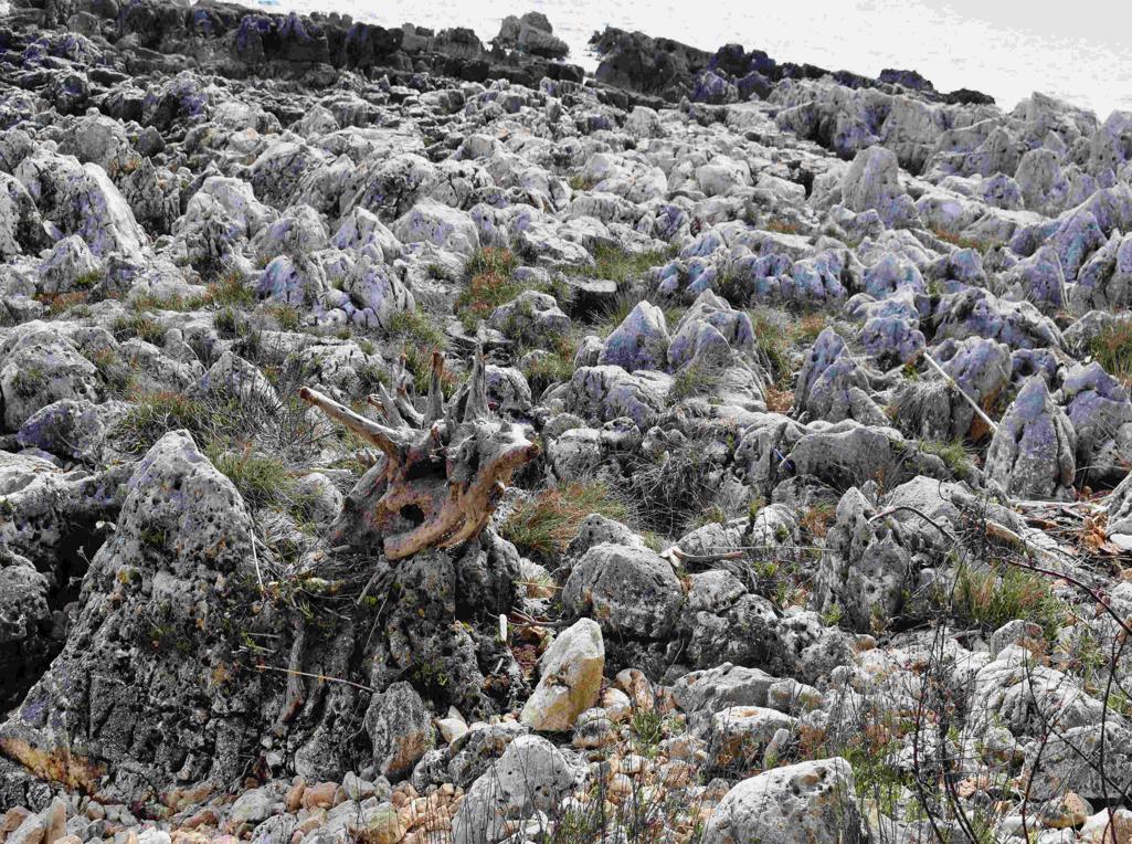
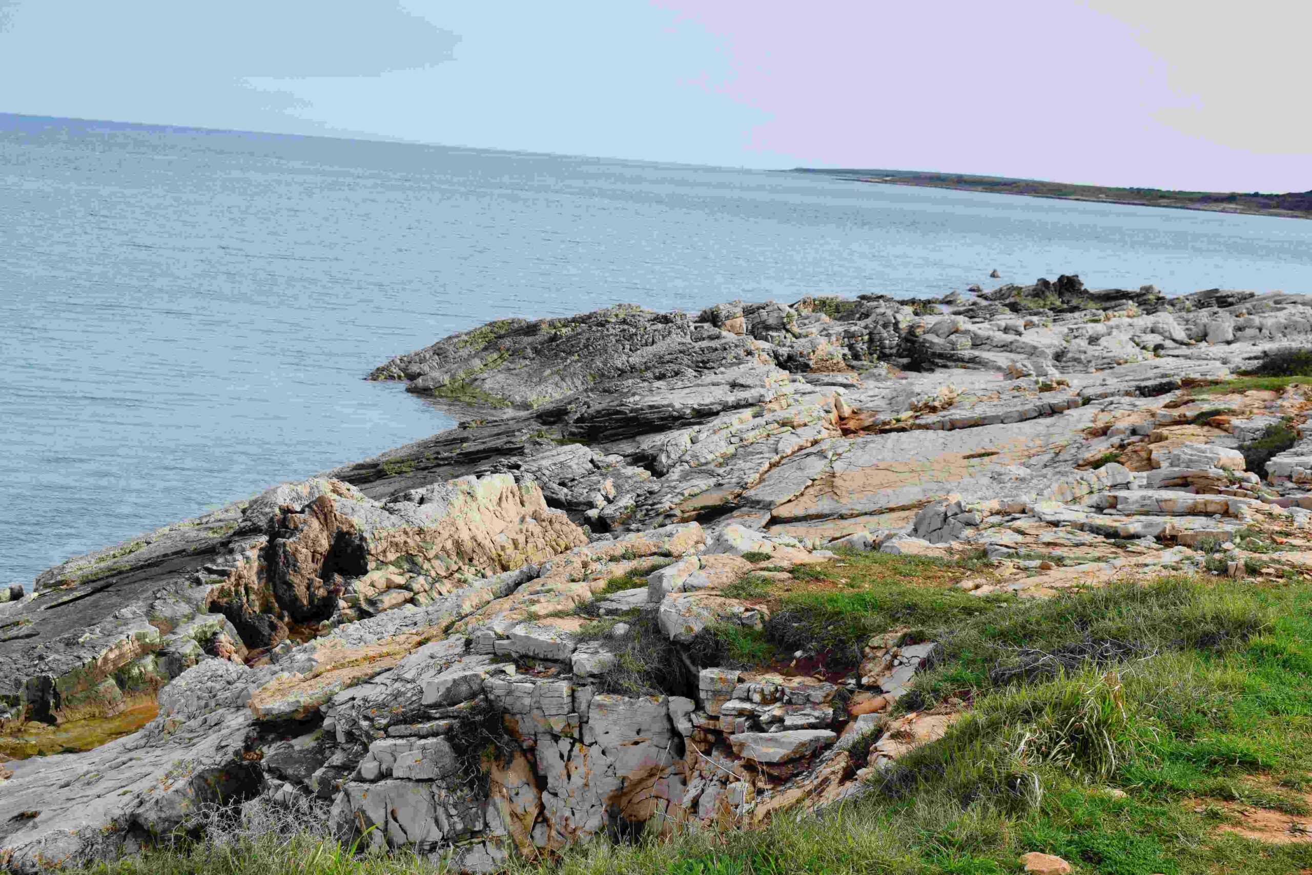
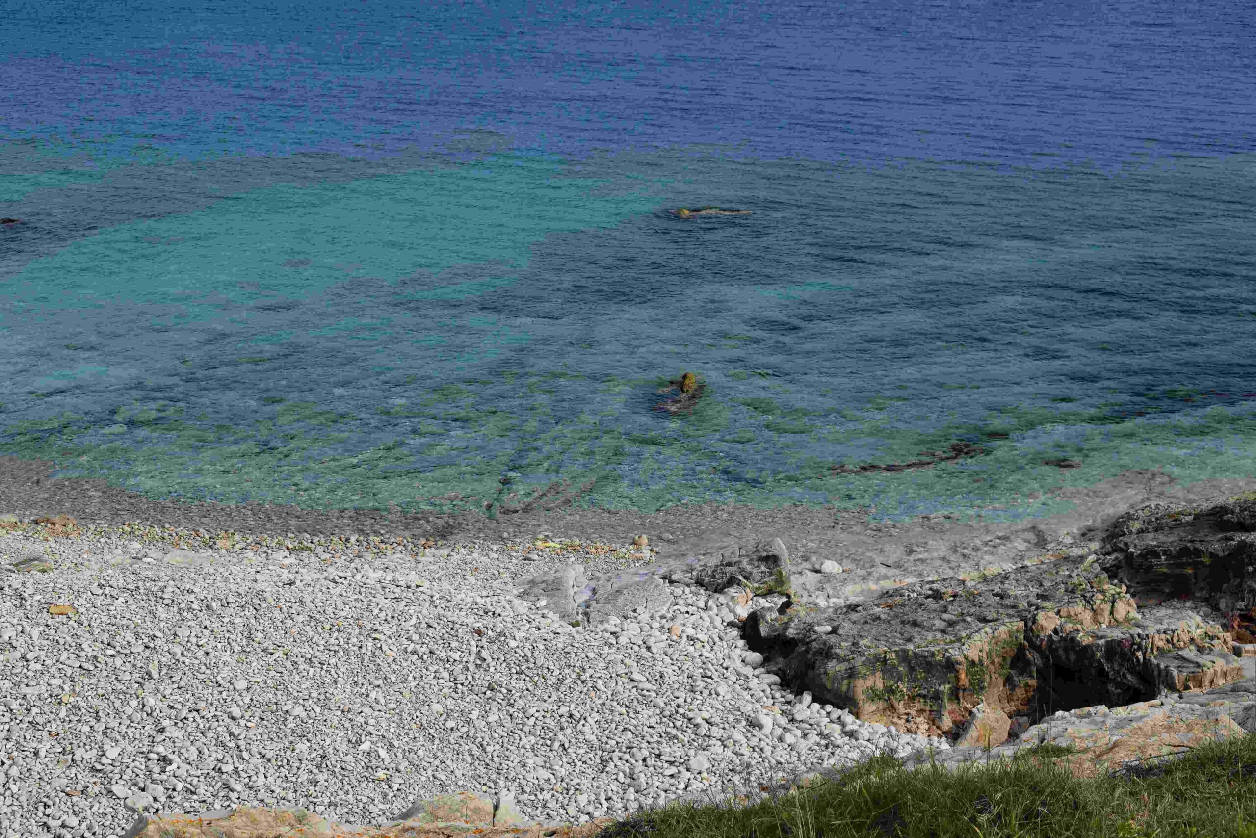
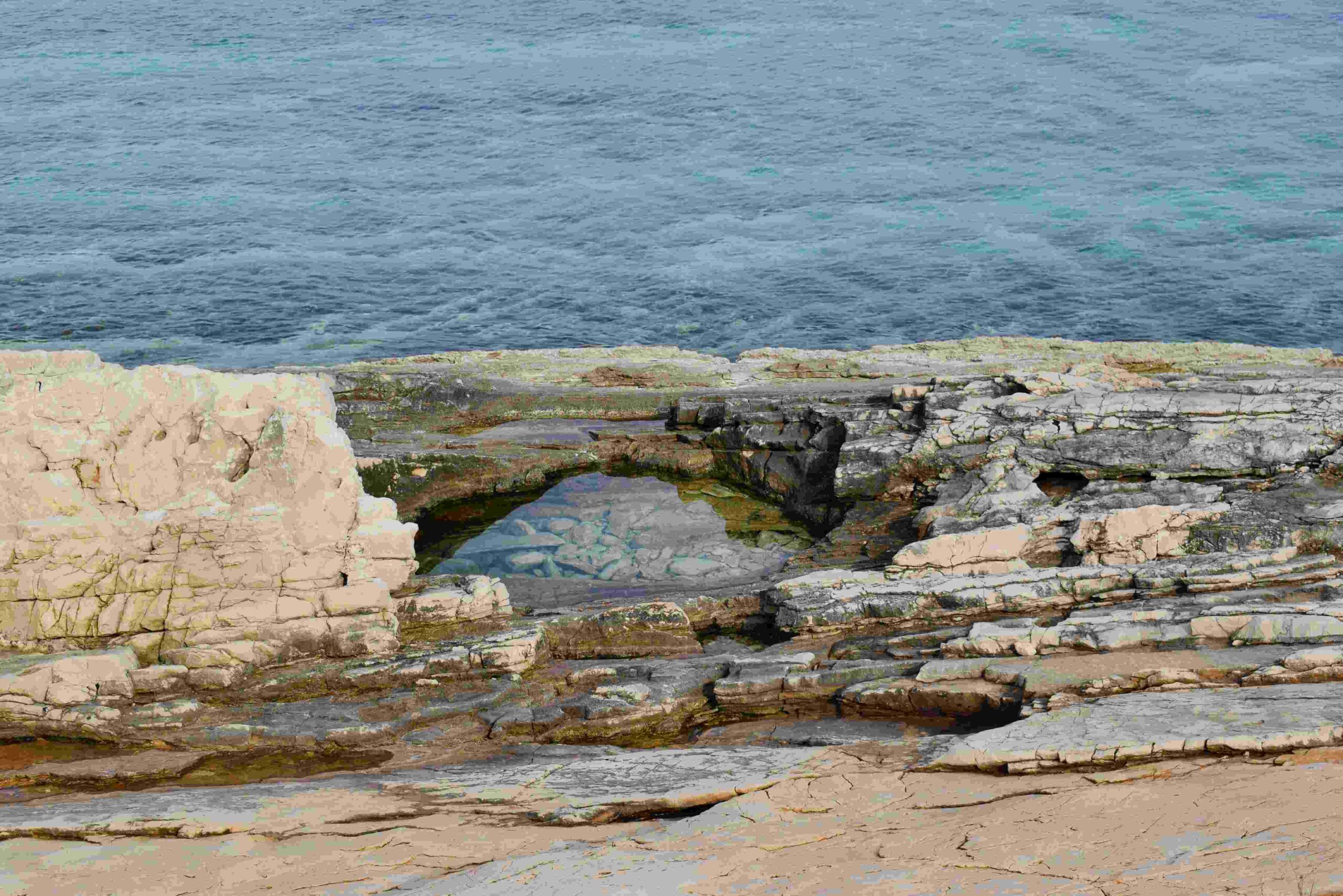
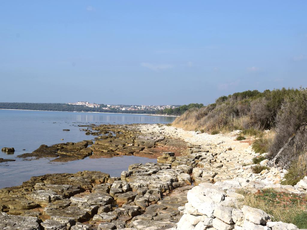
Name: Hiking trail 141 from Sišan to the cape Sv. Stipan, and to the bay Vela Draga.
Place: Sišan – (Ližnjan).
Coordinates: Sišan 44.84824 N – 13.96539 E , Cape Sv. Stipan 44.86313 N – 13.99916 E, Bay Vela Draga 44.84312 N – 13.97867 E.

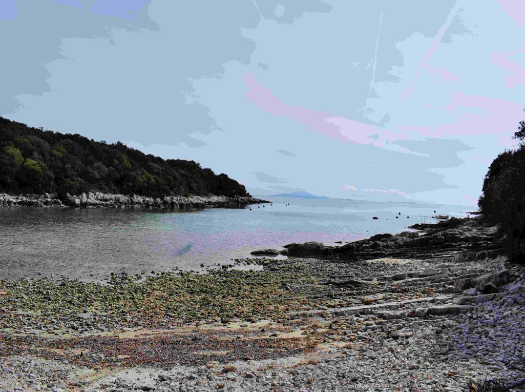
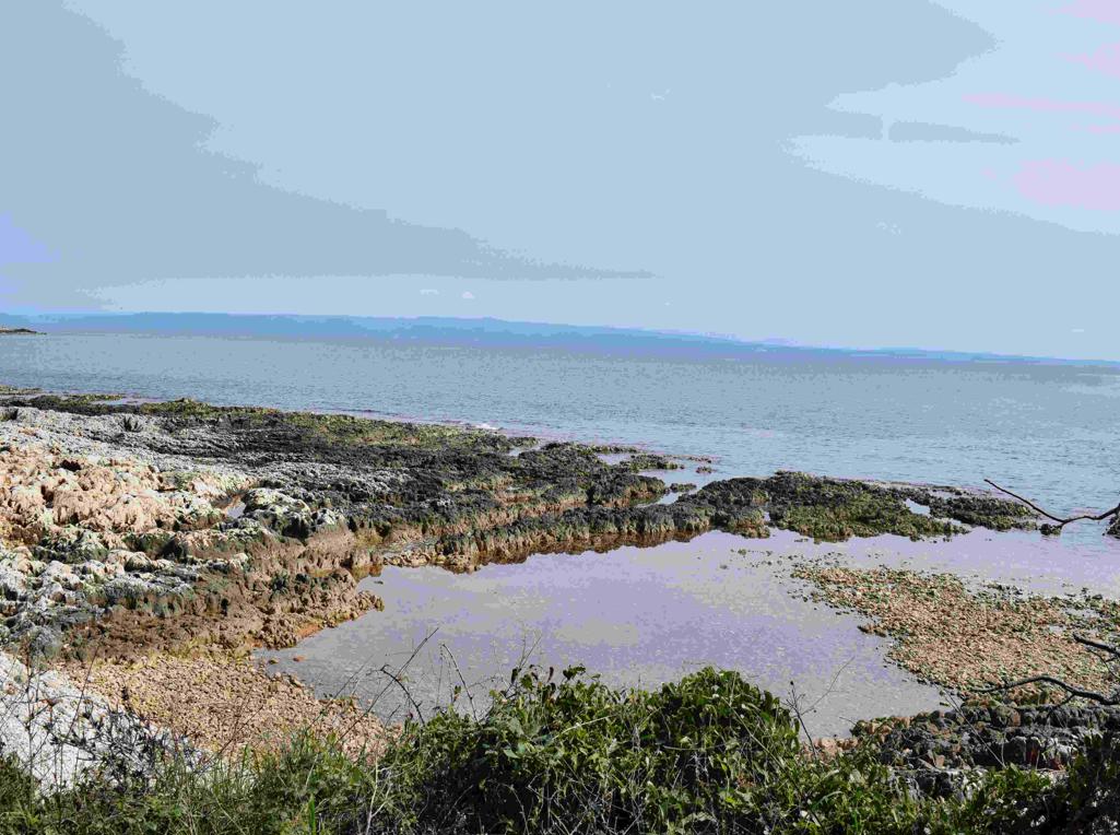
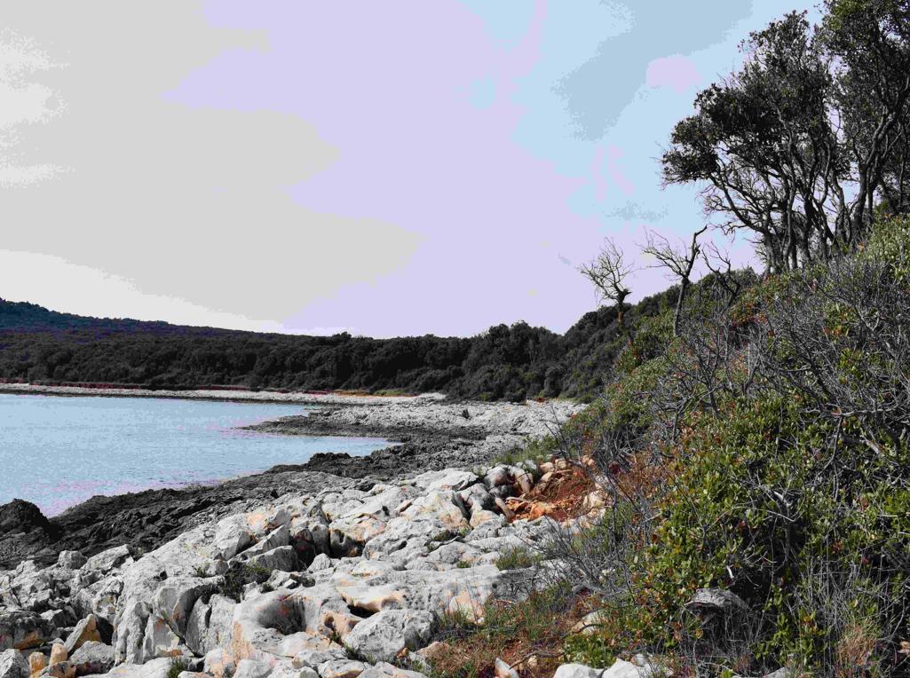
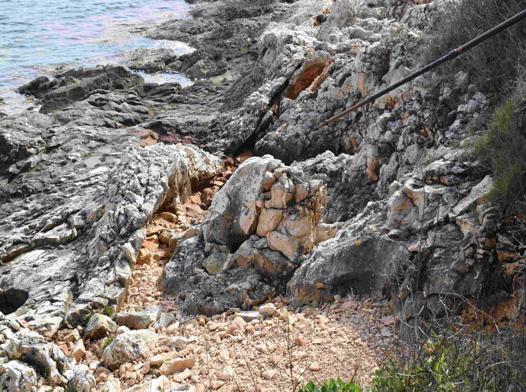
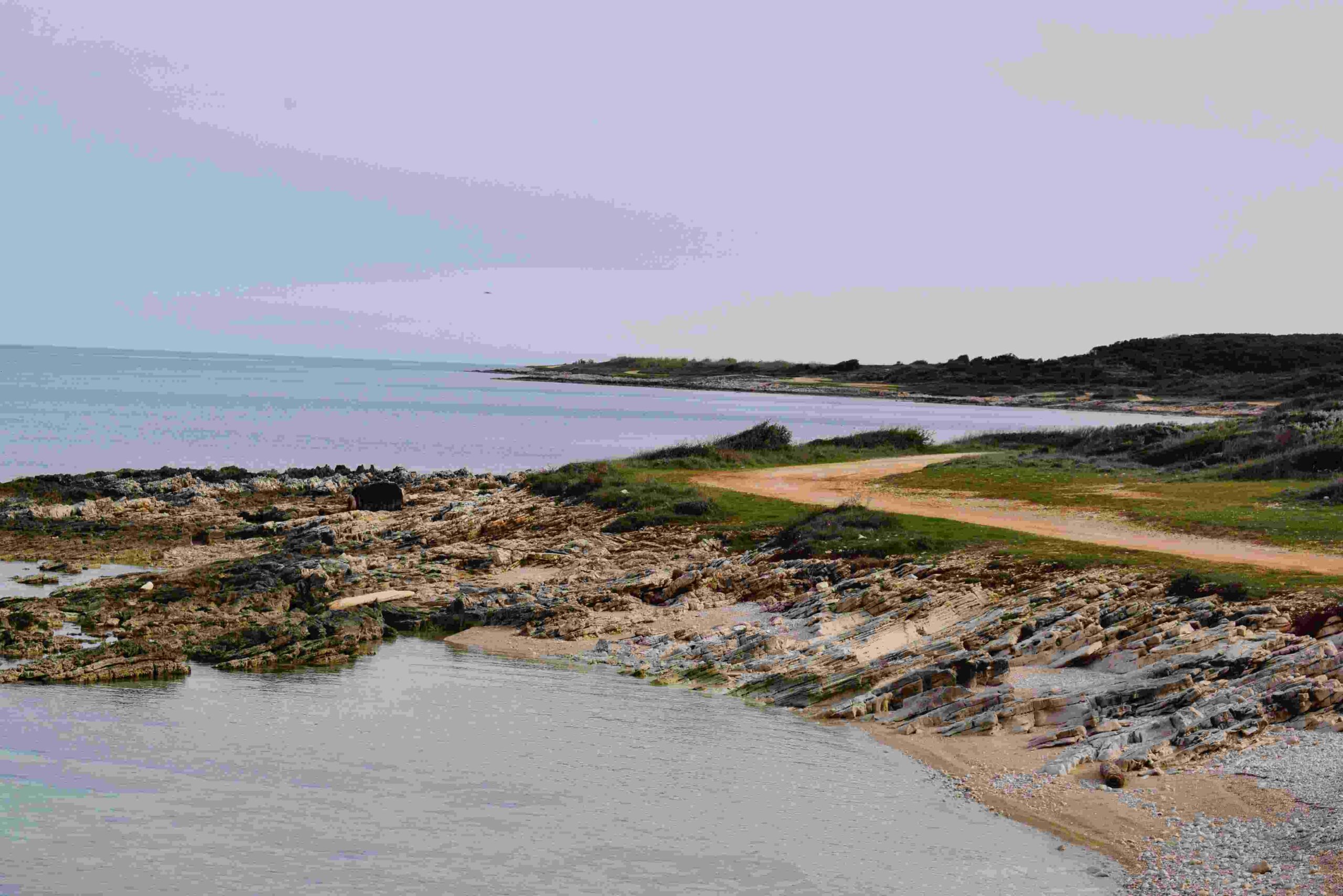
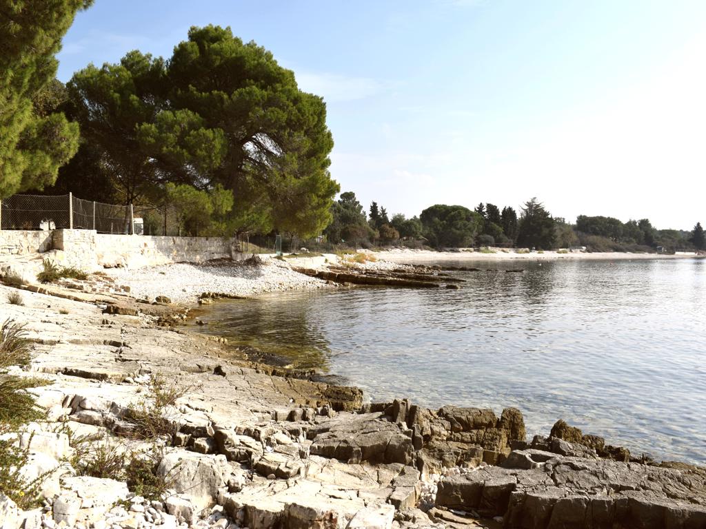
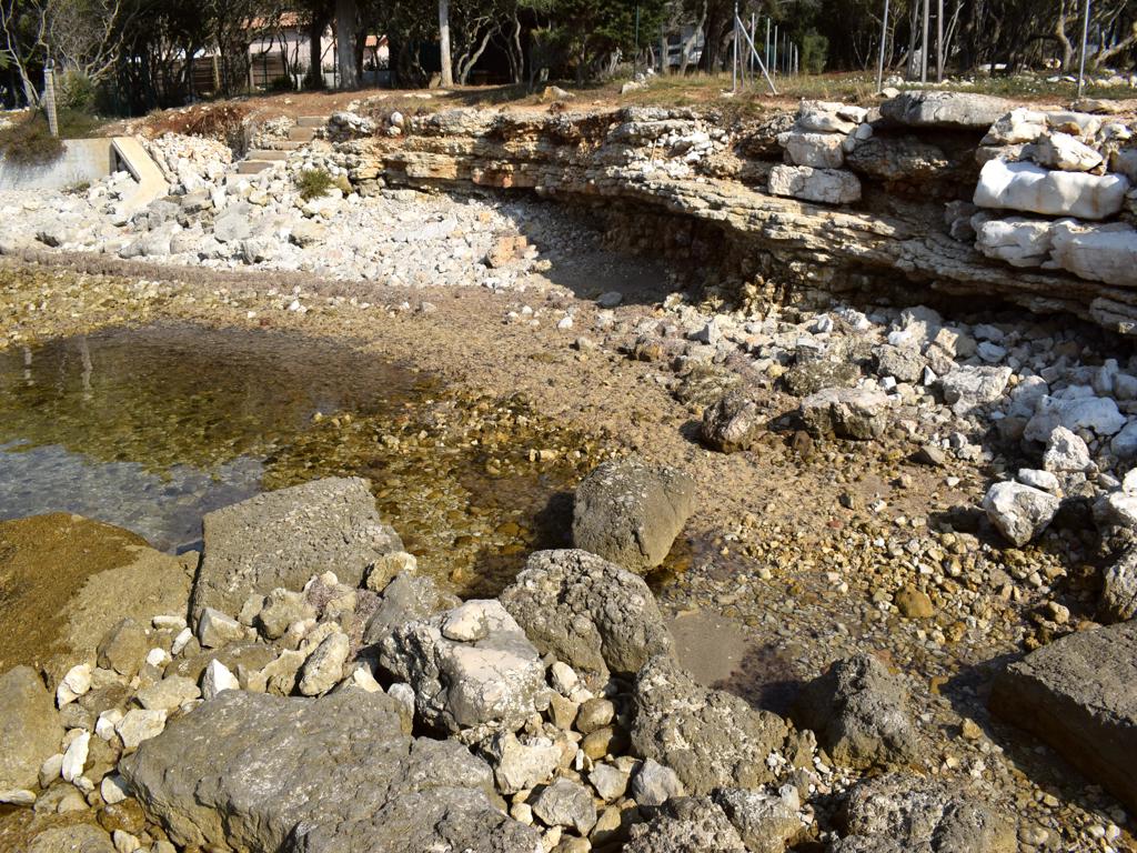
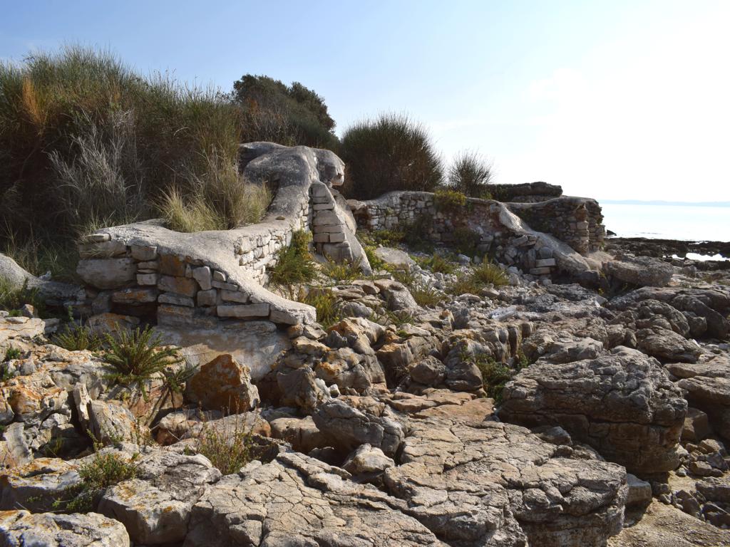
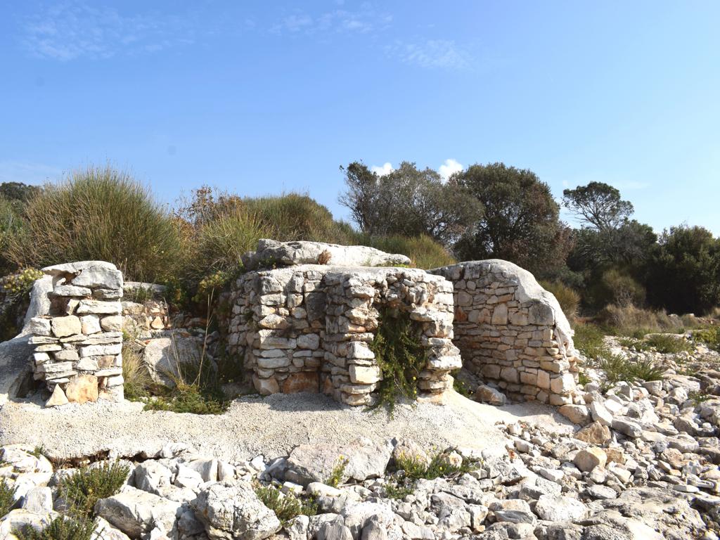
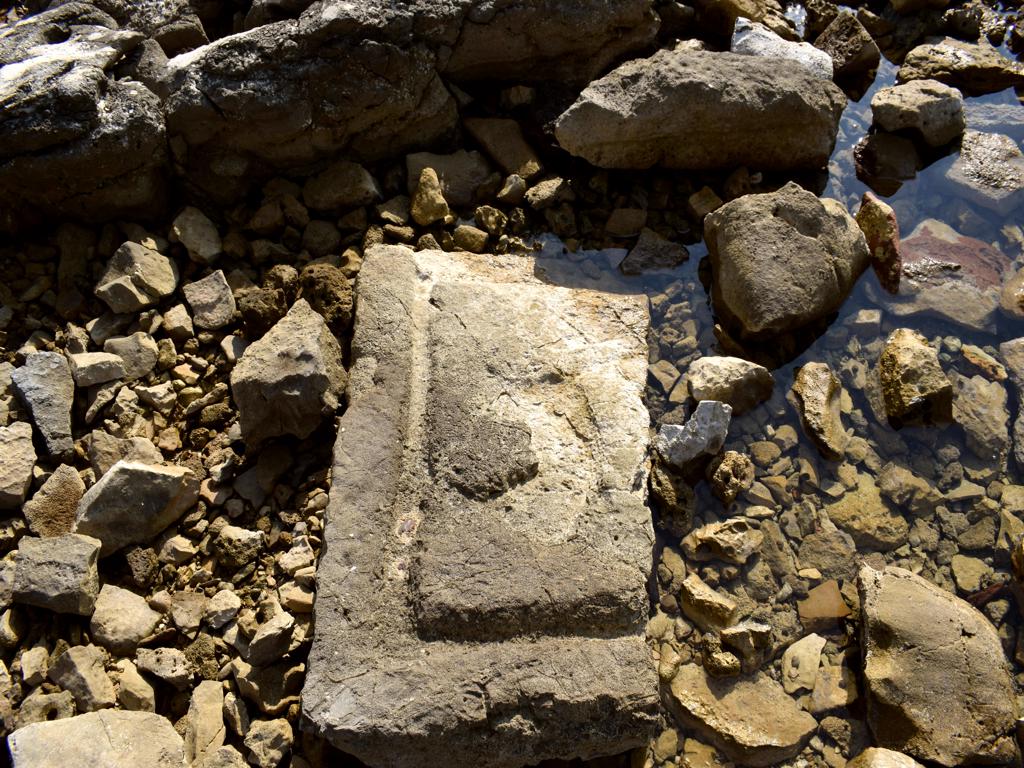
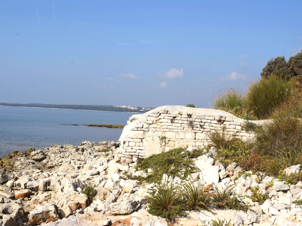
Name: Walk along the bay Mulandrija, the bay Laguna, to the cape Sv. Petar and the ruins Villa Rustiečca.
Place: Poreč.
Coordinates: Cape Sv. Petar 45.20466 N – 13.58604 E, uins Villa Rustica 45.20212 N – 13.58900 E.
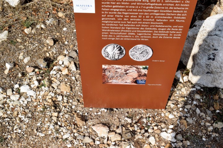
From the first to the 5th century, a large luxurious maritime Roman villa was located on this bay. During the construction of a new quay wall on the north side, three decorated hermes and plinths were found during dredging and archaeological research at the end of 2022.
A herma is sculpture with a head and a torso above a plain usually squared lower section and belonged to the garden architecture of wealthy families.
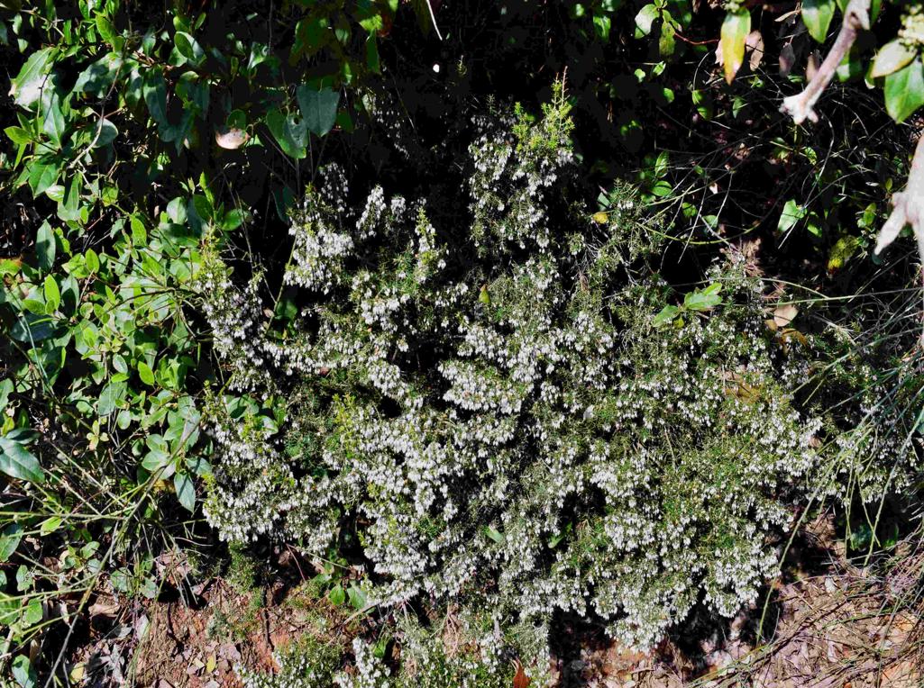
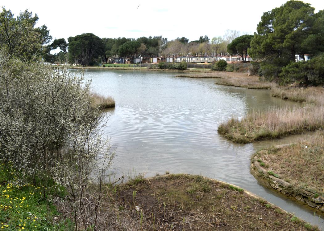
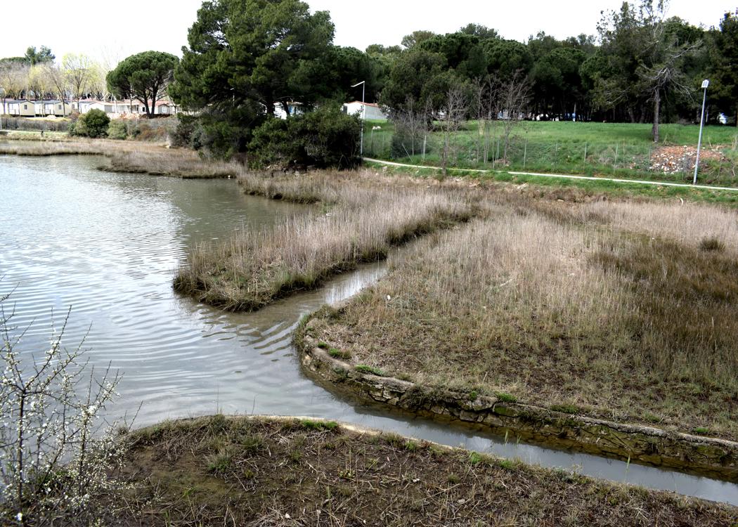
This area also has great natural values because freshwater mixes with seawater, resulting in a large number of plant and animal species.
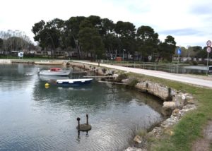
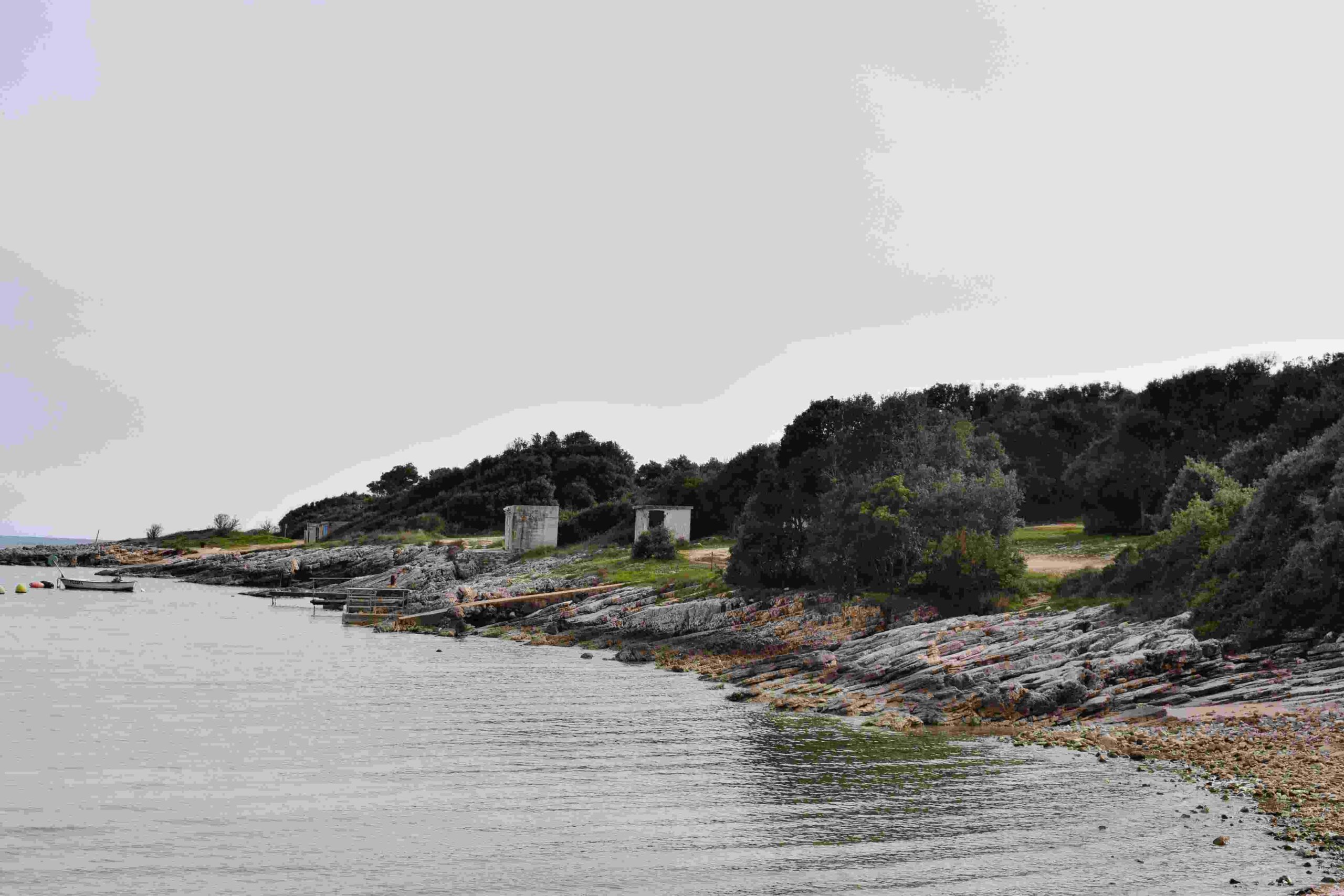
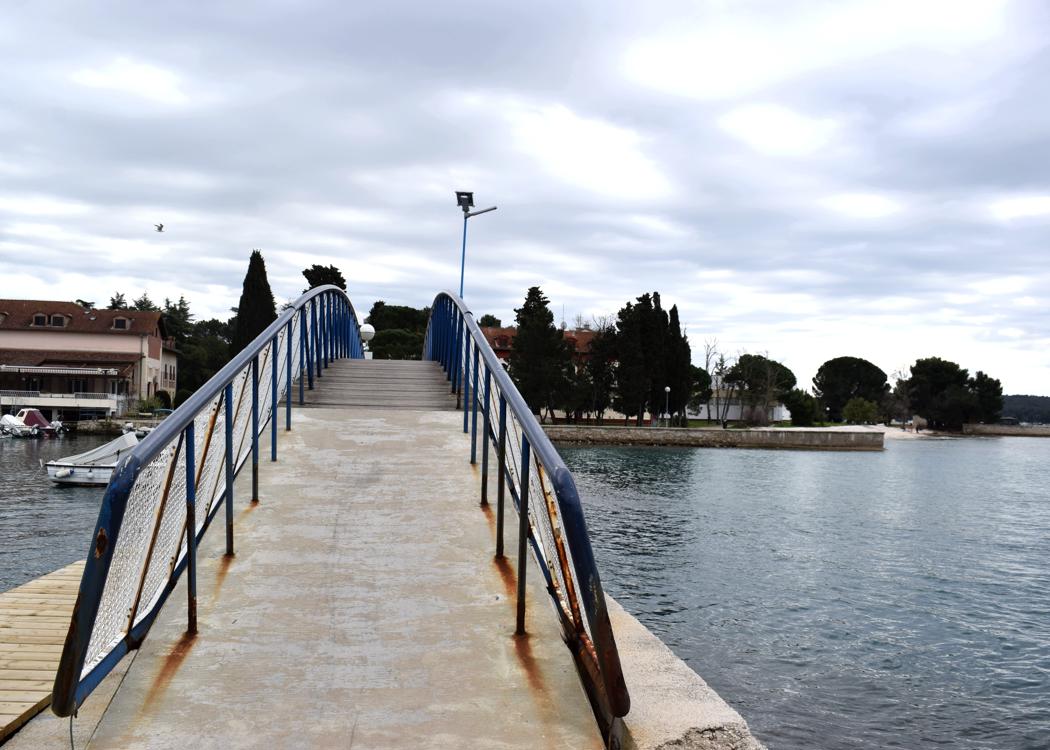
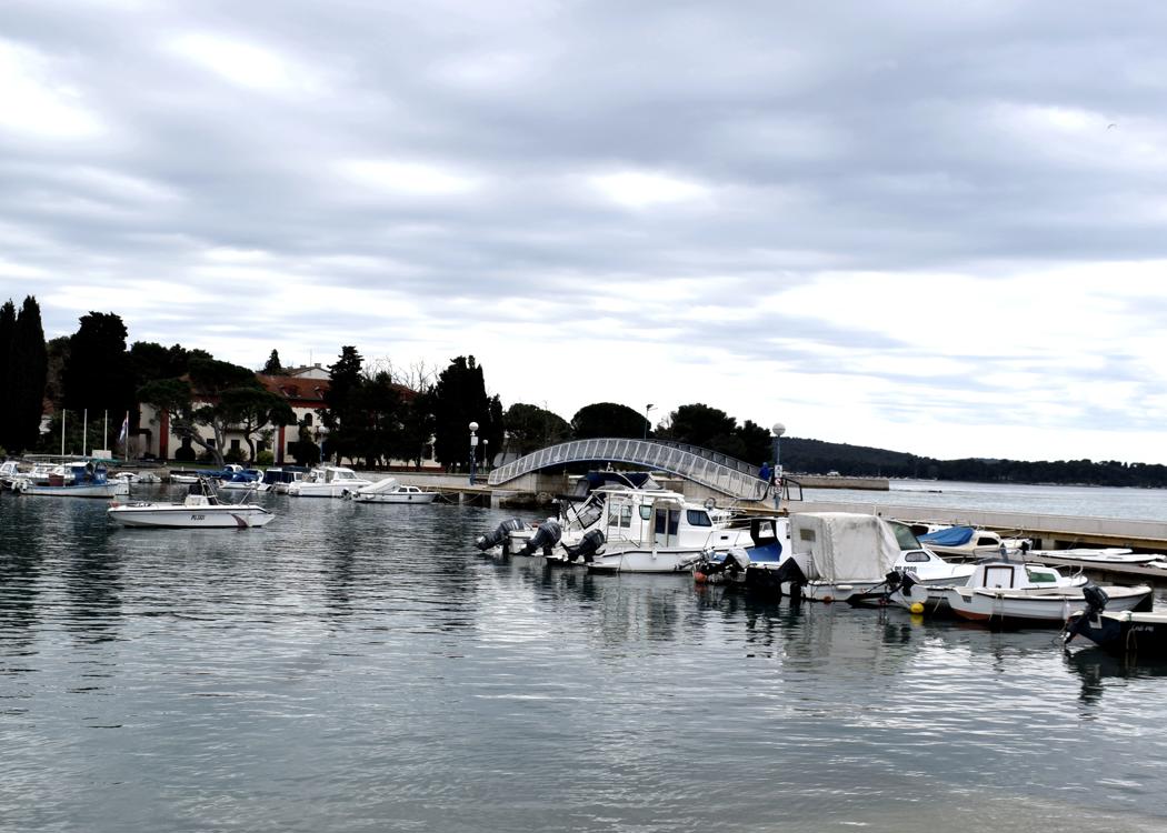
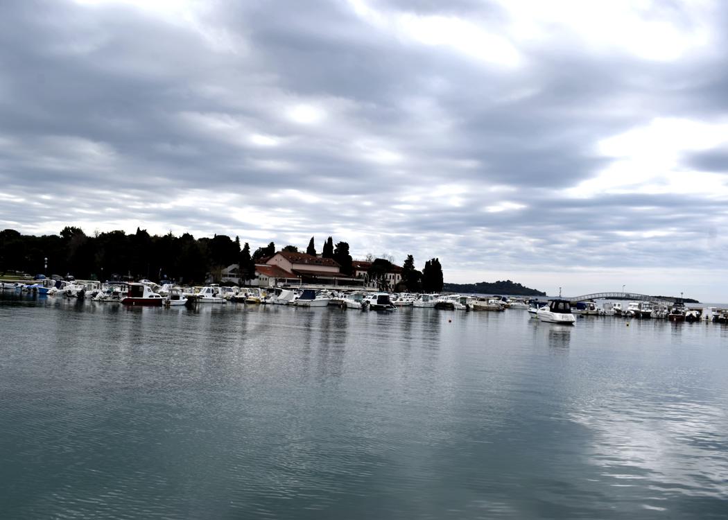
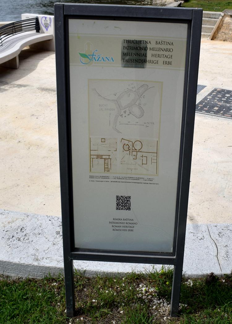
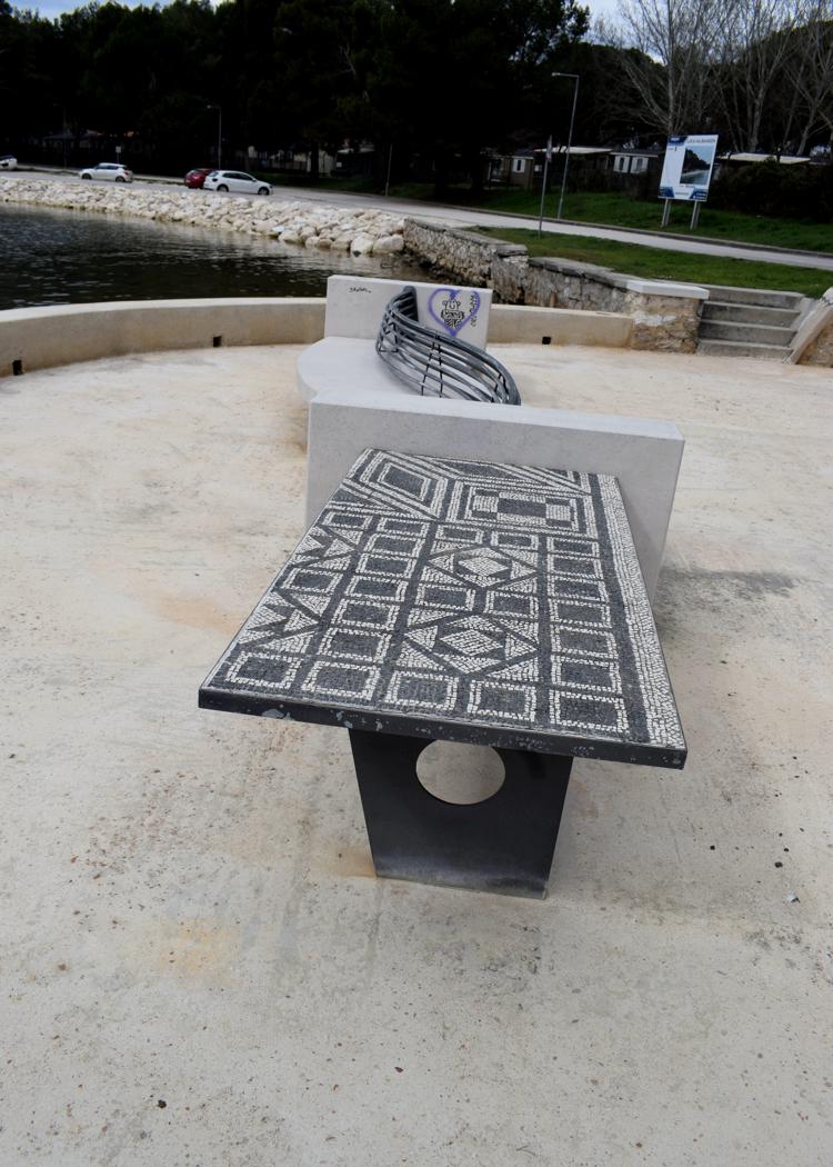
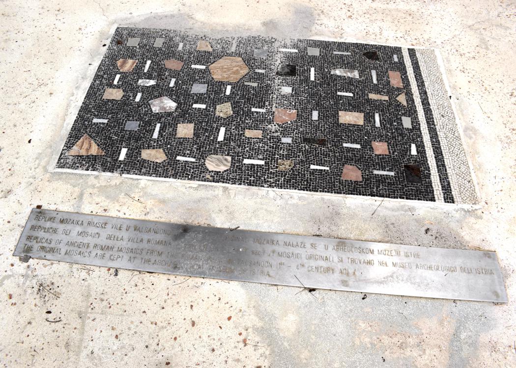
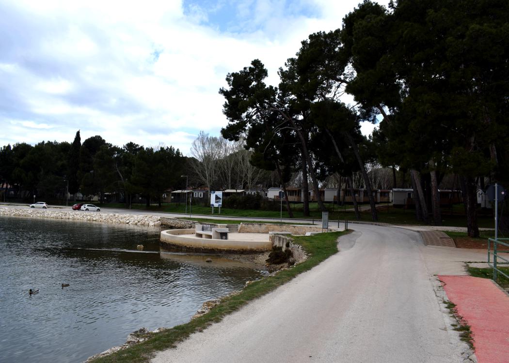
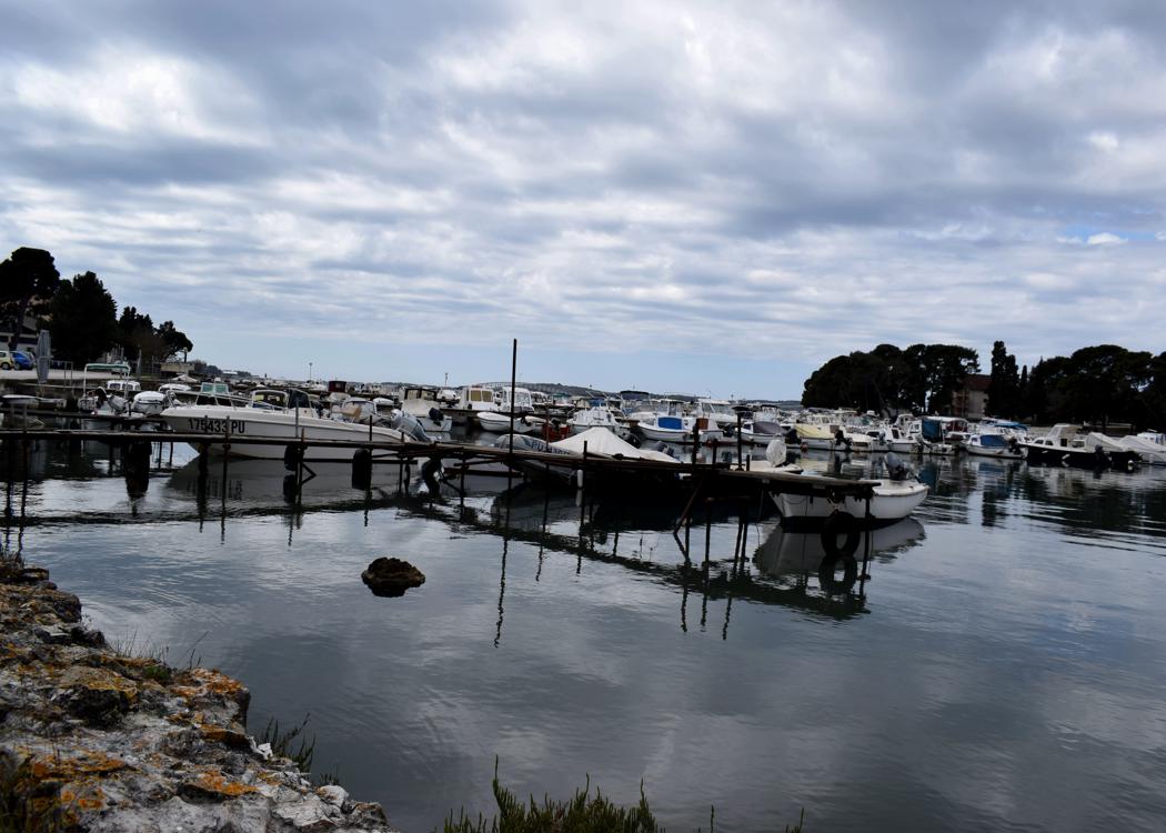
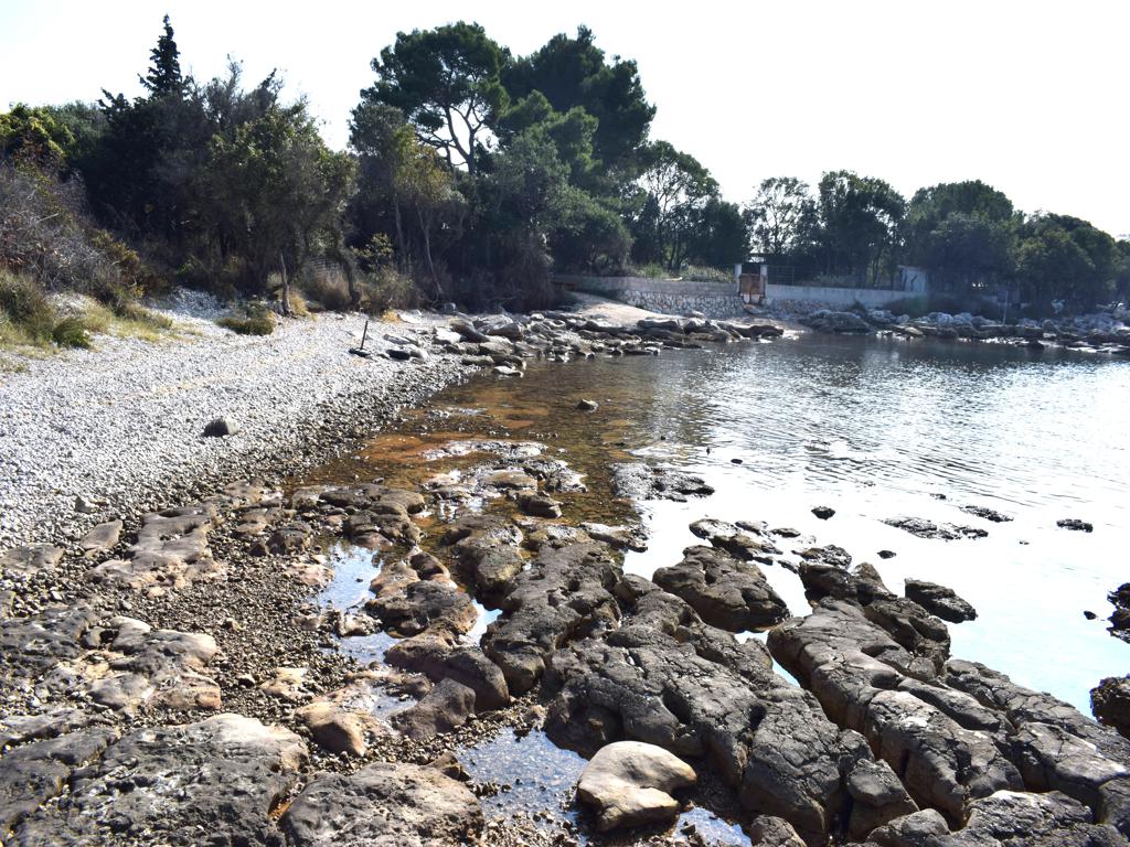
Name: Albandon harbor with Ribnjak bay.
Place: Valbandon – (Fažana).
Coordinates: 44.9131 N – 13.8226 E.
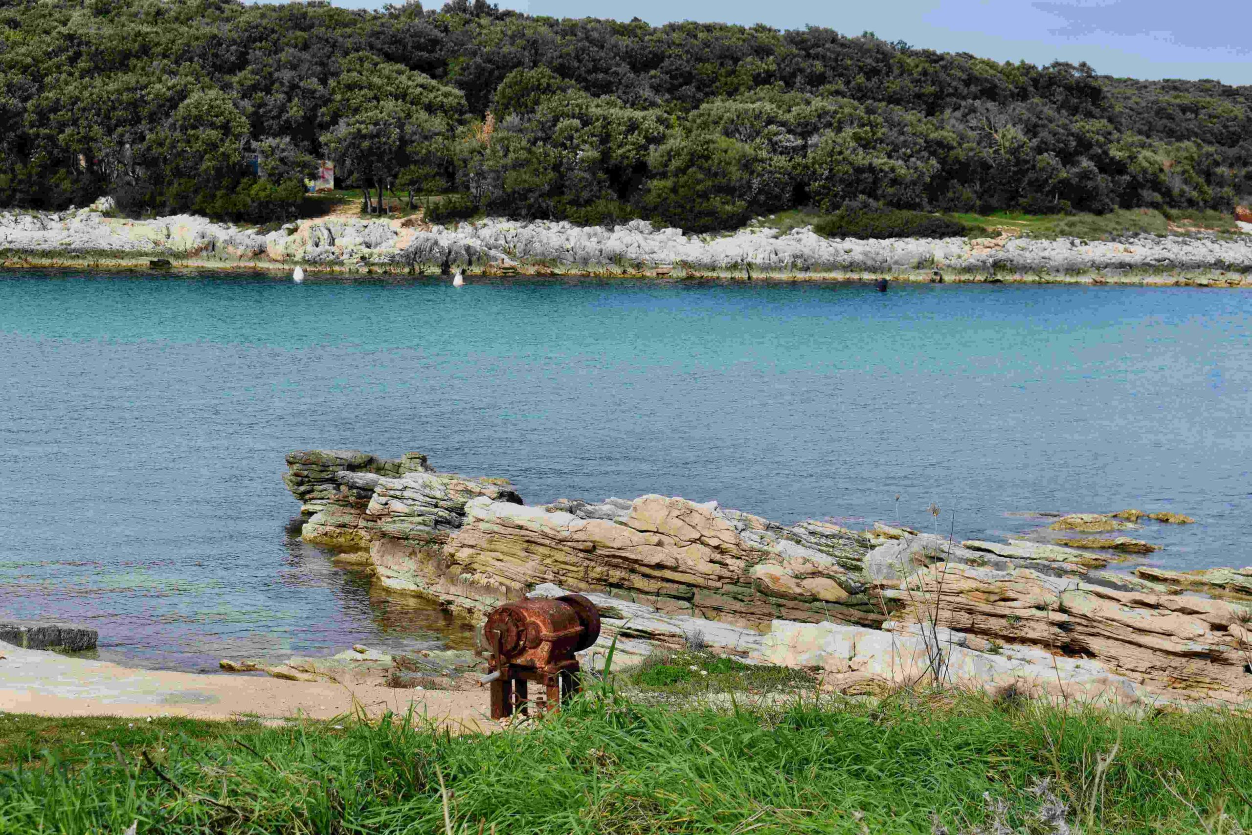
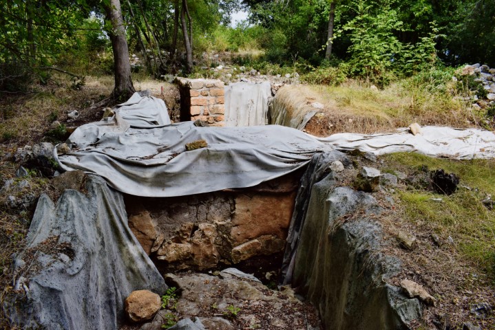
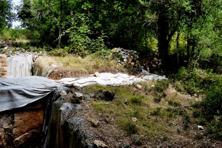
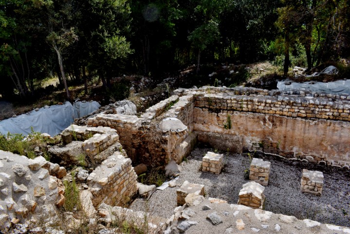
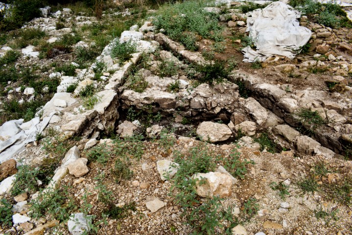
Name: Roman oil mill near Barbariga.
Place: Barbariga – (V0dnjan).
Coordinates: 44.98901 N – 13.74134 E.

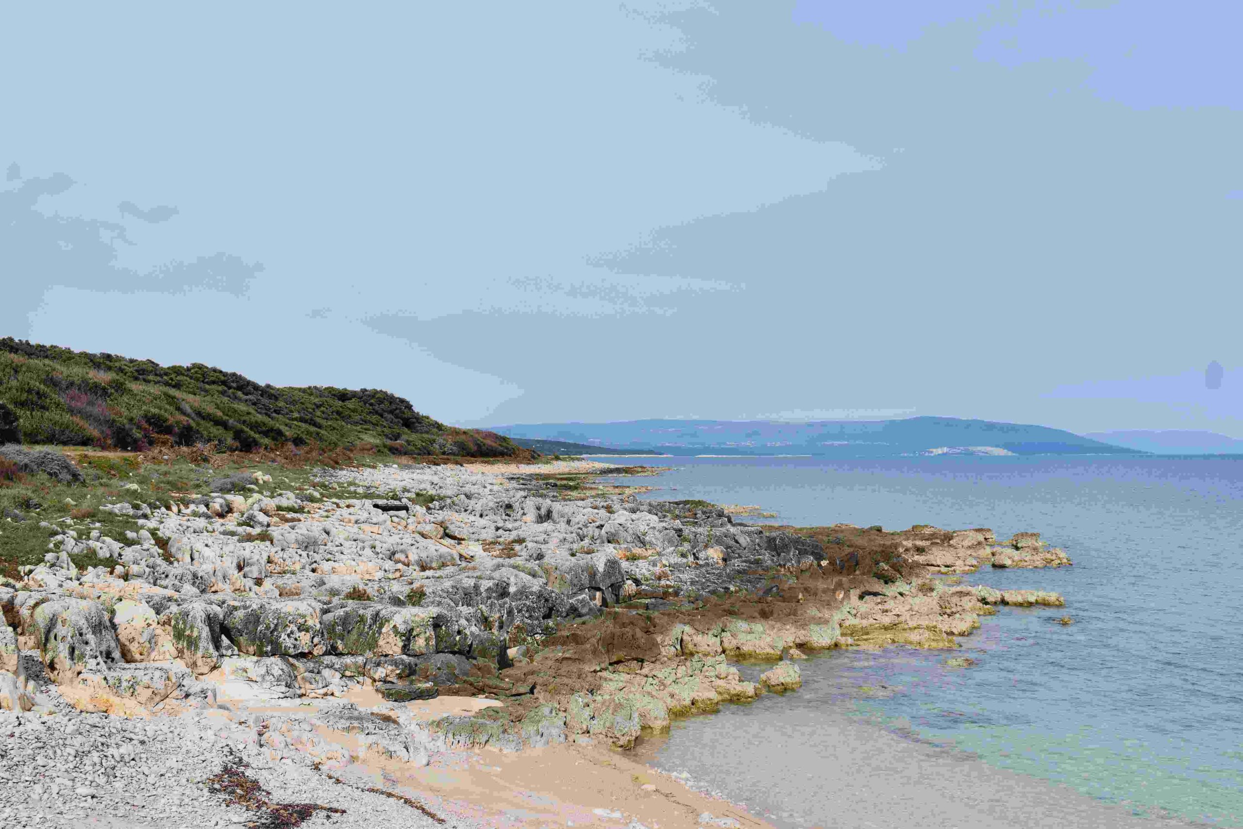
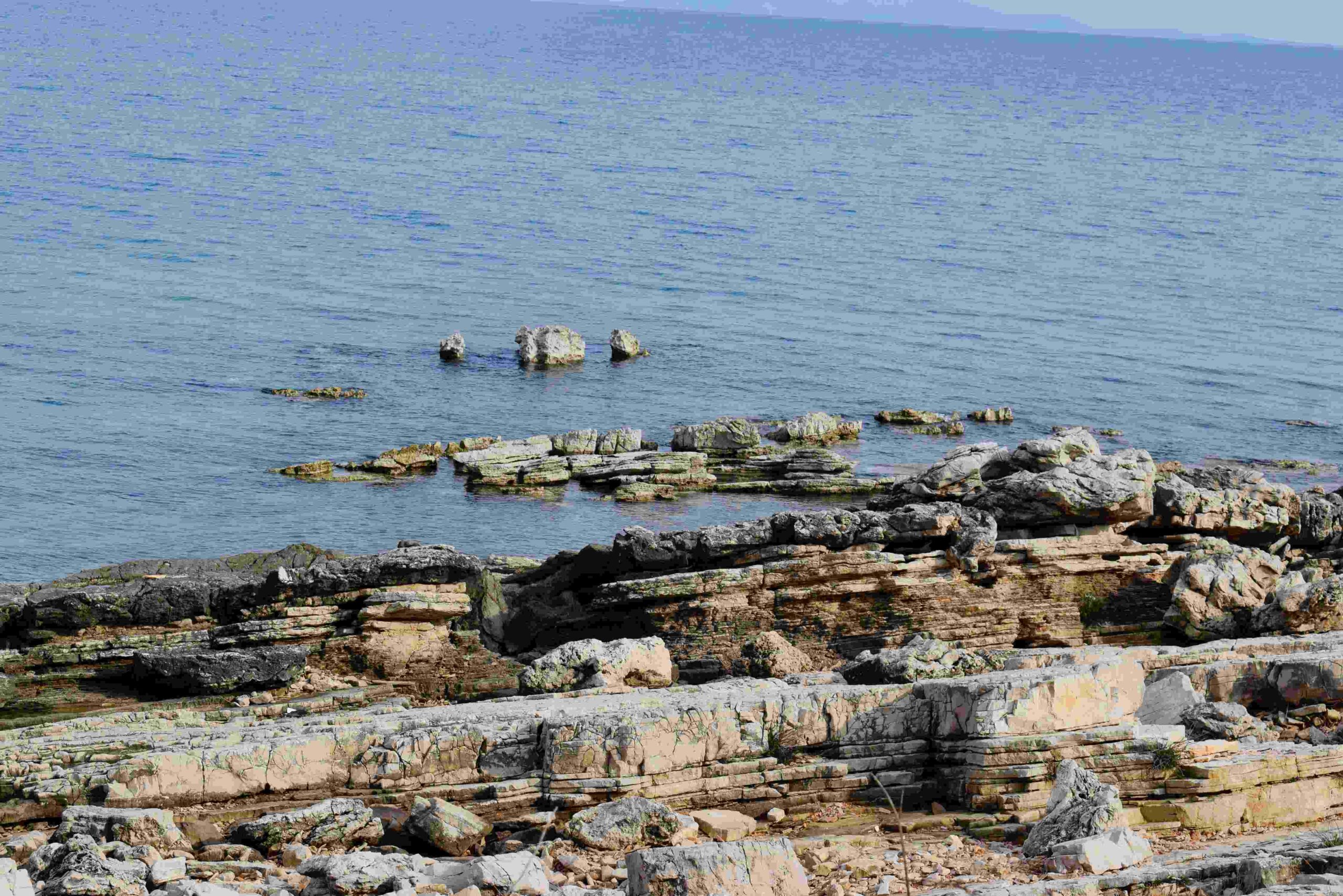
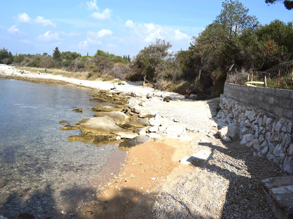
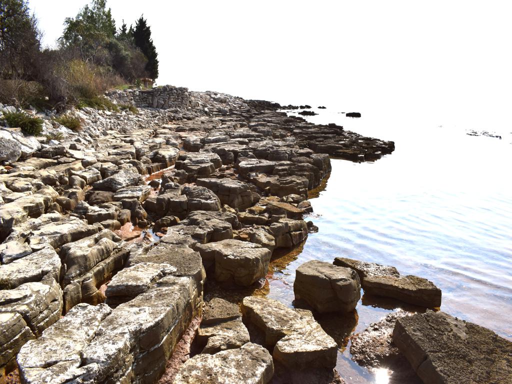
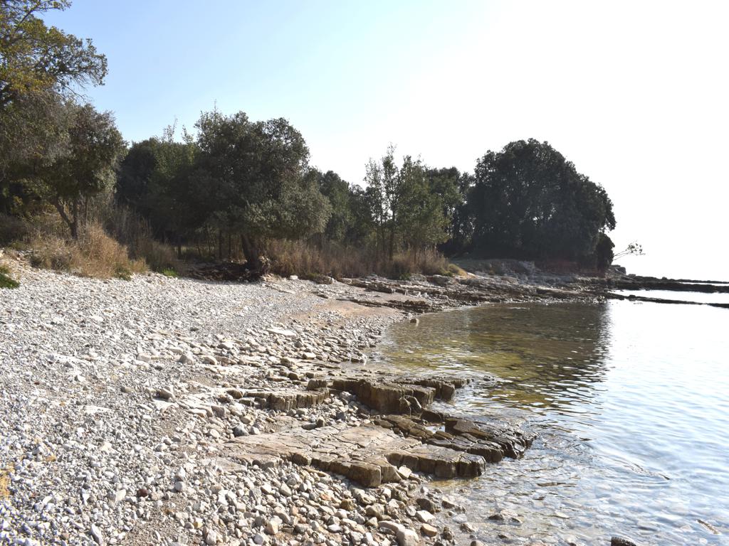
Name: Coast from Cape Gale to Cape Grota near The Roman Villa Dragonera N.
Place: Peroj – (Vodnjan).
Coordinates: 44.98621 N – 13.7581 E to 44.97074 N – 13. 76794 E.
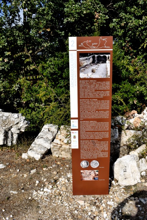
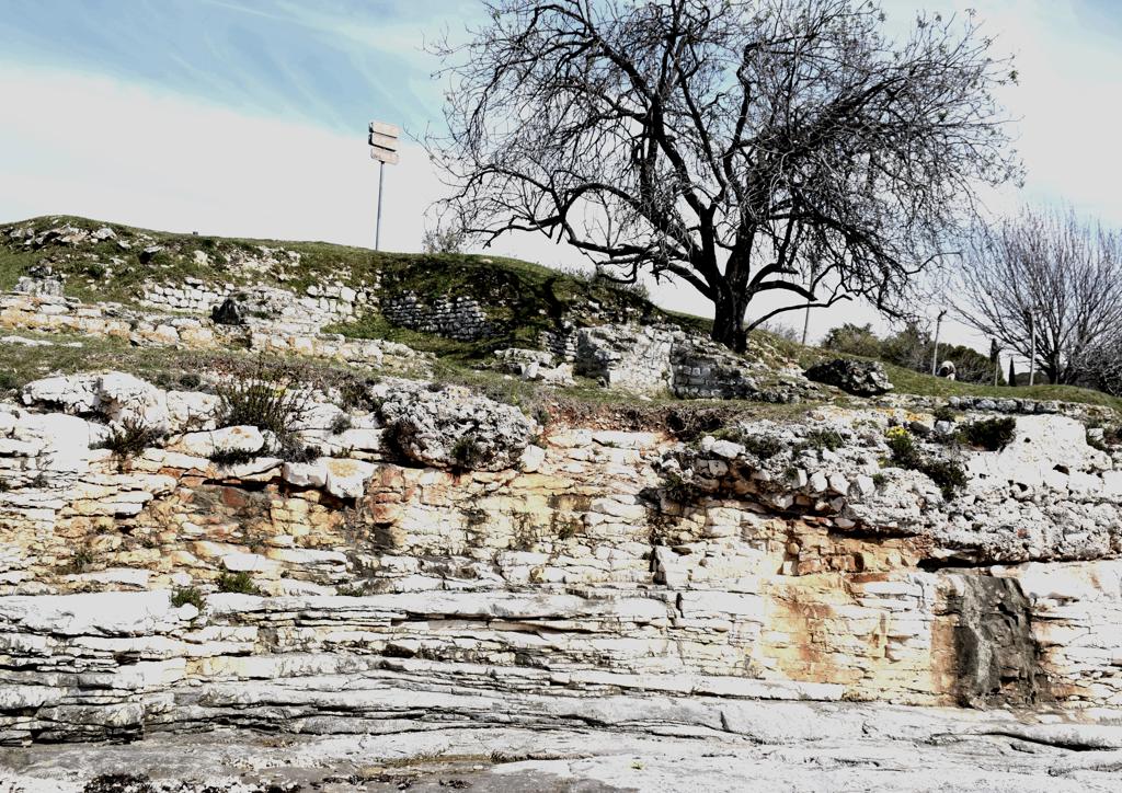
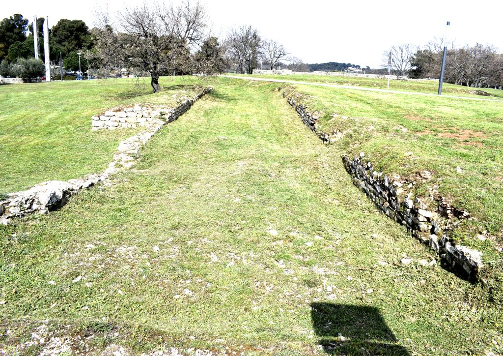
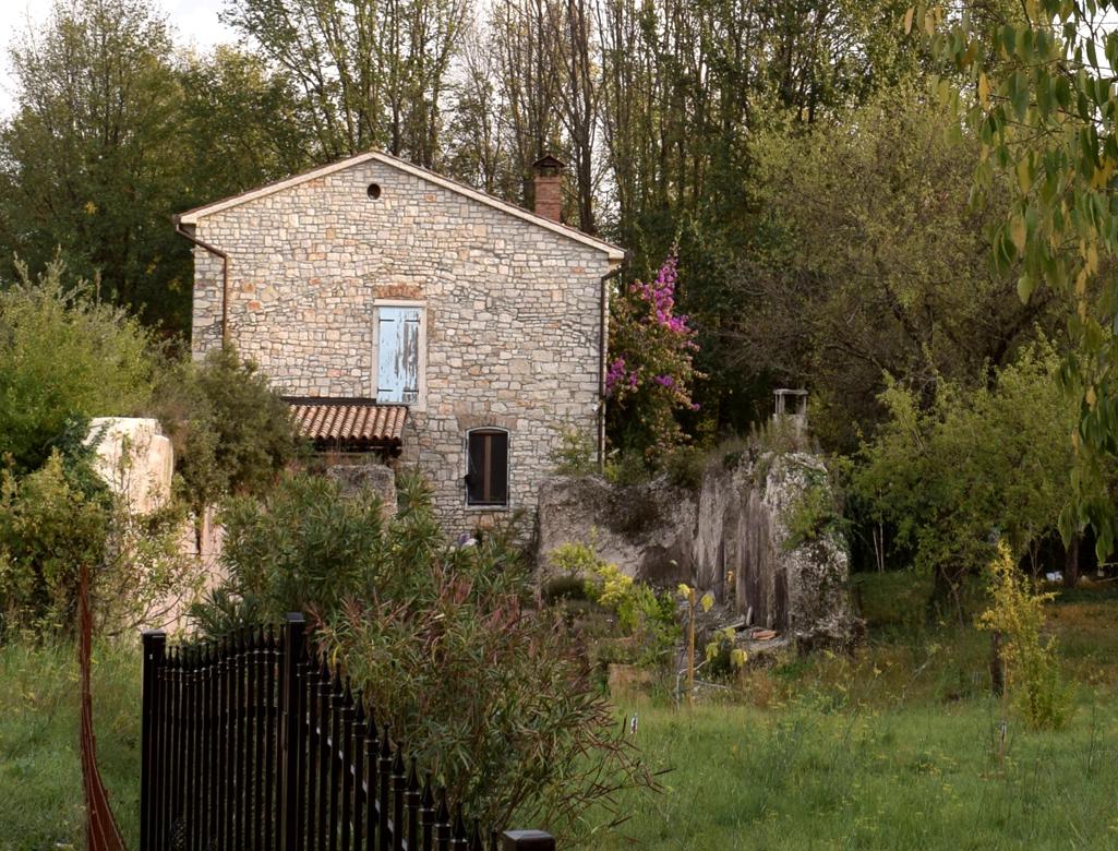
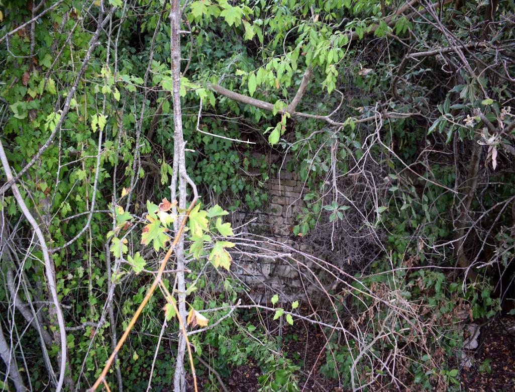
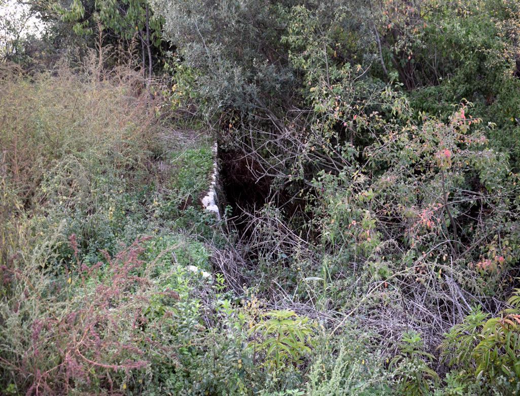
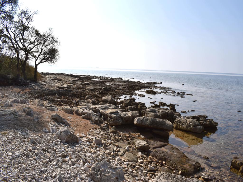
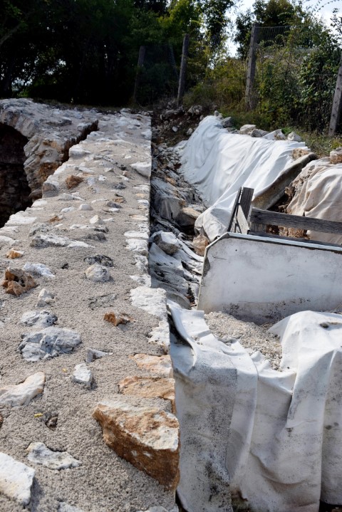
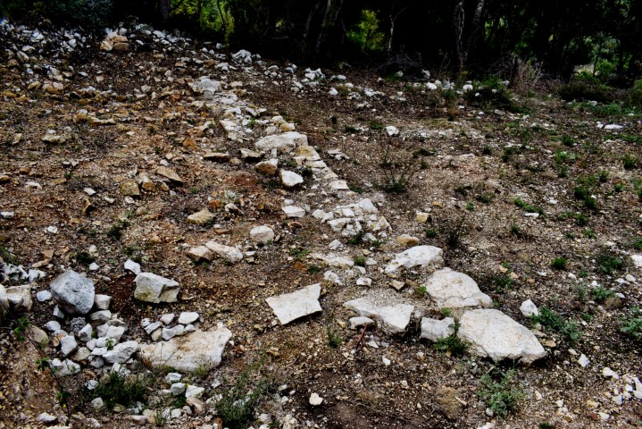
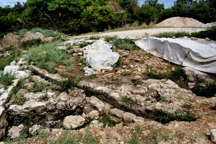
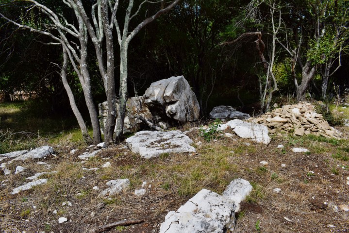
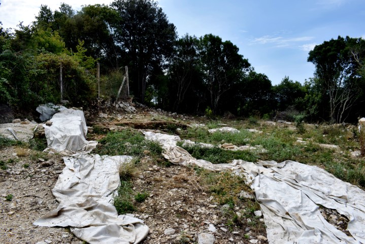
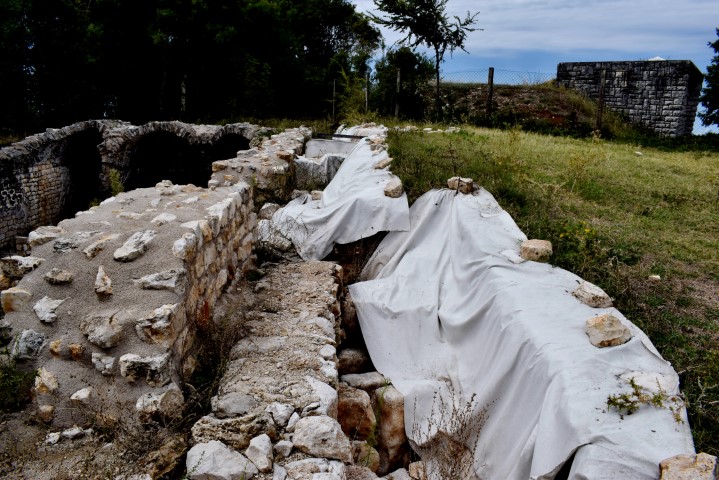
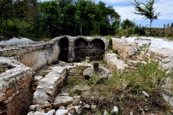
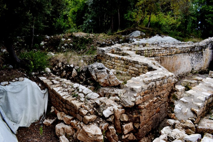
Name: Monte Ricco – Villa Rustica.
Place: Stancija Grande – (Vrsar).
Coordinates: 45.15692 N – 13.62667 E.
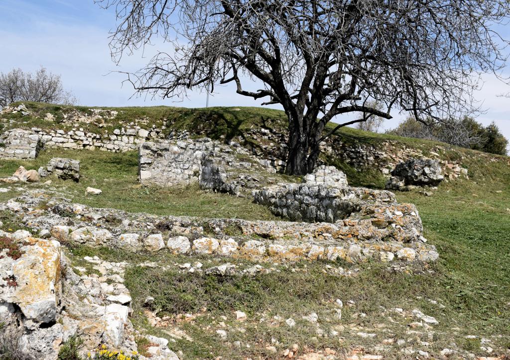
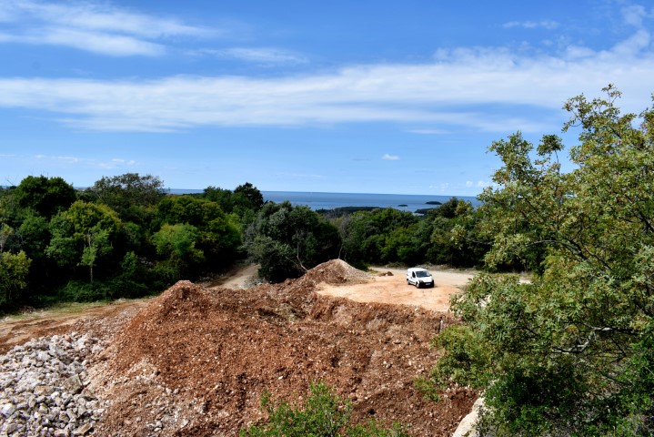
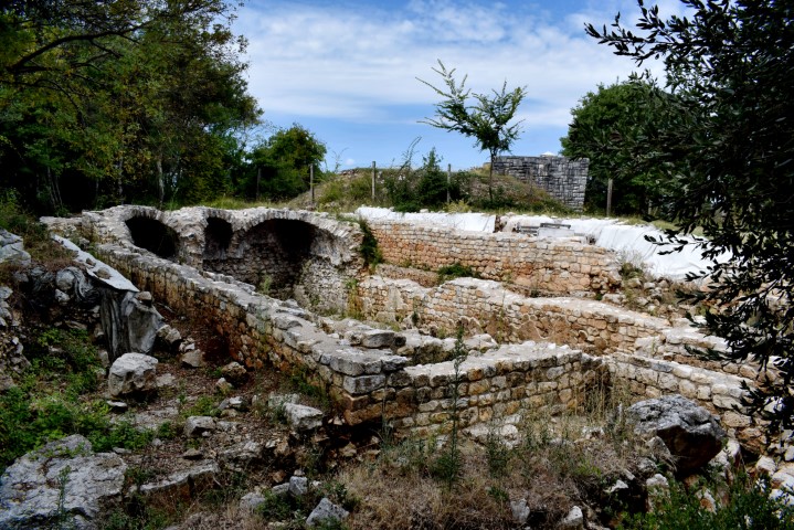
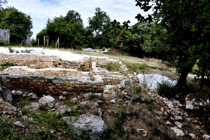
Name: Monte Ricco.
Place: Velika Stancija – (Vrsar).
Coordinates: 45.15692 N 13. 62637 E.