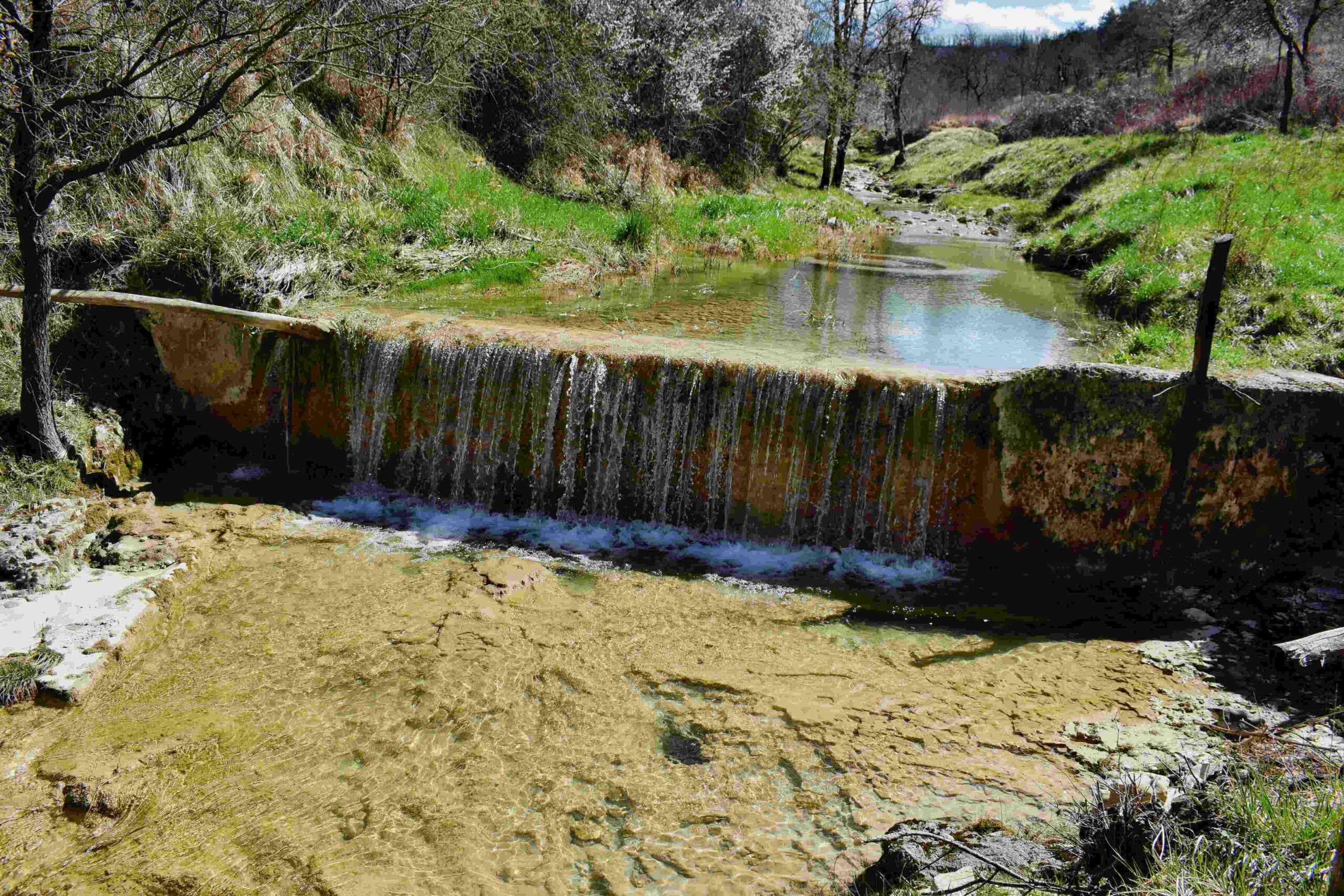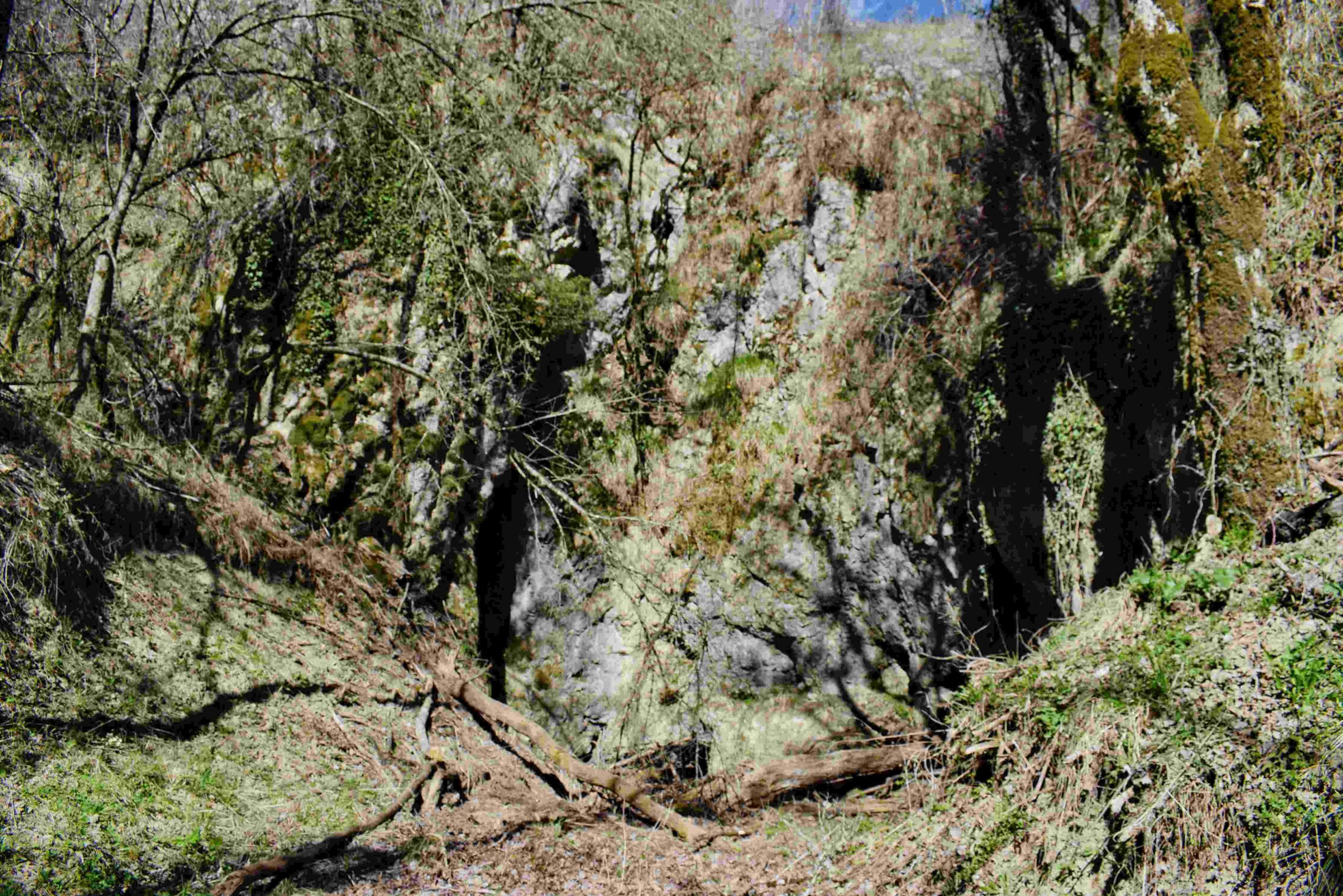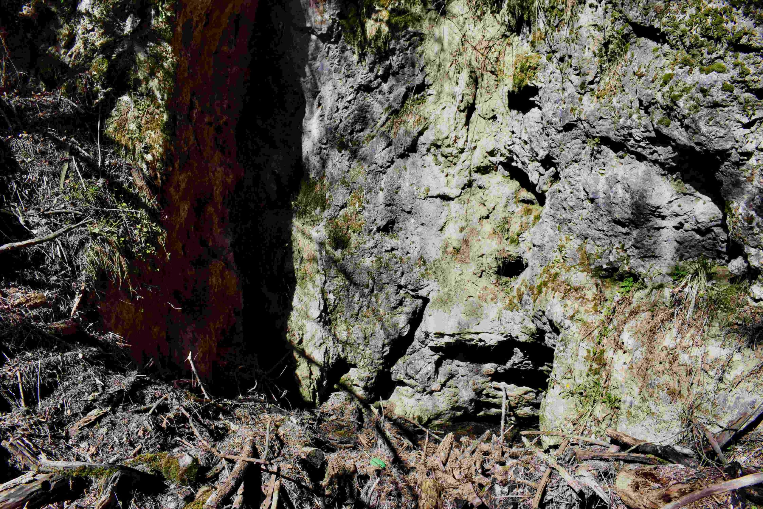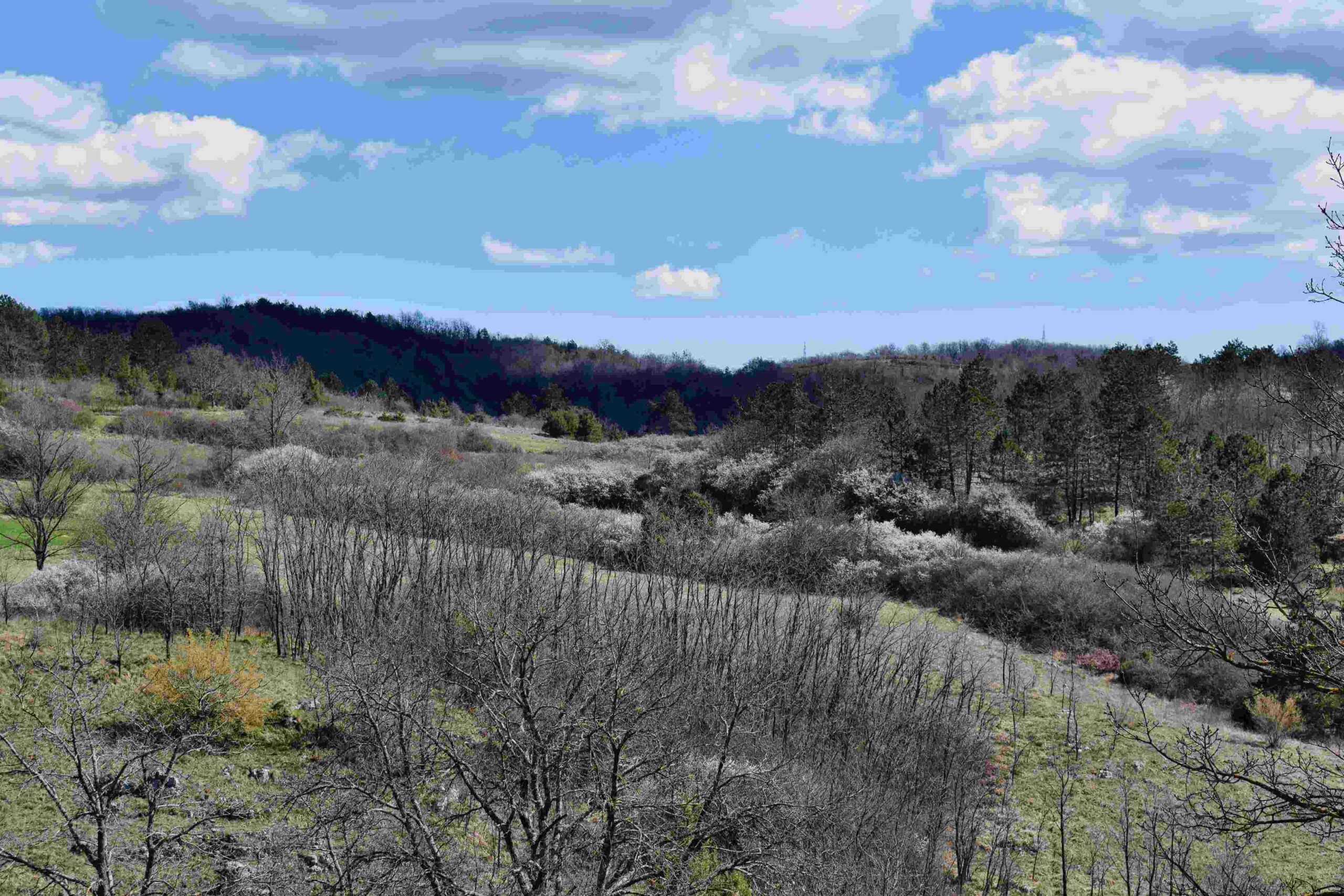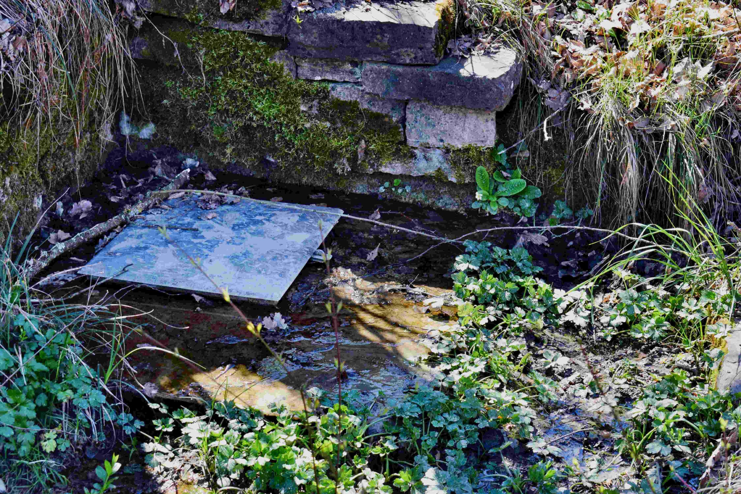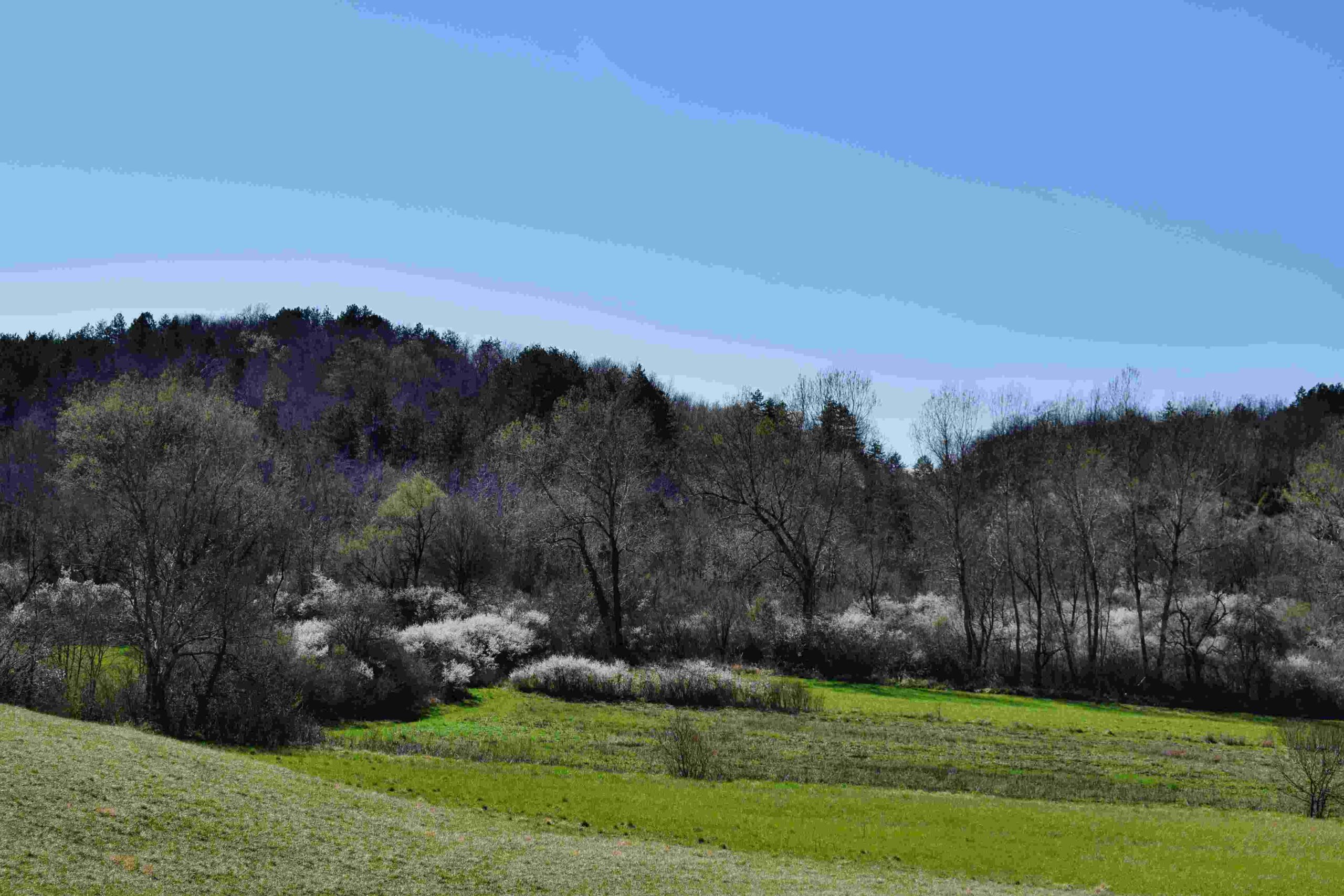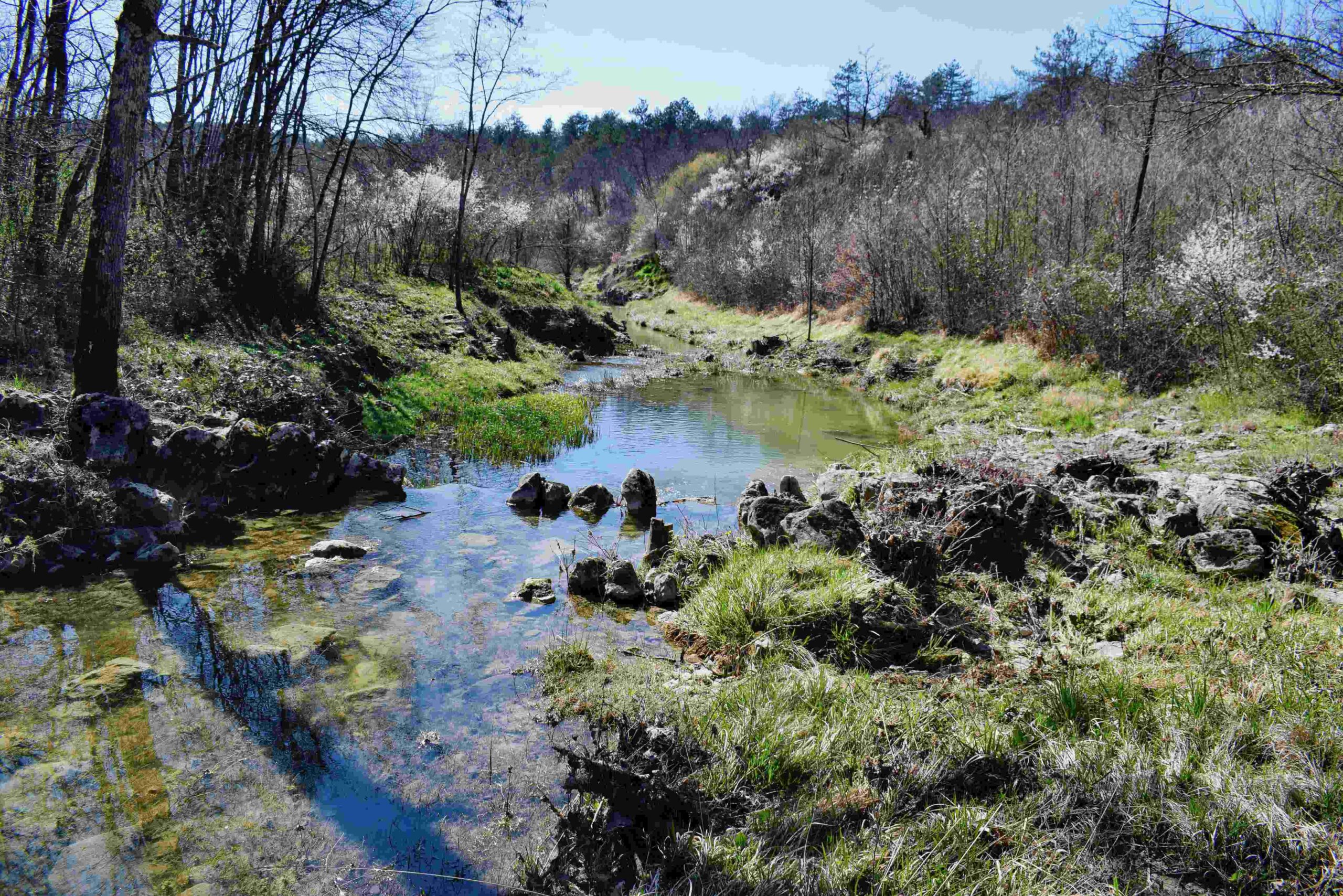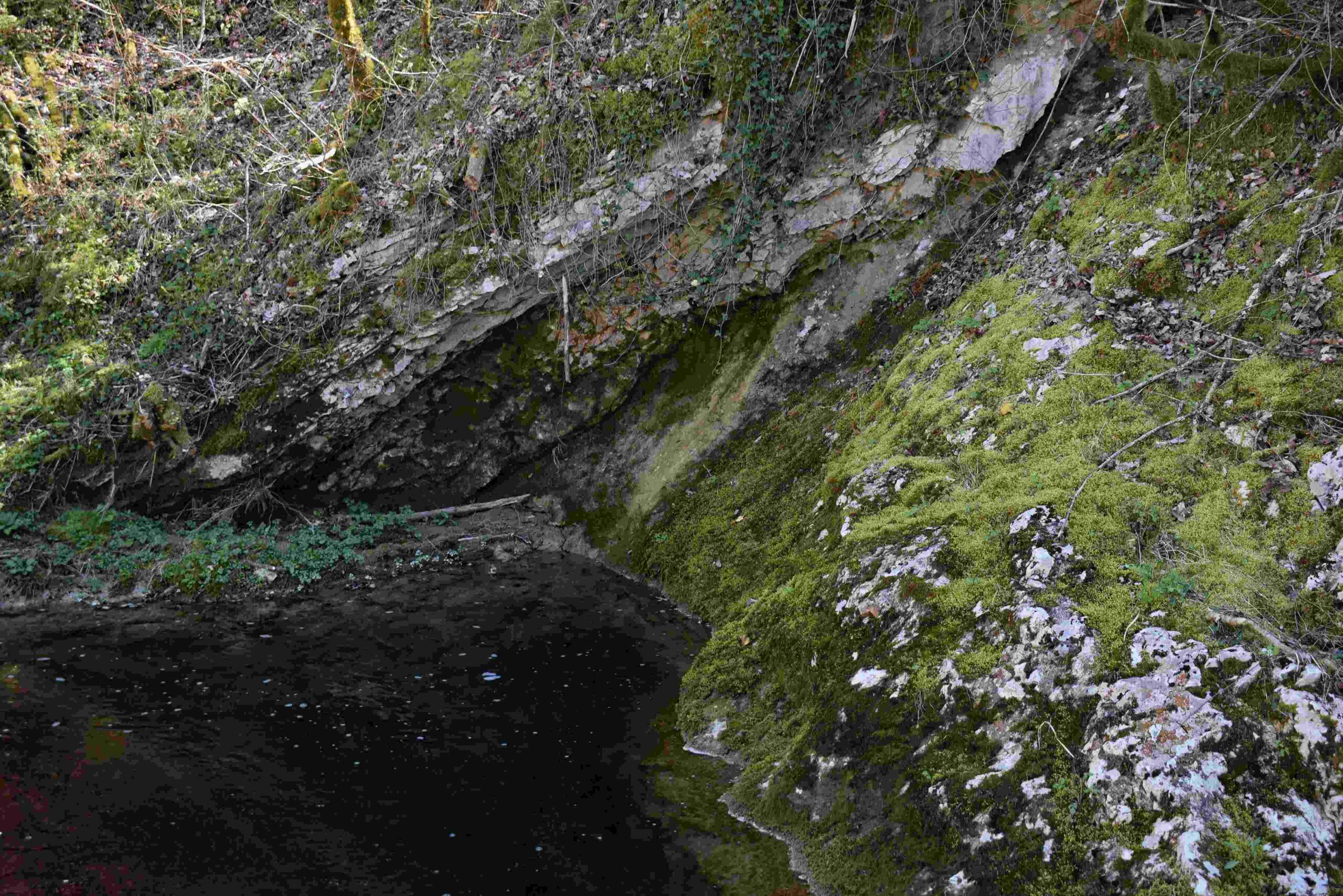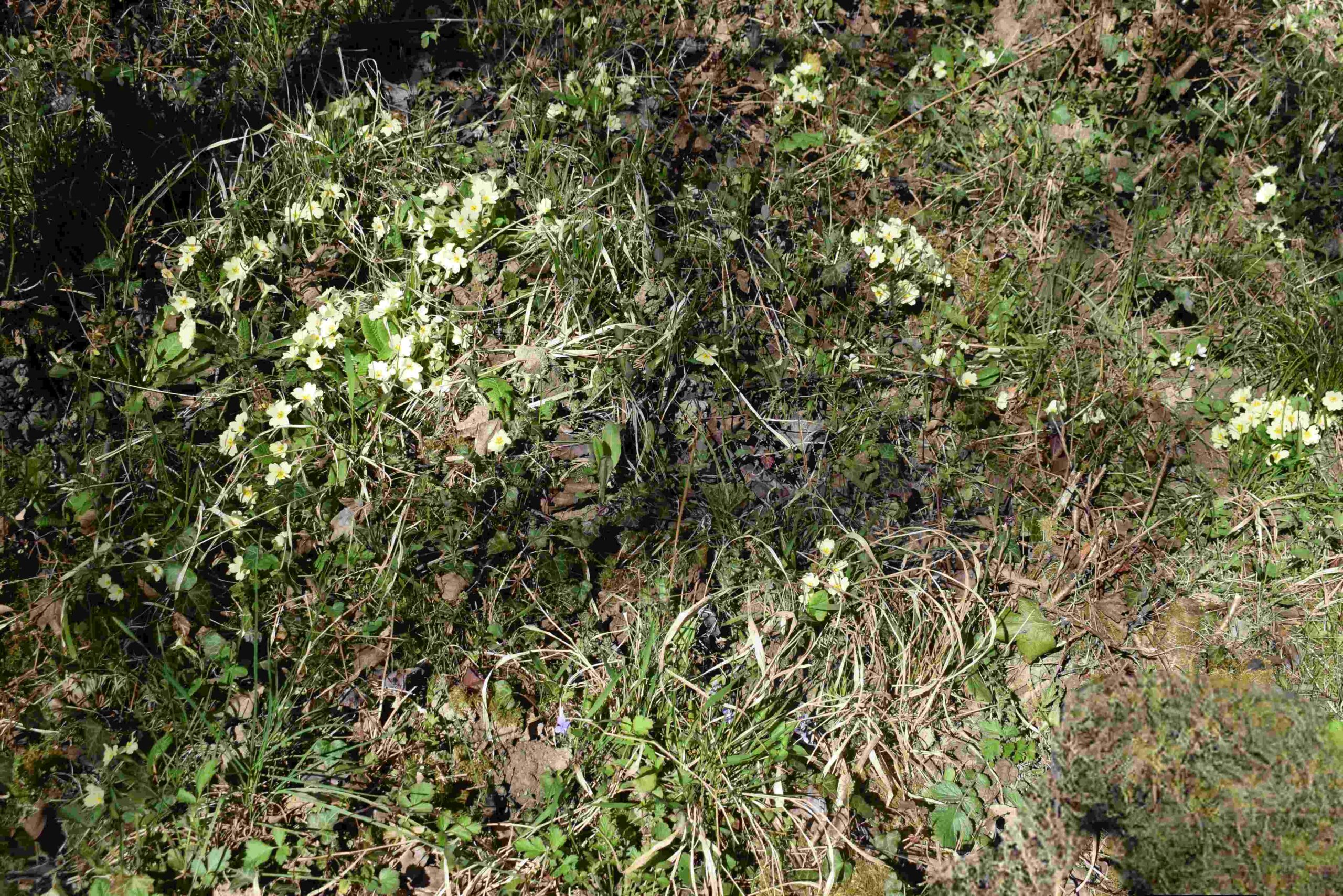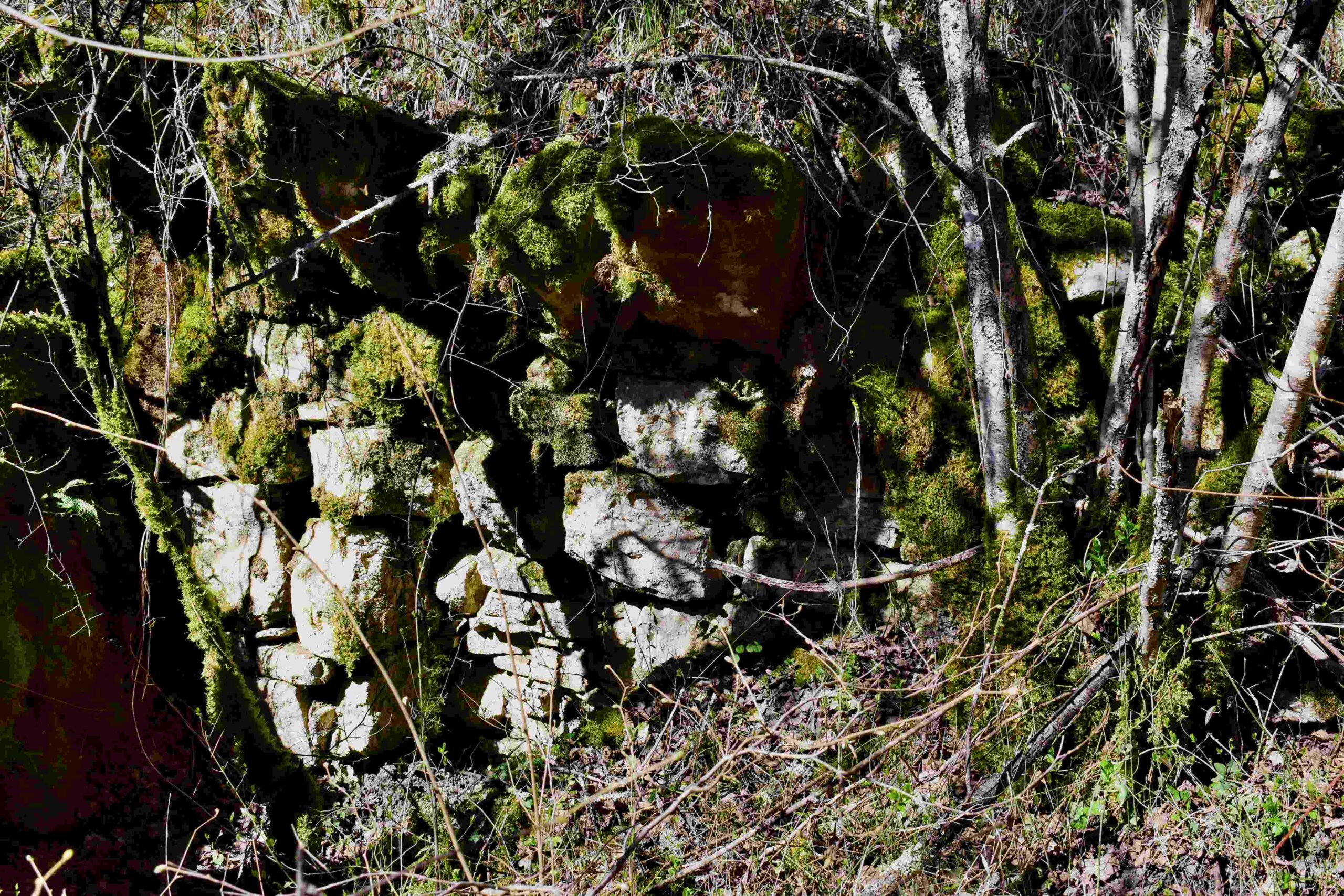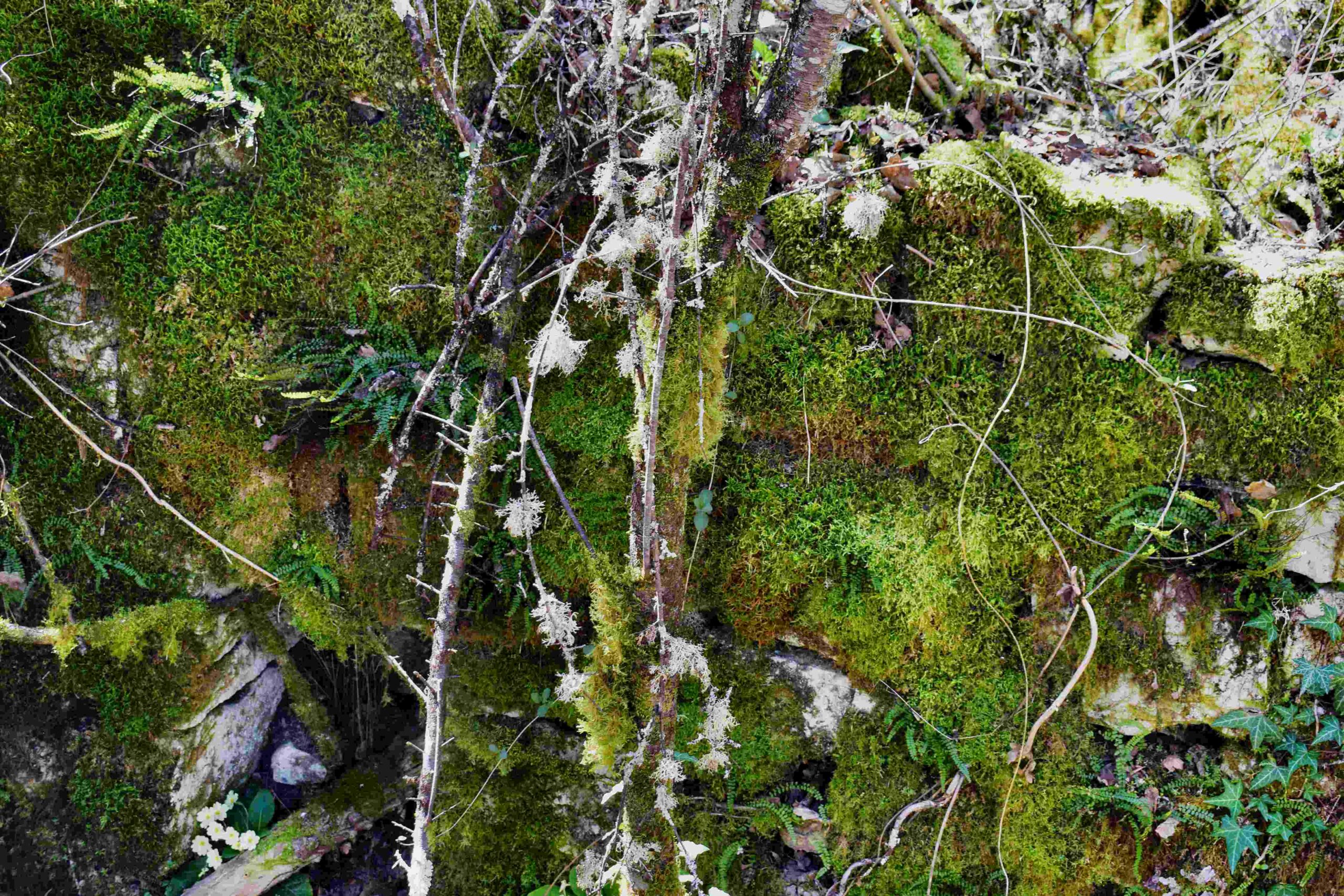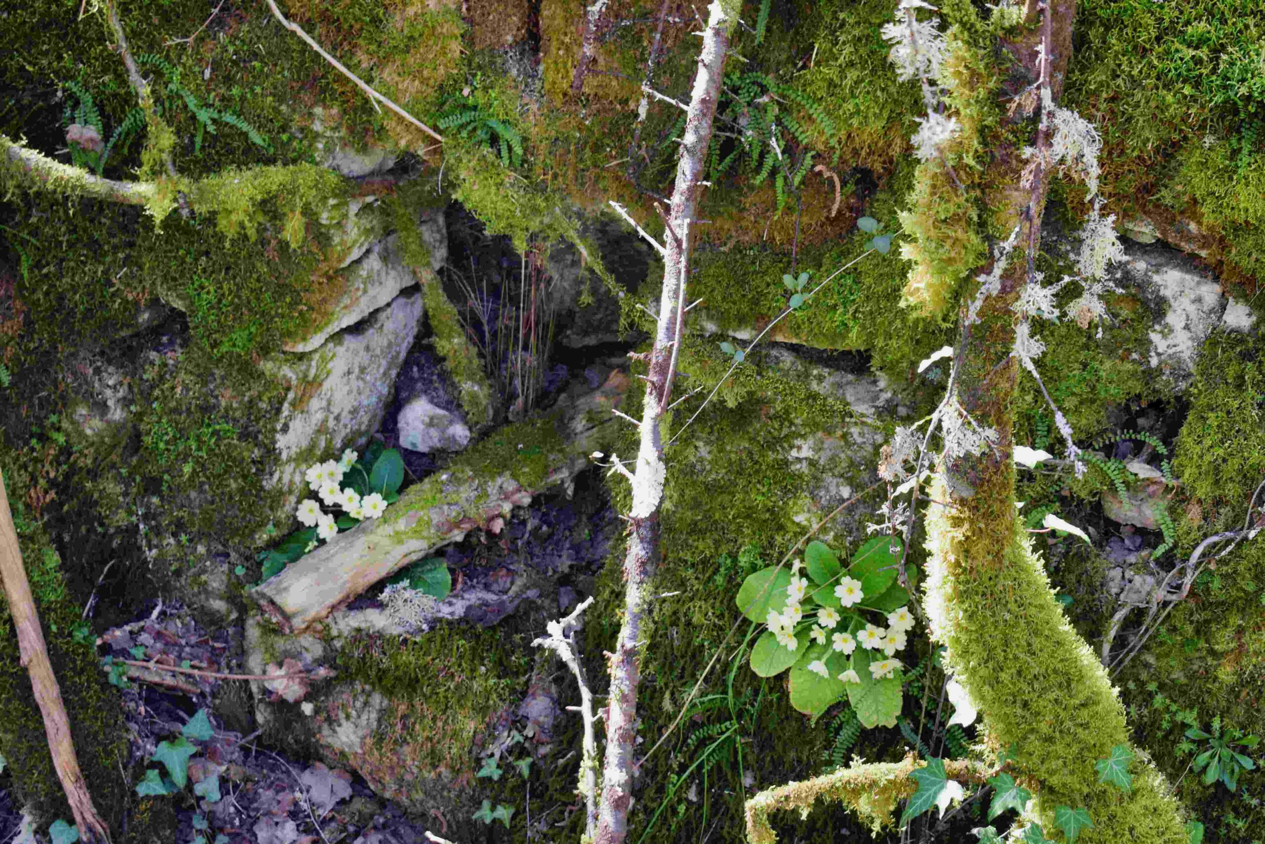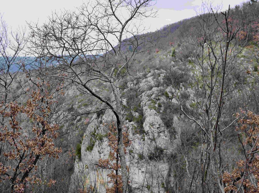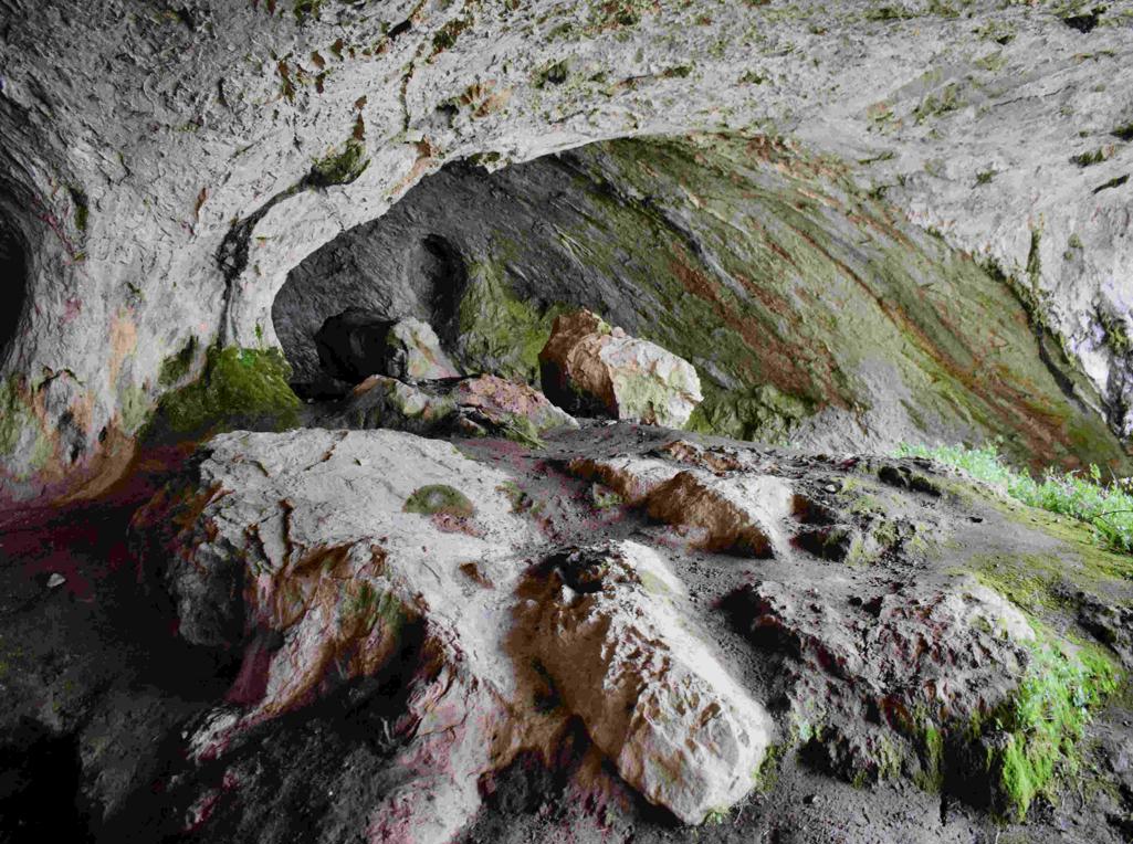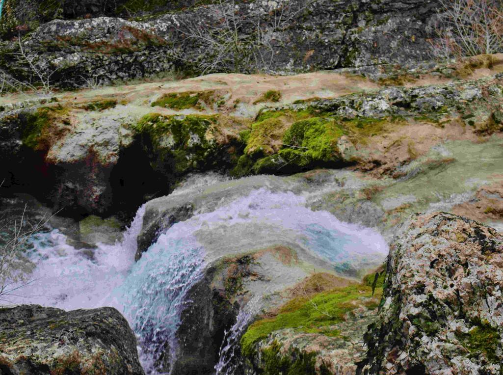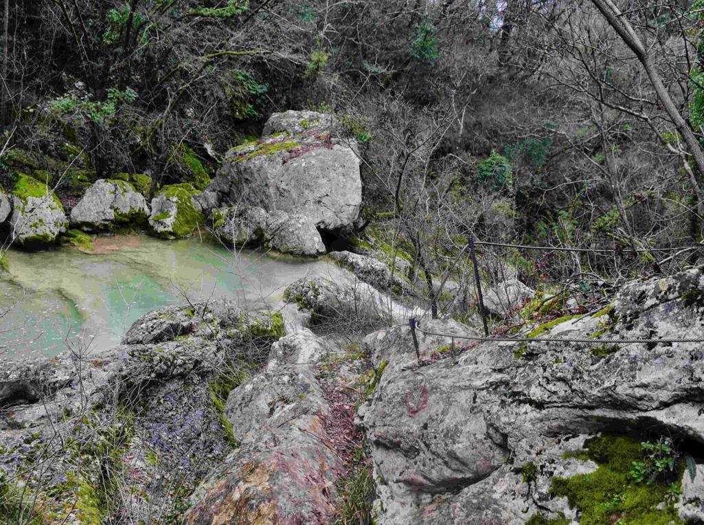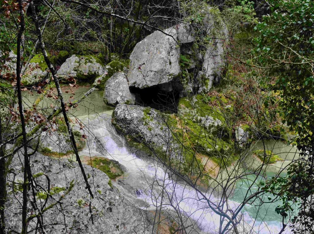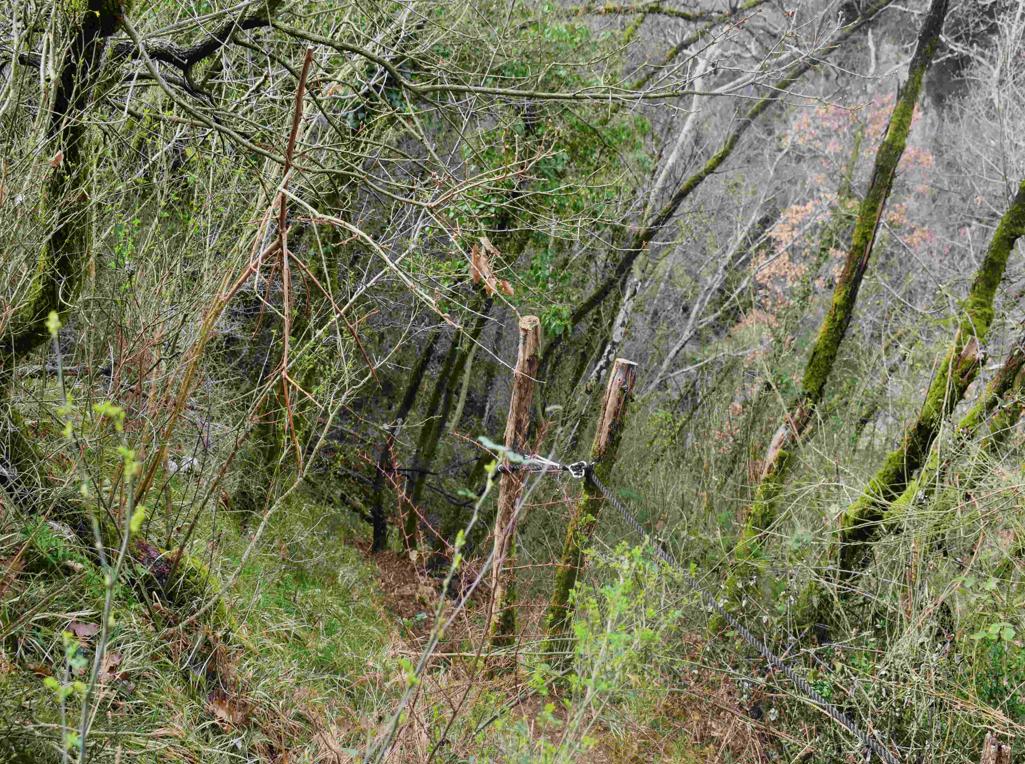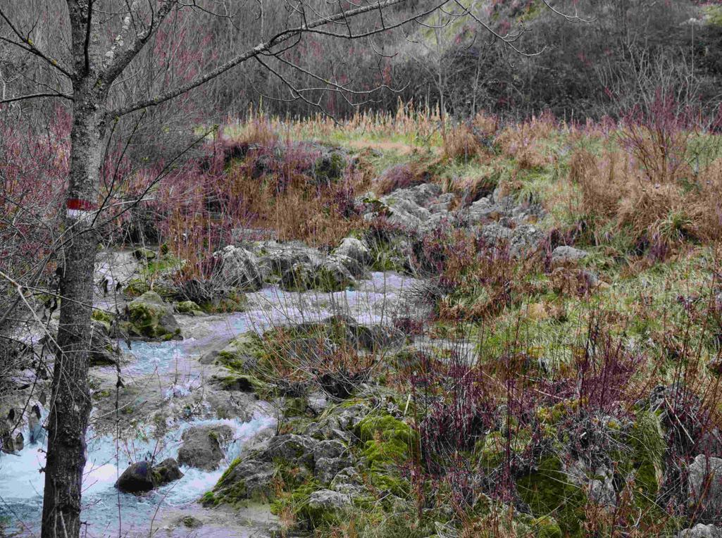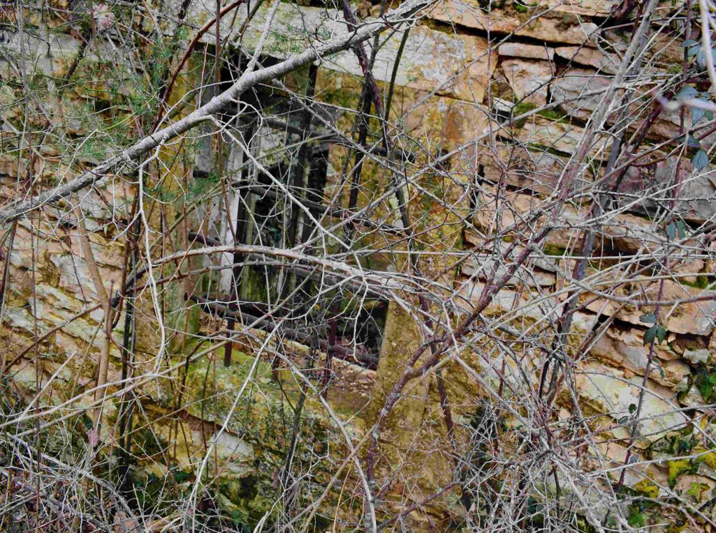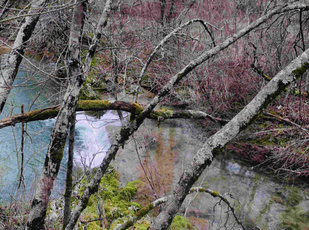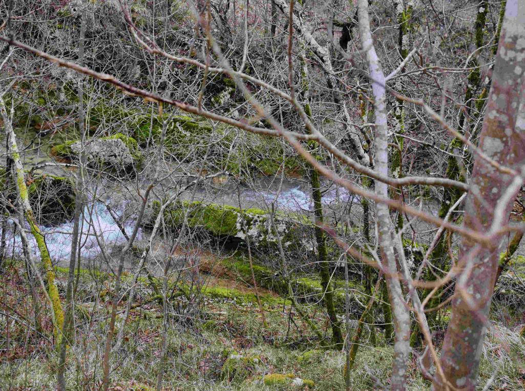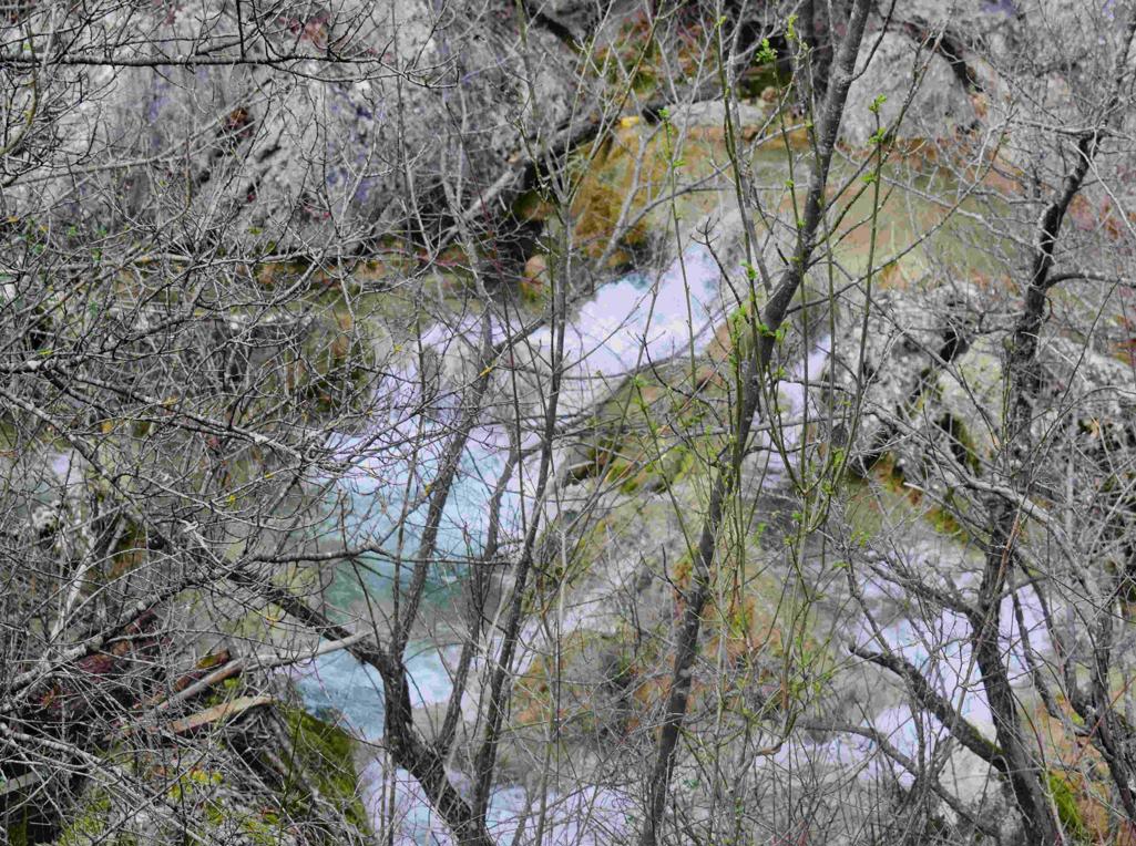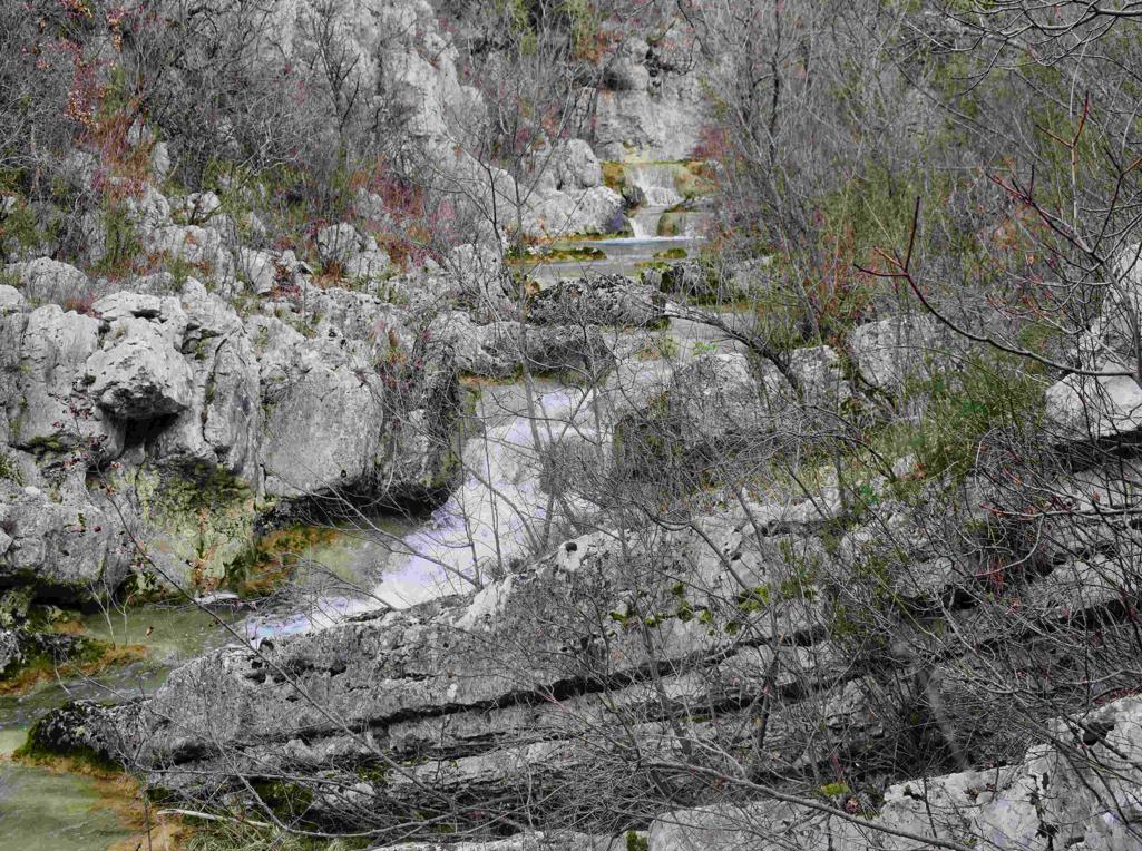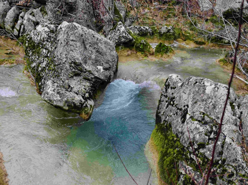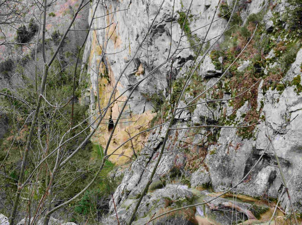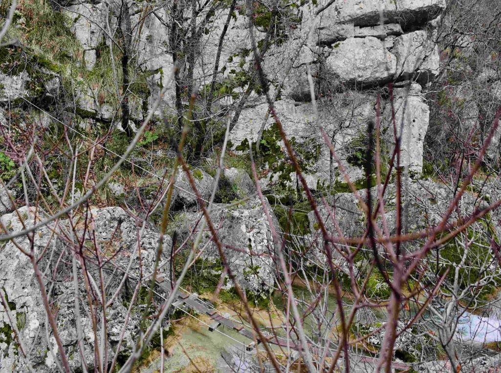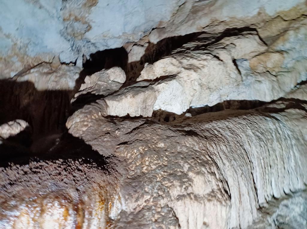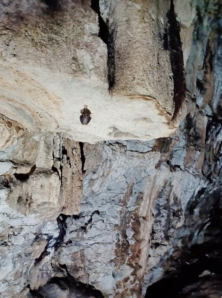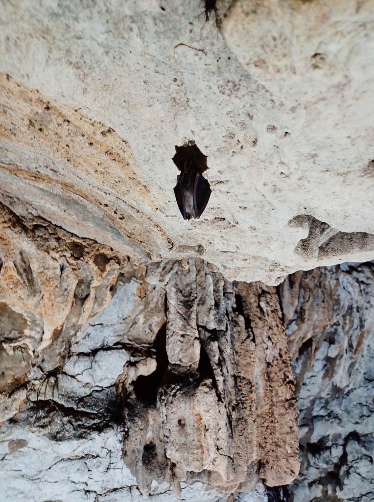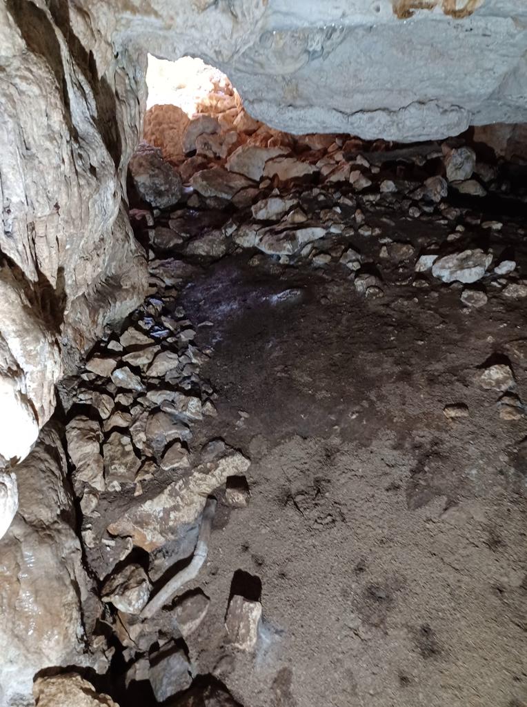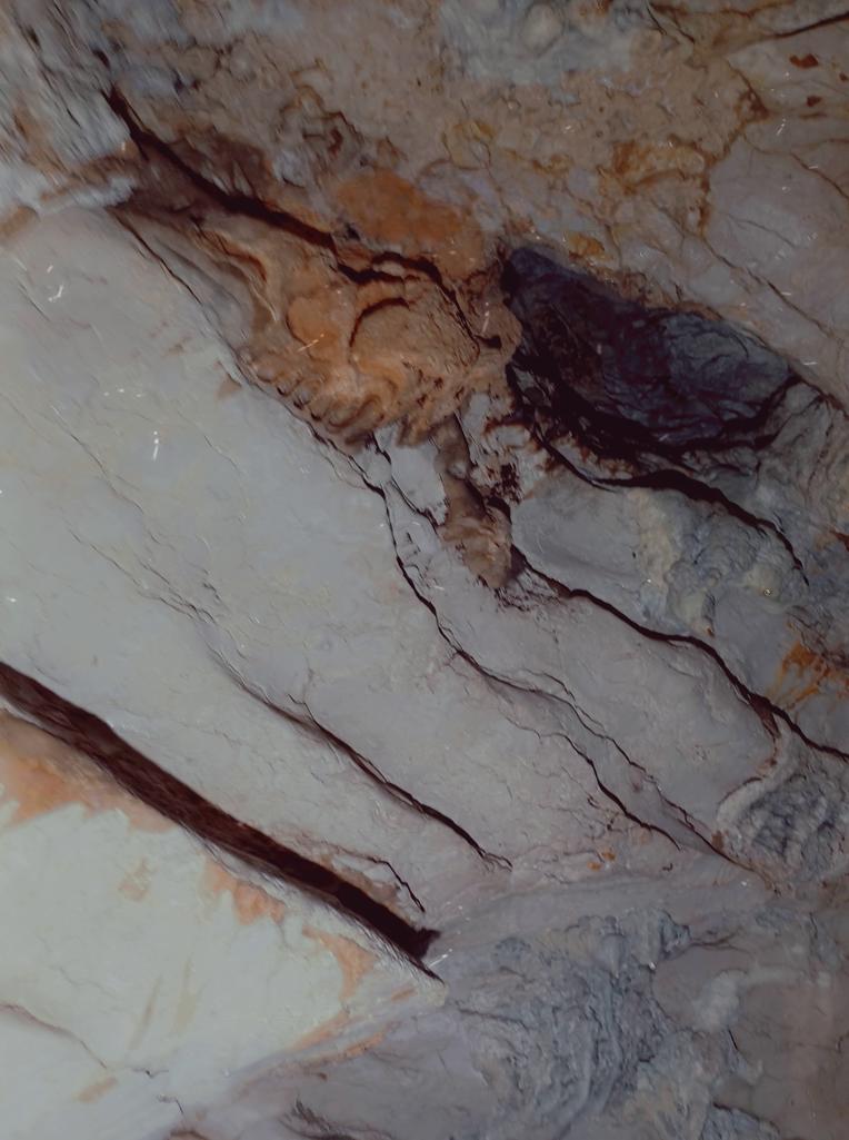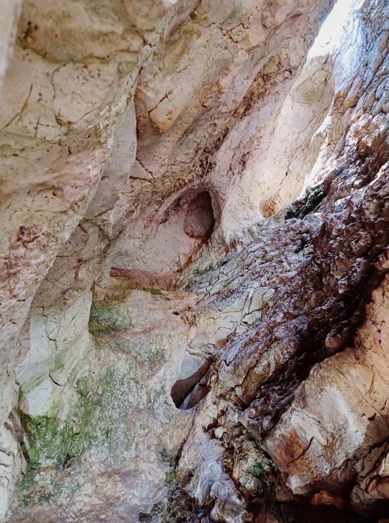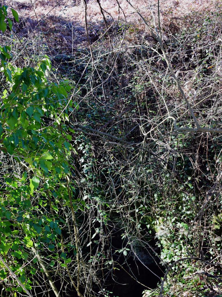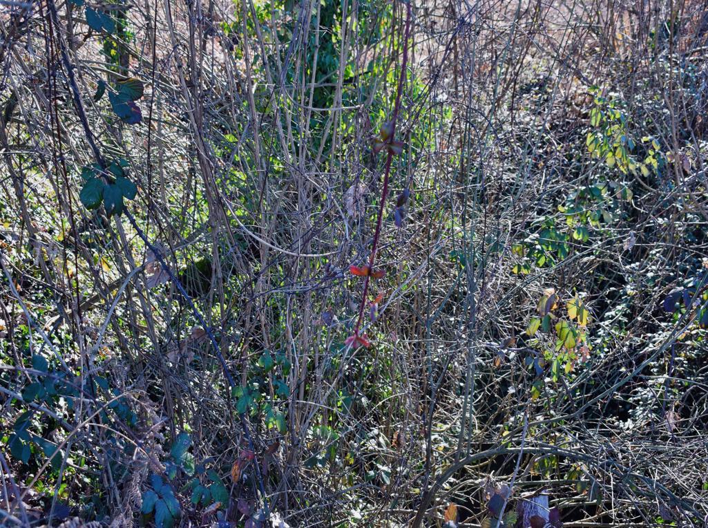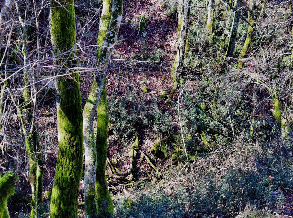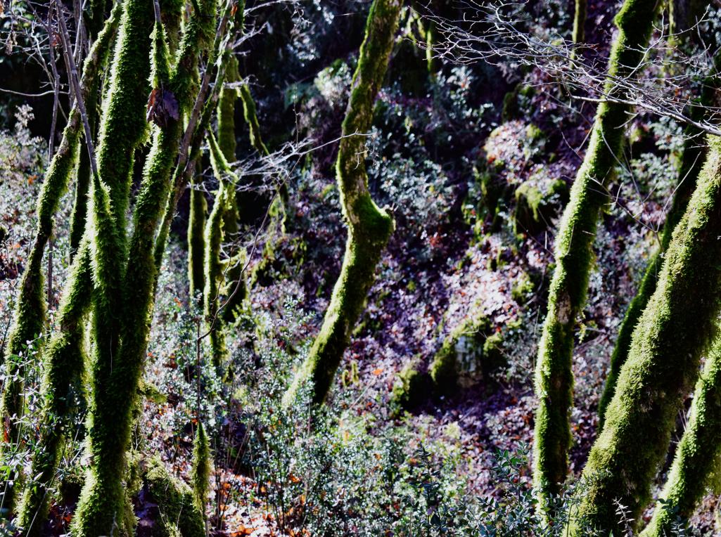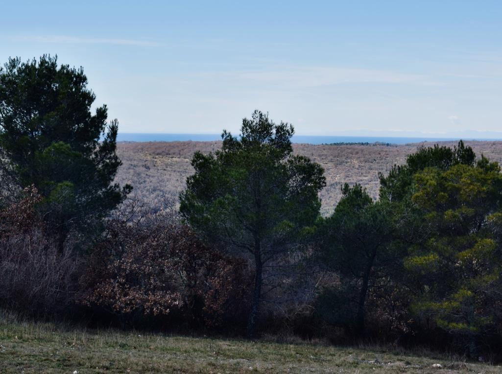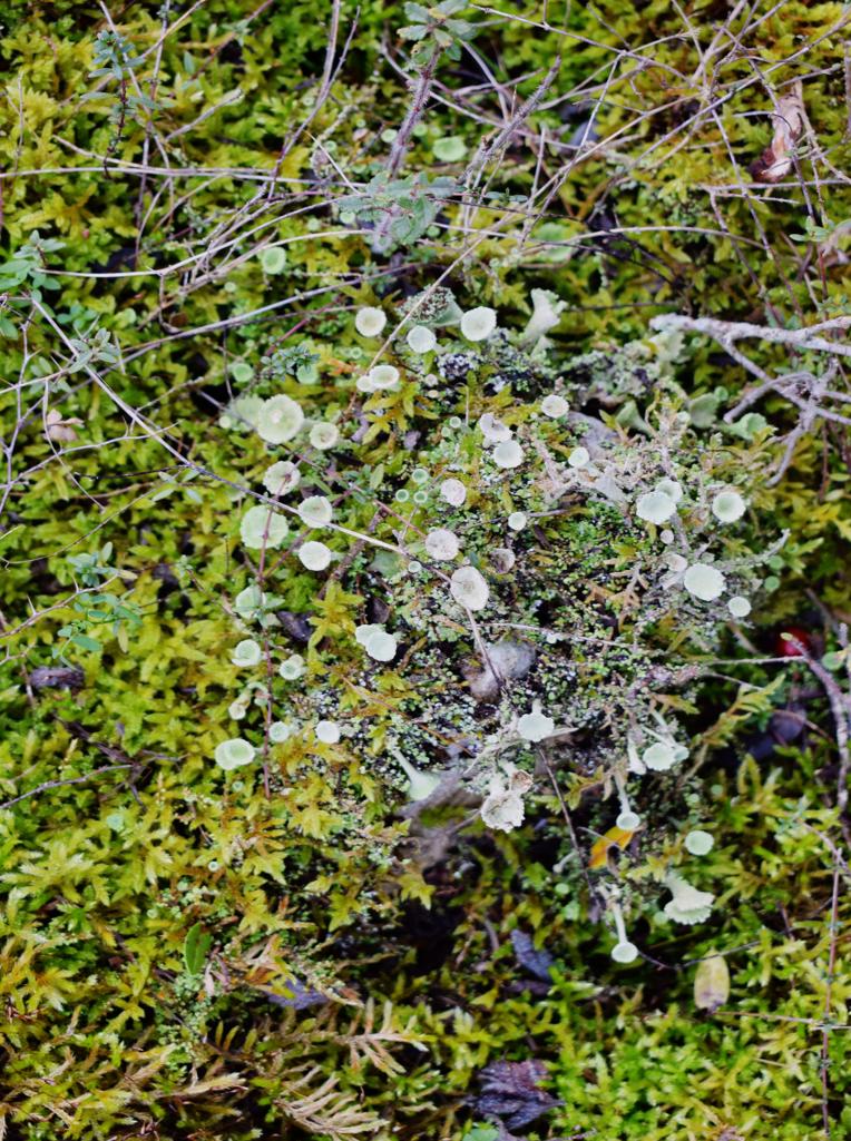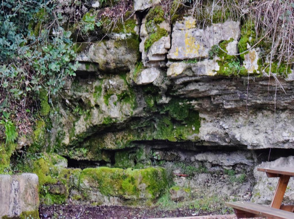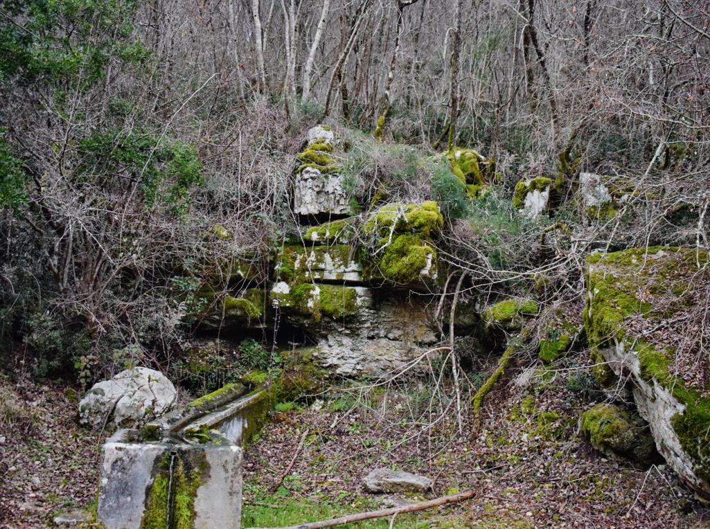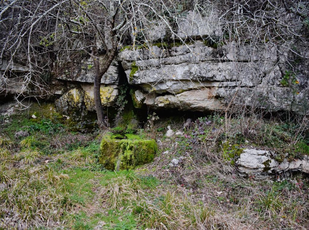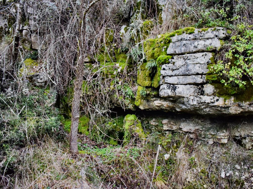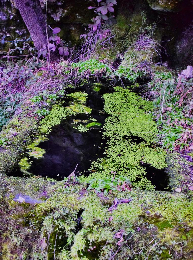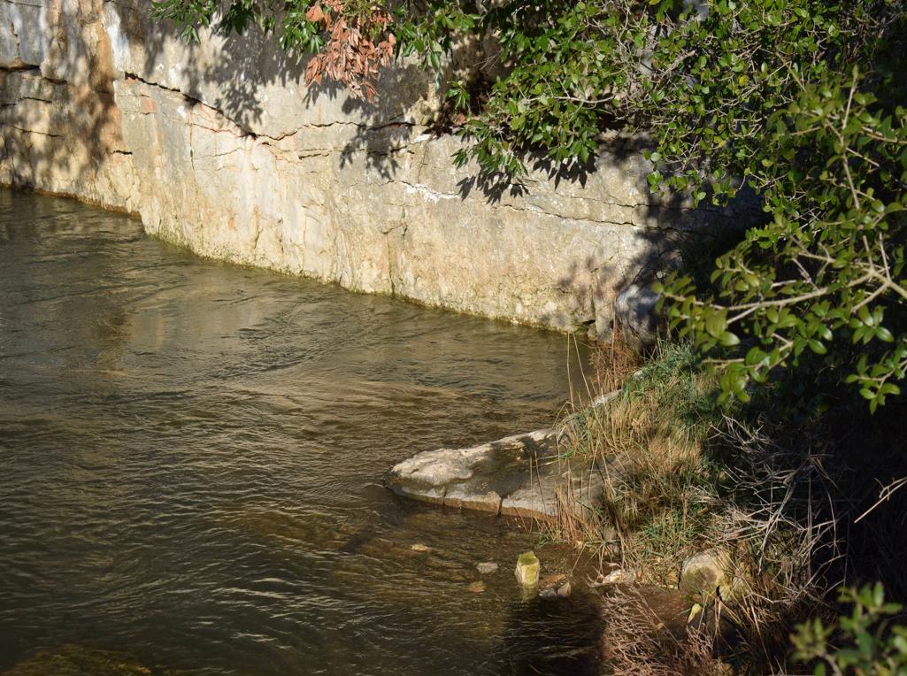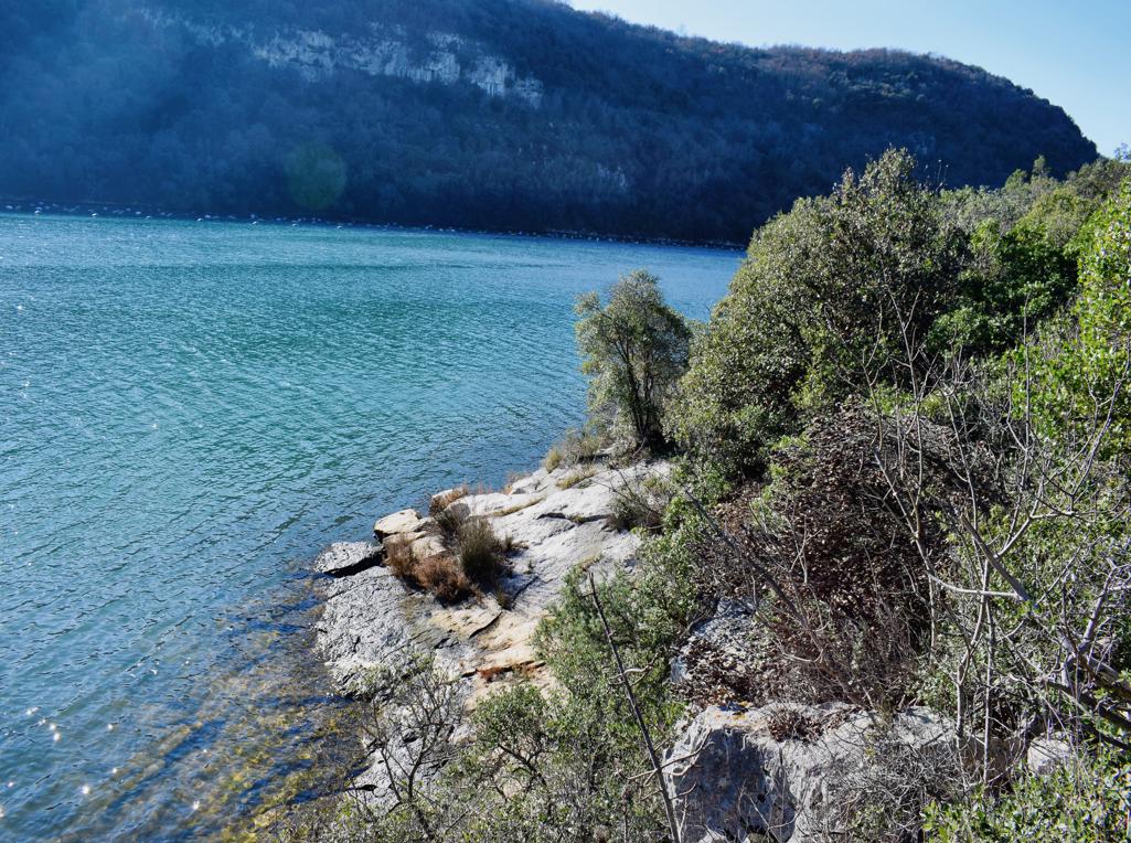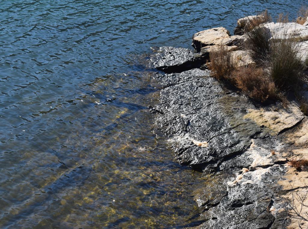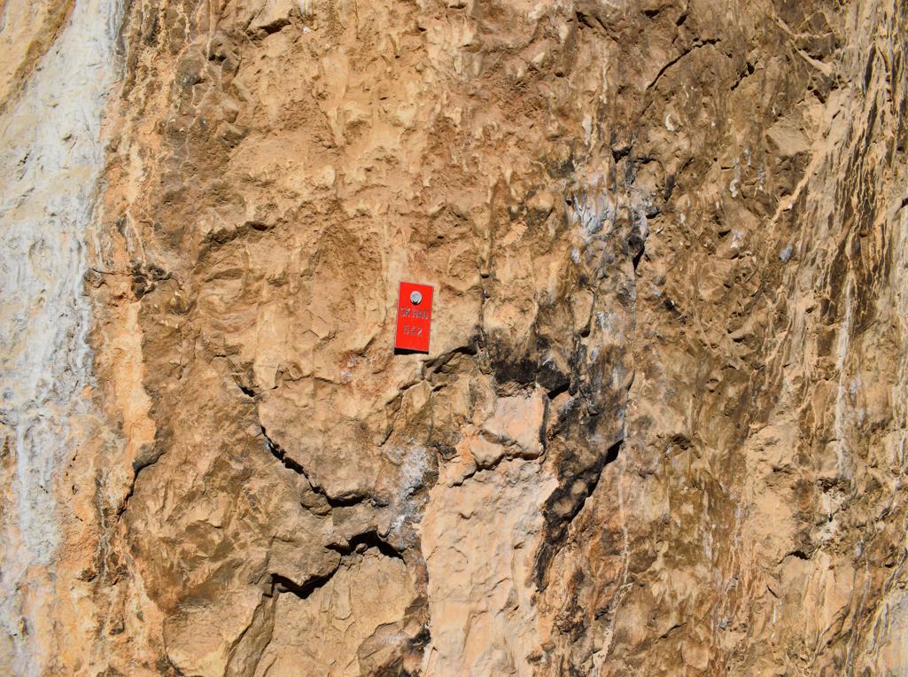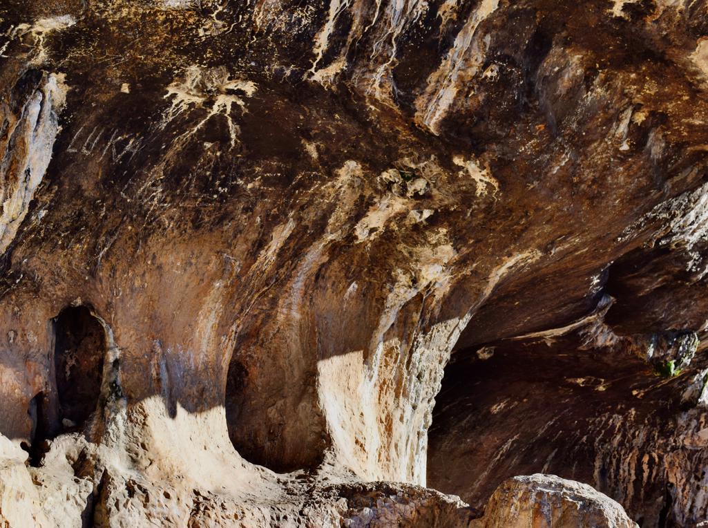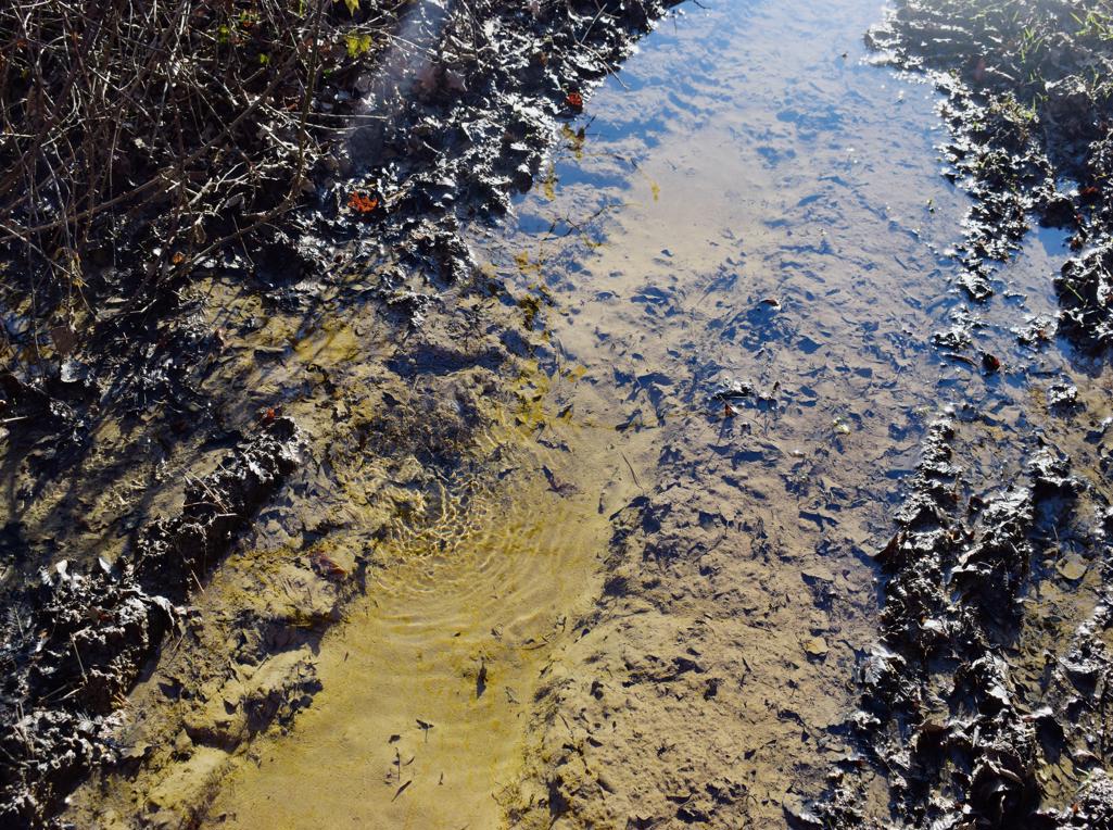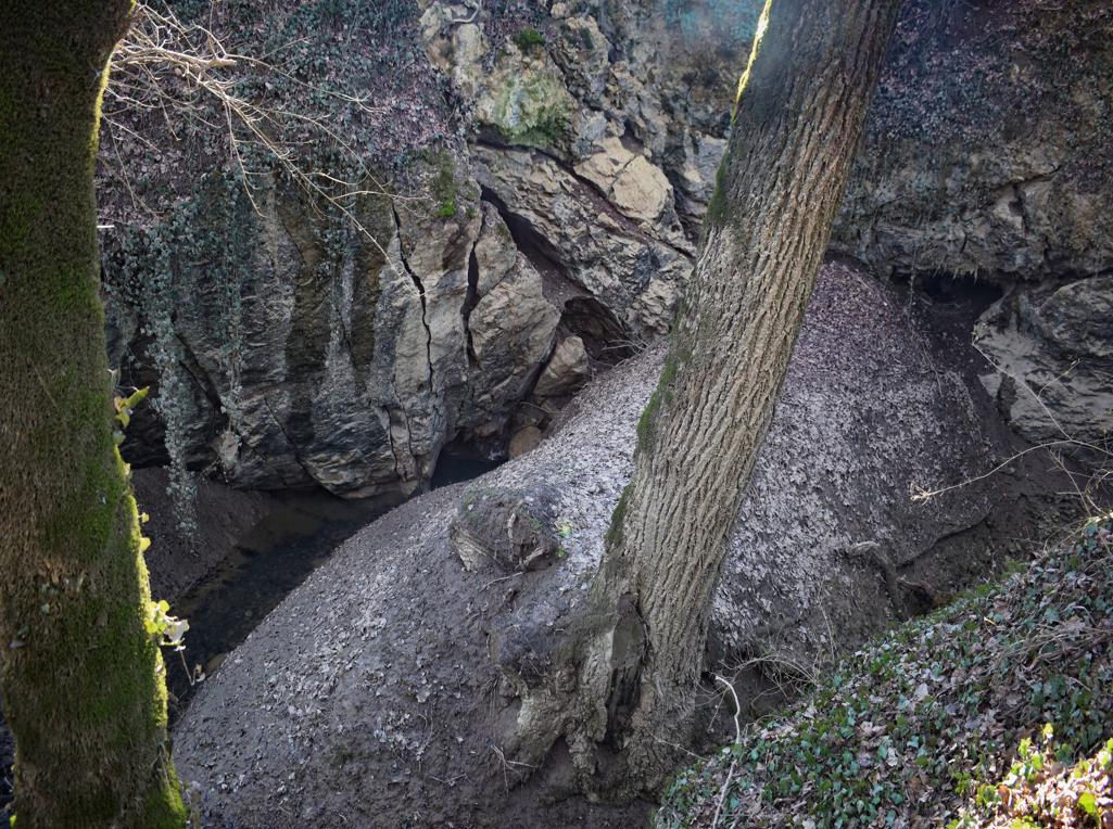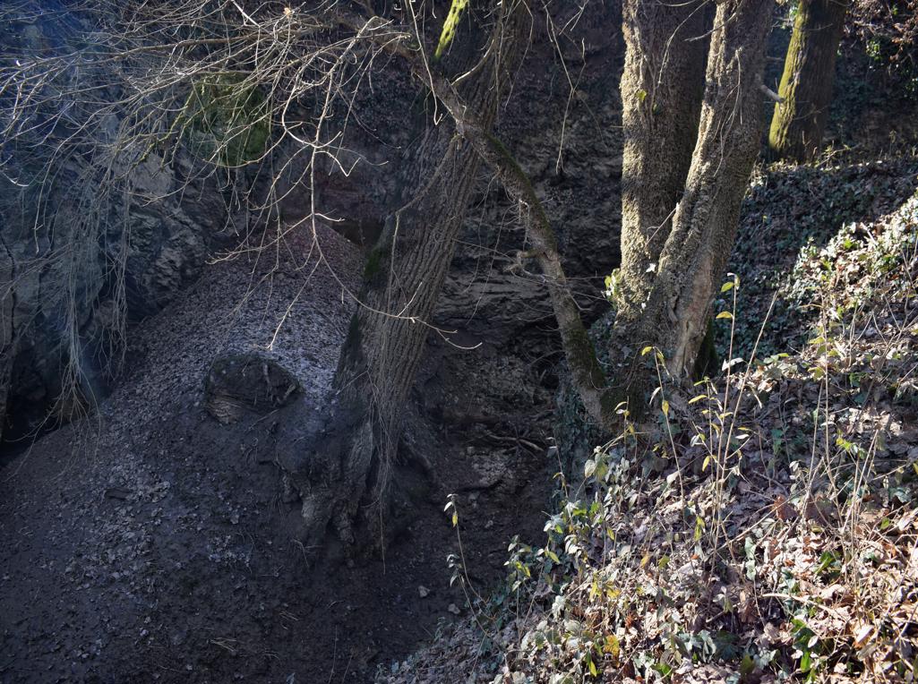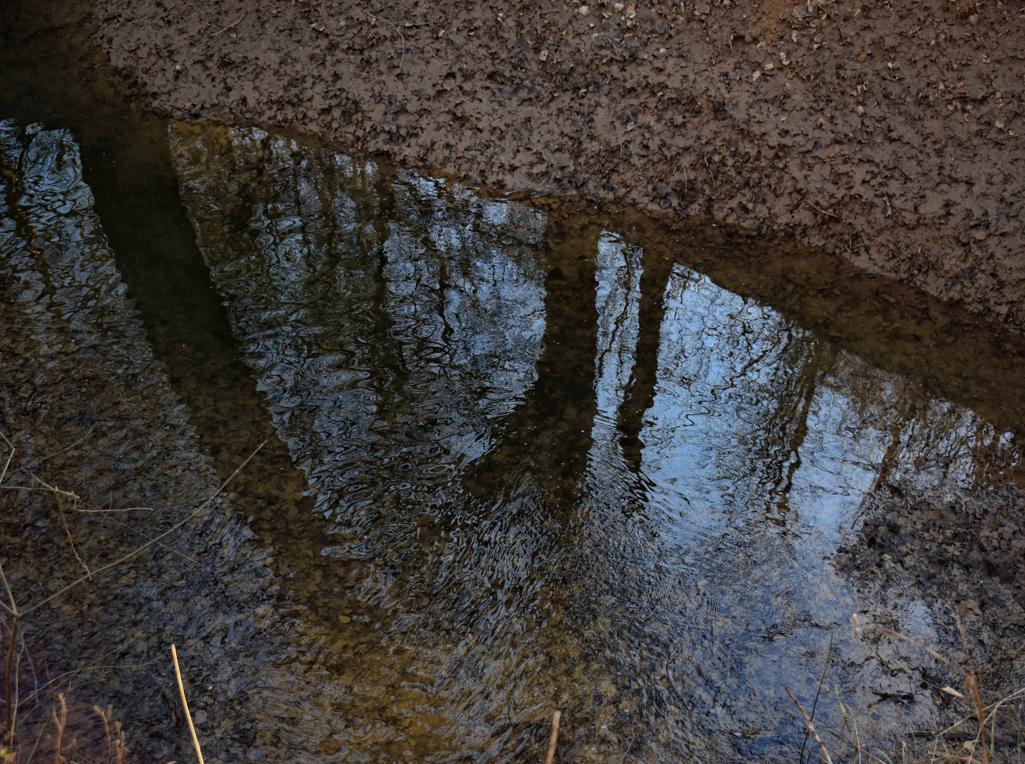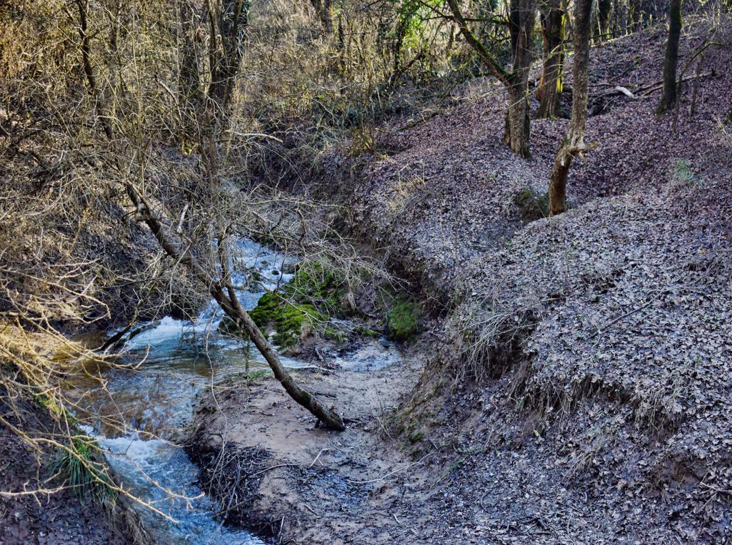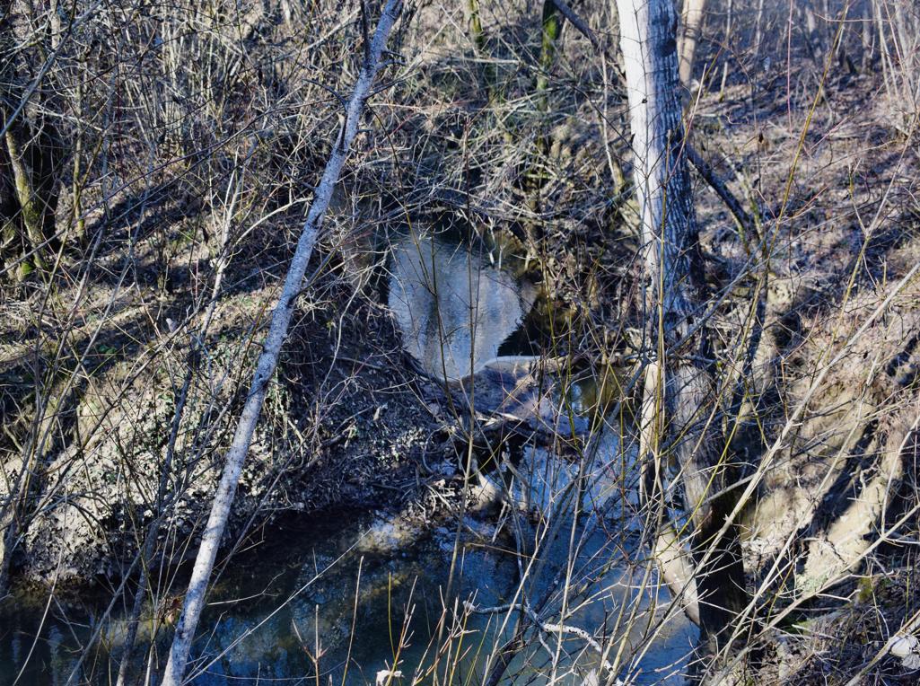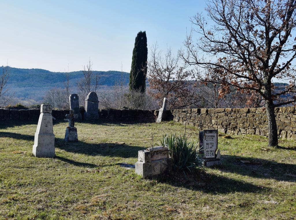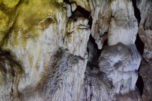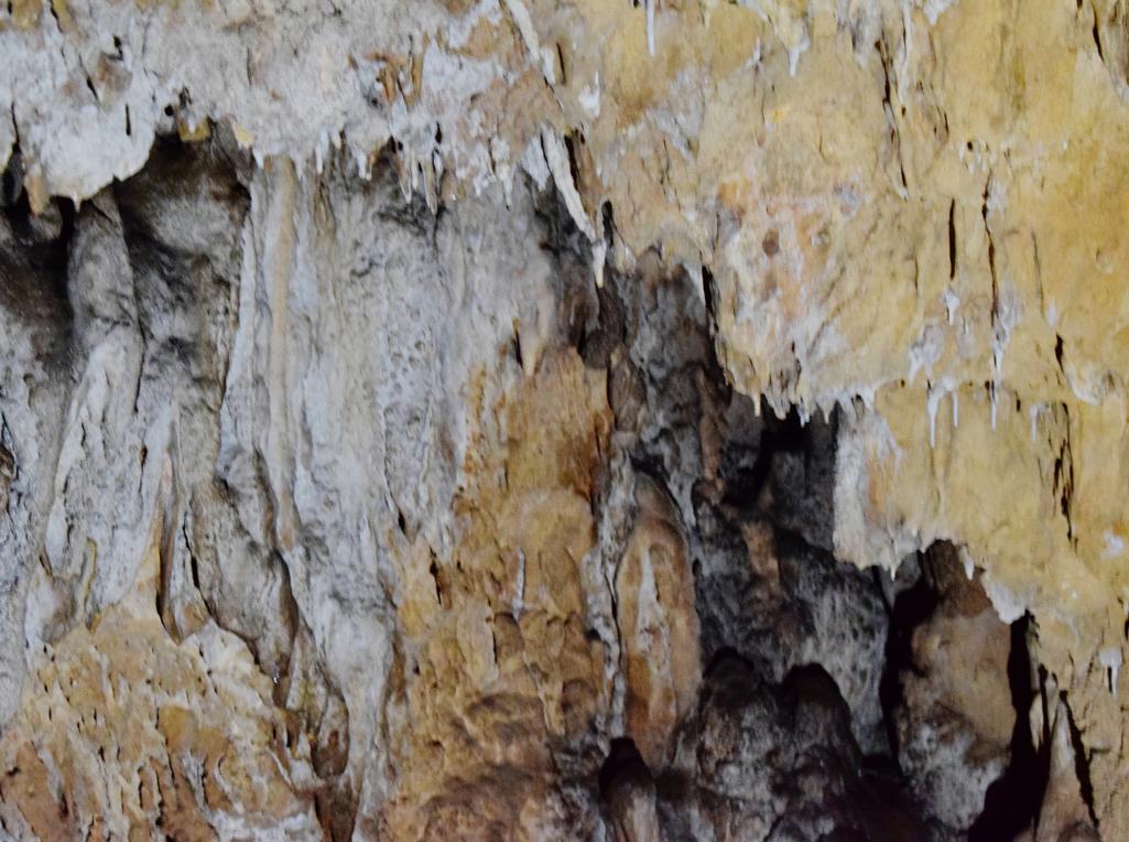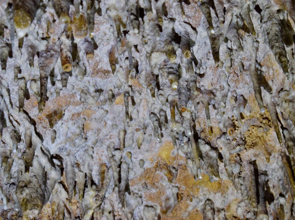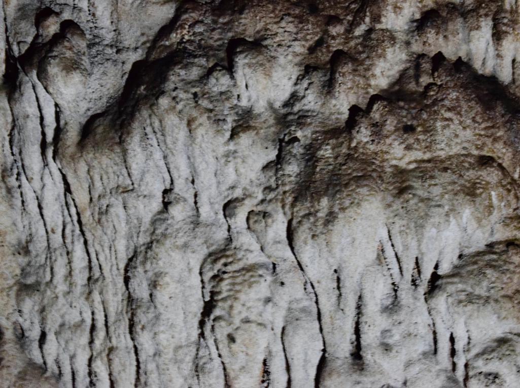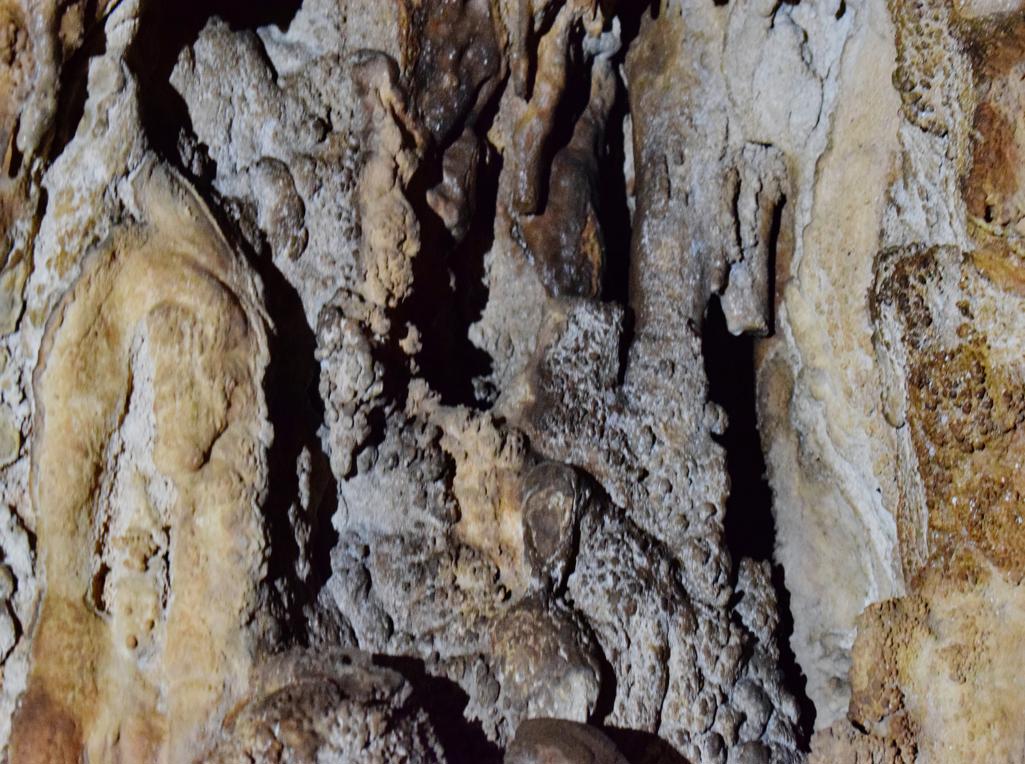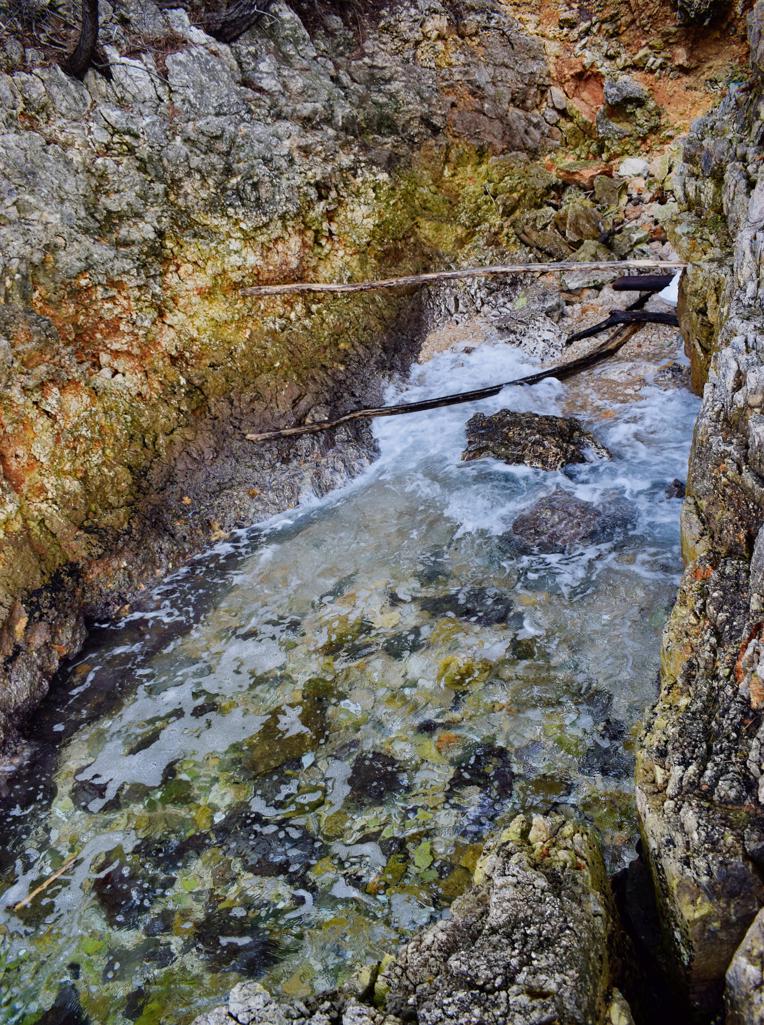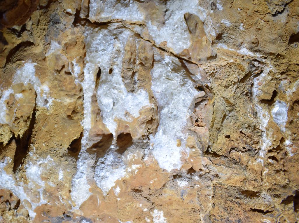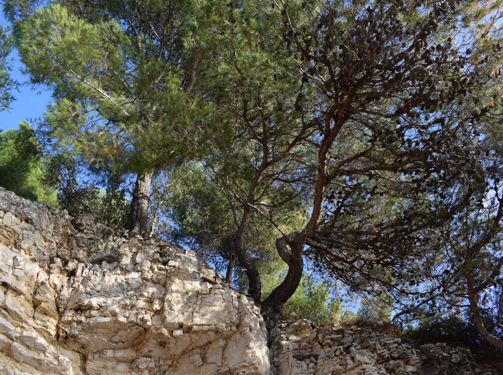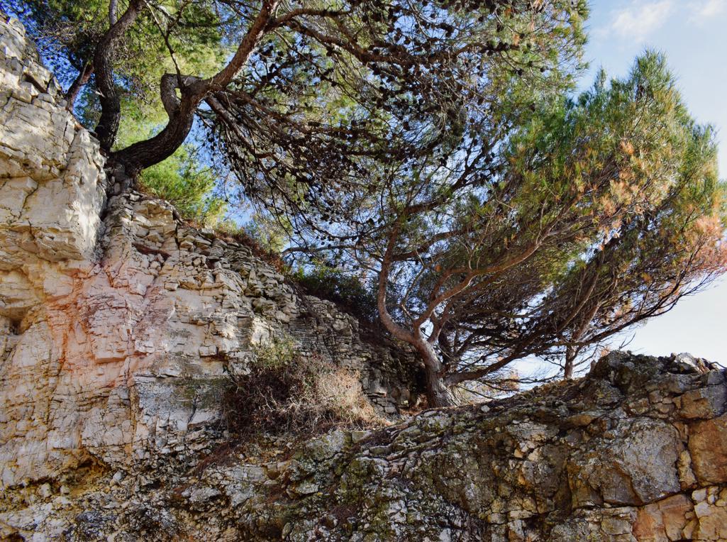
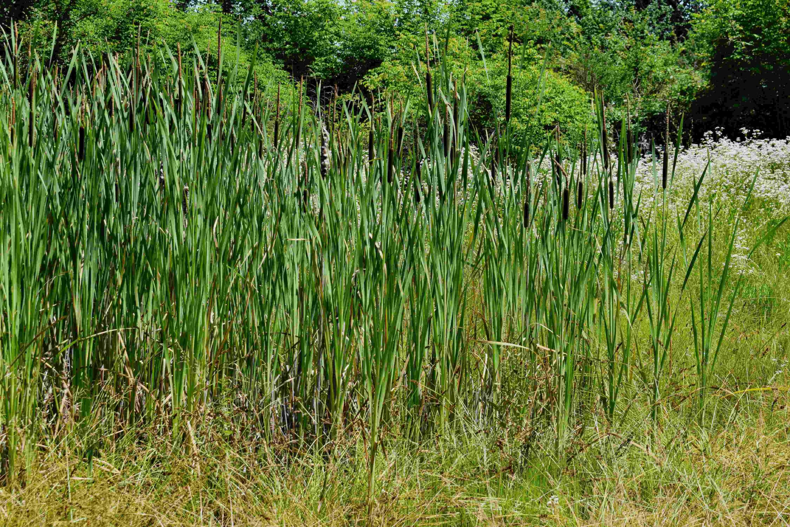


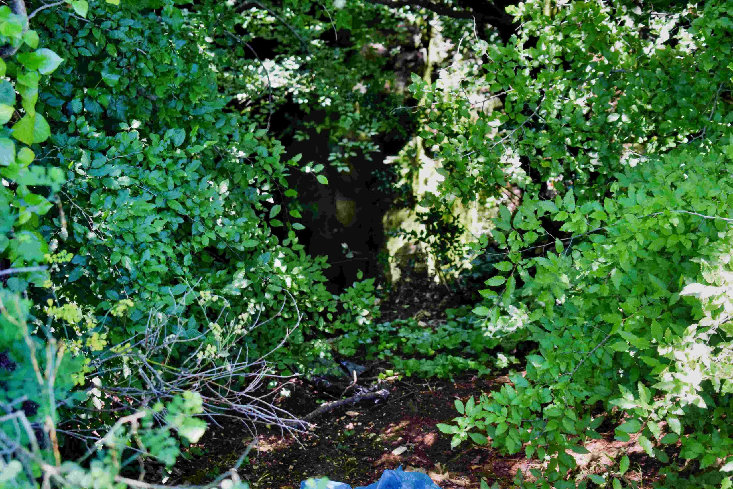
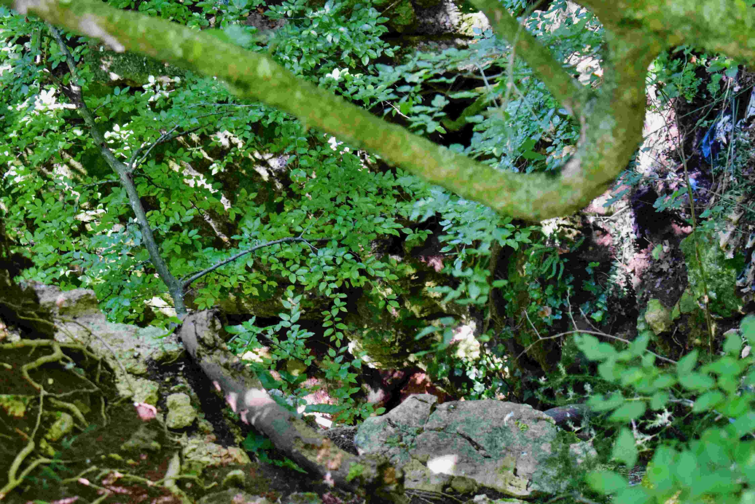

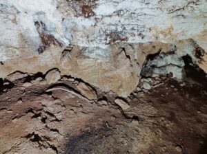
Name: Puddle Spinjovica, and 2 pit caves.
Place: Mrgani – (Kanfanar).
Coordinates: puddle 45.13075 N – 13.78396 E, cave 1 45.13653 N – 13. 77412 E, cave 2 45.12800 N – 13.78241 E.
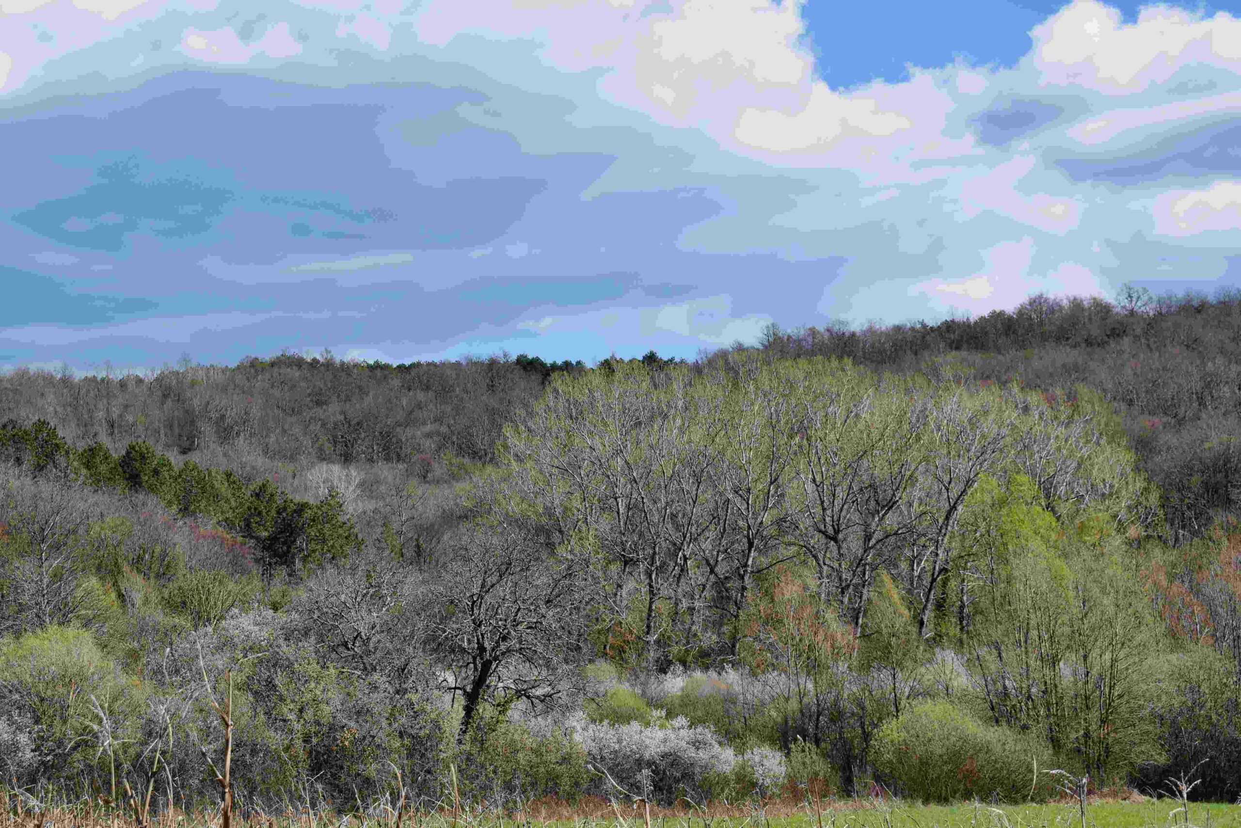
Name: Puddle Spinjovica, and 2 pit caves.
Place: Mrgani – (Kanfanar).
Coordinates: puddle 45.13075 N – 13.78396 E, cave 1 45.13653 N – 13. 77412 E, cave 2 45.12800 N – 13.78241 E.
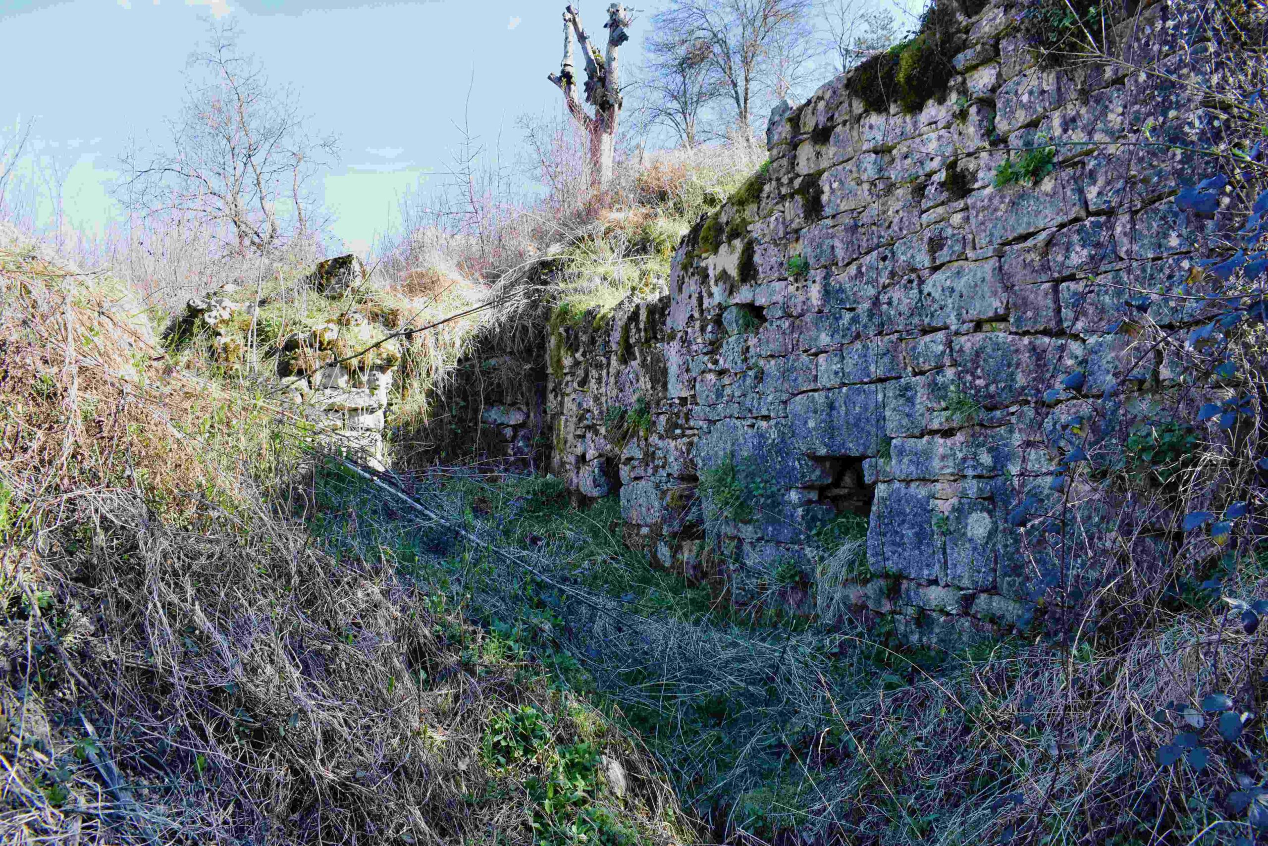
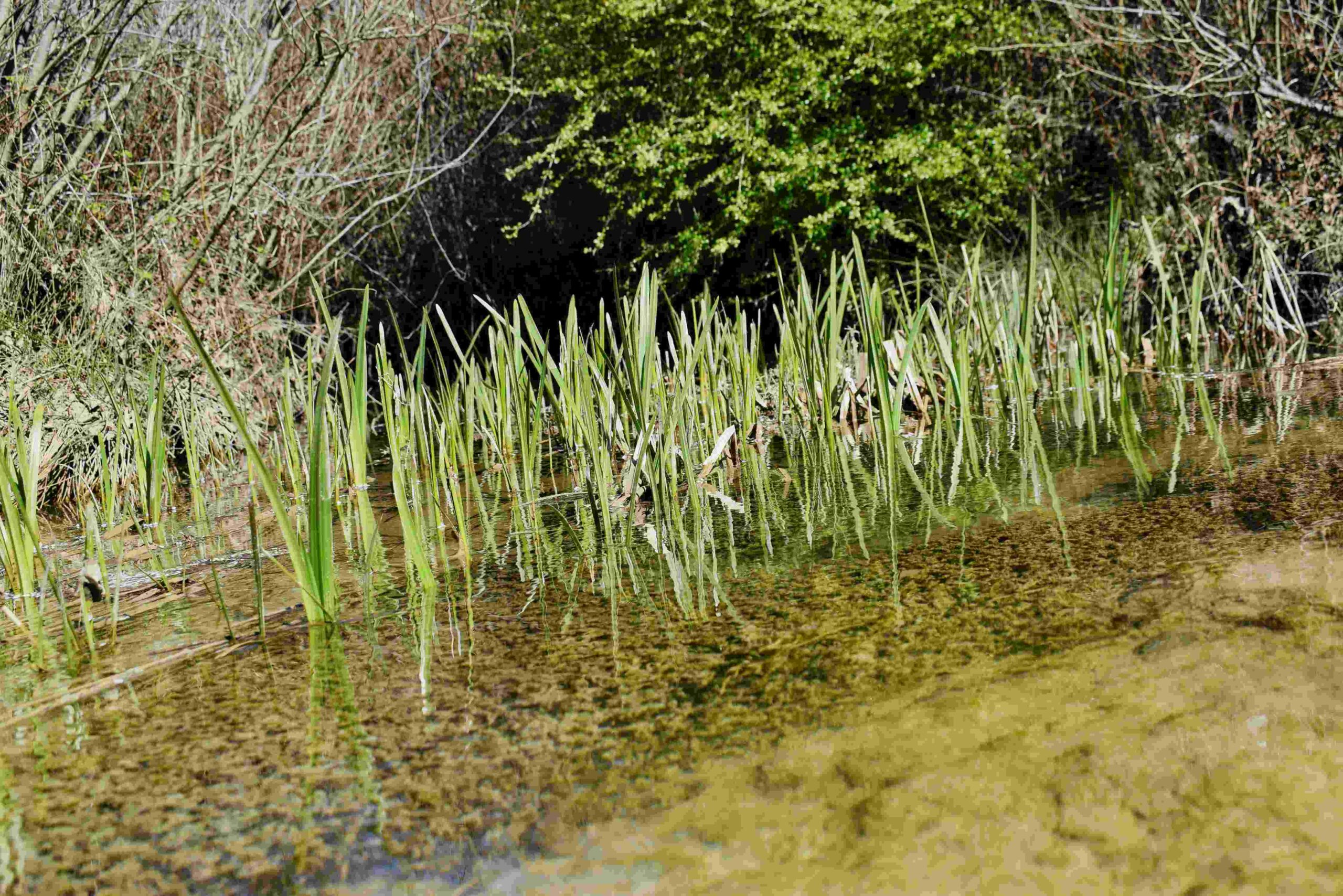
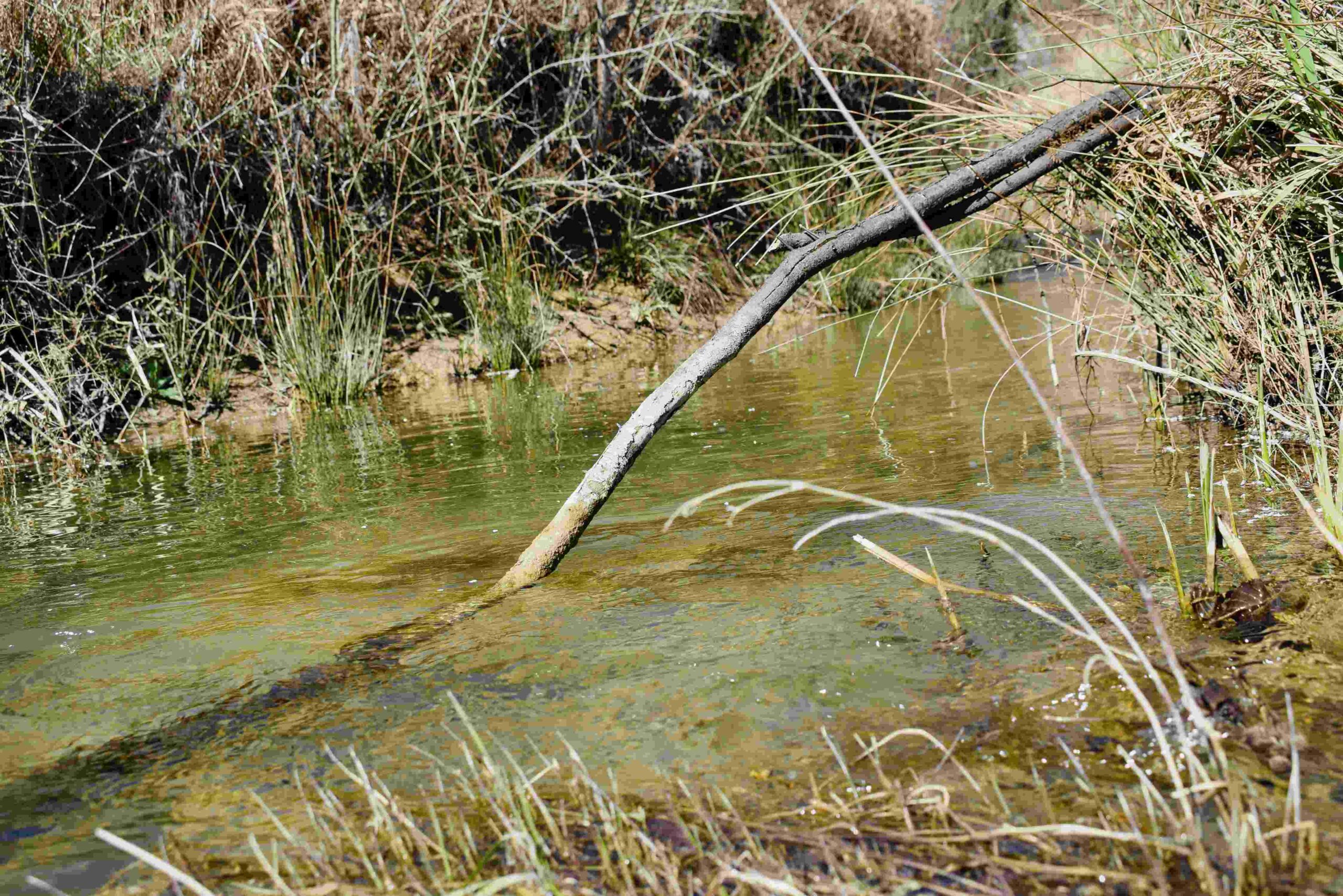
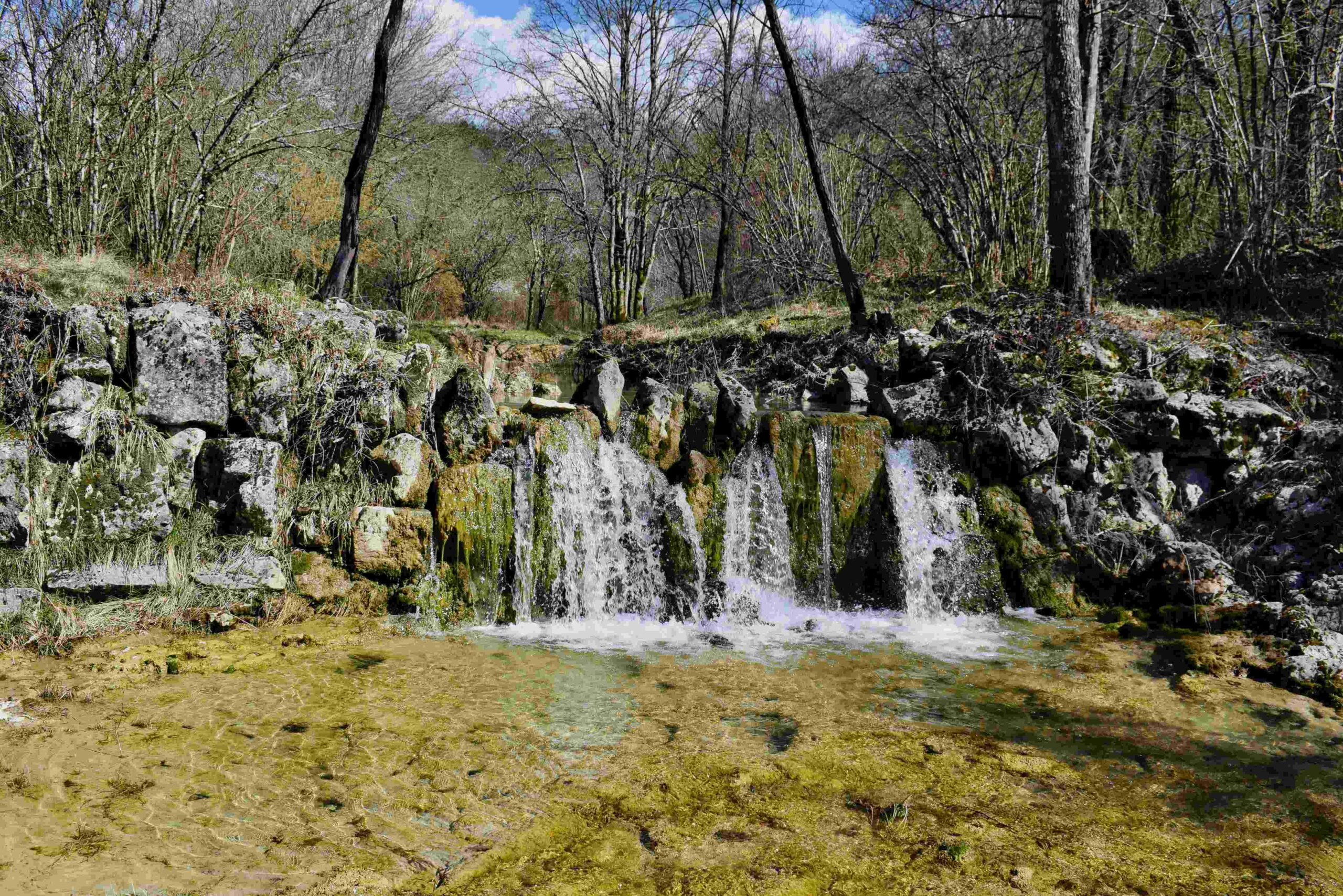
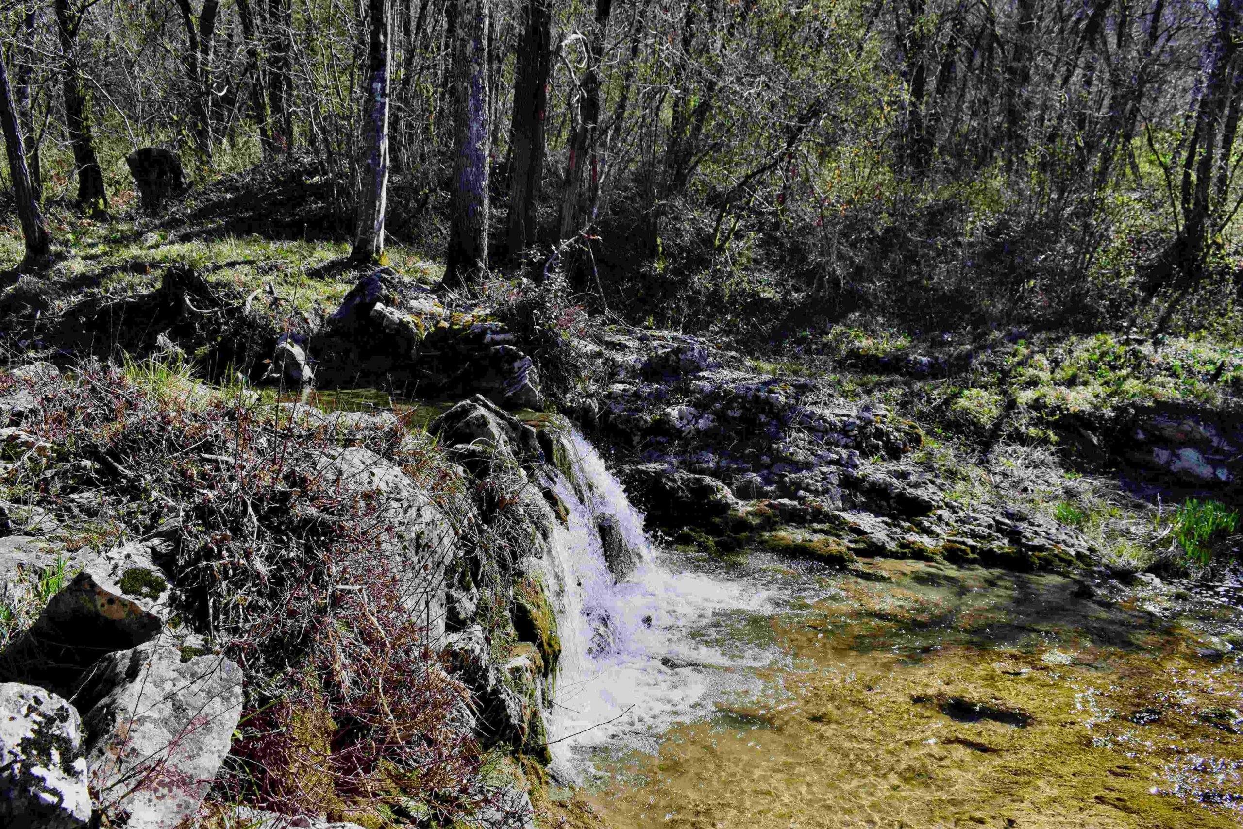
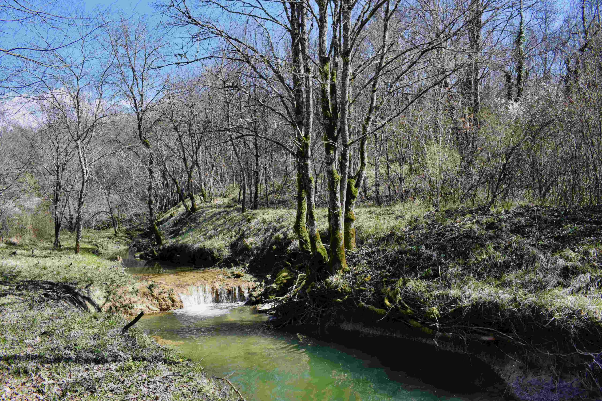
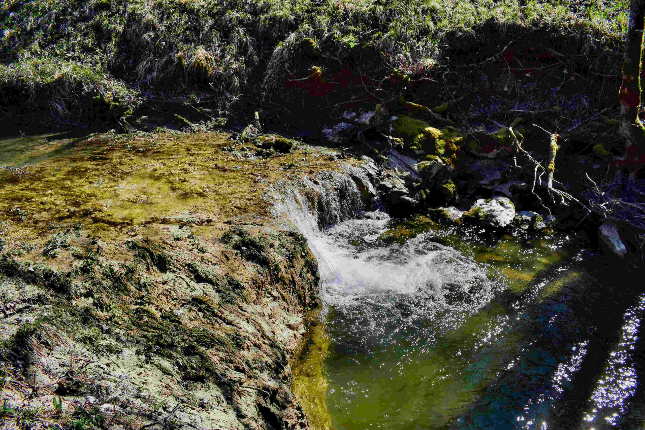
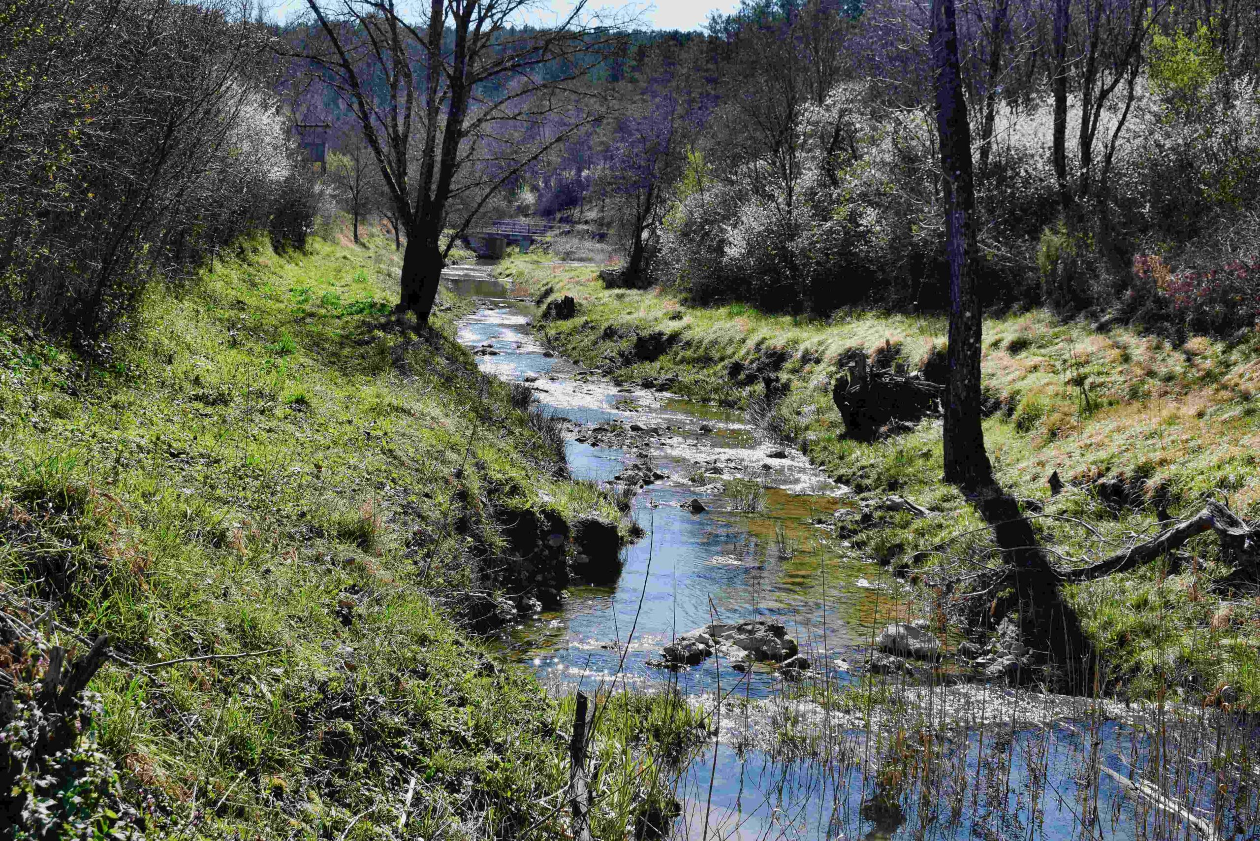
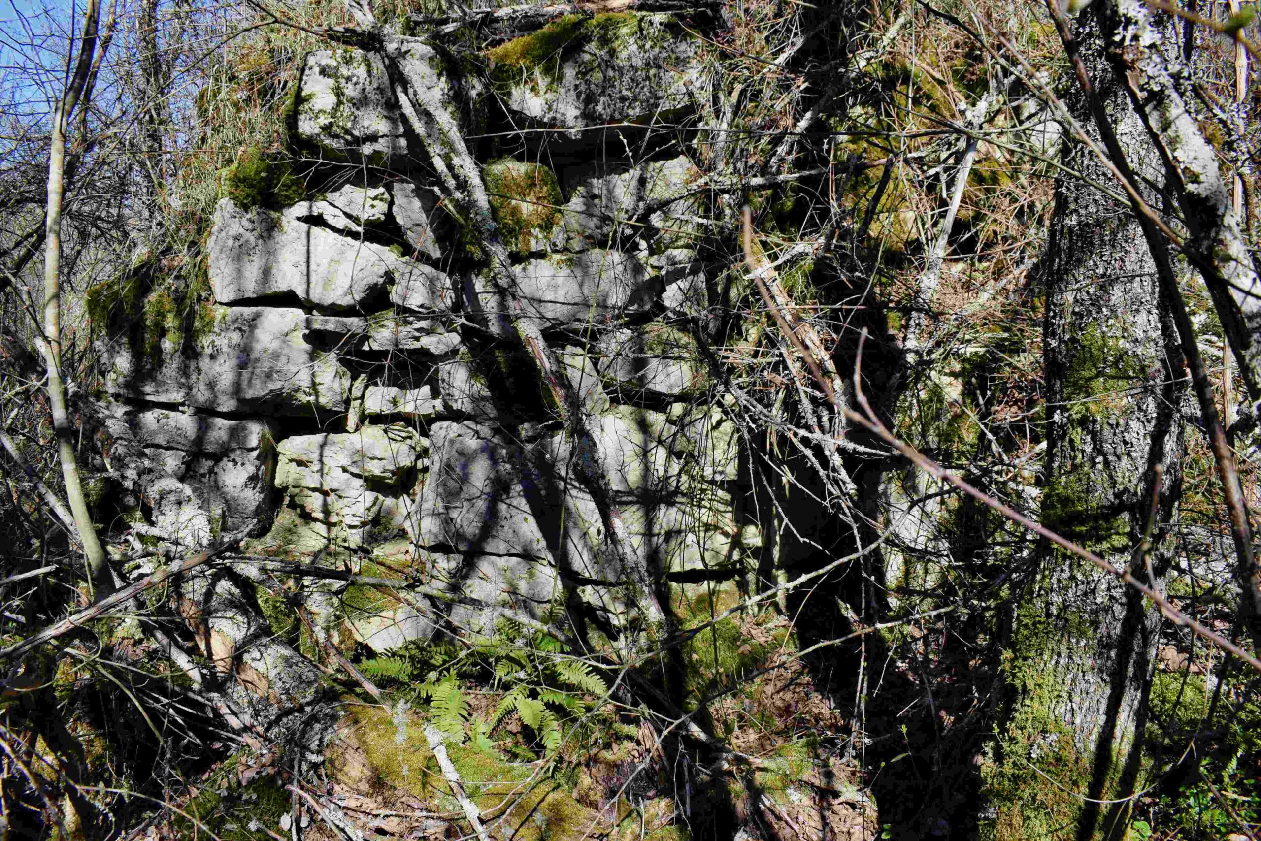
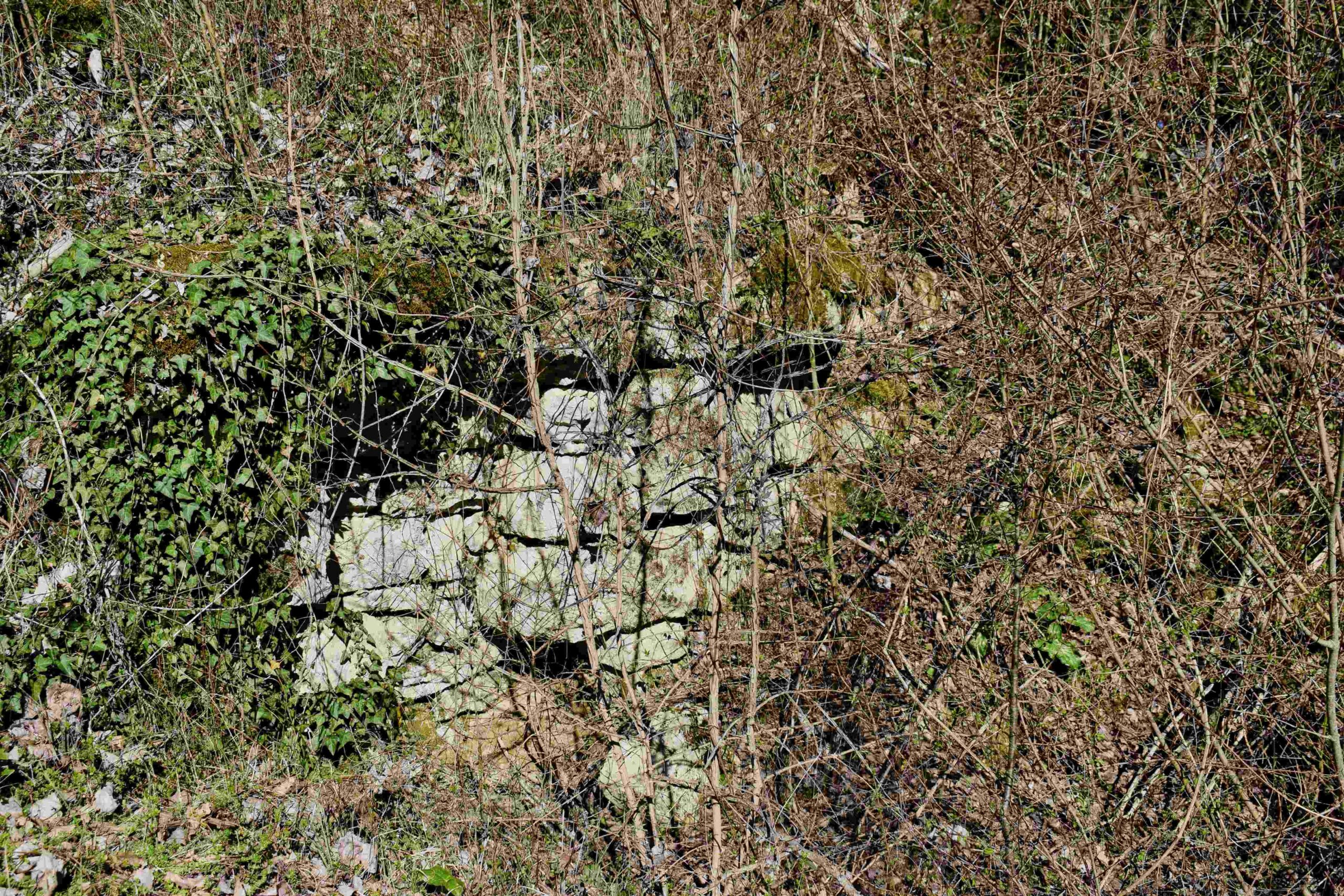
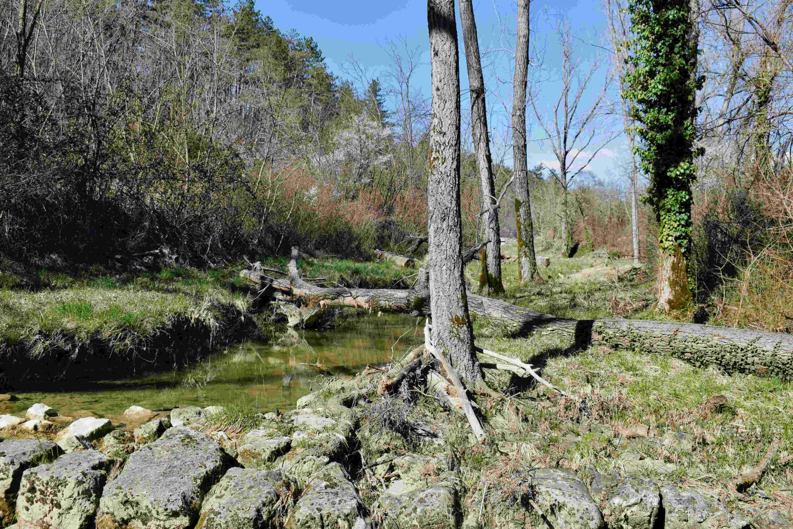
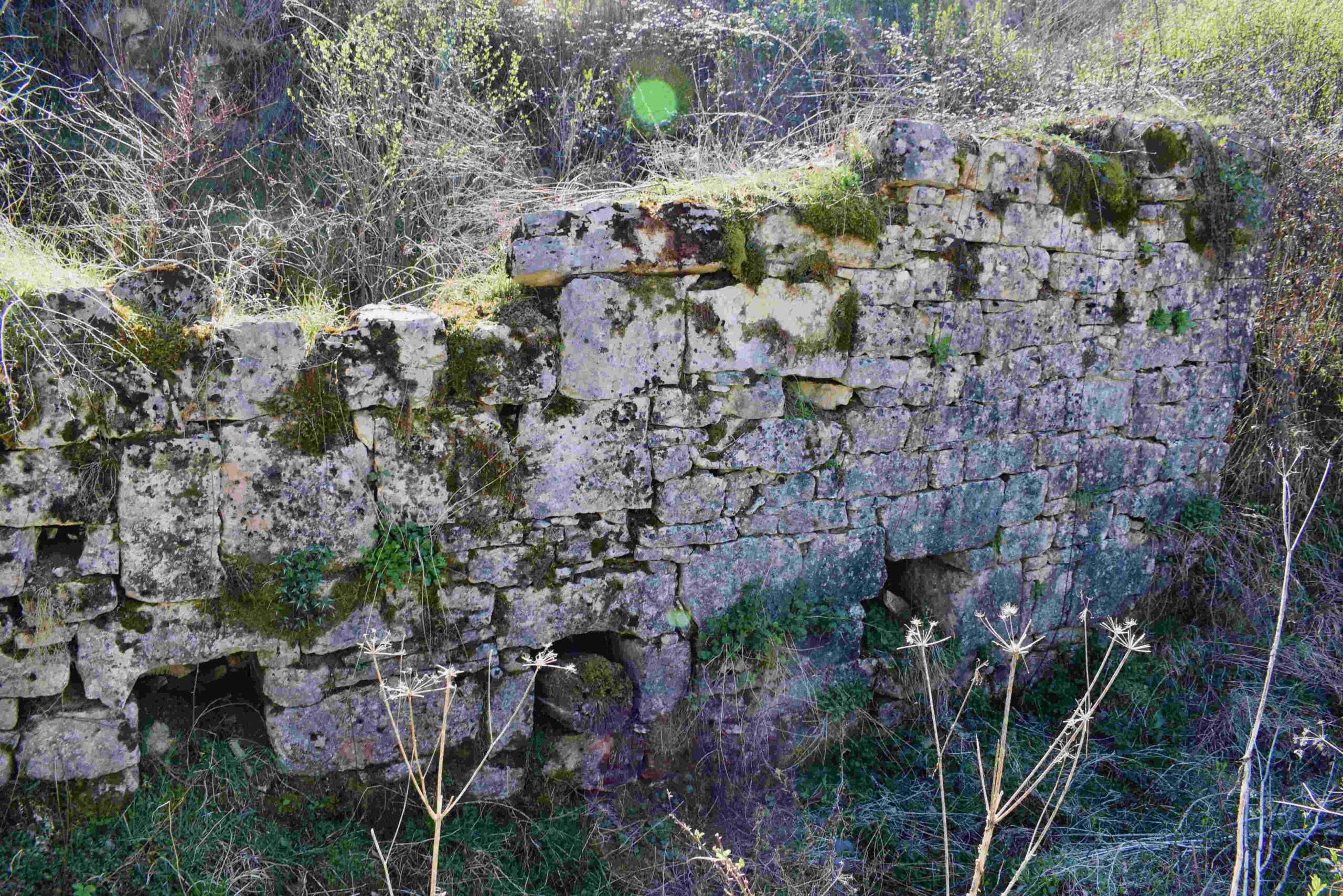
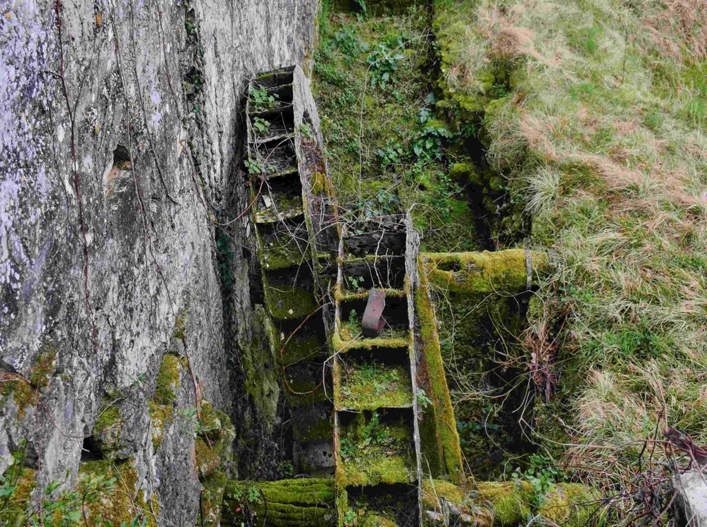
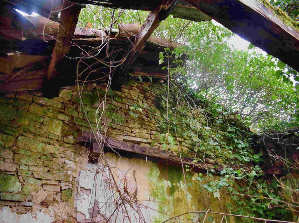
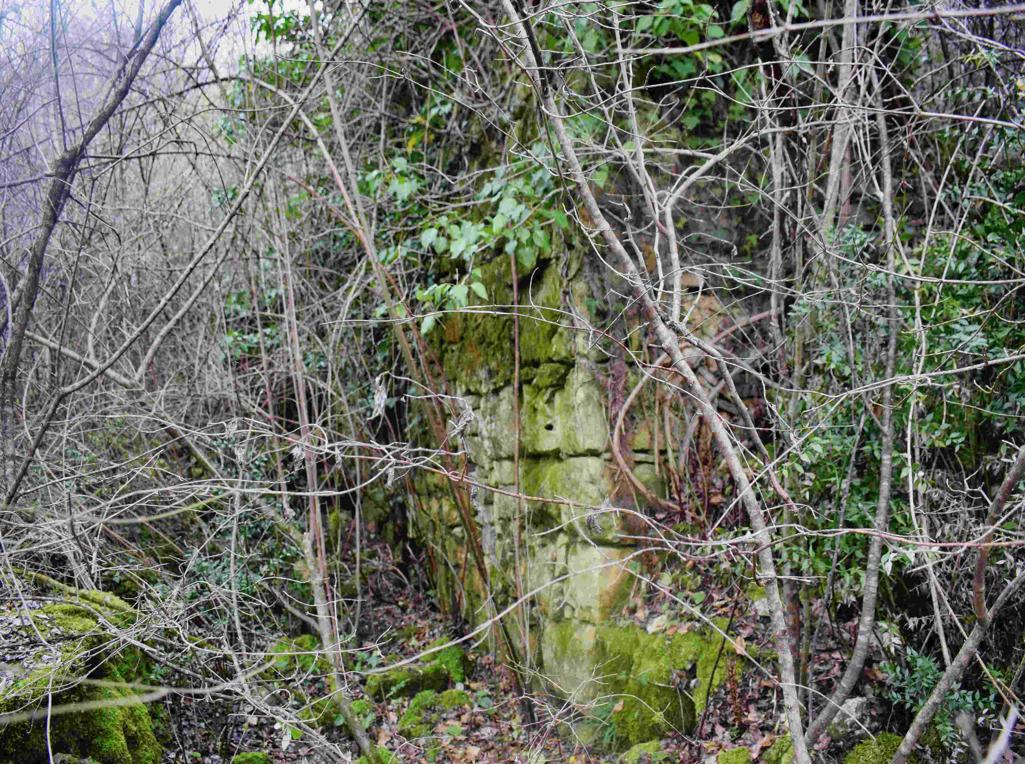
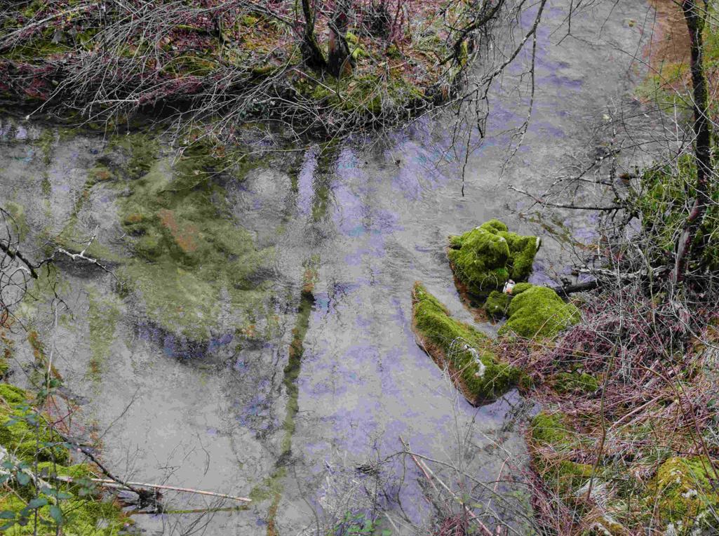
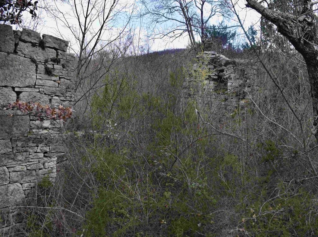
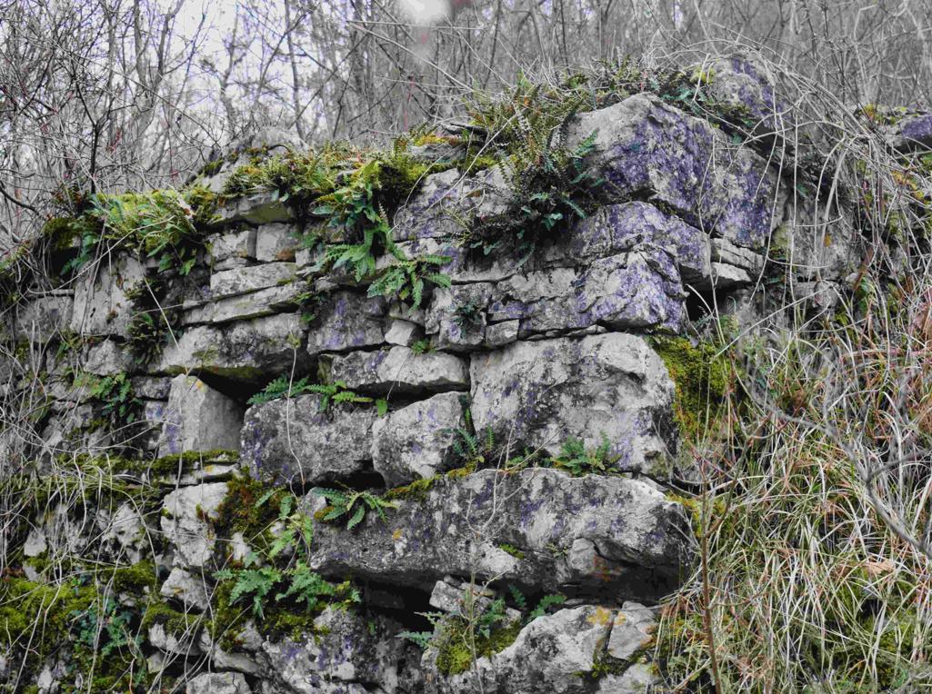
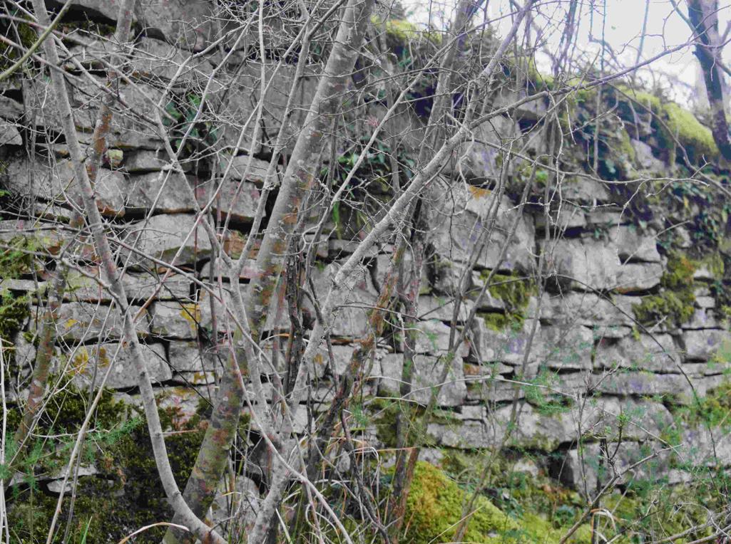
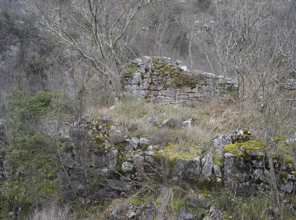
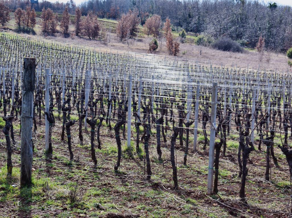
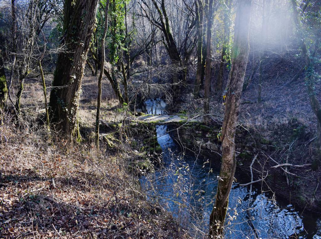
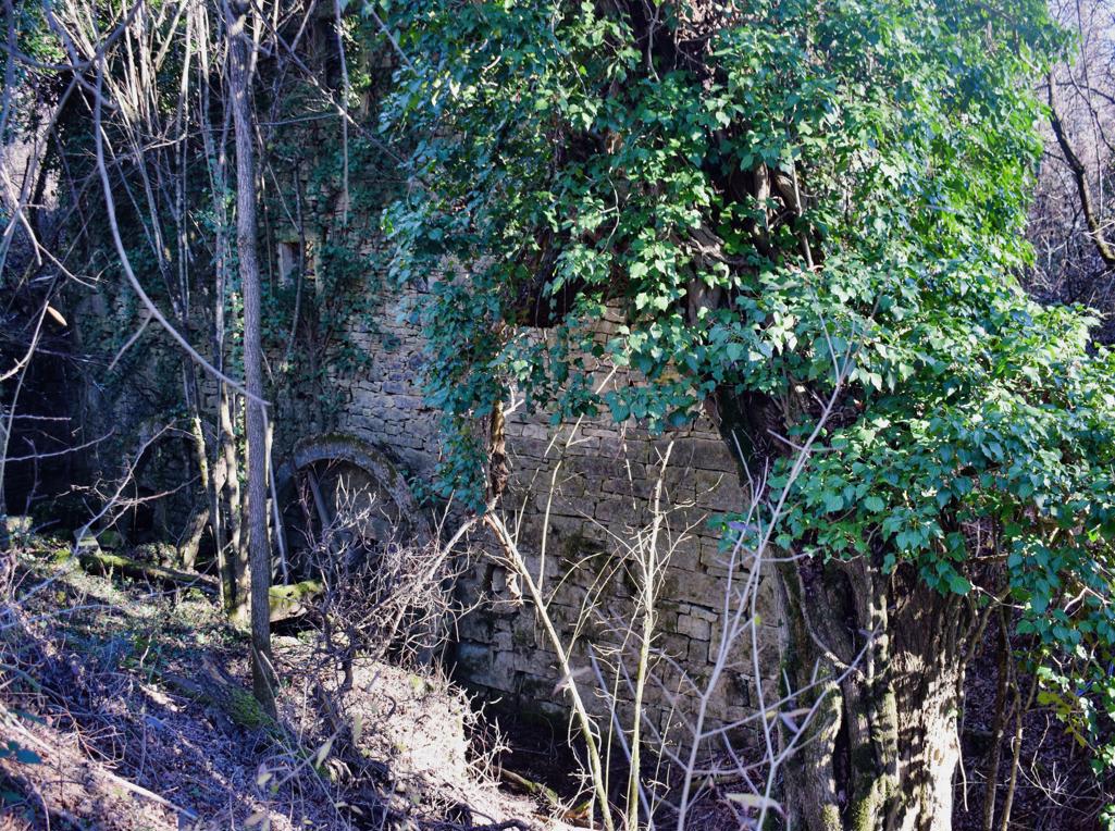
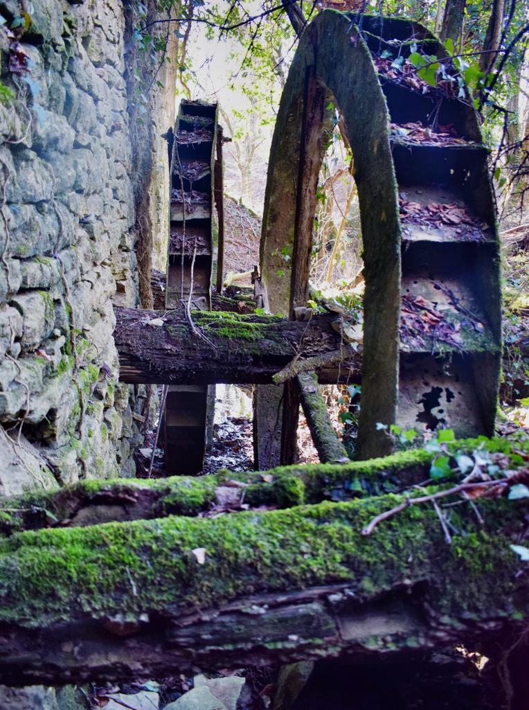
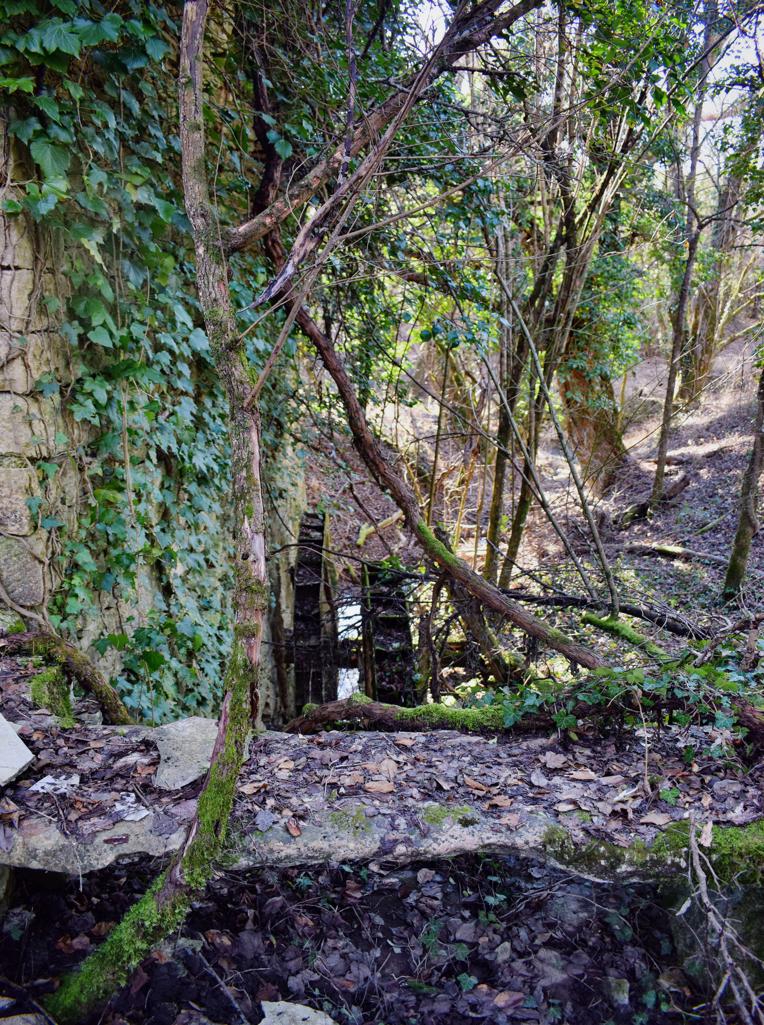
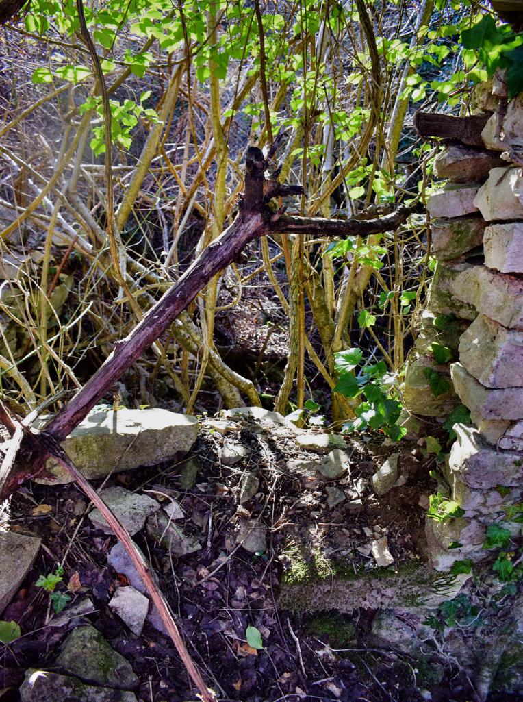
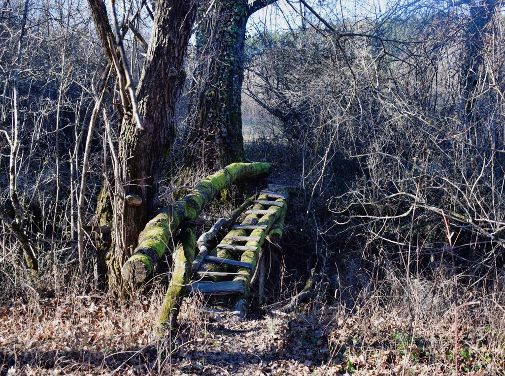
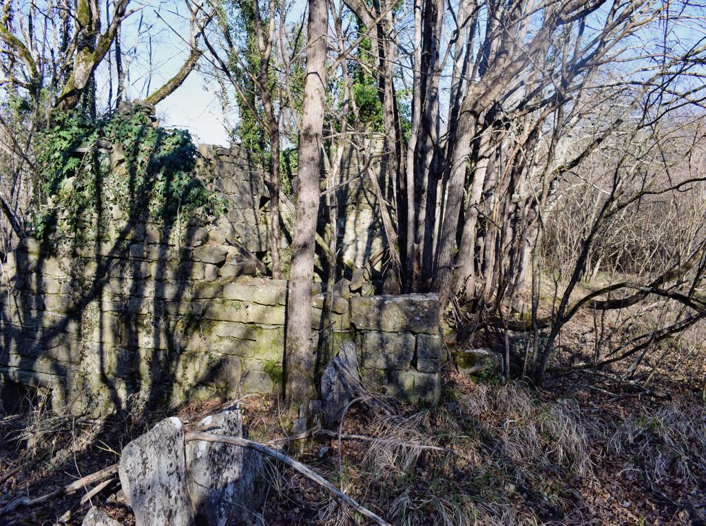
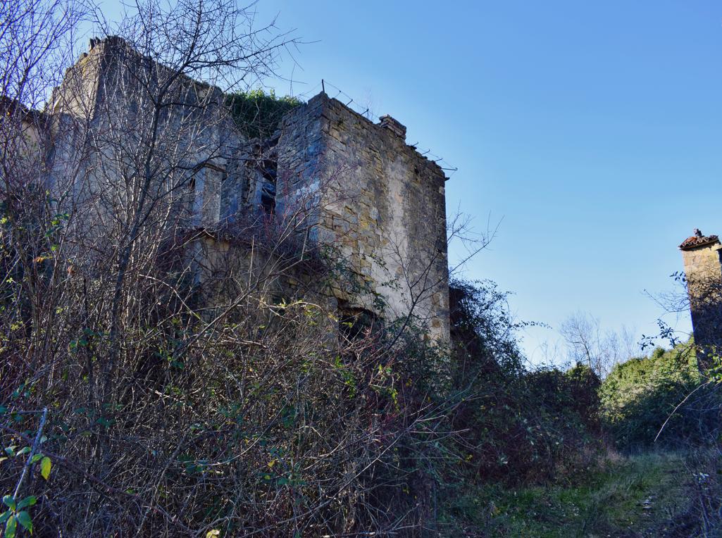
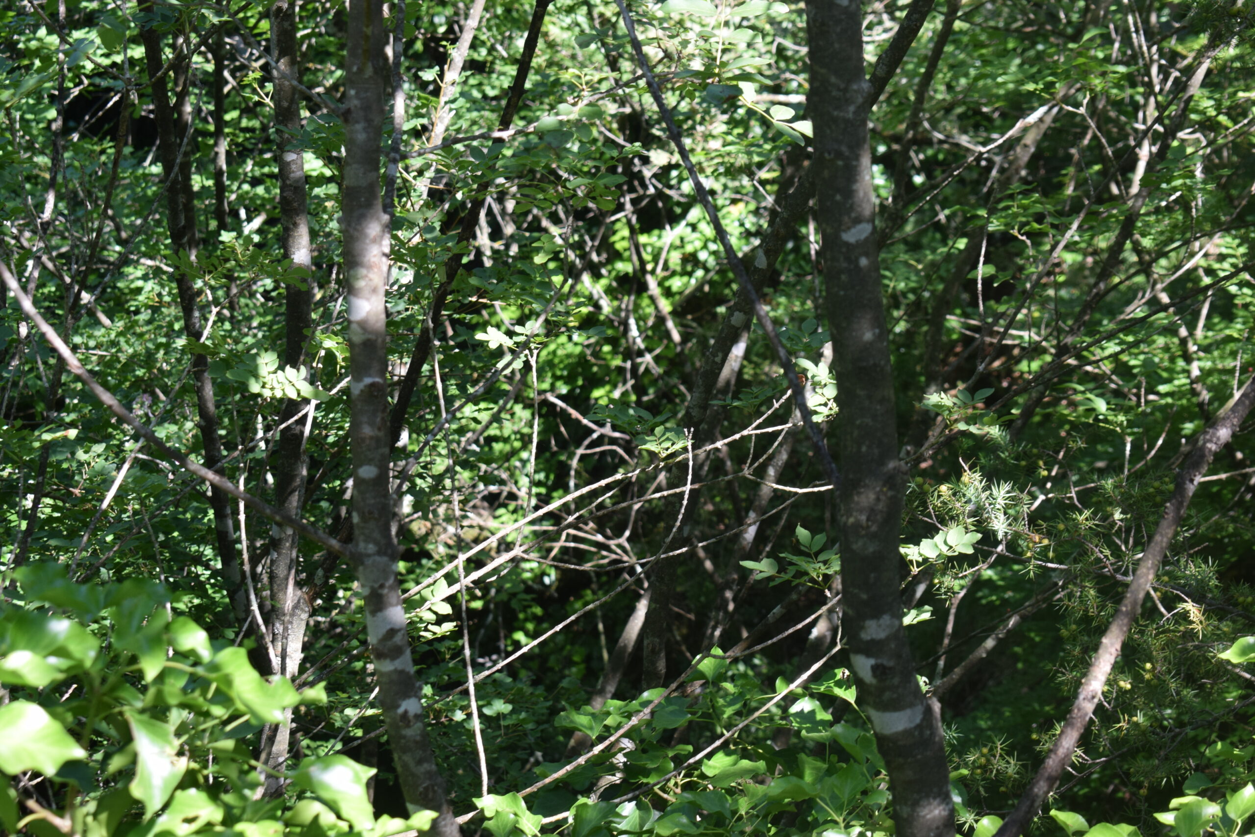
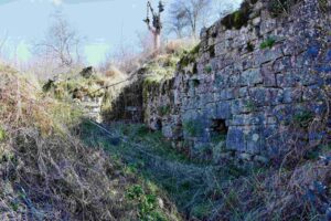
Along the Topolovica with the former name Bach Marganizza (Brestovae) there were 7 water mills for grinding grain.
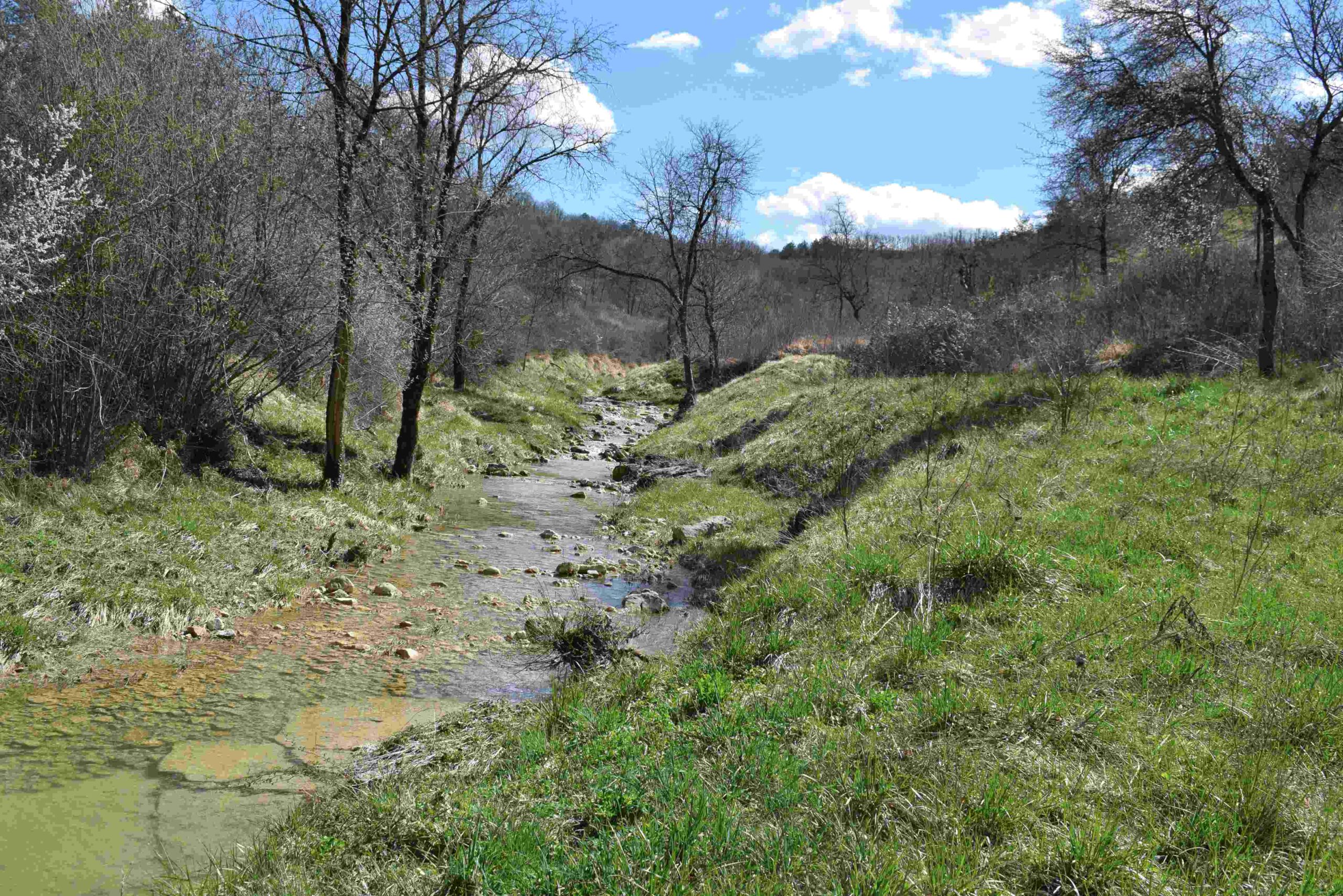
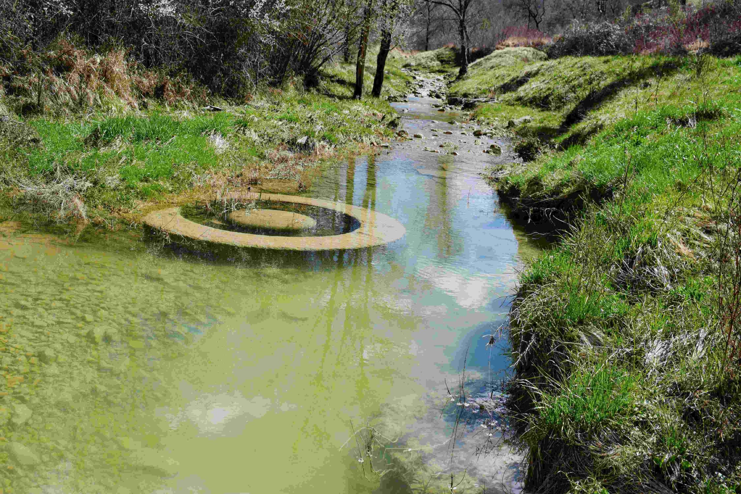
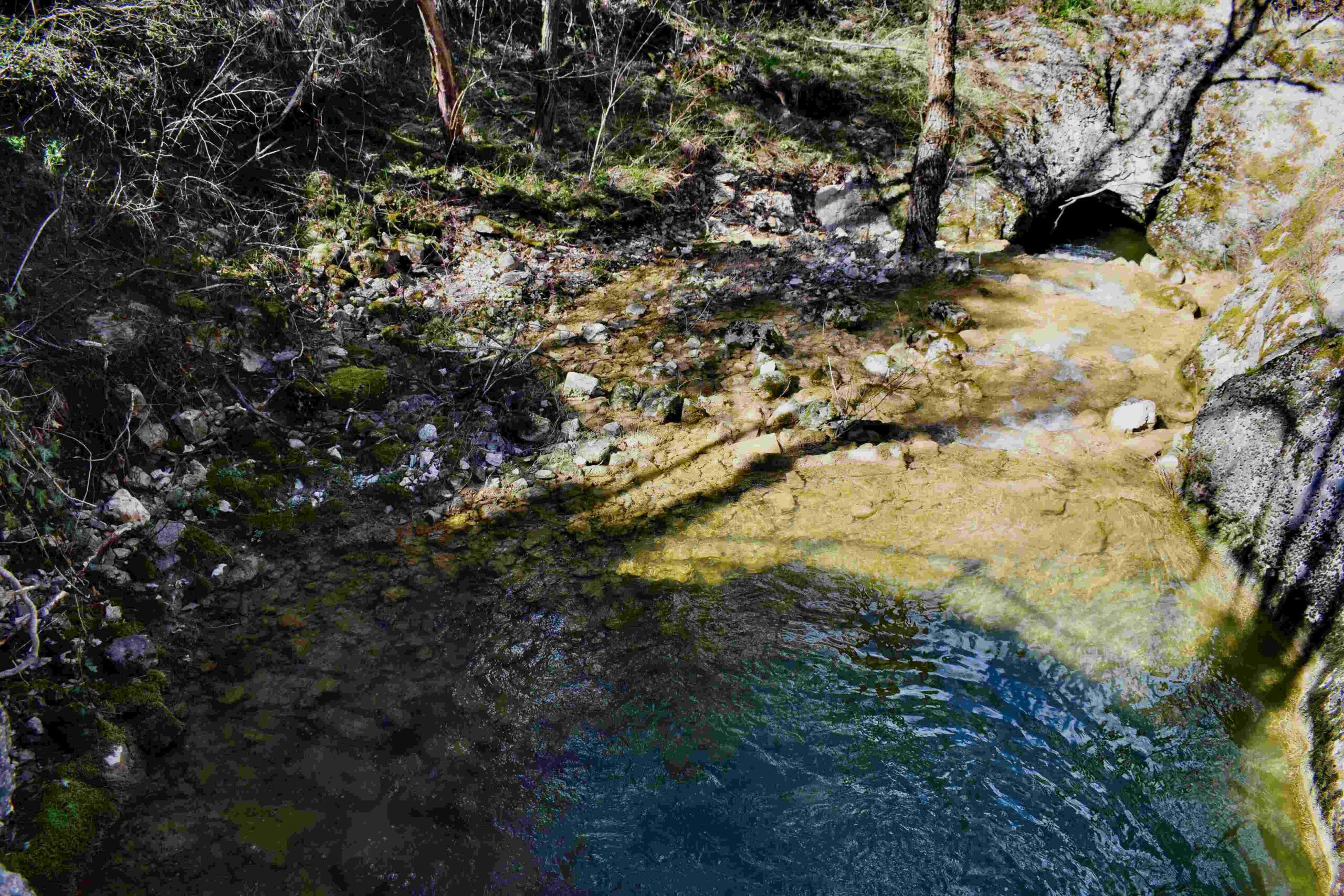
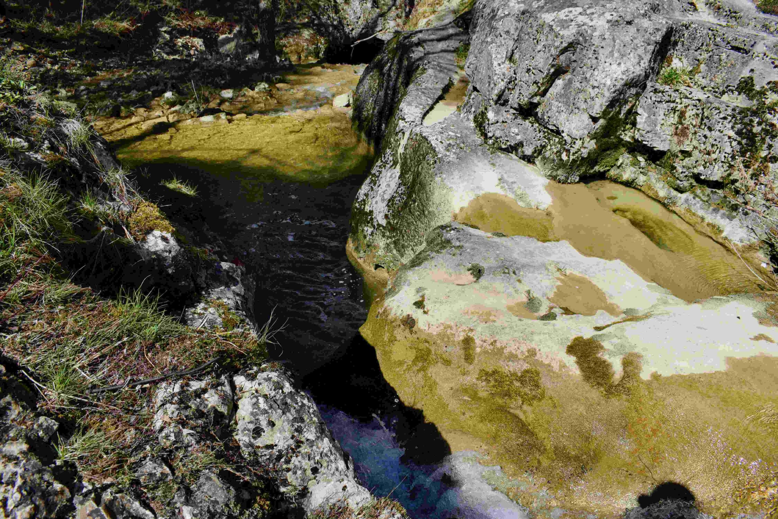
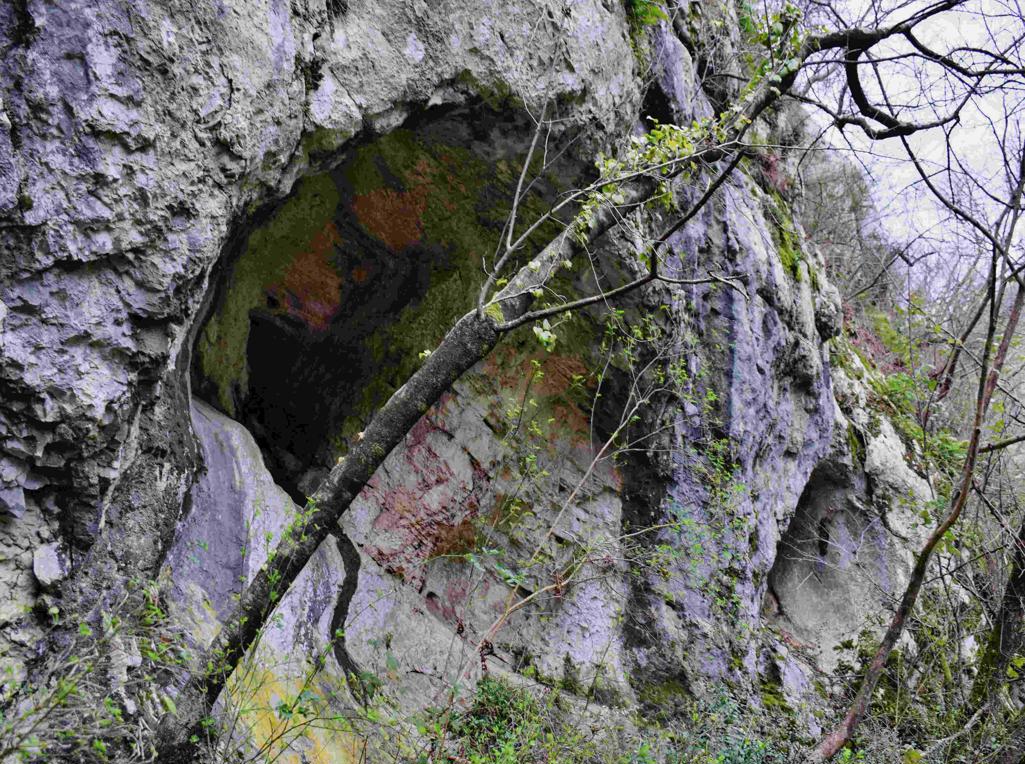
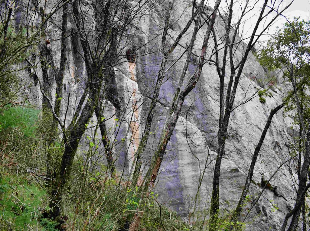
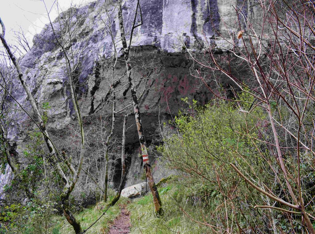
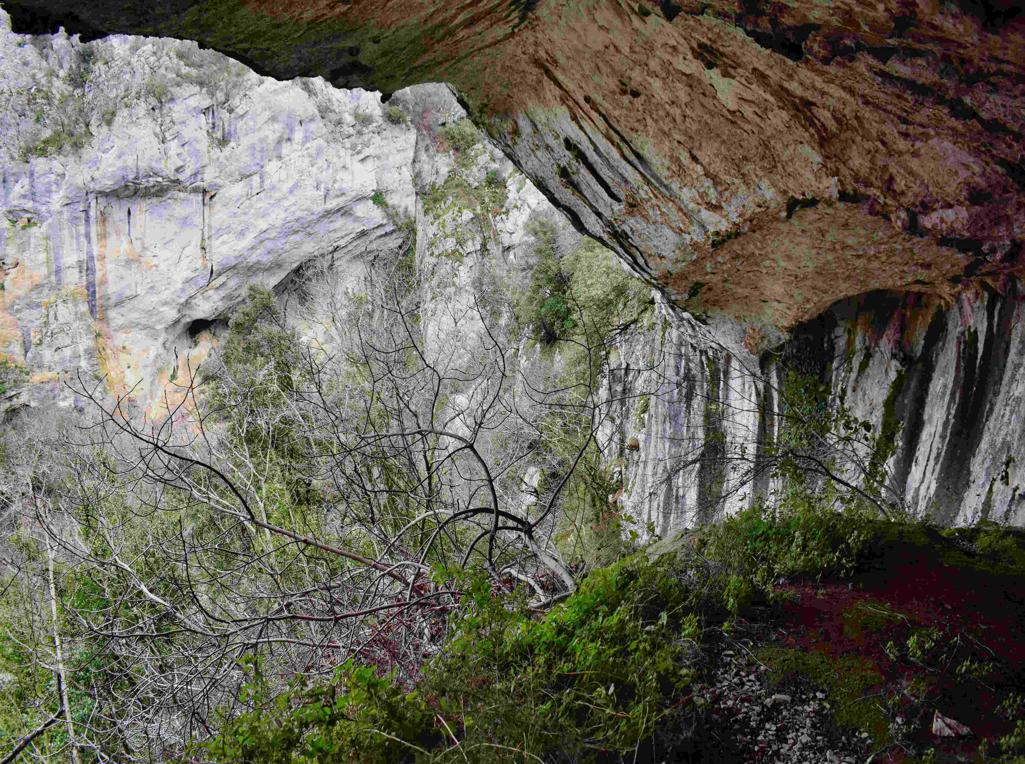
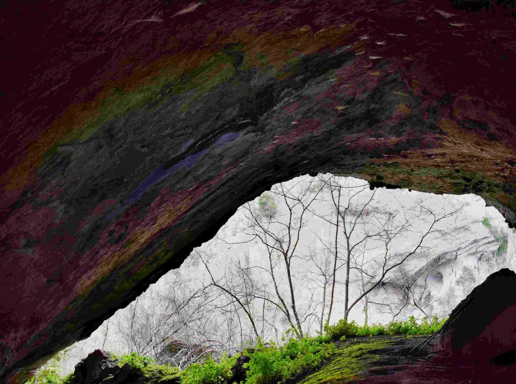
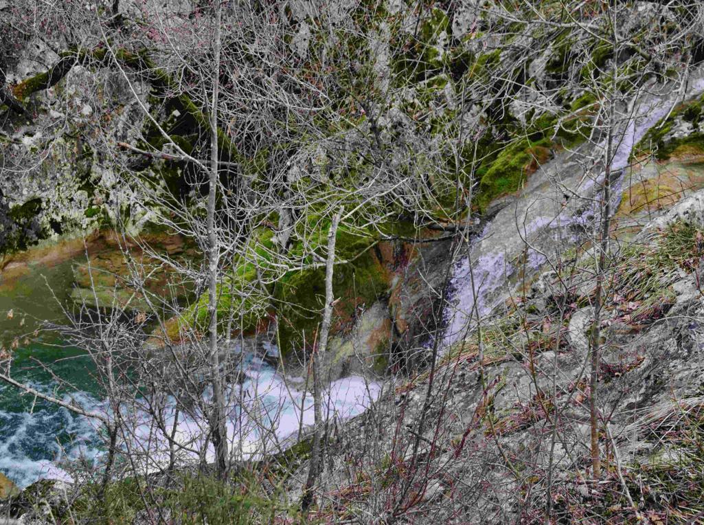
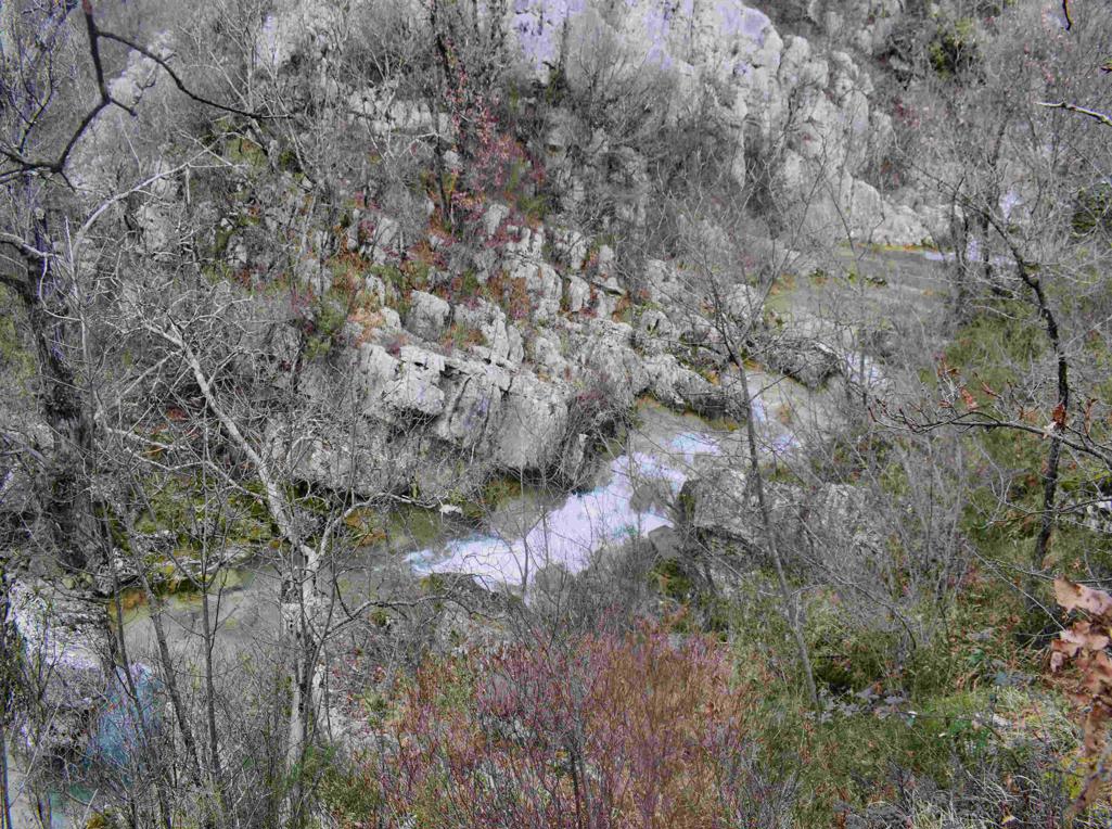
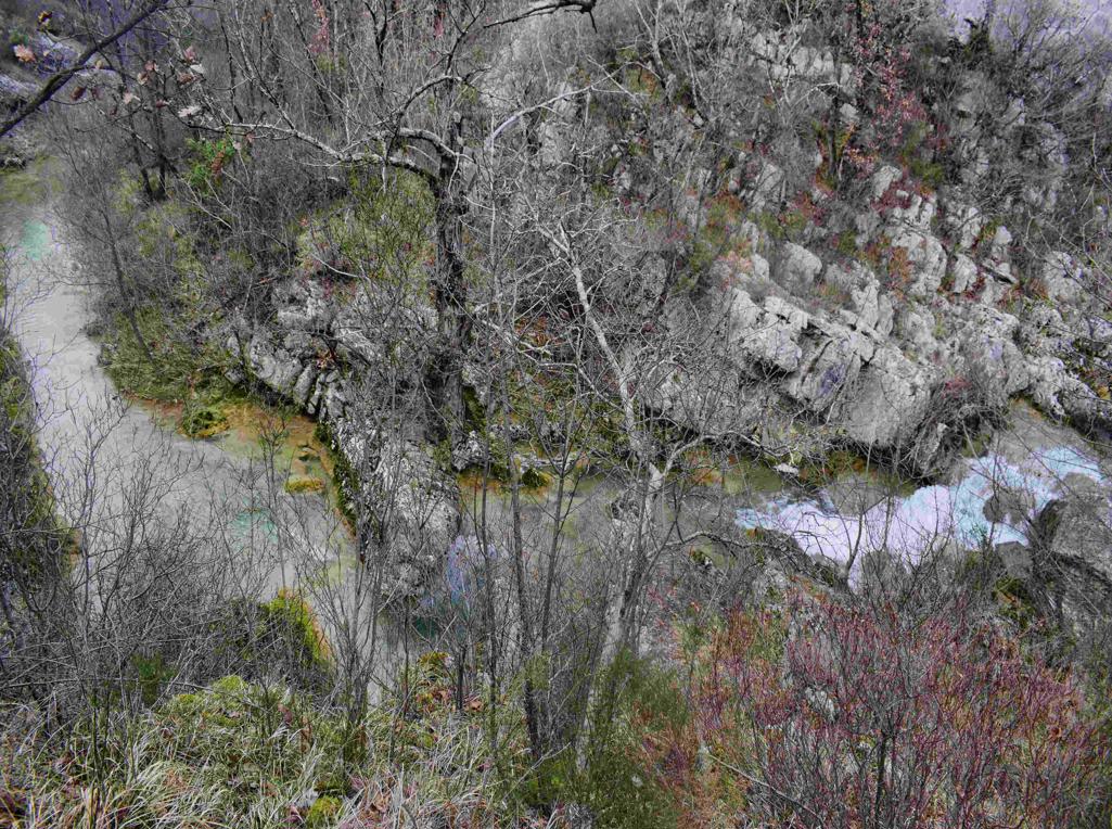
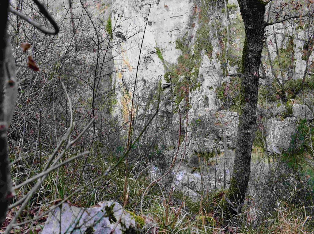
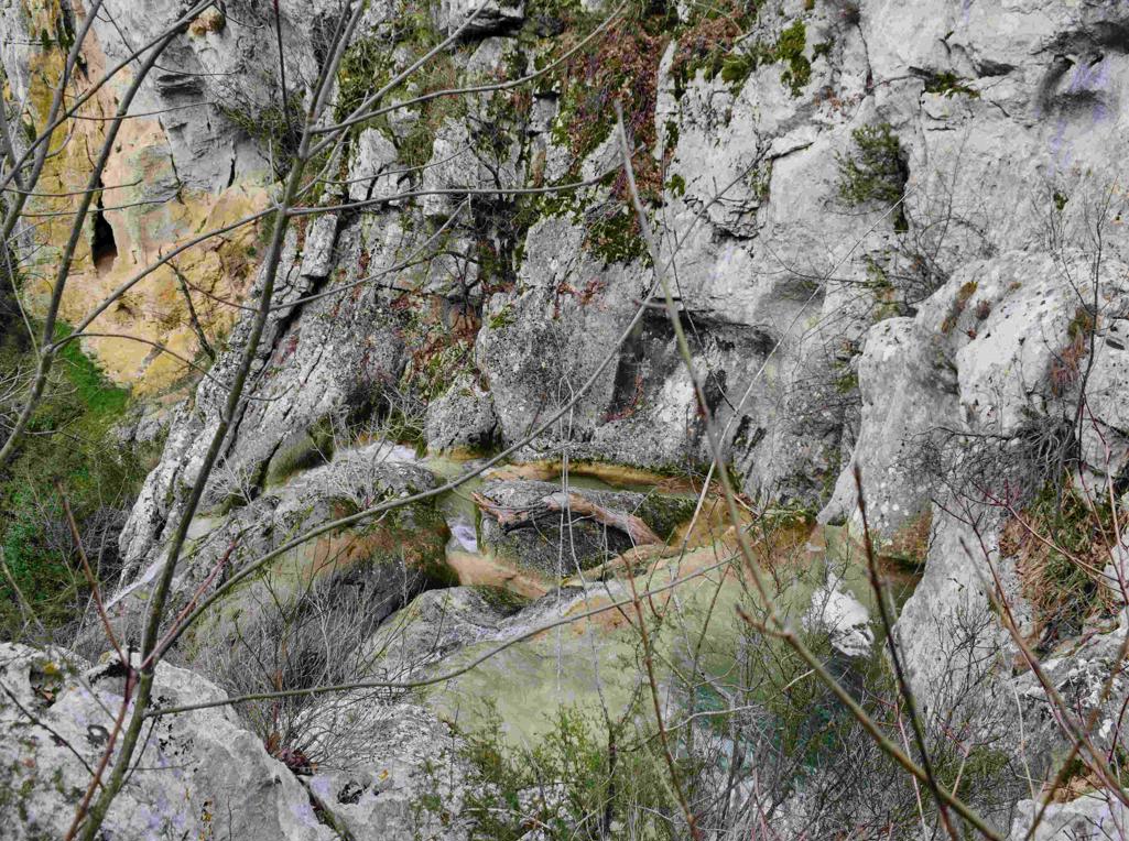
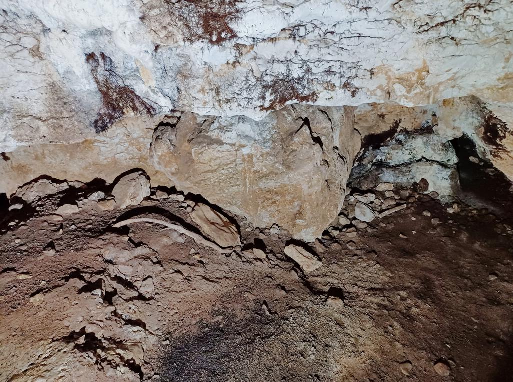
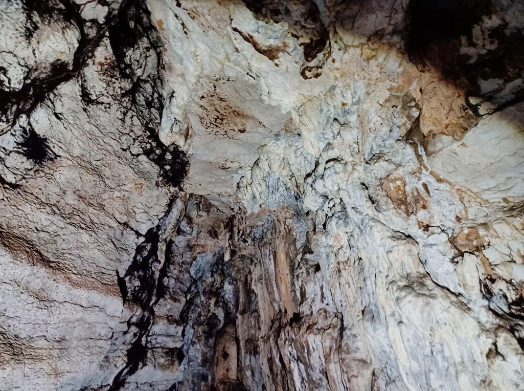
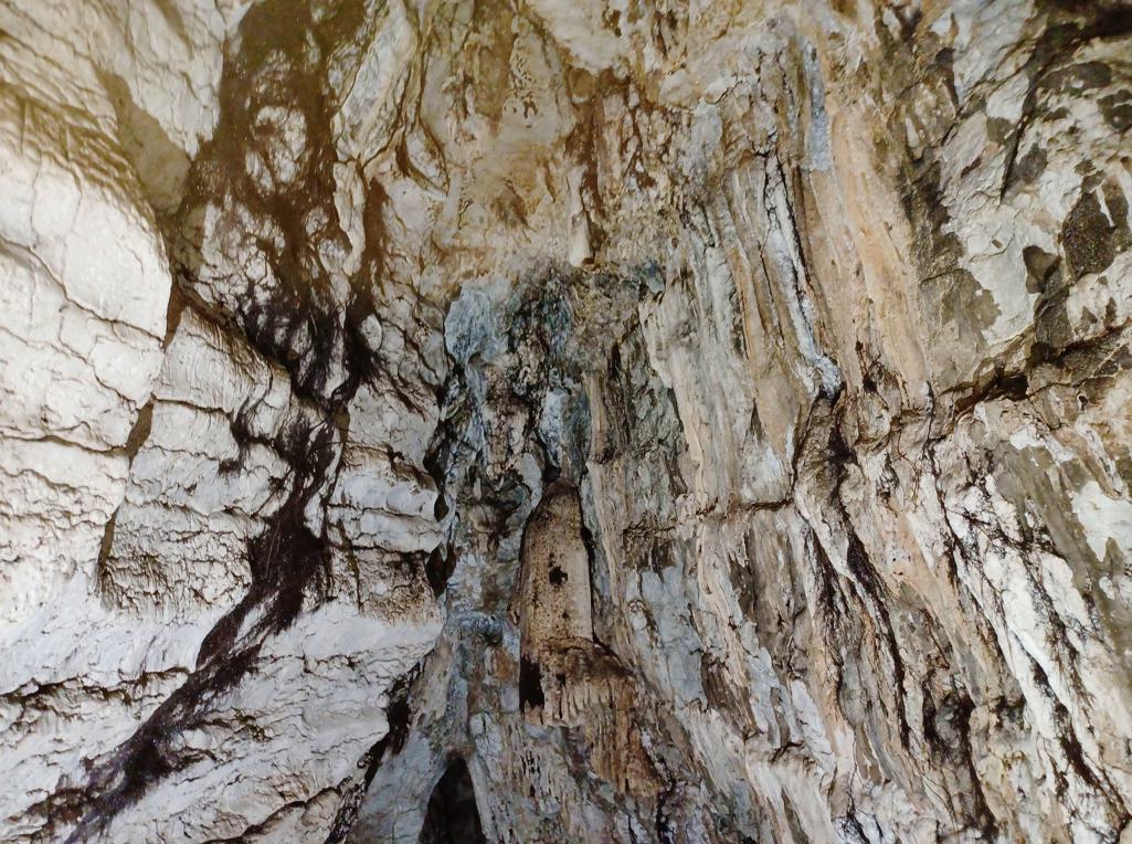
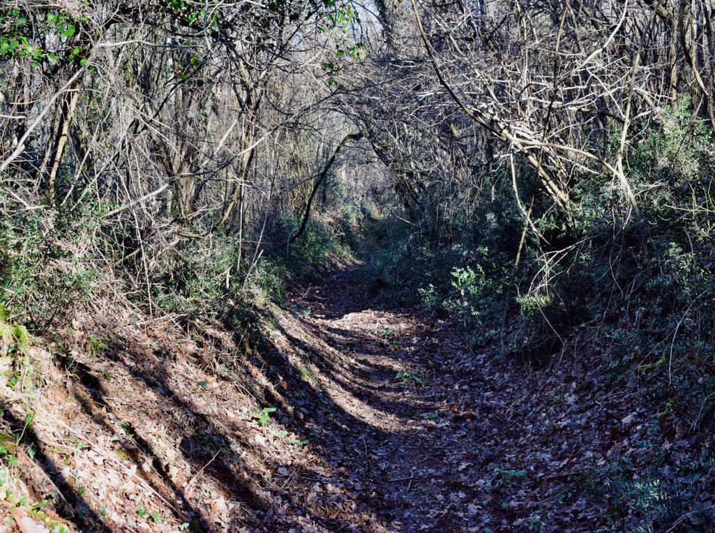
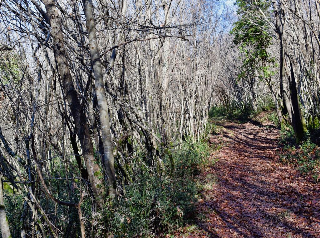
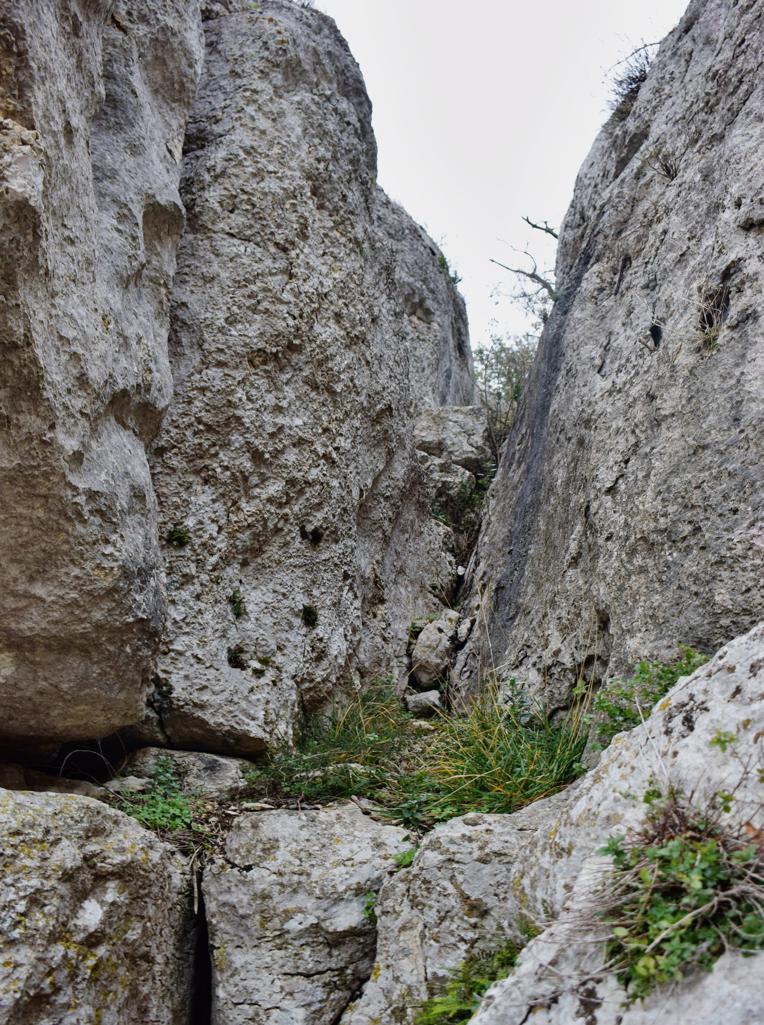
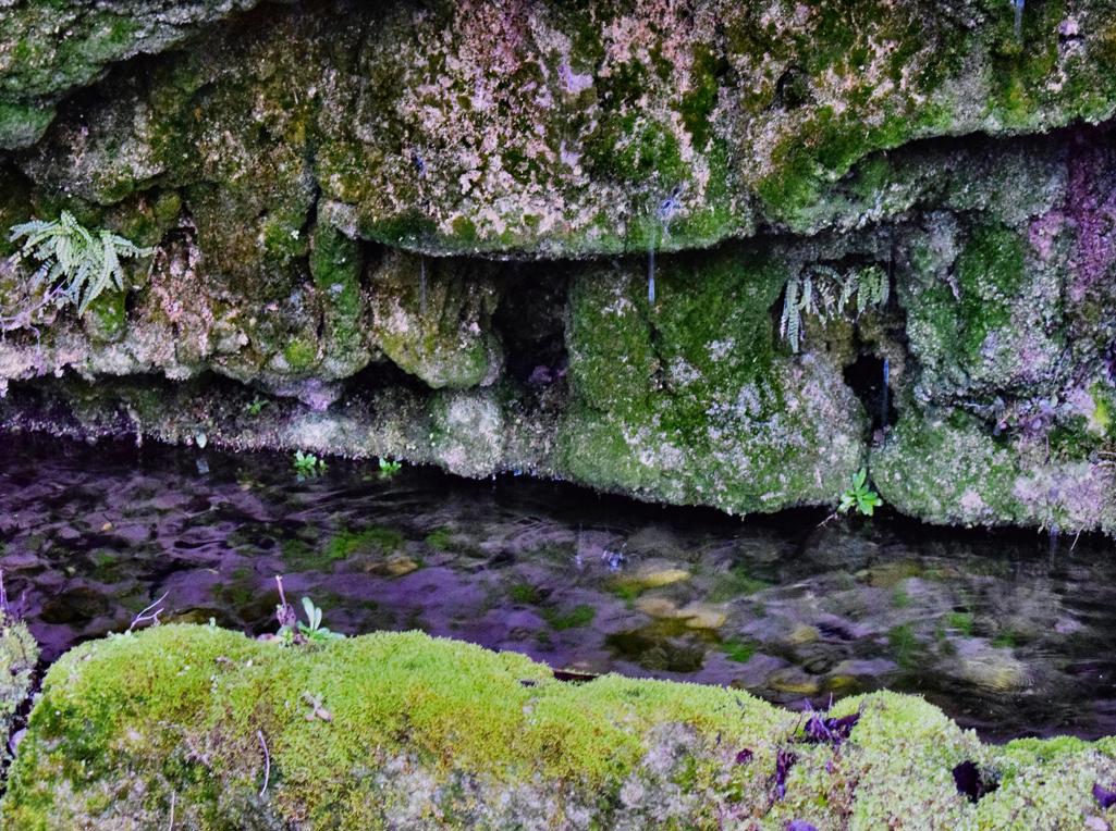
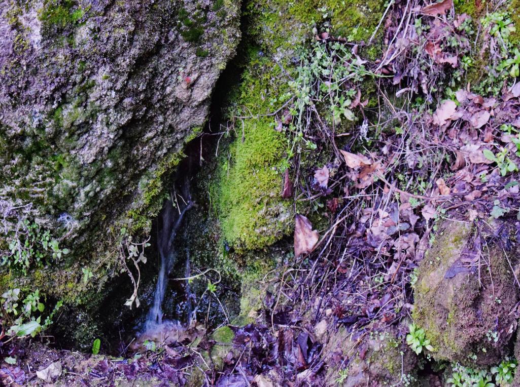
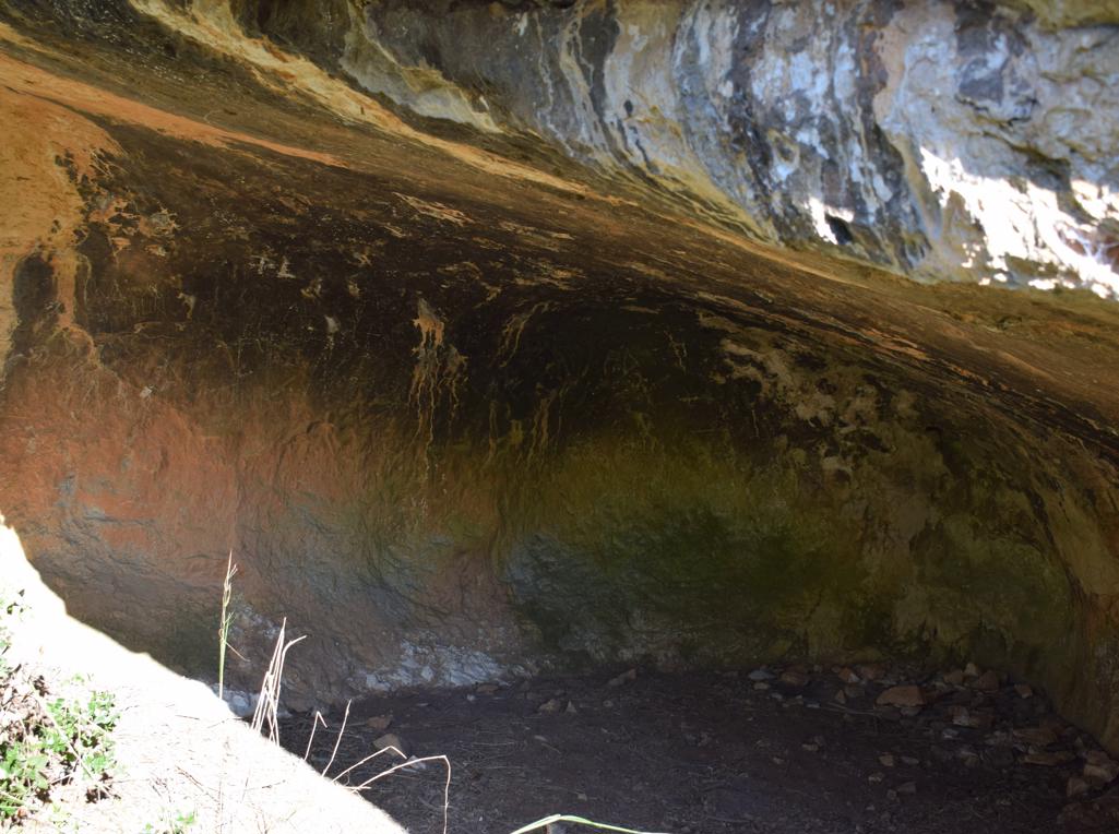
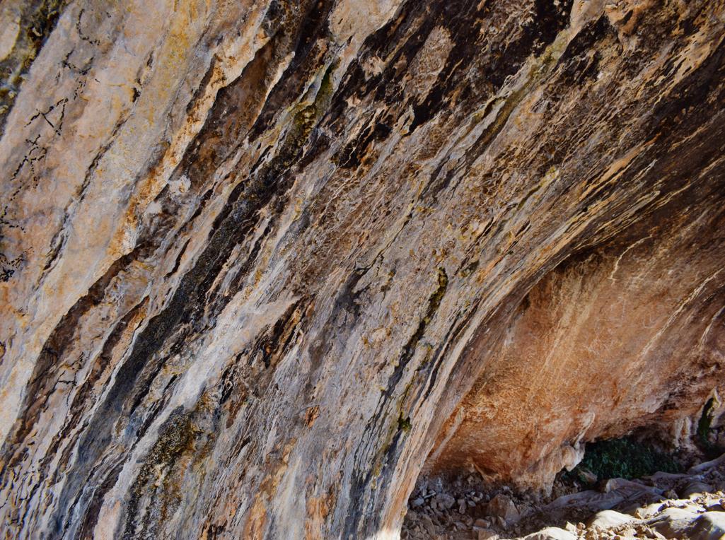
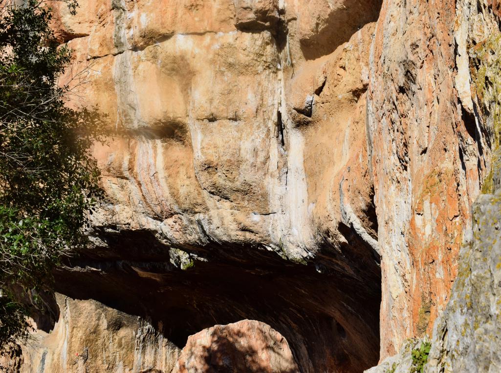
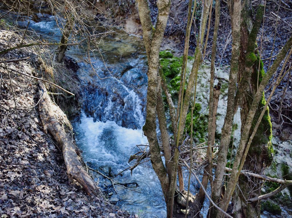
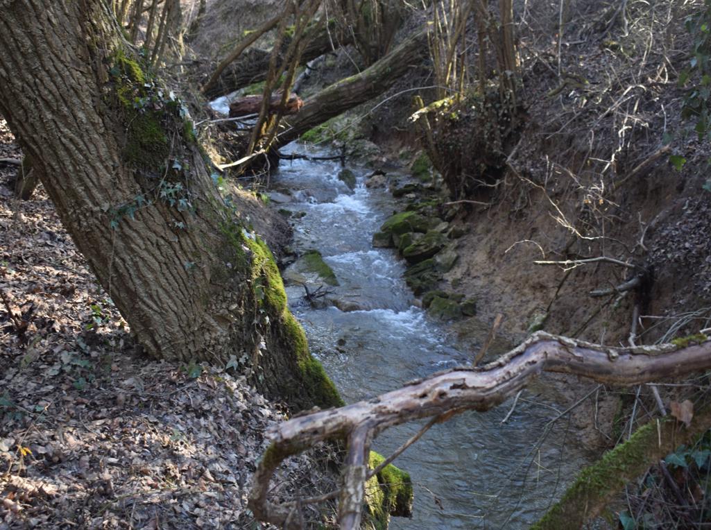
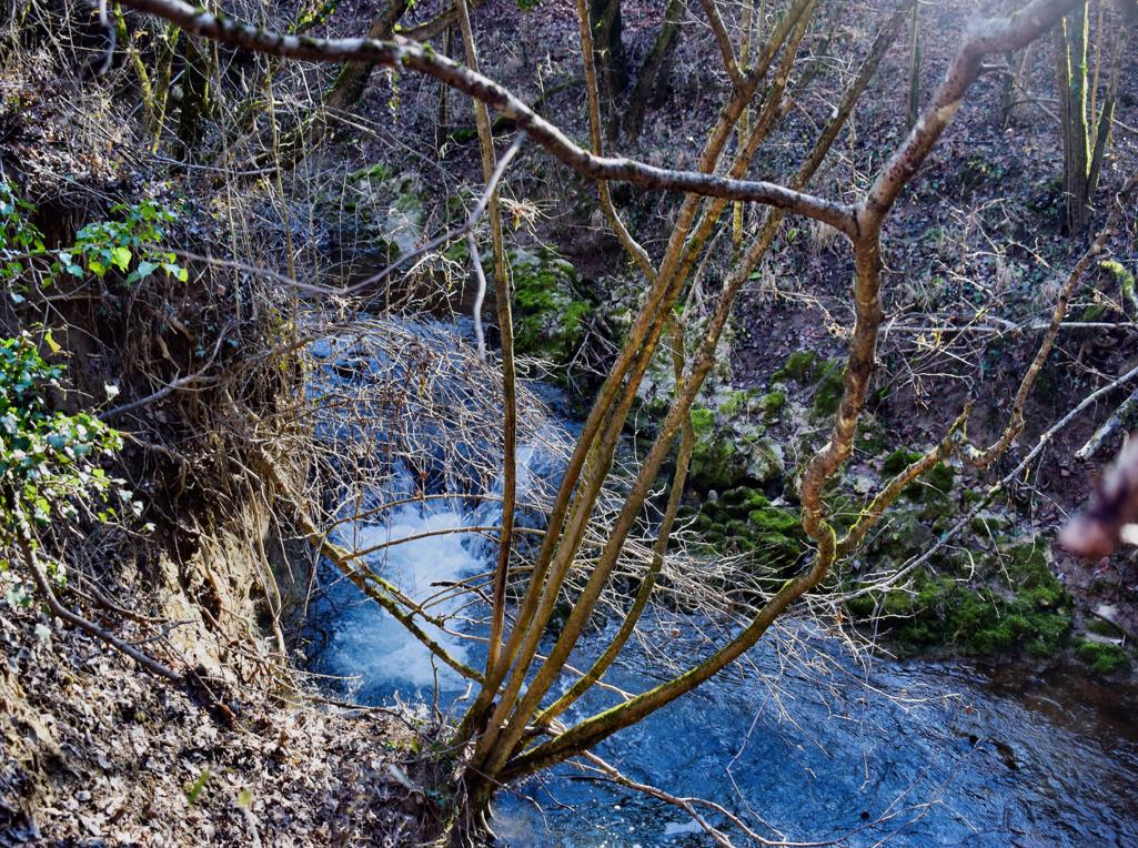
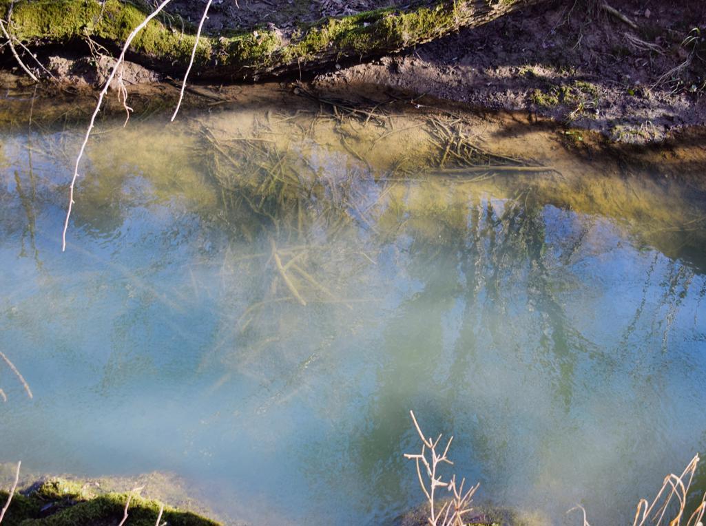
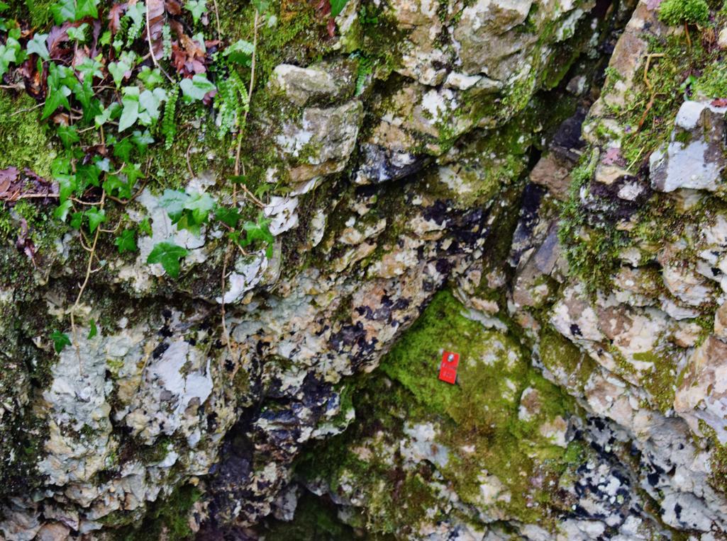
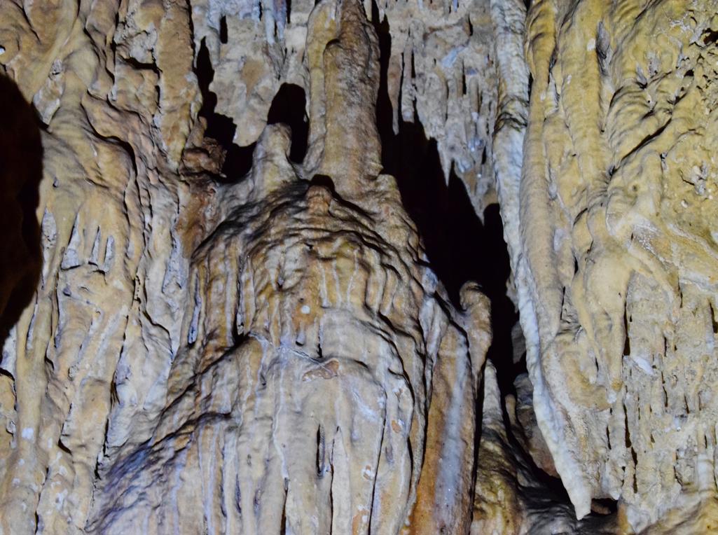
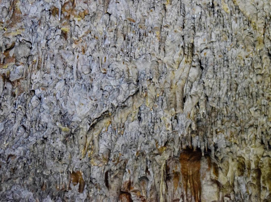
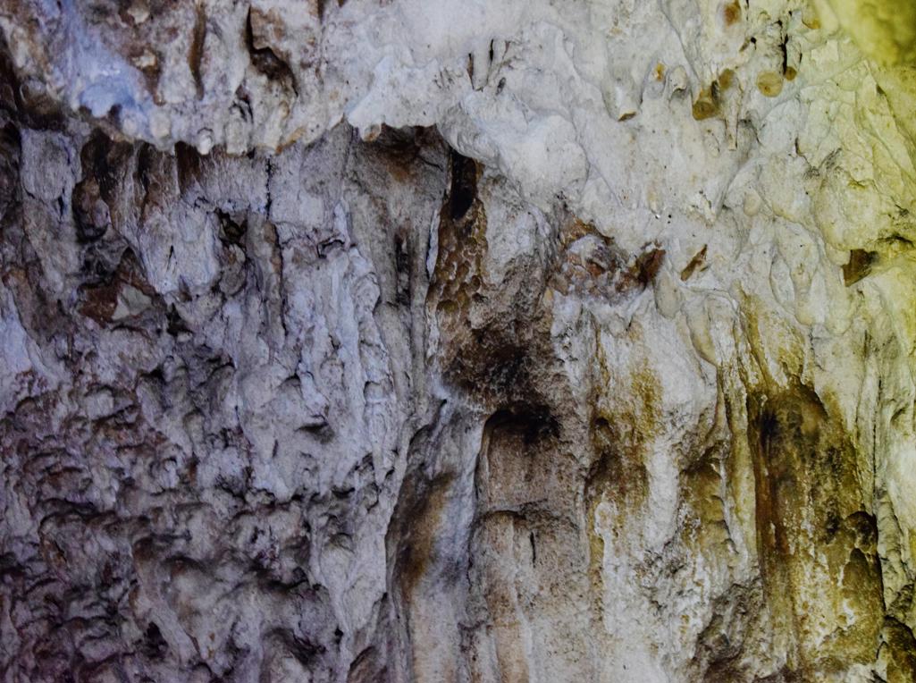
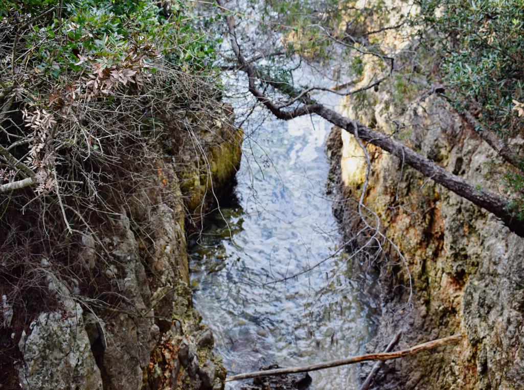
Name: Trail near Triviž along the streams Siže and Topolovica, with on the end cave Siže.
Place: Trivž – (Pazin).
Coordinates: cave (ponor Siže 45.27202 N -13.86110 E-
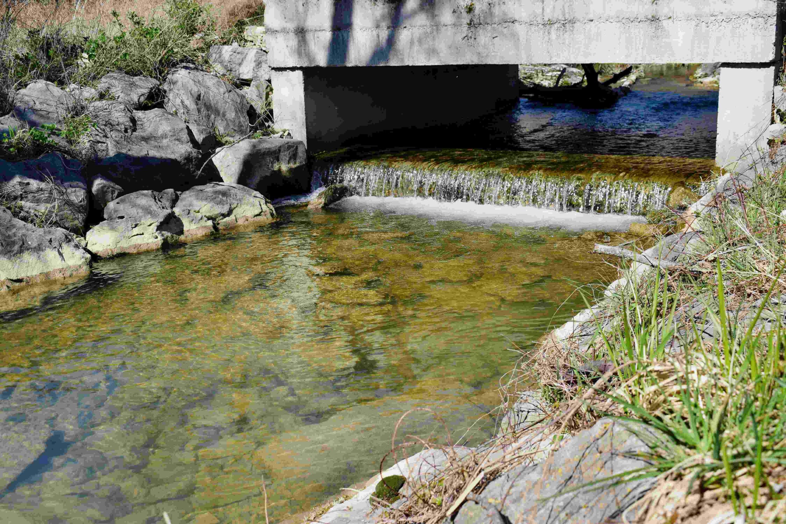
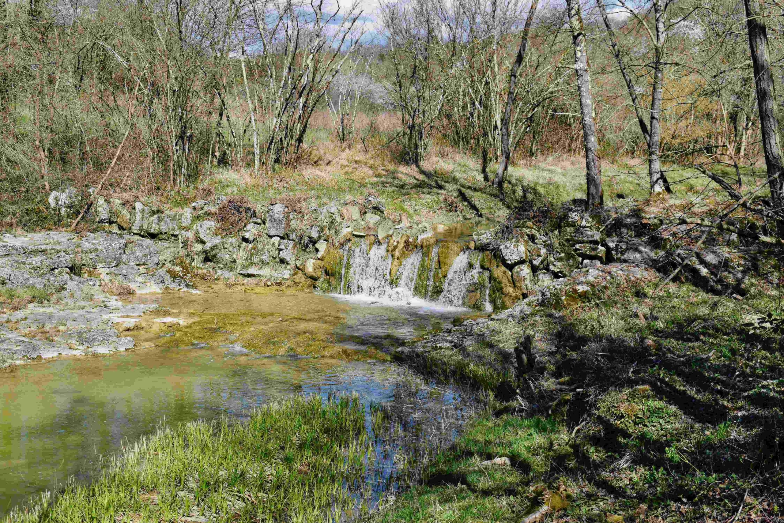
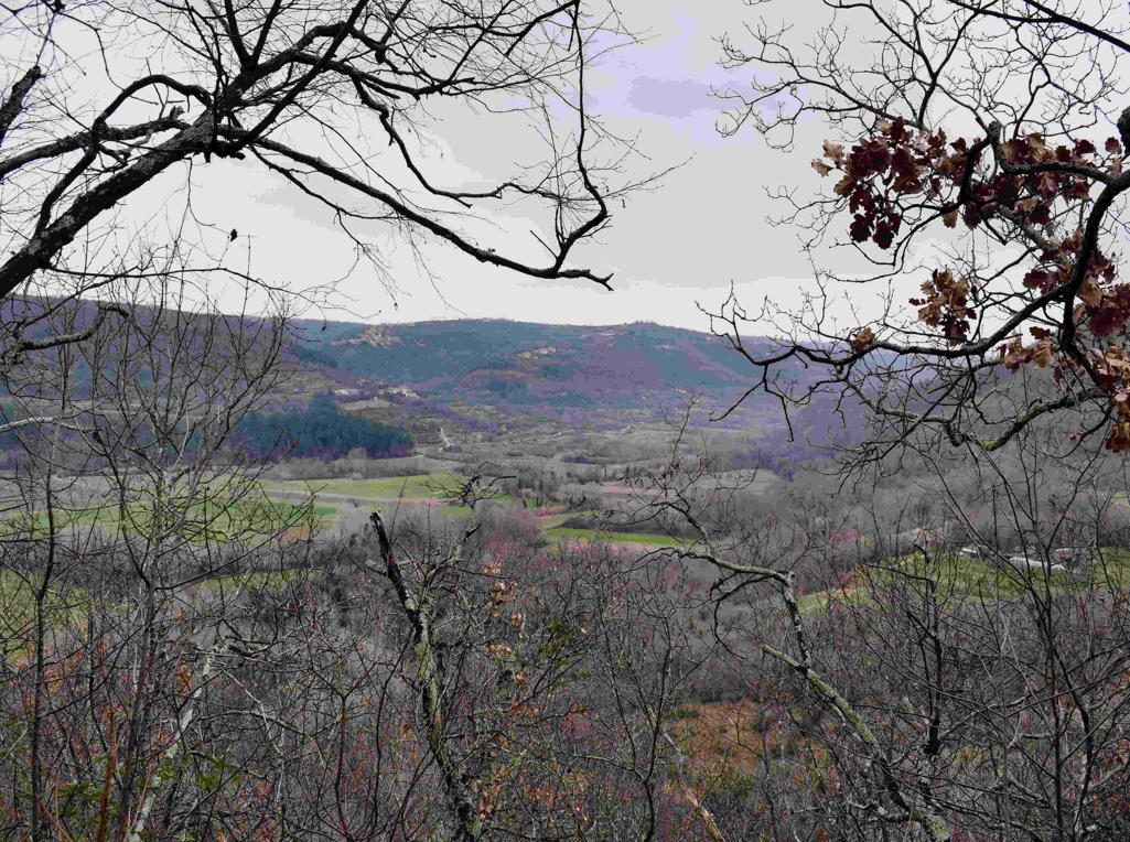
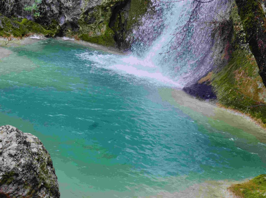
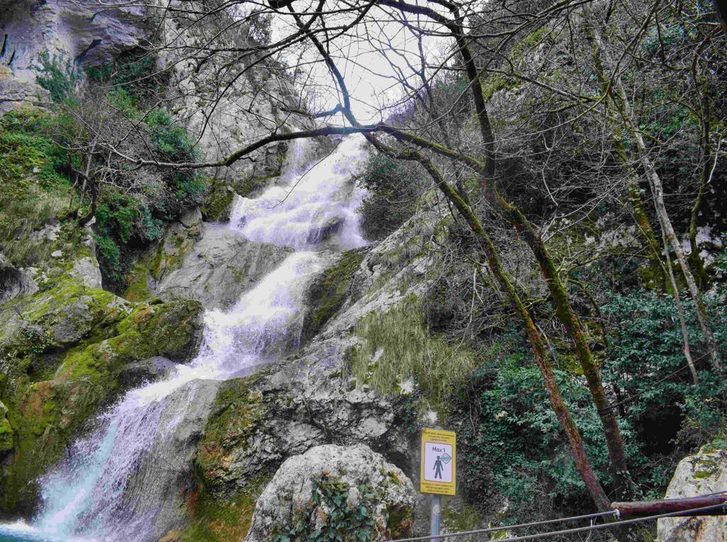
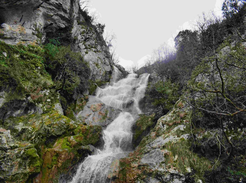
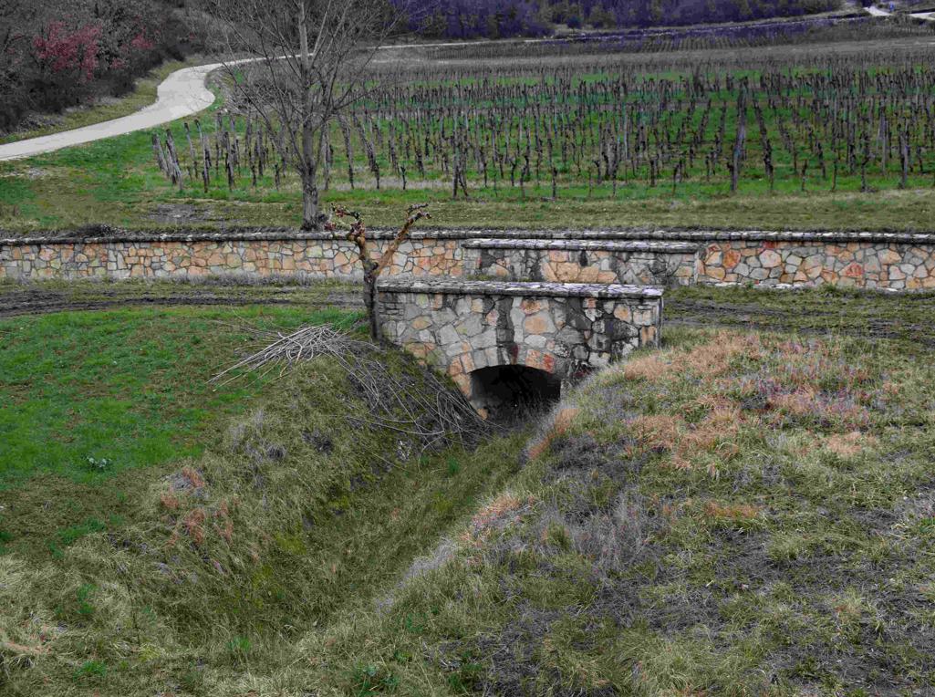
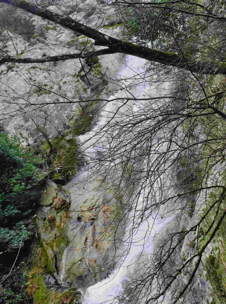
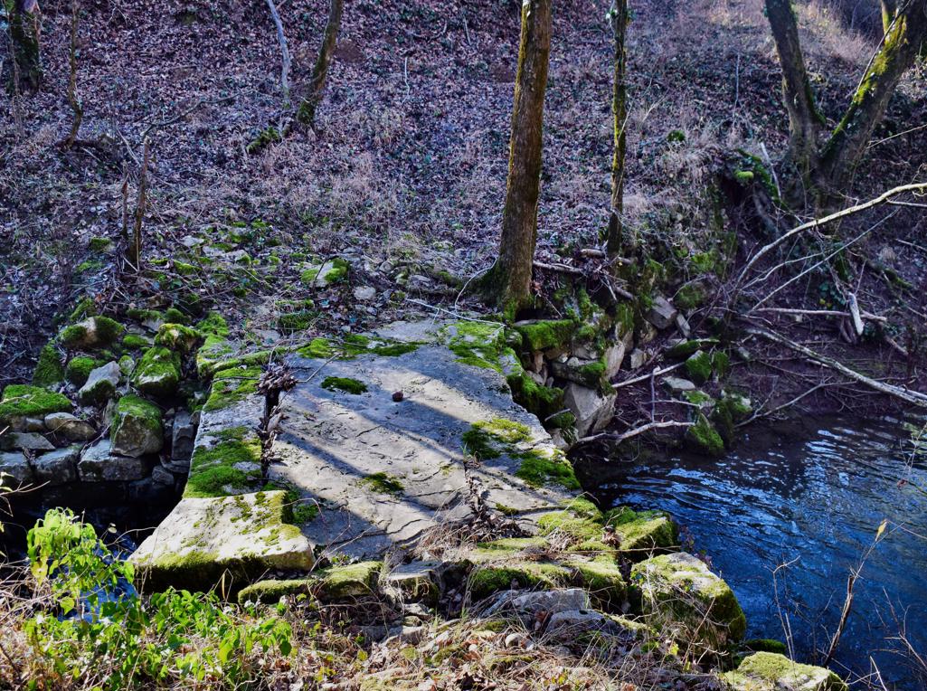
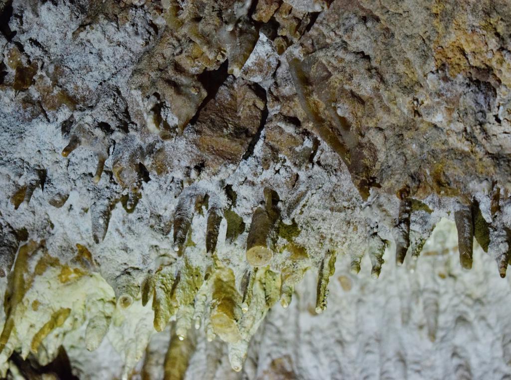
Name: Hiking trail to the Cingarella cave and waterfall and along the Argila river to the former watermills.
Place: Momjan – (Buje).
Coordinates: Start 45.43584 N – 13.67604 E, Cingarella 45.43563 N – 13.68466 E, Watermill Nr 49 near the bridge 45. 43481 N – 13.69178 E, Ruins watermills numbers 50, 51, 52 en 53 along the river Argila from 45.43200 N – 13.68999 E to 45.43471 N – 13.68549 E.
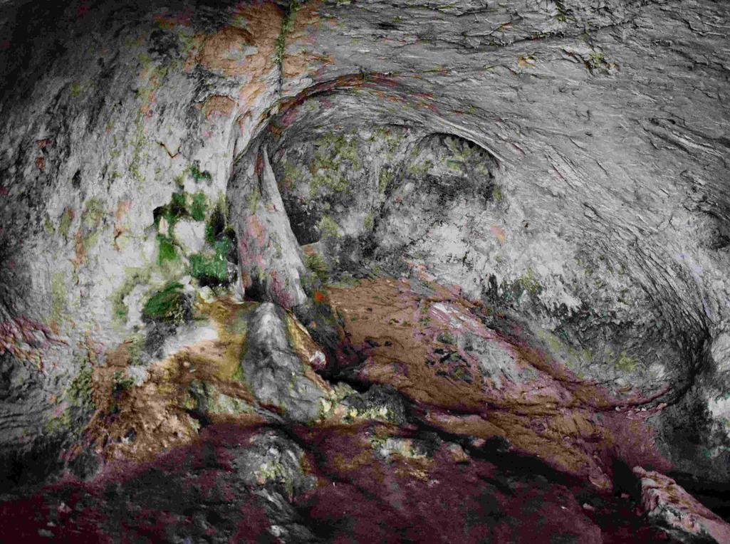
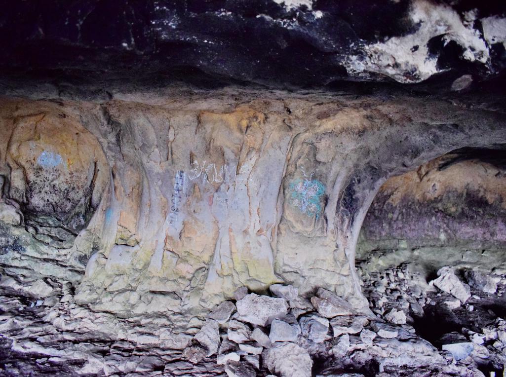
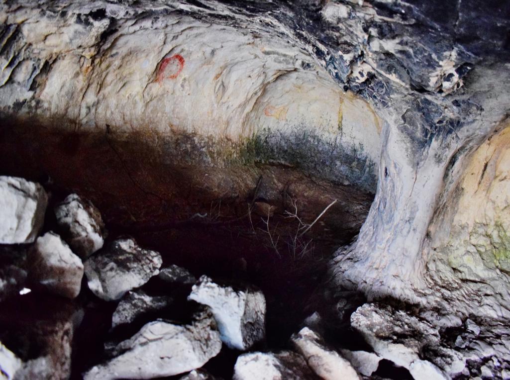
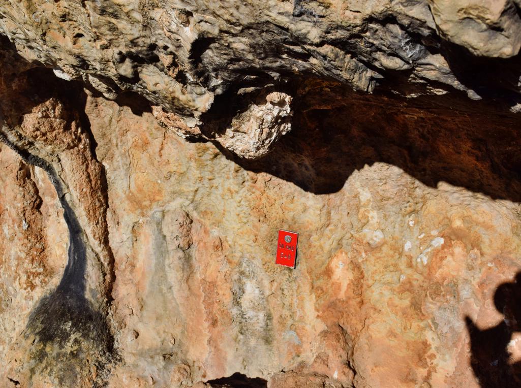
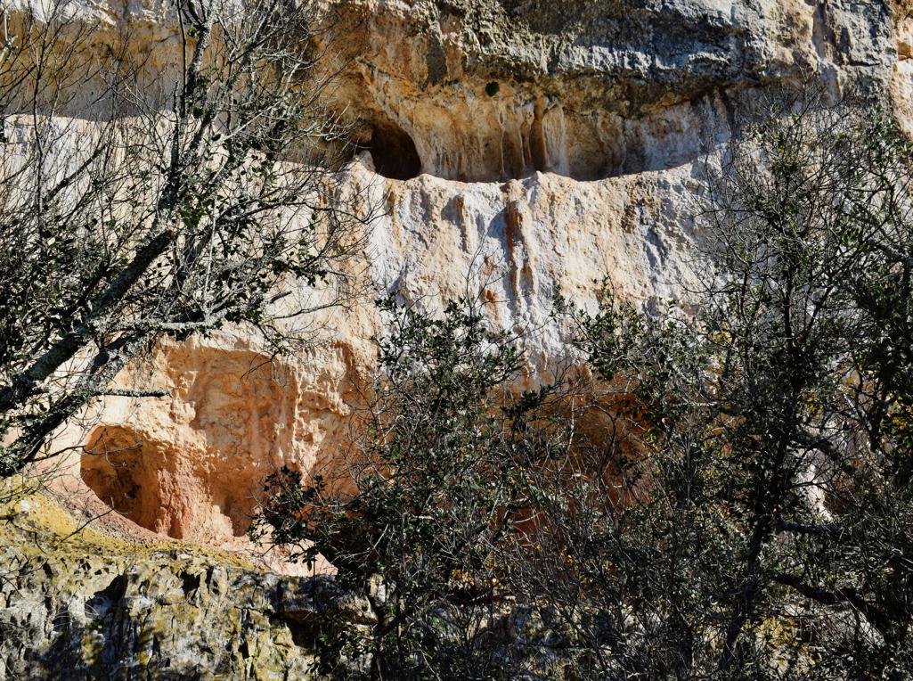
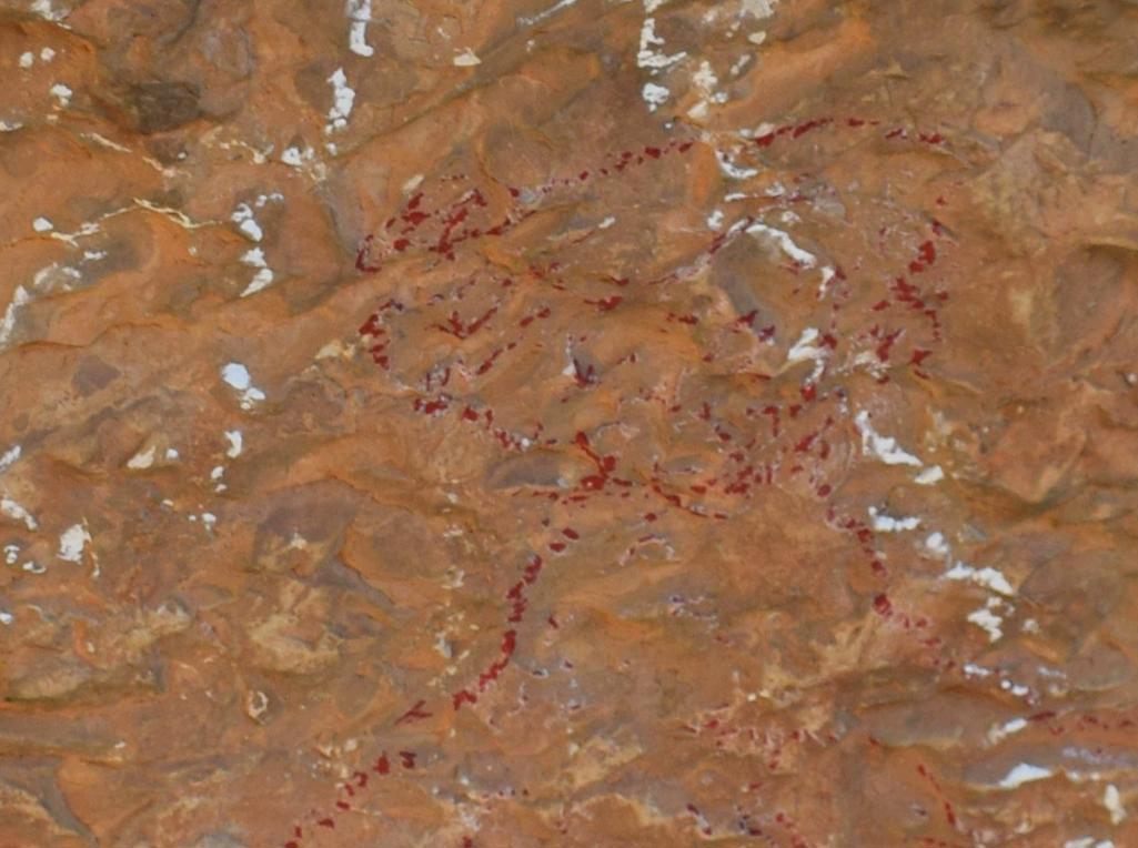
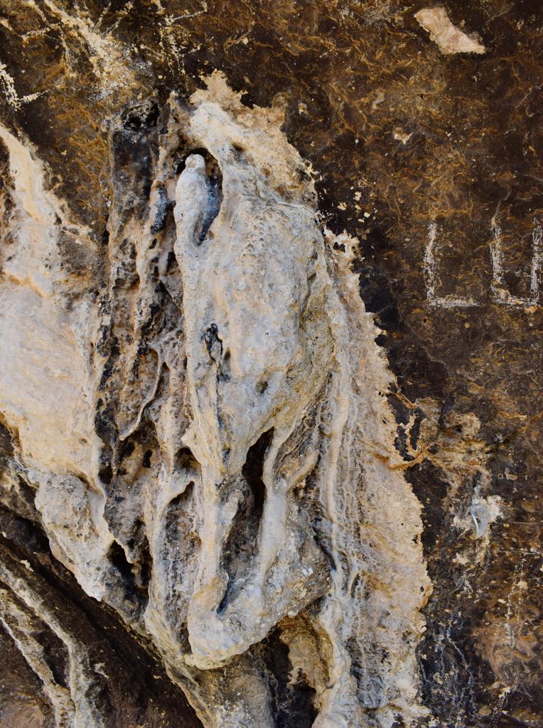
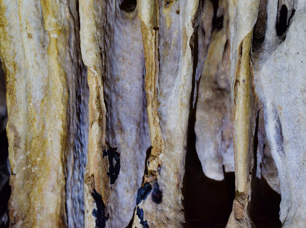
Name: Cave Srbani.
Place: South Serbani – (Brtonigla).
Coordinates: 45.33646 N – 13.63717 E .
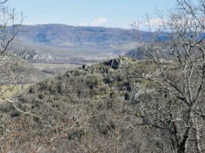
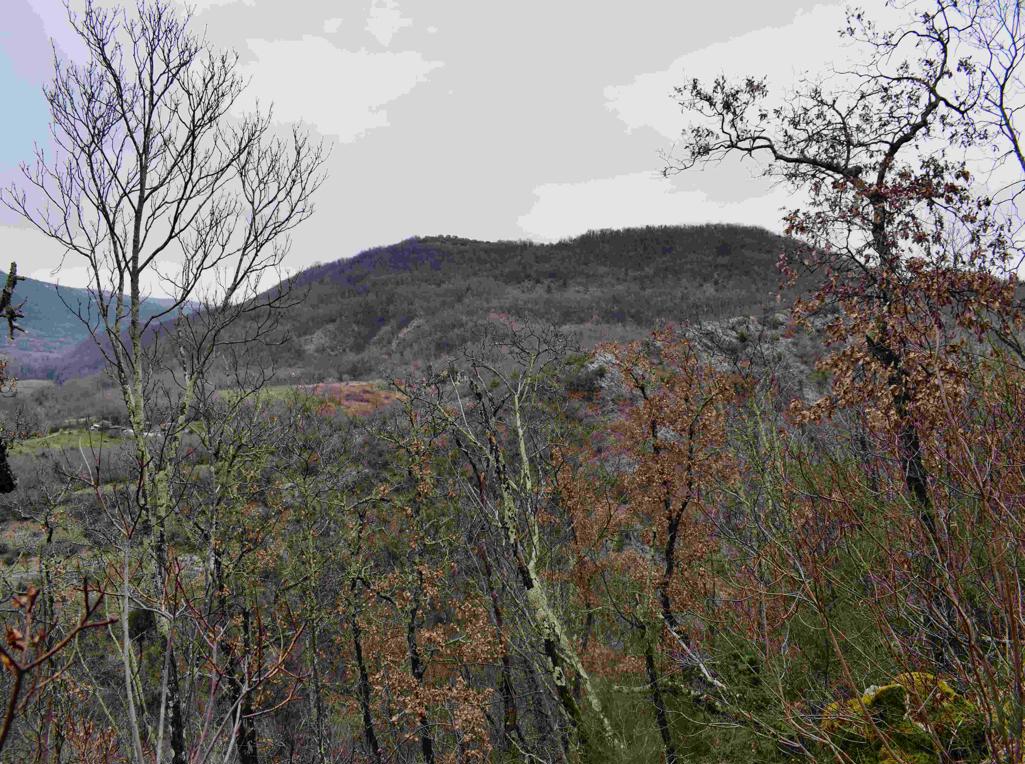
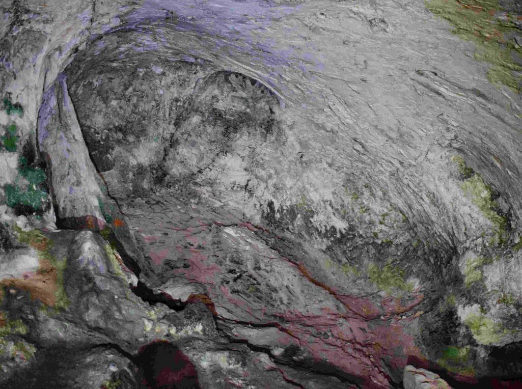
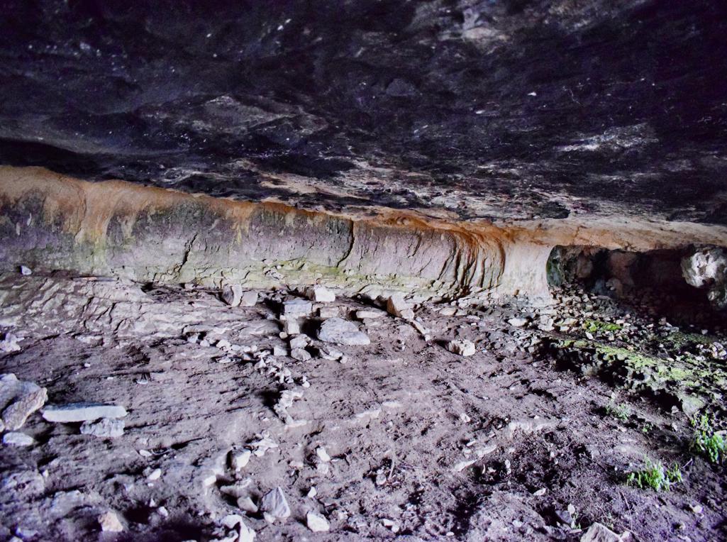
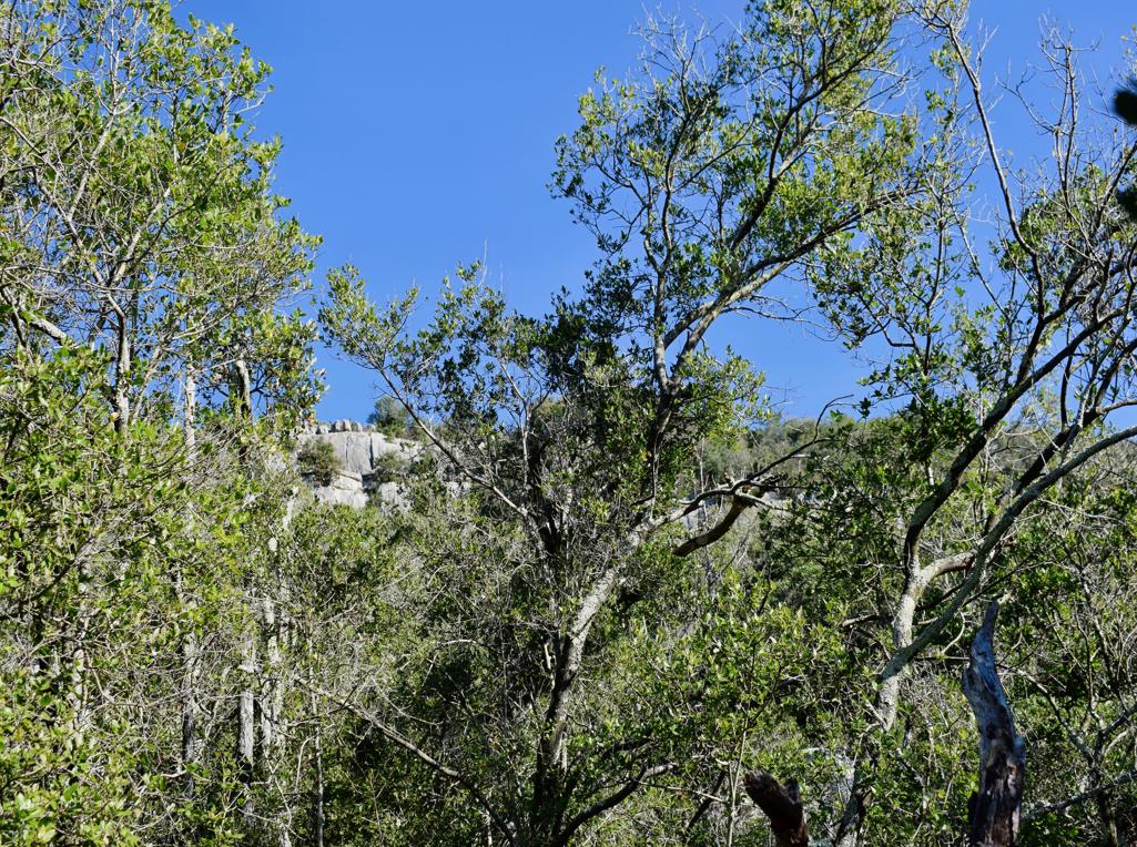
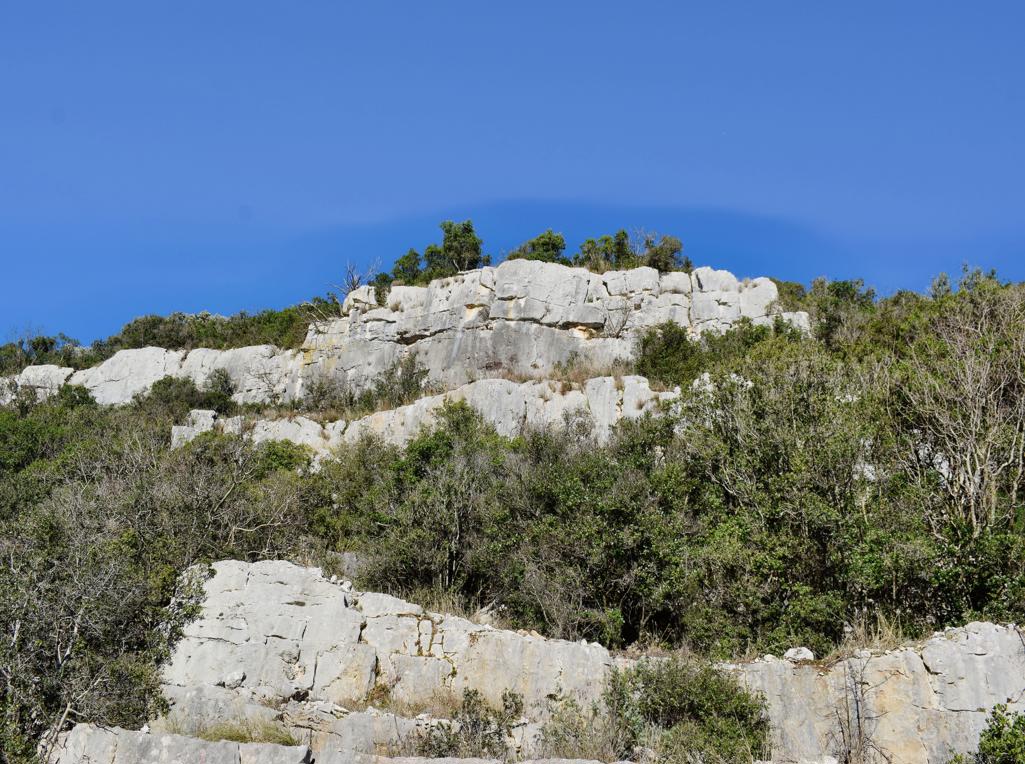
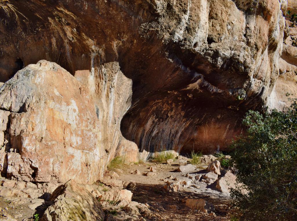
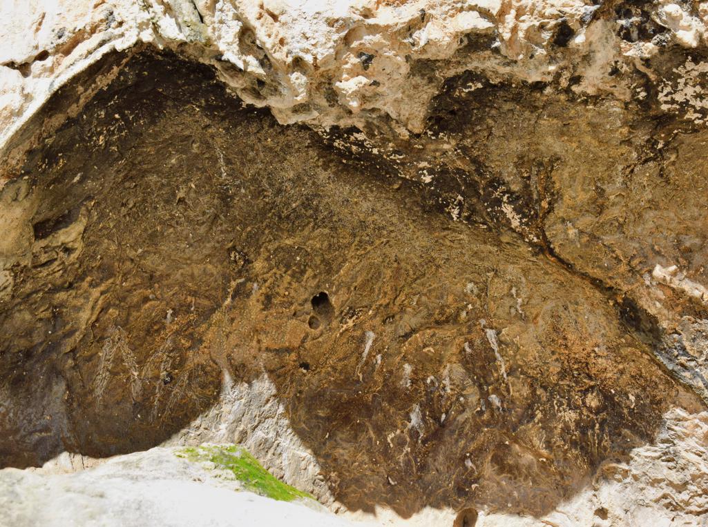
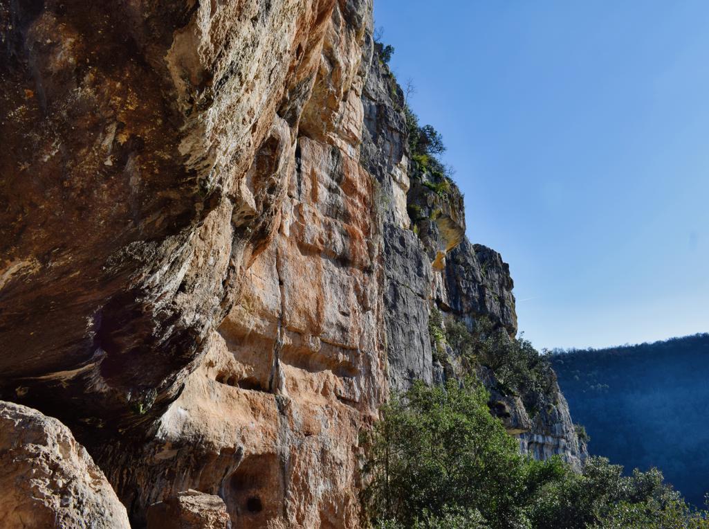
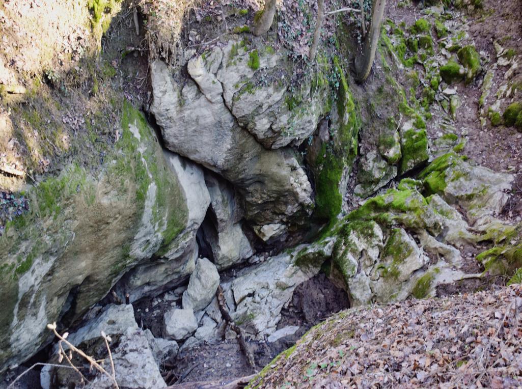
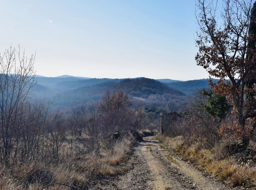
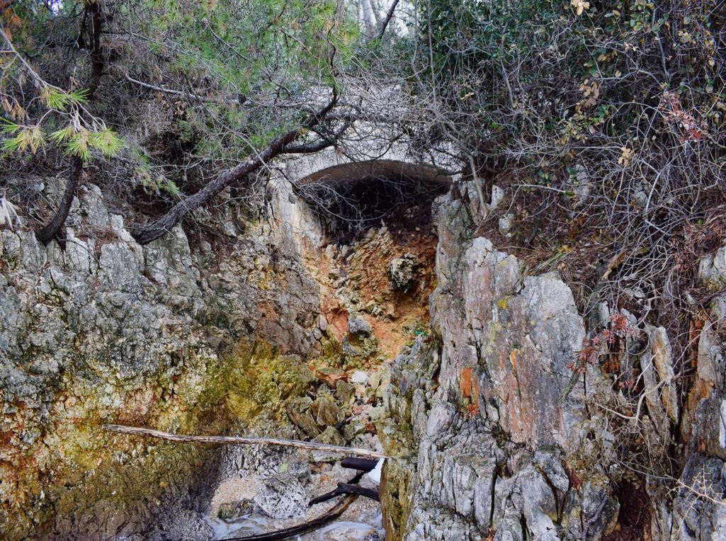
Name: Trail to the cave Trogrlice and the hills Gradine with the Nigrinjan fort and the hill Vrbanovica.
Place: Cerjani – (Kaštelir).
Coordinates: Village Cerjani 45.32812 N – 13.6905 E, cave Progrlice 45.33104 N – 13.13.68320 E, Nigrinjan – Gradine 45.34185 N – 13.68551 E, Vrbanovica 45.33641 N – 13.67197 E.

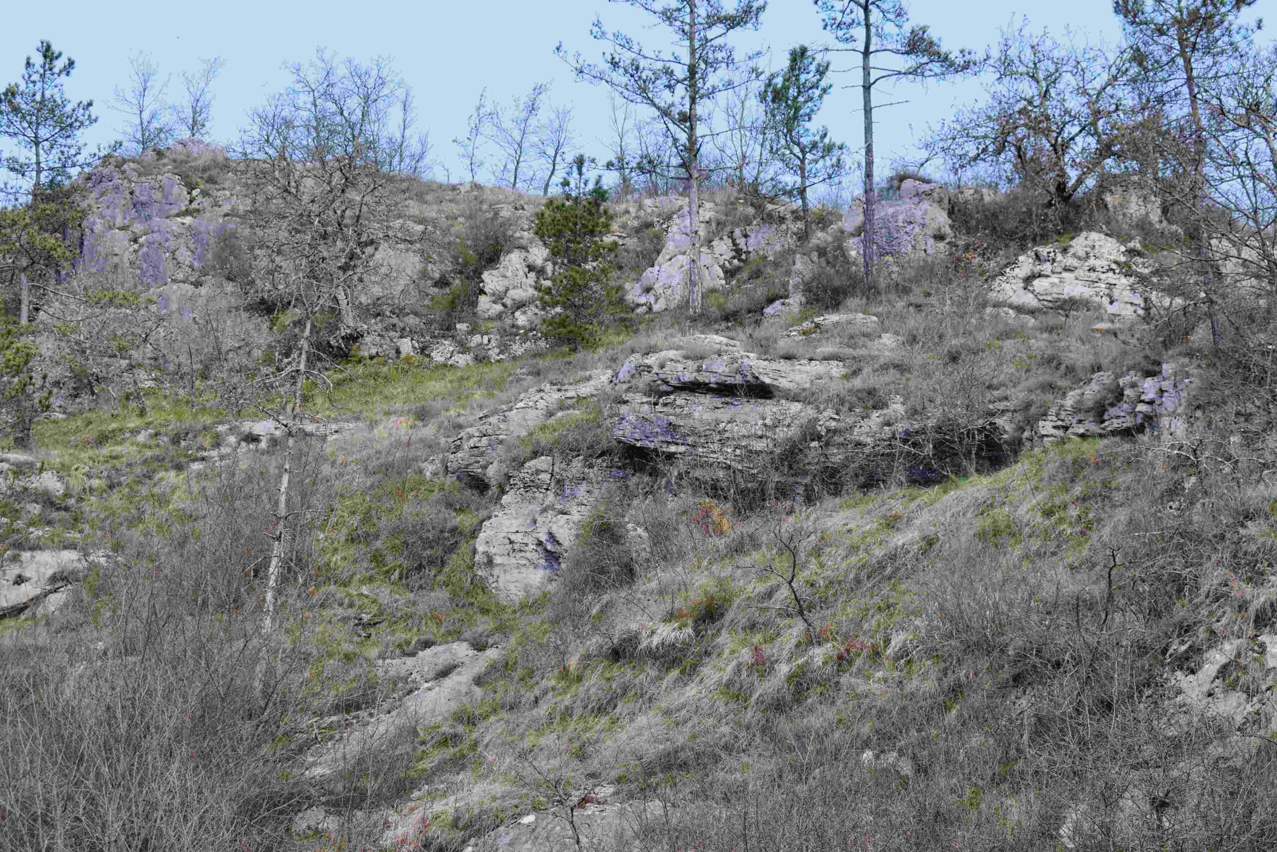
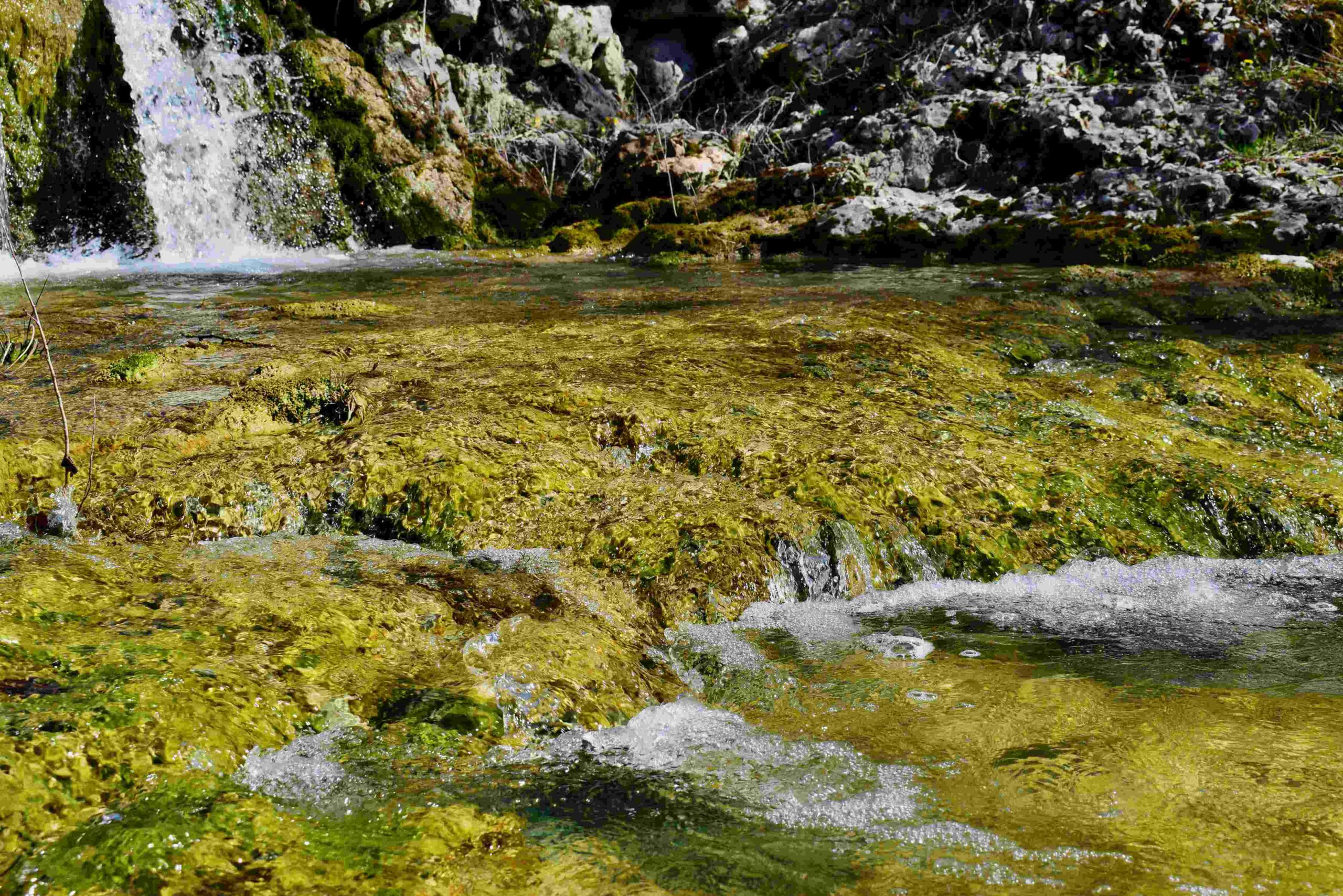
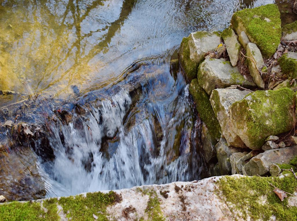
Name: Hiking trail to Ladećevi krugi and to Kasteljir waterspring
Place: Korenići – Kanfanar
Coordinates: start 45.12872 N – 13.81072 E., path to Korenići 45.12910 N – 13.809.42 E, Korenići 45.13232 N – 13.80738 E, End Ladećevi krugi 45.13232 N – 13.82056 E, Start Kasteljir waterspring 45.12925 N – 13.84390 E, end 45.13371 N – 13.84091 E.
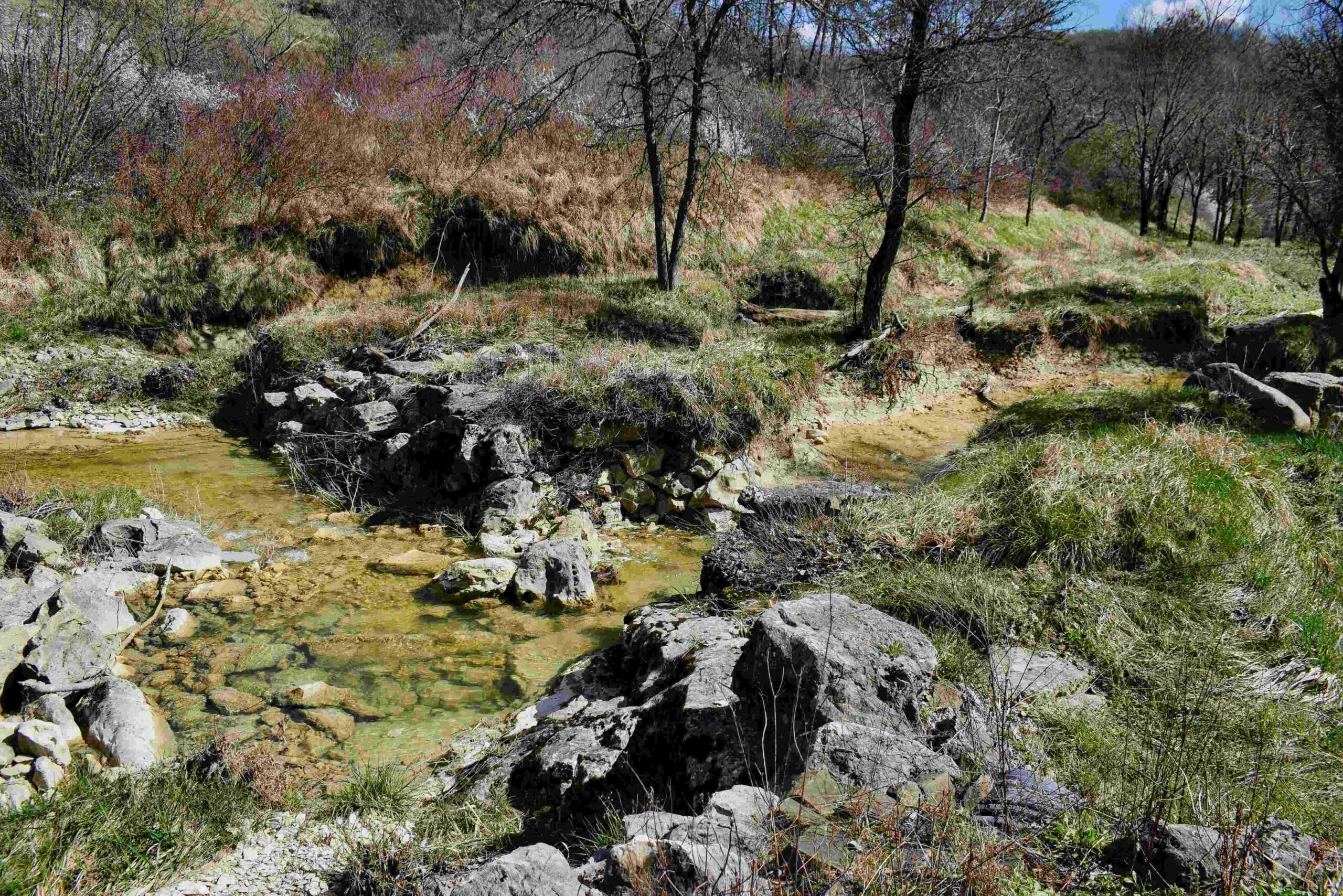
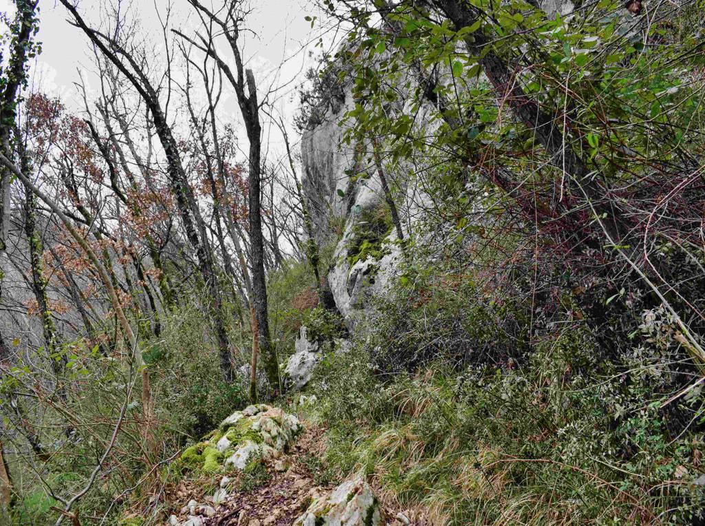
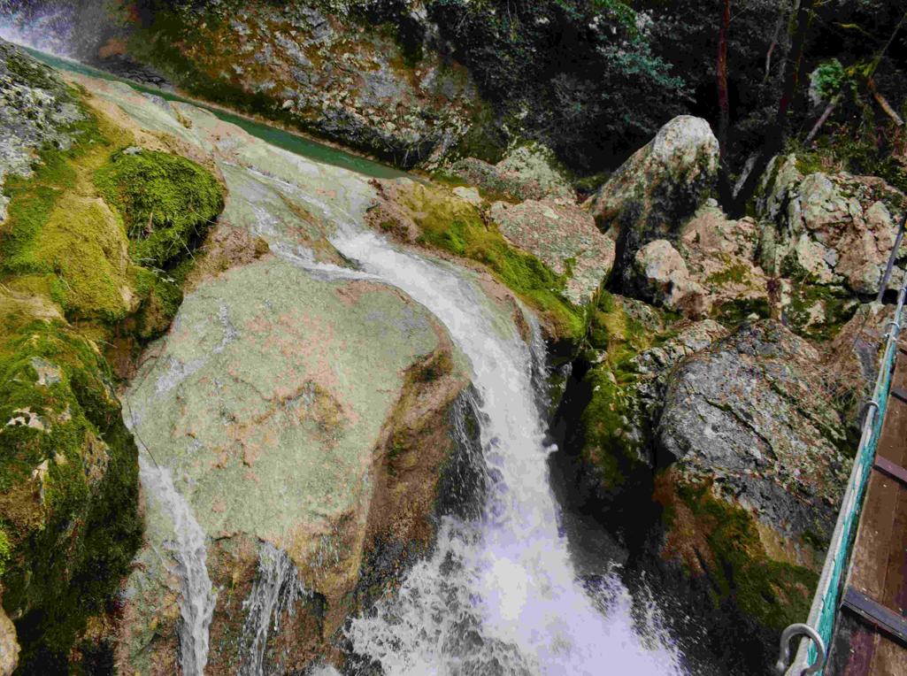
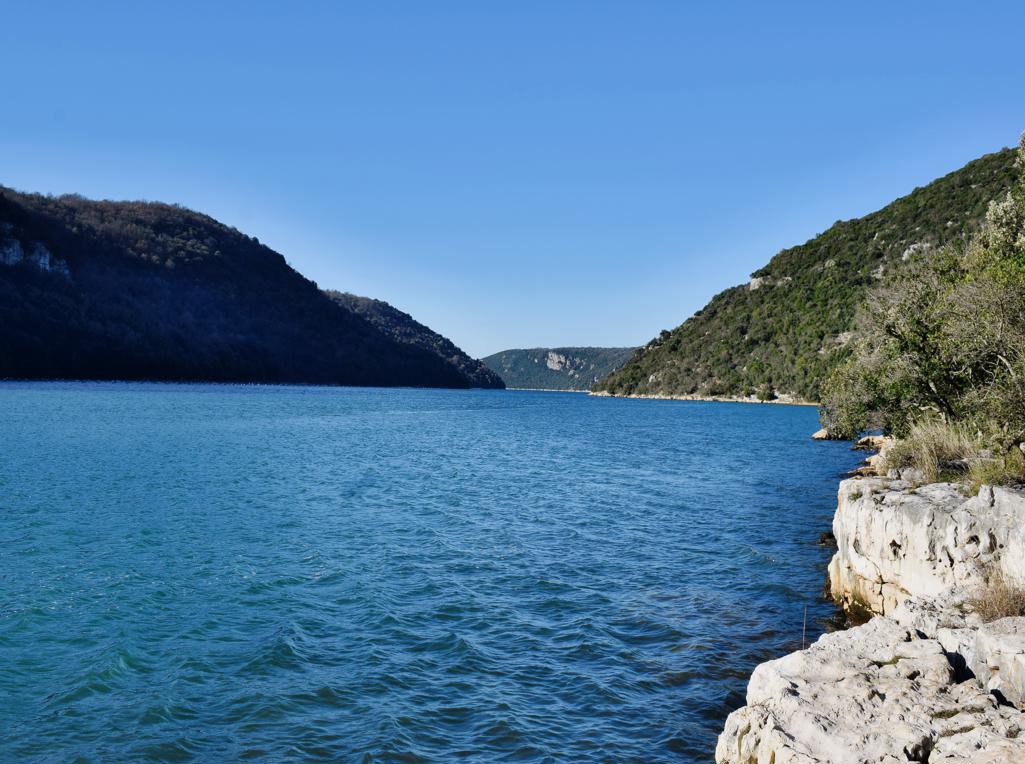
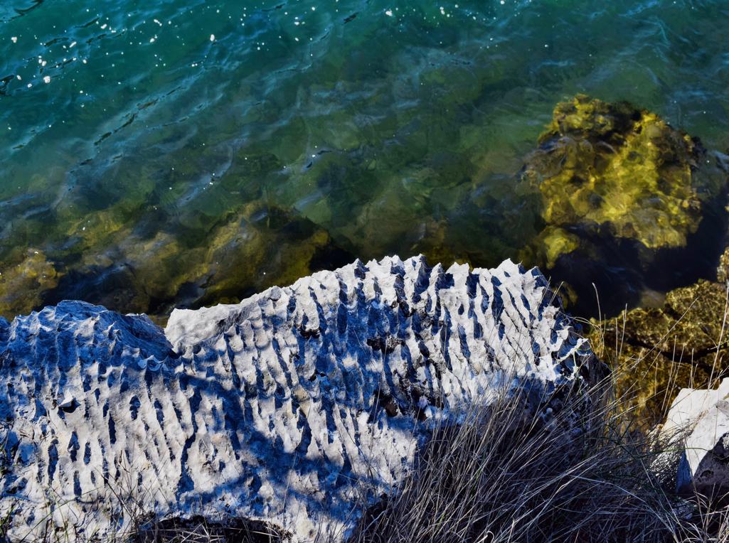
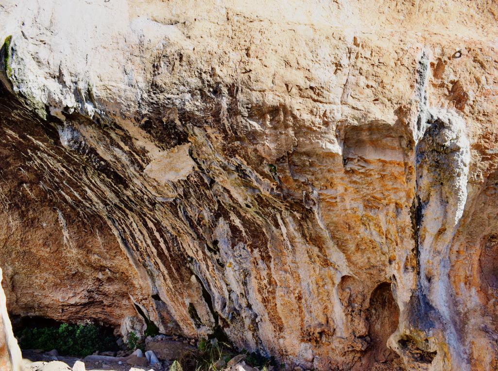
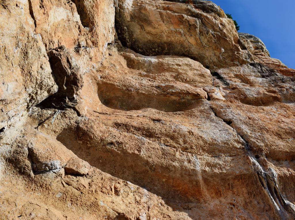
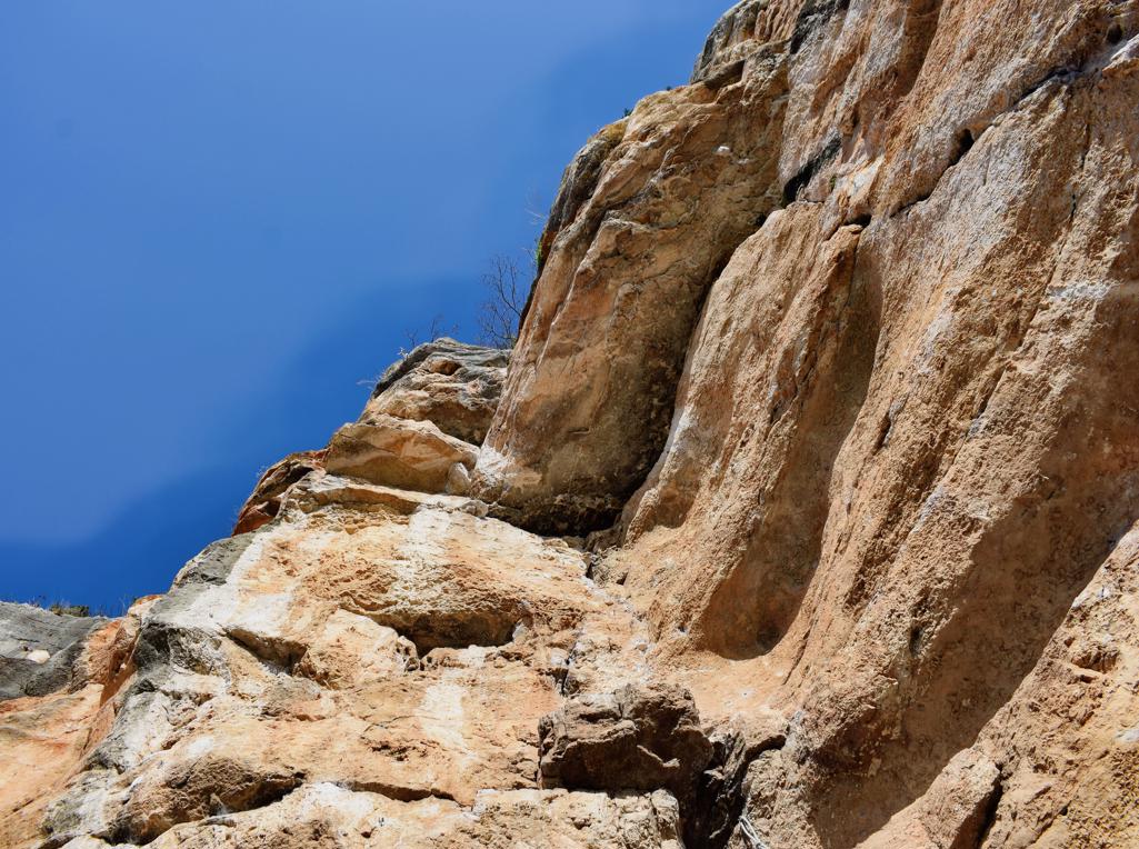
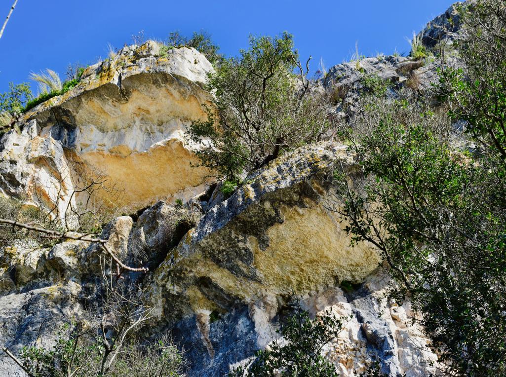
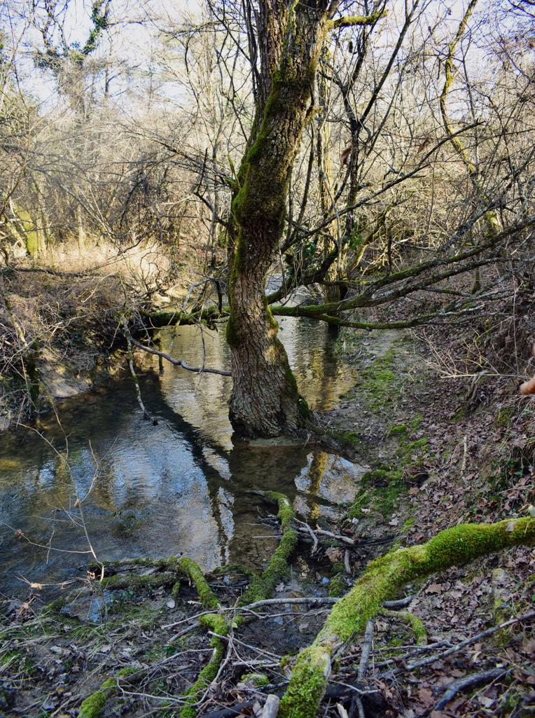
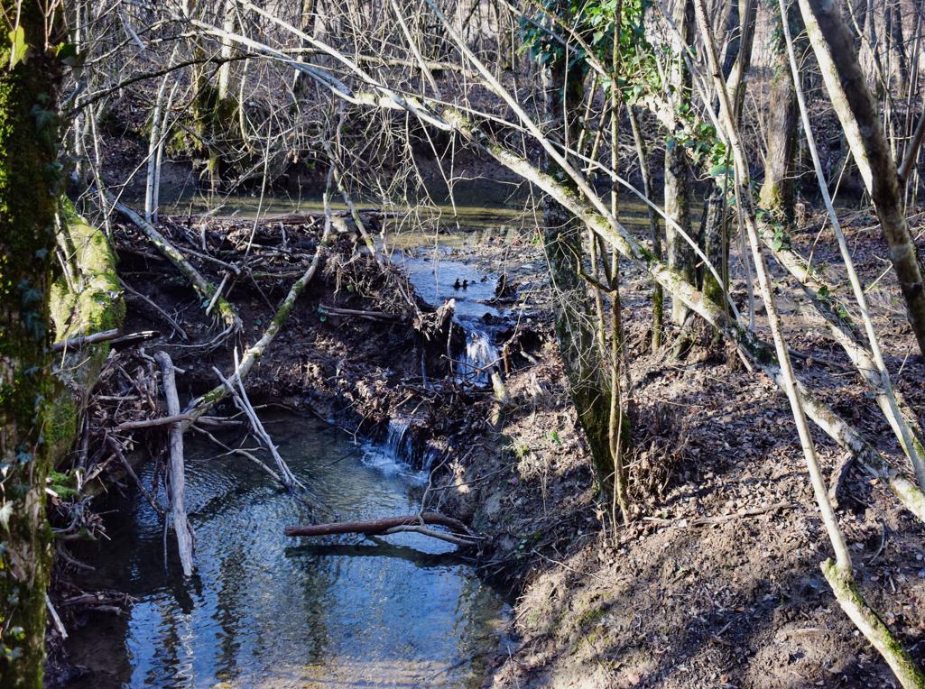
From the fish factory to rock formations Vrela and Kozarica withthe climbing rocks Hproskop and Krugi.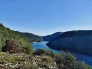
The trail is along the stream Buzuje with caves and a spring, and three former watermills.

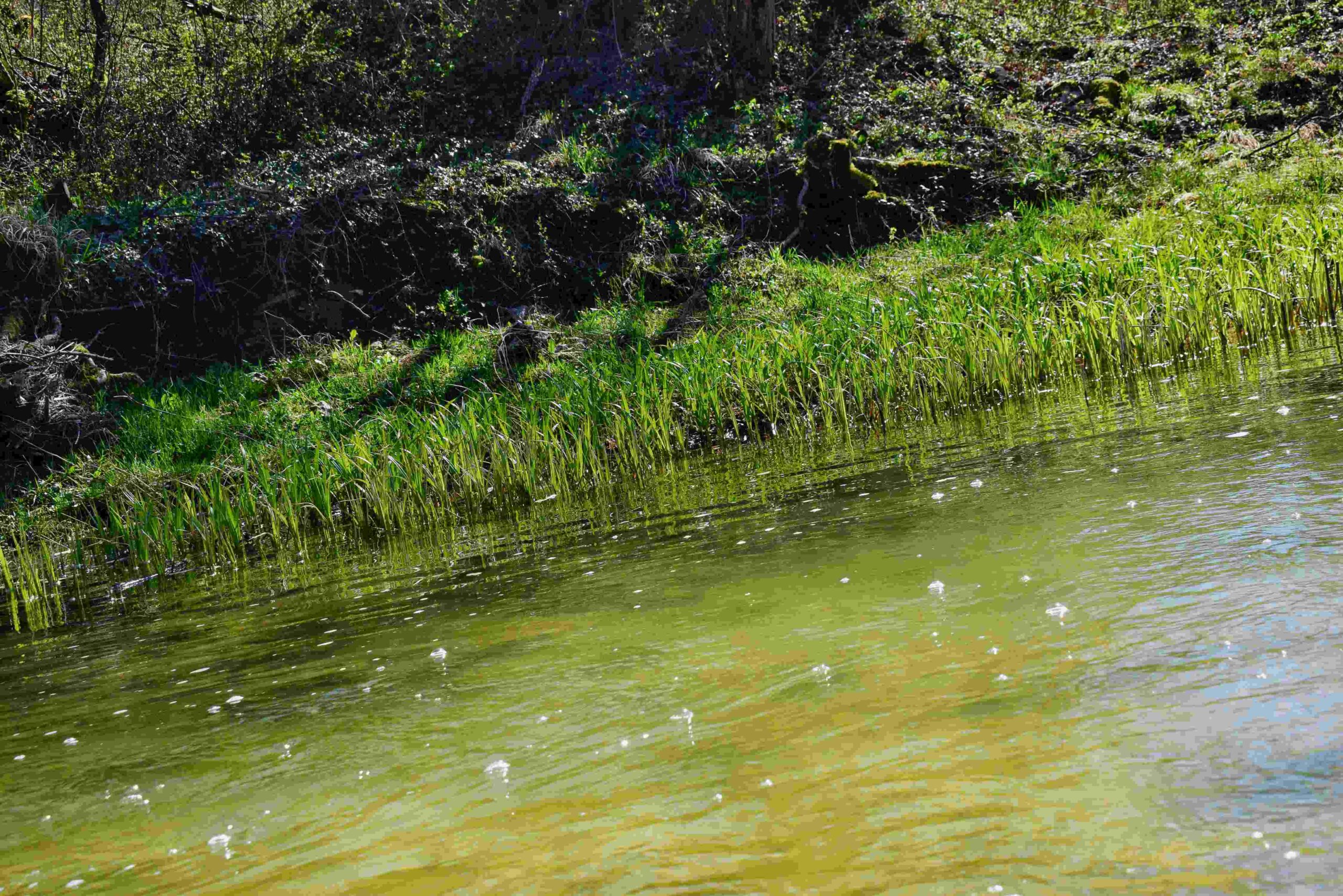
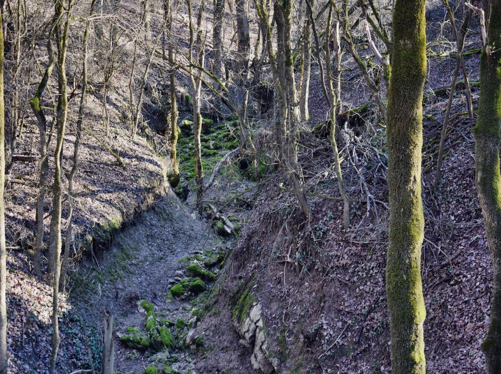
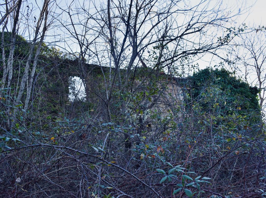
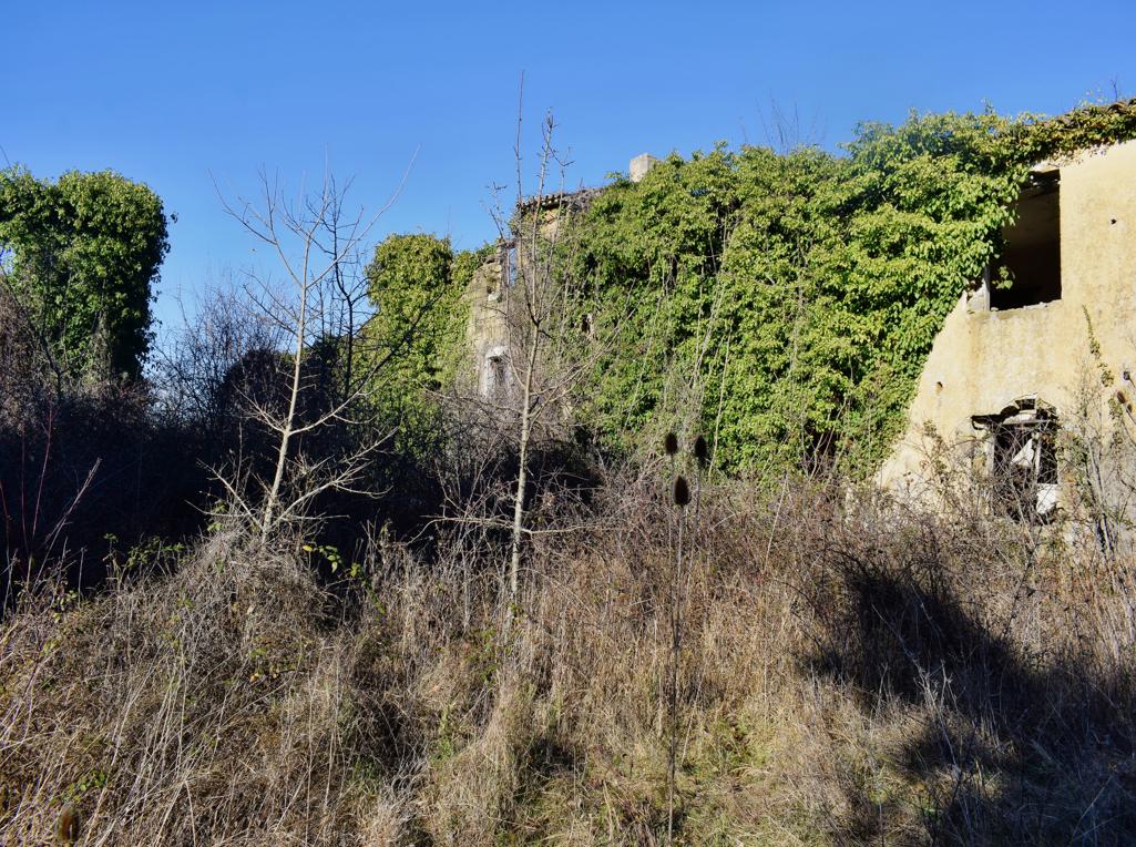
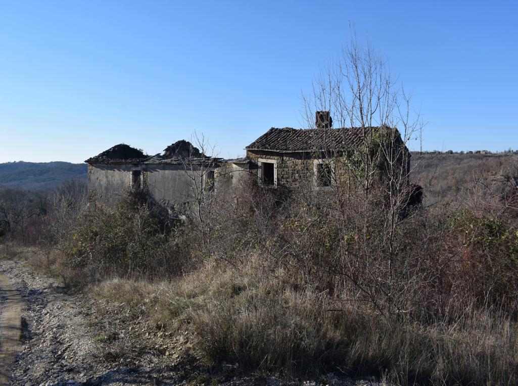
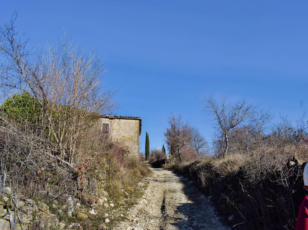
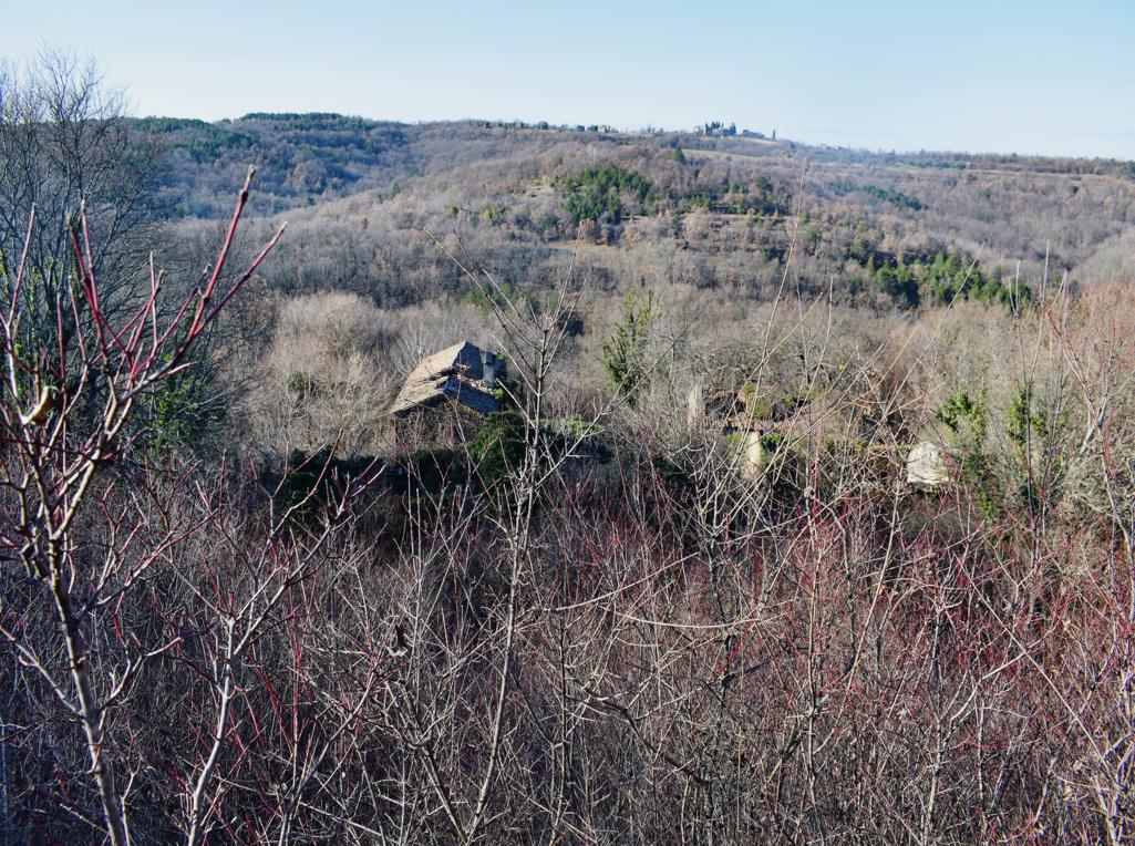
Name: Hiking trail from the village Bazuje to the abandoned village Vrnjak.
Place: Bazuje – Vrnjak – (Grožnjan).
Start: Bazuje 45.41723 N – 13.73696 E, caves 45.41723 N – 13.774101 E, 45.41706 N -13.74309 E, 45.41783 N – 13.74462 E,watermills. 45. 41793 N -13.74435 E, 45.41932 N – 13. 74551 E, 45.42699 – 13 74912 E, Vrnjak: 45.43981 N – 13. 76807 E.
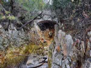
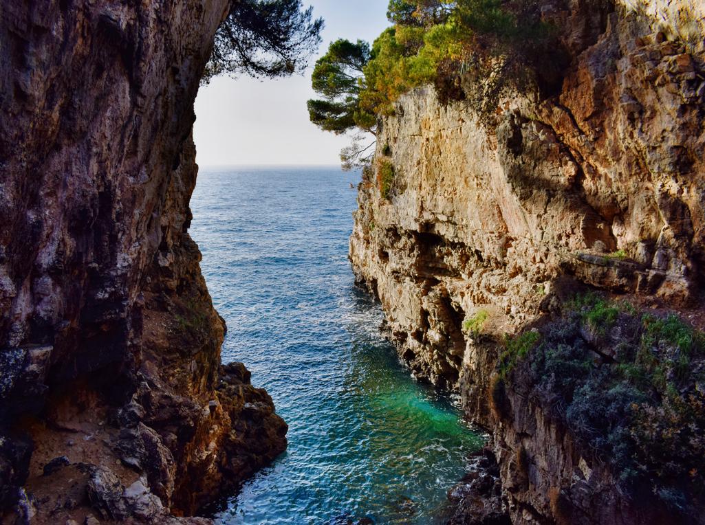
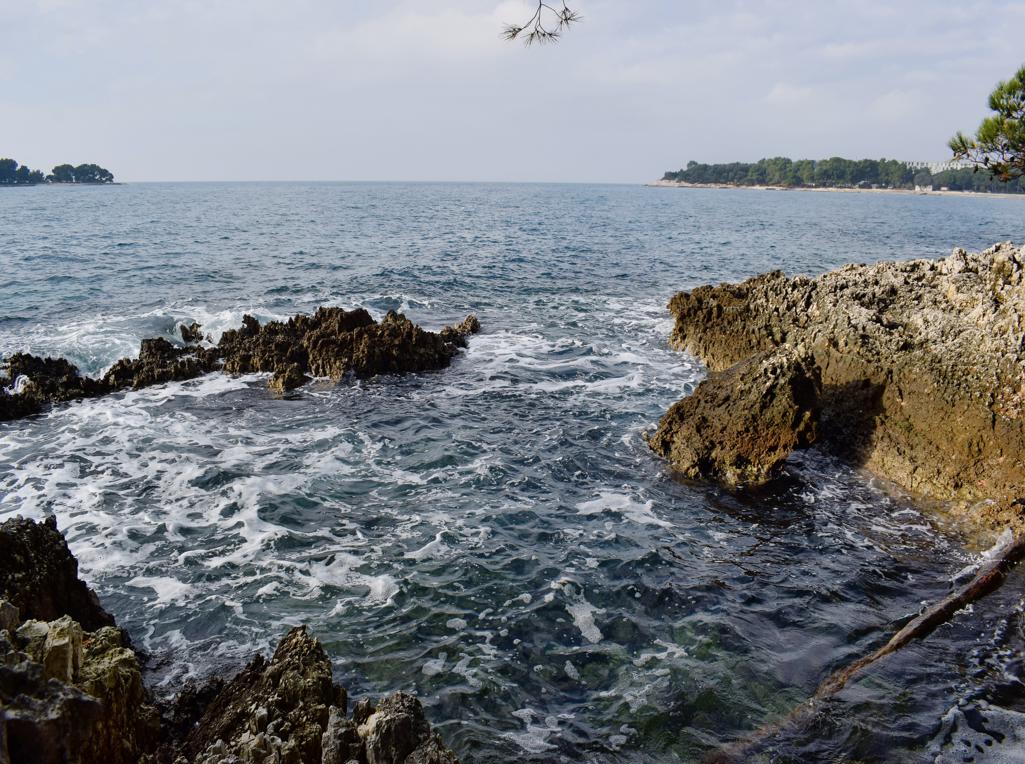
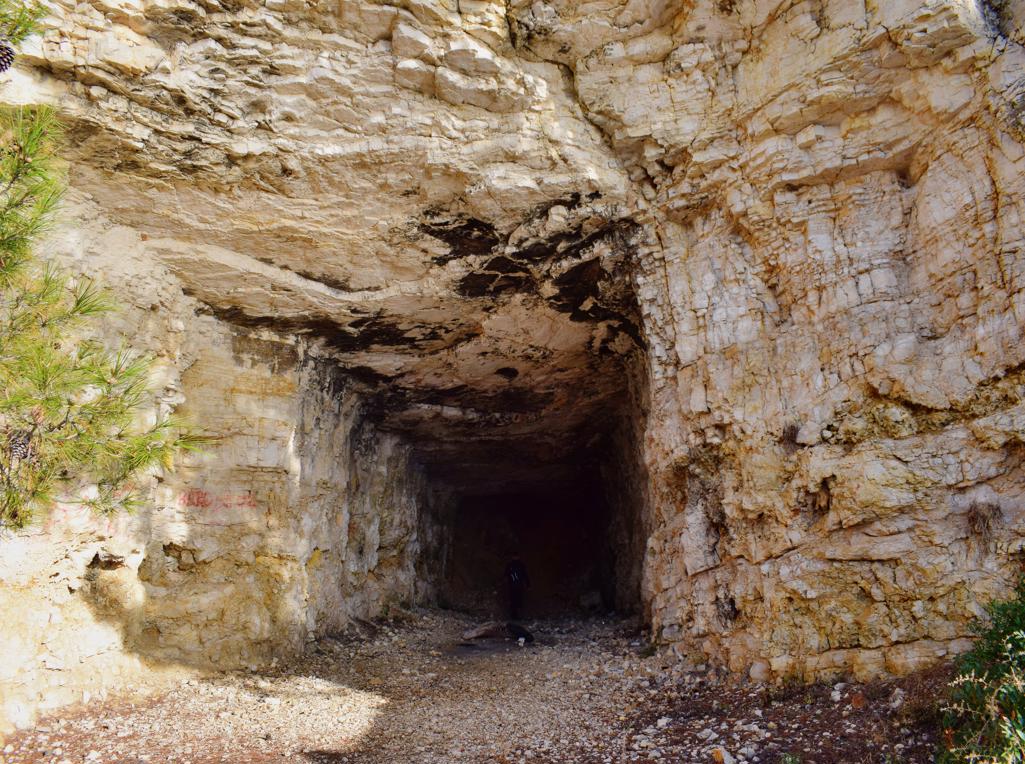
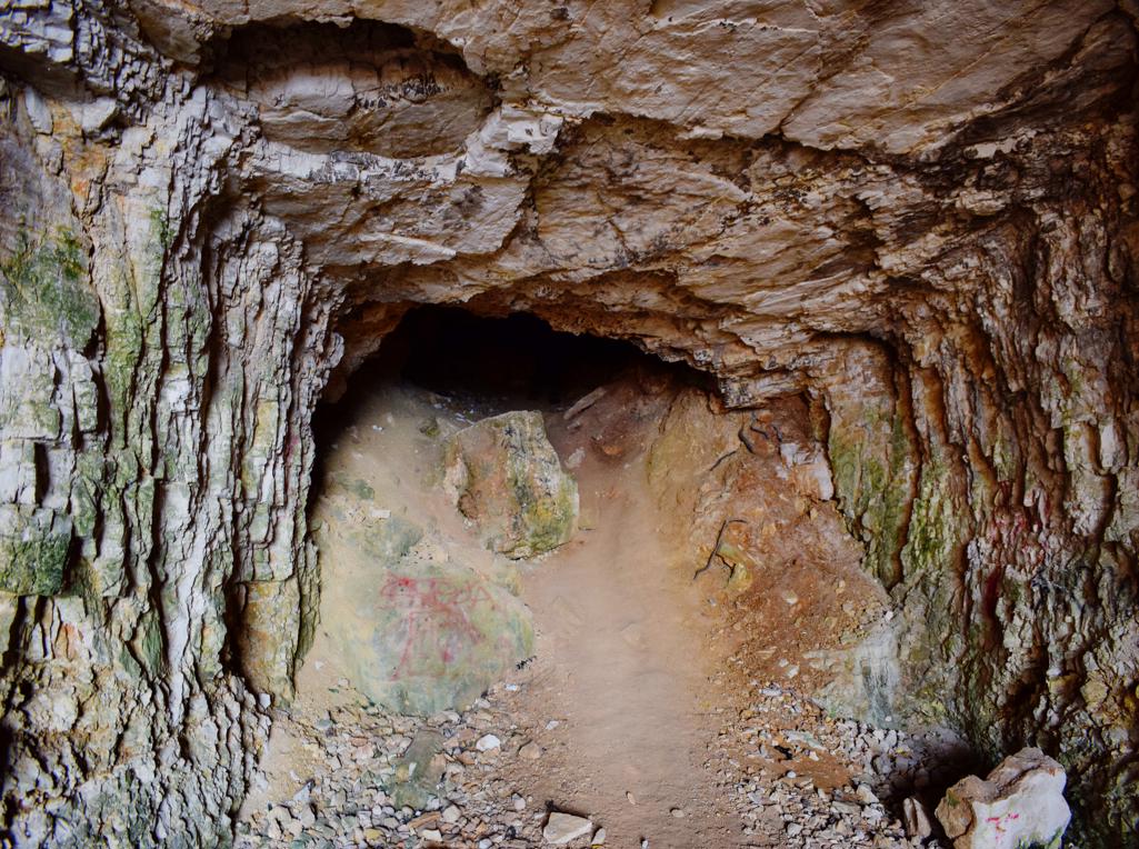
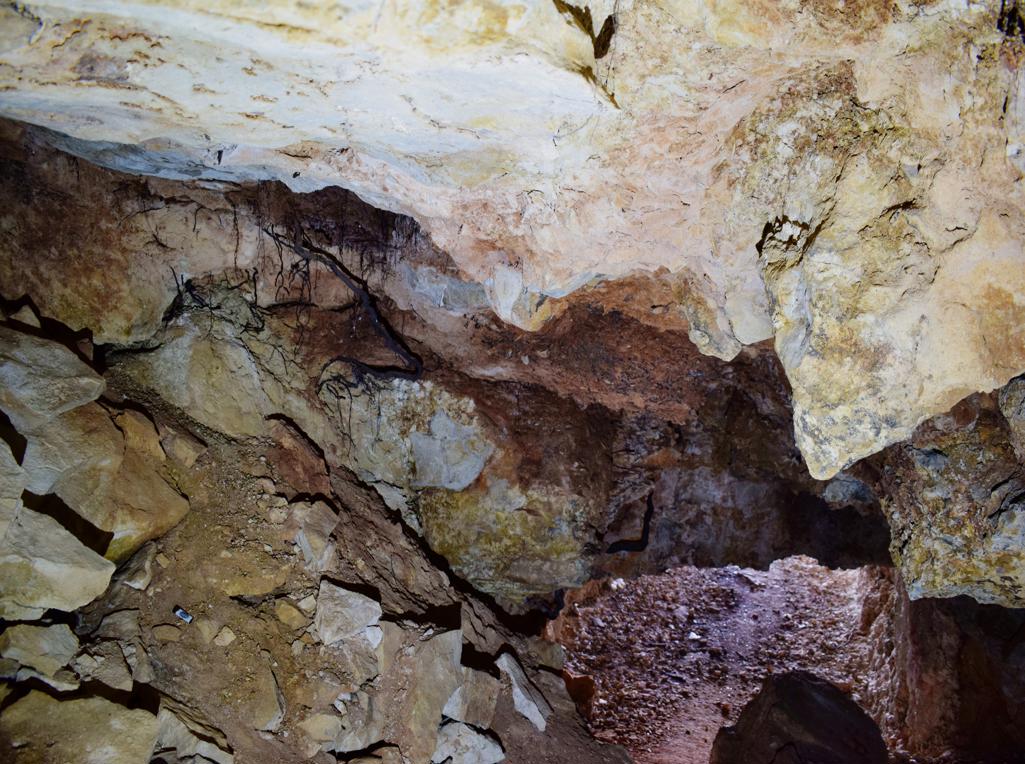
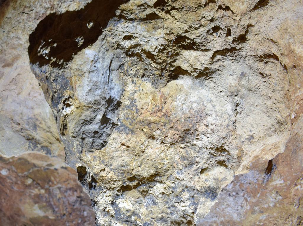
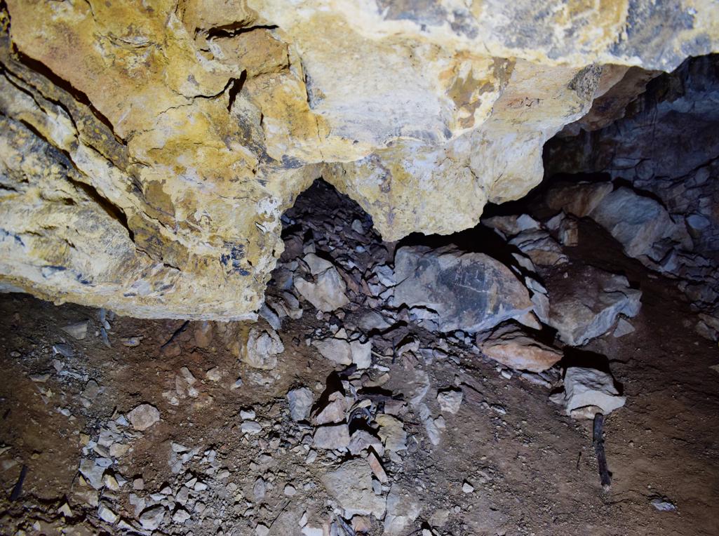
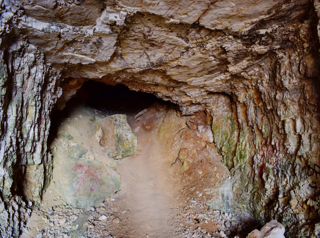
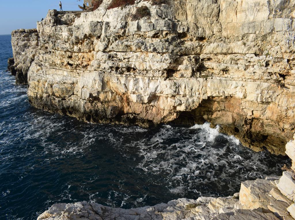
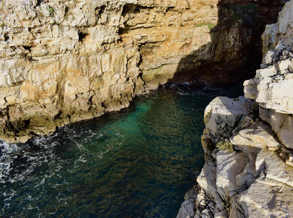
Name: Tunnel near canyon Veruda.
Place: Pula.
Coordinates: 44.83558 N – 13.82785 E.