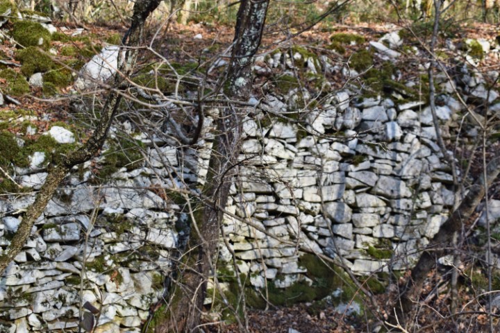
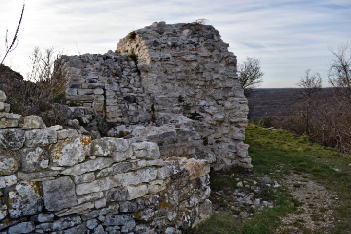
Name: Park šuma Zlatni (part II).
Place: Rovinj.
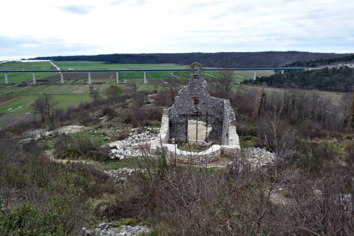
Located on the Gromača hill, with in the immediate vicinity,
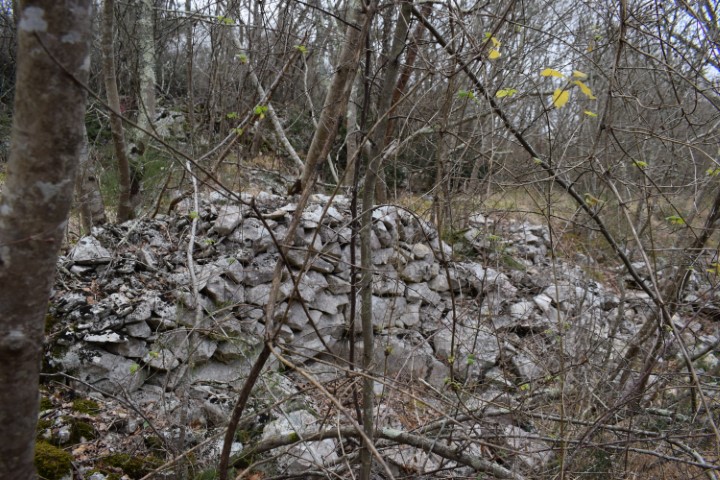
the gradines Sv. Duh, Sv. Juraj, Sv Dionij. This castelliere was protected on the north side by a wall over a length of 90 meters and a width of approximately 4 meters.
Name: Castelliere Gromača.
Place: Near Cendaki – Srbani – (Brtonigla).
Coordinates: 45.34846 N – 13. 13.63172 E
This prehistoric settlement was located on the Draće hill on the north side of the Mirna with a height of 117 meters and is now named after the disappeared church Sv Pelagij. The north side was protected by defensive walls and on the south side by a steep slope.
Name: Gradine Sv. Pelagij (Draće).
Place: NearLozari – Buje.
Coordinates: 45.35369 N – 13.13.68182 E.
This well-defended settlement from the Bronze and Iron Ages was located on a rock with a height of approximately 120 meters above the Mirna River. At the place where now is a cemetery and the church Sv. Mihovil.
Name: Prehistoric settlement Sv. Dionizij near D. Srbani.
Place: Near D. Srbani – (Brtonigla).
Coordinates: 45.33858 N – 13.64705 E.
This large settlement with a length of 500 m and a width of 250 meters was located to the West of Nova Vas at an altitude of approximately 95 m. Surrounded by a steep slope on three sides, with on the West side a high wall and the access. Occupation took place from the Bronze Age up to and including Roman rule of Istria.
Name: Prehistoric settlement Kaštelir.
Place: Near Nova Vas – (Brtonigla).
Coordinates: Starting point Nova Vas 45.36014 N – 13.64114 E, Entrance Kaštelir 45.36485 N – 13.65468 E.
The settlement Fineda was located at an altitude of 205 meters above sea level and surrounded on 3 sides by the stream Argilla. From the top, the residents of the Eneolithic and early Bronze Age had a good view of the trade routes. On the west side is located in the canyon of the Argilla the Cingarela waterfall with a height of approximately 15 meters.
Name: Hiking trail Fineda – Canyon Cingarela waterfall.
Place: Momjan – (Buje).
Coordinates: Startingpoint 45.43714 N – 13.69046 E. Top: 45.43523 N – 13.68652 E.
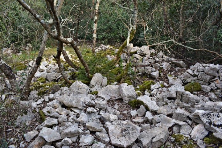
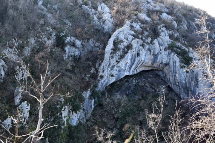
Partly due to the ceramics found and the dry technique applied to the walls, it is clearly recognizable that this was a prehistoric settlement. This gradina extended over two small landscaped plateaus. The small cave outside the gradina may have served as a water reservoir.
Name: Kukuj.
Place: Near Sorgi – (Oprtalj).
Coordinates: Starting point 45.40941 N – 13.84477 E.;
Top 45.40925 N – 13.84624 E (456 meters above s.l.).
Mutvoran is located 180 meters above sea level on a cliff above the Mutvoranska draga, which stretches from Prodol to Luka Budova. Mutvoran was also a prehistoric settlement from the Bronze and Iron Ages. This can partly be recognized by the wall that was built around Mutvaron, with no mortar between the blocks over a part on the south side of the wall.
For other information see the post dated 2015/04/04
Name: Mutvoran.
Place: Mutvoran – (Marčana).
Coordinates: 44.95929 N – 13.985164 E.
Hiking trail from waterspring Zahej to the bridge over the streams Tamujak and Mlaka.
Possible prehistoric settlement on the position 45.41162 N – 13.86959 E.
Name: Waterspring Zahej – streams Tamujak and Mlaka.
Place: Zrenj -(Oprtalj).
Coordinates:
Startingpoint: 45.40981 N -13.86729 E, Brige: 45.41416 N -13.86802 E.
Cuf (M. Zuffo) was a prehistoric settlement with a good view on the gradina’s Sanapu, Kitica, Kaštelir (Valtura) and the big settlement Nesactium.
On the rocks are probably fossils of rudists. They lived from the Late Jurassic to the late Cretaceous periods.
Name: Cape Cuf – Kvarnar near Lake Baduva.
Place: Ližnjan.
Coordinates: Starting point trail 44.88642 N – 13.96607 E , Cape Cuf 44.88567 N – 14.00298 E,
Bay Škorpula 44.88274 N – 14.00174 E.