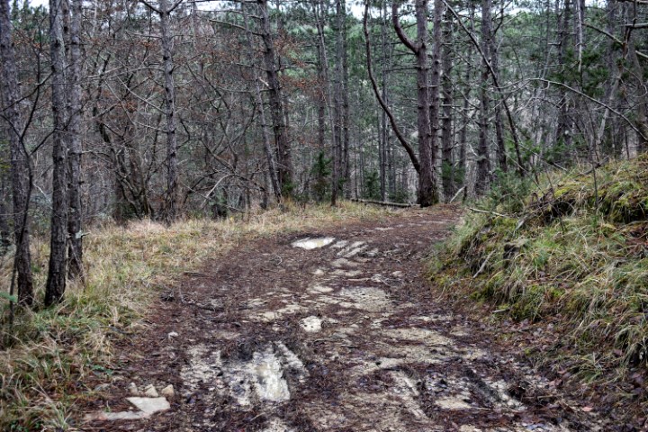
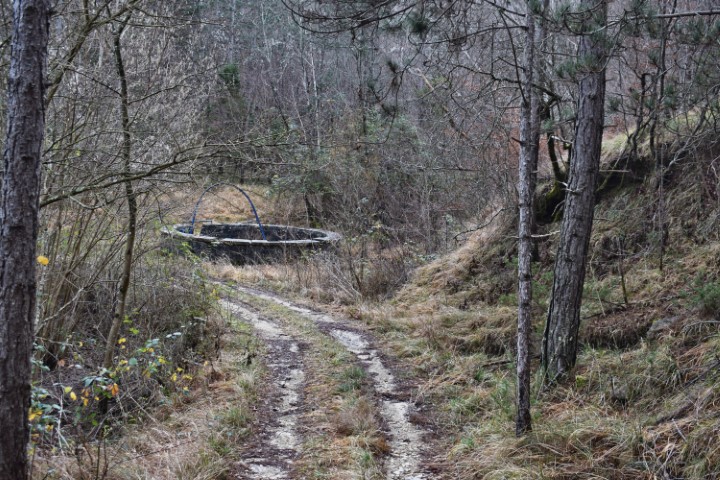
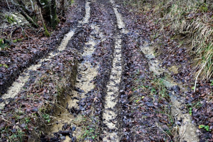
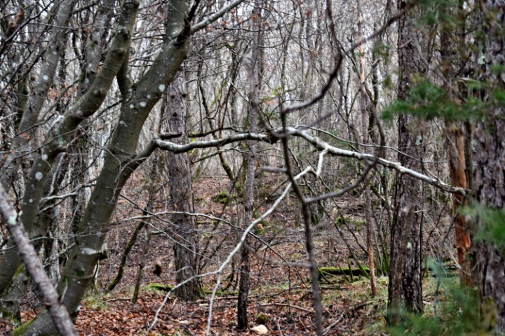
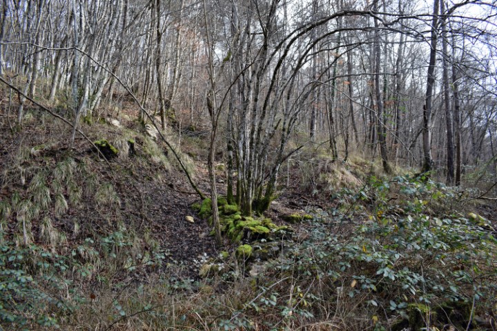
Hiking trail from waterspring Zahej to the bridge over the streams Tamujak and Mlaka.
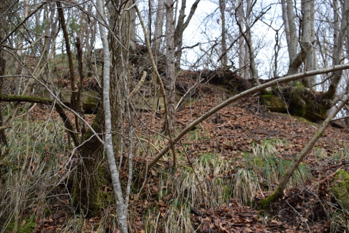
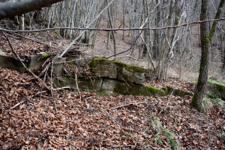
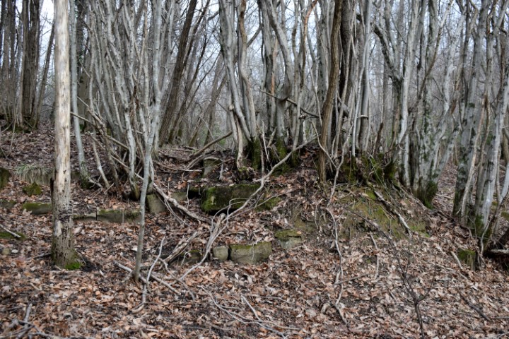
Possible prehistoric settlement on the position 45.41162 N – 13.86959 E.

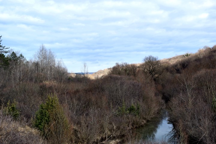
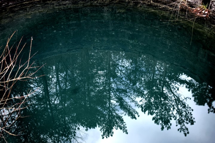
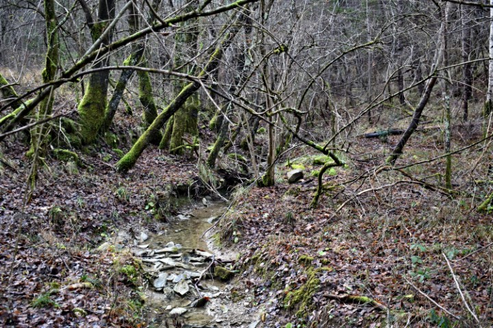
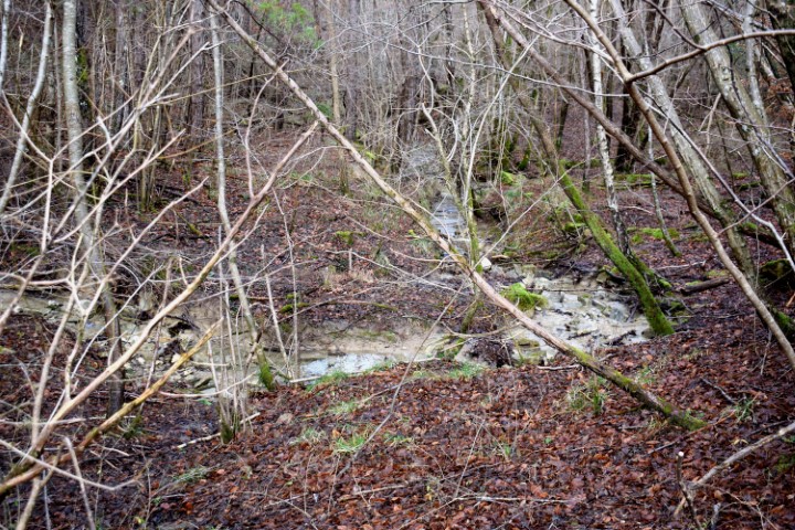

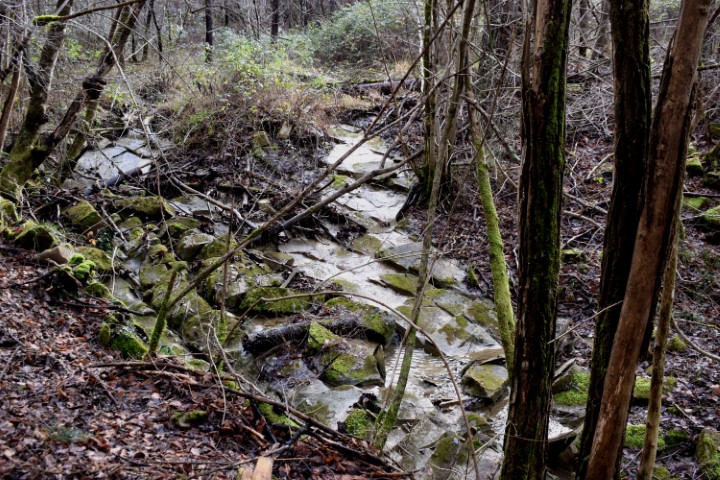
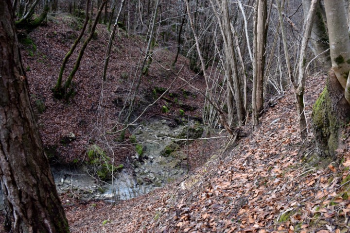


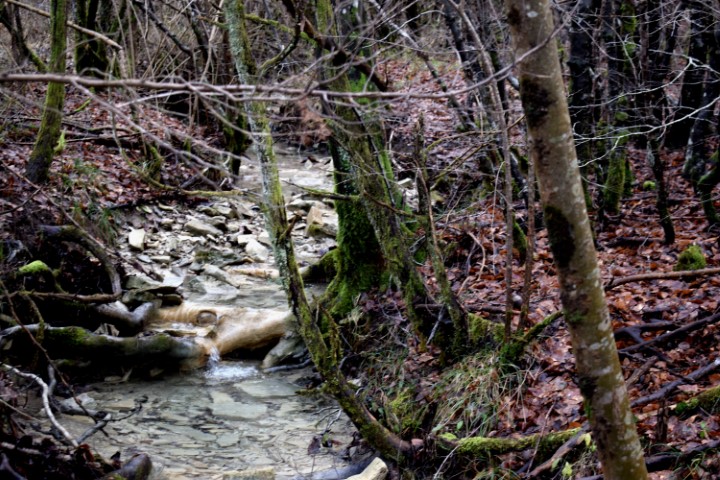
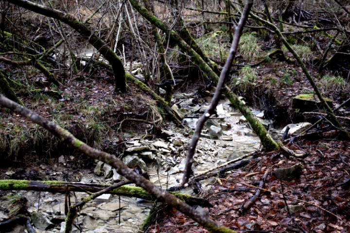
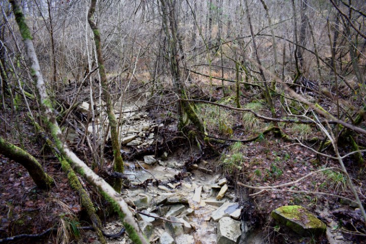
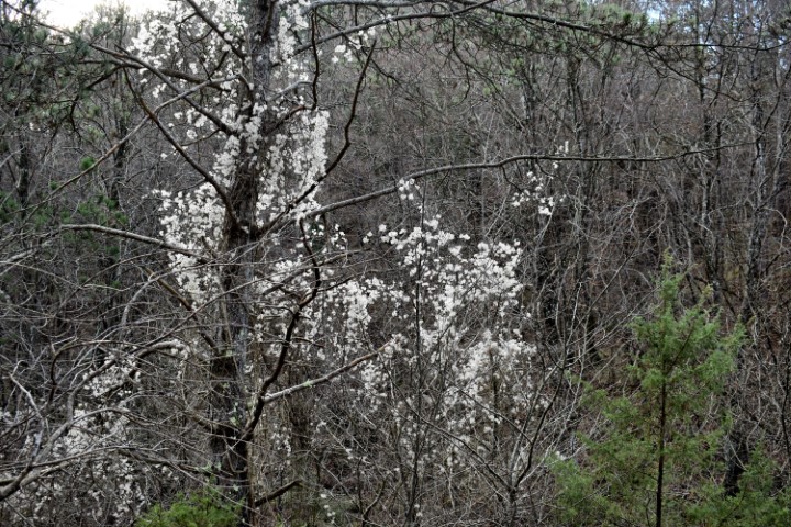
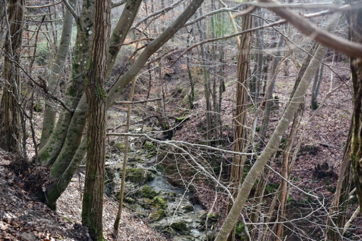

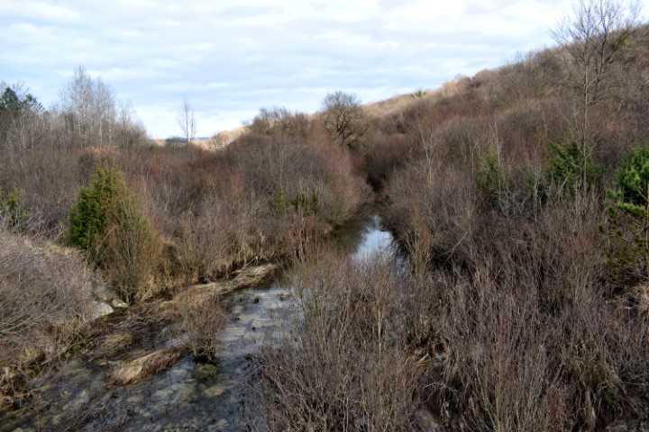
Name: Waterspring Zahej – streams Tamujak and Mlaka.
Place: Zrenj -(Oprtalj).
Coordinates:
Startingpoint: 45.40981 N -13.86729 E, Brige: 45.41416 N -13.86802 E.