Prehistoric settlement Sublenta.

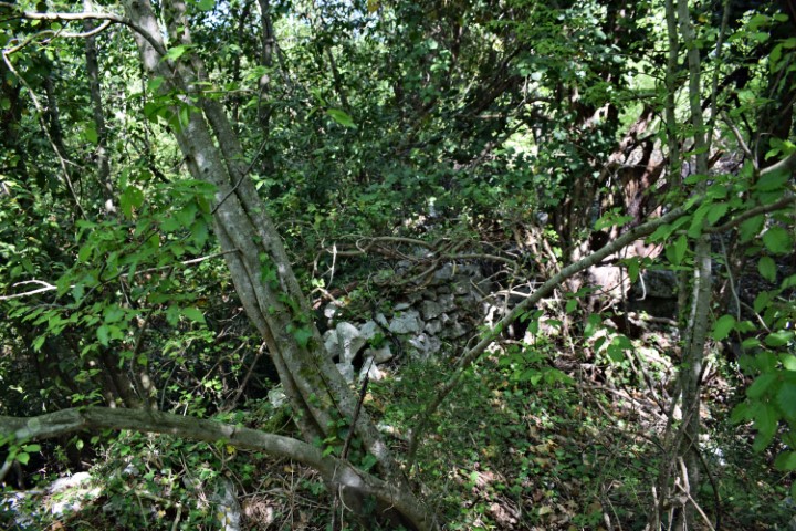
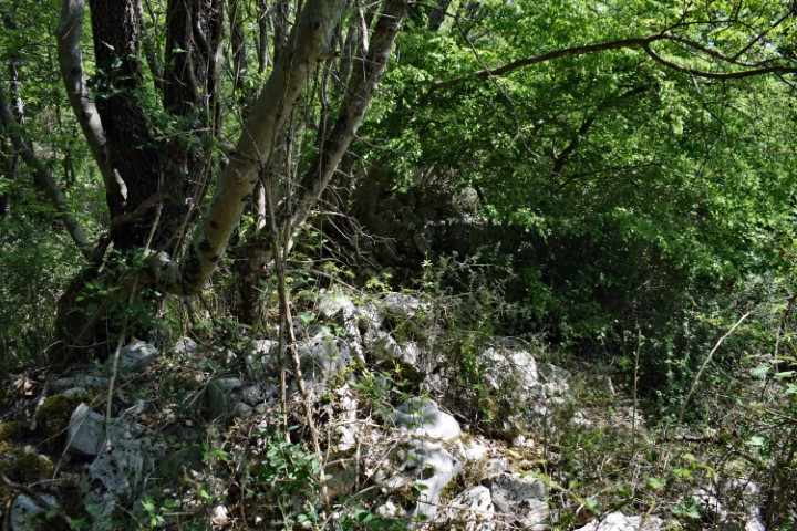
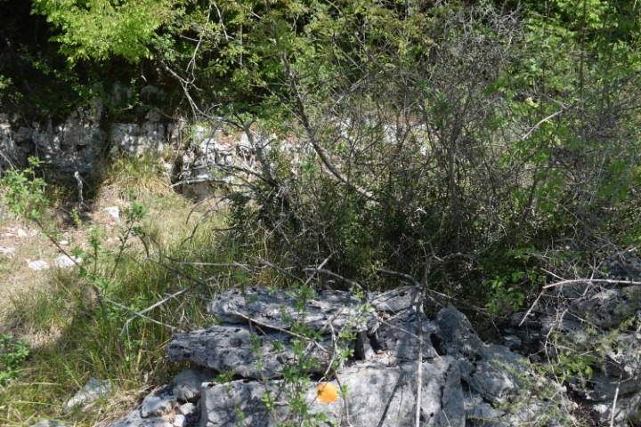
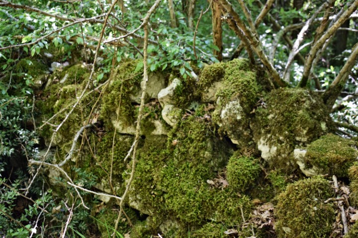
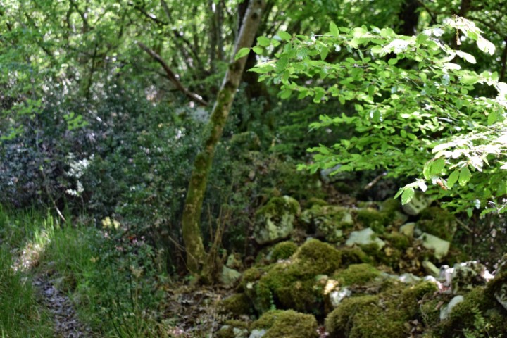
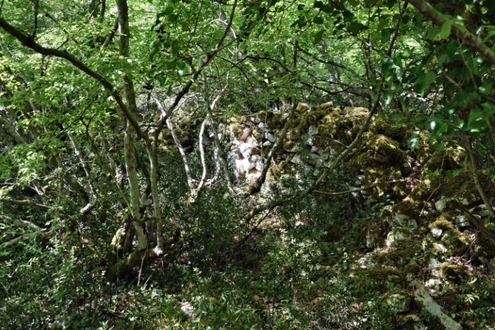
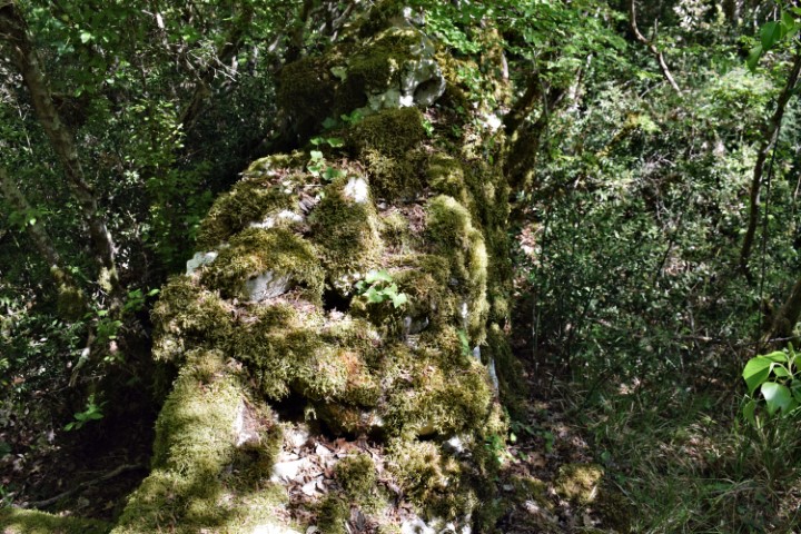
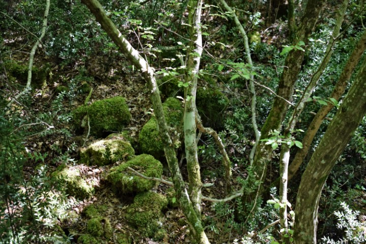
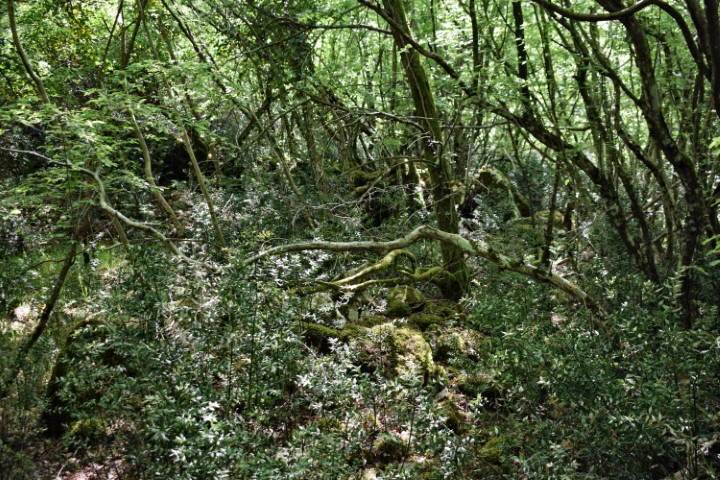
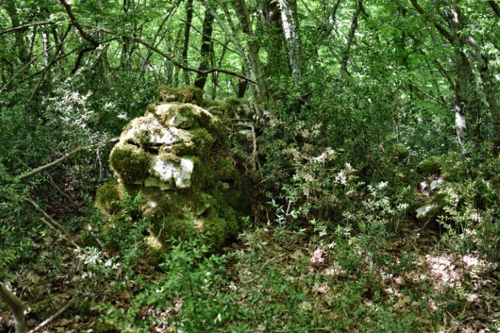
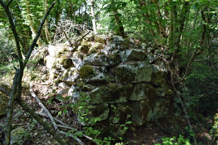
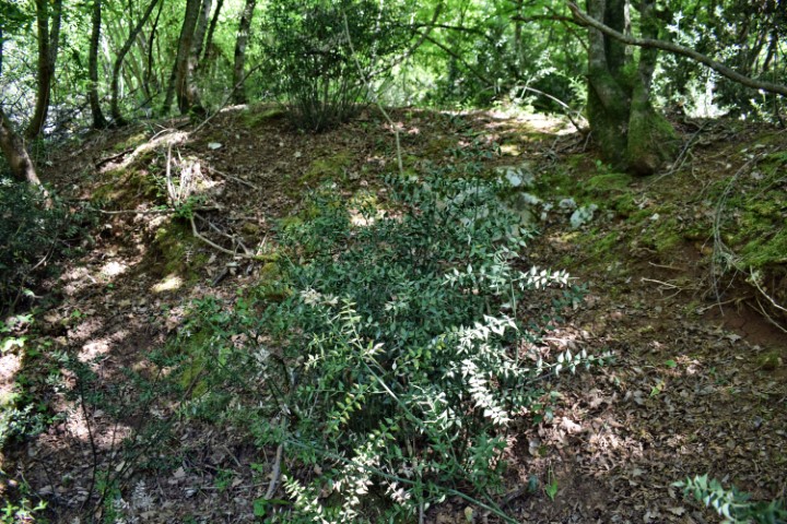
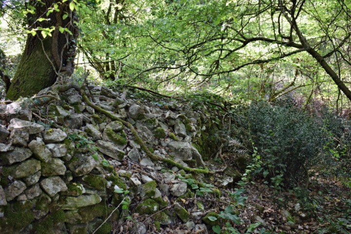
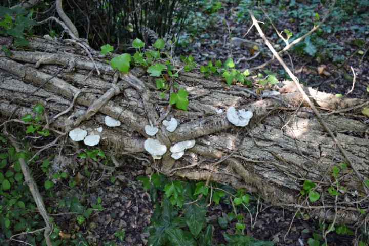
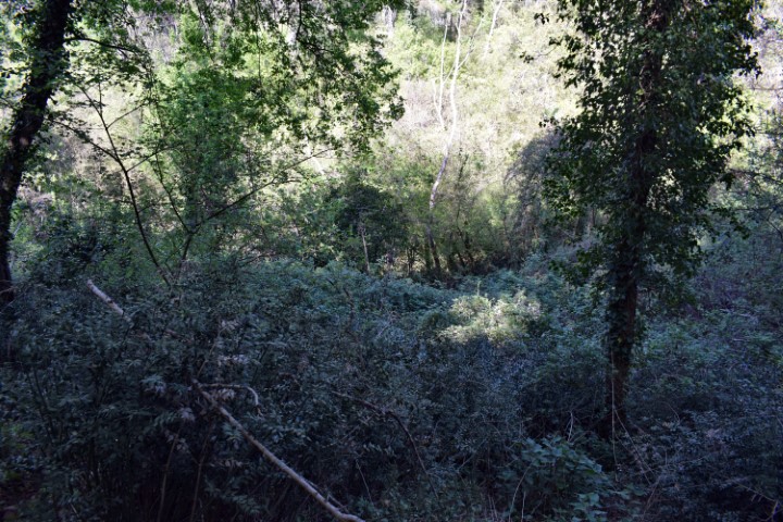
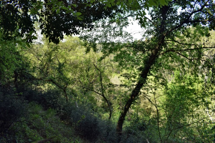
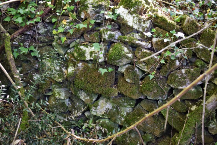
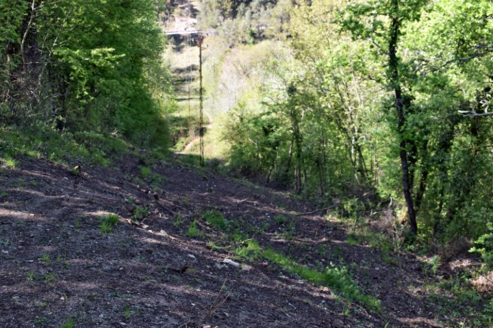
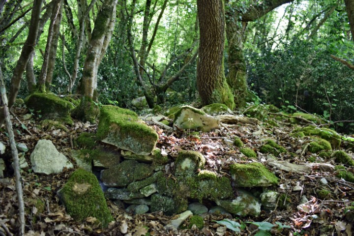
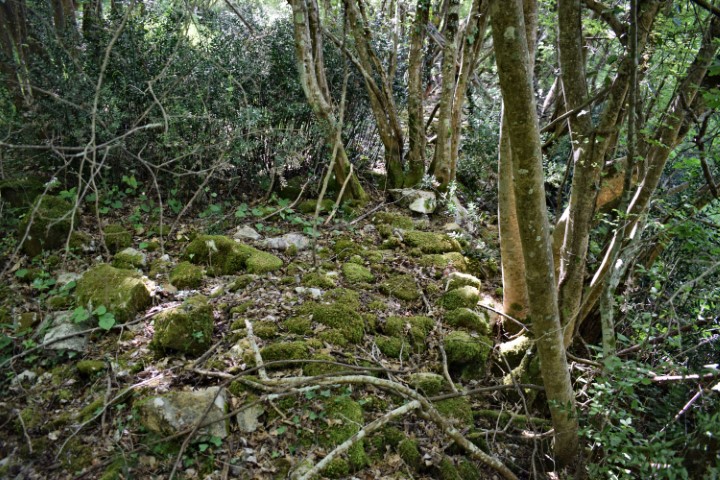
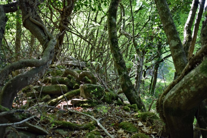
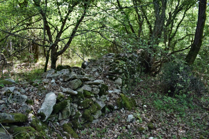
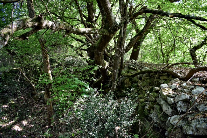
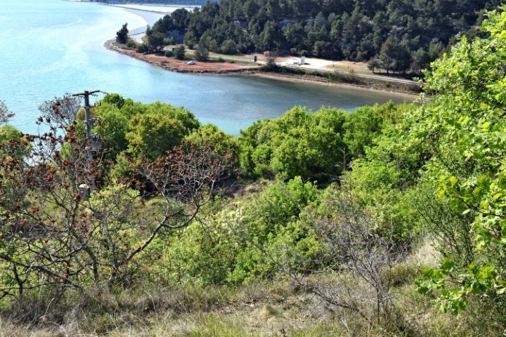
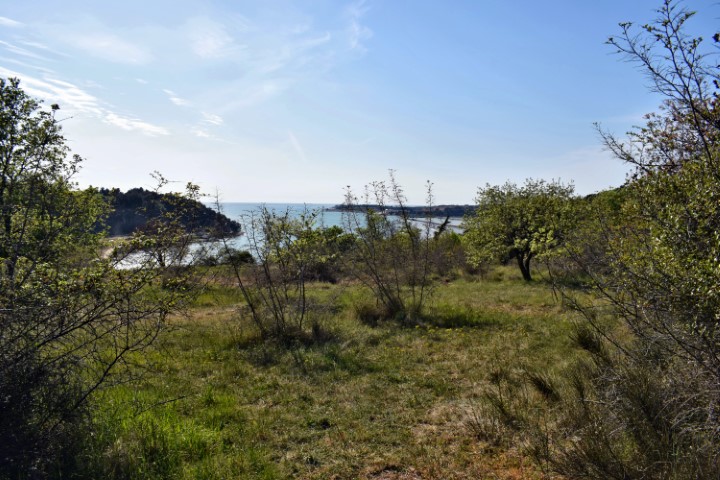
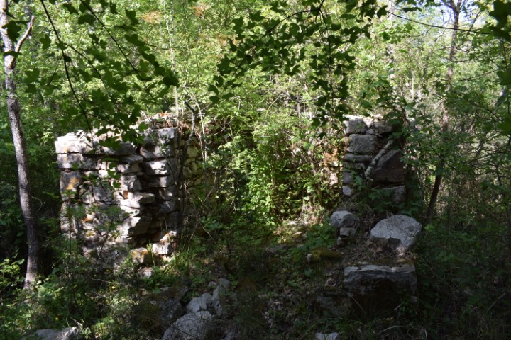
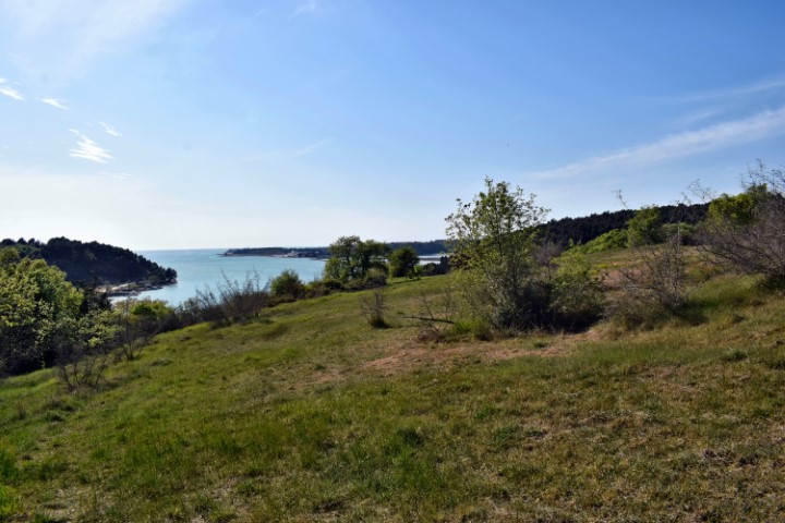
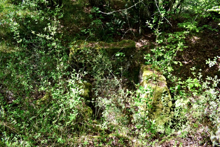
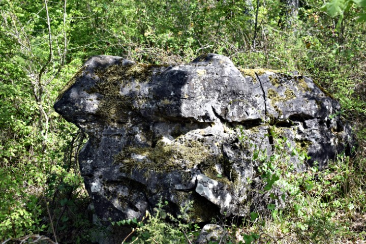
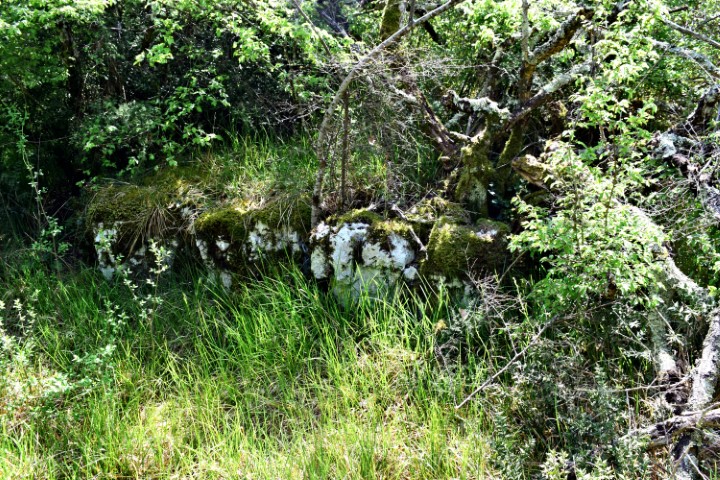
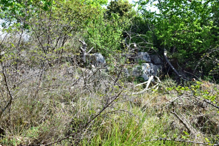
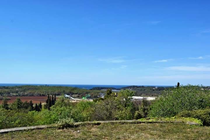
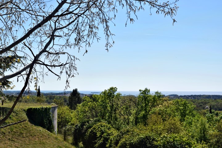
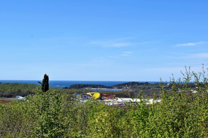
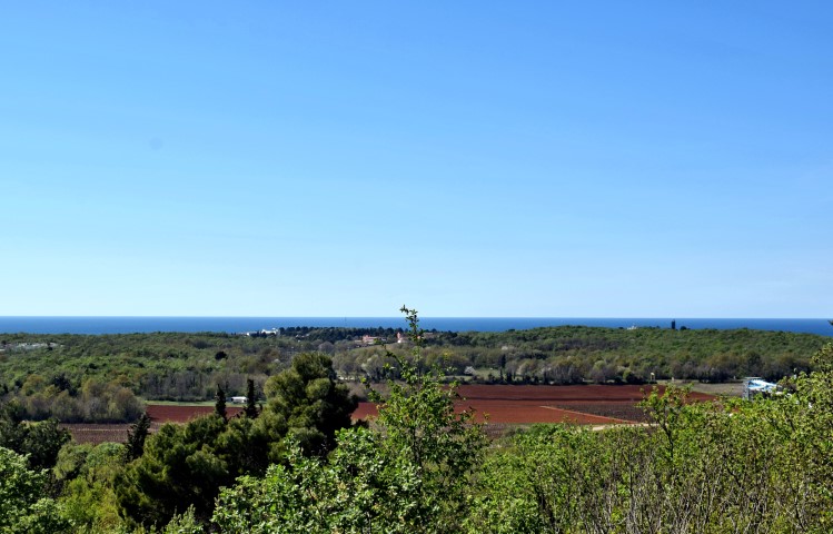
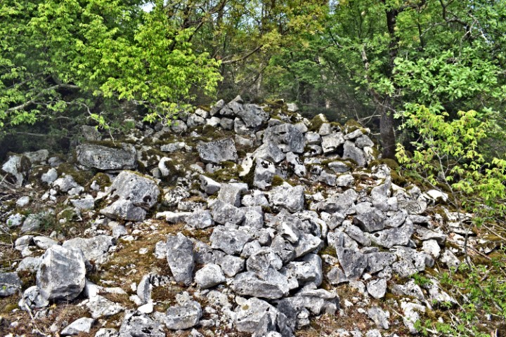
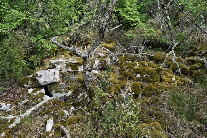
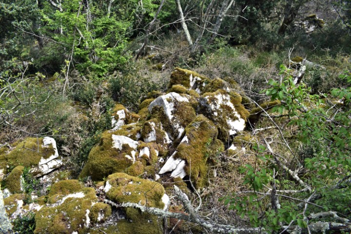
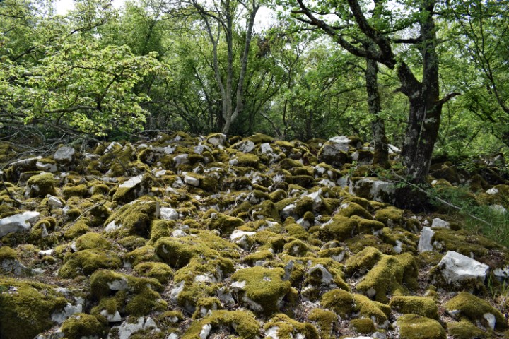
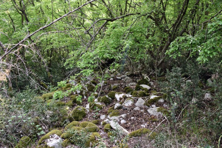
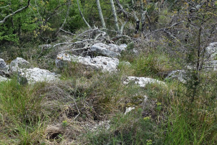
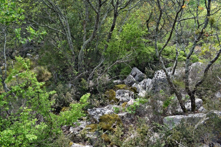
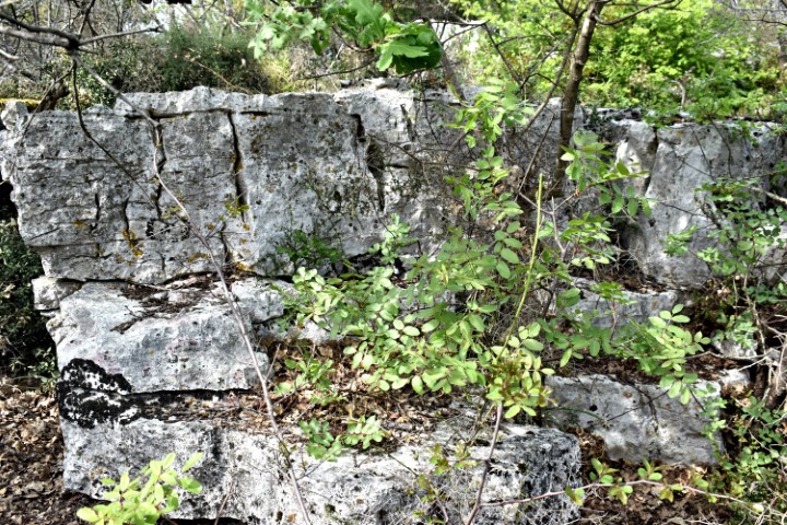
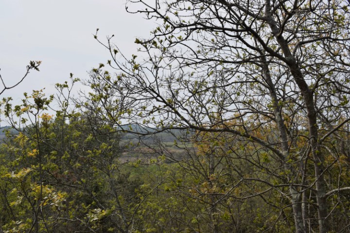
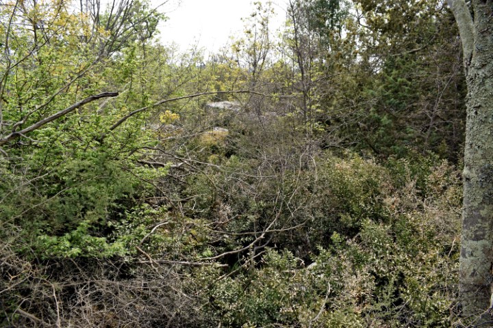
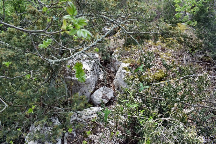
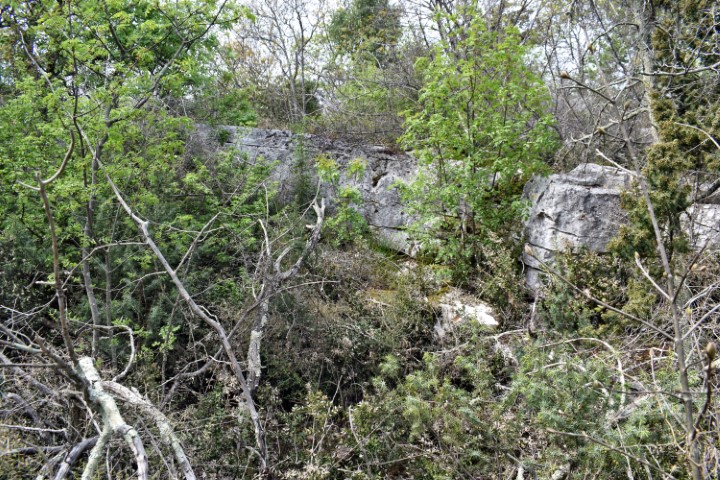
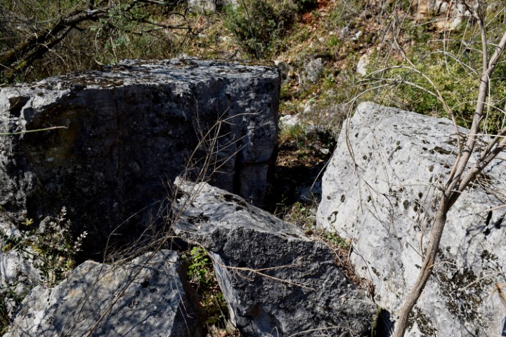
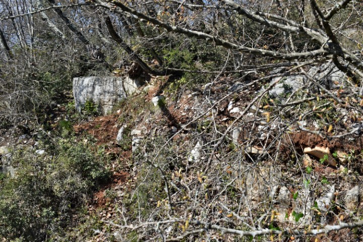
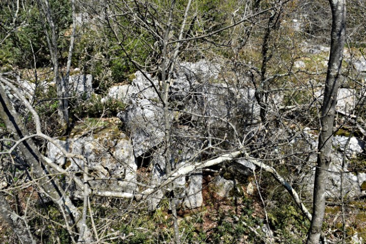
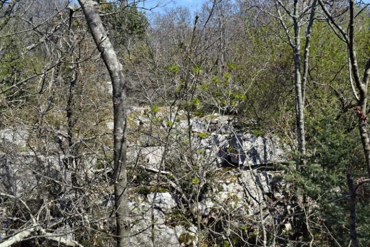
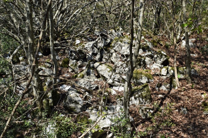
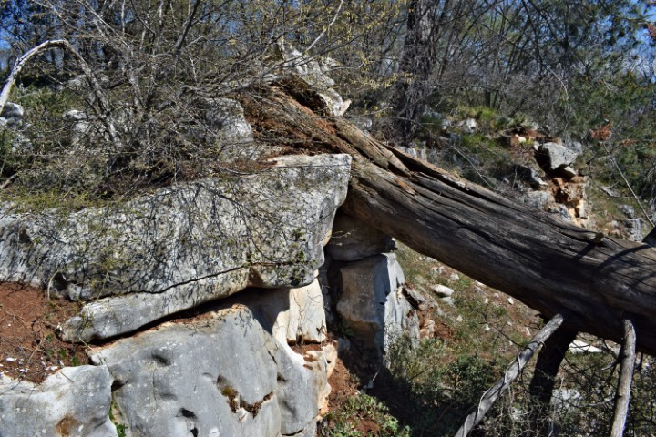
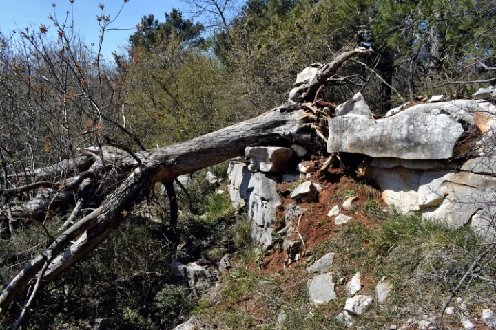
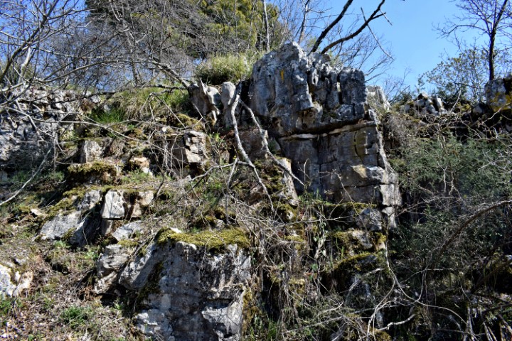
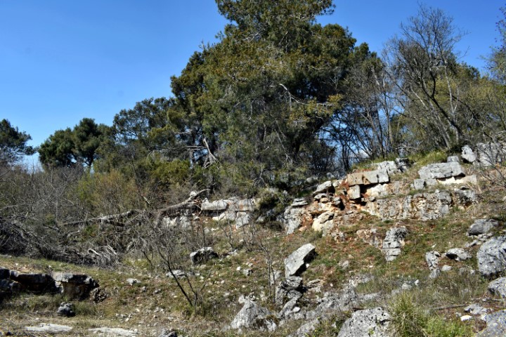
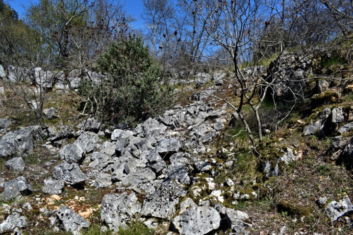
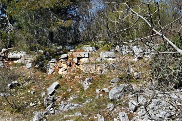
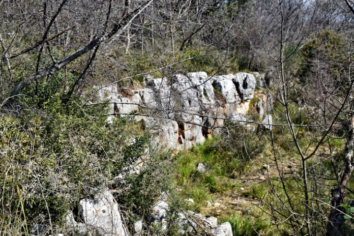
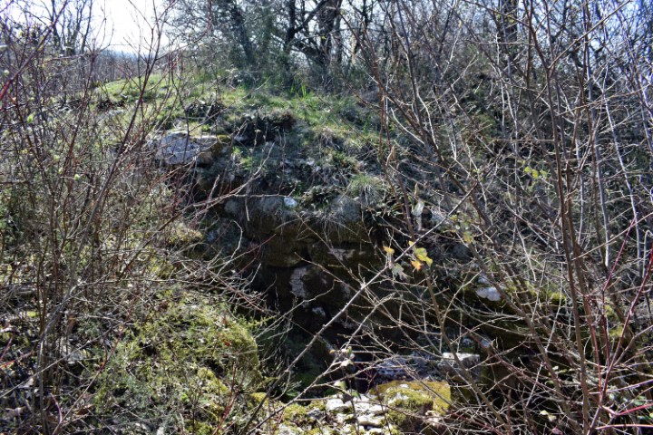
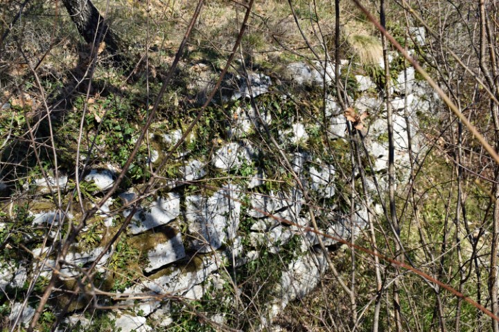
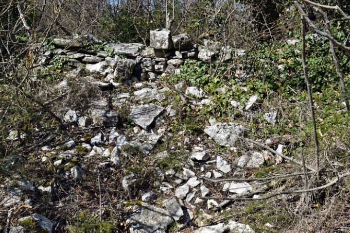
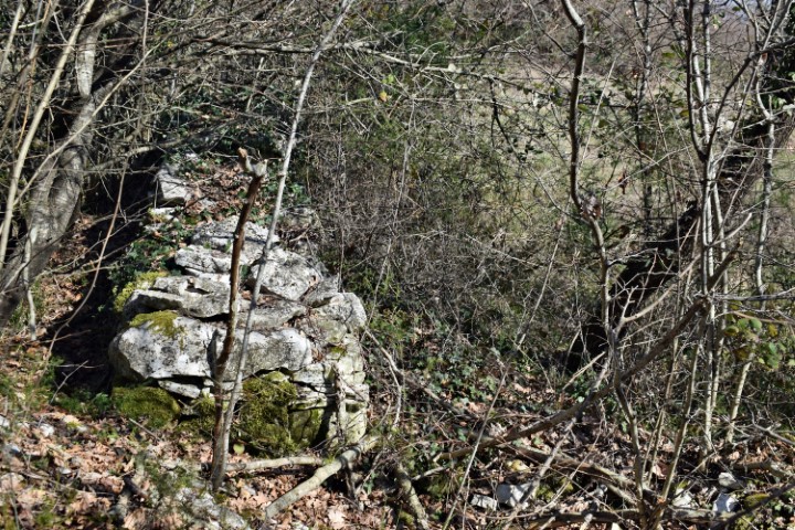
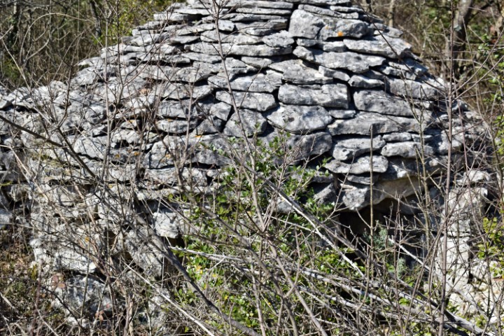
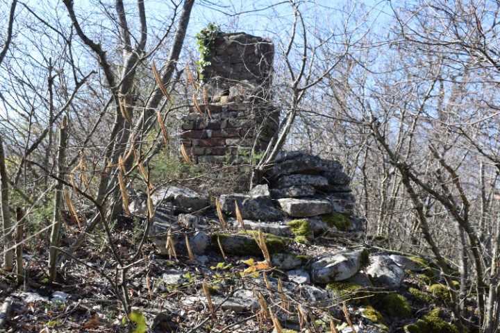
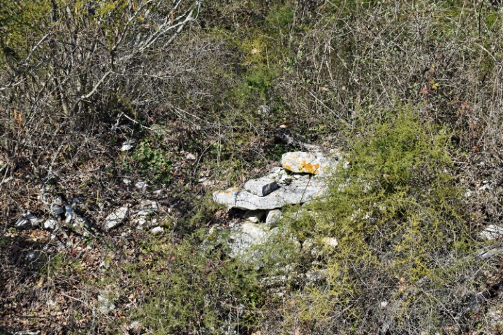
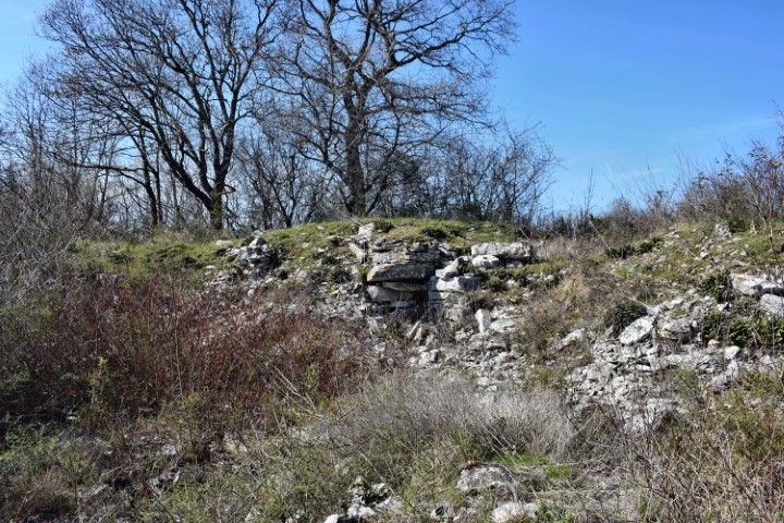
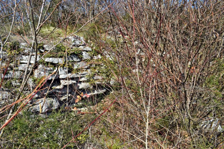
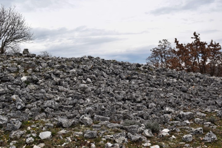
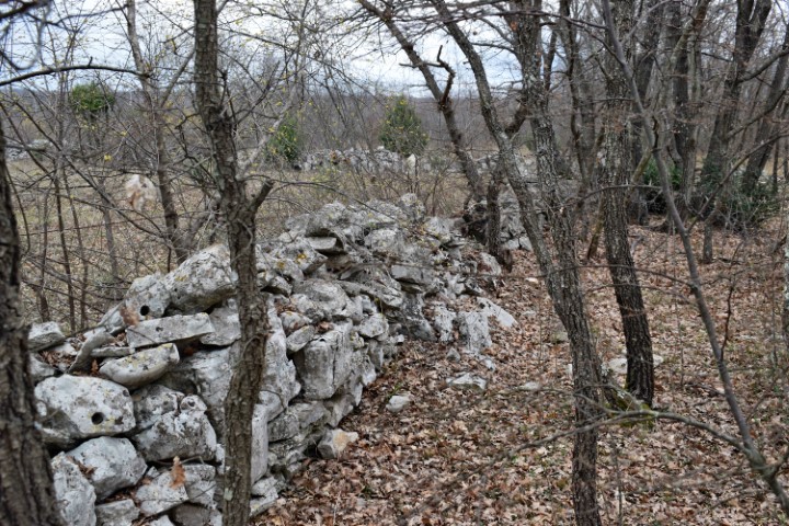
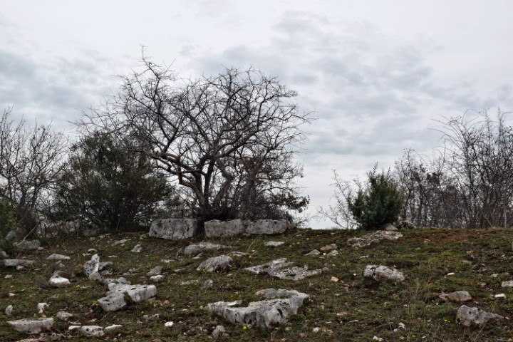
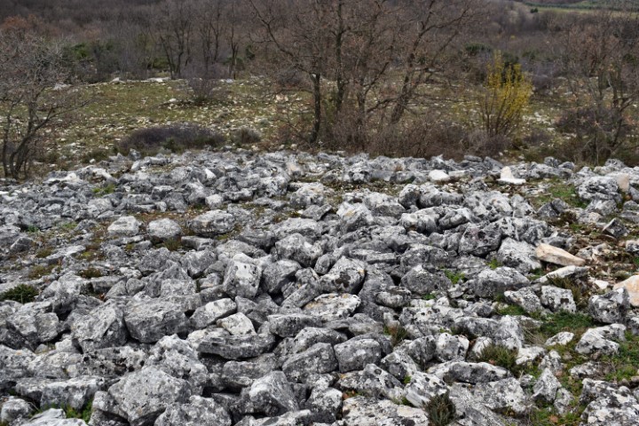
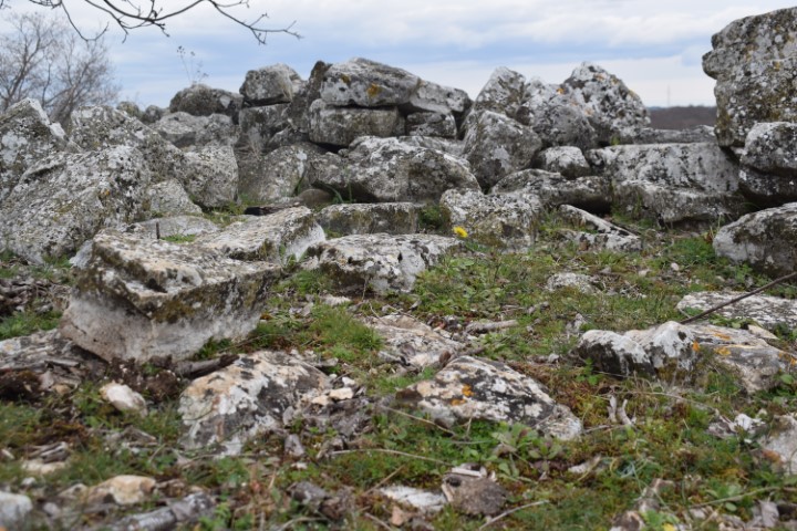
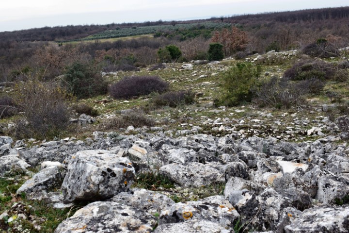
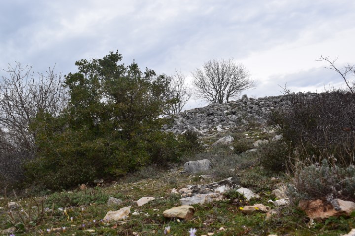
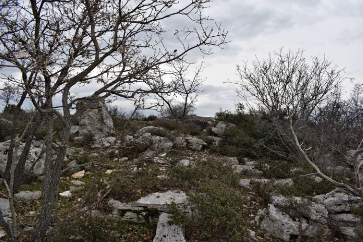
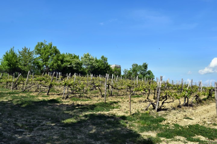
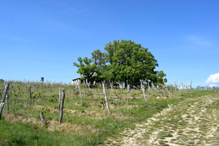
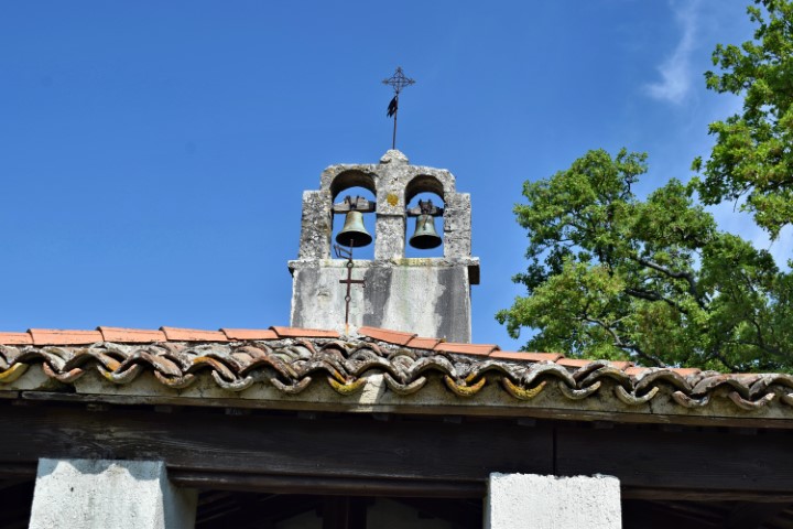
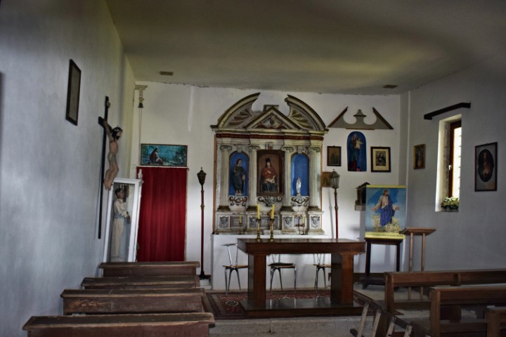
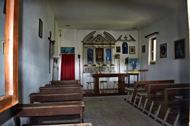
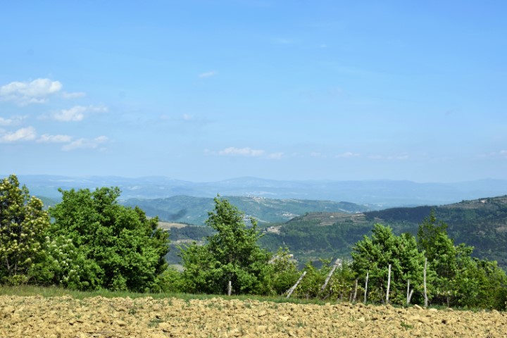
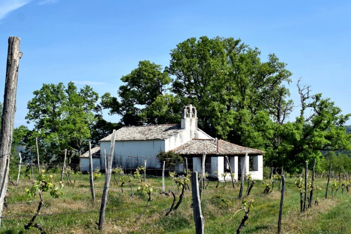
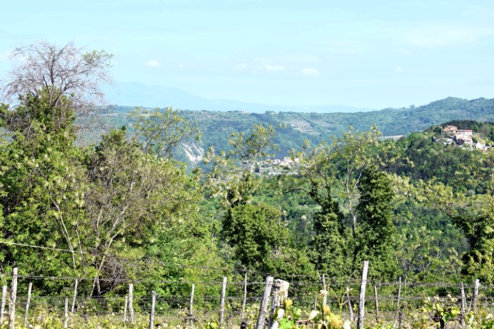
The current plateau of this former Gradine contains vineyards and the Church of the Navity of the Blassed Virgin Mary. This plateau is surrounded on three sides by steep slopes. The defense wall on the side is no longer recognizable.

Name: Prehistoric settlement Sublenta.

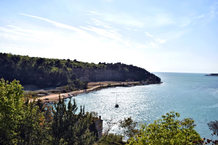
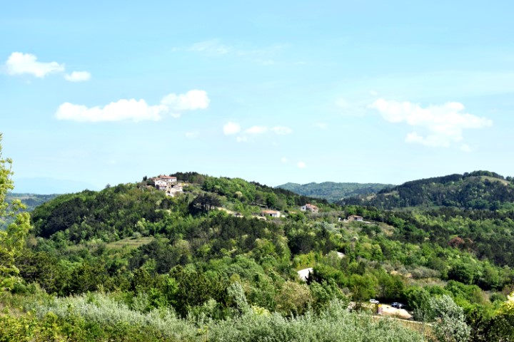
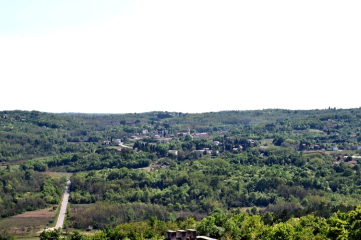
Place: Near Divjaki – (Motovun).

Coordinates: Entrance to Gradine: 45.31712 N – 13.82530 E ,  Top: 45.32110 N – 13.82101 E.

Prehistoric settlement Rumpeljak.

This gradine consisted of a round plateau with two terraces underneath which were partly walled by stone blocks.
There are now water reservoirs near the top of the plateau.

Name: Prehistoric settlement Rumpeljak.

Place: Near Vržnaveri – (Poreč).

Coordinates: Start point 45.24137 N – 13.67294 E. Top of Rumpeljak 45.24258 N – 13.67623 E.

Prehistoric settlement Sv. Martin.

At the top of this former gradine, with a height of approximately 67 meters. there are now water reservoirs. The separation between the plateau and the surrounding terrace is no longer recognizable.

Name: Prehistoric settlement Sv. Martin.

Place: Near Mugabe – (Poreč).

Coordinates: Start point to Sv. Martin: 45.19277 N – 13.6172 E. Top: 45.19181 N – 13.61299 E.

Prehistoric settlement Malovar.

This oval-shaped gradine was inhabited in the Bronze Age and had two terraces separated by wide stone walls.

Name: Prehistoric settlement Malovar.

Place: NearRadmani/Dračevac – (Poreč).

Coordinates: Start point to Malovar: 45.19578 N – 13.67855 E.

Top Malovar; 45.1949 N – 13.6761 E. height 127,6 meters.

Gradine Vrčin (Monte Orsino) near Butkovići.

Based on ceramics found, it has been established that people lived here from the Neolithic period and this location later developed into a walled gradine. The walls have largely collapsed and are covered with soil. Earlier research in the beginning of the last century found many jewelry in stone coffins next to bones.

Name: Vrčin (Monte Orsino).

Place: Near Butkovići – (Svetvinčenat).

Coordinates: 45.00351  N – 13.90000 E.

Necropolis Vrh Maskarade.

This special cemetery on the Maskarade hill from the Bronze Age has a diameter of approximately 100 meters and is surrounded by two circular terraces surrounded by large stones. This cemetery was probably of great religious significance.

Name: Necropolis Vrh Maskarade.

Place:  Svetvinčenat.

Coordinaten: 45.02300 N – 13.82018 E.