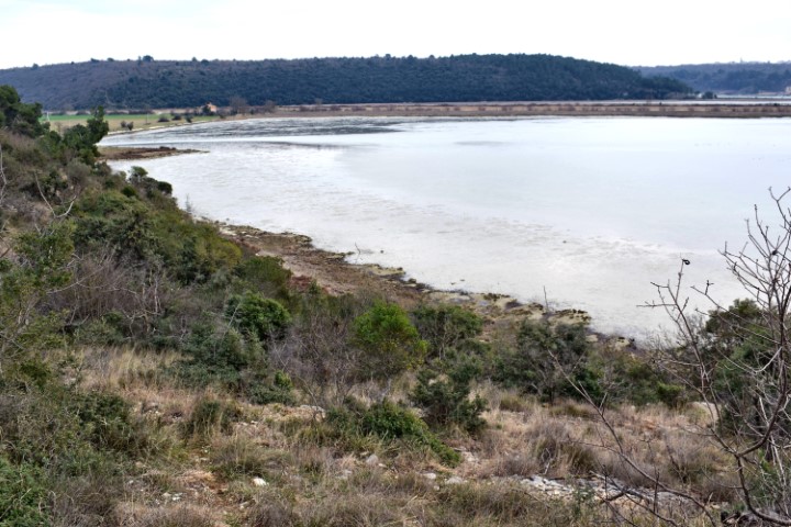
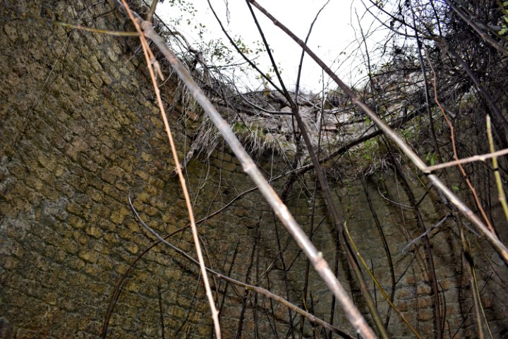
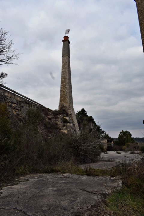
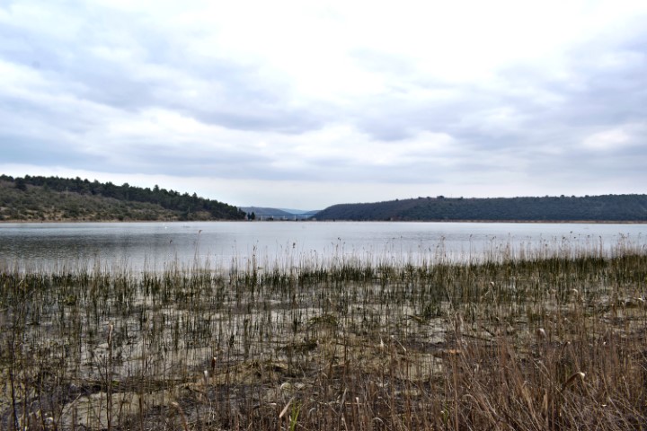
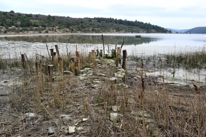
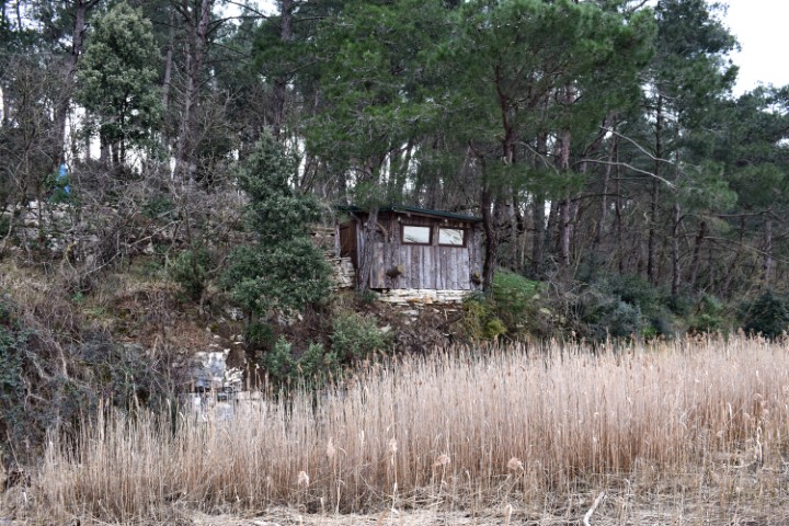
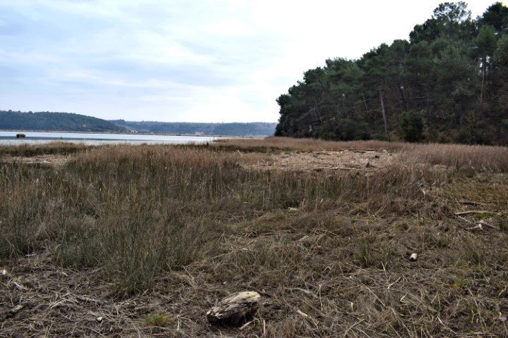
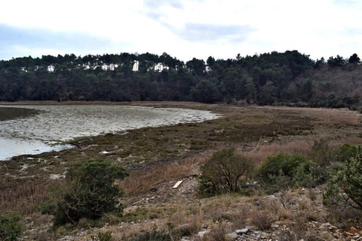
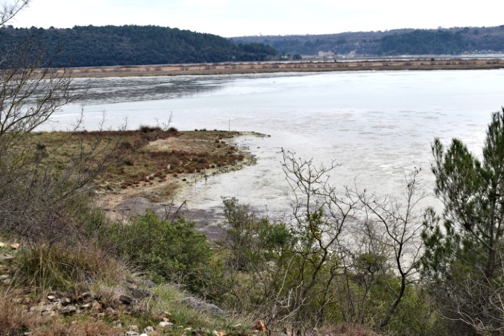
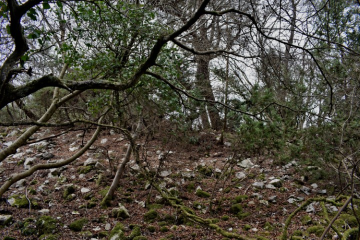
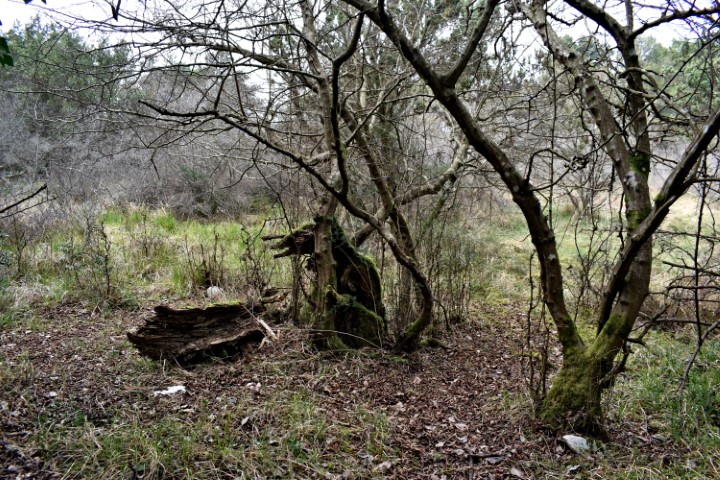
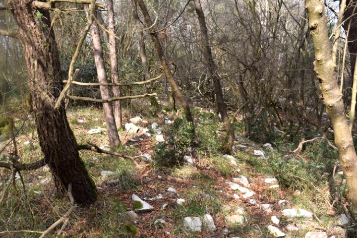
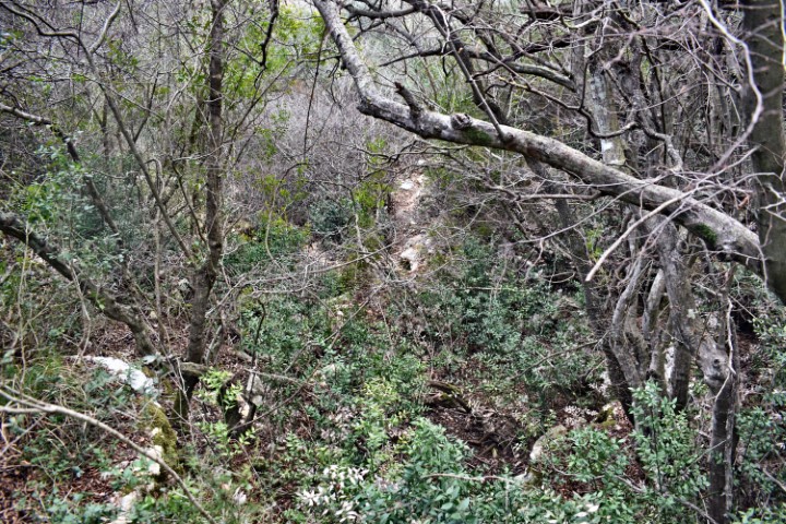
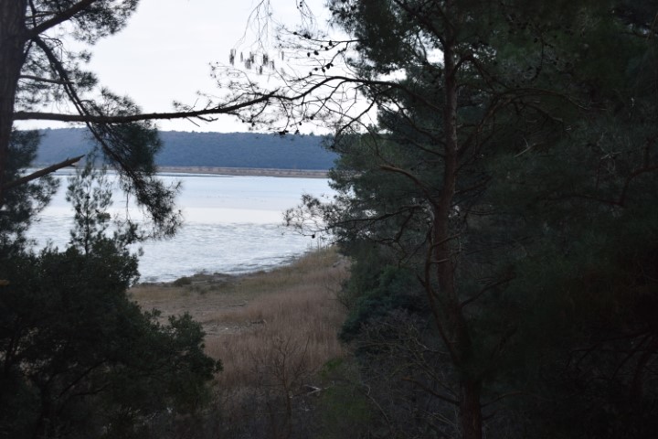
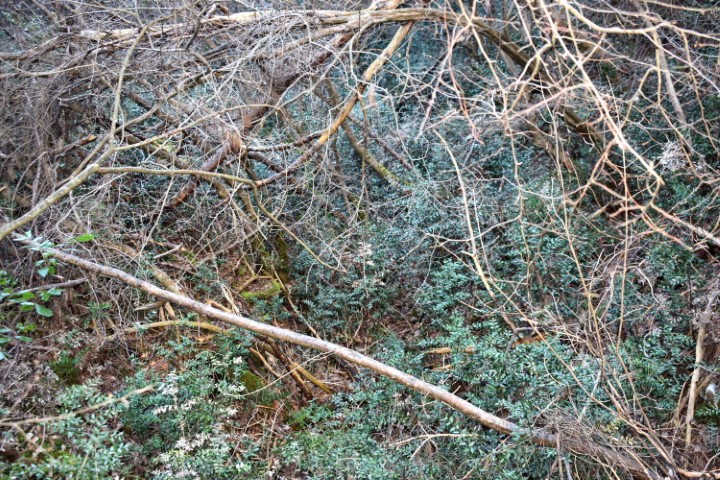
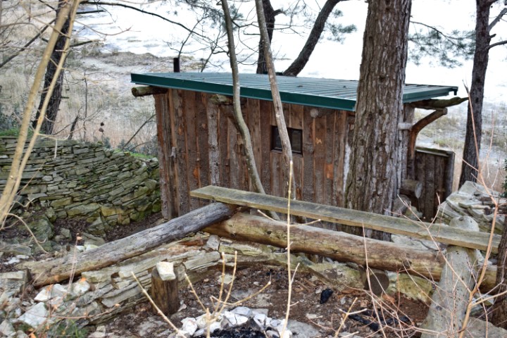
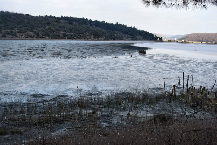
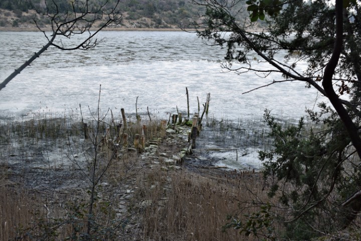
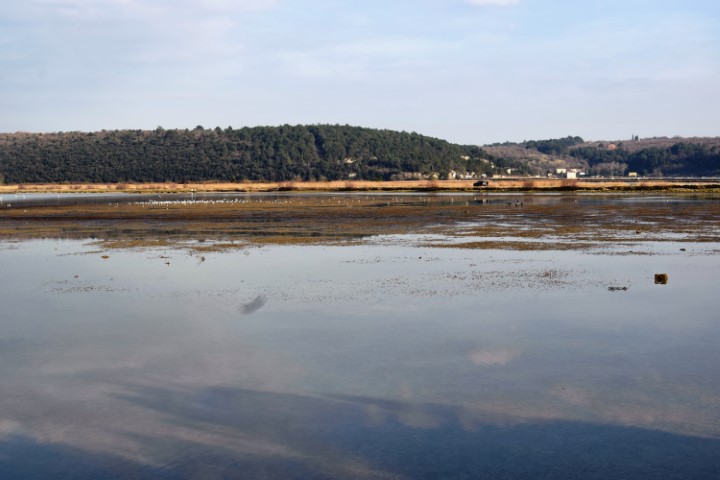
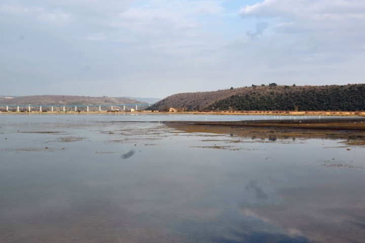
The trail starts on the former quarry and the lime-kiln and goes along the lake “Vrh Mirne” to Sv. Duh (S. Spirito).
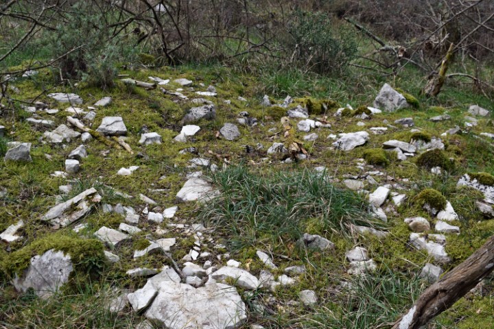
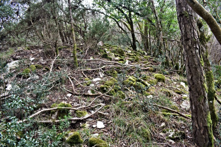
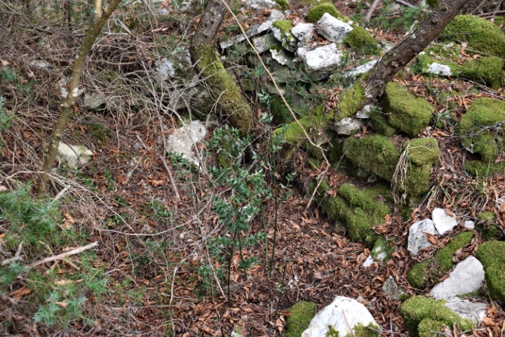
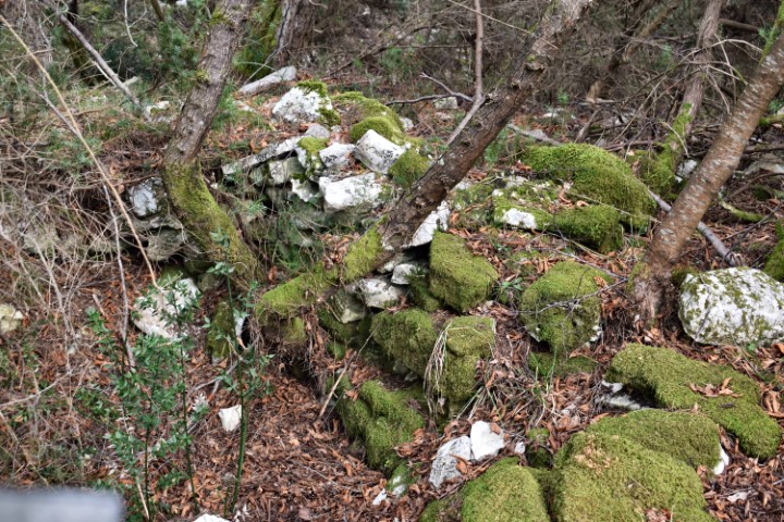
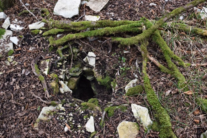
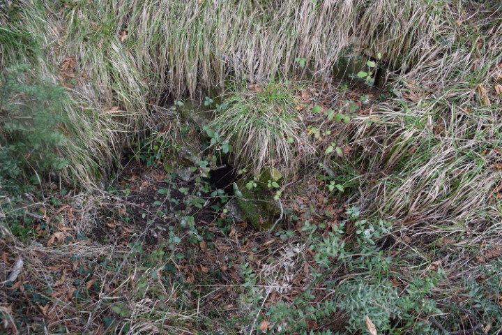
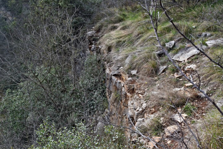
This prehistoric settlement was already established in the Bronze Age at a strategic point of the Mirna valley. The boundaries of the Kastelliere can still be clearly recognized by a broad, demolished, sturdy wall on the north side that runs west to the south side.


Name: Hiking trail from Antenal to the kastelliere Sv. Duh.
Place: Antenal – (Novigrad).
Coordinates:
Startingpoint: 45.31631 N – 13.59154 E, viewpoint 45.31982 N – 13.59038 E, stream: 45.32193 N – 13.59041 E and top Sv. Duh 45.32332 N – 13.59761 E (32m.)