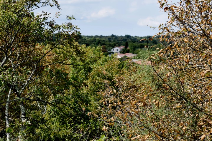


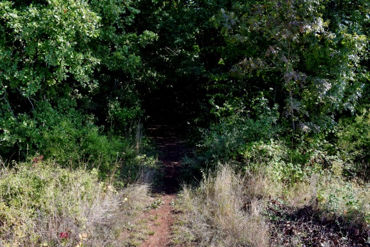

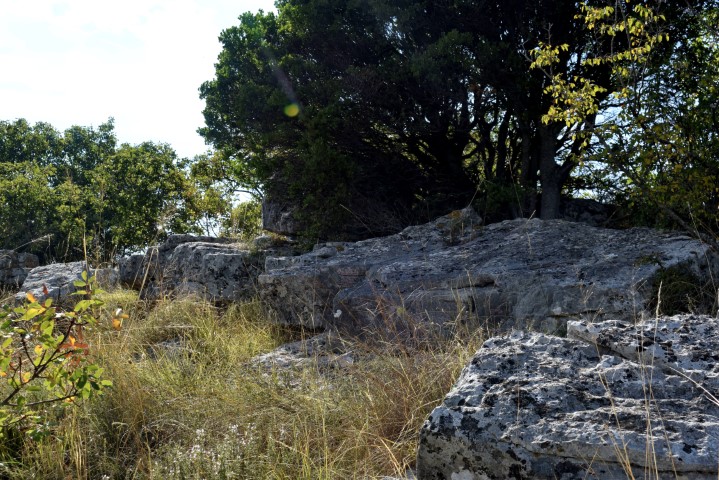
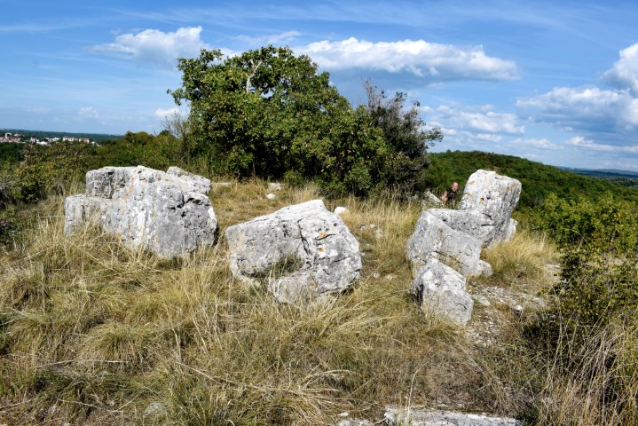
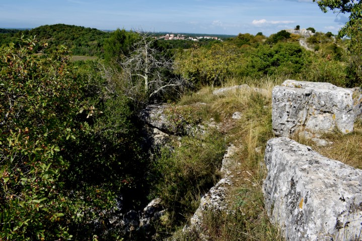


Name: Prehistoric settlements Veliki Mardela, Mali/Veliki Sveti Andelo.
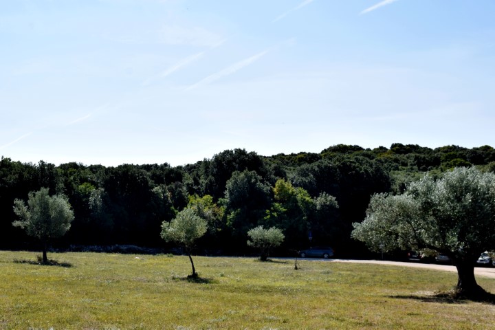
Place: Garbina – (Poreč).
Coordinates: Entrance Mardela 45.21597 N – 13.62582 E , entrance trail to Mali and Veliki Andelo
45.21270 N – 13.62582 E.
Name: Prehistoric settlements Veliki Mardela, Mali/Veliki Sveti Andelo.
Place: Garbina – (Poreč).
Coordinates: Entrance Mardela 45.21597 N – 13.62582 E , entrance trail to Mali and Veliki Andelo
45.21270 N – 13.62582 E.

Name: Prehistoric hillfort Breg.
Place: Gradisće – Zminj.
Coordinates: Entrance 45.11667 N – 13.02399 E.

Name: Prehistoric settlement Sv, Juraj – Salež.
Place: Salež – (Buzet).
Coodinates: Start: 45.43006 N – 13. 91699 E, entrance Sv Juraj 45.42636 N – 13.9109 E, top 45.42330 N – 13.90758 E.
Name: Monte Ricco.
Place: Velika Stancija – (Vrsar).
Coordinates: 45.15692 N 13. 62637 E.
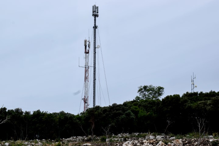
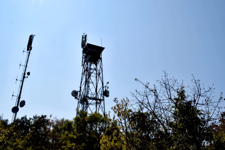
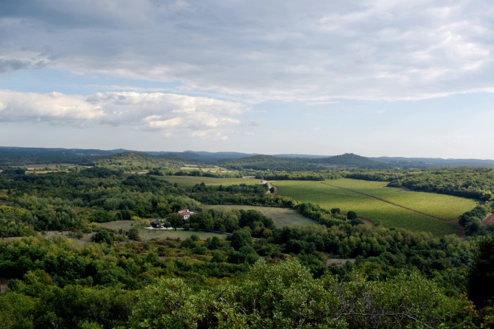
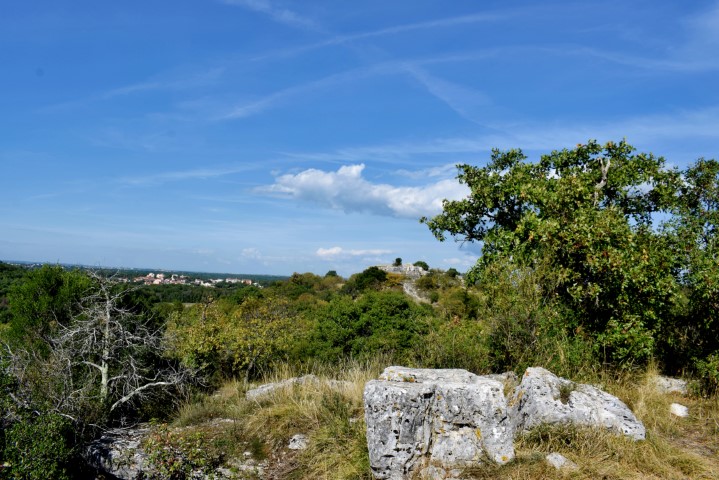
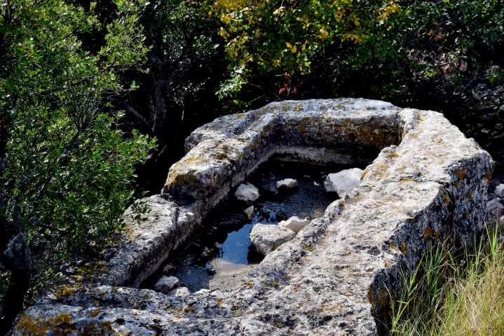
The Montelongo hill in Rovinj had a tumulus in the Bronze Age for the burial of the inhabitants of the neighboring hillfort Mompaderno. Now on the plateau (64 m) there is a large water reservoir and antenna masts.

Name: Tumulus Montelogo.
Place: Rovinj.
Coordinates: Entrance: 45.11011 N – 13.62925 E. Plateau; 45.11050 N – 13.62625 E
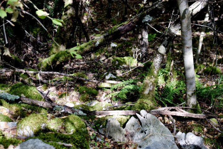
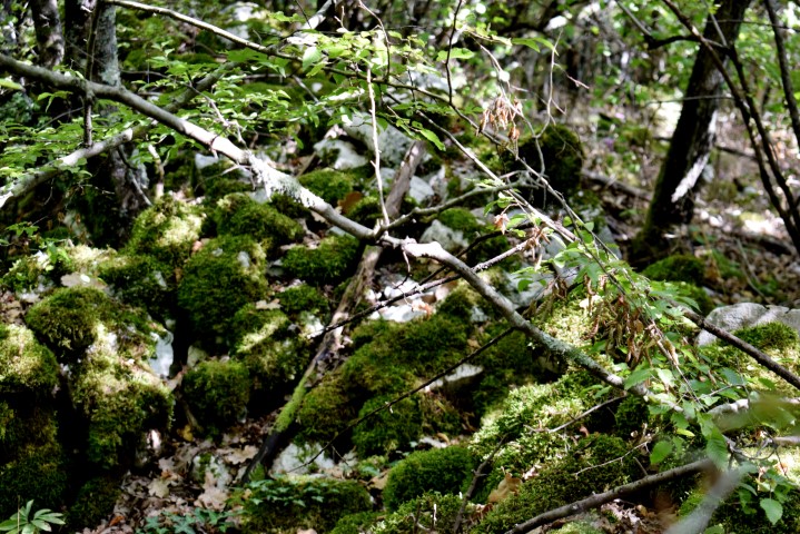
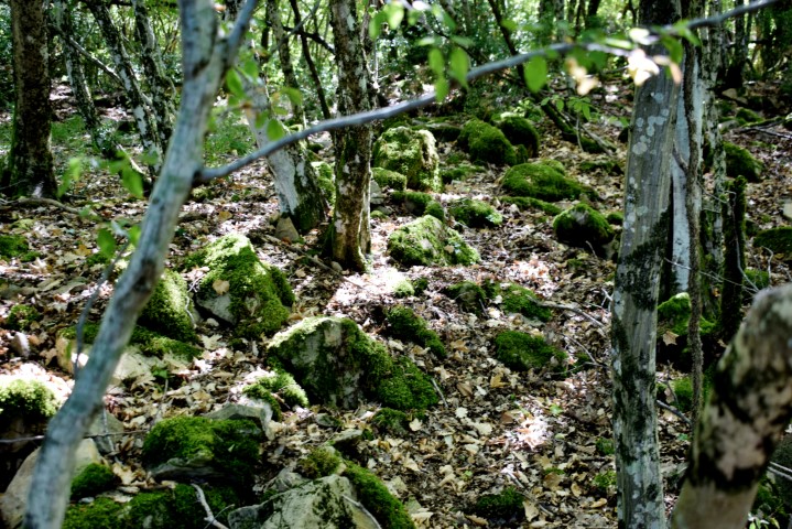
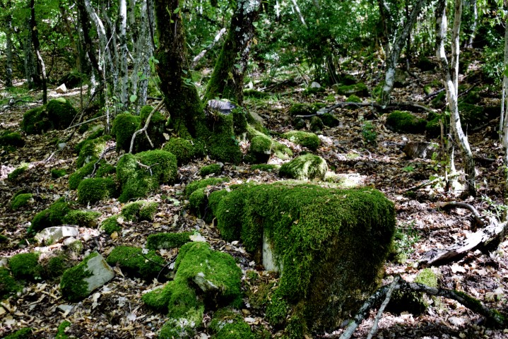
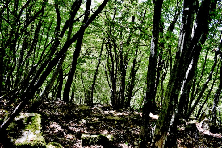
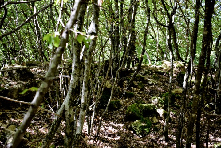
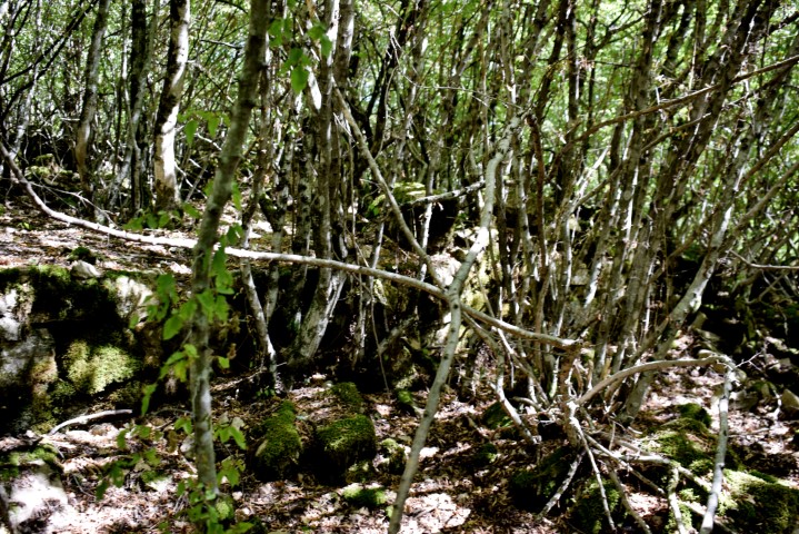
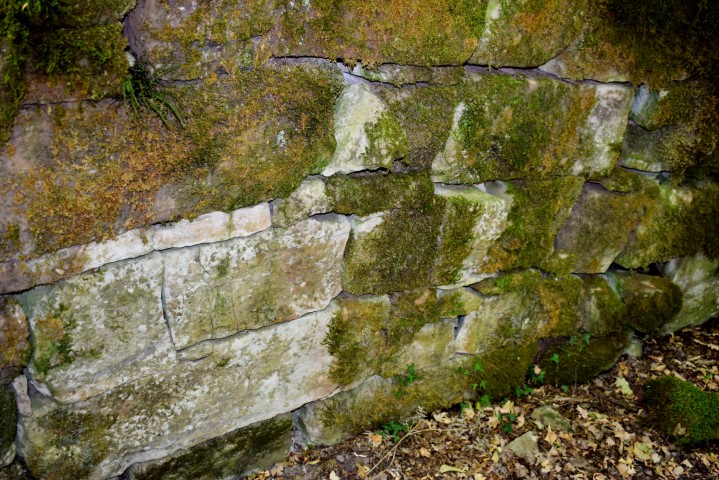
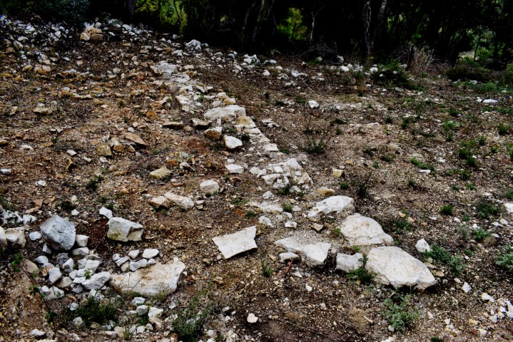
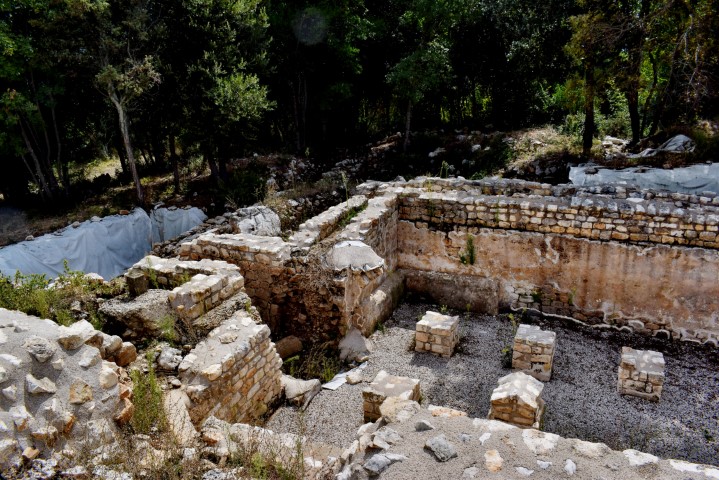
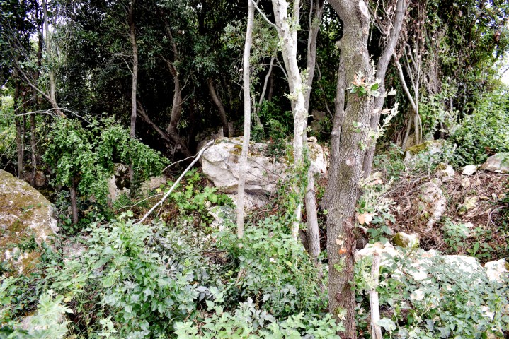
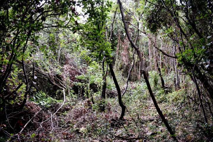
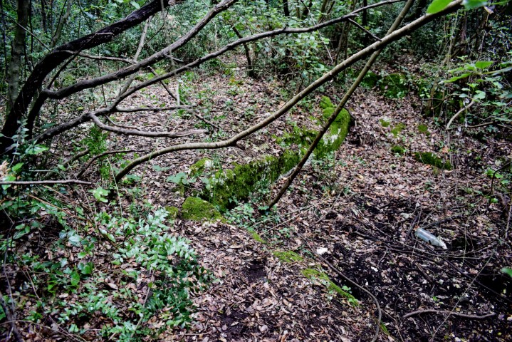
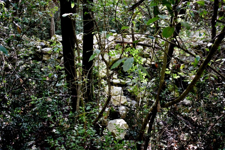
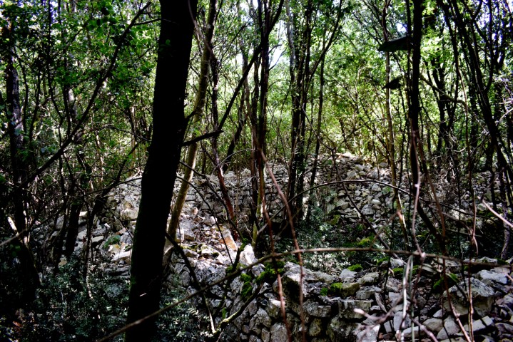
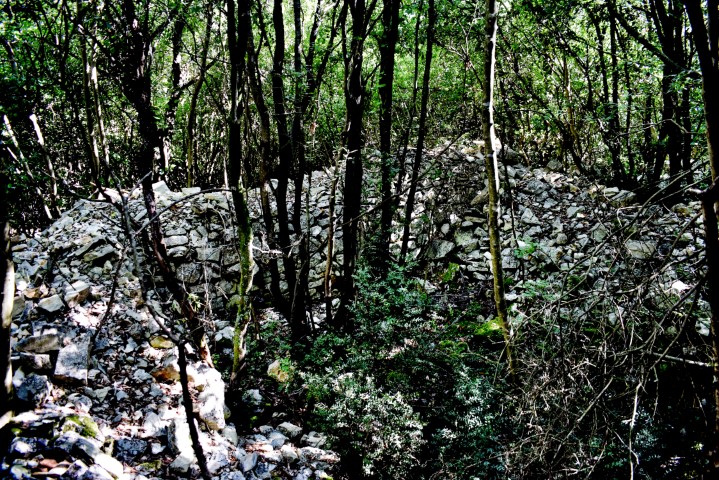
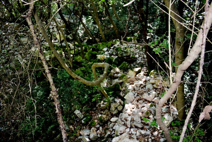
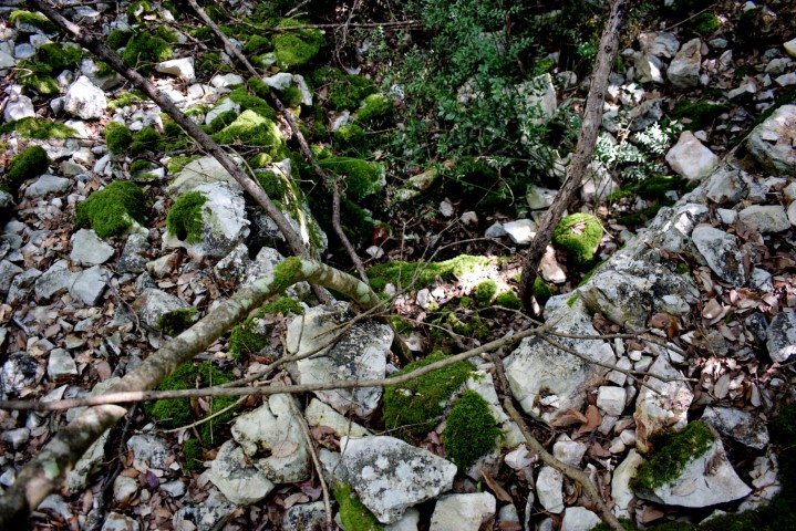
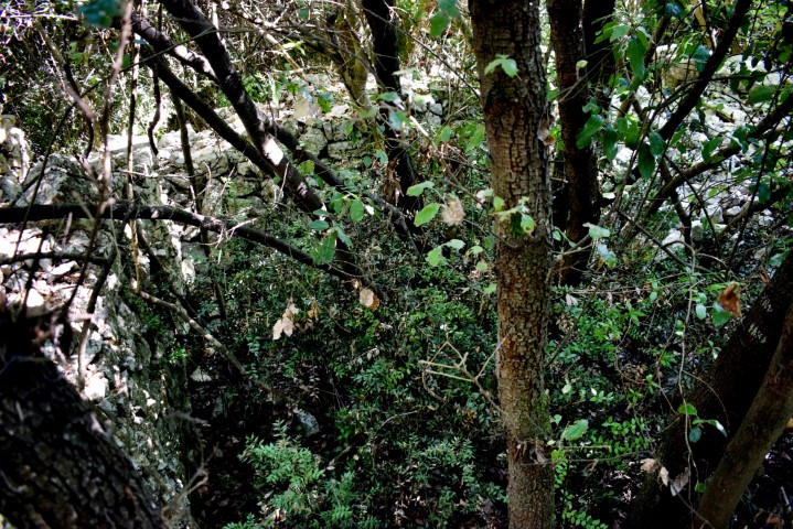
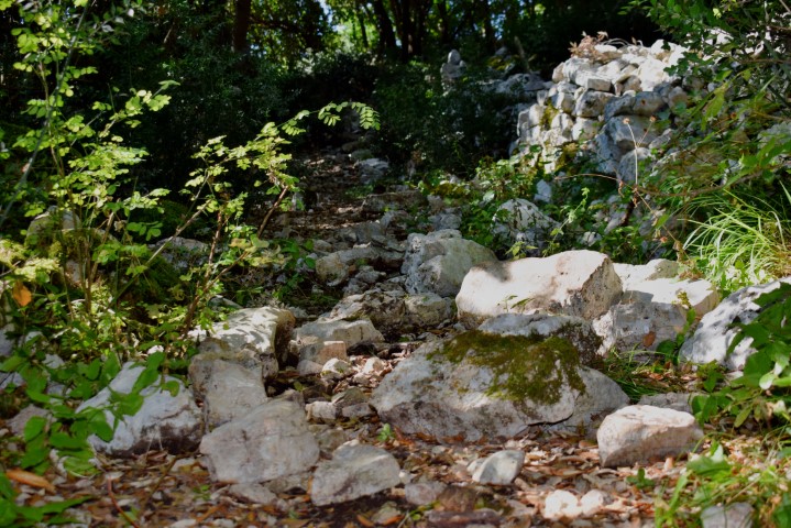
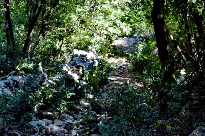
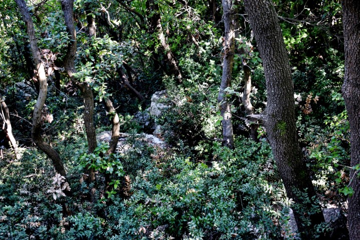
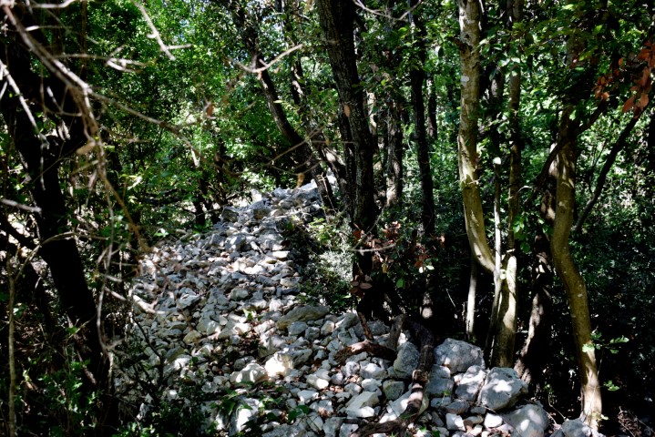
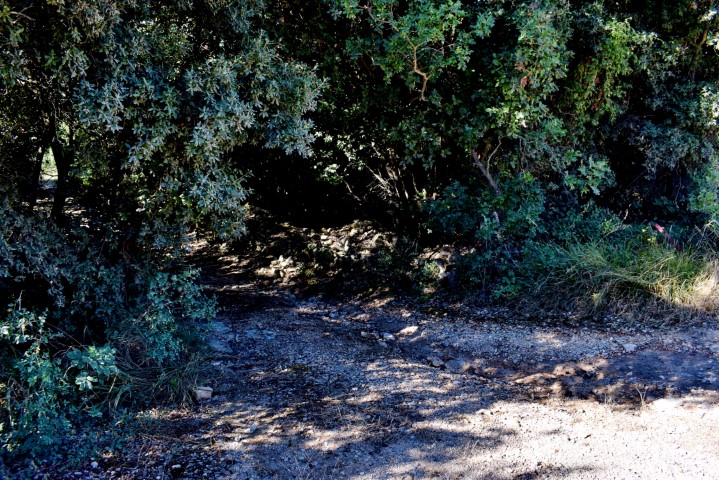
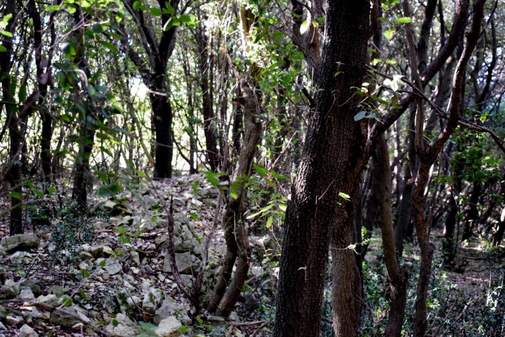
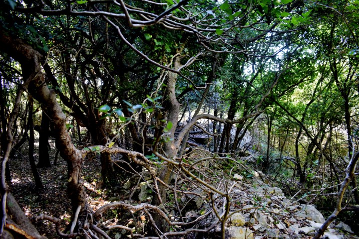
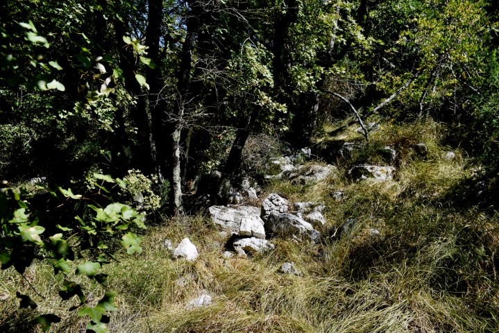
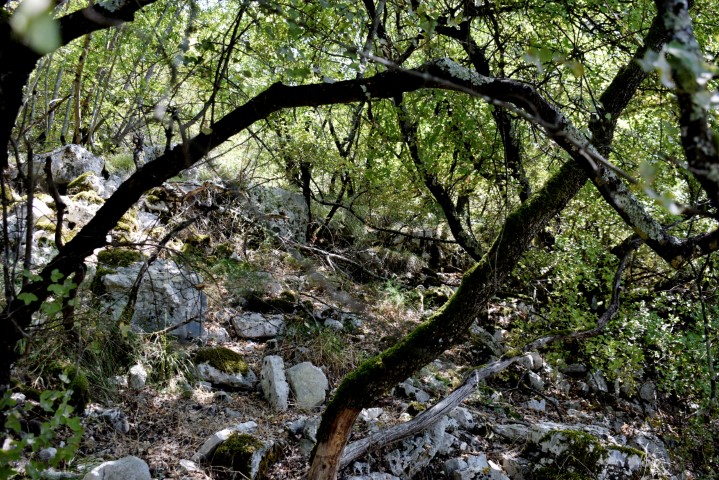
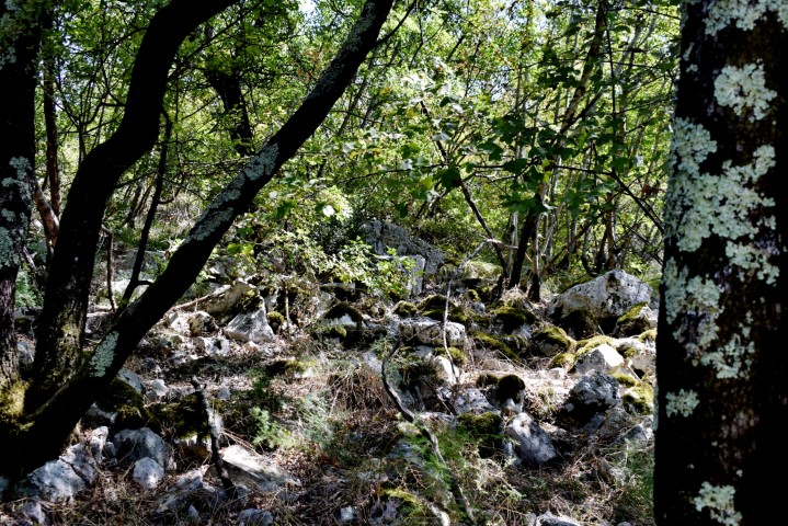
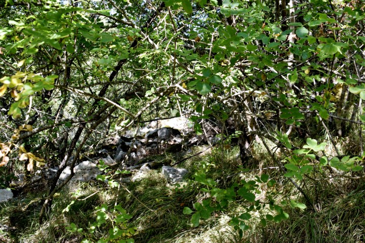
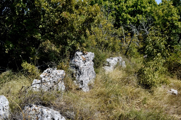
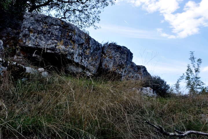
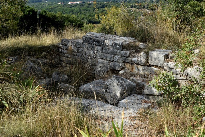
This gradine from the Copper Age at a height of 62 meters had an oval plateau of approximately 120 X 90 meters and partly surrounded by 3 meters wide defensive walls. The access road and walled terraces are still clearly recognizable.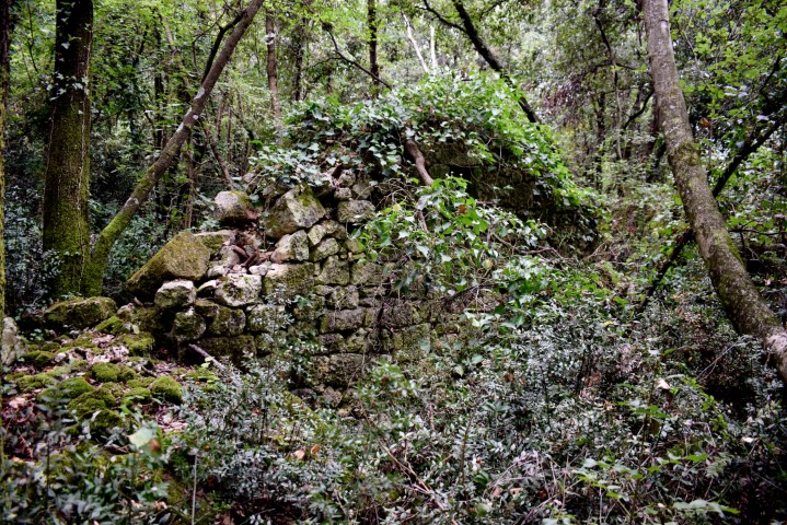
Name: Prehistoric hillfort Mompaderno.
Place: Rovinj.
Coordinates: Entrance: 45.11053 N – 13.63567 E, Top: 45.10905 N -13.63166 E.
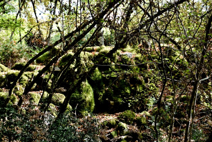
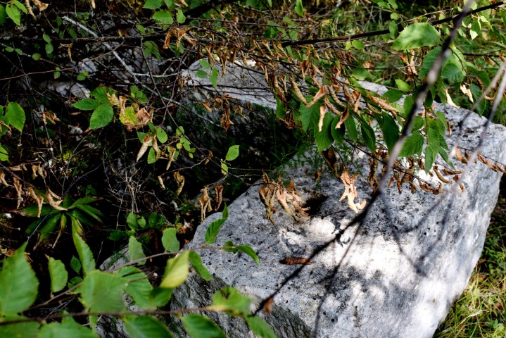
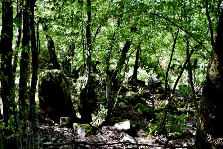
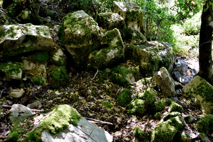
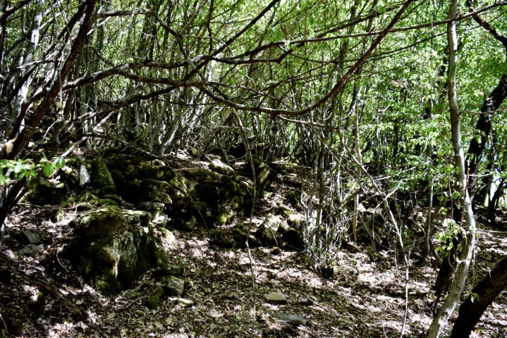
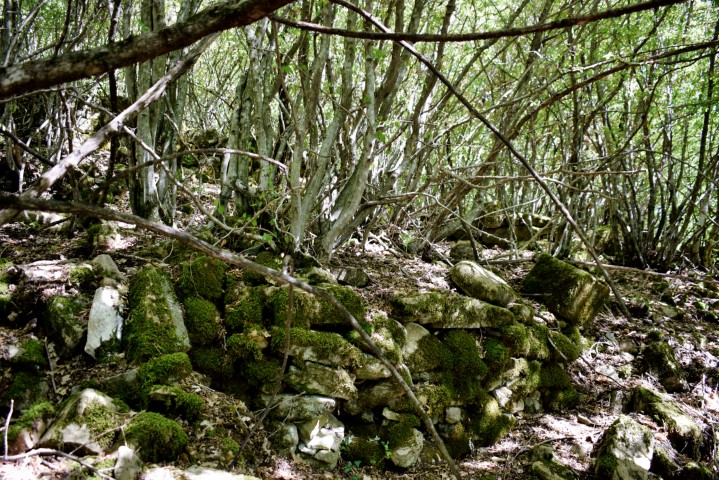
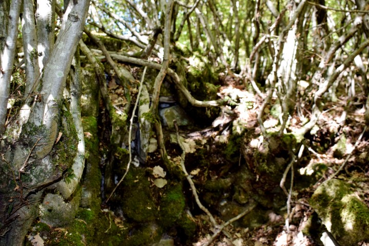
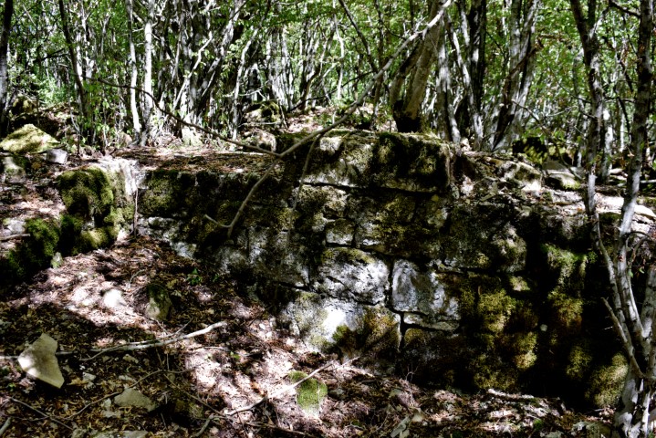
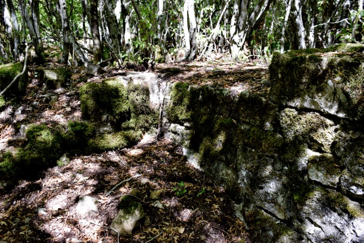
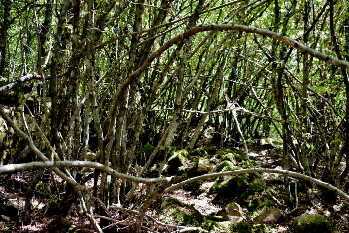
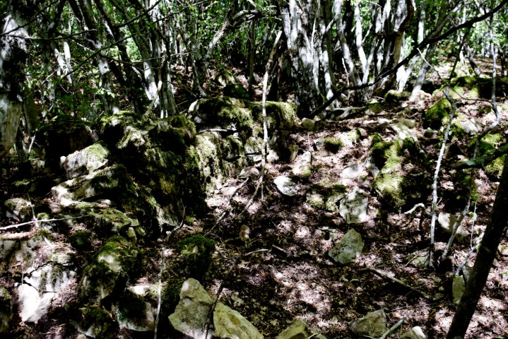
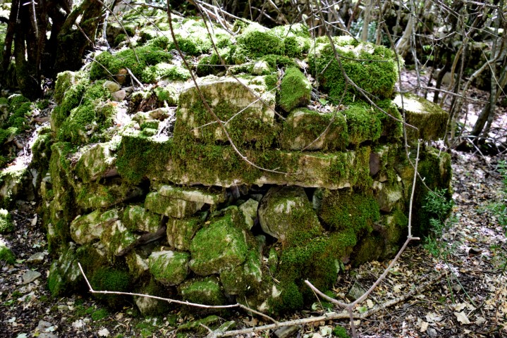
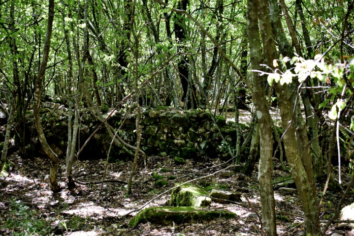
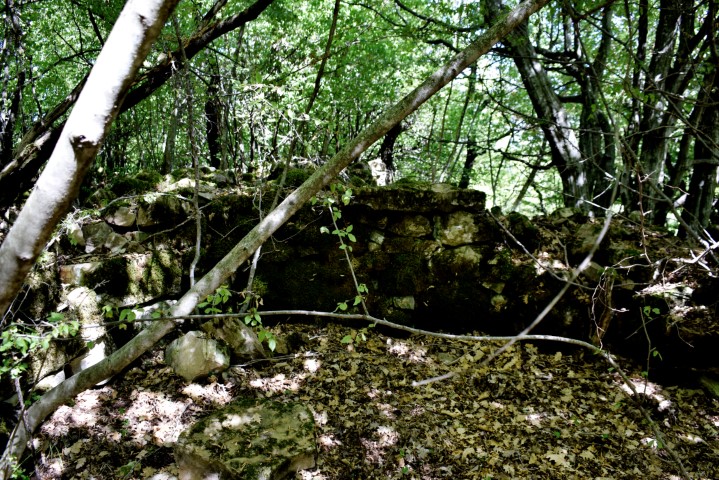
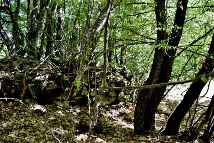
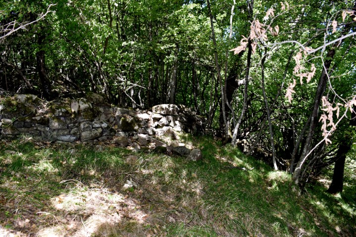
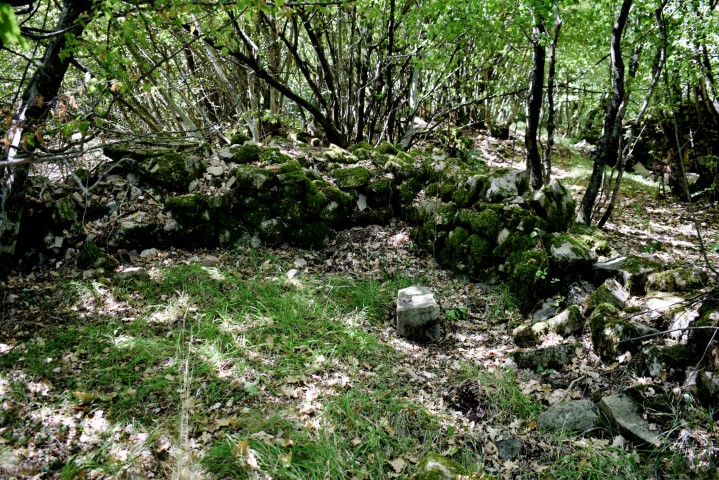
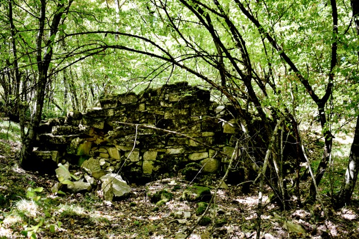
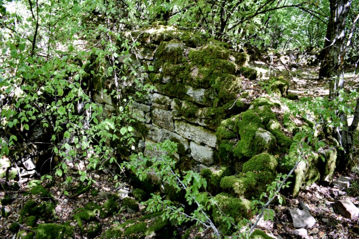
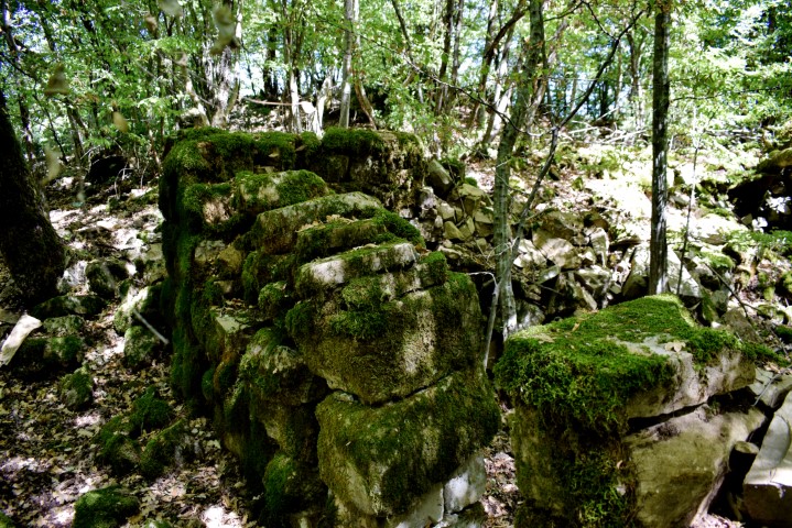
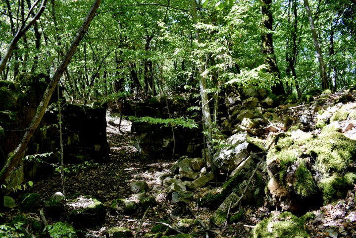
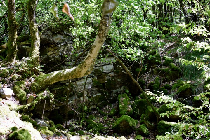
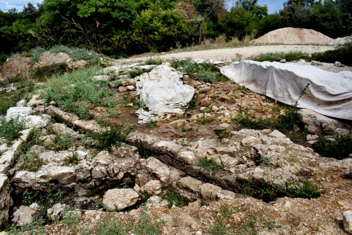
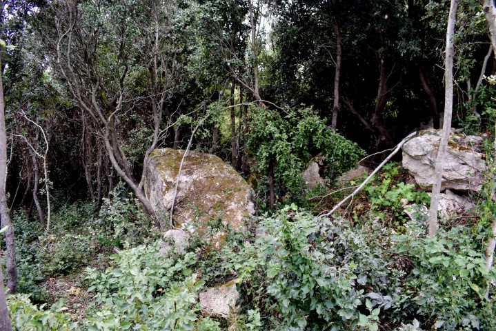
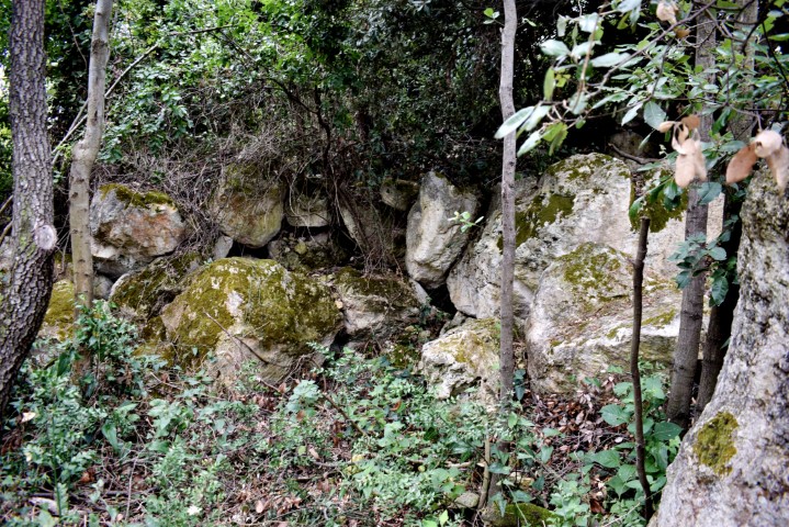
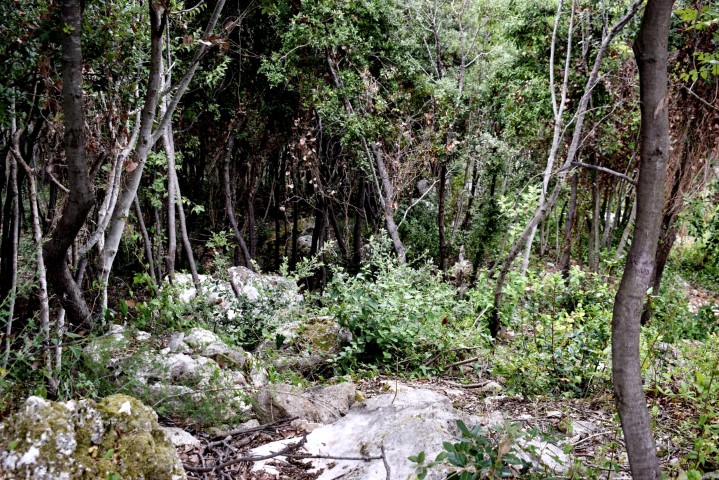
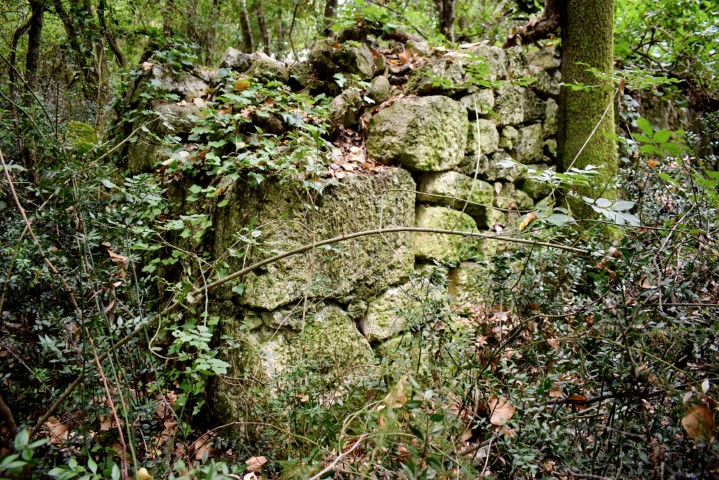
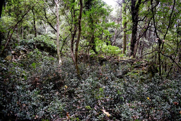
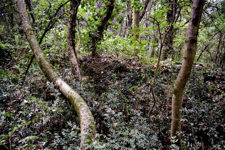
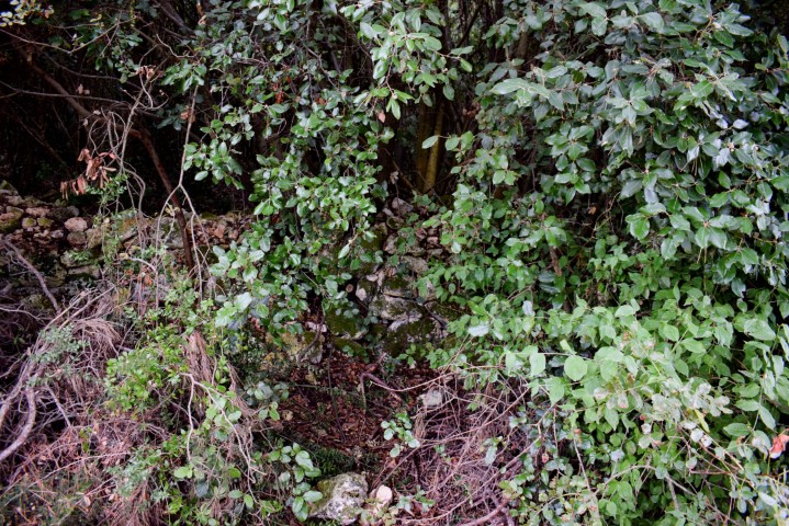
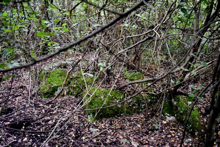
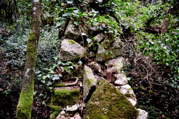
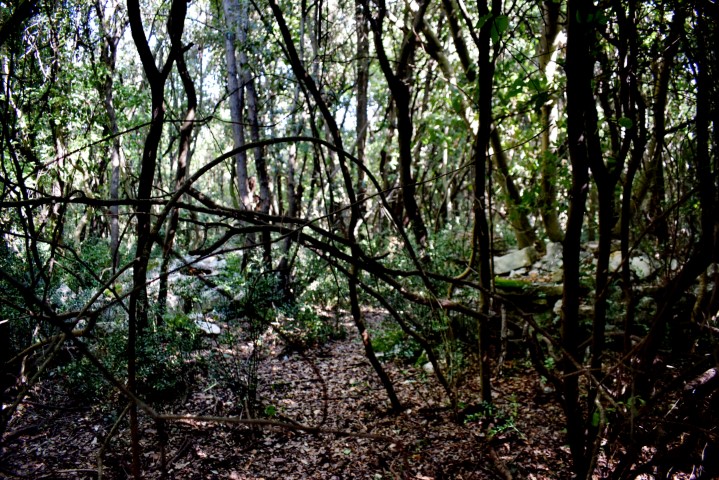
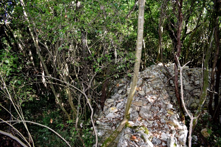
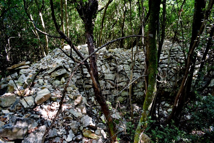
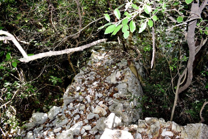
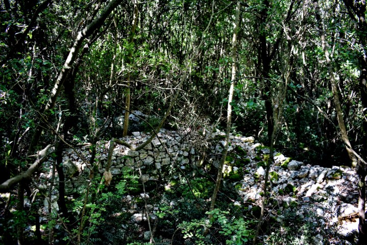
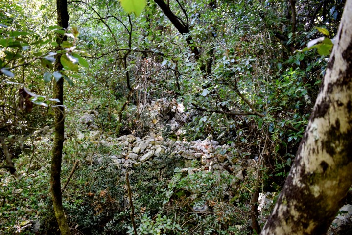
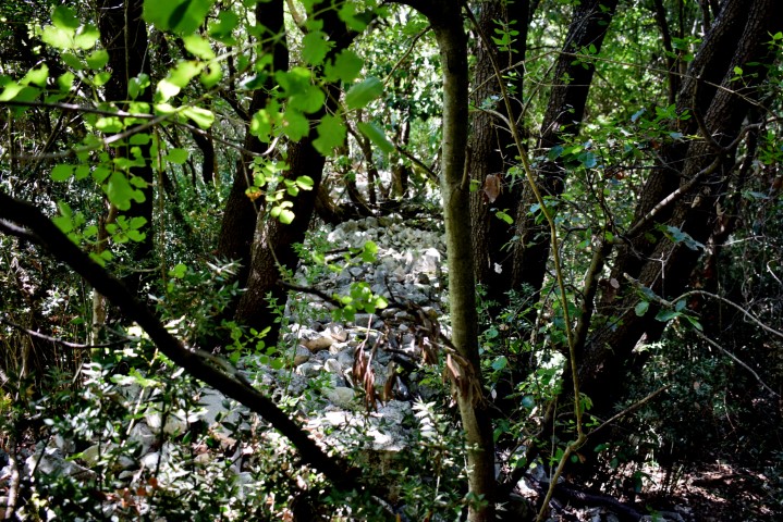
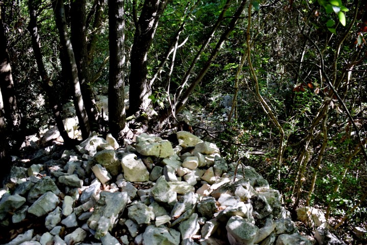
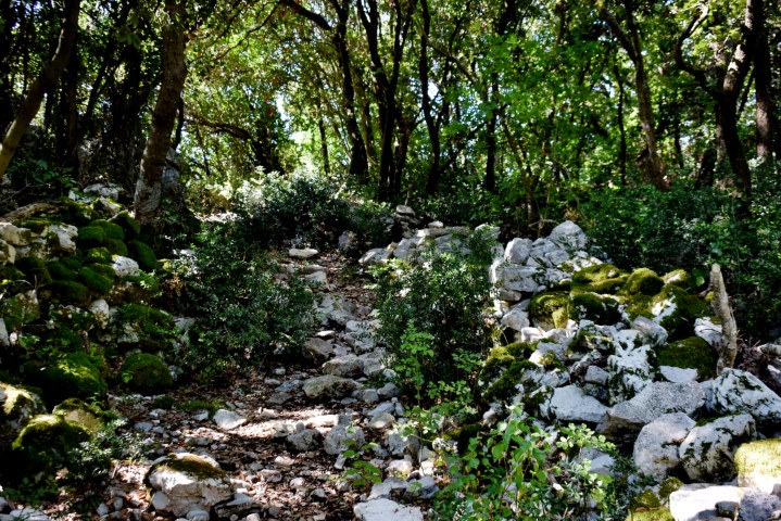
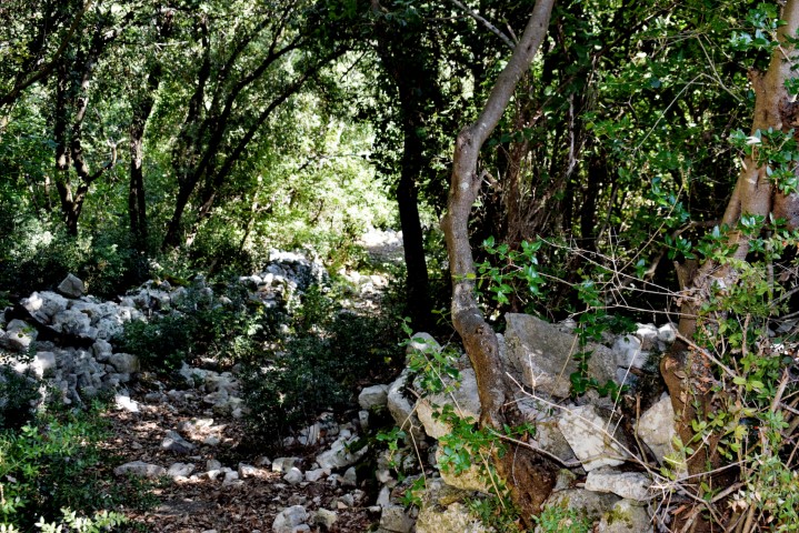
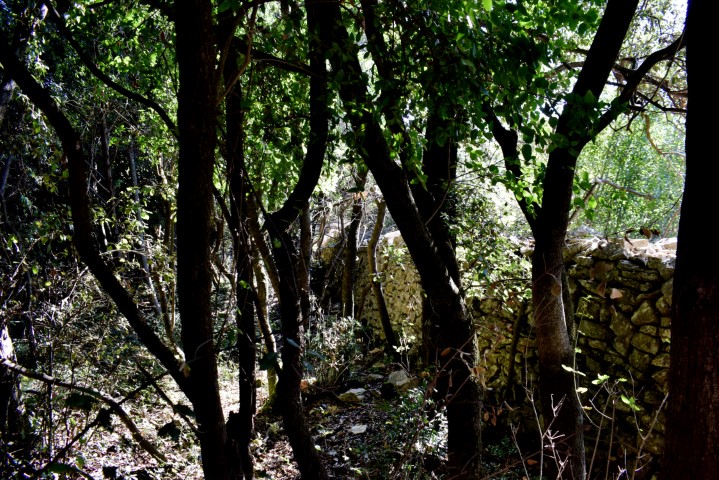
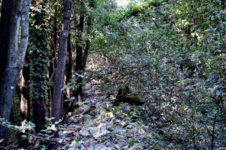
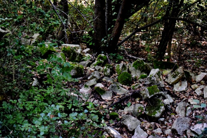
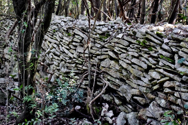
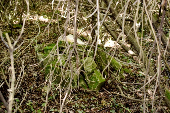
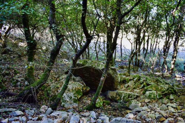
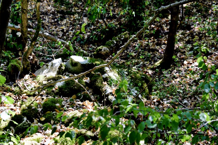
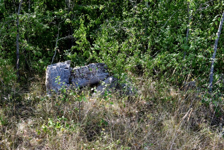
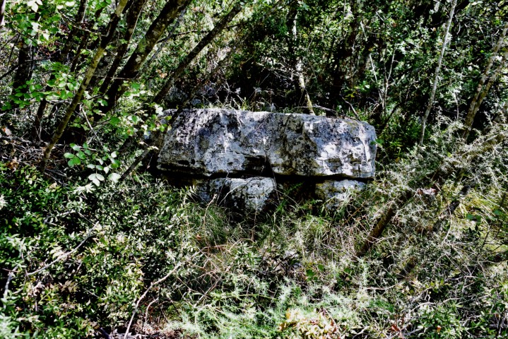
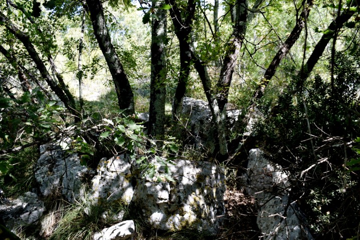
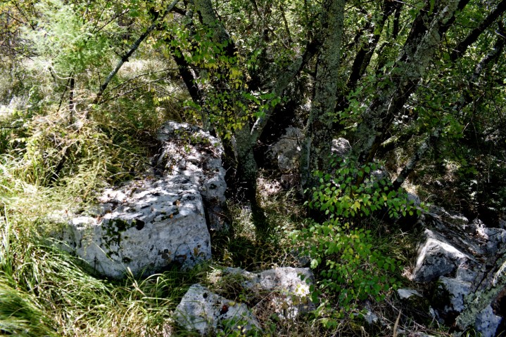
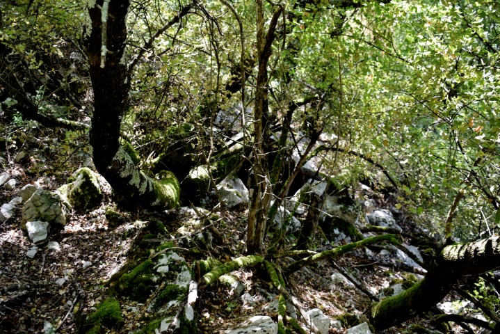
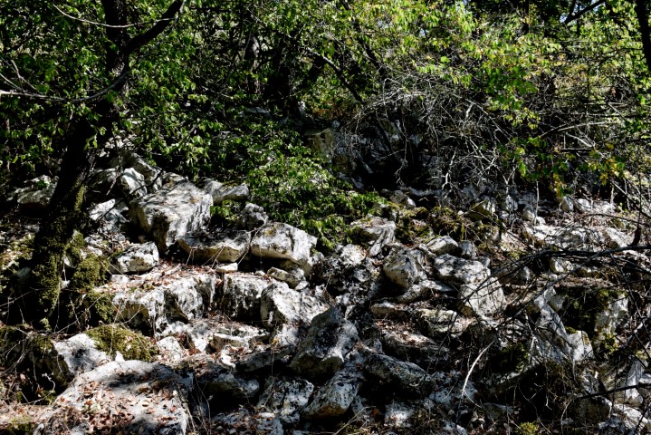
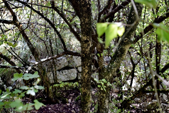
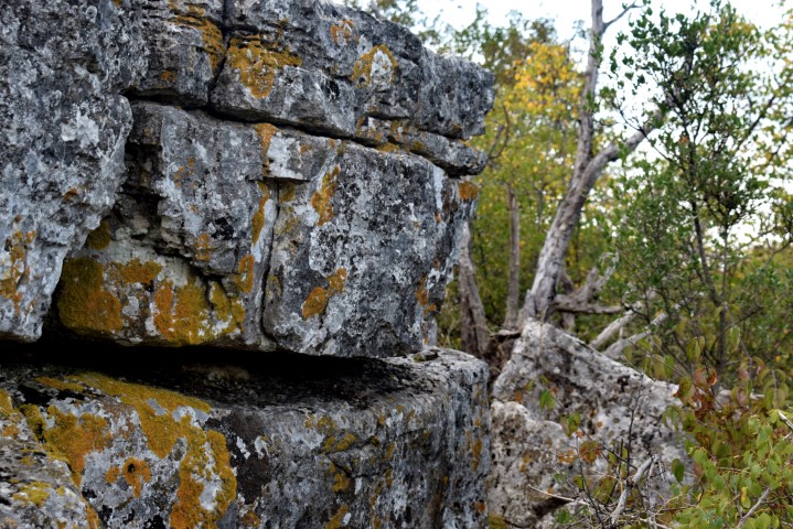
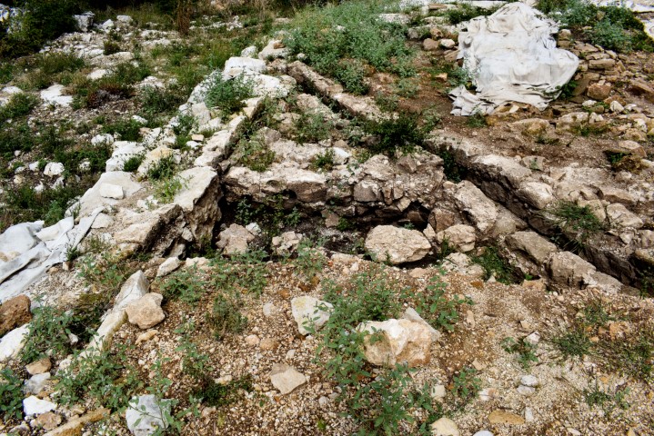
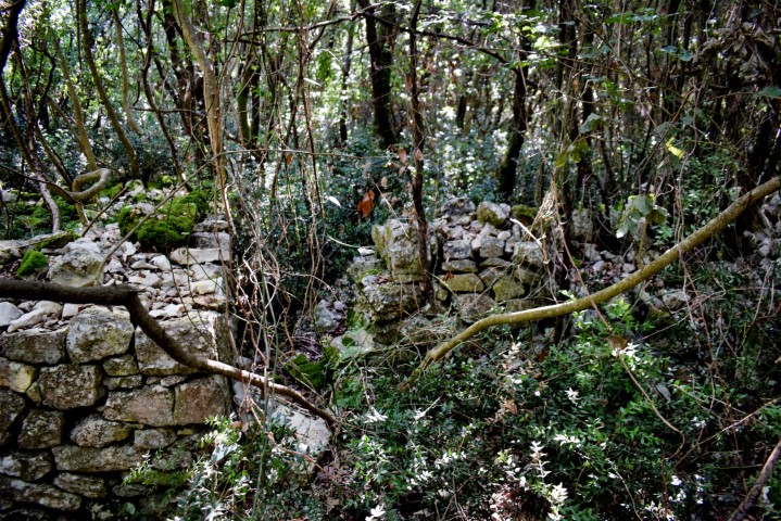
Monbrodo a prehistoric hillfort near the bay Cistern south of Rovinj. This settlement originated in the Copper Age, the 2nd millennium BC and used until the Iron Age. In the current situation, the three terraces and the plateau (30 meters a.s.l.) with the wide defensive walls are easily recognizable. In addition, hidden in the dense forest are the stone walls – executed in the dry technique – of several buildings. The height of this is approximately 1 meter above ground.
Name: Prehistoric Hillfort Monbrodo.
Place: (Rovinj).
Coordinates: Entrance; 45.04111 N – 13.69584 E, Top plateau 45. 03481N – 13.69237 E.
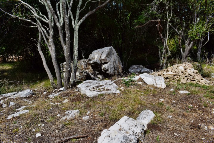
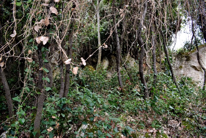
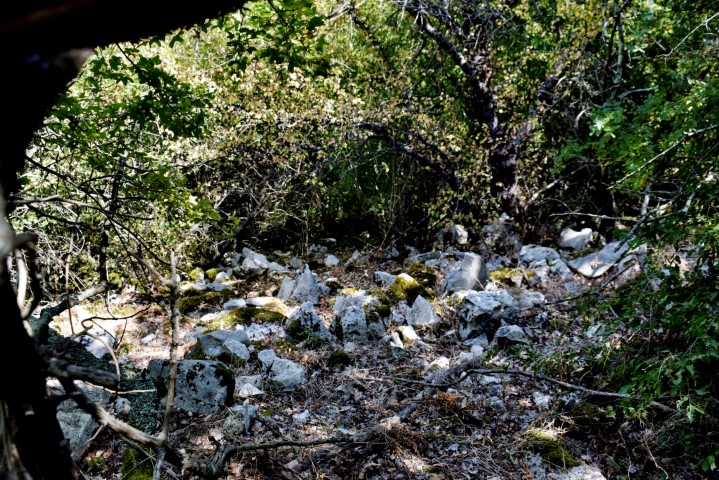
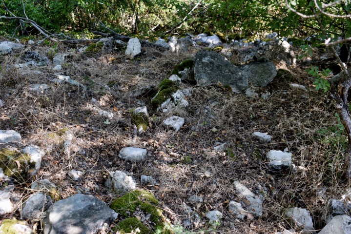
Mofardin, In this area near the bay Bačvice south of Rovinj, walls and stone formations were found by chance, which closely resemble the walls of a hillfort. Clues not found in the literature so far.

Name: Mofardin.
Place: (Rovinj).
Coordinates: 45.04087 N -13.69577 E.
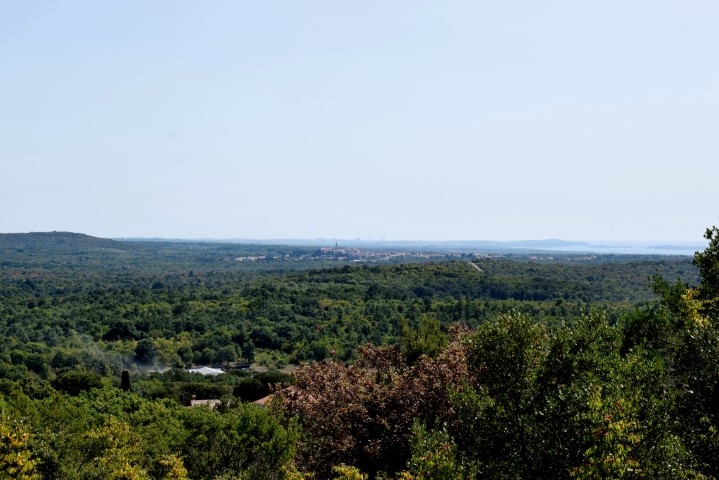
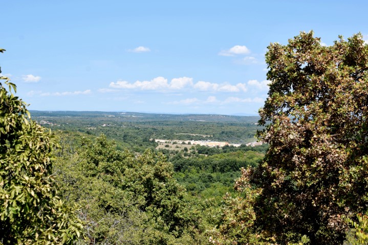
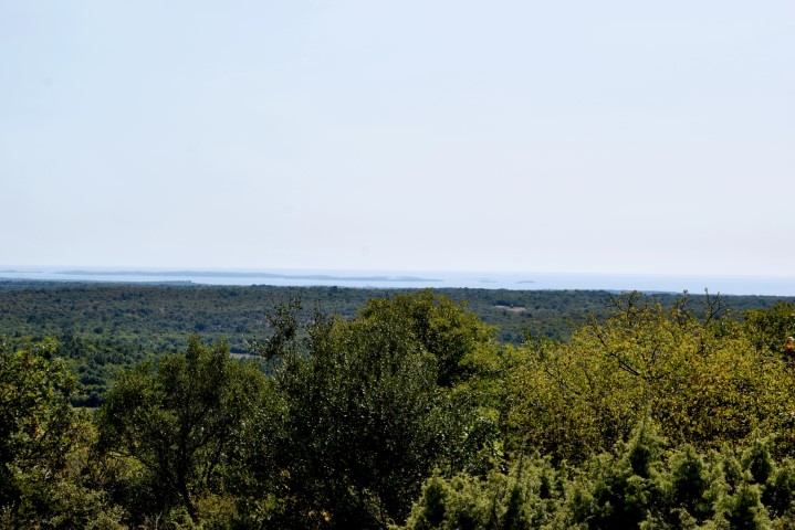
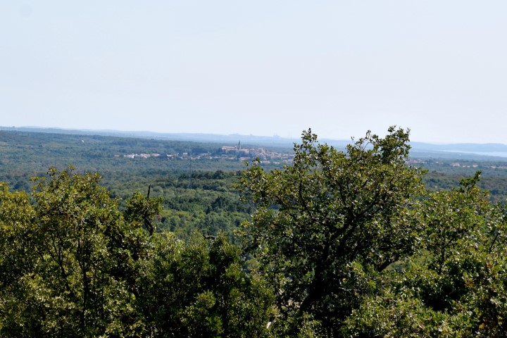
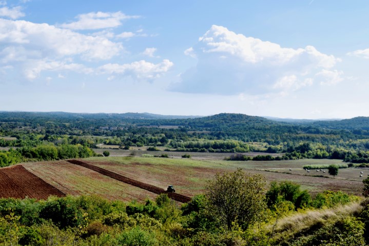
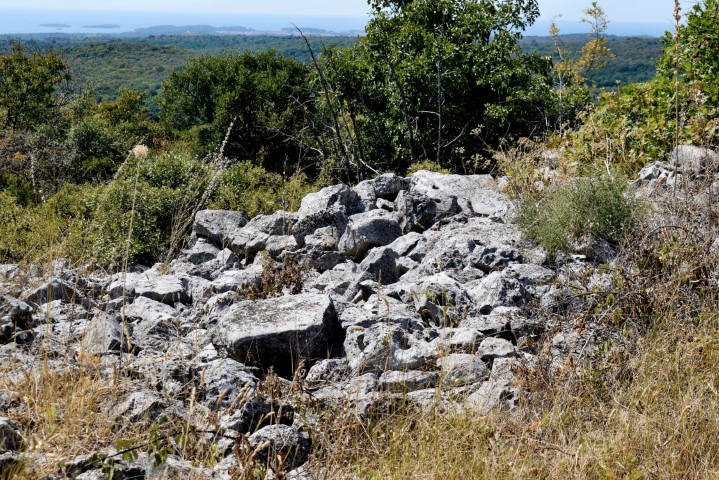
The Gradina Veli Golaš is 231 meters high and was founded in the Copper Age. From the top beautiful views in Istria, including to Pula and Učka.
Name: Prehistoric settlement Veli Golaš.
Place: Golas – (Bale).
Coordinates: 45.08314 N – 13.77345 E.
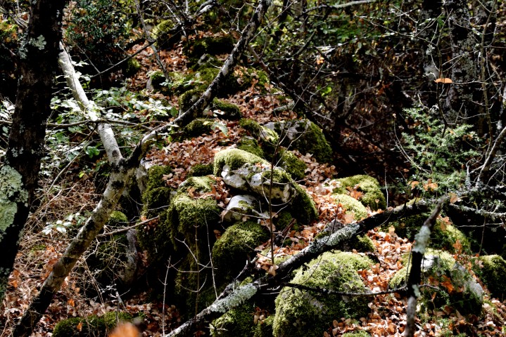
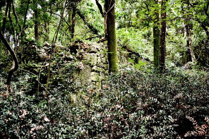
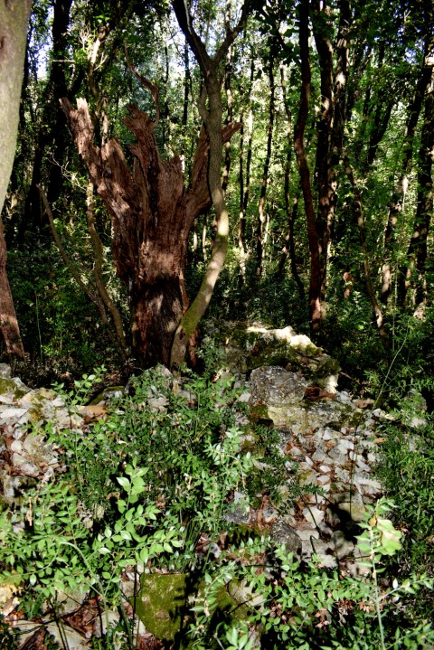
Here is established from archaeological research that stone buildings also existed in the copper age. In the current situation, the defensive wall of the upper plateau is still clearly recognizable, which consists of wide double loops of cube-shaped stones, within which a filling with stone remains. The upper plateau is located at a height of 172 meters.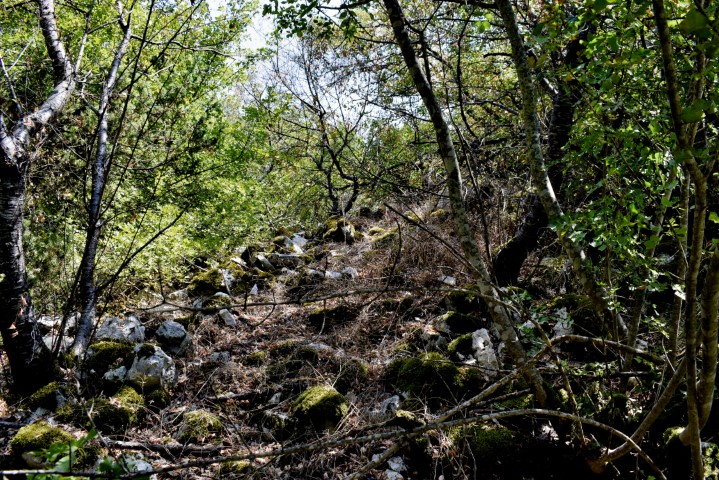
Name: Prehistoric settlement Kaž.
Place: near Pižanovac – (Bale).
Coordinates: Start: 45.07540 N – 13.75885 E, entrance to gradina 45.08032 N -13.74720 E , top Kaž 45.08003 N – 13.75005 E.