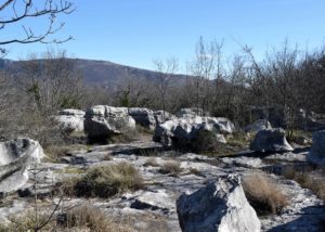
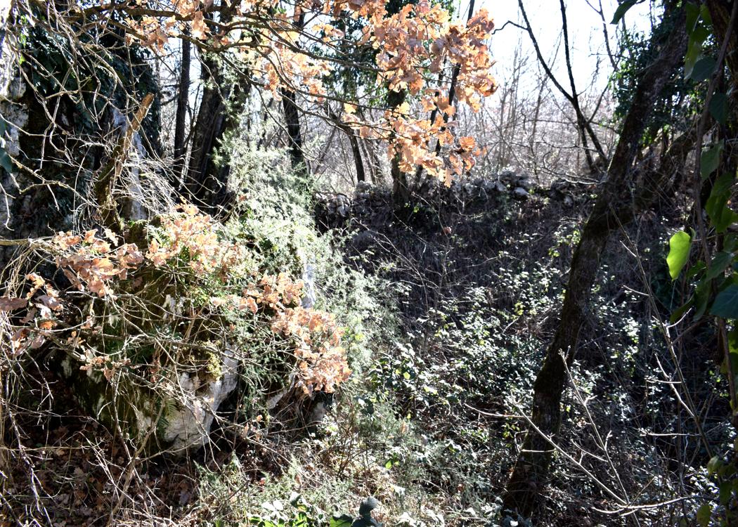
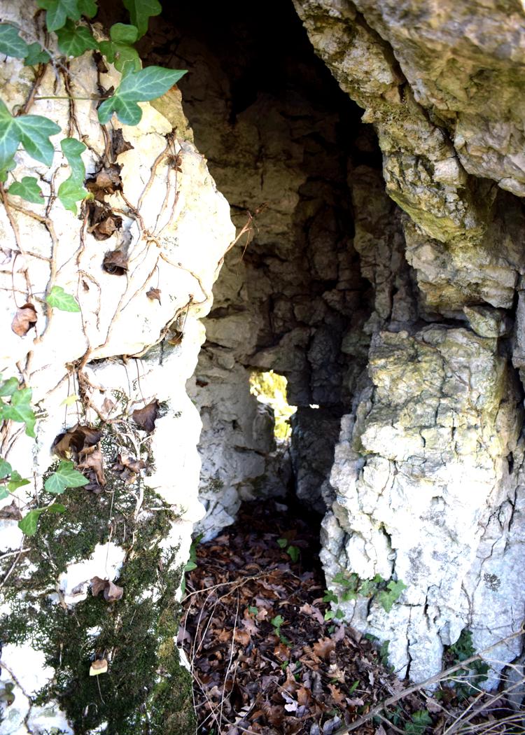
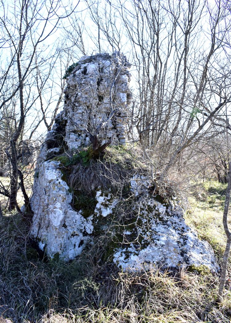
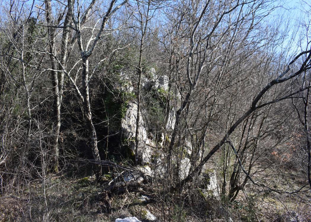
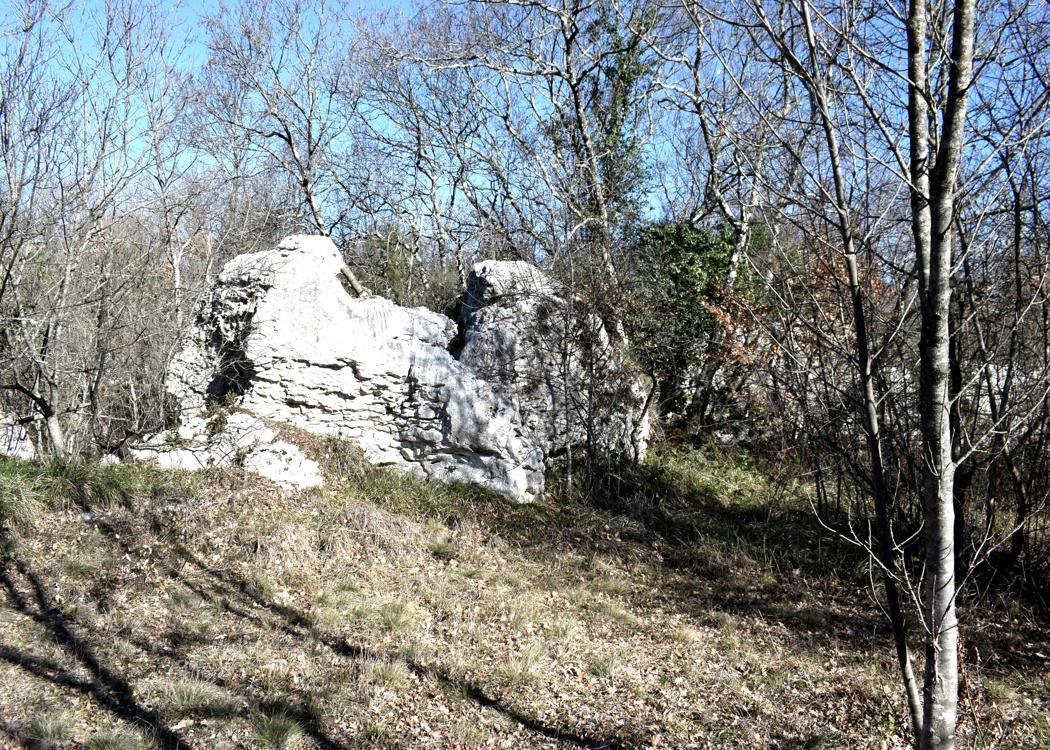
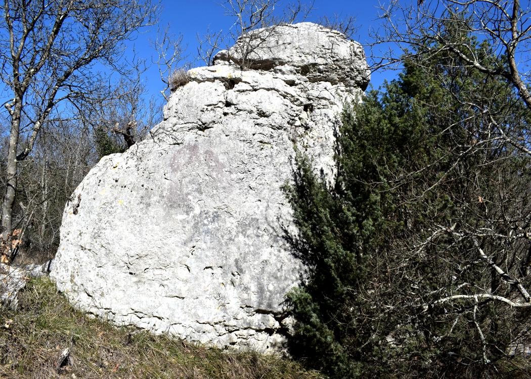
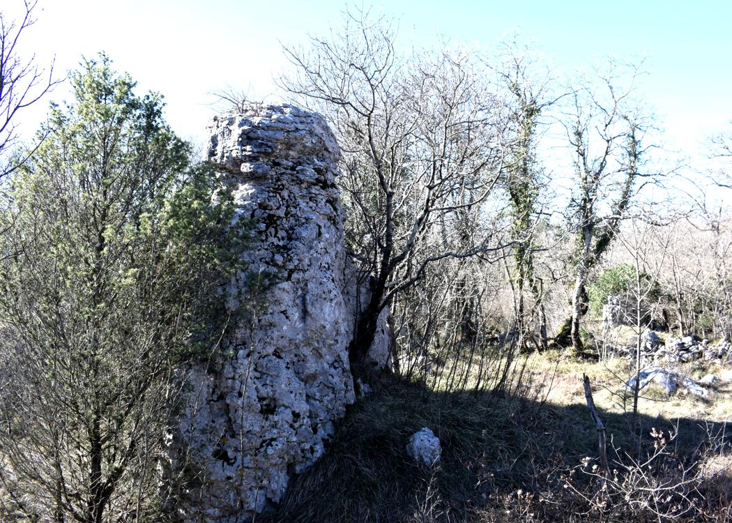
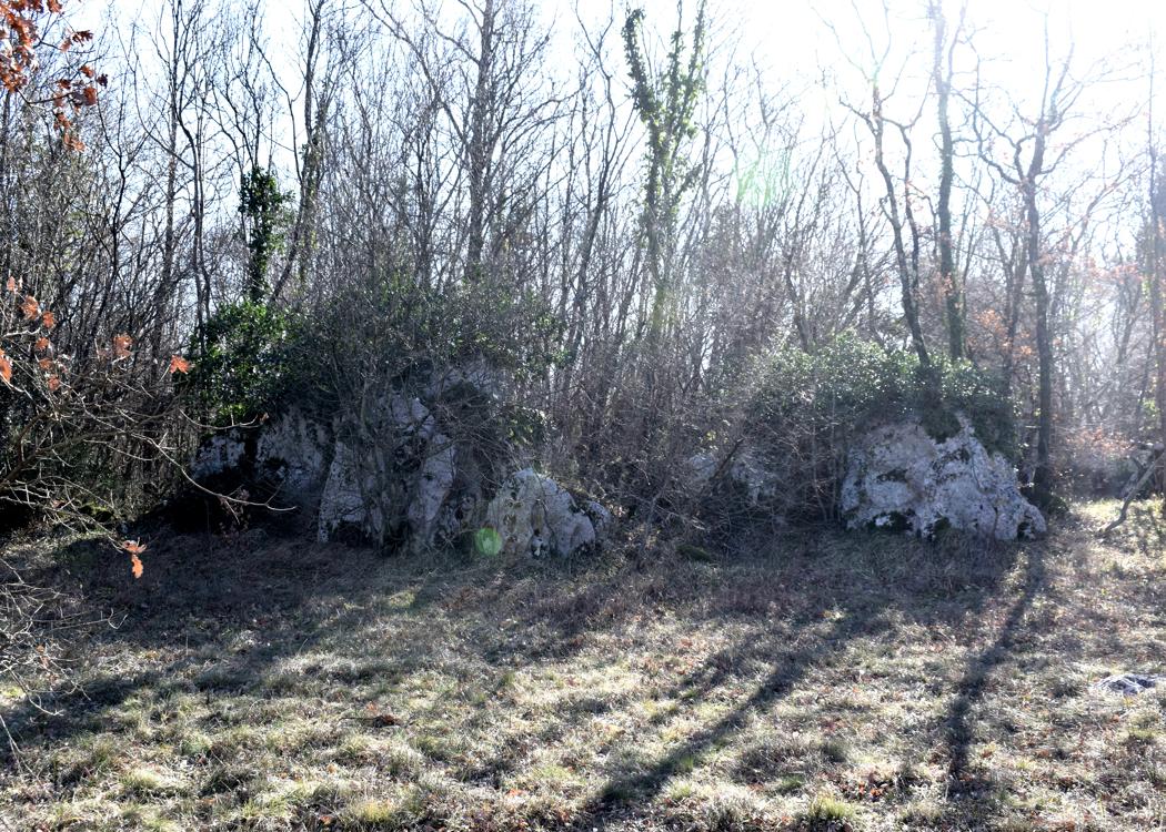
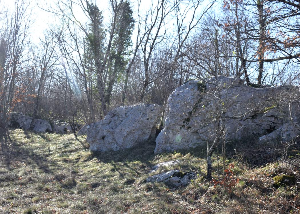
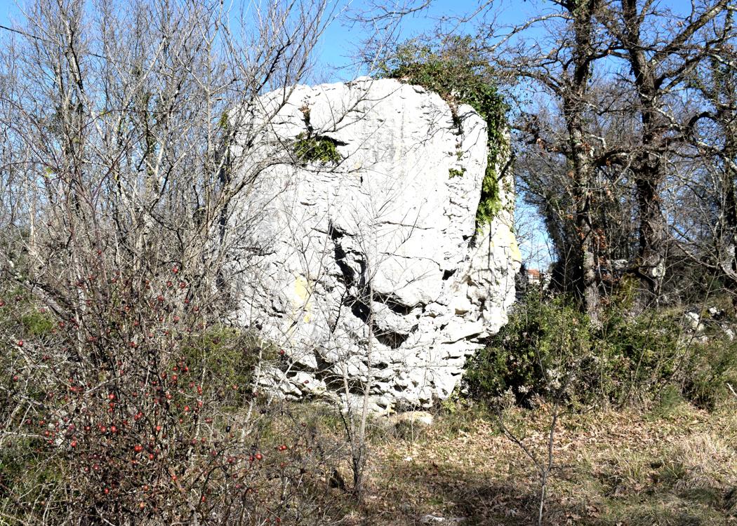
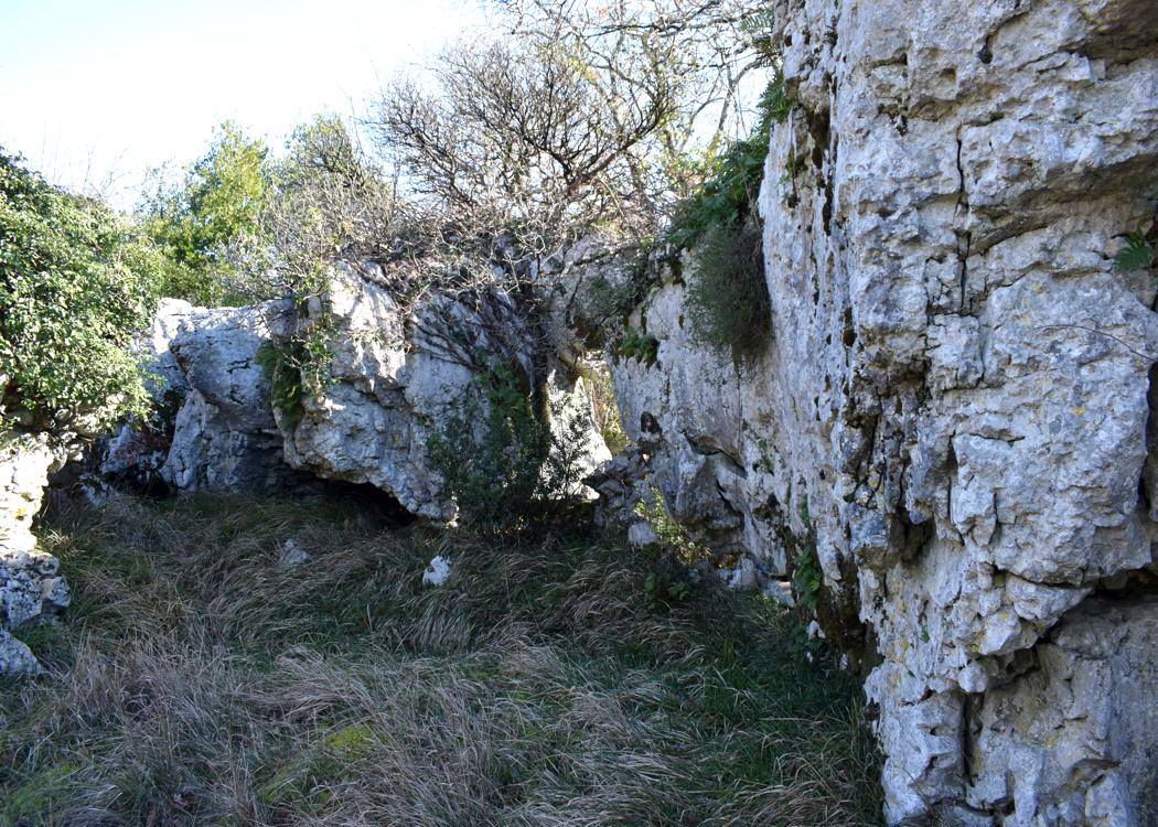
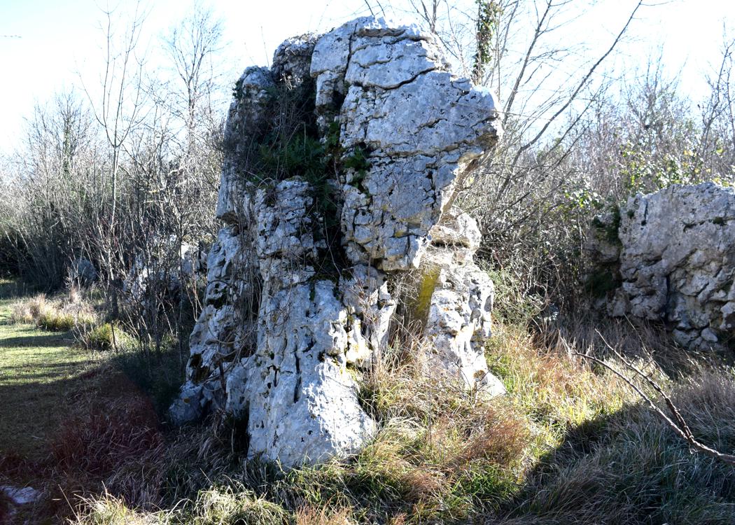
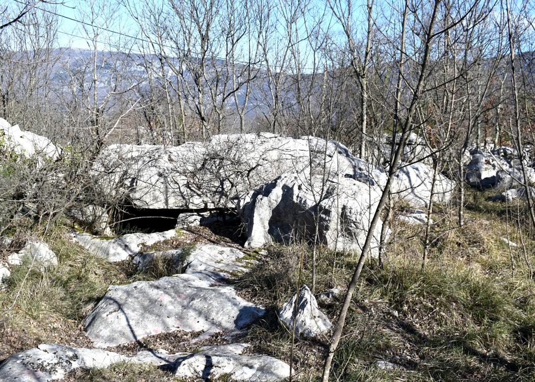
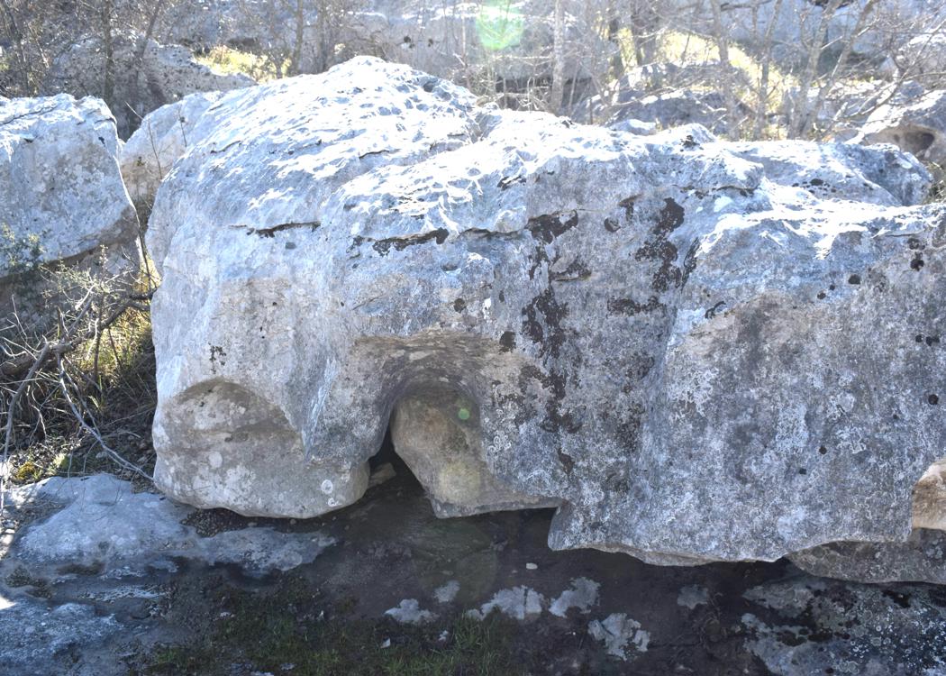
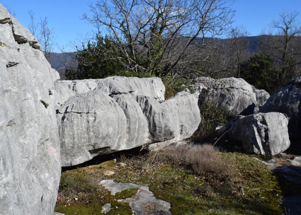
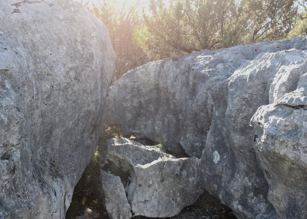
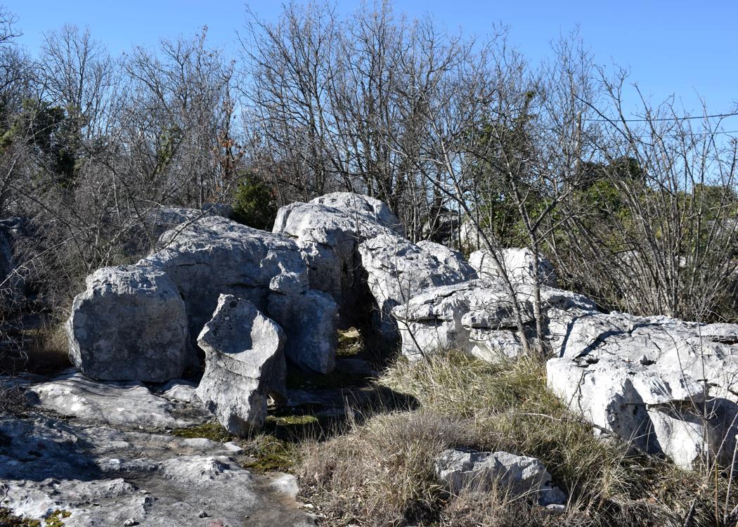
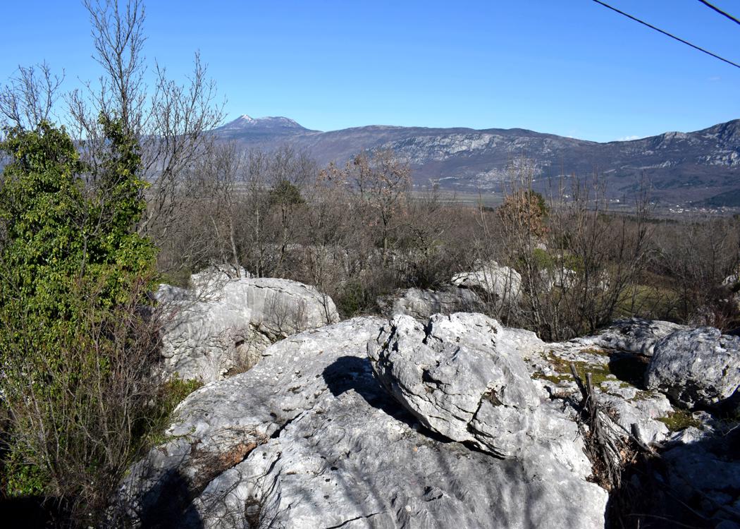
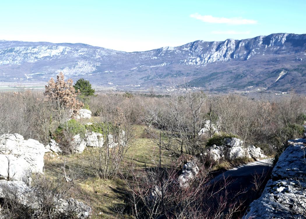
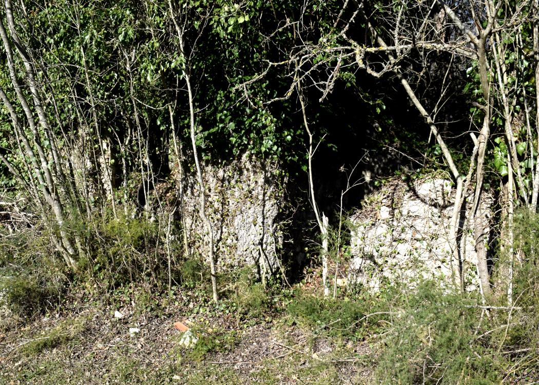
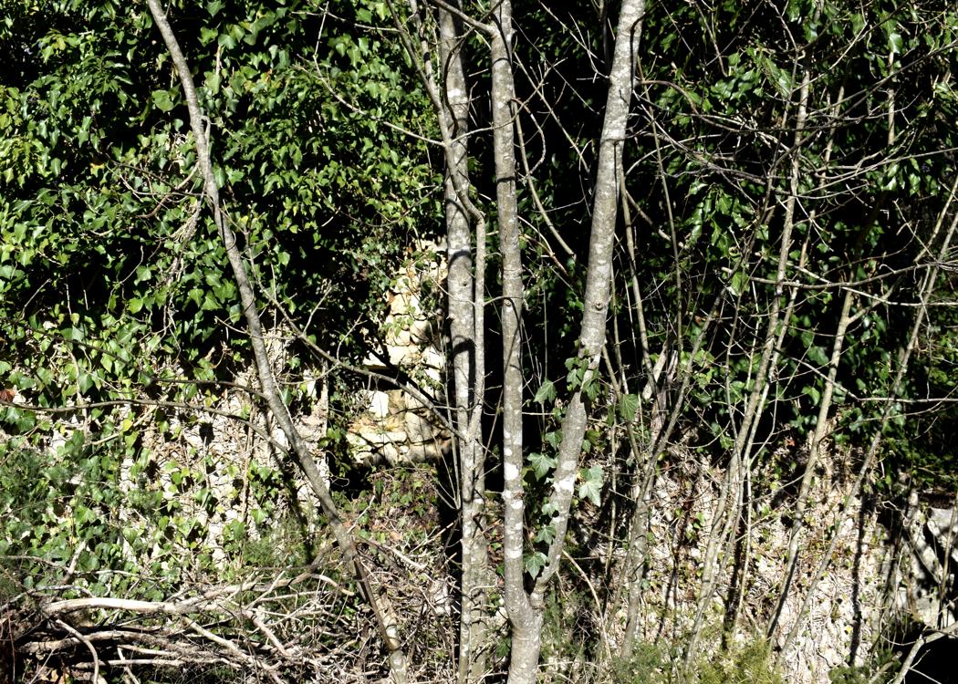
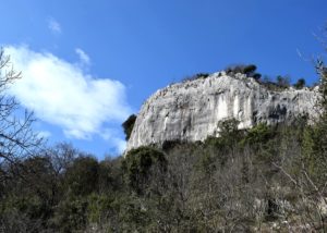
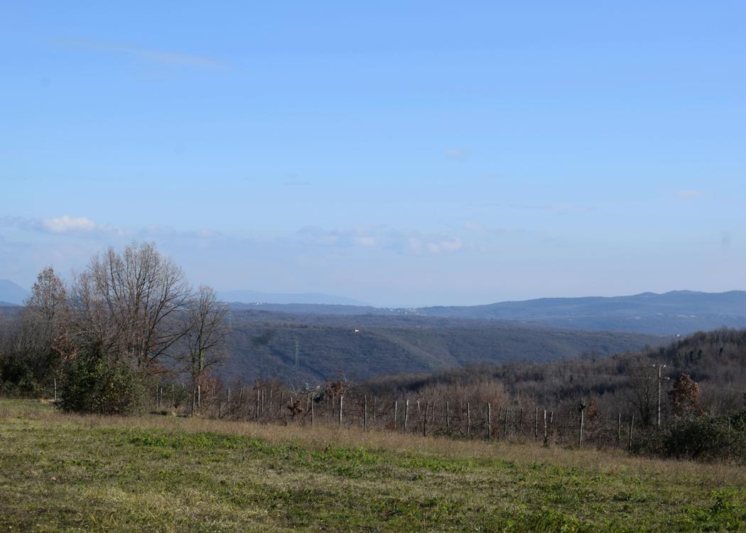
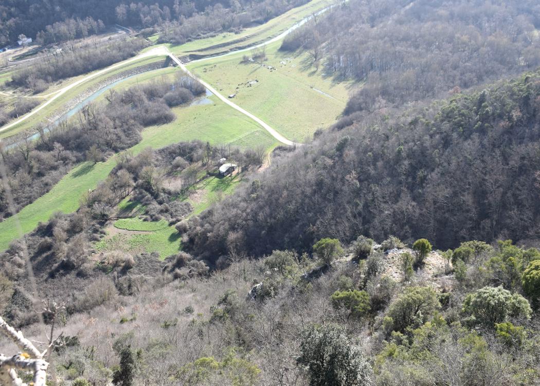
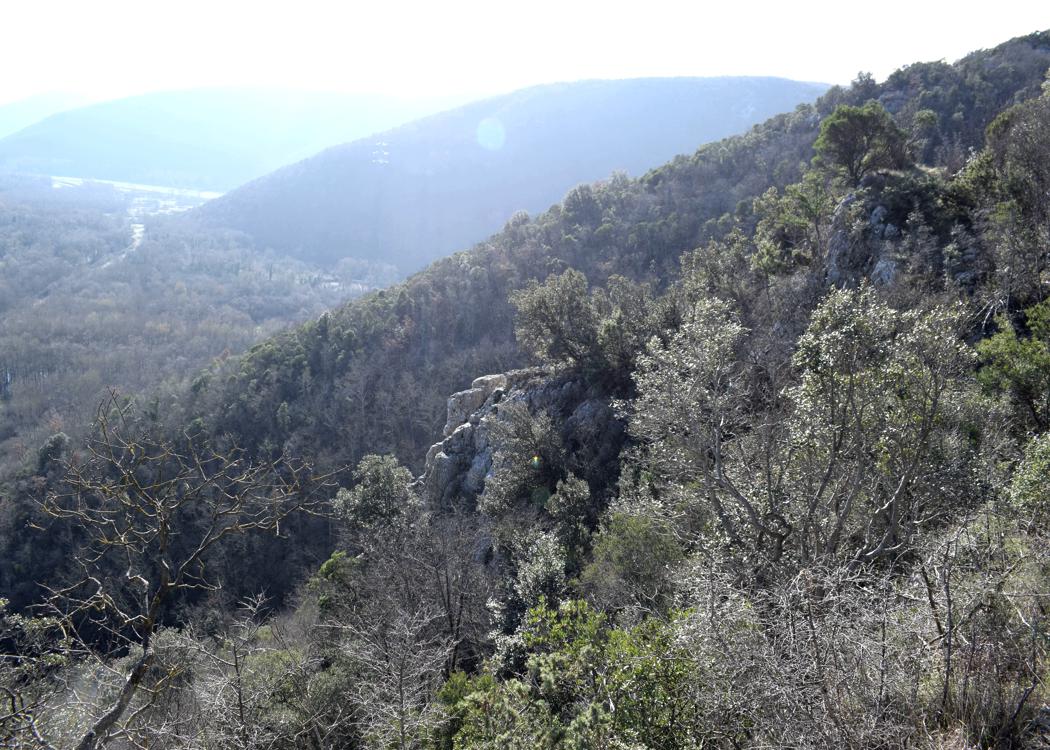
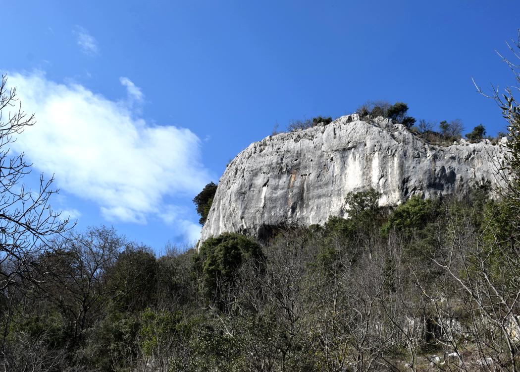
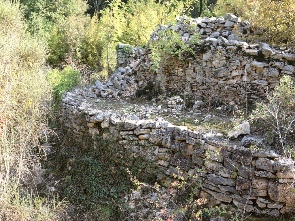
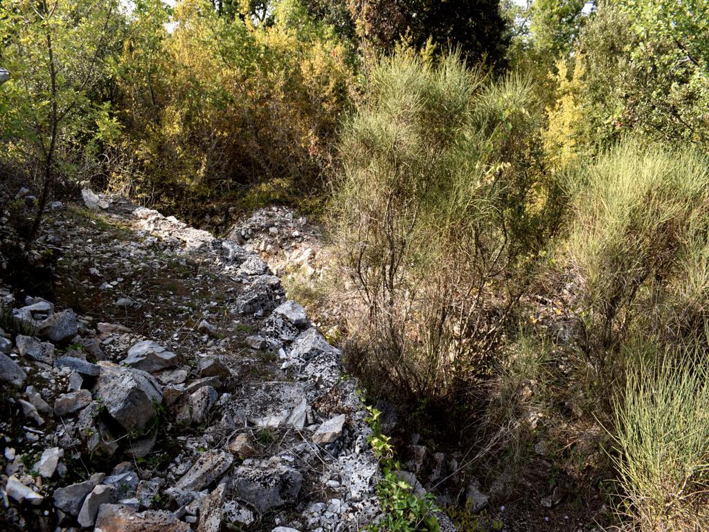
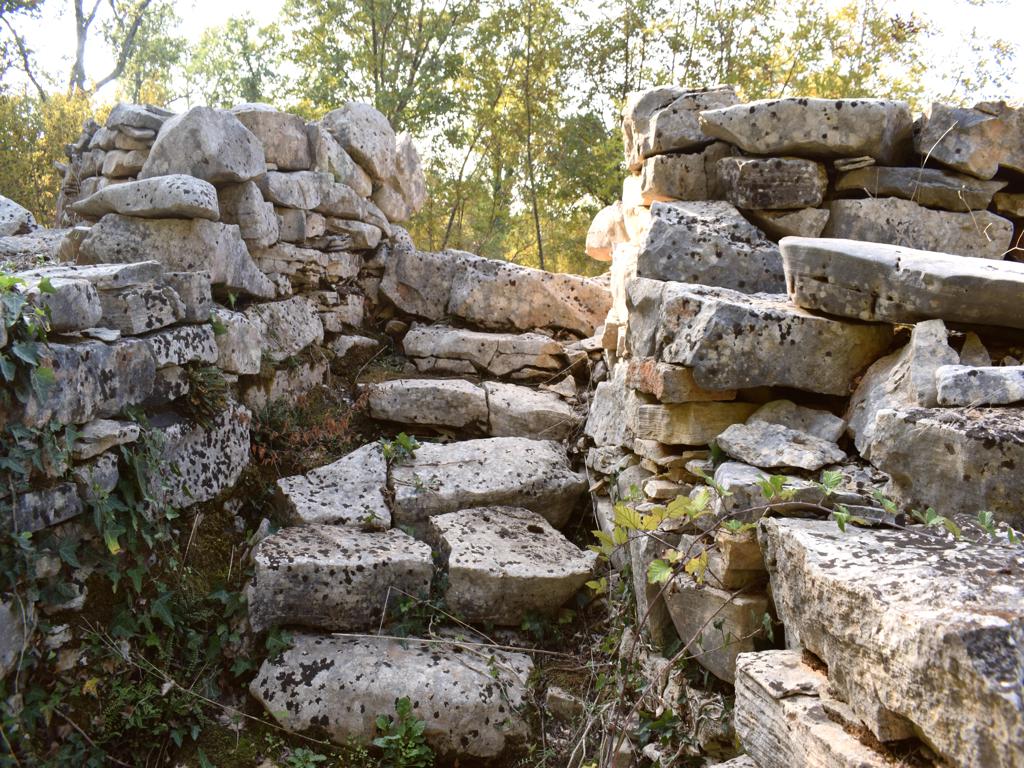
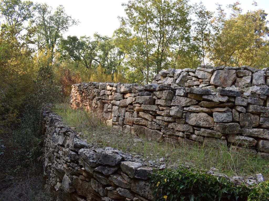
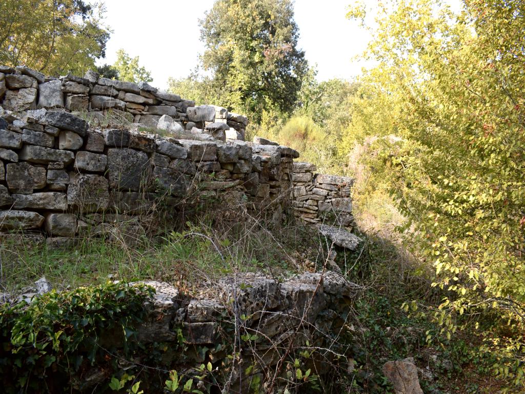
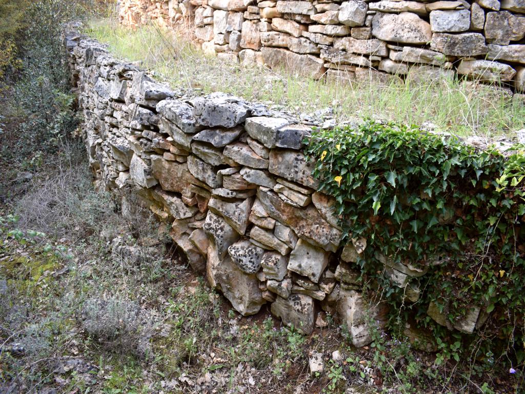
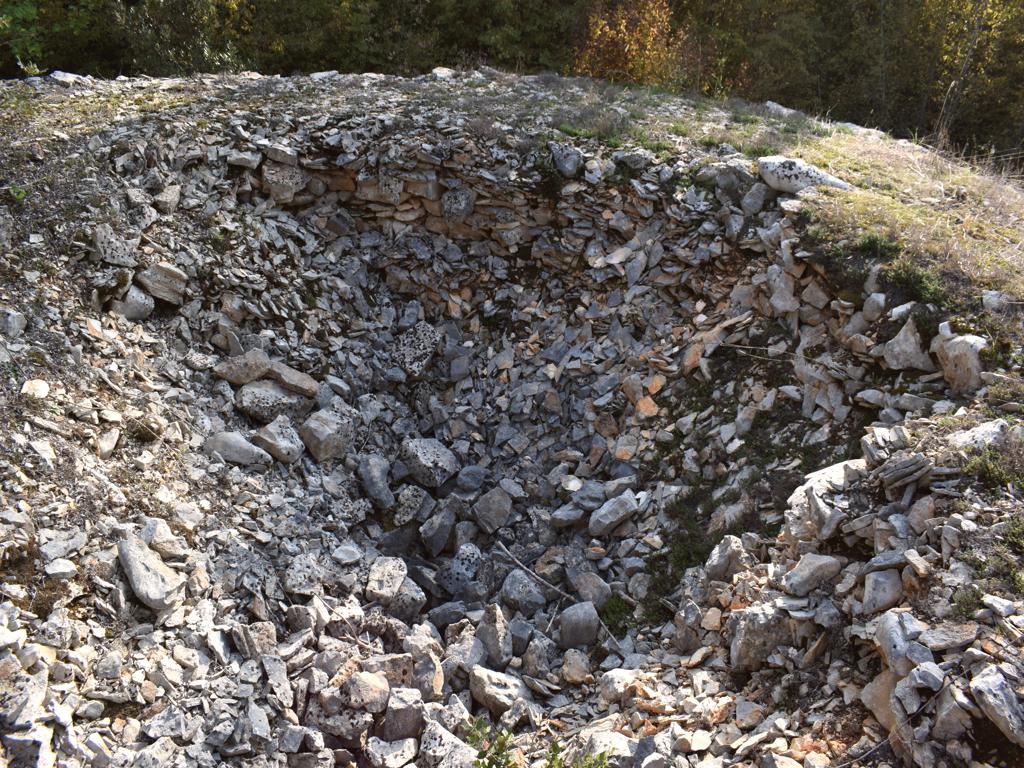
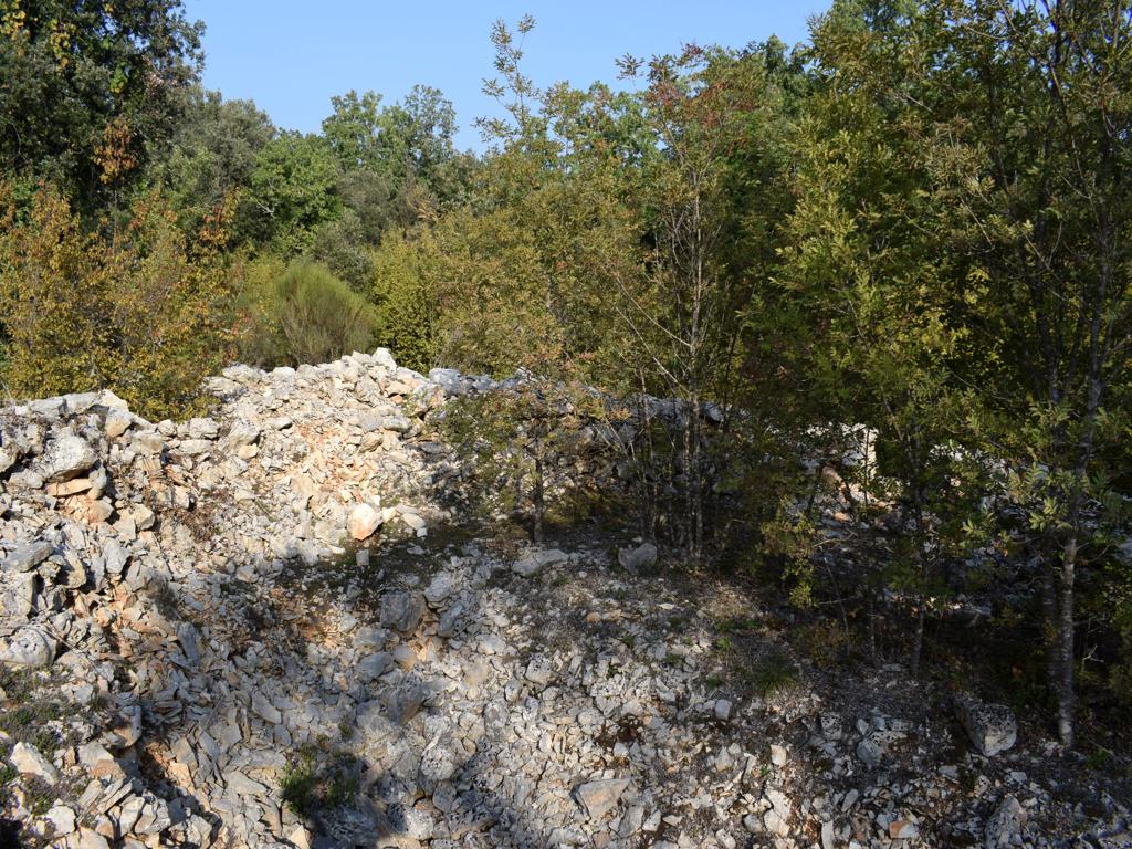
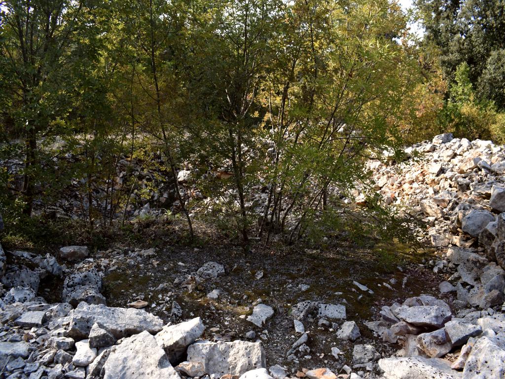
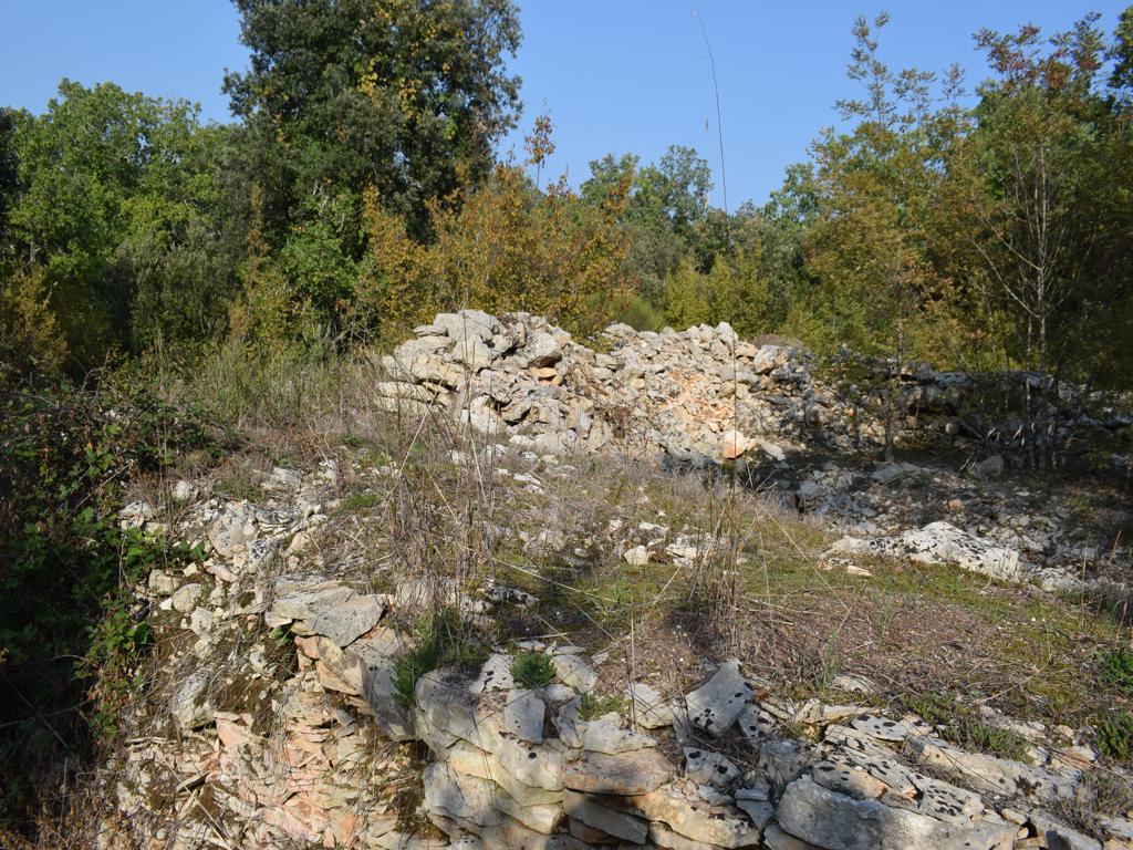
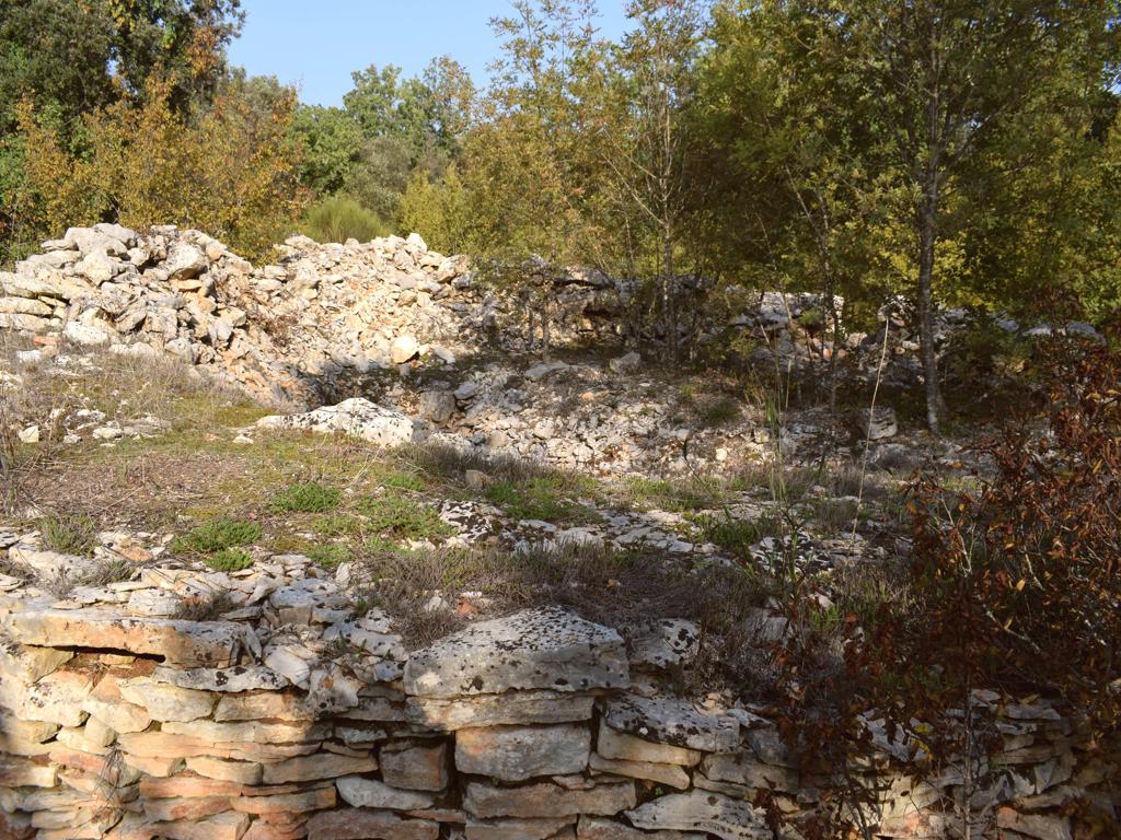
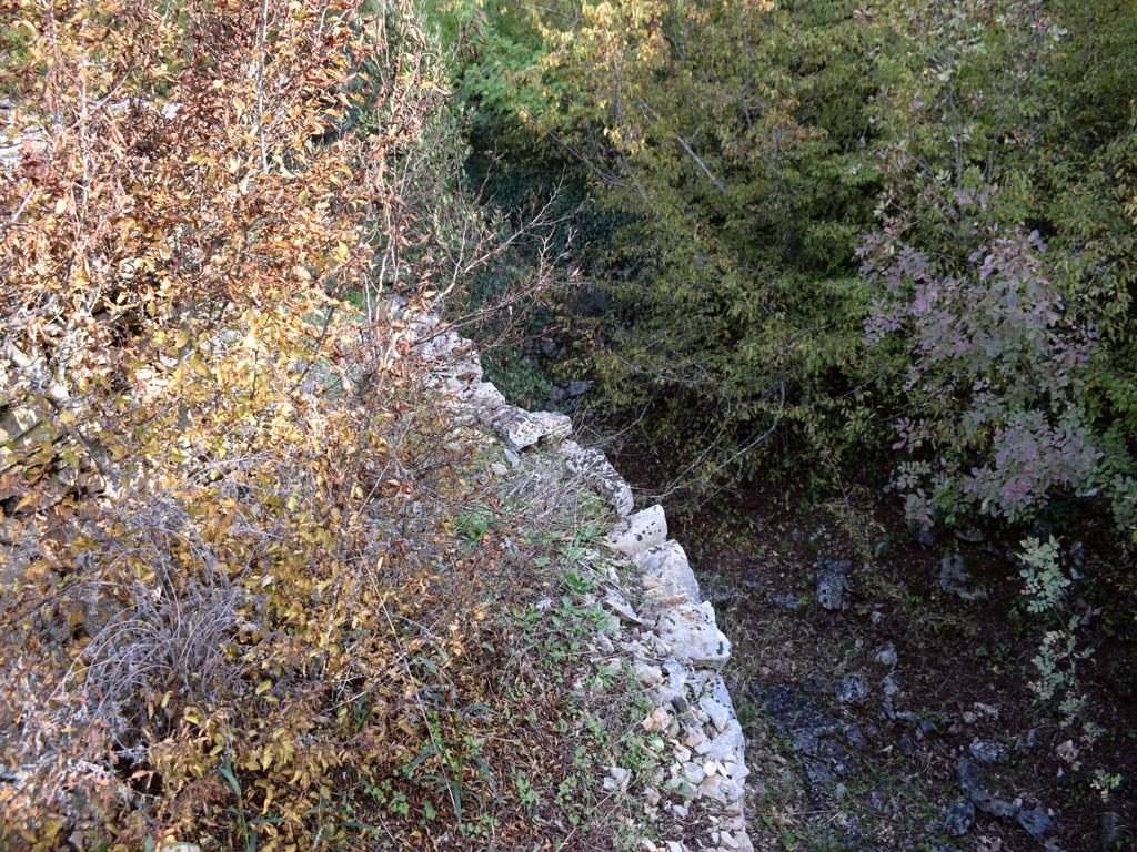
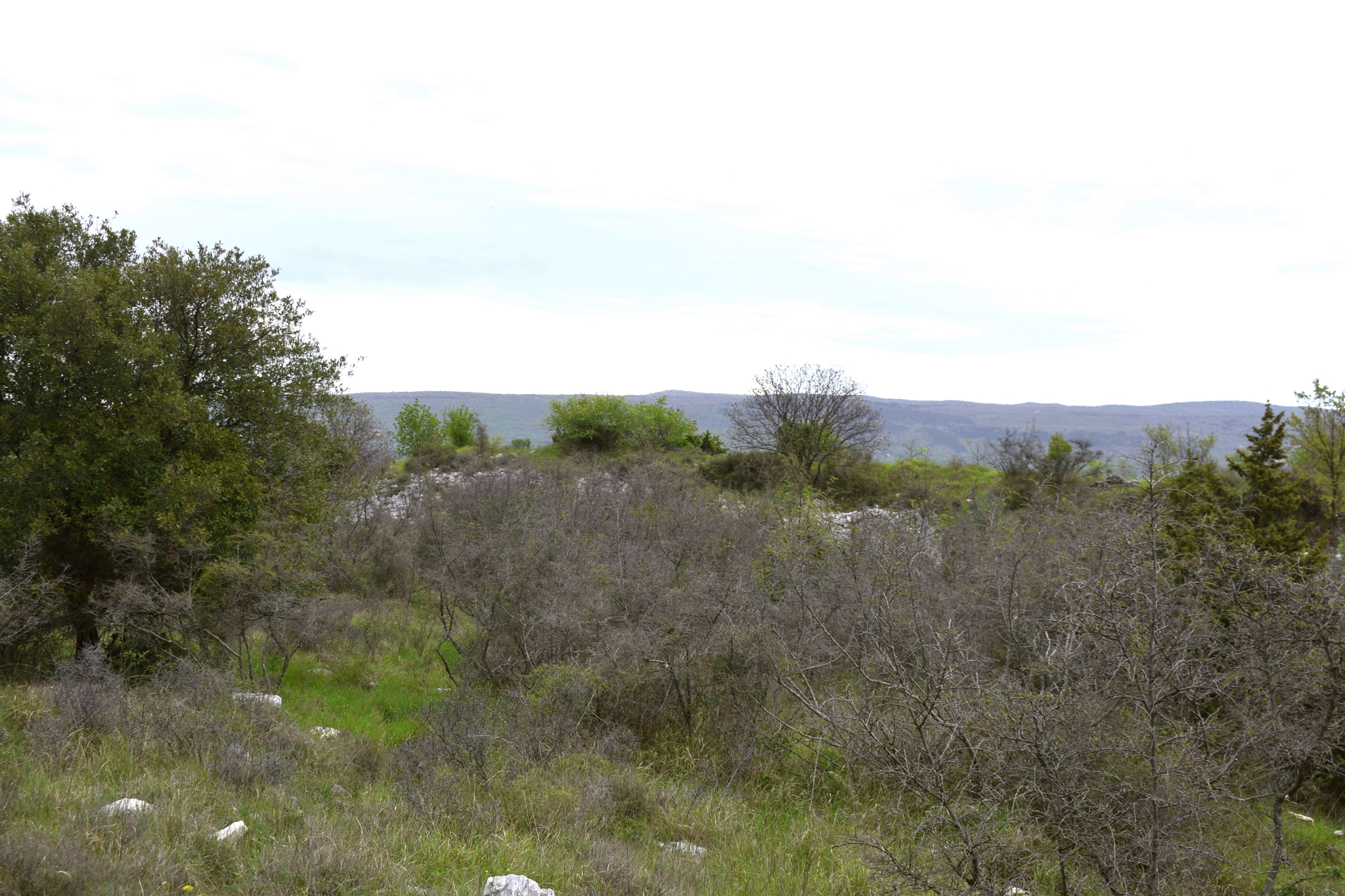
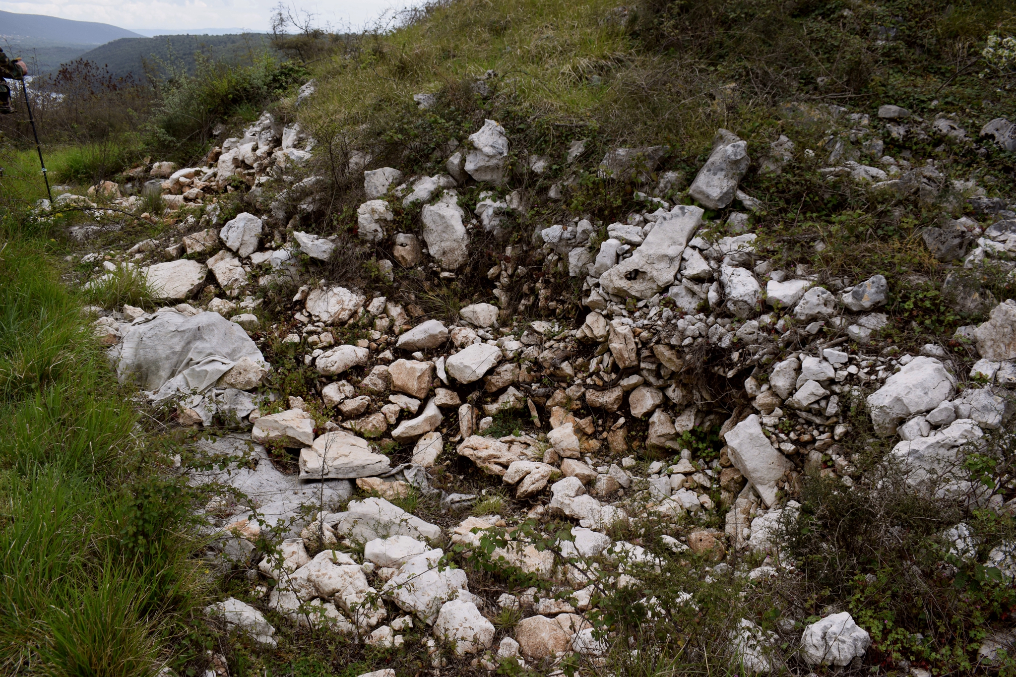
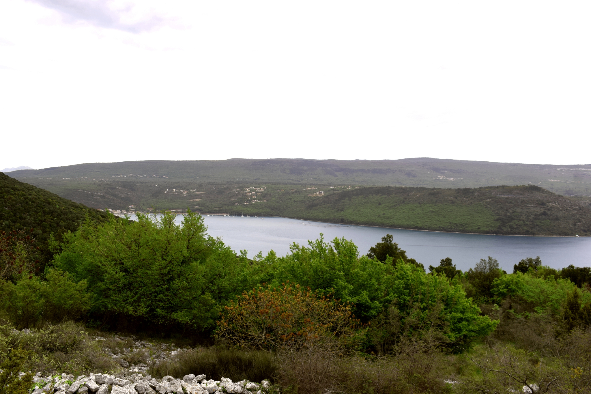
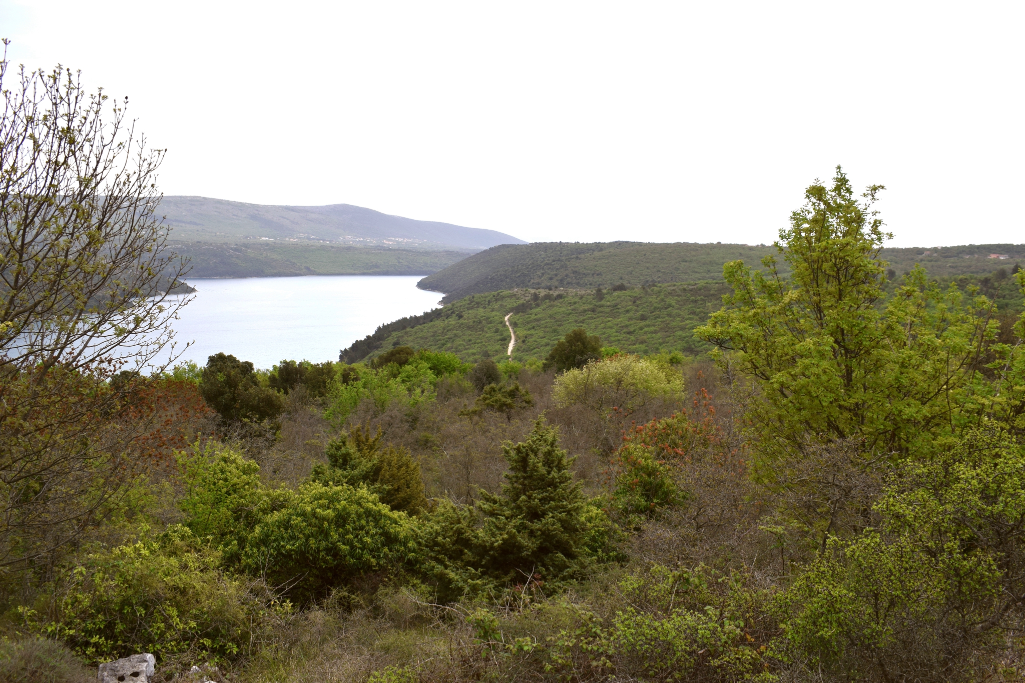
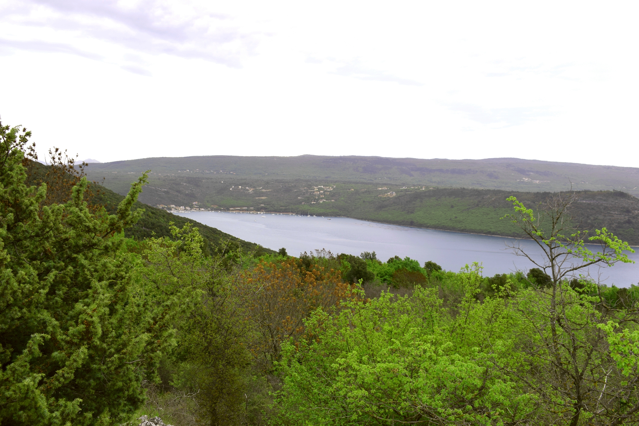
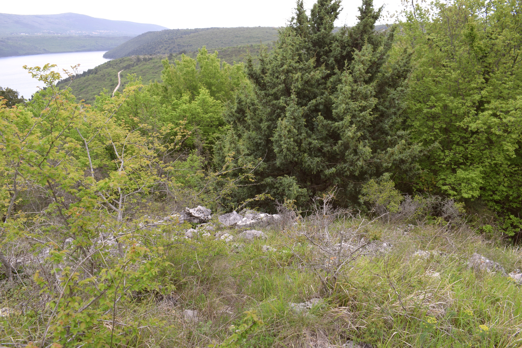
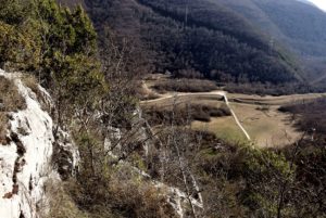
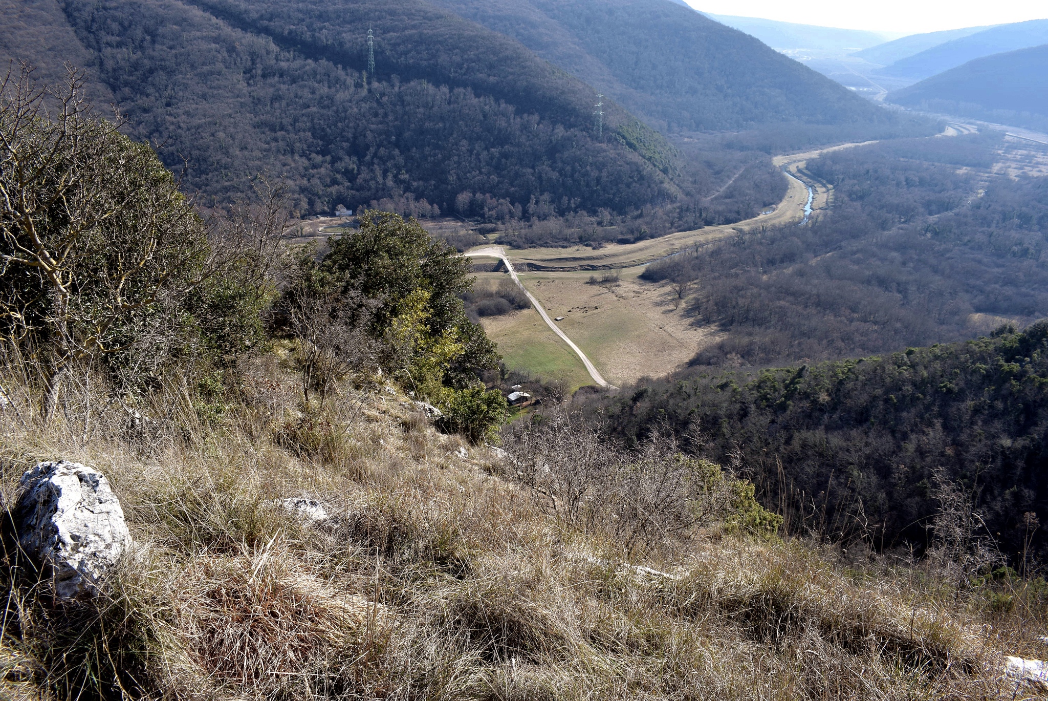
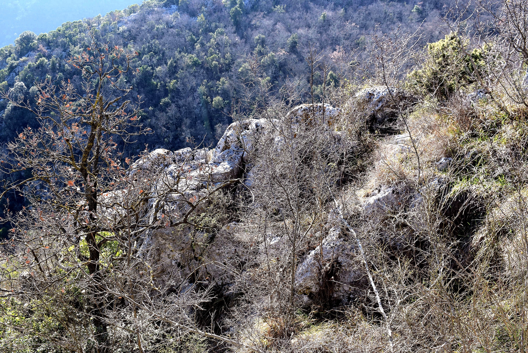
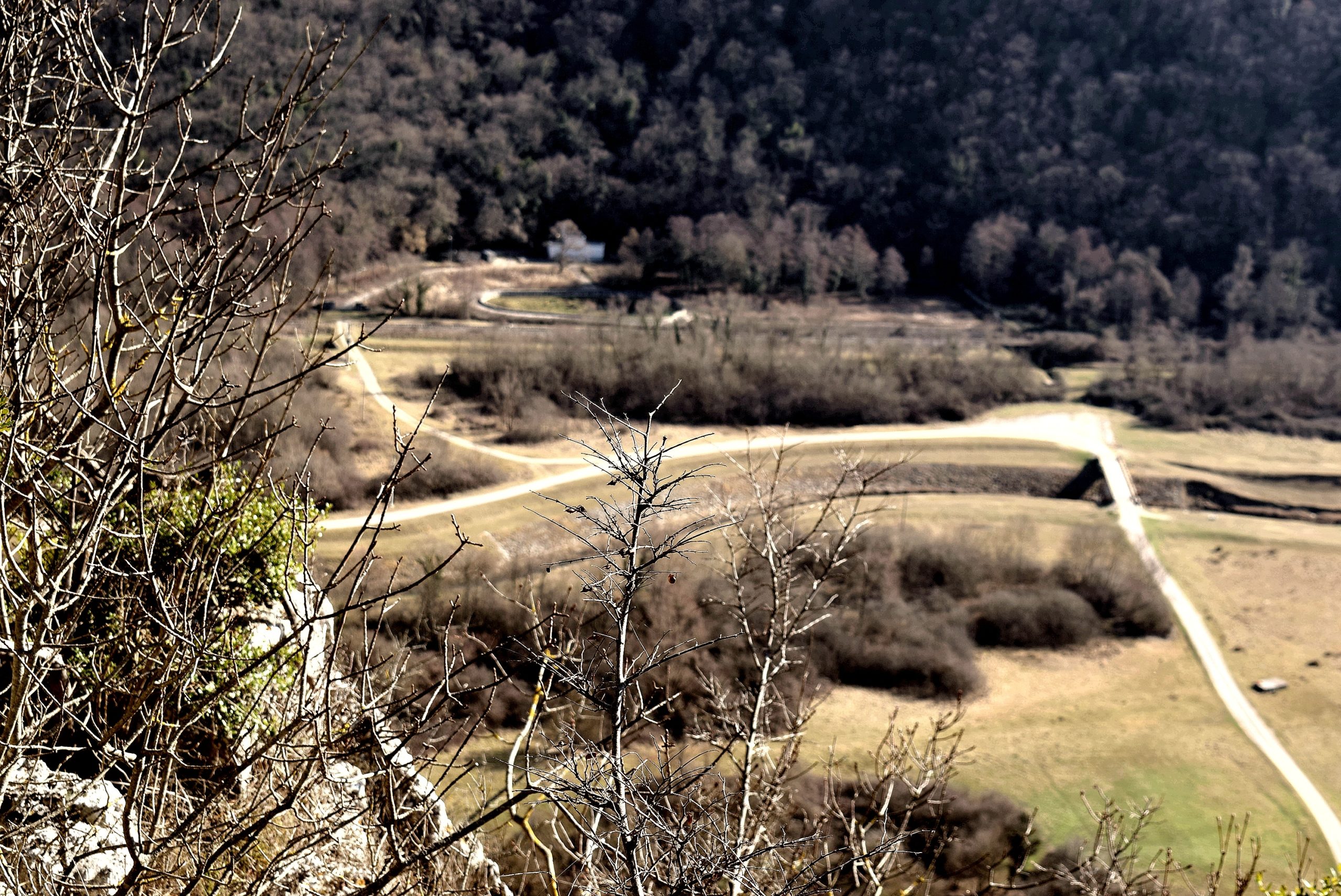
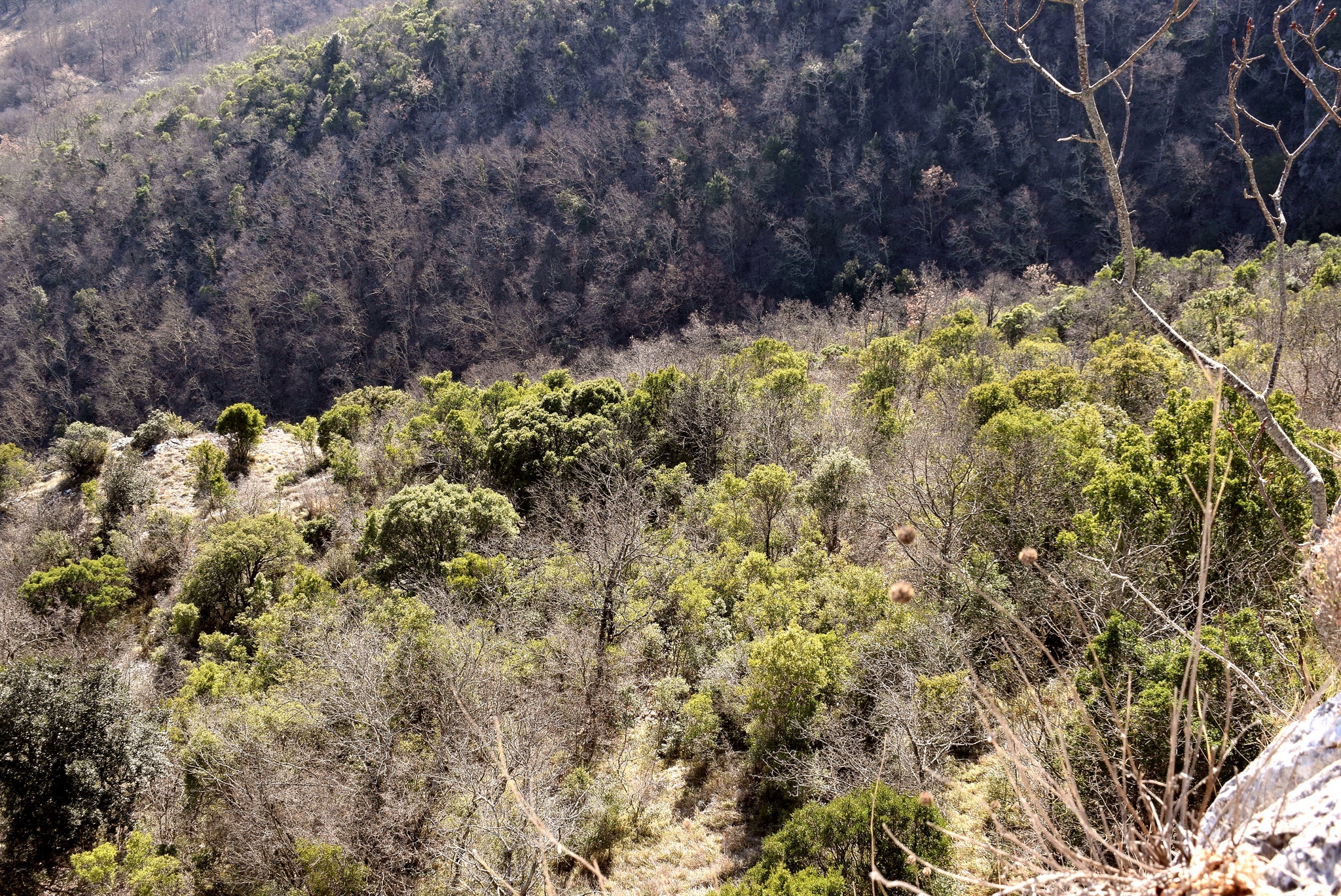
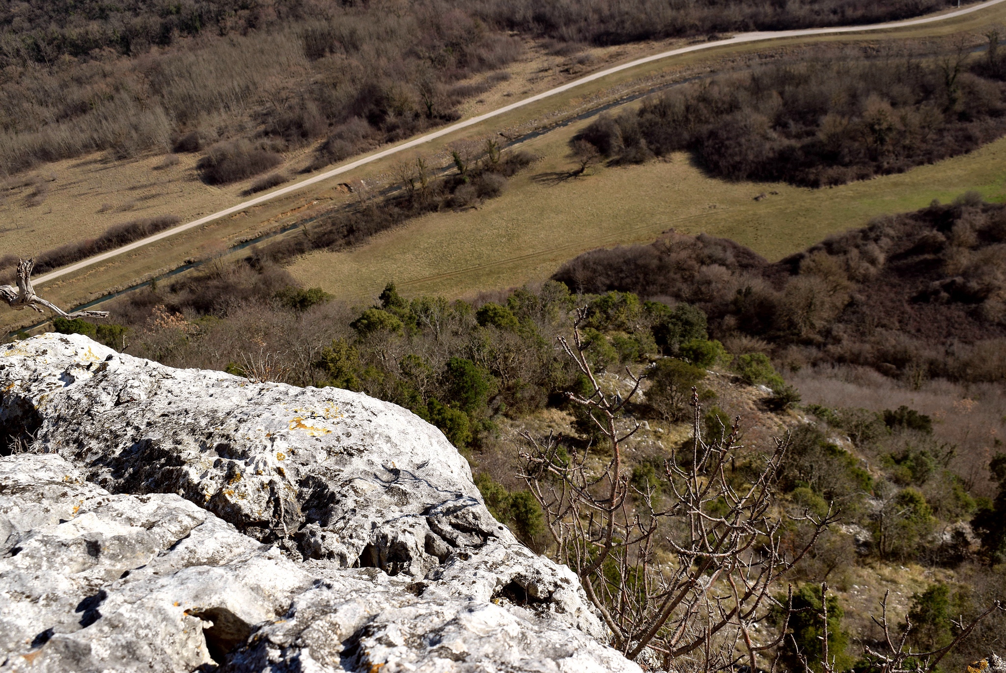
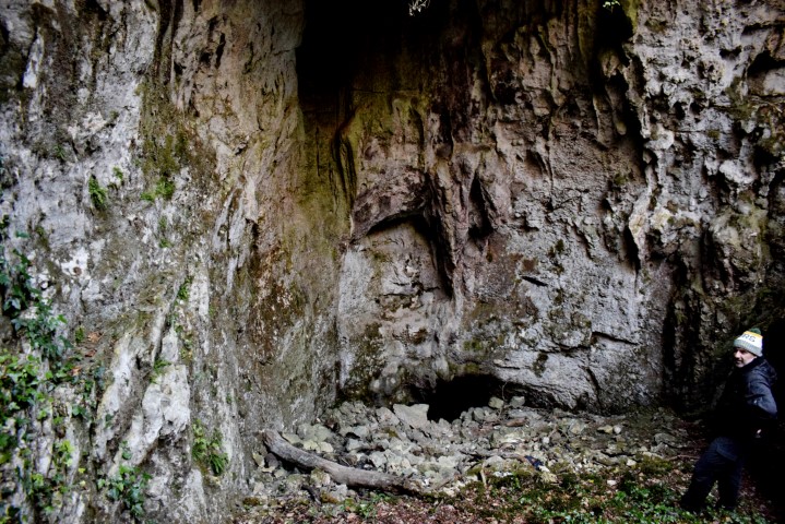
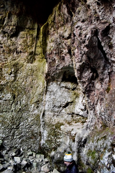
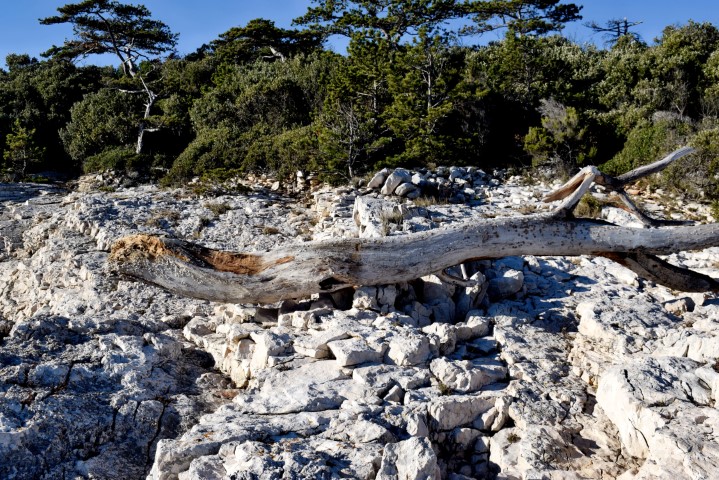
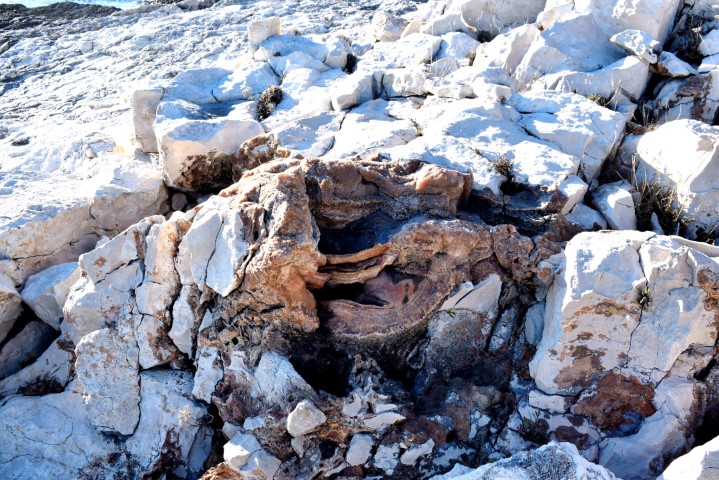
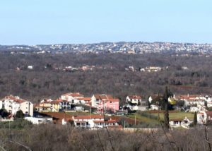
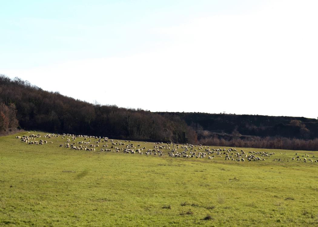
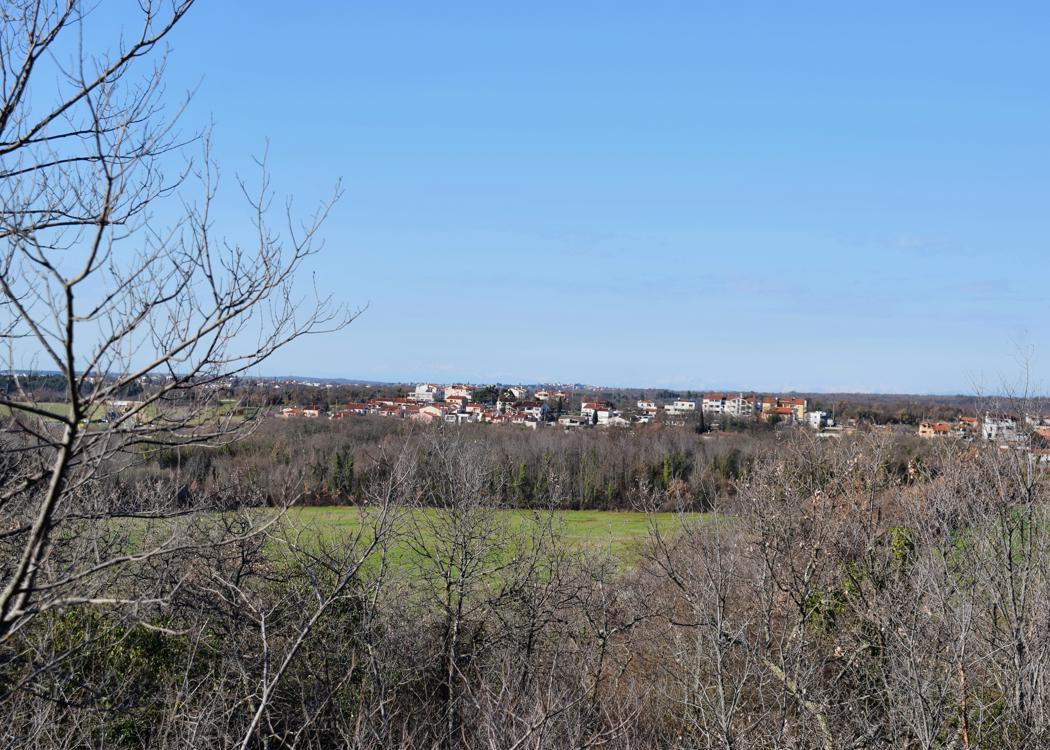
Biljakin hill 88 meters, Velika Mardela 95 meters. From the last including views of Varvari.


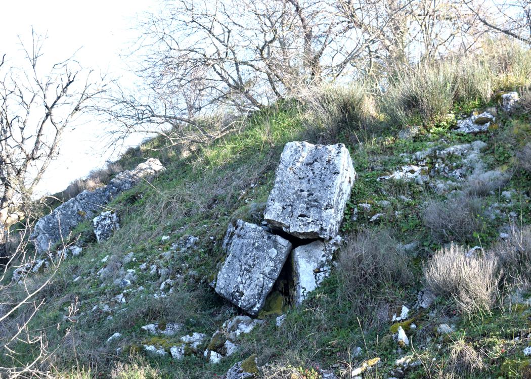
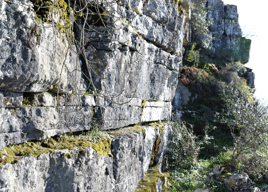
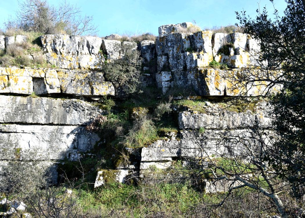
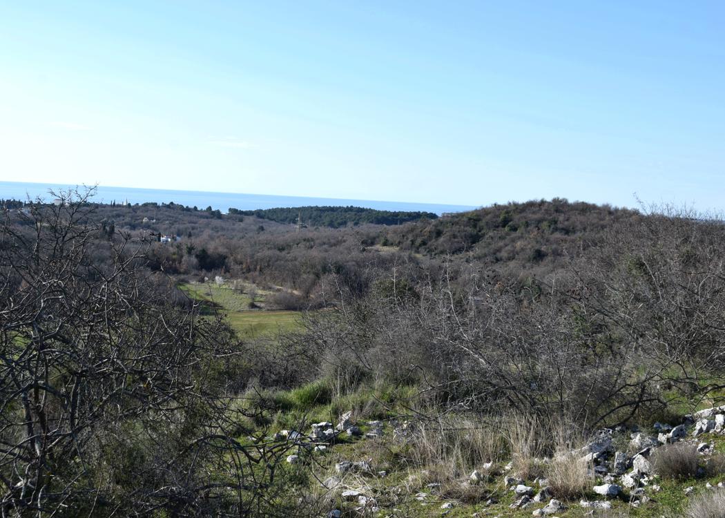
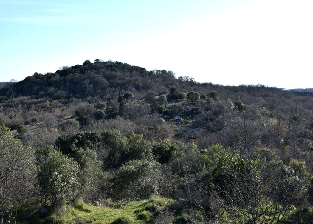
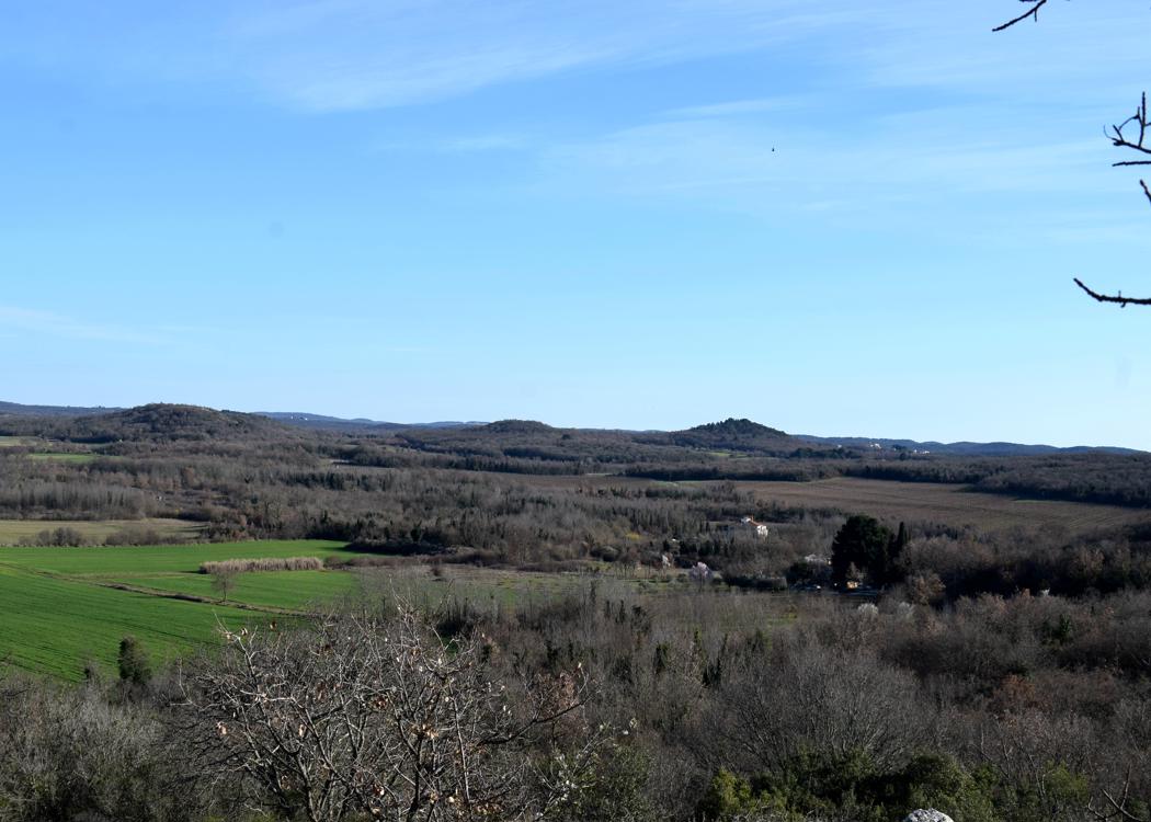
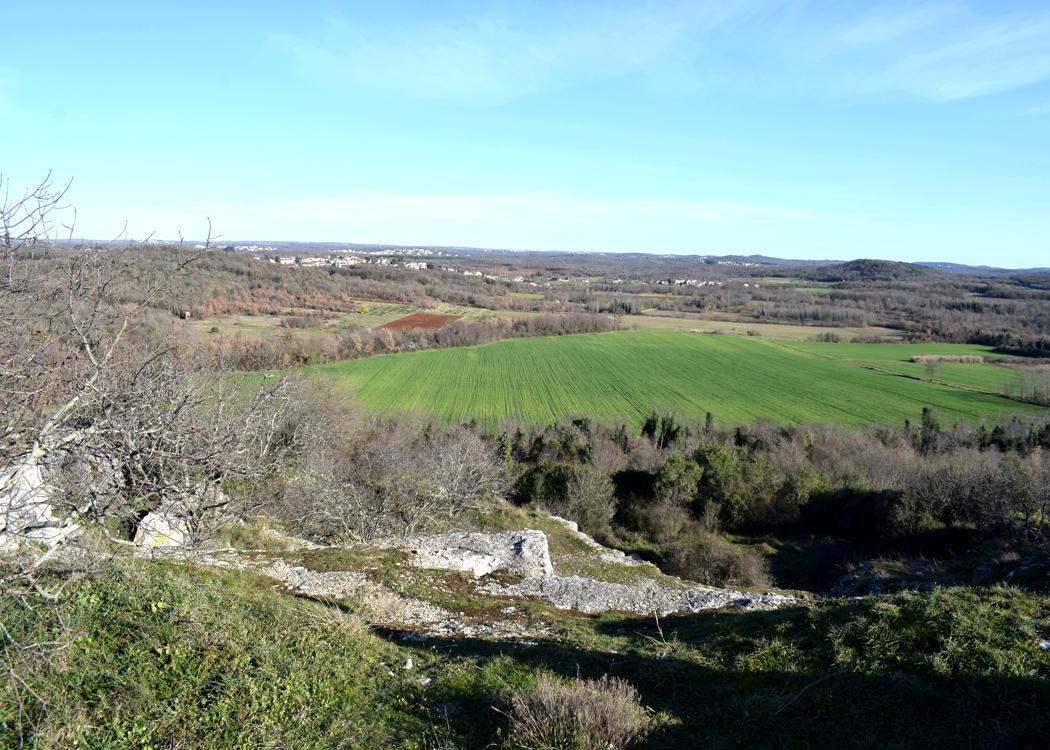

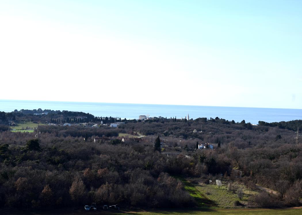
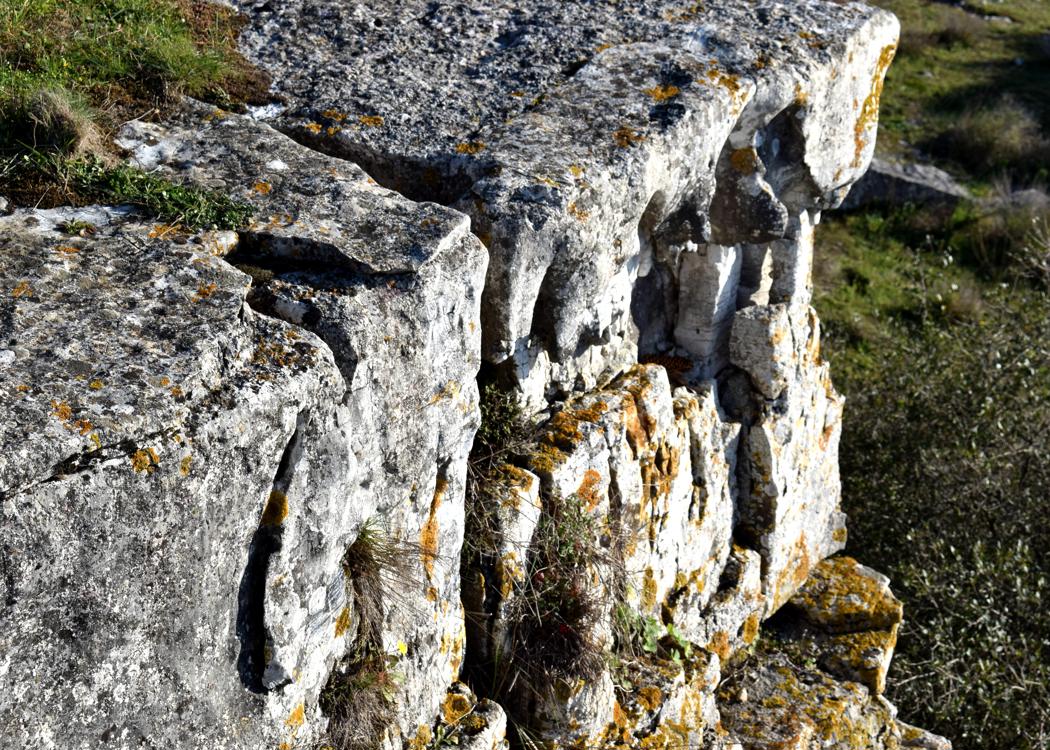

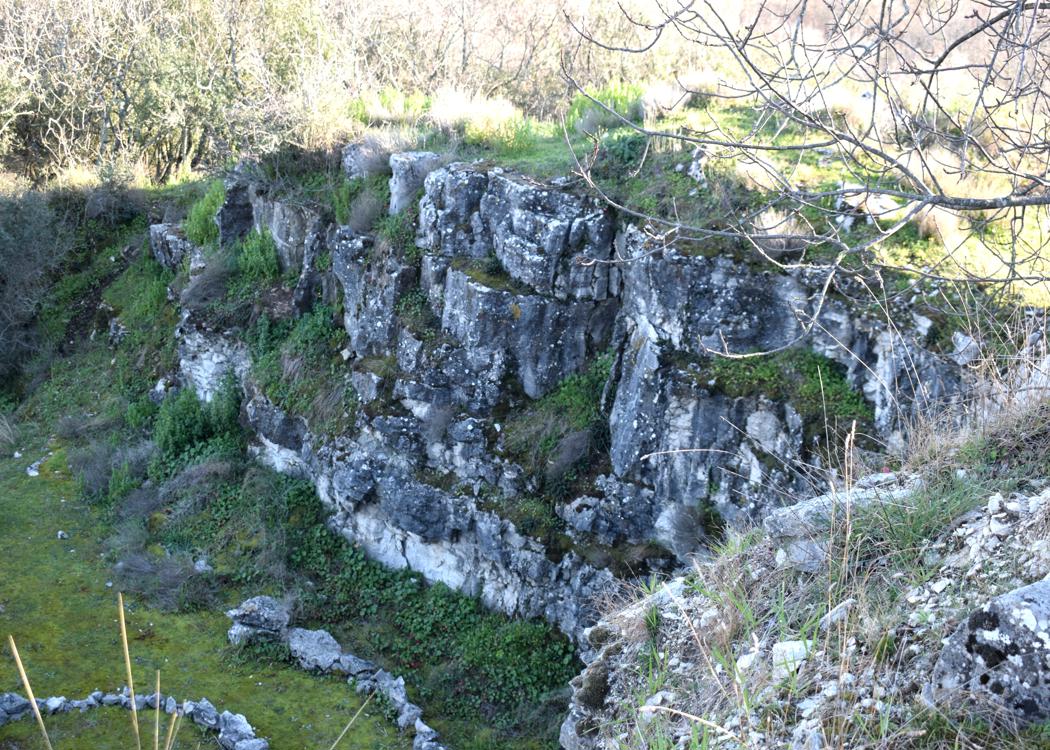
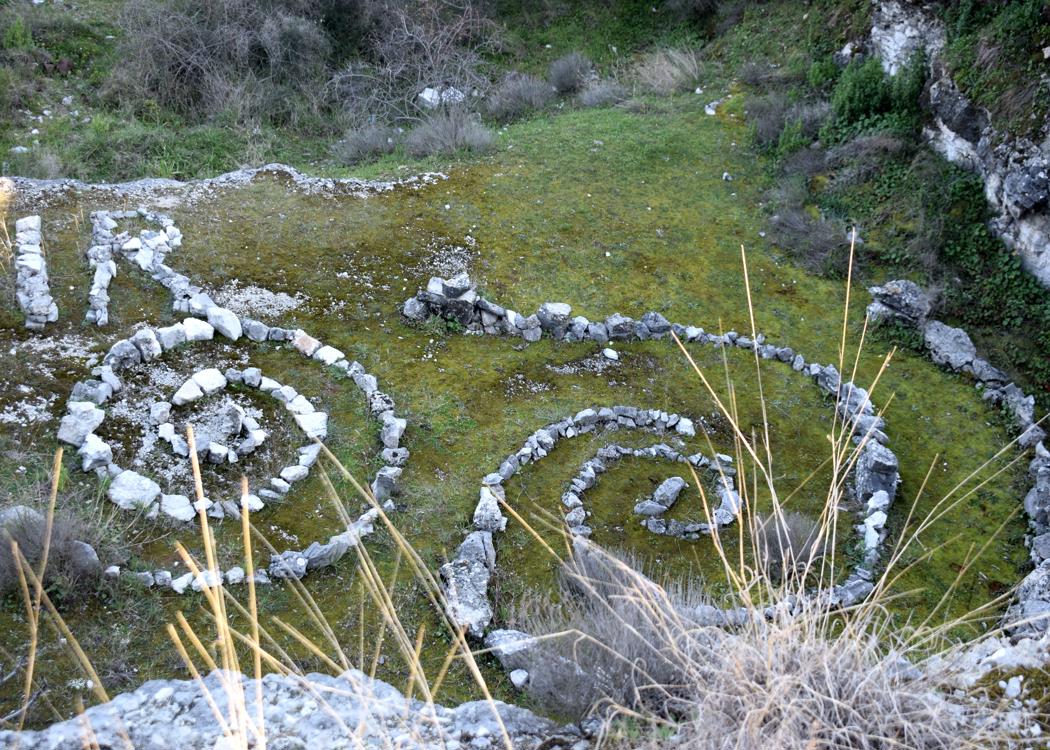
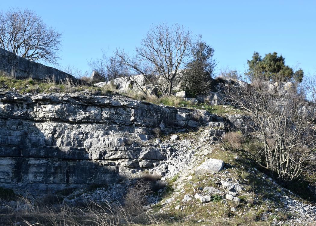

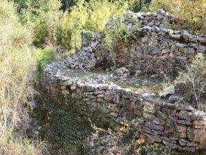
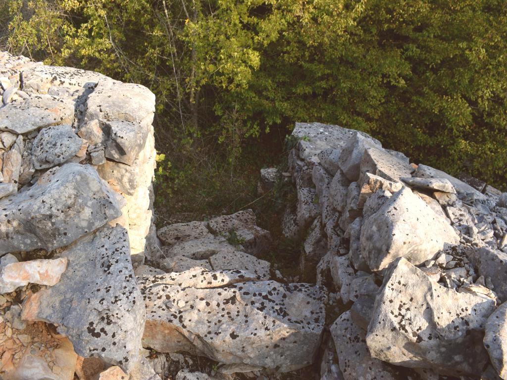
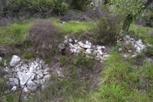
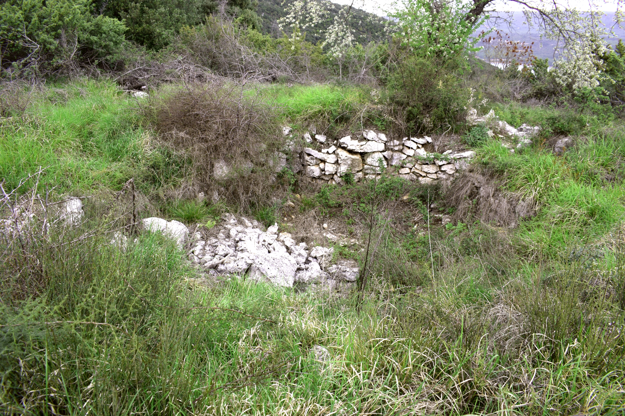
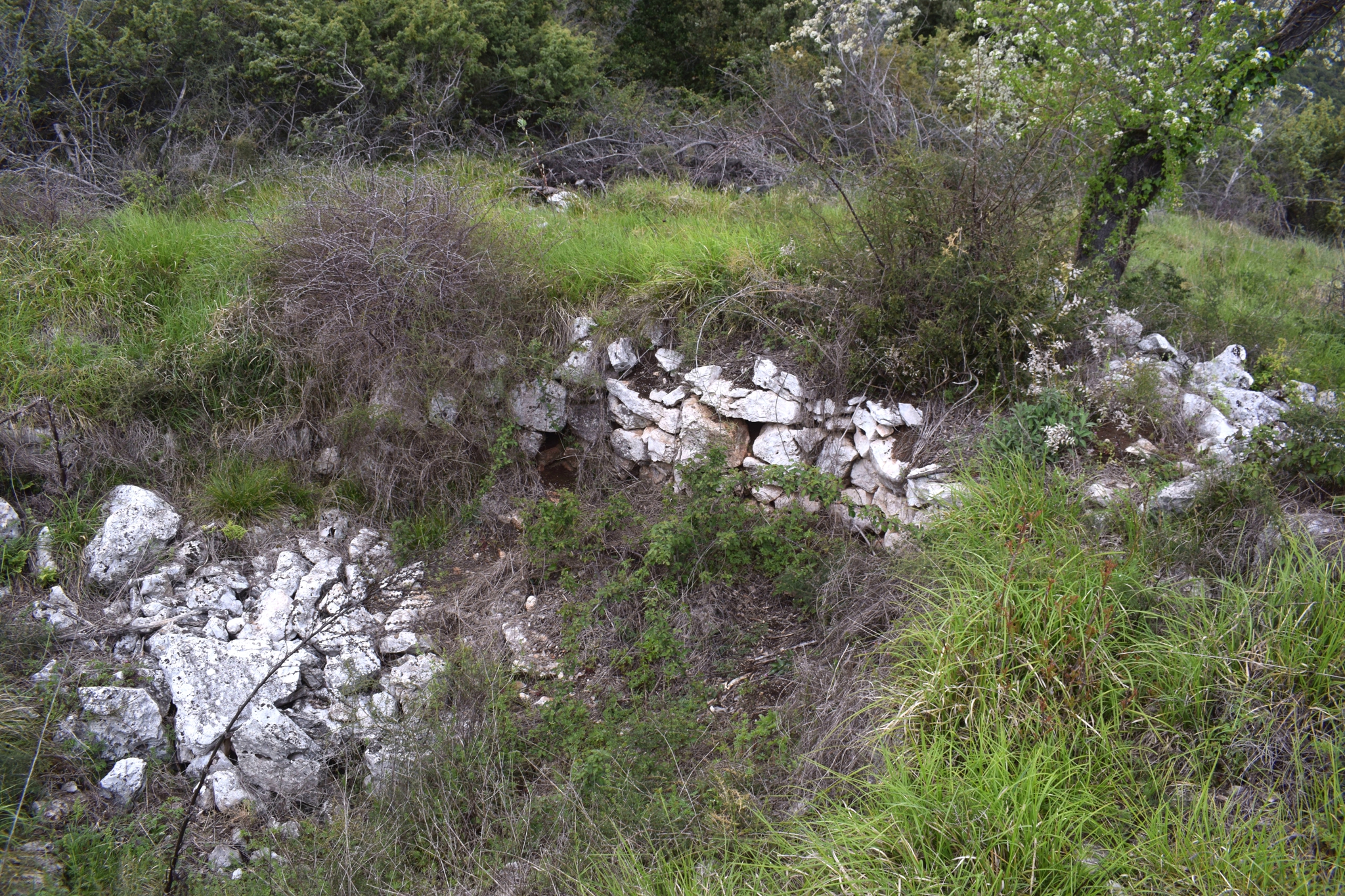
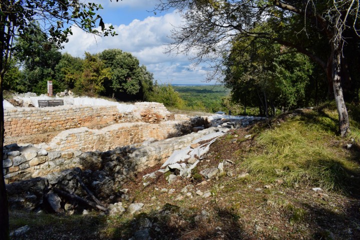
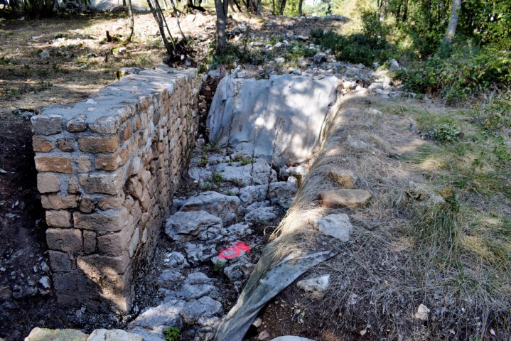
Name: Bejakin vrh and the prehistoric settlement Velika Mardela.
Place: Near Garbina – (Poreč).
Coordinates: Bejakin 45.21801 N – 13.62493 E, Mardela 45.21456 N – 13.62874 E.