Prehistoric settlement Sv. Martin – Lim.

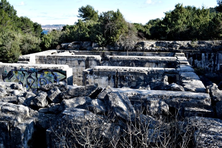
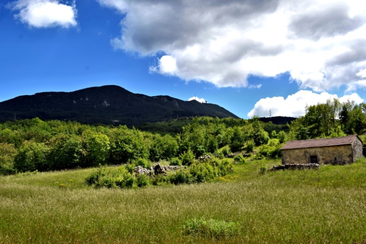
In the Bronze Age there was a gradine here at a height of 230 meters. During the Roman period, a military base was established on the plateau. The current situation is characterized by the church of Sv. Martin, a transmission tower and radar installation.
The boundaries of the plateau, terraces and the access road are still recognizable.

Name: Prehistoric settlement Sv. Martin – Lim.

Place: Near Bubani – Kanfanar.

Coordinates: 45.12461 N – 13.74048 E.

Priceljak, prehistorisch settlement on the Učka.

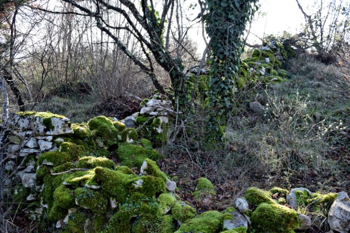
Located on Poklon Street across the Učka, this Gradina was believed to be an important trading place between the Histrians, Liburnen and the Japoden in the first thousand years BC, and consisted of a large plateau and lower terrace separated by a high and heavy stone walls.


Name: Track to Priceljak, prehistorisch settlement on the Učka

Place: Vrnaja – (Lupoglav).

Coordinates track: Franz Josef II 45.30617 N – 14.19522 E, Start  point along a stream 45. 30724 N – 14.19312 E to Priceljak 45.31153 N – 14.18672 E, Priceljak 45.3126 n -14.1872 E , Back over the road.

Trail to the prehistoric settlement of Sv, Mihovil near Bale.

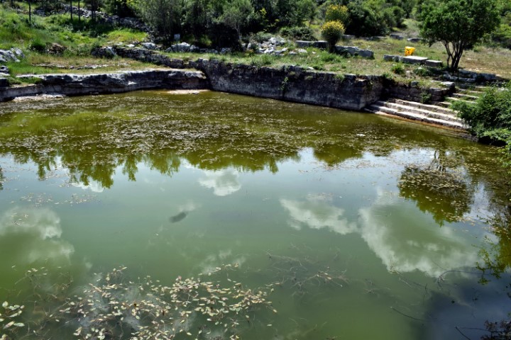
This mountain with a height of about 200 meters was already a refuge in the Neolithic. Later, habitation took place on three terraces in the Bronze and Iron Age. There was also a water source with a large basin. In the Middle Ages, a church and monastery were built here.
There were several tumuli on the adjacent mountain Forke. Now on top is a large rock mountain with a diameter of approximately 20 meters, on which a measuring point is placed in the middle, through Austria before the First World War.

Name: Trail to the prehistoric settlement of Sv, Mihovil near Bale.

Place: Bale

Coordinates:  startpoint 45.04107 N – 13.79006 E, bassin 45.03973 N – 13.80025 E,  top Forke 45,03890 N – 13.80262 E, top Sv. Mihovil 45.03850 N – 13.79949 E, end trail 45.03883 N – 13.79003 E.

Prehistoric settlement Sv. Spas – Stari Kaldir.

It is likely from finds that this mountain had a residential destination here in the Bronze Age. It also seems plausible that here in the Middle Ages, it was a predecessor of the current place Kaldir.

Name: Prehistoric settlement Sv. Spas – Stari Kaldir.

Place: Near Kaldir – (Motovun).

Coordinates: Entrance path : 45.30918 N – 13.84080 E, Top 45. 30839 N 13.84554 E.

Source Badavca – Hill Glogovac.

Due to its favorable location (fertile soil and the presence of drinking water) there was a prehistoric settlement here. The period of time is unclear.

Name: Source Badavca – Hill Glogovac.

Place: Karojba.

Coordinates: 45.27481 N – 13.79915 E

Prehistoric settlement Krč.

This Gradine was later called Grč and Grčija. Used by the Romans in ancient times, then destroyed after the arrival of the Slavs. Drinking water was obtained from the nearby source of Valigštar.


Name: Prehistoric settlement Krč.

Place: Karojba.

Coordinates: Entrance forest trail 45.29616 N – 13.80881 E. Top: 366 meters.


Prehistoric settlement Sublenta.

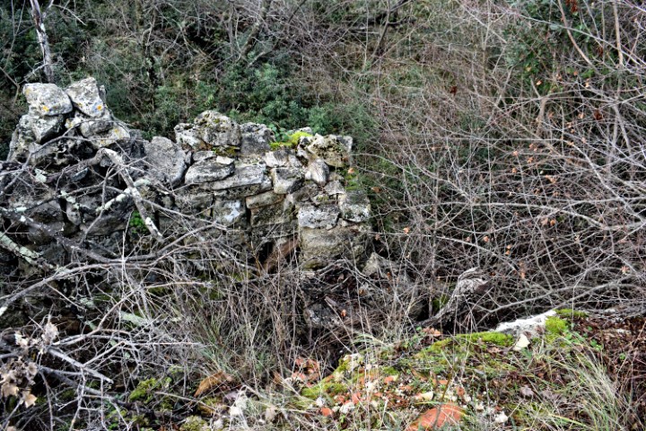
The current plateau of this former Gradine contains vineyards and the Church of the Navity of the Blassed Virgin Mary. This plateau is surrounded on three sides by steep slopes. The defense wall on the side is no longer recognizable.

Name: Prehistoric settlement Sublenta.

Place: Near Divjaki – (Motovun).

Coordinates: Entrance to Gradine: 45.31712 N – 13.82530 E ,  Top: 45.32110 N – 13.82101 E.