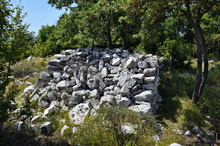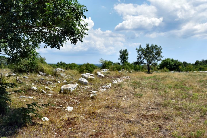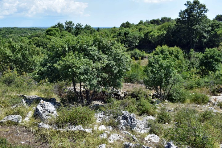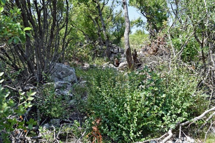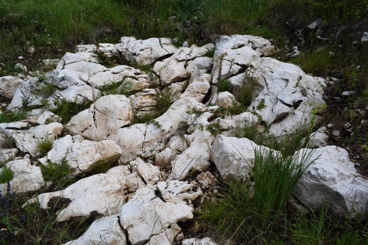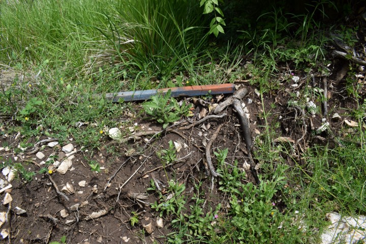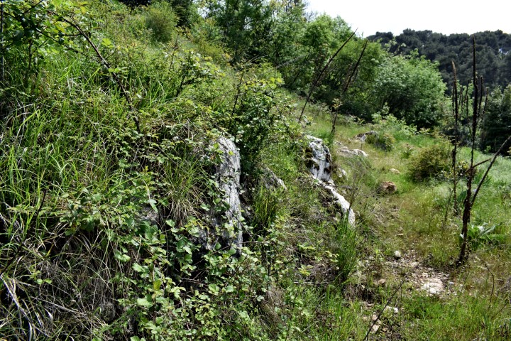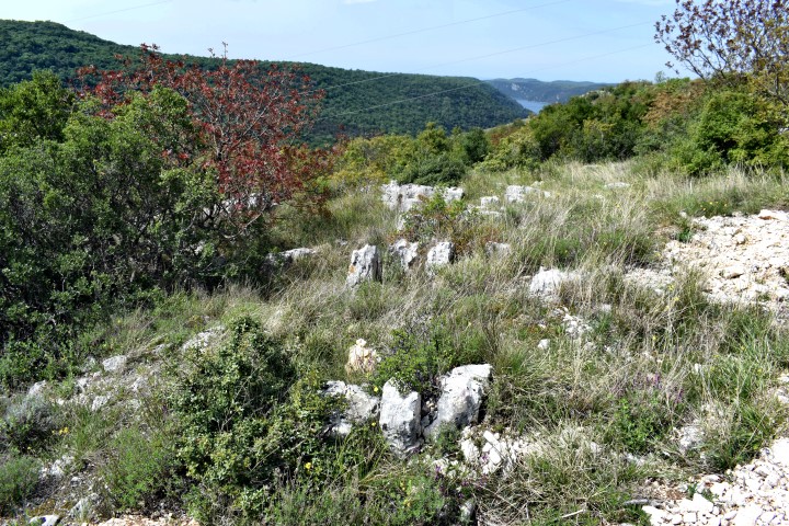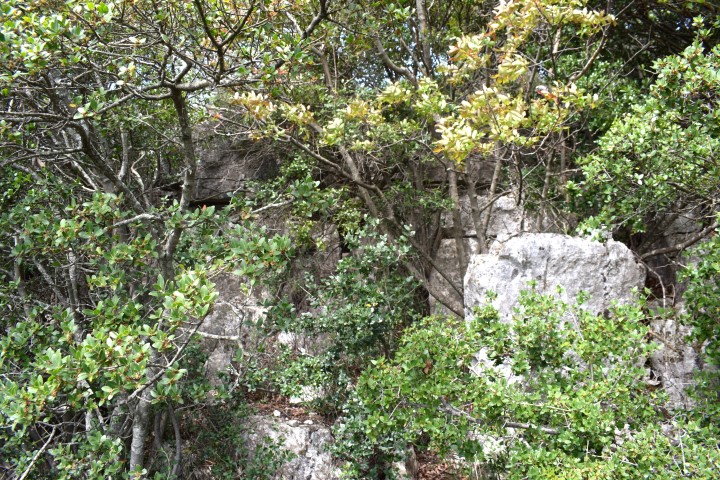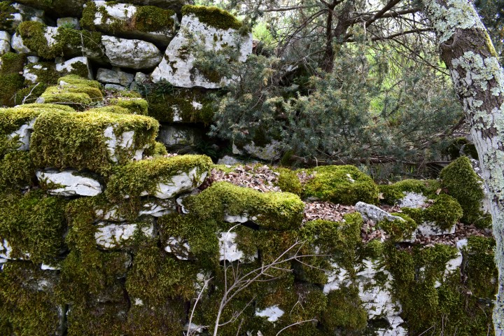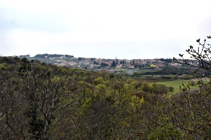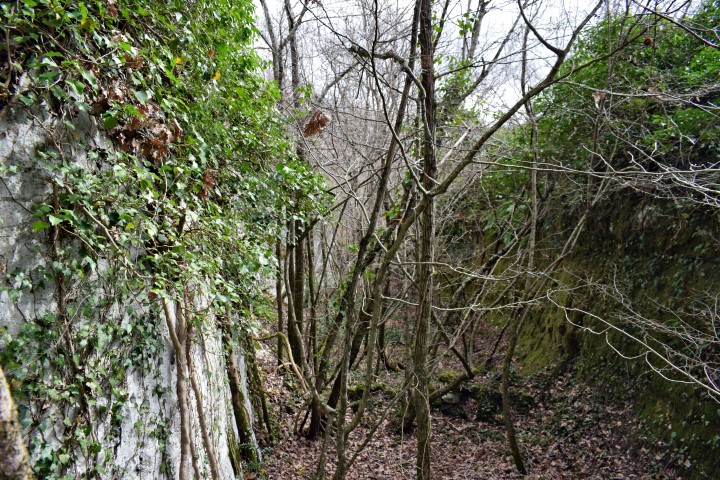


Name: Prehistoric settlement Pištine.
Place: Marići – (Kanfanar).
Coordinates: 45.10947 N – 13.85896 E.
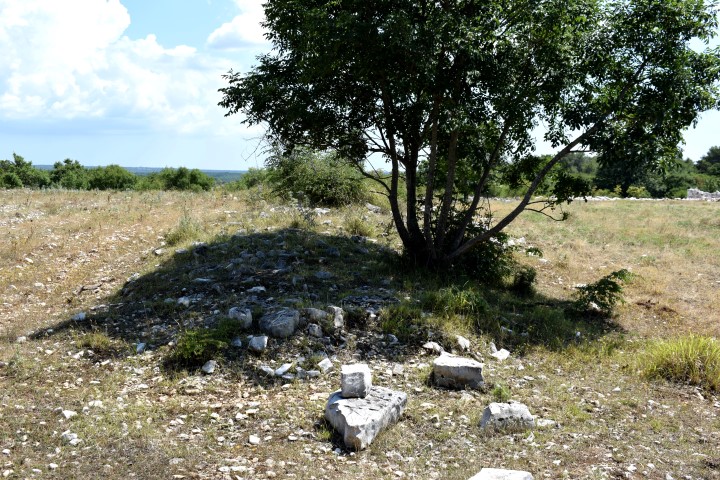
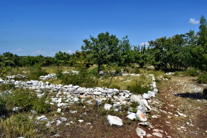
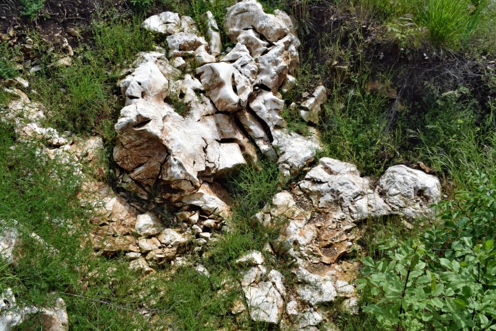
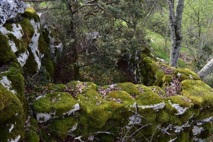
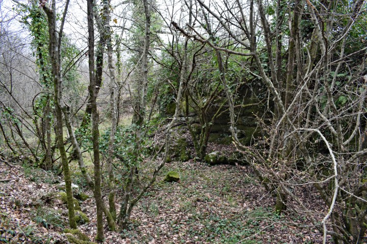
Name: Prehistoric settlement Pištine.
Place: Marići – (Kanfanar).
Coordinates: 45.10947 N – 13.85896 E.
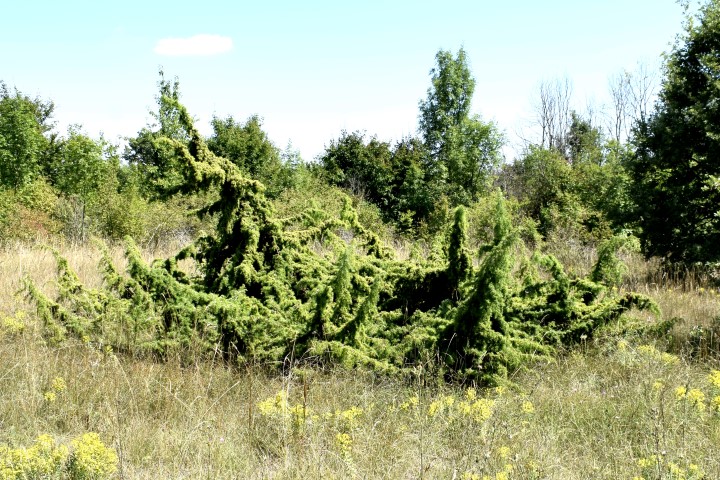
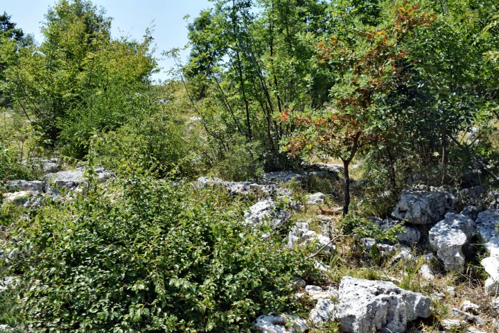
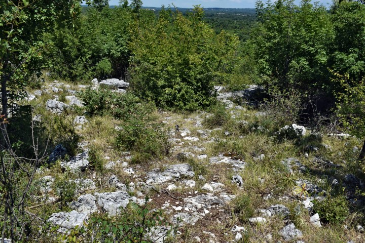
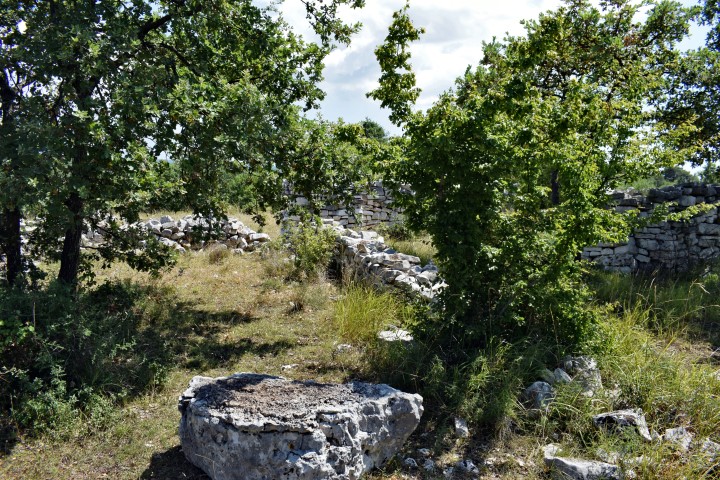
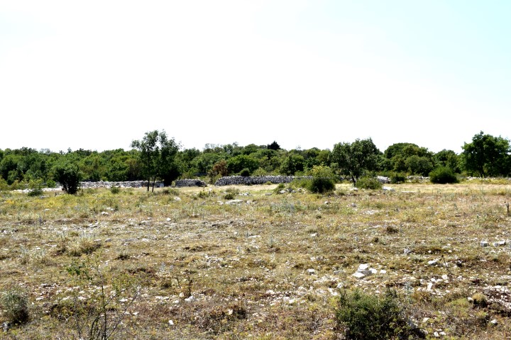
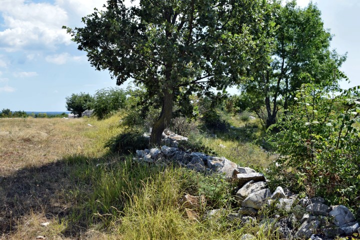
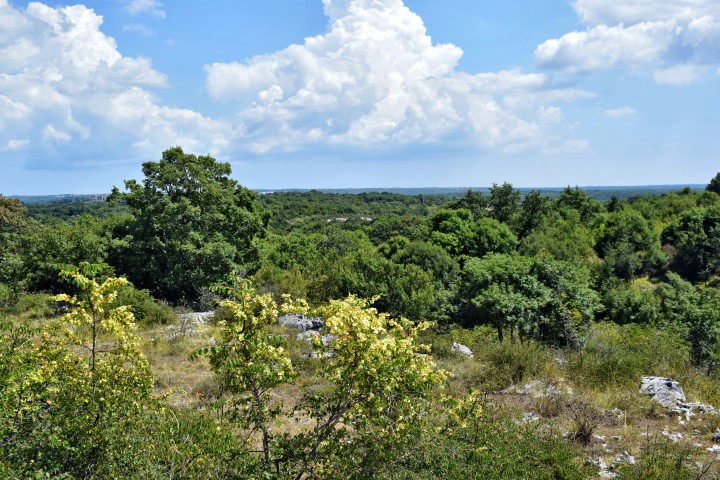
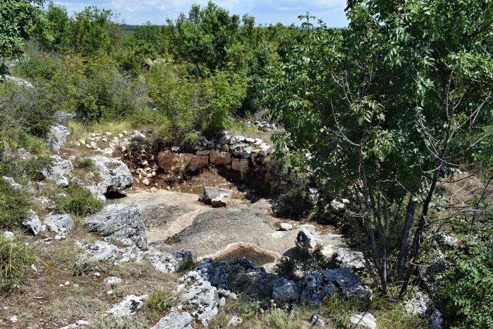
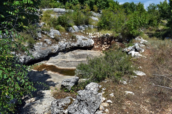
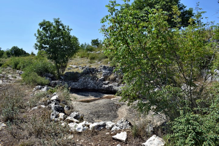
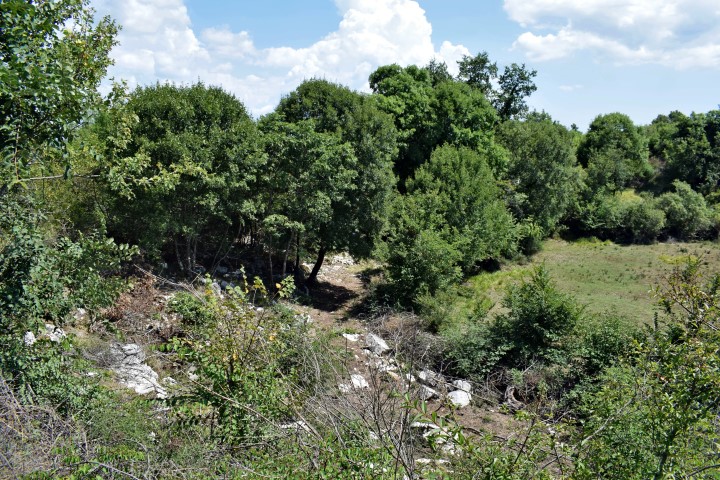
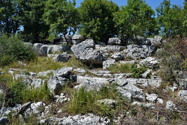
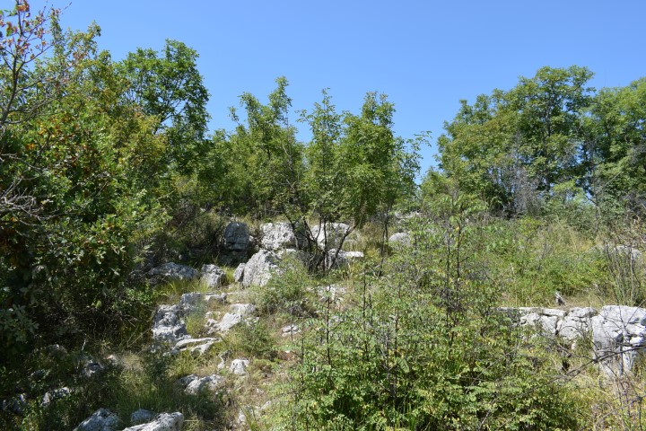
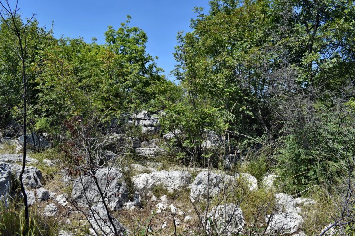
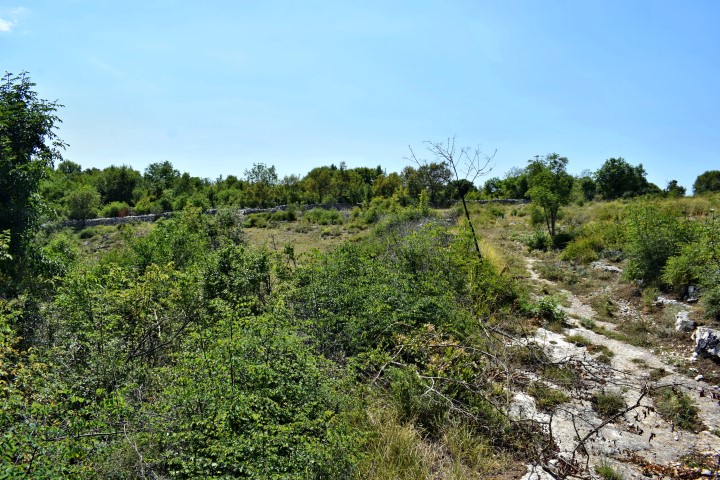
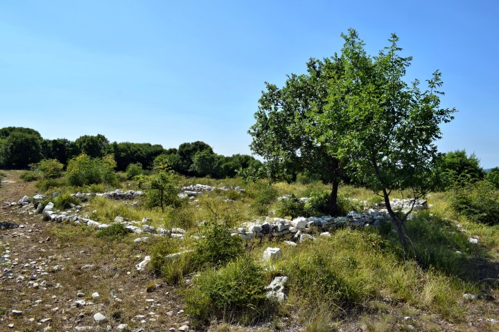
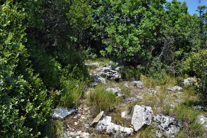
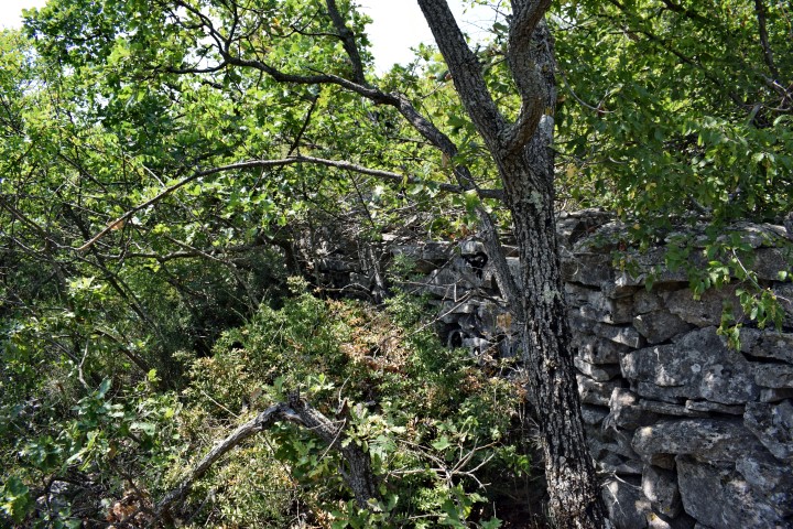
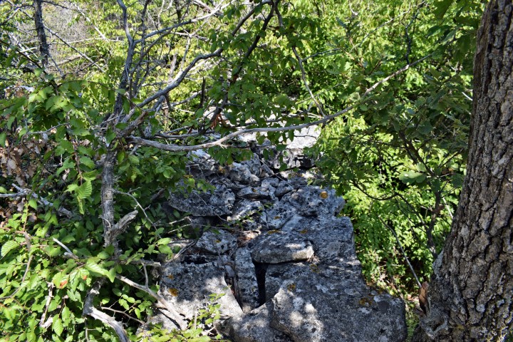
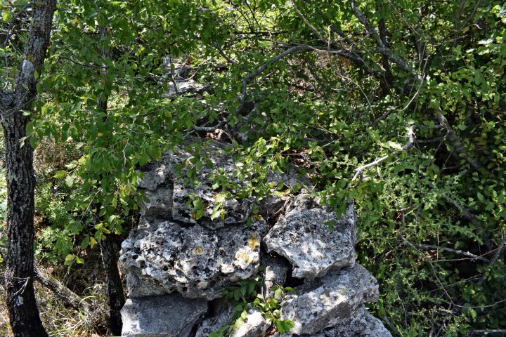
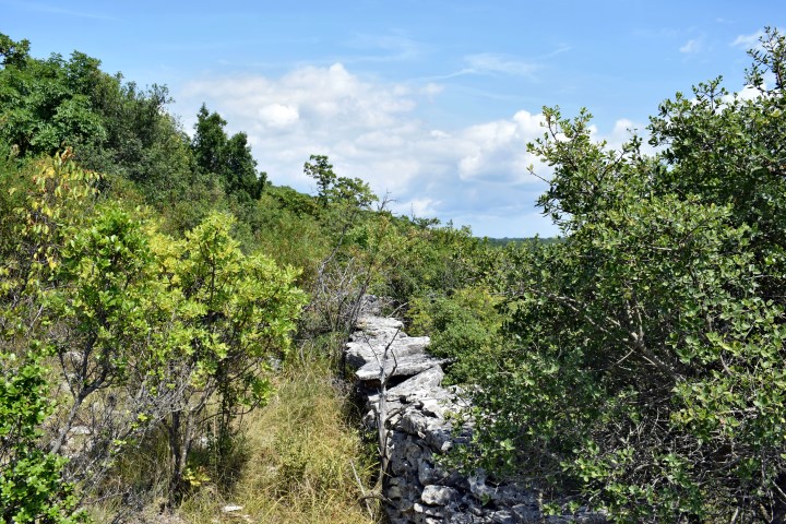
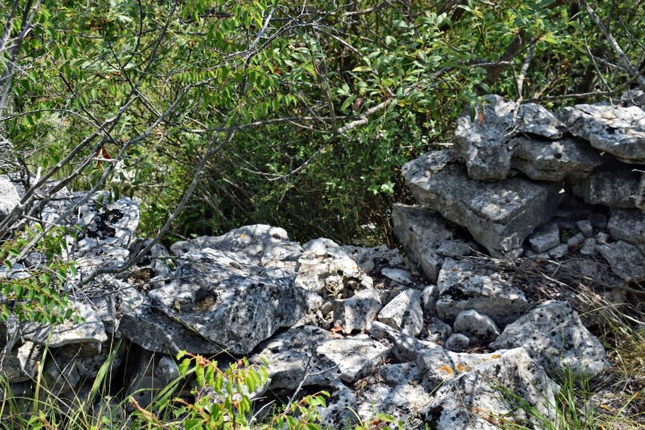
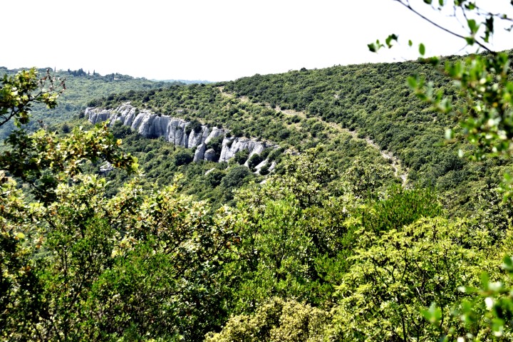
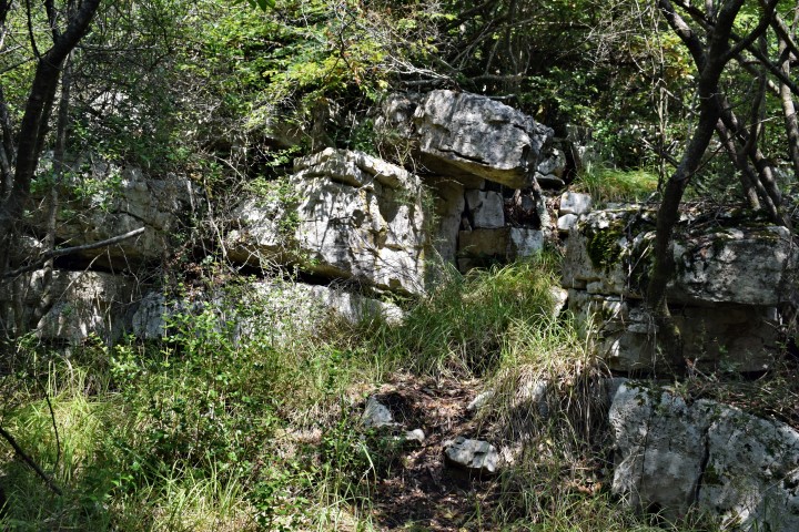
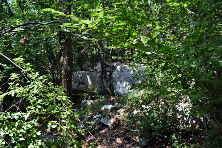
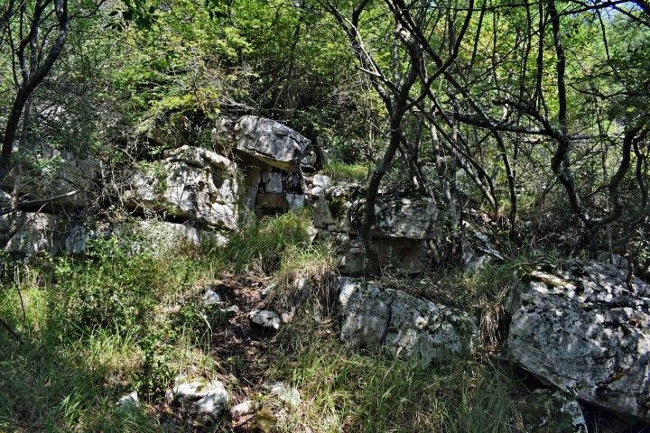
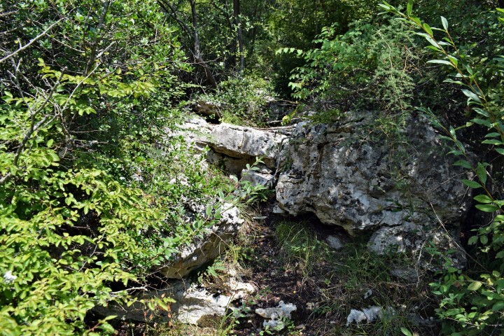
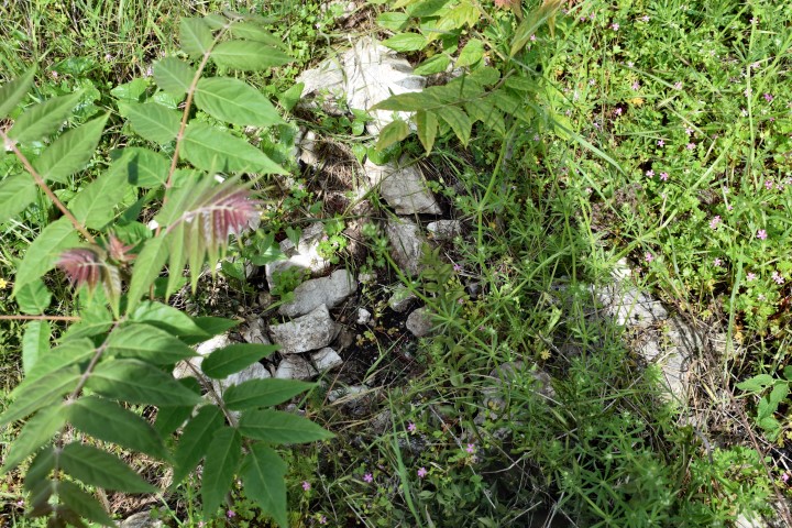
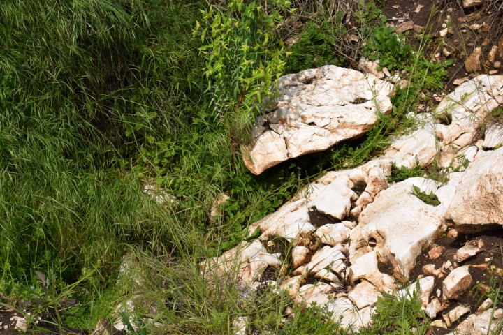
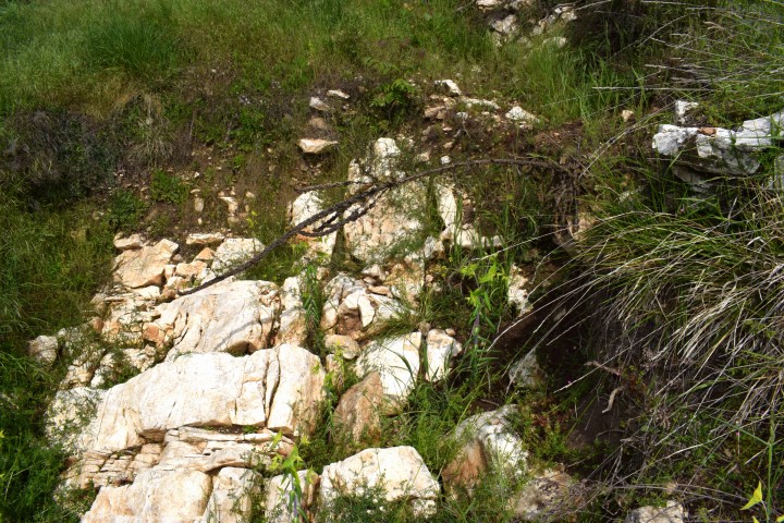
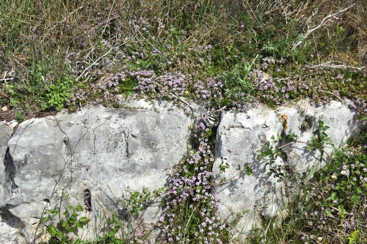
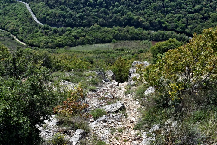
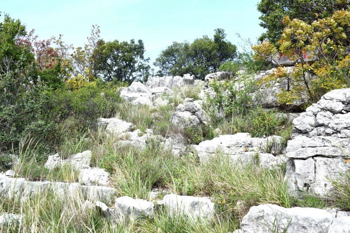
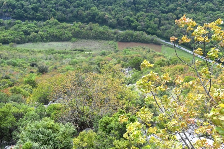
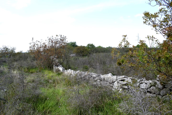
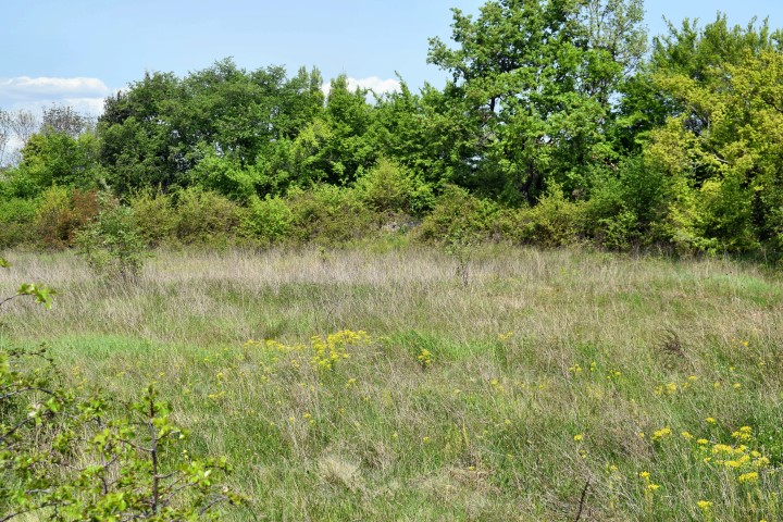
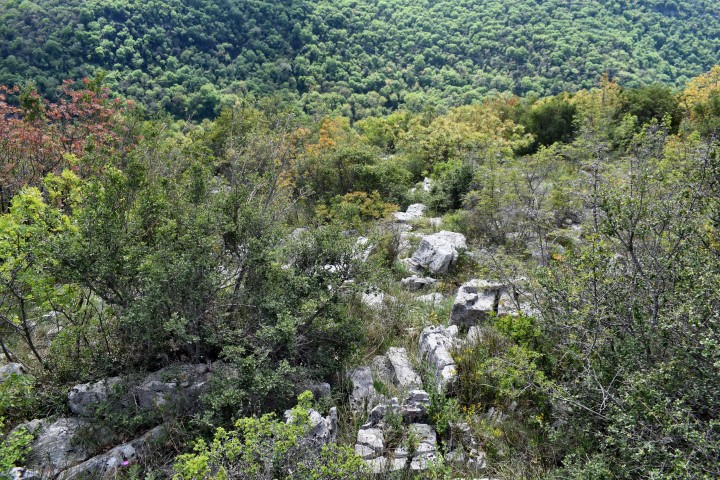
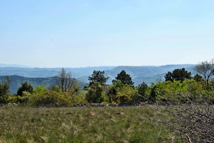
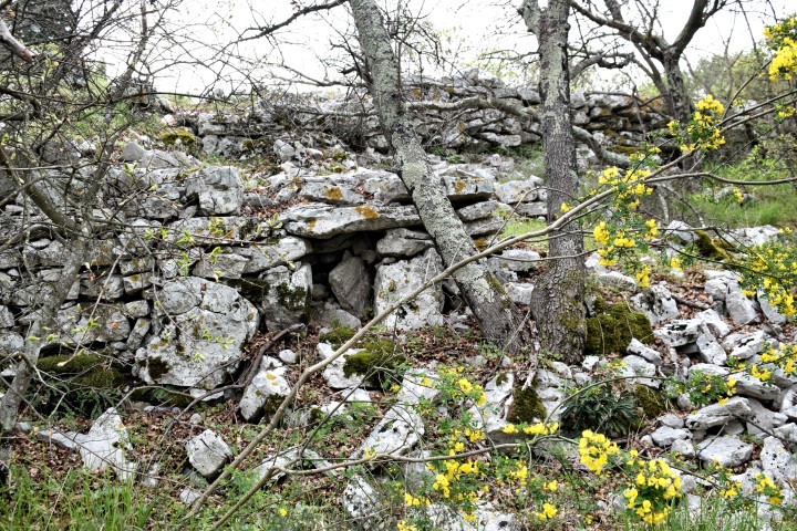
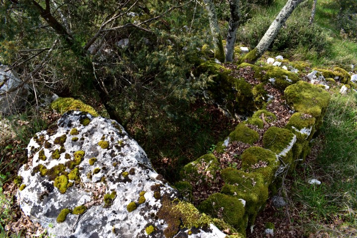
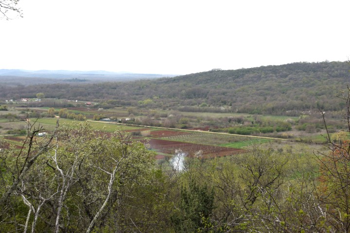
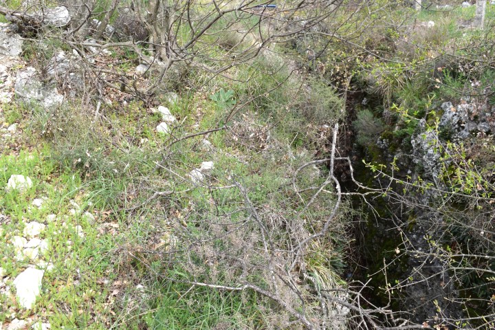
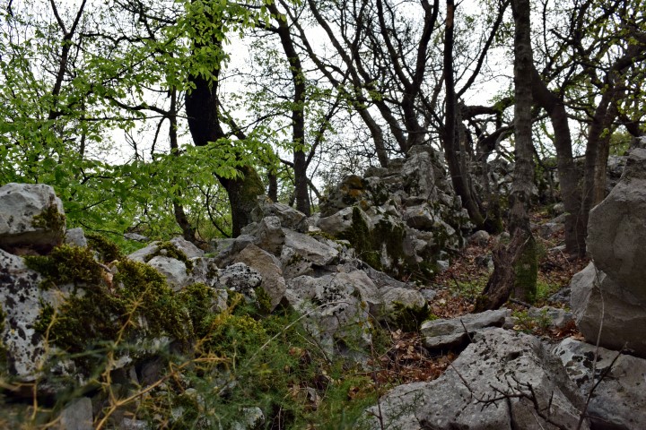
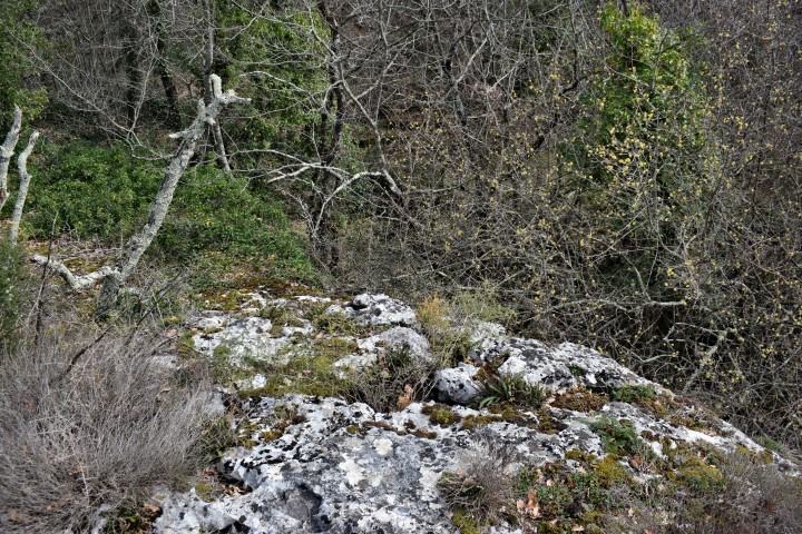
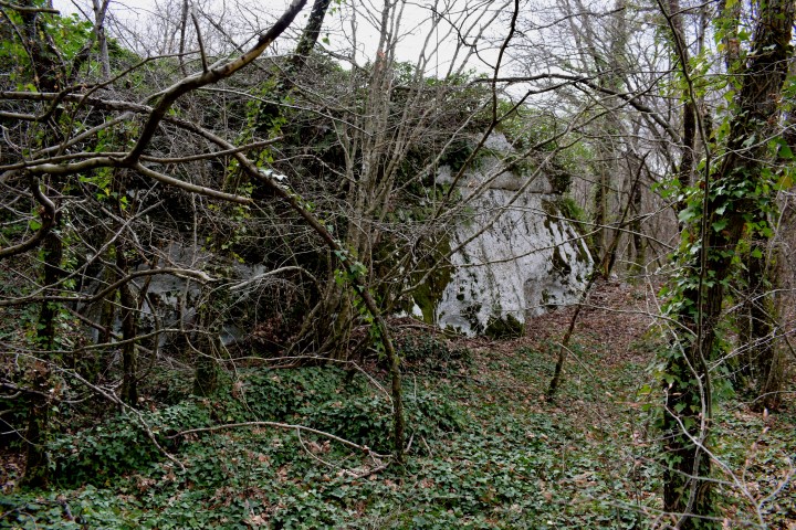
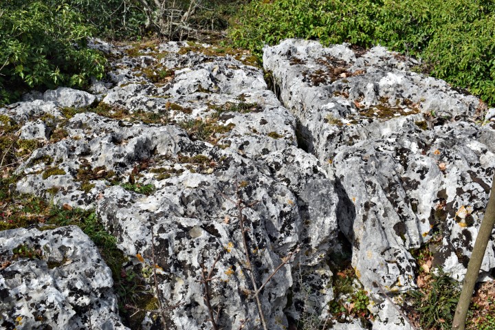
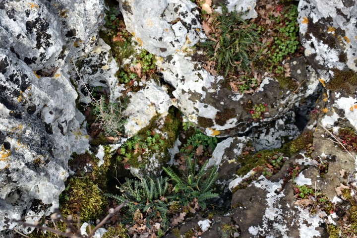
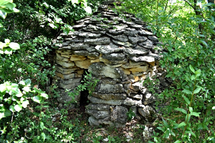
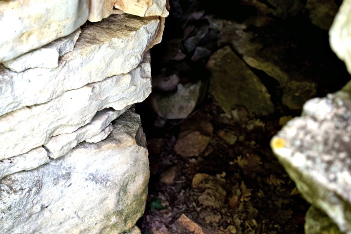
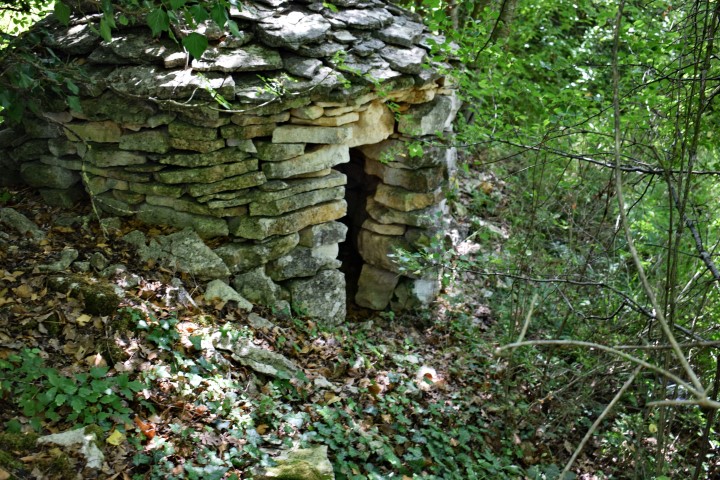
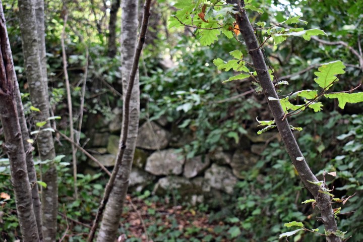
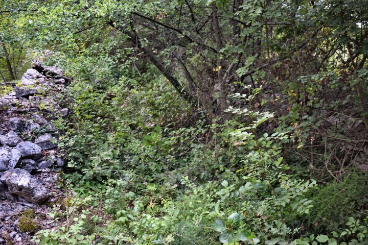
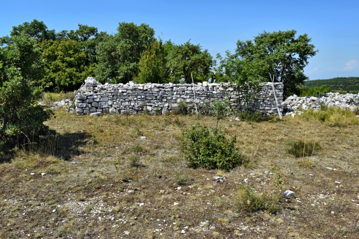
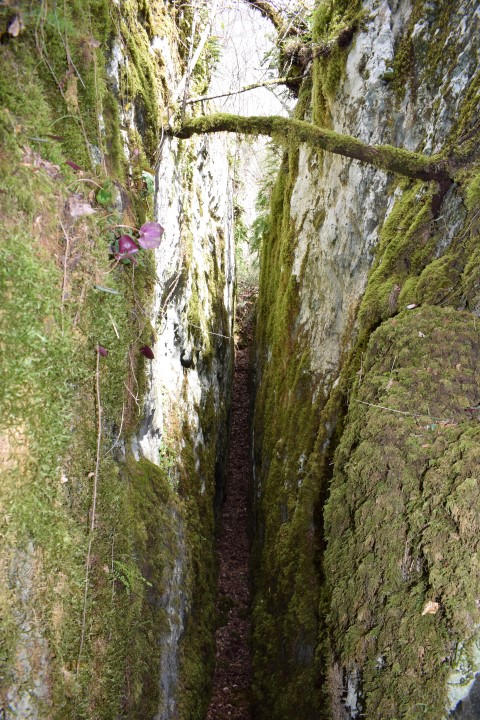
Name: Prehistoric settlement Pištine.
Place: Marići – (Svetvinšenat).
Coordinates: 45.10885 N – 13.8588 E.
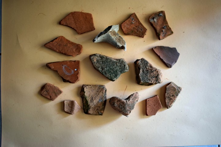
Magarištak was a Prehistoric and later a Roman settlement. This is supported by the discovery of ceramics from the Roman and Prehistoric period.
Name: Margarištak, settlement near Jural.
Place: Near Jural – (Kanfanar).
Coordinates: 45.13525 N – 13.76363 E, altitude 217 m.
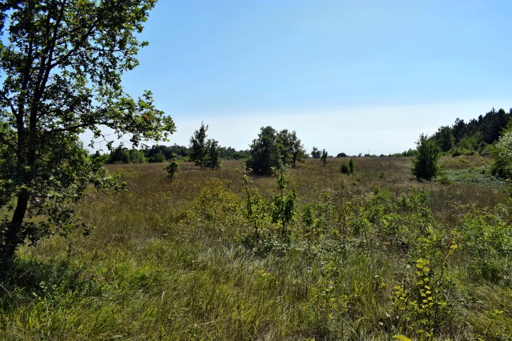
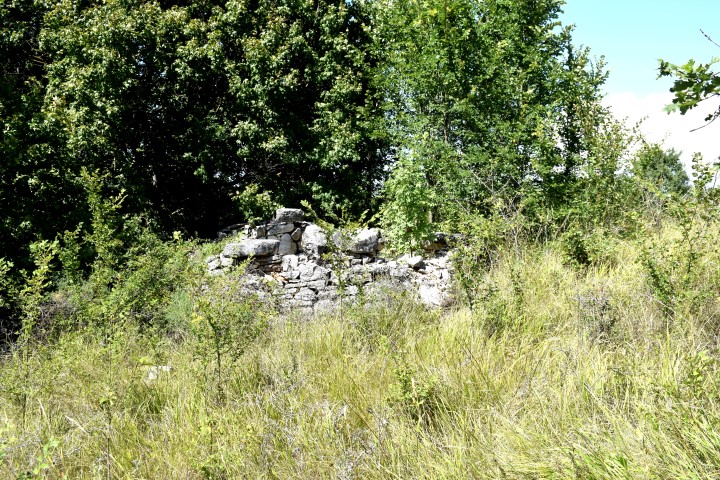
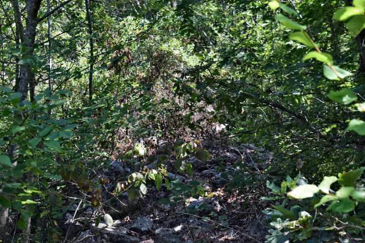
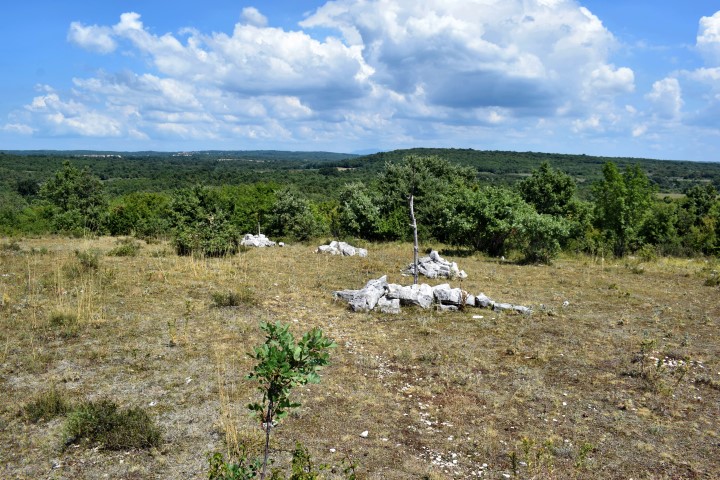
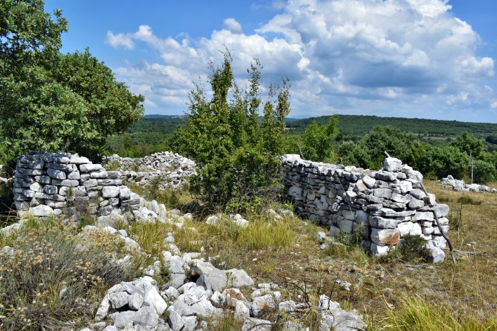
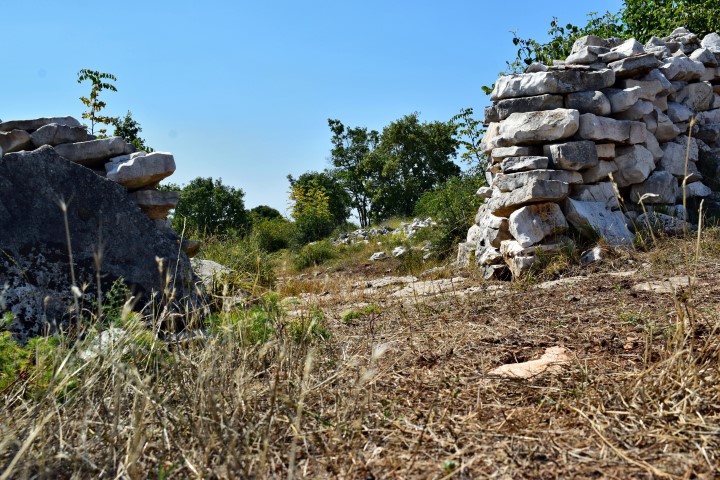
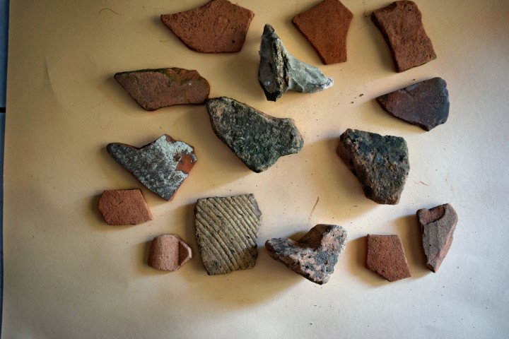
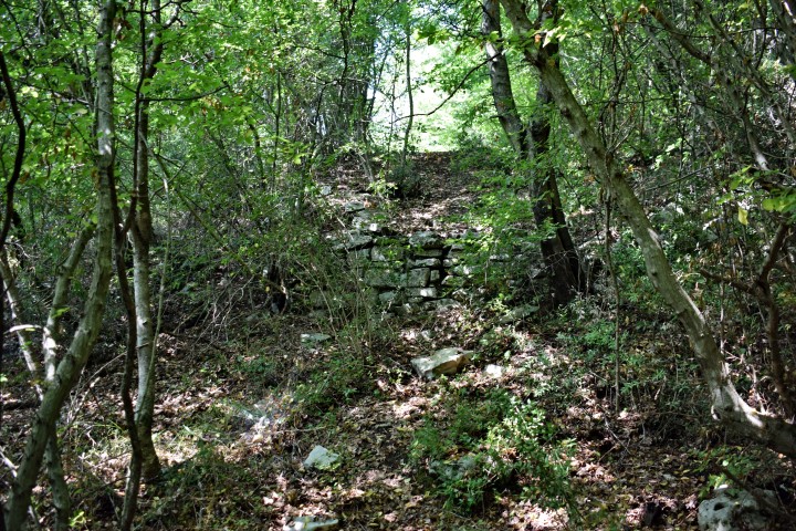
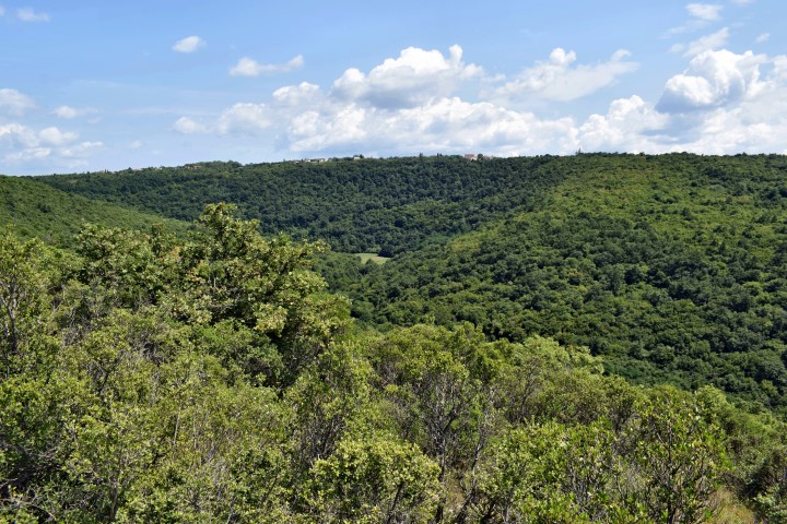
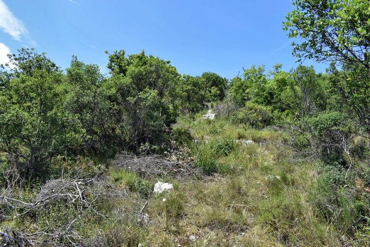
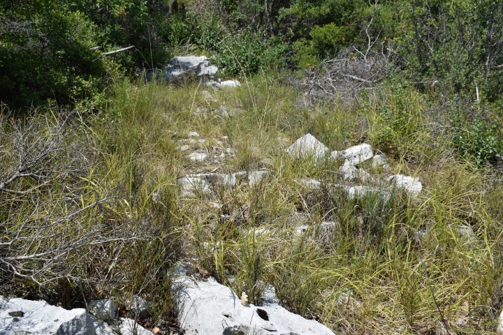
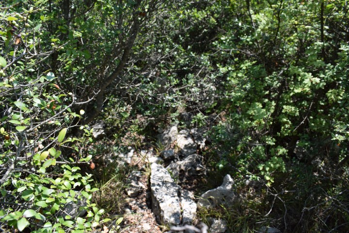
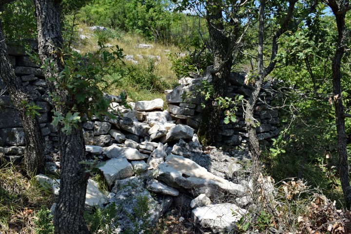
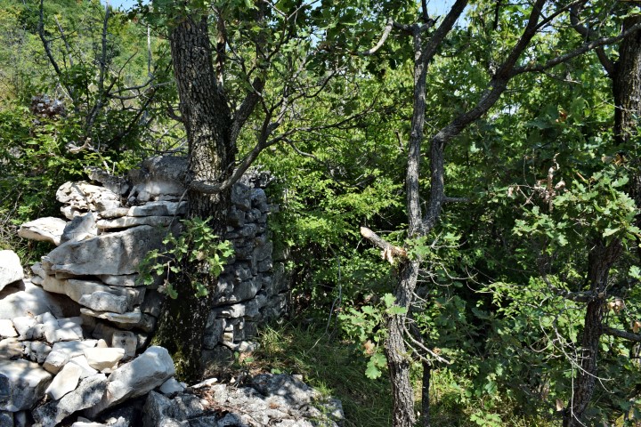
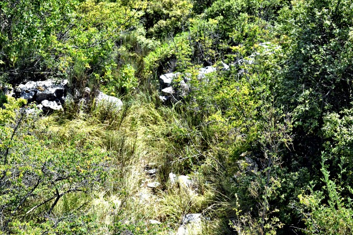
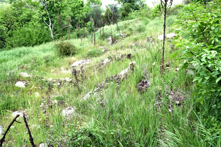
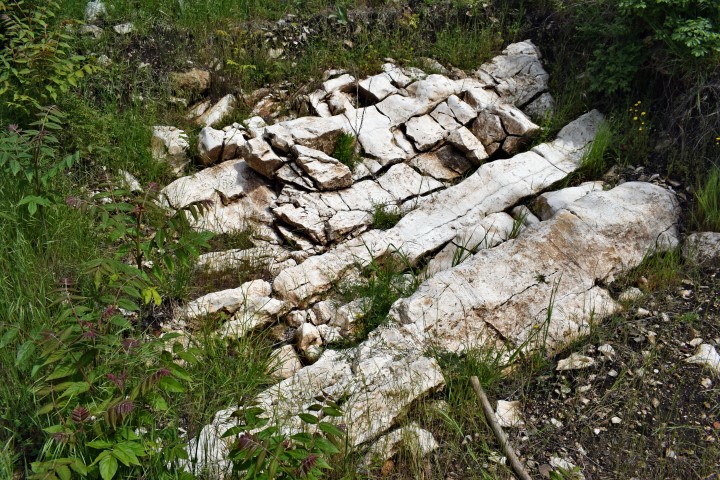
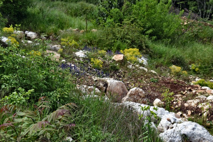
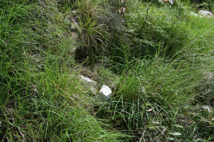
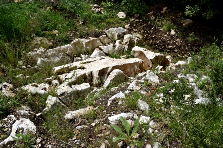
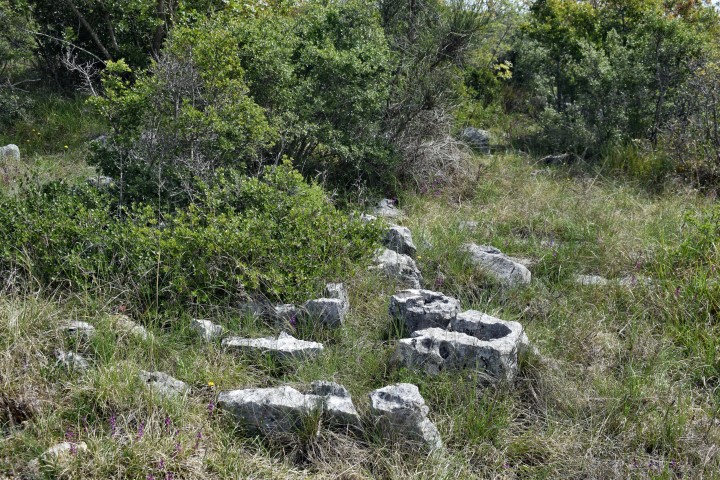
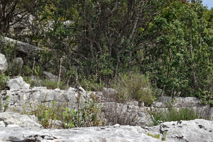
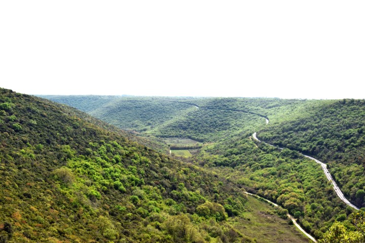
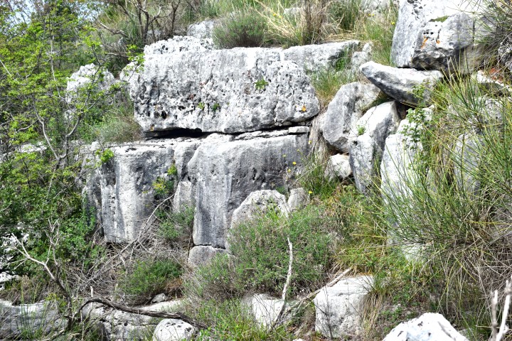
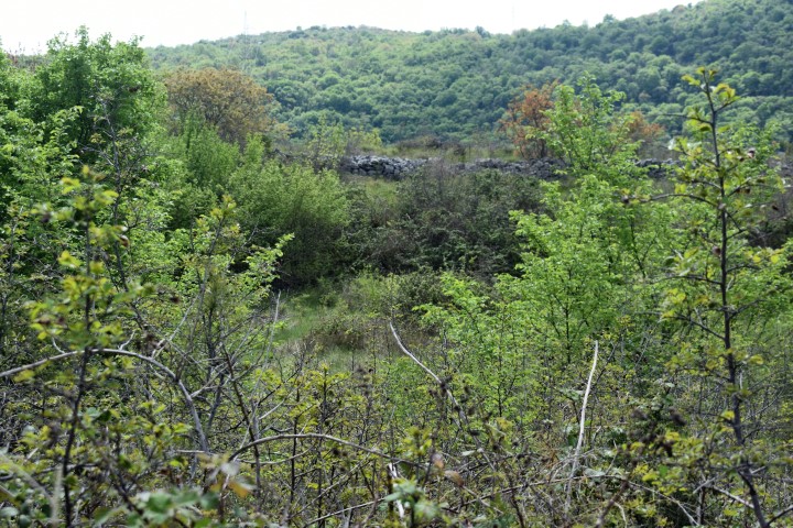
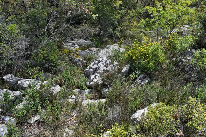
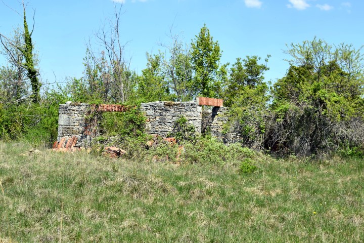
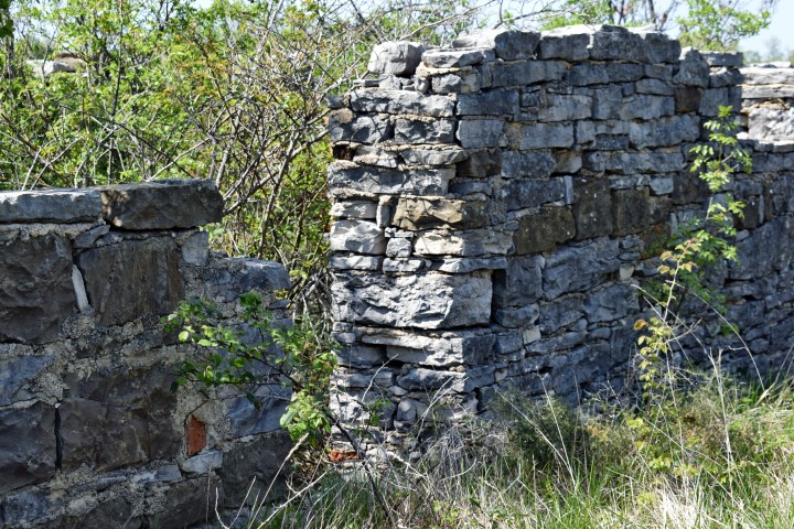
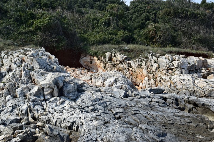
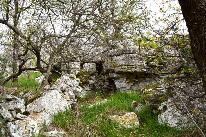
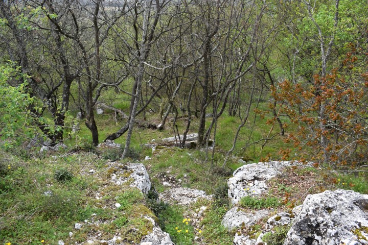
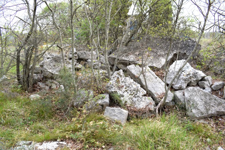
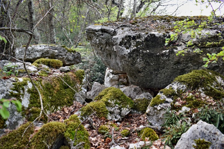
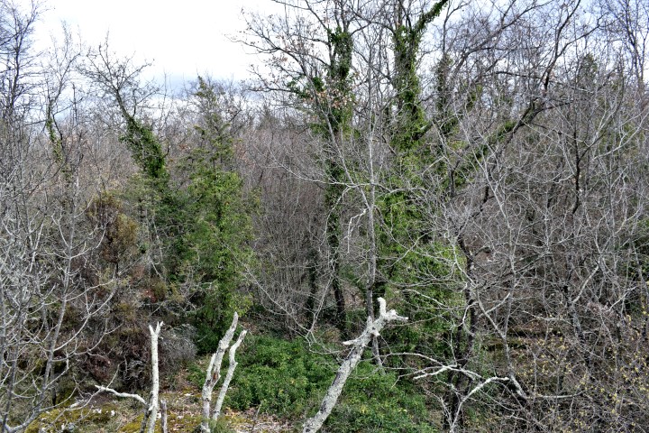
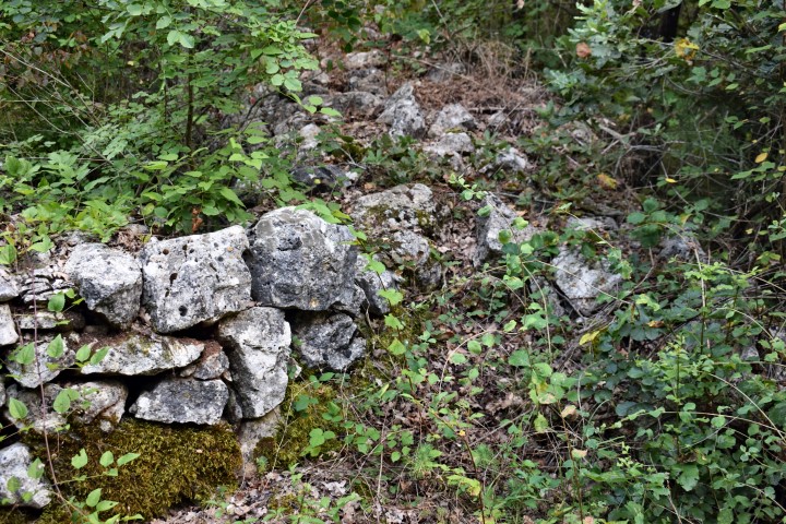
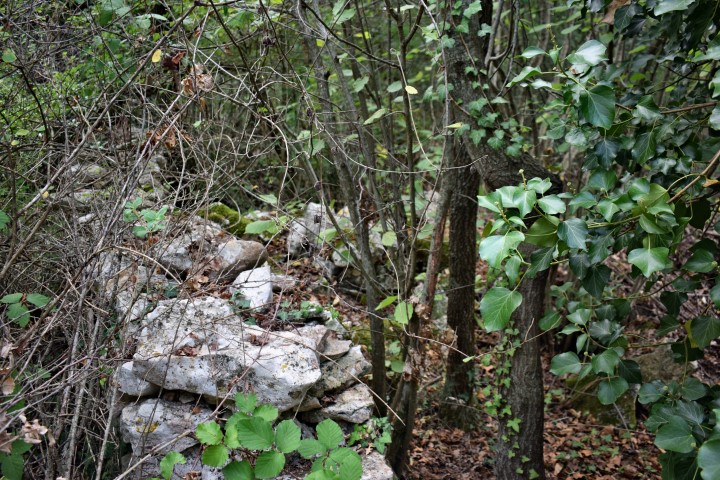
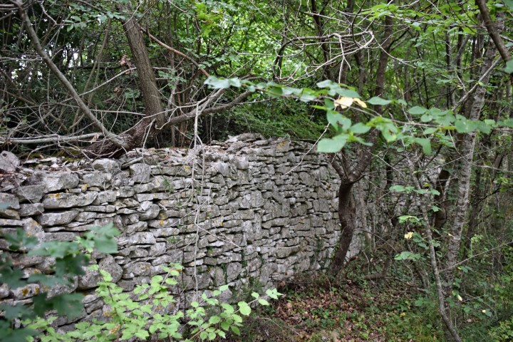
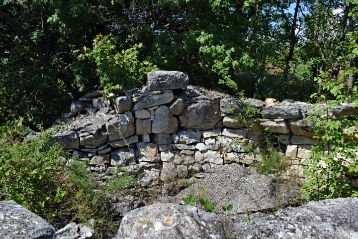
On the the slopes of the Glavica, not far away from Ladići are the remains of prehistoric walls and are found fragments of ceramic pots, probably from the Bronze Age. The presence of stone clusters could indicate the presence of tumulus.

Name: Prehistoric settlement on the slope of the Glavica.
Place: Ladići – (Kanfanar).
Coordinates trail:
start: 45.13695 N – 13.82502 E, 45.13569 N – 13.82522. E, 45.13314 N – 13.82488 E, 45.13279 N – 13.82575 E, 45.13213 N – 13.82510 E, End 45.13144 N – 13.82648 E
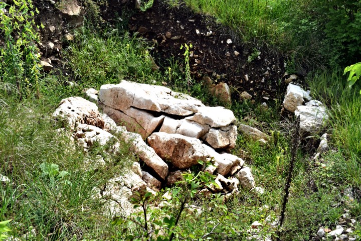
On the West side of the hill near Kaštel, within a walled terrace, has been discovered 24 graves from the Iron Age (5th and early 4th century BC). In the graves and crevasses the urns with ash and other objects of exceptional archaeological value. They found earrings, rings, pins, bracelets and buckles. The graves were protected by stone plates.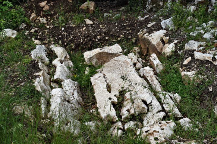
Name: Necropolis Kaštel
Place: Kaštel – (Buje).
Coordinates: 45.45068 N – 13.65187 E.
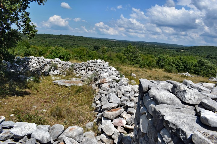
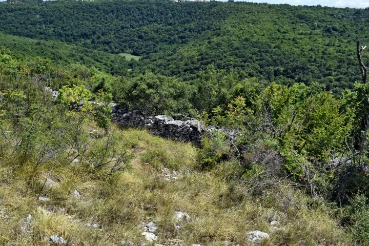
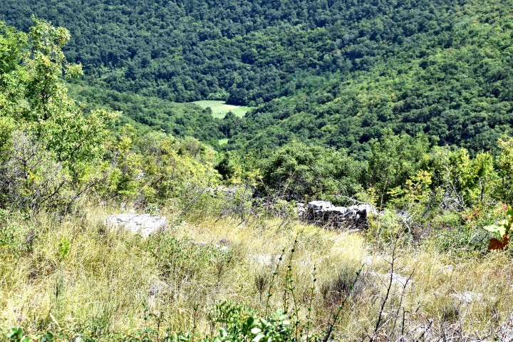
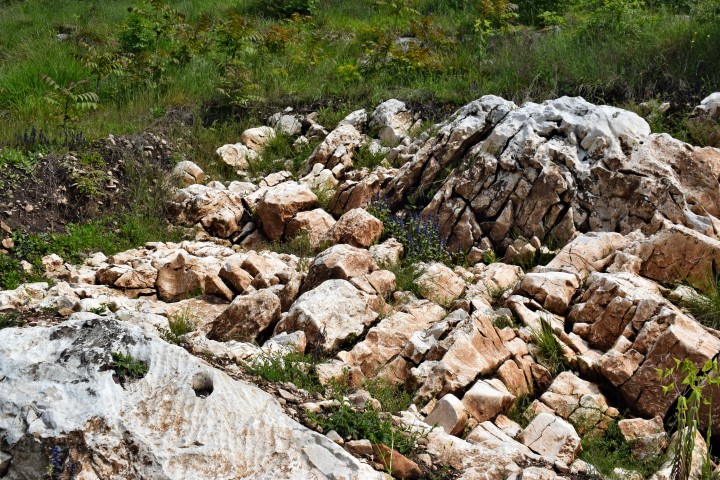
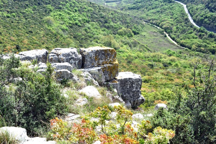
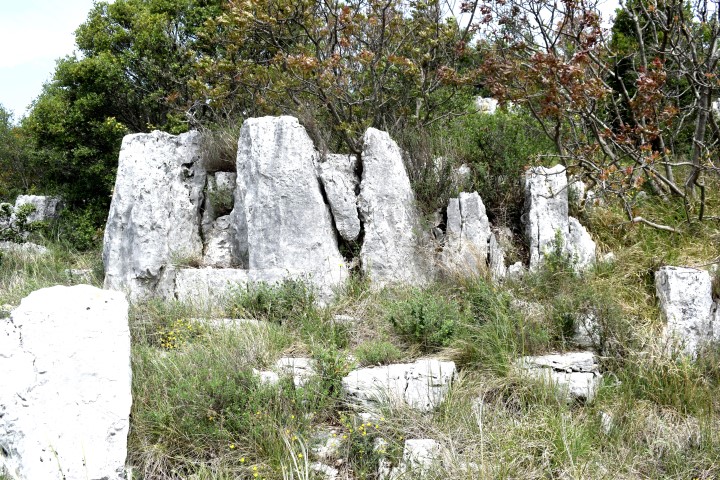
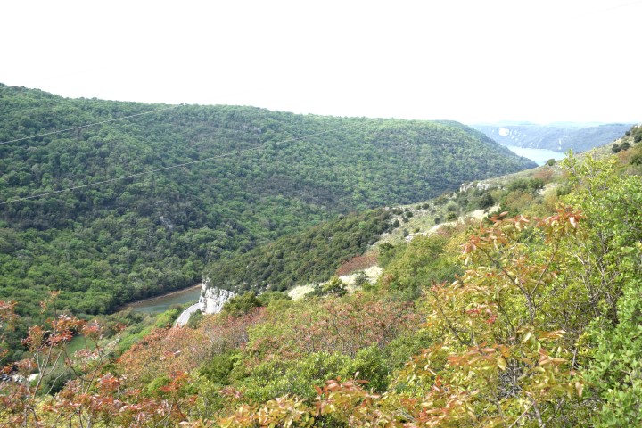
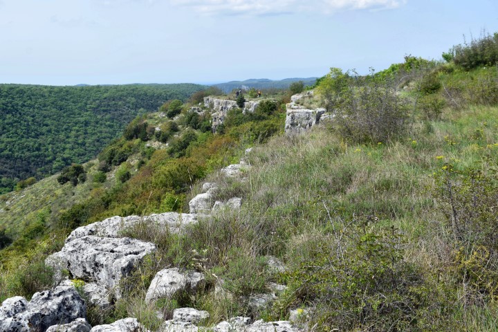
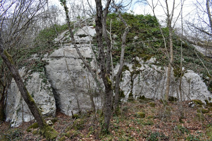
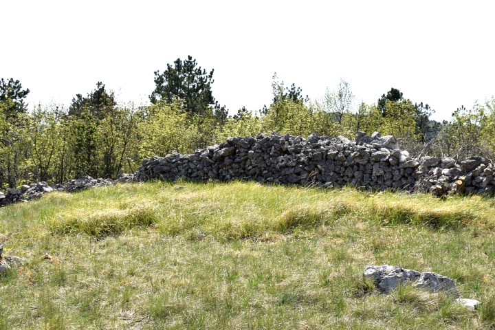
This hillfort is from the Early Iron period (1250 BC – 500 AC). The necropolis was extensively researched in the second half of the 20th century. Various graves were discovered, which with the form of vessels and pottery give a good impression over time.

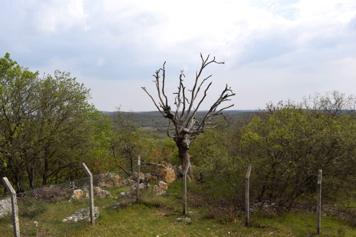
Name: Limska Gradina hillfort (158m).
Place: Near Jural – (Kanfanar).
Coordinates: 45.13175 N – 13.745037 E
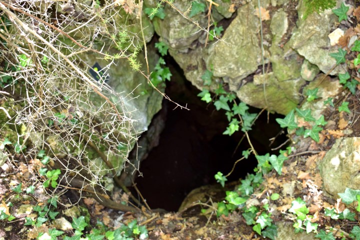
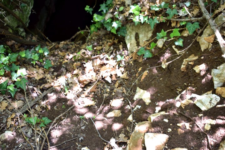
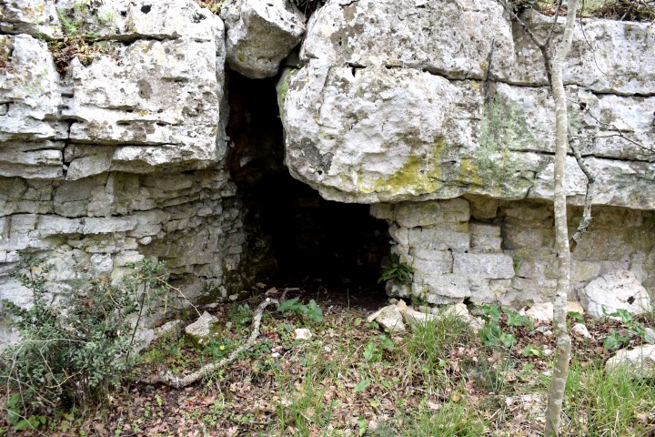
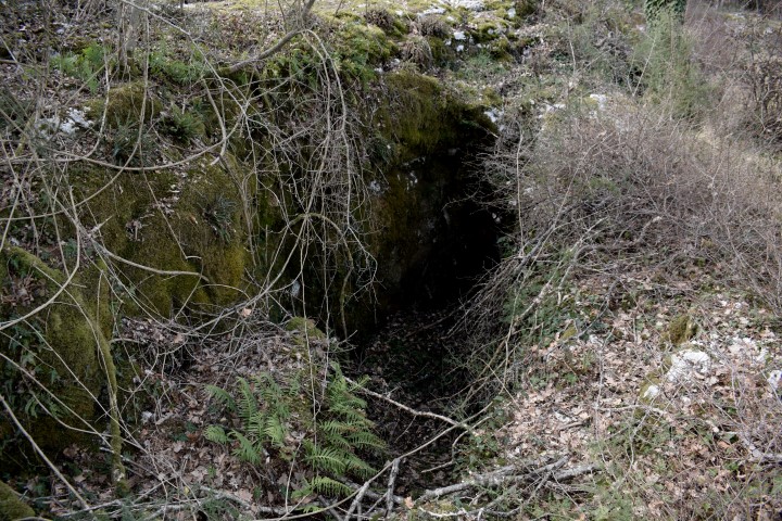
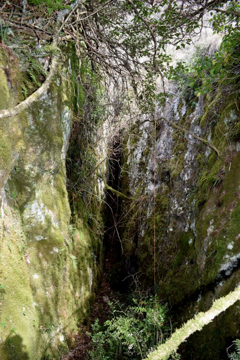
Name: Archaeological site (in research) with a small pit cave.
Place: Near Segalisi – (Oprtalj).
Coordinates:45.38867 N – 13.84503
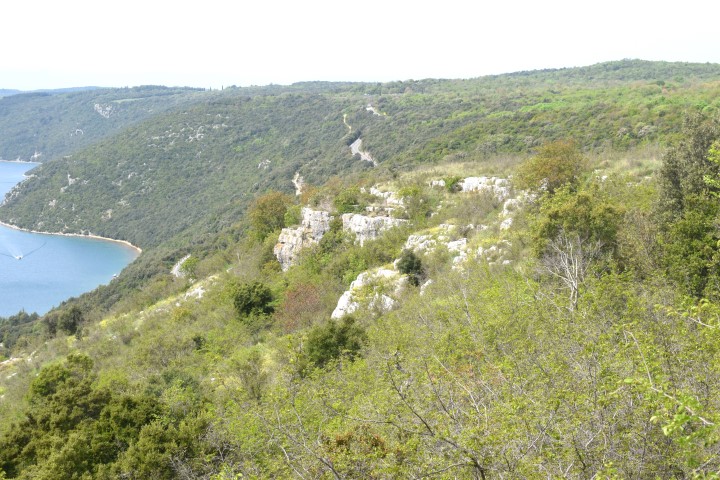
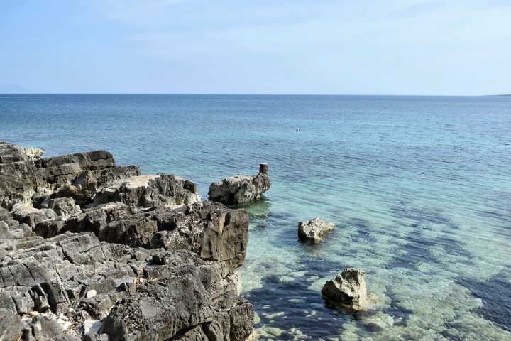
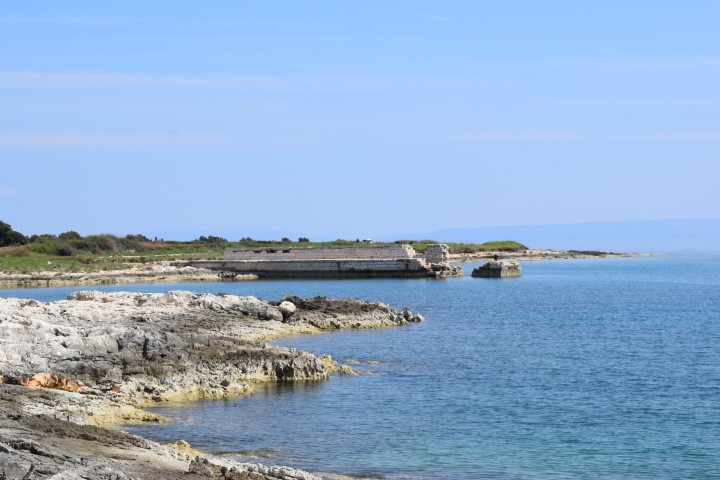
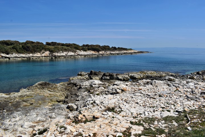
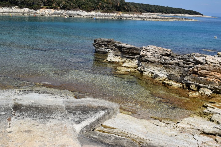
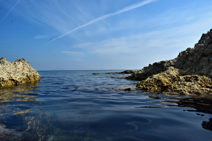
Near the Kuje Bay was a village Kargadur that was already inhabited in prehistory (7000 BC.).
The site of the current church (Church of our Lady of Kuje) was a Roman Villa with thermal baths and floor mosaics.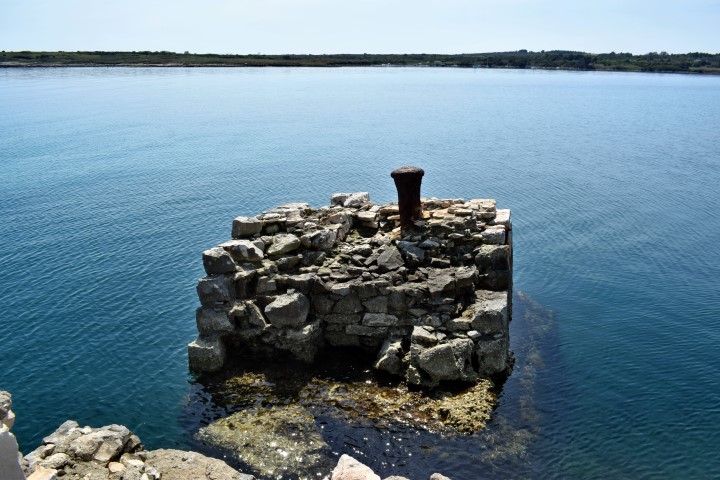
Name: Coast from Bay Kuje to Uvula Kale.
Place: Sišan – Liznjan.
Coordinates: From 44.82071 N – 13.97113 E to 44.85345 N – 13.98073 E.
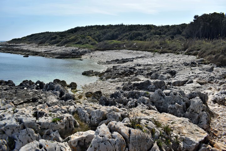
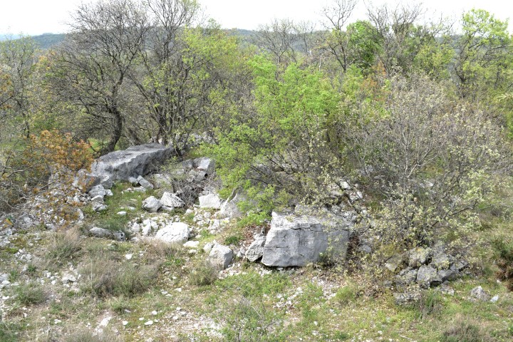
On the top of the Karaštak is a prehistoric hillfort from the metal period (2000 BCE -1 BCE).

Name: Prehistoric hillfort Karaštak.
Place: Near Putini – (Kanfanar).
Coordinates: 45.11096 N – 13.73602 E.
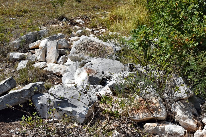
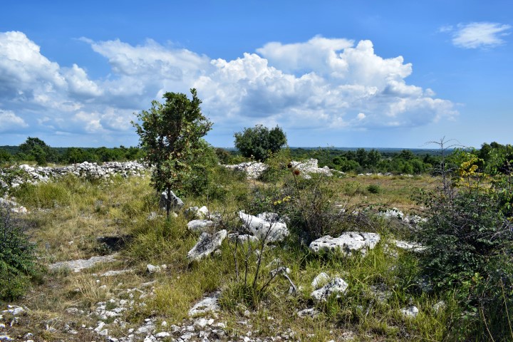
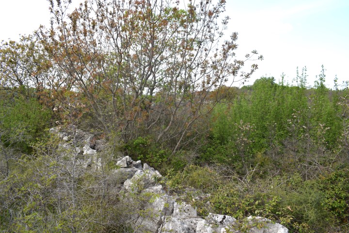
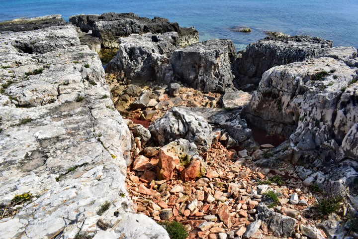
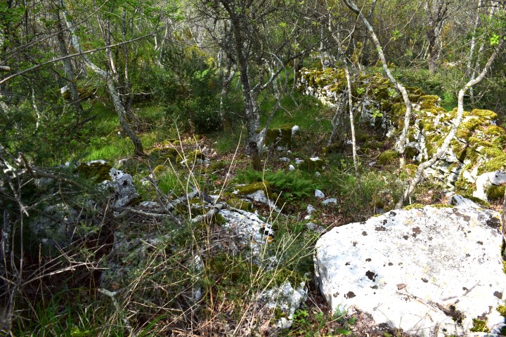
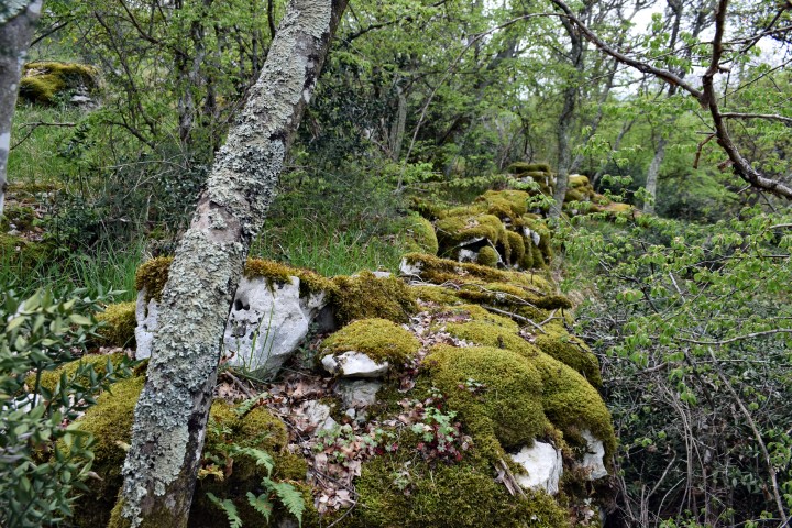
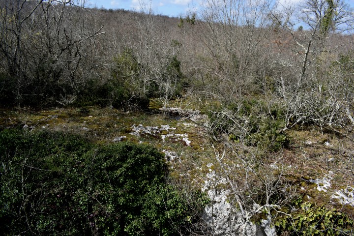
On the slopes above the village Korenići are also find prehistoric tumuli and remnants of crusted remains of neolithic (last stage of Stone Age) and eneolithic (time between Neolithic and Bronze Age) origin.
Name: Geomorphological Nature park II.
Place: Korenići – Cervari _ (Kanfanar).
Coordinates: 45.13599 N – 1379581 E