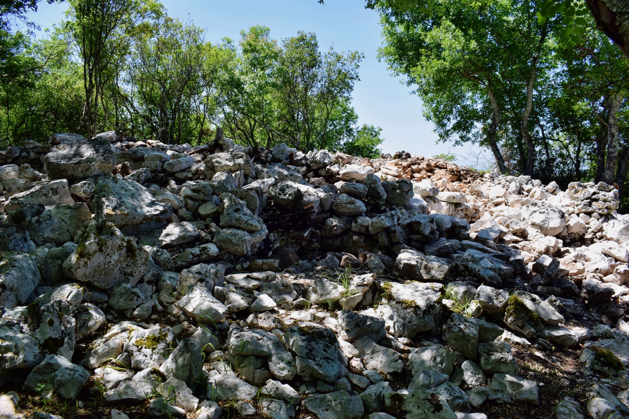
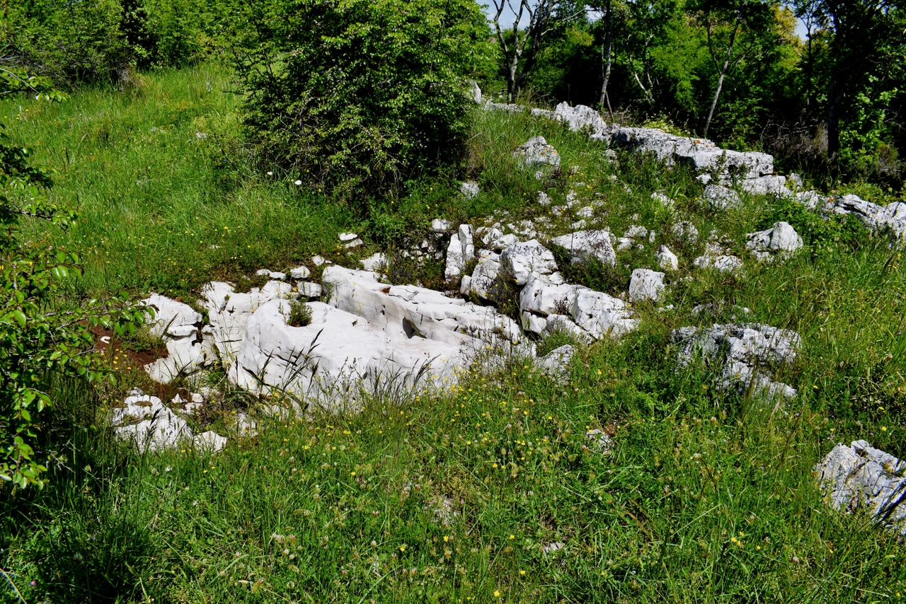
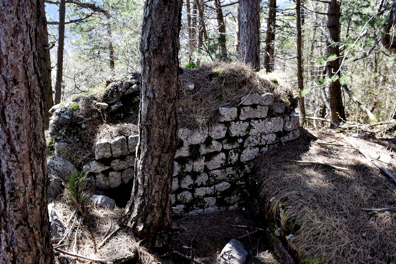
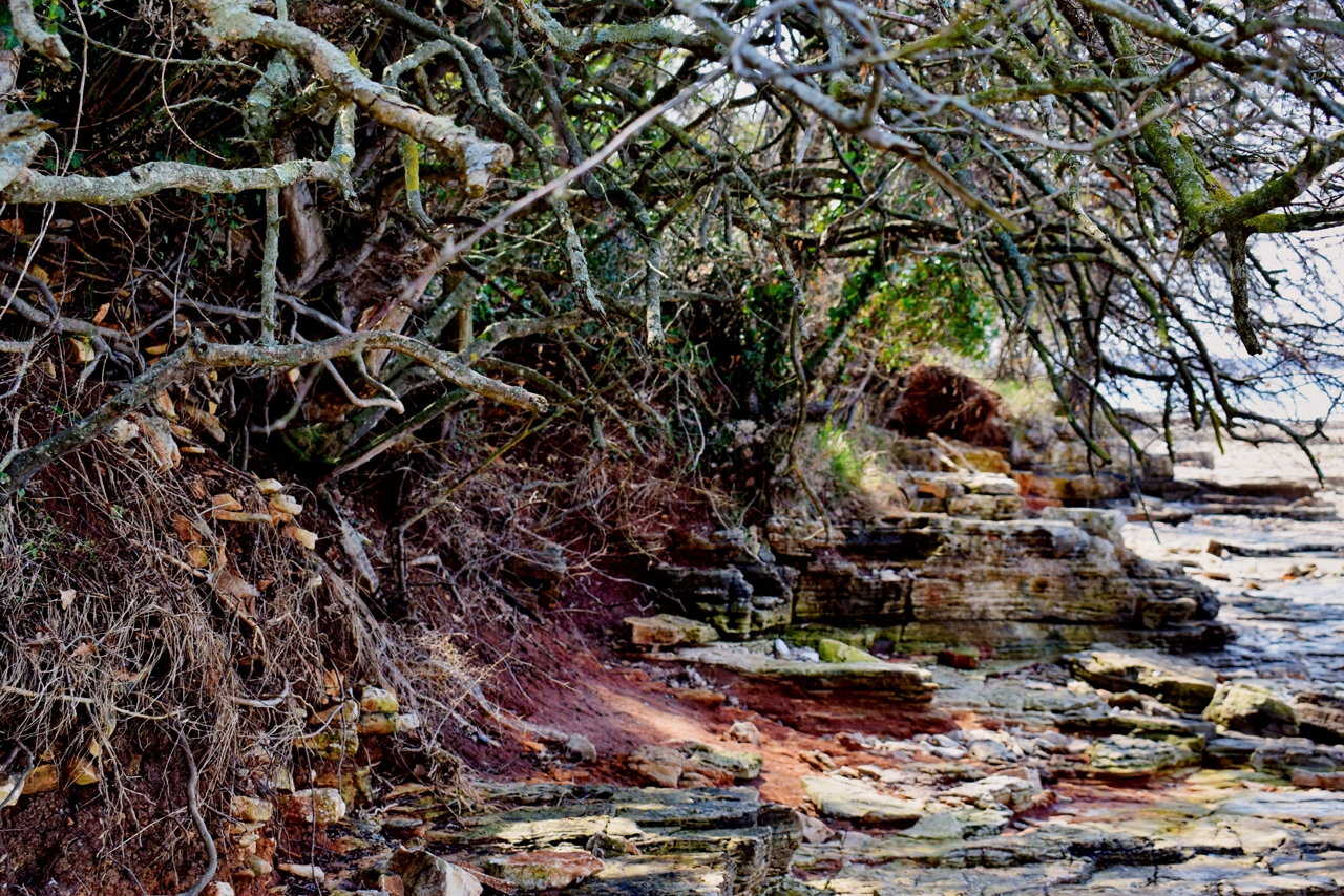
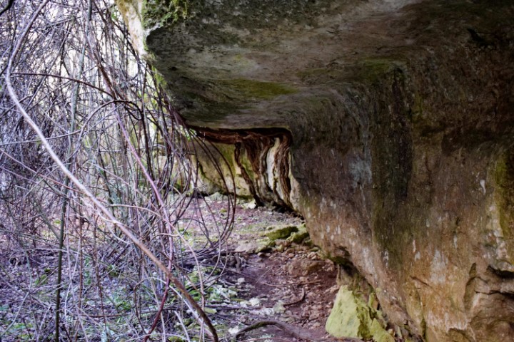
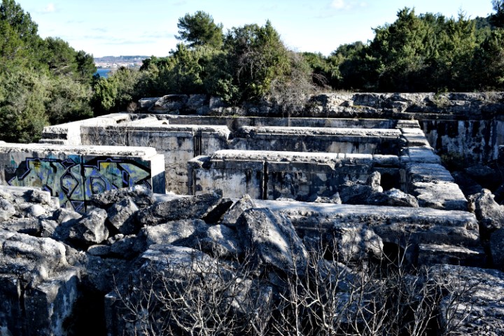
Name: Hillfort Glavica from the Bronze Age.
Place: Kloštar – (Vrsar).
Coordinates: 45.14646 N – 13.71 E.
Name: Hillfort Glavica from the Bronze Age.
Place: Kloštar – (Vrsar).
Coordinates: 45.14646 N – 13.71 E.
2021-04-30
2020-04-18
2019-10-11
Name: Tumulus Milovići.
Place: Near Marasi – Vrsar.
Coordinates: 45.16199 N – 13.69389.
Archaeological research started here in 2021.
The name of the church in Rašpor is the St. Helena.
See also the former post 2018-08-02.
Name: Trail Rašpor to Rašpor castle.
Place: Rašpor – (Lanišće).
Coordinates: Start Rašpor 45.39165 N – 14.10546 E, Rašpor castle 45.4437 N -14.08107 E.
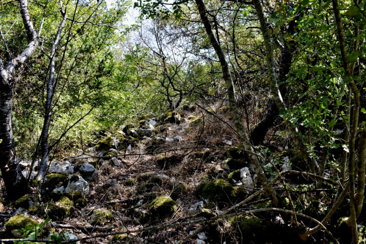
This trail from the village Mošćnička-Draga through a deep gorge to the hamlets of Potoki and Trebišća – Perun. A path of special significance because, after Roman rule, the first Slavic colonialists settled here, but also the area for beliefs and myhical events on which the life cycle is based. The inhabitants engaged in agriculture and animal husbandry as well as other artisanal practices until the mid-20th century when many villages were burned in the Učka Mountains during the 2nd World War. The now abandoned hamlet of Trebišca, which lies in a deep gorge devoid of sunlight for four winter months, has been the actual mythical place of the Slavs, which is reflected in the name of “sacrifice”. The boundary between two worlds and the place of conflict between the gods Perun (the god of thunder and lightning) and the serpent Veles (the god of the earth, the water and the underworld). The water mill is located on the Potok stream and originates from the Middle Ages and is now restored.
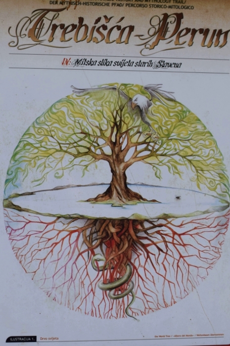
Name: Trail from Mošćenička – Draga to the hamlets Potoki and Trebiška -Perun.
Places: Potoki – Trebiška – Perun – (Mošćenička).
Coordinates: Mošćaenička – Draga 45.24093 N – 14.24968 E, Potoki 45,25223 N – 14.22626 E, Trebiška – Perun 45.25519 N -14.27316 E.
With on the coast the remains of roman villa rustica and large complexes for the production of ceramics (amphorae), wine and olive oil.
See also the posts dated: 2020-06-09, 2018-07-20, 2017-03-14 and 2014-12-04.
Name: Walking path Červar-Porat along the Lunga and the Santa Marina bay.
Place: Červar-Porat – (Poreč).
Coordinates: from 45.27455 N – 13.60369 E to 45.28620 N – 13.60527 E.
See too the former posts from 2019-10-31 and 2020-06-03.
Name: Prehistoric settlement Škrače (III).
Place: Near Korenići – (Kanfanar).
Coordinates: 45. 13620 N – 13.79826 E.
This part of the peninsula is located over a length of 3.5 km between the villages of Prementura and Volme and is bordered on the north side by the bay of Medulin.This nature protected area has many special features such as a prehistoric settlement – a Gradina – from the Bronze Age, and a cave that was inhabited not only in the Bronze Age but also in the Middle Ages. Military facilities such as pillboxes and an artillery battery near Gomila hill. This as part of the Austo-Hungarian defense system in the early 19th century to defend the marina port of Pula. The presence of limestone rocks with bivalve molluscs (rudists). There is also a path over Upper Kamenjak with Stations of the Cross built in 2013.
Name: Upper Kamenjak – Monte Kope.
Place: Prementura – (Medulin).
Coordinates: Start 44.8o676 N – 13.90818 E to 44.81419 N – 13.87769 E.
Name: Ethnological and archaeological park Vodnjan.
Place: Vodnjan
Coordinates: Kazun Santolina 44.99434 N – 13.82328 E, Crossroad “Crossera de Strupa de Lion” 44.98642 N – 13.81858 E, Church St. Thomas 44.98677 N – 13.82321 E.
Name: Cisterna – Villa Rustica Visan near Fažana.
Place: Fažana.
Coordinates: 44.93814 N – 13.83346 E.
In 2005 archaeologists discovered a Villa Rustica on site of a gas pipeline to be constructed. The built-up area was approximately 400 m2 and U-shaped, with a courtyard inside.
Archaeological research and findings have shown that not only food was produced here for own use, but also wine and olive oil for the market.
Name: Villa Rustica near Krvaviči.
Place: Krvavici – (Marčana).
Coordinates: 44.97622 N – 13.92178 E.