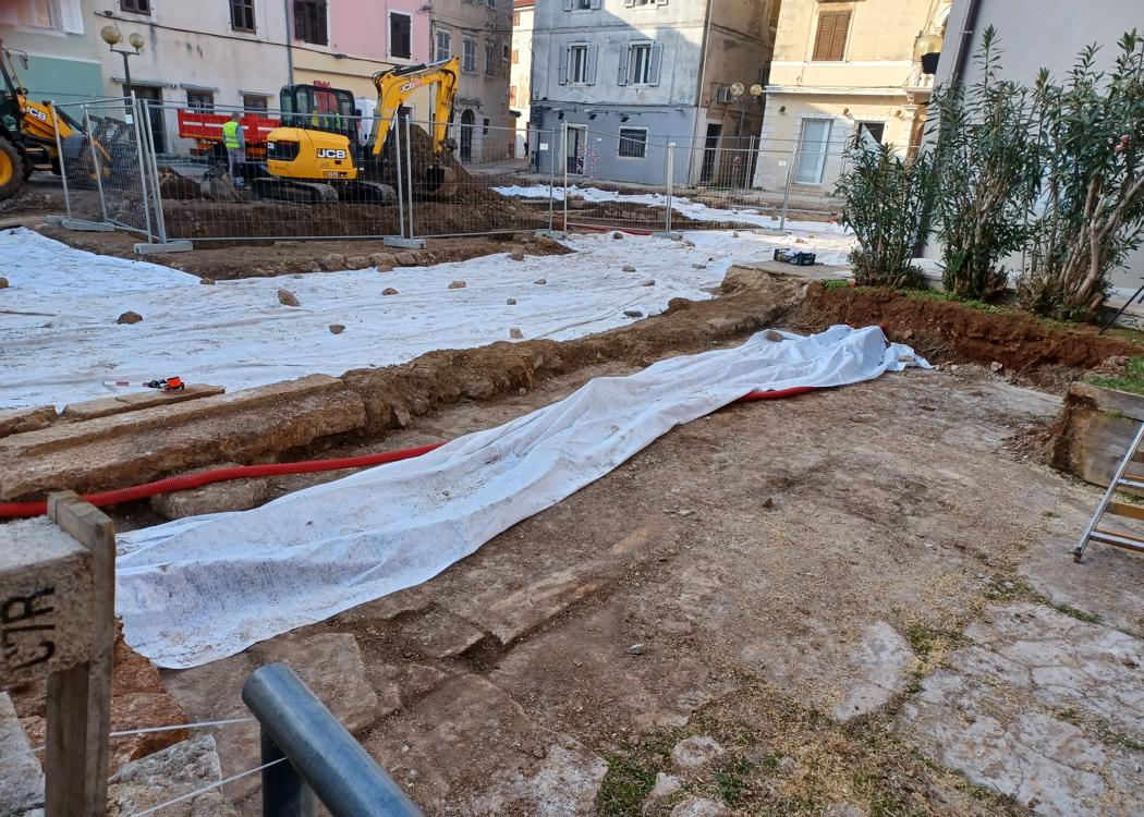
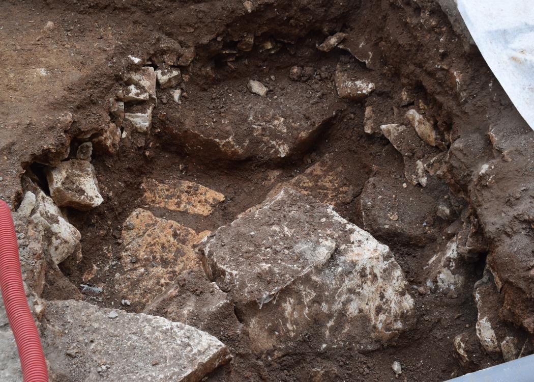
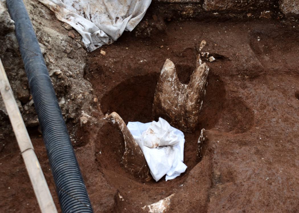
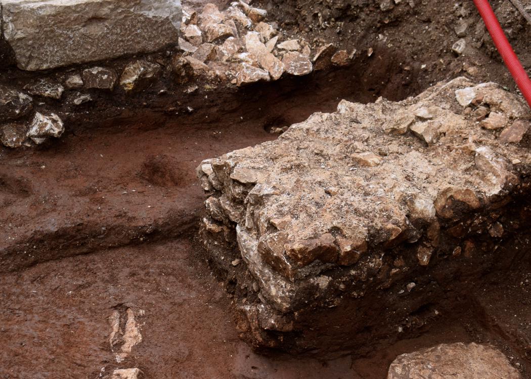
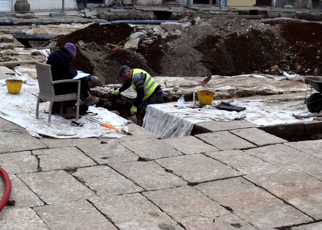
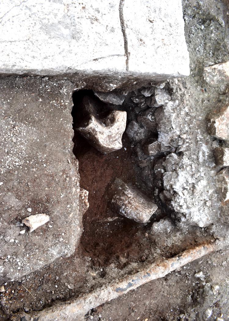
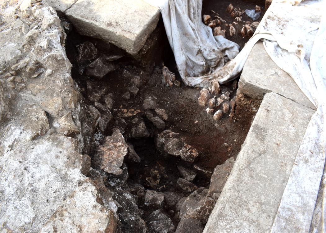
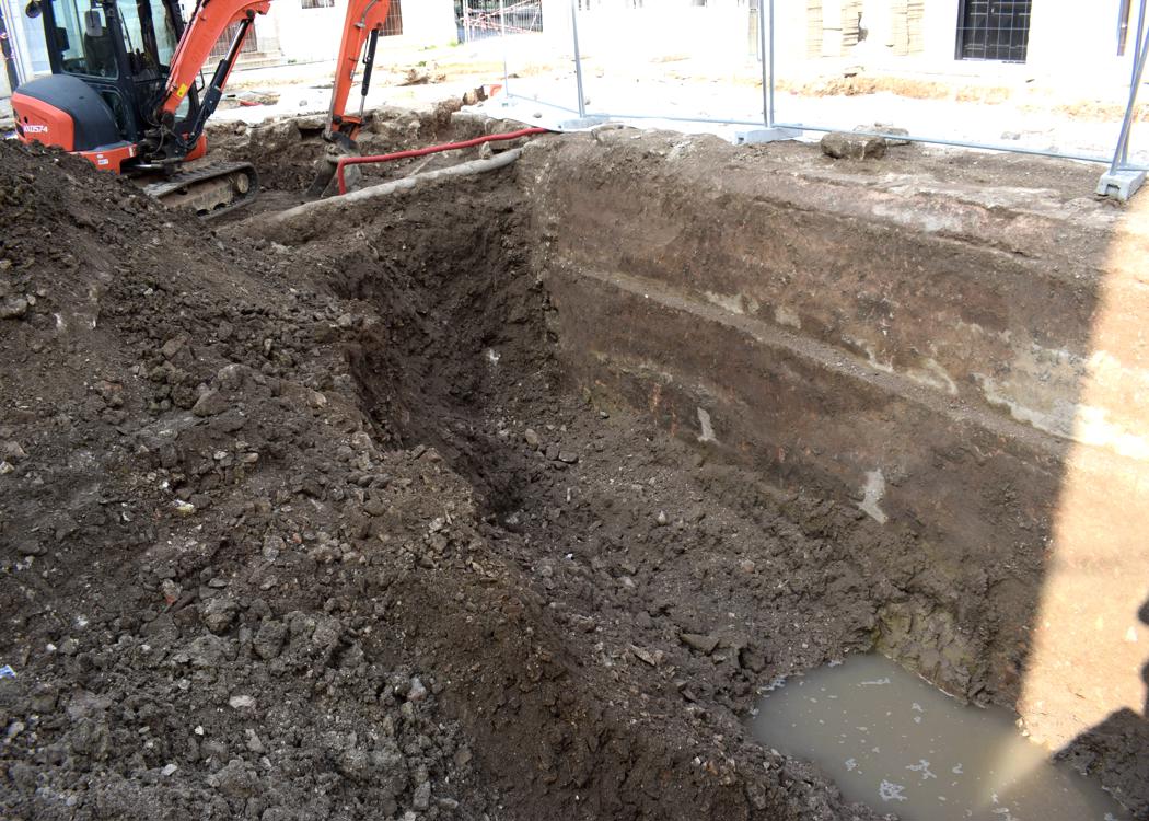
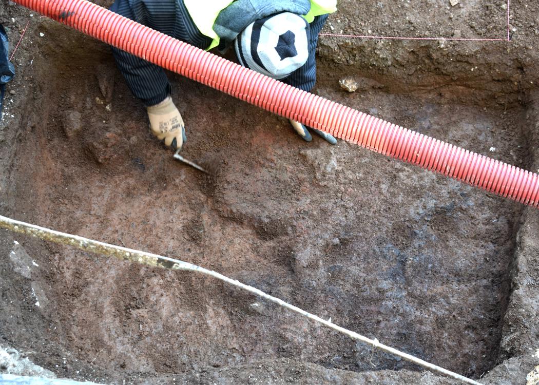
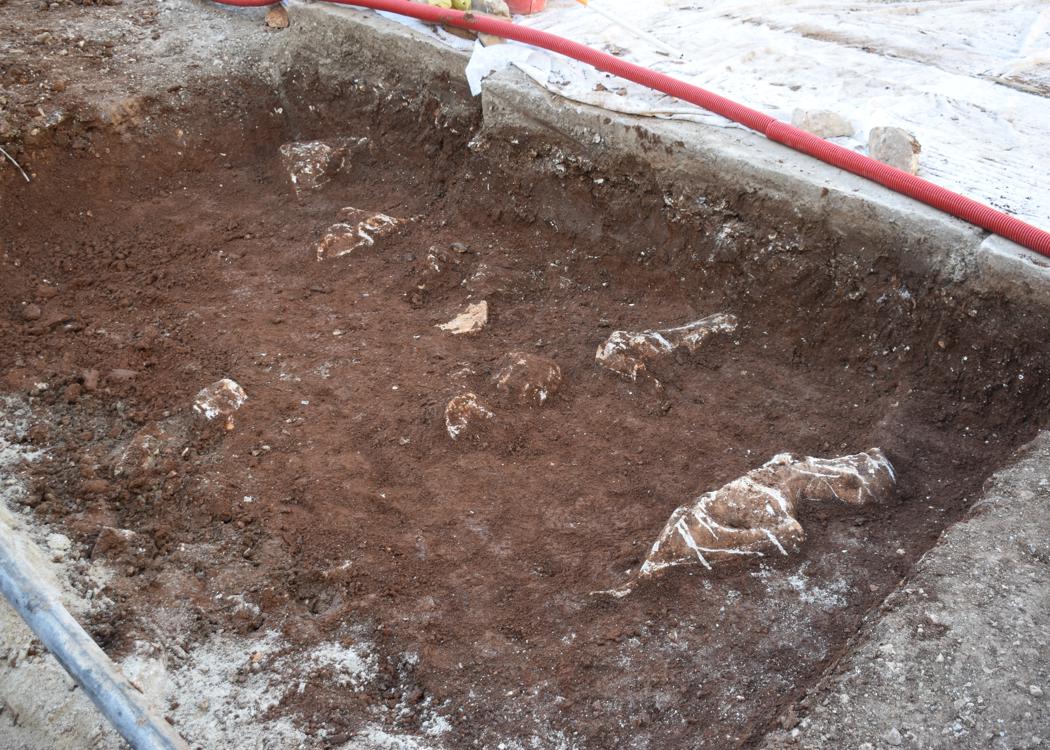
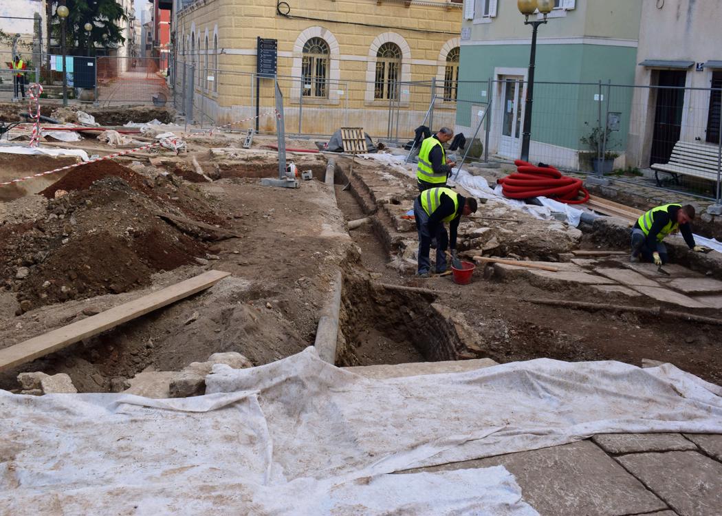
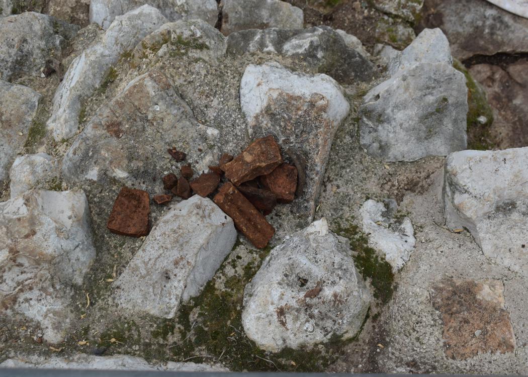
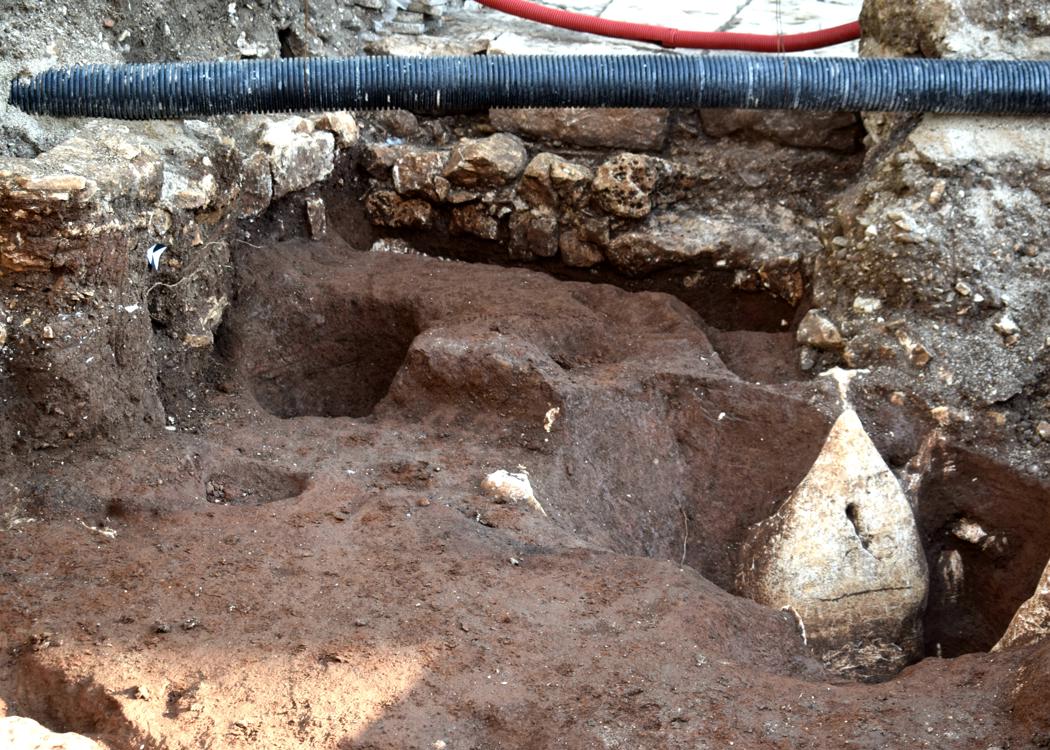
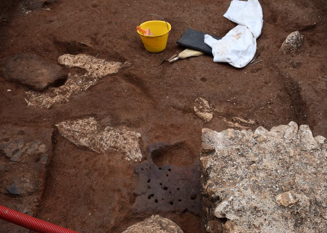
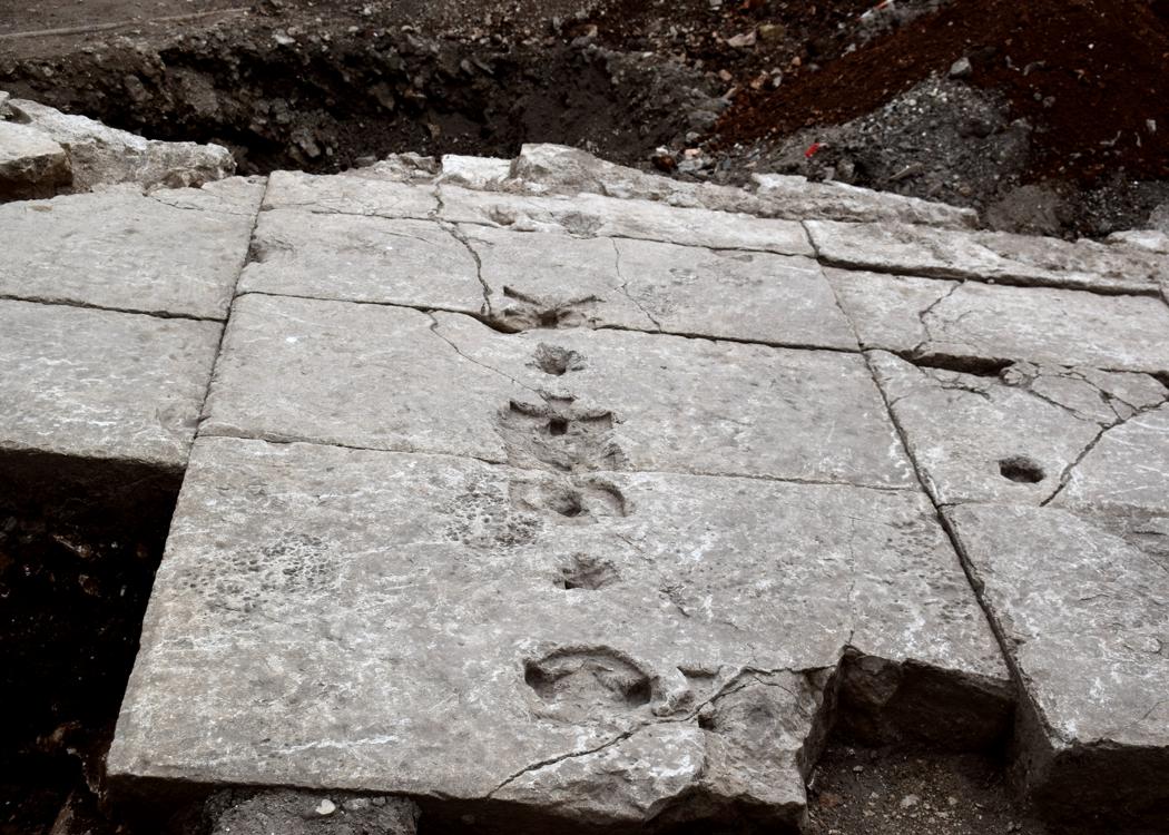
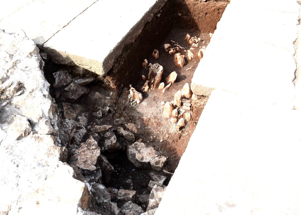
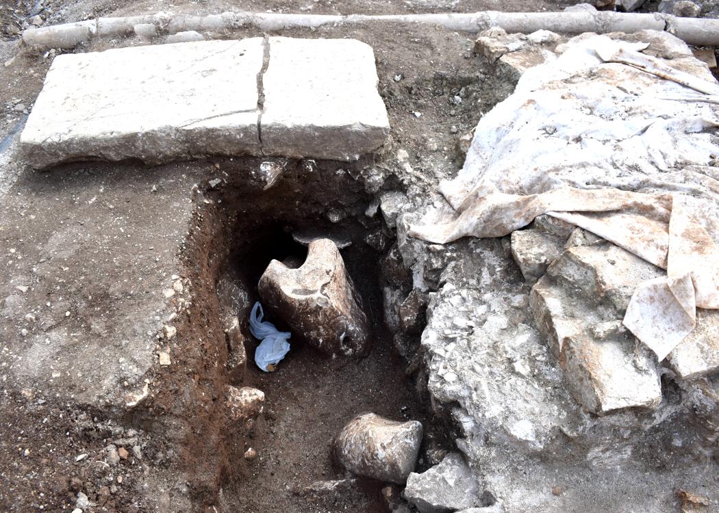
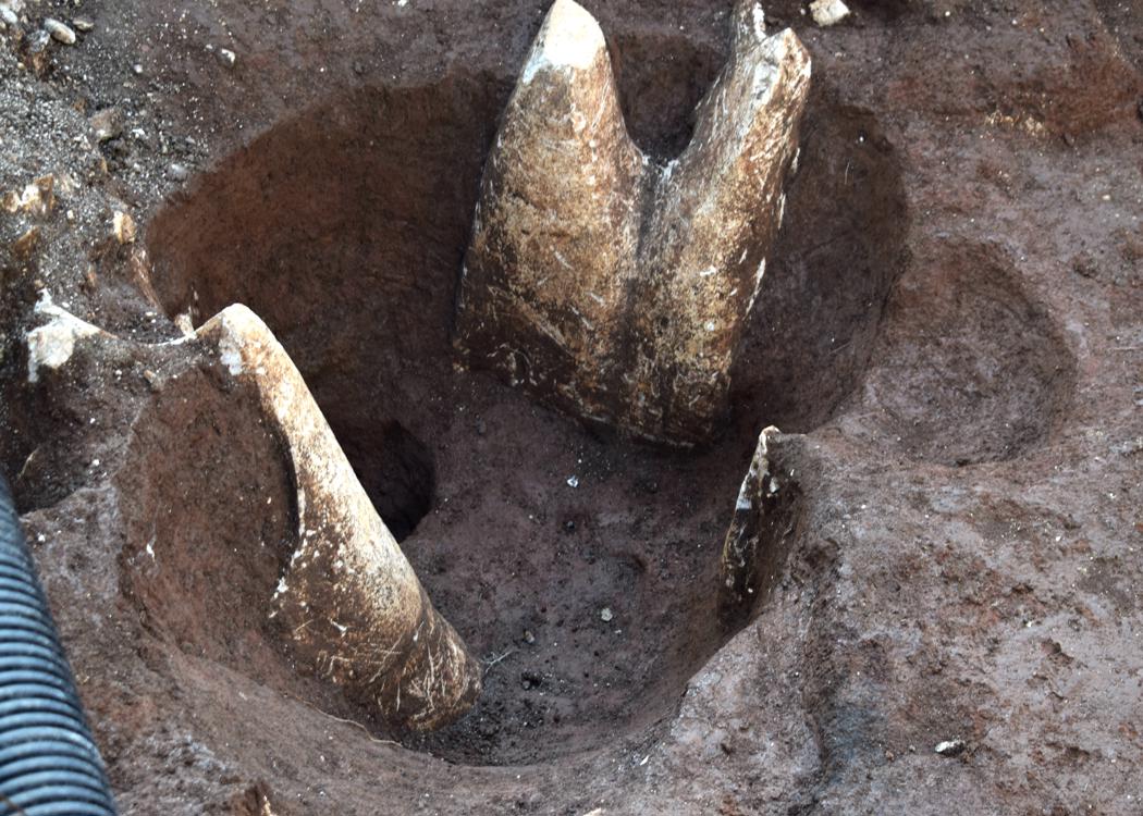
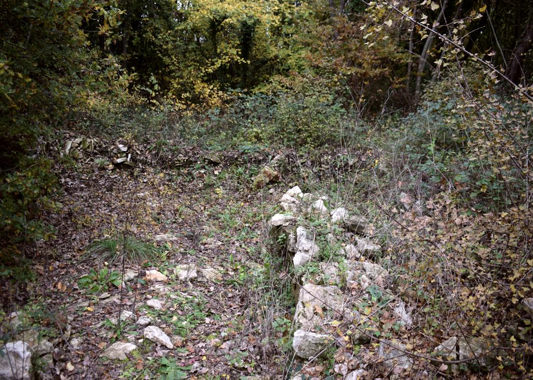
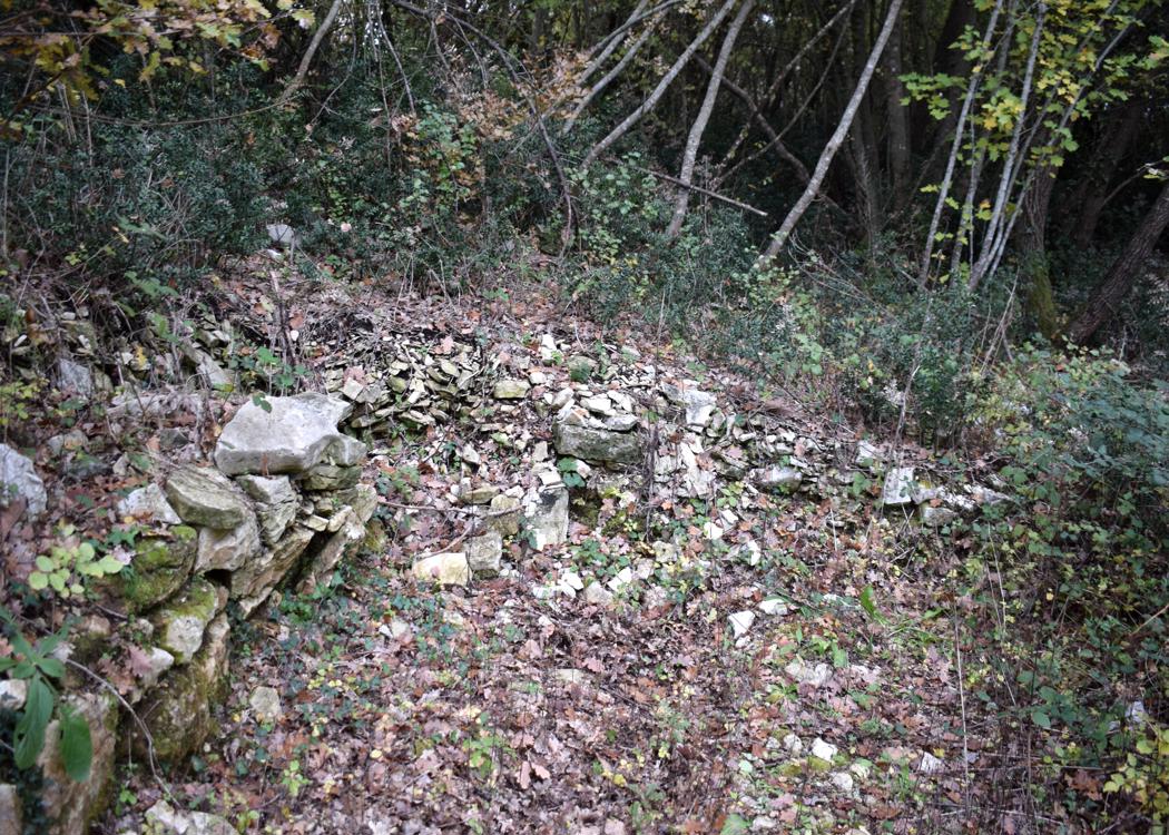
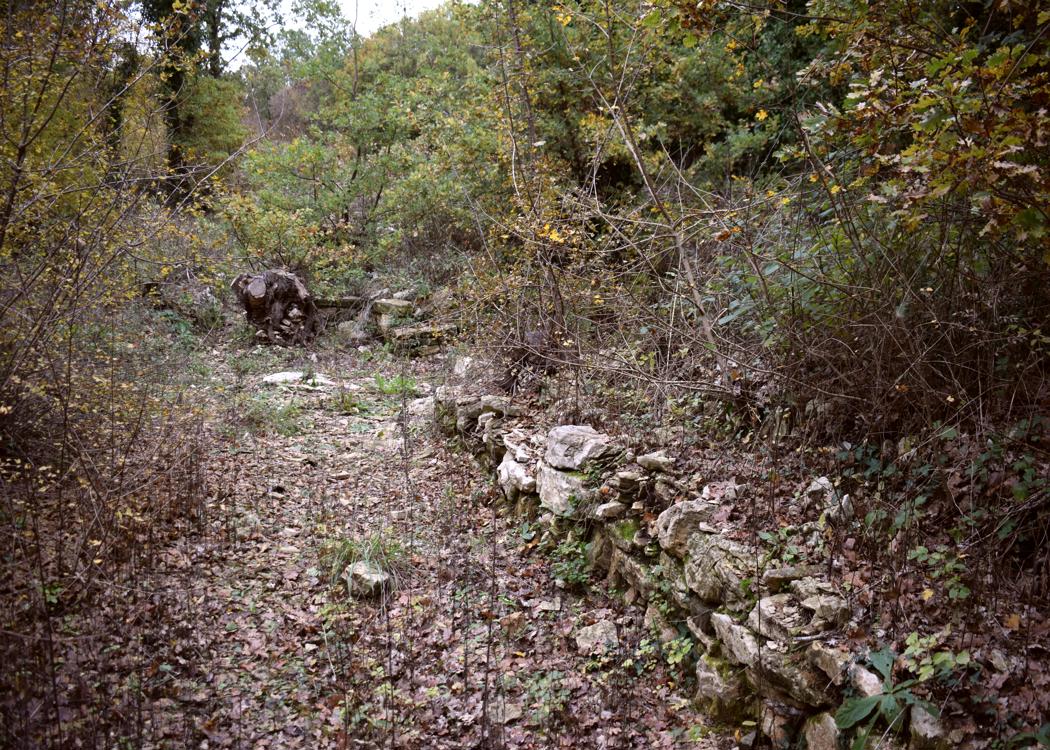
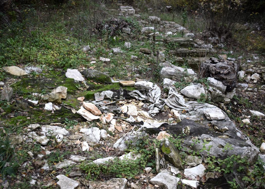
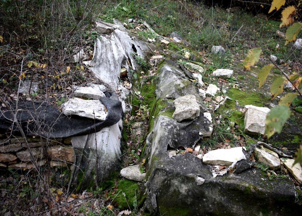
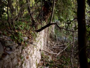
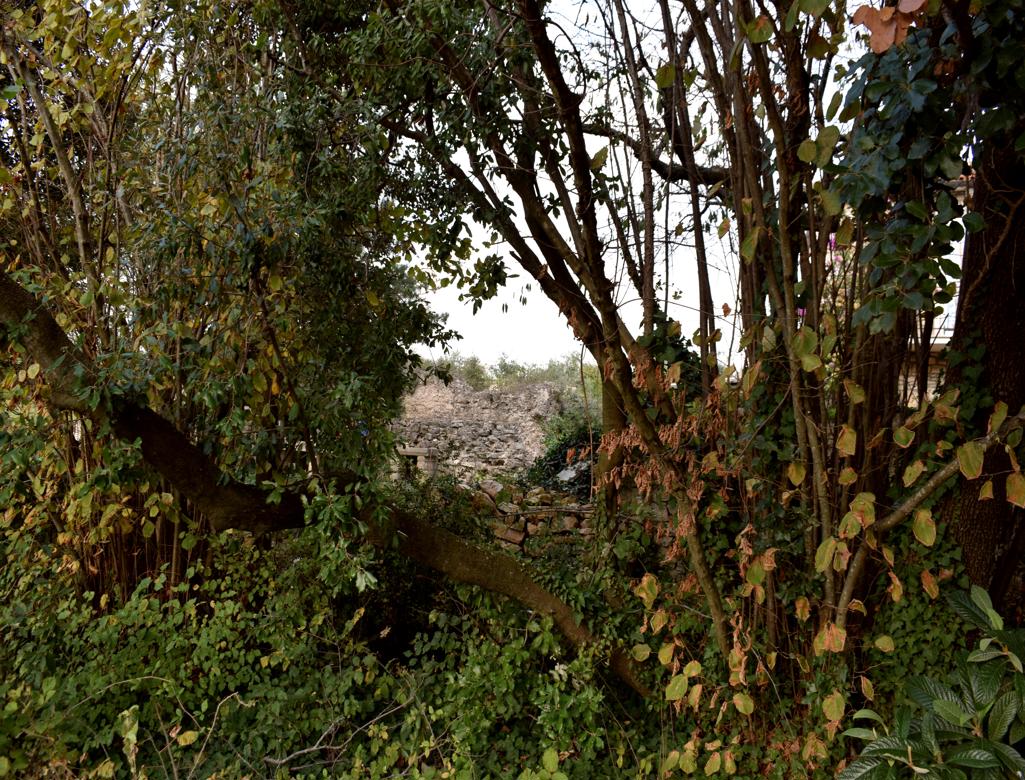
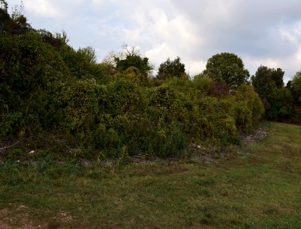
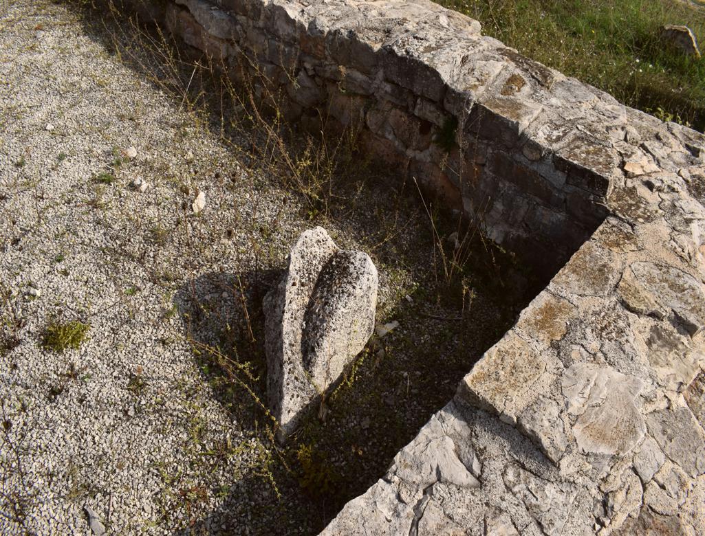
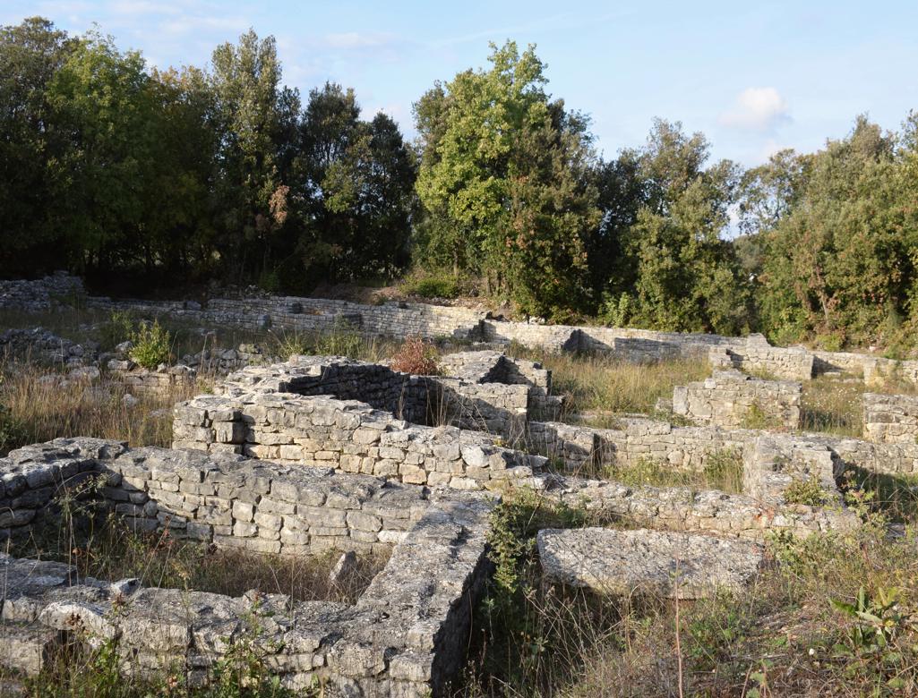
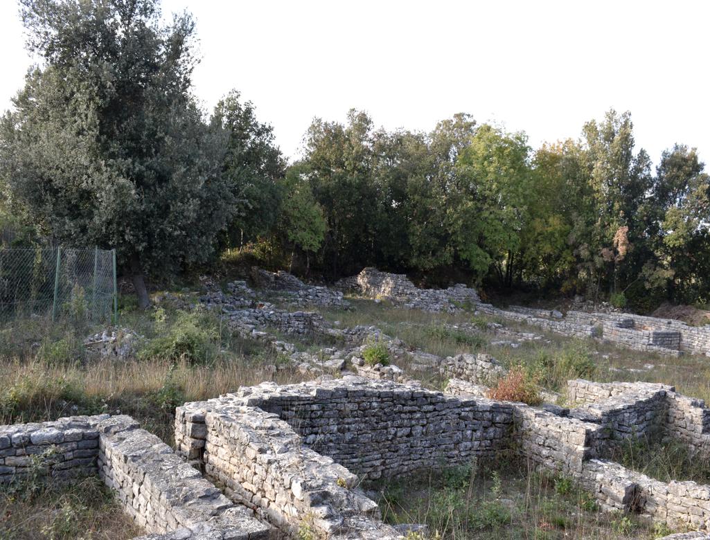
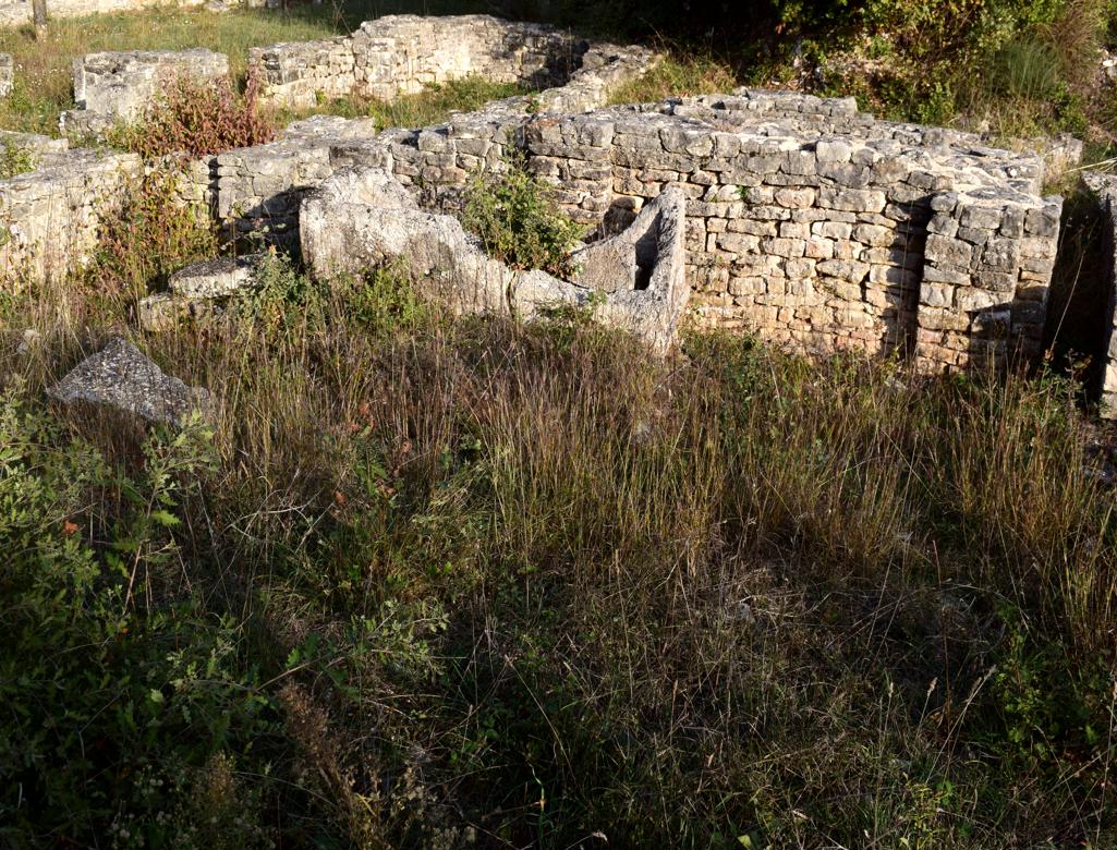
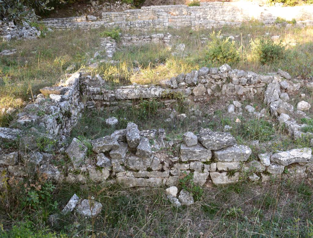
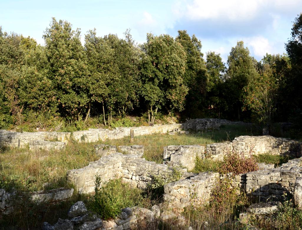
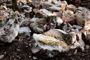
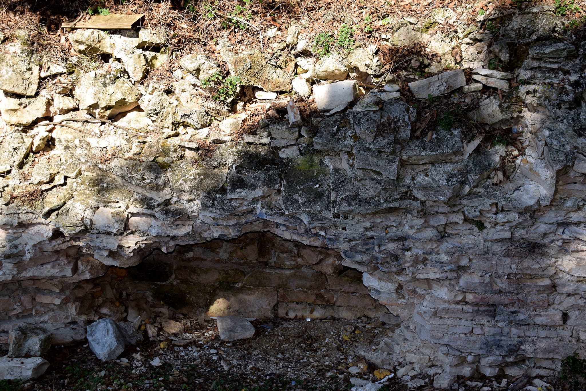
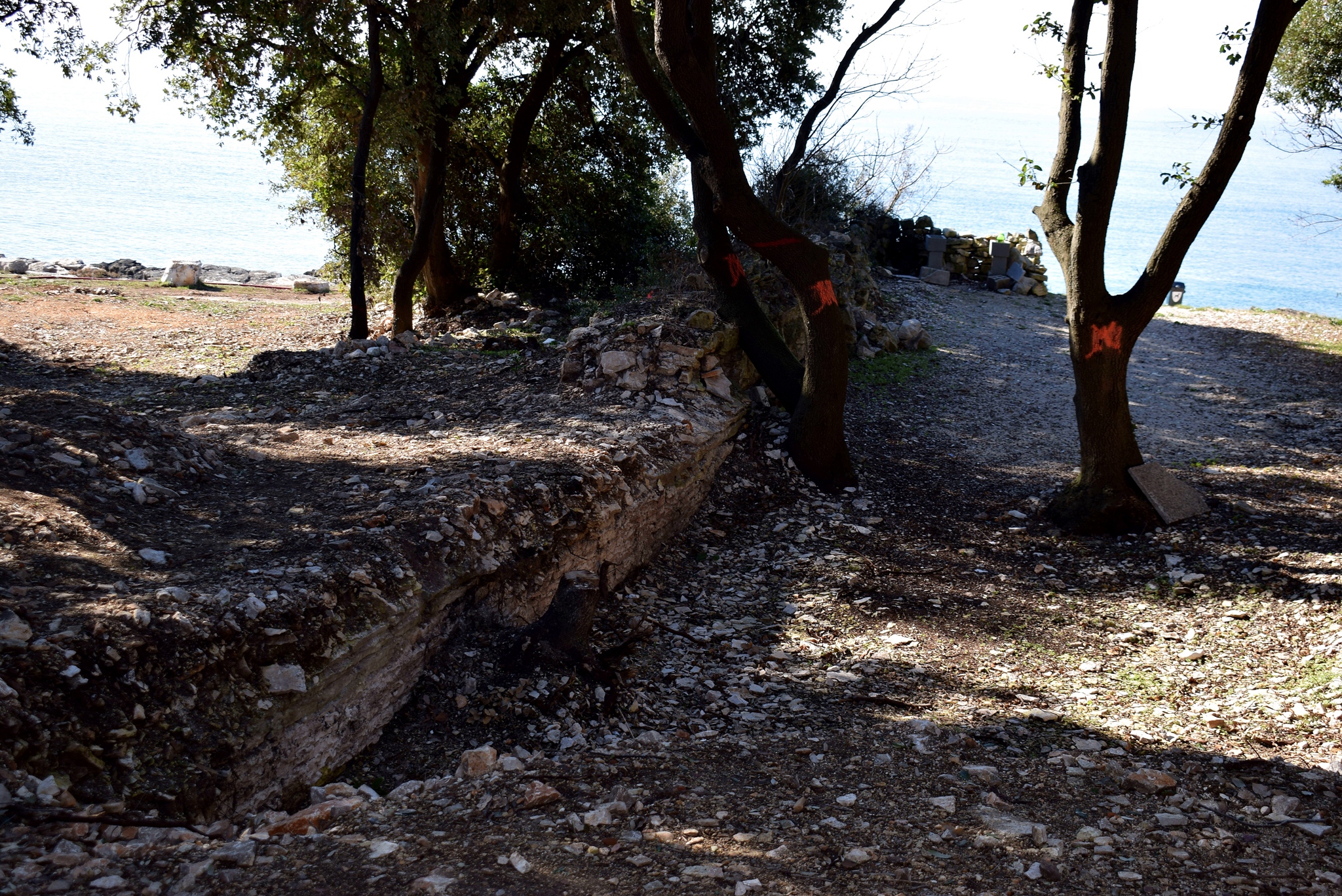
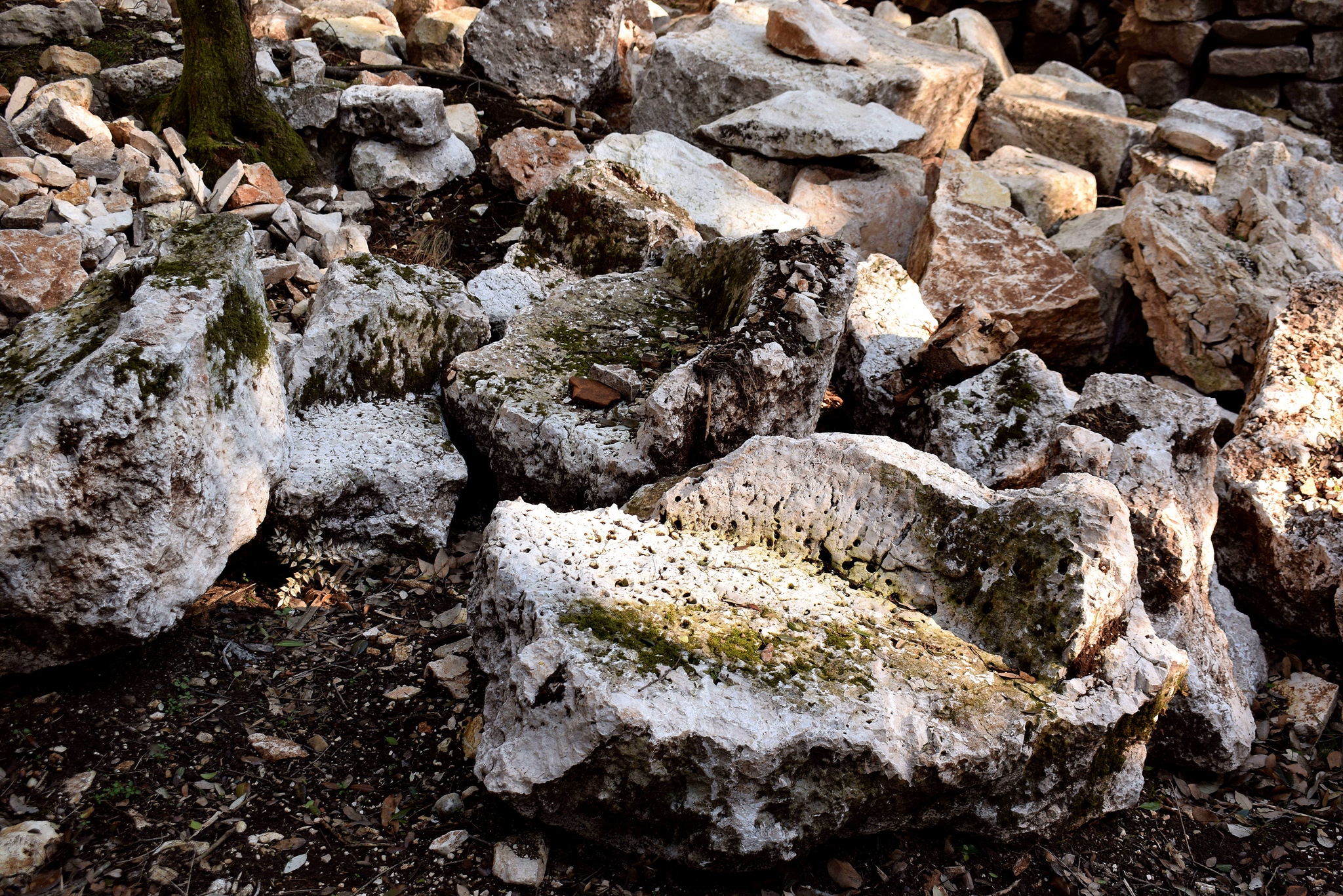
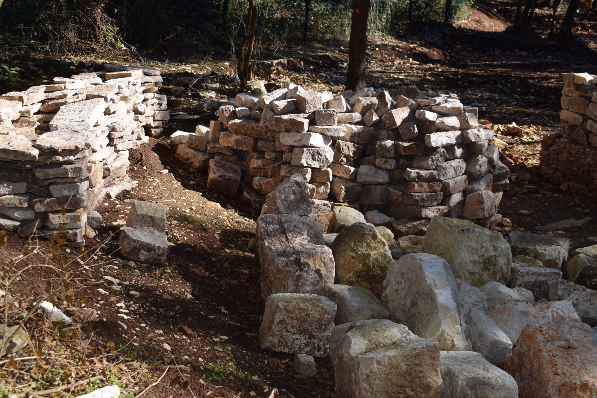
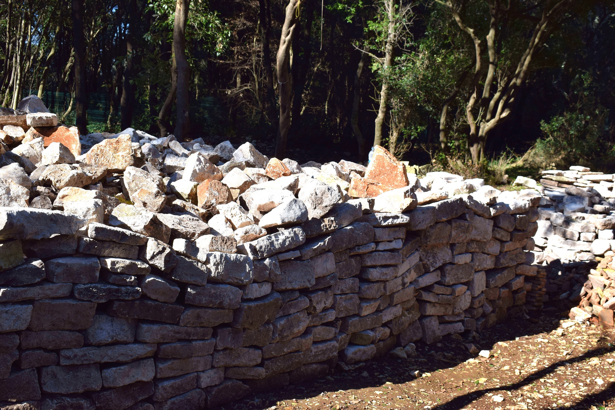
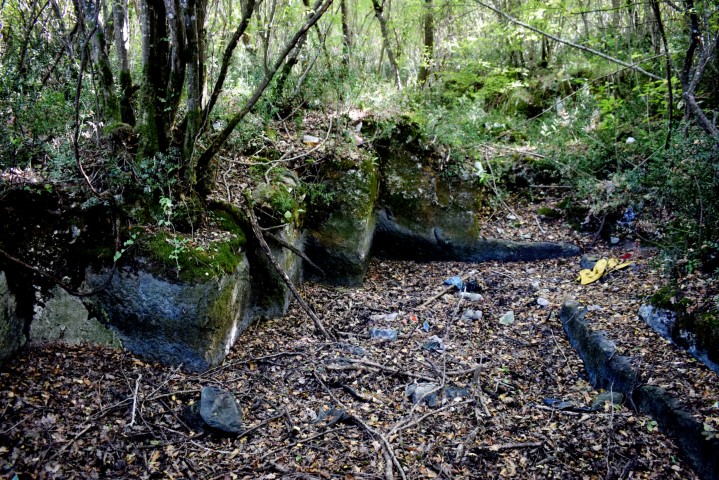
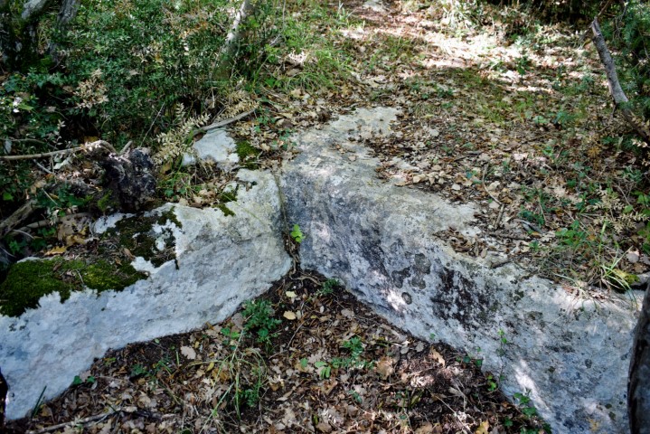
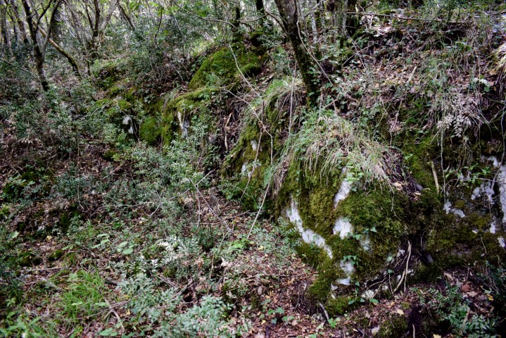
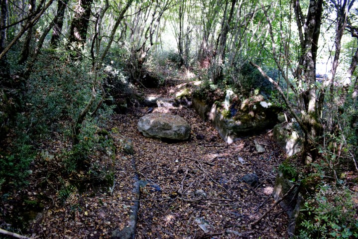
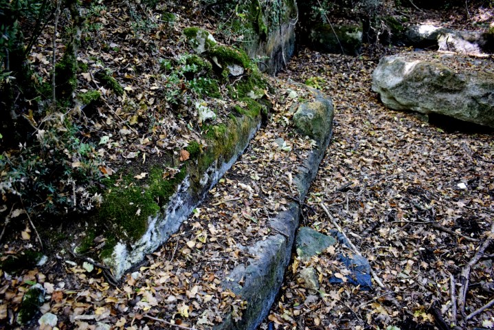
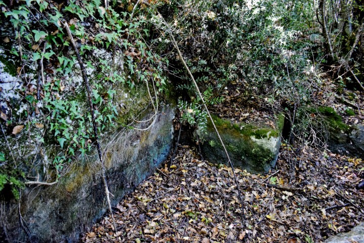
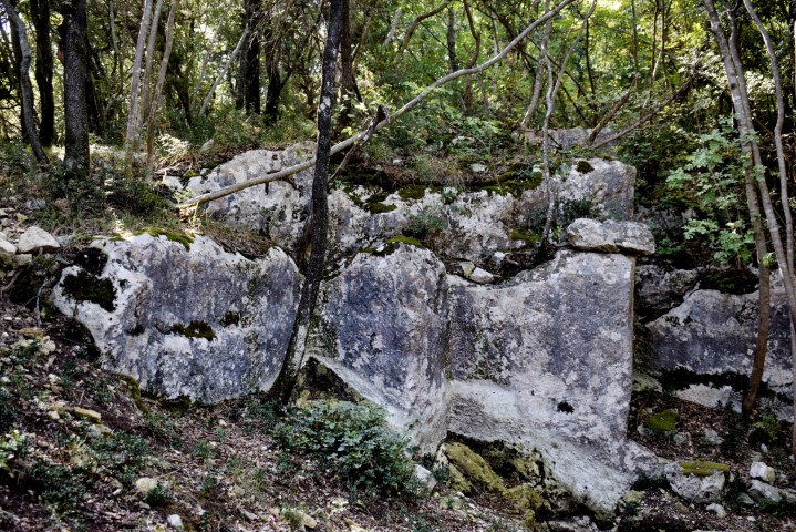
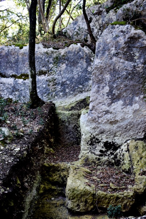
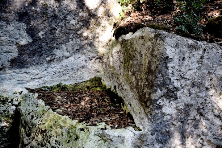
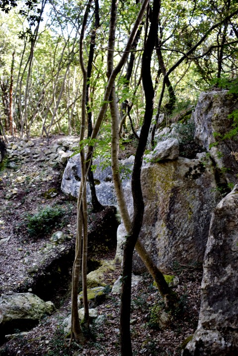
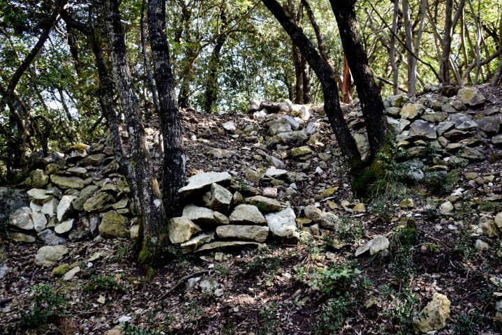
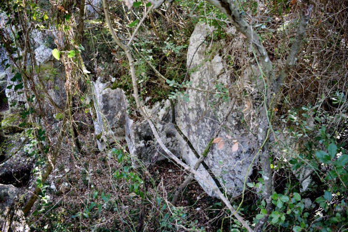
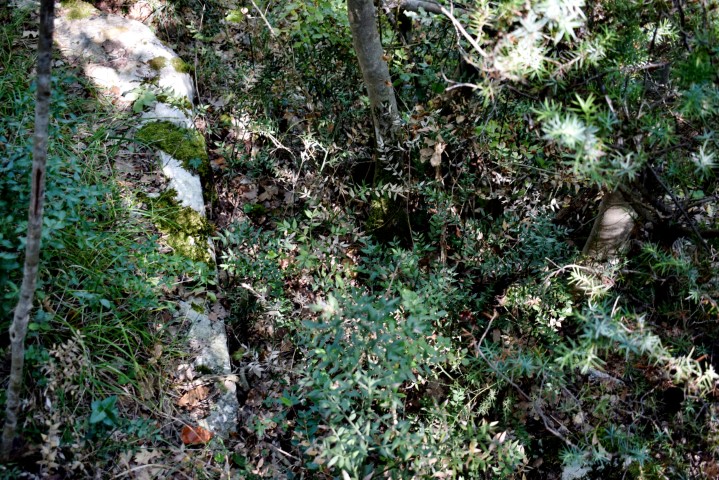
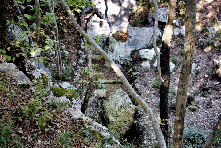
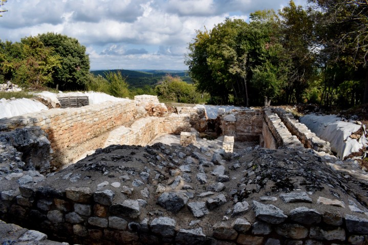
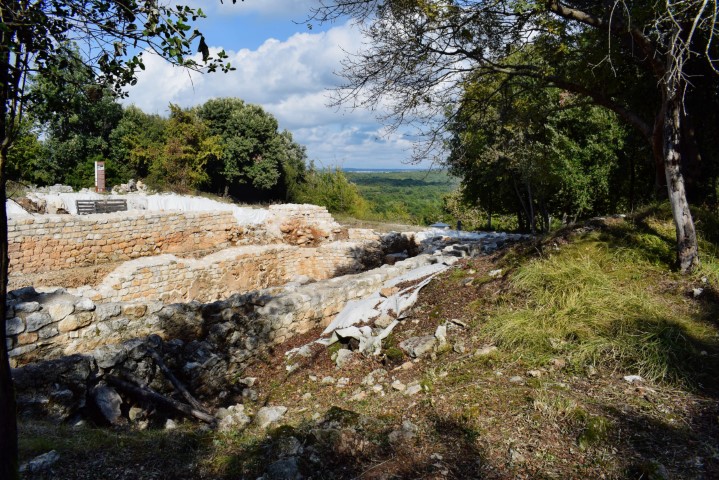
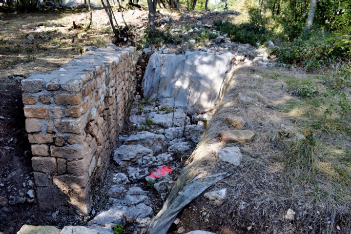
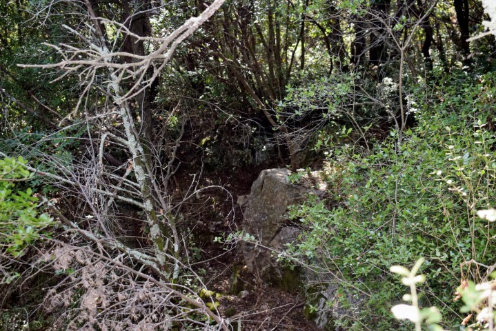
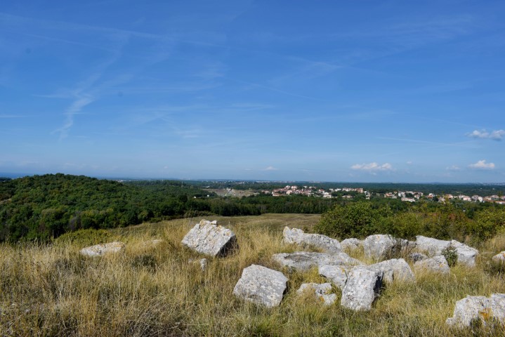
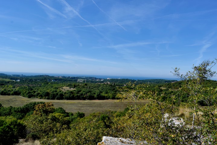
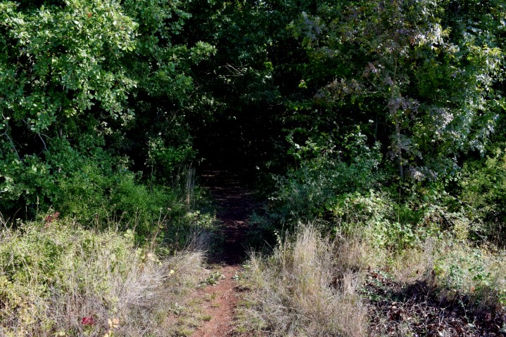
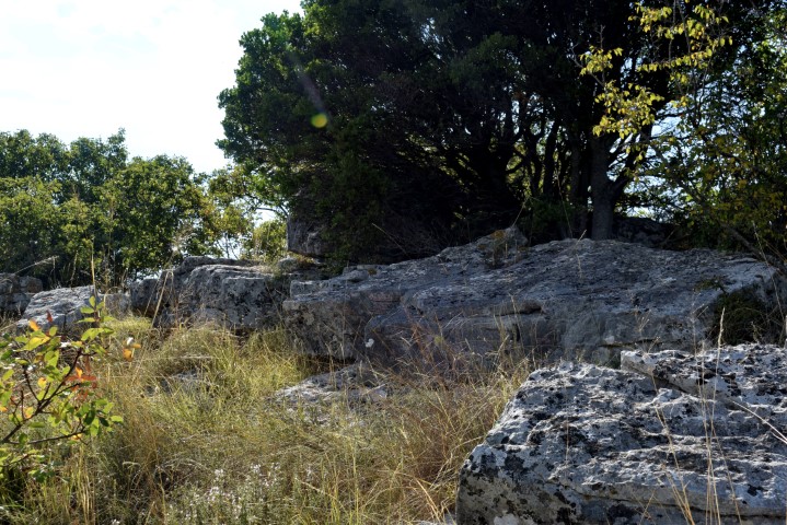
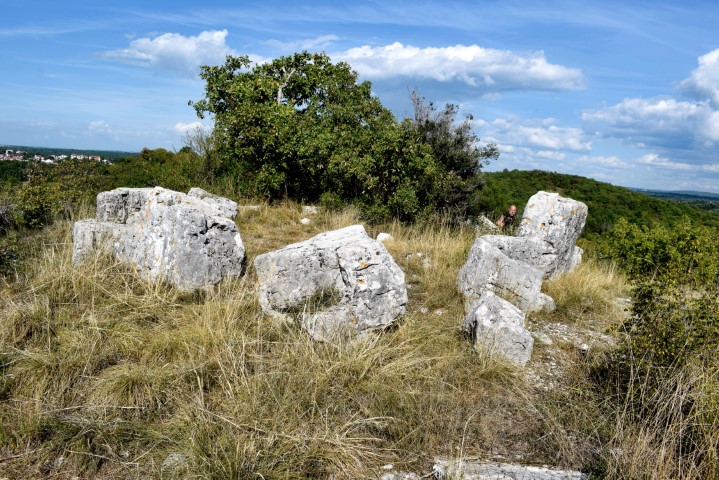
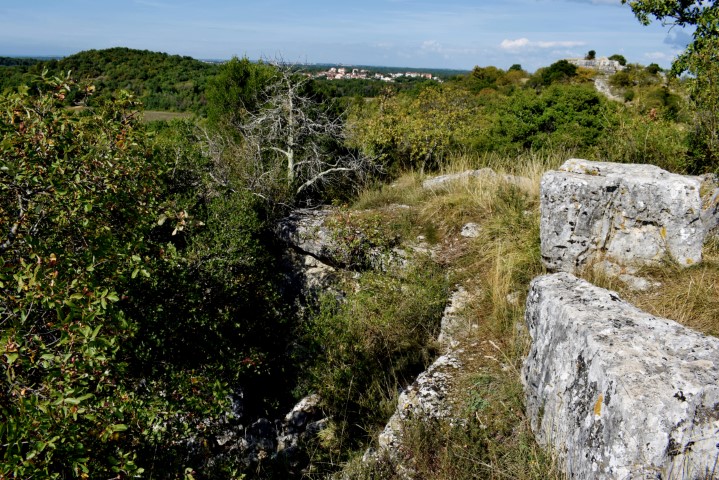
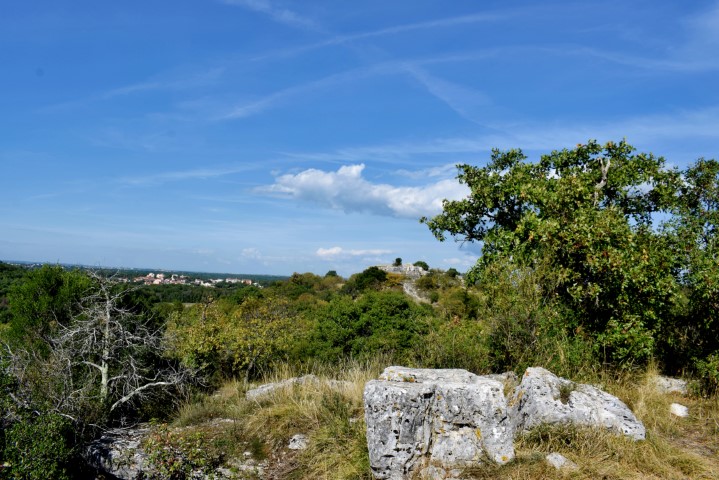
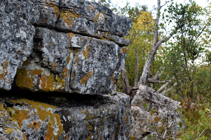
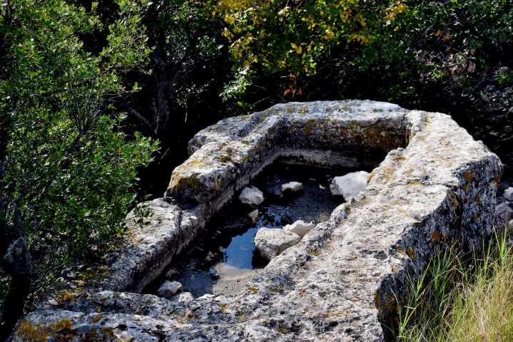
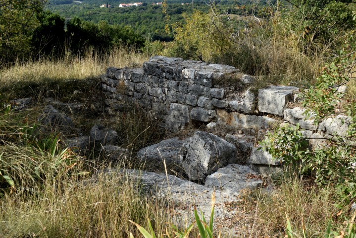
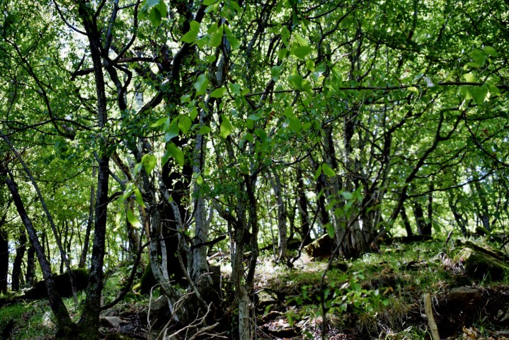
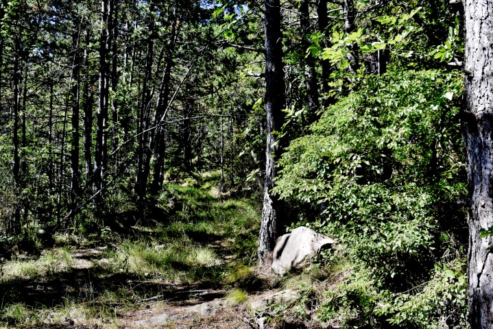
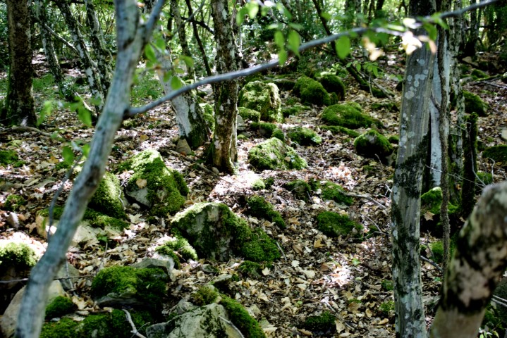
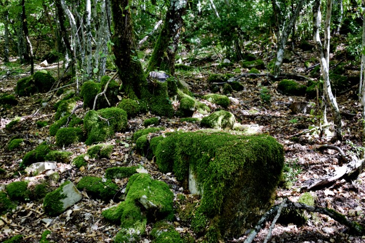
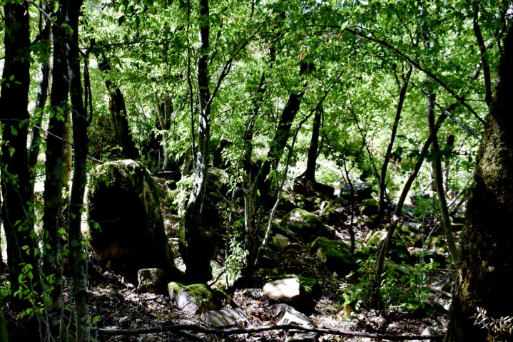
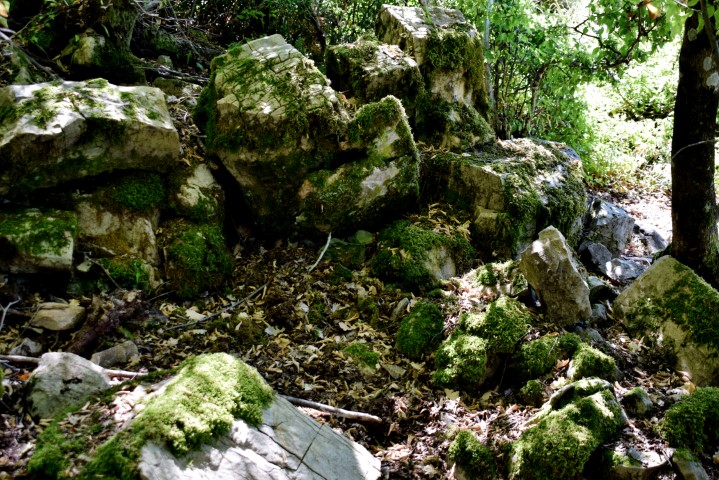
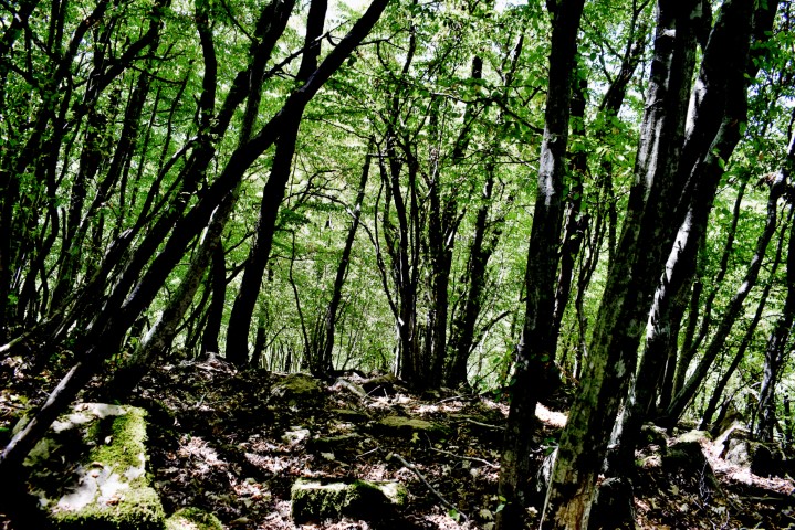
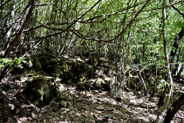
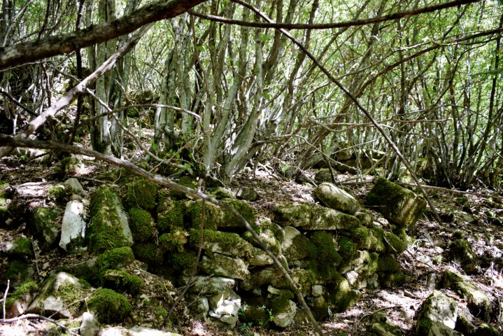
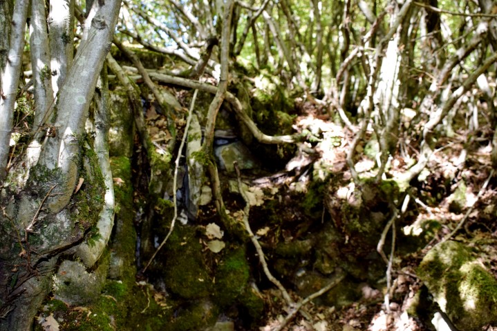
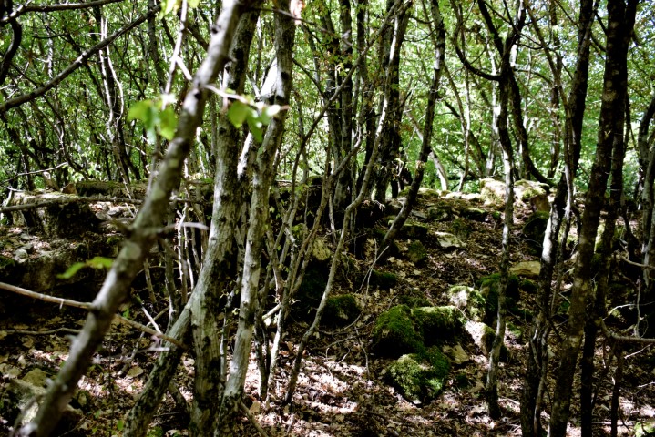
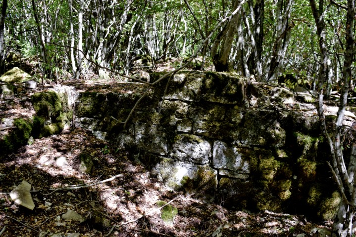
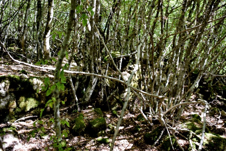
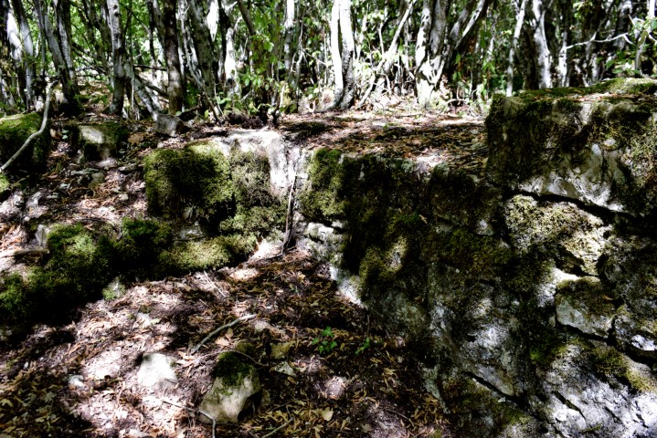
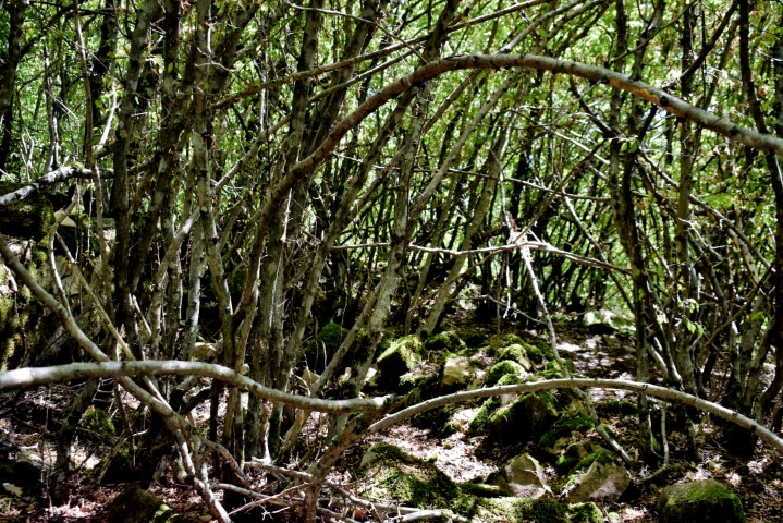
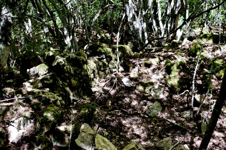
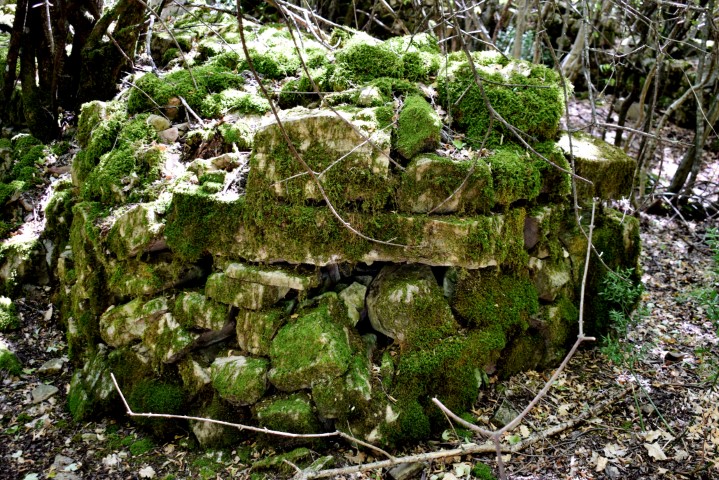
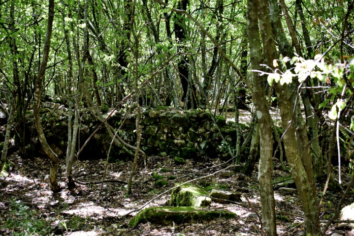
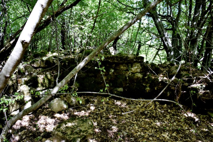
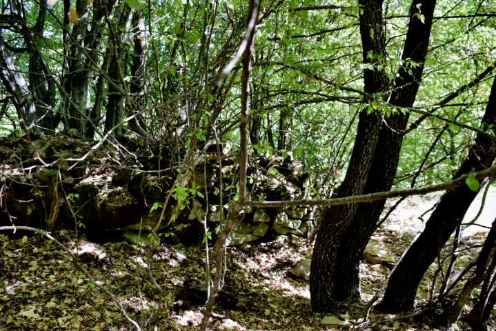
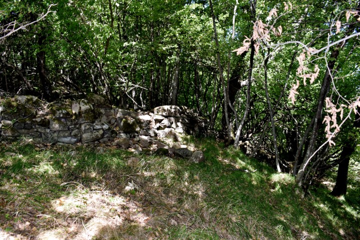
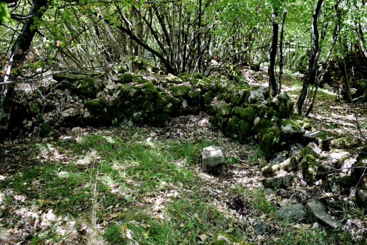
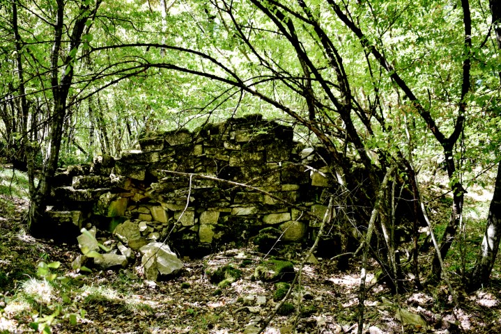
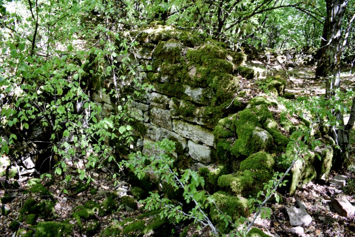
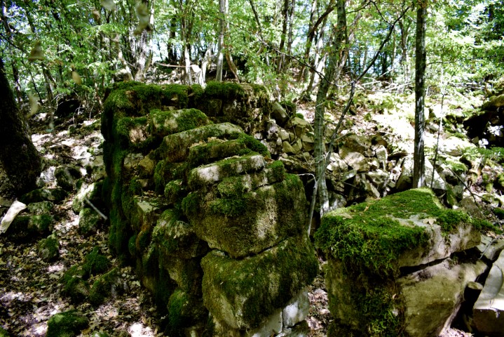
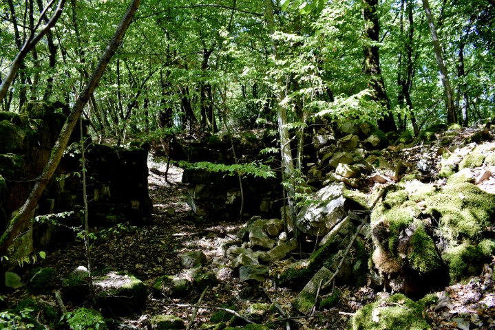
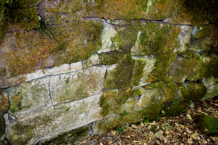
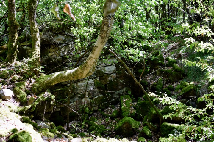
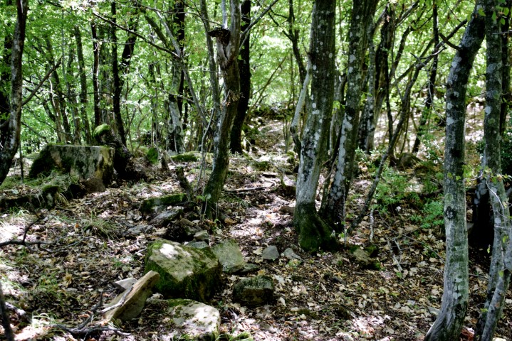
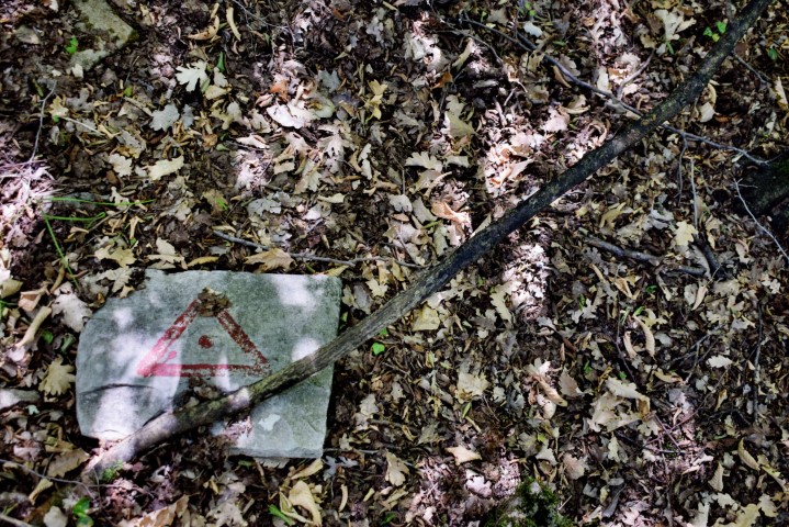
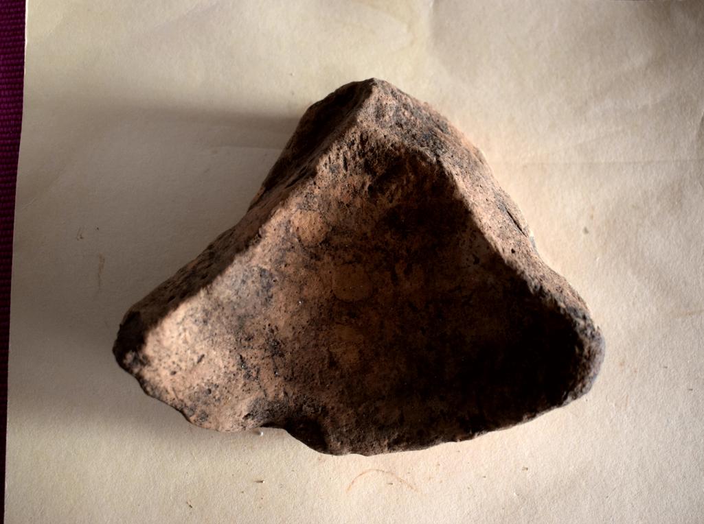
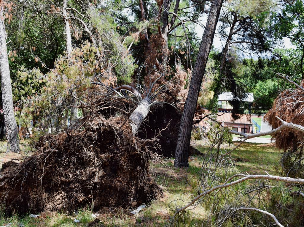
On the hill south of the Elementary School, several pines have been blown over by the storm of the past few days. Archaeological research has established, through the discovery of burnt remains, bones and objects, that under one of the trees near the roots there was a grave from the 1st century.

first century.
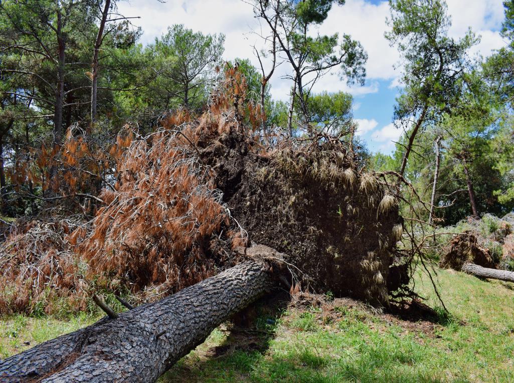
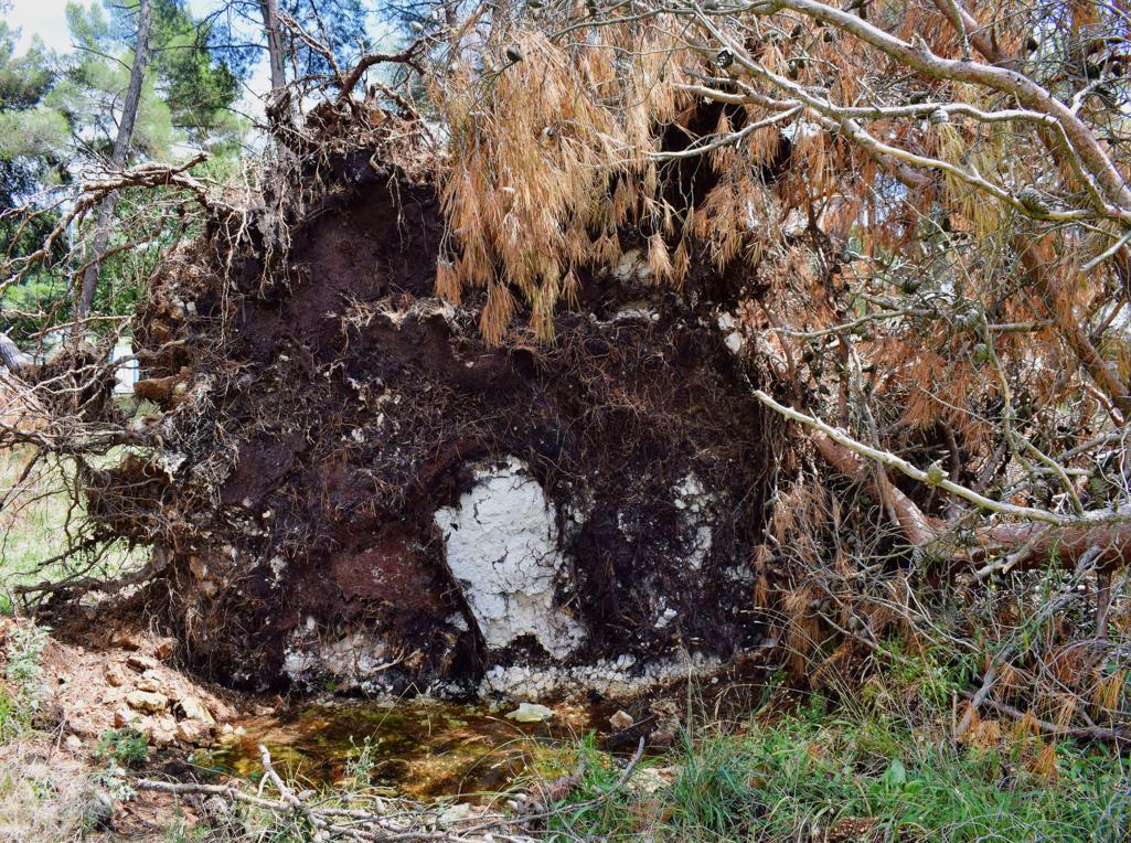
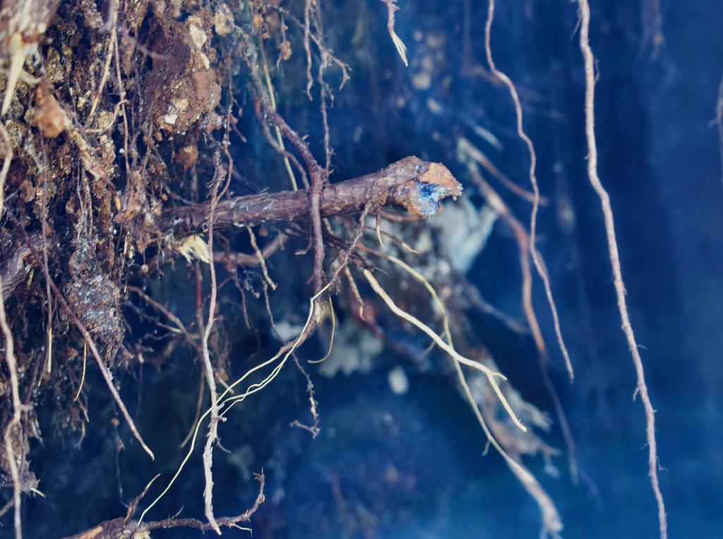
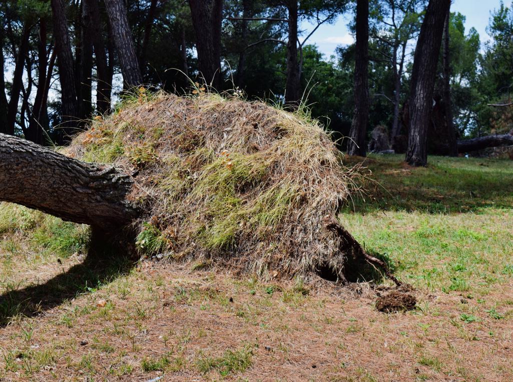
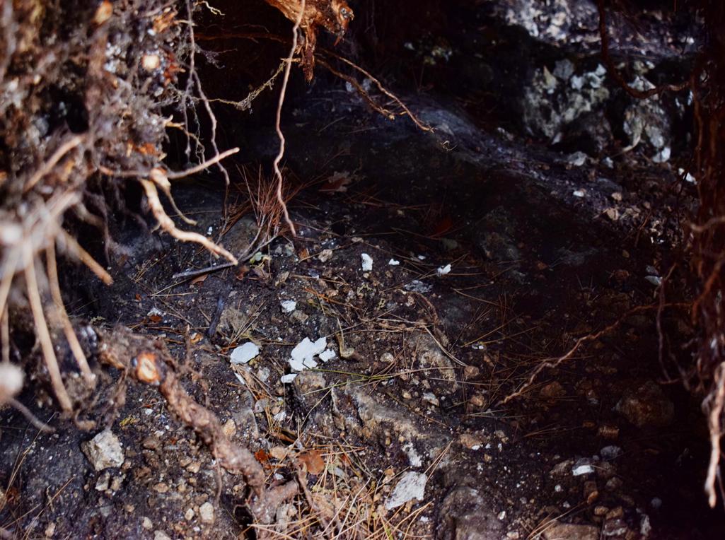
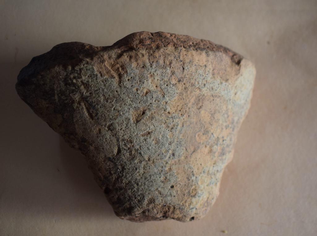
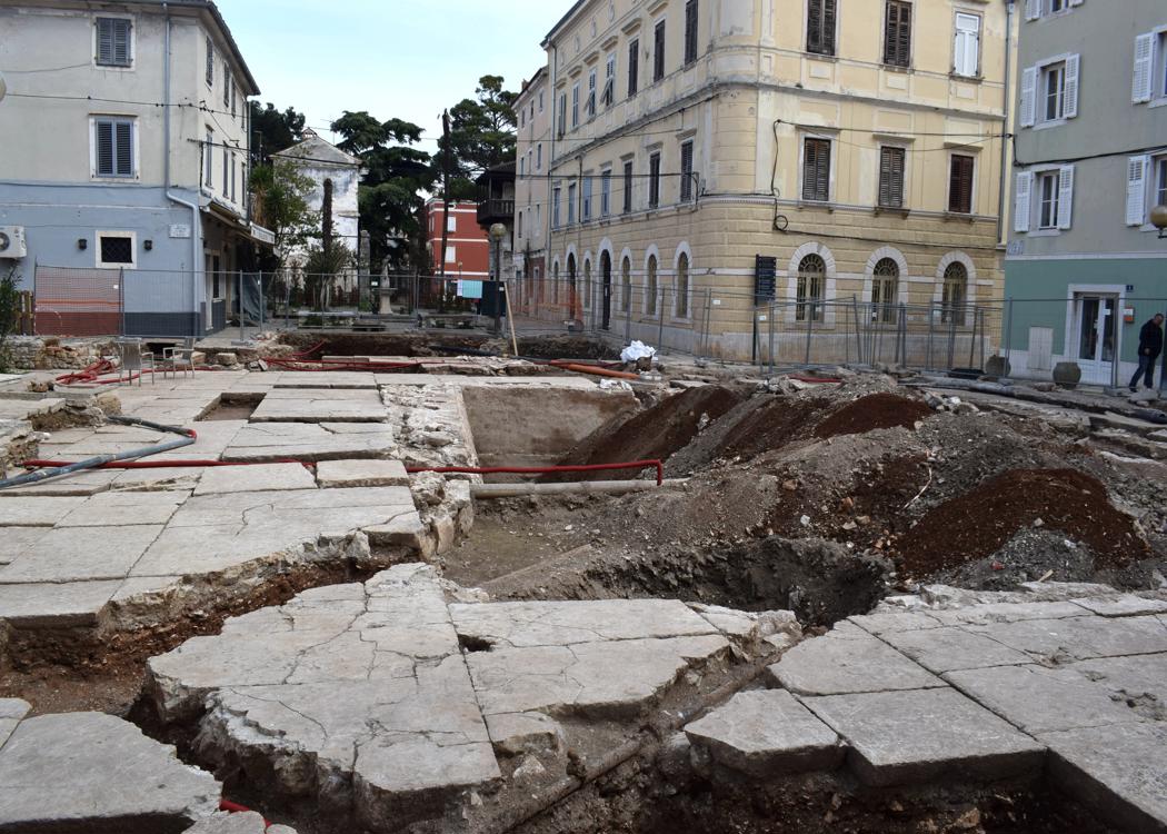
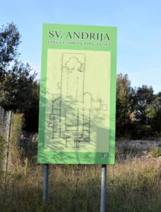
Name: Roman grave on the hill south of the Poreč Elementary School.
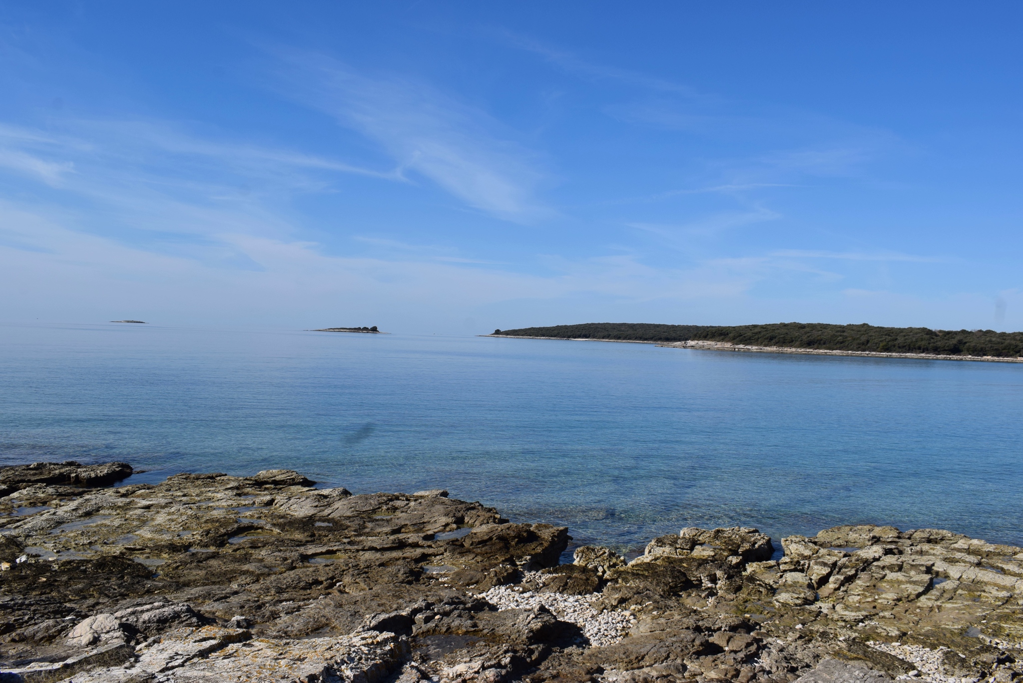
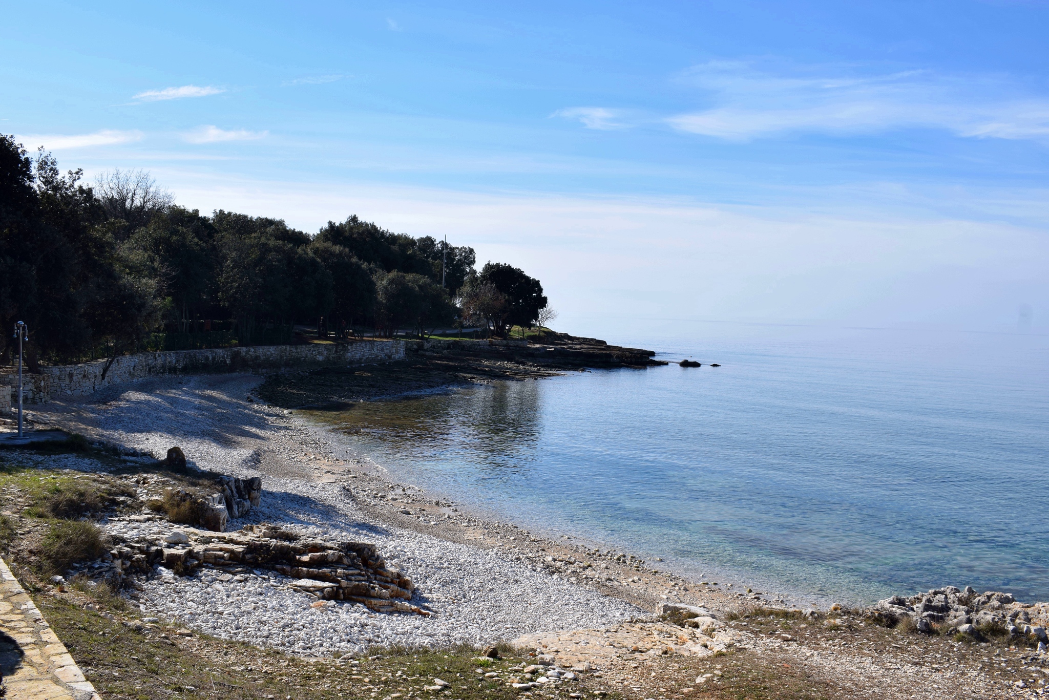
Place: Poreč
Coordinates: 45.22355 N – 13.60335 E.