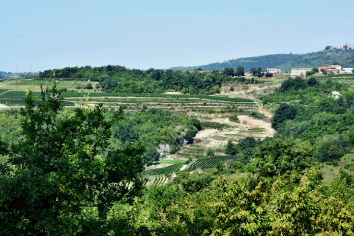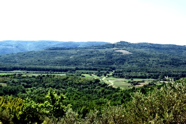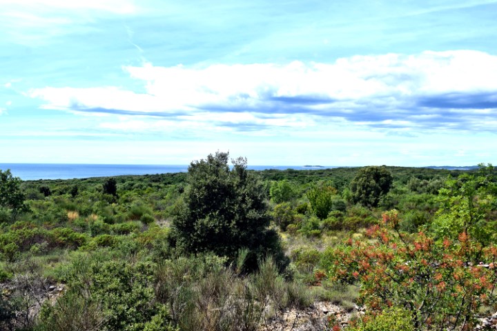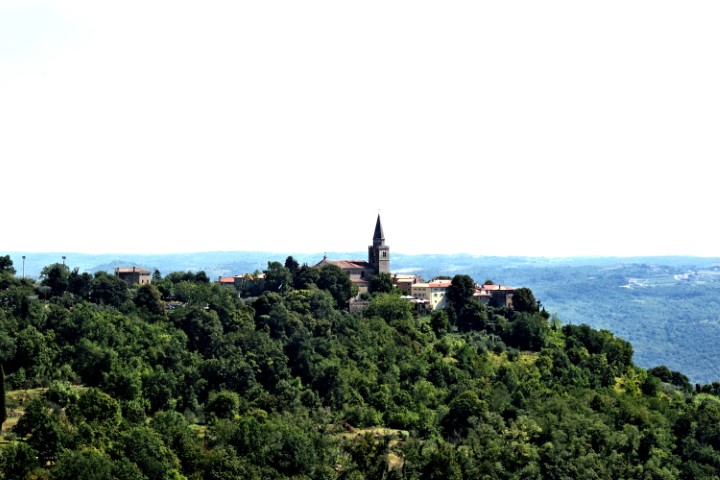

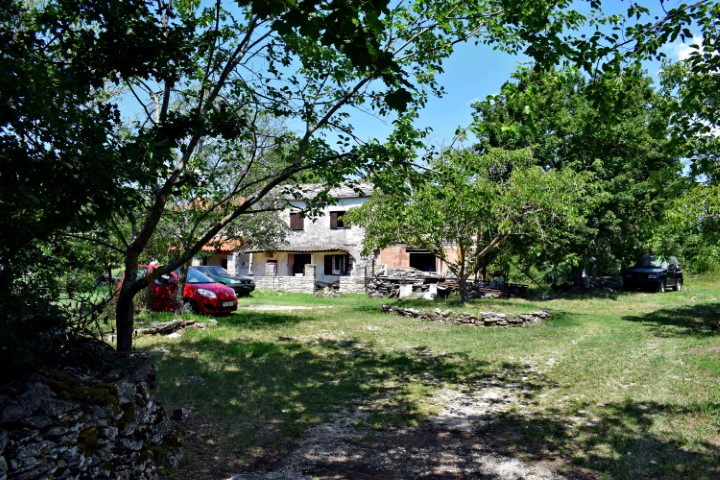
Name: View Grožnjan from mount Roman near Peroj.
Place: Peroj – (Grožnjan).
Coordinates: 45.38977 N – 13.71888 E.
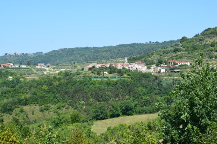
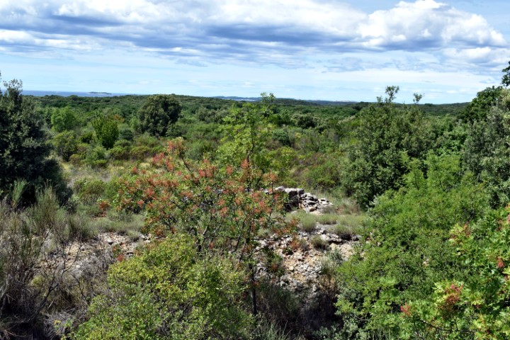
Name: View Grožnjan from mount Roman near Peroj.
Place: Peroj – (Grožnjan).
Coordinates: 45.38977 N – 13.71888 E.

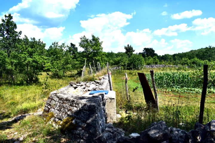
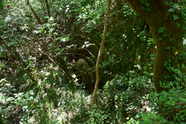
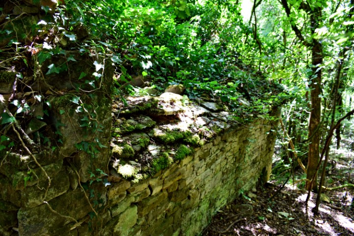
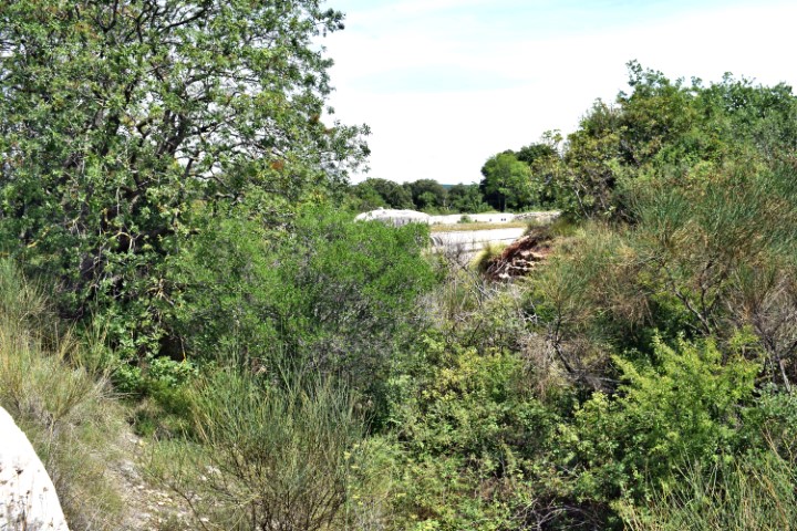
Name: Watersprings Glavica and Sauli.
Place: Galvaica-Sauli-(Grožnjan).
Coordinates: Glavica 45.39174 N – 13.7544 E.
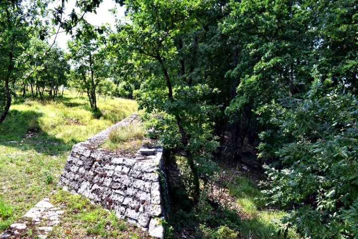
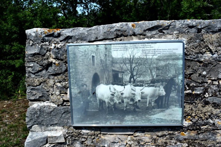
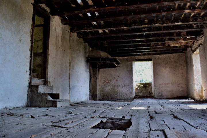
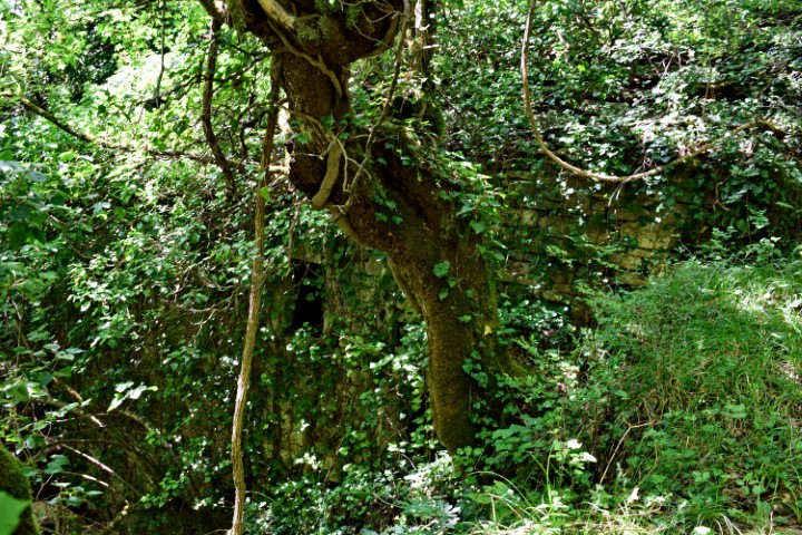
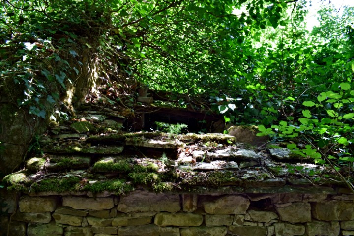
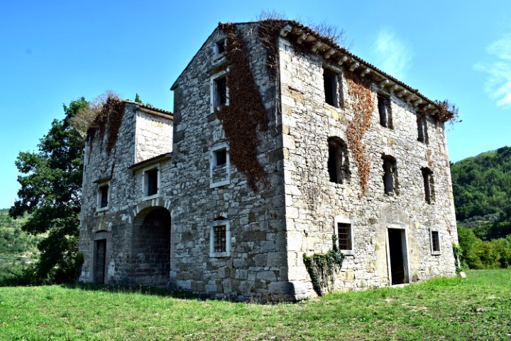
Name: Village Varvari – waterspring near Boskari.
Place: Varvari – Boskari – (Grožnjan).
Varvari: 45.39176 N – 13.75829 E, waterspring: 45.79193 N – 13.75658 E.
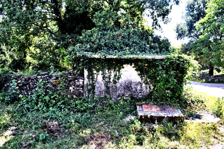
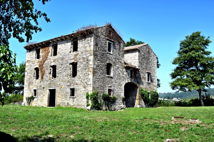
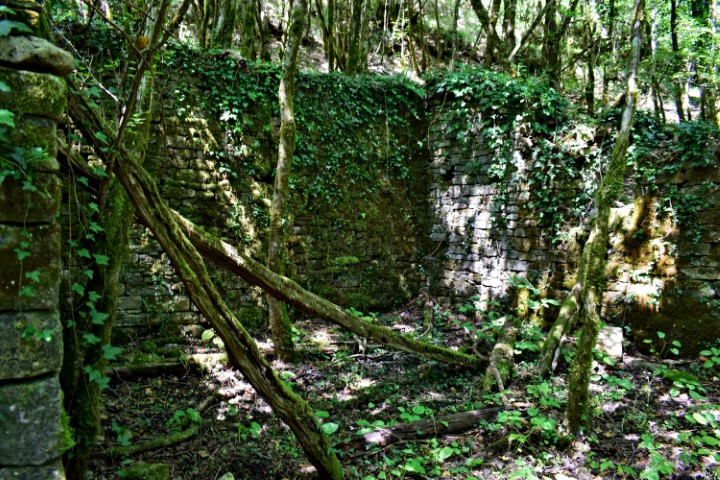
In the 14th – 19th century was in the west wing the St. Palagij church.
Name: St. Palagij church near Kostanjica.
Place: Near Kostanjica – (Grožnjan).
Coordinates: 45.36084 N – 13.76298 E.

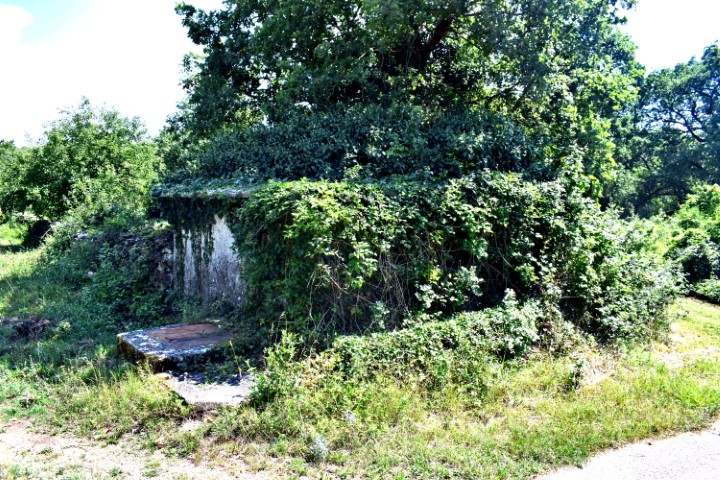
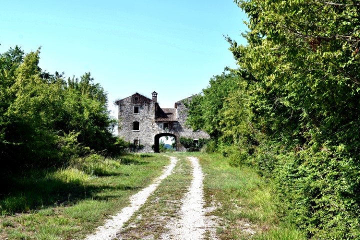
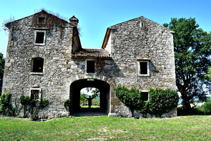
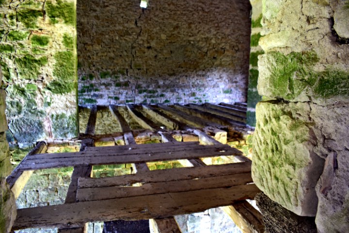
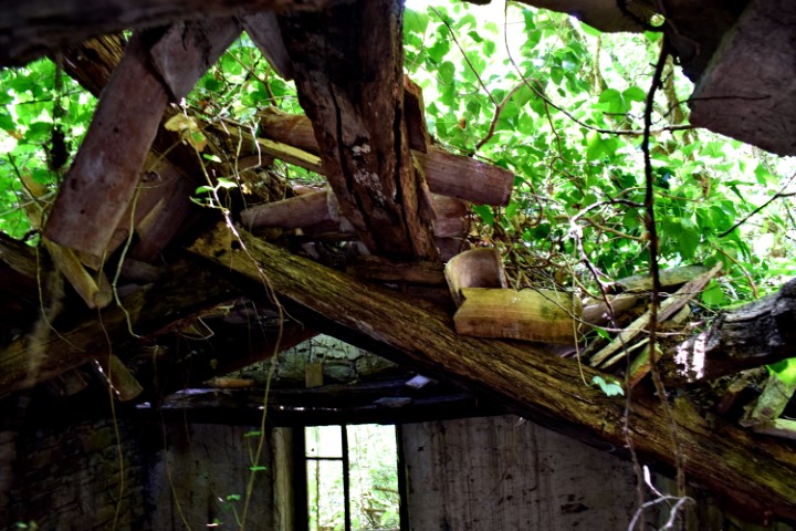
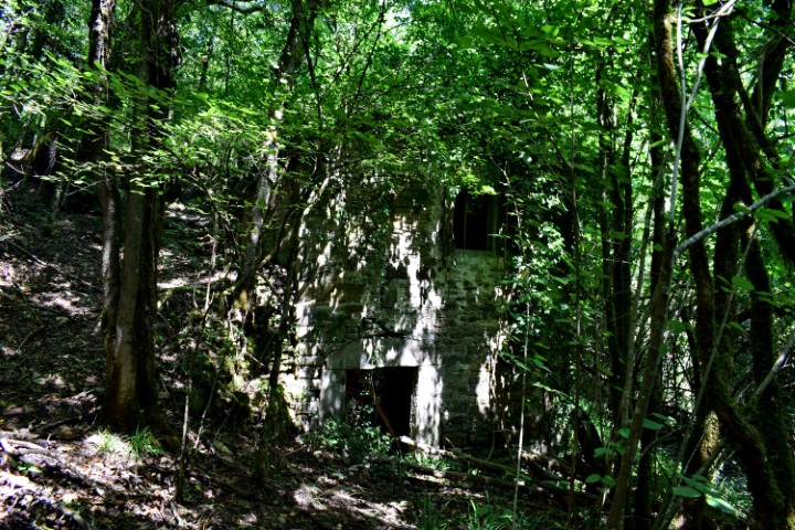
Name: Houses Stopari near watermill Sablonić.
Place: Stopari – (Grožnjan).
Coordinates; Path to Stopari 45.37028 N – 13.80737 E, Stopari: 45.36882 N – 13.80153 E.
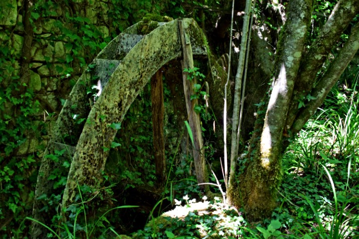
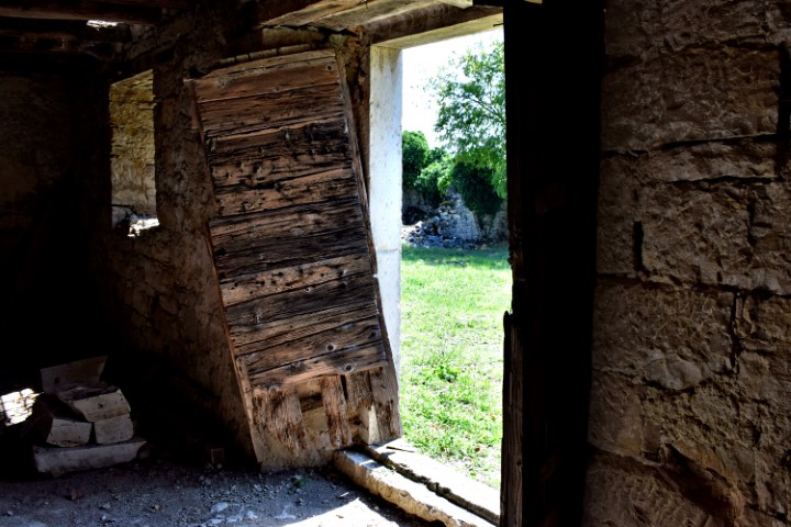
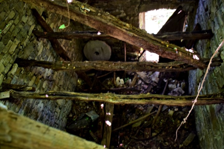
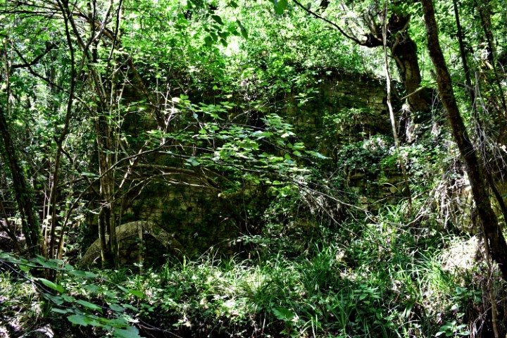
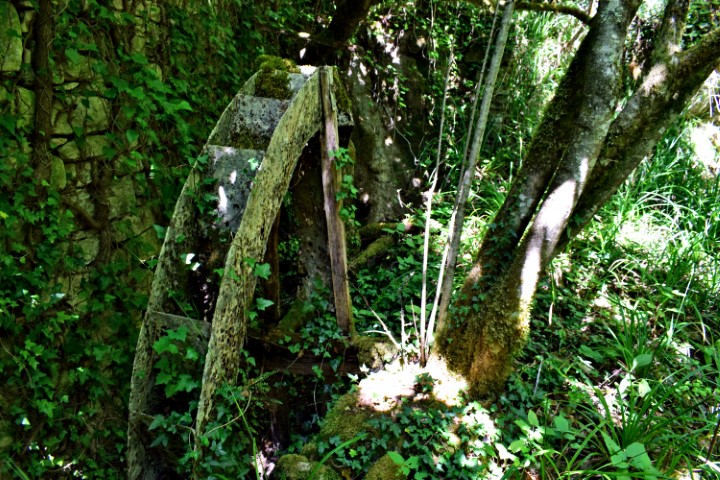
Name: Watermill near the village Stopari – stream Sablonić.
Place: Near Stopari – (Oprtalj).
Coordinates: Path to watermill 45. 37028 N – 13.80737 E, watermill 45.36985 N – 13.80574 E.

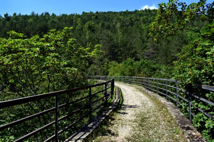
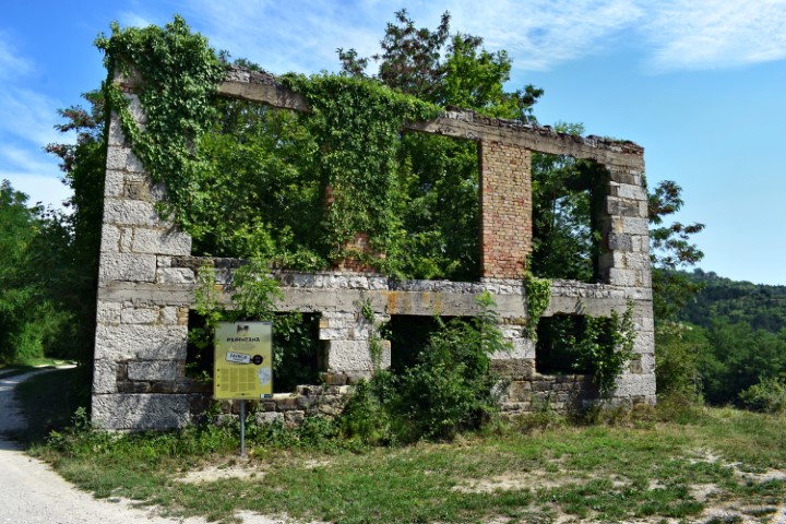
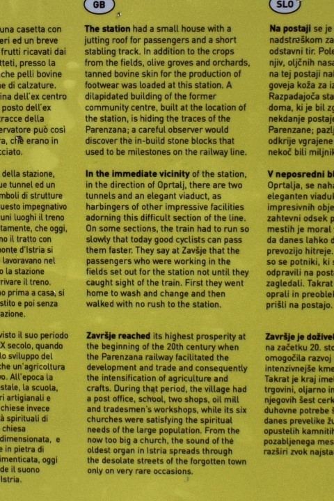
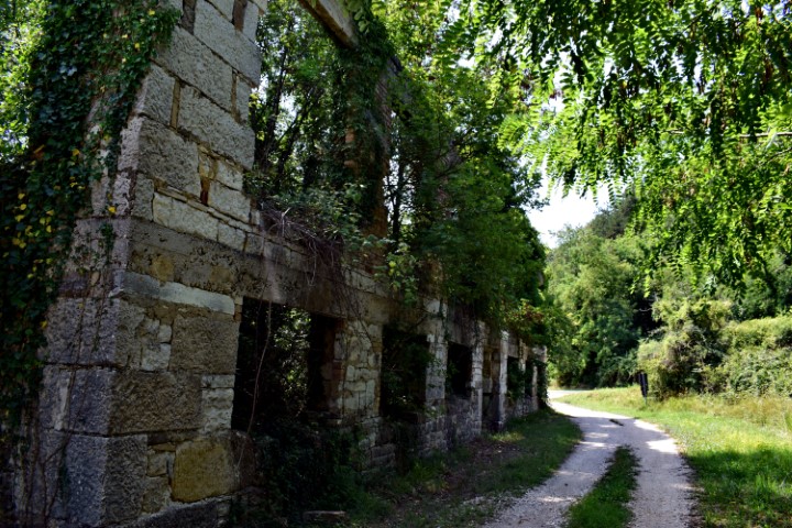
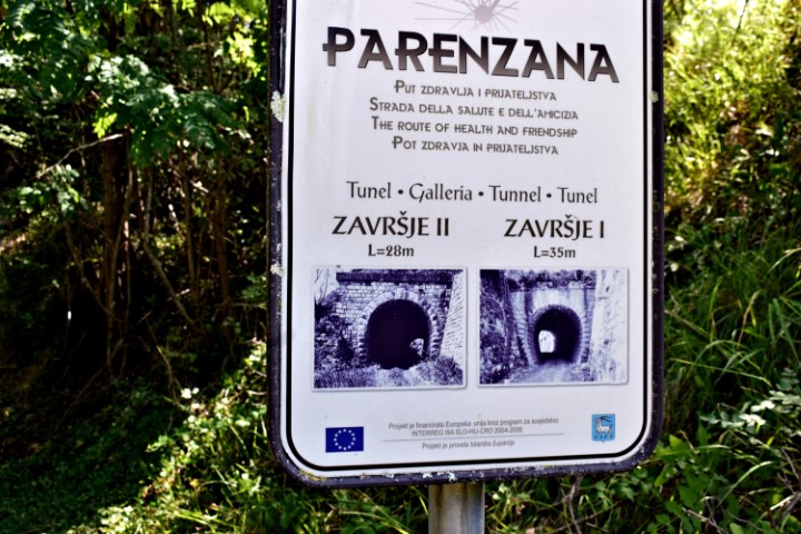
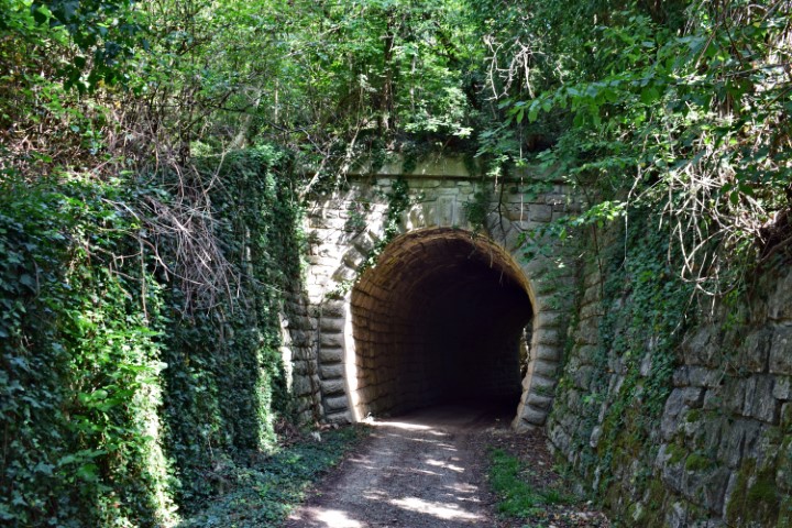
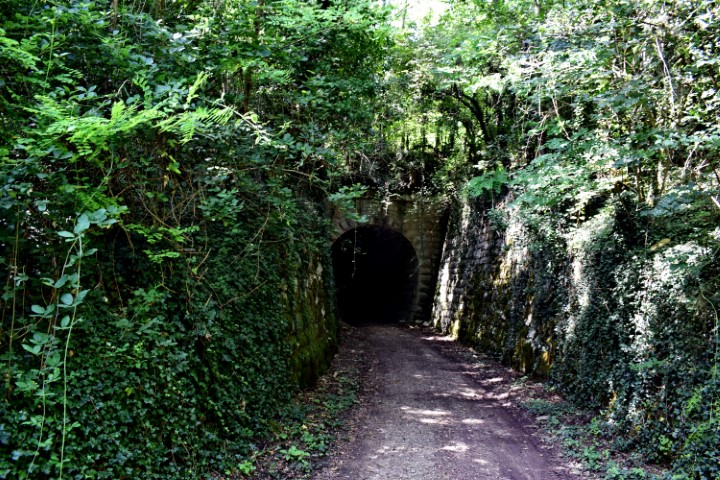
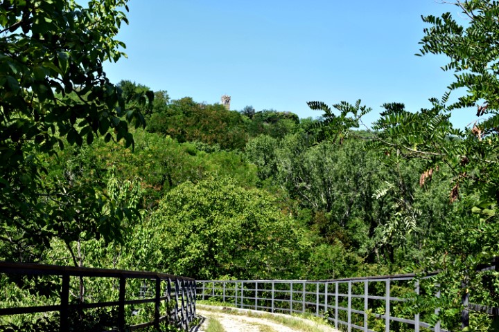
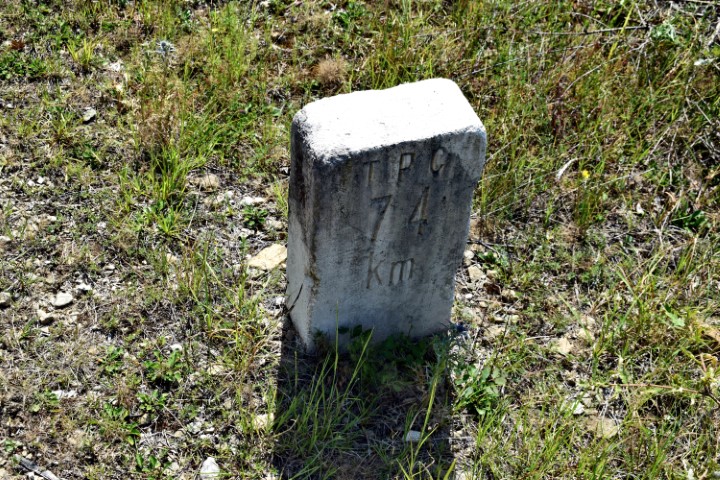
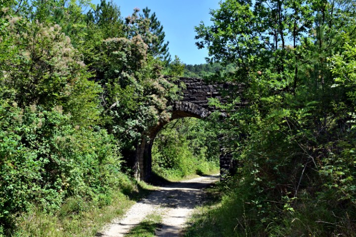
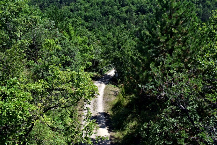
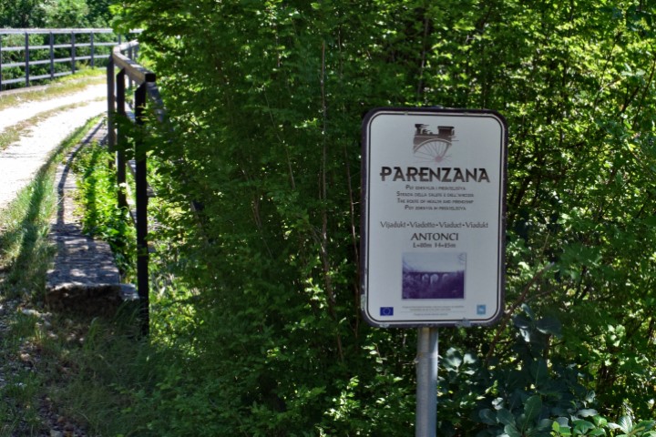
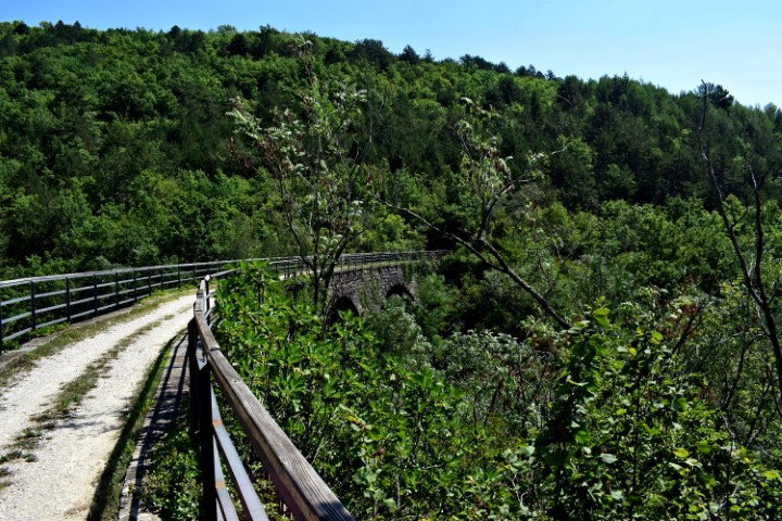
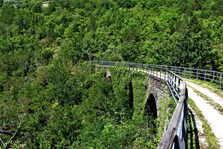
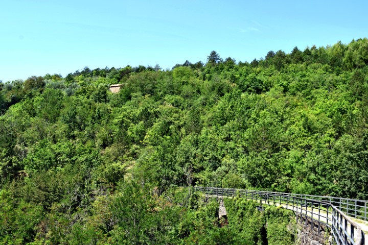
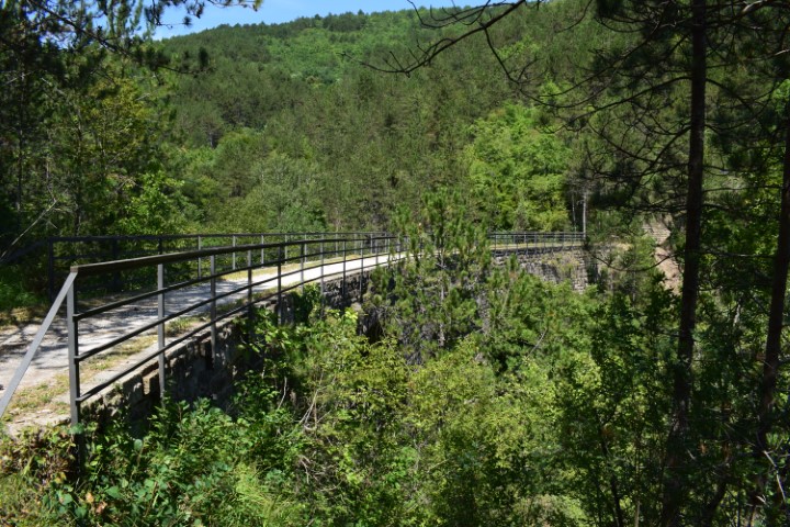
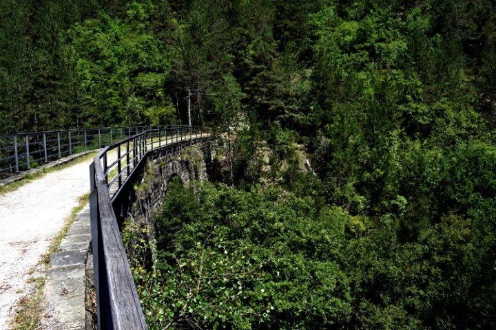
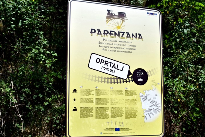
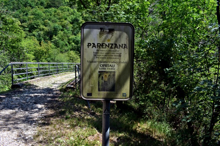
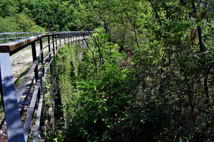
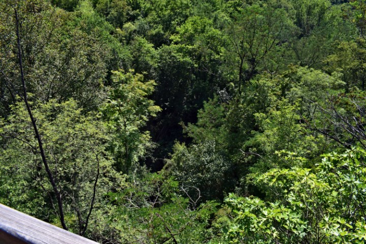
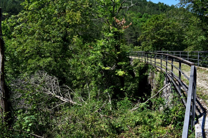
Name: Hiking trail Parenzana from Žarvrsje to the viaduct on the mount Lozaria.
Place: Grožnjan.
Coordinates: 45.36805 N – 13.77494 E to 45.37080 N – 1381088 E.
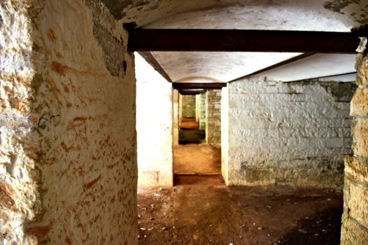
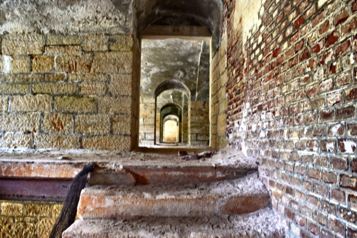
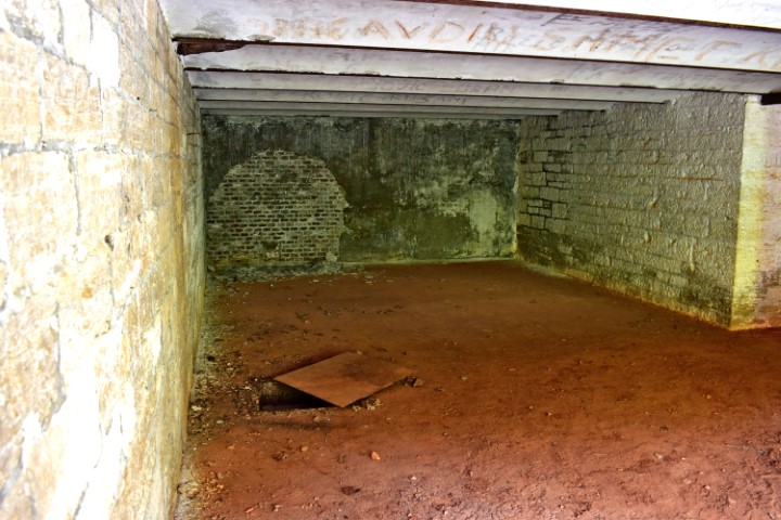
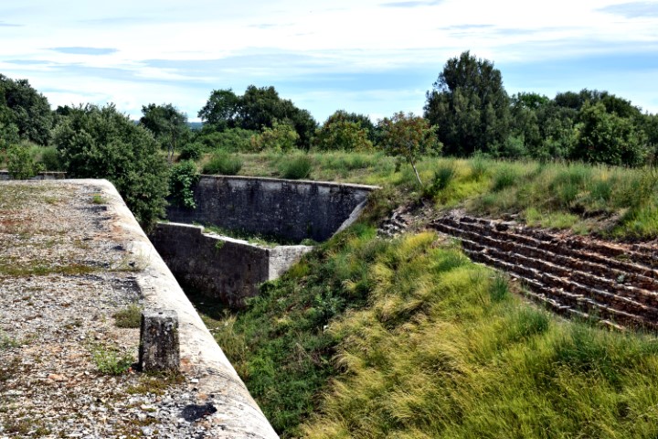
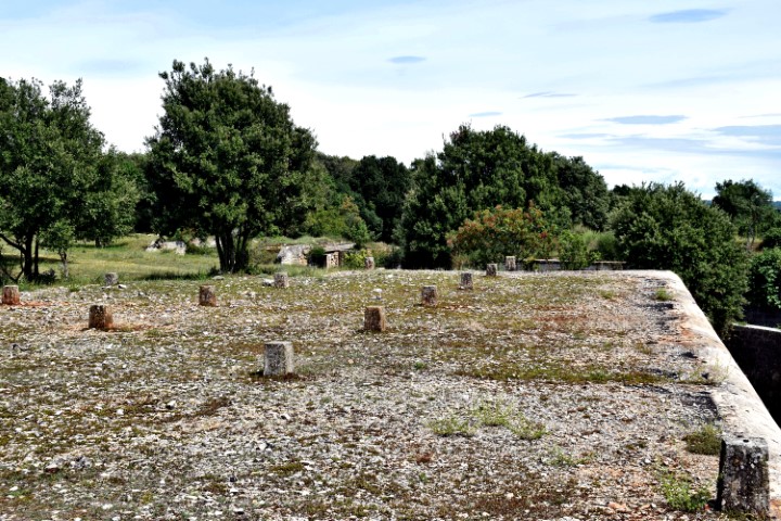
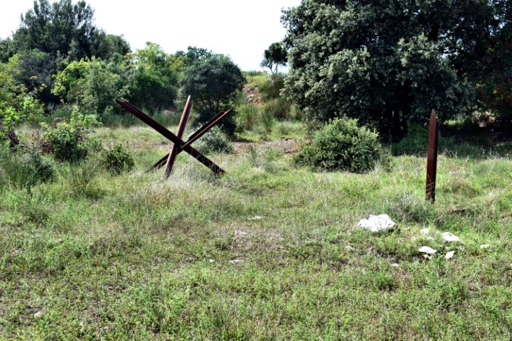
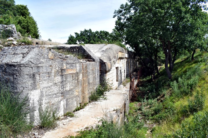
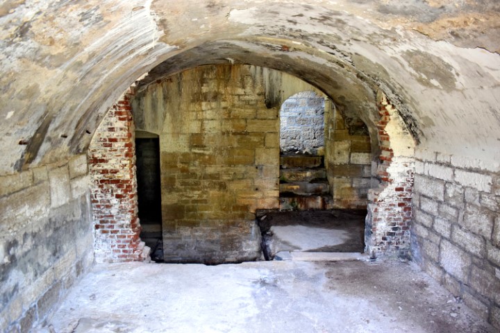
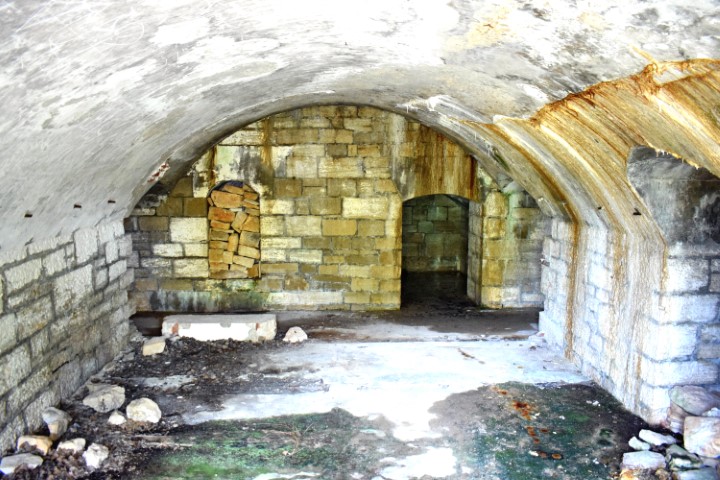
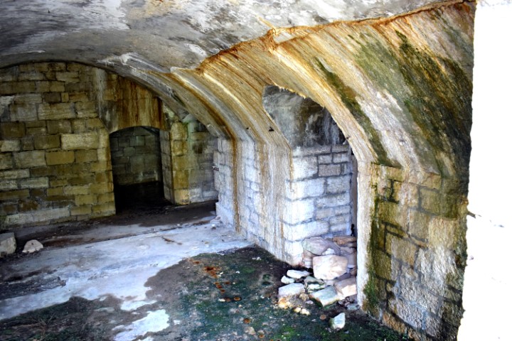
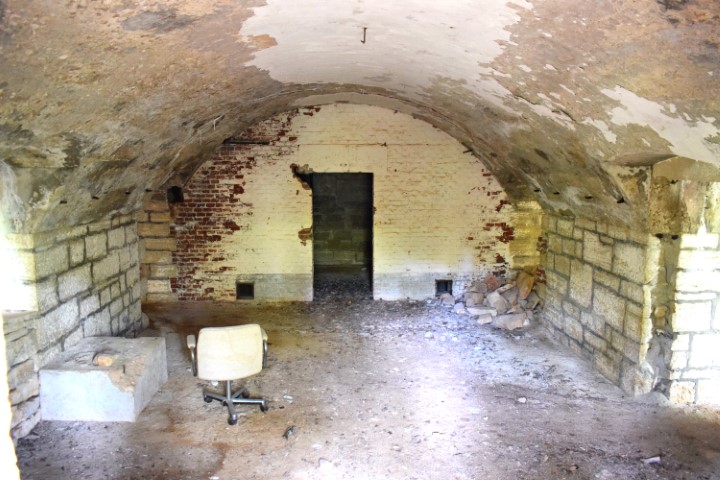
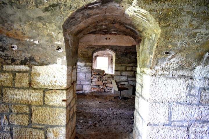
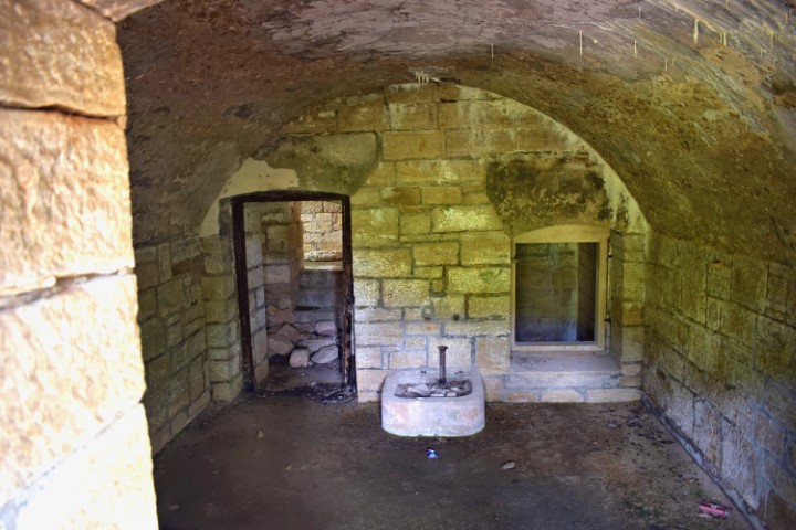
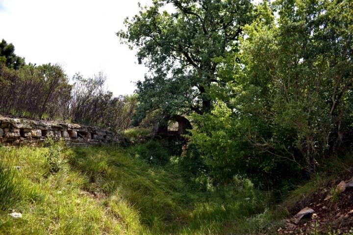
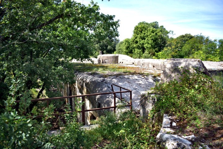
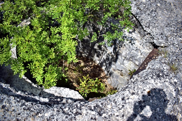
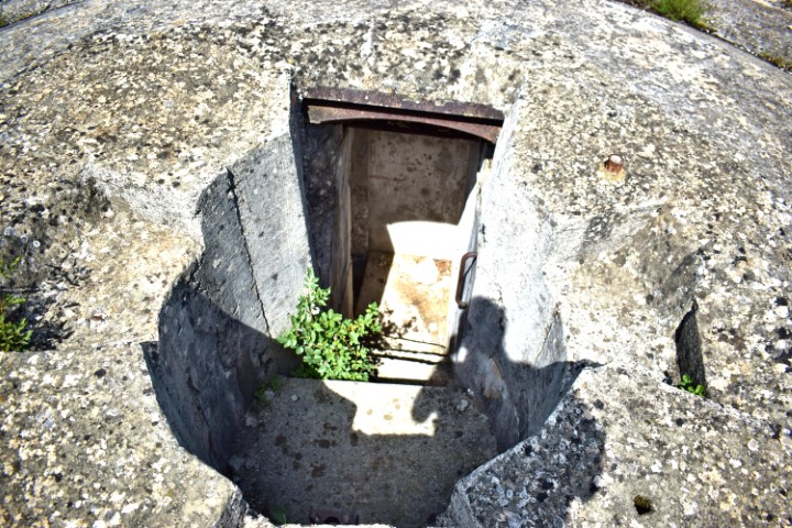
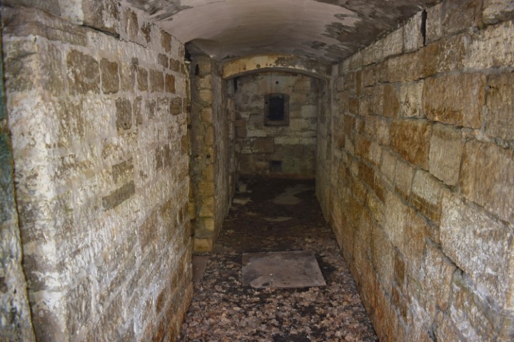
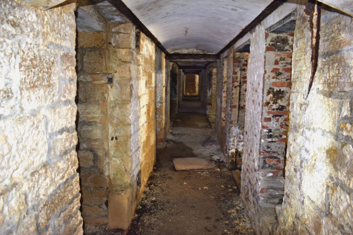
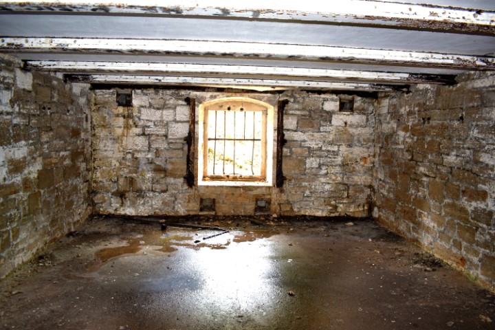
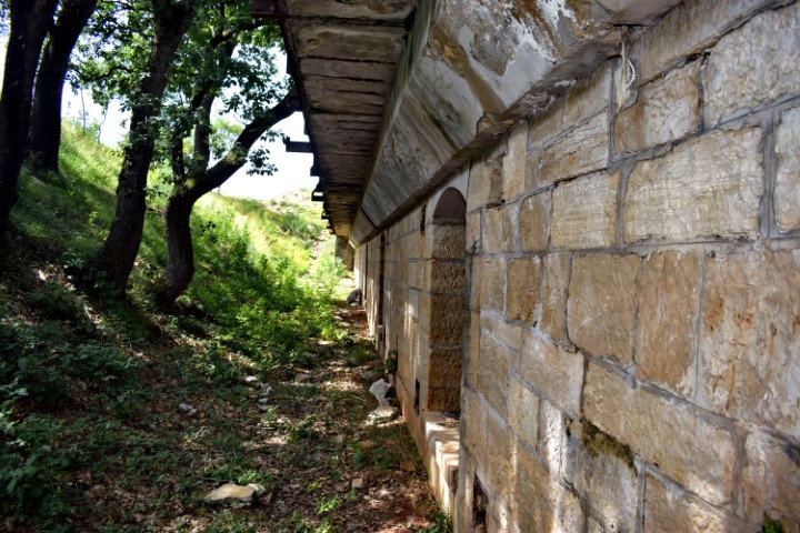
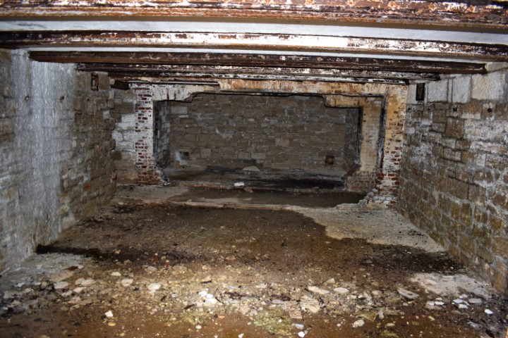
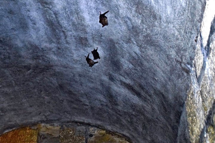
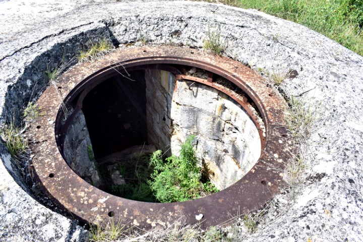
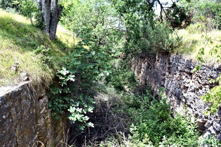
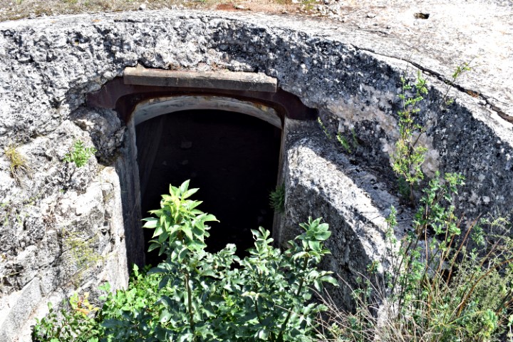
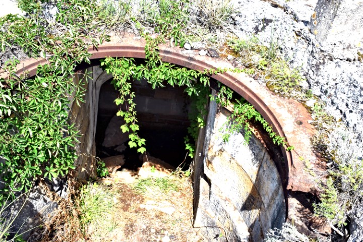
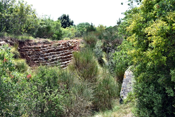
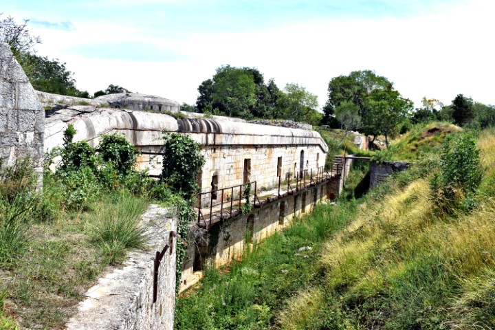
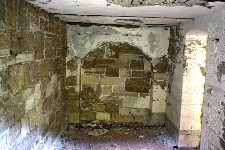
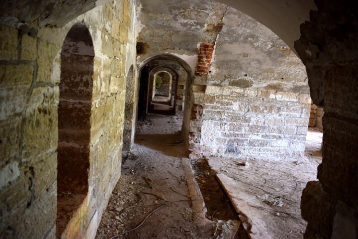
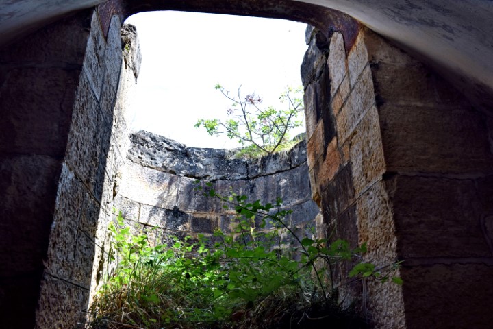
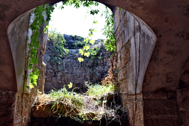
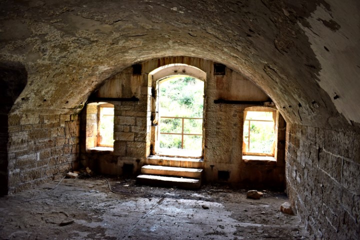
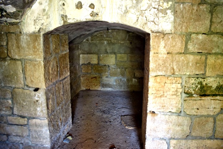
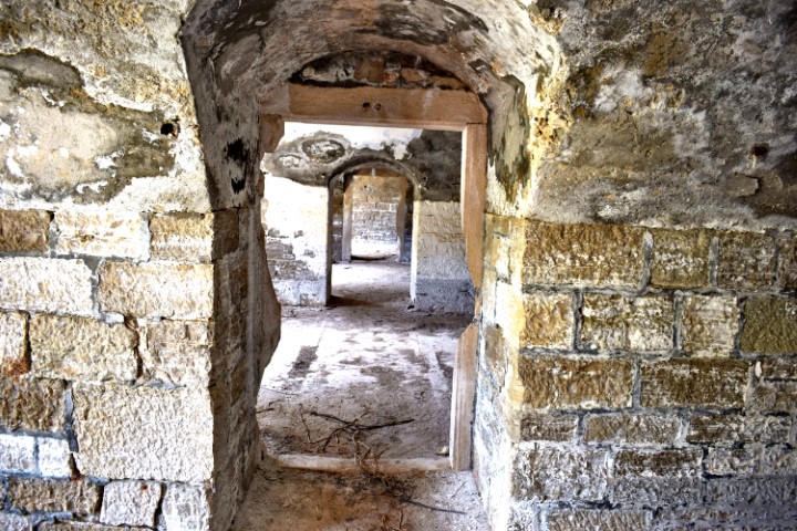
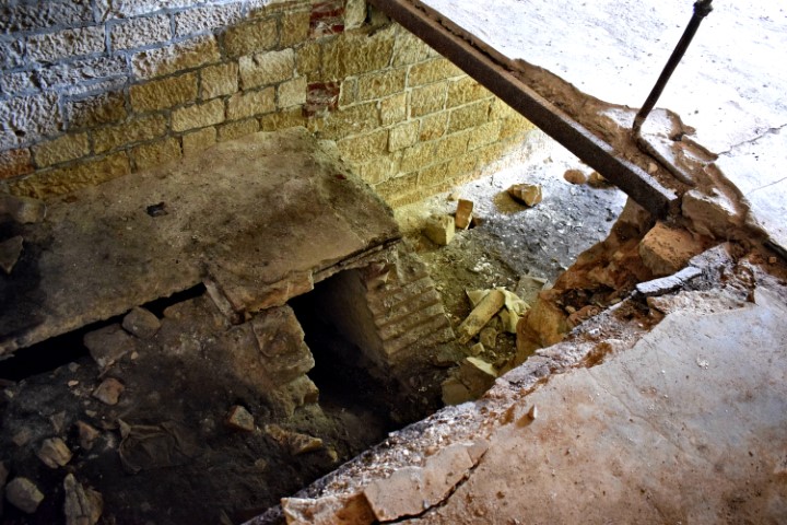
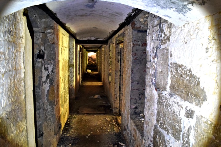
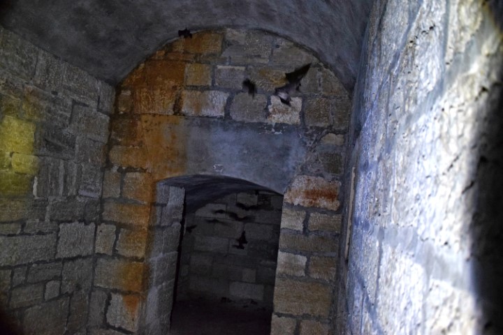
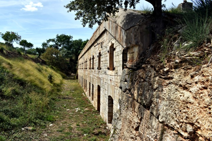
This building was intended to house the approximately 500 infantry soldiers. Is completely underground and flanked on three sides with a moat with a sloping outer bank. The building’s entrenched fronts and flanks are protected by a bomb-proof tunnel carved in the rock. The flanks further with an earthwork rampart.
Name: Paravia Untertritt – Barbariga.
Place: Barbariga – Bale.
Coordinates: 45.00351N – 13.73658E.
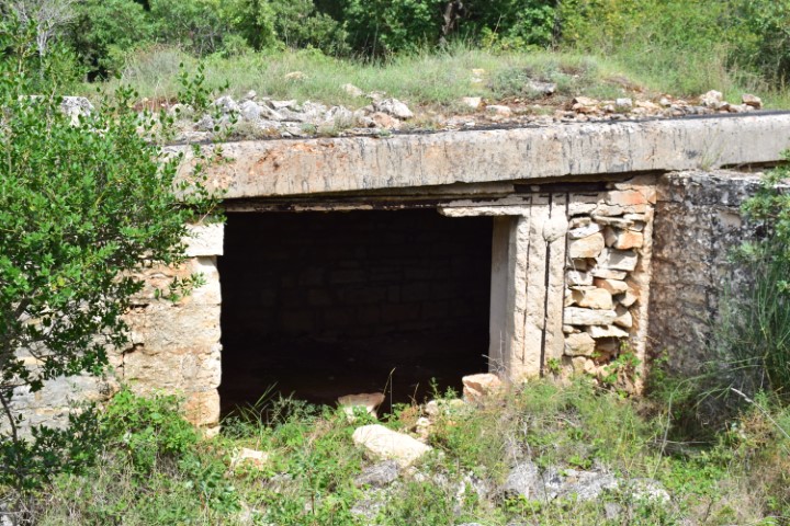
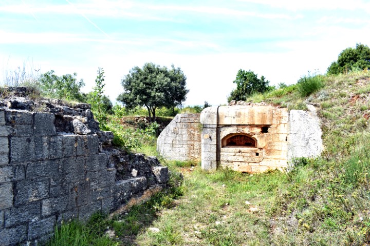
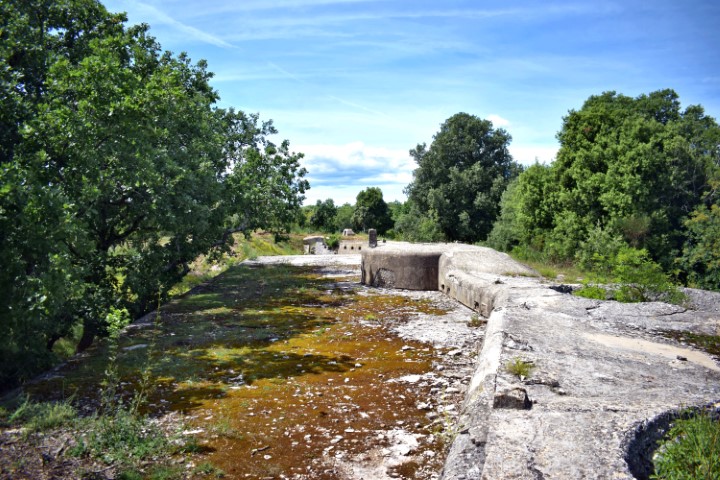
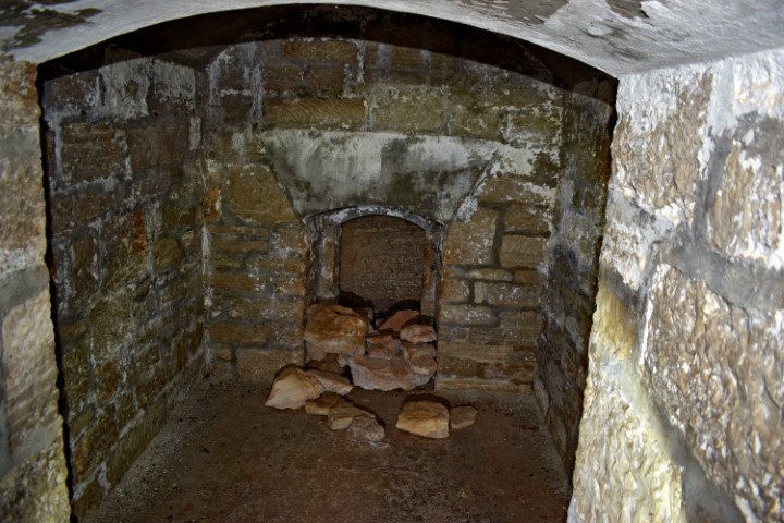
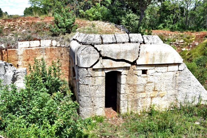
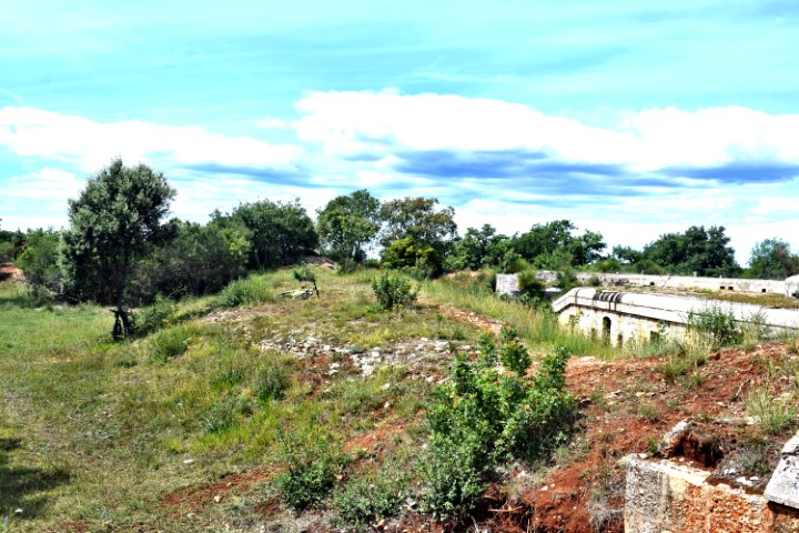
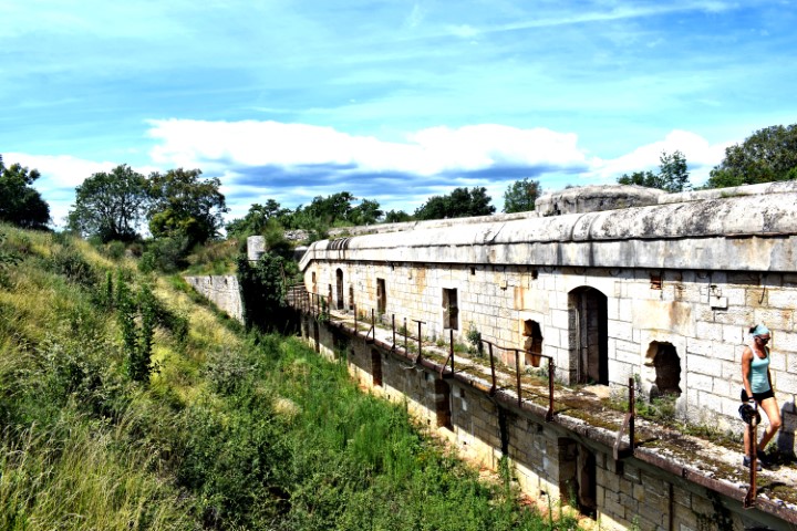
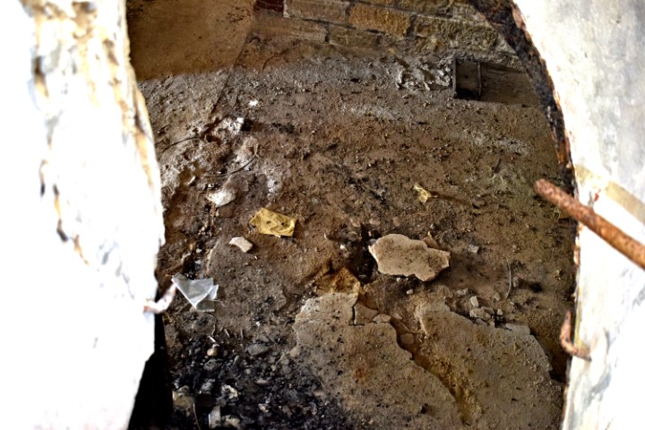
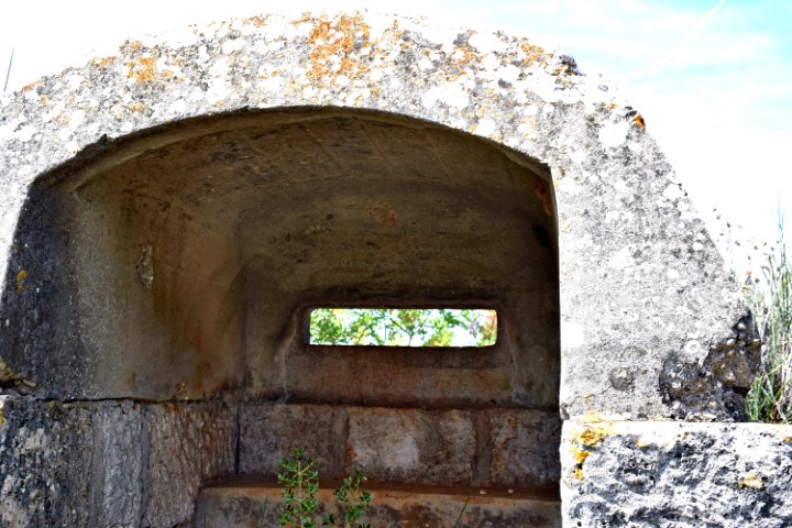
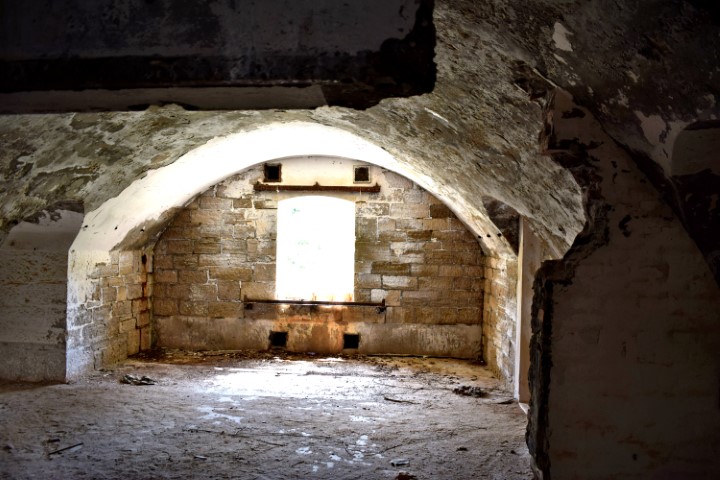
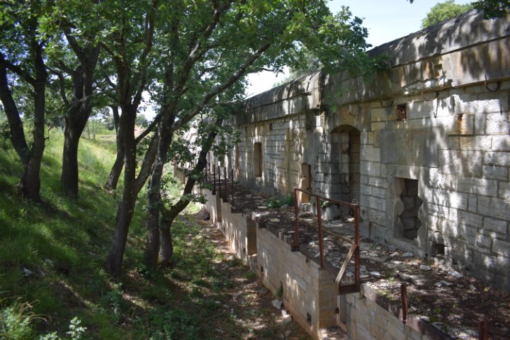
Situated on the Paravia hill at an altitude of 5 meters above sea level and built in 1905 and 1906, it has a rock cut defense moat. It has a two floor building with casemates for the garrison, storehouses and shelters, and was armed with four M99 F caliber howitžers.
This fortress was part of the Barbariga group with more defenses and was part of the Austro-Hungarian fortress Pula, and especially intended for attacks over land.
Name: Paravia-Oost – Barbariga.
Place: Barbariga – (Bale).
Coordinates: 45.00434 N -13.74145 E.
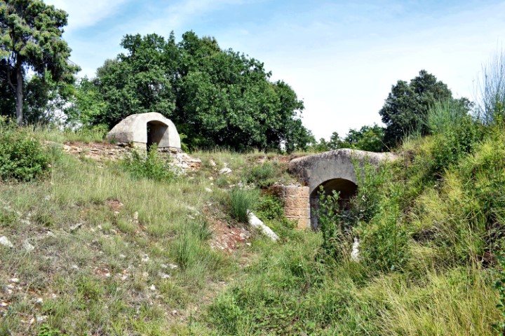
This fort was built in 1905 and 1906 on the Paravia hill at an elevation of 55 meters above sea level. For protection it had a rock cut defense moat and defense ramparts made of earth and stone. This fort is a two-floor building for the garrison, storehouses and the shelters on the sides, and armed with four M99 F10 caliber howitzers.
This fortress was part of the Barbariga group with more defenses and was part of the Austro-Hungarian fortress Pula, and especially intended for attacks over land.

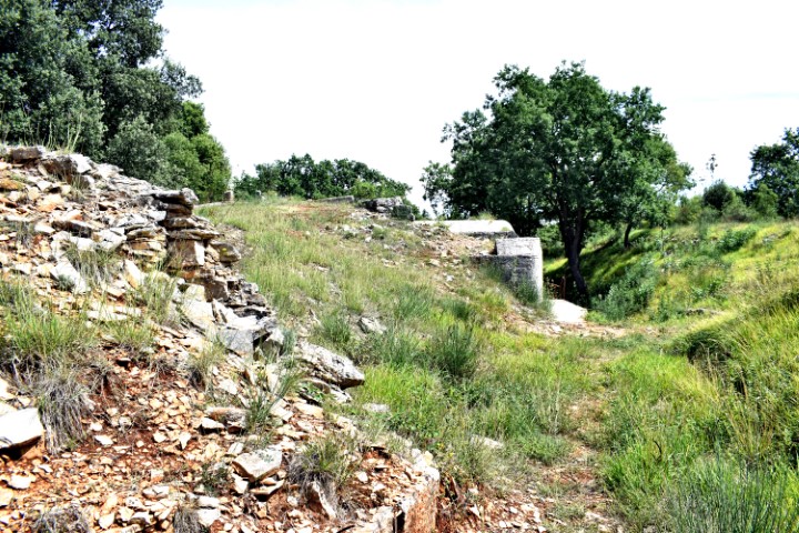
Name: Fort Paravia-West – Barbariga.
Place: Barbariga – Bale).
Coordinates: 45.00791 N – 13.73469 E.