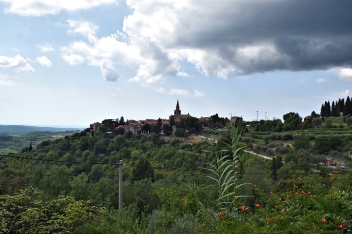
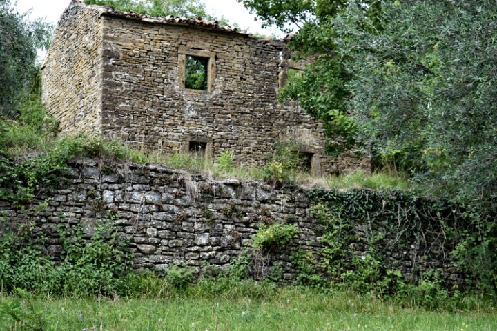
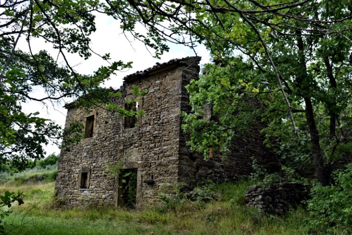
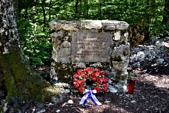
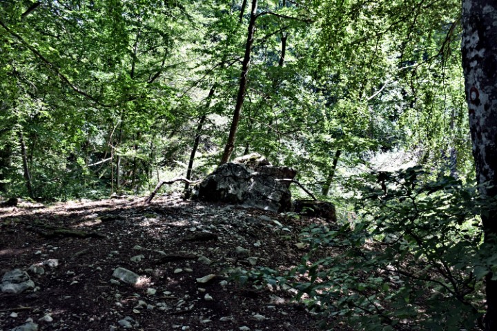
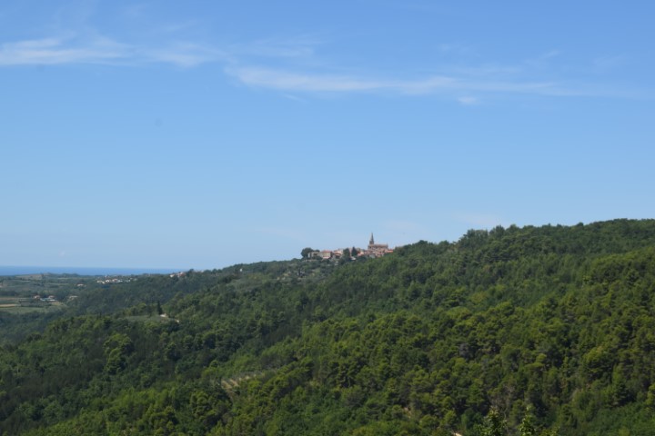
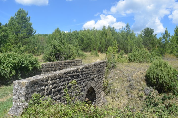
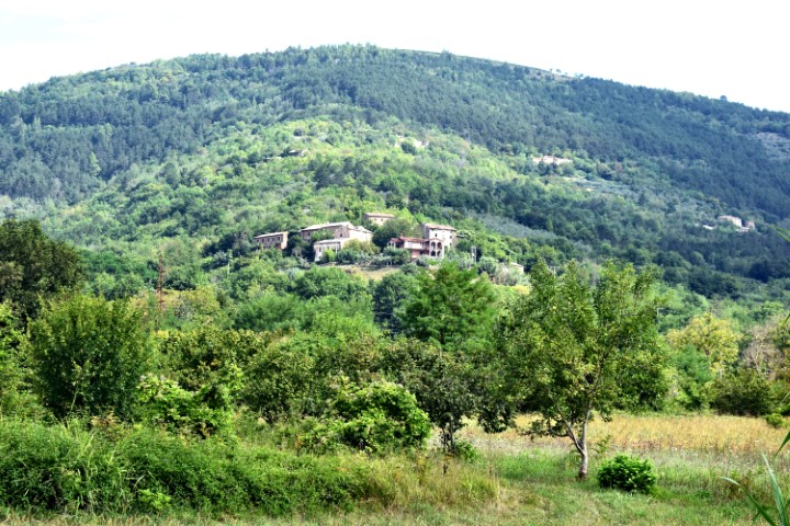
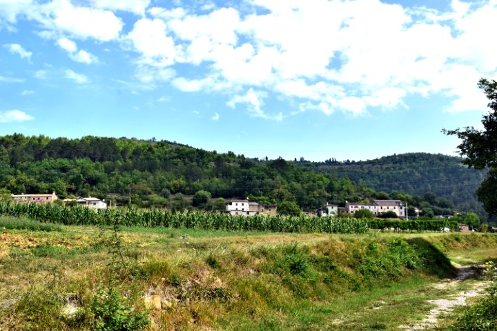
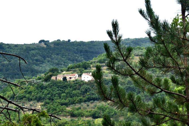
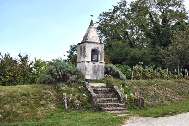
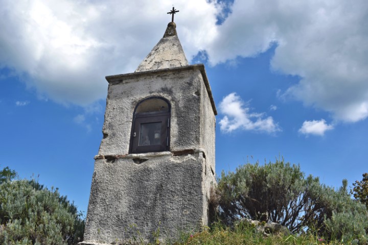
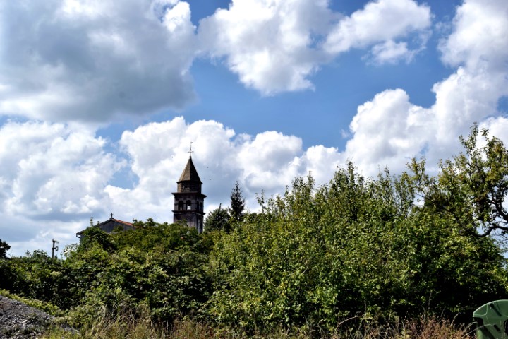
Zamask is located at an altitude of 411 meters above sea level and was inhabited in prehistoric times. In this village are two churches. The parish church St. Michael built in 1900 on the site of a chapel from 1178. The bell tower is from 1821. The other church was built in the XII century and named after St. Martina.
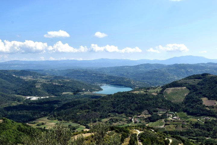
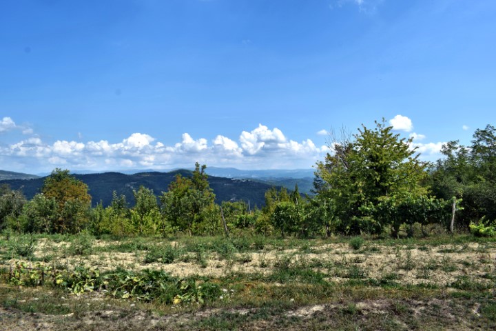

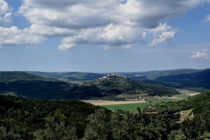


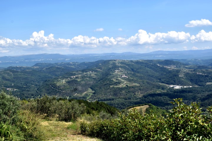
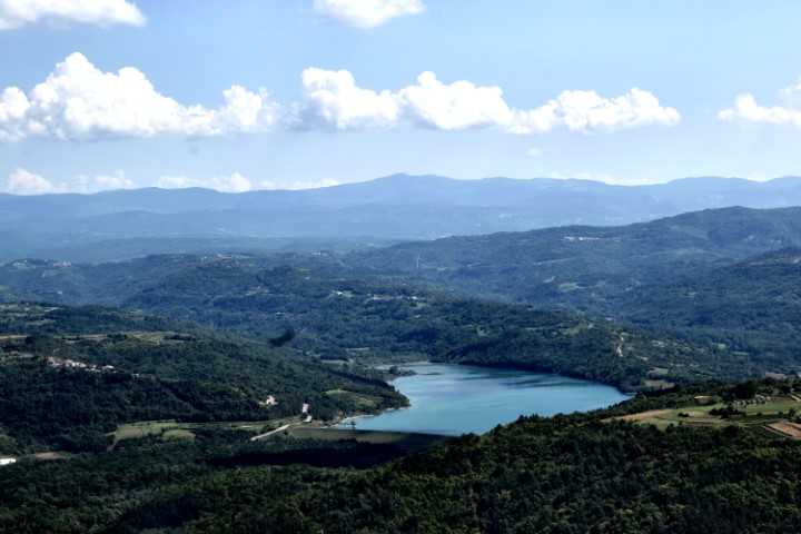
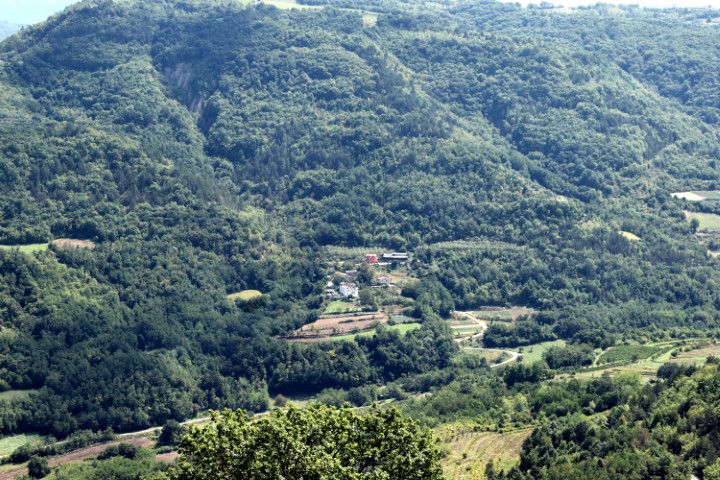
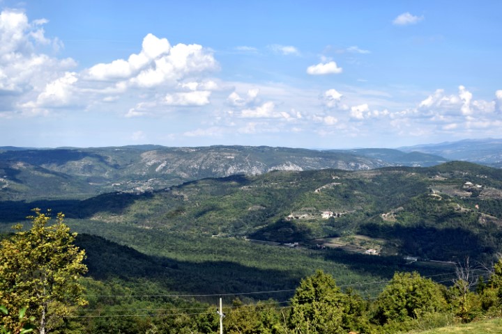
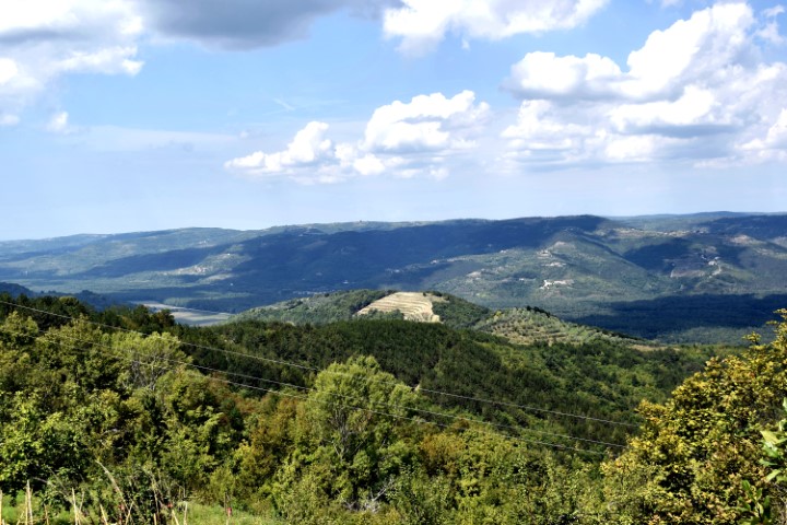
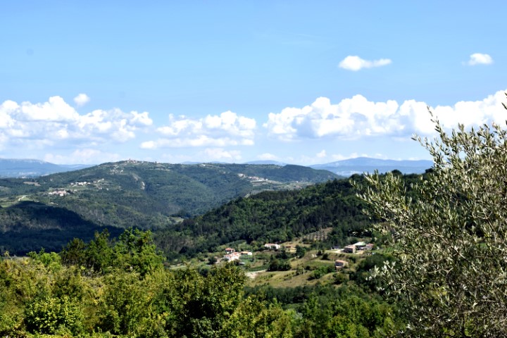
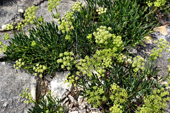
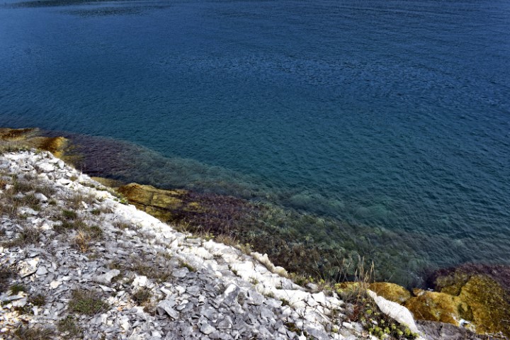
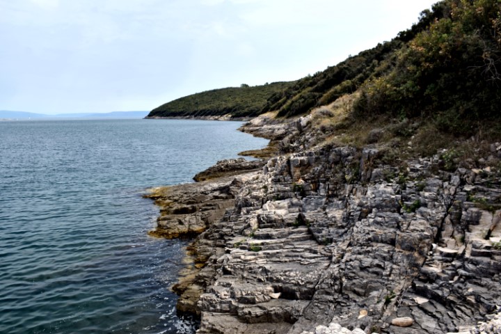
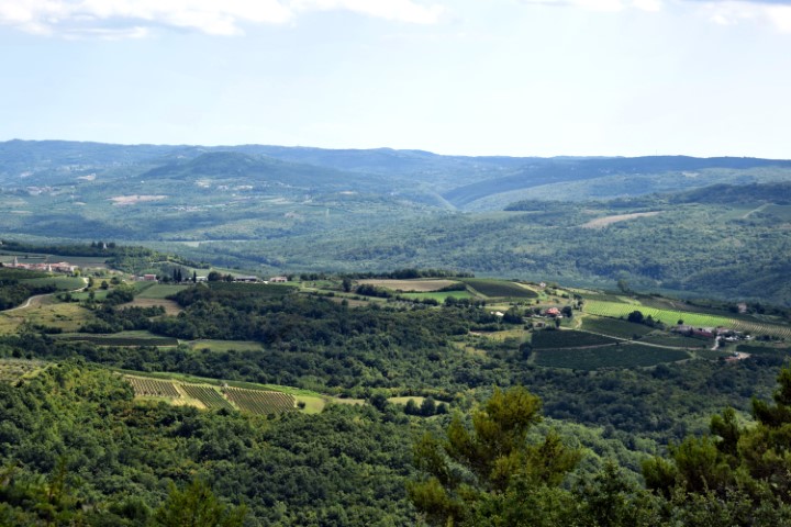
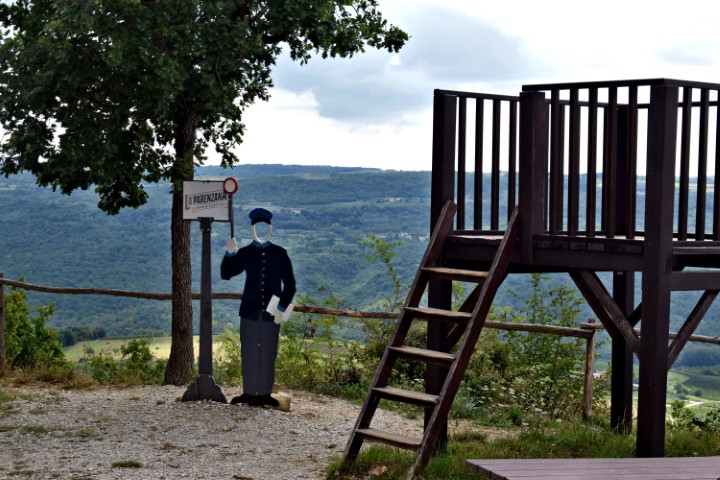
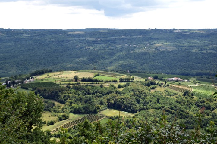
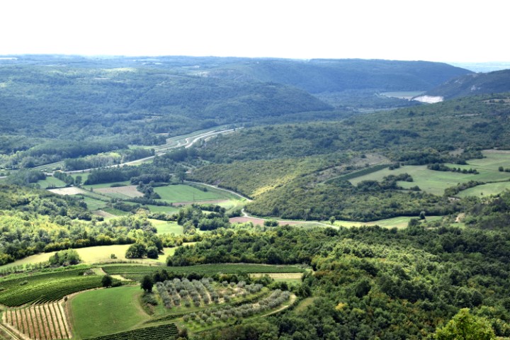
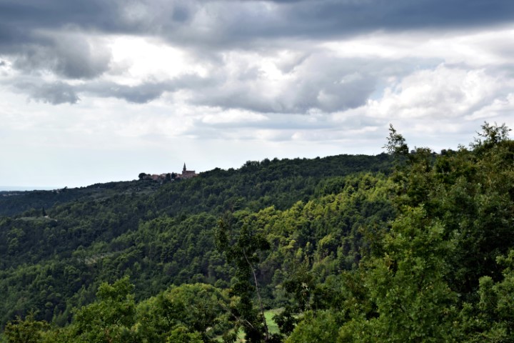
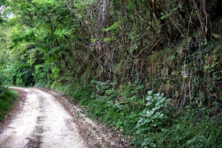
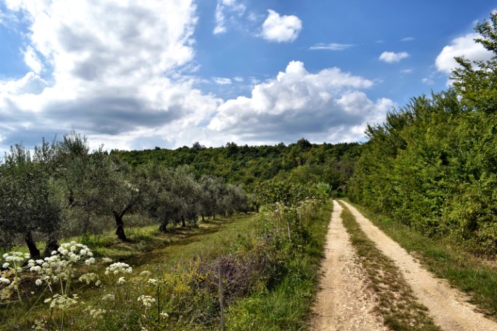
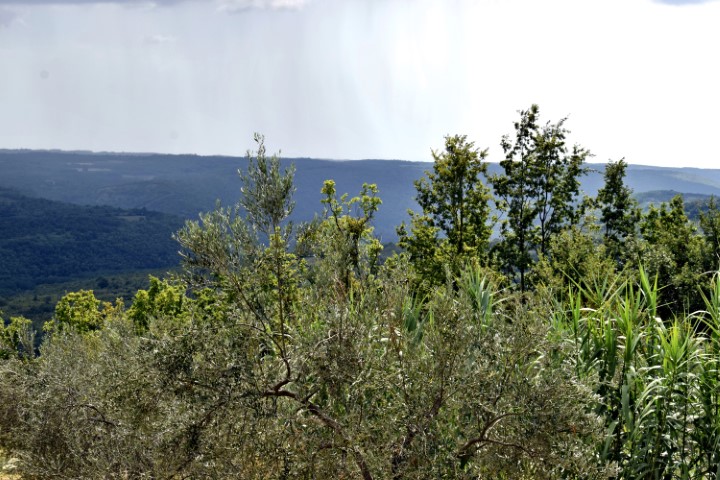
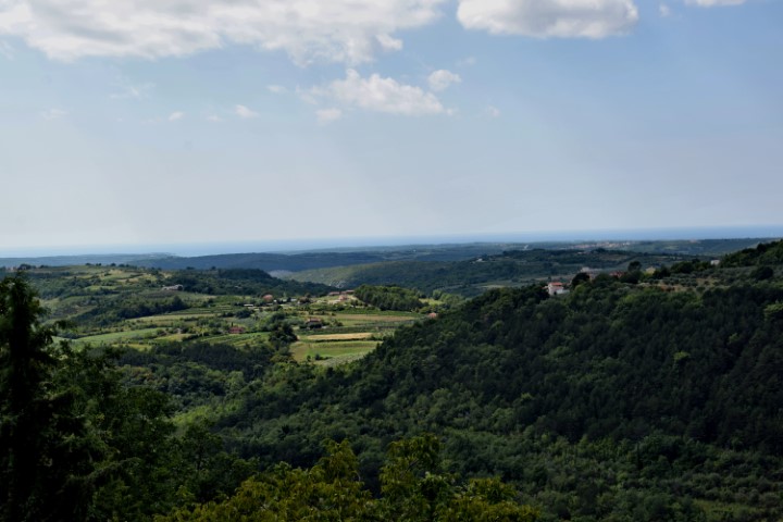
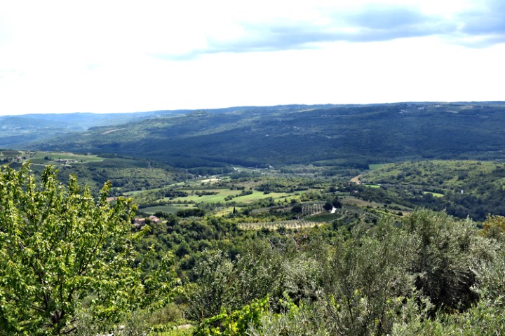
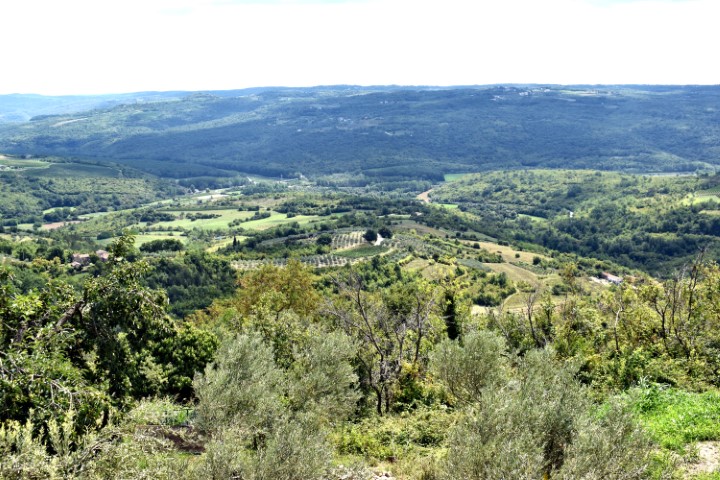
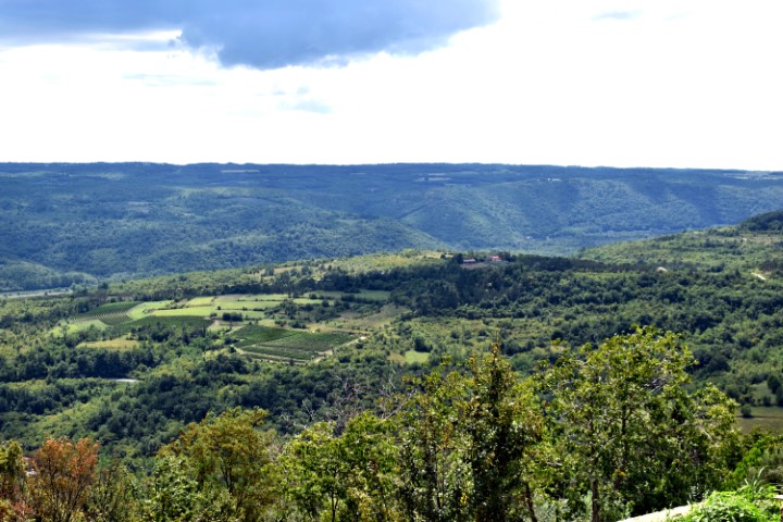
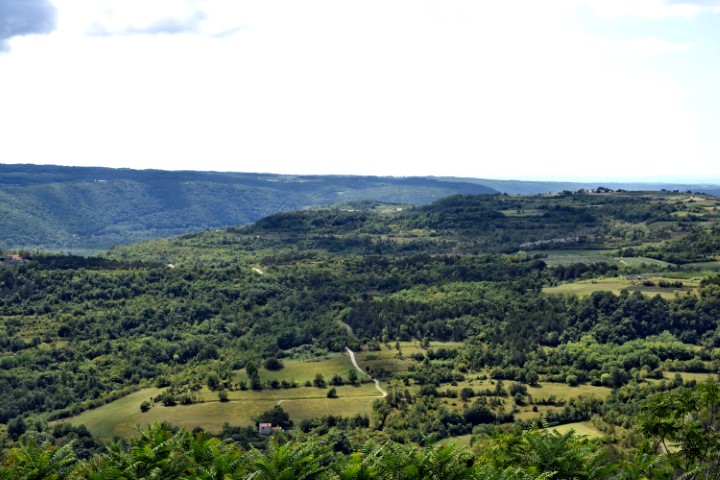
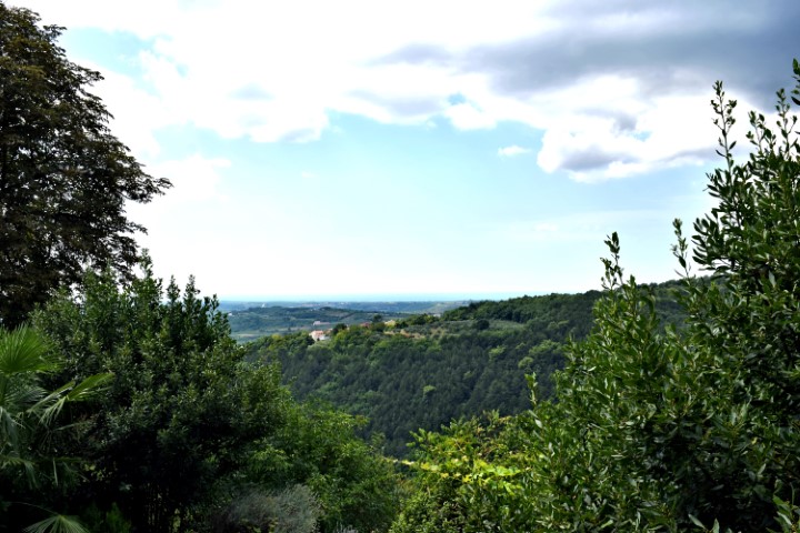
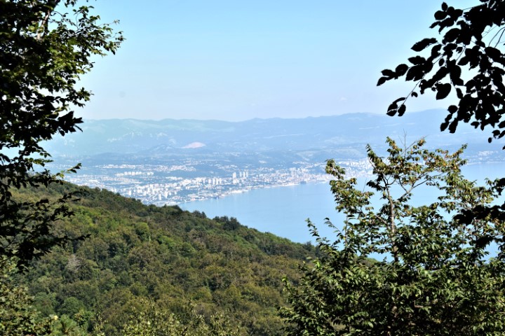
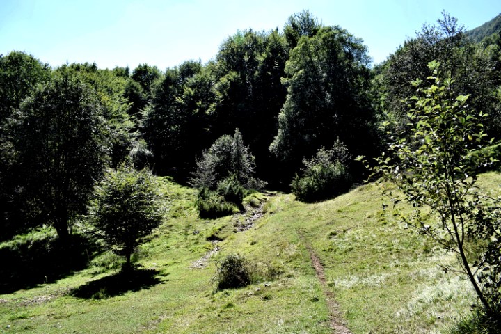
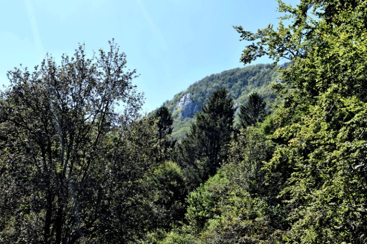
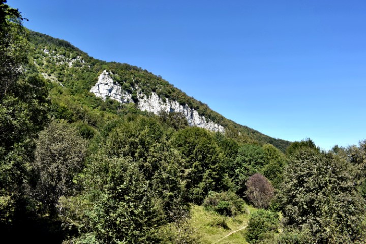
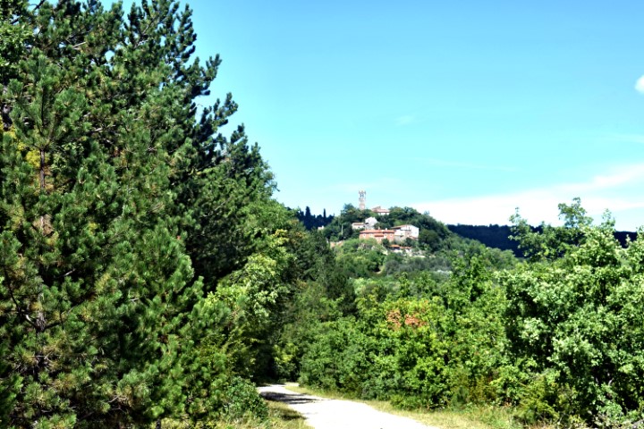
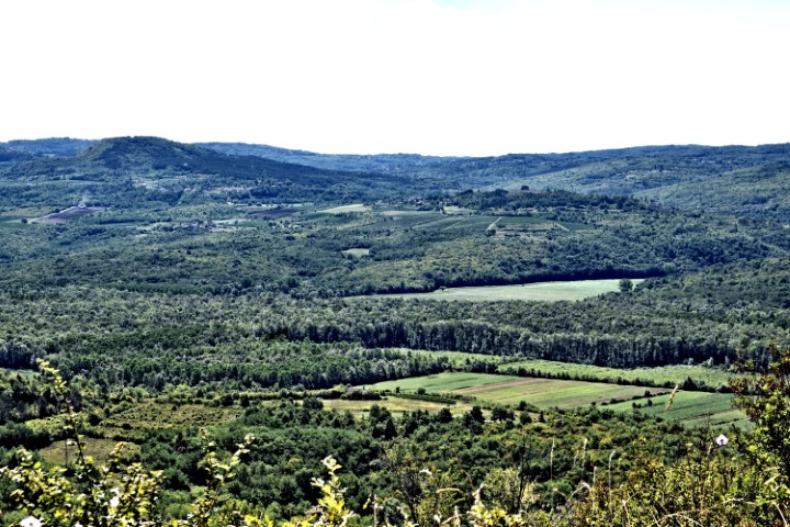
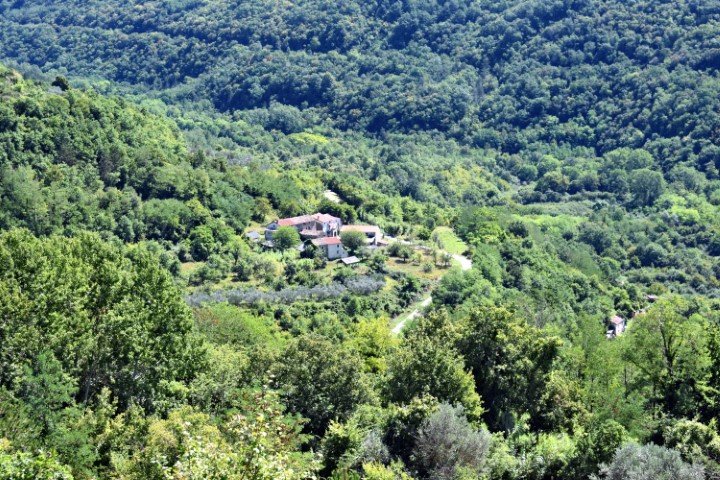
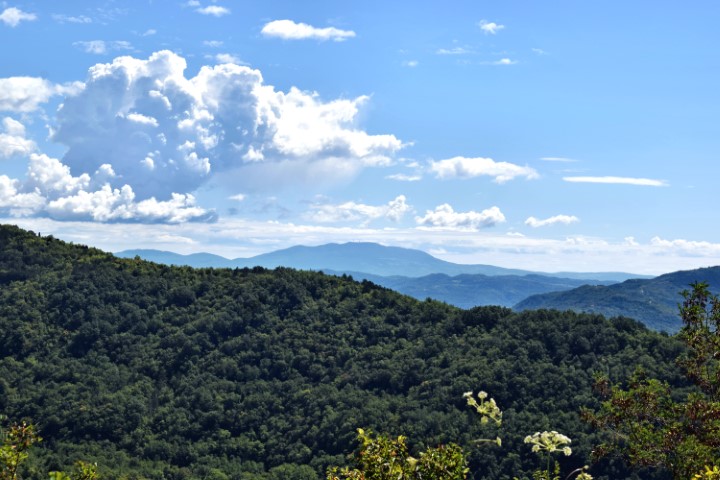
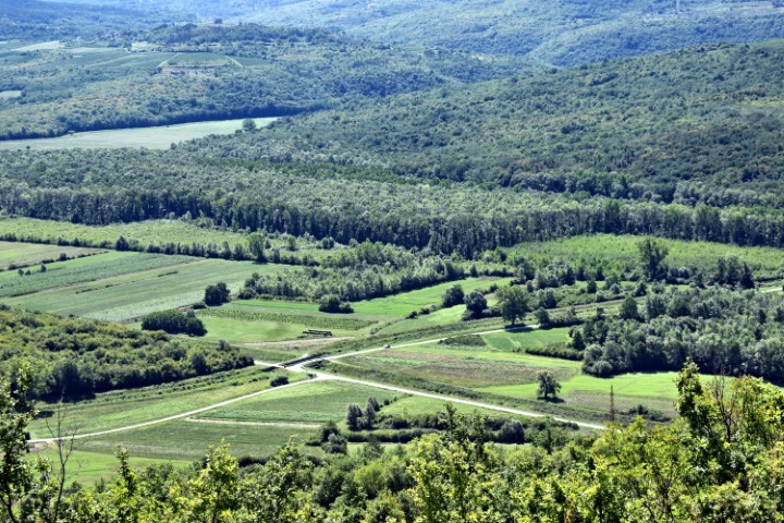
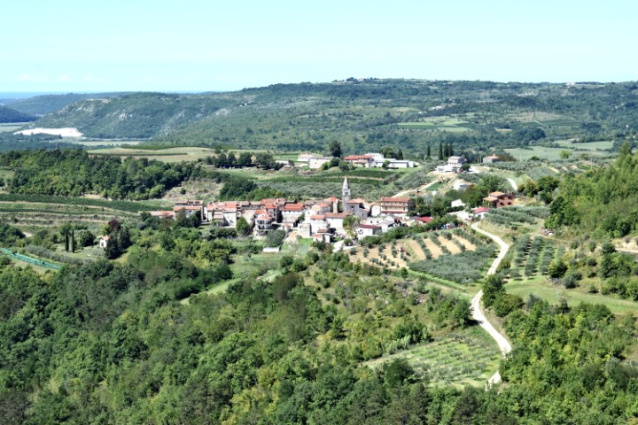
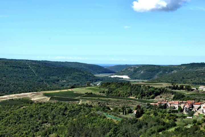
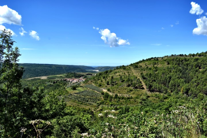
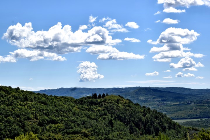
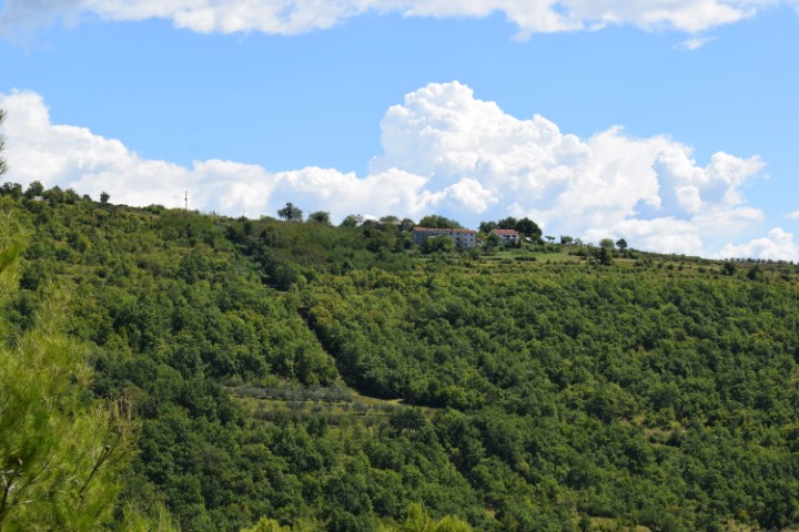
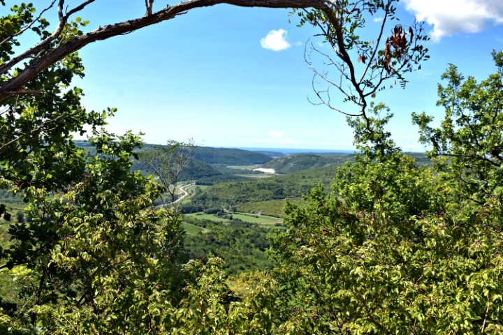
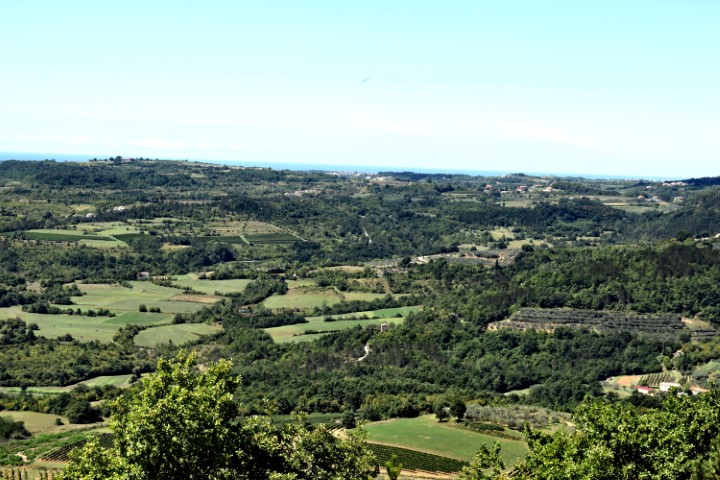
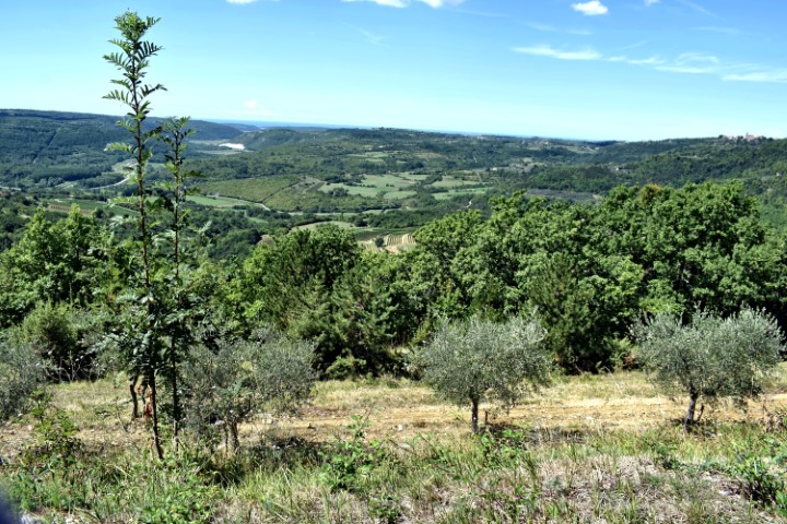
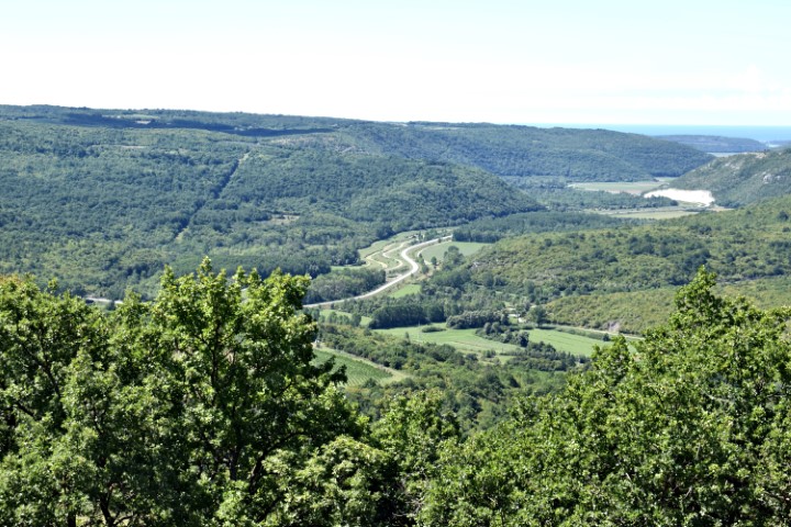
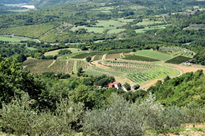
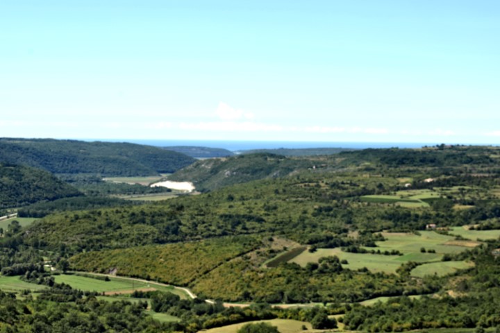
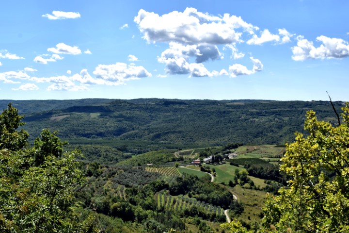
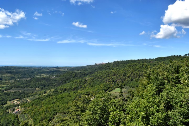
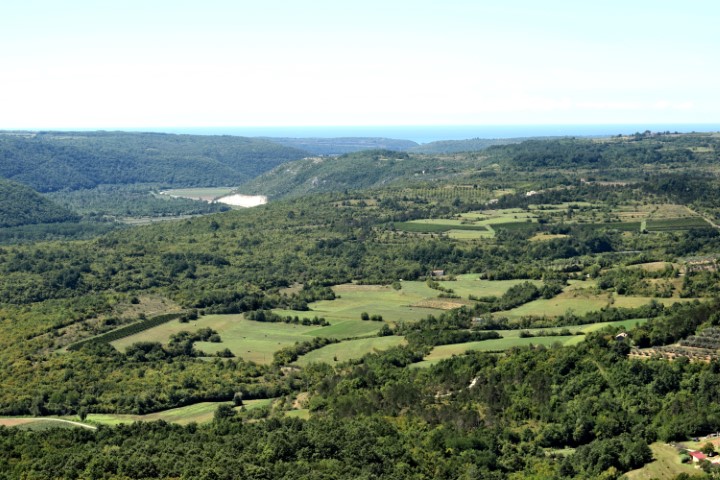
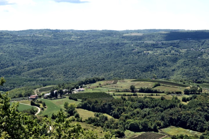
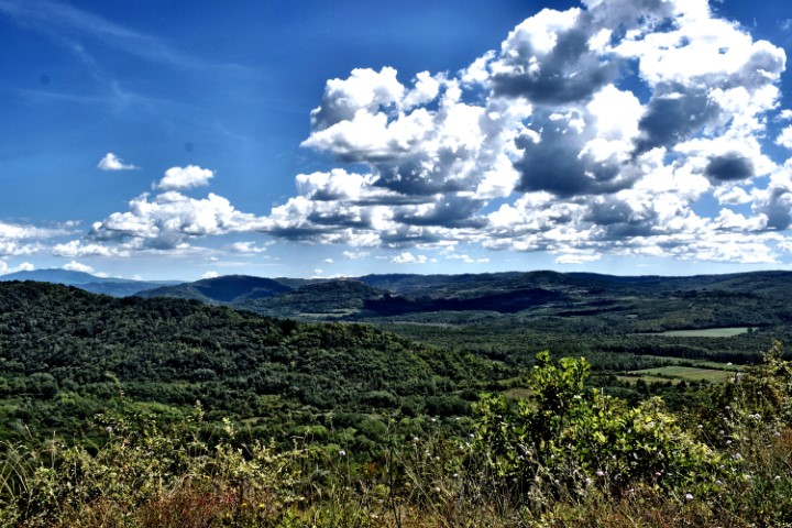
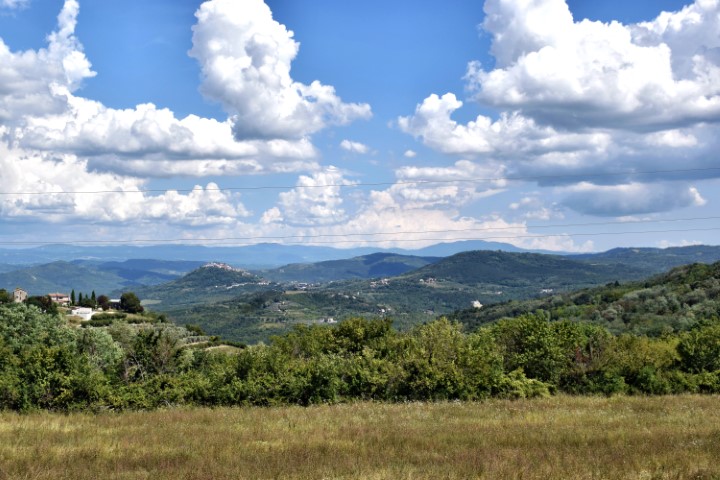
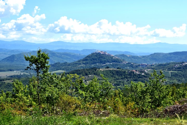
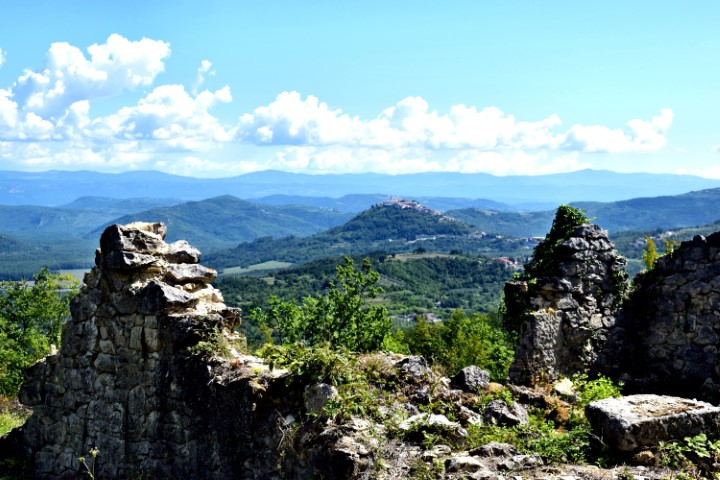
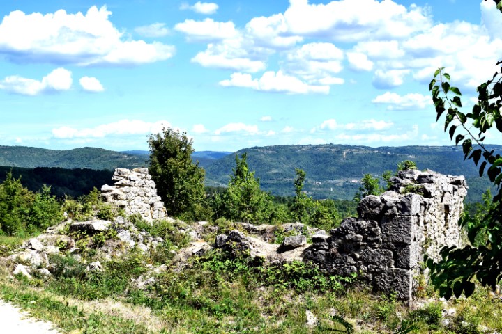
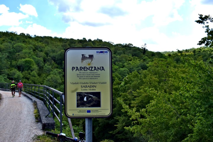
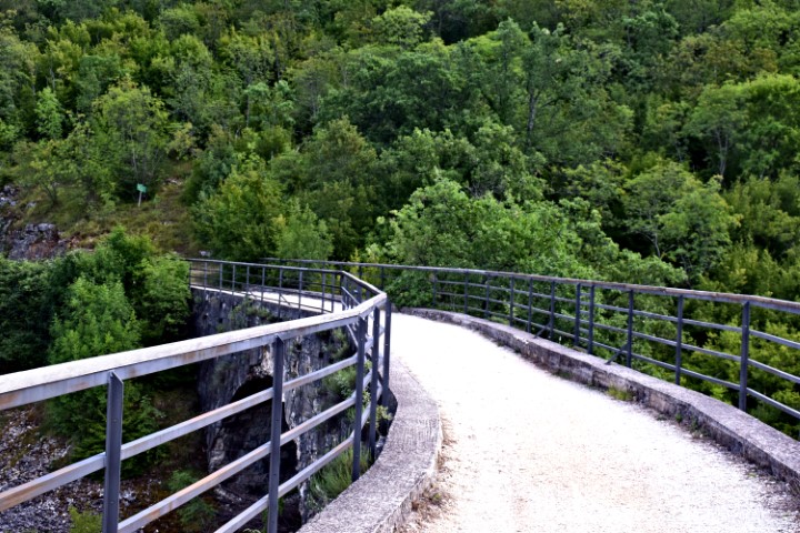
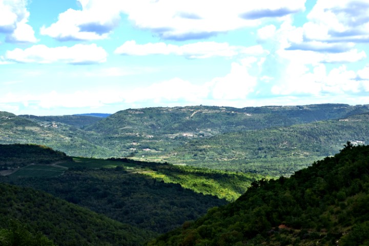
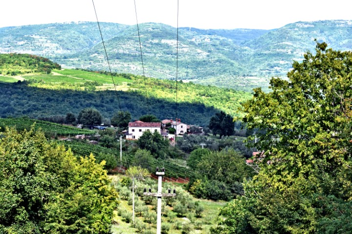
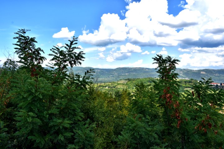
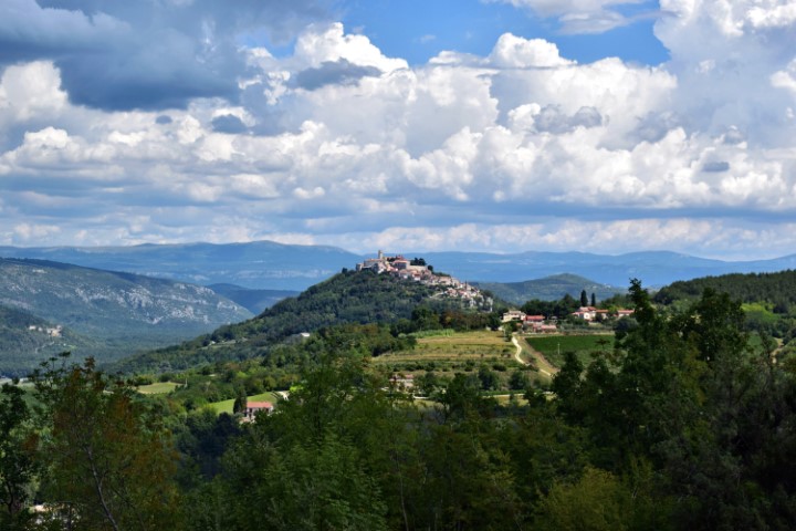
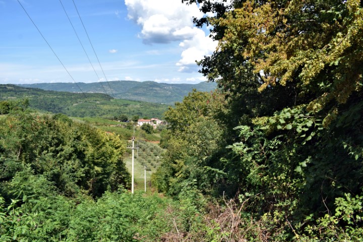
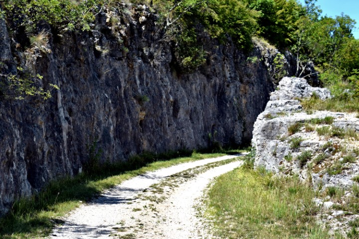
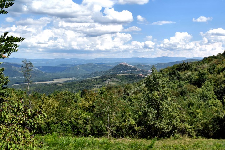
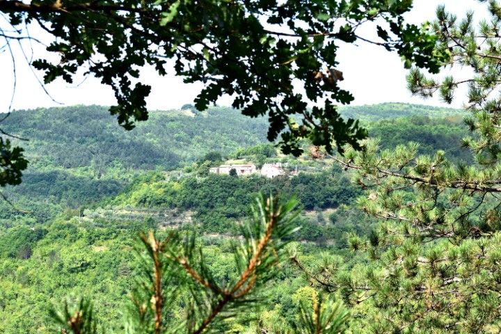
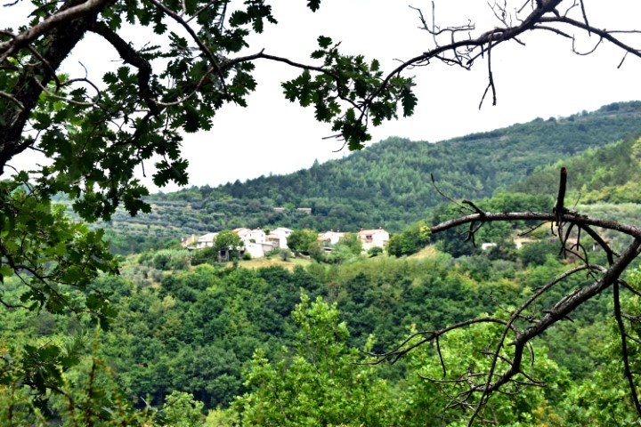
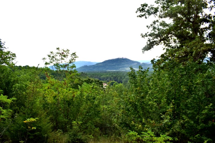
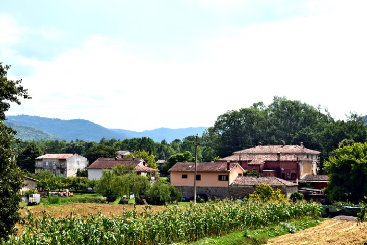
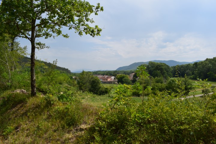
Name: Zamask – Views Butoniga lake and the tops of Central Istria.
Place: Zamask – (Pazin).
Coordinates: 45.32690 N – 13.87994 E.