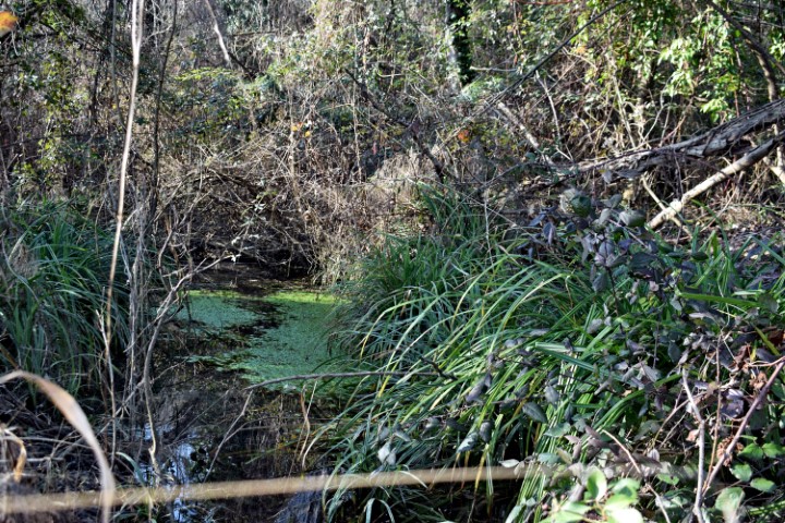
Name: Puddle Vajaron – Mulski stream. – Hill Grum.
Place: Near hill Grum- Nova Vas – (Brtonigla),
Coordinates: Path to Mulski stream 45.36383 N – 13.65147 E.
Puddle: 45.35782 N – 13.65999 E.

Name: Puddle Vajaron – Mulski stream. – Hill Grum.
Place: Near hill Grum- Nova Vas – (Brtonigla),
Coordinates: Path to Mulski stream 45.36383 N – 13.65147 E.
Puddle: 45.35782 N – 13.65999 E.
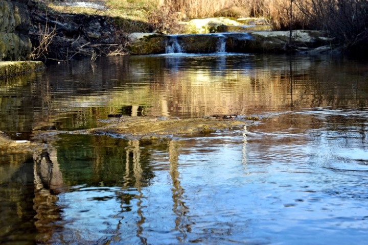
Name: Argilla stream near Merišće.
Place: Merišće – Momjan – (Buje).
Coordinates: from 45.43605 N-13.68833 E to
45.44047 N – 13.69743 E.
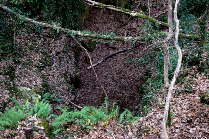
Name: Hiking trail to the stream Kanal – Marčana.
Place: Marčana.
Coordinates:
Starting point: 44.95104 N – 13.96903 E.
End point: 44.94935 N – 13.97091 E.
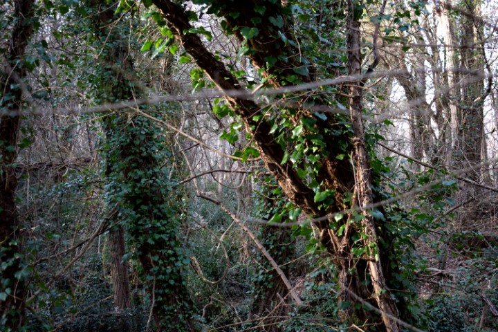
Name: Hiking trail from puddle Mandalona to Kanal.
Place: Marčana.
Coordinates:
Starting point: 44.952394 N – 13.977467 E.
Kanal endpoint: 44.94573 N – 13.97588 E
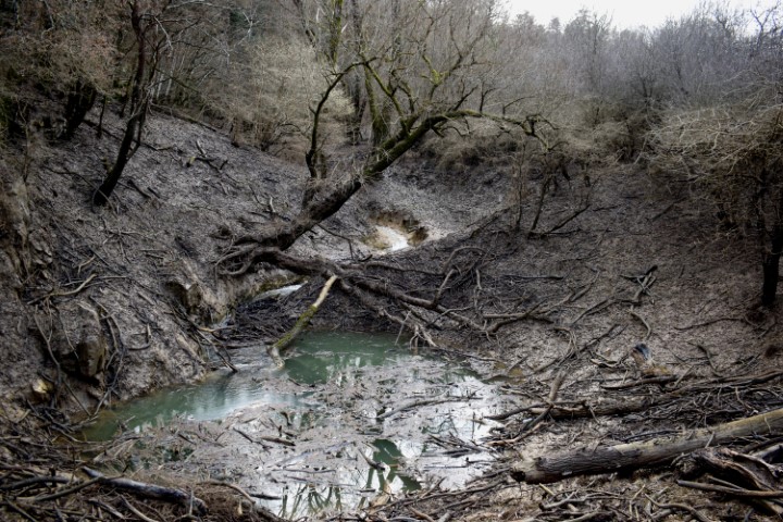
Name: Pegon stream – Abyss/cave Praponjak.
Place: Near Markovići – (Oprtalj).
Coordinates: Startingpoint 45.41081 N – 13.81354 E. Cave/abyss 45.41214 N – 13.83598 E.
Hiking trail from waterspring Zahej to the bridge over the streams Tamujak and Mlaka.
Possible prehistoric settlement on the position 45.41162 N – 13.86959 E.
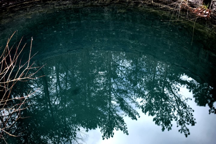
Name: Waterspring Zahej – streams Tamujak and Mlaka.
Place: Zrenj -(Oprtalj).
Coordinates:
Startingpoint: 45.40981 N -13.86729 E, Brige: 45.41416 N -13.86802 E.
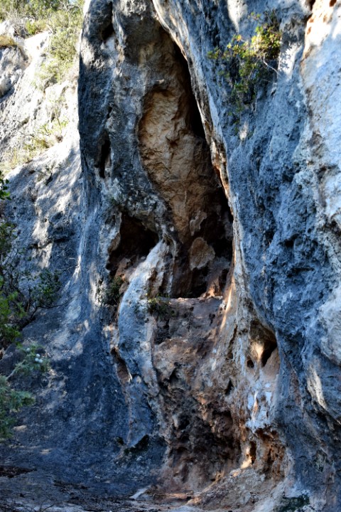
Name: Naturepark Kontija – Cliffs Gatić – Limski Kanal.
Place: Near Kloštar – (Vrsar).
Coordinates: 45.13654 N – 13.69613 E
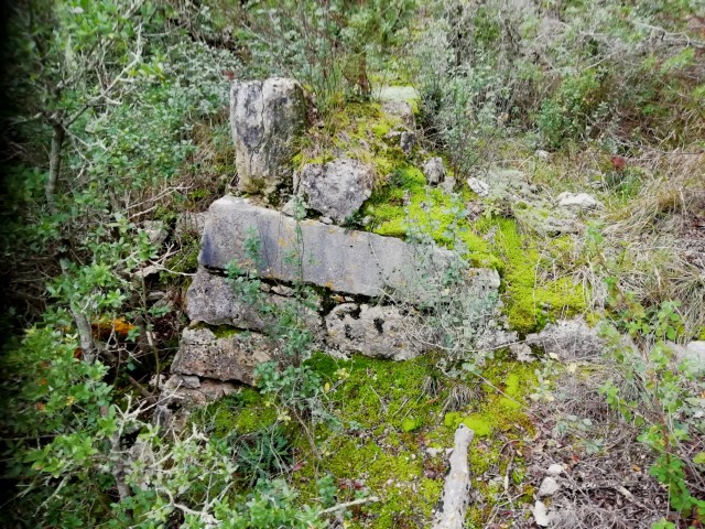
Name: Hiking trail Nature park Kontija to Lim Canal.
Place: Kloštar – (Vrsar).
Coordinates:
Starting point: 45.14061 N – 13.70417 E (Benedictine monastery of St. Mihovel na Lim), Puddle / small pit: 45.14055 N – 13.69537 E. Small quarry: 45.14054 N -13.69435 E, Point of view Lim Canal: 45.13714 N – 13.69357 E, Viewpoint : 45.13722 N – 13.69900 E, Coast Lim wit remains of a pier and (roman) ruins, Pit with small cave: 45.13899 N -13.69546 E.
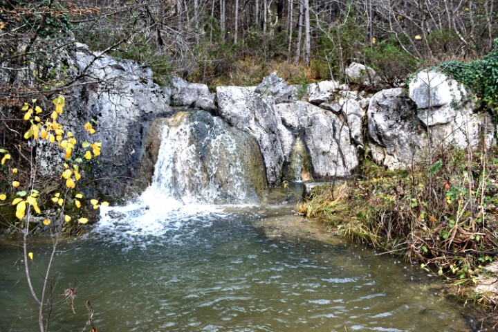
Name: Stream near Bartolici.
Place: Near Bartolici – Mrušići – (Buje).
Coordinates: Forest path 45.41965 N – 13.72414 E.
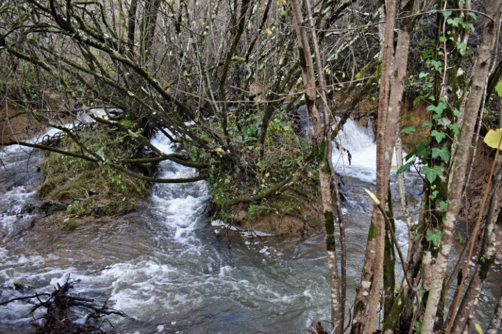
Name: Stream Bazuje.
Place: Bazuje – Marušići – (Buje).
Coordinates: 45.420077 N – 13.72444.