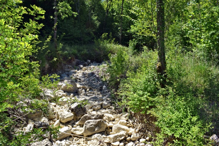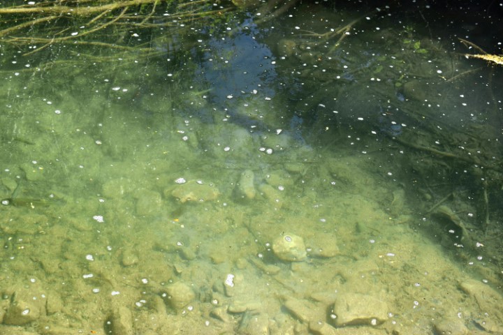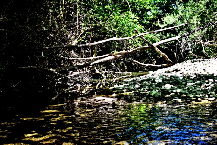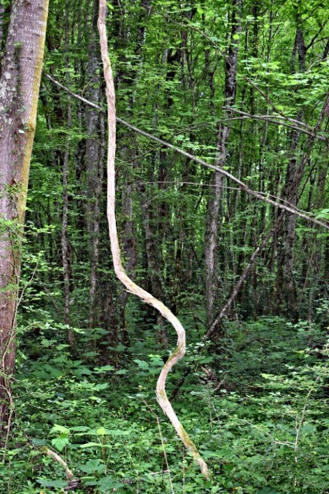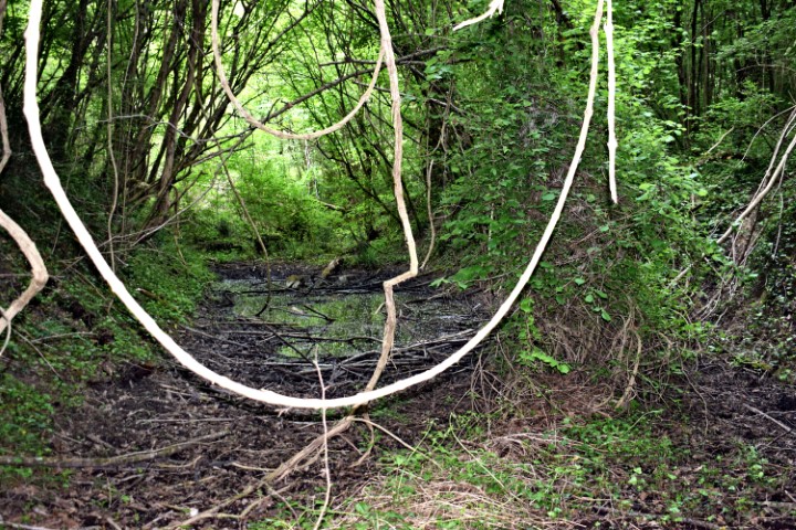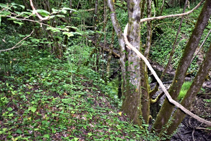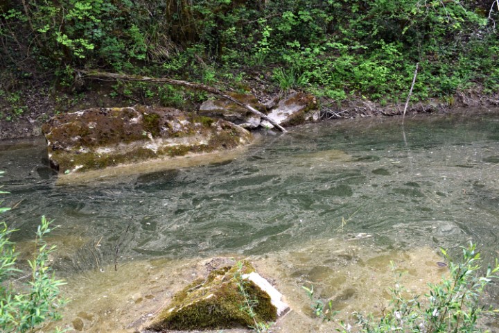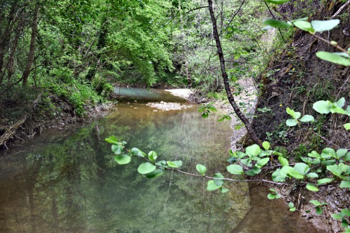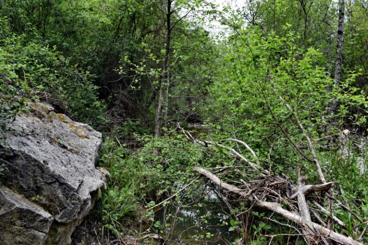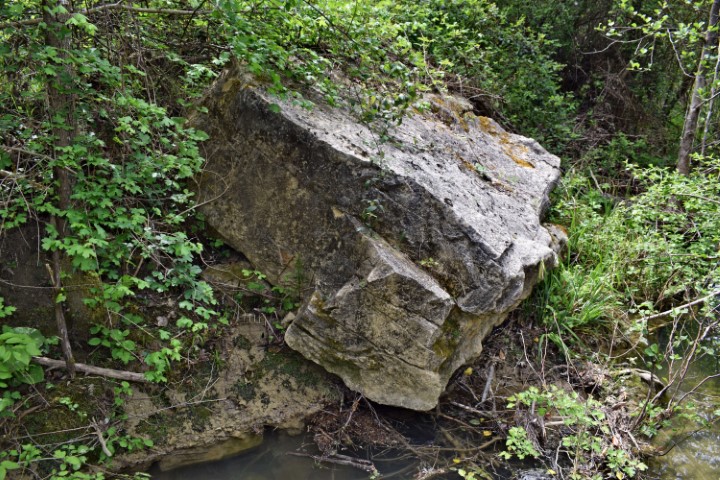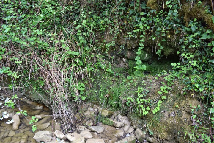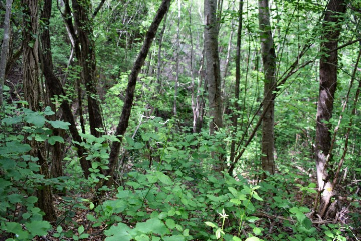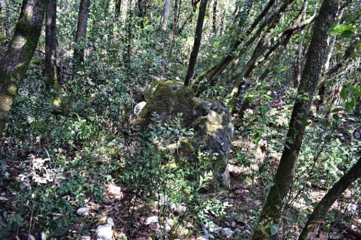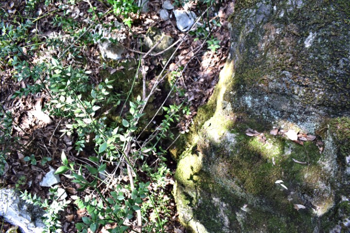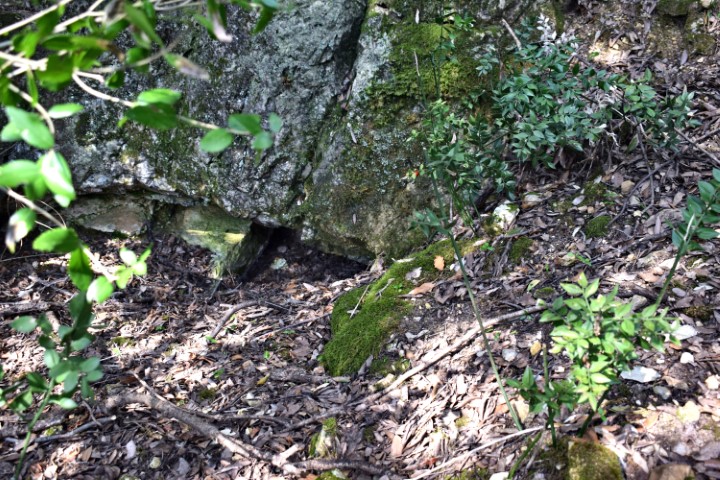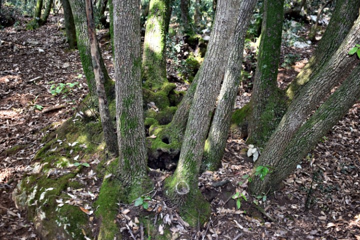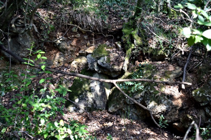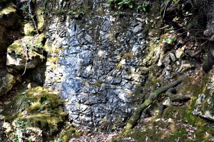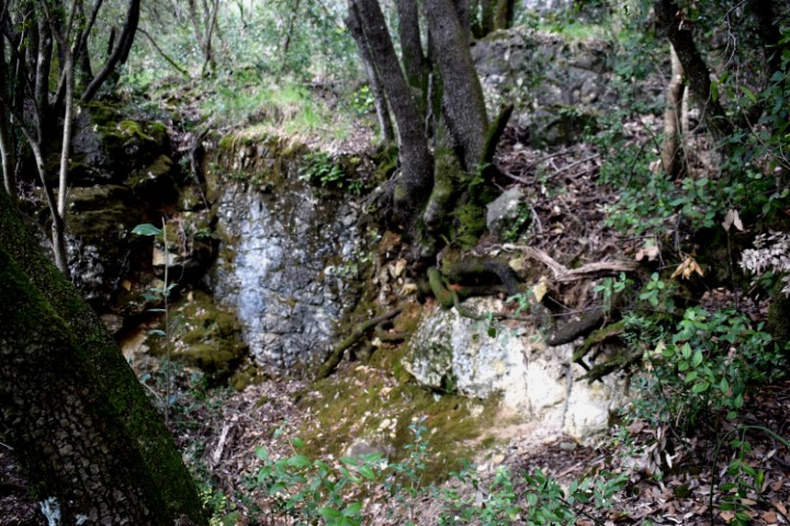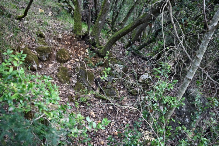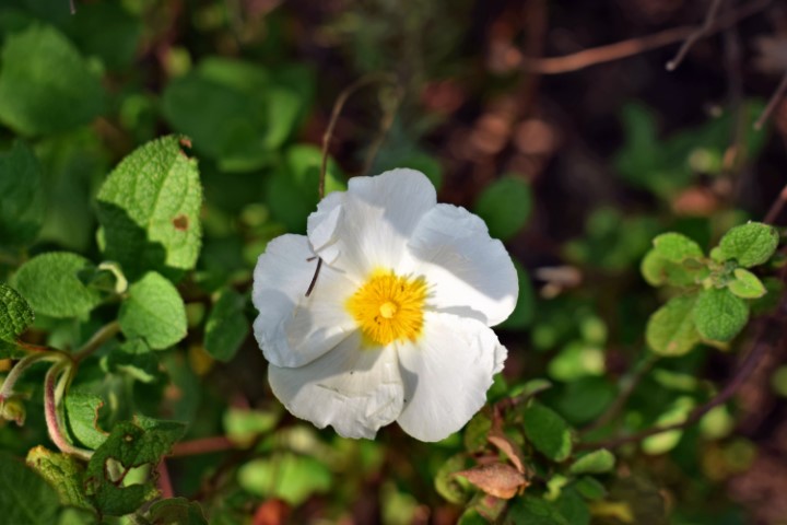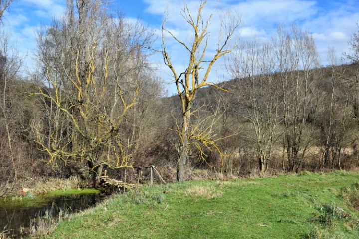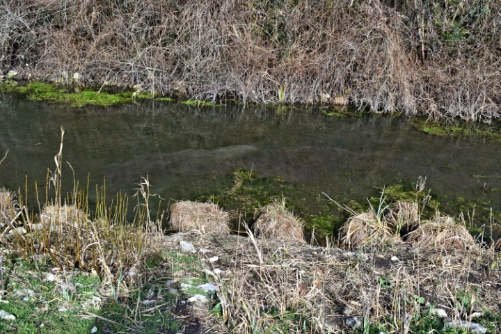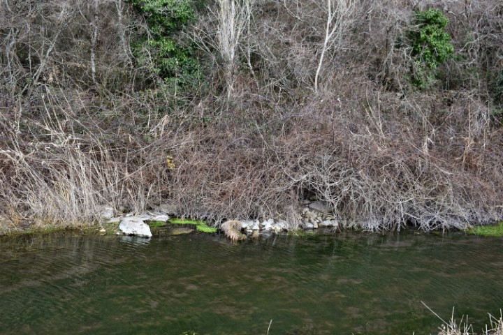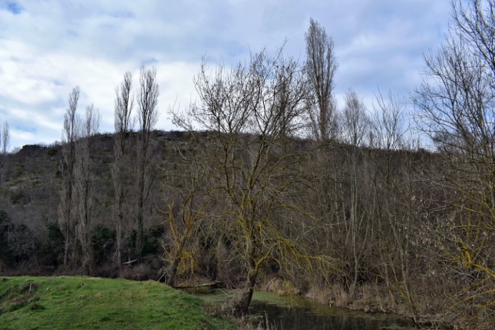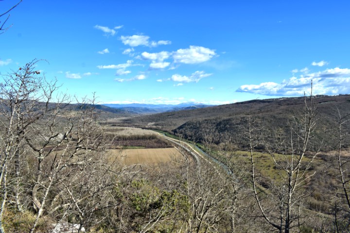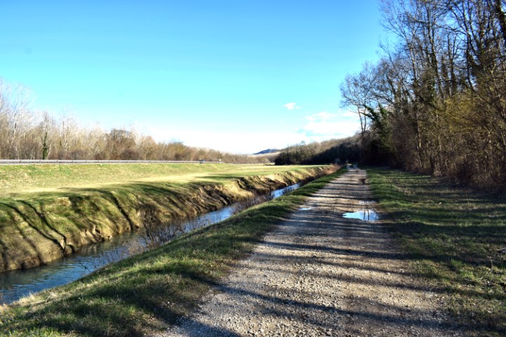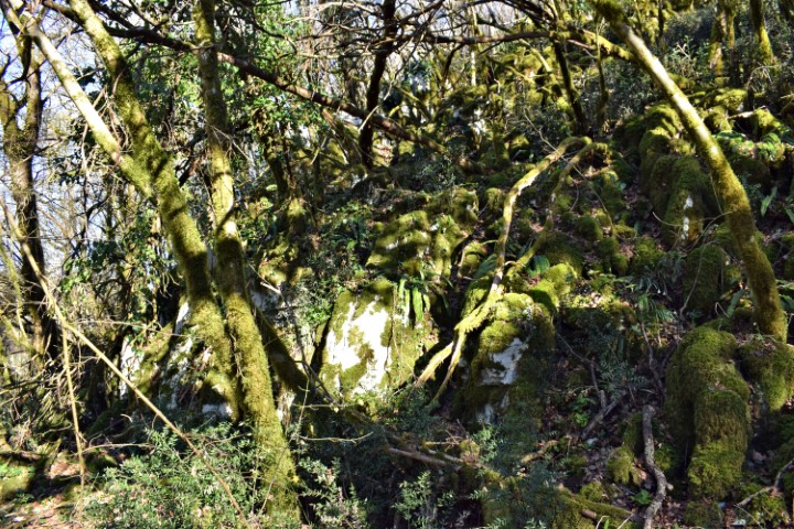


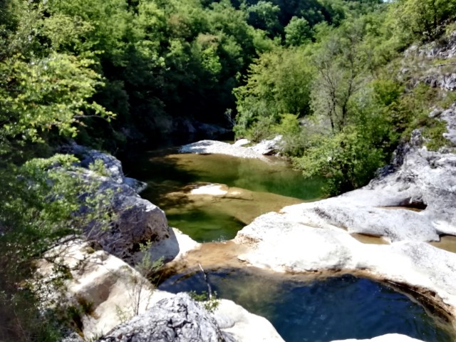
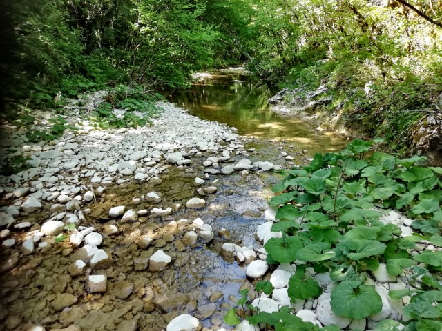

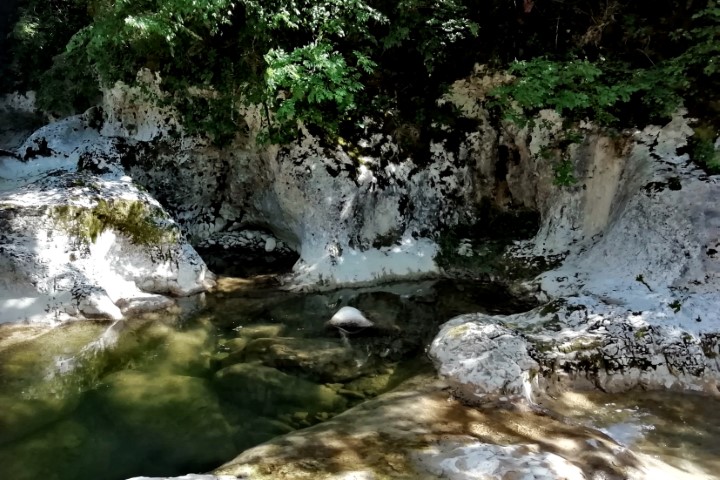

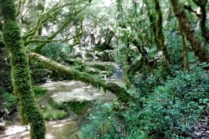

Name: Grdoselski stream.
Place: Near Grdoselo – (Pazin).
Coordinates: Start hiking trail Grdoselo 45.27974 N – 13.94031 E to Crni Puc 45.29203 N – 13.94604 E, and from Crni Puc to 45.29572 N -1394264 E.
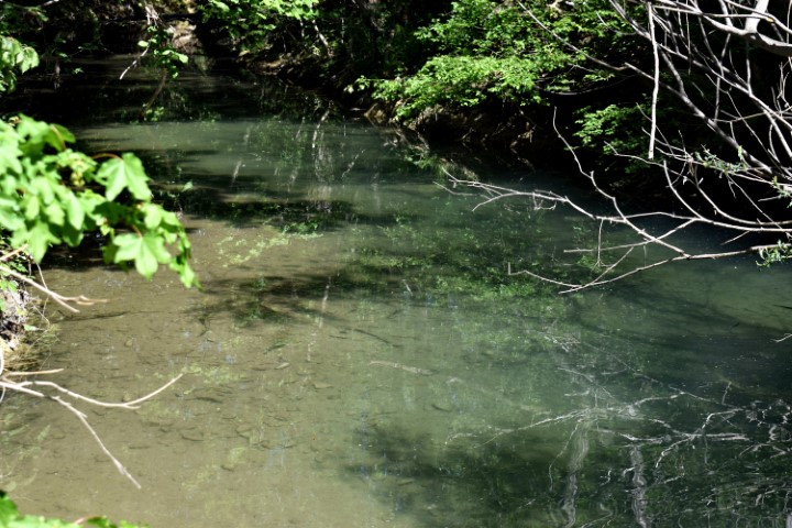
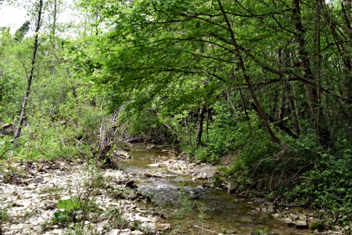
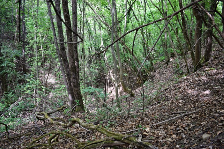
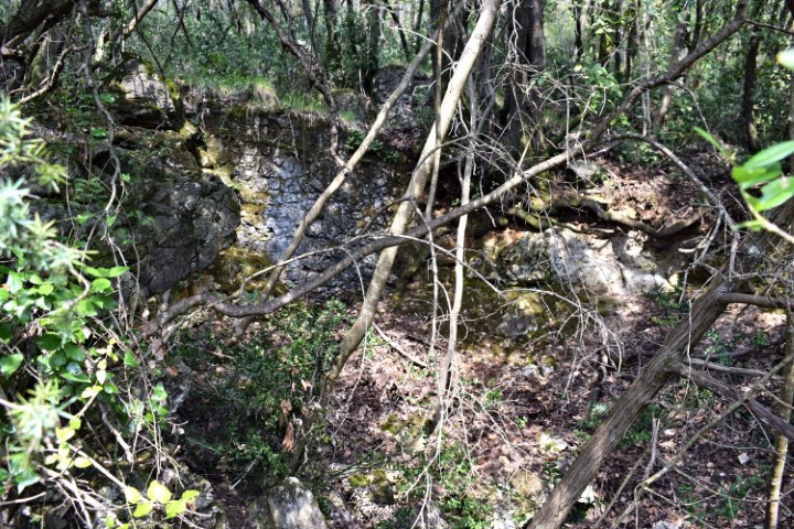
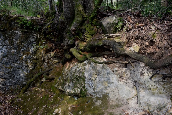
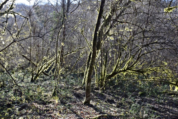
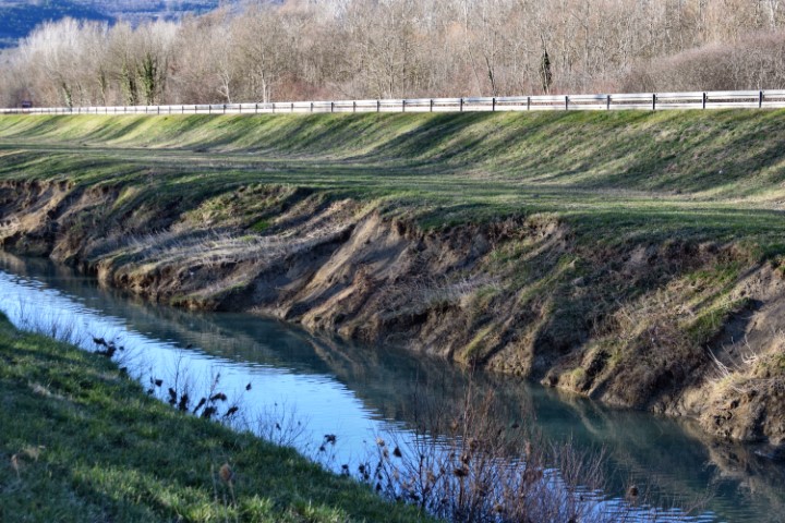
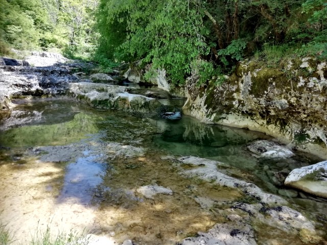
Name: Grdoselski stream.
Place: Near Grdoselo – (Pazin).
Coordinates: Start hiking trail Grdoselo 45.27974 N – 13.94031 E to Crni Puc 45.29203 N – 13.94604 E, and from Crni Puc to 45.29572 N -1394264 E.
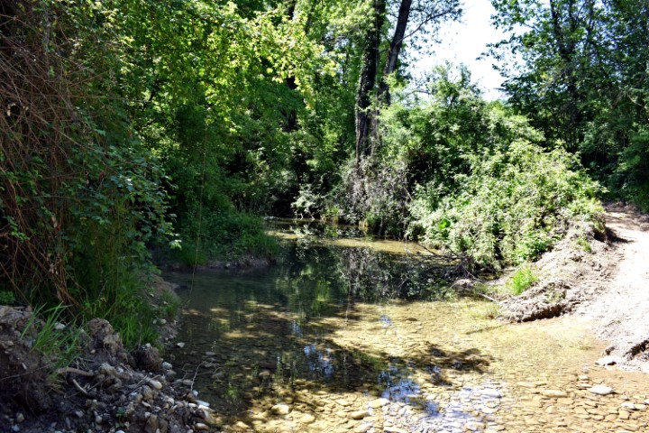
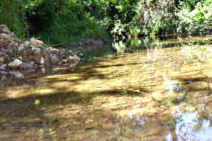
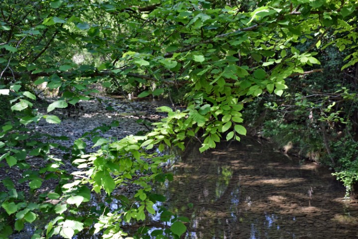
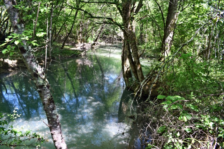
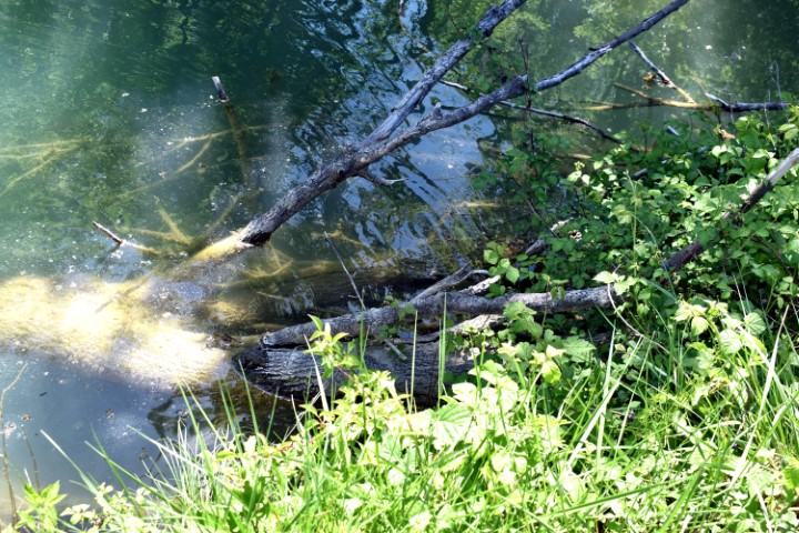
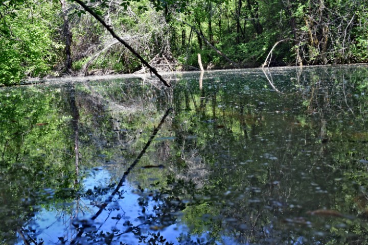
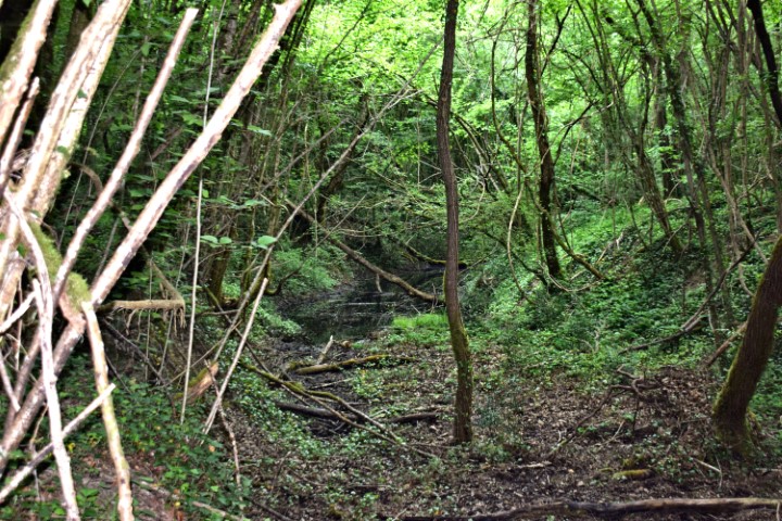
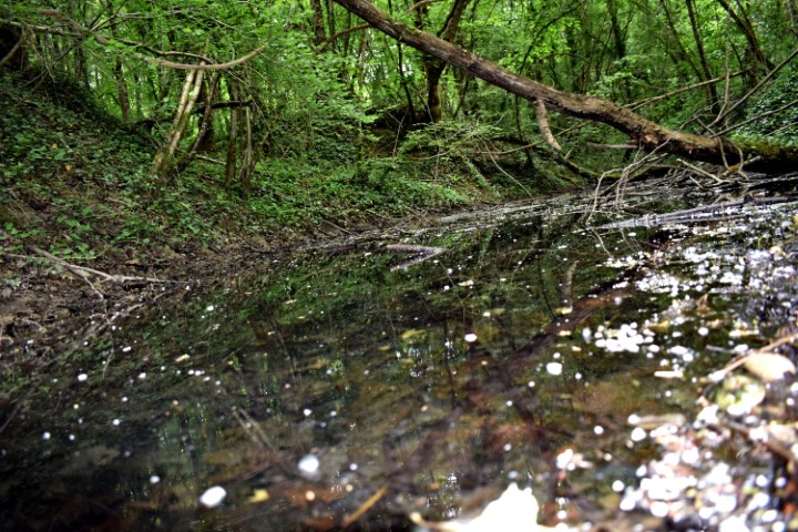
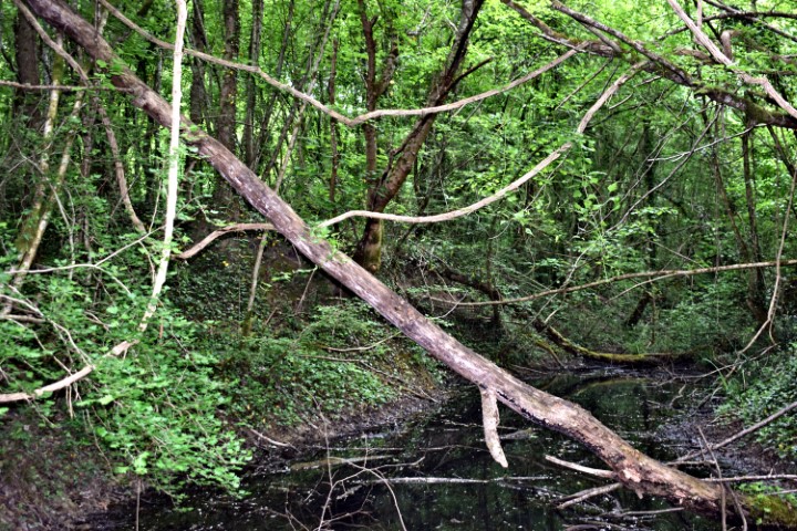
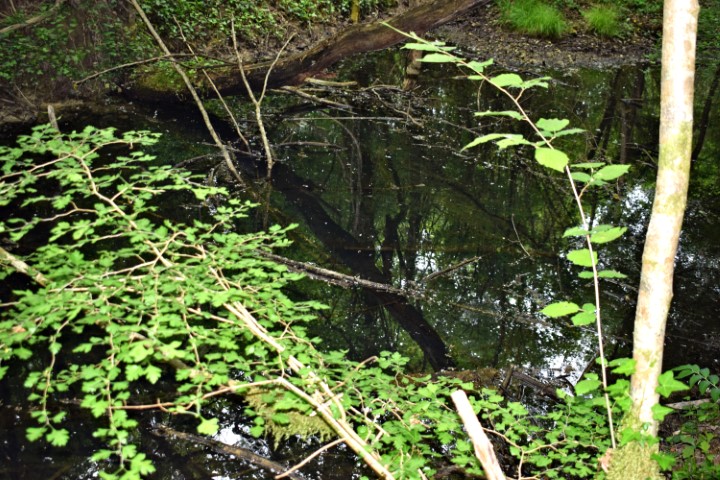
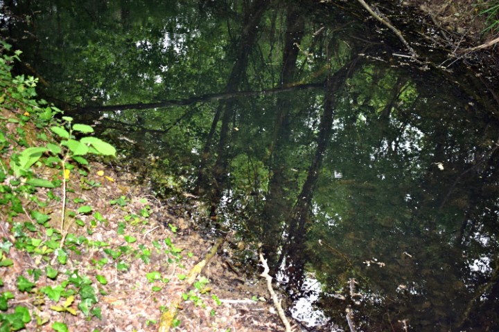
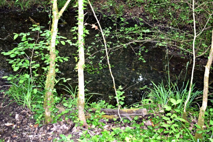
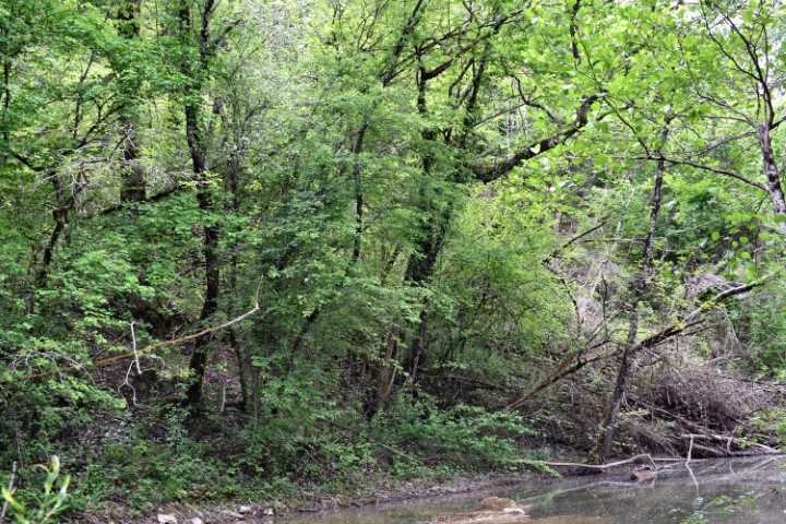
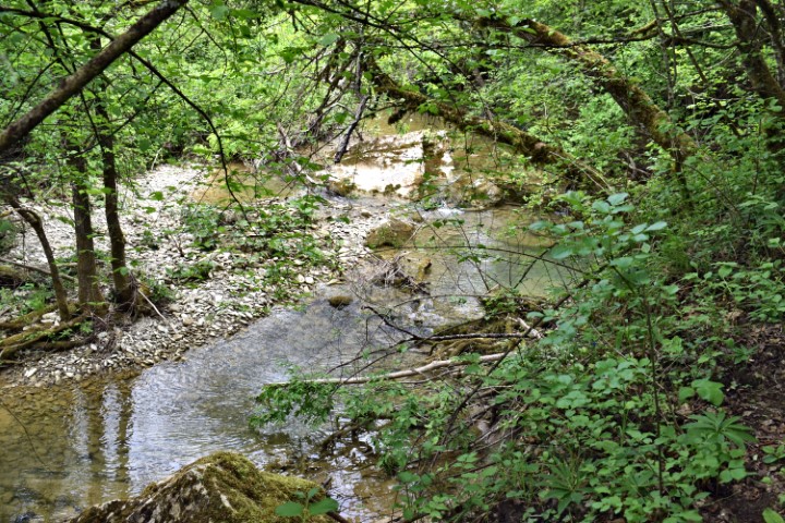
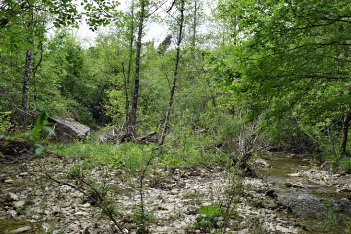
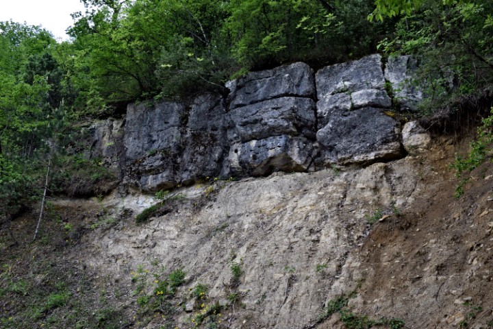
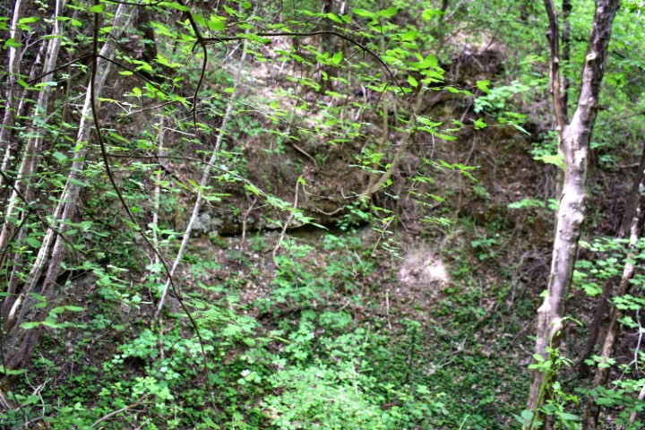
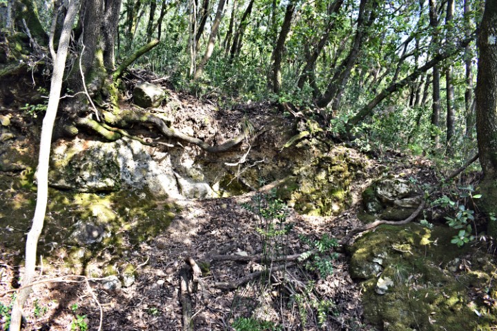
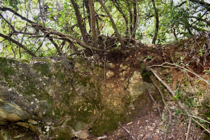
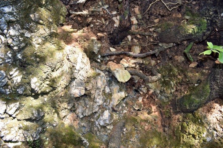
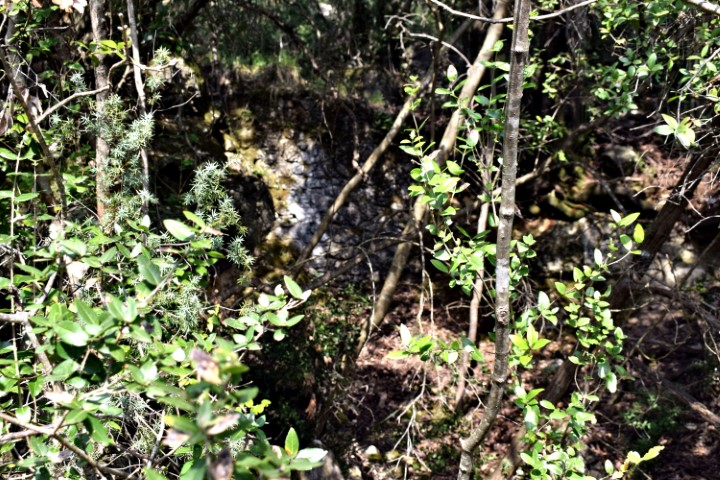
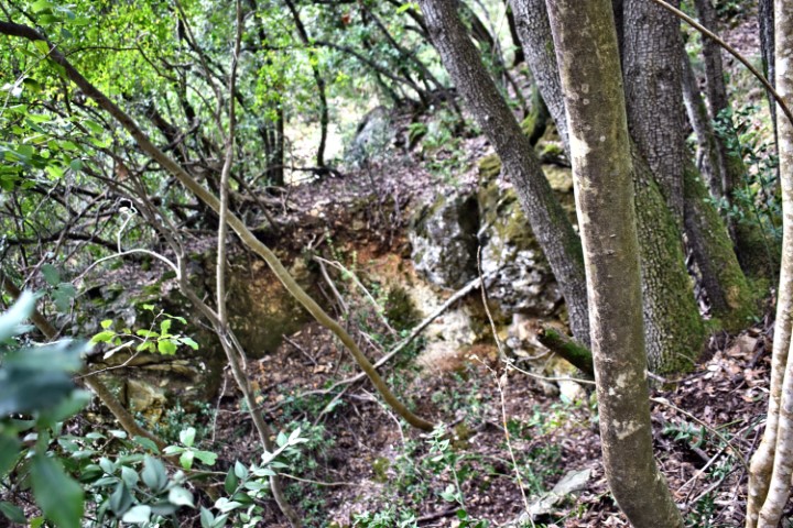
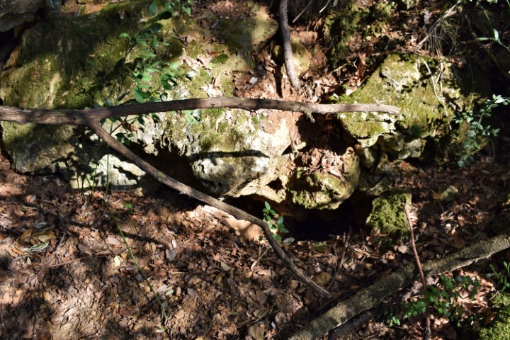
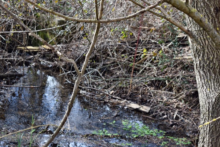
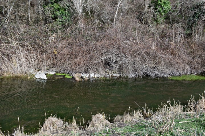
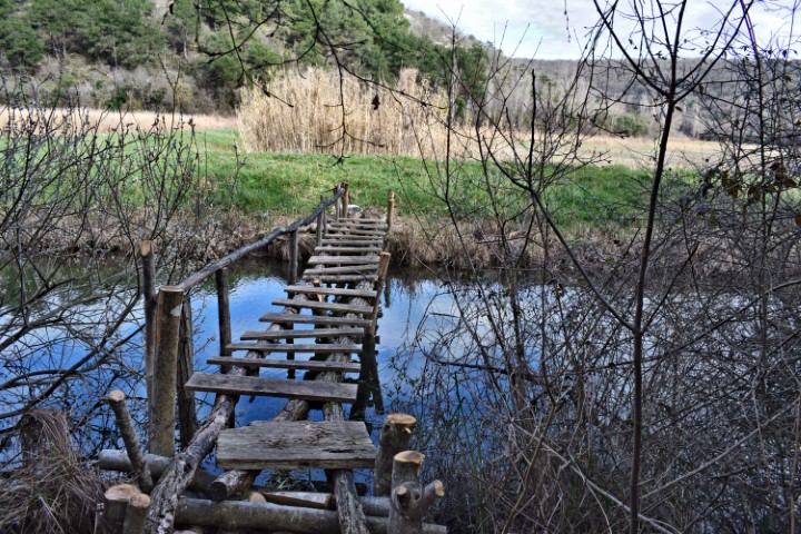
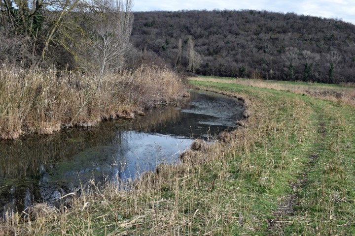
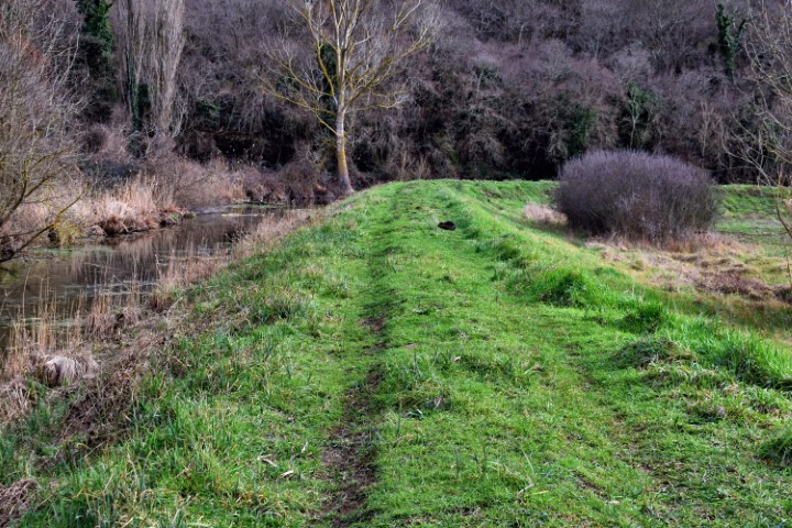
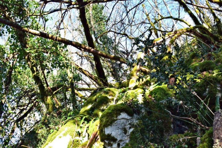
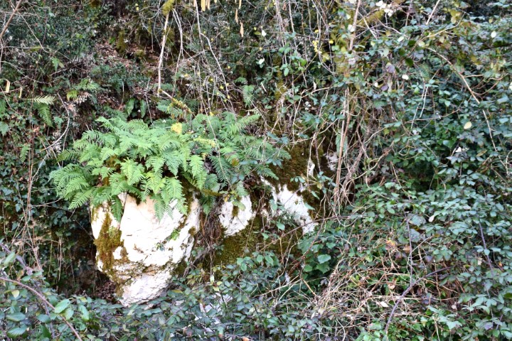
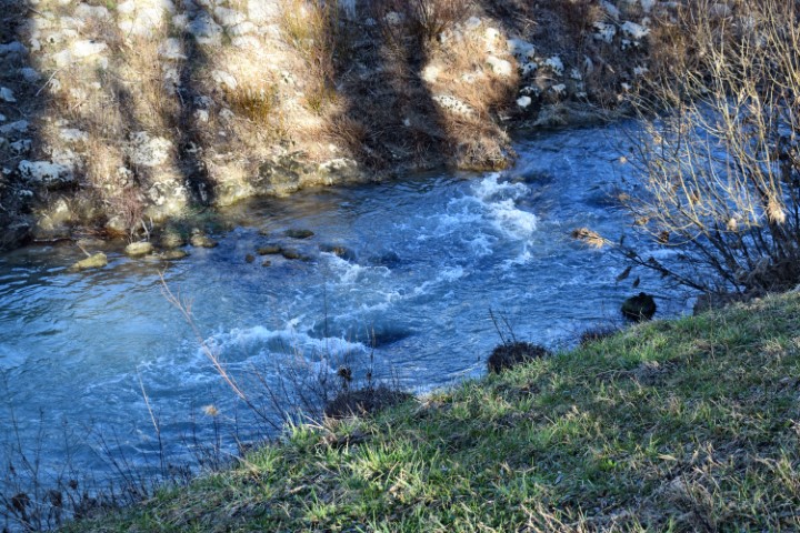
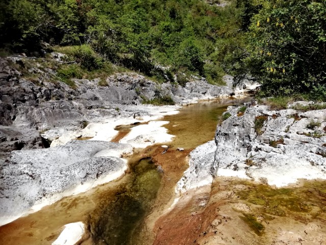
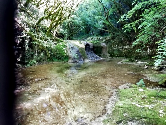
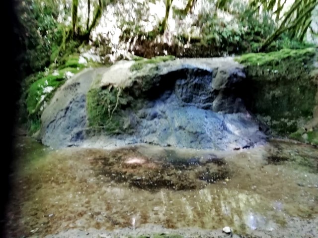
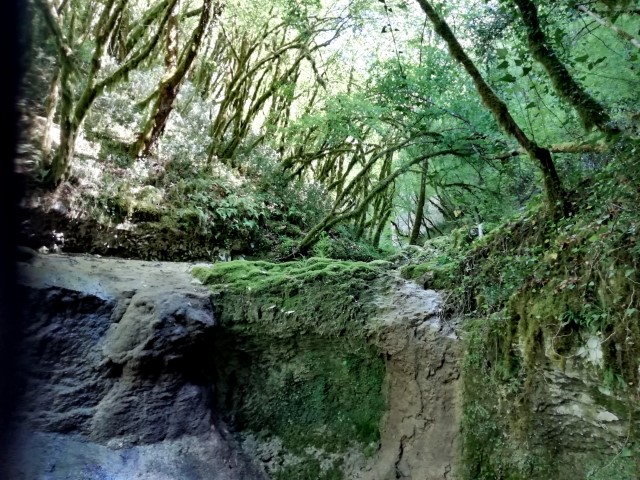
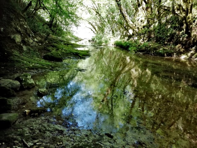
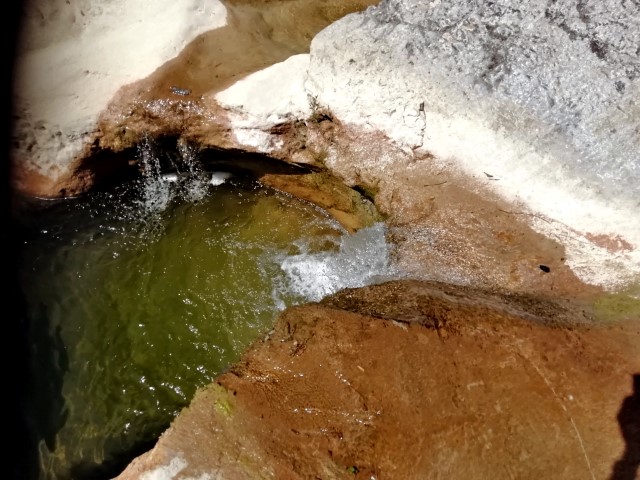
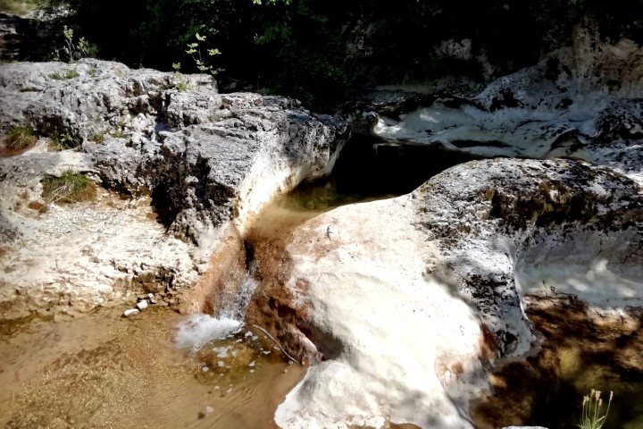
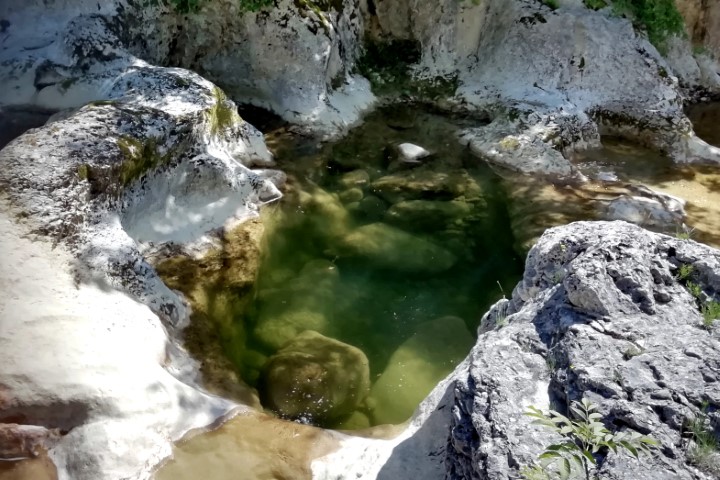
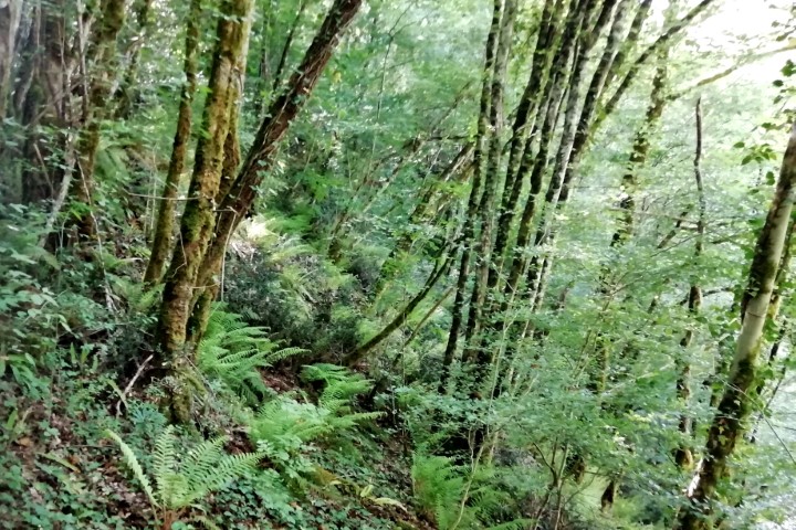
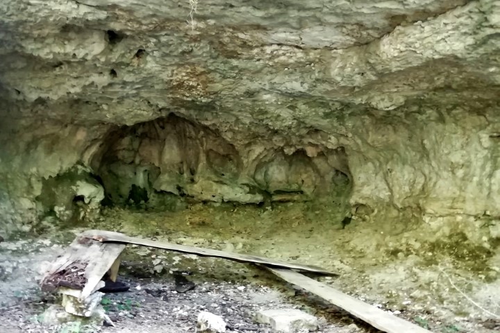
Name: Grdoselski stream near Jukani.
Place: Jukani – (Pazin).
Coordinates: Start: 45.30356 N – 13.92723 E; Grdoselski stream from 45.30302 N – 13.93314 E to 45.30665 N – 13.93345 E.

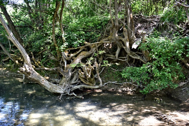
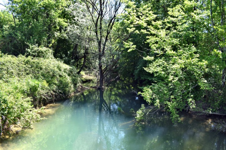
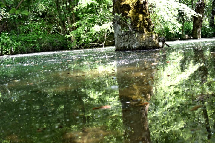
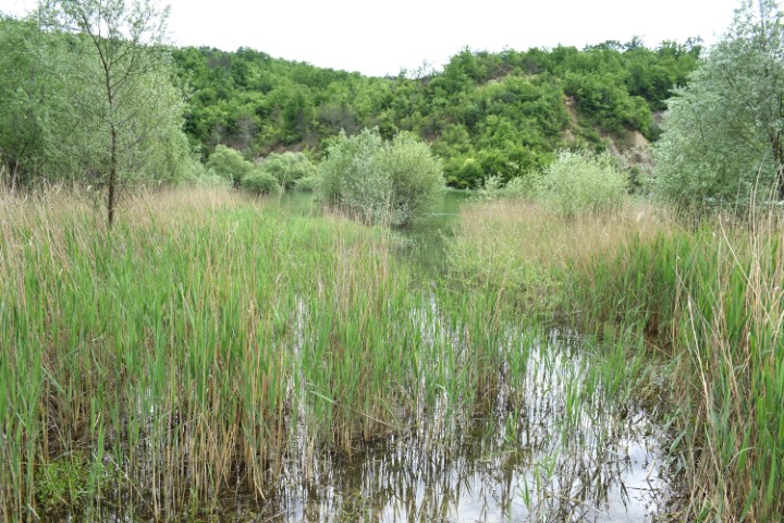
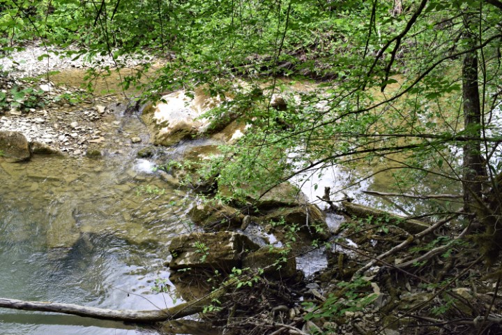
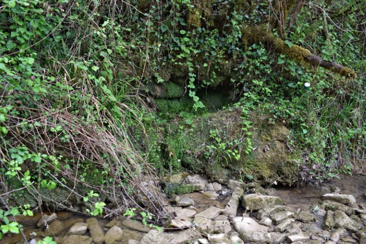
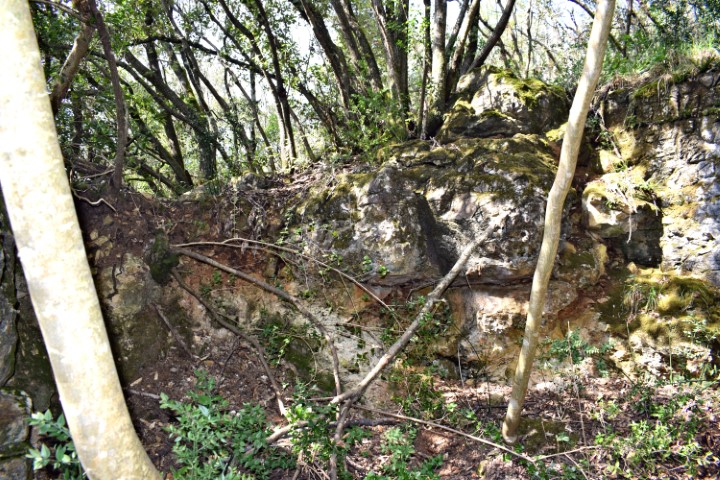
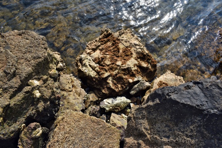
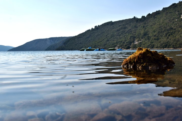
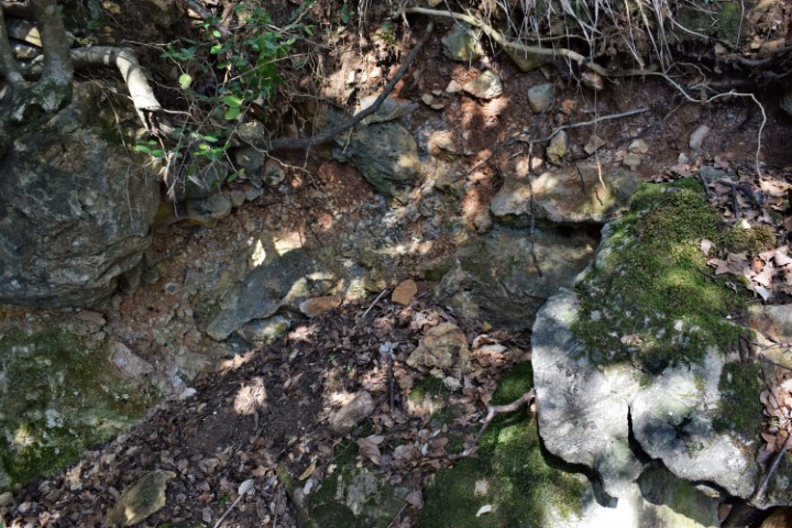
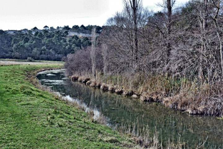
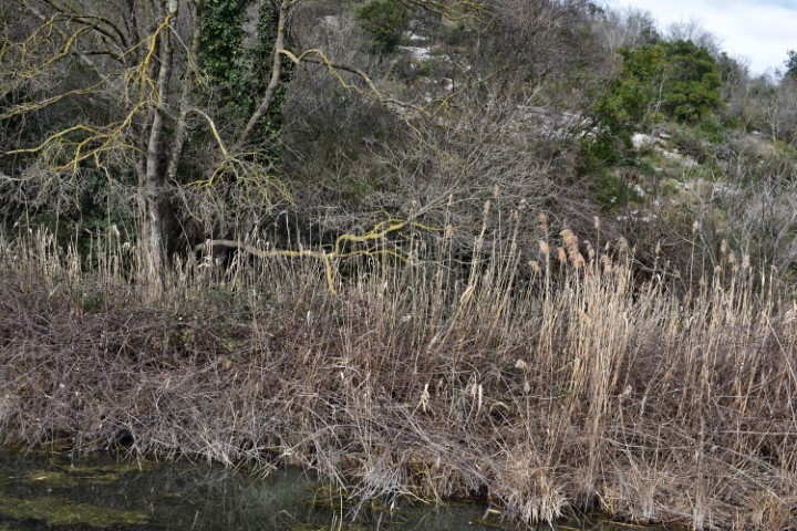
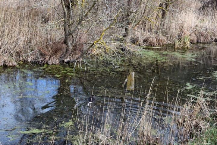
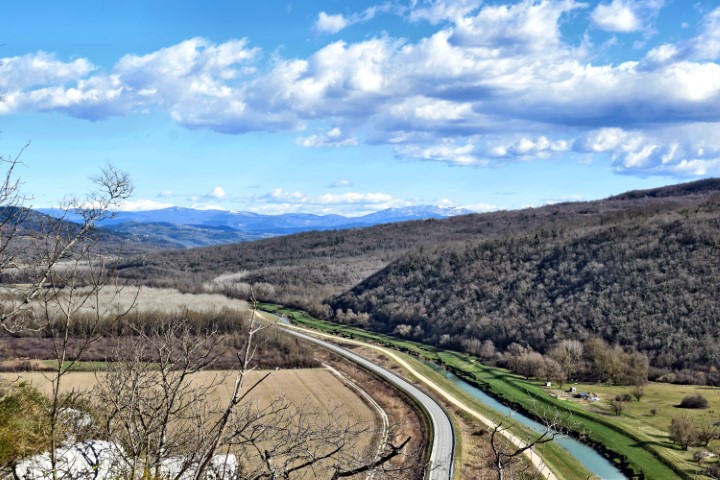
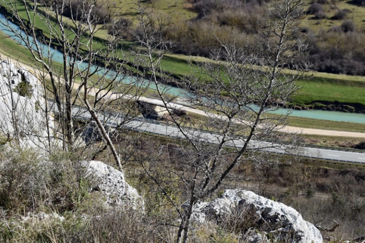
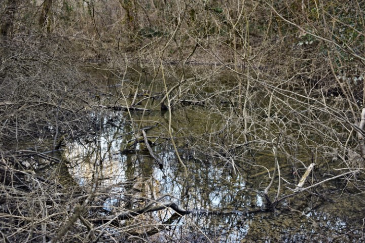
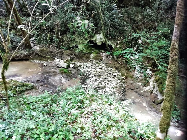
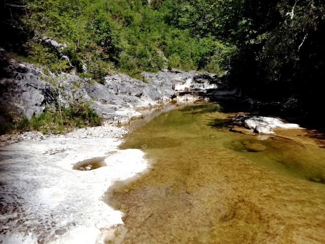
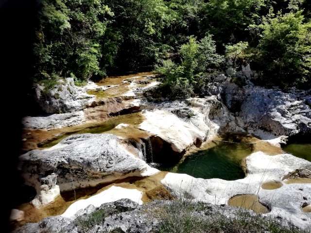
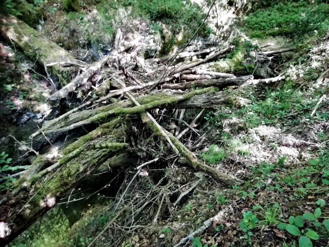
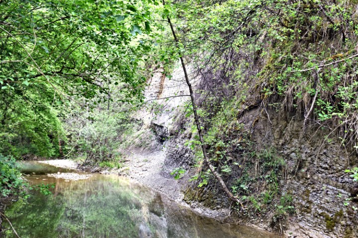
Name: Butoniga stream – Forest Log.
Place: Near Ščulci – Buzet.
Coordinates: 45.33206N – 13.91802E.
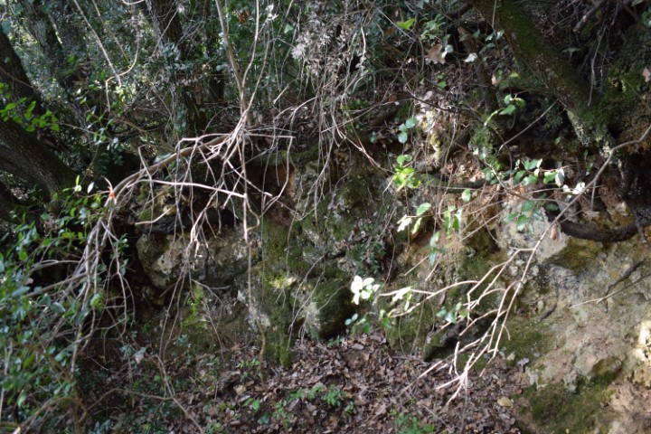
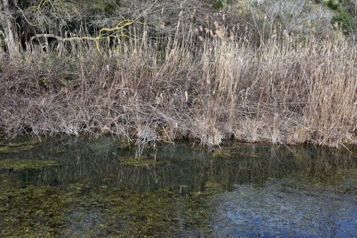
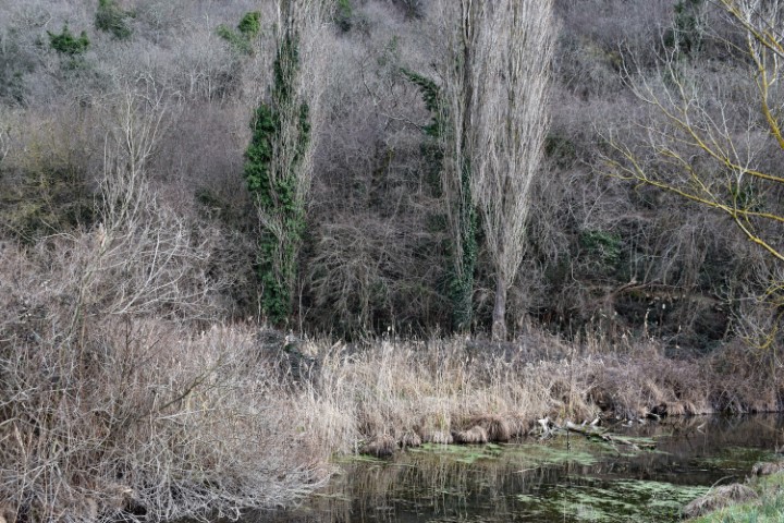
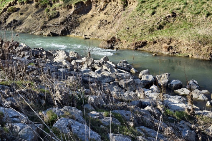
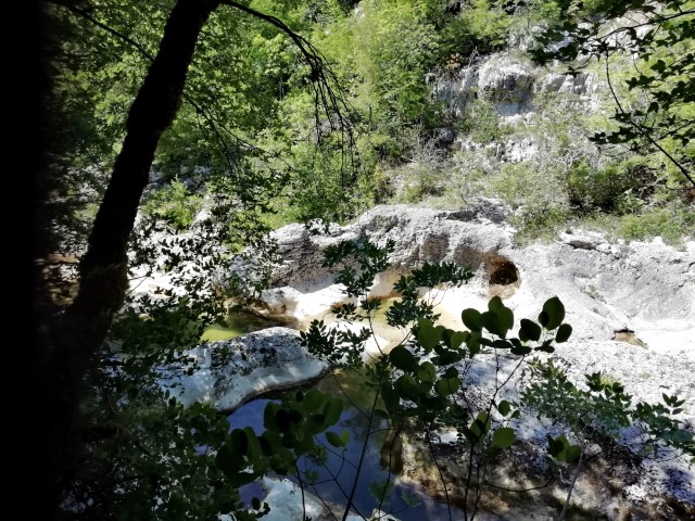
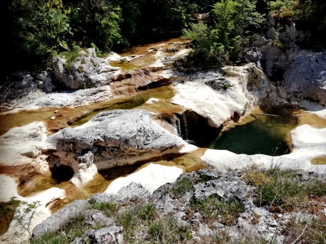
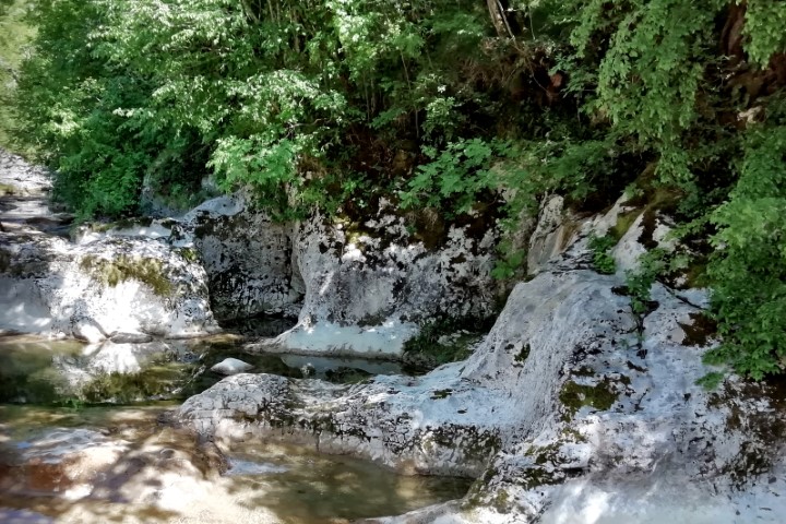
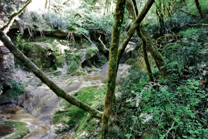
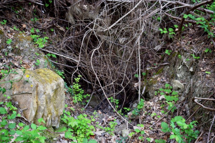
Name: Račički stream near Negnar.
Place: Negnar – (Buzet).
Coordinates:45.33546/13.95363
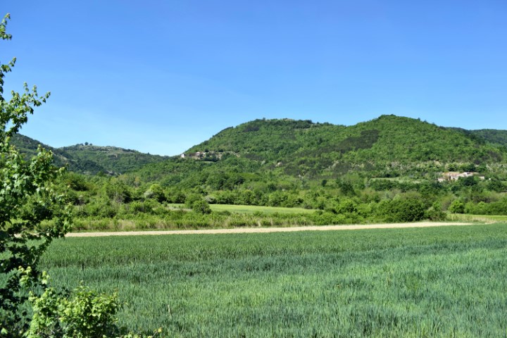
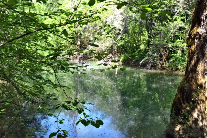
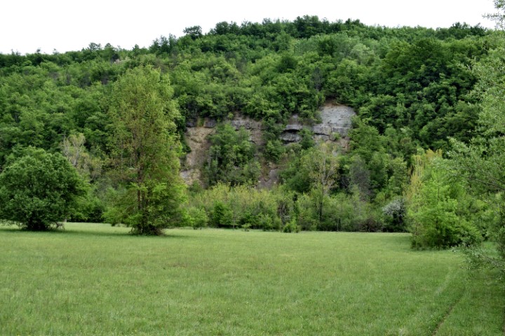
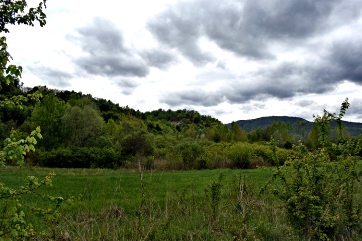
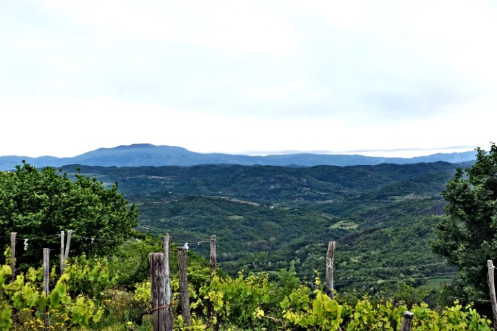
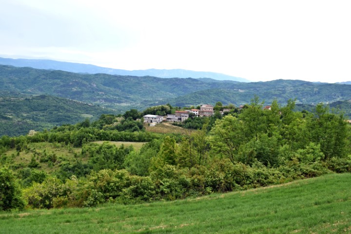
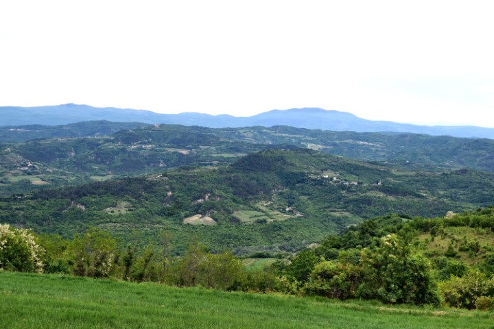
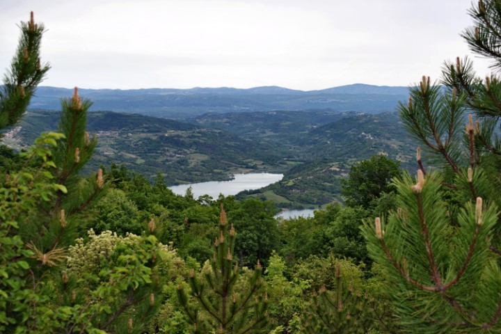
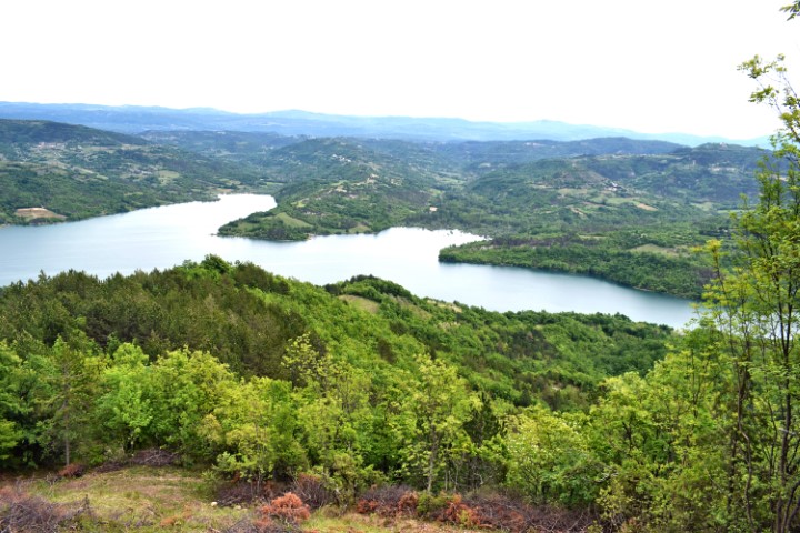
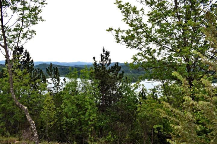
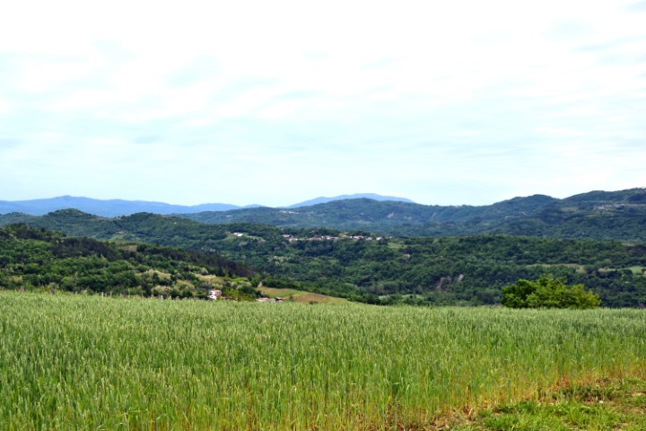
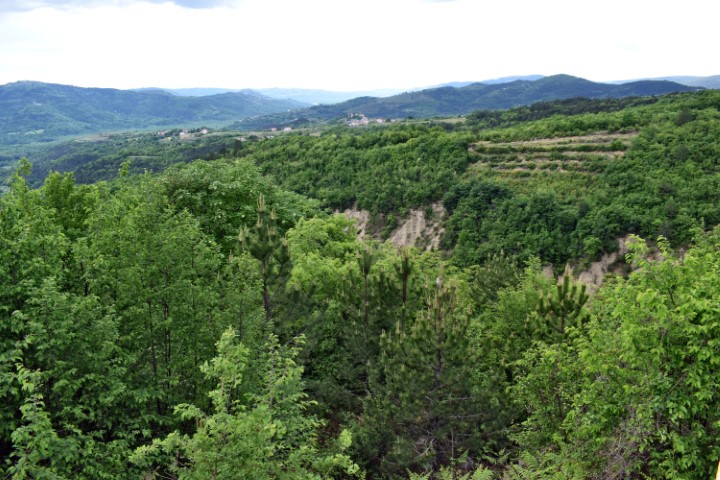
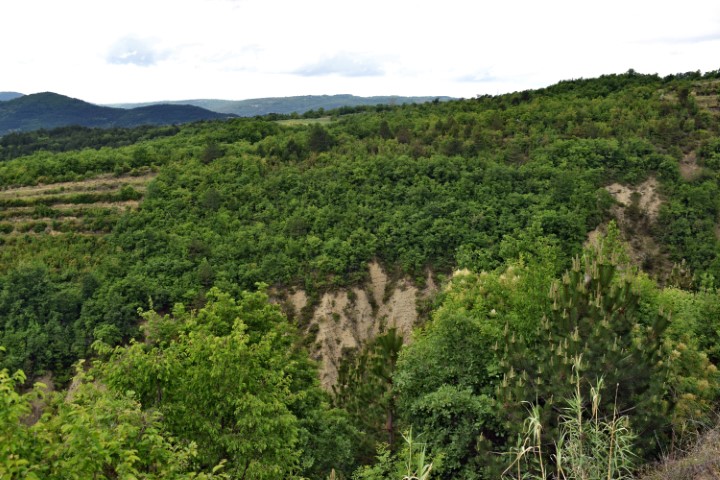
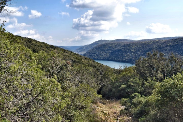
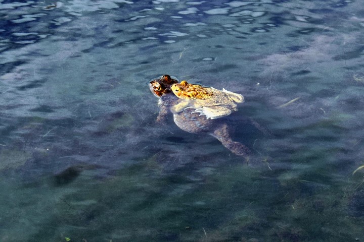
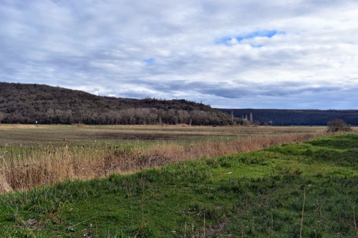
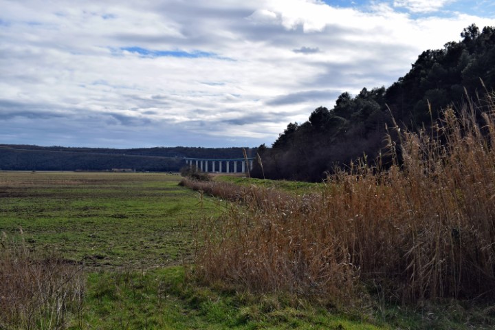
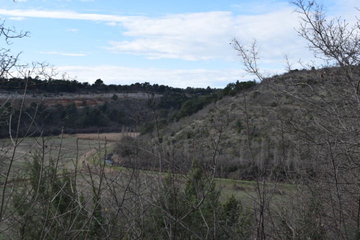
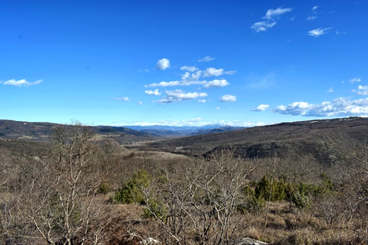
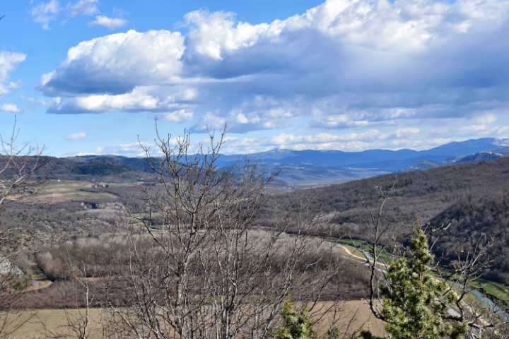
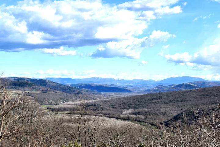
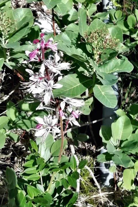
Views from the villages Kaščerga, Ukotići, Sankovići, Ščulci, Paladini, Marčenegla and Negnar.
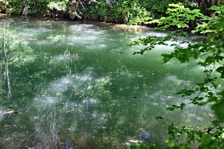
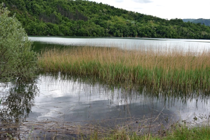
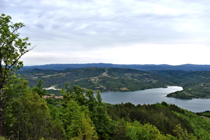
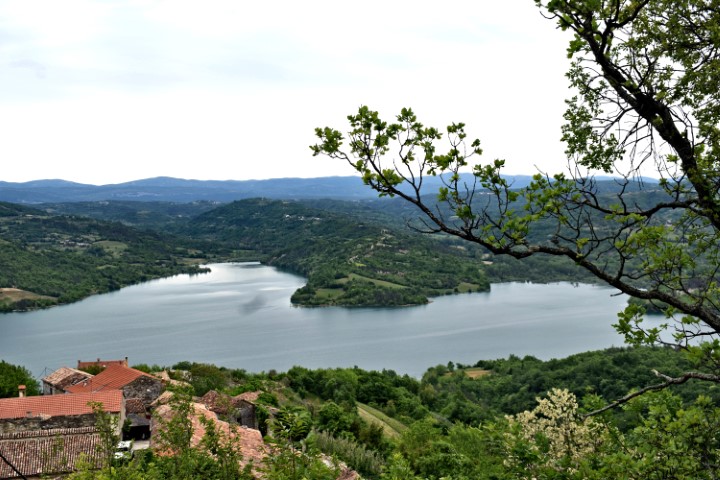
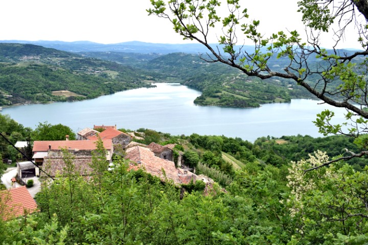
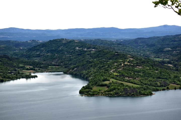
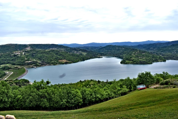
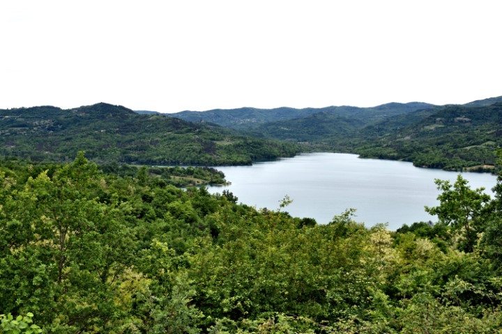
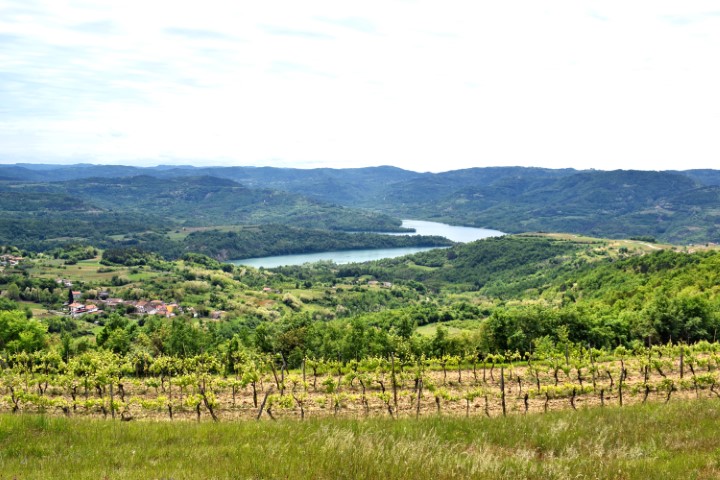
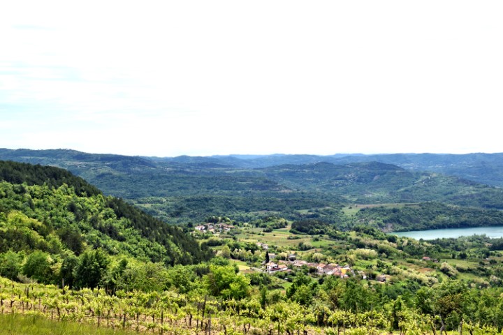
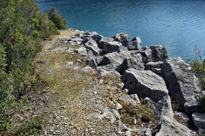
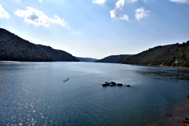
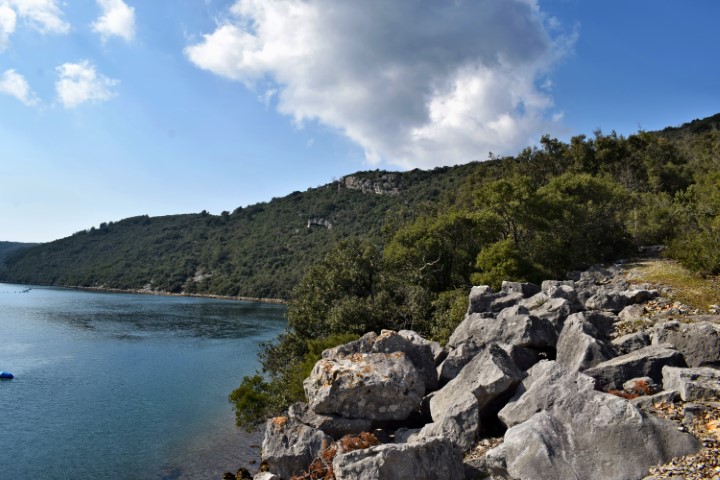
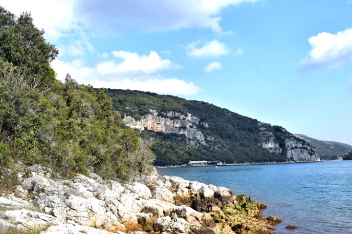
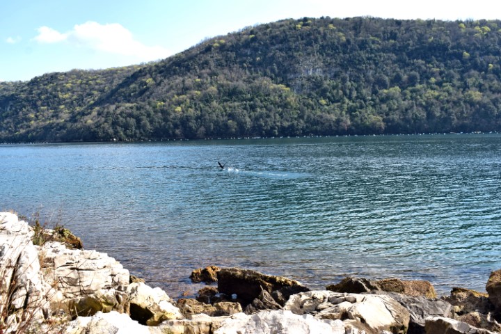
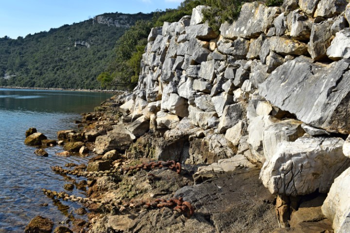
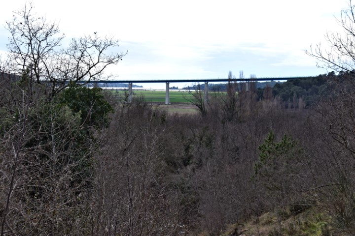
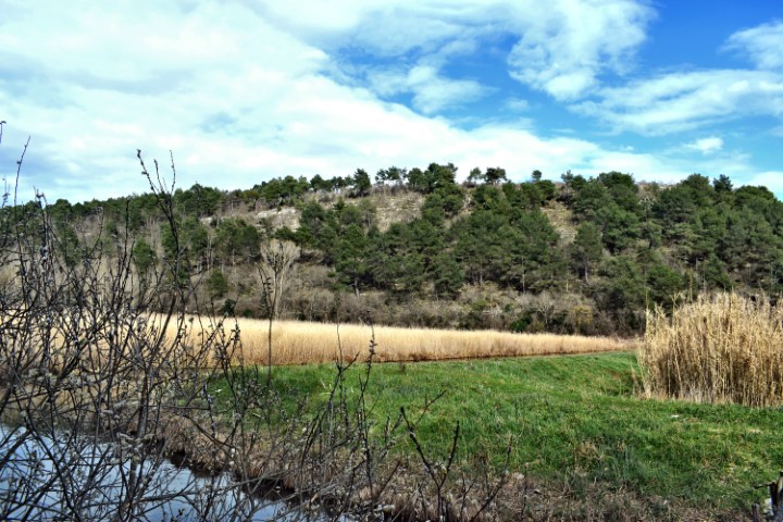
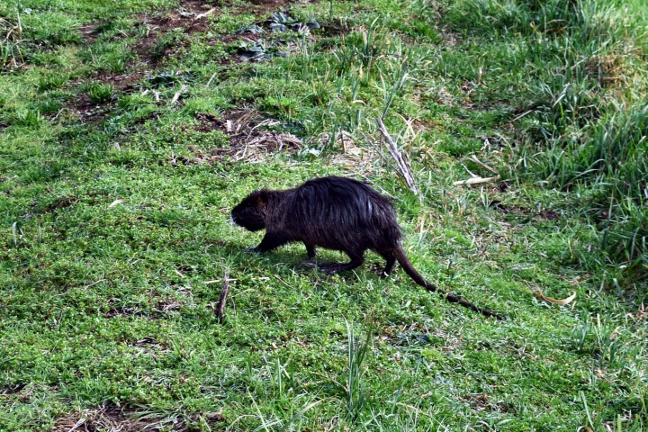
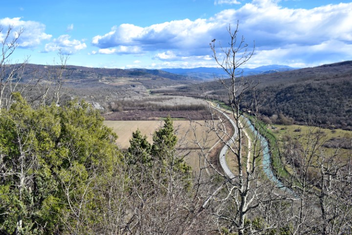
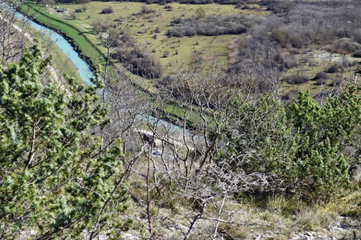
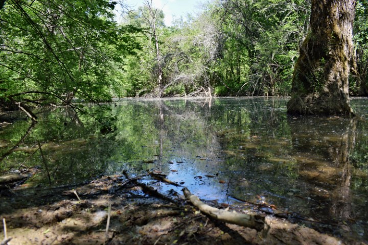
Lake Butoniga was built in 1988 for the drinking water supply of Pazin. Poreč and Rovinj. The surface of the lake is approximately 2.5 km2, and flows the Butoniga river, the Dragučki- theRačički and the Grdoselski stream. The overflow threshold is at a height of 45 meters asl. The drinking water capacity is about 1000 liters / sec.
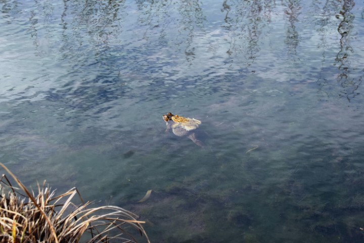
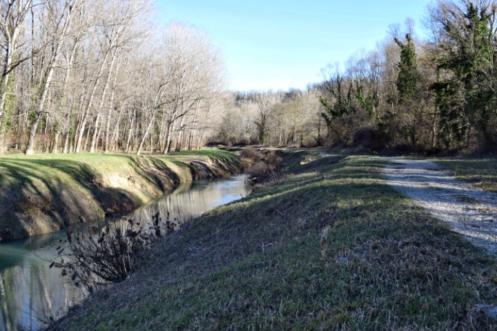
Name: Views around Butoniga Lake.
Place: (Pazin) – (Buzet).
Name: Source of Šašinki stream to Loškur waterfall.
Place: Near Kaldir, near hill Marinjak
Coordinates: 45.30904 N – 13.83897 E.

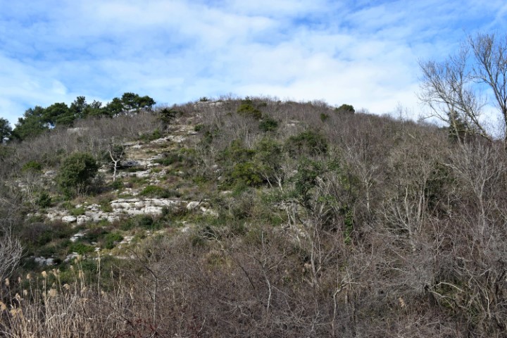
Name: Hiking trail Kozarica.
Place: Near Kloštar – (Vrsar).
Coordinates: Startpoint trail 45.14127 N – 13.70763 E, Limski Canal: 45.13709 N – 13.71135 E
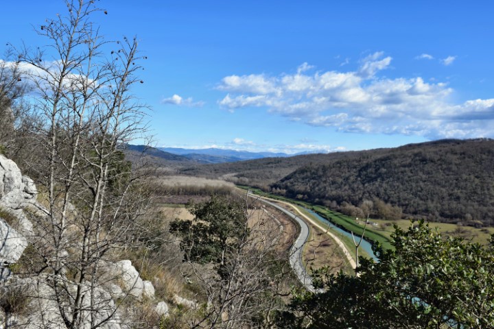
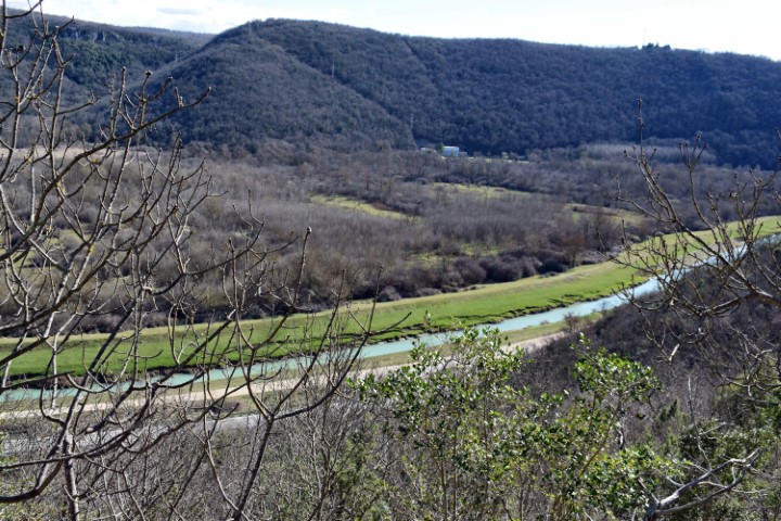
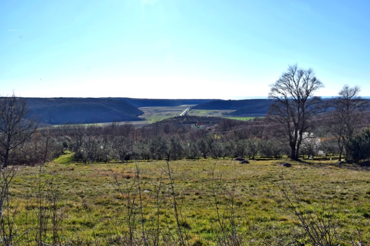
The Mirna River has been navigable since ancient history and the adjacent area with canals and the valley near Nova Vas, among others, was of great importance for transporting water from local products and wood by sea. Due to the deposition of clay and soil over the centuries and after the departure of the Venetian republic in 1797, the river became more inaccessible due to lack of maintenance and swamps were created in the valleys. These were cleaned up in the first half of the twentieth century. In the current situation there is a high natural value in the delta and the valleys.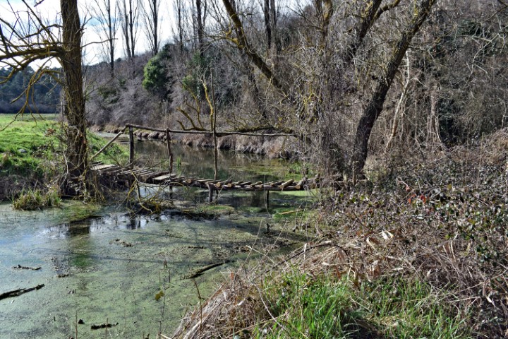
Name: Mirna Valley near Castle Sv. Juraj.
Place: Brtonigla.
Coordinates:
Starting point hiking trail: 45.33722 N -13.63405 E, Soline 45.34191 N – 13.63394 E , End 45.33875 N -1362568 E.

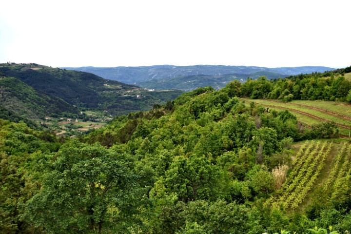
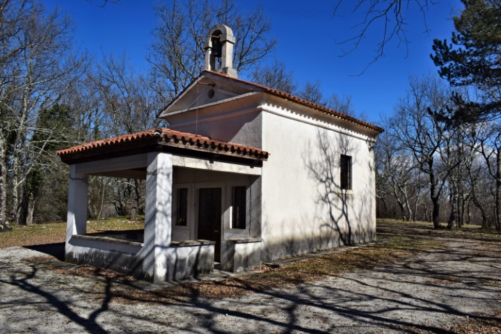
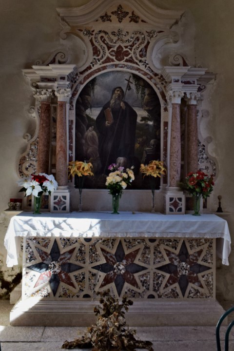
Name: Rebrica hill – Church St. Anton.
Place: Near Lozari – (Grožnjan).
Coordinates: Church St. Anton 45.35317 N – 13.69661 E.

Name: Hiking trail along river Mirna near Vižinada.
Place: Vižinada.
Coordinates: 45.35722 N – 13.73783 E to 45.34993 N – 13.77278 E.