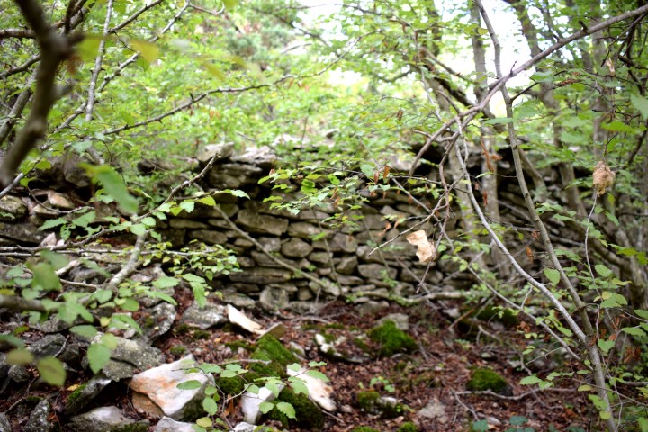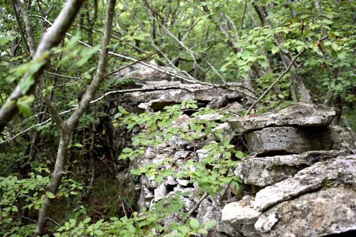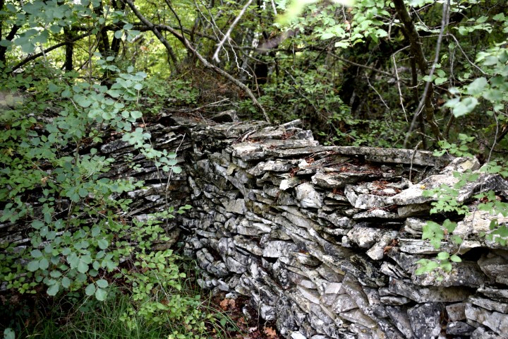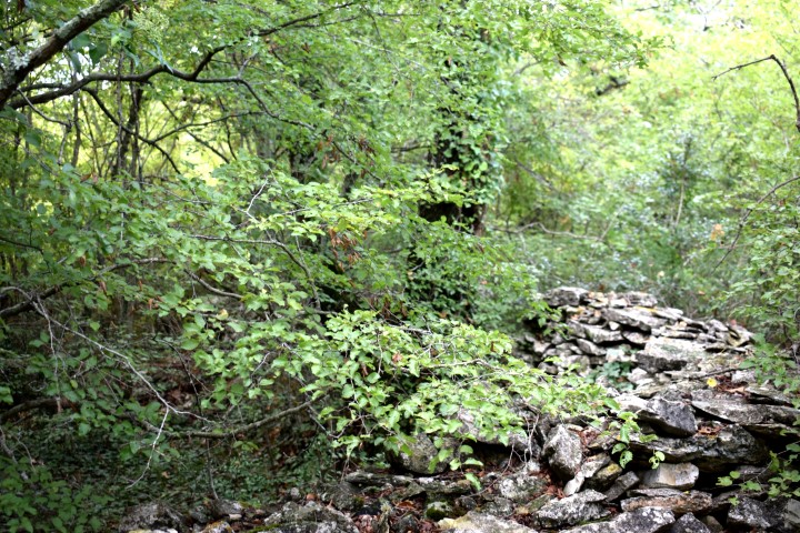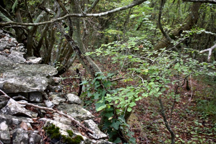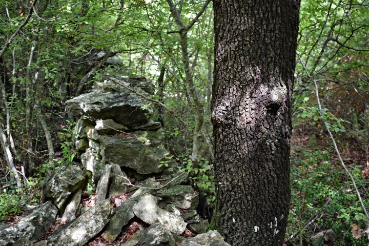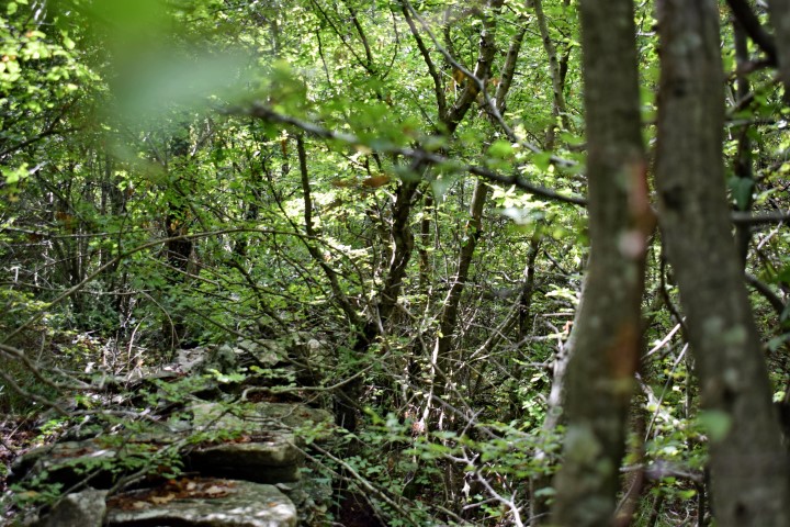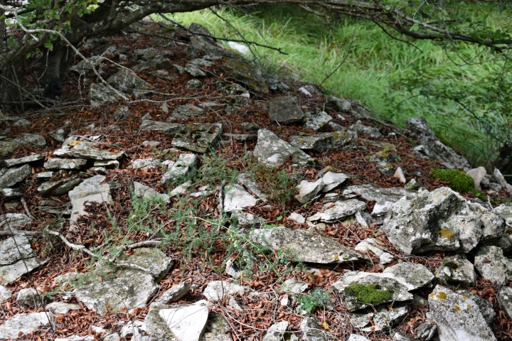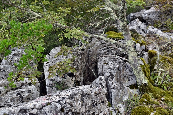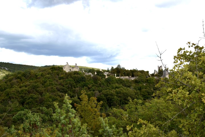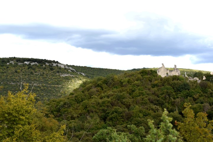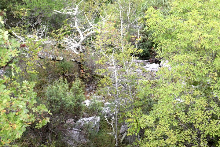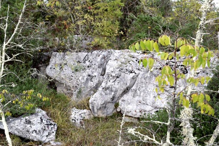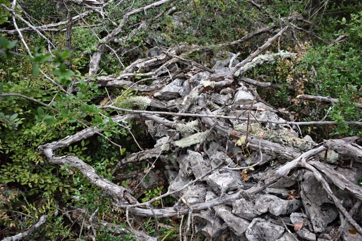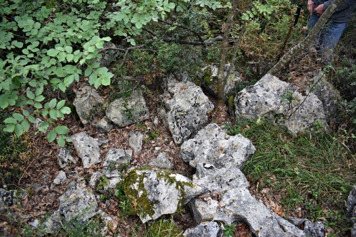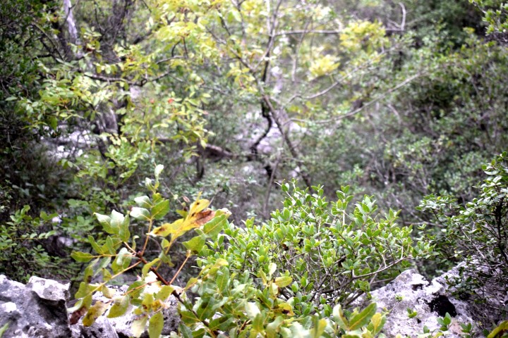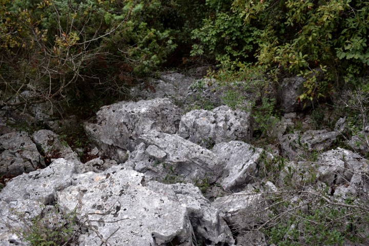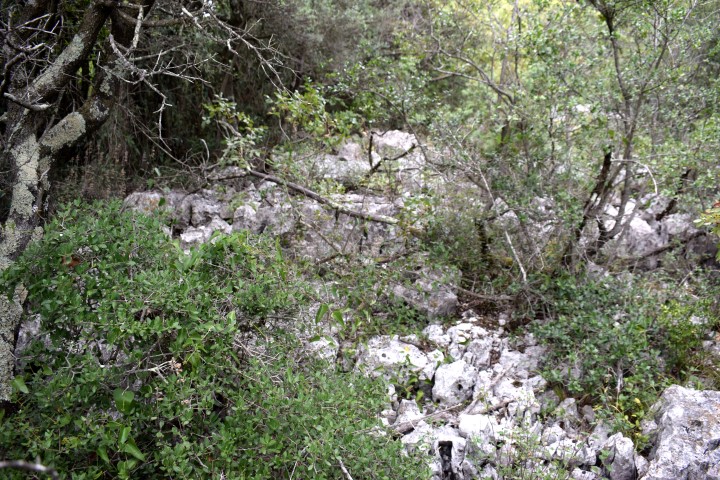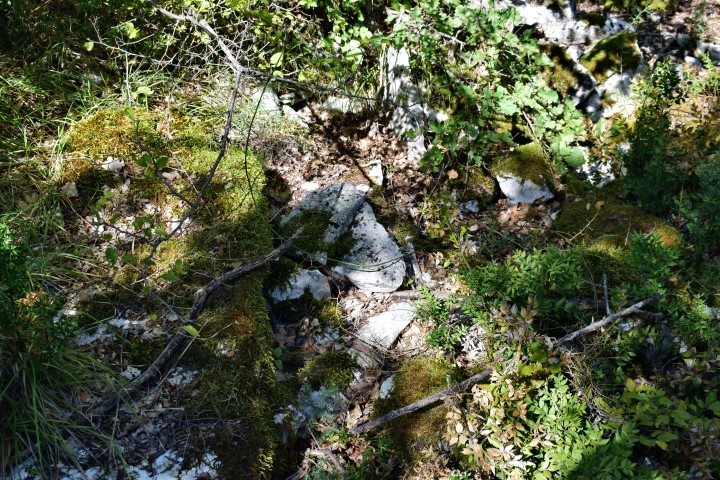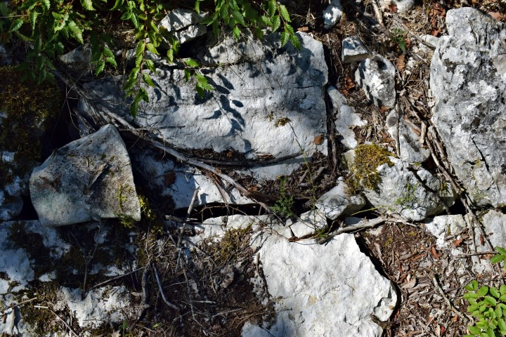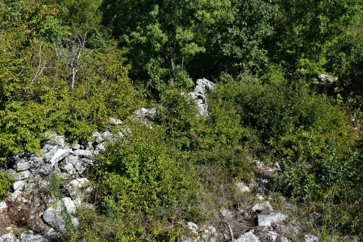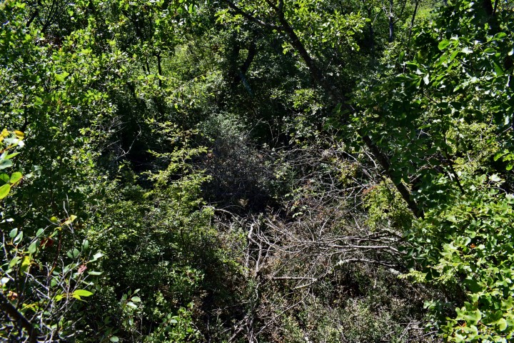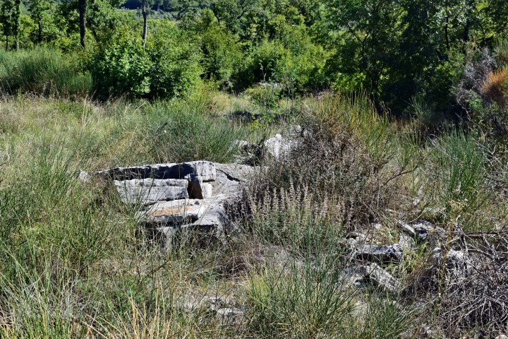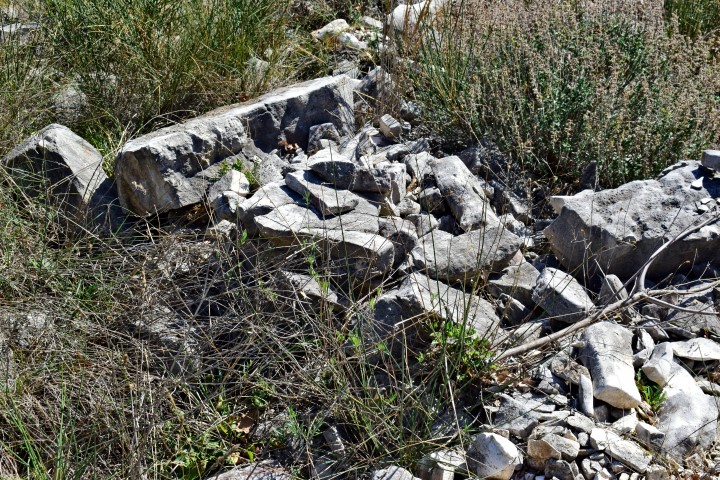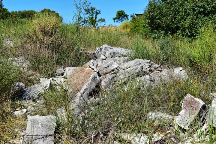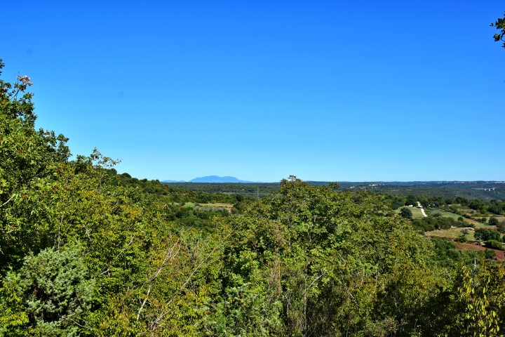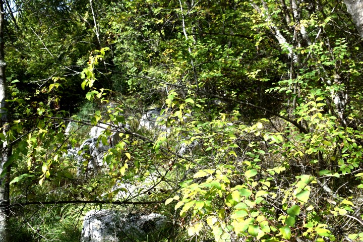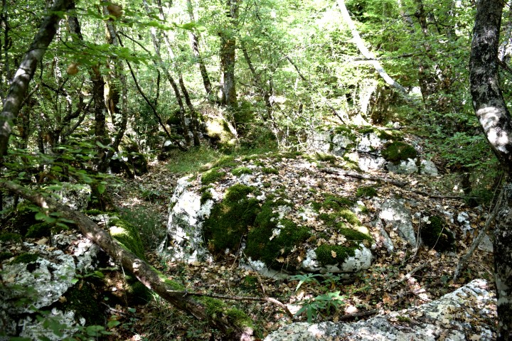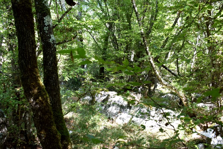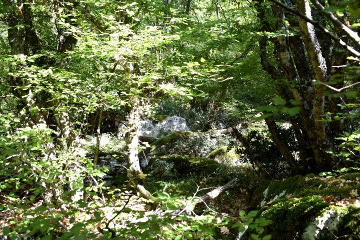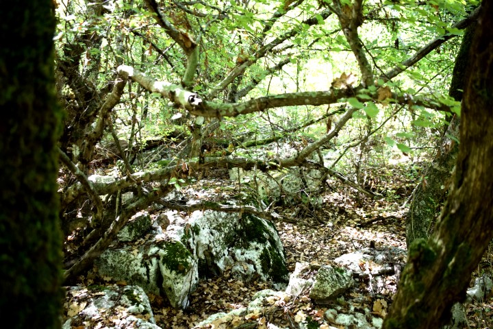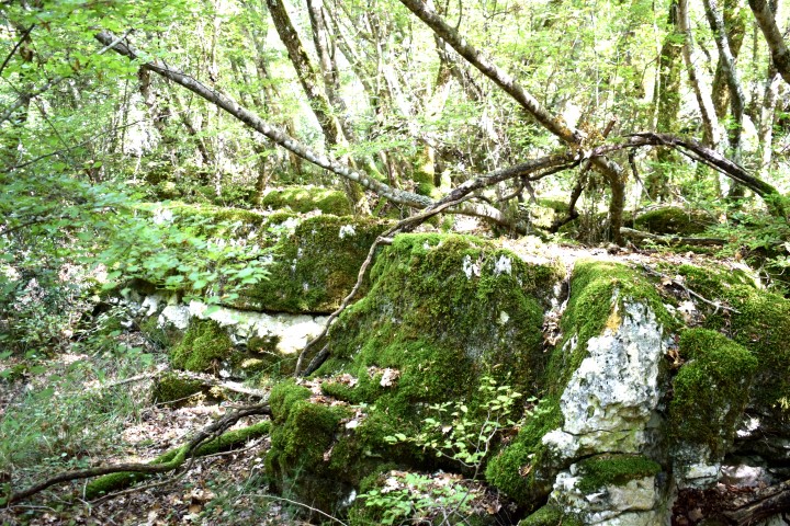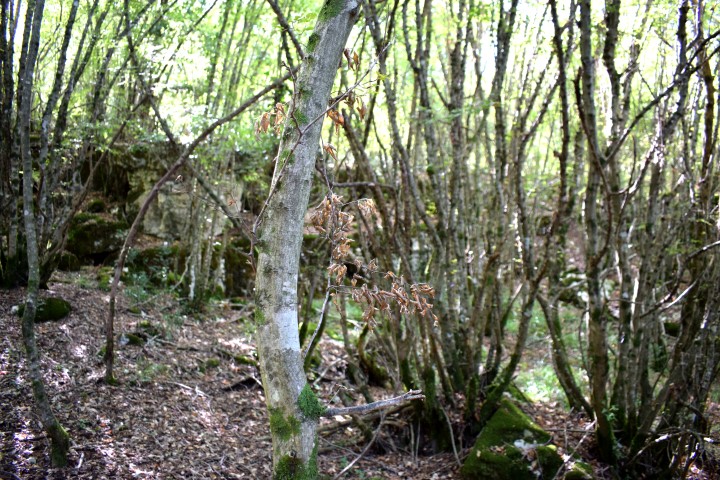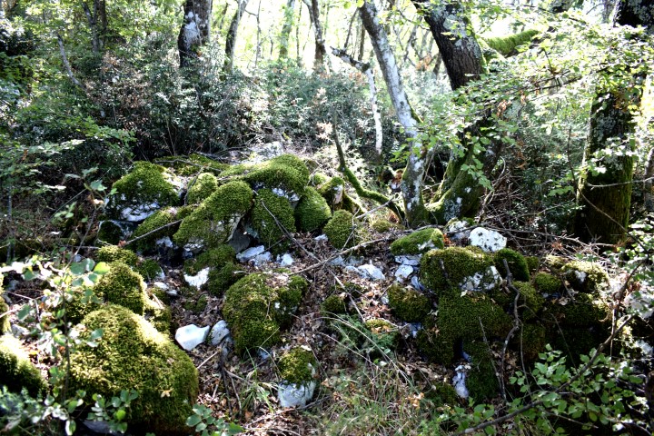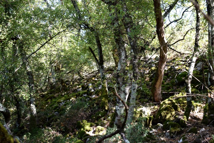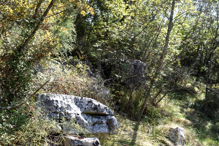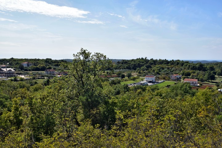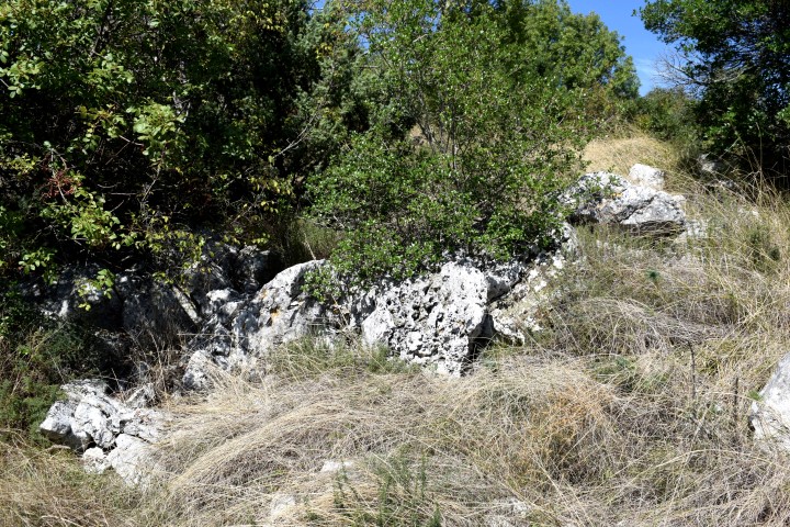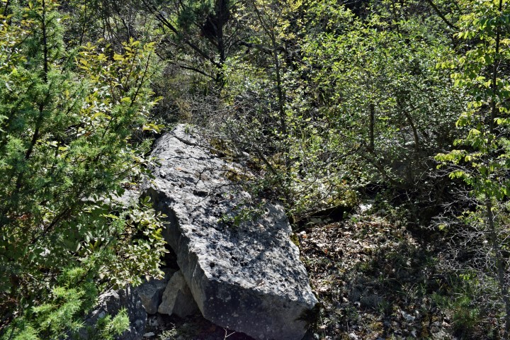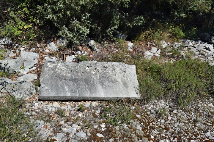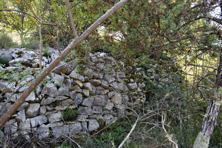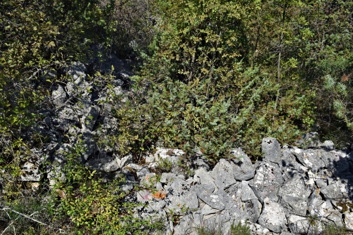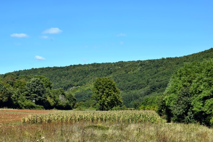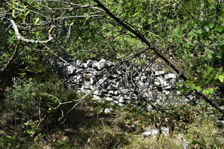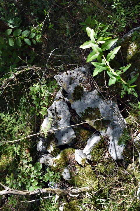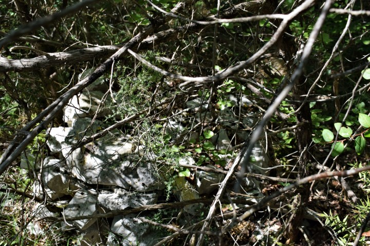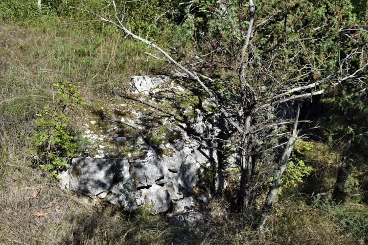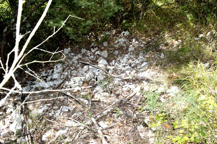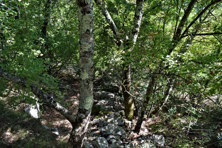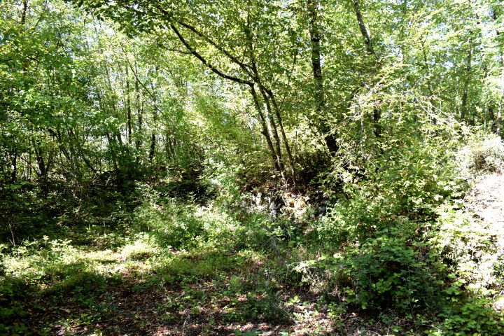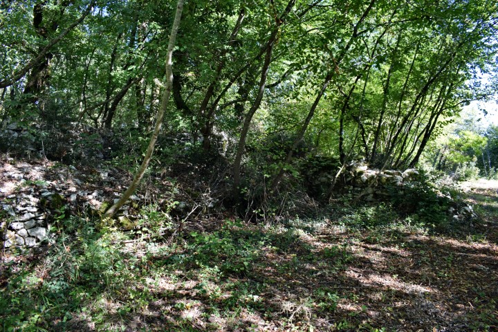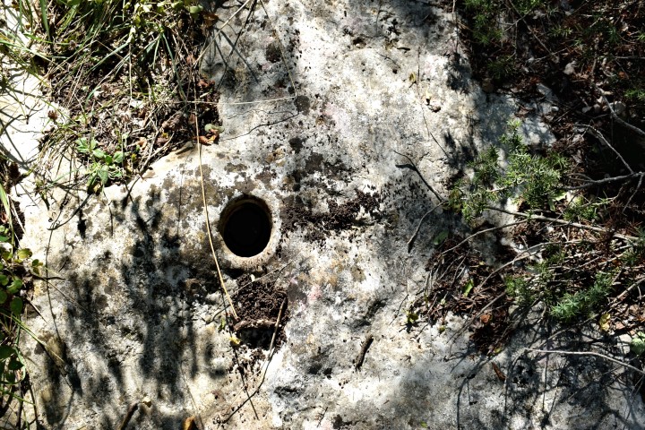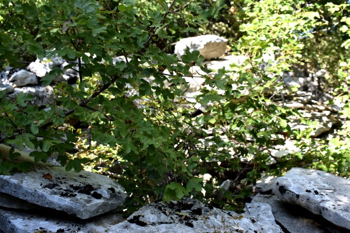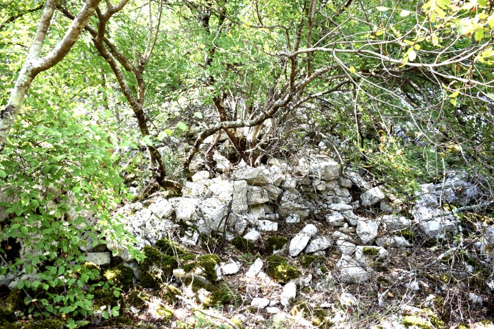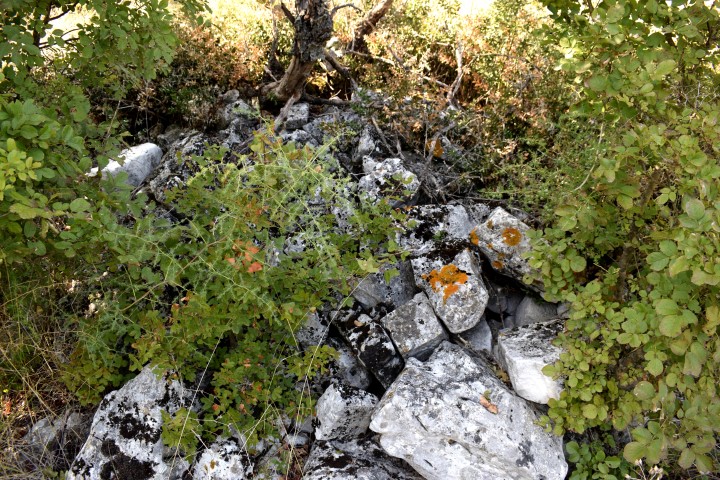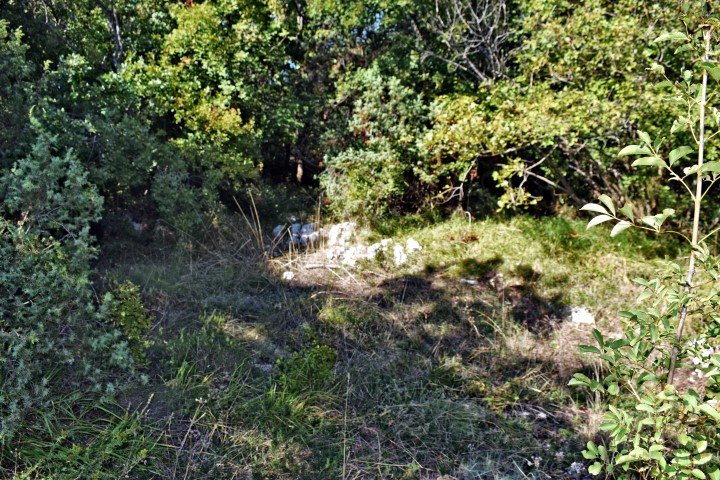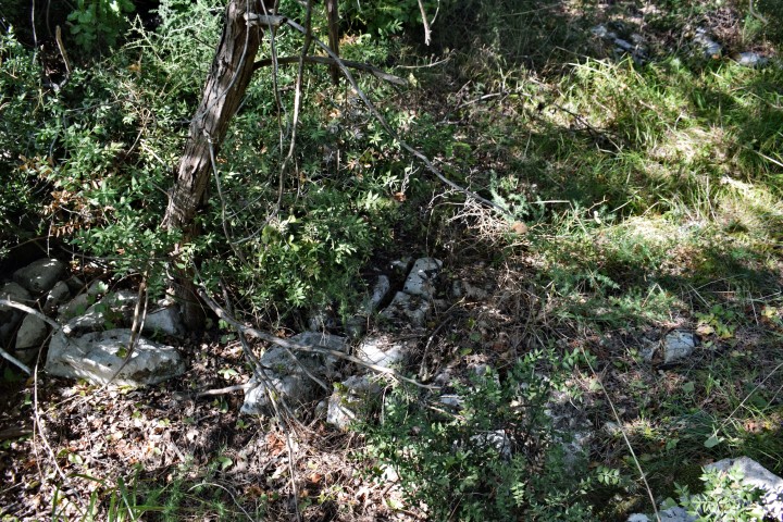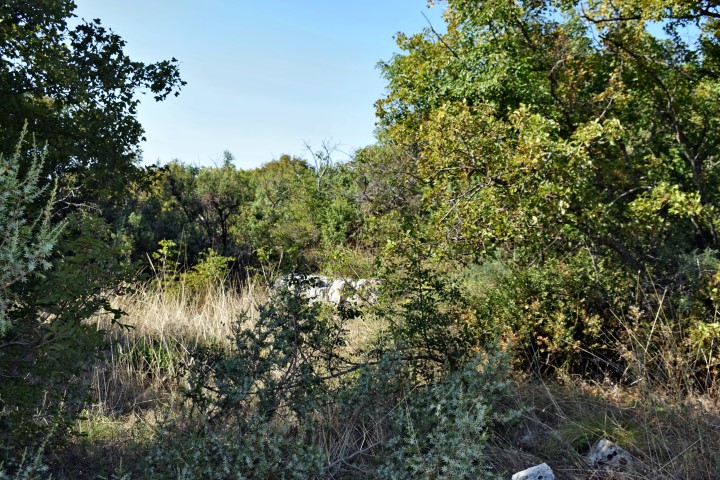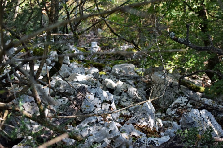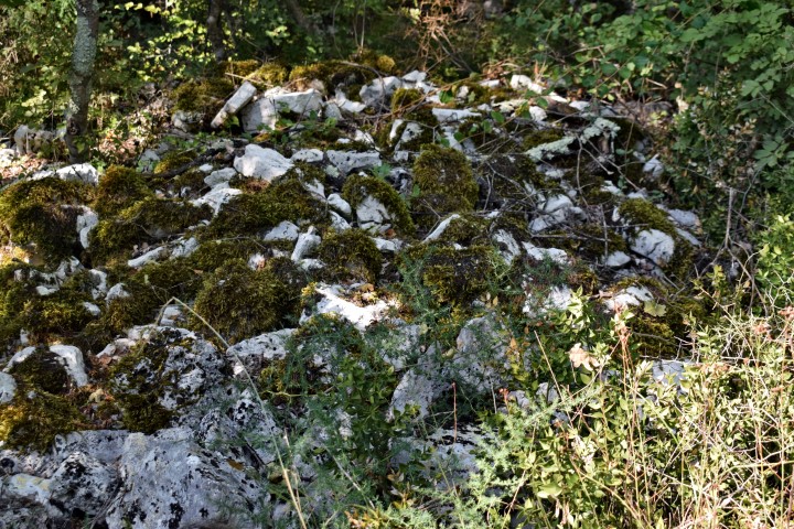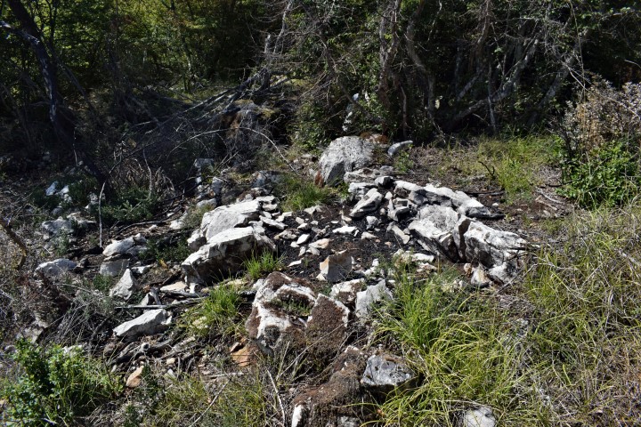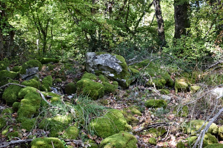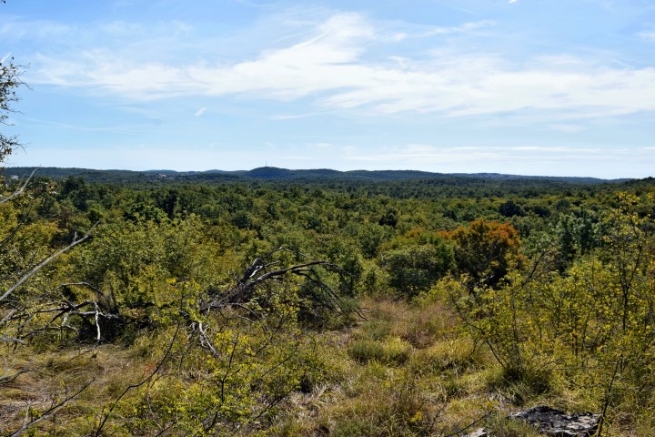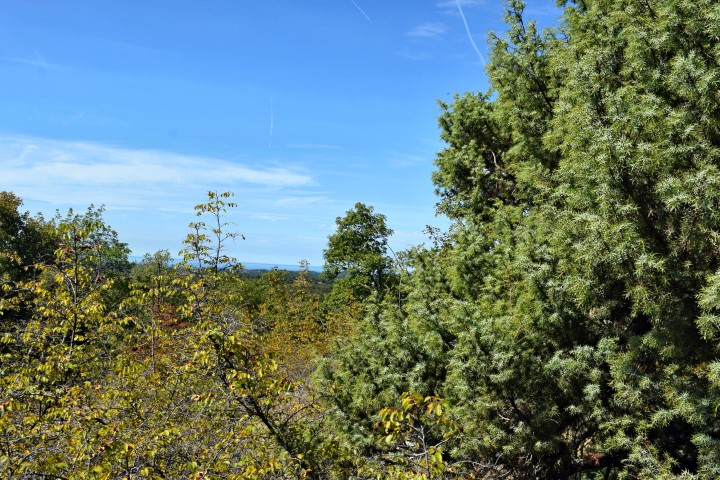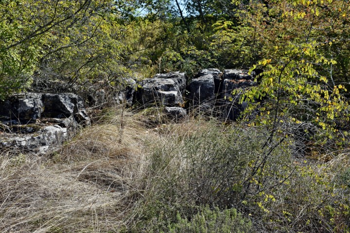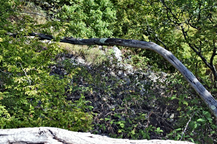
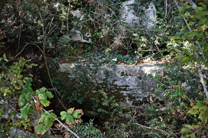

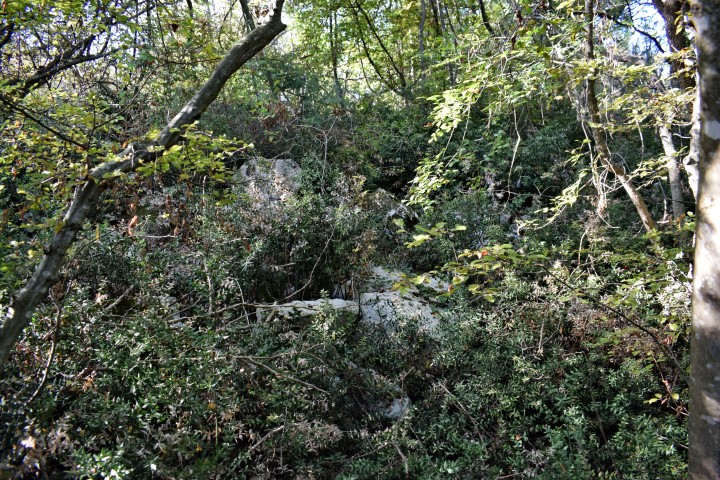
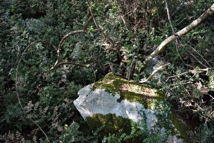
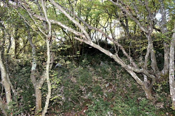
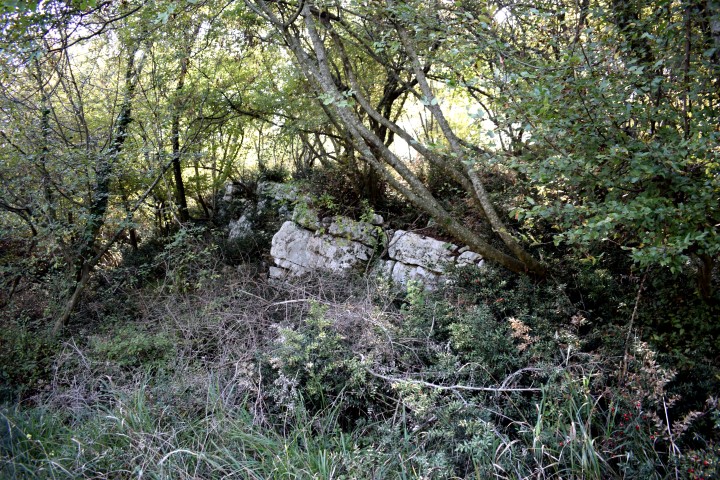
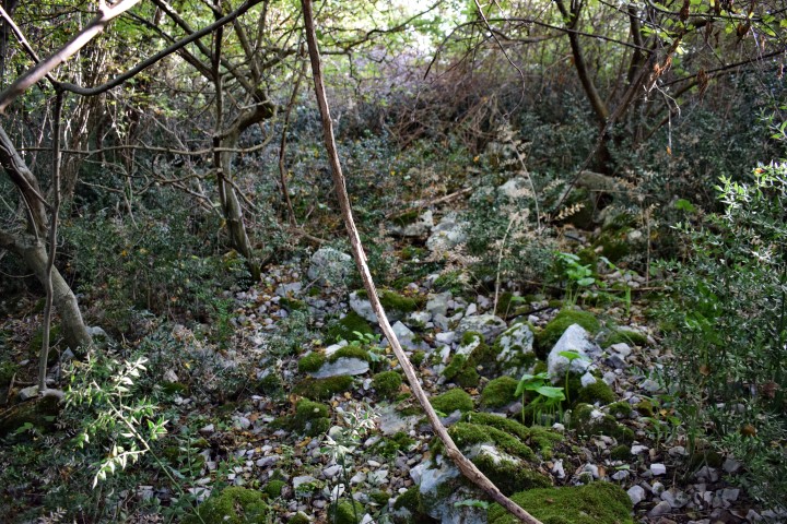
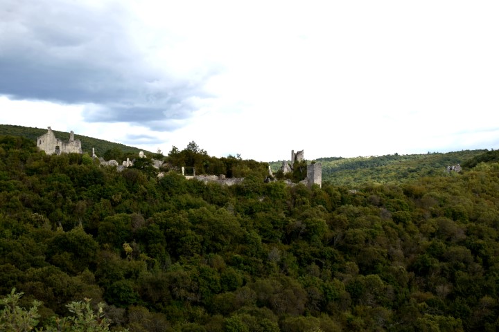
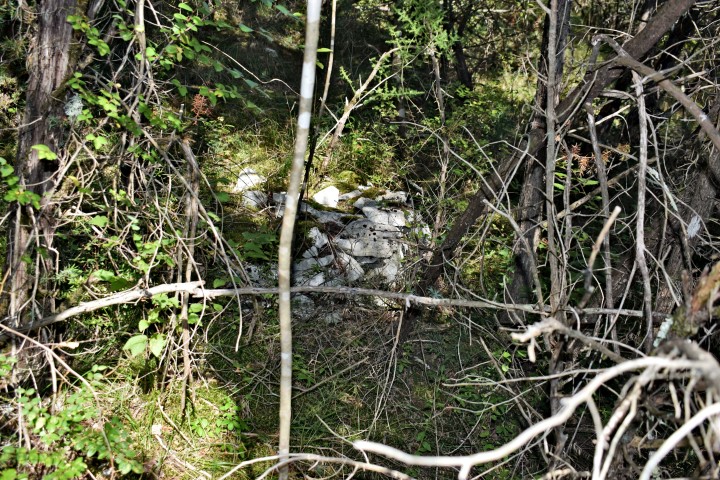
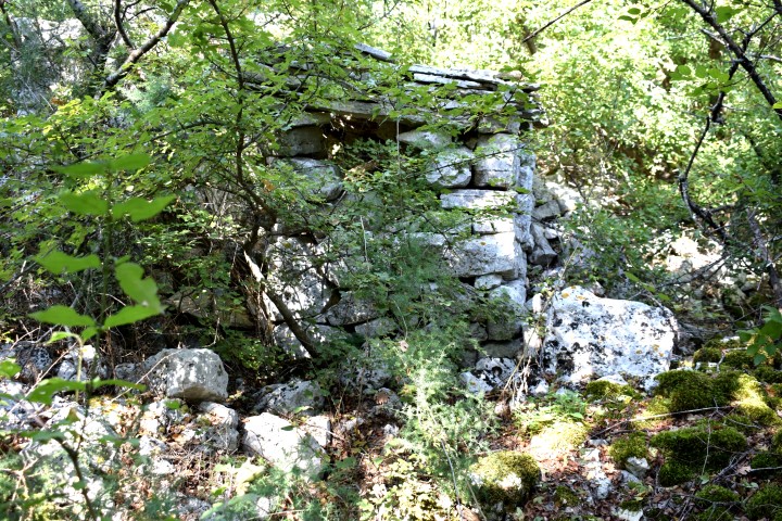
Name: Prehistoric settlement “Monkastel”.
Place: ČervarPorat – (poreč).
Coordinates:
Entrance from way: 45.269995 N – 13.6o7502 E. Top: 45.270728 N -13.606304 E.
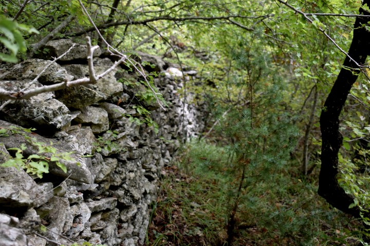
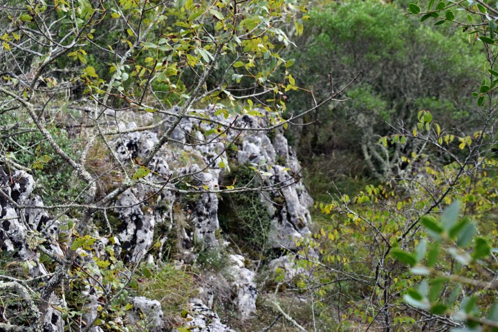
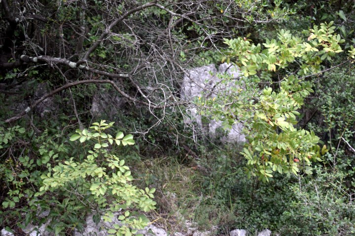
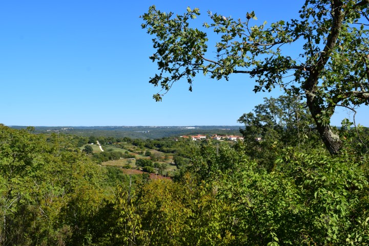
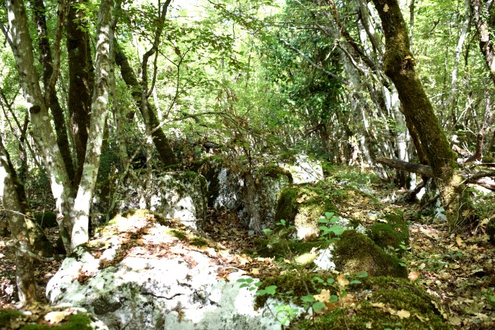
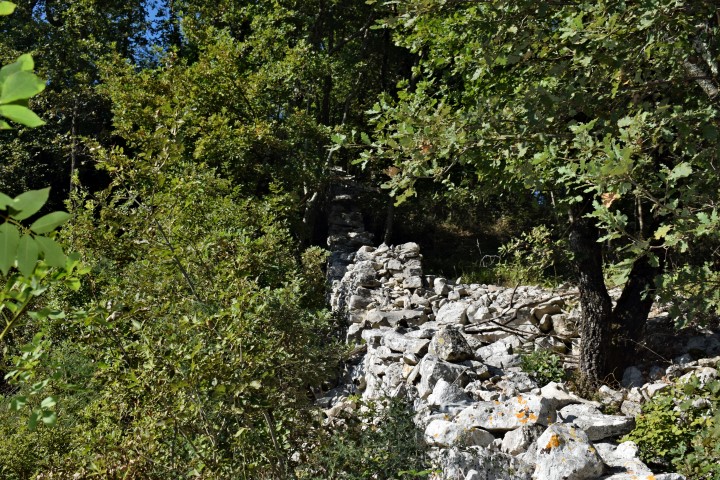
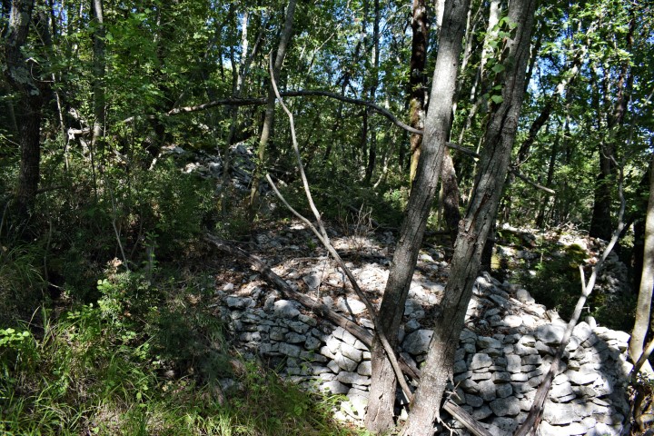
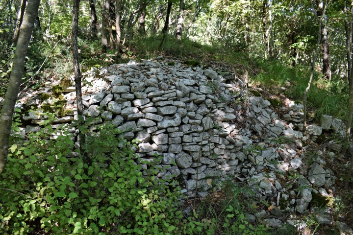
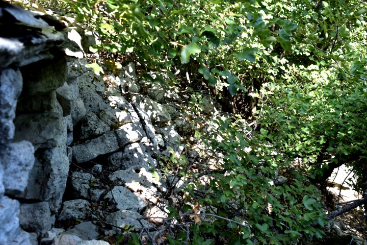
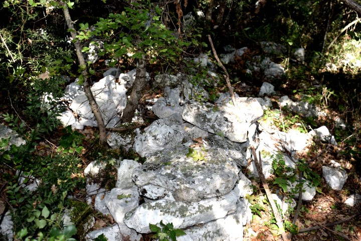
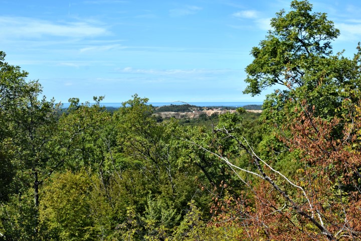
Name: Prehistoric settlement “Monkastel”.
Place: ČervarPorat – (poreč).
Coordinates:
Entrance from way: 45.269995 N – 13.6o7502 E. Top: 45.270728 N -13.606304 E.

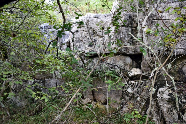
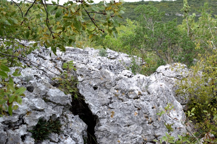
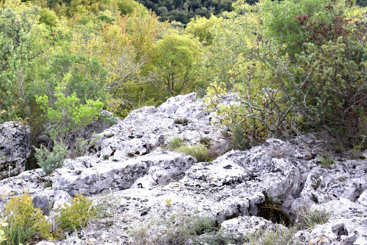
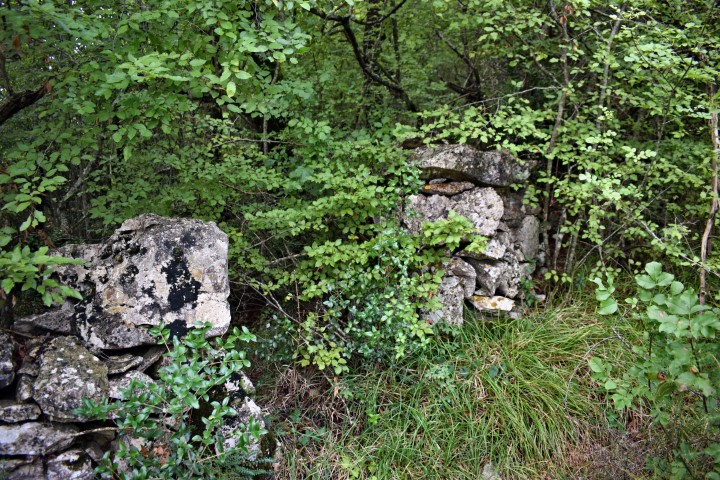
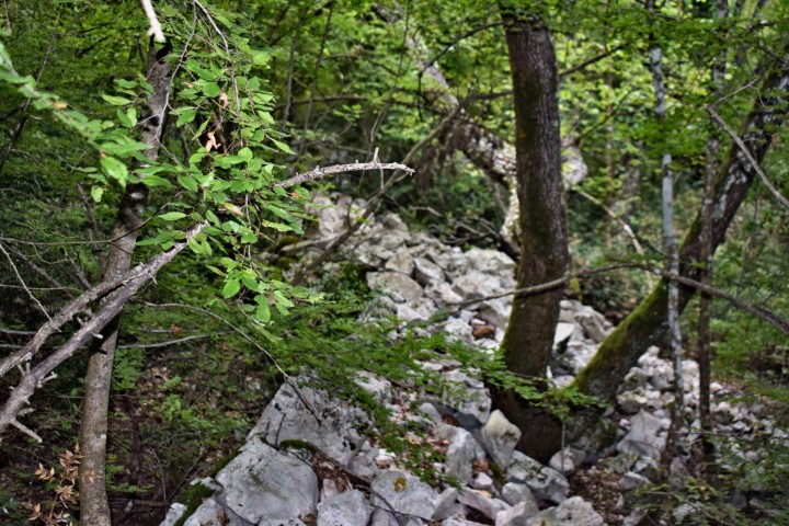
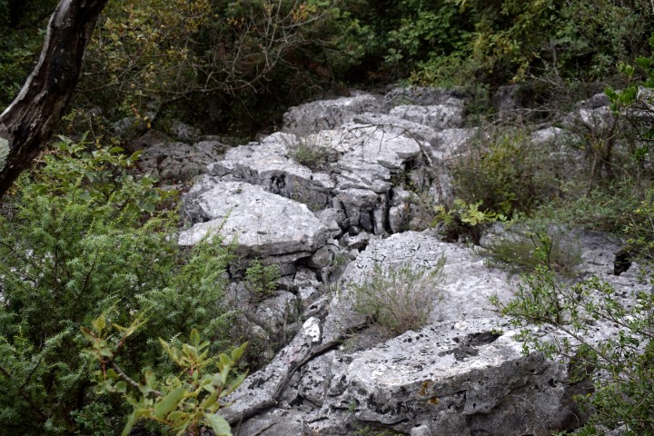
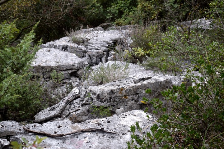
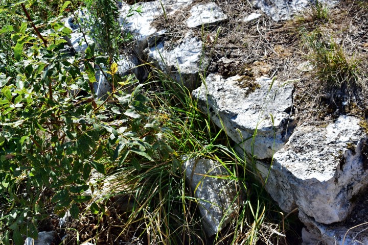
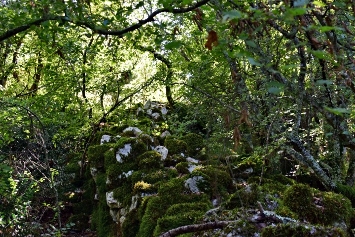
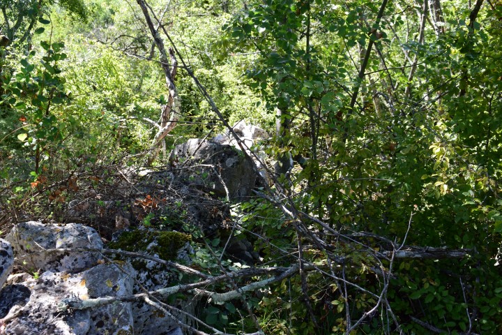
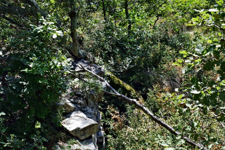
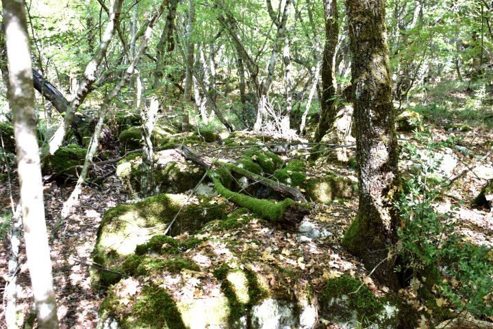
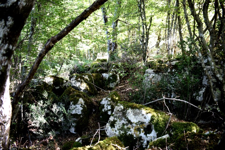
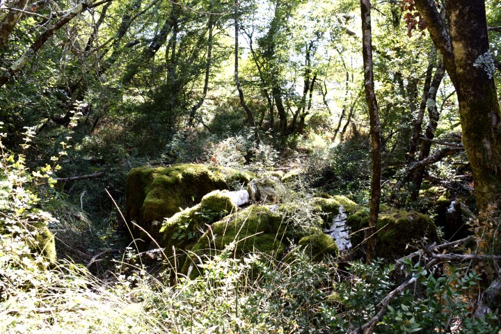
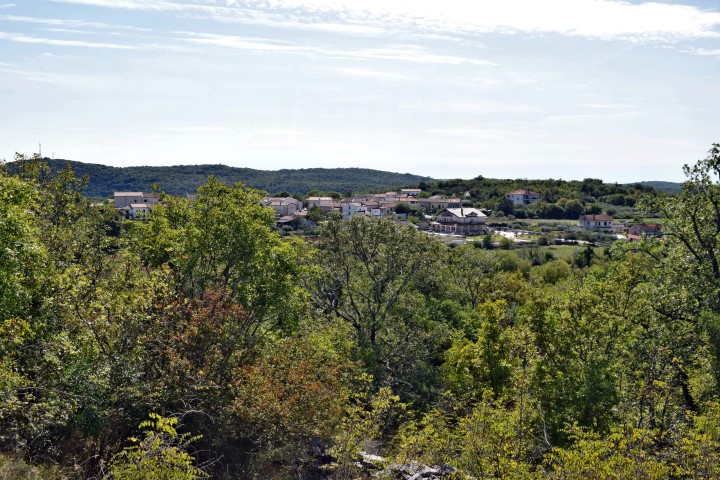
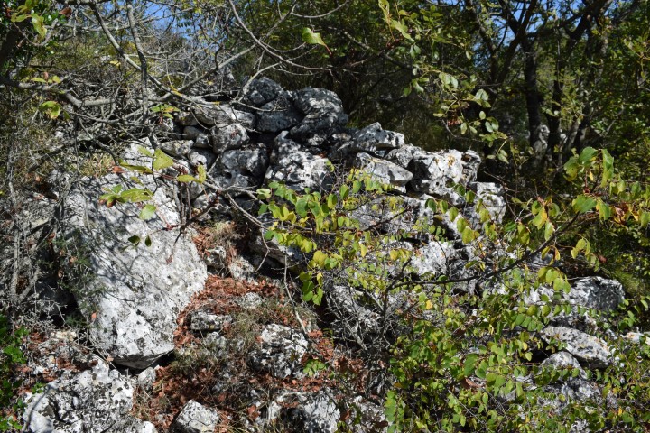
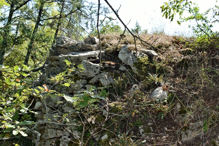
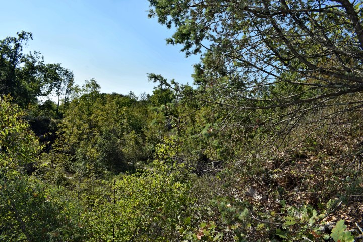
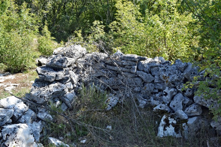
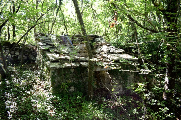
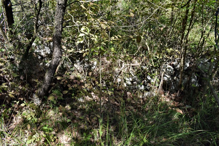
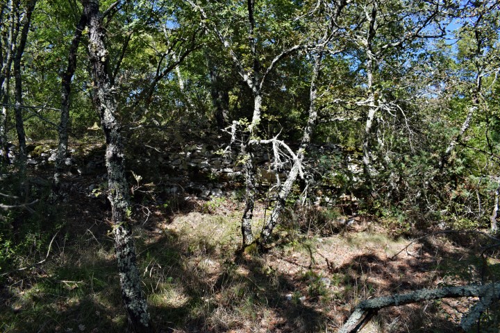
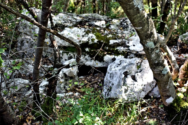
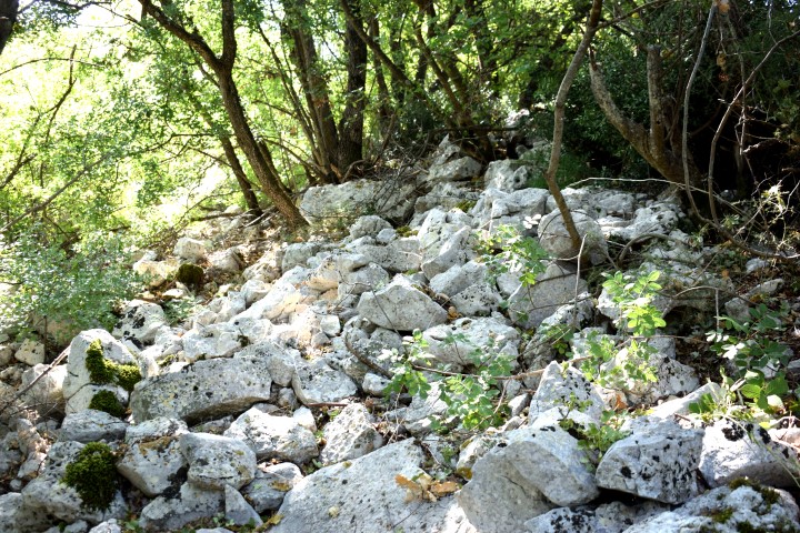
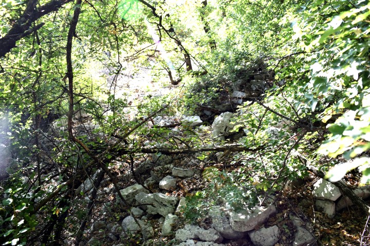
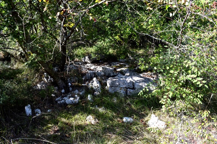
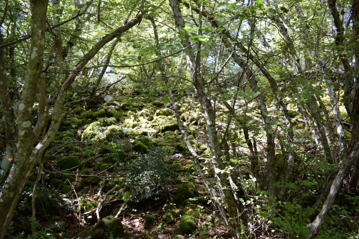
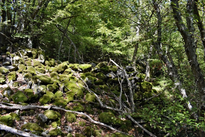
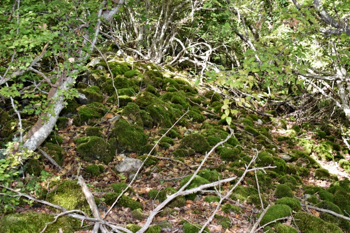
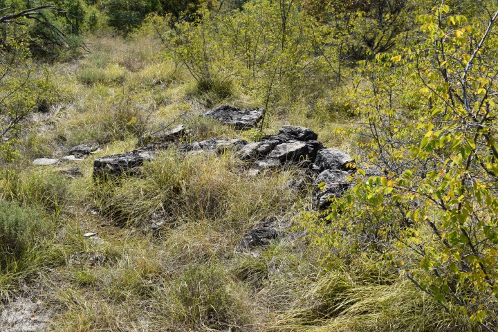
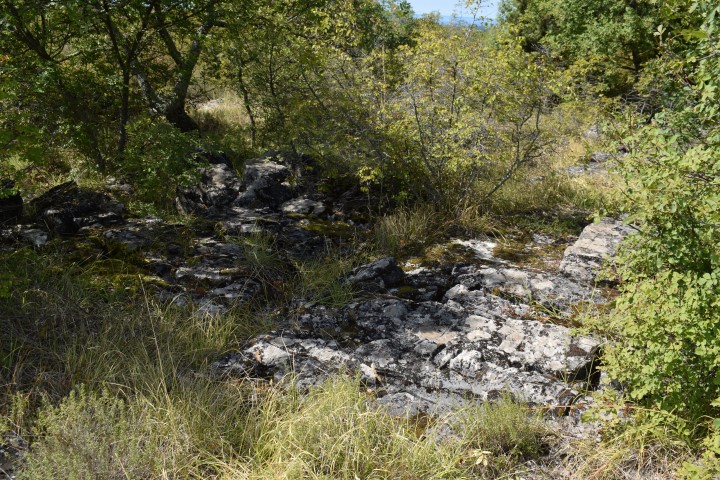
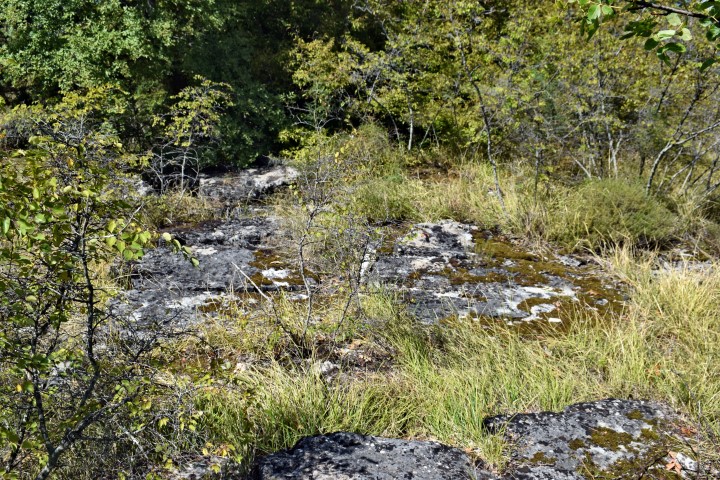
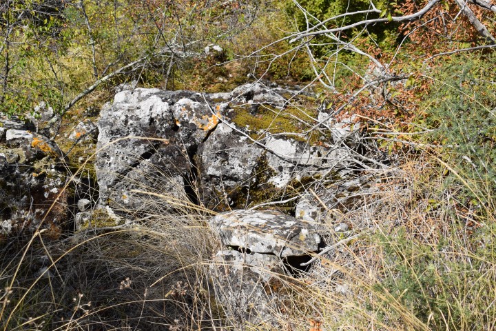
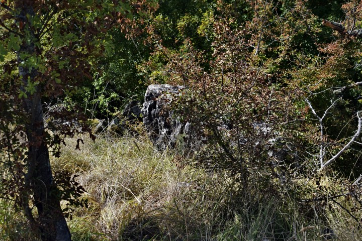
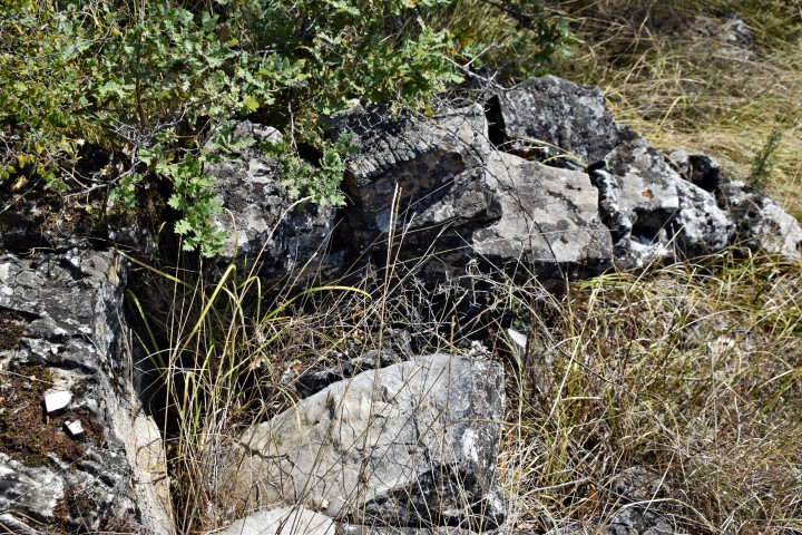
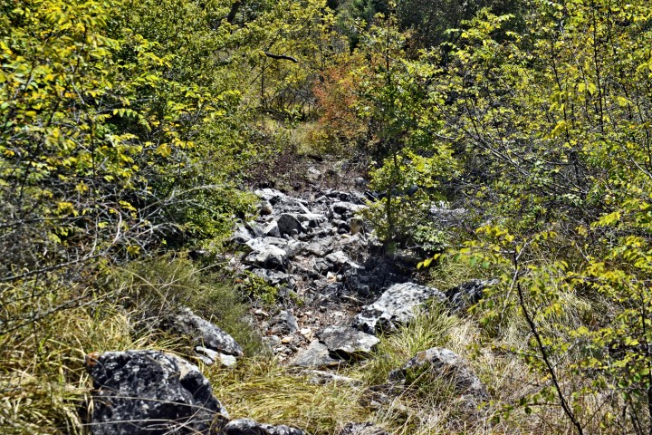
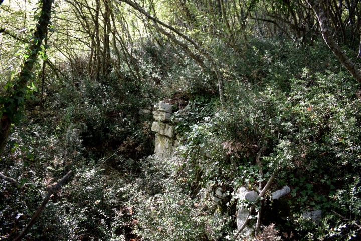
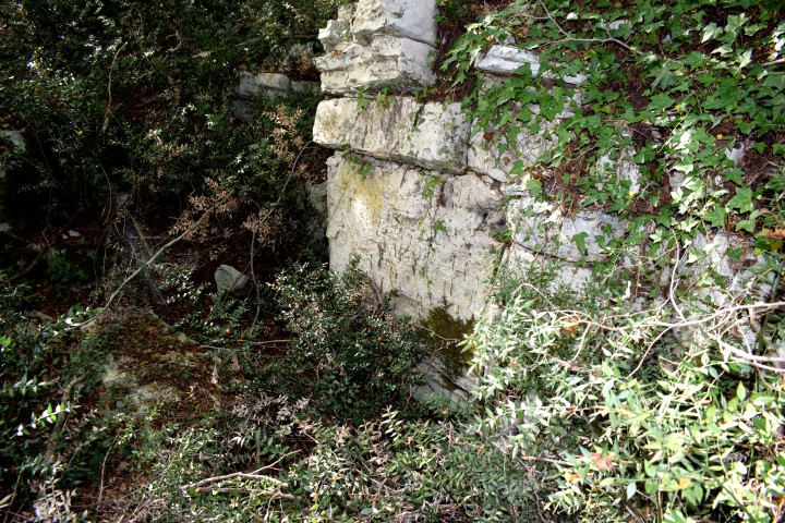
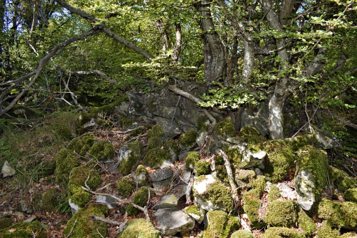
Name: Prehistoric settlement (Gradina) “Mekinjevac” (Zavoj).
Place: Mrgani – (Kanfanar).
Coordinates: Underpass A9 near Mrgani 45.12486 N – 13.78240 E. Entrance to Gradina: 45.12333 N – 13.78669 E 198 m.
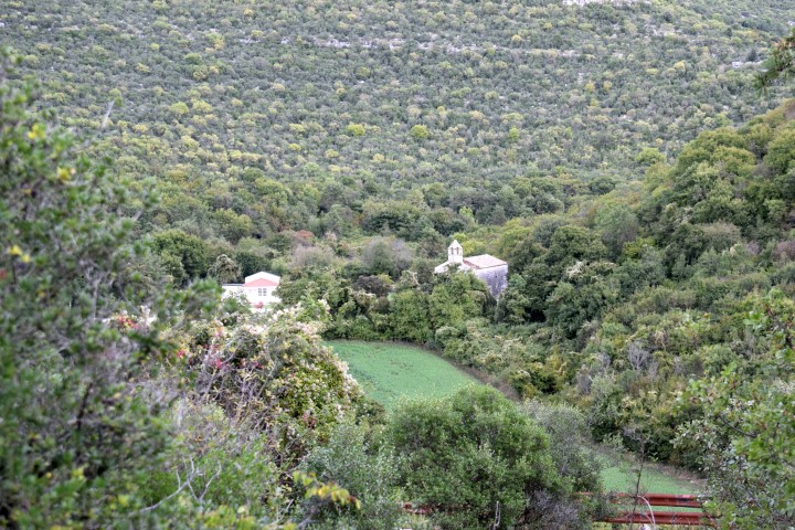
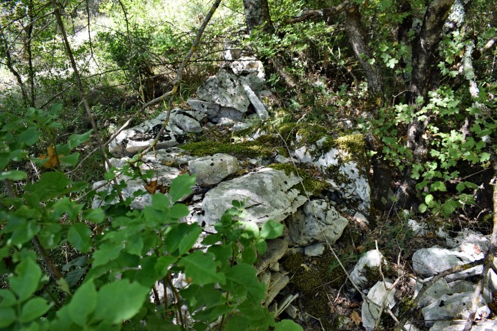
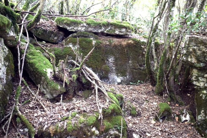
In the Middle Ages there was a walled city on this slope of the Limska Draga. The blocks of the Gradina were probably used for this.
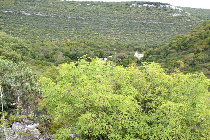
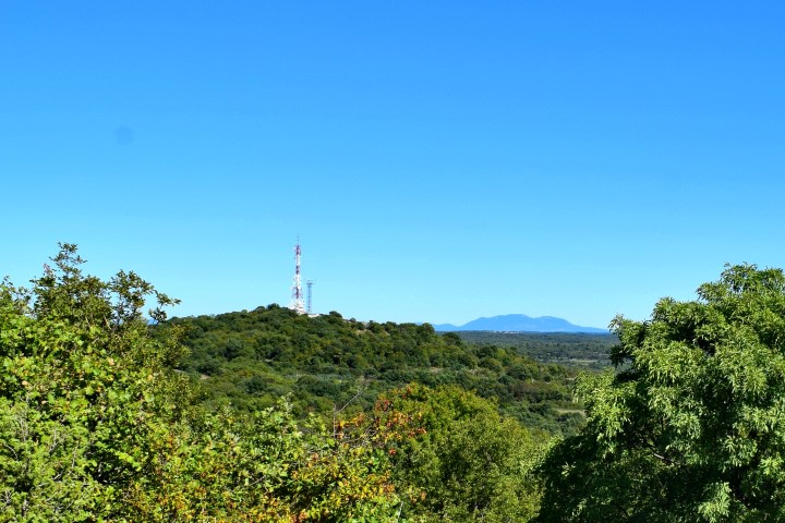
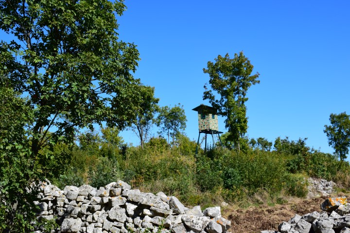
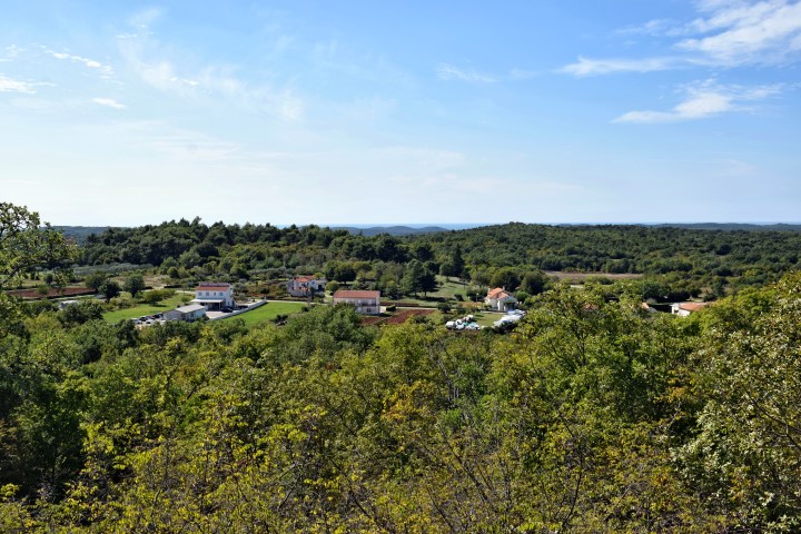
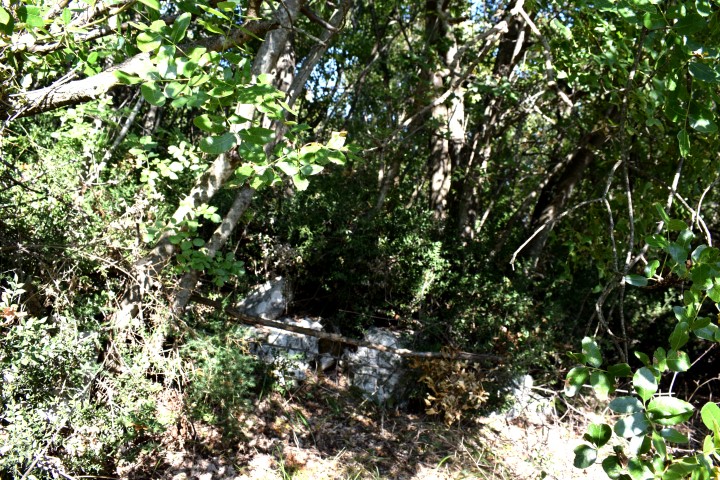
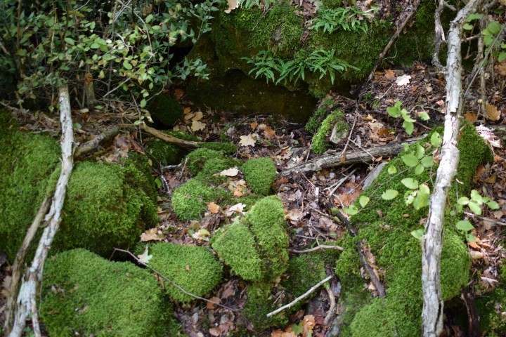
Name: Prehistoric settlement “Parentin”.
Place: Near Dvigrad – (Kanfanar).
Coordinates:
Entrance hiking trail on the first hairpin bend of the road Dvigrad to Mrgani.45.12676 N – 13.90825 E. 130 m.
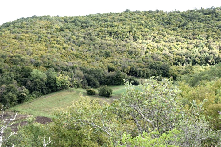
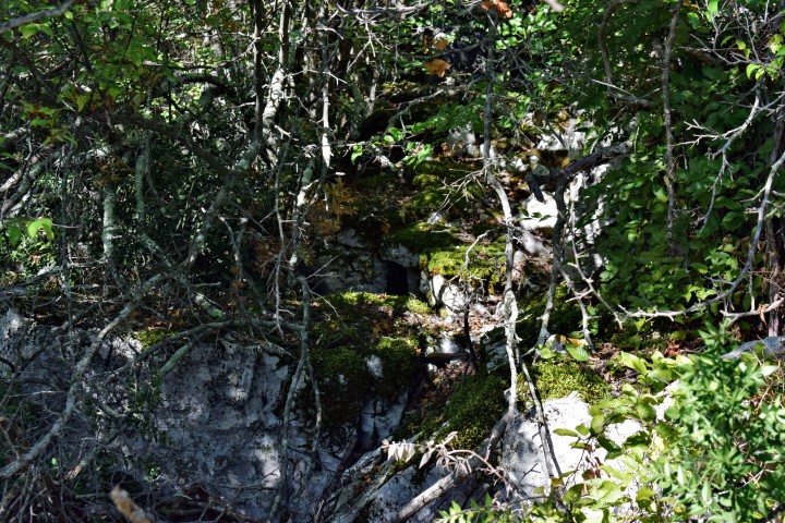
Name: Prehistoric setlement “Kičer”.
Place: Near Rovinjsko Selo – (Rovinj).
Coordinates:
Starting point trail: 45.11411 N – 13.73229 E, Top Kičer: 45.12083 N – 13.72653 E.
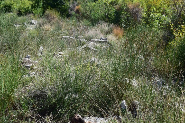
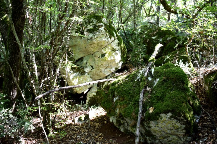
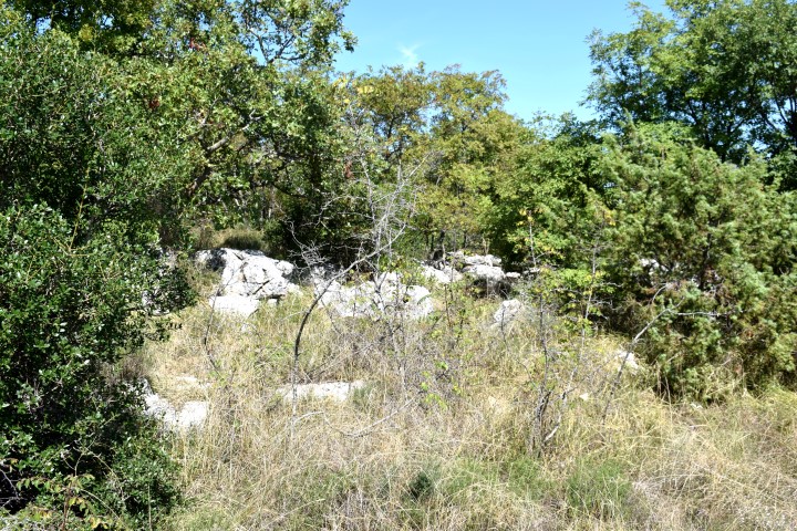
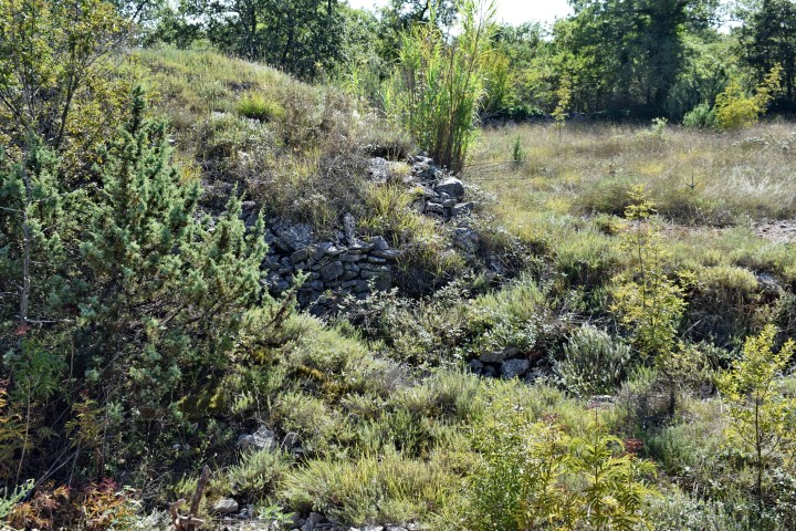
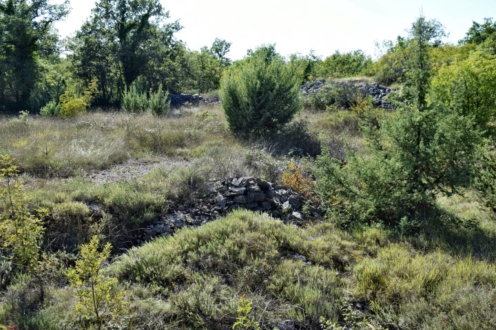
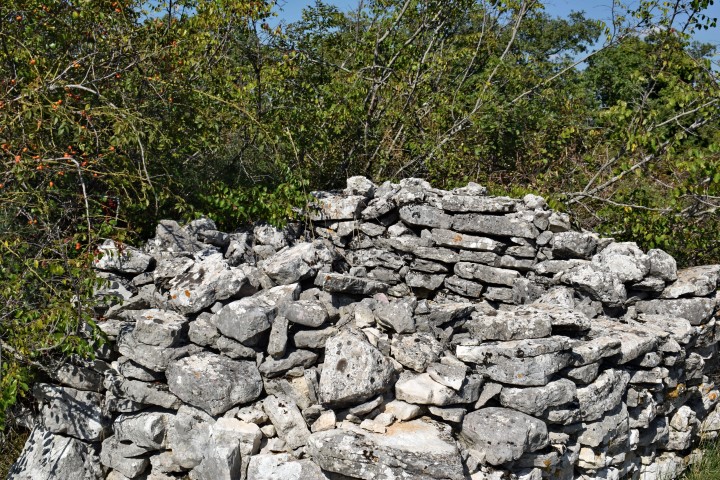
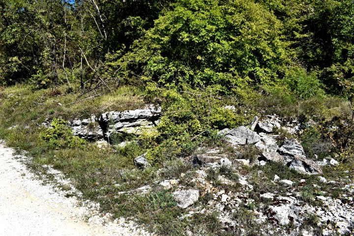
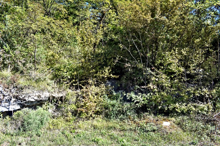
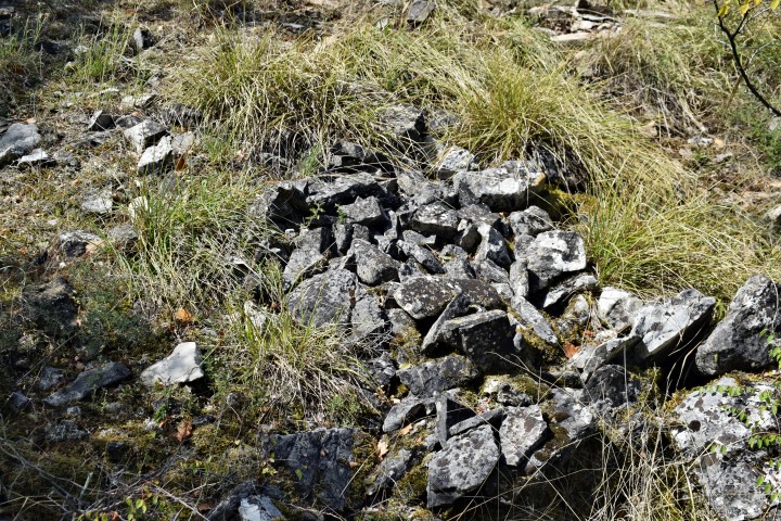
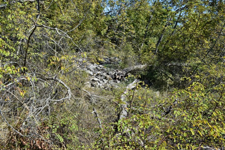
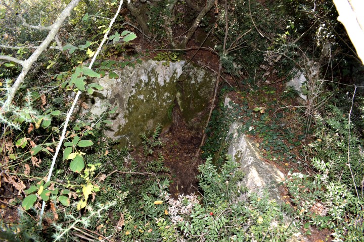
Name: Prehistoric settlement “Gradina”.
Place: Near Bubani -(Kanfanar).
Coordinates:
Top Gradina: 45.12010 N – 13.73177 E, starting point trail. 45.11985 N – 13.73600 E
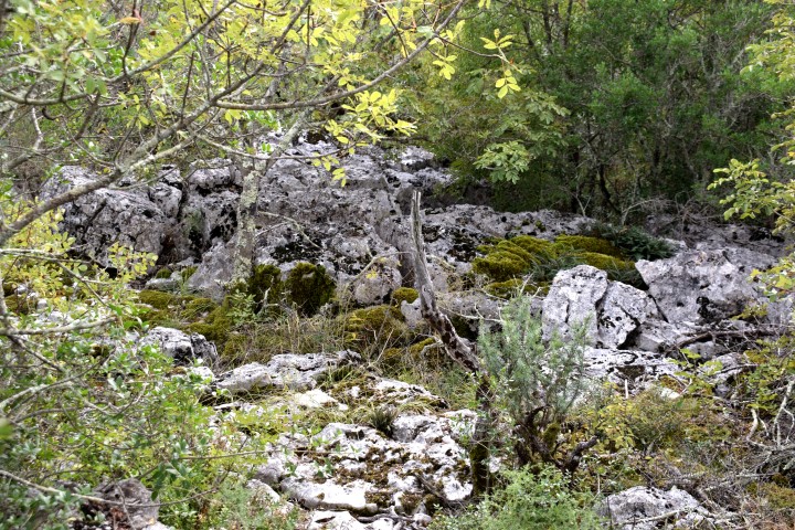
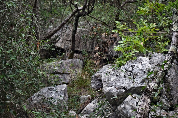
From the discovery of ceramic shards , it is likely that this settlement originated in the Bronze age.
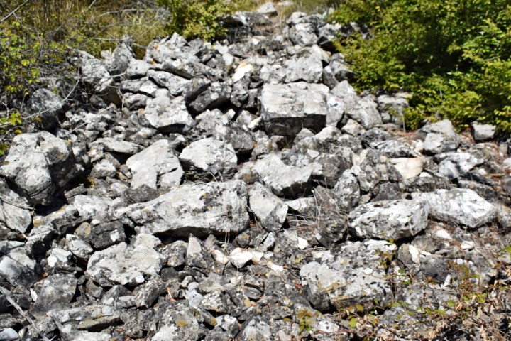
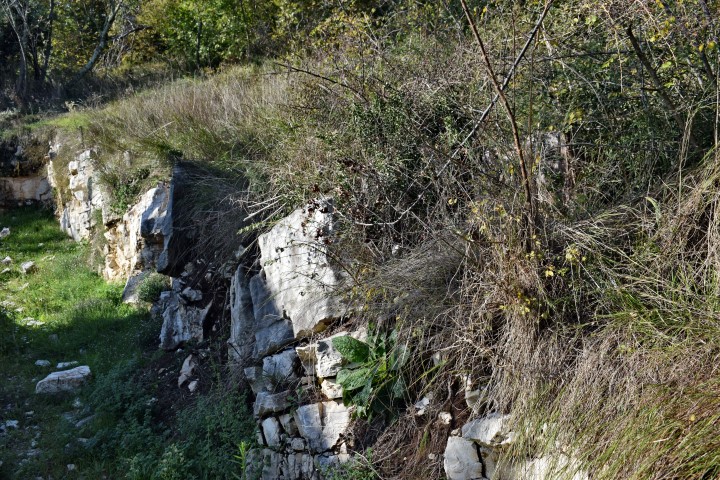
Name: Prehistoric settlement (Gradine) Bumberić.
Place. Near Krunčići – (Sv. Lovreč).
Coordinates:
Start point: 45.14588 N – 13.73813 E. Top: 45.14749 N – 13.74014 E. 180 m.

Name: Prehistoric settlement (gradine) Gradišće.
Place: Near Knapići – Sv. Lovreč.
Coordinates:
Startpoint: 45.15878 N – 13.79102 E. Top: 45.15868 N – 13.78803 E
Name: Prehistoric settlement Sveti Toma.
Place: Sv. petar u Sumi – Tinjan.
Coordinates:
Start trail: 45.18213 N . 13.85353 E. End point: 45.17792 N – 13.84035 E.
Name: Prehistoric settlement “Stari Grad” near Krmed.
Place: Near Tomani – (Bale).
Coordinates:
Starting point: 45.o8271 N – 13.81613 E.
Top Stari Grad: 45.08155 N – 13.80744 E. 233 m.
Name: Prehistoric settlement (gradine) Kaštelir.
Place: Medvidiči – (Sv. Lovreč).
Coordinates:
Trail: 45.171054 N – 13.71544 E; Top: 45.17372 N -13.71506 E. 176 m.