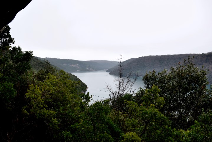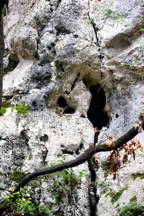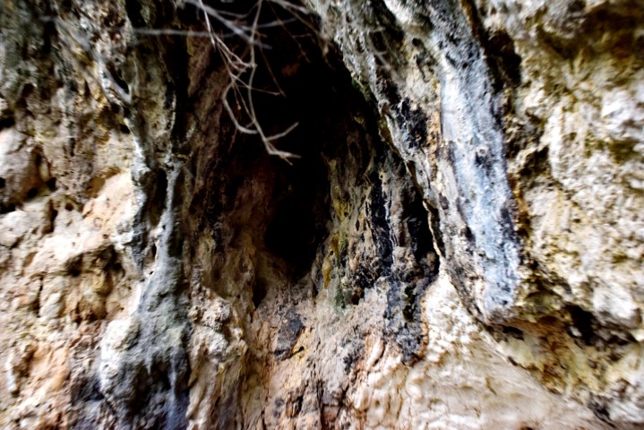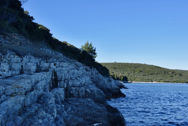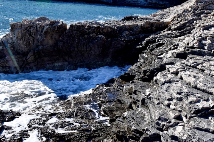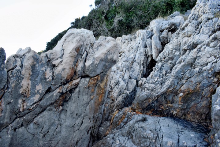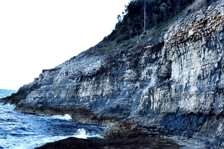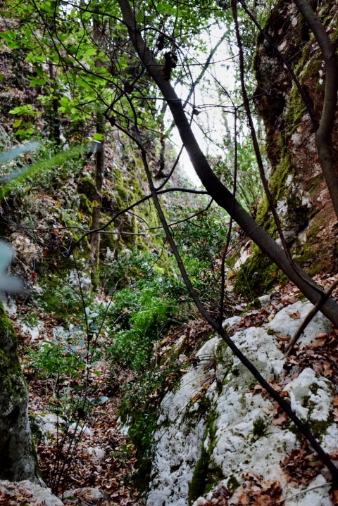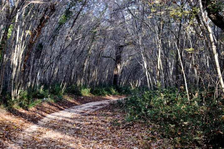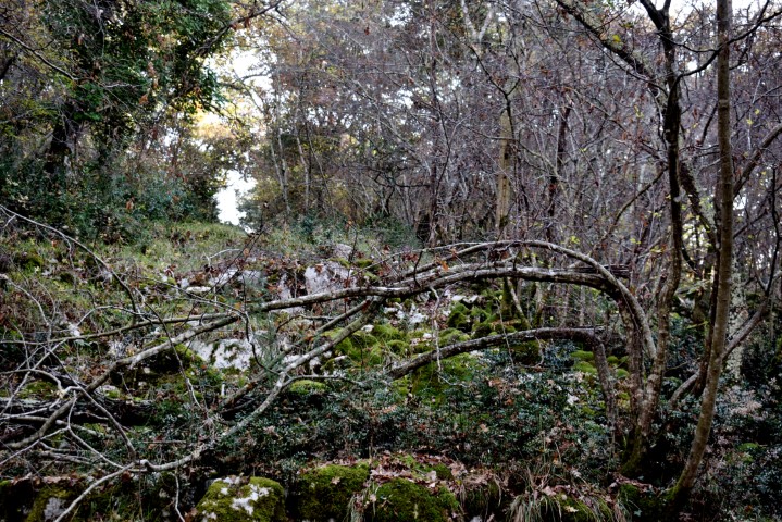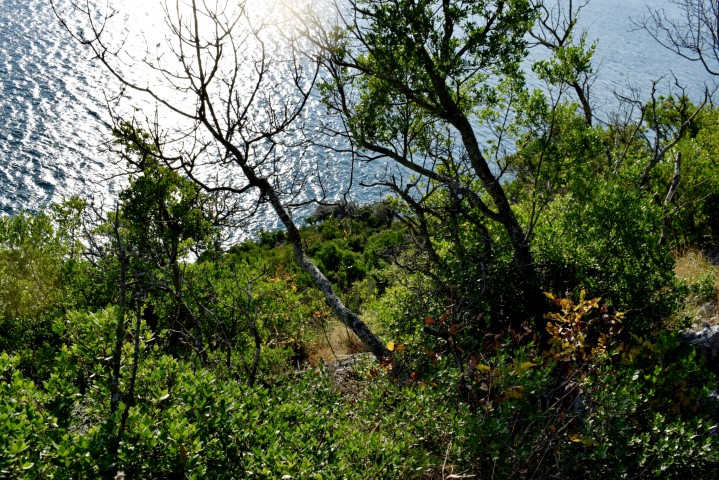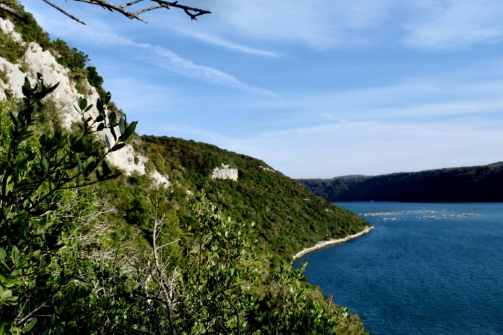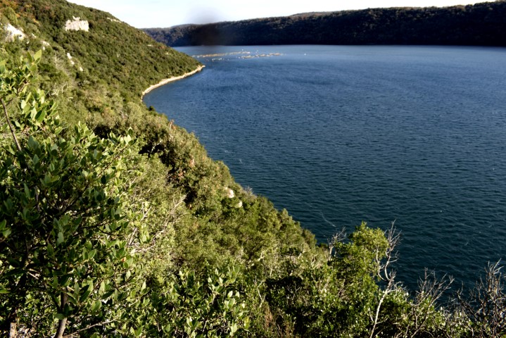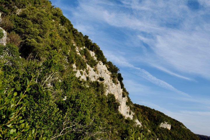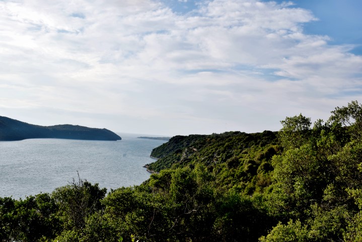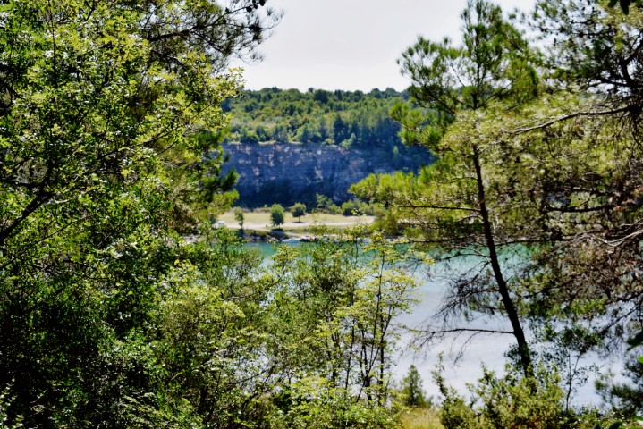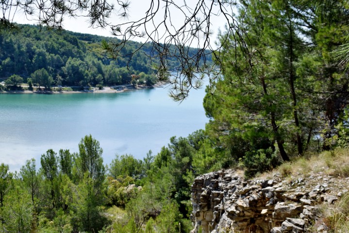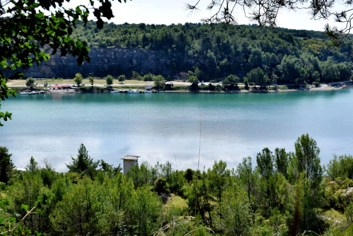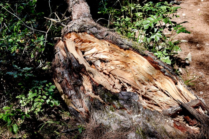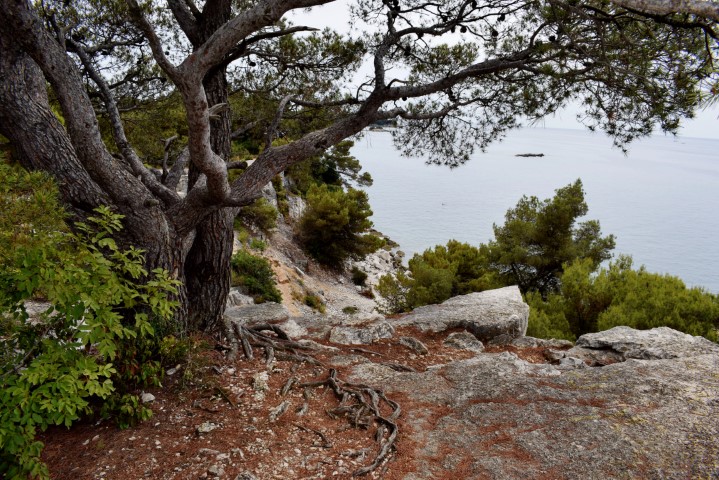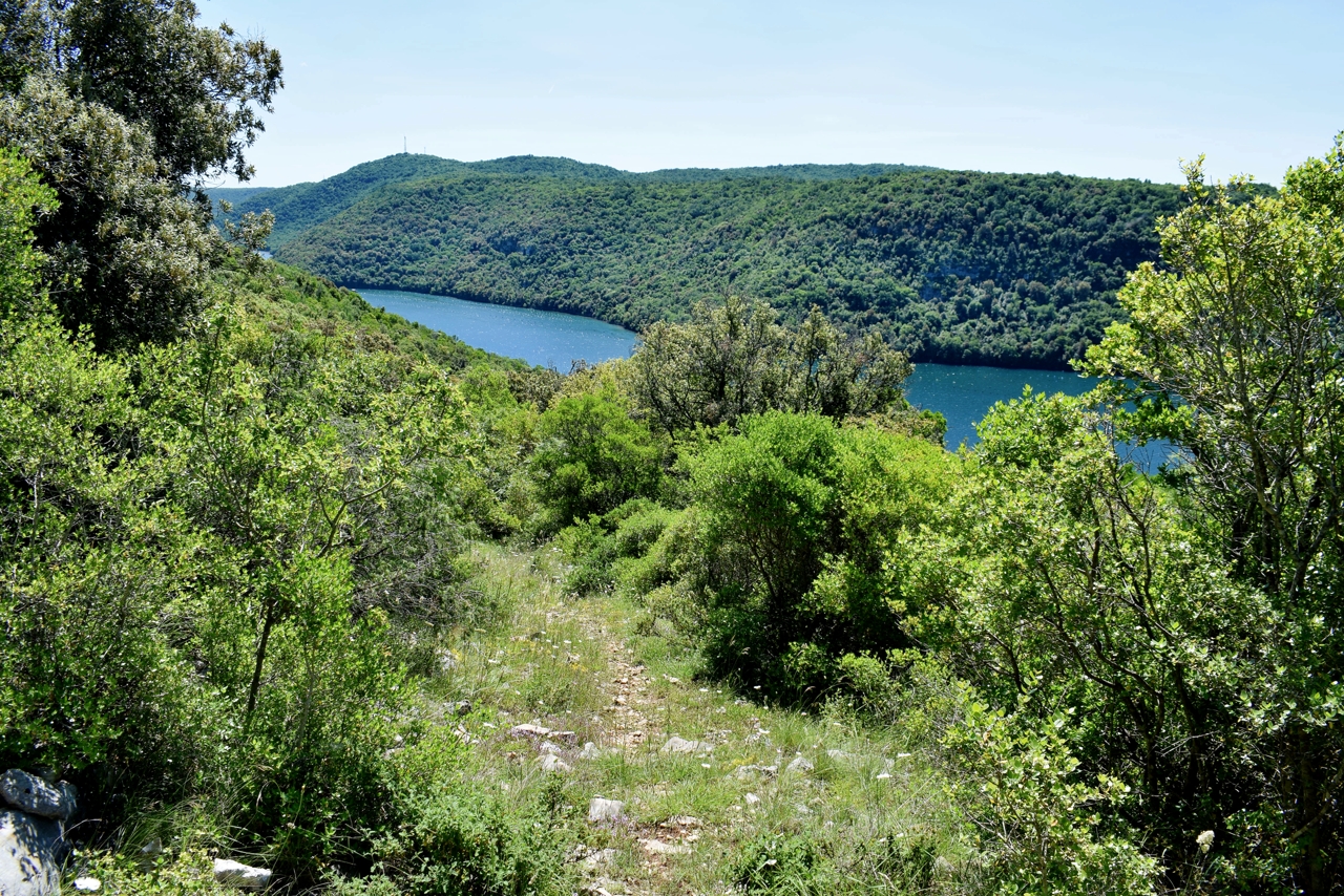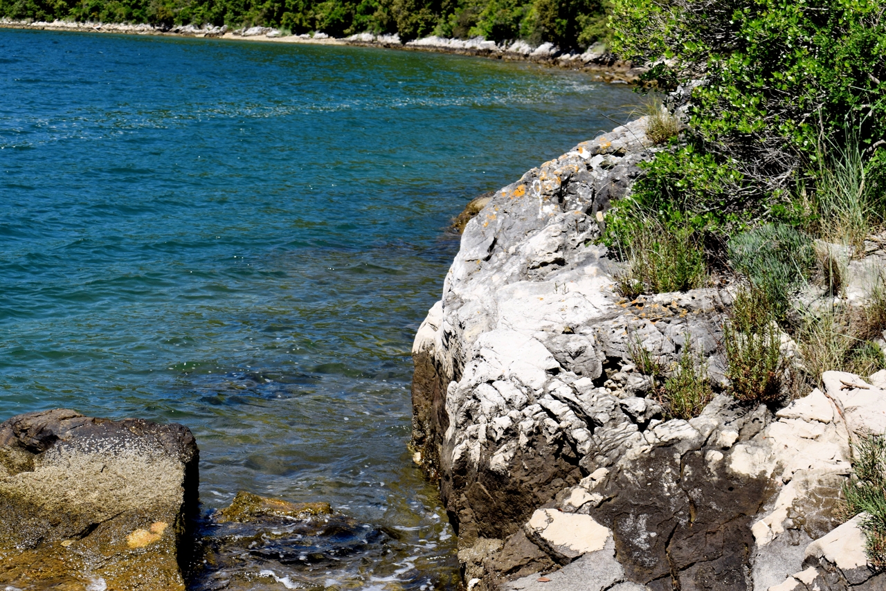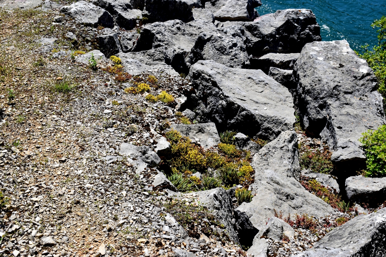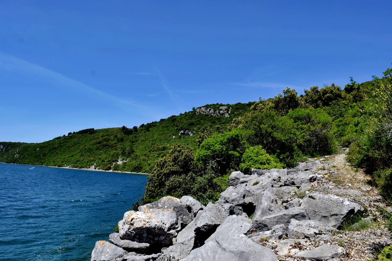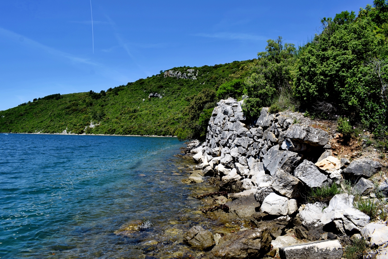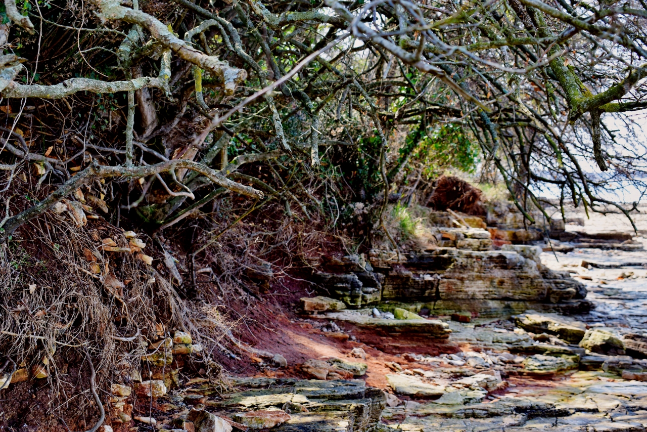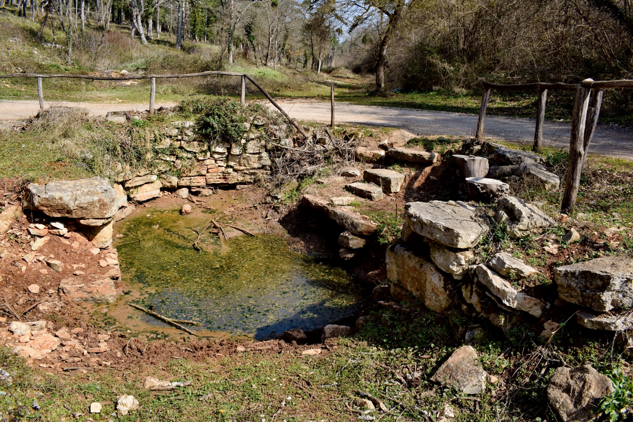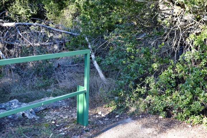
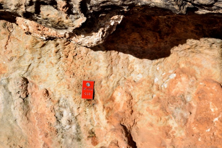
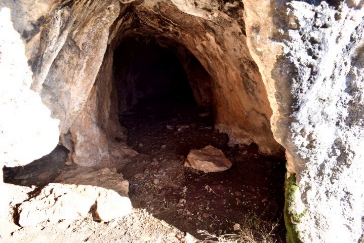
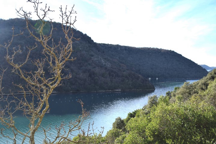
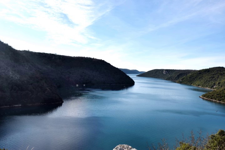
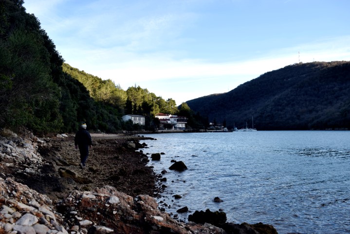
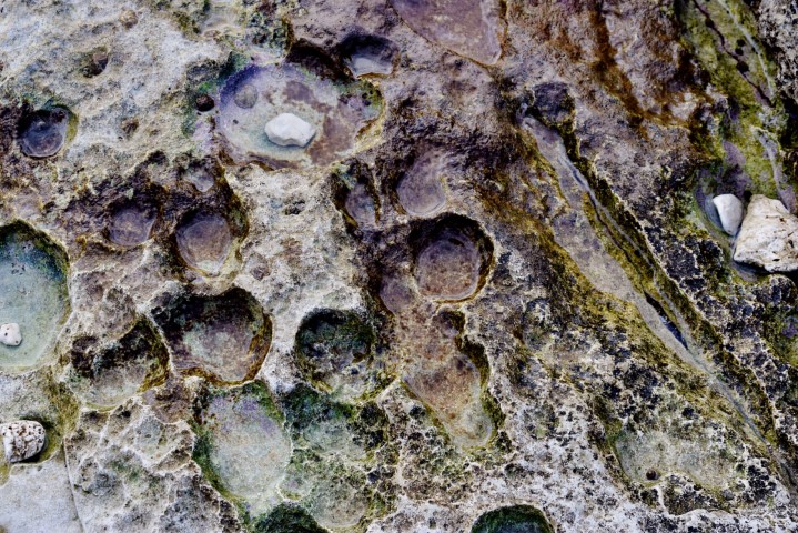
Name: Trail along the Limski canal with the hills Vrela and Kozarica and the cave SK HAD 548.
Place: Vrsar.
Coordinates: From 45.13400 N – 13.73159 E to 45.13632 N to 13.71968 E.
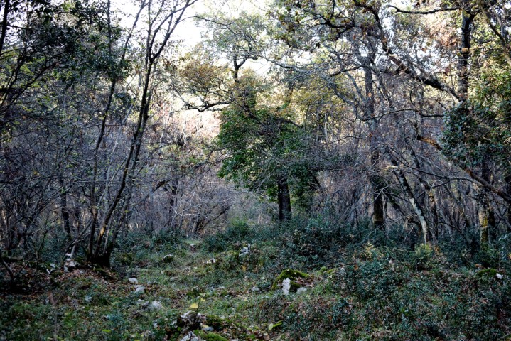
Name: Trail along the Limski canal with the hills Vrela and Kozarica and the cave SK HAD 548.
Place: Vrsar.
Coordinates: From 45.13400 N – 13.73159 E to 45.13632 N to 13.71968 E.
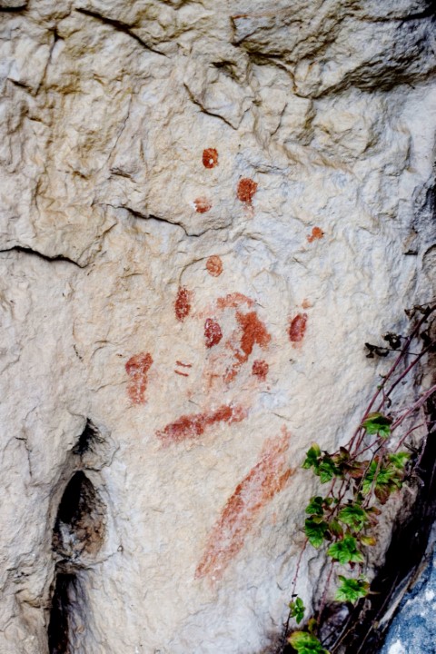
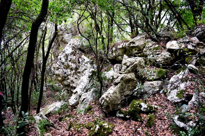
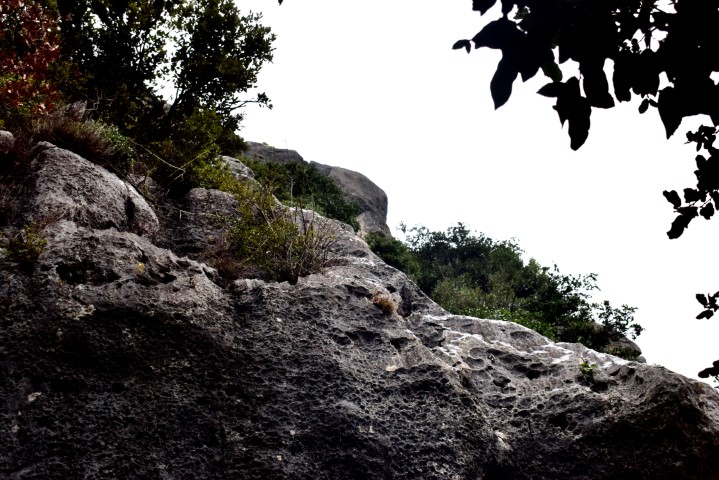
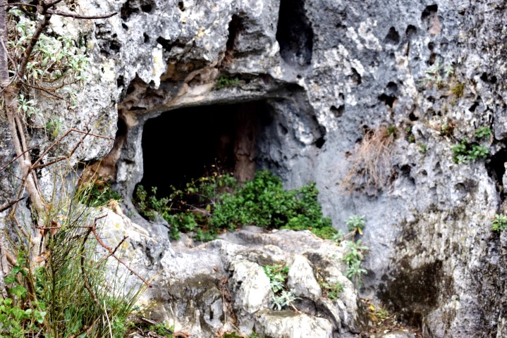
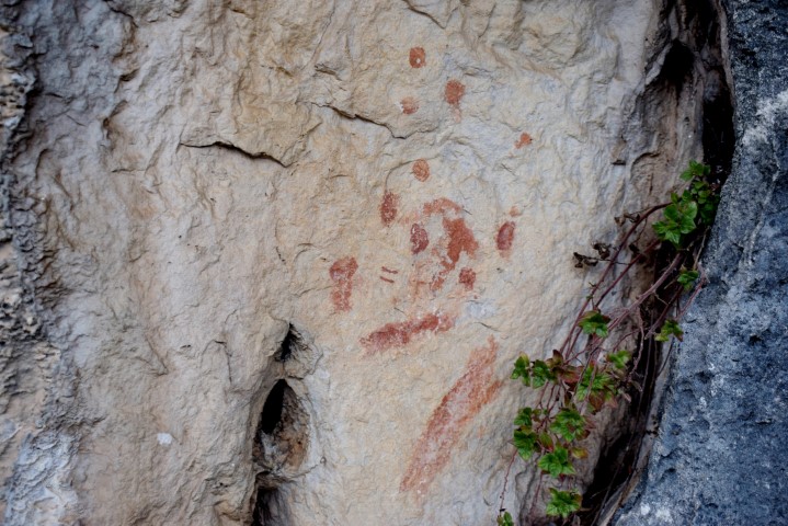
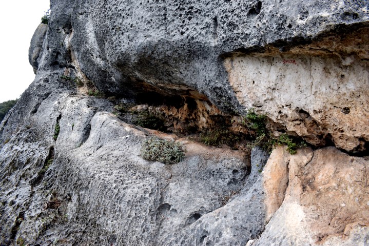
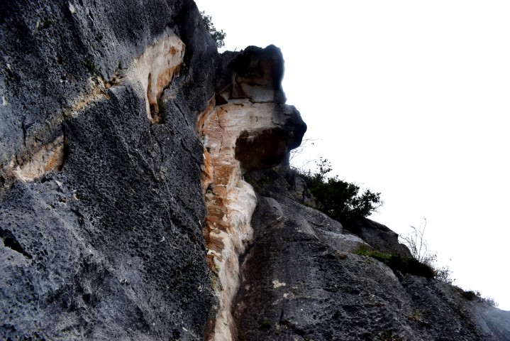
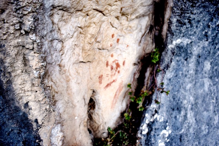
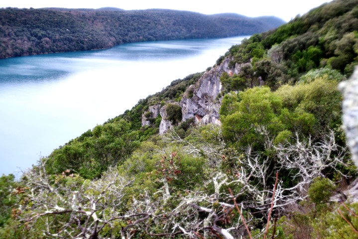
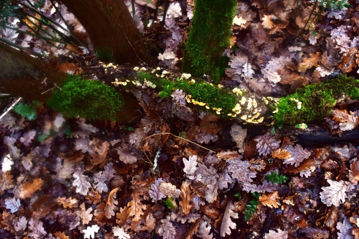
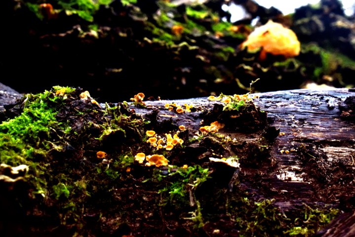
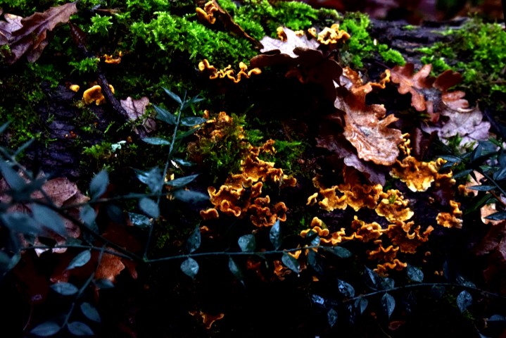
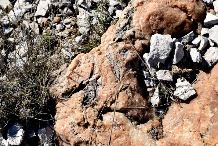
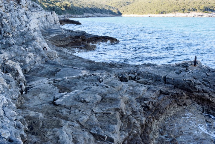
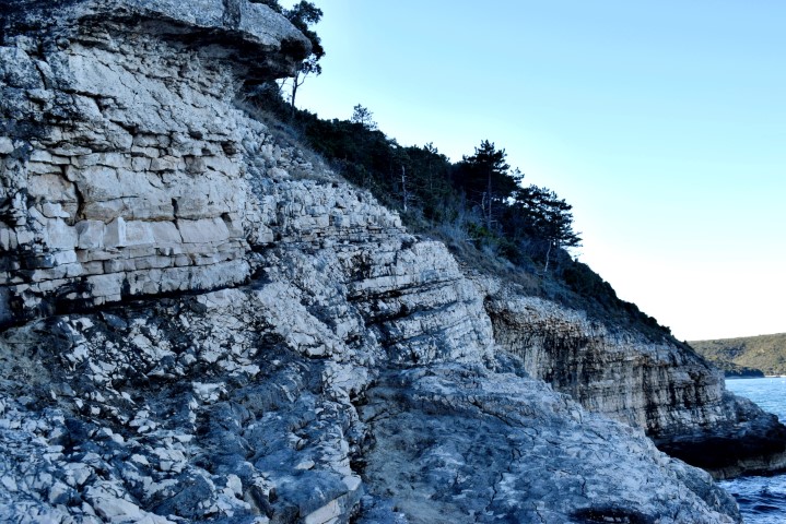
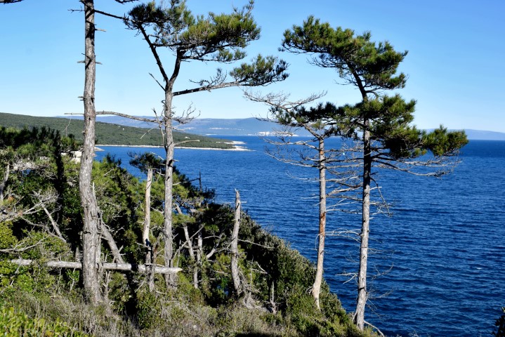
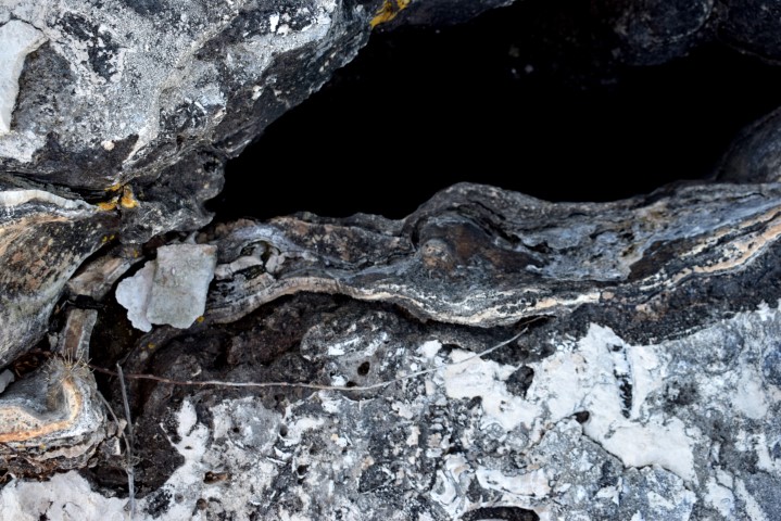
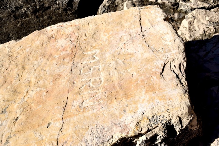
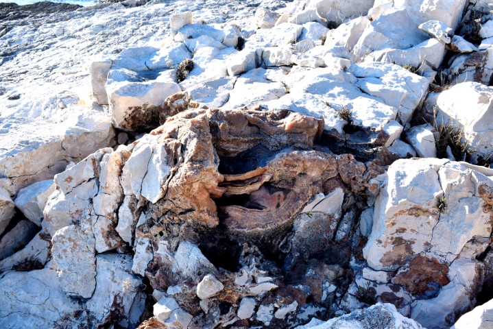
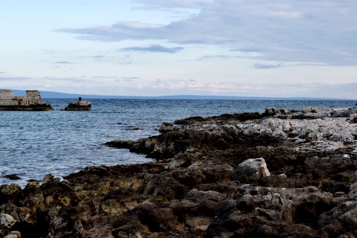
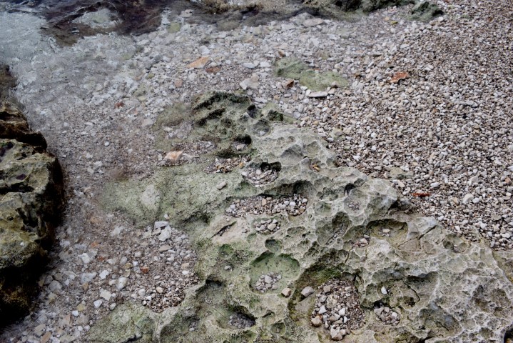
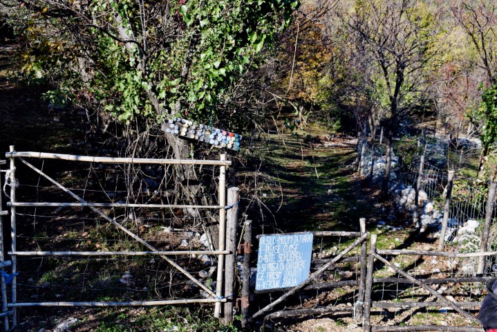
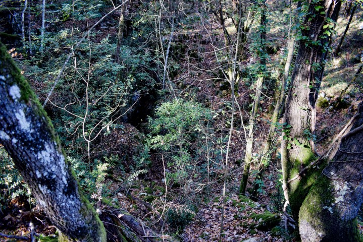
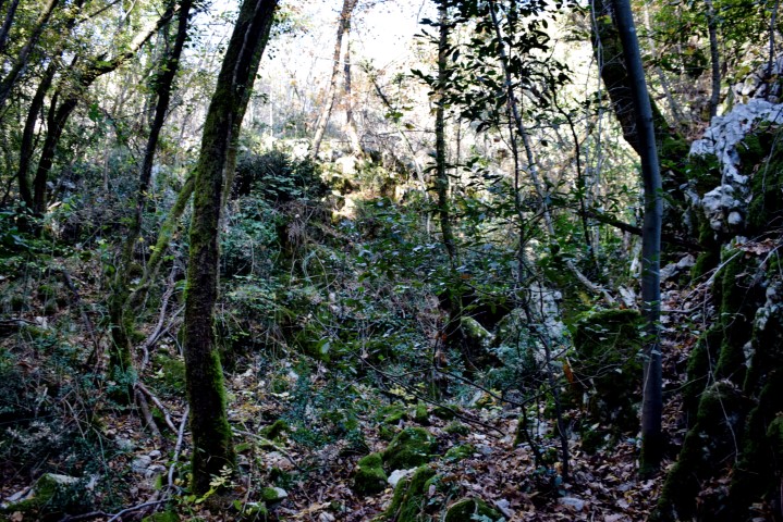
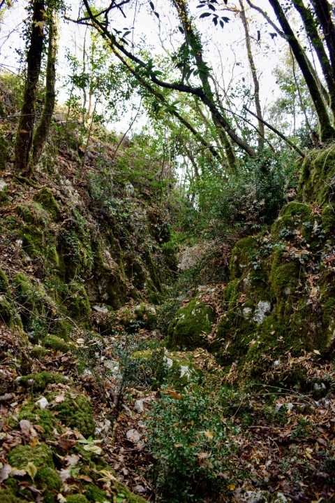
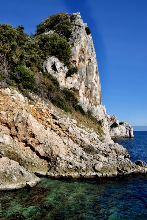
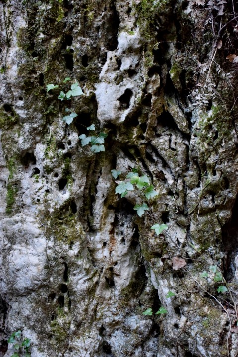
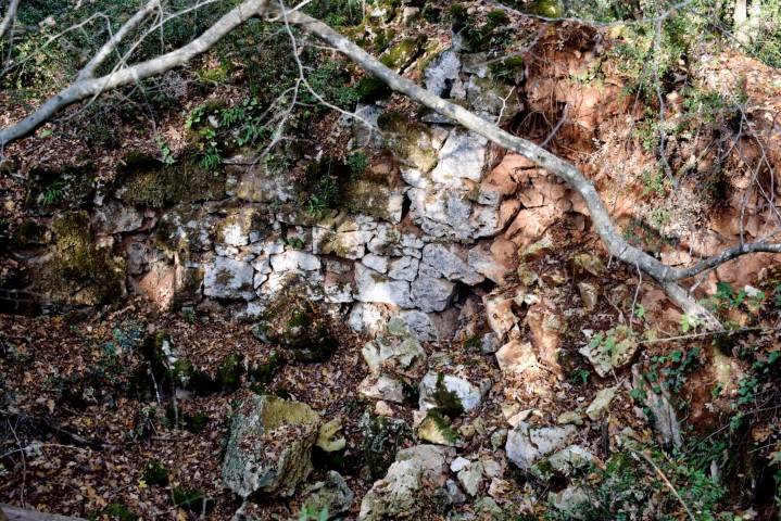
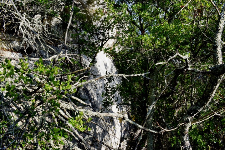
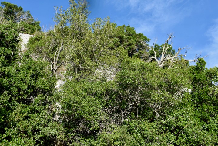
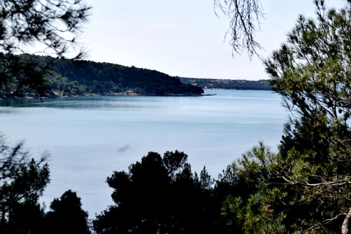
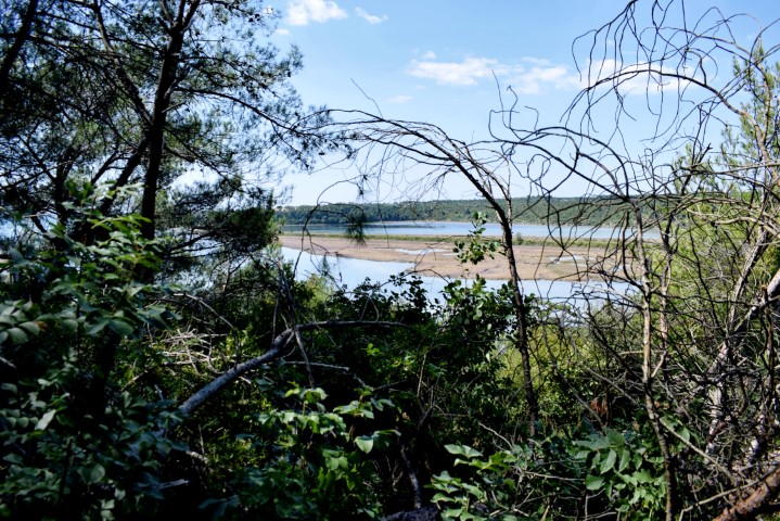
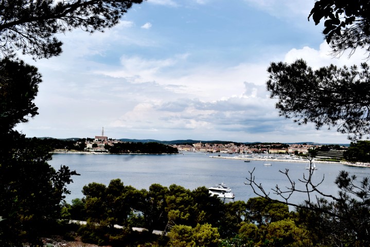
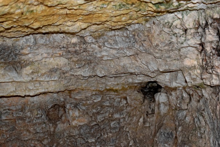
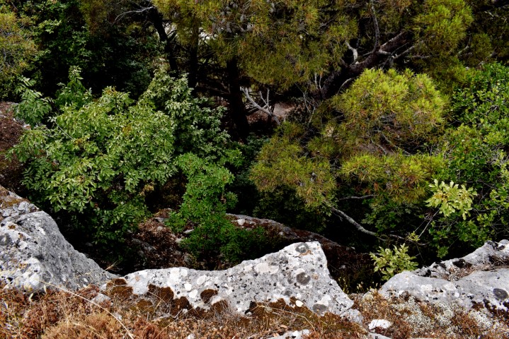
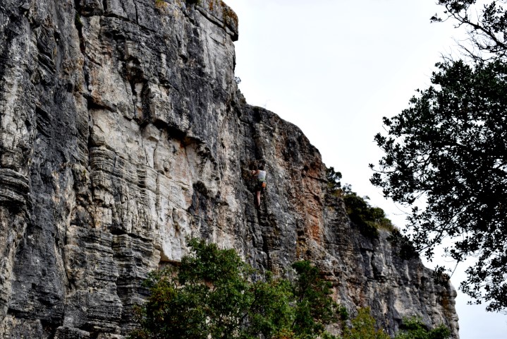
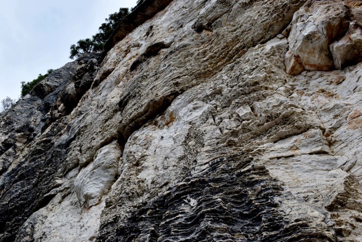
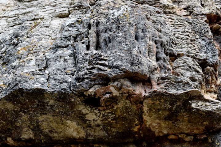
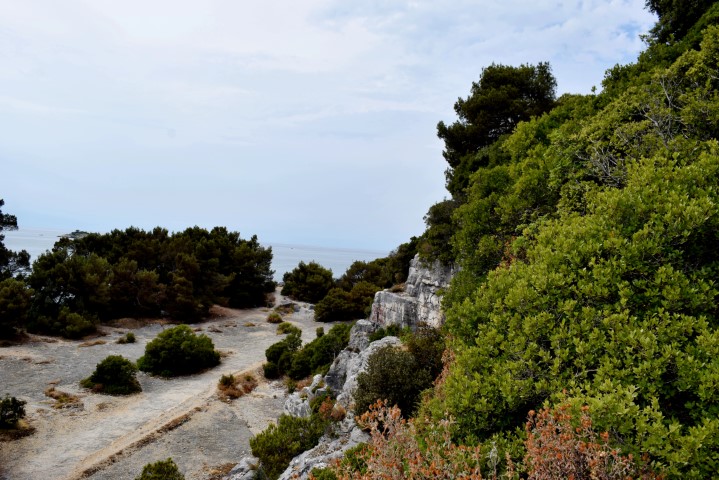
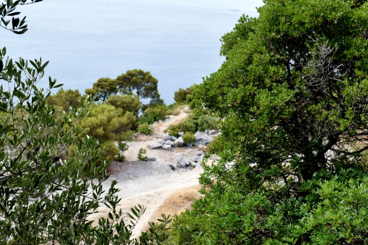
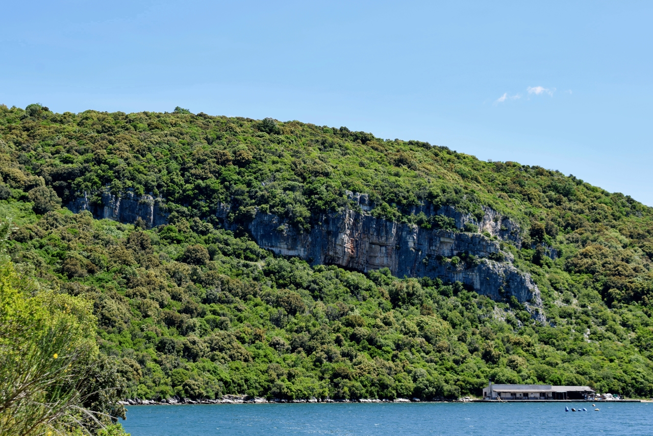
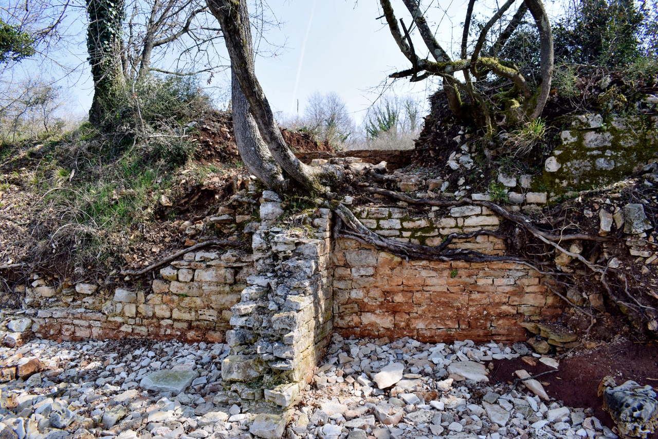
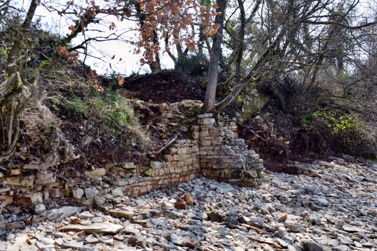
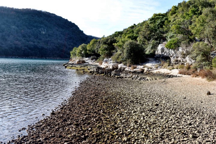
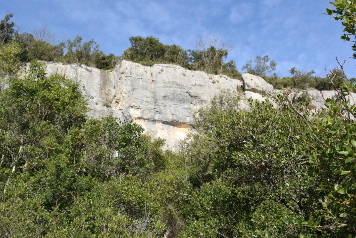
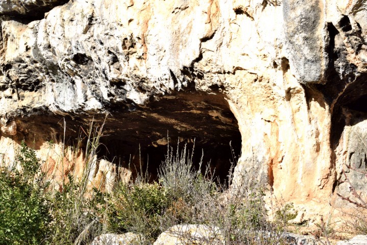
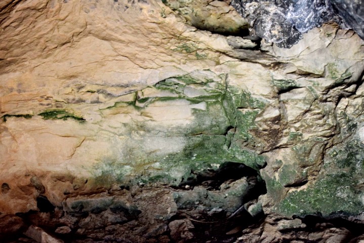
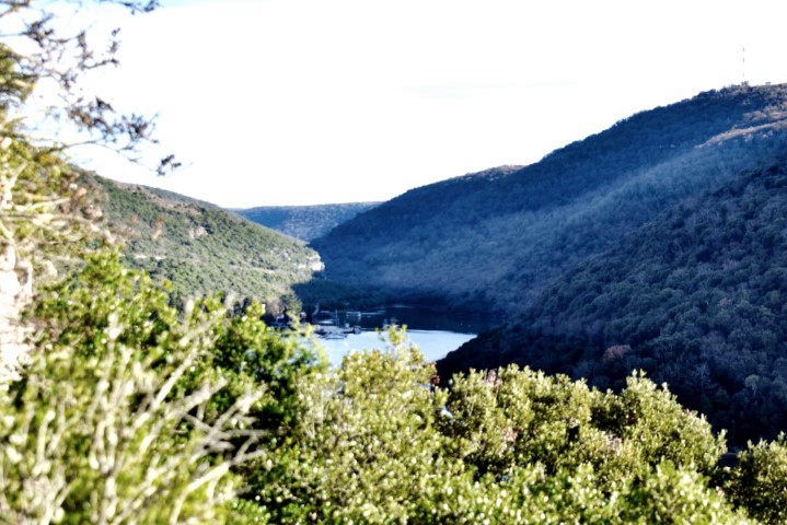
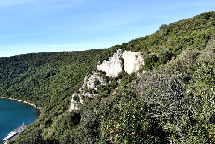
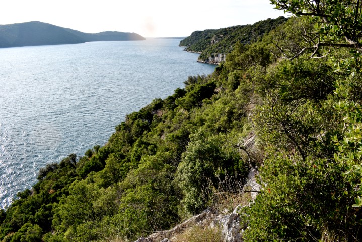
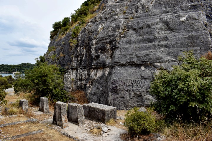
Name: Sloops Limski Canal with Jankova cave – Rock Art on the cliff Mala Šimija.
Place: Near Kloštar – (Vrsar).
Coordinates: Start path Mala Šimija 45.13569 N – 13.68743 E, Art 45.4513594 N – 13.68914 E.
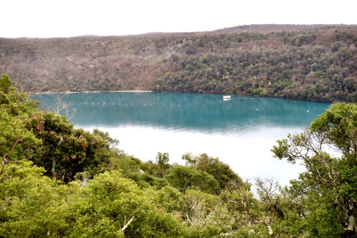
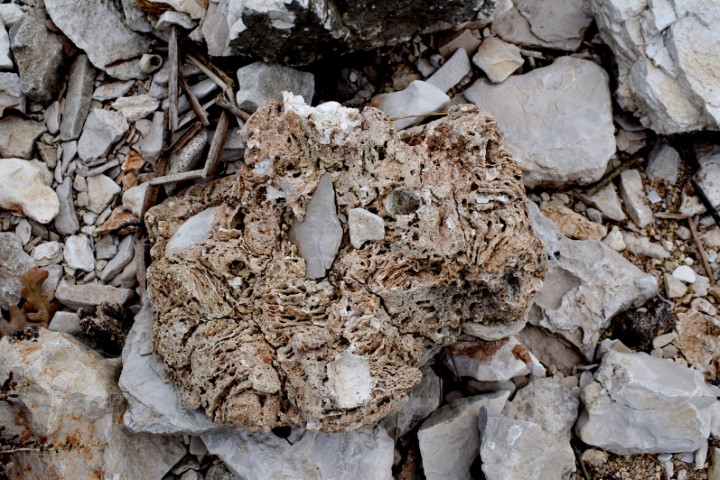
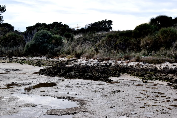
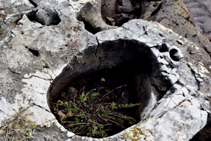
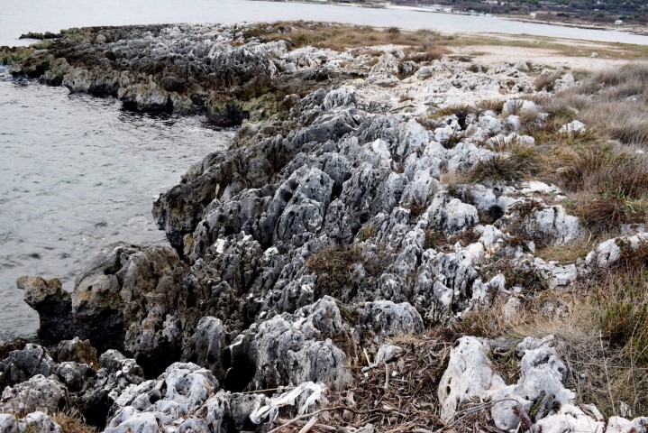
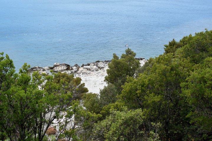
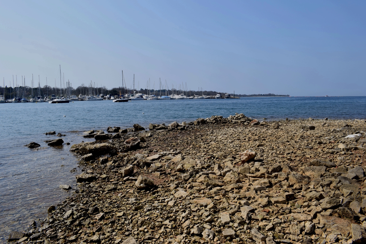
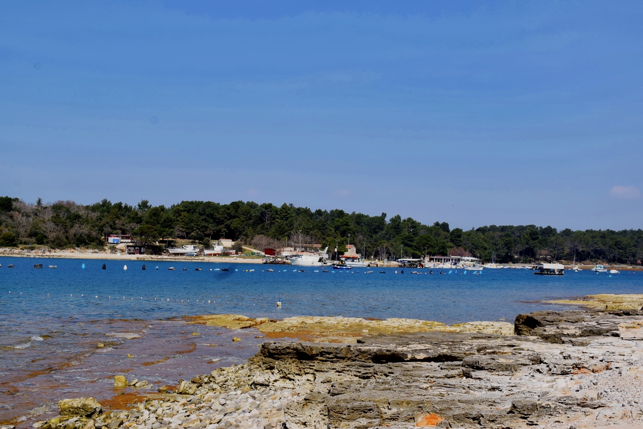
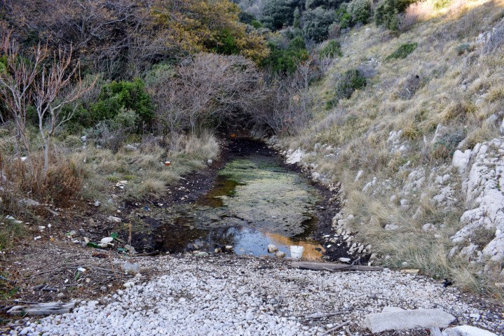
Name: The coast lake Budava from the cove Mala Budava to the cove Mezaporat.
Place: Ušićova Dvori – (Liznjan).
Coordinates: Ušicova Dvori 44.88642 N – 13.96604 E, Cove Fera 44.88727 N – 13.98945 E, Cove Mala Budava 44.89326 N – 13.98551 E, Cape Cuf 44.88438 N – 14.00340 E, Cove Mezaporat 44.88124 N – 13.99658 E, Cave Radmanova 44.88095 N – 13.96374 E.
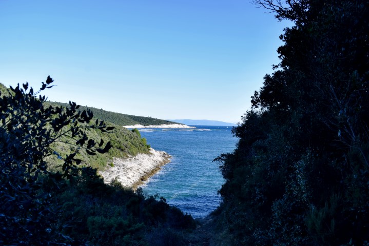
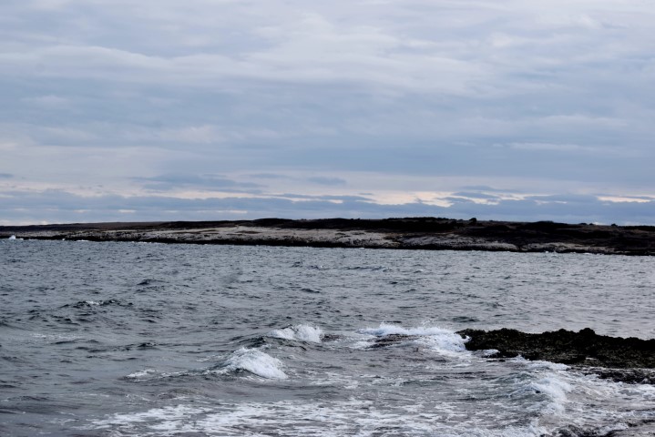
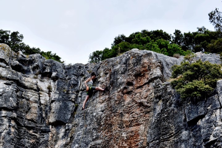
Name: Hiking trail along the coast with the bays Karigador, Japnenica and Lokvice.
Place: Ližnjan.
Coordinates : Karigador 44.82546 N -13.98143 E, Japnenica 44.82820 N -13.94873, Lokvice 44.82820 N – 13.98232 E.
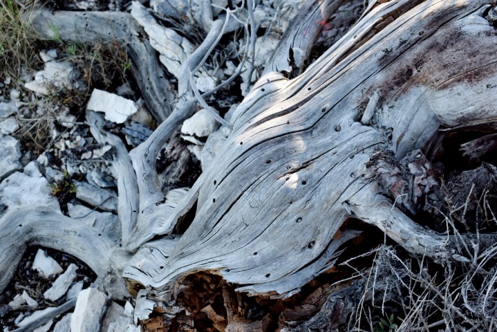
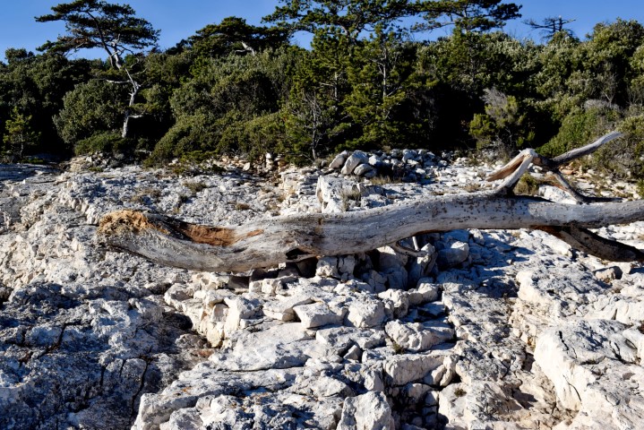
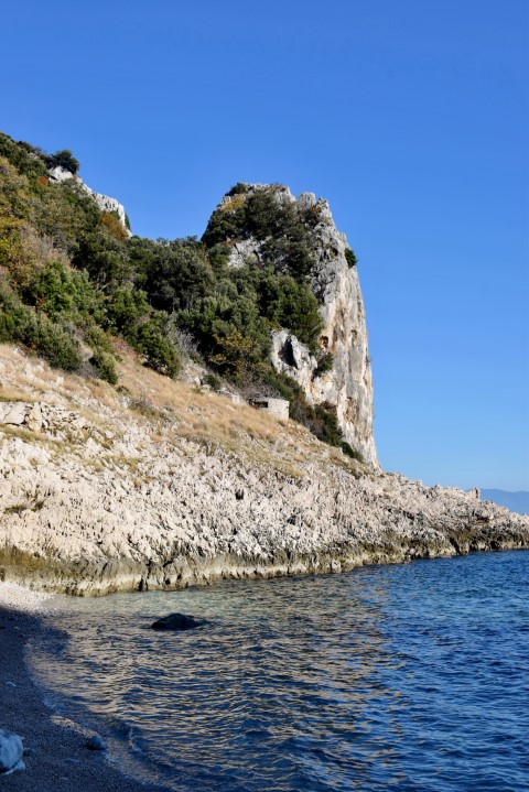
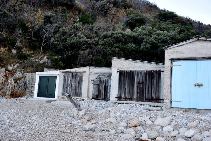
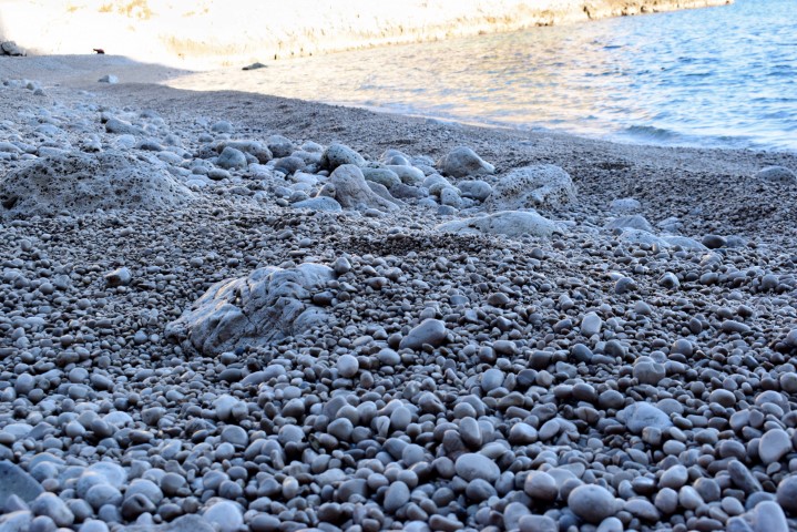
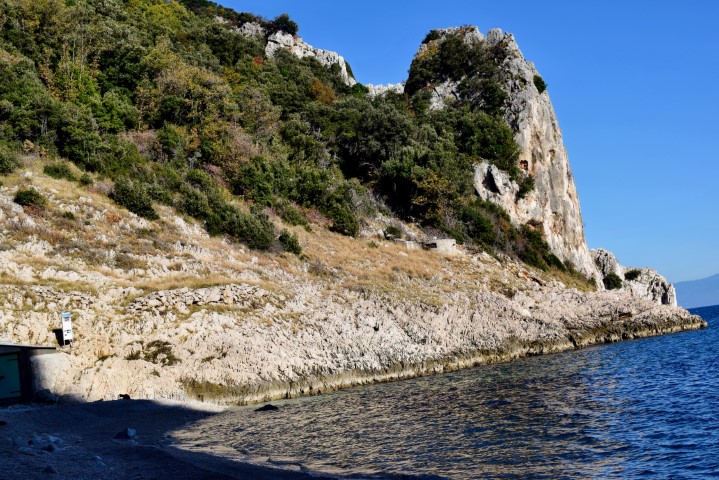
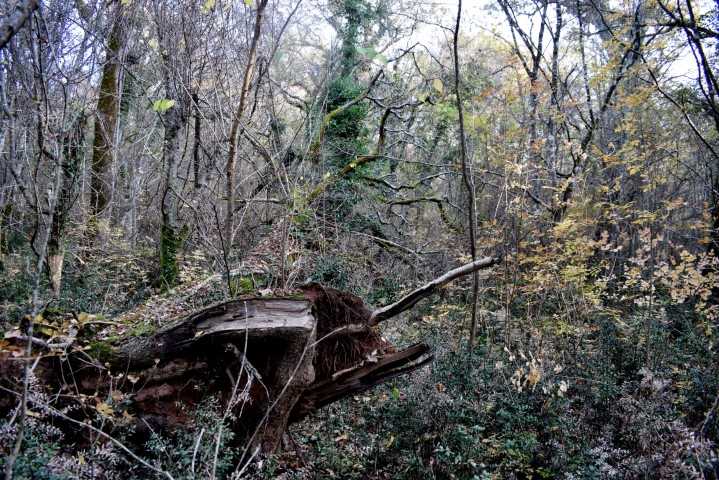
Hiking trail from Baći village (125 m.) to the Cove of Colums (Uvala Stupova). Uvala Stupova is named after a thirty meter high limestone rock, which sticks out of the sea like a pillar. Near the steep cliff is a pebble beach with fishing houses. The river Supoti also flows into the sea here. This stream that gets its water from the Sisol hill is the border between Primorska Goranska and Istria County.
Name: Hiking trail to the Cove of Colums (Uvala Stupova).
Place: Baći – (Kršan).
Coordinates: Start trail 45.15233 N – 14.22067 E, Beach 45.45347 N – 14.22598 E.
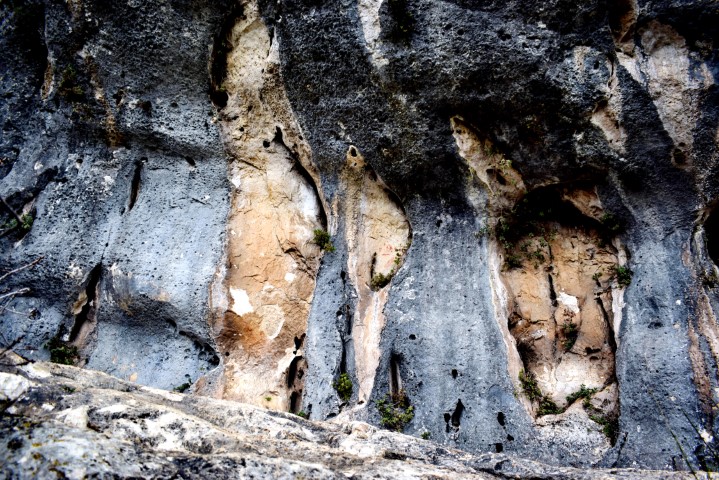
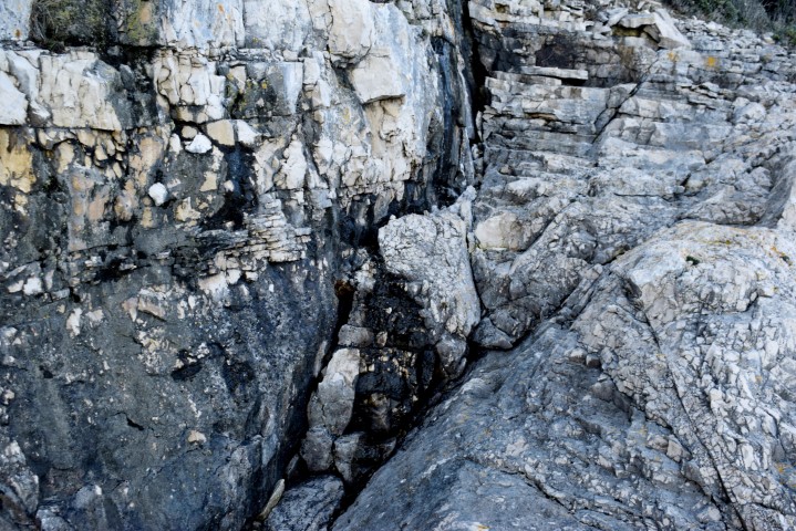
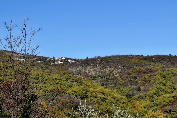
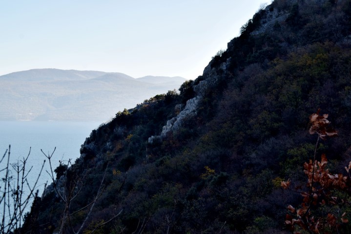
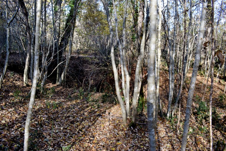
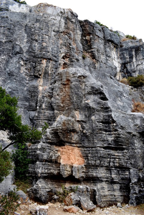
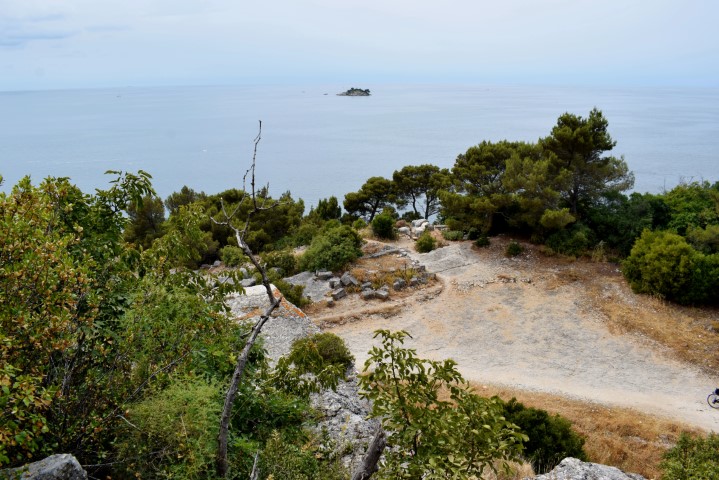
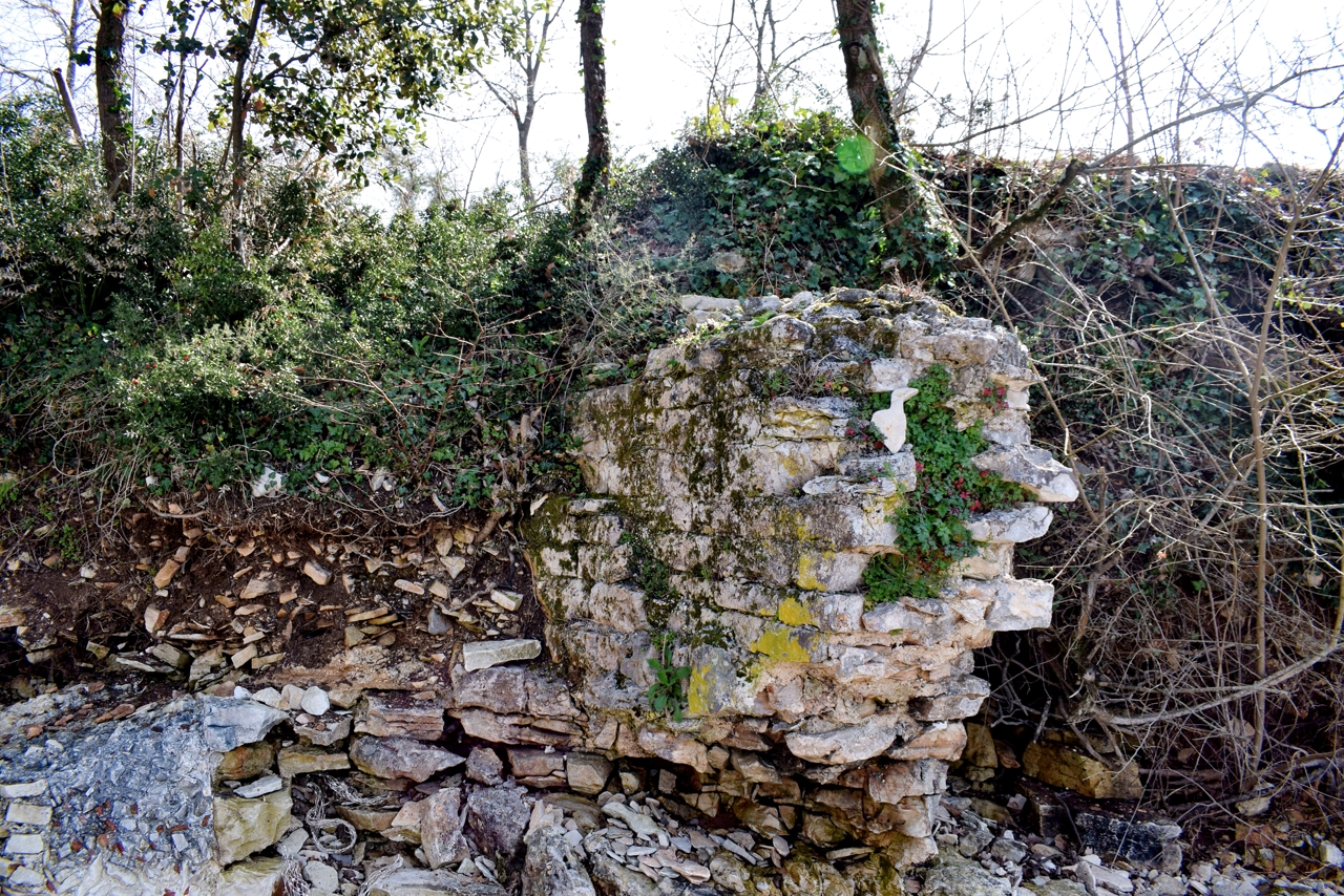
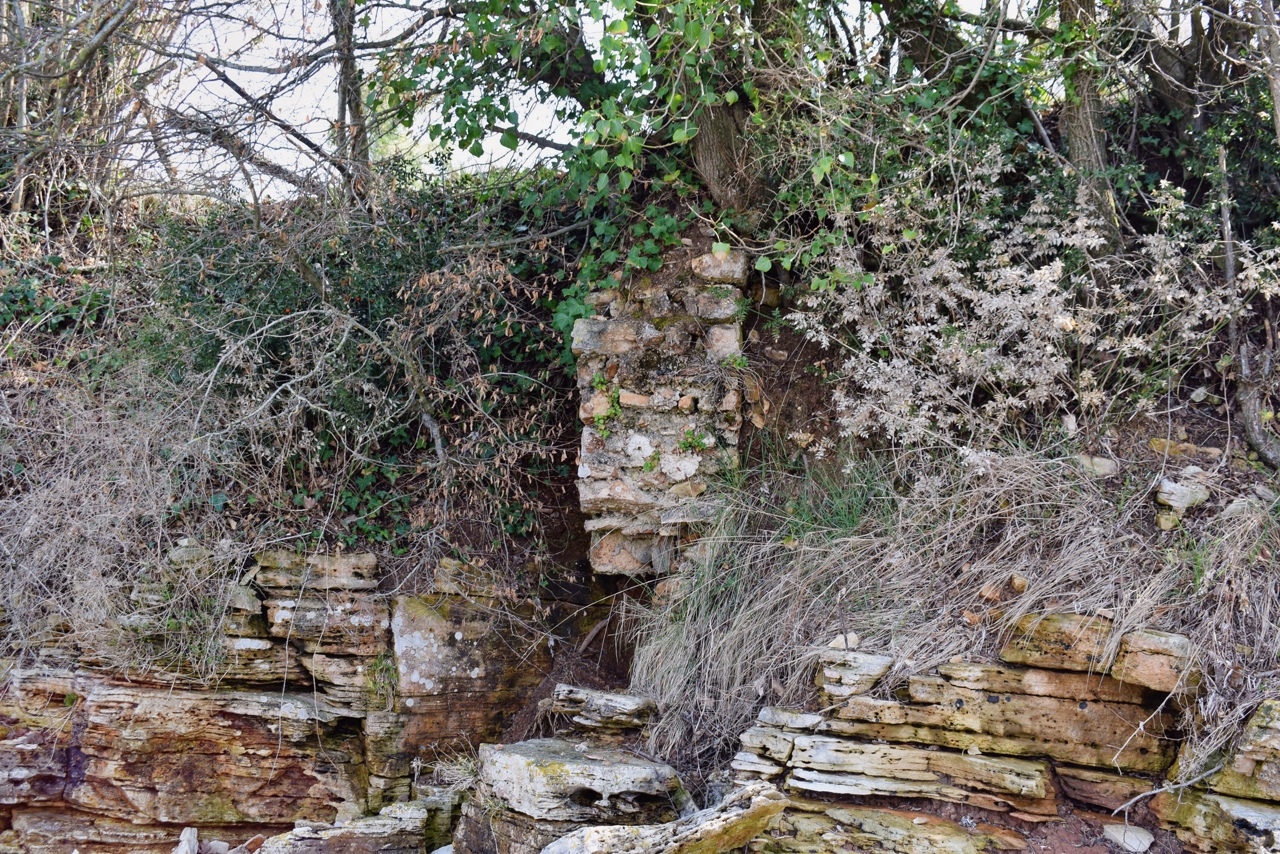
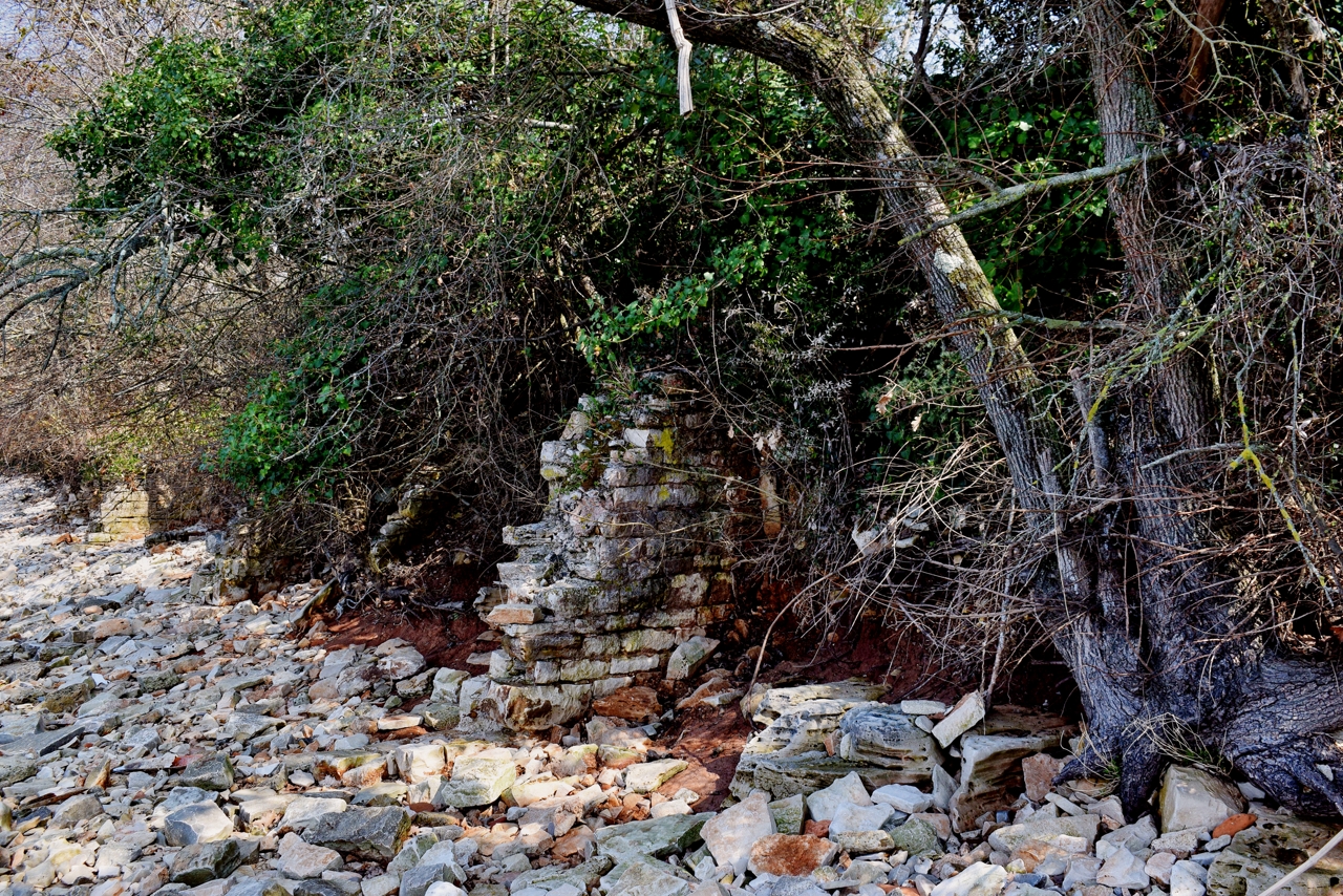
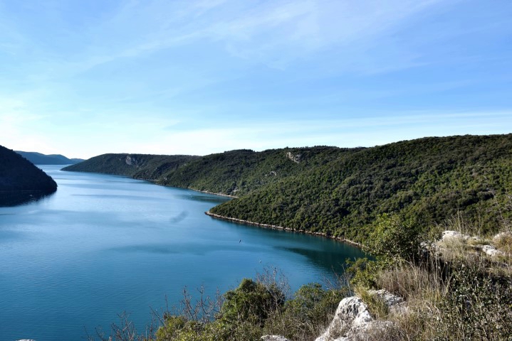
Name: Hiking trail from Kloštar to the hill Mufaš near the Limski Canal.
Place: Kloštar – (Vrsar).
Coordinates: Start/finish 45.14061 N – 13.70243 E, Mufoš 45.13528 N – 13.66222 E.
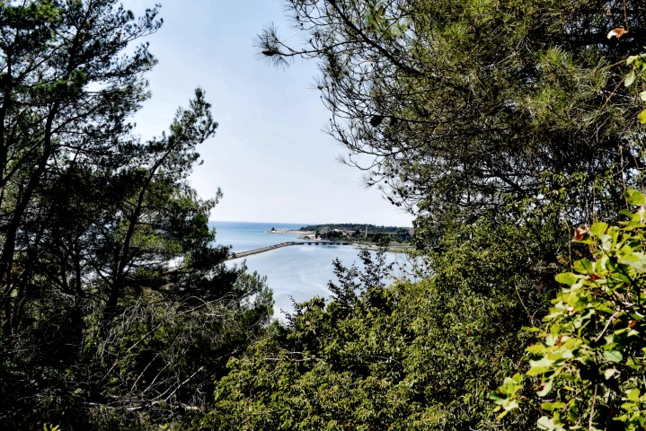
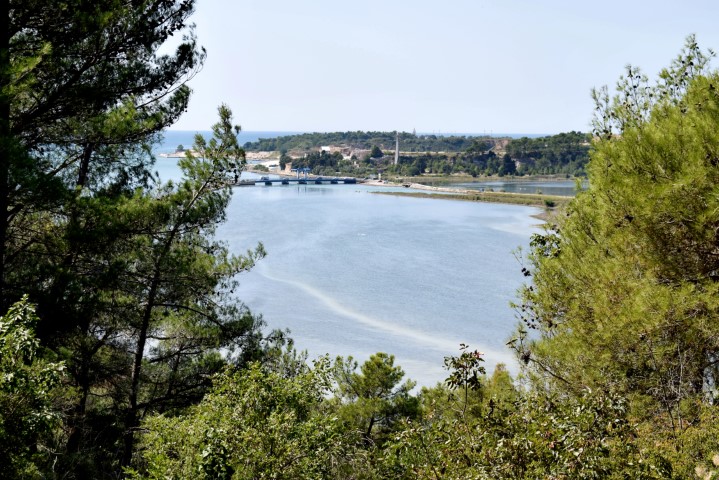
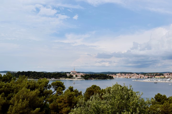
Name: Hiking trail Tarska Finida – Views Vrh Mirna, Luka Mirna and Antenal.Place
PLace: near Spin – Antenal – (Tar).
Coordinates: Start/ end 45.31273 N – 13.62302 E , Near Mirna 45.31657 N 13.60699 E.
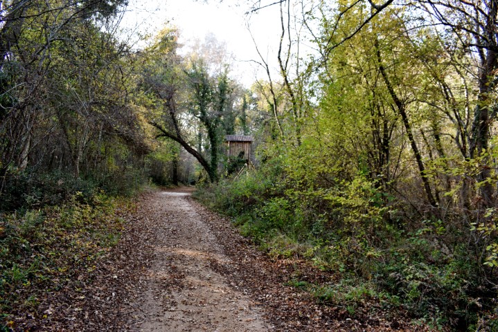
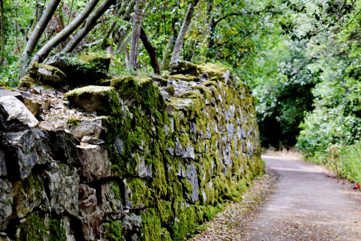
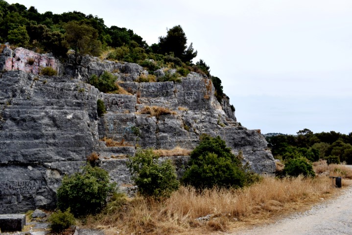
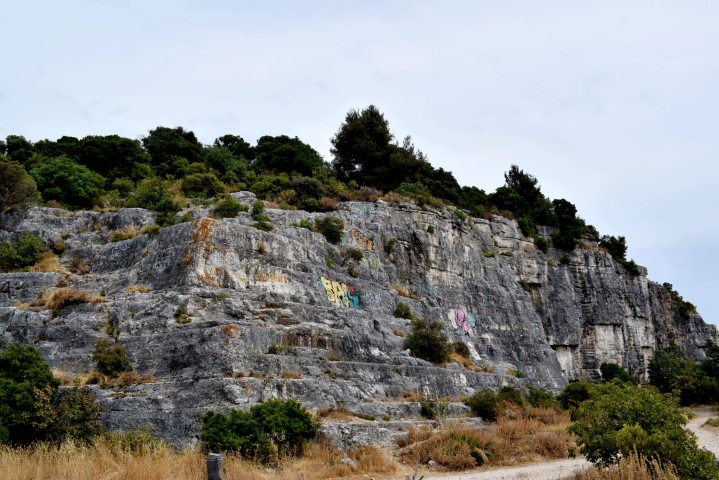
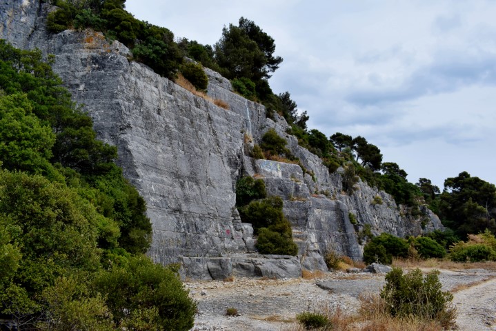
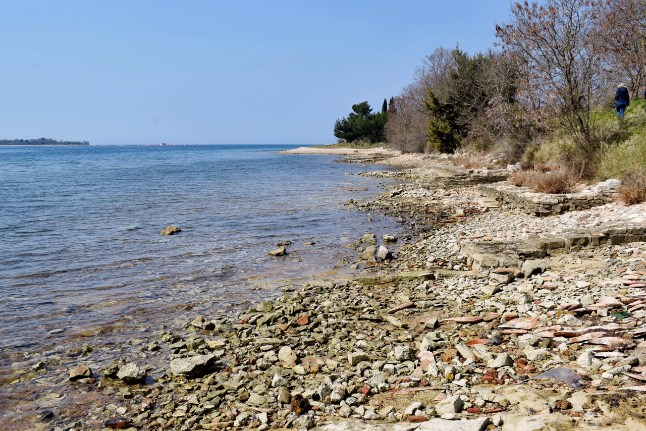
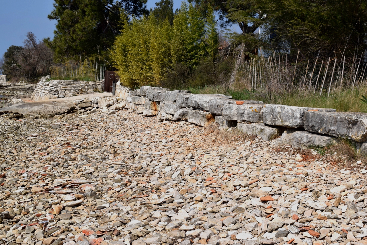
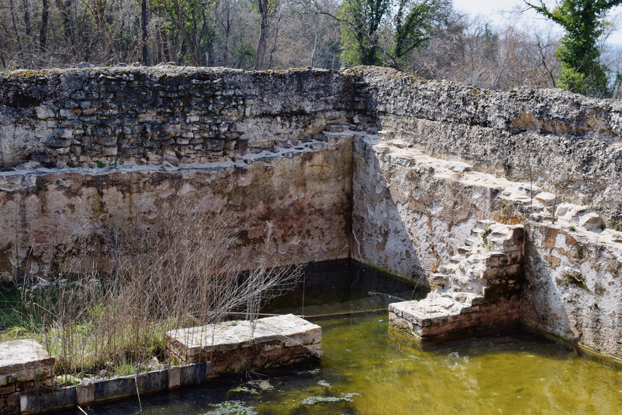
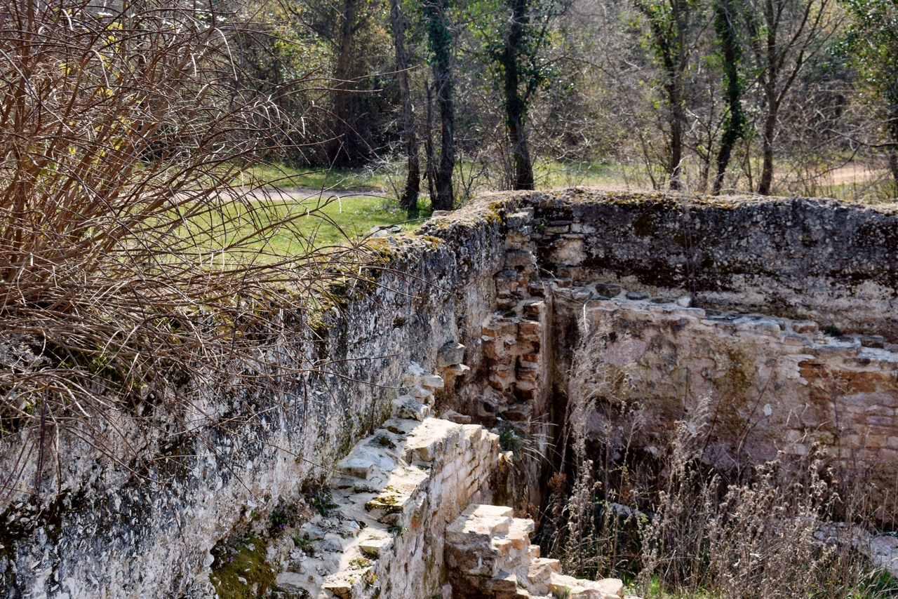
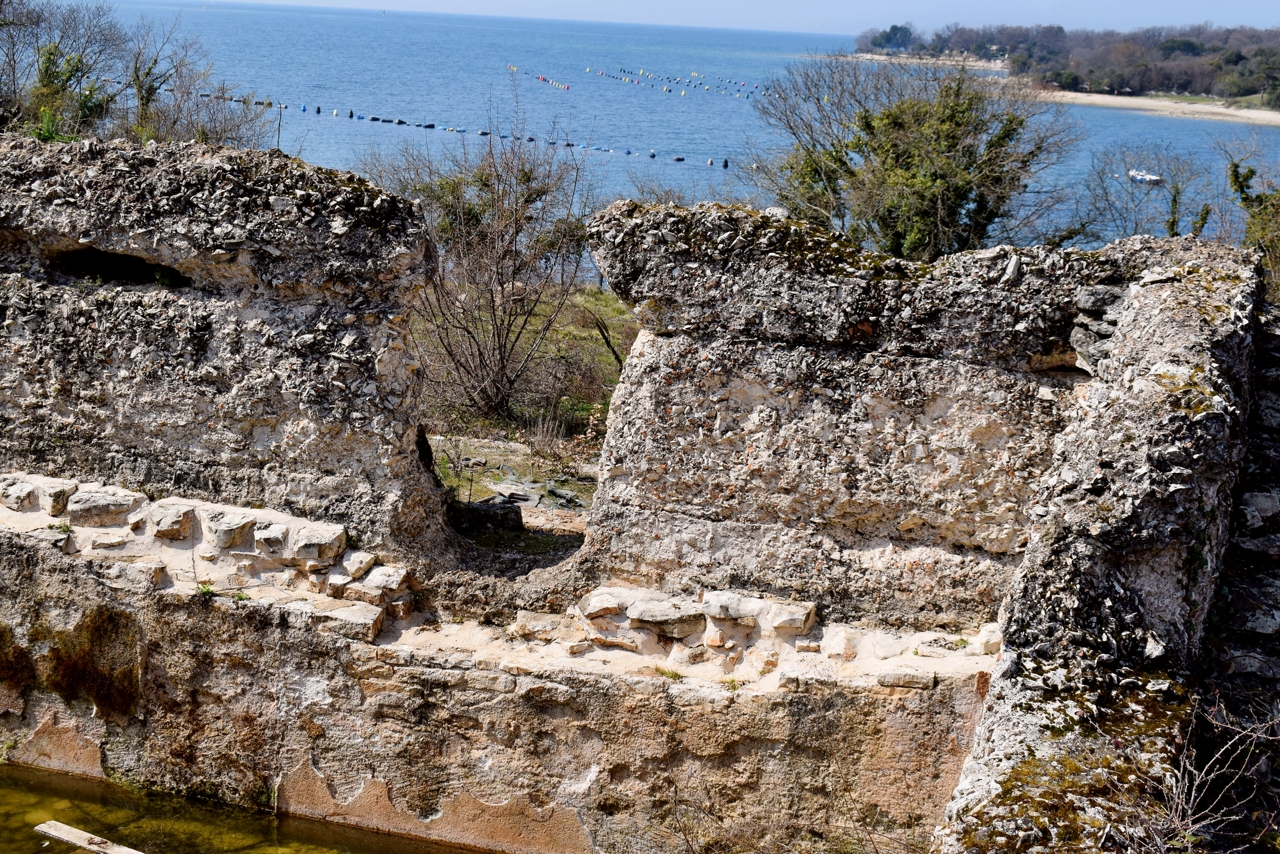
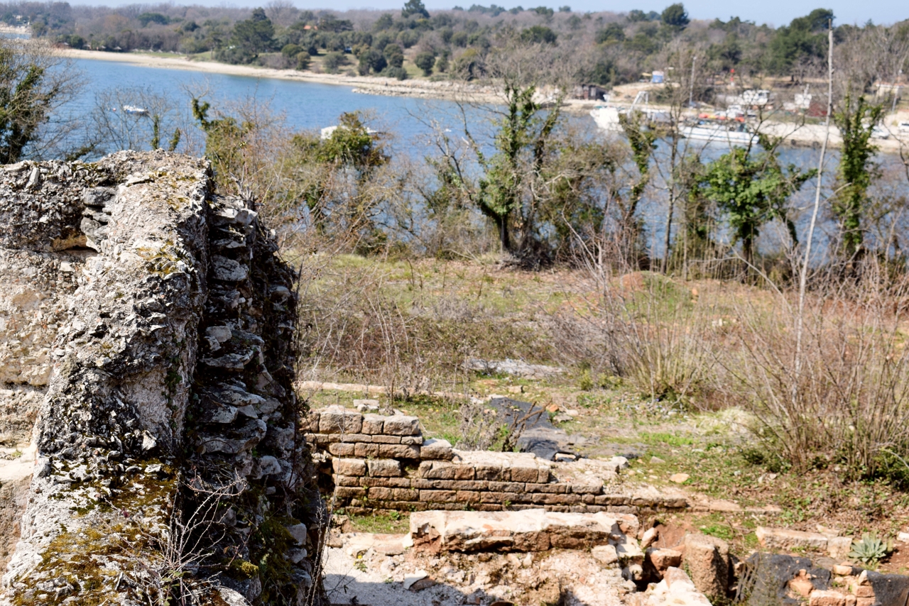
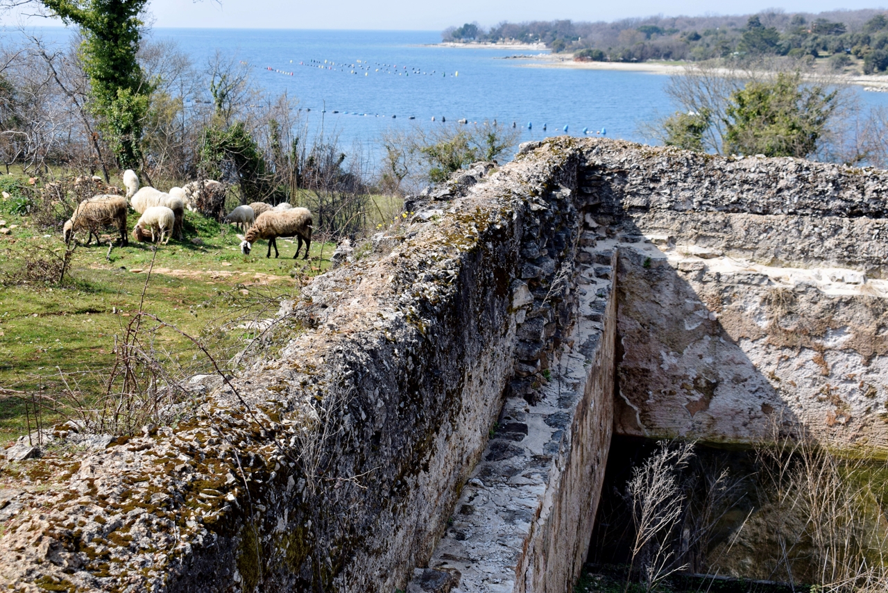
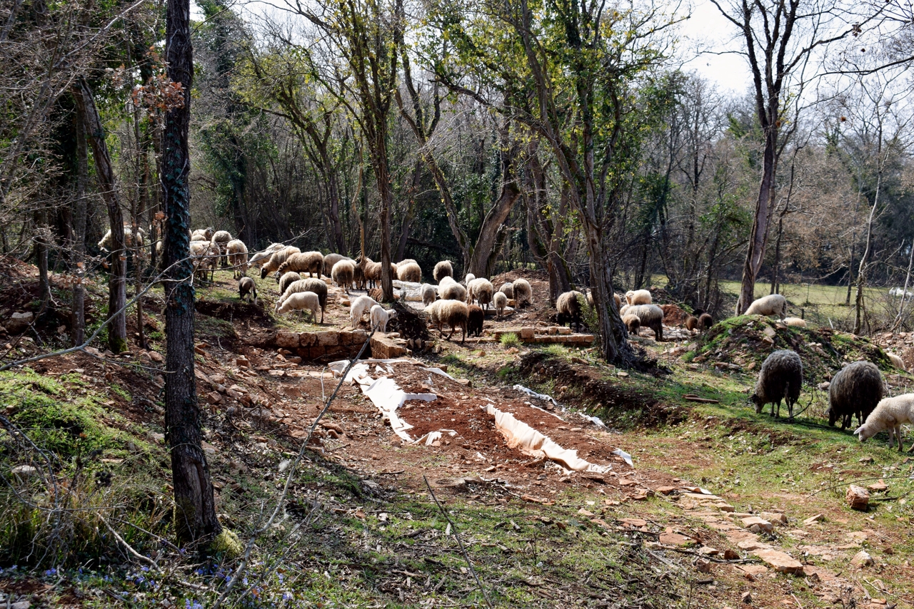
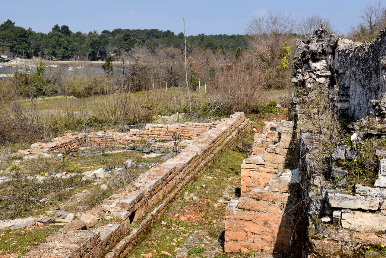
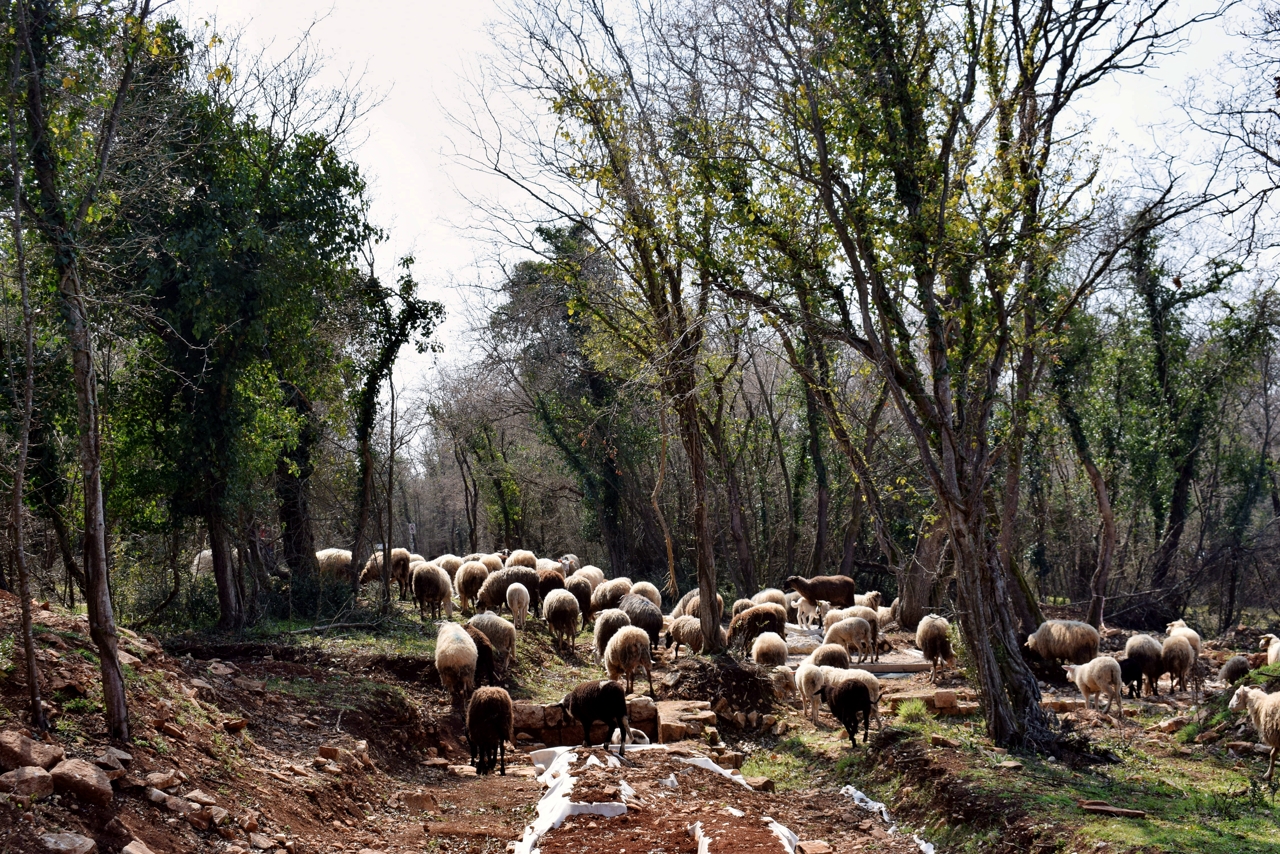
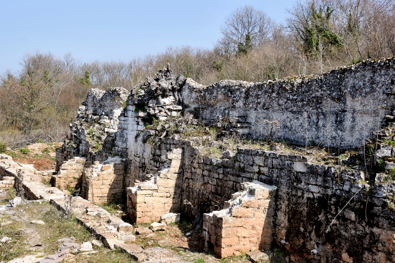
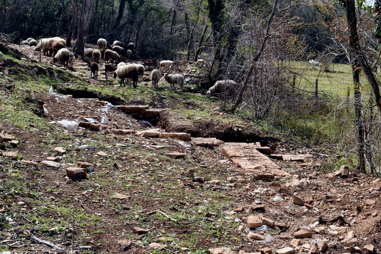
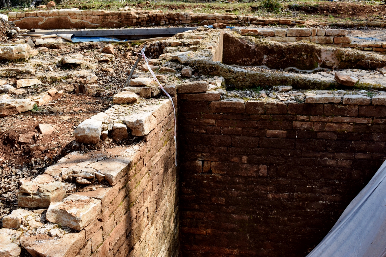
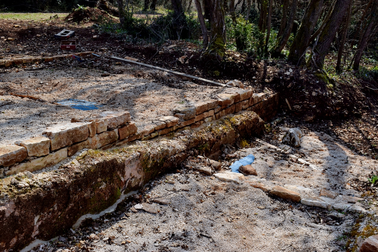
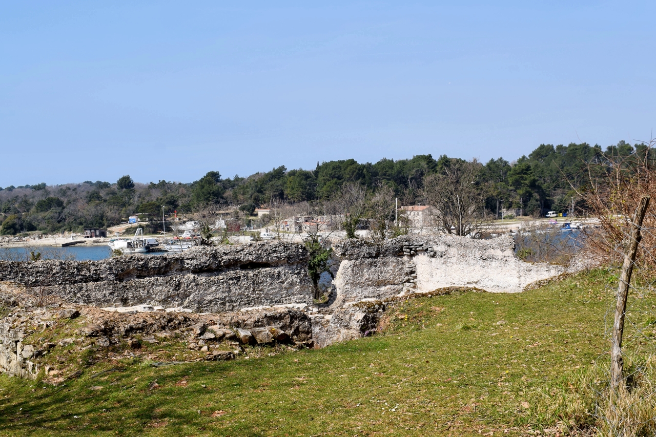
Name: Forest/šuma Zlatni Rt, Golden cape and Roman hill/quarry Montauro.
Place: Rovinj.
Coordinates: Start trail 45.06906 N – 13.62692 E, Montauro 45.06982 N – 13.62734 E. Golden Cape 45,o6767 N – 13.62739 E.
With on the coast the remains of roman villa rustica and large complexes for the production of ceramics (amphorae), wine and olive oil.
See also the posts dated: 2020-06-09, 2018-07-20, 2017-03-14 and 2014-12-04.

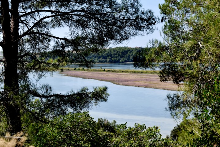
Name: Walking path Červar-Porat along the Lunga and the Santa Marina bay.
Place: Červar-Porat – (Poreč).
Coordinates: from 45.27455 N – 13.60369 E to 45.28620 N – 13.60527 E.