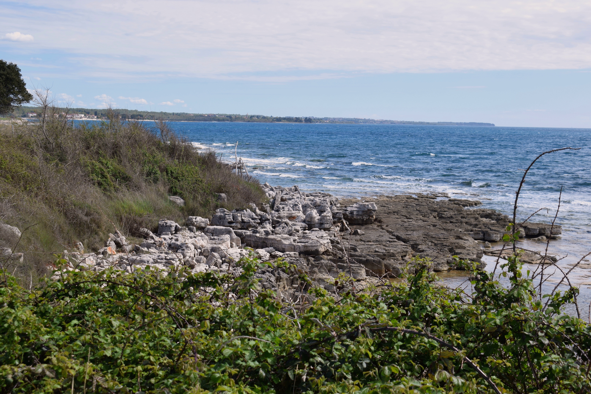
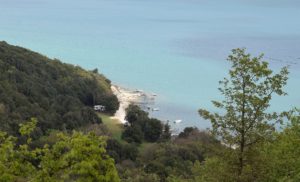
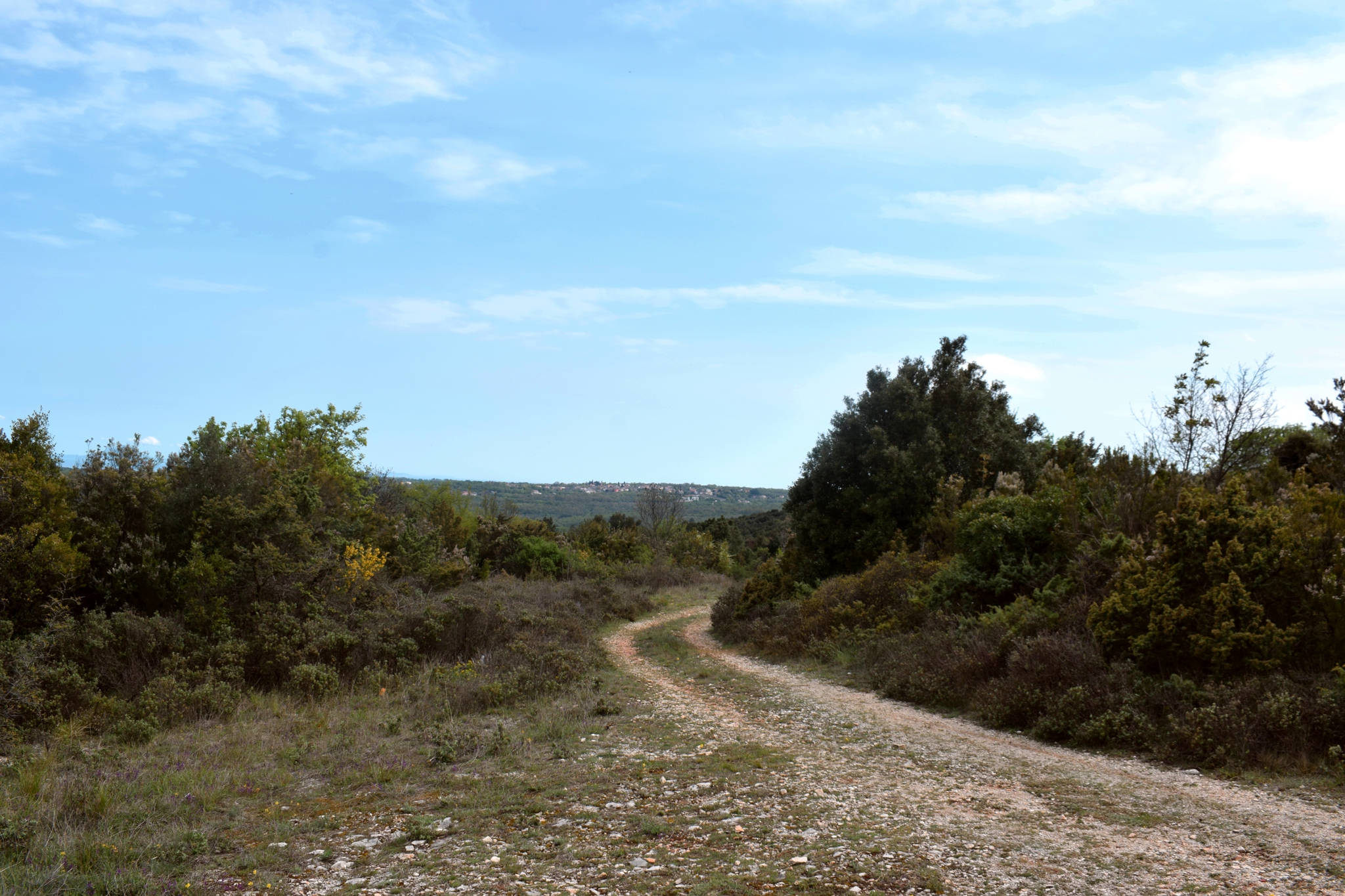
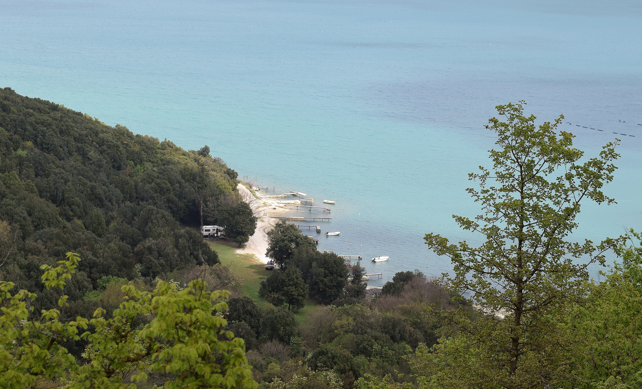
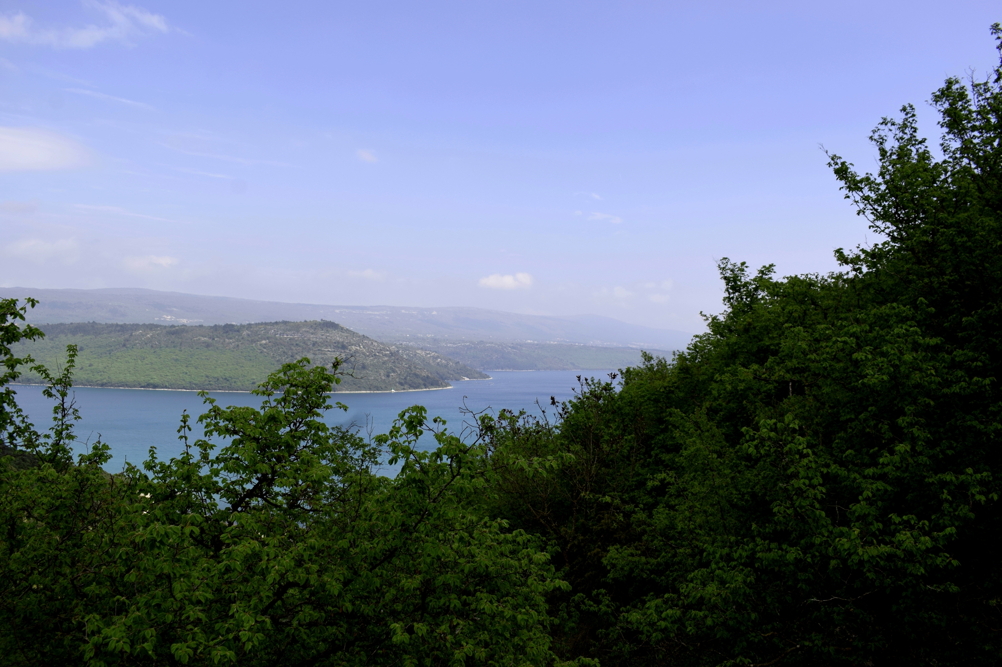
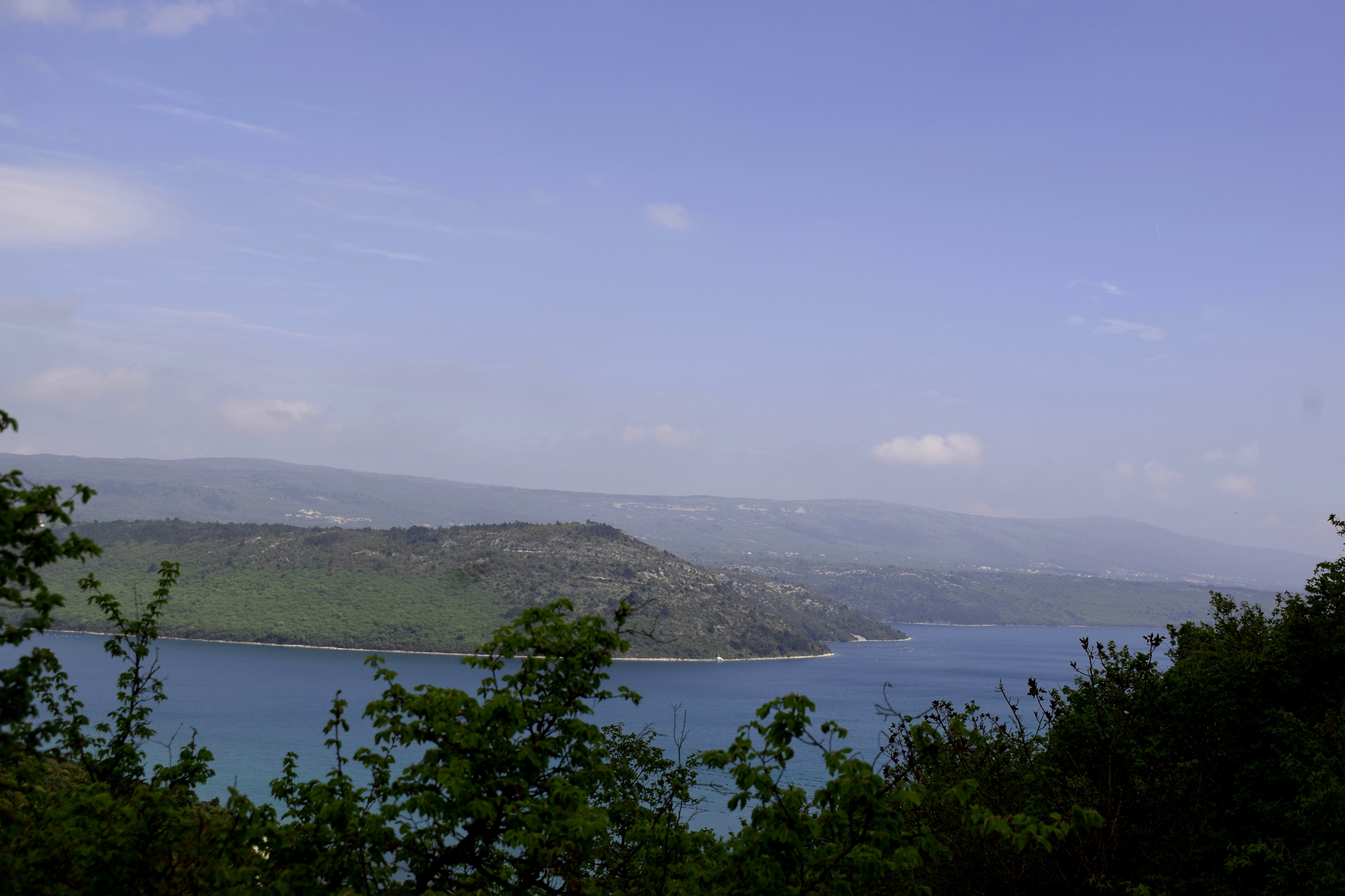
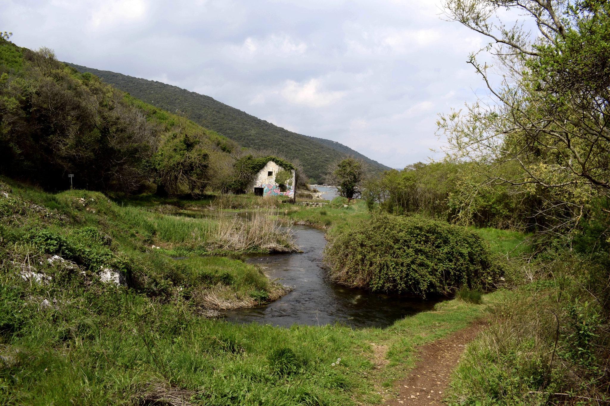
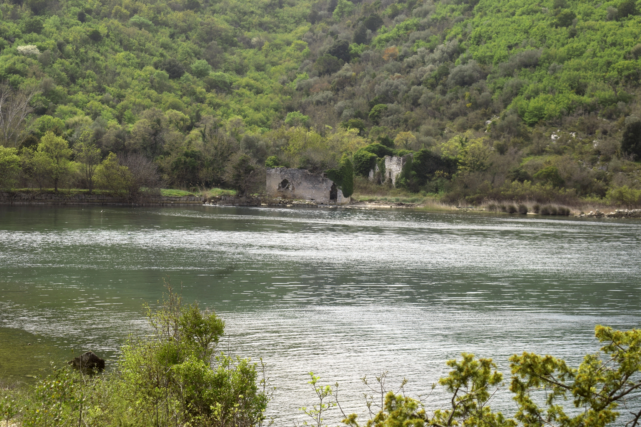
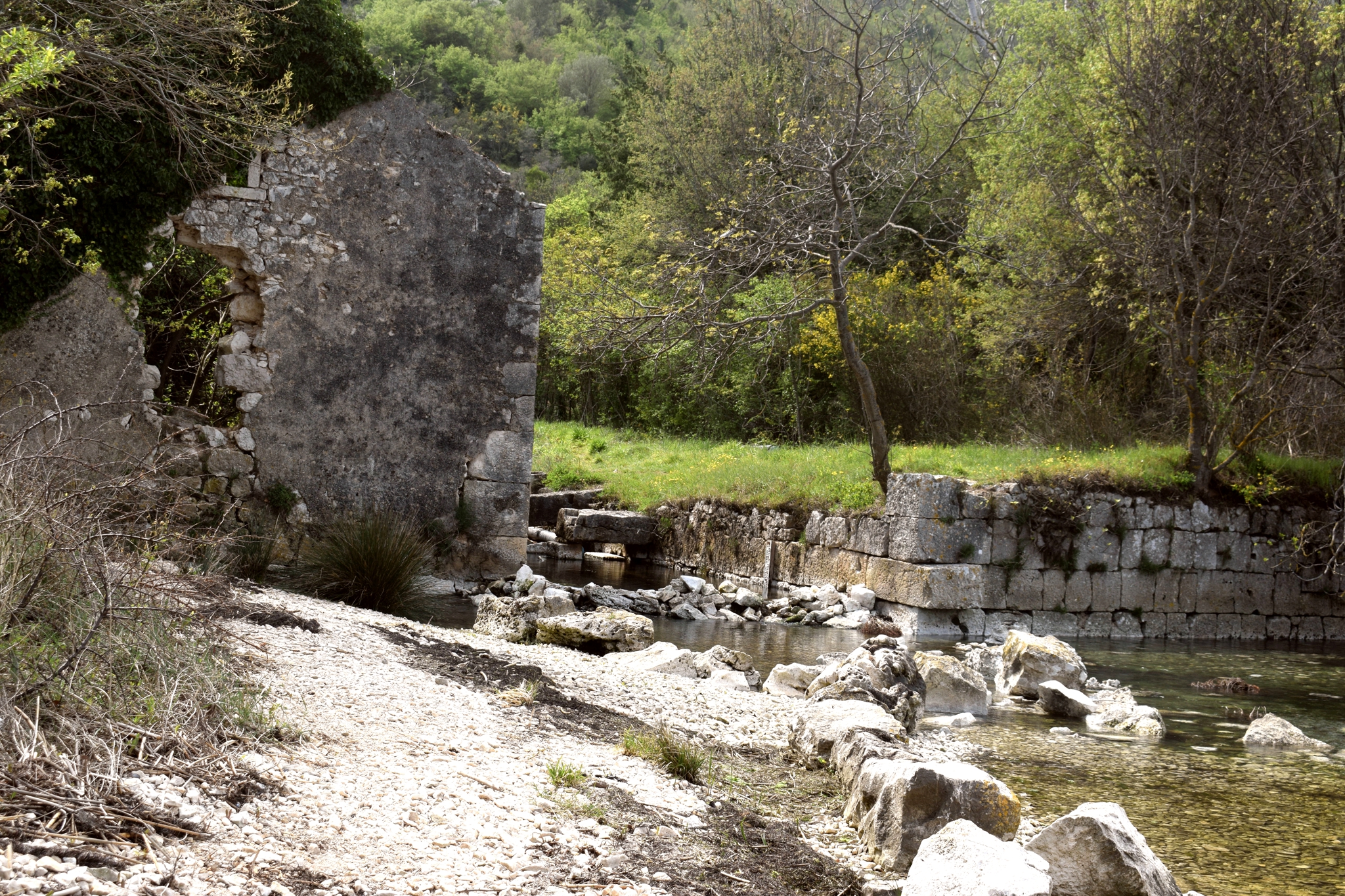
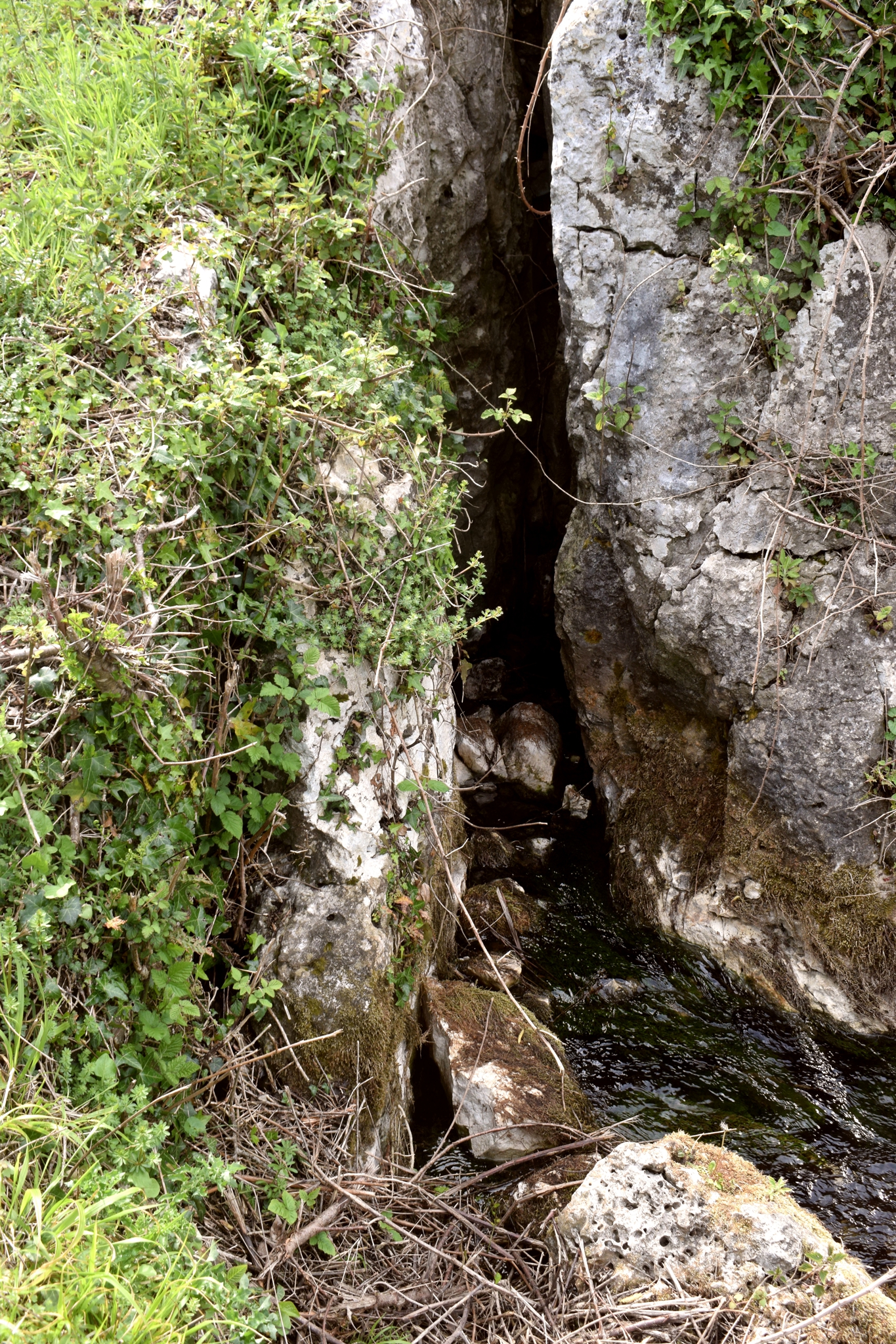
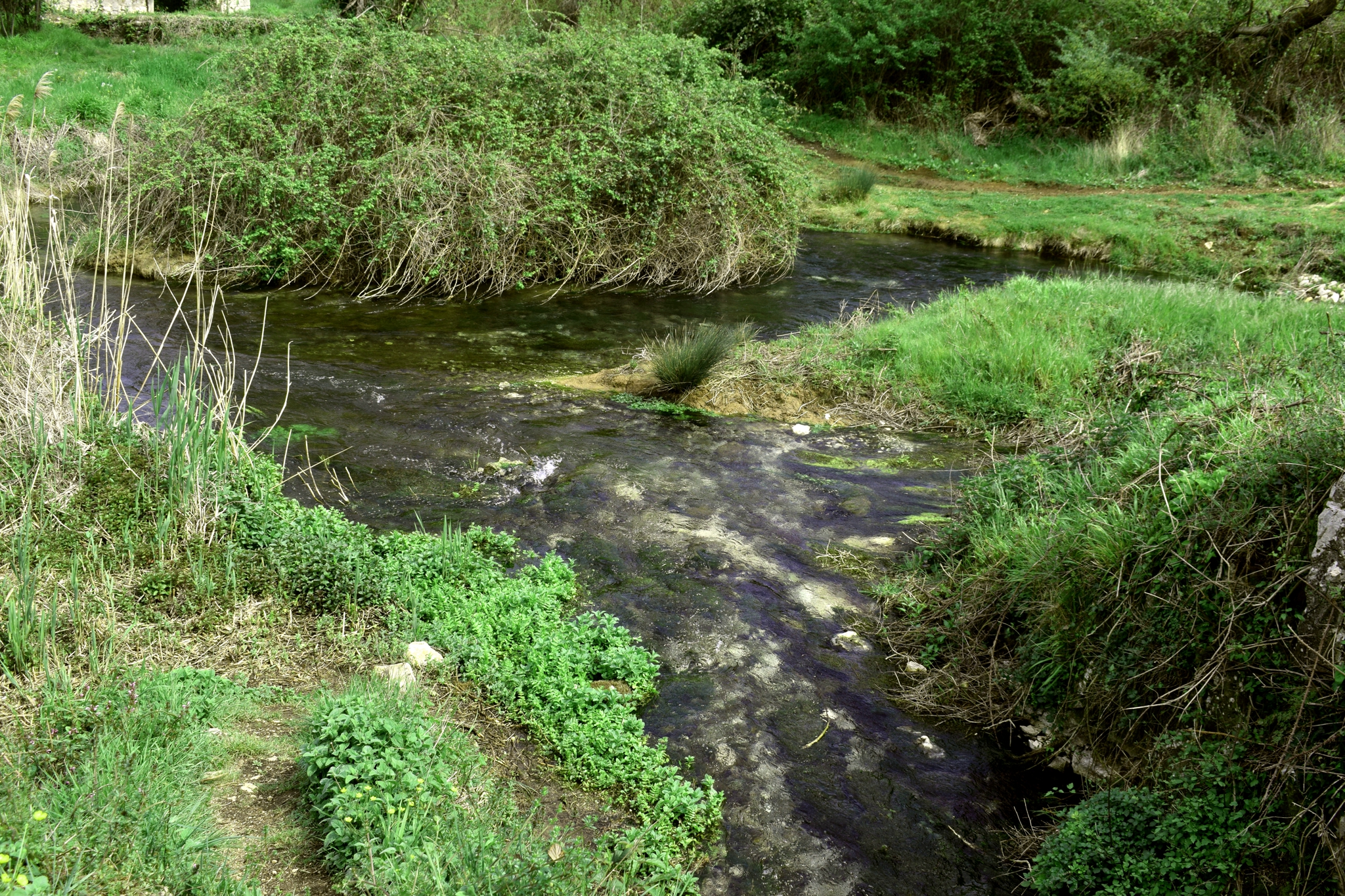
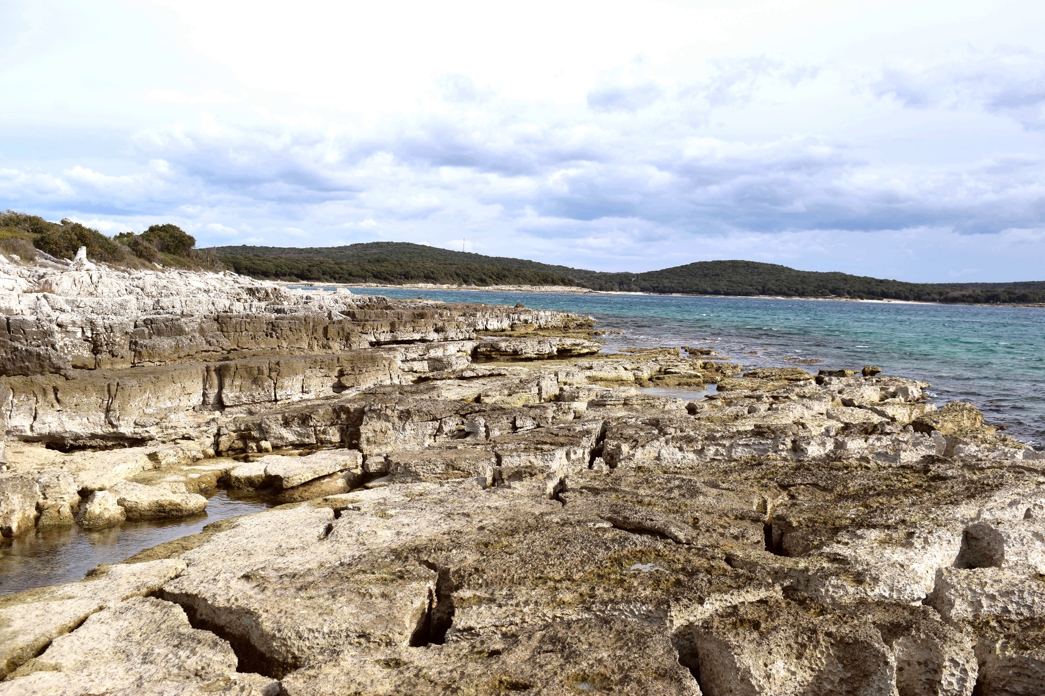
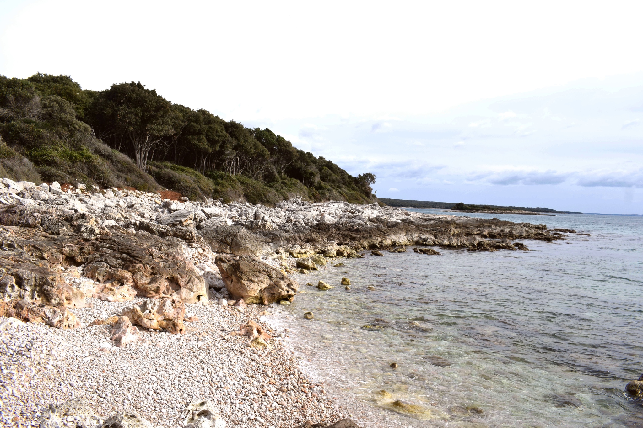
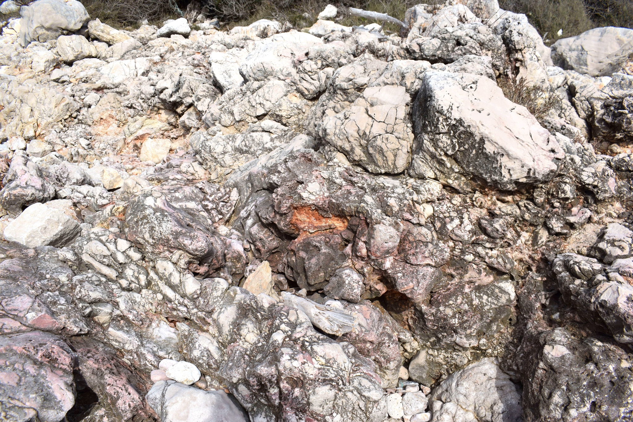
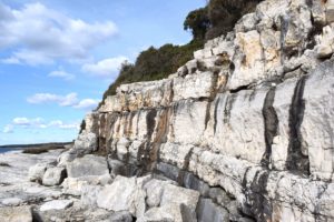
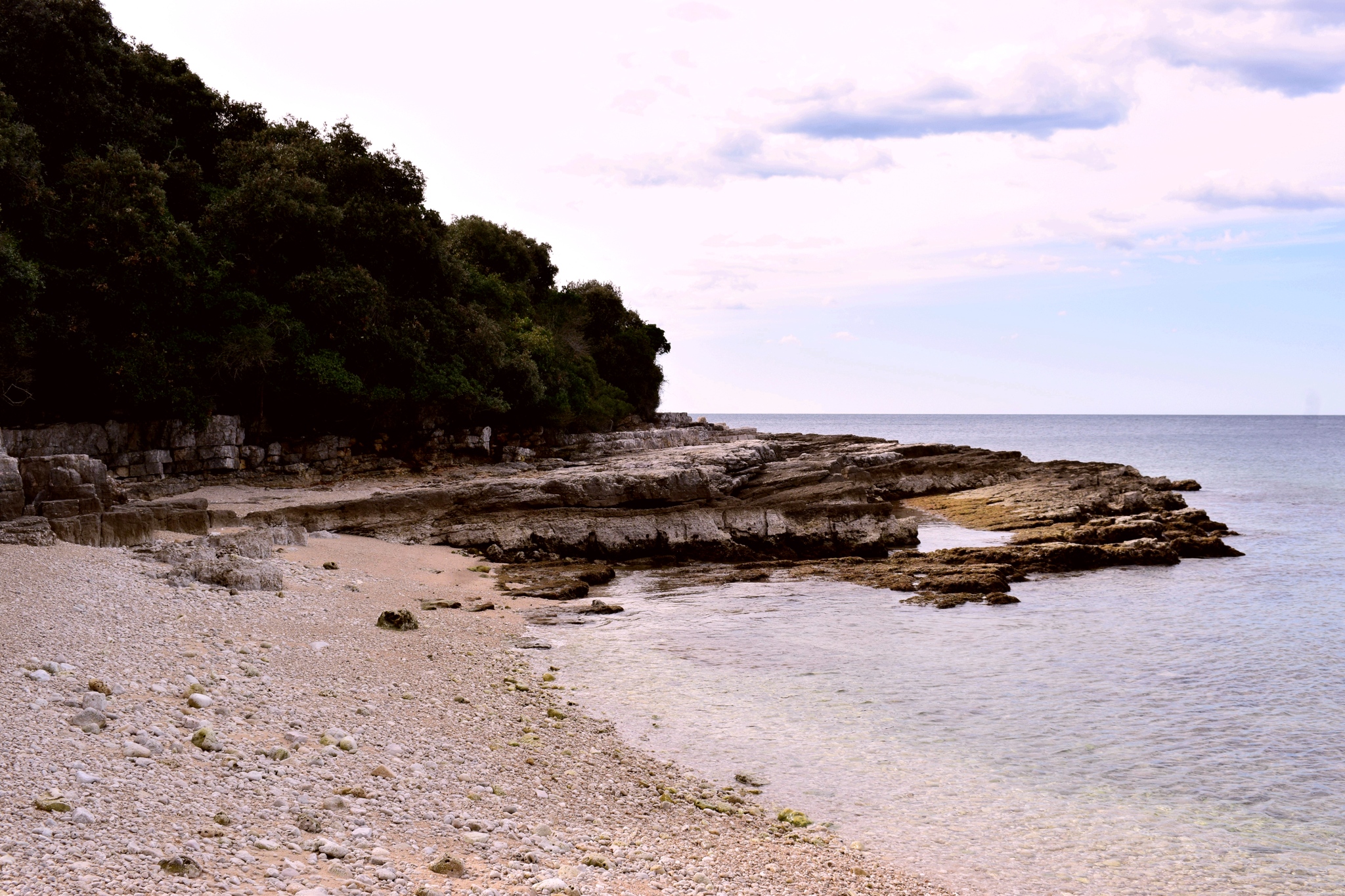
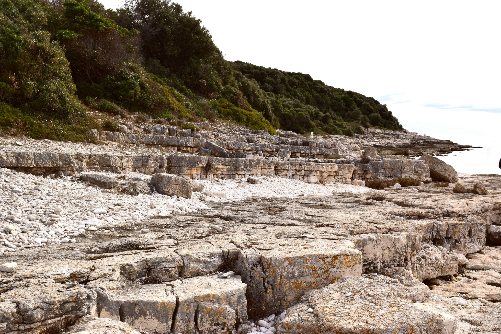
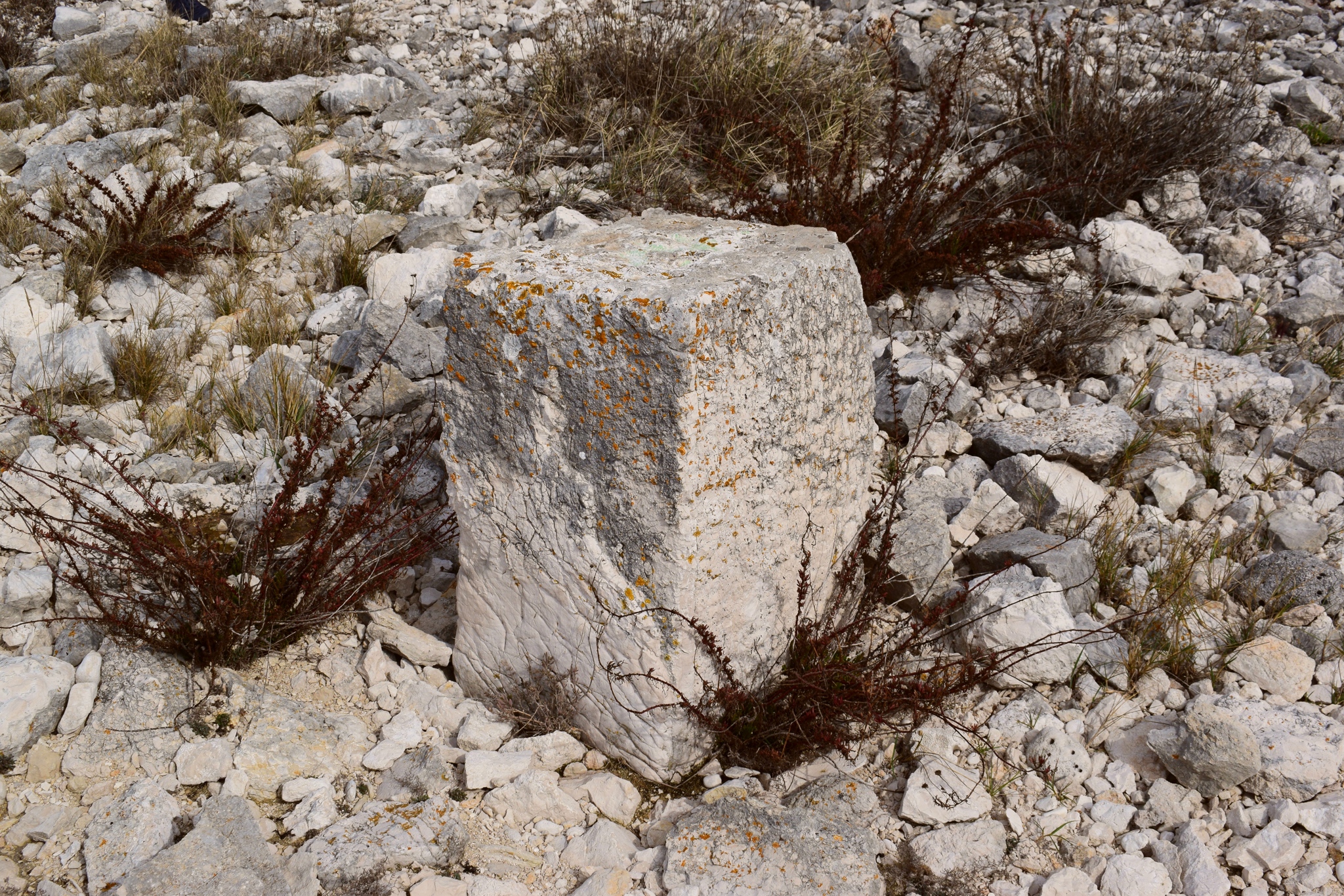
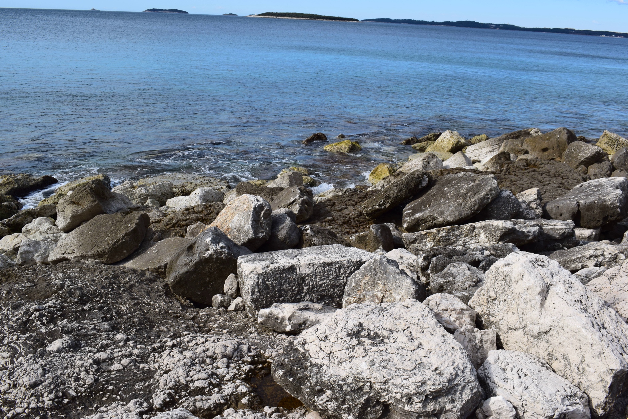
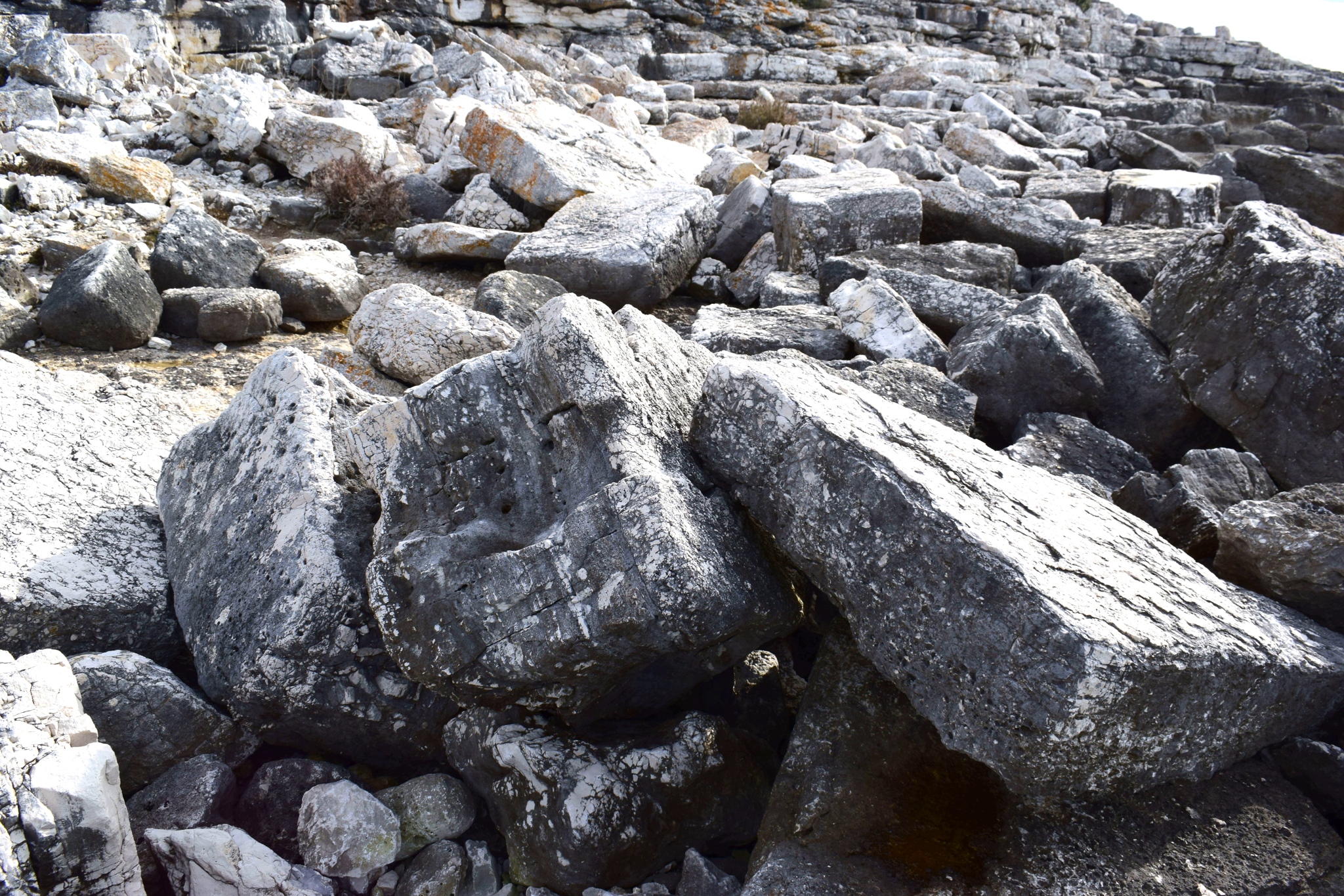
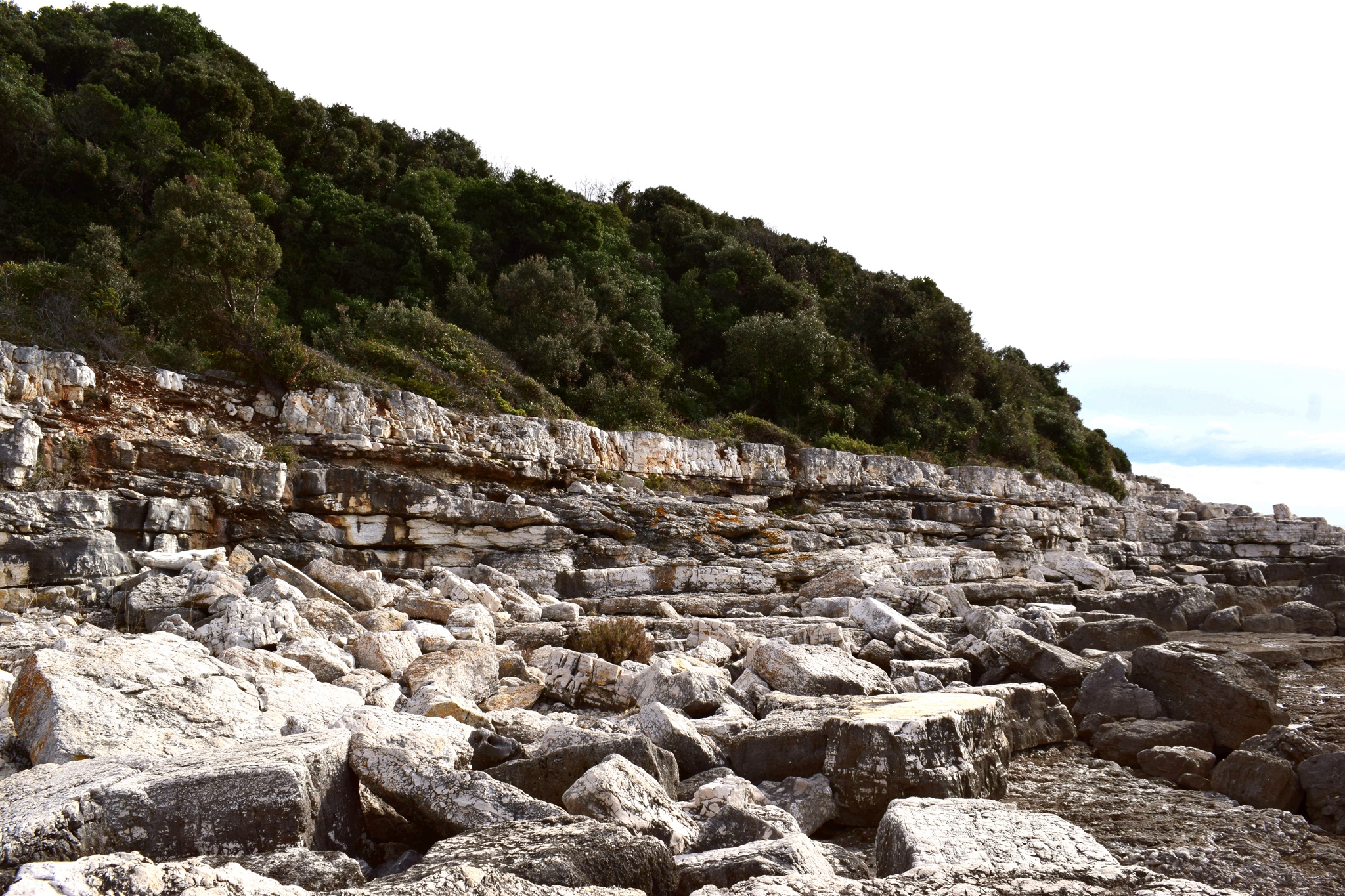
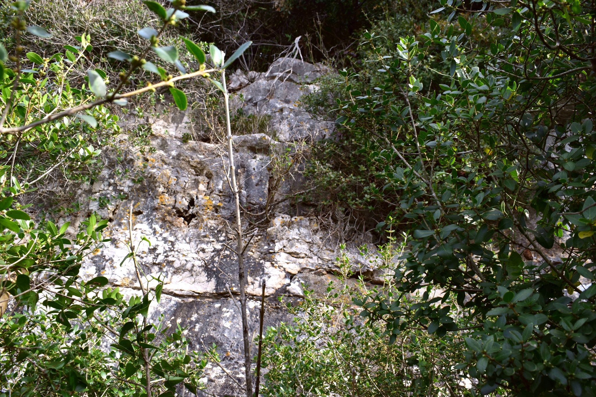
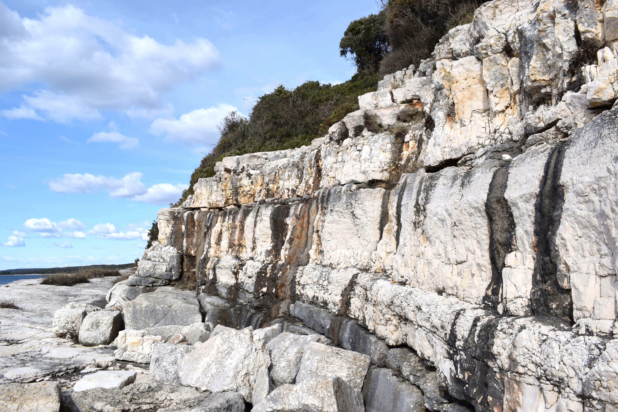
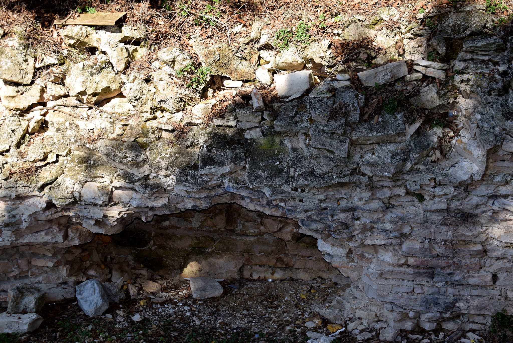
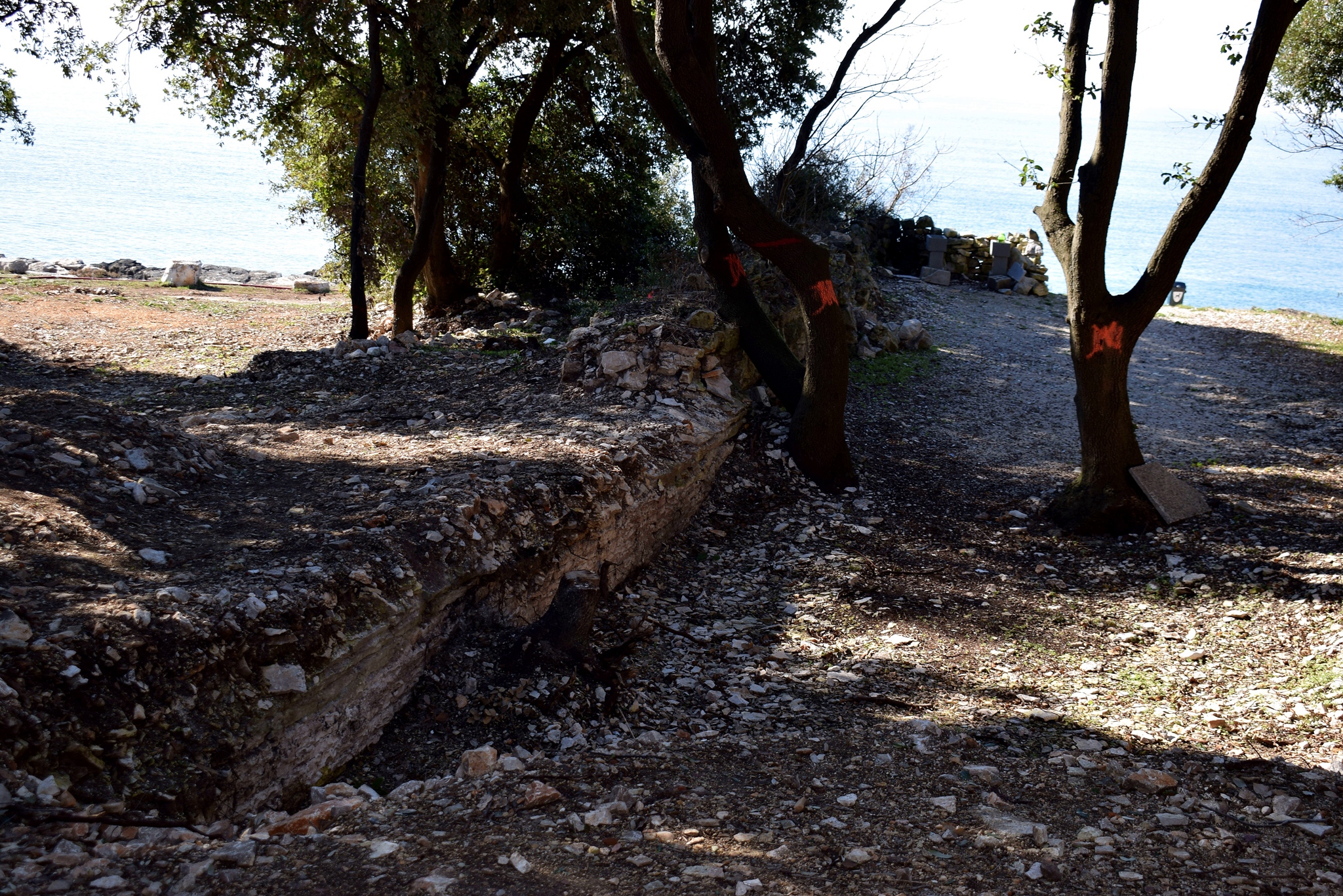
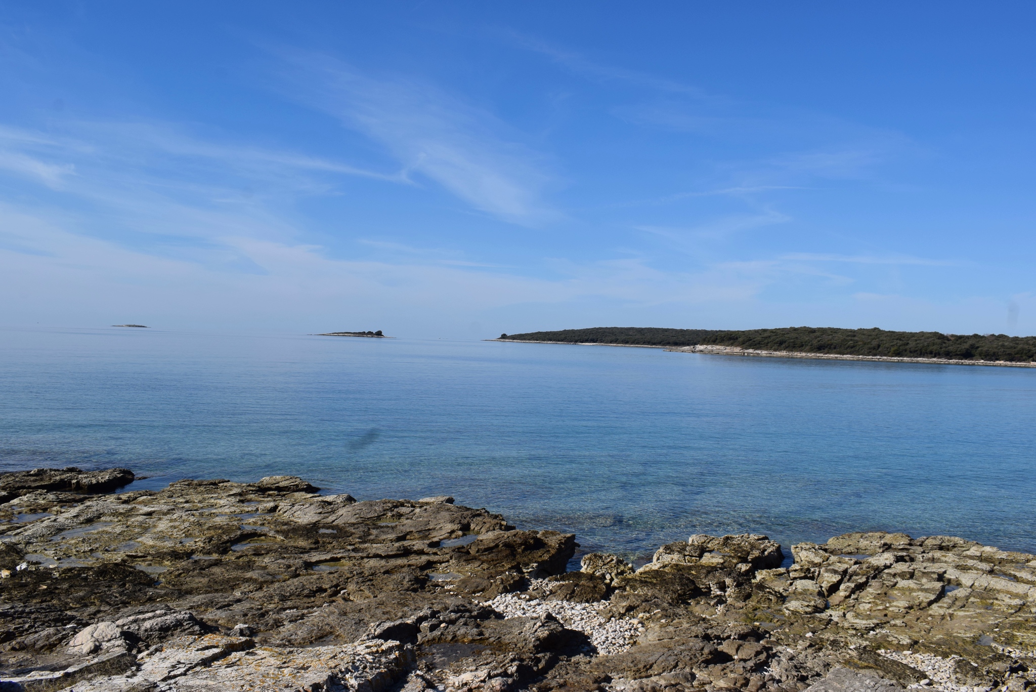
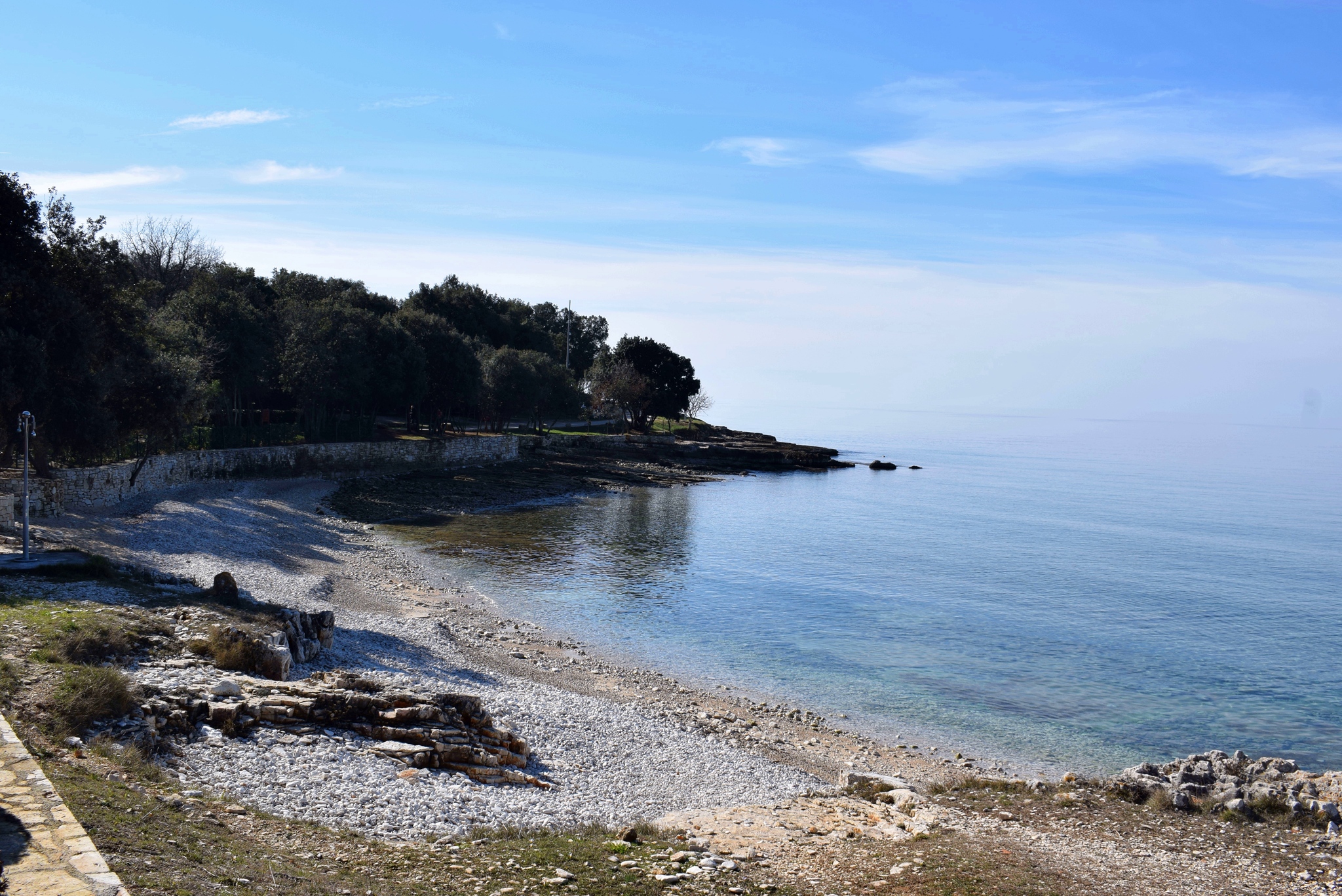
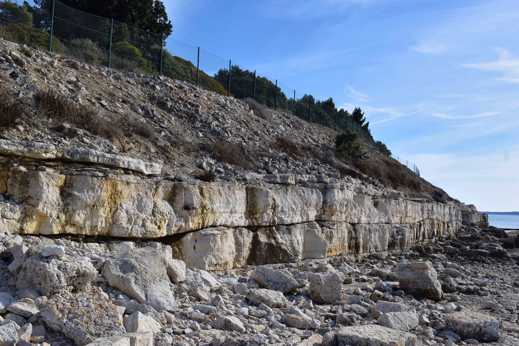
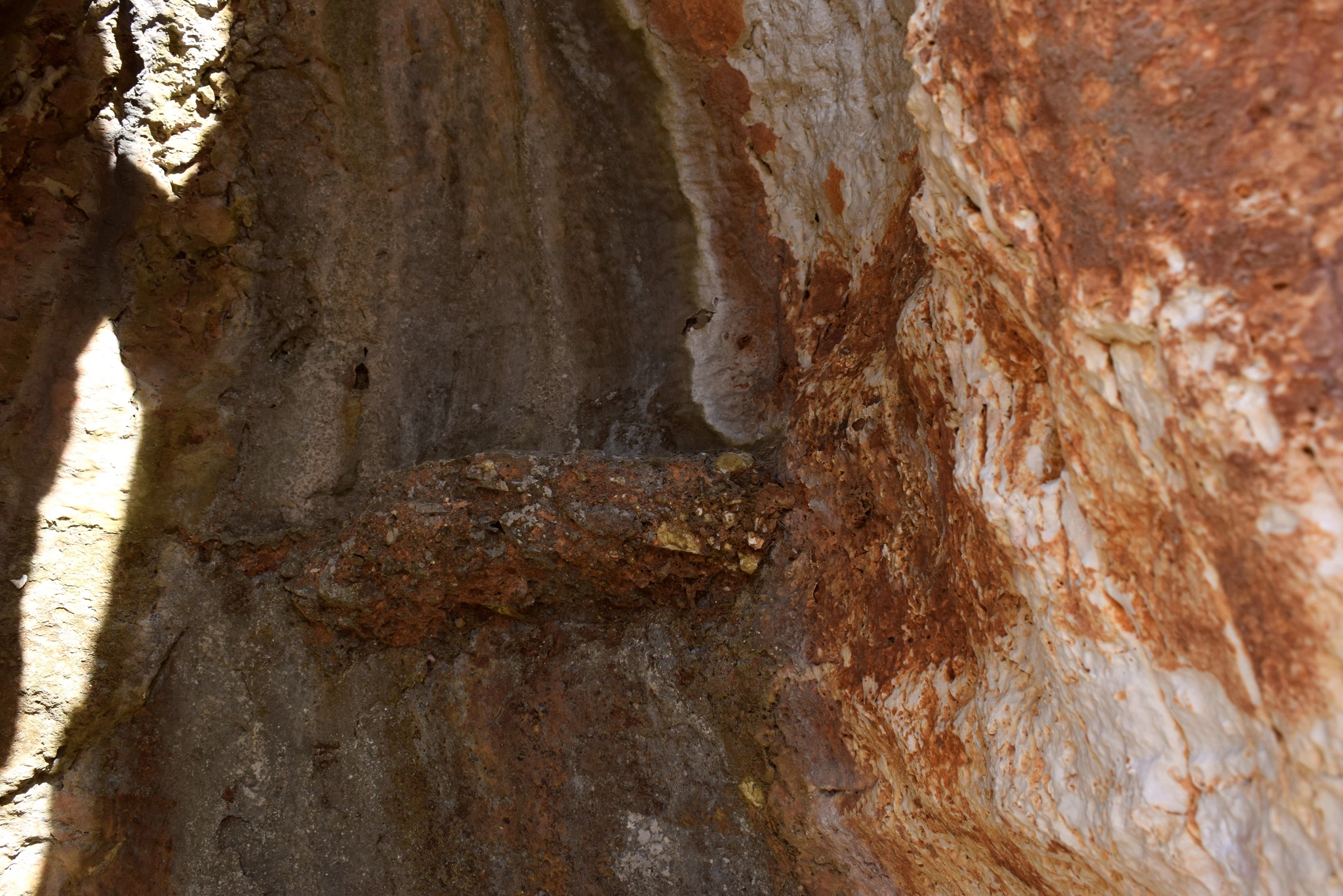
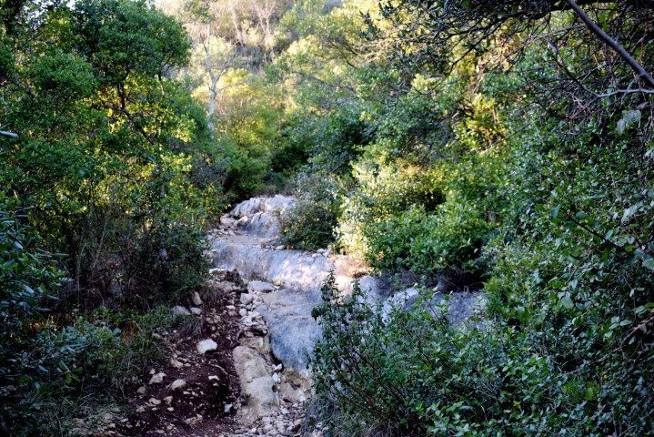
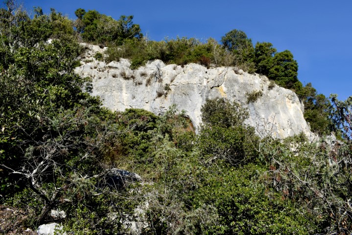
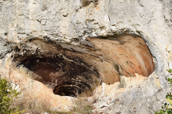
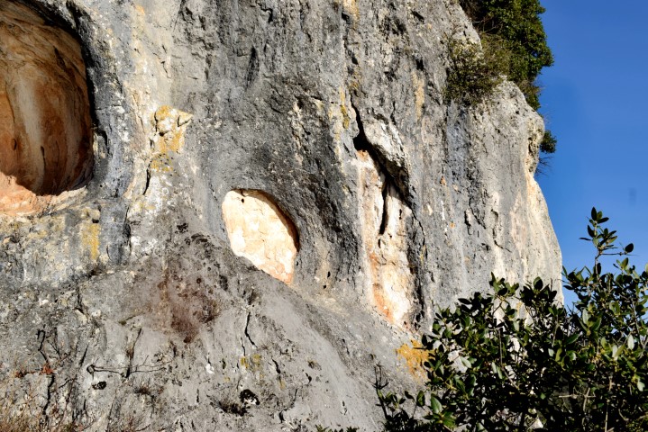
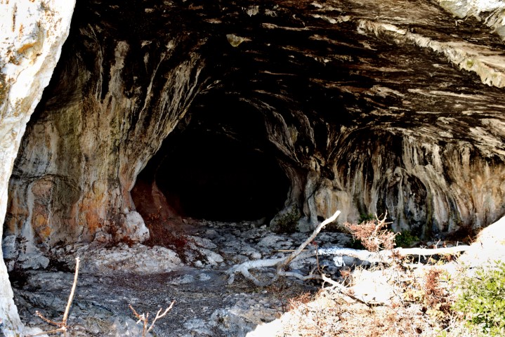
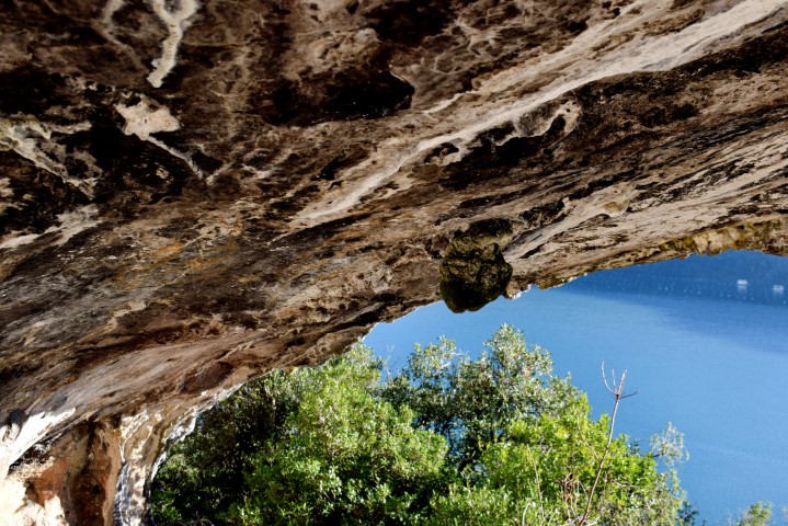
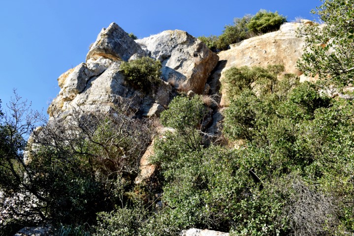
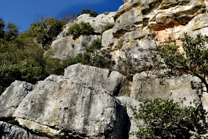
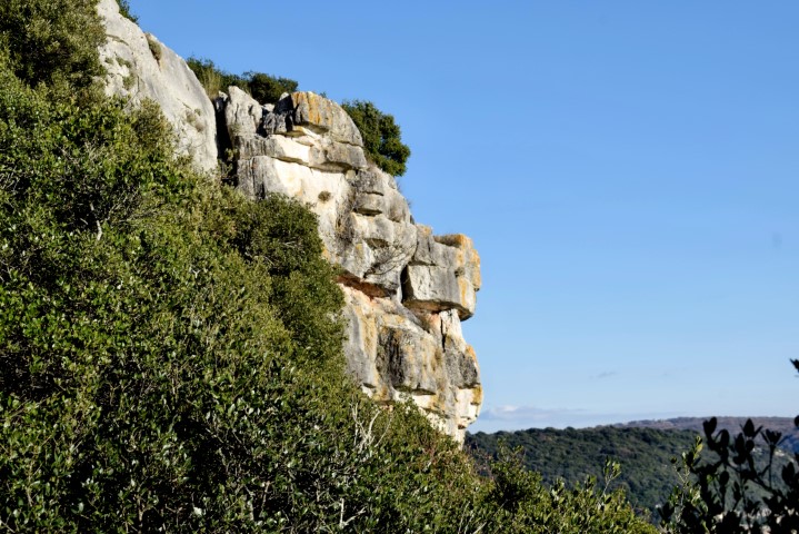
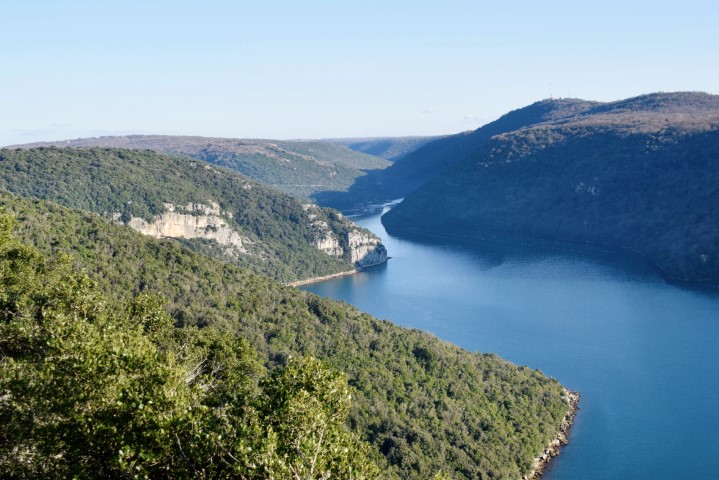
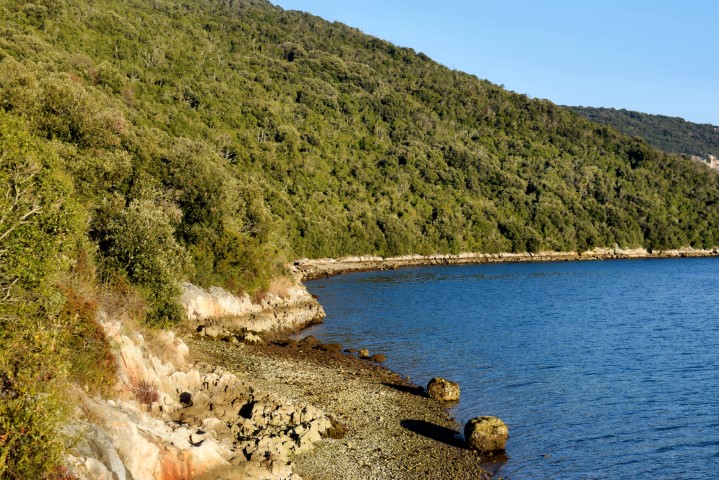
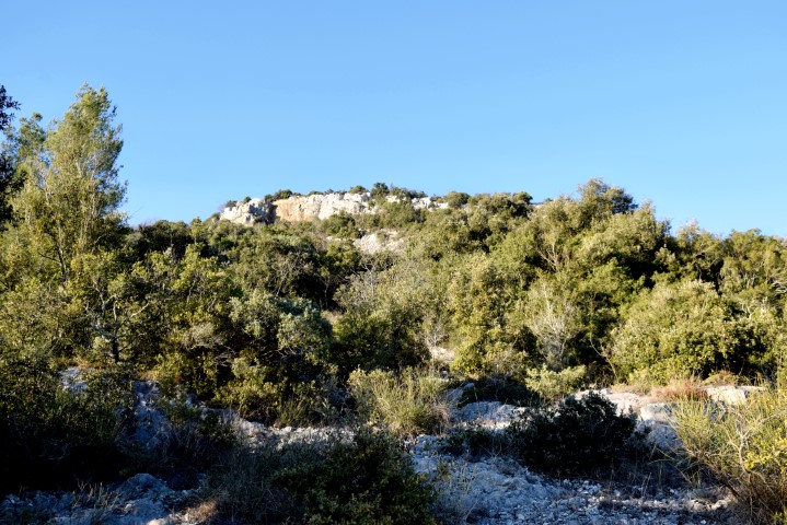
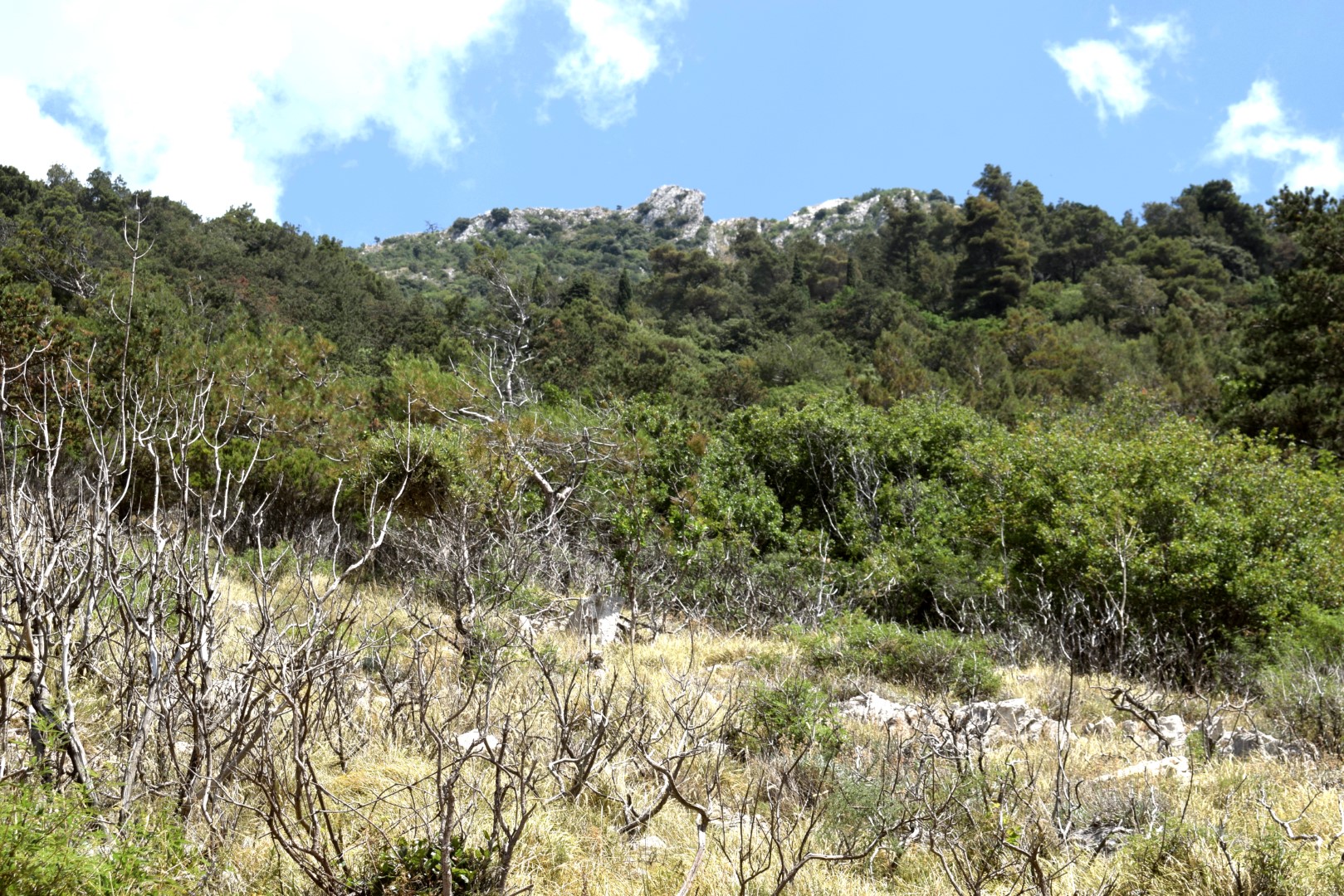
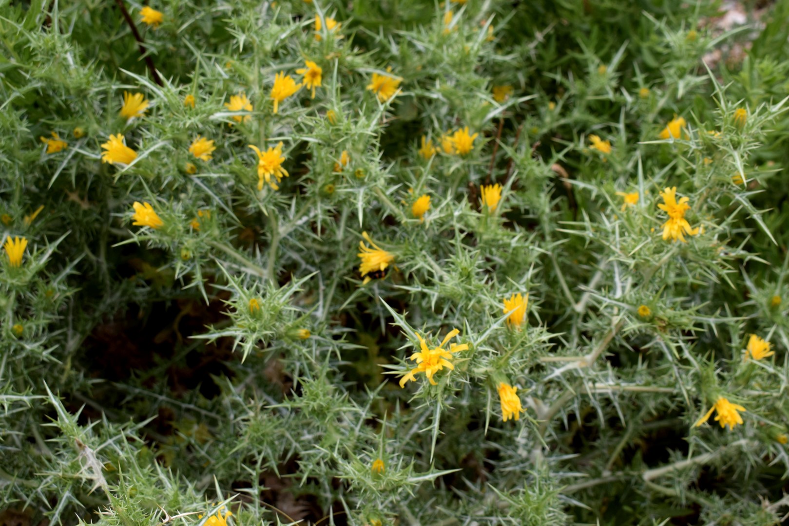
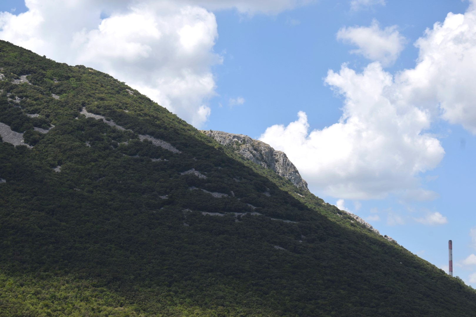
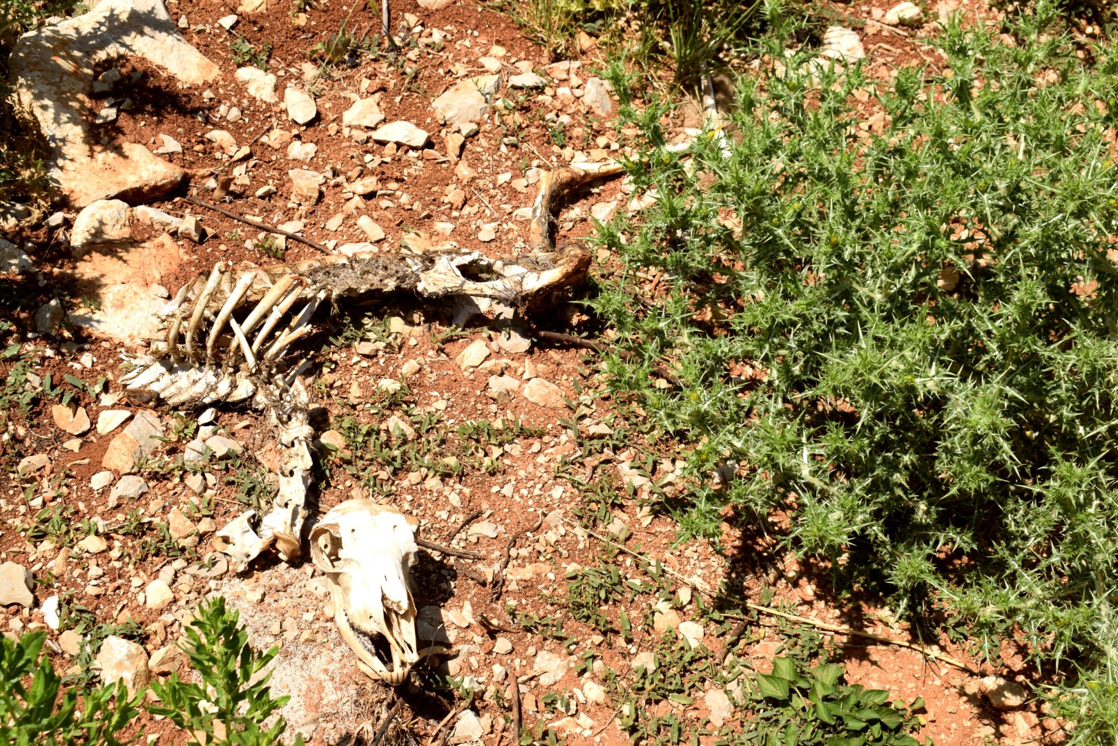
This trail is a part of the Natura 2000 site ” Plomin-Moščenička draga”.
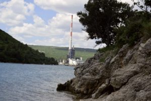
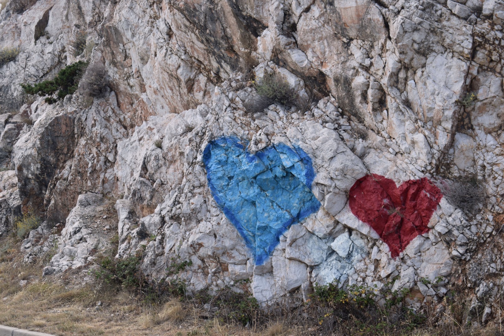

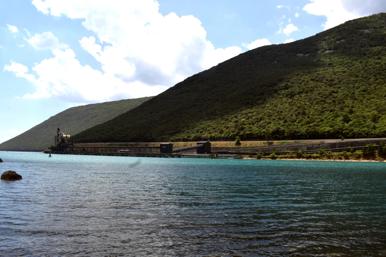
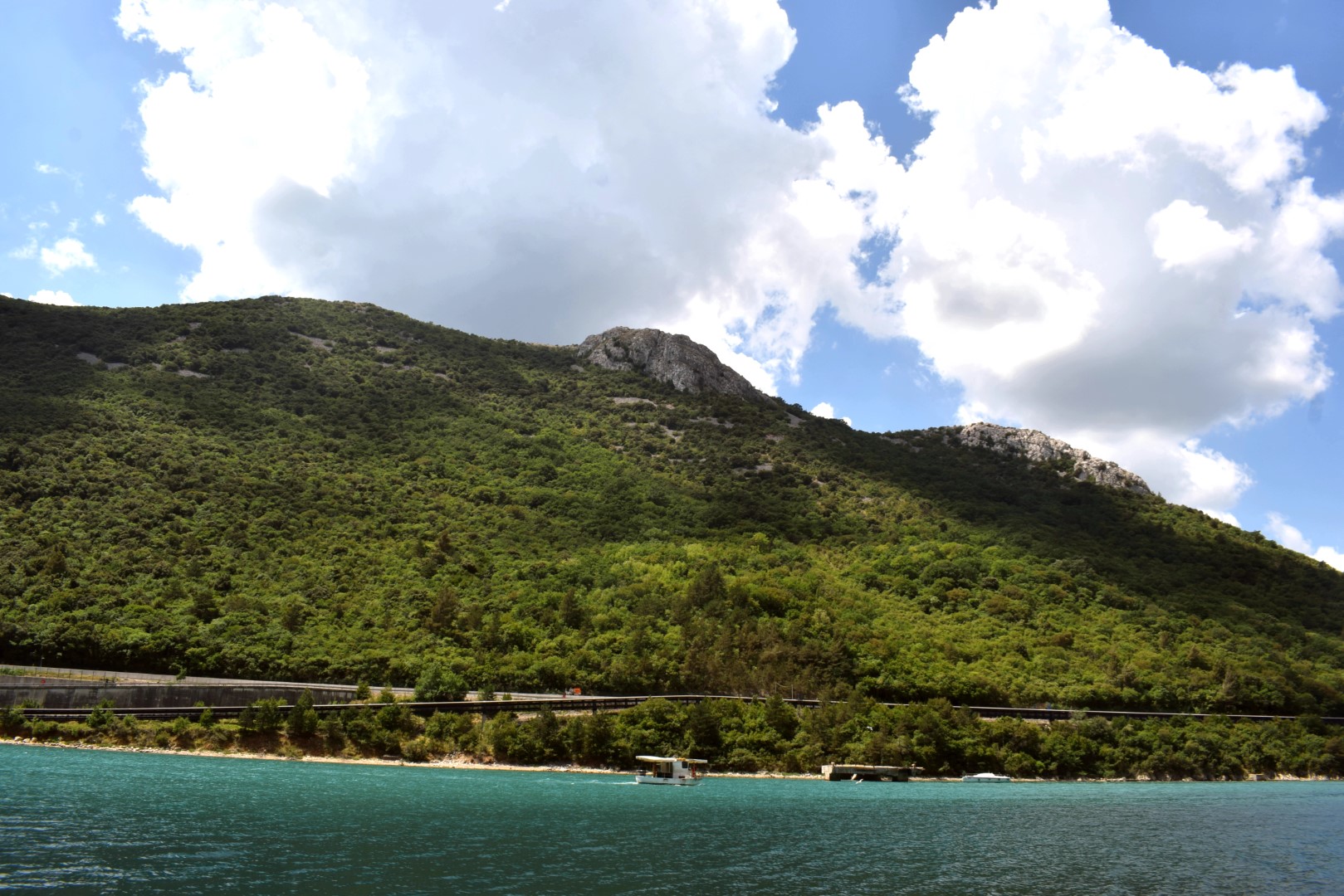
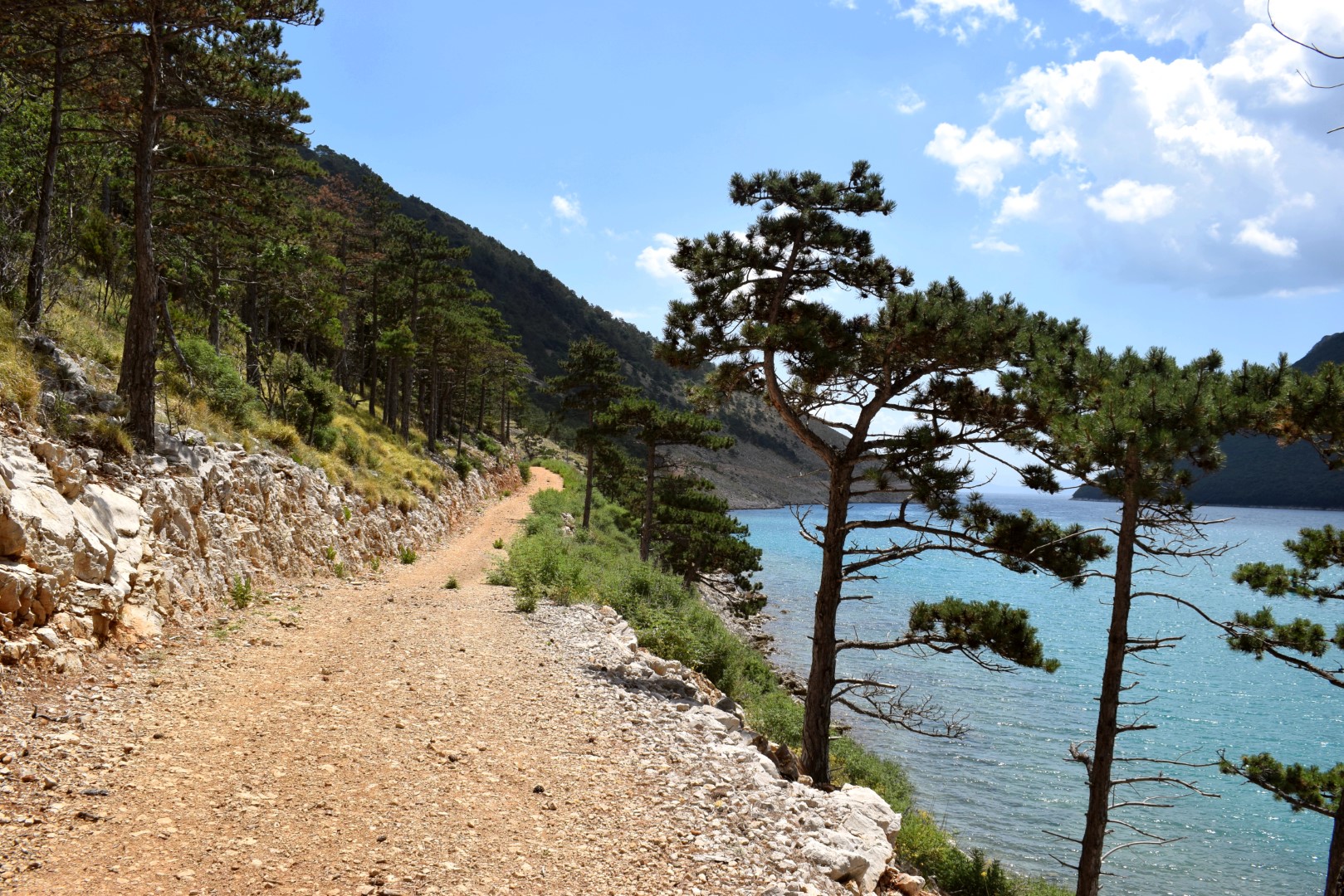
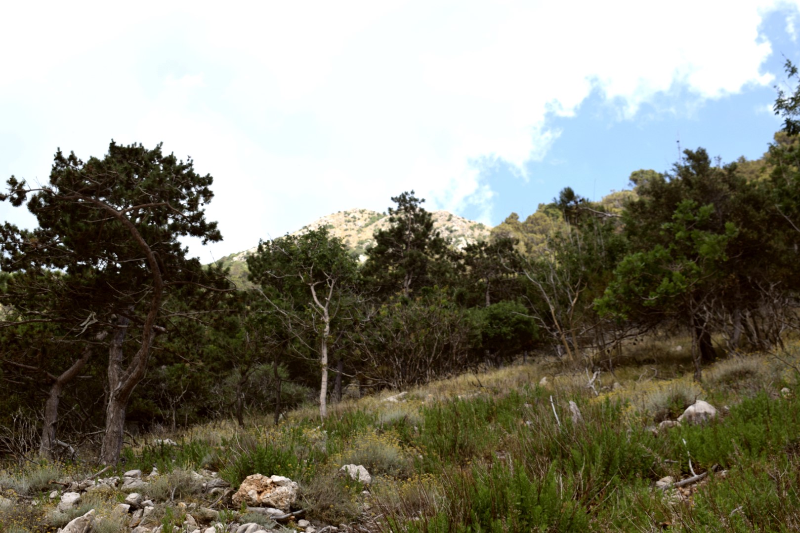

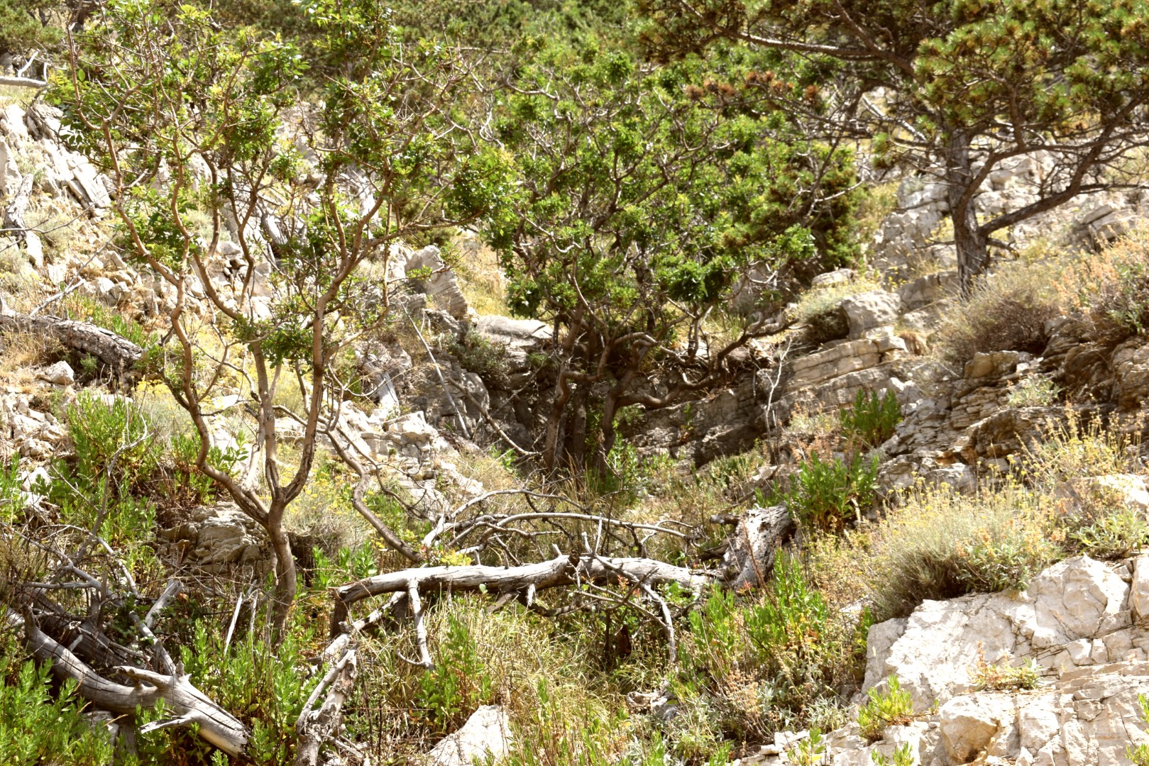
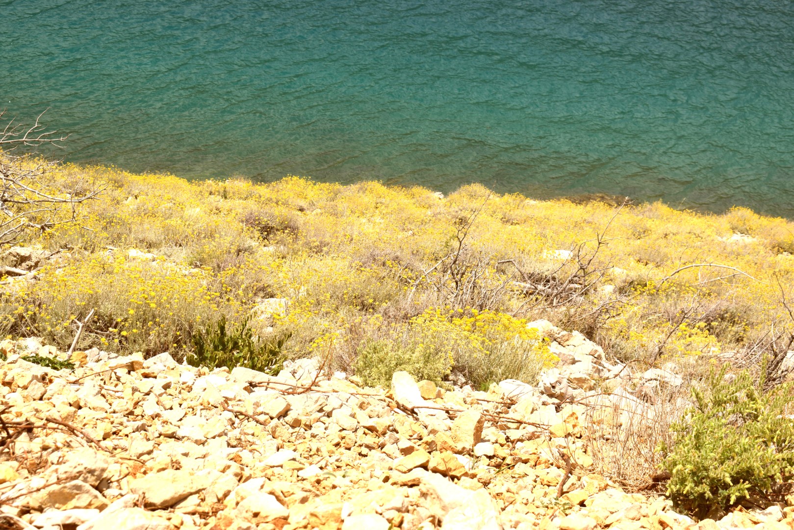
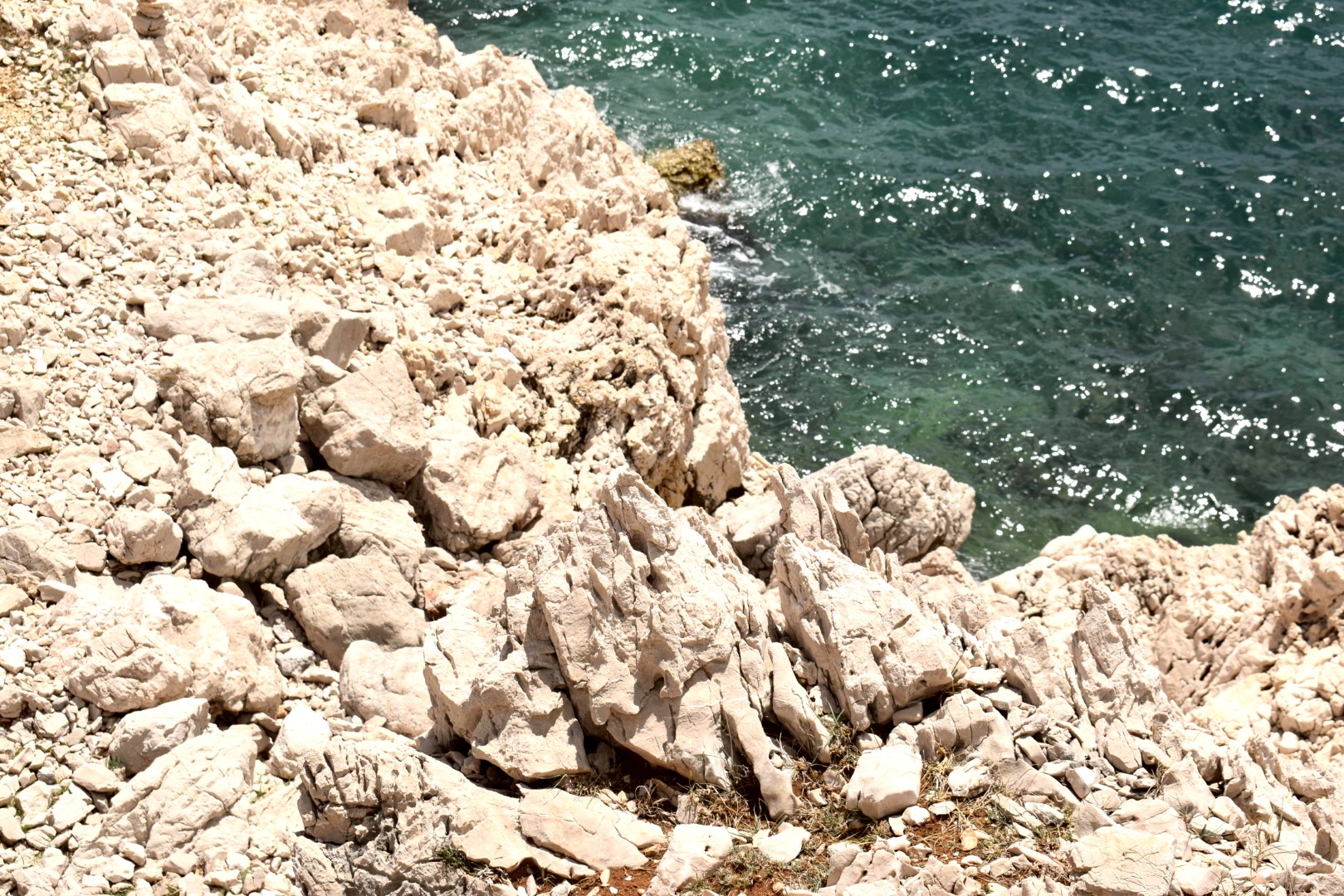

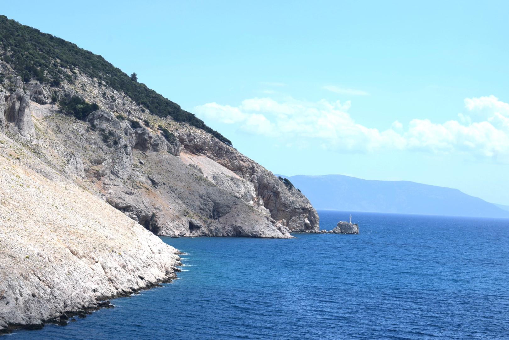
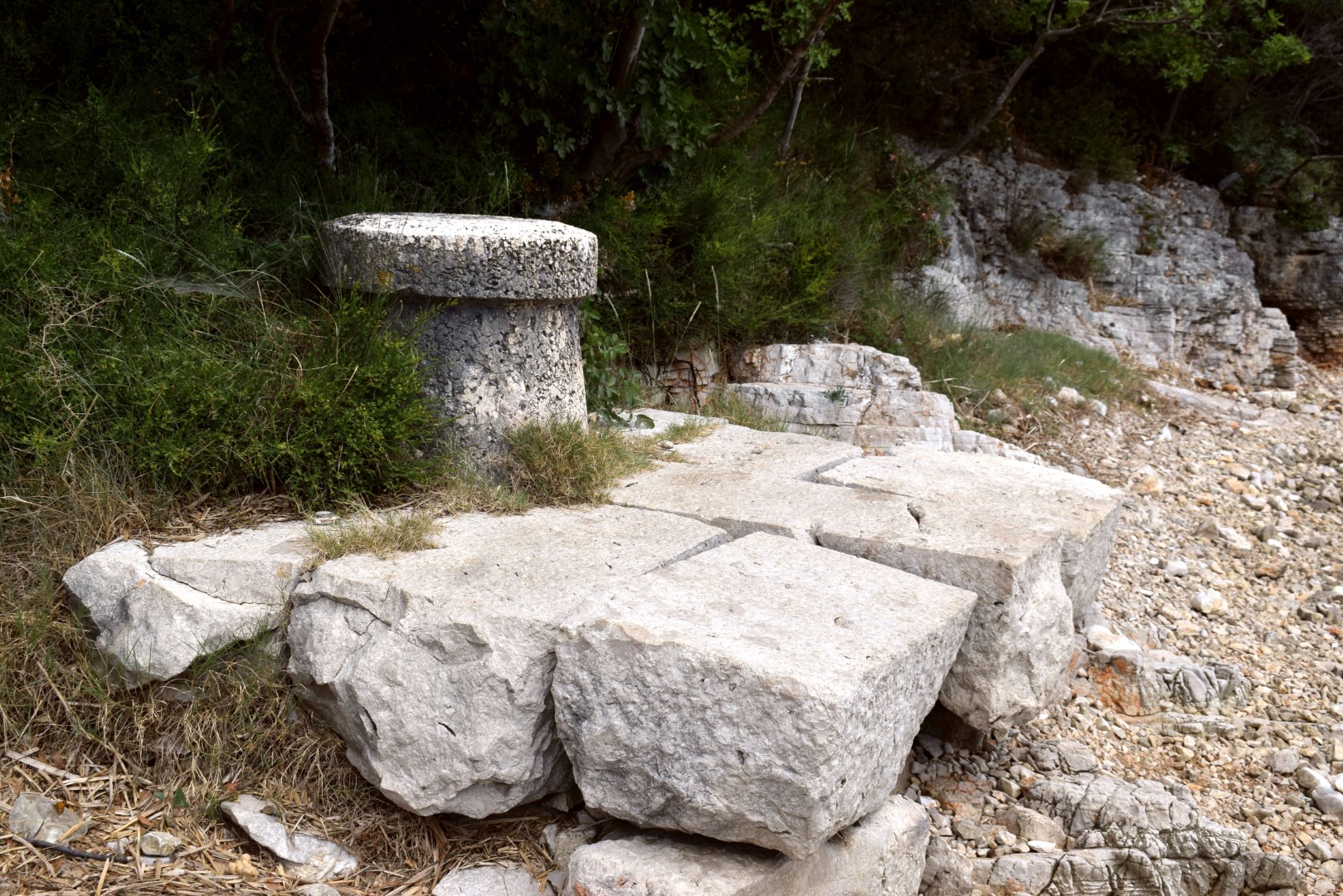
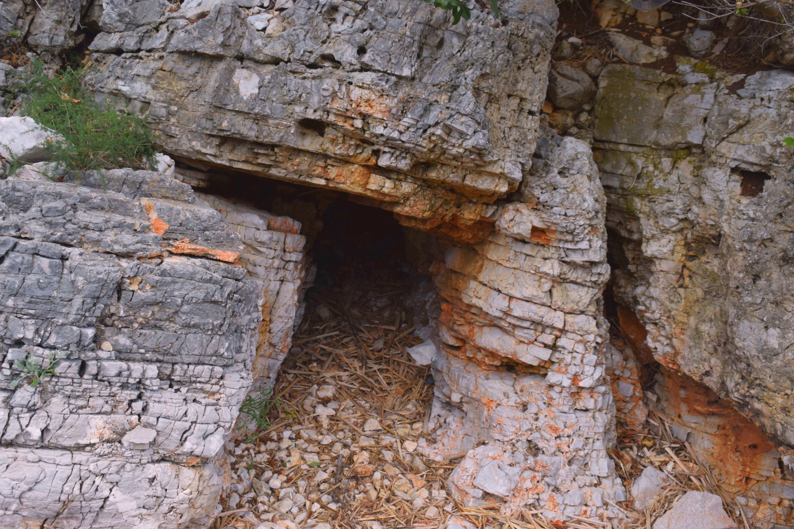
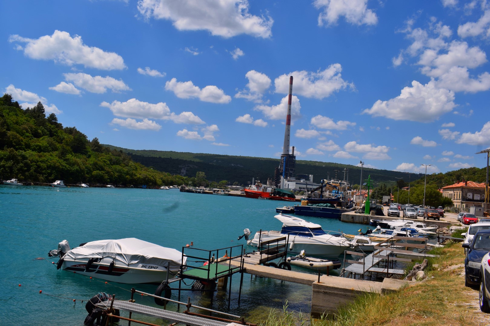
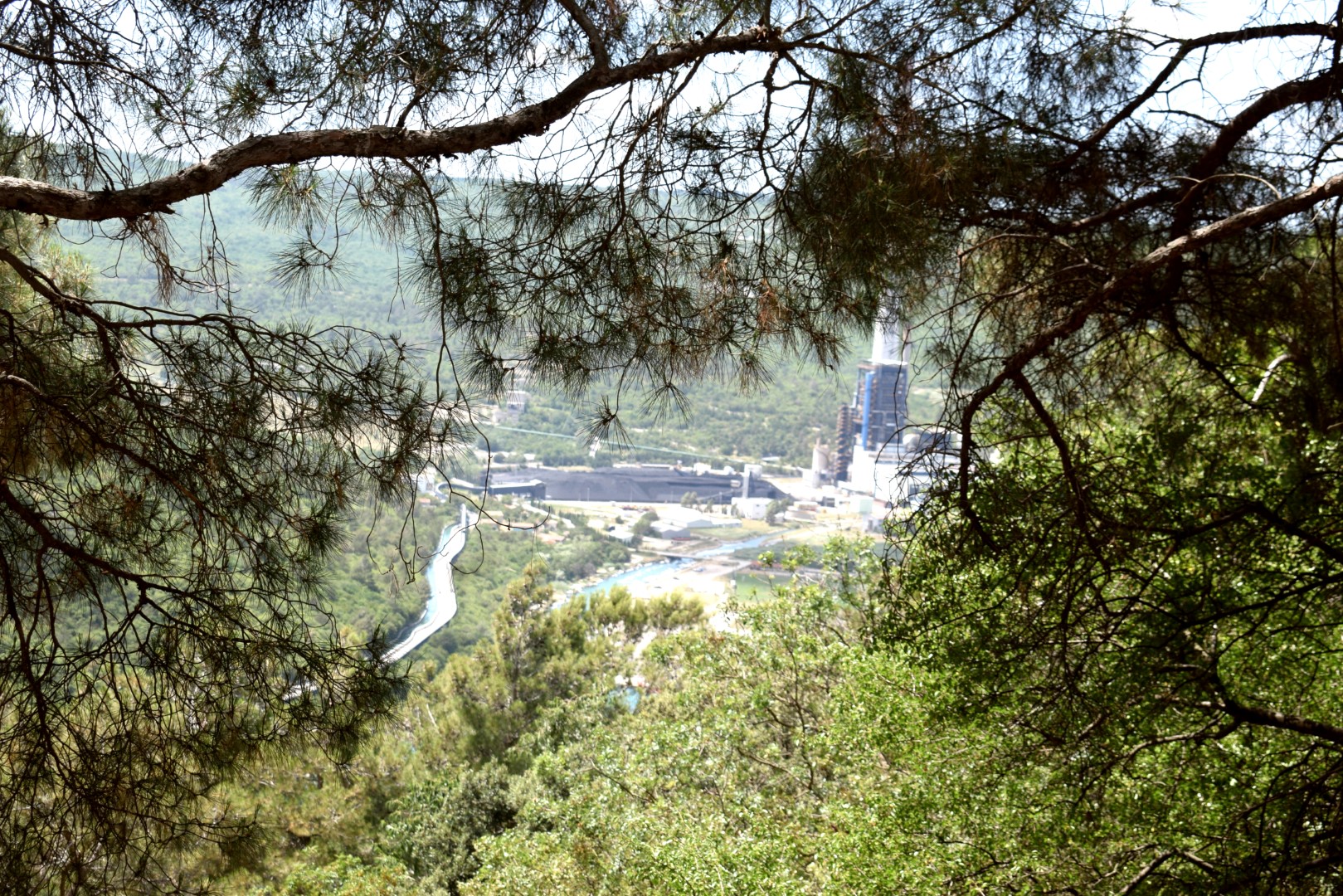
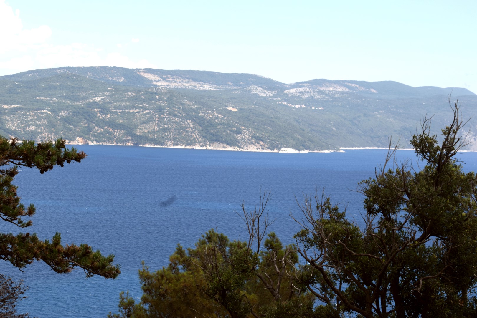
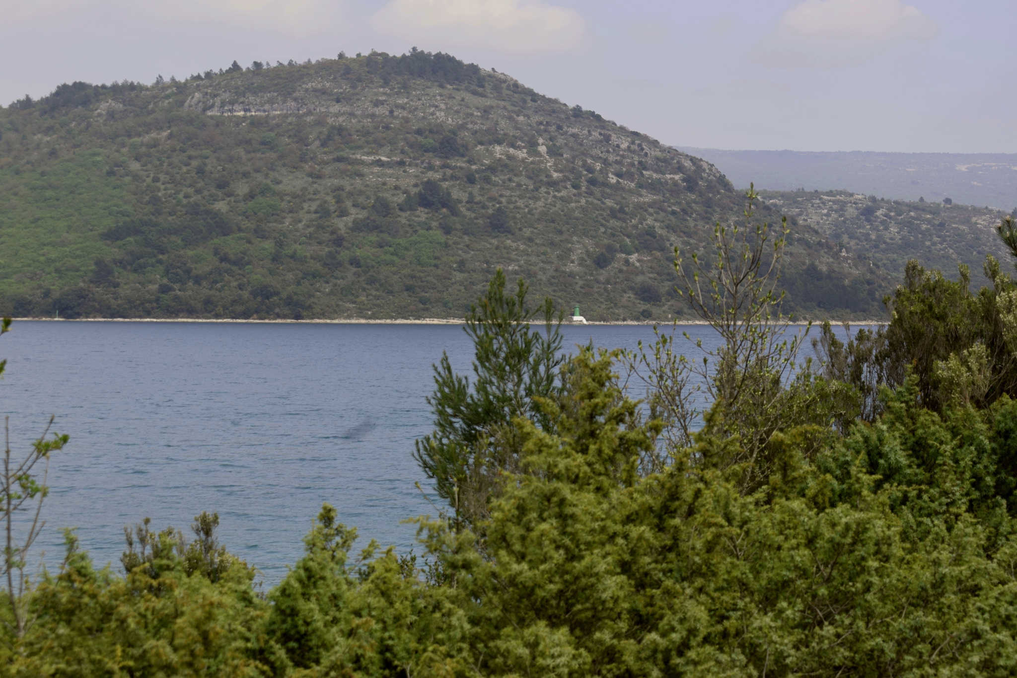
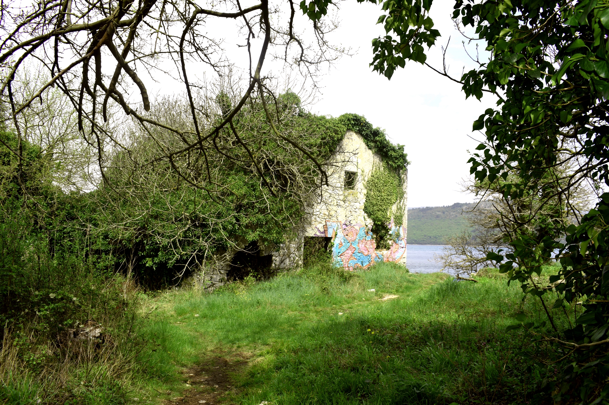
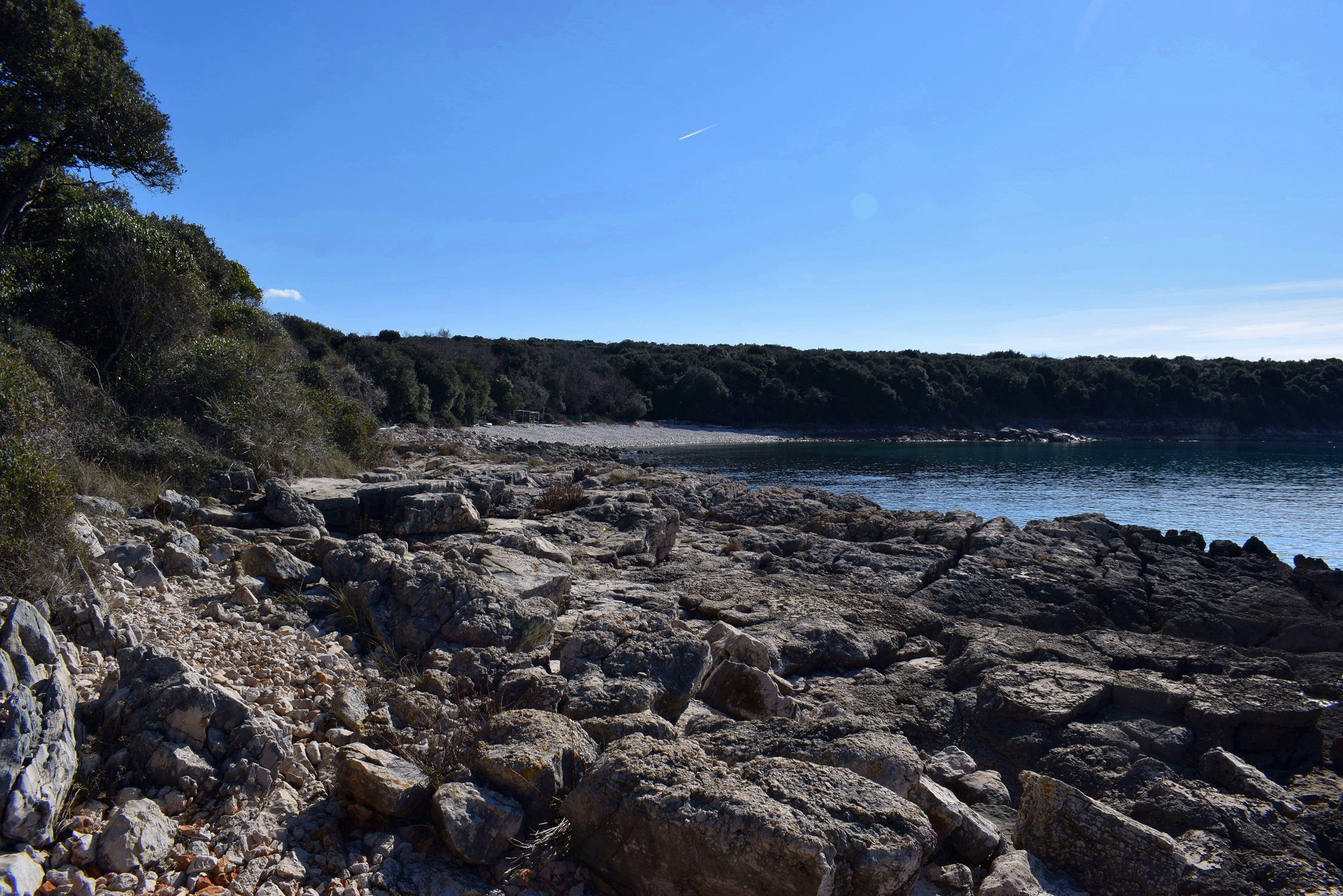
Name: Hiking trail from Plomin harbour to the cape Mašnjak, along the cove Plomin.
Place: Plomin – (Kršan).
Coordinates: start 45.13353 N – 14.17793 E, end 45.12201 N – 14.19710 E.