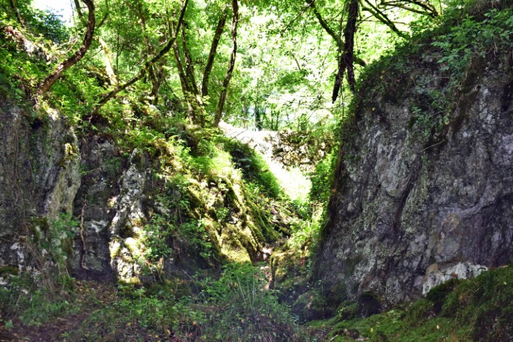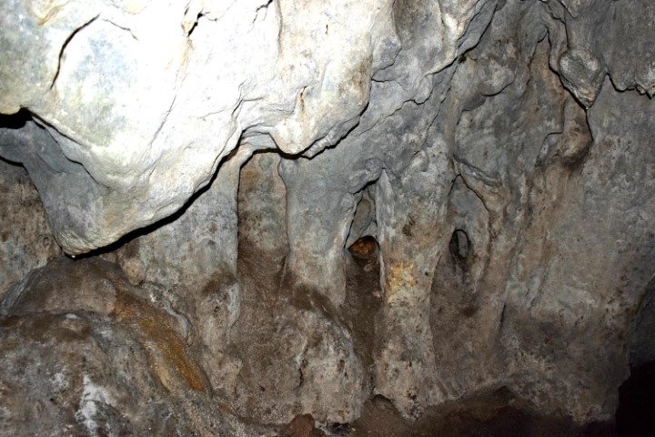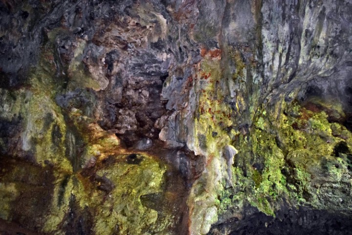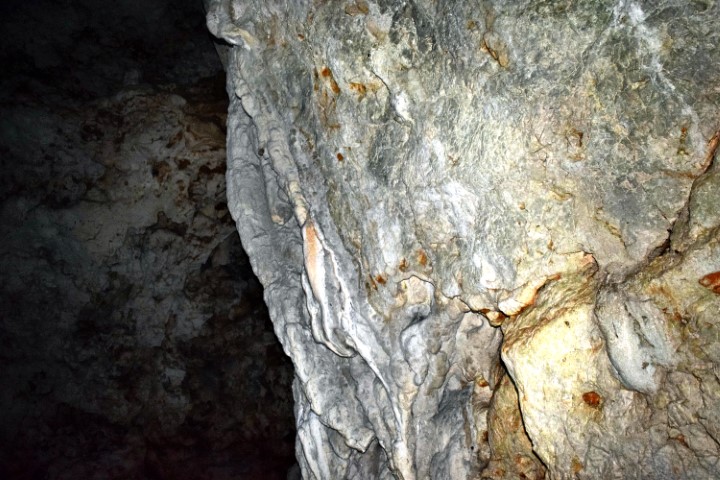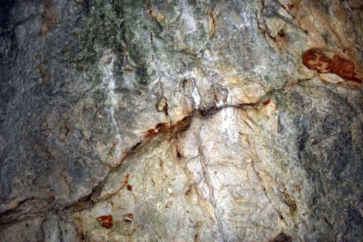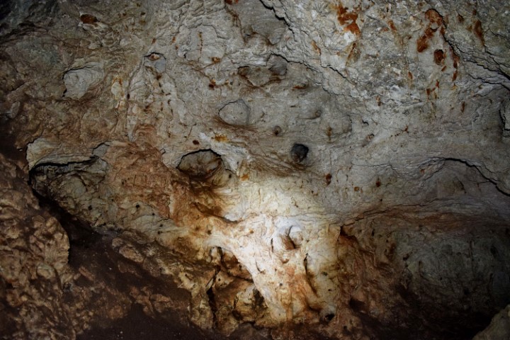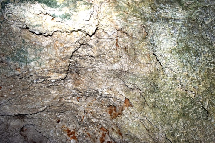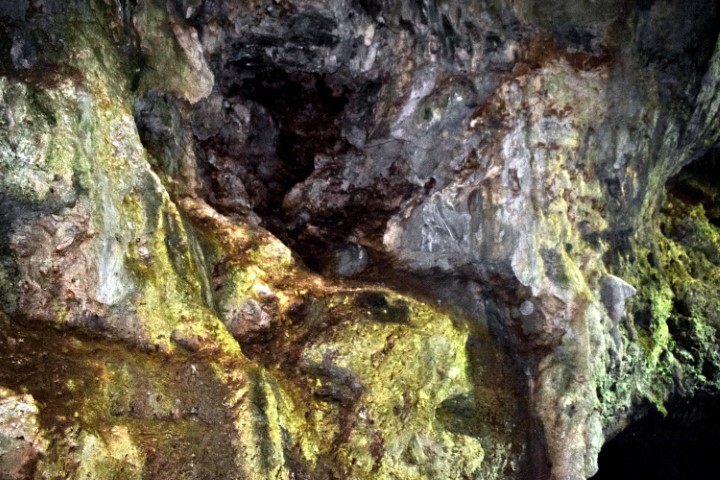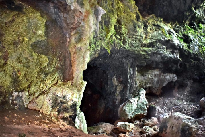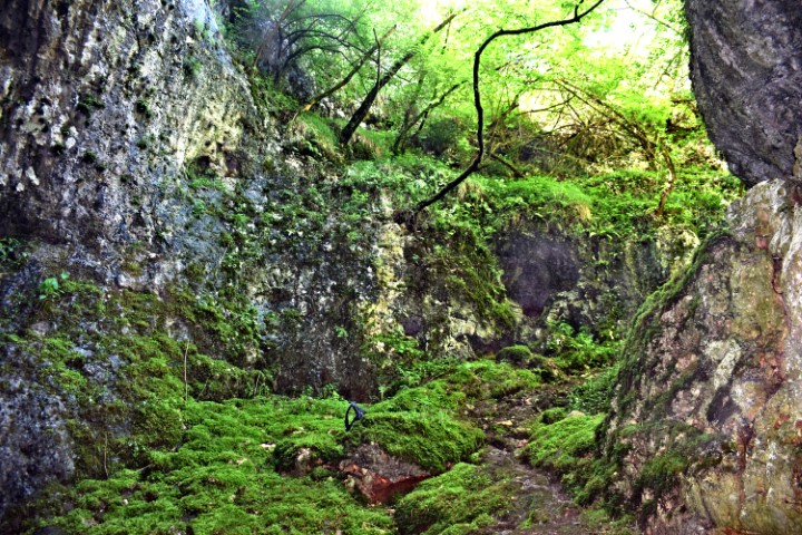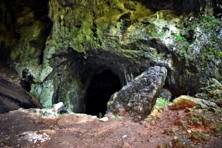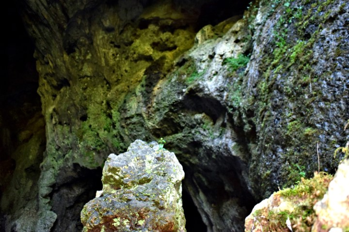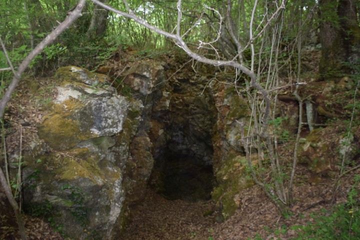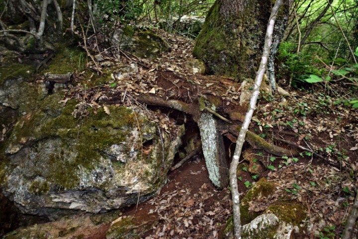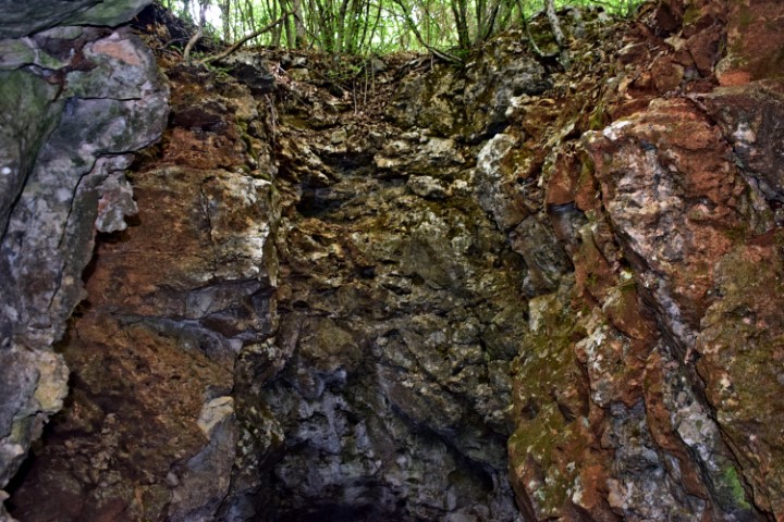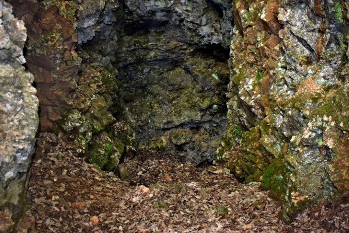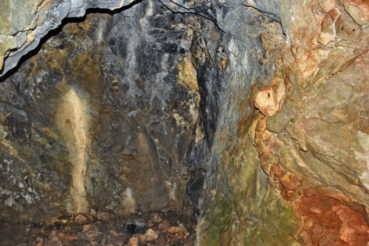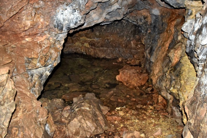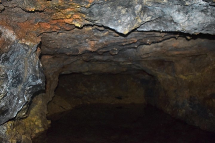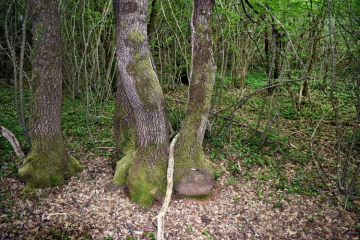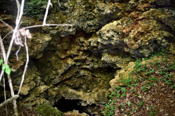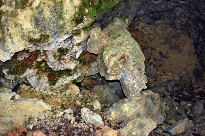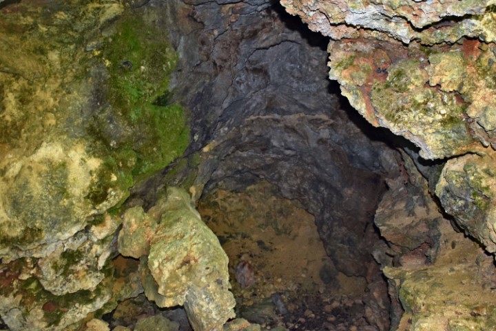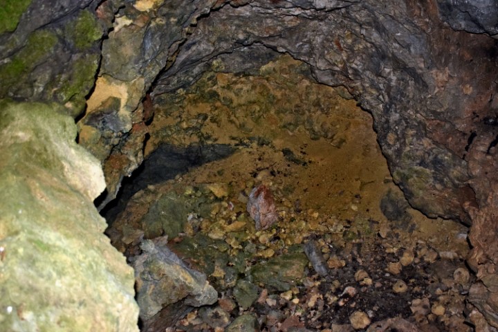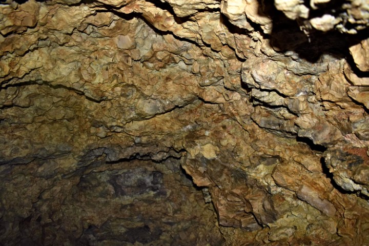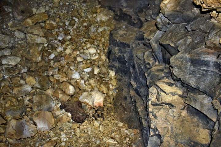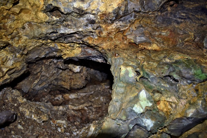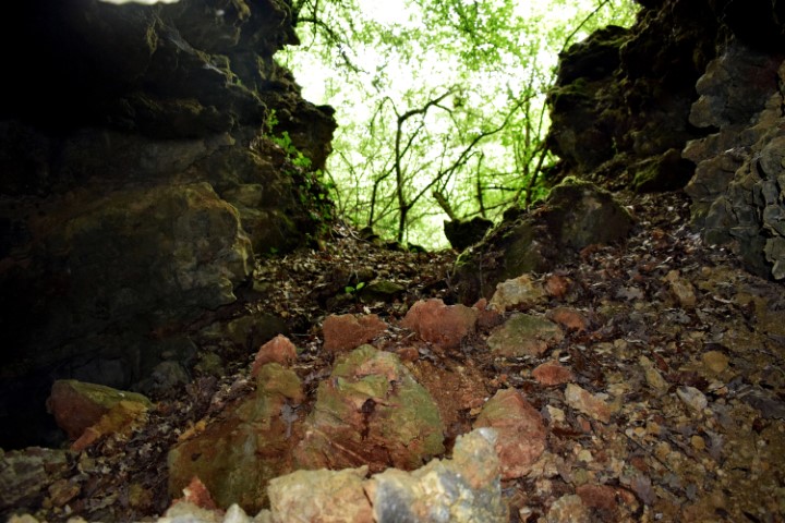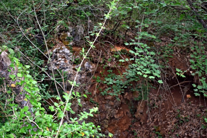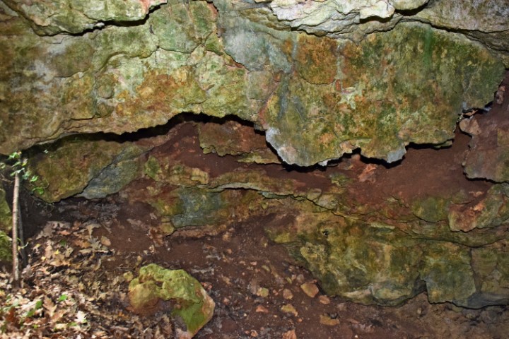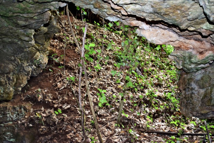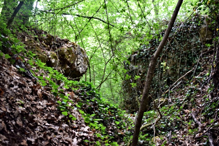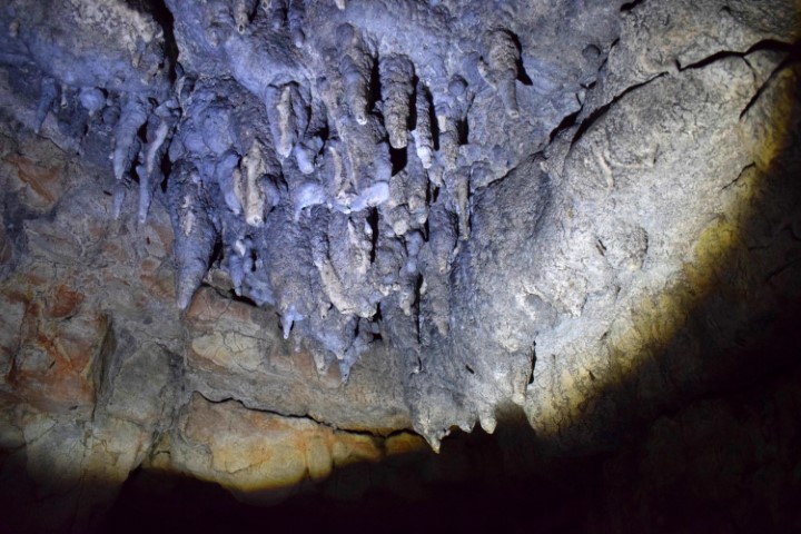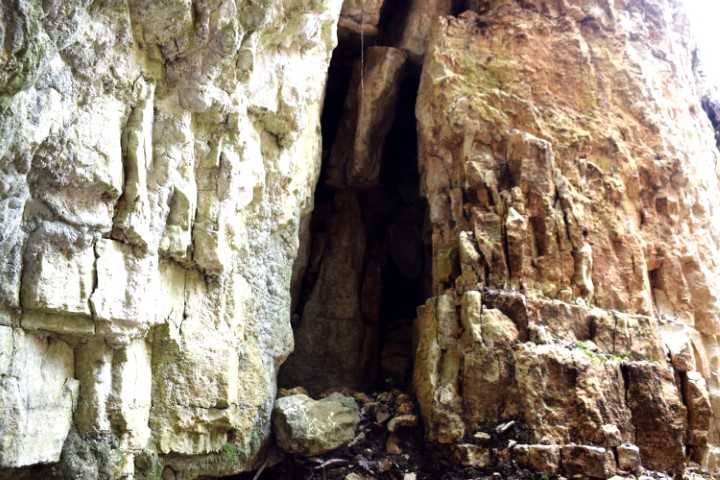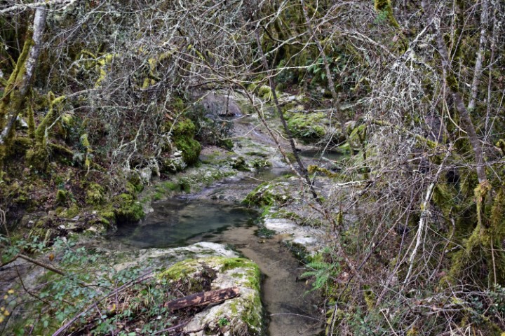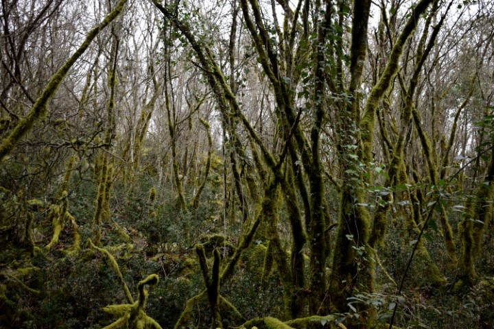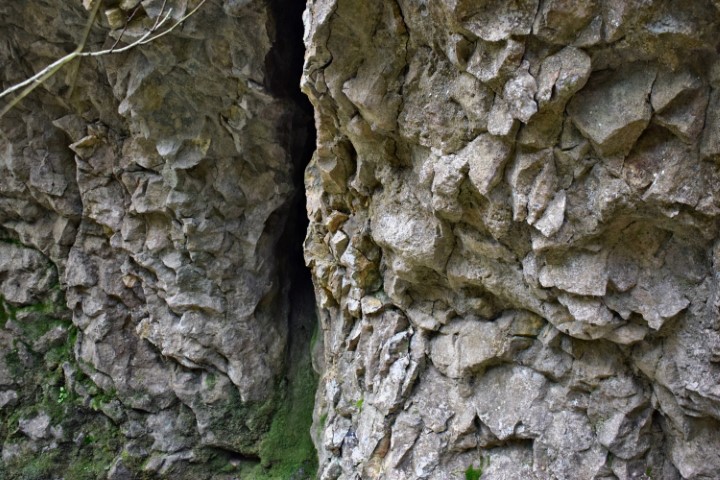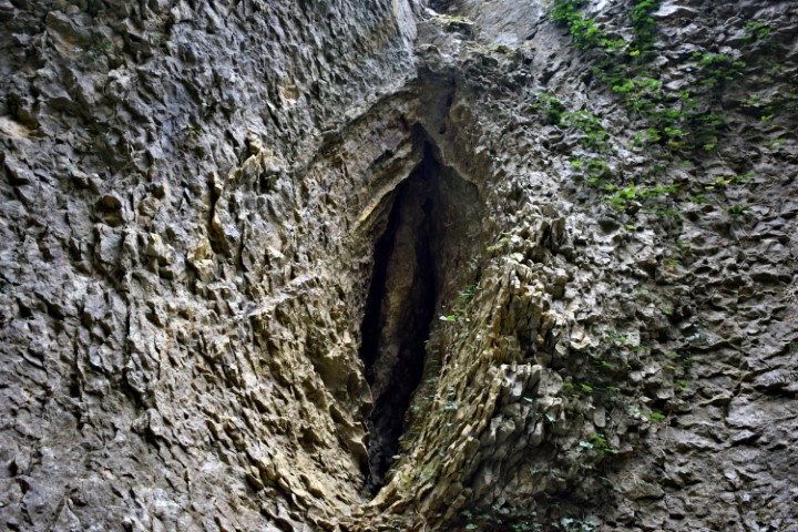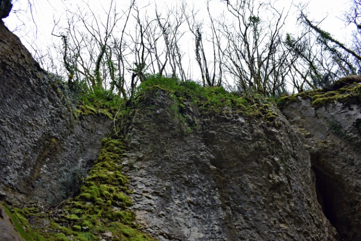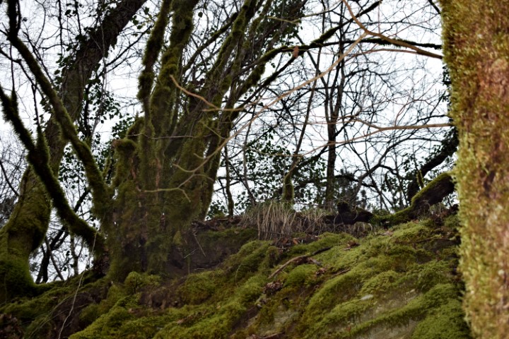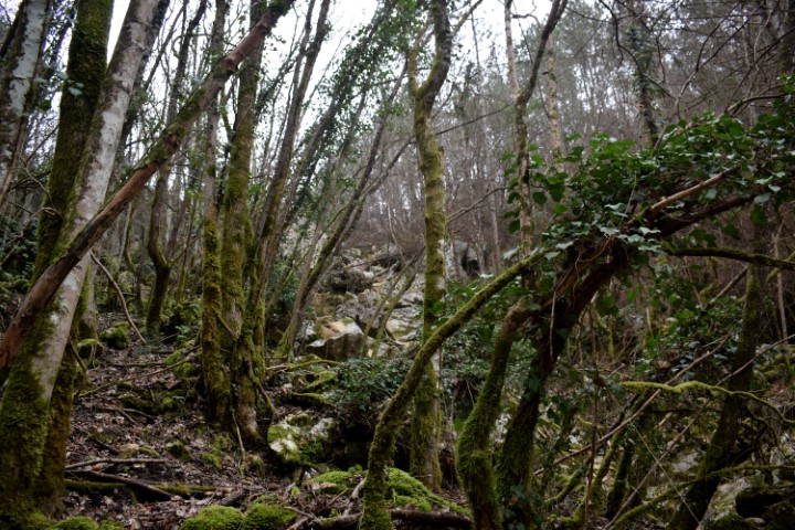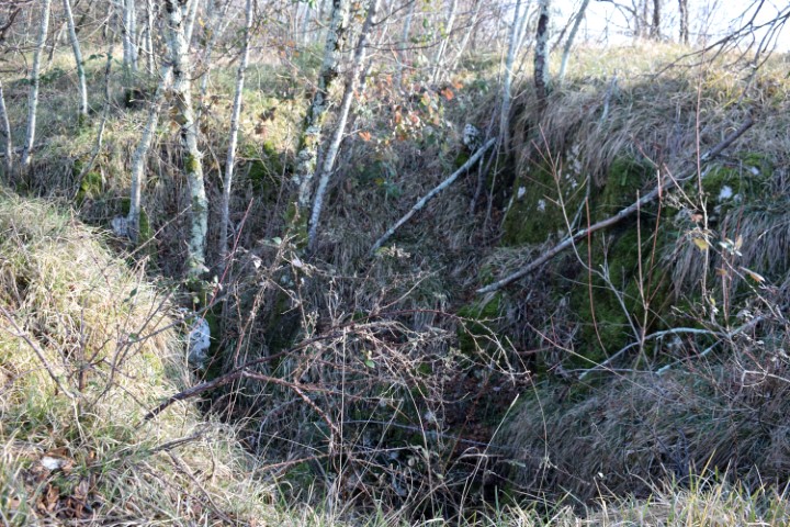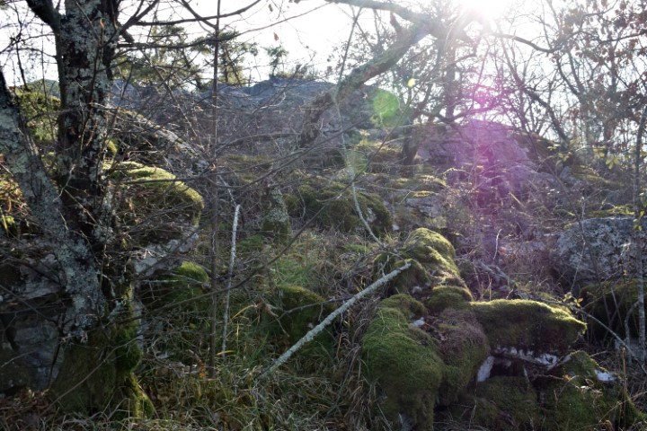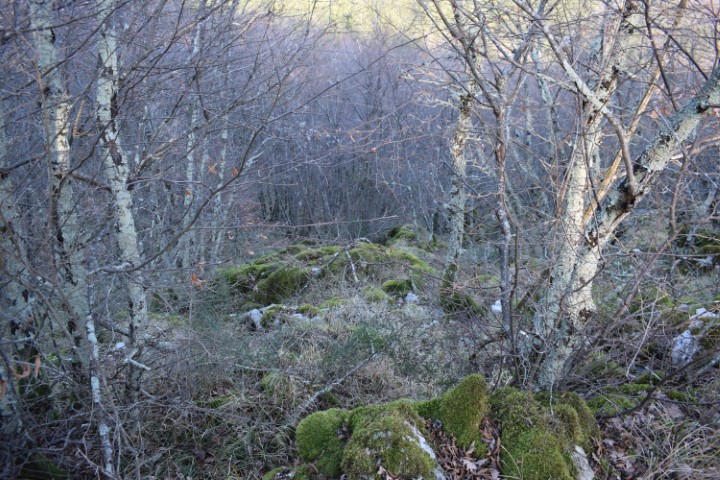

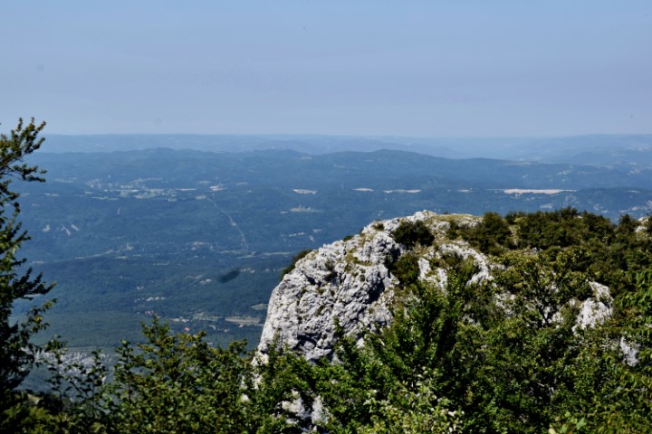
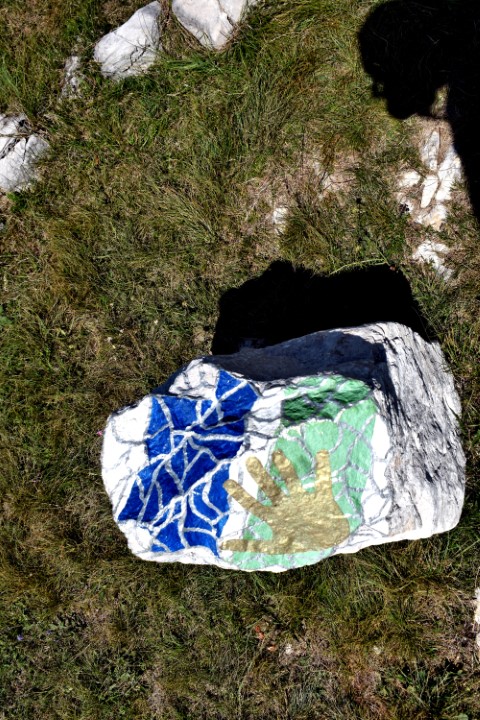
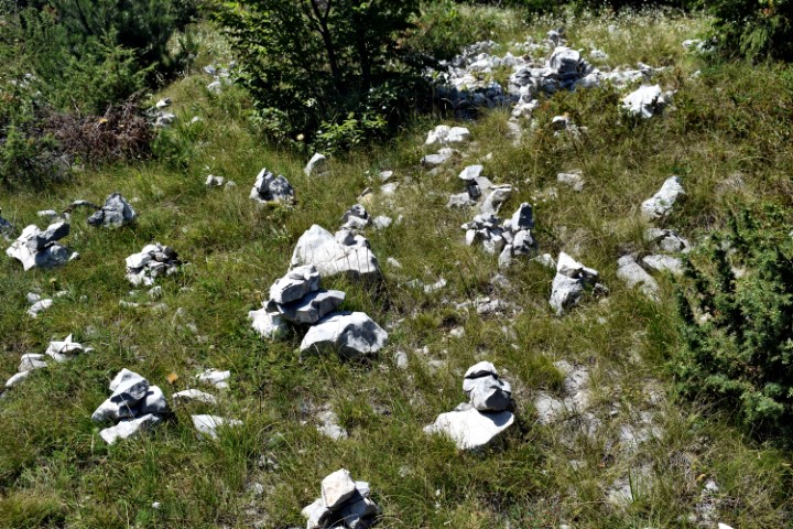
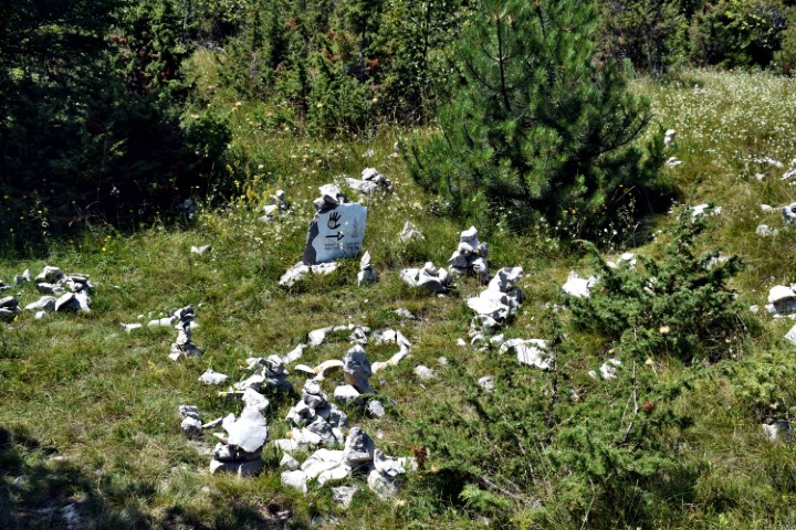

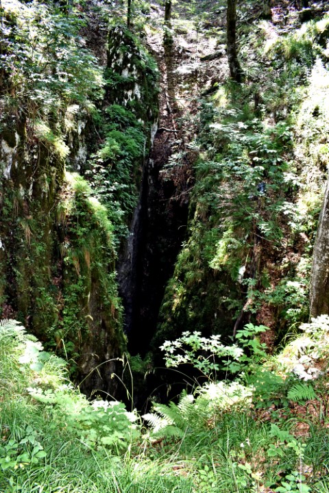

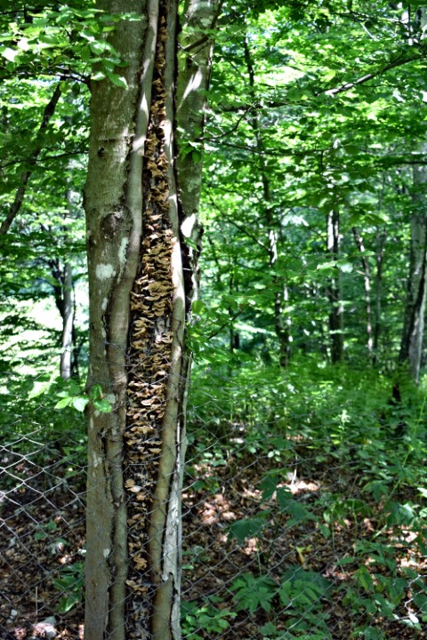
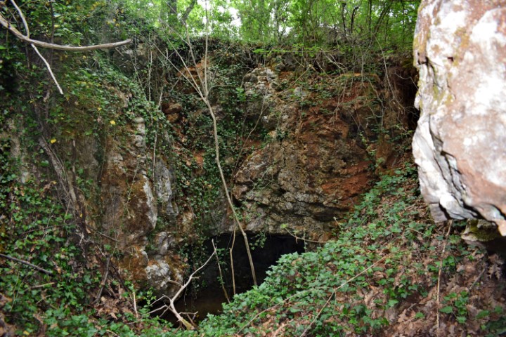
Name: Cave near the Land art trail Učka Mt.
Place: Učka – Poklon.
Coordinates: Starting point 45.30947 N – 14.21326 E, Cave 45.31483 N -14.20518 E.
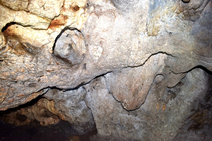
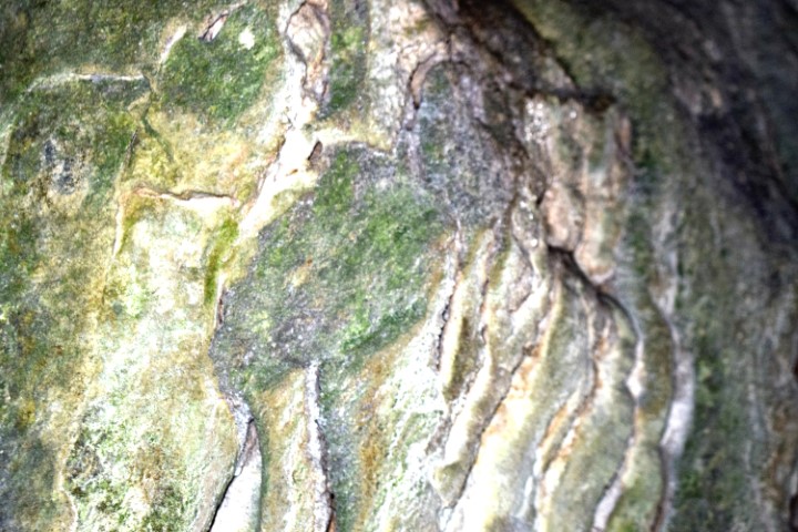
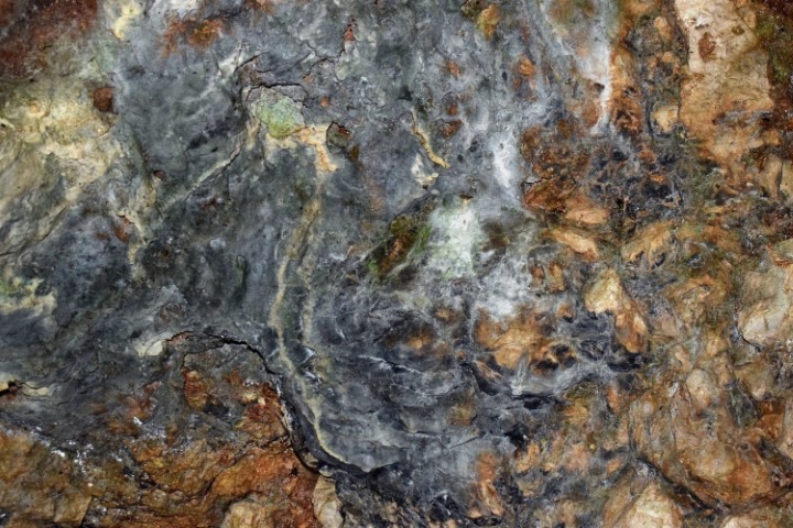
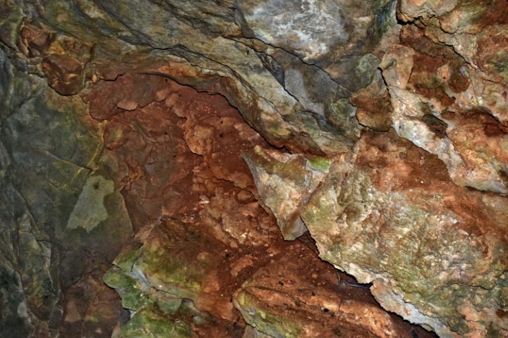
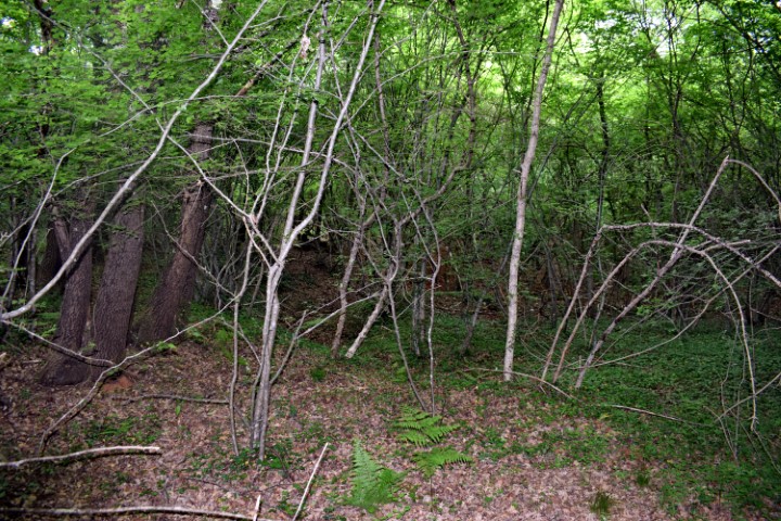
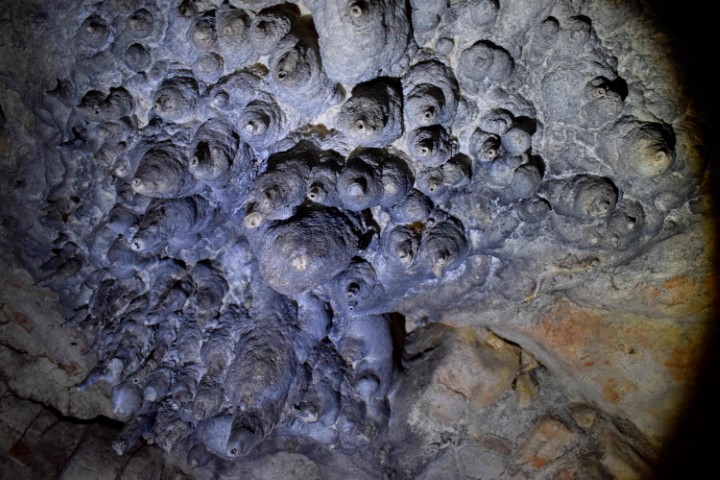
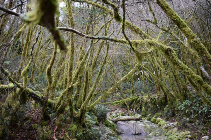
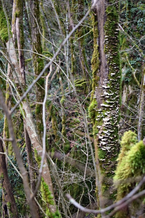
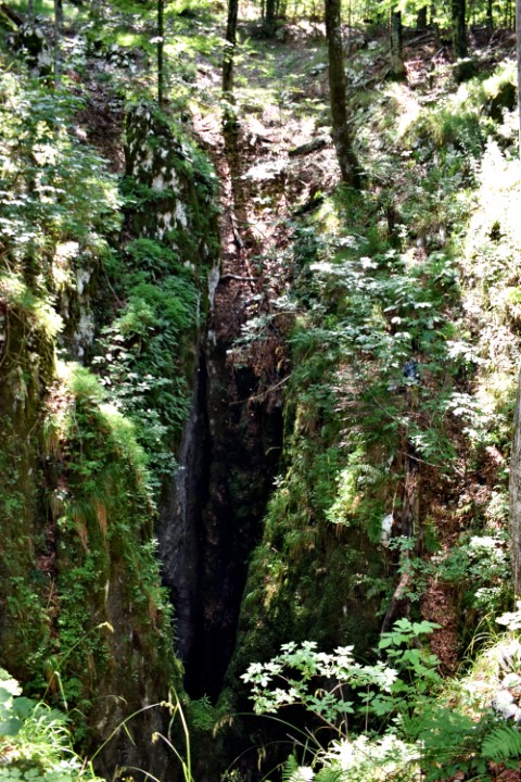
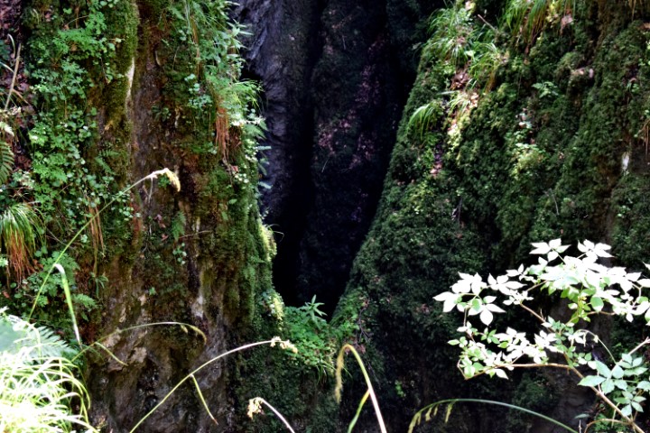
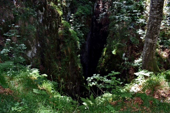
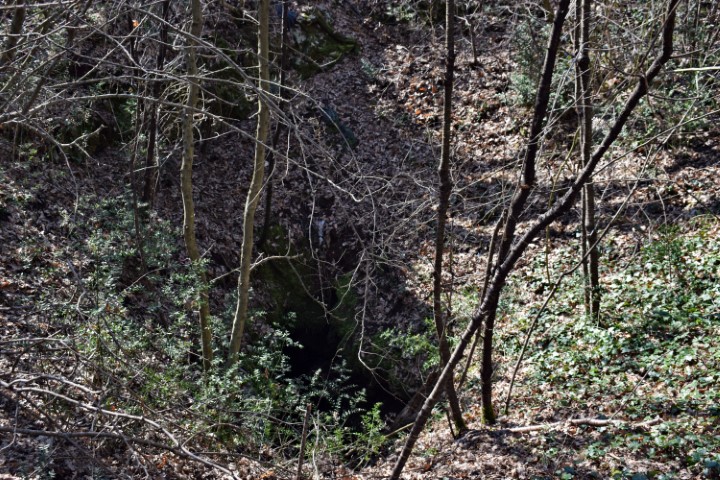
Name: Cave near the Land art trail Učka Mt.
Place: Učka – Poklon.
Coordinates: Starting point 45.30947 N – 14.21326 E, Cave 45.31483 N -14.20518 E.
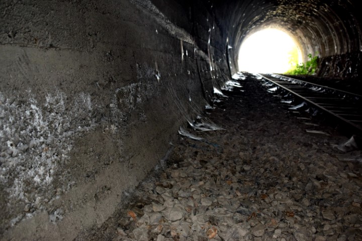
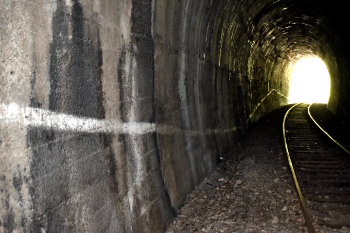
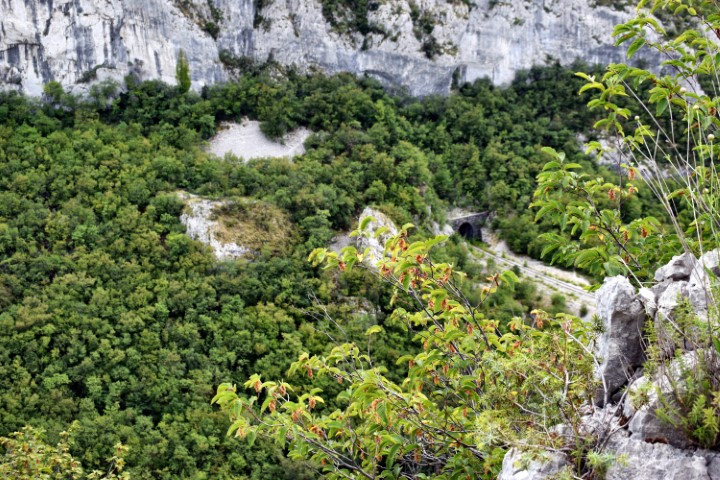
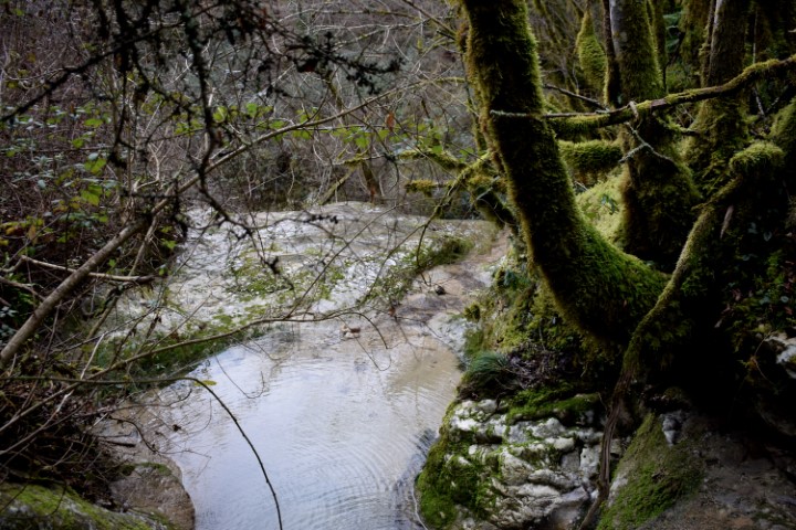
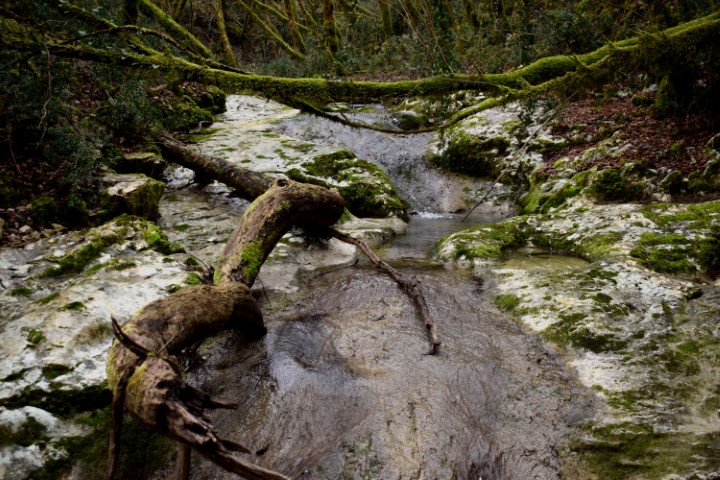
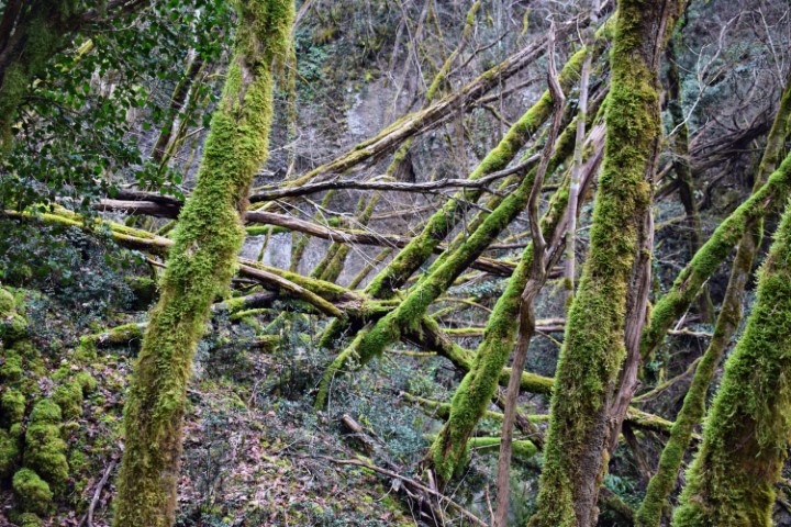
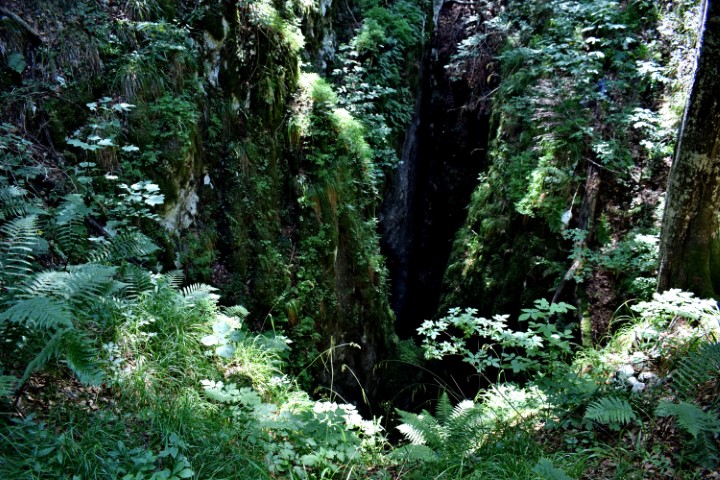
From the quarry near Bančevici through the railway tunnel, and then to the cave Toranji.

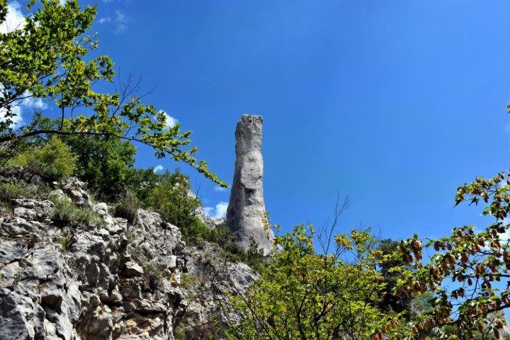
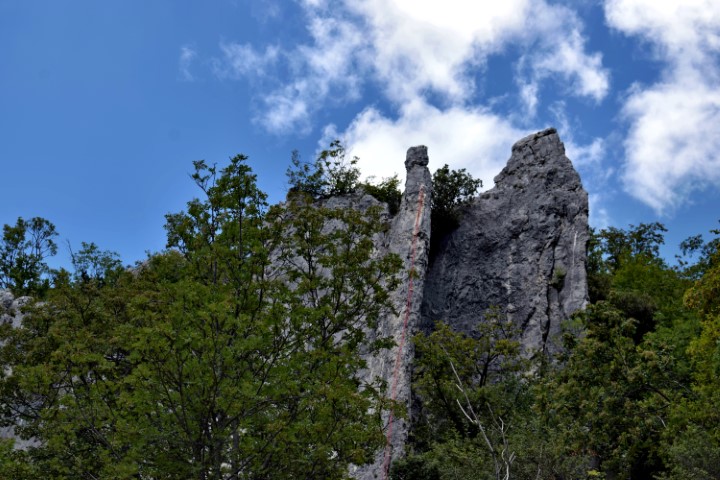
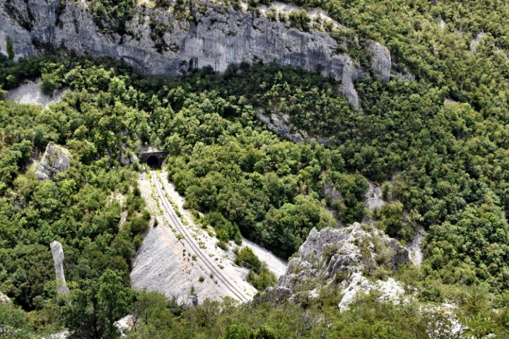
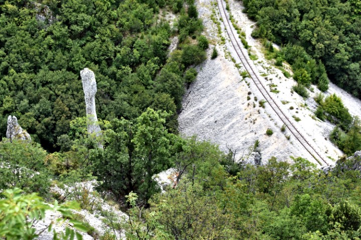
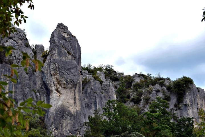
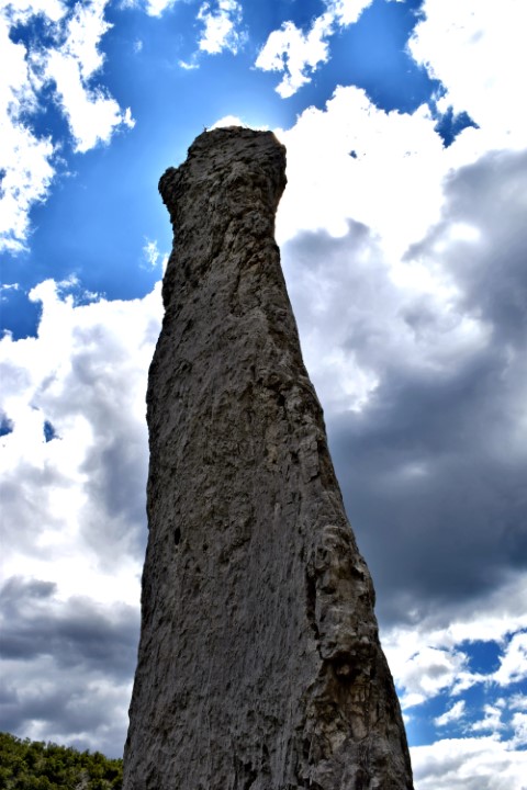
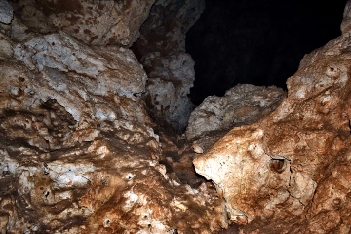
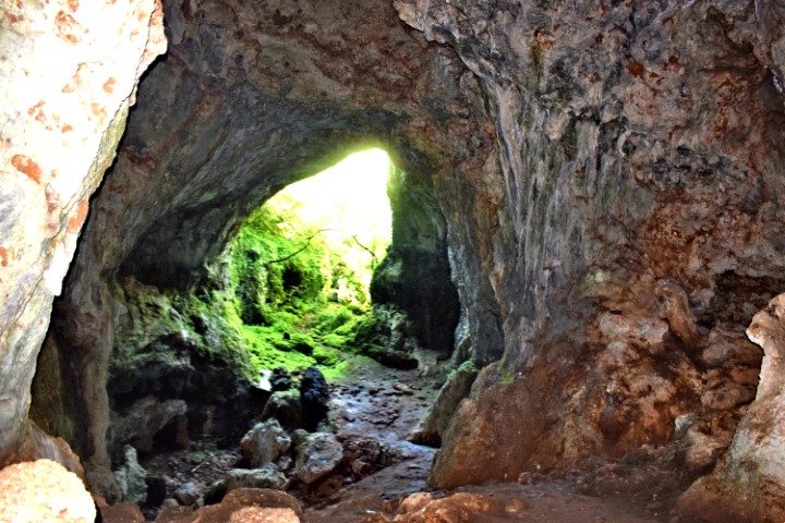
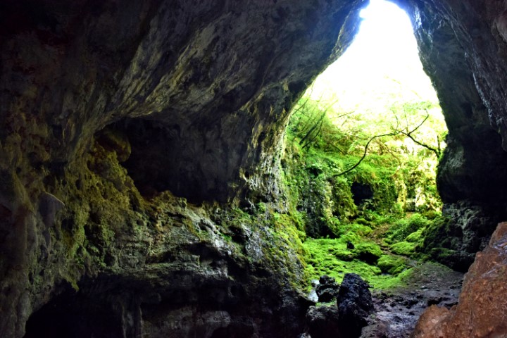
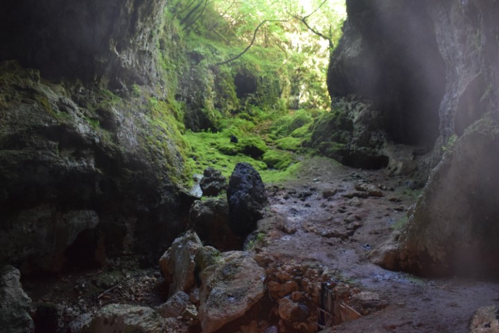
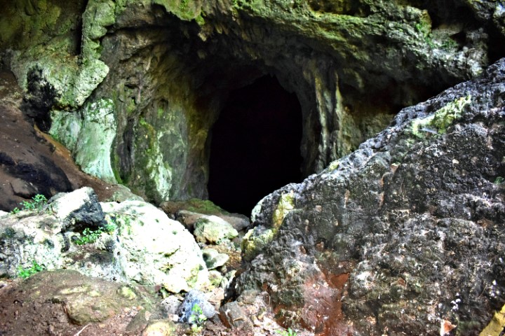
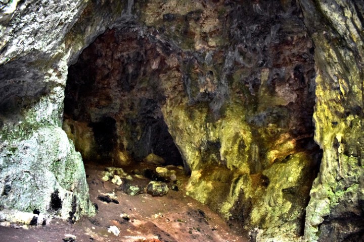
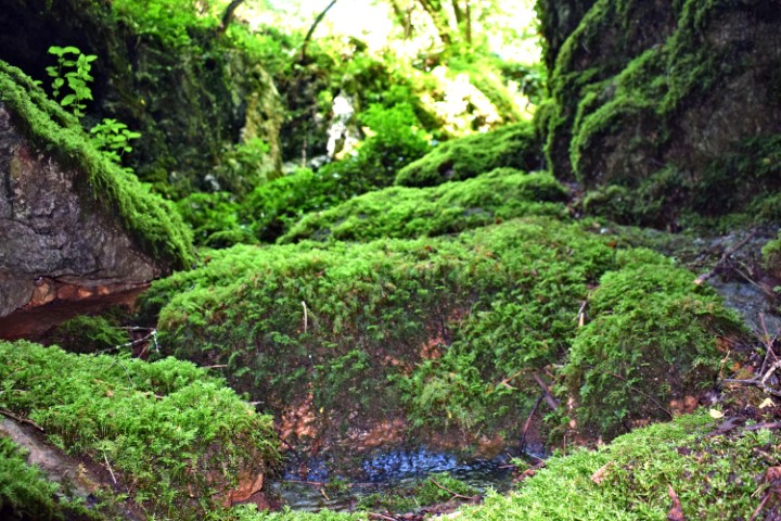
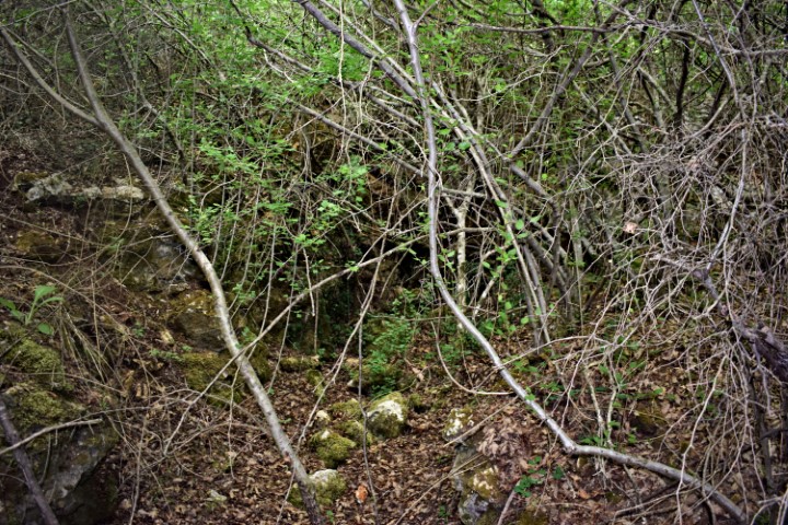
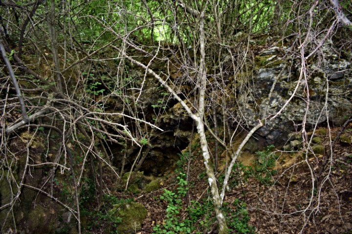
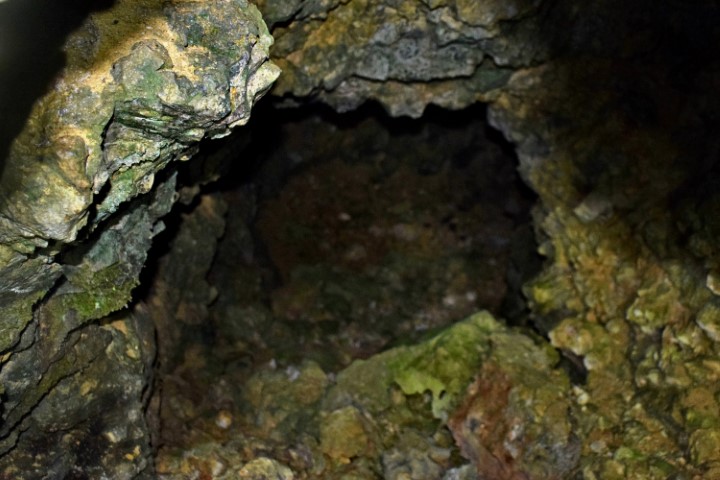
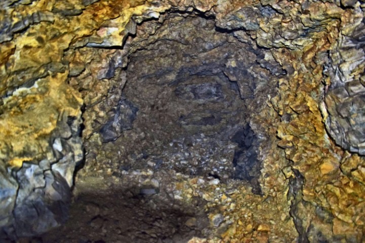
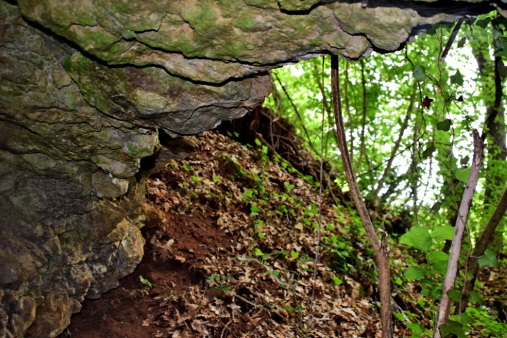
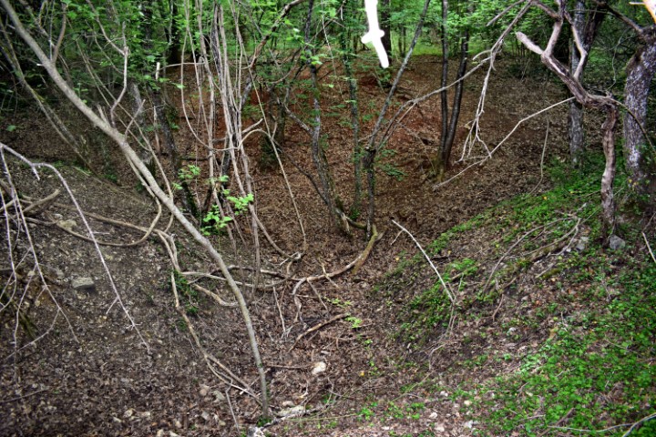
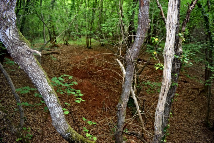
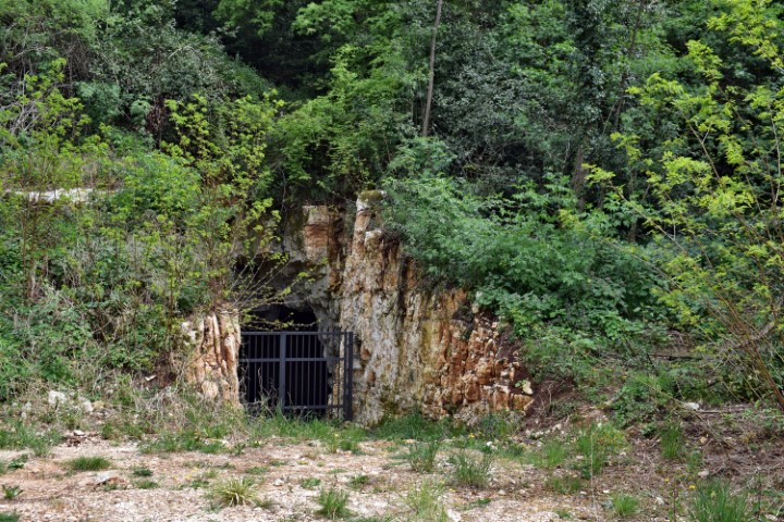
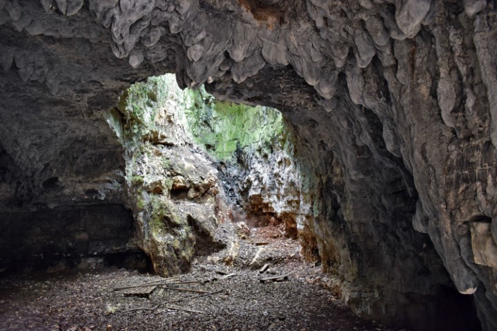
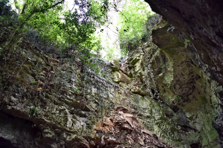
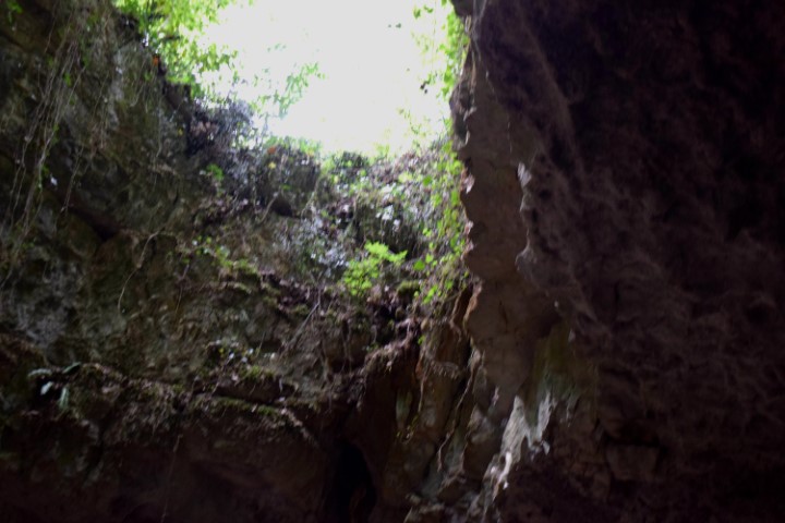
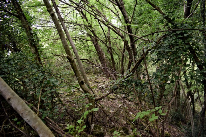
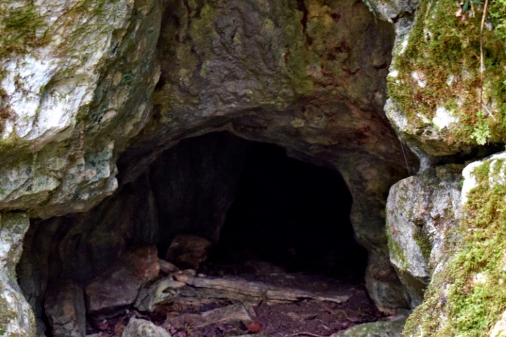
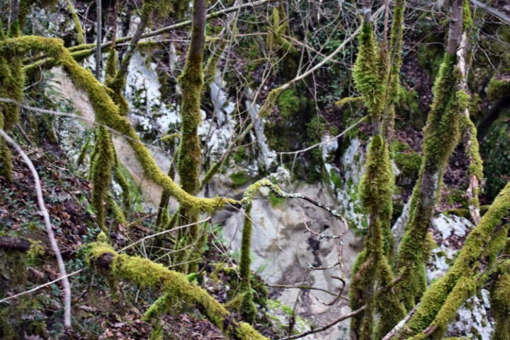
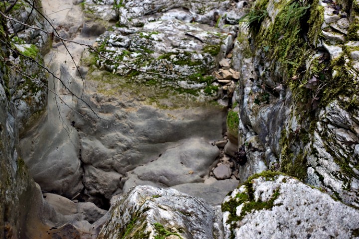
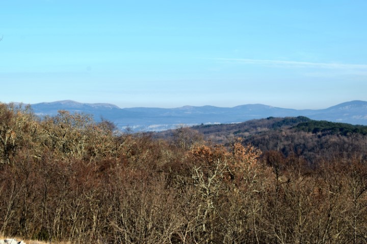
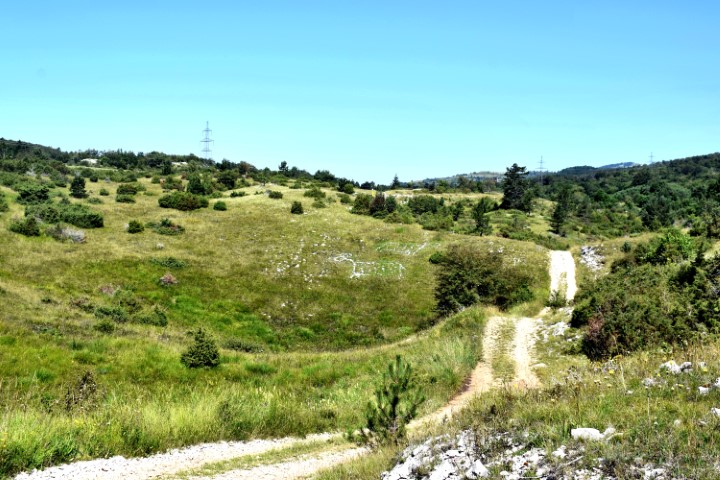
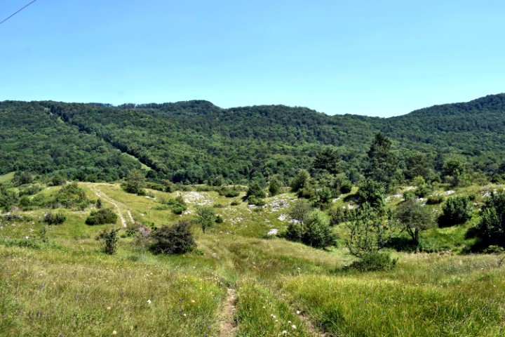
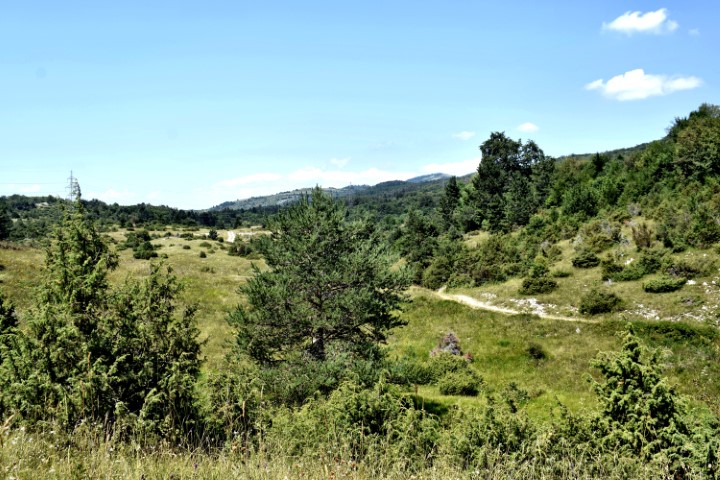
Name: Hiking trail Vela Draga (Učka).
Place: Učka – (Lupoglav).
Coordinates: Starting point 45.31847 N – 14.15770 E, after tunnel 45.31547 N – 14.16642 E to the cave Torenji (350 m. a.s.l.): 45.31540 N – 14.16902 E.
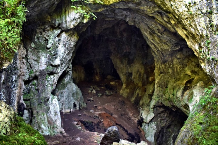
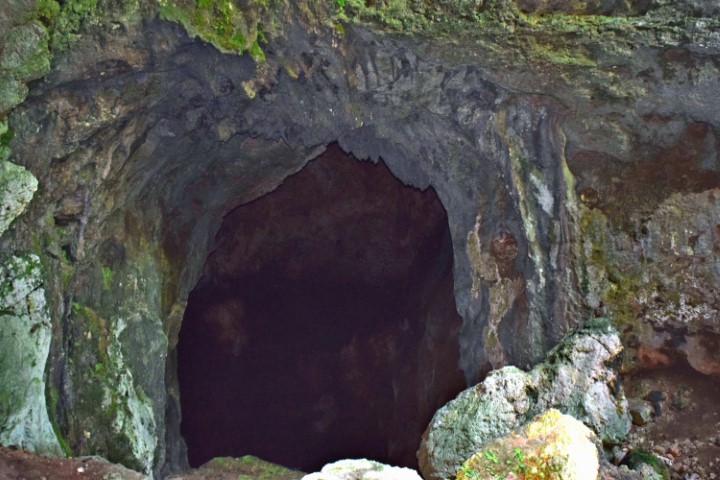
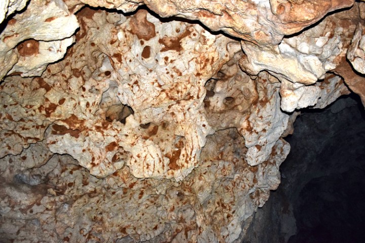
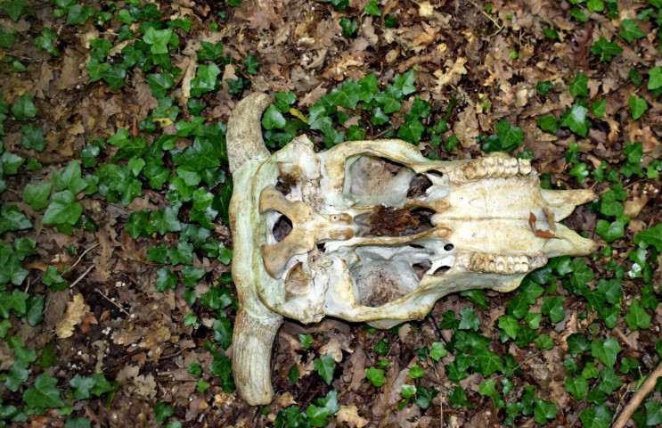
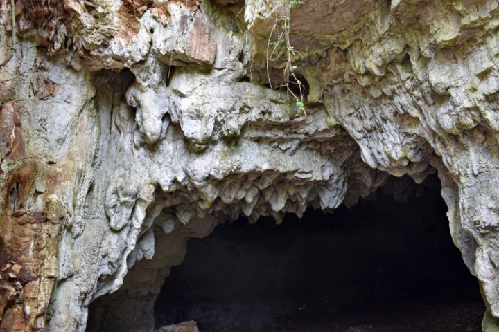
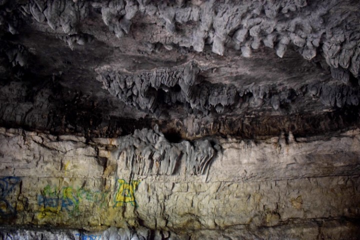
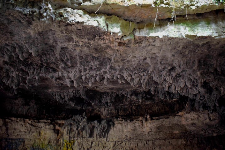
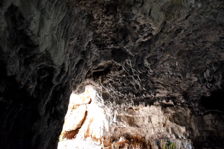
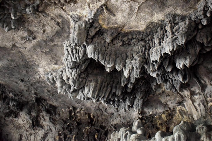
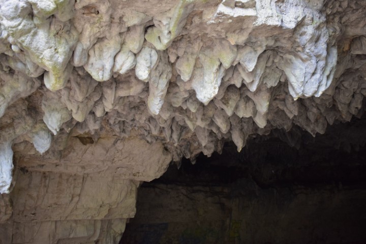
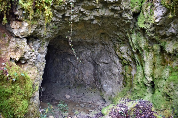
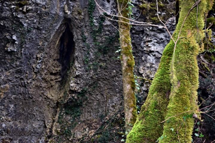
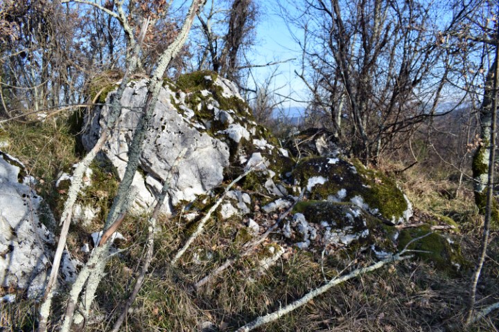
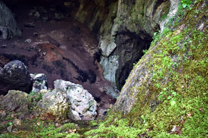
This cave is situated about 1,3 kilometers north of Marčana and has several cave rooms and pits, interconnected by channels.
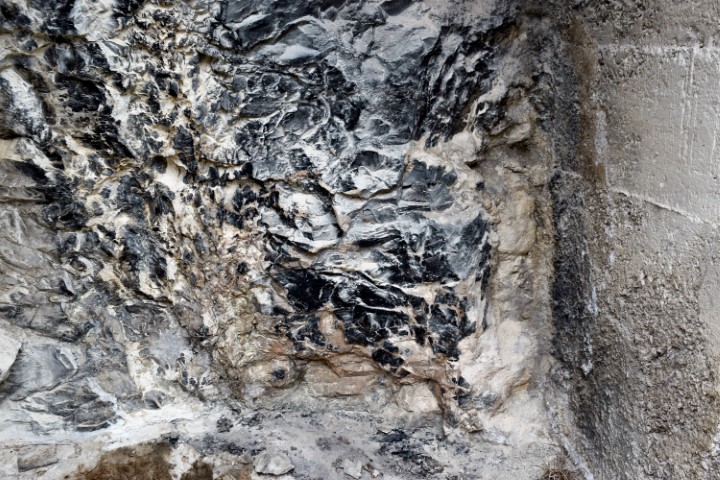
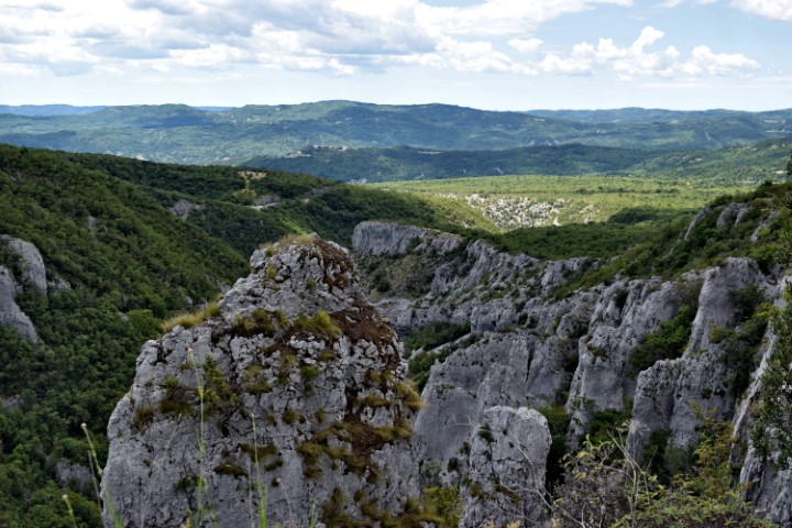
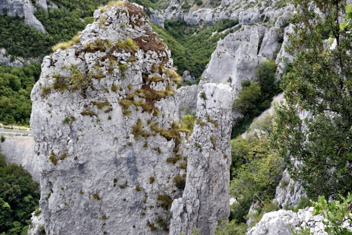
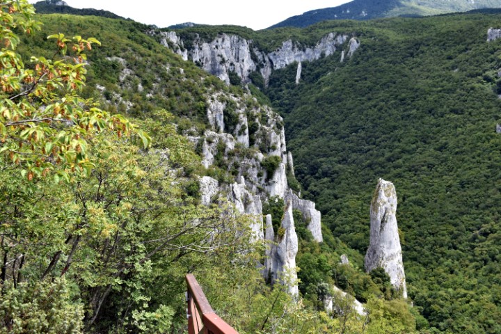
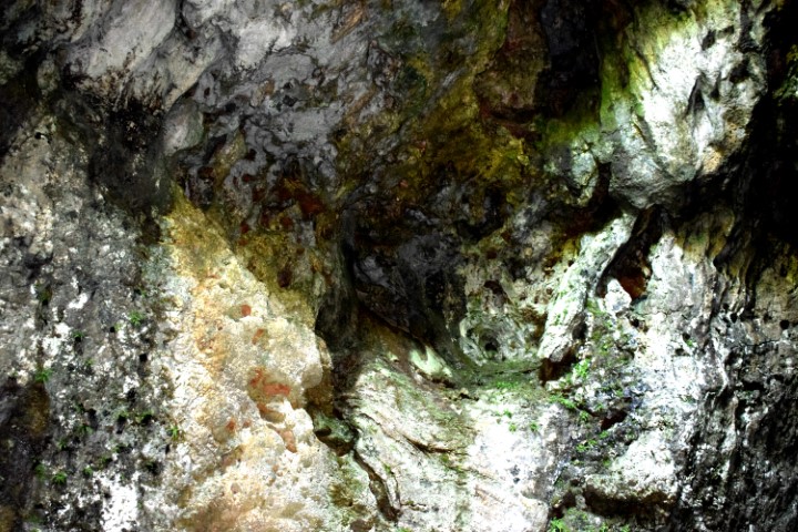
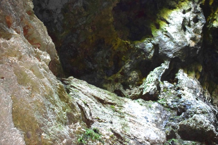
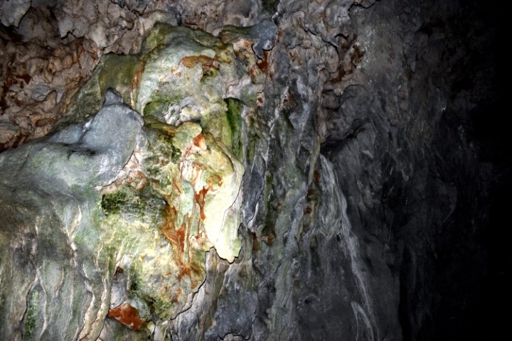
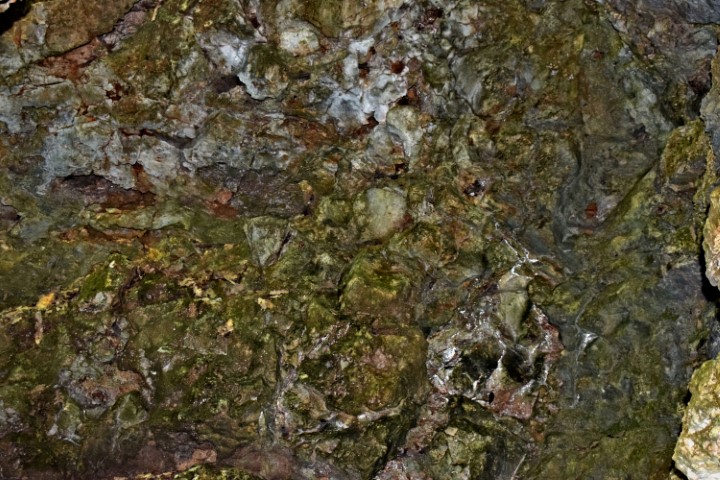
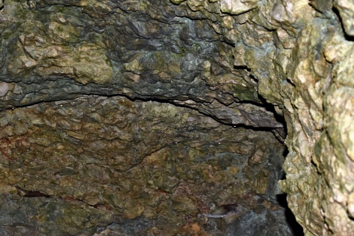
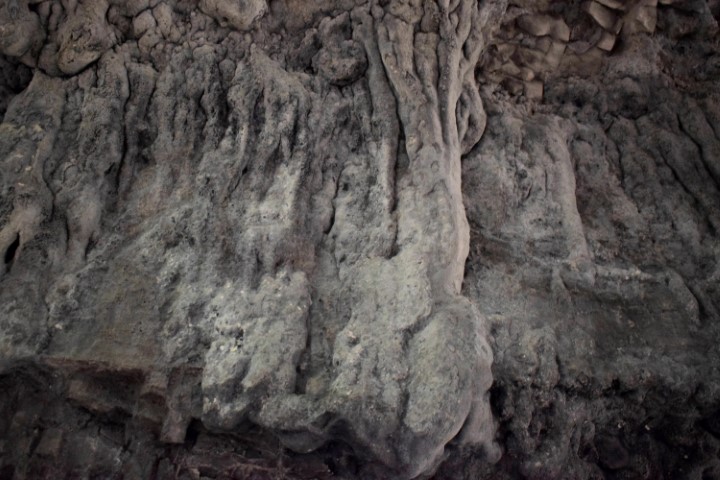
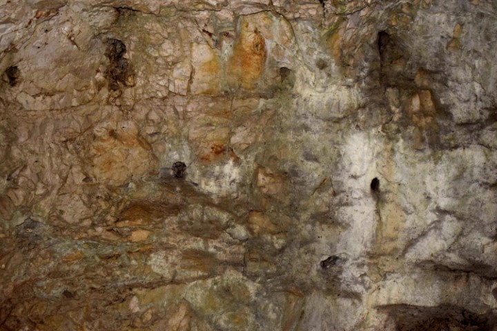
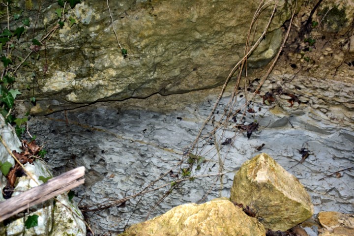
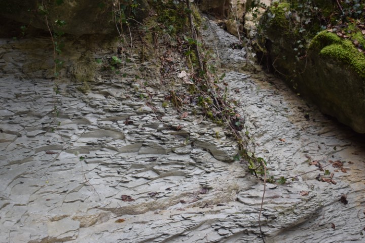
The cave is developed in the limestone of the cretaceous age (approximately 144 till 65 million years ago). This karst phenomenon was created by the action of water enriched with carbon dioxide that dissolved the mineral calcite in the limestone.
On basis of archaeological research in 1991 when they found ceramics and bones was concluded that people lived in the cave in the Neolithic age (about 10.000 years BC) till the Bronze age (2nd millennium BC).
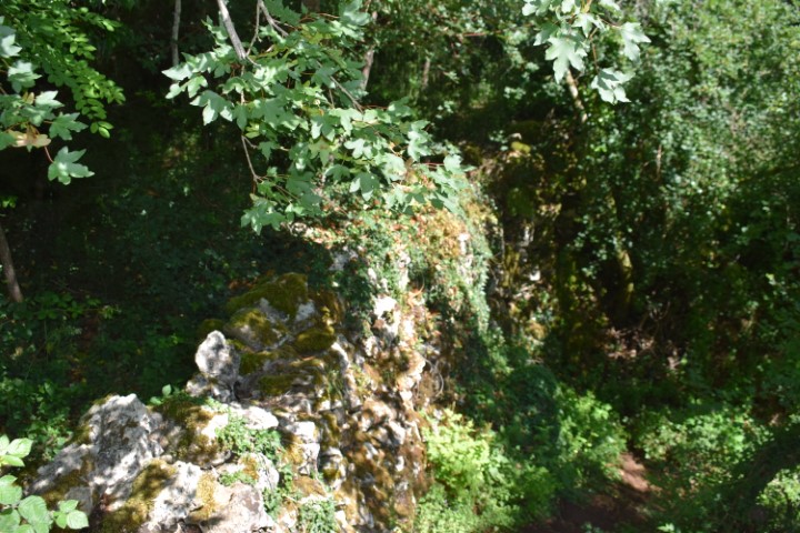
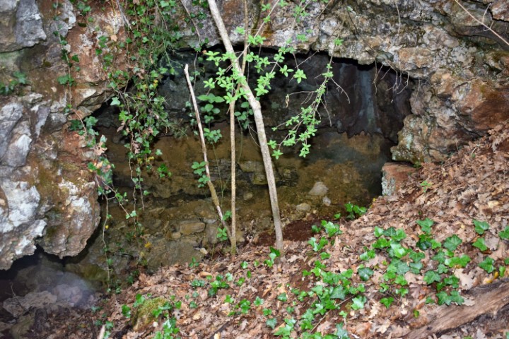
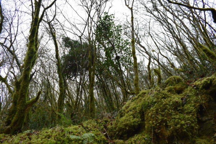
Name: Peruhova / Ljubićava cave.
Place: NearLjubićevastancija-Marčana.
Coordinates: 44.97207 N – 13.95182 E.
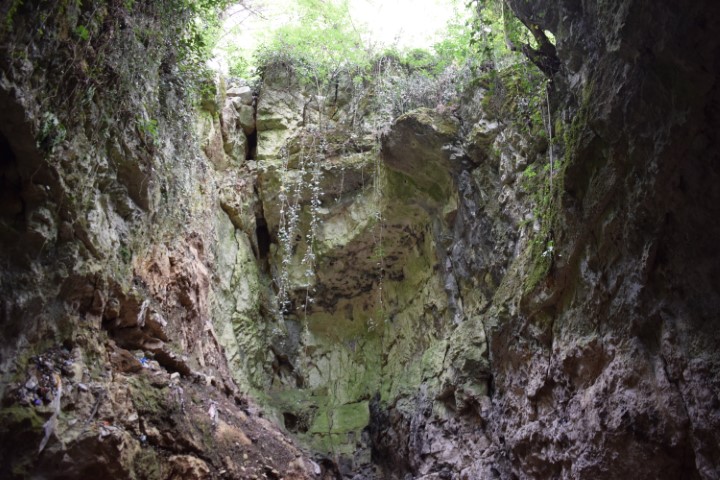
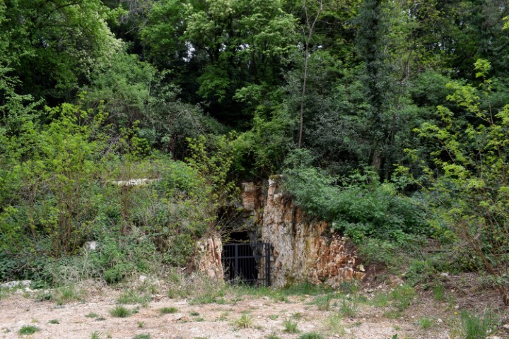
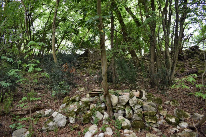
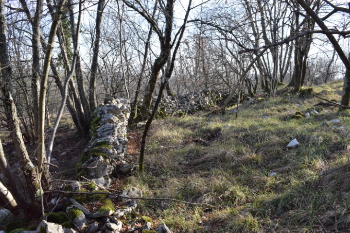
This cave is located in the wooded area of Buran and was a part of the Austro-Hungarian defense system during the First World War. It consisted of dug tunnels and natural caves.

Name: Cave III near Pecinova Dvori – Forest Buran.
Place: Near Pecinova Dvori – (Marčana).
Coordinates: Startpoint hiking 44.94802 N – 13.91574 E, Cave: 44.94753 N – 13.91571 E.
This cave is located in the wooded area of Buran and was a part of the Austro-Hungarian defense system during the First World War. It consisted of dug tunnels and natural caves.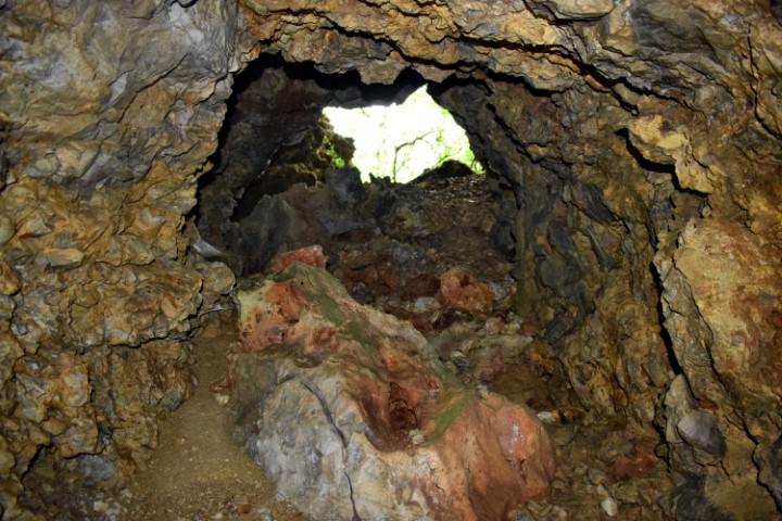
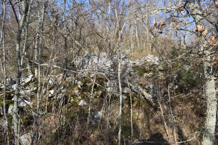
Place: Cave II near Pecinova Dvori – Forest Buran.
Place: Near Pecinova – (Marčana).
Coordinates: Startpoint hiking: 44.94802 N – 13.91574 E, Cave II 44.94775 N – 13.91562 E.
This cave is located in the wooded area of Buran and was a part of the Austro-Hungarian defense system during the First World War. It consisted of dug tunnels and natural caves.
Name: Cave I near Pecinova Dvori – Forest Buran.
Place: PecinovaDvori – (Marčana).
Coordinates: Startpoint hiking 44.94802 N – 13.91574 E, Cave I 44.94801 N – 13.91554 E.

Name: Cave Višnjan.
Place: Višnjan.
Coordinates: Cave: 45.27598 N – 13.71641 E, Entrance forest: 45.27451 N – 13.71528 E.
Name: Cave Ronka.
Place: Near Gajana.
Coordinates: 045.01329 N – 13.82439 E.
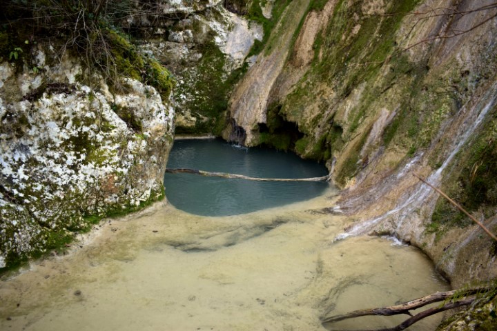
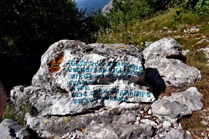
According to legend, the Šašinski stream is named after a gang that raided the area around St. Elizabeth near Kaldir. One day the members got an appearance, after which they vowed for an altar
to make. The “Antro degli assasini” cave.

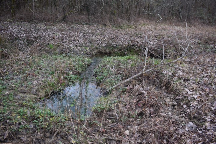
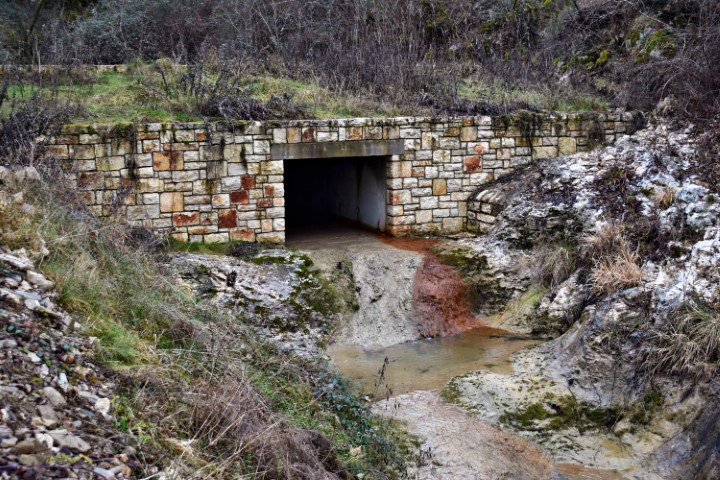
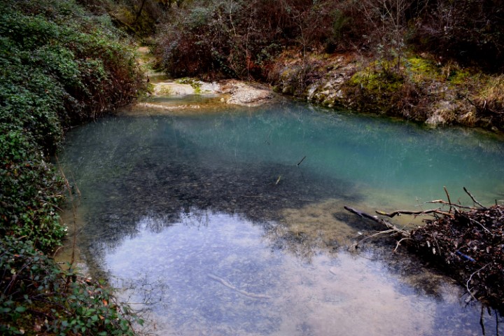
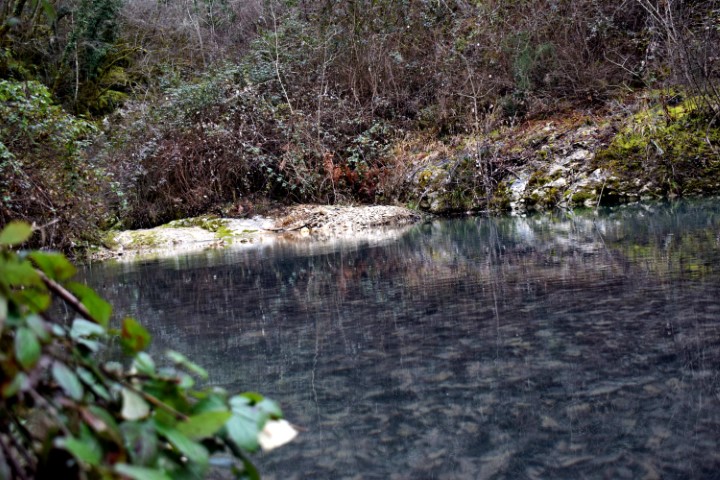
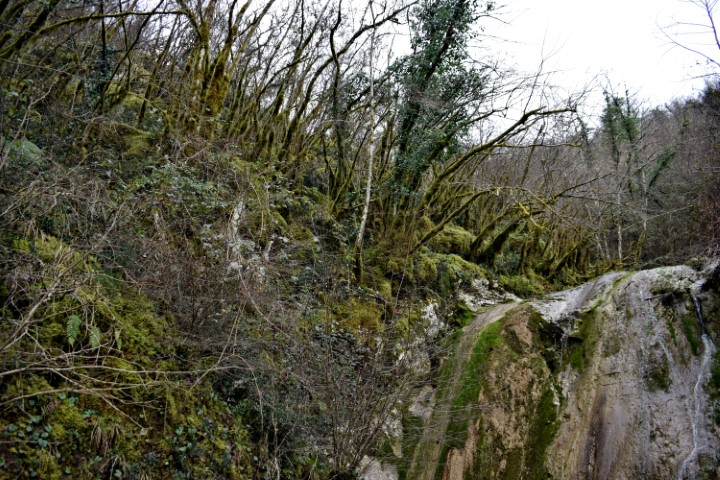
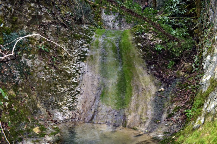
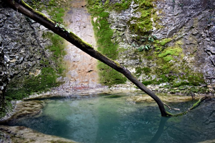
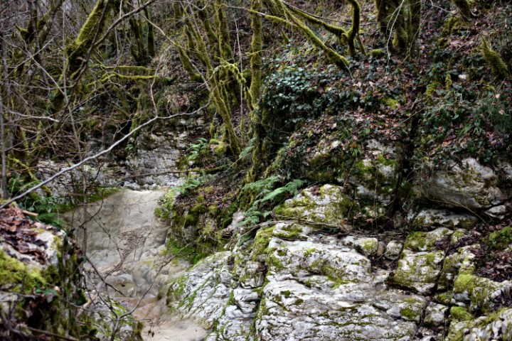
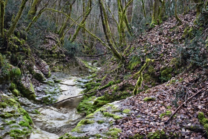
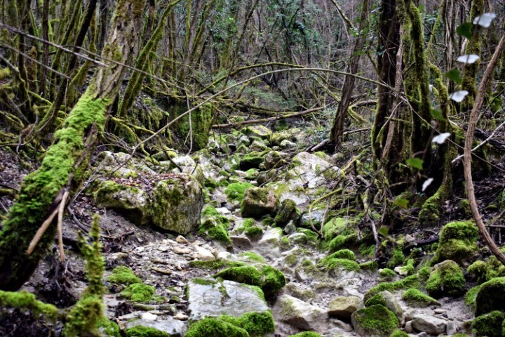
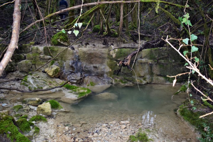
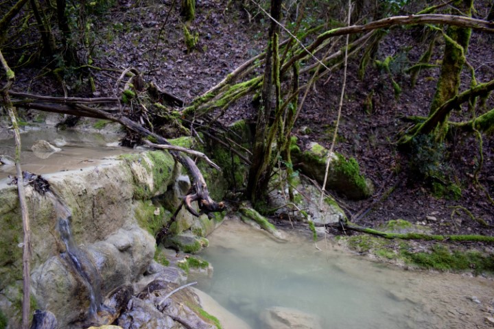
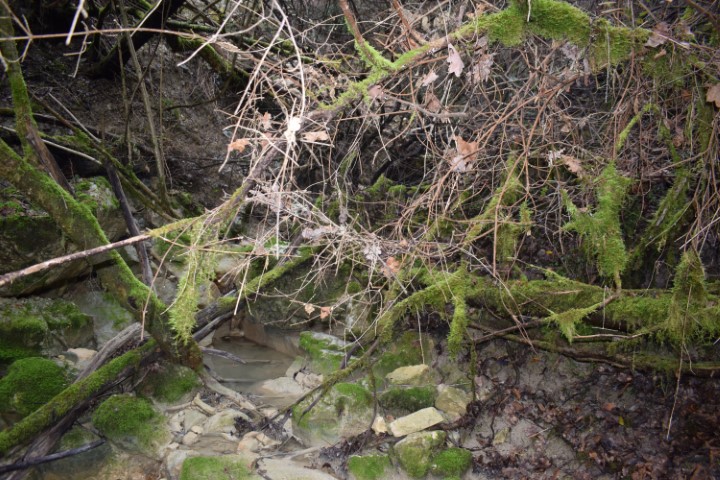
Name: Šašinski stream – Loškur waterfalls near Benčići.
Place: Benčići – (Motovun).
Coordinates:
Starting point: 45.32412 N – 13.84877 E.
Loškur waterfalls : 45. 32288 N – 13.84778 E.
Cave: 45.32252 N – 13.84731 E.
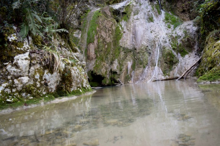
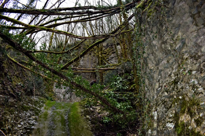
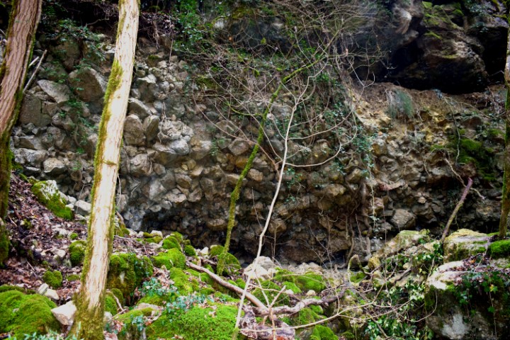
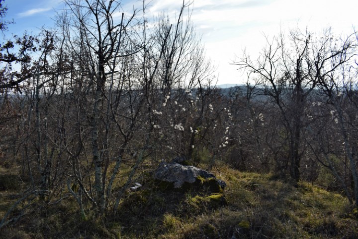
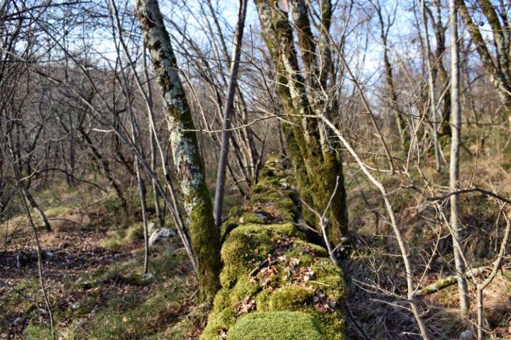
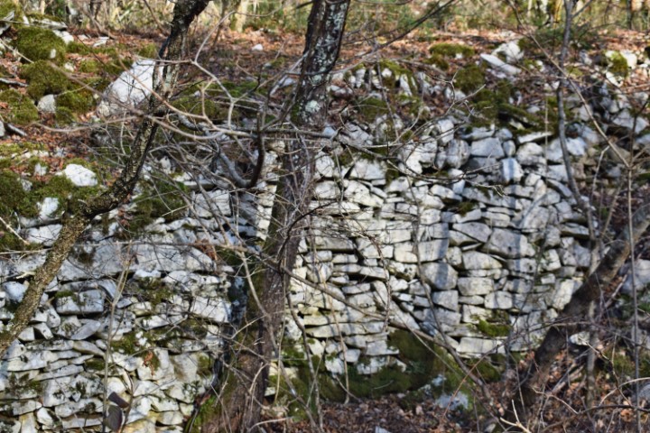
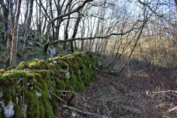
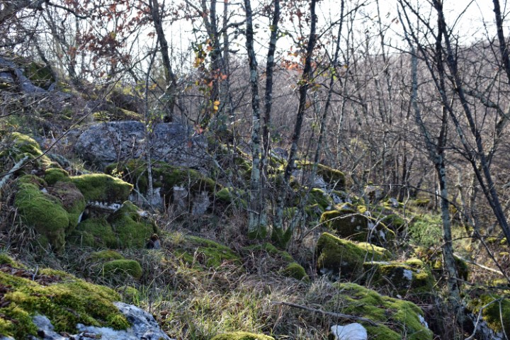
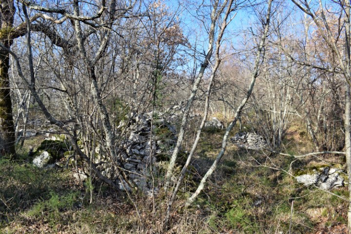
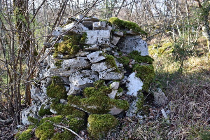
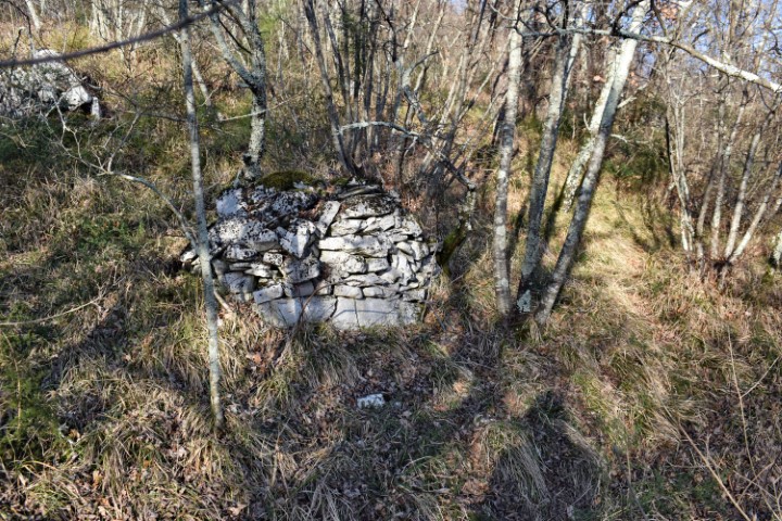
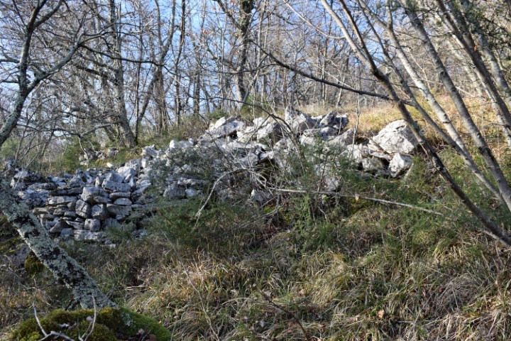
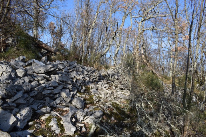
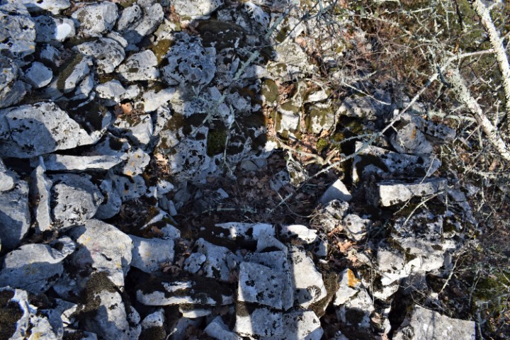
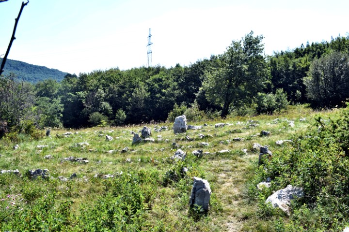
Partly due to the ceramics found and the dry technique applied to the walls, it is clearly recognizable that this was a prehistoric settlement. This gradina extended over two small landscaped plateaus. The small cave outside the gradina may have served as a water reservoir.

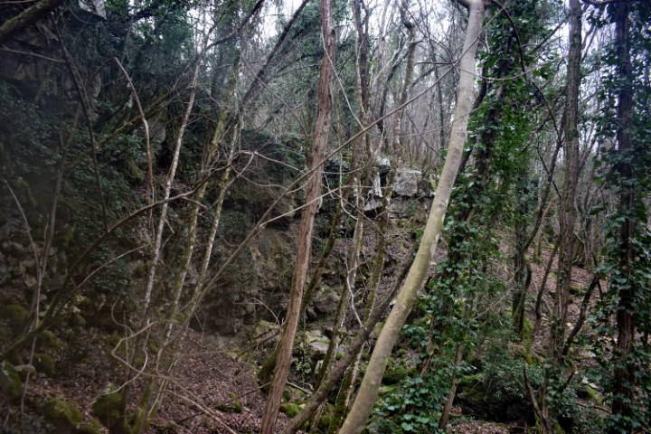
Name: Kukuj.
Place: Near Sorgi – (Oprtalj).
Coordinates: Starting point 45.40941 N – 13.84477 E.;
Top 45.40925 N – 13.84624 E (456 meters above s.l.).