
Name: Prehistoric settlement Pištine.
Place: Marići – (Svetvinšenat).
Coordinates: 45.10885 N – 13.8588 E.

Name: Prehistoric settlement Pištine.
Place: Marići – (Svetvinšenat).
Coordinates: 45.10885 N – 13.8588 E.
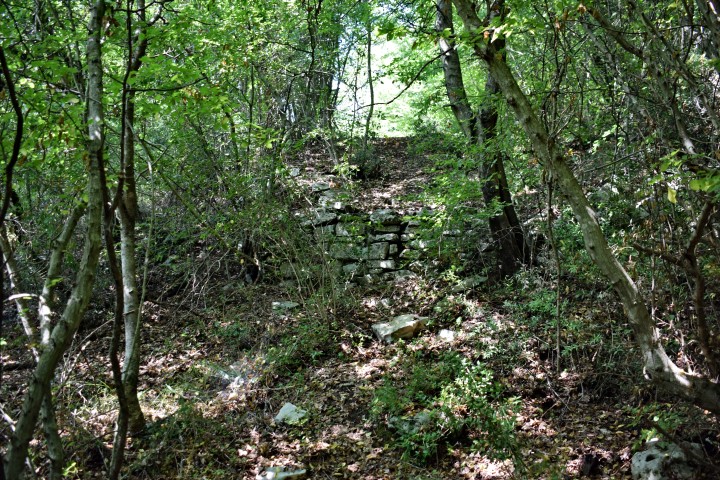
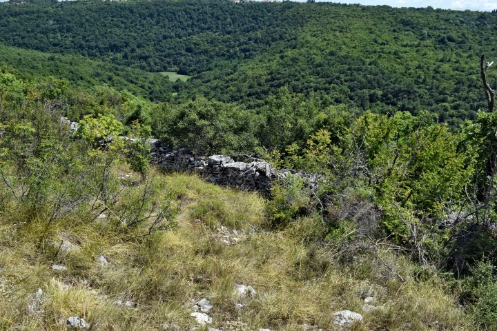
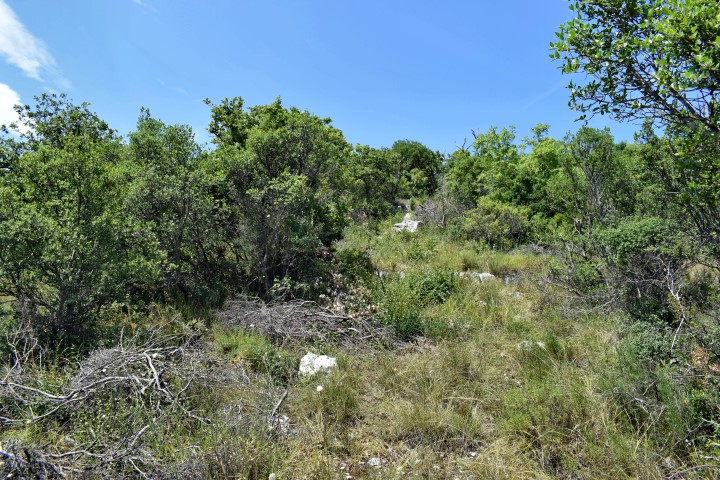
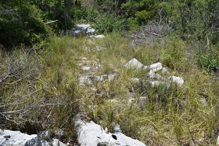
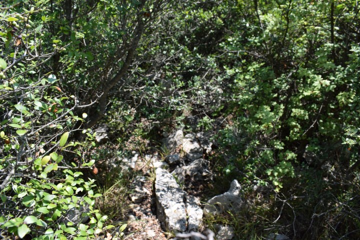
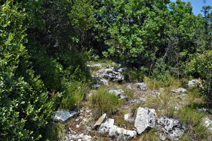
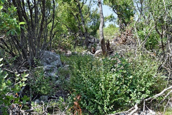
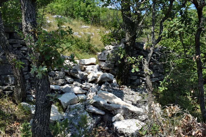
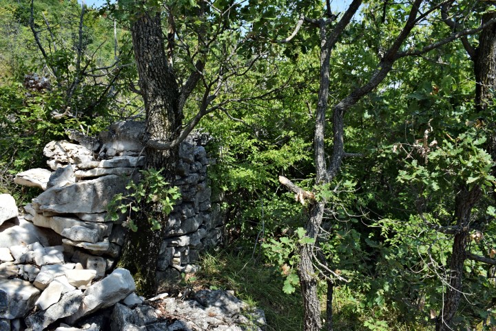
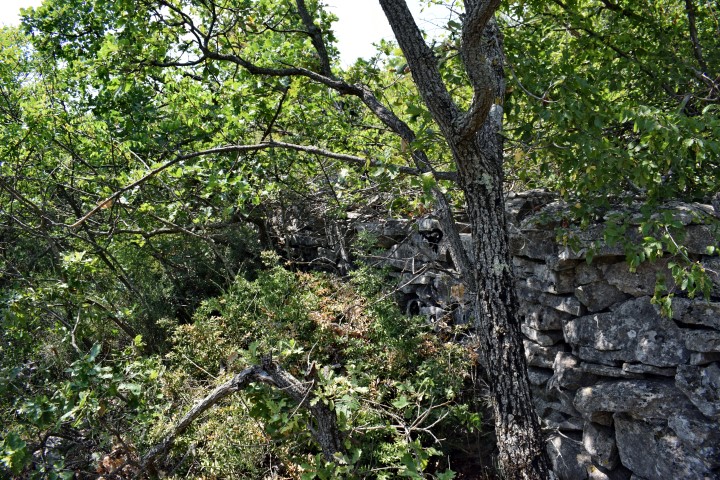
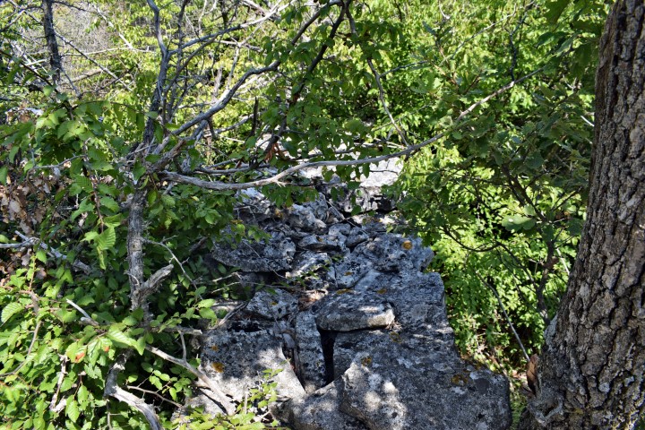
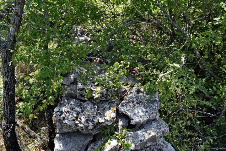
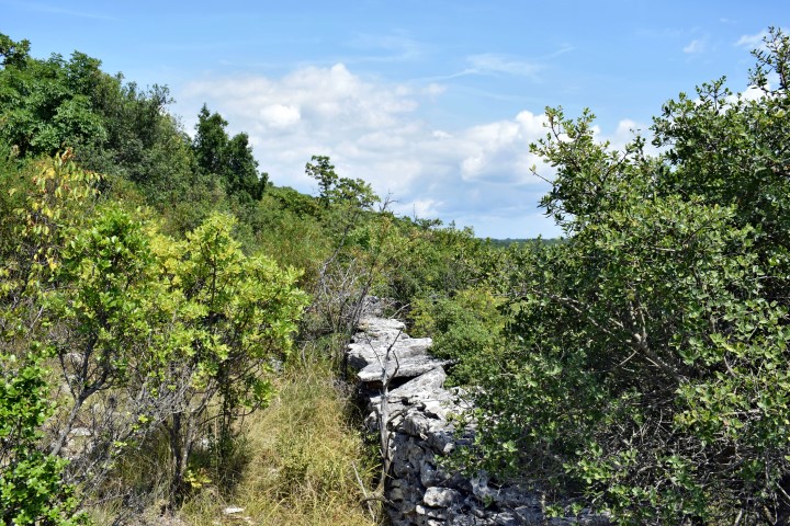
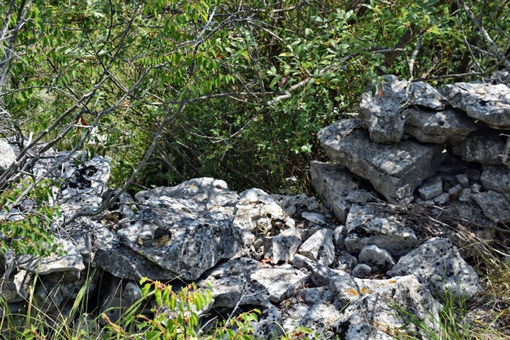
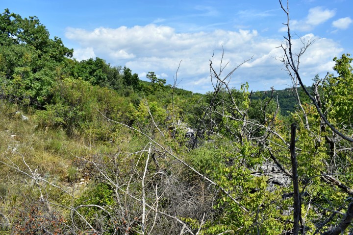
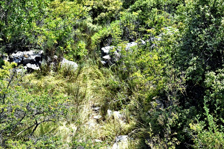
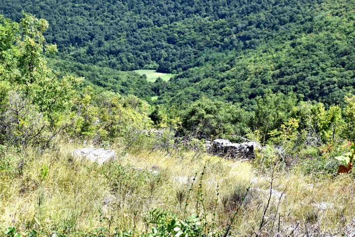
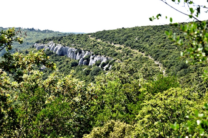
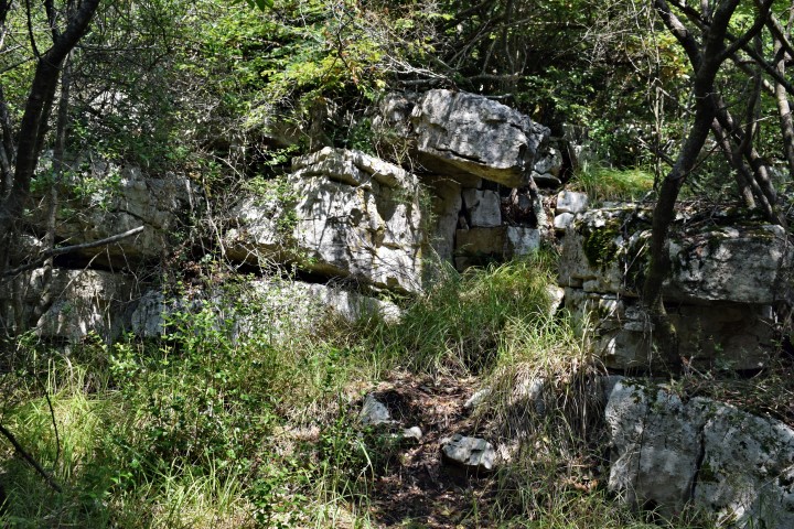
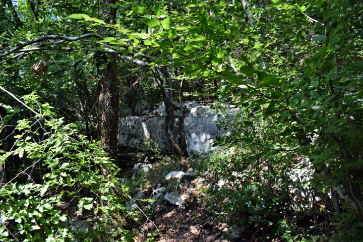
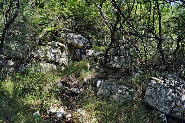
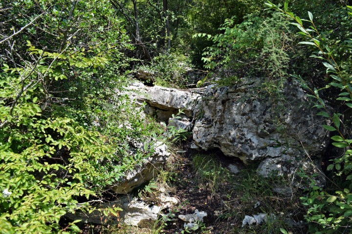
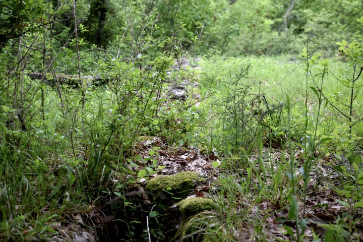
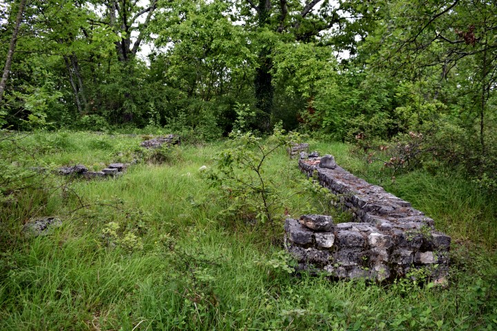
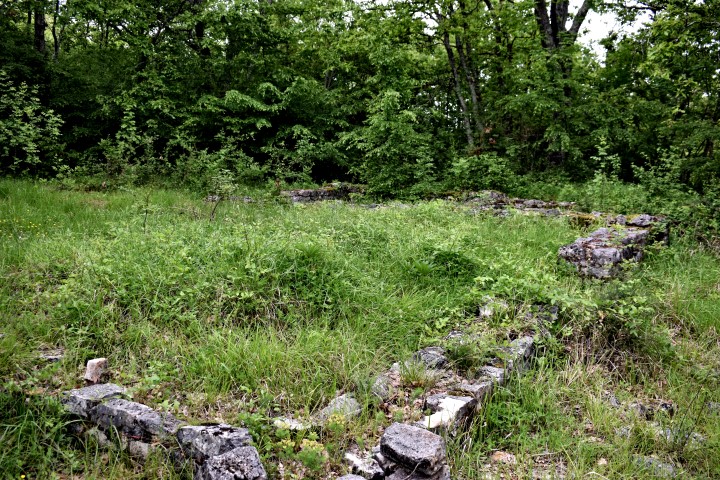
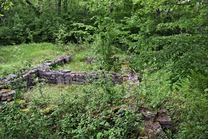
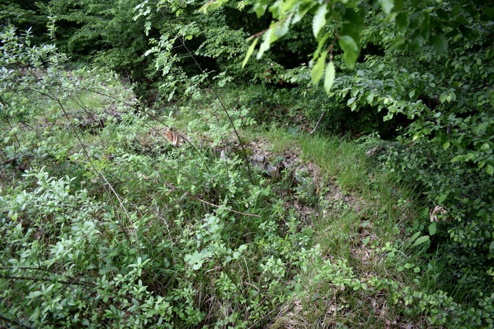
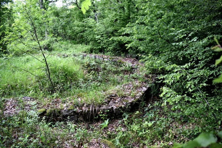
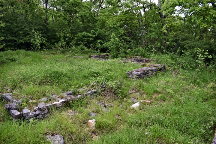
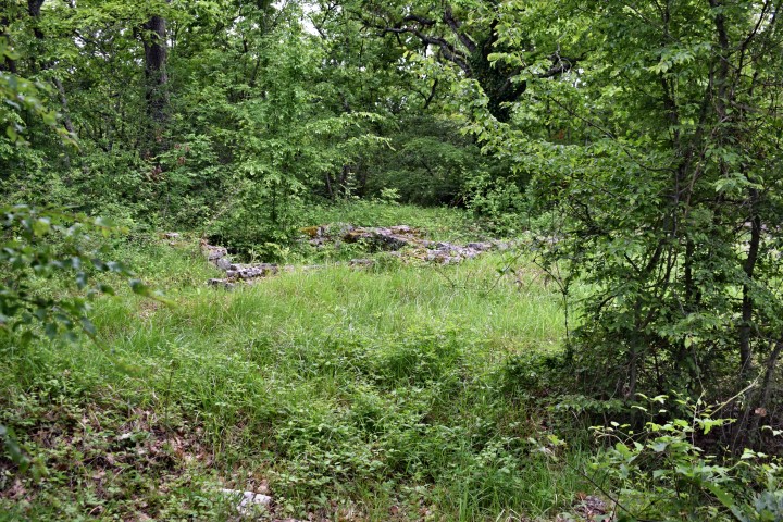
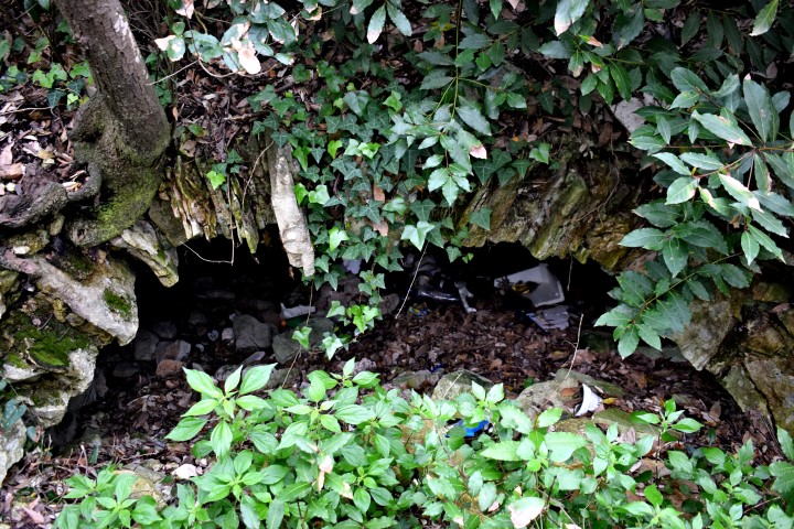
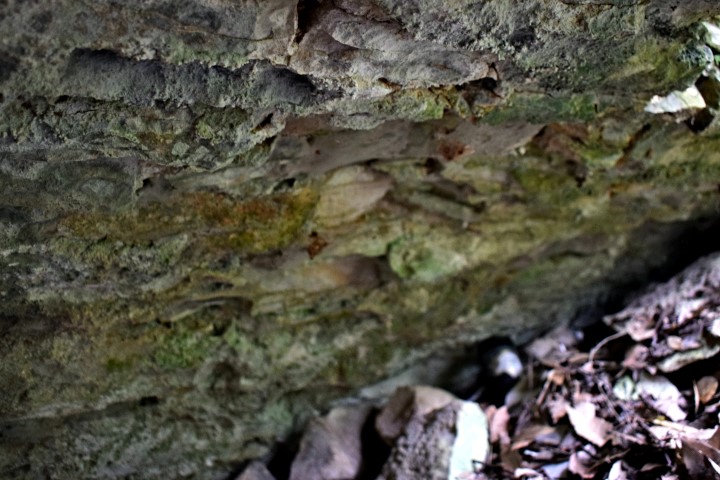
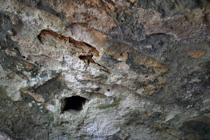
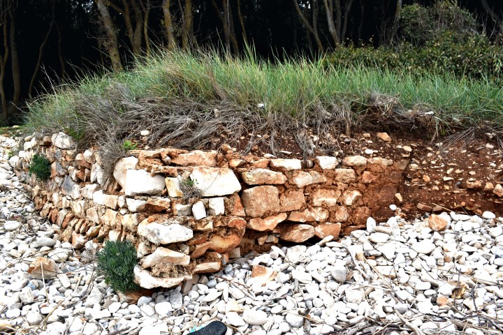
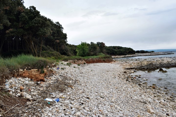
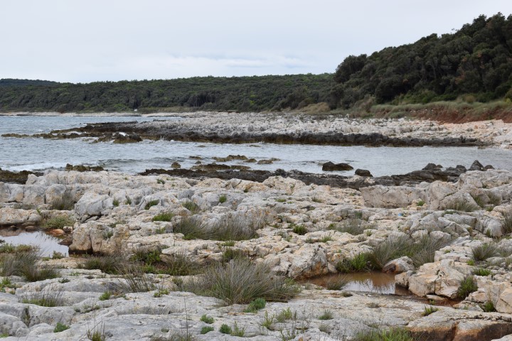
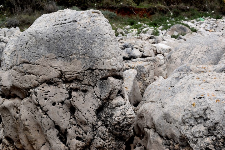
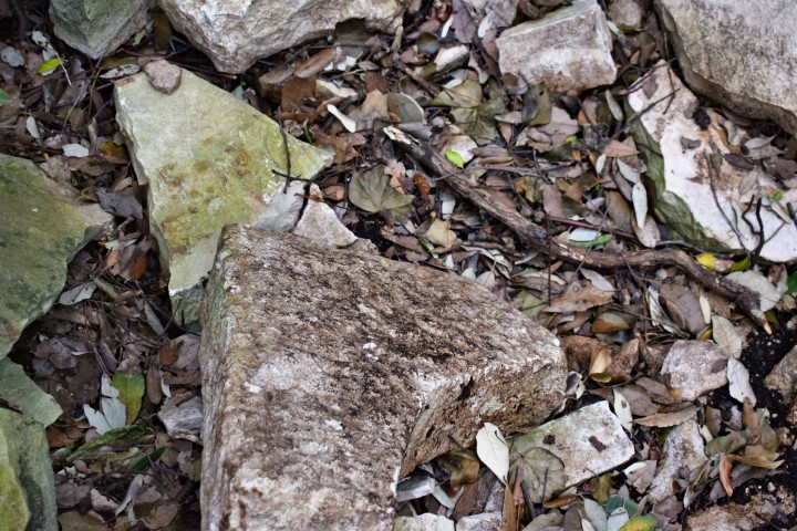
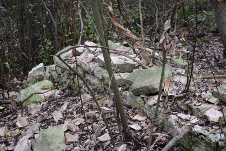
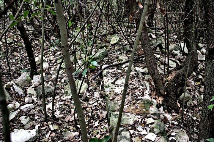
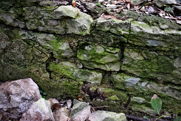
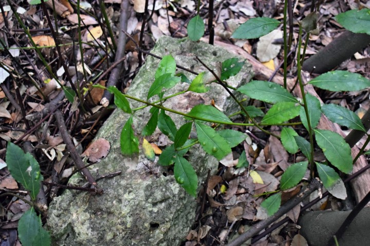
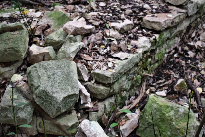
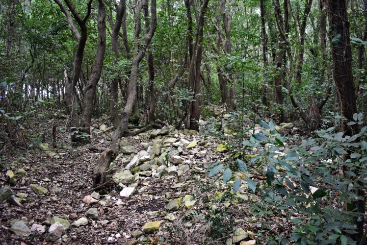
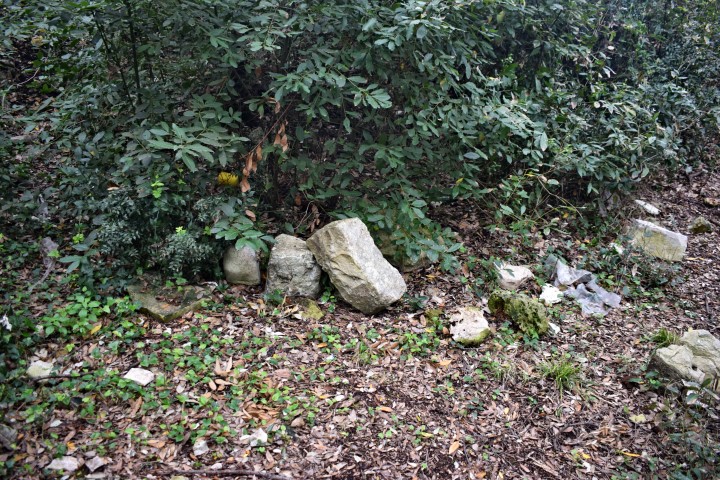
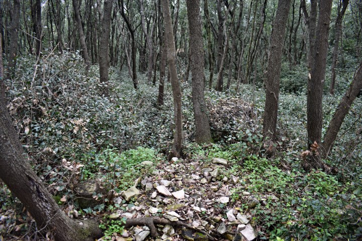
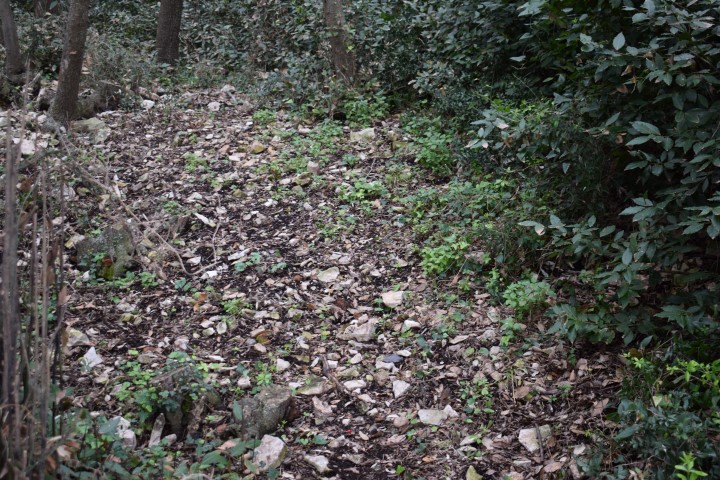
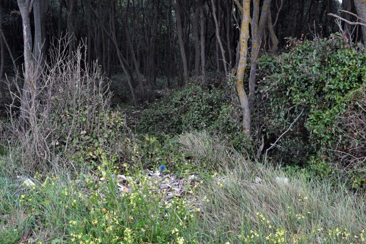
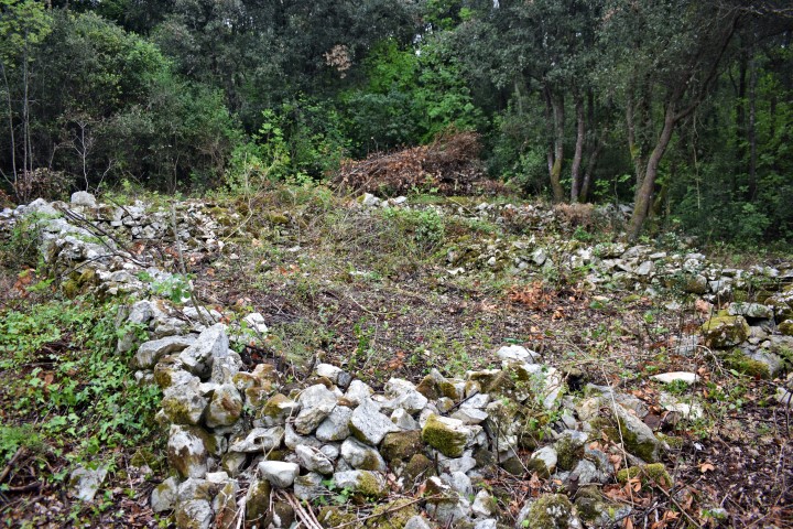
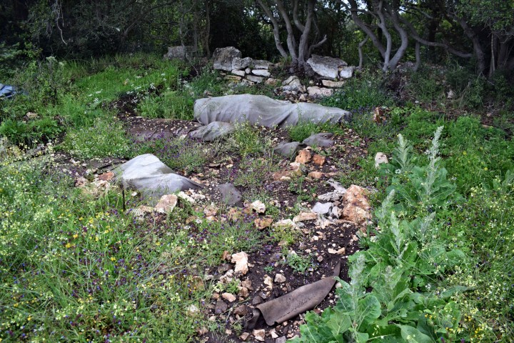
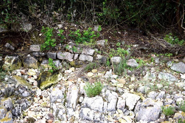
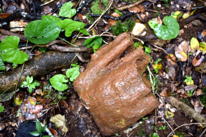
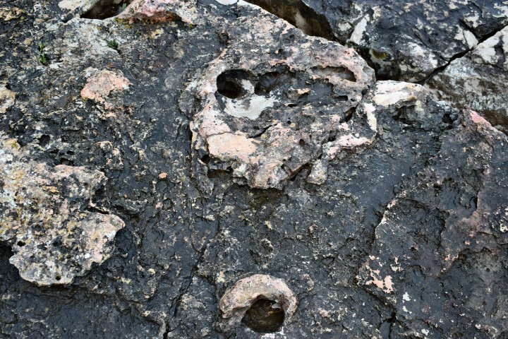
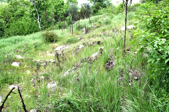
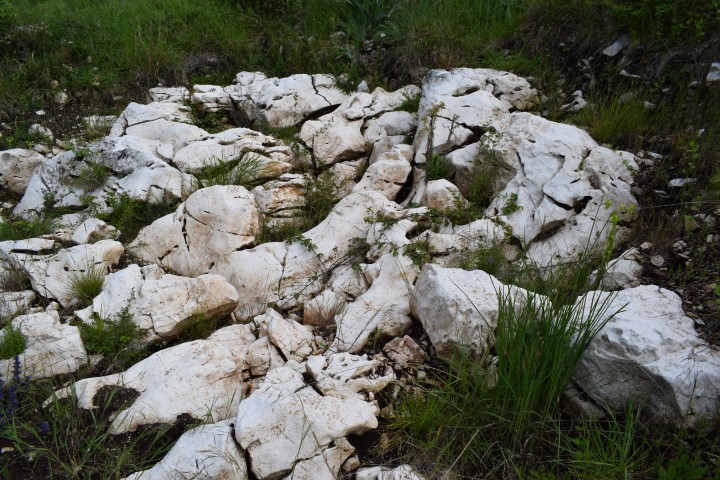
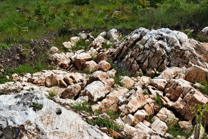
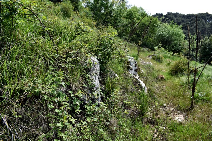
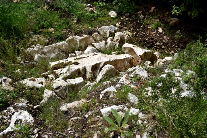
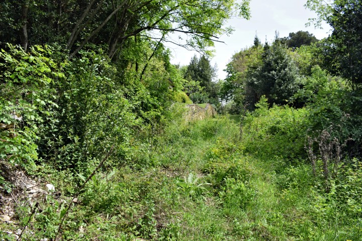
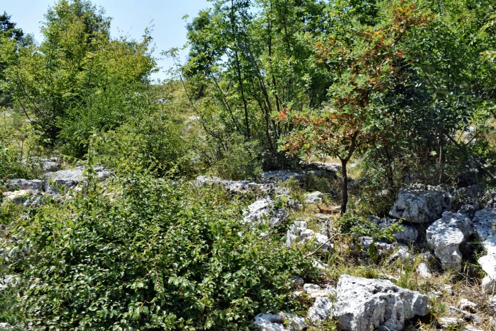
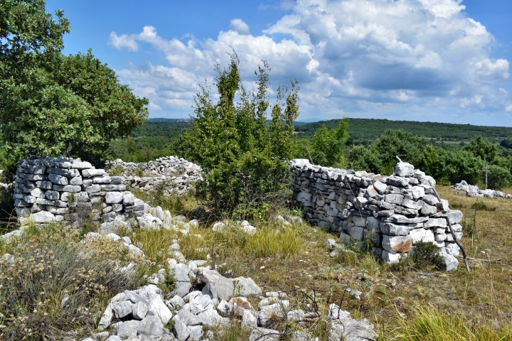
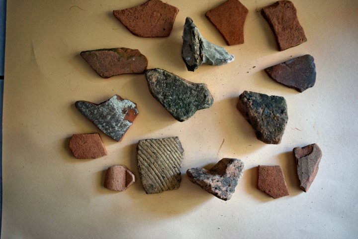
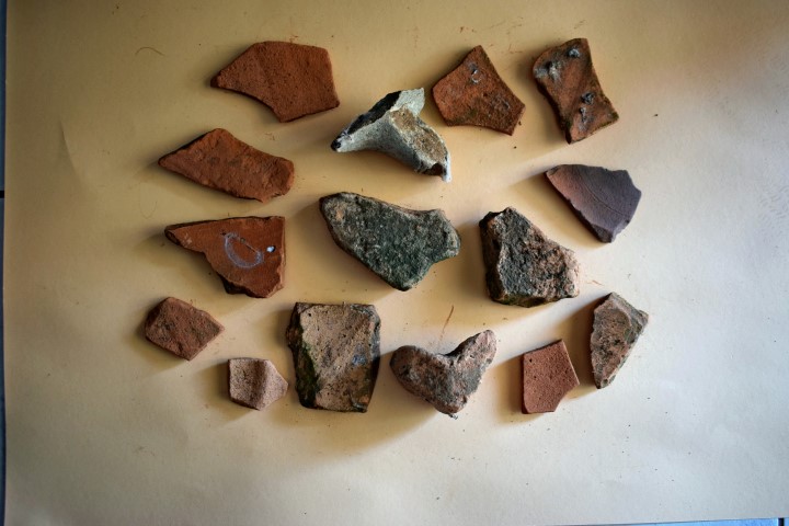
Magarištak was a Prehistoric and later a Roman settlement. This is supported by the discovery of ceramics from the Roman and Prehistoric period.

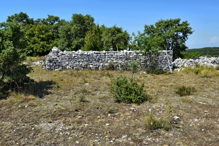
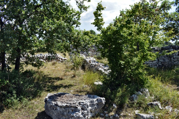
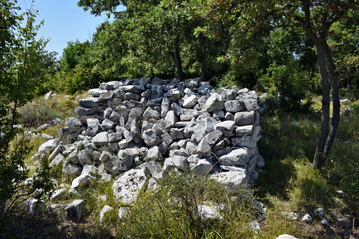
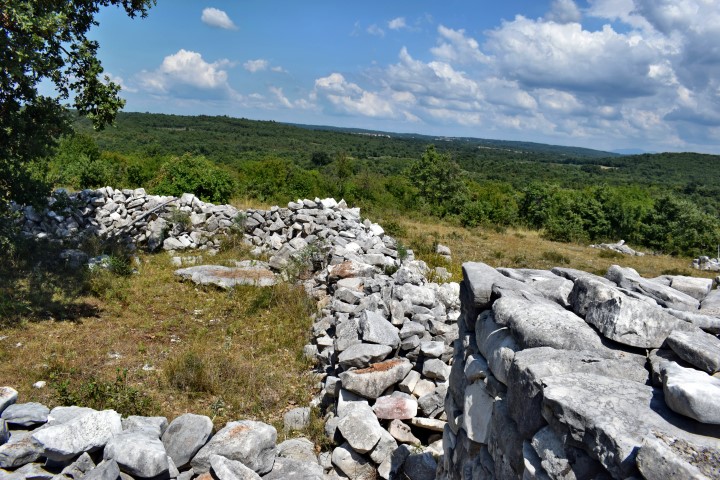
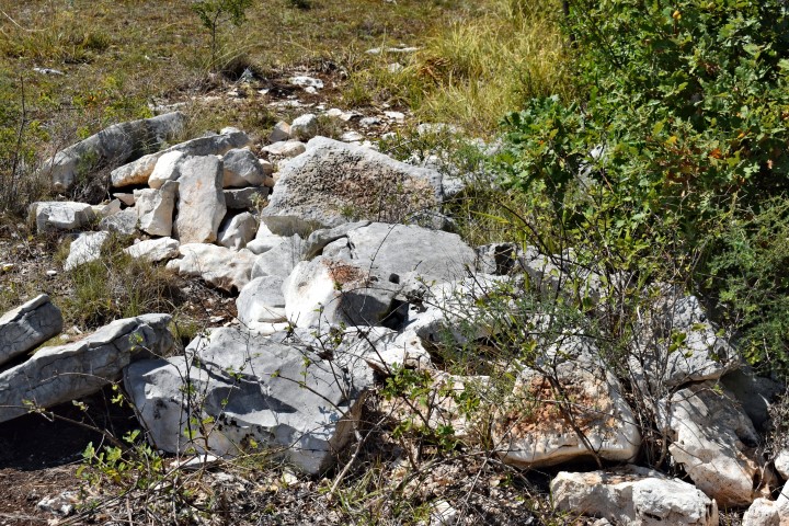
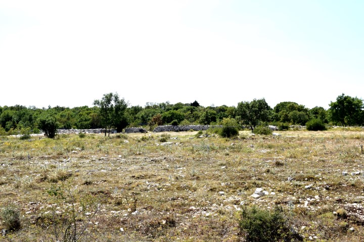
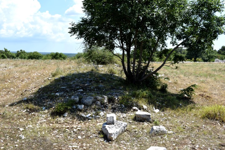
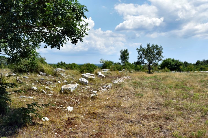
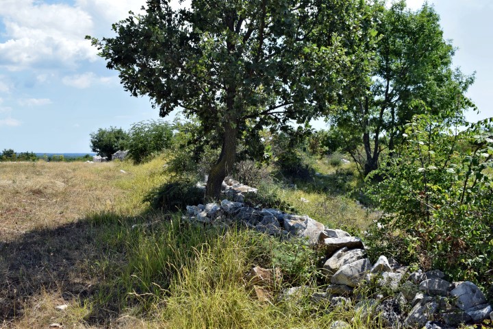
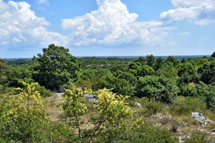
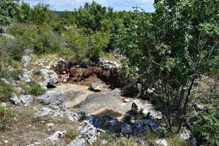
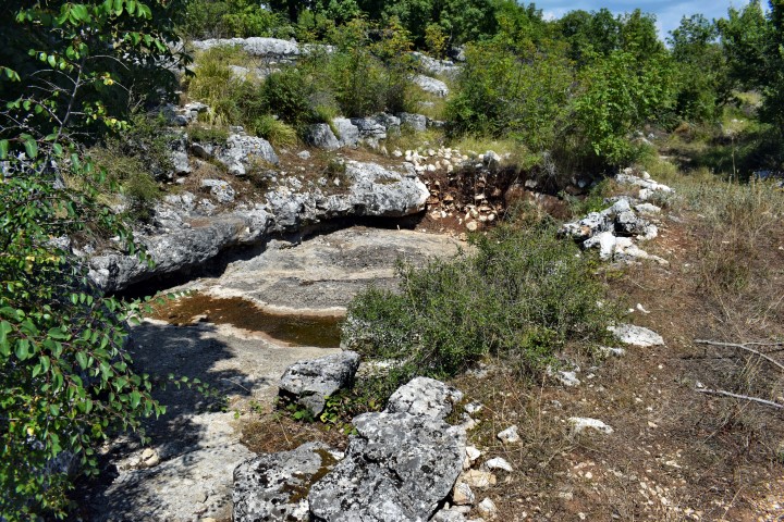
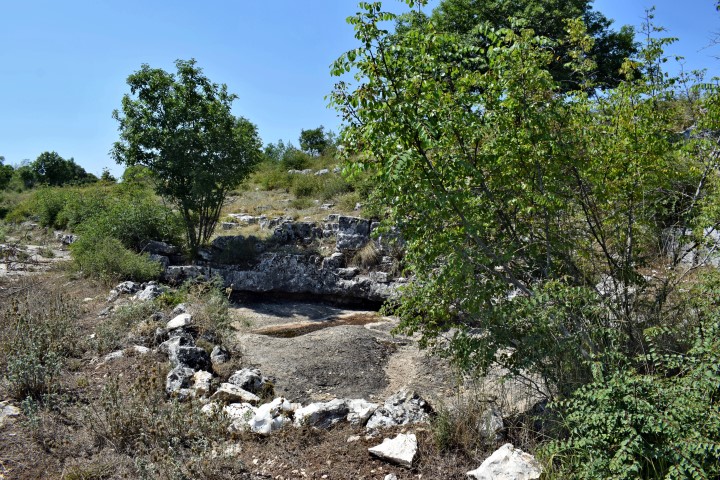
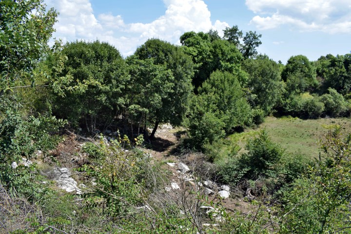
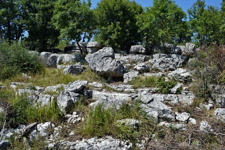
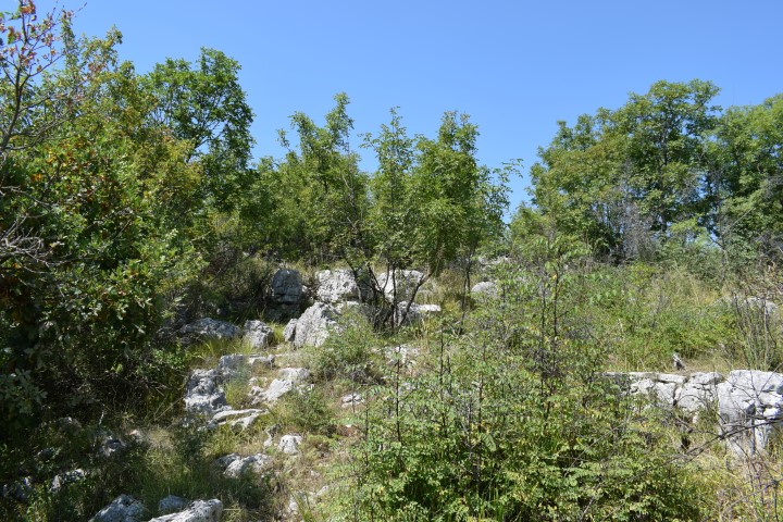
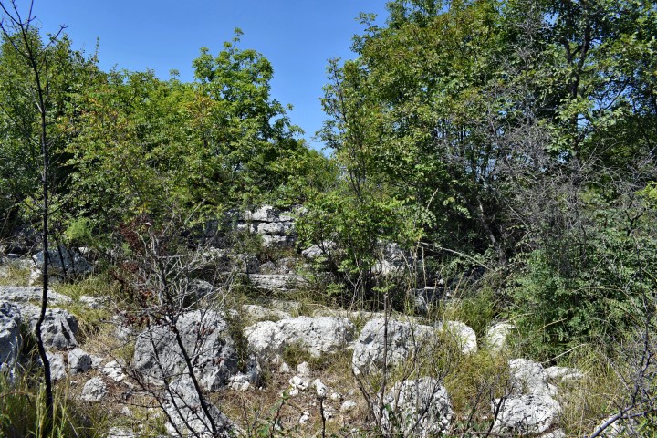
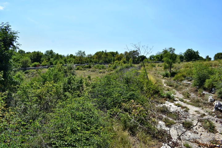
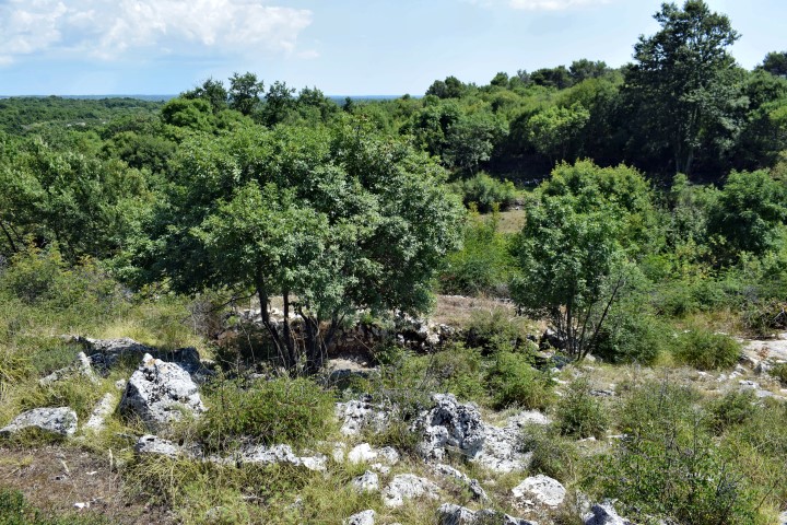
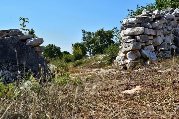
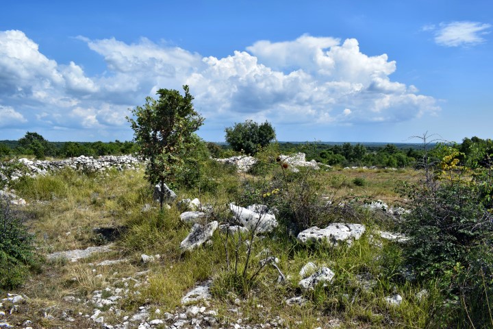
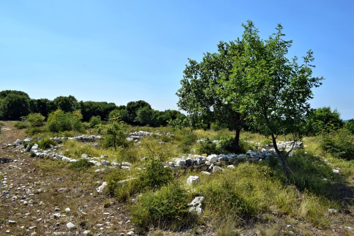
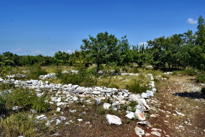
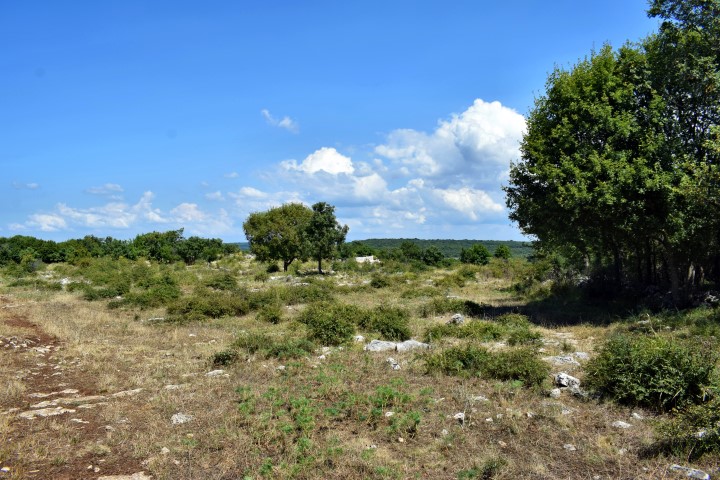
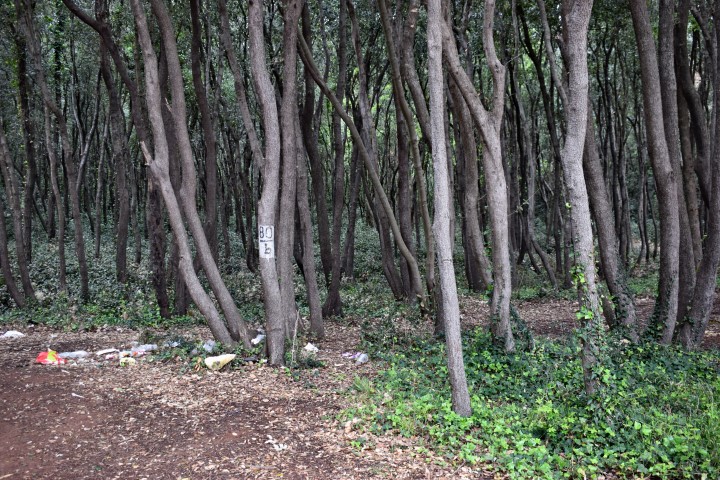
Name: Margarištak, settlement near Jural.
Place: Near Jural – (Kanfanar).
Coordinates: 45.13525 N – 13.76363 E, altitude 217 m.
On the the slopes of the Glavica, not far away from Ladići are the remains of prehistoric walls and are found fragments of ceramic pots, probably from the Bronze Age. The presence of stone clusters could indicate the presence of tumulus.

Name: Prehistoric settlement on the slope of the Glavica.
Place: Ladići – (Kanfanar).
Coordinates trail:
start: 45.13695 N – 13.82502 E, 45.13569 N – 13.82522. E, 45.13314 N – 13.82488 E, 45.13279 N – 13.82575 E, 45.13213 N – 13.82510 E, End 45.13144 N – 13.82648 E
South of the village of Anžići are the ruins of the early Christian baselica St. Agnes from the middle of the 6th century. From archaeological research has been determined in 1972 that the basilica had many similarities with the Euphrasius Baselica in Poreč by a substantially equal ground plan and the use of the same marble.

Name: Ruins Baselica St.Agnes.
Place: Anžići -(Visnjan).
Coordinates: 45.25214 N -13.77654 E.
This roman quarry is located north of the Pavao bay and is about fifty meters long

Name: Roman quarry St. Damjan.
Place: Rovinj.
Coordinates: 45.02136 N – 13.70688 E.
[

Name: Cisterna Villa Rustica.
Place: Near Sisan – (ližnjan).
Coordinates: 44.86322 N – 13.99623 E.

Name: Villa Rustica – Coast Bay Paviri.
Place: Near Sisan – (Ližnjan).
Coordinates: 44.86294 N – 13.96639 E and 44.86325 N and 13.99773 E. (more…)

Name: Ruins Villa Rustica near Bay Paviri
Place: near Sisan – (Ližnjan).
Coordinates: 44.86326 N – 13-99669 E. (more…)
Monbrodo hillfort is located south of the Cisterna bay near Rovinj. The hilltop is at a height of 26 meters with a plateau of approximately 5000 m2. The hill is surrounded by dry circular and radial walls, which divided the hill into artificial terraces. Based on research carried out since 2016, this hillfort shows a lot of similarities with the Monkadonja site.
Name: Monbrodohillfort,
Place: near Rovinj.
Coordinates: 45.03476 N – 13.69247 E.
Along the coastline of the Vestar and Cisterna bay fragments of Villa Rustica and remains of ceramics are still visible in various places. The Villa Rustica built in the roman period was used for the processing of olive oil and wine from the hinterland.

Name: Villa Rustica
Place: near Rovinj.
Coordinates: 45.04783 N – 13.68311 E and 45.03554 N – 13.69022 E.