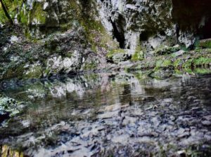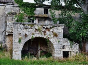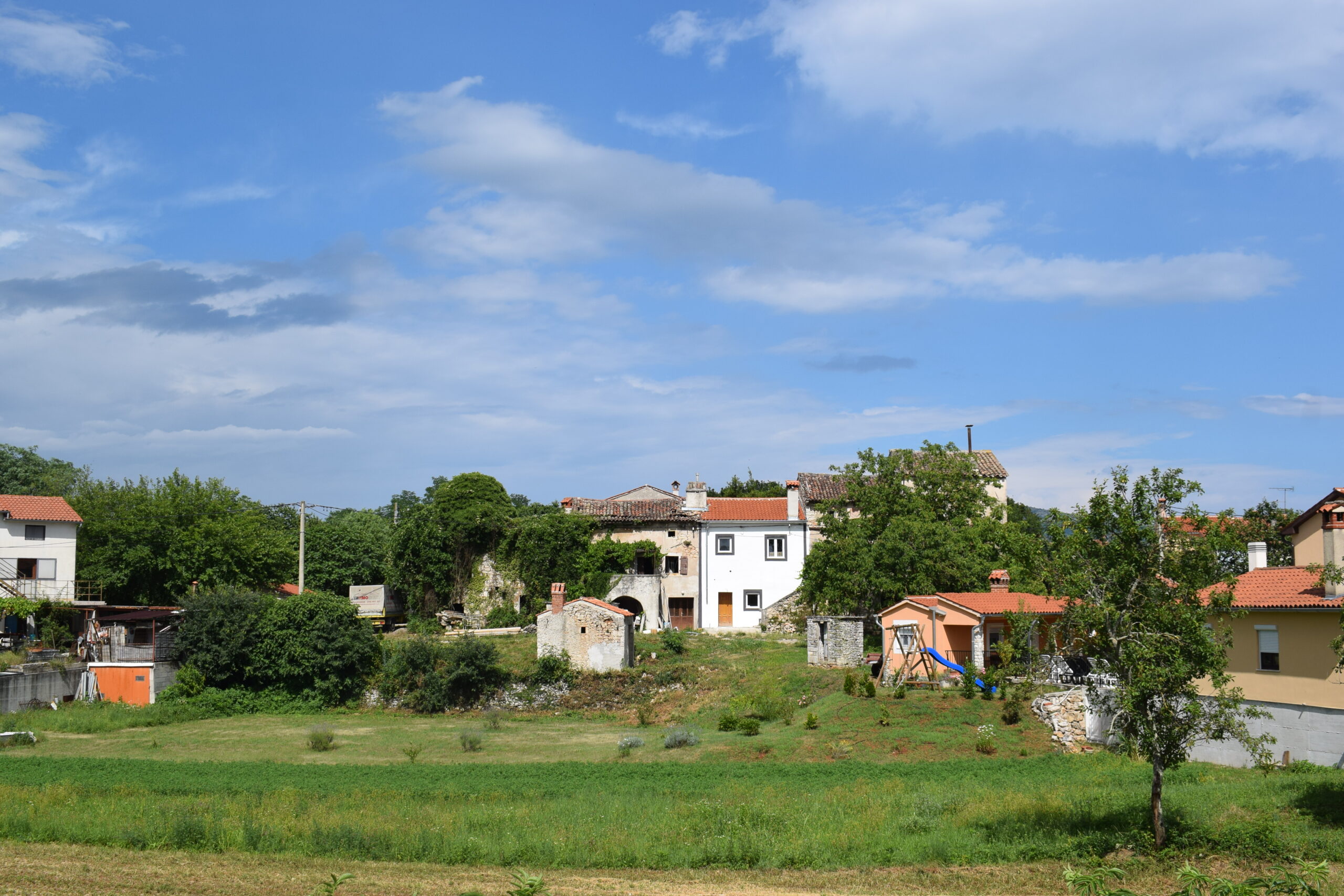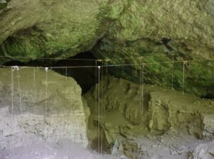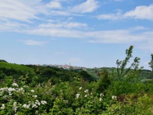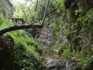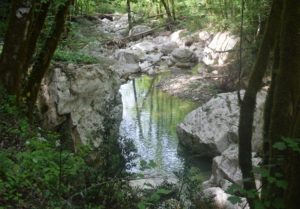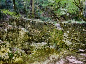
Trail from the town Mošćiniča Draga to the cave Podosogna and the hamlets Potoki and Trebišca with a watermill.


Name: Trail from the town Mošćiniča Draga to the cave Podosogna and the hamlets Potoki and Trebišca with a watermill.

Place: Potoki – Trebišca – (Mošćinička Draga).

Coordinates: Start 45.24090 N – 14.24973 E, hiking trail to the cave 45.24827 N – 14.23204 E, cave Podosogna 45.24802 N – 14.23909 E,

Potoki: 4525207 N – 14.22627 E, Trebišca 45.25511 N – 14.21760 E.

Hiking trail to Sumberska puča near the river Raša.

From Žudigi down to the river Raša. The Šumberska puča has three sources.

Name: Hiking trail to Sumberska puča near the river Raša.

Place: Žudigi – (Pićan),

Coordinates: Start Žudigi 45. 17828 N – 14.05915 E (192 meters),

River Rasa 45.17735 N – 14.06617 E (21 meters), Šumberska puča 45. 17381 N – 14.06497 E.

,

Trail Parenzana from former railway station Buje to the village Triban.

Triban was one of the 33 villages/towns located on this 123 km long narrow gauge railway, which ran in 1902 from Trieste to Poreč. The station Triban consited of a shed for passengers and a loading and unloading area for agriculural products, wine, grapes and fruit. The railway was closed in 1935.

Name: Trail Parenzana from former railway station Buje to the village Triban.

Place: Buje – Triban (Buje).

Coordinates: Buje 45.41378 N – 13.66540 E,  Triban 45.40342 N -13.68462 E.