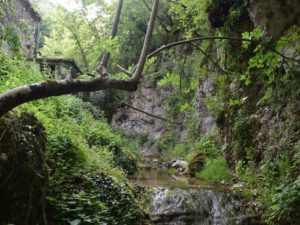
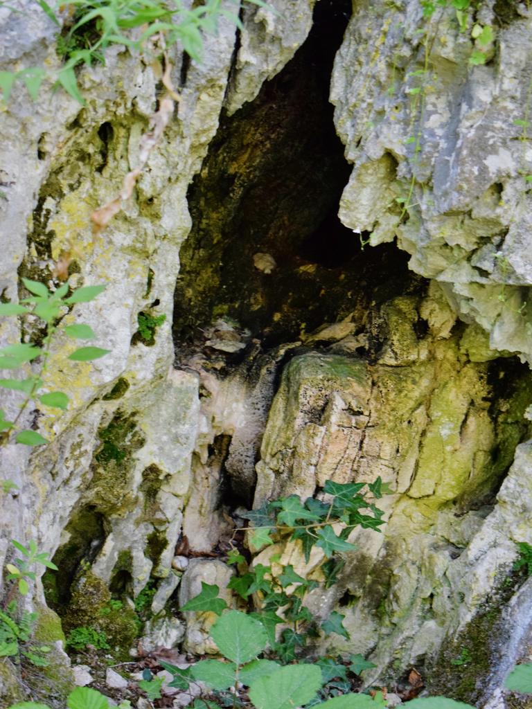
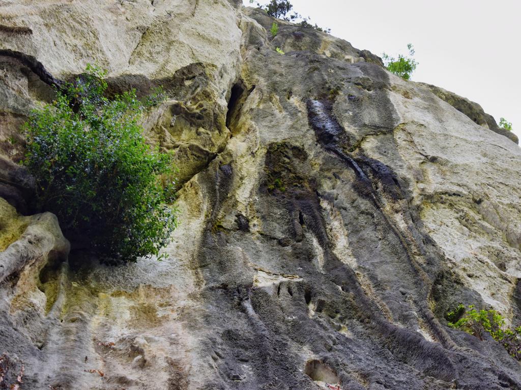
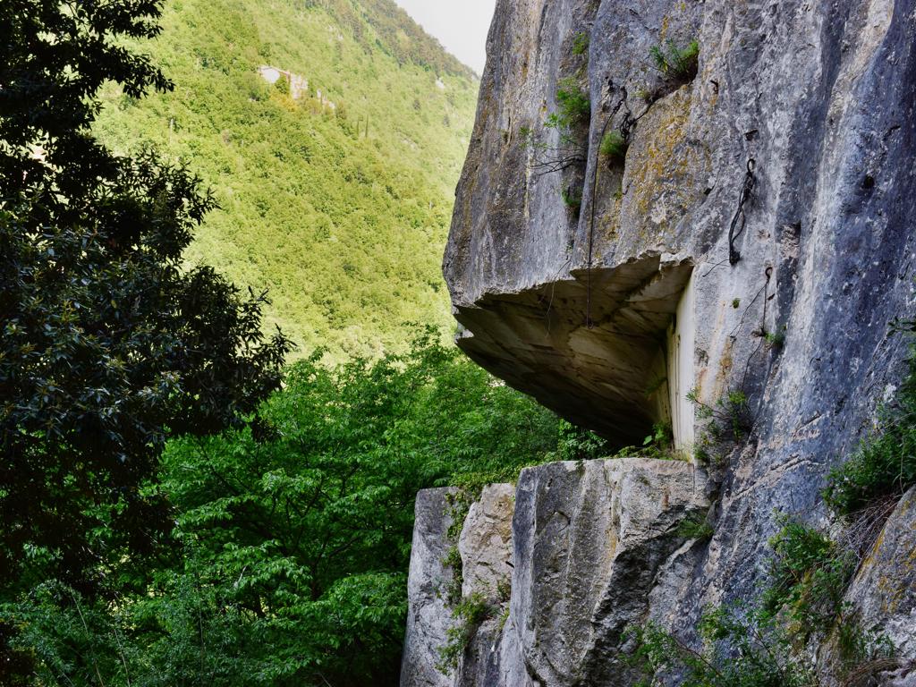
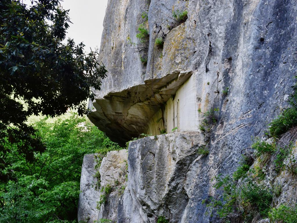
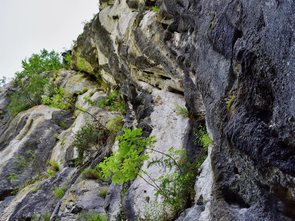
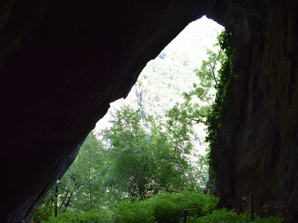
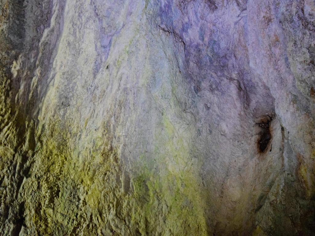
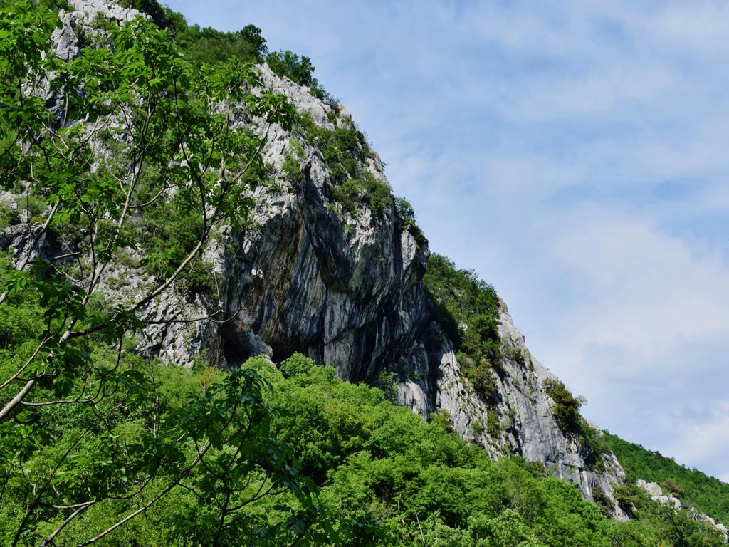
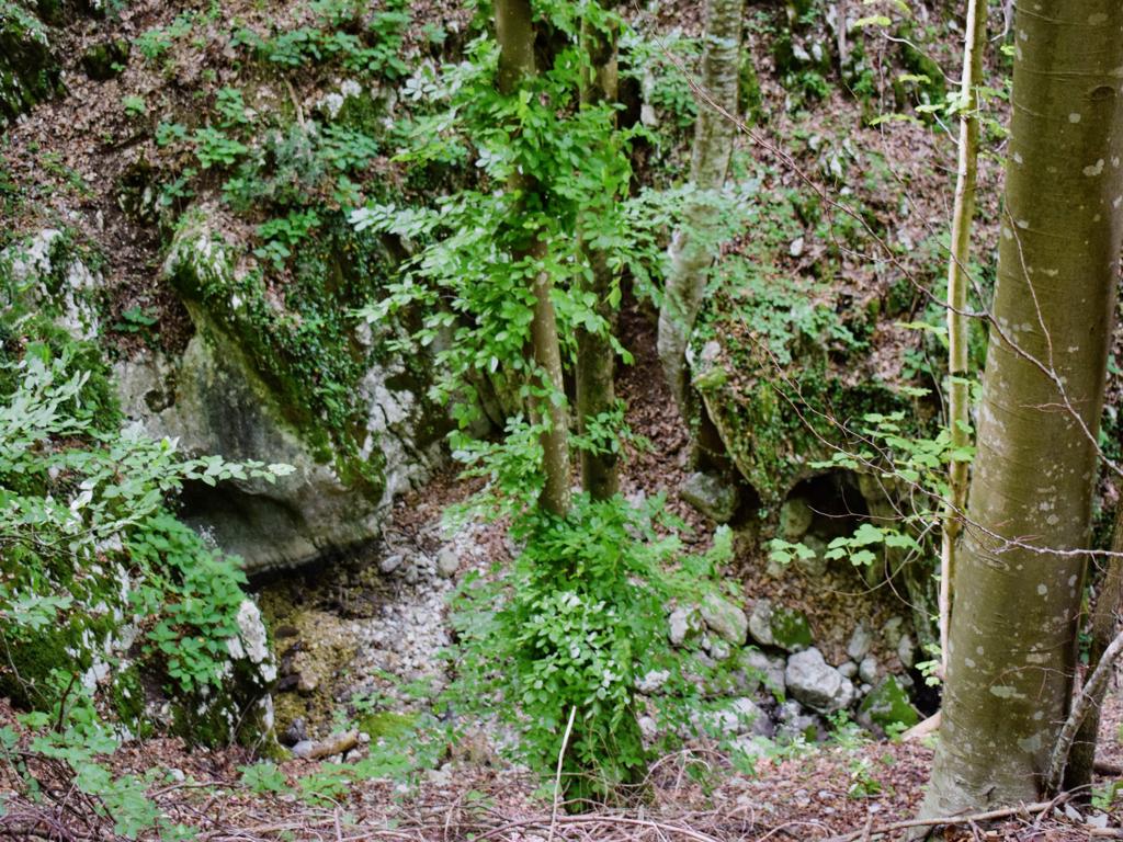
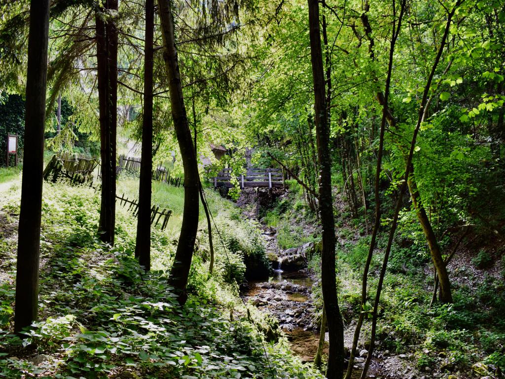
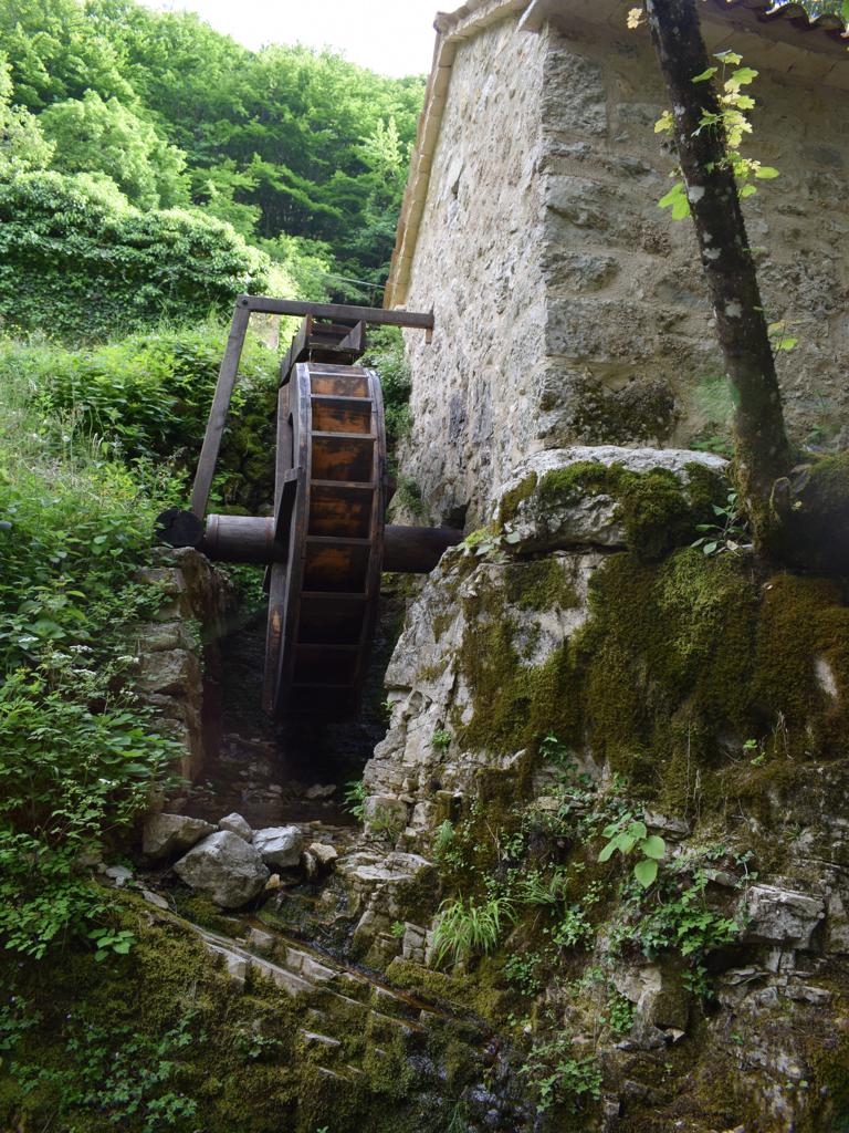
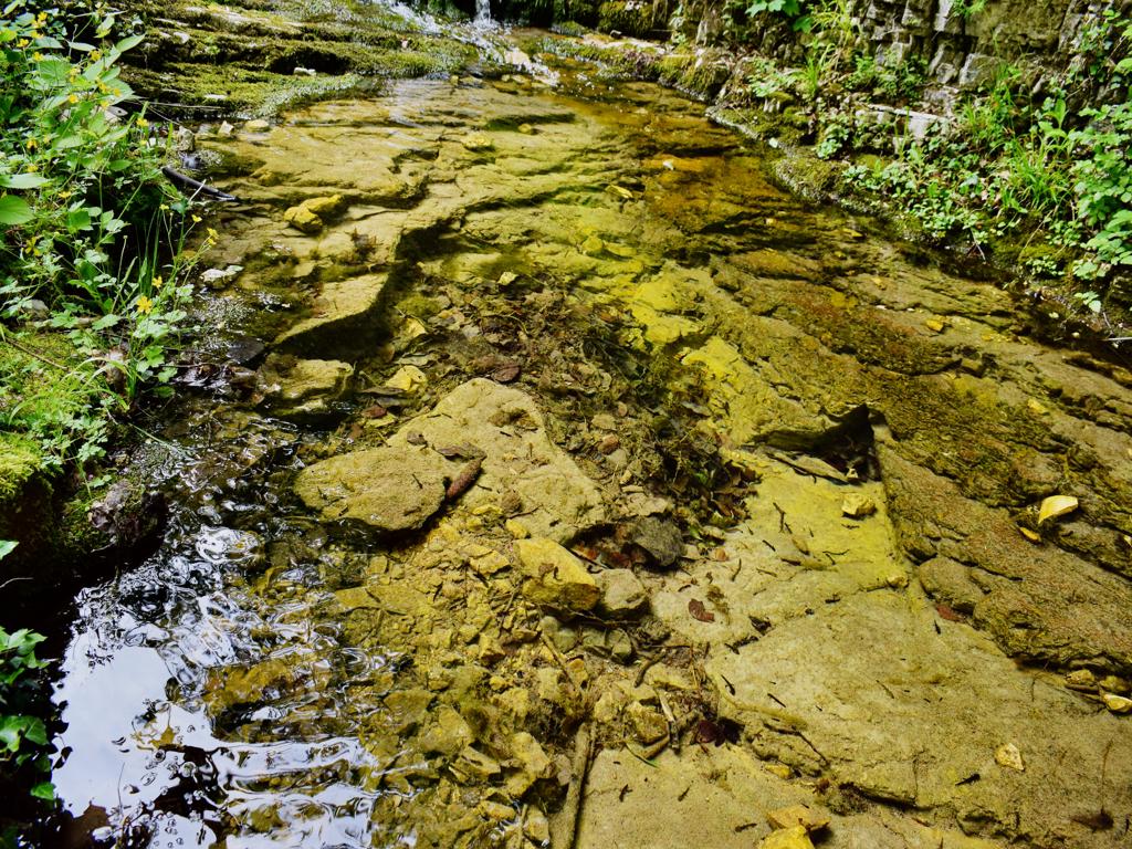
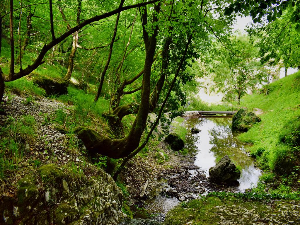
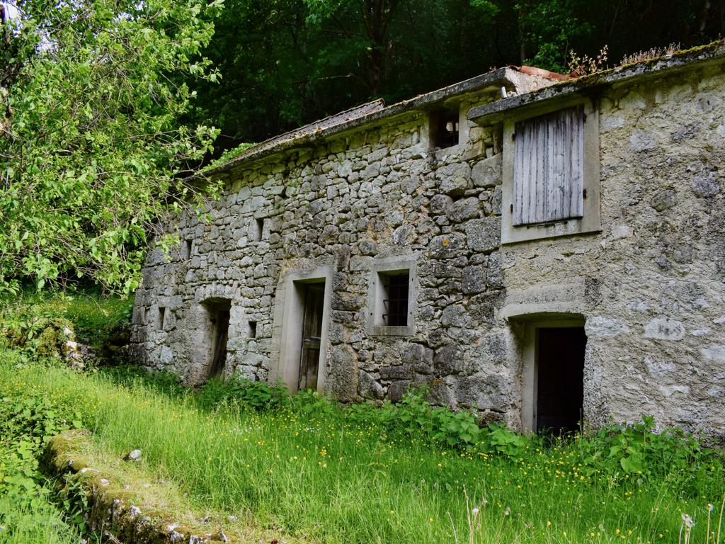
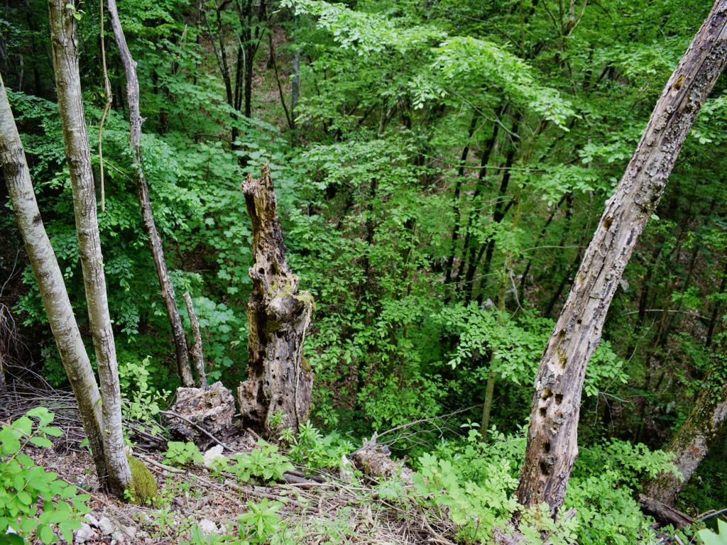
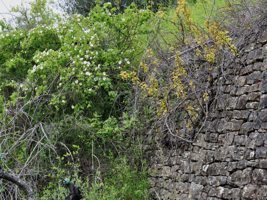
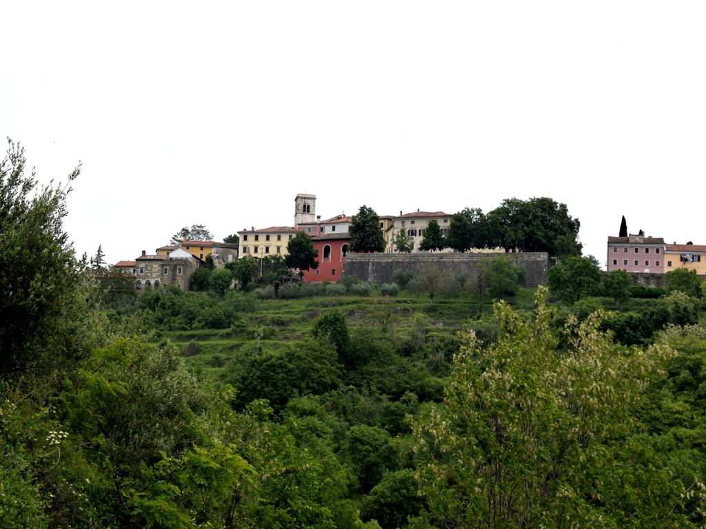
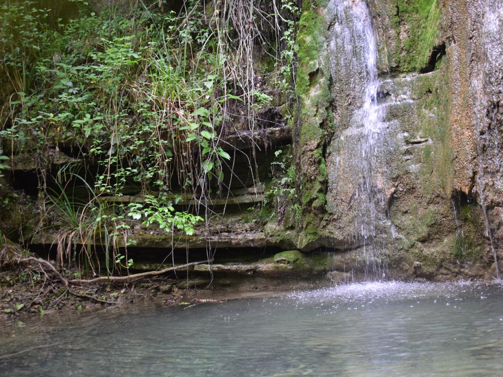
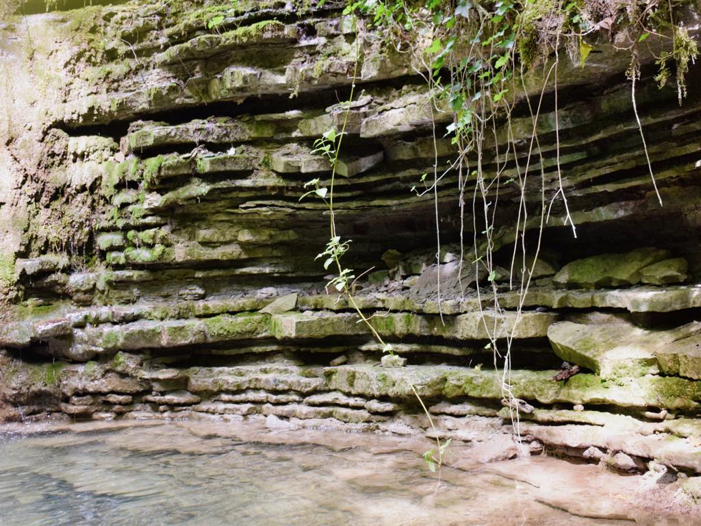
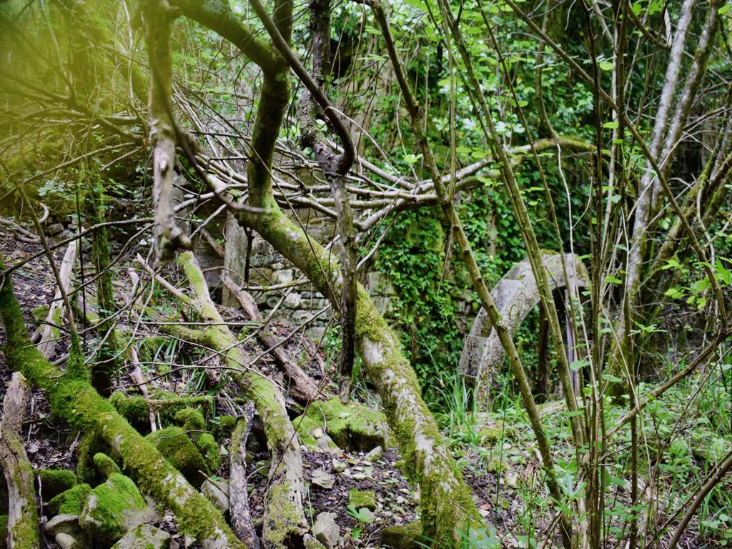
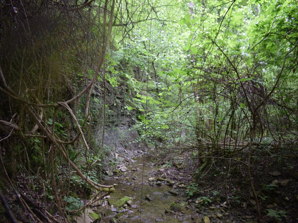
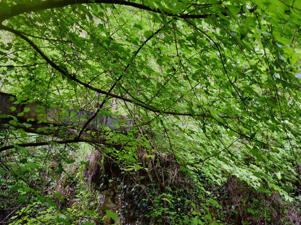
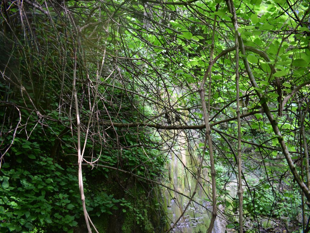
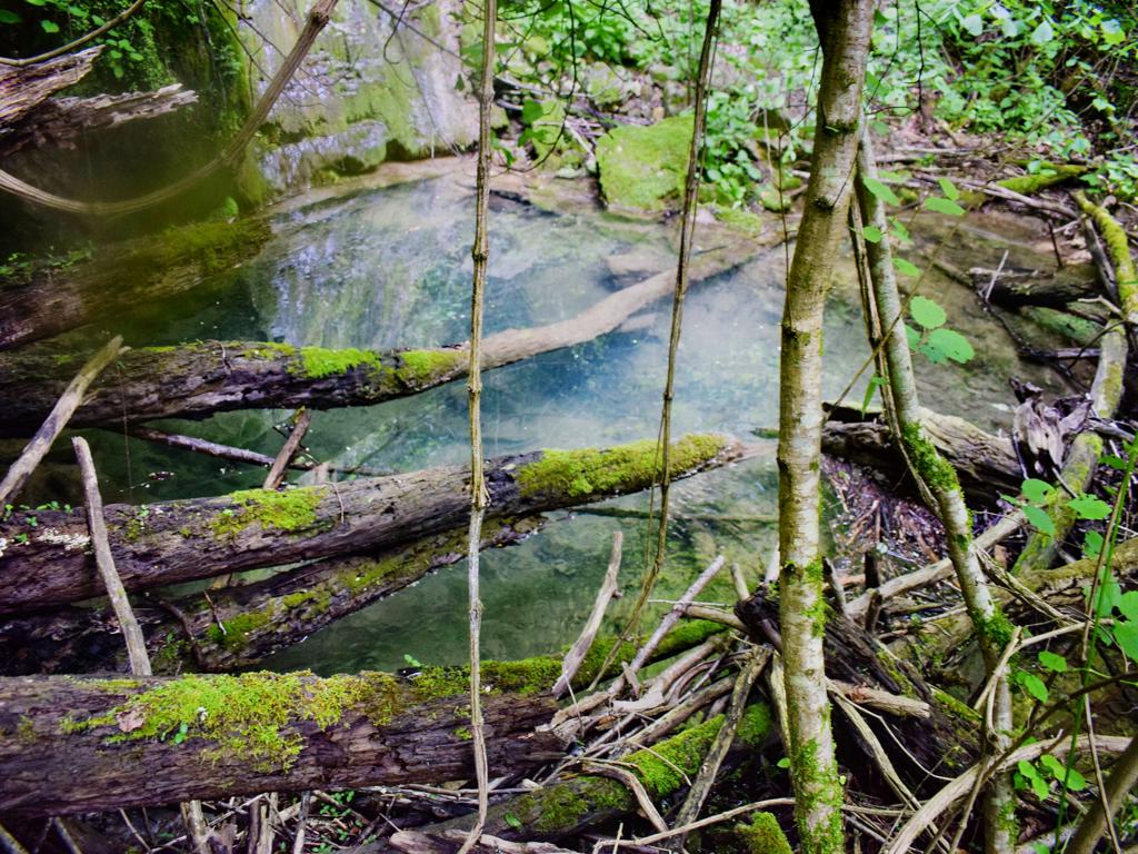
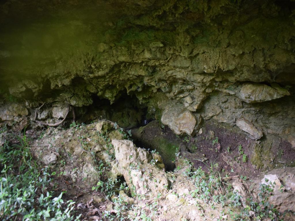
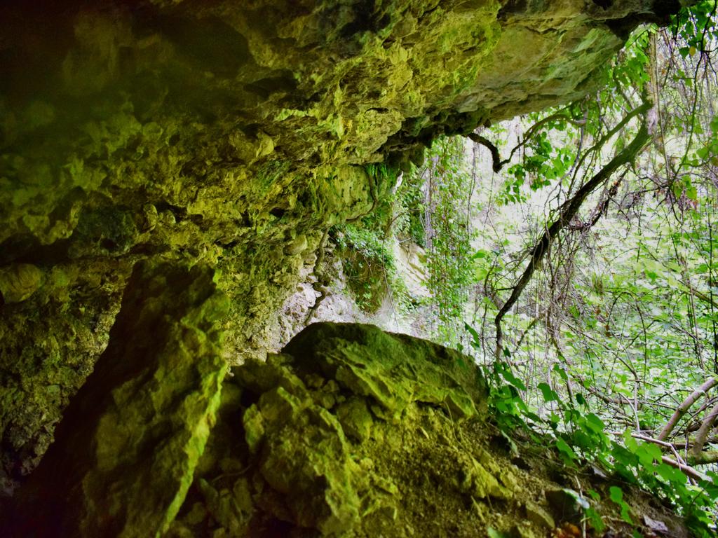
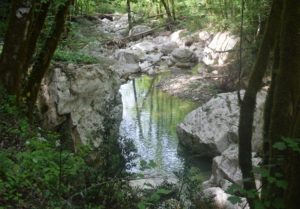
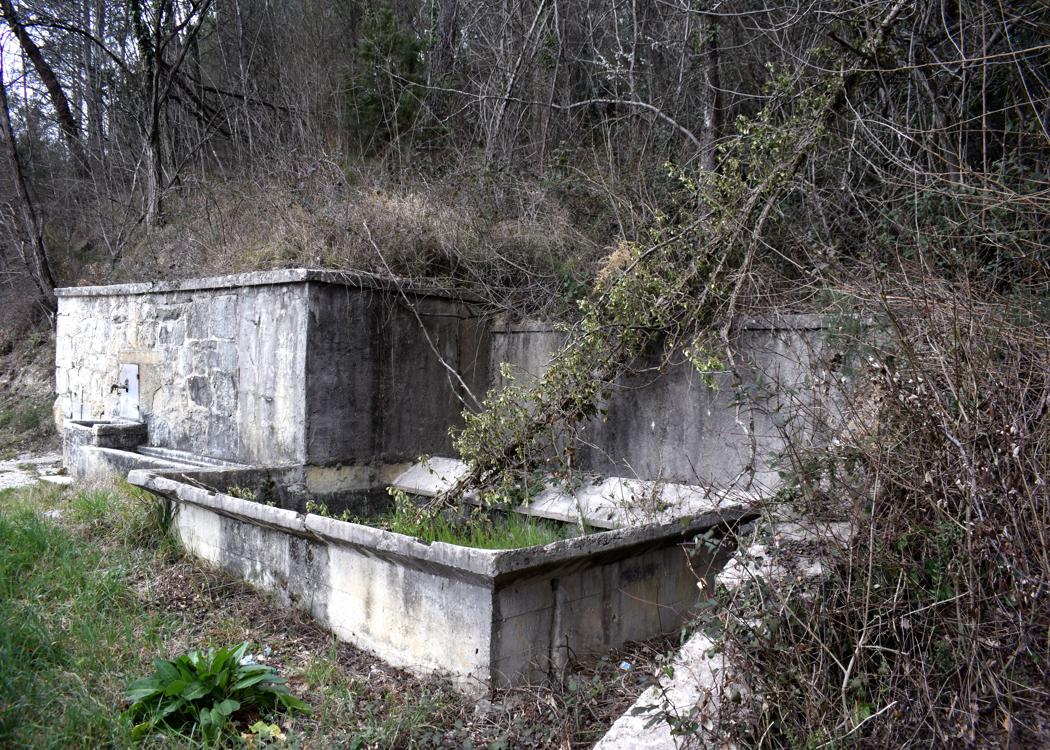
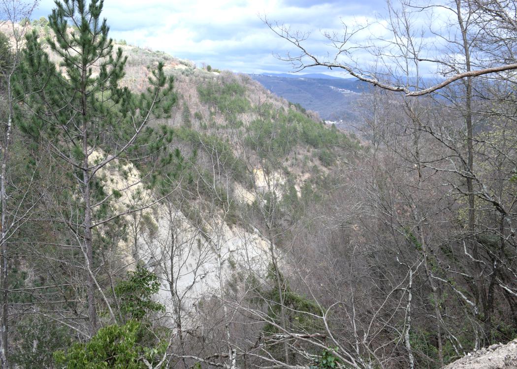
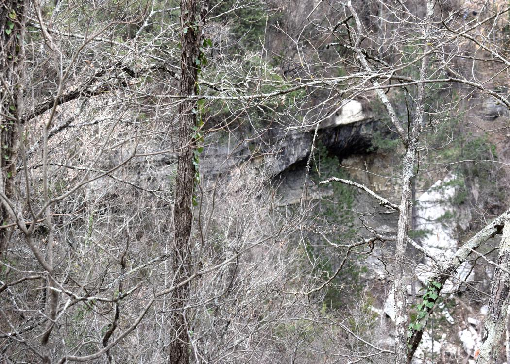
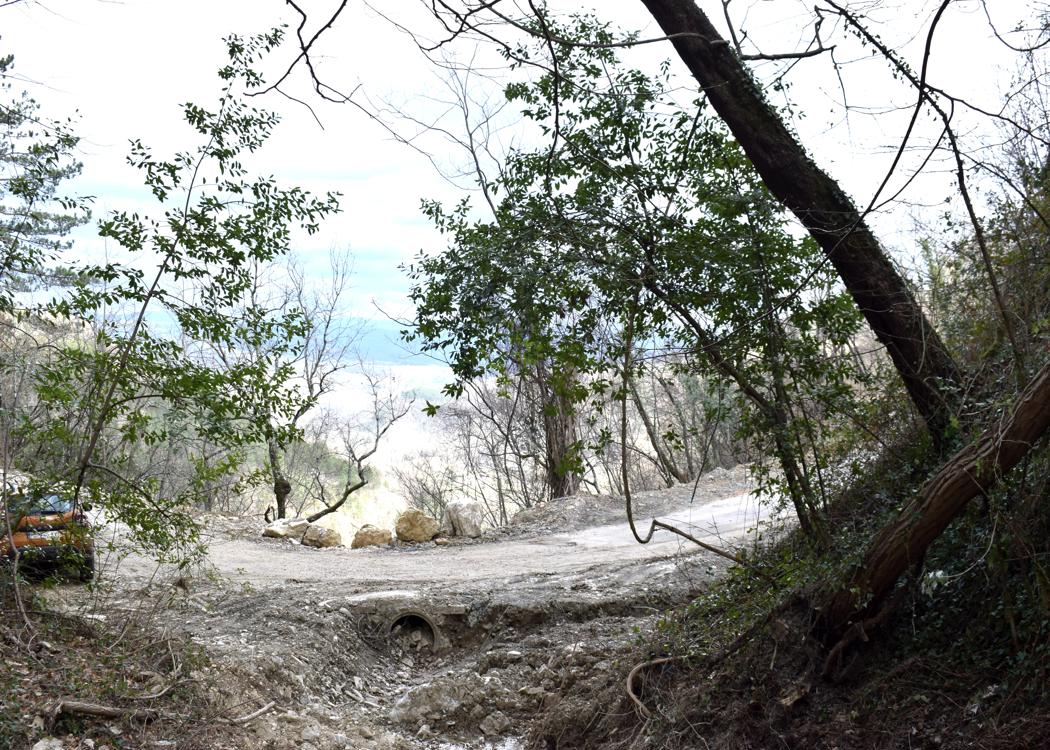
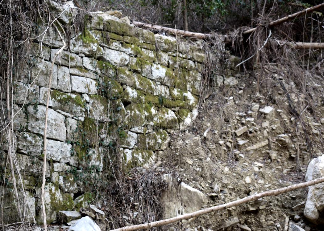
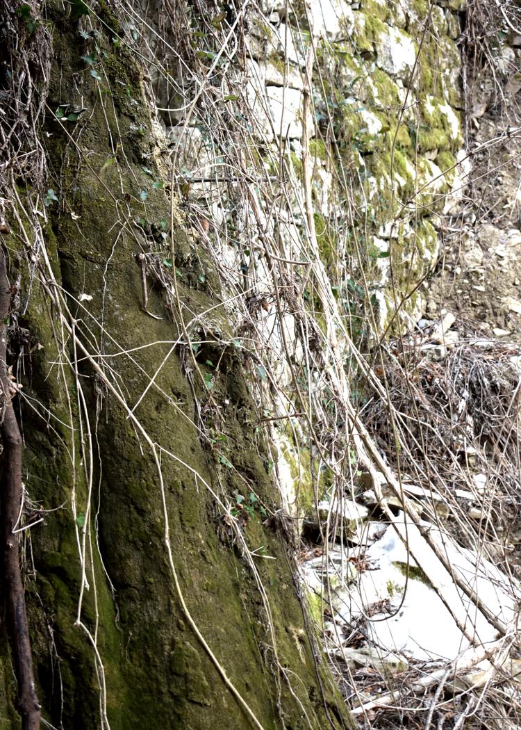
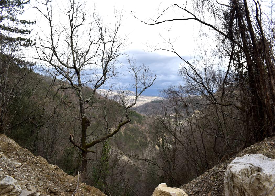
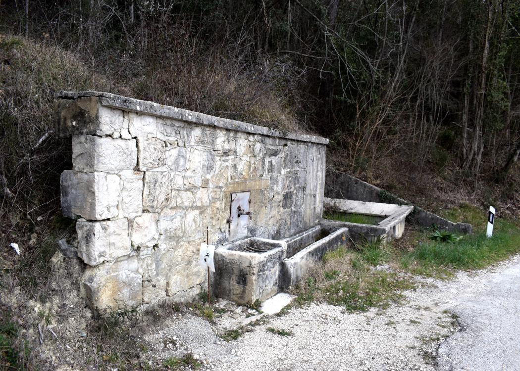
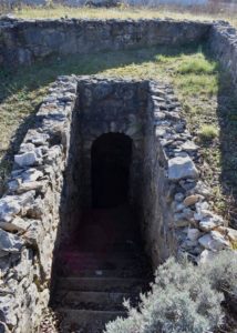
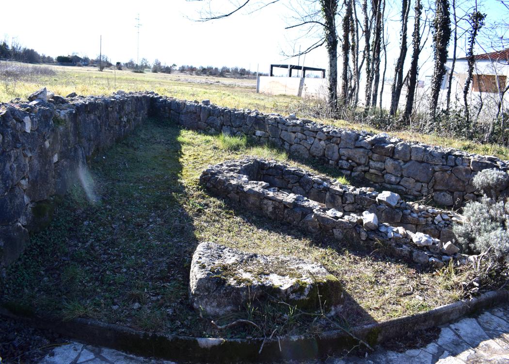
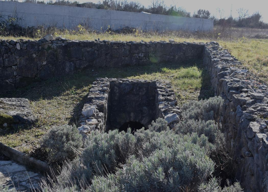
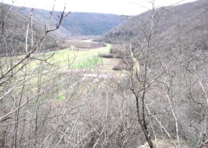
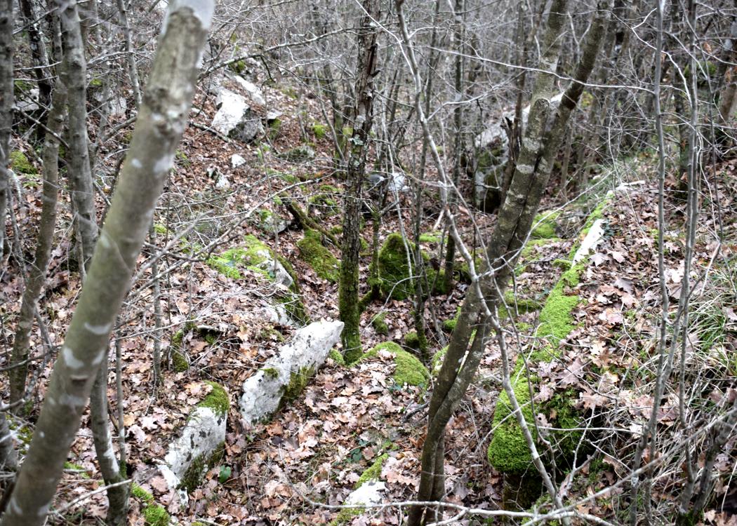
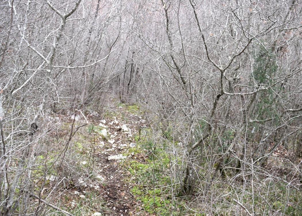
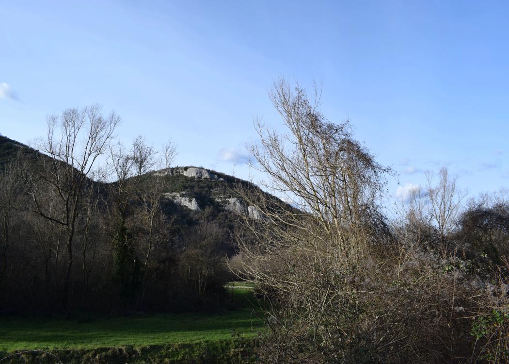
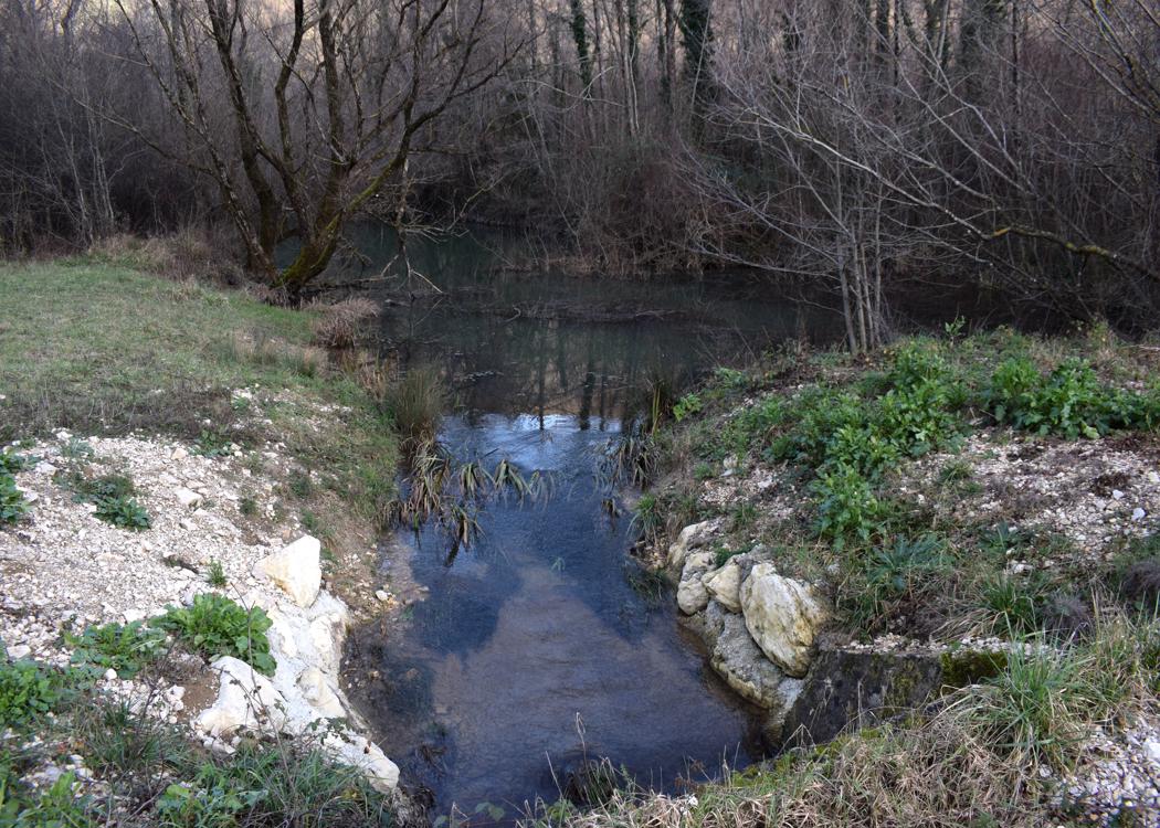
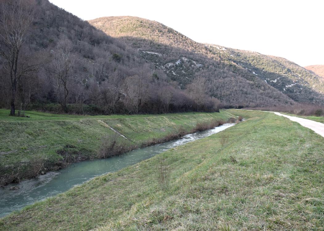
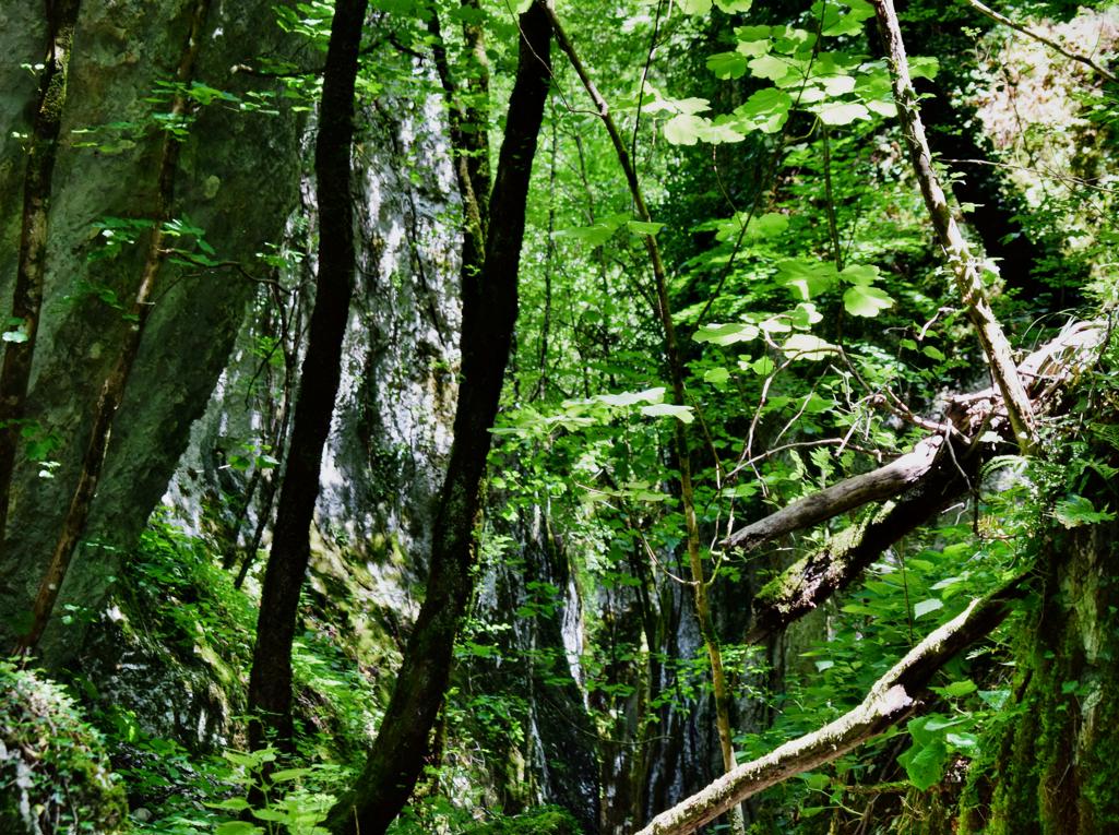
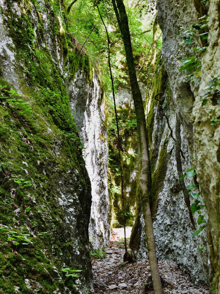
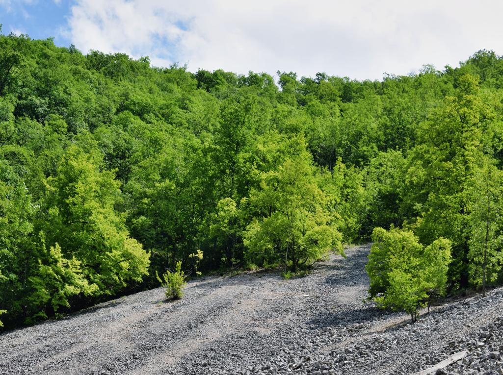
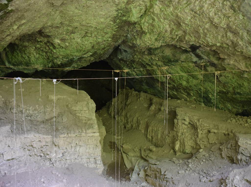
Name; Hiking trail Vela Draga with the caves Pupičina and Vela Peč.

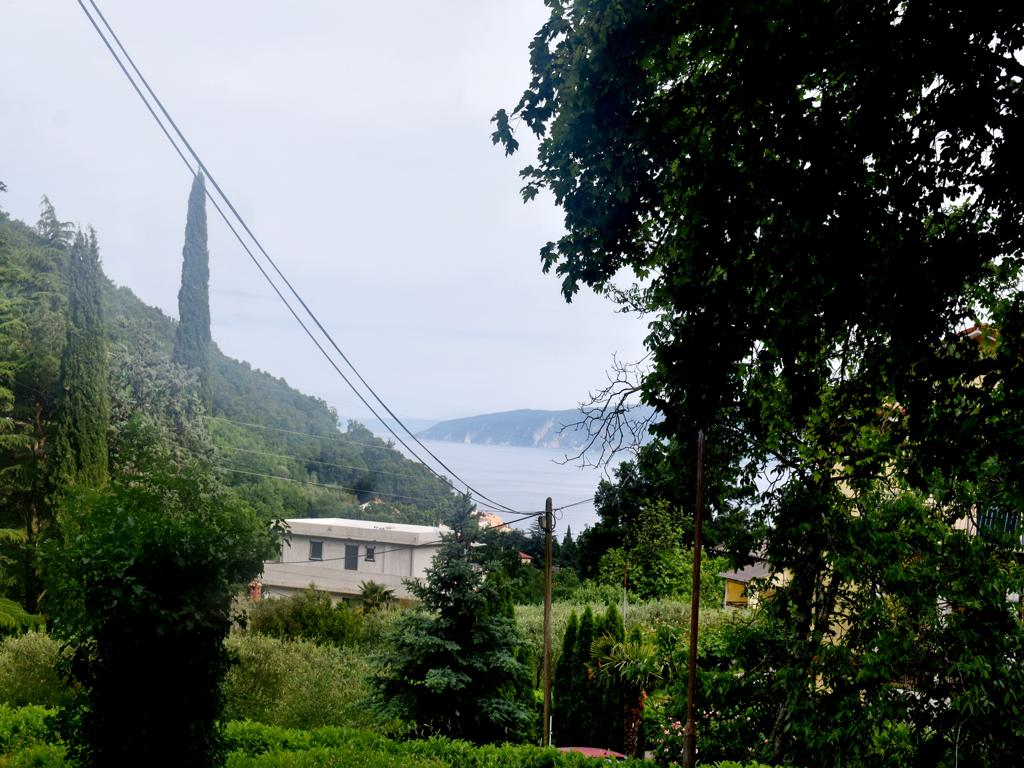
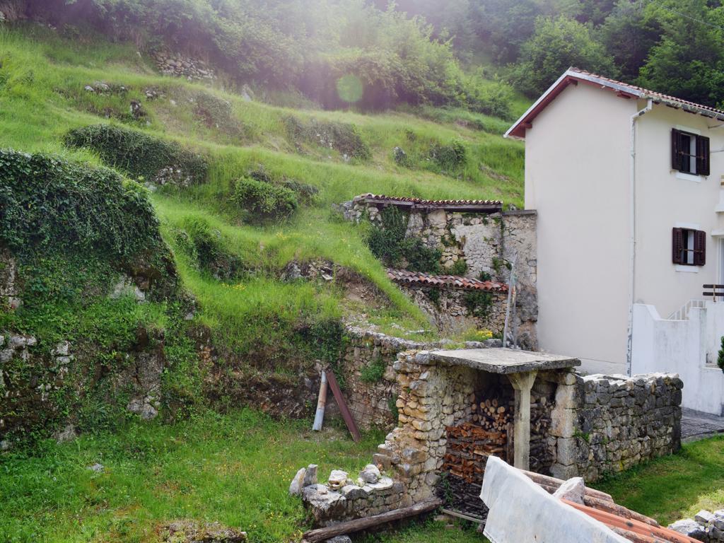
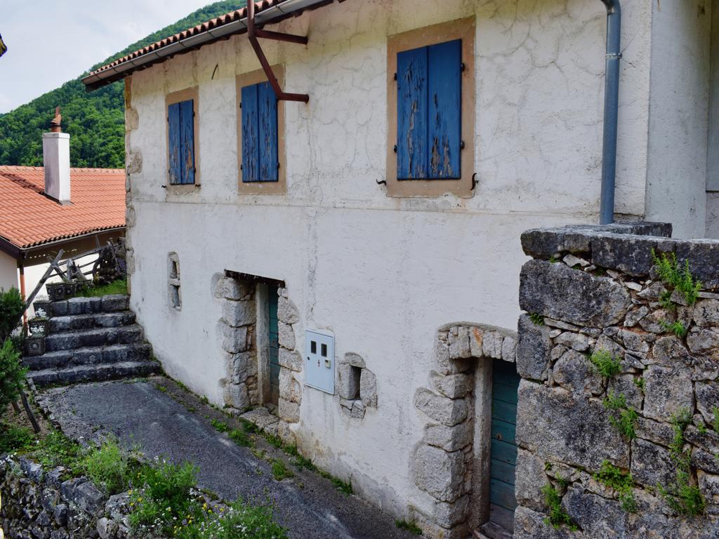
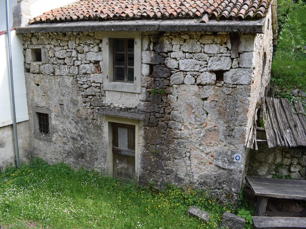
Place: Baričevići – (Lupoglav).
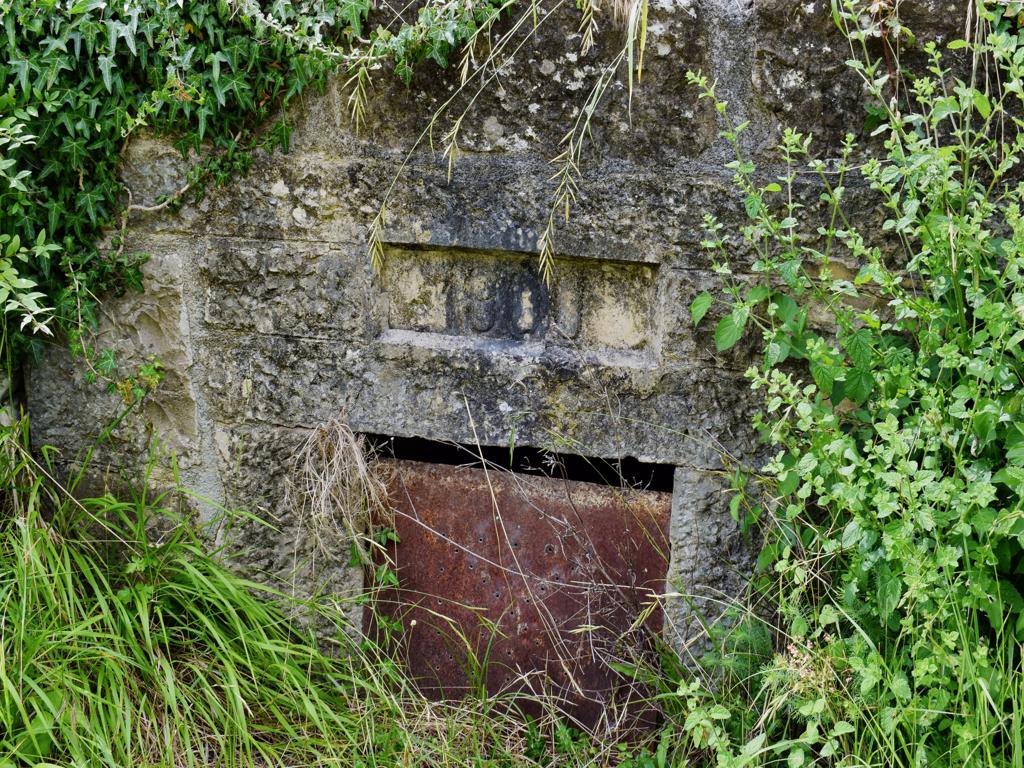
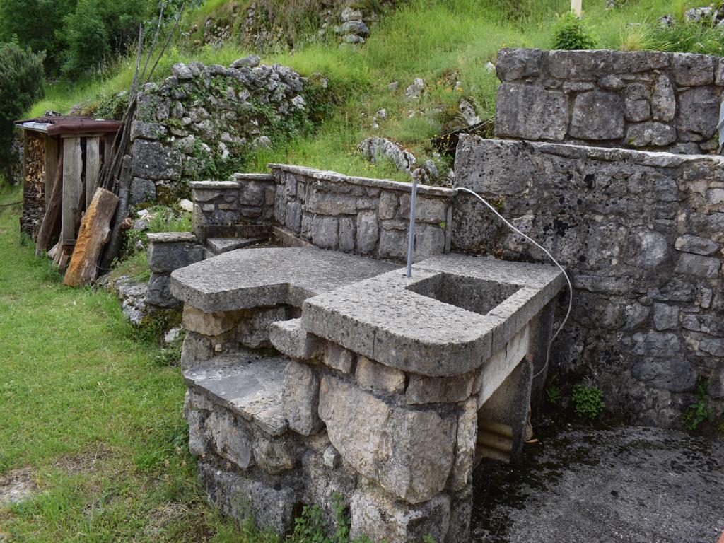
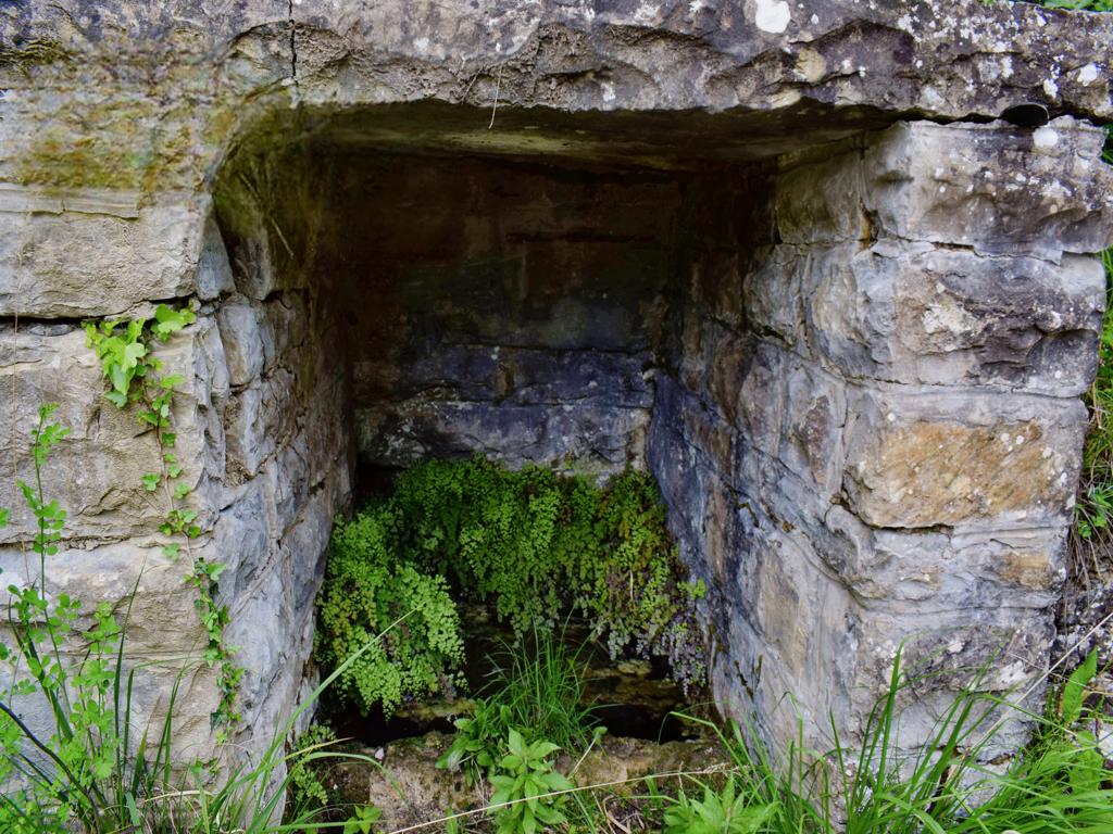
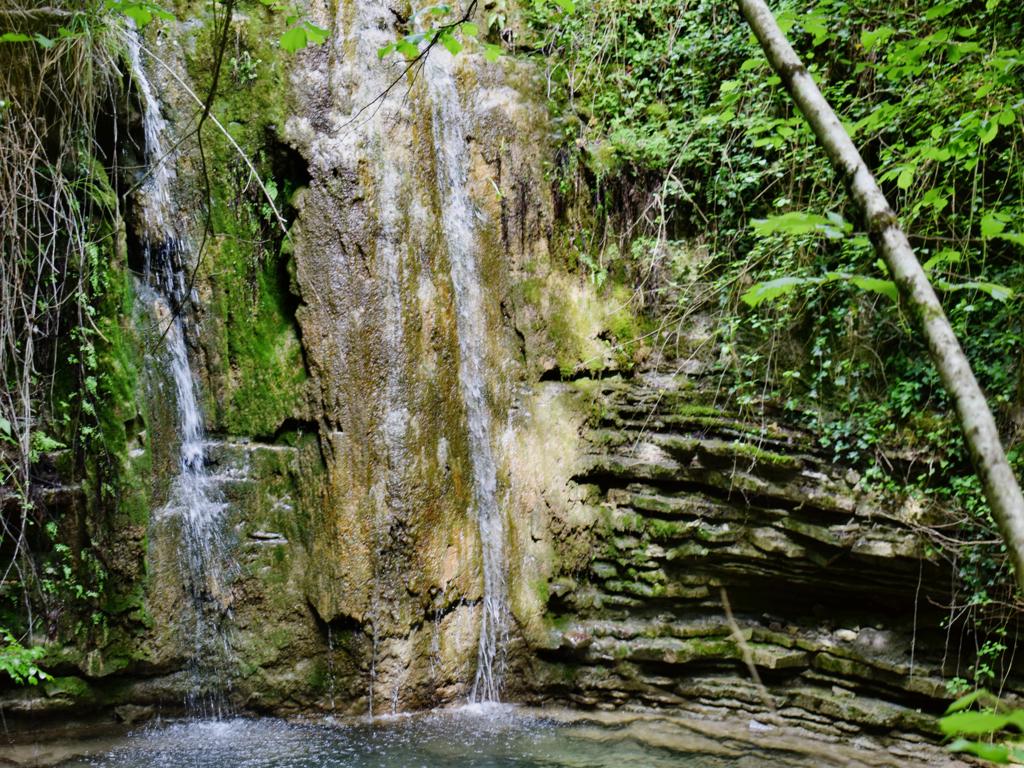
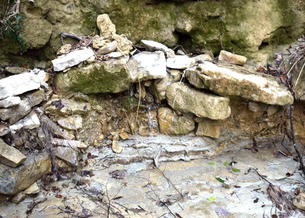
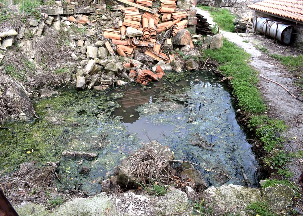
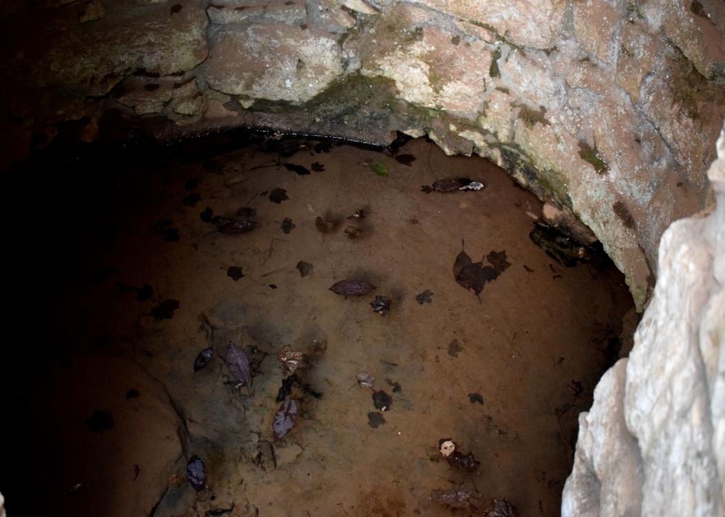
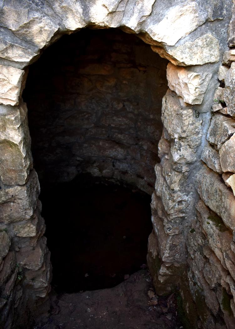
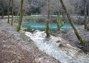
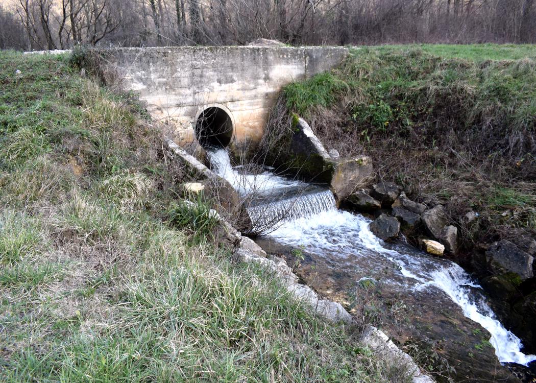
Coordinates: Start; 45.31590 N – 14.15146 E , Pupicina 45.31344 N – 14.15676 E, Veli Peč 45.31268 N – 14.15691 E, Water source Joseh II 45. 30594 N – 14.19529 E.