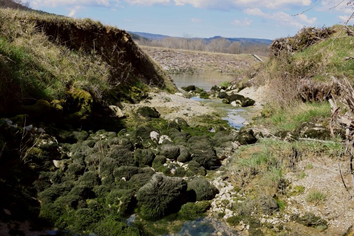
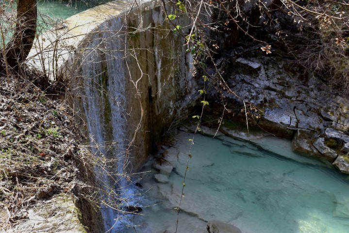
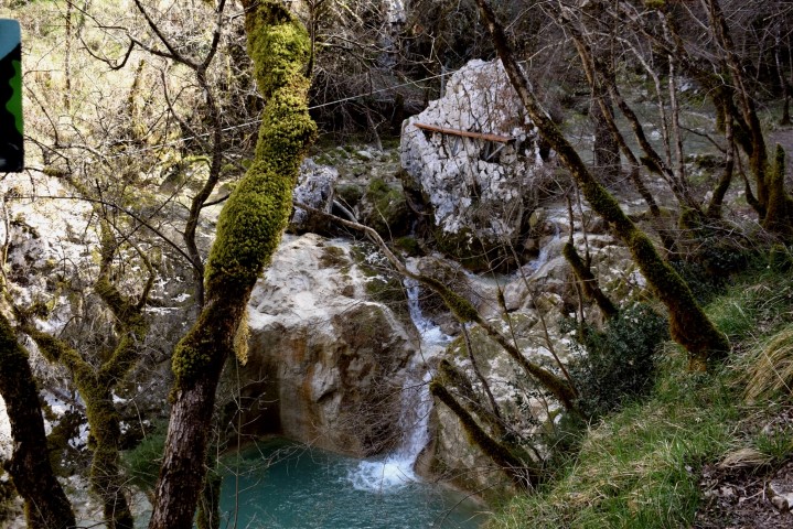
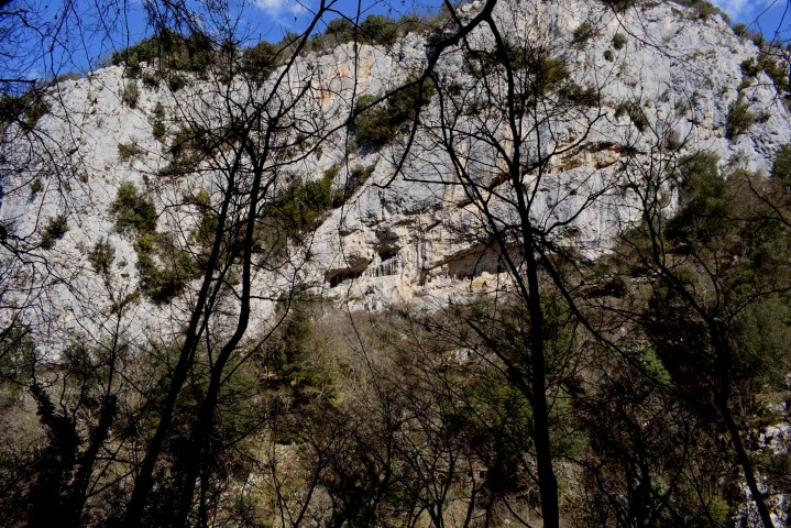
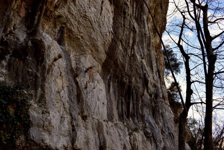
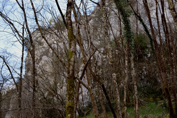
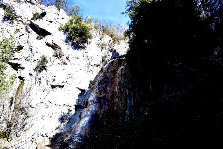
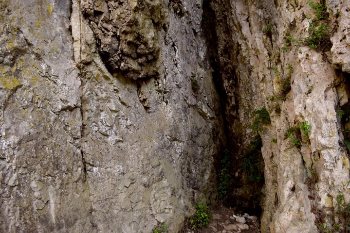
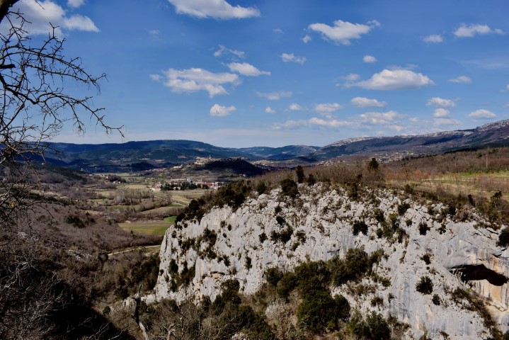
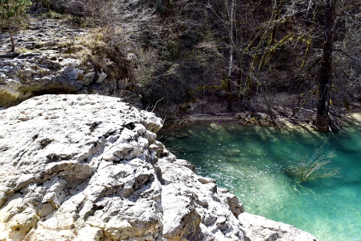
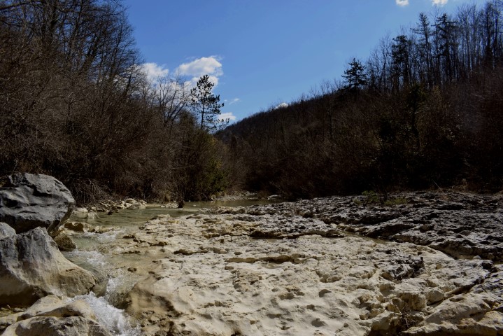
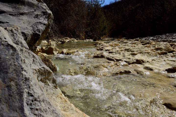
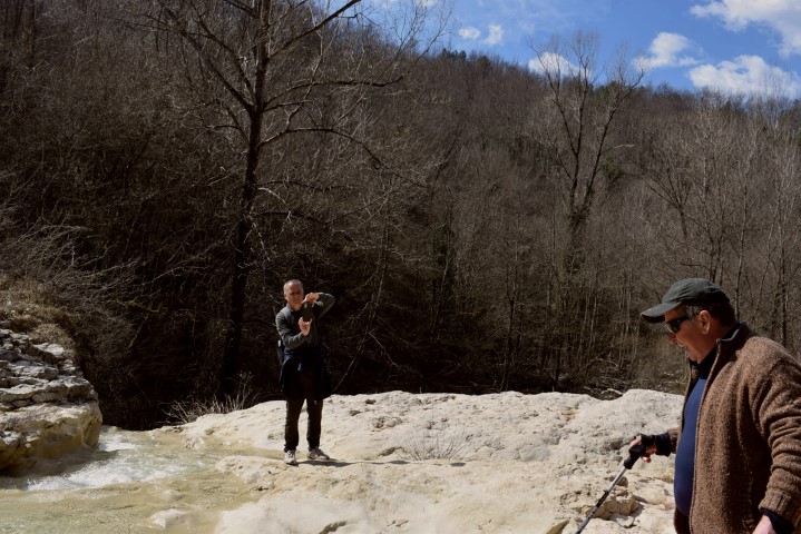
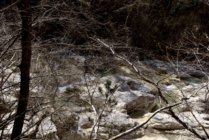
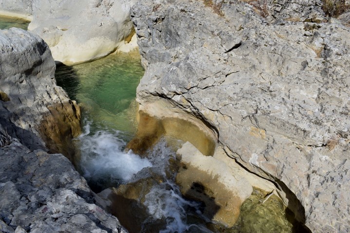
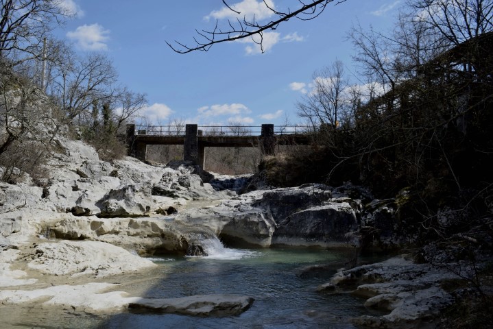
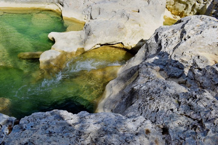
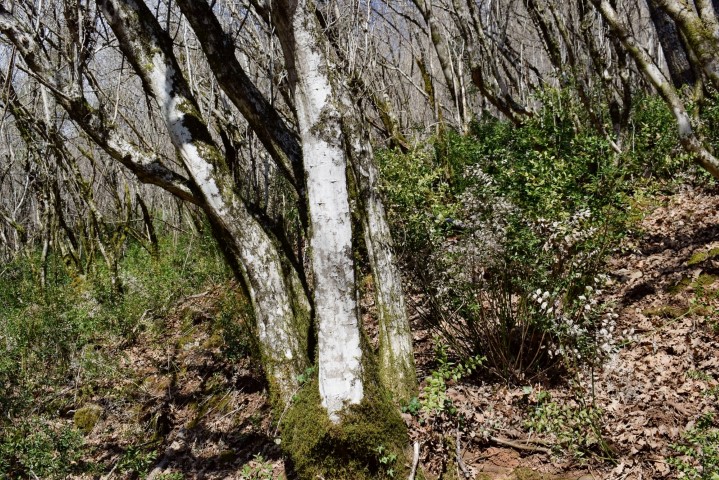
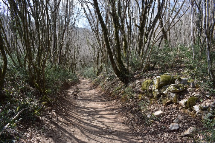
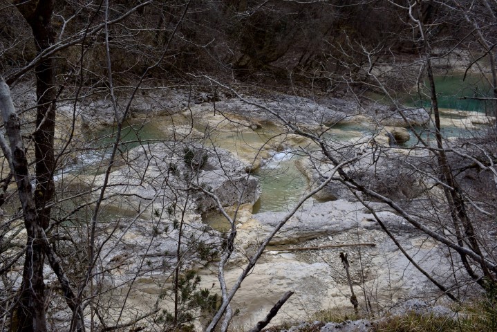
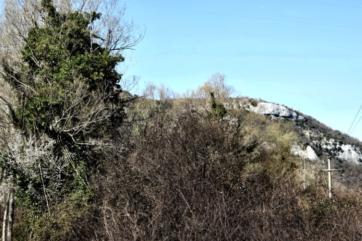
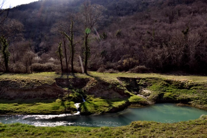
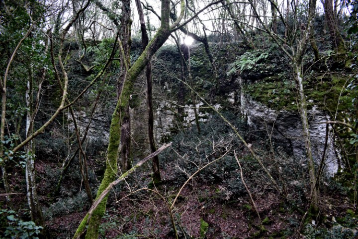
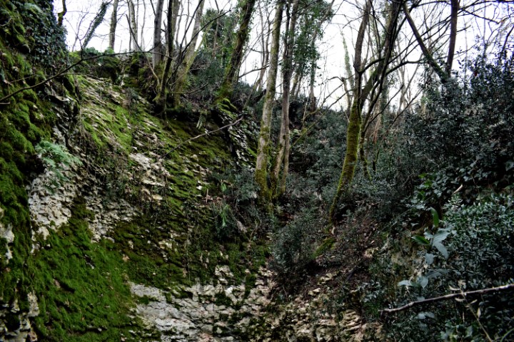
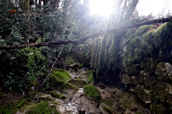
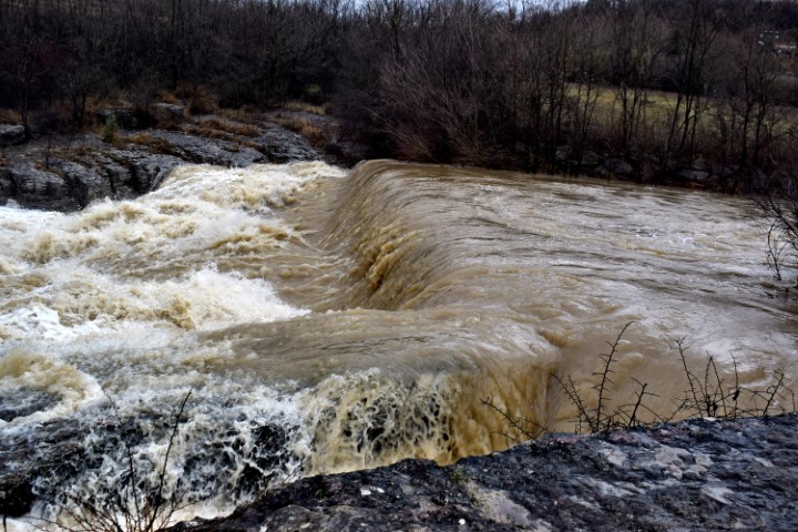
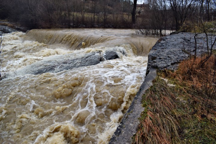
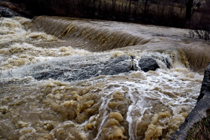
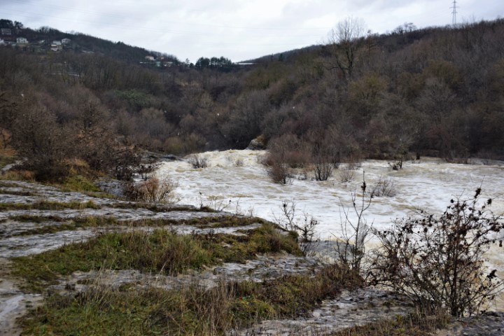
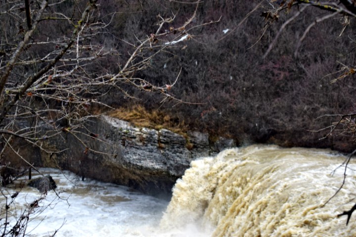
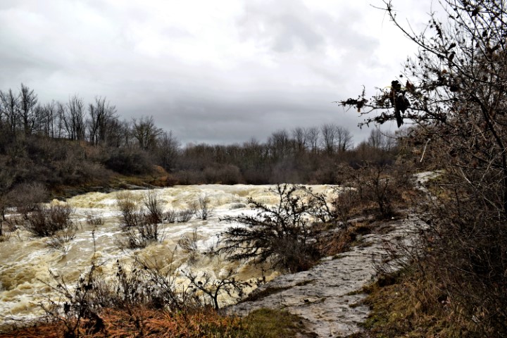
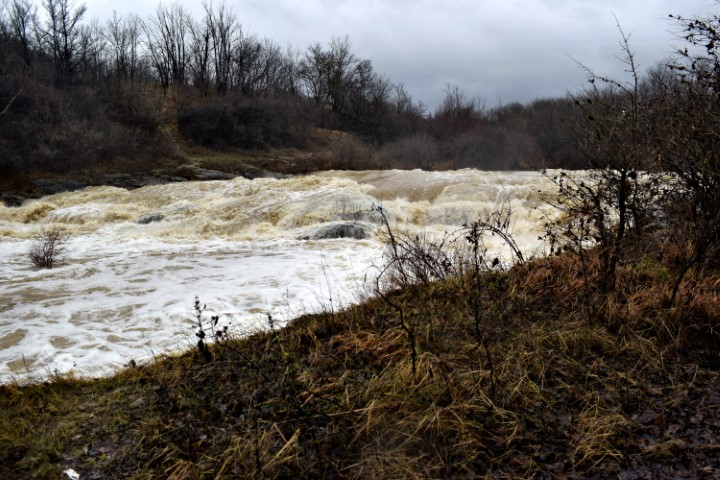
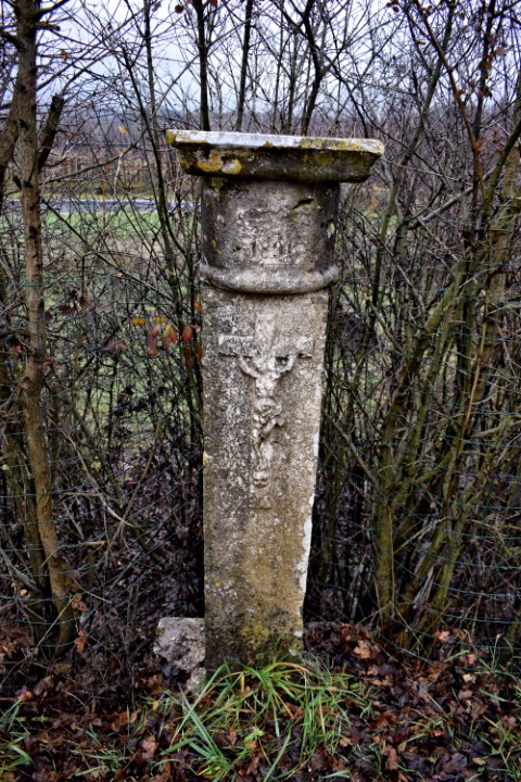
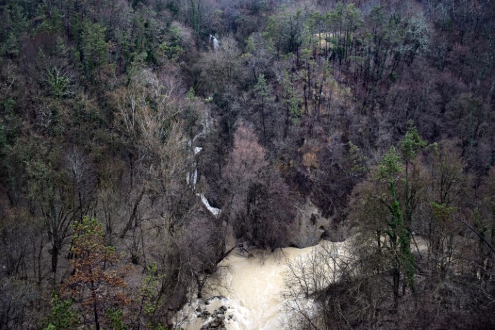
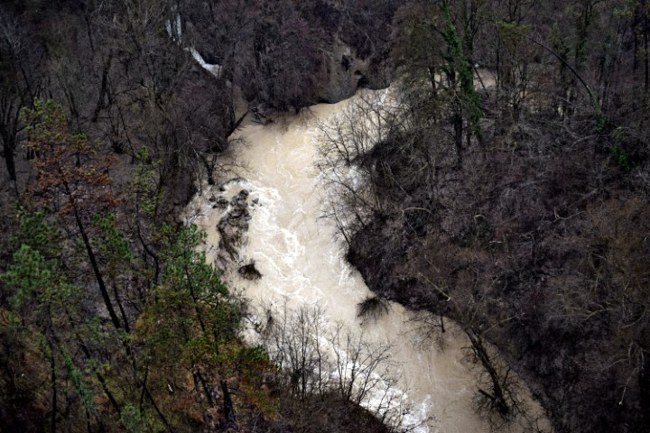
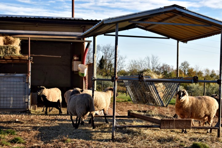
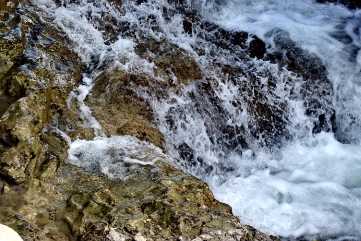
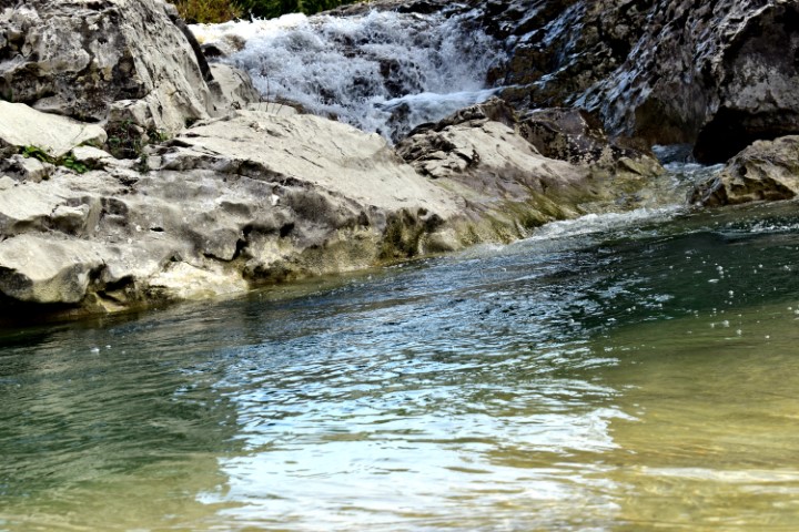
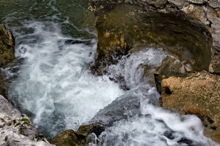
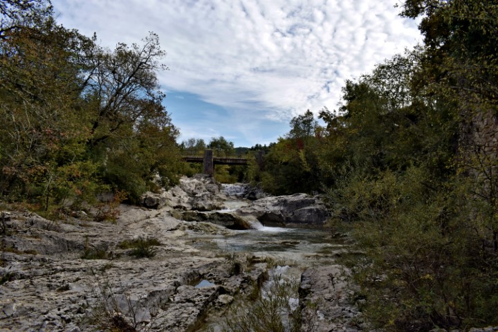
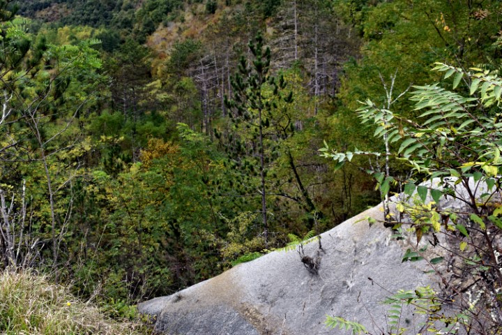
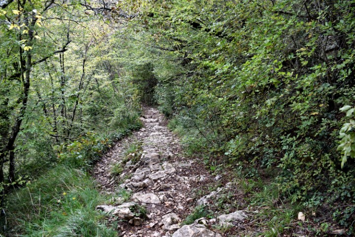
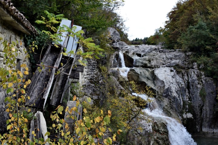
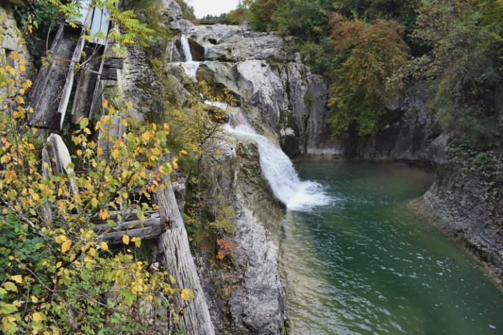
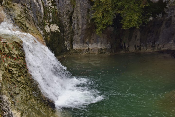
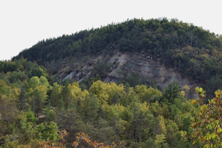
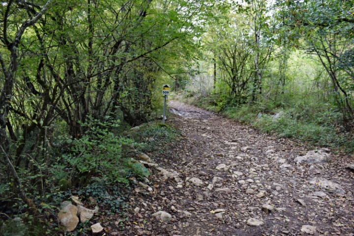
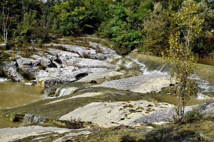
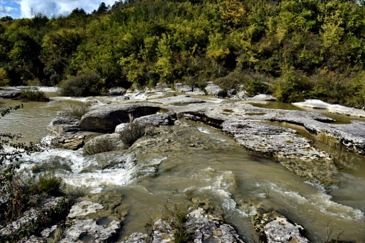
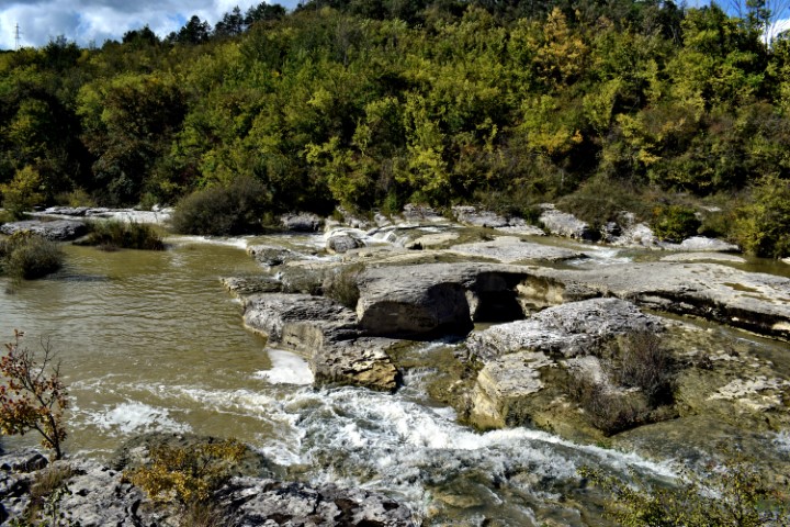
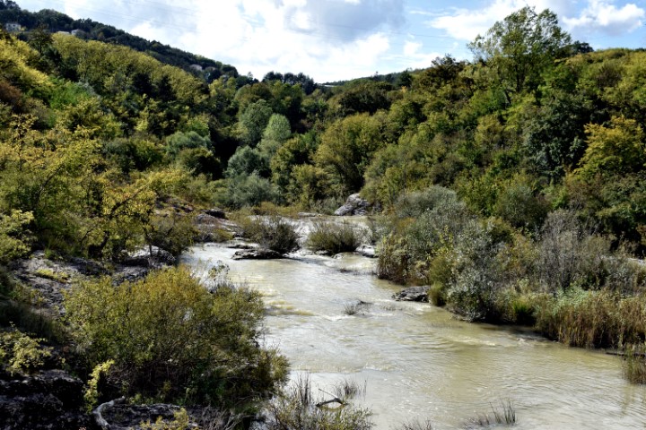
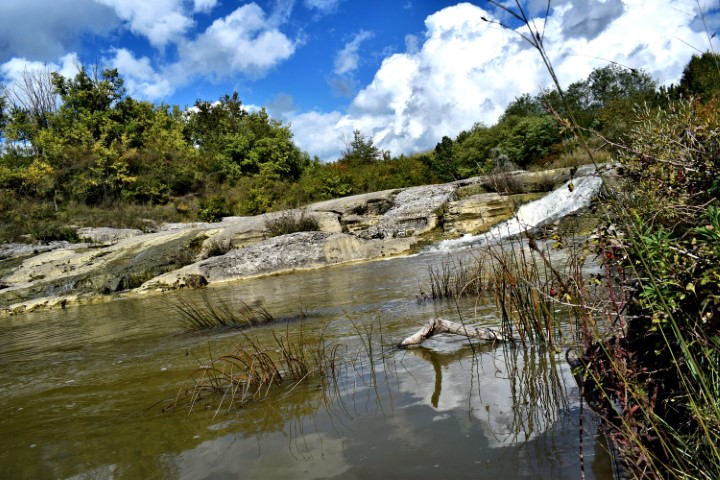
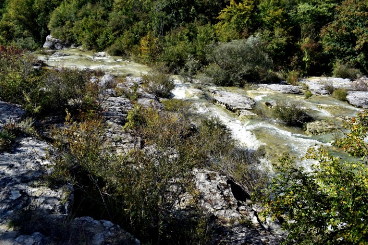
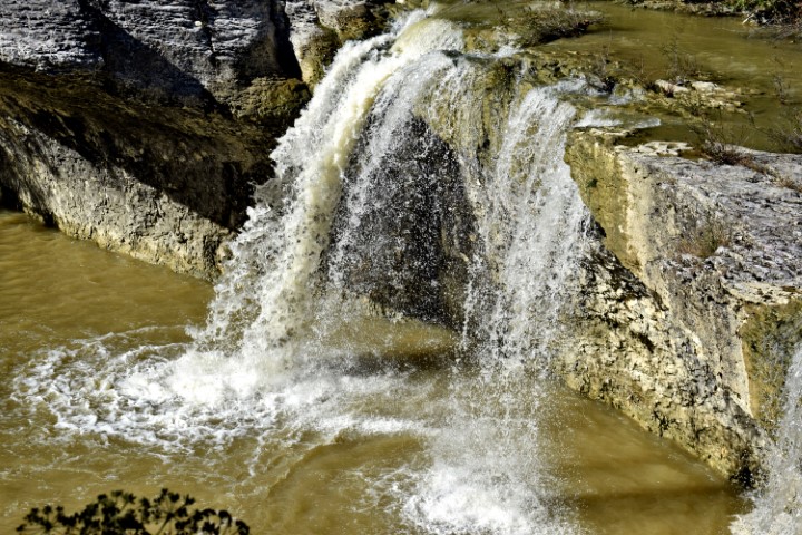
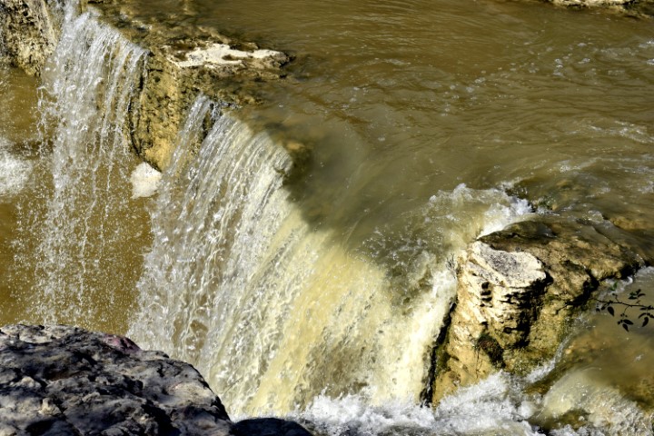
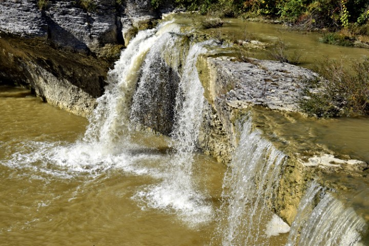
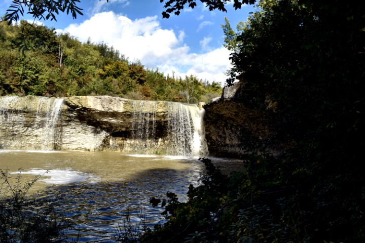
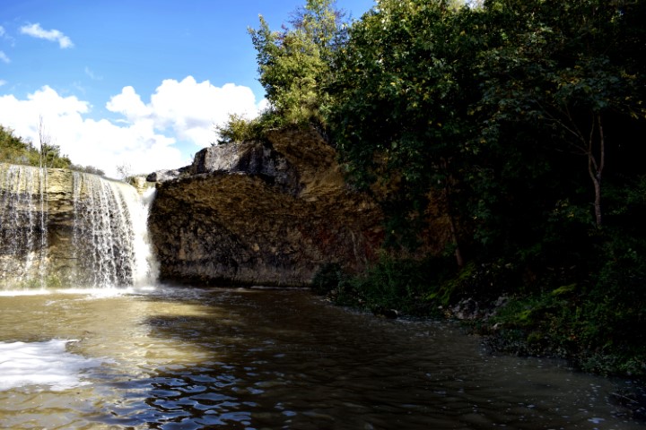
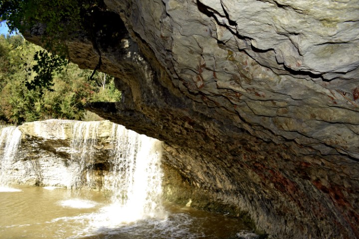
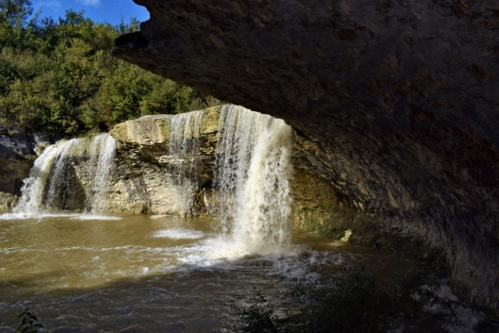
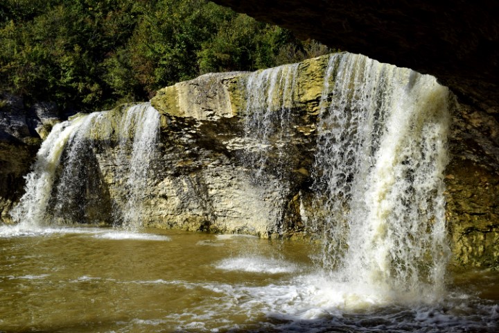
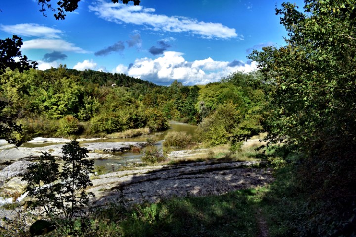
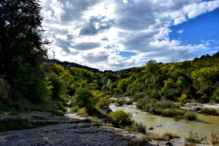
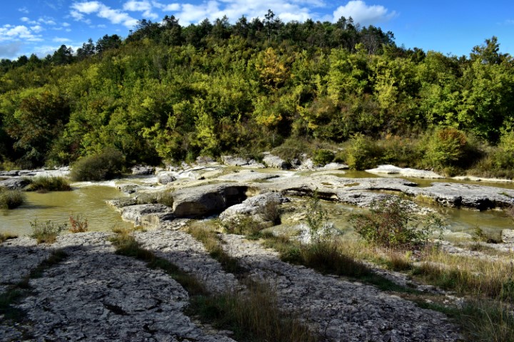
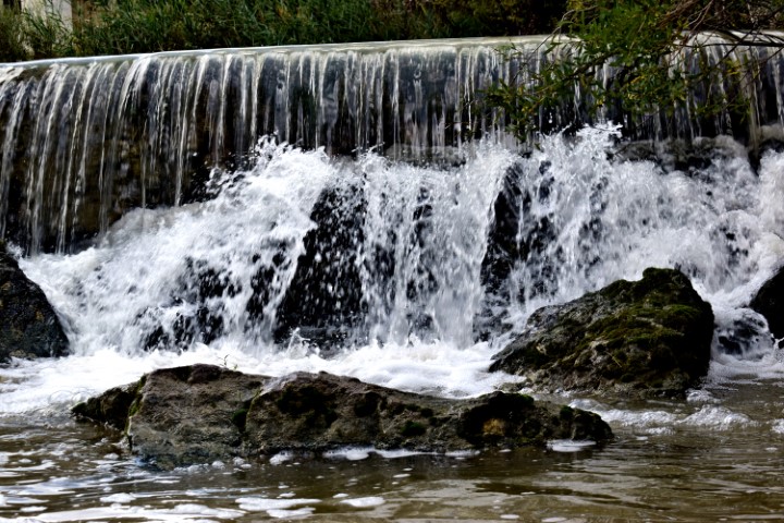
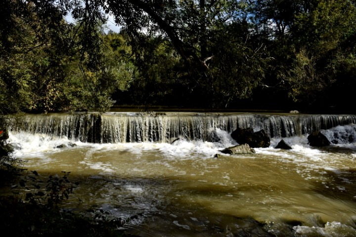
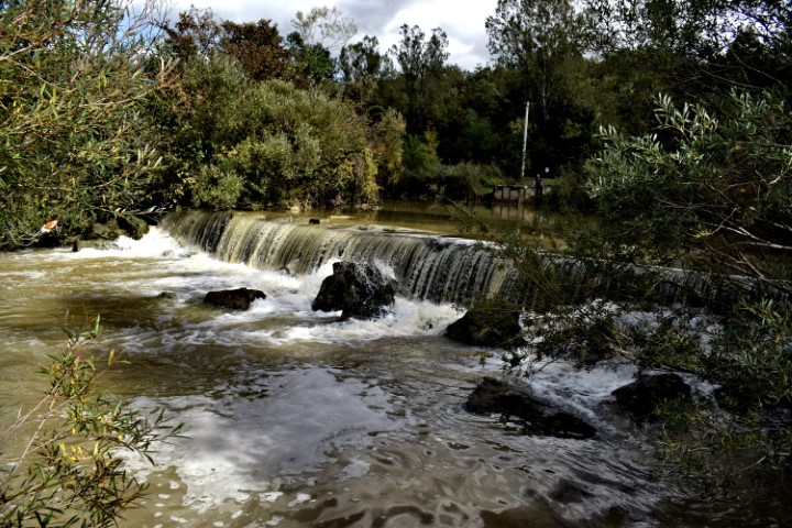
“The trail of seven waterfalls” (306).
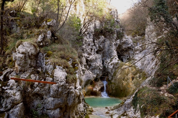
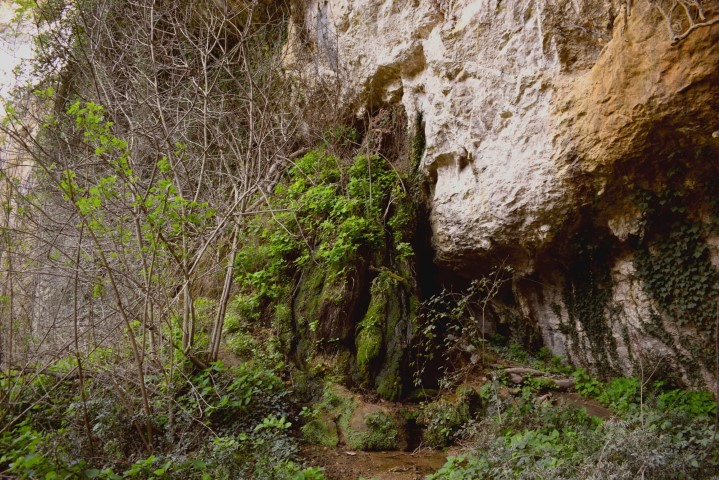
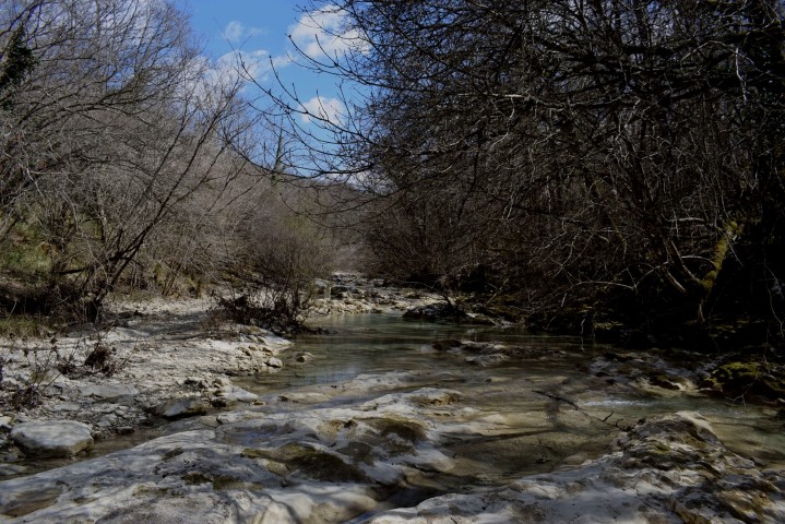
“The trail of seven waterfalls” (306).
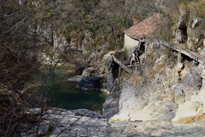
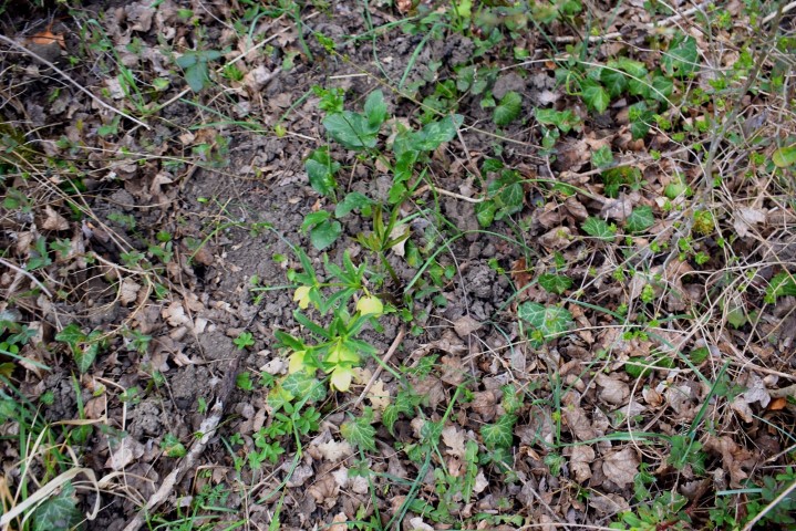
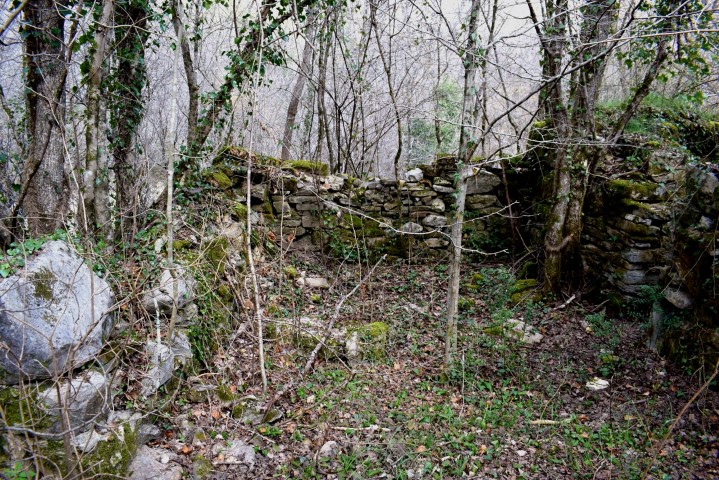
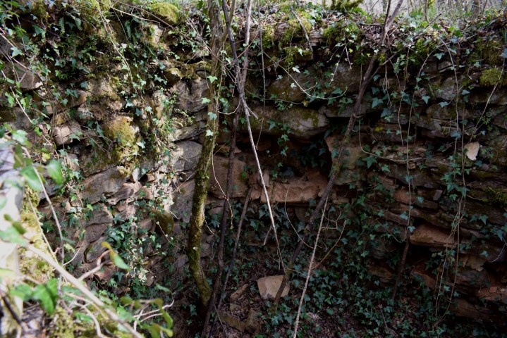
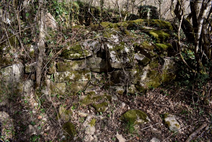
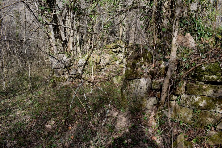
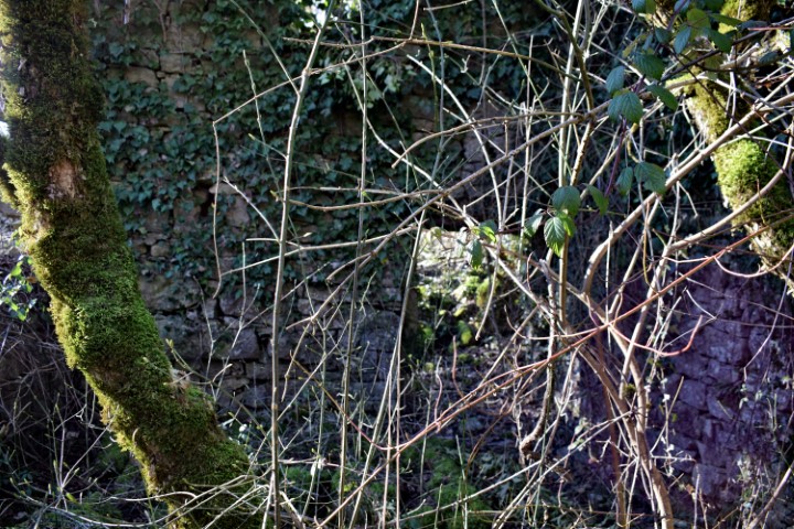
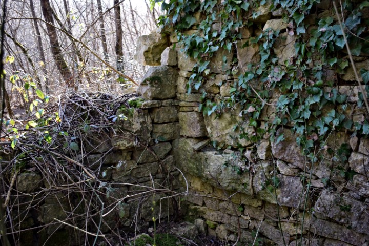
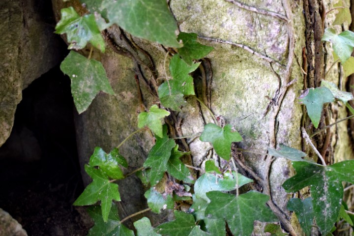
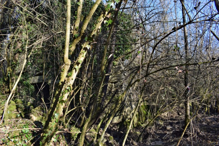
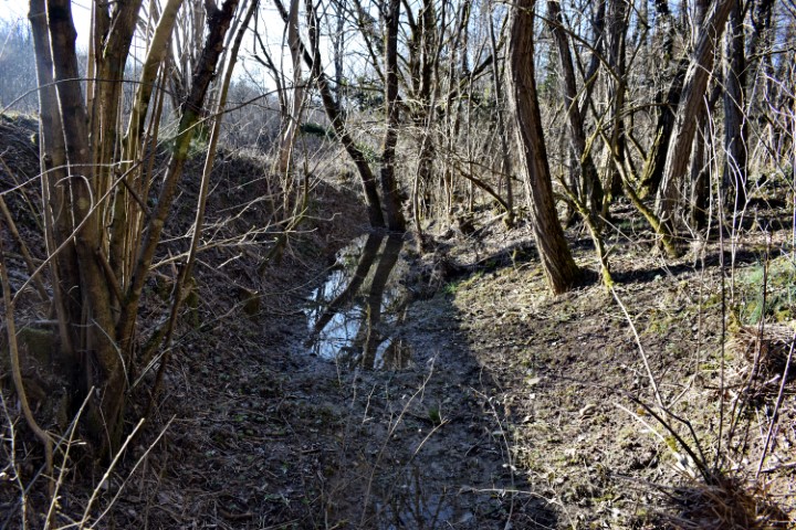
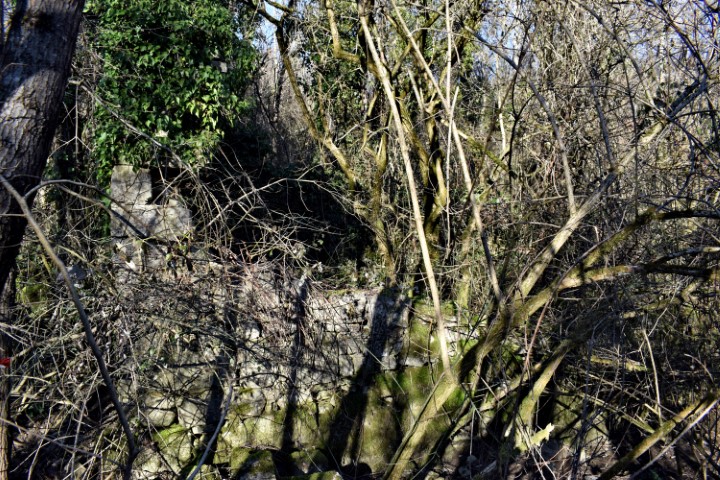
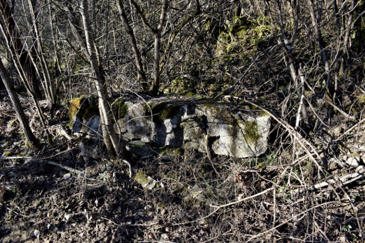
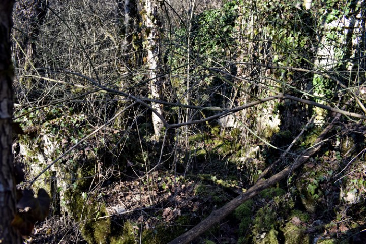
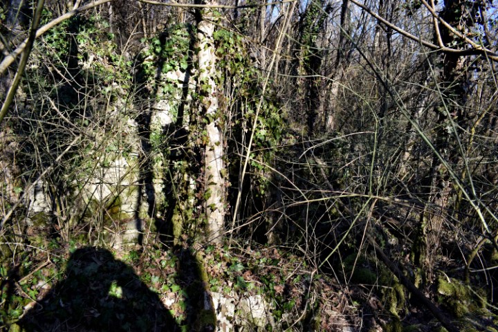
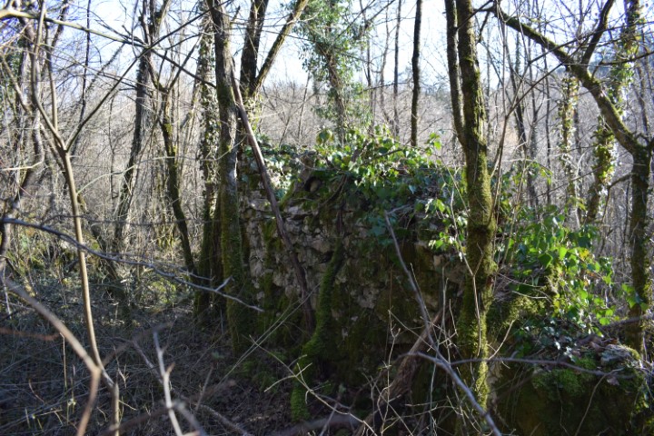
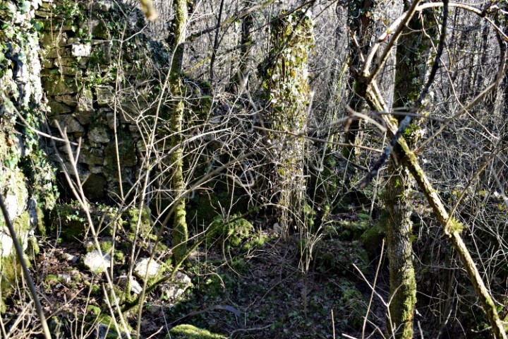
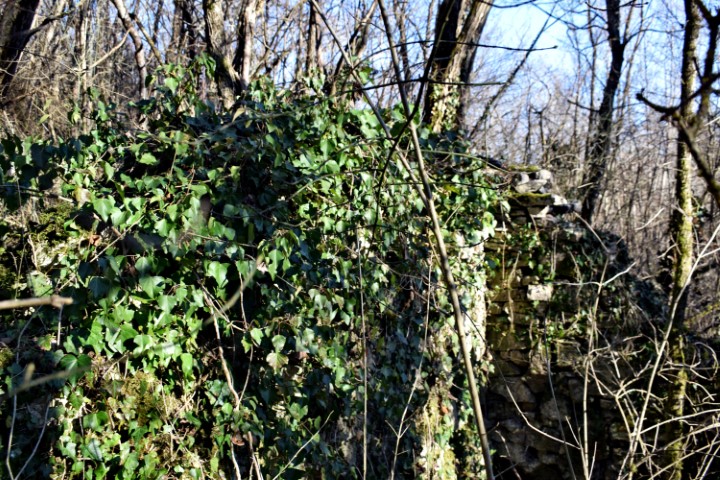
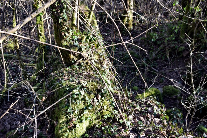
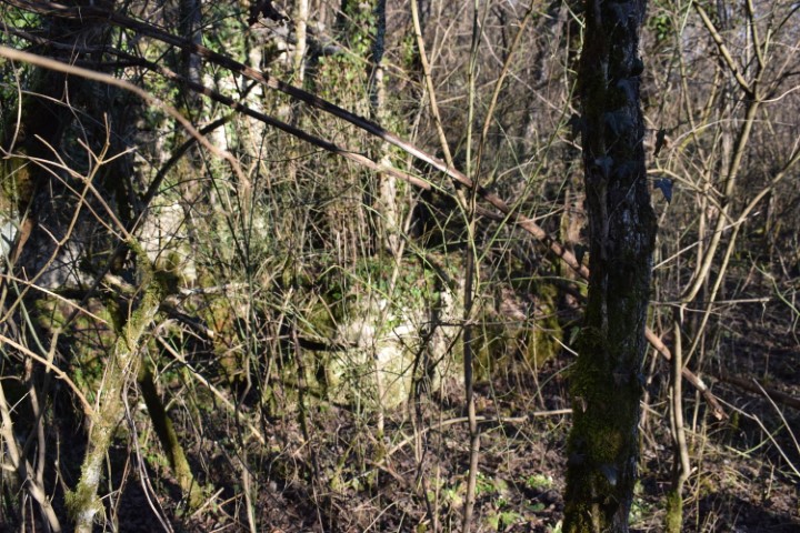
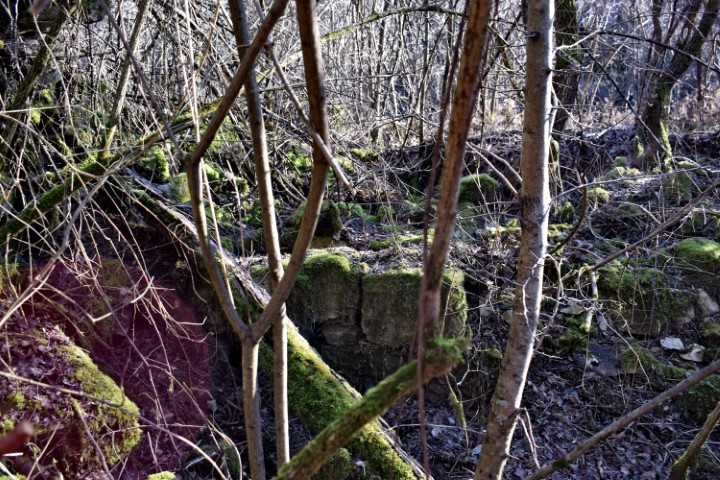
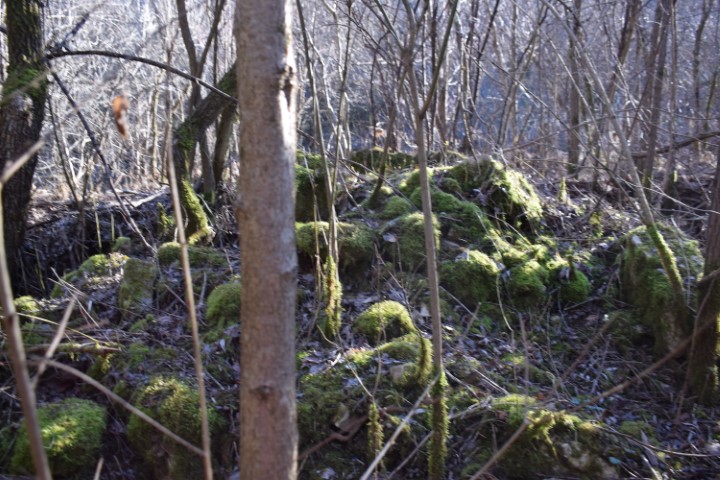
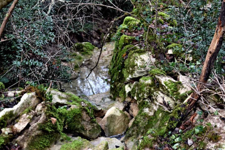
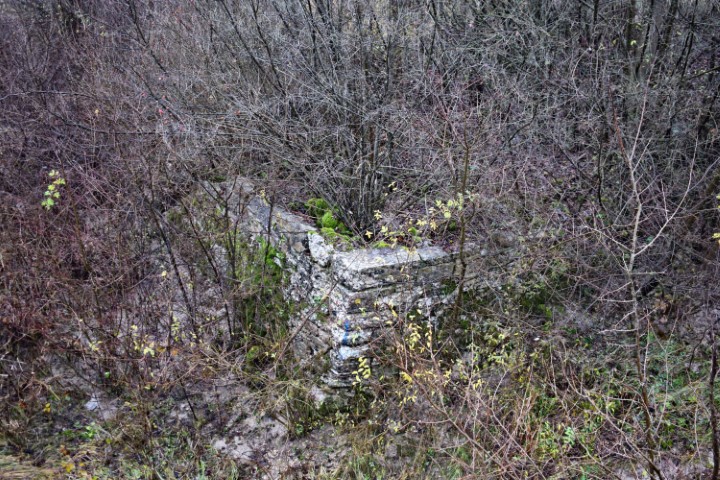
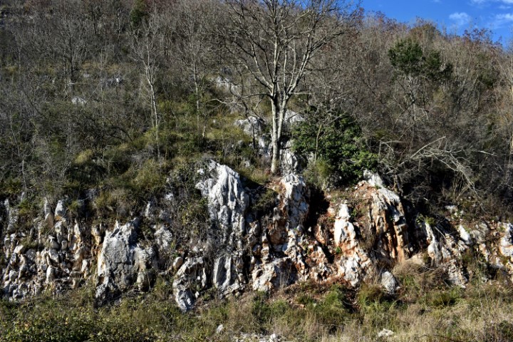
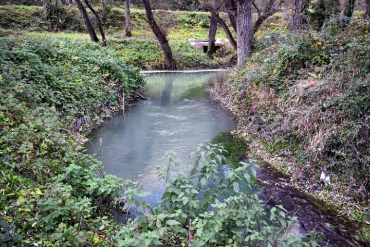
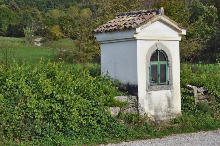
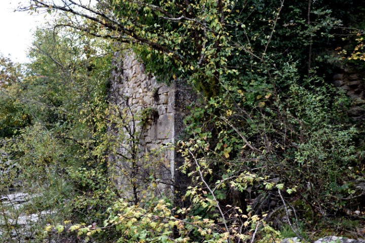
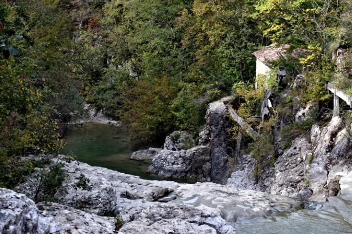
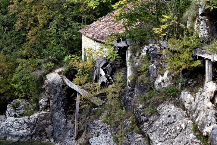
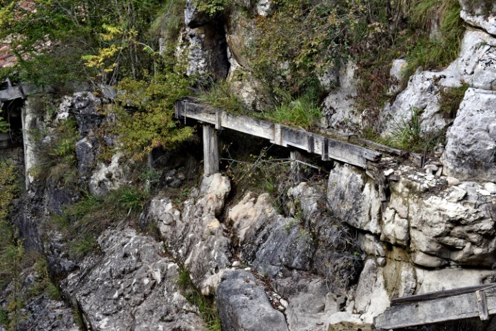
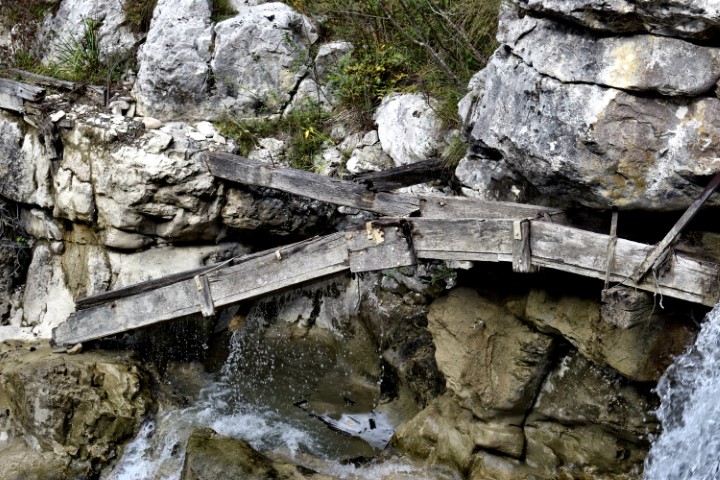
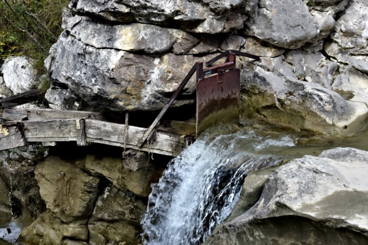
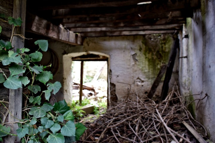
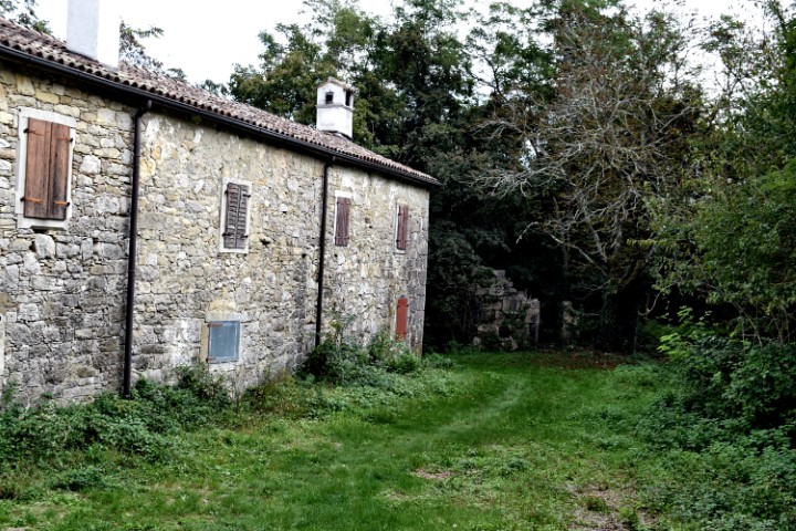
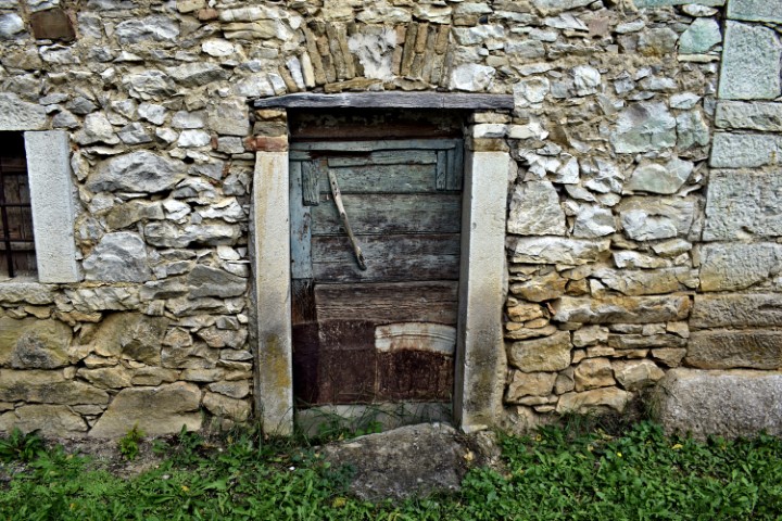
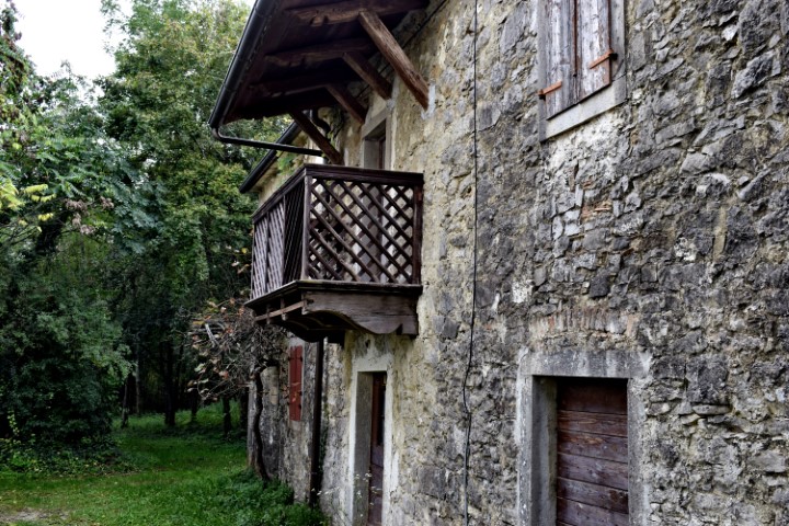
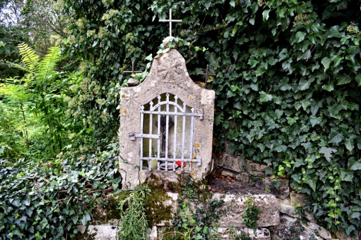
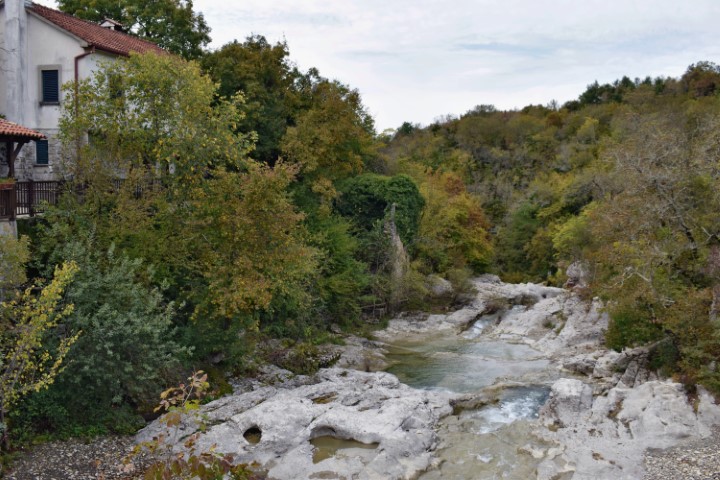
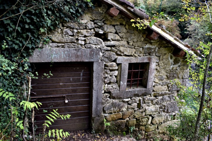
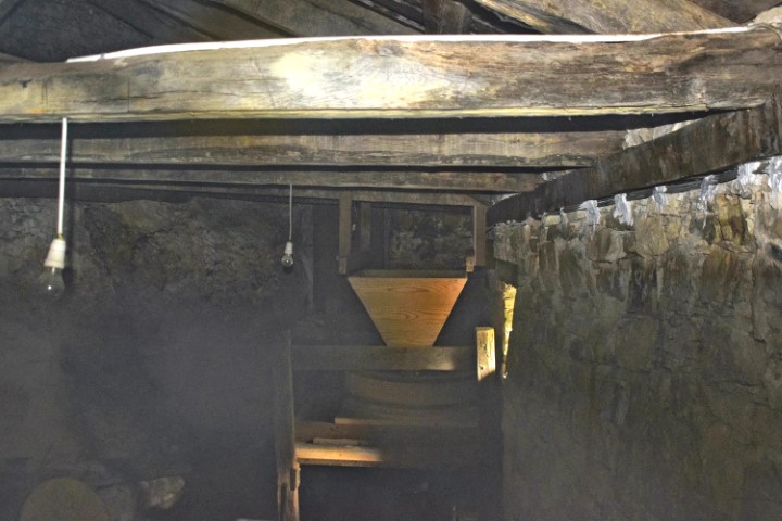
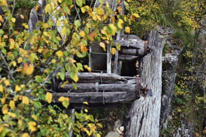
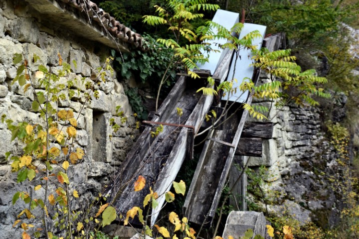
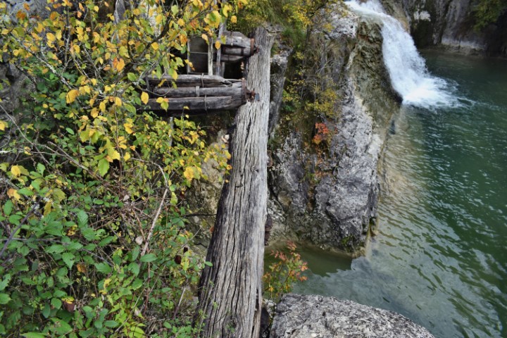
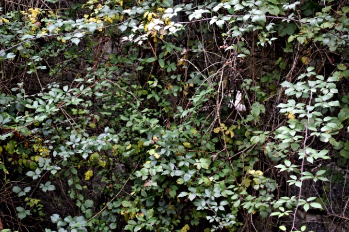
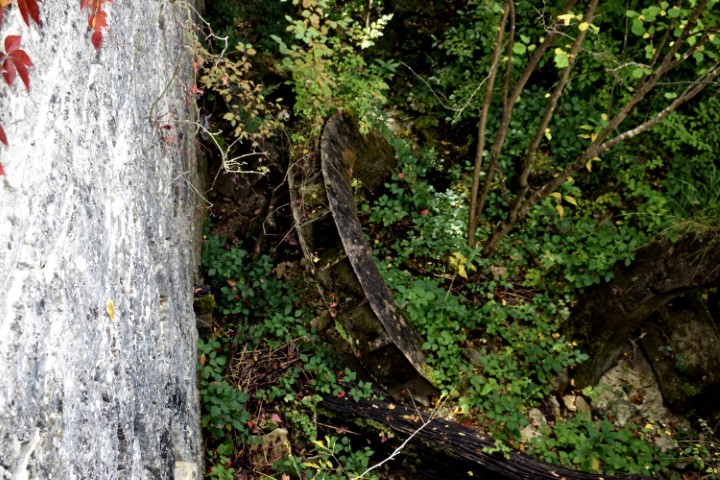
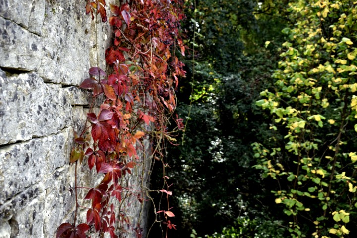
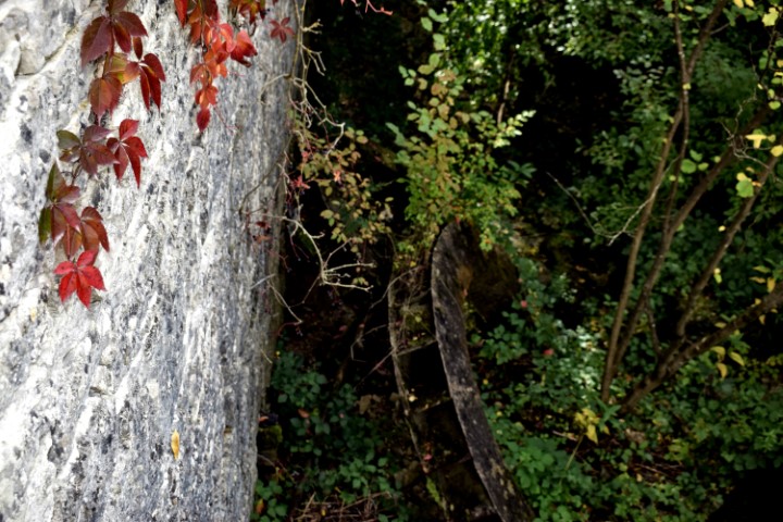
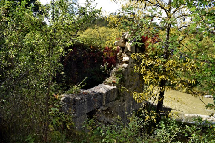
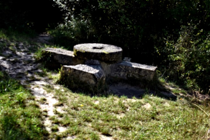
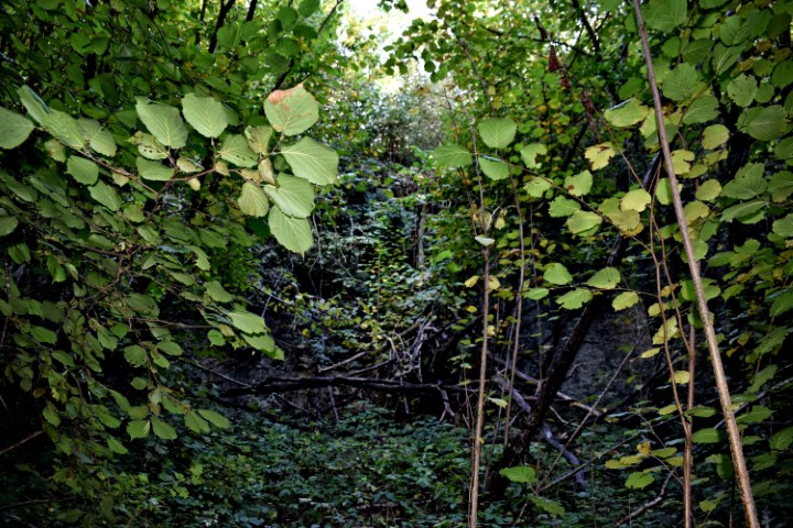
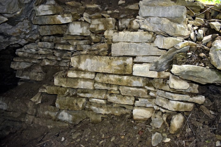
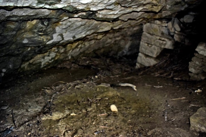
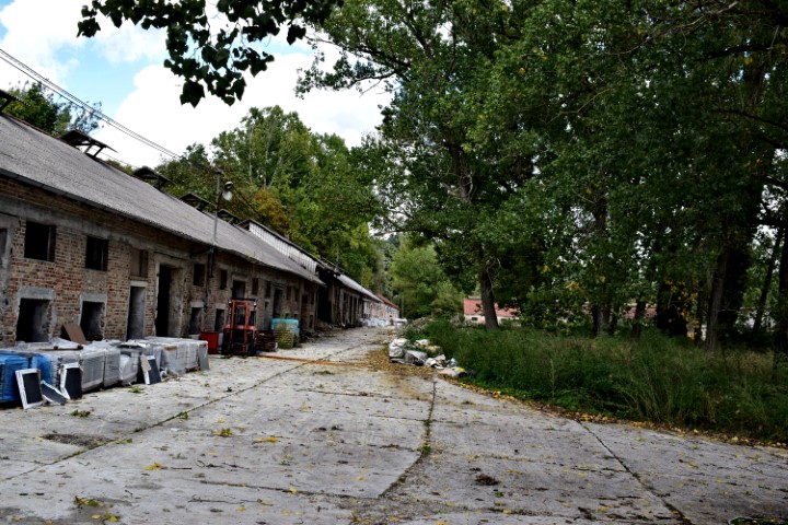
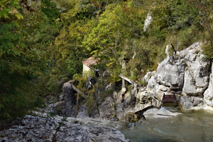
Name: Ruin watermill (81) on the river Mirna.
Place: Near Podkuk (81), I 285 Colma – (Buzet).
Coordinates: 45.38511 N – 13.99215 E.
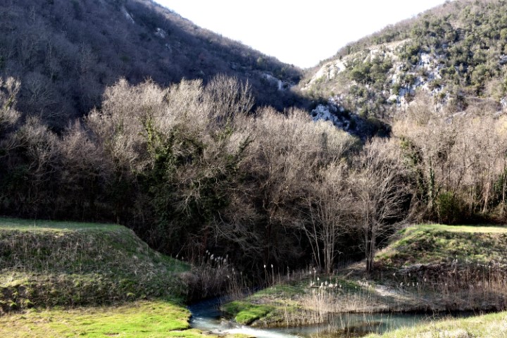
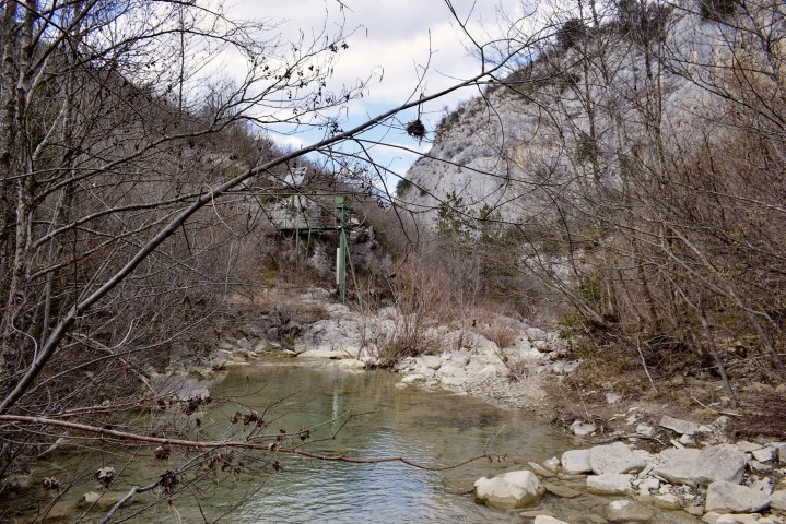
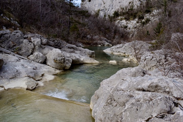
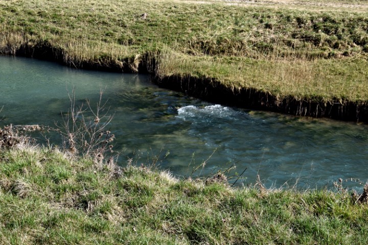
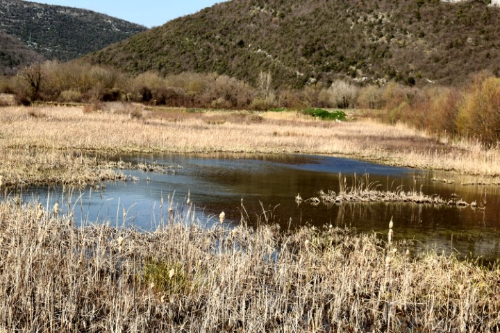
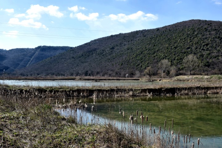
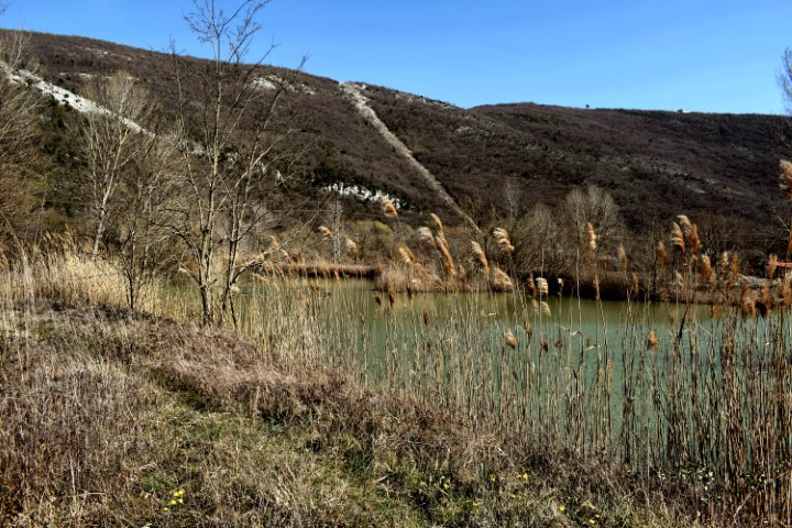
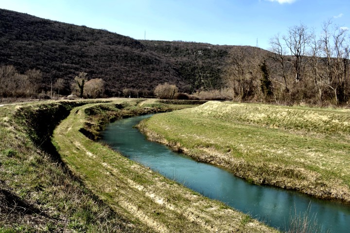
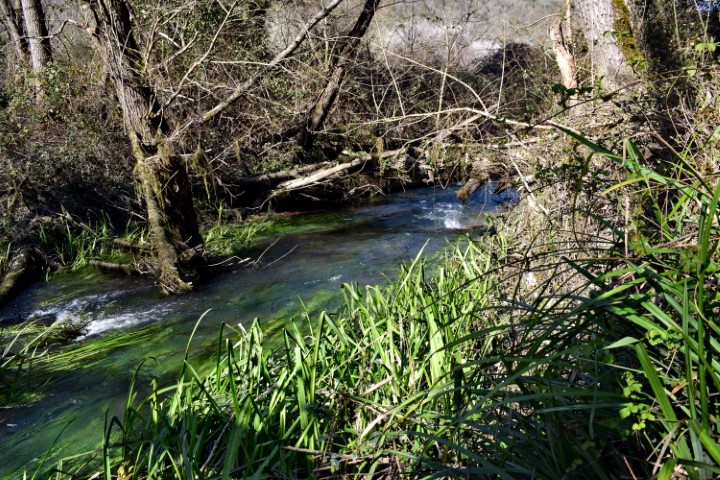
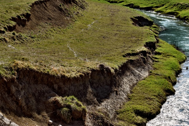
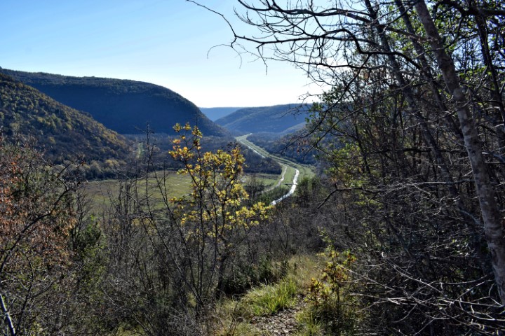
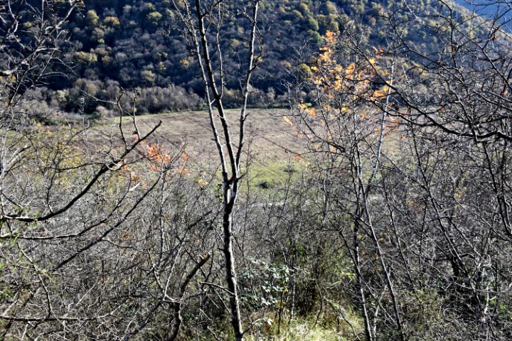
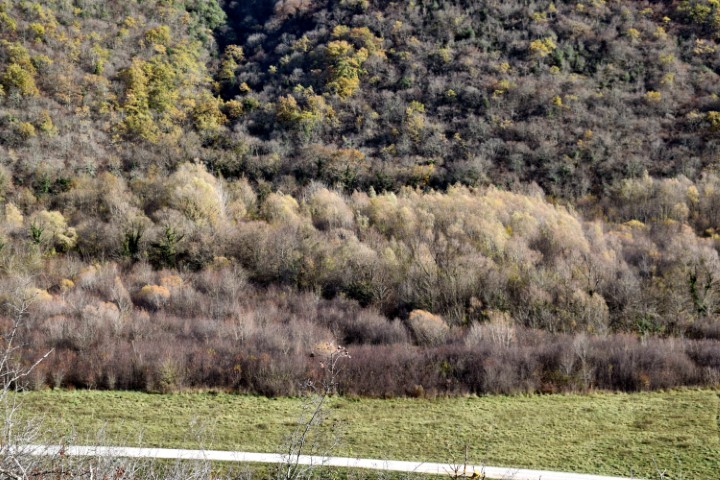
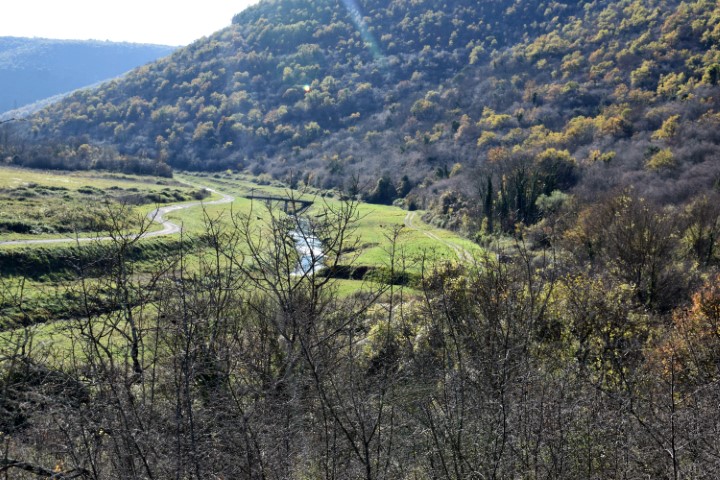
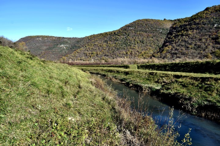
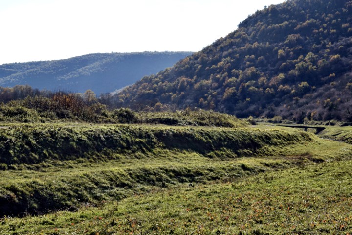
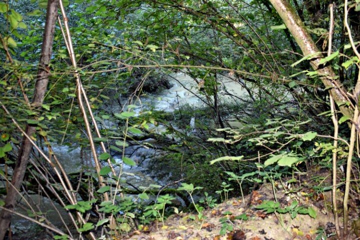
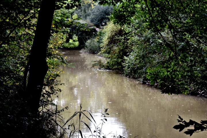
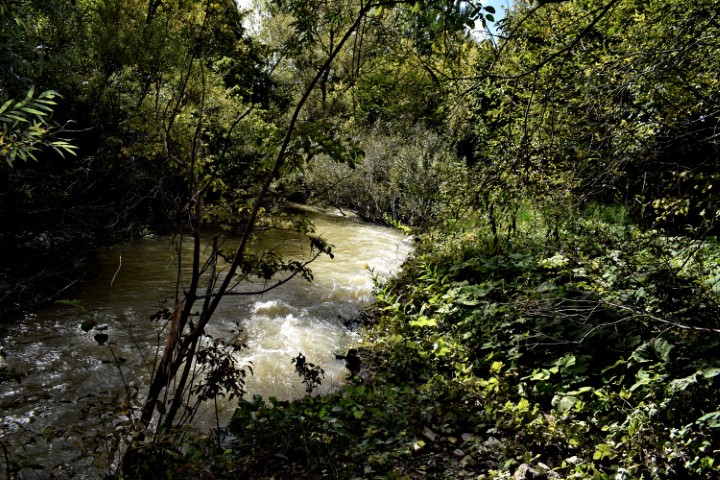
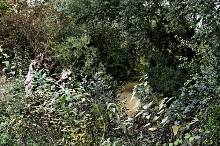
Name: River Raša (24,5 km) from the village Most Raša to the village Marišće.
Place: Most Raša – (Raša) , Marišće – (Kršan)
Coordinates: 45. 06000 N -14.04227 E to 45.18709 N – 14.07813 E.

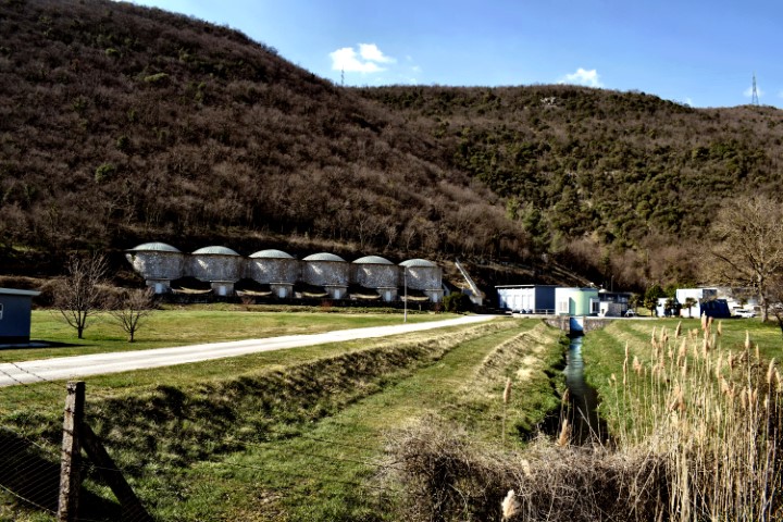
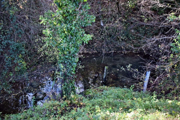
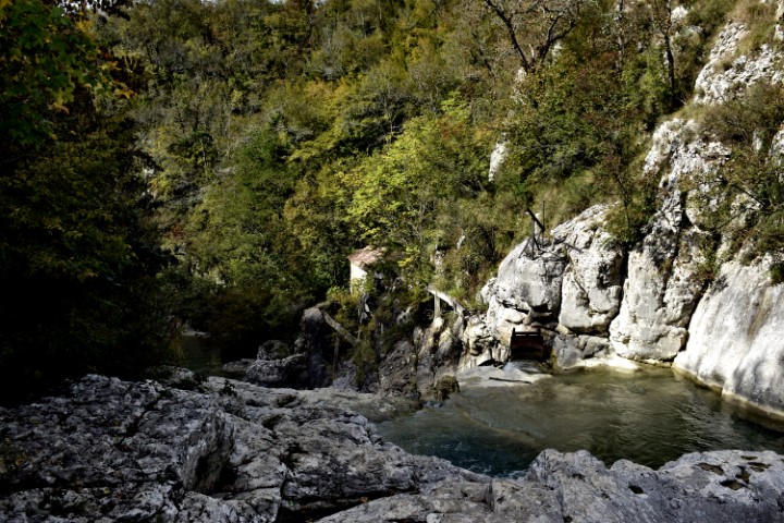
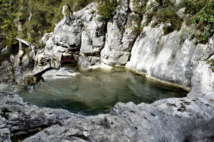
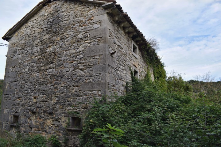
Name: Watermills (146,147) near the Pazinćica river.
Place: (146,147) IV-119 en IV-120, Szaretz, Zarevje – (Pazin).
Coordinates: 45.24931 N – 13.9576 E.
See too the post placed on 2020-06-25.

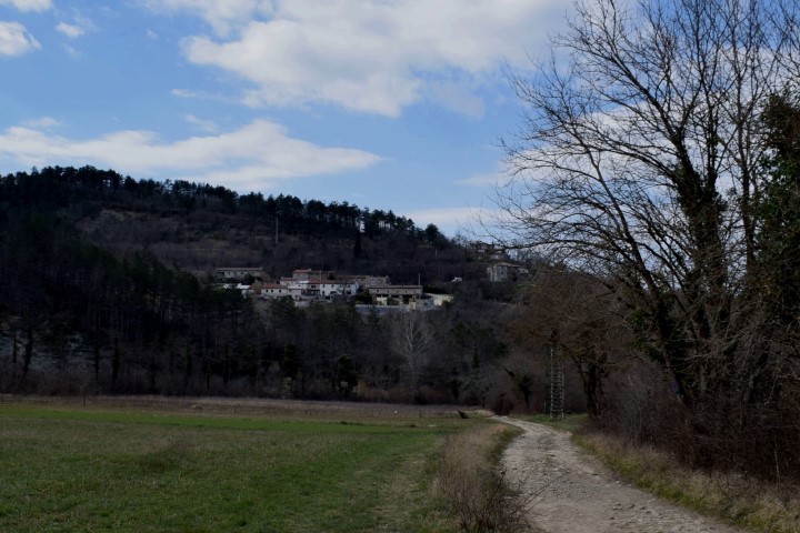
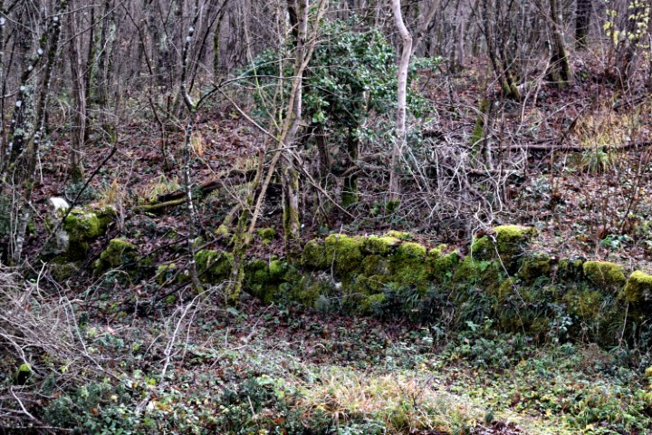
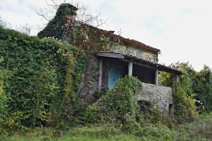
Name: Watermills Žudetići.
Place: Žudetići – (Vižinada).
Coordinates: 45.34738 N – 13.74436 E.

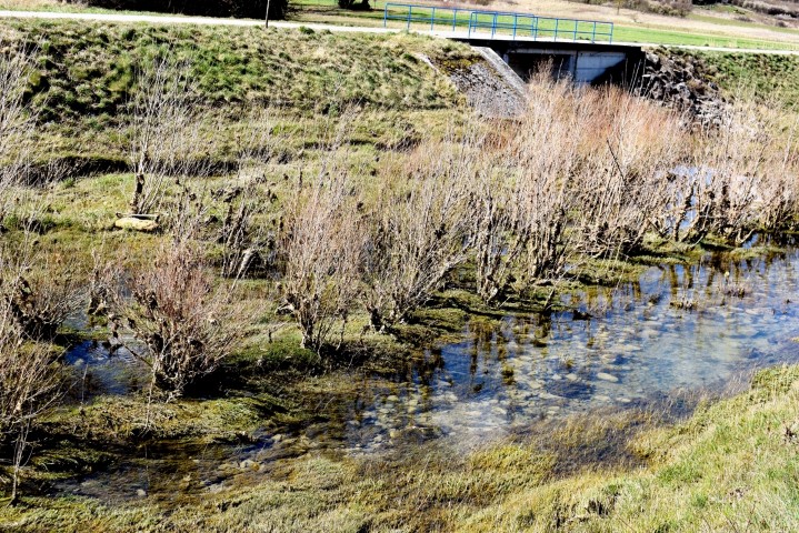
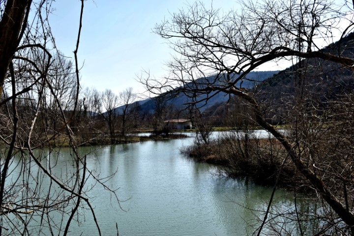
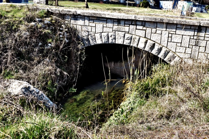
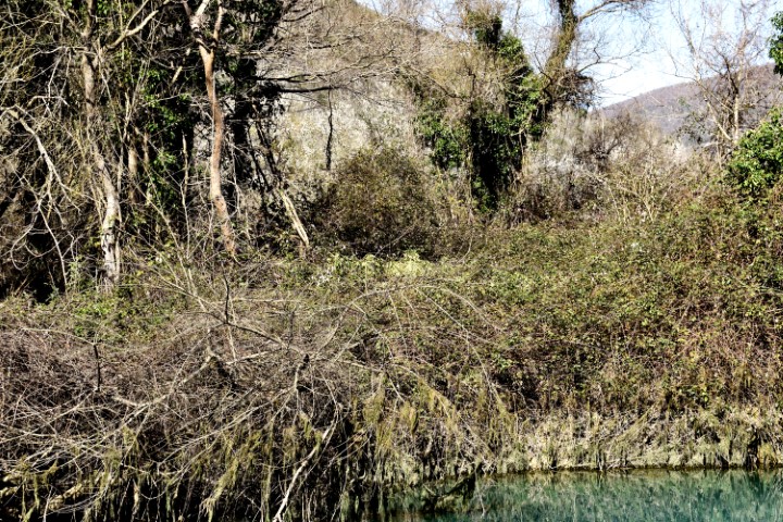
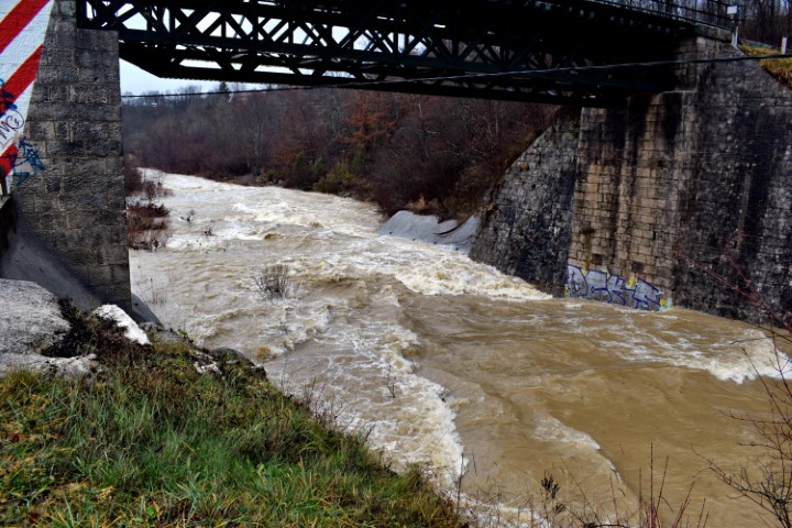
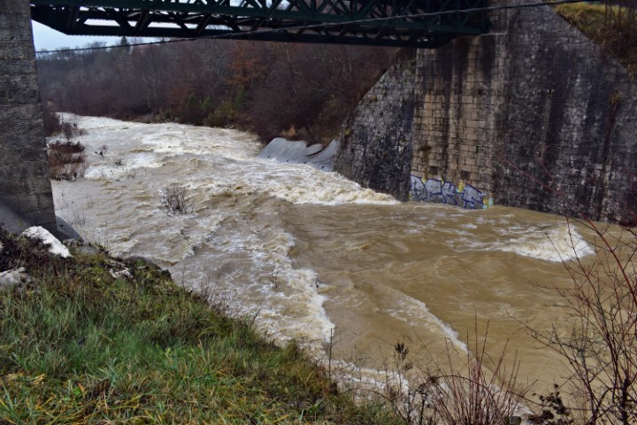
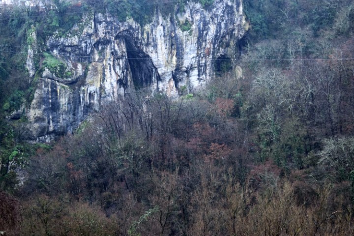
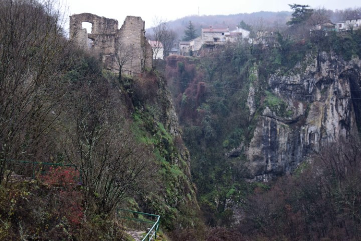
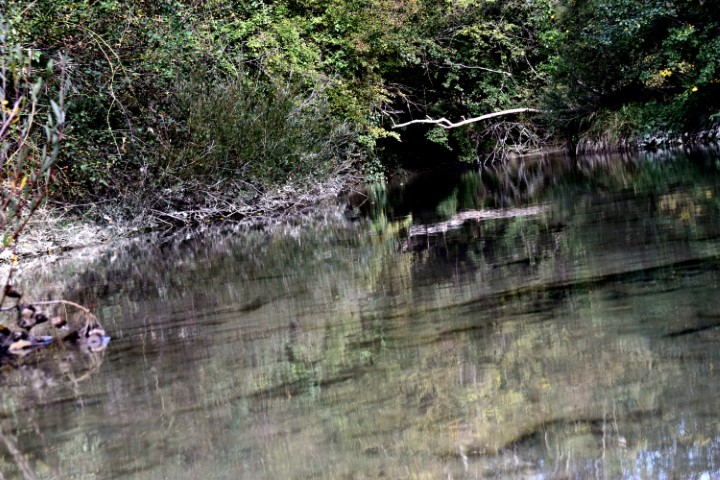
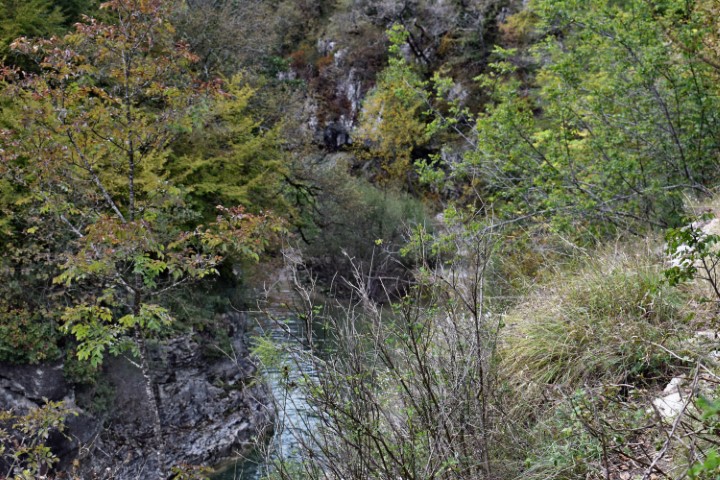
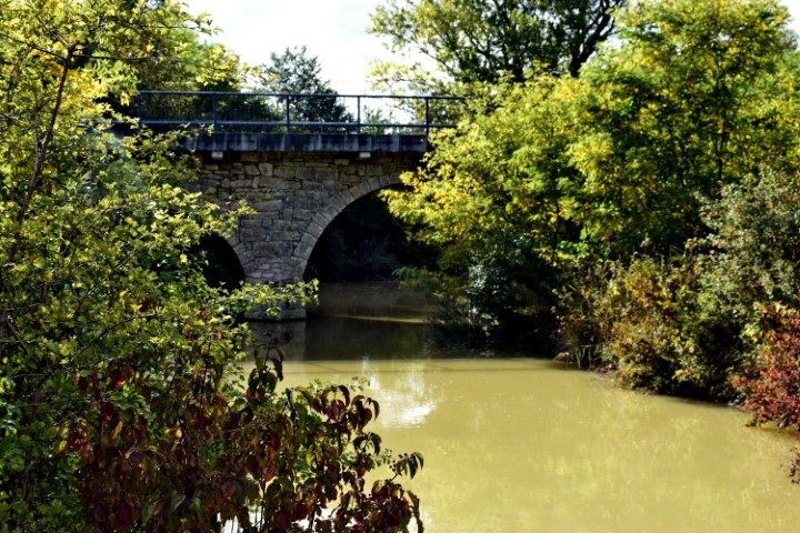
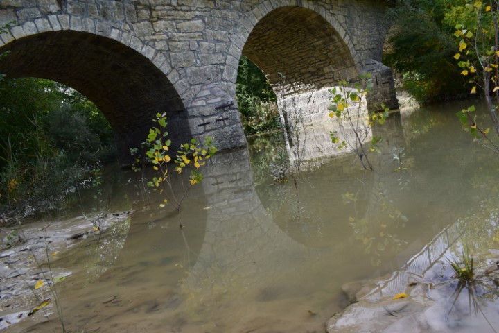
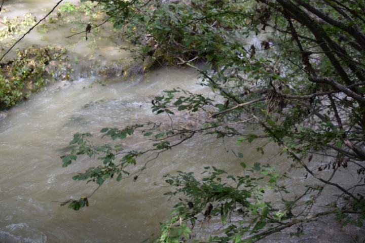
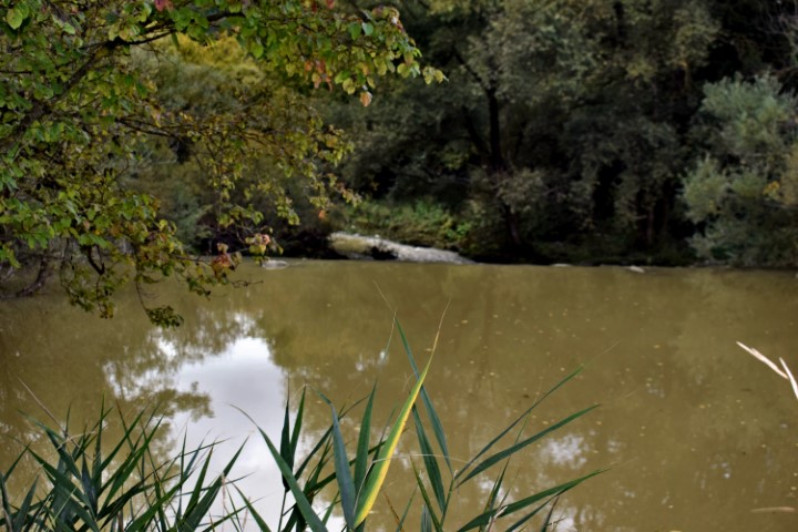
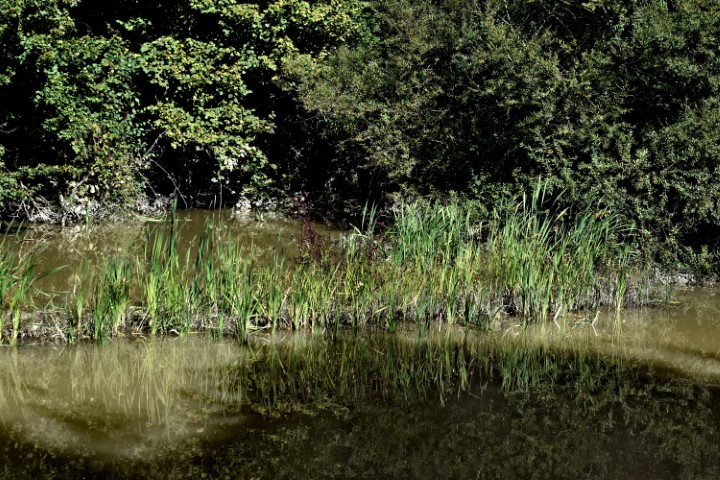
Name: Pažinčica river.
Place: Pazin.
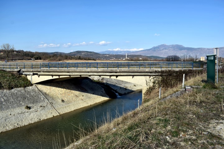
Coordinates: Railway bridge: 45.24609 N – 13.96640 E., Bridge near Dusani; 45.25073 N – 13.94900 E,, Bridge Sv. Jožefa: 45.24526 N. 13.93866 E., Bridge Most Vršic: 45.24163 N – 13.92838 E.

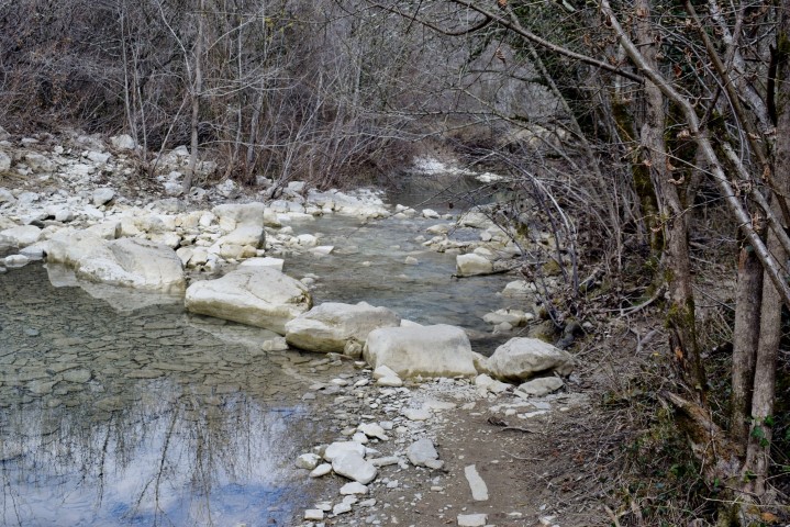
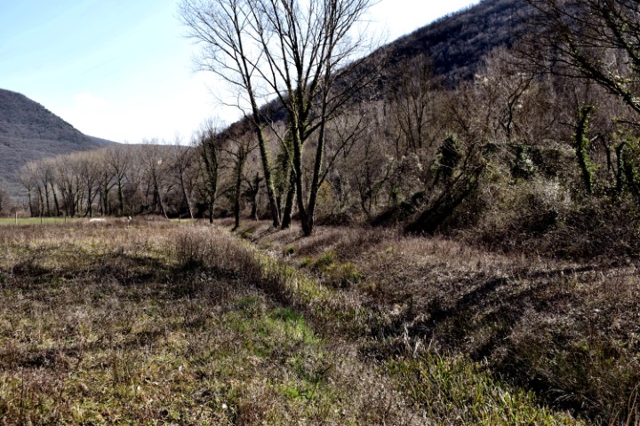
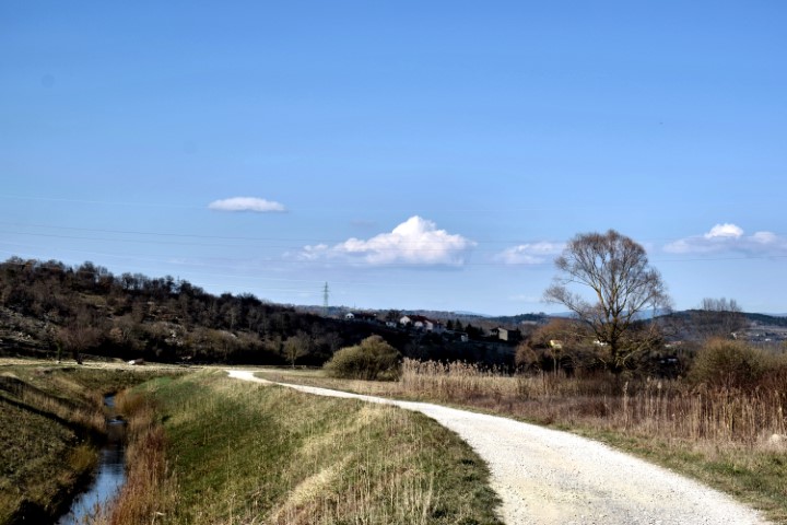
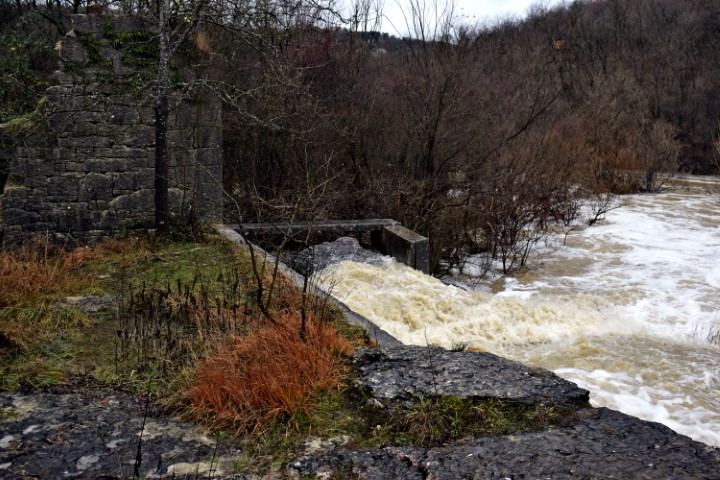
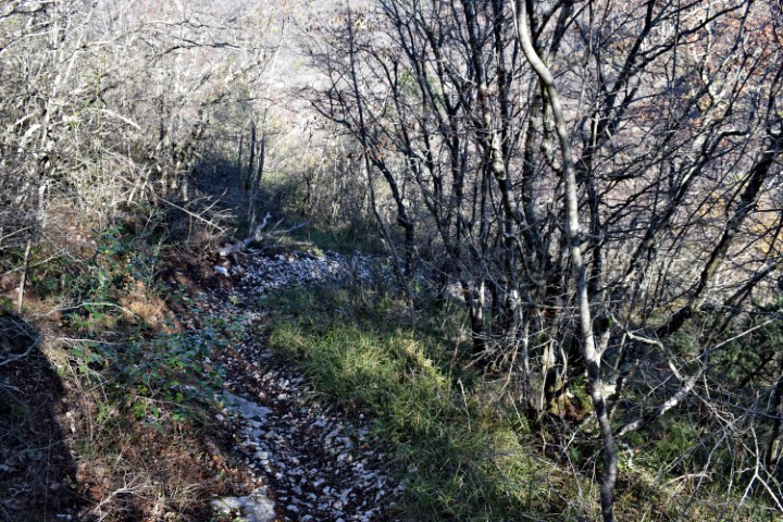
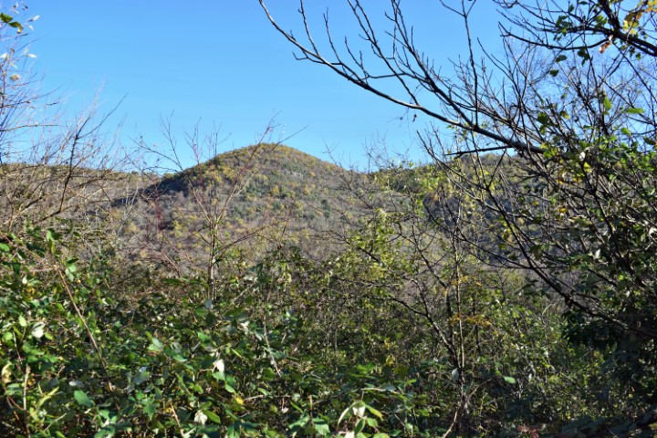
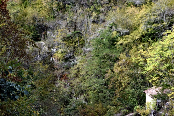
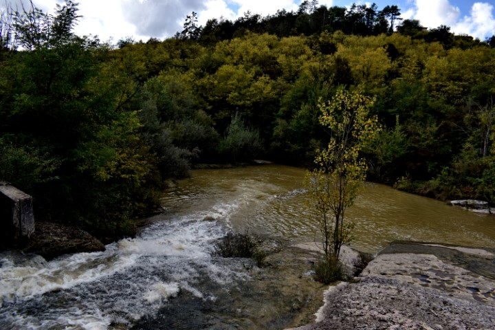
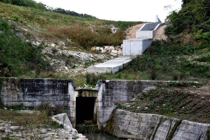
Name: Hiking trail from Cvitići to the river Rasa (ruine watermill – waterspring St. Martin) and the village Gorica.
Place: Cvitići – Gorica – (Barban).
Coordinates: Cvitići: 45.13739 N -14.01027 E, Rasa: 45.13060 N – 14.02521 E, Ruine Watermill (205) 45.13440 N – 14.02803 E, Molinska Draga: 45.13514 N – 14.02796 E, Water spring St. Martin: 45.14162 N – 14.02954 E, Gorica: 45.14031 N – 14.01739 E.
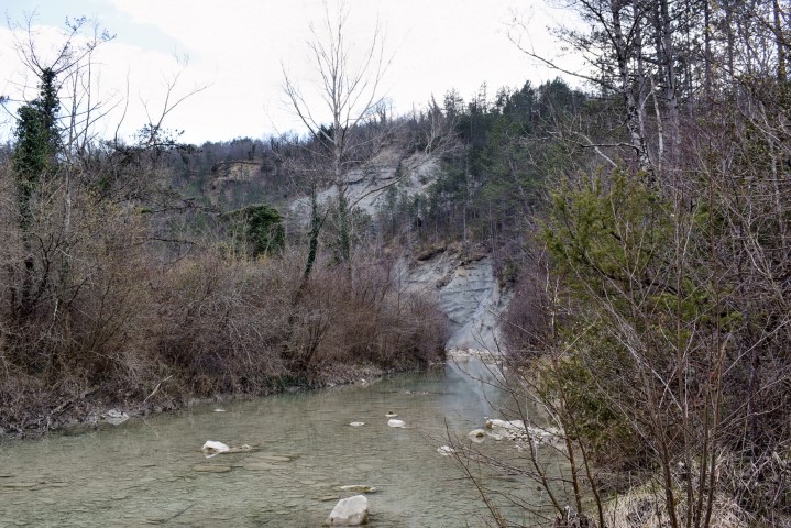
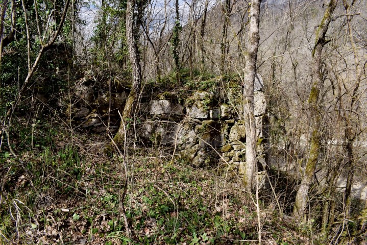
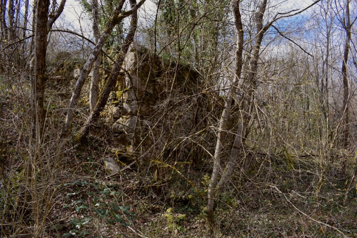
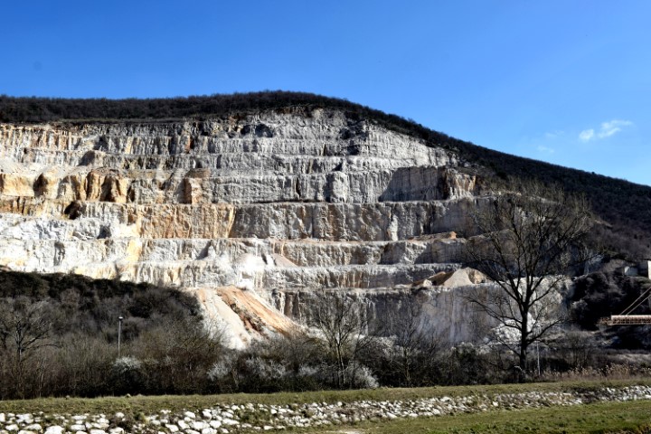
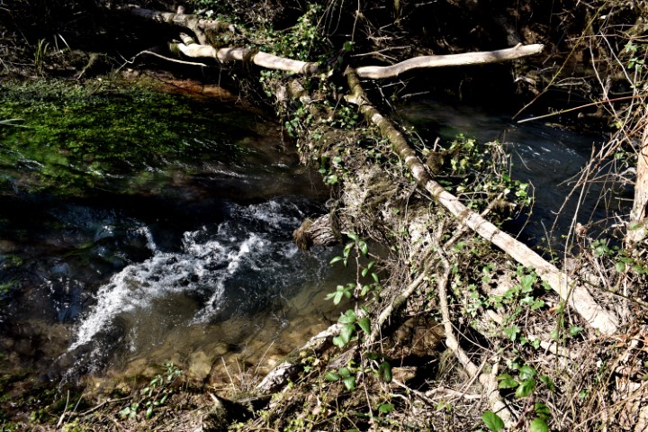
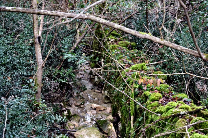
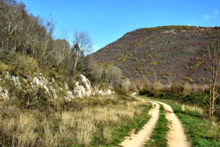
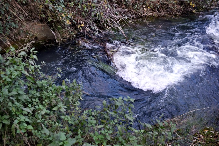
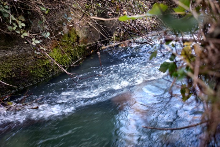
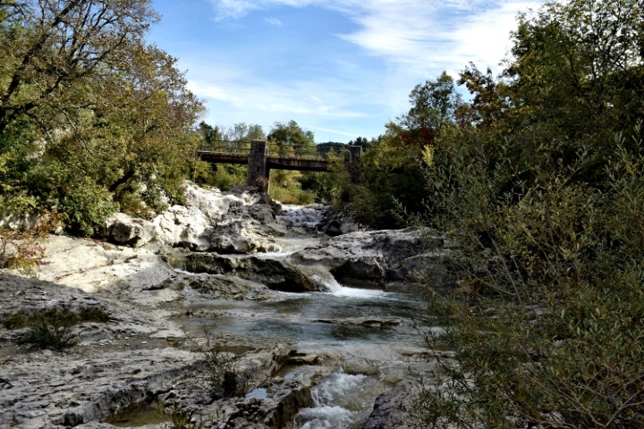
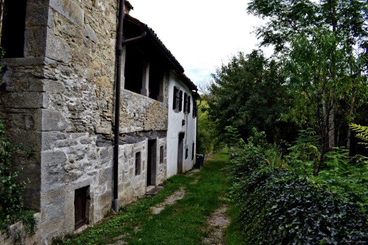
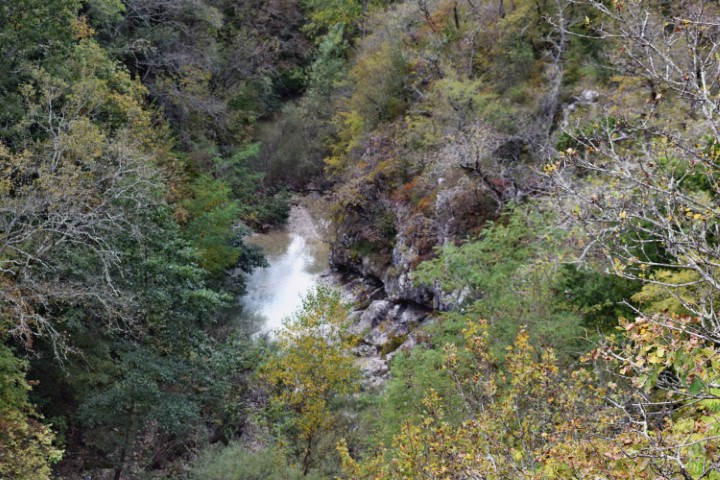
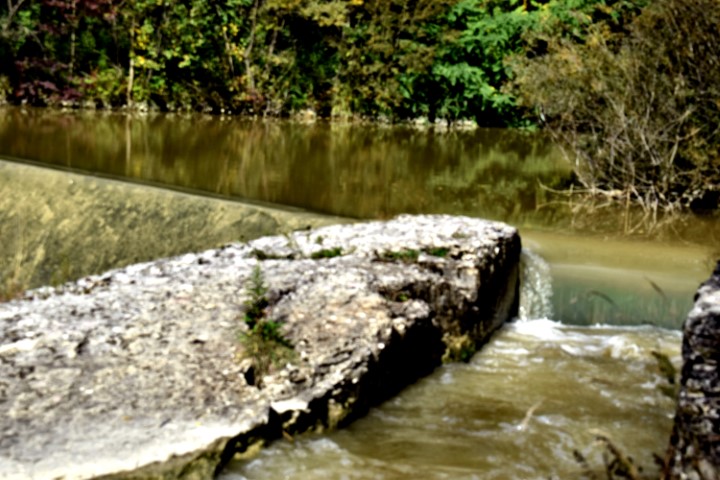
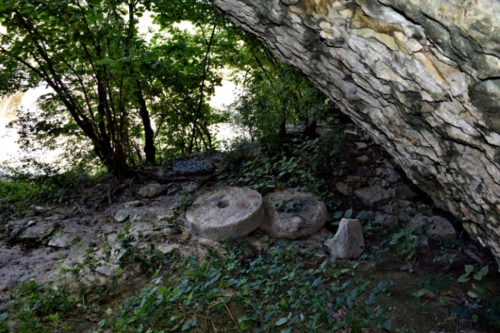
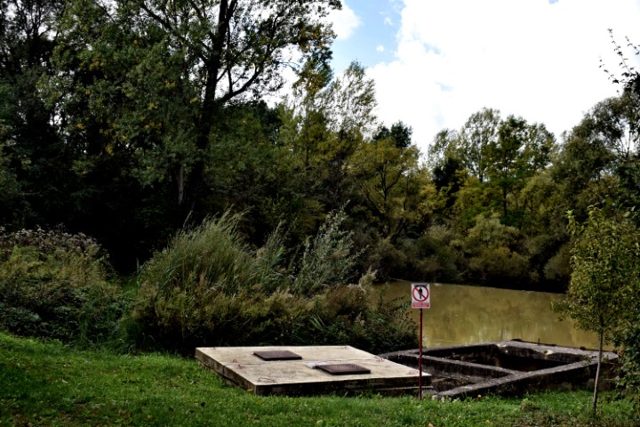
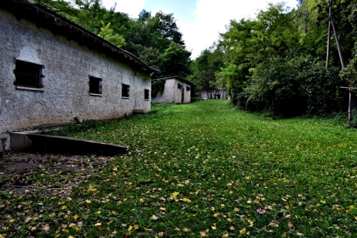
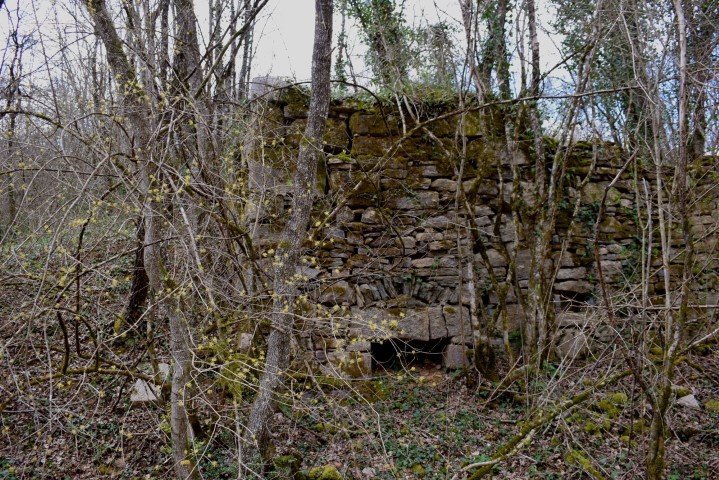
Name:Watermills (81,82) in the river Račine near the village Kotli.
Place: Kotli-(Buzet).
Coordinates: 45.3685 N – 14.0168 E.

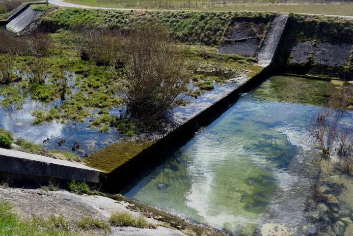
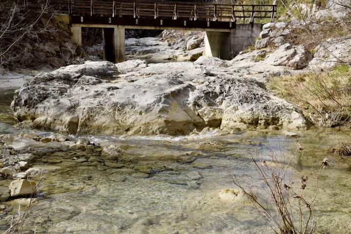
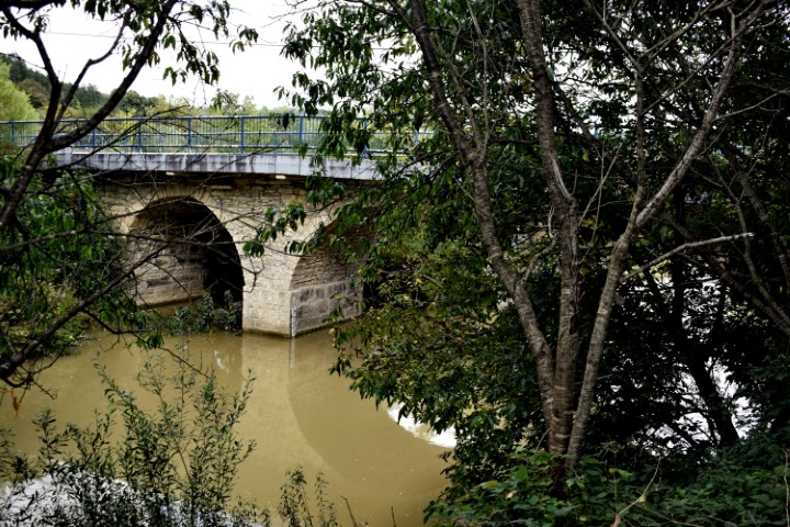
Name: Hiking trail from bridge Sv. Jožefa over the Pazinški river to the Roman way Pazin. watermills (153 – 154).
Place: NearRyavac – (Pazin).
Coordinates: Bridge Jožefa: 45.24530 N – 13.93836 E to 45.24344 N -13.93635 E.
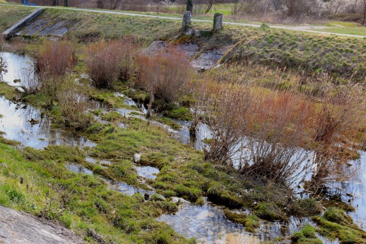
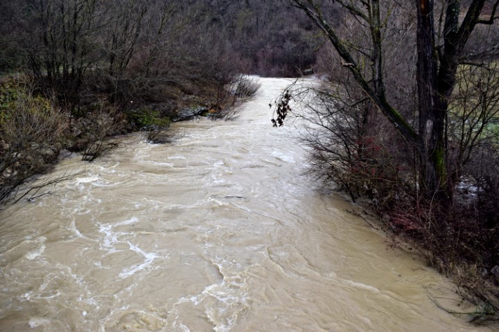
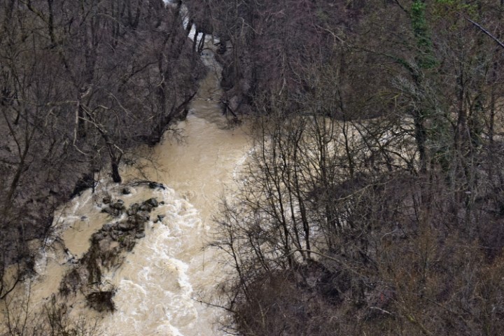
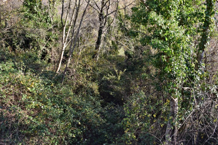
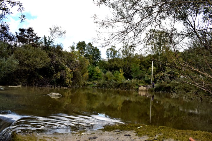
Name: Hiking trail from bridge over Pazinški potok to the bridge Sv. Jožefa.
Place: Near Dusani – near Pazin – (Pazin).
Coordinates: Bridge Dusani : 45.25077 N – 13.13.94918 E, Sv. Jožefa bridge; 45.24530 N – 13.93836 E.