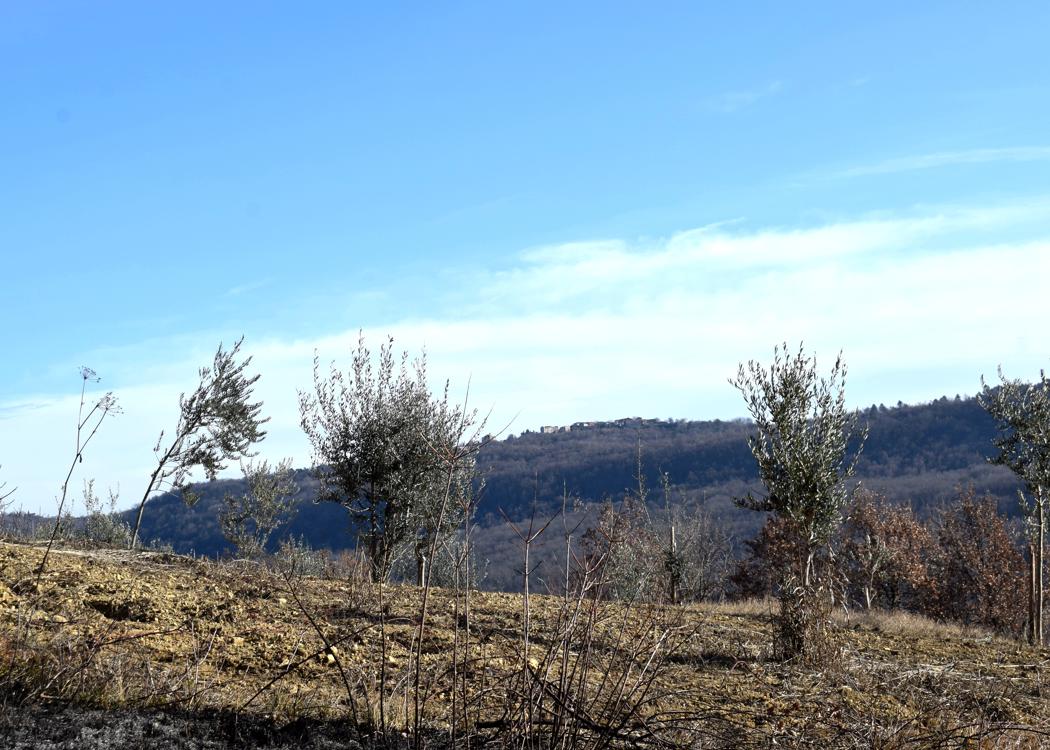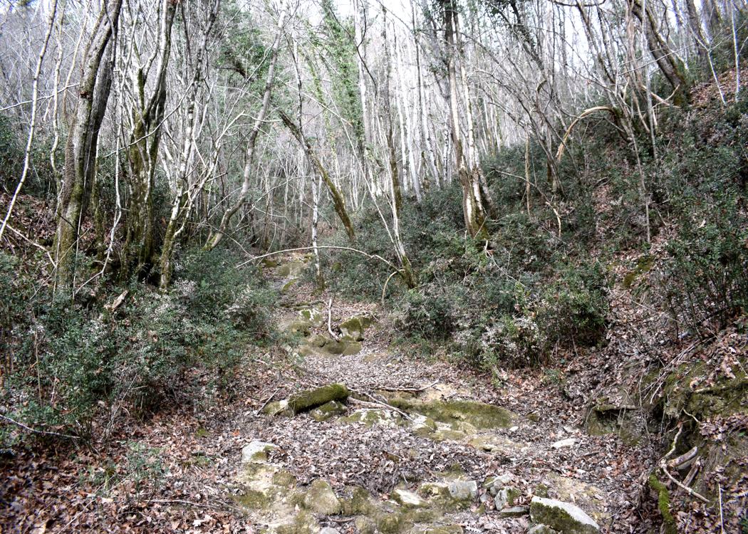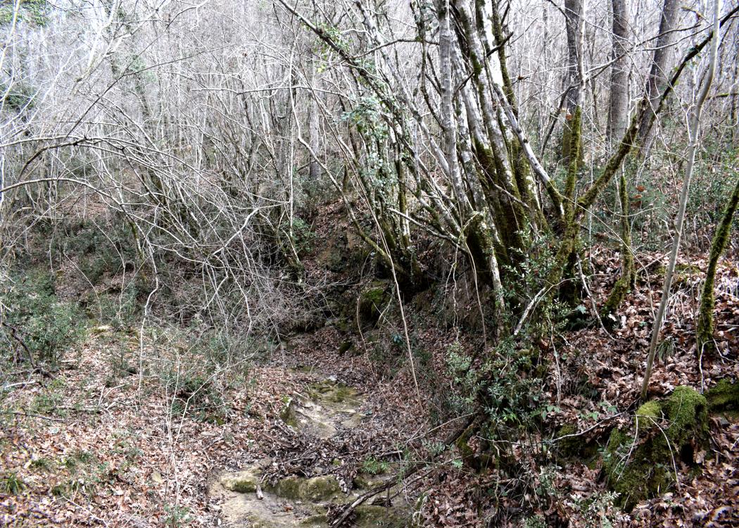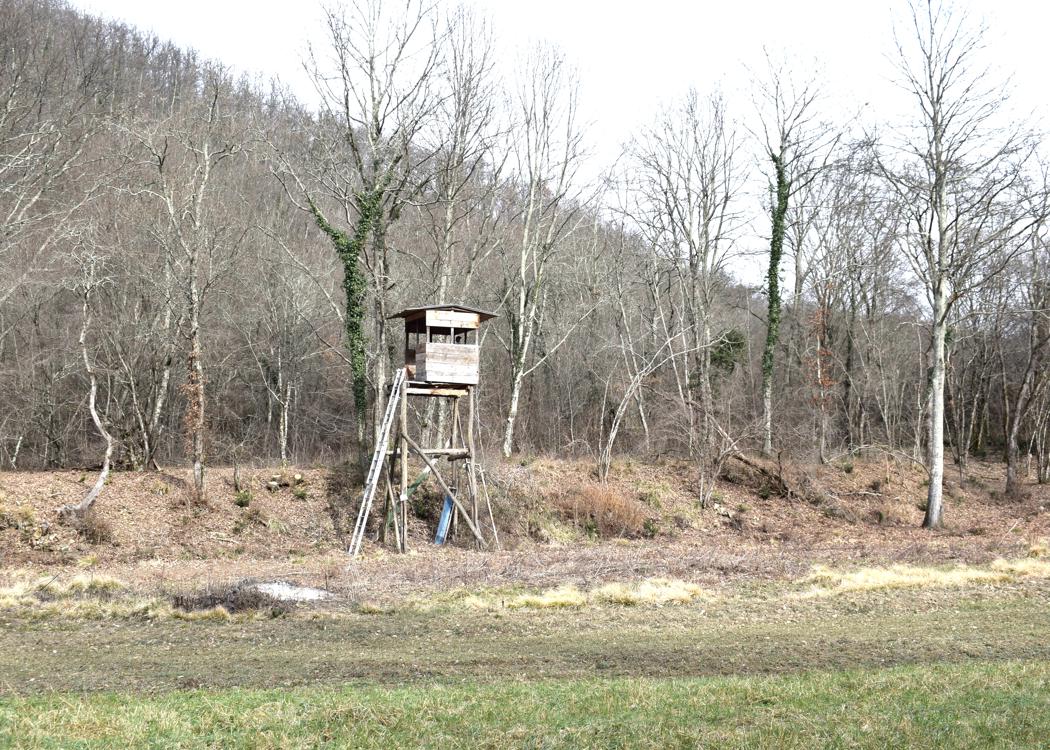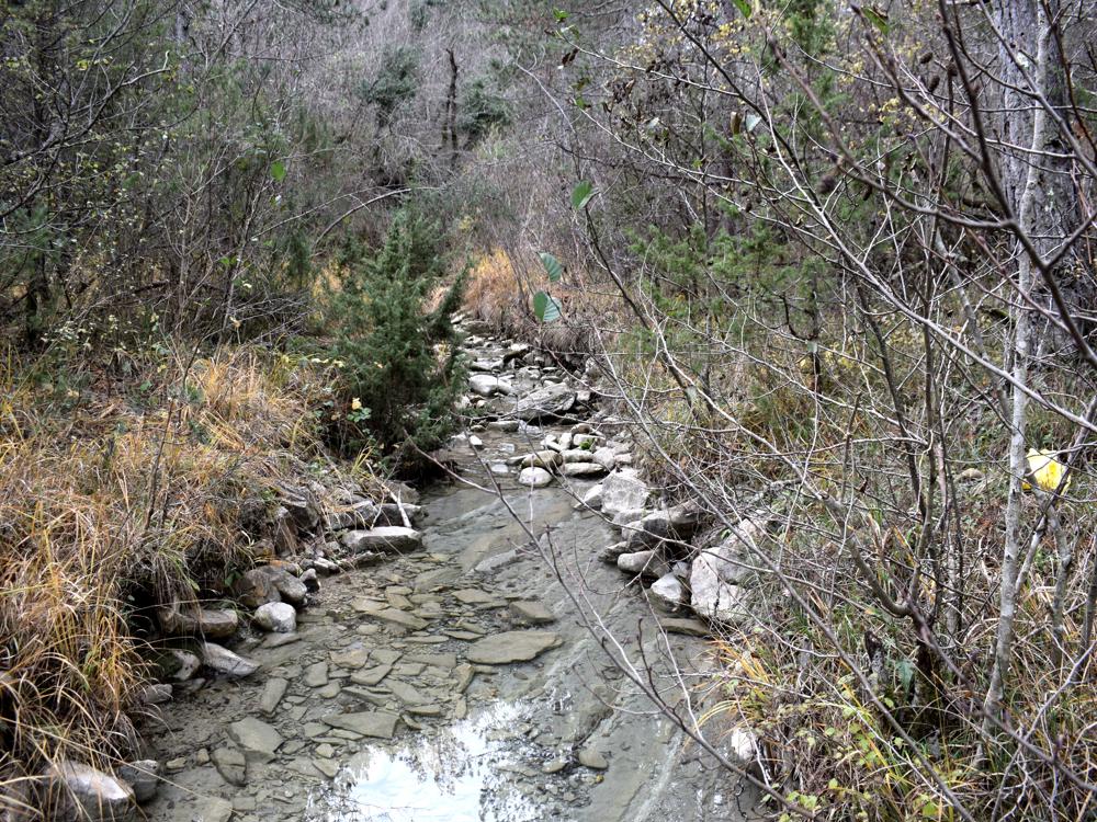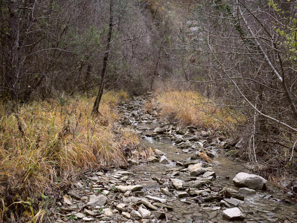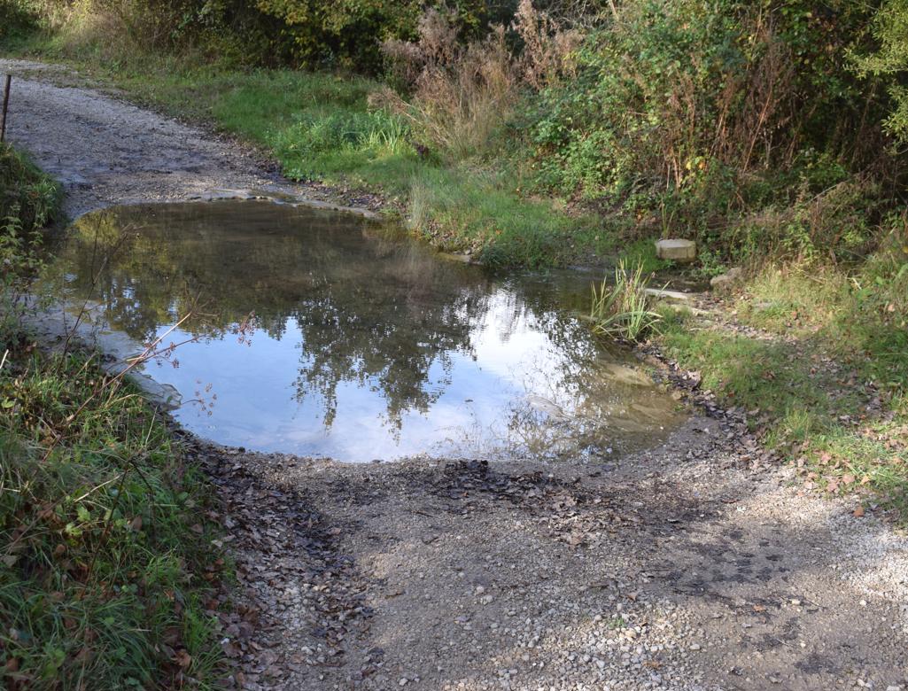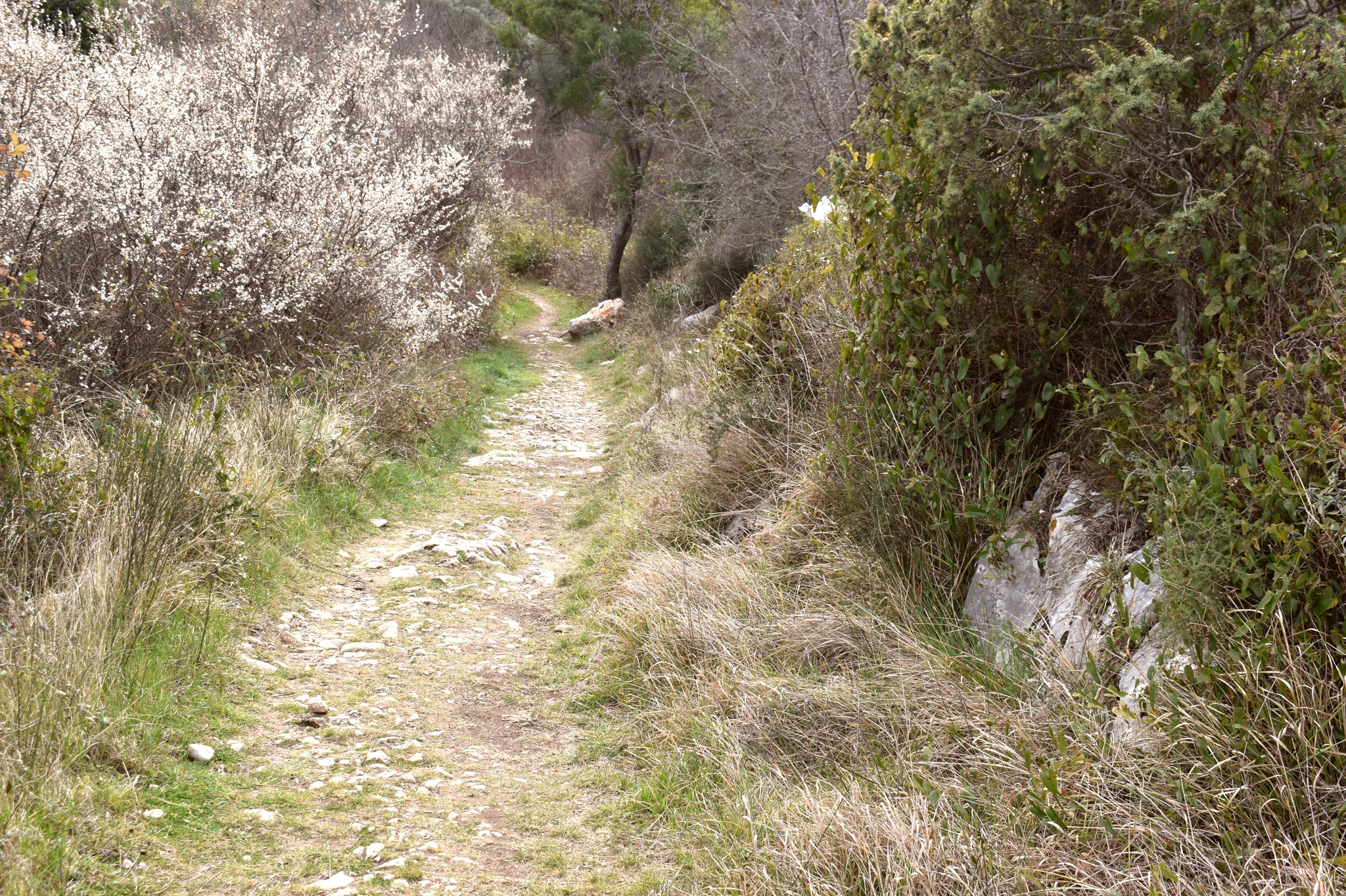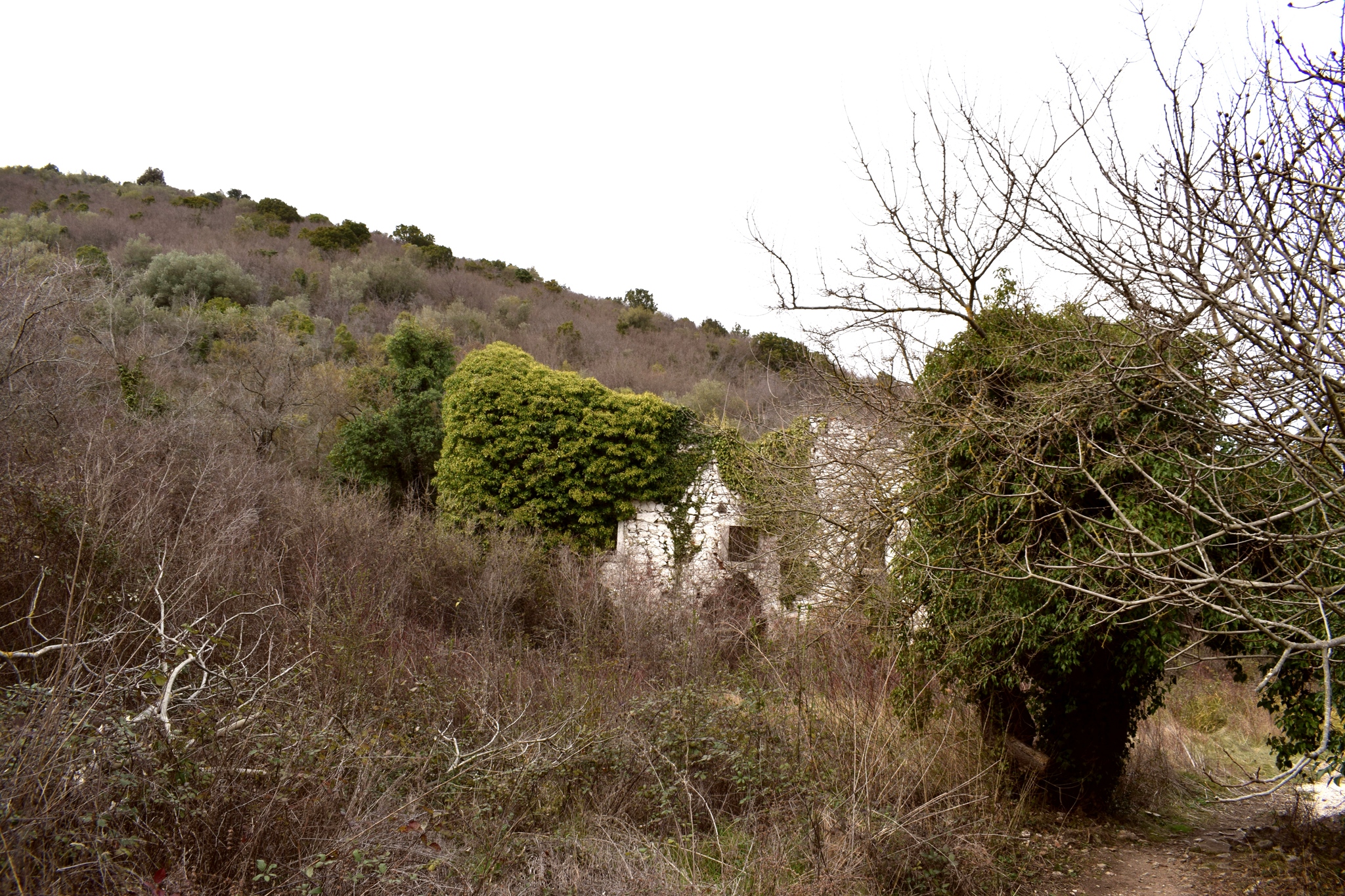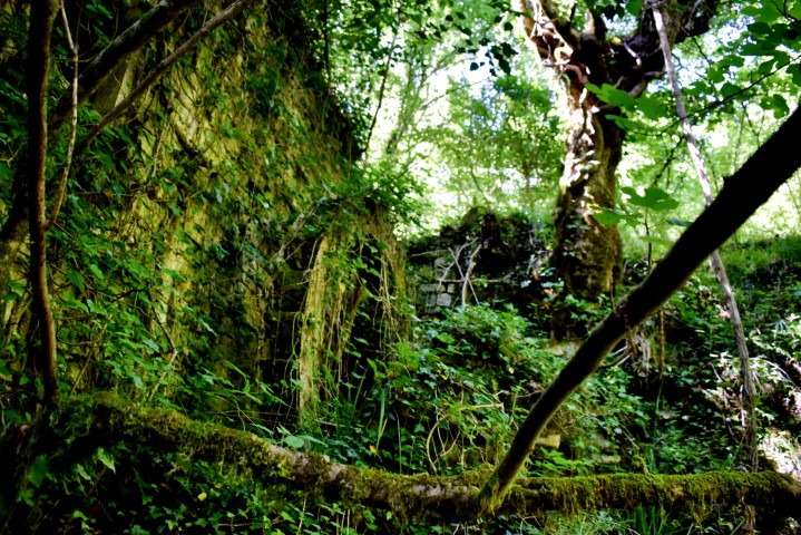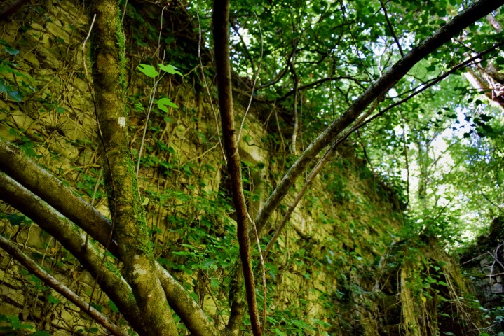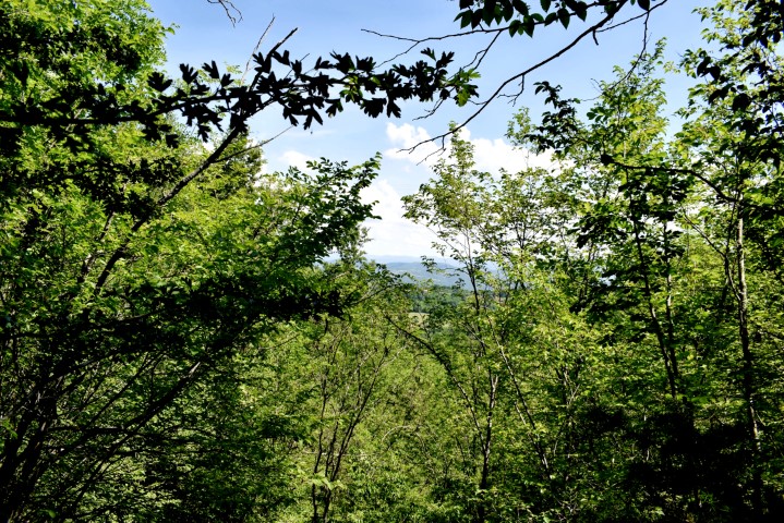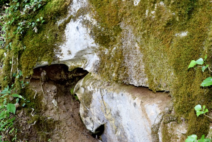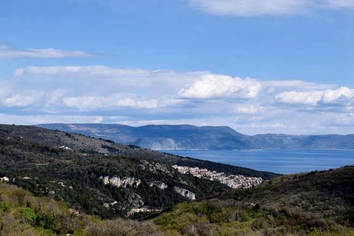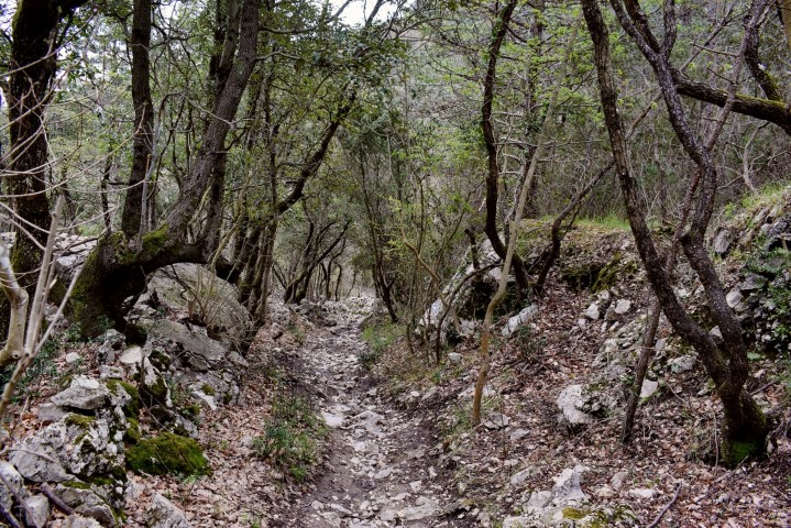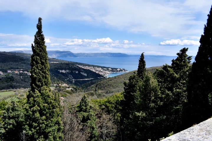


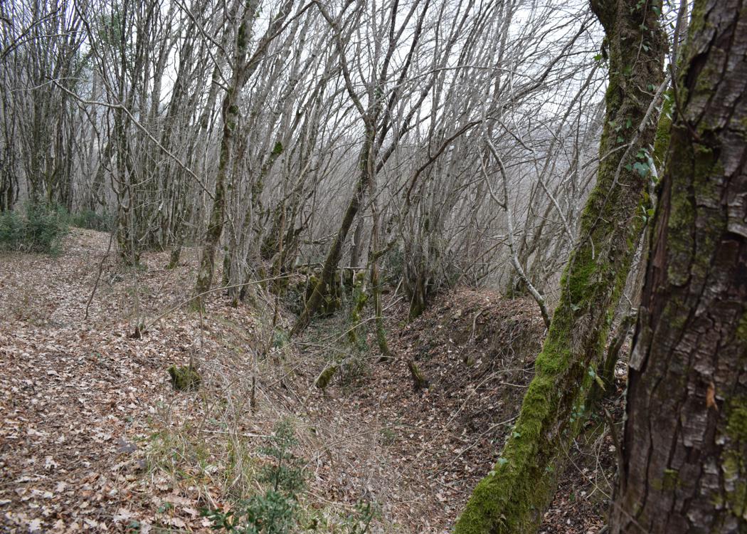
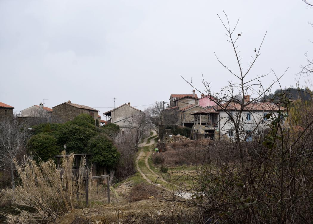
Name: Hiking trail from Labor to the watermill Fermov and the river Dragonja.
Place: Labor – (Koper).
Coordinates: Labor 45.47521 N – 13.77218 E.
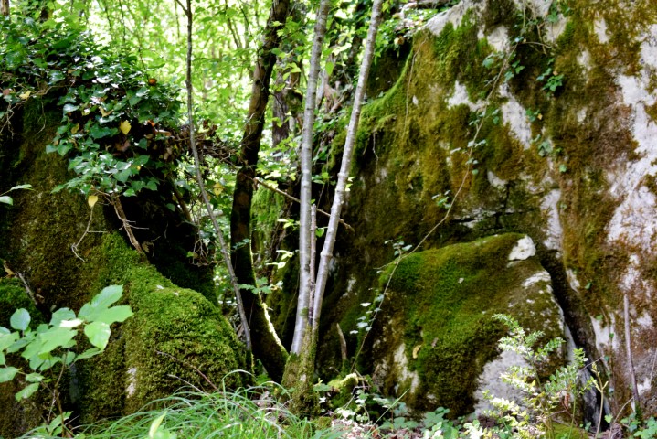
Name: Hiking trail from Labor to the watermill Fermov and the river Dragonja.
Place: Labor – (Koper).
Coordinates: Labor 45.47521 N – 13.77218 E.
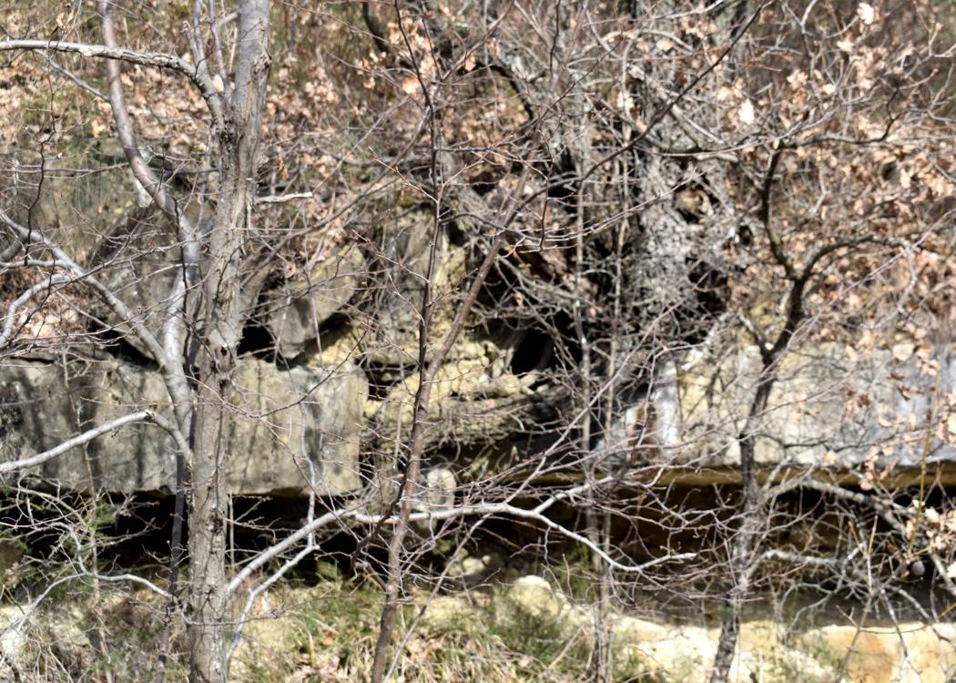
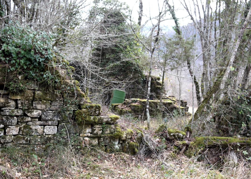
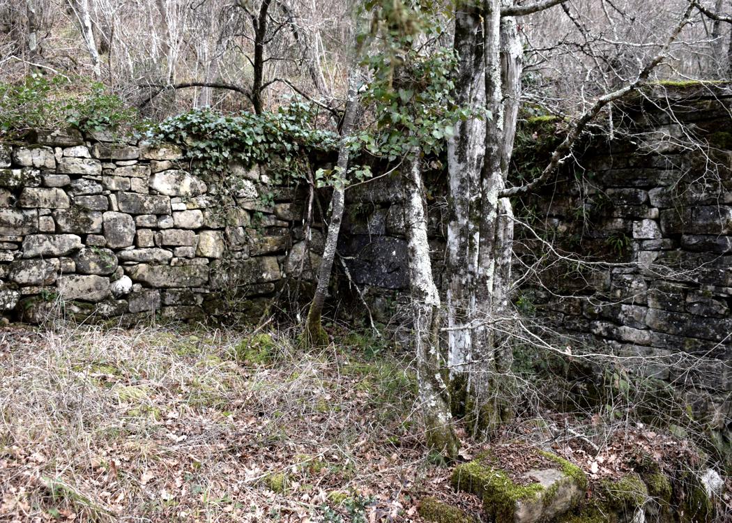
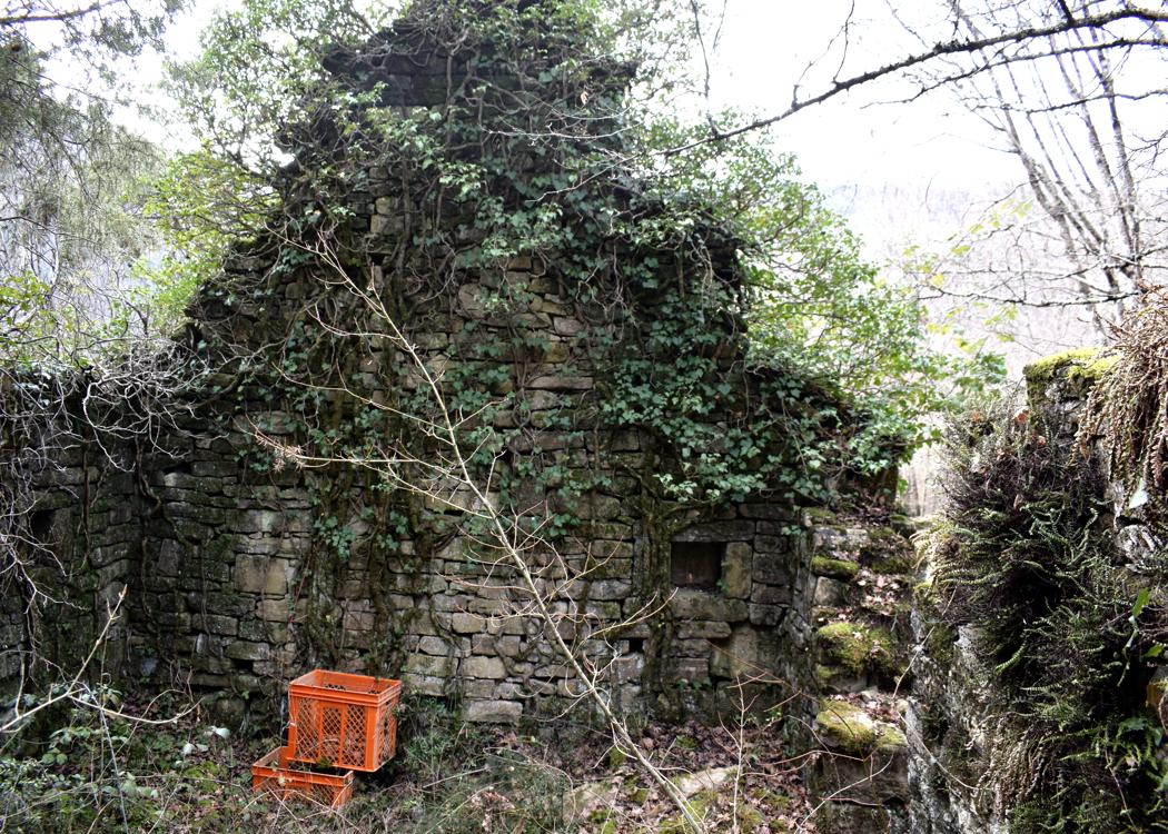
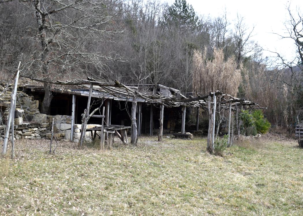
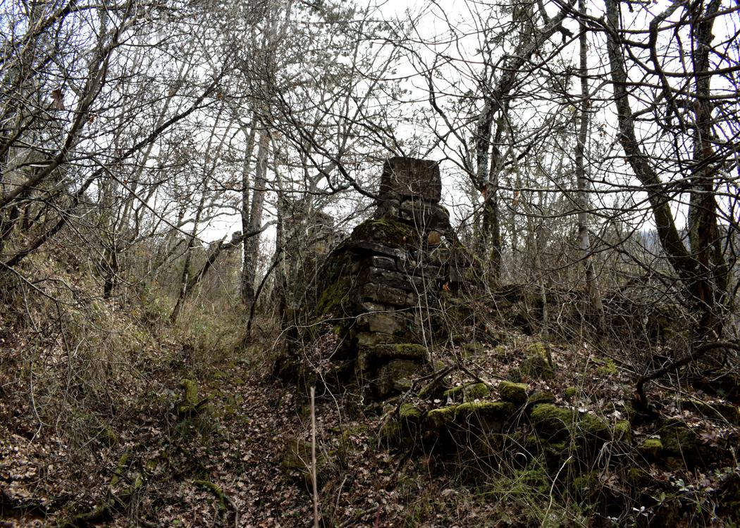
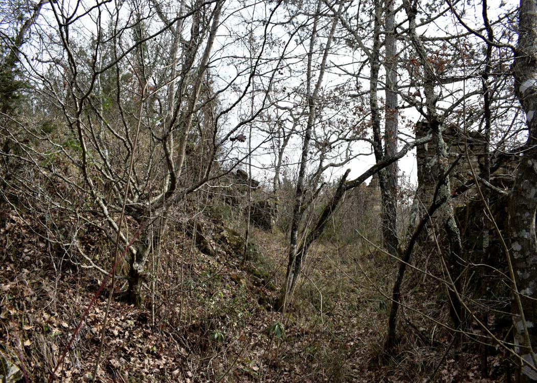
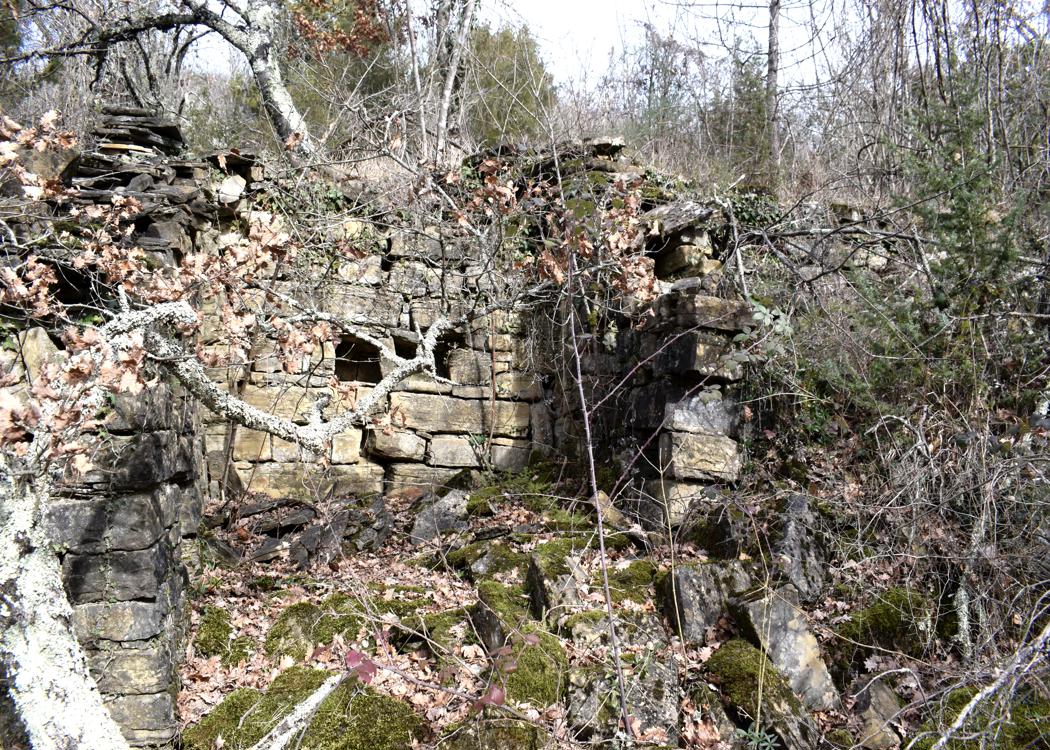
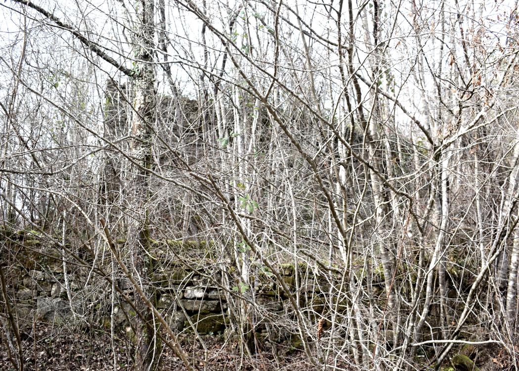
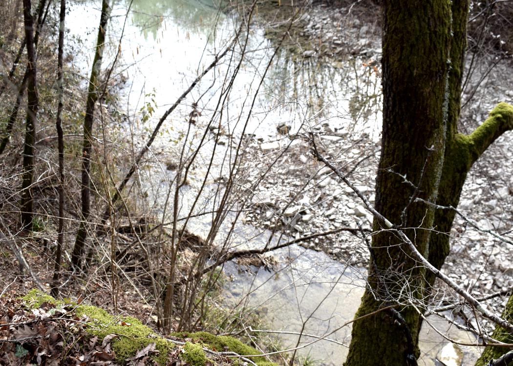
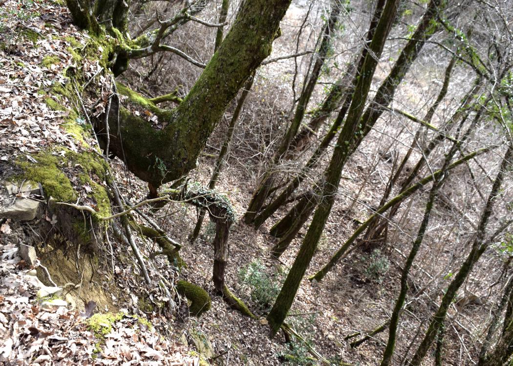
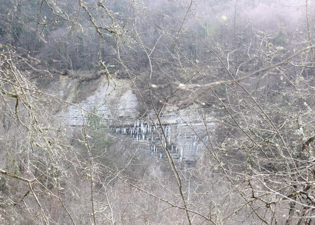
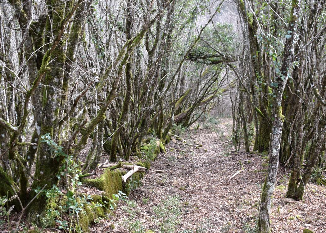
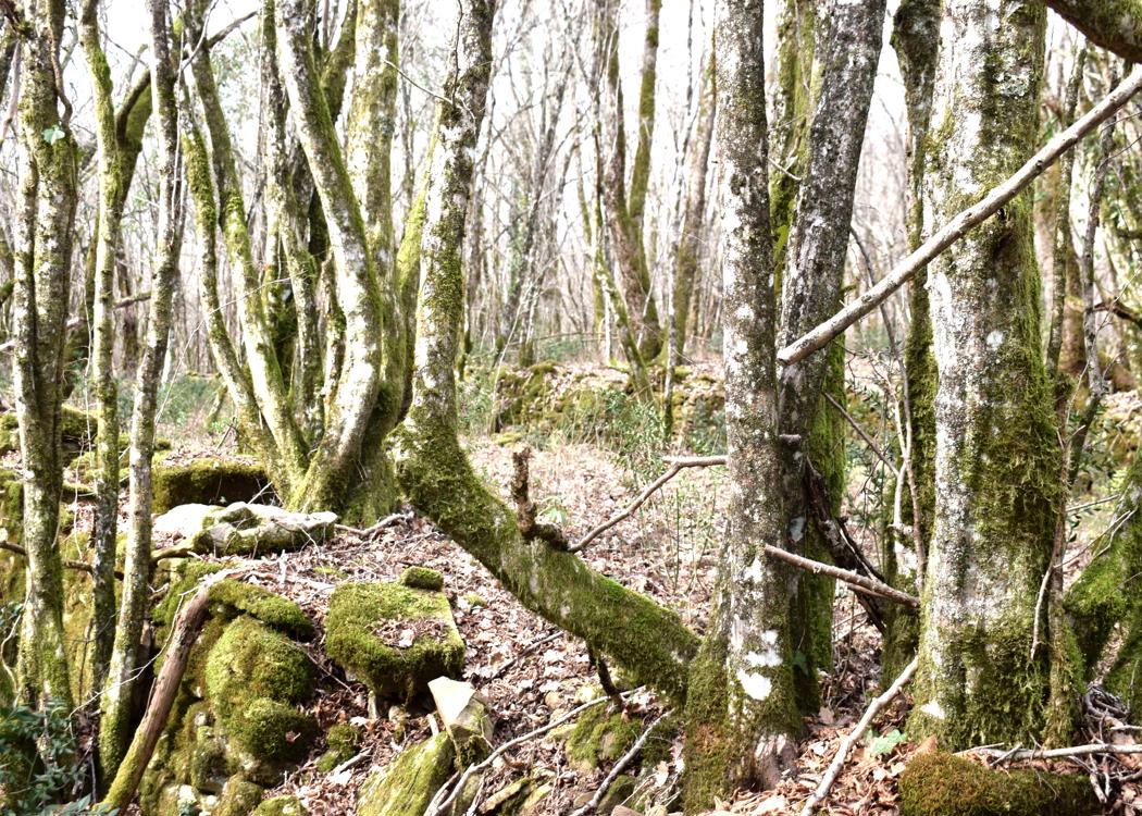
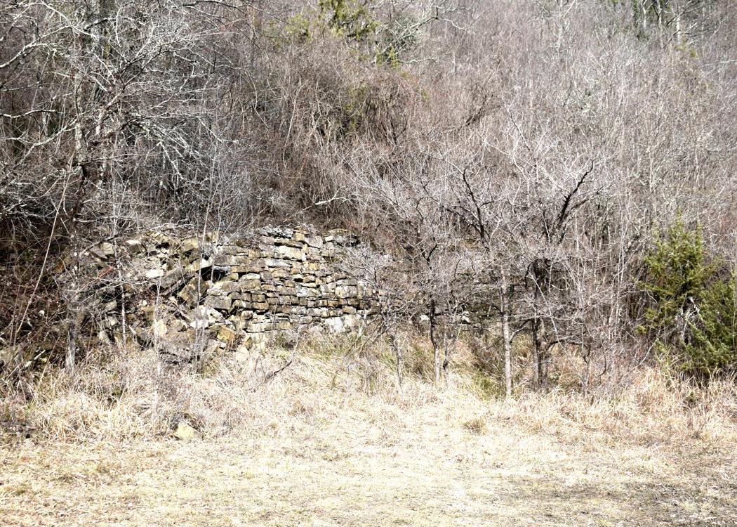
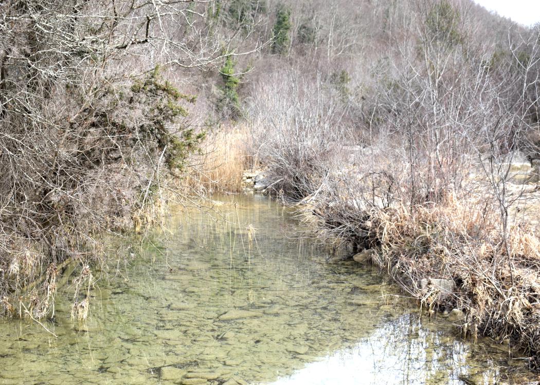
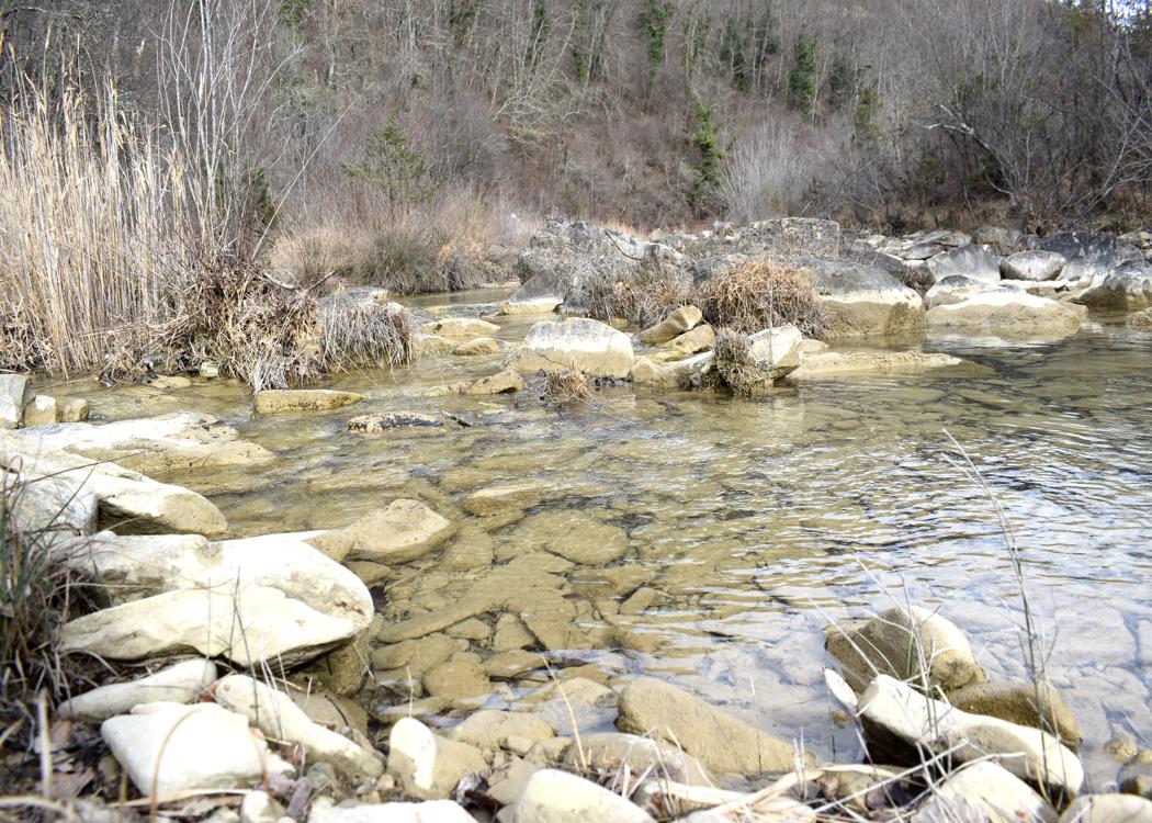
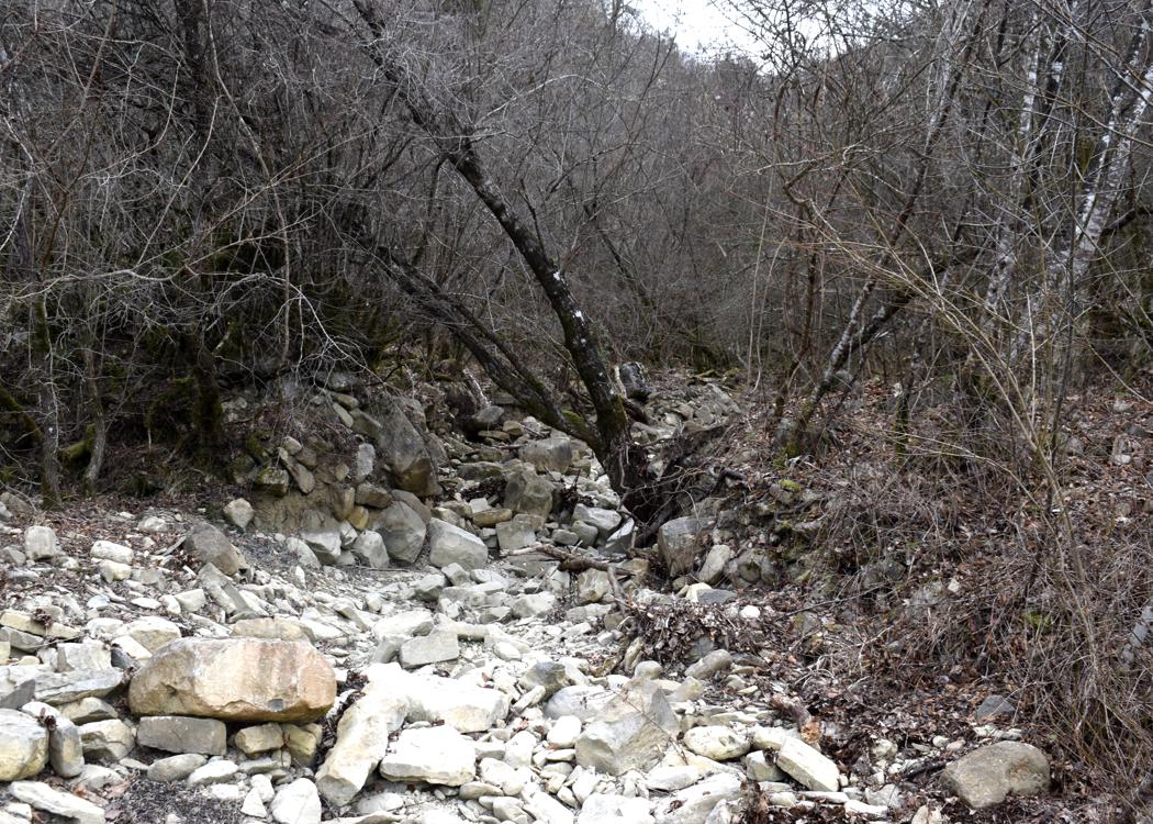
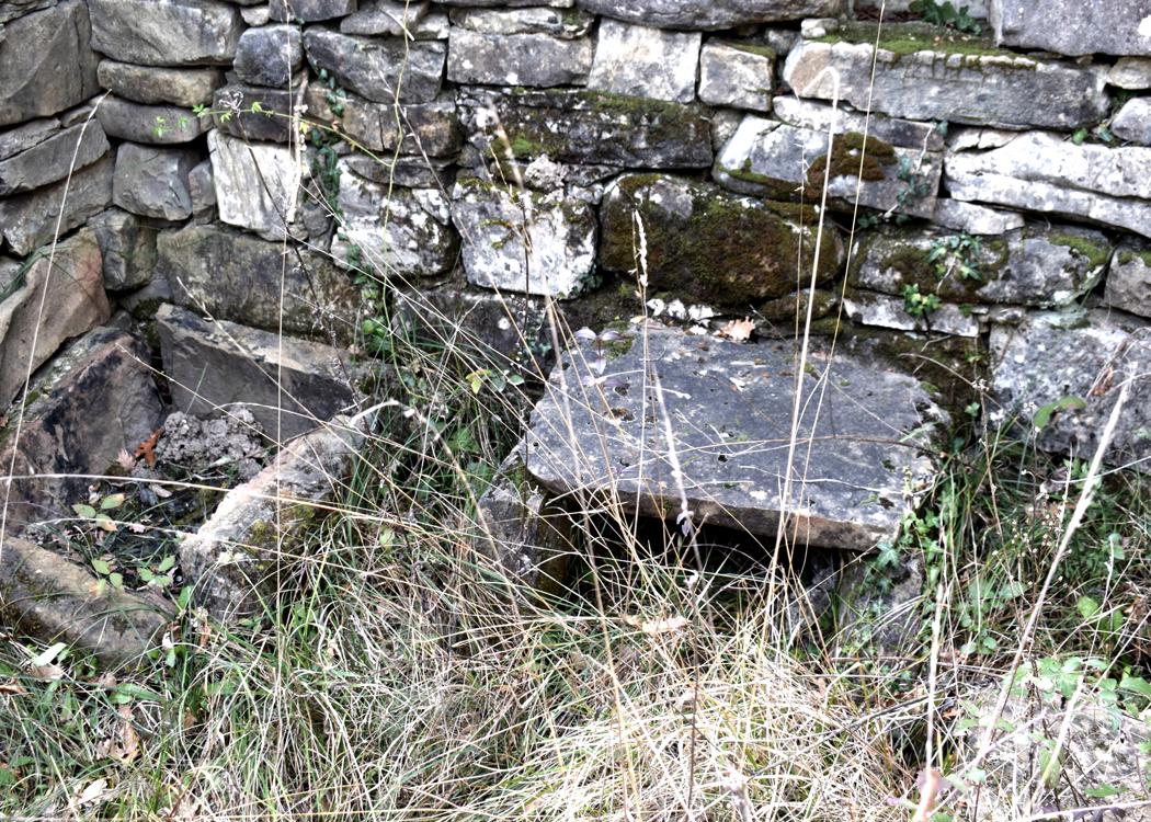
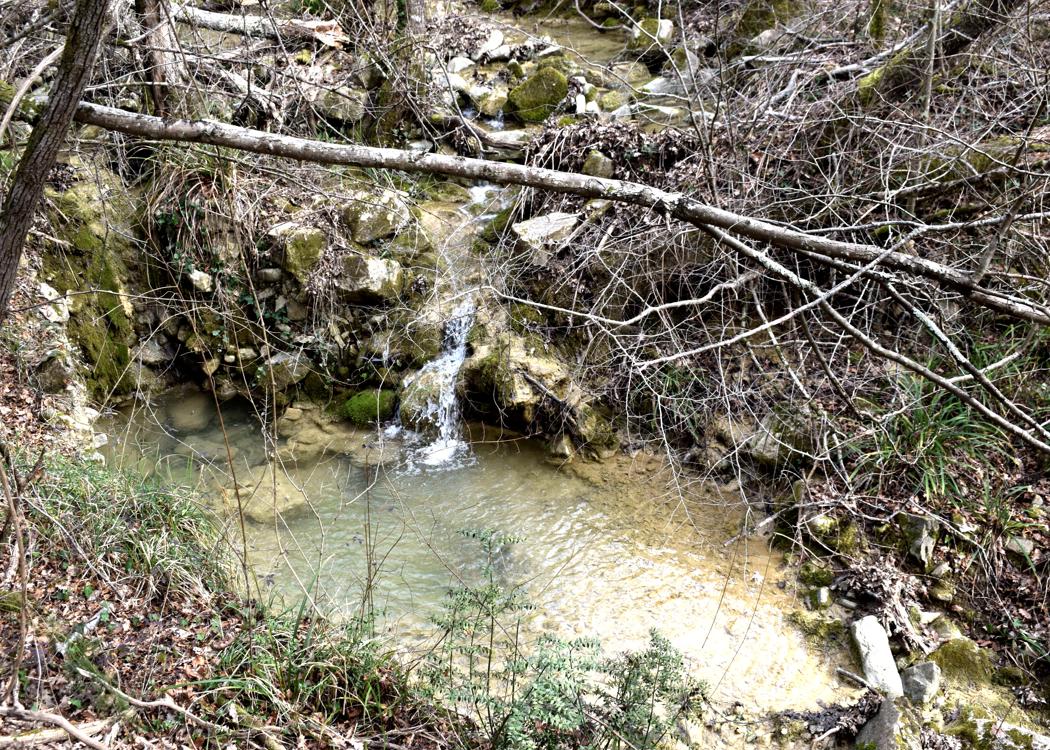
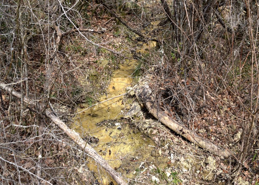
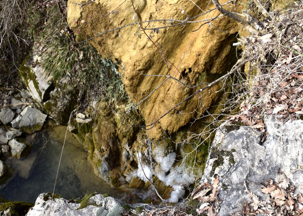
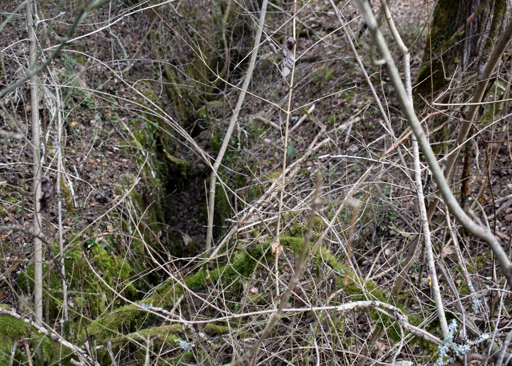
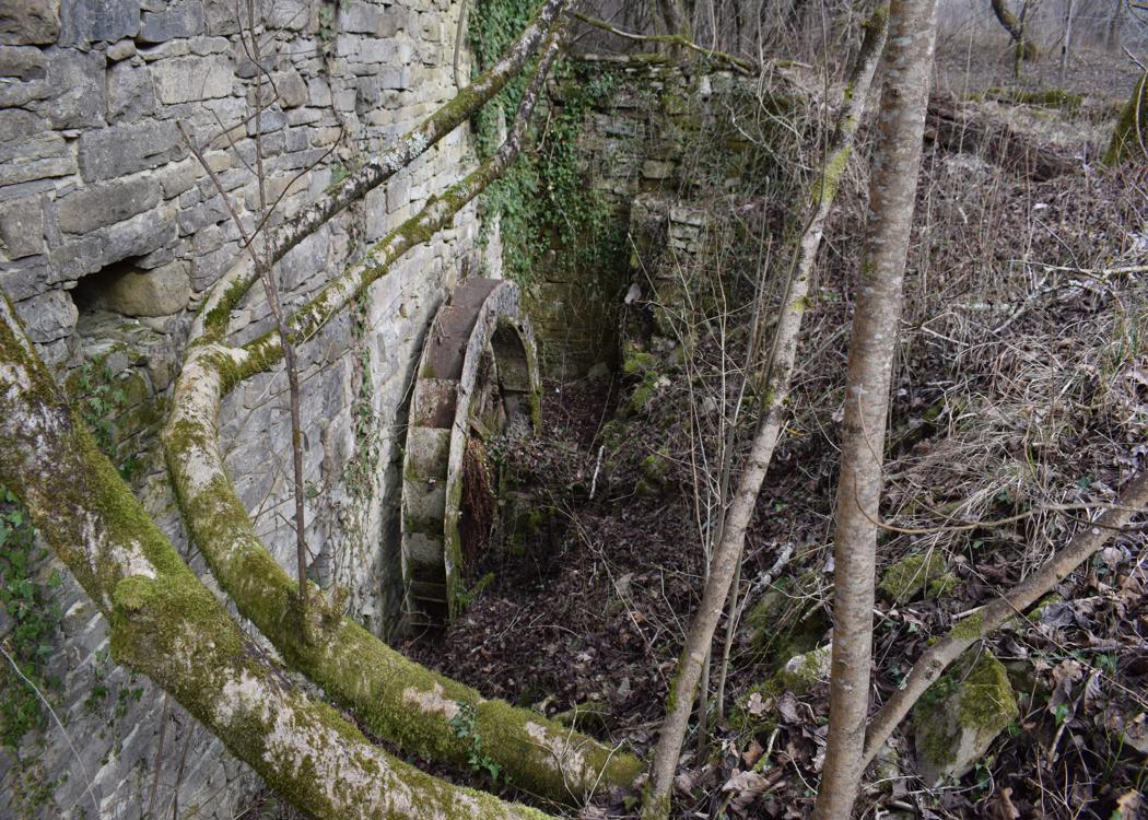
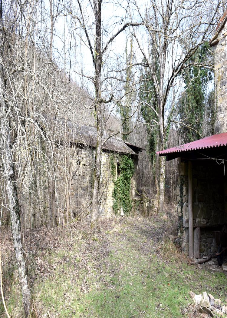
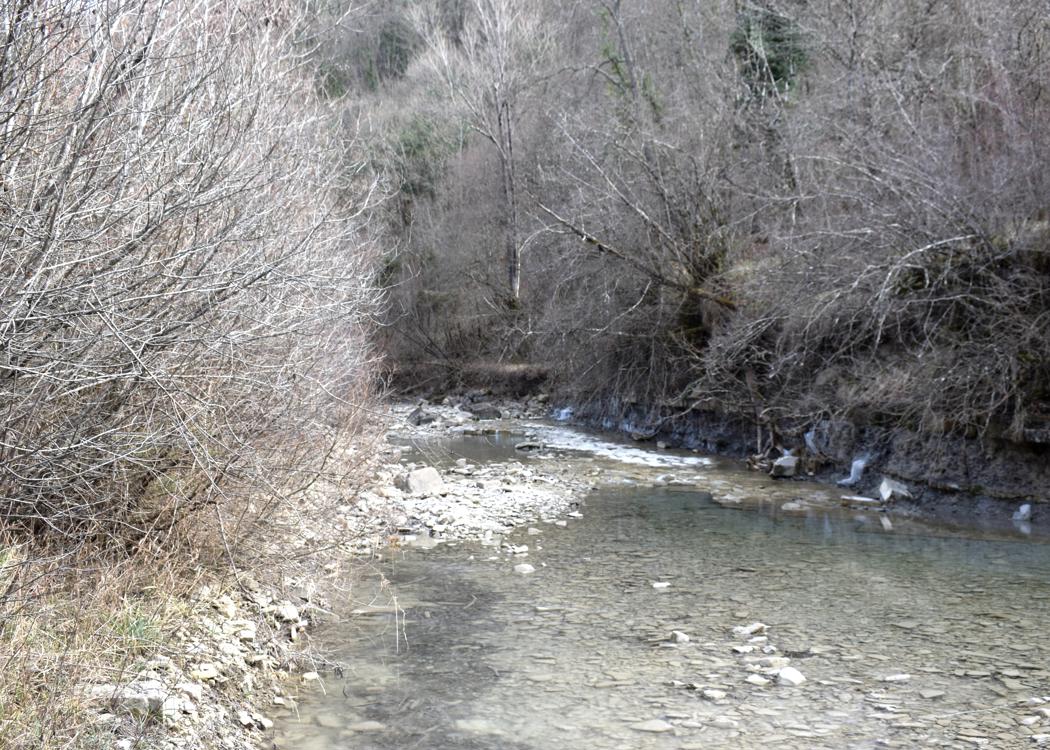
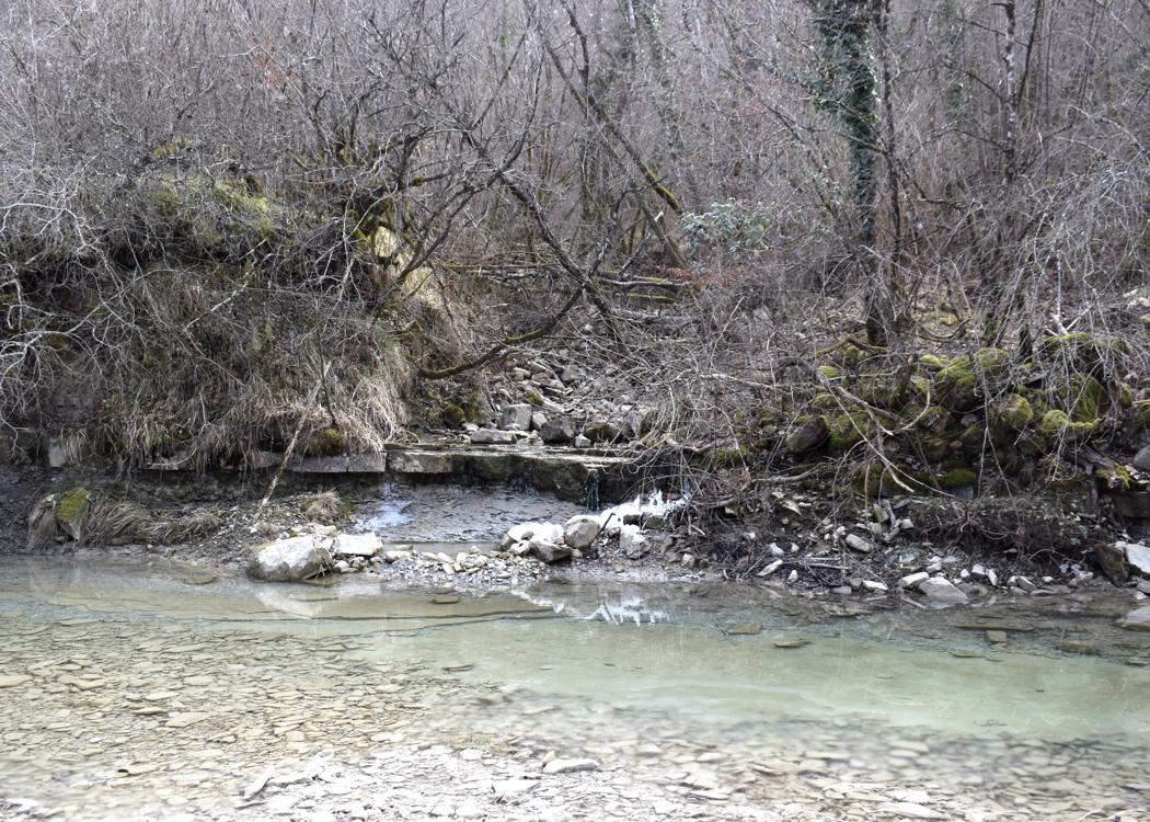
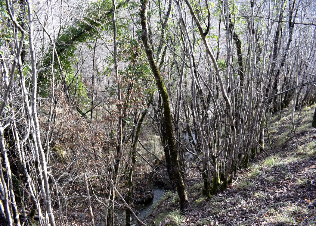
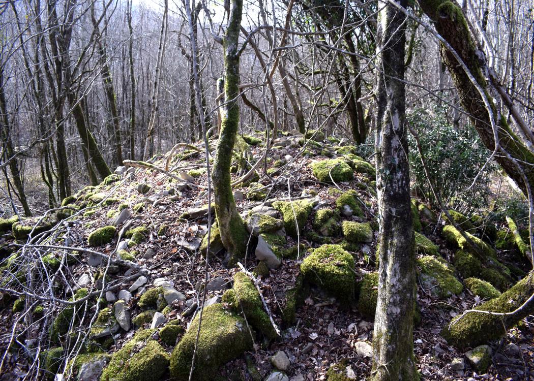
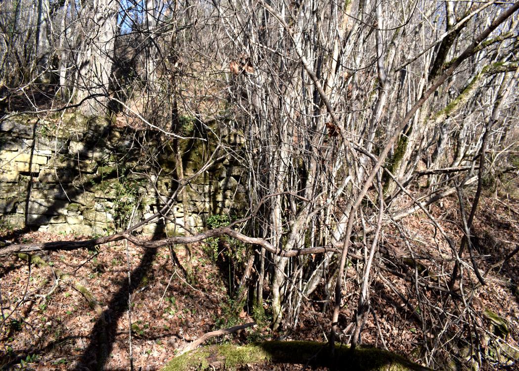
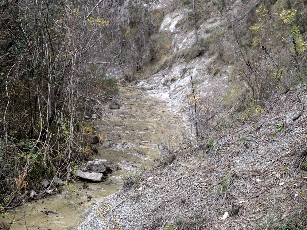
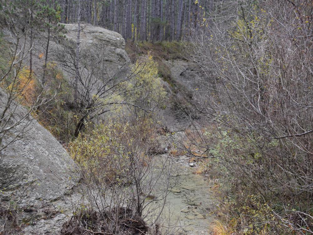
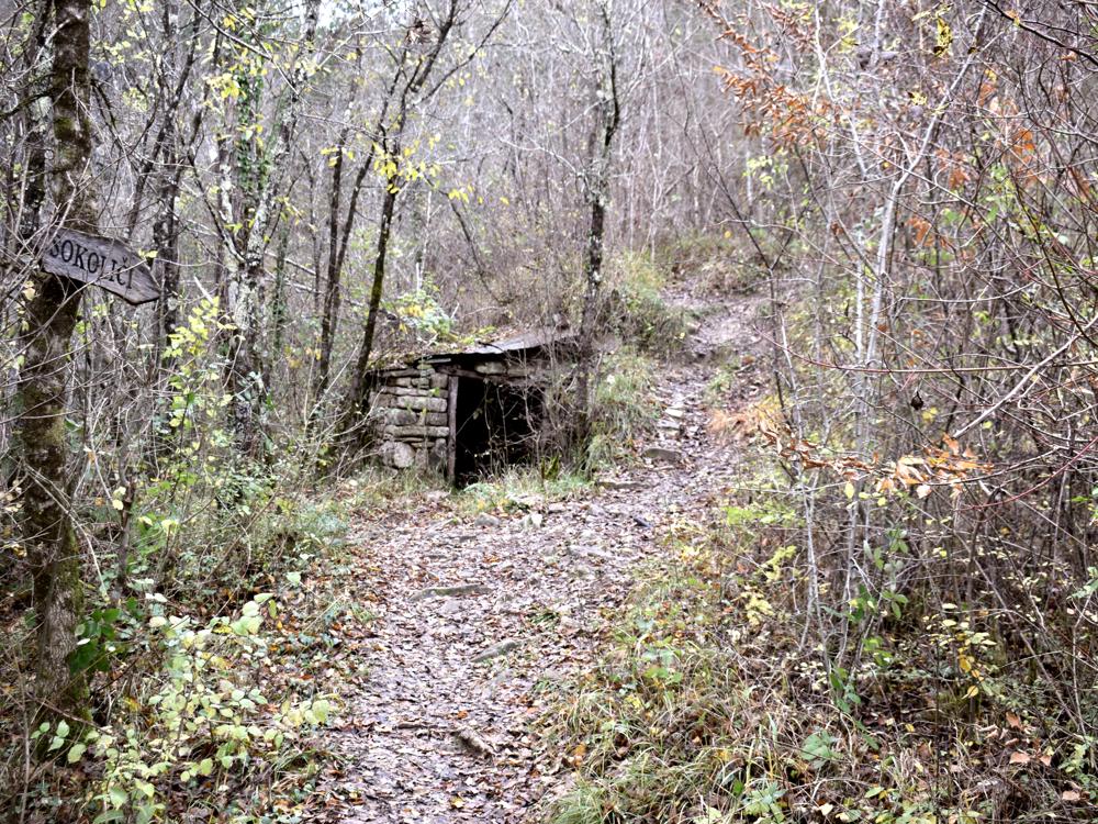
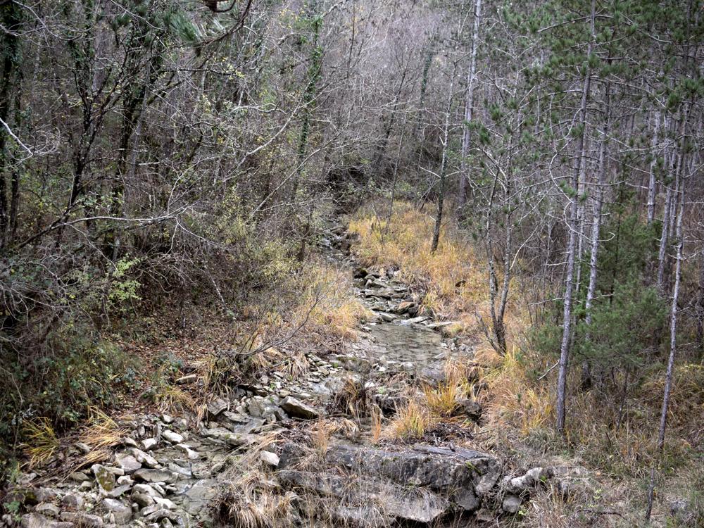
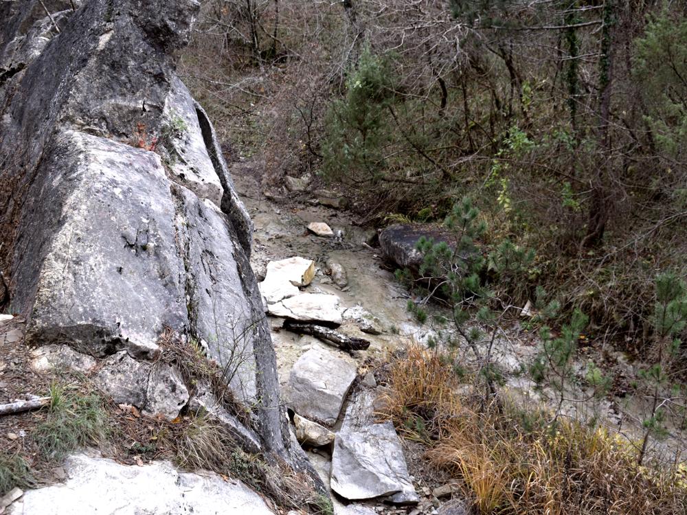
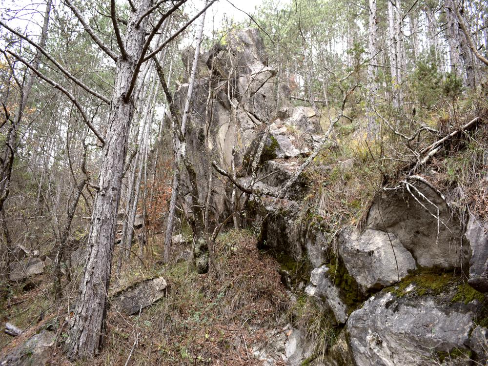
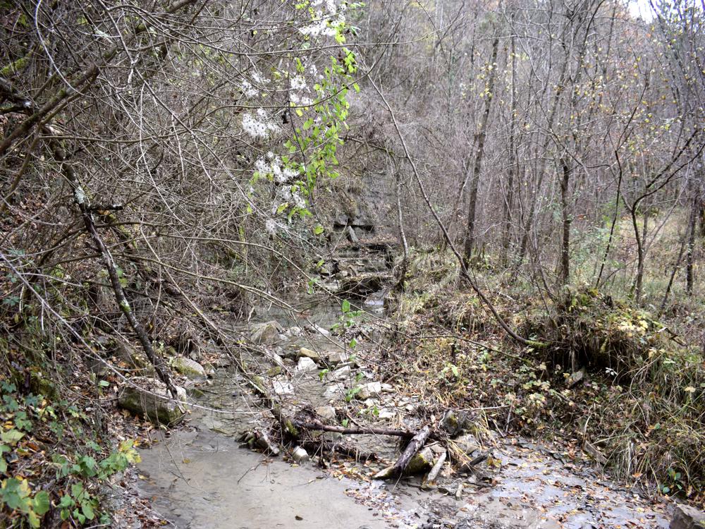
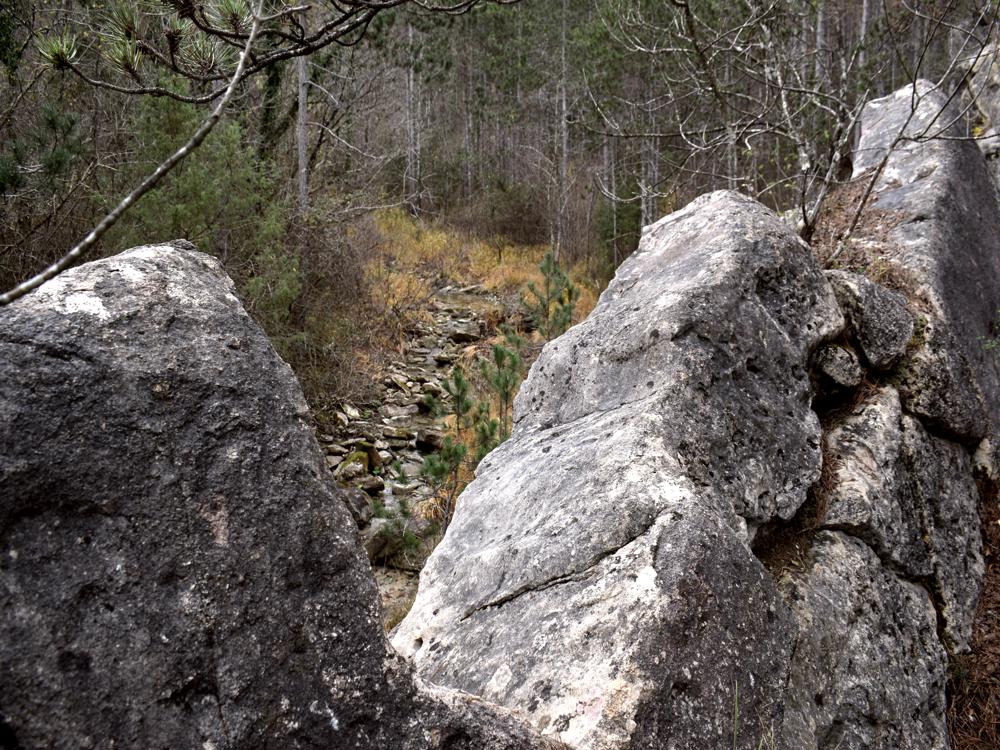
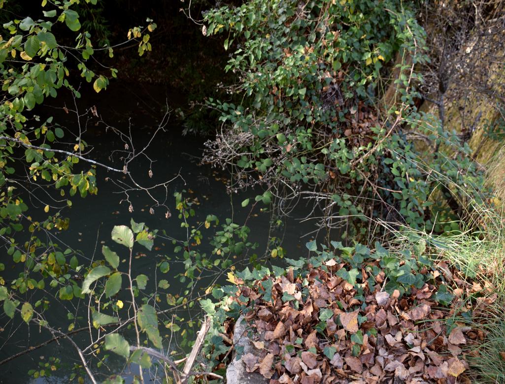
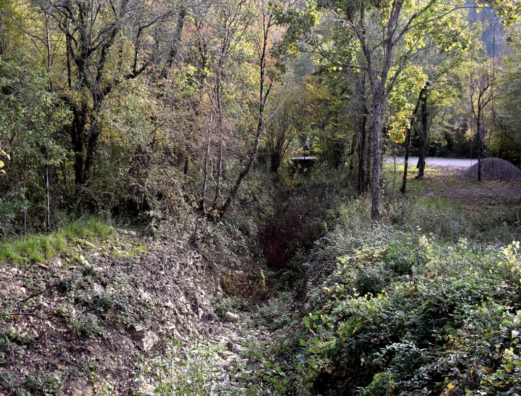
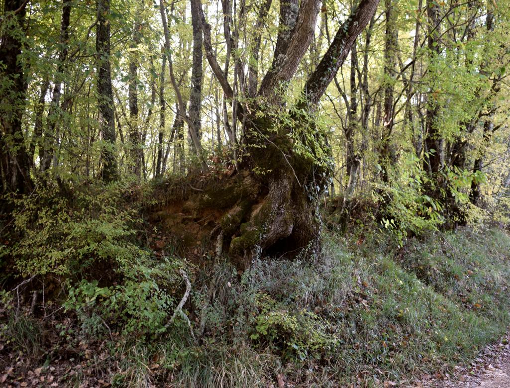
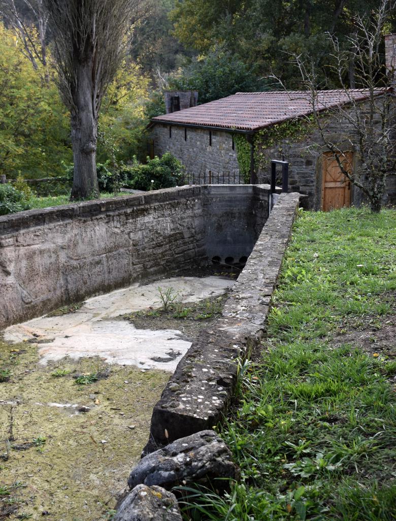
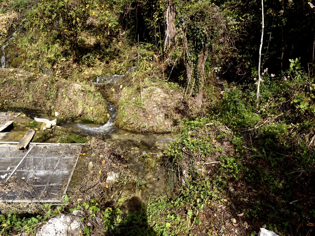
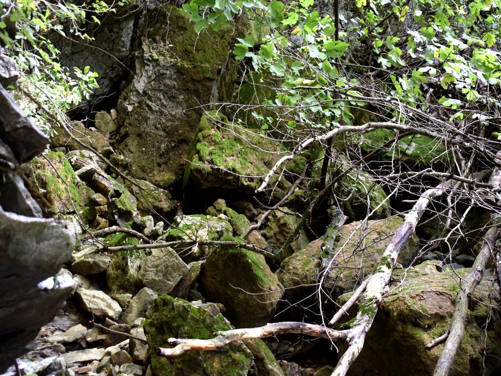
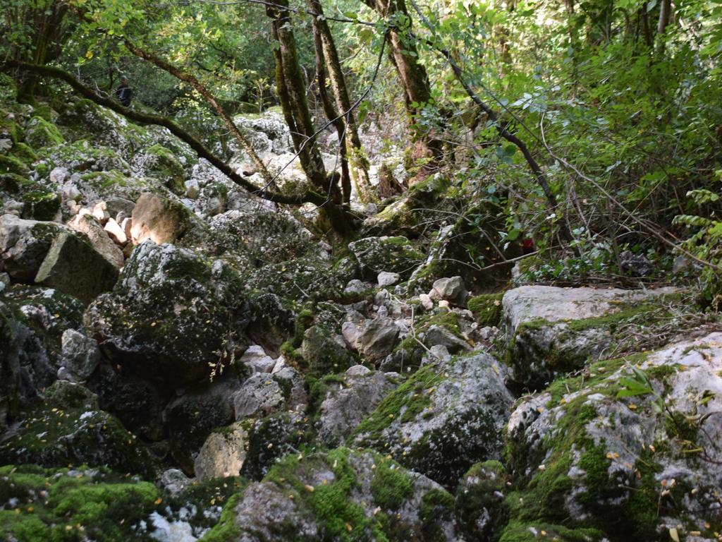
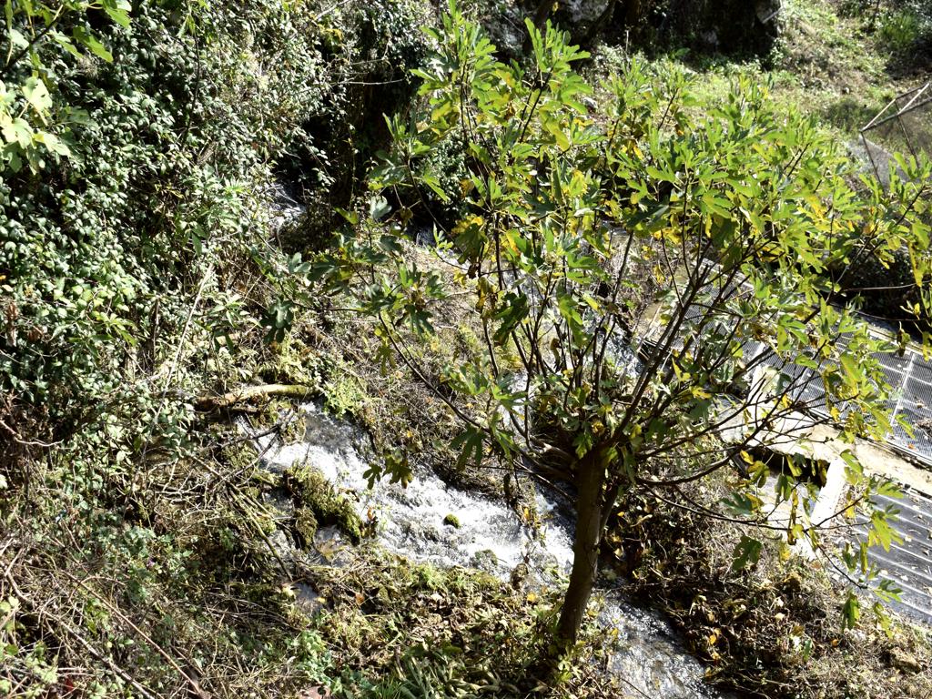
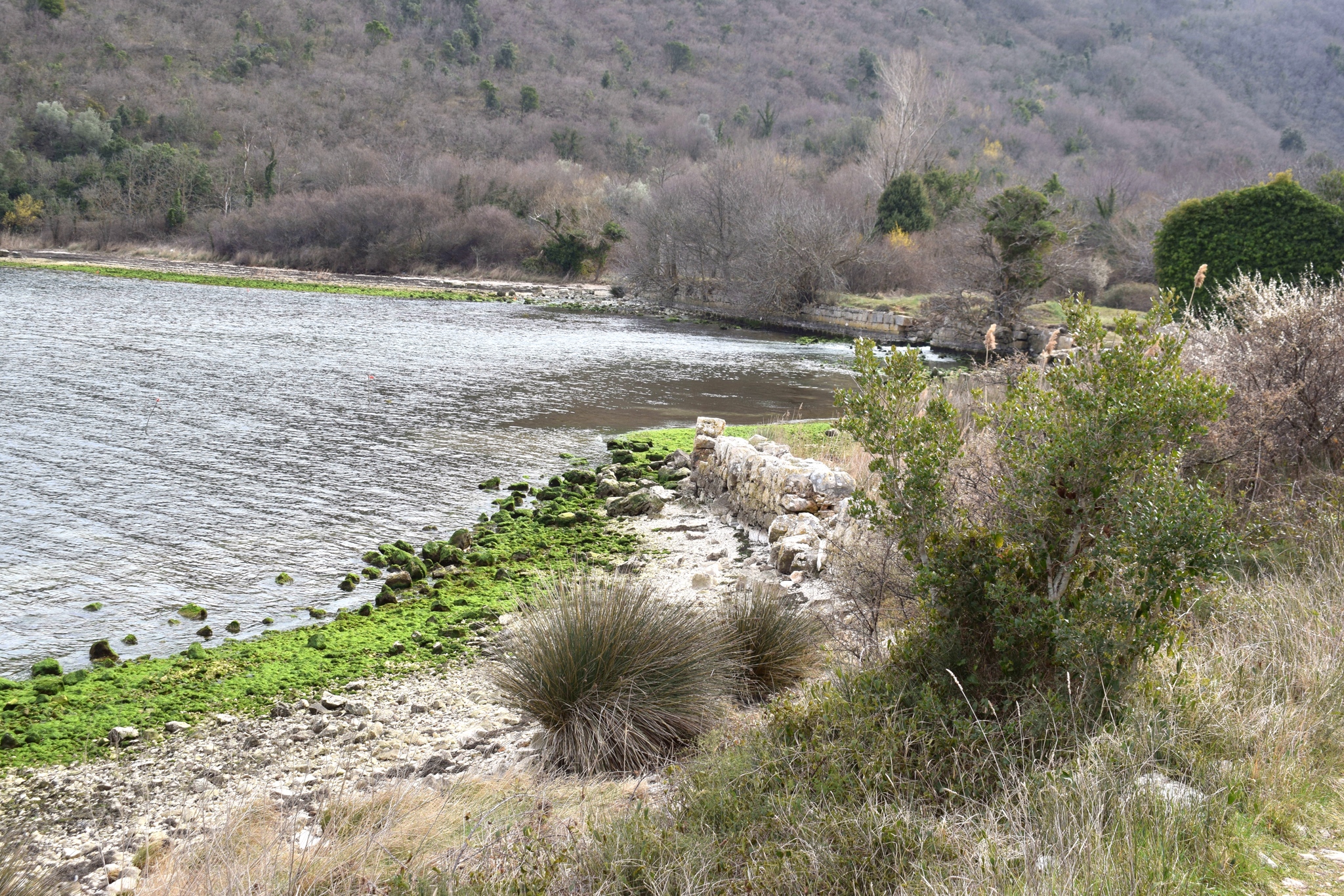
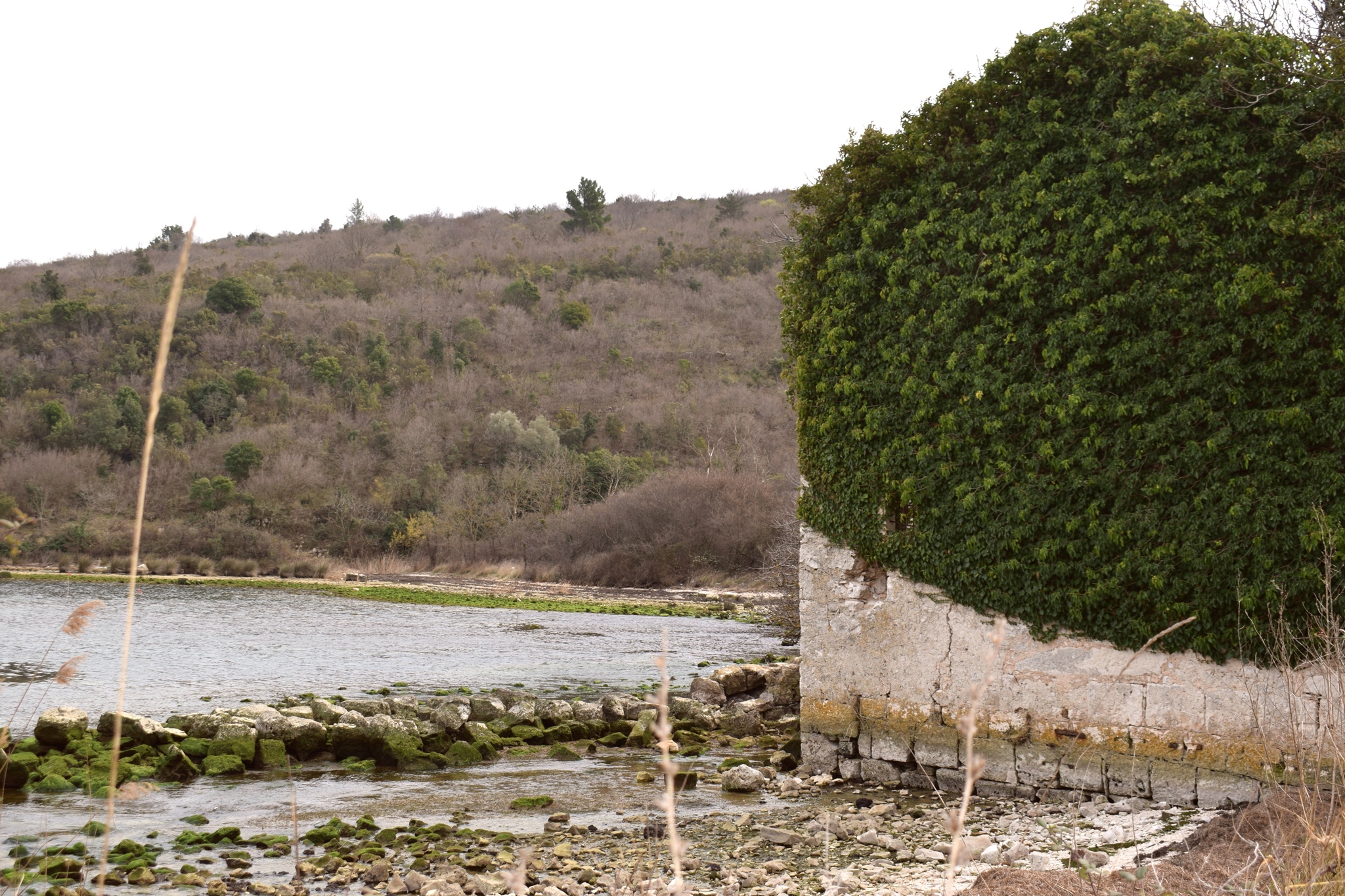
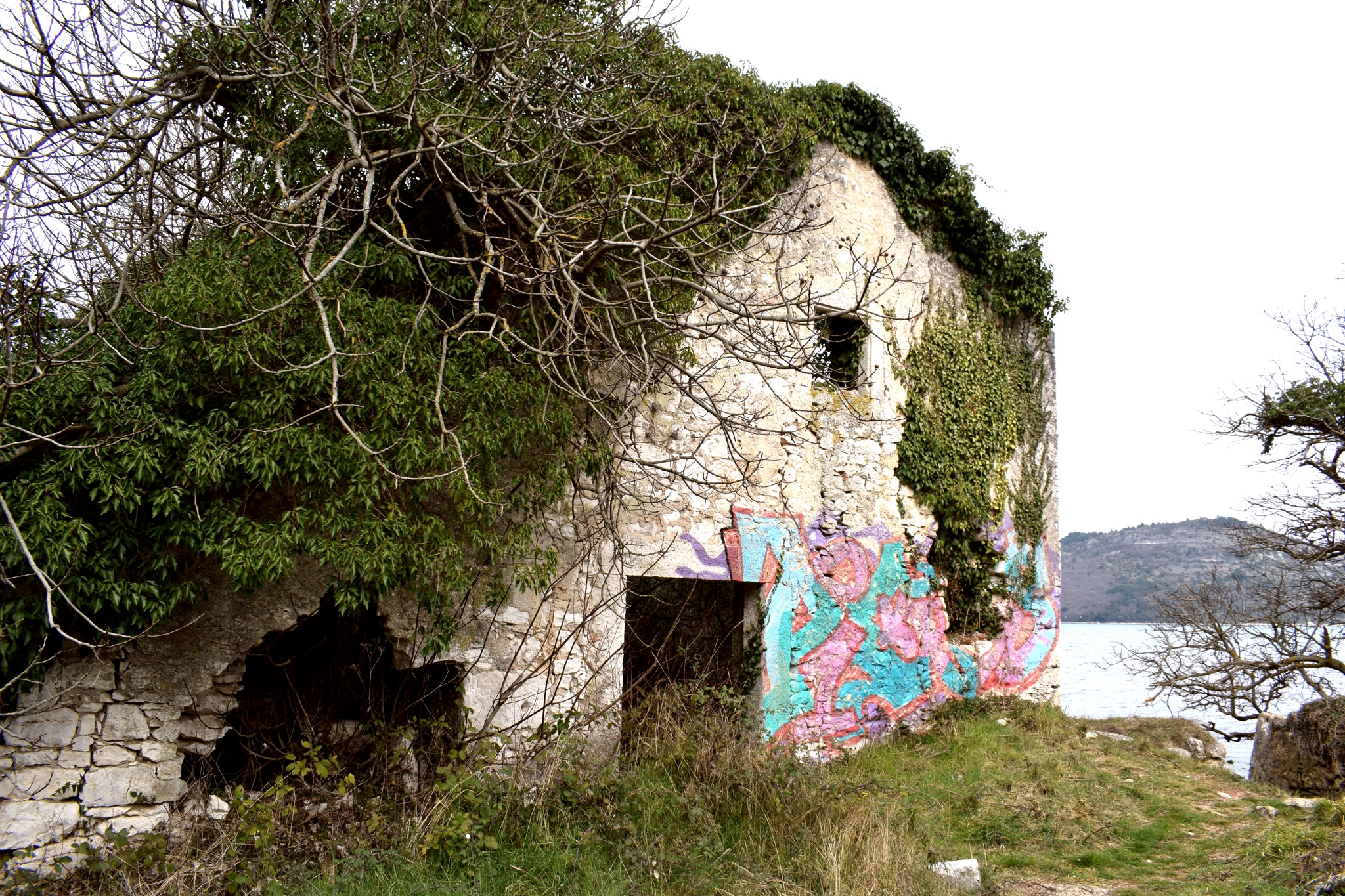
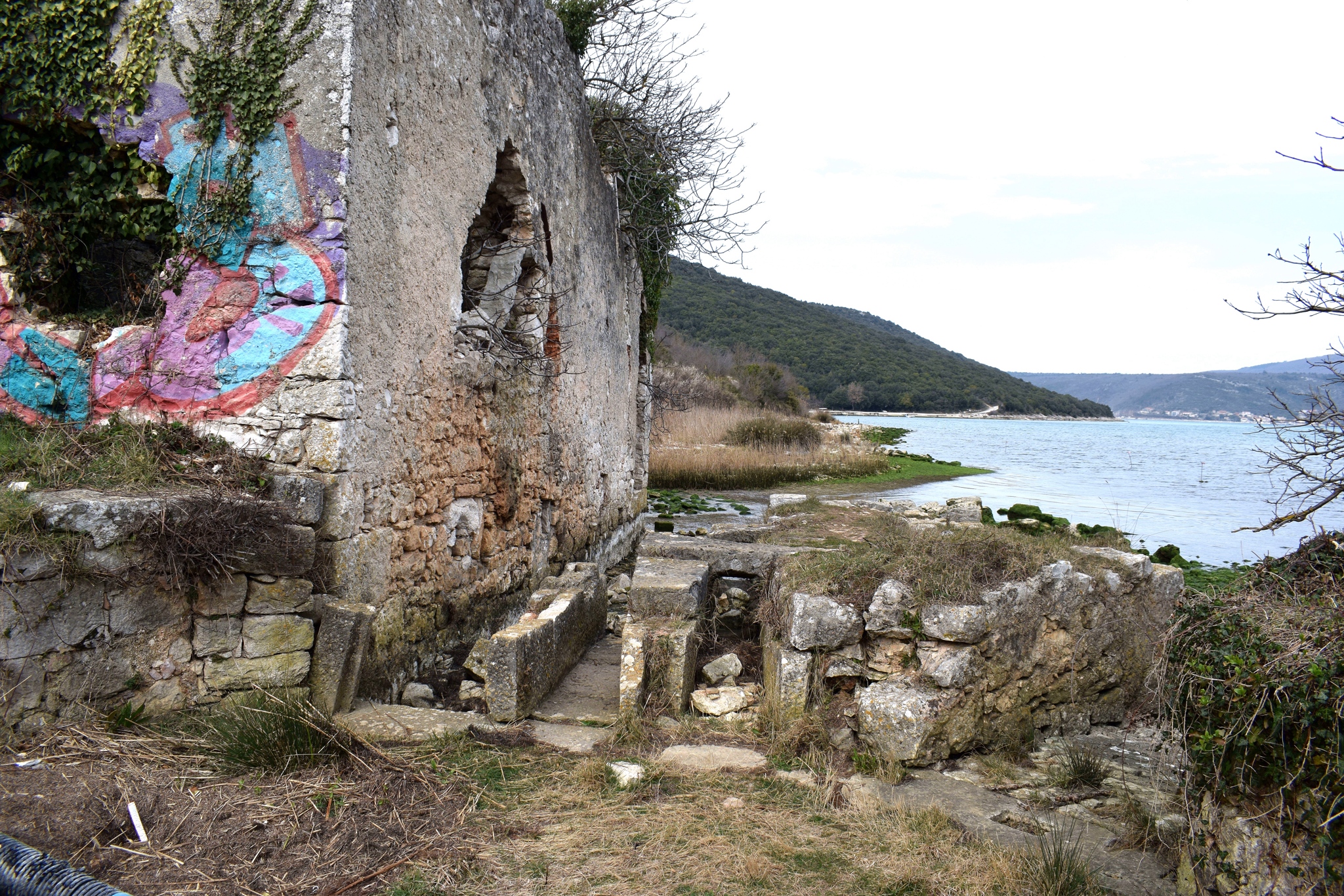
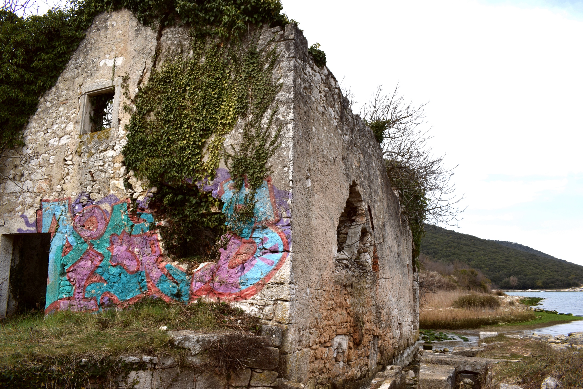
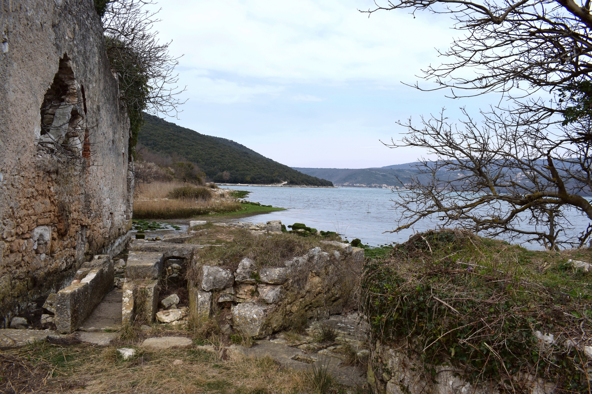
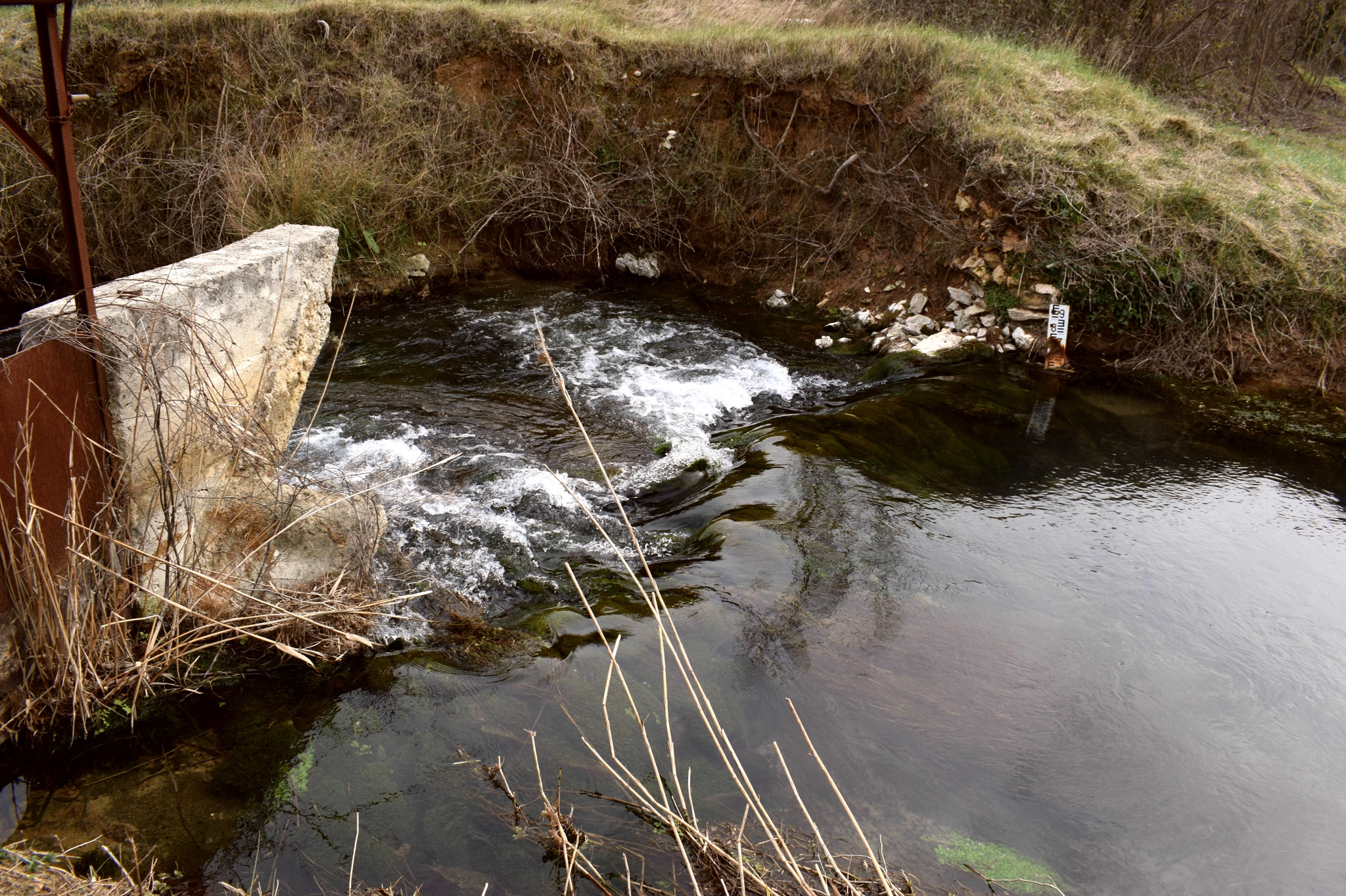
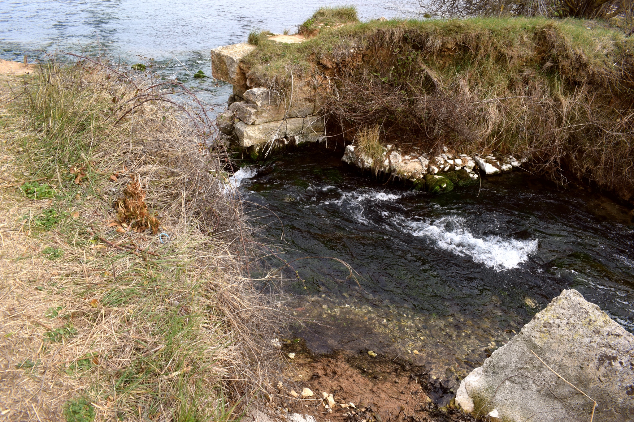
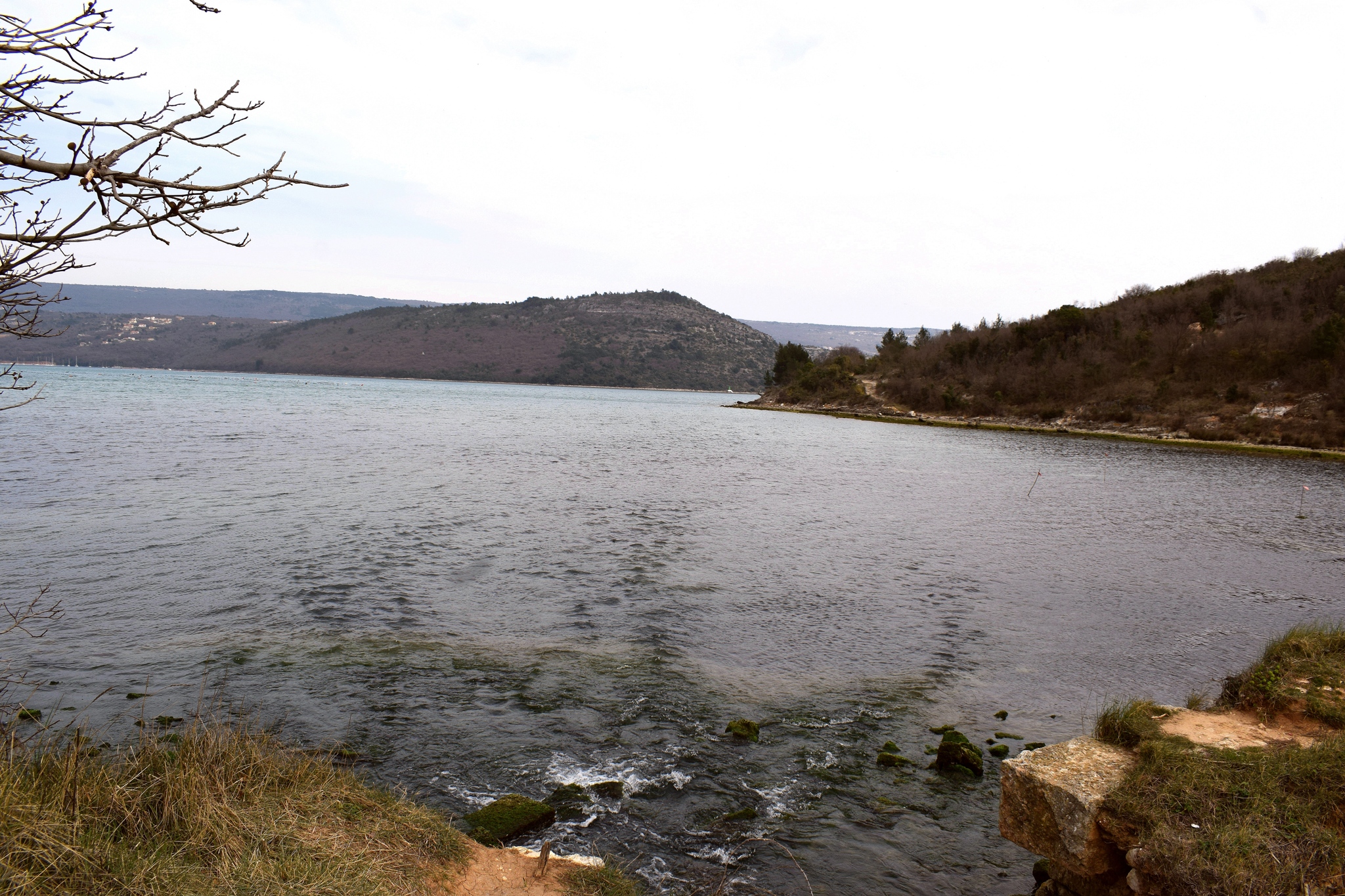
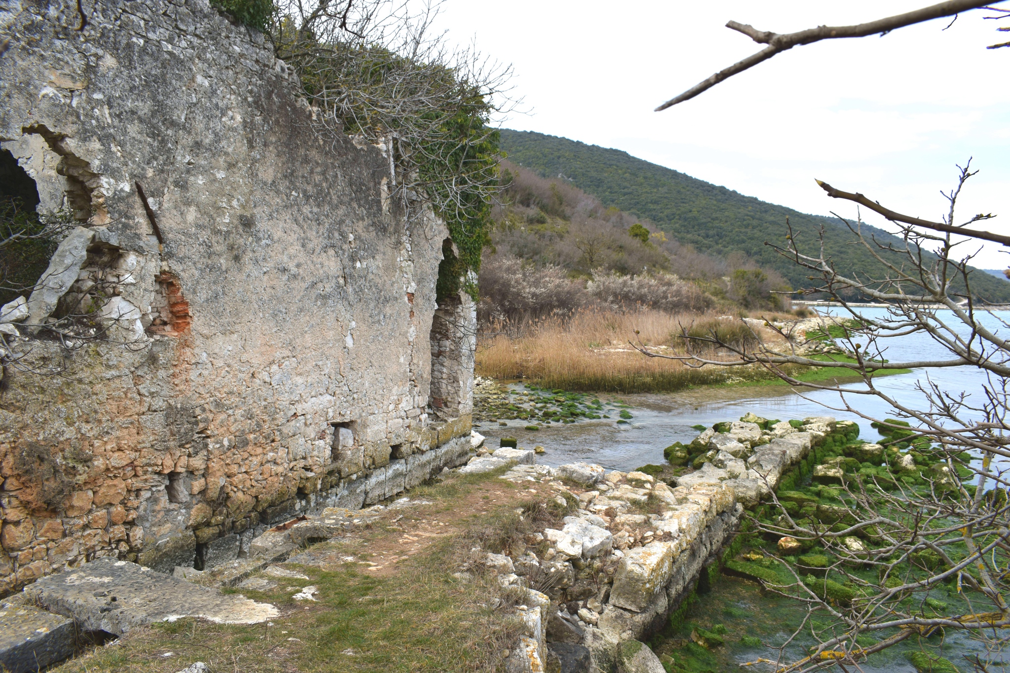
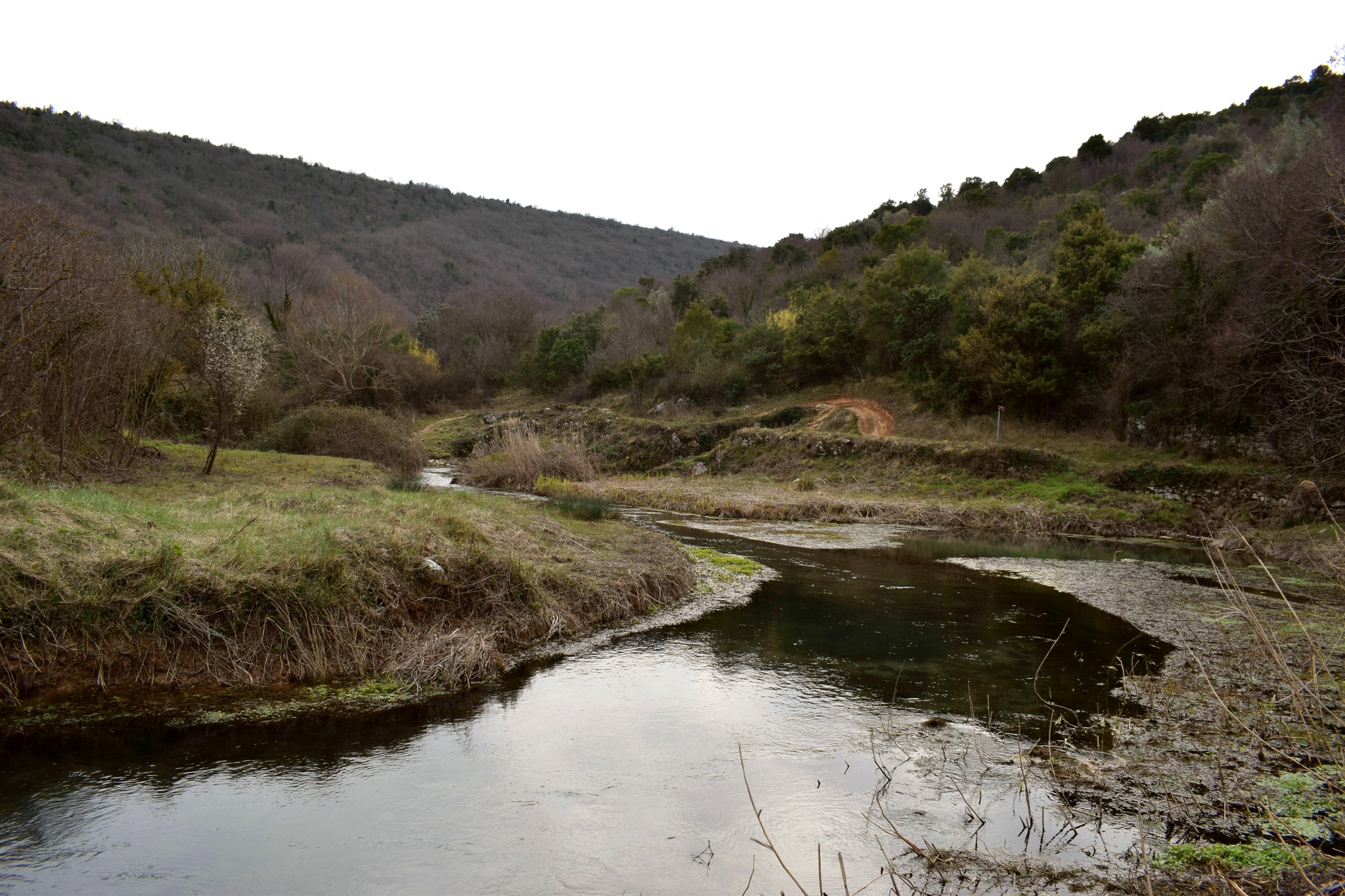
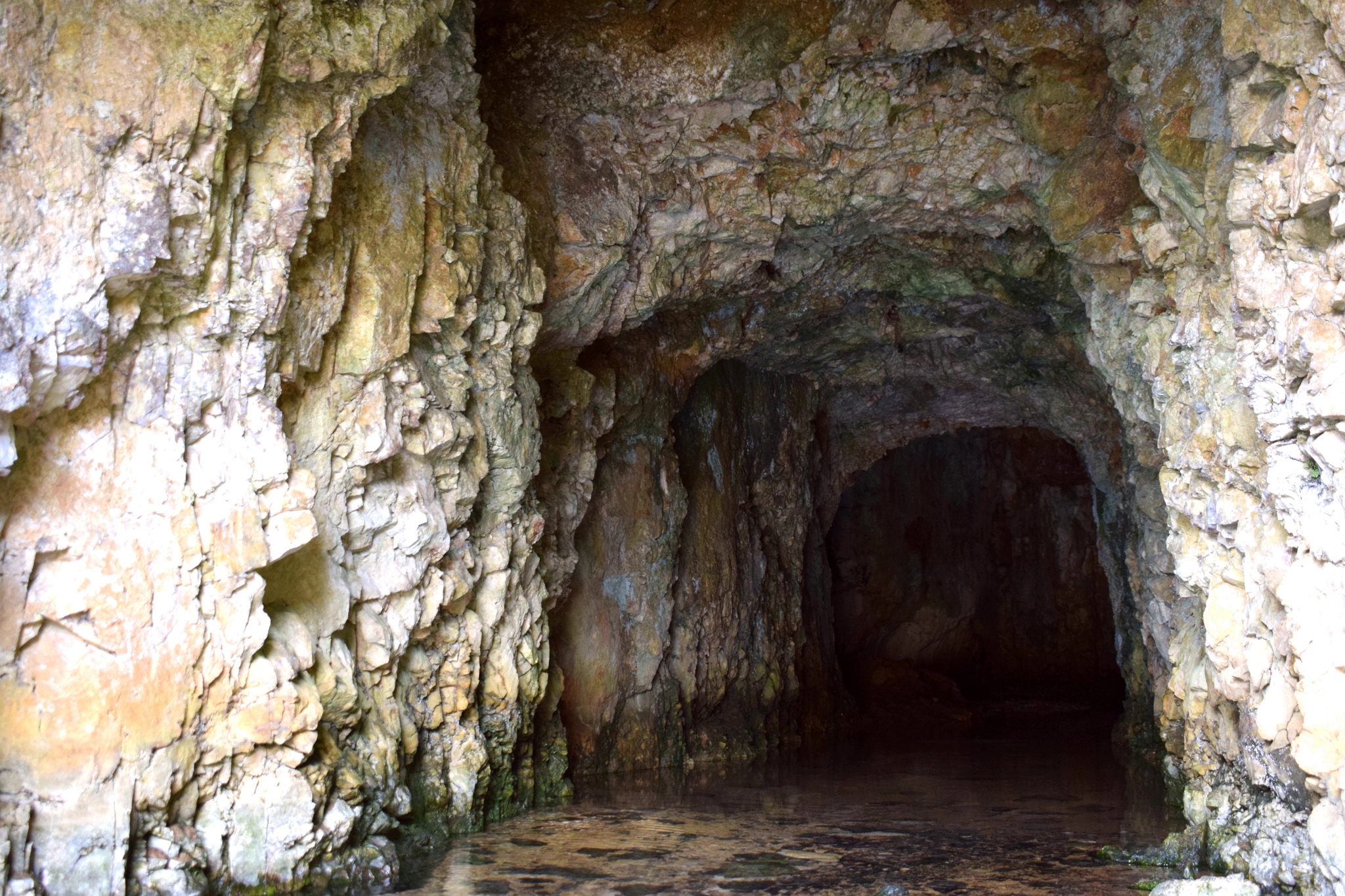
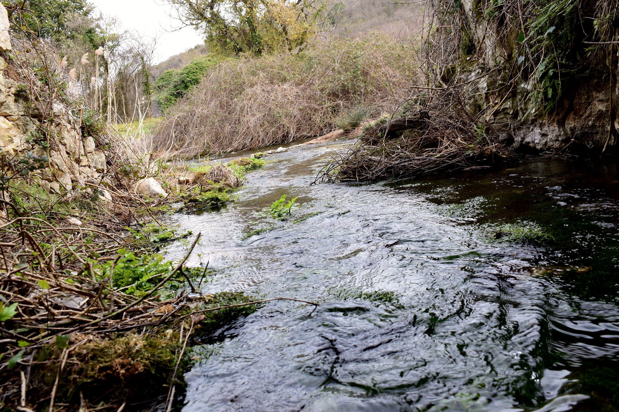
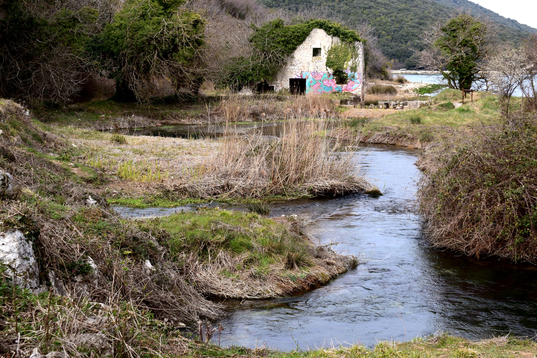
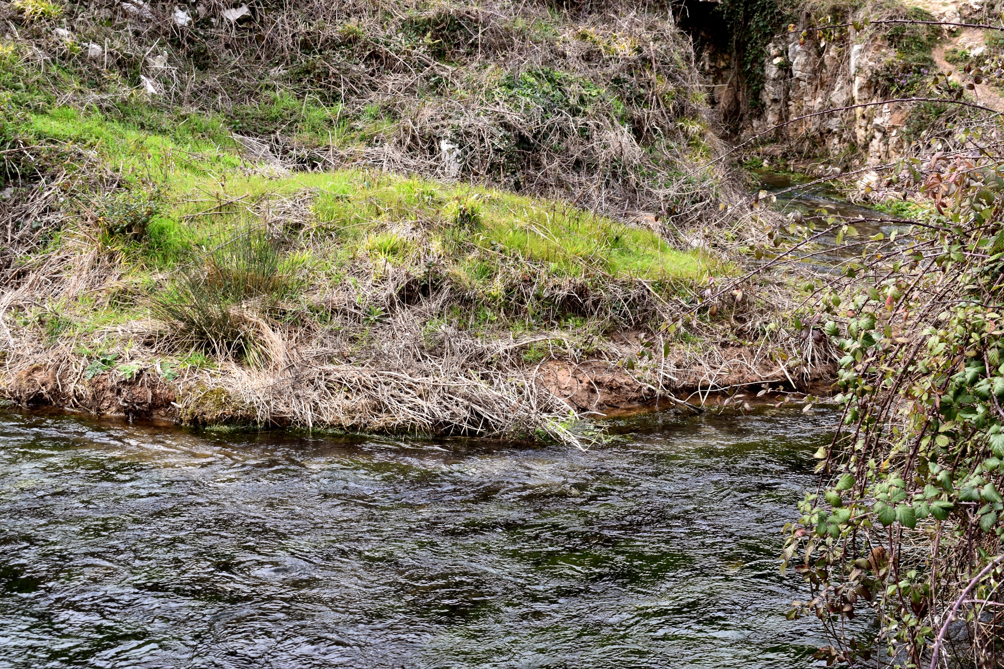
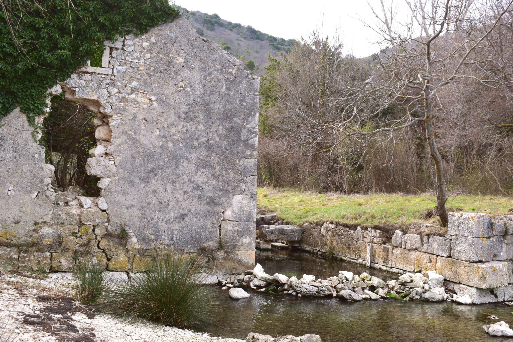
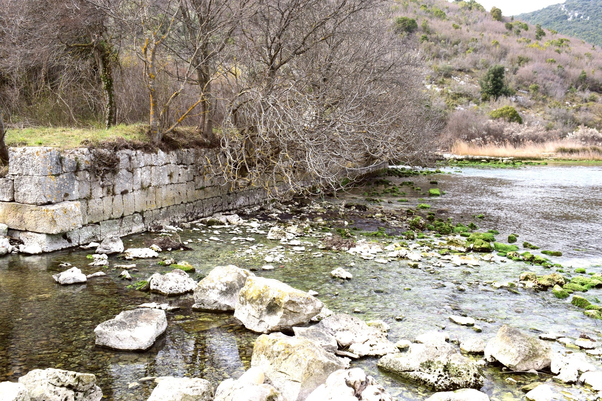
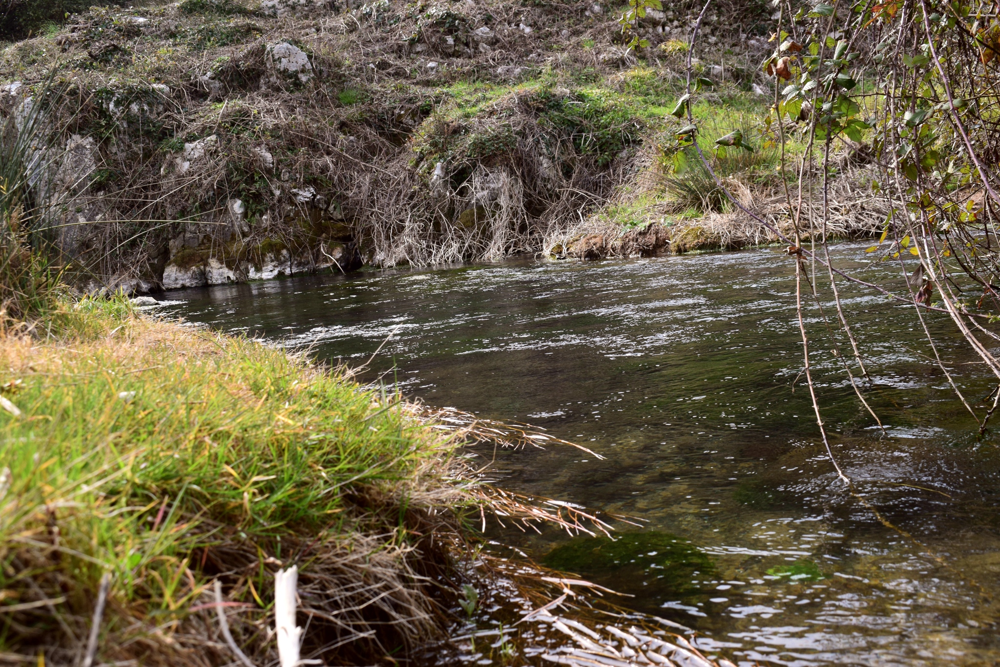
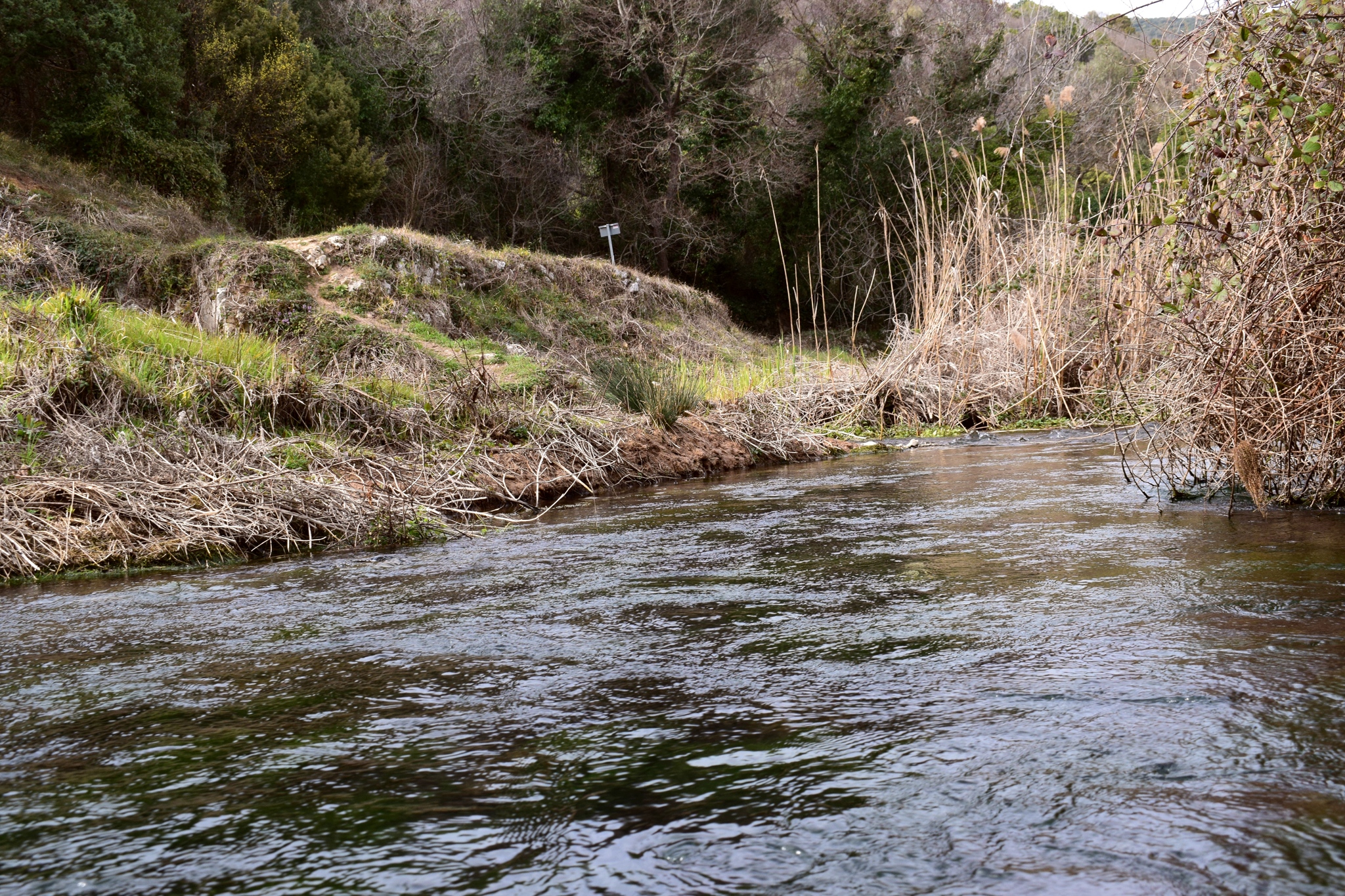
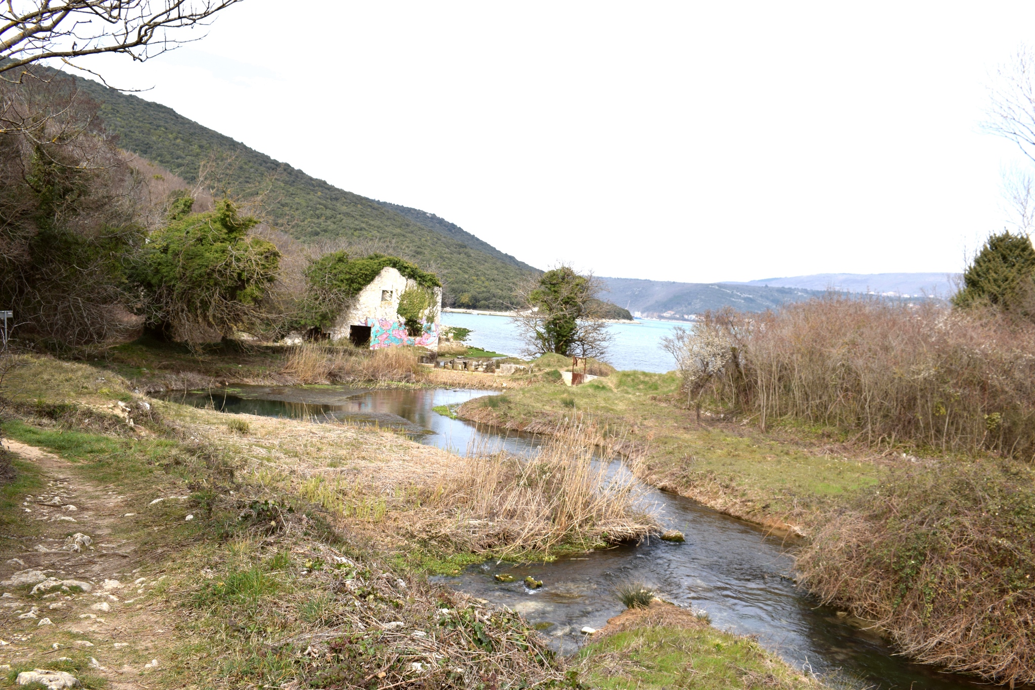
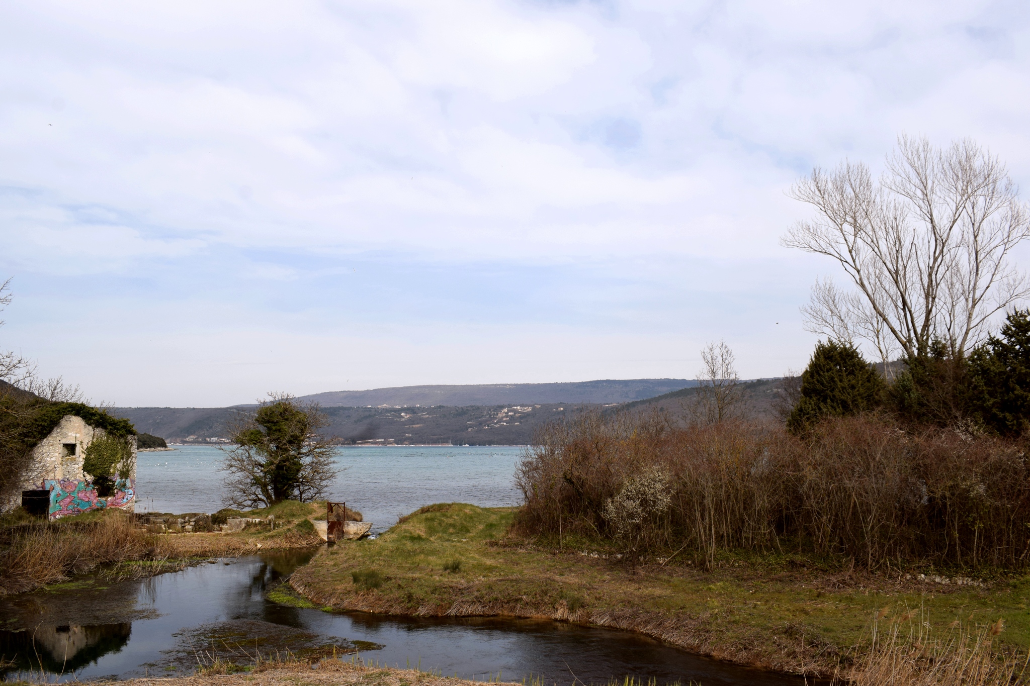
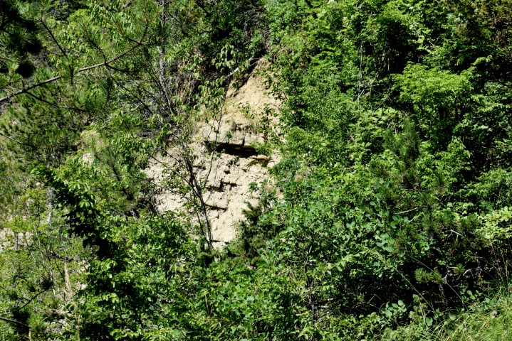
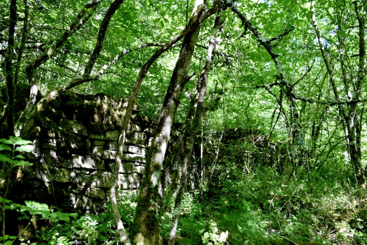
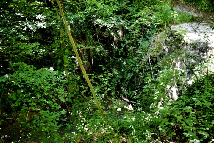
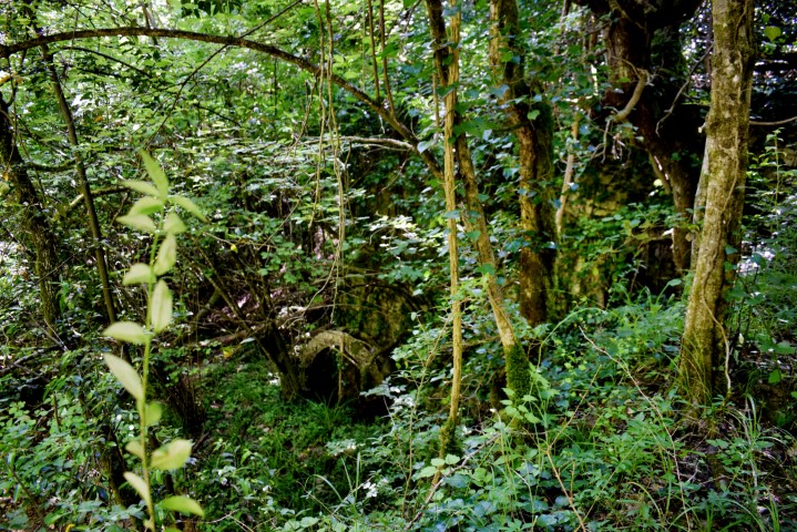
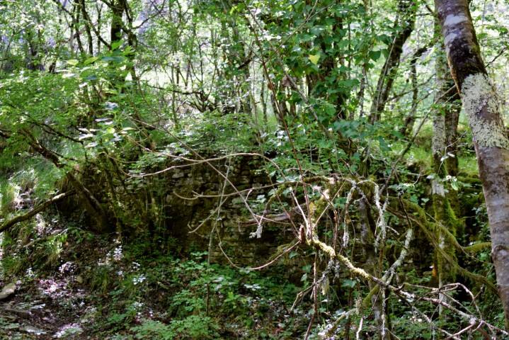
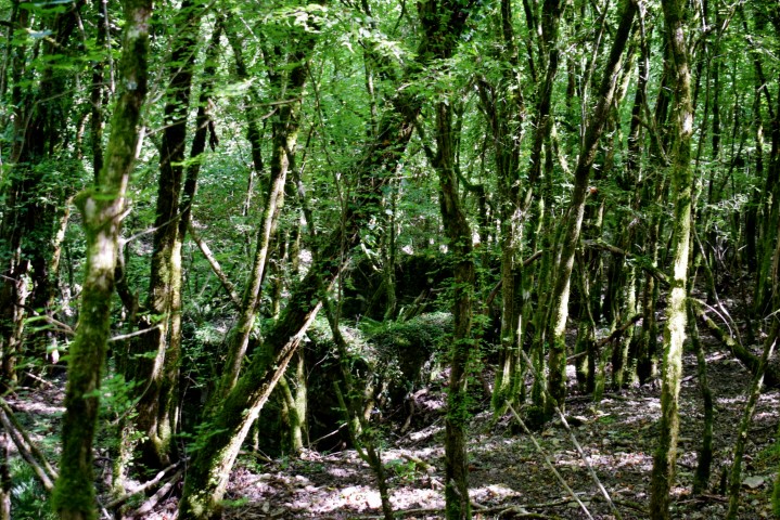
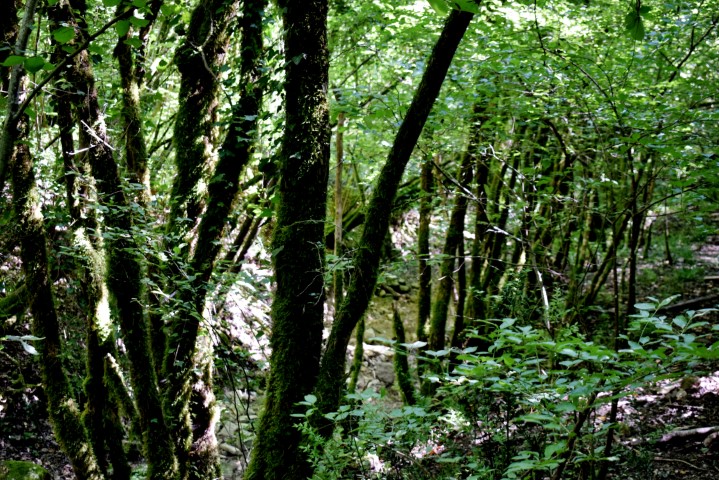
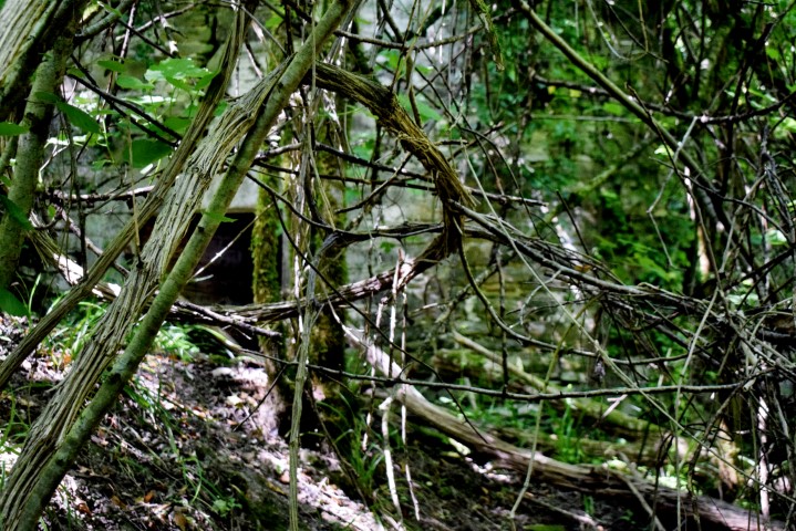
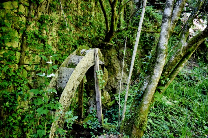
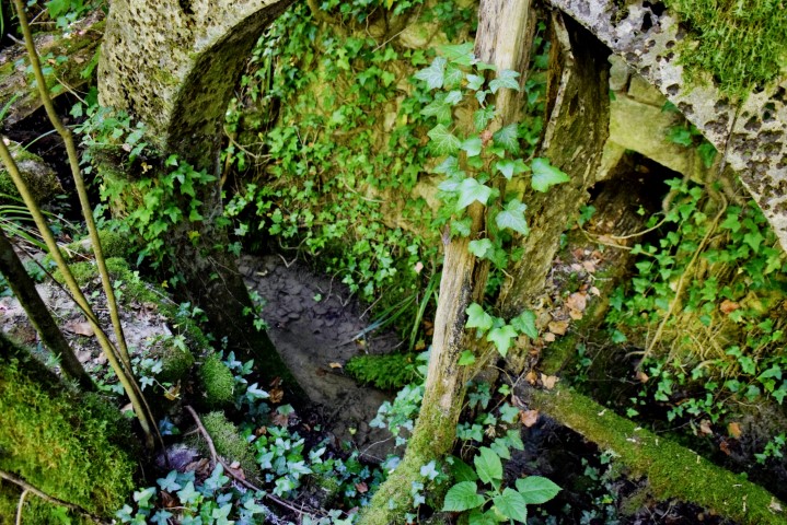
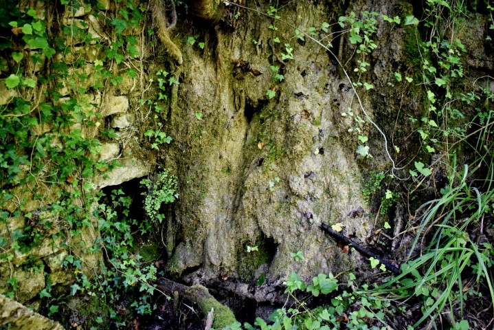
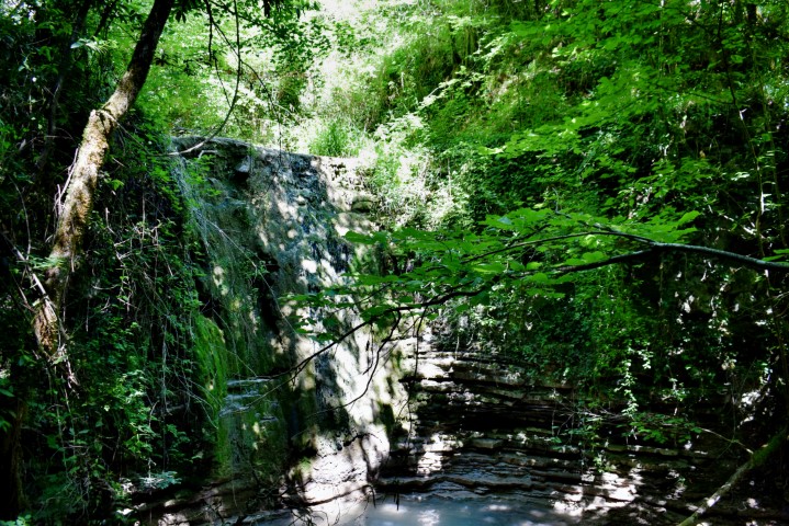
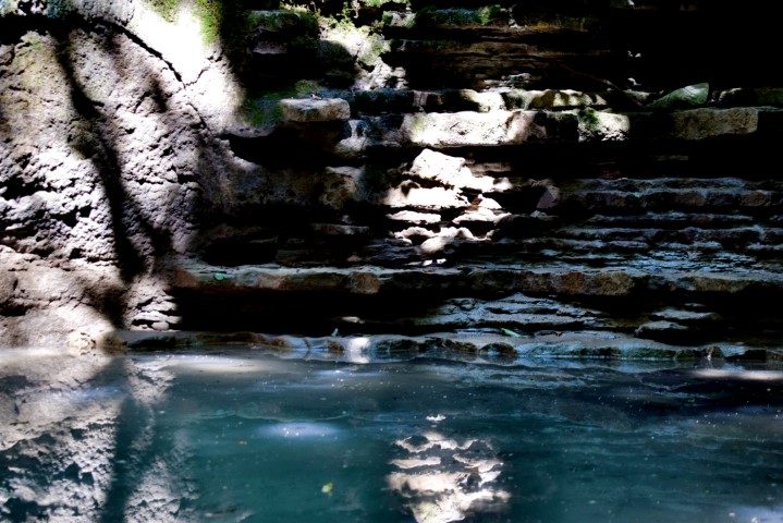
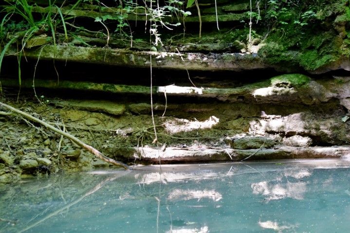
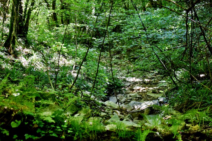
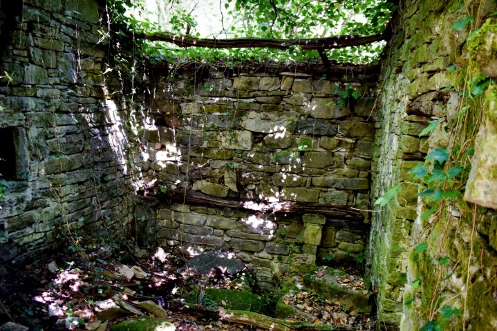
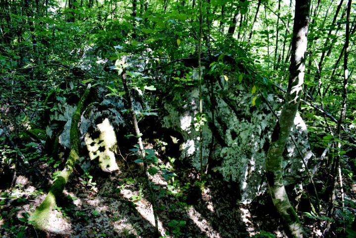
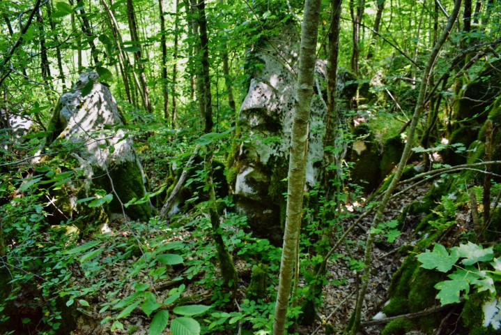
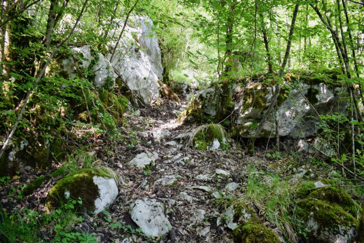
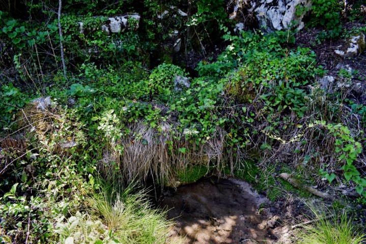
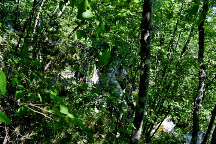
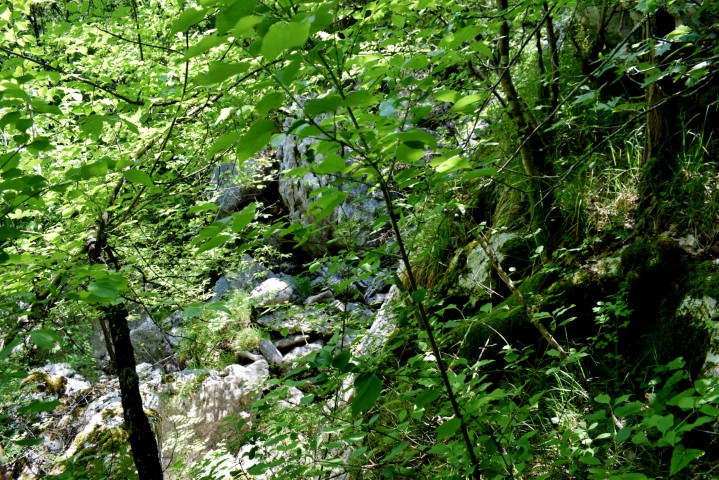
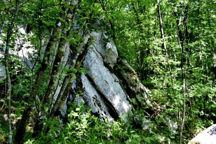
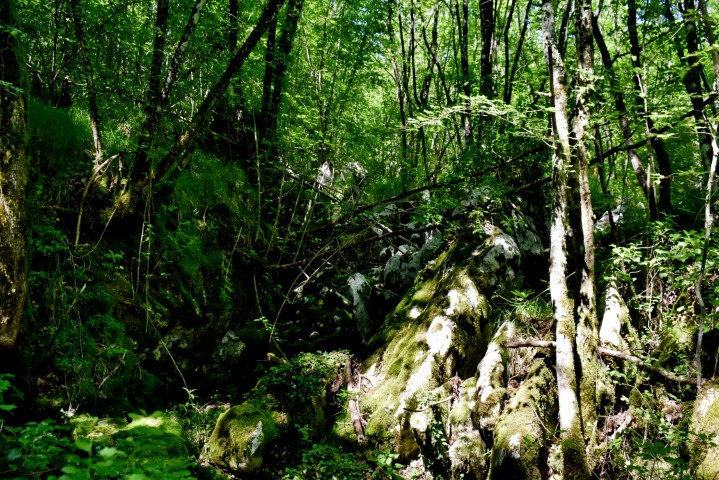
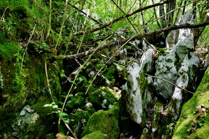
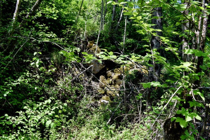
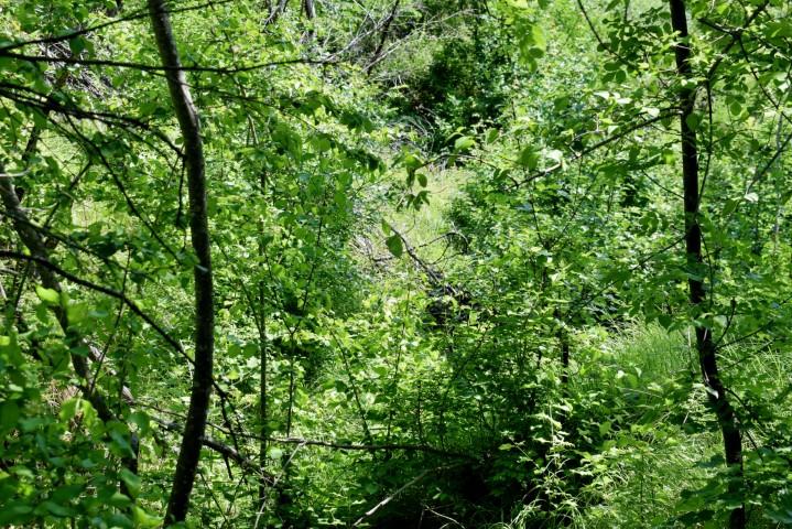
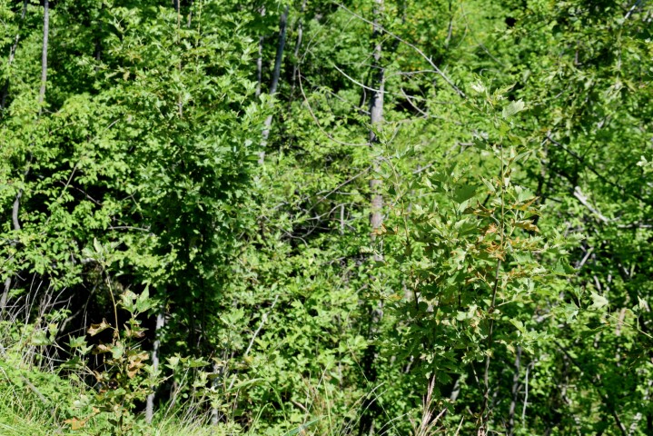
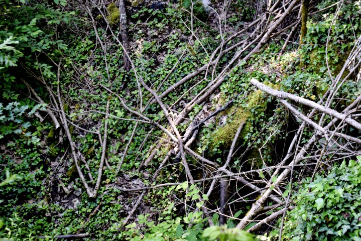
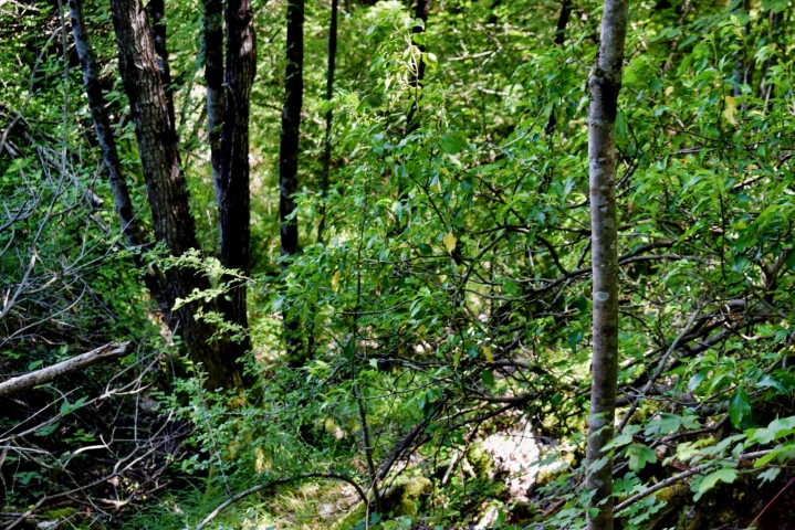
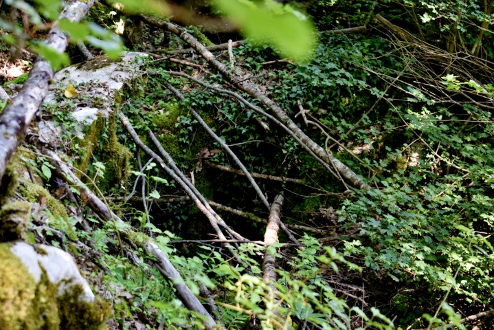
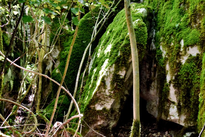
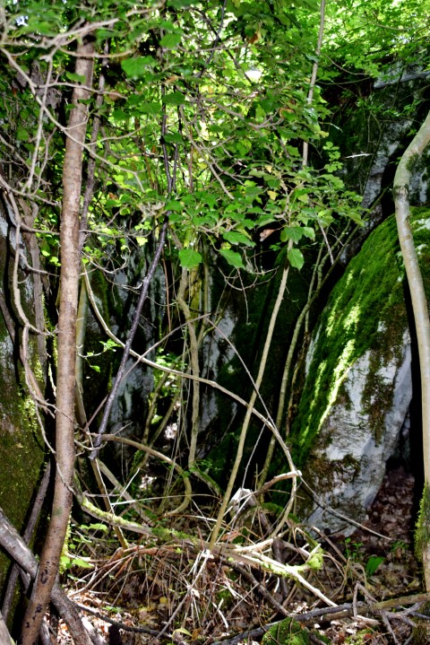
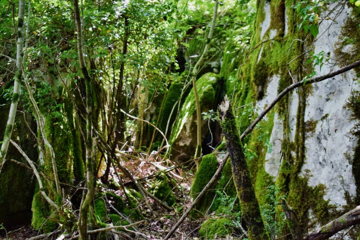
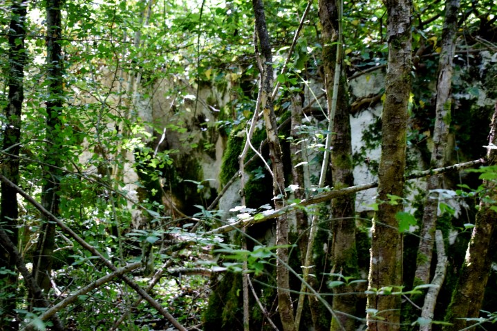
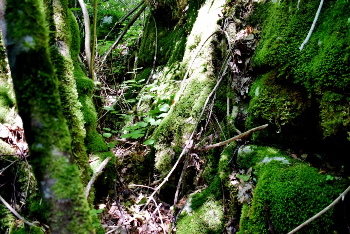
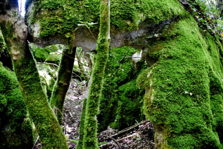
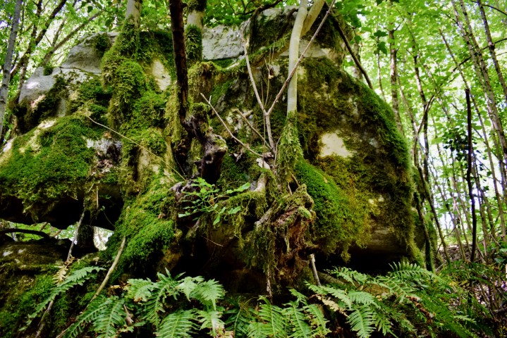
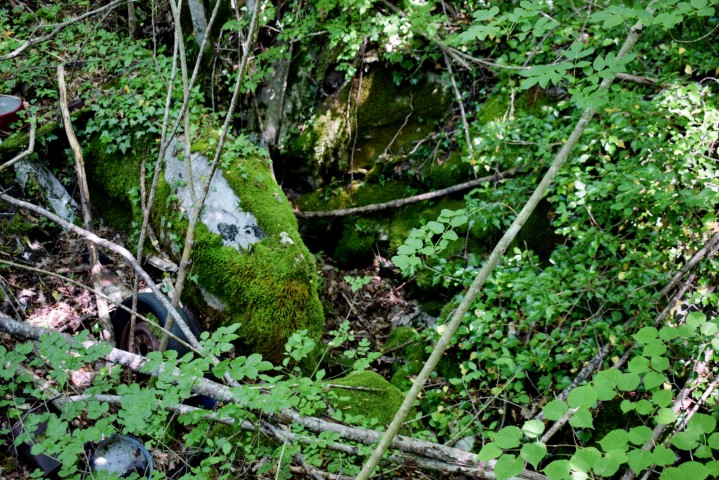
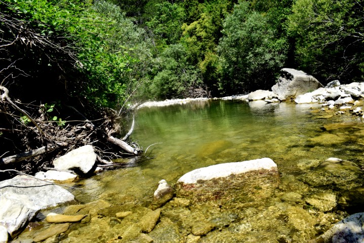
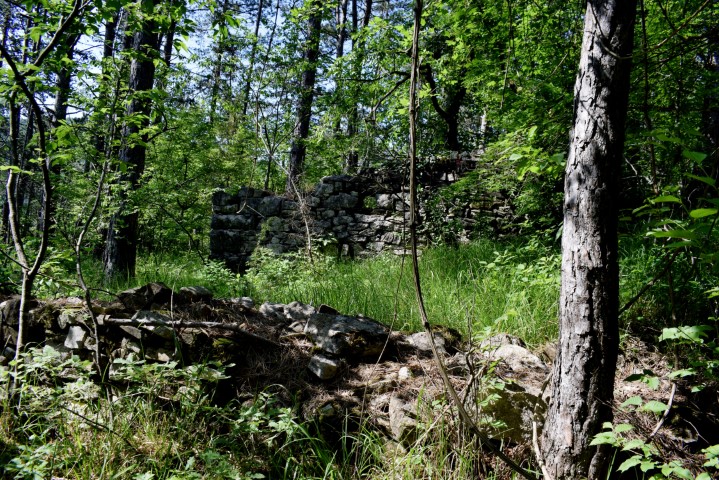
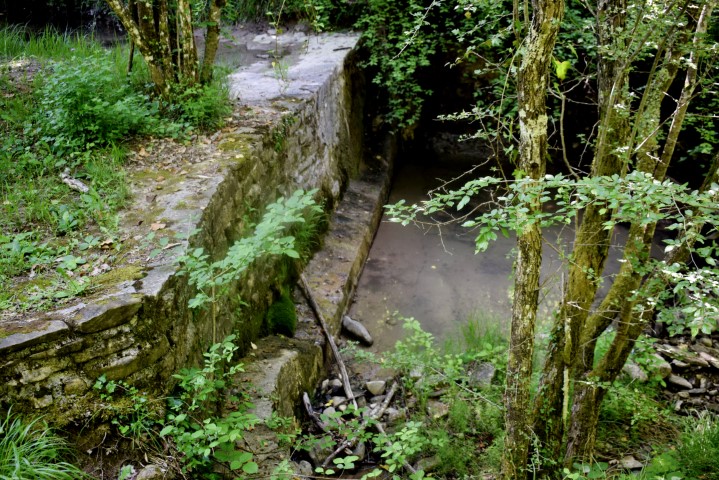
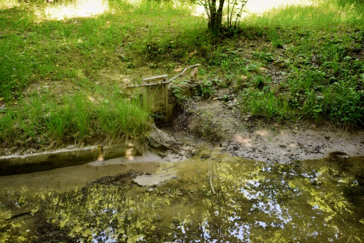
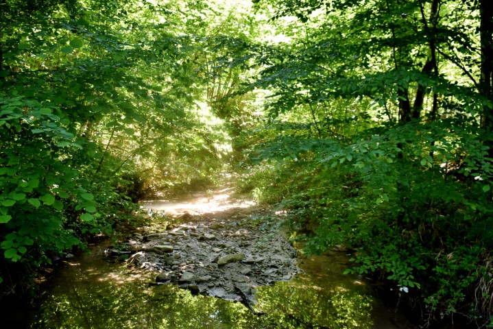
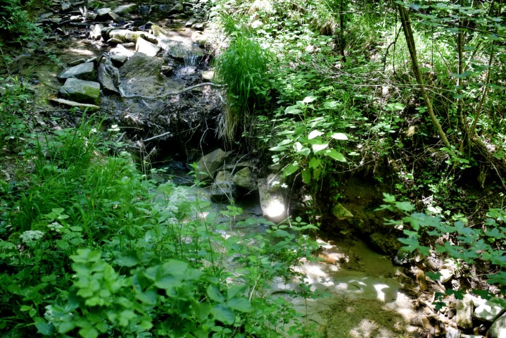
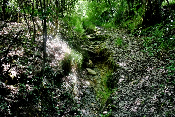
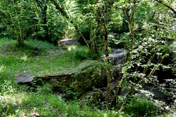
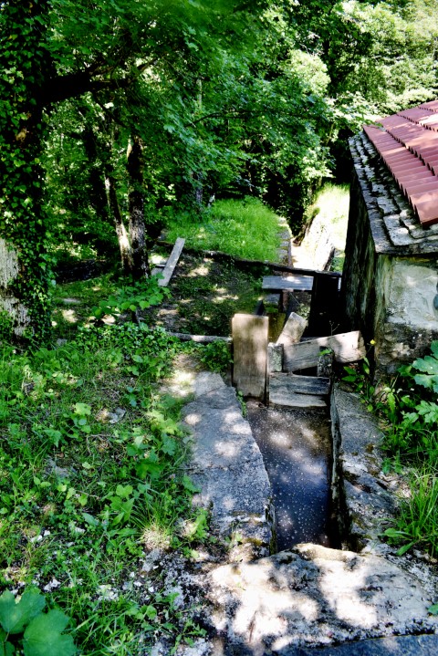
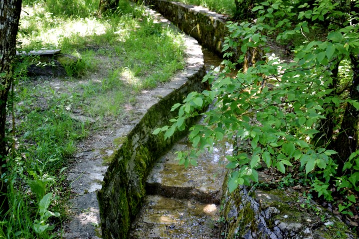
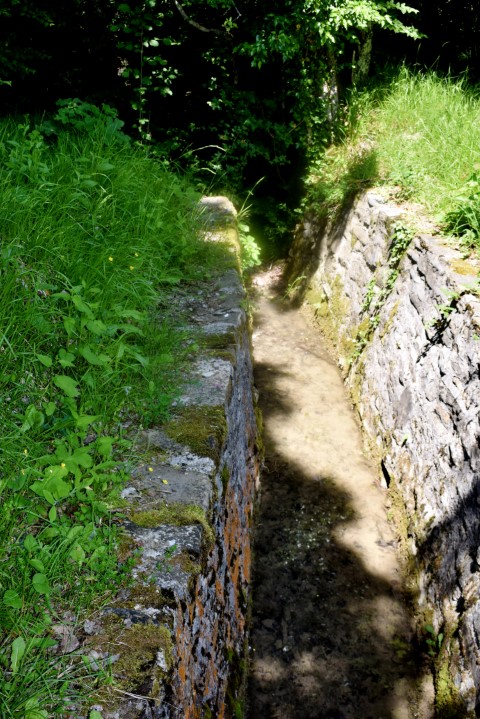
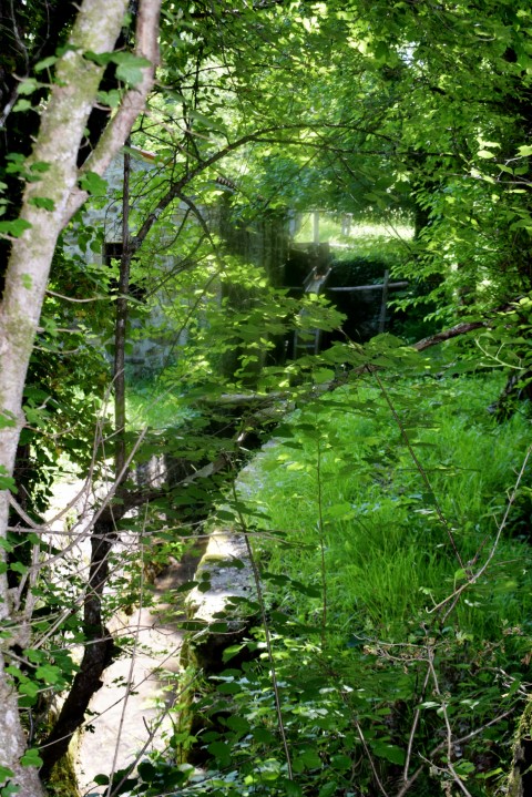
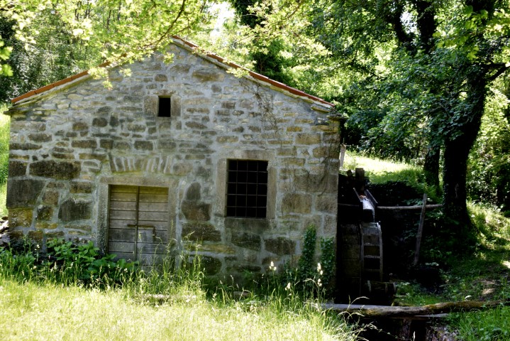
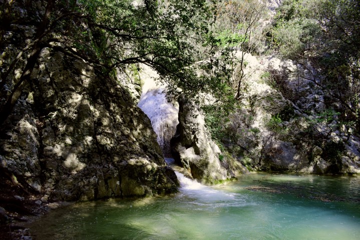
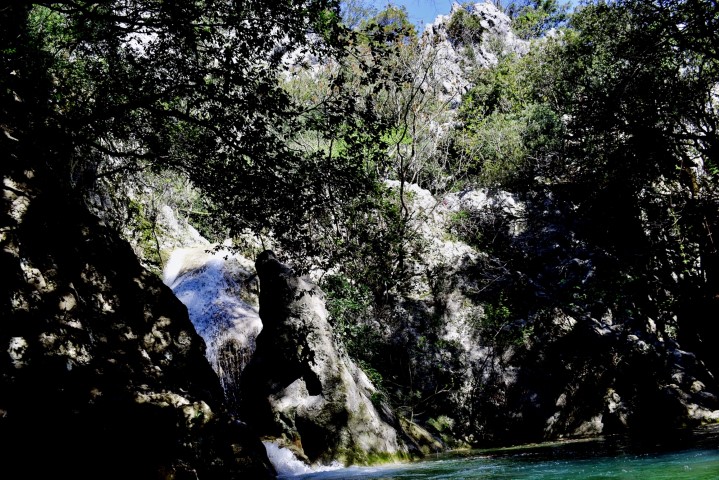
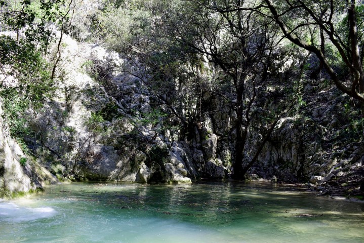
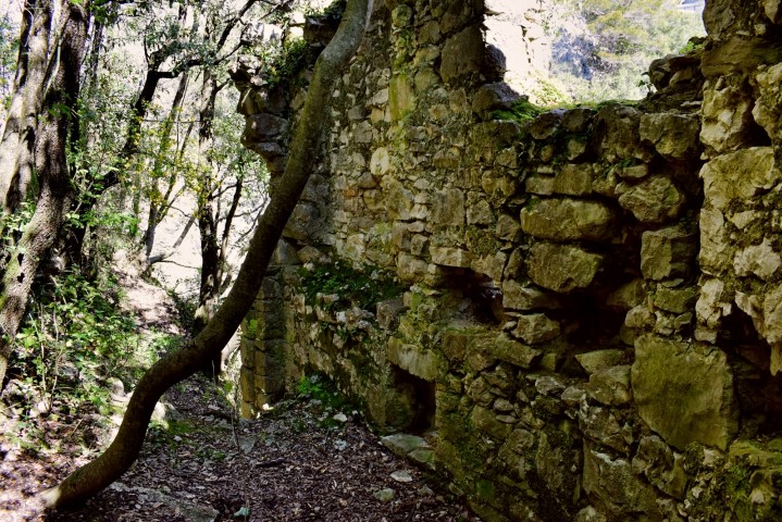
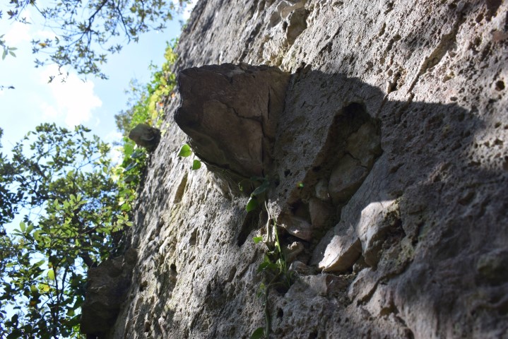
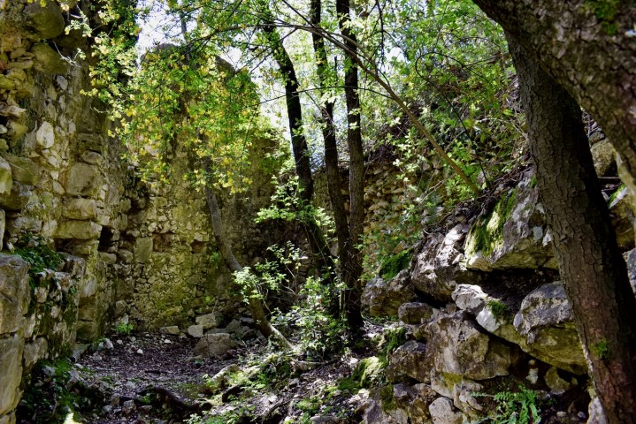
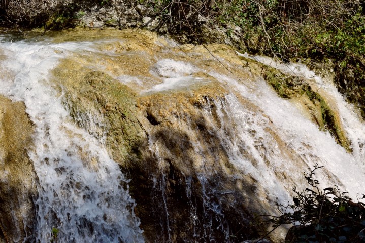
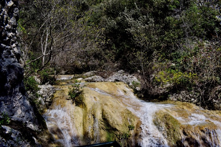
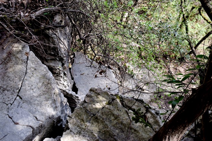
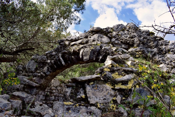
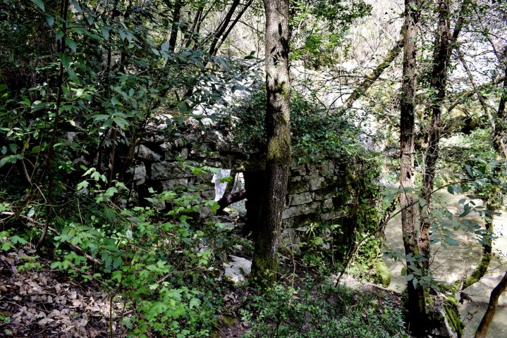
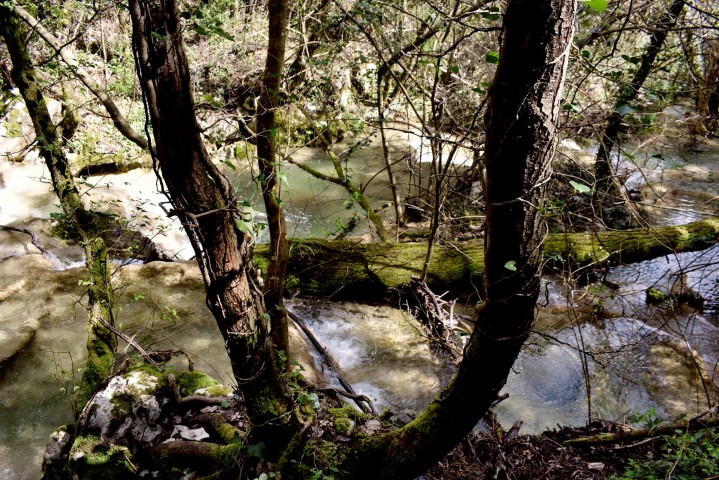
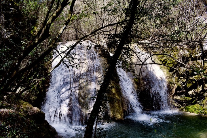
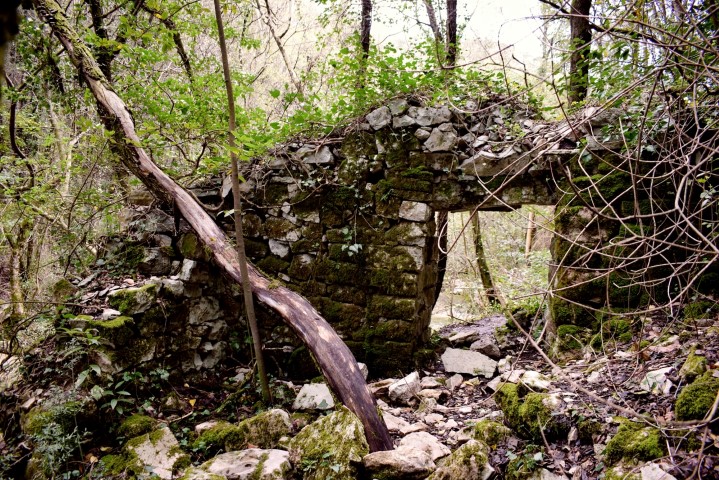
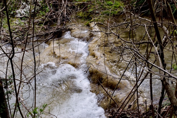
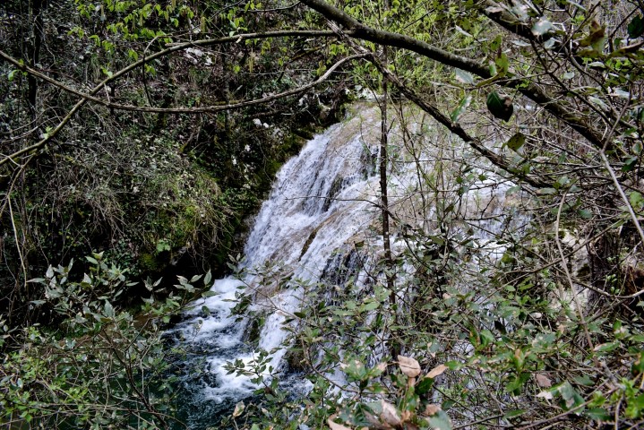
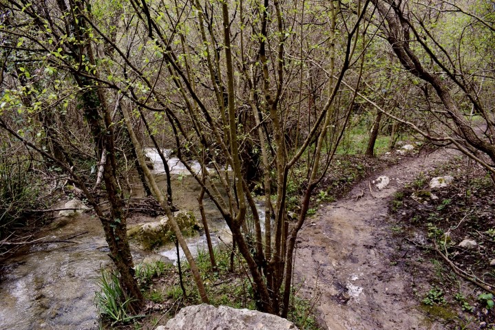
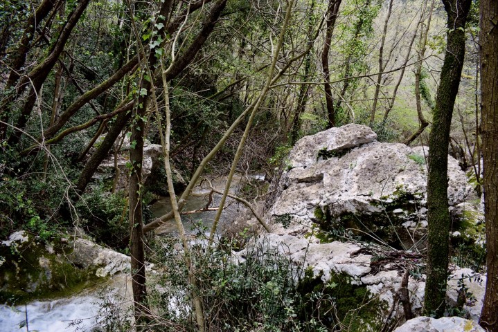
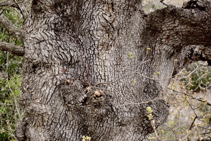
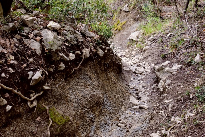
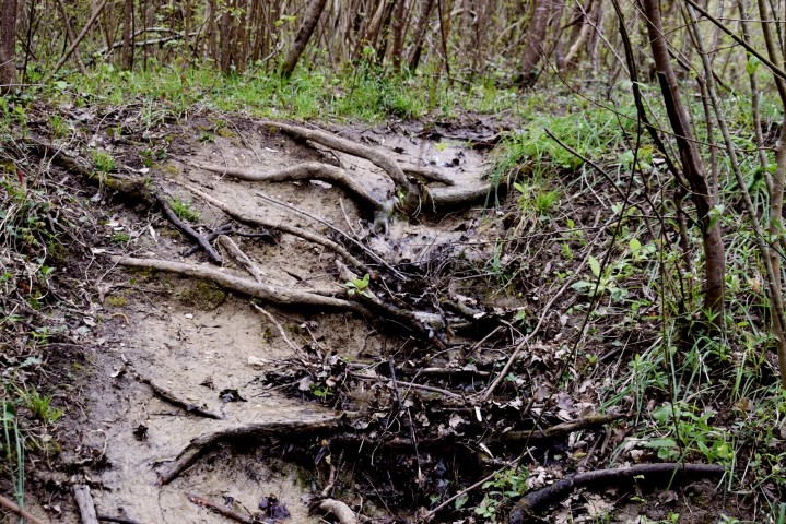
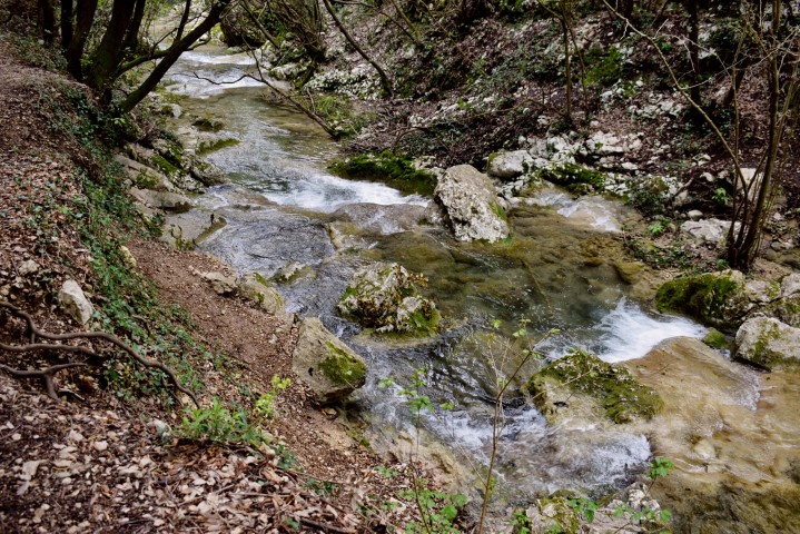
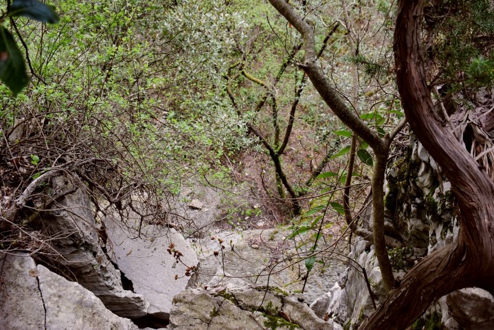
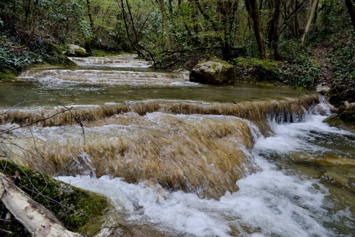
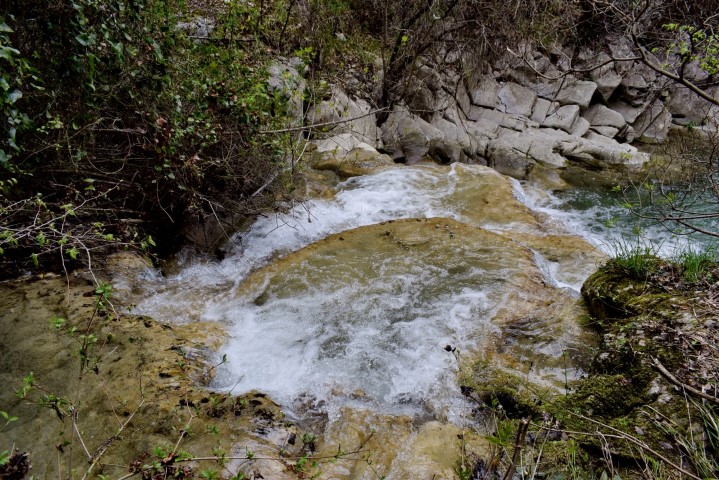
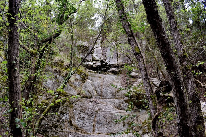
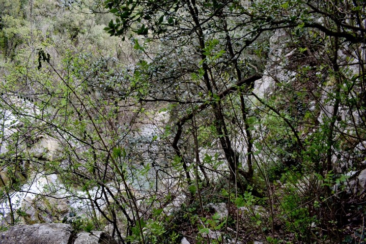
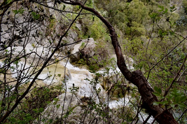
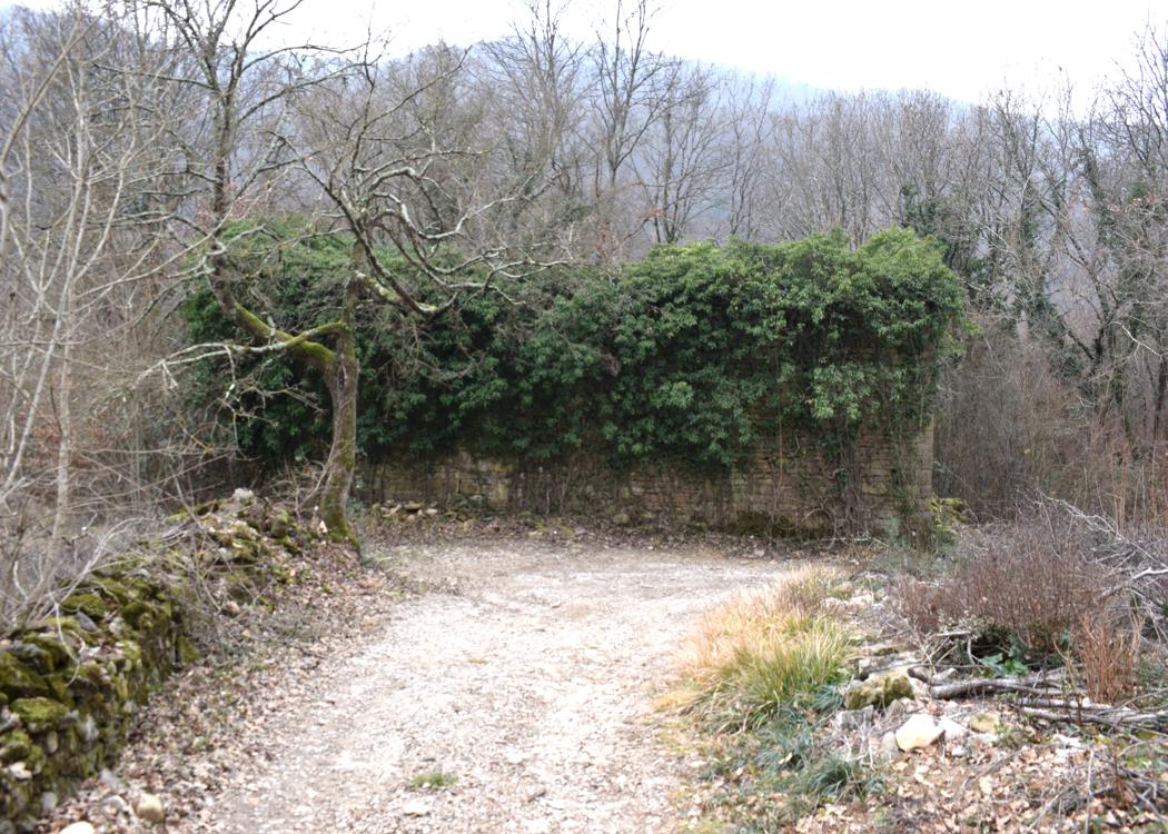
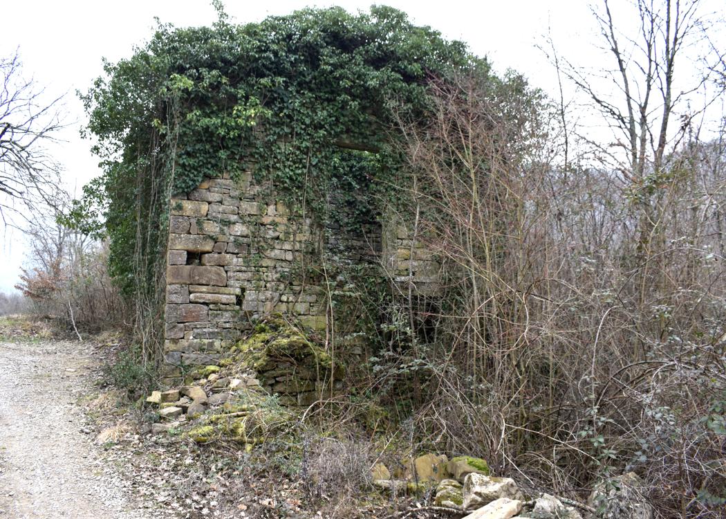
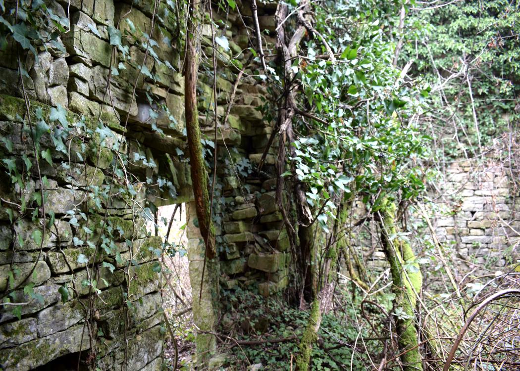
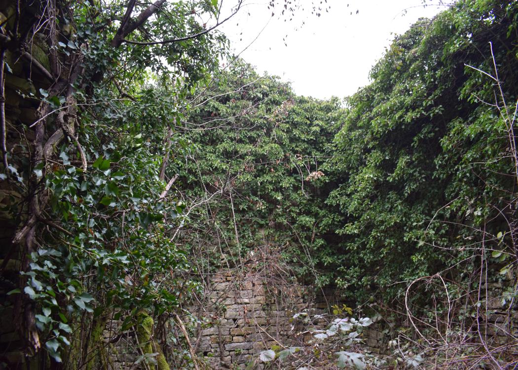
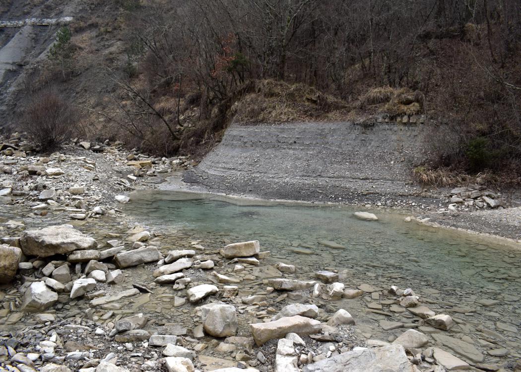
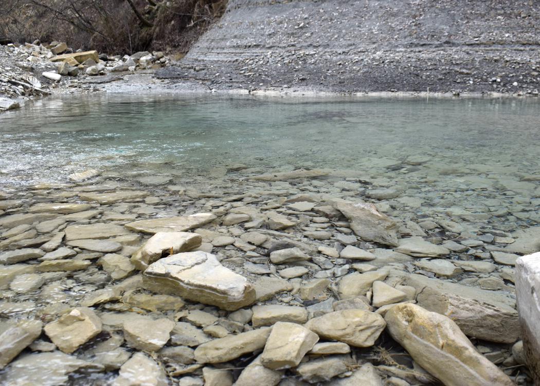
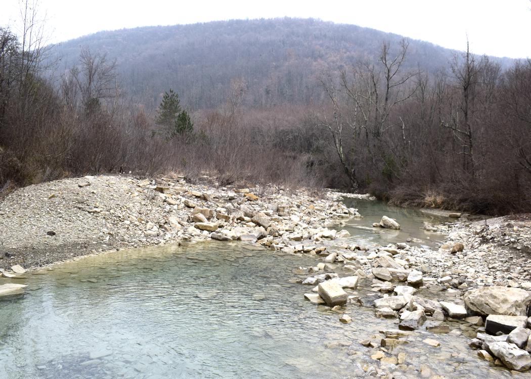
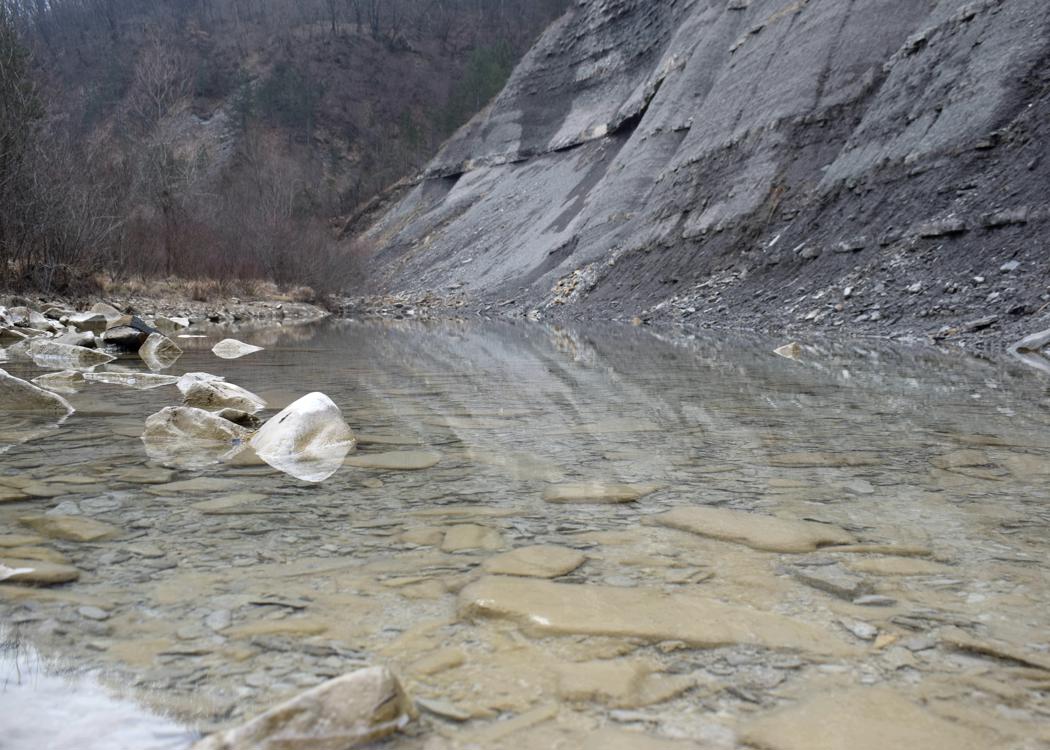
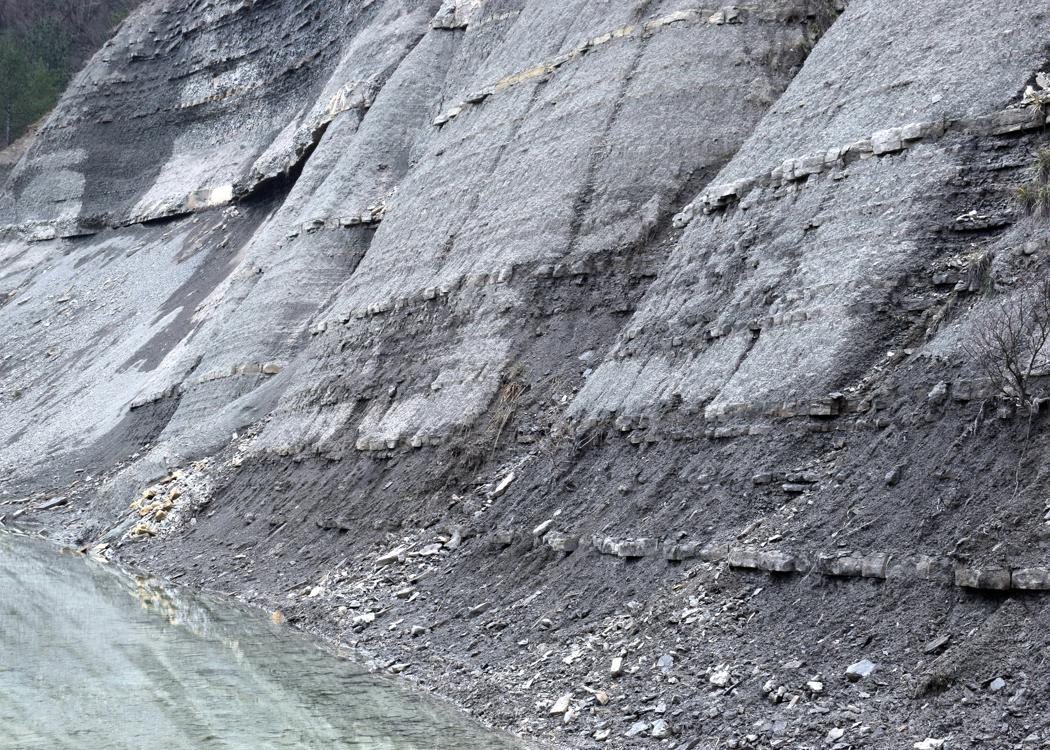
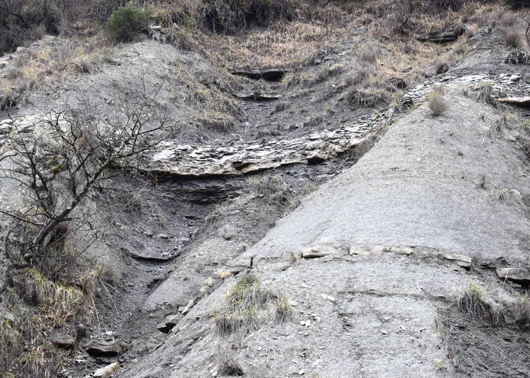
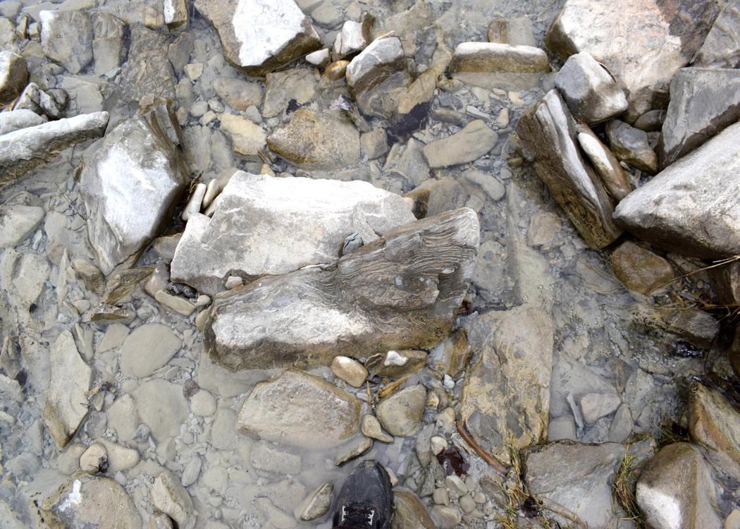
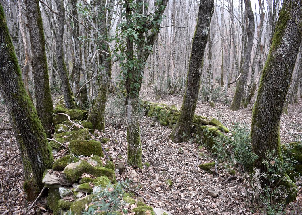
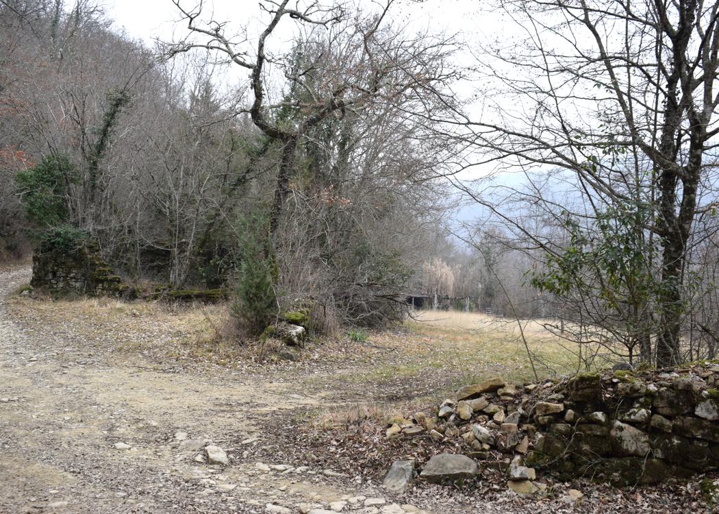
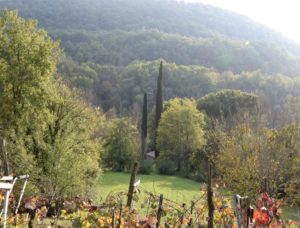
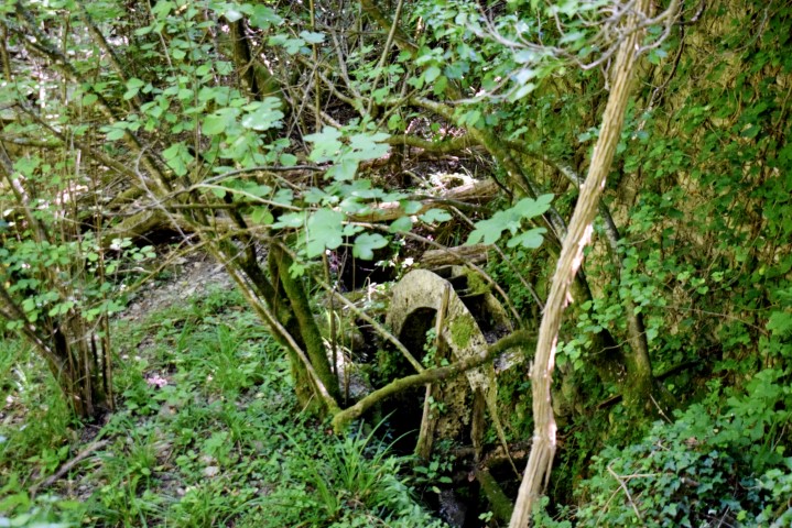
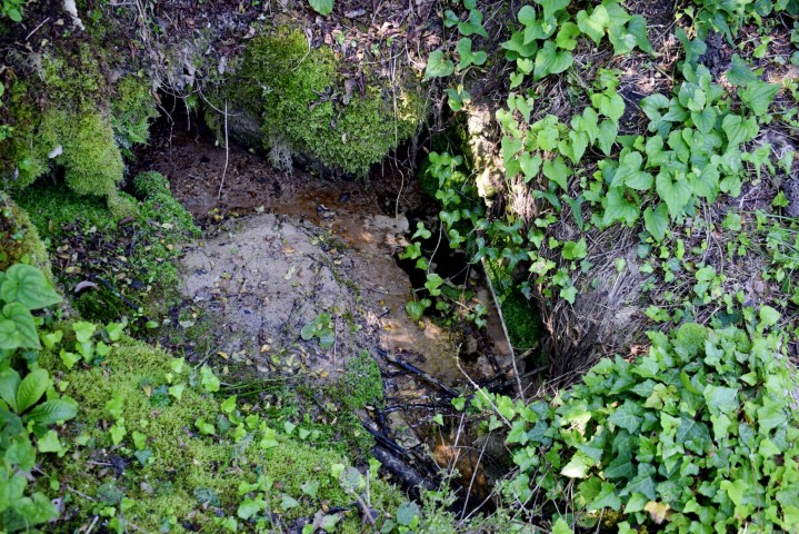
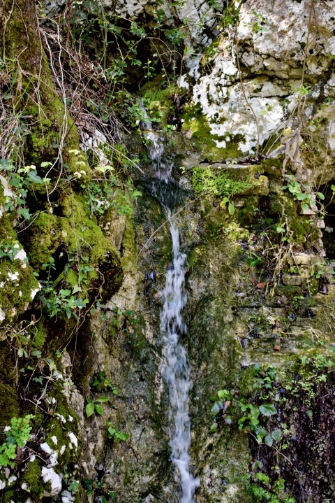
Name: Trail from the former watermill Fermov along the river Dragonja to the watermill Zankoličev.
Place: Labor – (Koper).
Coordinates: Start Labor 45.46880 N – 13.77239 E, watermill Fermov 45.46961 N – 13.76389 E, Watermill Zankoličev 45.47038 N – 13.80074 E. Places of other watermills? near 45.46698 N – 13.77018 E, 45.46617 N -13.78632 E, 45.46842 N – 13.76794 E, 45.46617 N – 13.78632 E and 45.46739 N – 13.78632 E.
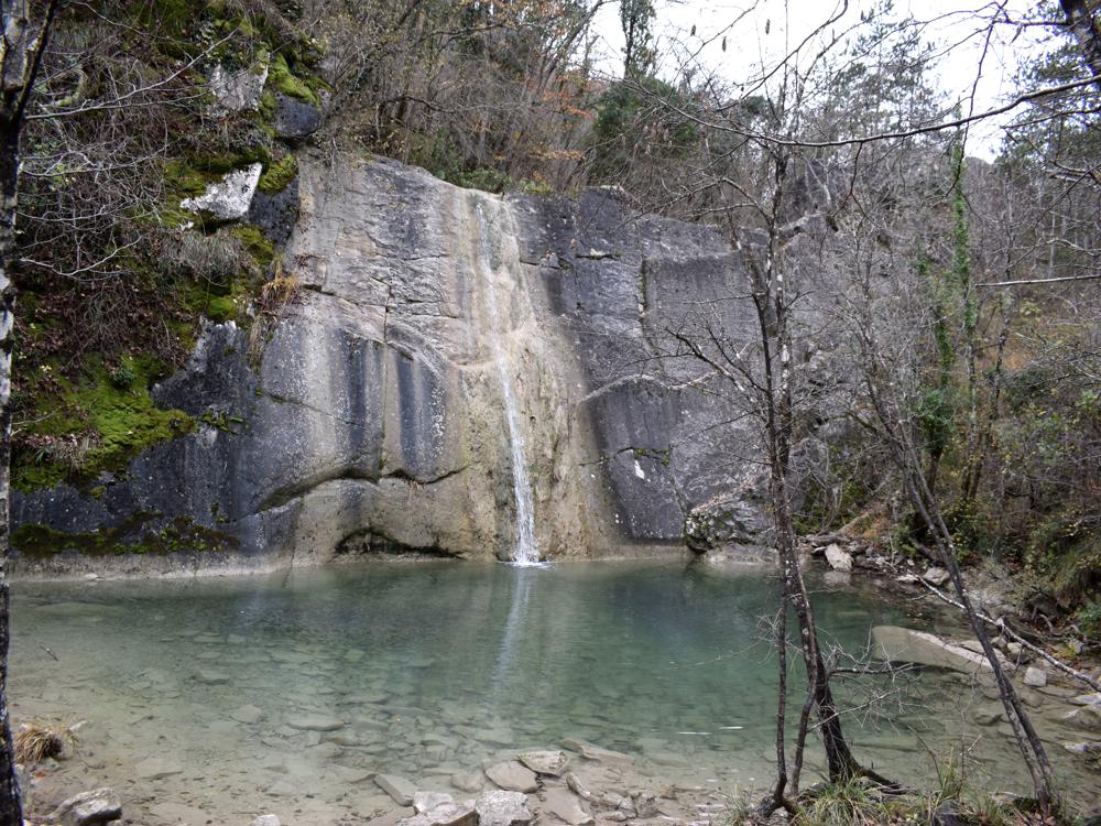
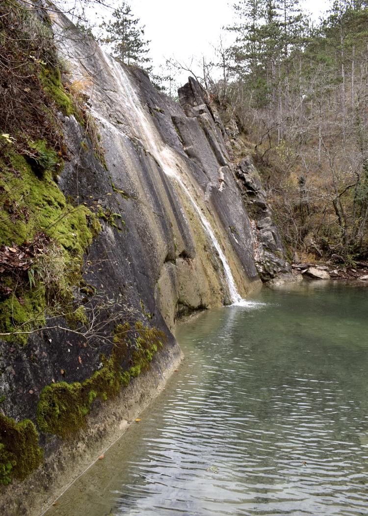
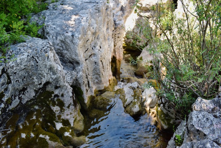
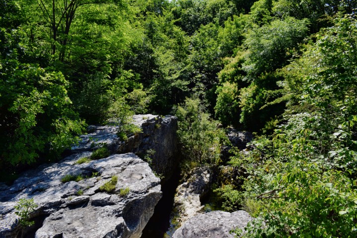
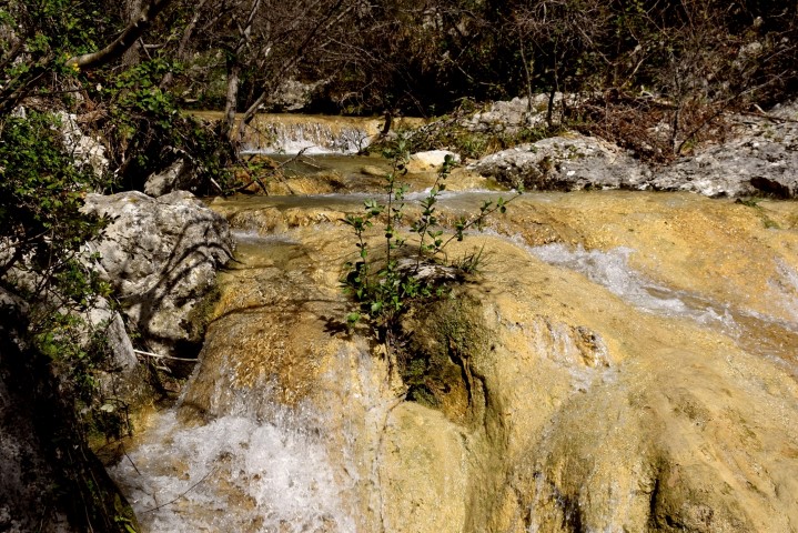
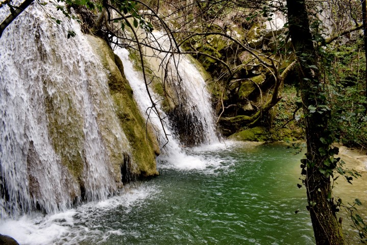
Name: Hiking trail to the waterfall Veli Vir.
Place: Olika – (Koper).
Coordinates: Start Olika 45.45866 N – 13.89219 E, split 45.45815 N – 13.88474 E, waterfall 45.45494 N – 13.87892 E. End 45. 45971 N – 13.87692 E
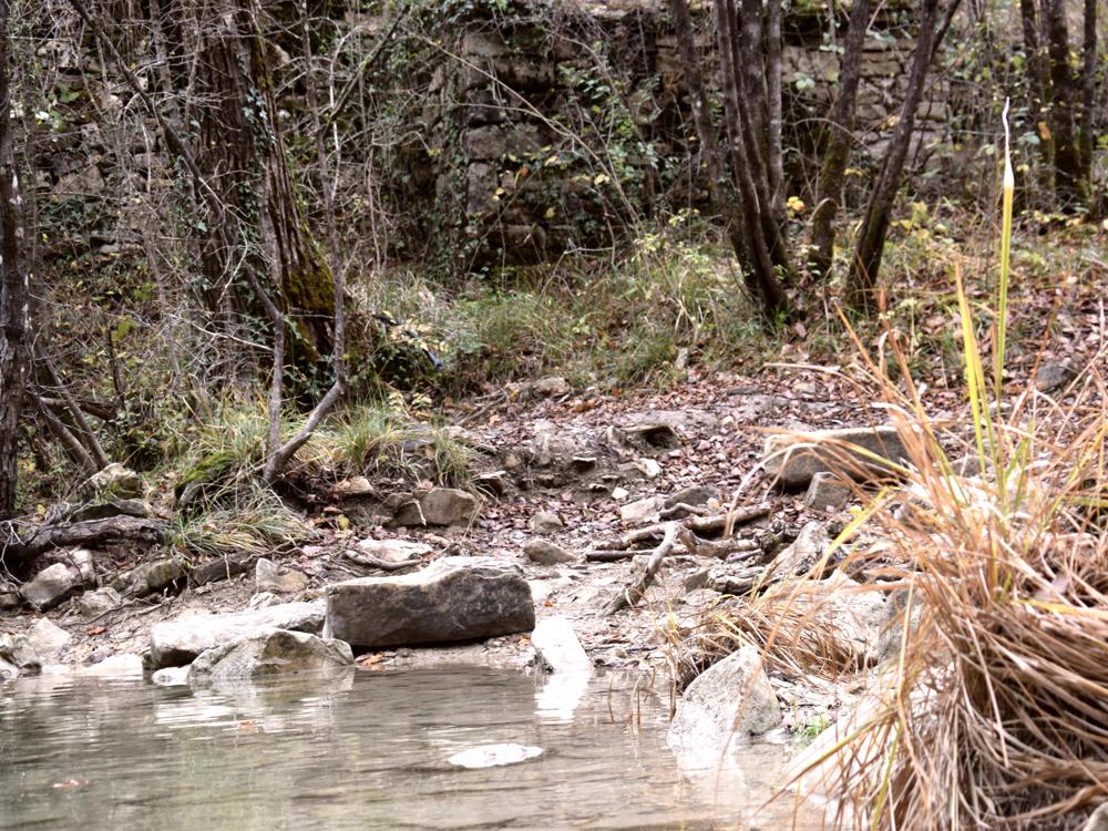
Name: Road from the village Koštabona to Kodarinov Malen near the stream Supot and the river Dragonja.
Place: Koštabona – (Koper).
Coordinates: Start 45.48913 N – 13.73713 E, split 45.47388 N -13.74719 E, Korinov Malen 45.47330 N – 13.74365 E.

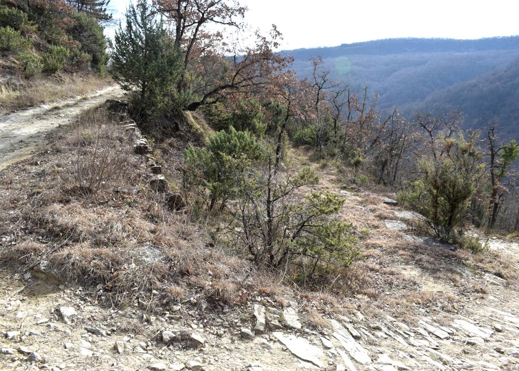
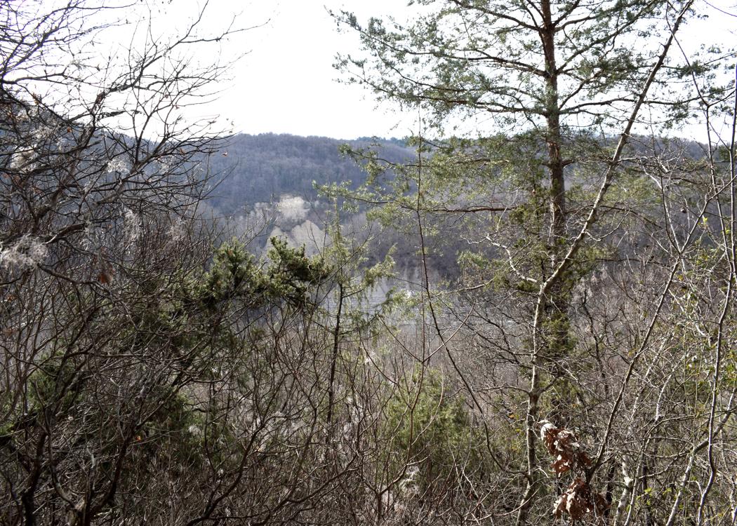
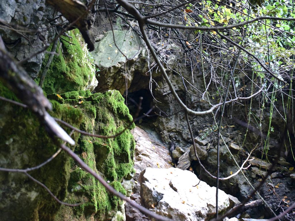
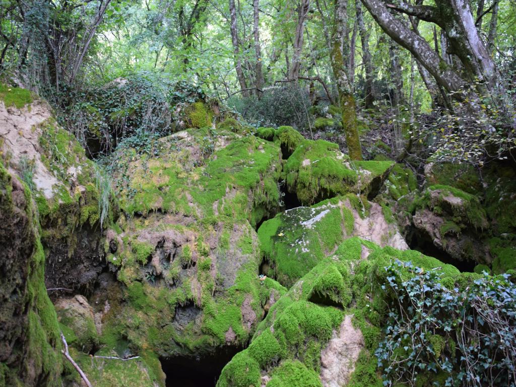
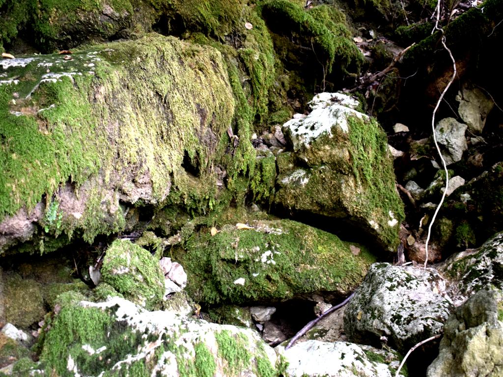
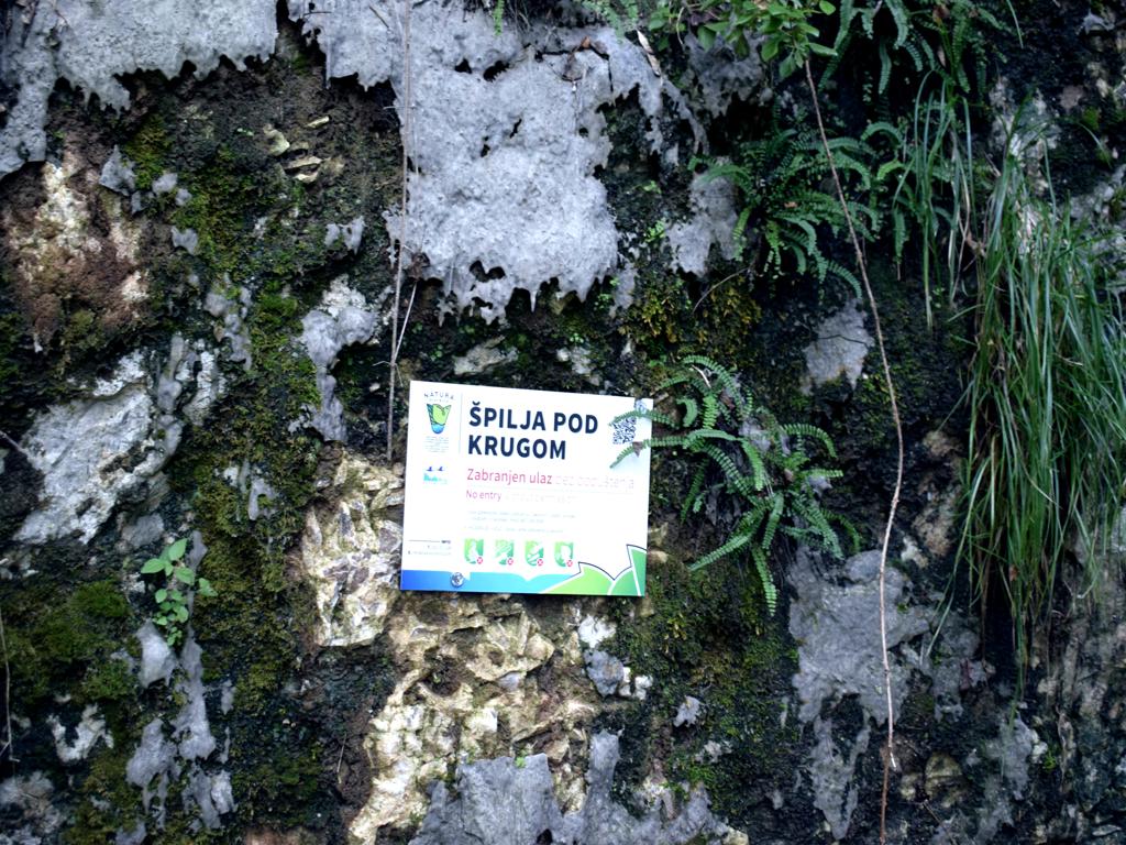
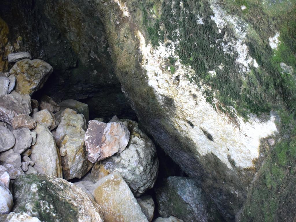
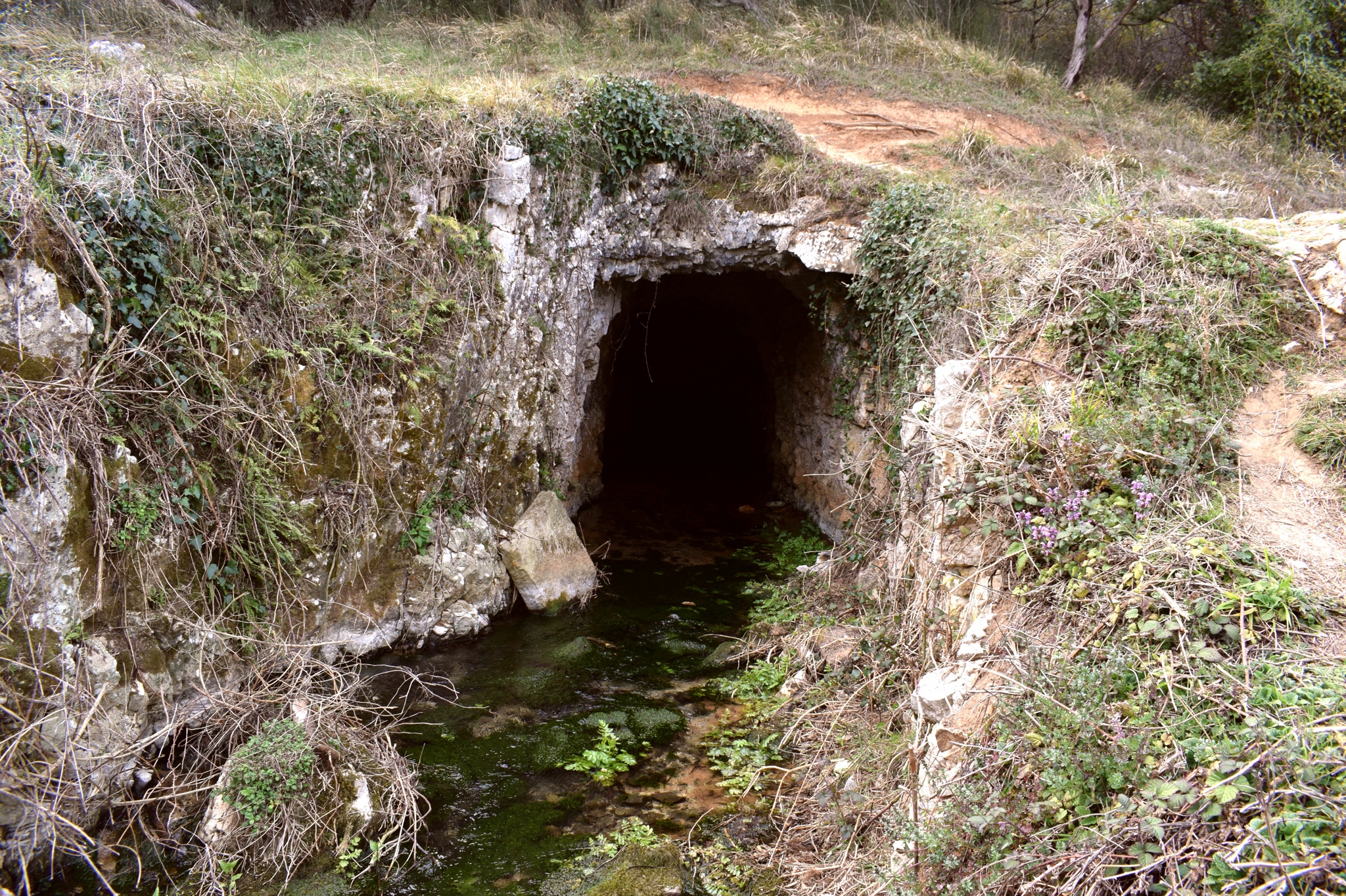
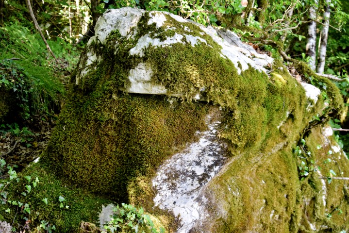
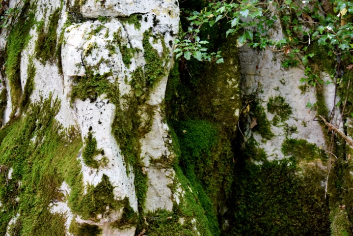
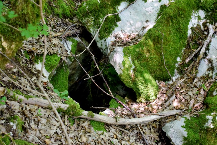
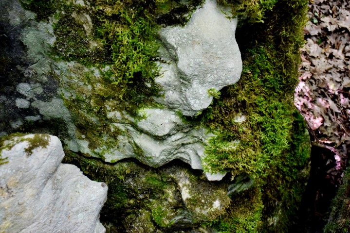
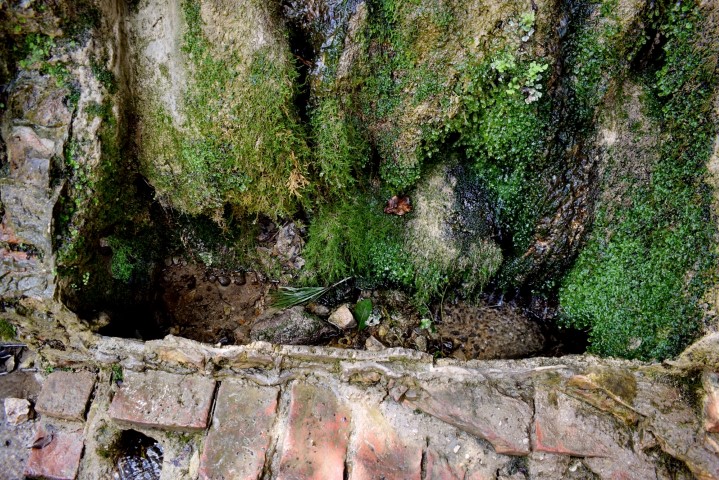
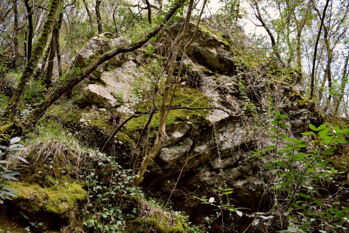
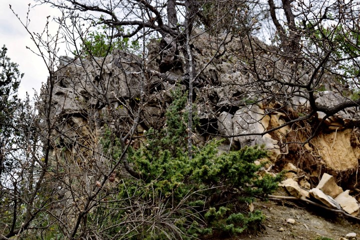
Name: Cave Pod Krugom and watermills Mlini.
Place: Mlini – (Buzet).
Coordinates: Mlini 45.45245 N – 13.92443 E, Cave 45.45202 N -13.92629 E.

See also the post 2010-08-07: Watermill near the hamlet Stopari – stream Sablonić.
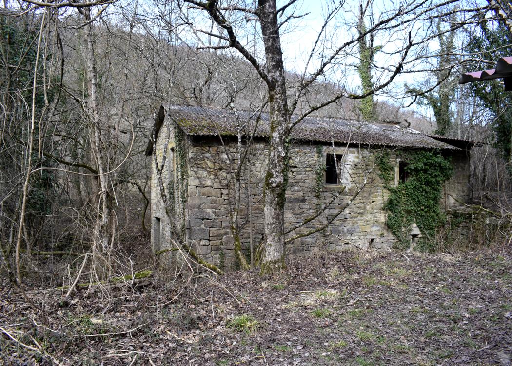
Name: Watermill (102?) in the stream Torrente Potocco near the hamlet Blaskiči.
Place: Oprtalj.
Coordinates: Start point: 45.37023 N – 13.80751 E, watermill 45.36975 N – 13. 80483 E.
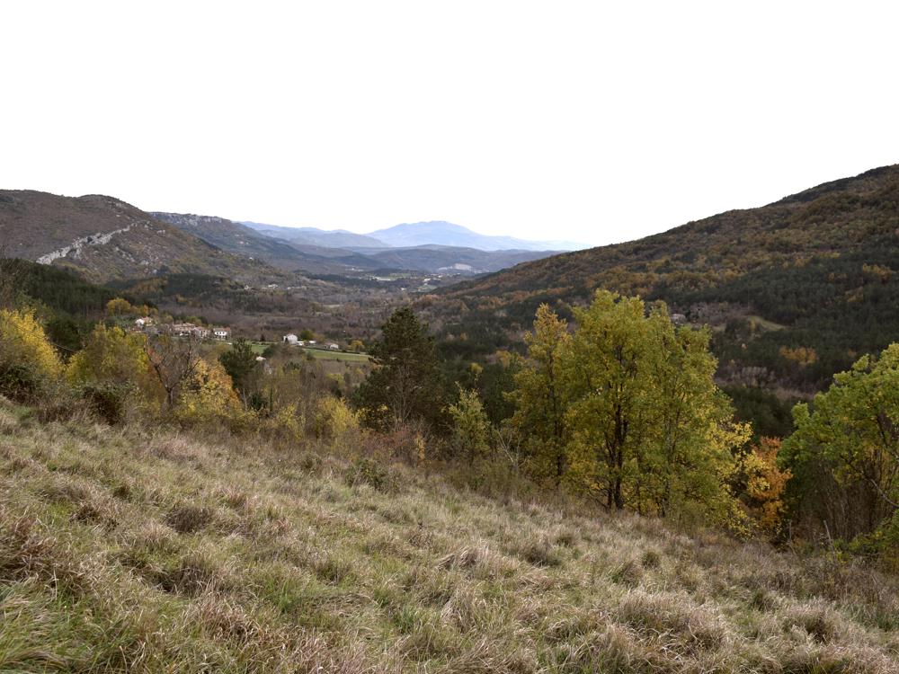
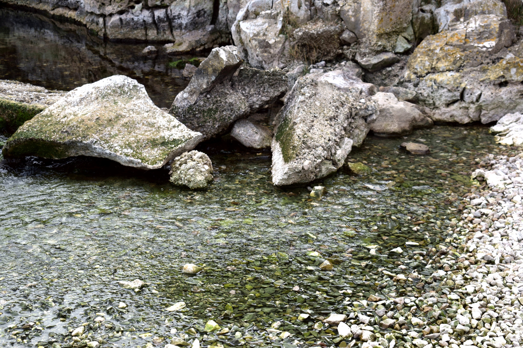
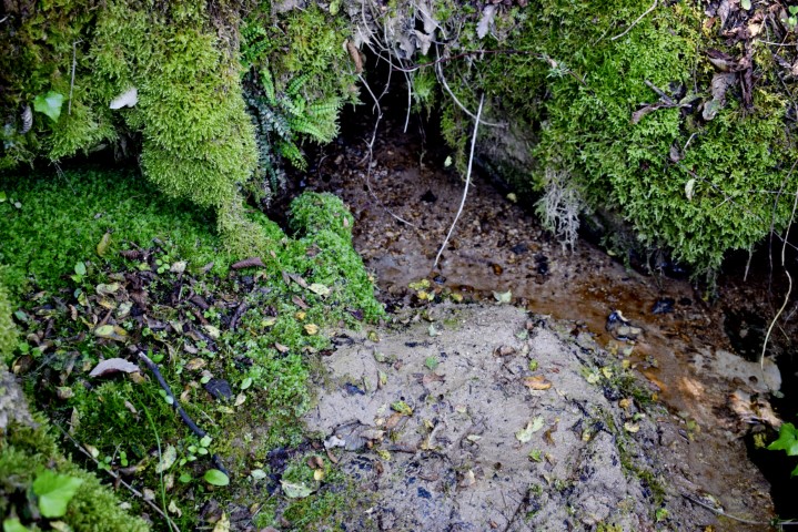
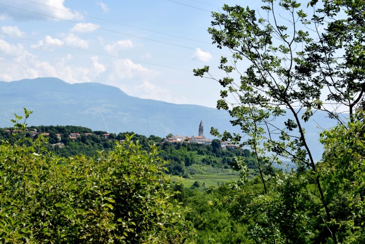
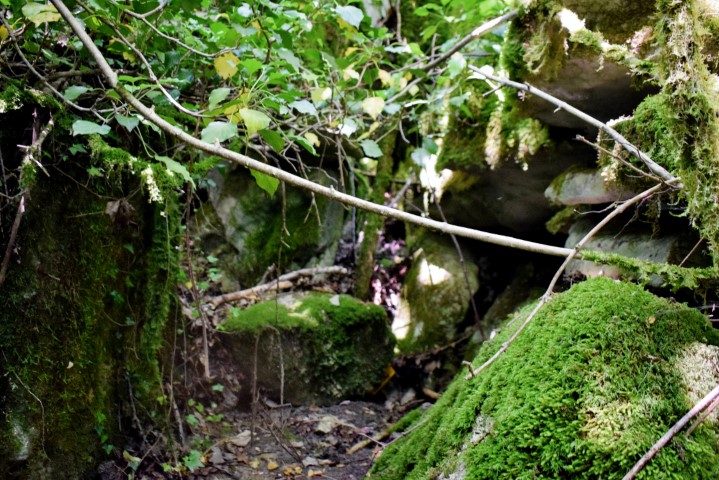
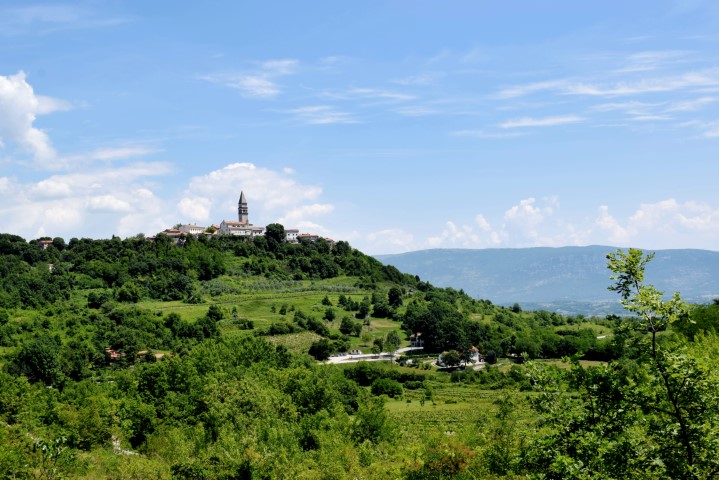
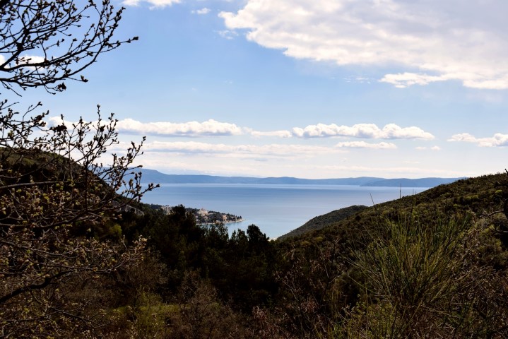
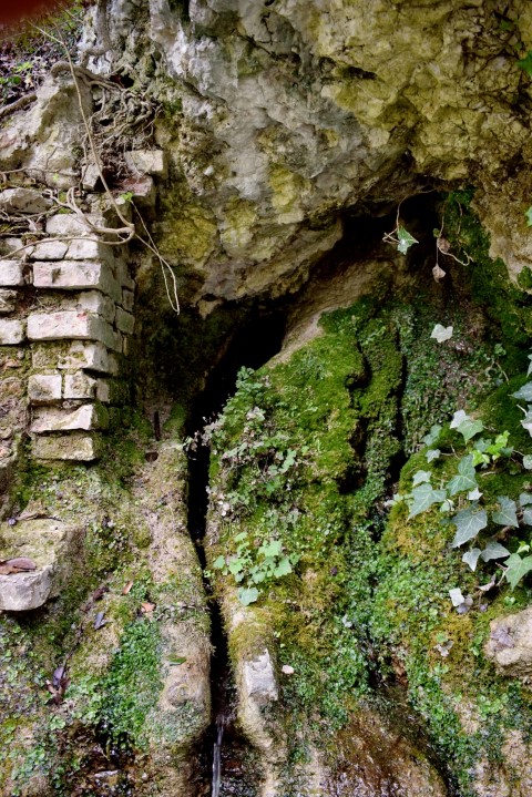
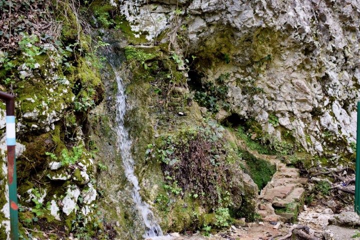
Three water sources in the hills with many limestone cliffs, near the village of Rimanići. These springs, which are located at an altitude of approximately 390 meters, drain into the Grajanski stream. The view is on the place Pičan and the Učka Mountains.
Name: 3 water sources near the village Riminići.
Place: Near Riminići – (Pičan).
Coordinates: I 45.19735N – 14.02647 E, II 45.19817 N – 14.02482 E.n III 45.19794 N – 14.02451 E, Riminiči 45.19793 N- 14.02423 E.
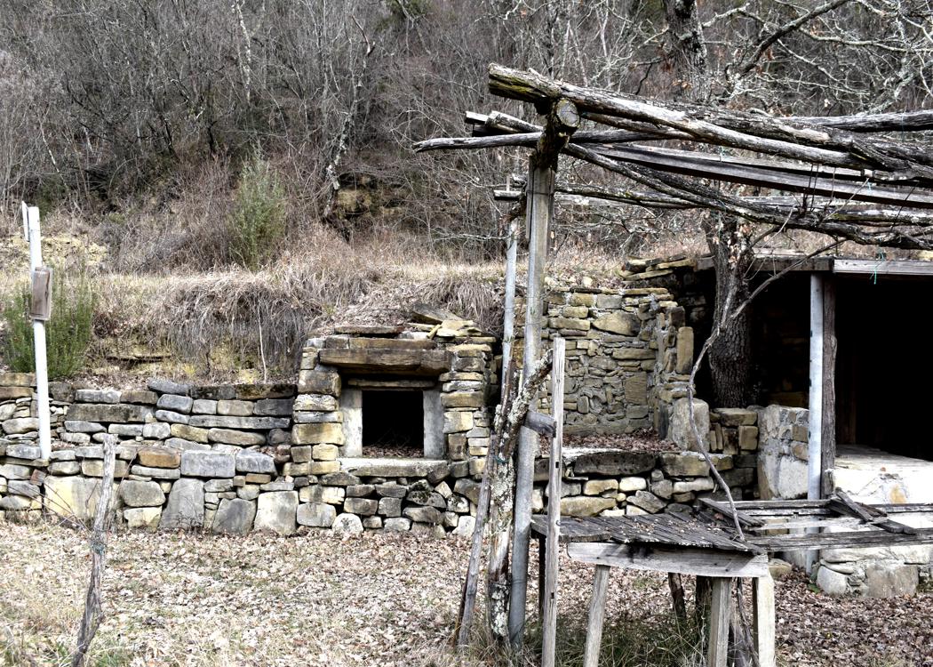
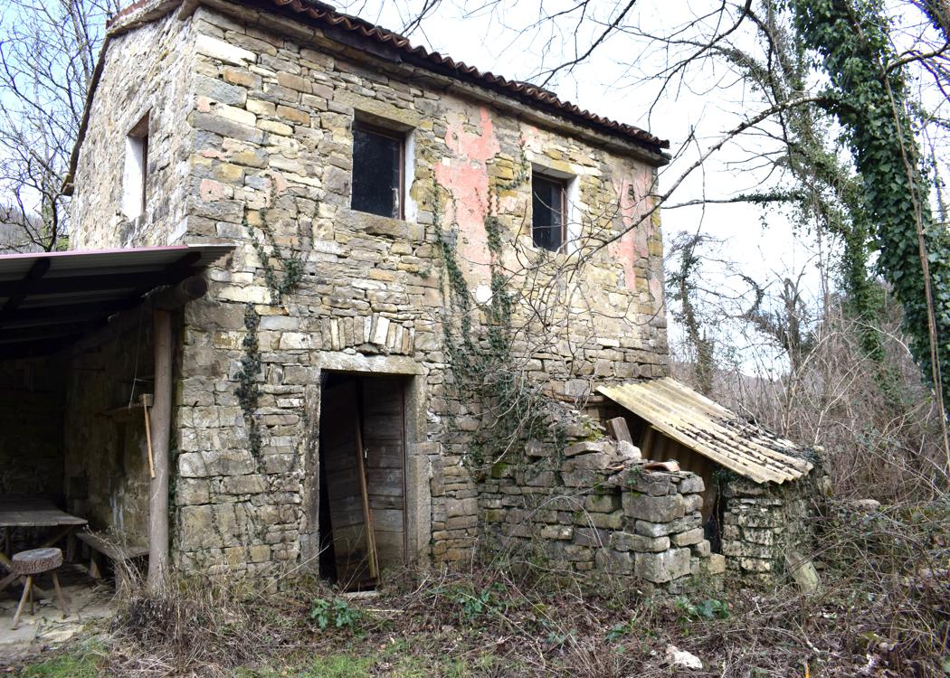
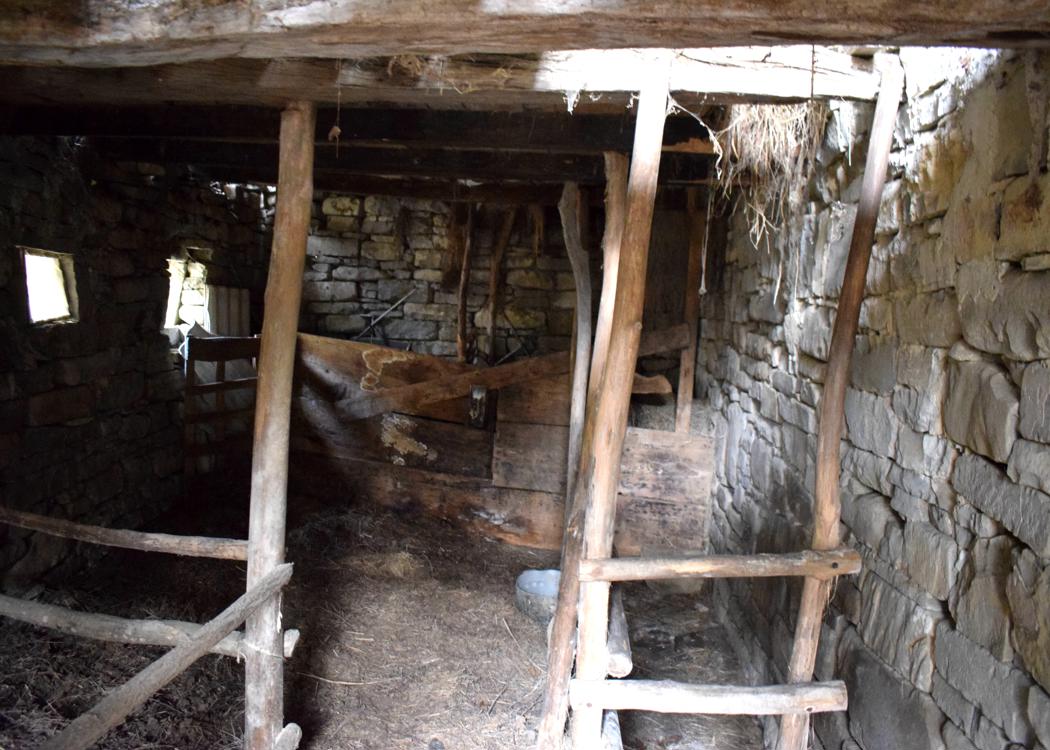
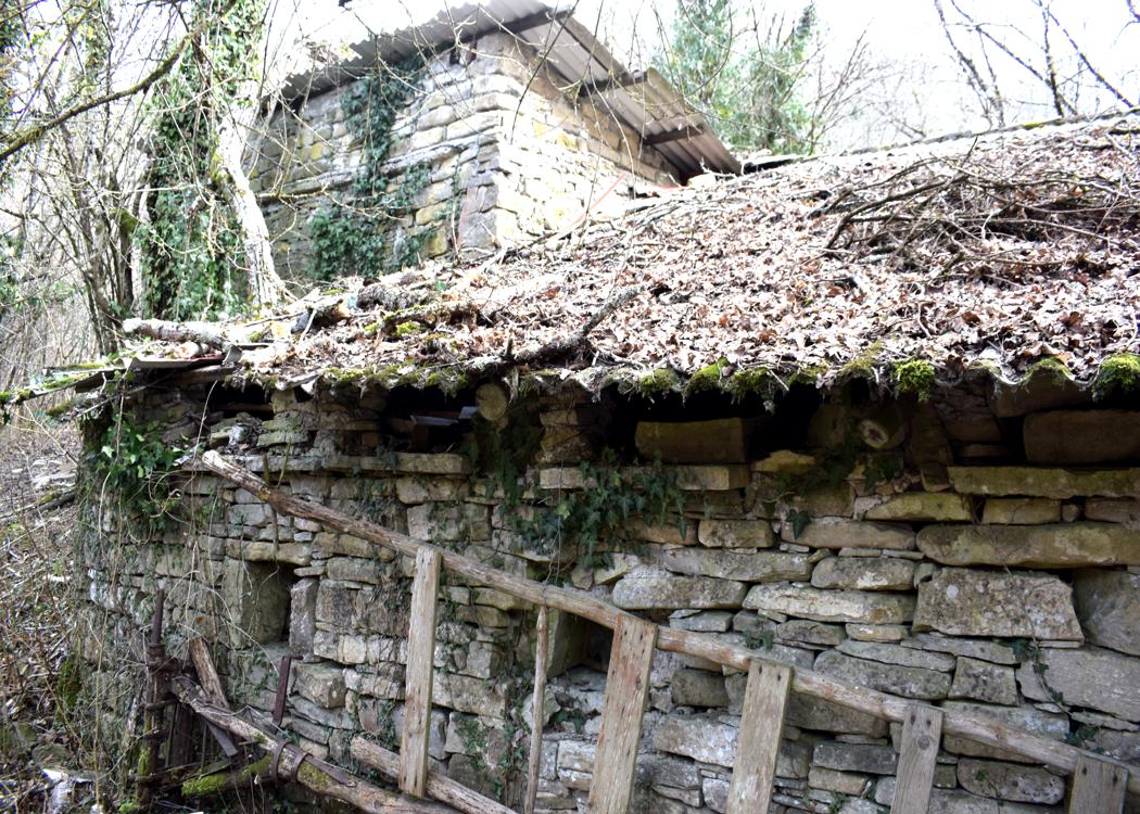
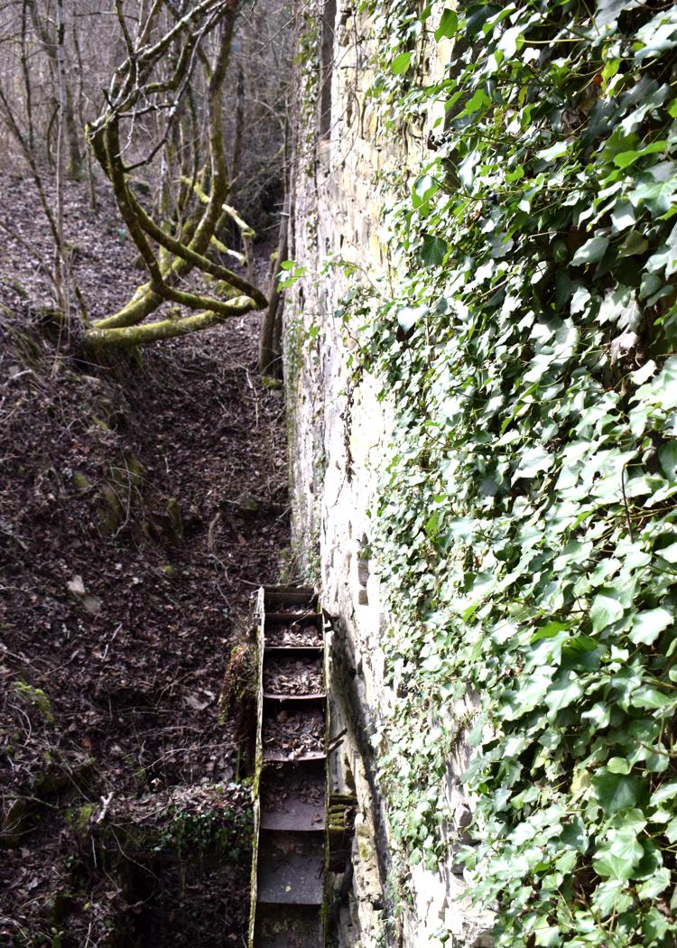
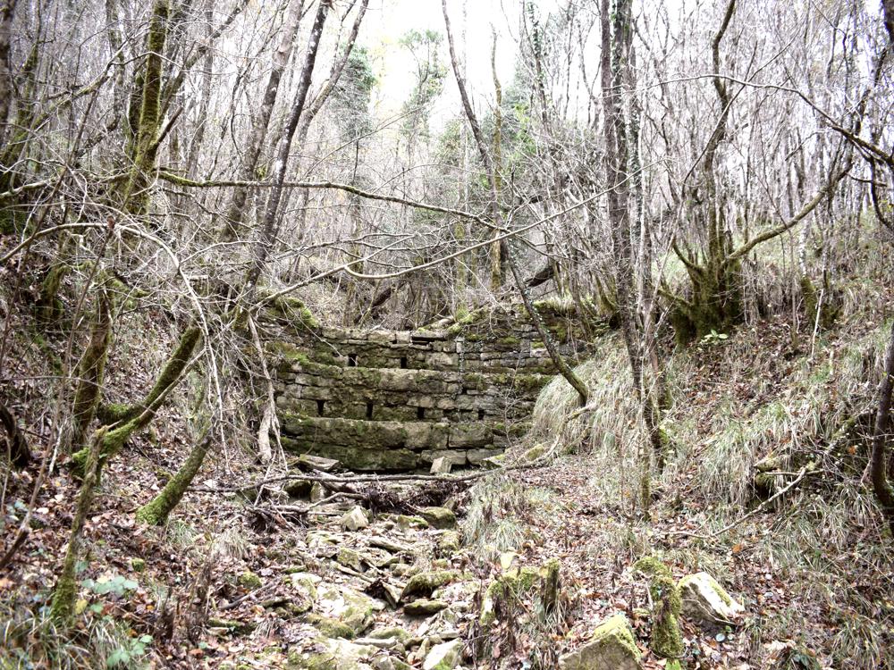
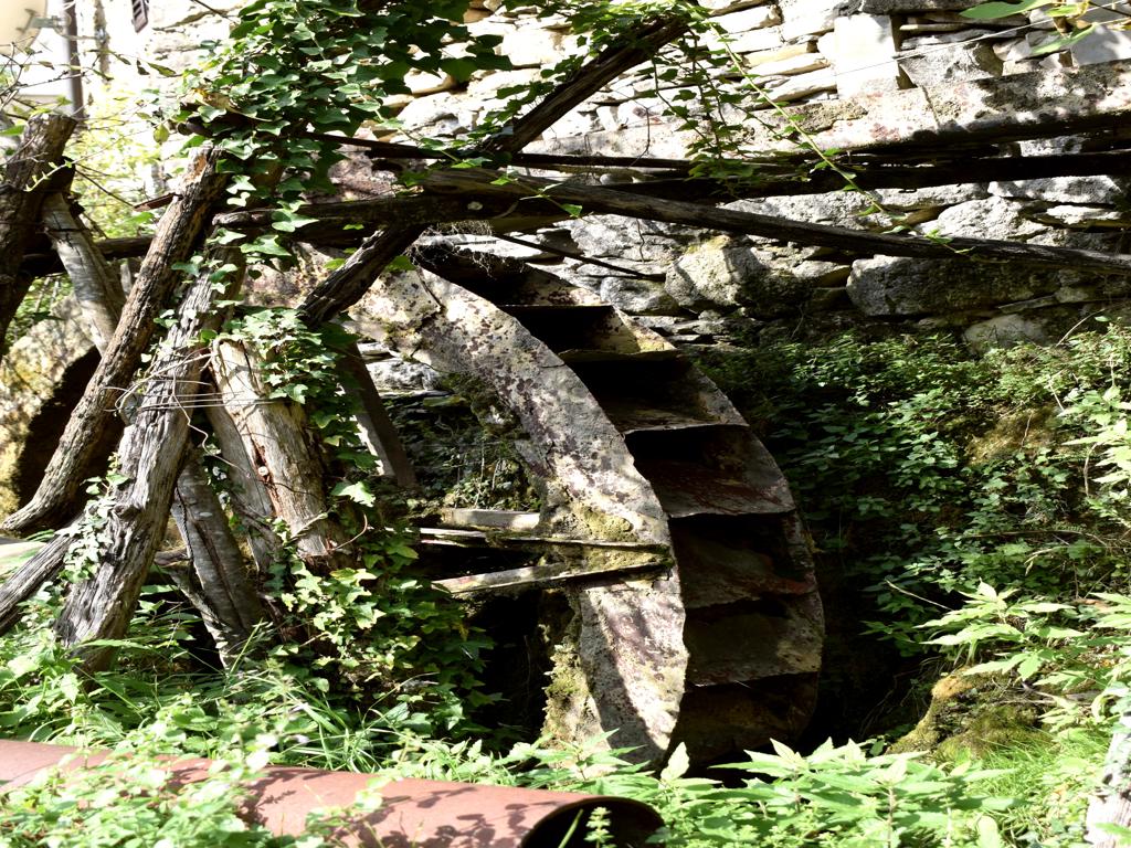
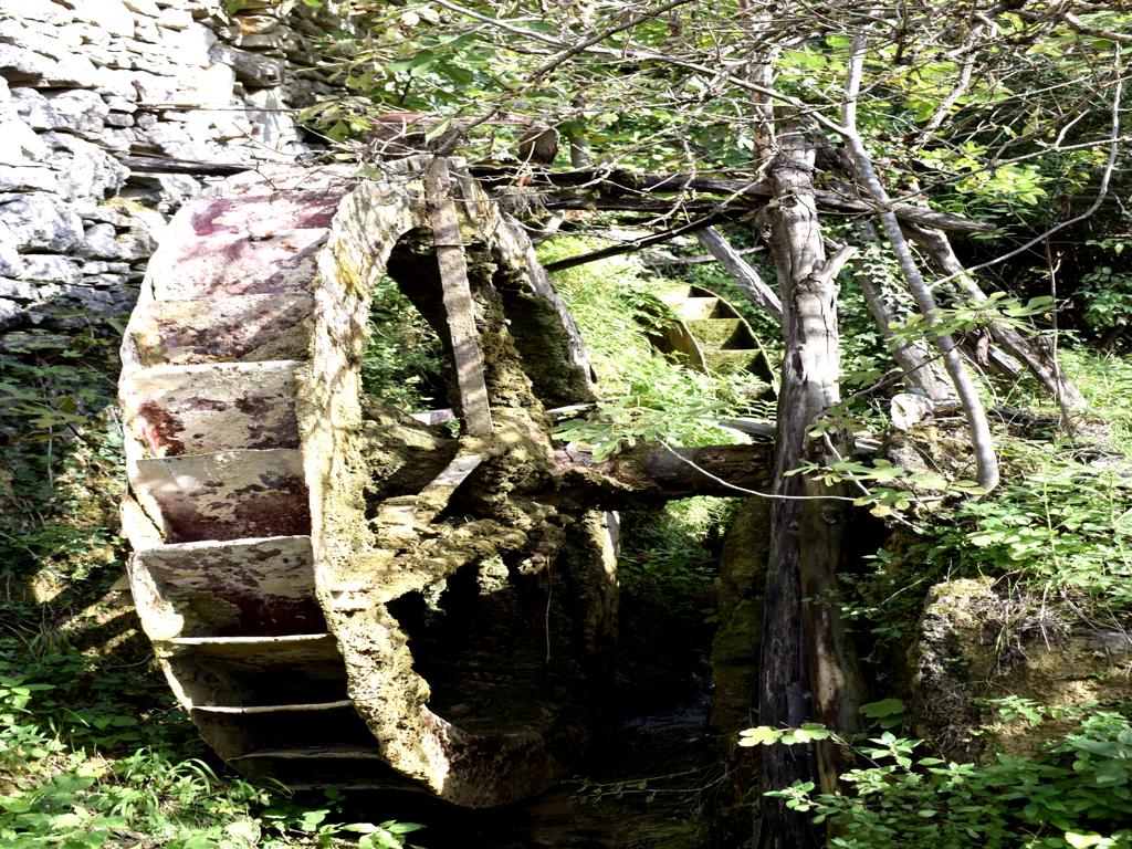
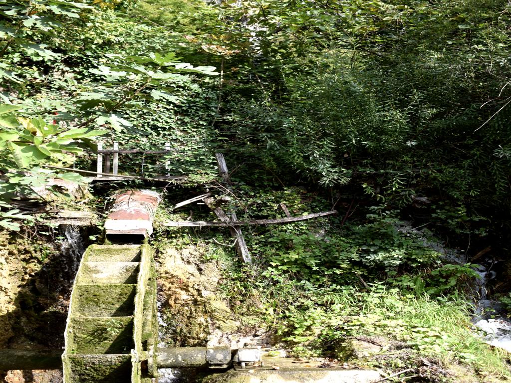
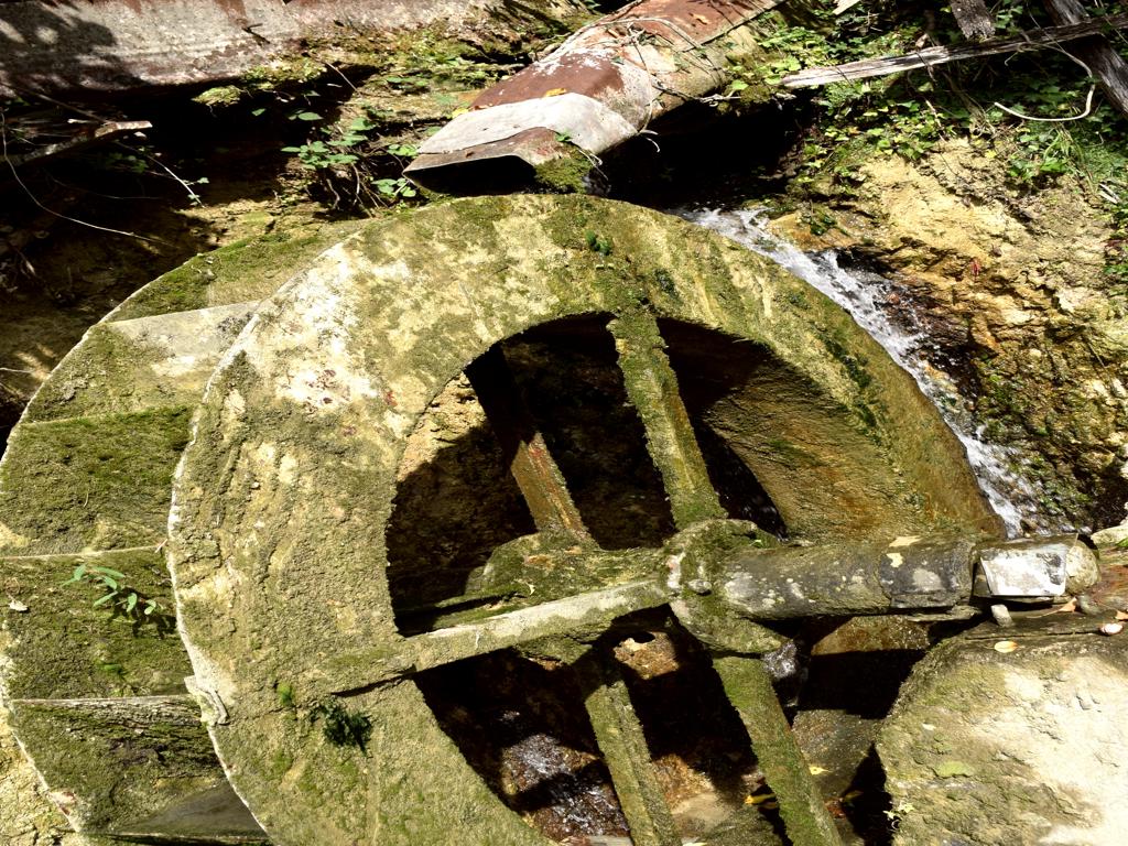
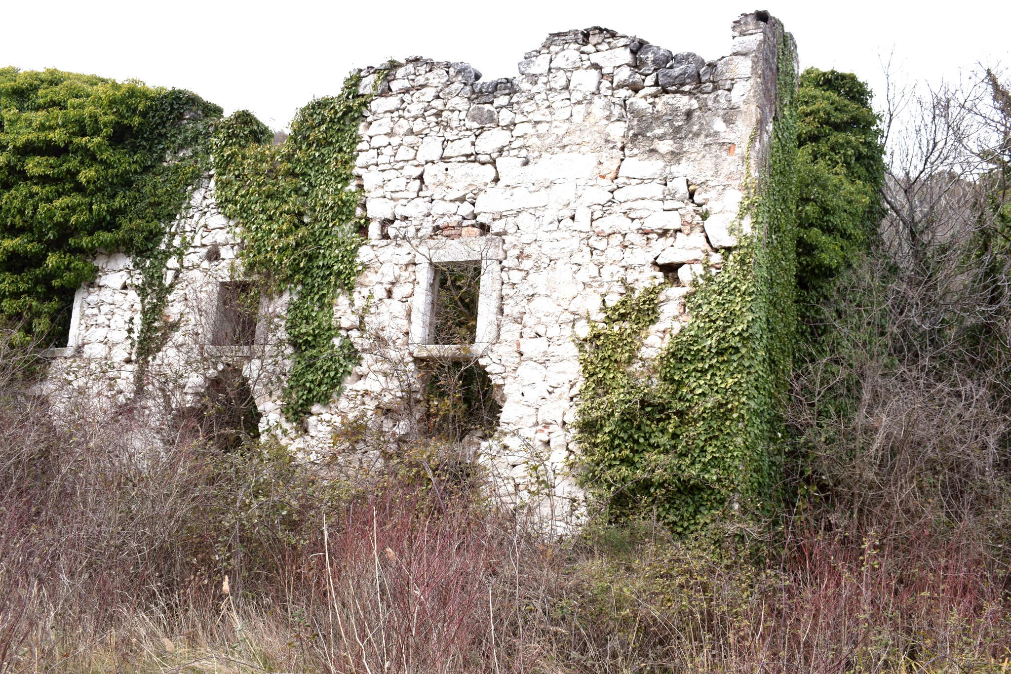
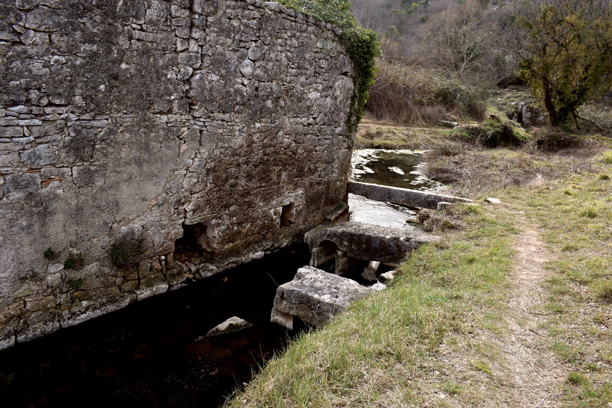
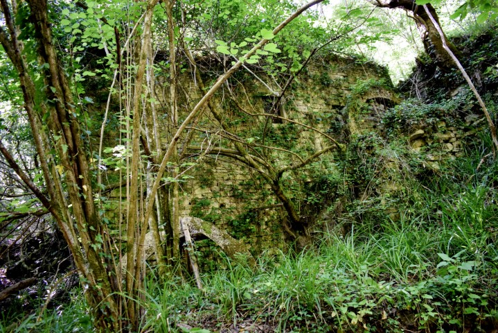
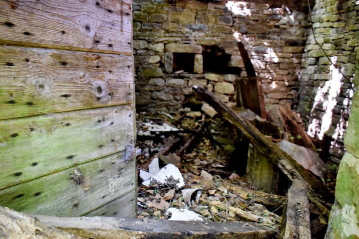
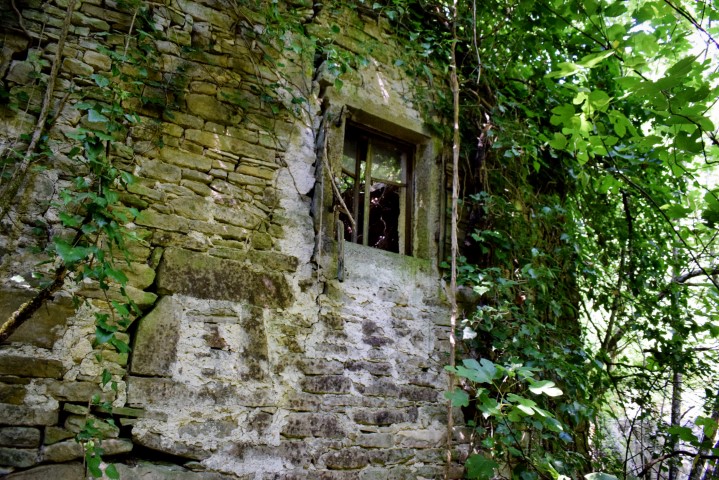
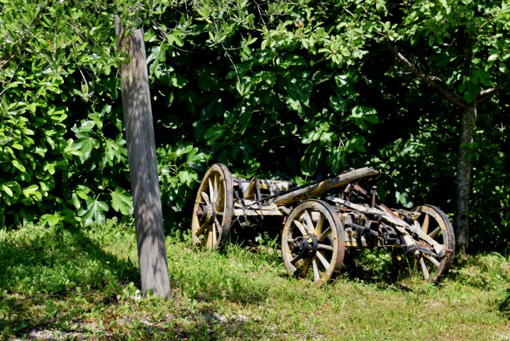
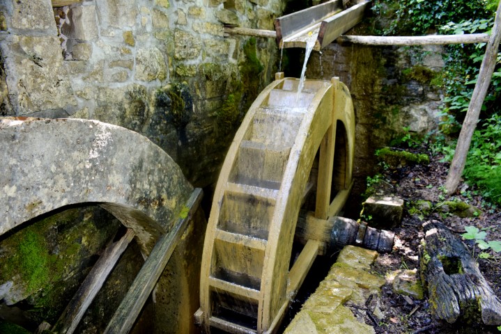
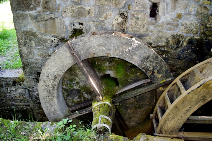
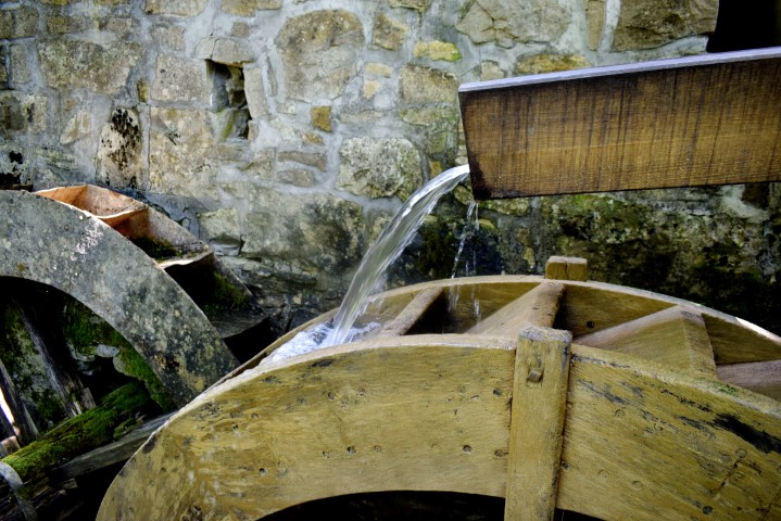
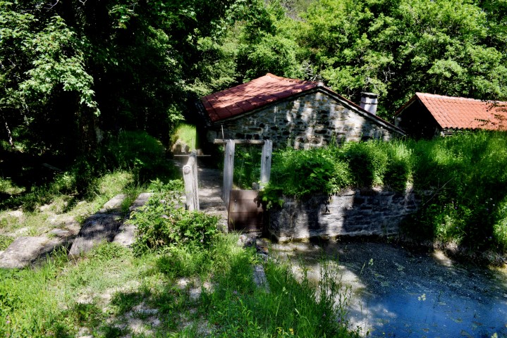
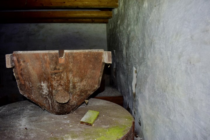
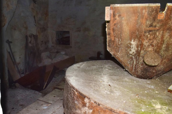
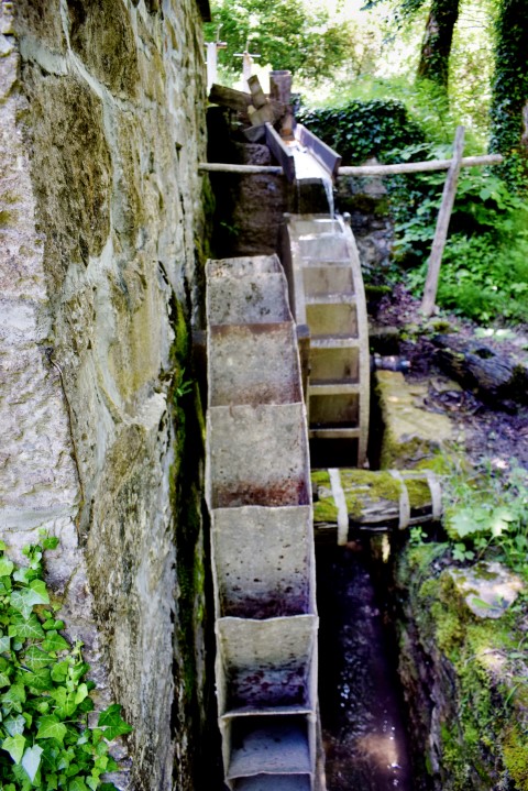
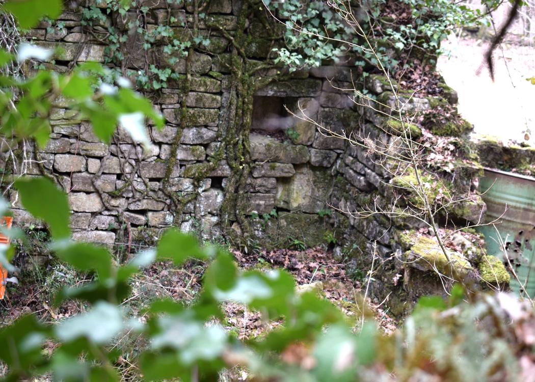
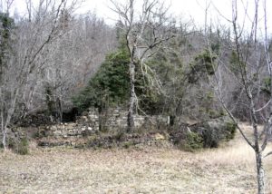
Restored in 2019, this watermill, which is said to be 300 years old, has a wooden and iron water wheel and was still in operation until 1970. In the current situation, the system of canals and channels for the supply and discharge of water is still in place.

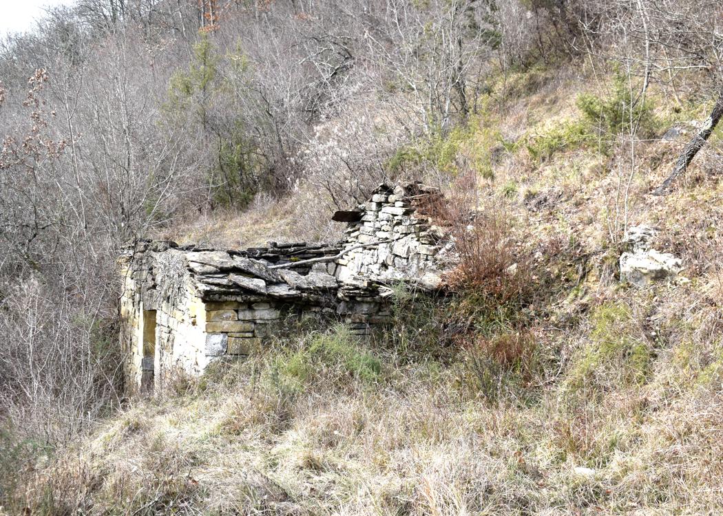
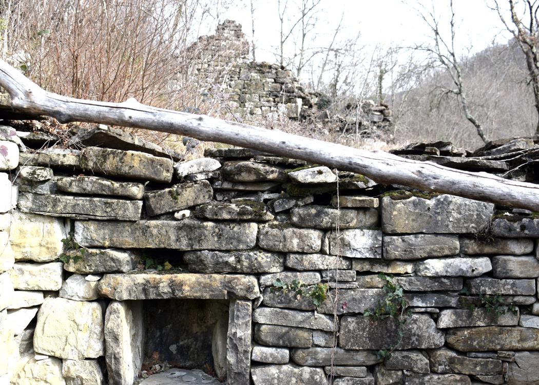
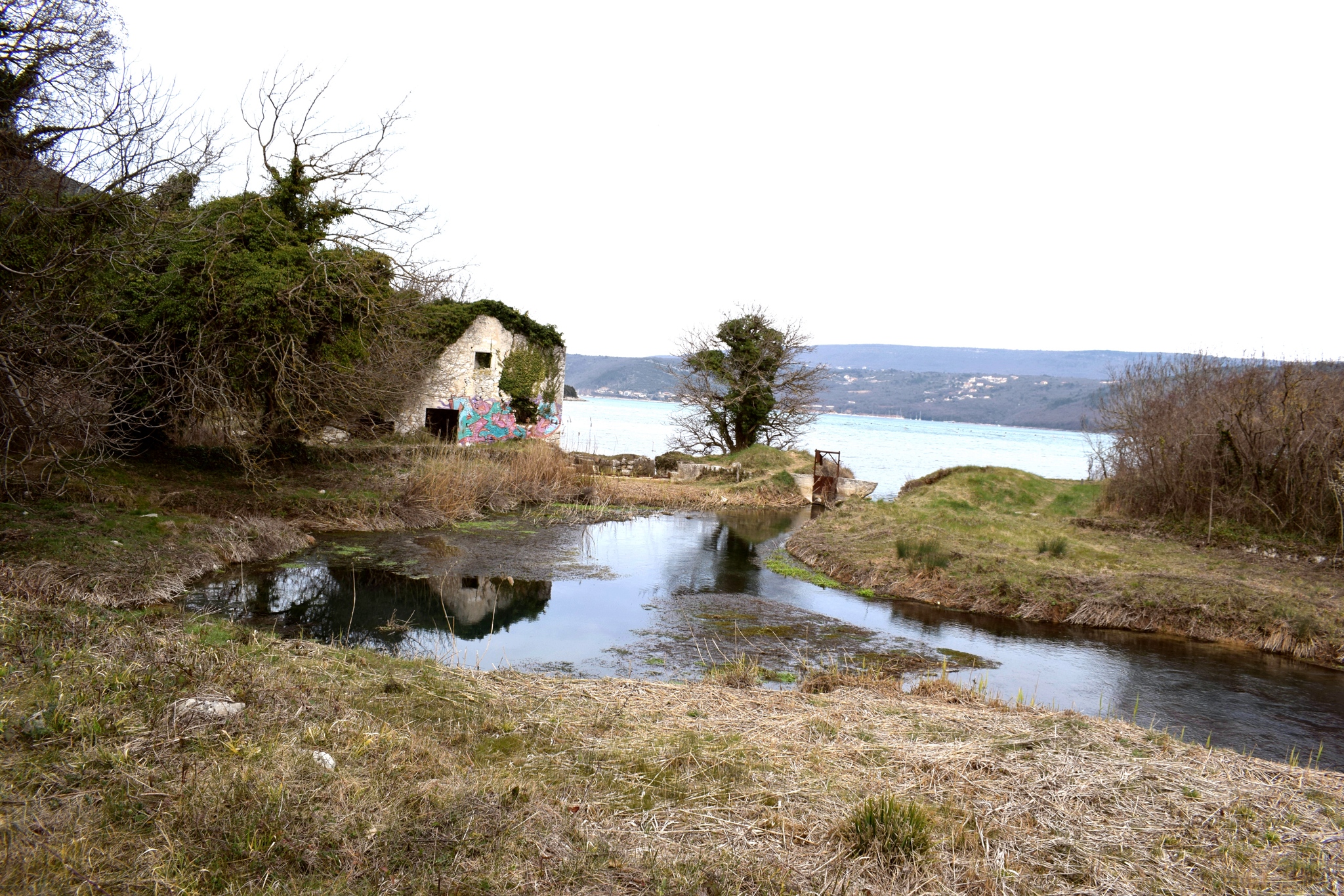
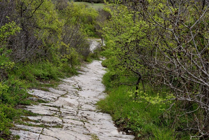
Name: Trail from the village of Tresk to the Mazarin watermill on the river Dragonja.
Place: Trsek – (Koper).
Coordinates: Trsek 45.48132 N – 13.83114 E, watermill 45.47739 N – 13.84282 E.
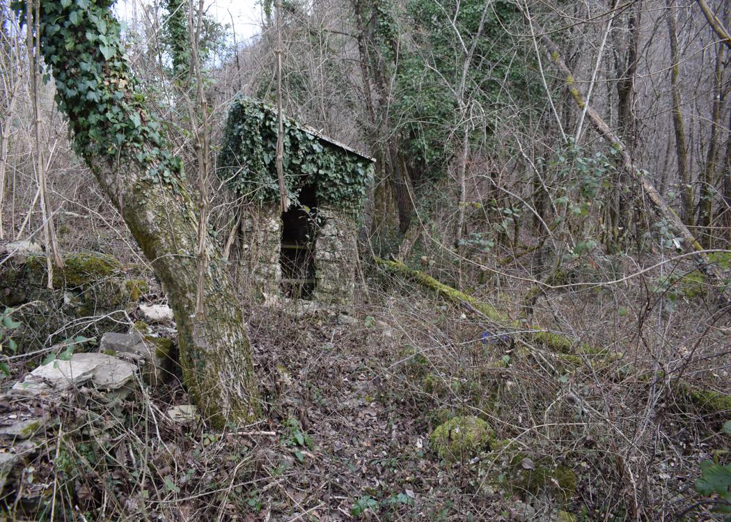
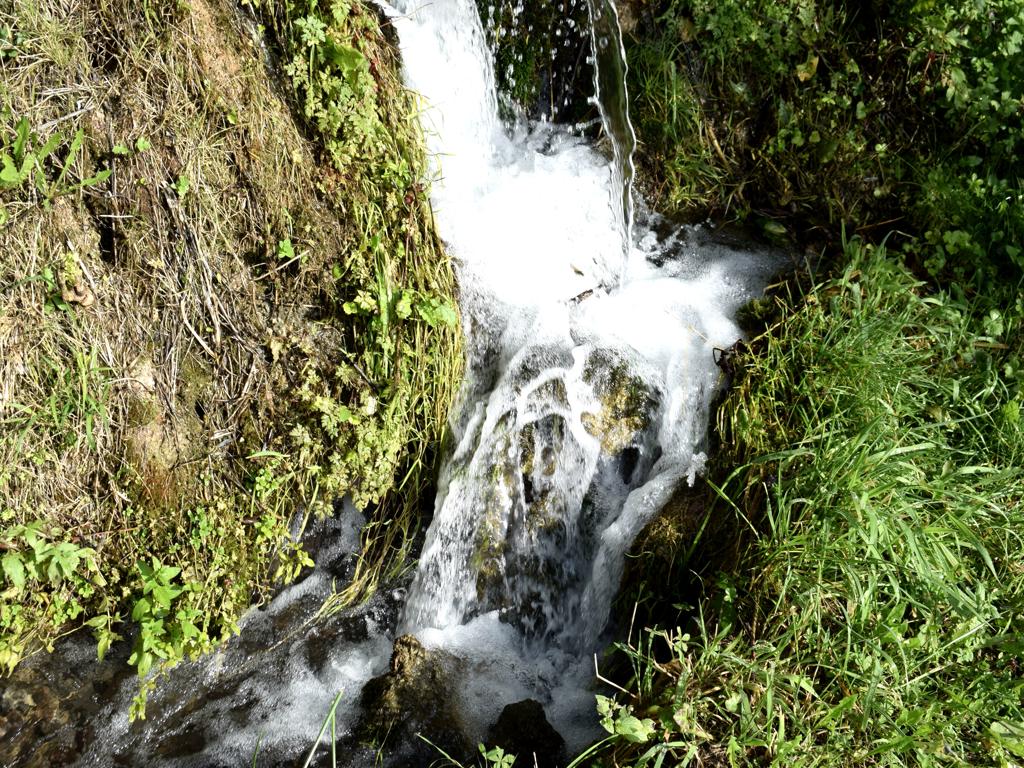
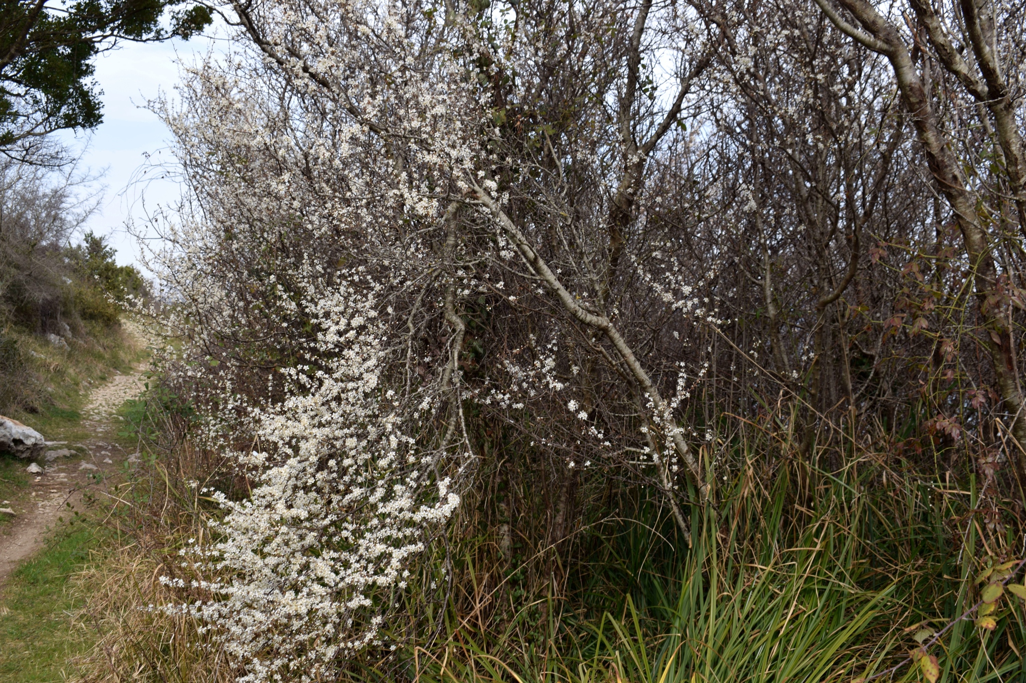
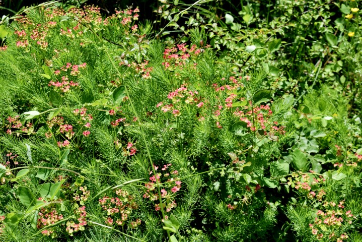
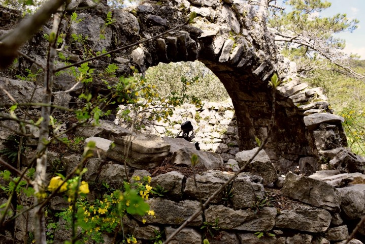
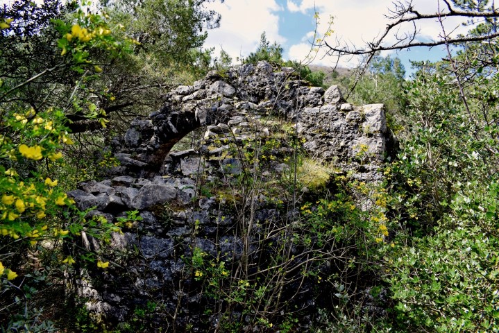
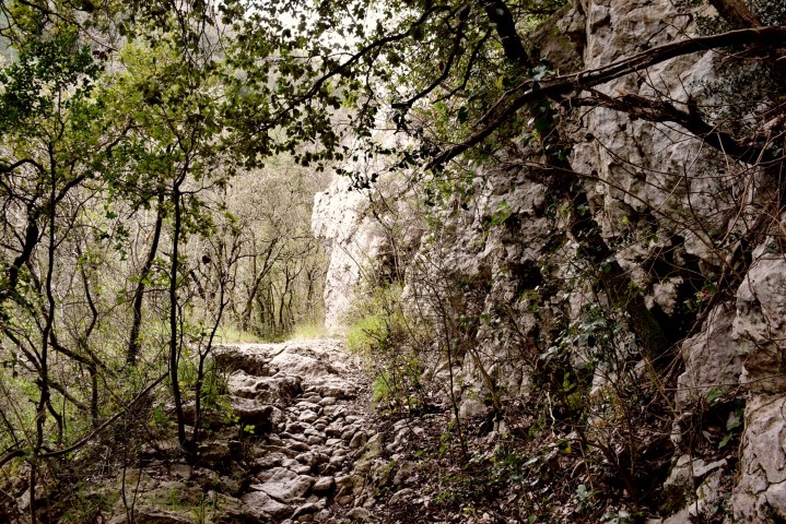
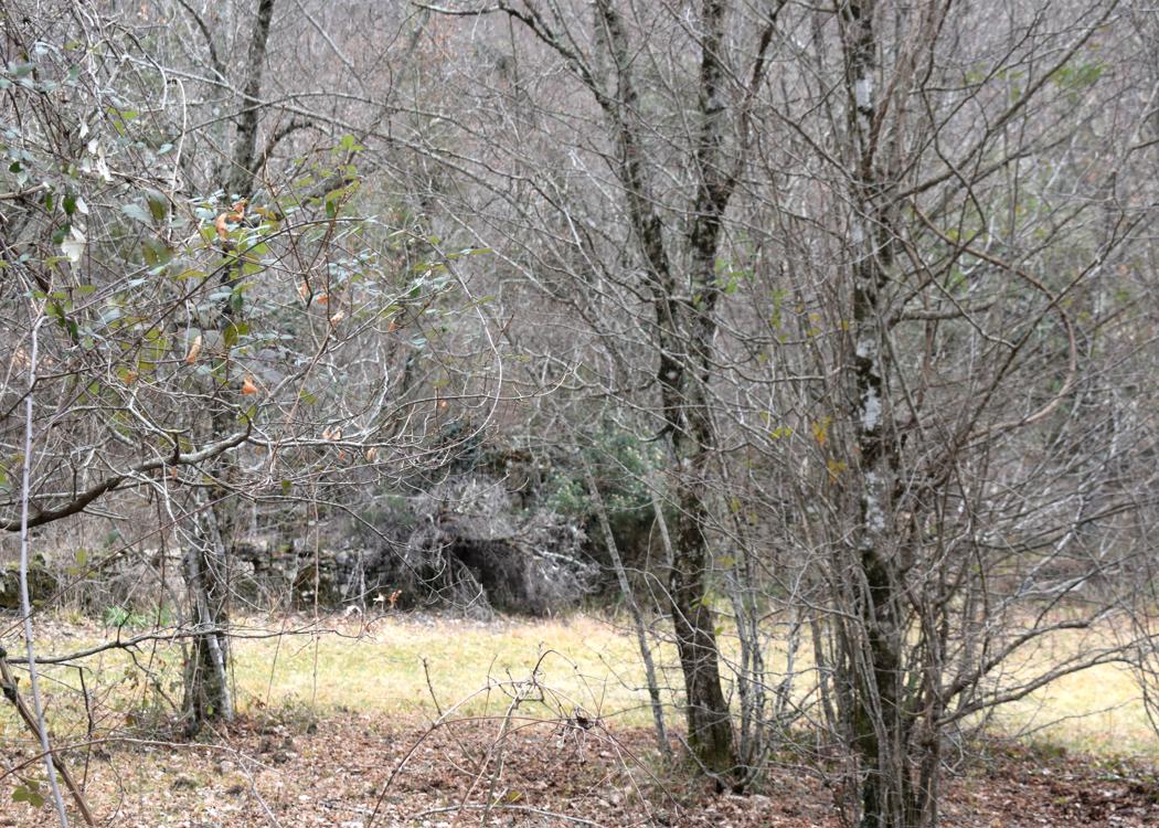
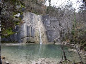
This trail, named after the goddess Sentona, the patroness of travelers, passes through a conservation area, and largely along the Pečina and Scurak streams with large and smaller waterfalls, brooks and limestone barriers. Near the large waterfall close to Rabac is a water spring and the ruins of watermills. The ruins of a Romanesque churh St. Hadran are located on an old path that connected Labin with Rabac.
For more pictures and the cave Nigri see the posts 2018-03-08 and 2019-06-22.
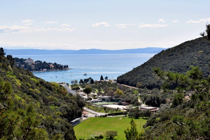
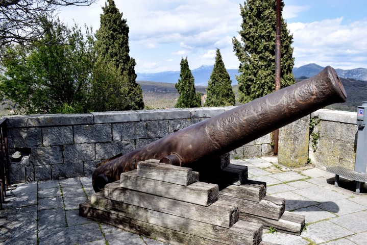
Name: Sentona trail 804 from Maslinica cove Rabac to Labin.
Places: Rabac – Labin.
Coordinates: Start 45.08166 N – 14.14566 E, Labin 45.08699 N – 14.12489 E, Ruins Romanesque church St. Hadran 45.08314 N – 14.14125 E.