
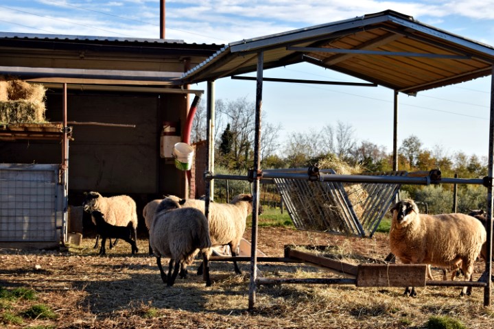
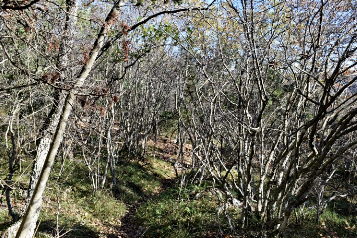
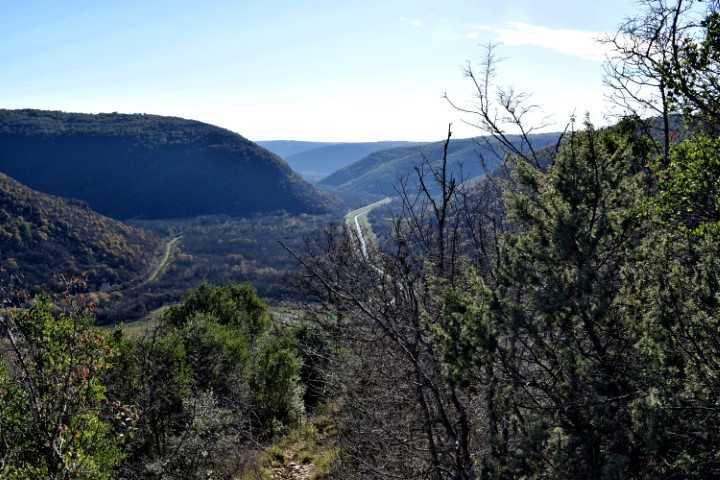

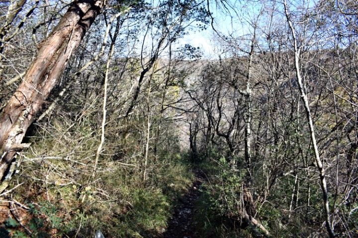

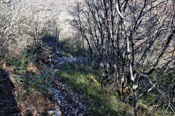
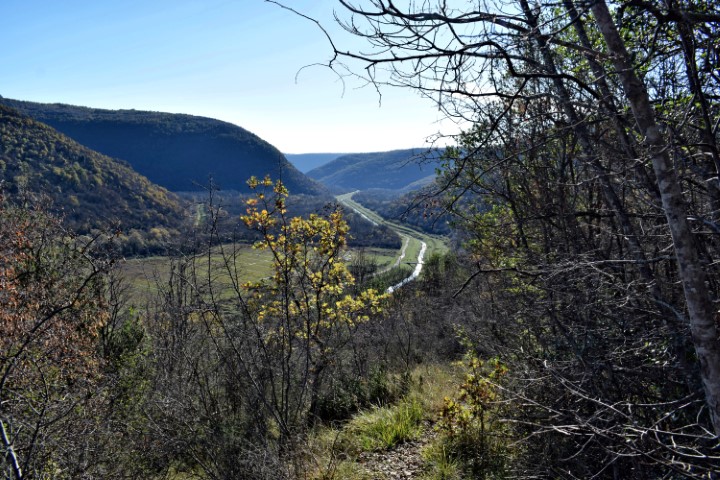

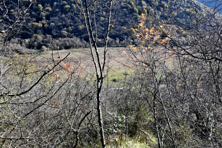
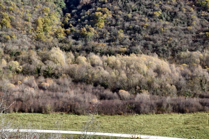
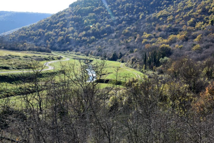
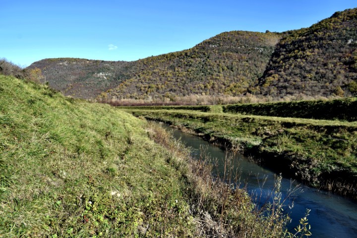
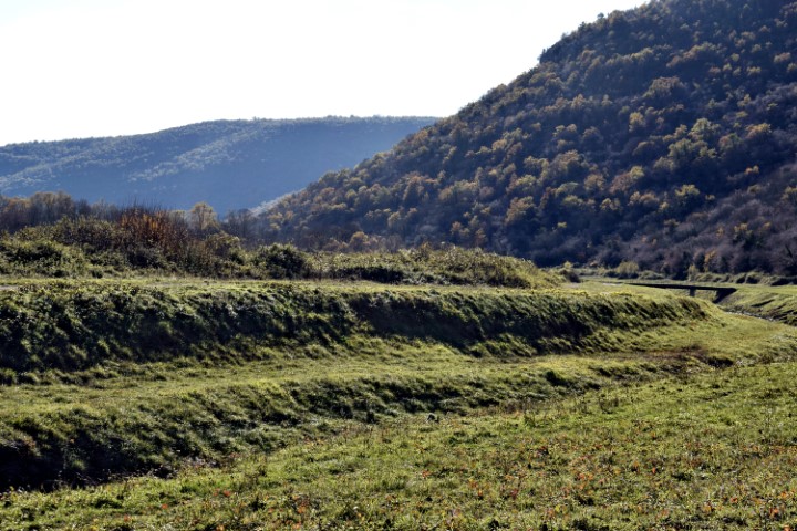

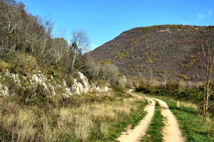
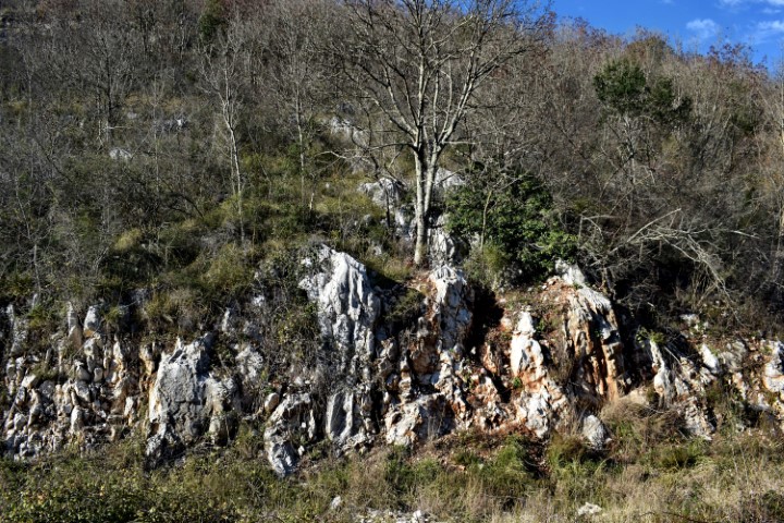
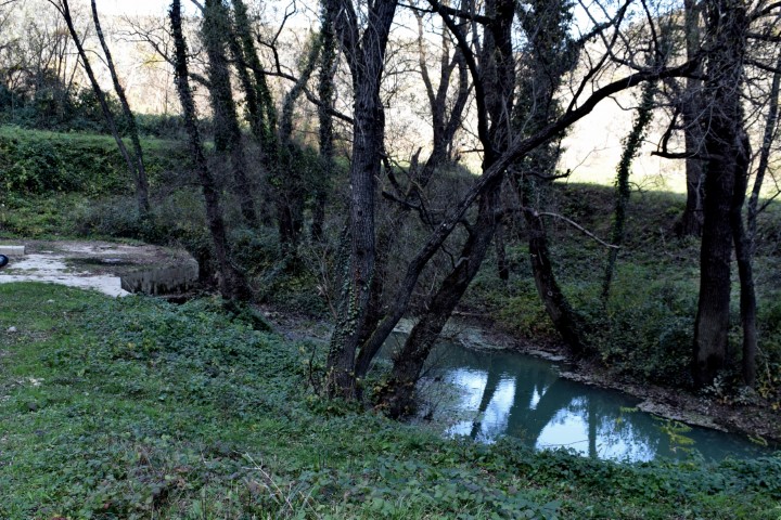
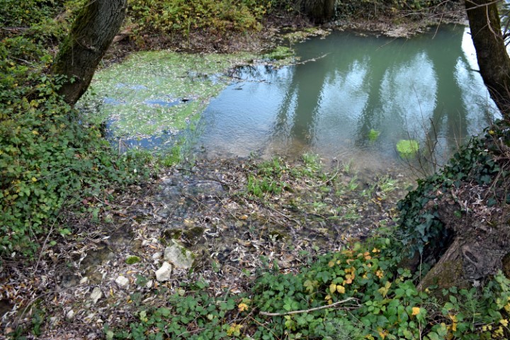

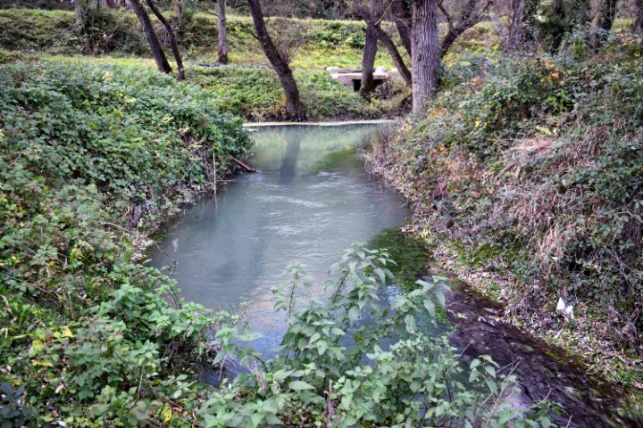
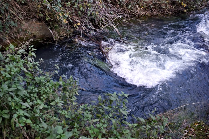


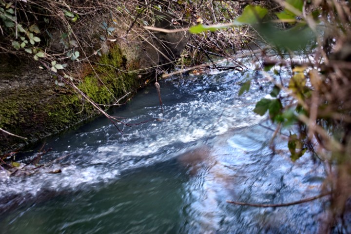

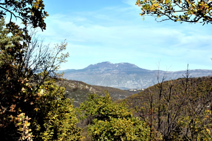
Name: Hiking trail from Cvitići to the river Rasa (ruine watermill – waterspring St. Martin) and the village Gorica.
Place: Cvitići – Gorica – (Barban).
Coordinates: Cvitići: 45.13739 N -14.01027 E, Rasa: 45.13060 N – 14.02521 E, Ruine Watermill (205) 45.13440 N – 14.02803 E, Molinska Draga: 45.13514 N – 14.02796 E, Water spring St. Martin: 45.14162 N – 14.02954 E, Gorica: 45.14031 N – 14.01739 E.