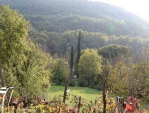


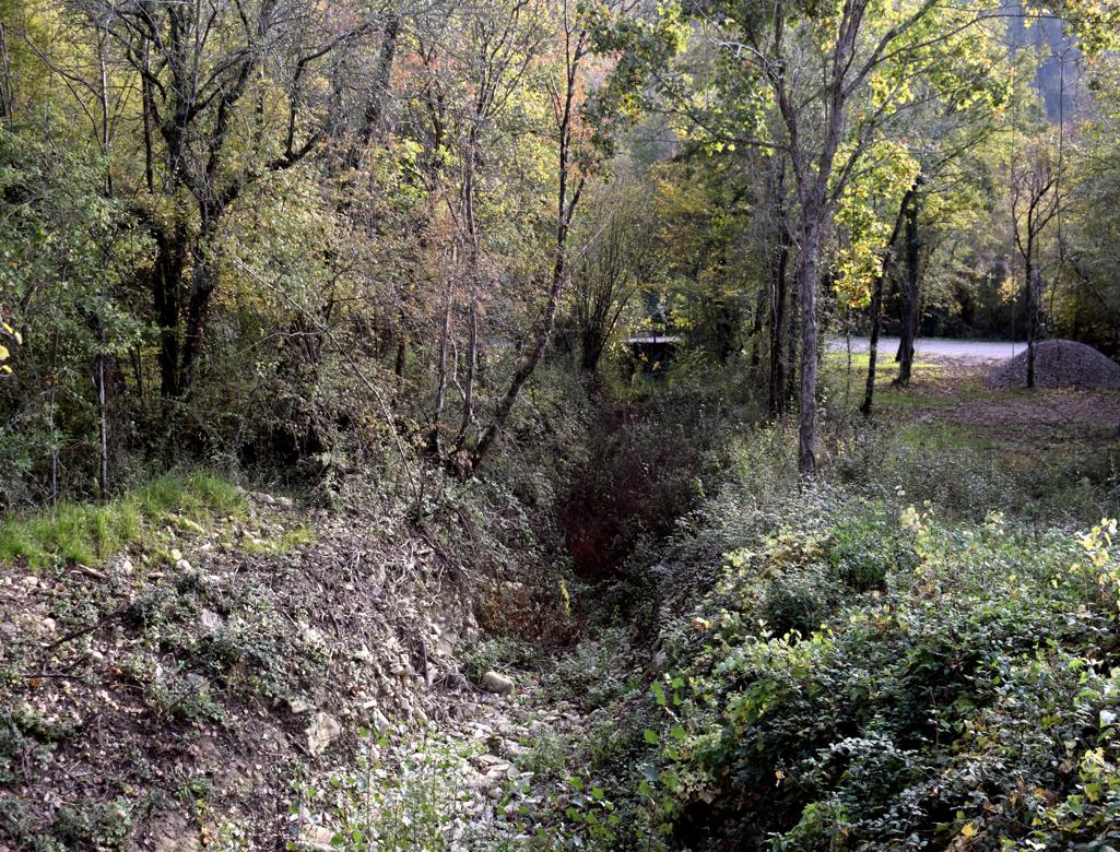


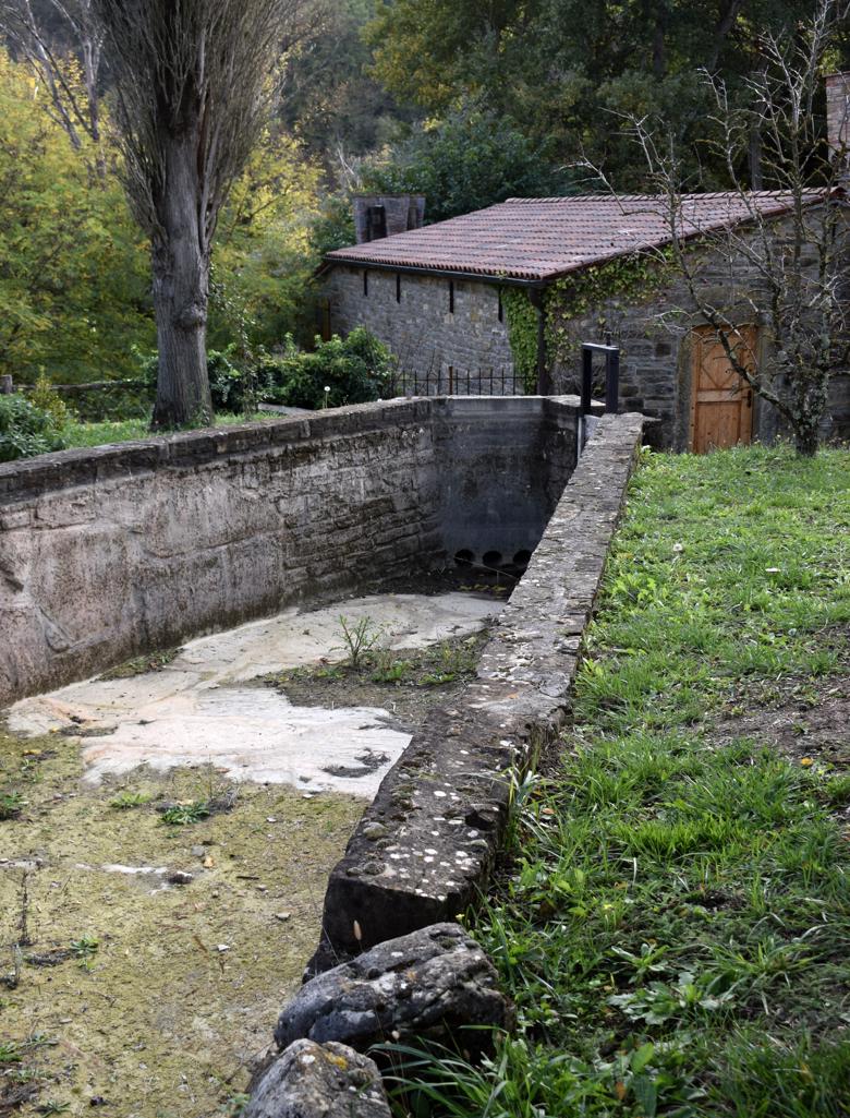
Name: Road from the village Koštabona to Kodarinov Malen near the stream Supot and the river Dragonja.
Place: Koštabona – (Koper).
Coordinates: Start 45.48913 N – 13.73713 E, split 45.47388 N -13.74719 E, Korinov Malen 45.47330 N – 13.74365 E.
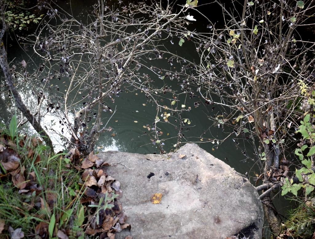
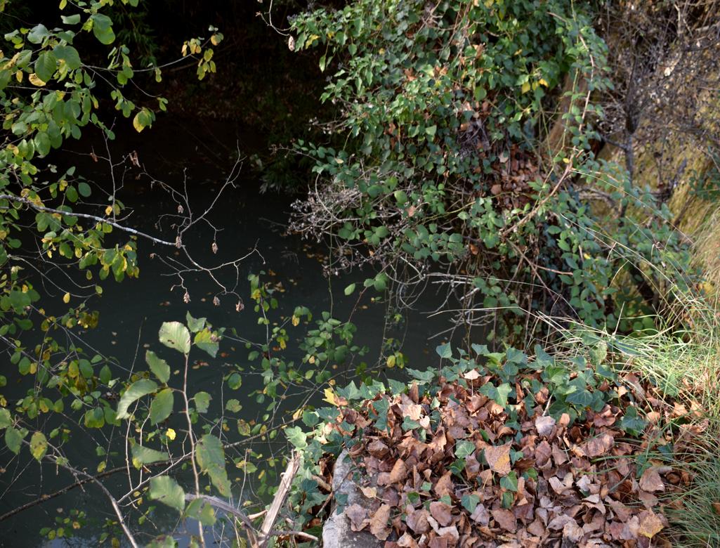
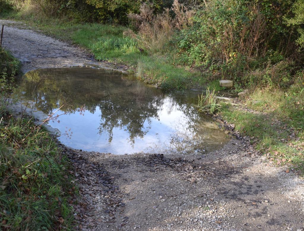
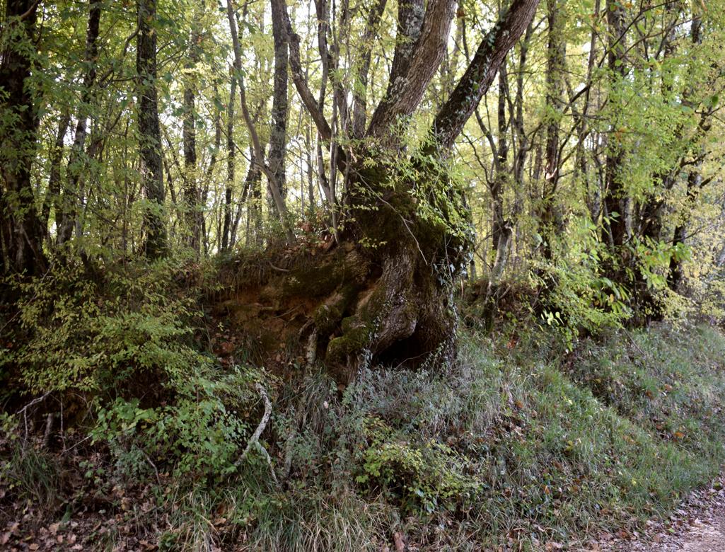
Name: Road from the village Koštabona to Kodarinov Malen near the stream Supot and the river Dragonja.
Place: Koštabona – (Koper).
Coordinates: Start 45.48913 N – 13.73713 E, split 45.47388 N -13.74719 E, Korinov Malen 45.47330 N – 13.74365 E.