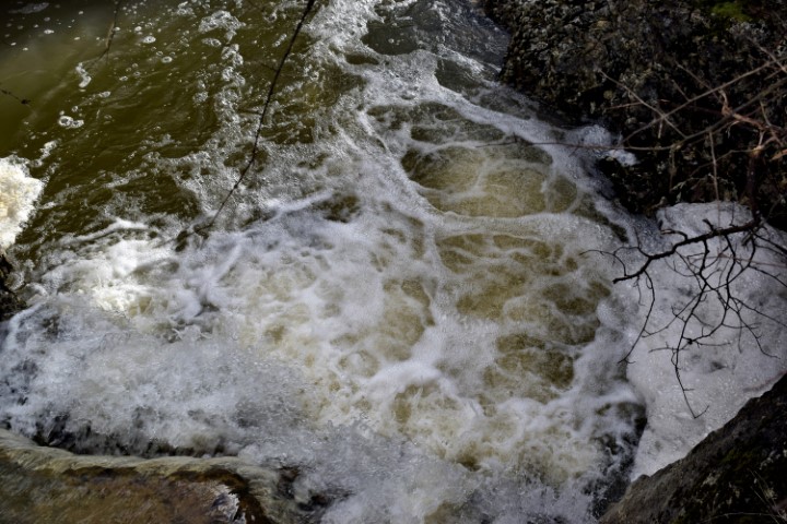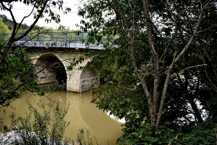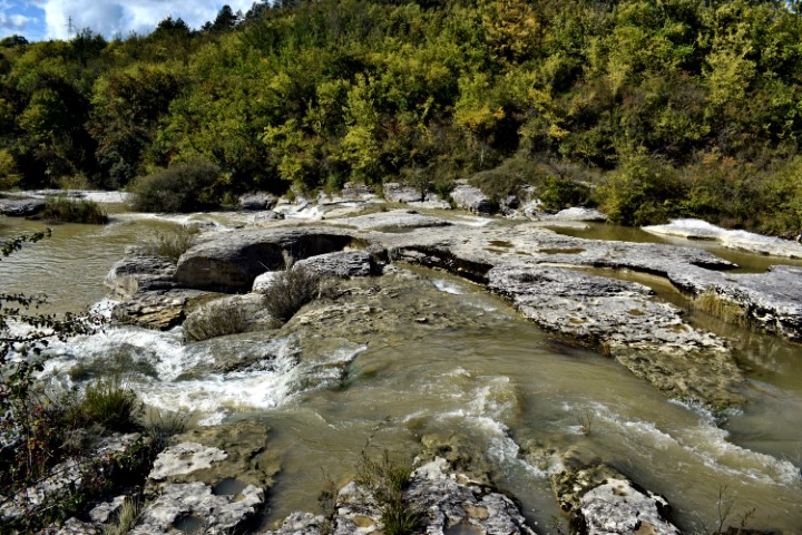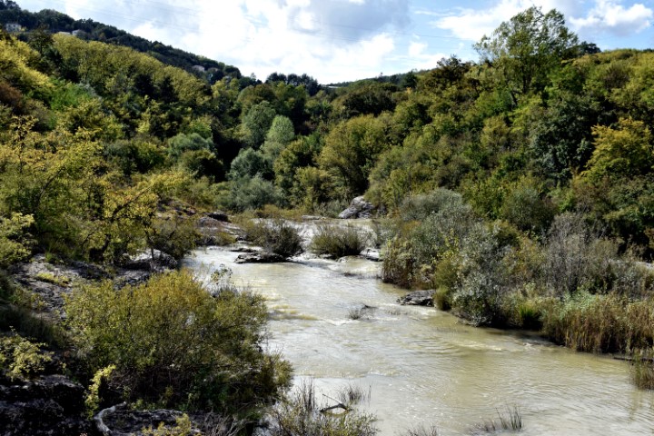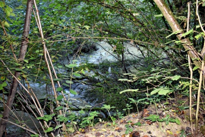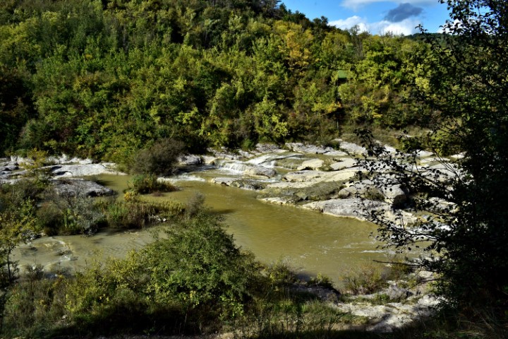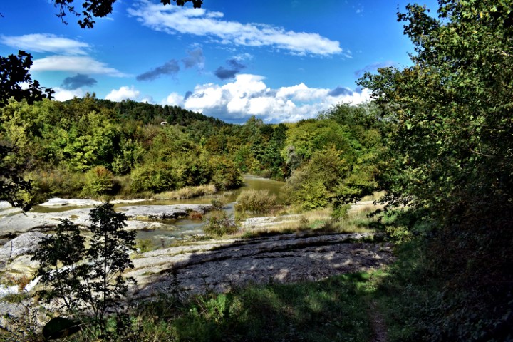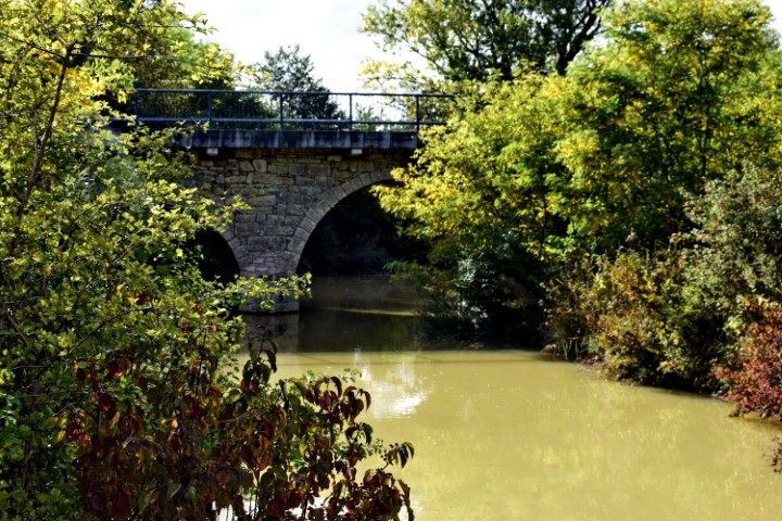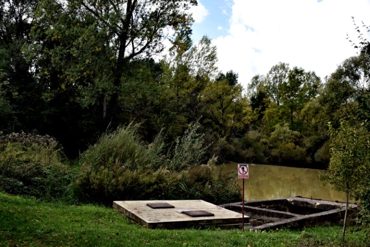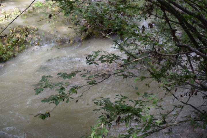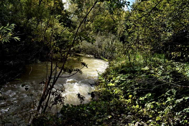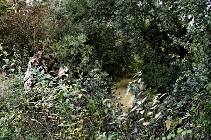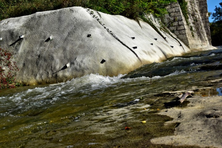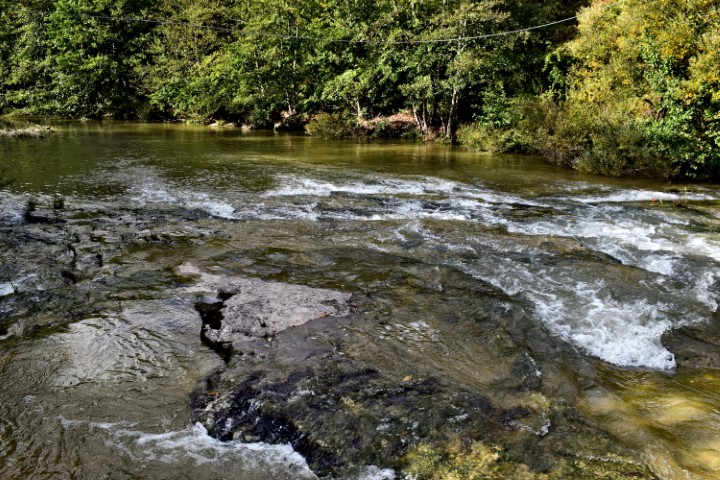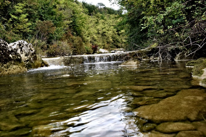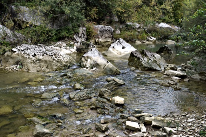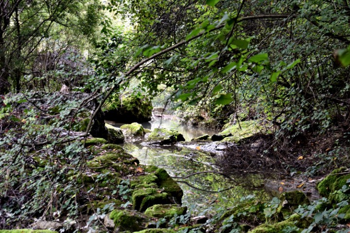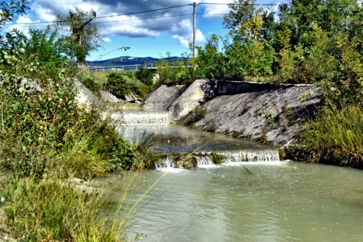
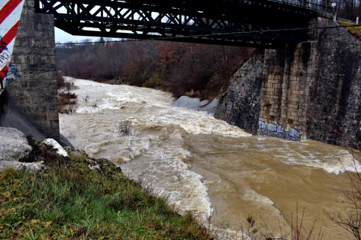


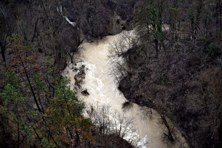


Name: Pažinčica river.
Place: Pazin.
Coordinates: Railway bridge: 45.24609 N – 13.96640 E., Bridge near Dusani; 45.25073 N – 13.94900 E,, Bridge Sv. Jožefa: 45.24526 N. 13.93866 E., Bridge Most Vršic: 45.24163 N – 13.92838 E.
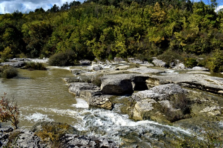
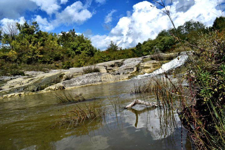
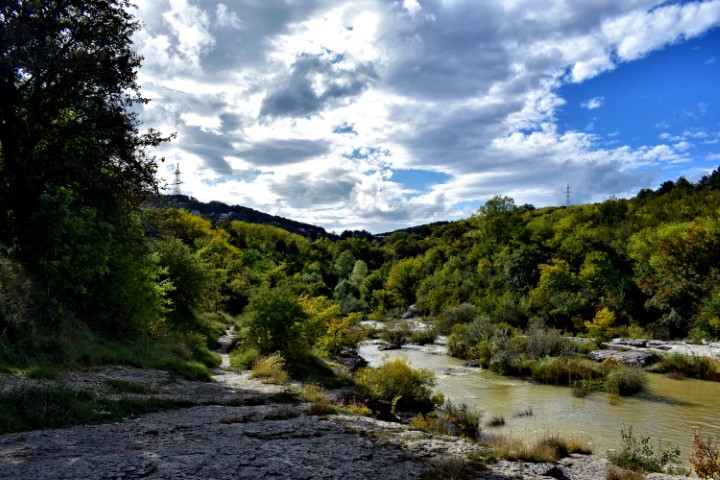
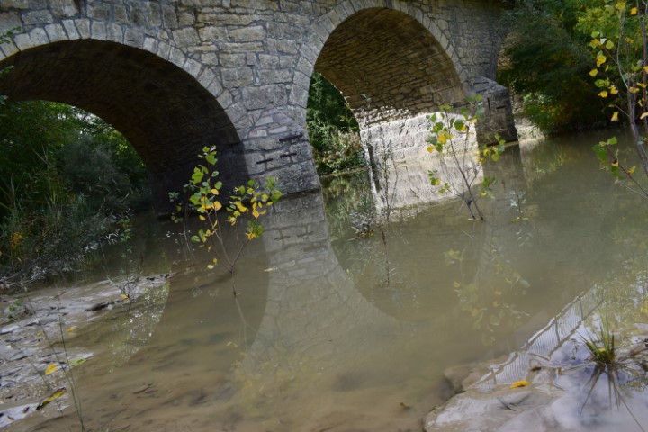
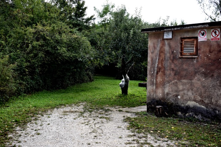
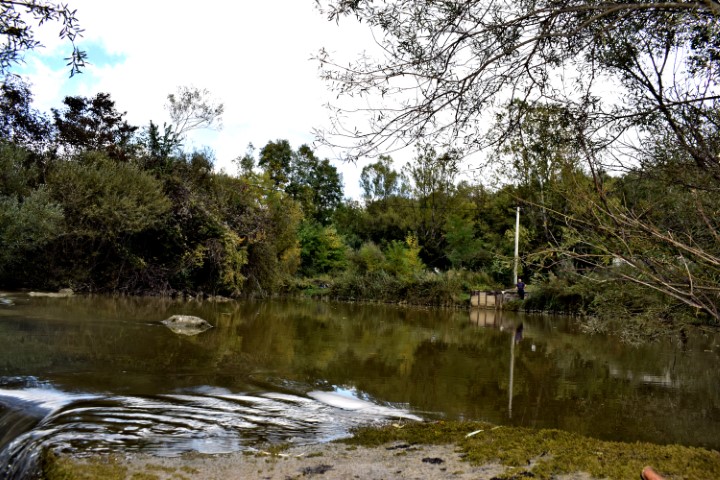
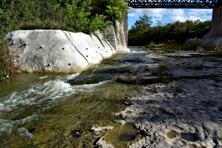
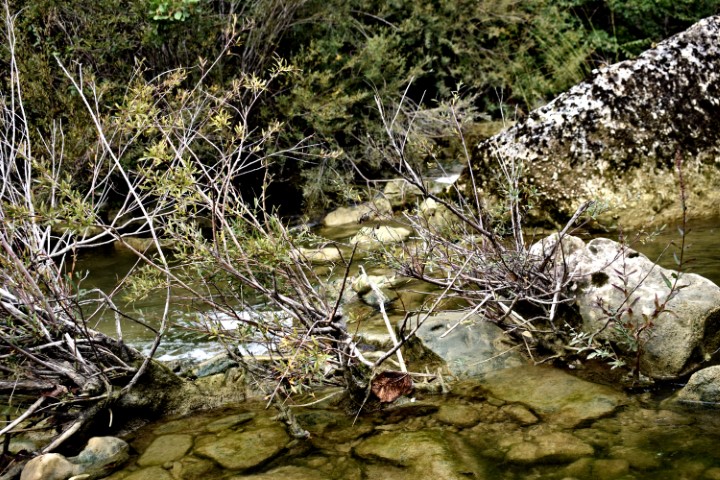
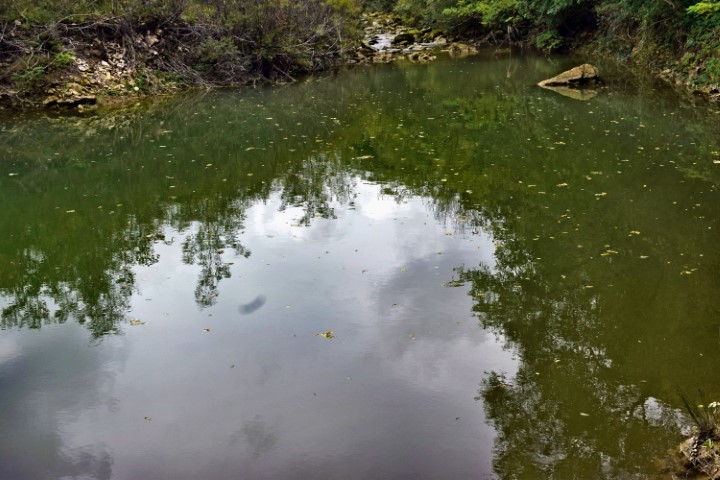
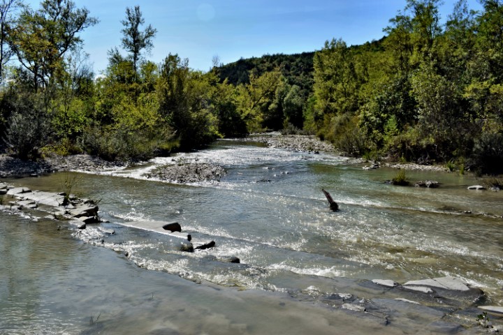
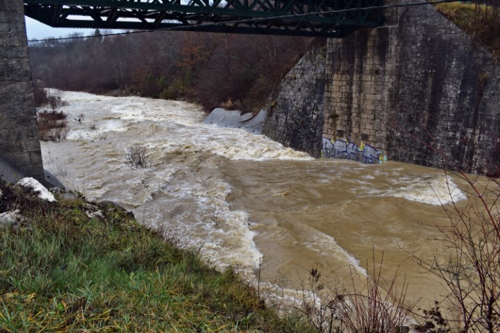
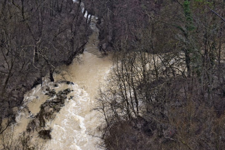
Name: Pažinčica river.
Place: Pazin.
Coordinates: Railway bridge: 45.24609 N – 13.96640 E., Bridge near Dusani; 45.25073 N – 13.94900 E,, Bridge Sv. Jožefa: 45.24526 N. 13.93866 E., Bridge Most Vršic: 45.24163 N – 13.92838 E.

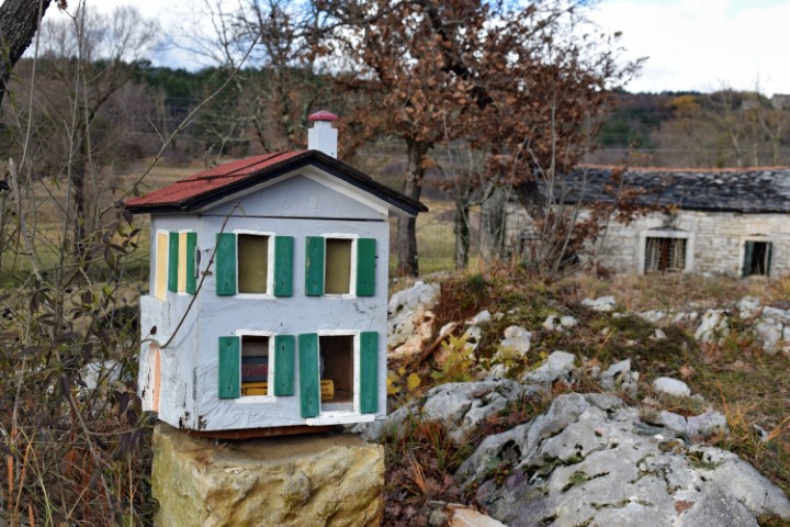
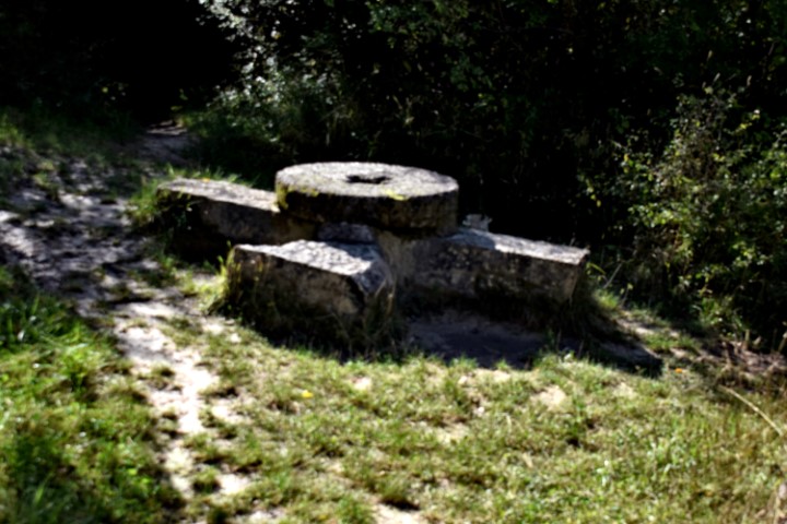
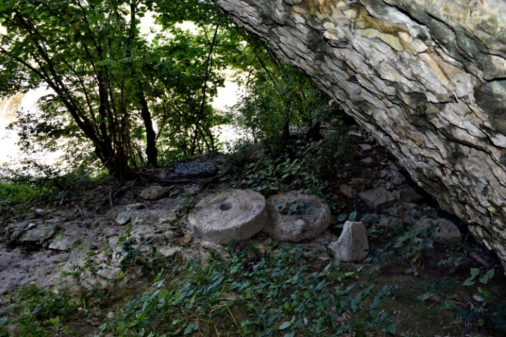
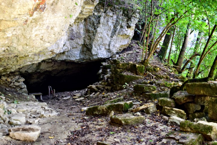
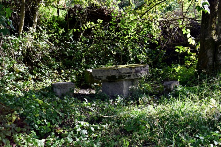
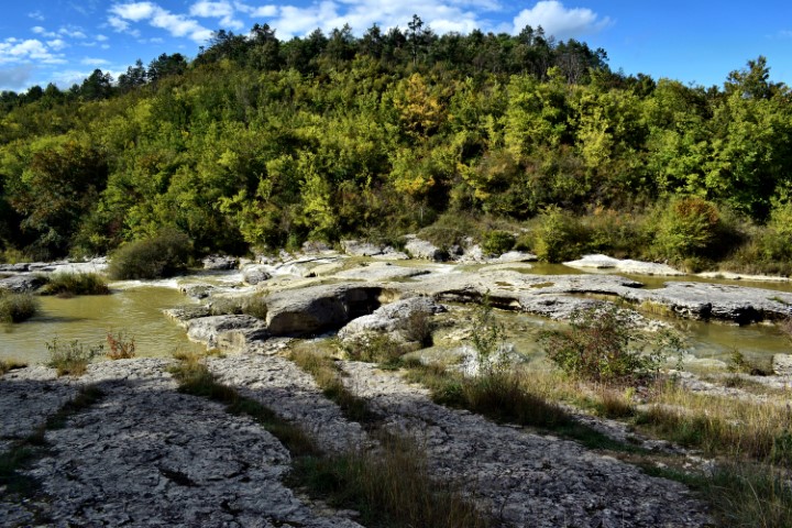
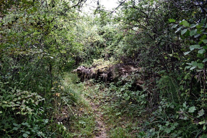
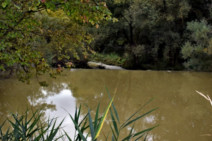
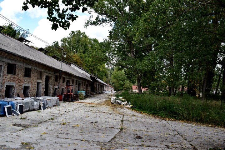
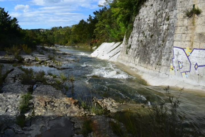
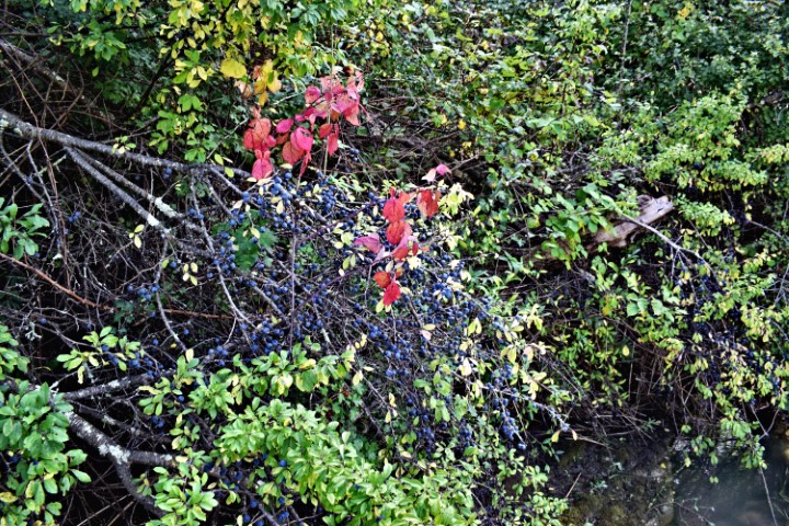
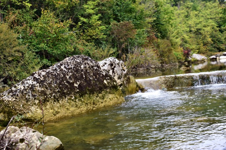
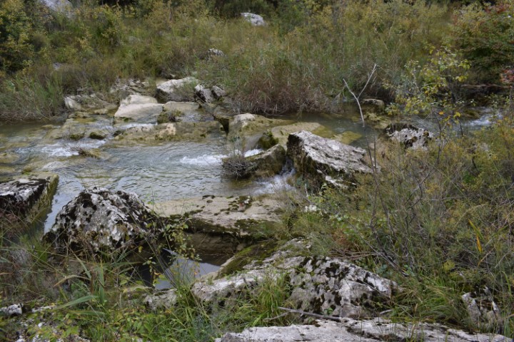
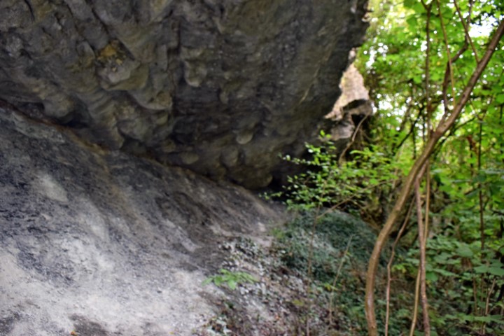
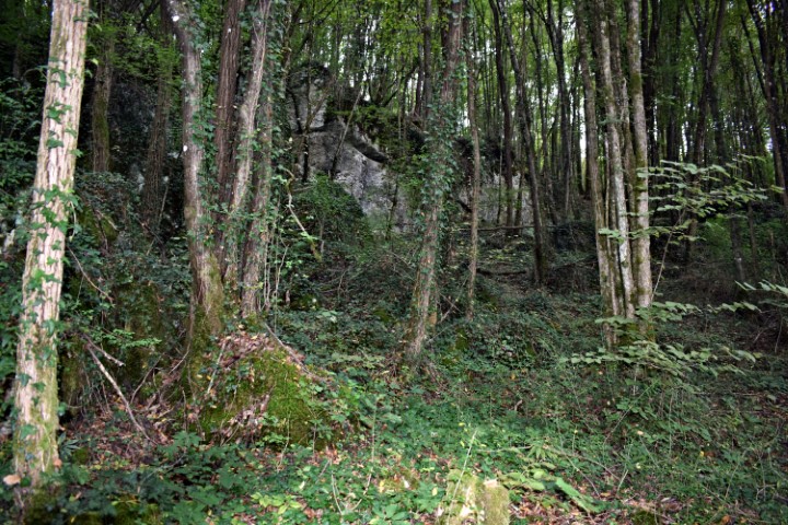
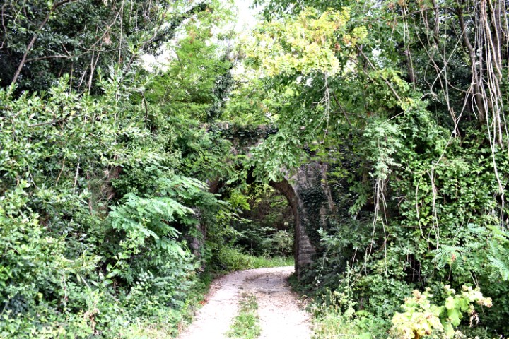
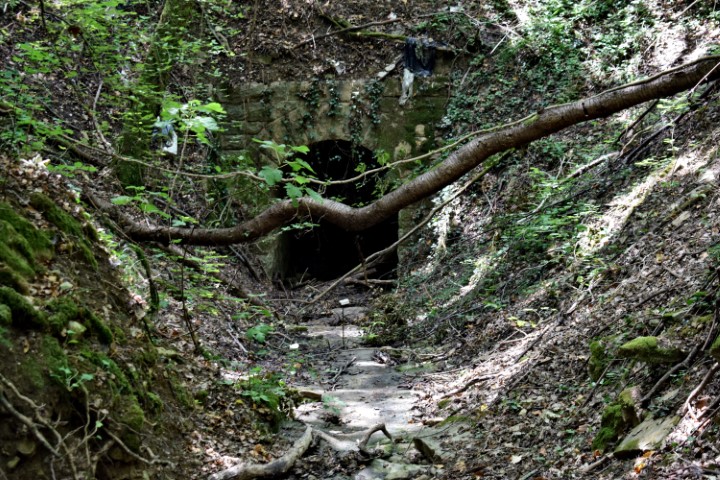
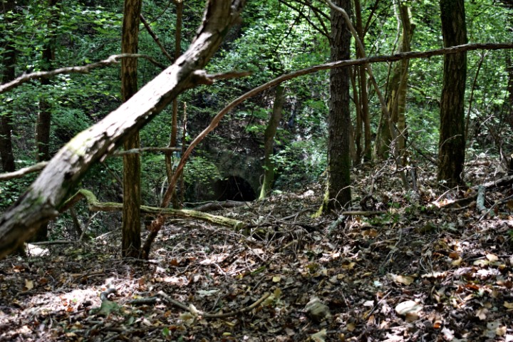
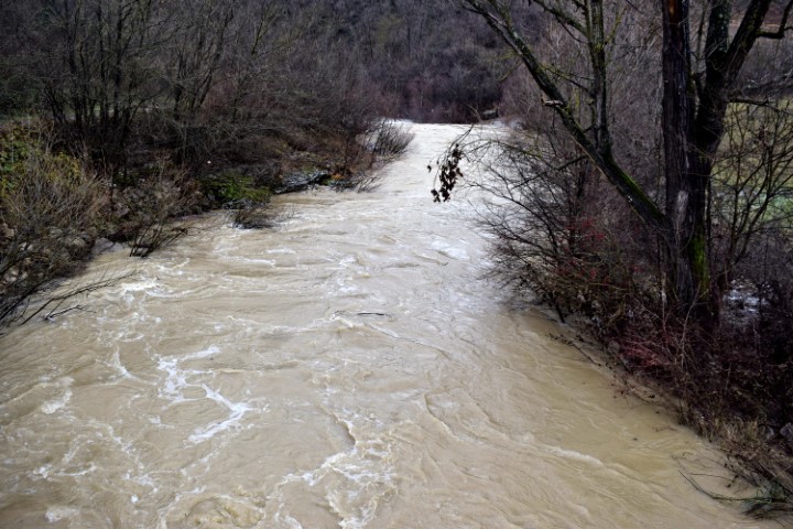
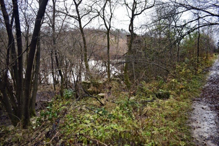
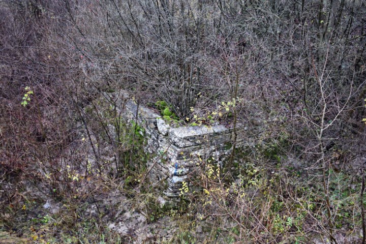
Name: Hiking trail from bridge Sv. Jožefa over the Pazinški river to the Roman way Pazin. watermills (153 – 154).
Place: NearRyavac – (Pazin).
Coordinates: Bridge Jožefa: 45.24530 N – 13.93836 E to 45.24344 N -13.93635 E.
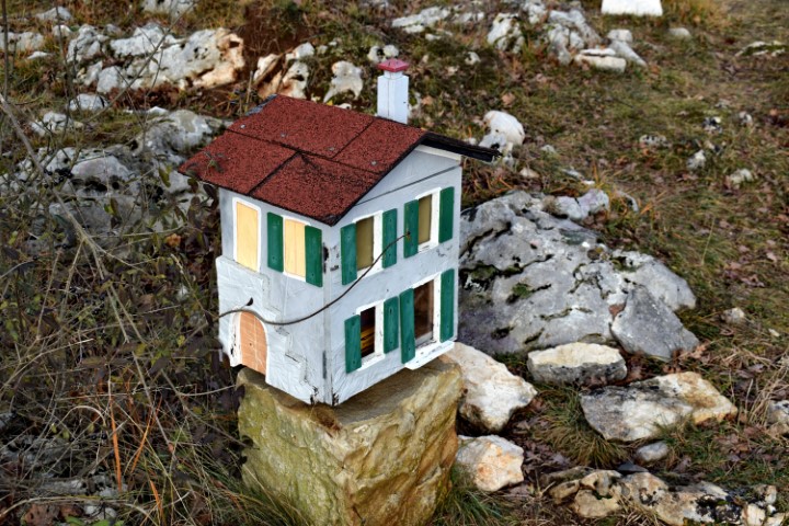
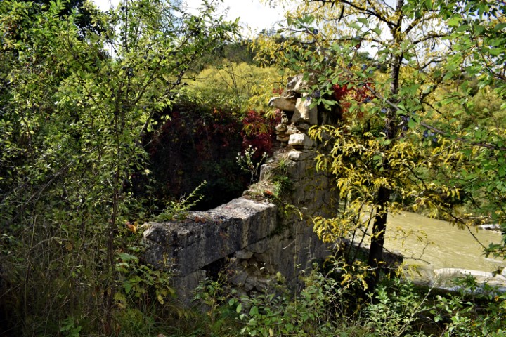
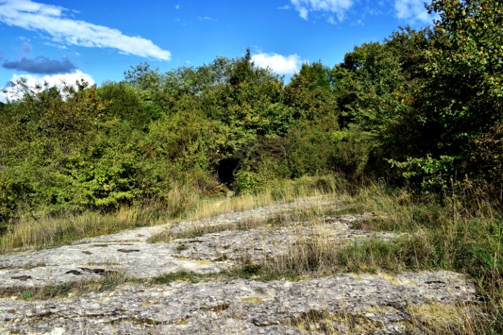
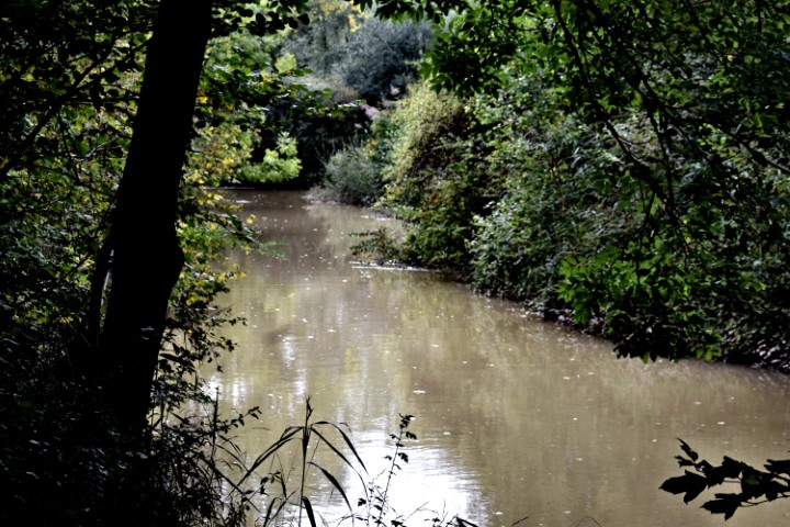
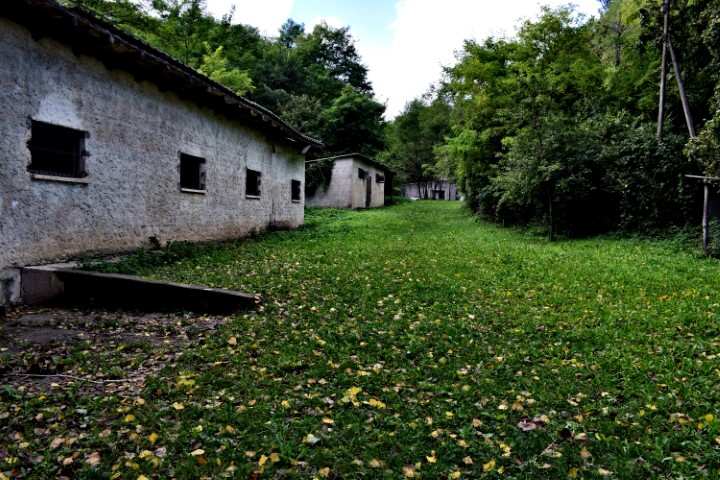
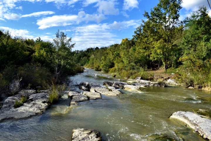
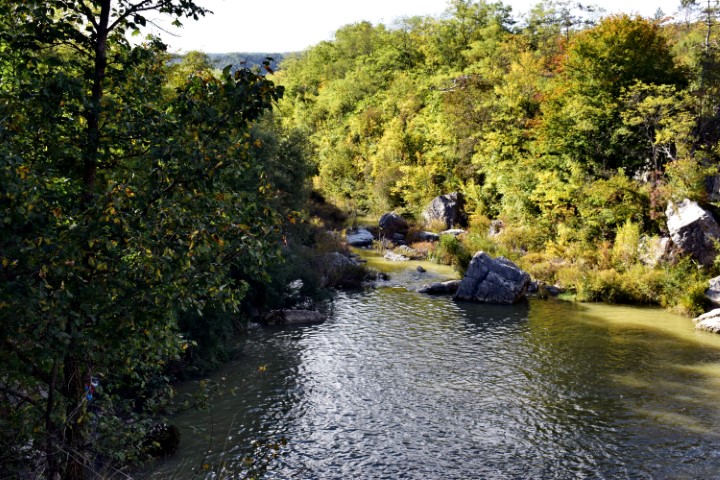
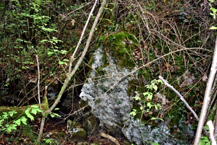
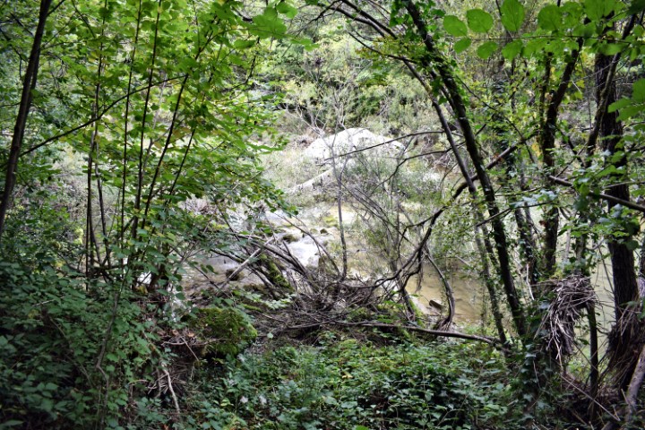
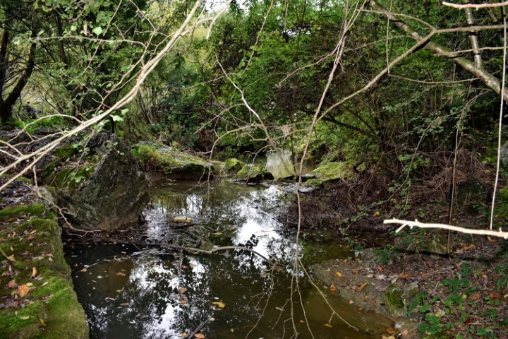
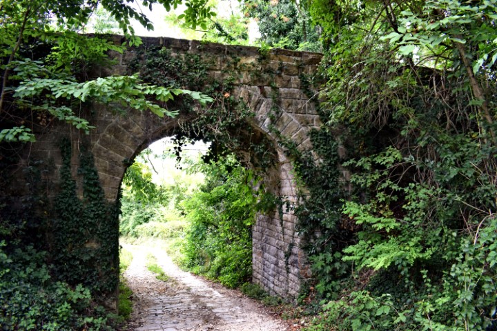
Name: Hiking trail from bridge over Pazinški potok to the bridge Sv. Jožefa.
Place: Near Dusani – near Pazin – (Pazin).
Coordinates: Bridge Dusani : 45.25077 N – 13.13.94918 E, Sv. Jožefa bridge; 45.24530 N – 13.93836 E.

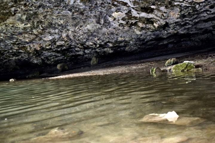
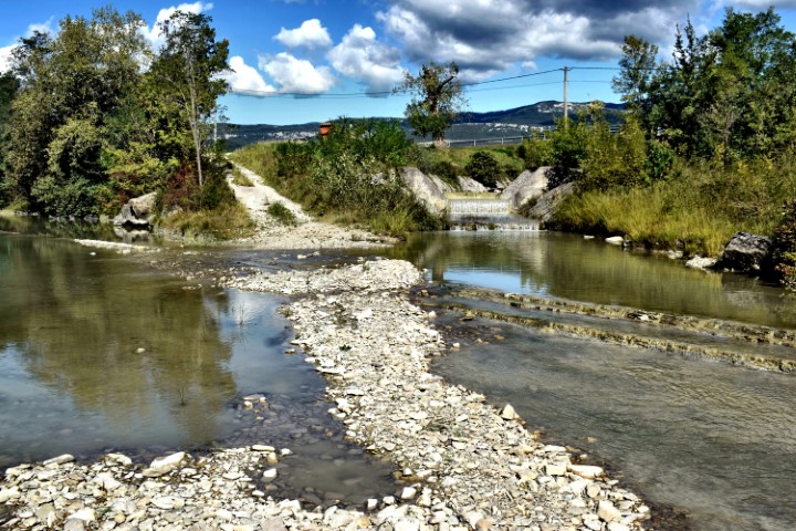
Name: Hiking trail from railway bridge over the Japlenica / Kanal to Zarečski krov.
Place: Near Zarečski – (Pazin).
Coordinates: From 45.24692 N – 13.9661 E to 45.24872 N – 13.9611 E.
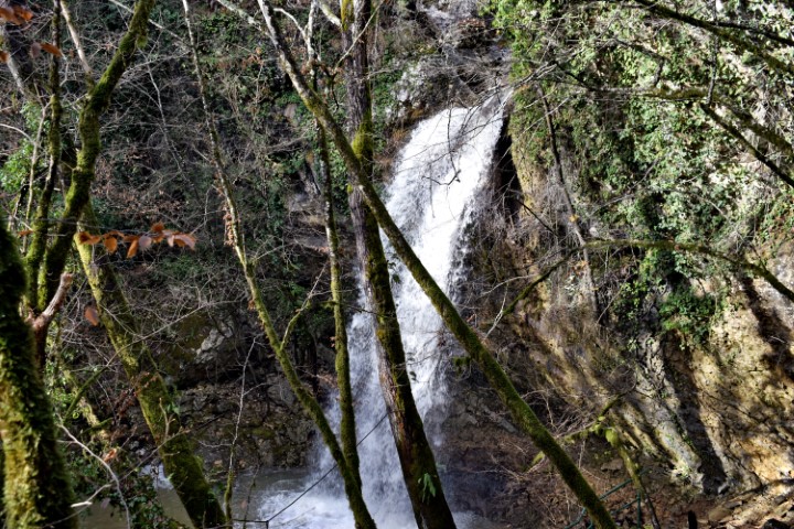
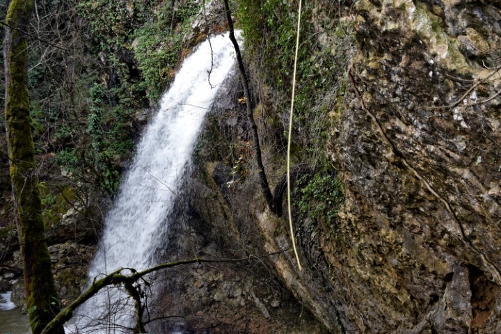
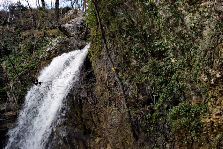
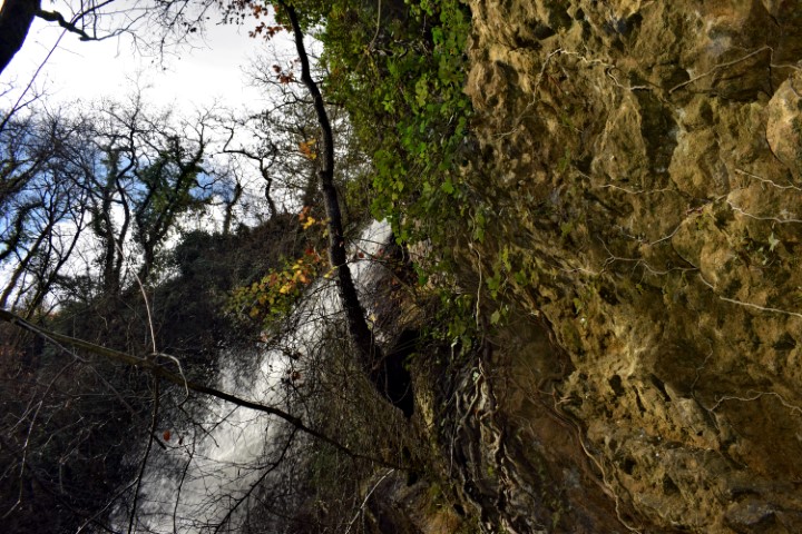
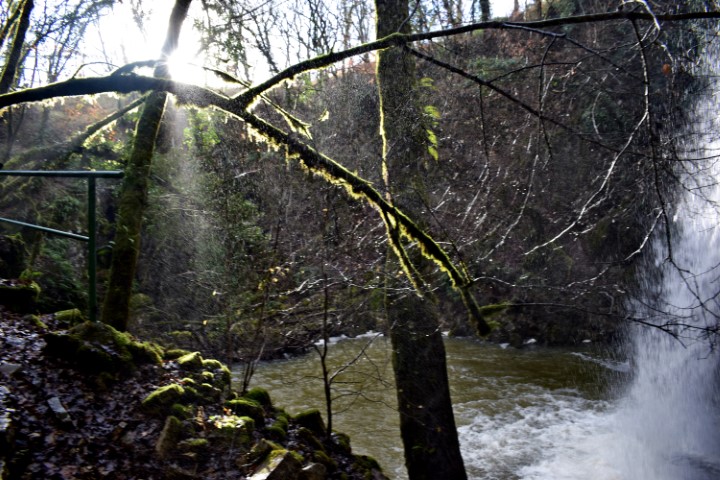
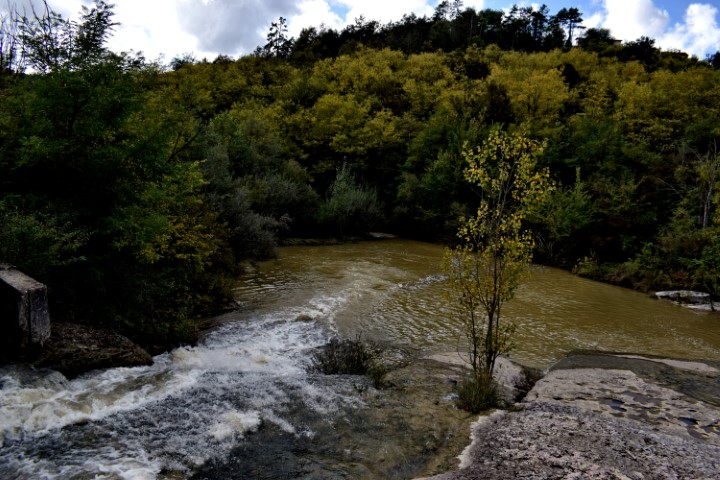
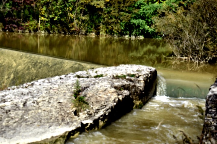
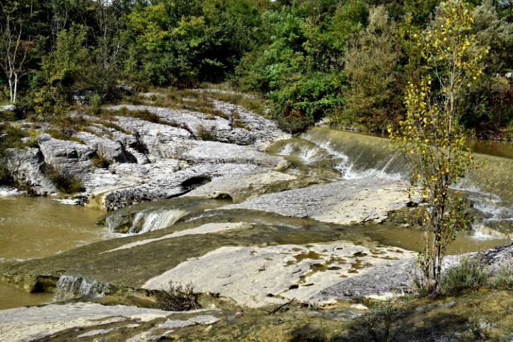
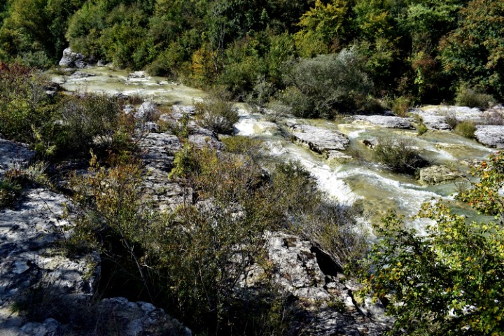
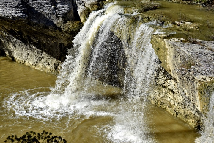
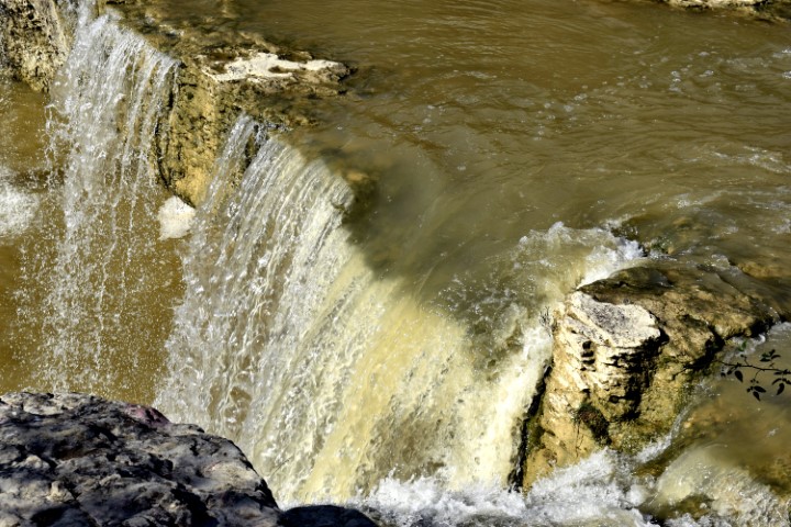
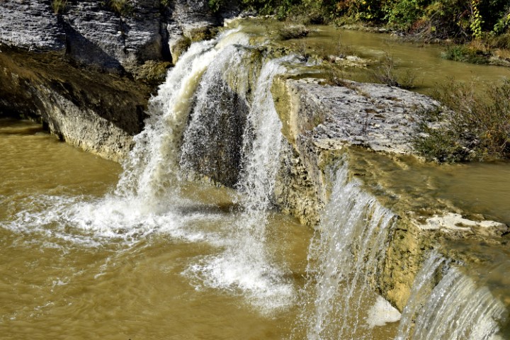
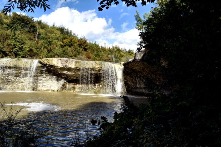
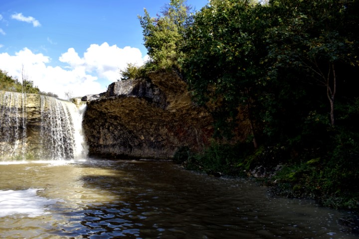
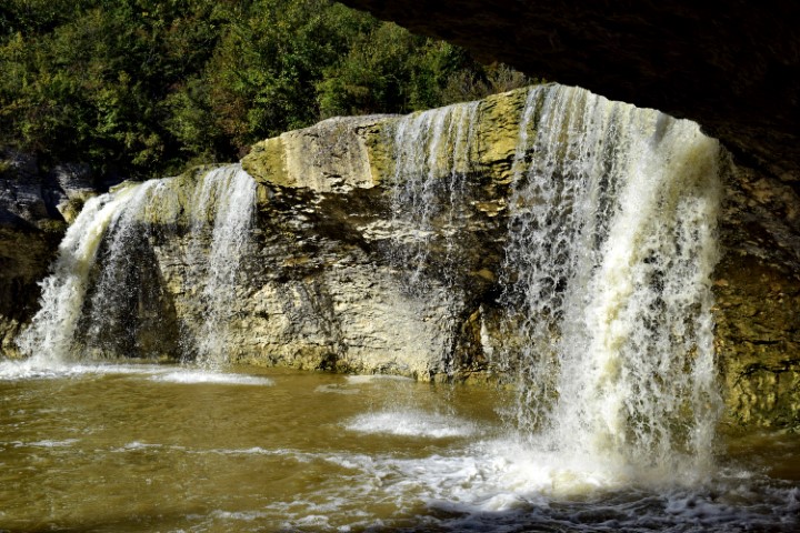
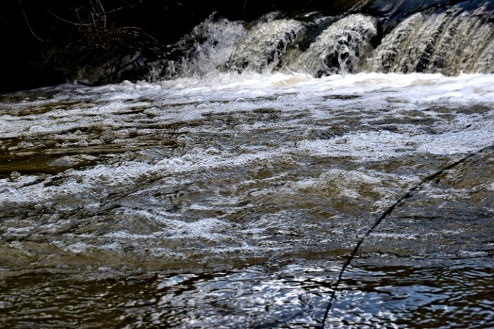
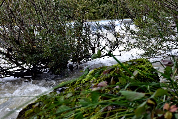
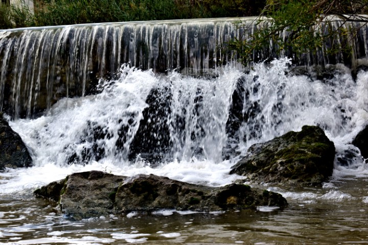
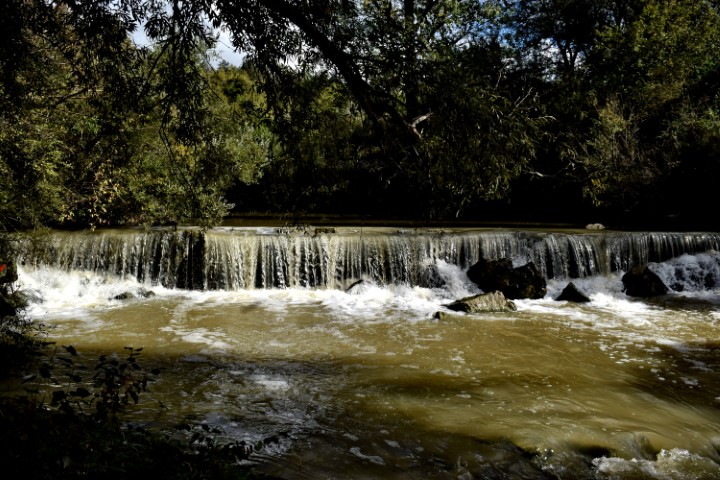
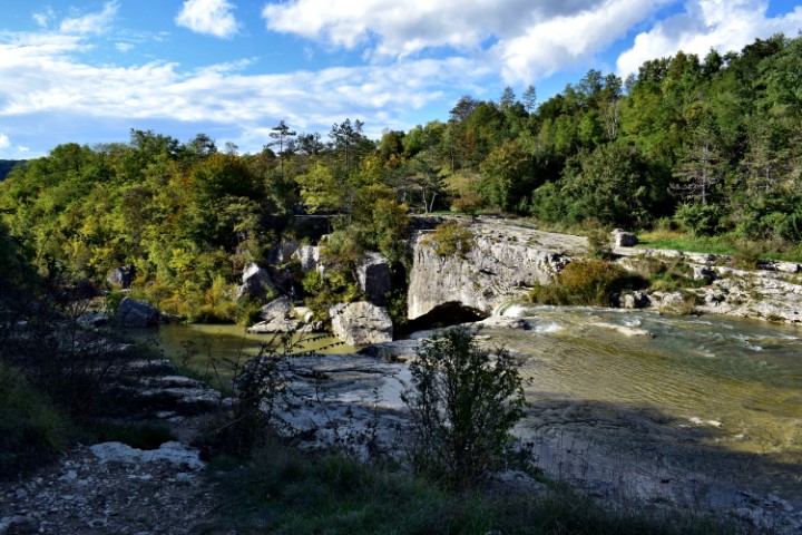
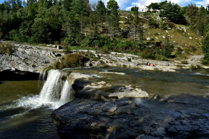
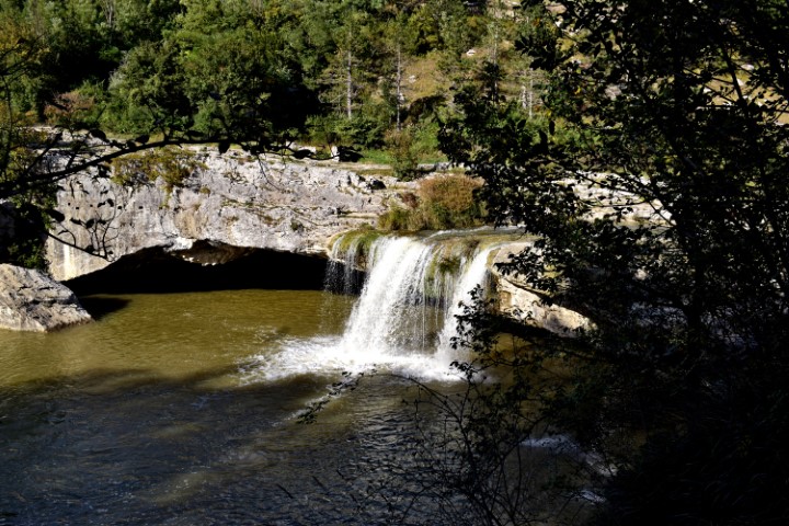
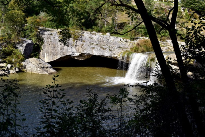
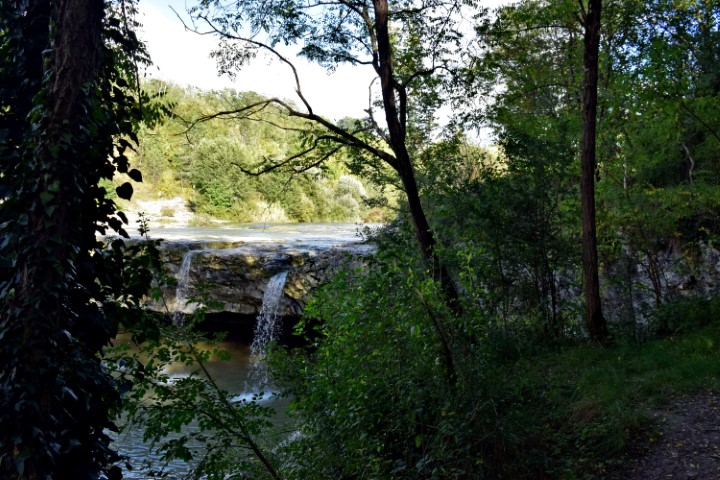
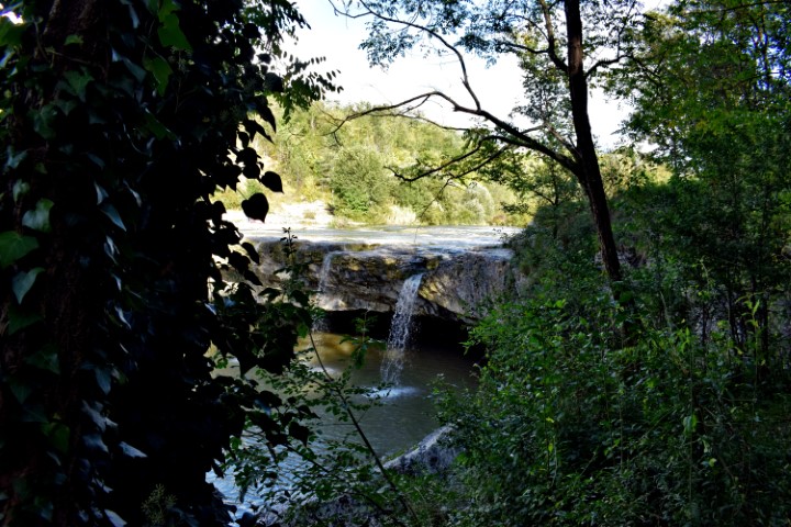
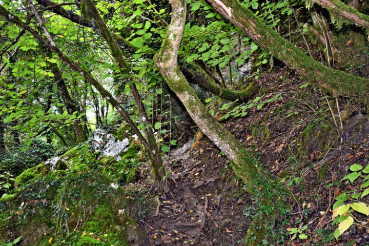
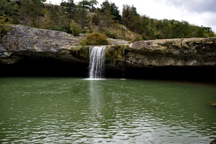
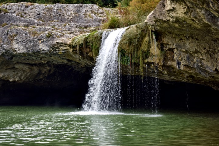
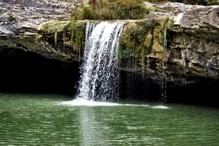
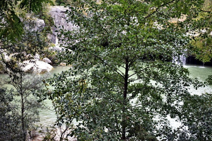
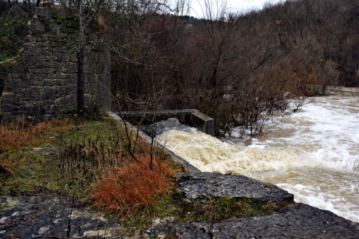
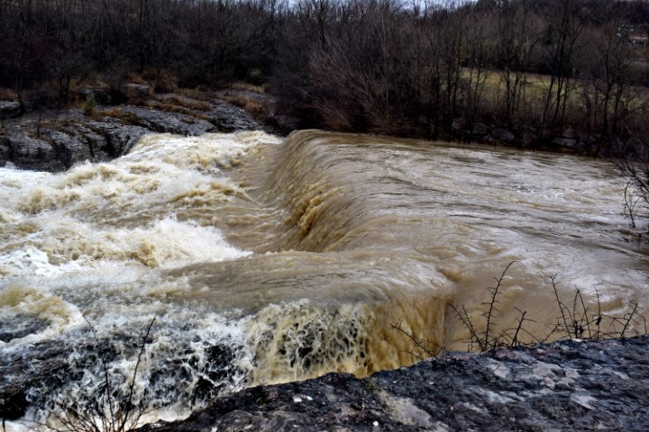
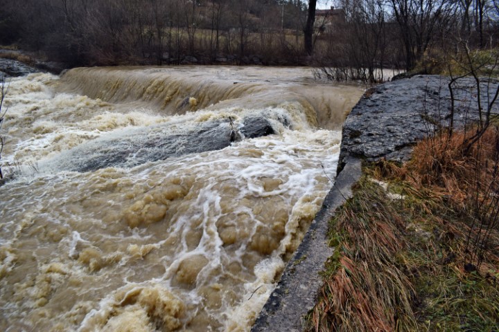
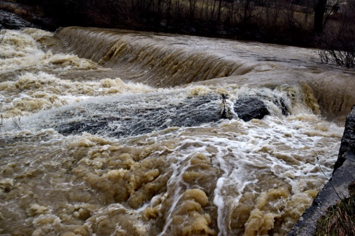
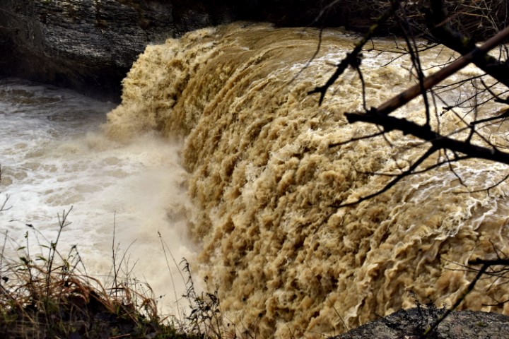
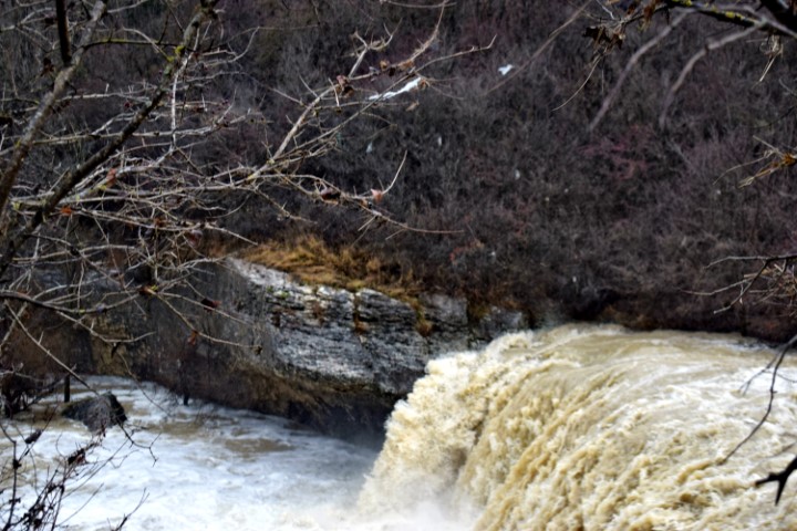
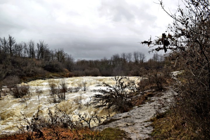
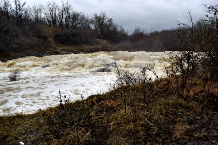
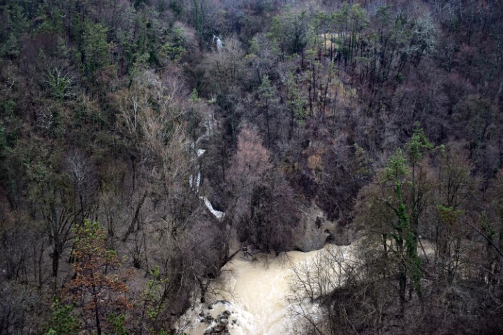
Name: Hiking trail from the bridge over the Pazinčki river near Dusani to Zarečki krov – waterfall.
Place:Near Dusani – near Zarećki – (Pazin).
Coordinates: from 45. 25041 N – 13.94906 E to 45.24900 N – 13.961300 E

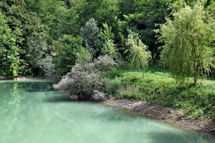
Name: Split Boljušćica stream and Rušanjski potok / Studena stream.
Place: Near Opatija – (Lupoglav).
Coordinates: 45.28163 N – 14.12322 E.

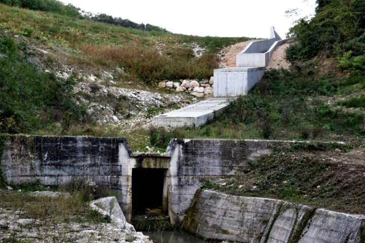
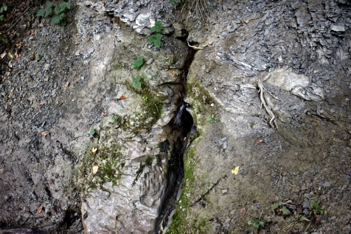
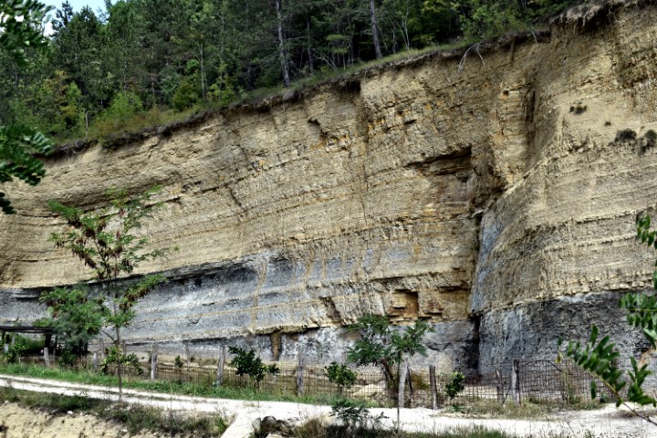
Name: Butori waterfall – “dry”.
Place: Near Sterna – (Opratlj).
Coordinates: 45.44108 N – 13.79851 E

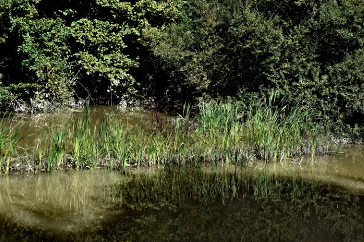
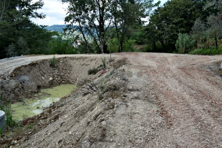
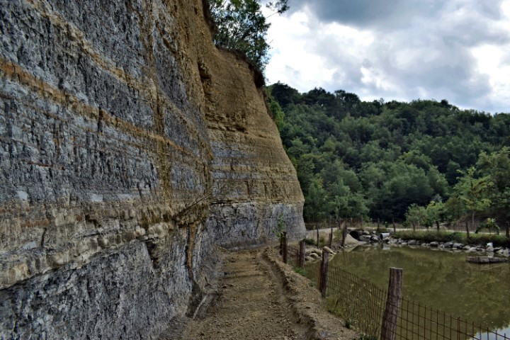
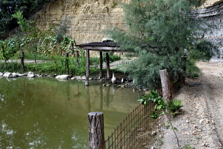
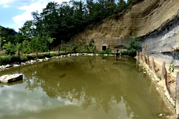
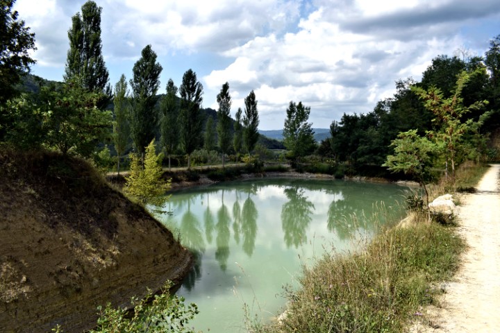
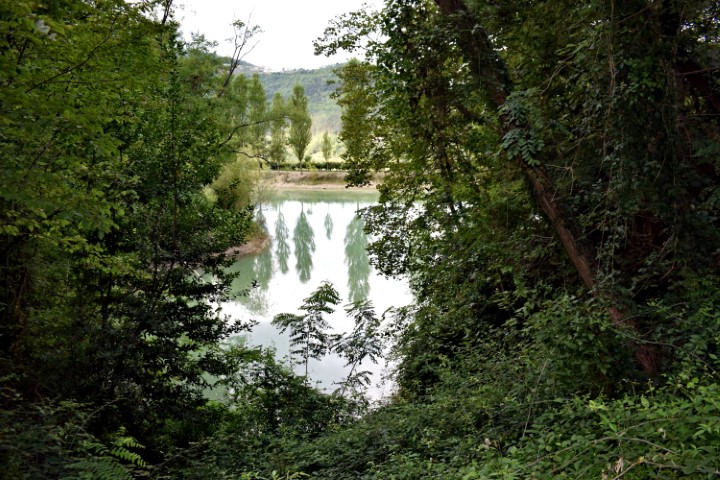
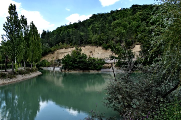
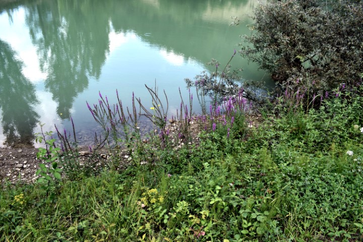
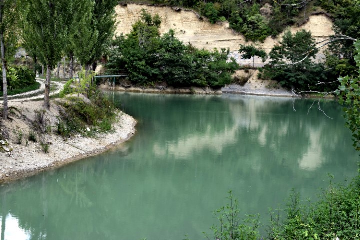
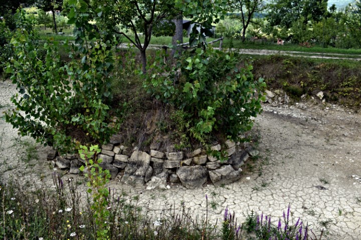
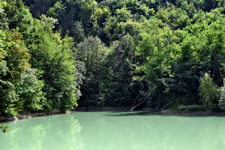
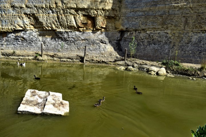
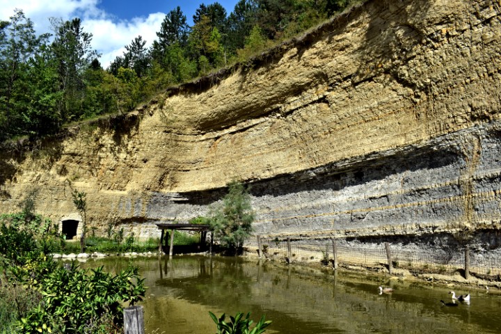
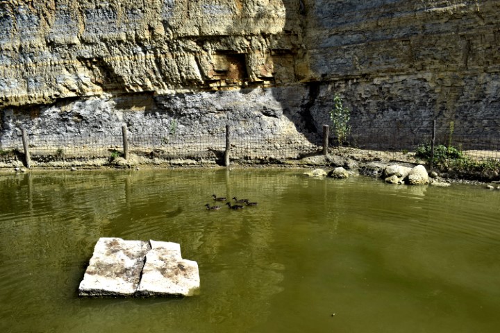
Name: Ponds Zamaski Dol near village Pikasi.
Place: P ikasi – (Pazin).
Coordinates: 45.3257 N – 13.89906 E.

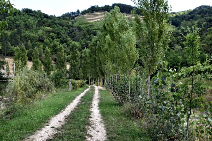
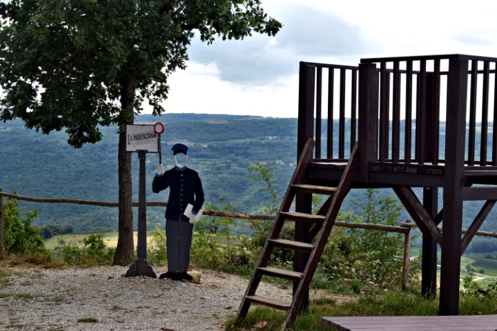
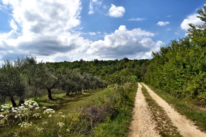
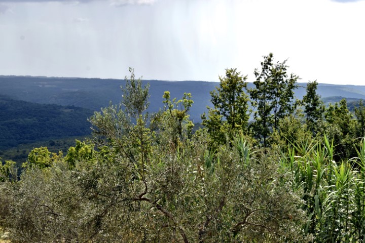
Name: Hiking trail Parenzana from Grožnjan to Zavrsje.
Place: (Grožnjan).
Coordinates: Start 45.38160 N – 13.72731 E to Viewpoint 45.37509 N – 13.75189 E.