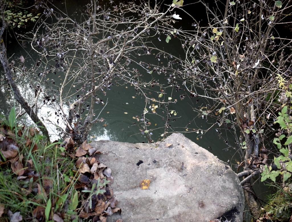
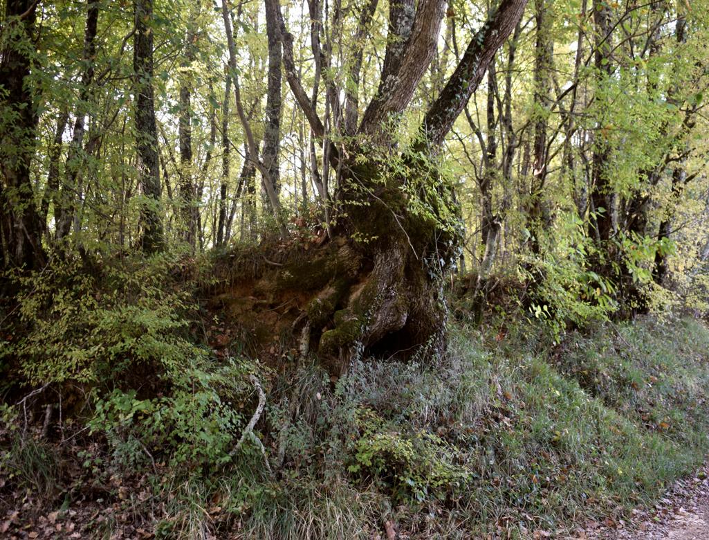
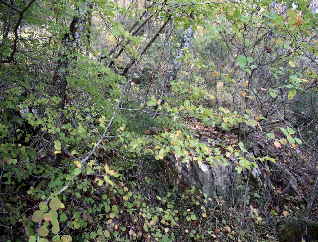
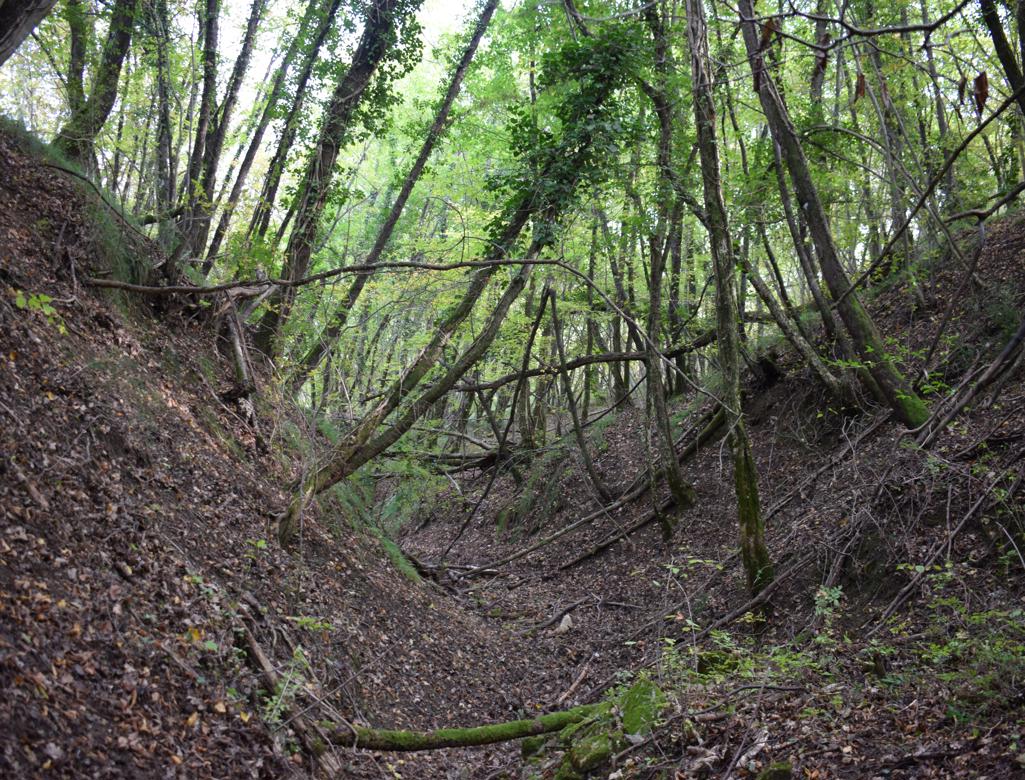
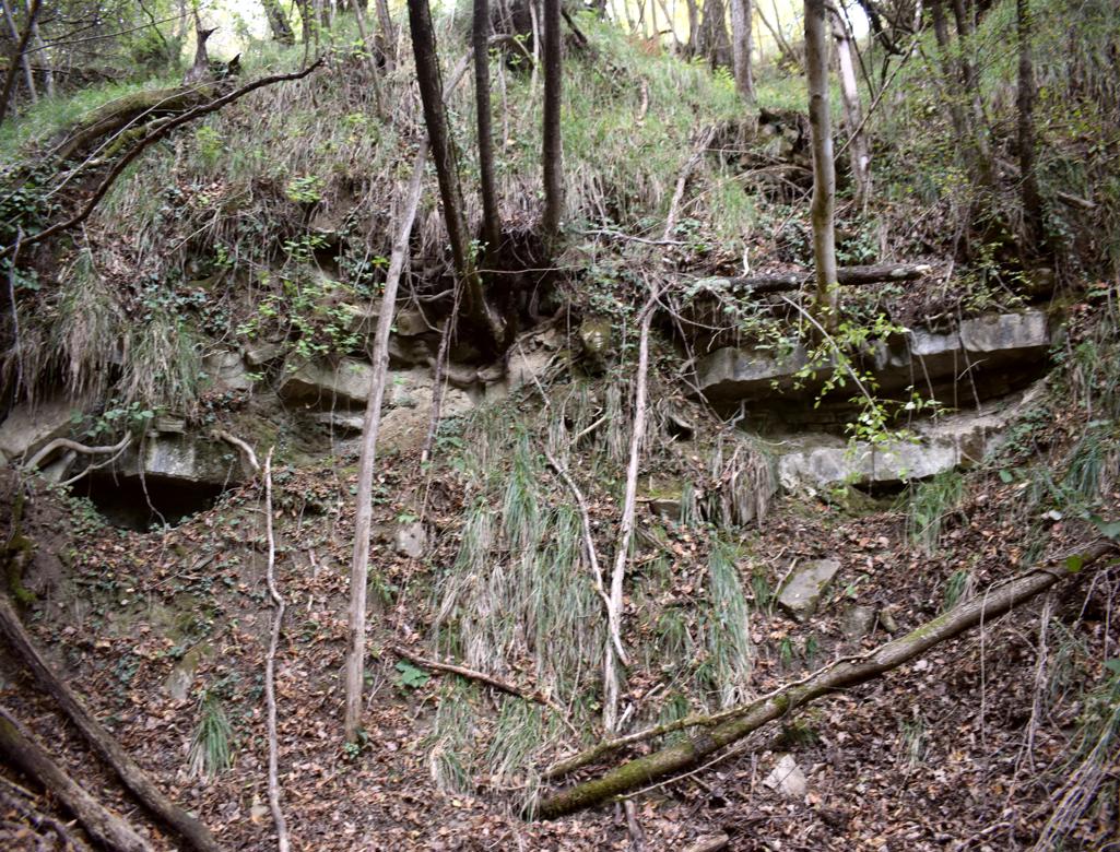
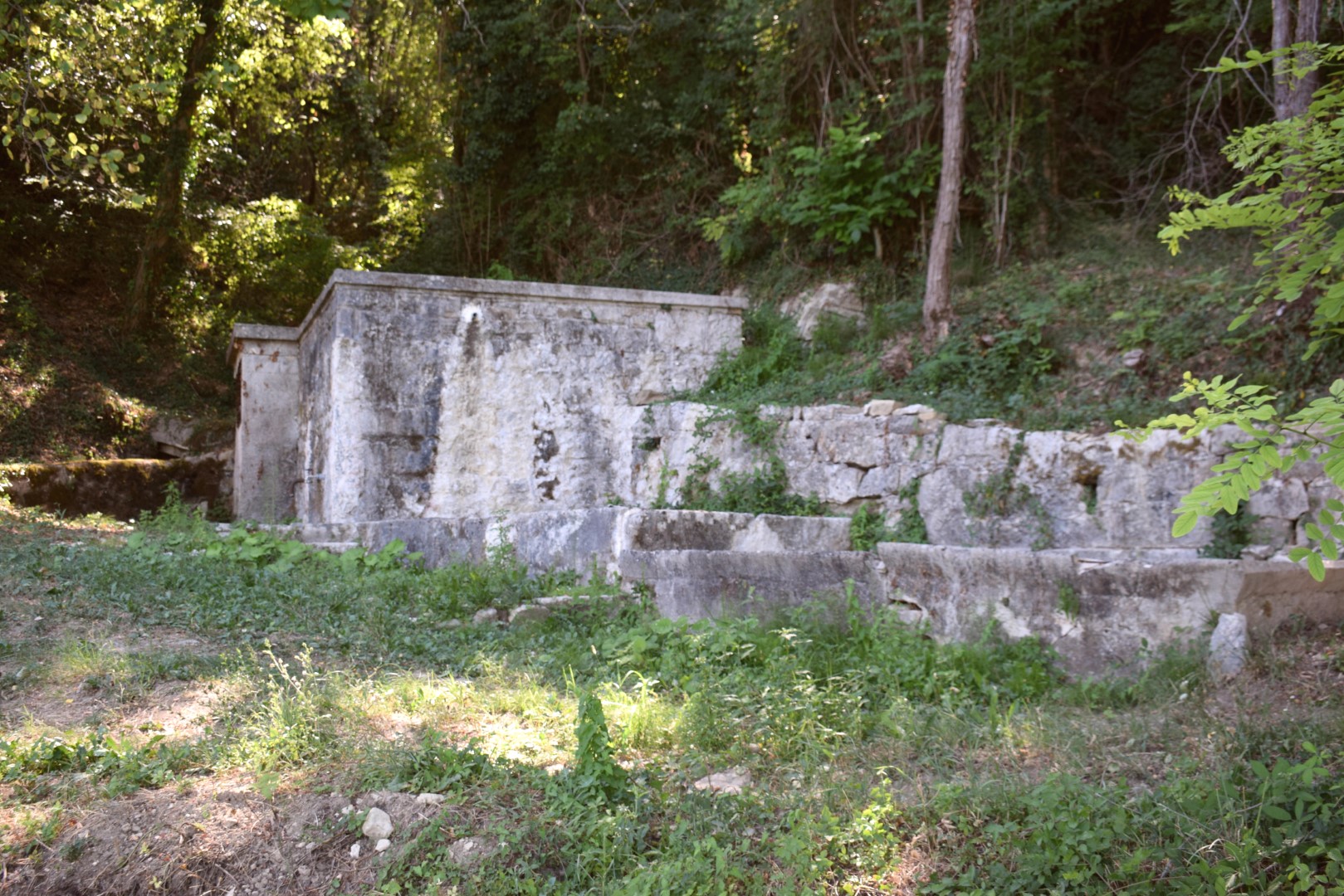
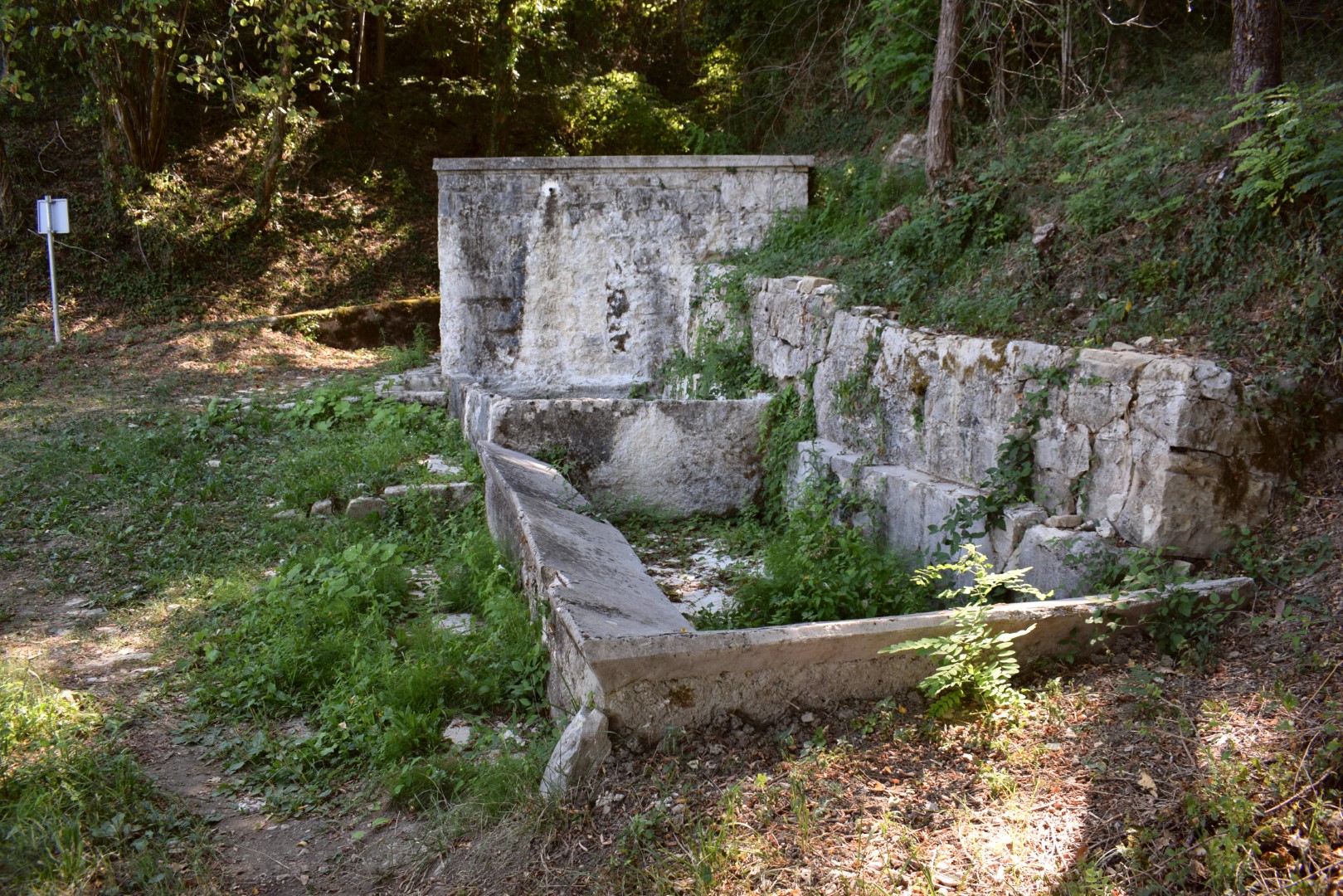
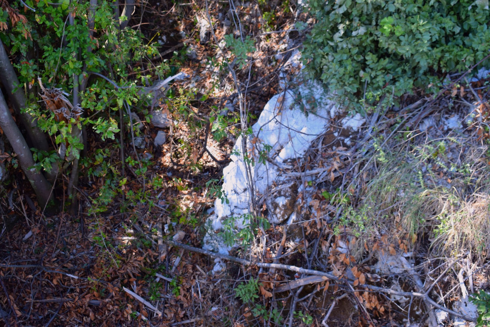
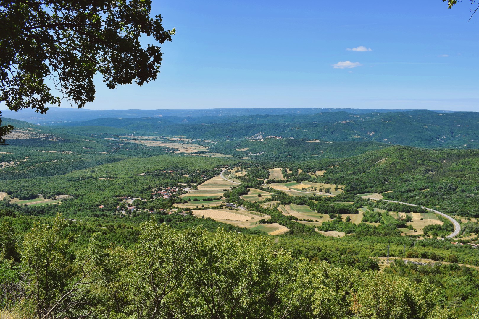
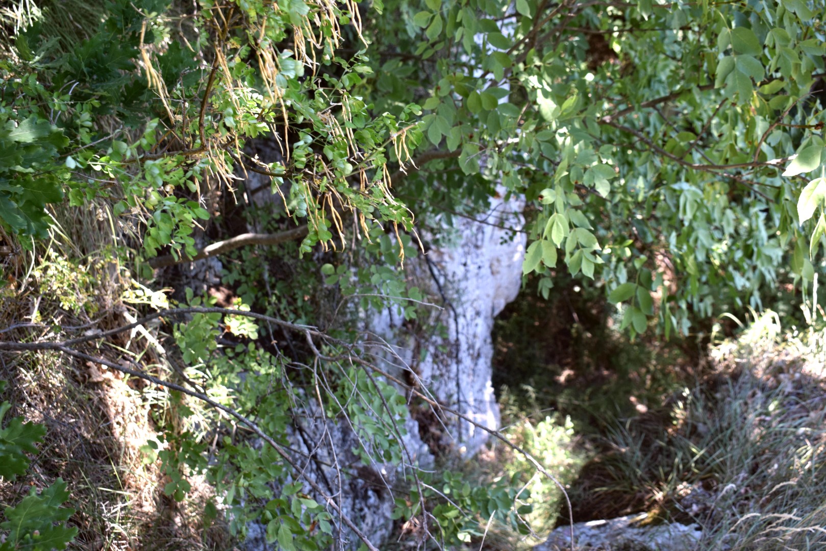
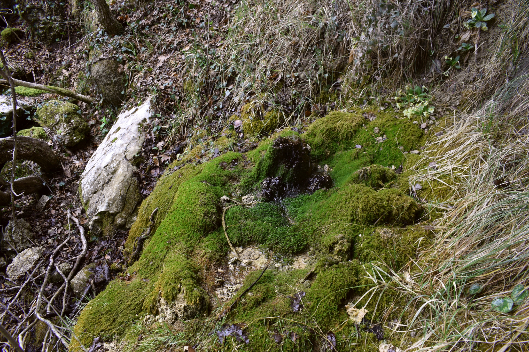
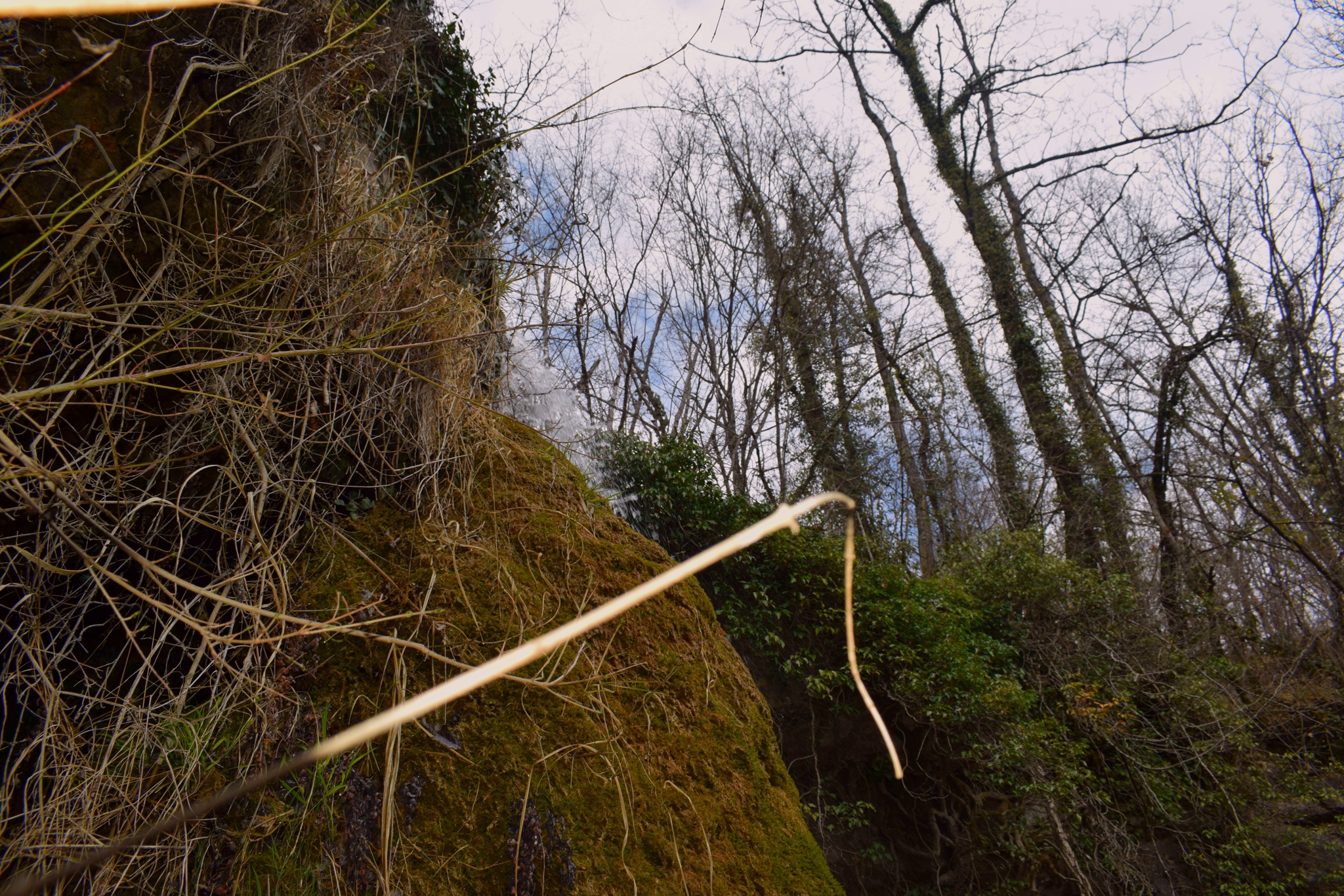
The height of the waterfall is 20 meters.
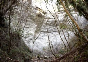
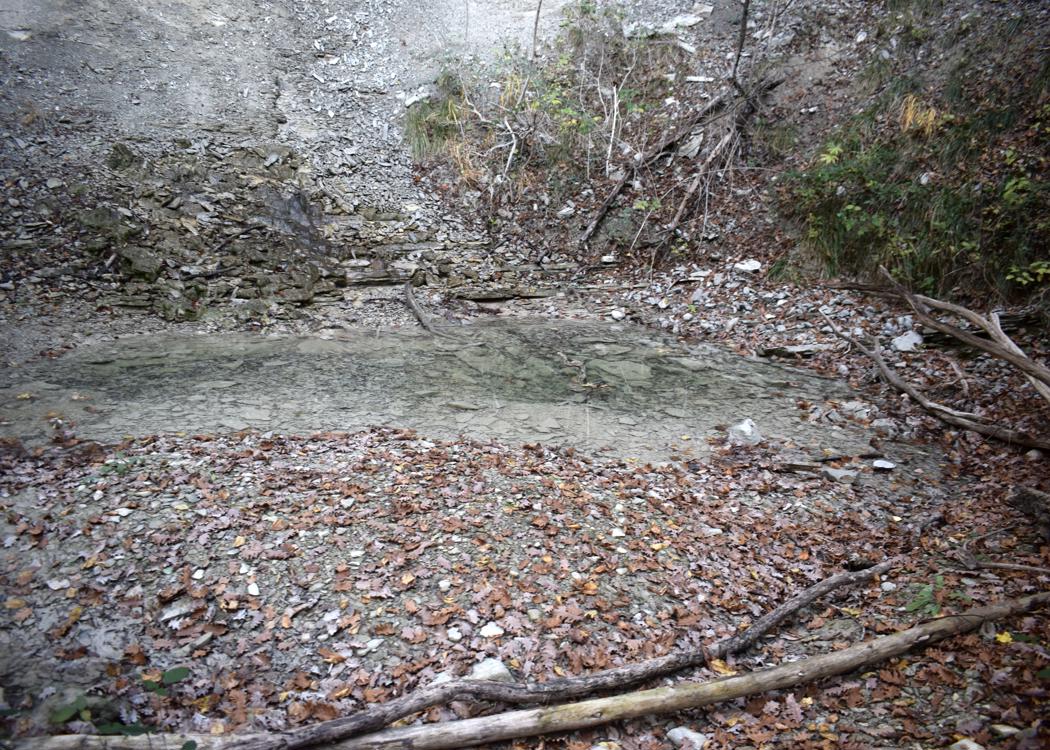
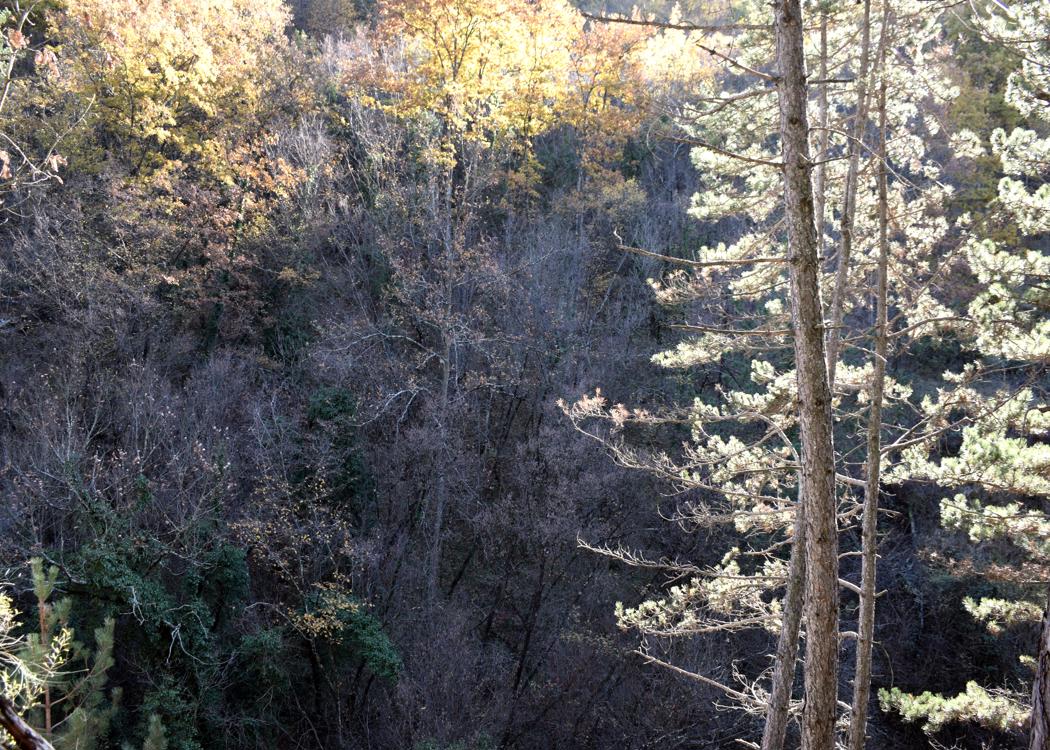
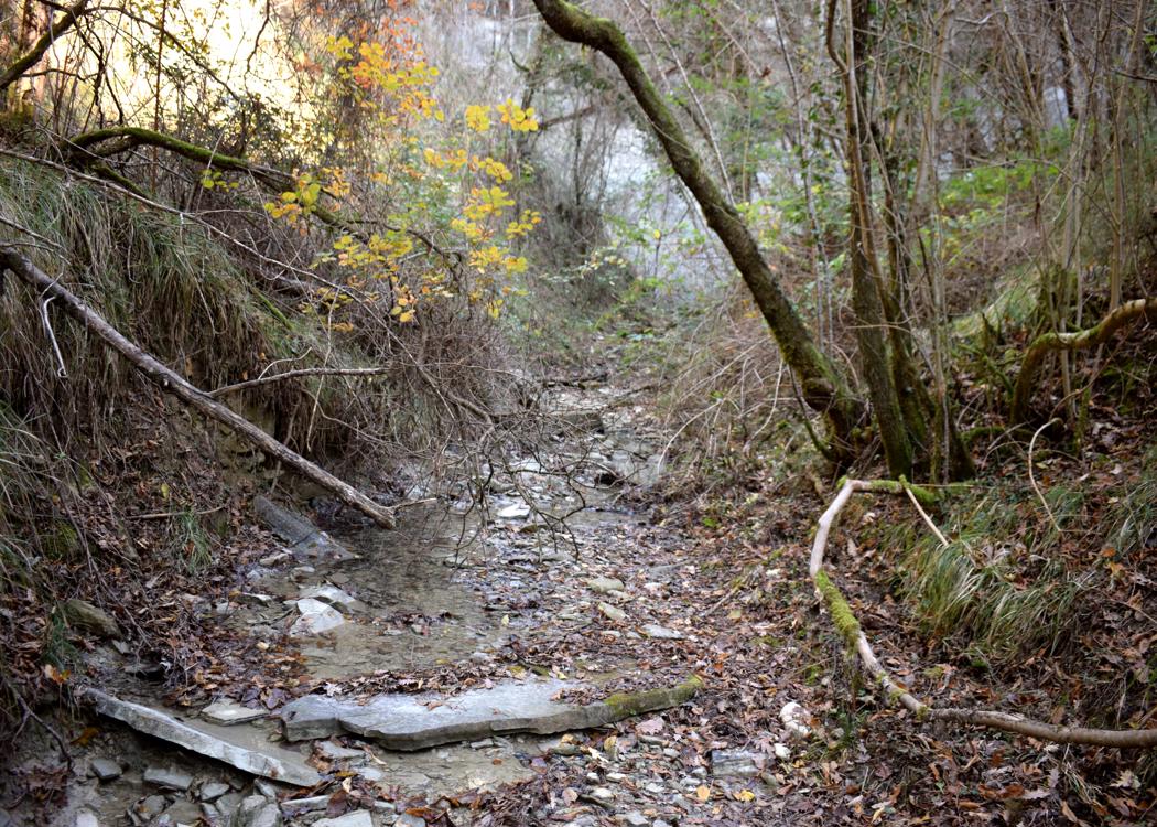
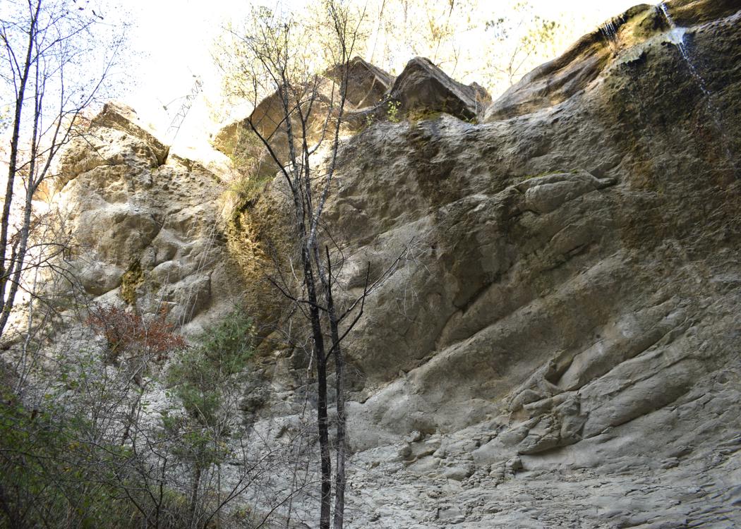
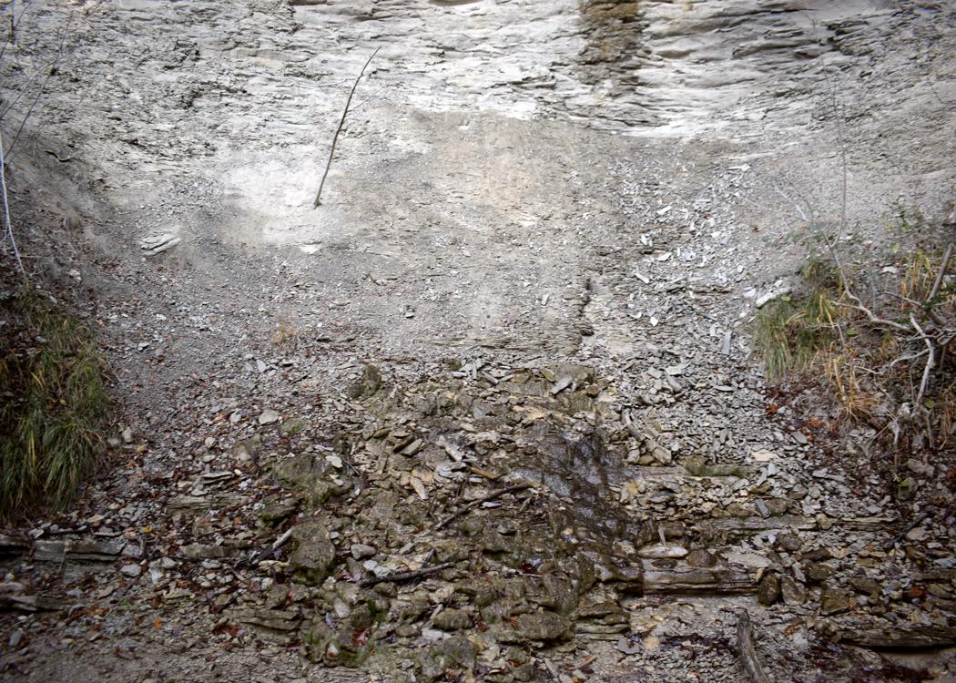
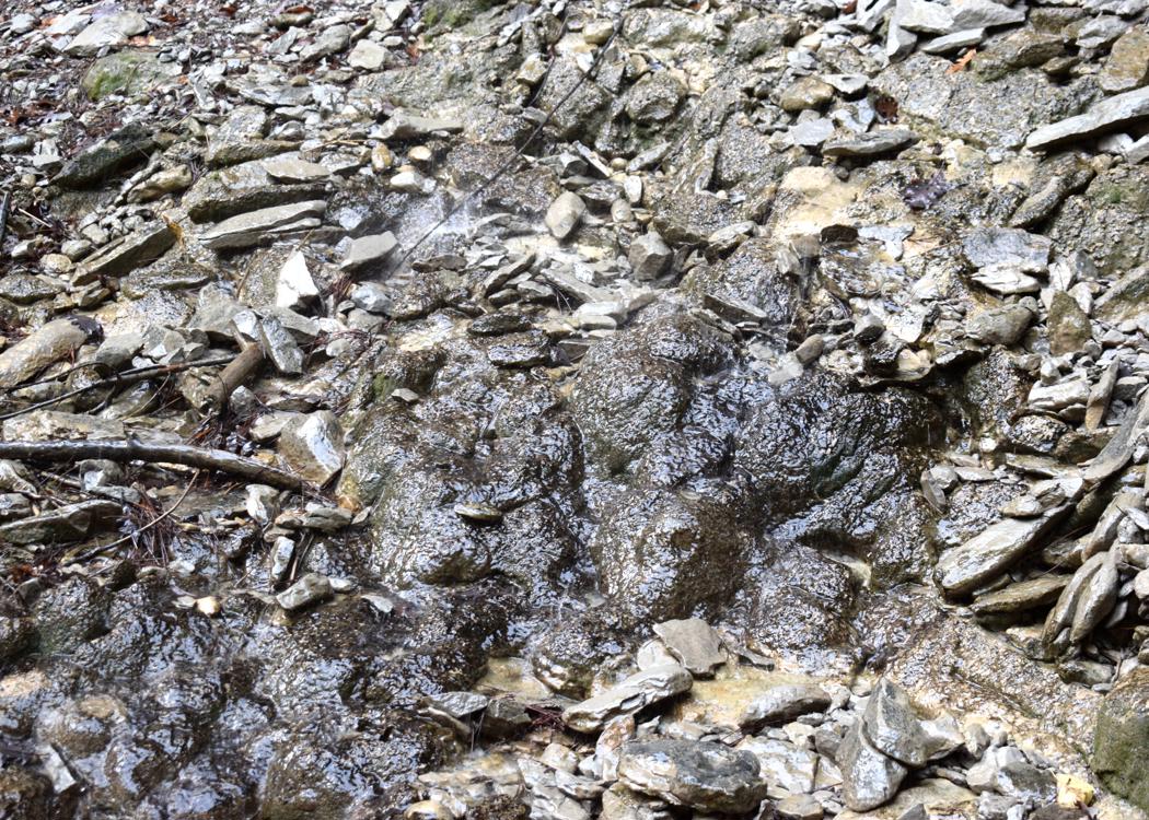


Name: Waterfall Stranice.
Place: Near Trebeče – (Koper),
Coordinates: 45.46974 N -13.86091 E.
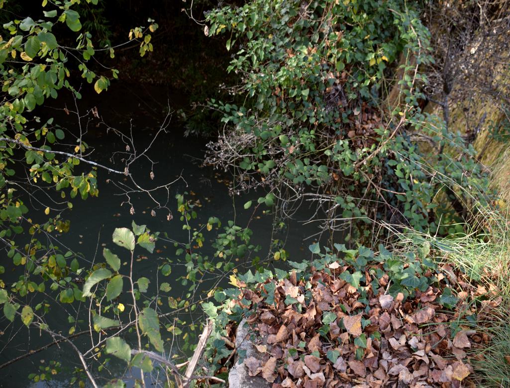
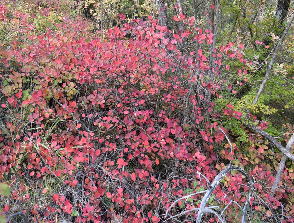
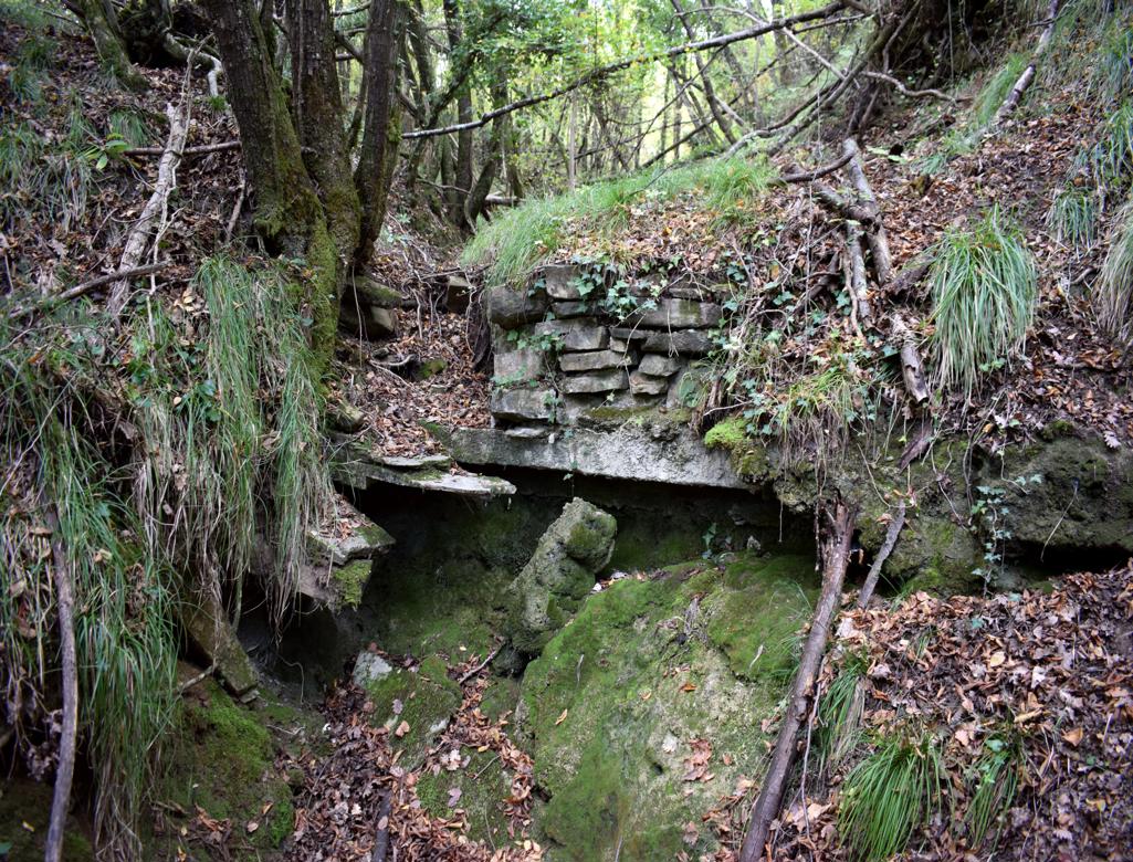
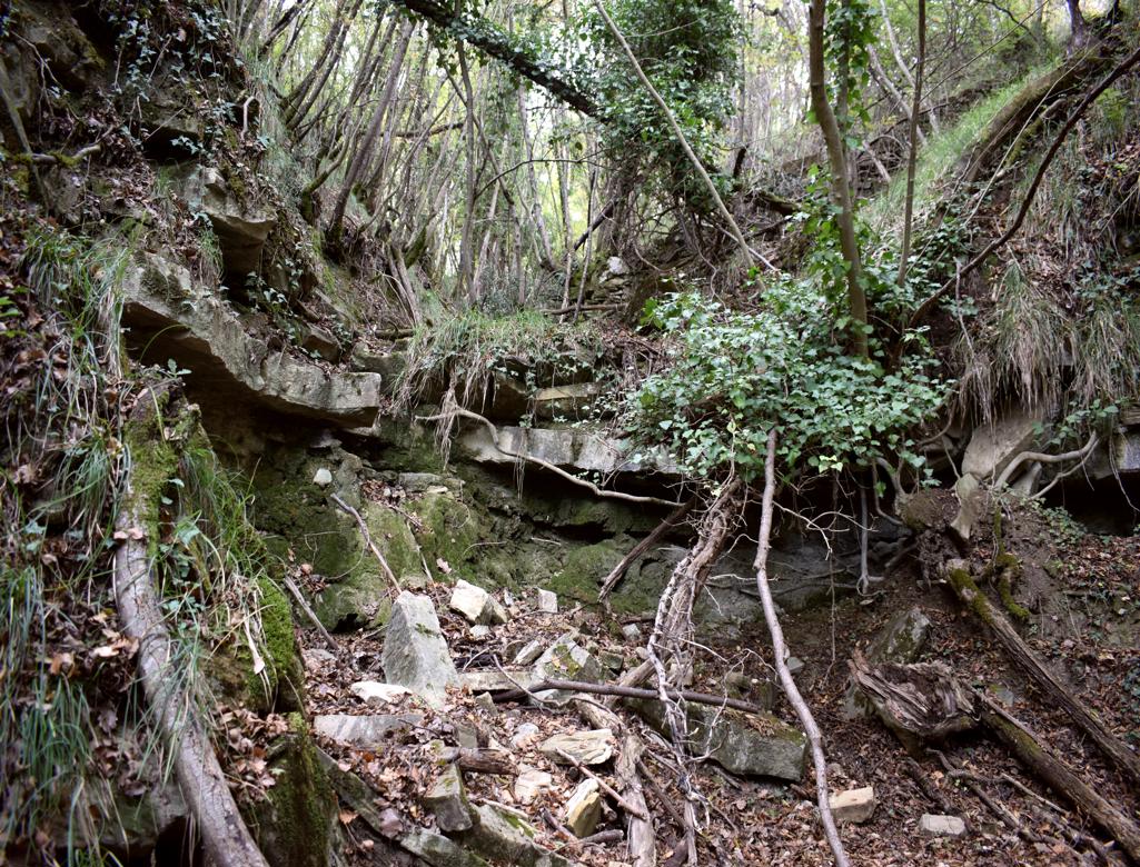
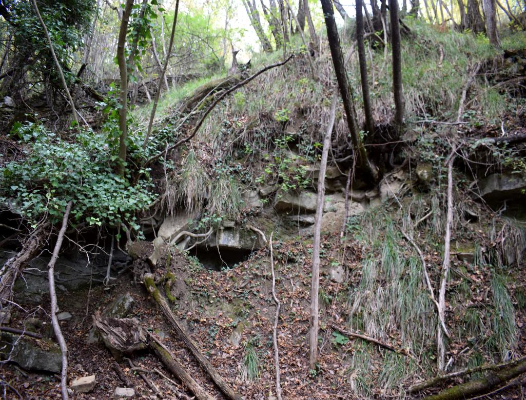
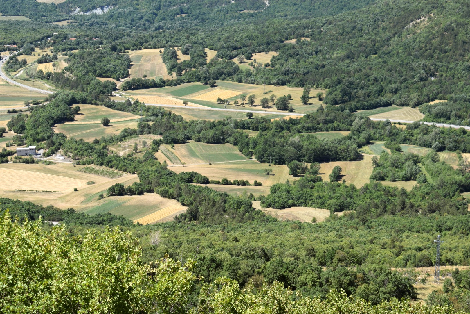
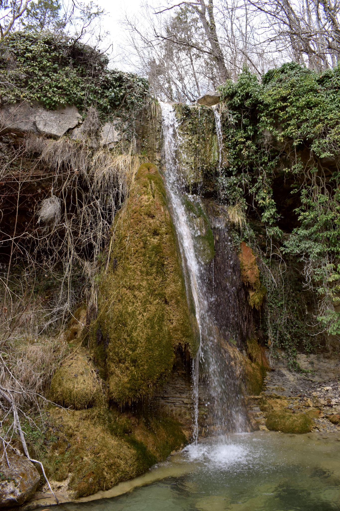
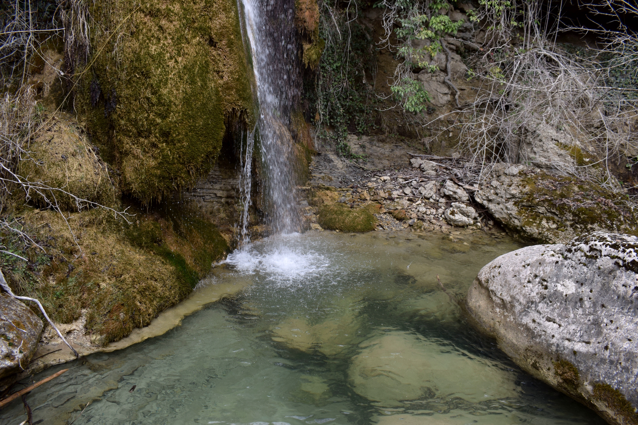
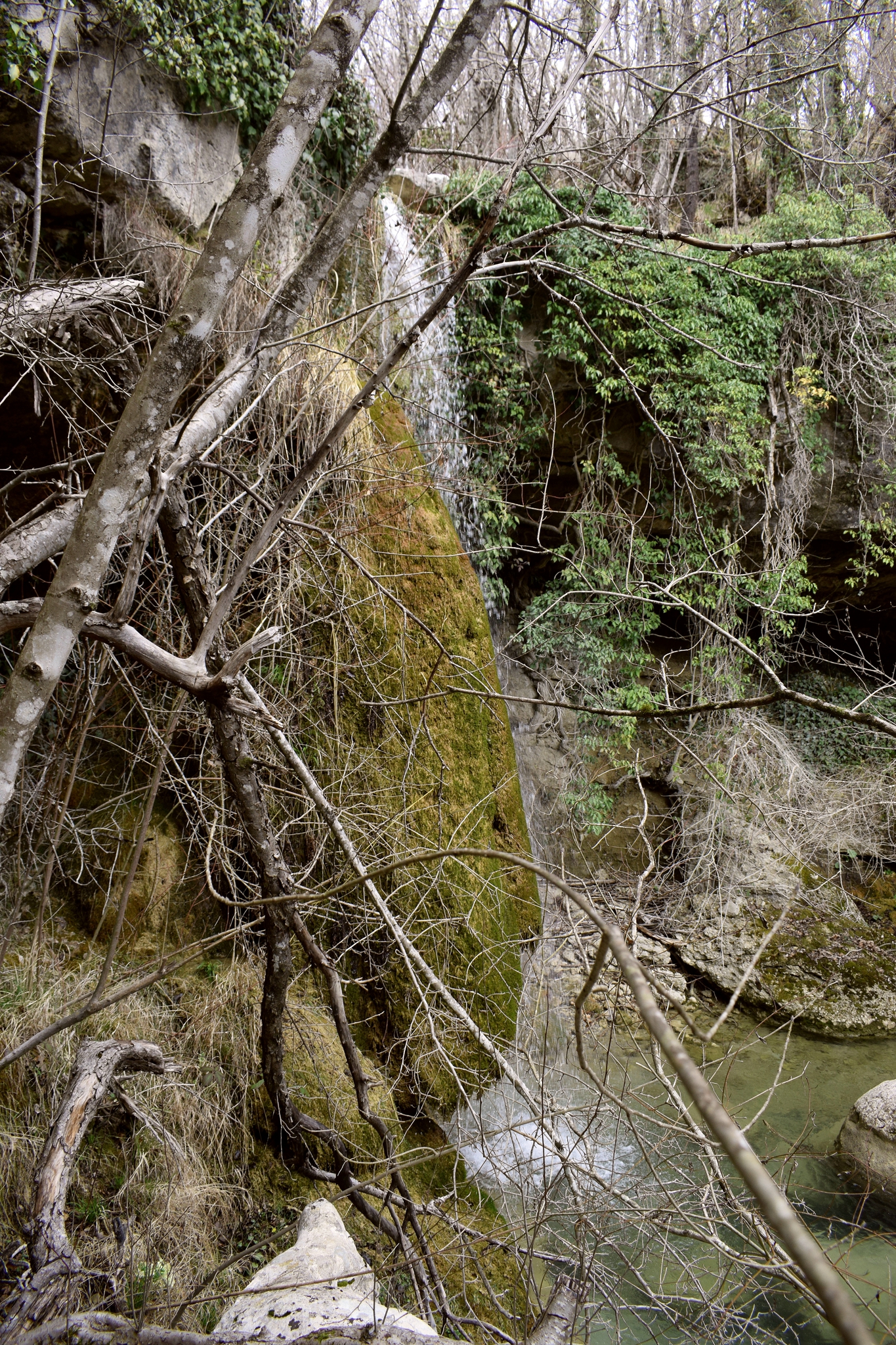
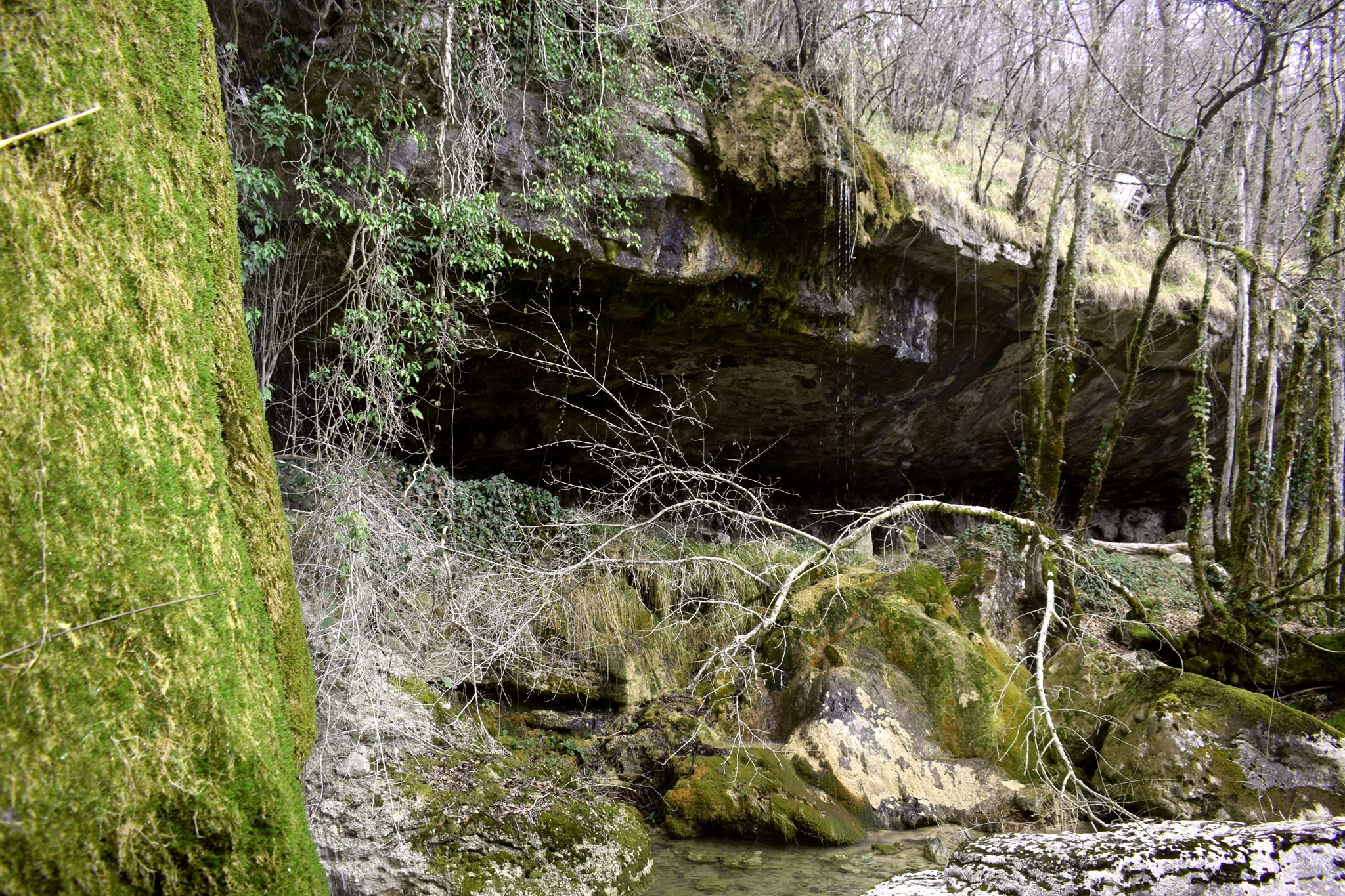
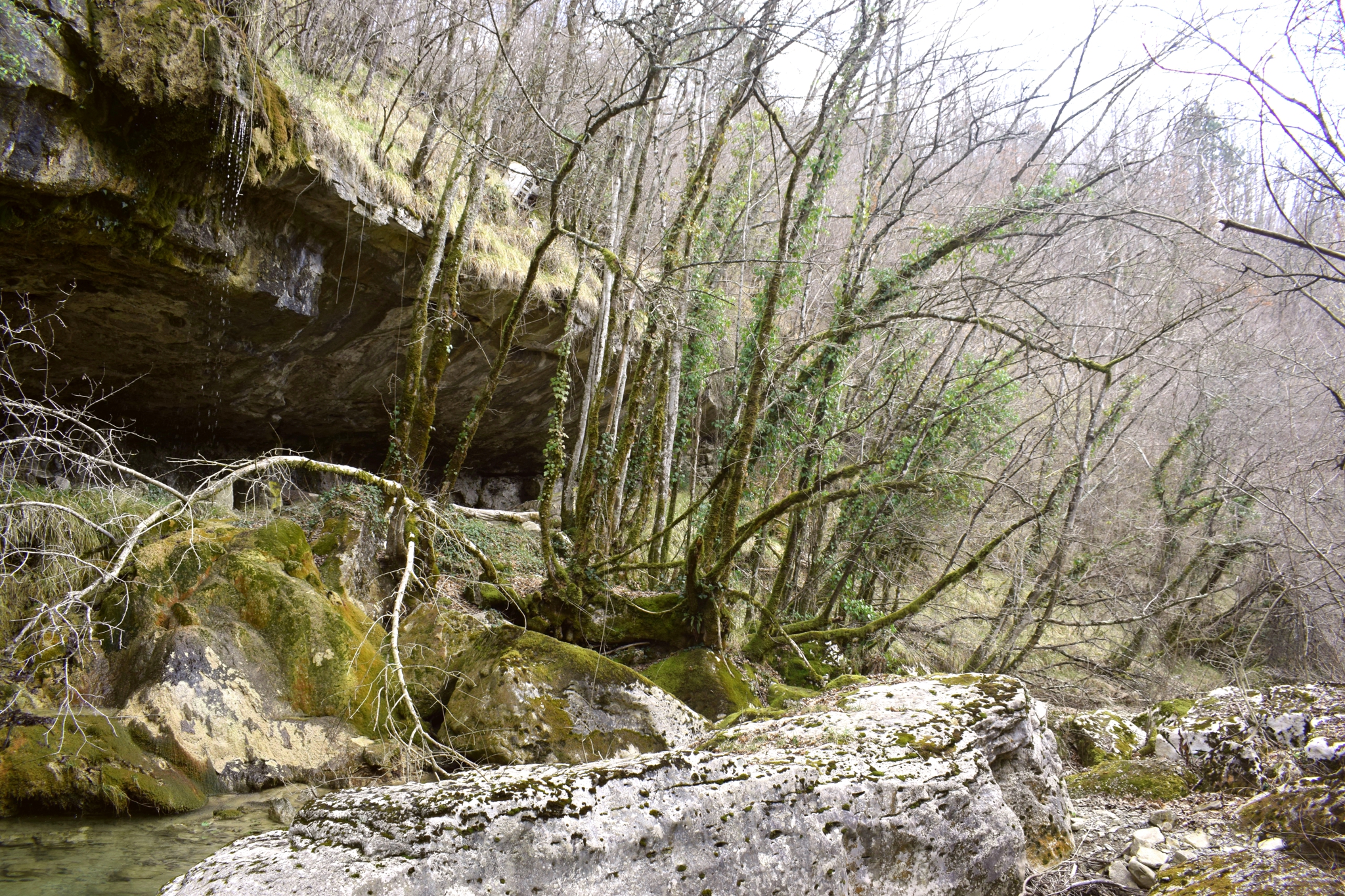
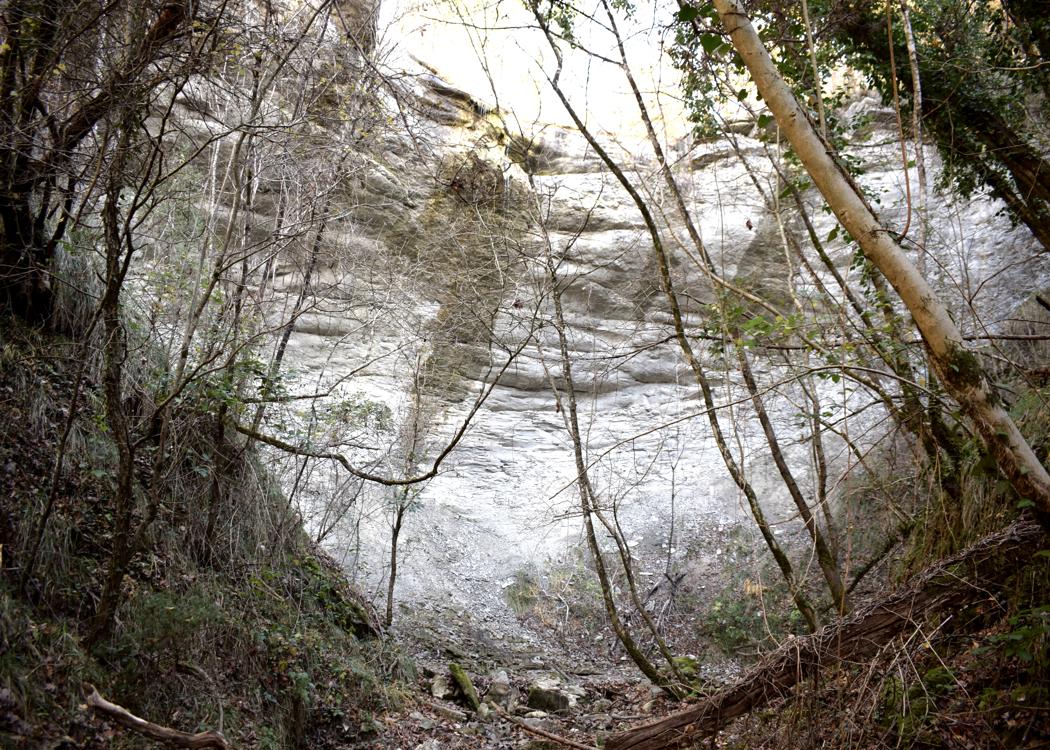
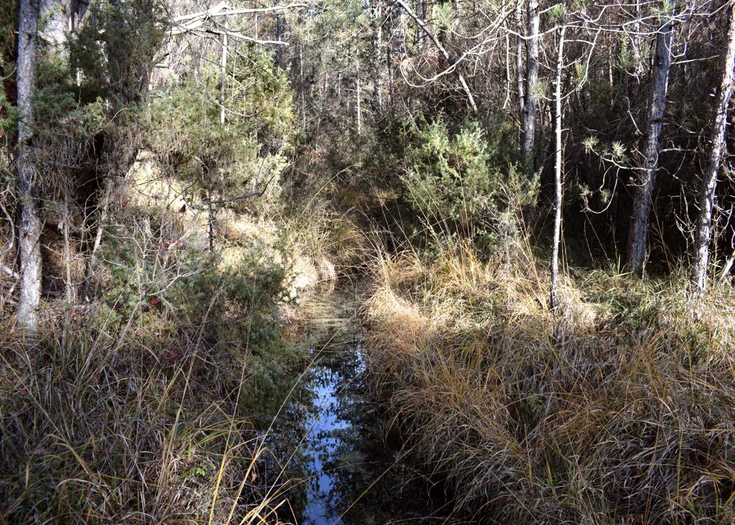
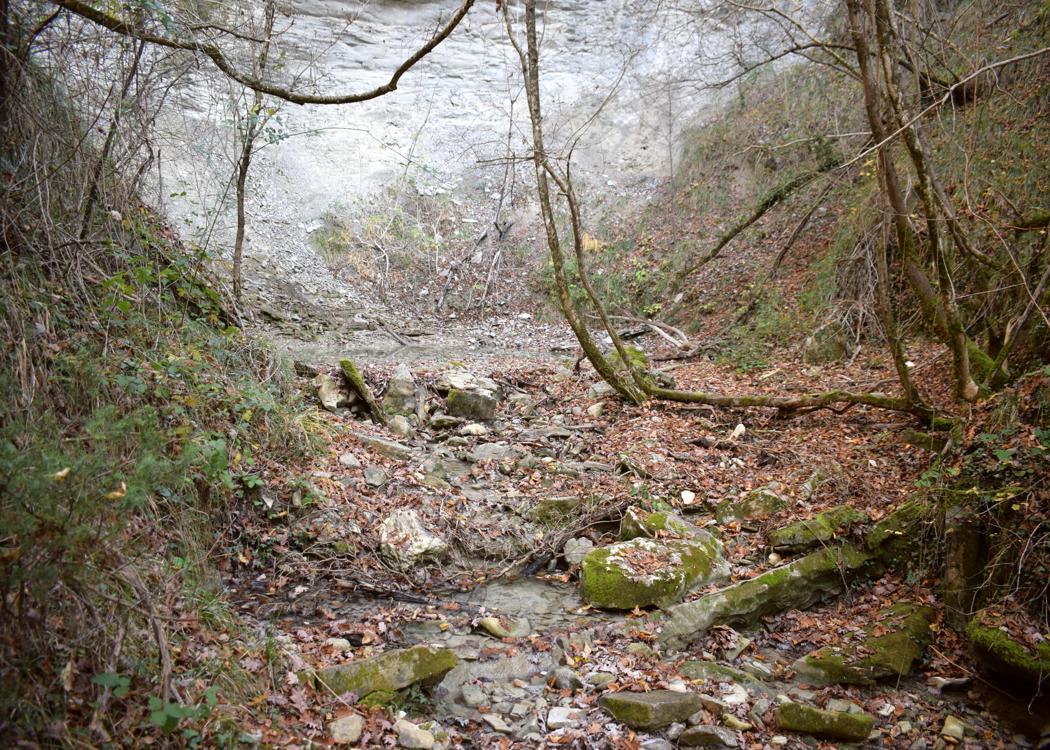
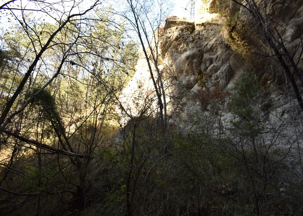
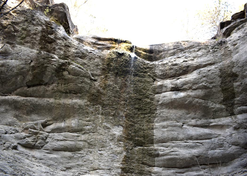
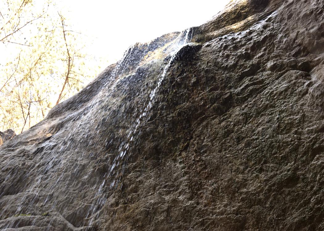
The height of the waterfall is 20 meters.
Name: Waterfall Stranice.
Place: Near Trebeče – (Koper),
Coordinates: 45.46974 N -13.86091 E.
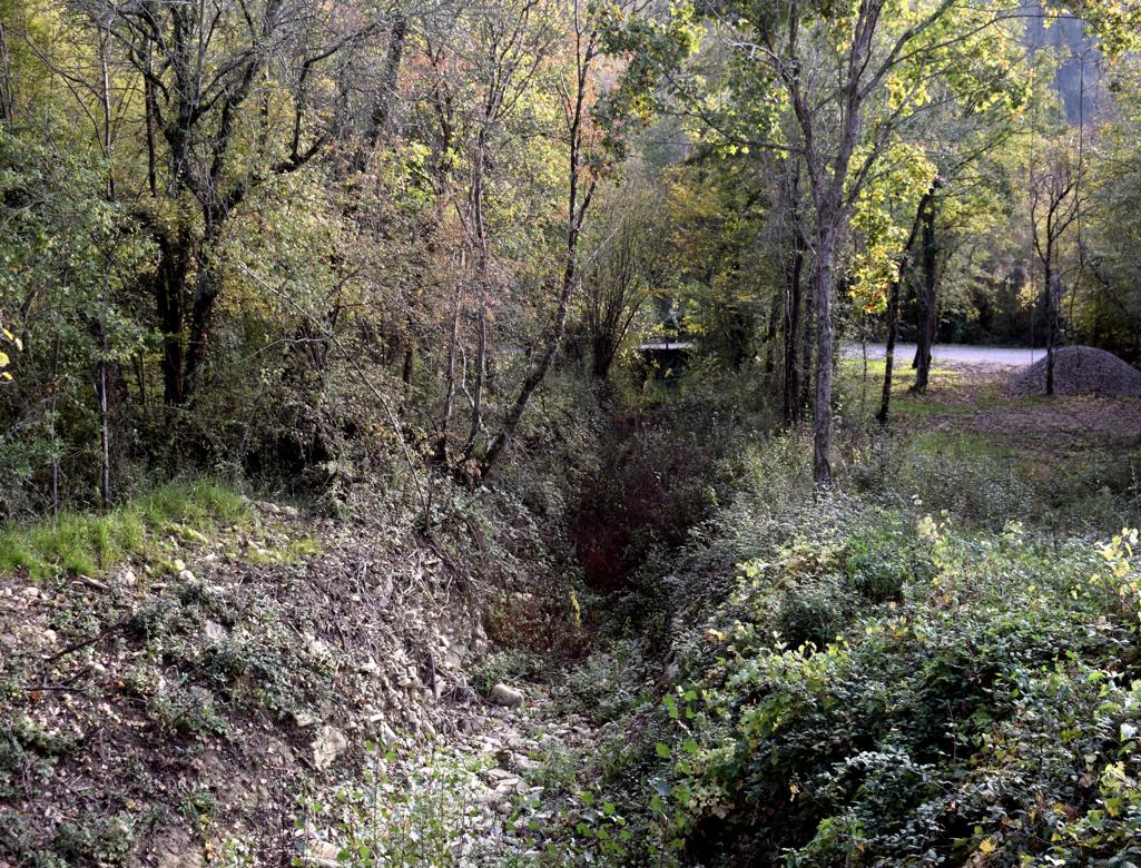
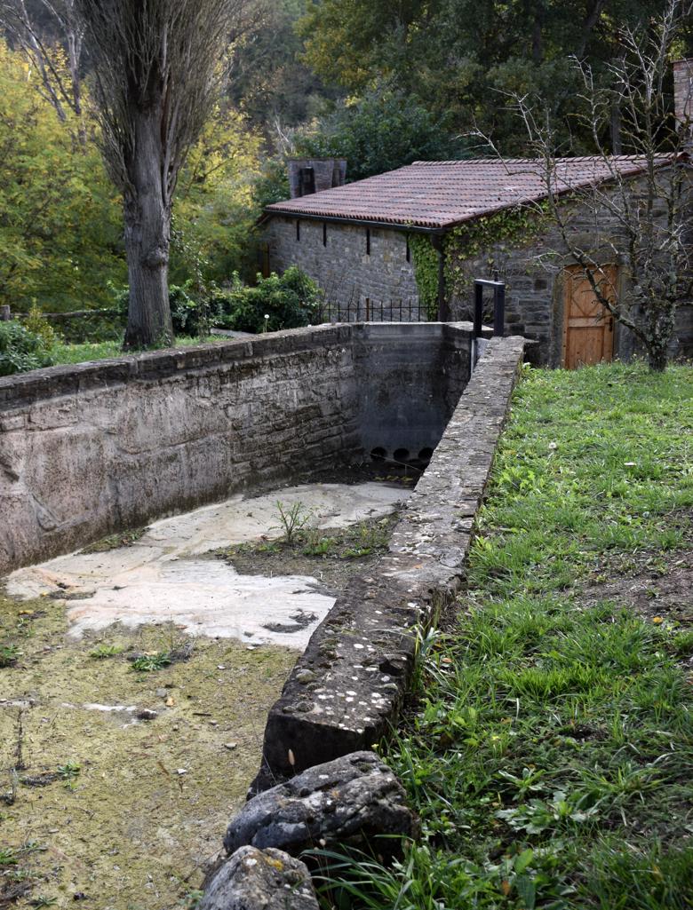
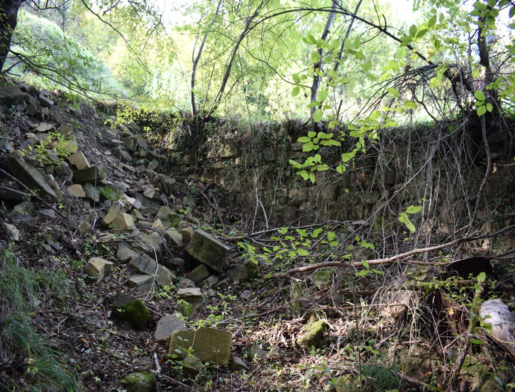
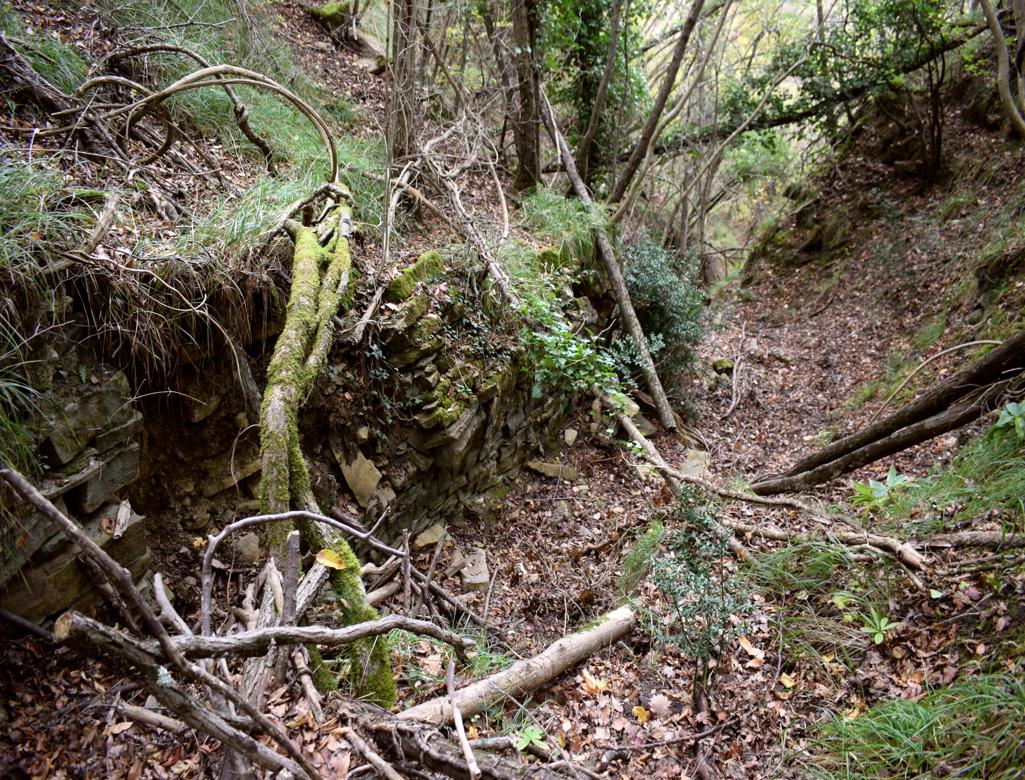
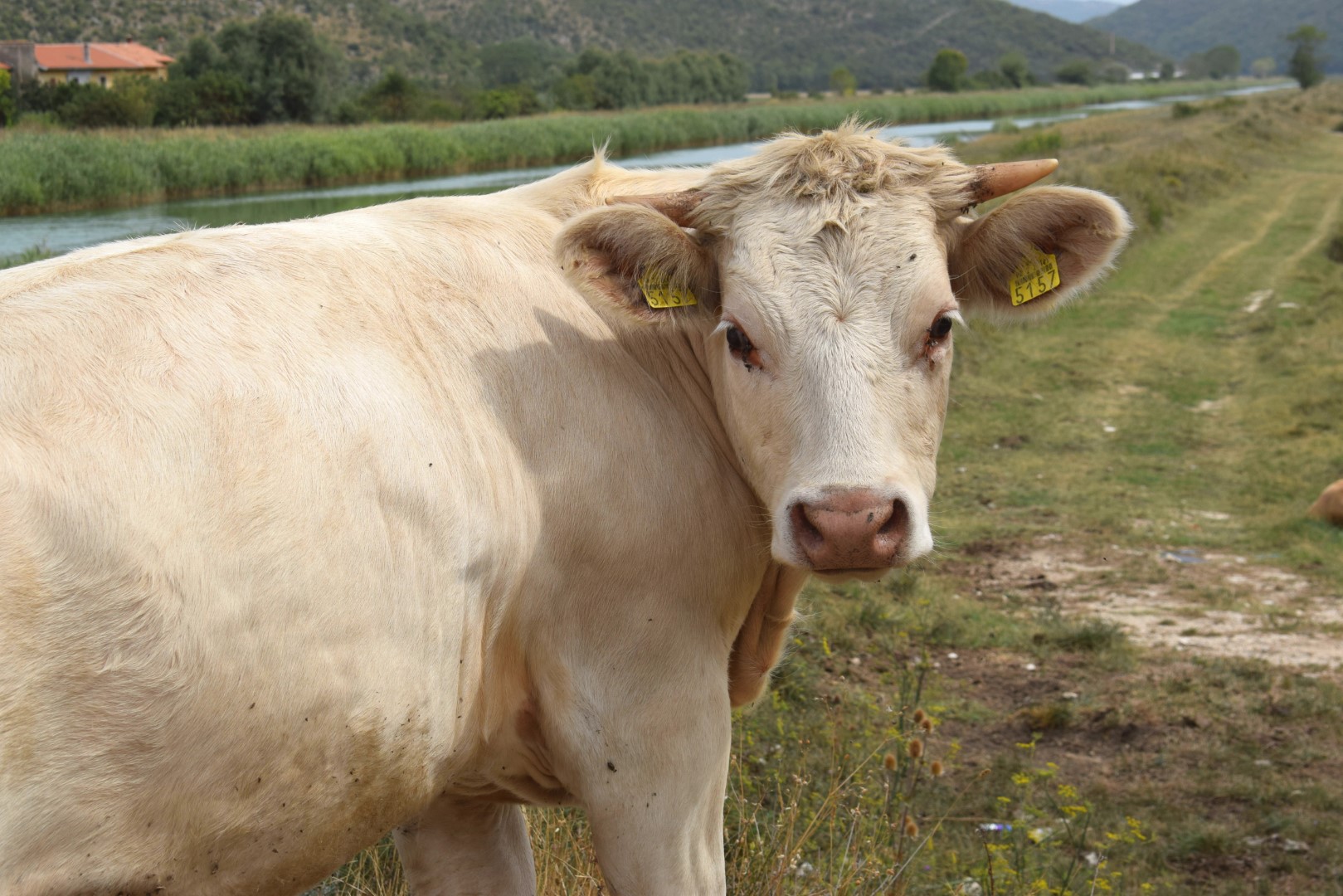
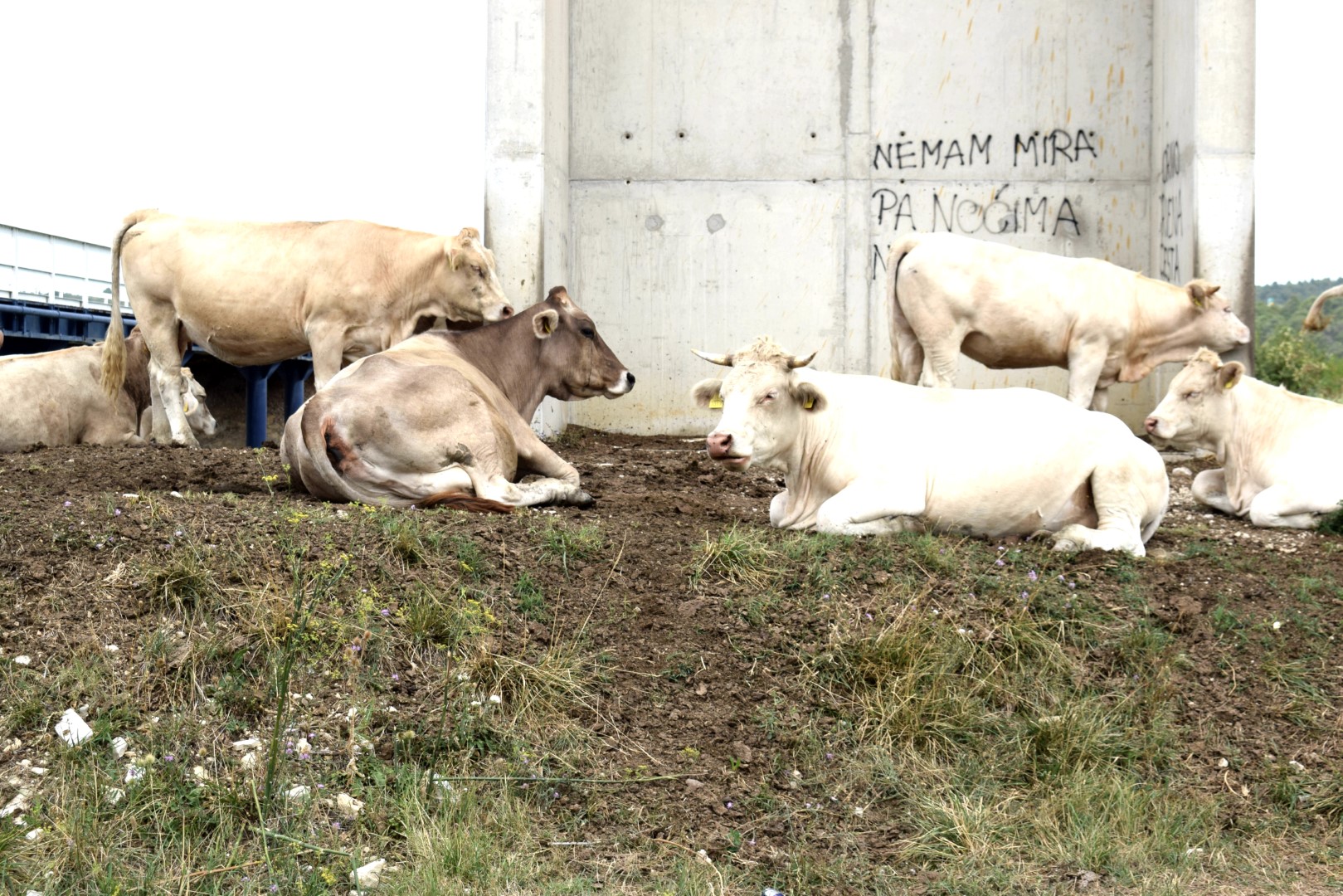
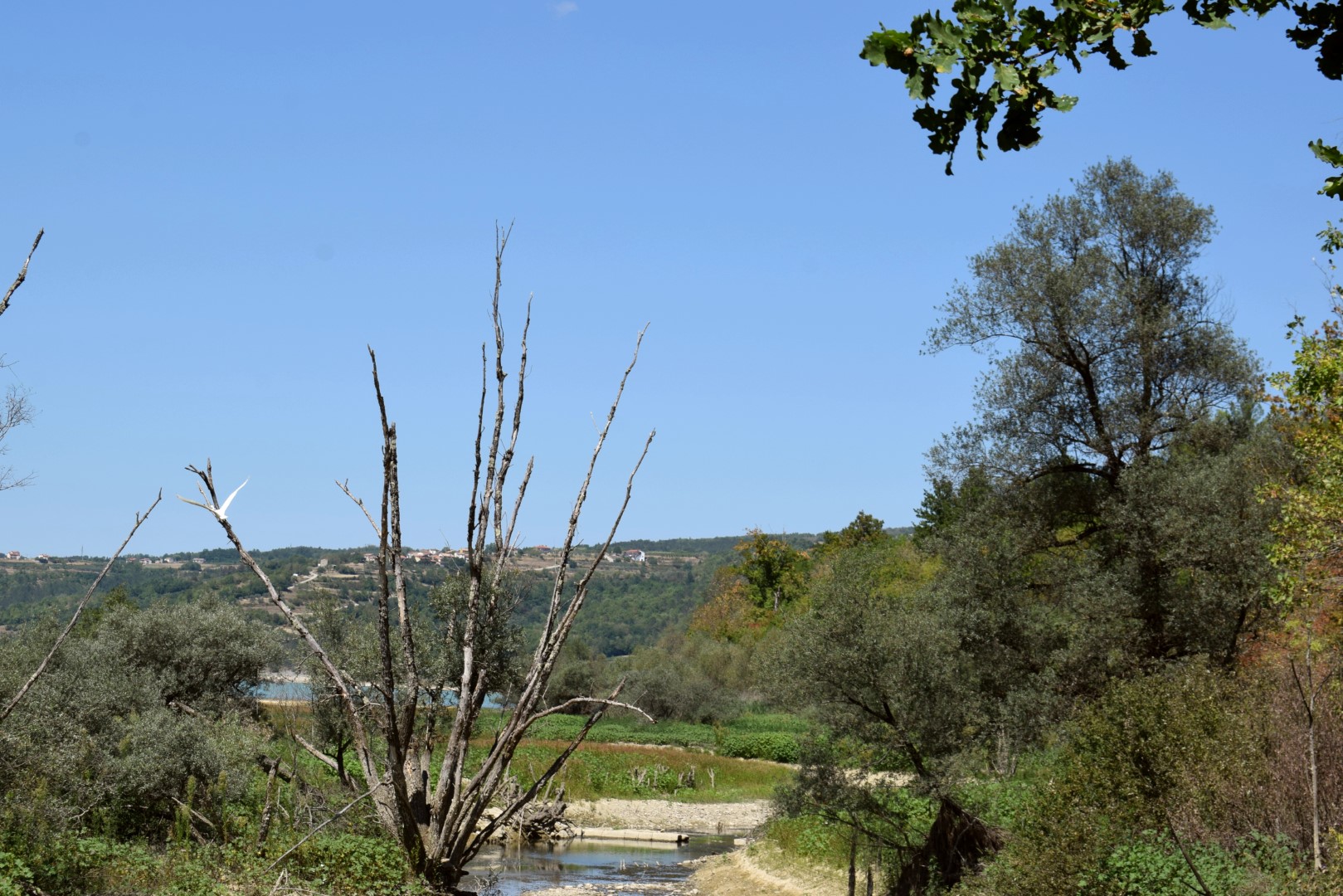
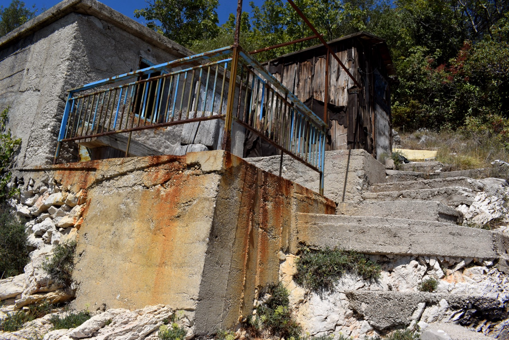
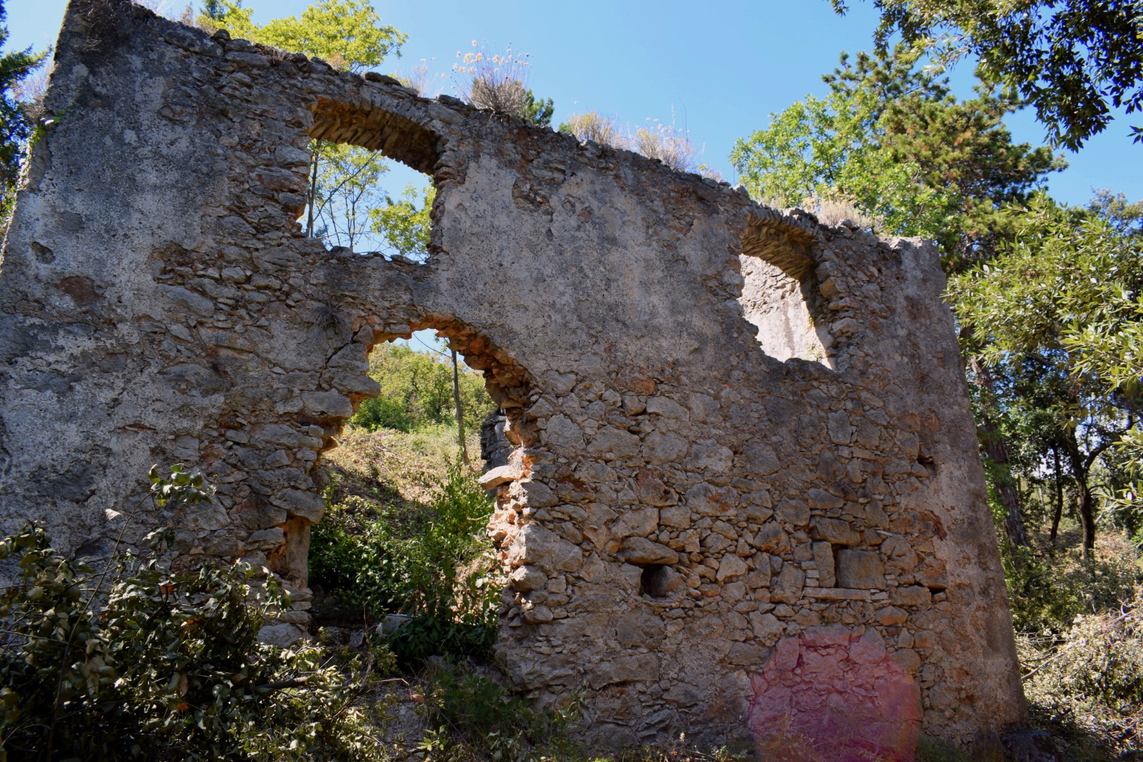
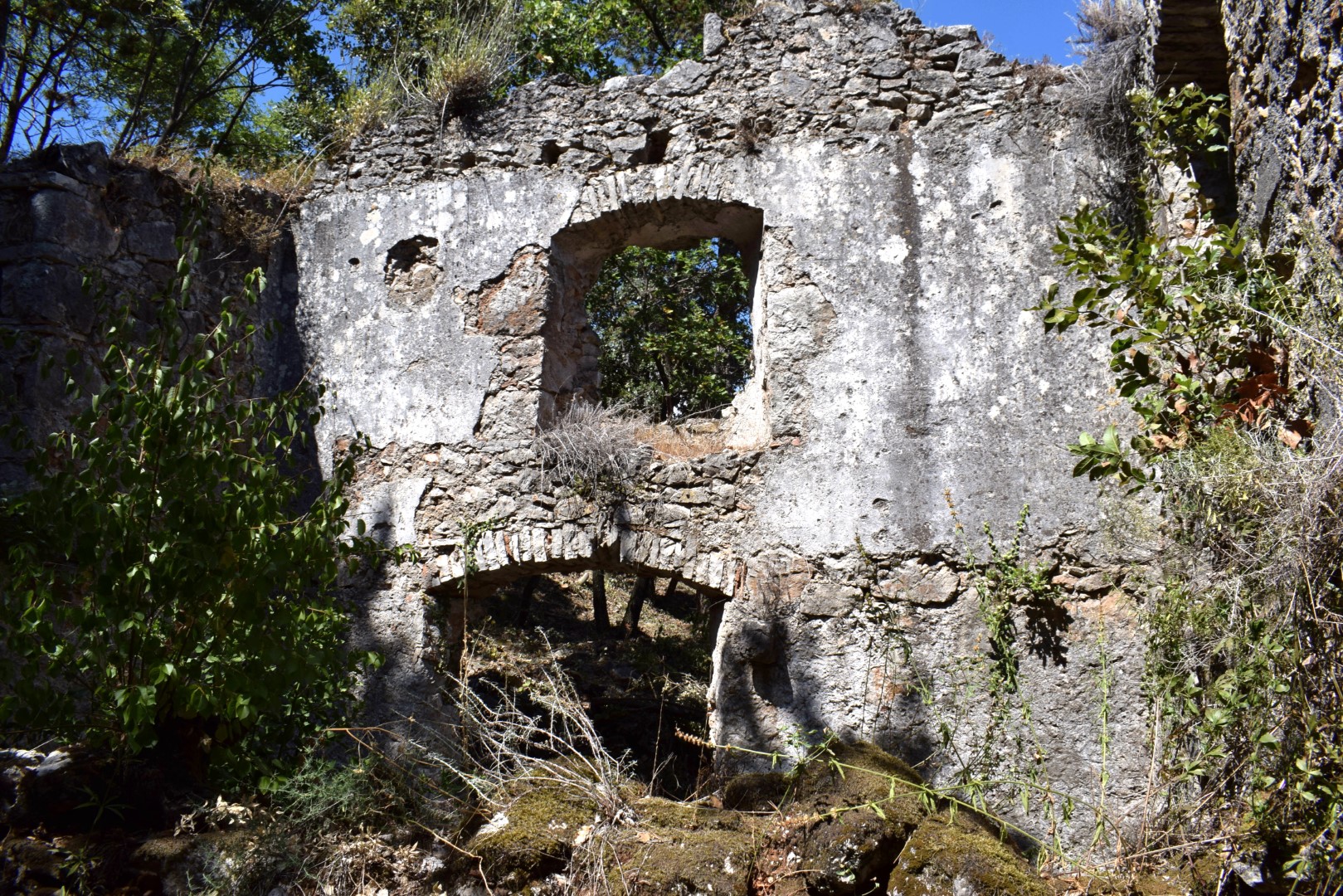
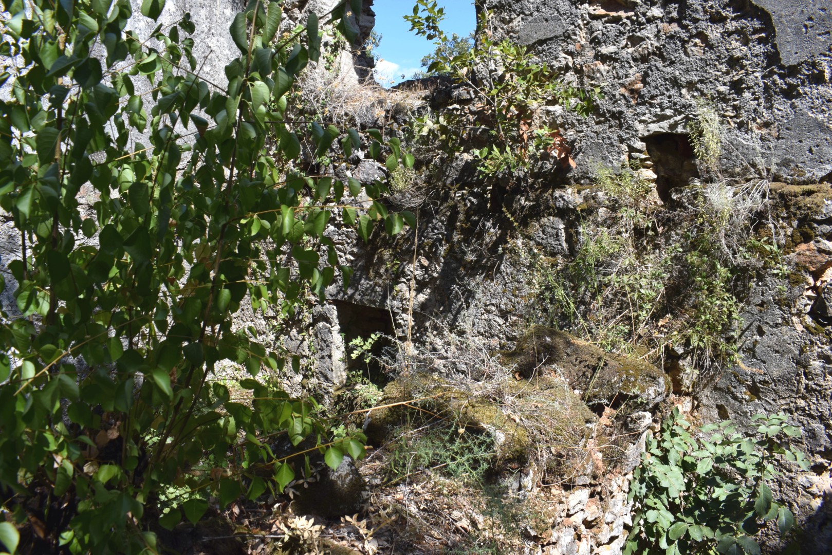
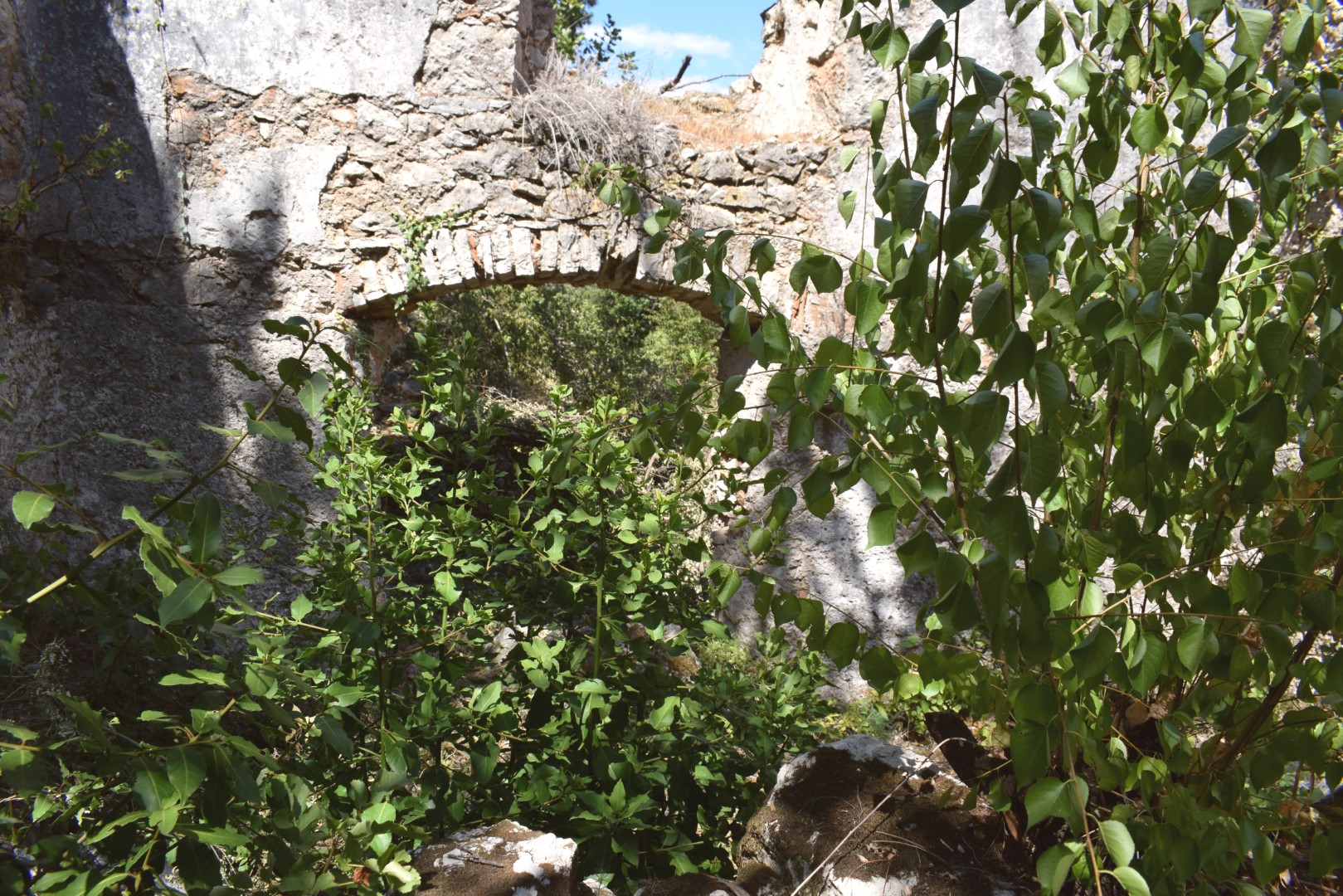
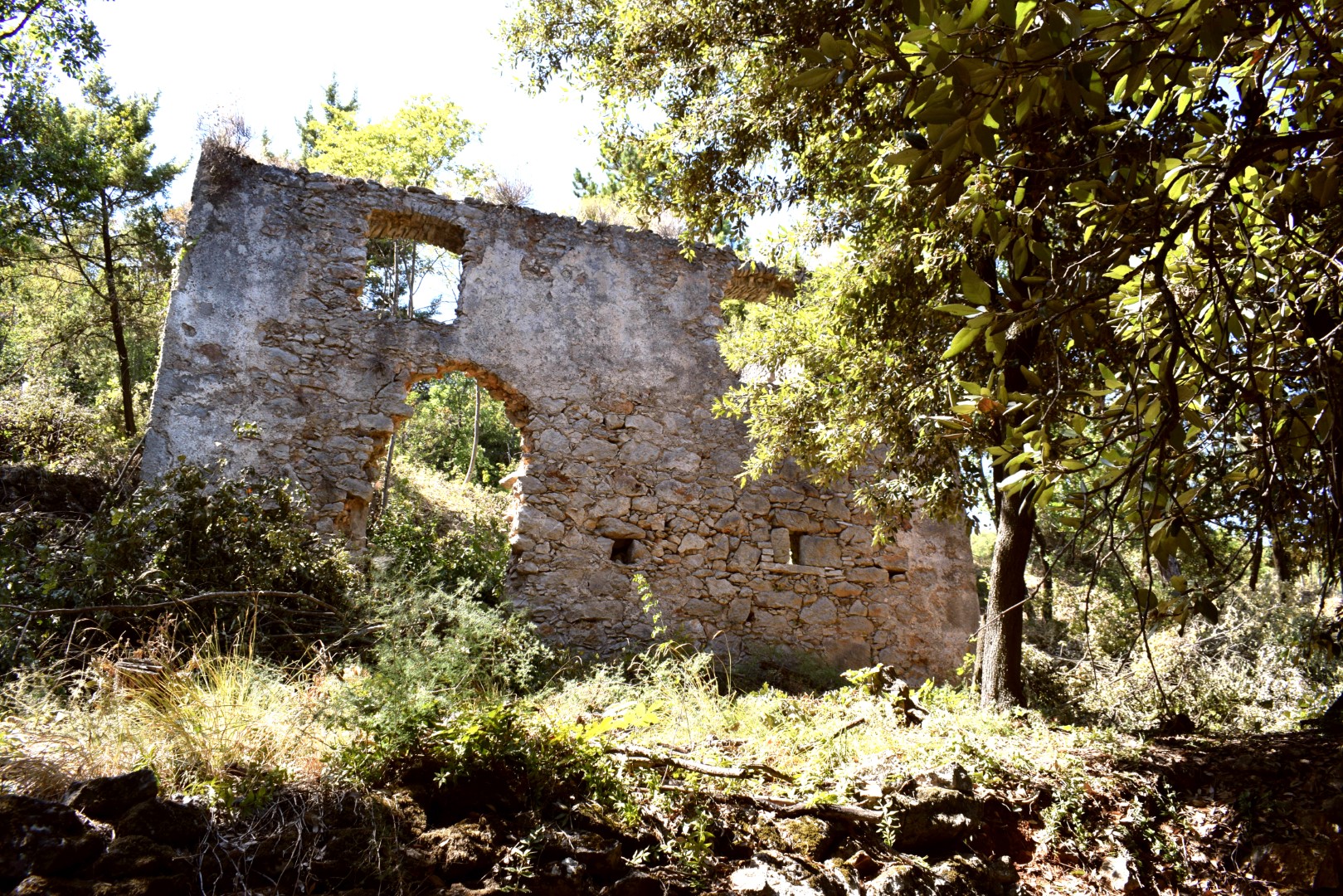
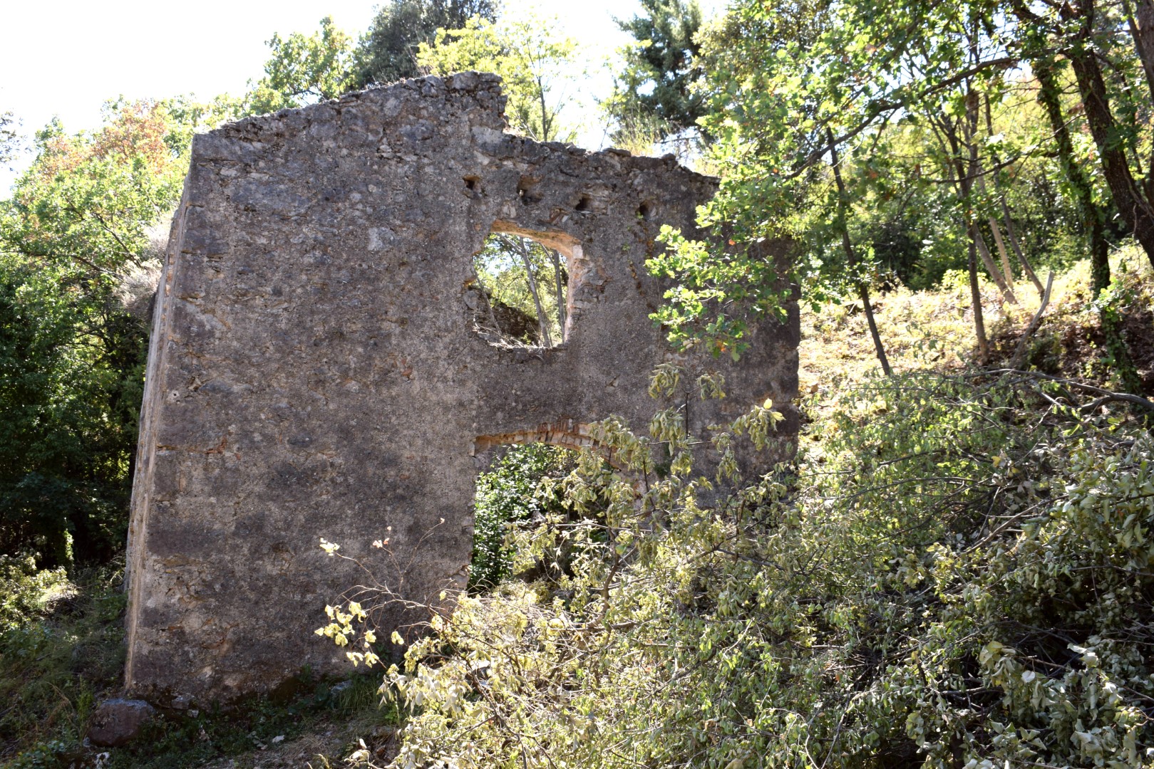
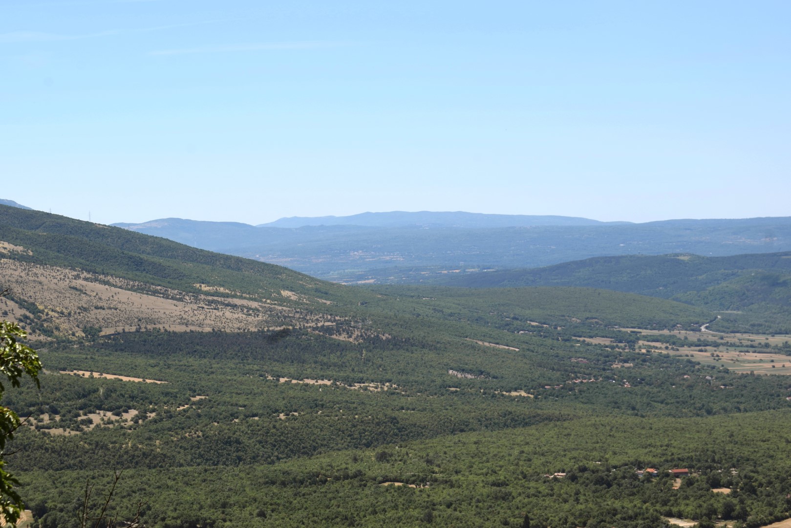
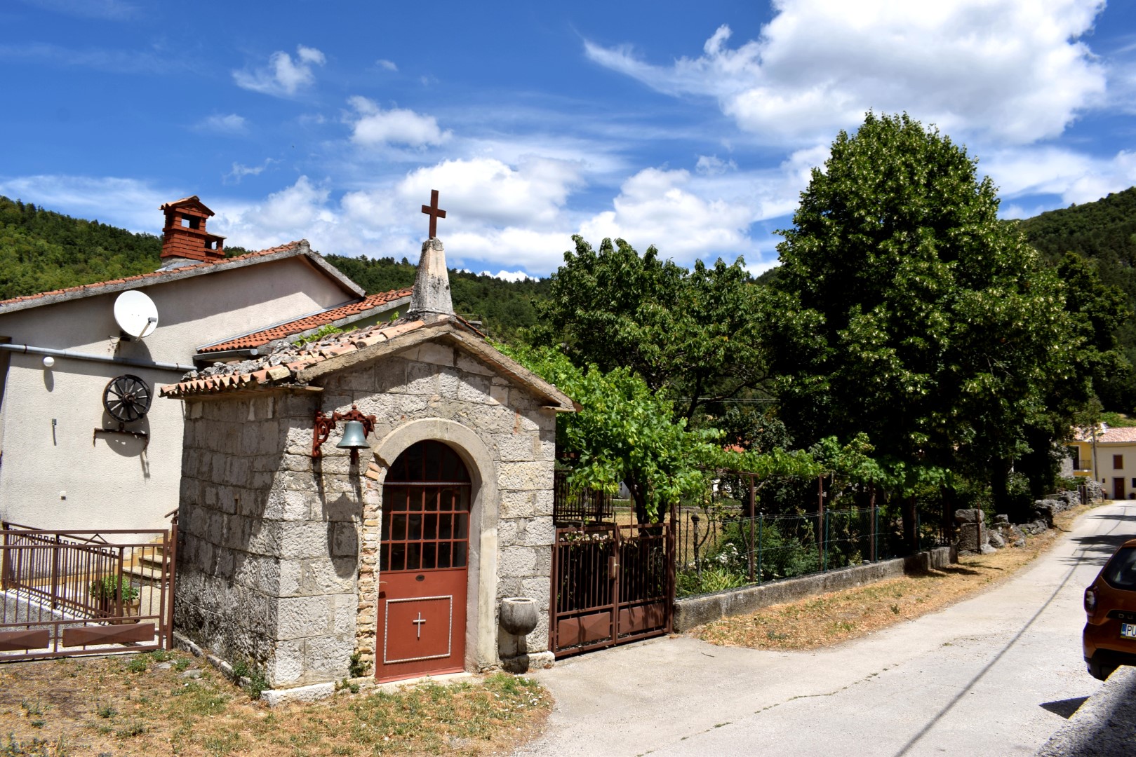
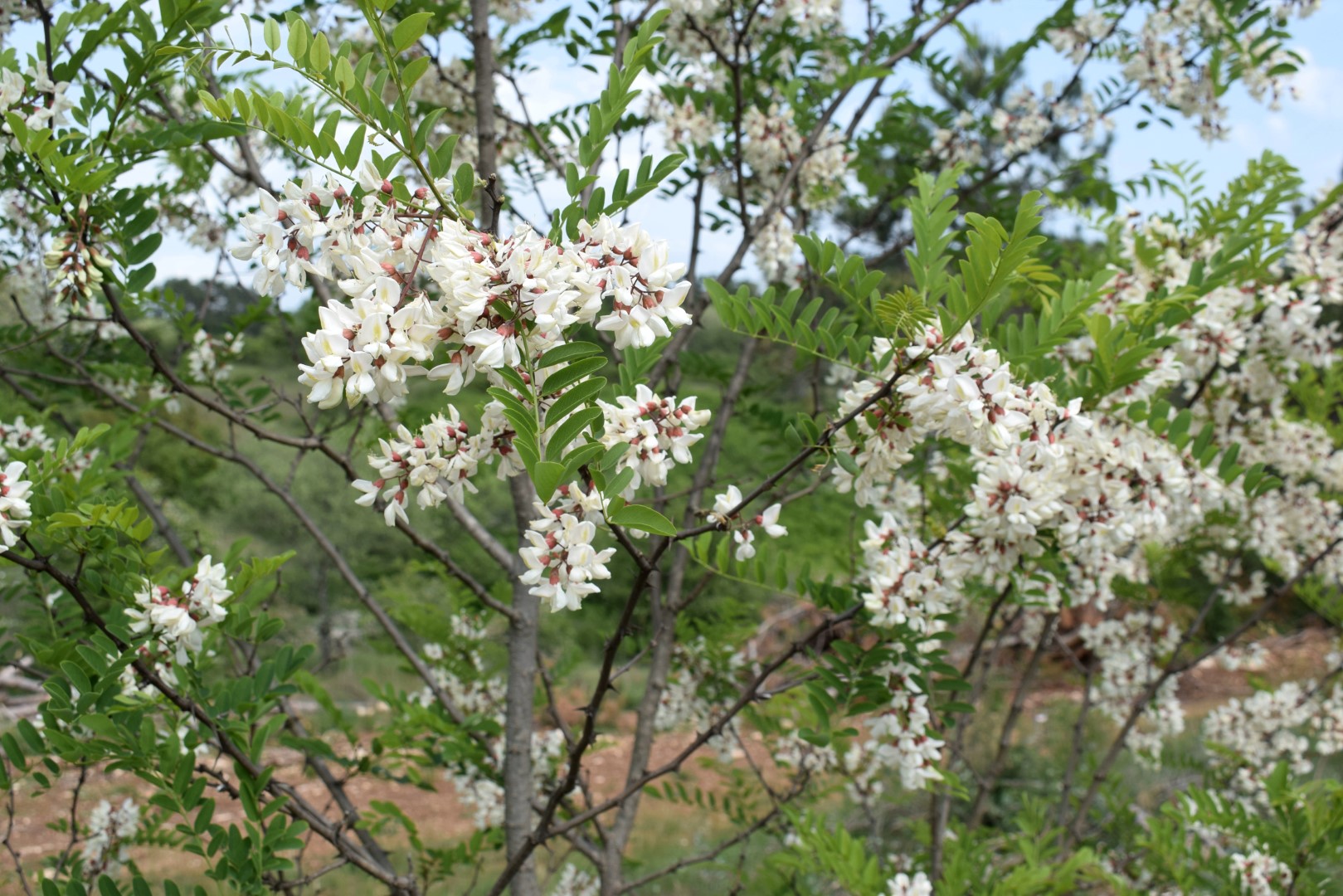
Name: Road from the village Koštabona to Kodarinov Malen near the stream Supot and the river Dragonja.
Place: Koštabona – (Koper).
Coordinates: Start 45.48913 N – 13.73713 E, split 45.47388 N -13.74719 E, Korinov Malen 45.47330 N – 13.74365 E.

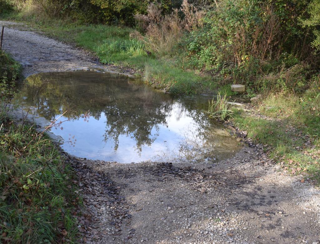
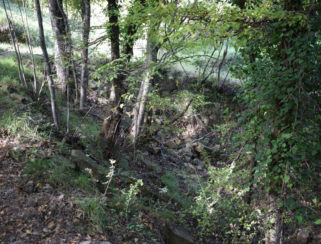
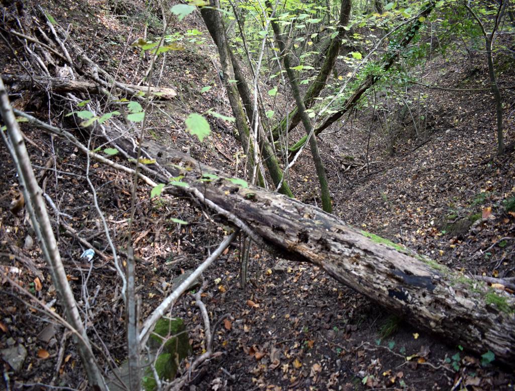
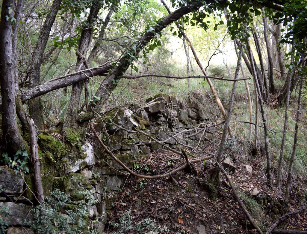
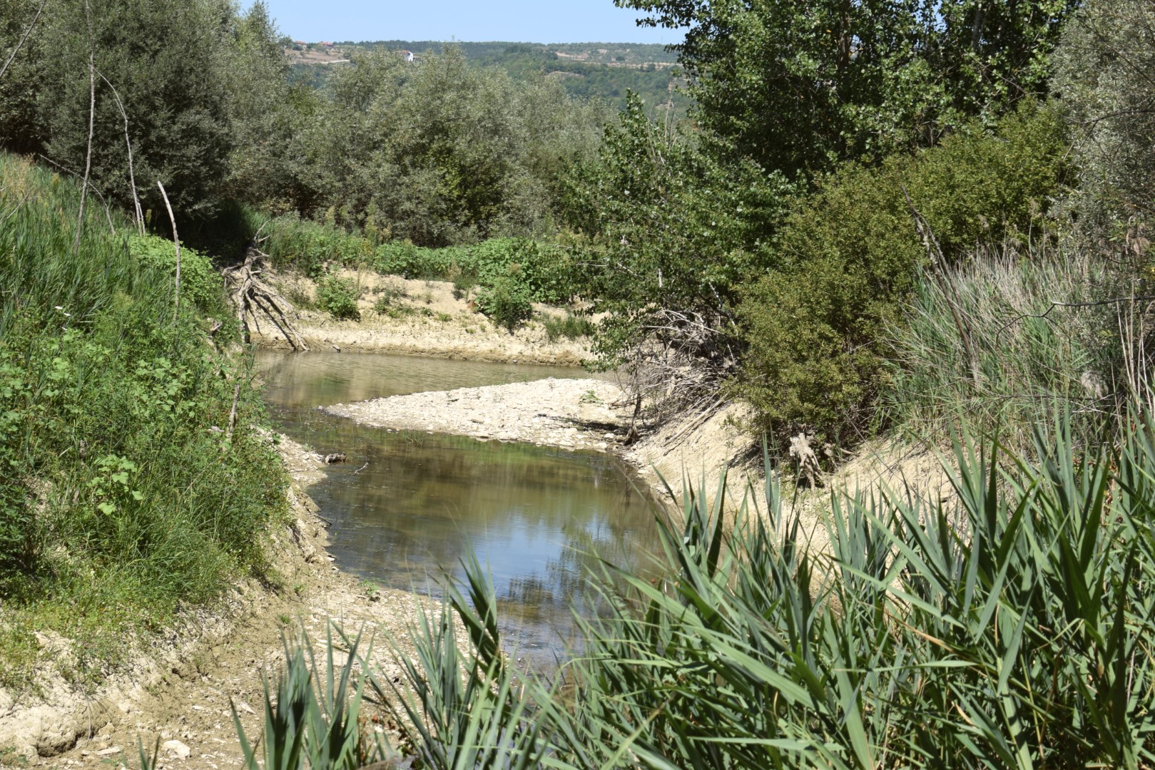
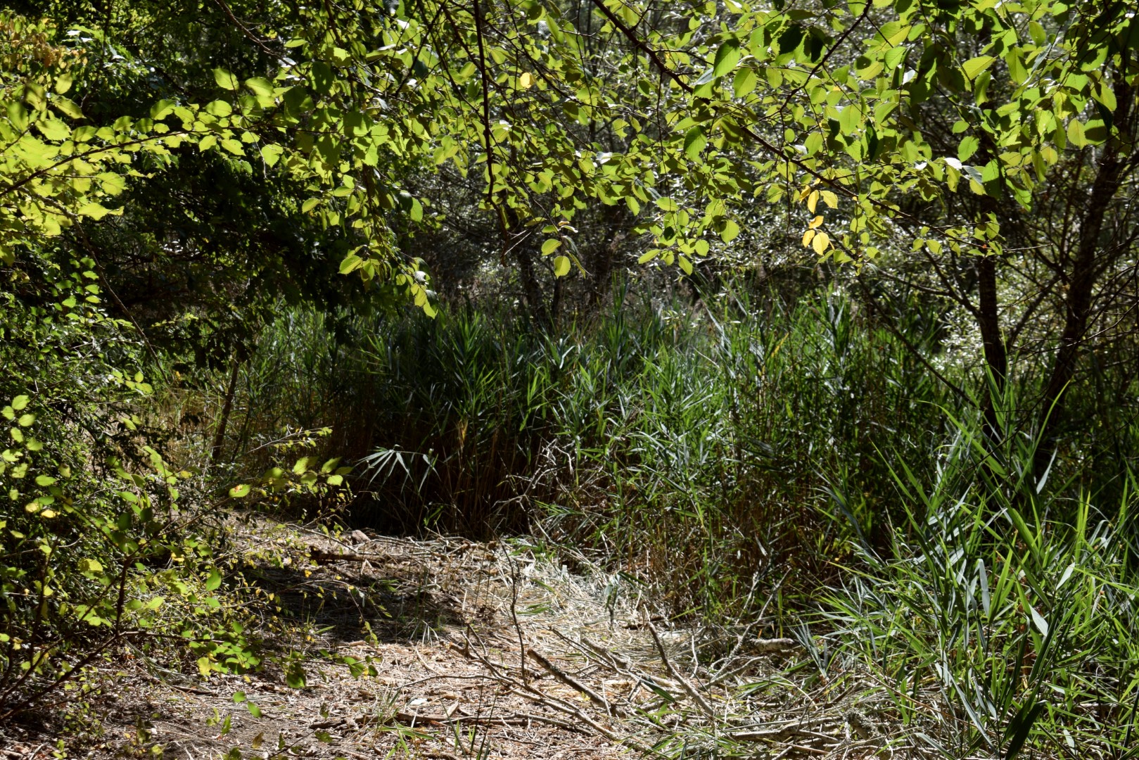
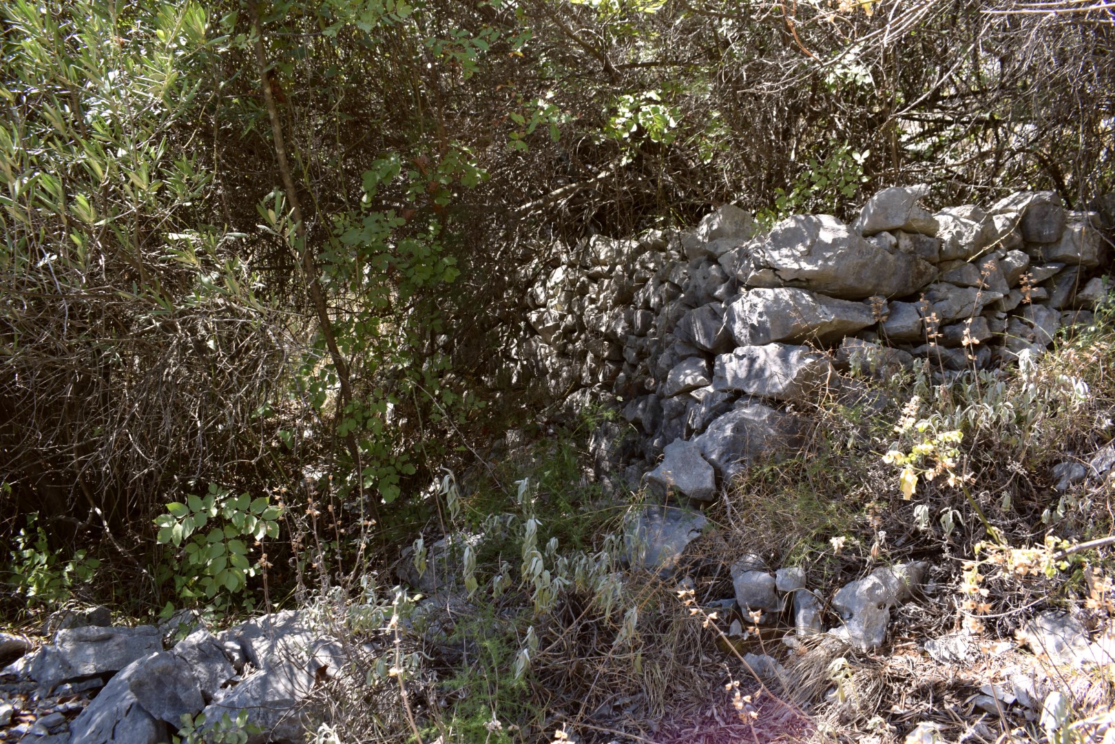
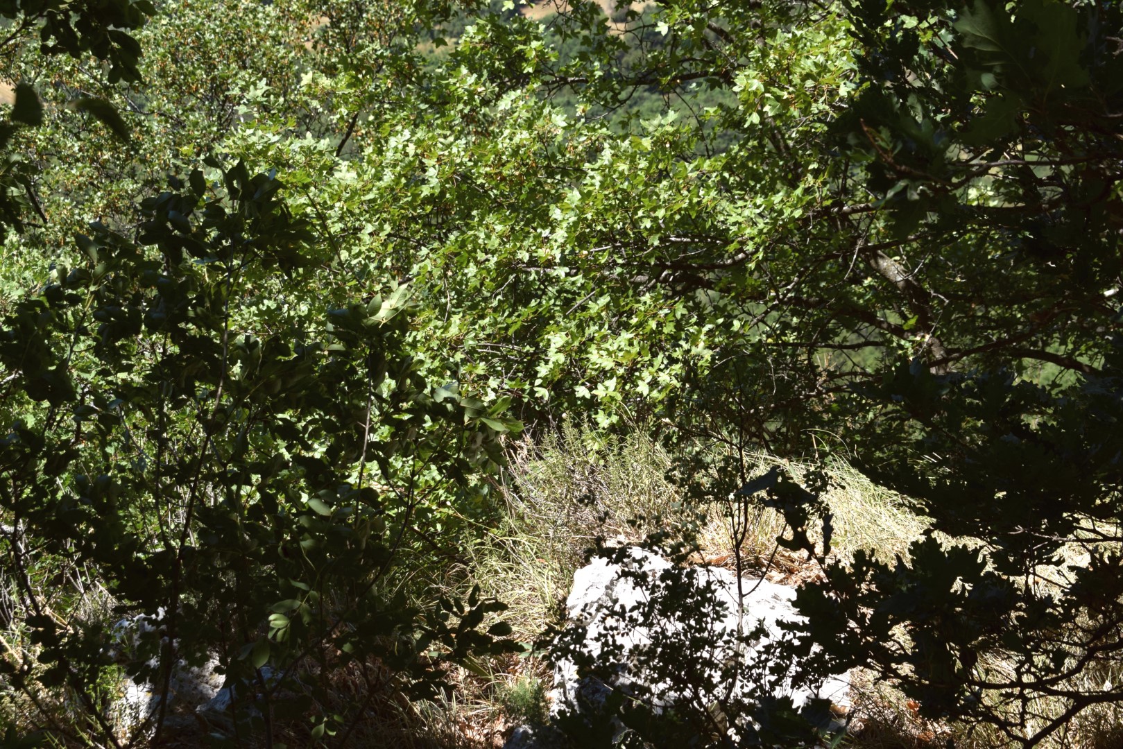
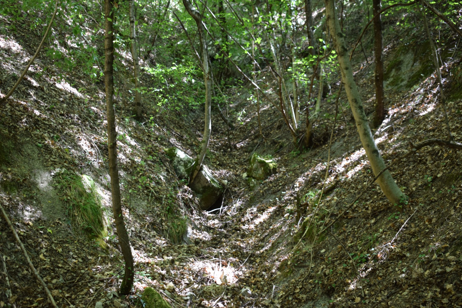
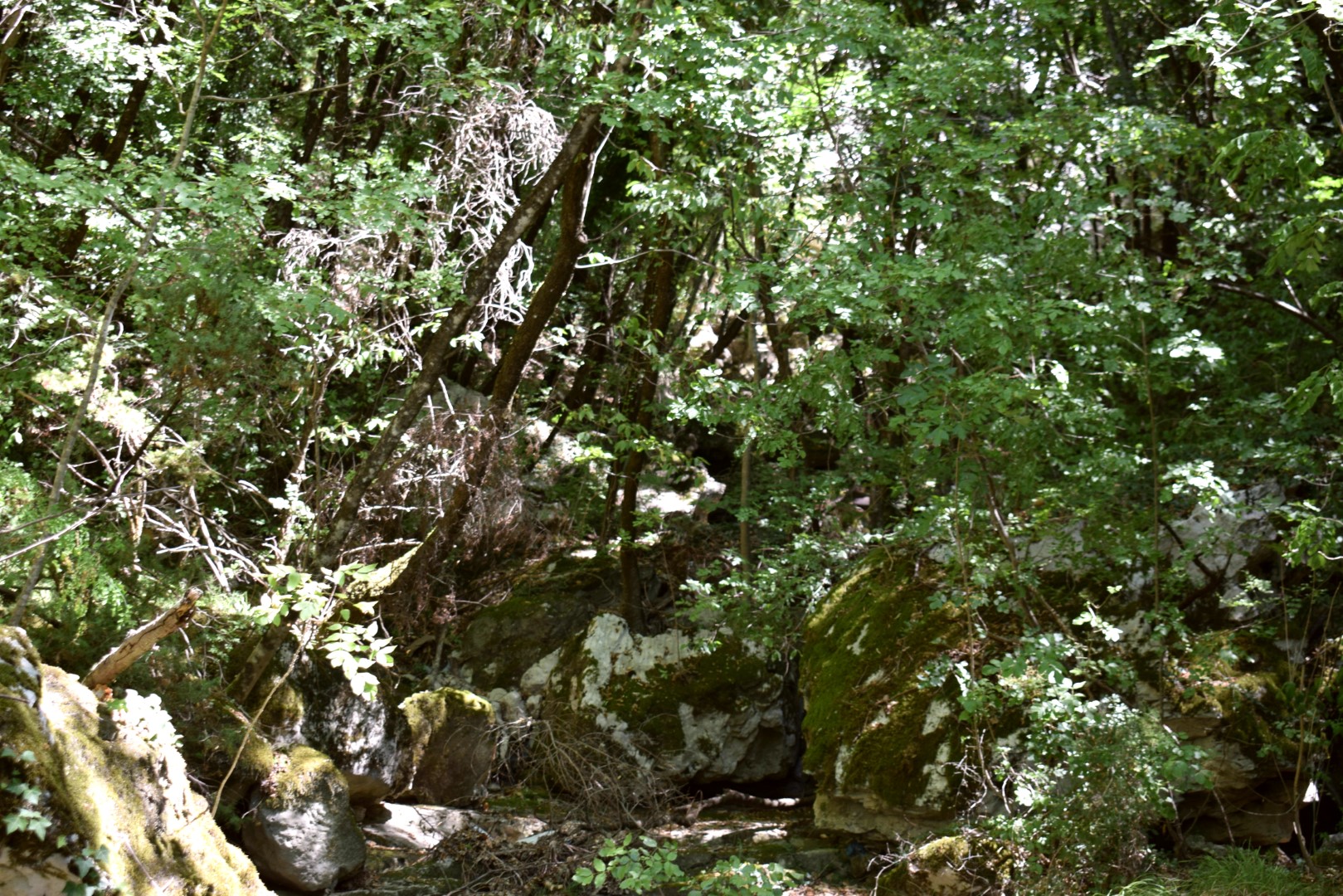
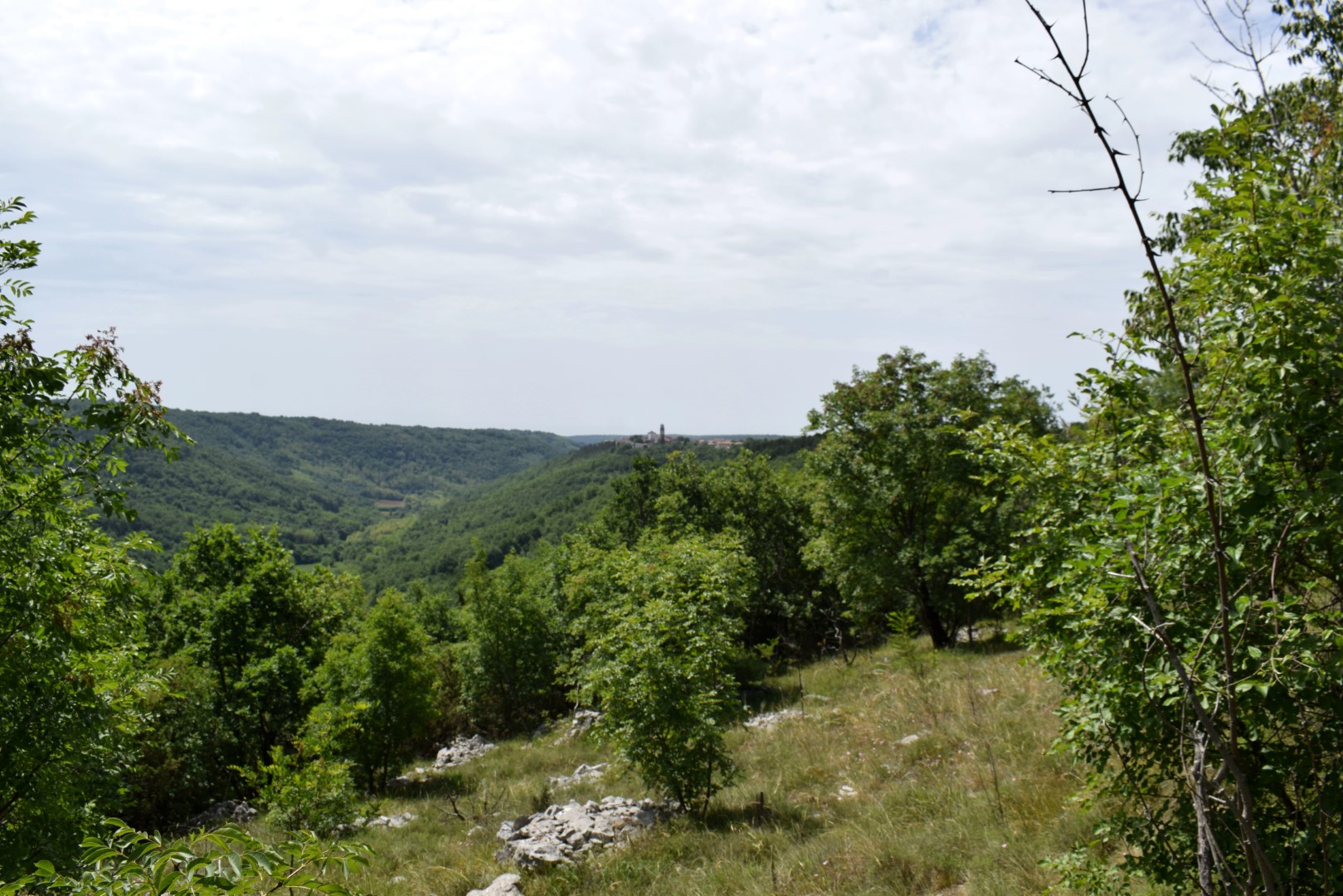
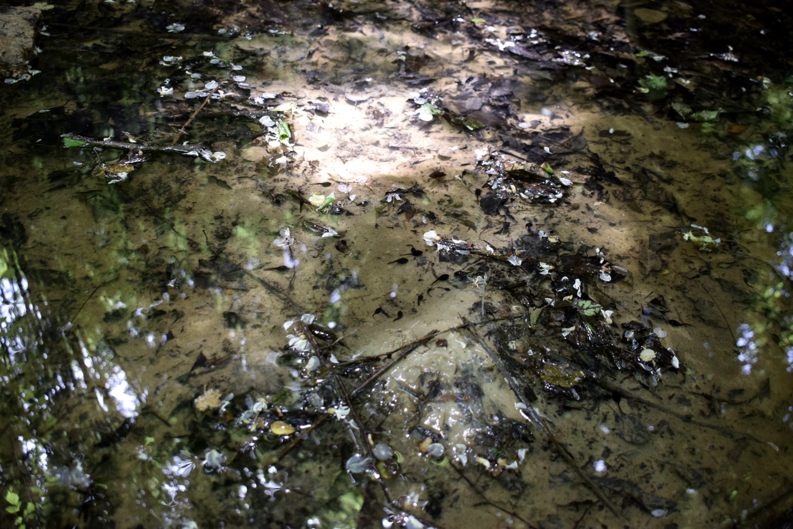
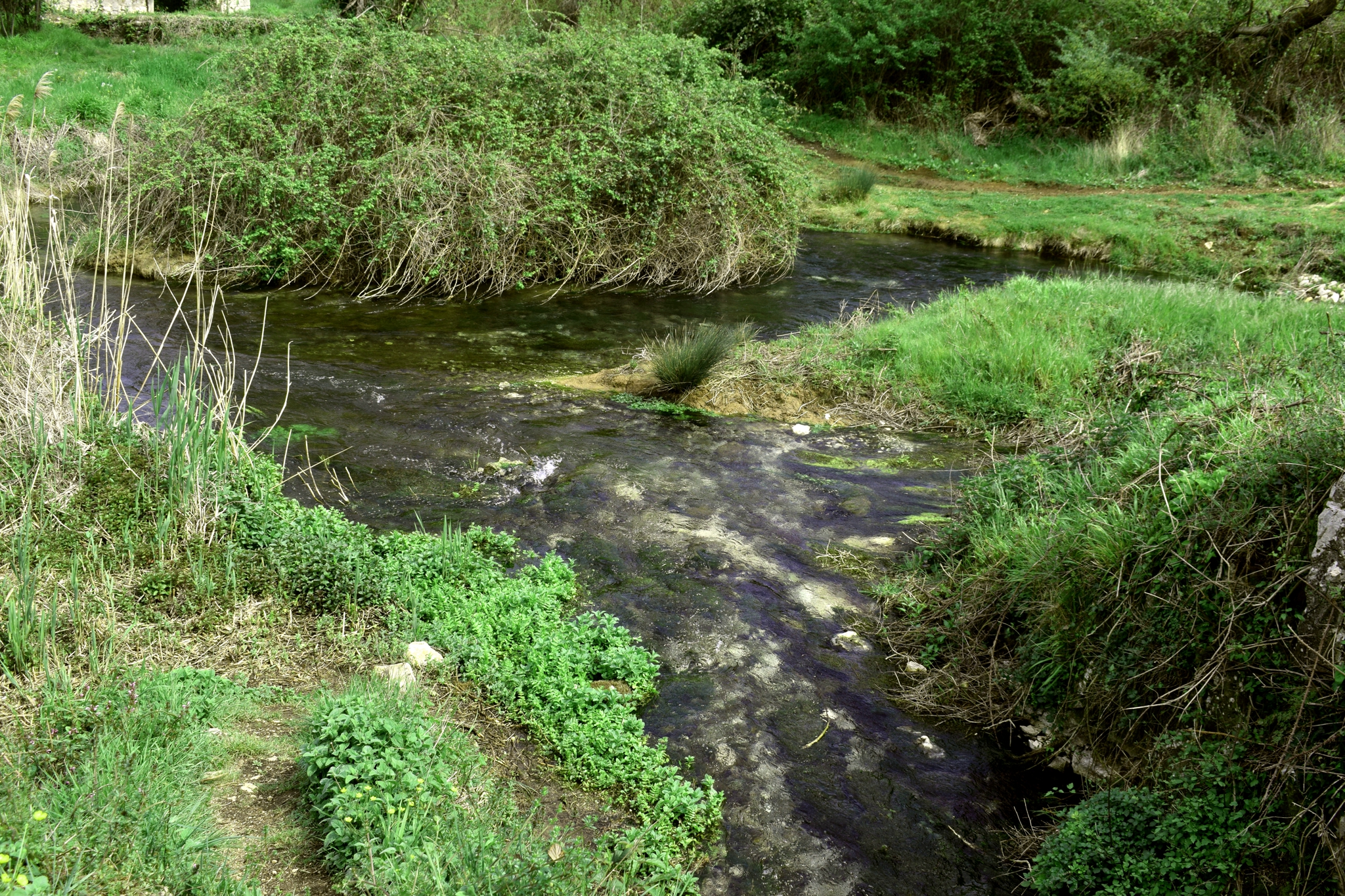
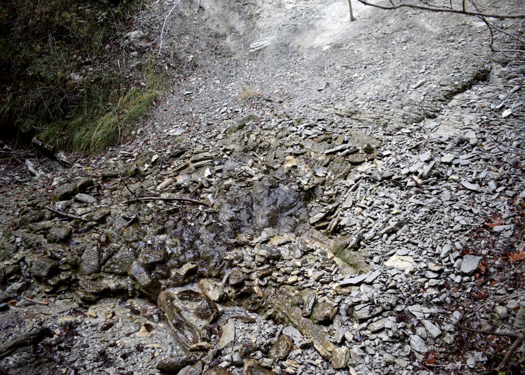
Name: Waterfalls stream Supot.
Place: Near Koštabona – (Koper).
Coordinates. Start trail 45.48029 N – 13.73704,waterfalls 45,488958 N – 13. 1374348 E.

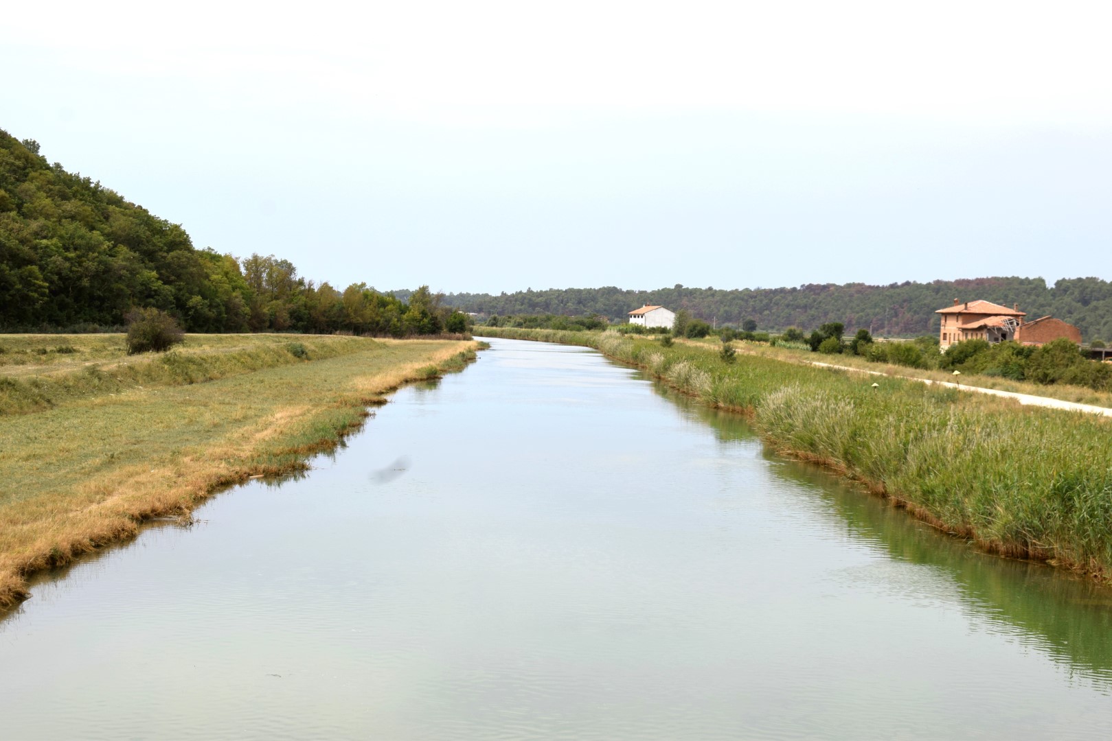
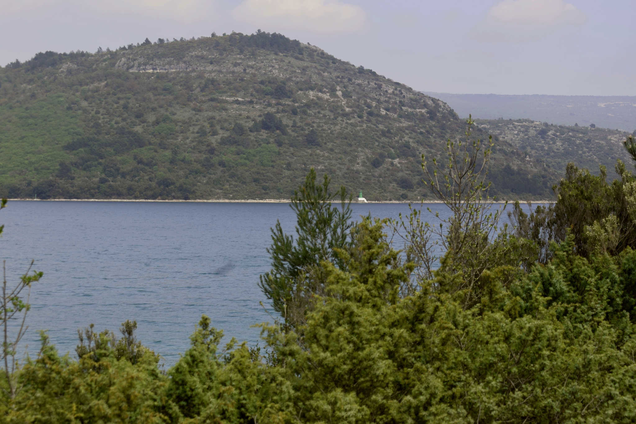
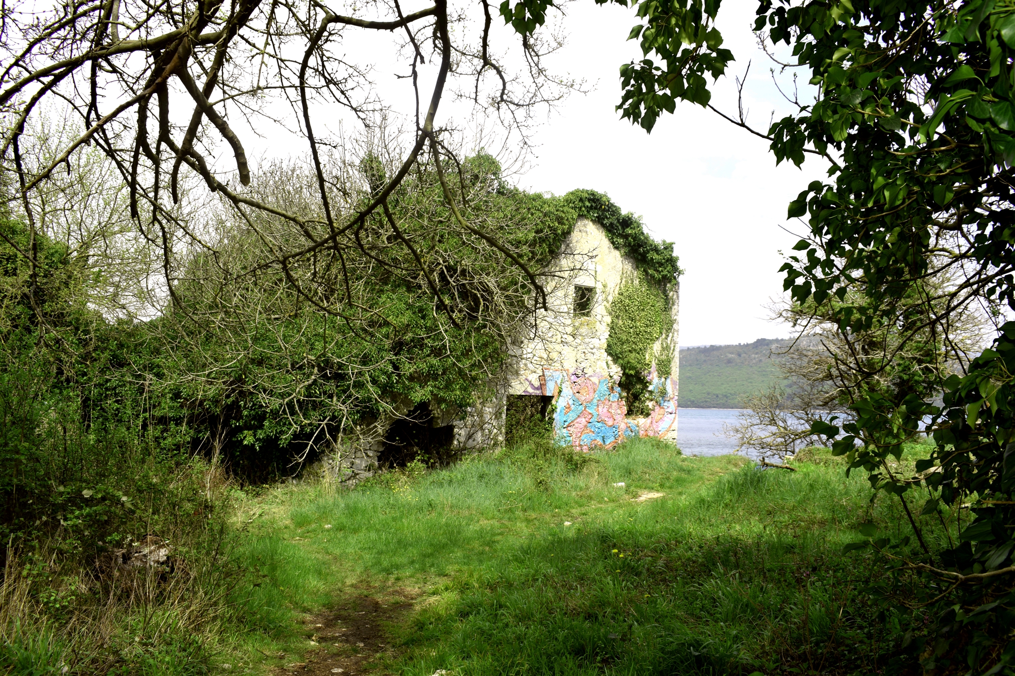
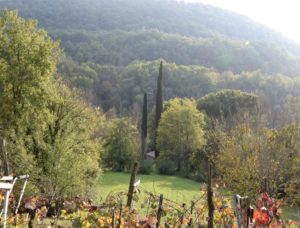
Name: River Mirna and Valley.
Place: Novigrad
Coordinates: 45.32957 N – 13.62653 O.
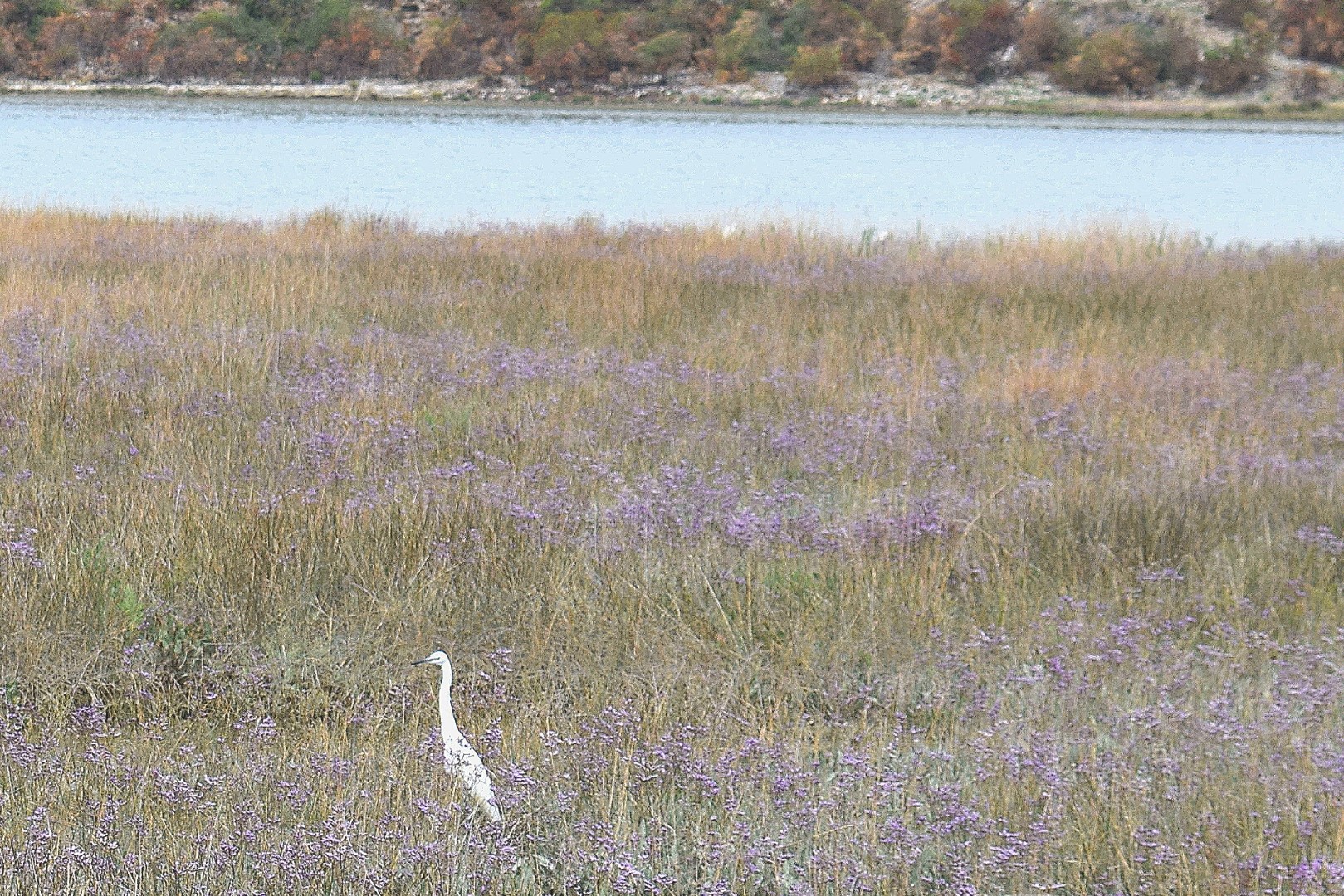
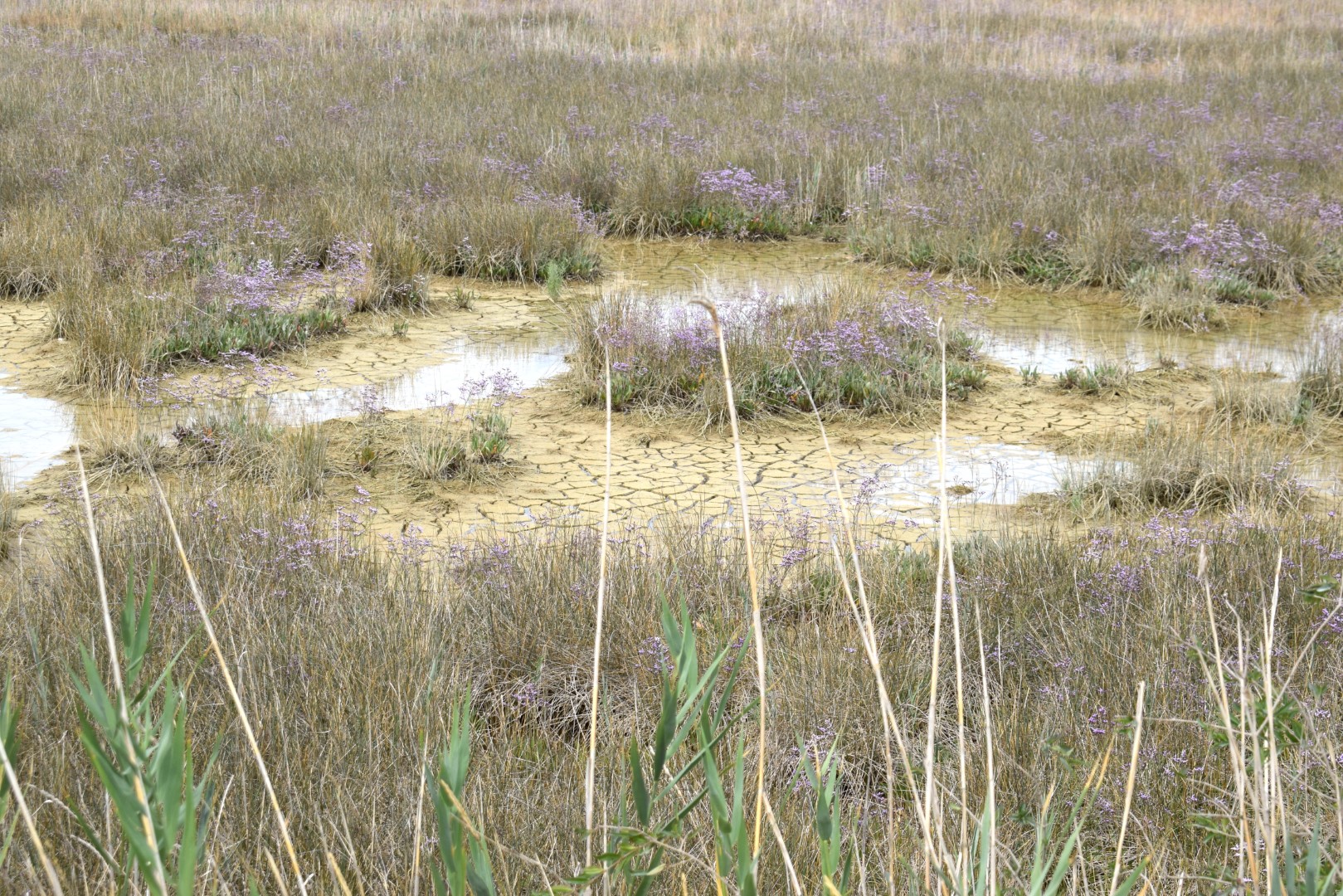
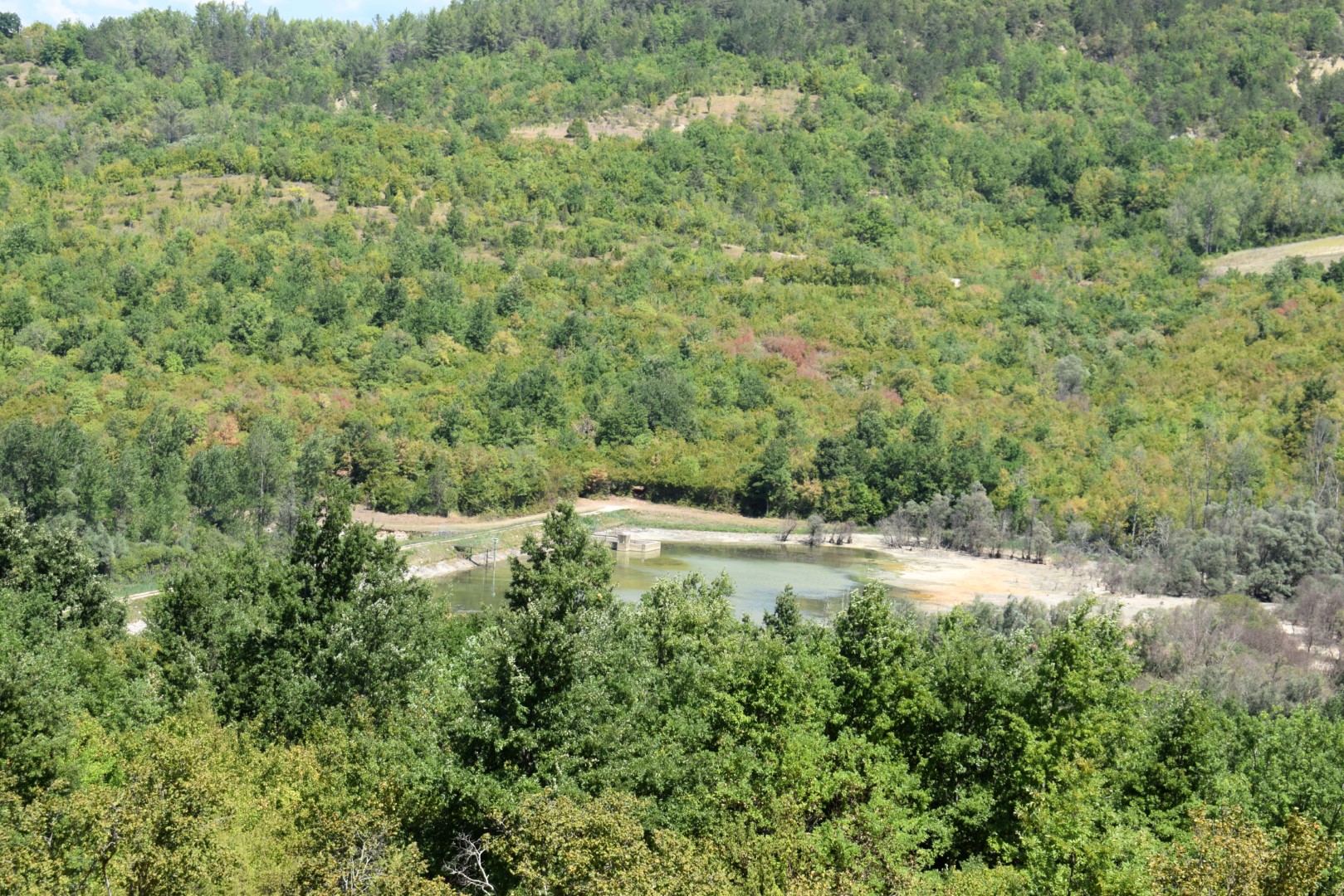
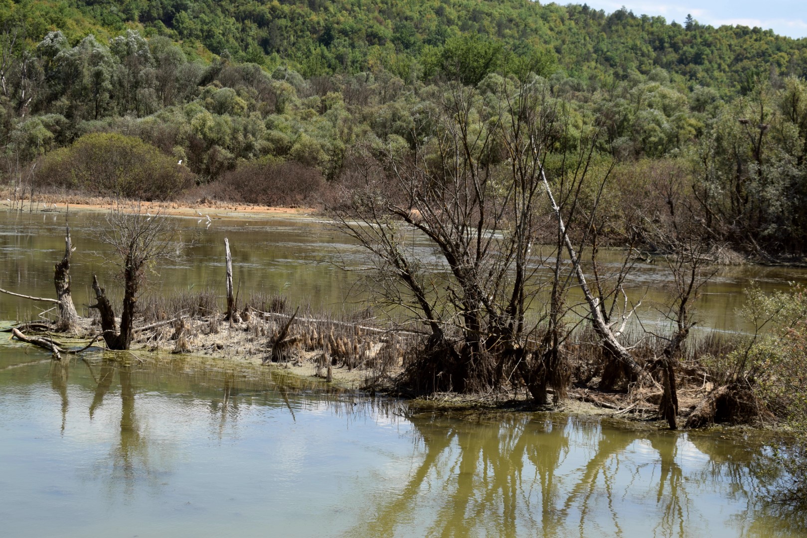
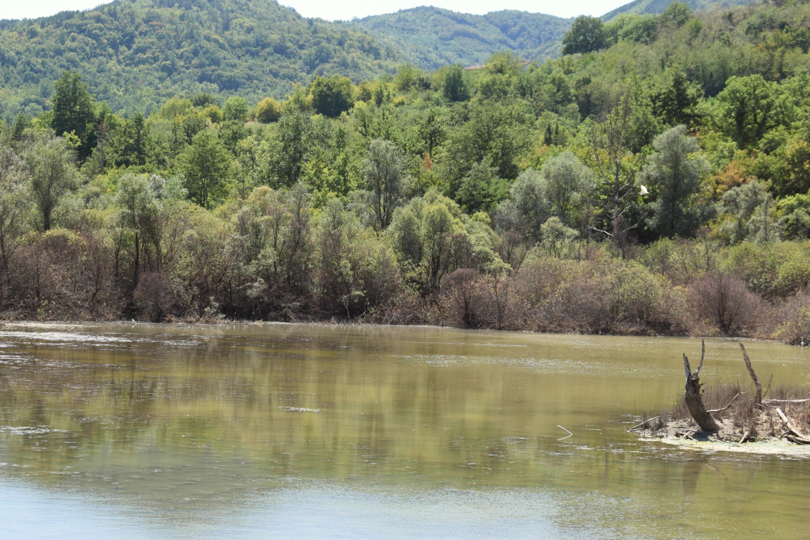
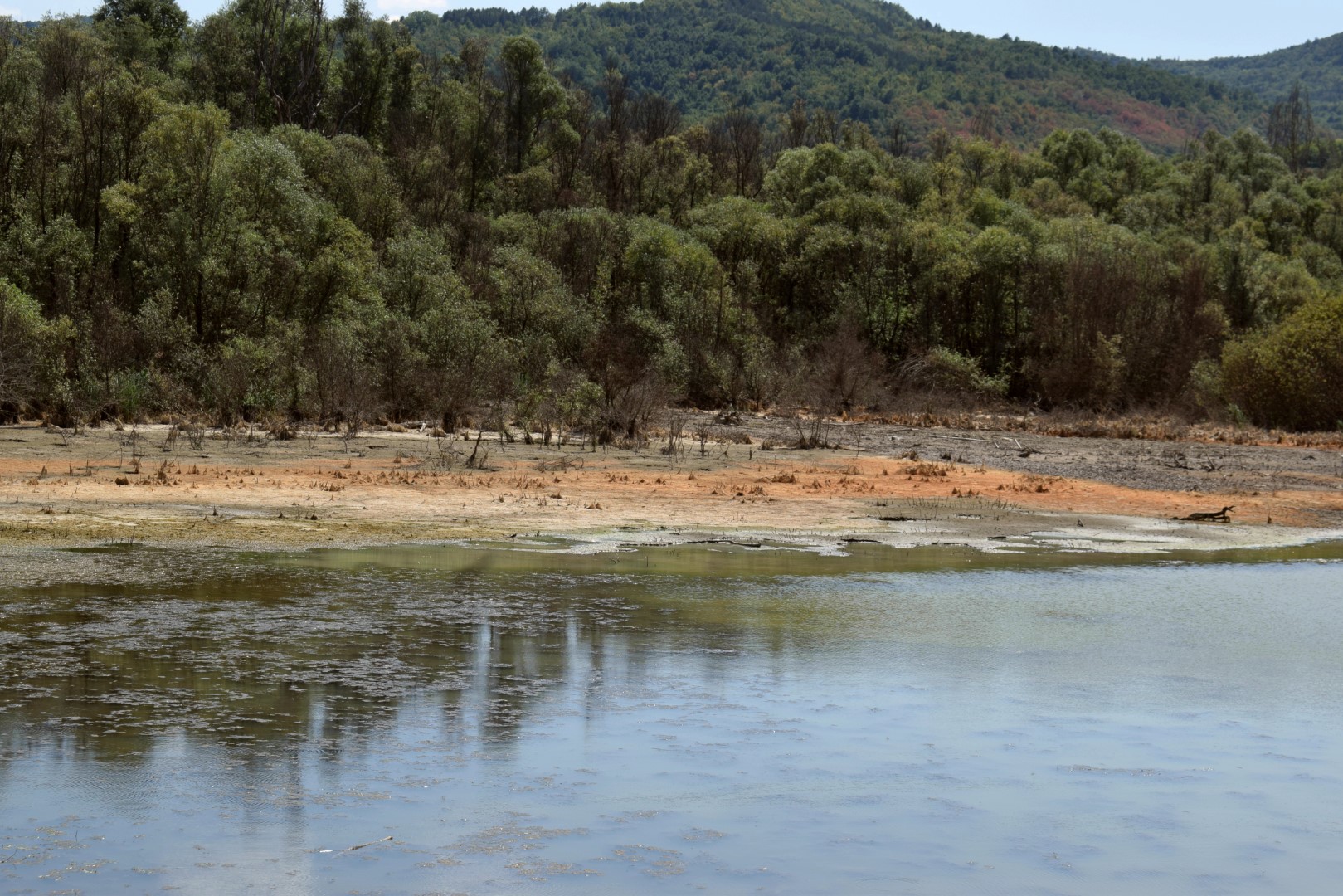
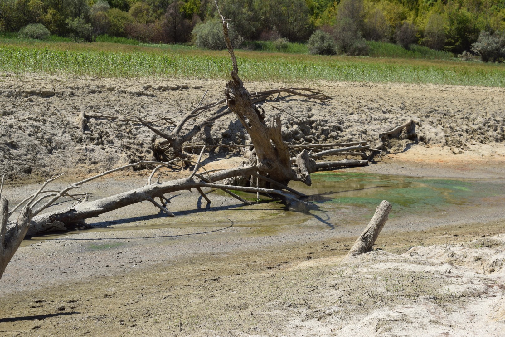
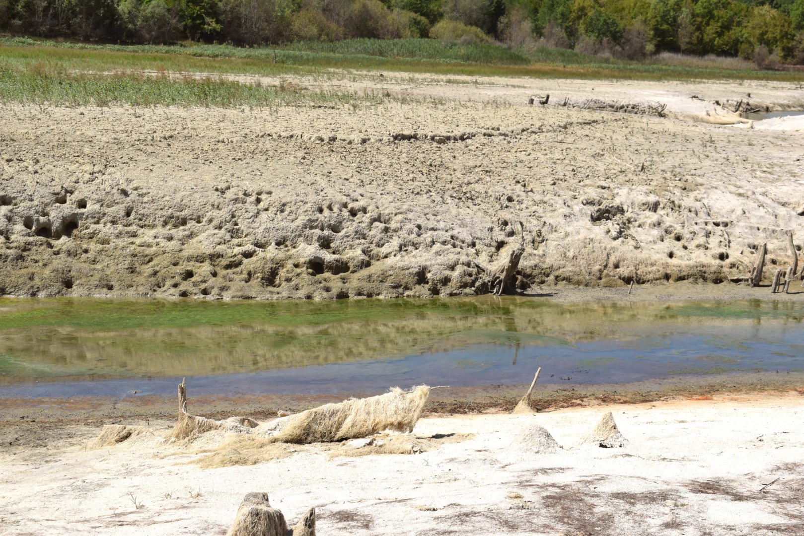
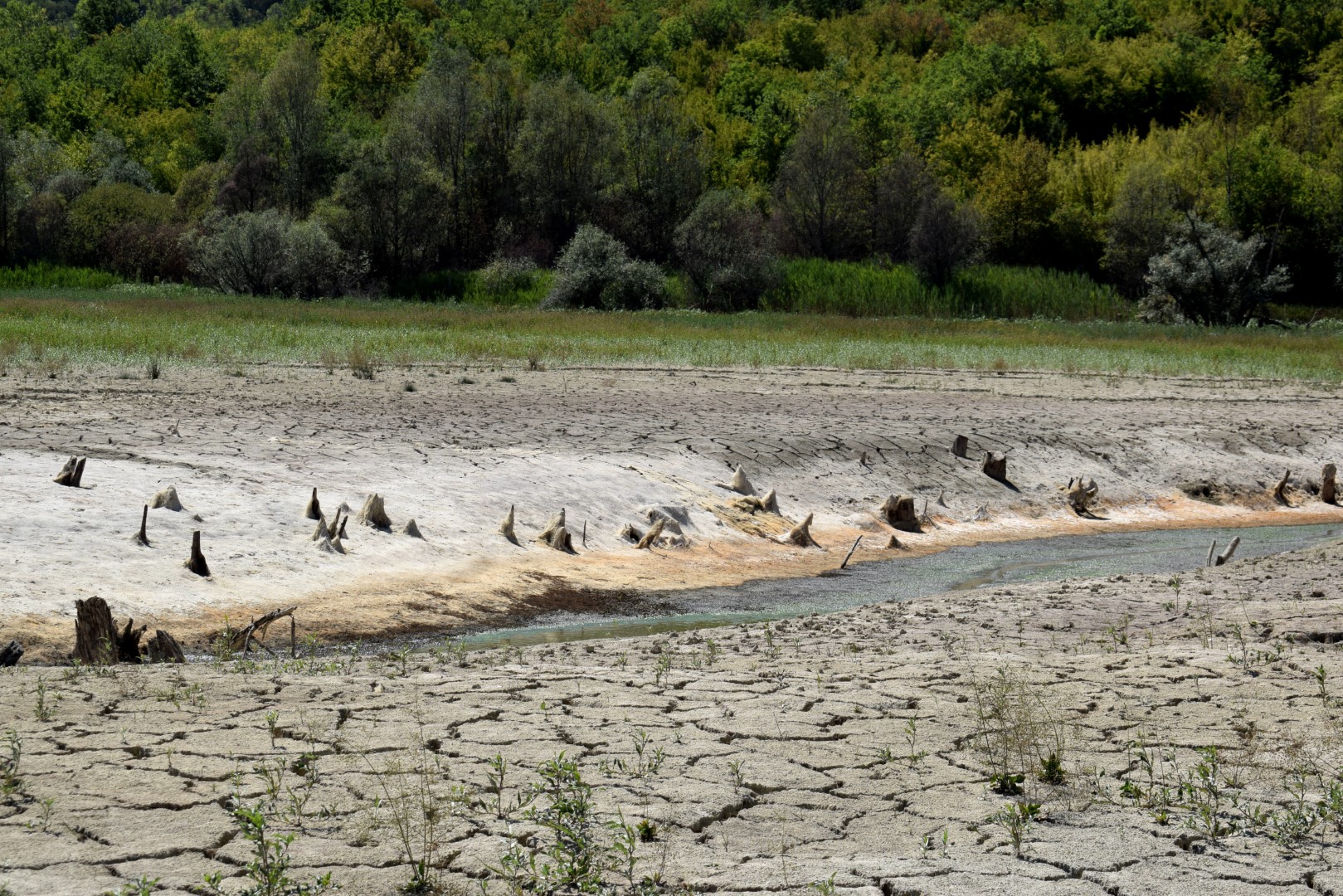
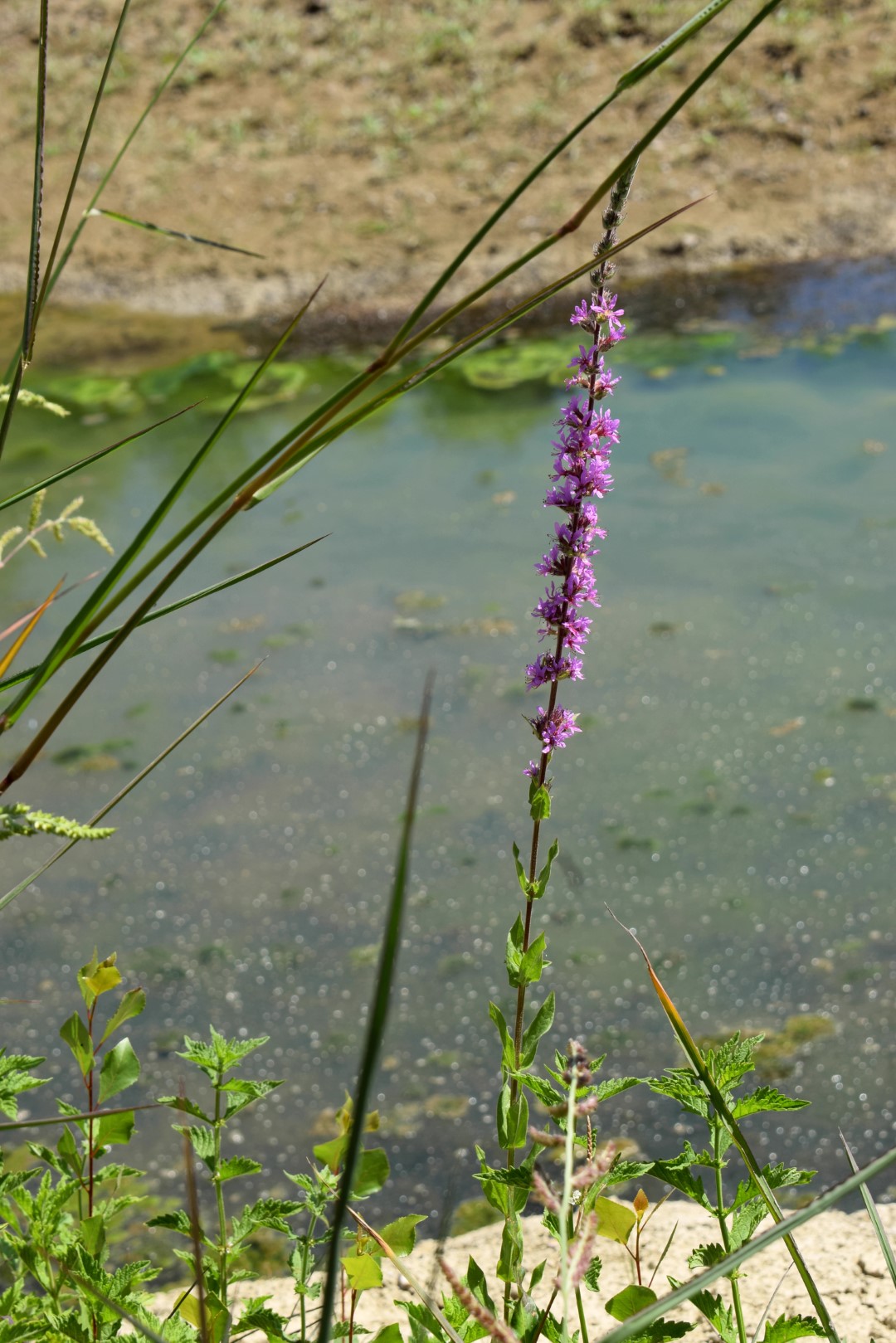
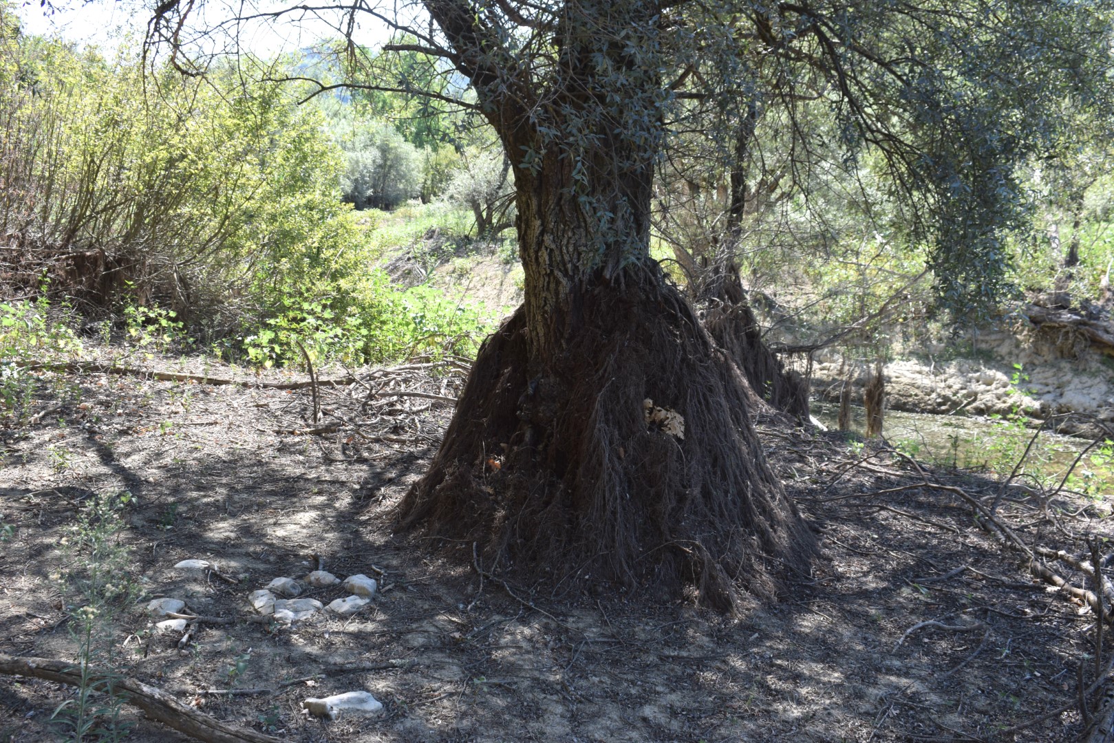
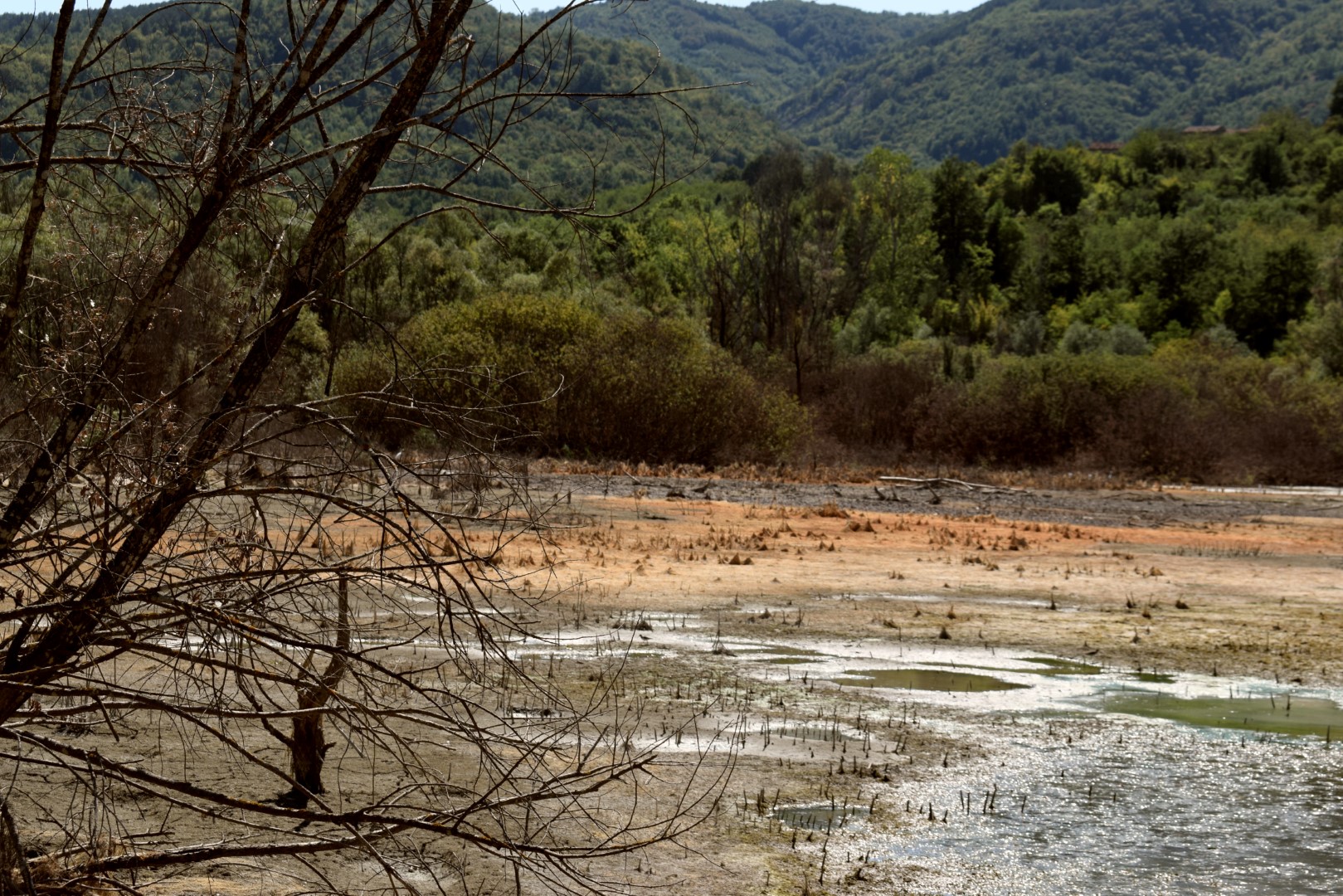
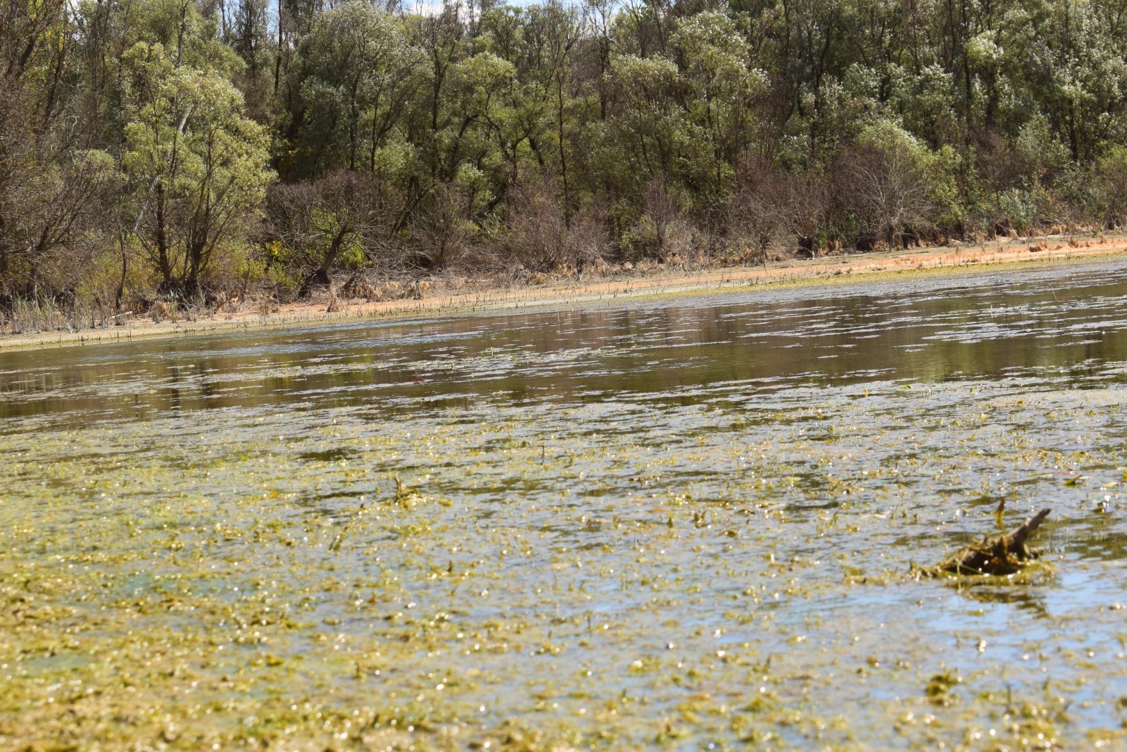
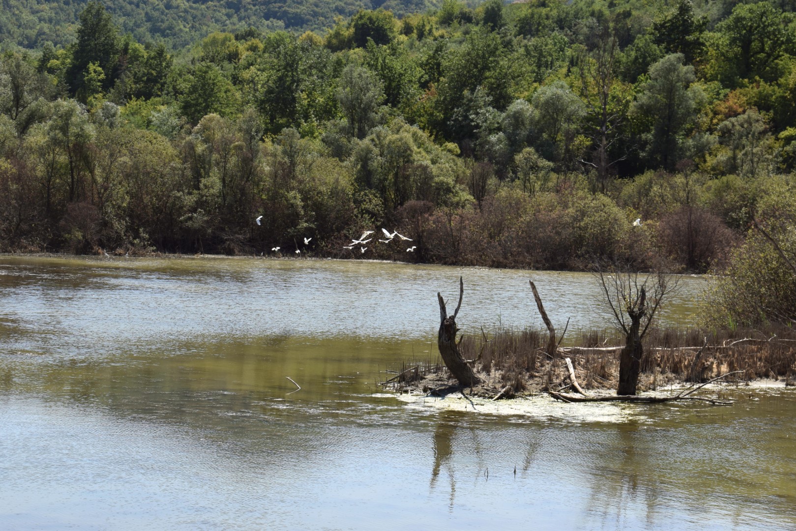
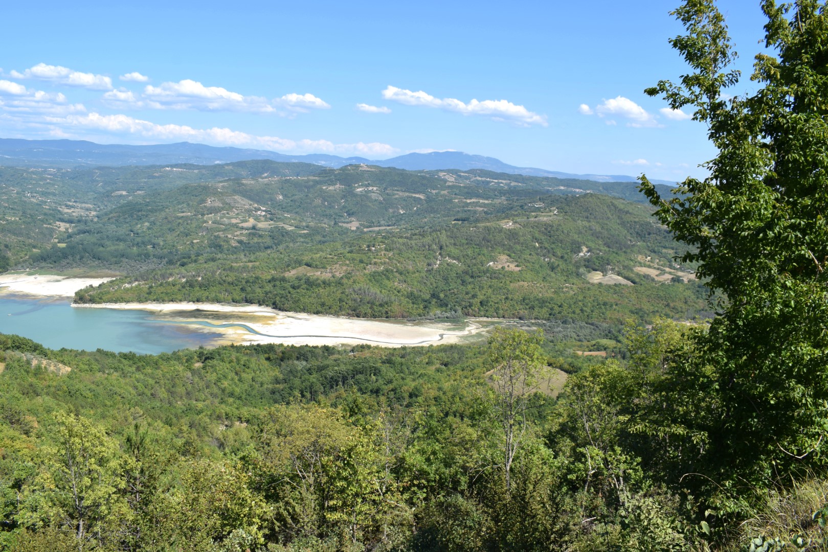
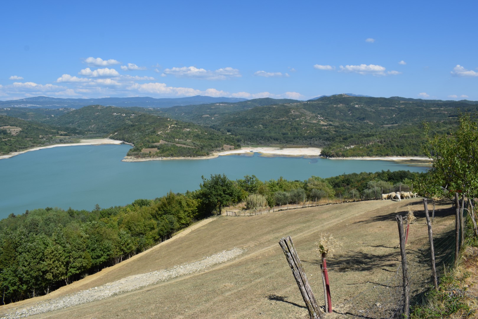
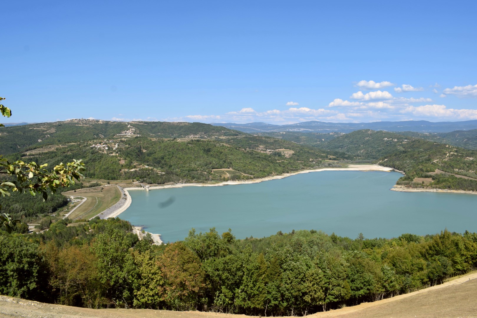
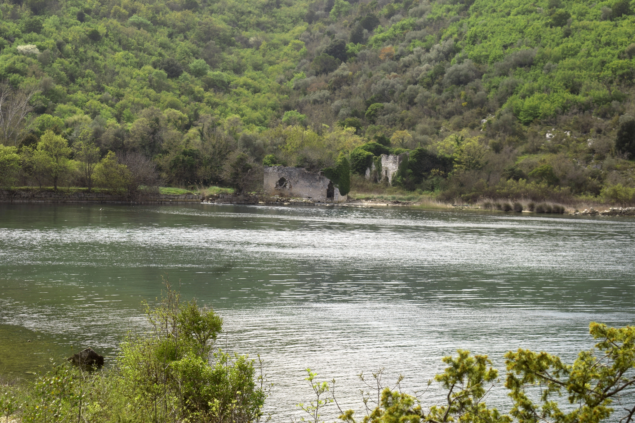
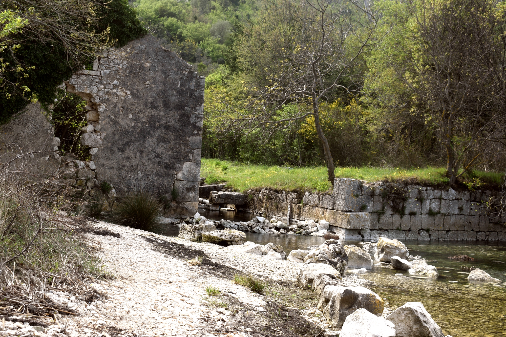
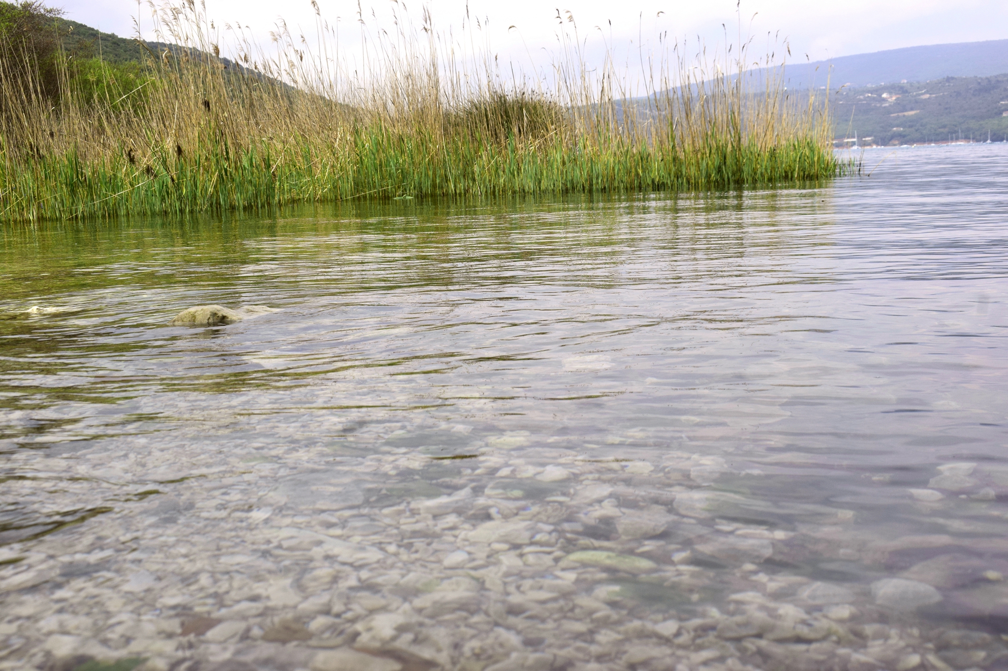
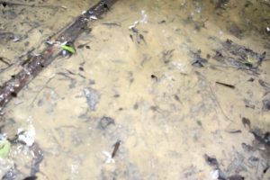
This lake which is fed by the Grdoselski, the Dragučski, and the Račićke stream.

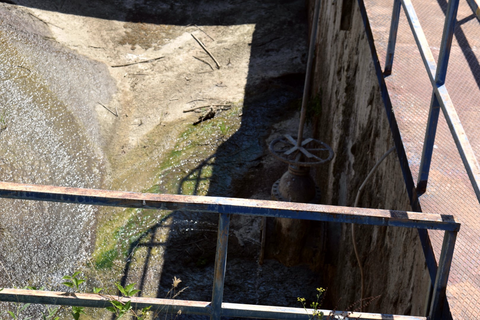
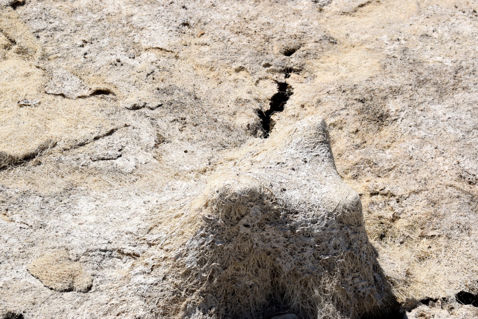
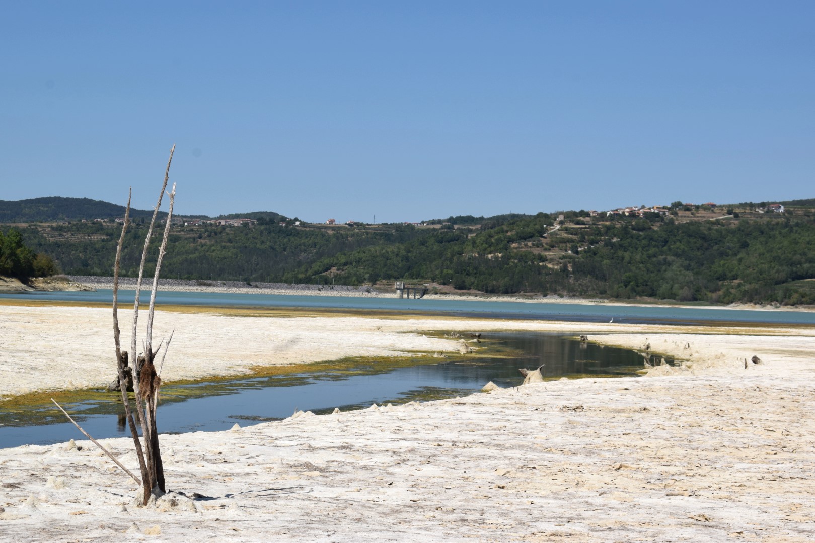
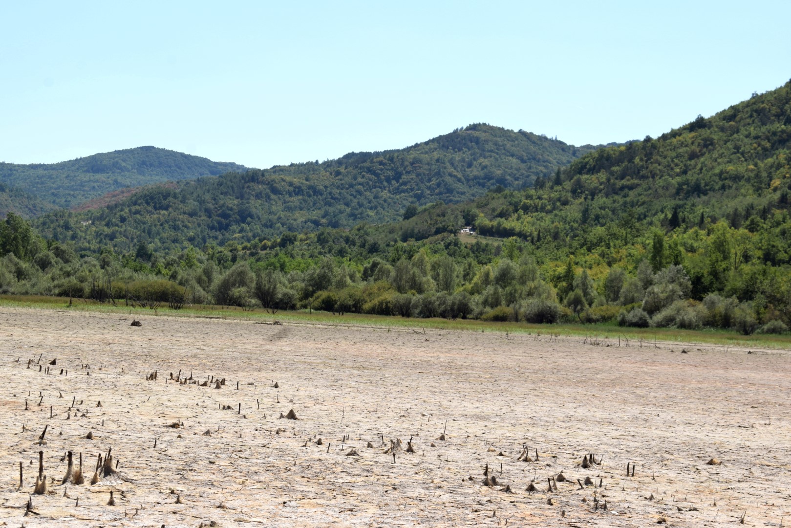
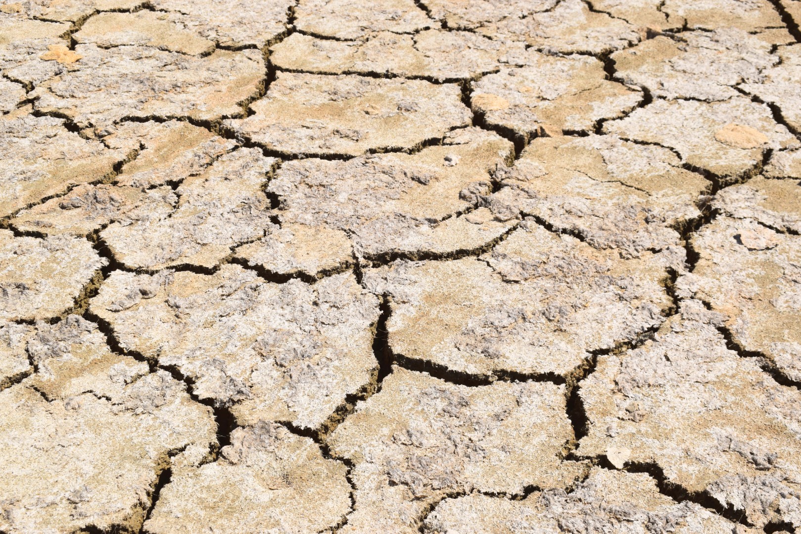
Name: Butoniga lake after a long drought.
Place: Near Jukani and Ukotiči – Pazin/Buzet.
Coordinates: Start Jukani 45.30603 N – 13.92537 E , dam Grdoselski potok 45.30983 N – 13.93064 E, Near lake 45.32077 N – 13.9396 E, Viewpoint Ukotiči 45.32357 N – 13.91456 E.

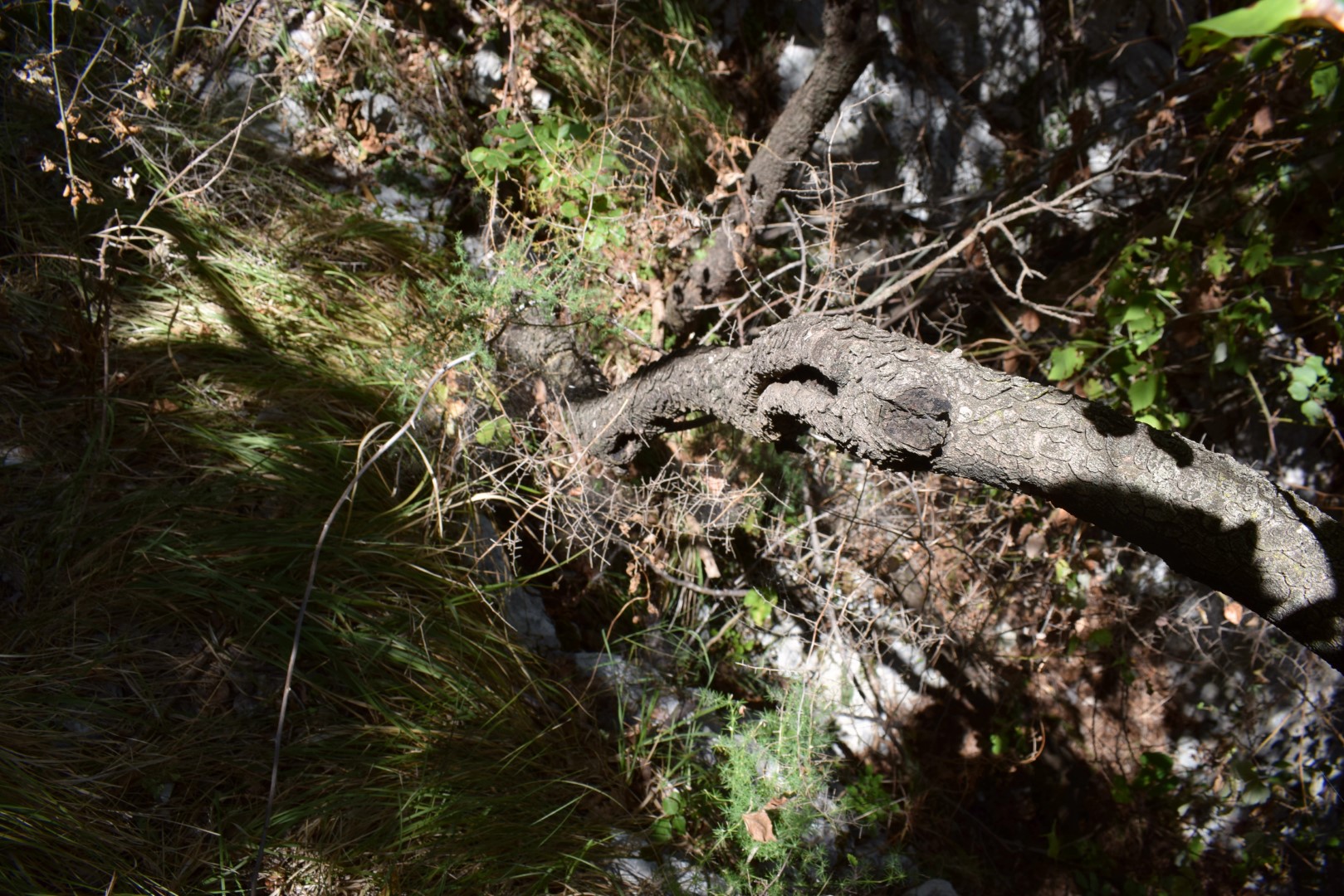
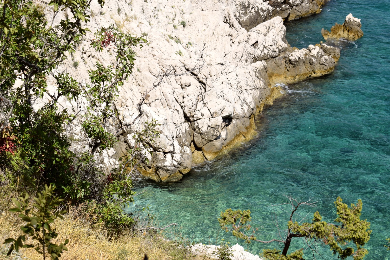
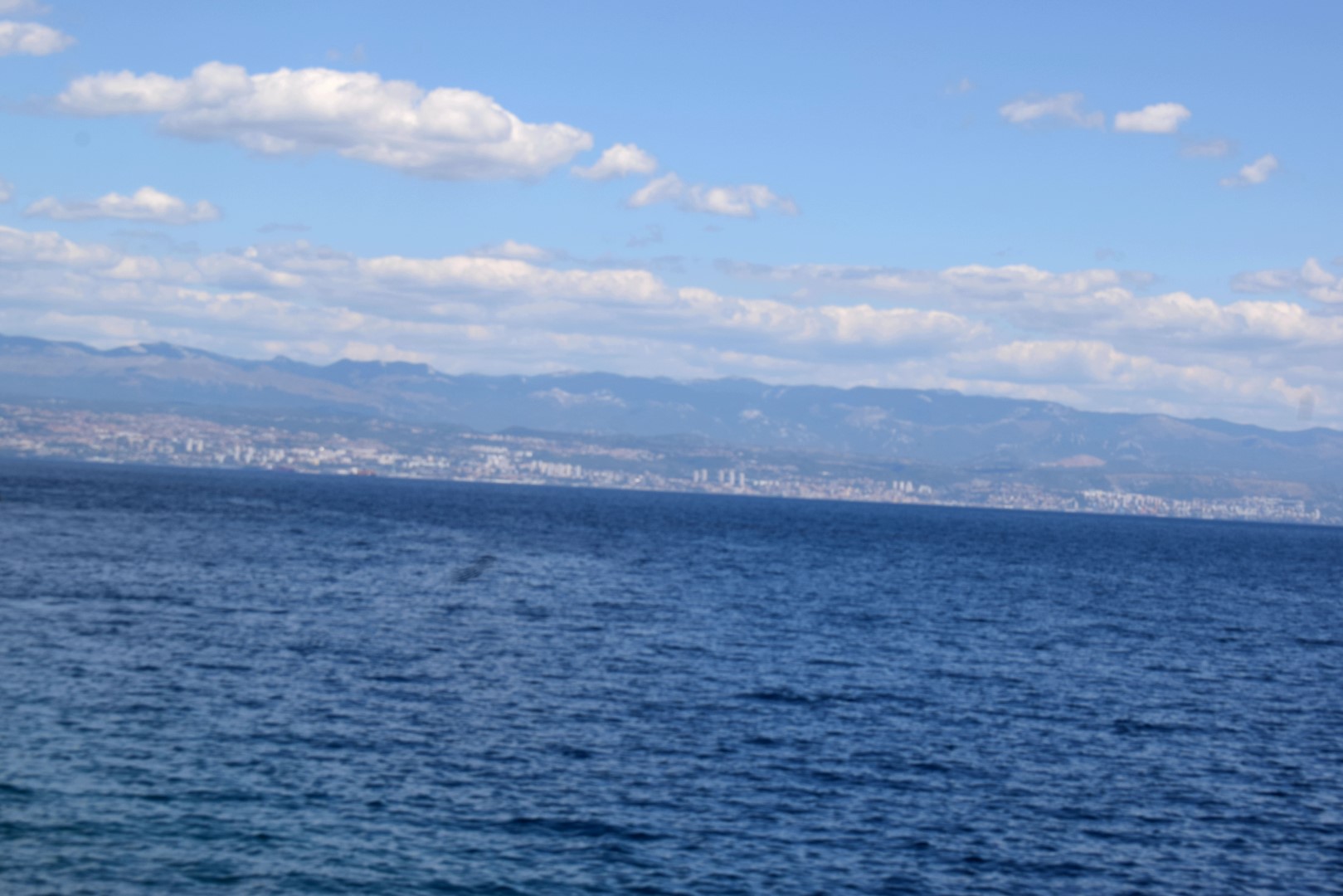
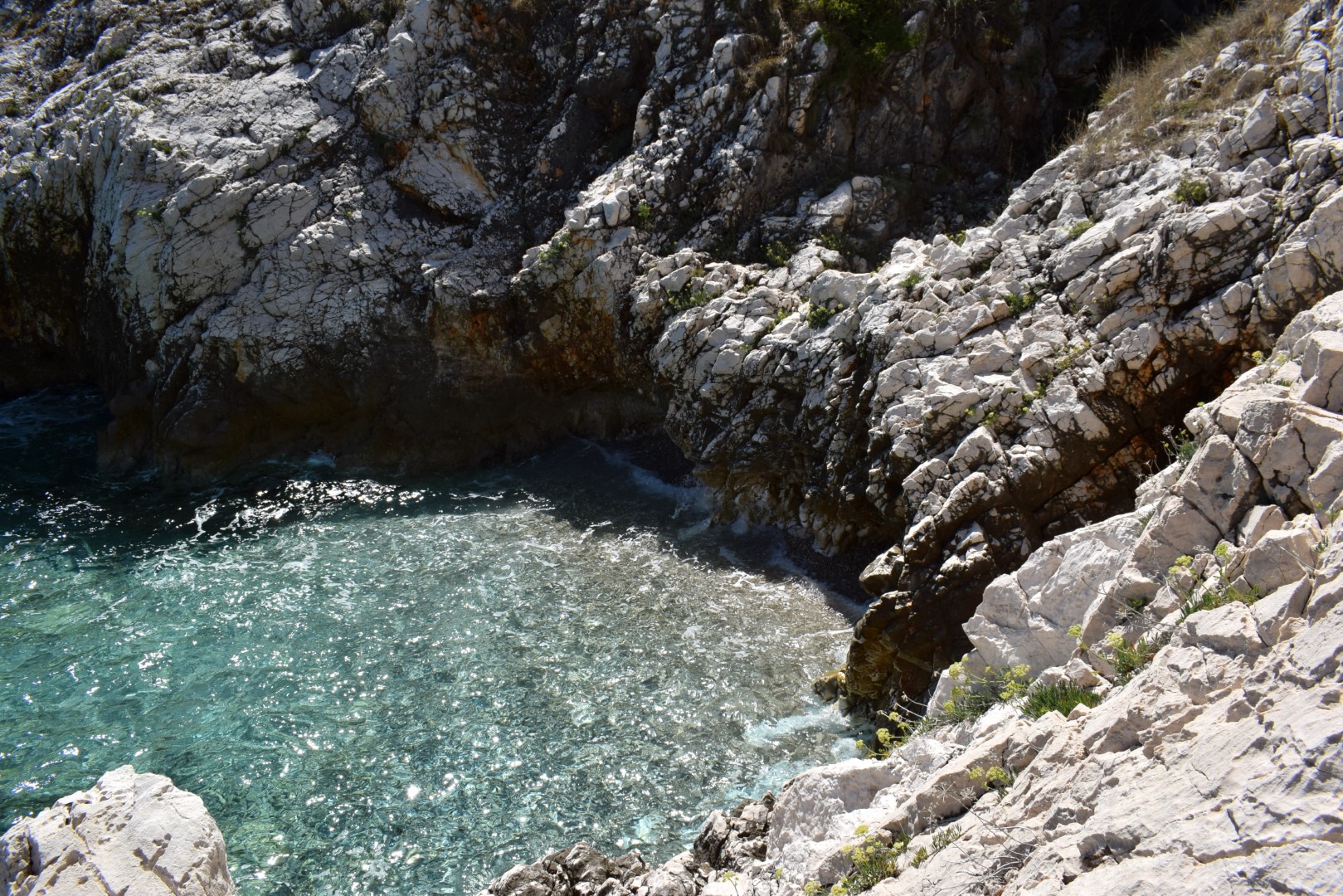
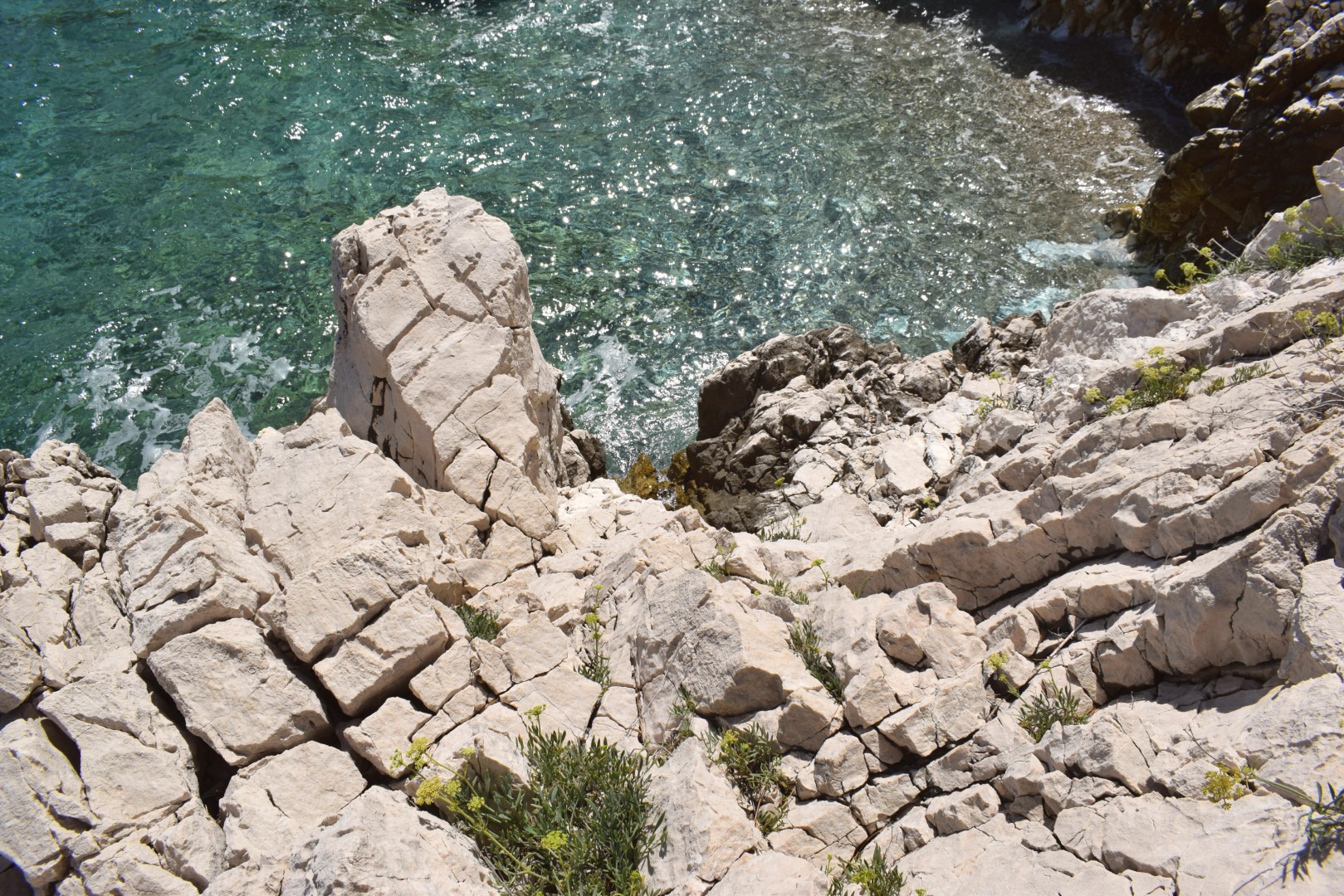
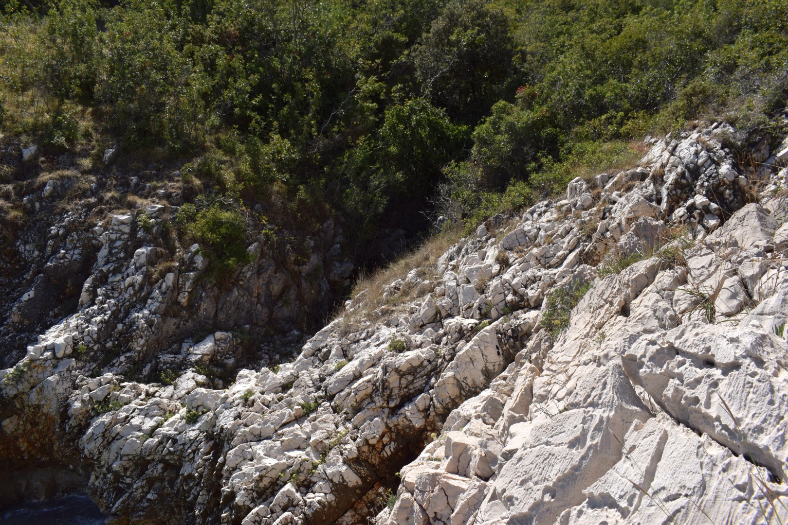
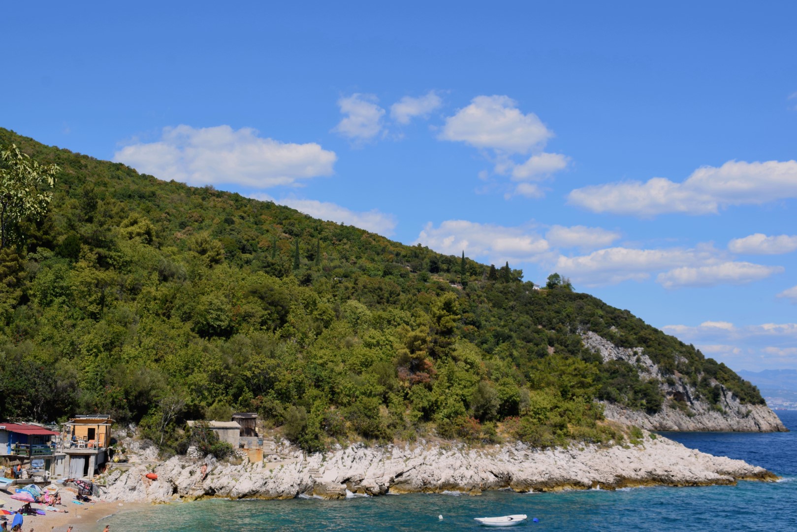
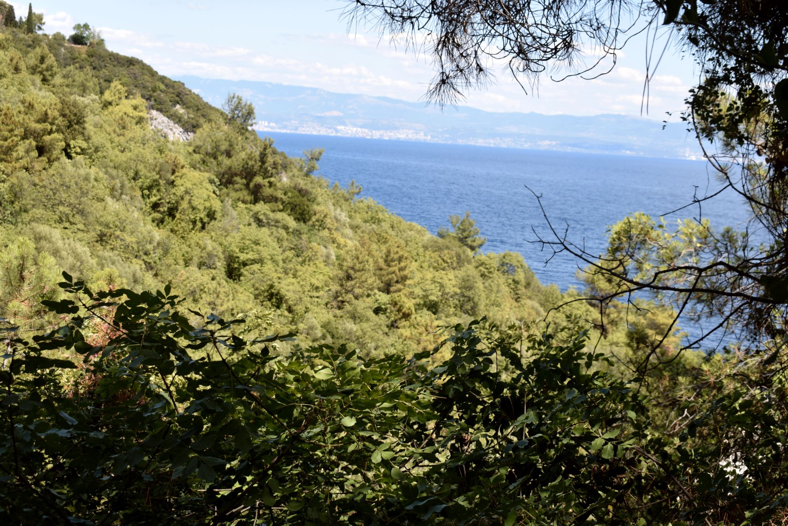
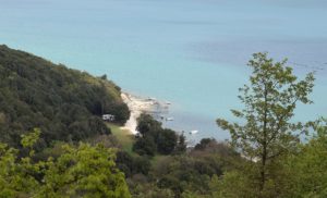
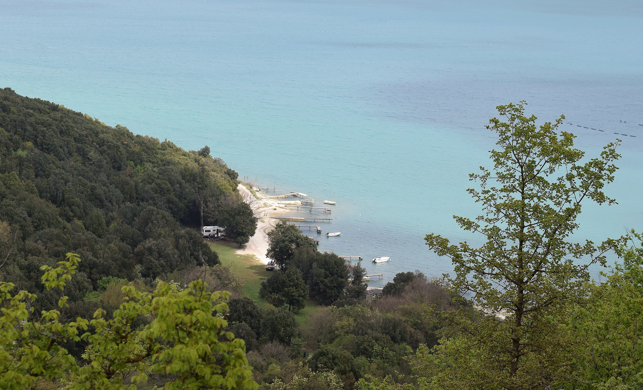
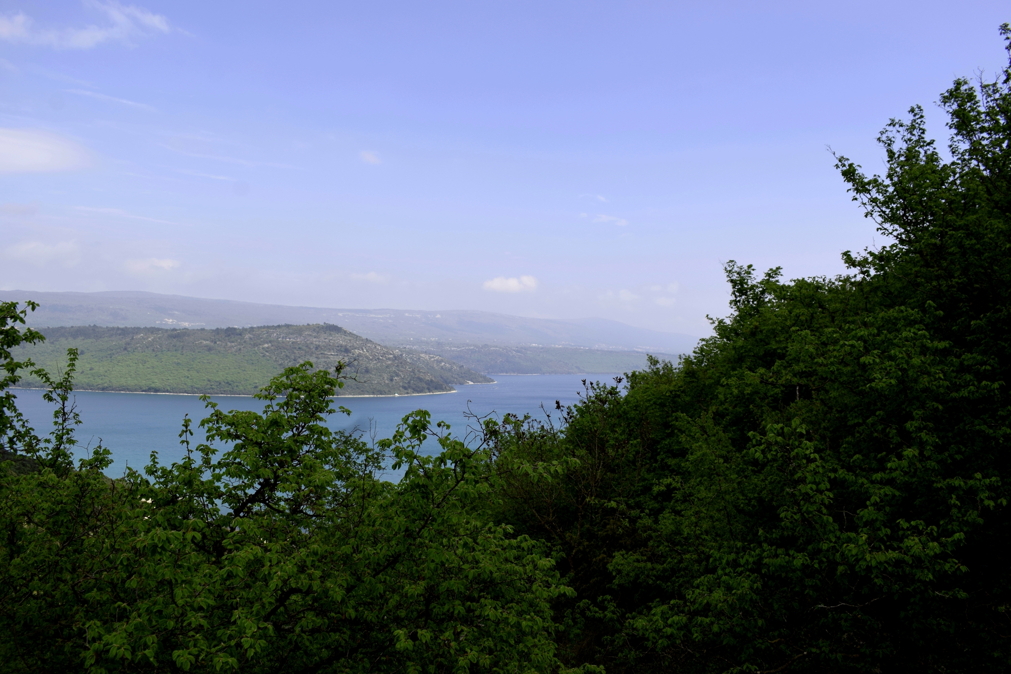
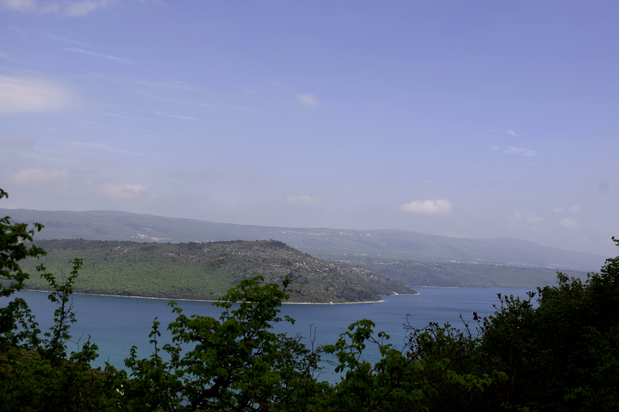
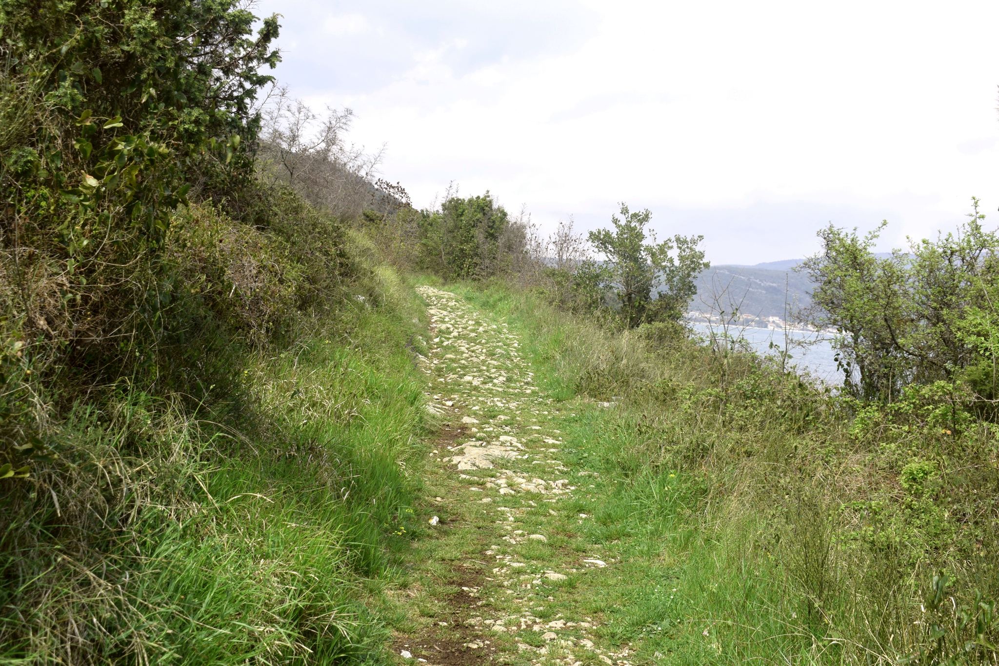
Name: Hiking trail along the coast of the Kvarnar.
Place: Moščćenice – Mošćenicka Draga.
Coordinates: Start 45.2145 N – 14.24746 E, Bay Uboka45.21336 N -14.34557 E, Bay Jelišćica 45.21146 N – 14.24460 E, End 45.20976 N – 14.24468 E.

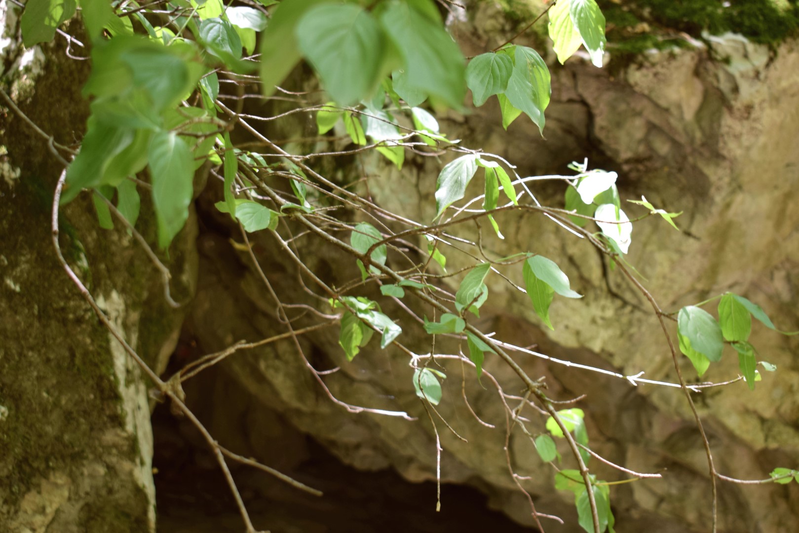
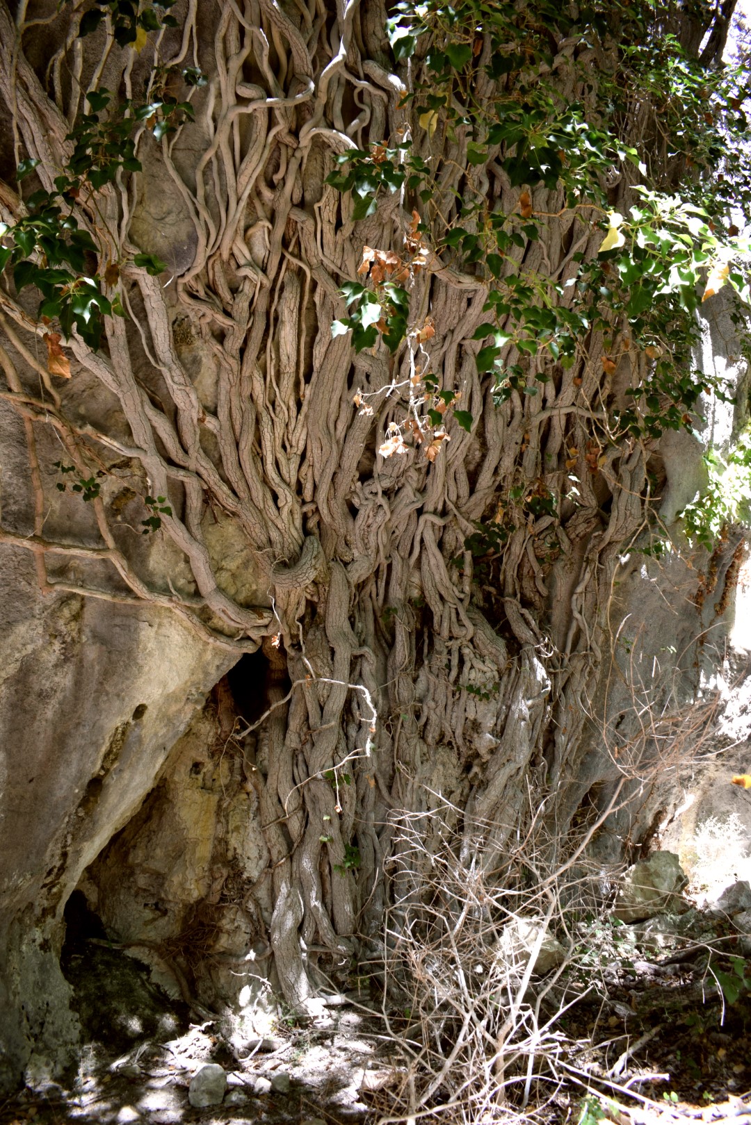
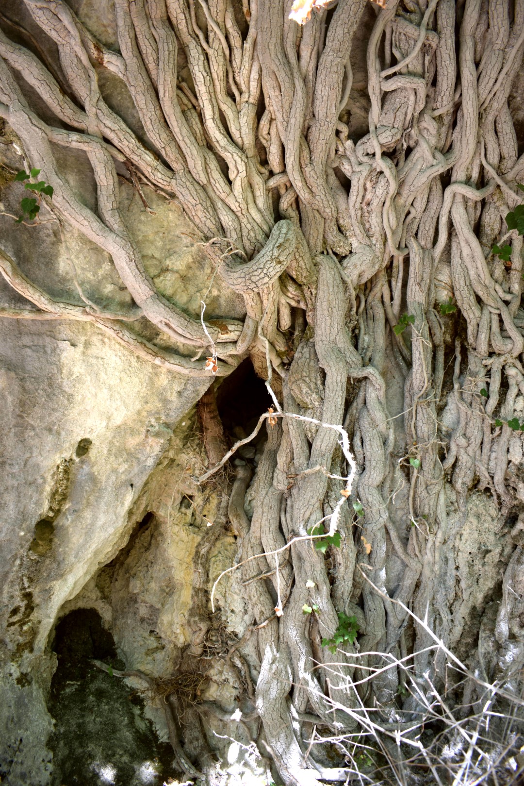
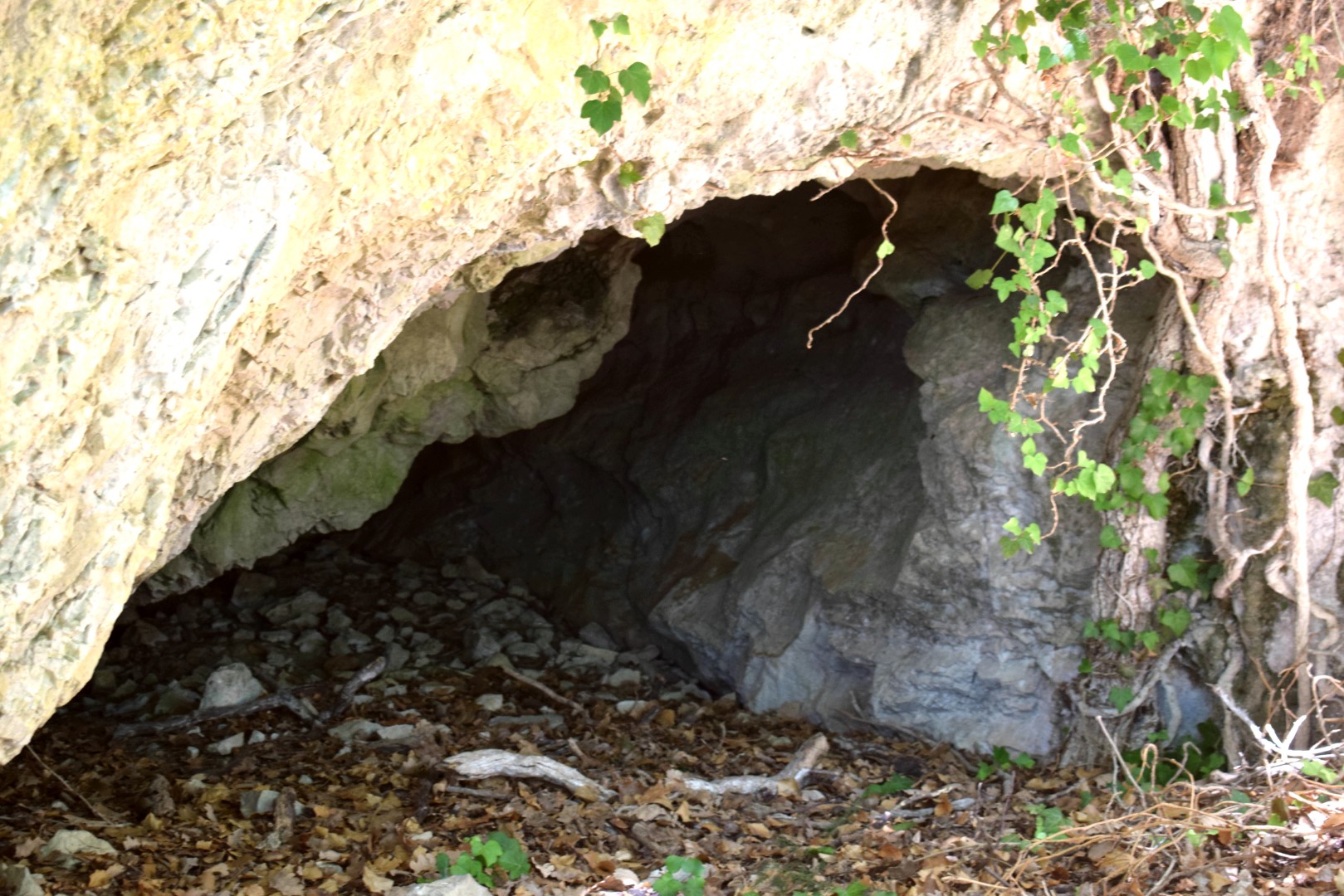
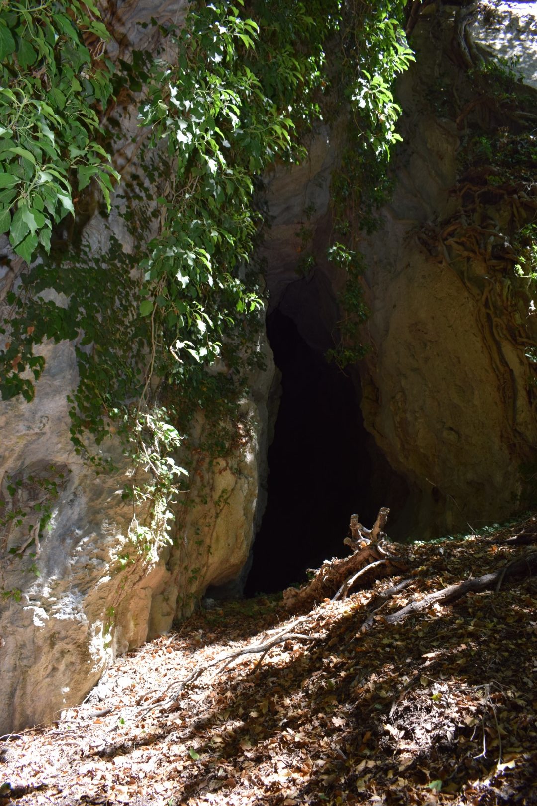
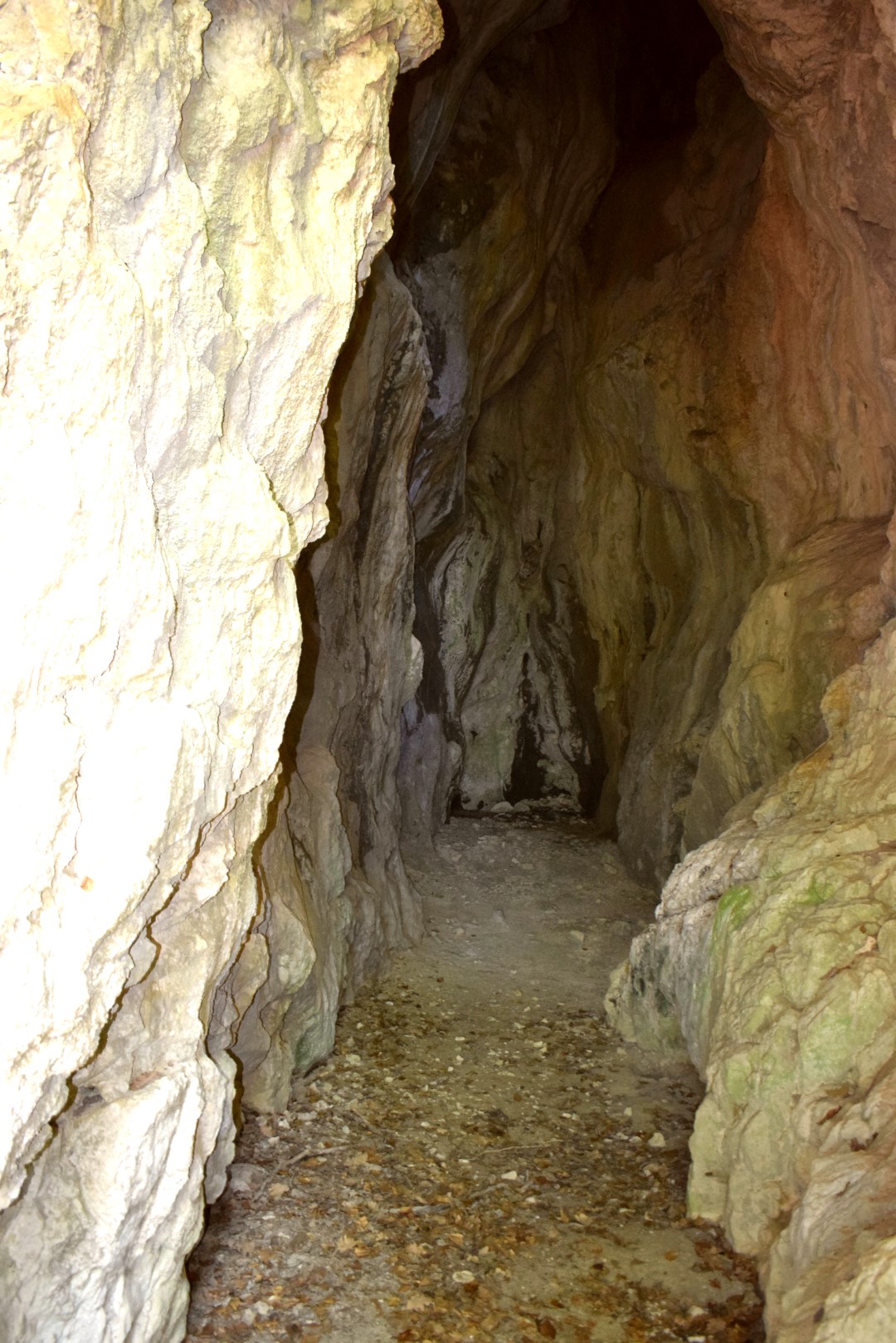
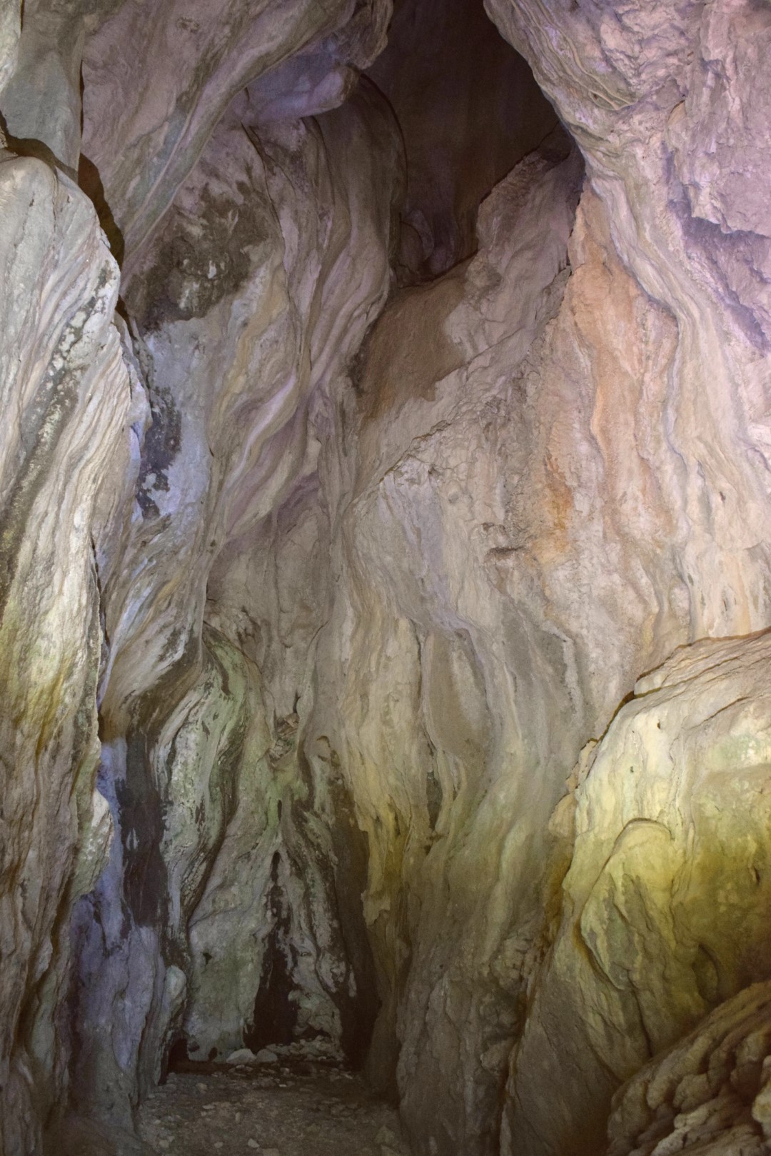
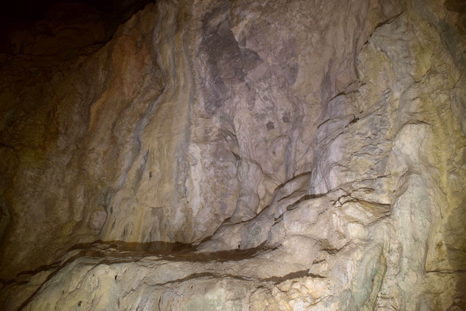
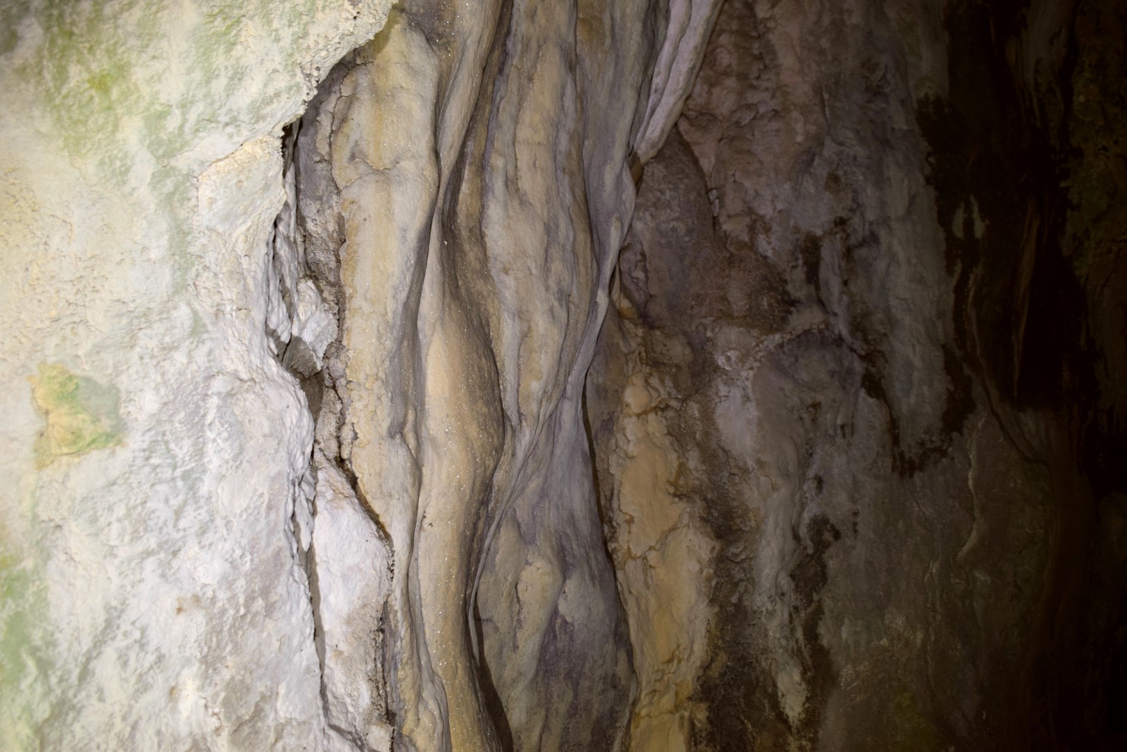
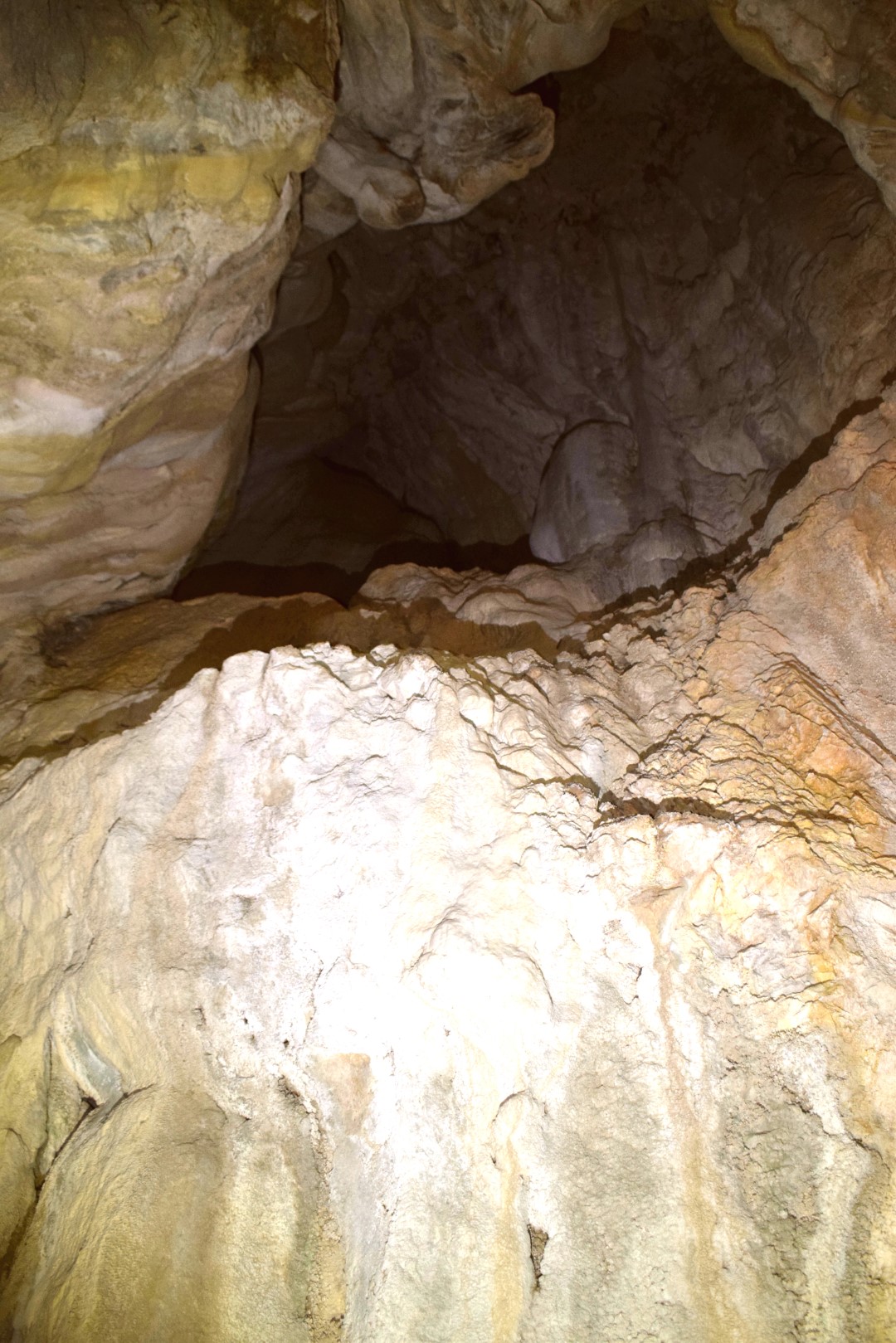
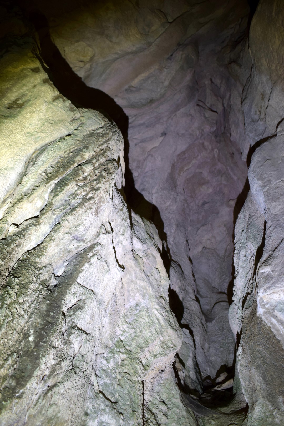
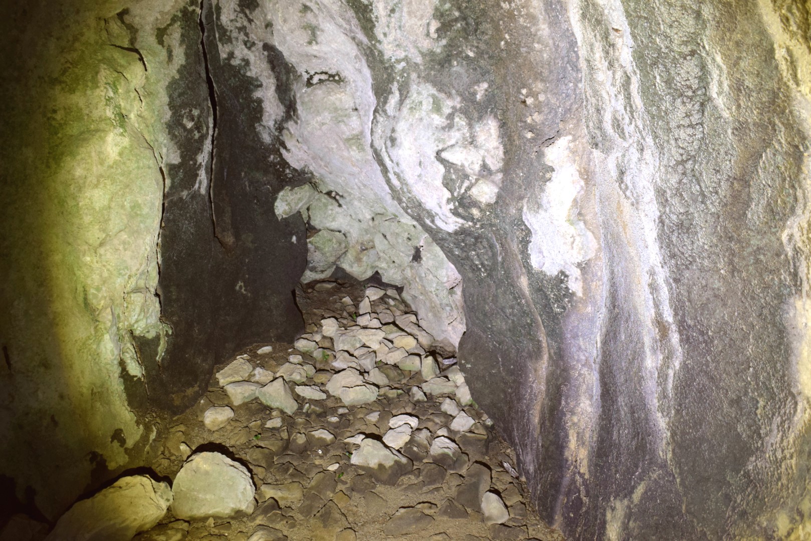
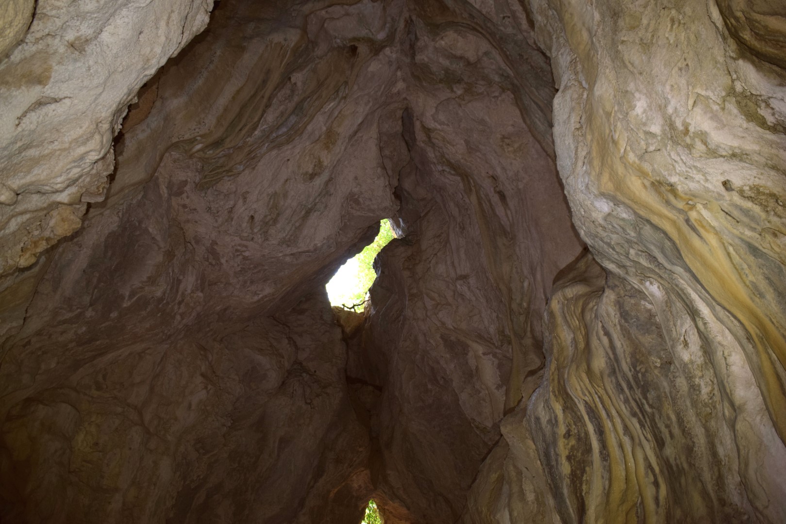
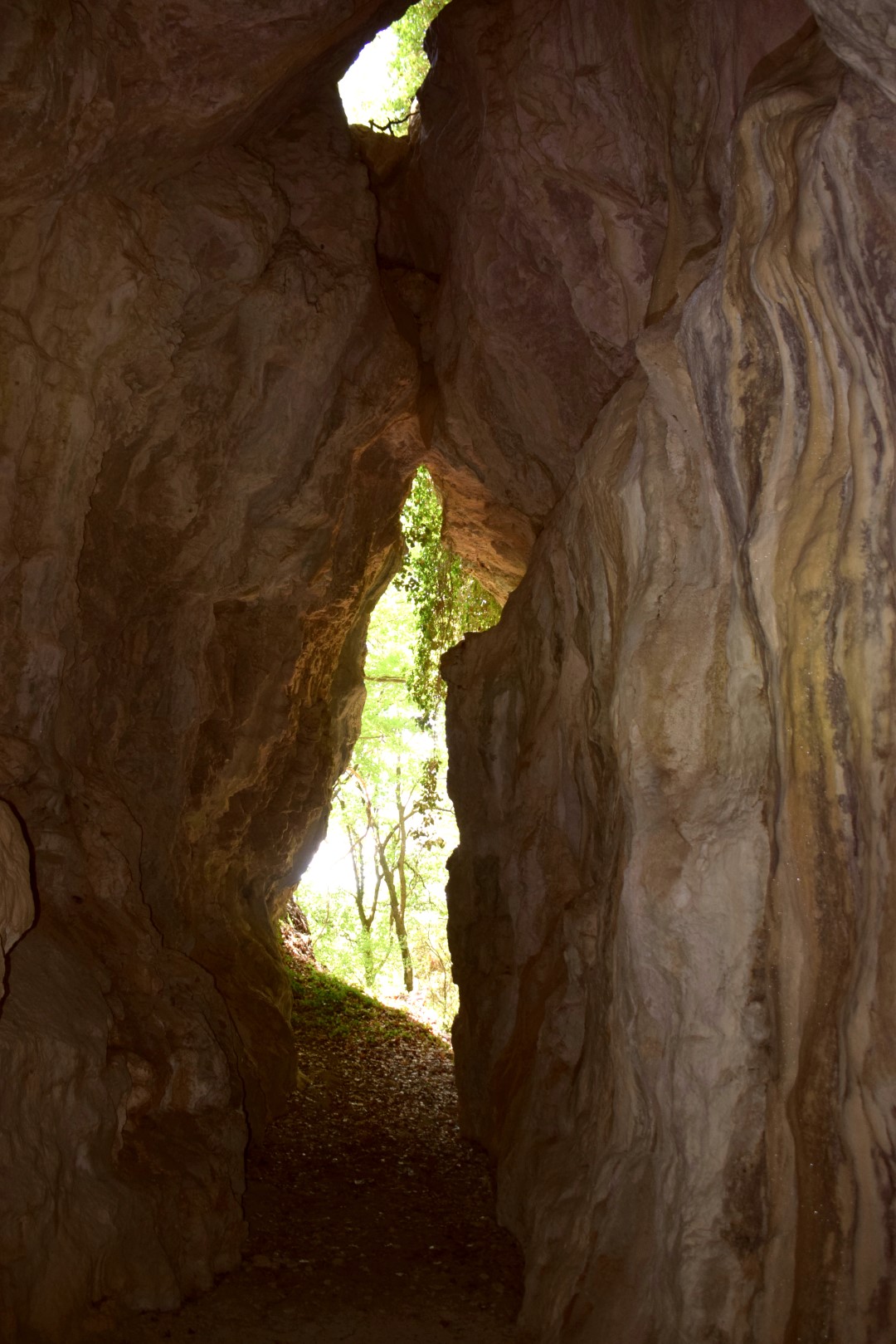
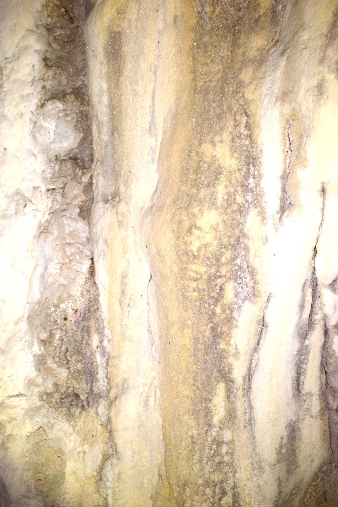
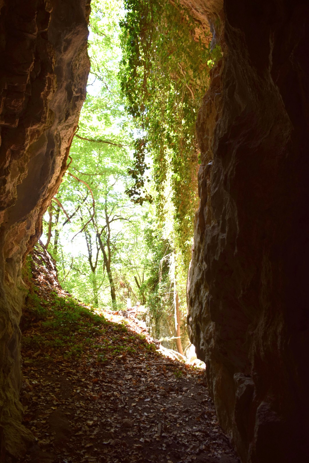
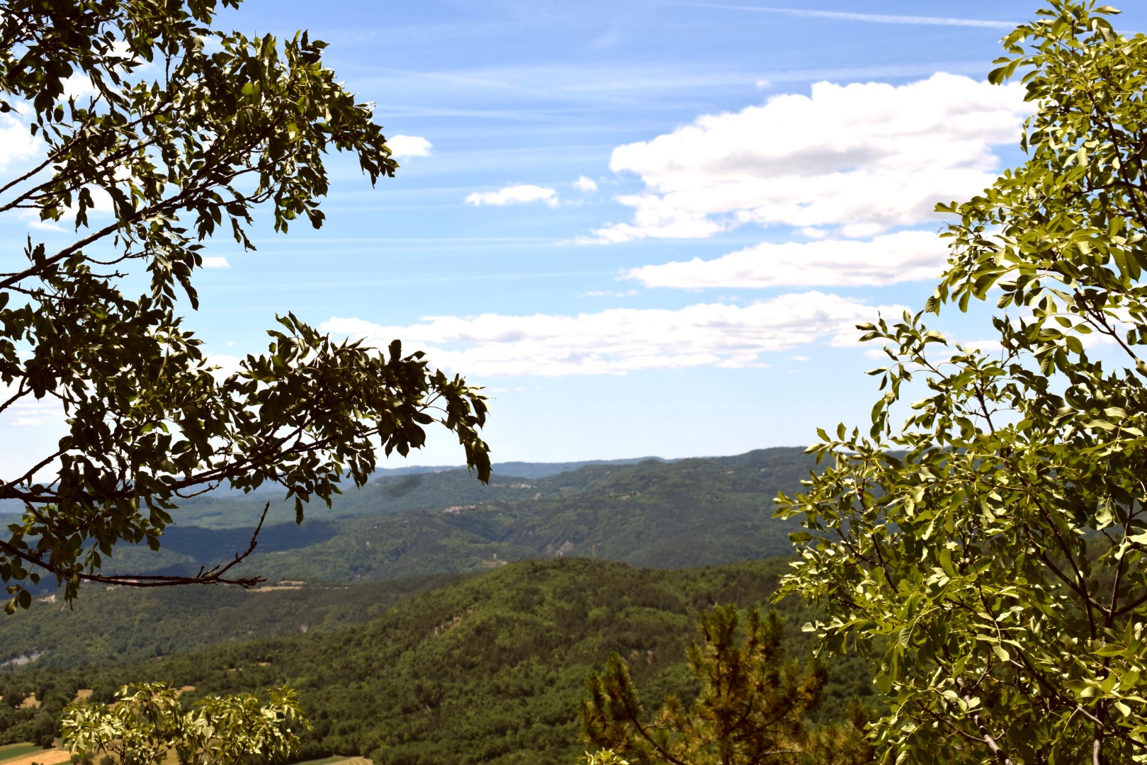
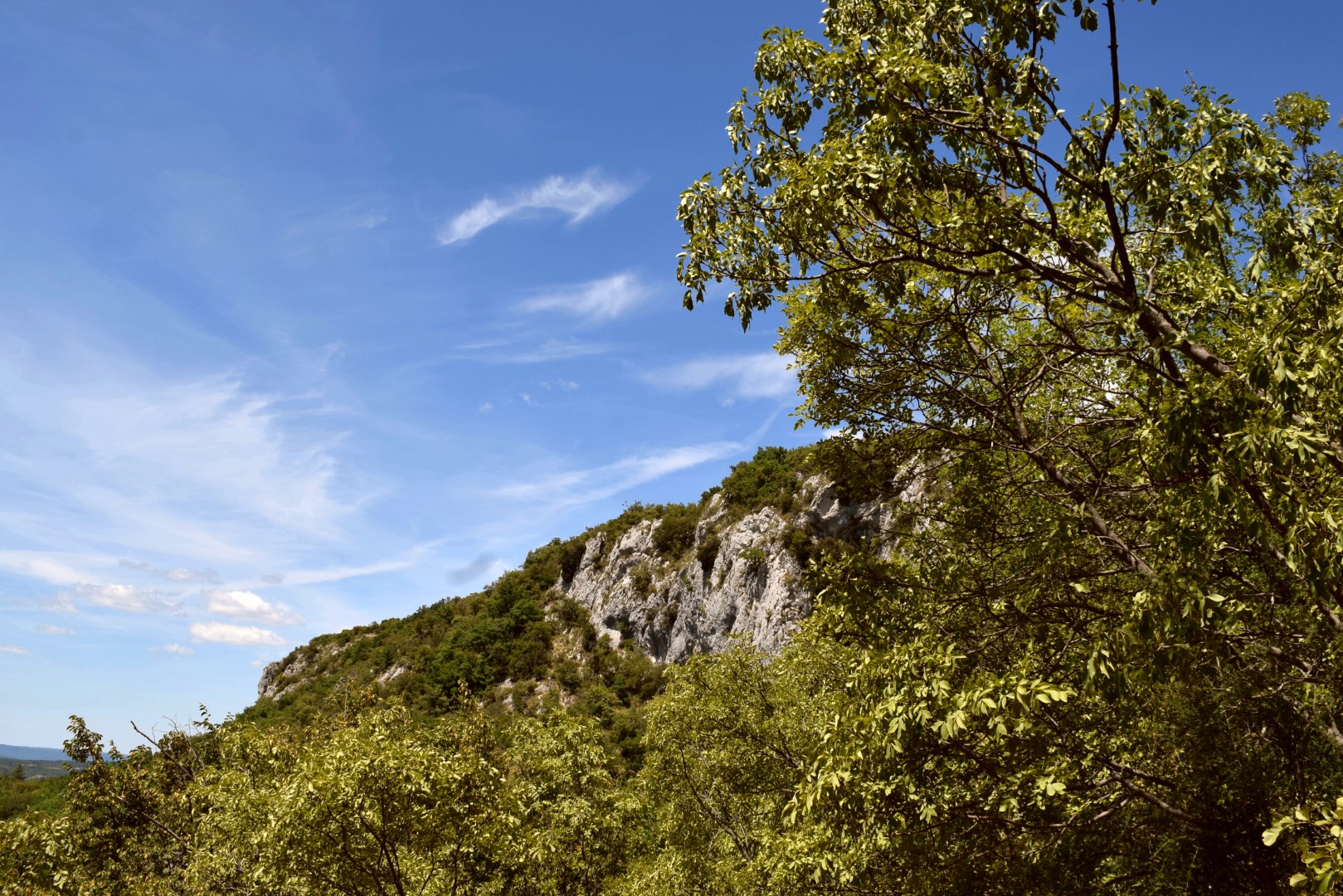
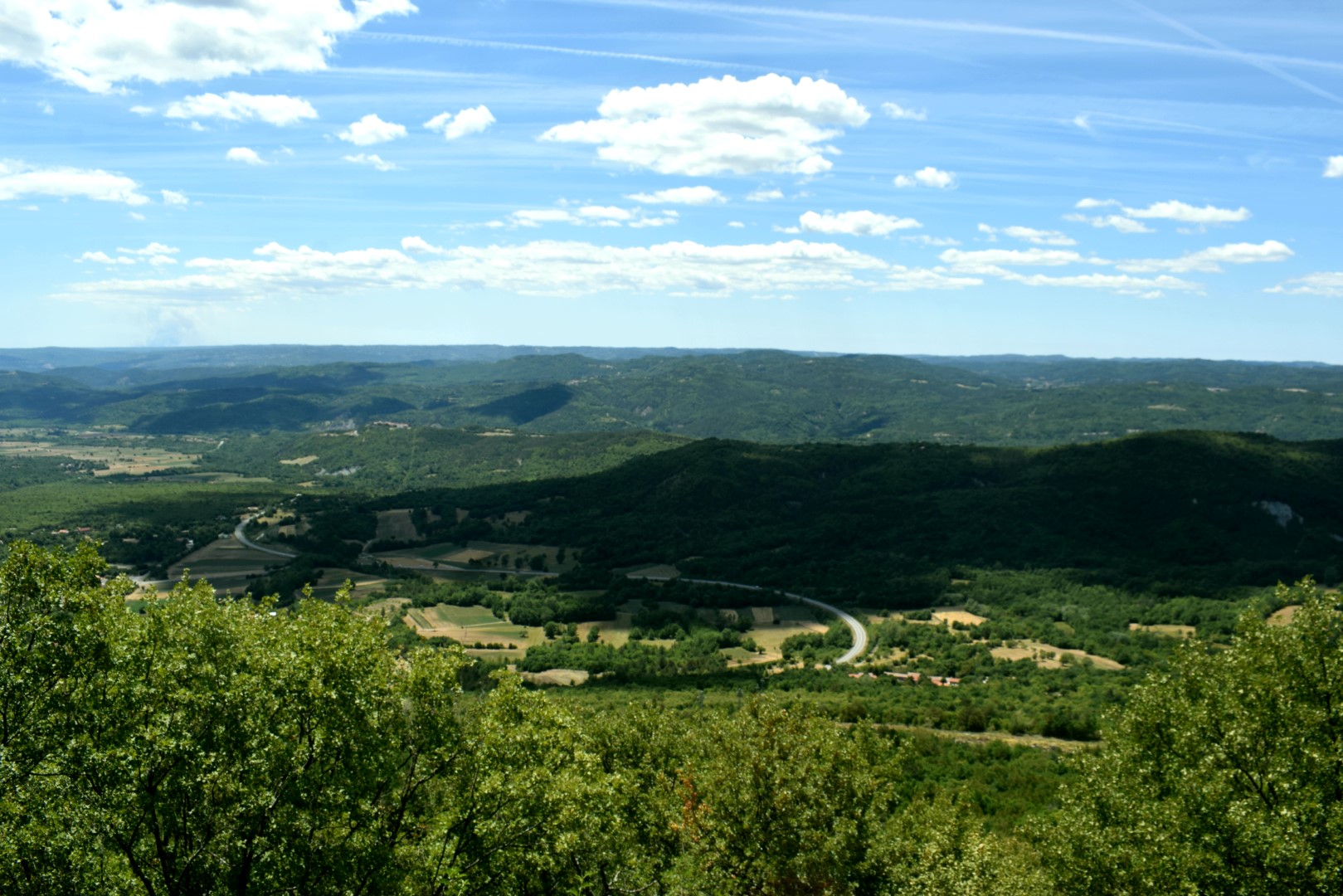
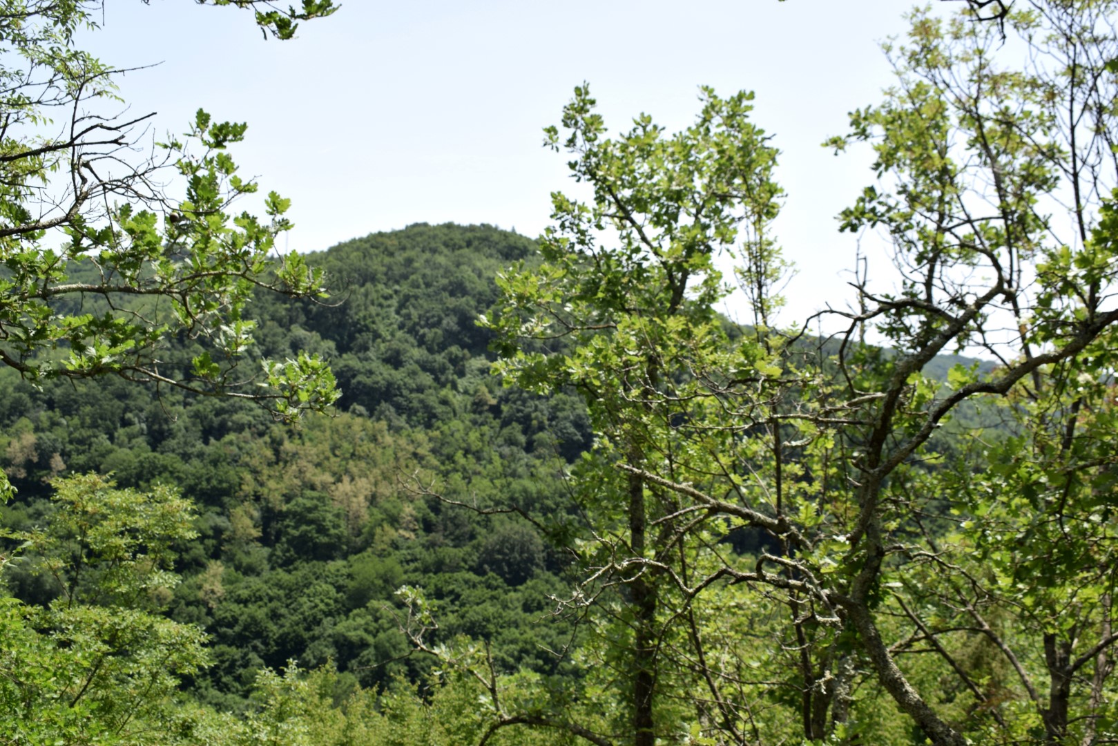
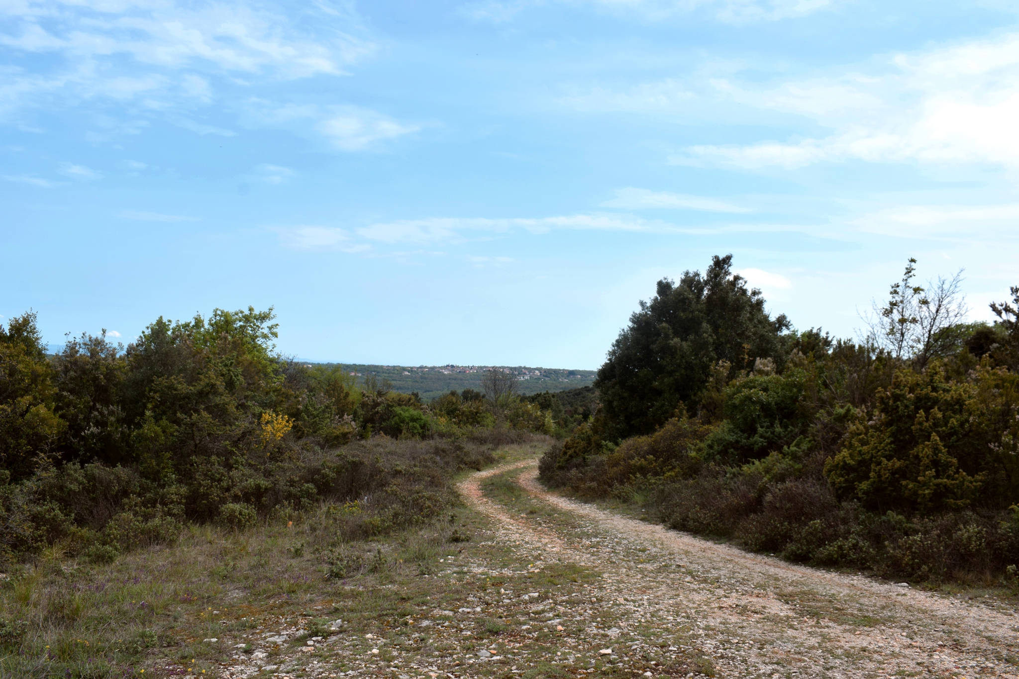
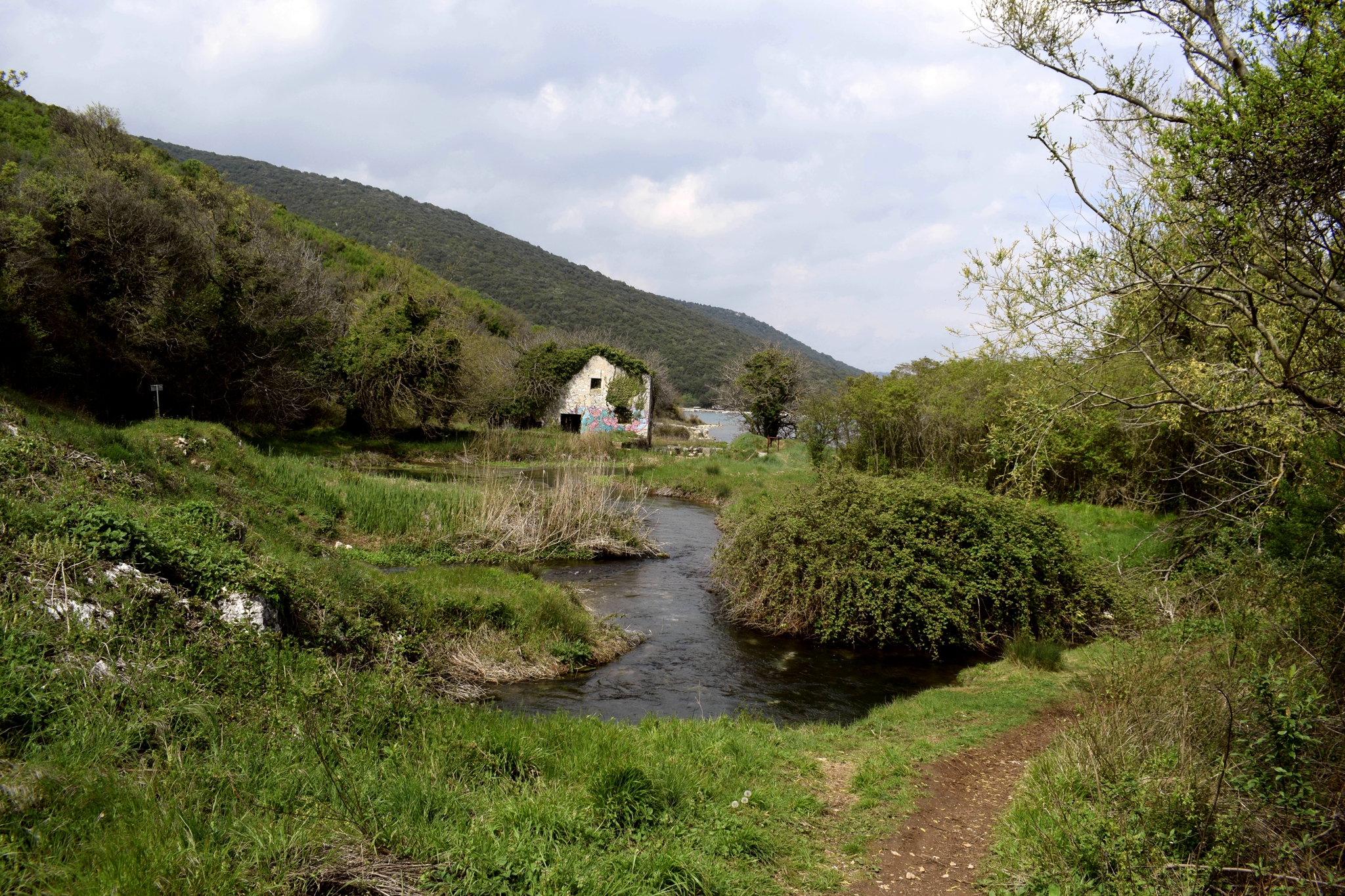
Name: Hiking trail from Brest Pod Učkom to the viewpoint and the caves near the Zuranski stream.
Place: Brest Pod Učkom – Lupoglav.
Coordinates: Start 45.33067 N – 14.15203 E, viewpoint 45.33046 N – 14.149 57 E (545 m.), caves 45.33252 N -14.14577 E.
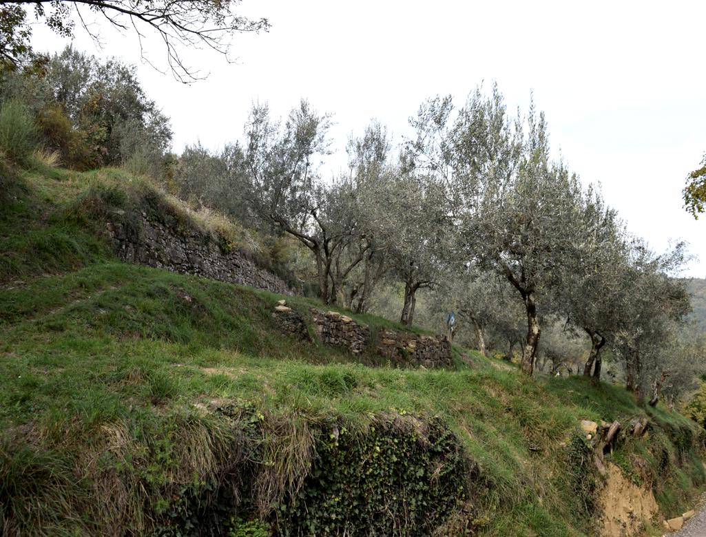
Name: Hiking trail Vela Traba/Draga – river Draga.
Place: Near Surani – (Tinjan – Pazin).
Coordinates: Start 45.23329 N – 13.84249 E, 45.23112 N – 13.85571 E, 45.22533 N – 13.84470 E , 45.23190 N – 13.94620 E.