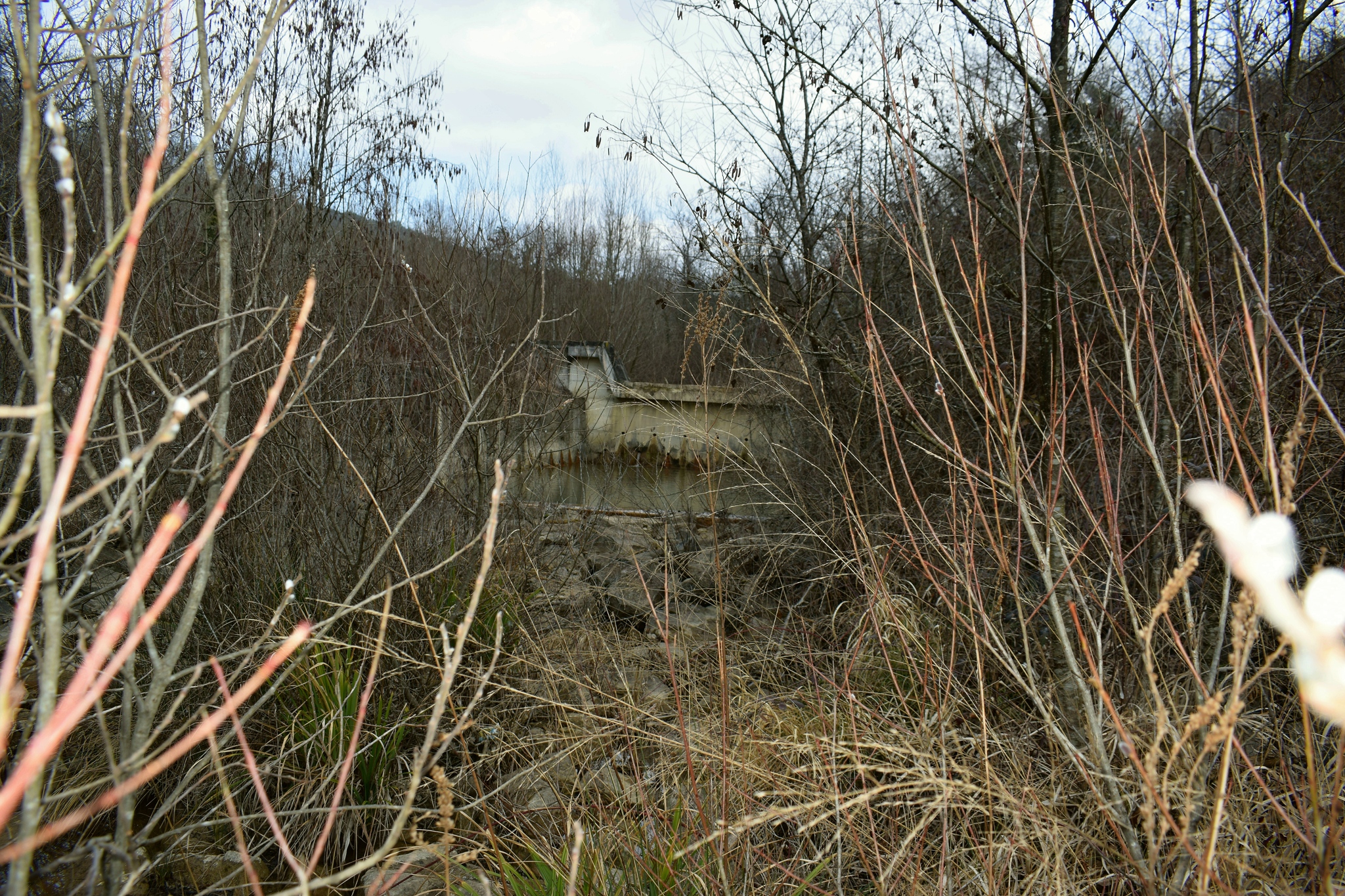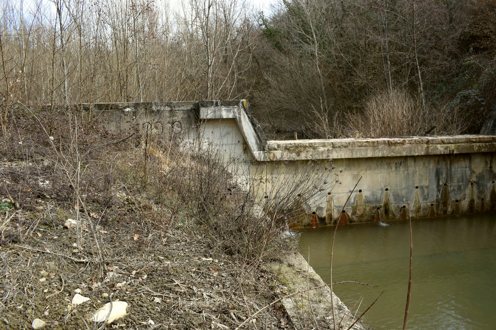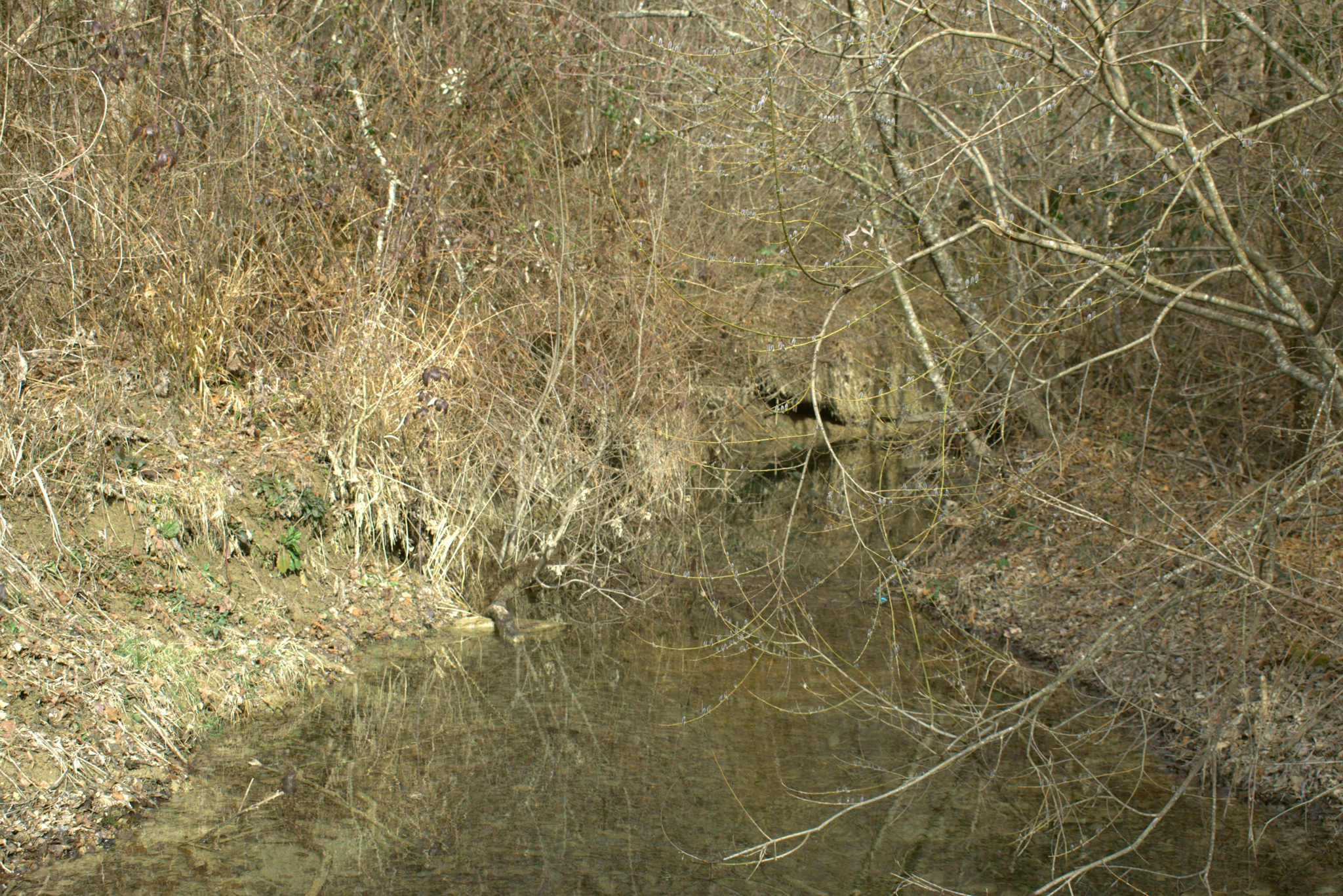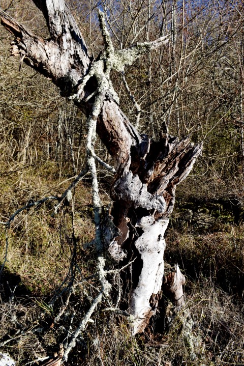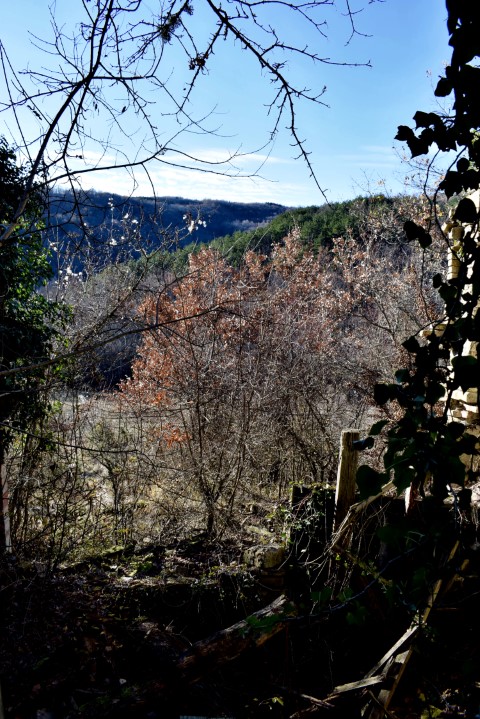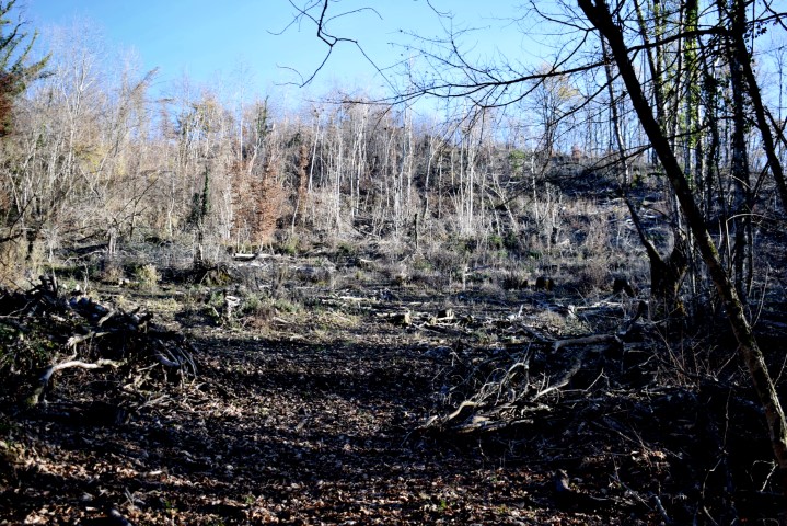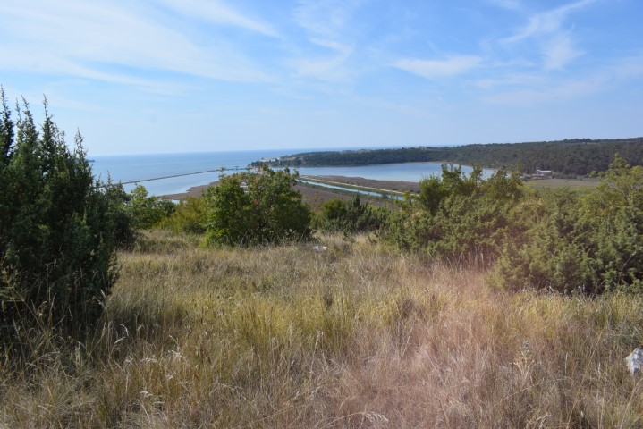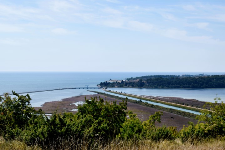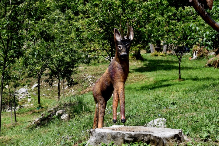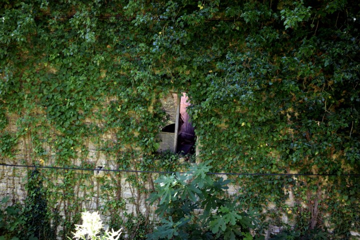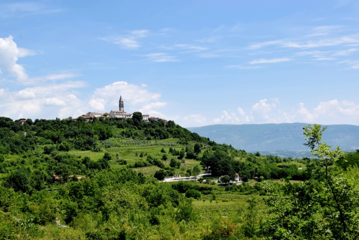

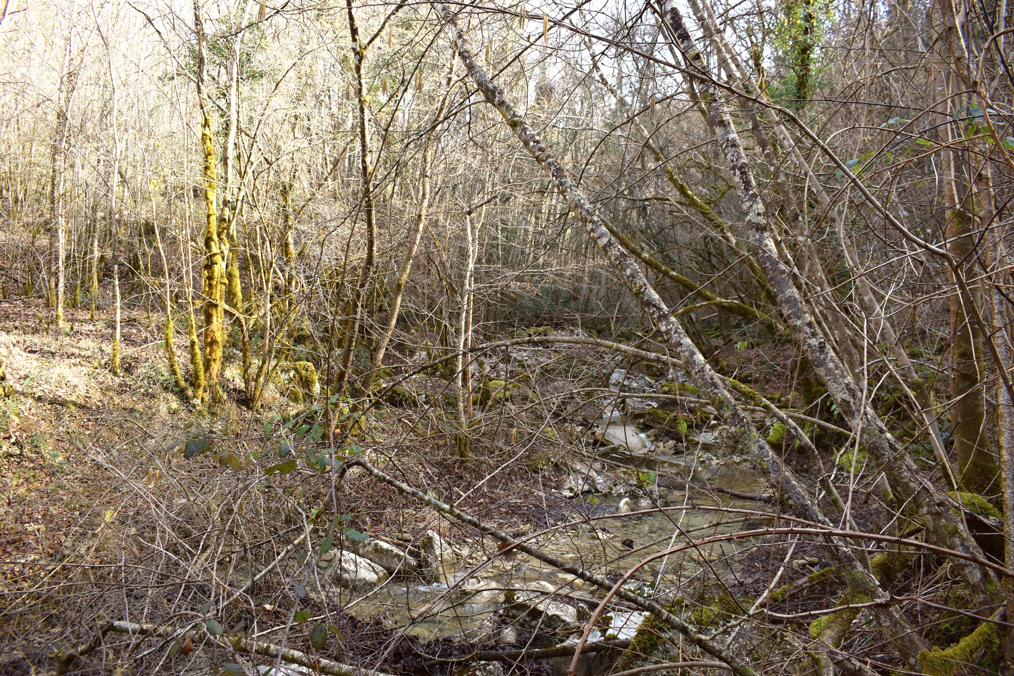
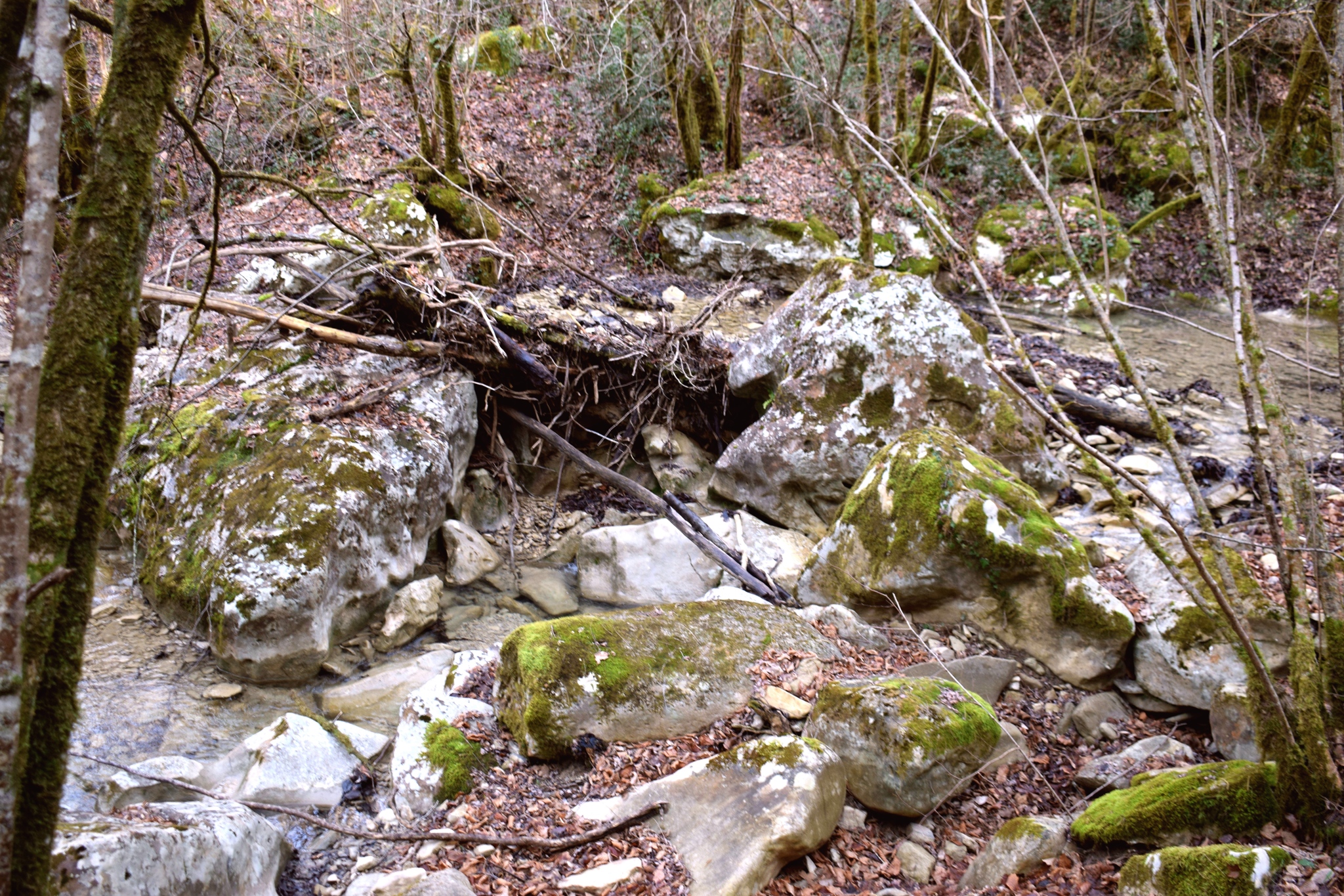
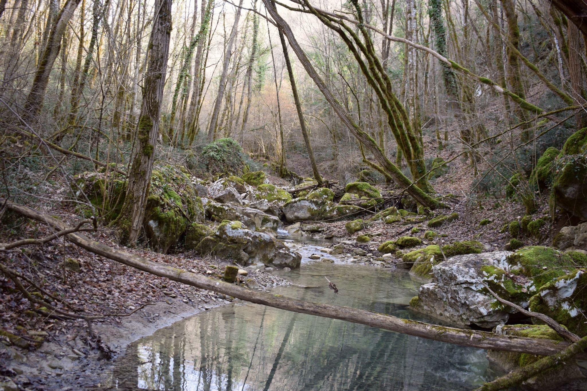
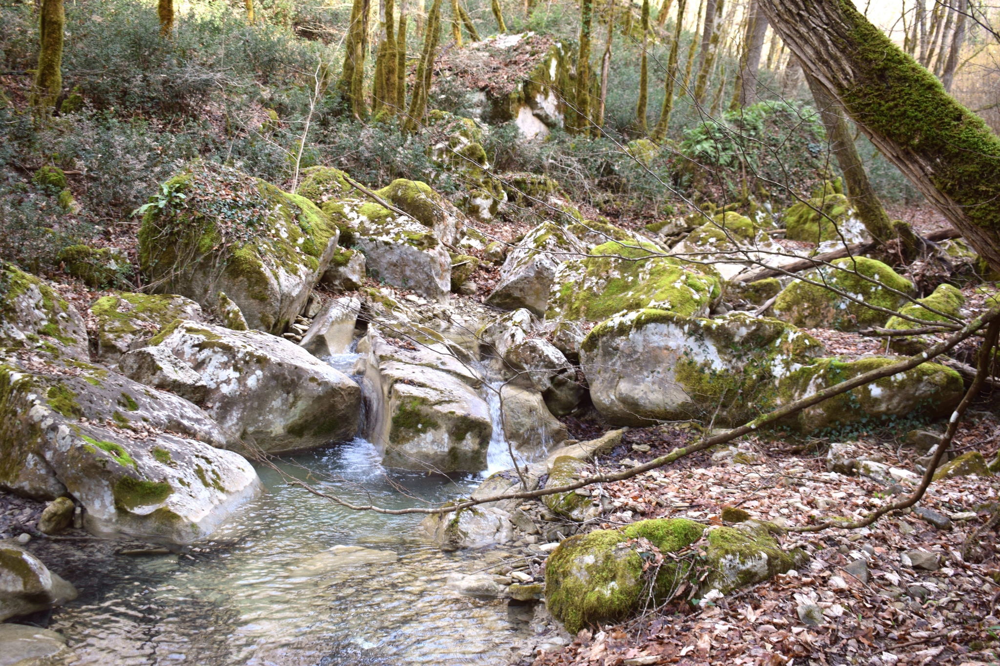
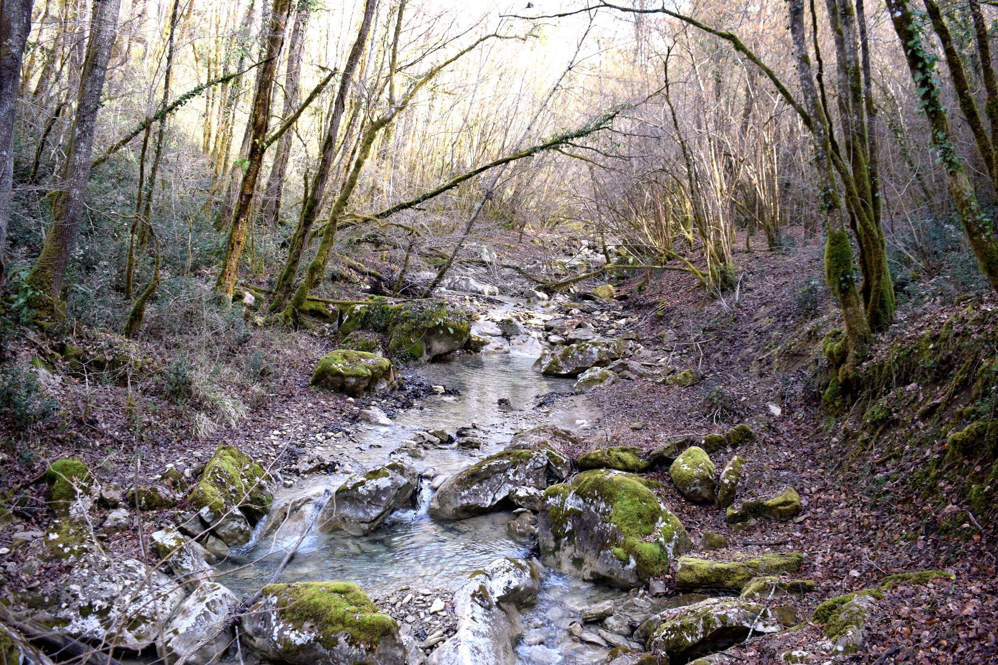


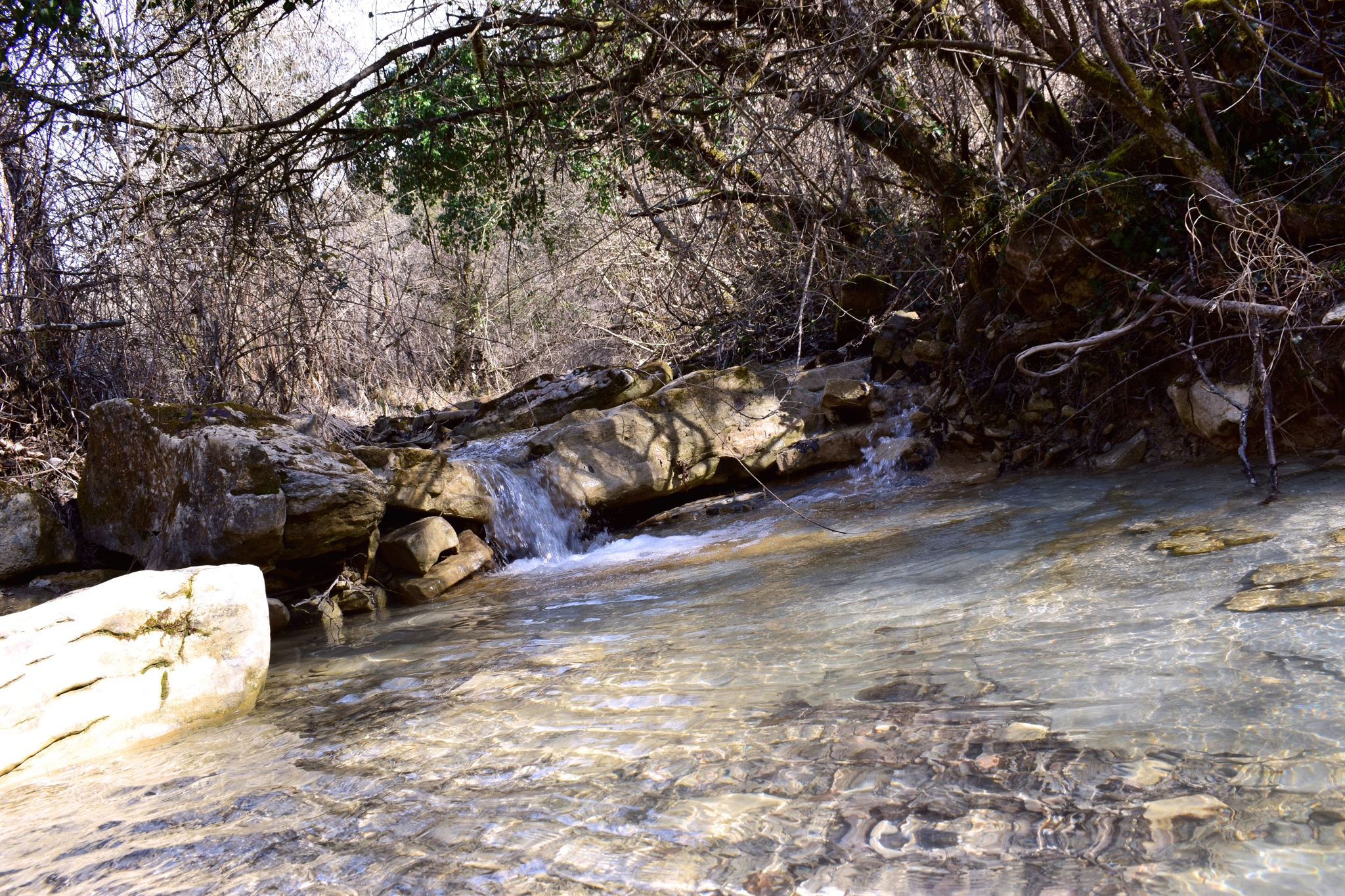


Name: Hiking trail from Valari to the hamlet Senica and the village Čunjci.
Place: Valari – Čunjci – (Buzet).
Coordinates: Start/End 45.35244 N – 13.90252 E, Senica: 45.35995 N -13.92687 E, Čunjci 45.36615 N -13.93092 E.
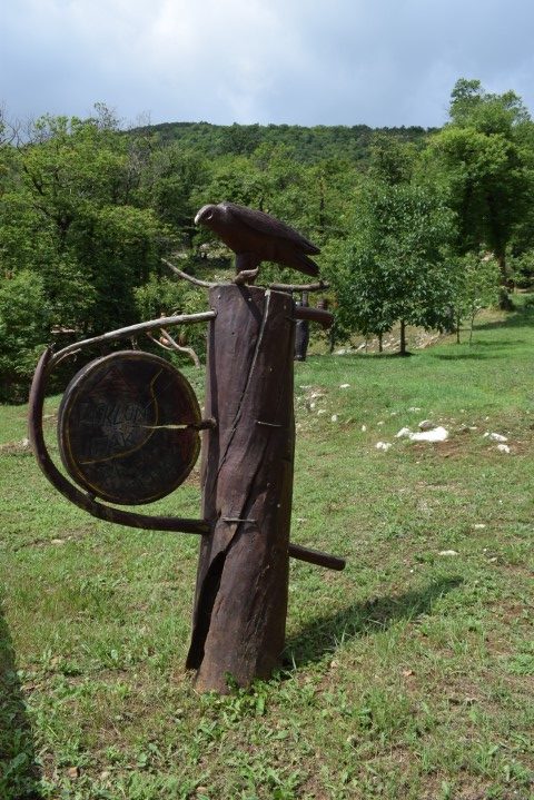
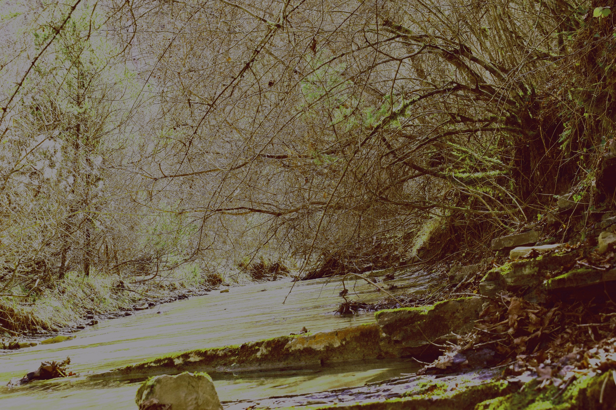
Name: Hiking trail from Valari to the hamlet Senica and the village Čunjci.
Place: Valari – Čunjci – (Buzet).
Coordinates: Start/End 45.35244 N – 13.90252 E, Senica: 45.35995 N -13.92687 E, Čunjci 45.36615 N -13.93092 E.

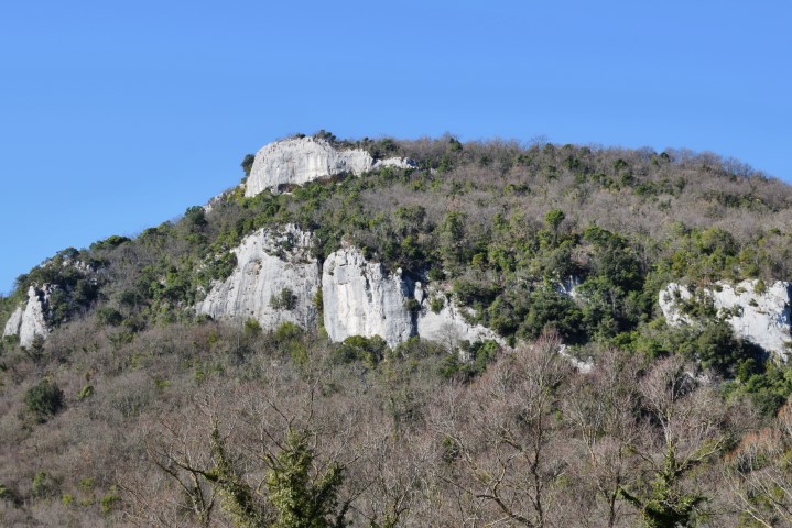
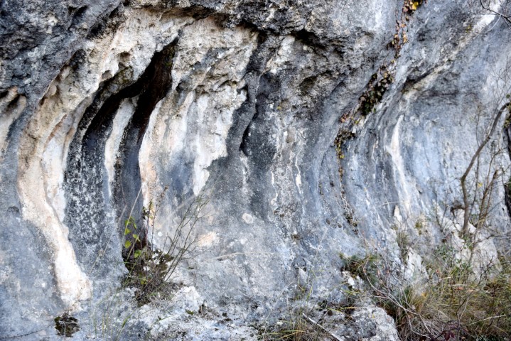
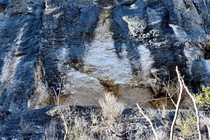
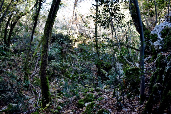
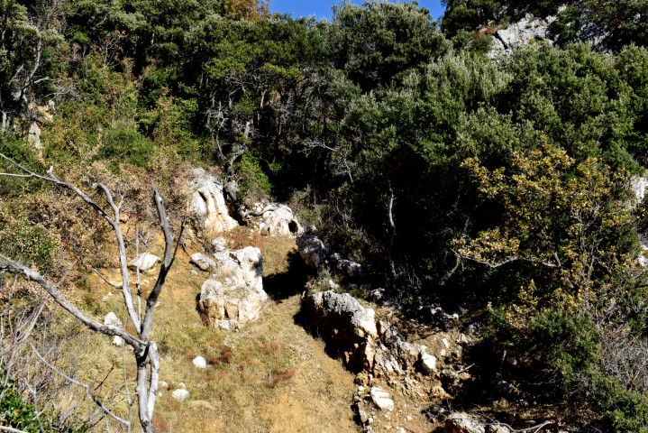
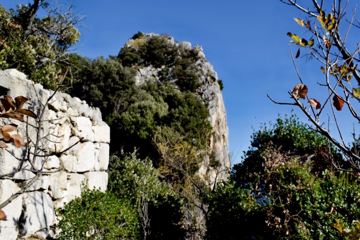
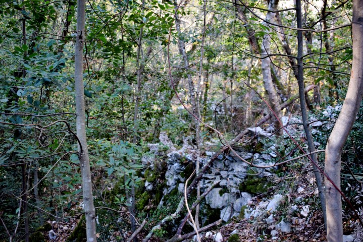
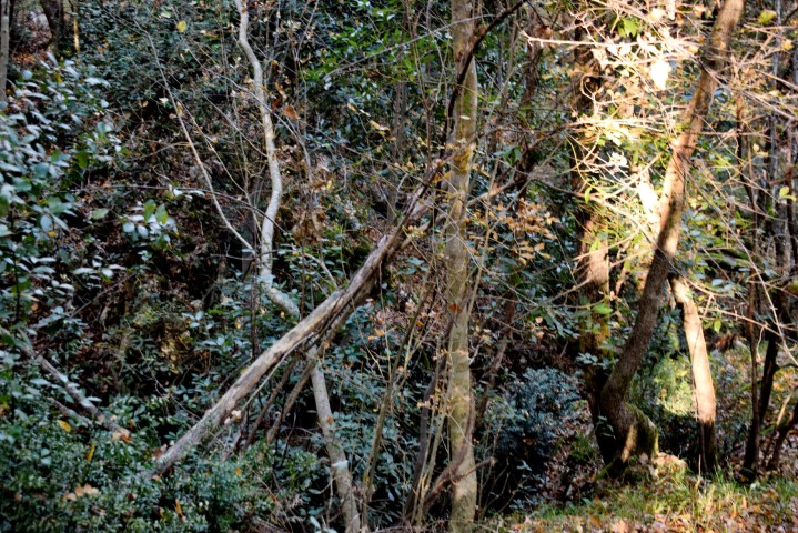
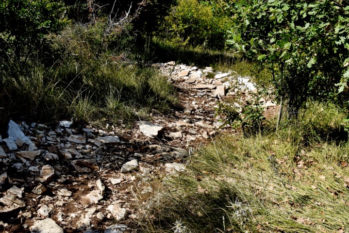
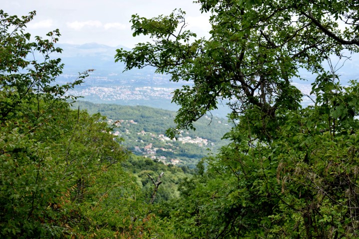
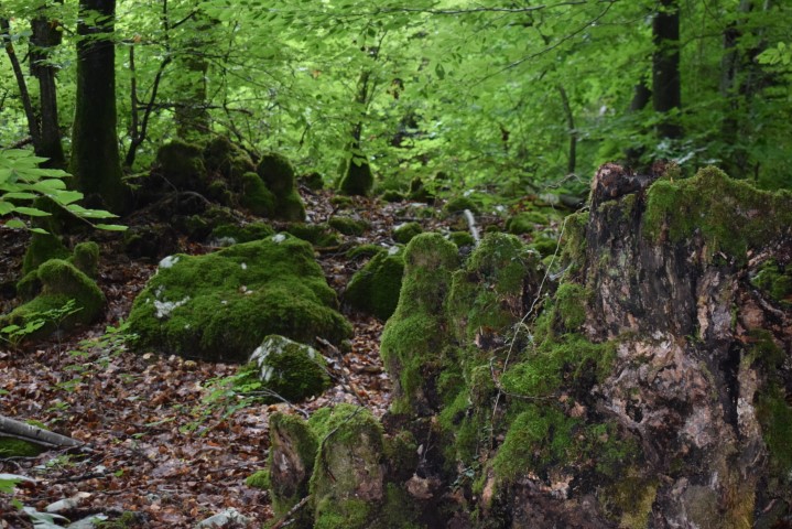
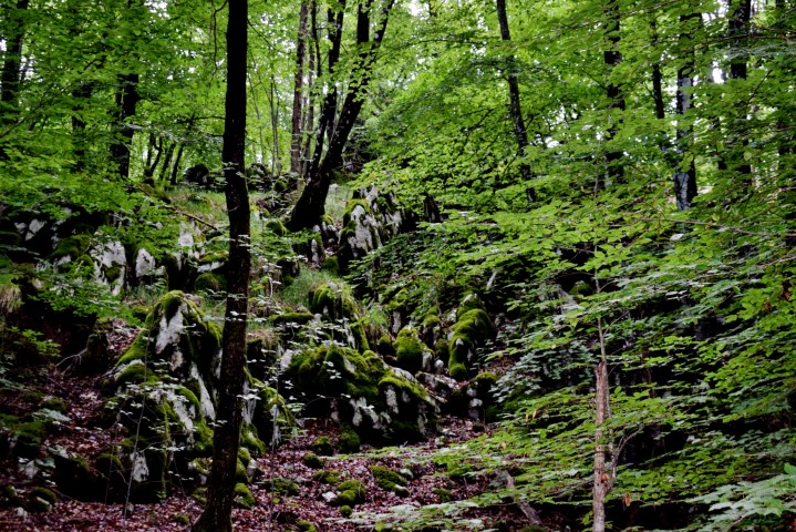
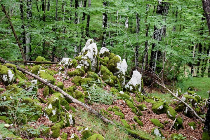
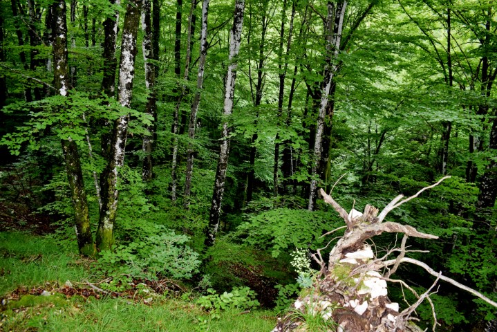
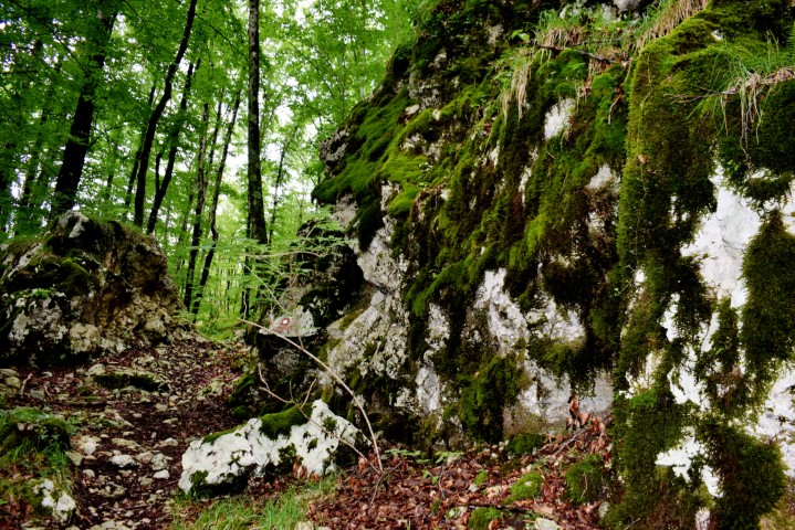
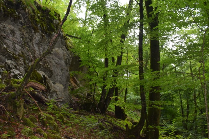
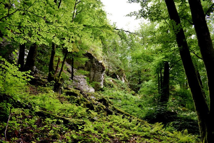
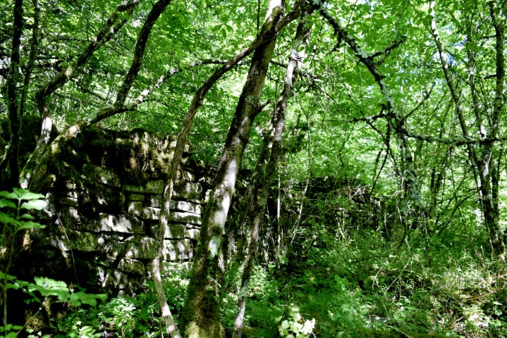
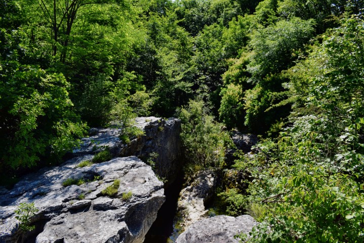
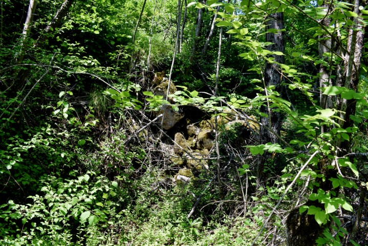
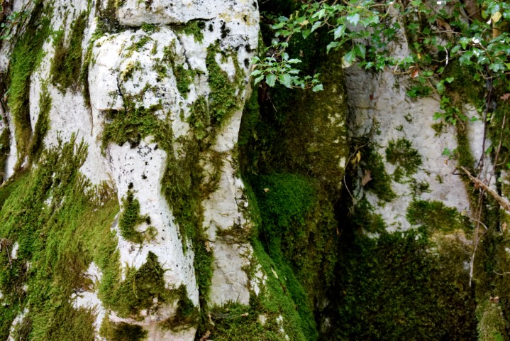
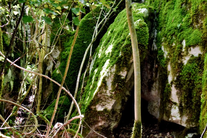
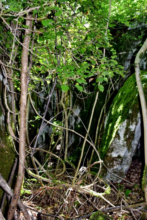
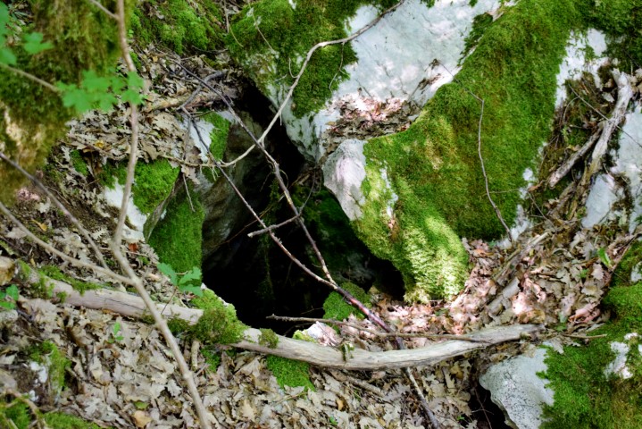
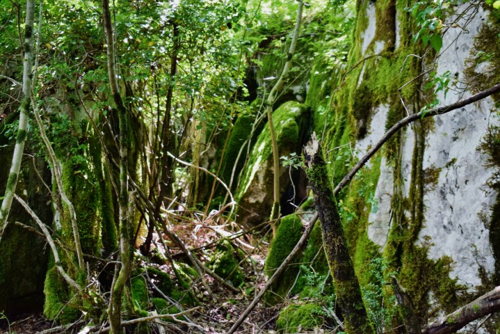
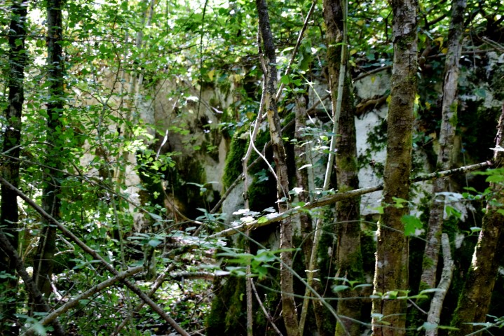
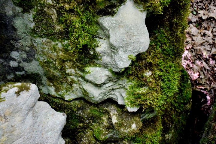
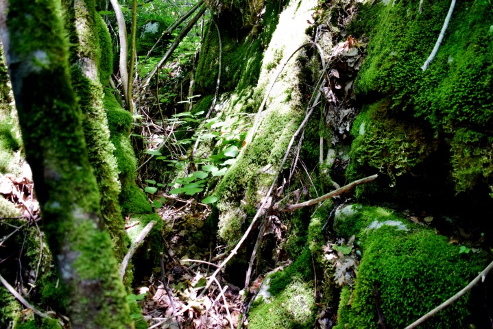
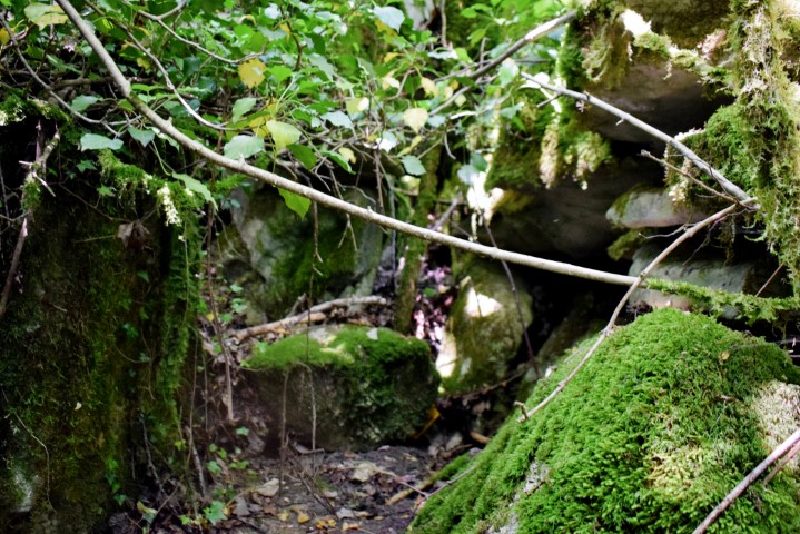
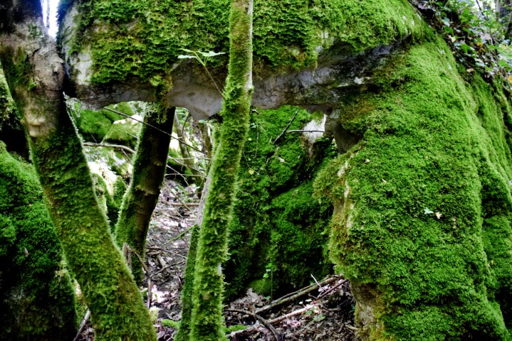
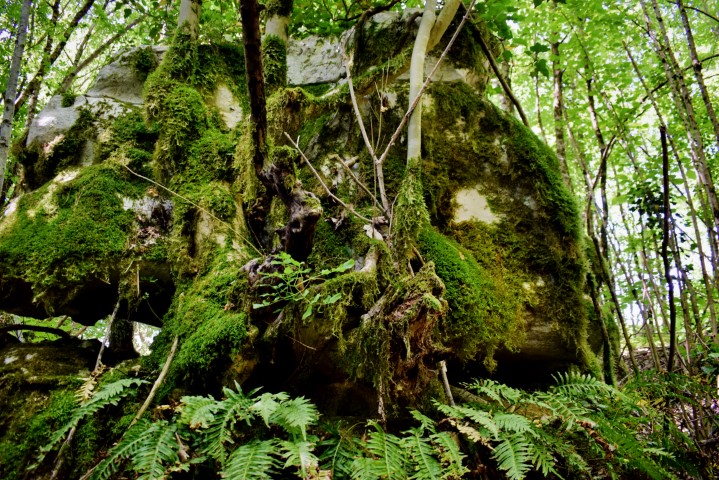
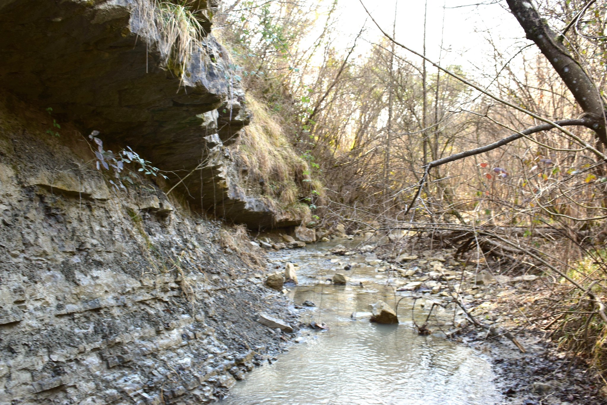
Name: Hiking trail to Rocks Veliku Strbu – South Sv. Ivan Krstitelj near Rasa river.
Place: Near Medančići – (Barban).
Coordinates: Start: 45 11934 N – 14.02228 E, split 45.11849 N – 14.01984 E . Rocks 45.12097 N – 14.01988 E.
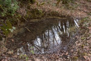
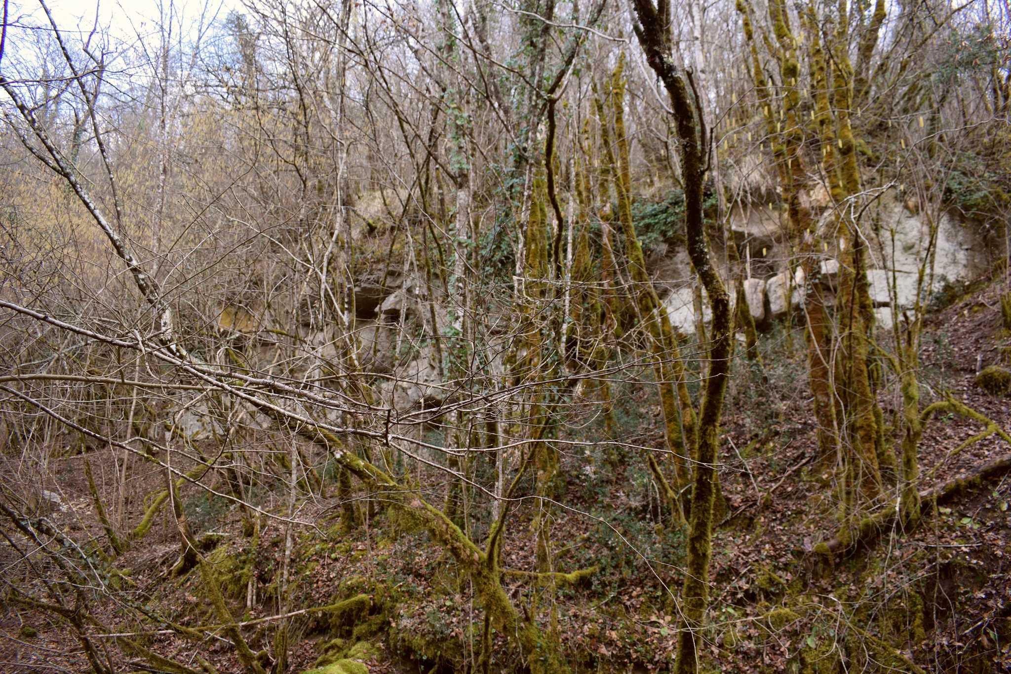
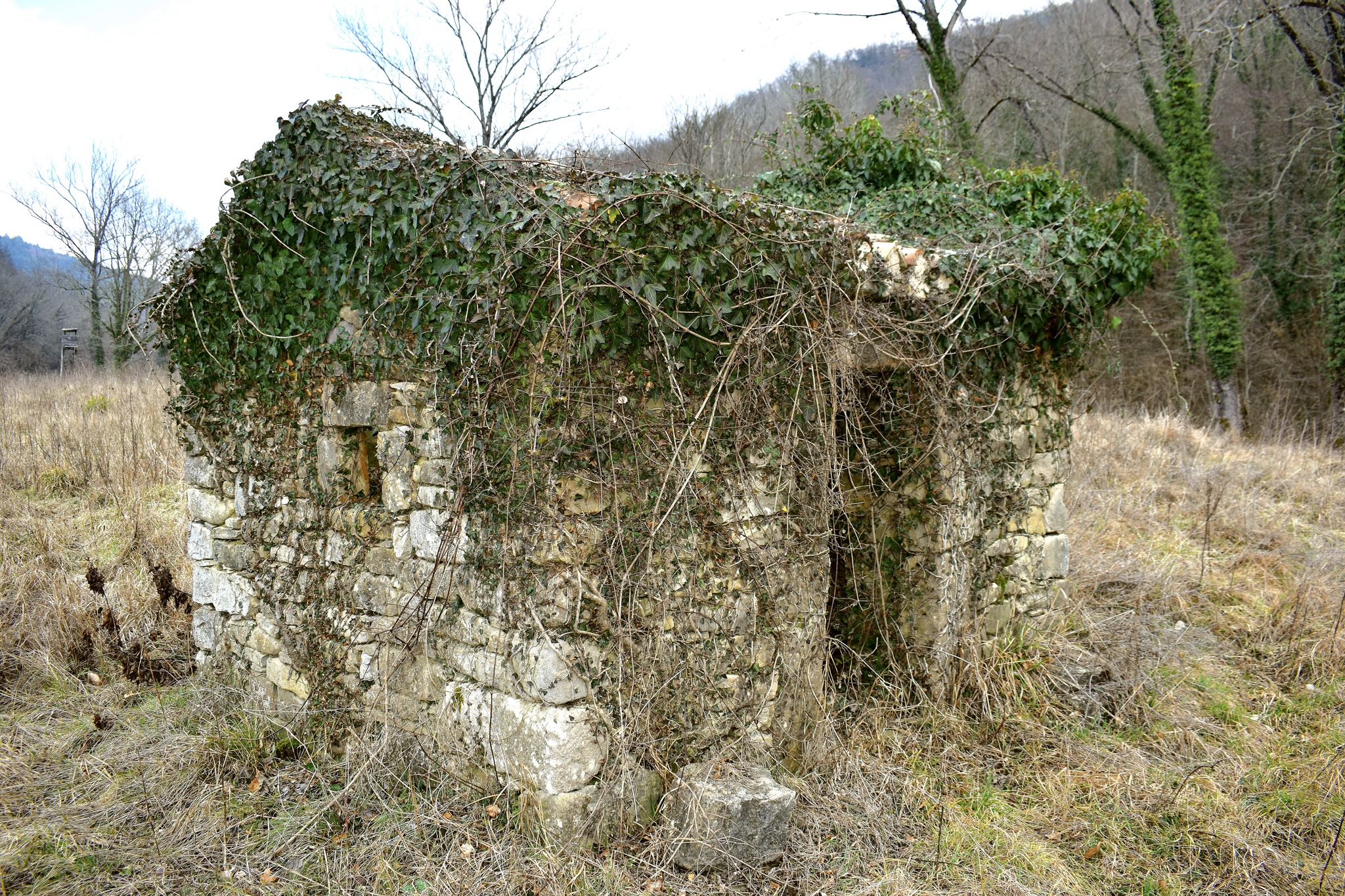
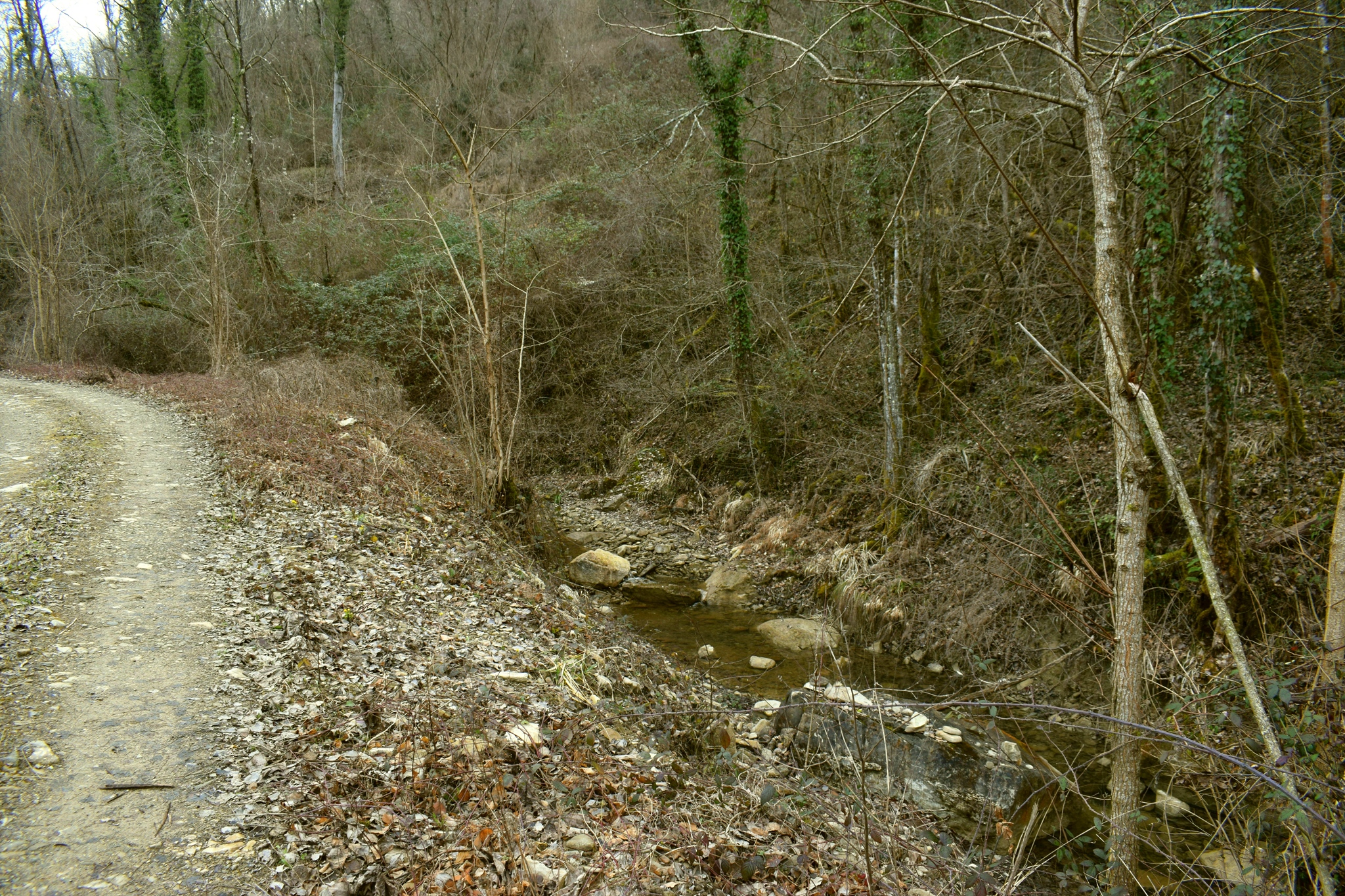
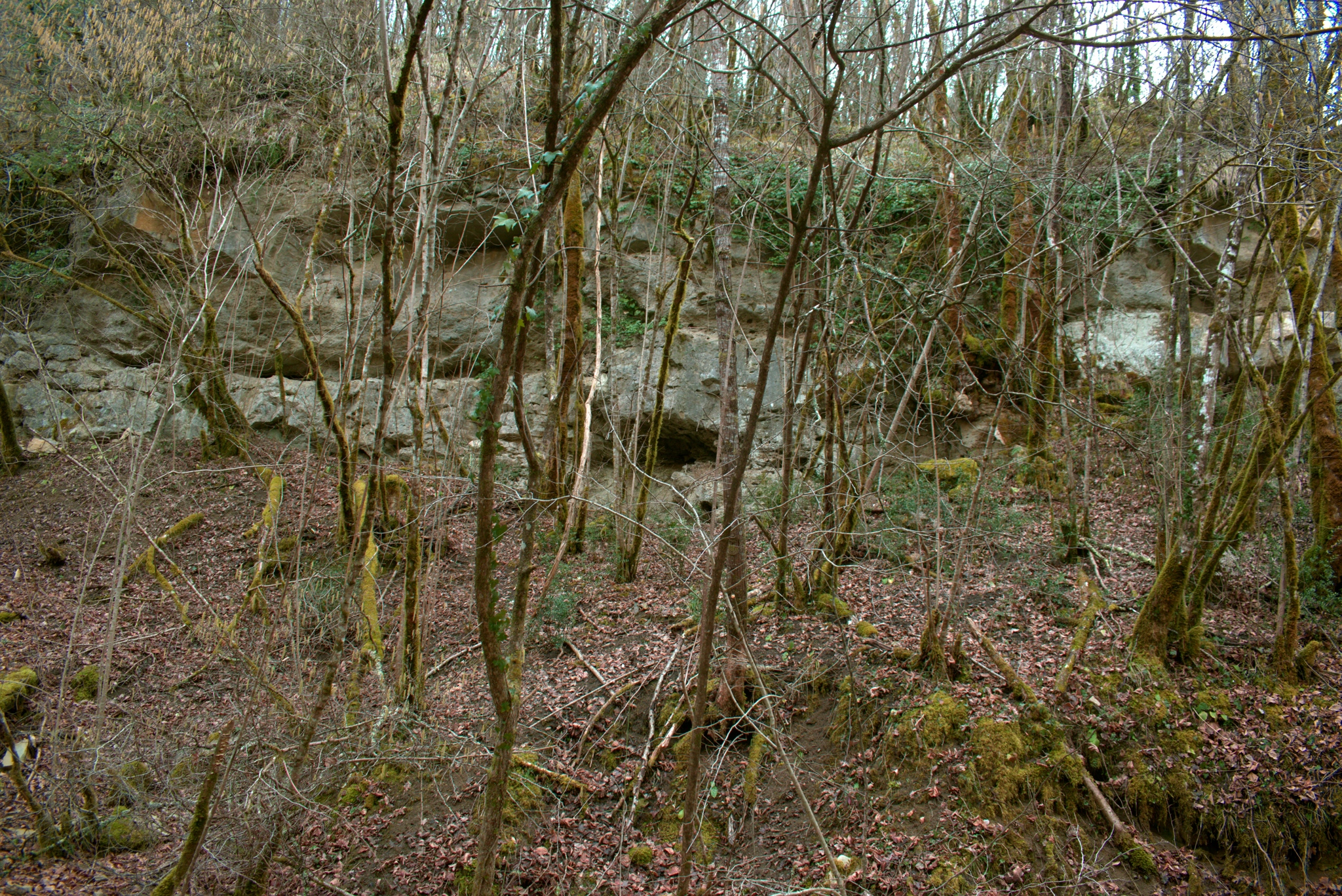
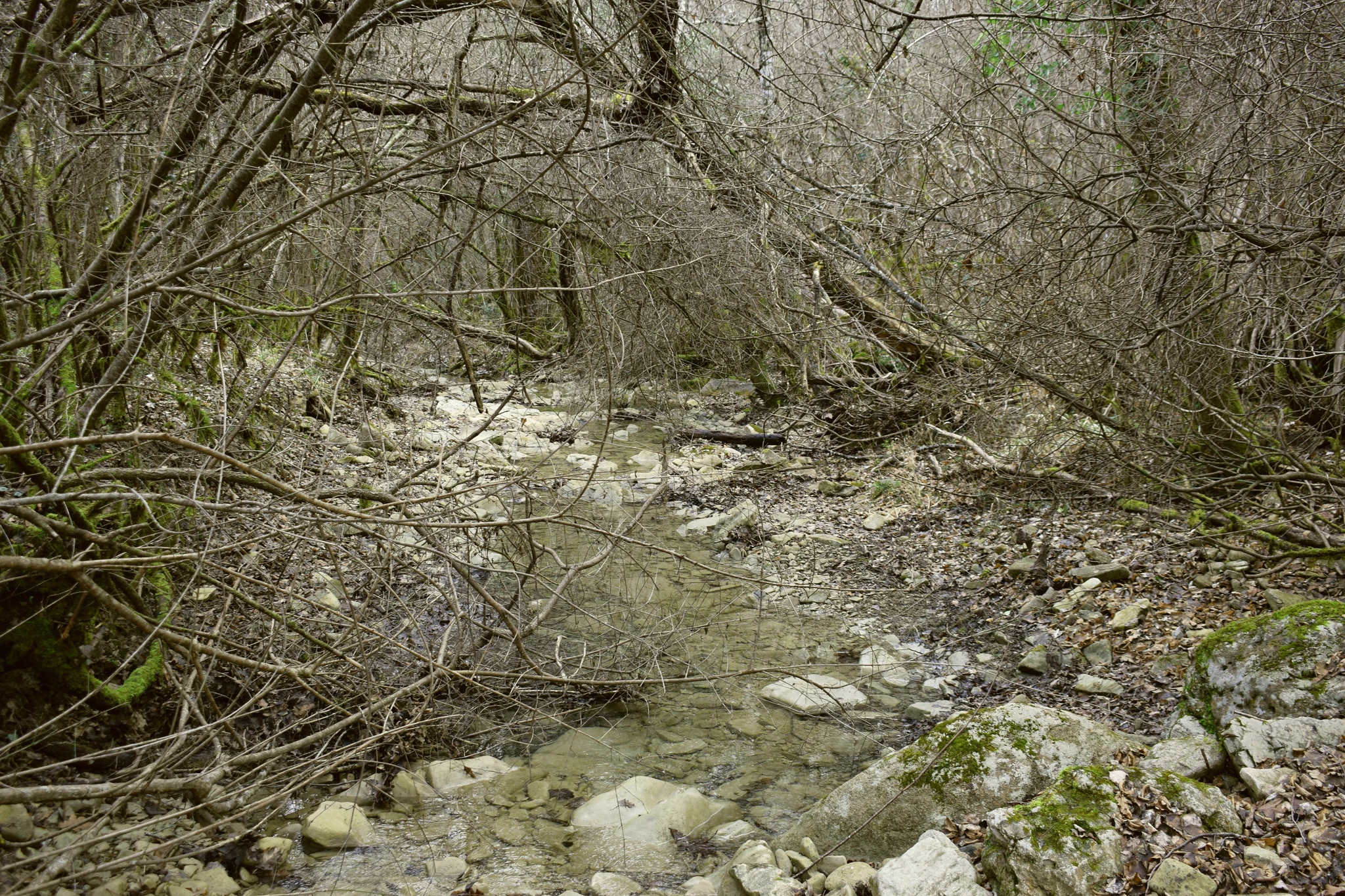
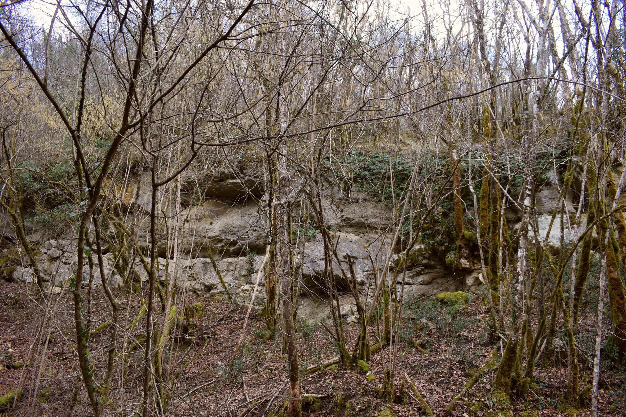
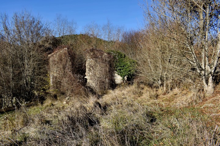
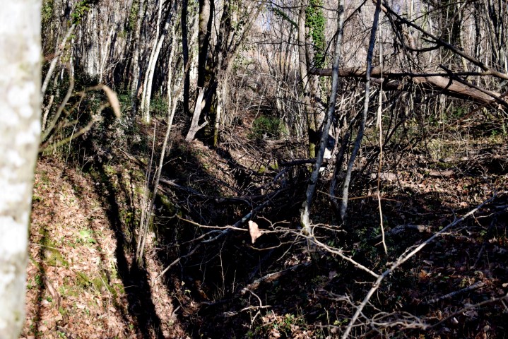
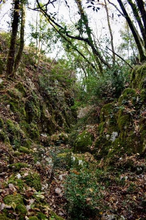
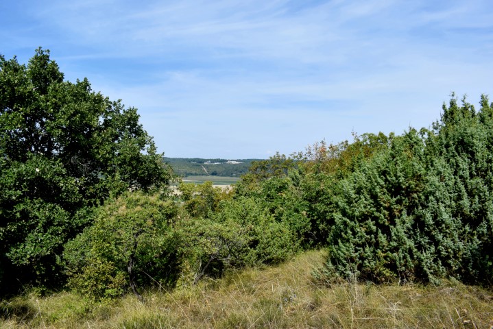
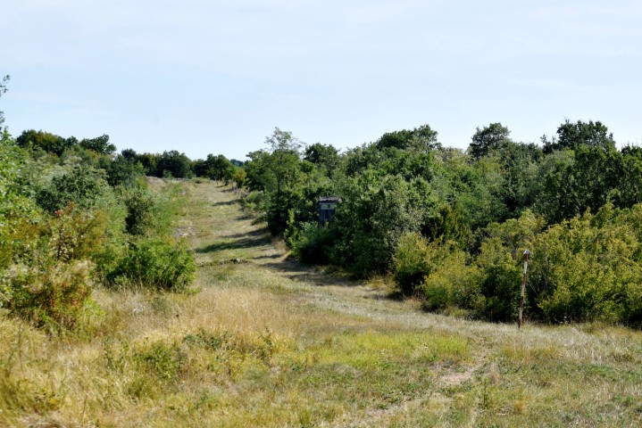
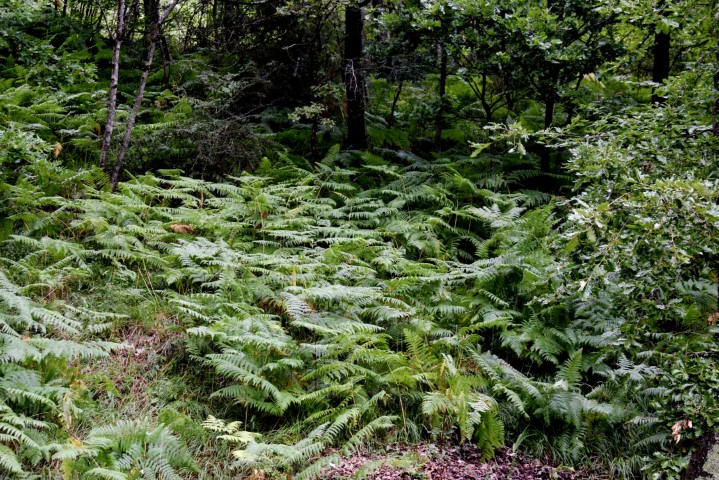
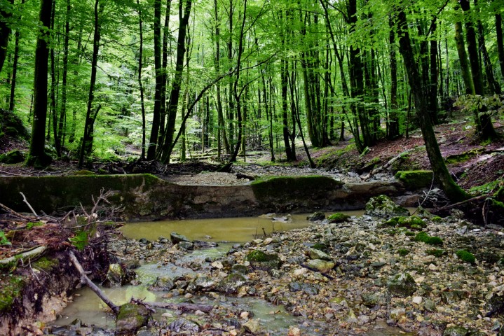
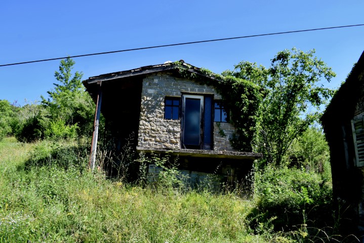
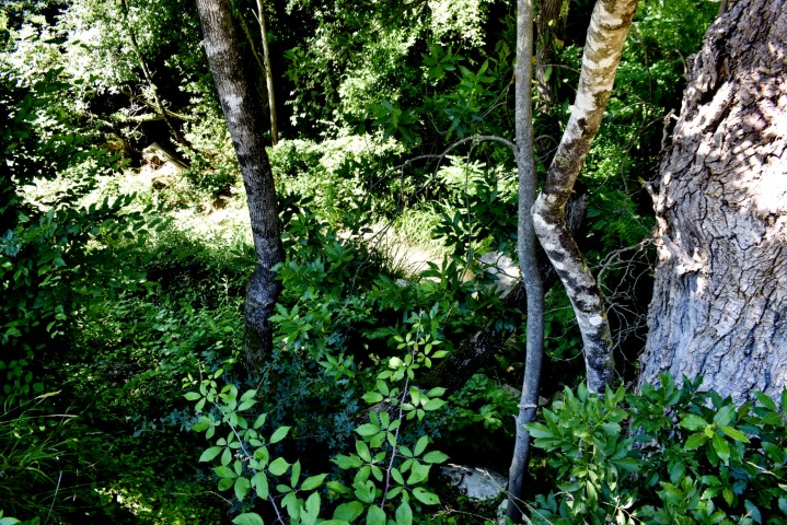
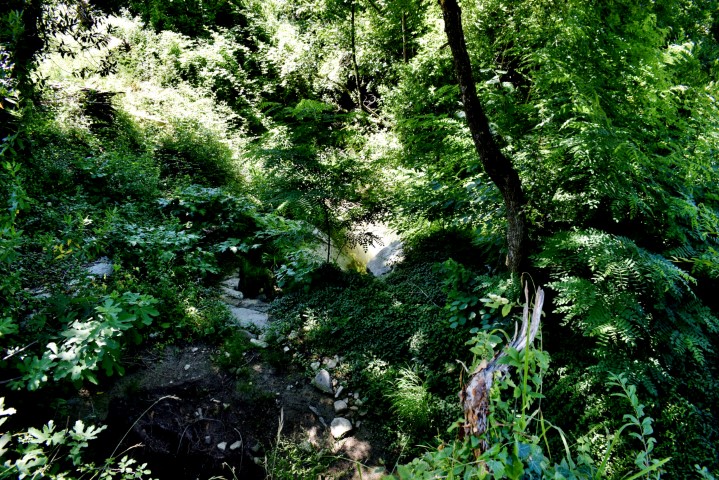
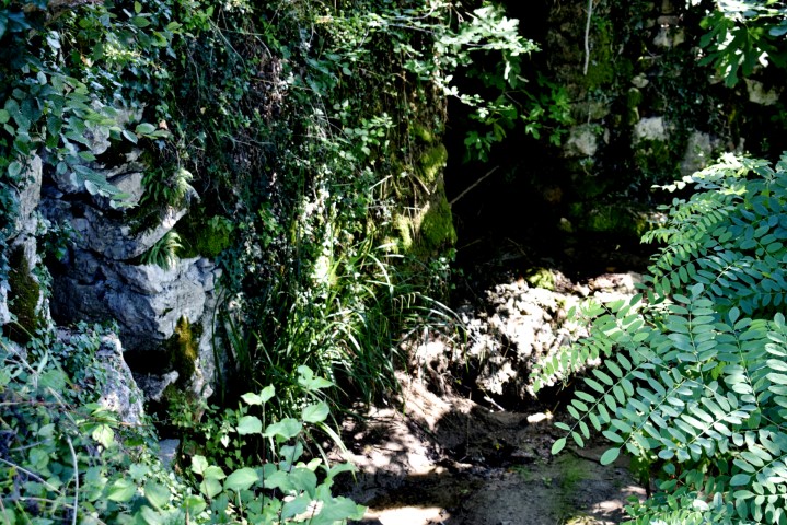
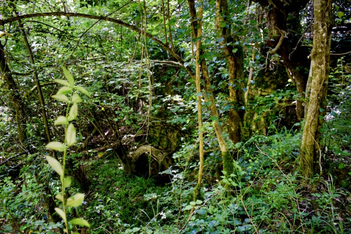
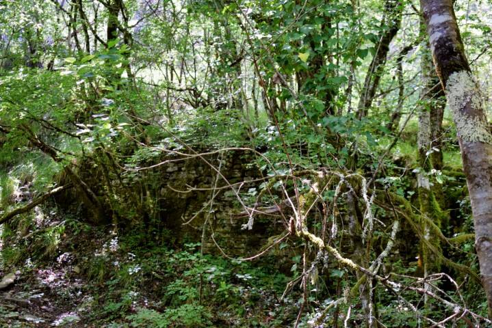
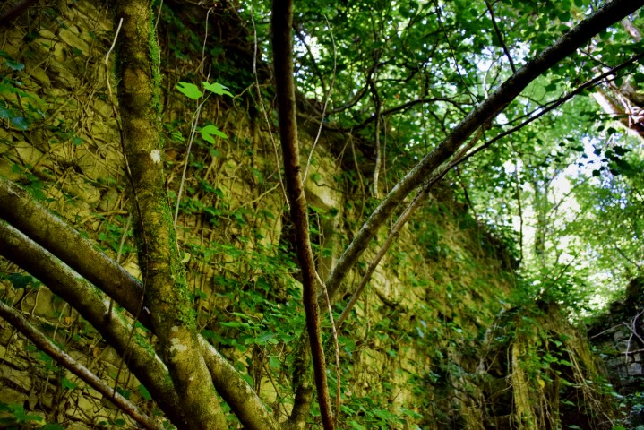
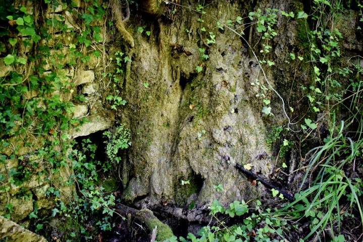
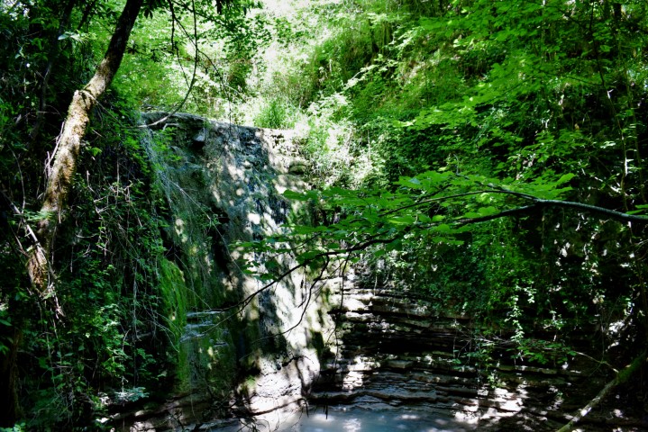
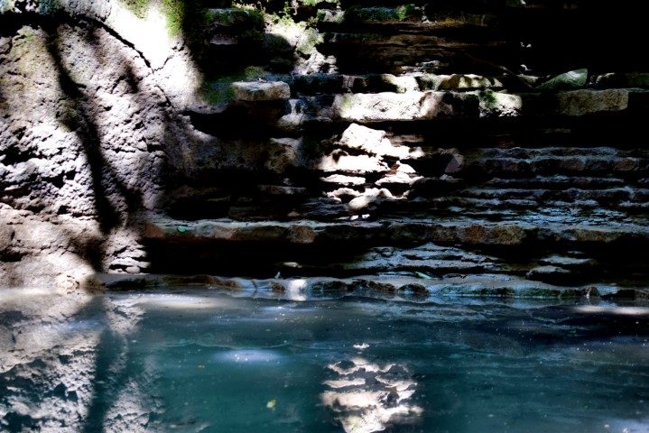
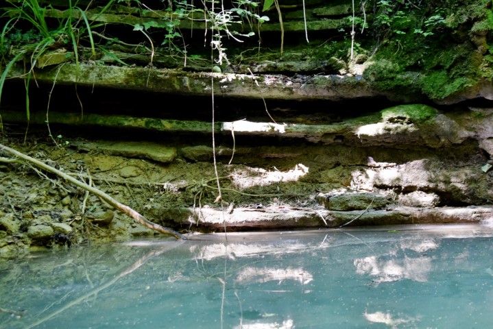
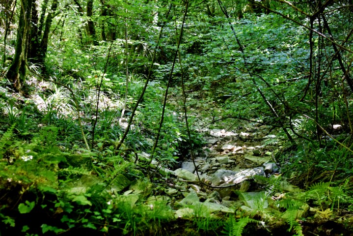
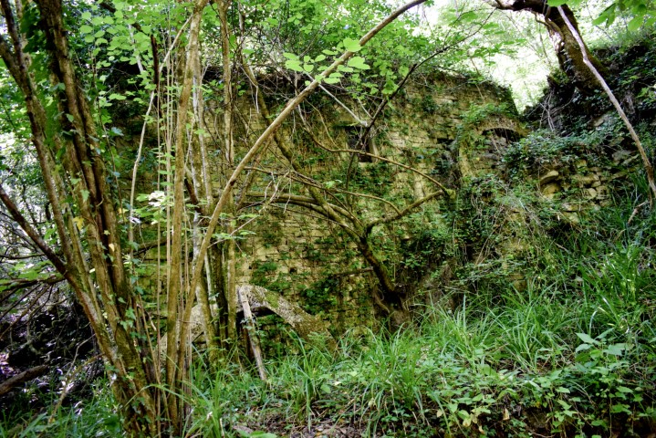
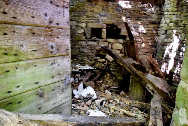
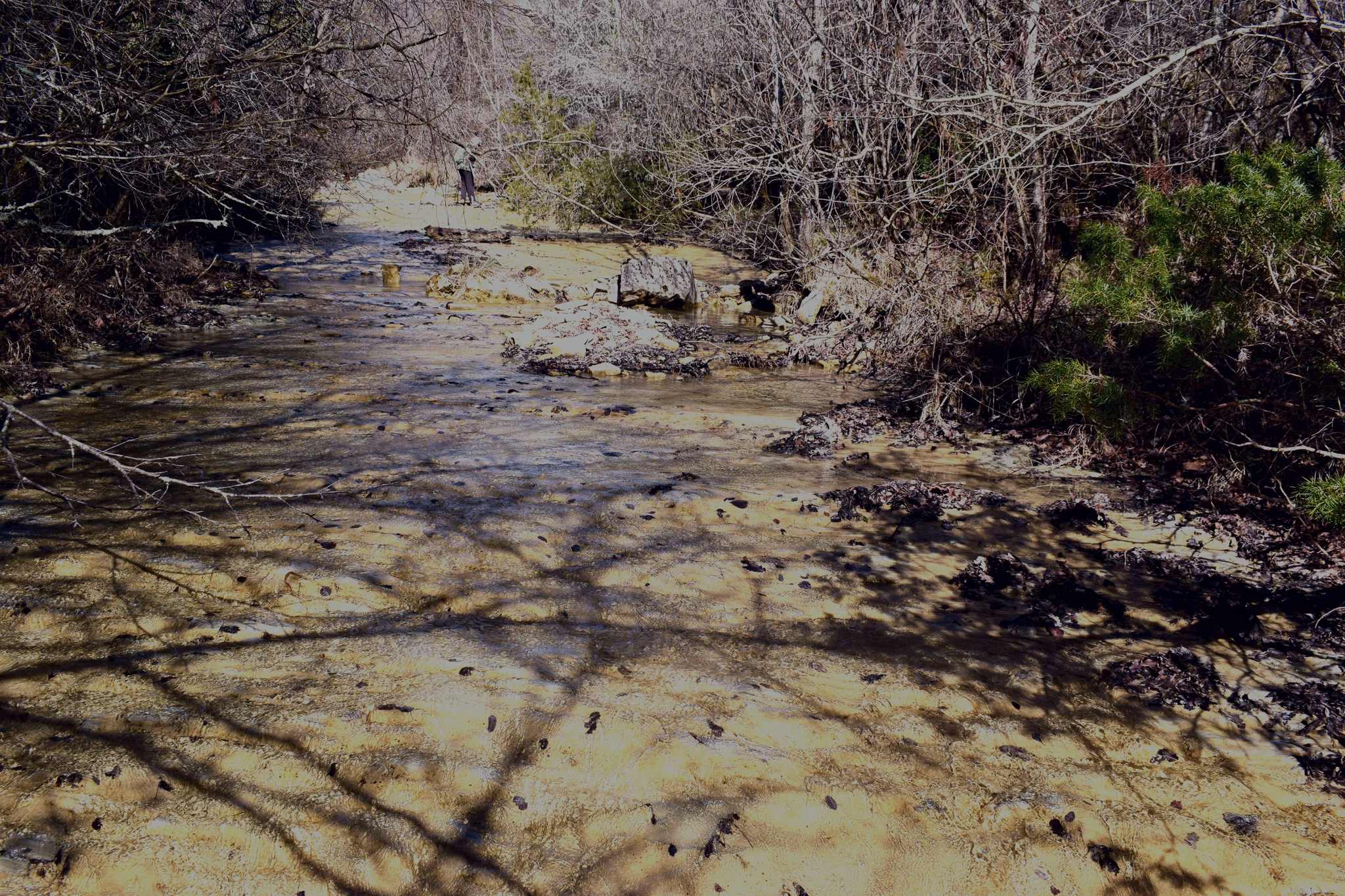
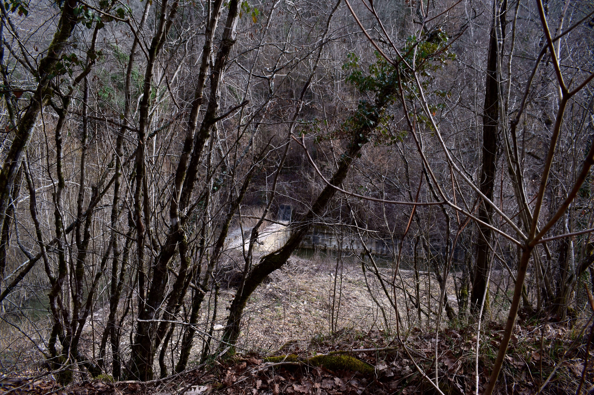
Name: Hikiking trail from The park Santarija along the stream Brestovica to its source.
Place: Near Rijavac – (Pazin).
Coordinates: Santarija 45.26080 N – 13.93242 E, Ruins 45.26510 N – 13.93400 E,
End: 45.26869 N – 13.93801 E
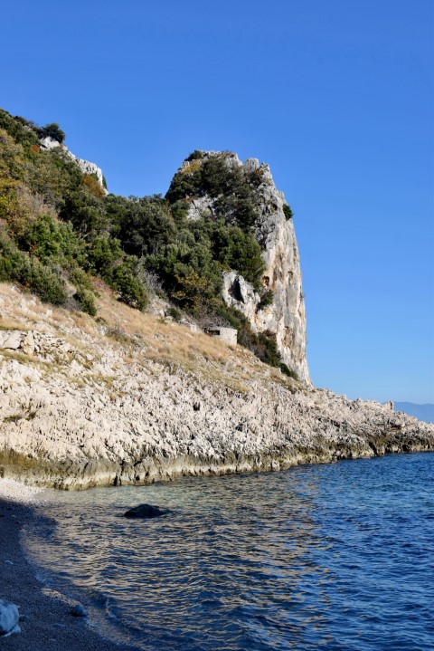
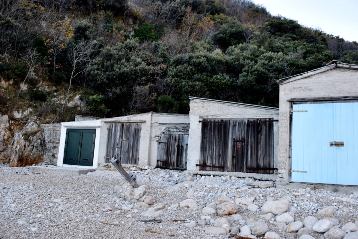
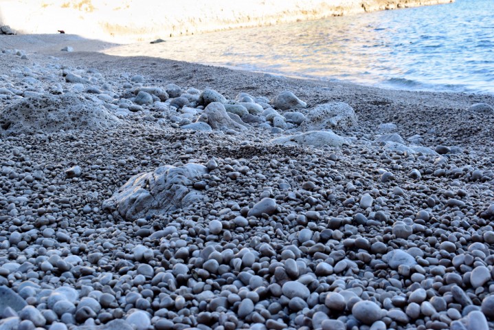
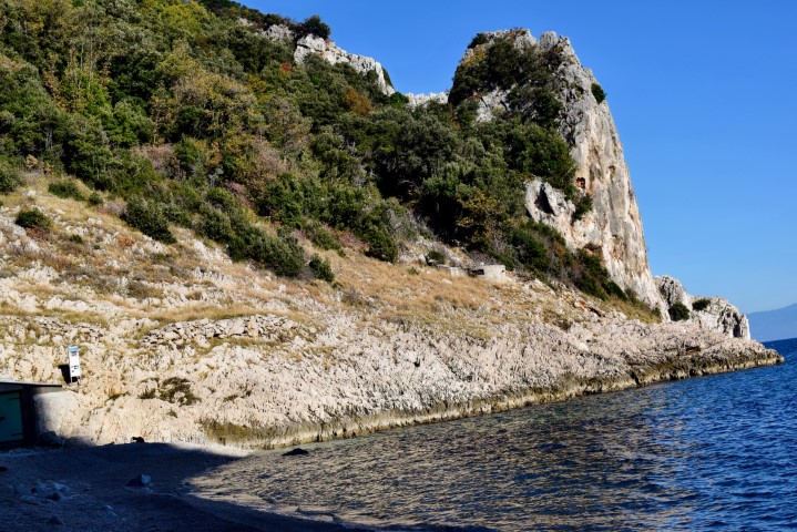
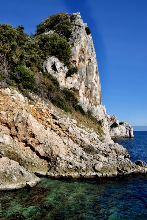
Hiking trail from Baći village (125 m.) to the Cove of Colums (Uvala Stupova). Uvala Stupova is named after a thirty meter high limestone rock, which sticks out of the sea like a pillar. Near the steep cliff is a pebble beach with fishing houses. The river Supoti also flows into the sea here. This stream that gets its water from the Sisol hill is the border between Primorska Goranska and Istria County.
Name: Hiking trail to the Cove of Colums (Uvala Stupova).
Place: Baći – (Kršan).
Coordinates: Start trail 45.15233 N – 14.22067 E, Beach 45.45347 N – 14.22598 E.

Name: Hiking trail from Tarska Finida to Debeli RT.
Place: Near Spin – (Tar).
Coordinates: Start: 45.31273 N – 13.62302 E, beginning forest trail along Mirna: 45.31671 N – 13.60949 E, end near bridge A9: 45.32638 N -13.62351 E.

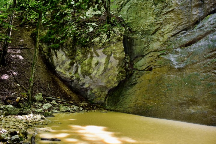
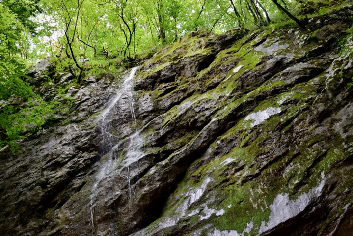
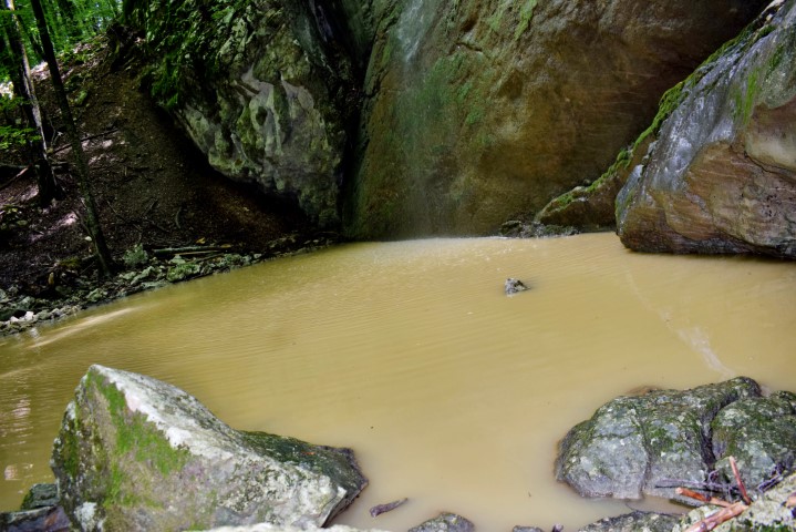
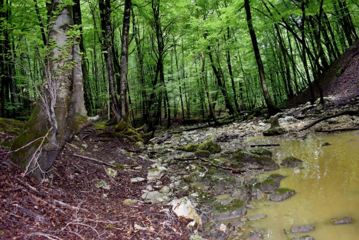
Name: Hiking trail near the entrance of the Učka tunnel to the Banina waterfall in the Učka Mountains.
Place: (Opatija).
Coordinates: Start point 45.31377 N – 14.24217 E, Waterfall Banina 45.30198 N – 14.22939 E.

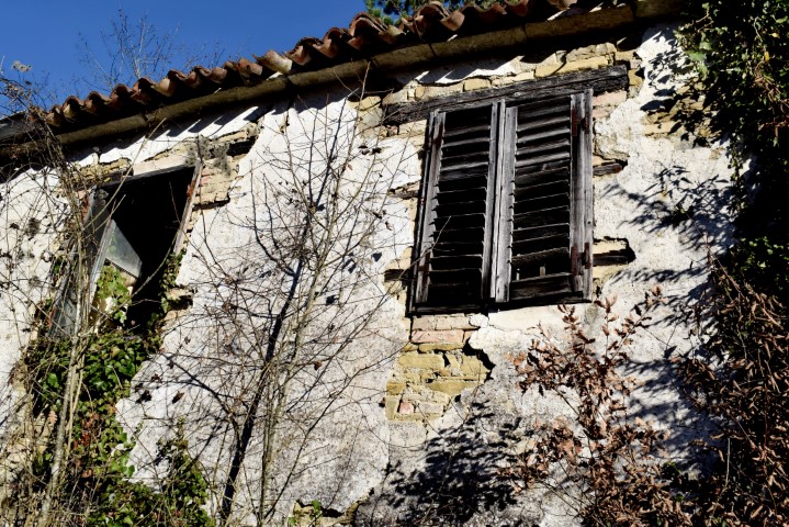
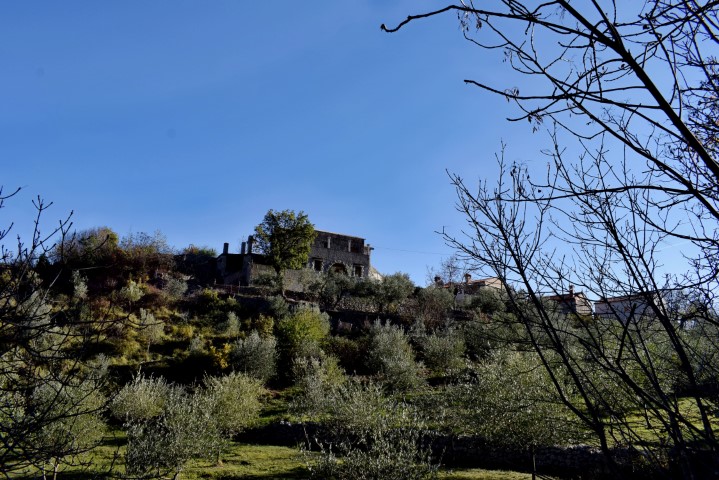
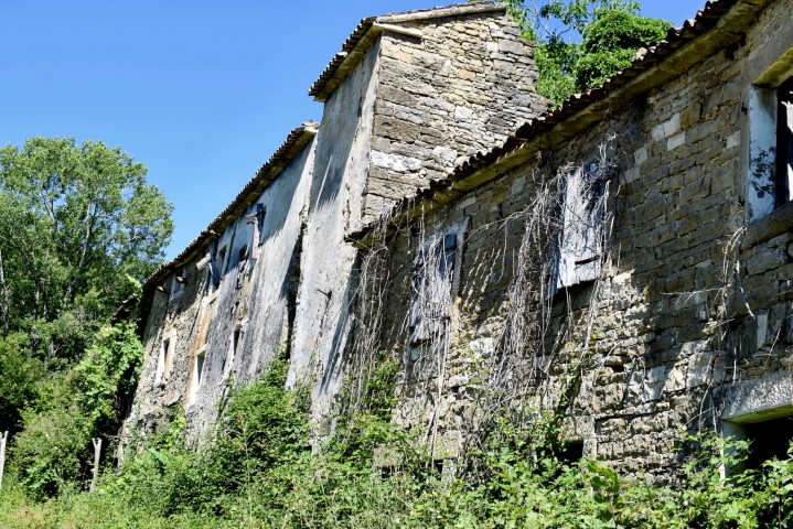
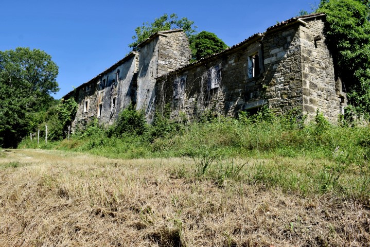
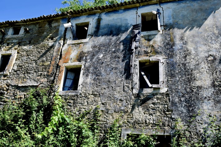
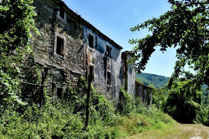
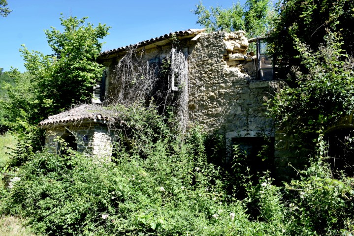
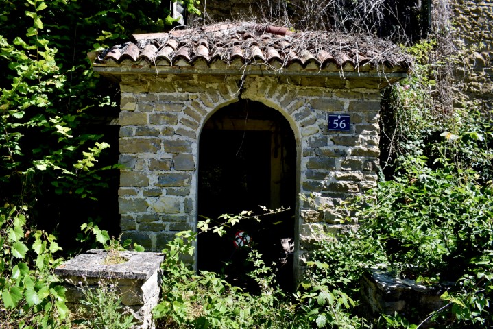
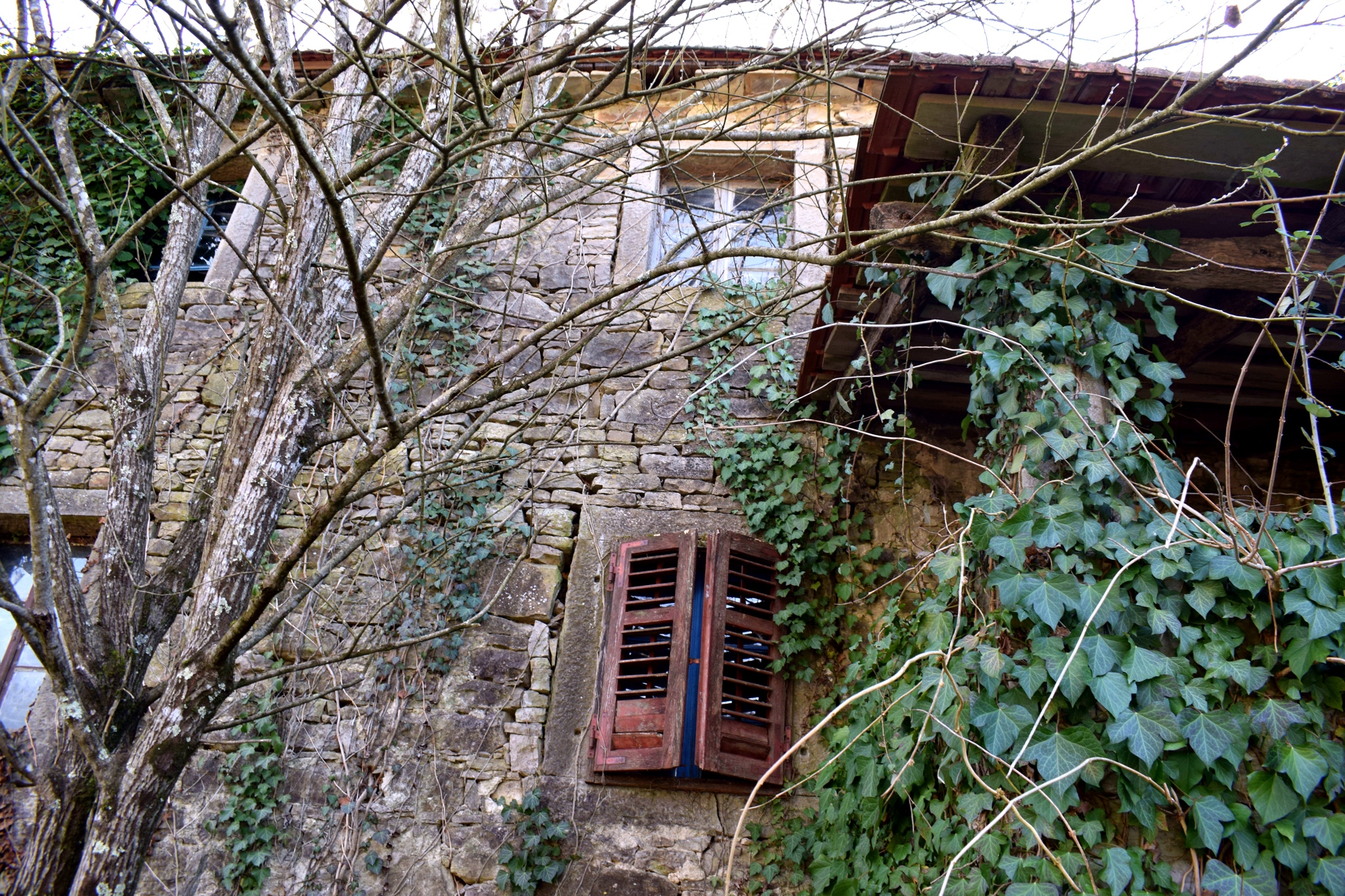
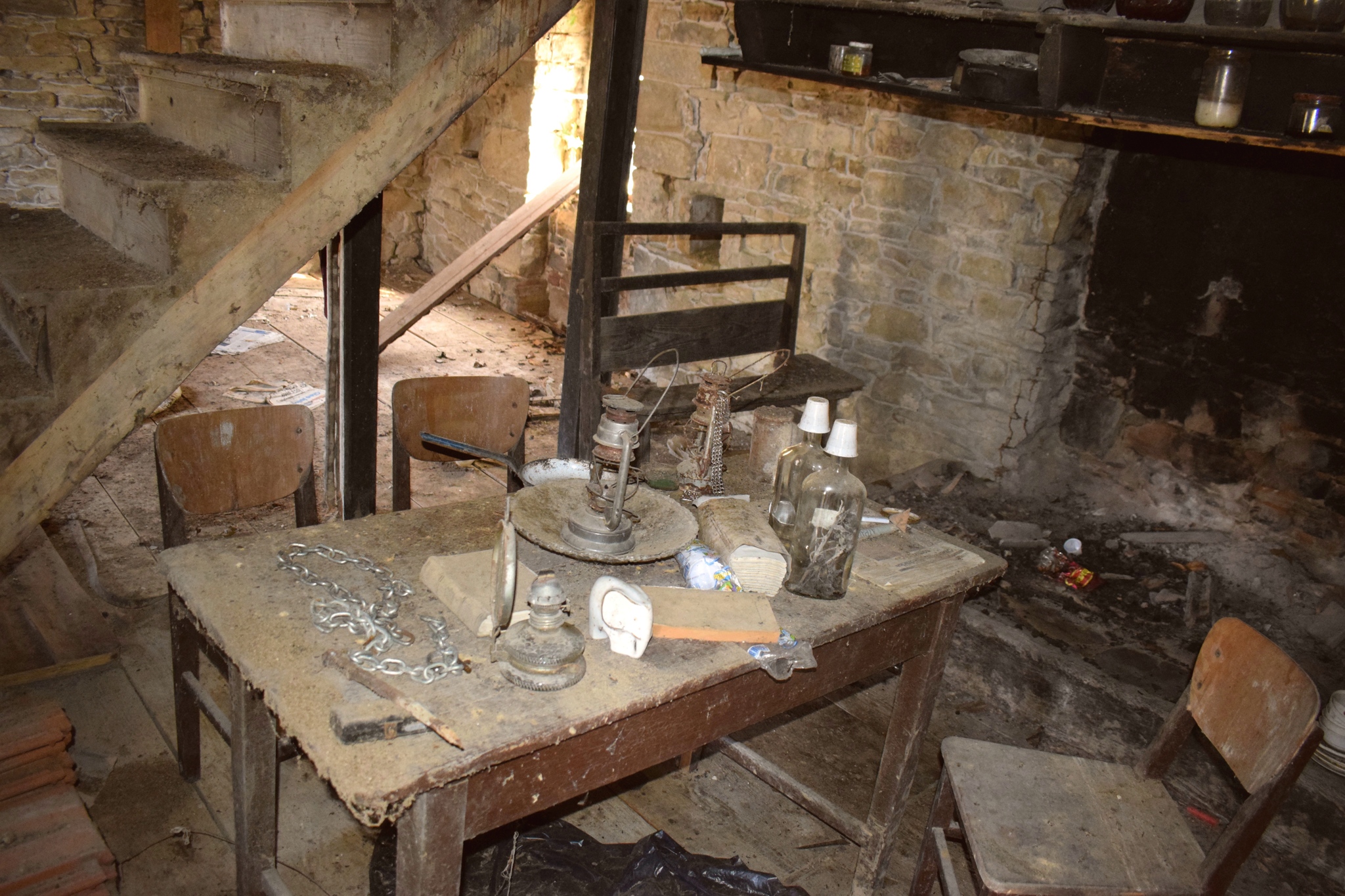
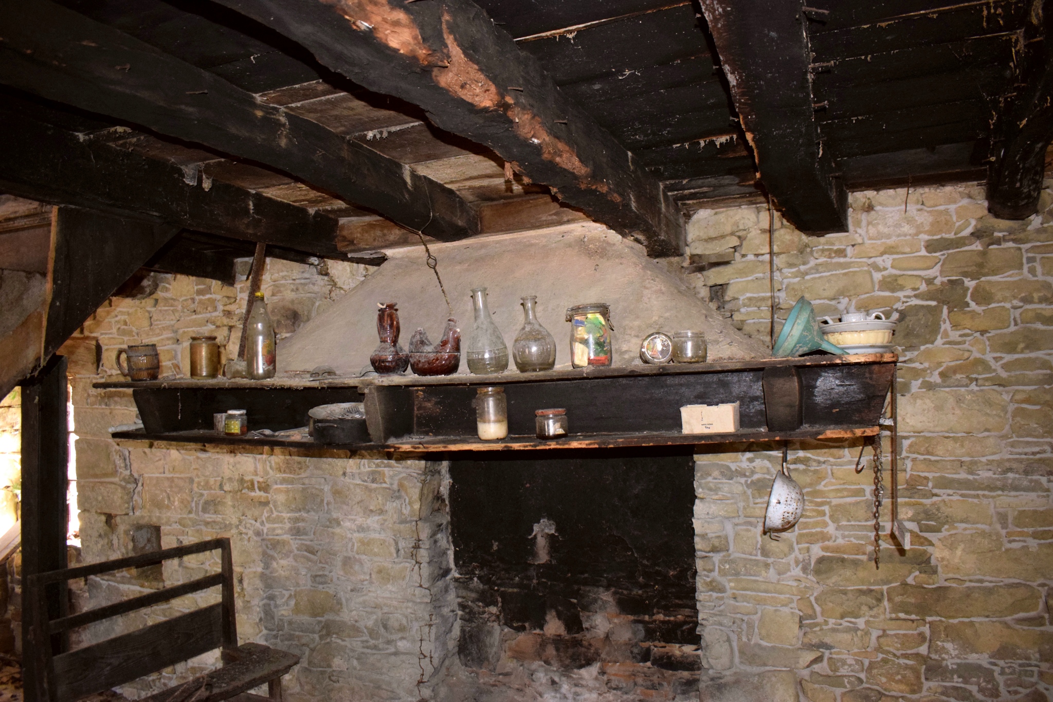
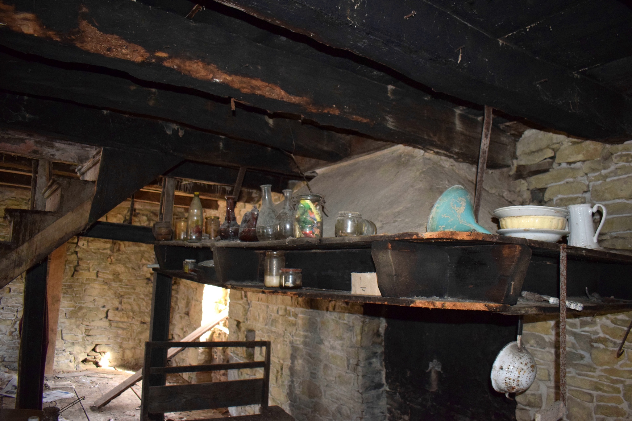
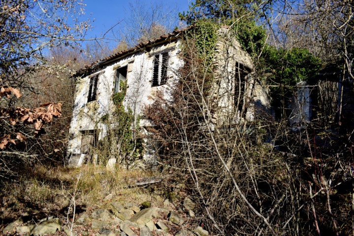
Name: Villaga Bolara.
Place: Bolara – (Grožnjan)
Coordinates: 45.37267 N – 13.73708 E.
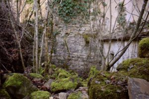
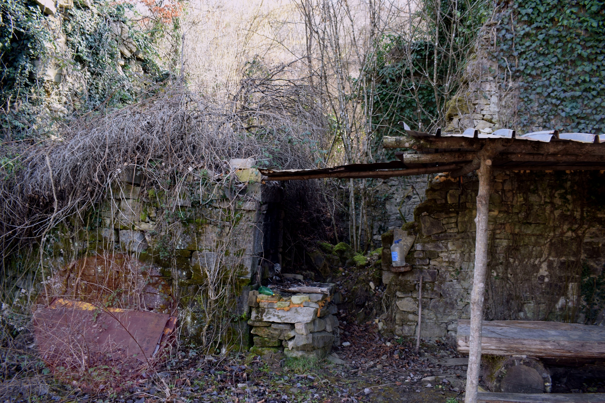
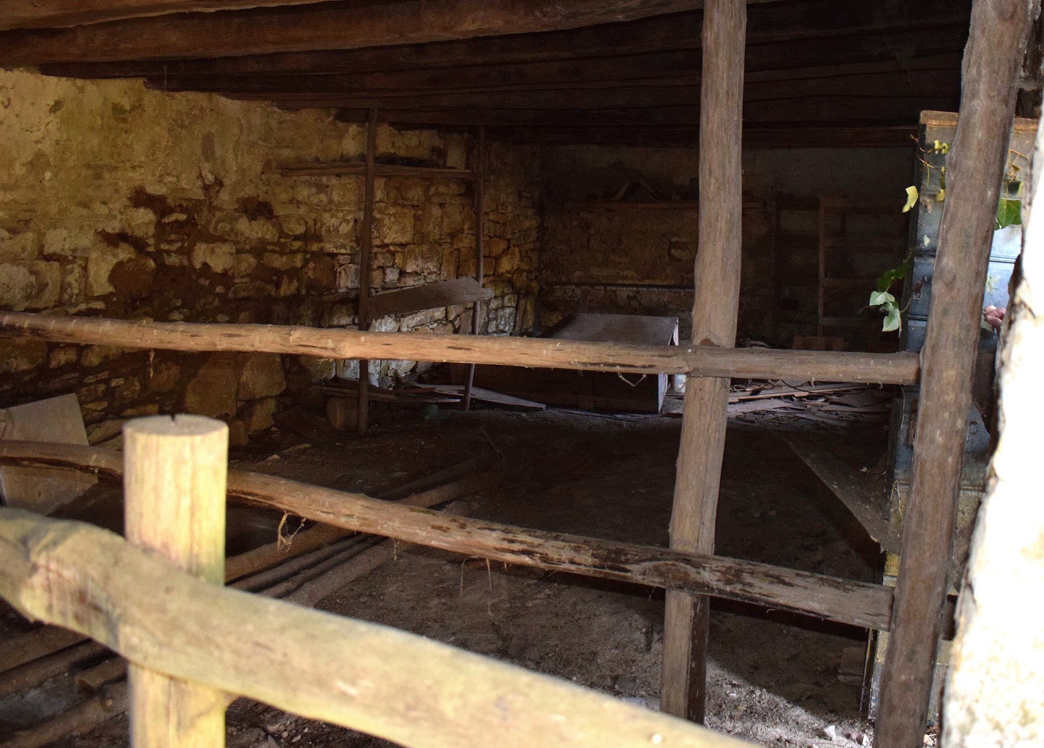
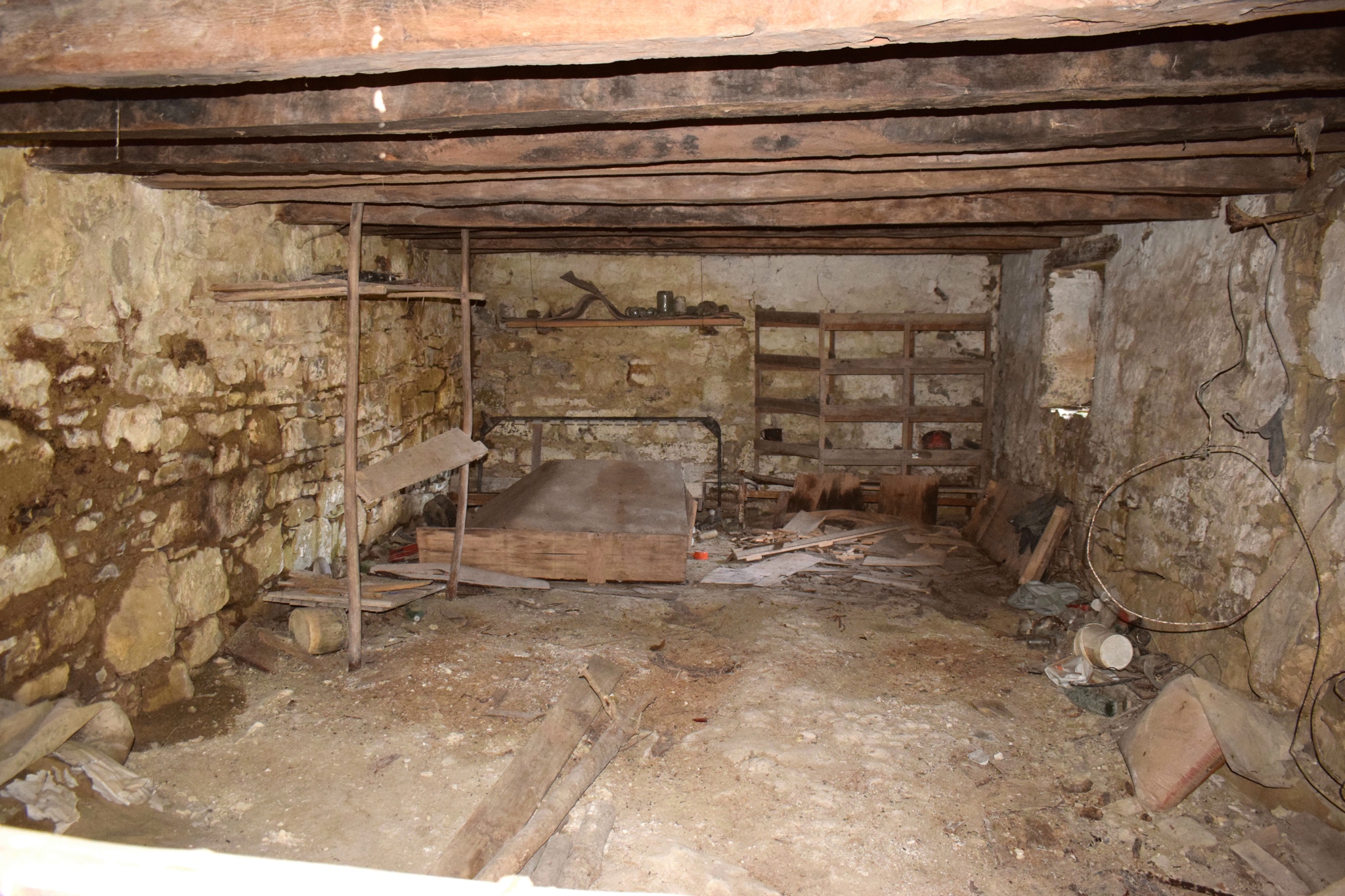
See also the post 2010-08-07: Watermill near the hamlet Stopari – stream Sablonić.
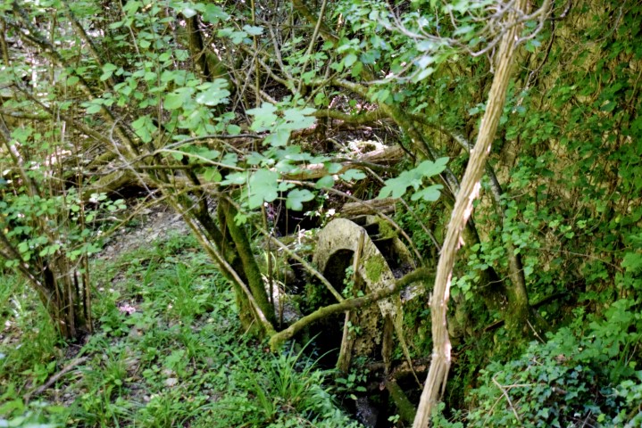
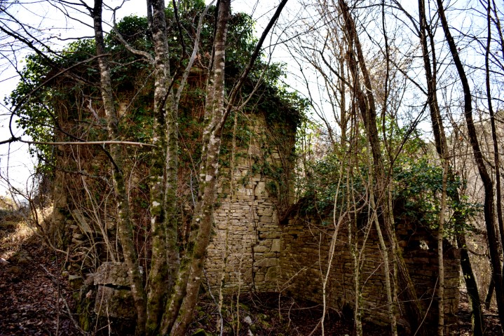
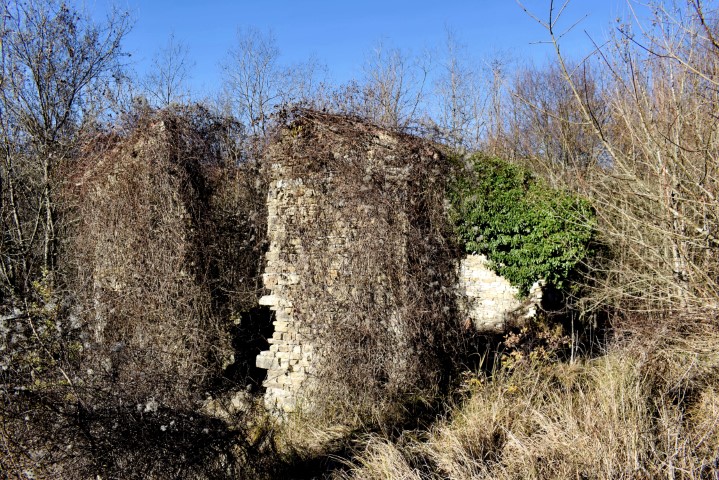
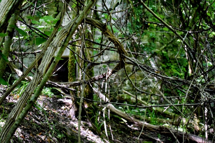
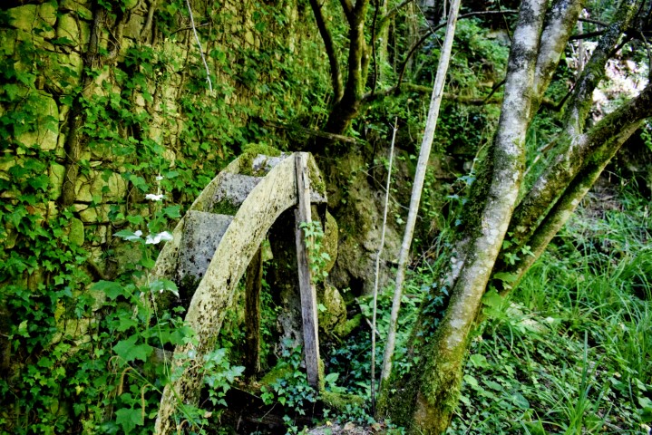
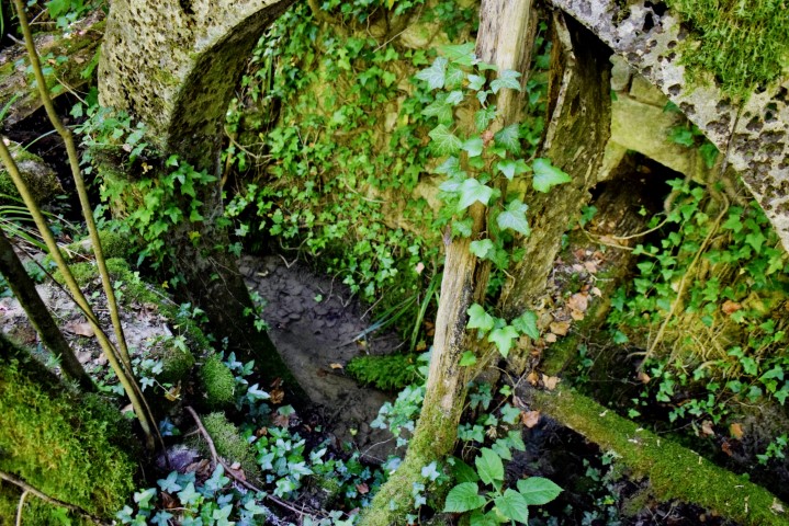
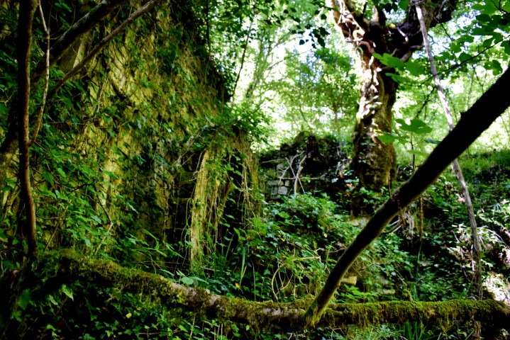
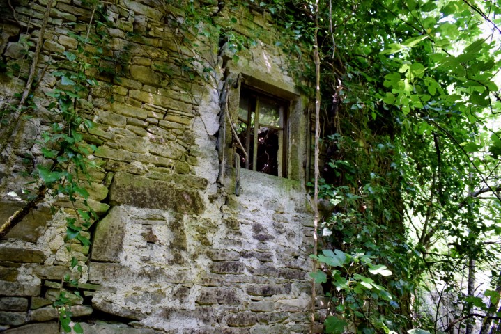
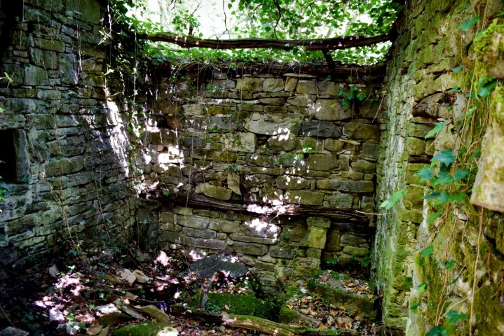
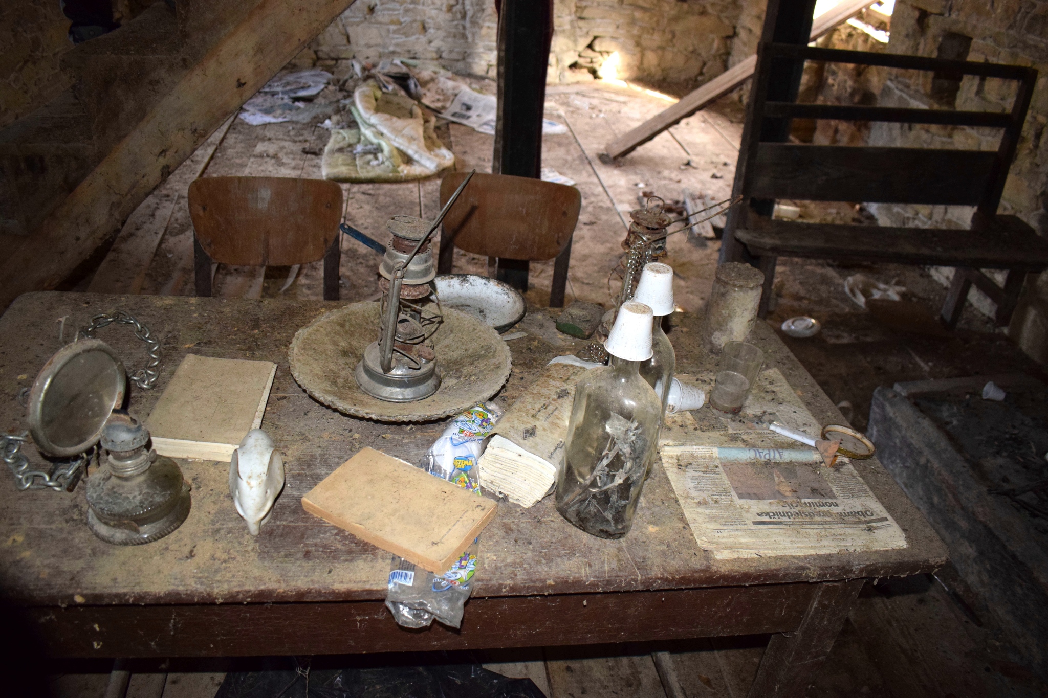
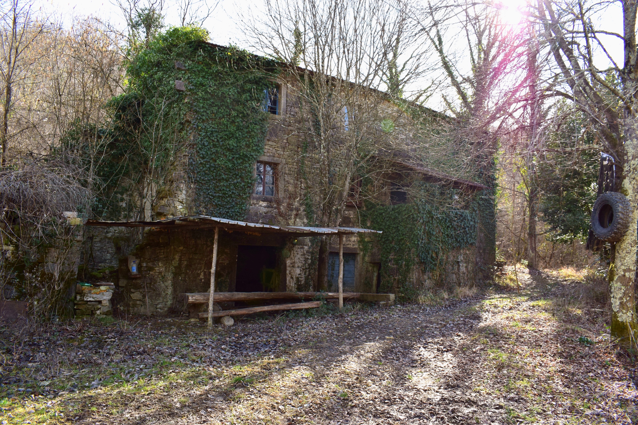
Name: Watermill (102?) in the stream Torrente Potocco near the hamlet Blaskiči.
Place: Oprtalj.
Coordinates: Start point: 45.37023 N – 13.80751 E, watermill 45.36975 N – 13. 80483 E.
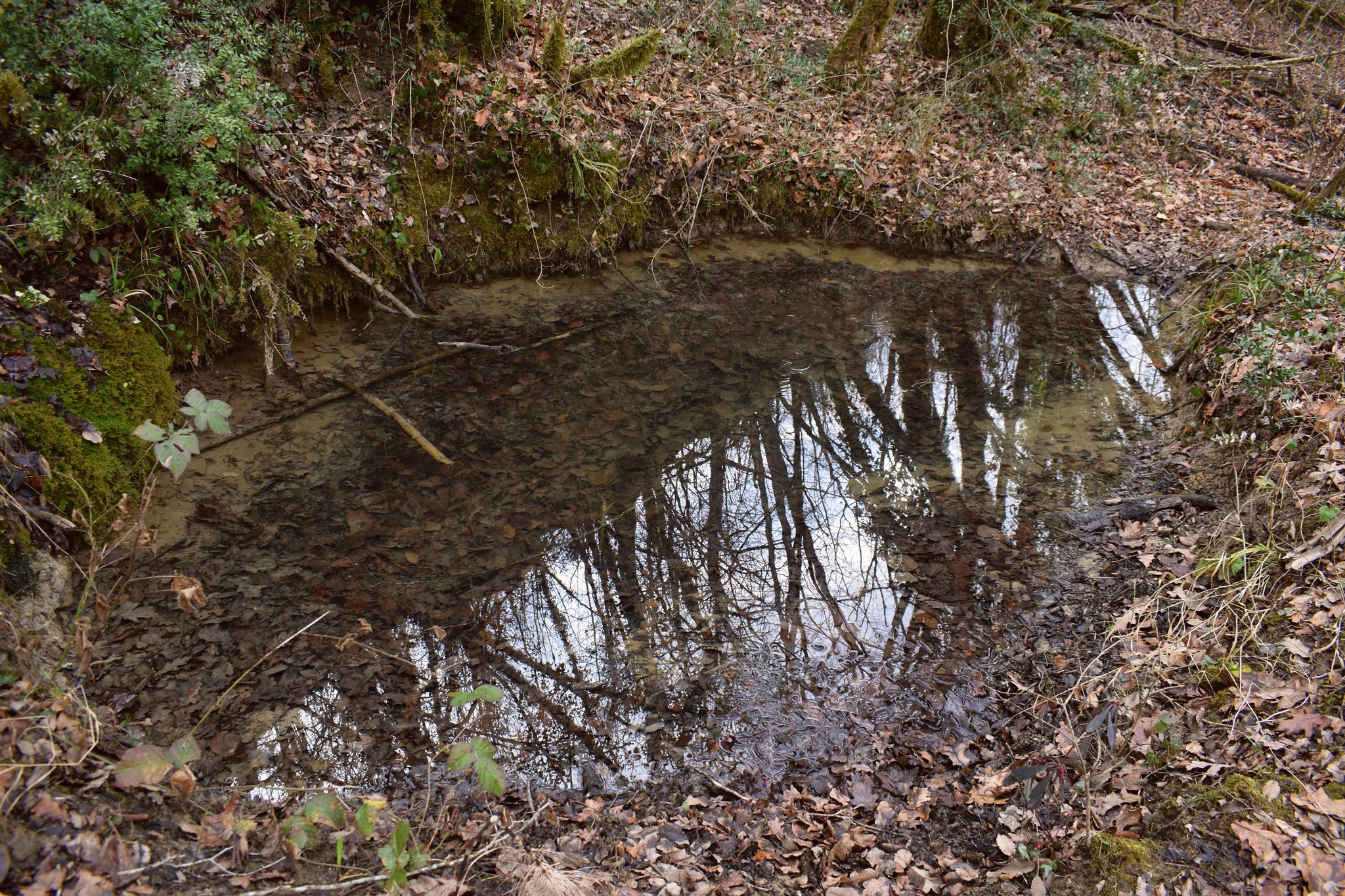
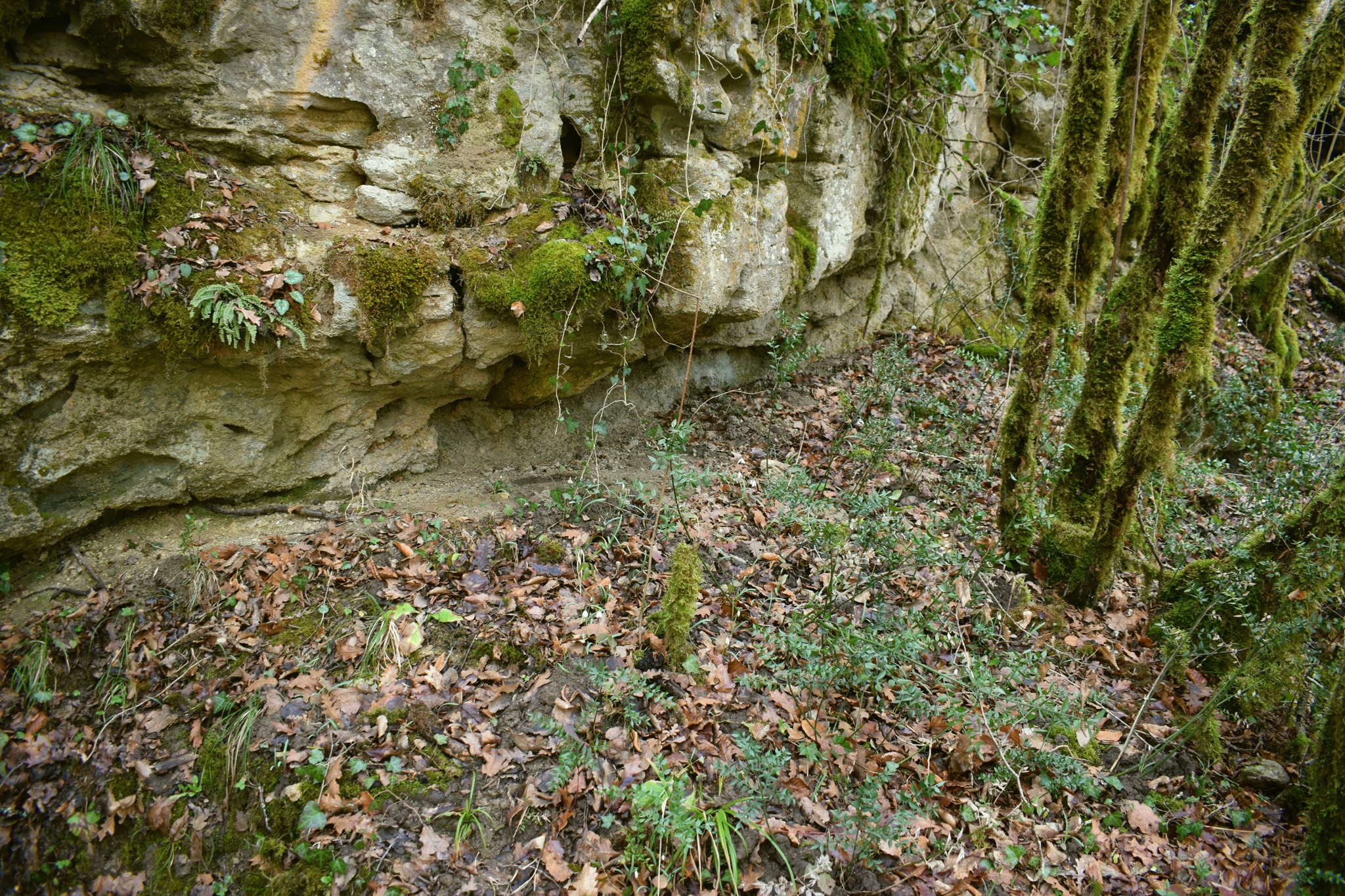
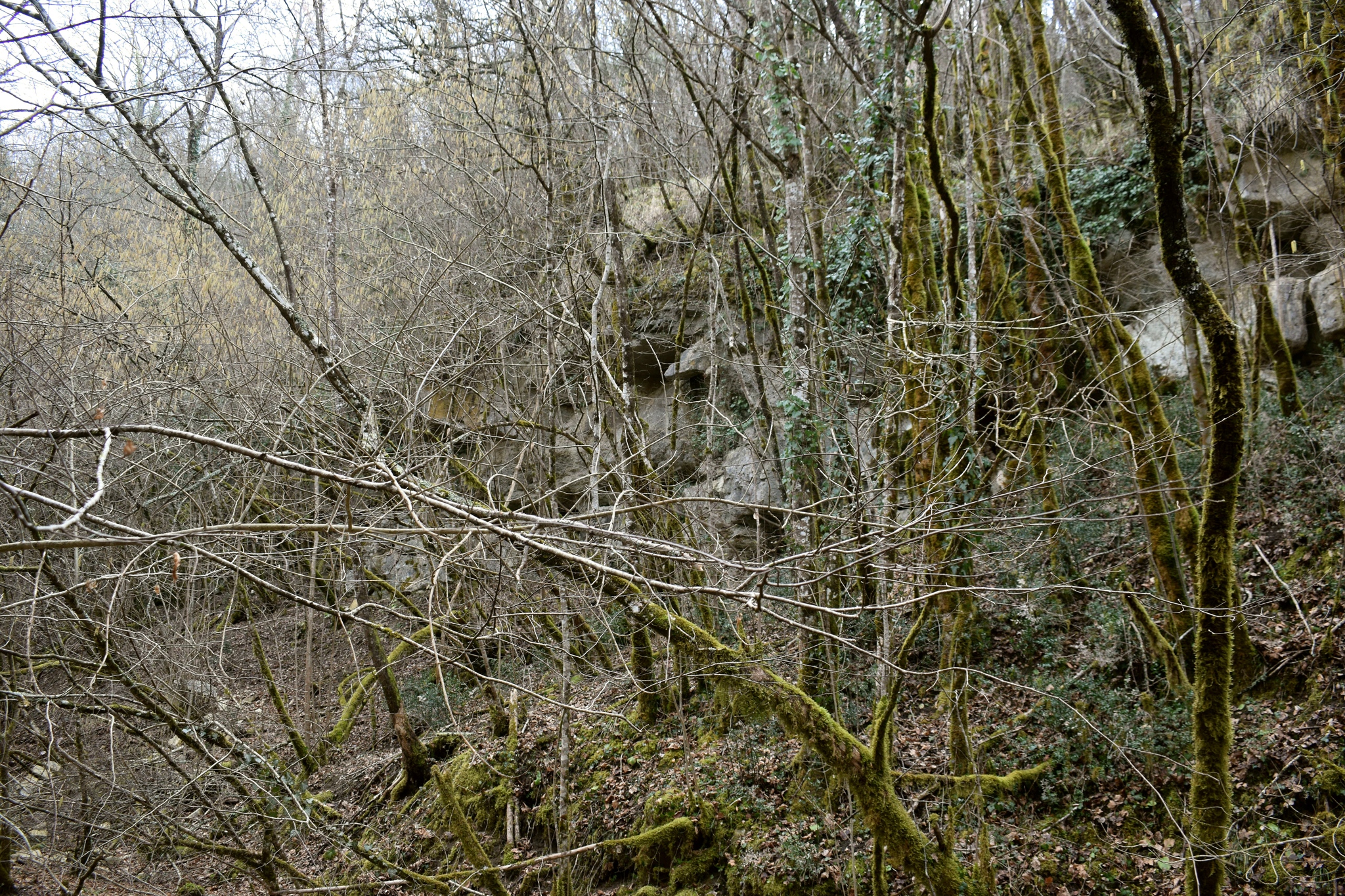
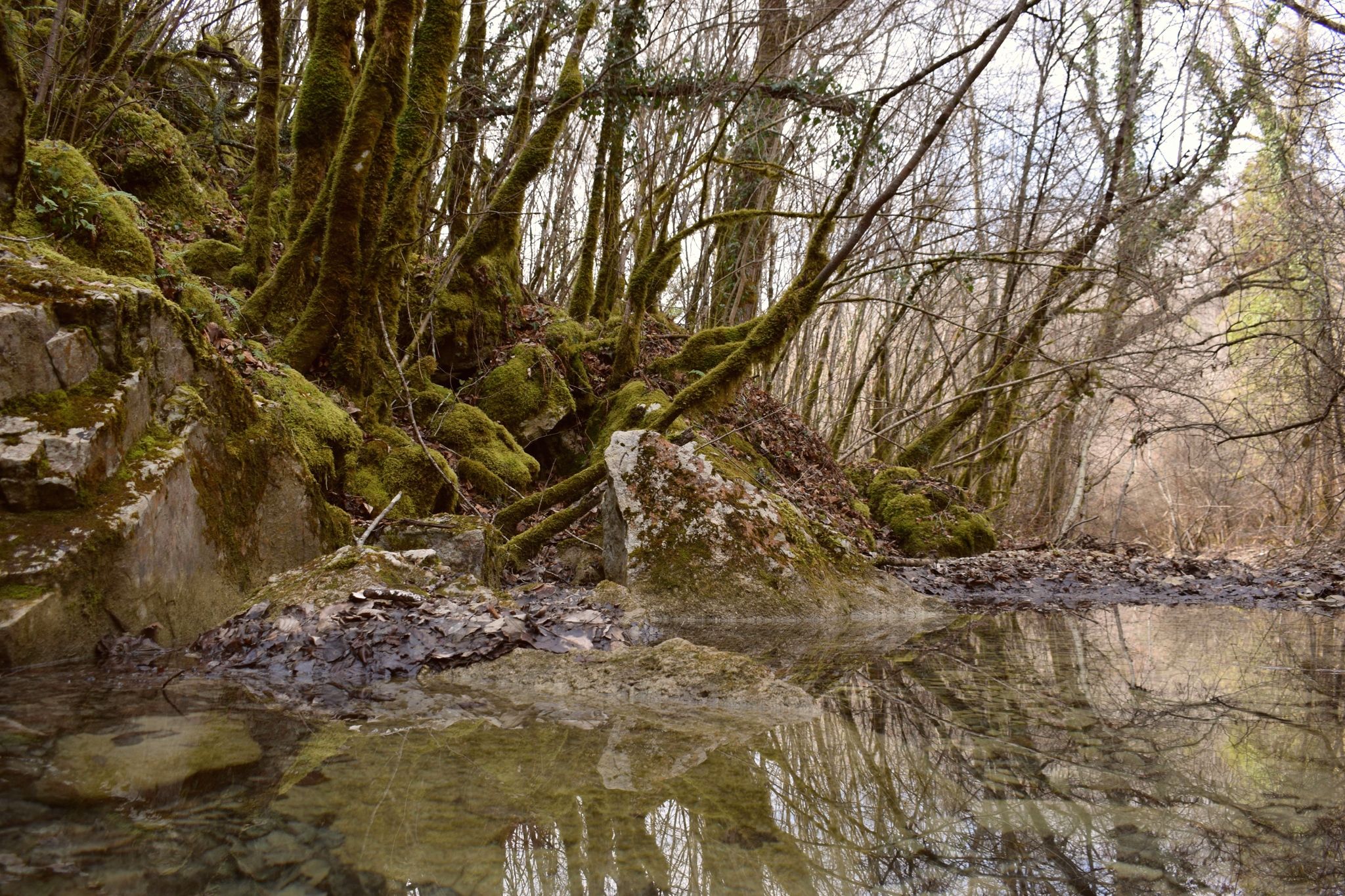
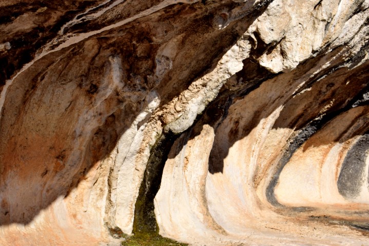
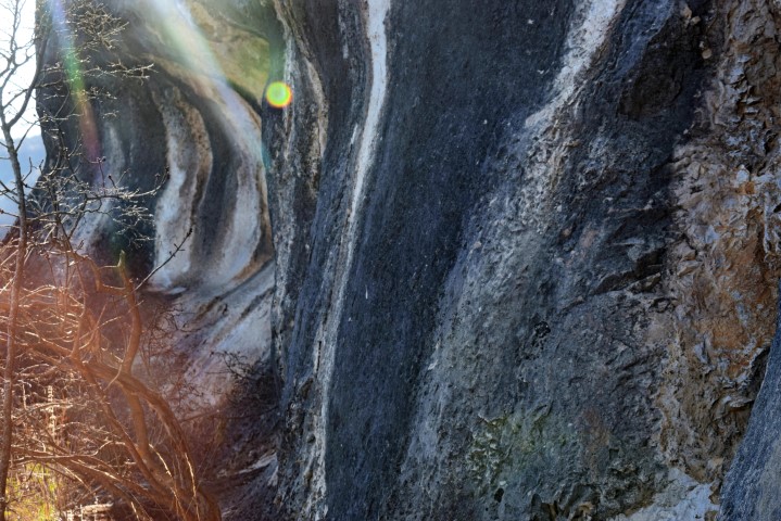
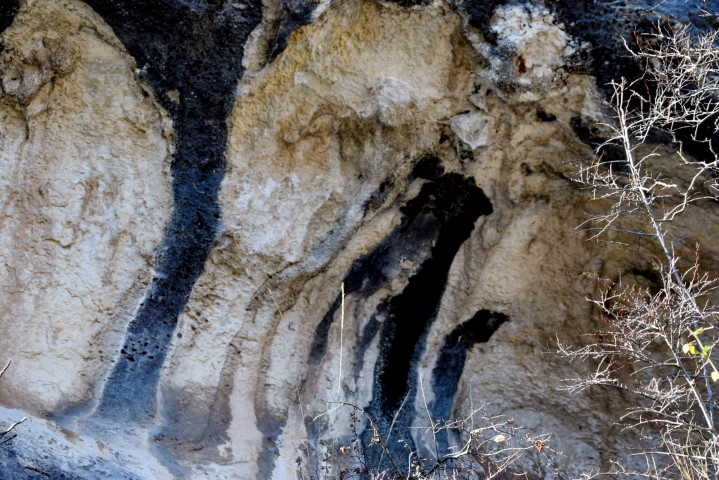
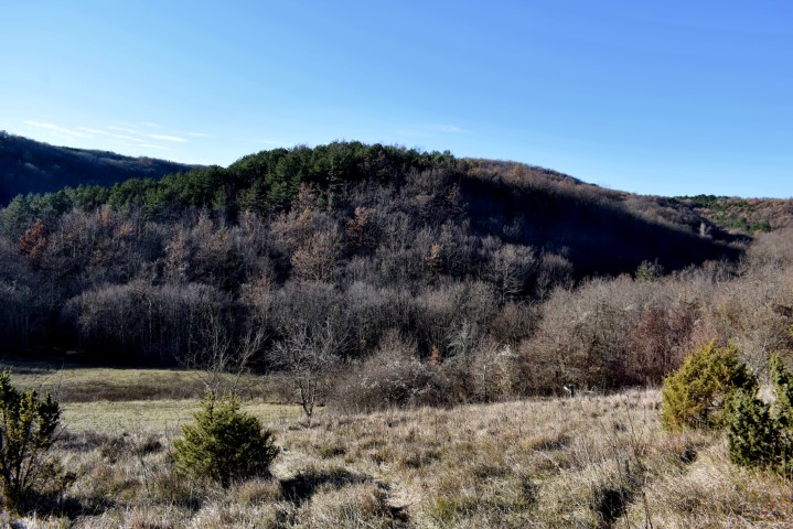
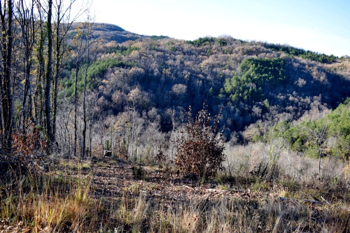
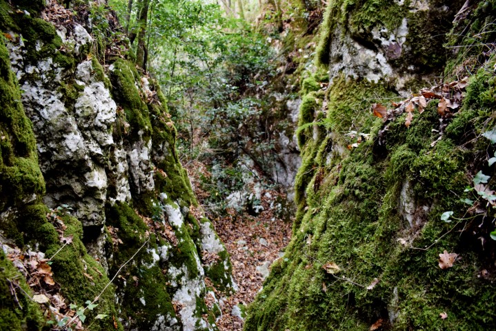
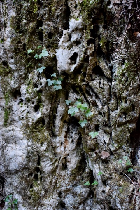
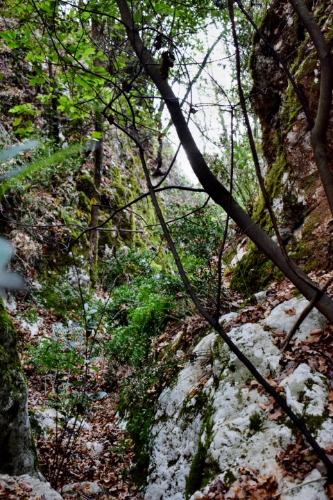
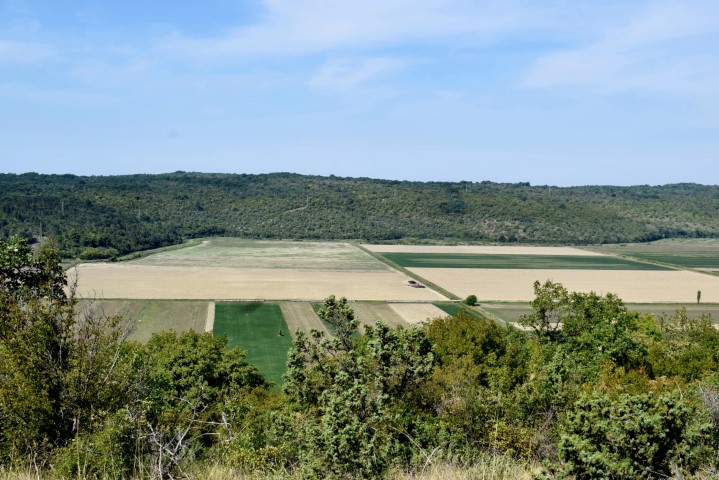
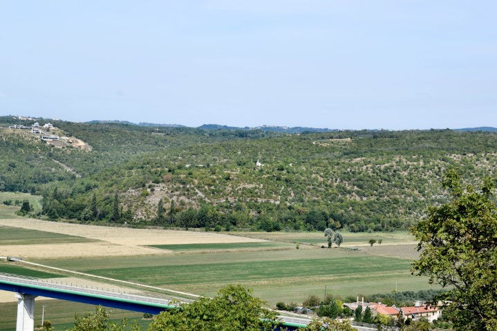
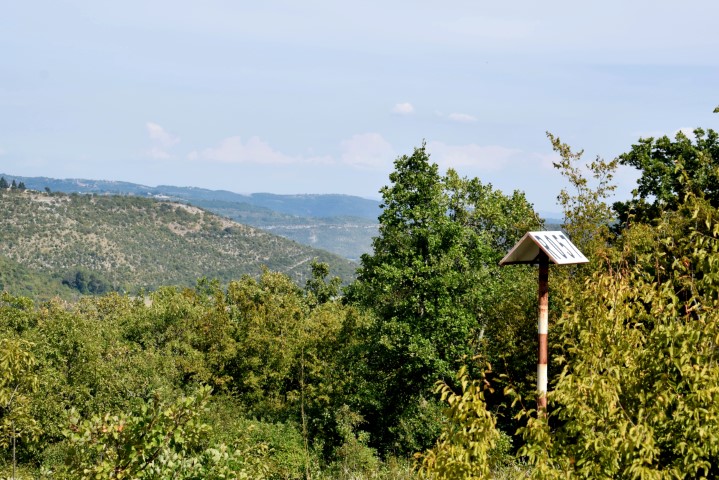
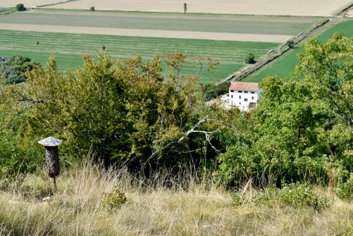
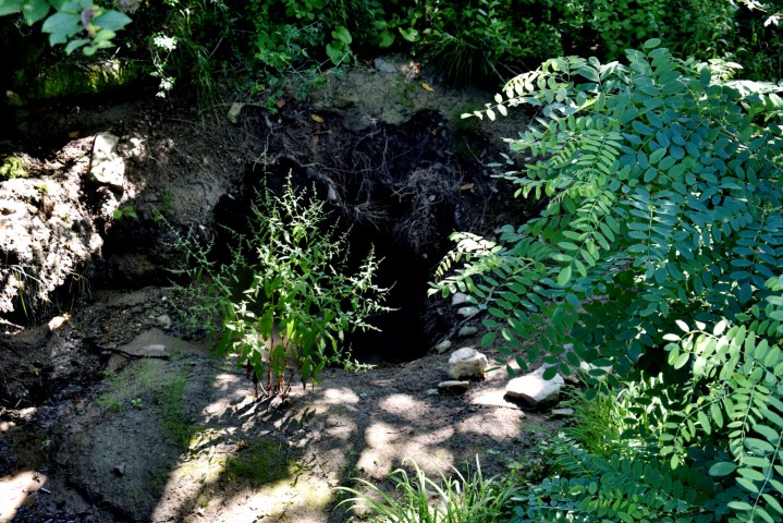
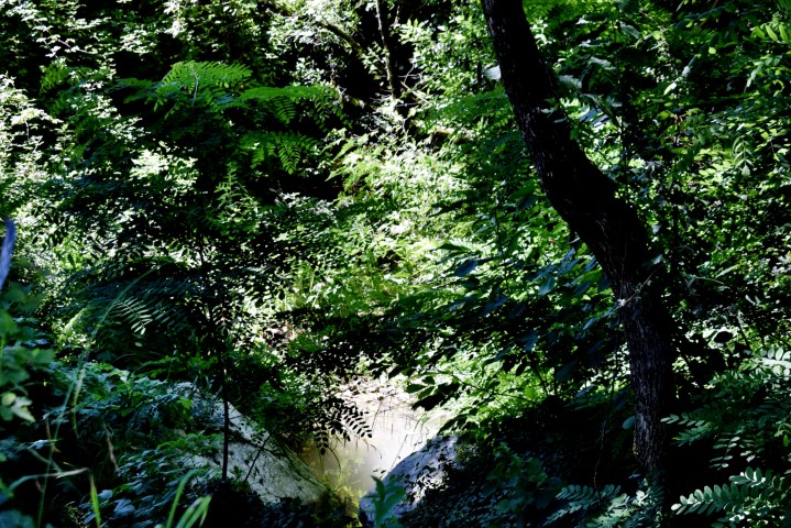
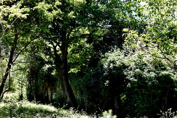
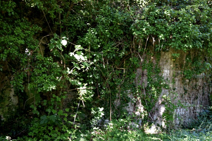
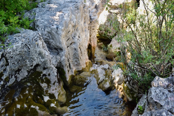
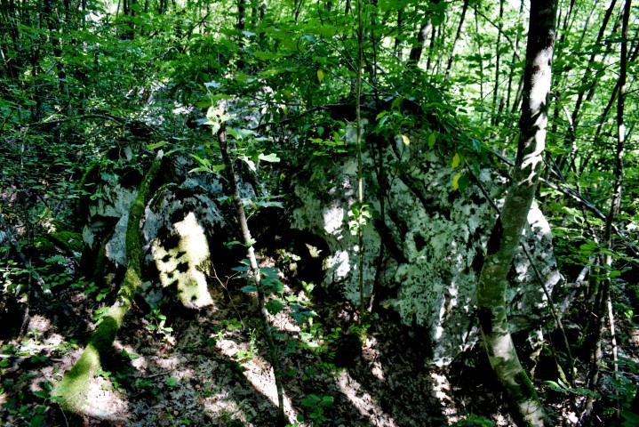
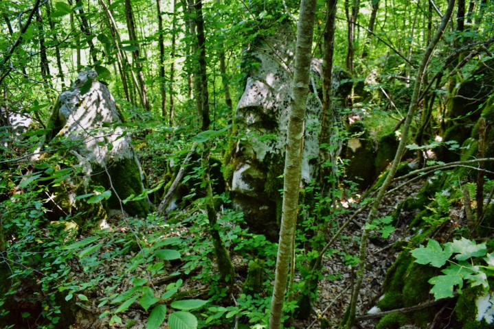
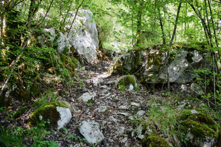
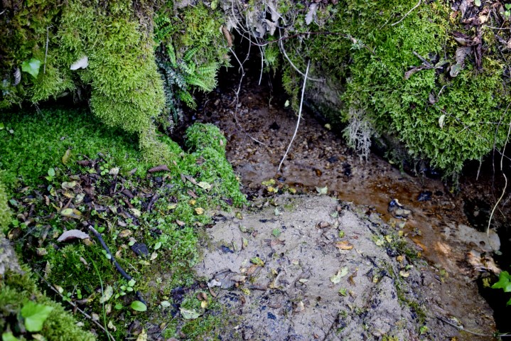
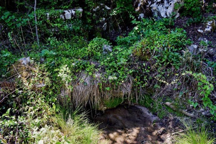
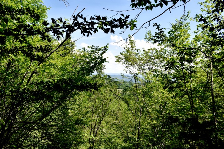
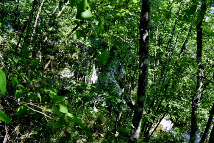
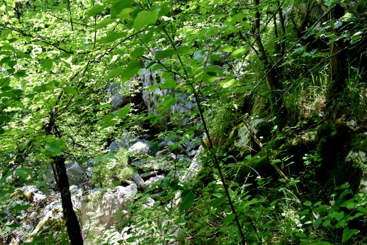
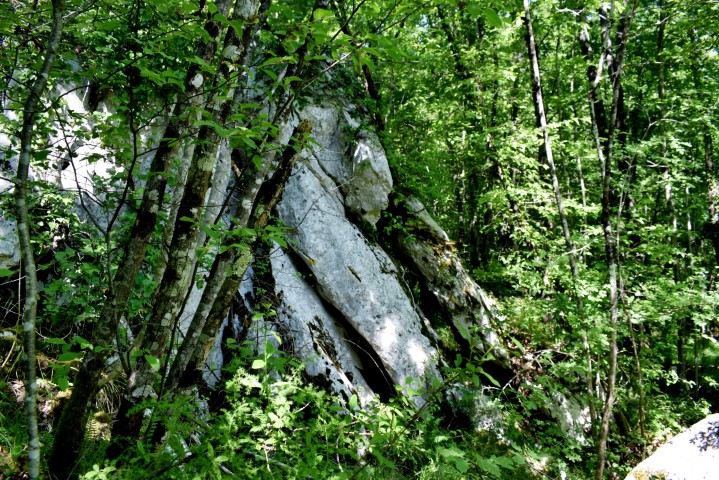
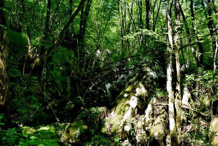
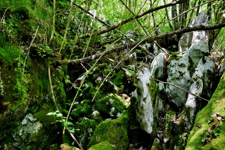
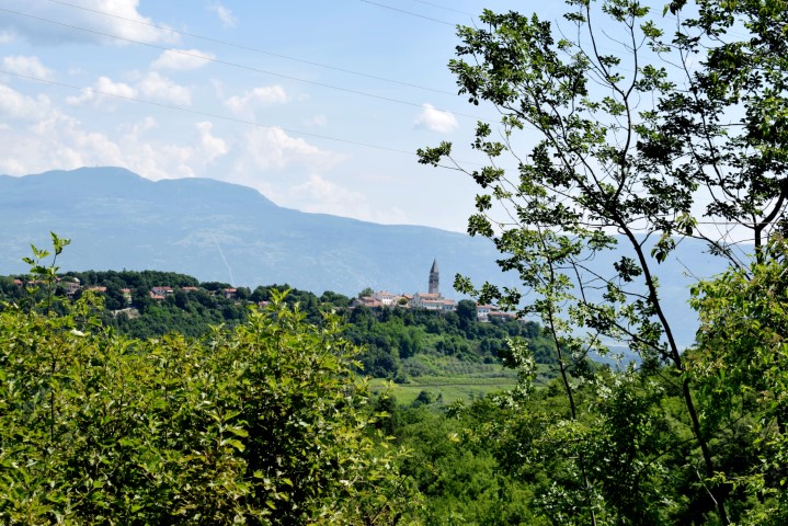
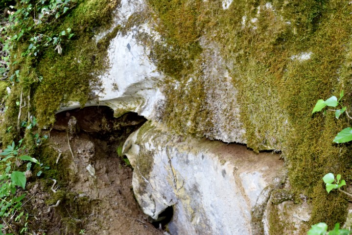
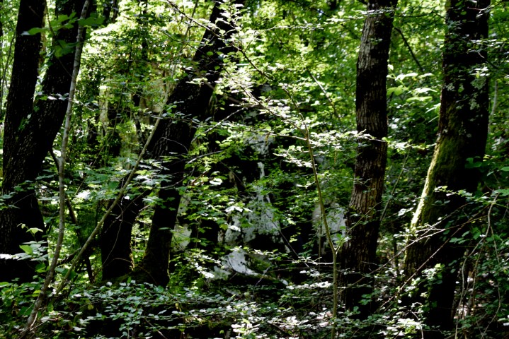
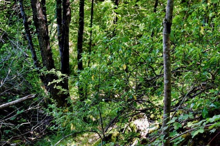
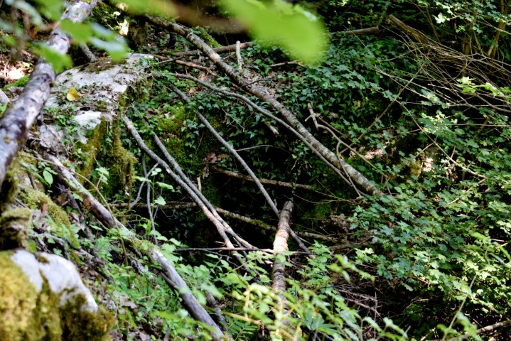
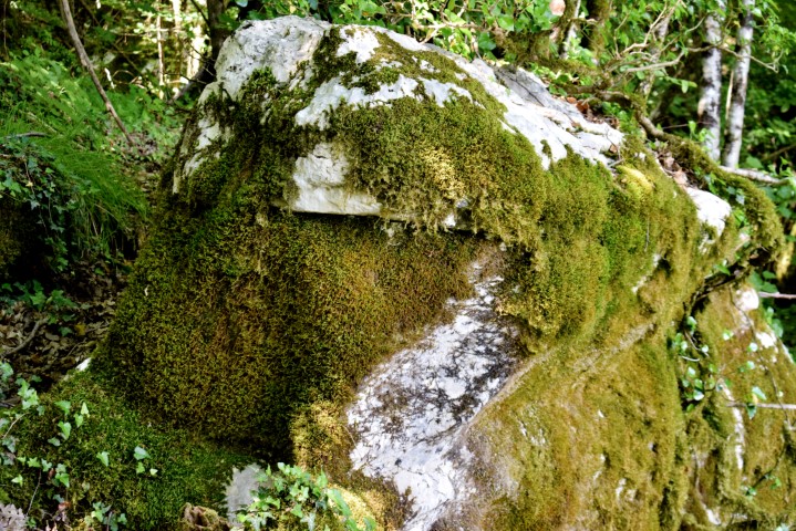
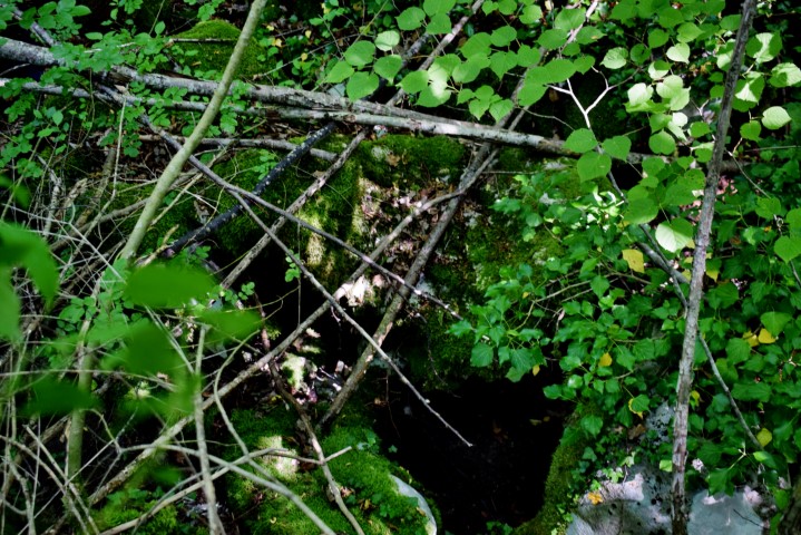
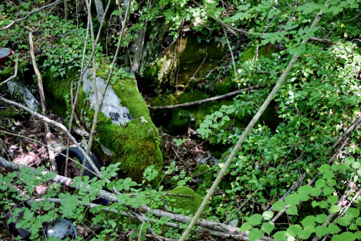
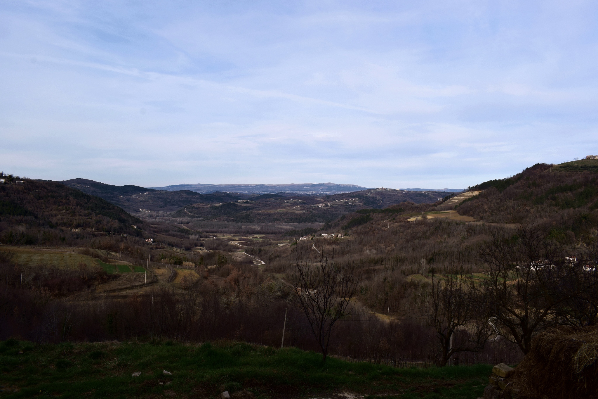
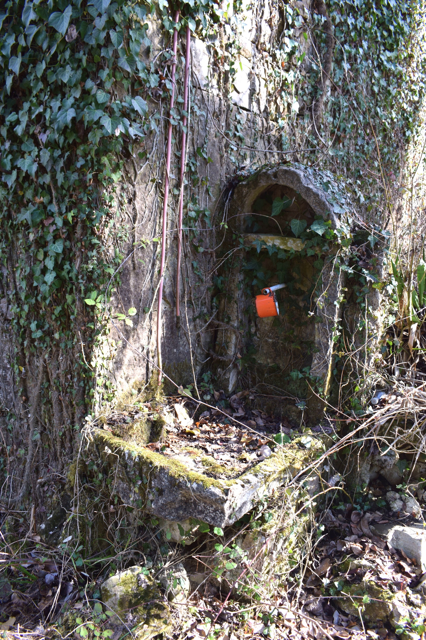
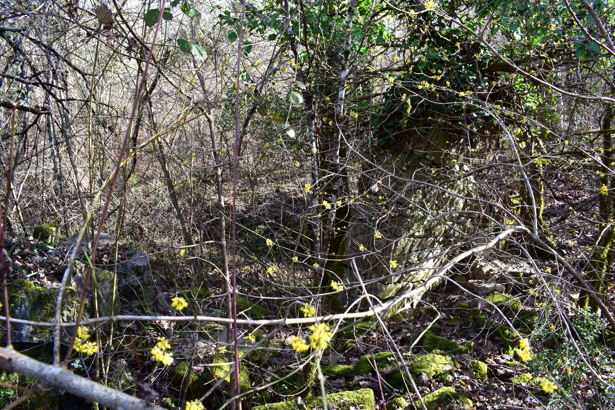
Three water sources in the hills with many limestone cliffs, near the village of Rimanići. These springs, which are located at an altitude of approximately 390 meters, drain into the Grajanski stream. The view is on the place Pičan and the Učka Mountains.
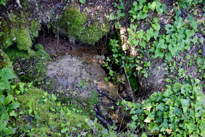
Name: 3 water sources near the village Riminići.
Place: Near Riminići – (Pičan).
Coordinates: I 45.19735N – 14.02647 E, II 45.19817 N – 14.02482 E.n III 45.19794 N – 14.02451 E, Riminiči 45.19793 N- 14.02423 E.