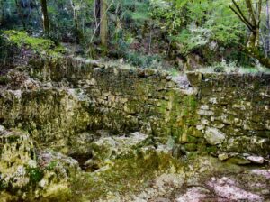
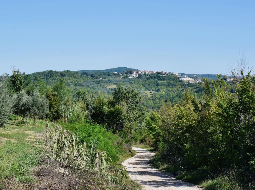
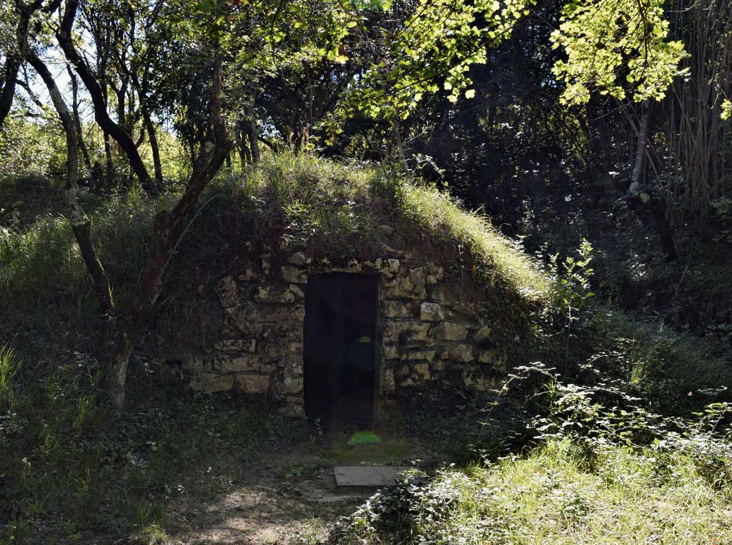
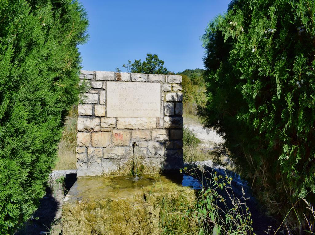
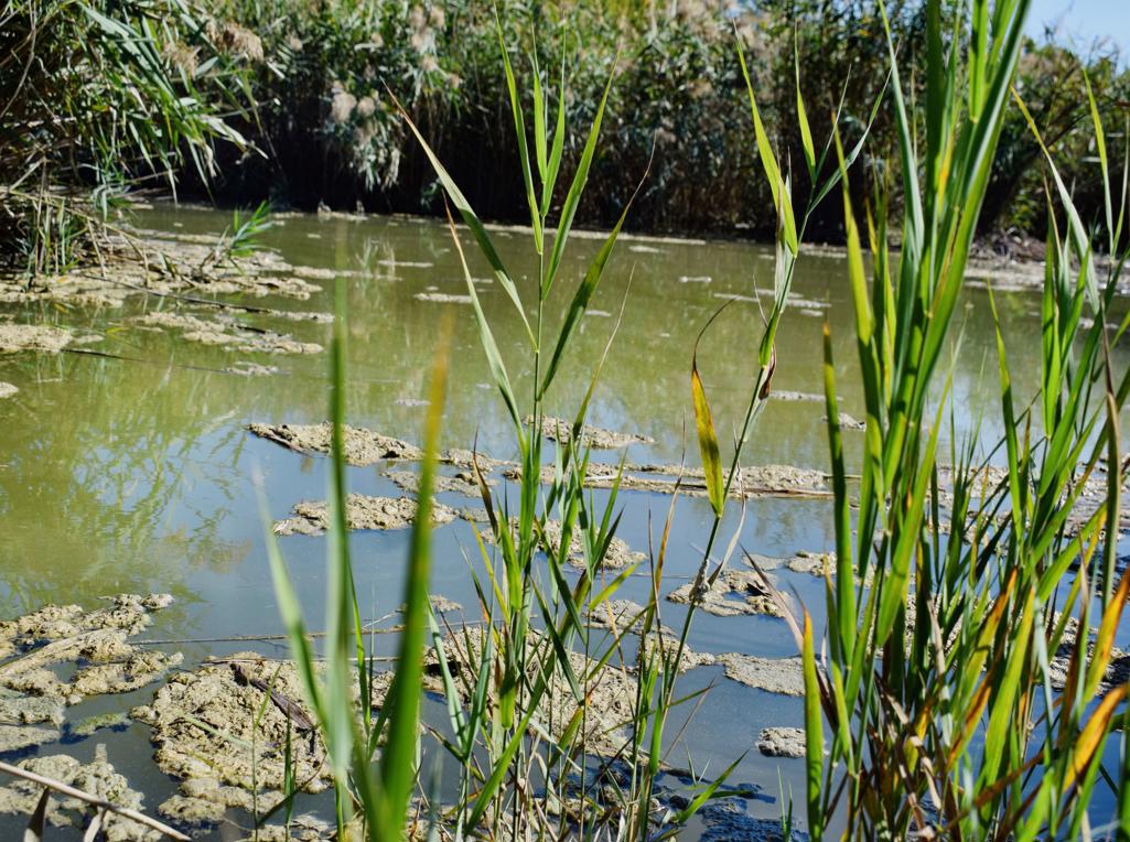
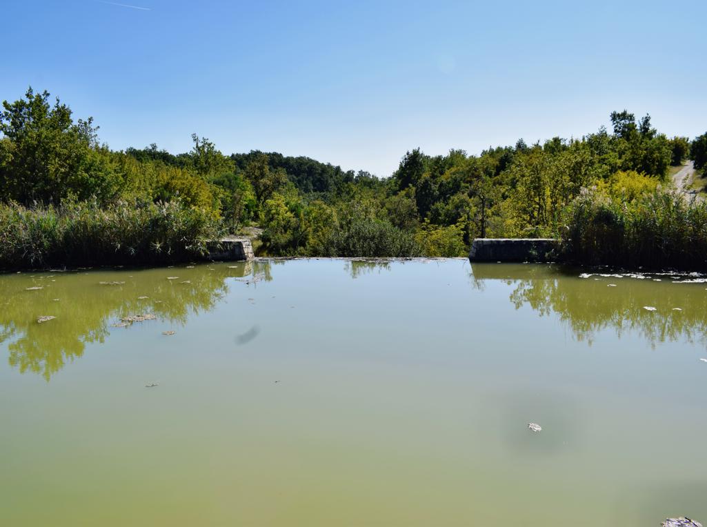
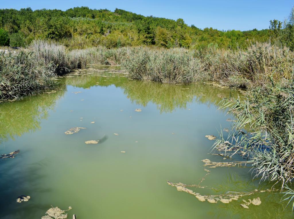
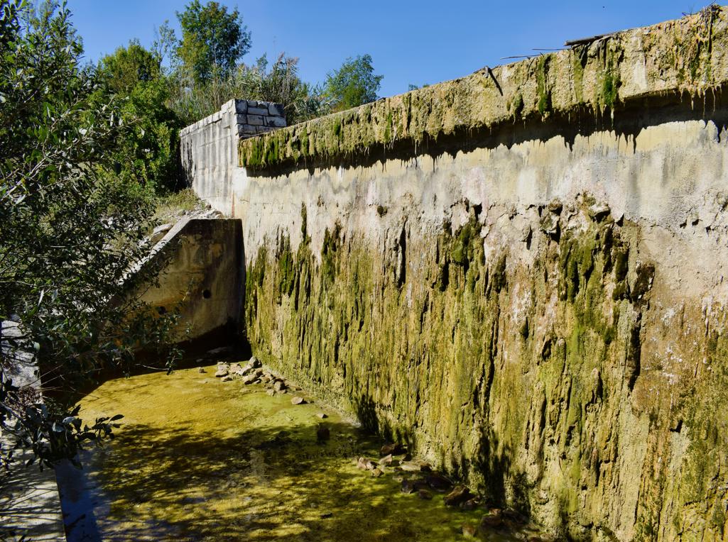
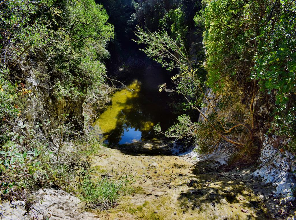
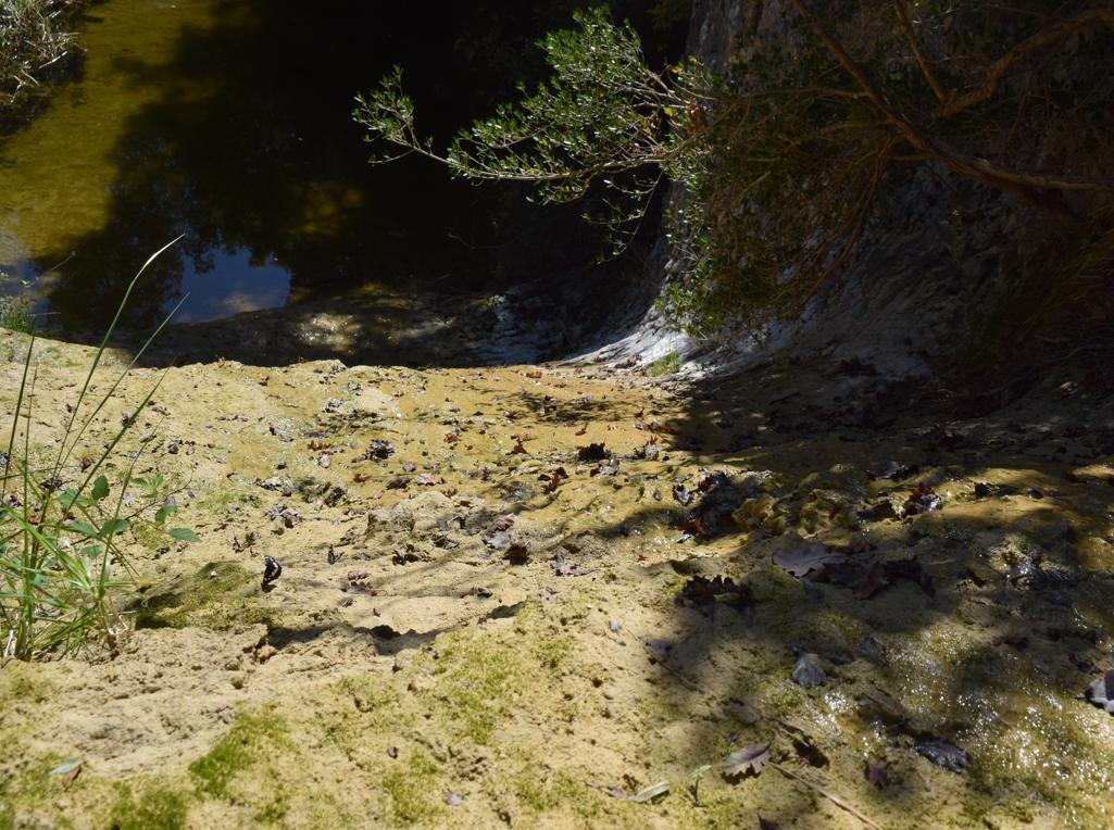
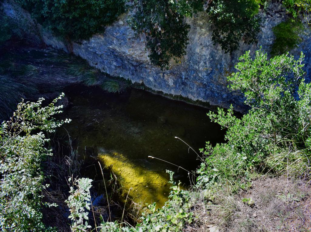
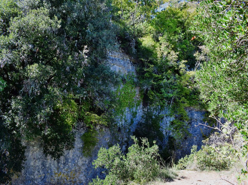
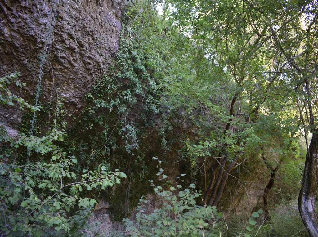
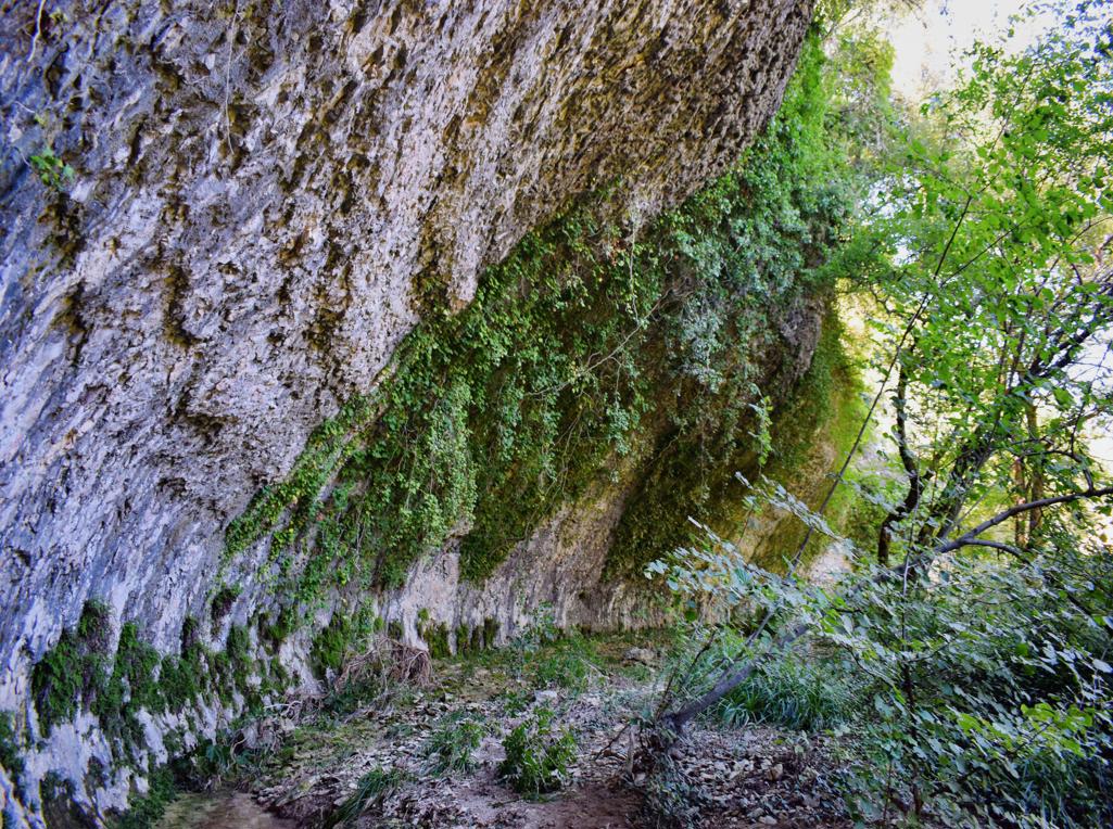
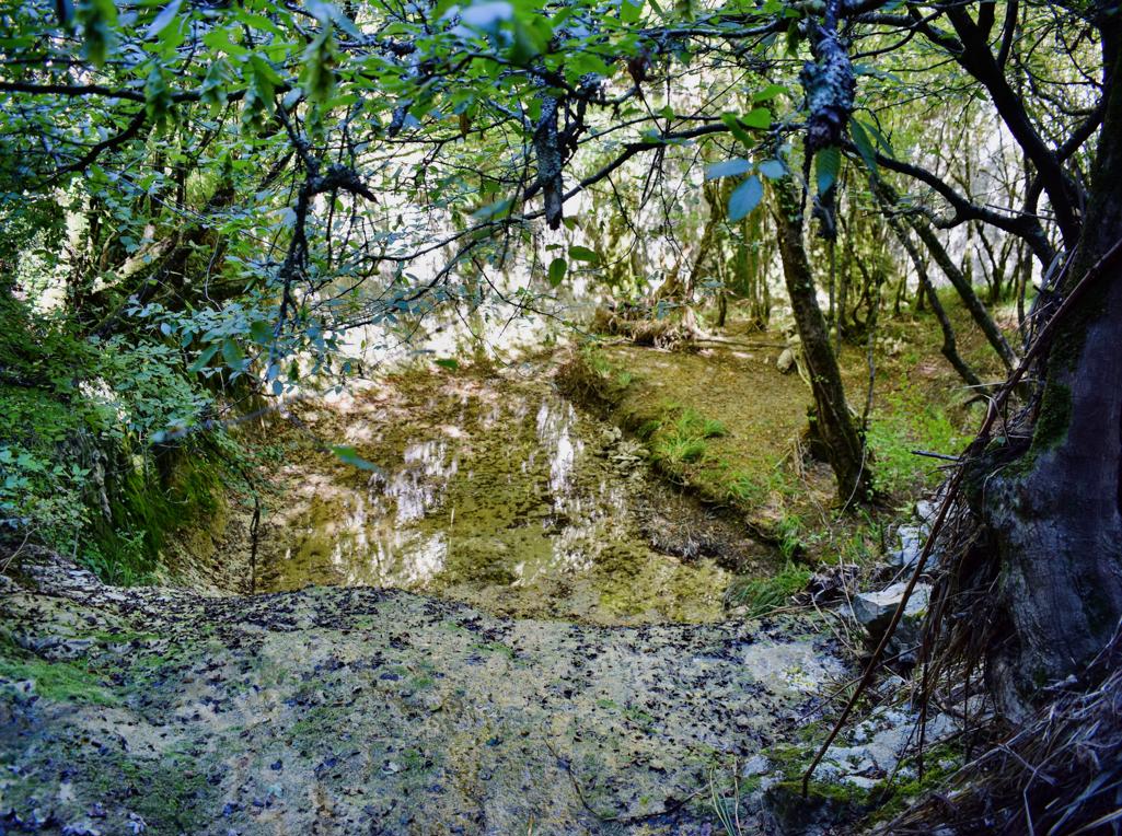
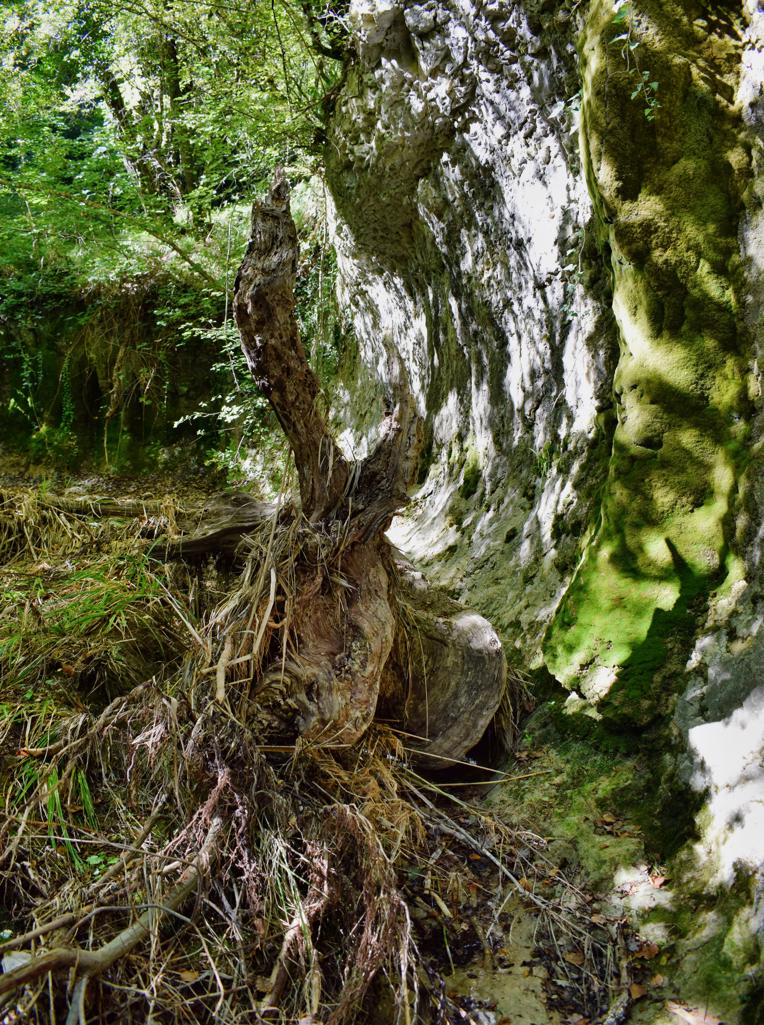
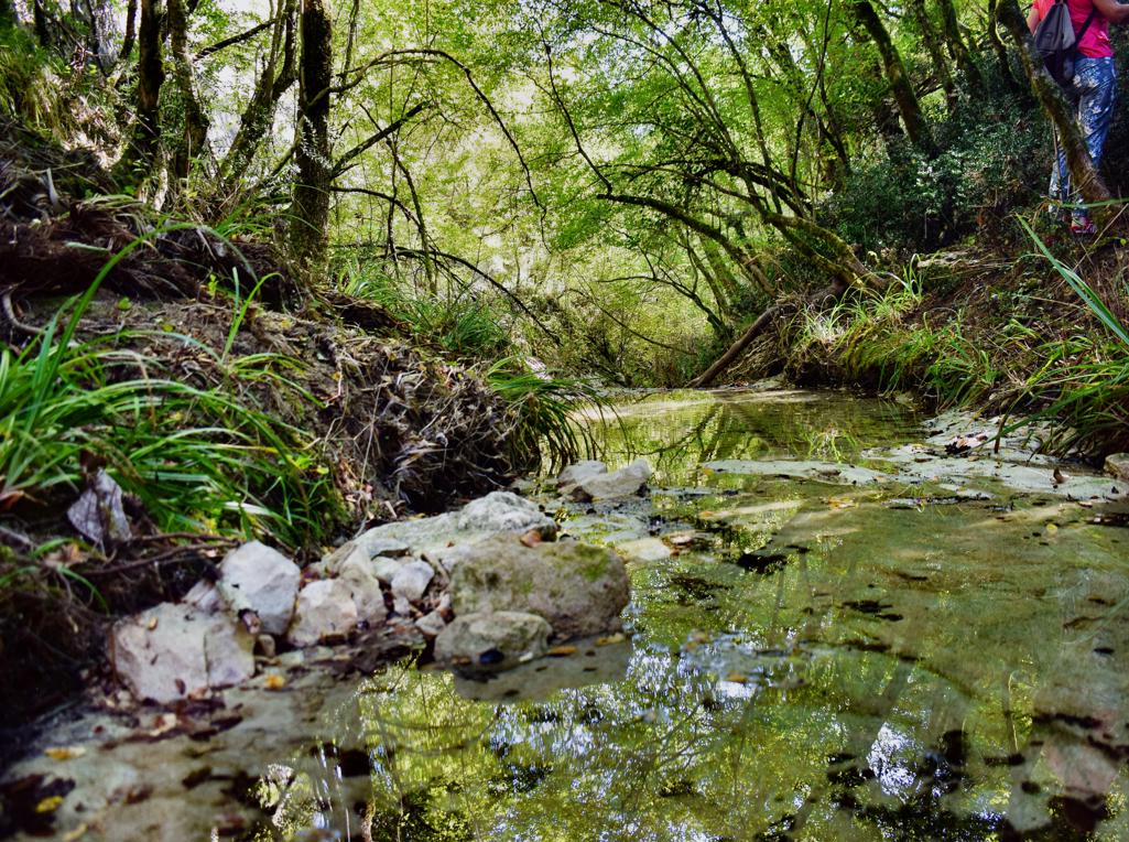
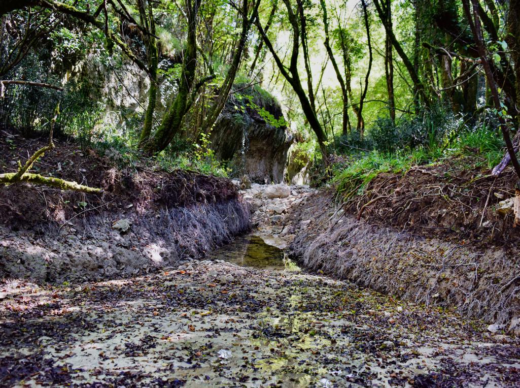
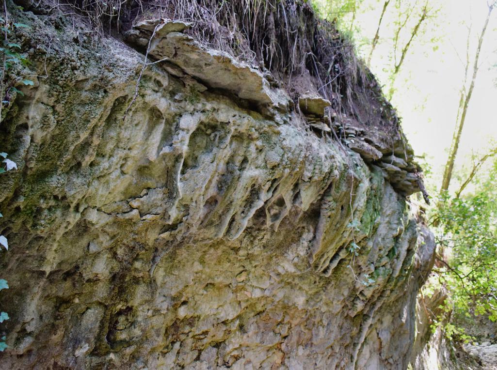
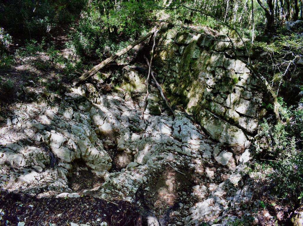
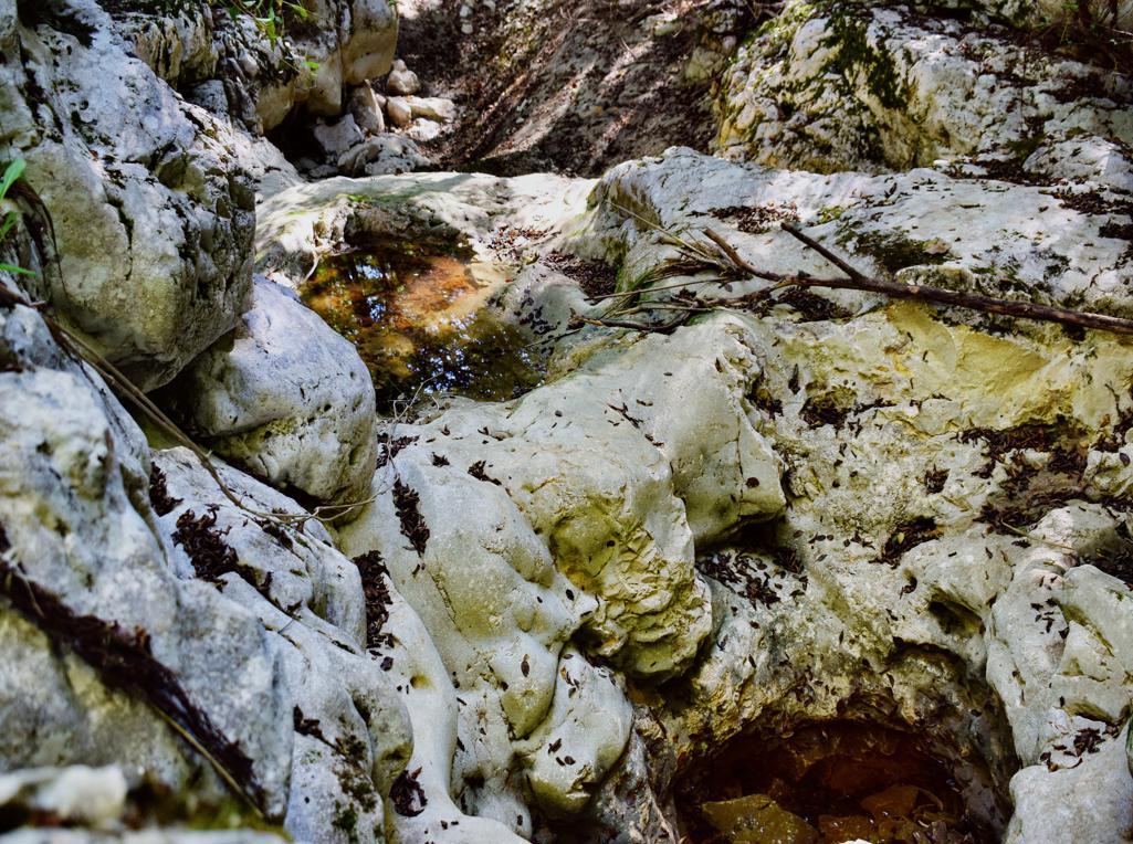
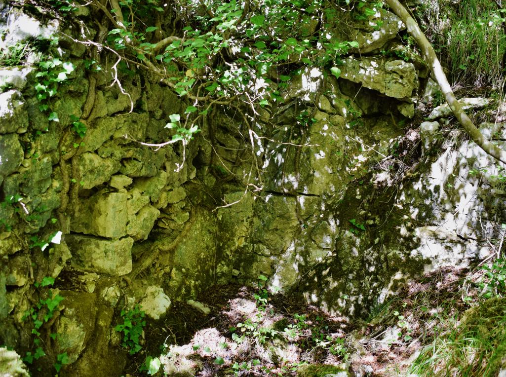
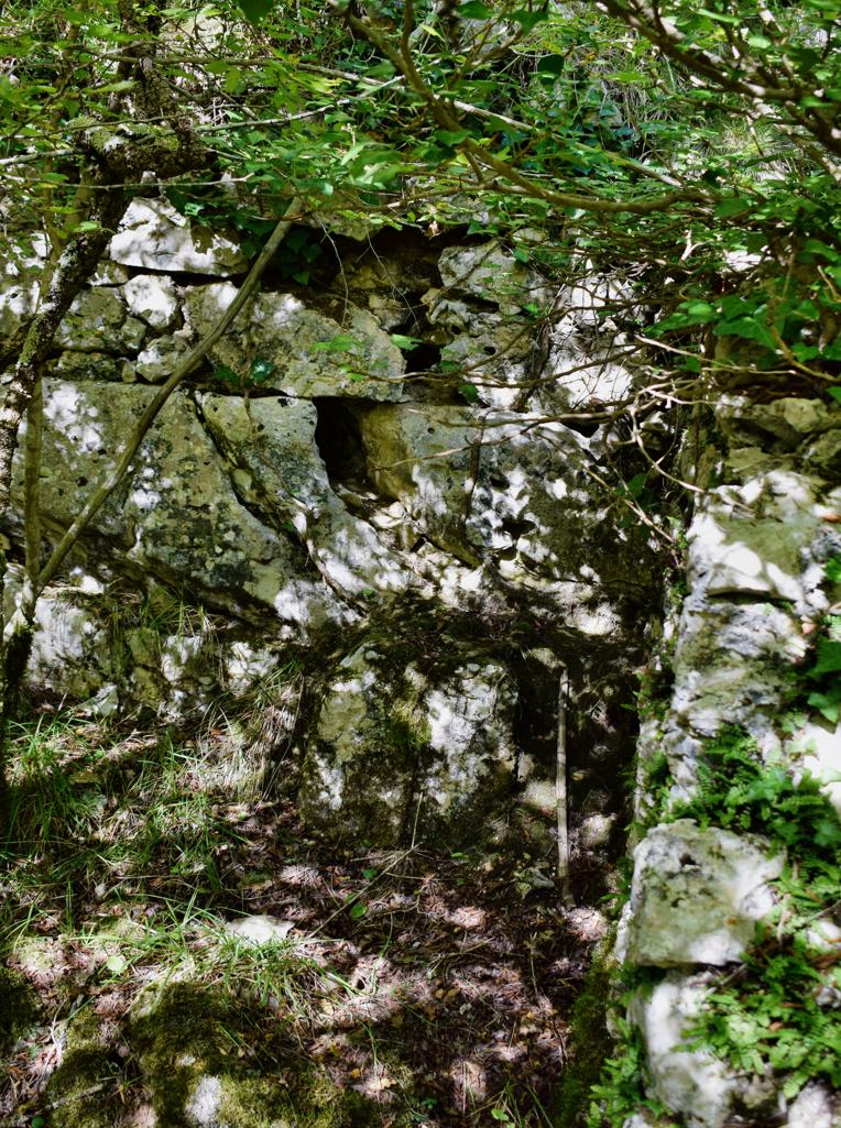
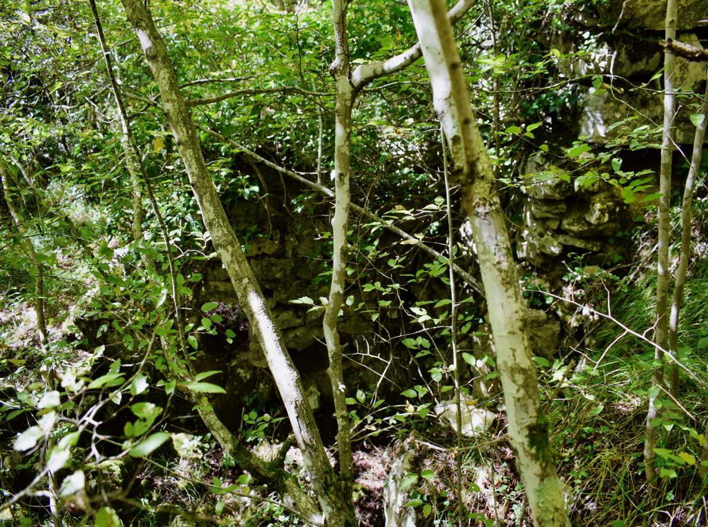
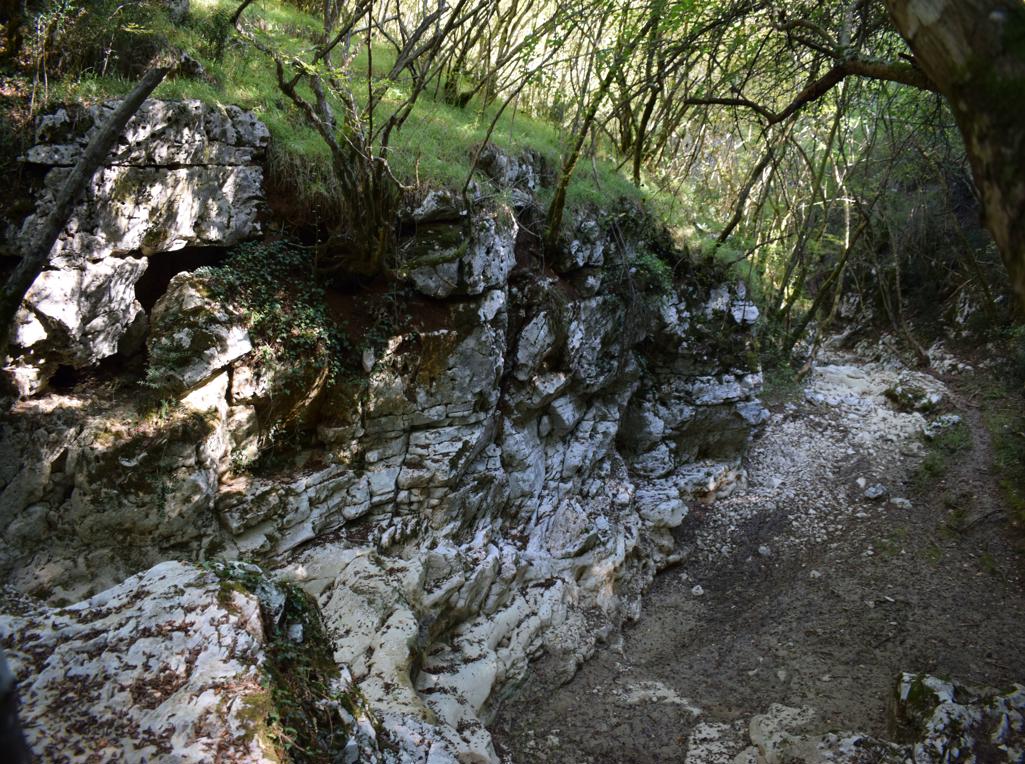
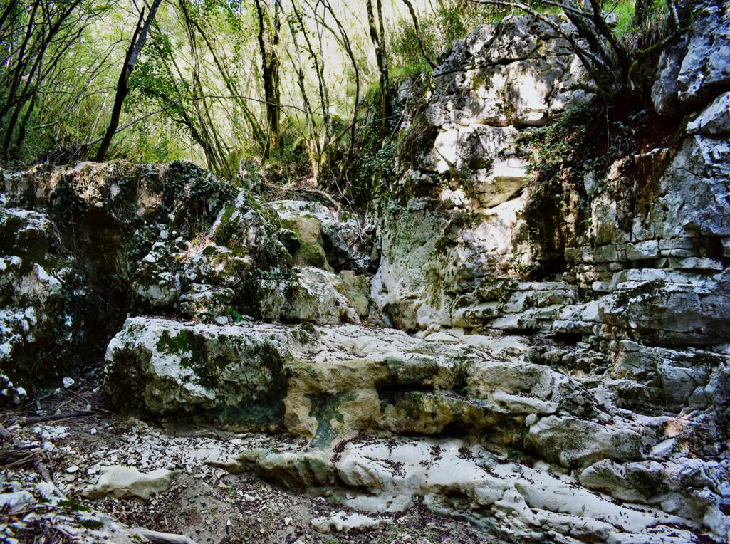
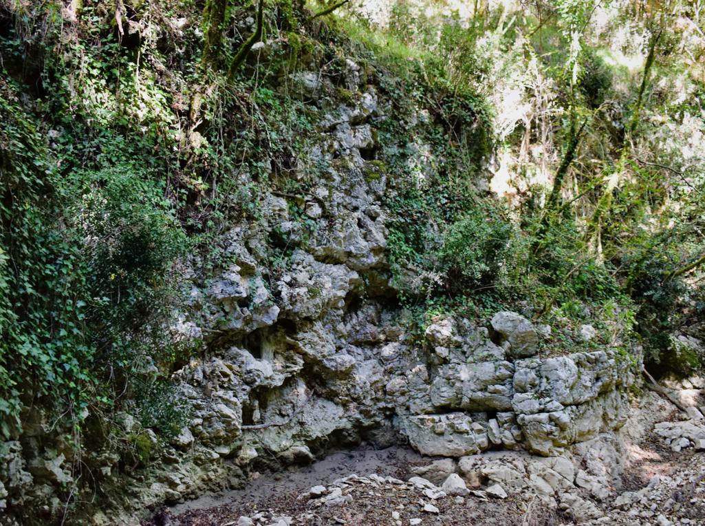
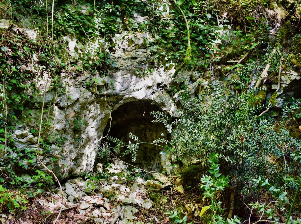
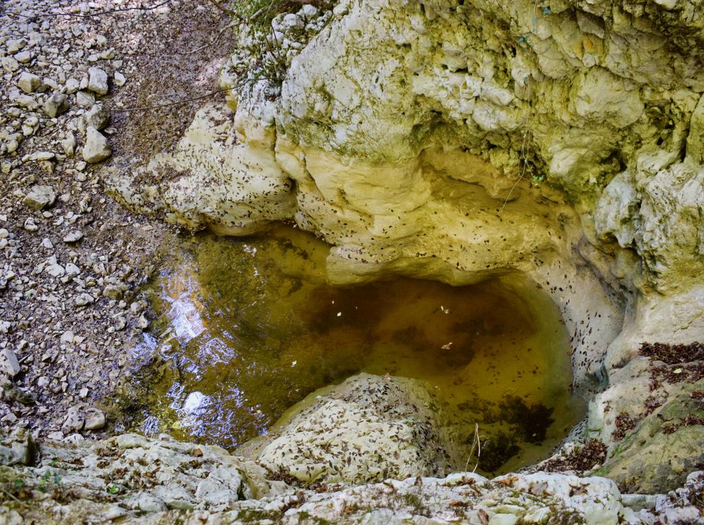
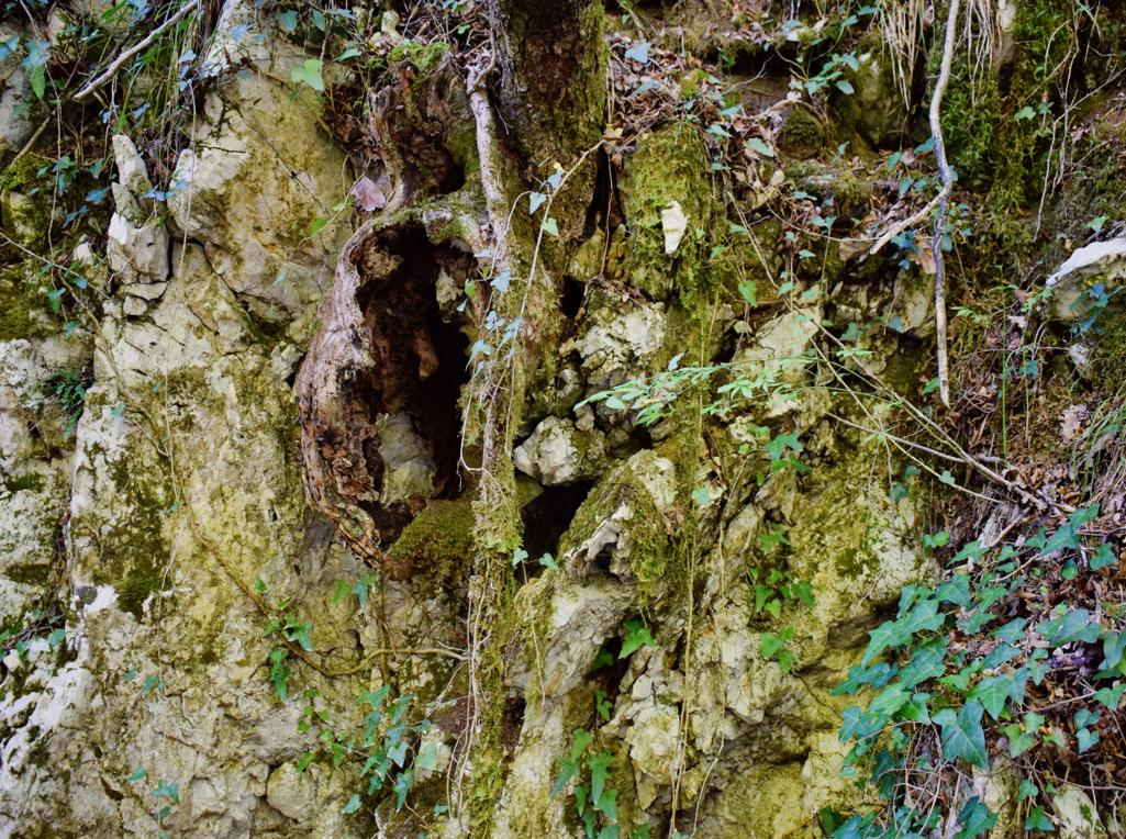
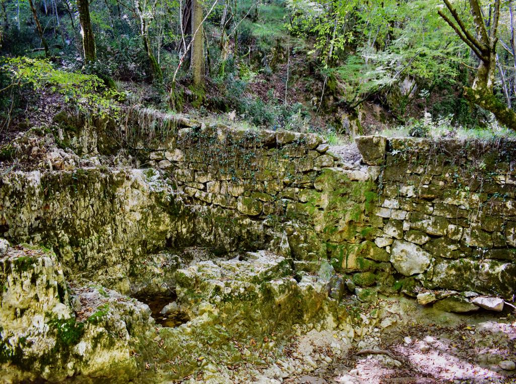
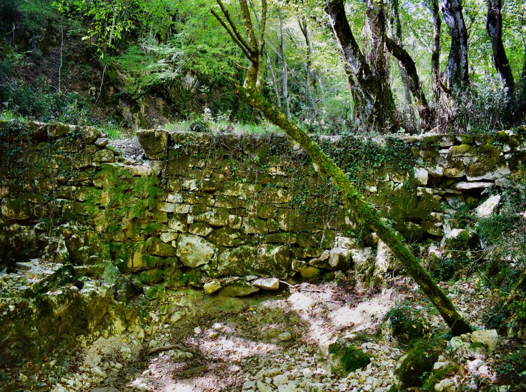
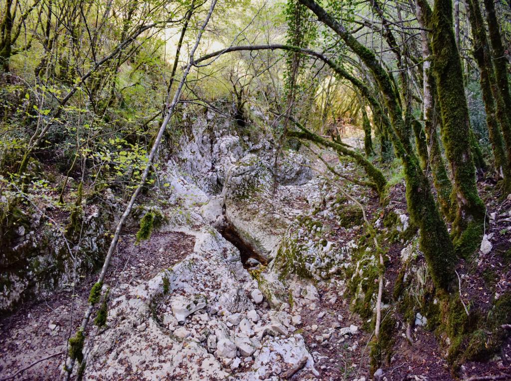
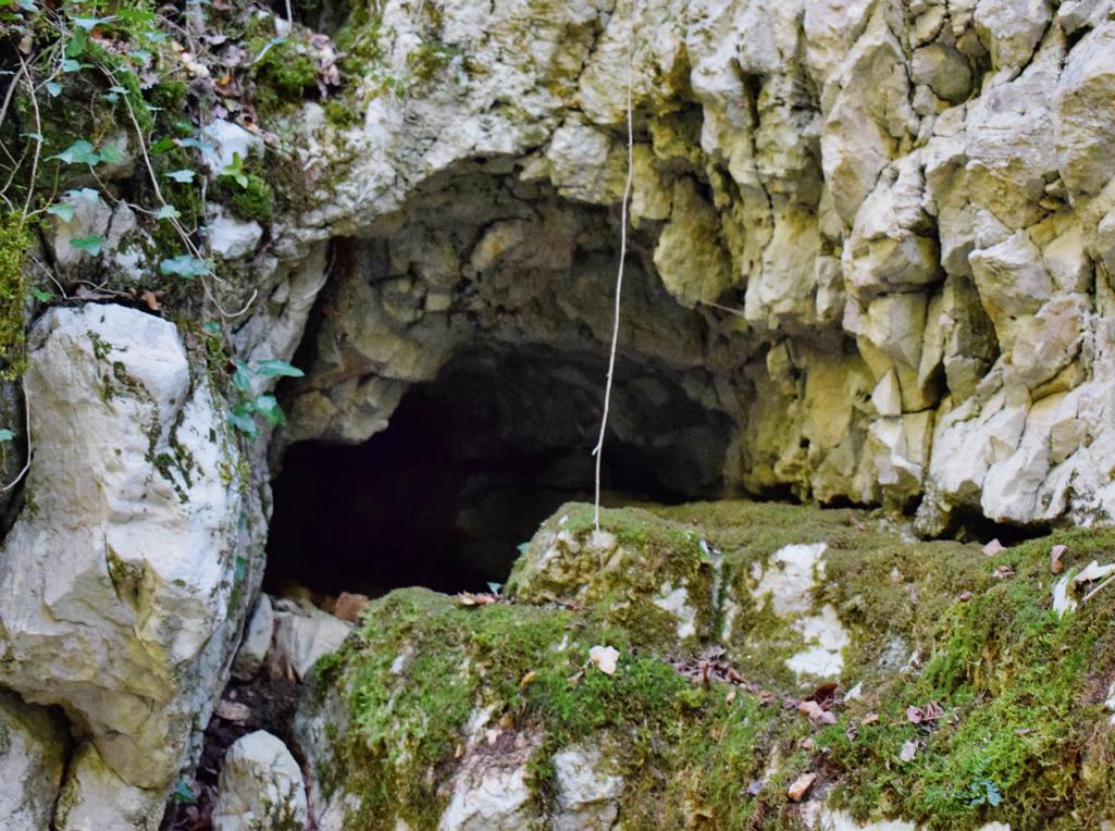
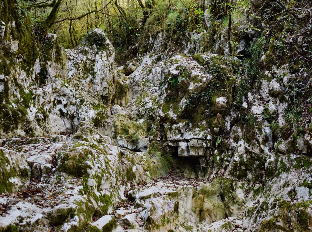
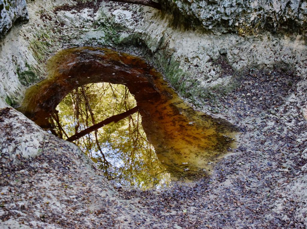
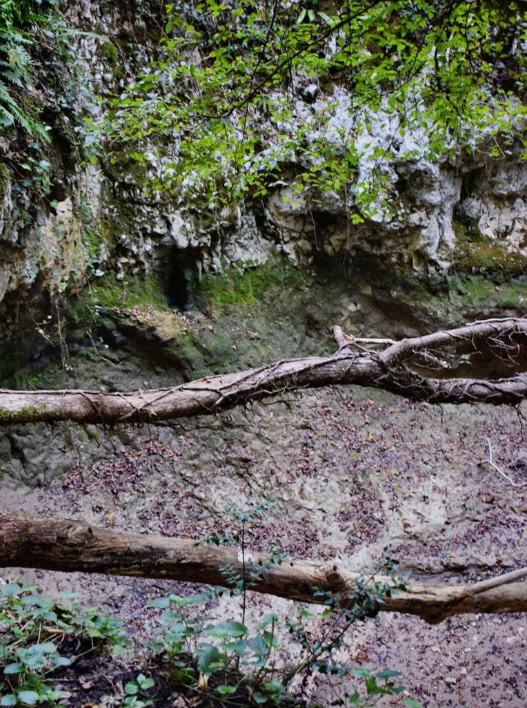
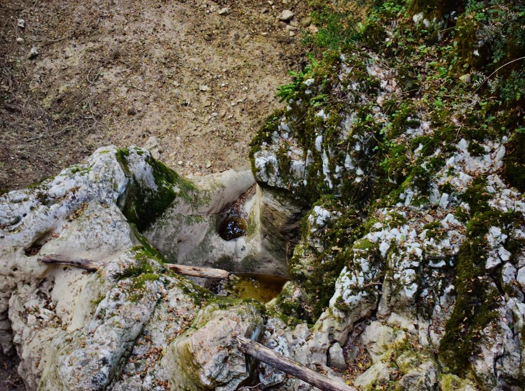
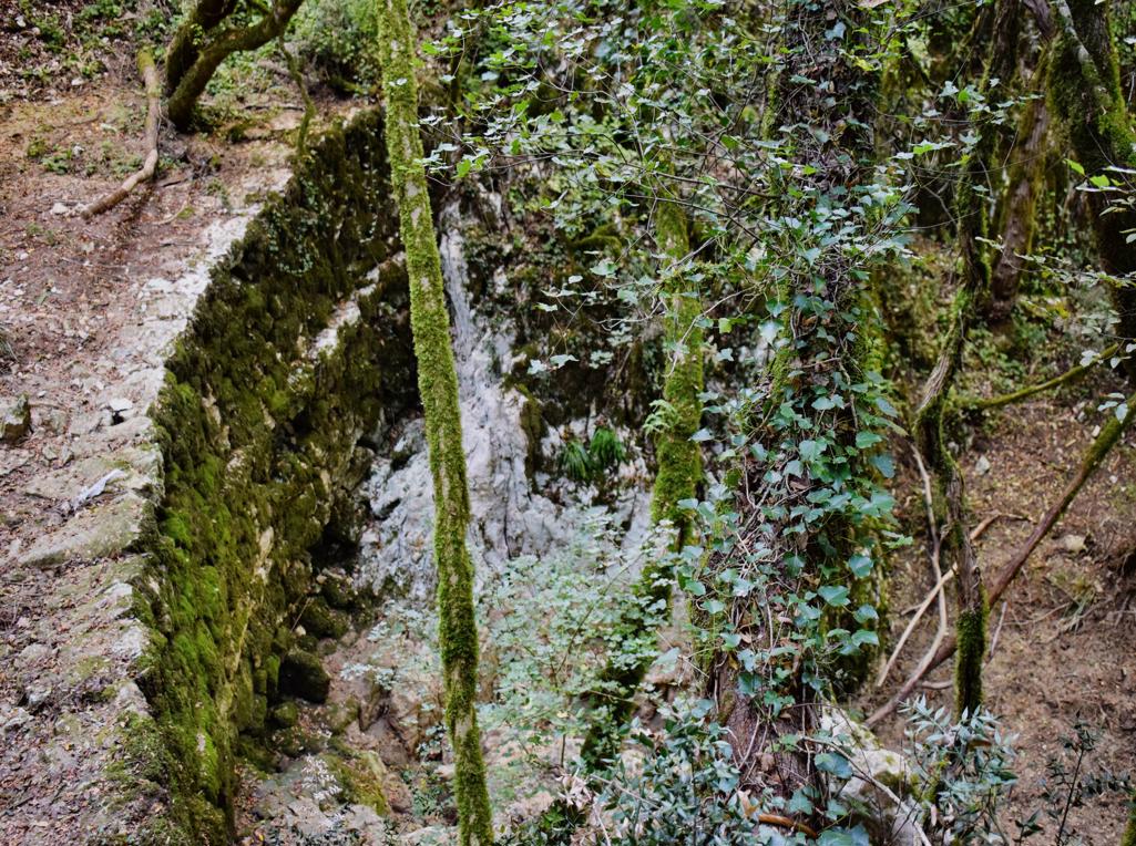
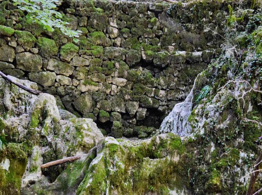
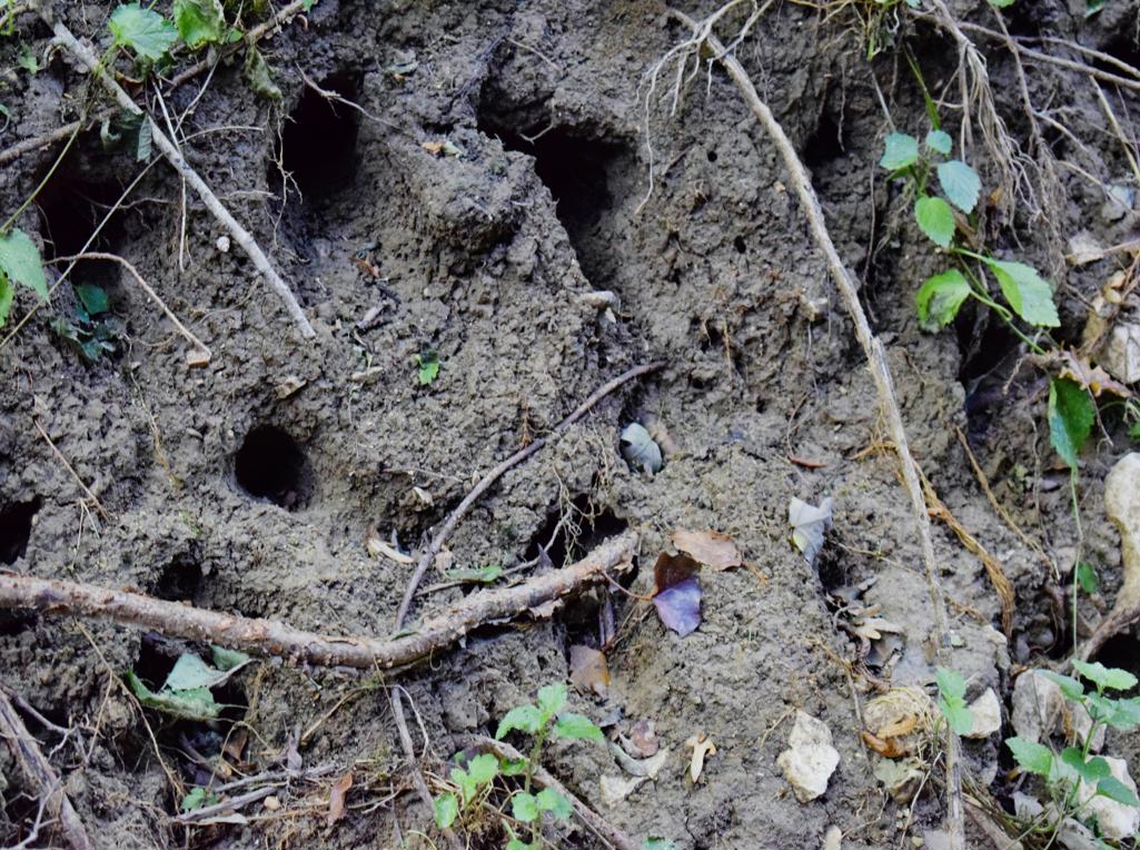
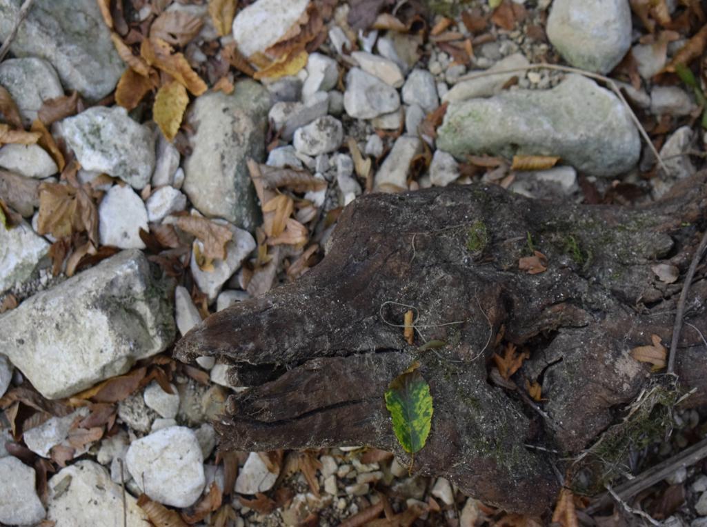
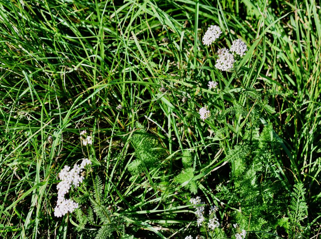
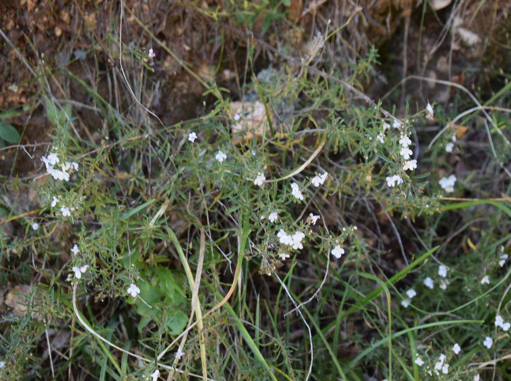
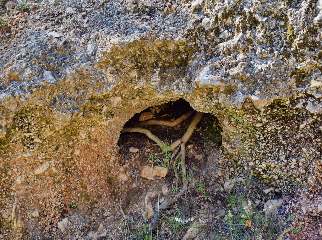
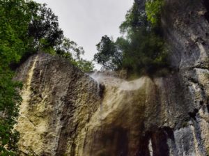
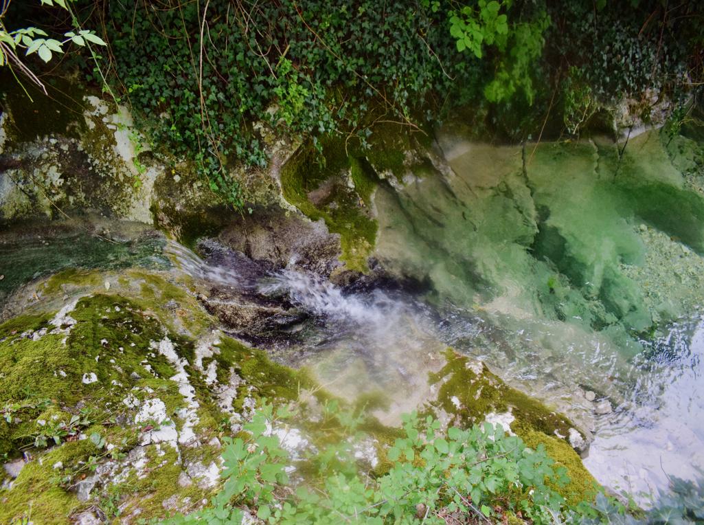
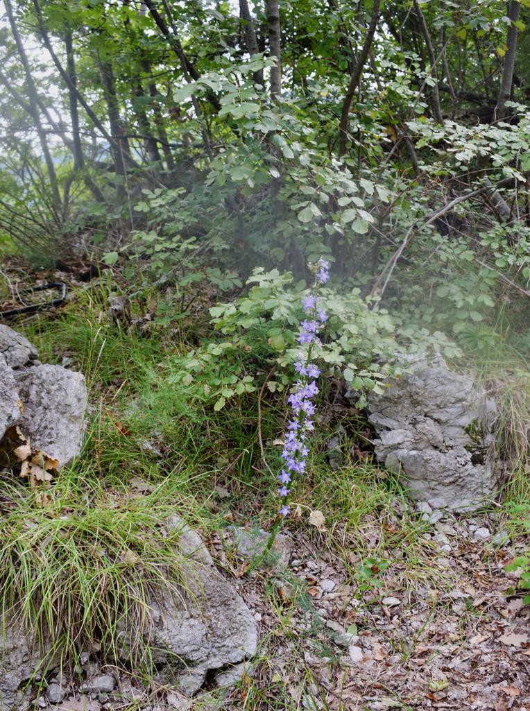
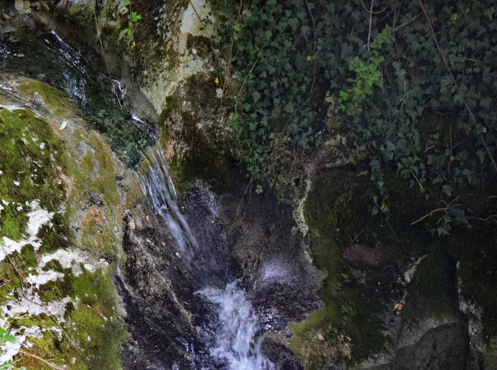
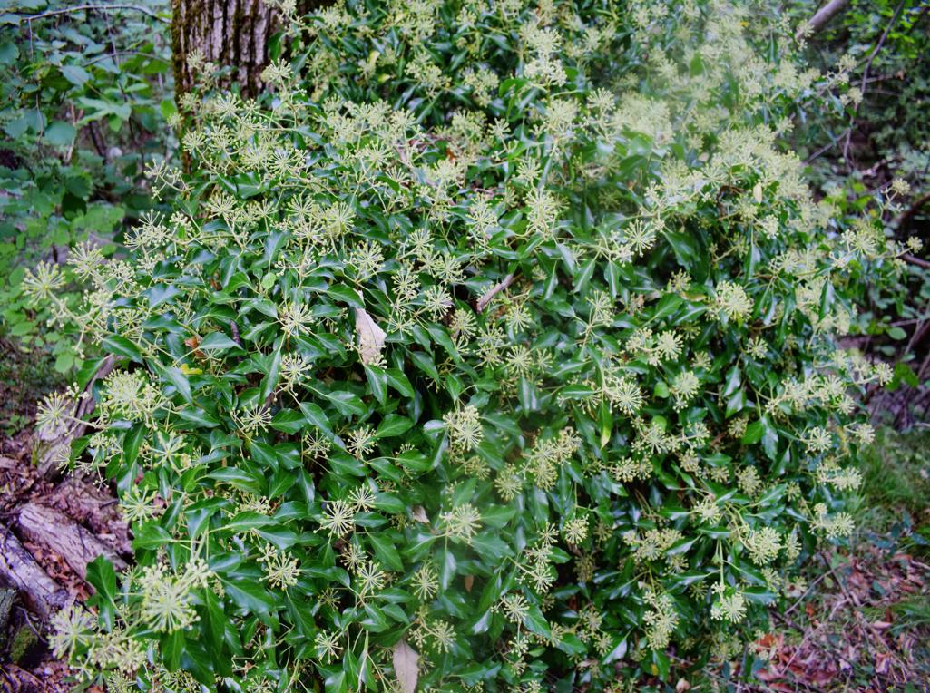
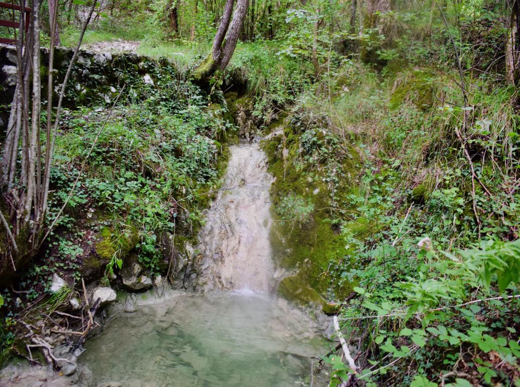
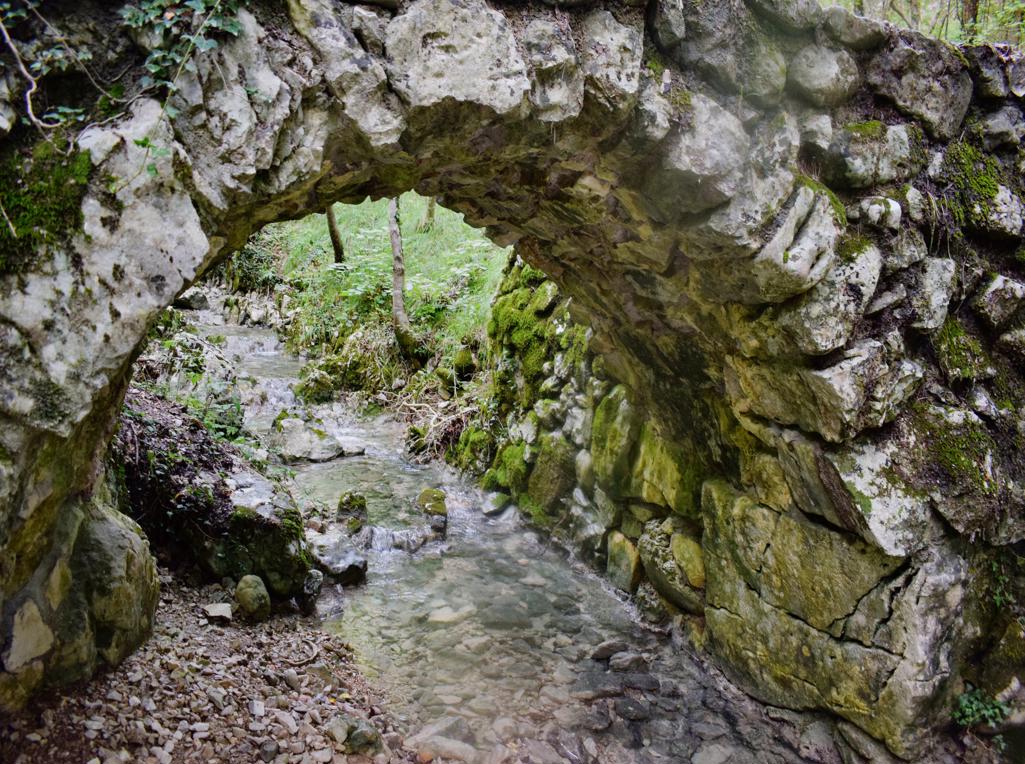
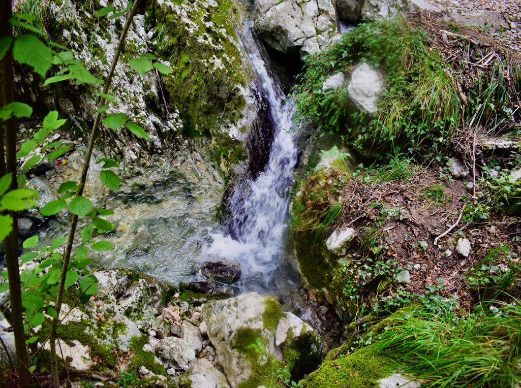
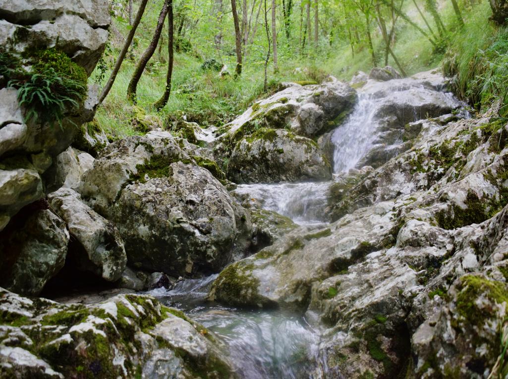
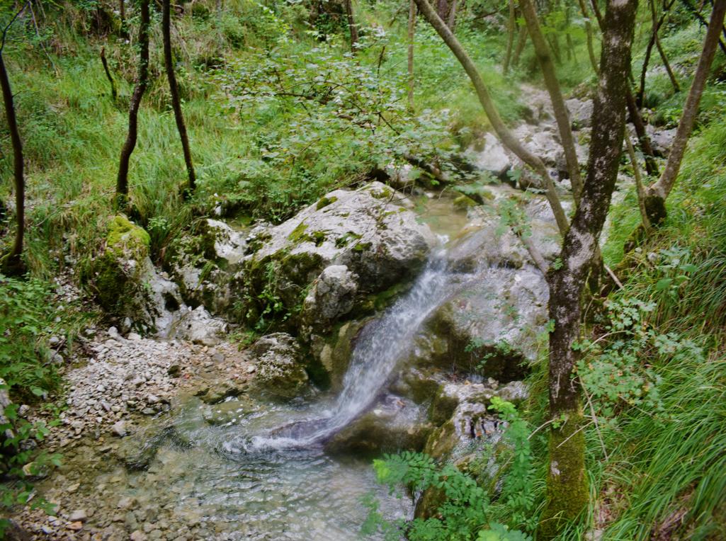
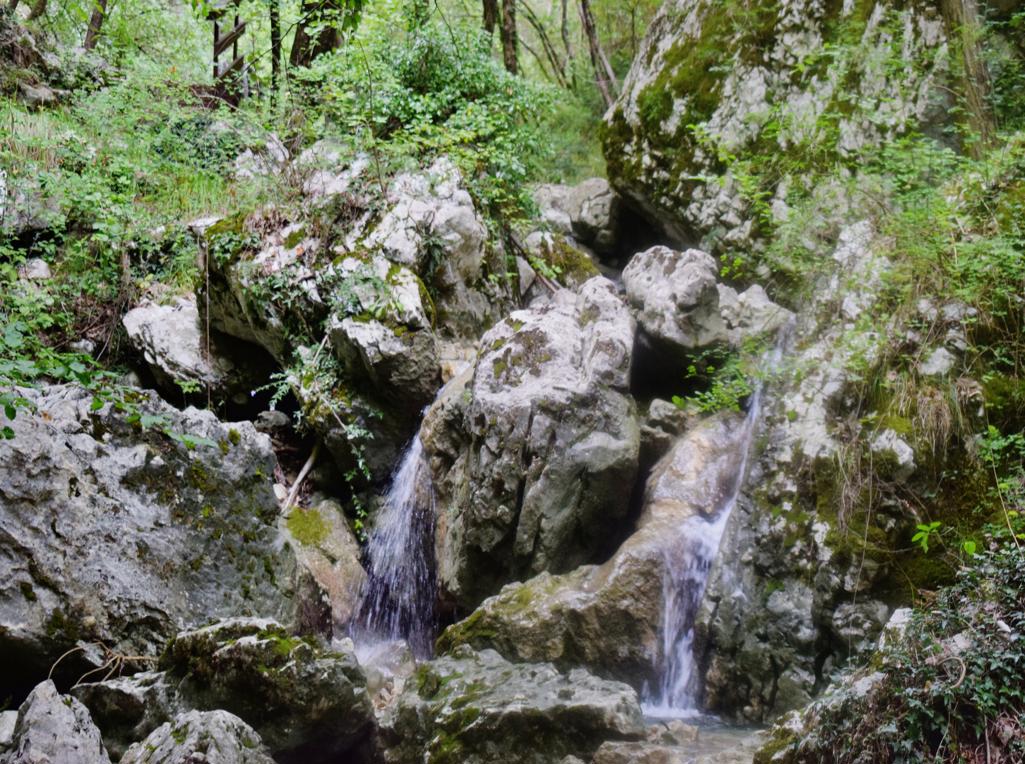
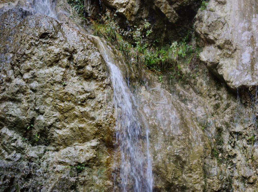
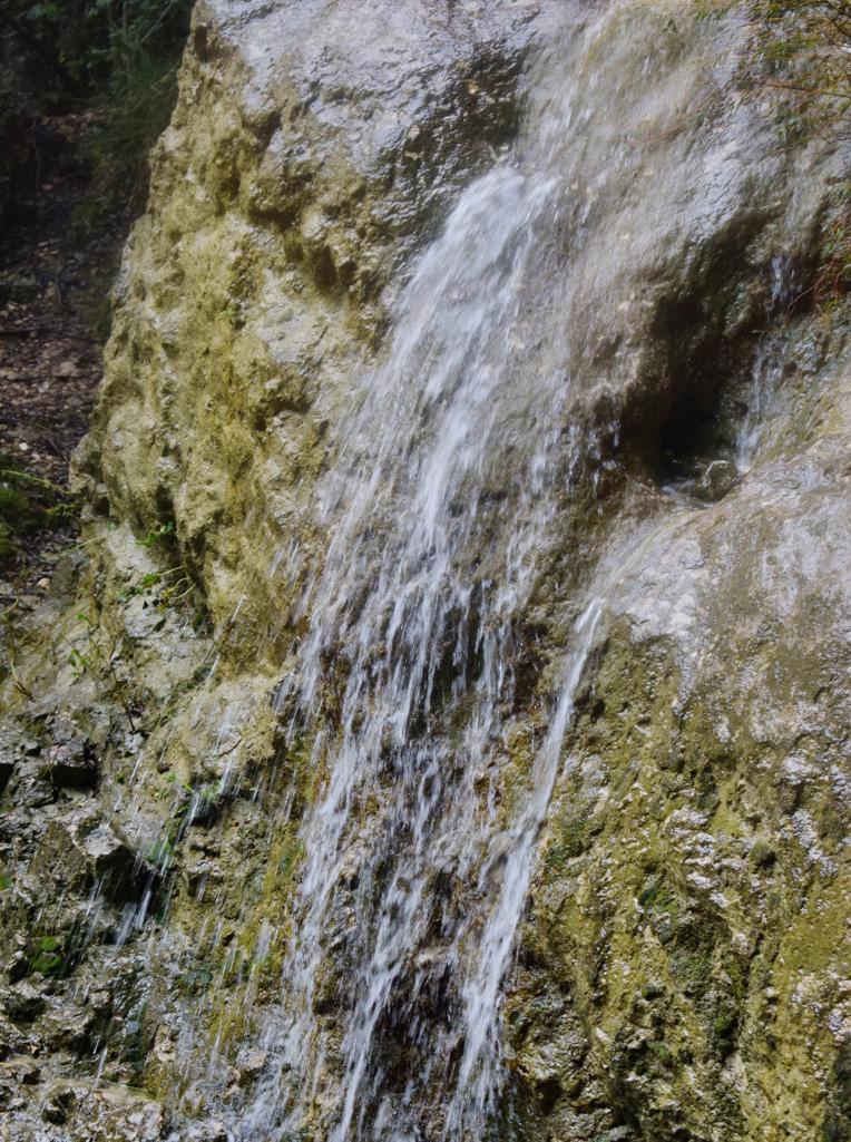
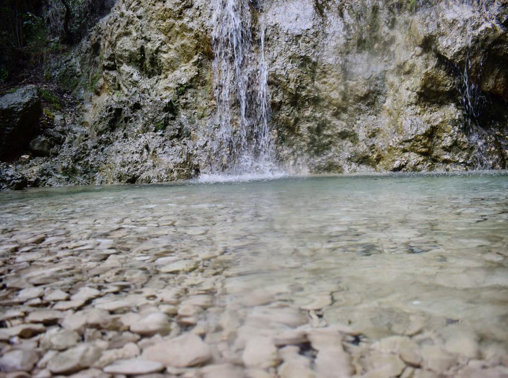
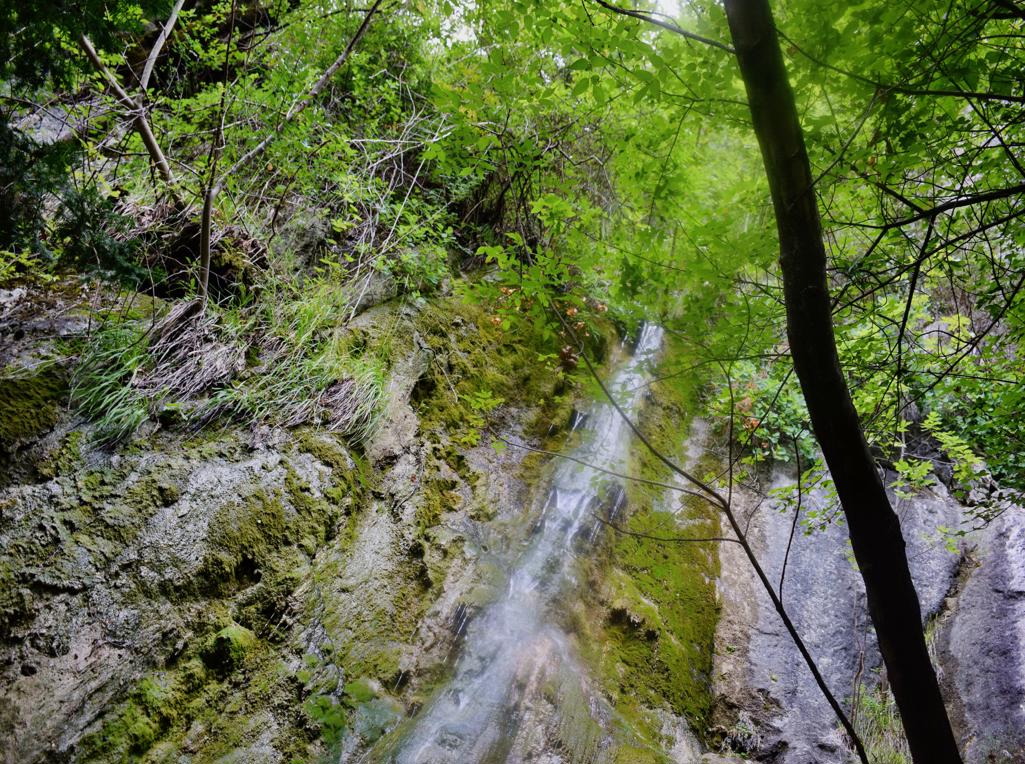
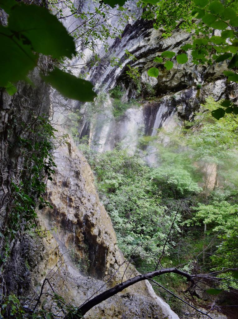
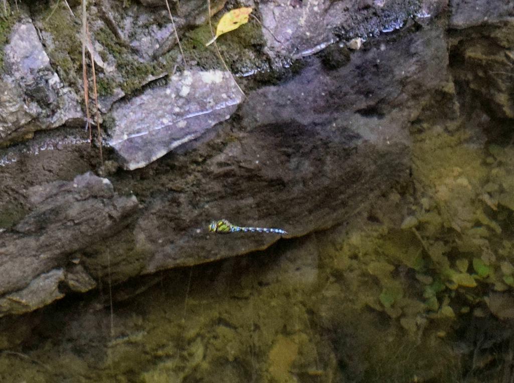
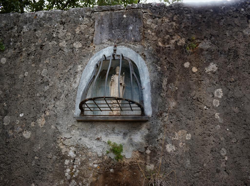
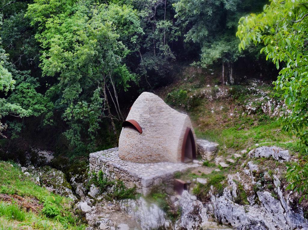
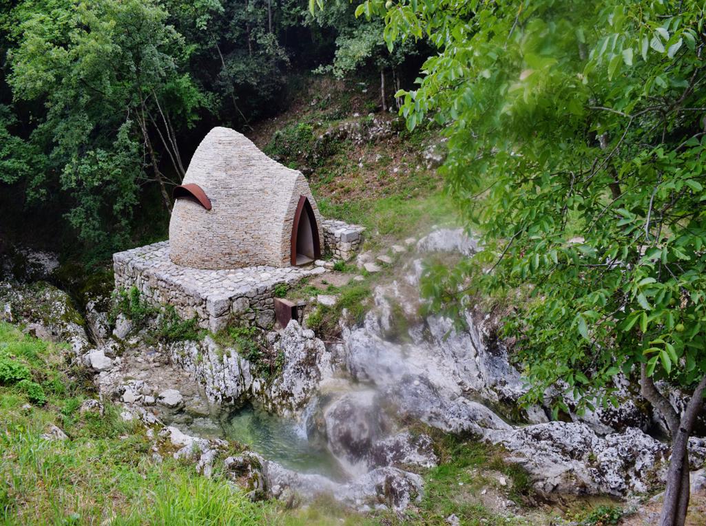
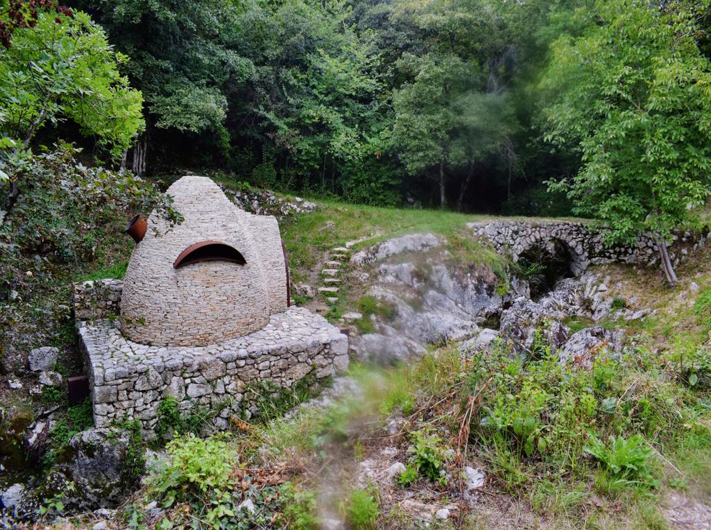
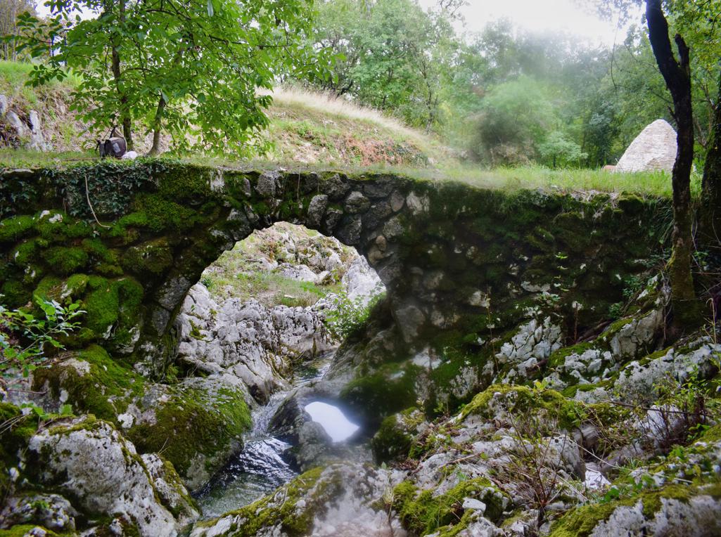
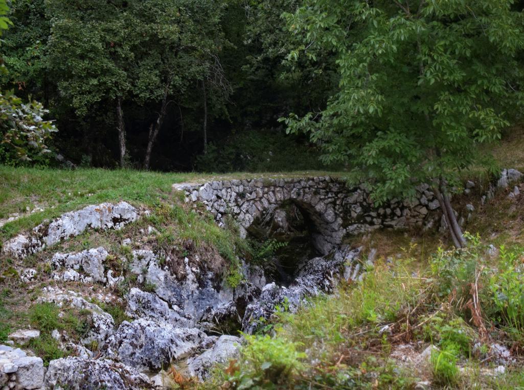
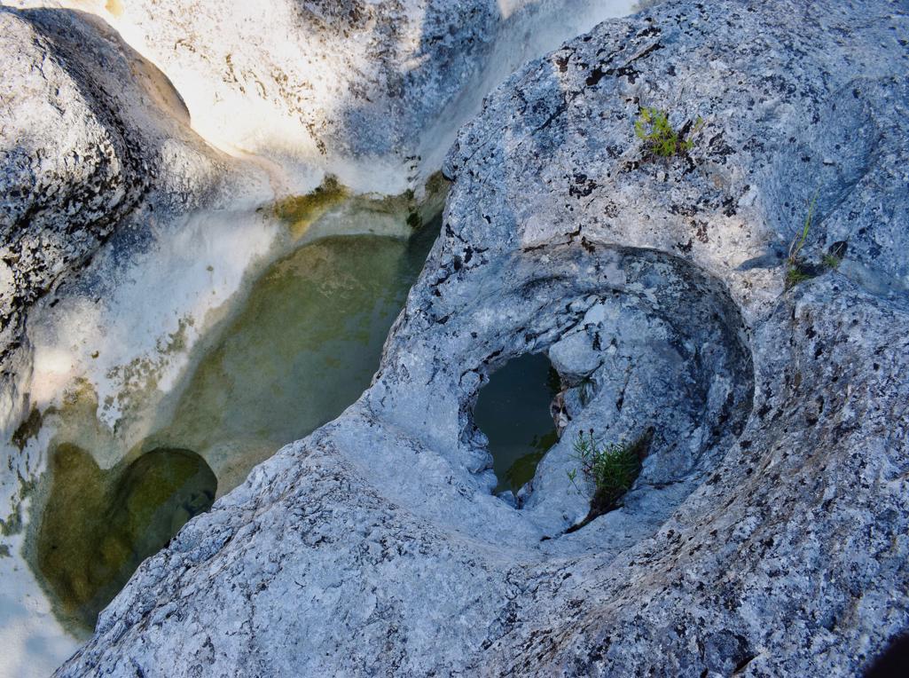
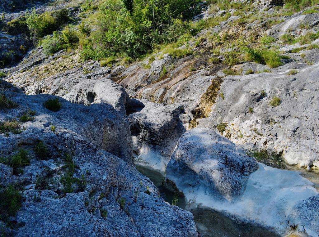
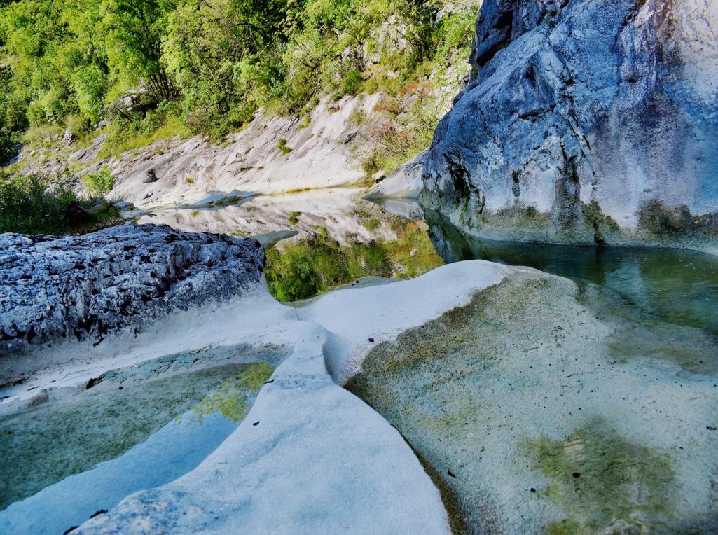
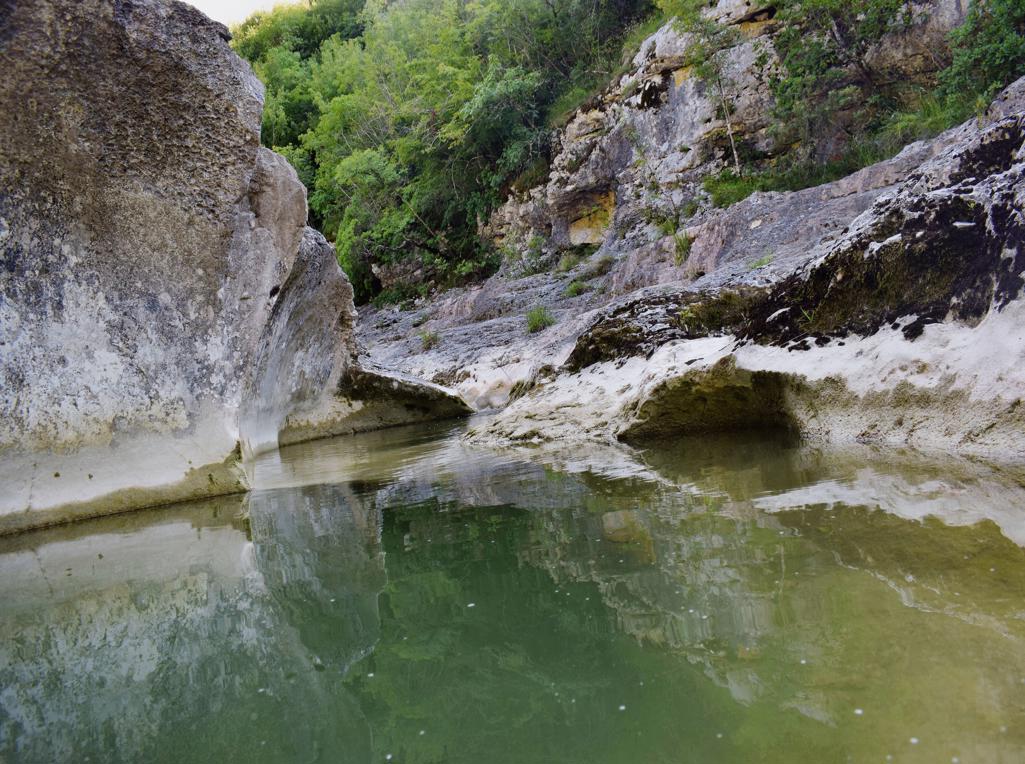
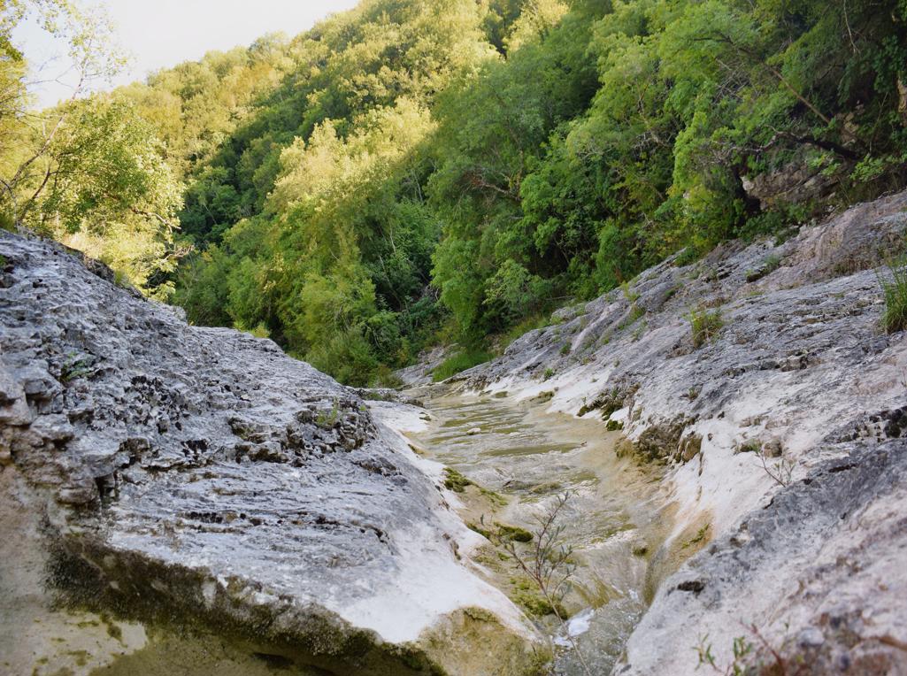
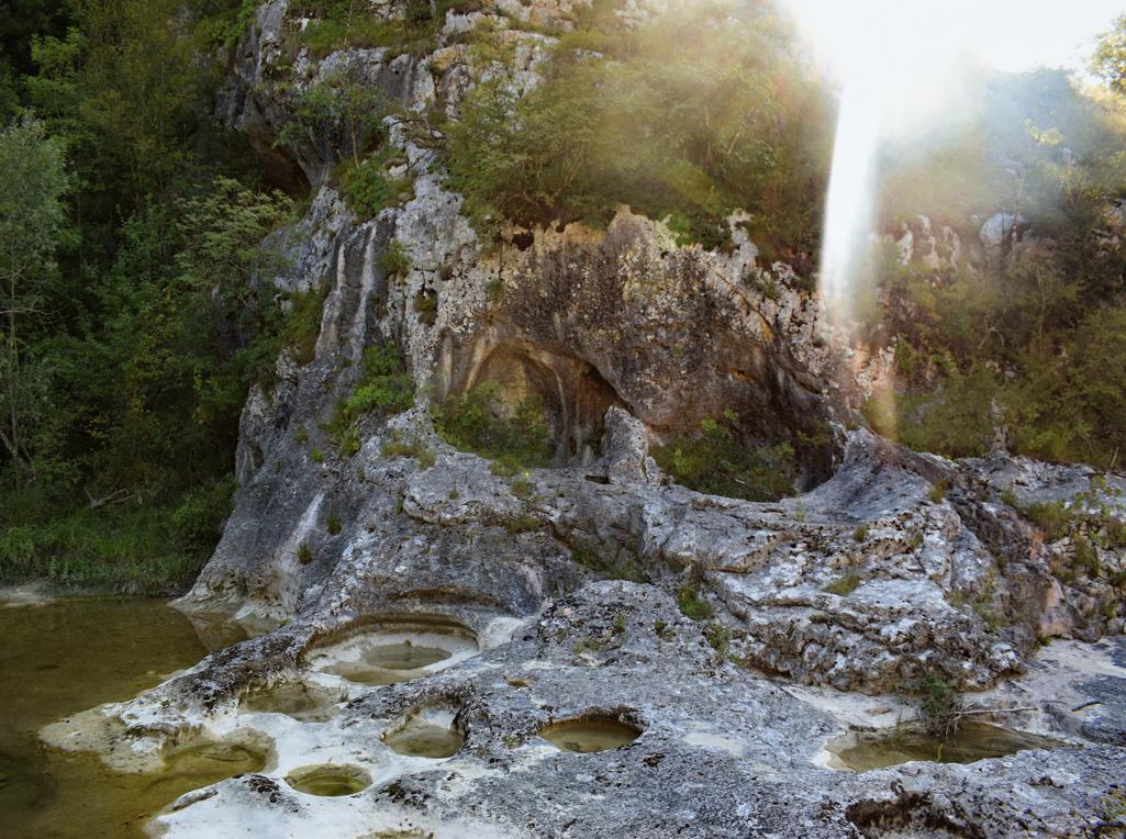
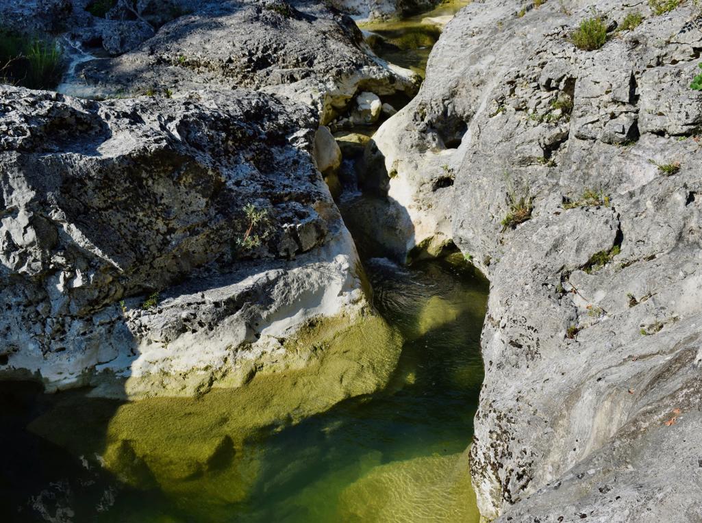
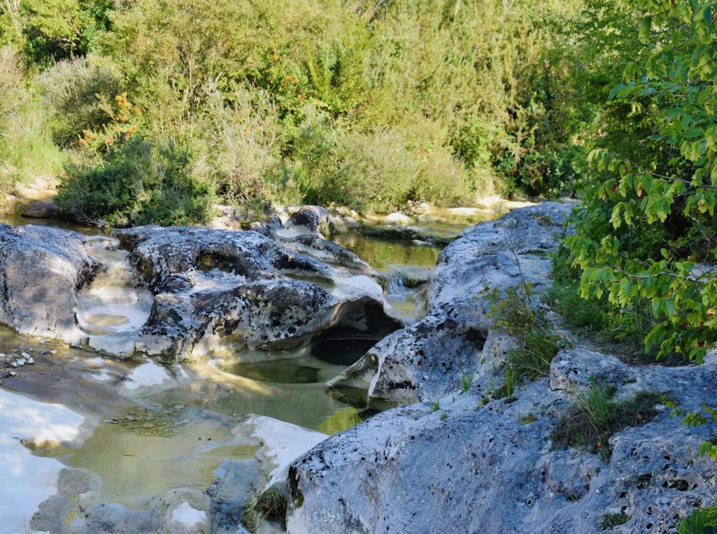
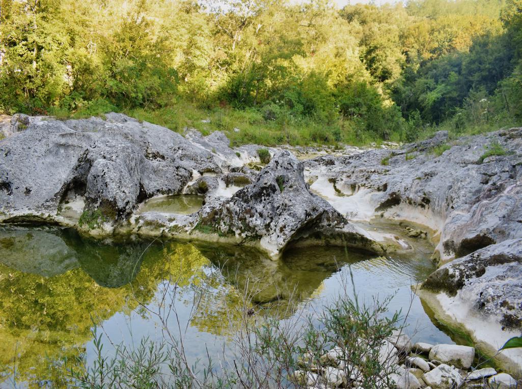
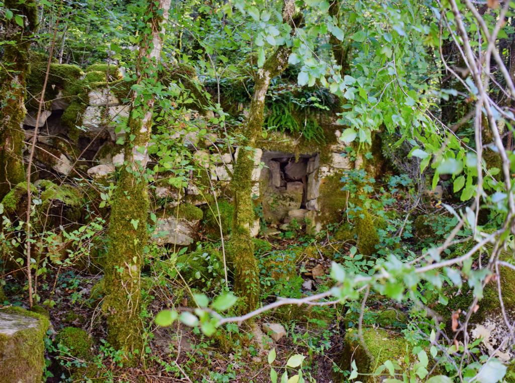
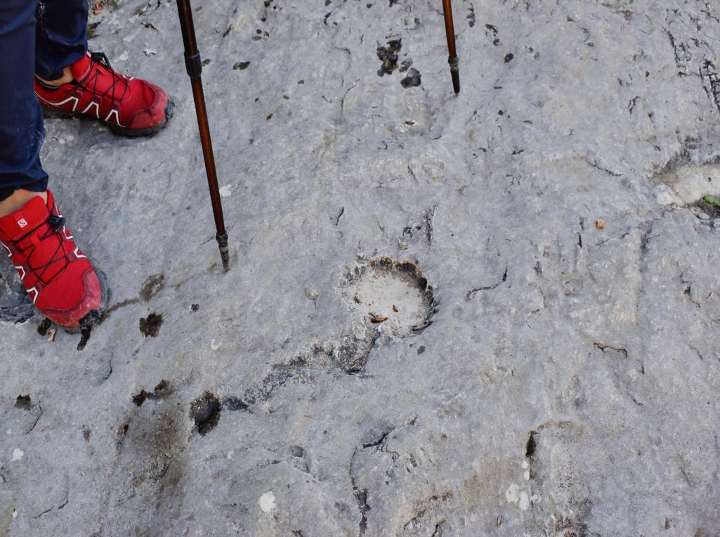
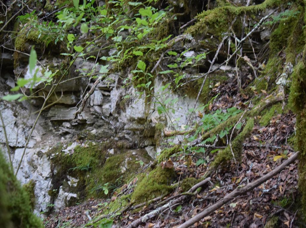
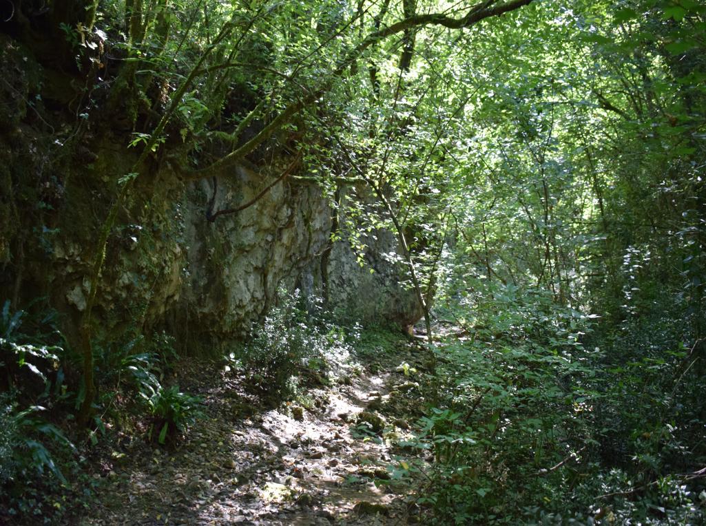
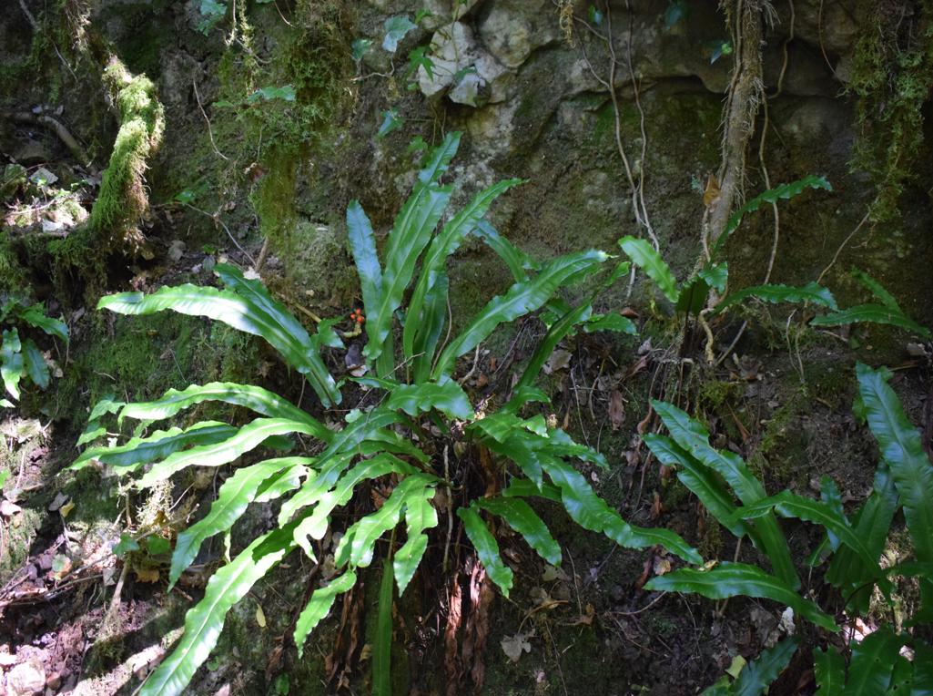
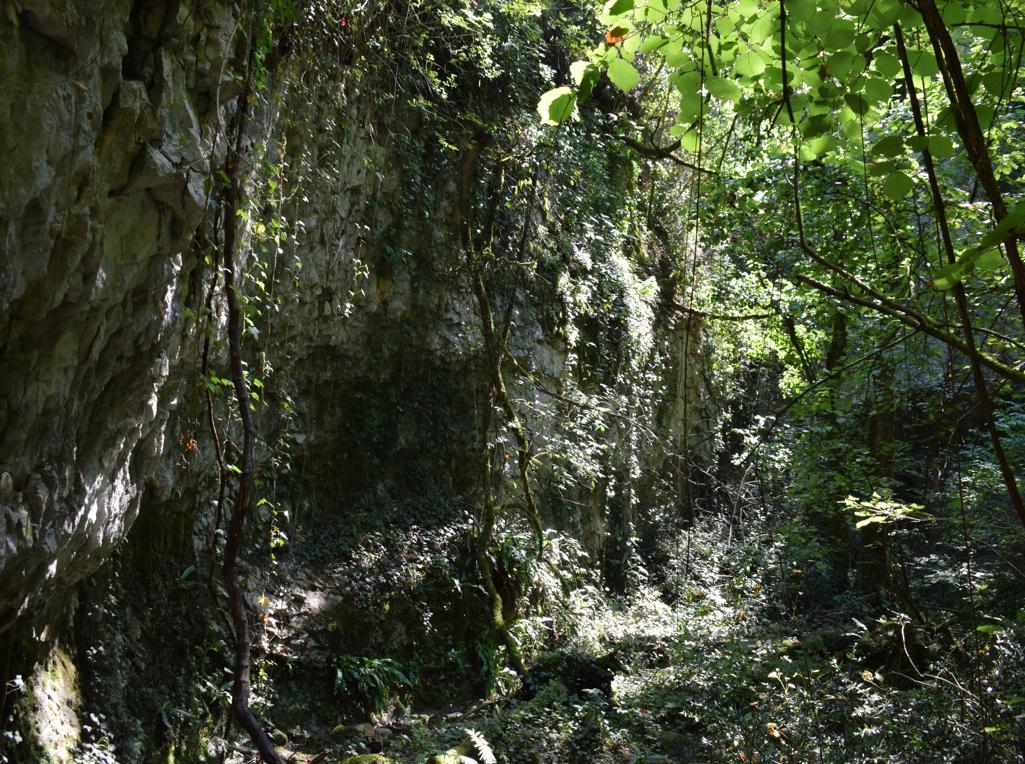
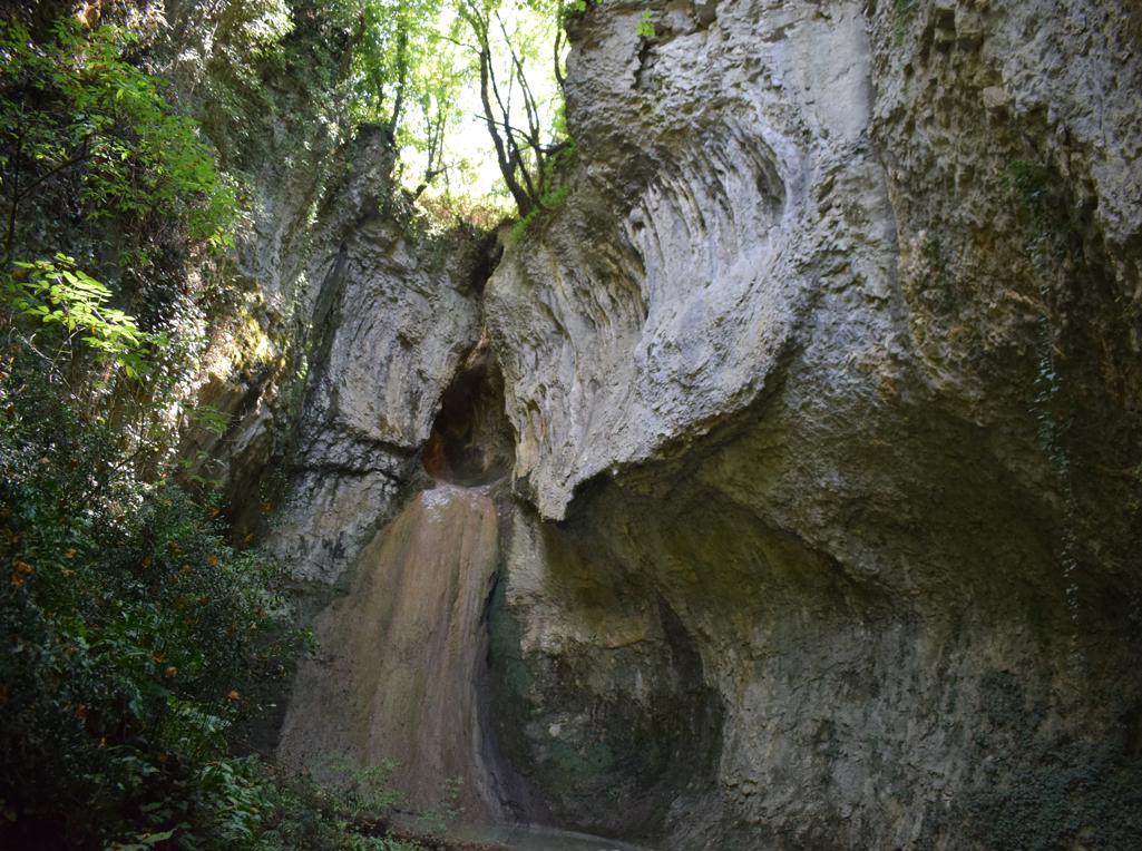
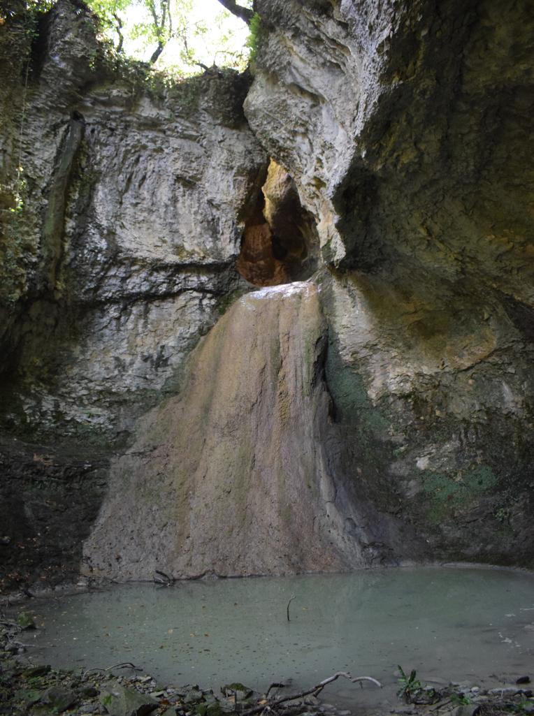
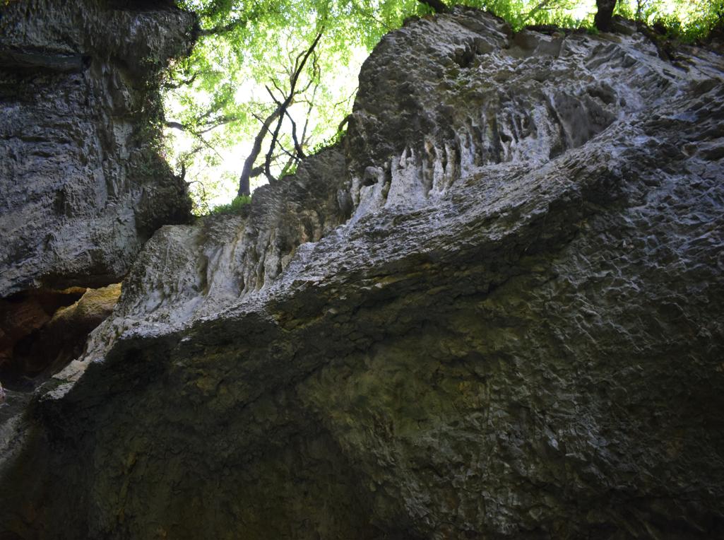
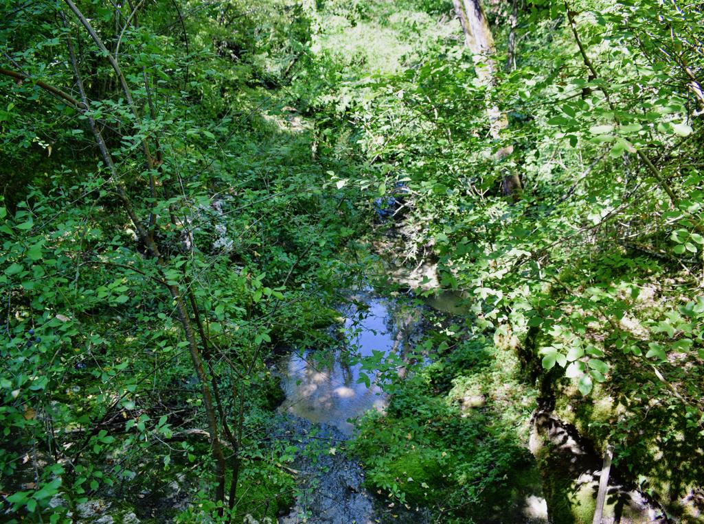
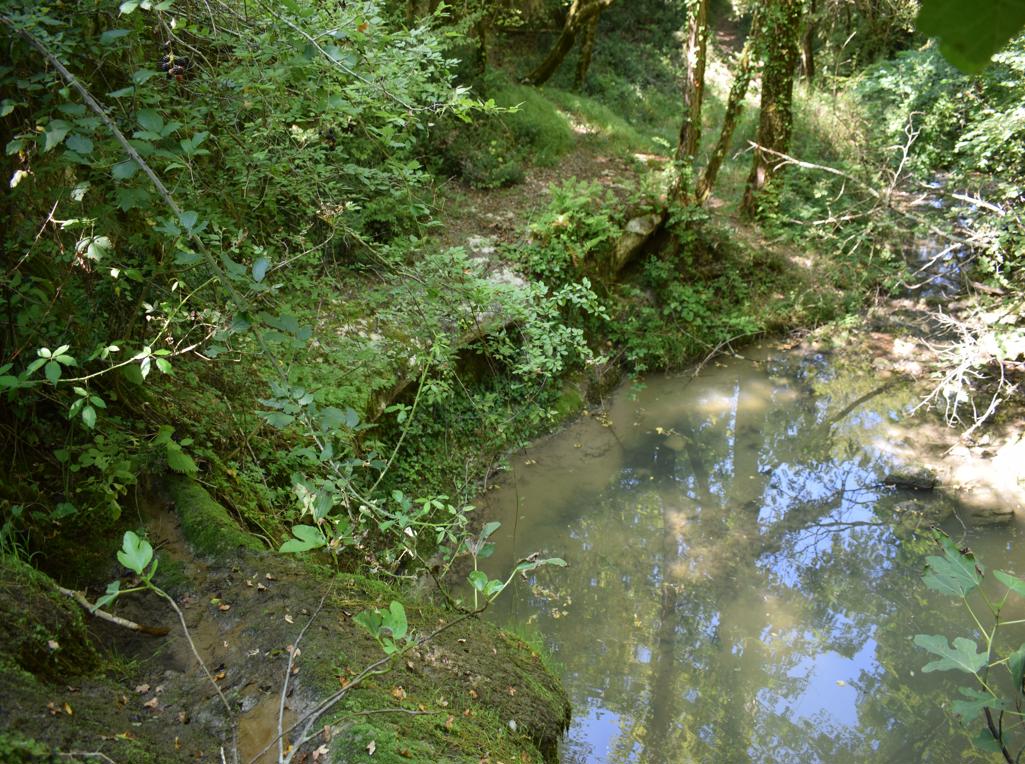
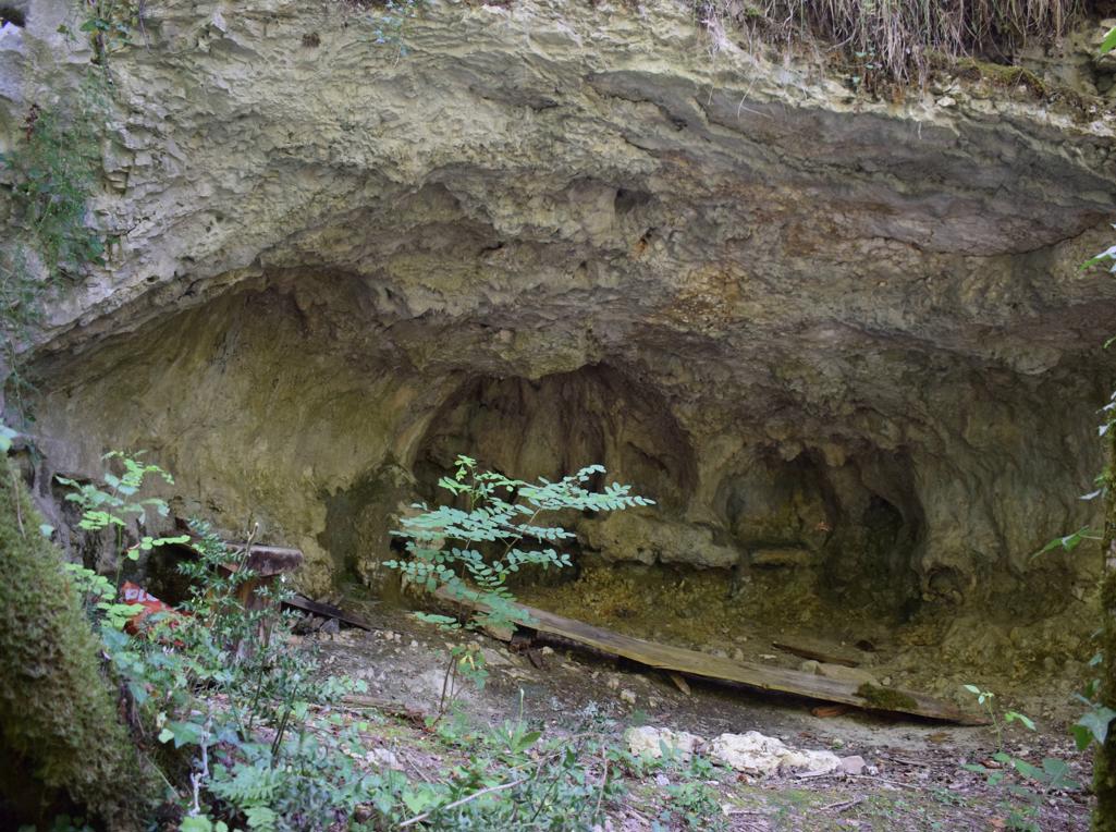
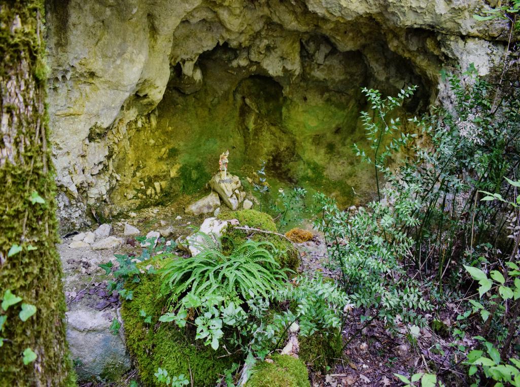
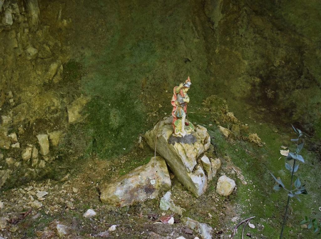
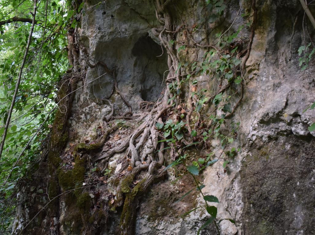
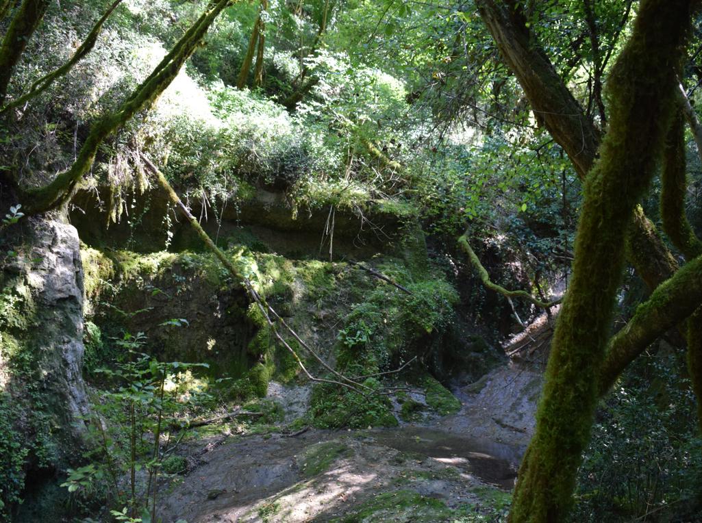
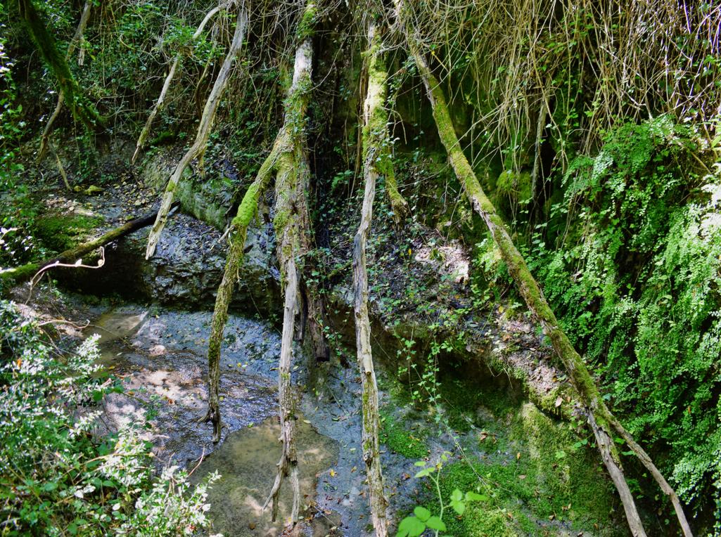
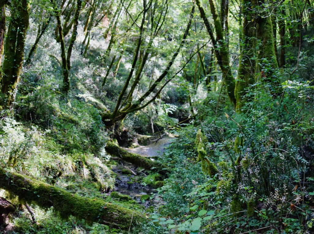
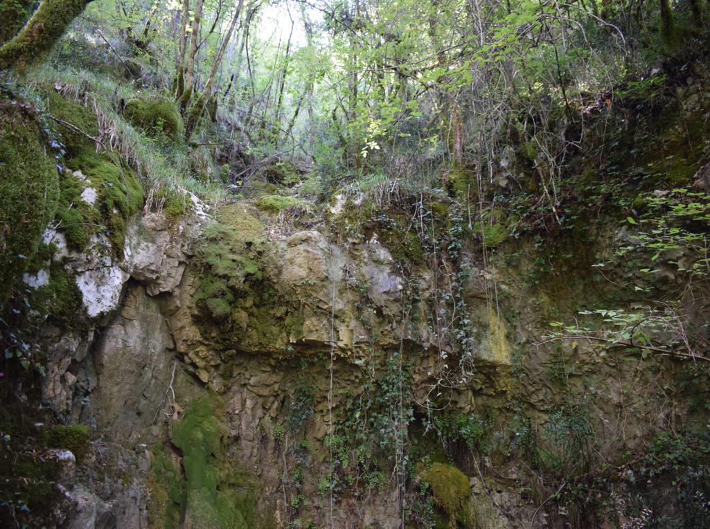
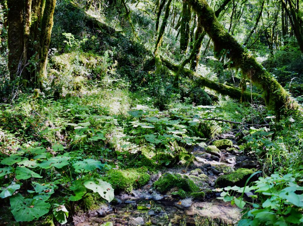
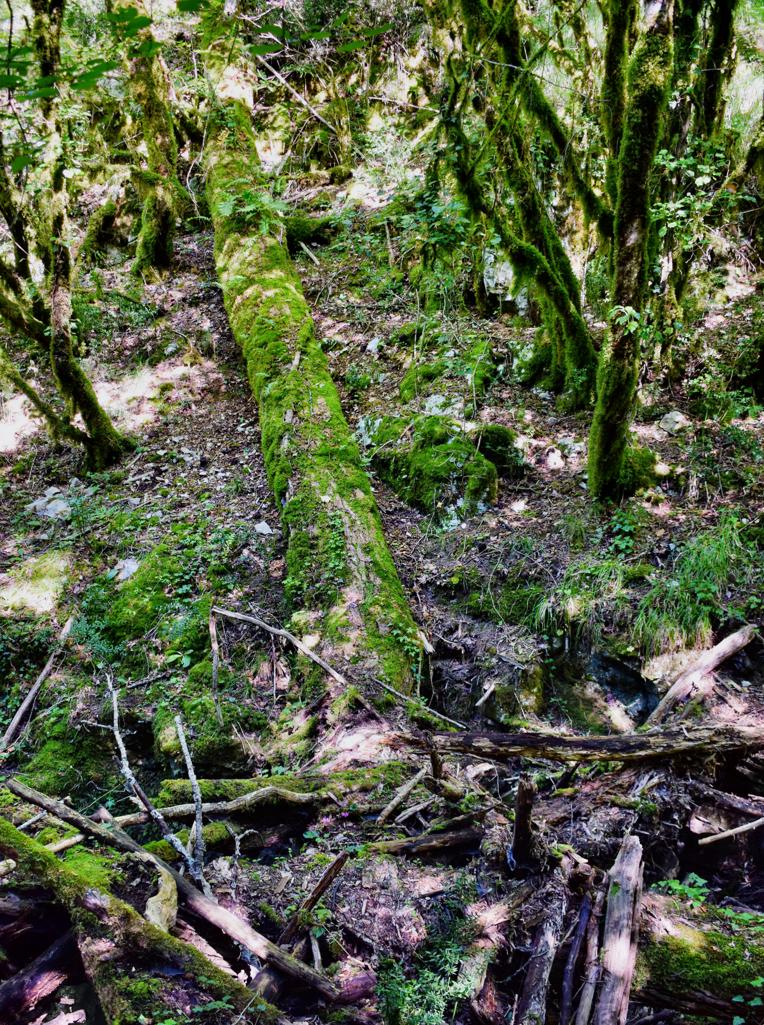
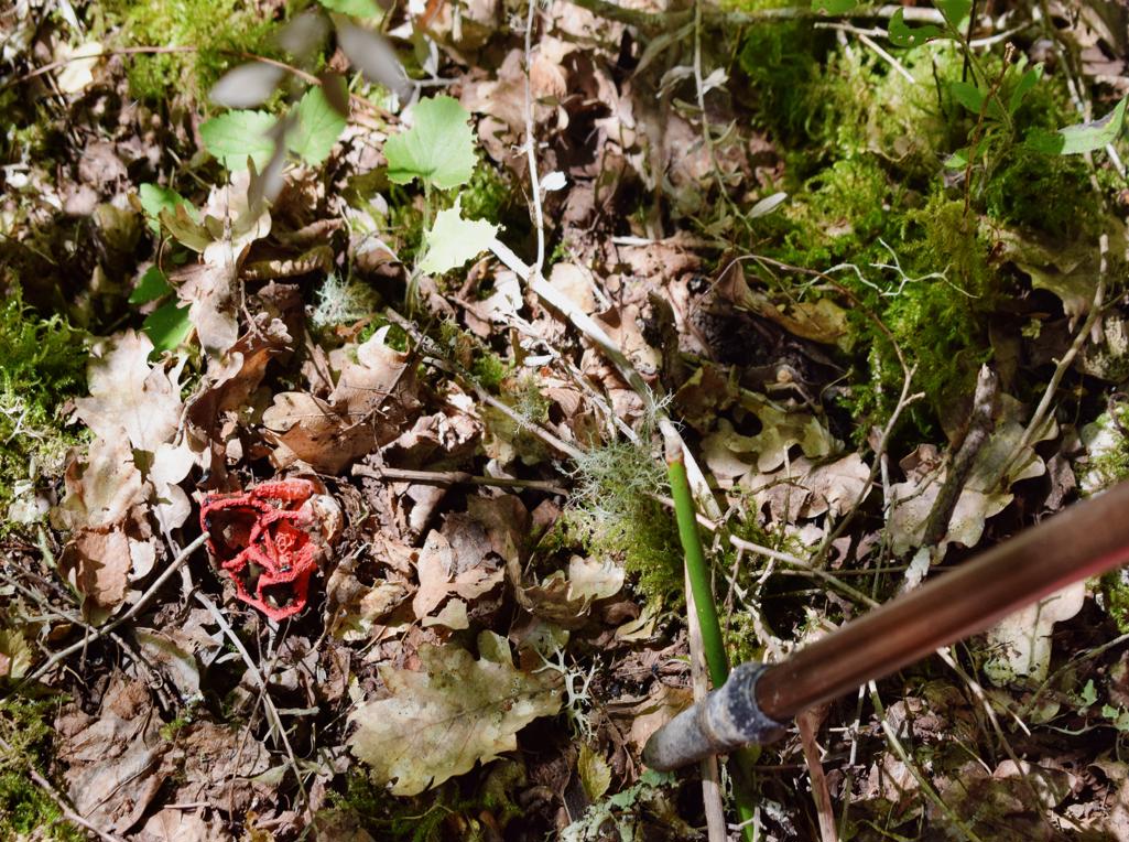
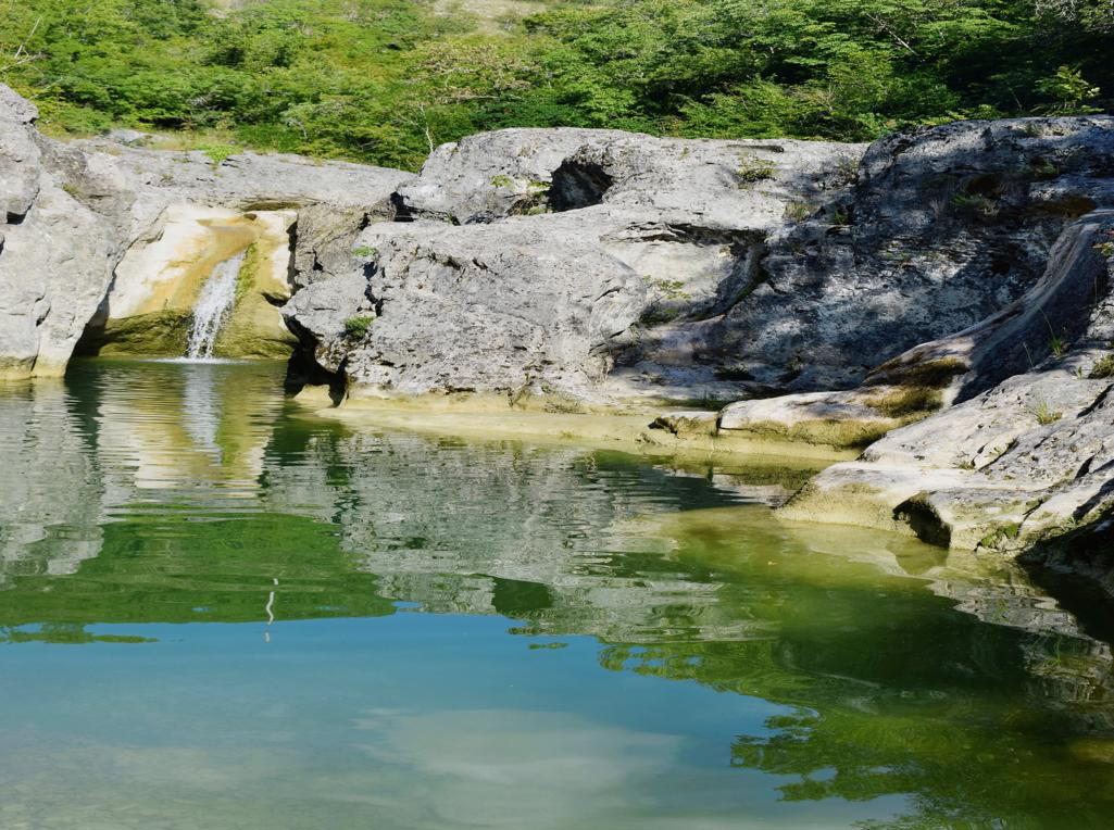
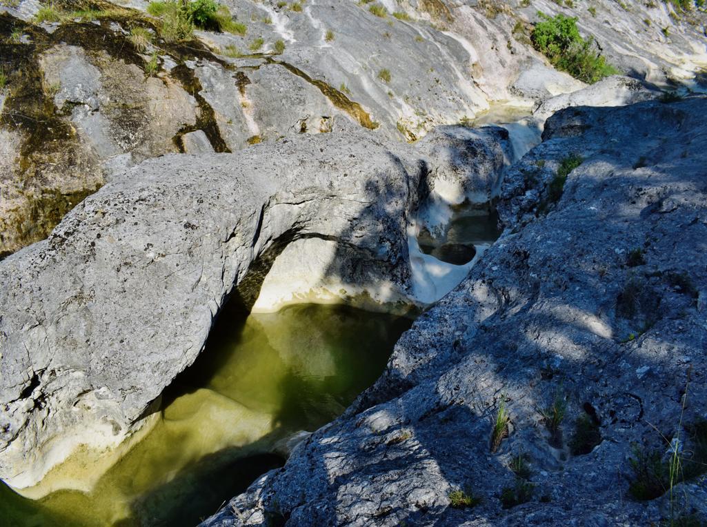
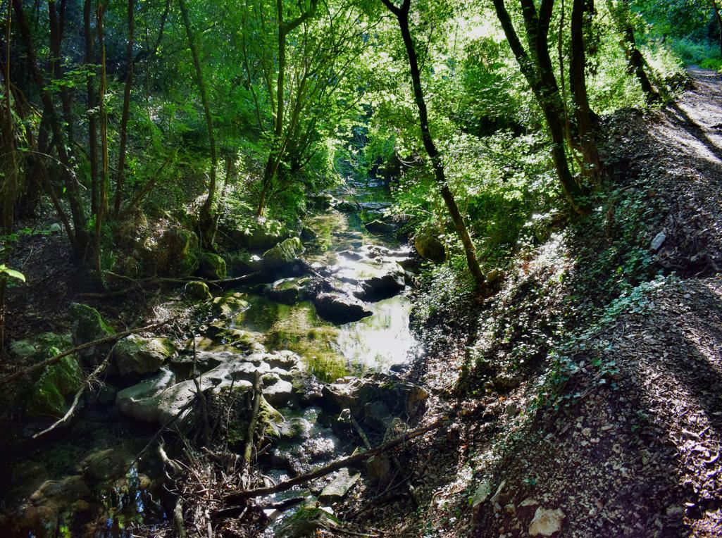
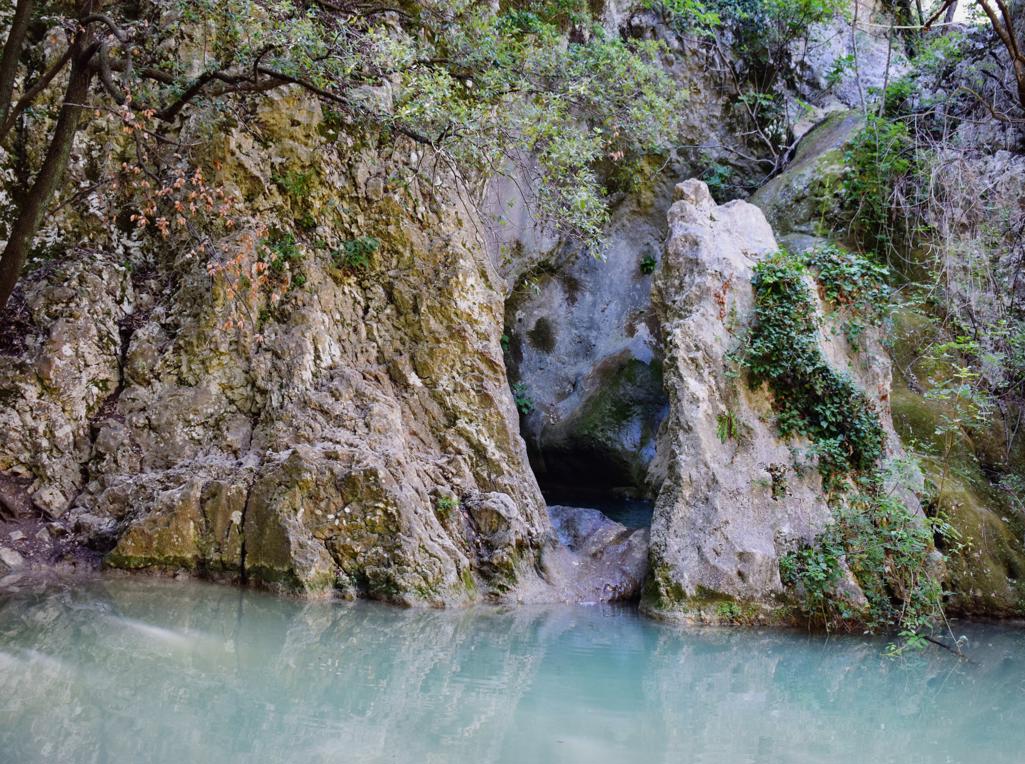
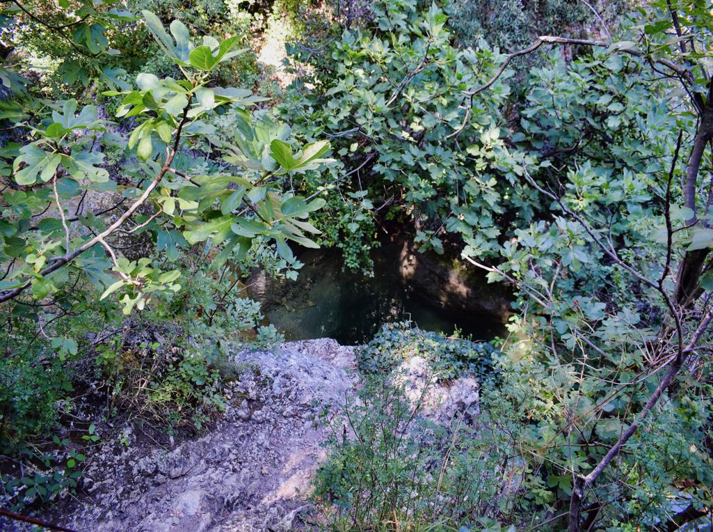
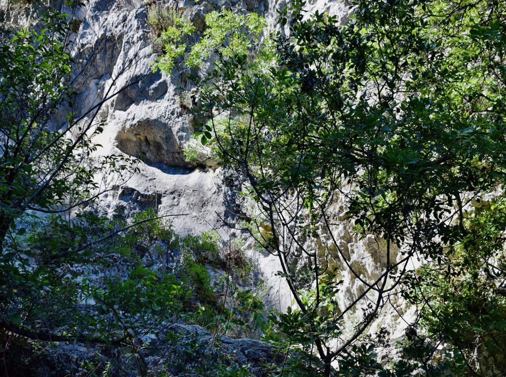
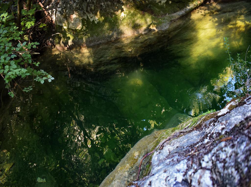
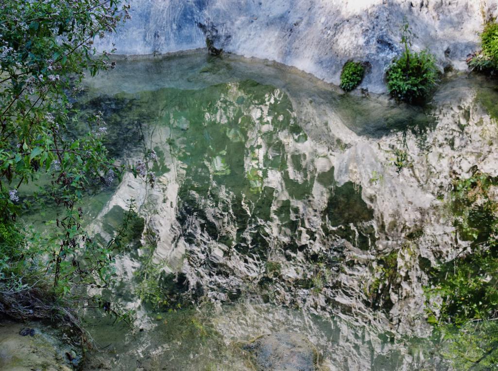
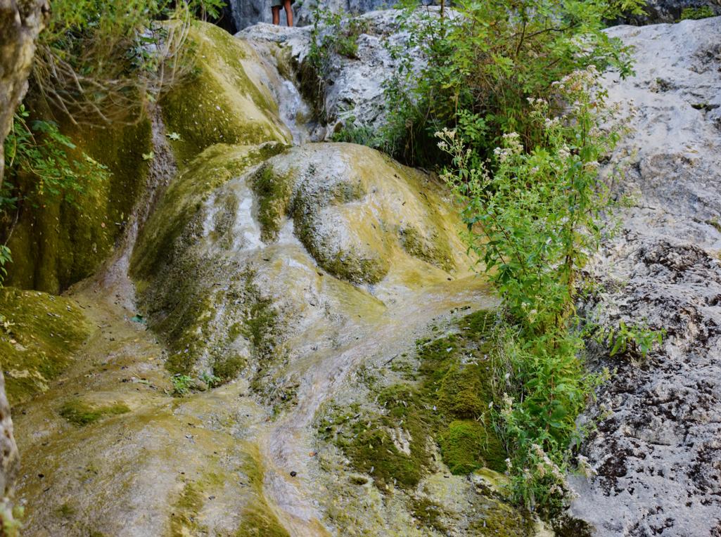
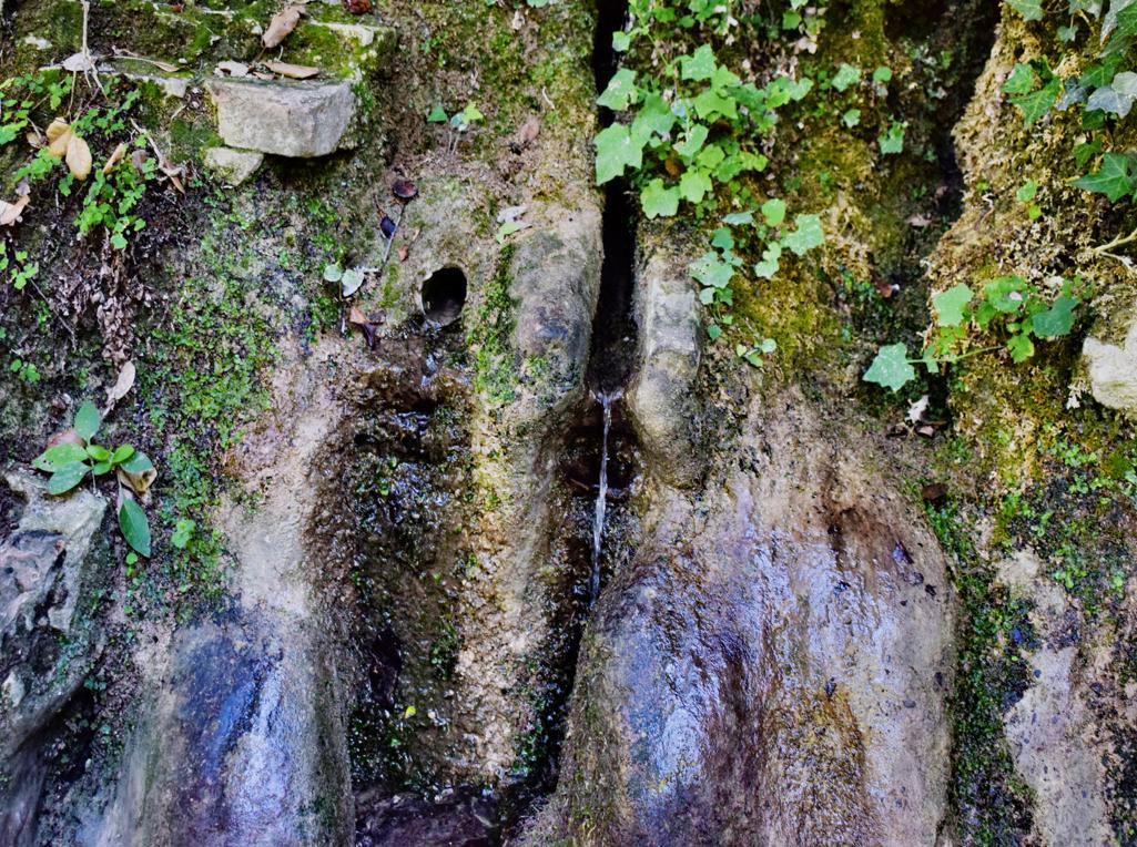
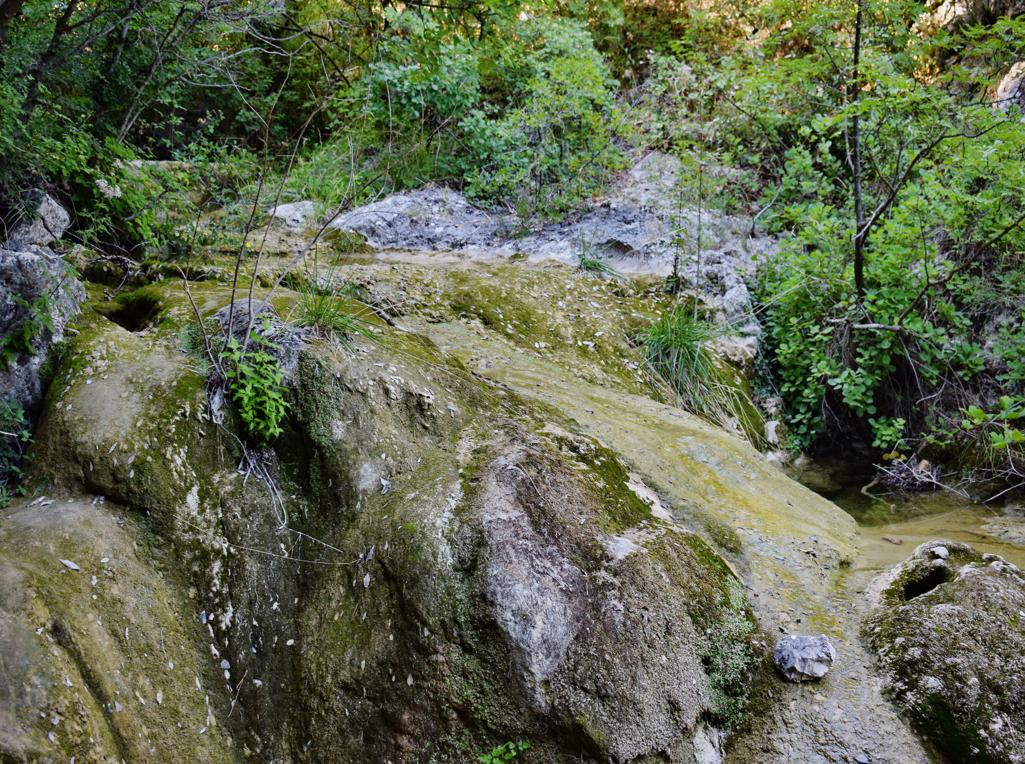
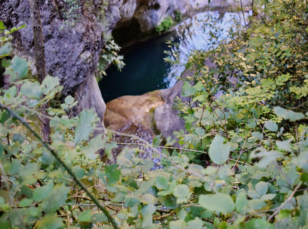
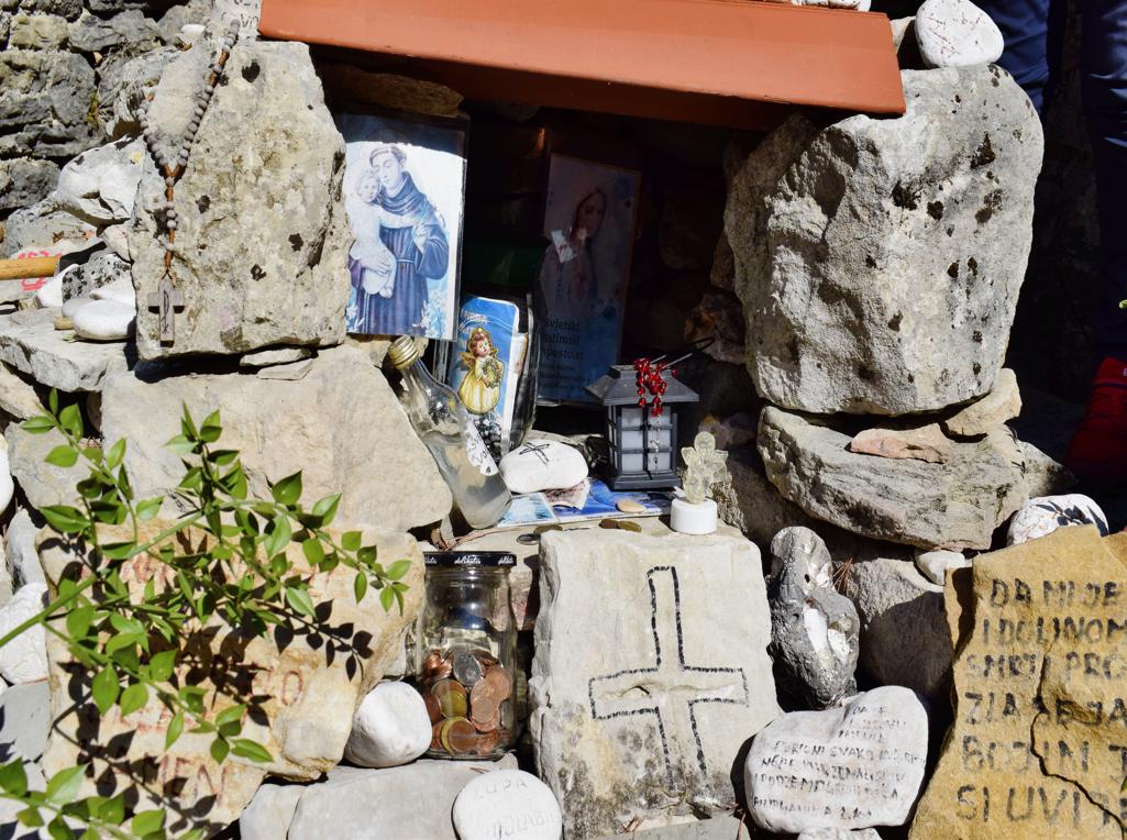
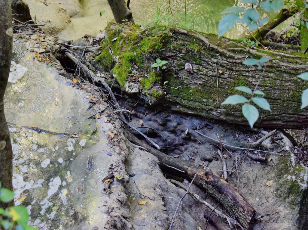
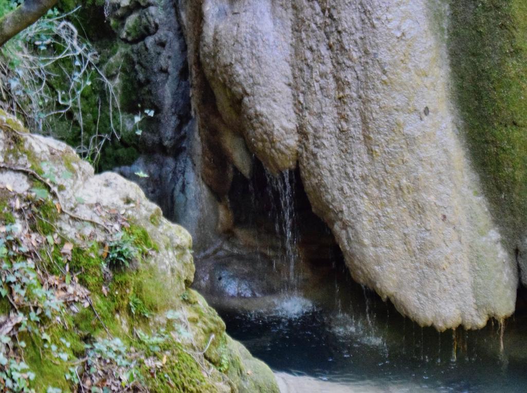
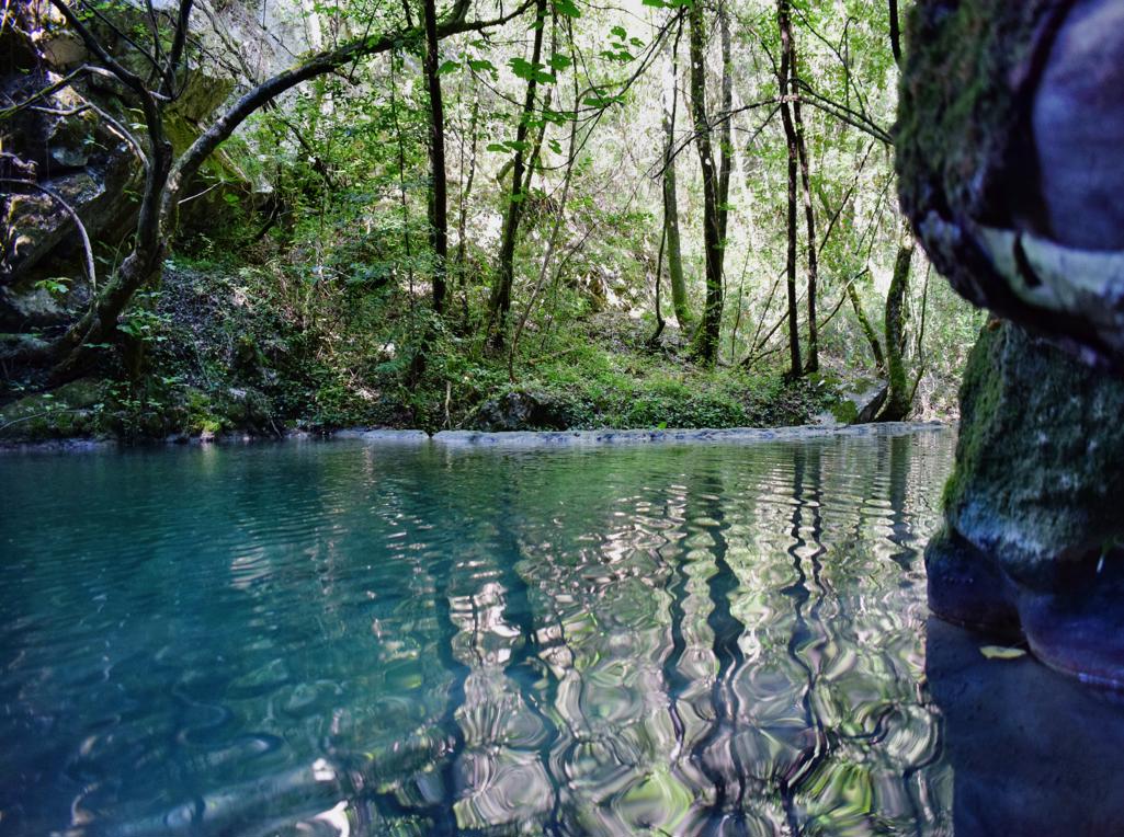
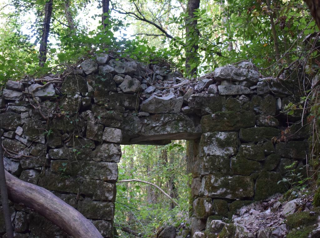
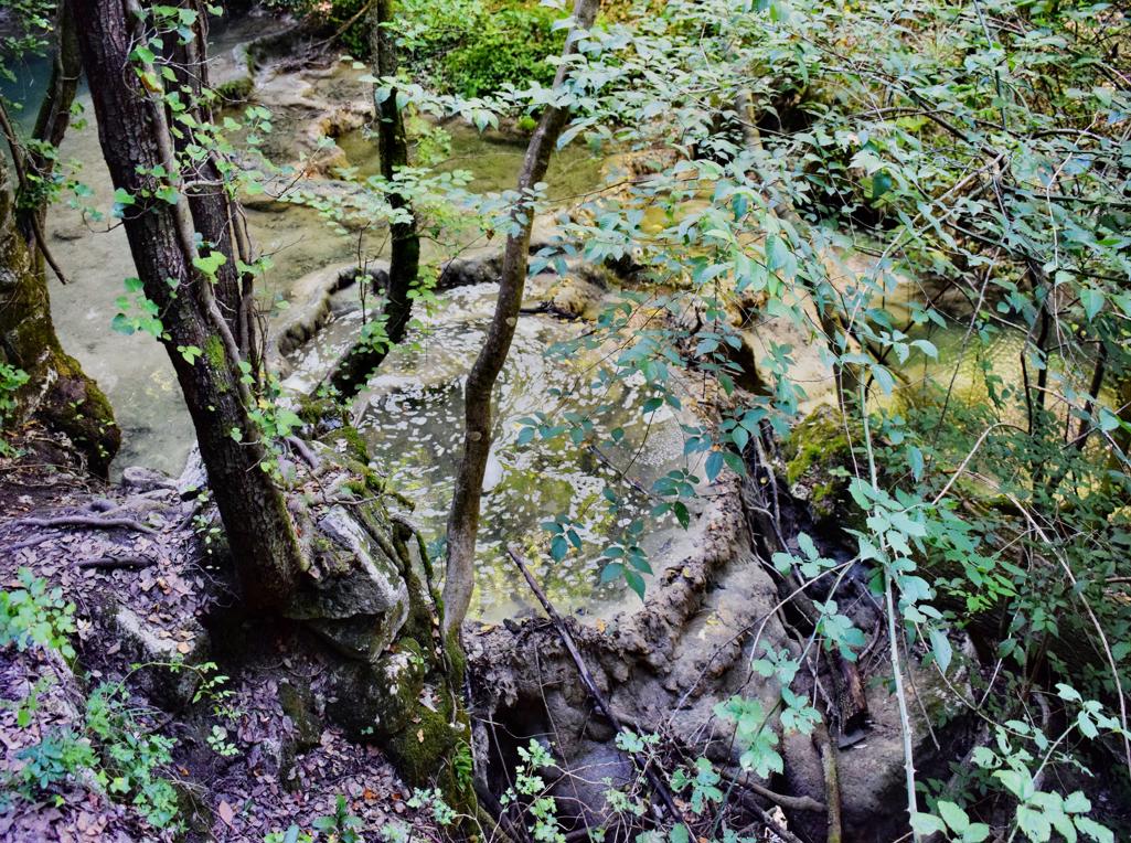
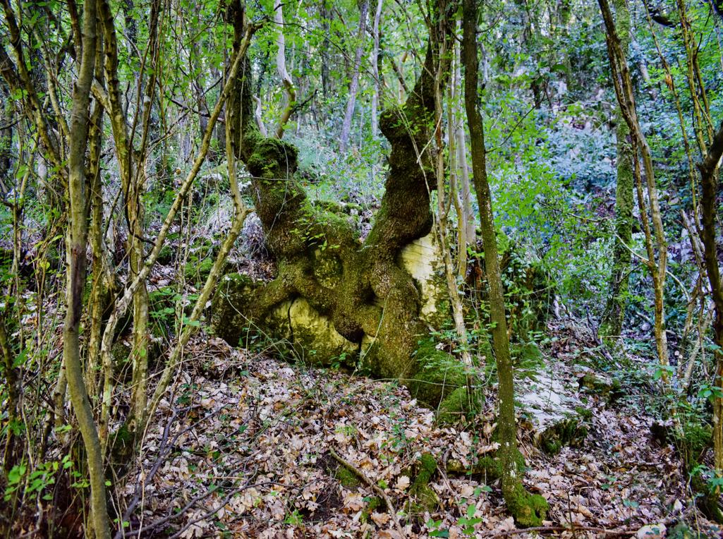
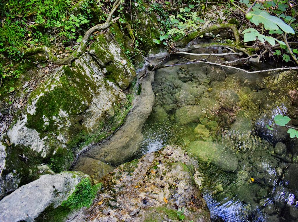
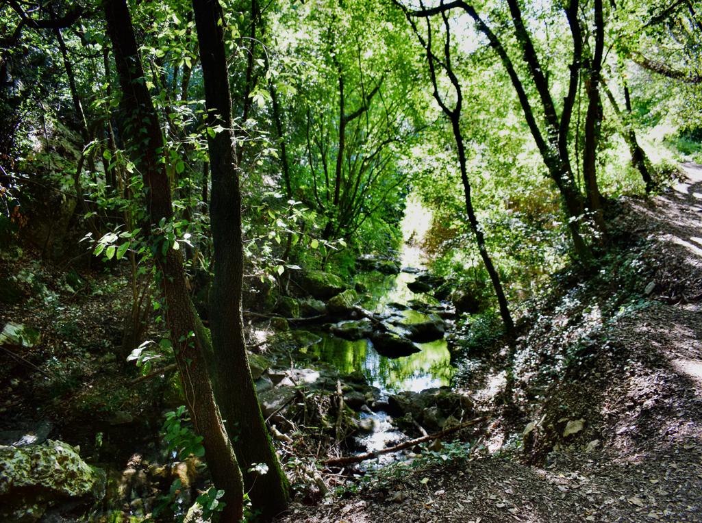
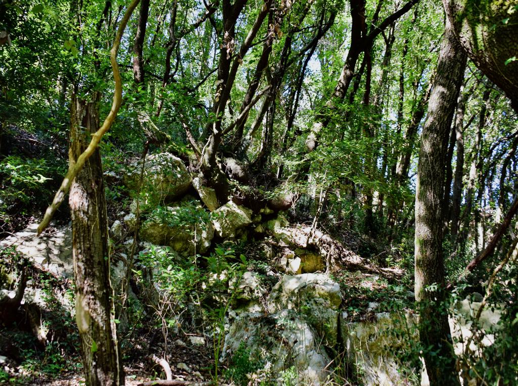
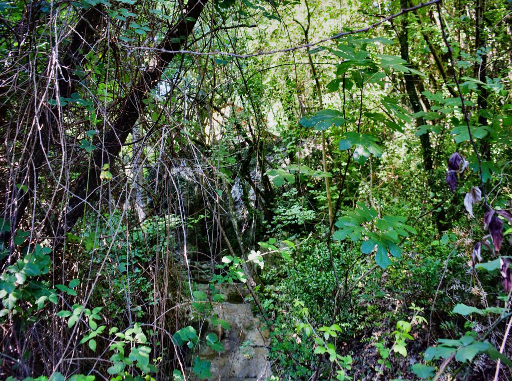
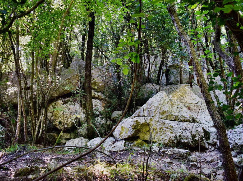
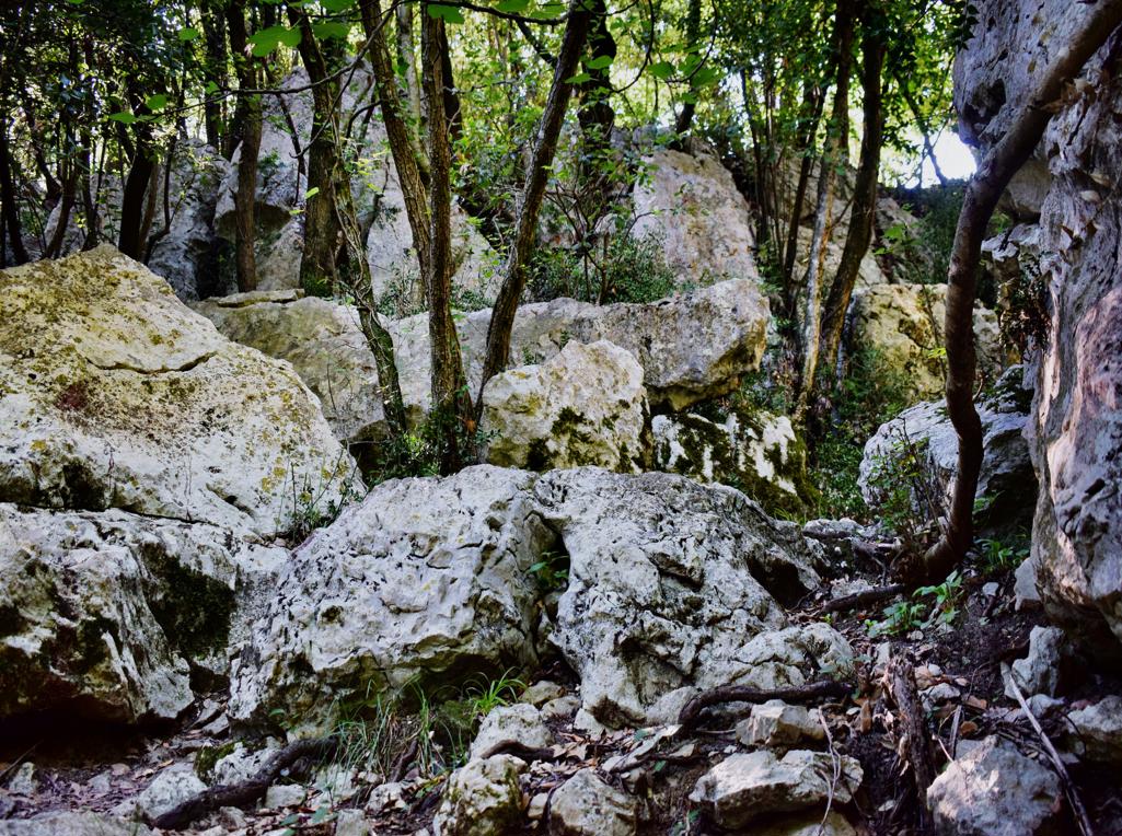
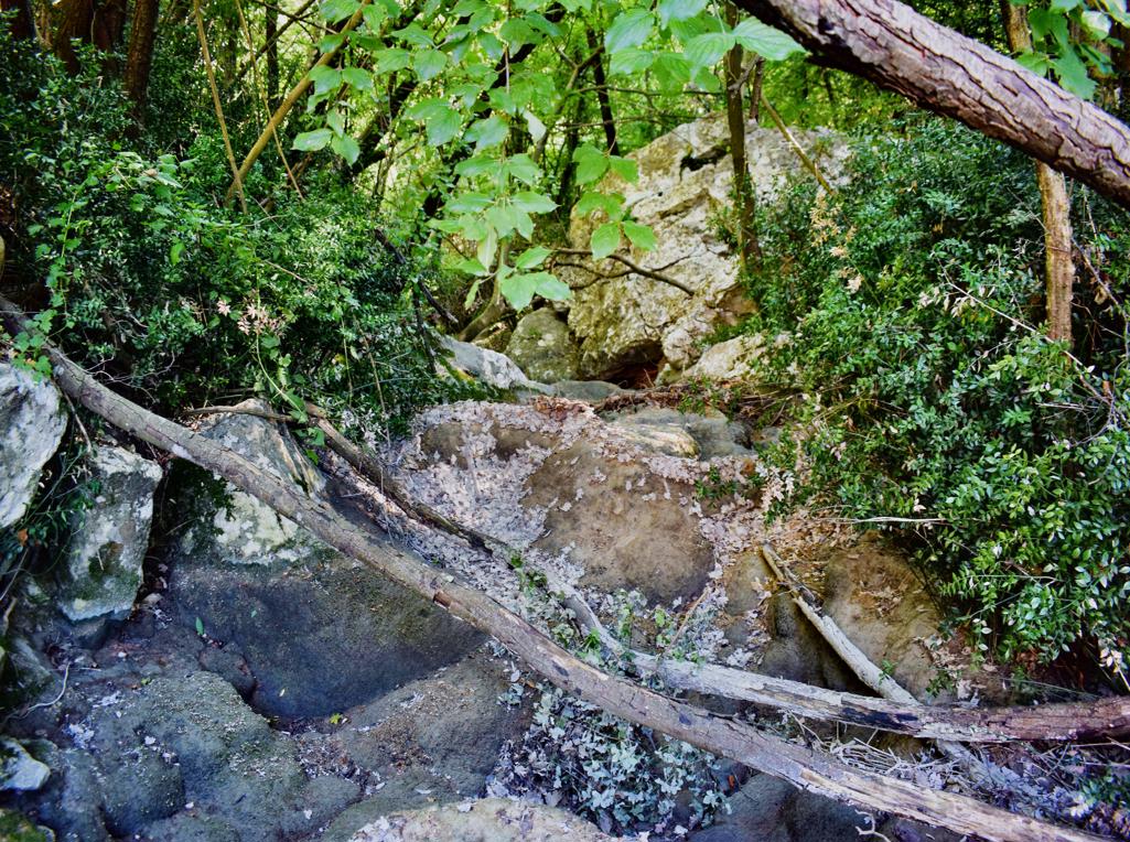
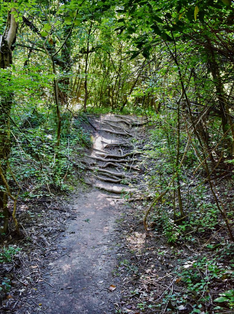
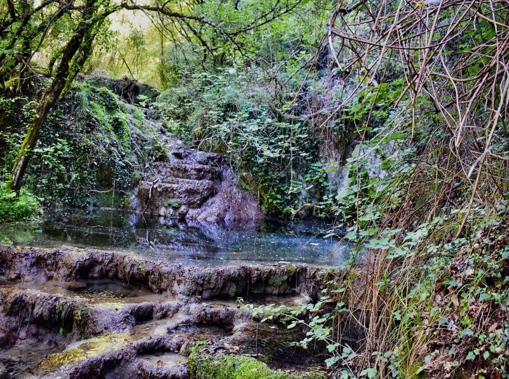
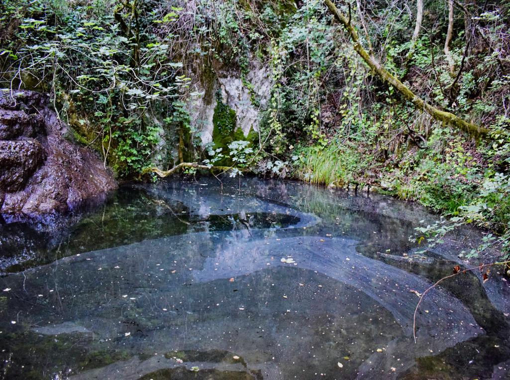
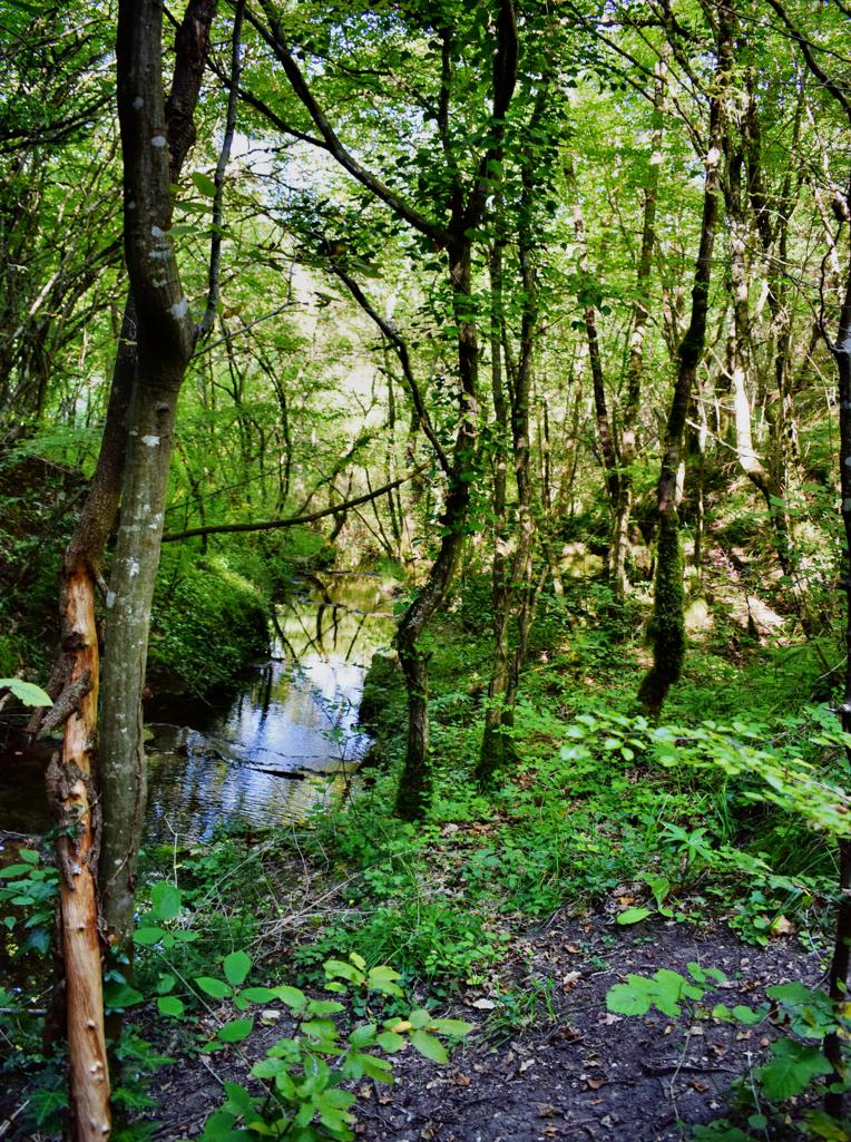
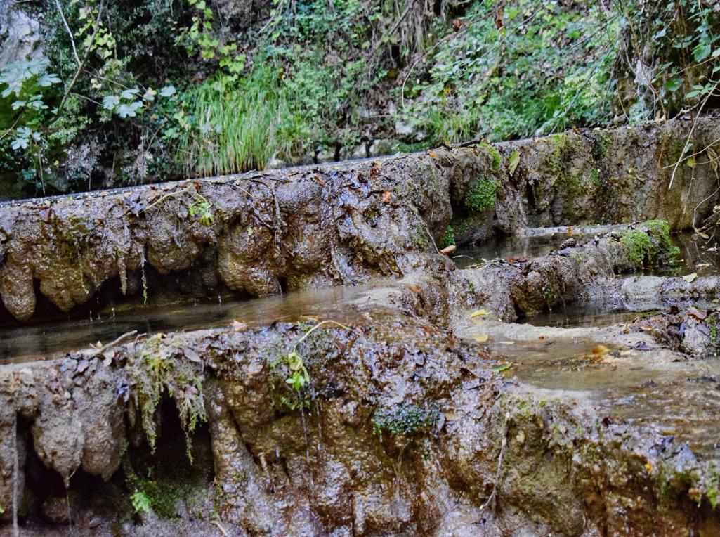
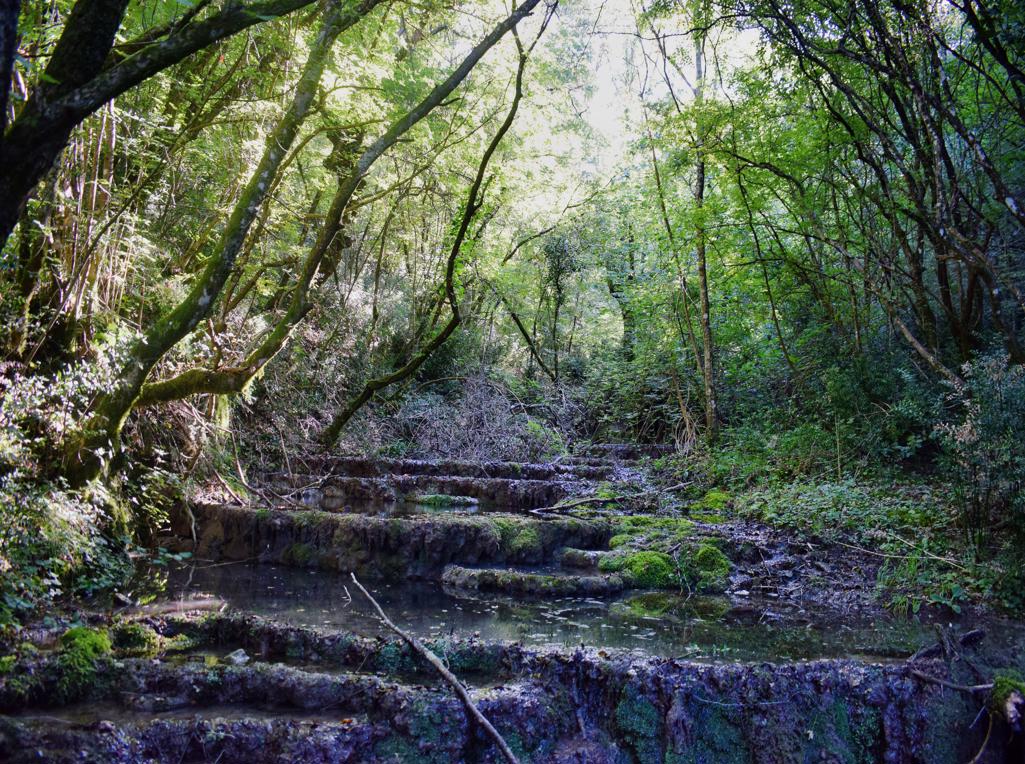
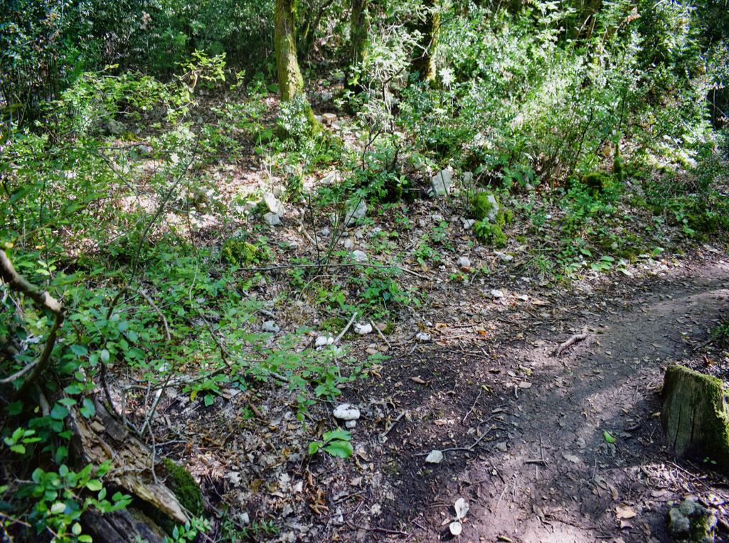
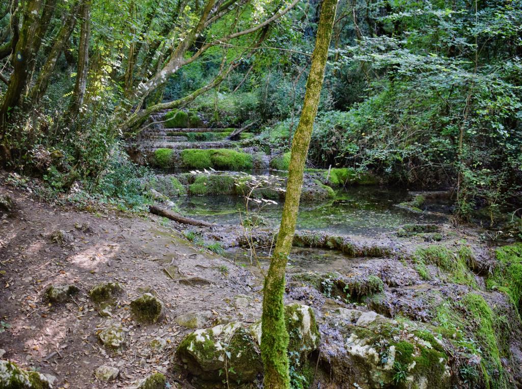
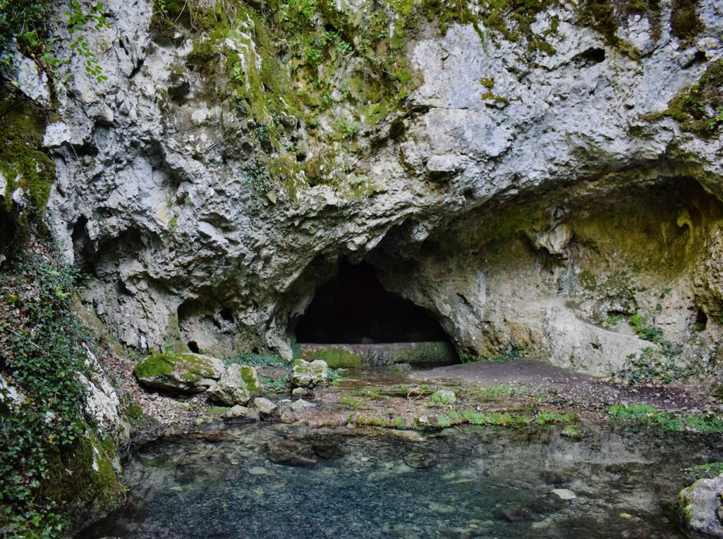
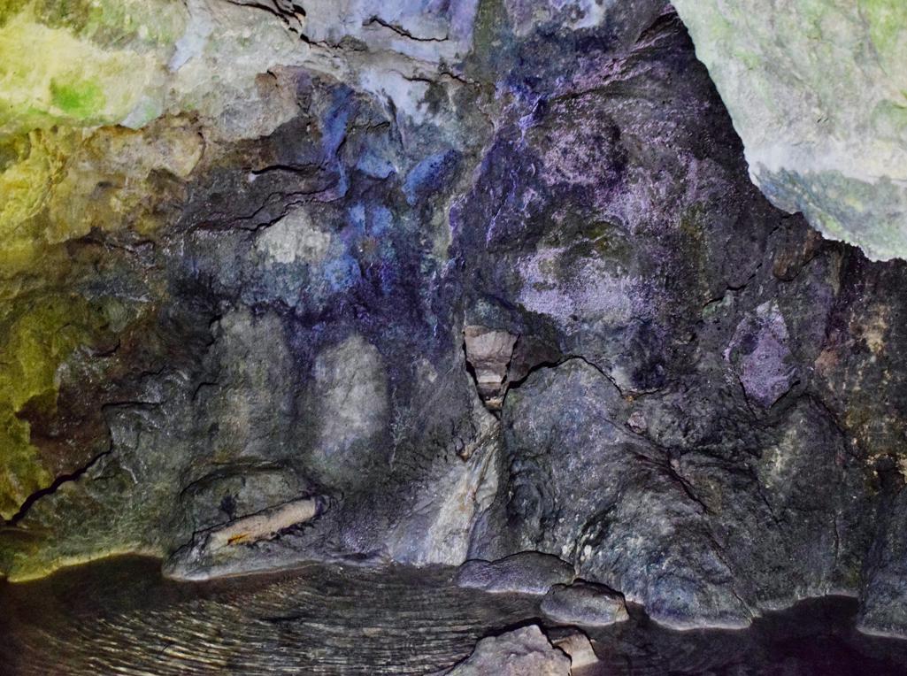
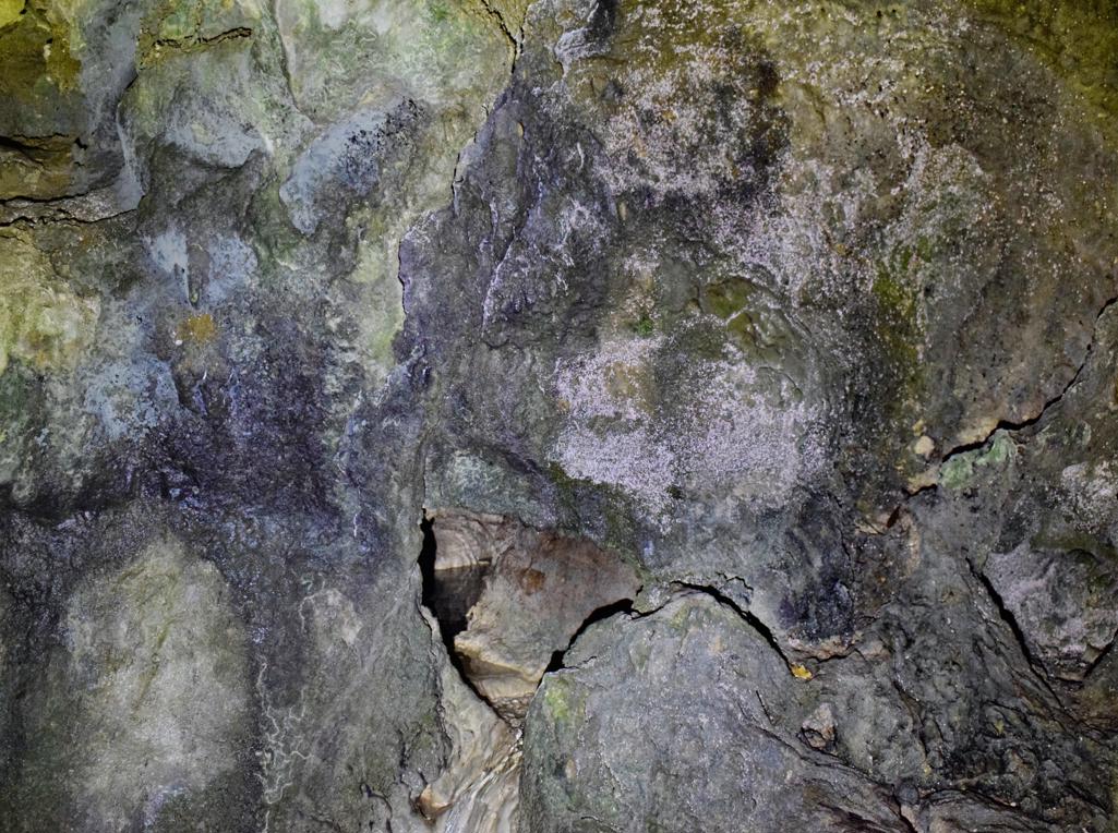
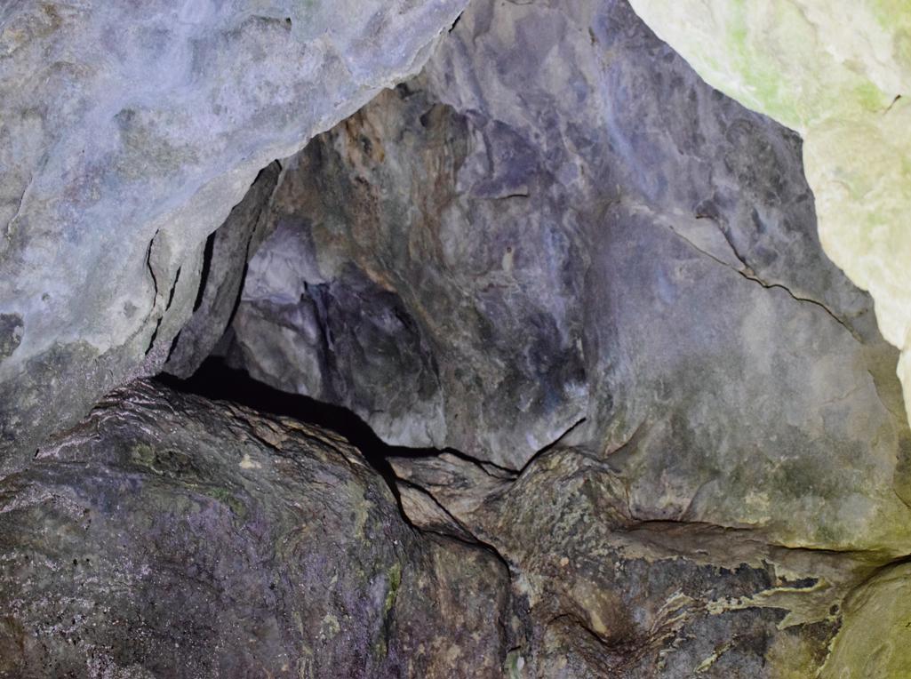
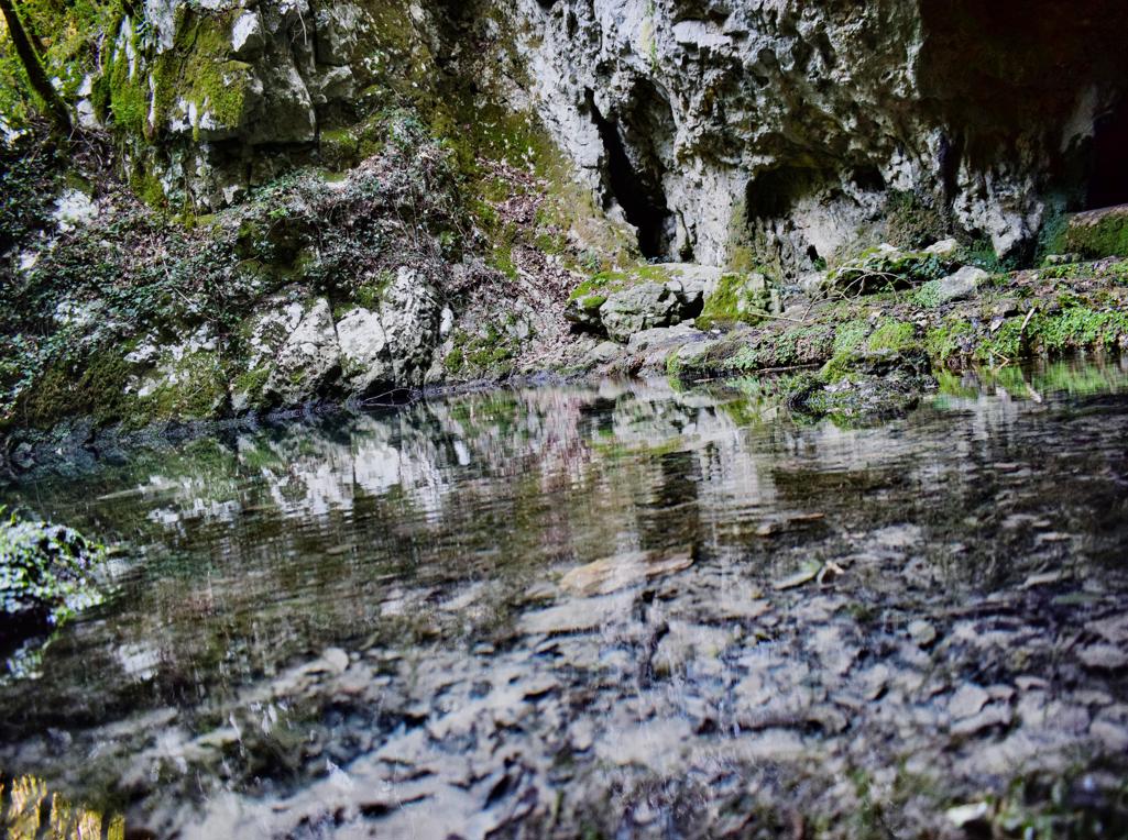
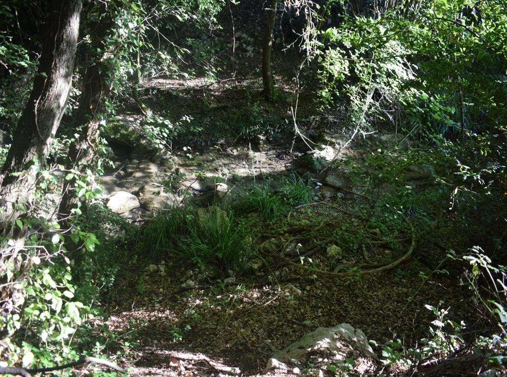
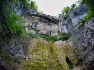
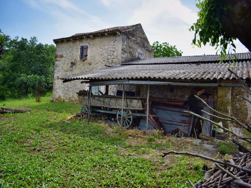
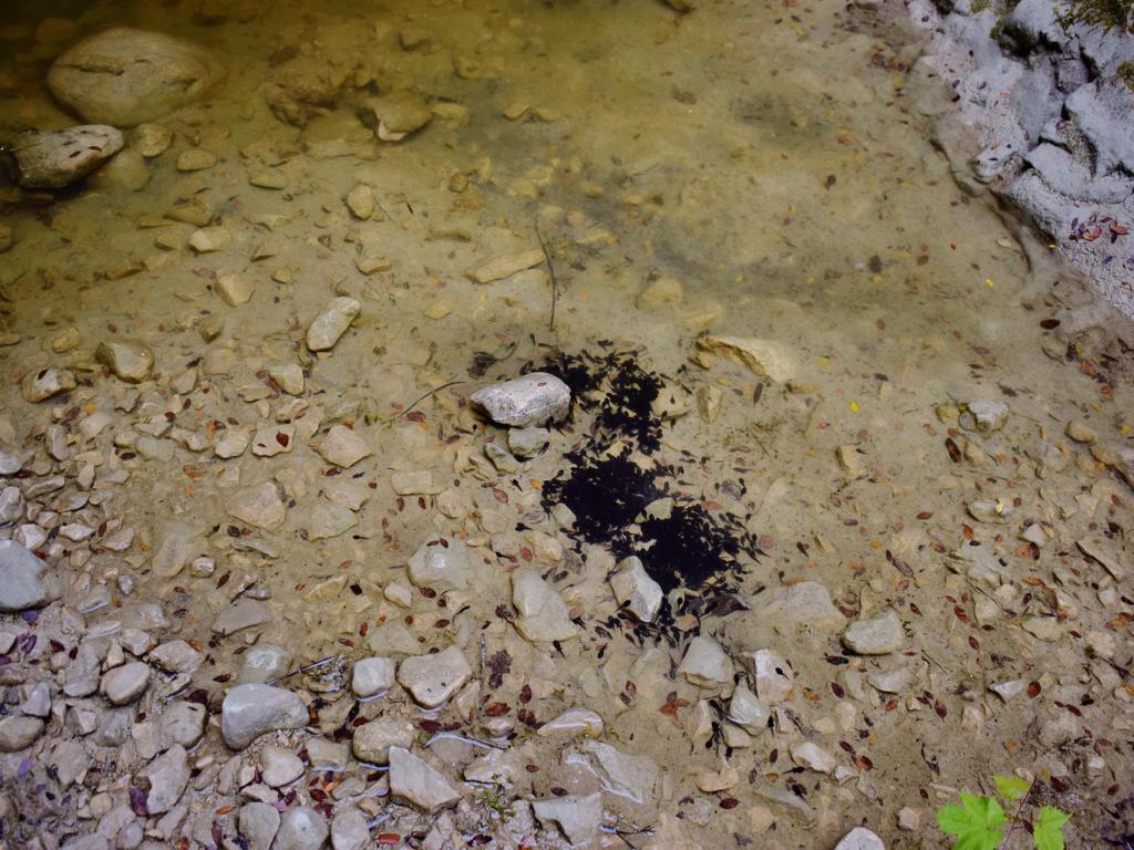
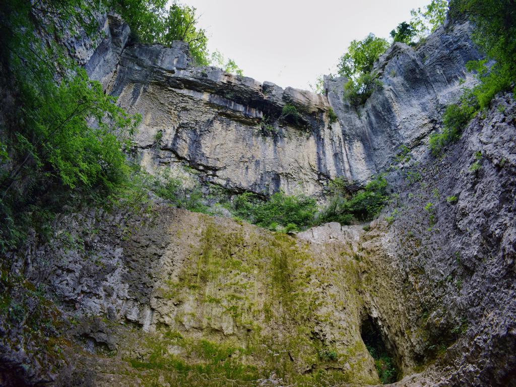
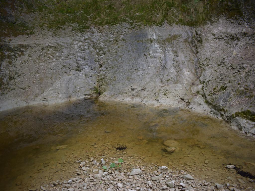
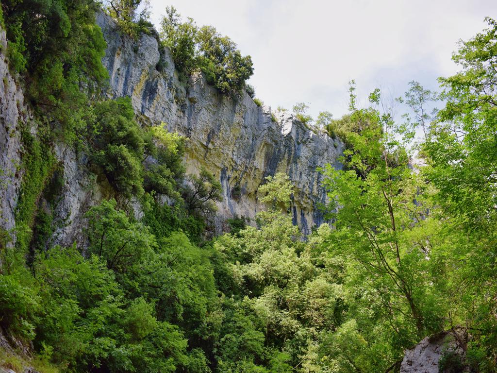
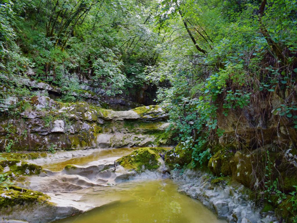
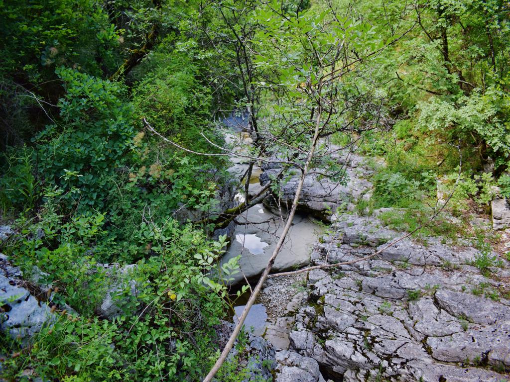
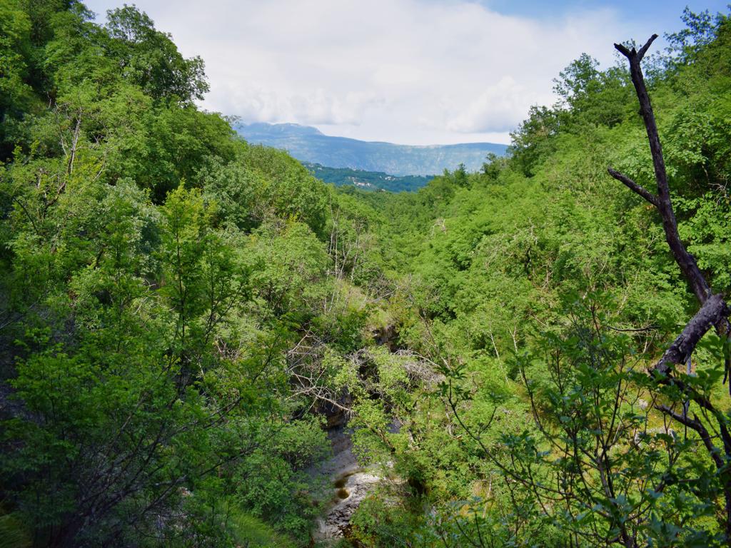
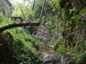
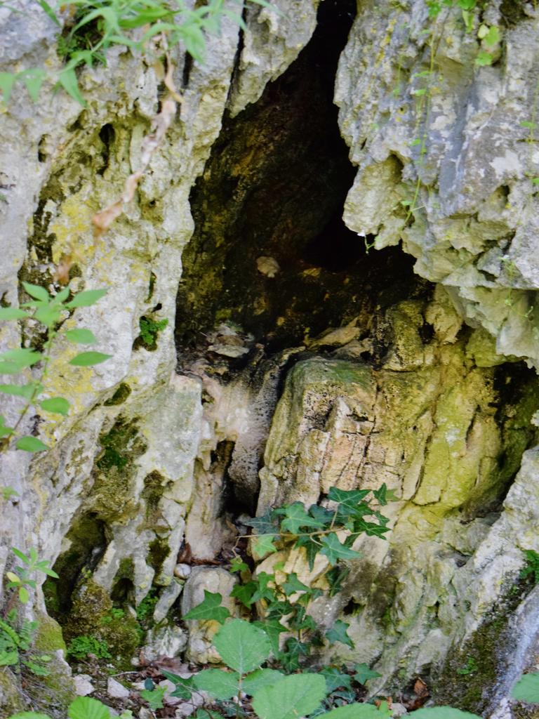
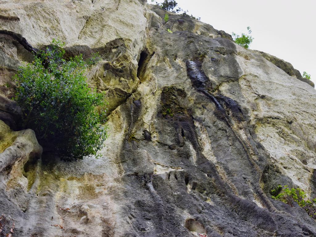
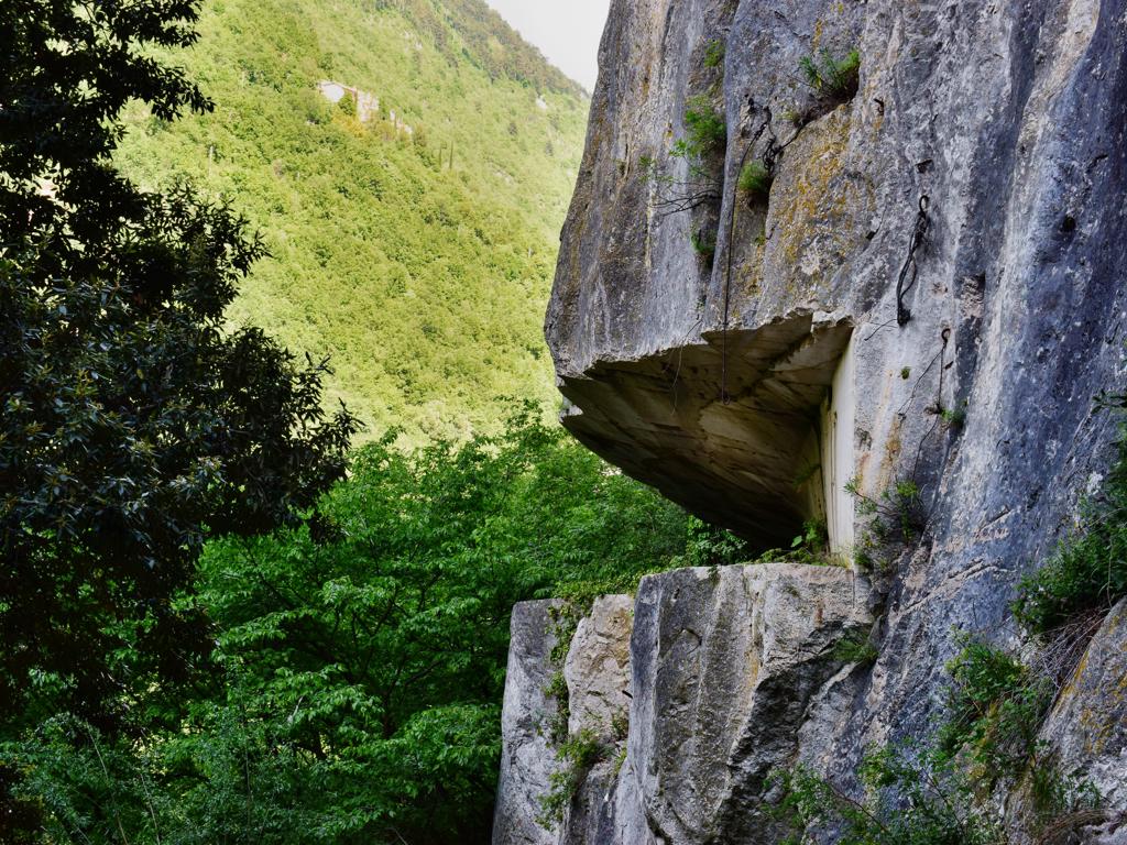
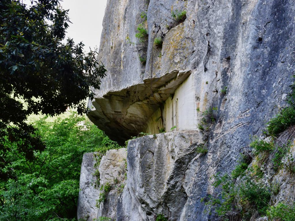
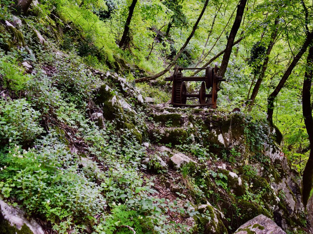
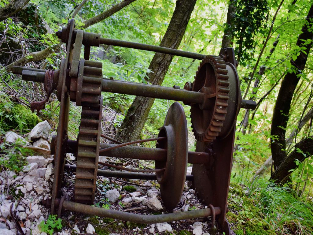
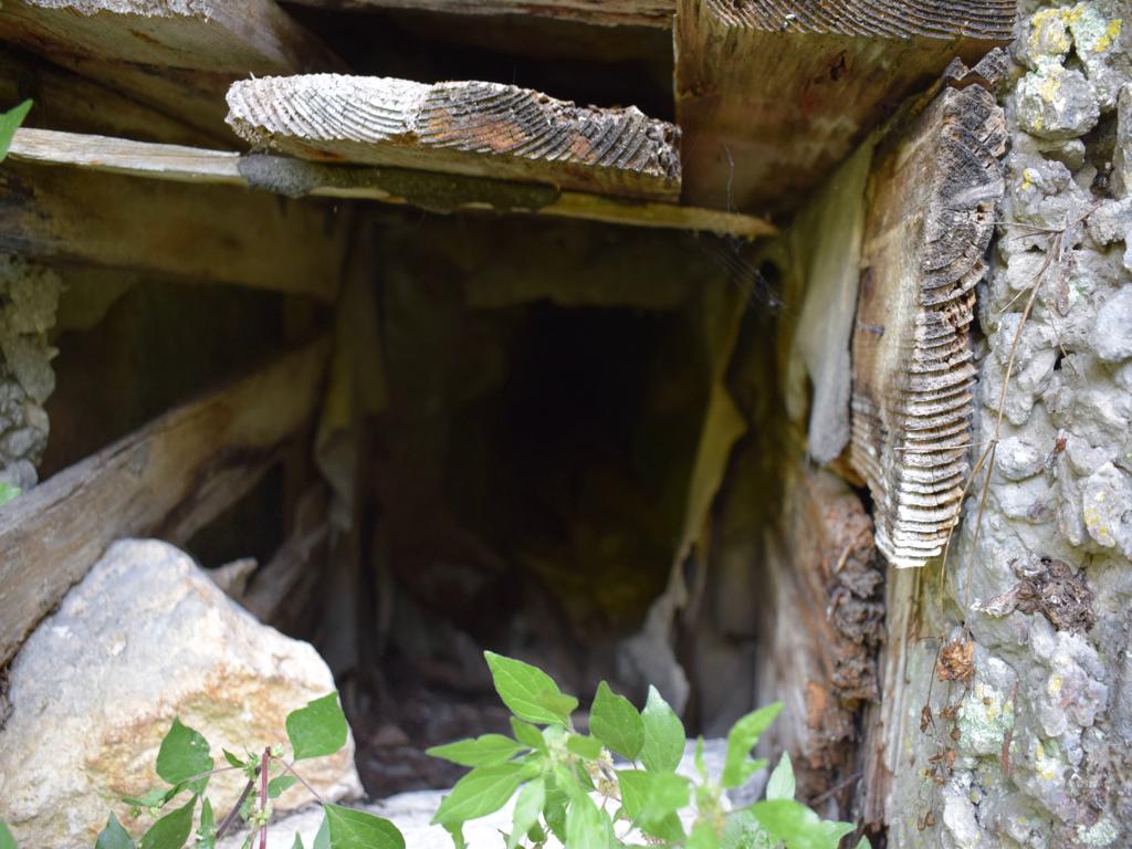
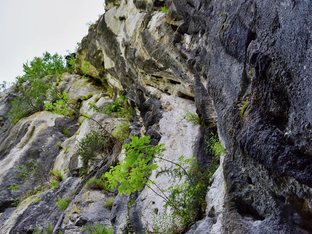
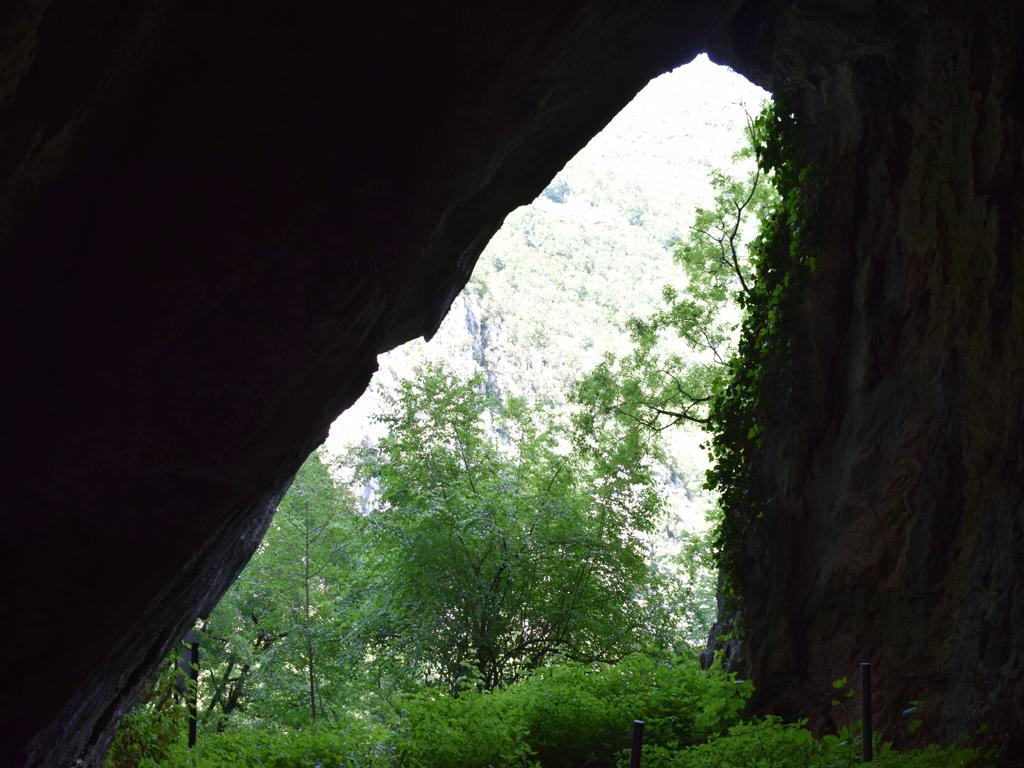
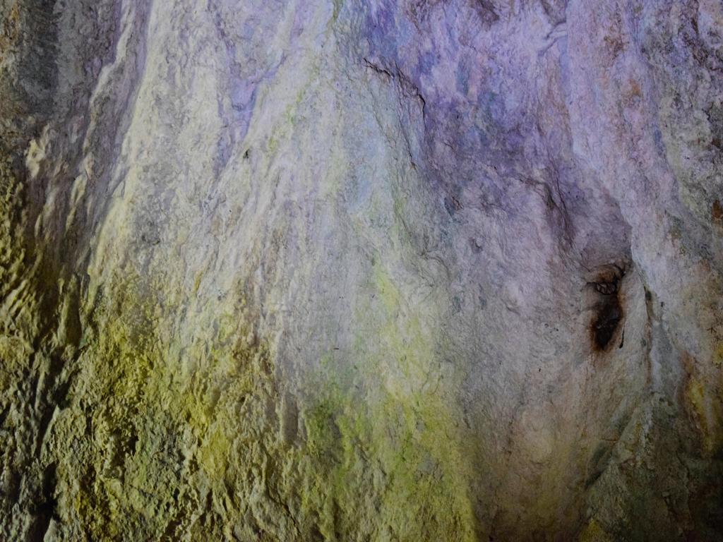
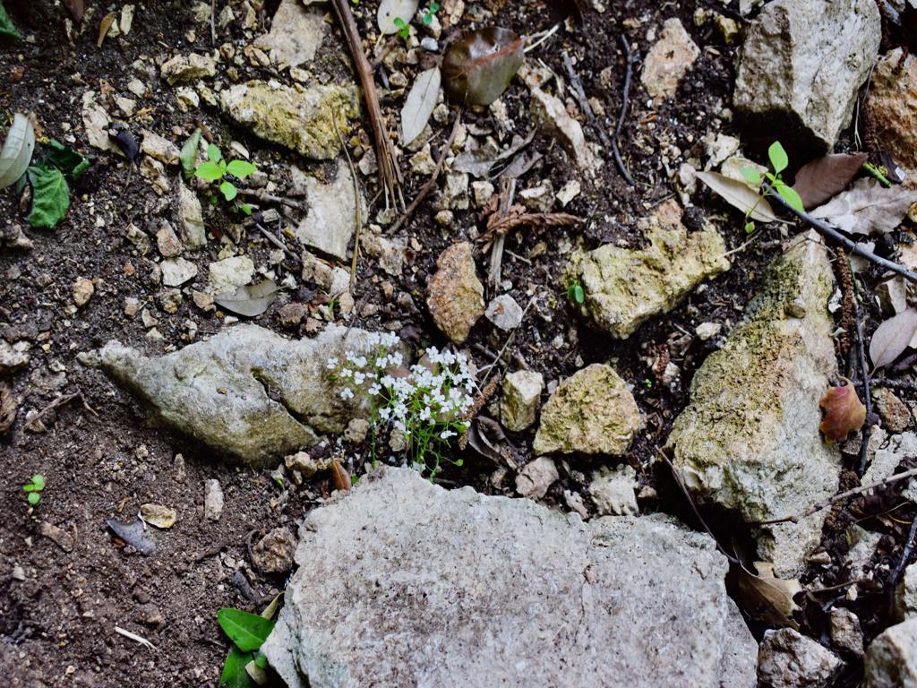
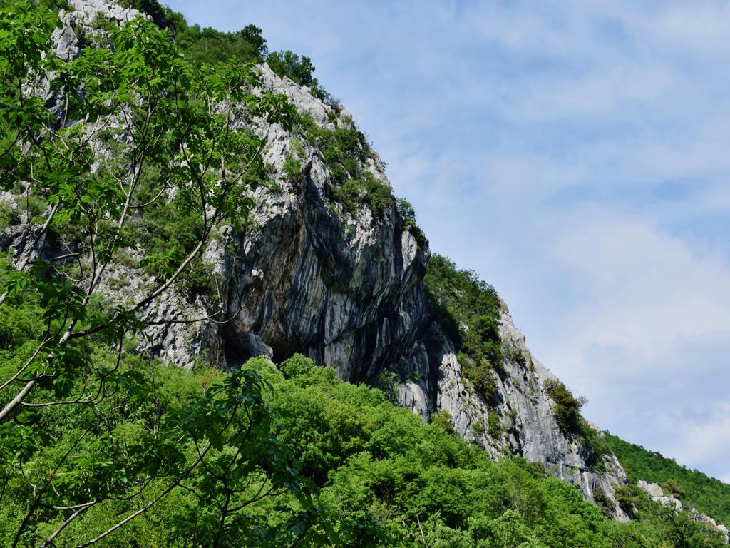
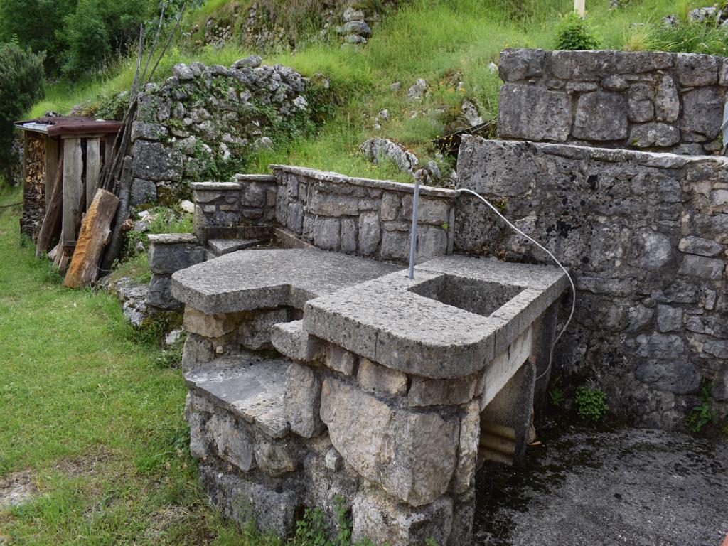
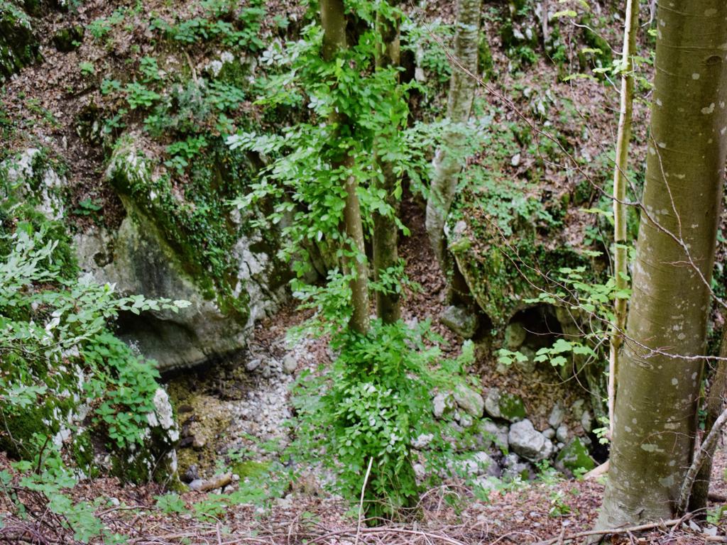
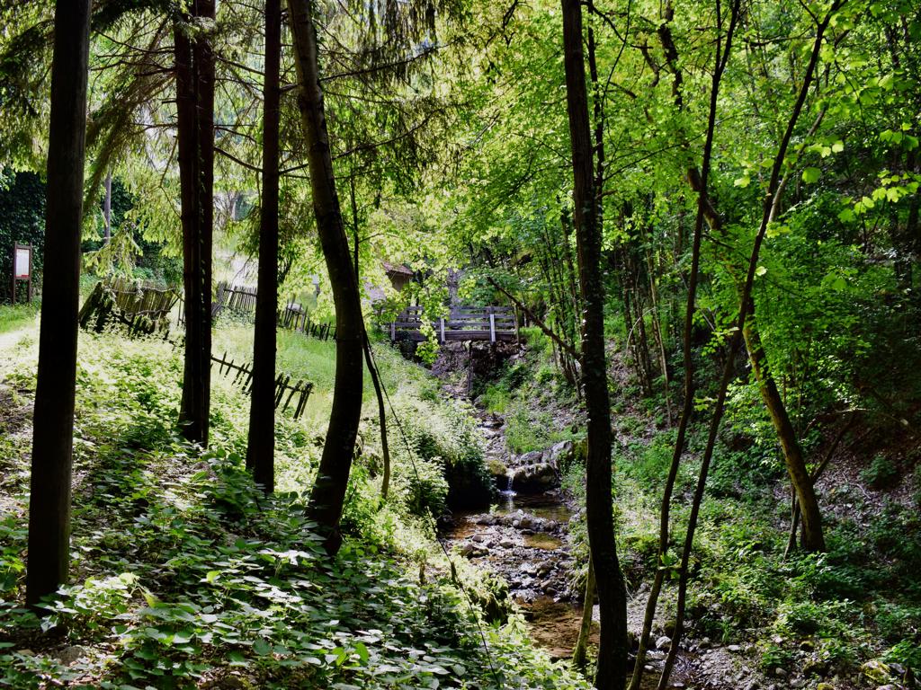
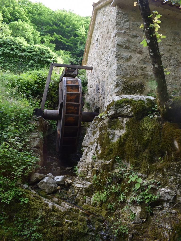
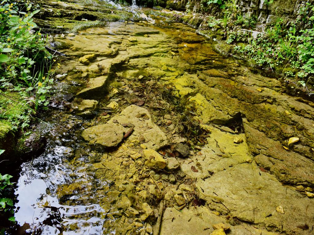
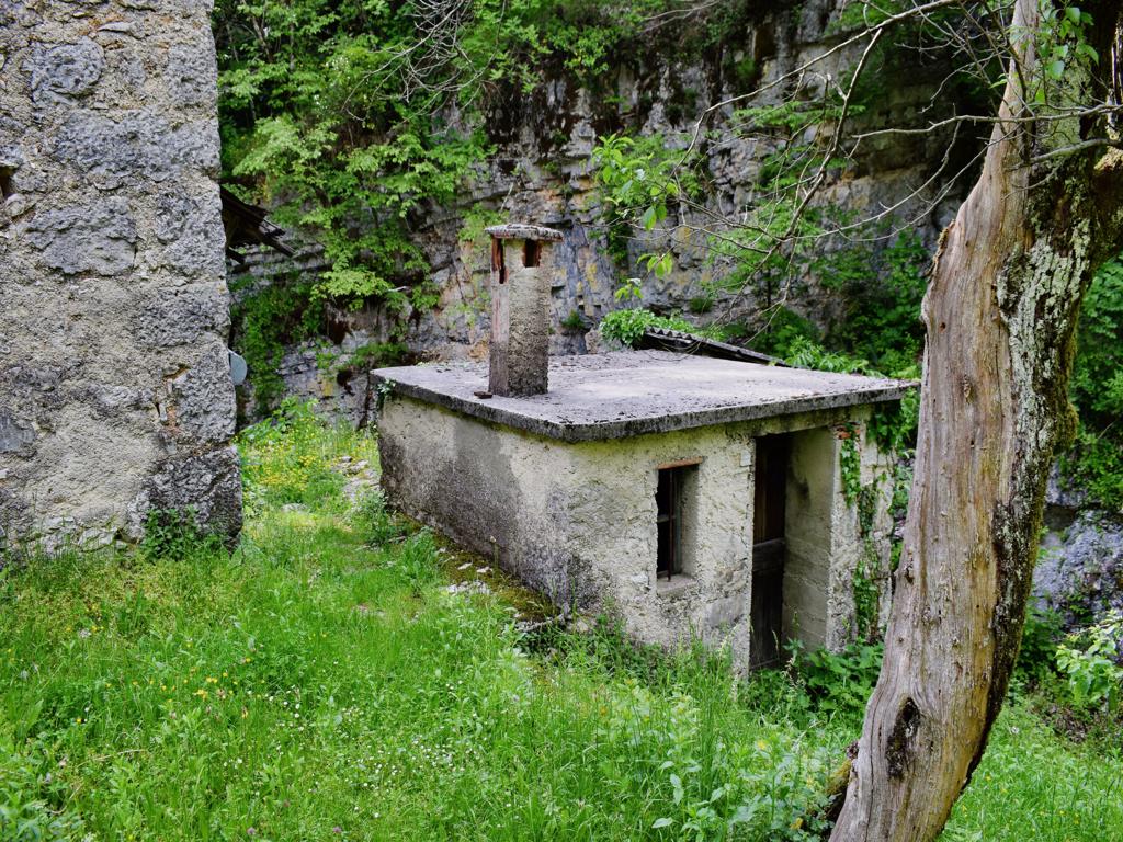
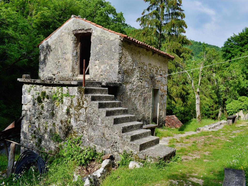
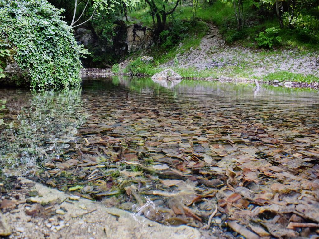
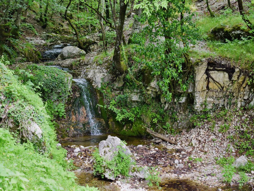
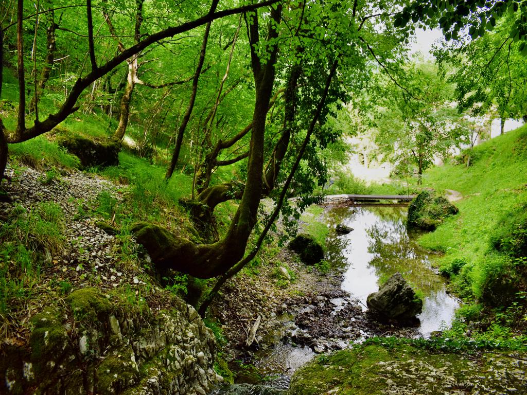
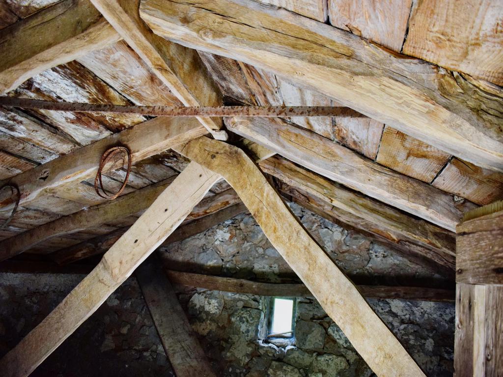
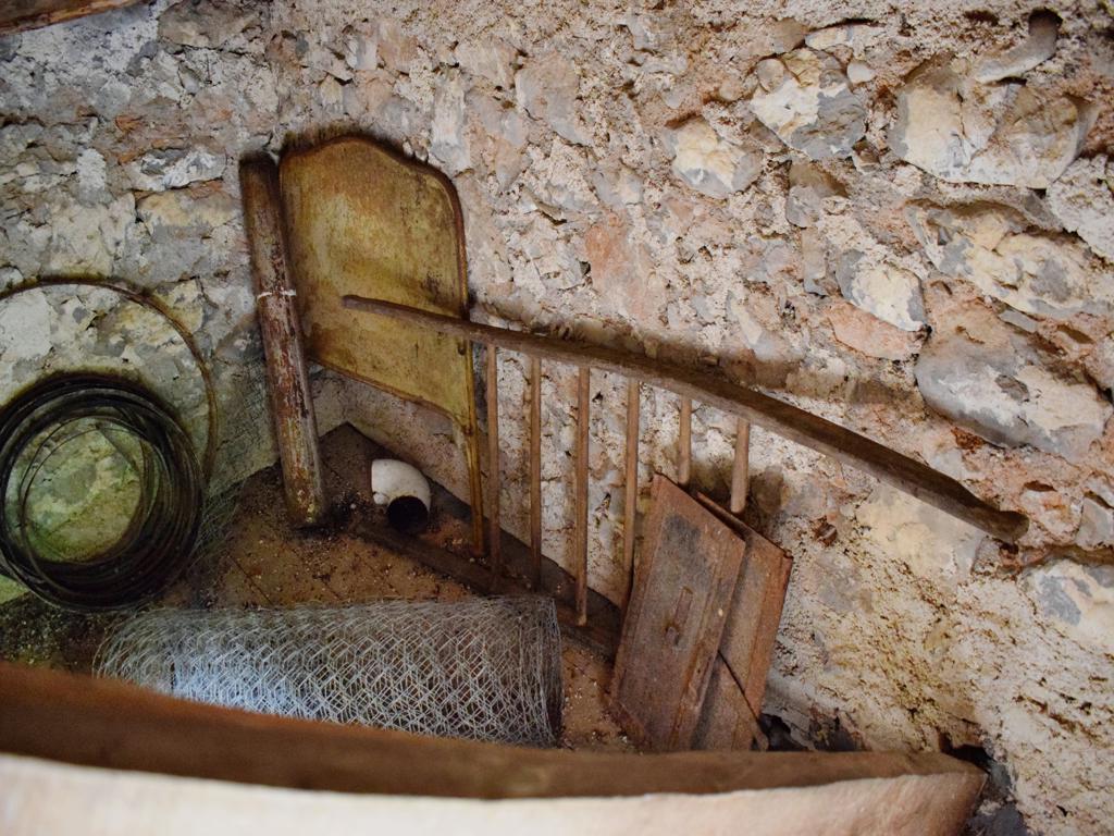
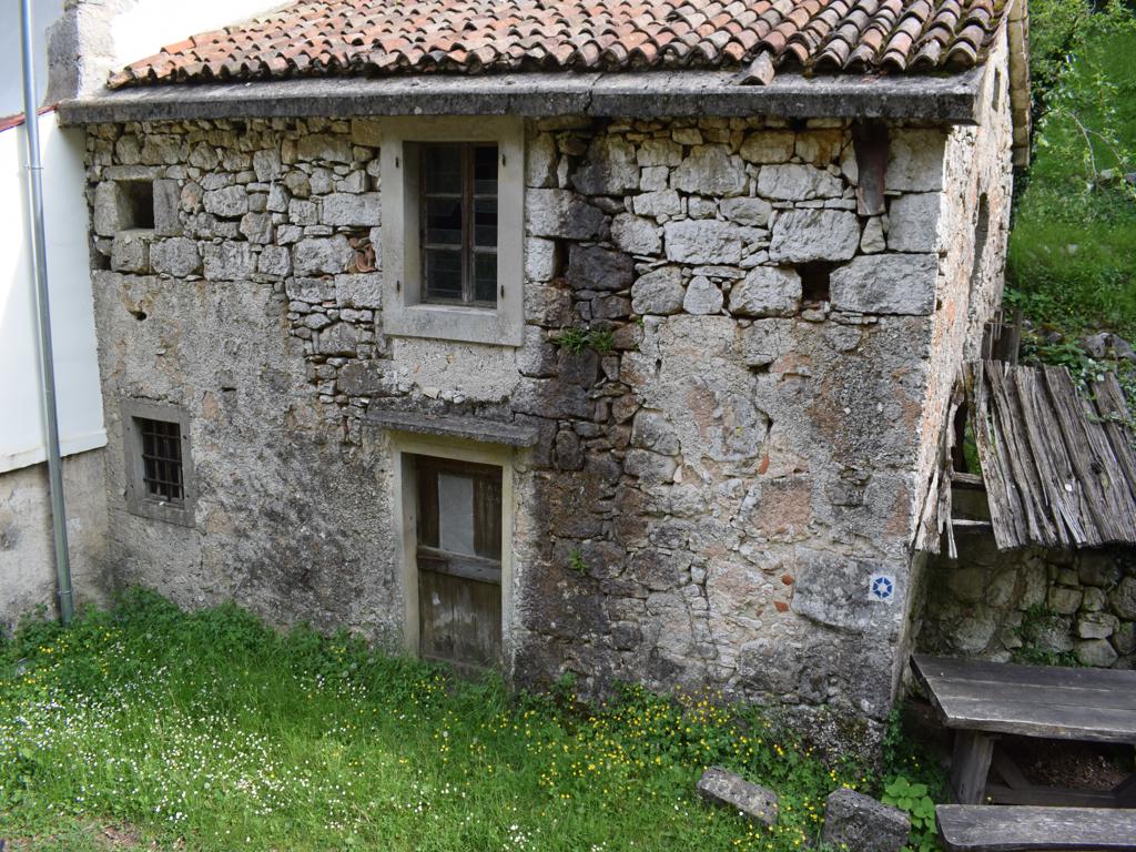
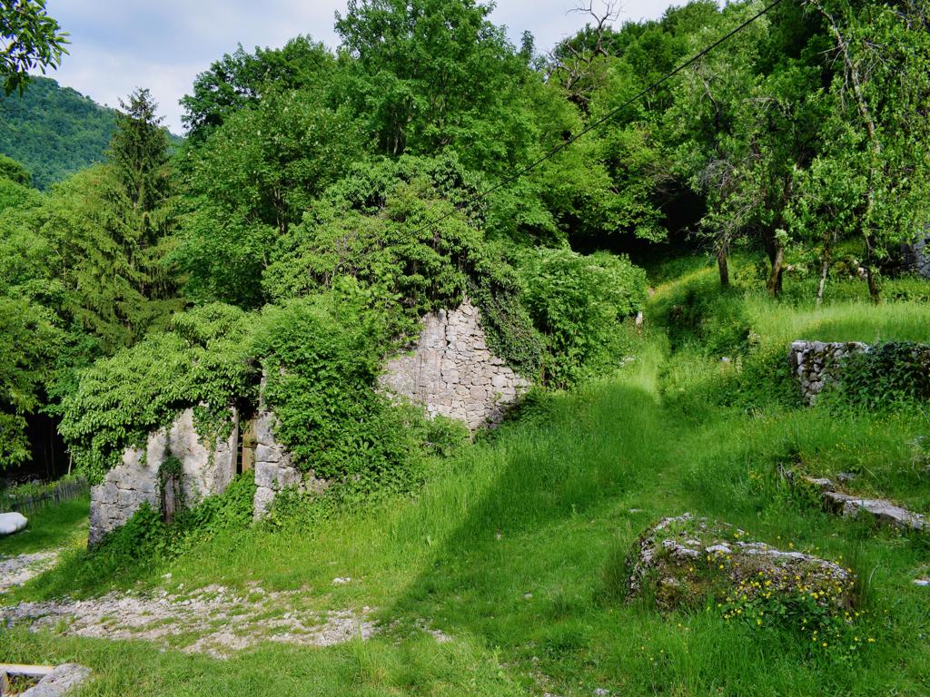
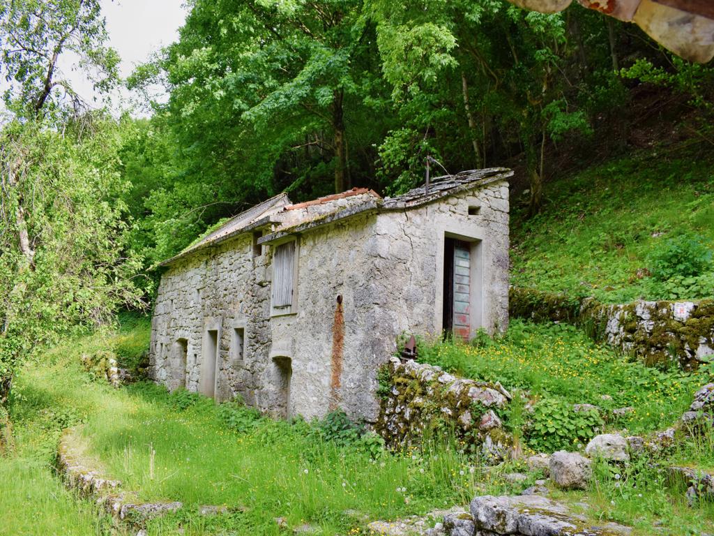
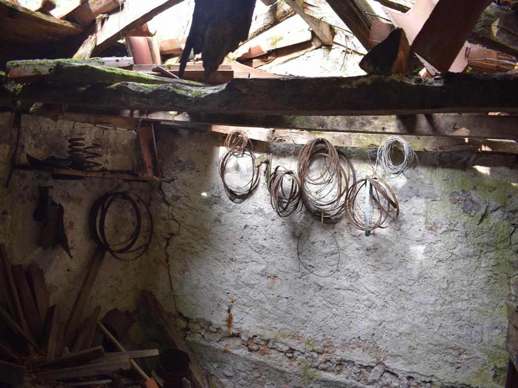
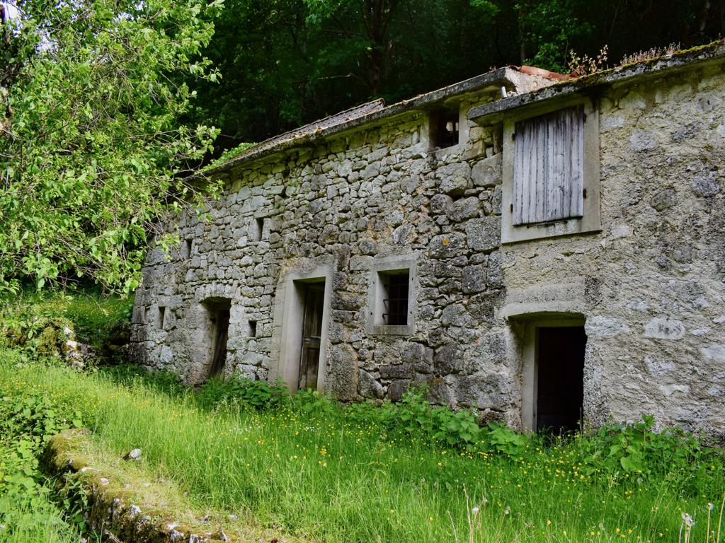
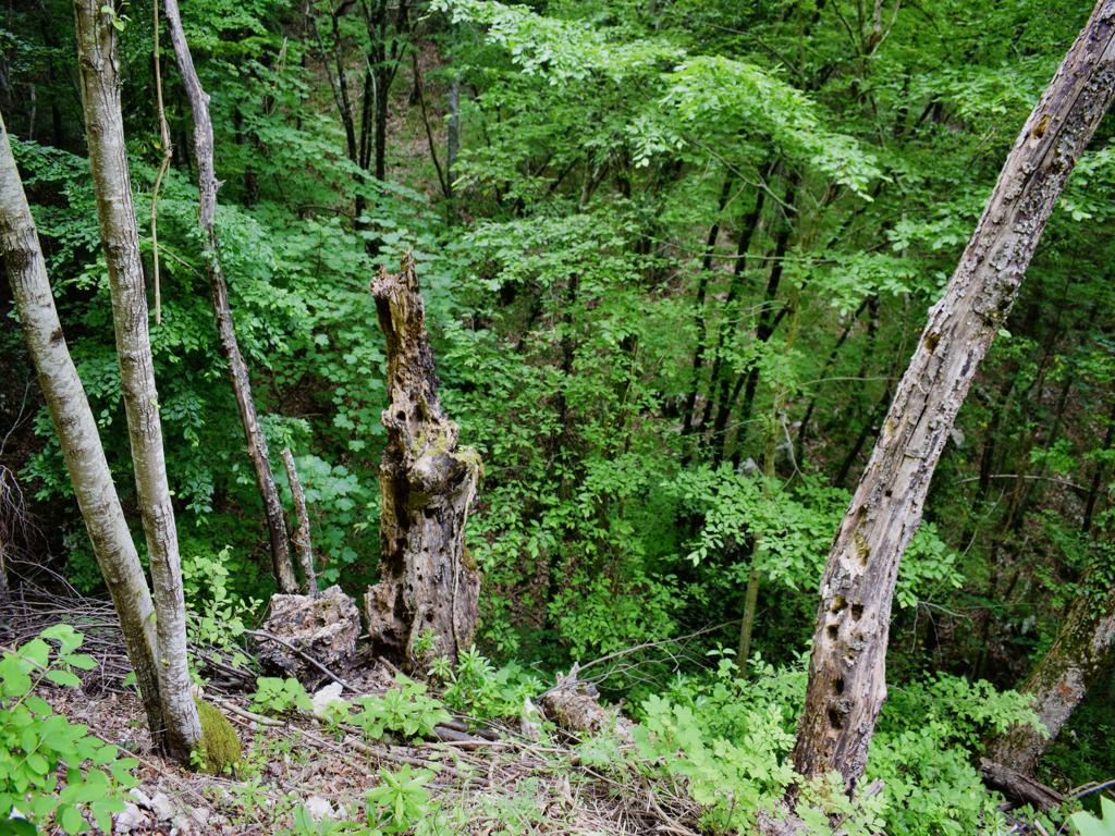
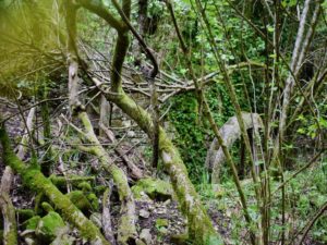
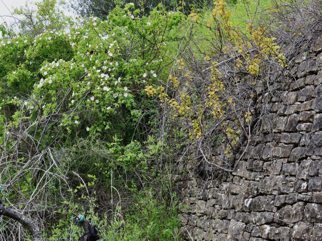
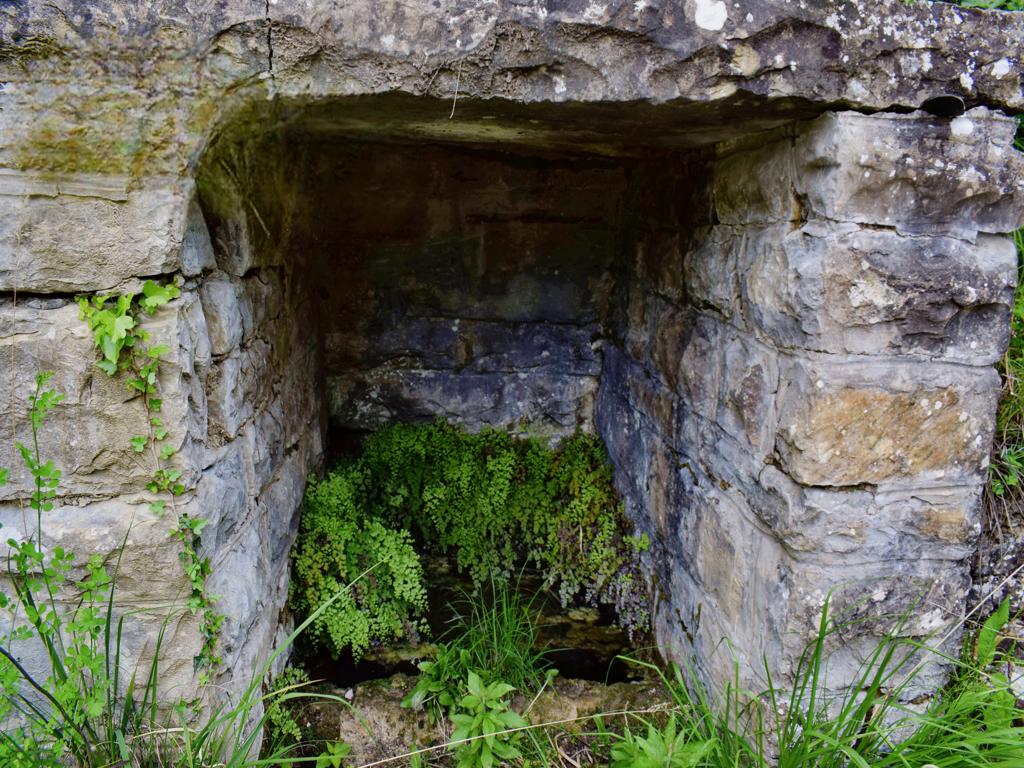
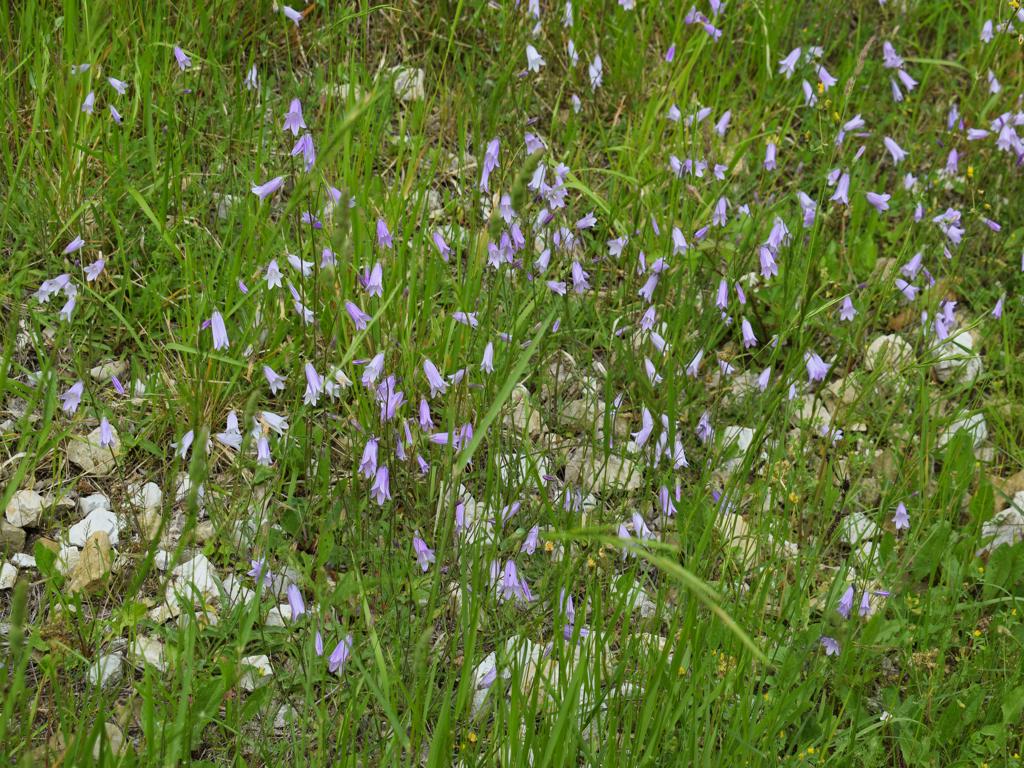
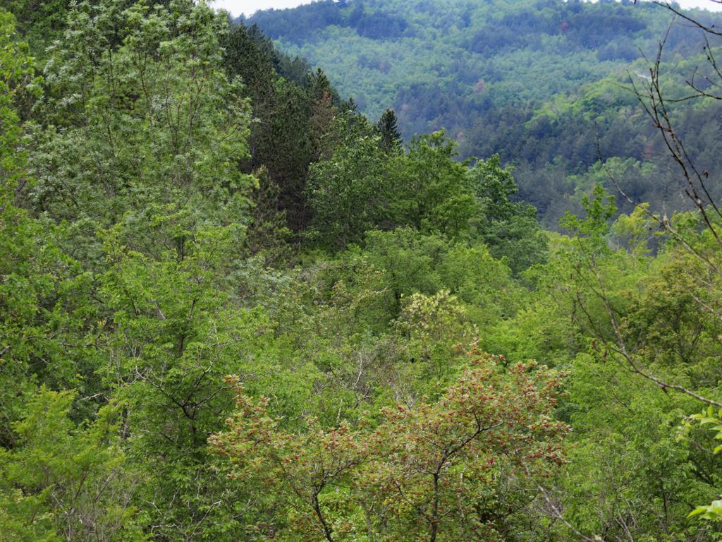
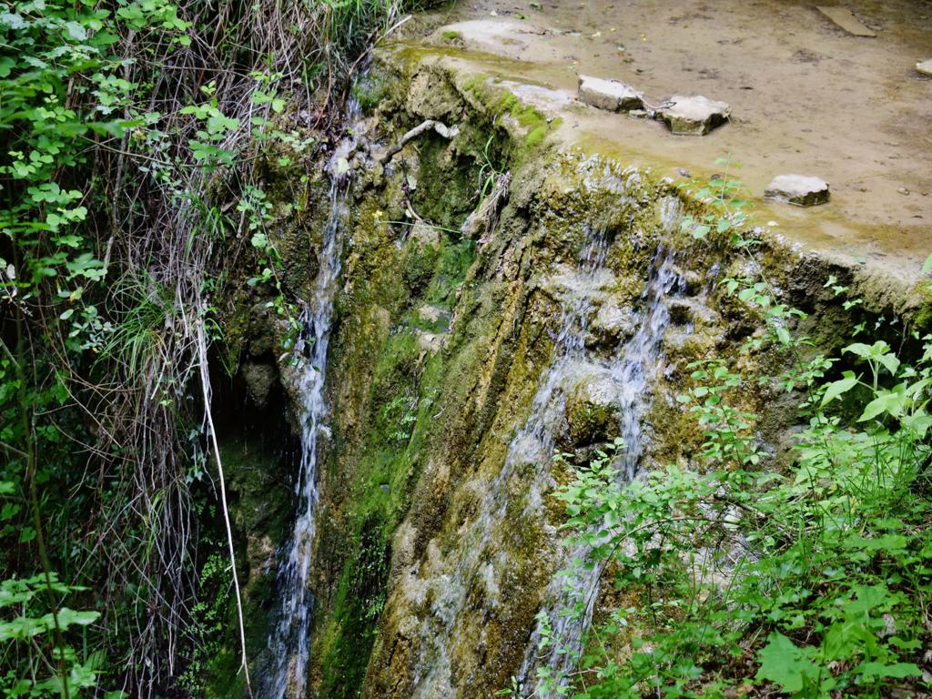
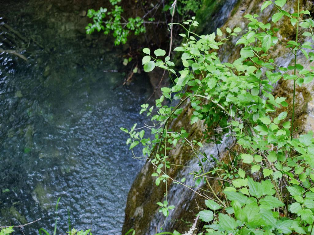
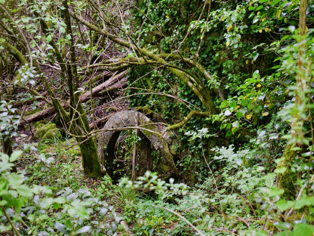
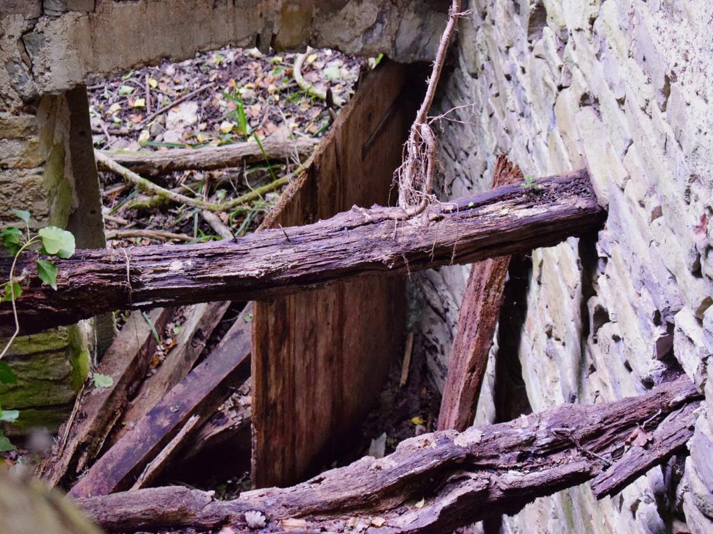
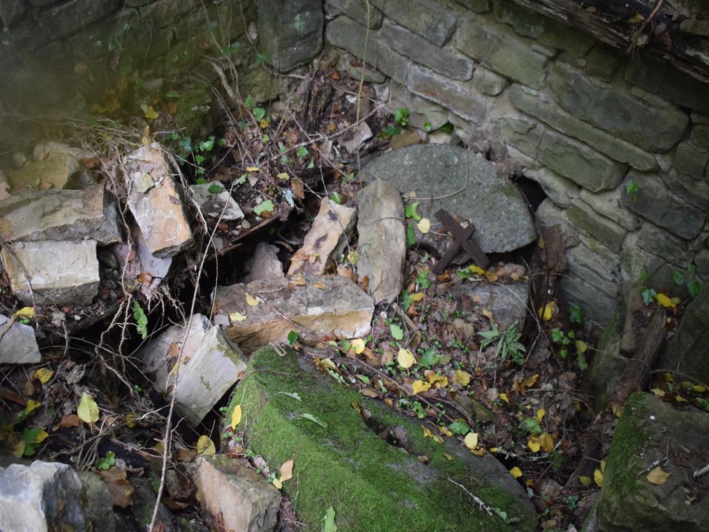
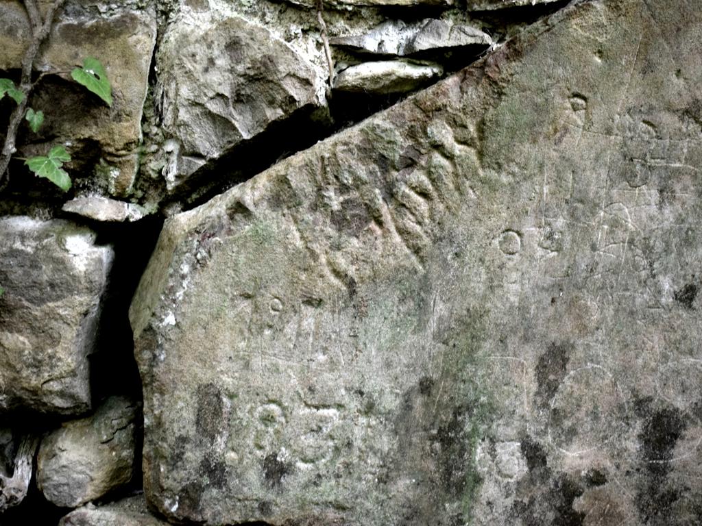
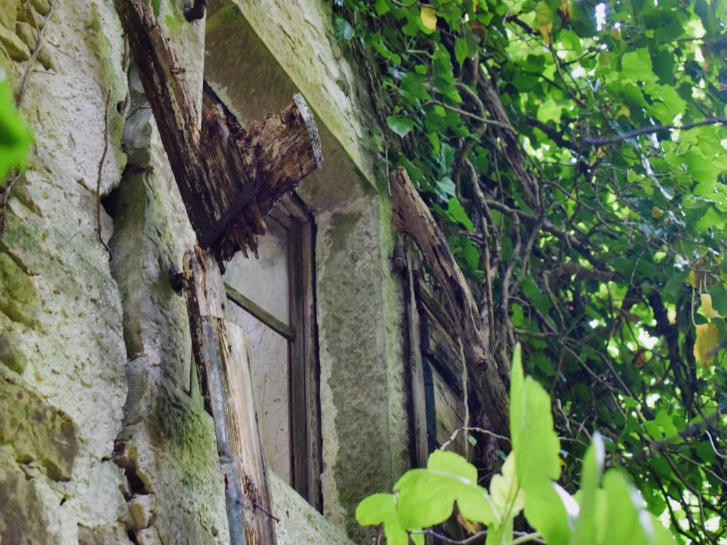
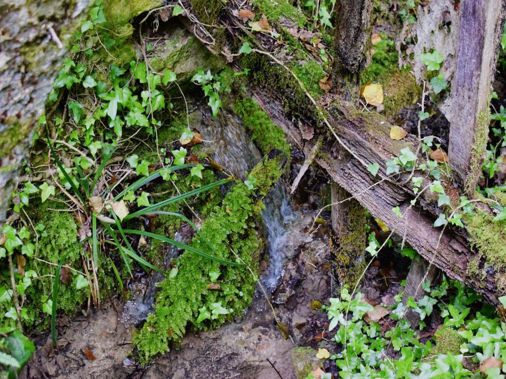
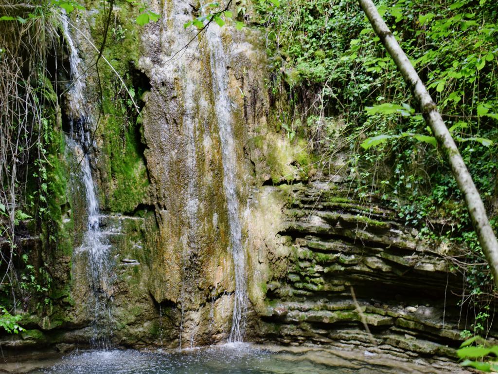
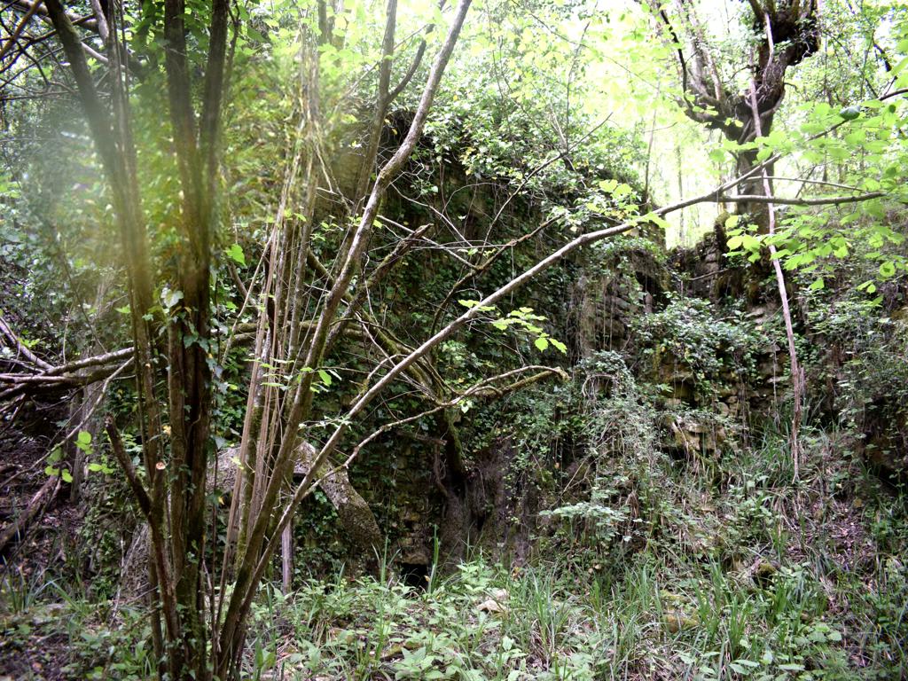
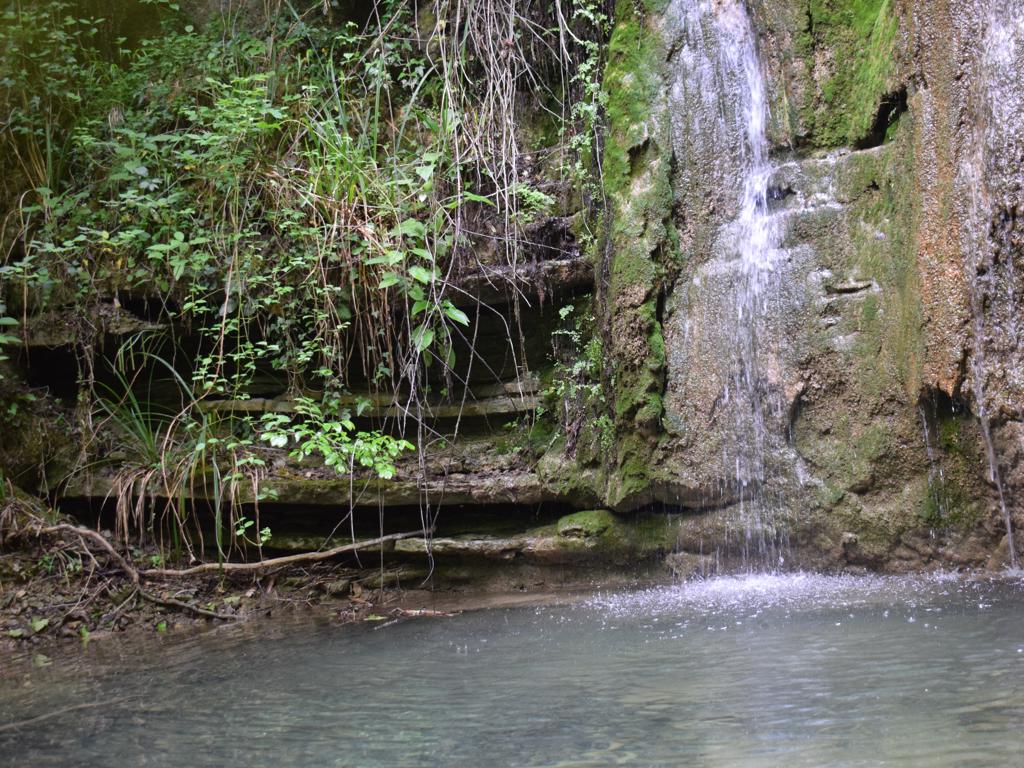
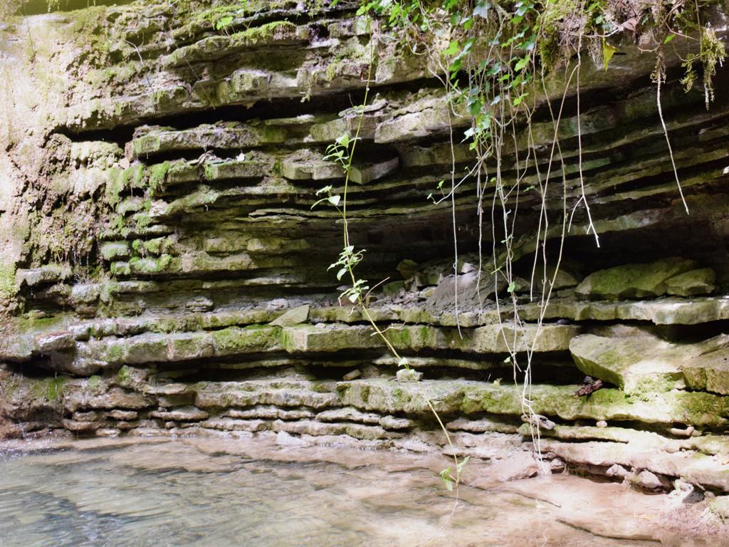
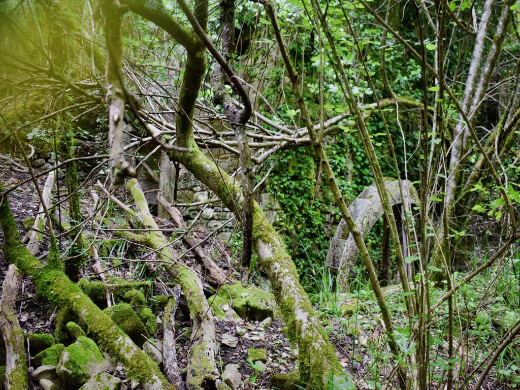
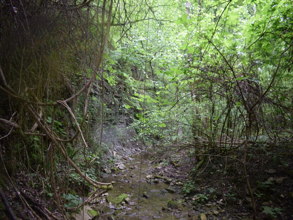
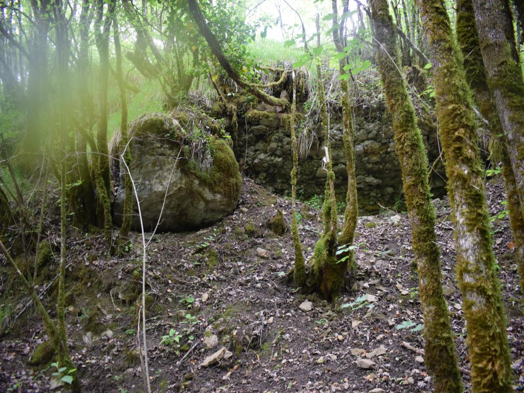
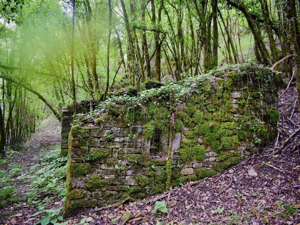
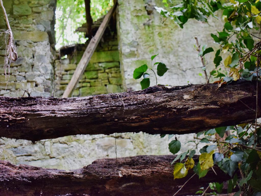
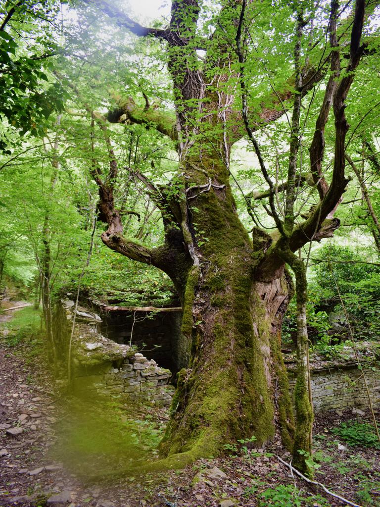
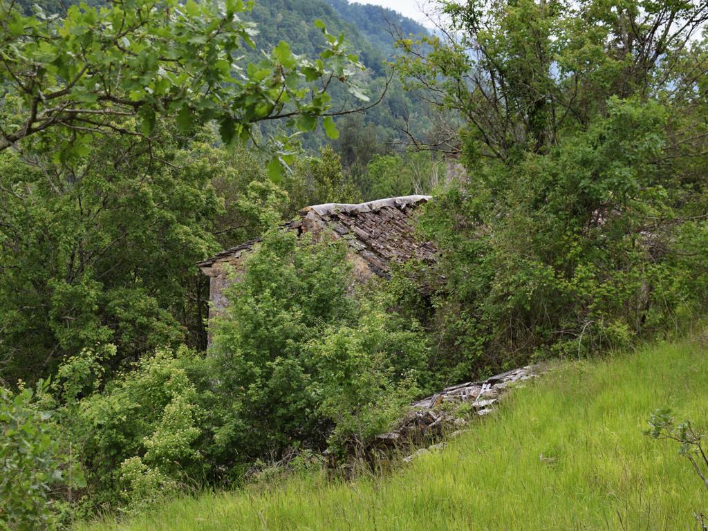
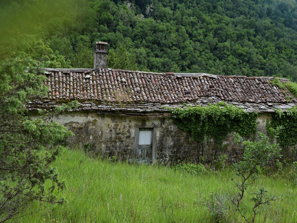
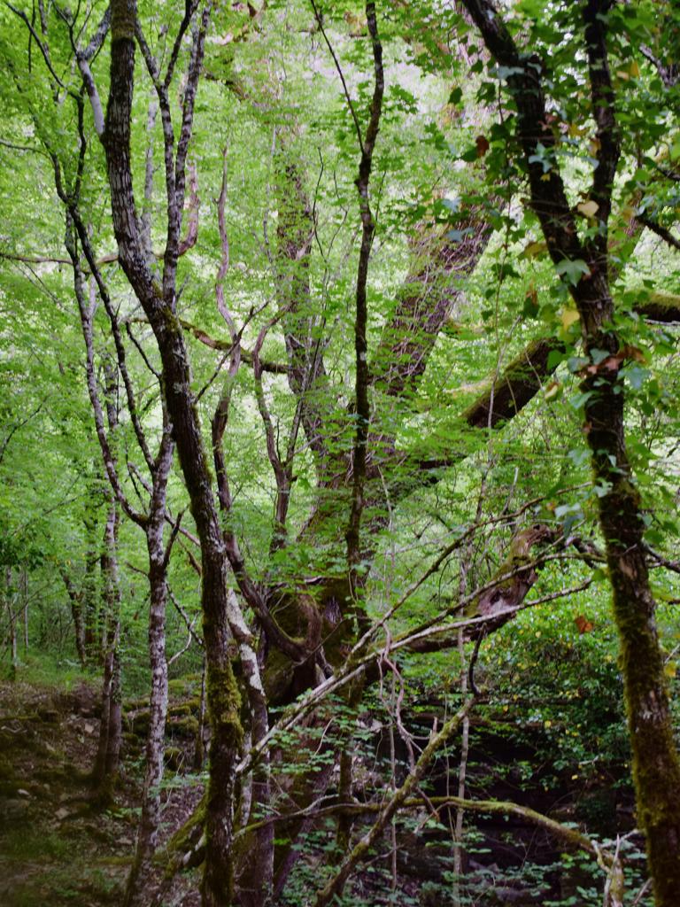
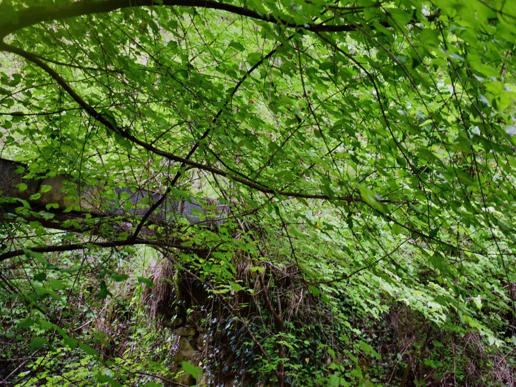
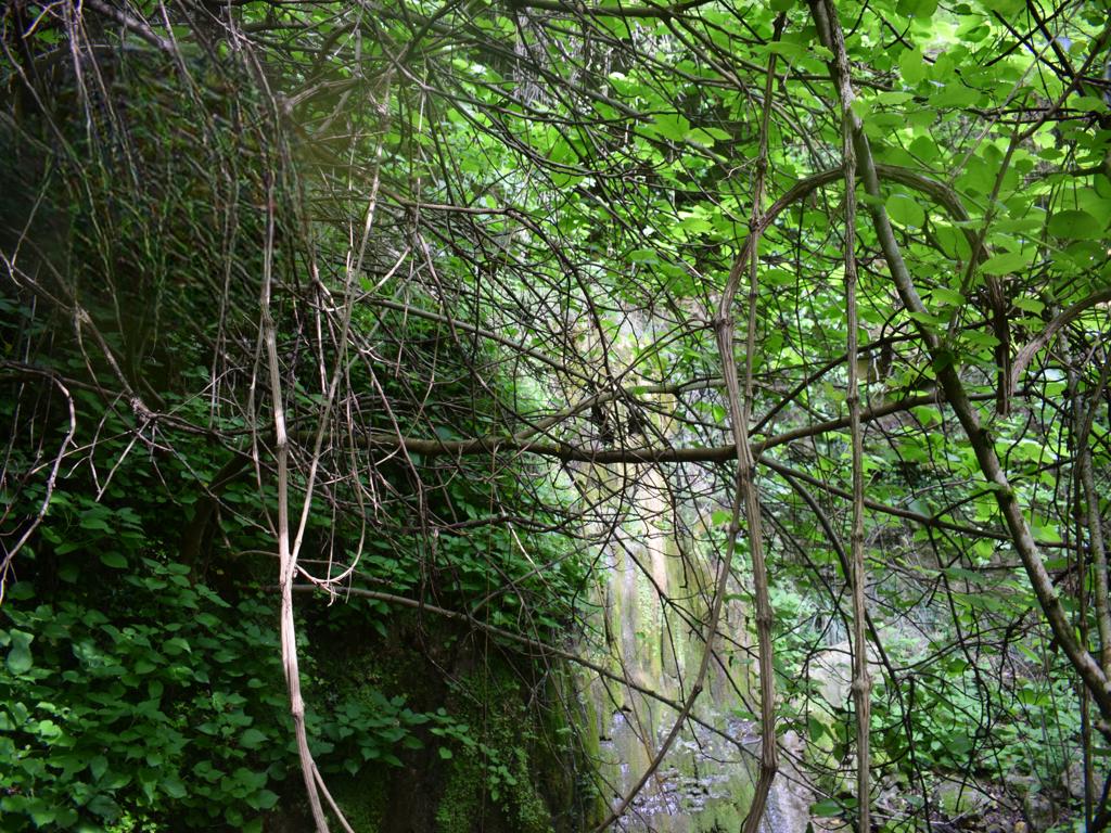
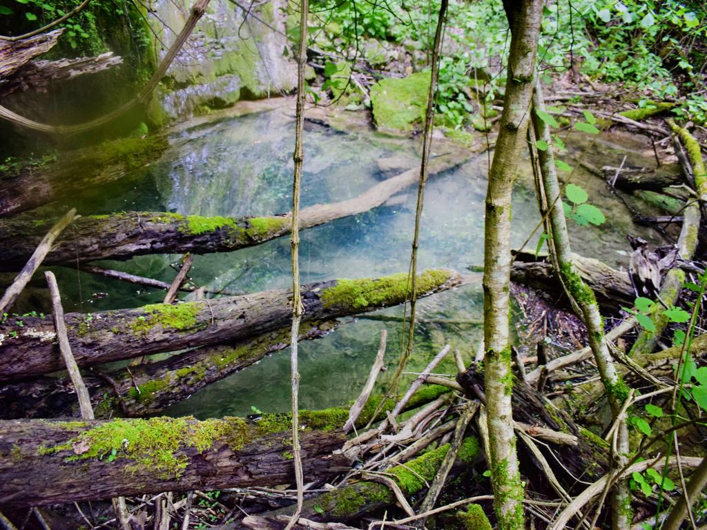
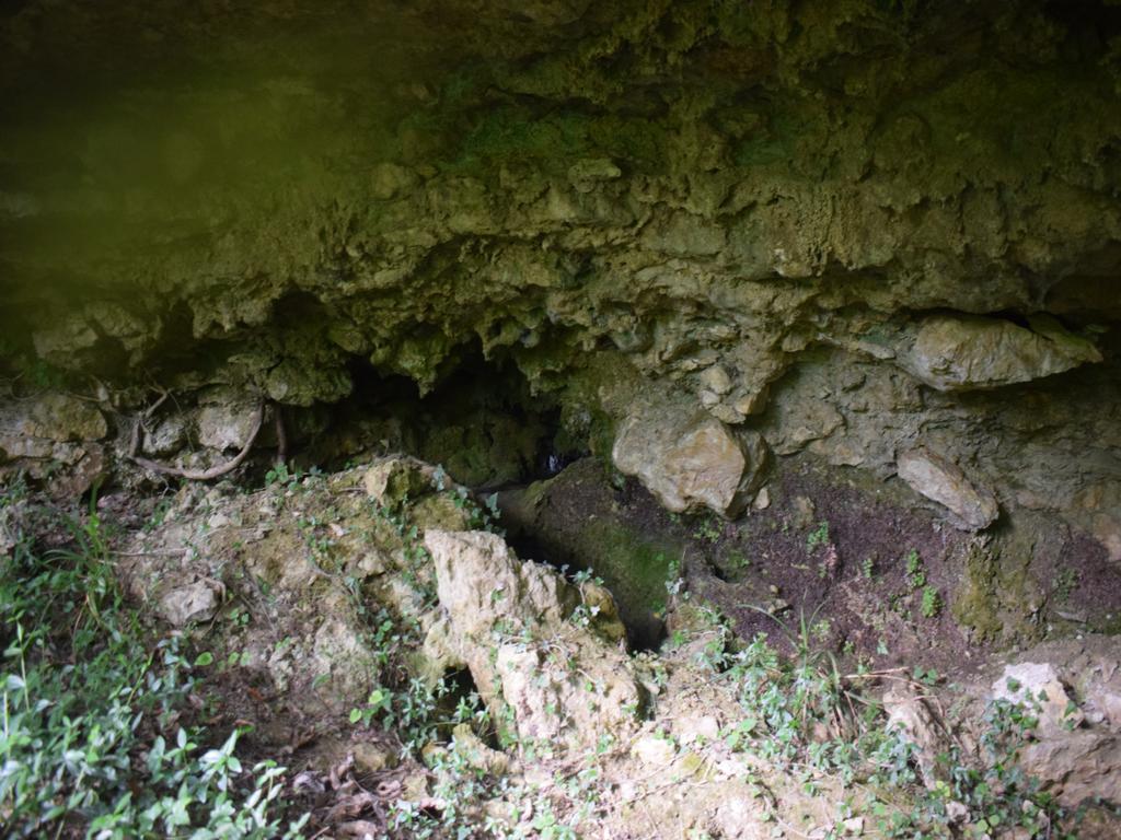
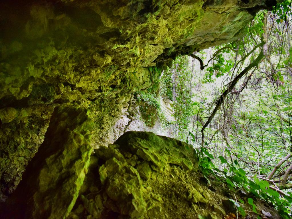
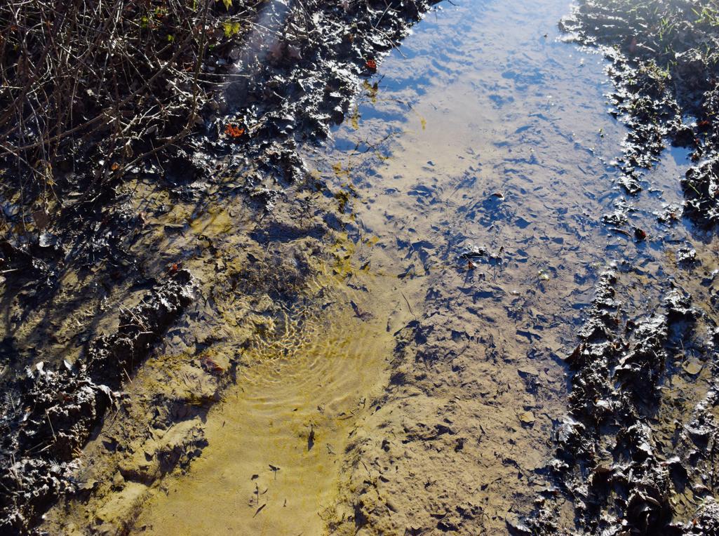
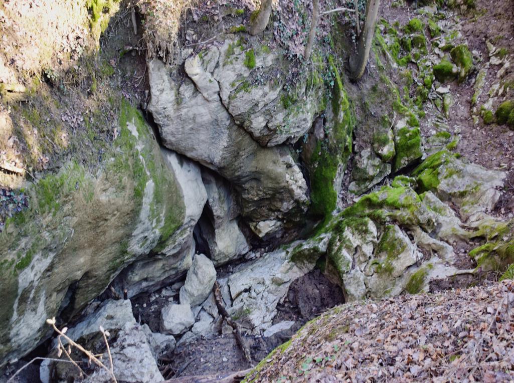
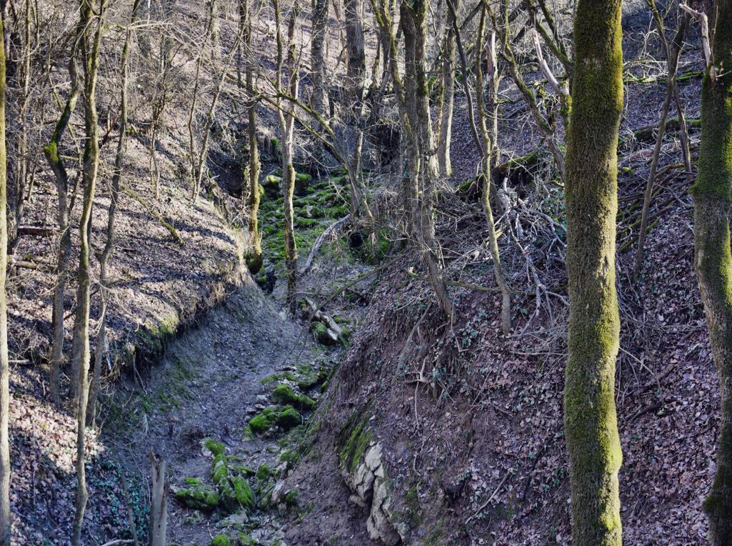
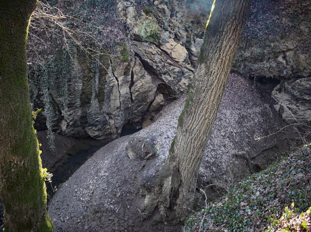
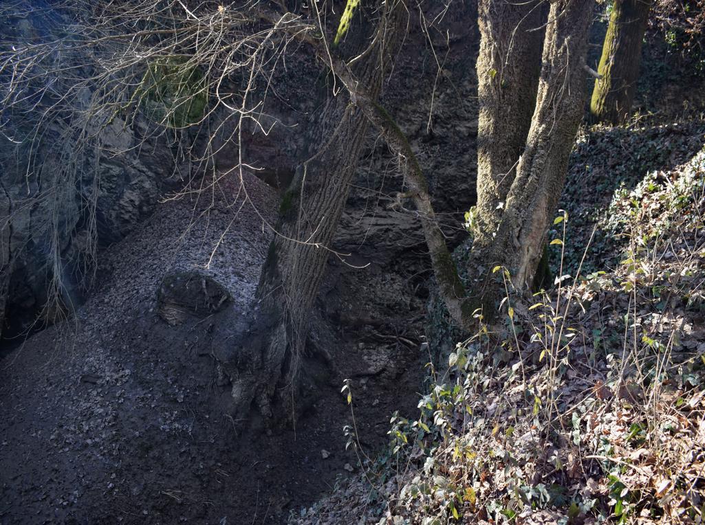
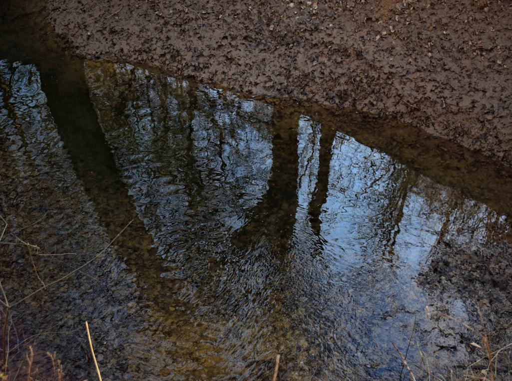
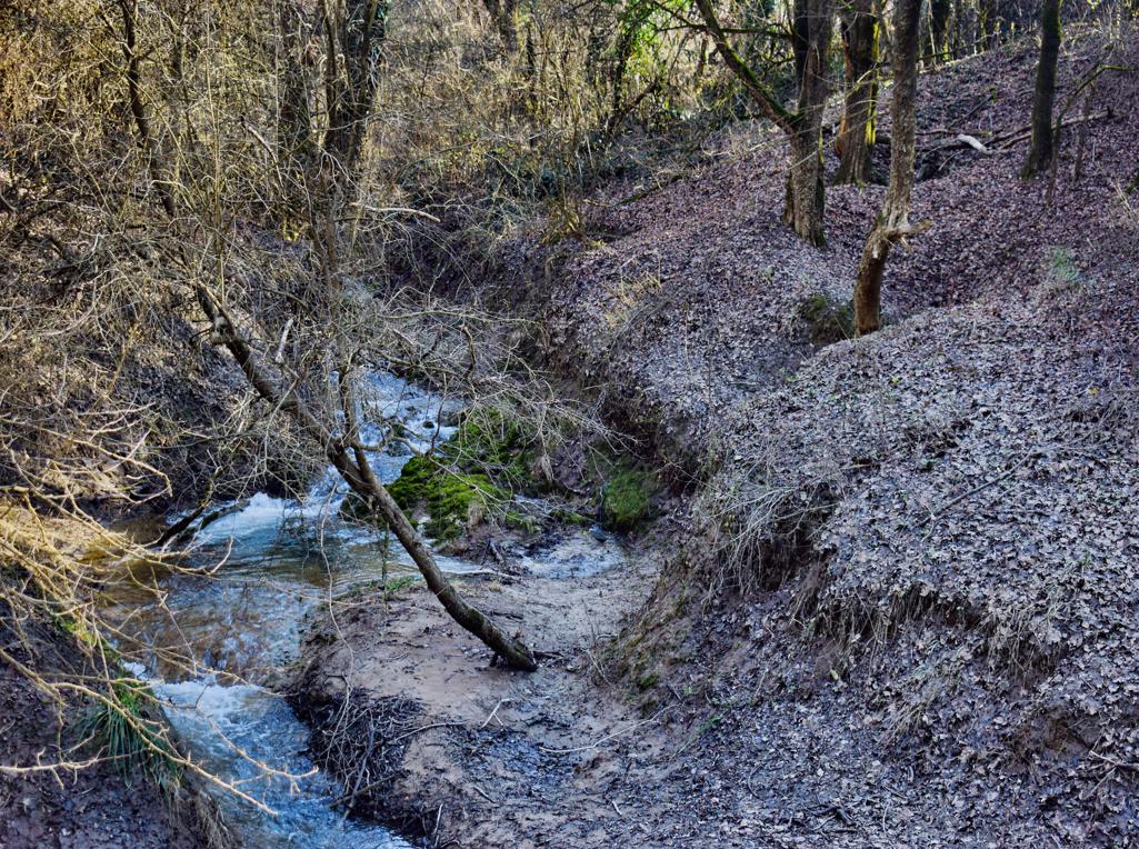
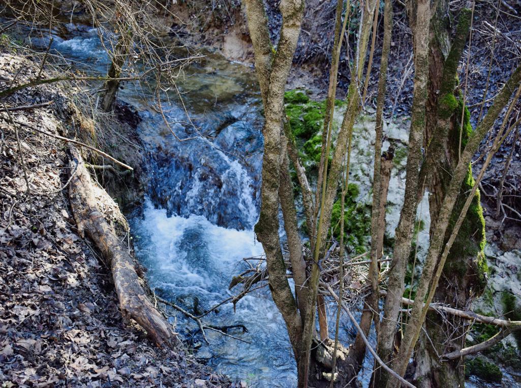
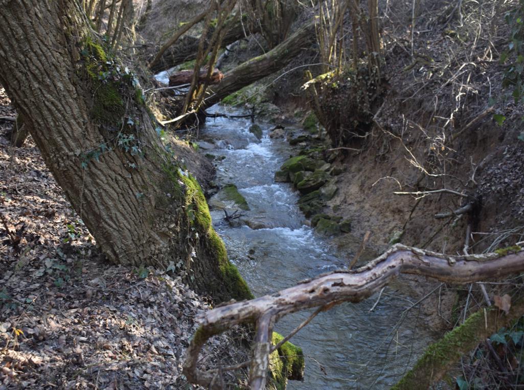
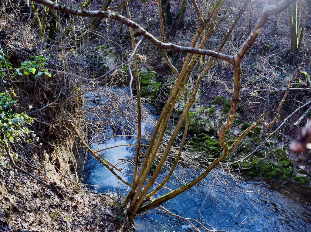
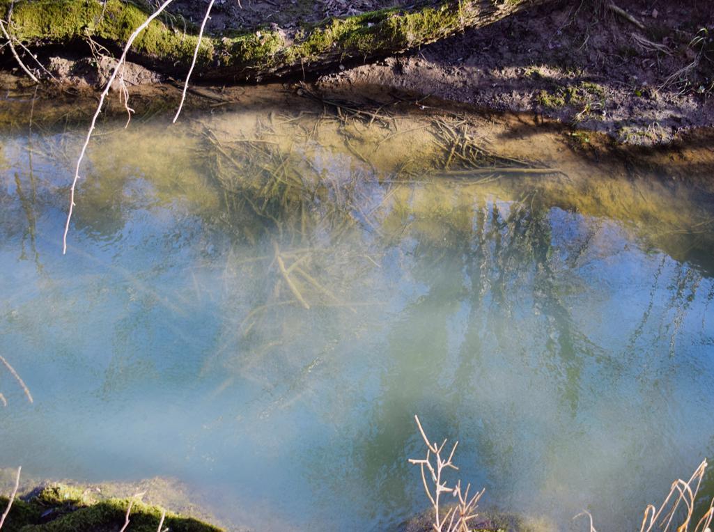
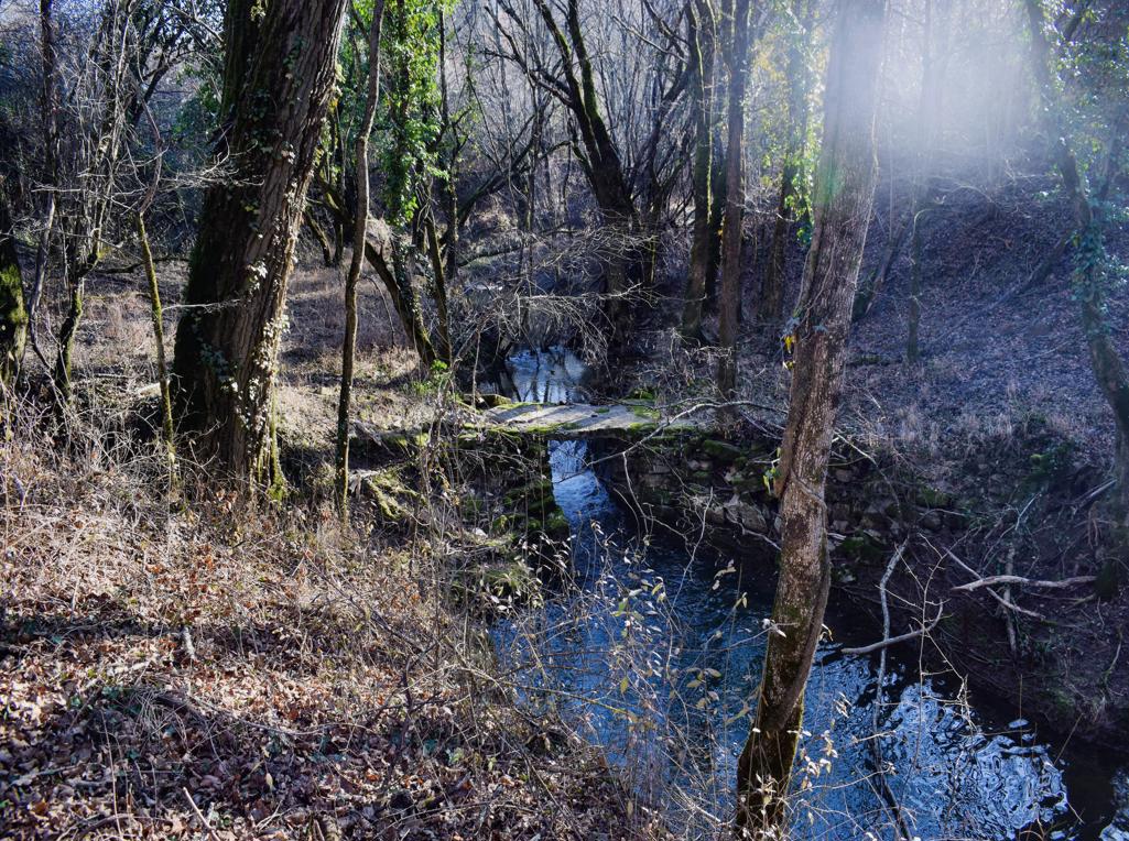
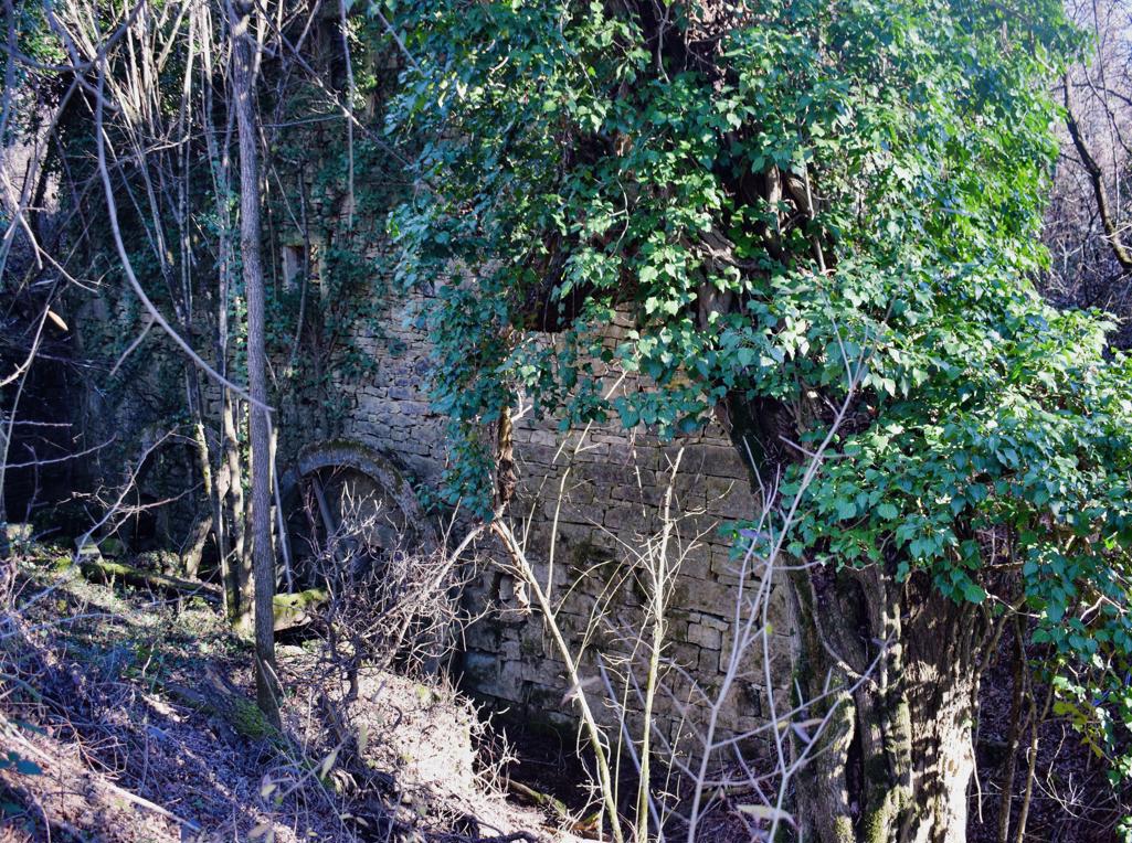
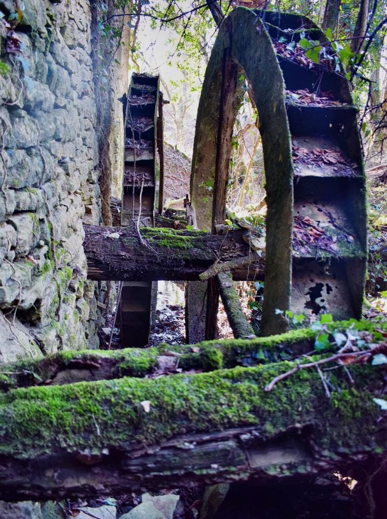
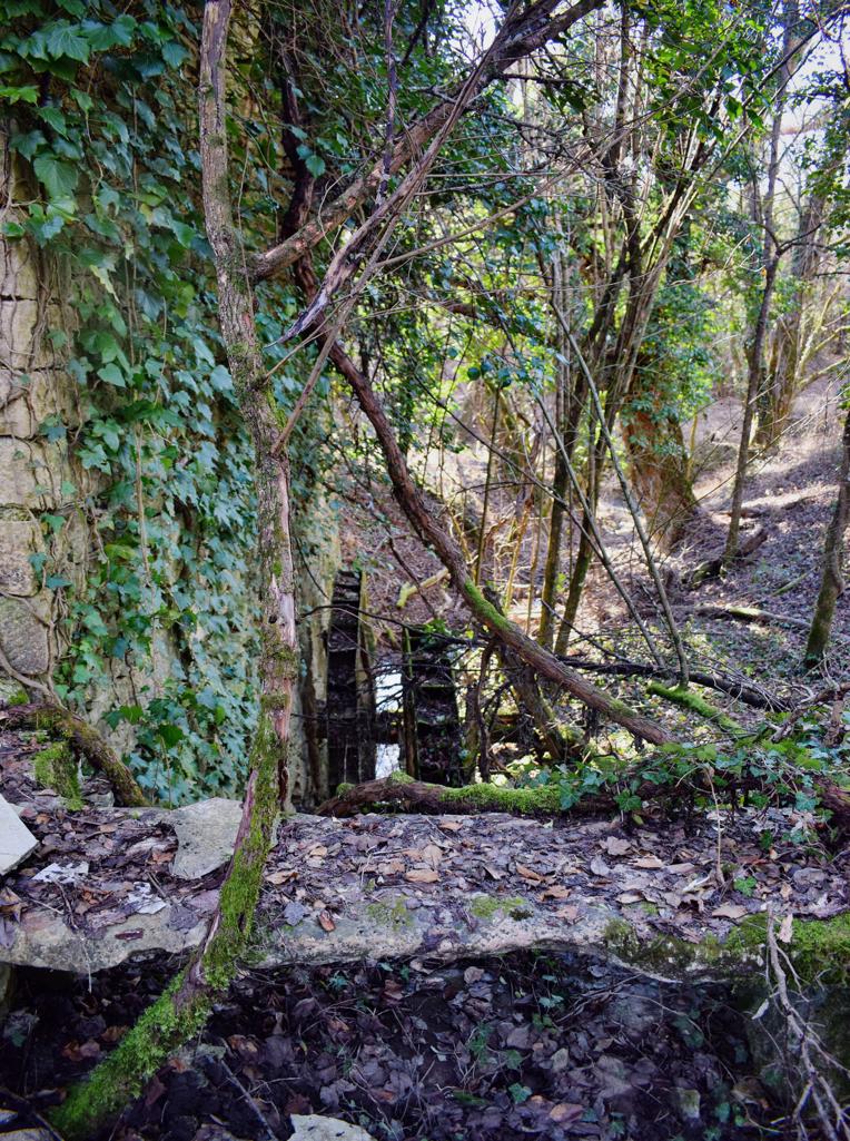
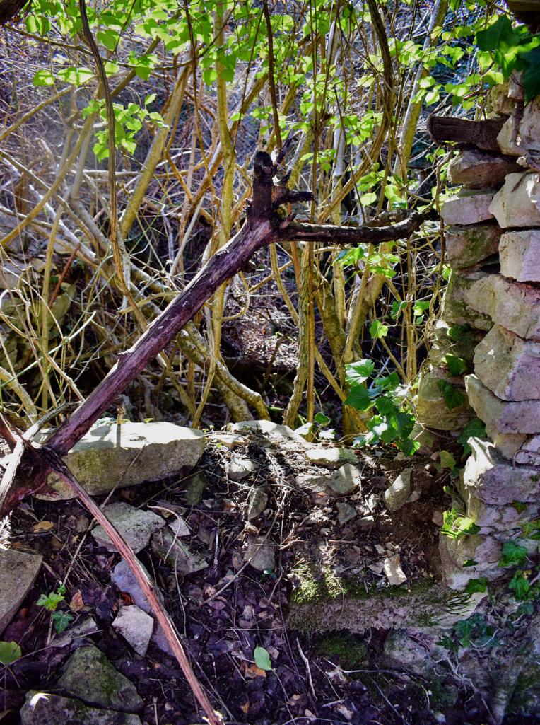
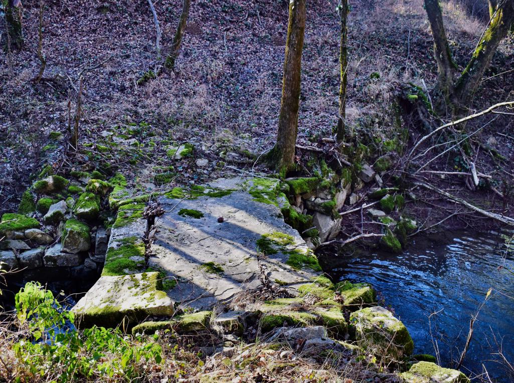
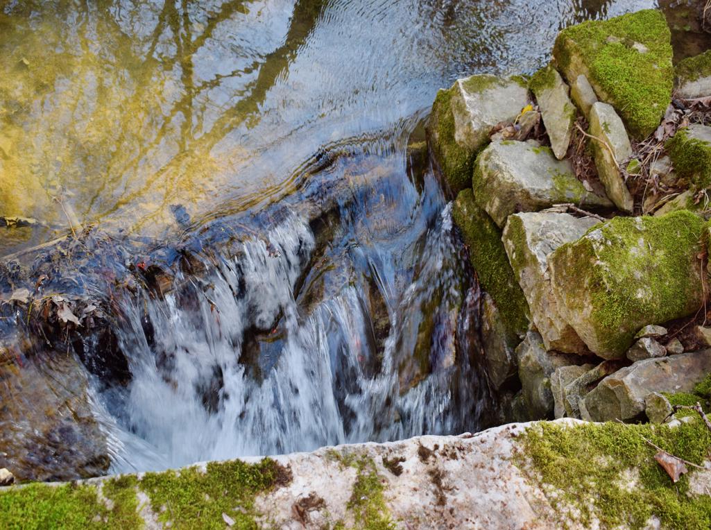
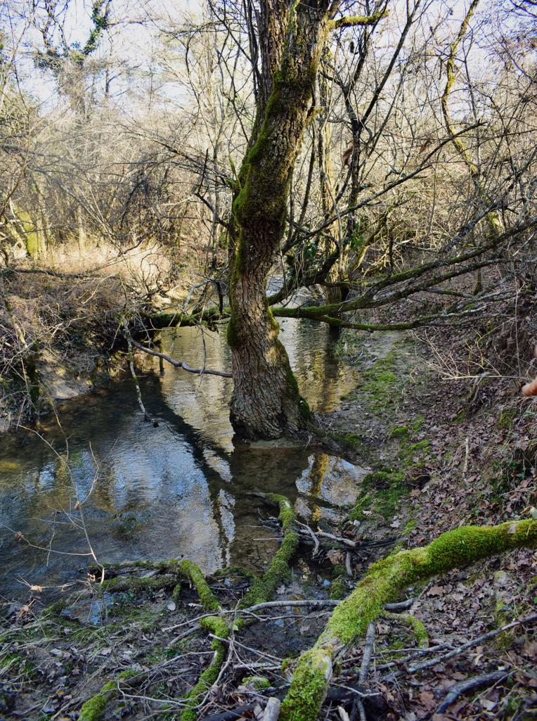
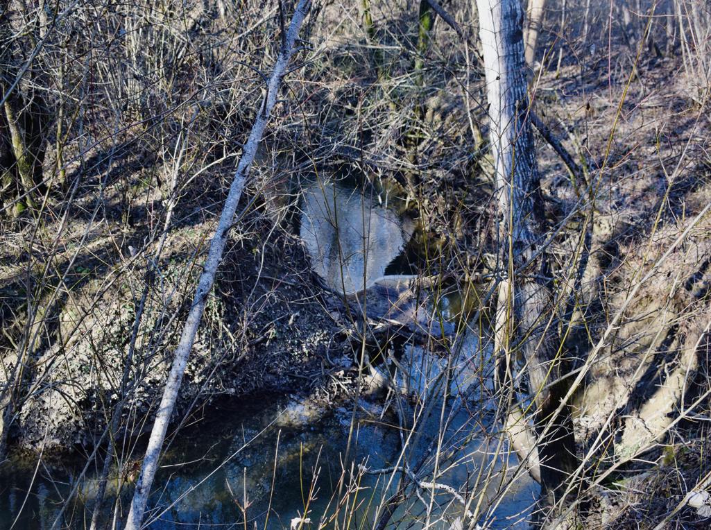
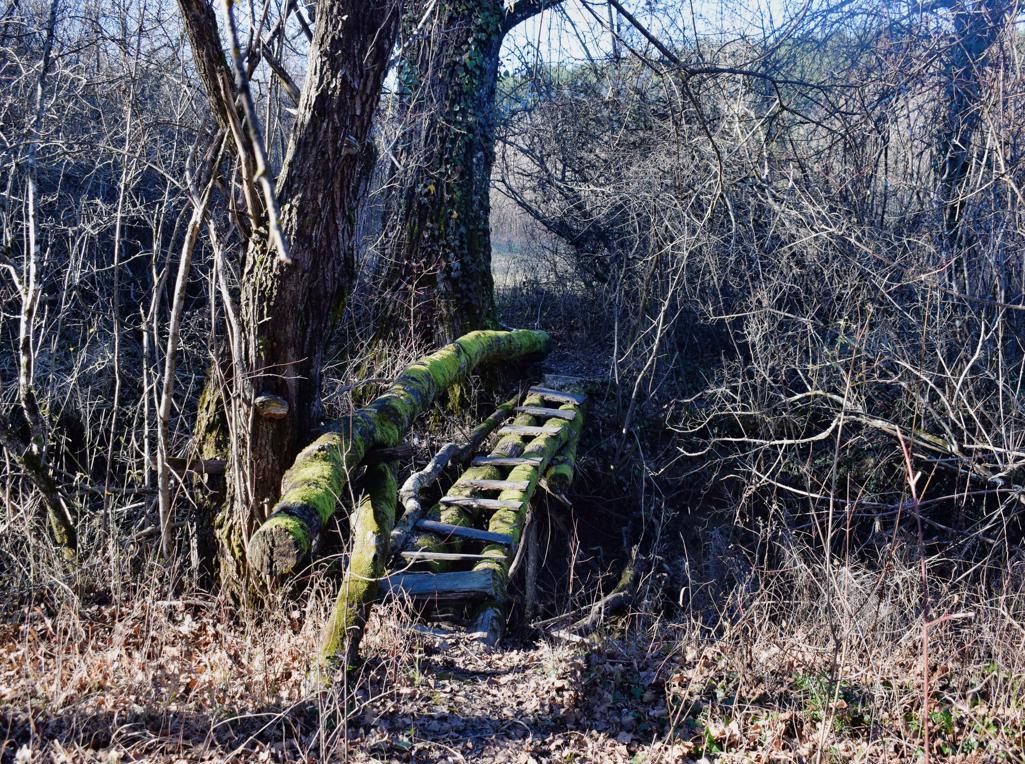
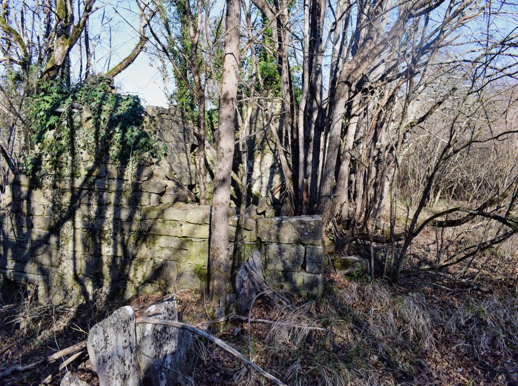
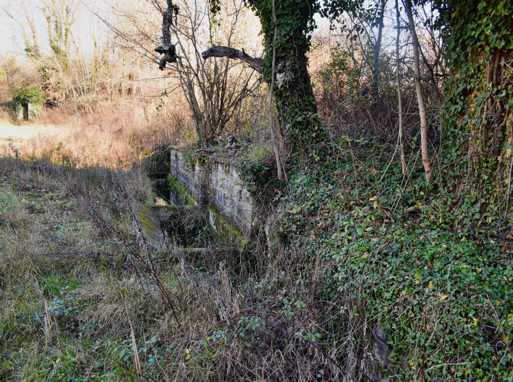
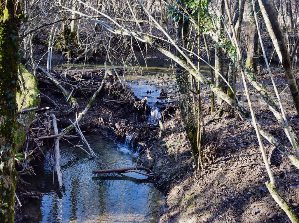
The trail is along the stream Buzuje with caves and a spring, and three former watermills.


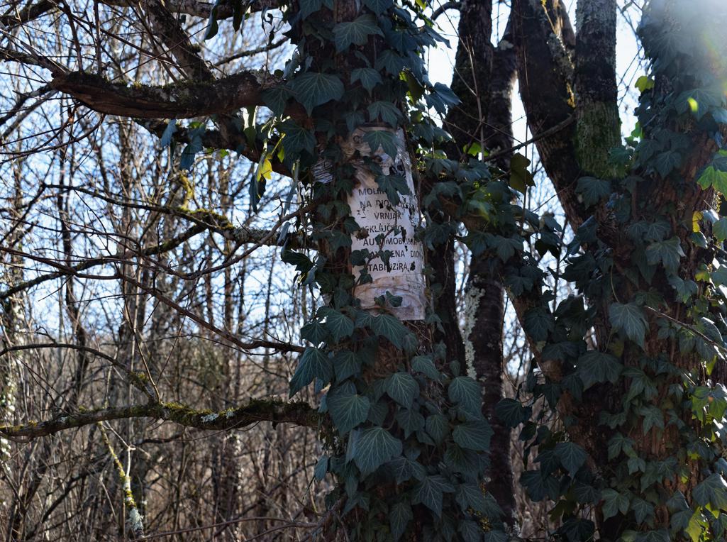

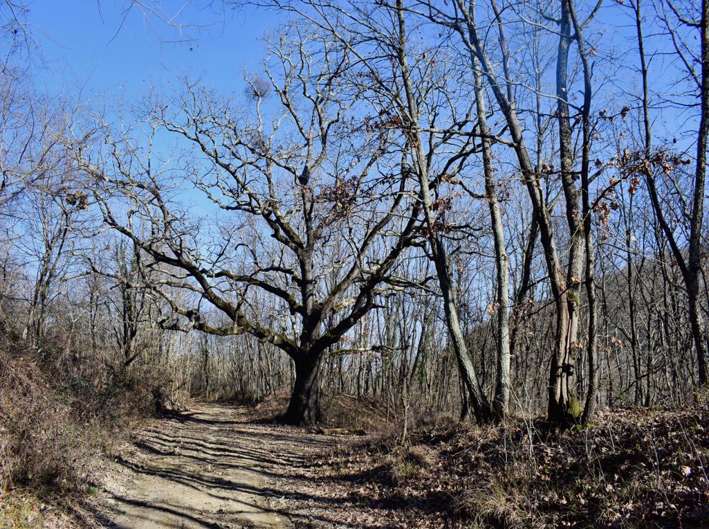
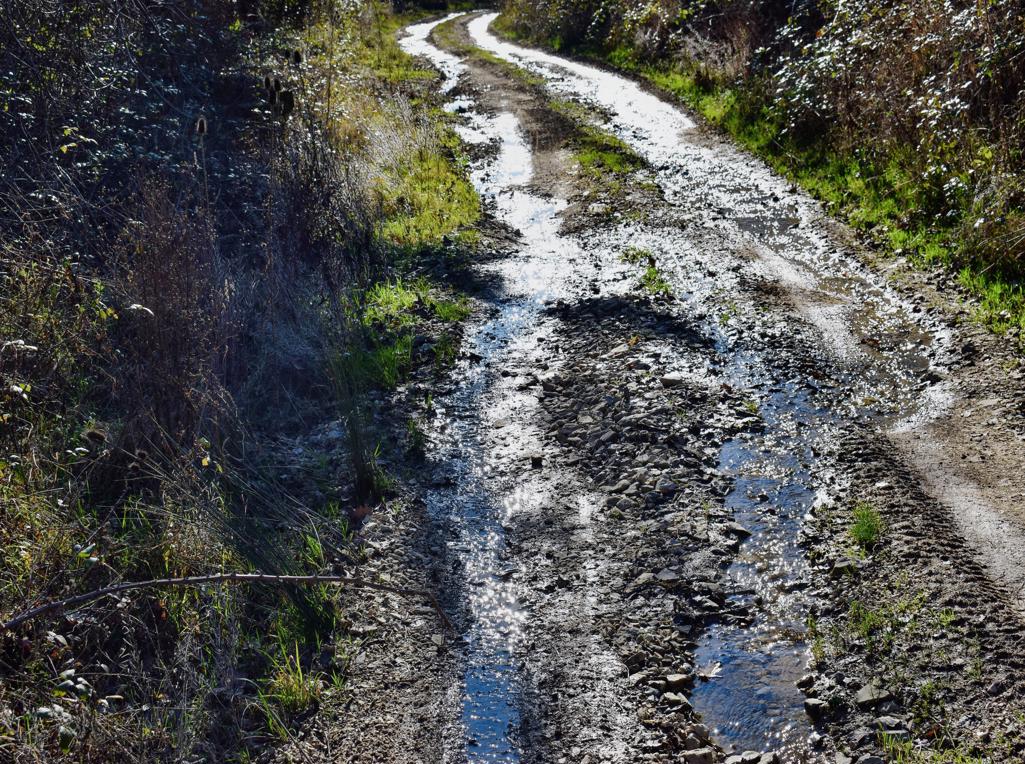
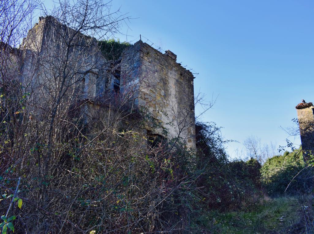
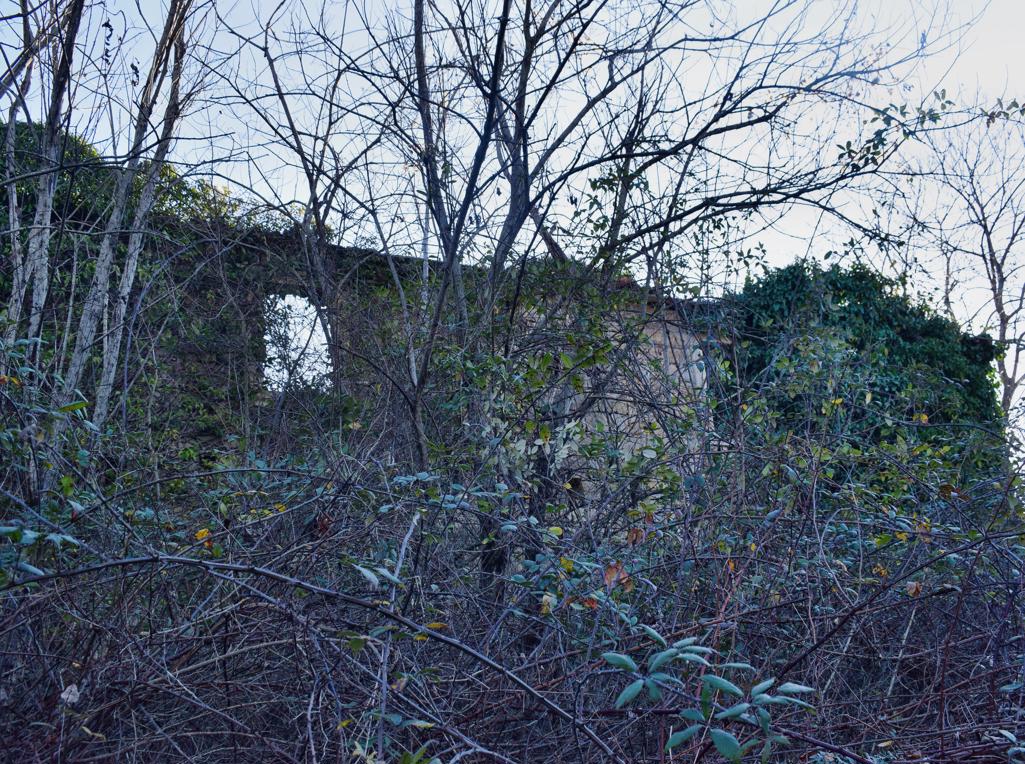
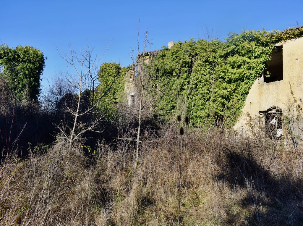
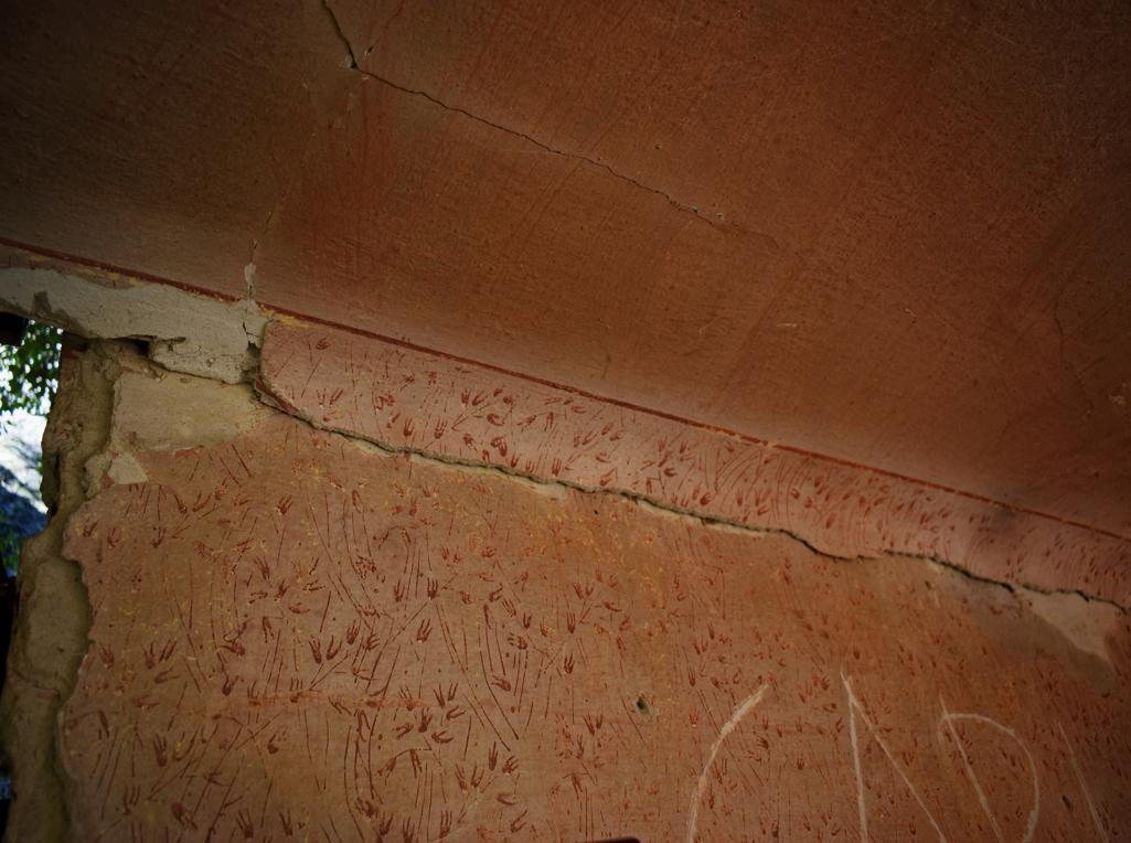
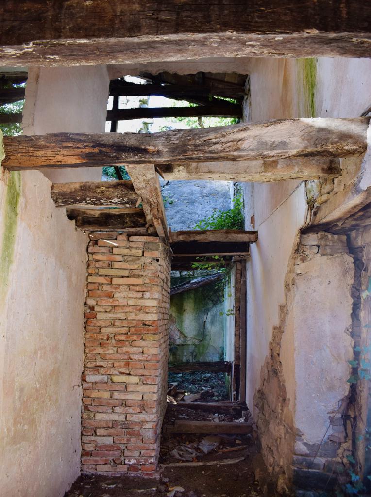
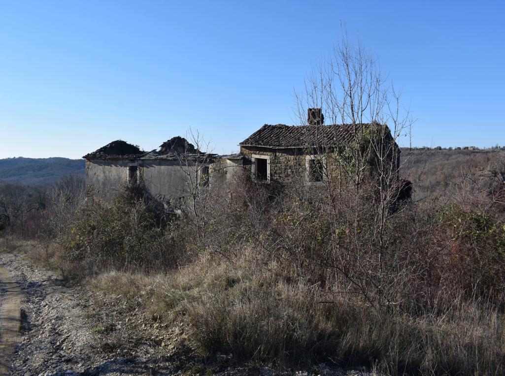
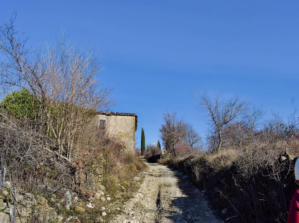
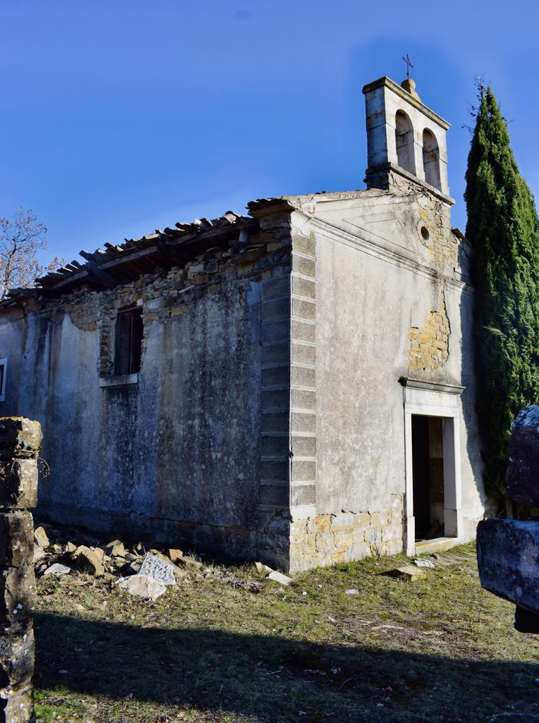
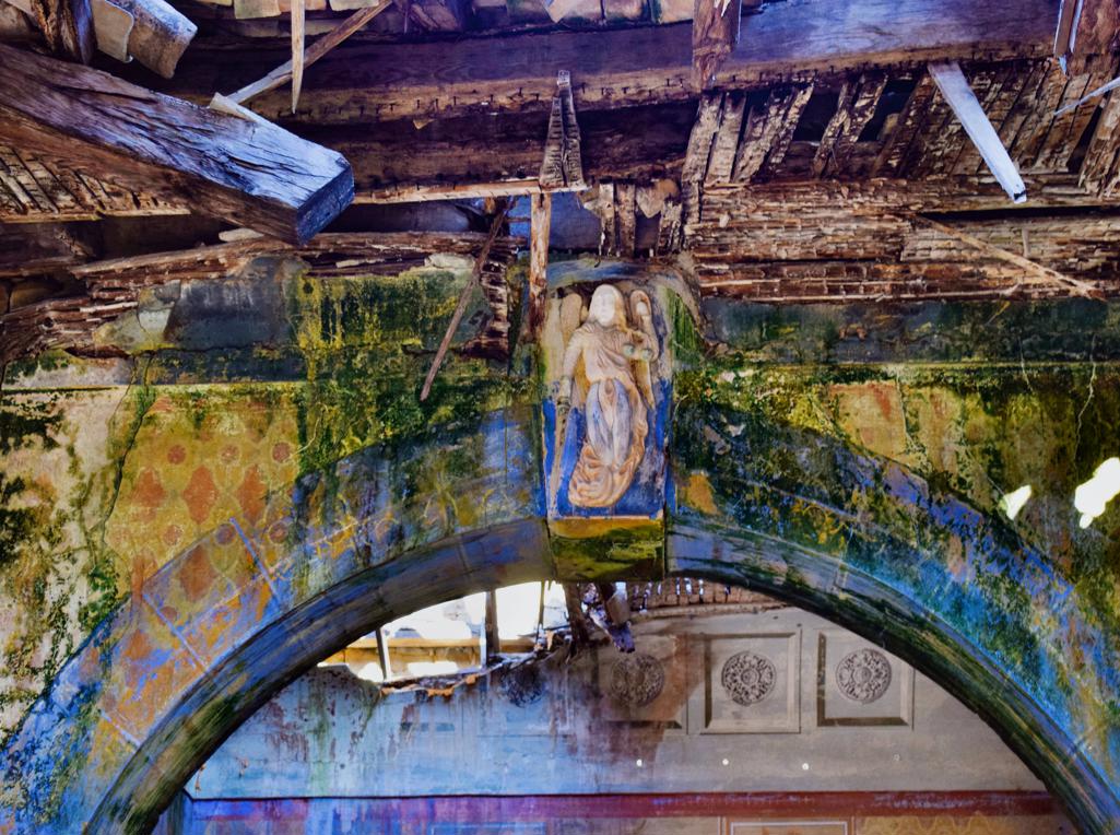
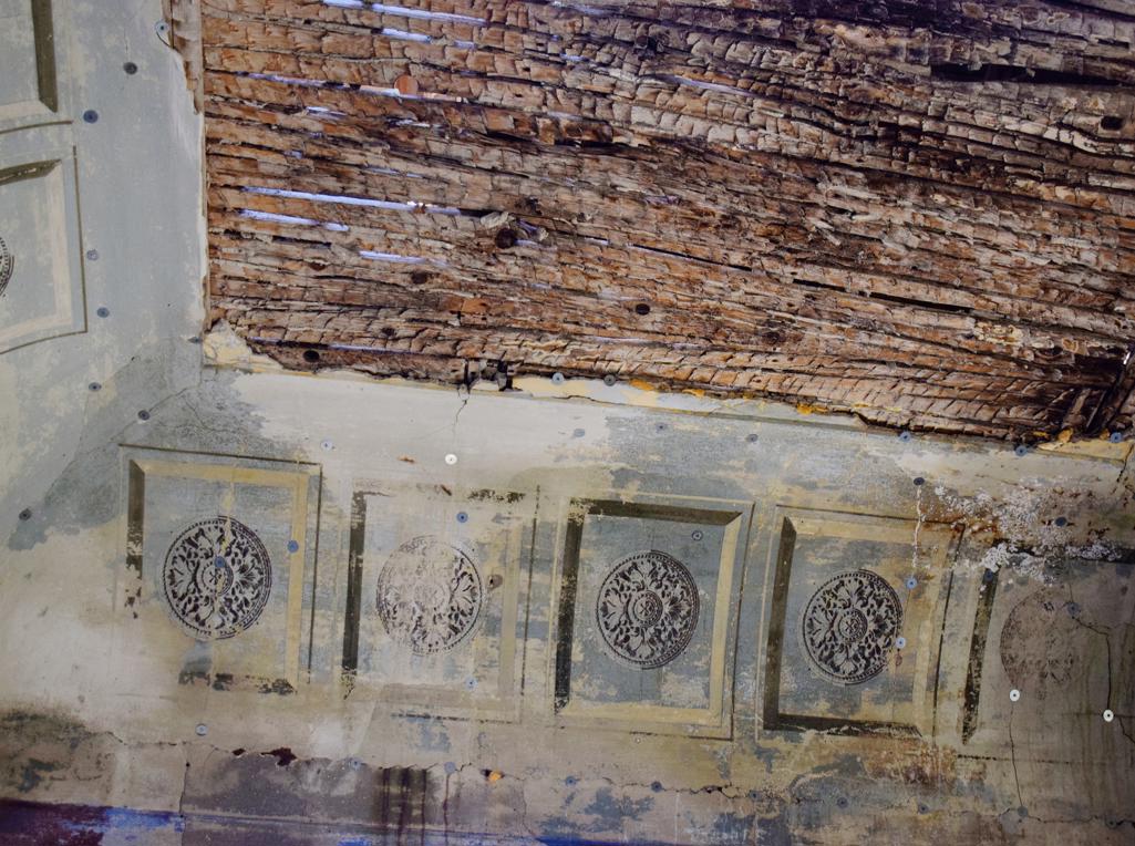
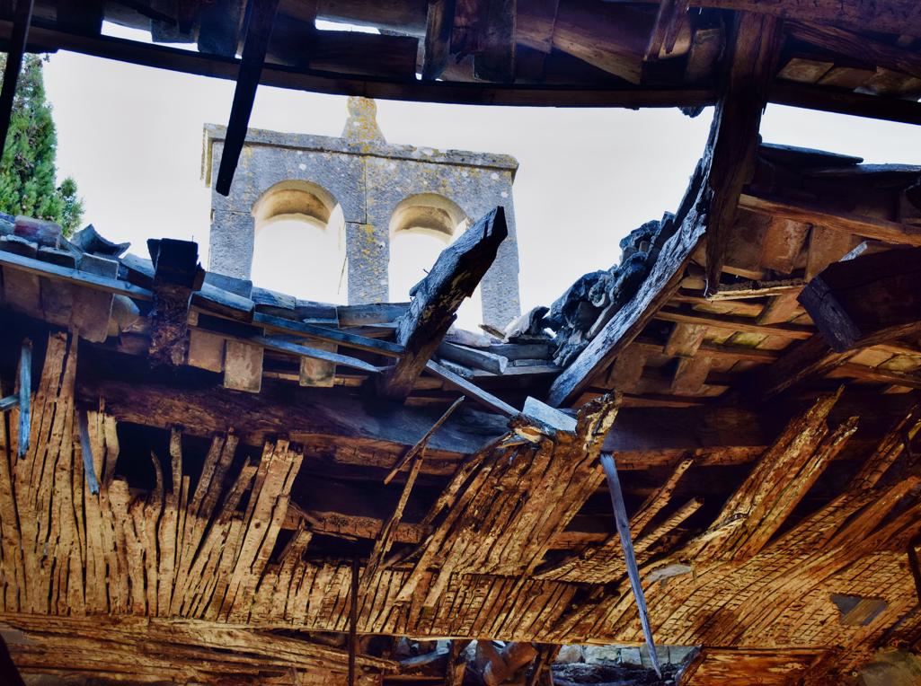
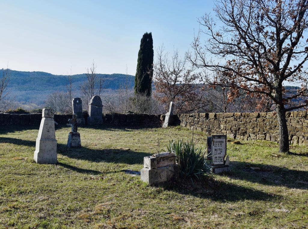
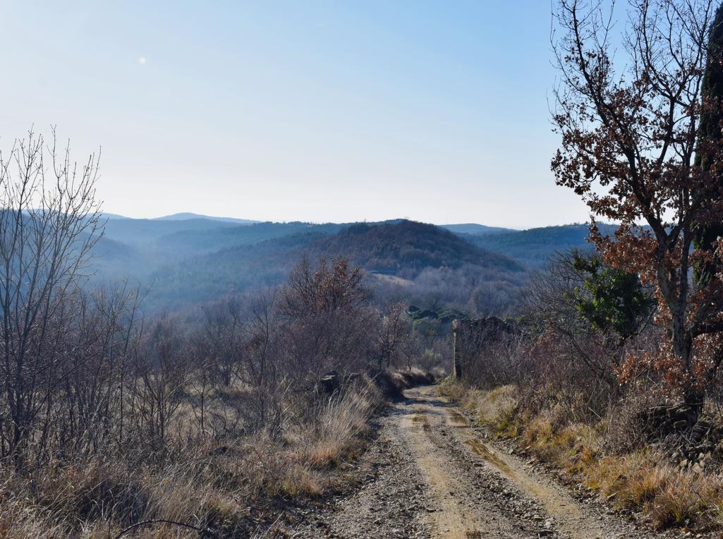
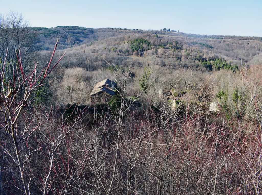
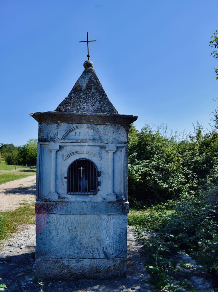
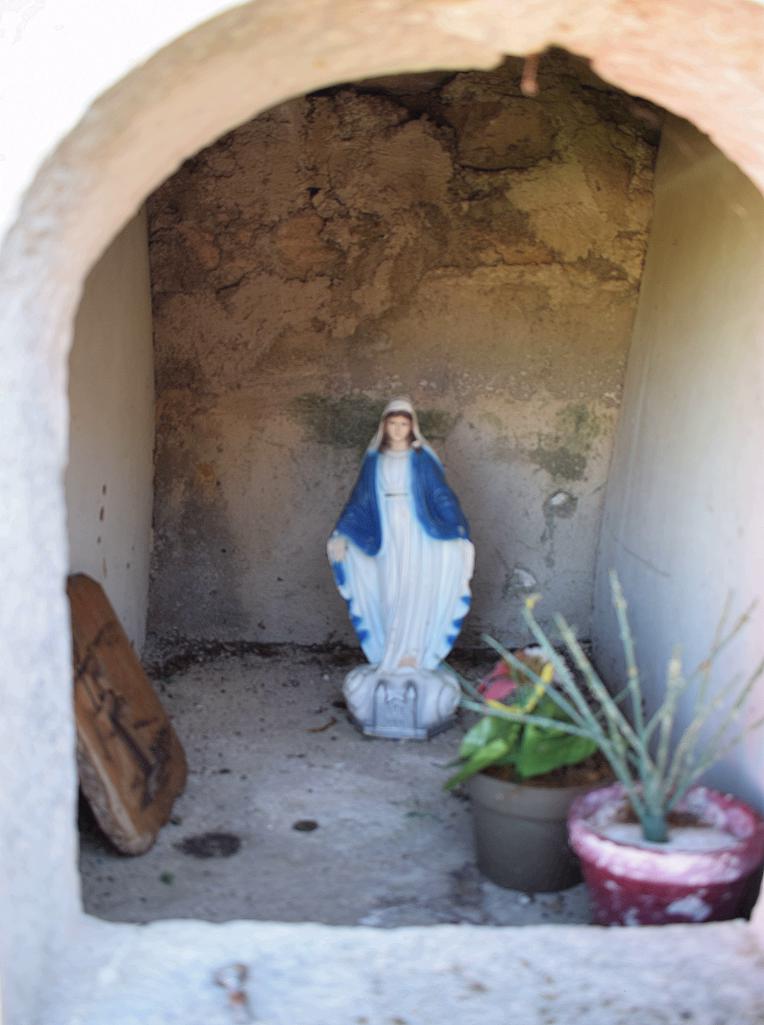
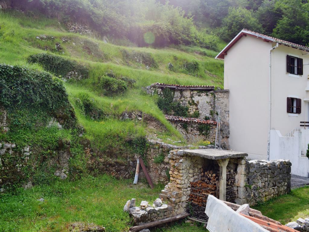
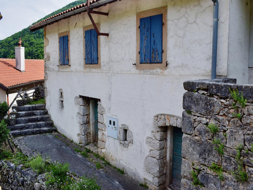
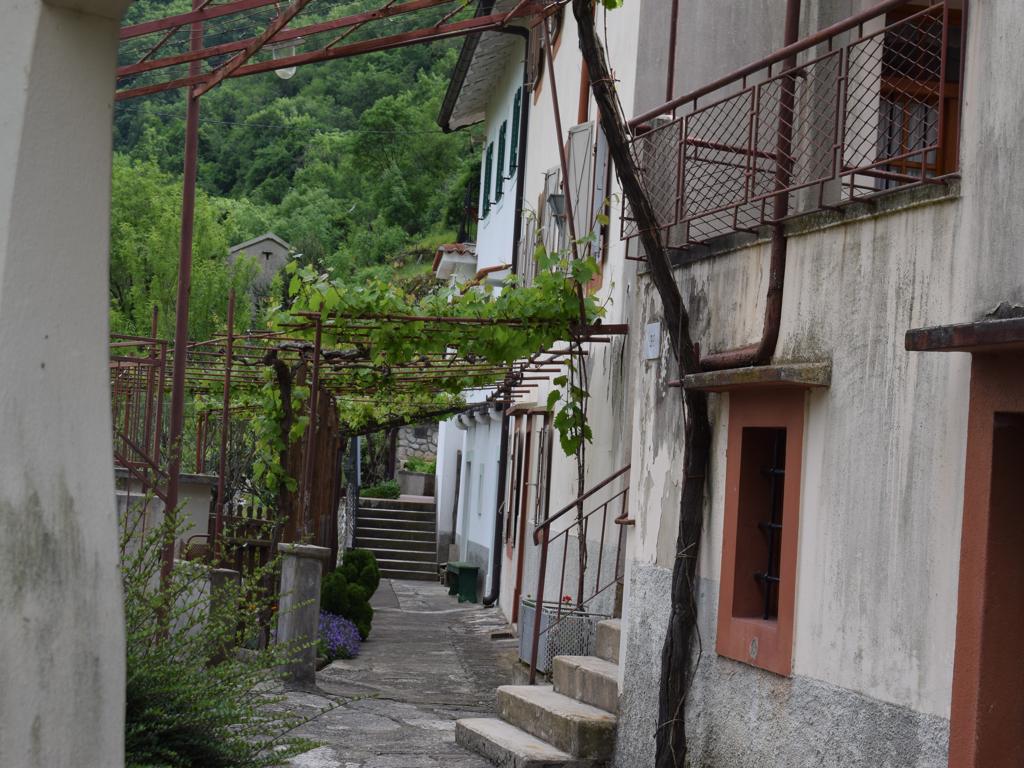
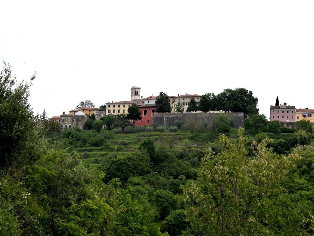
Name: Hiking trail from the village Bazuje to the abandoned village Vrnjak.
Place: Bazuje – Vrnjak – (Grožnjan).
Start: Bazuje 45.41723 N – 13.73696 E, caves 45.41723 N – 13.774101 E, 45.41706 N -13.74309 E, 45.41783 N – 13.74462 E,watermills. 45. 41793 N -13.74435 E, 45.41932 N – 13. 74551 E, 45.42699 – 13 74912 E, Vrnjak: 45.43981 N – 13. 76807 E.