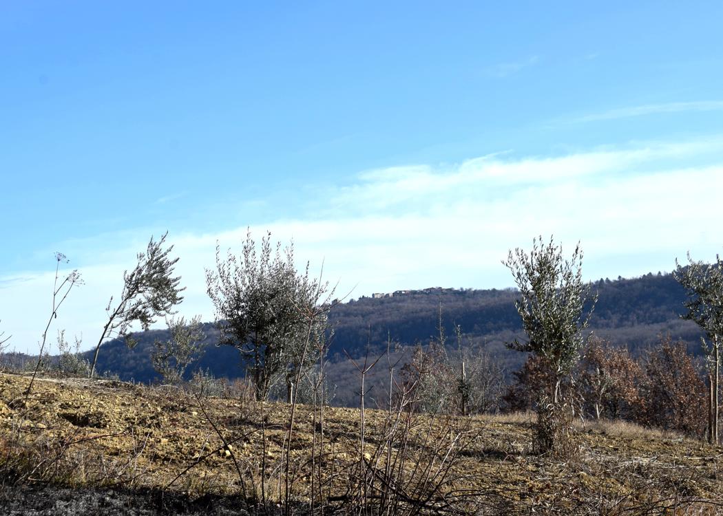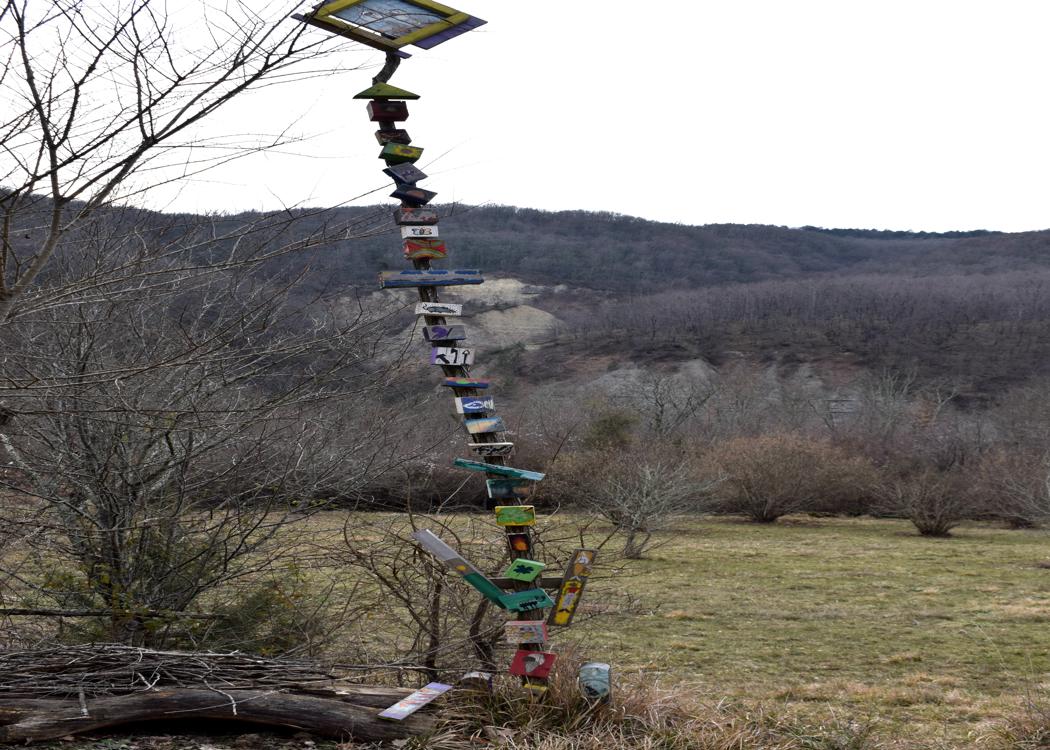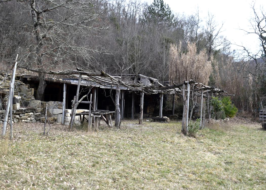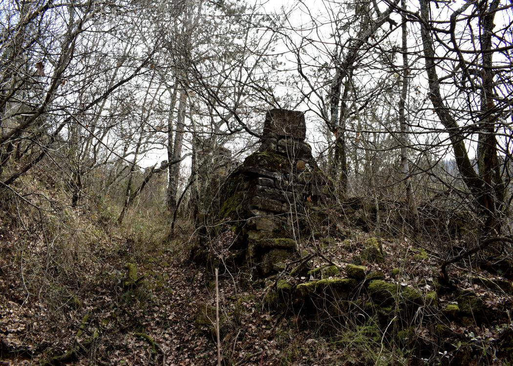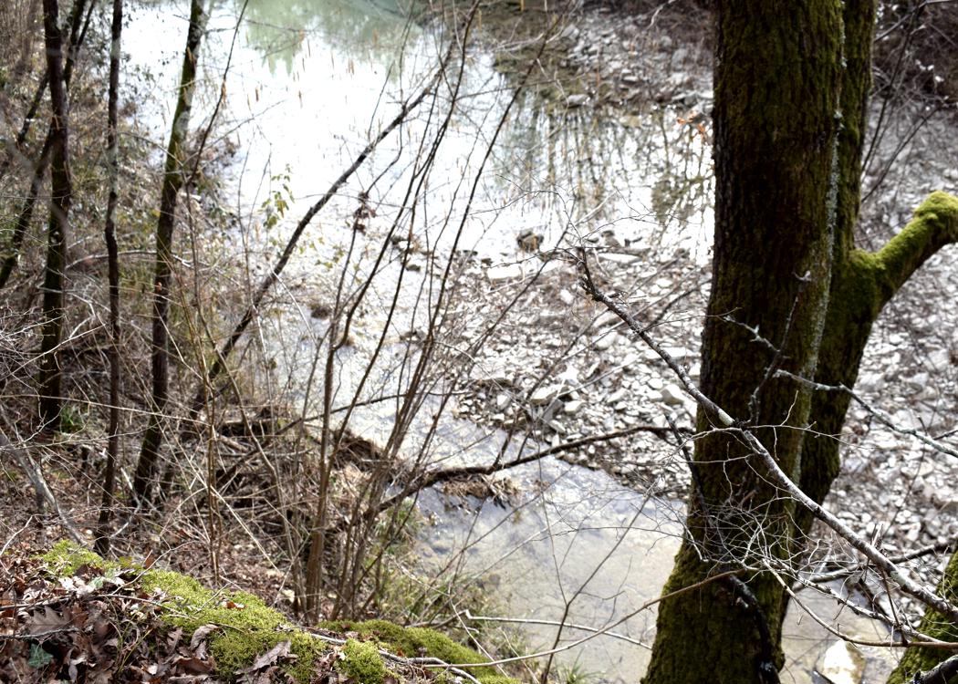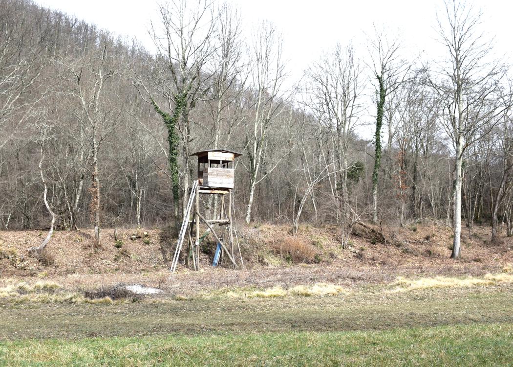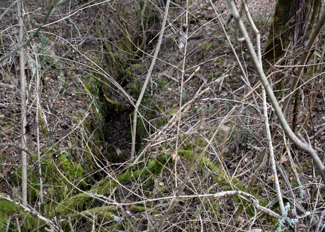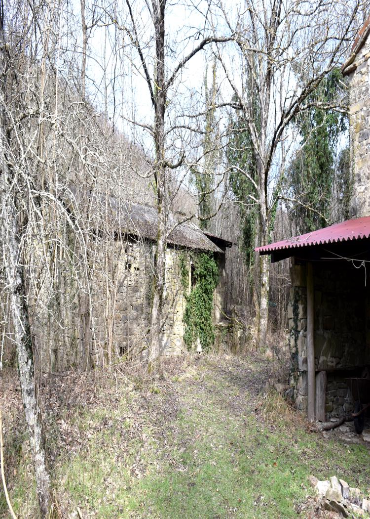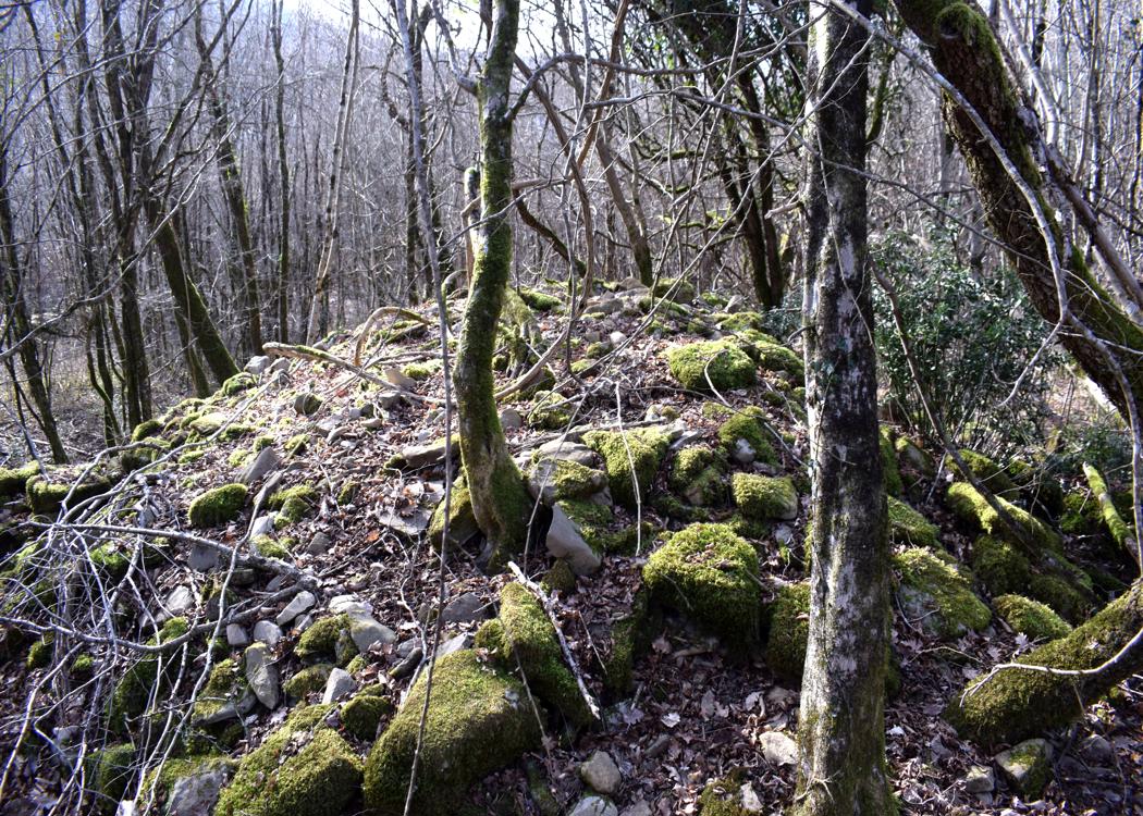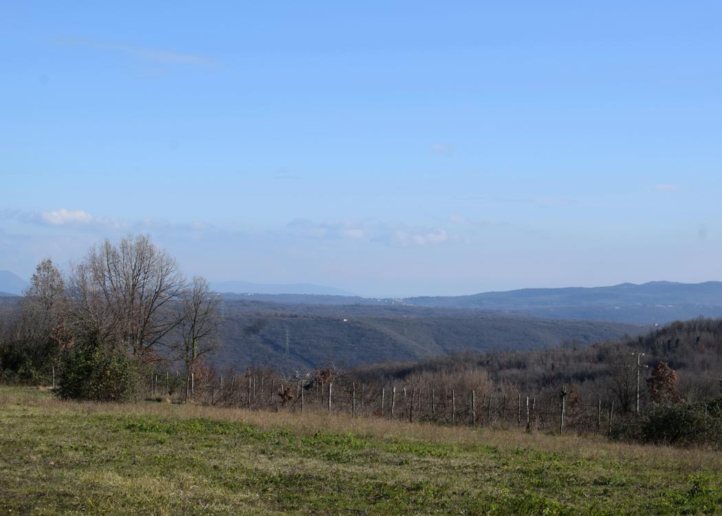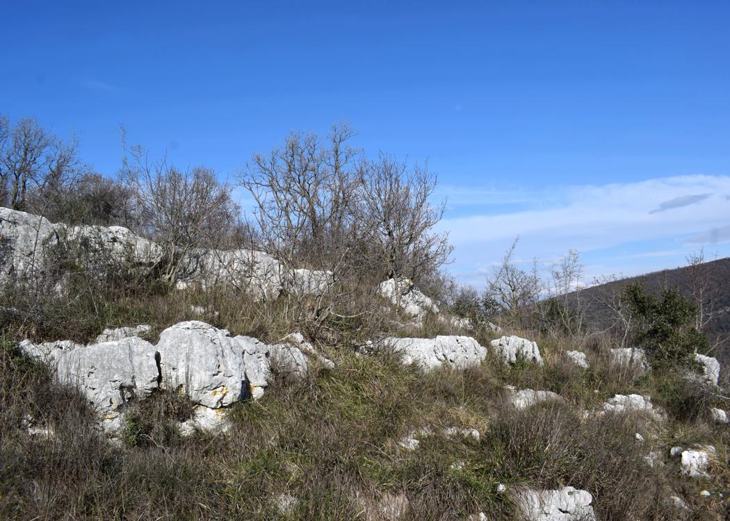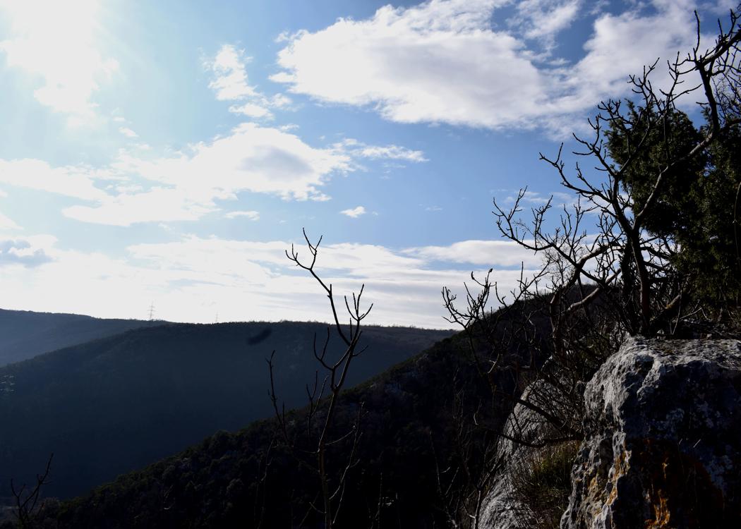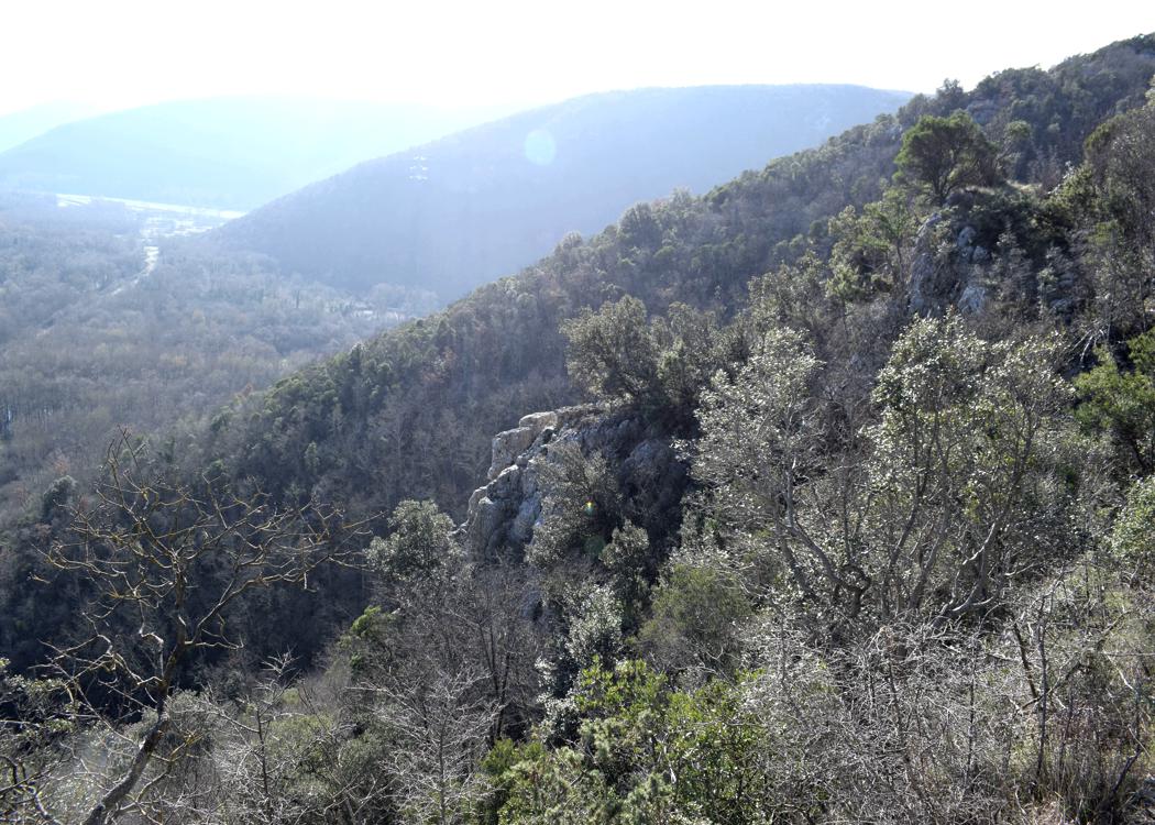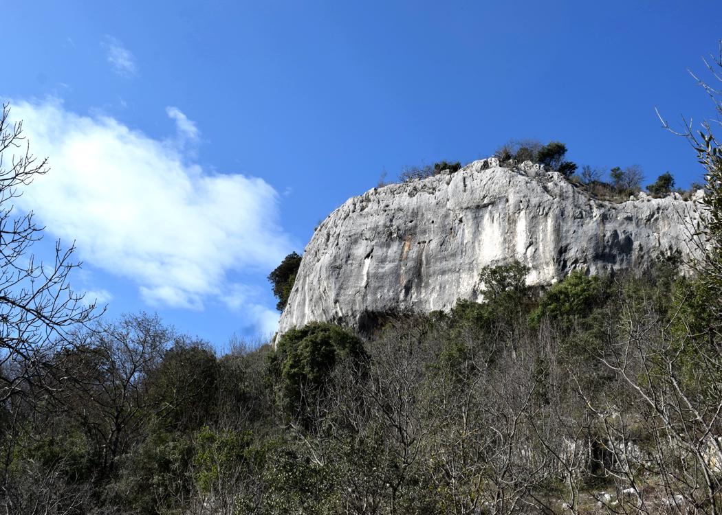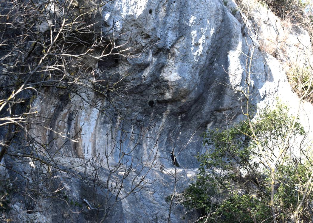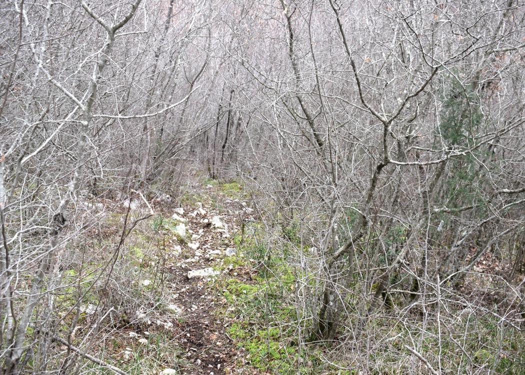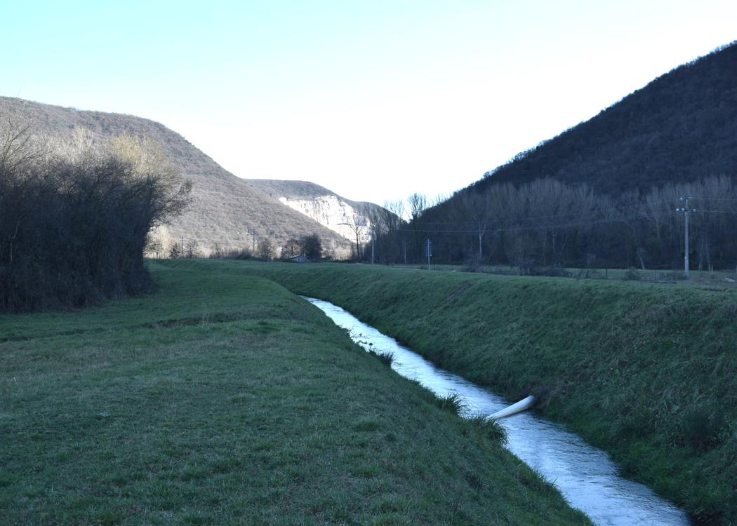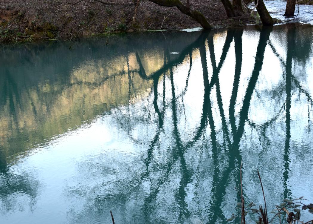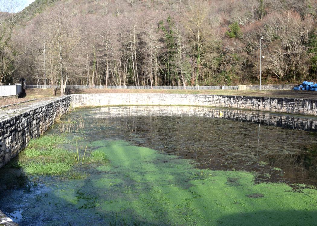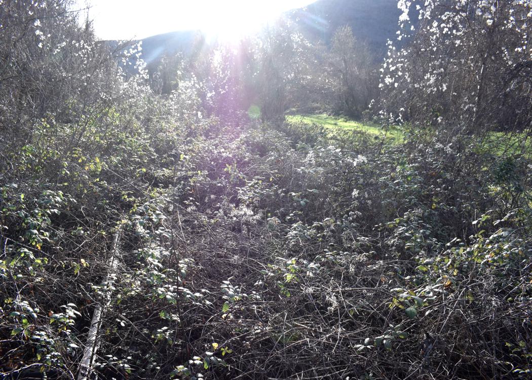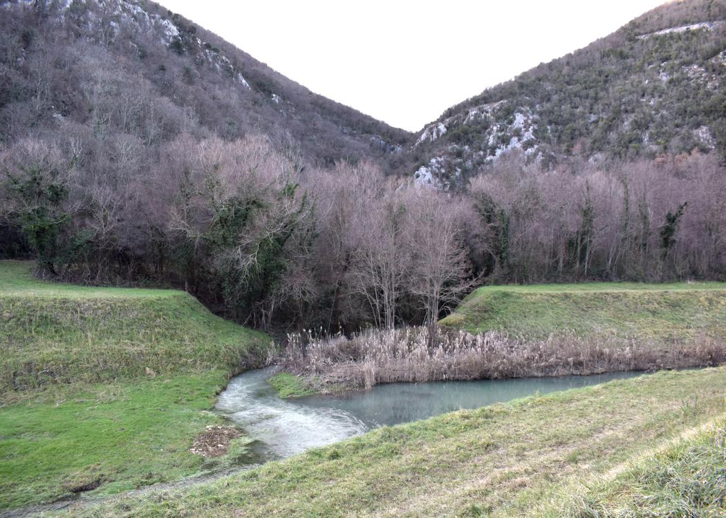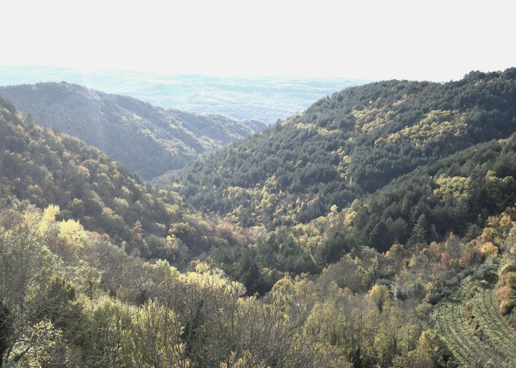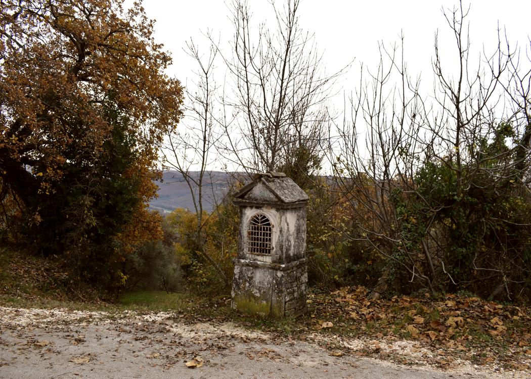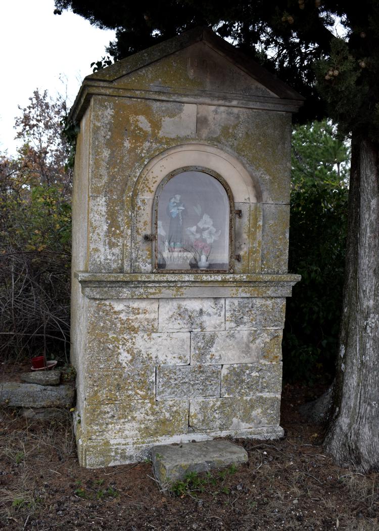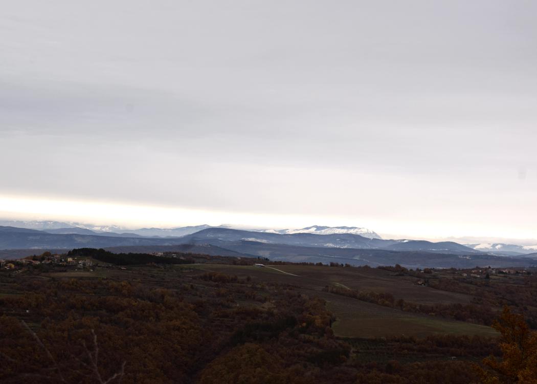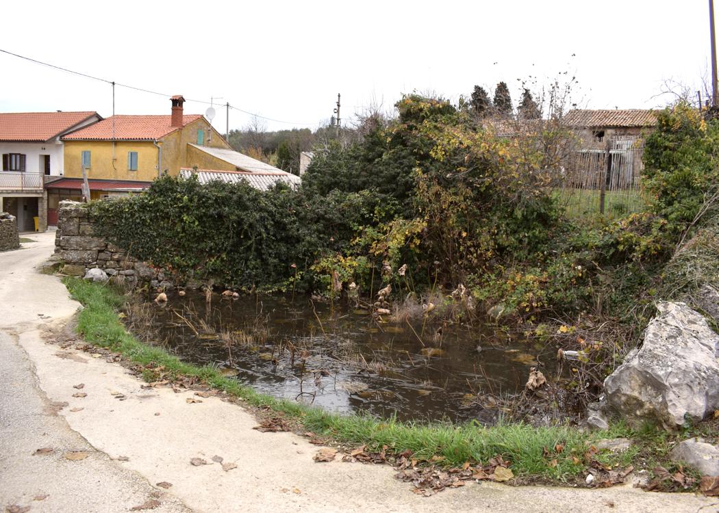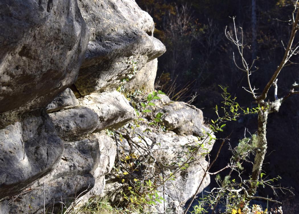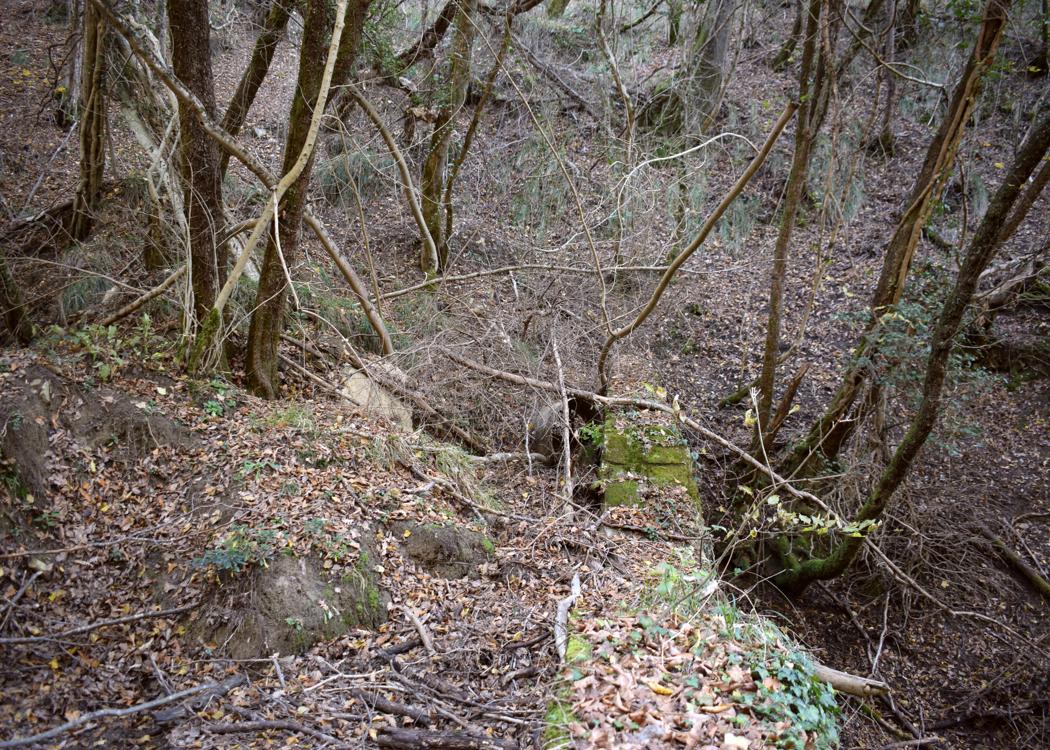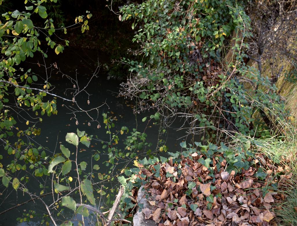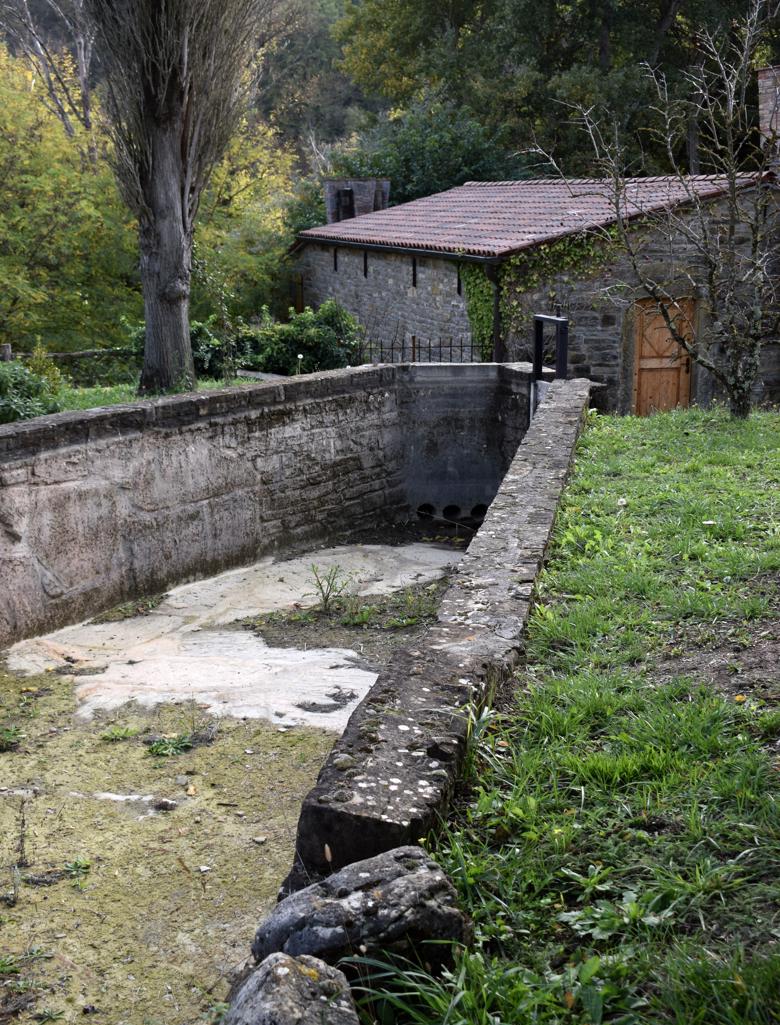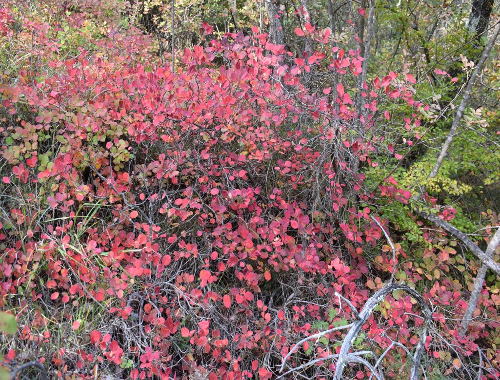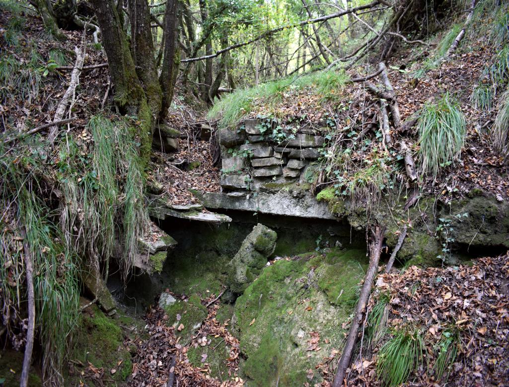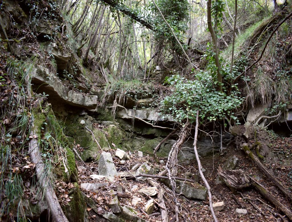

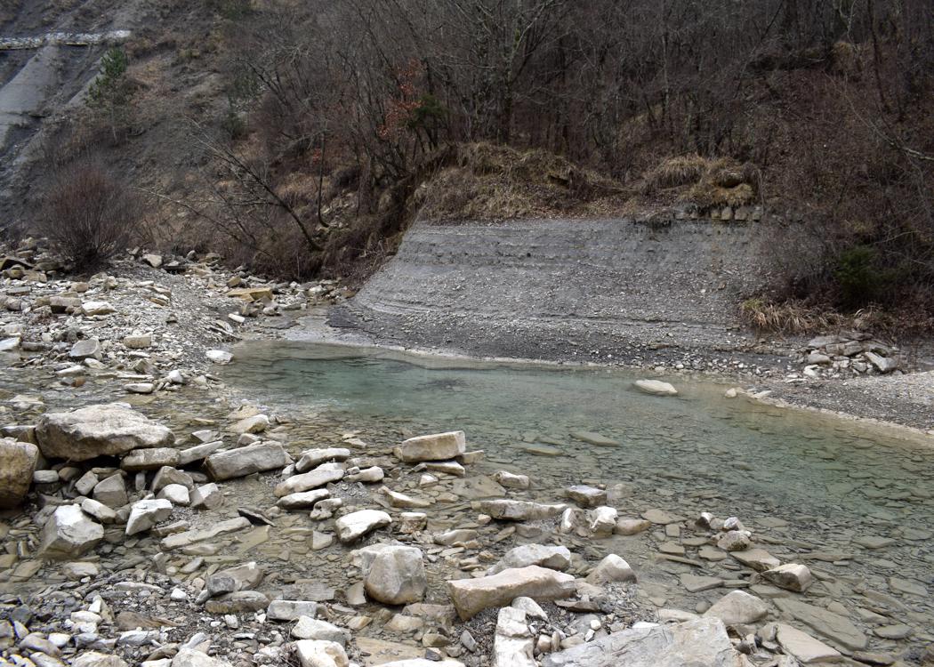


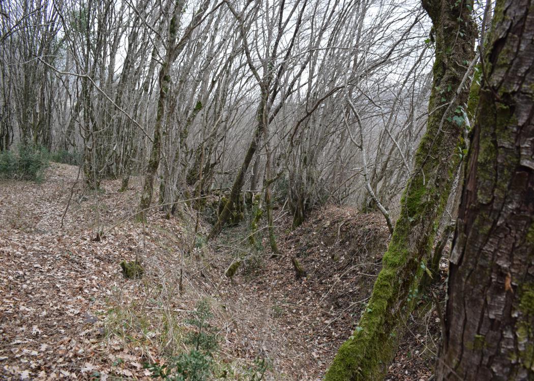
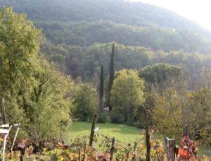
Name: Hiking trail from Labor to the watermill Fermov and the river Dragonja.
Place: Labor – (Koper).
Coordinates: Labor 45.47521 N – 13.77218 E.
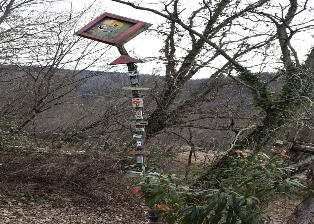
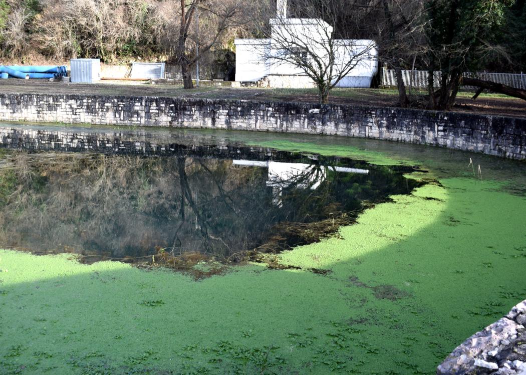
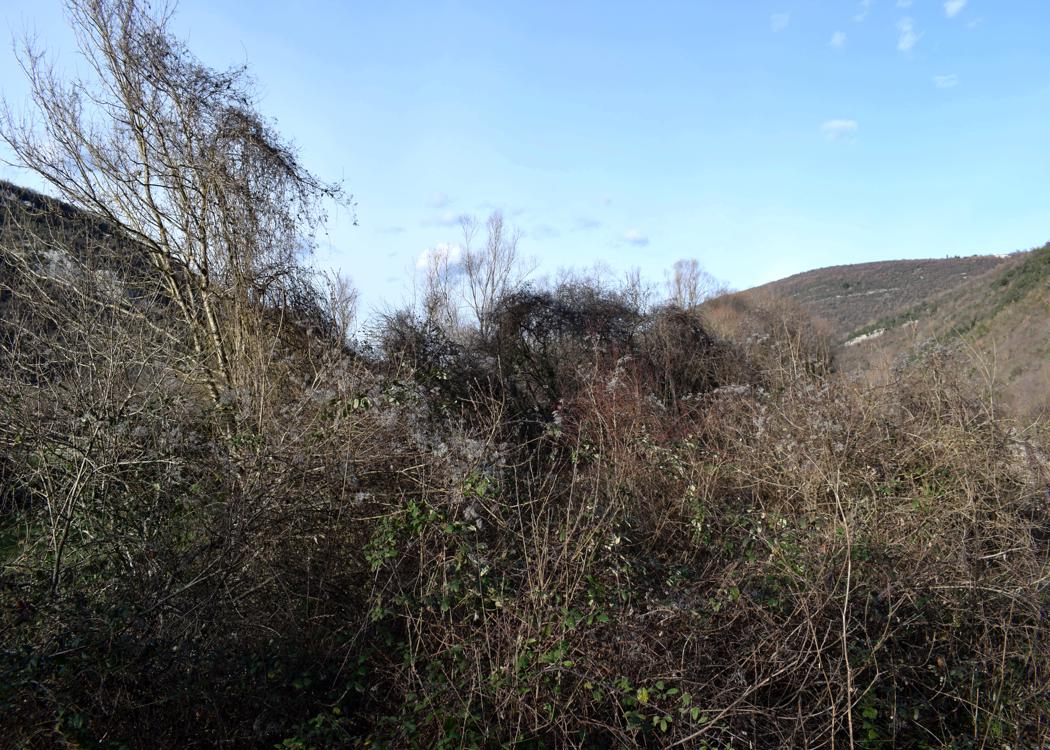
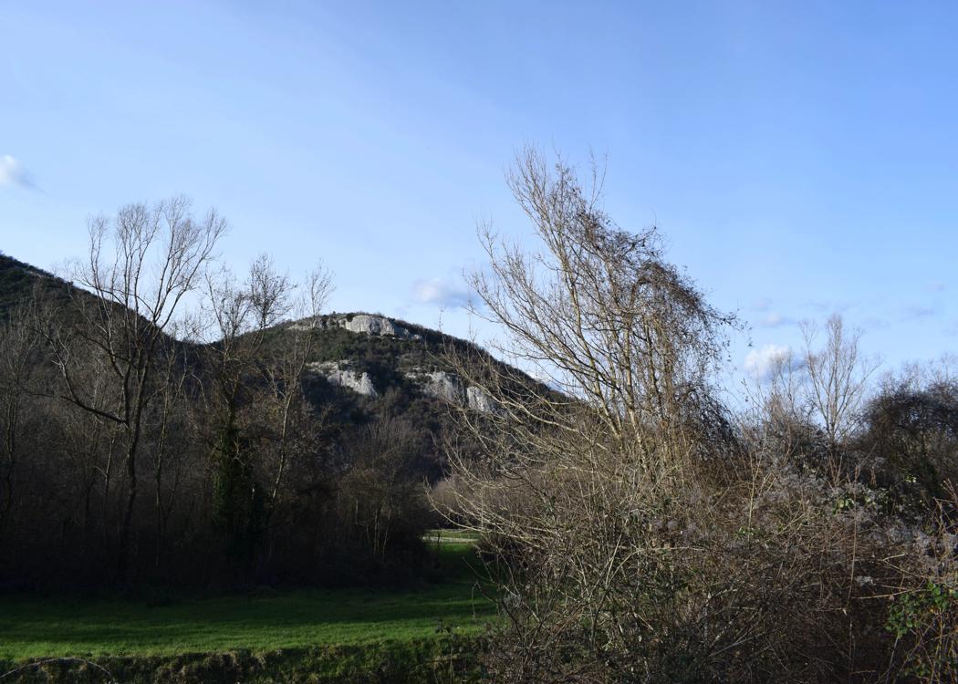
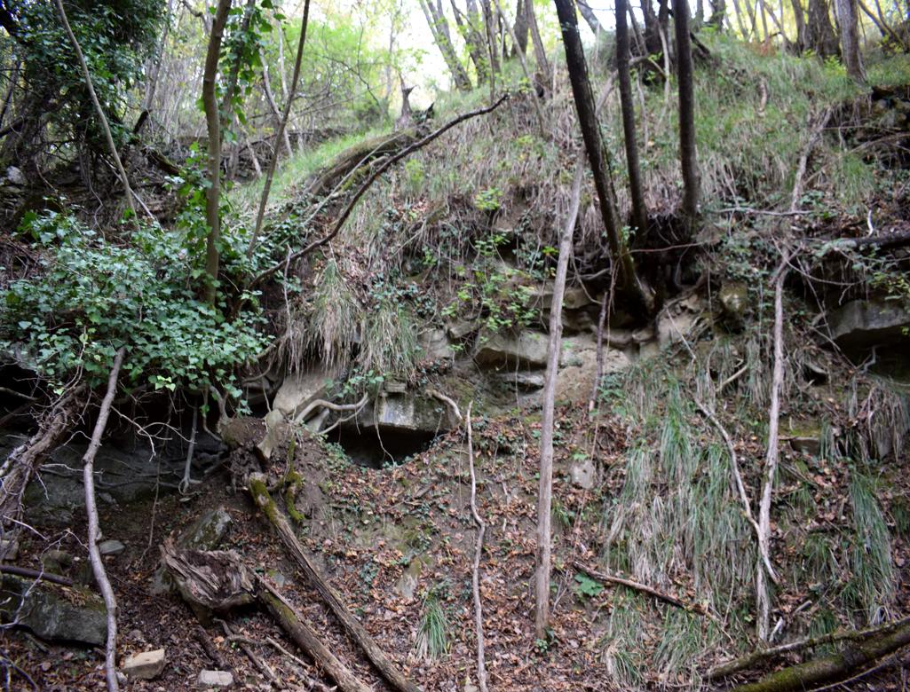
Name: Hiking trail from Labor to the watermill Fermov and the river Dragonja.
Place: Labor – (Koper).
Coordinates: Labor 45.47521 N – 13.77218 E.
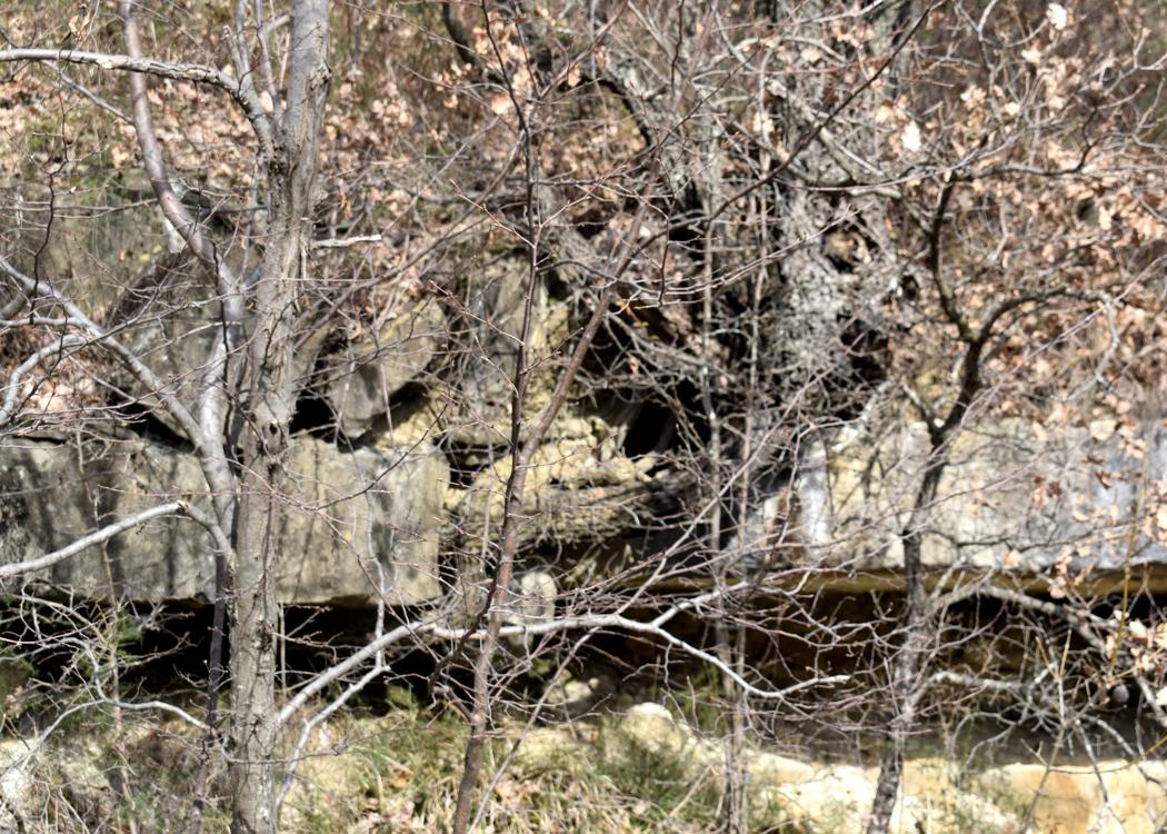
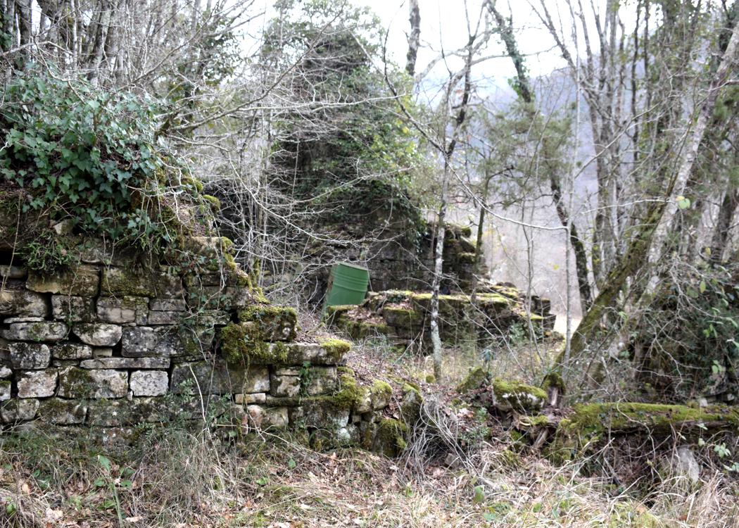
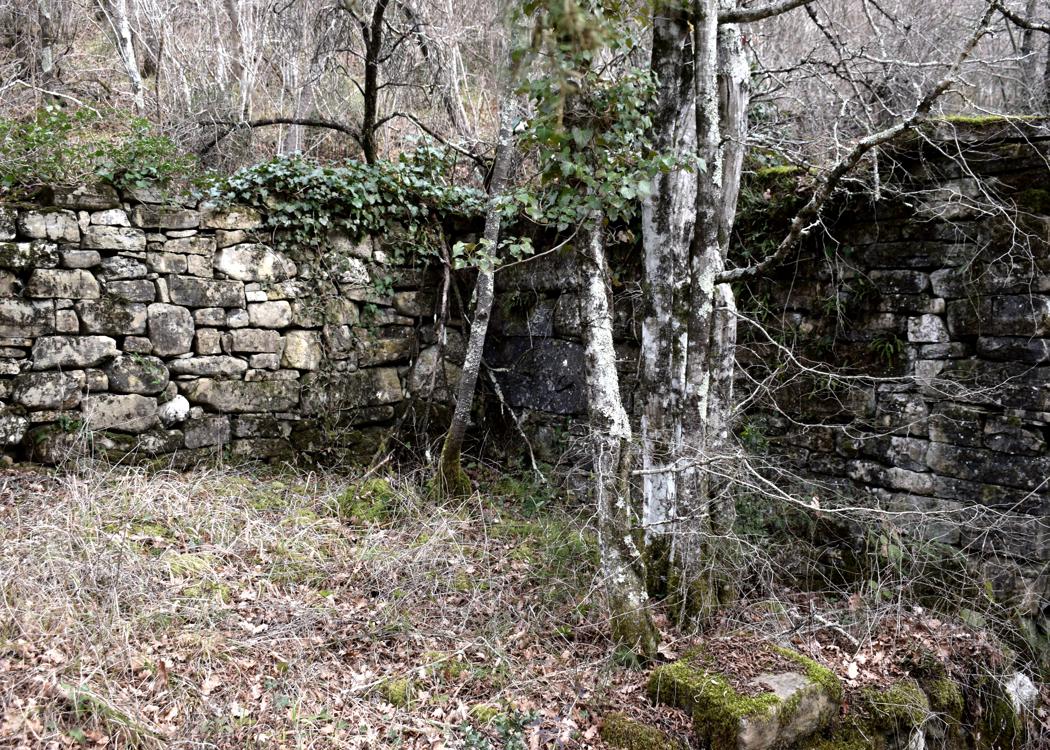
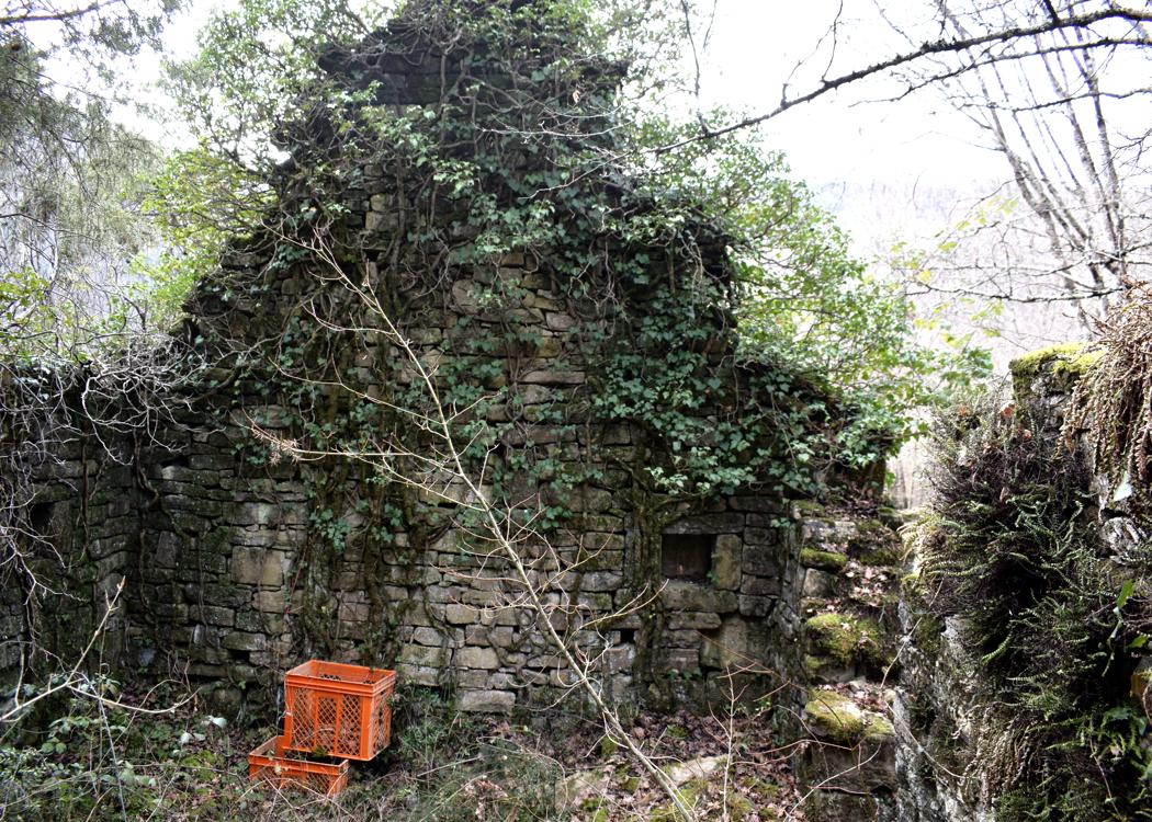
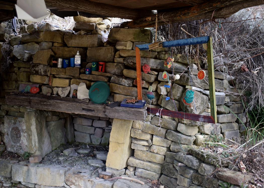
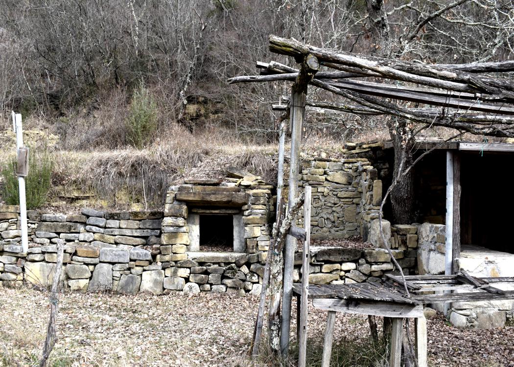
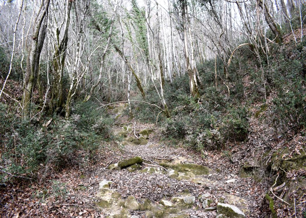
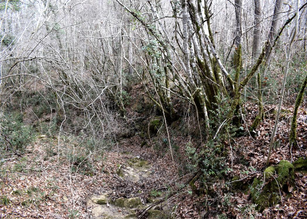
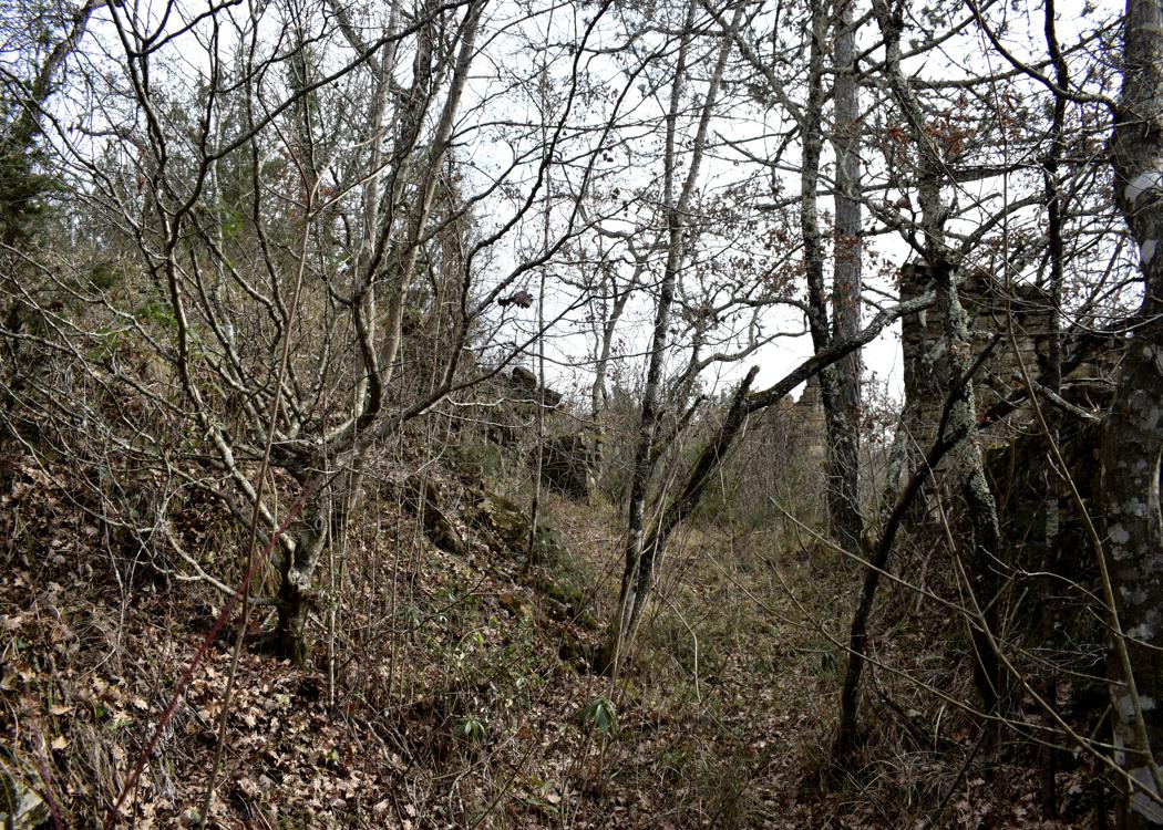
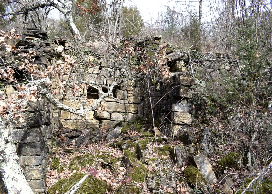
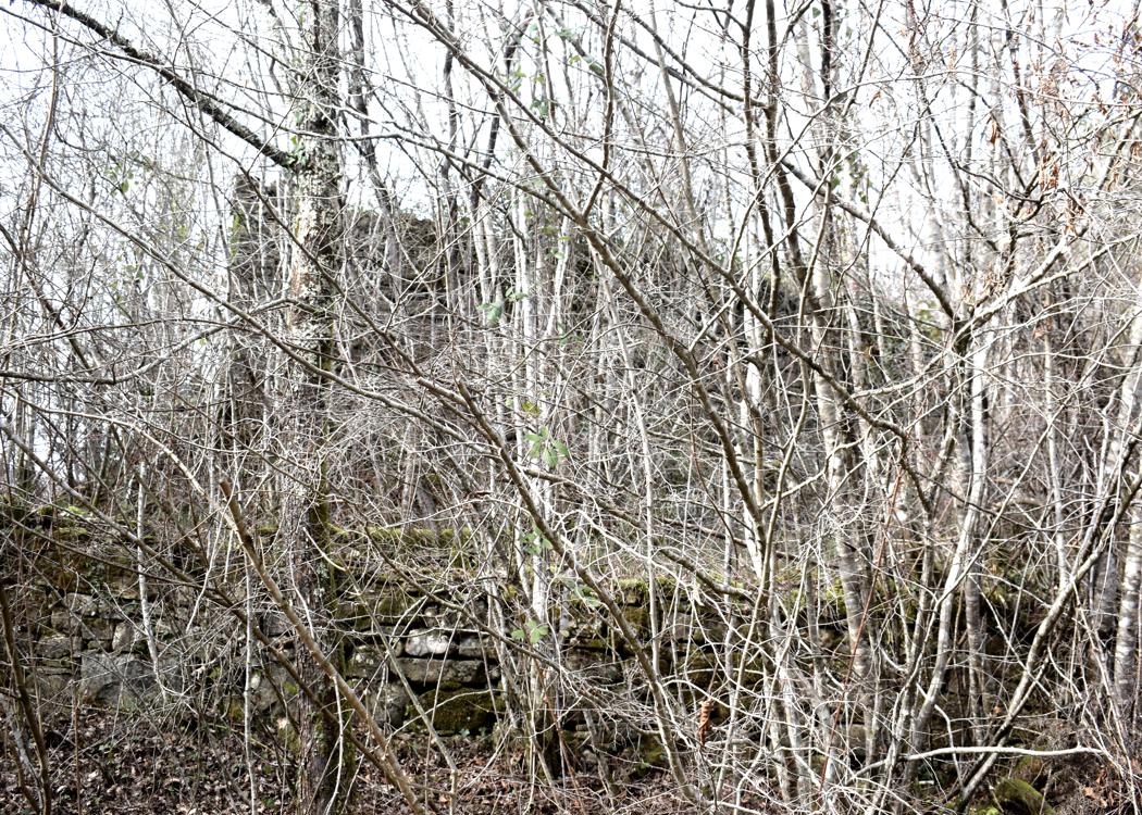
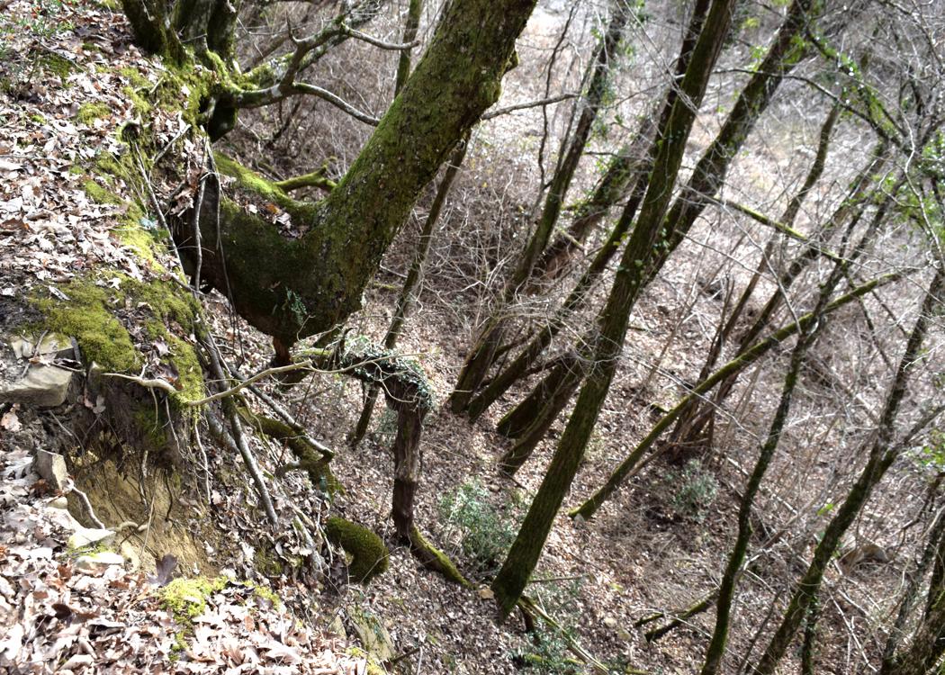
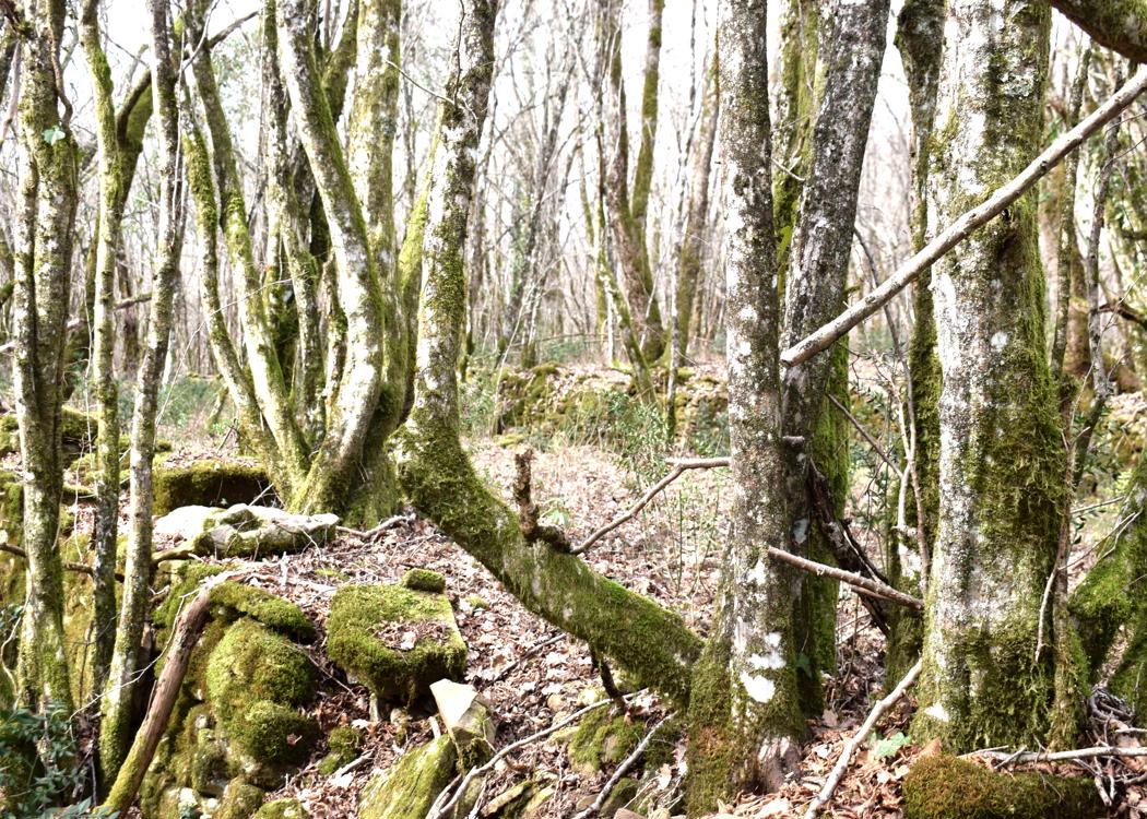
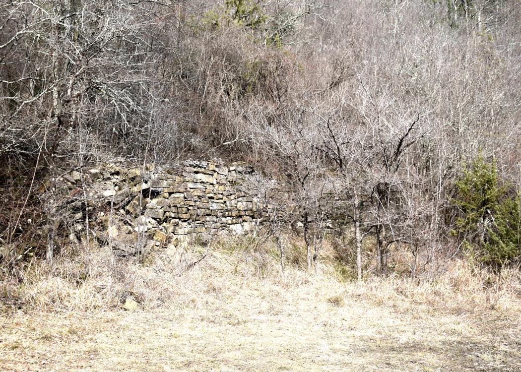
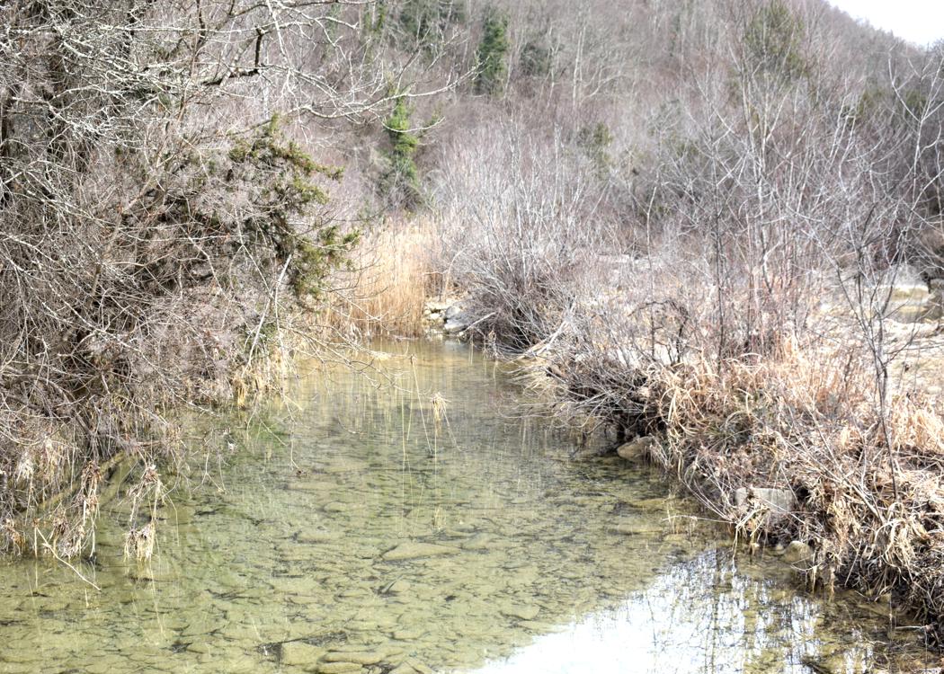
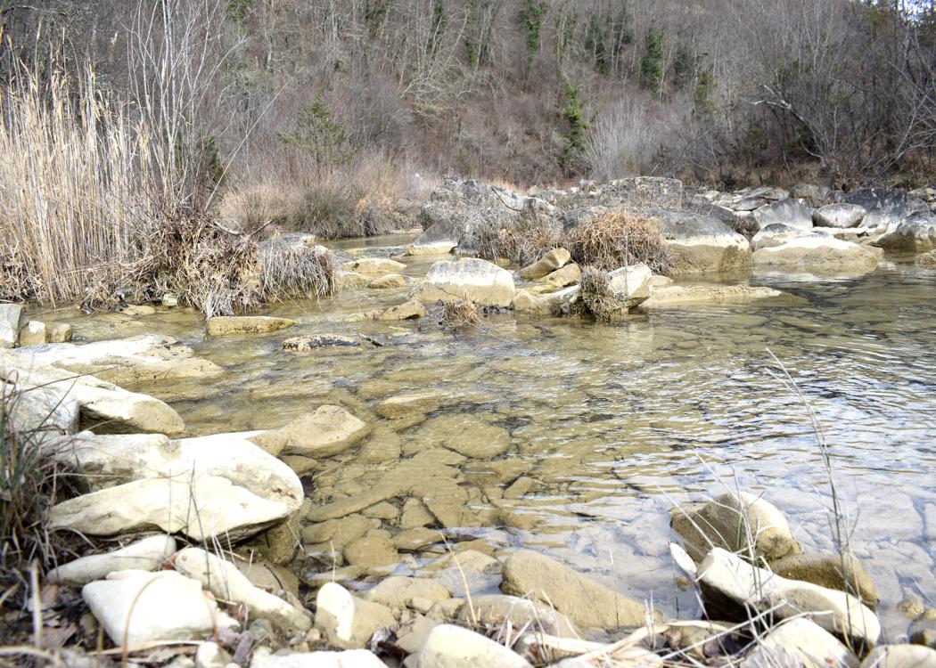
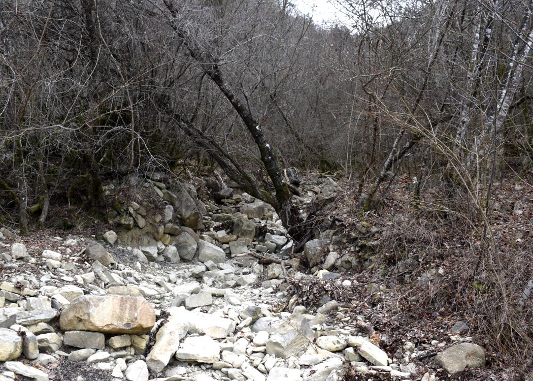
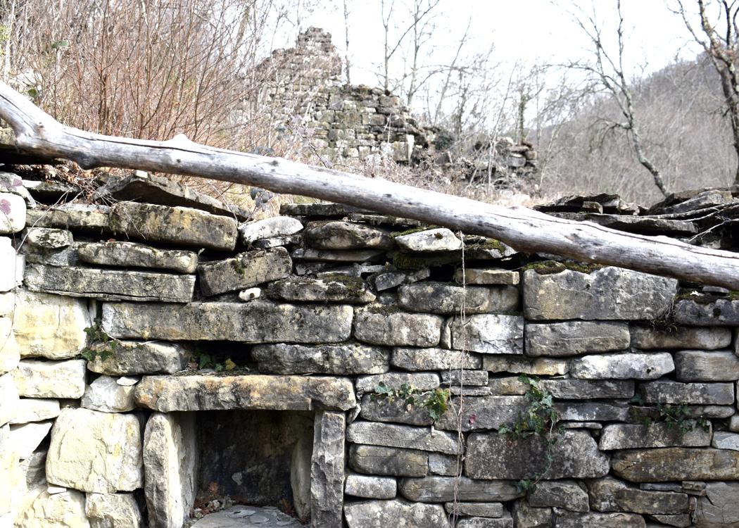
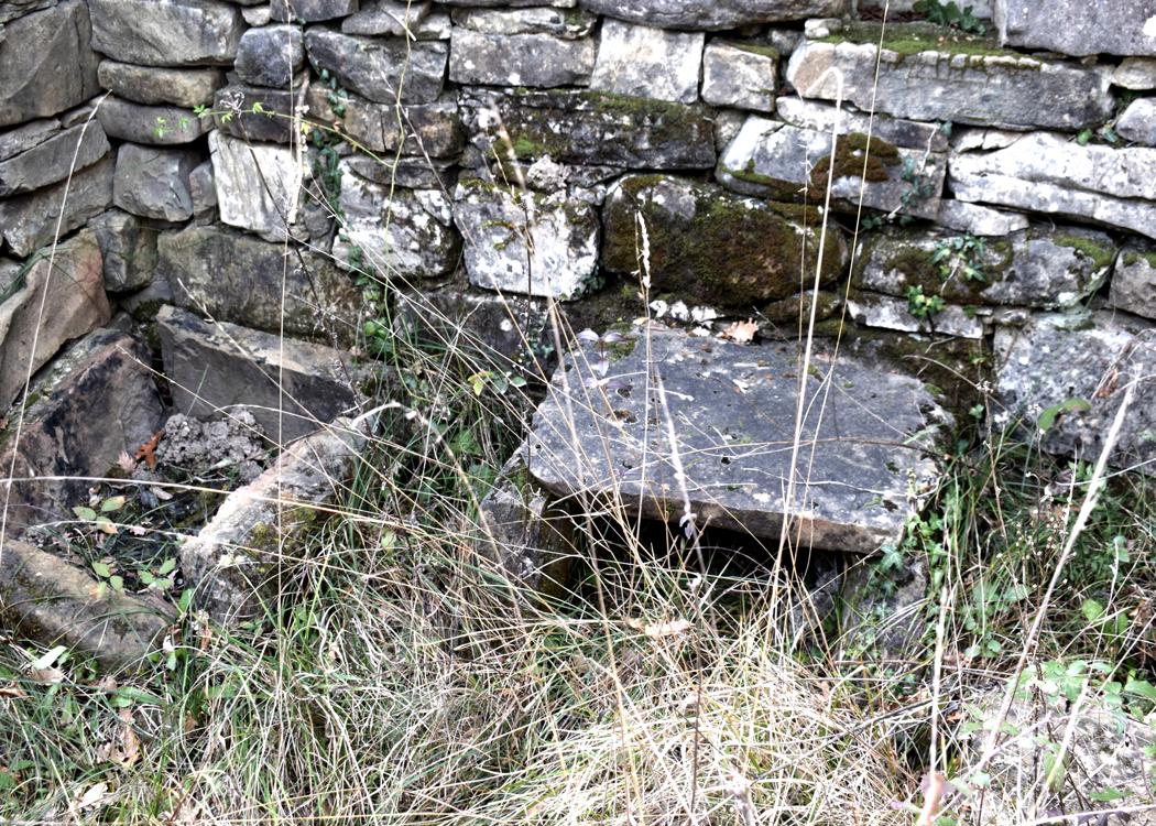
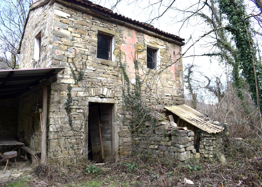
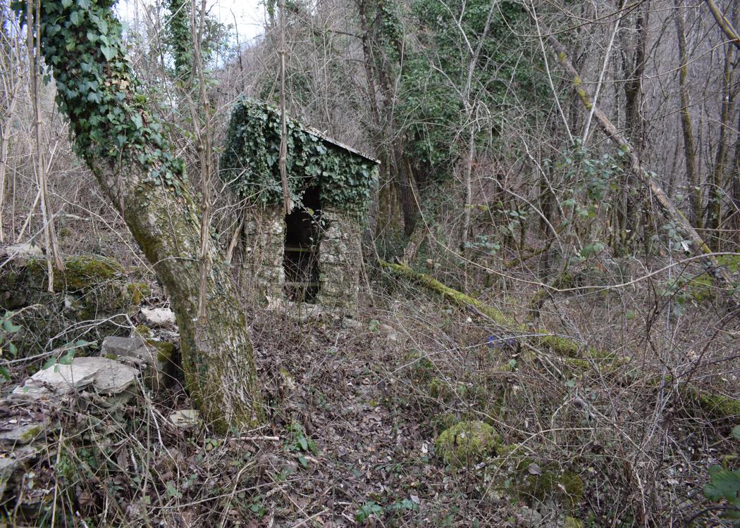
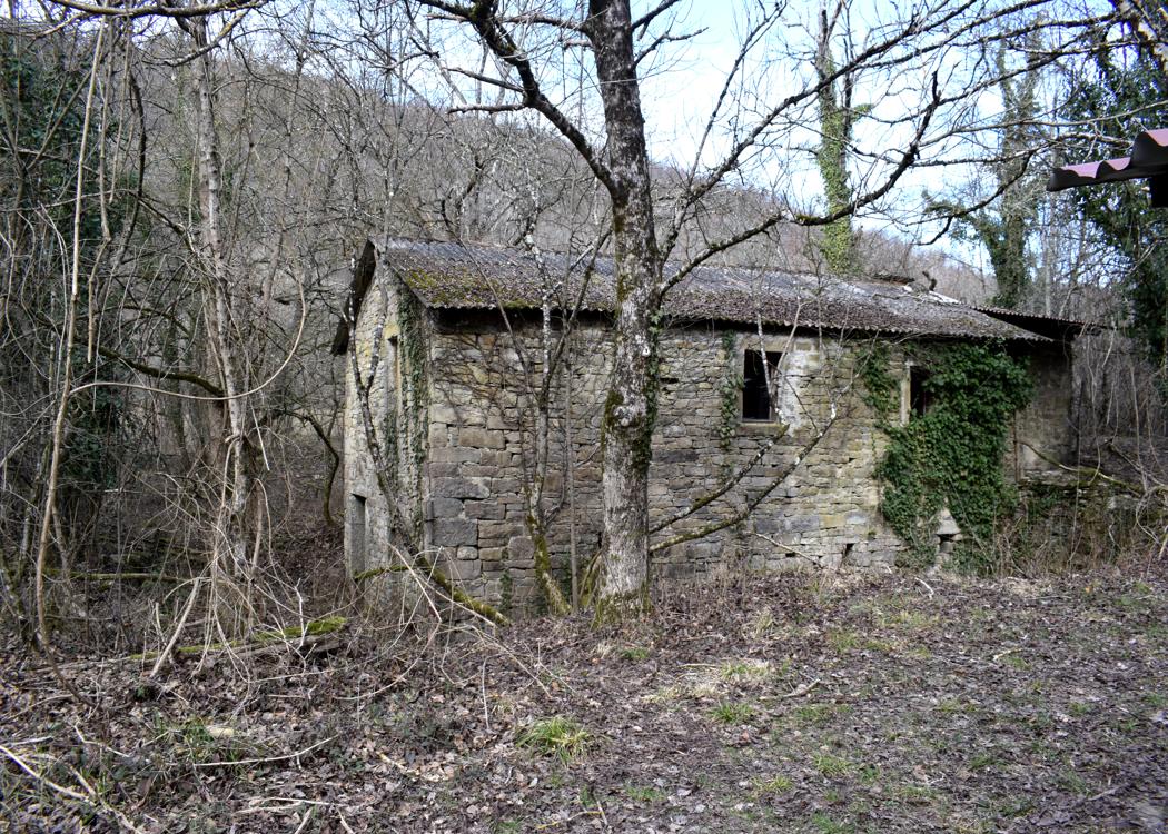
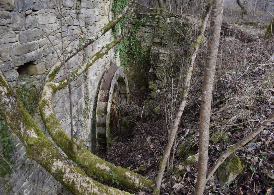
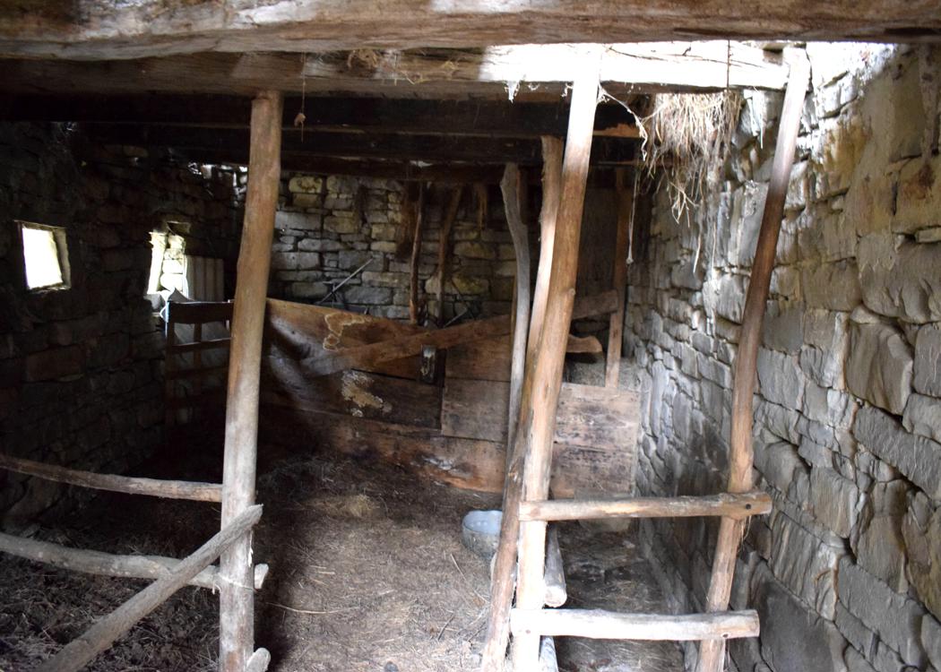
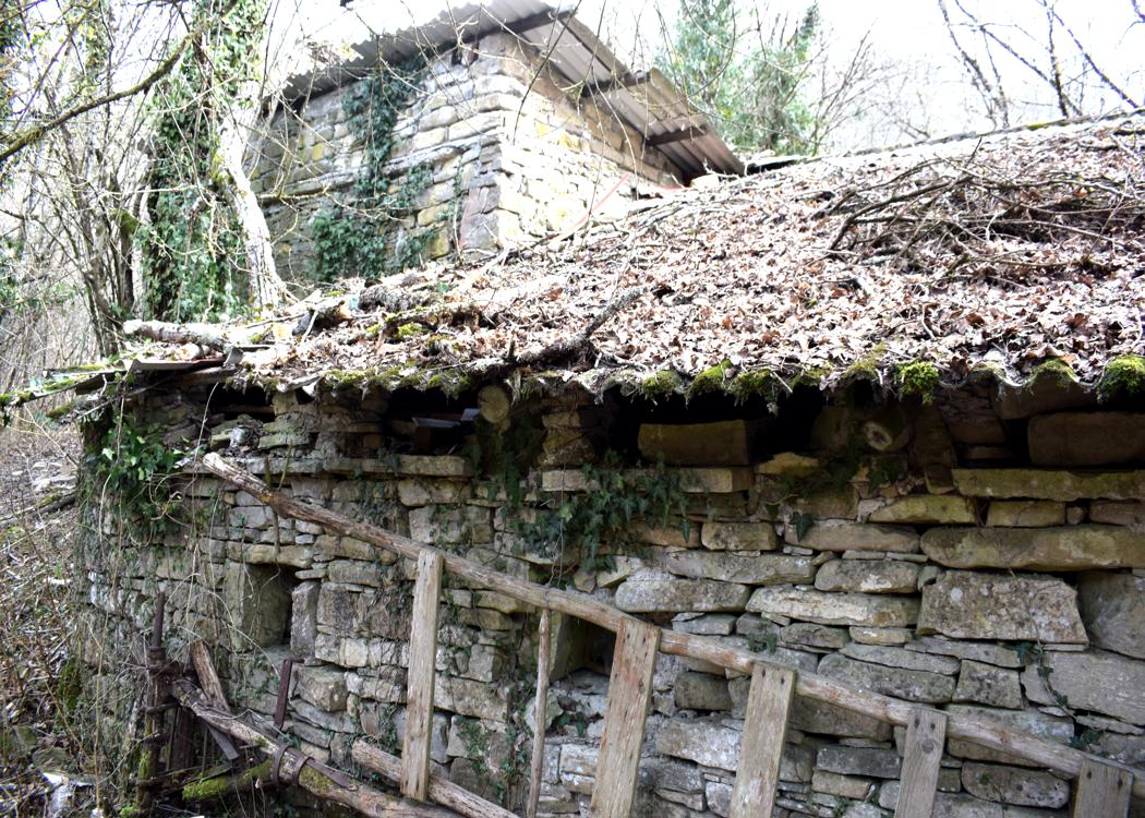
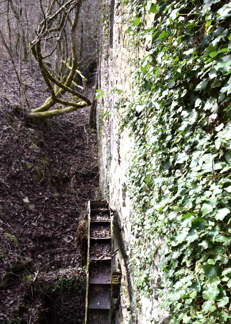
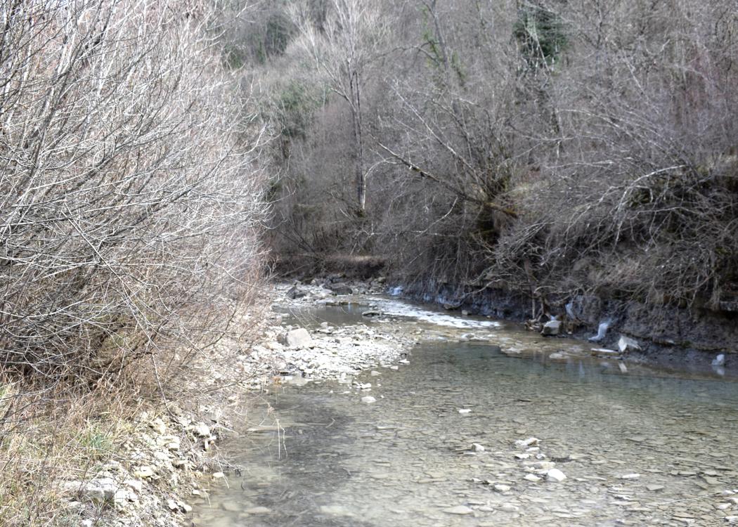
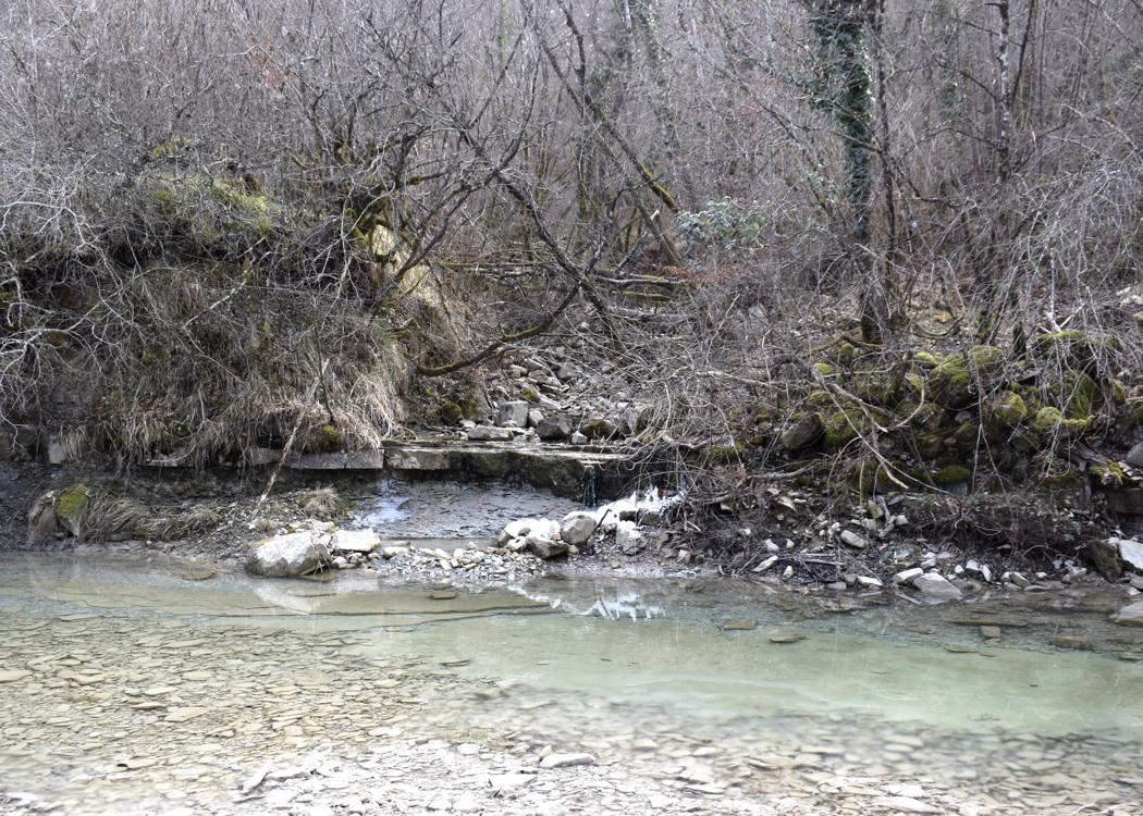
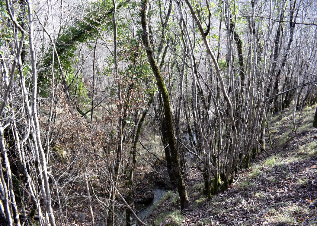
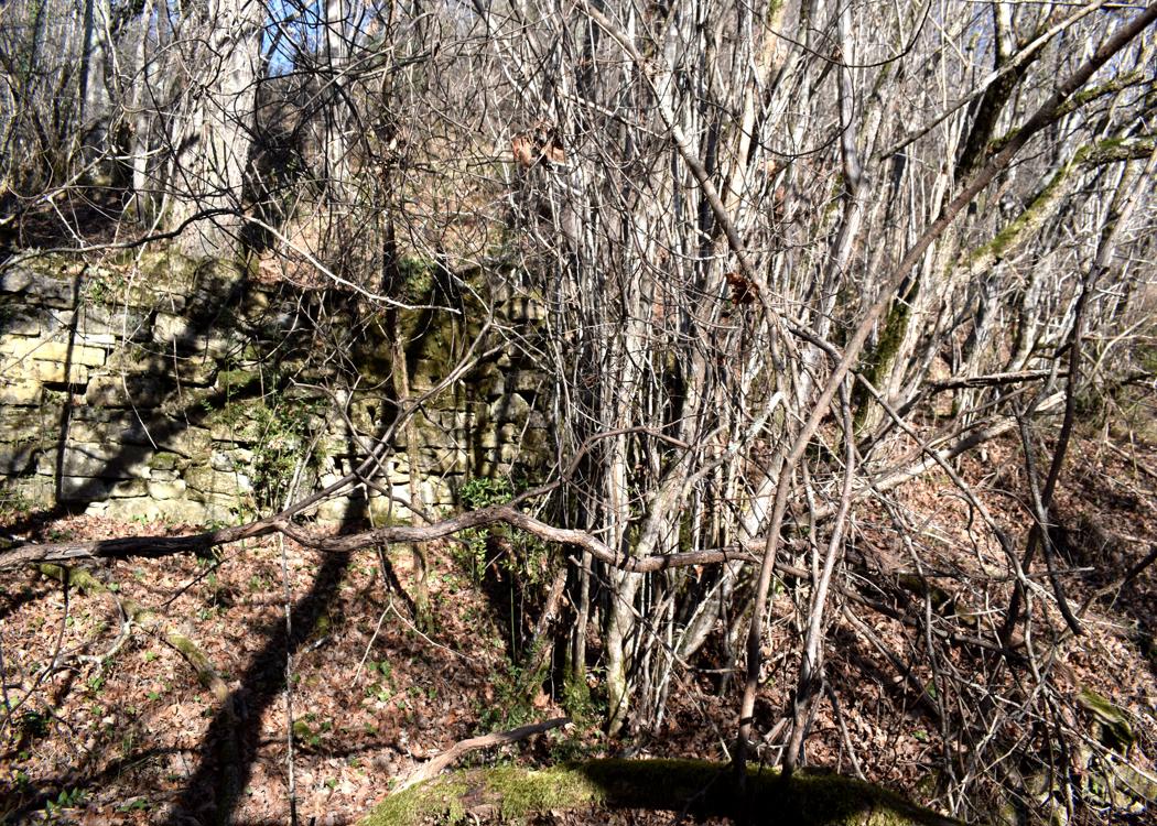
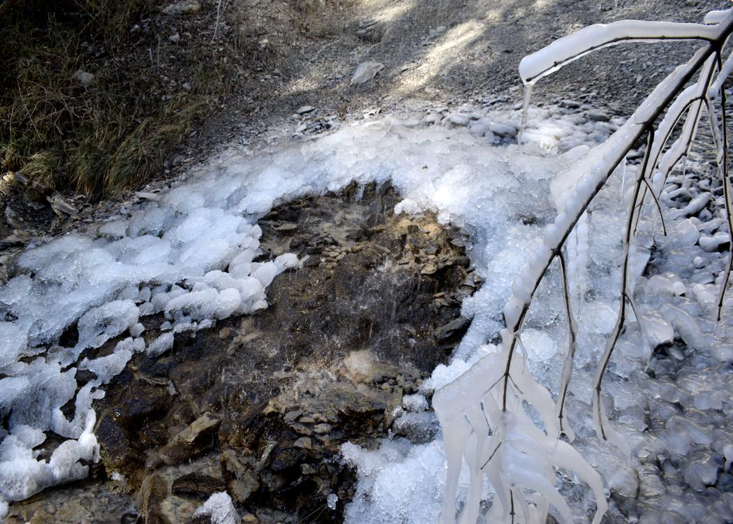
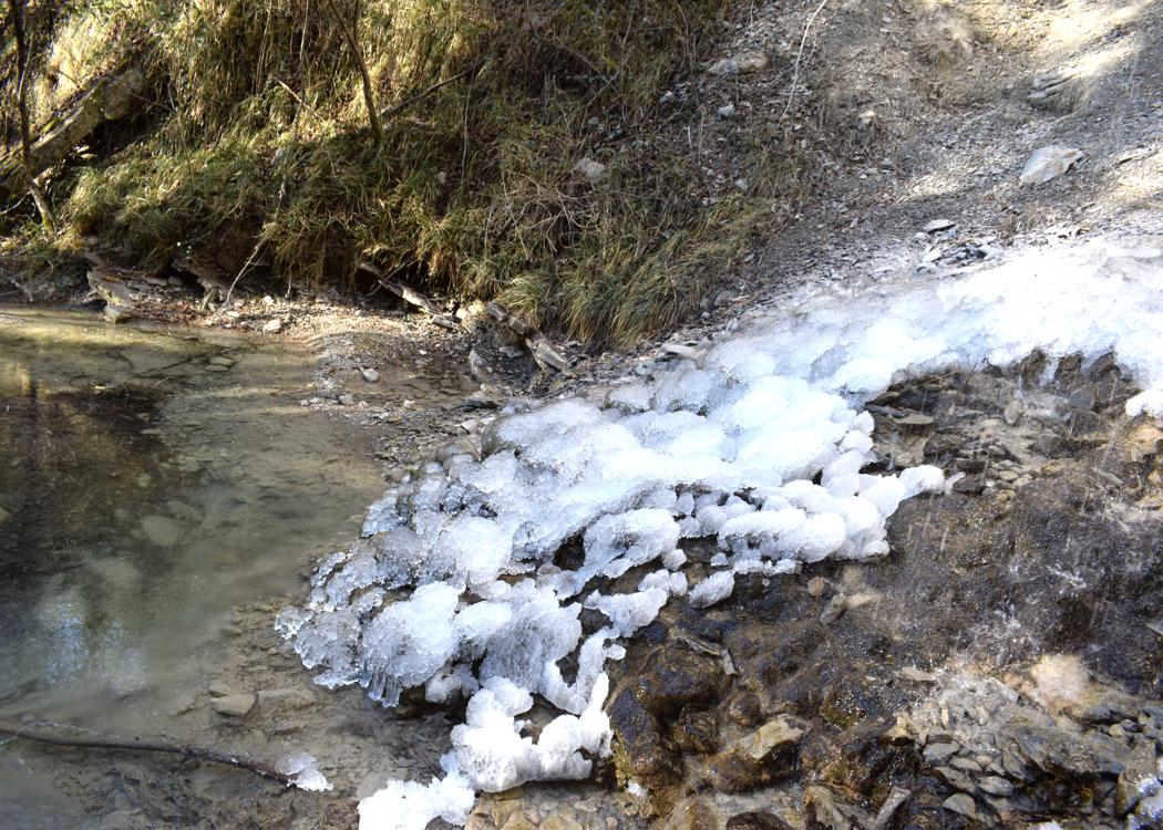
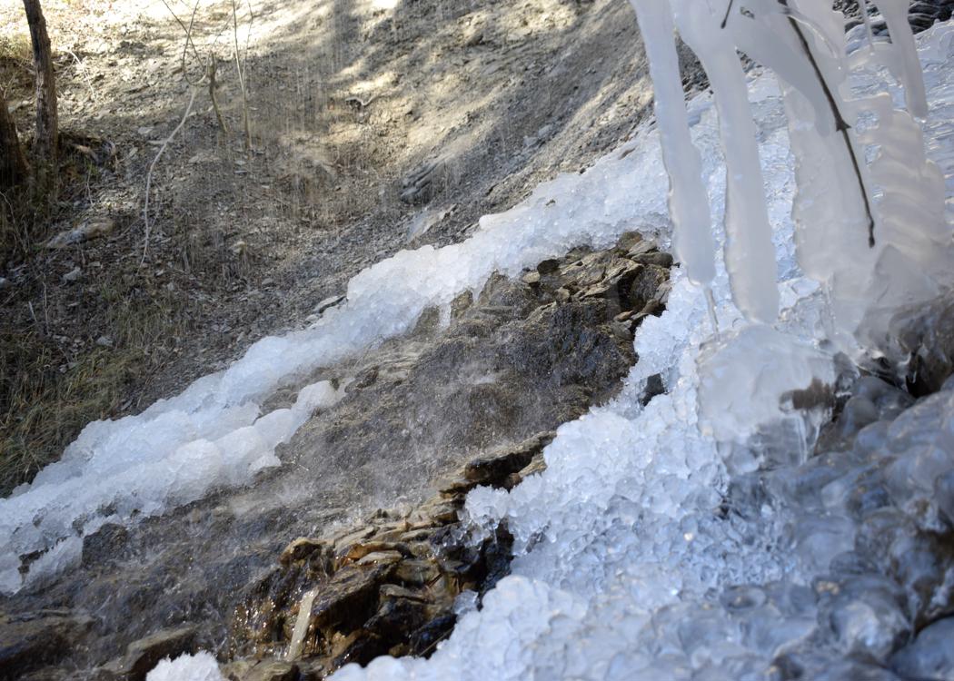
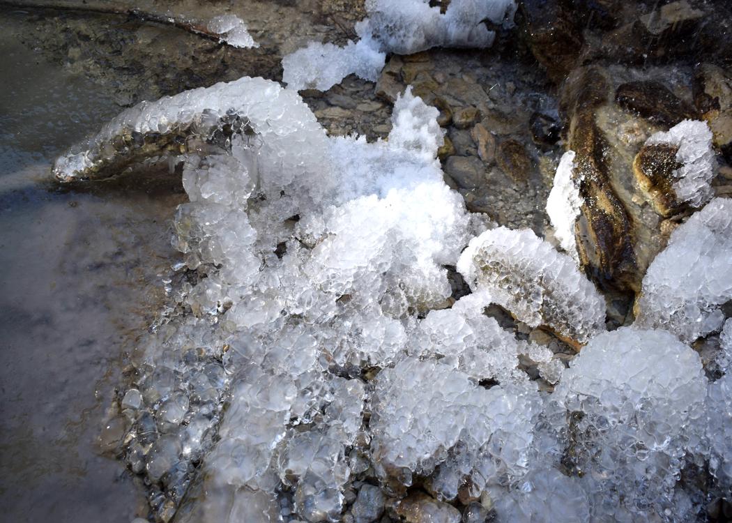
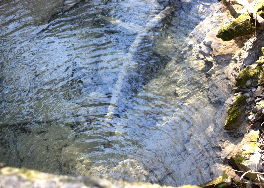
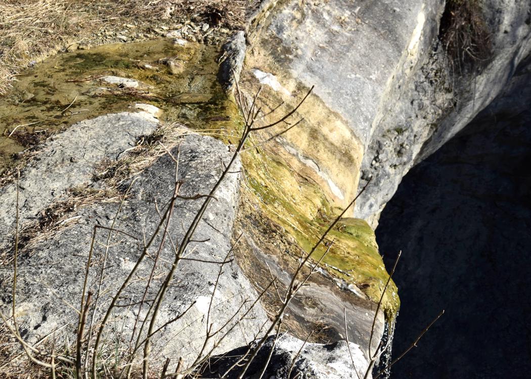
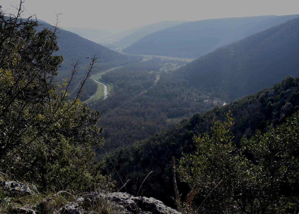
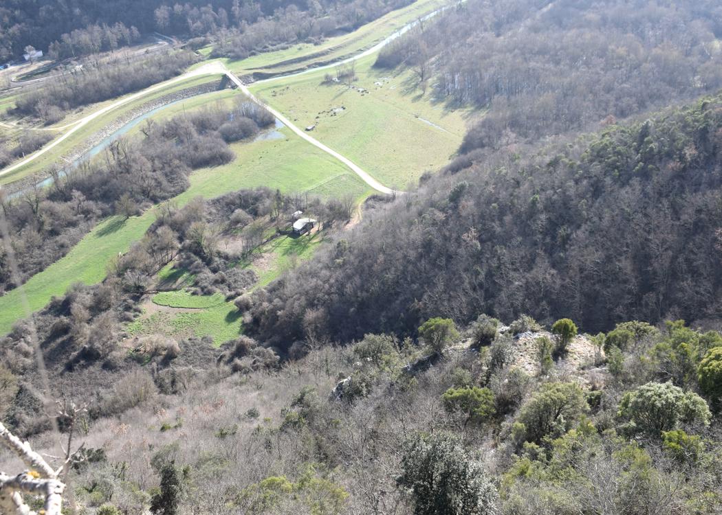
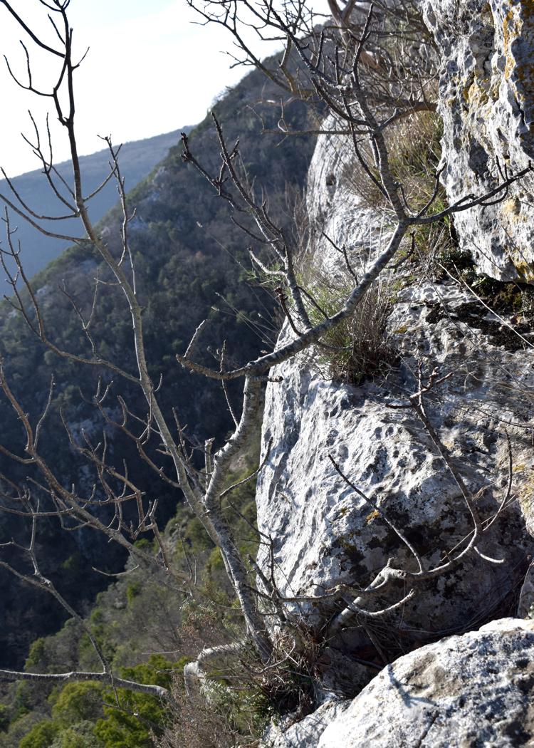
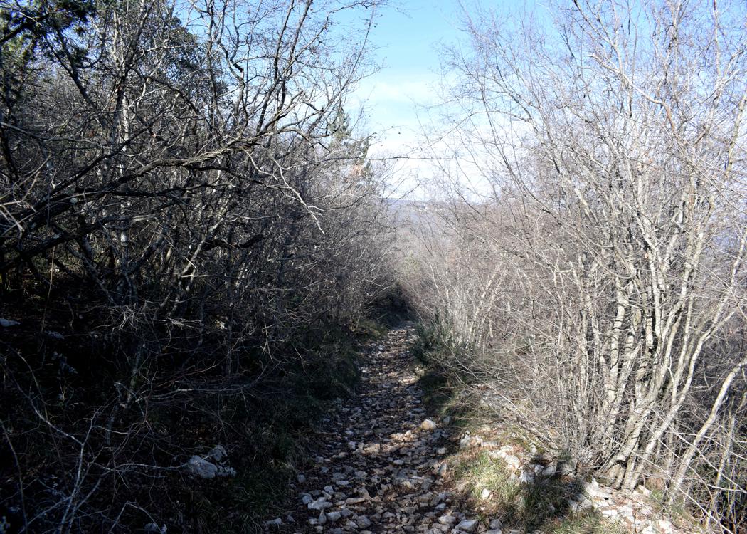
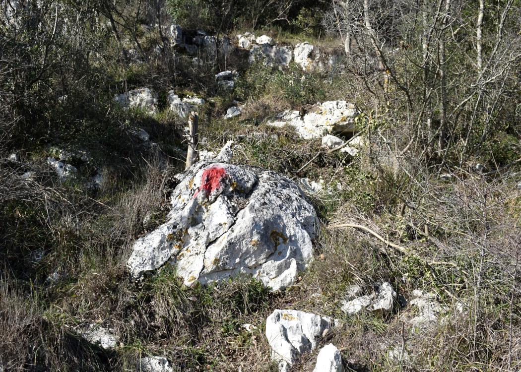
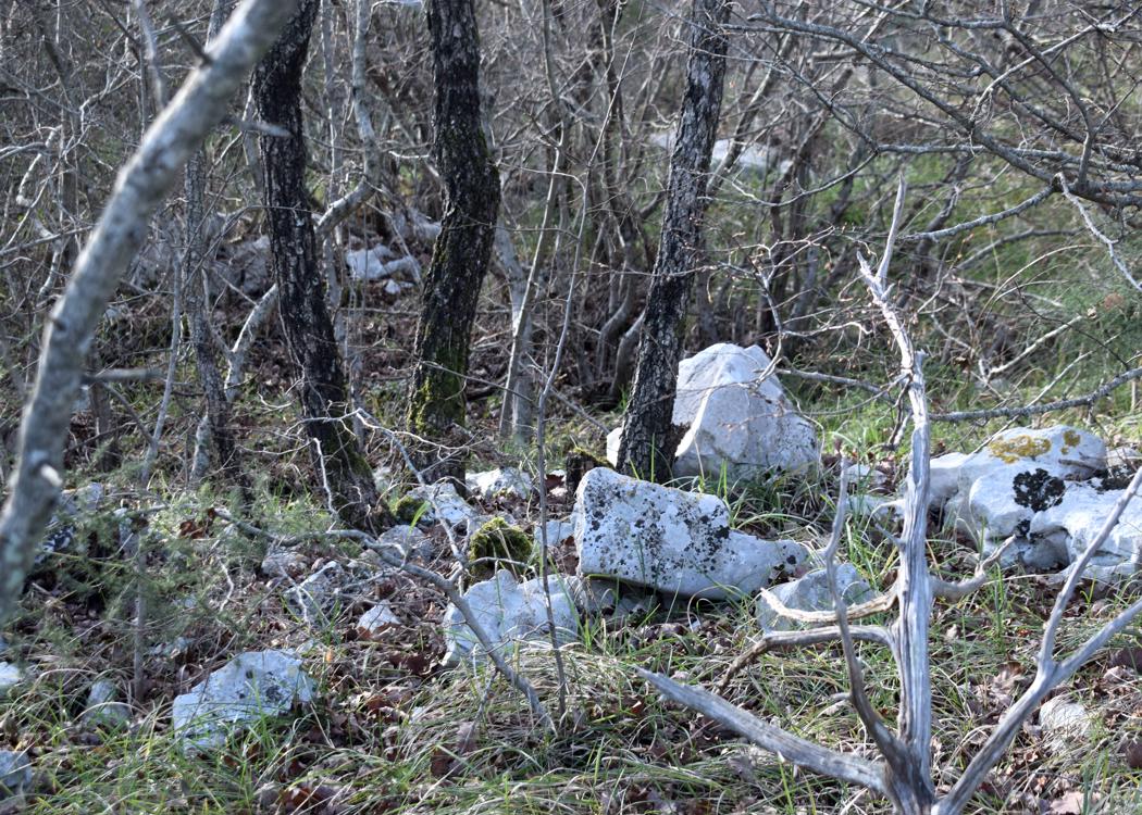
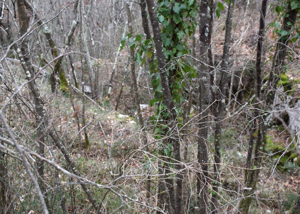
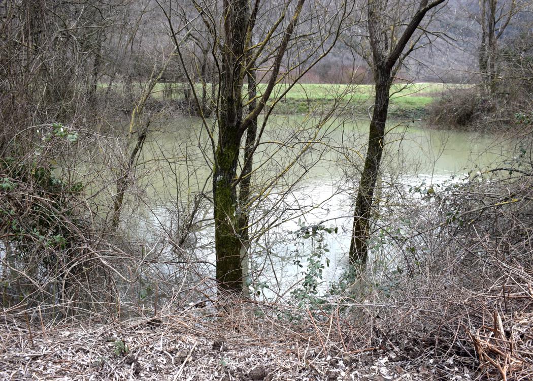
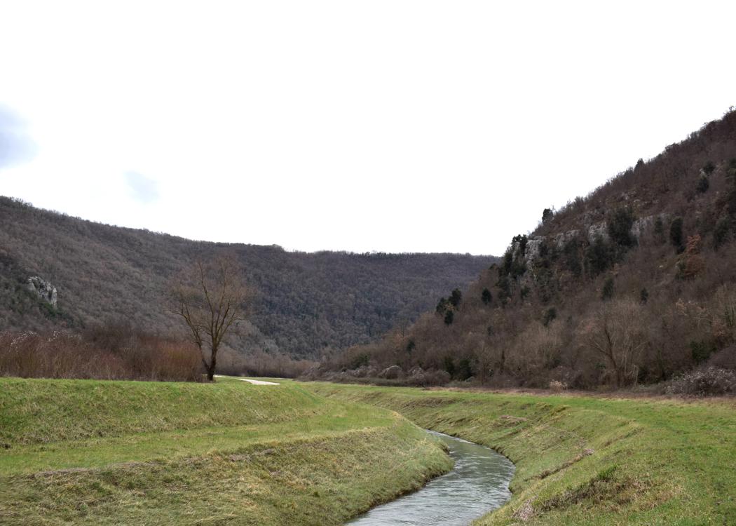
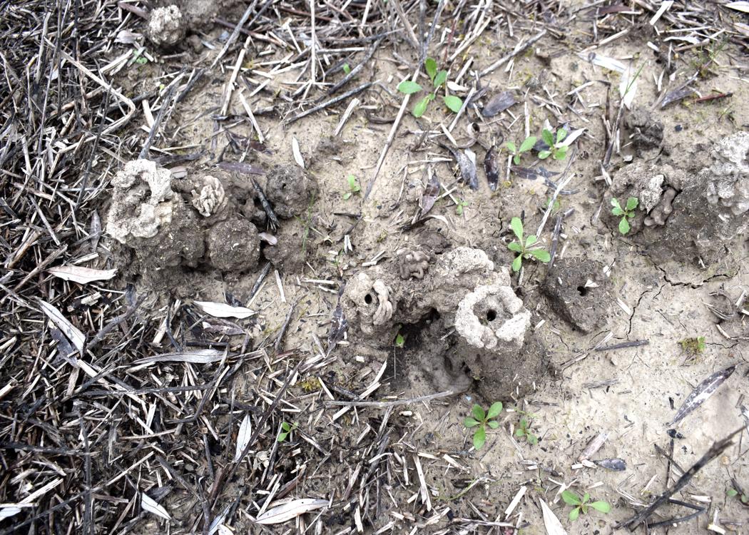
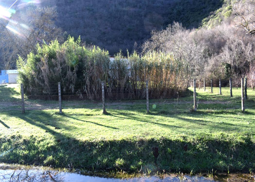
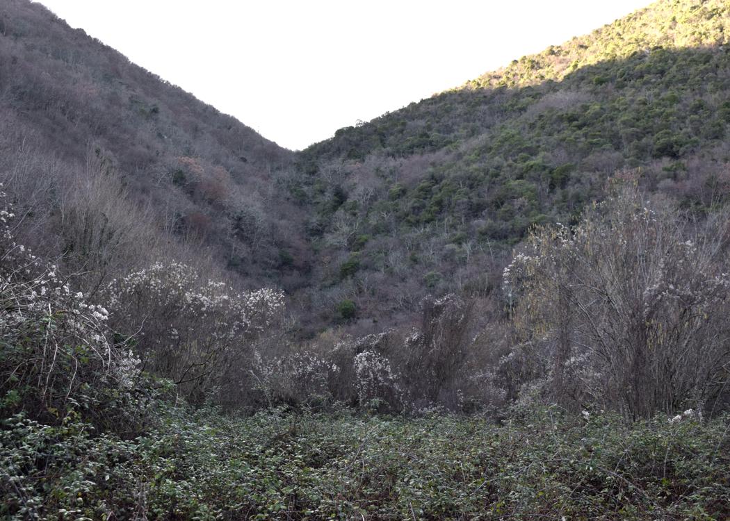
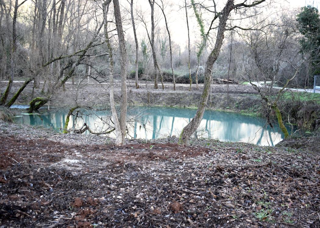
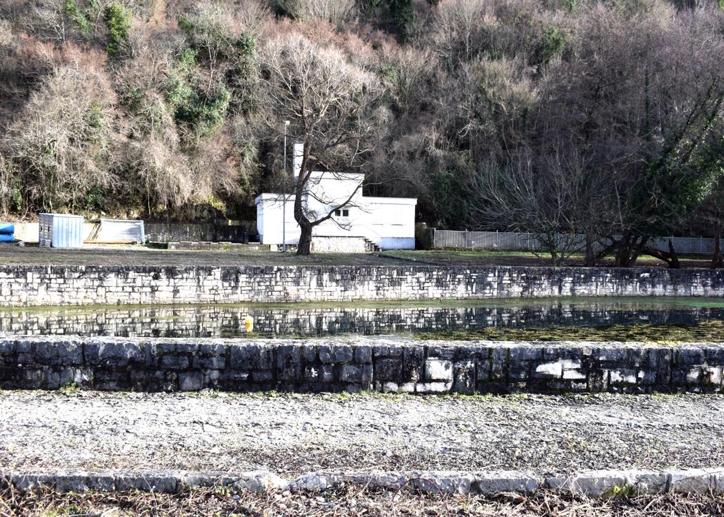
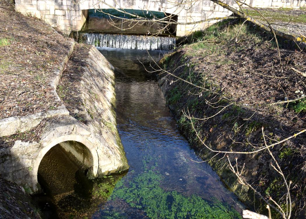
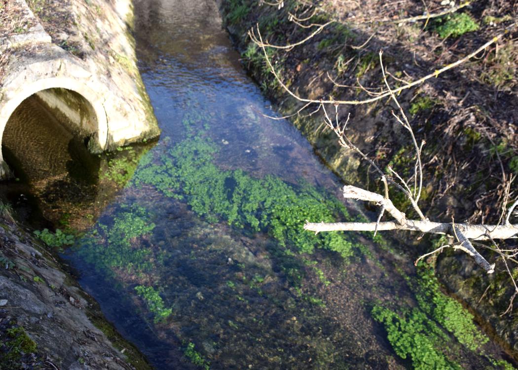
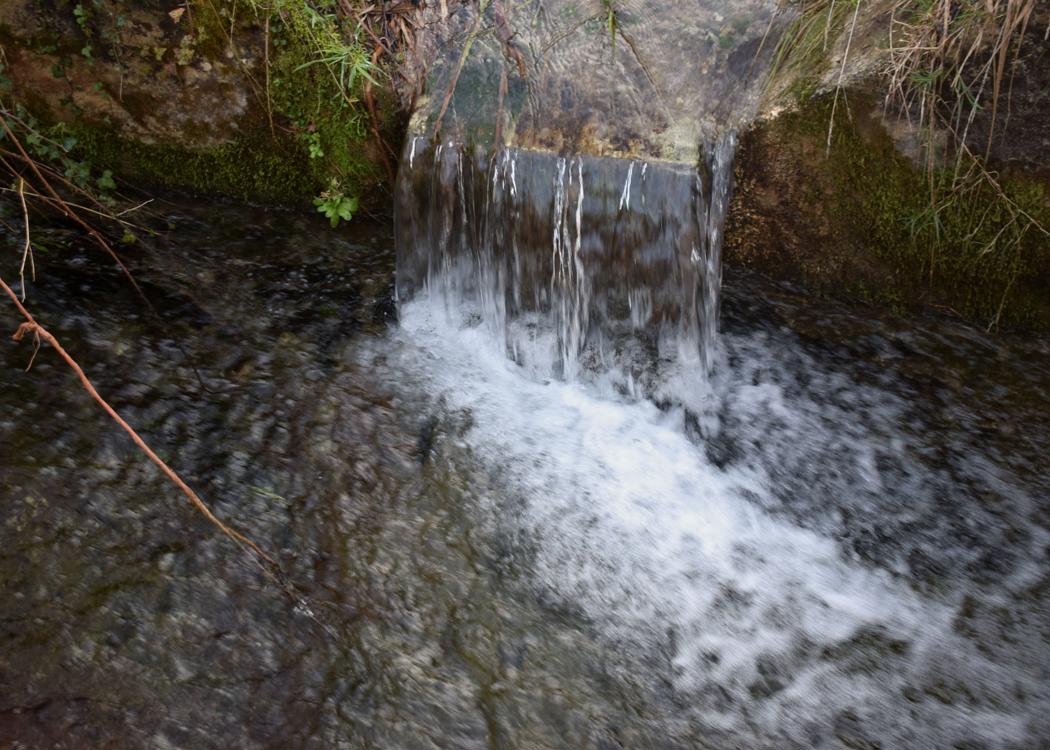
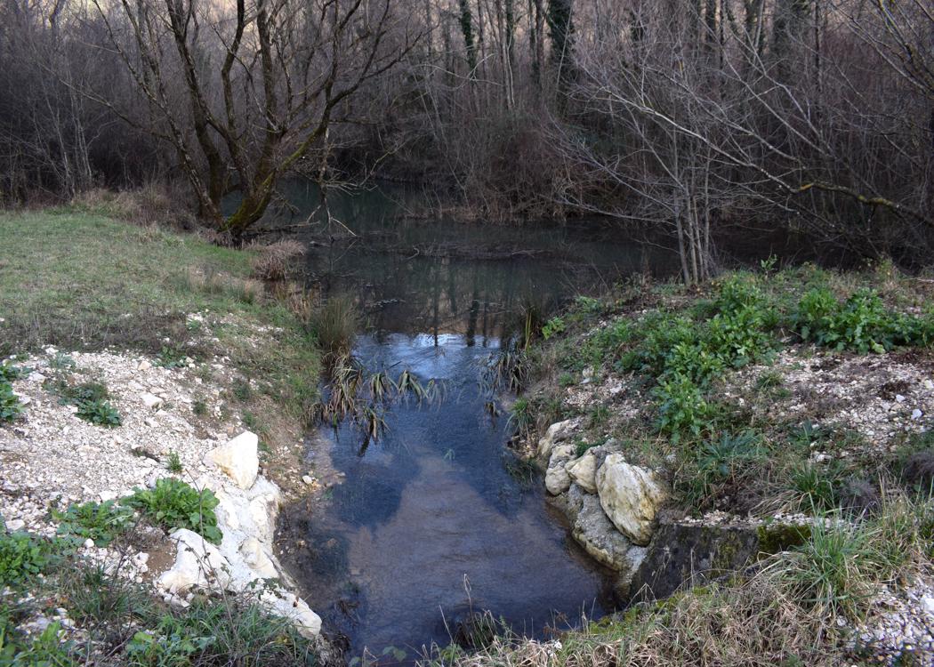
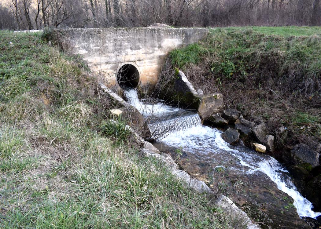
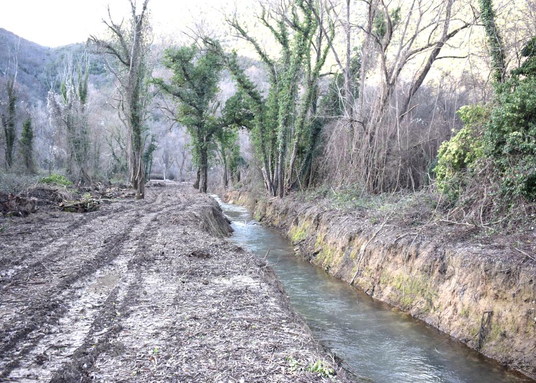
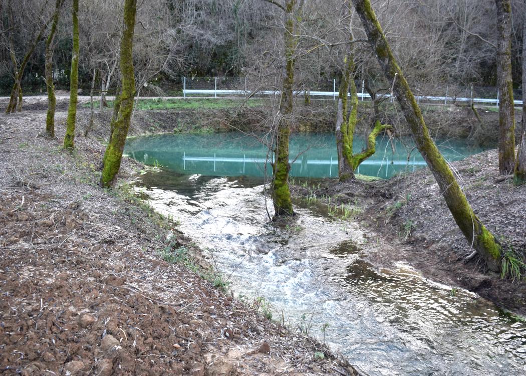
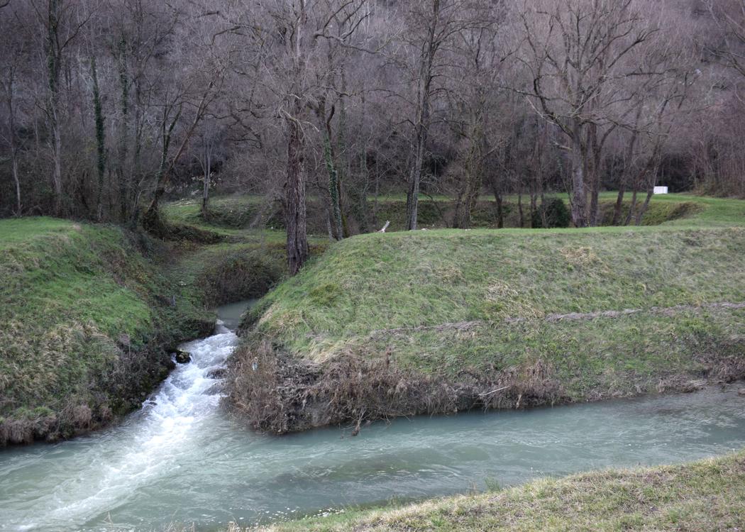
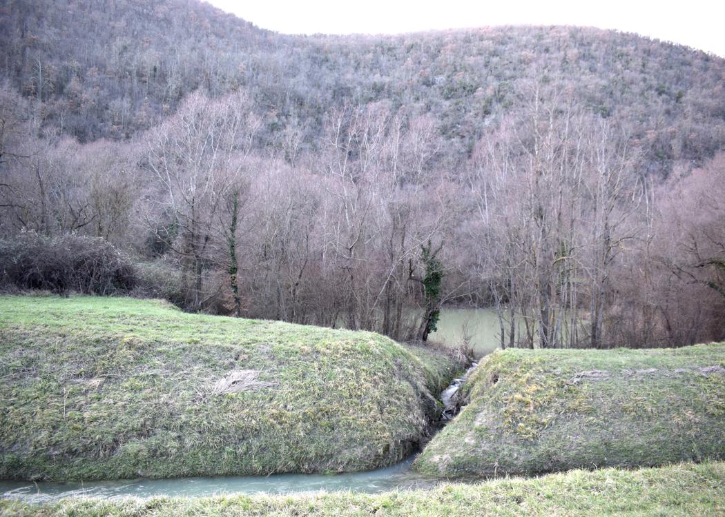
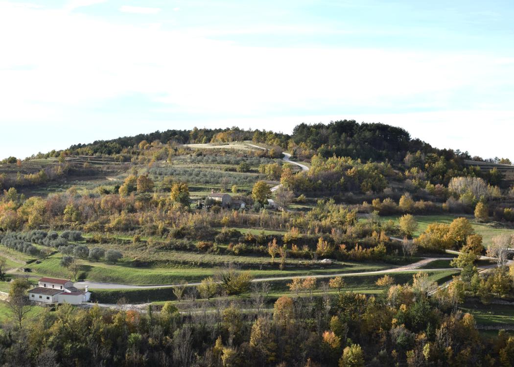
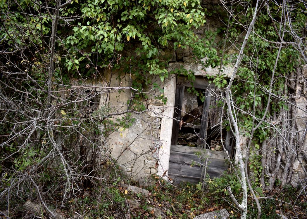
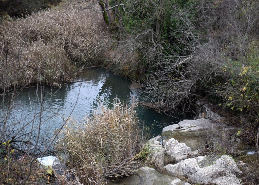
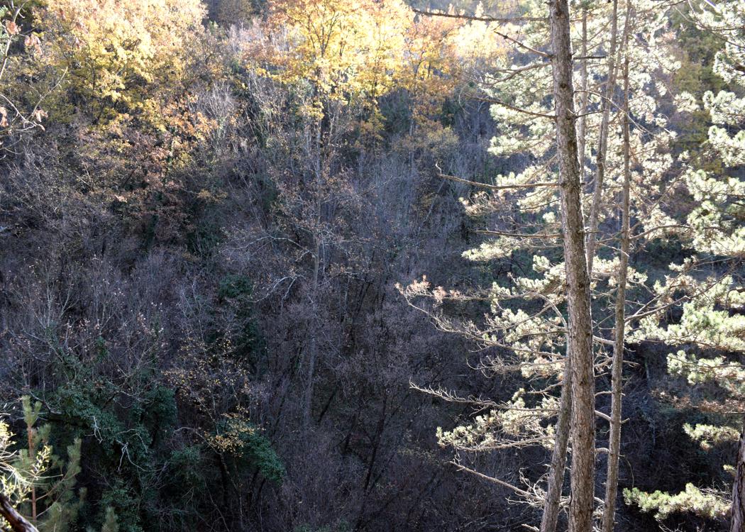
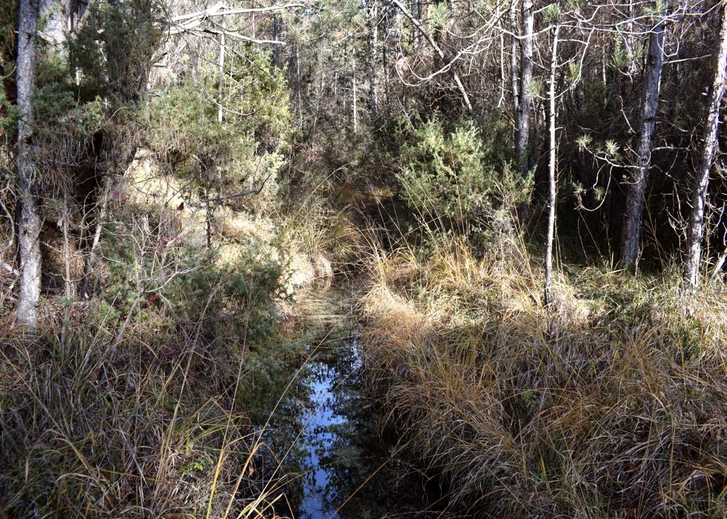
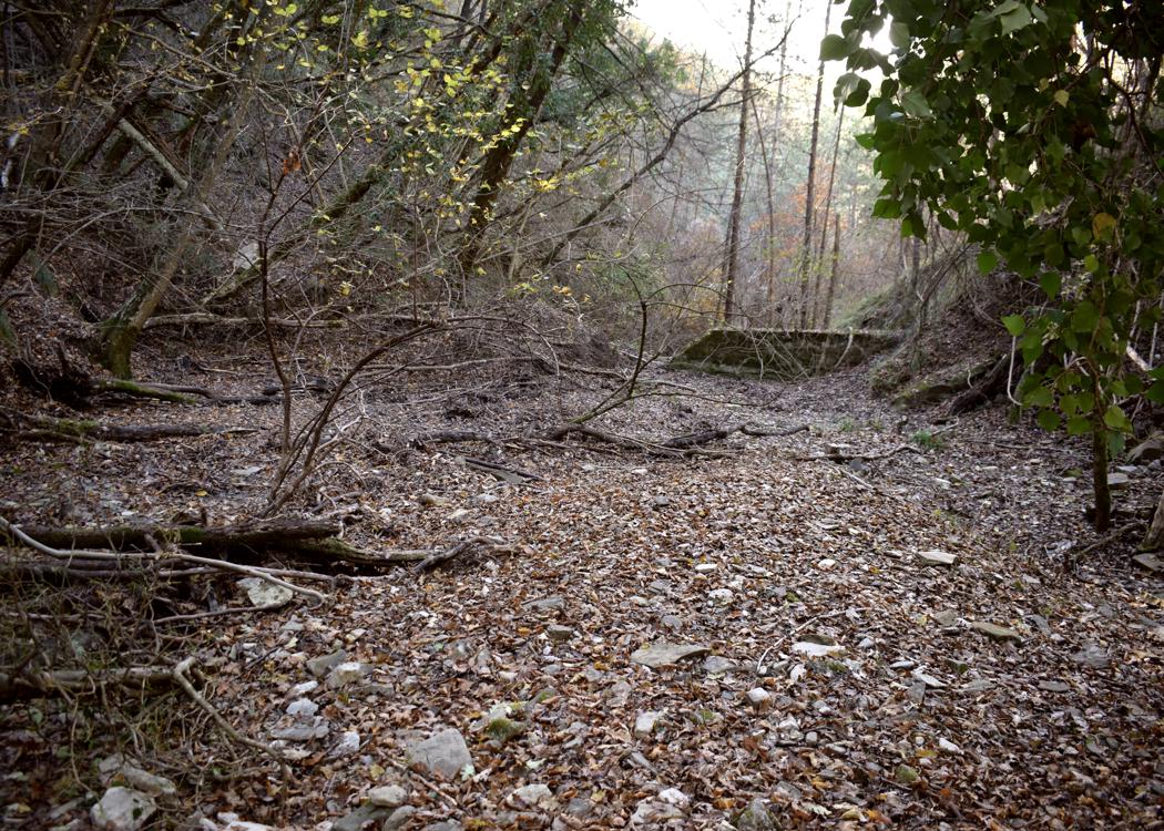
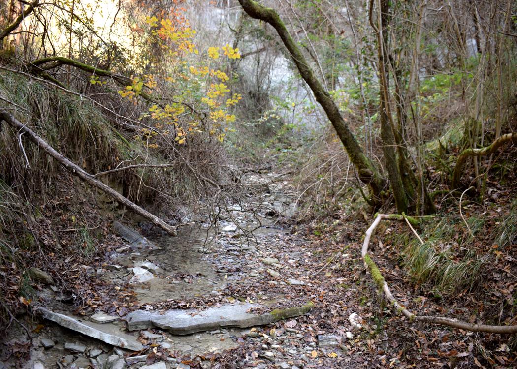
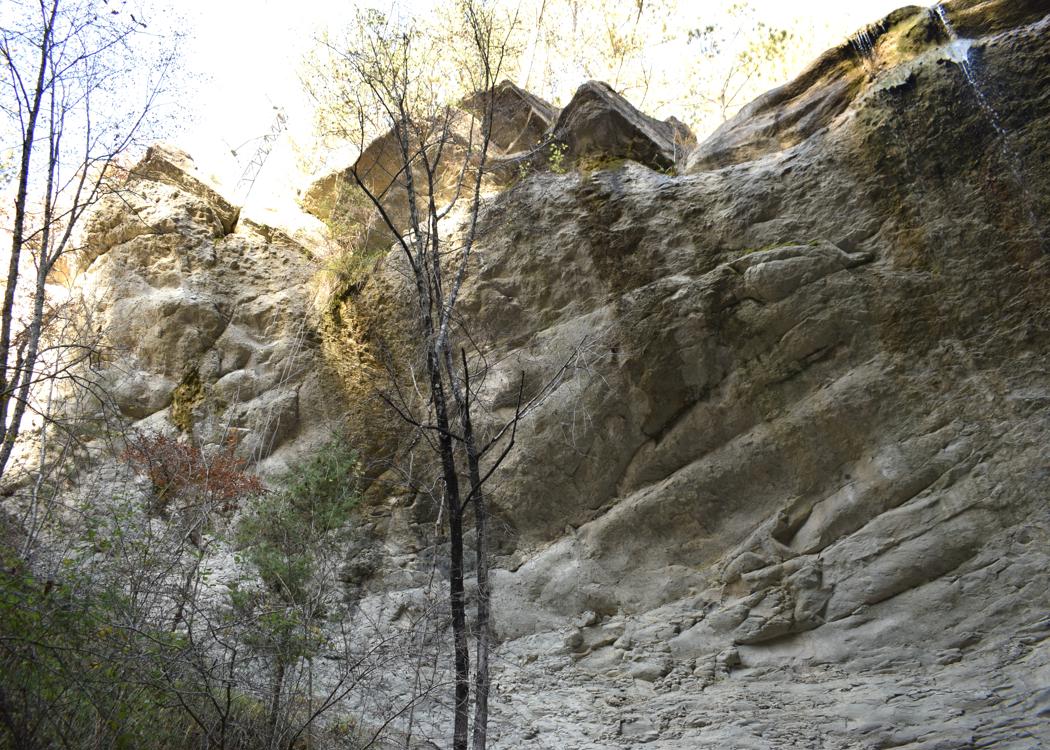
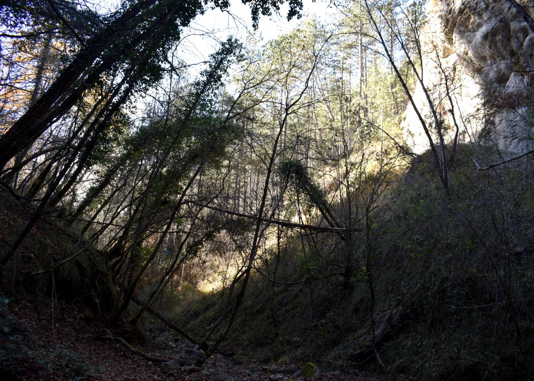
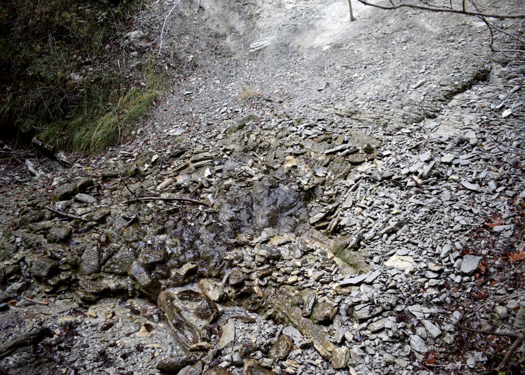
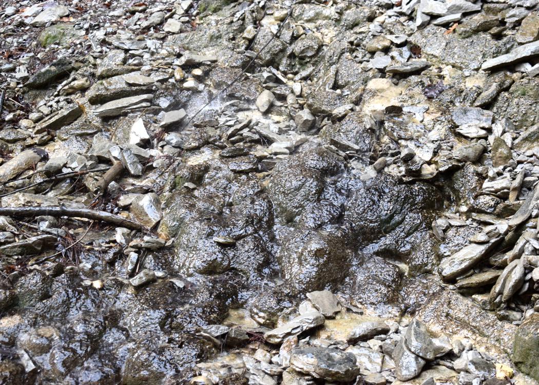
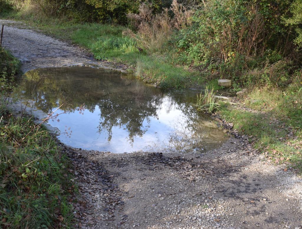
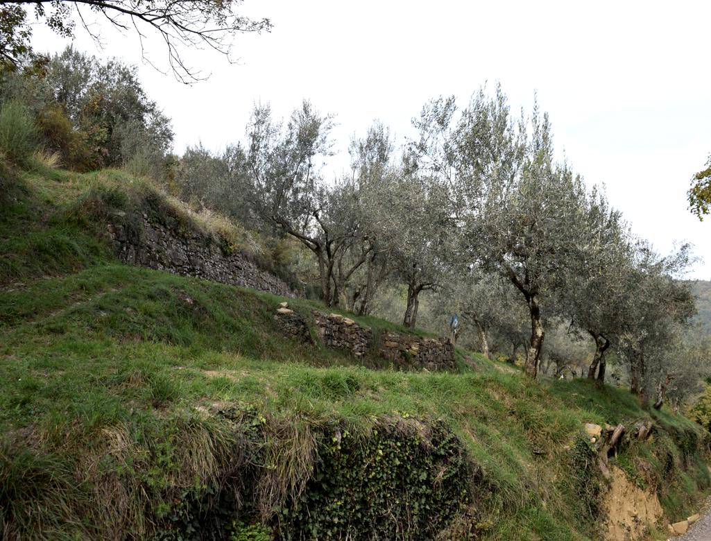
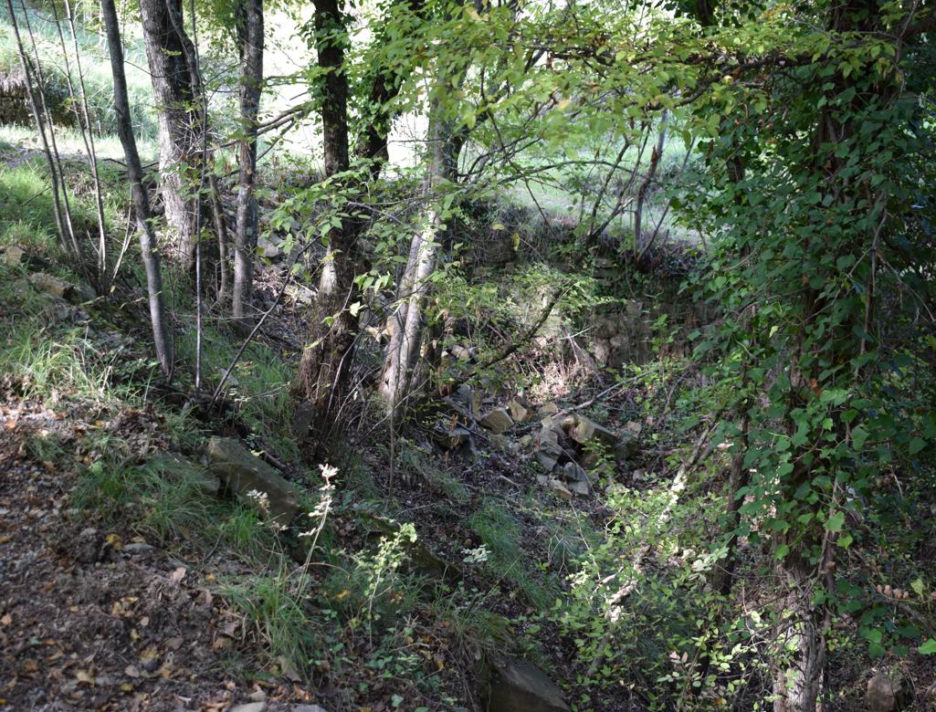
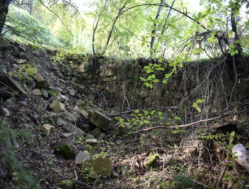
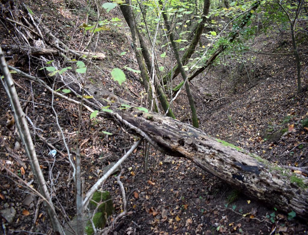
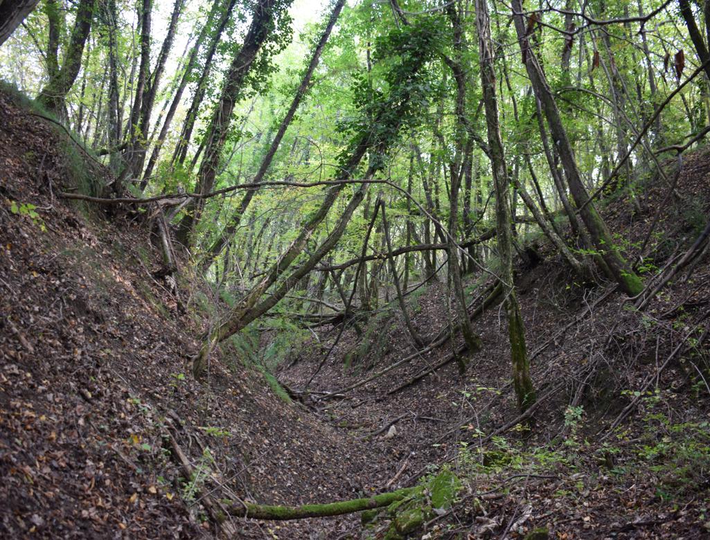
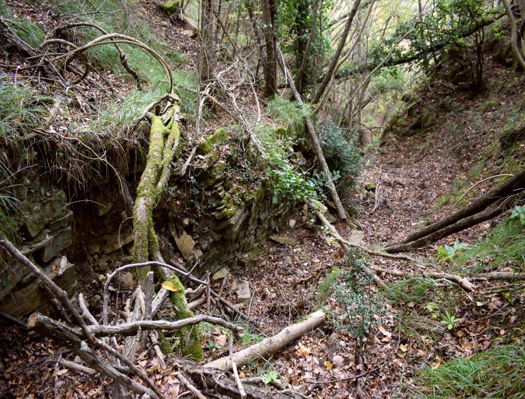
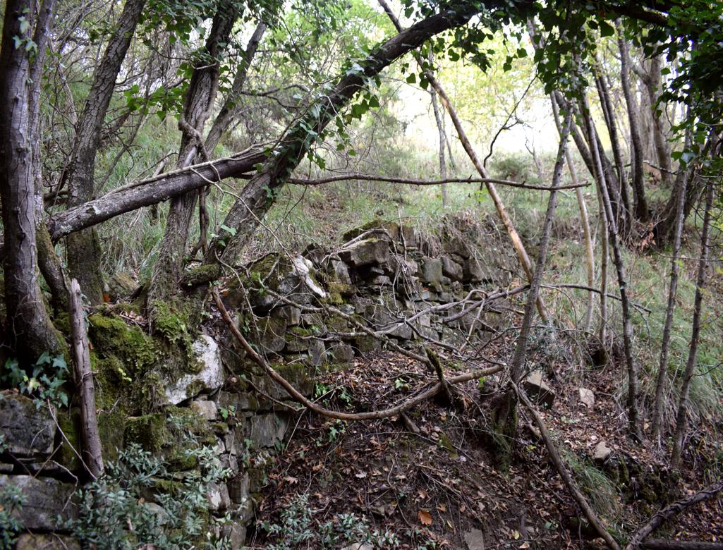
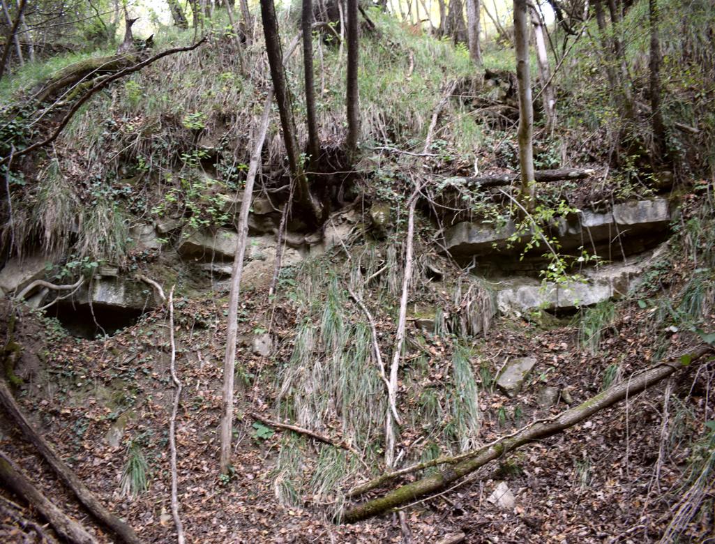
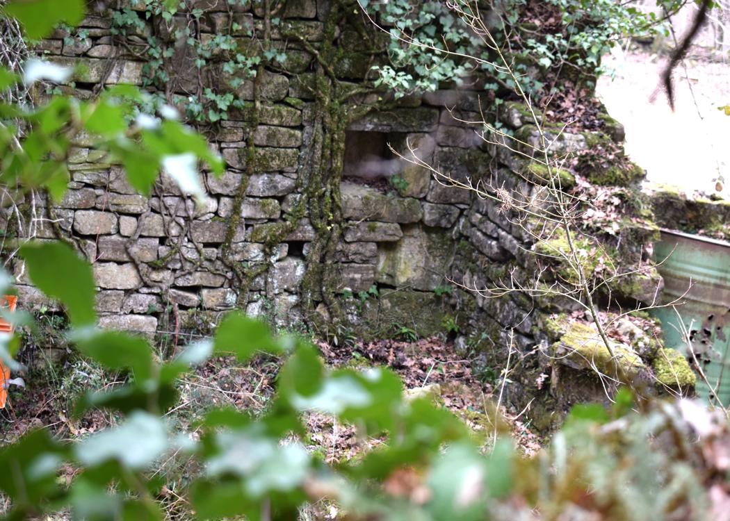
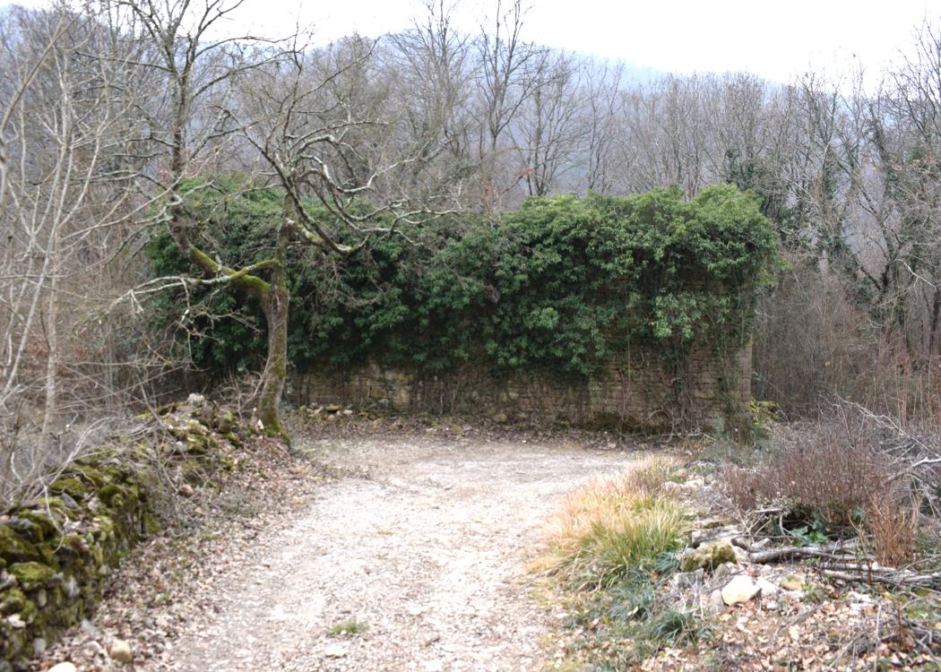
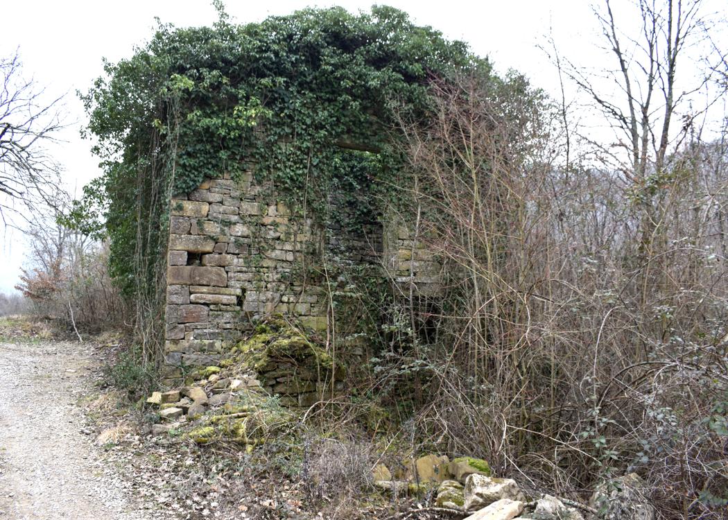
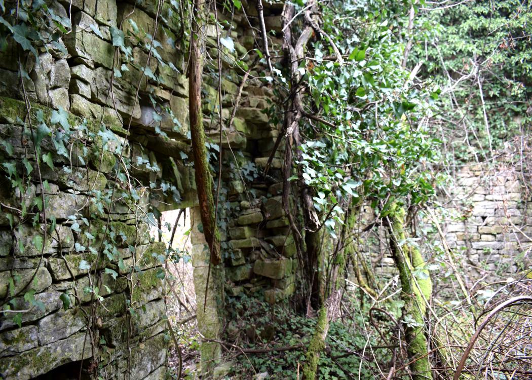
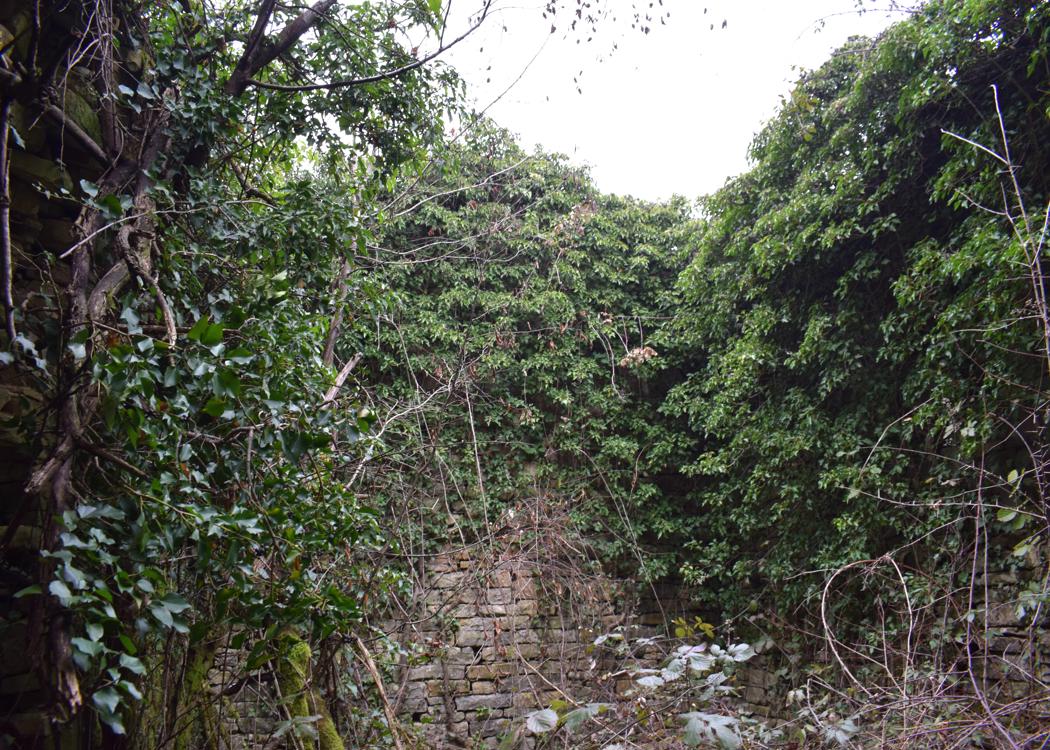
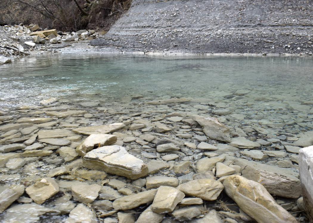
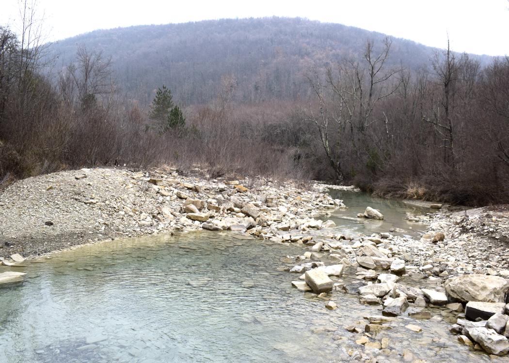
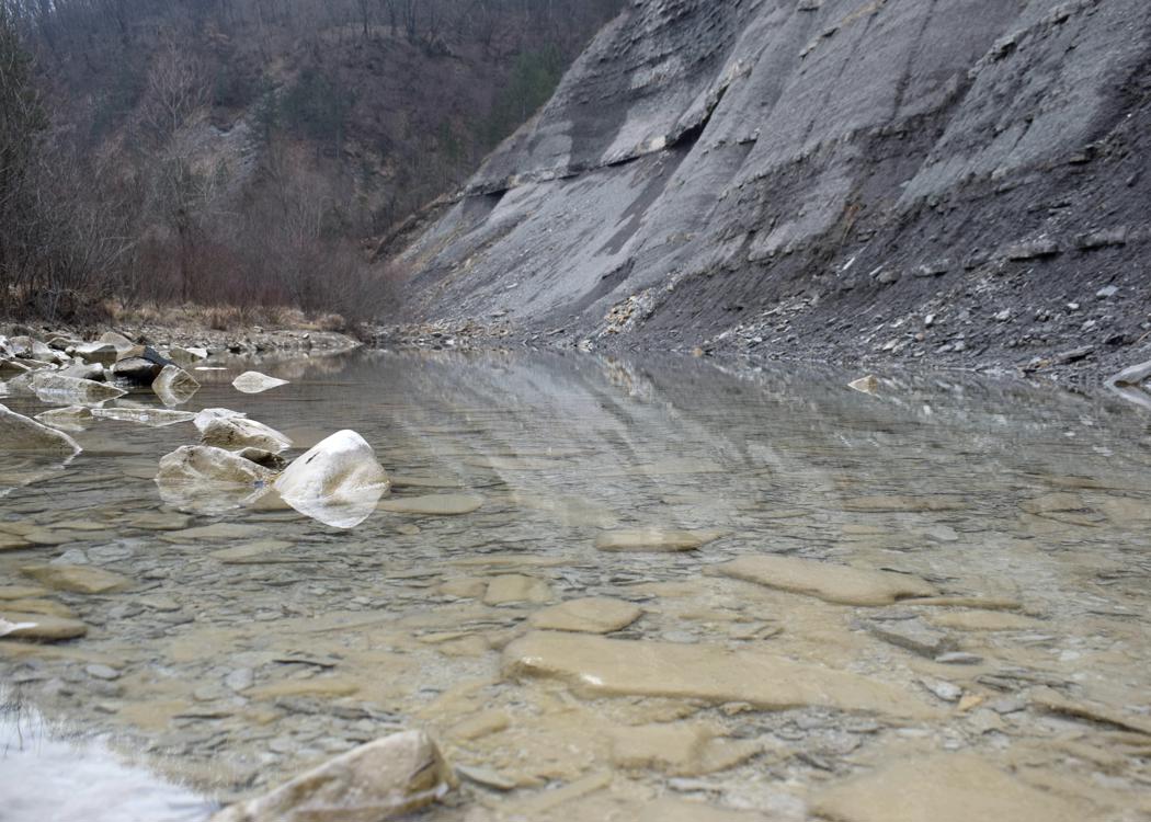
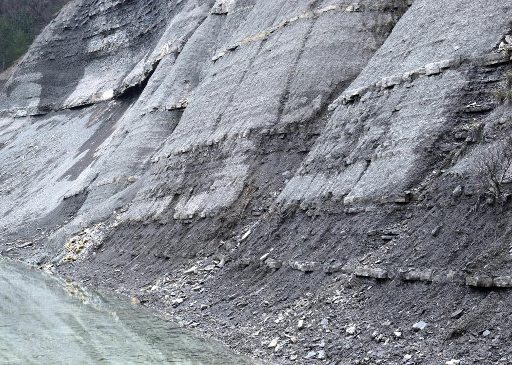
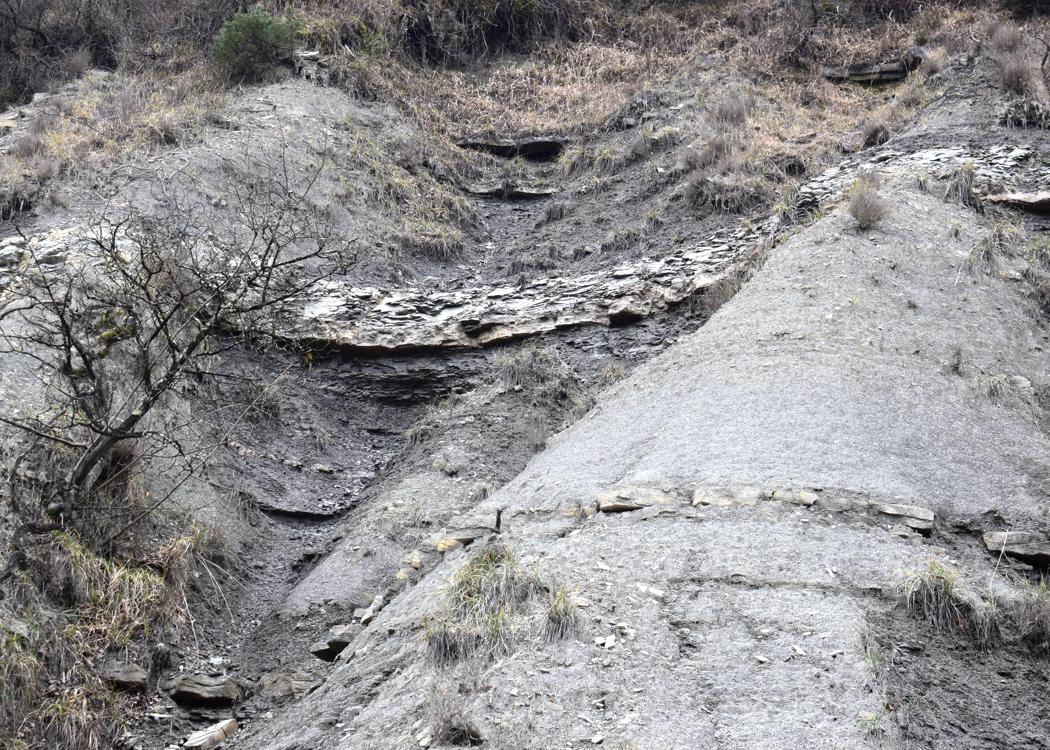
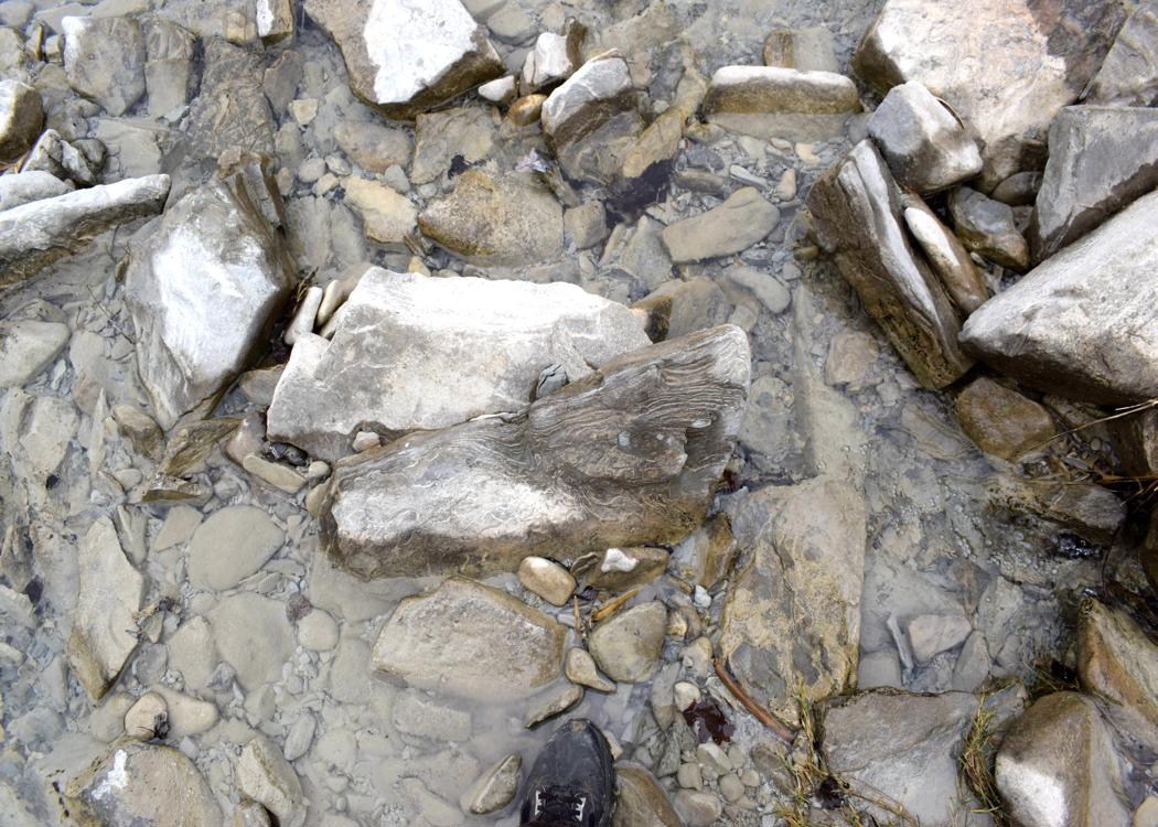
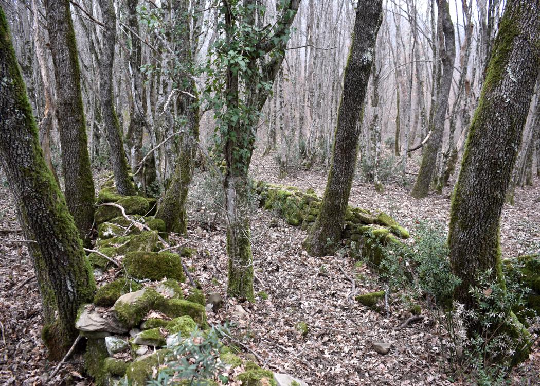
Name: Trail from the former watermill Fermov along the river Dragonja to the watermill Zankoličev.
Place: Labor – (Koper).
Coordinates: Start Labor 45.46880 N – 13.77239 E, watermill Fermov 45.46961 N – 13.76389 E, Watermill Zankoličev 45.47038 N – 13.80074 E. Places of other watermills? near 45.46698 N – 13.77018 E, 45.46617 N -13.78632 E, 45.46842 N – 13.76794 E, 45.46617 N – 13.78632 E and 45.46739 N – 13.78632 E.
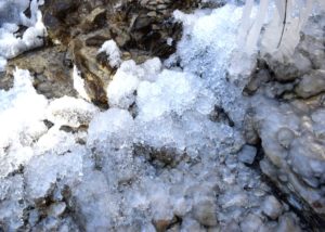
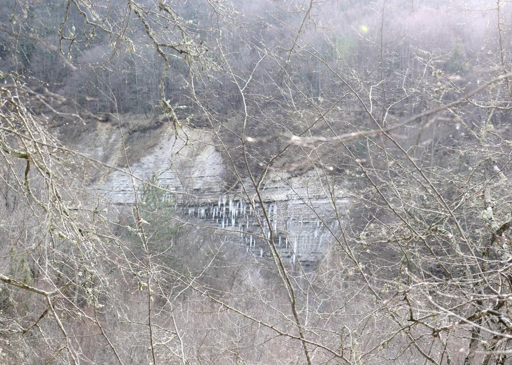
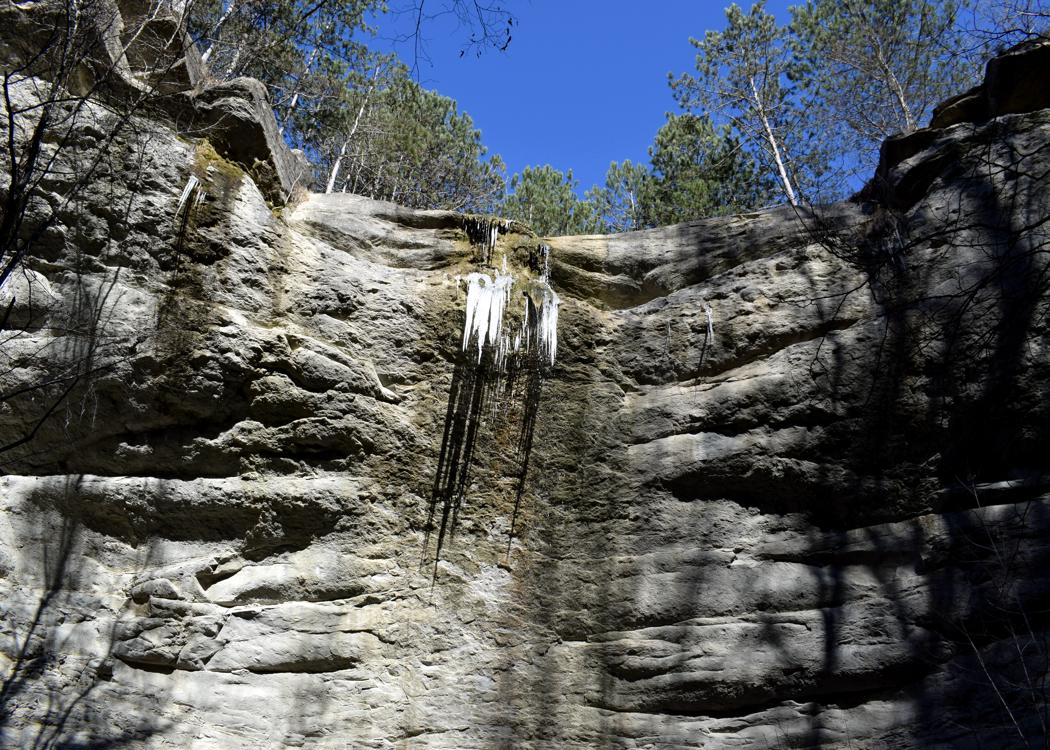
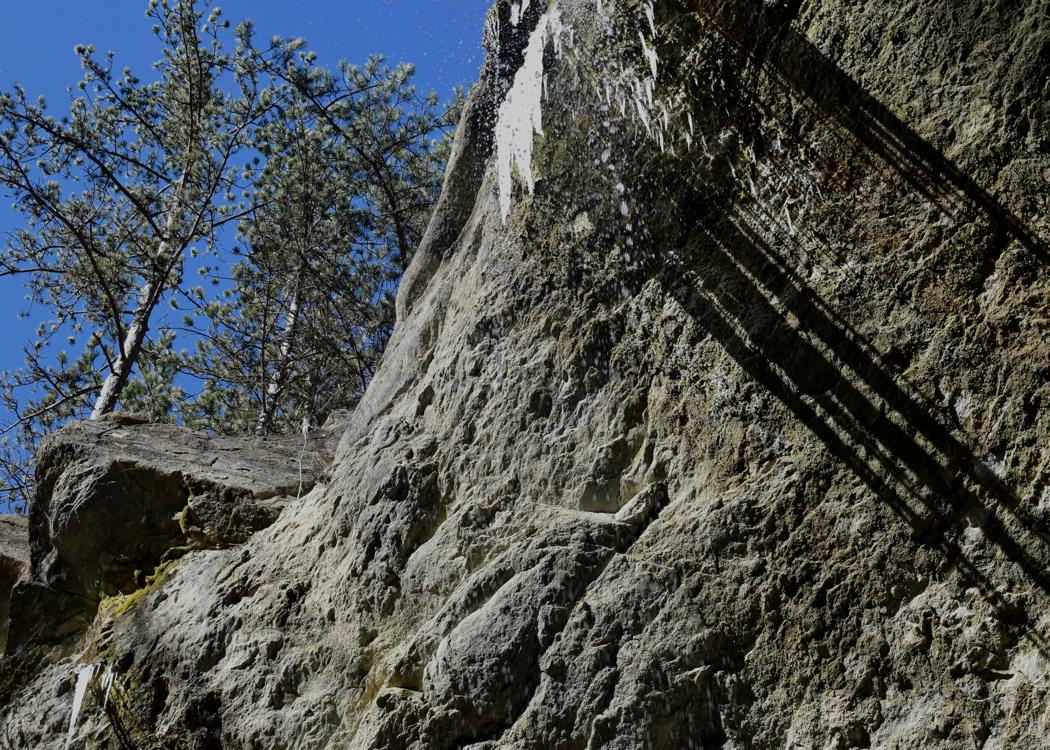
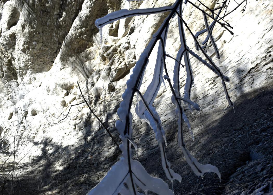
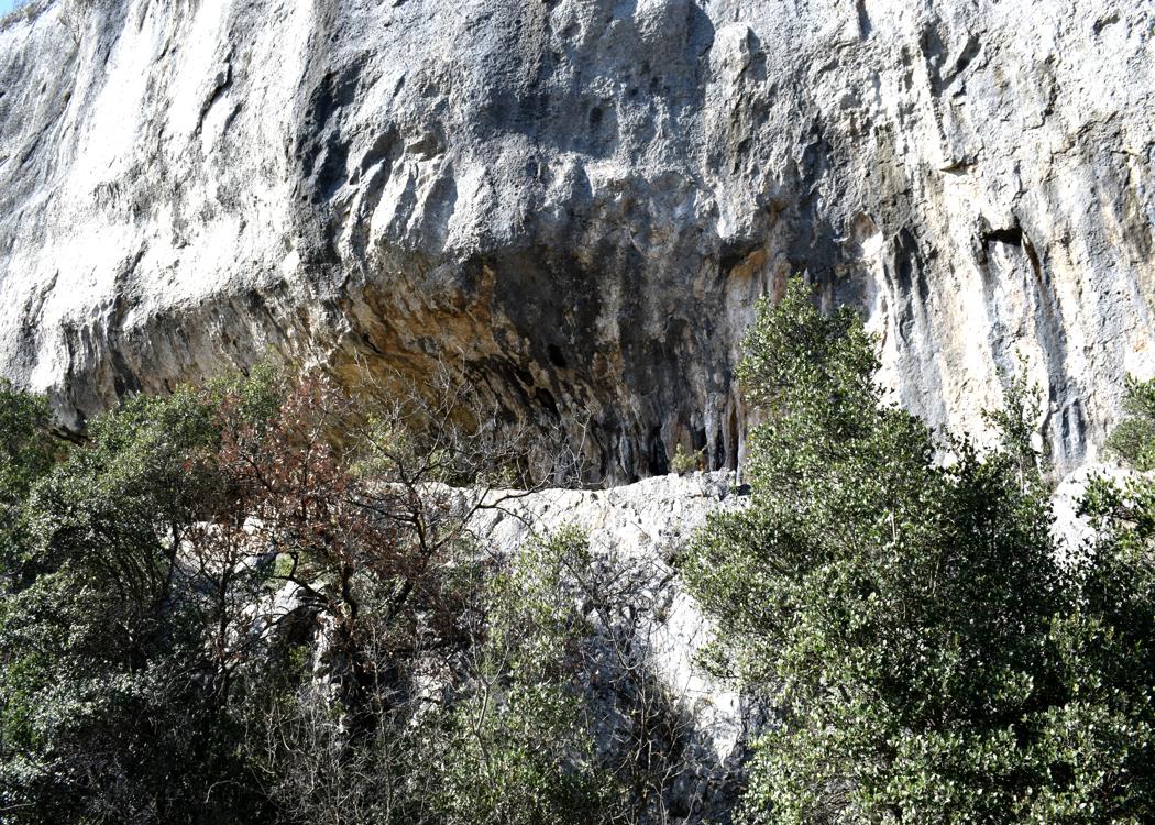
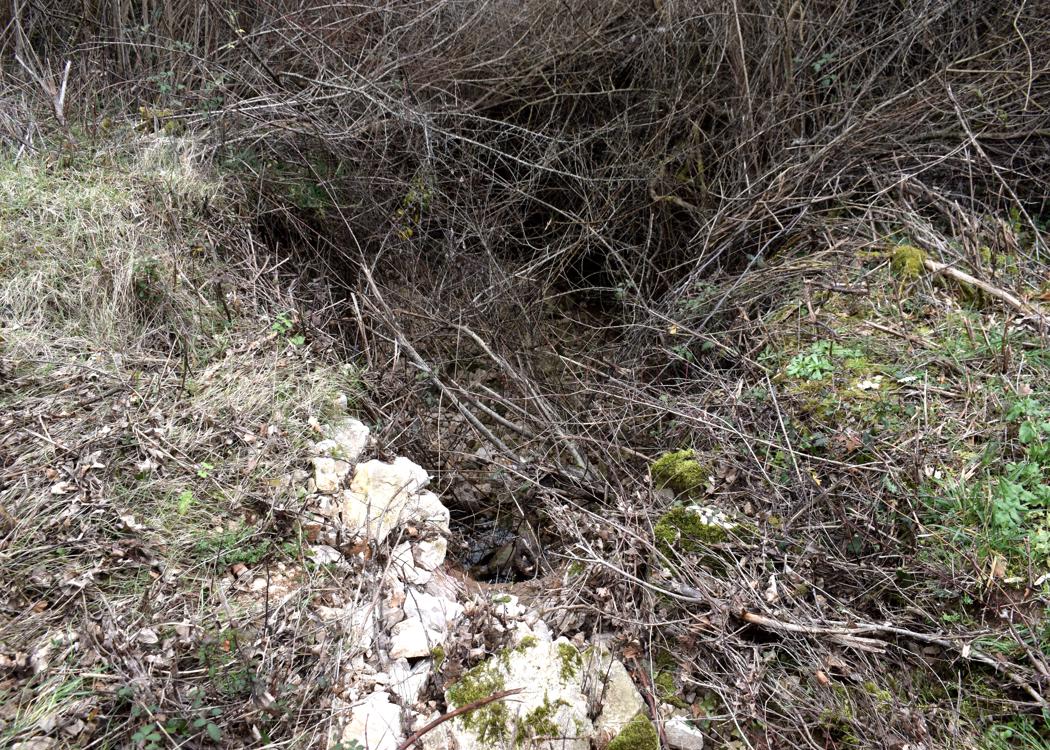
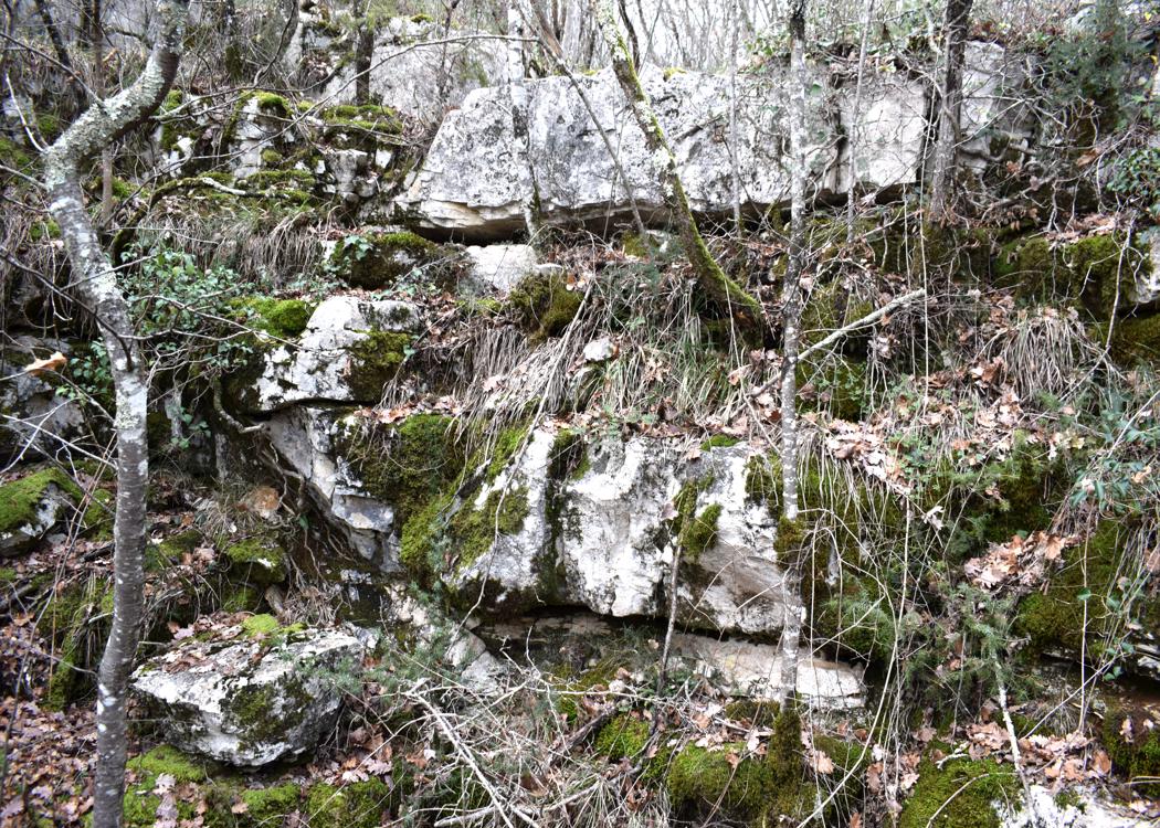
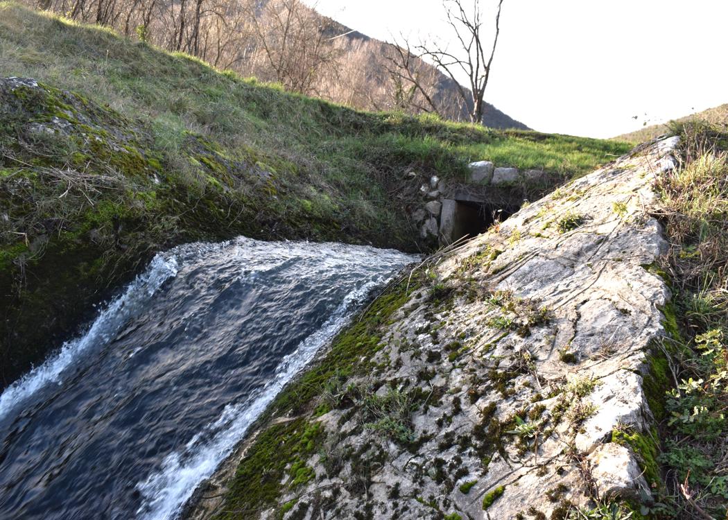
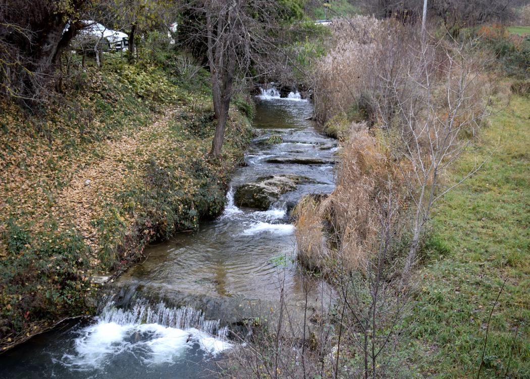
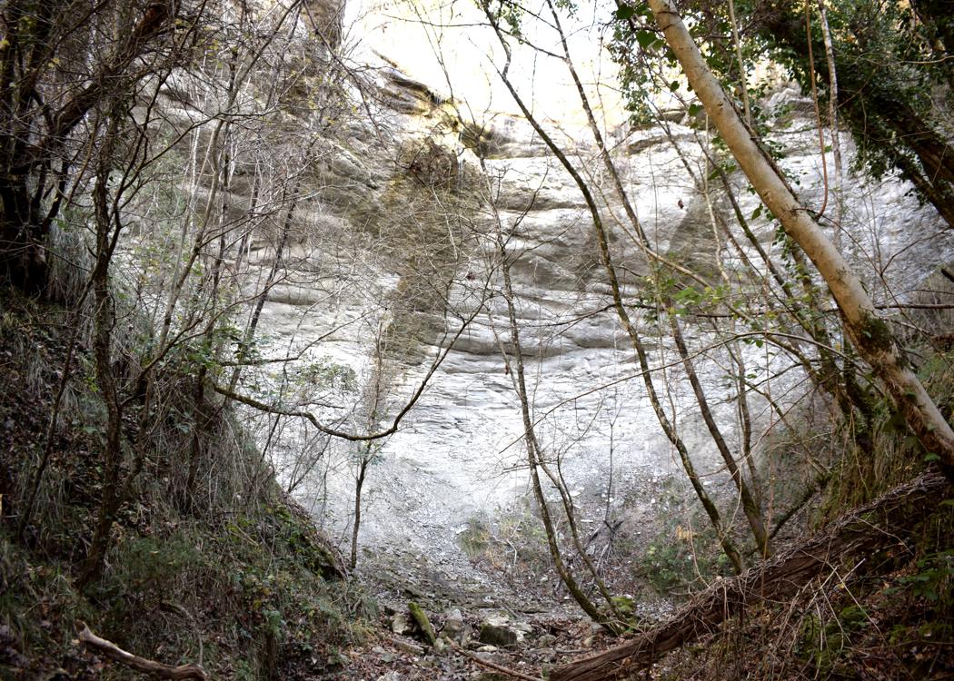
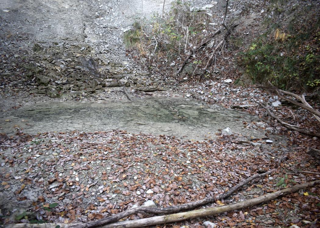
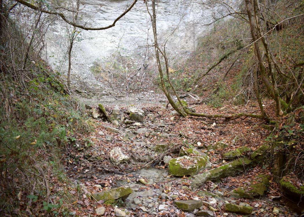
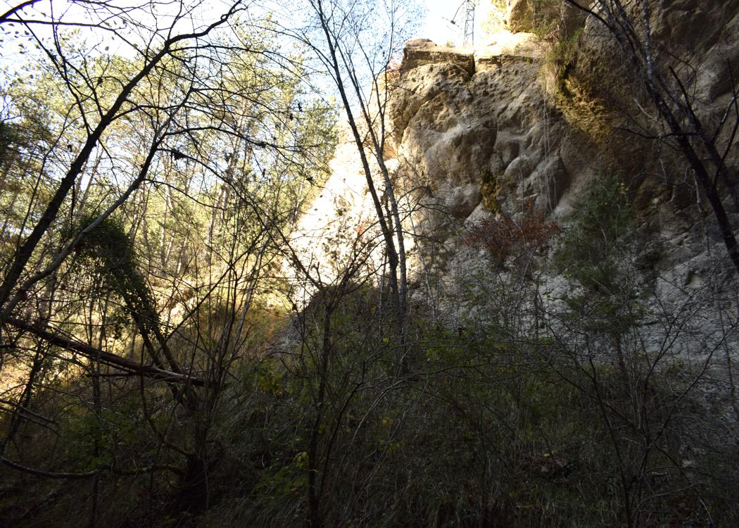
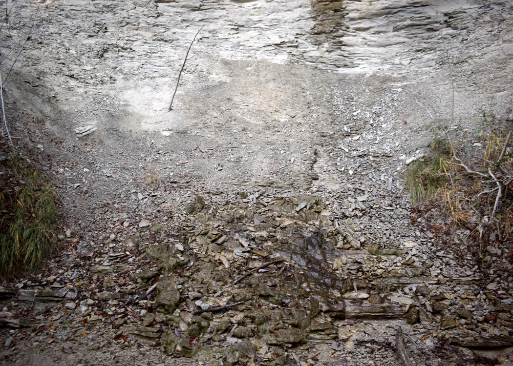
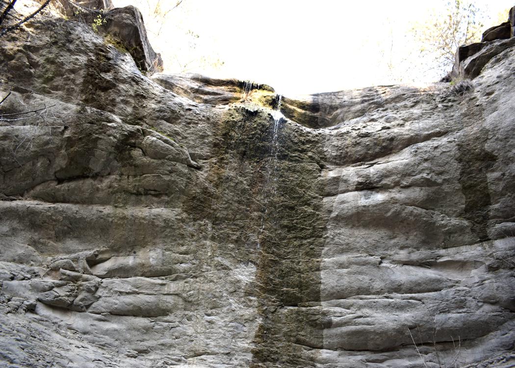
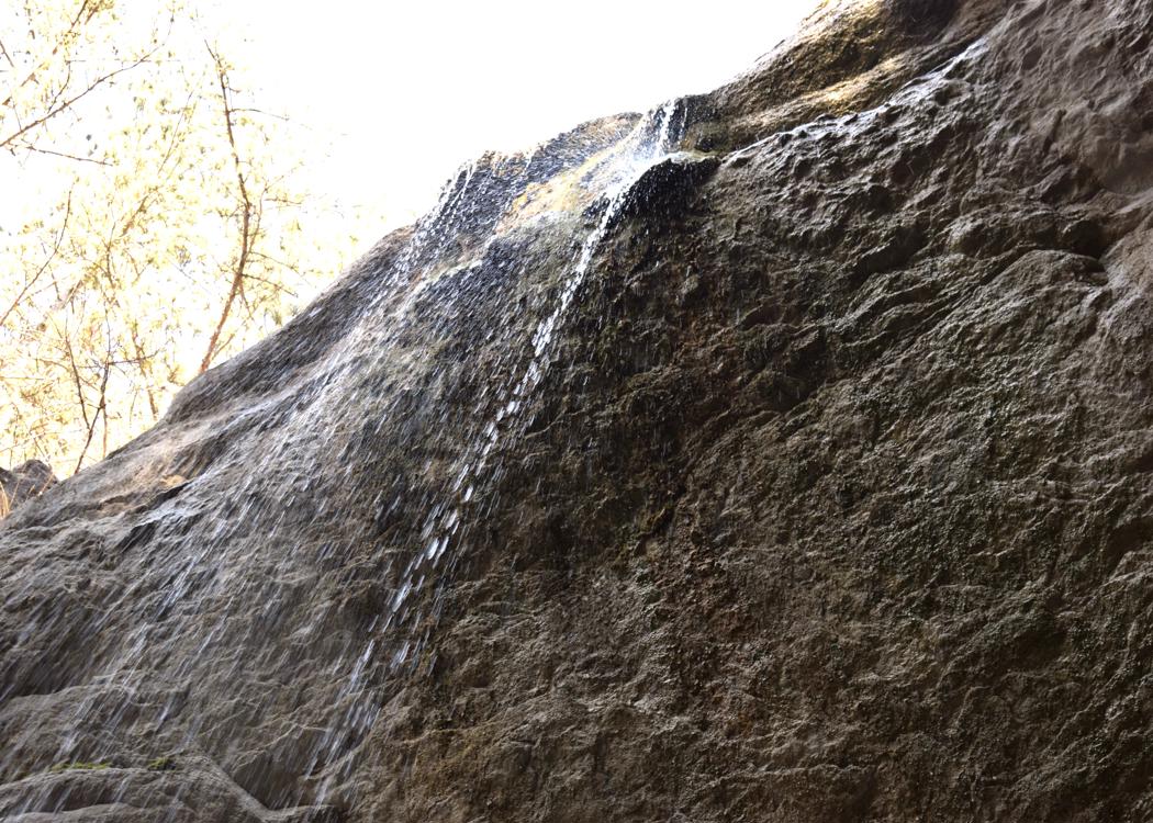
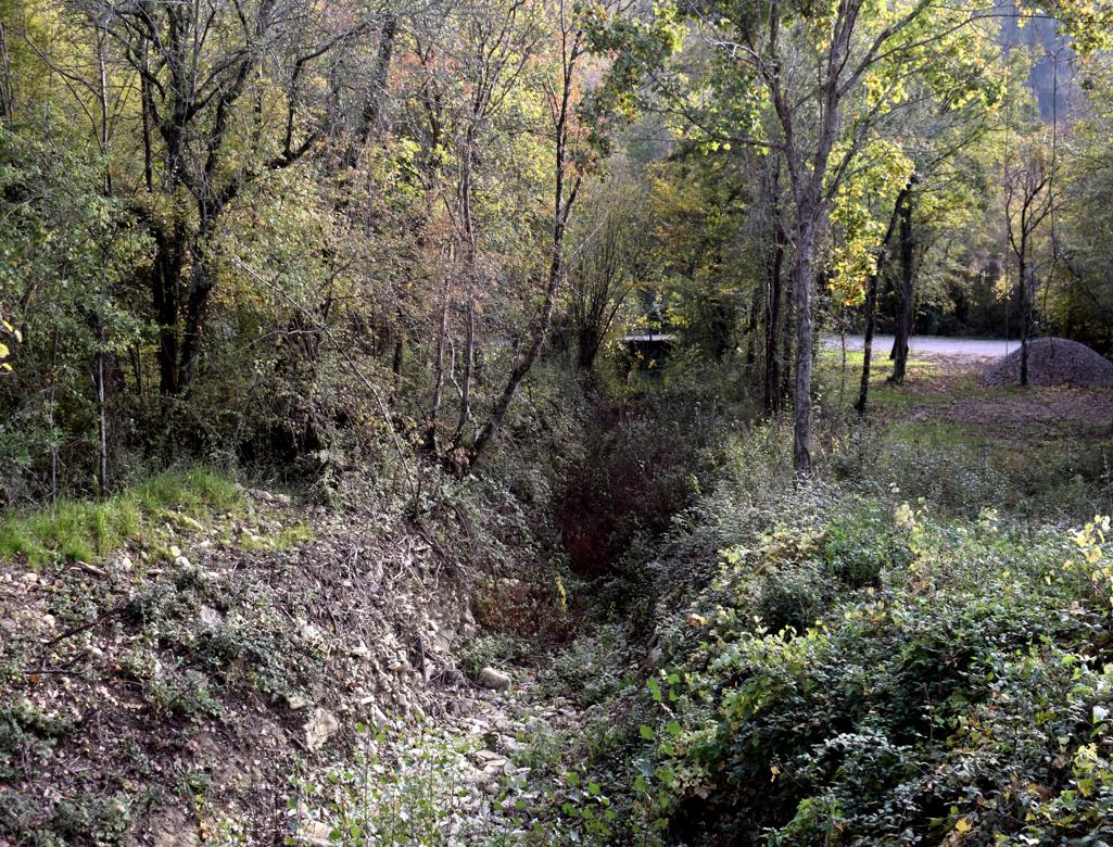
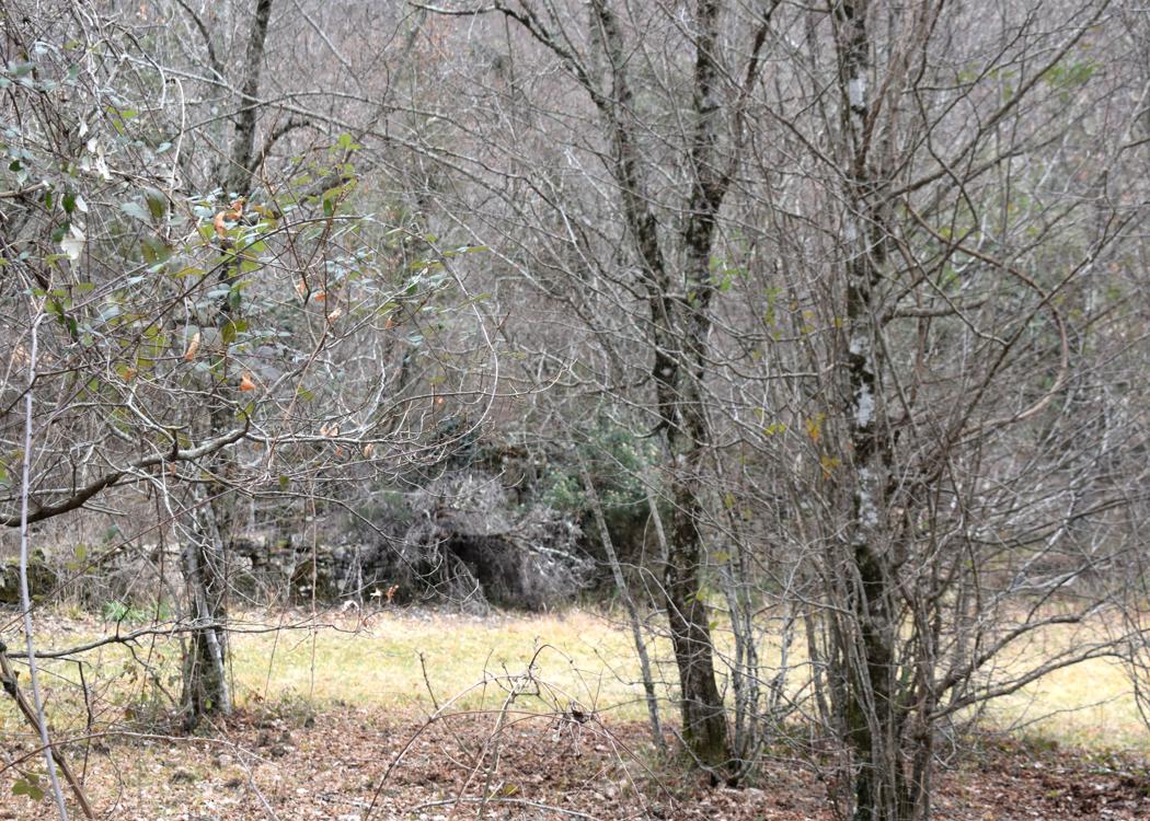
Name: Waterfall Stramici near the village Trebeše
Place:Trebeše – Koper.
Coordinates: 45.46977 N – 13.860921 E.
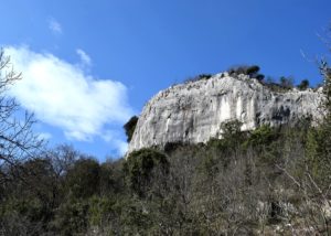
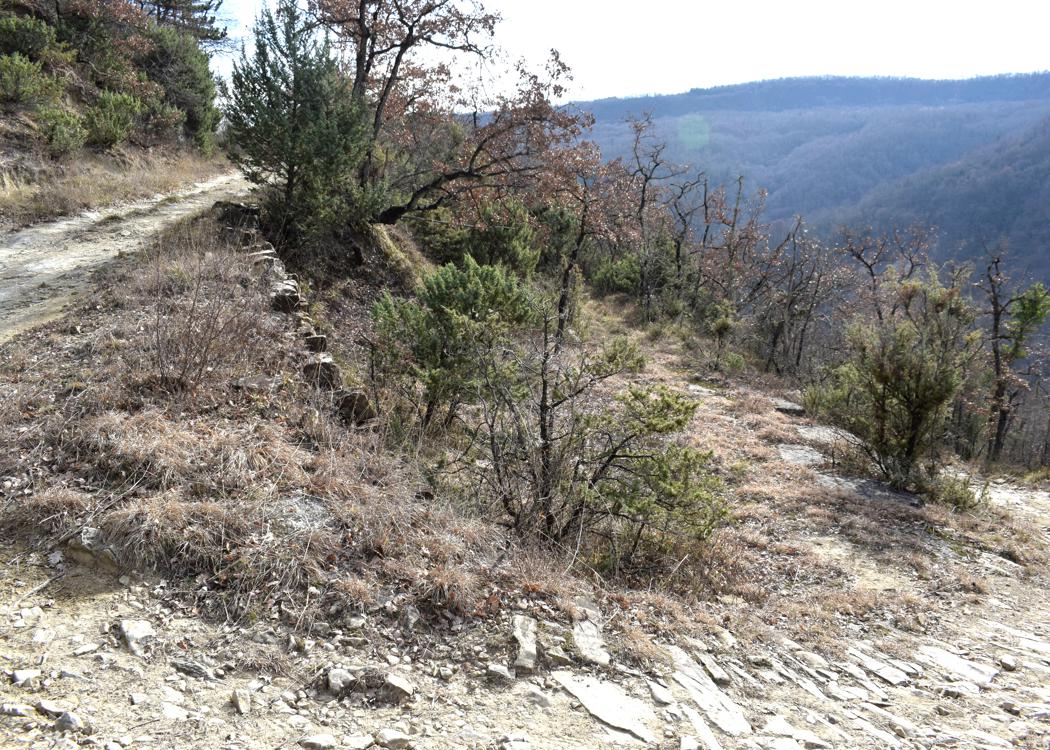
Name: Trail from the village Jurićev Kal to the prehistoric settlement Gurla near the Rasa river.
Place: Jurićev Kal – Barban.
Coordinates: Start 45.10394 N – 13.99472 E, Gurla 45.o9924 N – 14.01926 E )180 meters), Feet of the cliff 45.09912 N – 14.02047 E, 143 meters.
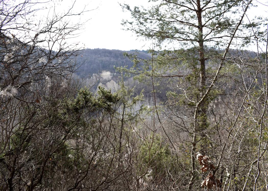
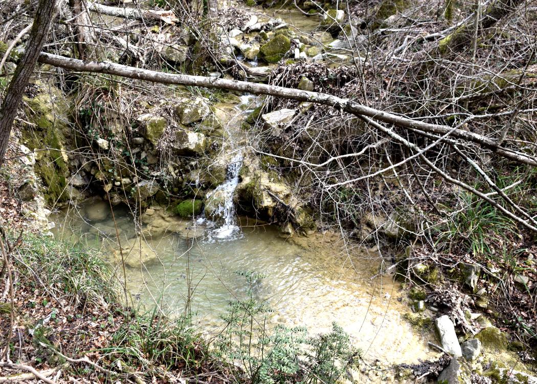
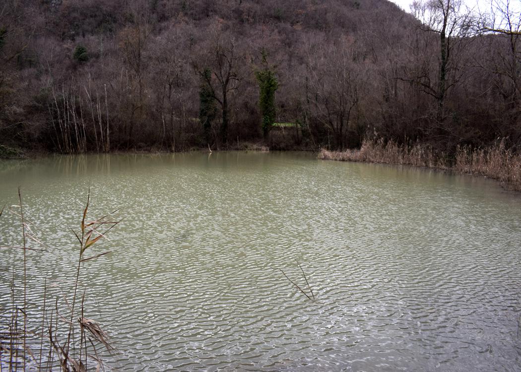
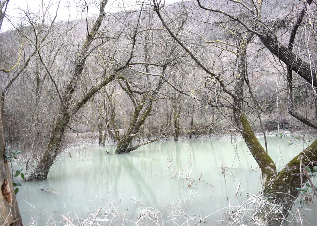
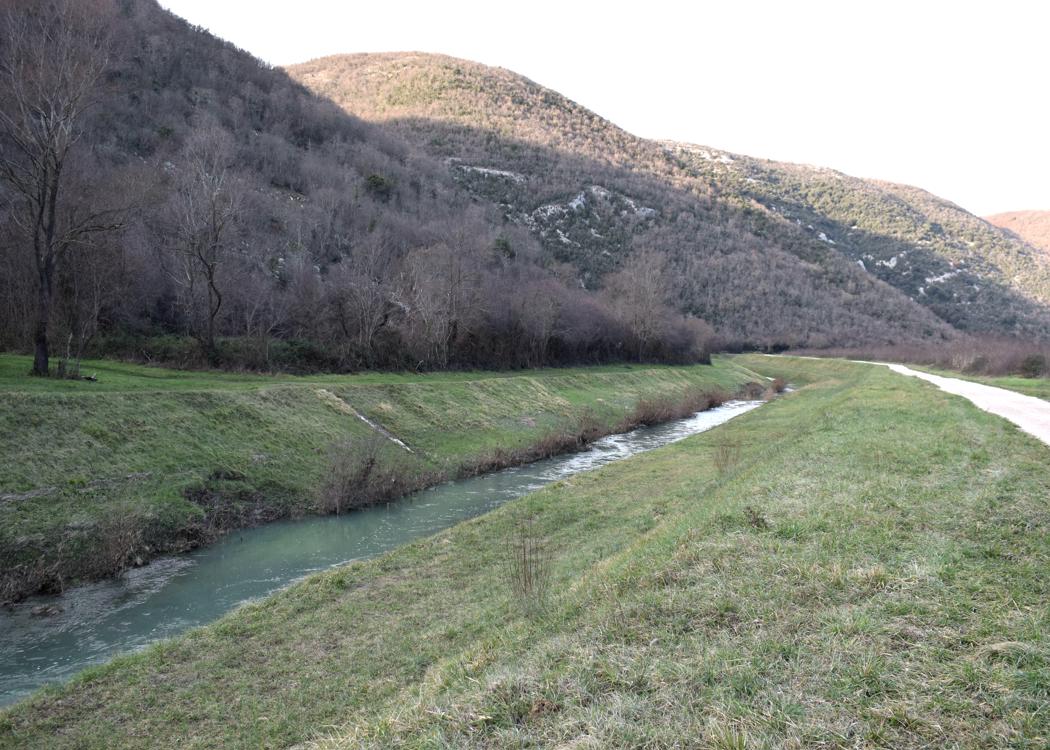
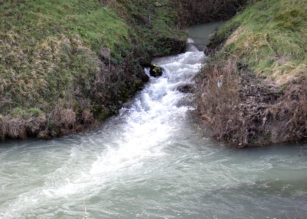
From Žudigi down to the river Raša. The Šumberska puča has three sources.
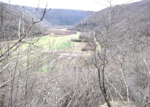
Name: Hiking trail to Sumberska puča near the river Raša.
Place: Žudigi – (Pićan),
Coordinates: Start Žudigi 45. 17828 N – 14.05915 E (192 meters),
River Rasa 45.17735 N – 14.06617 E (21 meters), Šumberska puča 45. 17381 N – 14.06497 E.
,
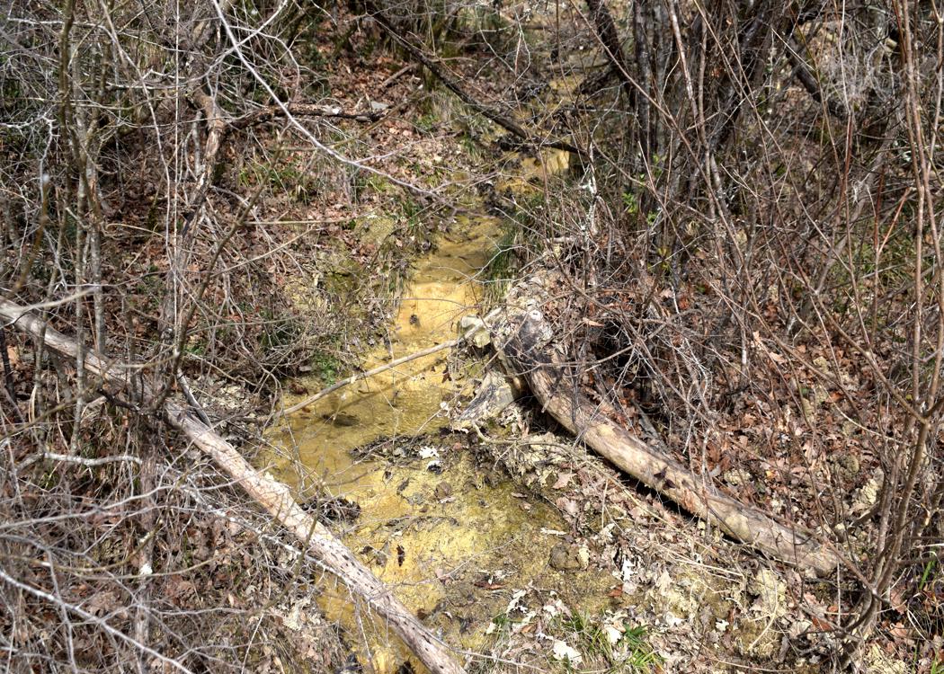
These sources are used for the drinkwater production for the town Labin.
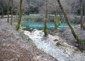
Name: The sources Rakonik, Grdak, Mutvika and Sveti Anton near the river Raša.
Places: Raša, Barban and Nedelja.
Coordinates: Rakonik 45.08698 N – 14.02054 E, Grdak 45.09244 N – 14.01866E, Mutvika 45.09606 N – 14.02672 E, Sveti Anton 45.14121 N -14.02967 E.

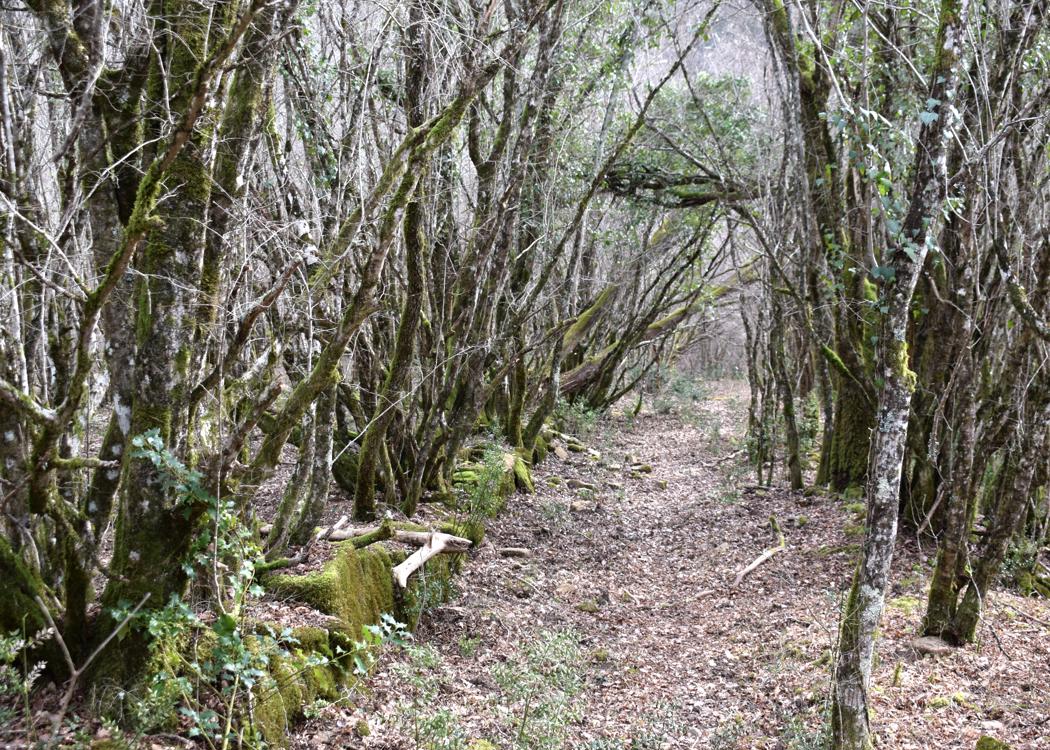
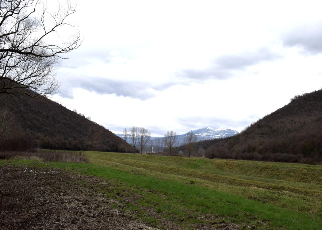
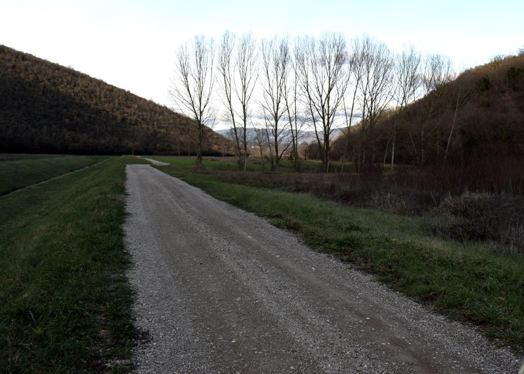
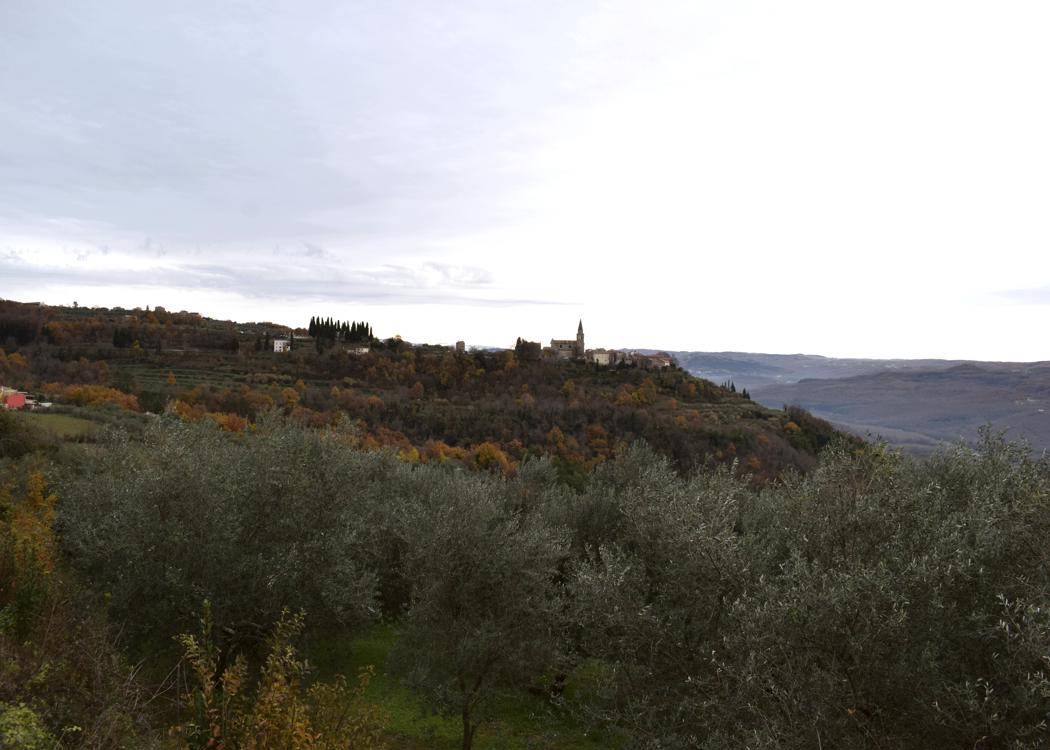
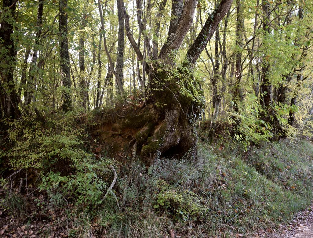
Name: Road from Grožnjan to Momjan via the villages Peroj, Crnci, Brdo, Bric, Oskorus and Rosmanija.
The height of the waterfall is 20 meters.
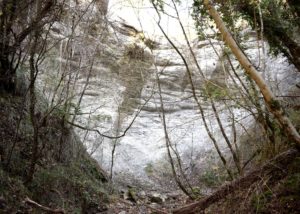
Name: Waterfall Stranice.
Place: Near Trebeče – (Koper),
Coordinates: 45.46974 N -13.86091 E.
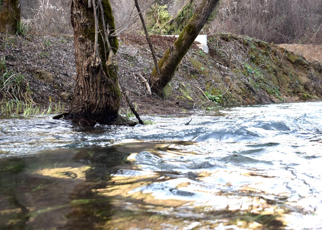
Name: Road from the village Koštabona to Kodarinov Malen near the stream Supot and the river Dragonja.
Place: Koštabona – (Koper).
Coordinates: Start 45.48913 N – 13.73713 E, split 45.47388 N -13.74719 E, Korinov Malen 45.47330 N – 13.74365 E.

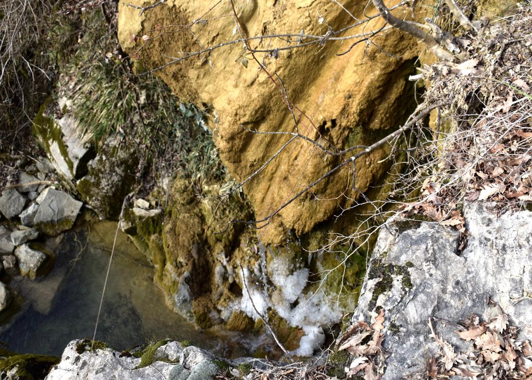
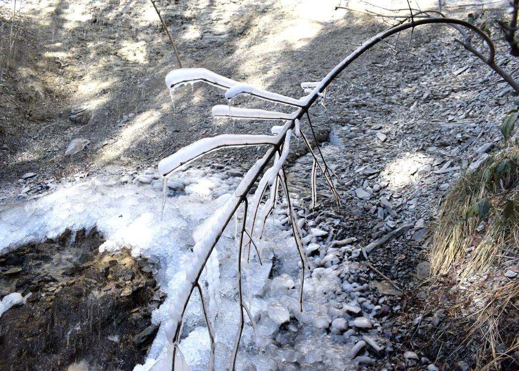
Name: Waterfalls stream Supot.
Place: Near Koštabona – (Koper).
Coordinates. Start trail 45.48029 N – 13.73704,waterfalls 45,488958 N – 13. 1374348 E.