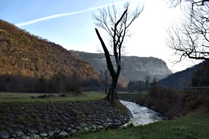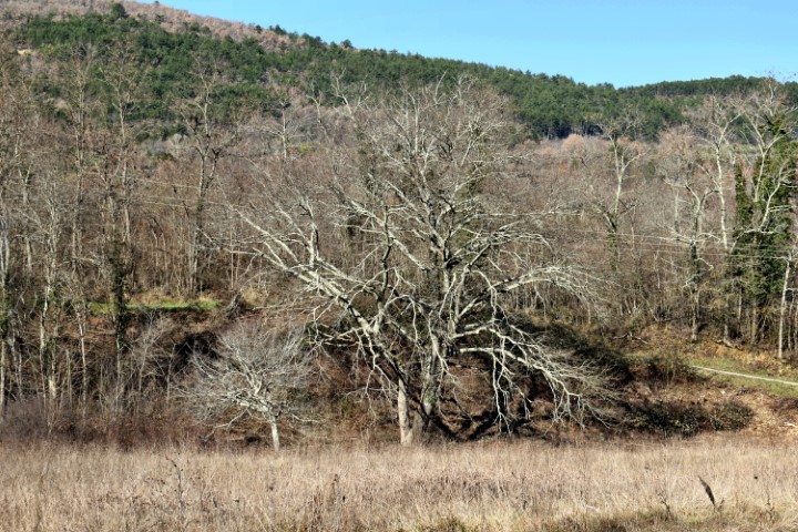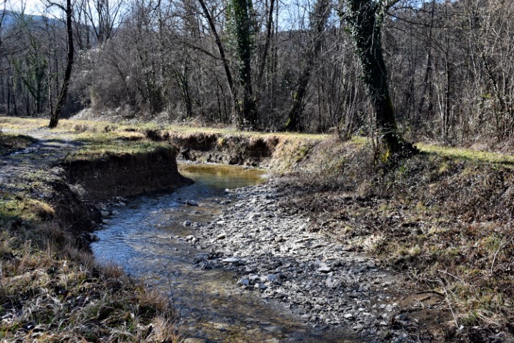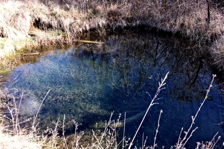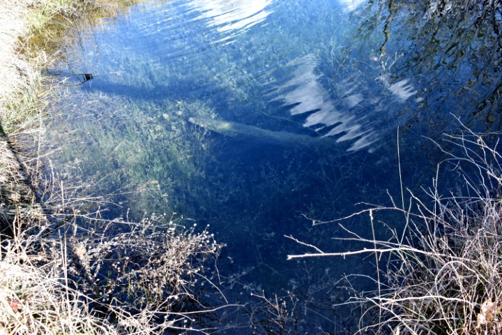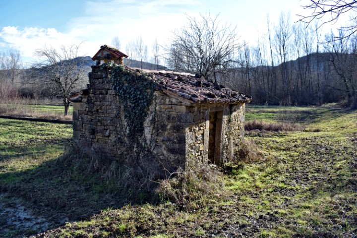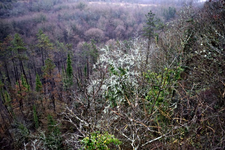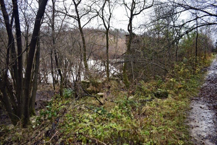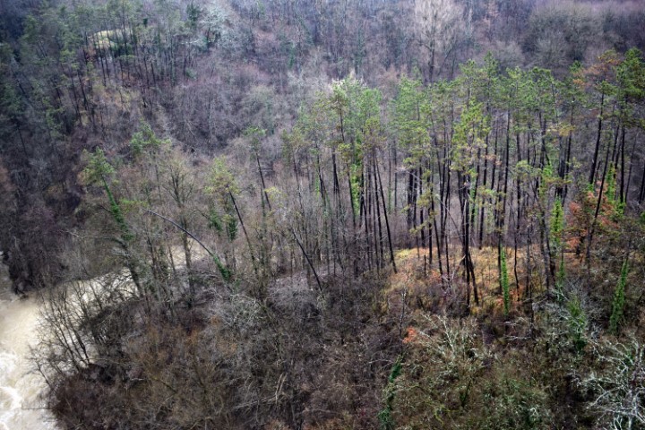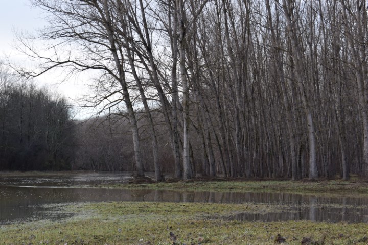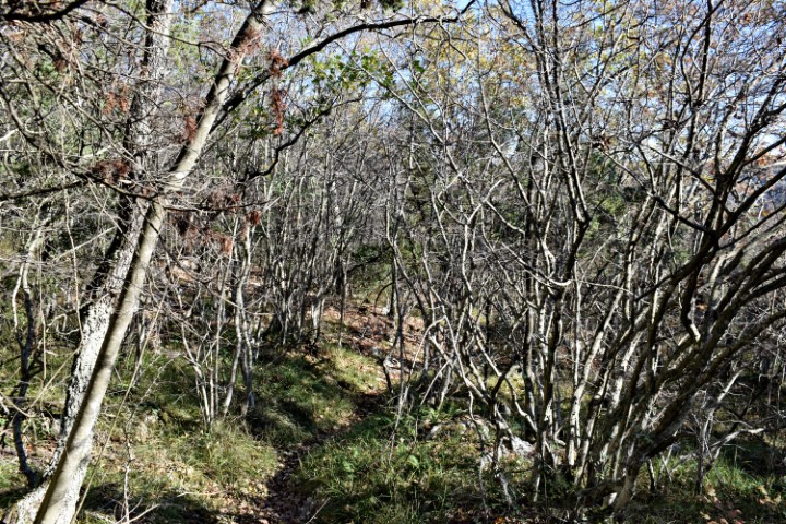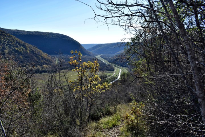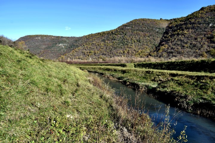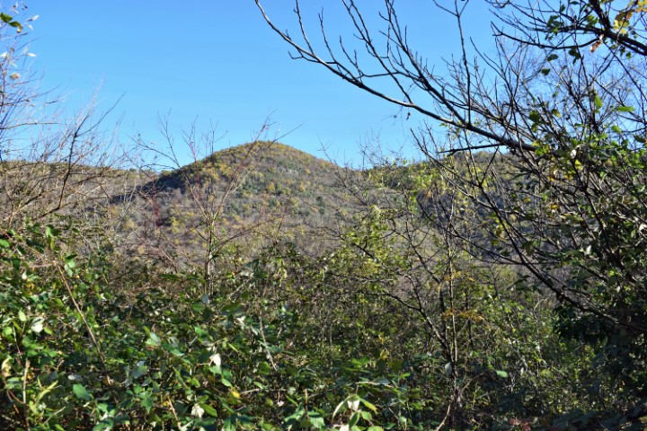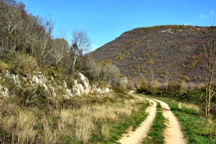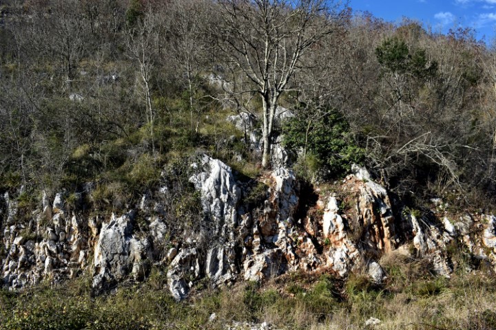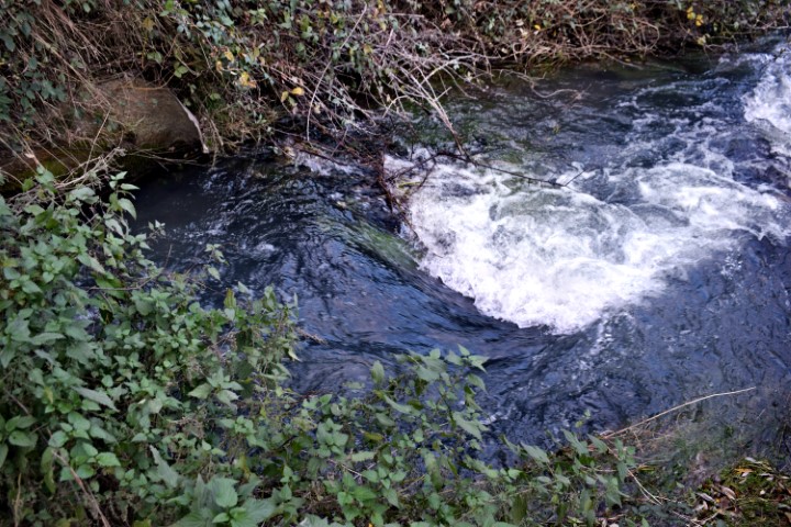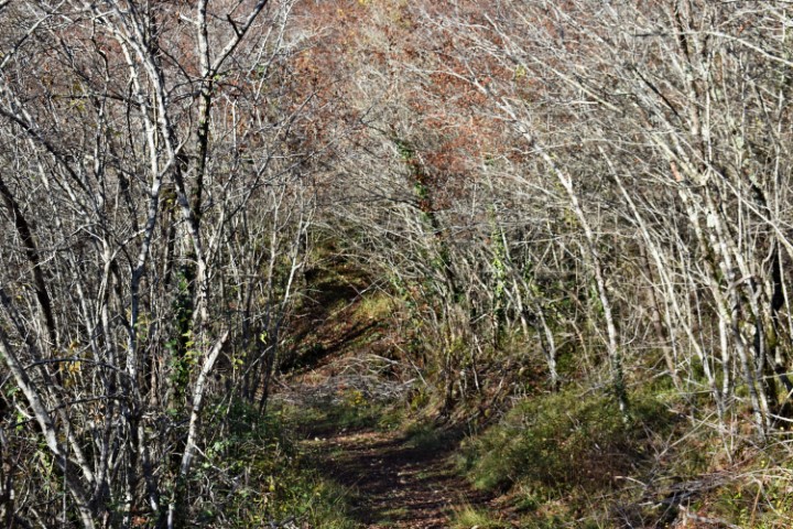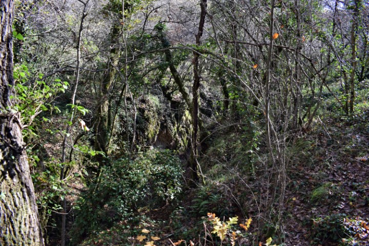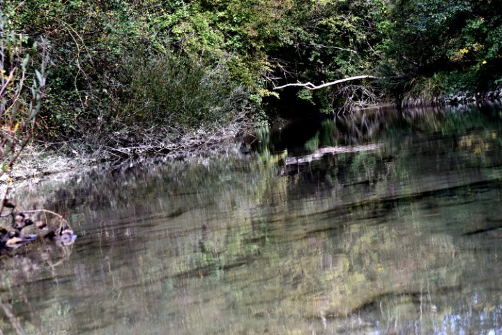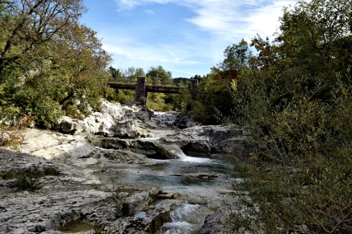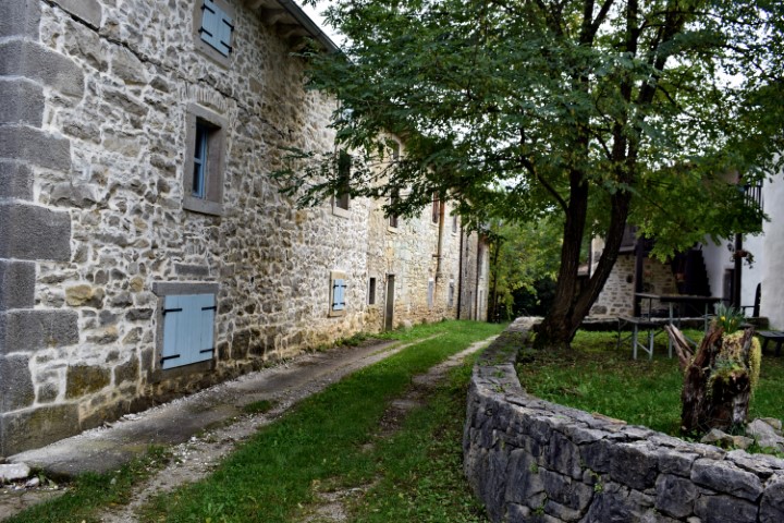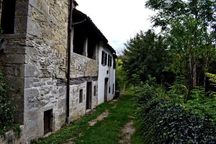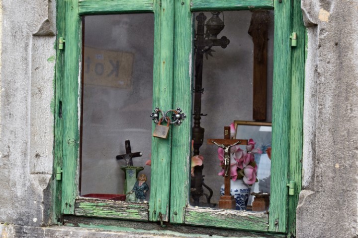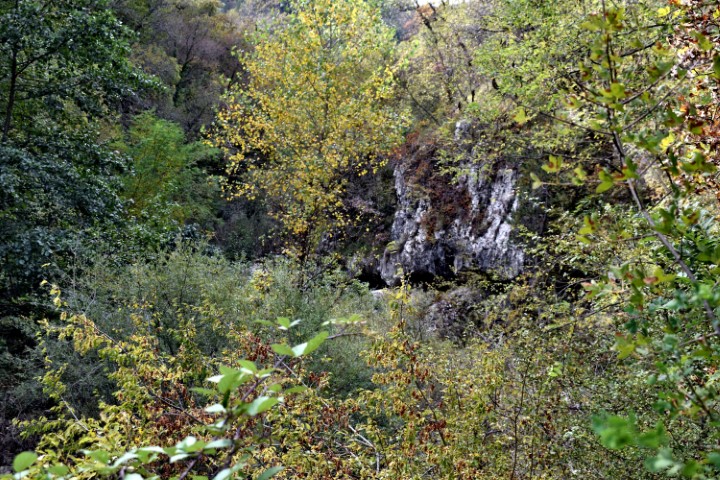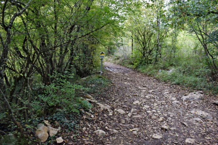

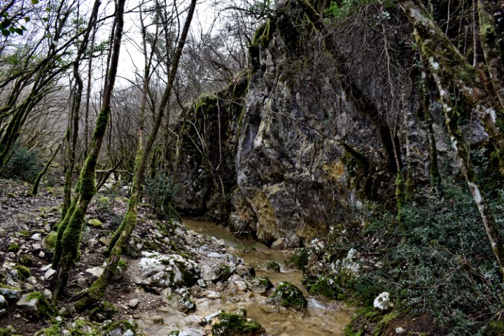
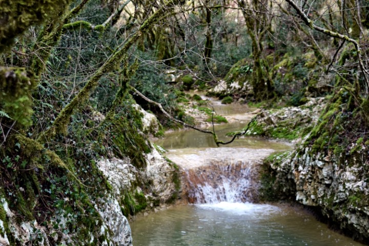

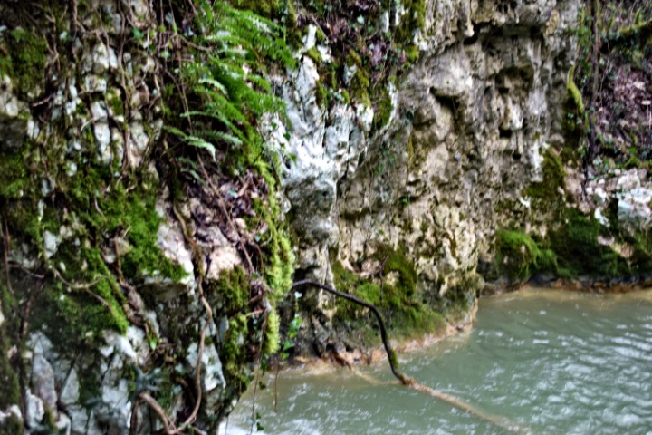
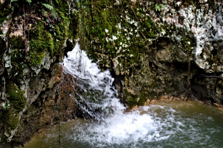

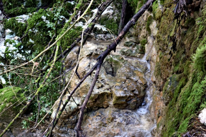
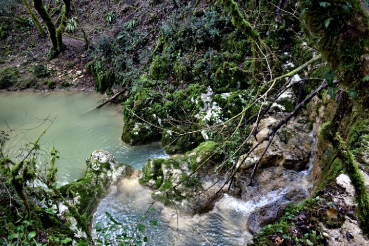
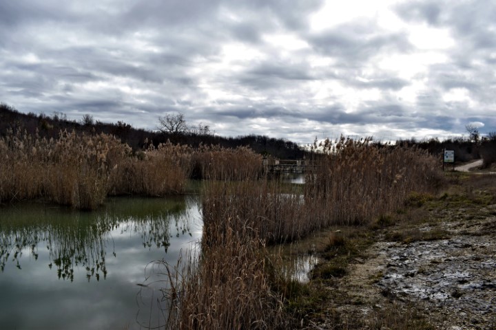


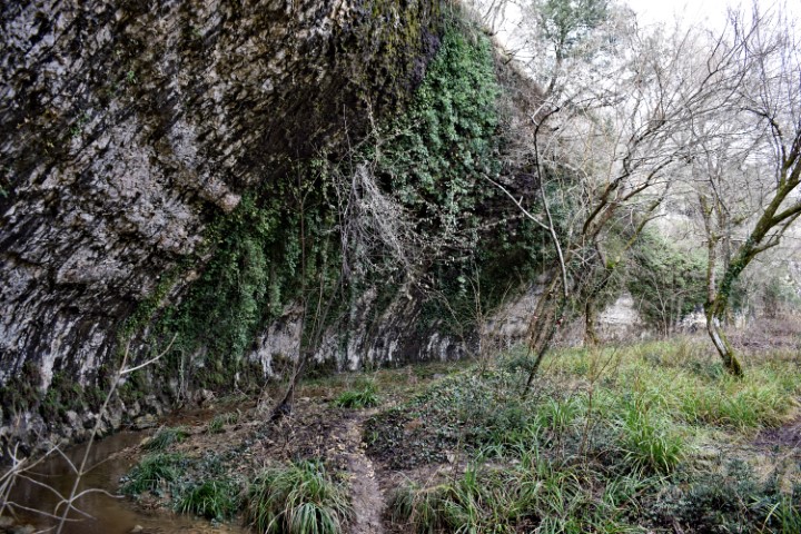

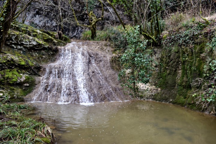

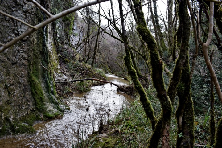
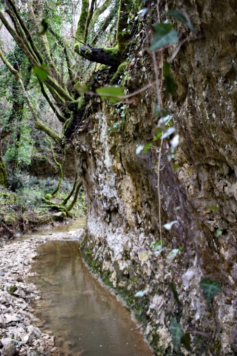

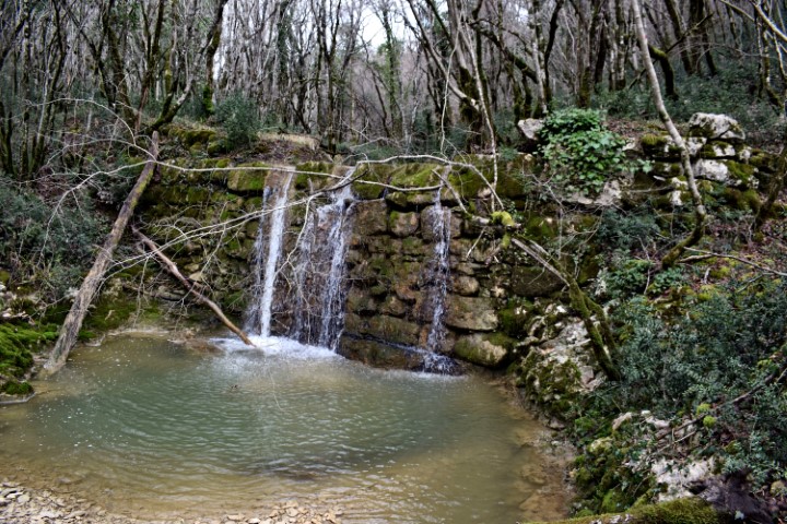
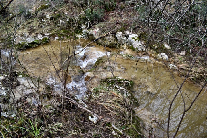
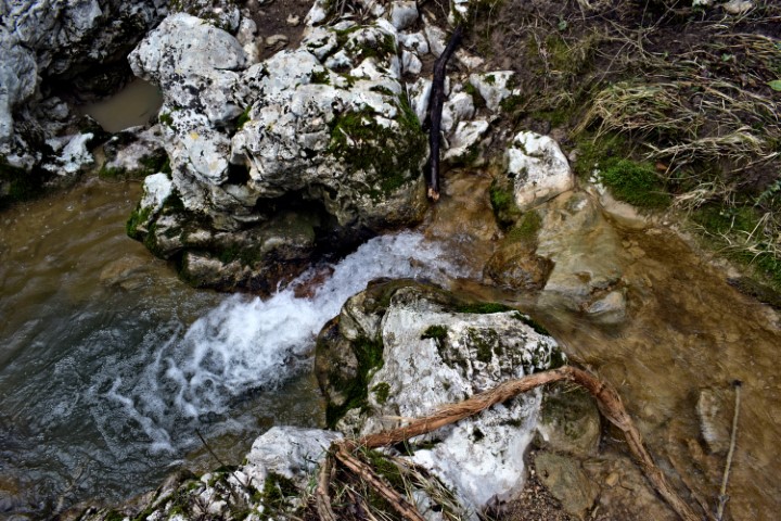
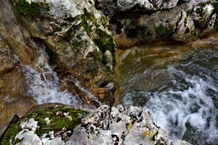
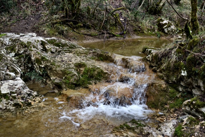

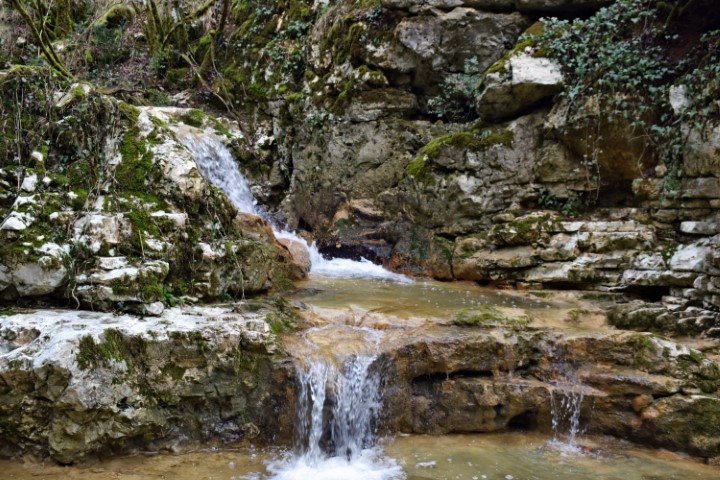
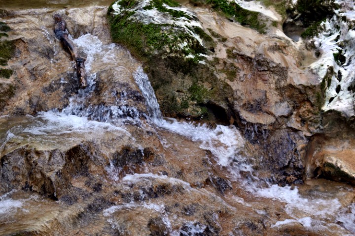
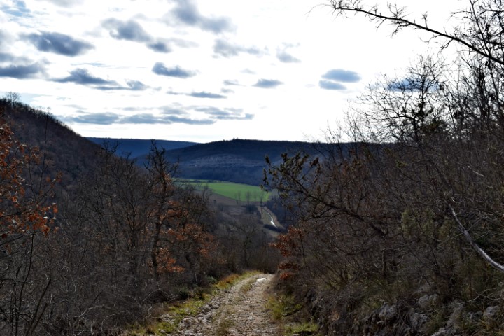
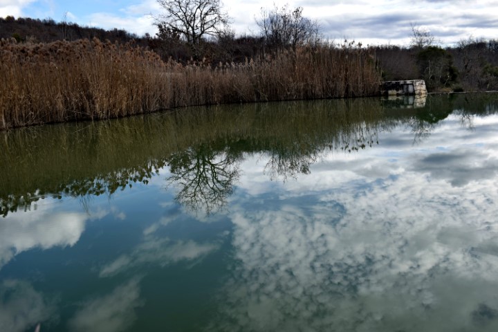
Name: Hiking trail from “Naturepark Skarline” along the stream Labre – Mulski potok.
Place: Tisarica – (Brtonigla).
Coordinates: 45.37530 N – 13.65223 E.
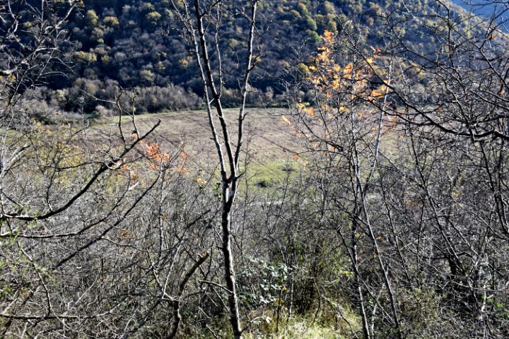
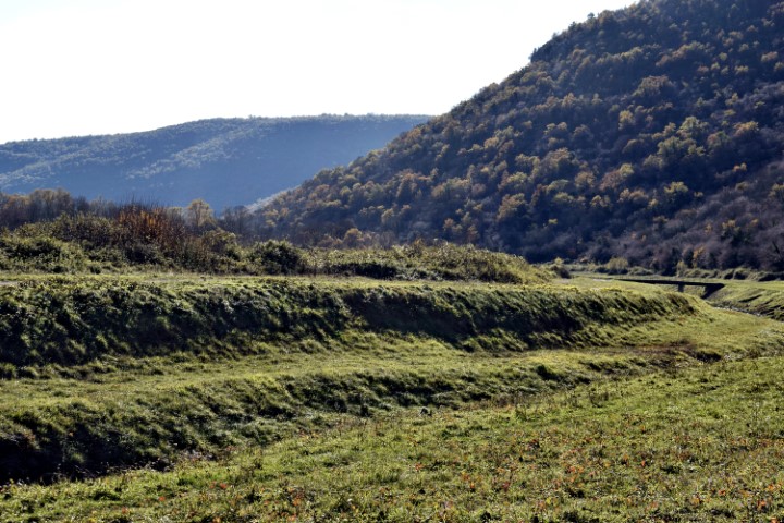
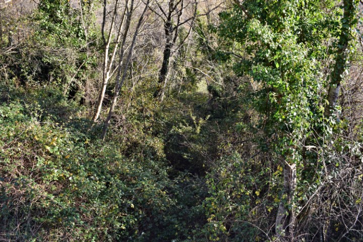
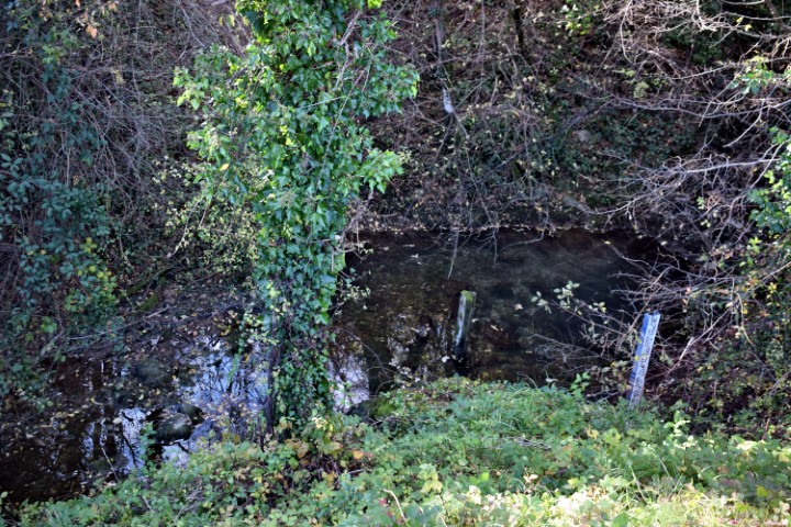
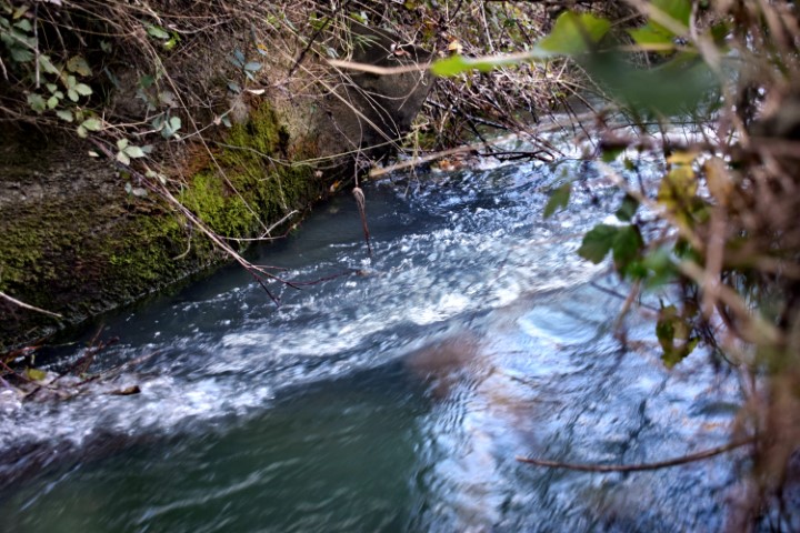
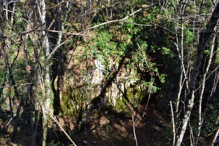
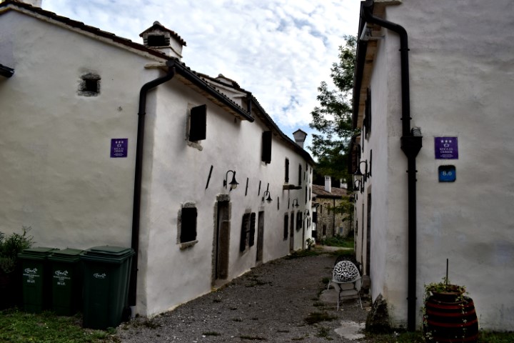
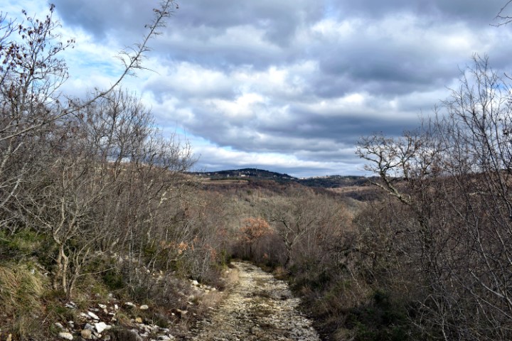
Name: Hiking trail from “Naturepark Skarline” along the stream Labre – Mulski potok.
Place: Tisarica – (Brtonigla).
Coordinates: 45.37530 N – 13.65223 E.

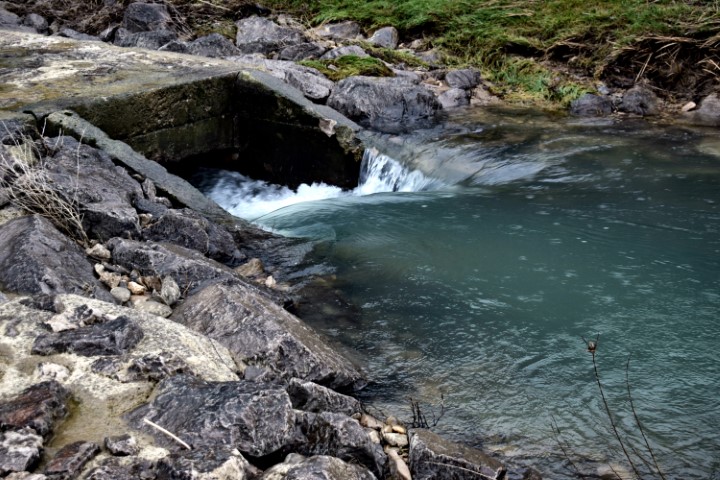
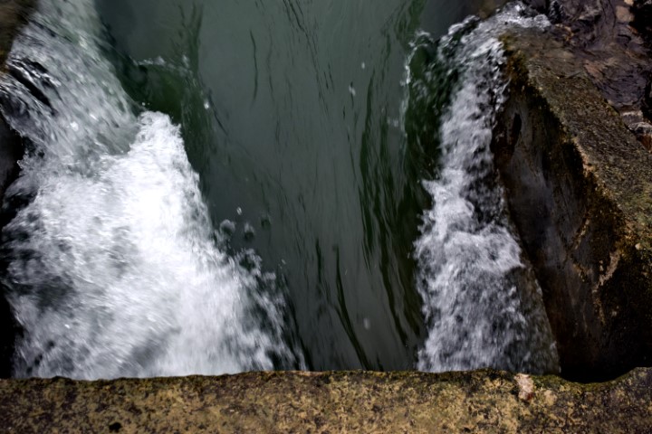
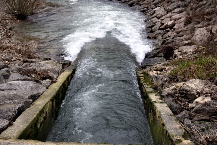
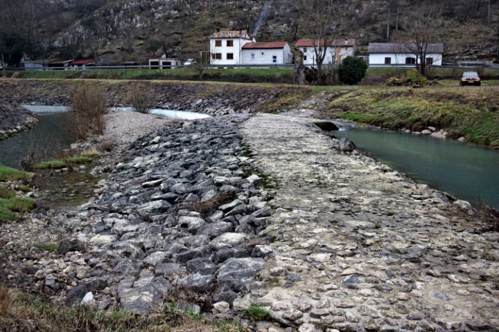
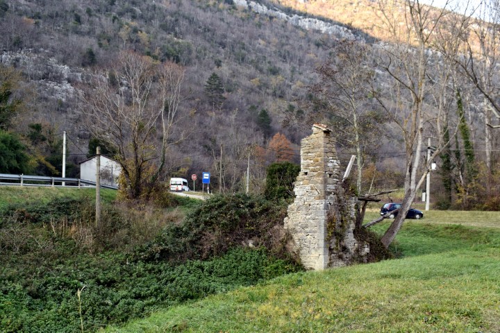
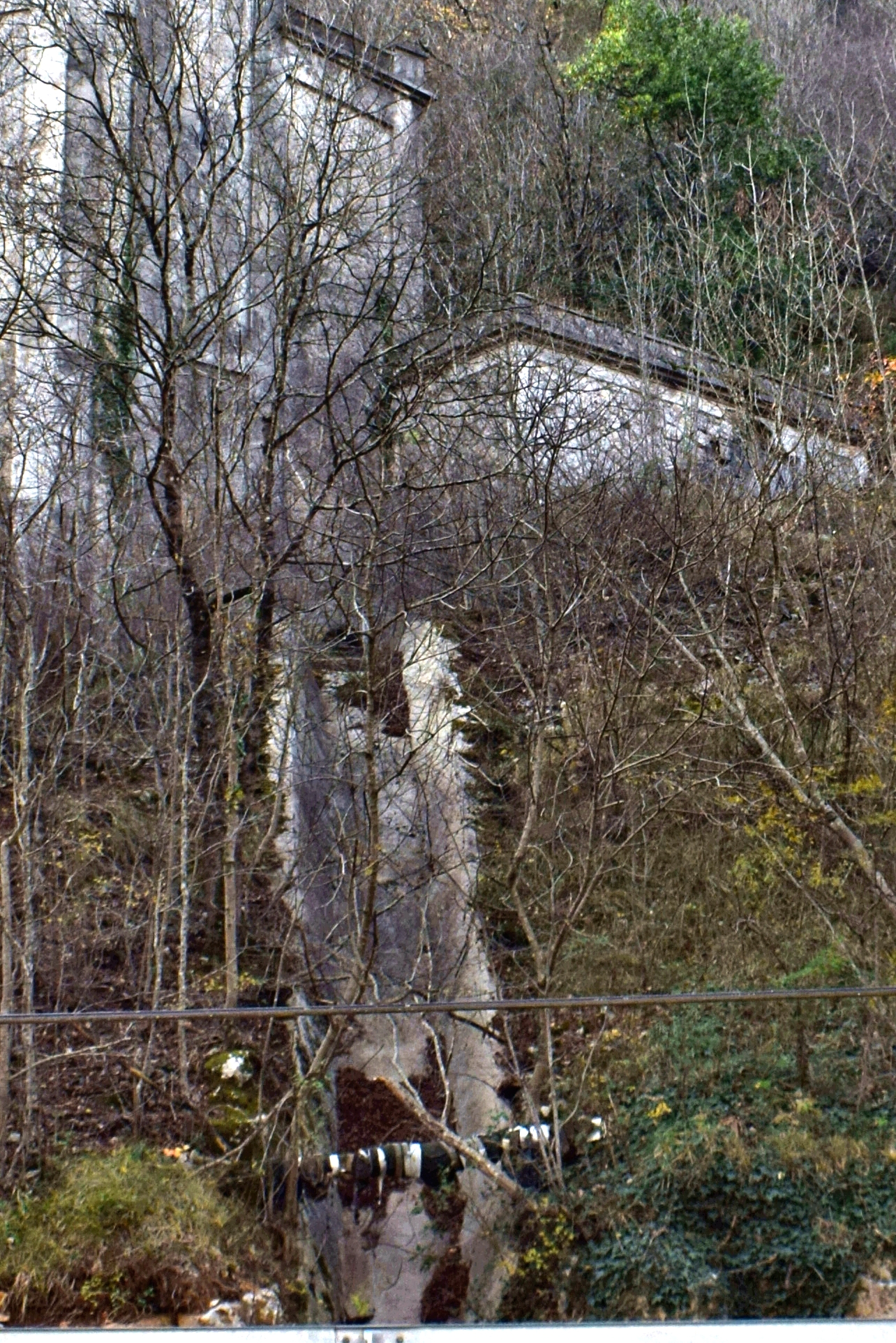
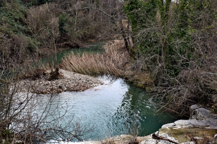
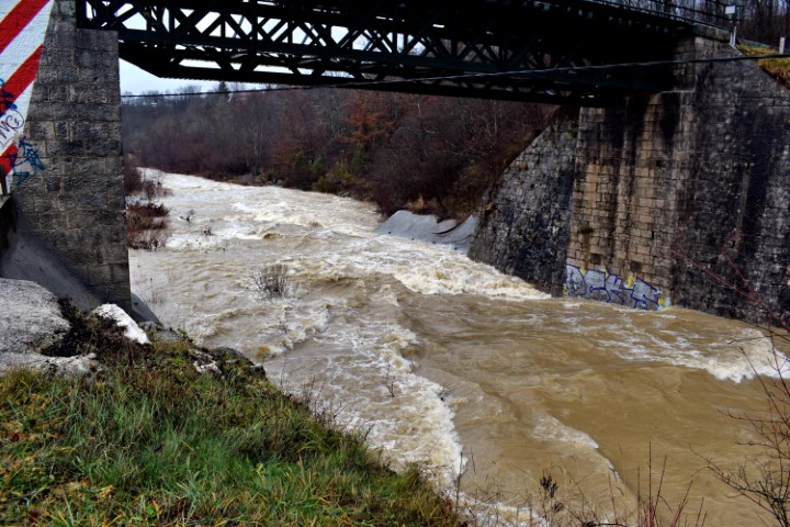
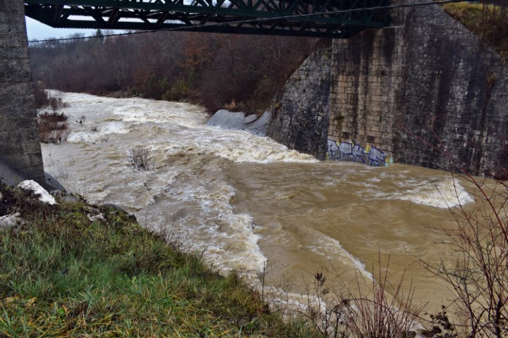
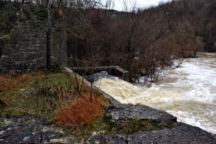
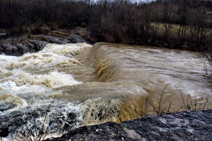
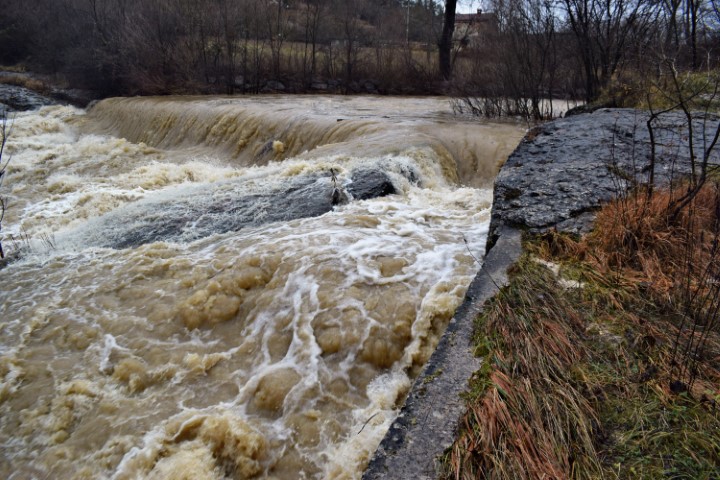
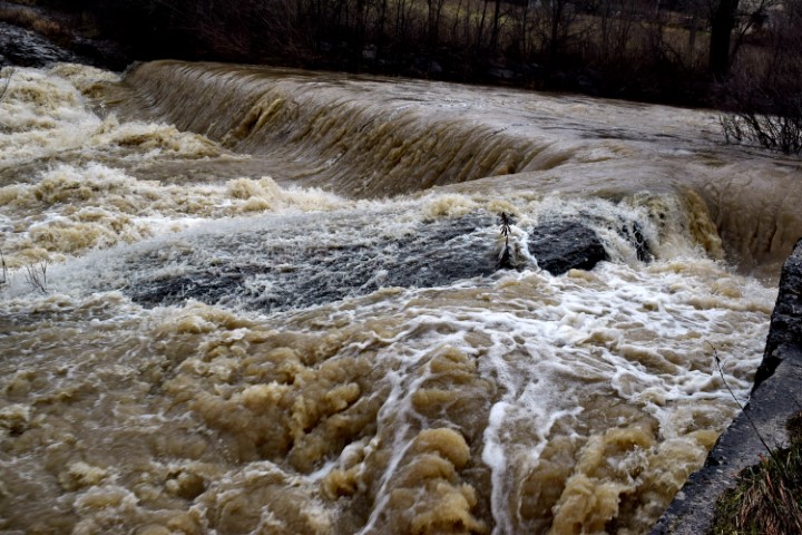
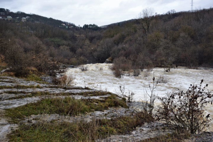
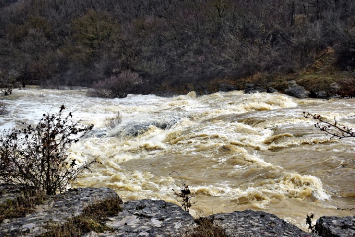
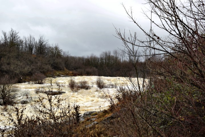
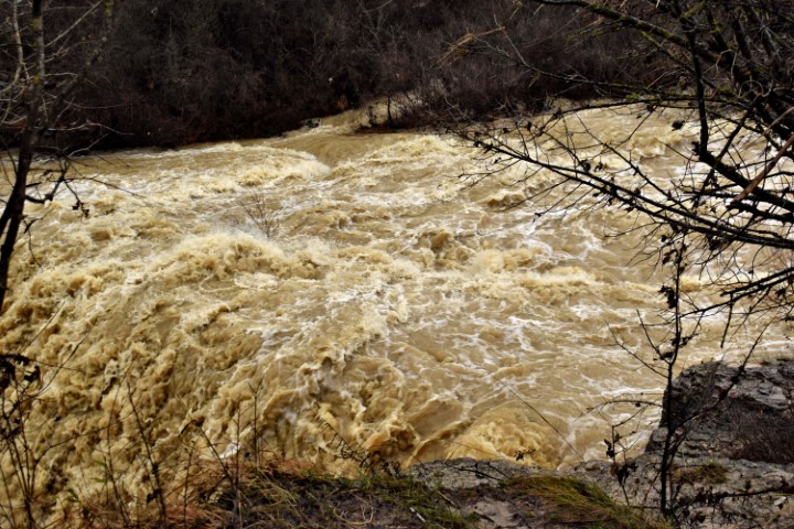
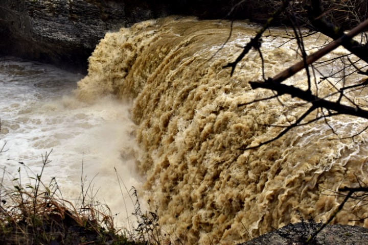
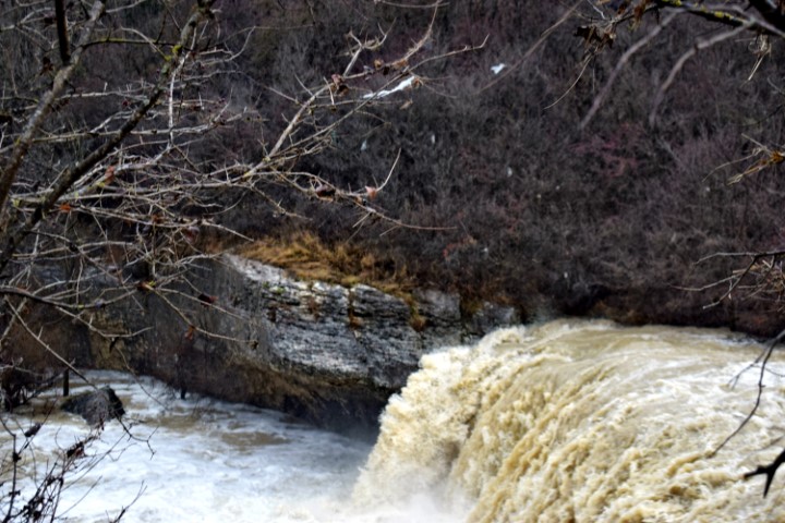
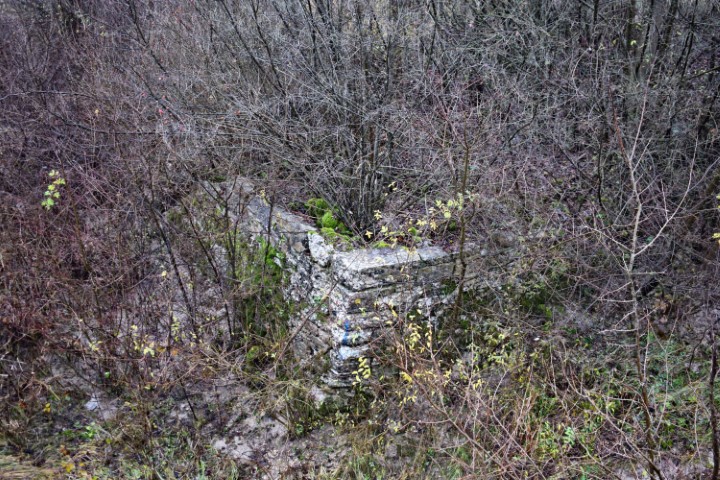
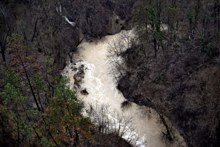
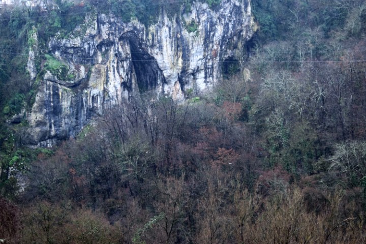
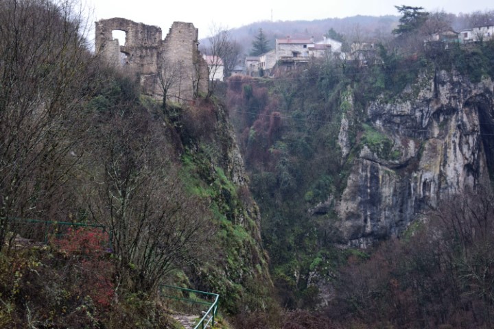
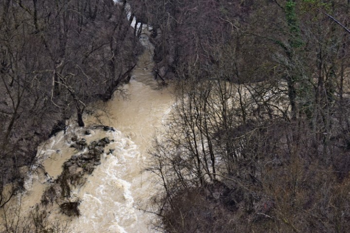
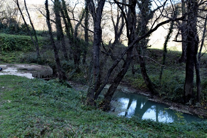
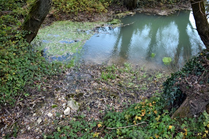
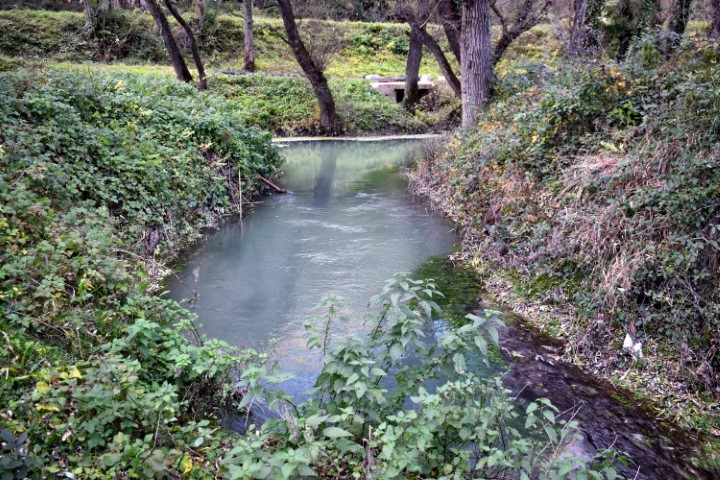
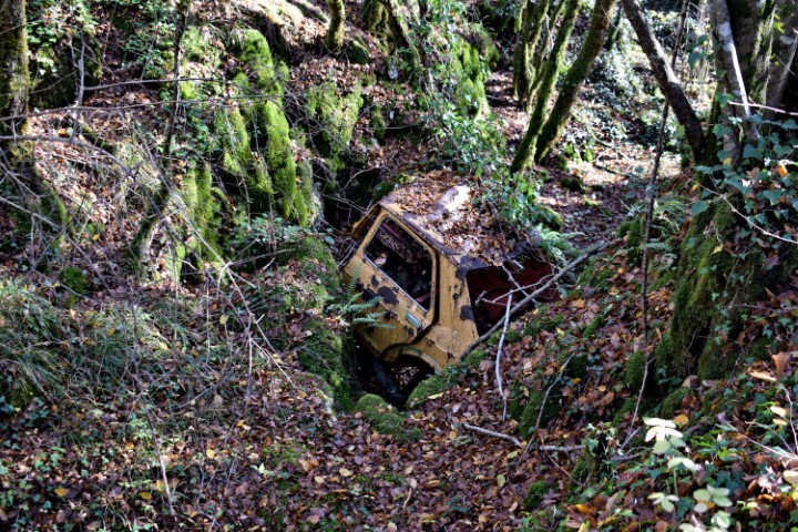
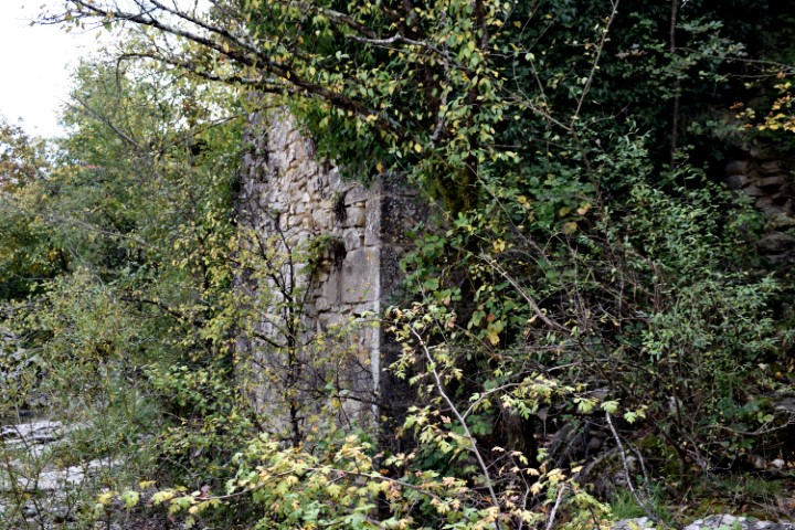
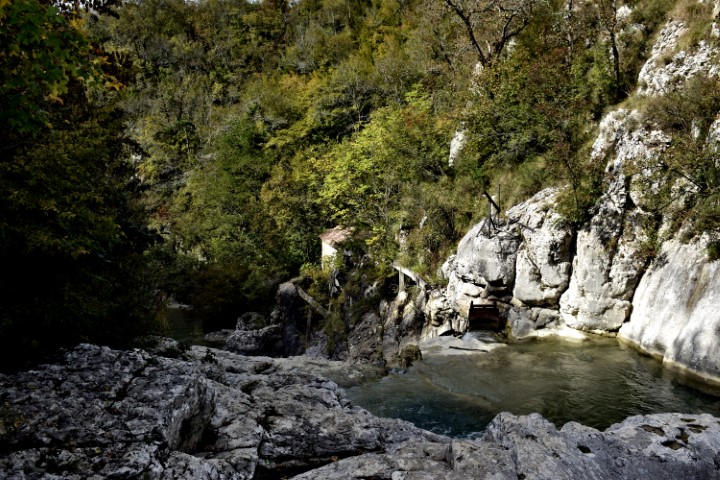
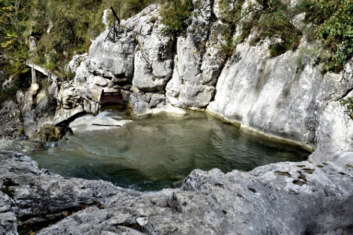
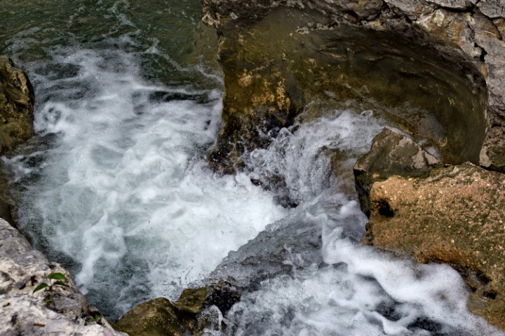
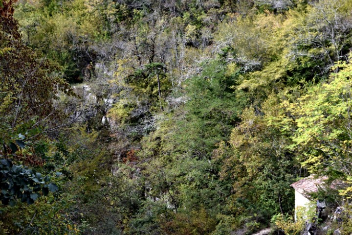
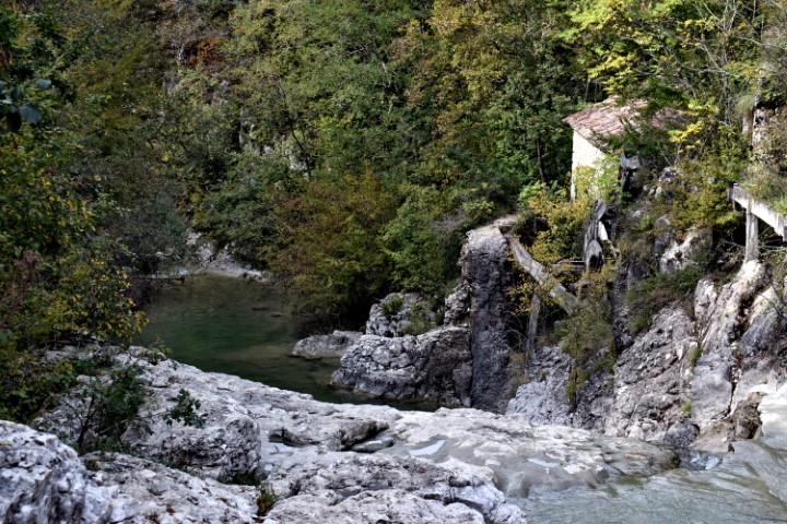
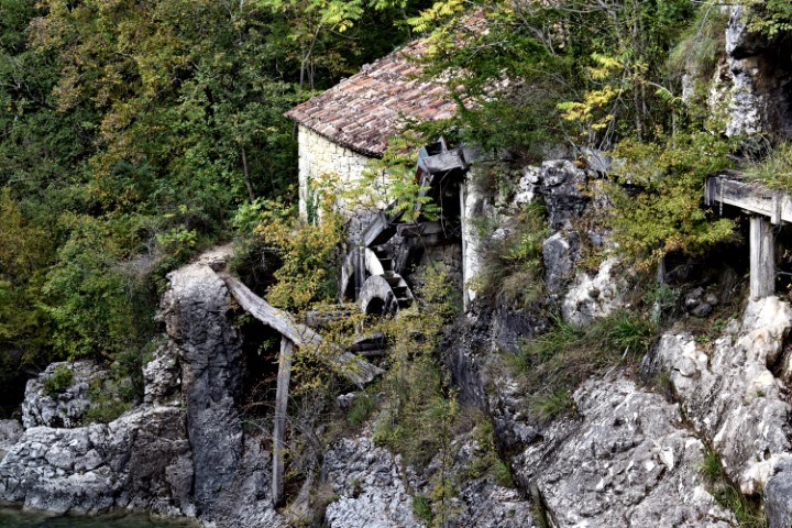
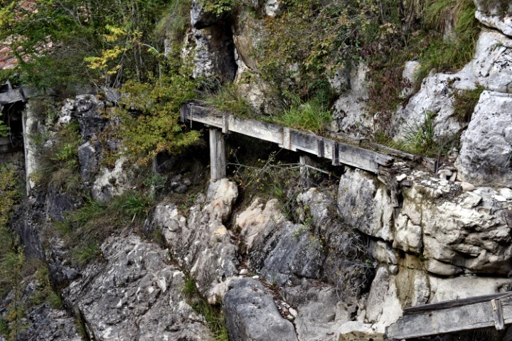
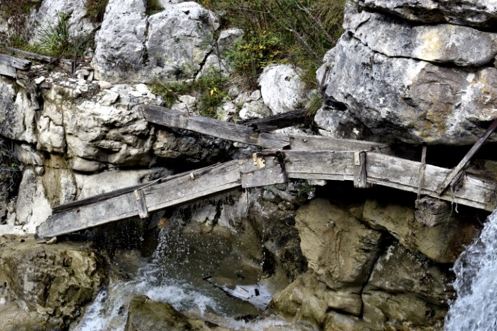
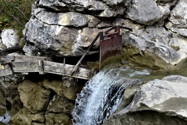
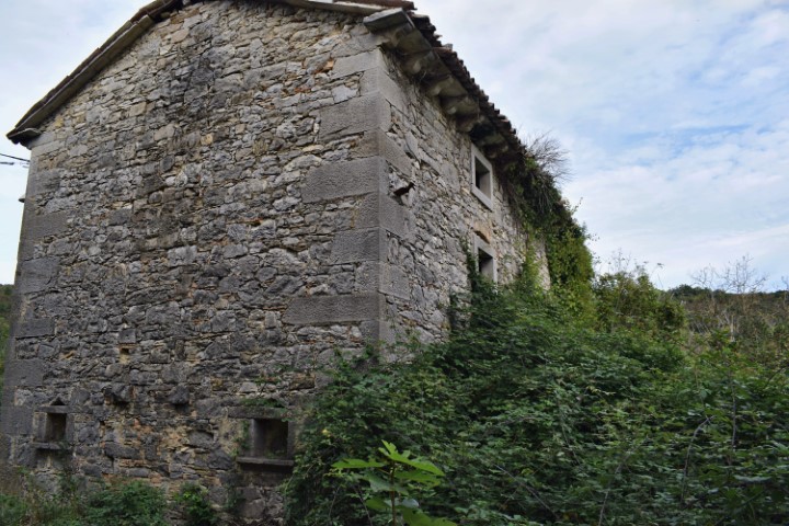
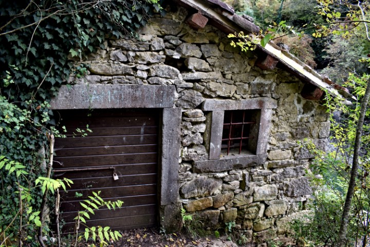
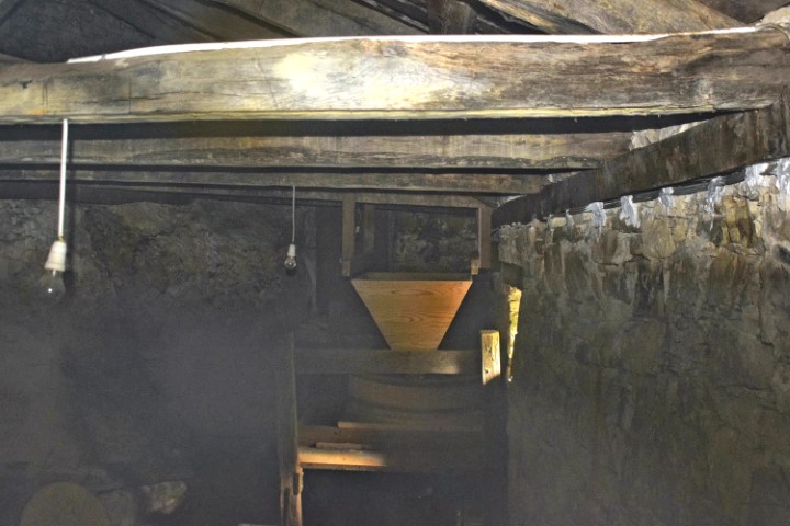
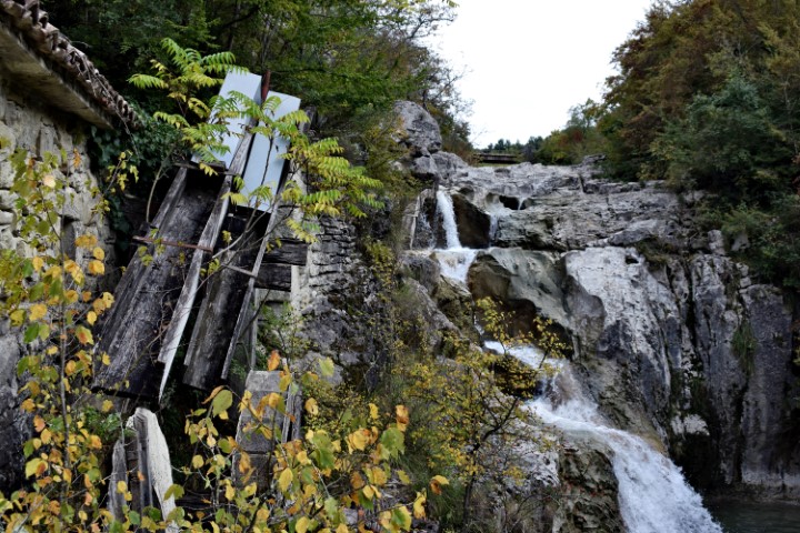
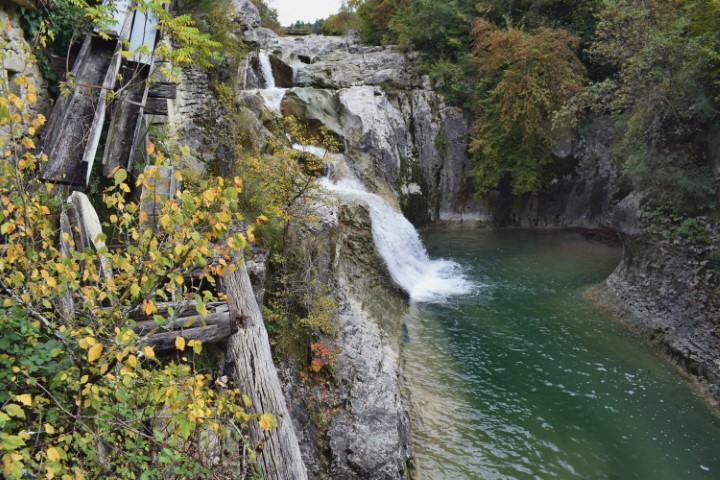
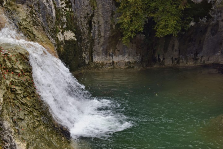
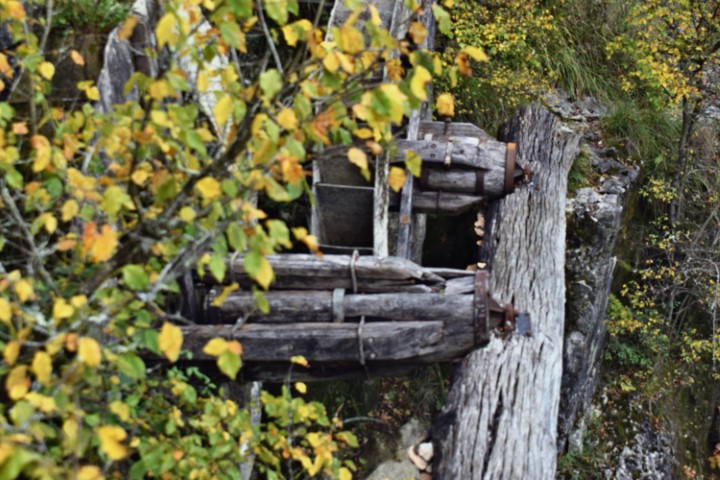
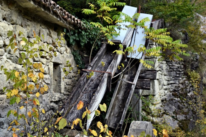
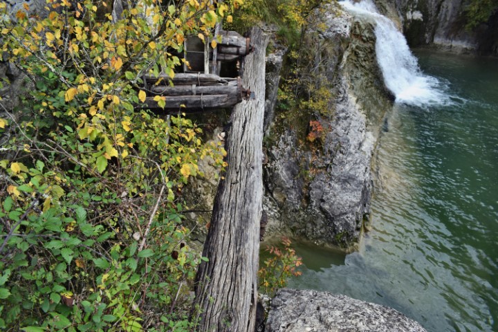
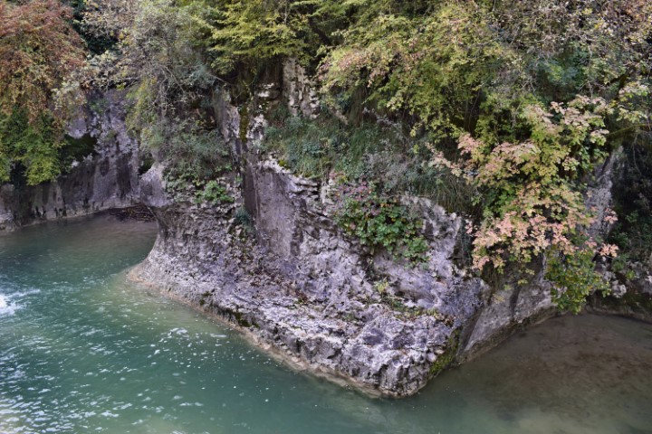
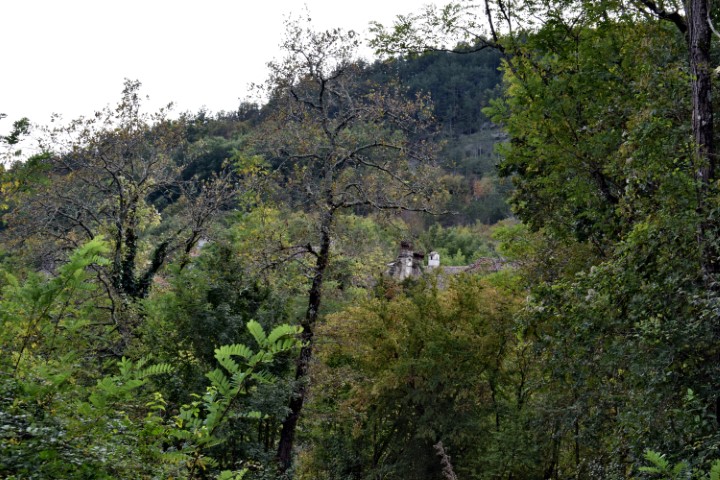
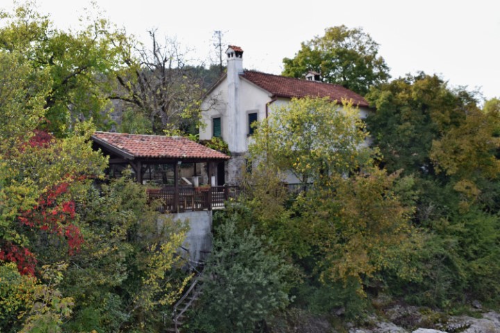
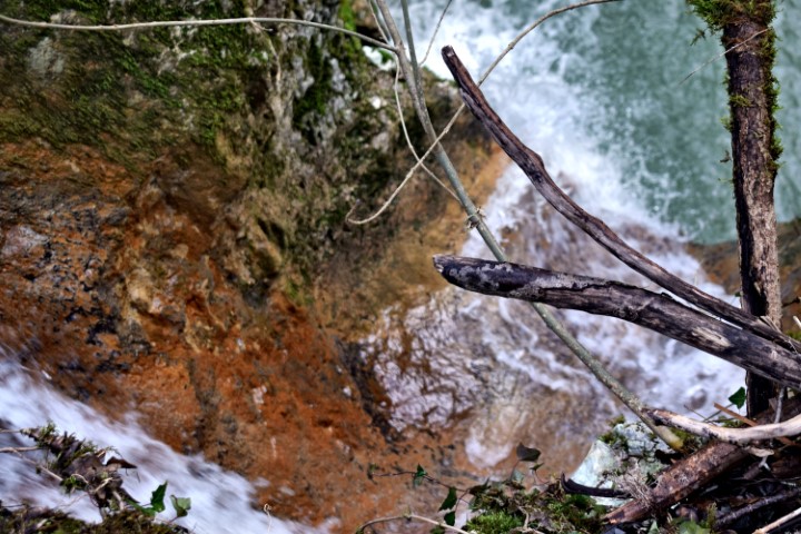
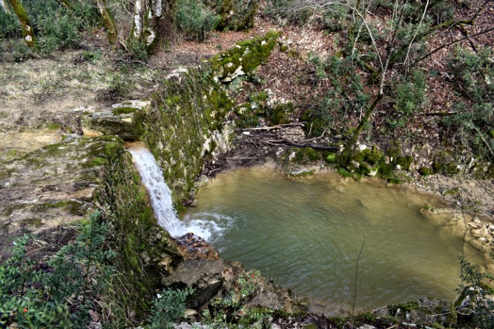
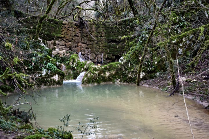
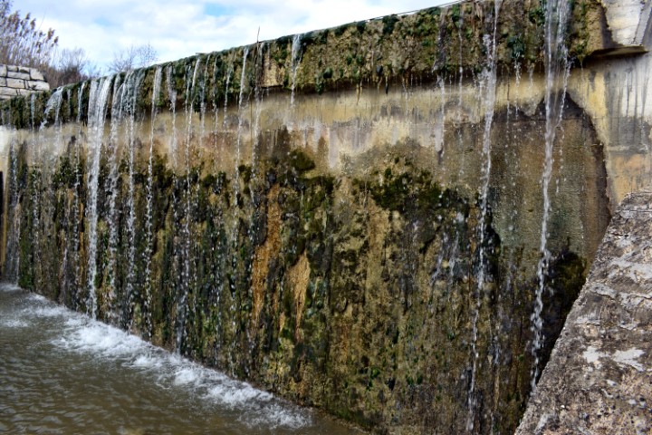
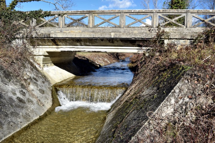
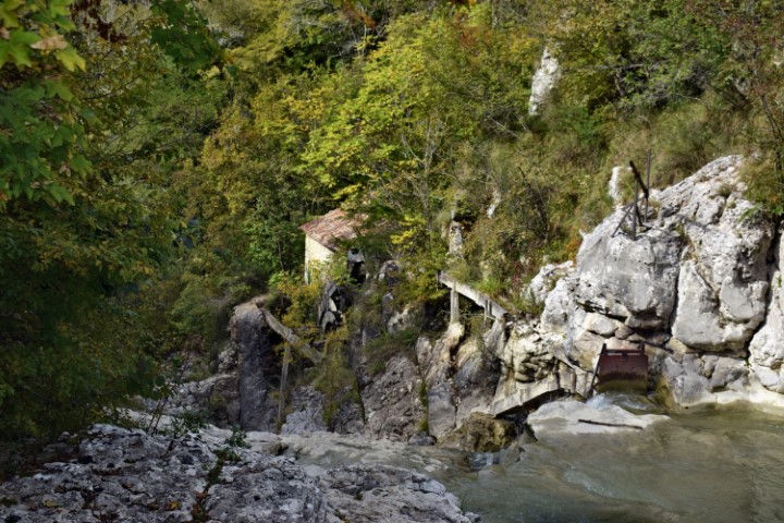
Name: Aqueduct in the river Mirna near a ruin of a watermill.
Place: Rušnjak – Buzet.
Coordinates: 45.3906 N – 13.8970 E.
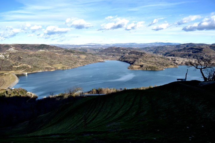
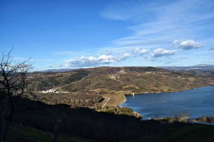
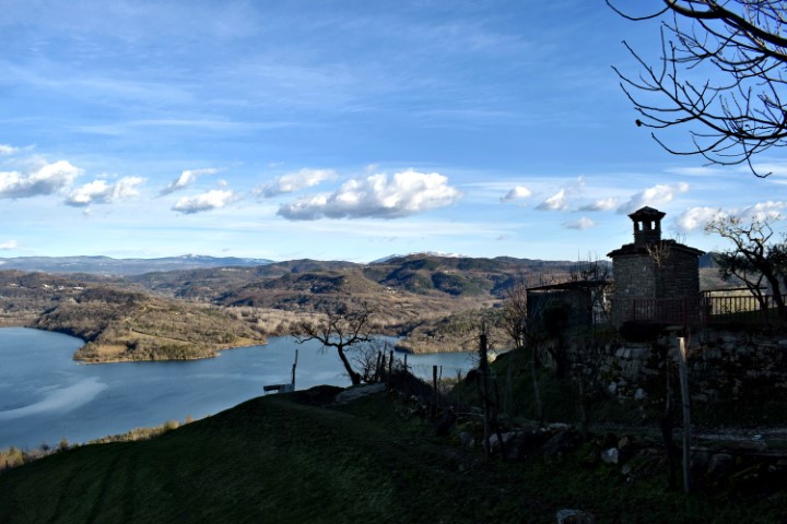
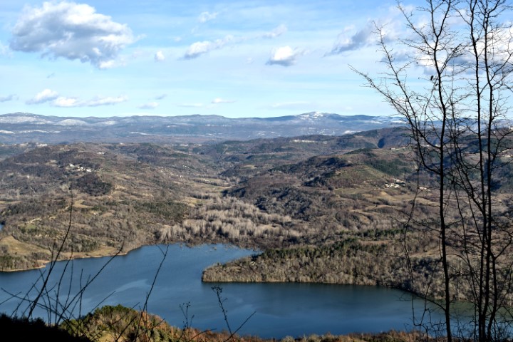
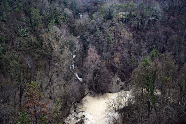
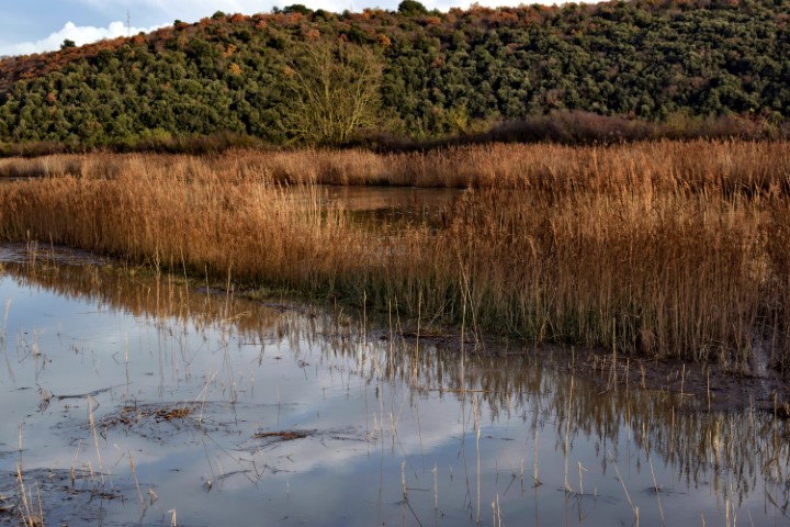
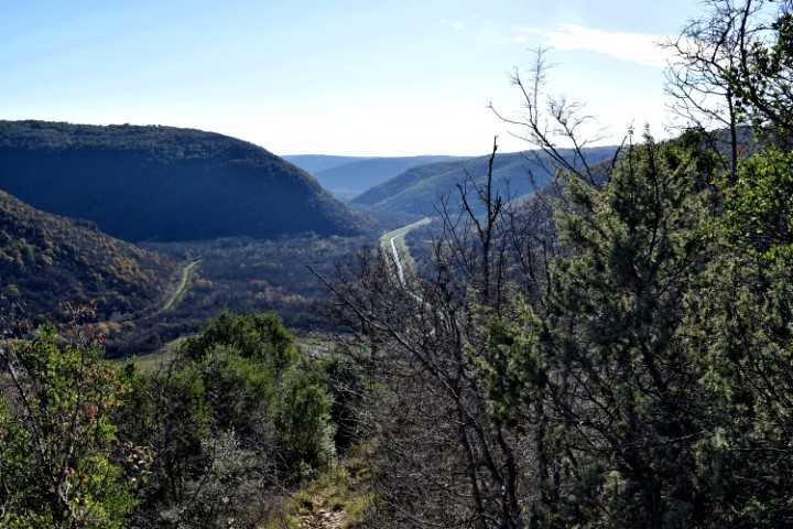
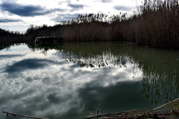
Name: View on Butoniga lake from the village Ukotići.
Place: Ukotići – (Pazin).
Coordinates: 45.32331 N – 13.91436 E.
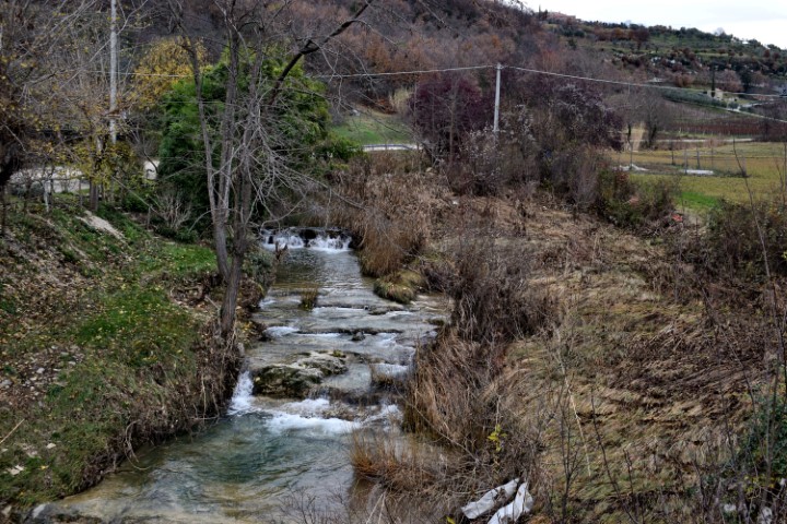
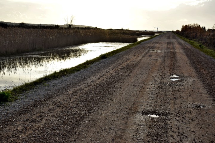
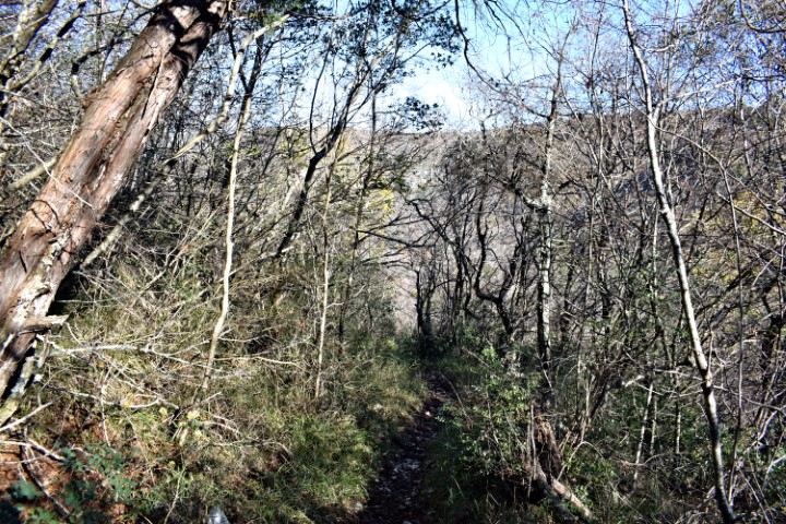
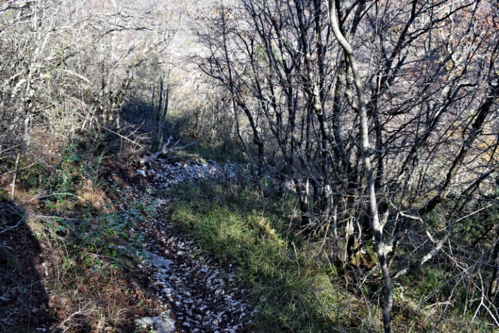
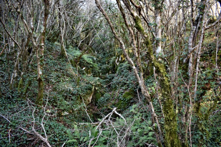
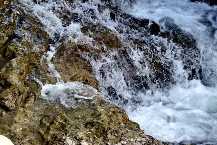
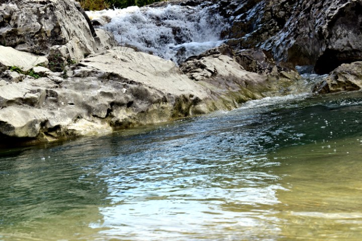
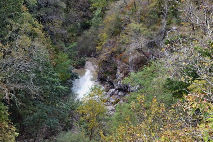
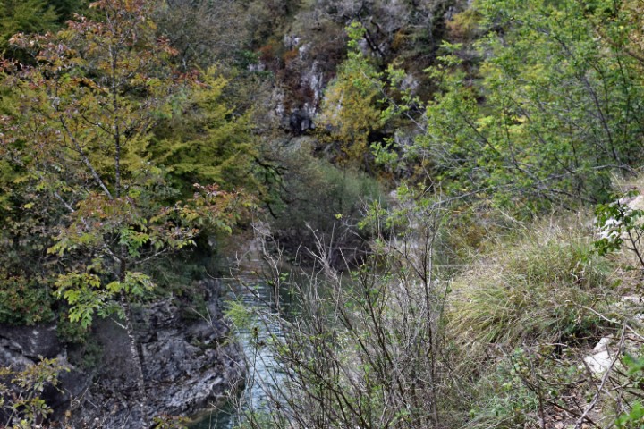
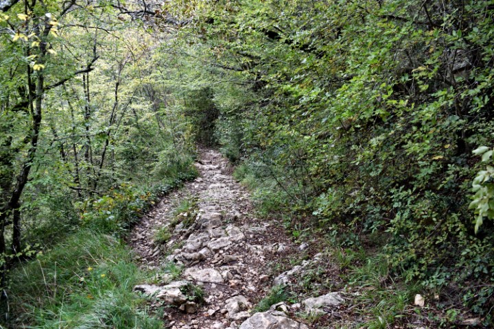
Name: Trail from Krti to Valari along the stream Senić.
Place: Krti – Valari – (Buzet).
Coordinates: 45.34195 N – 13.8944 E to 45.34258 N – 13.89383 E.

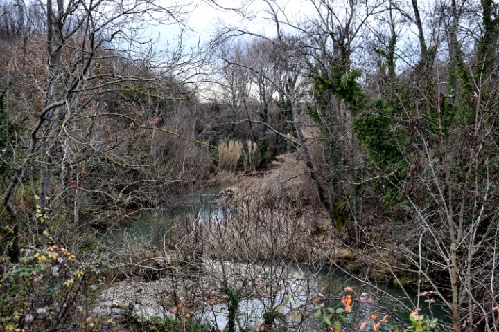
Name: River Argille near the bridge to the castle Monjan.
Place: Merišće – (Buje).
Coordinates: 45.44068 N – 13.70221 E.

Name: Pažinčica river.
Place: Pazin.
Coordinates: Railway bridge: 45.24609 N – 13.96640 E., Bridge near Dusani; 45.25073 N – 13.94900 E,, Bridge Sv. Jožefa: 45.24526 N. 13.93866 E., Bridge Most Vršic: 45.24163 N – 13.92838 E.
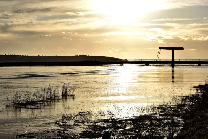
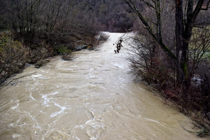
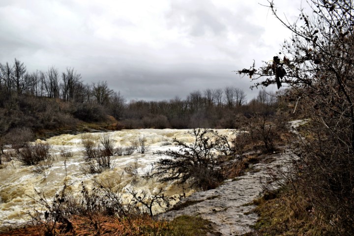
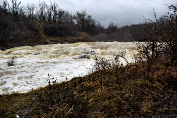
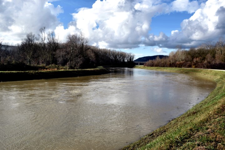
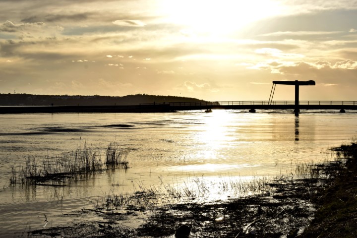
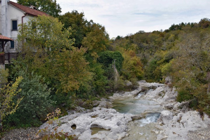
Name: River Mirna – Vižinada / Novigrad.
Place: Vižinada – Novigrad.
Coordinates: 45.35062 N – 13.77323 E, 45.31709 N – 13.59599 E.

Name: Hiking trail from Cvitići to the river Rasa (ruine watermill – waterspring St. Martin) and the village Gorica.
Place: Cvitići – Gorica – (Barban).
Coordinates: Cvitići: 45.13739 N -14.01027 E, Rasa: 45.13060 N – 14.02521 E, Ruine Watermill (205) 45.13440 N – 14.02803 E, Molinska Draga: 45.13514 N – 14.02796 E, Water spring St. Martin: 45.14162 N – 14.02954 E, Gorica: 45.14031 N – 14.01739 E.

Name: Hiking trail Sutivanac to the cemetery Sv. Ivan and from Medančići to the hill Zeleniki.
Place: Sutinavac – Dolica – Medančići – (Barban).
Name church Sutivanac : Sv. Marija.
Stream: Perilska draga.
Coordinates: Sutivanac : 45.13401 N – 14.00692 E, Cemetery: 45.1283 N – 14.01579 E, Medančići: 45.12916 N – 14.00989 E, To hill Zeleniki: 45.12905 N – 14.00484 E, hill Zeleniki : 45.11617 N – 14.00787 E:
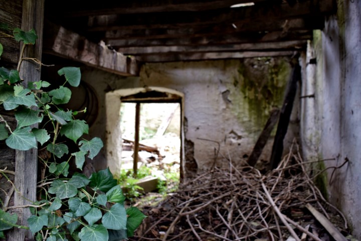
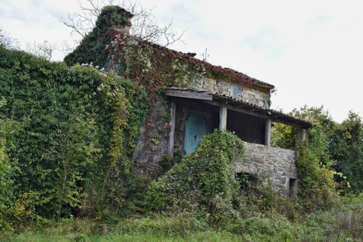
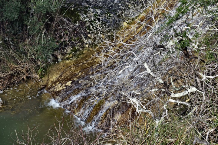
Name:Watermills (81,82) in the river Račine near the village Kotli.
Place: Kotli-(Buzet).
Coordinates: 45.3685 N – 14.0168 E.