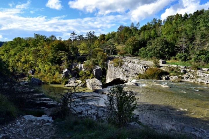
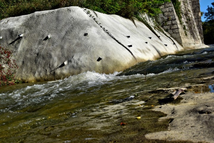
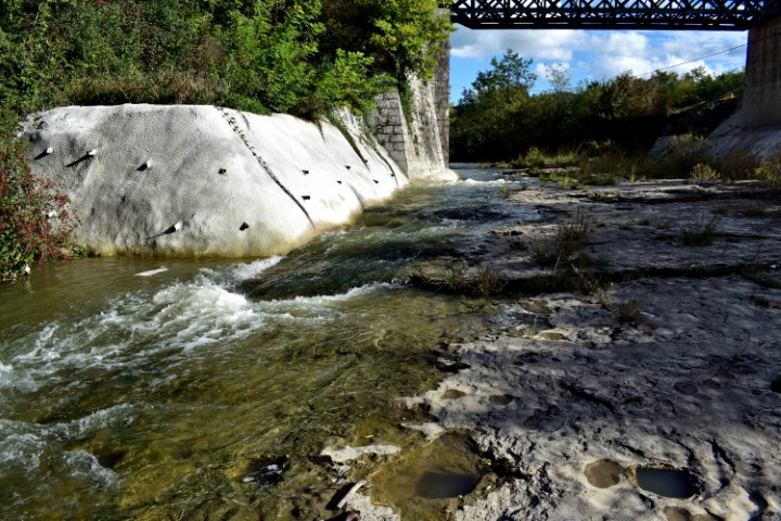
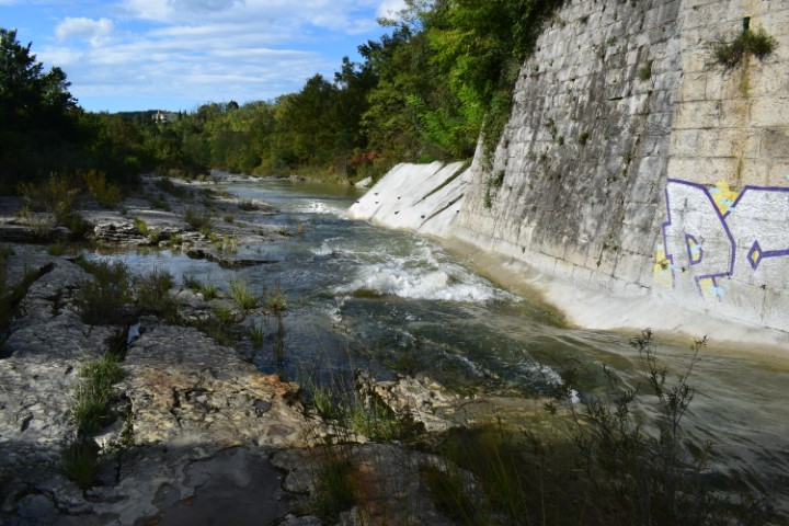
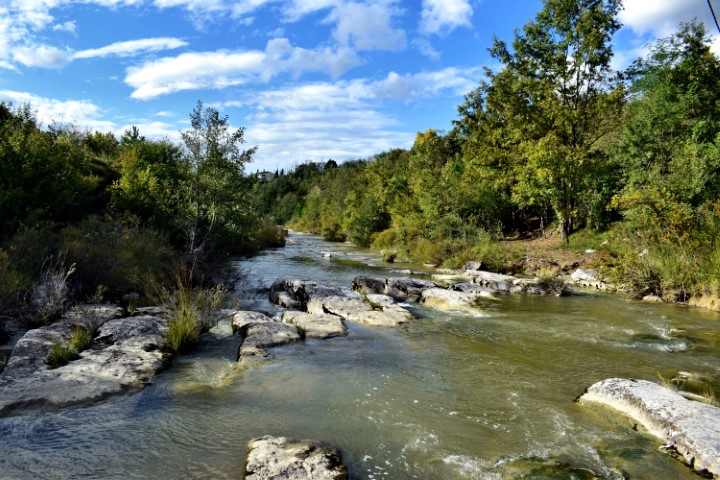
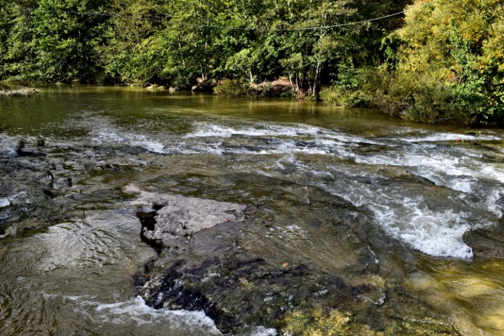
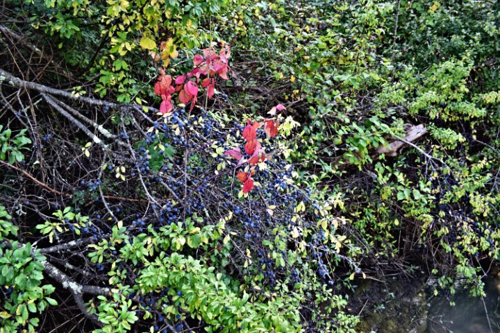
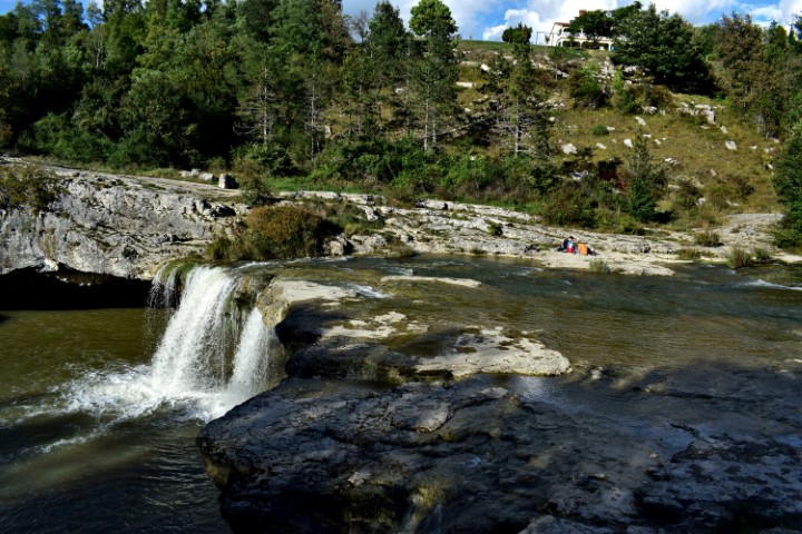
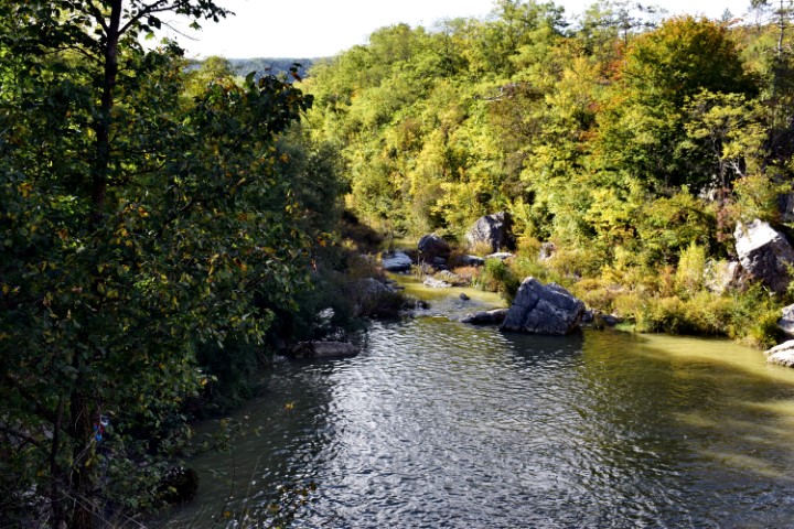
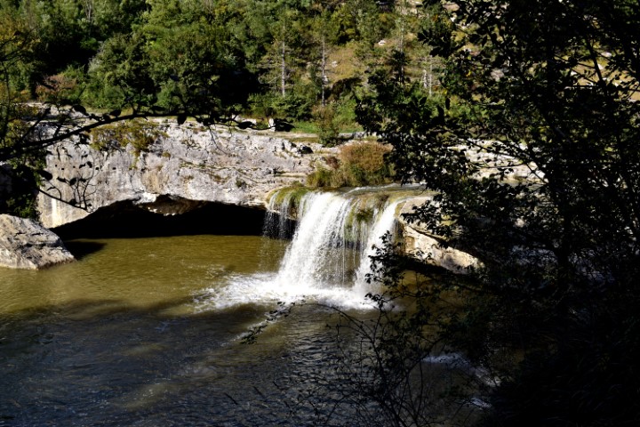
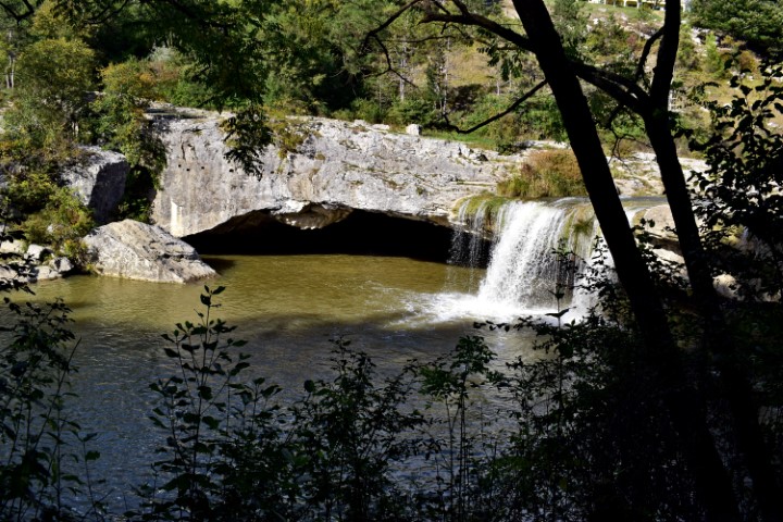
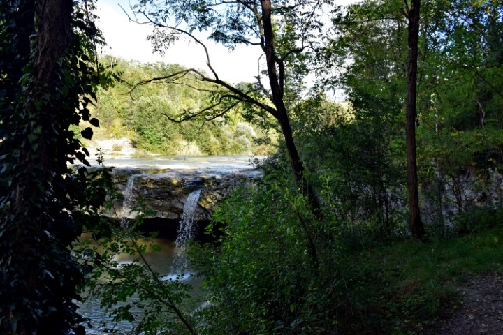
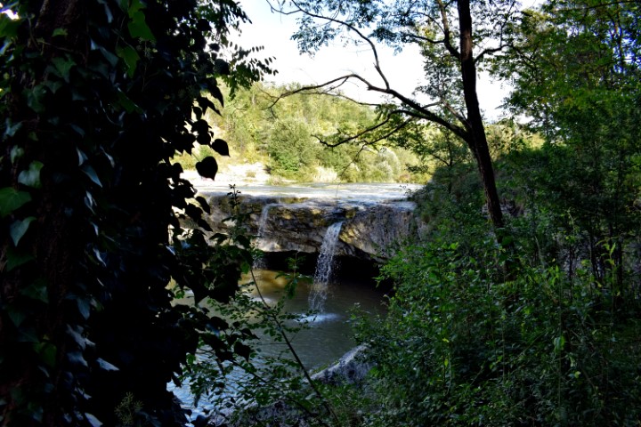
Hiking trail from railway bridge over the Japlenica / Kanal to Zarečski krov. Posted on 2020-10-042020-10-05by JanS DSC_0296 (Small)DSC_0281 (Small)DSC_0282 (Small)DSC_0284 (Small)DSC_0285 (Small)DSC_0286 (Small)DSC_0288 (Small)DSC_0289 (Small)DSC_0290 (Small)DSC_0291 (Small)DSC_0292 (Small)DSC_0293 (Small)DSC_0294 (Small) Name: Hiking trail from railway bridge over the Japlenica / Kanal to Zarečski krov. Place: Near Zarečski – (Pazin). Coordinates: From 45.24692 N – 13.9661 E to 45.24872 N – 13.9611 E. Share this: Share on X (Opens in new window) X Share on Facebook (Opens in new window) Facebook