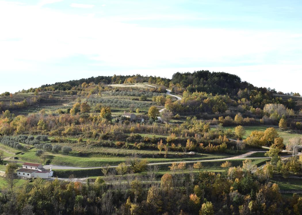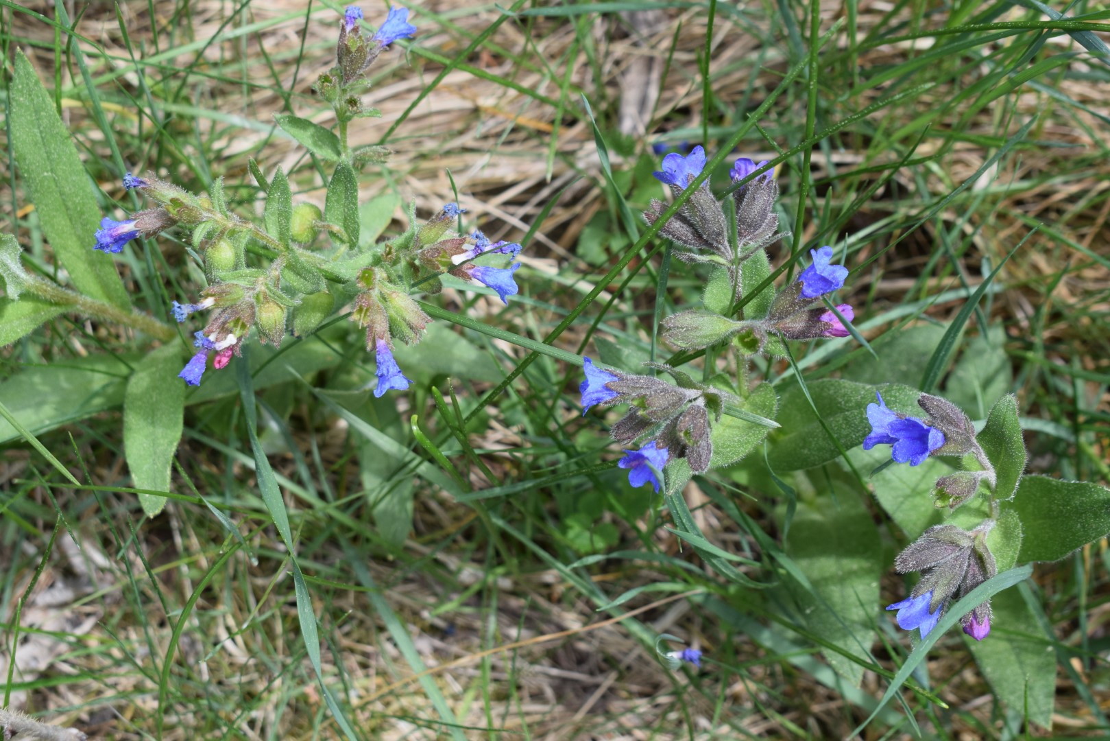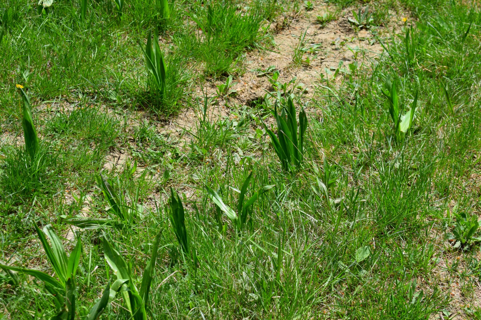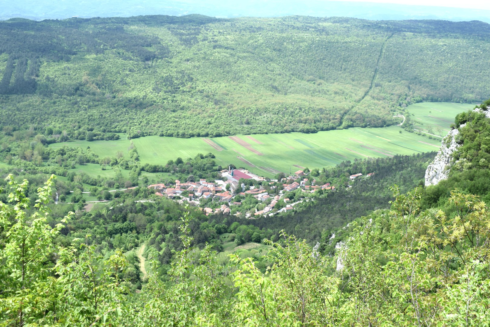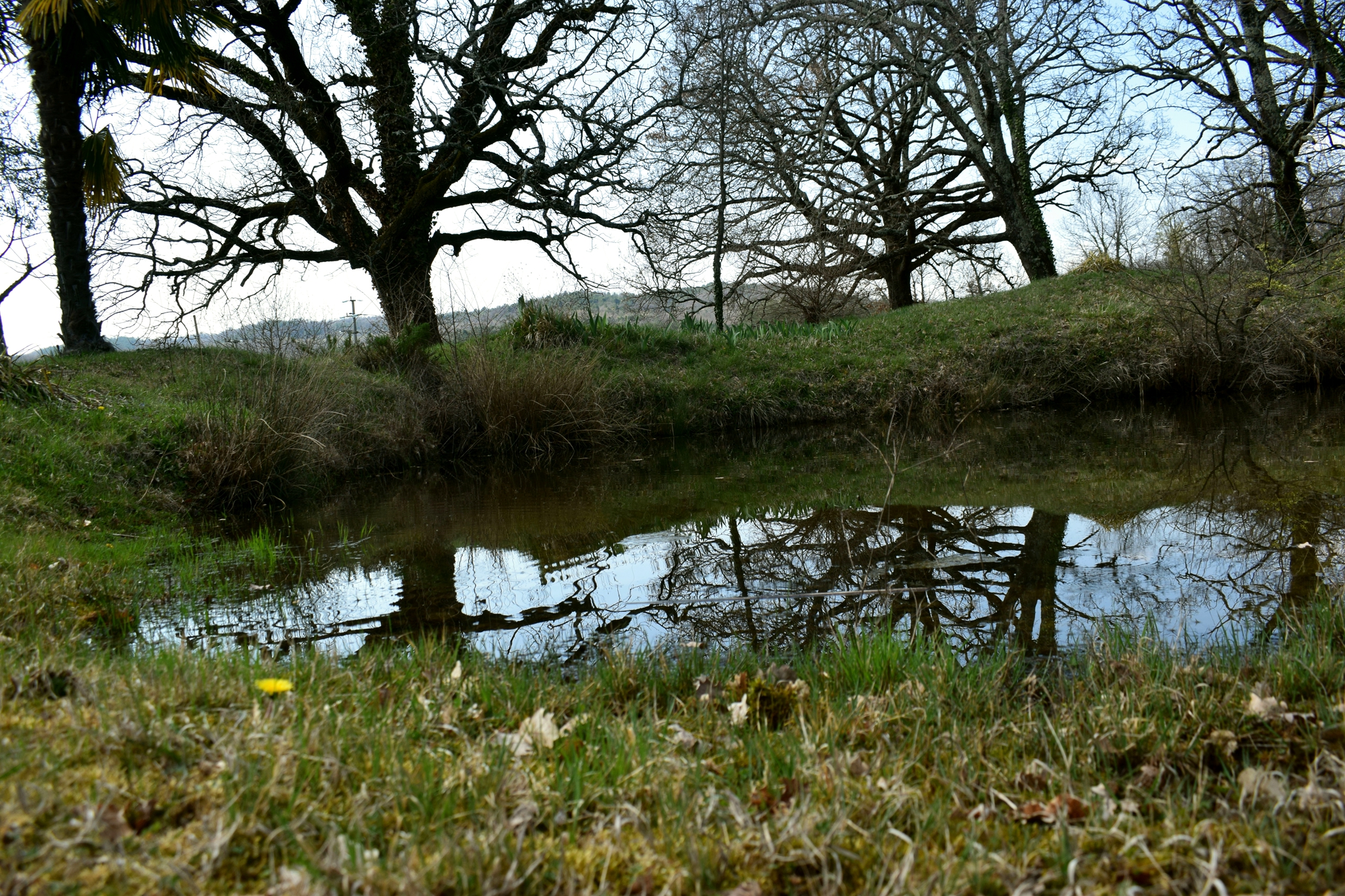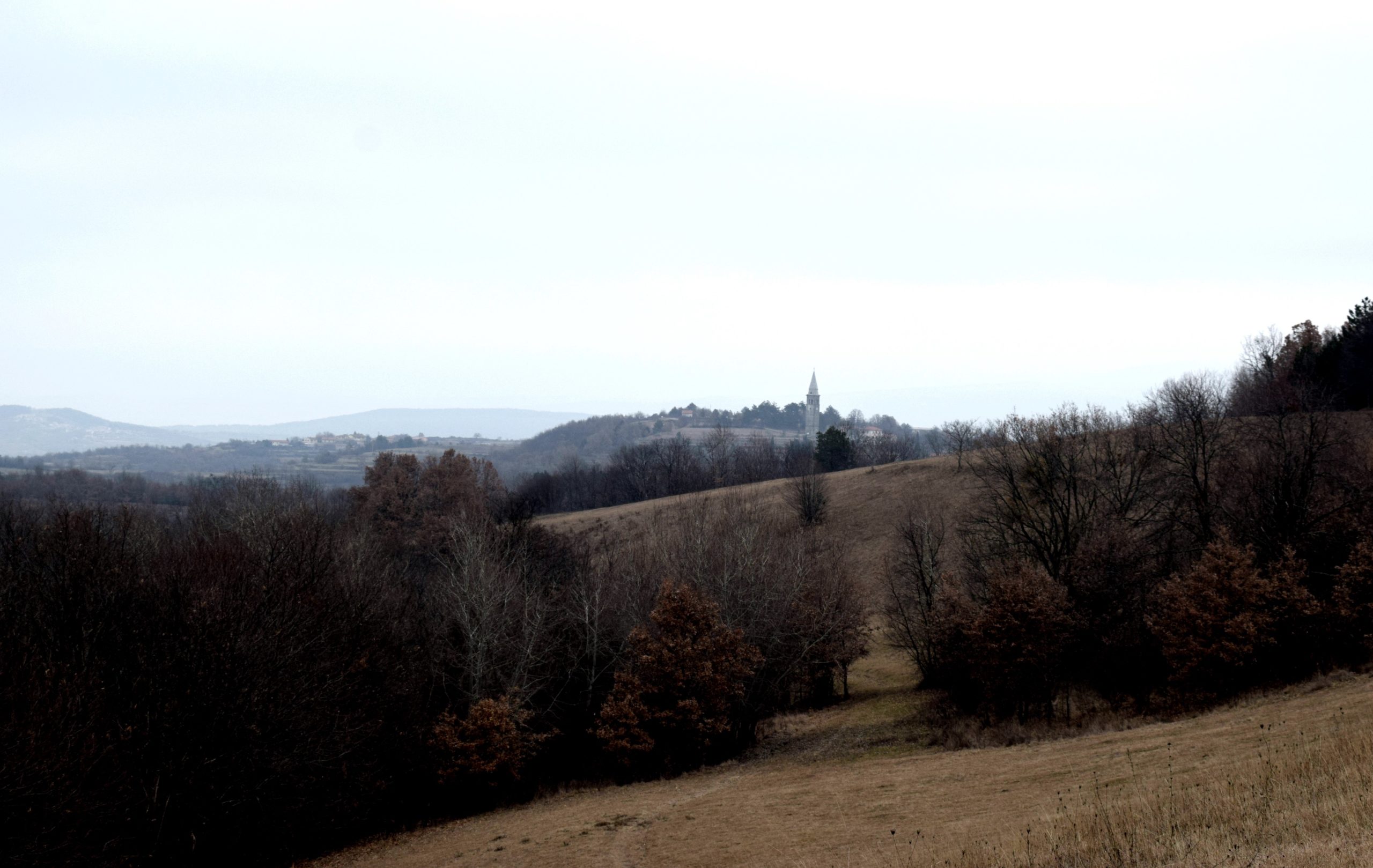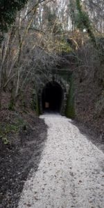


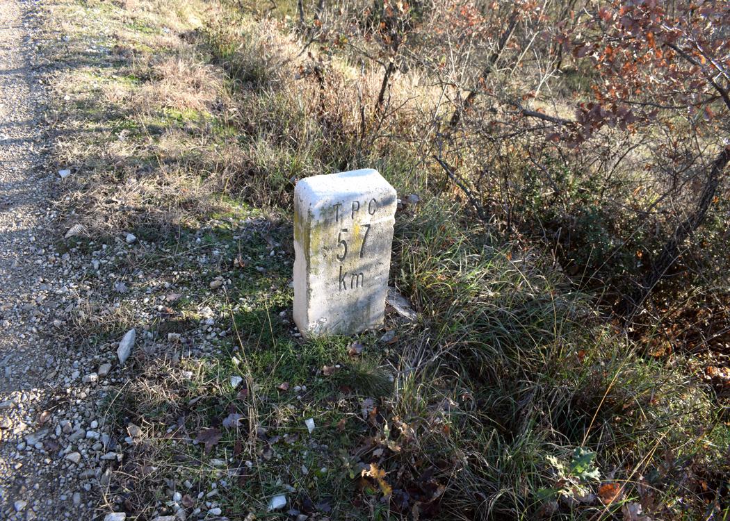
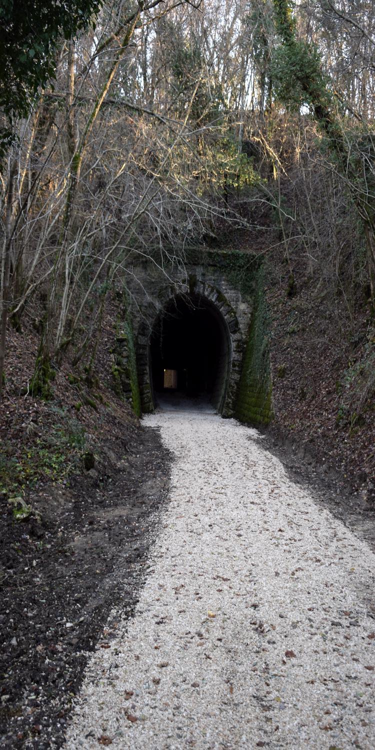

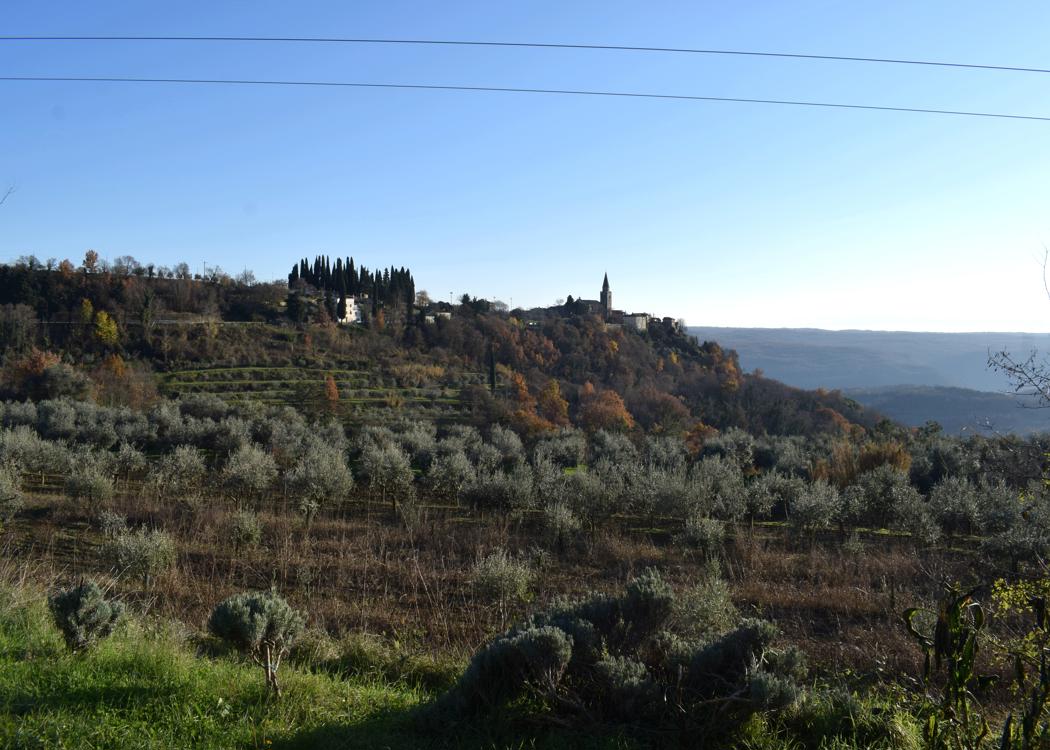
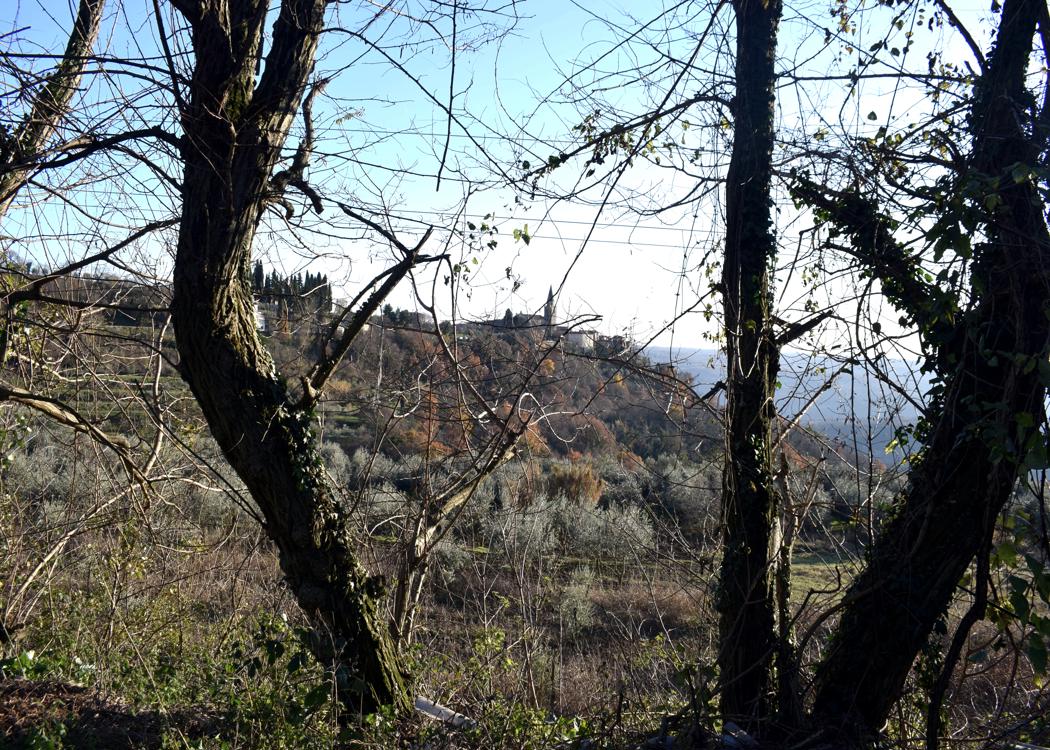
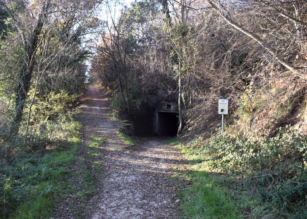
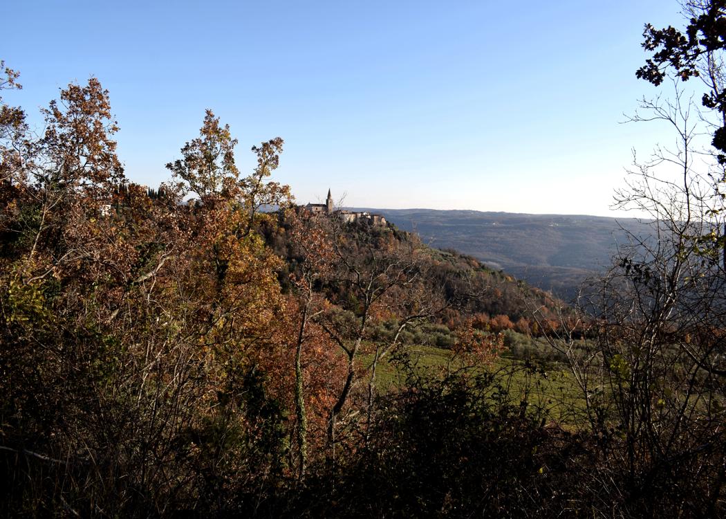
Name: Parenzana “the route of health and friendship” from Triban to Grožnjan.
Place: Triban – Grožnjan.
Coordinates: 45.40189 N – 13.69156 E , 45.38452 N – 13.72217 E.
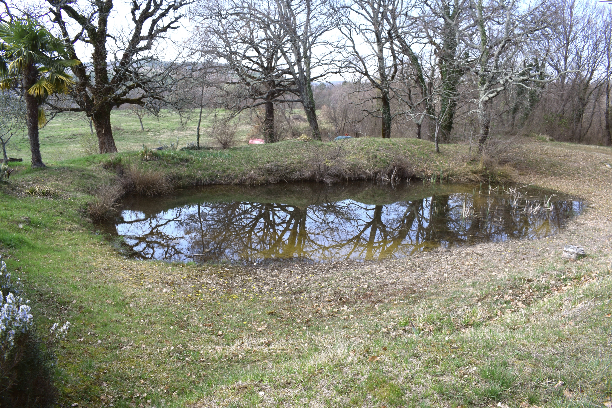
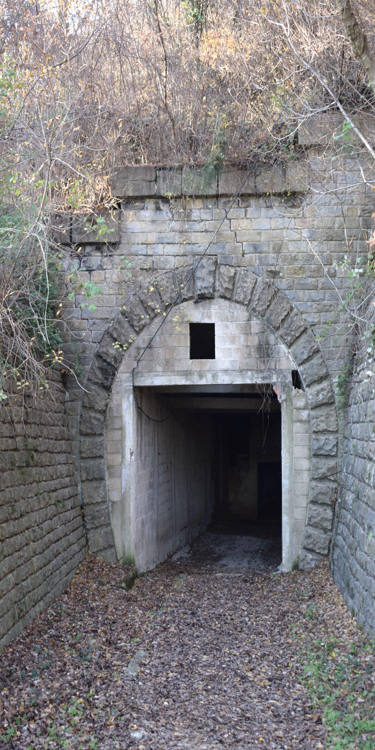
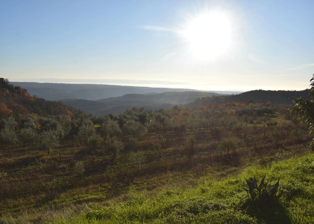
Name: Parenzana “the route of health and friendship” from Triban to Grožnjan.
Place: Triban – Grožnjan.
Coordinates: 45.40189 N – 13.69156 E , 45.38452 N – 13.72217 E.

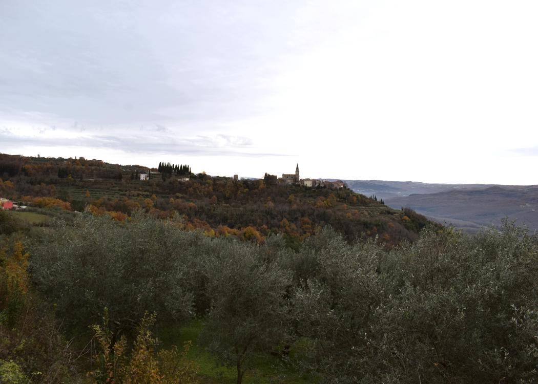
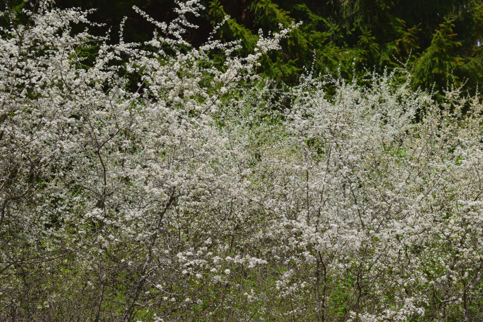
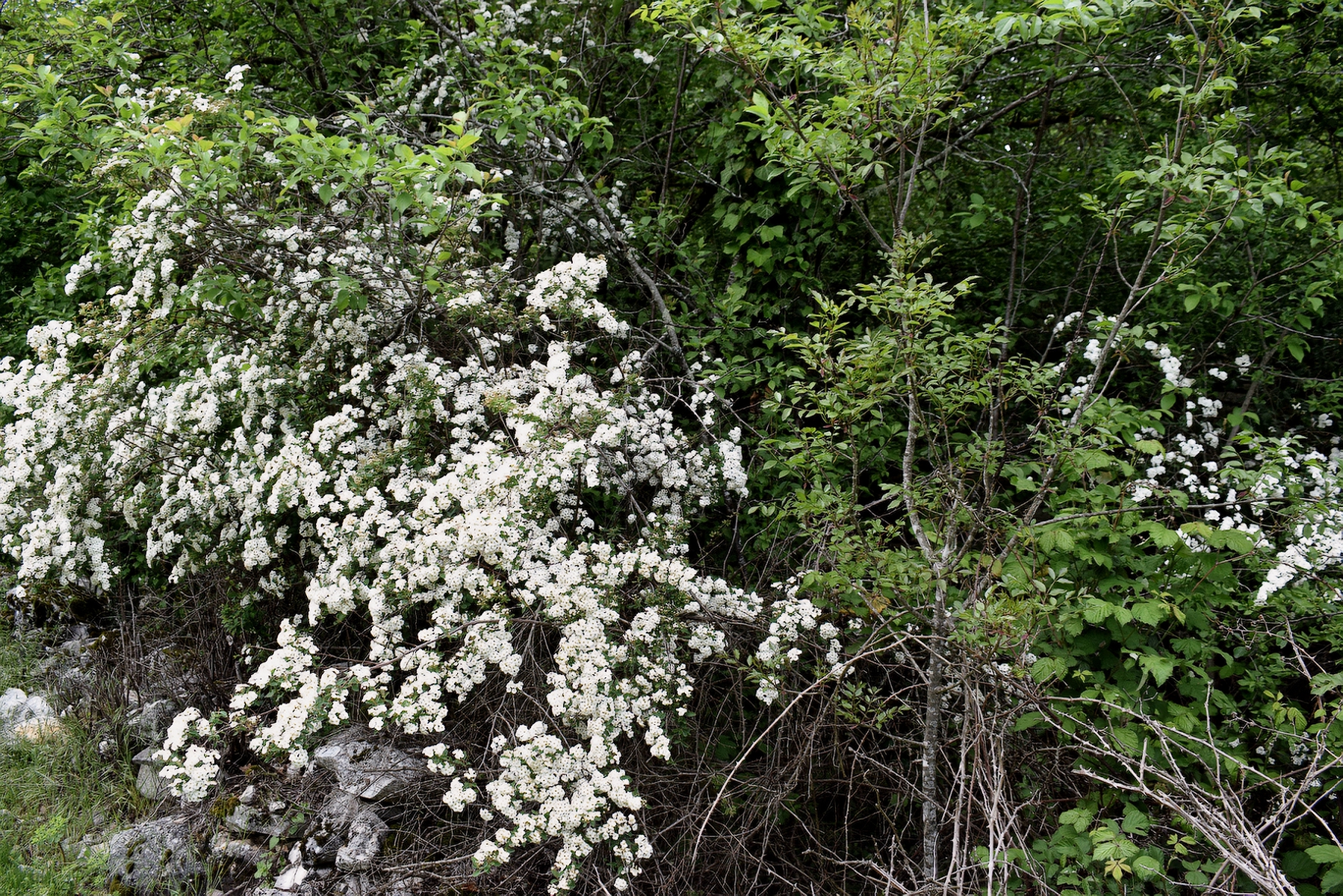
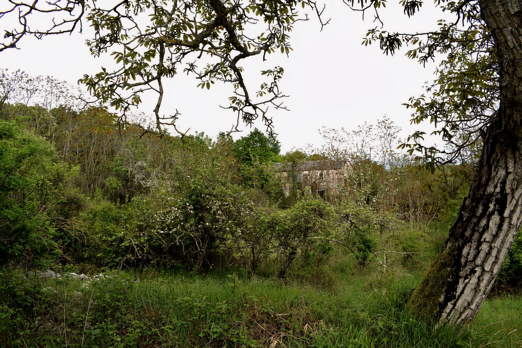
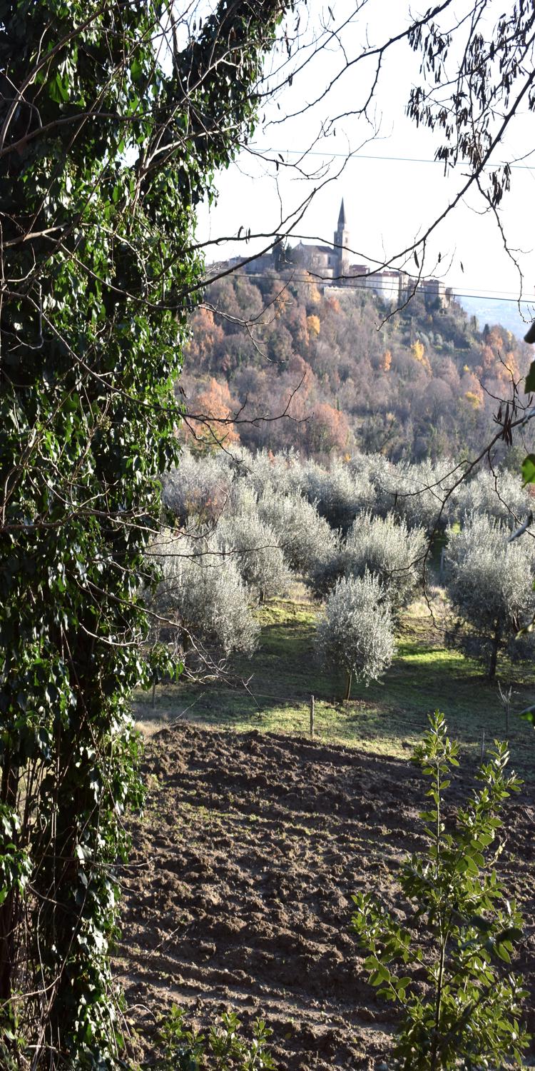
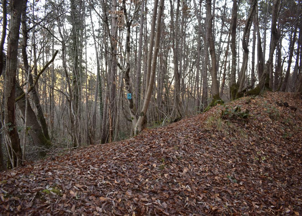
Name: Road from Grožnjan to Momjan via the villages Peroj, Crnci, Brdo, Bric, Oskorus and Rosmanija.

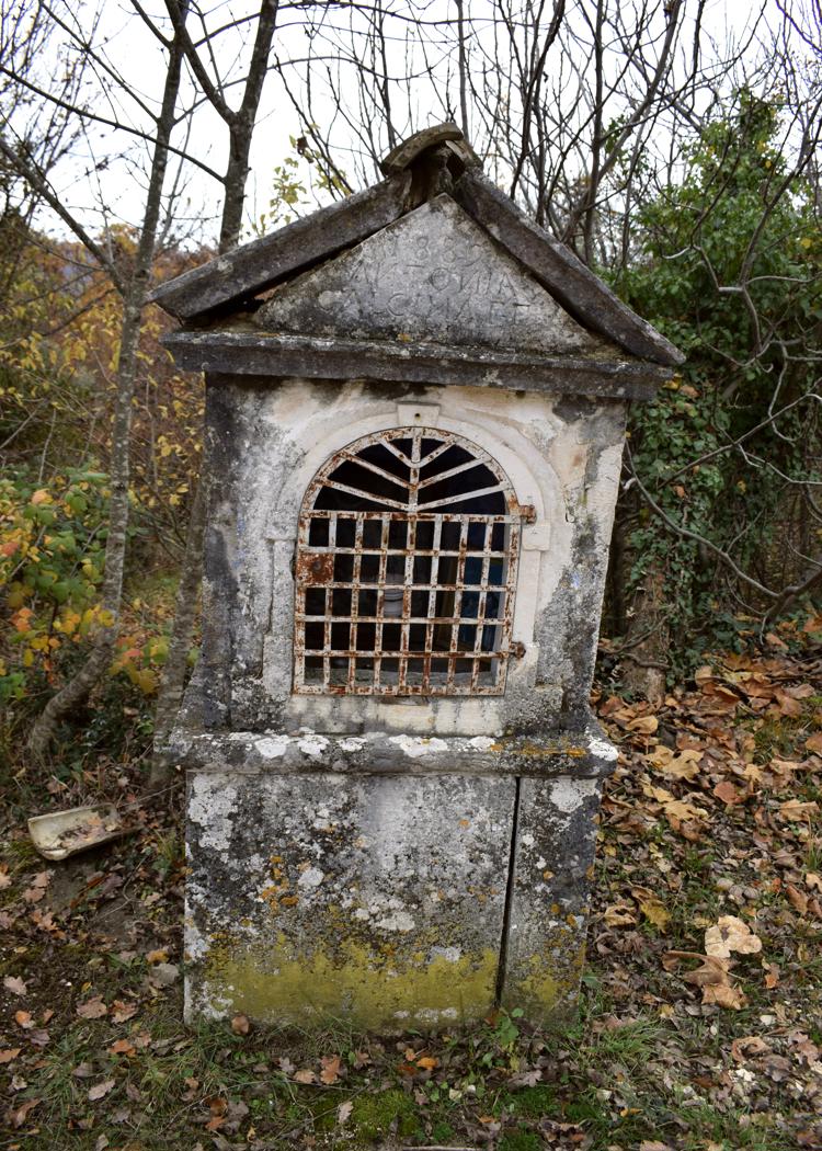
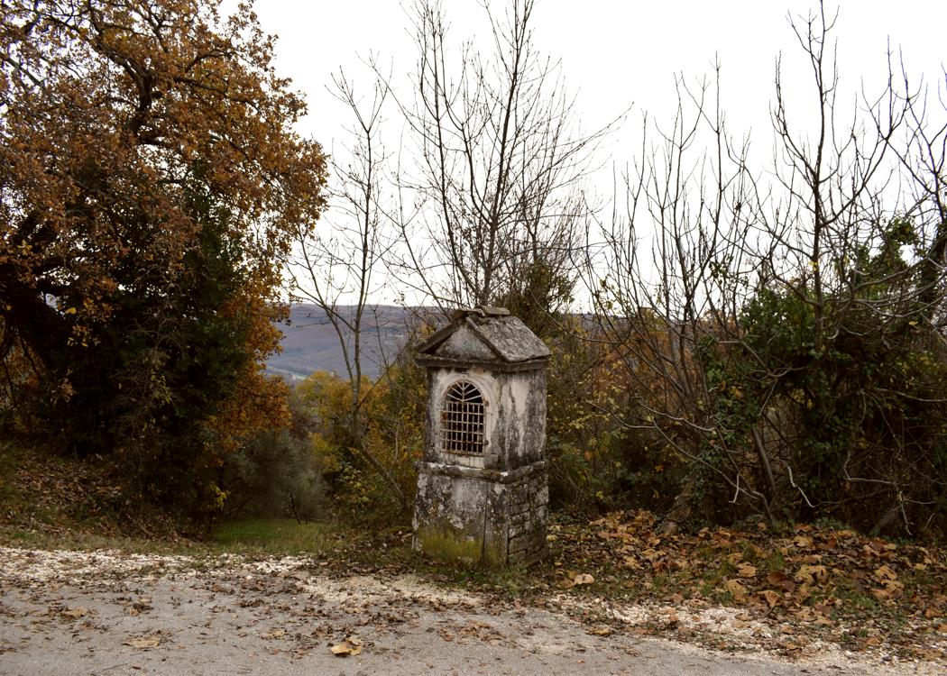
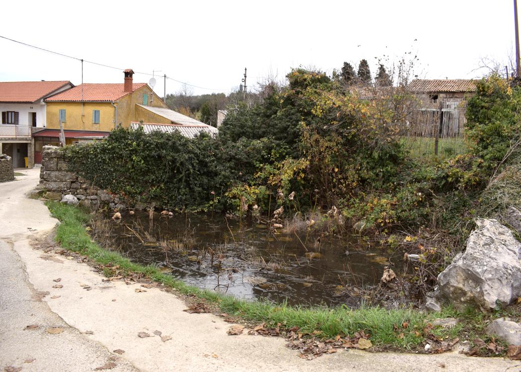
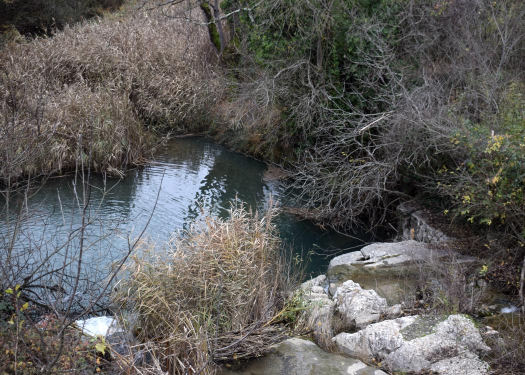
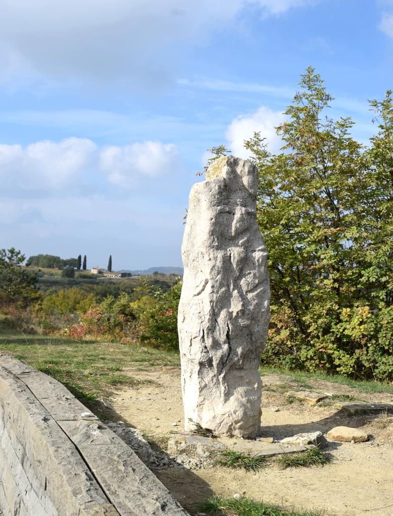
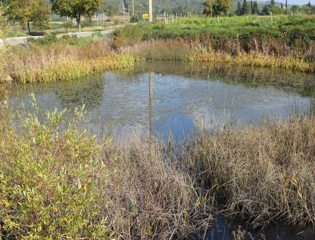
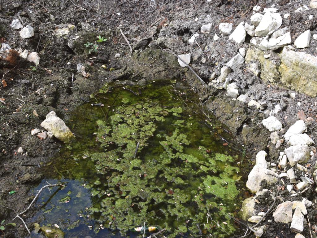
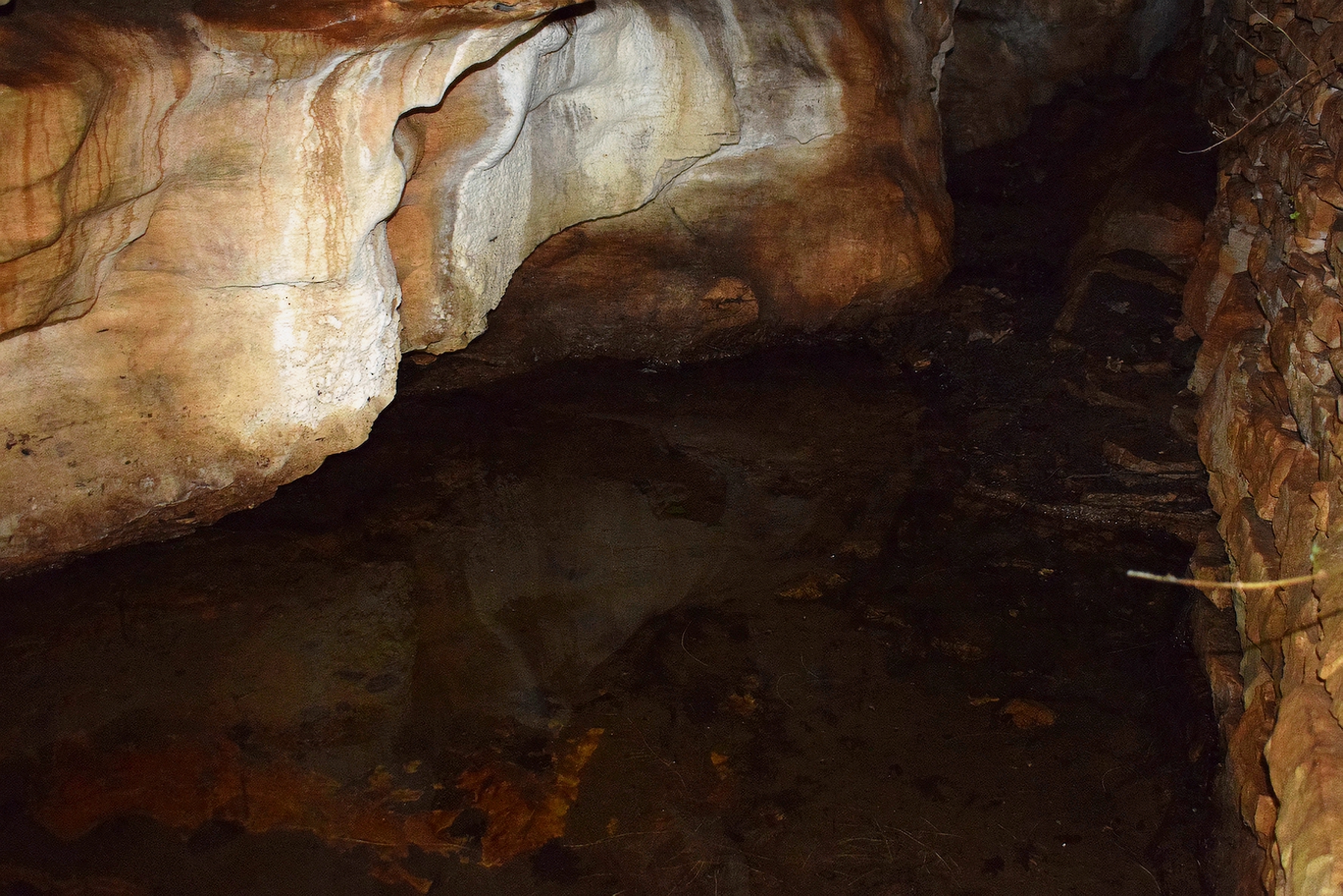
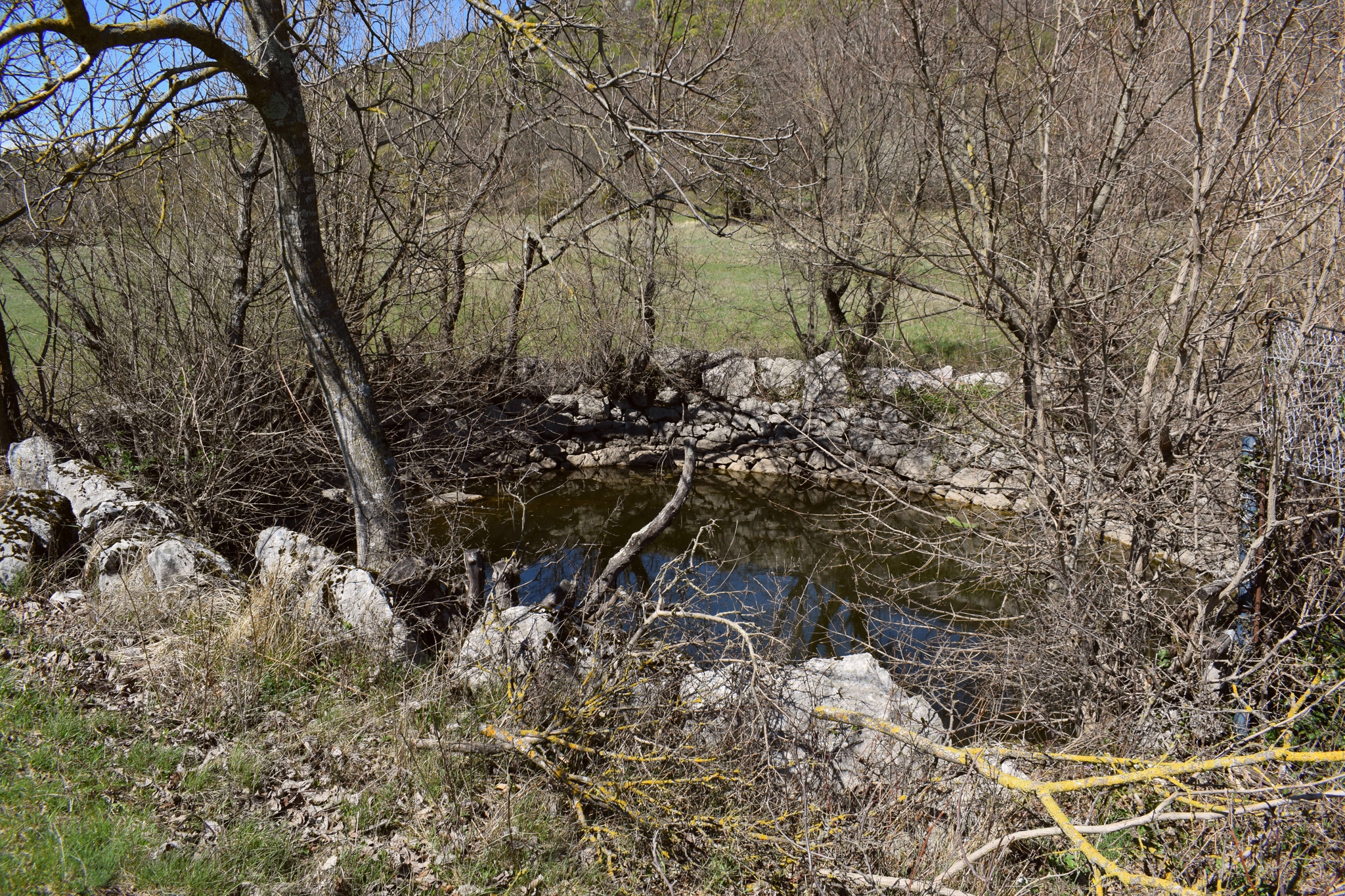
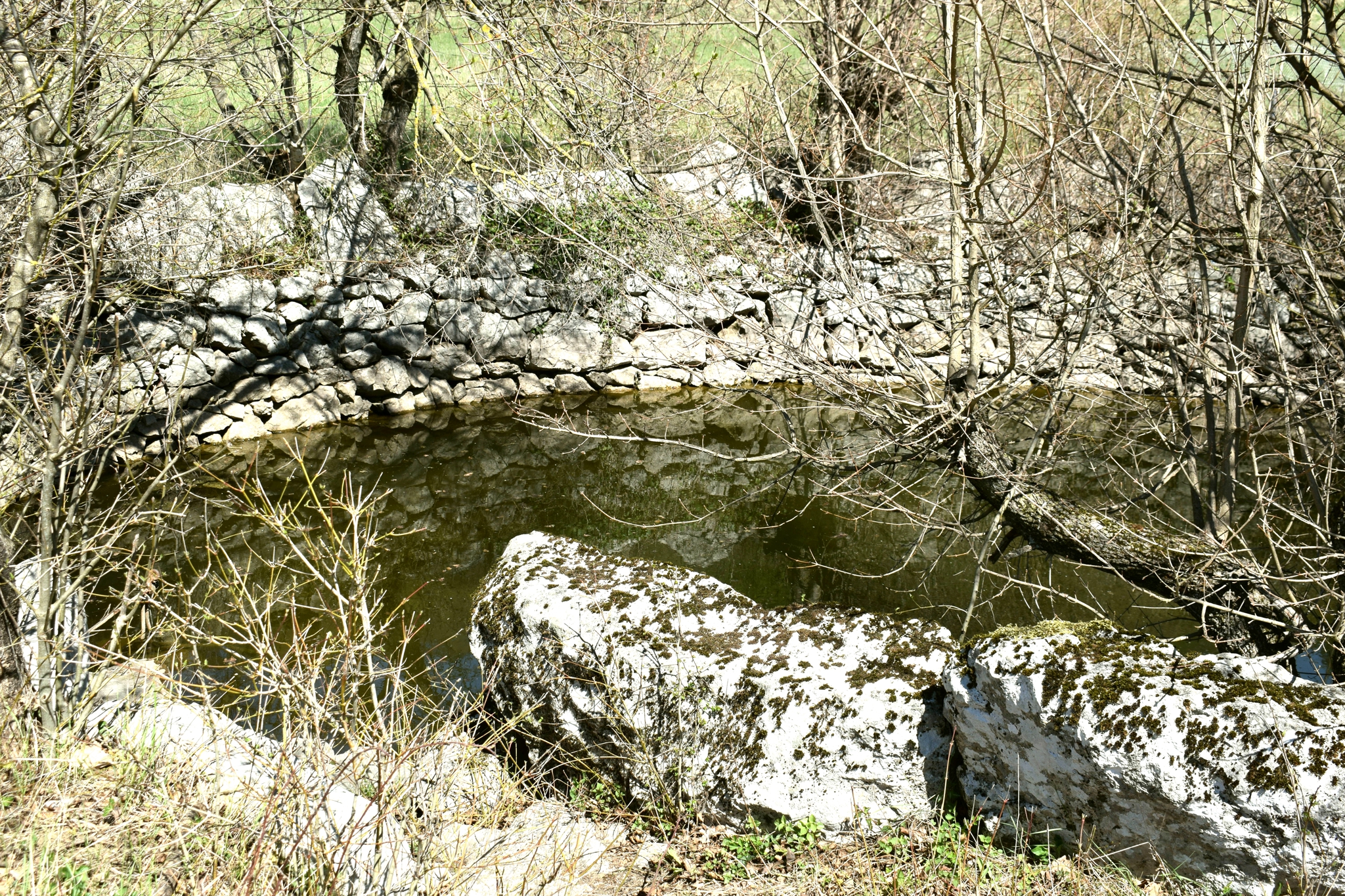
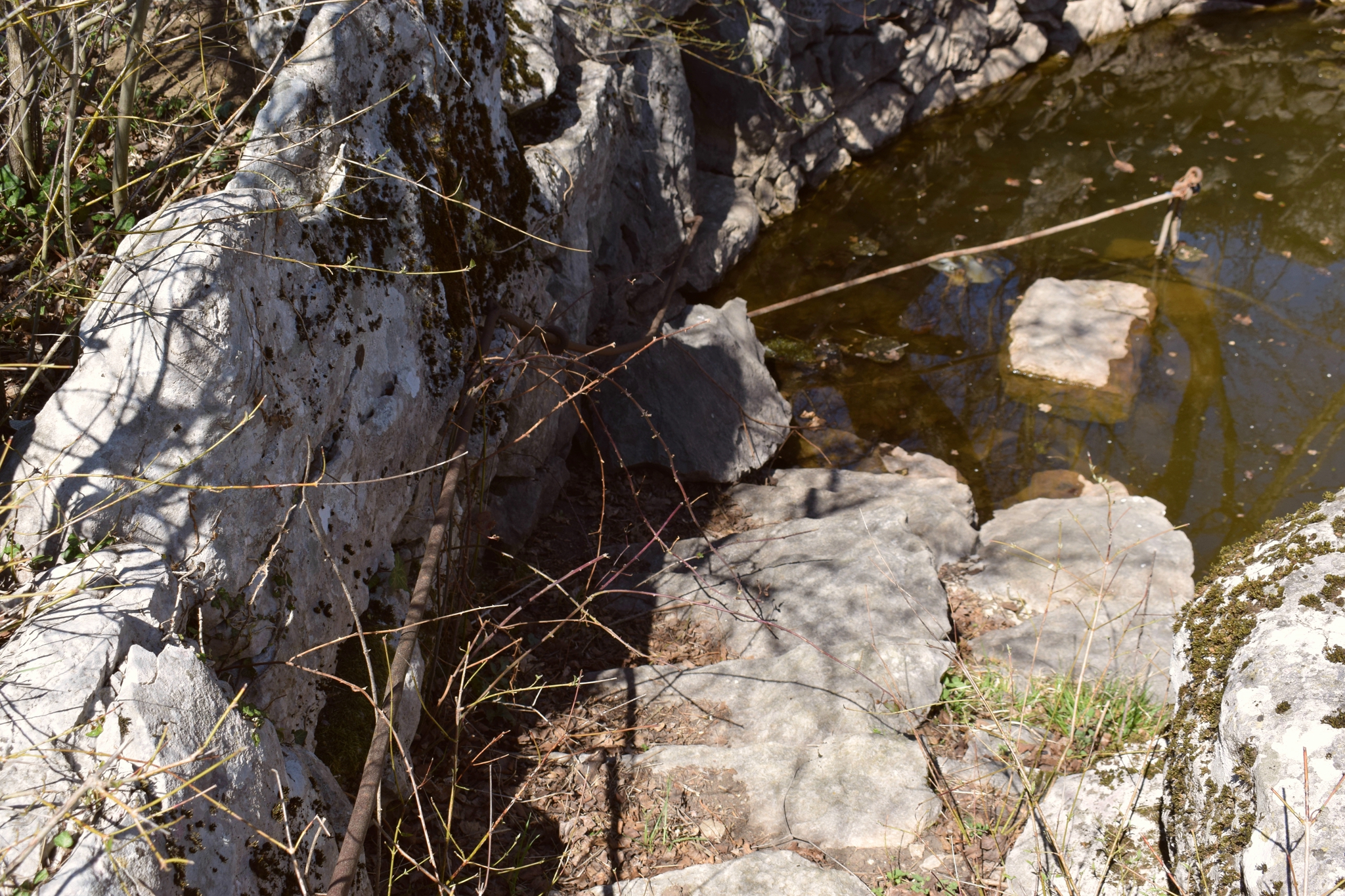
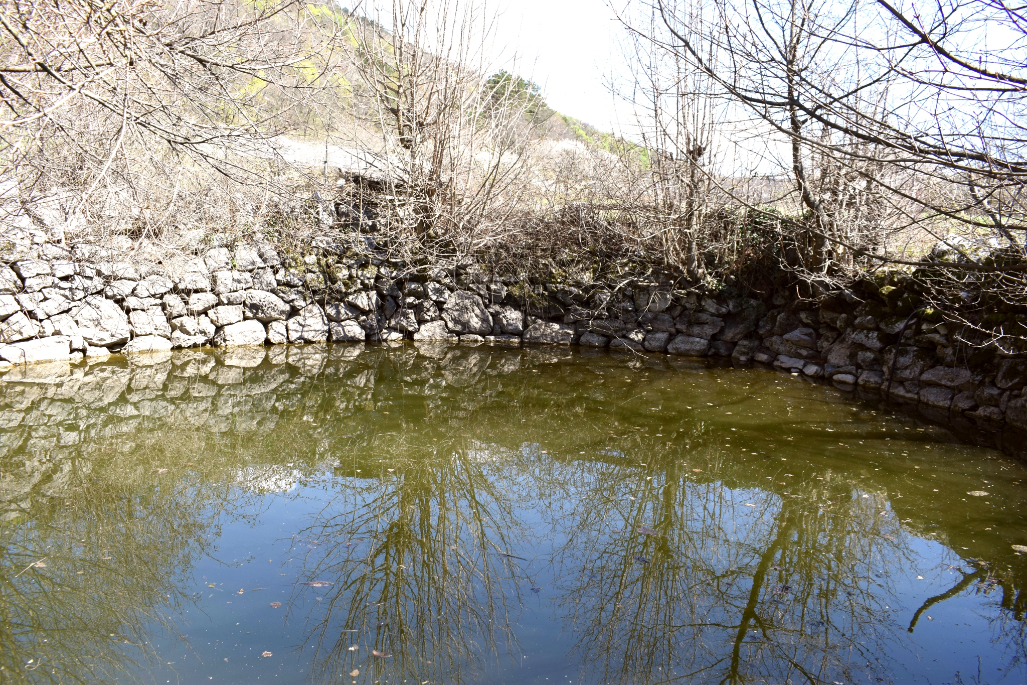
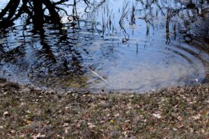
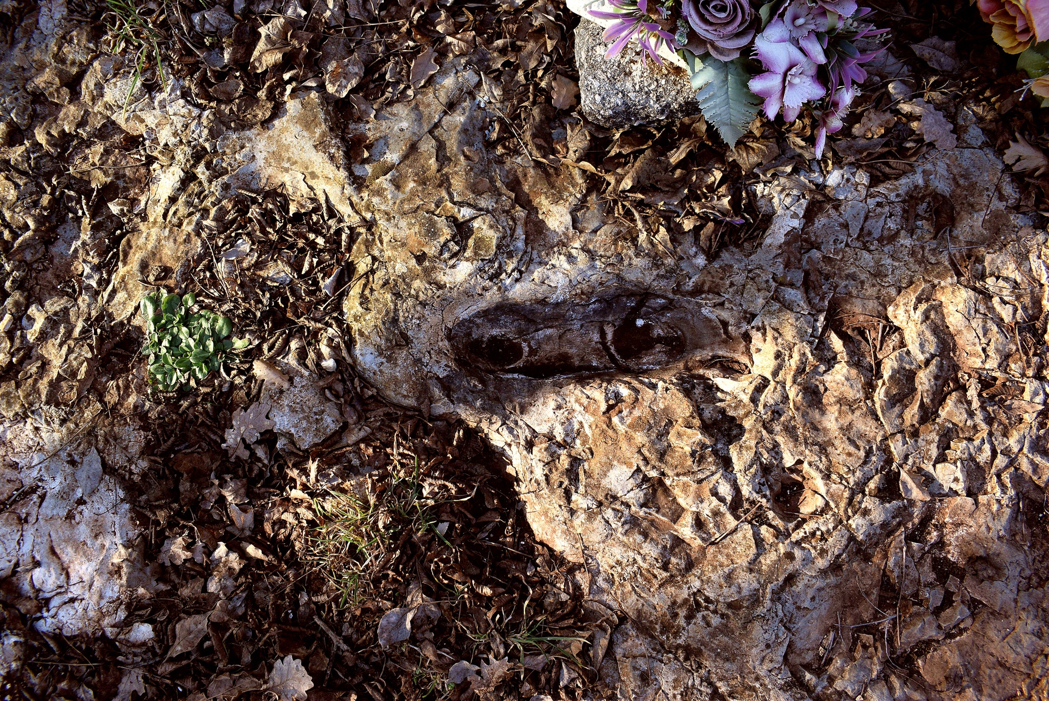
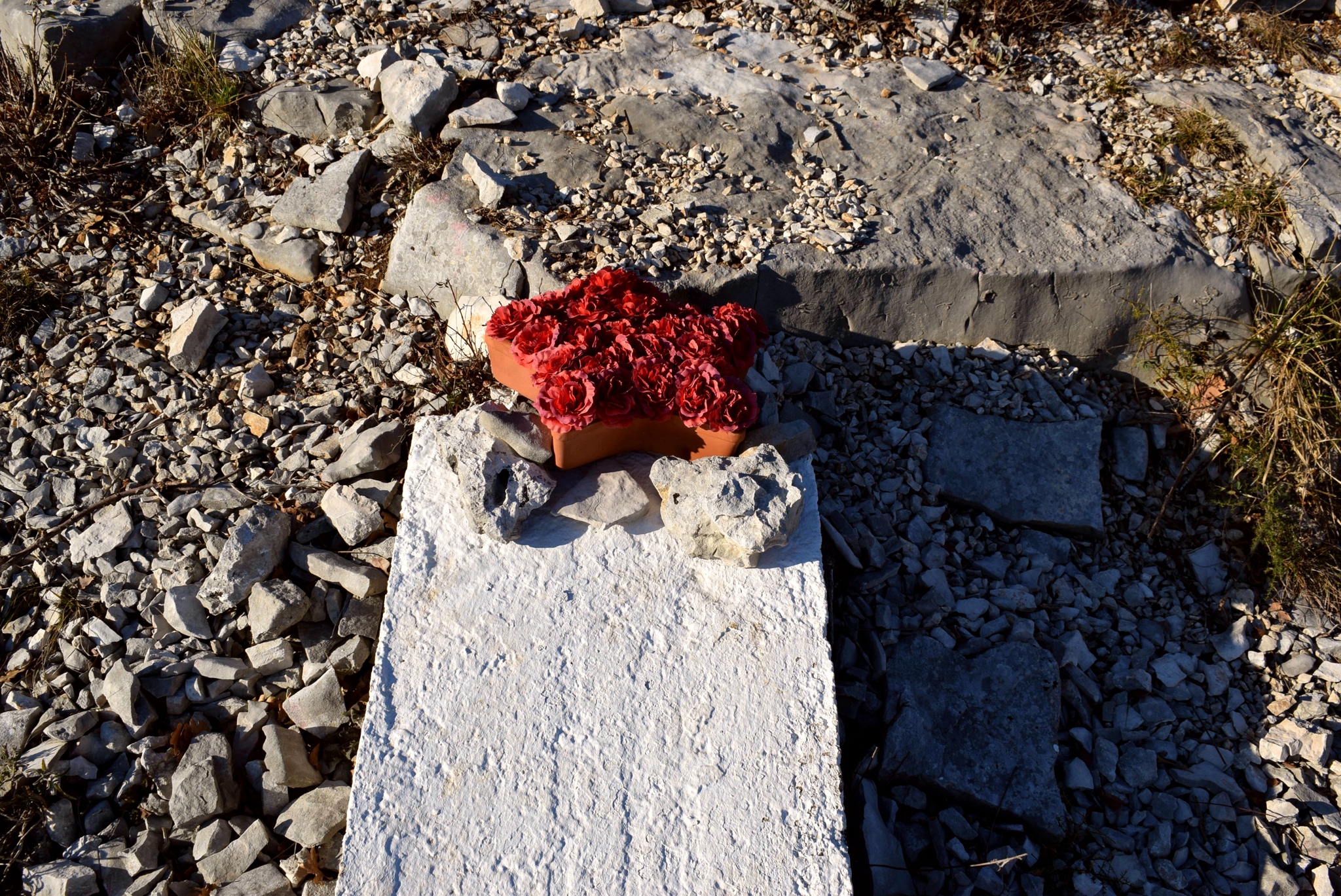
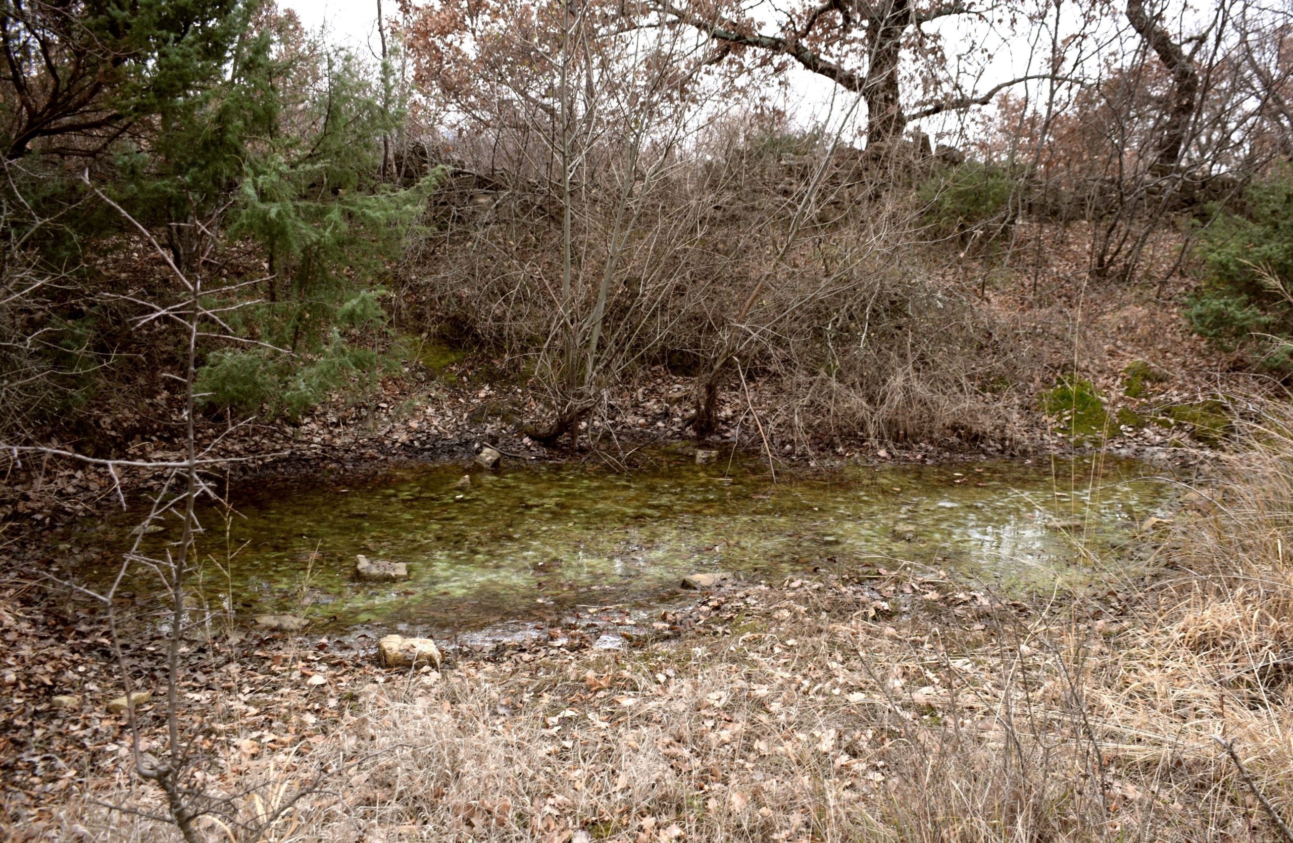
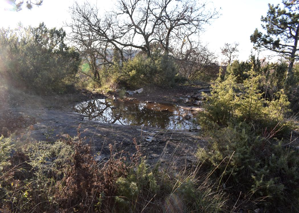
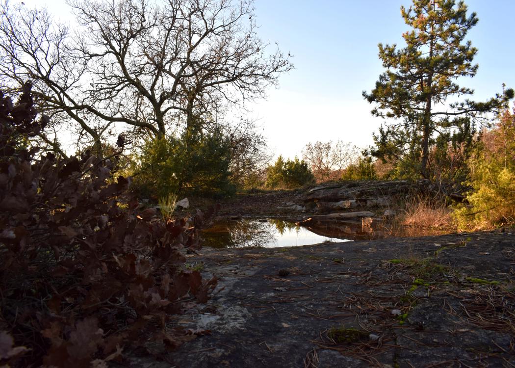
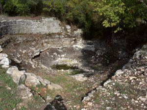
Name: Puddle and monolith near the quarry Krkavče.
Place: Krkavče – (Koper)..
Coordinates: Puddle 4547178 N – 13.7028 E, monolith.46803 N – 13.70782 E.
Revitalized 2022.
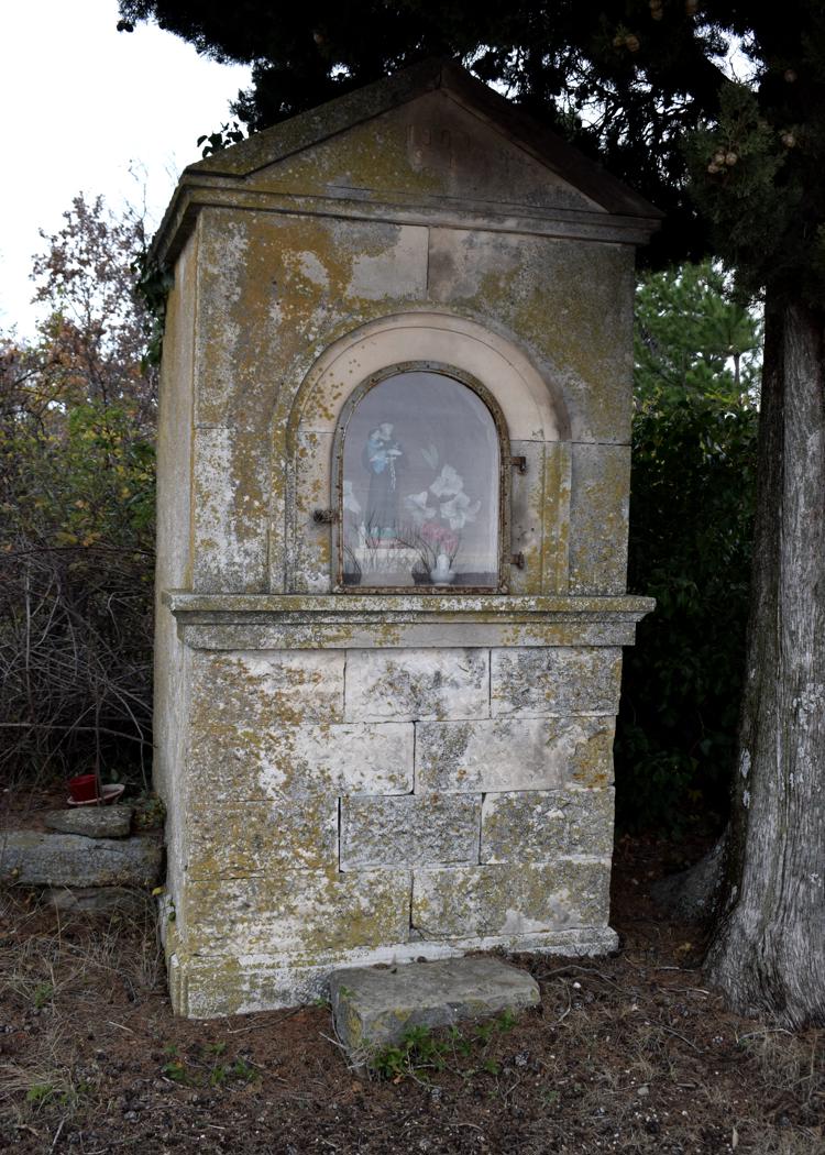
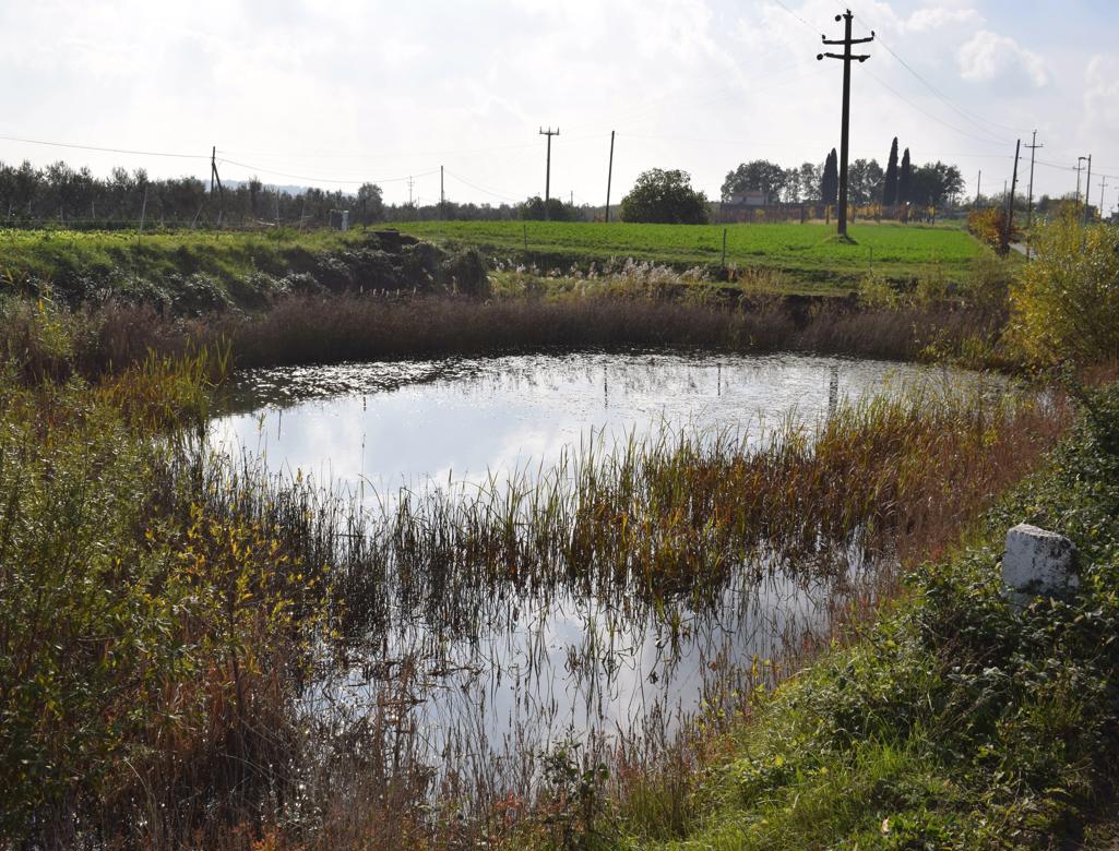
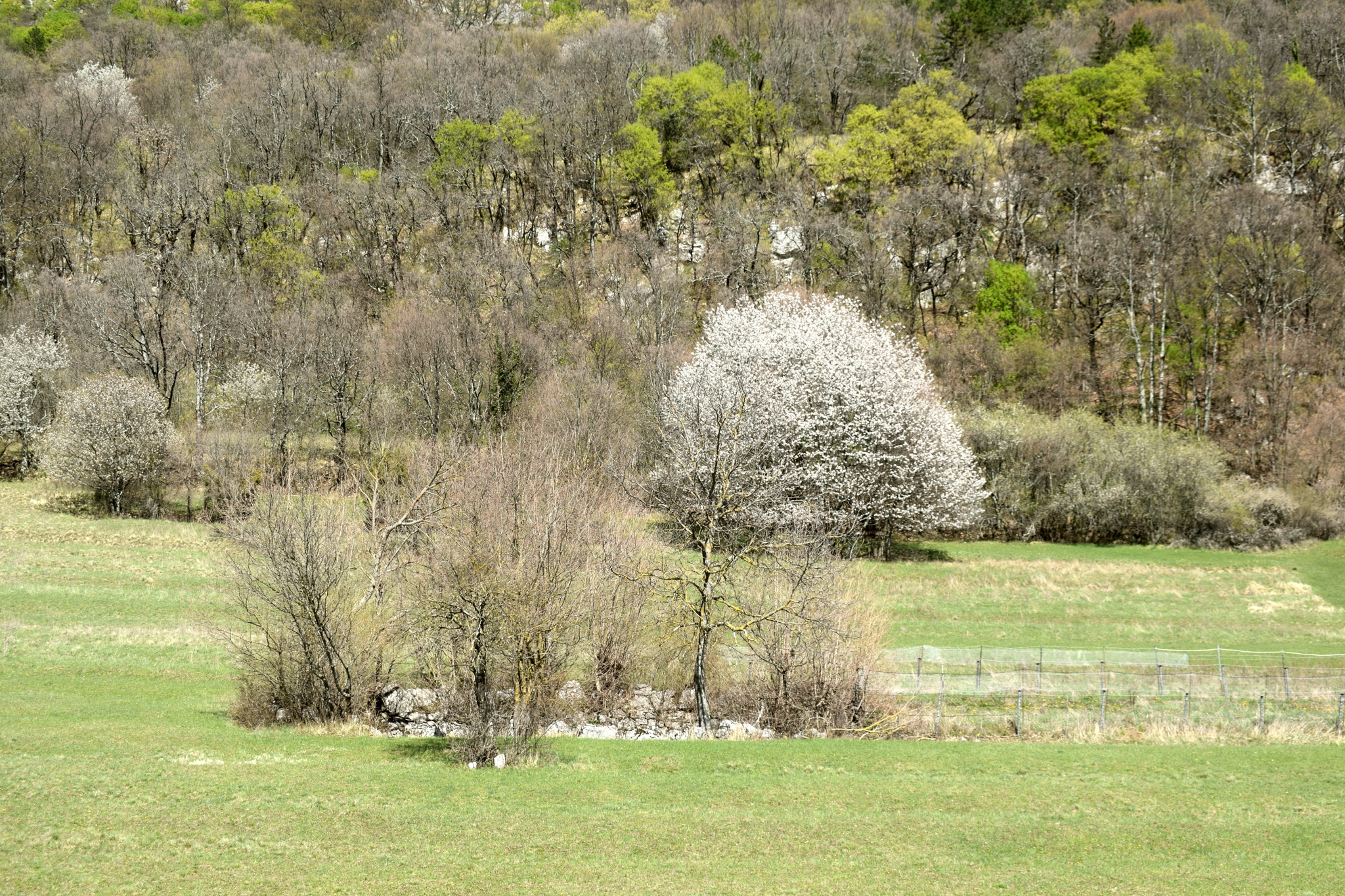
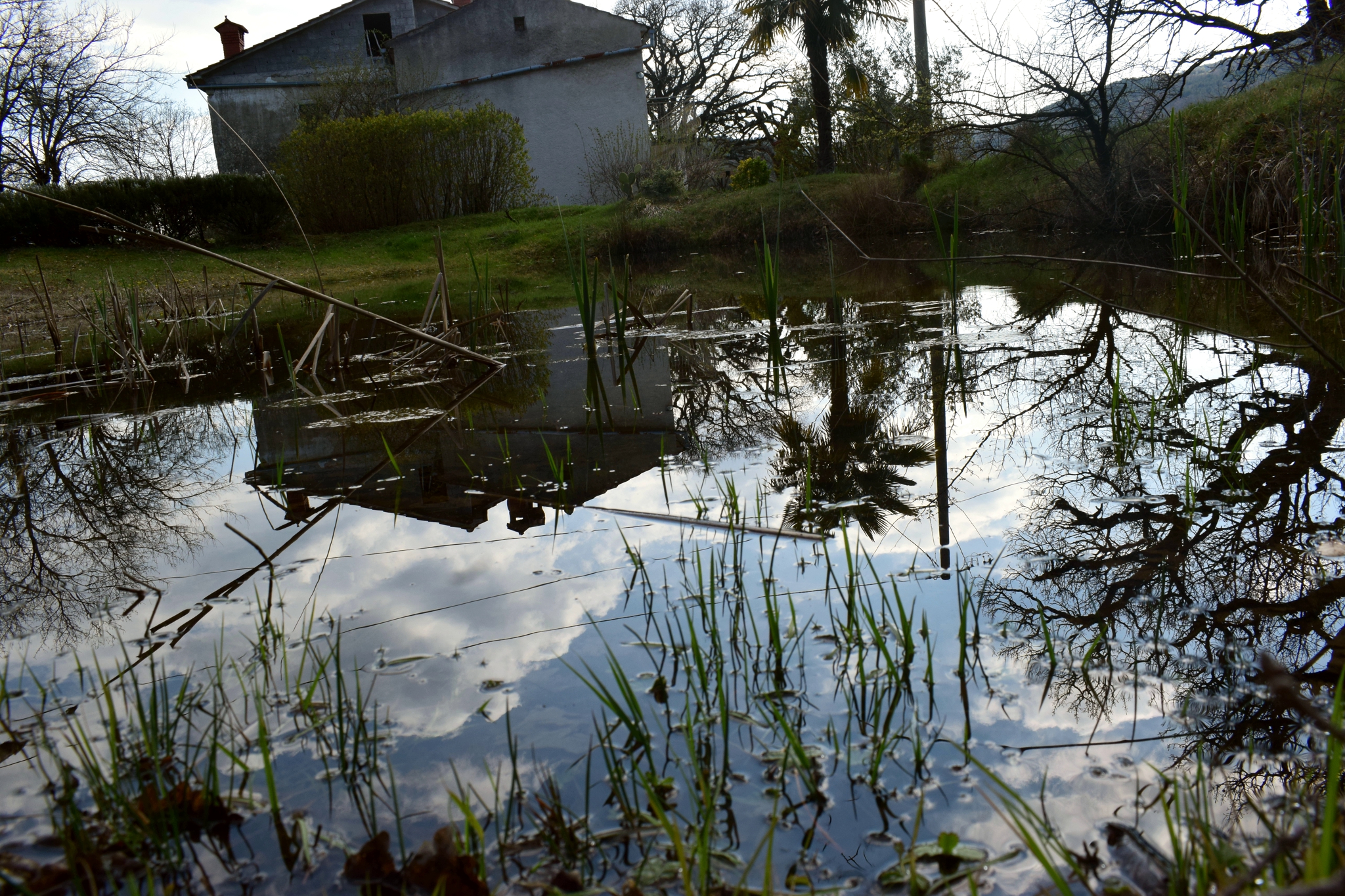
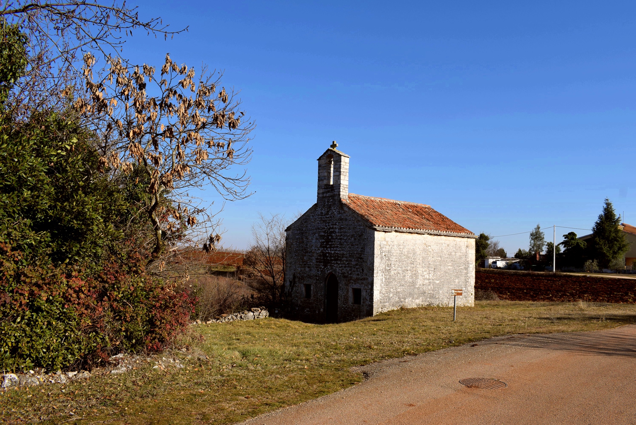
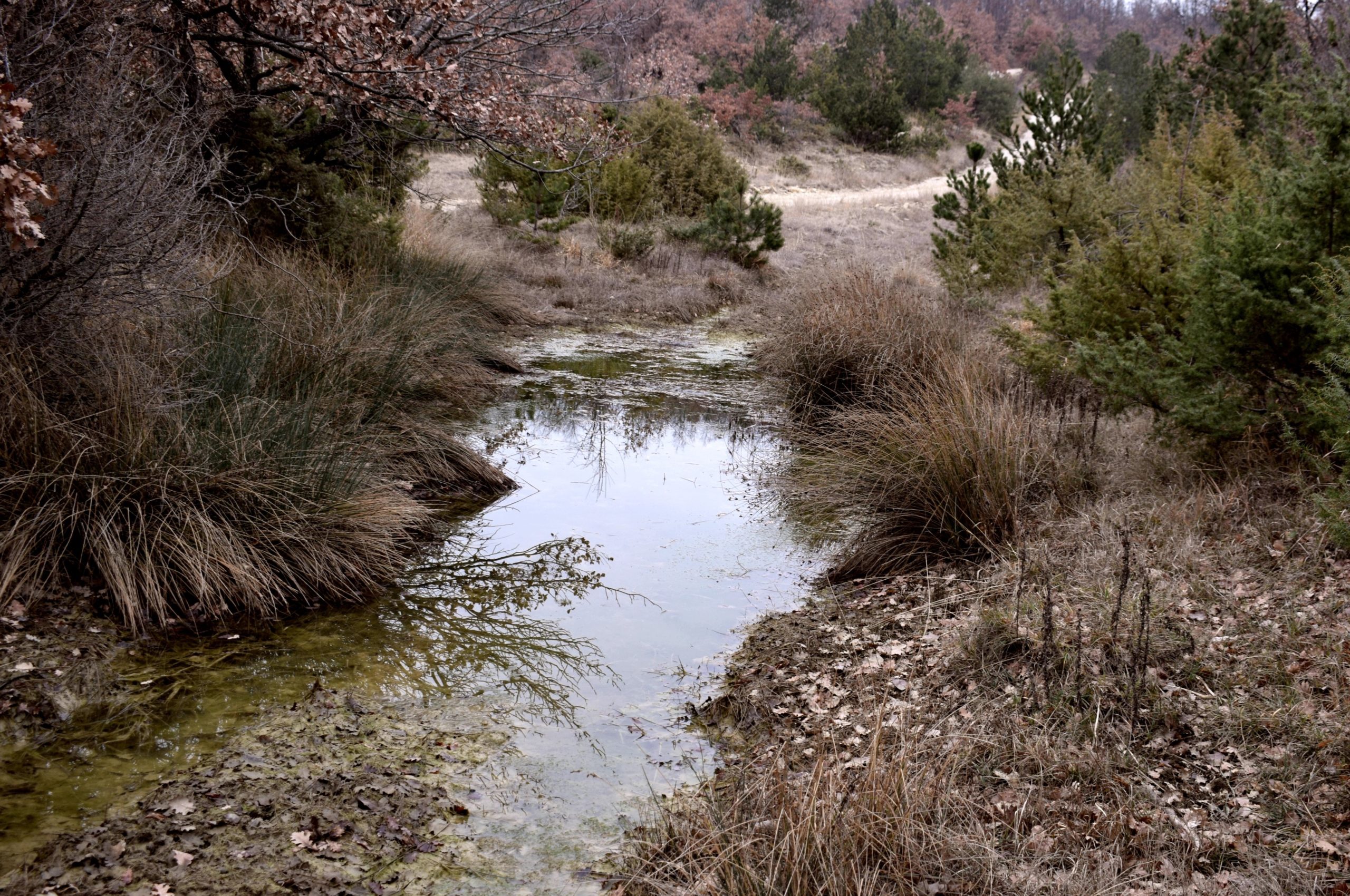
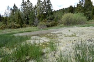
Name: 2022-10-11. Pool Fontana.
Place: Near Salvela – (Vodnjan).
Coordinates: 44.97971 N – 13.83331 E.
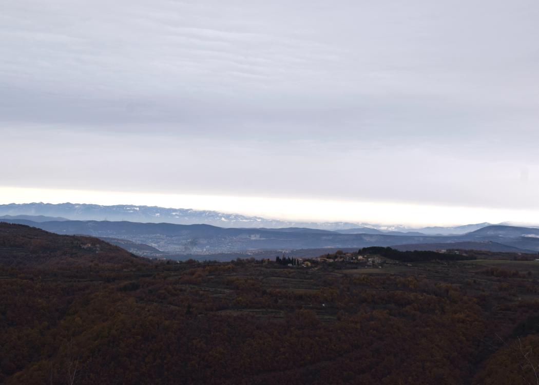
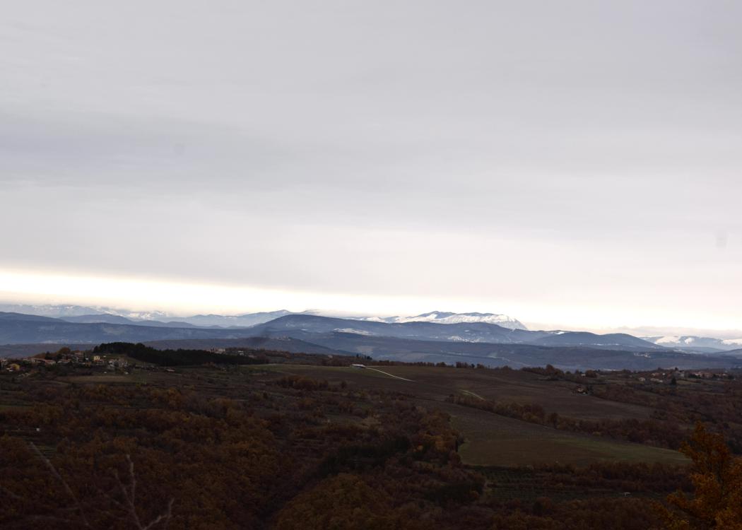
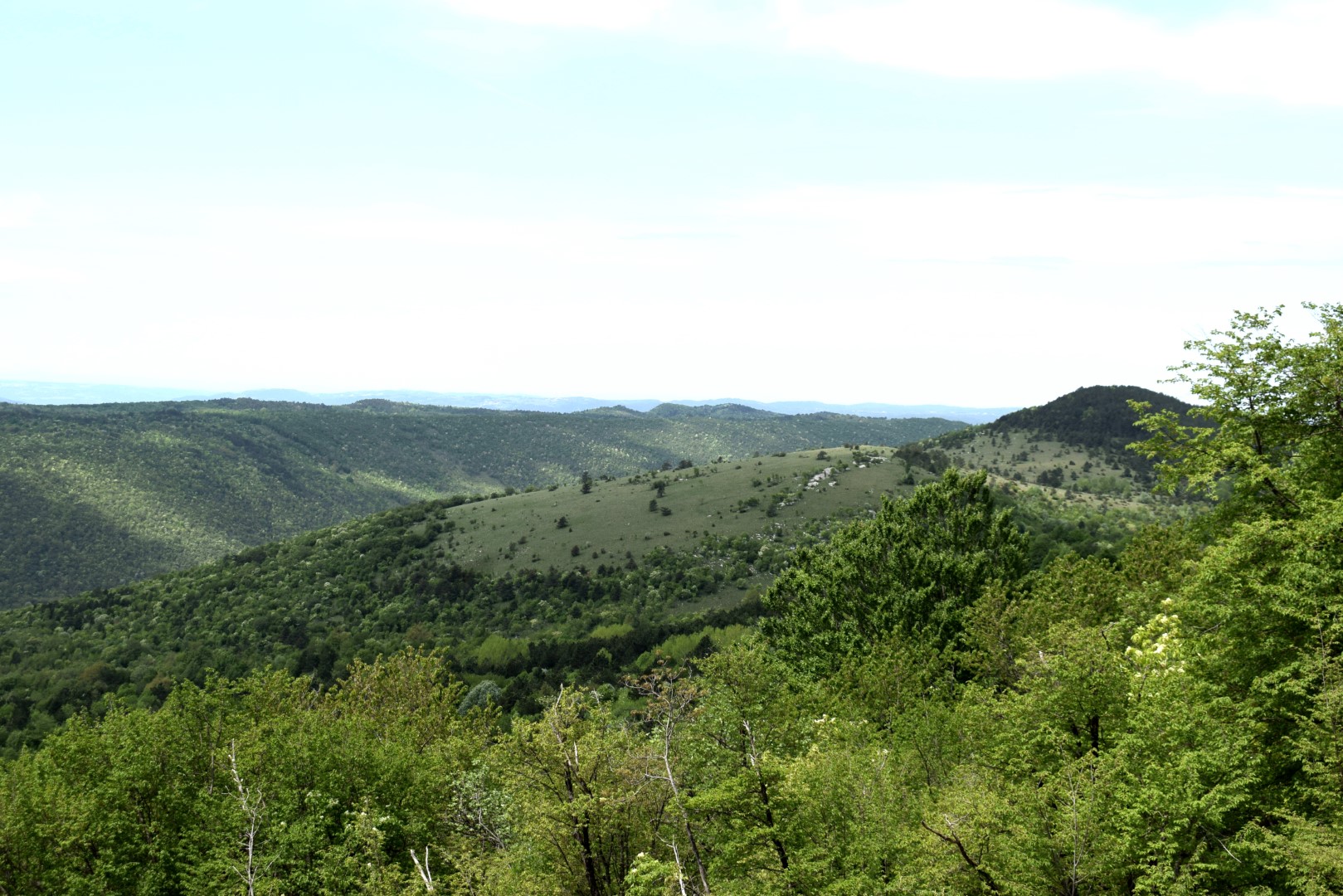
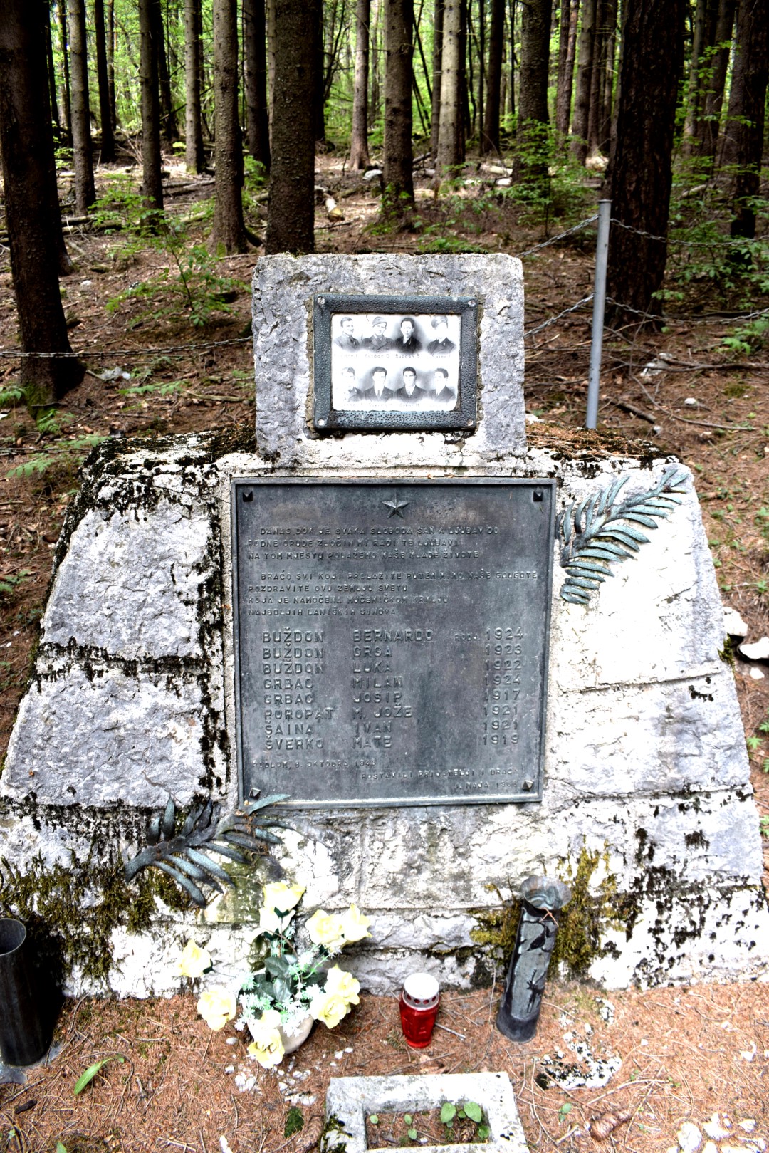
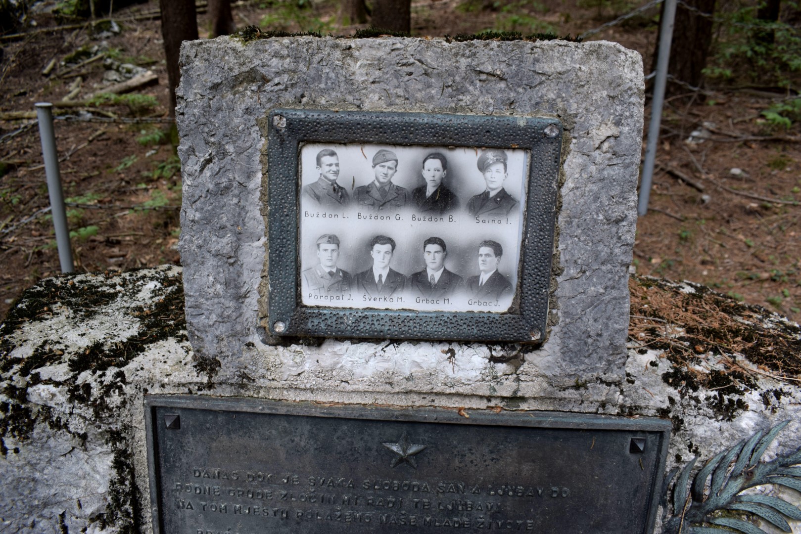
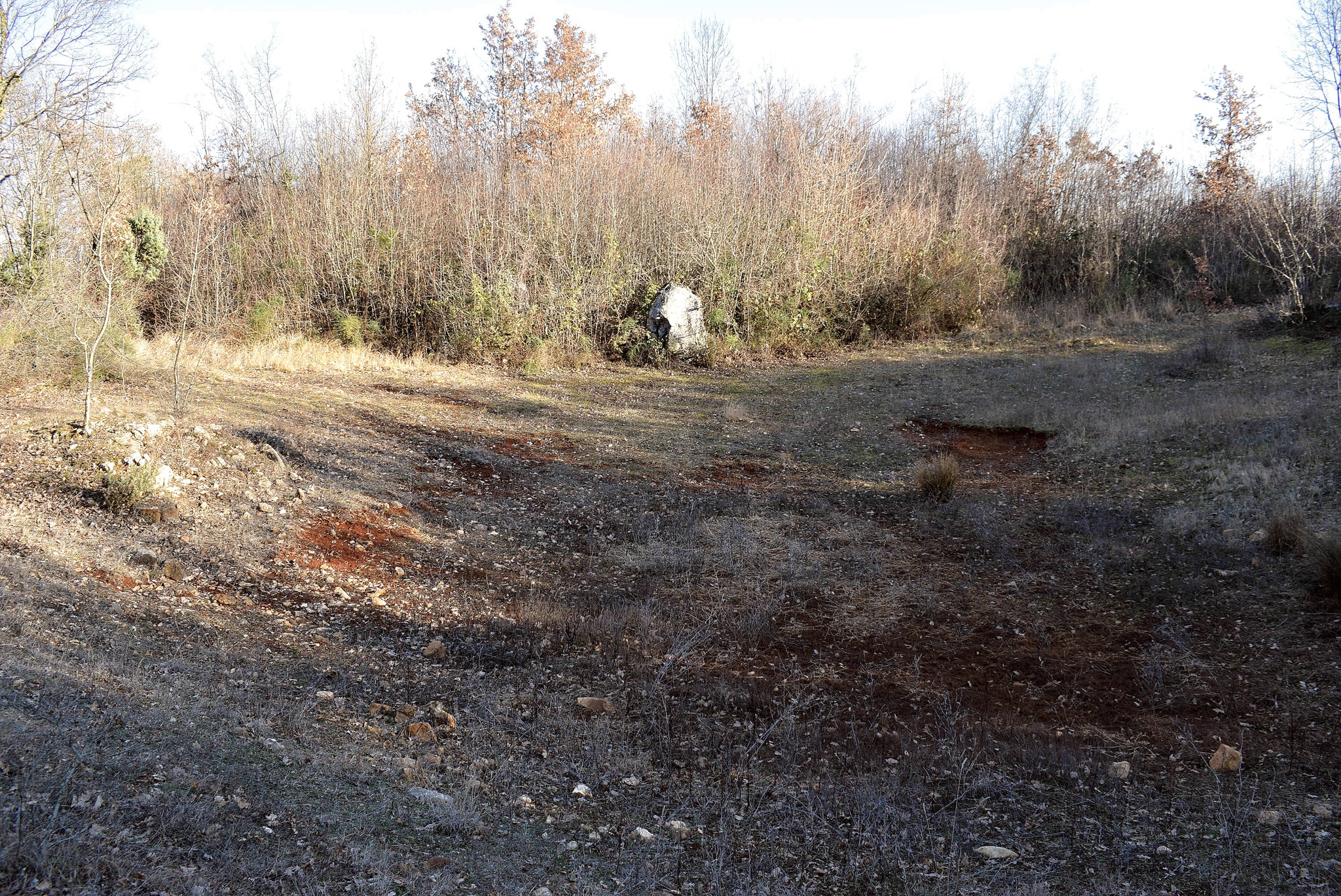
Views on the village Lanišće, Lokve and a Podlomske Zrtve.
Name: Road from Račja Vas to Veprinac.
Place: Dane – (Lanišće).
Coordinates: Račja Vas start road 45.42584 N – 14.09766 E, Lokve 45.40040 N – 14.14930 E, Podlomske Zrtve 45.40471 N – 14.13591 E.
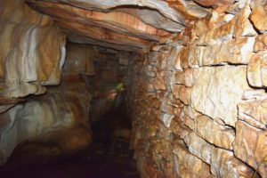
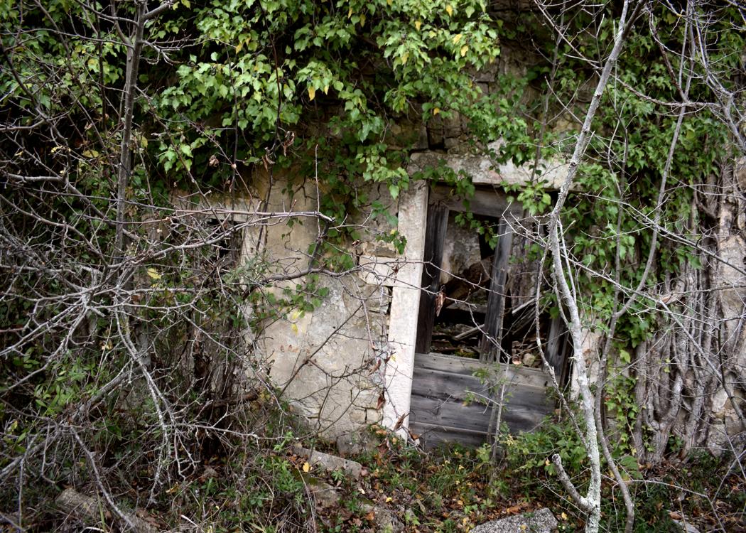
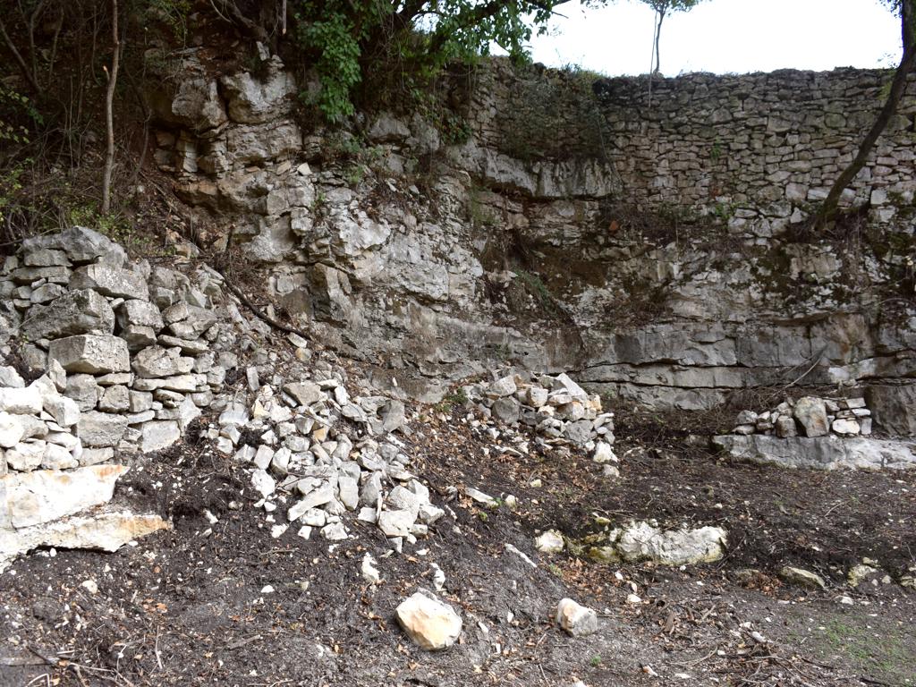
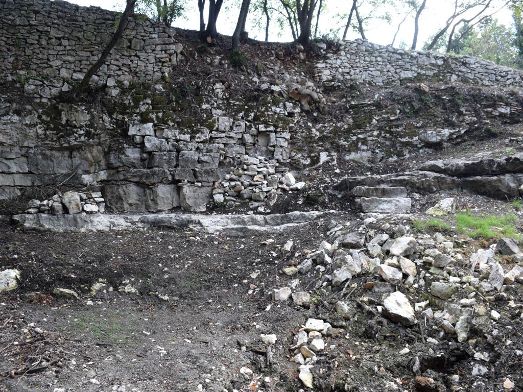
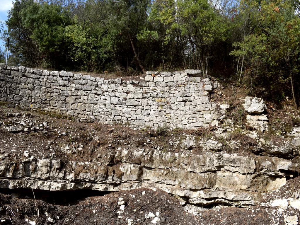
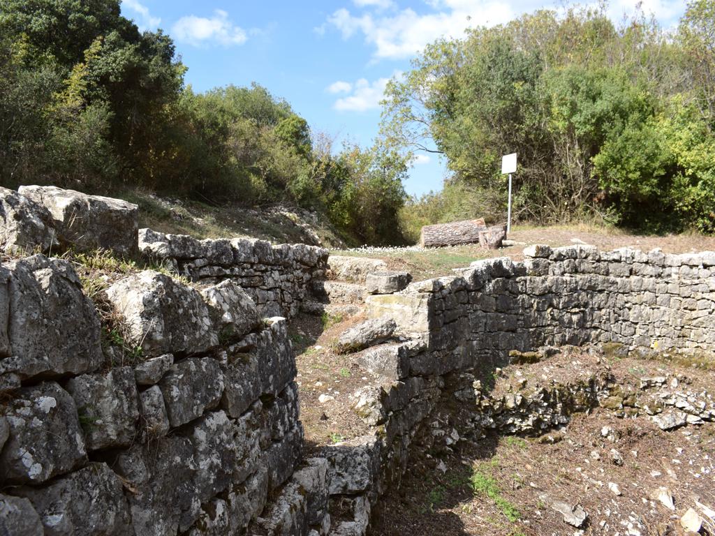
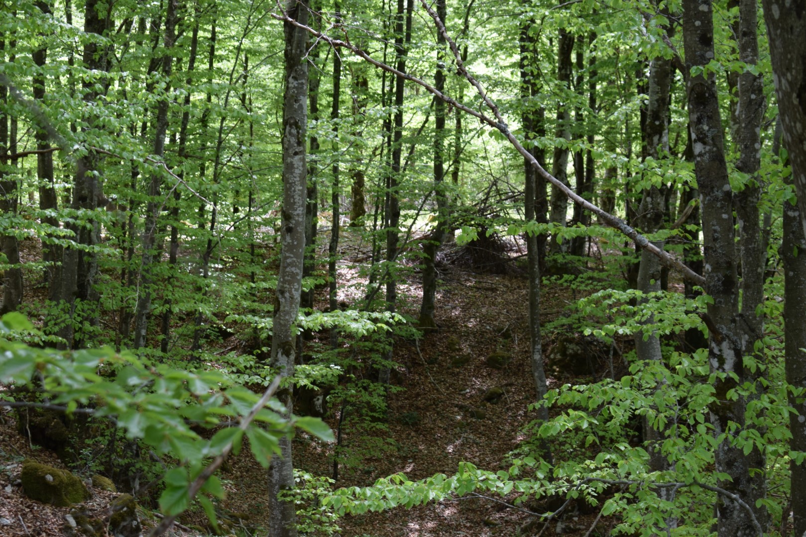
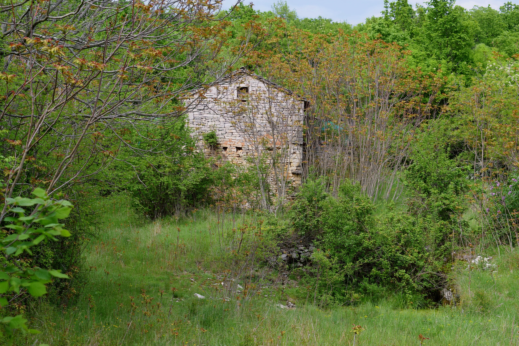
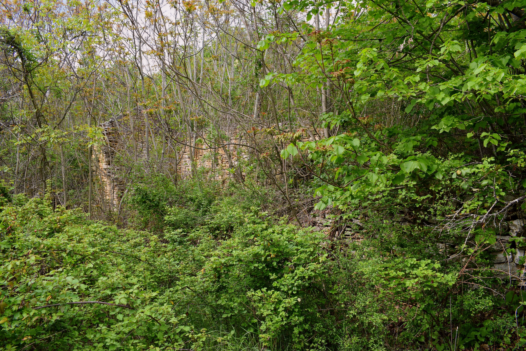
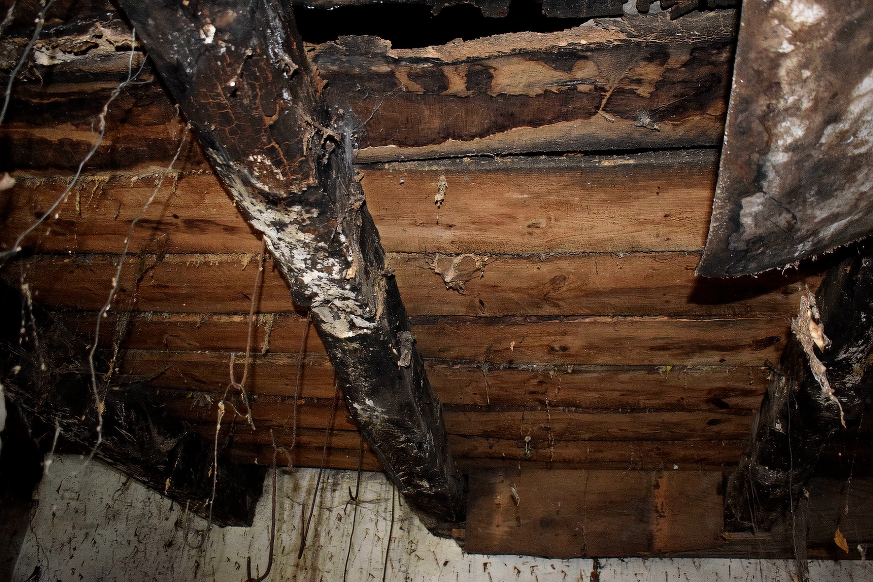
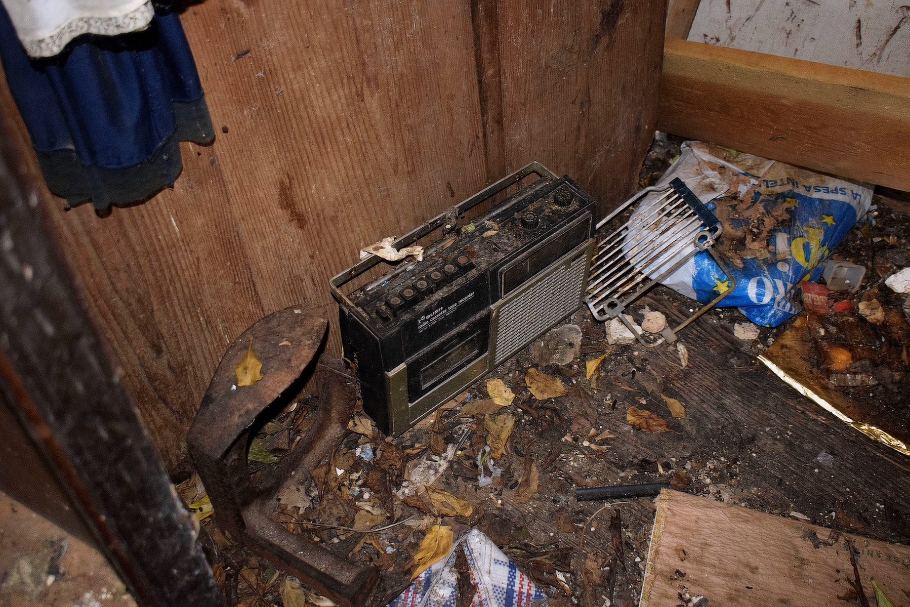
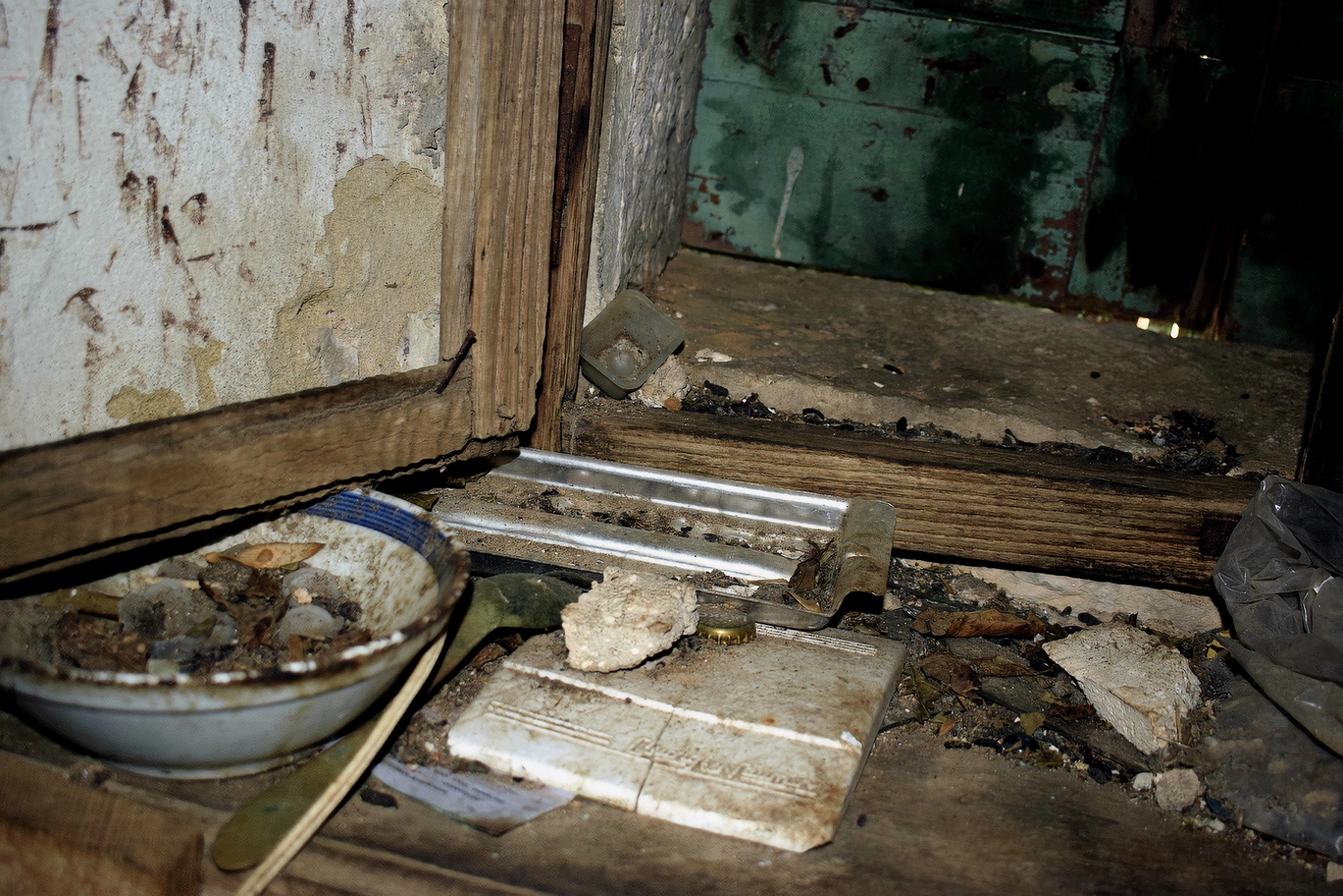
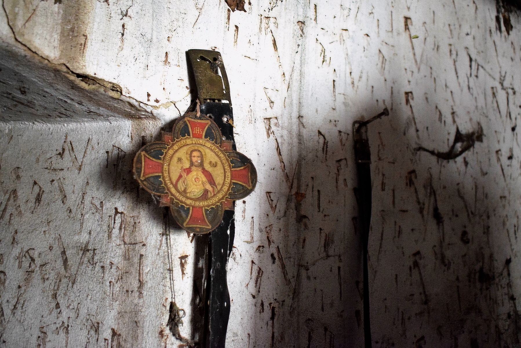
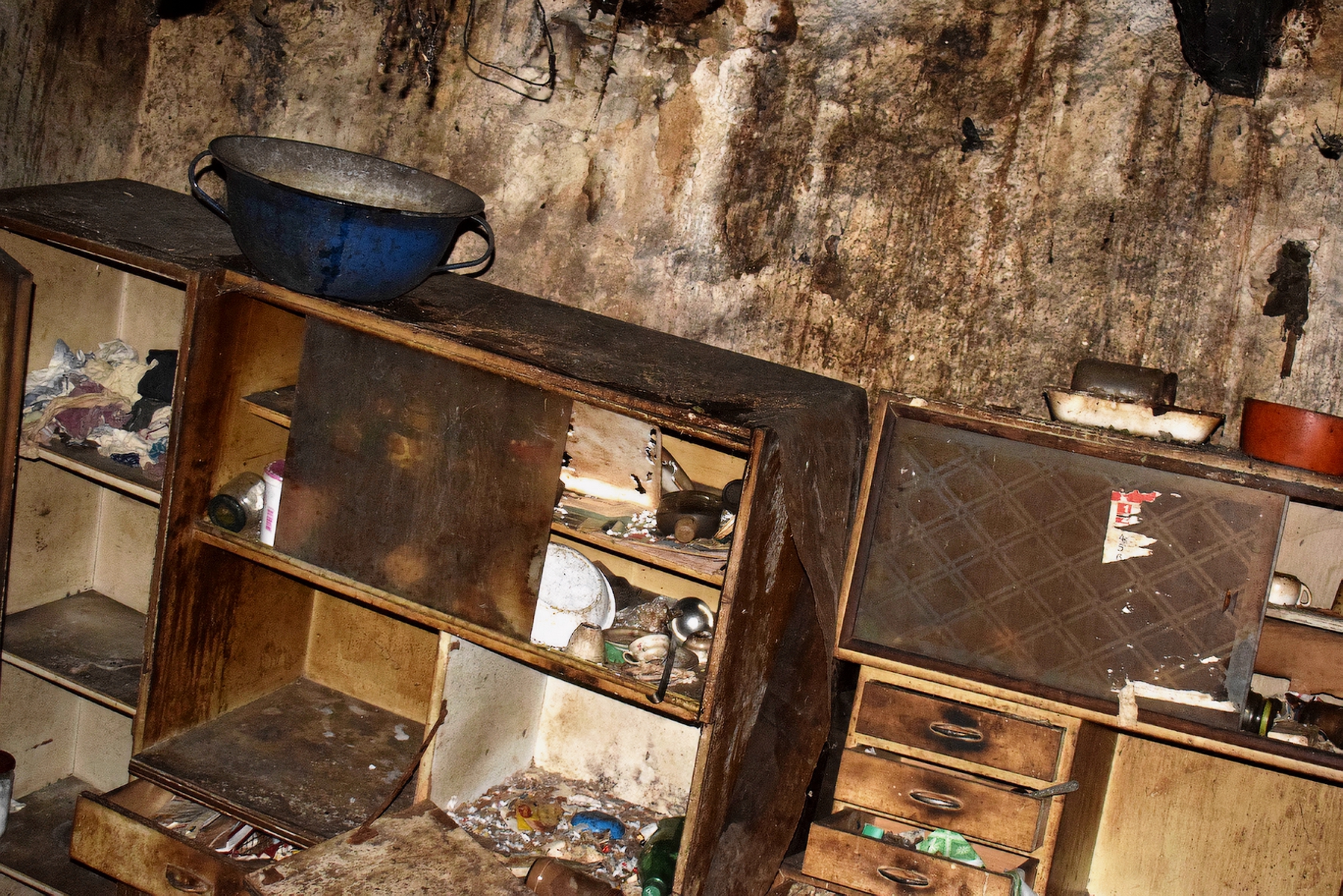
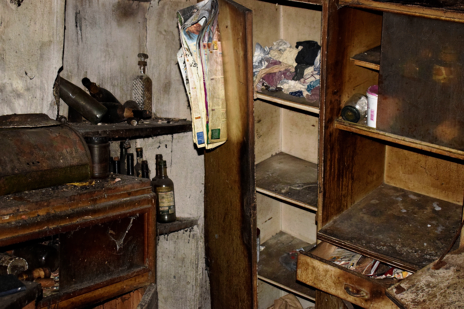
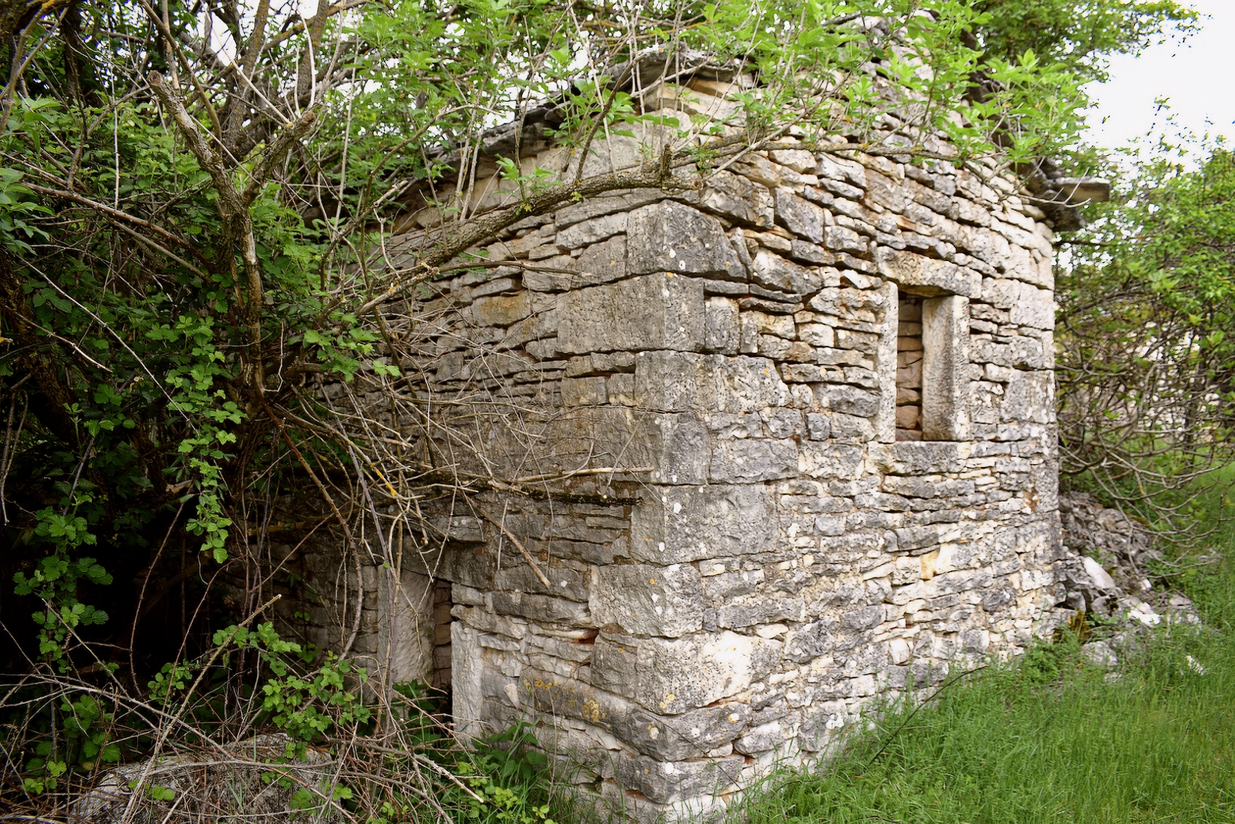
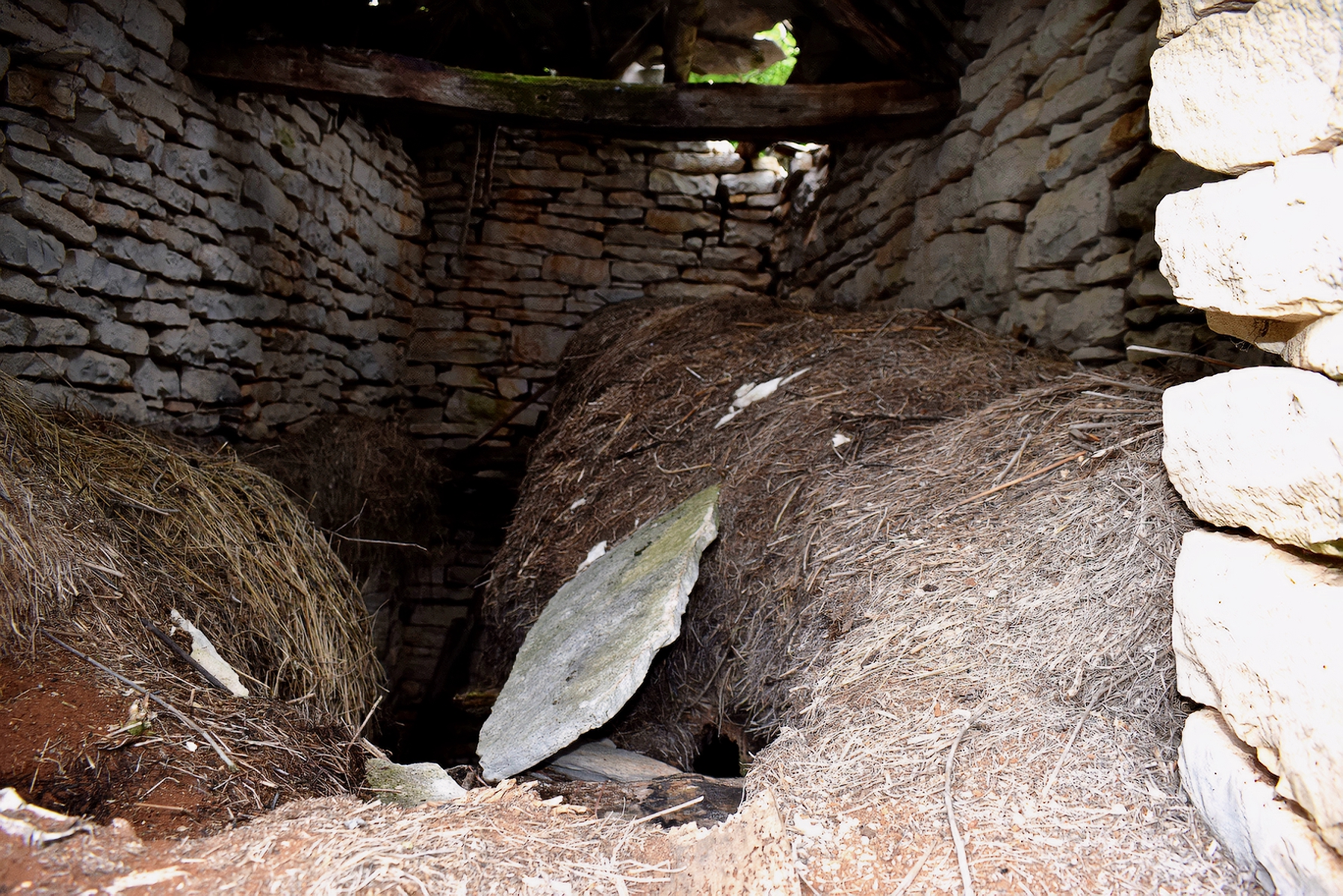
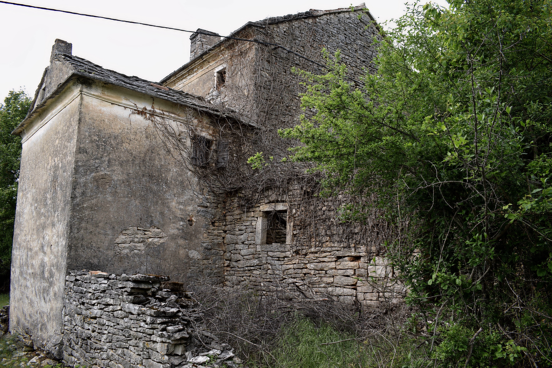
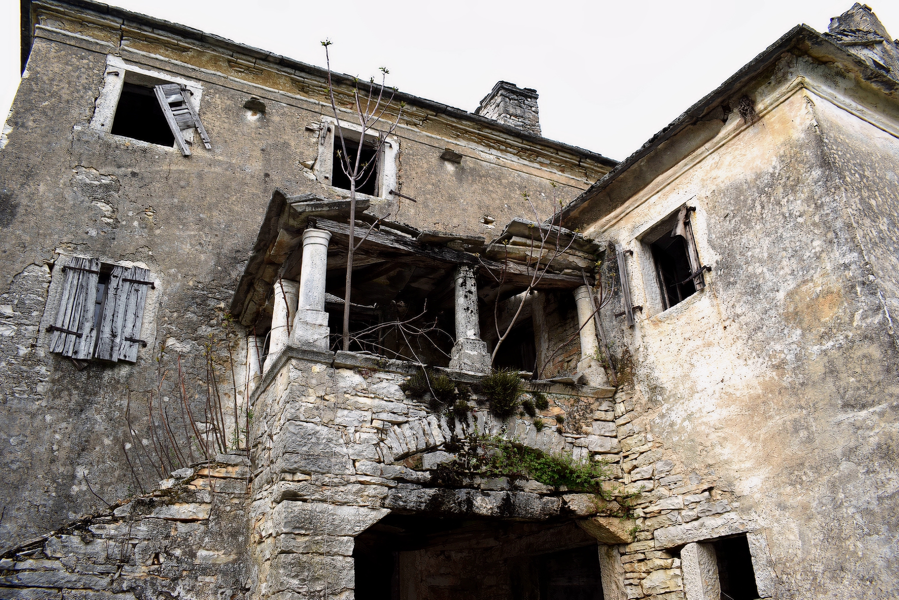
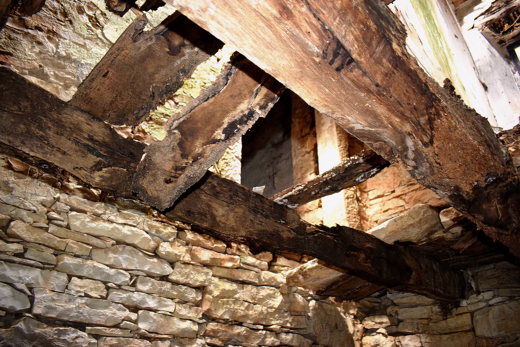
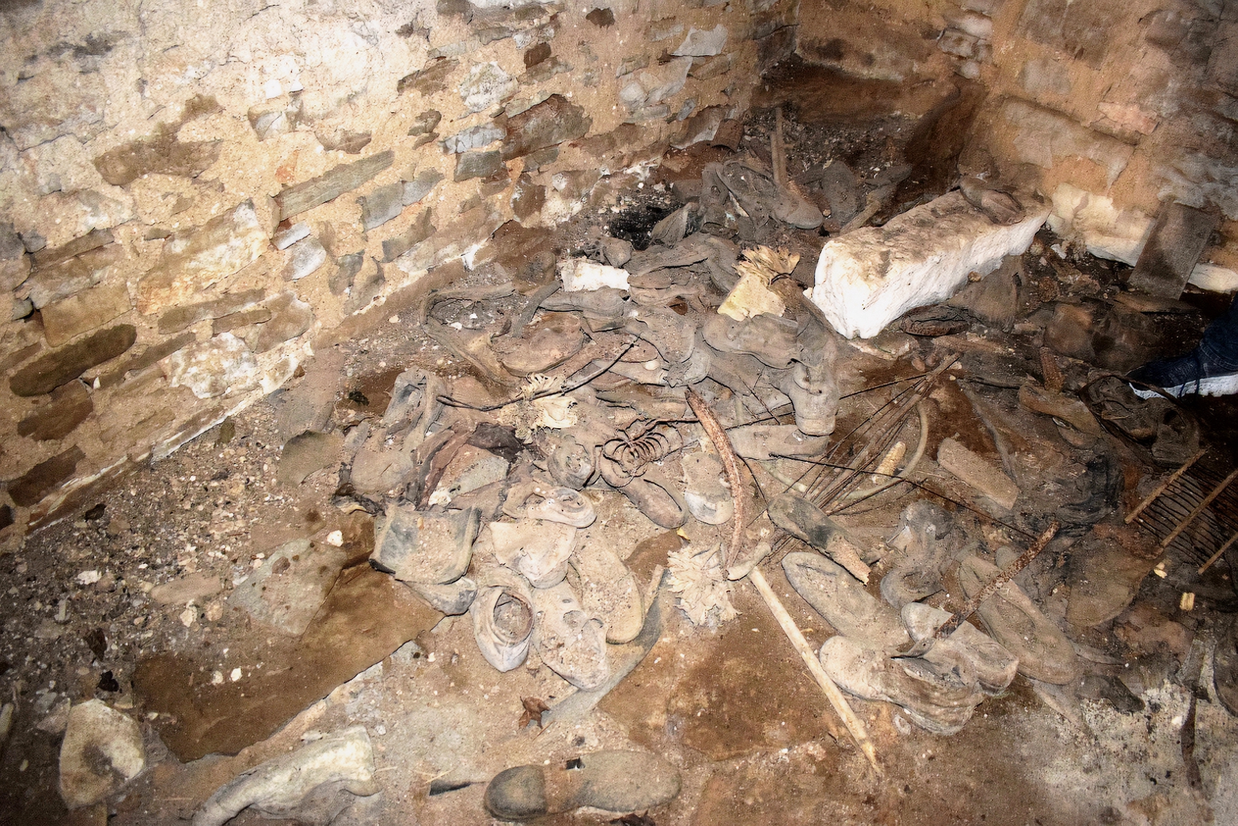
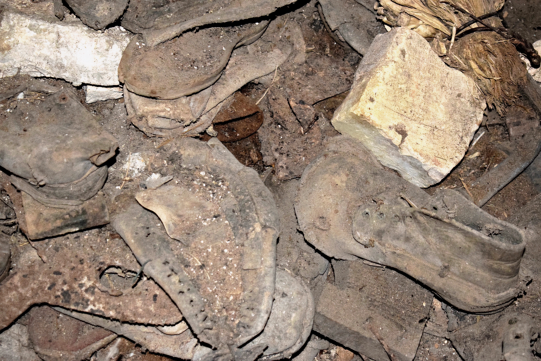
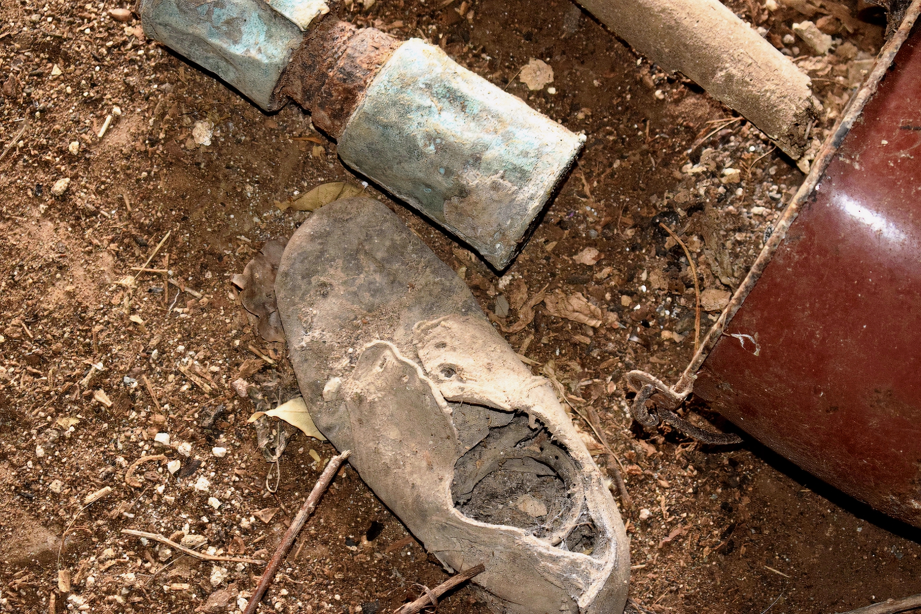
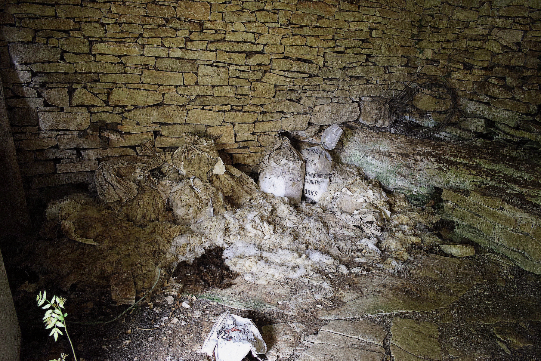
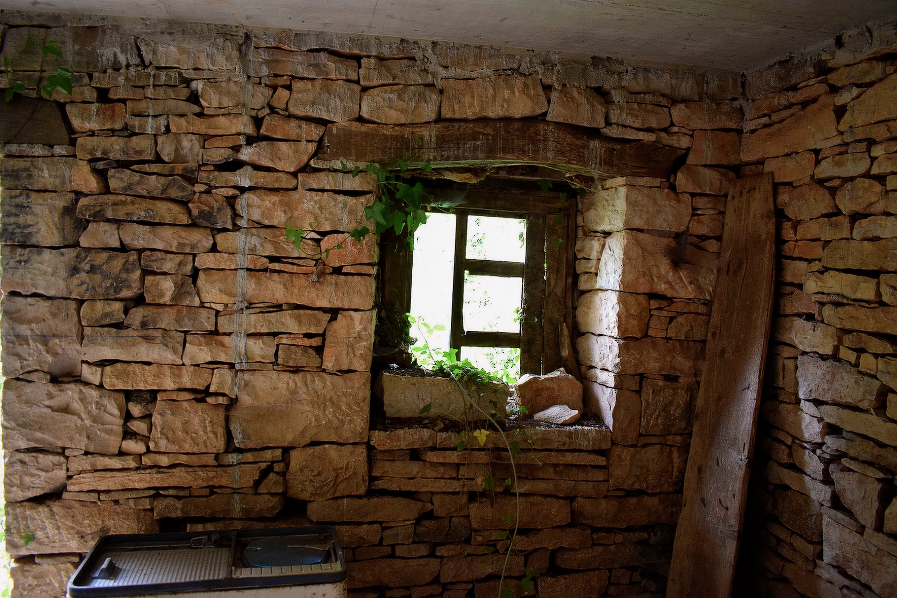
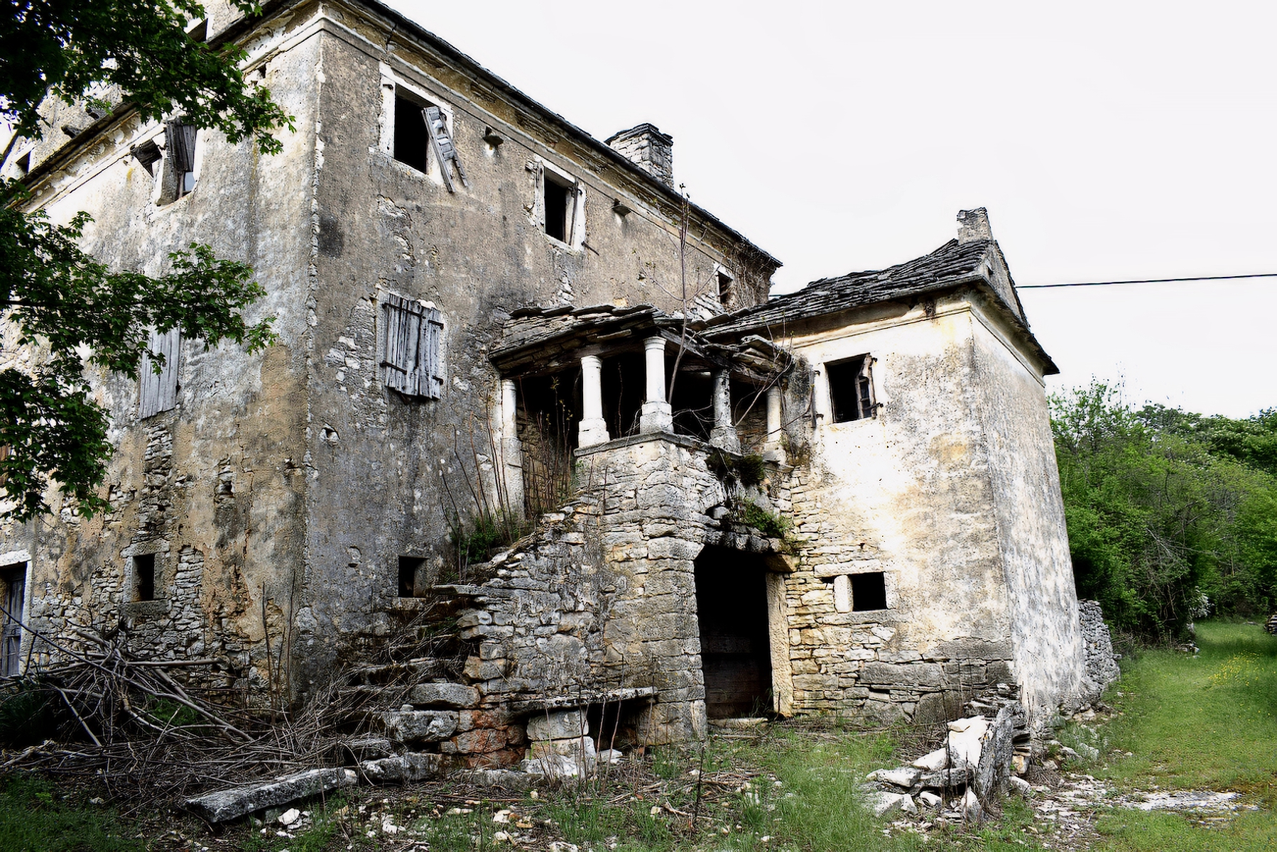
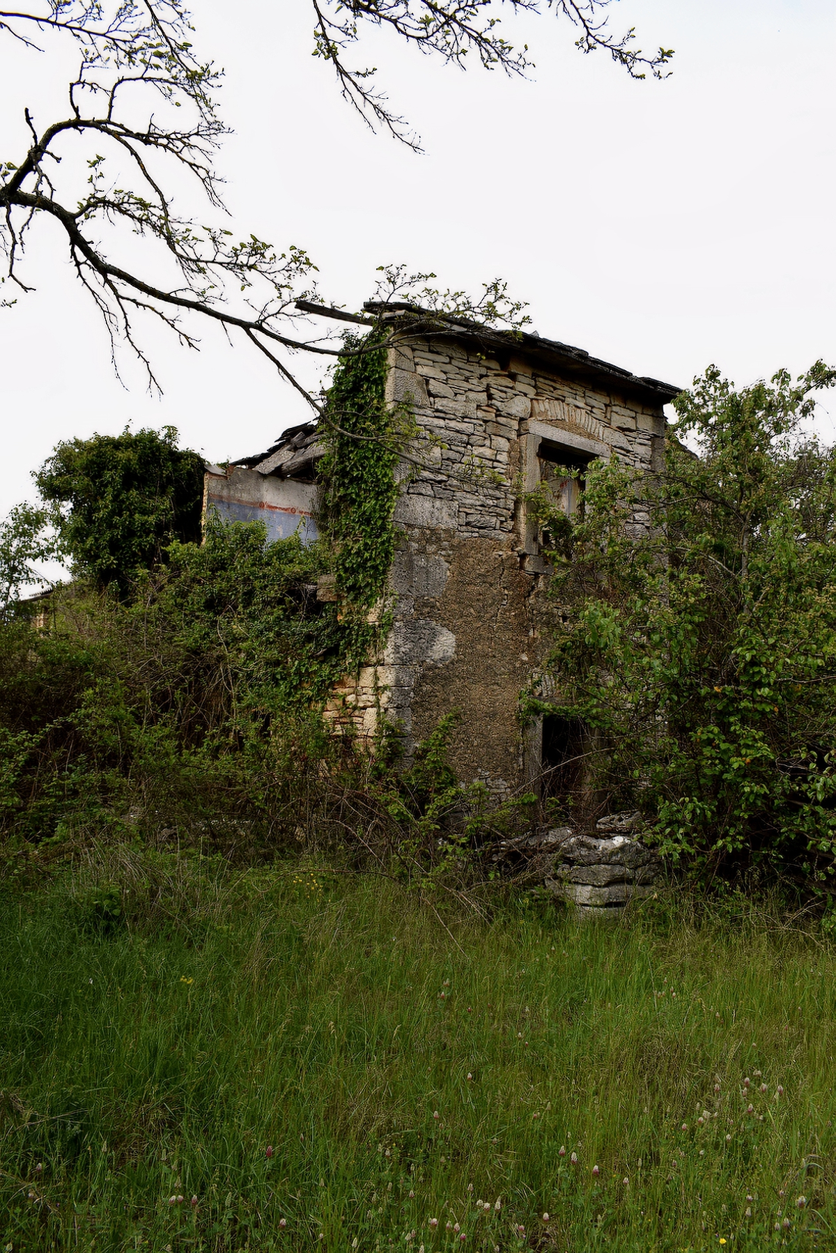
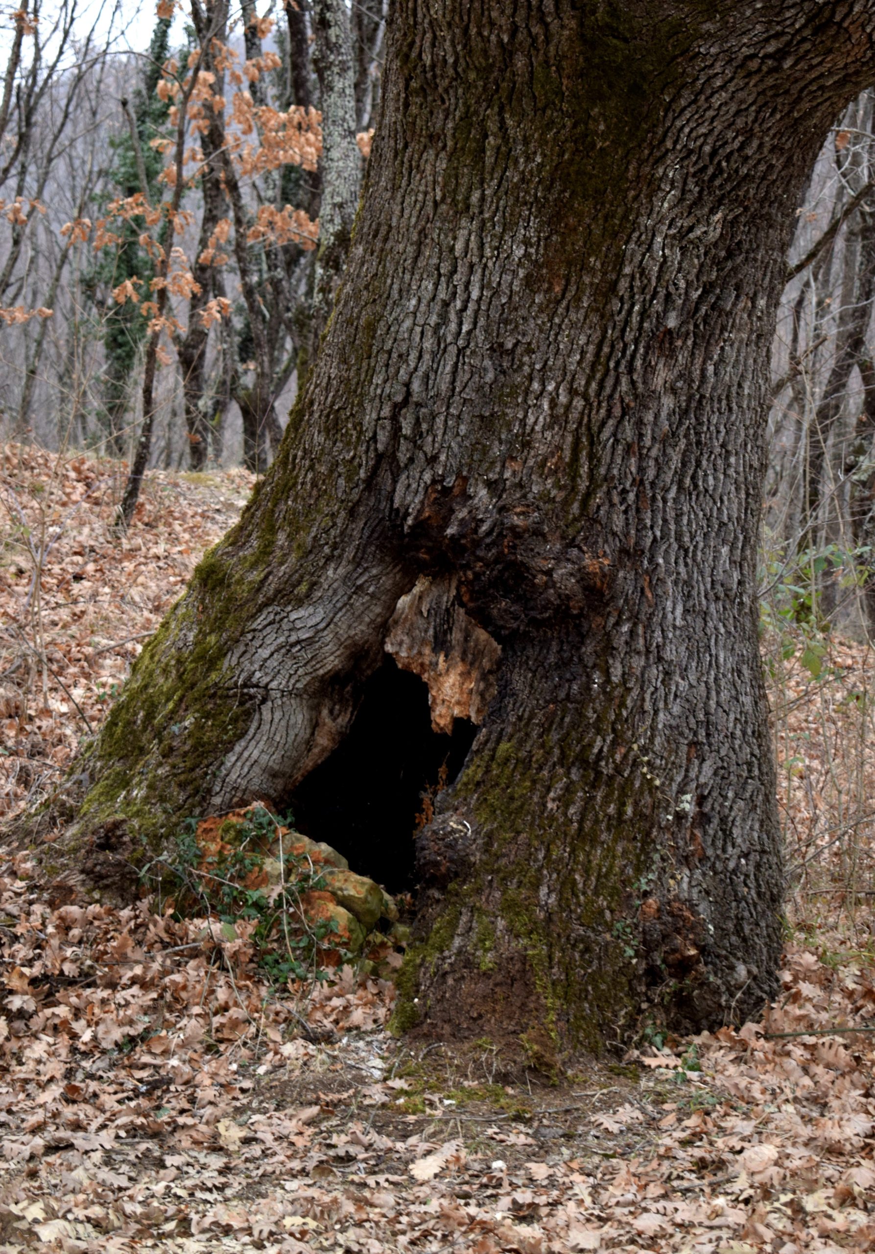
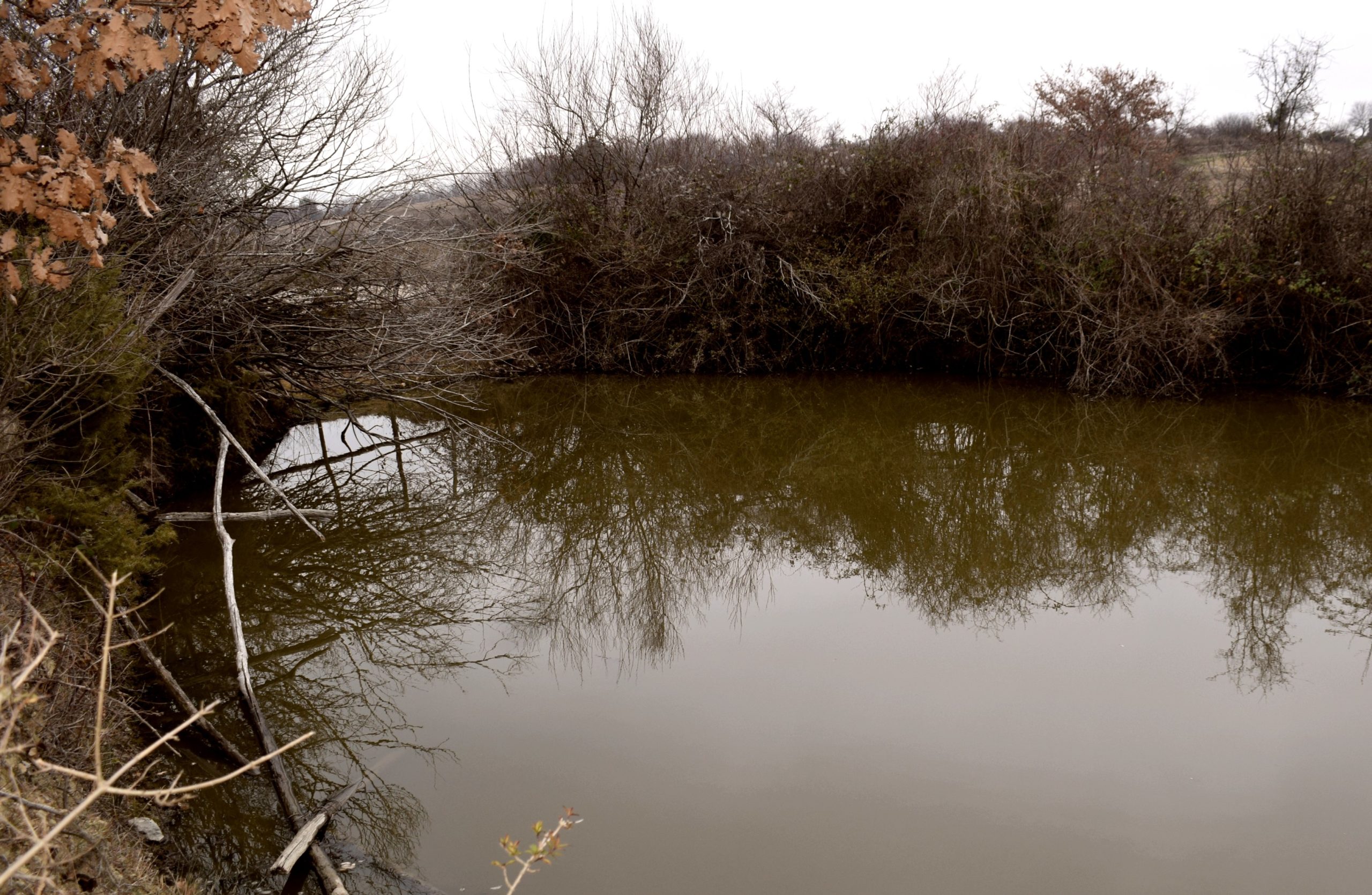
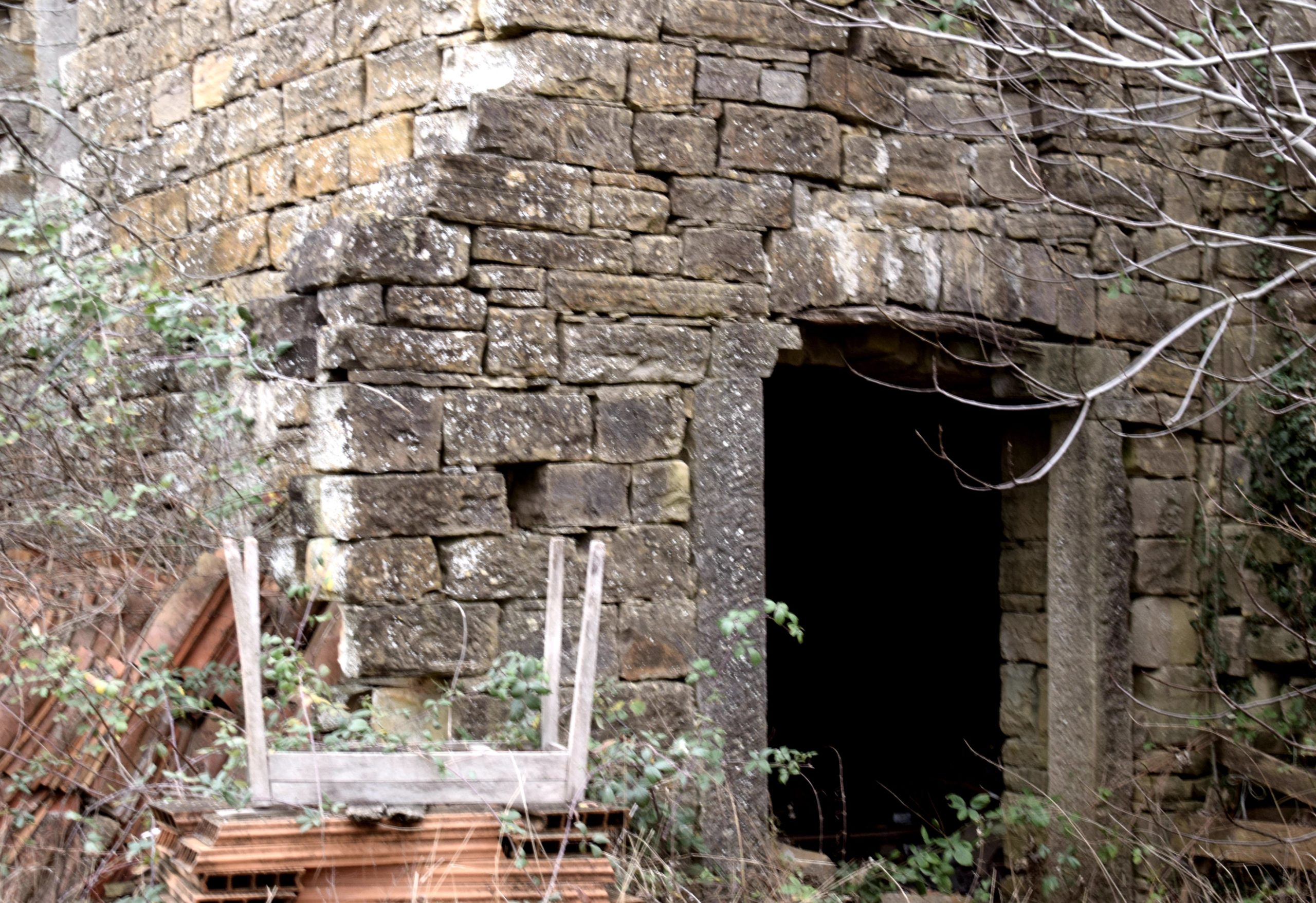
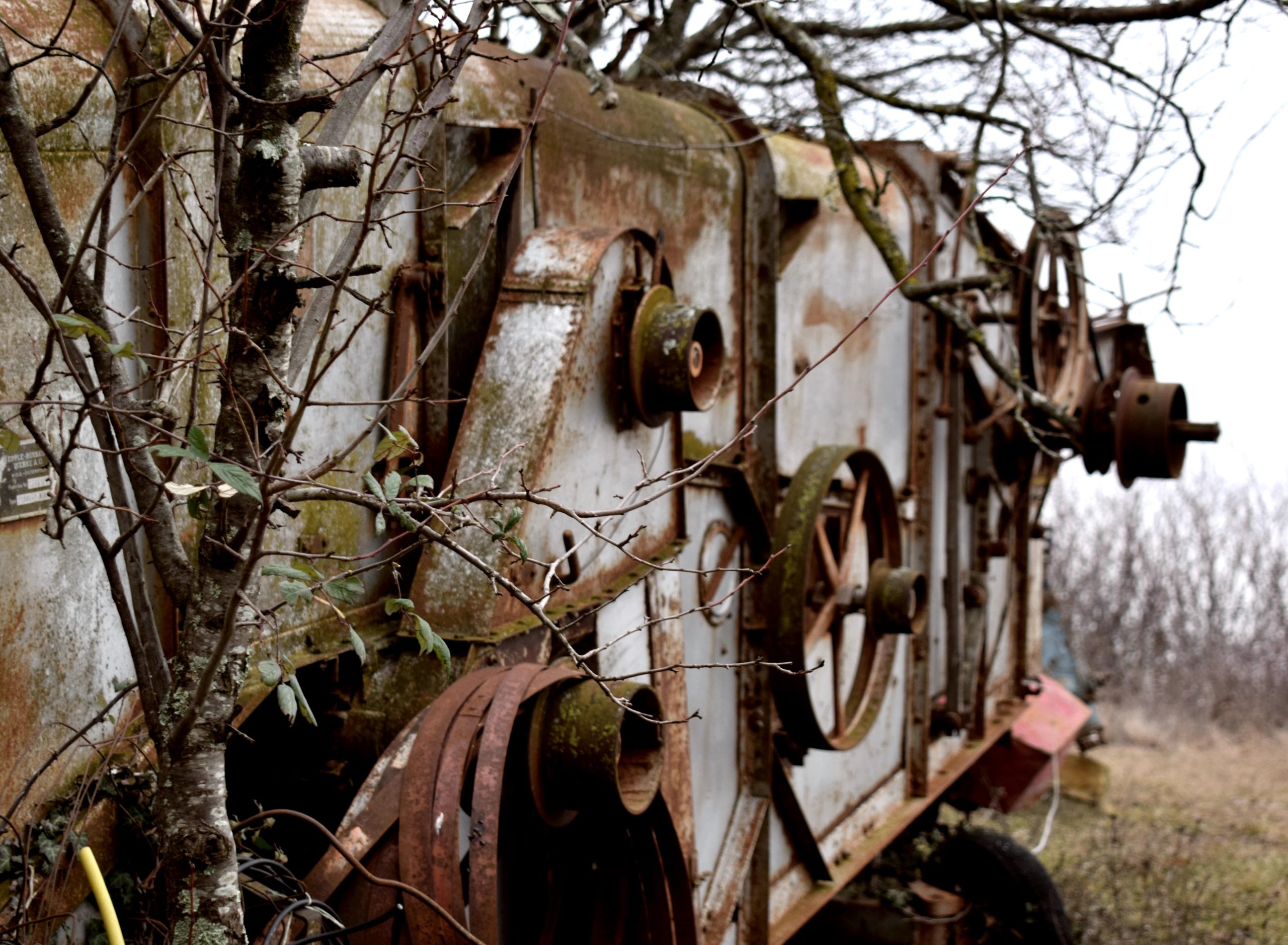
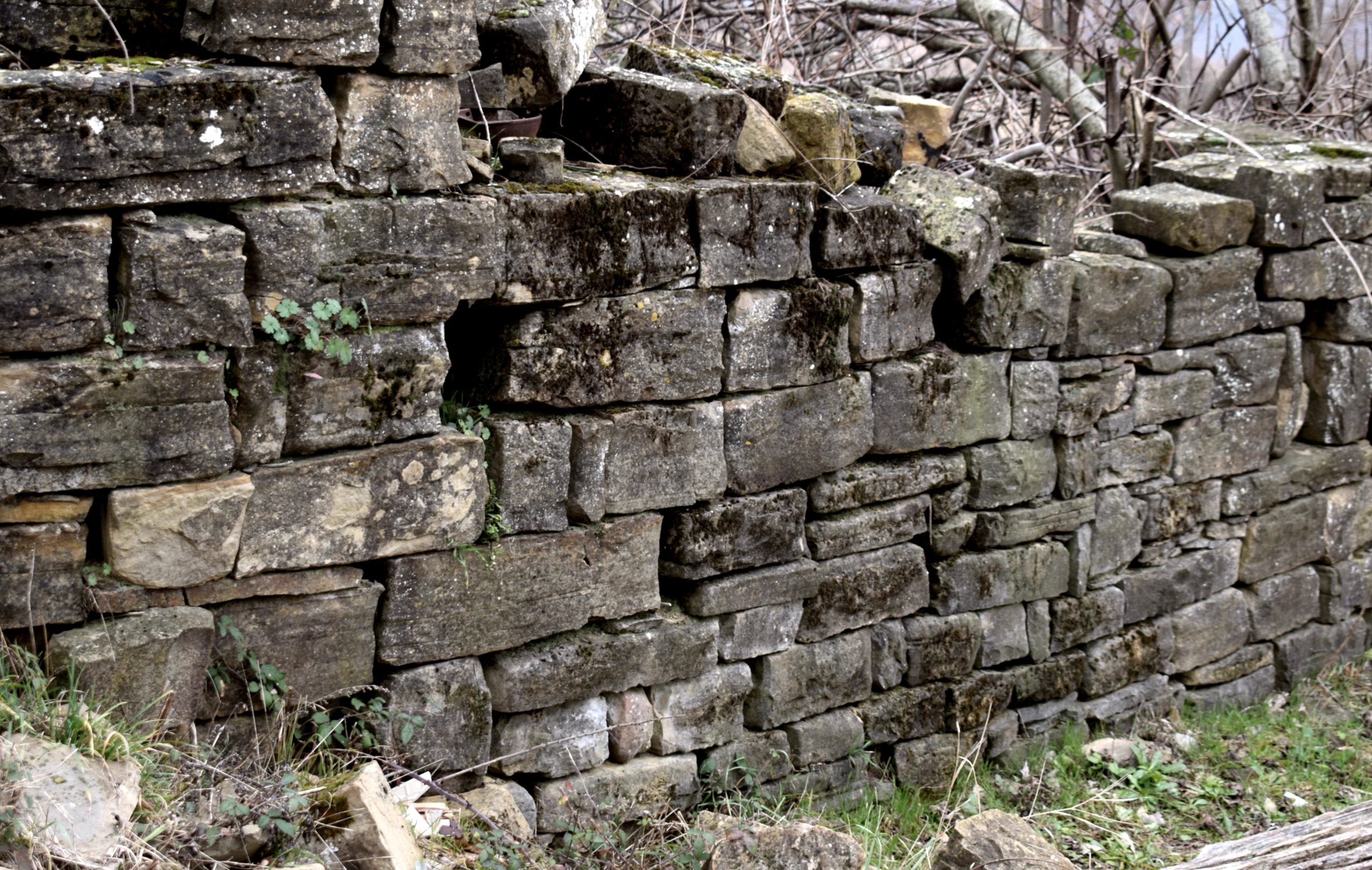
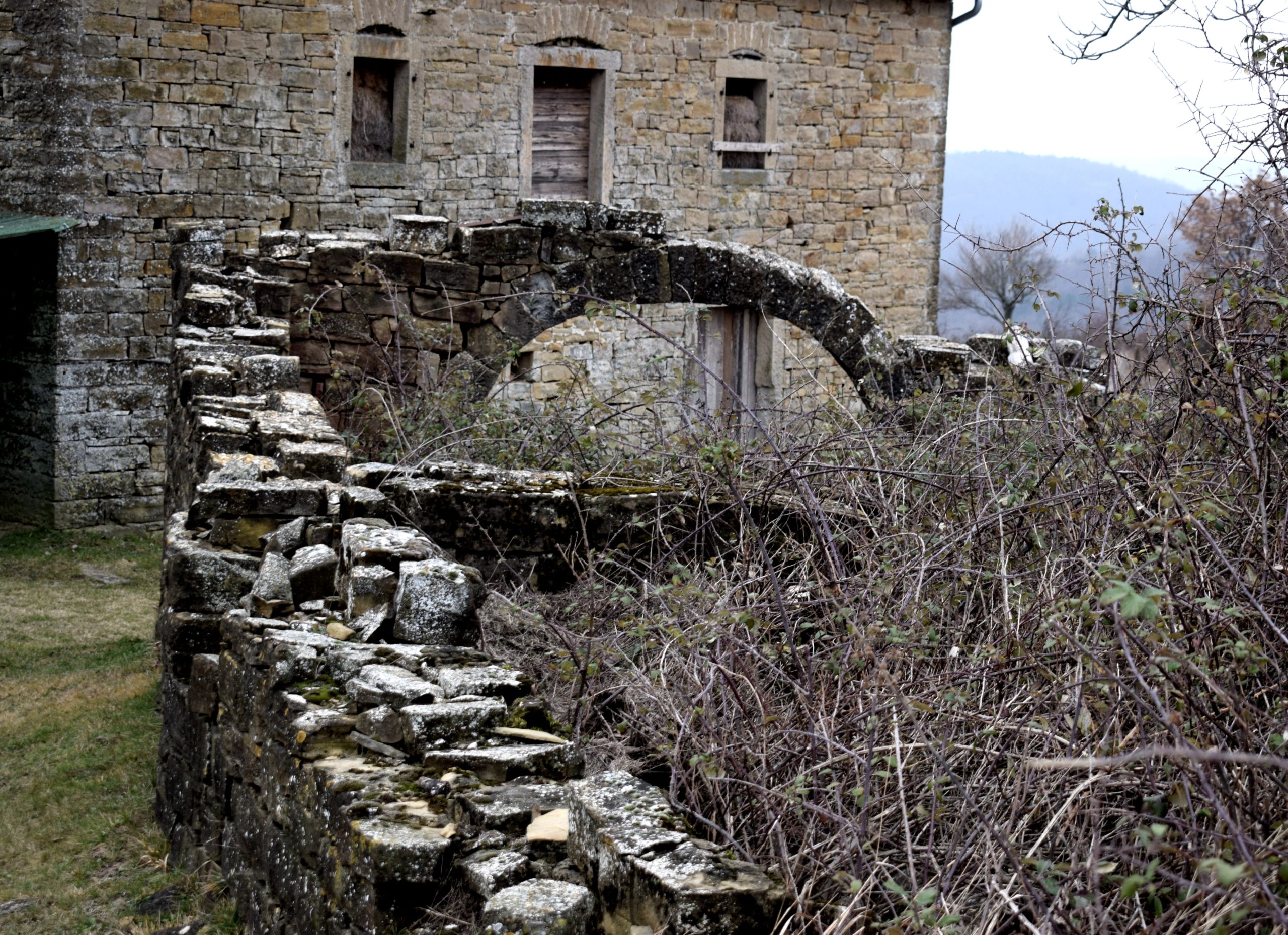
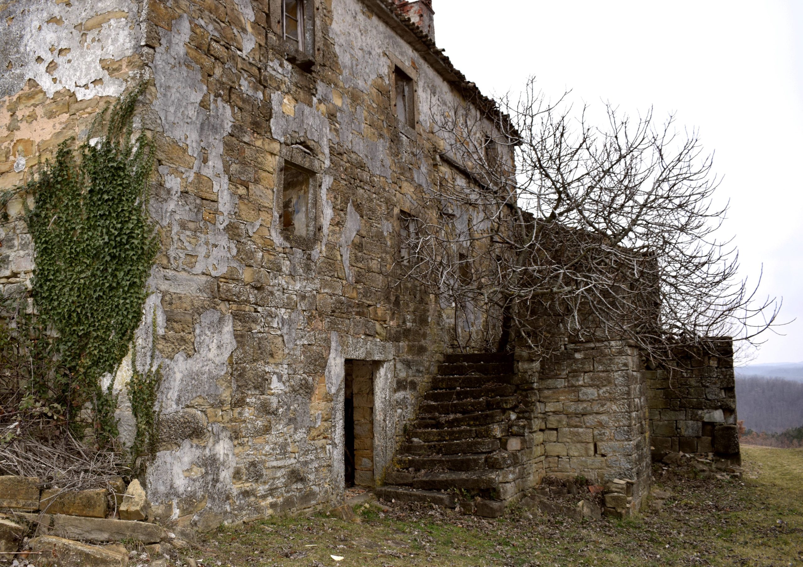
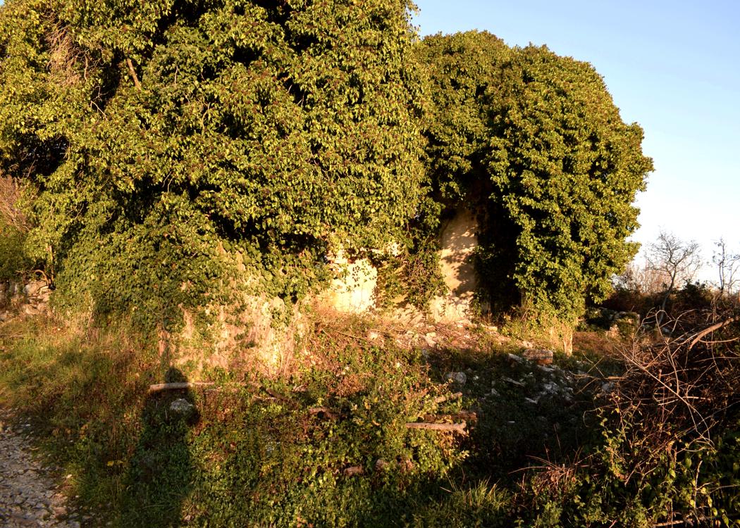
Name: Ruins abandoned village Starhi.
Village: Strahi-Oprtalj
Coordinates: Road 50019 45.39434 N – 13.84816 E, Strahi 45.39693 N – 13.84546 E.

Name: Trail from St. Margareta to the “Foot of the Mother God, the puddle Jurosovac, the ruins of the church St. Jelene and a monument of Tito.
Place: Prnjani – (Barban).
Coordinates: From 45.08711 N – 14.00194 N to 45.07448 N – 14.01735 E.

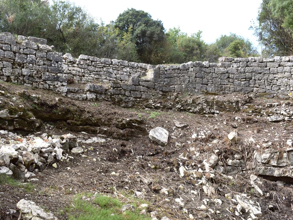
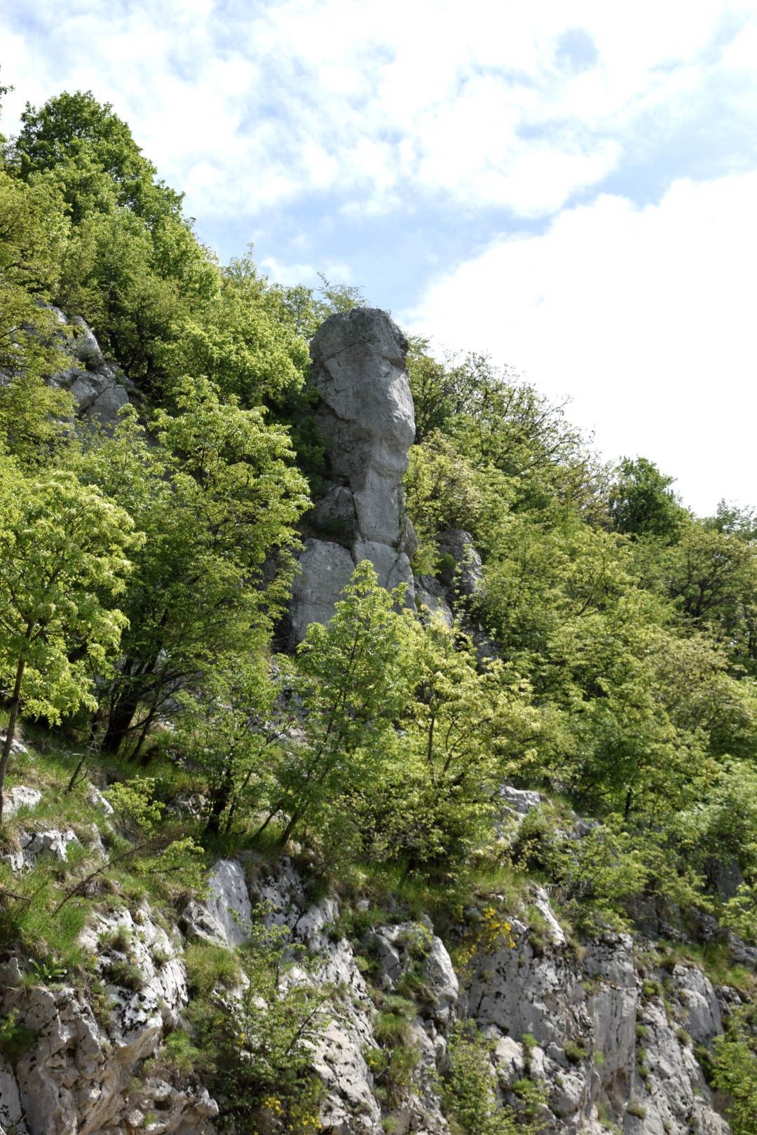
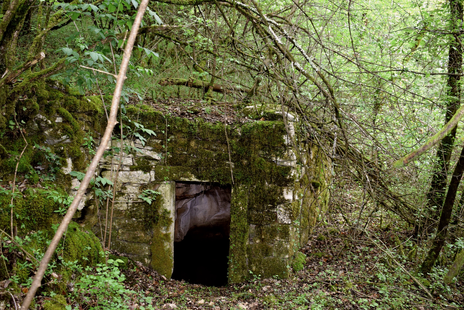
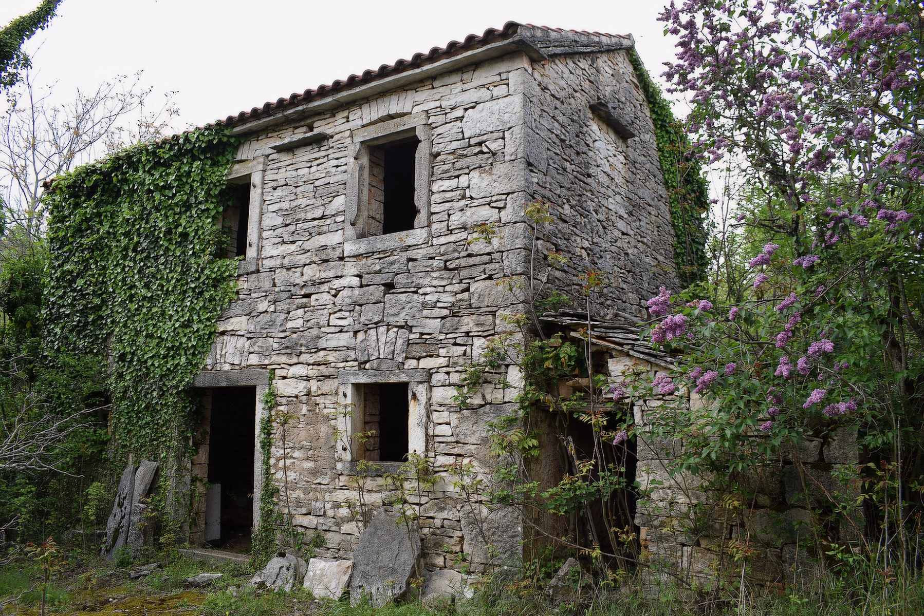
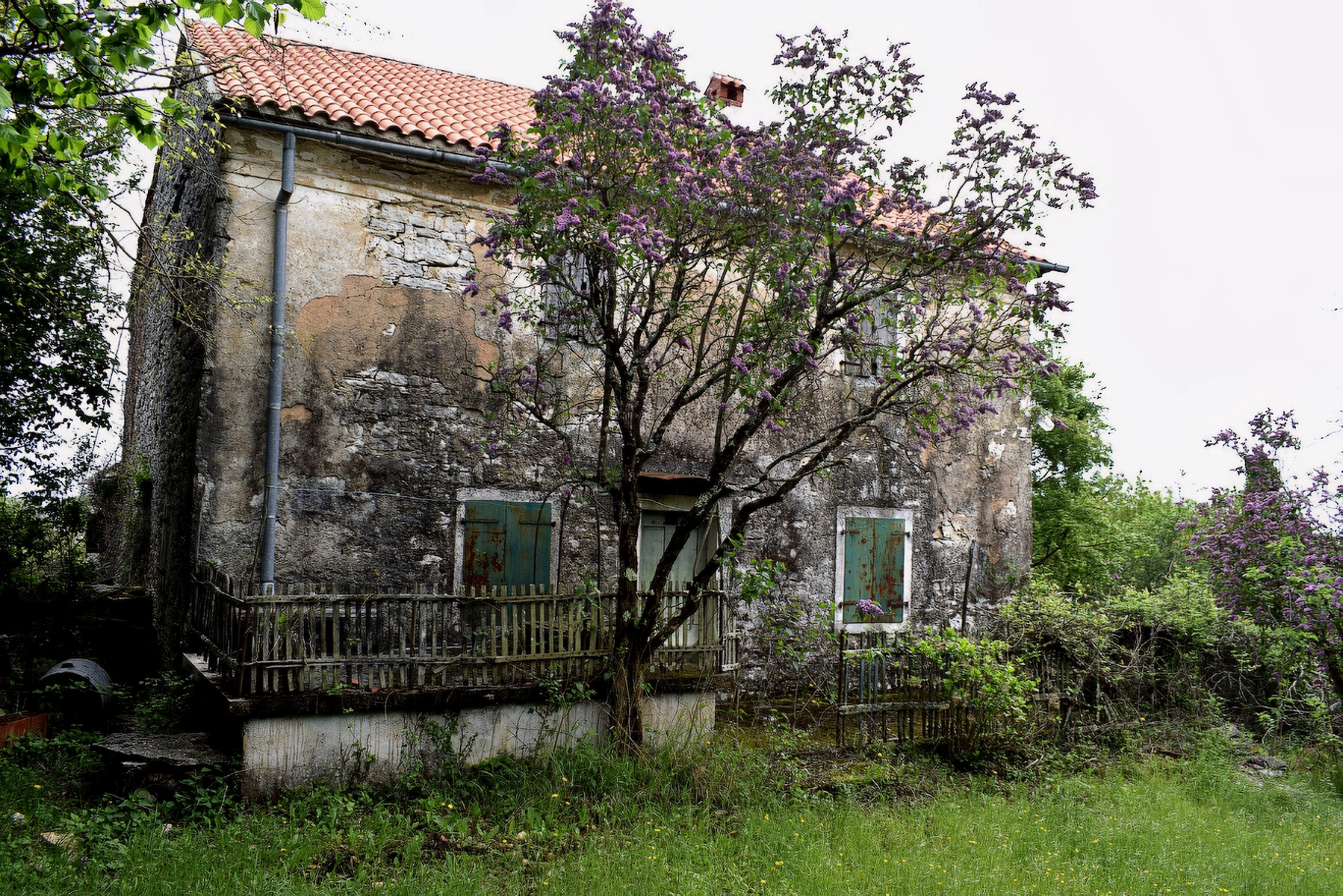
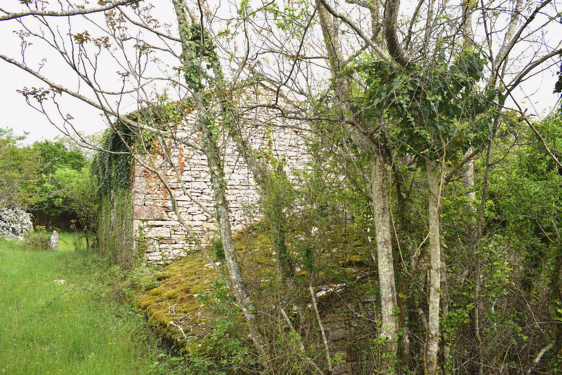
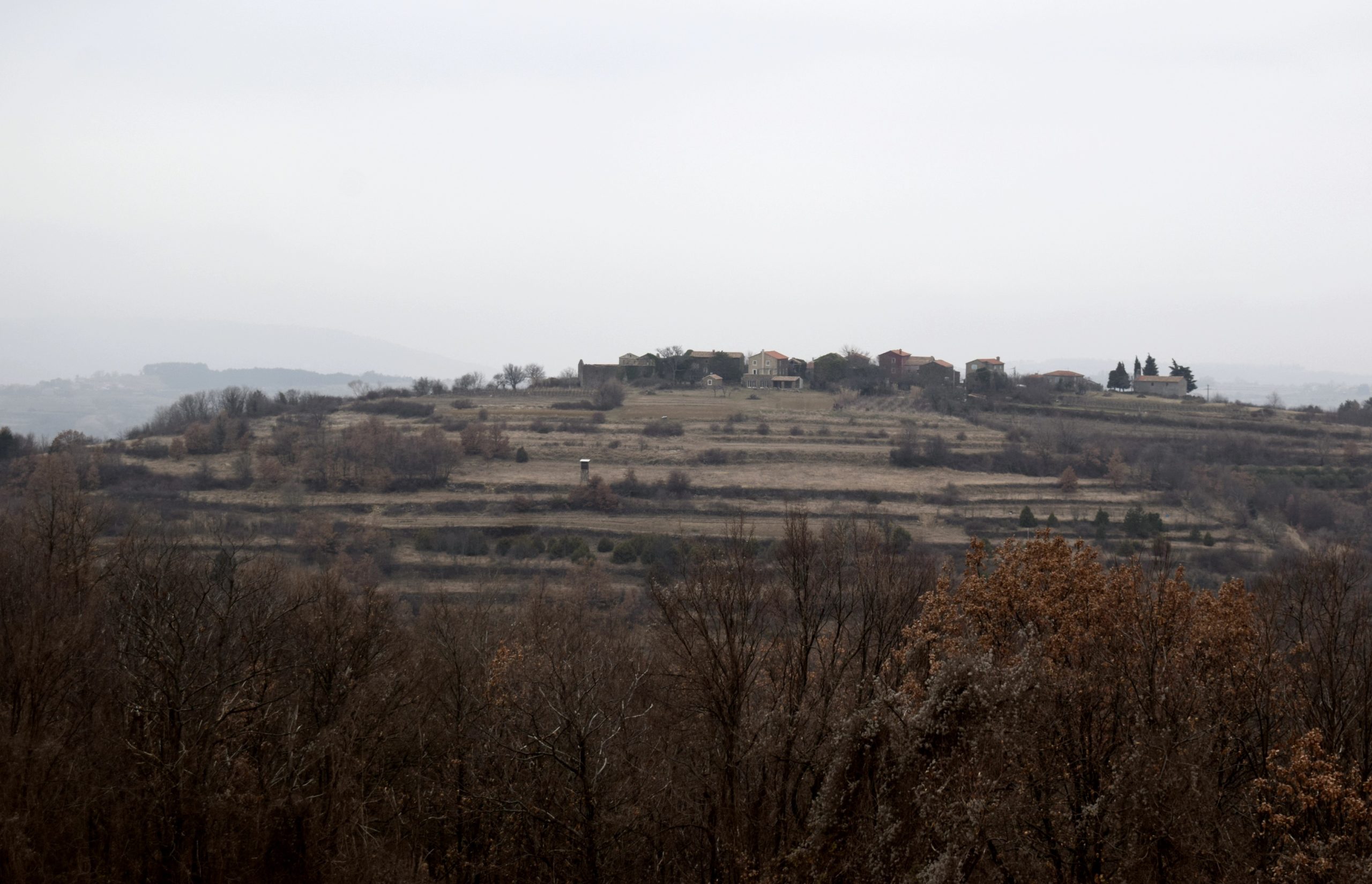
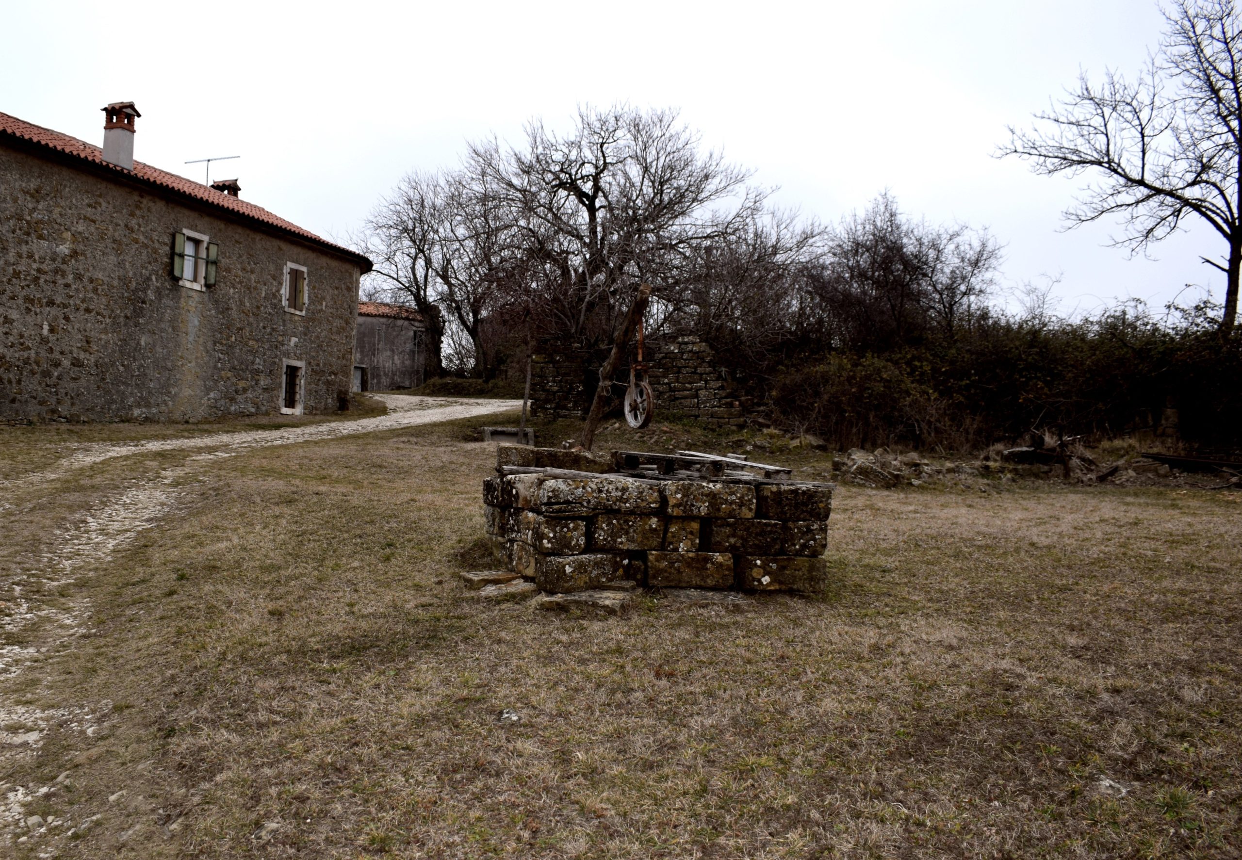
Name: Village Dugo Brdo.
Place: (Grožnjan).
Coordinates: 45.44822 N – 13.79426 E.