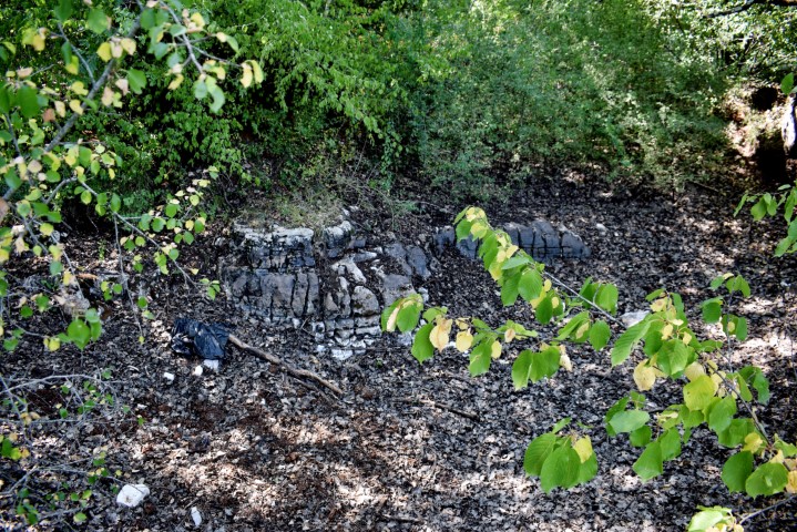
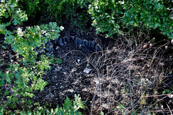
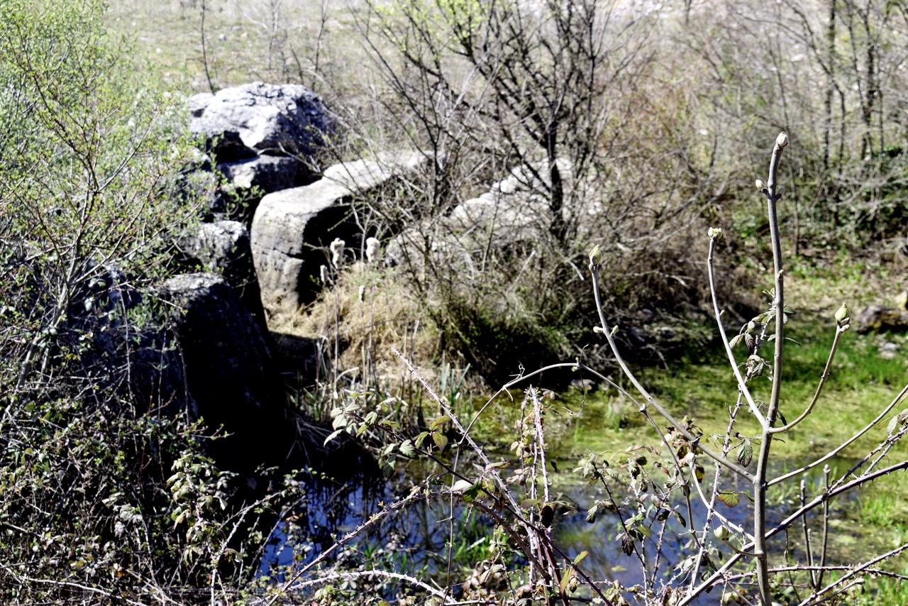
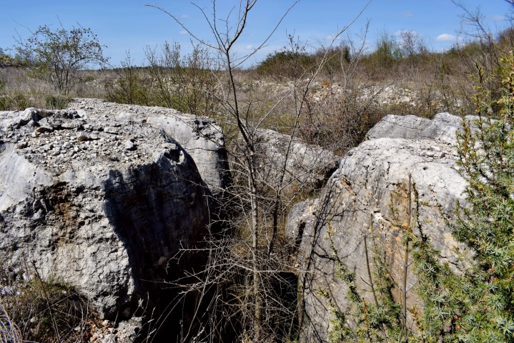
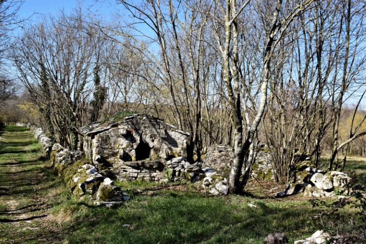
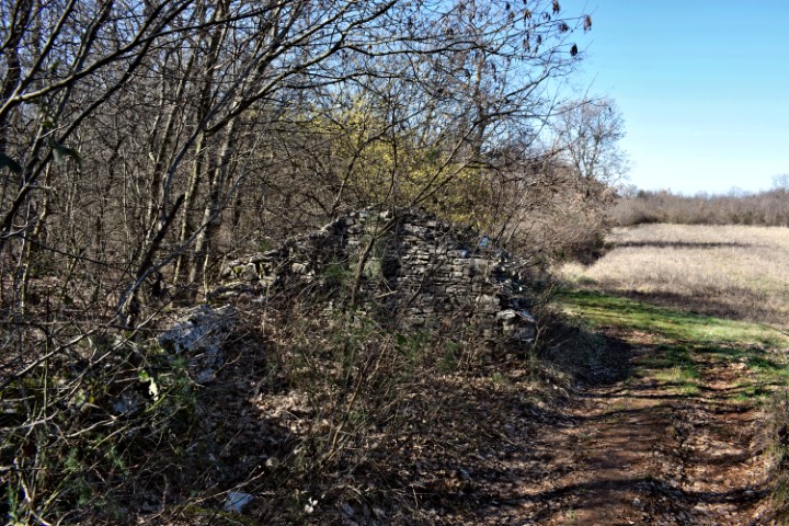
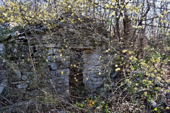
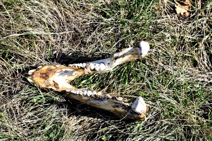
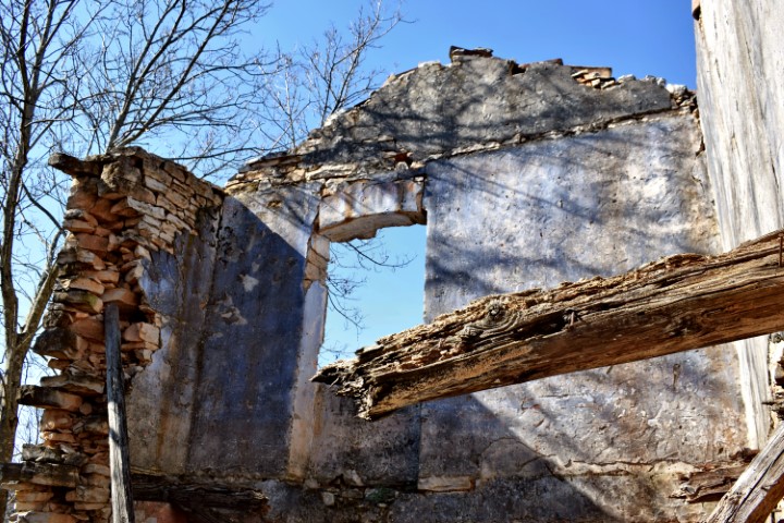
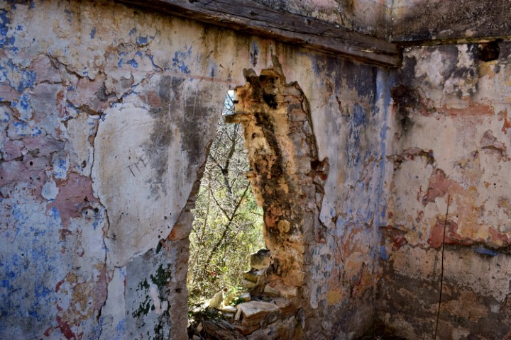
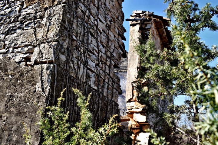
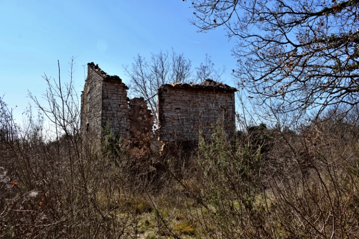
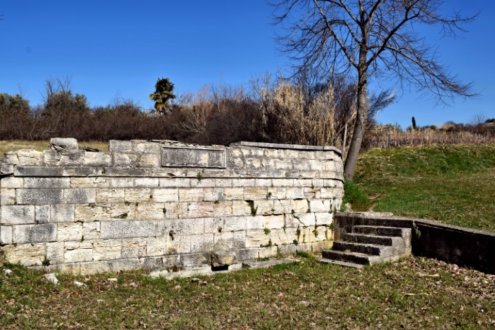
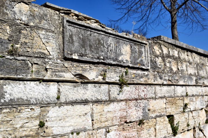
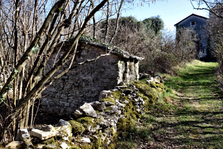
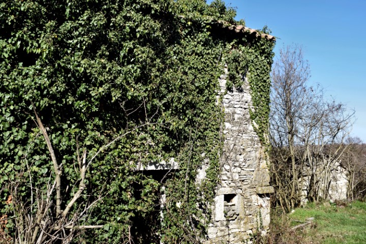
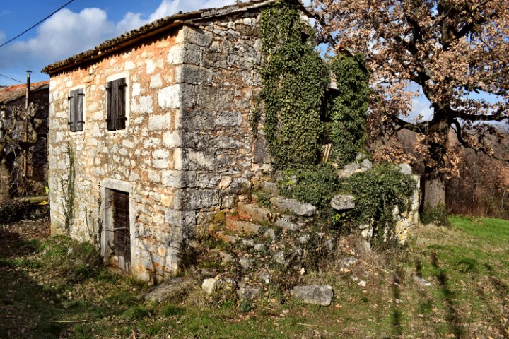
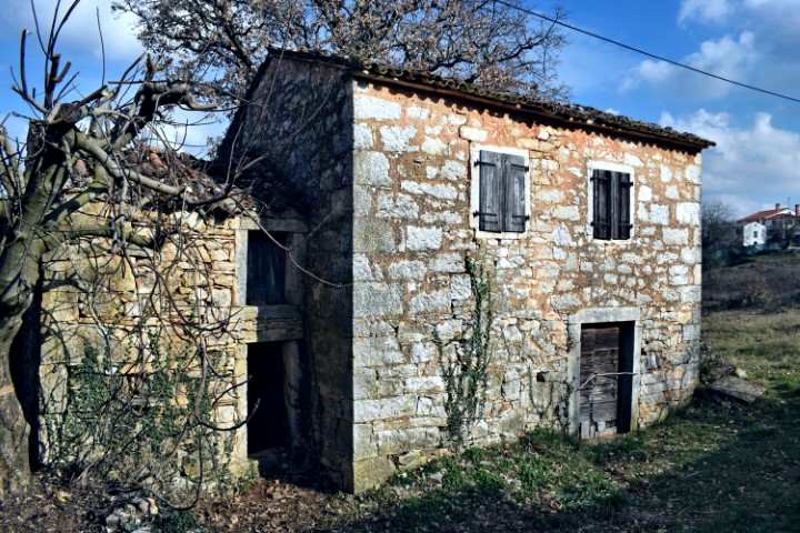
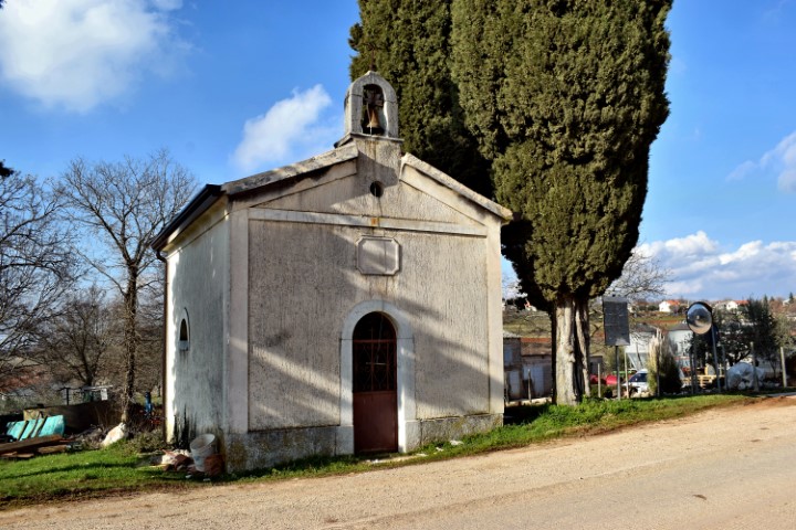
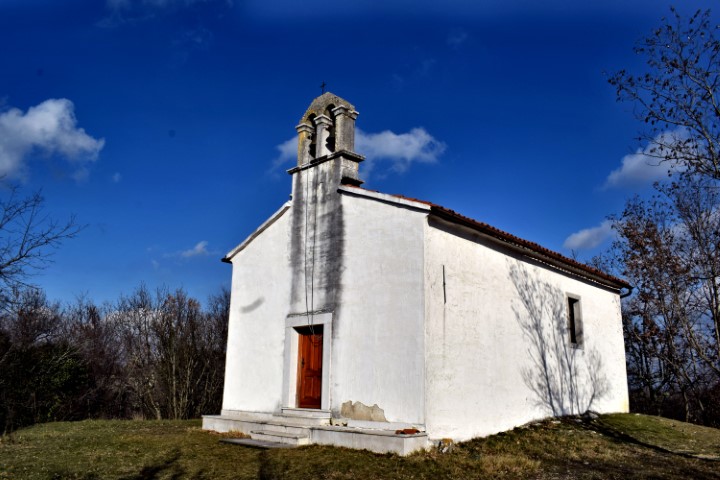
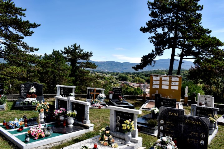
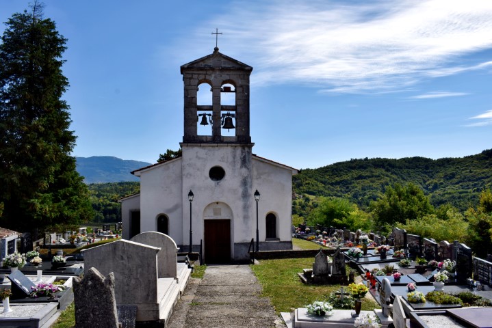
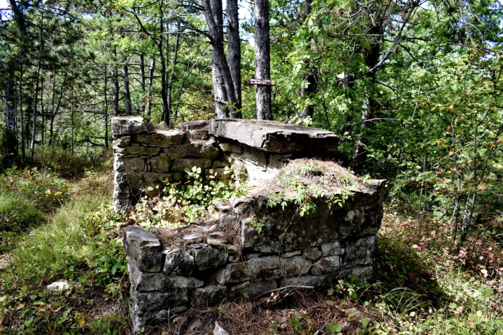
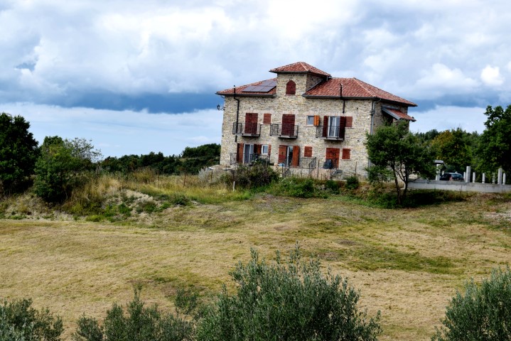
The name of the church near Borut is the Mihovila arkandela, the ruins of a chapel was theSv. Bartul,
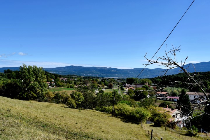

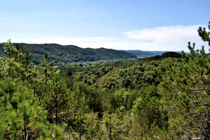
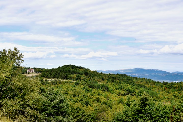
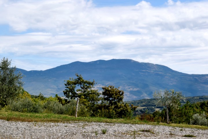
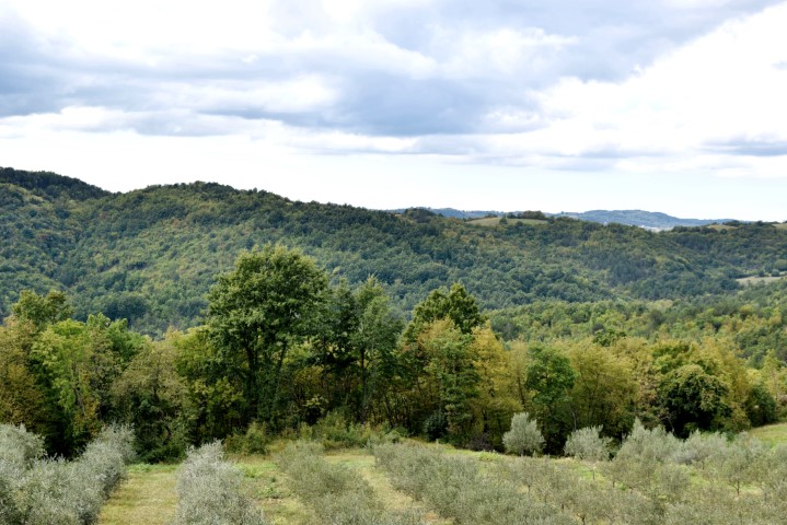
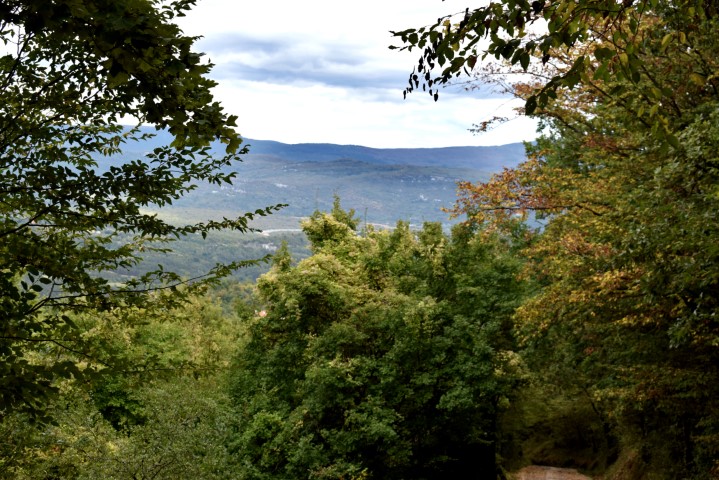

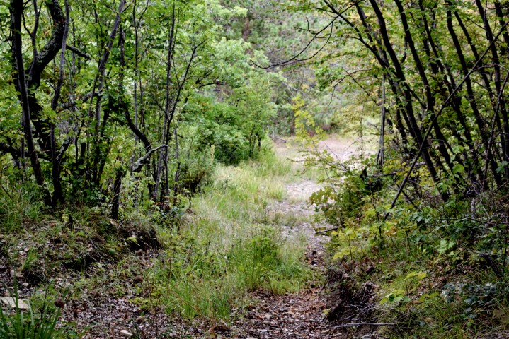

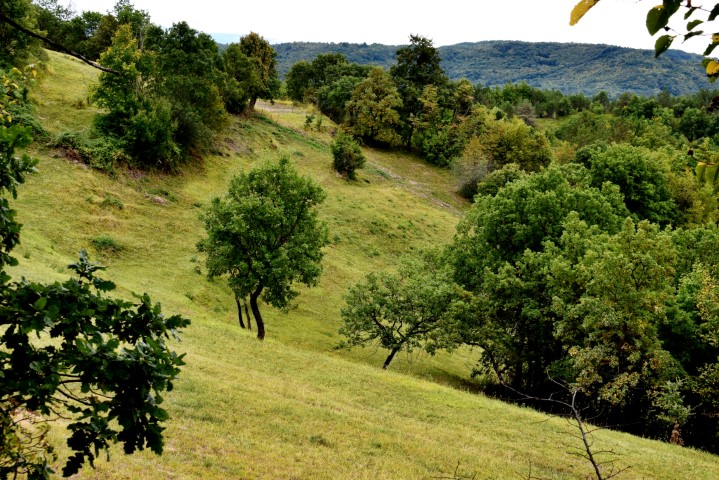
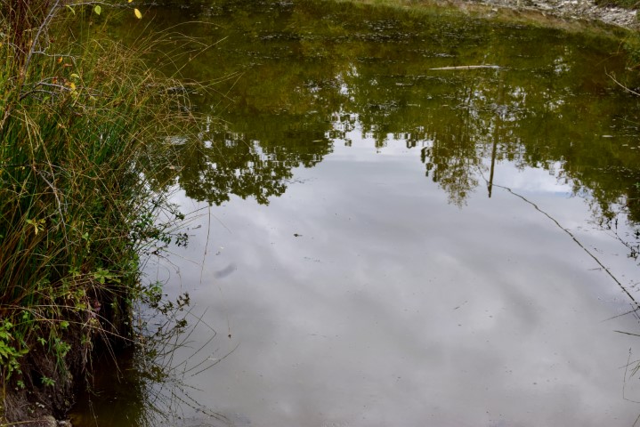
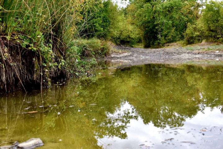


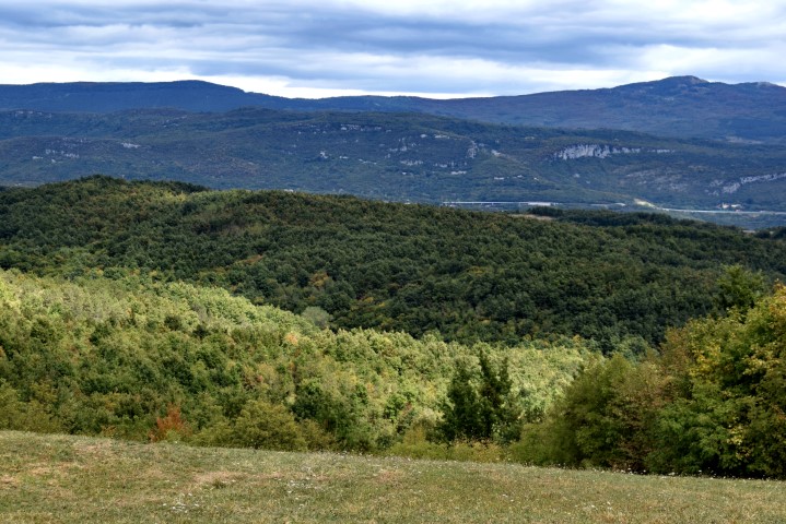


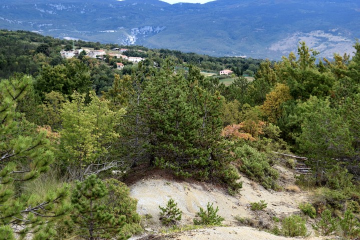
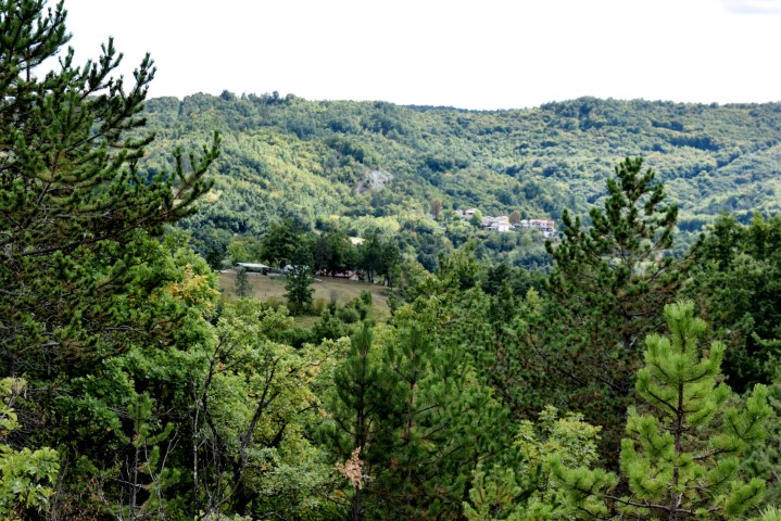
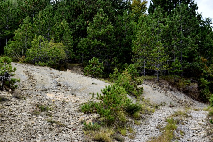
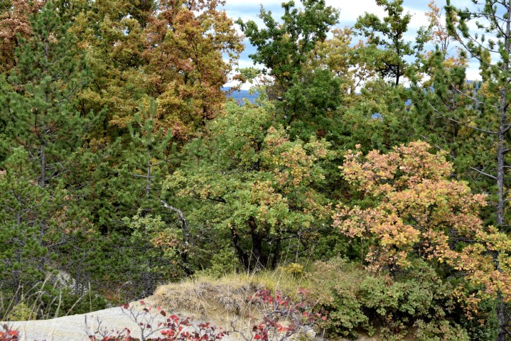
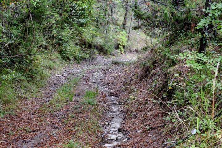
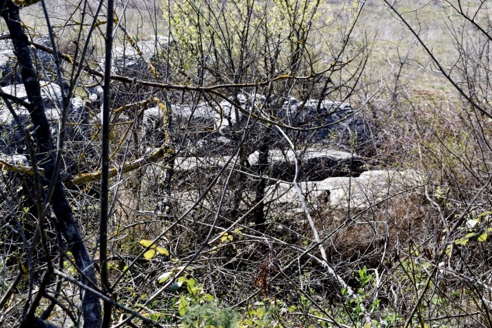
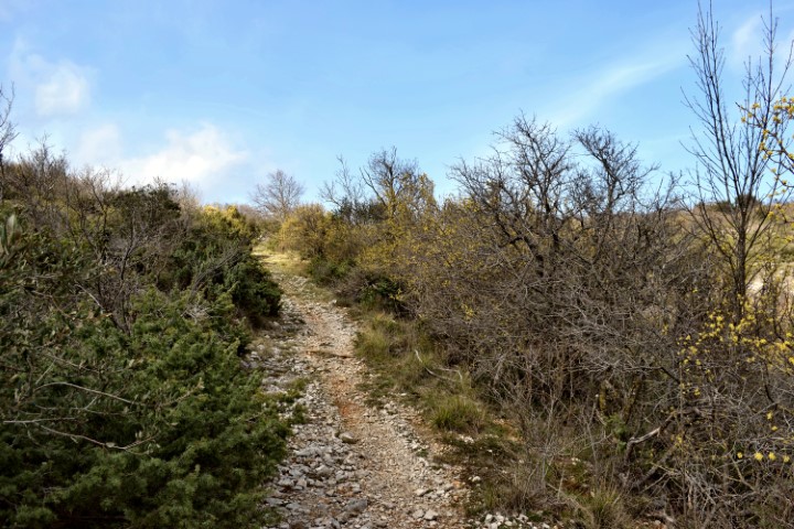
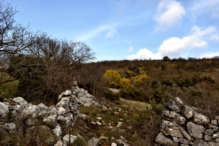
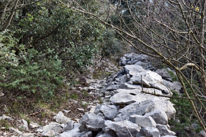
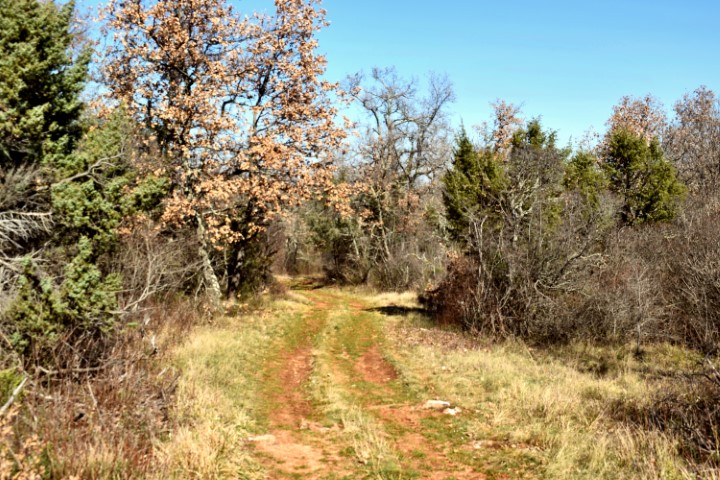
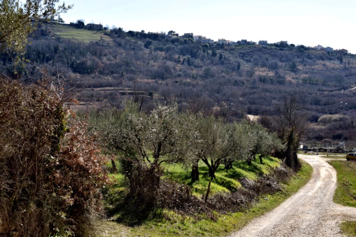
Name: Hiking trail (706) named St. Sylvester from Borut to Draguč.
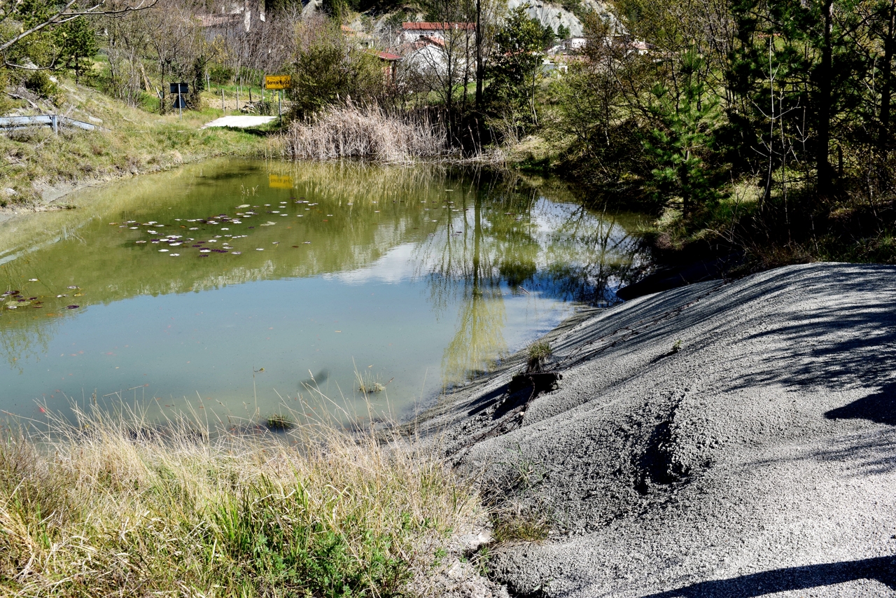
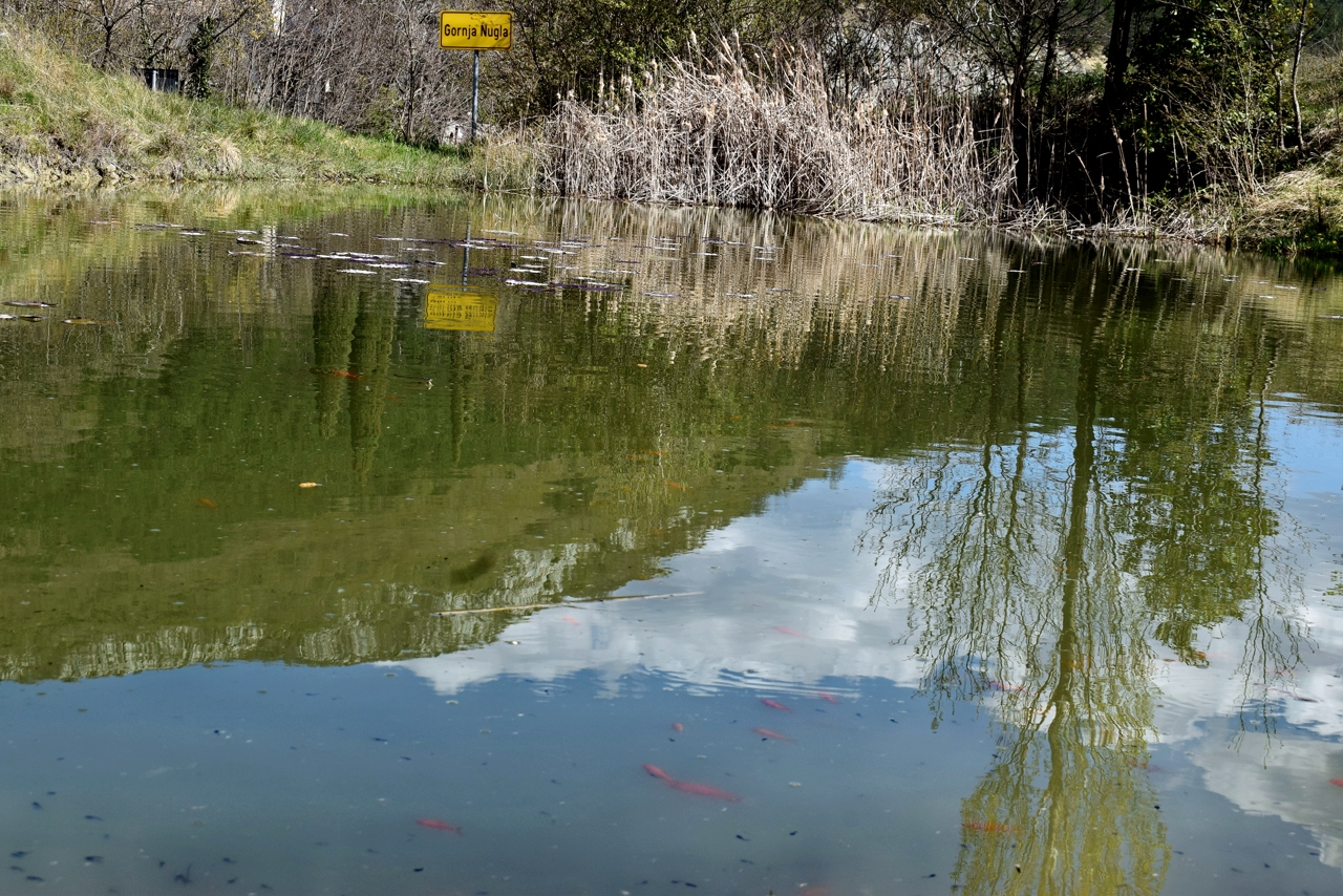
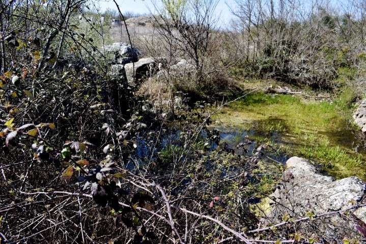
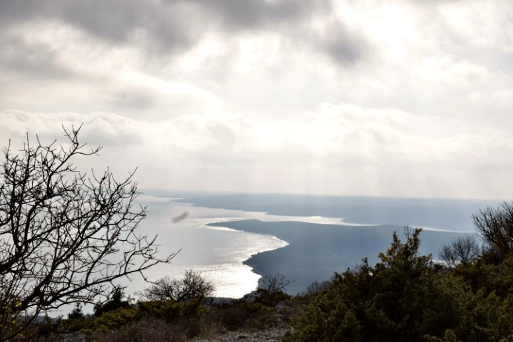
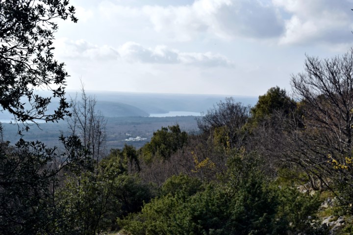
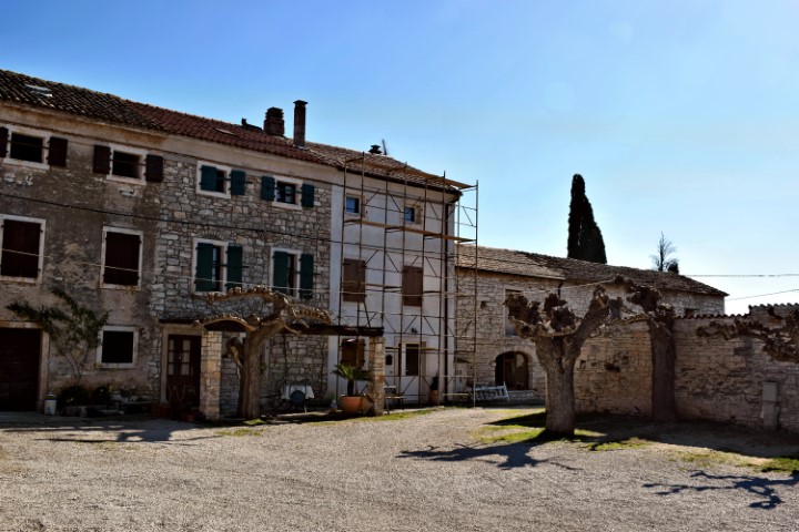
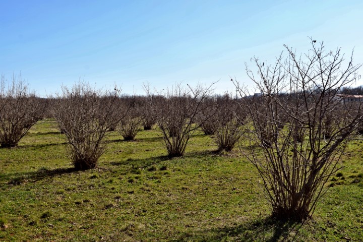
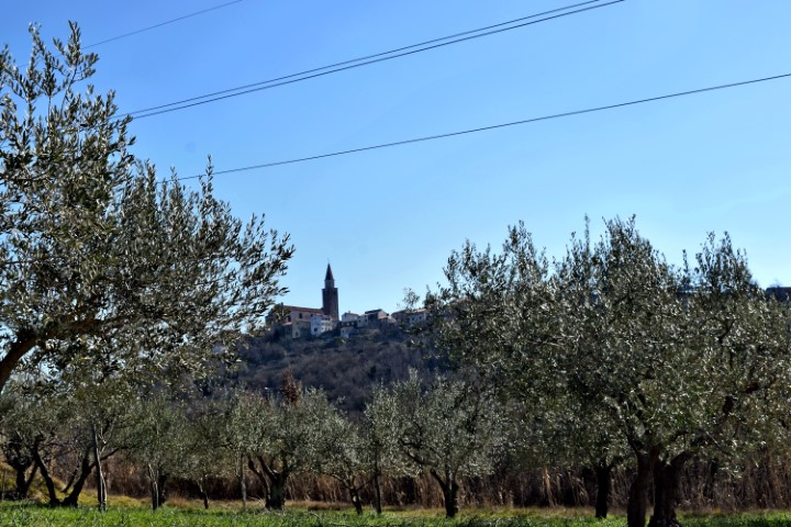
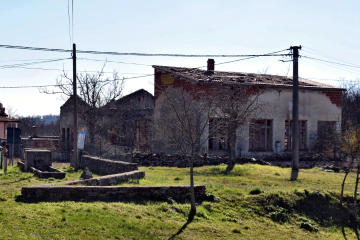
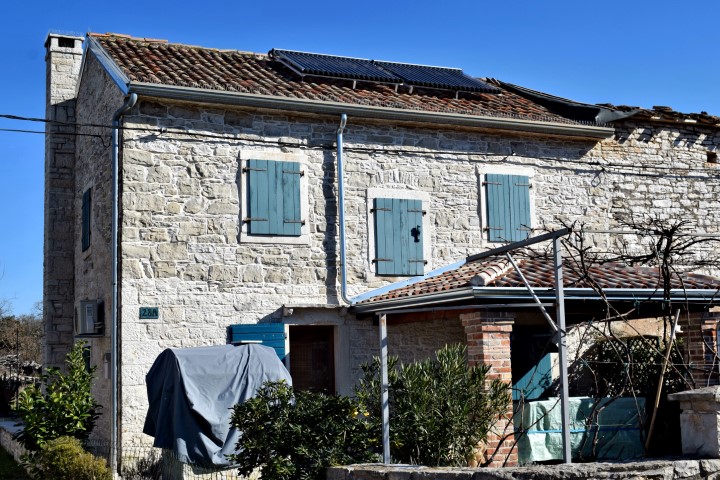
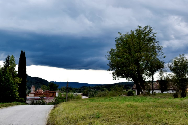
Place: Borut – (Cerovlje).
Coordinates: Start 45.30286 N – 14.04755 E, End, return point 45.32489 N – 14.02415 E.