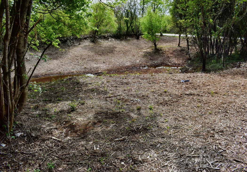
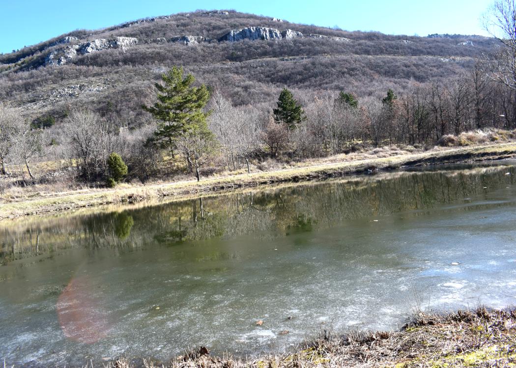
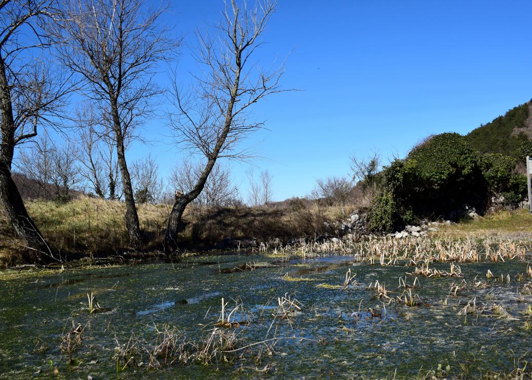
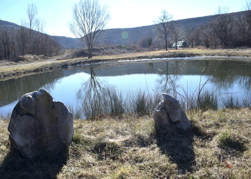
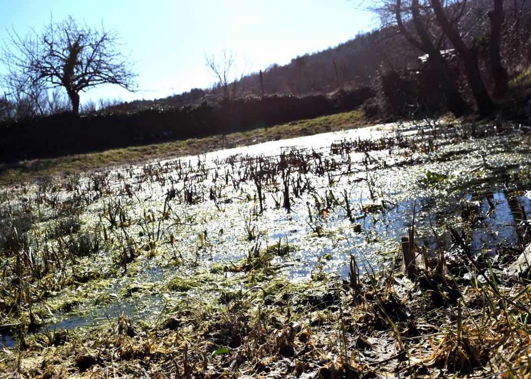
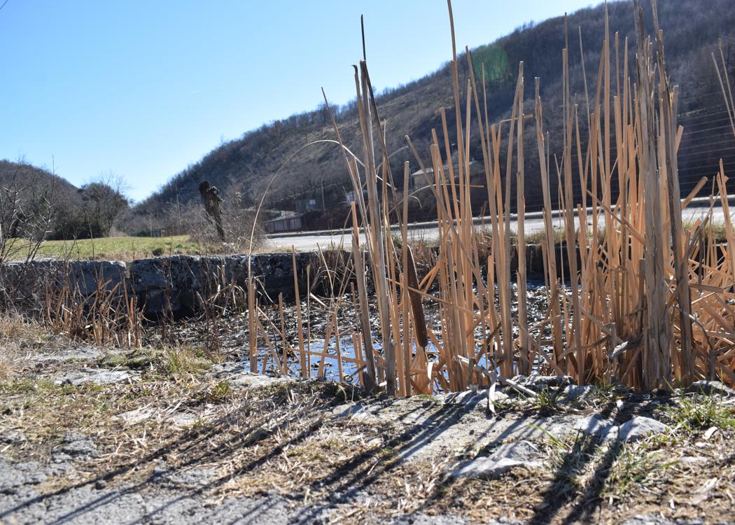
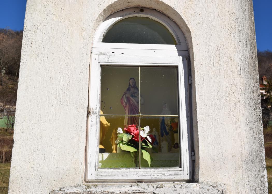
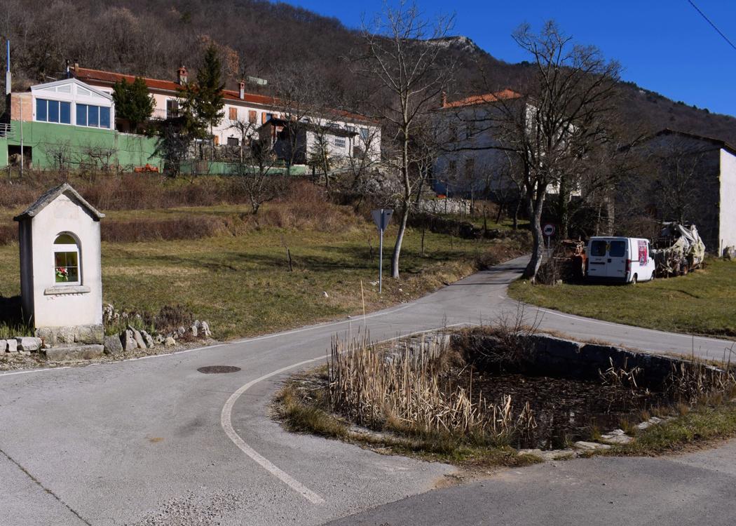
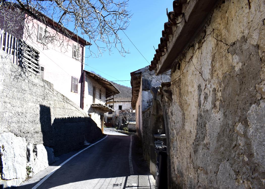
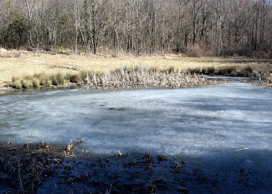
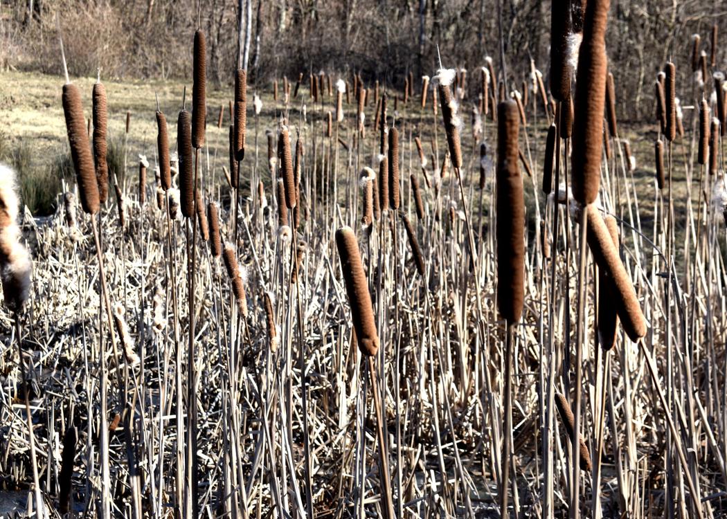
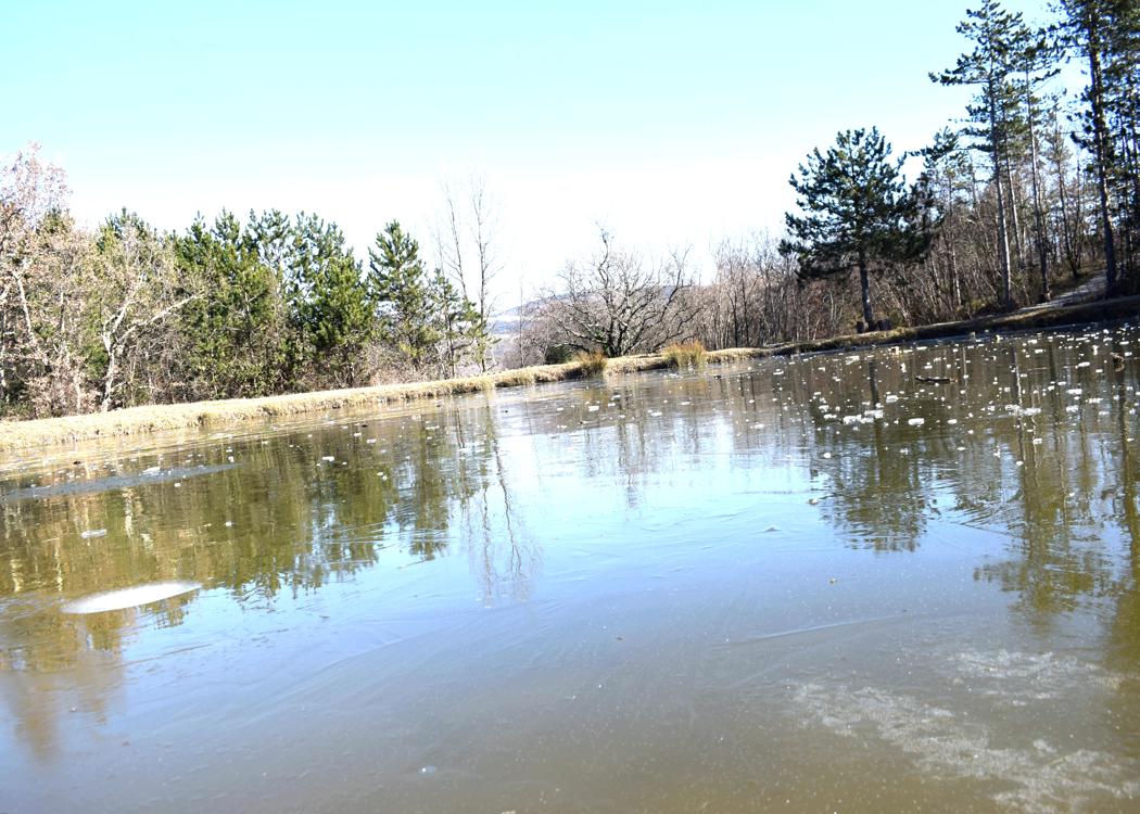
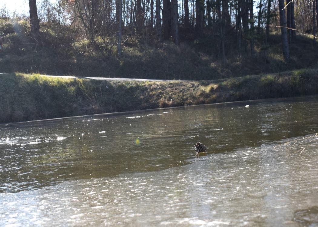
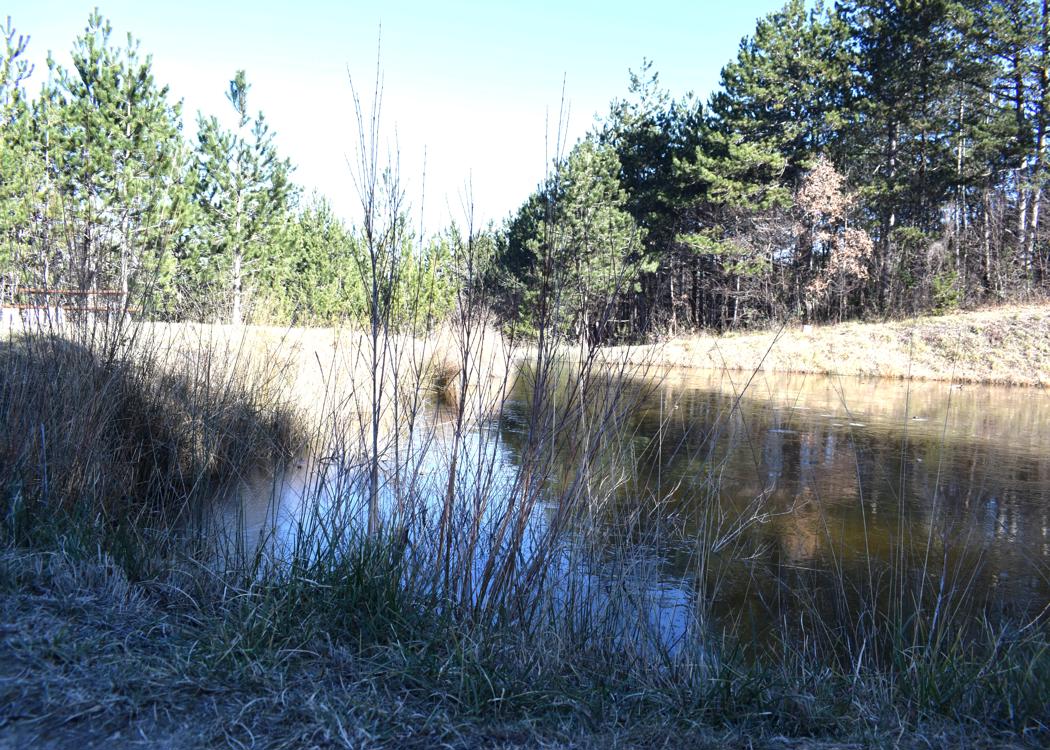
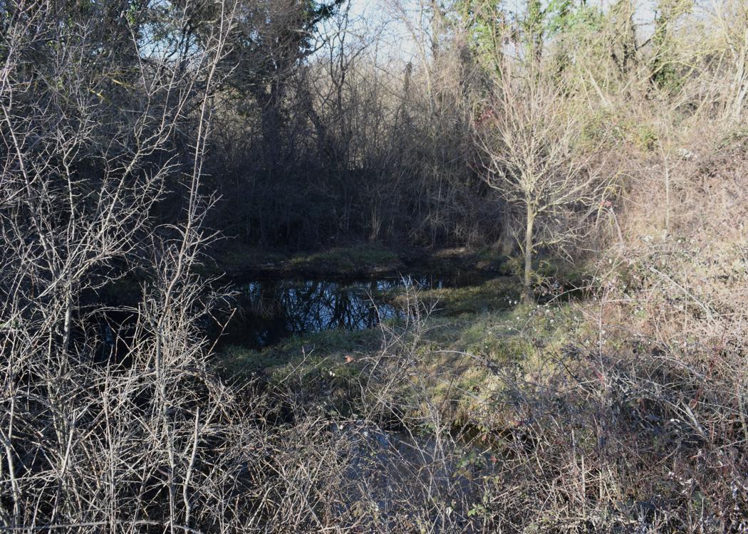
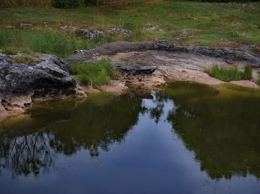
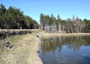
See too the post ” Trail 861 “Sveta Nedelja along ponds and puddles”. Dated: 2023-02-01.
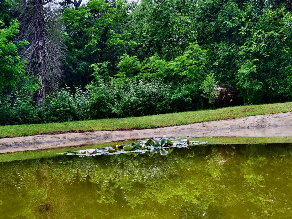
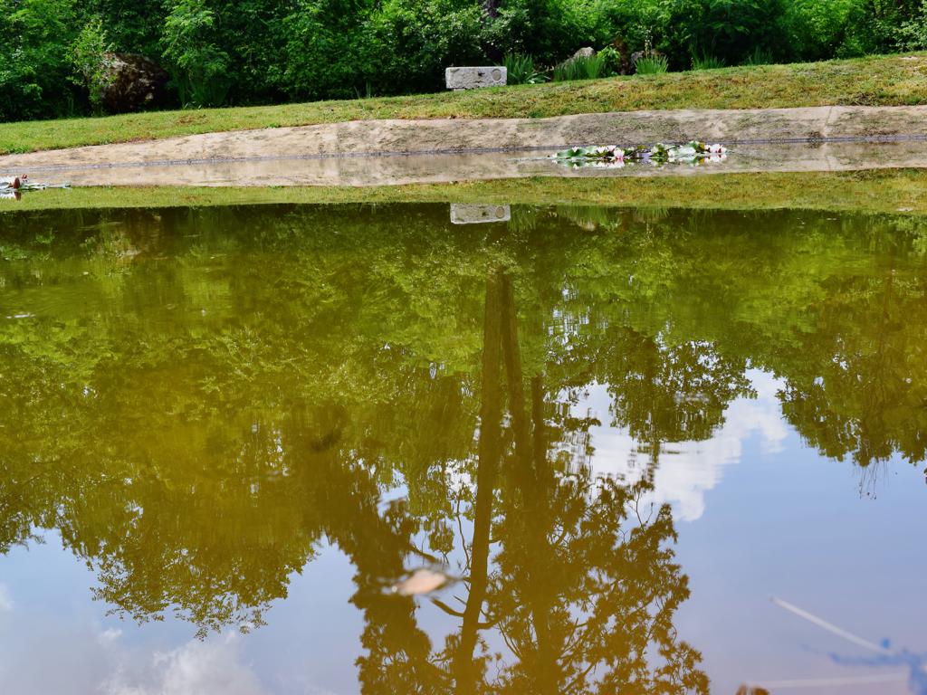
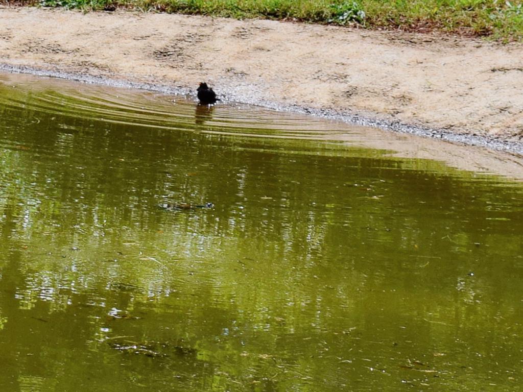
veta Nedelja – Trail 861.

Name: Sveta Nedelja – Trail 861.
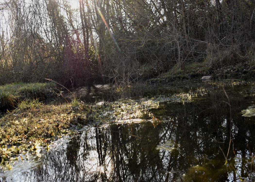
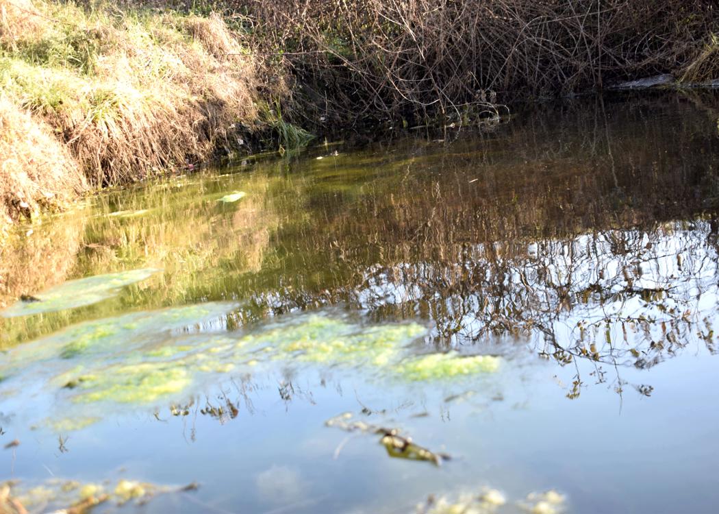
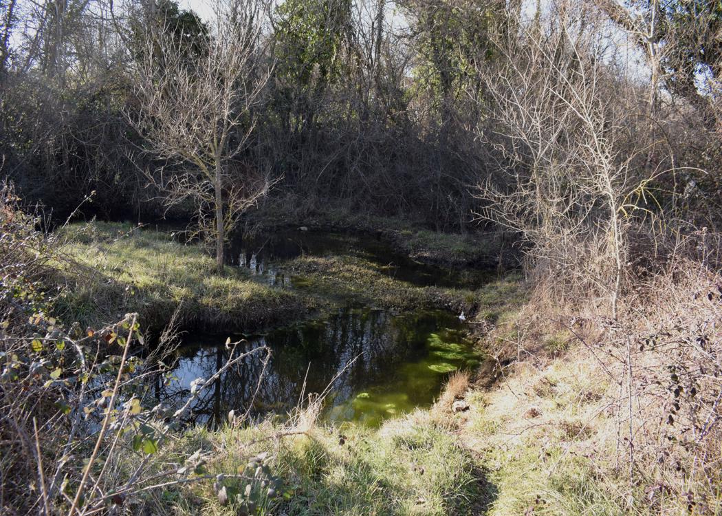
See too the post ” Trail 861 “Sveta Nedelja along ponds and puddles”. Dated: 2023-02-01.
Name: Sveta Nedelja – Trail 861.
See also the post on 2021 the eight february.
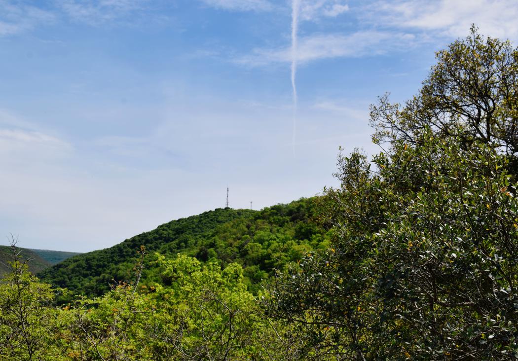
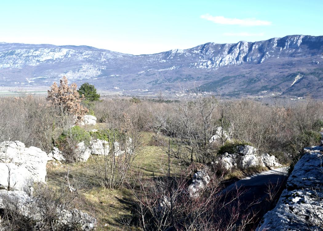
Name: Hiking trail 521 “Owl” from Višnjan to the observatory Tićan and the Dubrova forests.
Place: Višnjan
Coordinates: Star/end: 45.27964 N – 1372835 E.
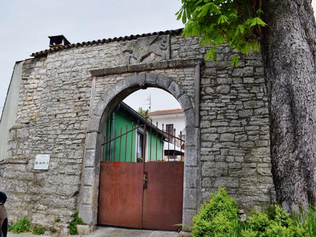
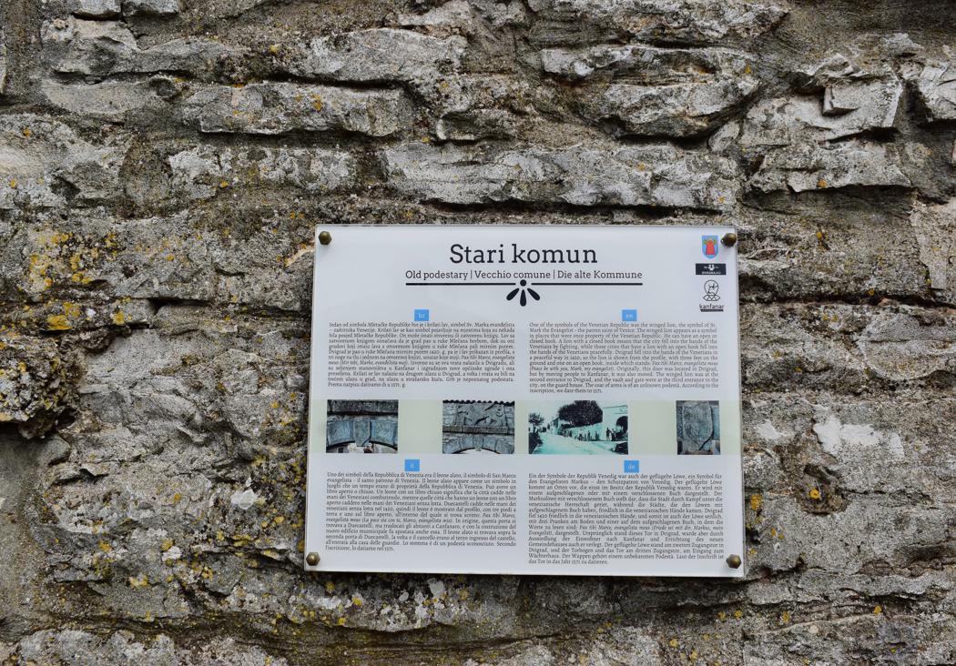
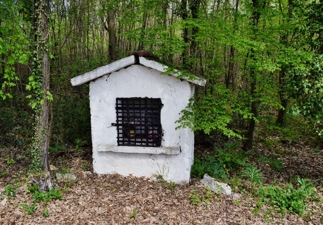
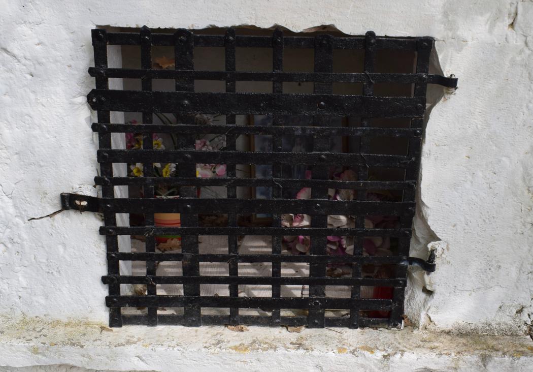
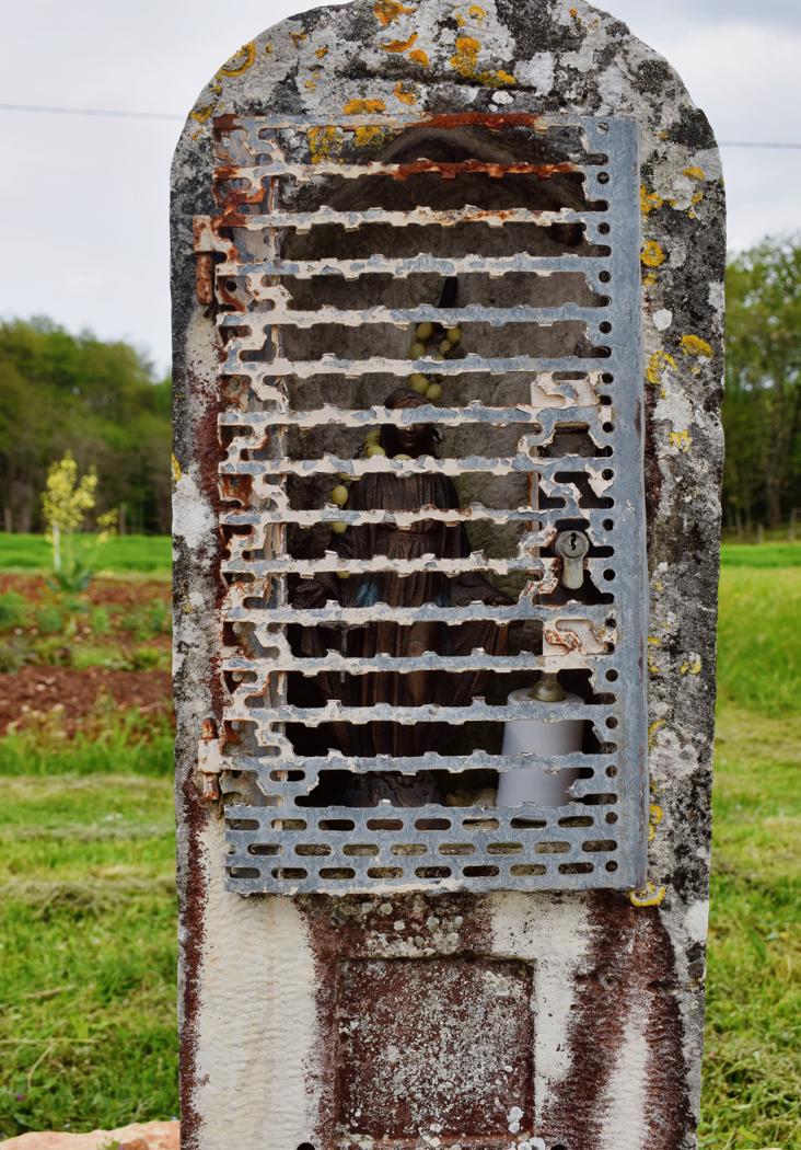
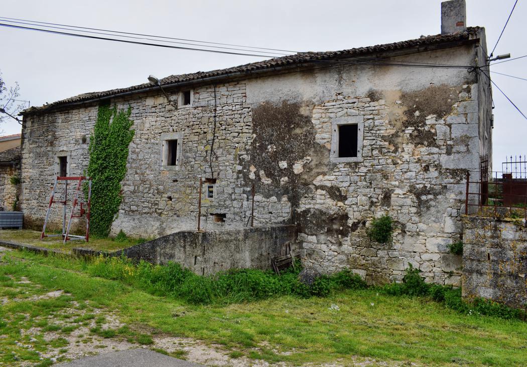
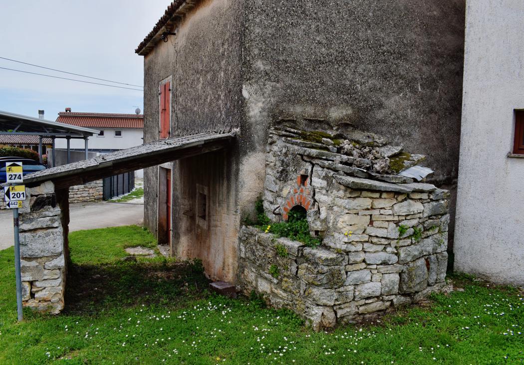
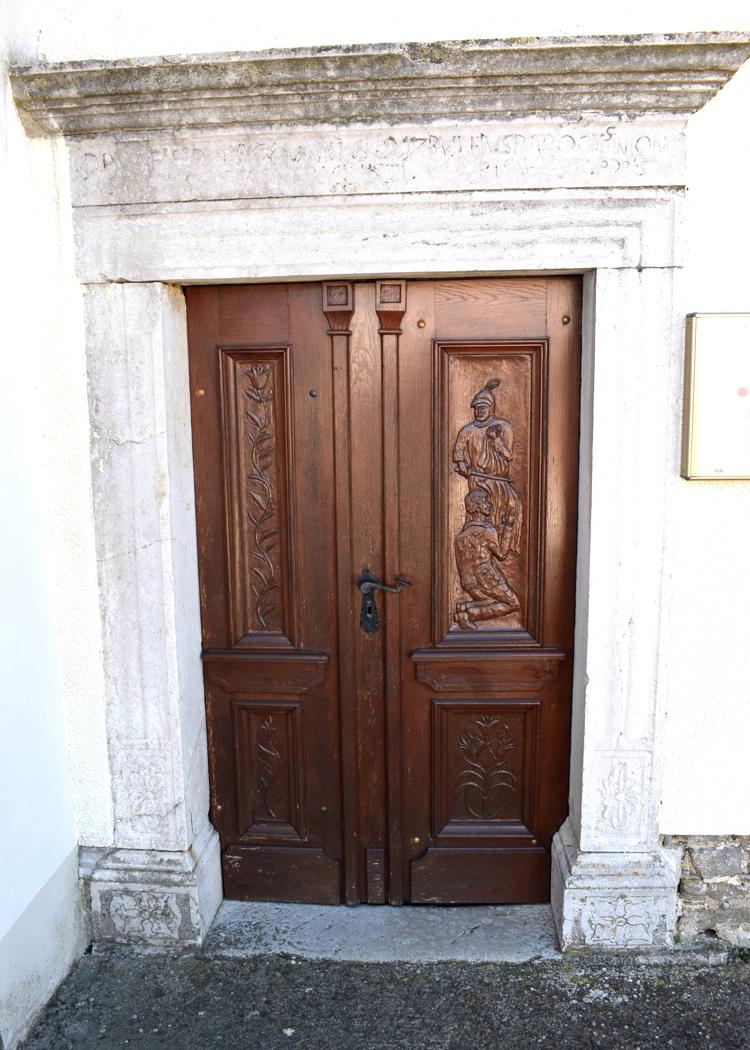
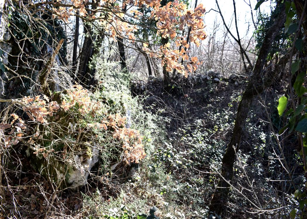
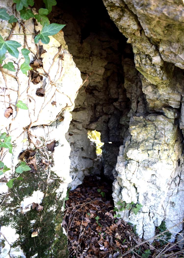
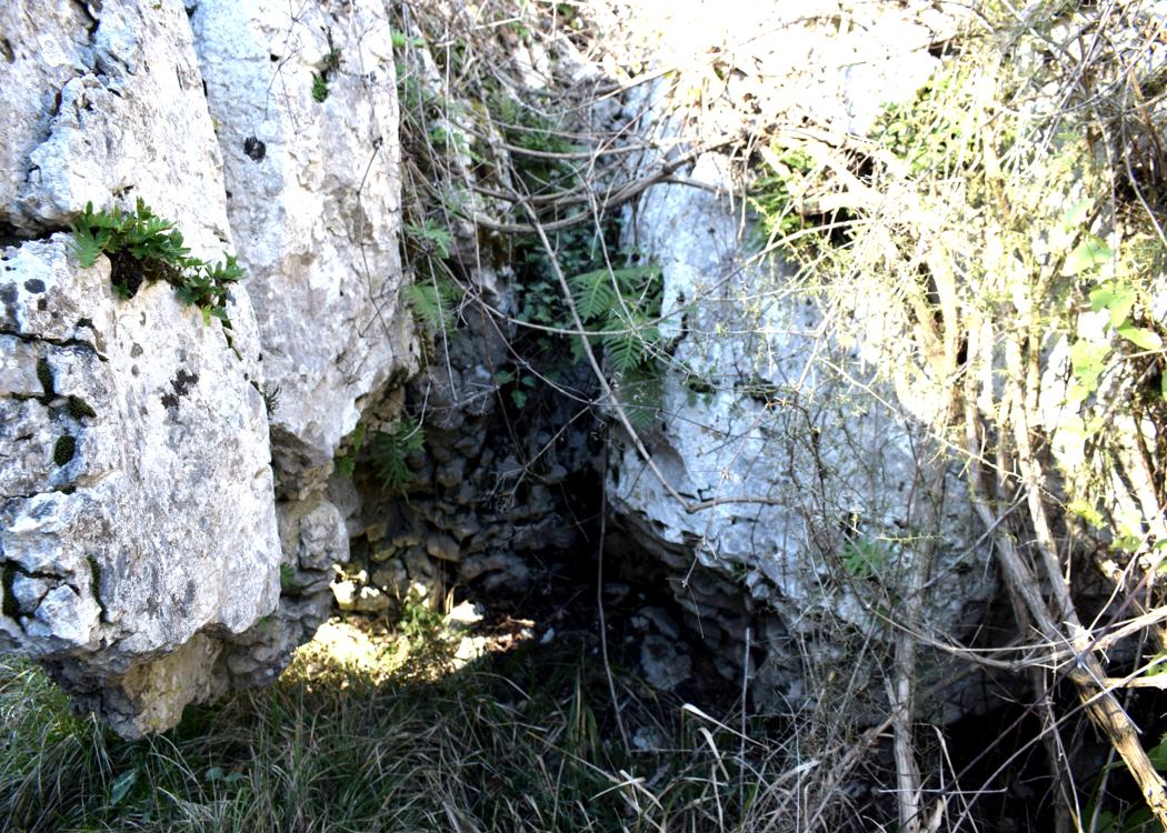
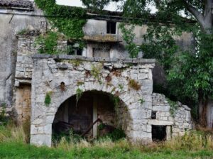
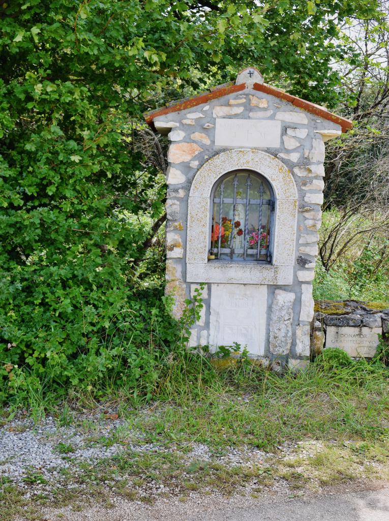
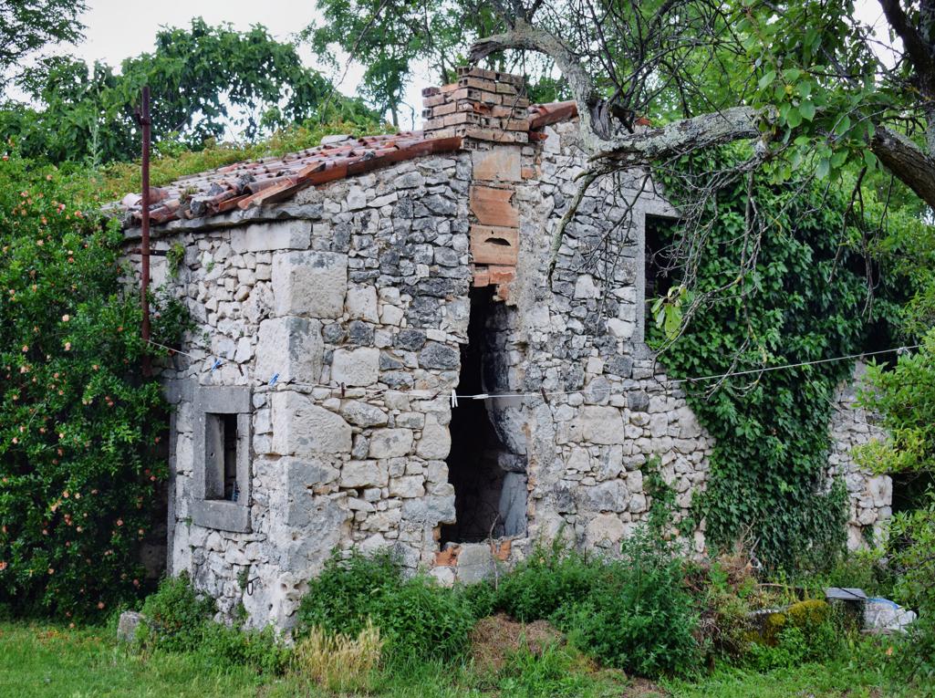
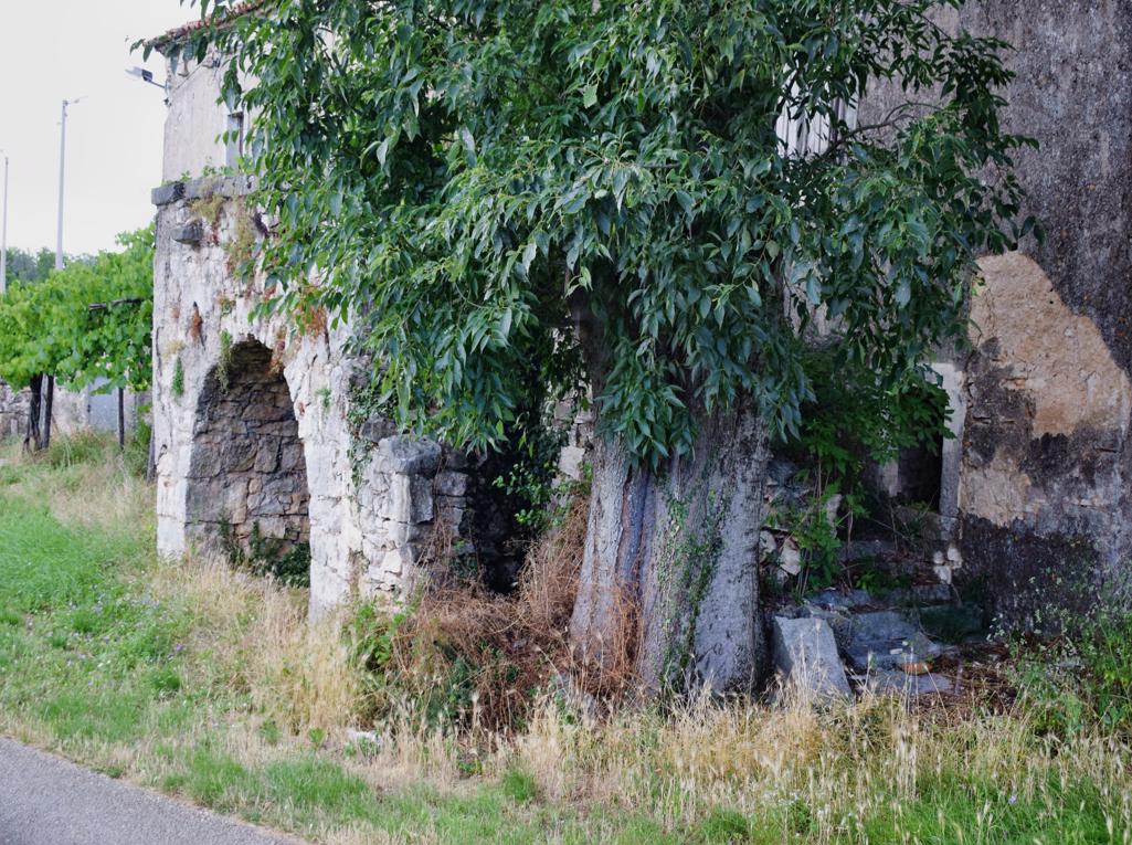
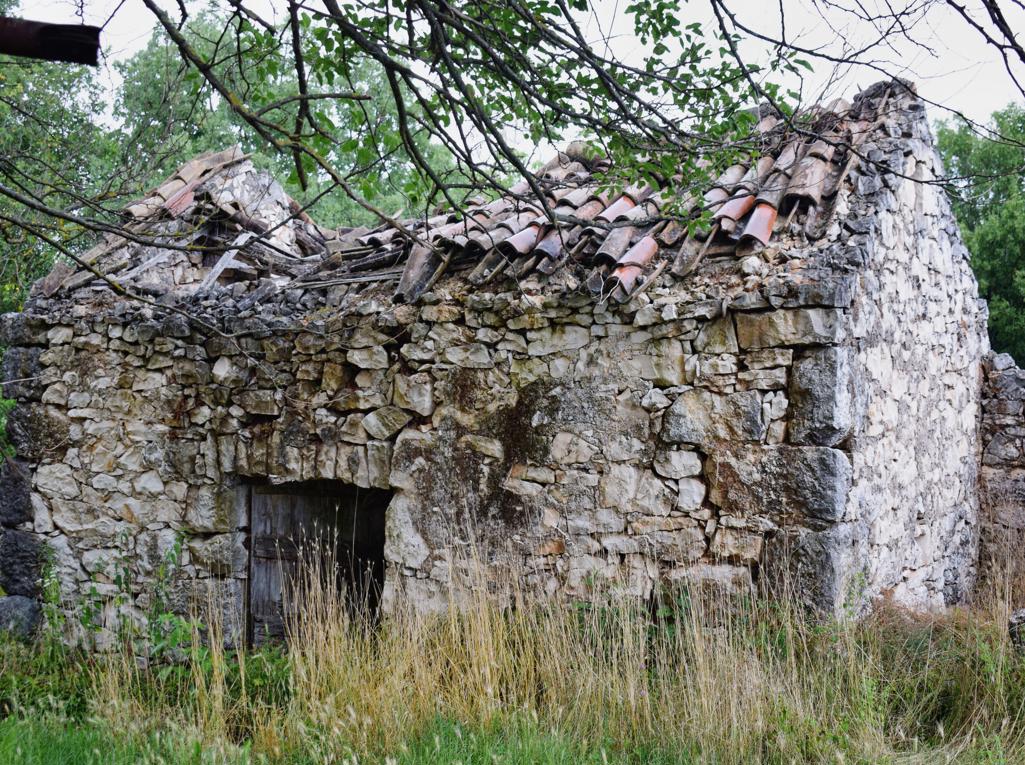
The door in Kanfanar were before in Dvigrad.

Name: Kanfanar – Sveti Petar u Sumi – Pifari and Jopi.
Coordinates: Door Kanfanar 45.12389 N -13.83951 E, puddle Pifari 45.14287 N – 1385538 E, Chapel 45.16721 N – 13. 86619 E, puddle – chapel Jopi 45.17565 N – 13.86127 E.
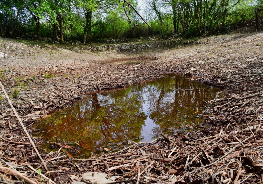
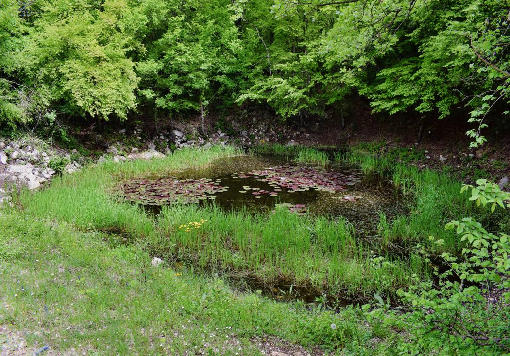
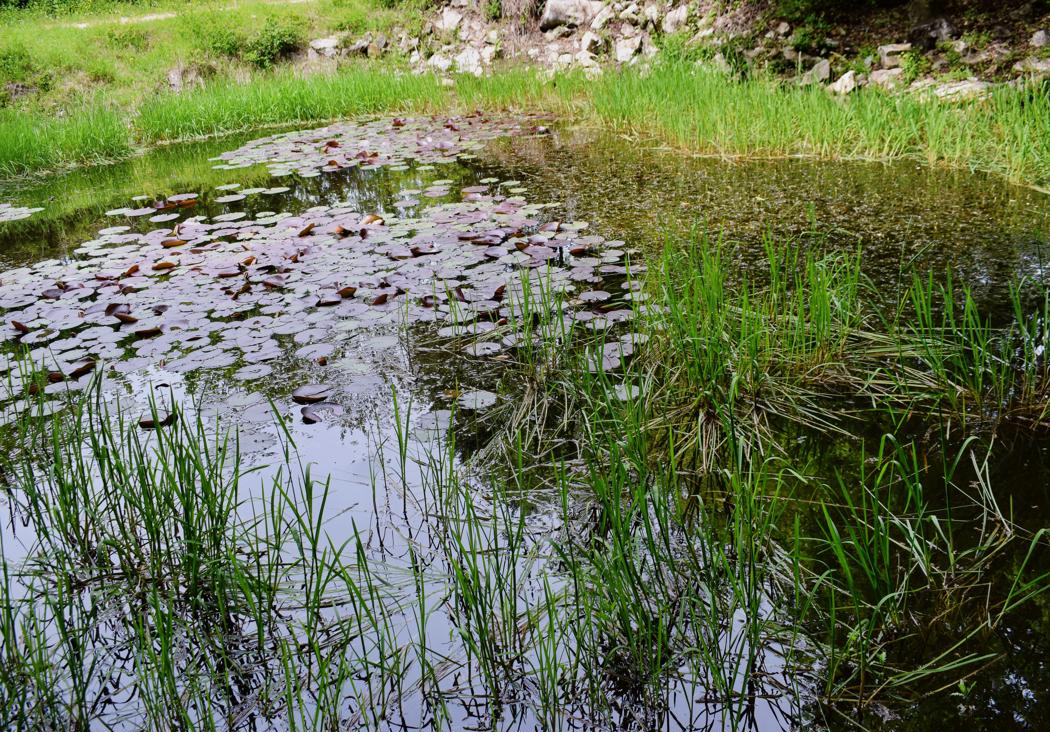
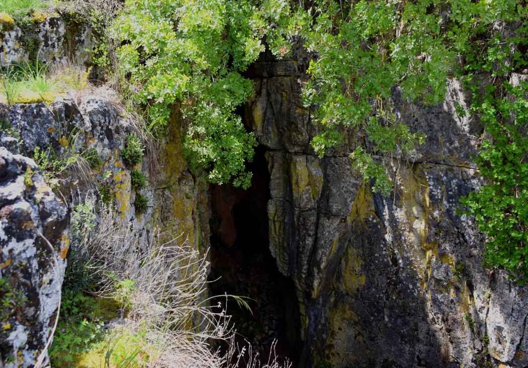
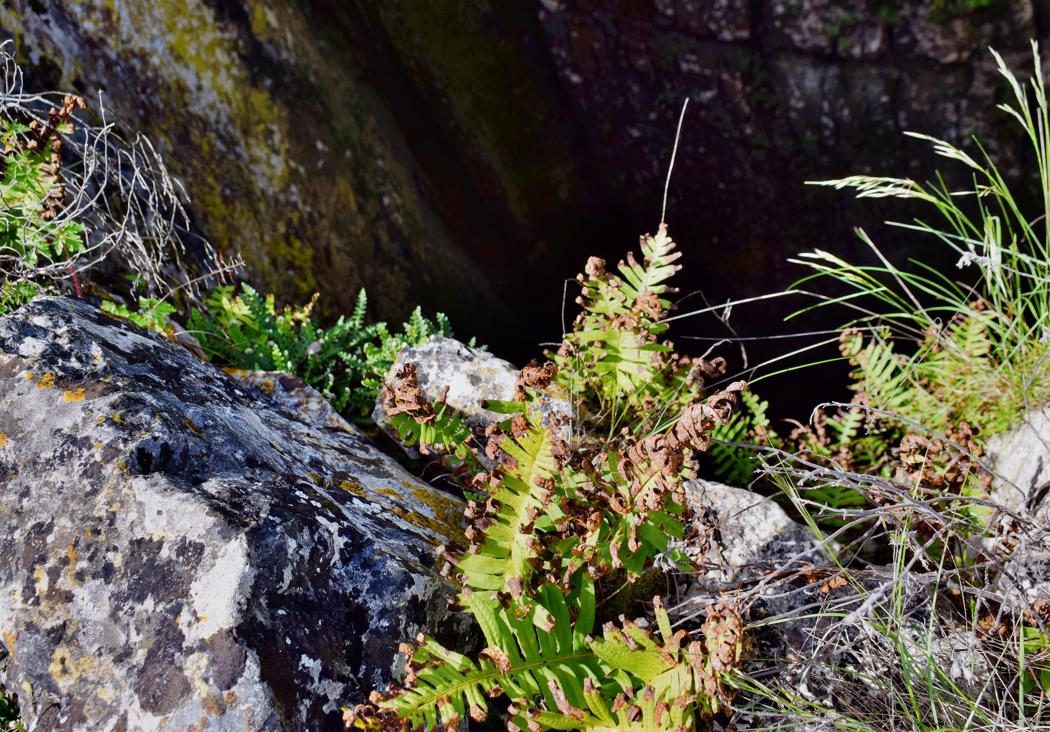
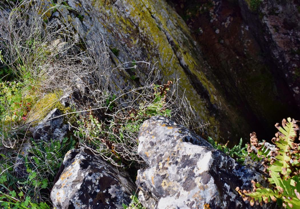
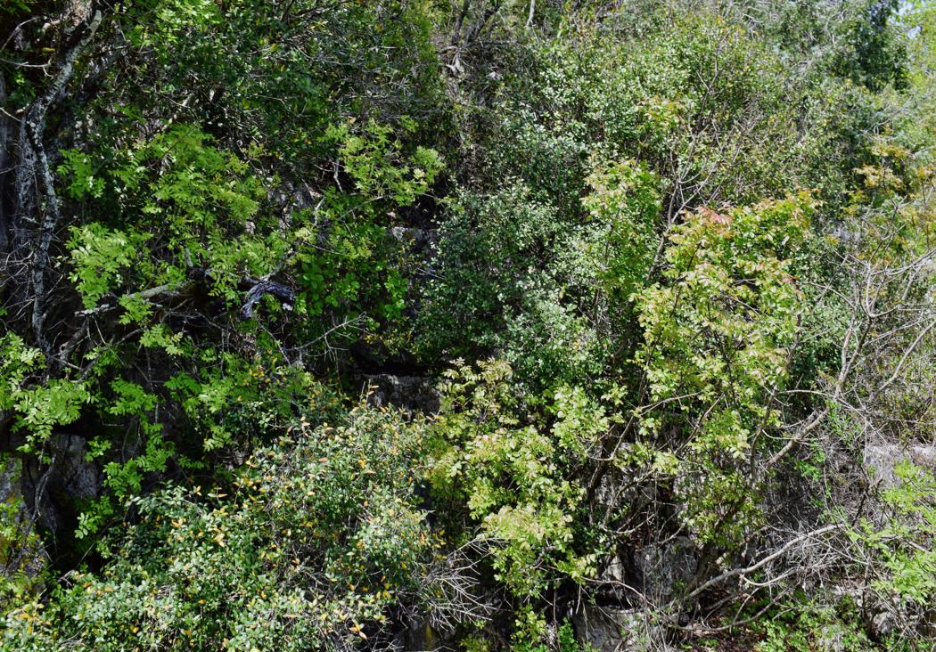
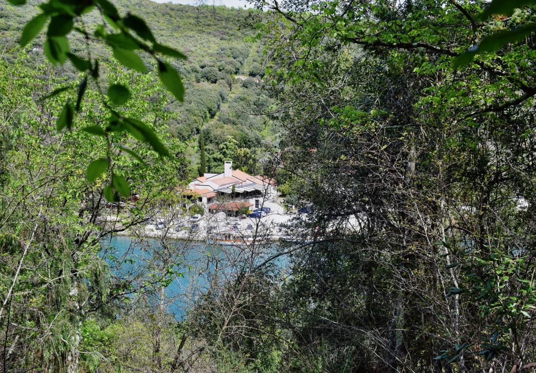
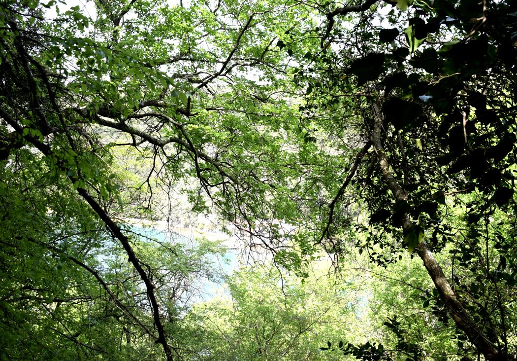
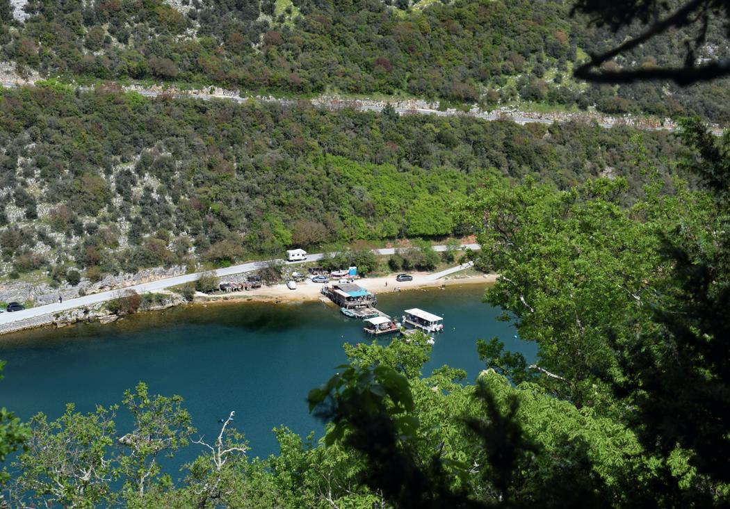
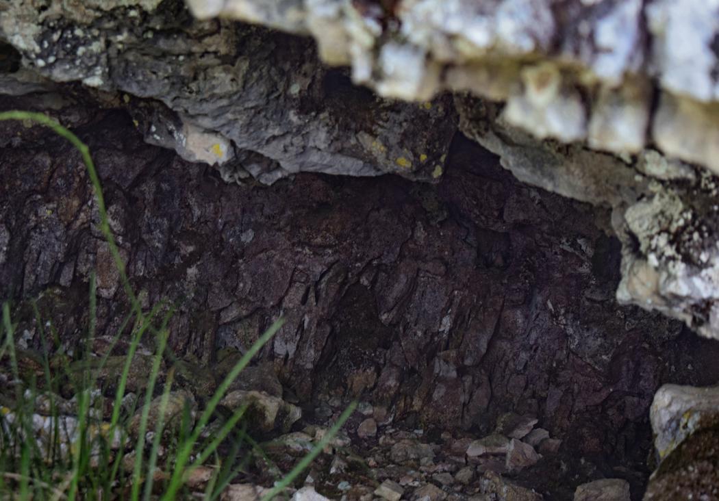
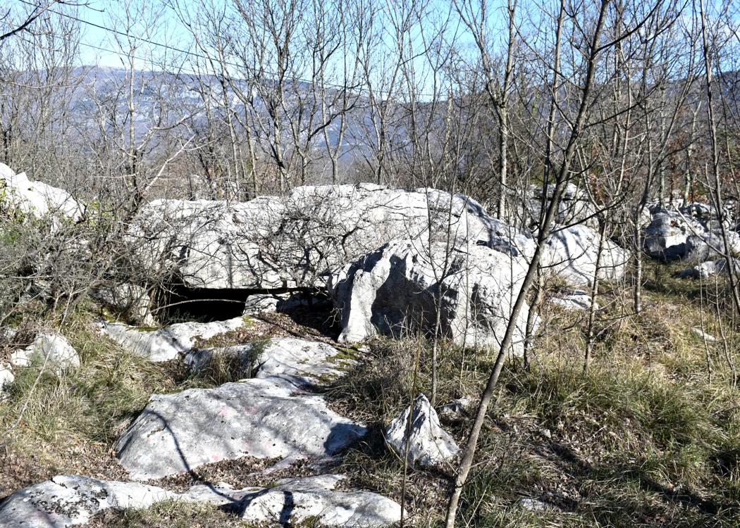
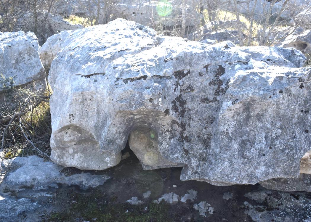
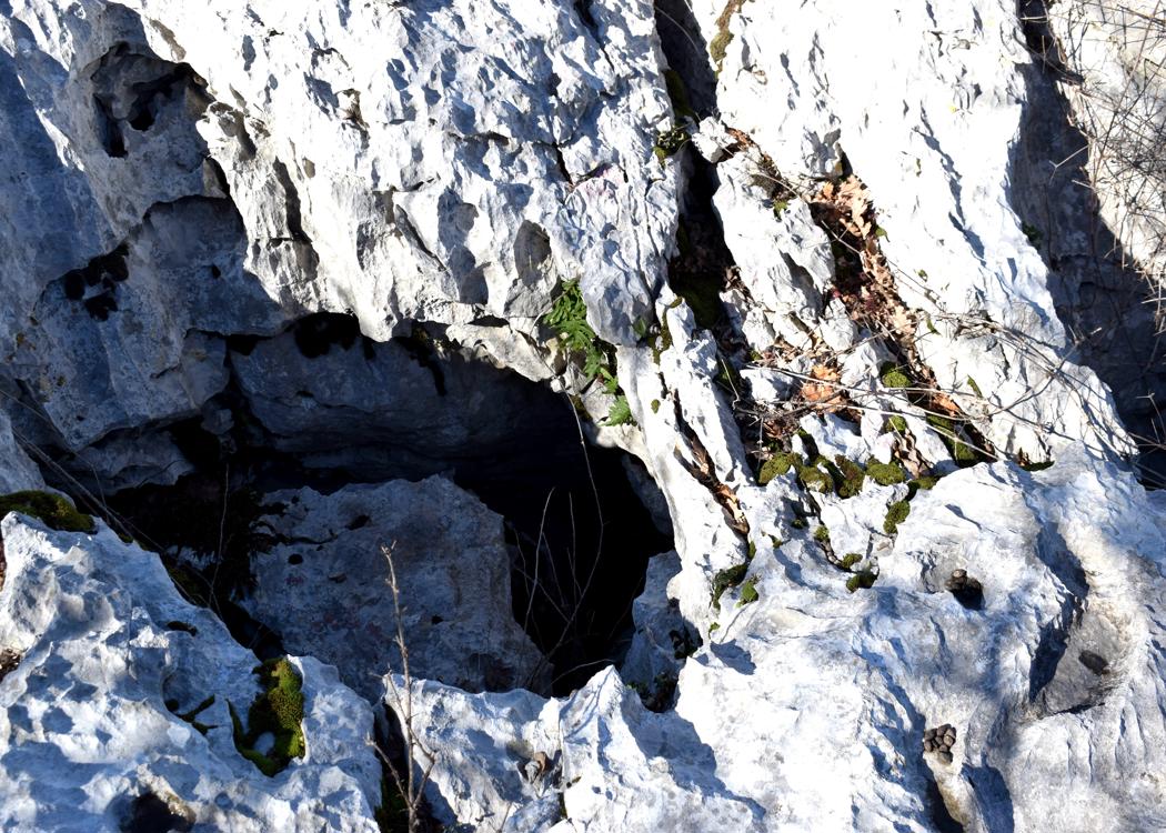
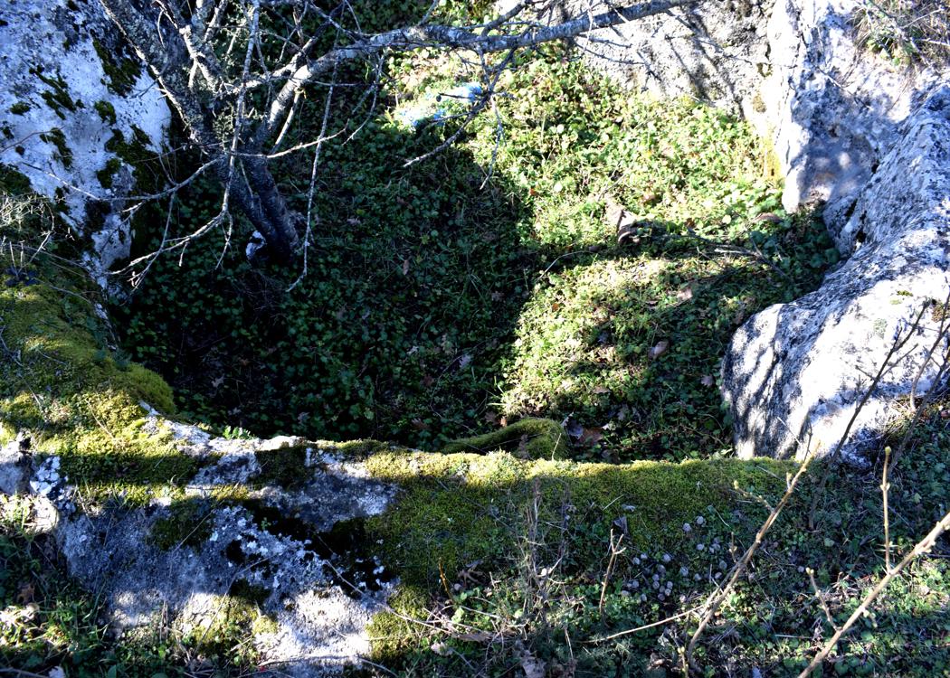
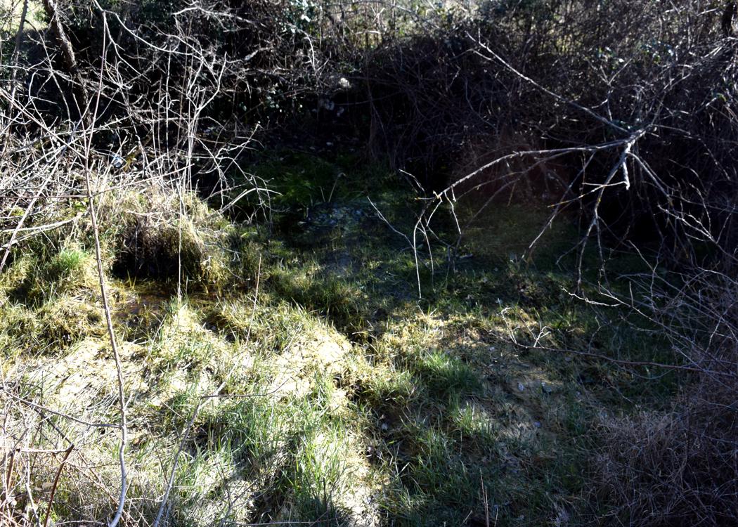
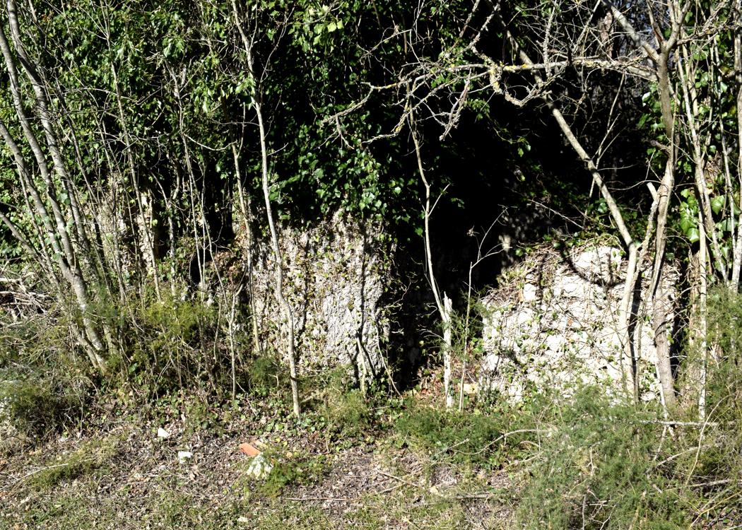
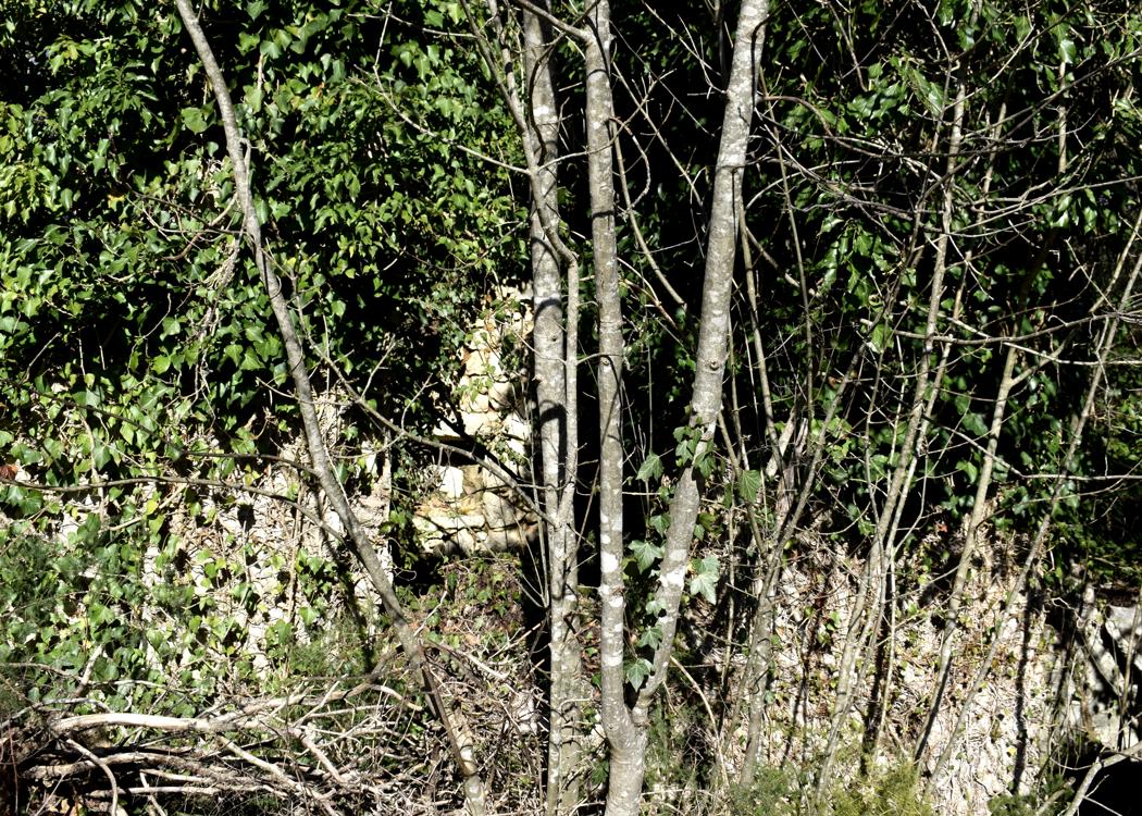
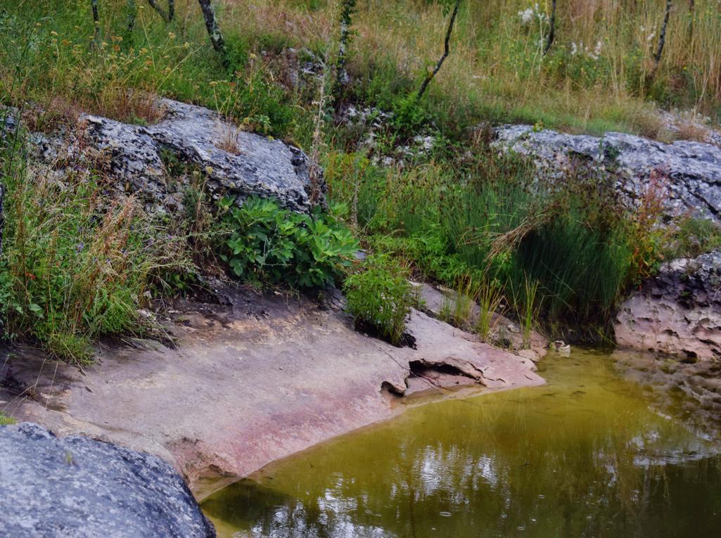
Hiking trail from the village Bubani, via a puddle to the cave Golubinka, down to the Limski canal and from there to the top of the hill.
Name: Bubani – cave Golubinka – Limski Kanal.
Place: Bubani – (Kanfanar – Rovinj).
Coodinates: Bubani 45.119040 N 13.74534 E, puddle 45.12462 N – 13.73178 E, Golubinka 45.132034 N – 13.72819 E.

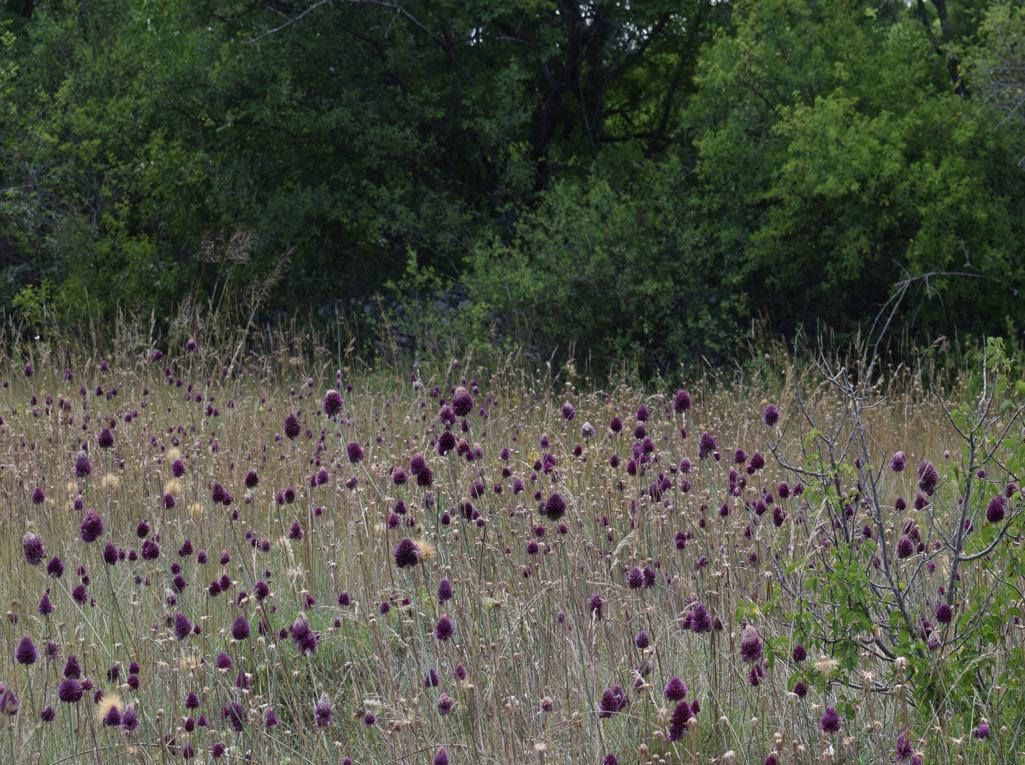
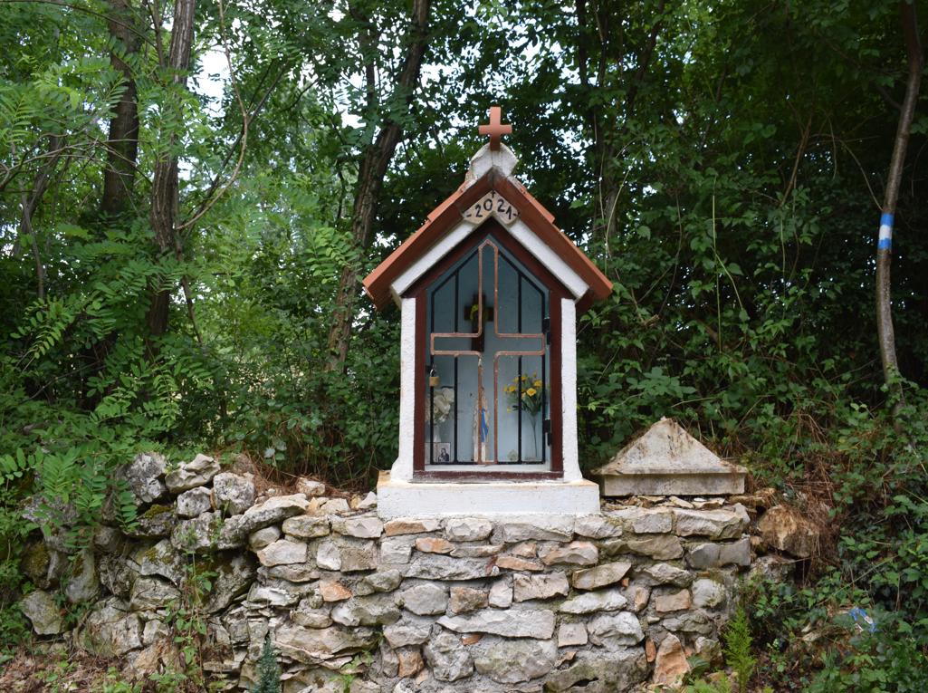
Name:The village Zizad – ponds Kal na Ravni and Kal v Zazida -Church Martin.
Place: Zazid – (Koper).
Coordinates: Zazid 45,58119 N – 13.93237 E, Kal na Ravi 45. 49195 N – 13.93992 E, Kal Zaida 45.50121 N – 13.93108 E.
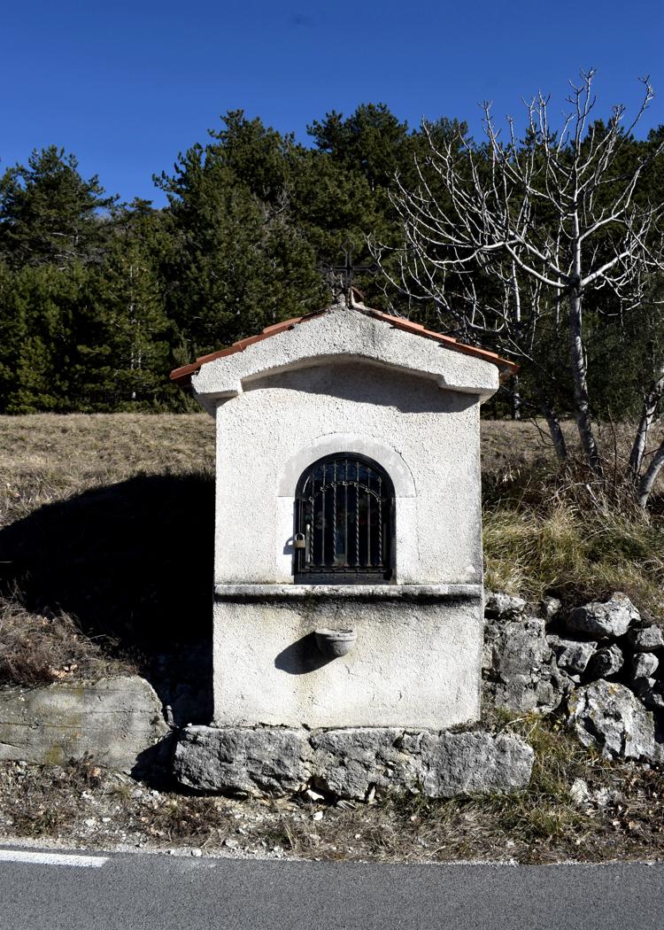
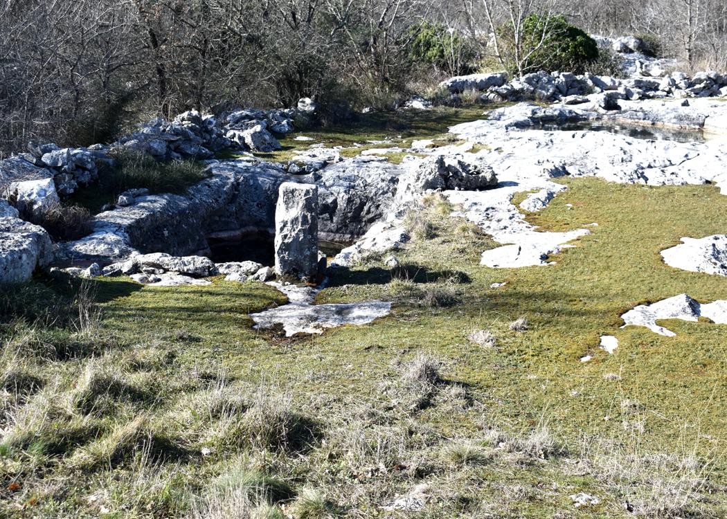
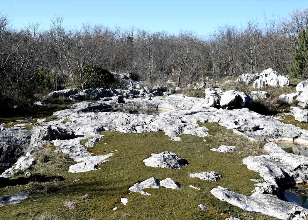
Name: The village Rakitovec – the pond Kaljuza.
Place: Rakitovec – (Koper).
Coordinates: Rakitovec 45.46923 N -13.96599 E, Chapel and puddle 45.46987 N – 13.99624 E,
Pond Kaljuža 45.46443 N – 13.96678.
Name: Puddle near the village of Galantići.
Place: Galantići – (Koper).
Coordinates: 45.49680 N – 13.87204 E

Name: Puddle near the village Popetre.
Place: Popetre – (Koper).
Coordinates: 45.50516 N – 1385543 E.
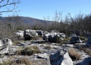
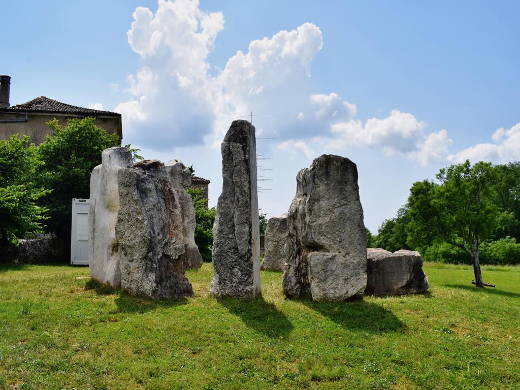
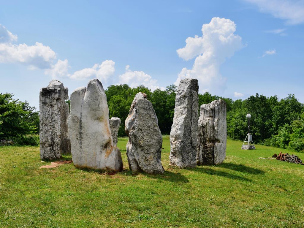
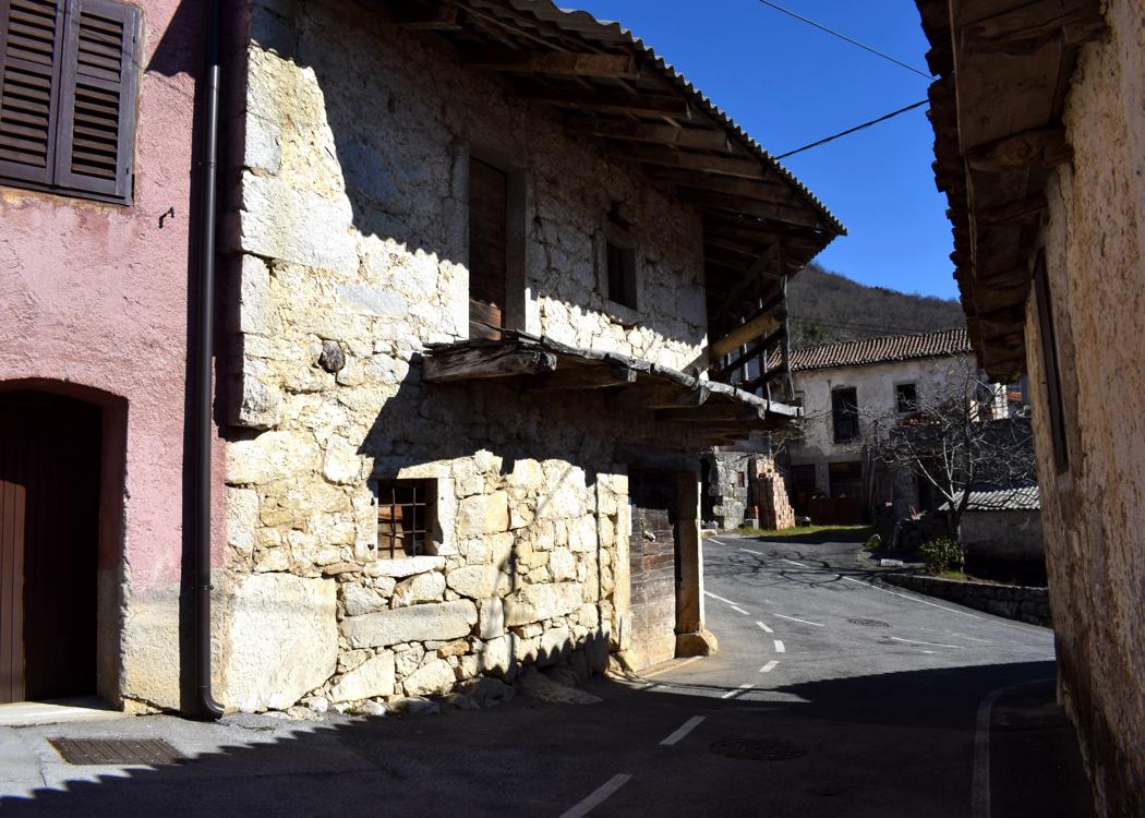
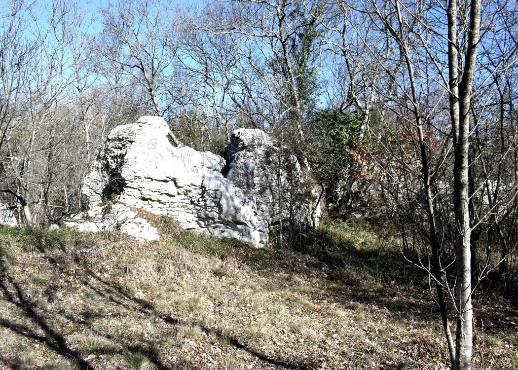
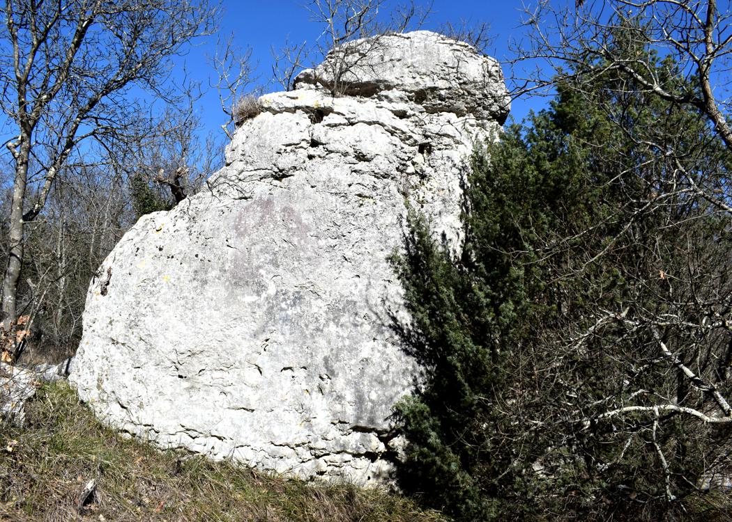
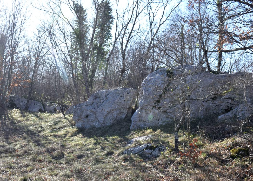
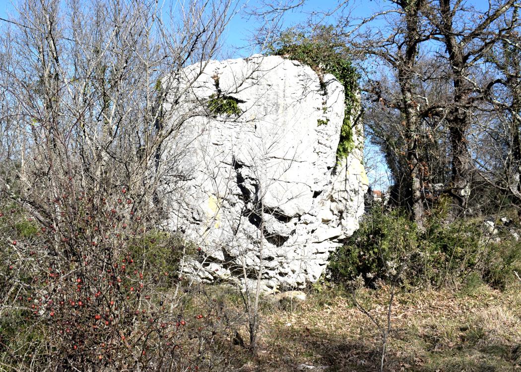
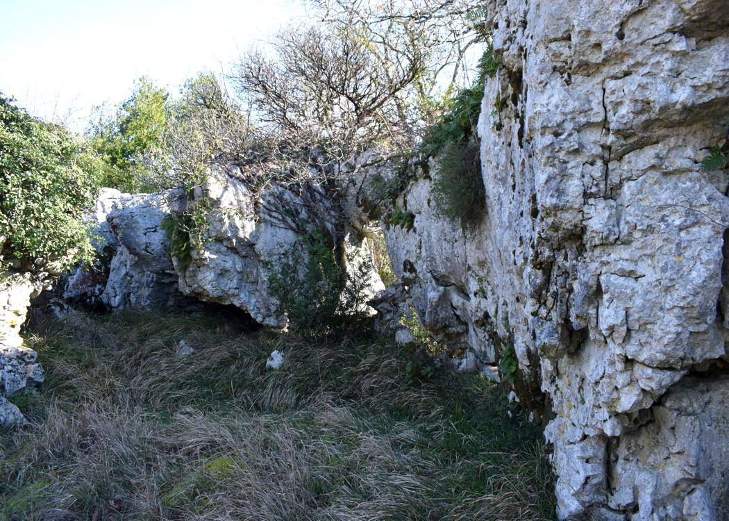
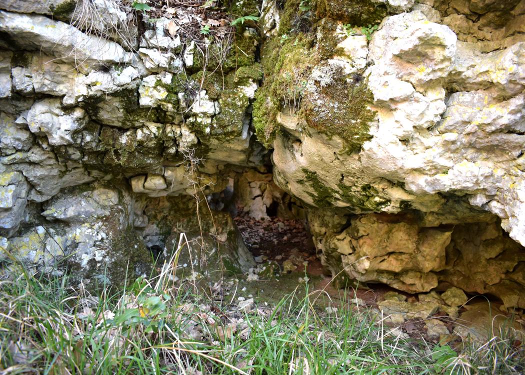
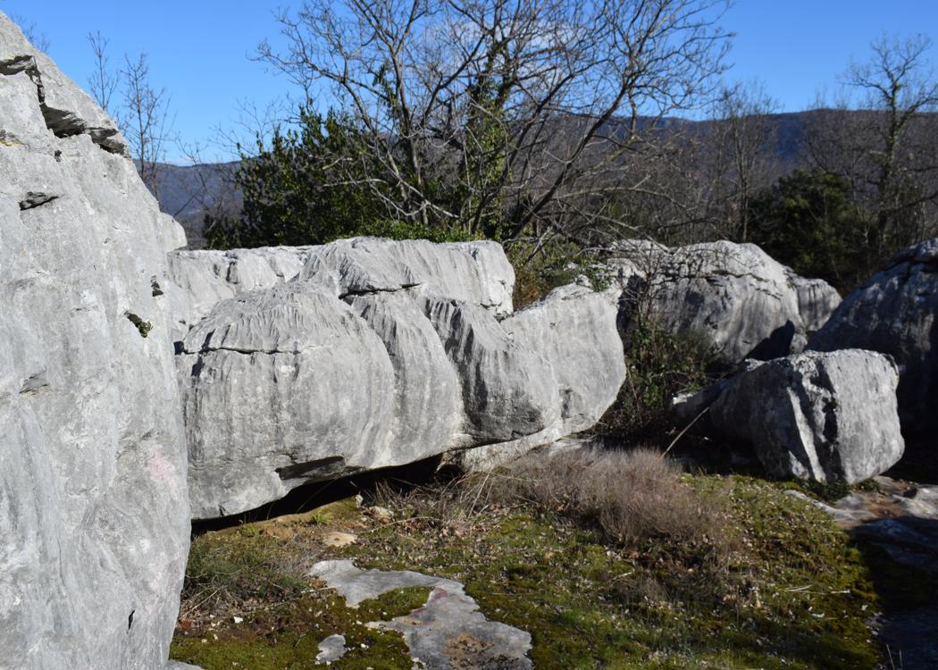
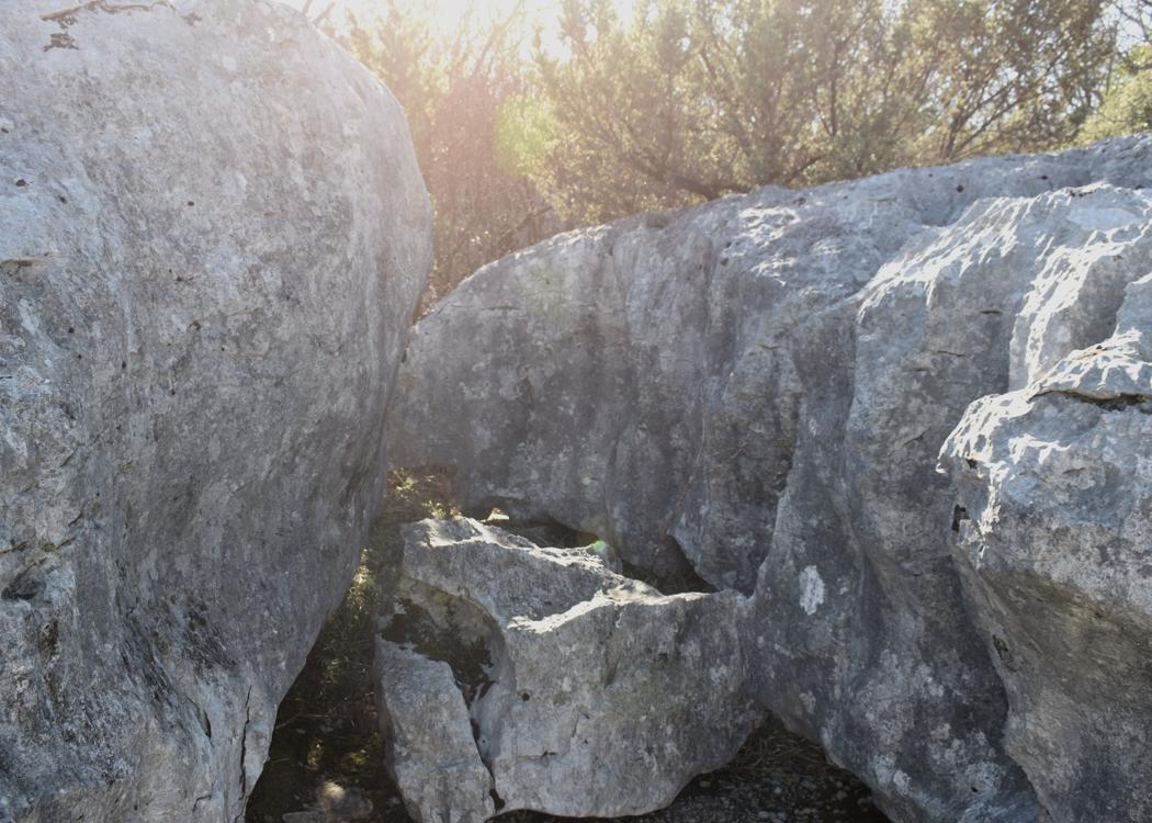
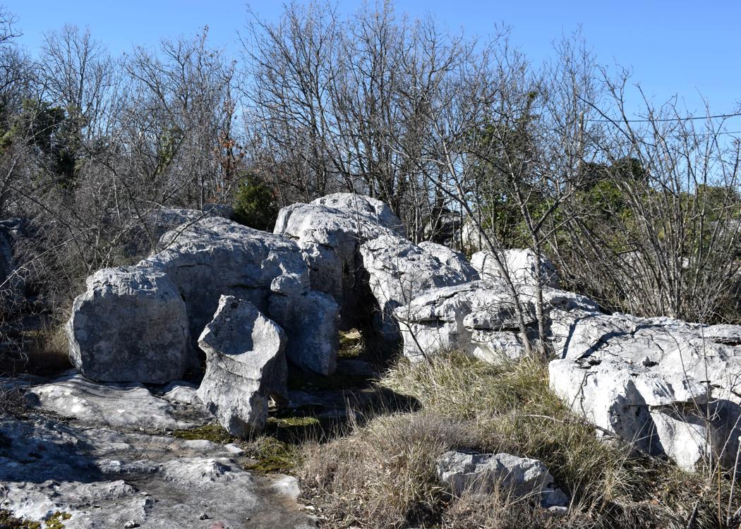
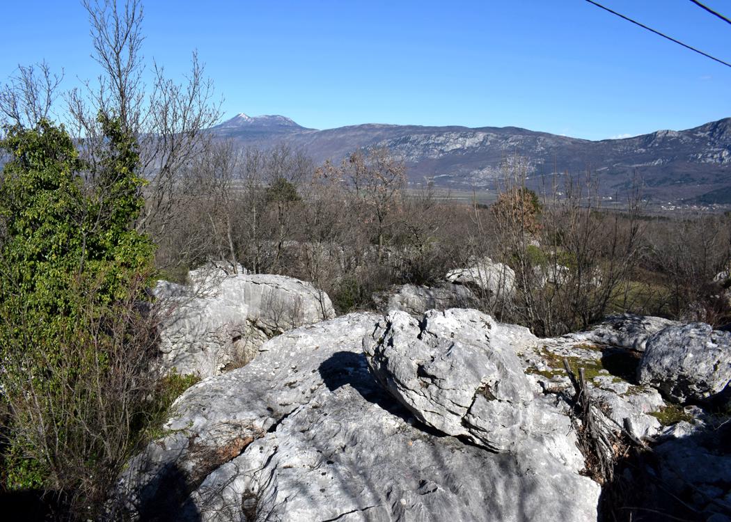
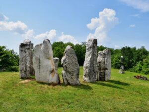
Name: Stonehange – Trail to Matijašići.
Place: Matijašići – (Sveta Nedelja).
Coordinates: Start trail 45.16057 N – 14.12089 E, Matijašići 45.16151 N – 14.13418 E.
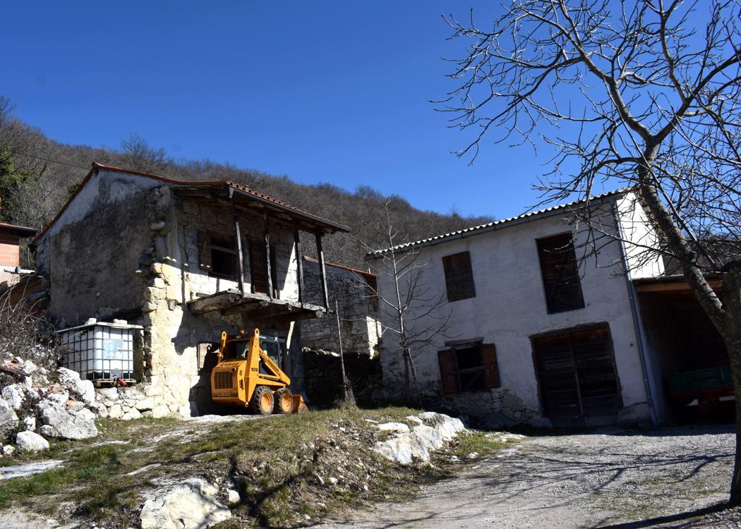
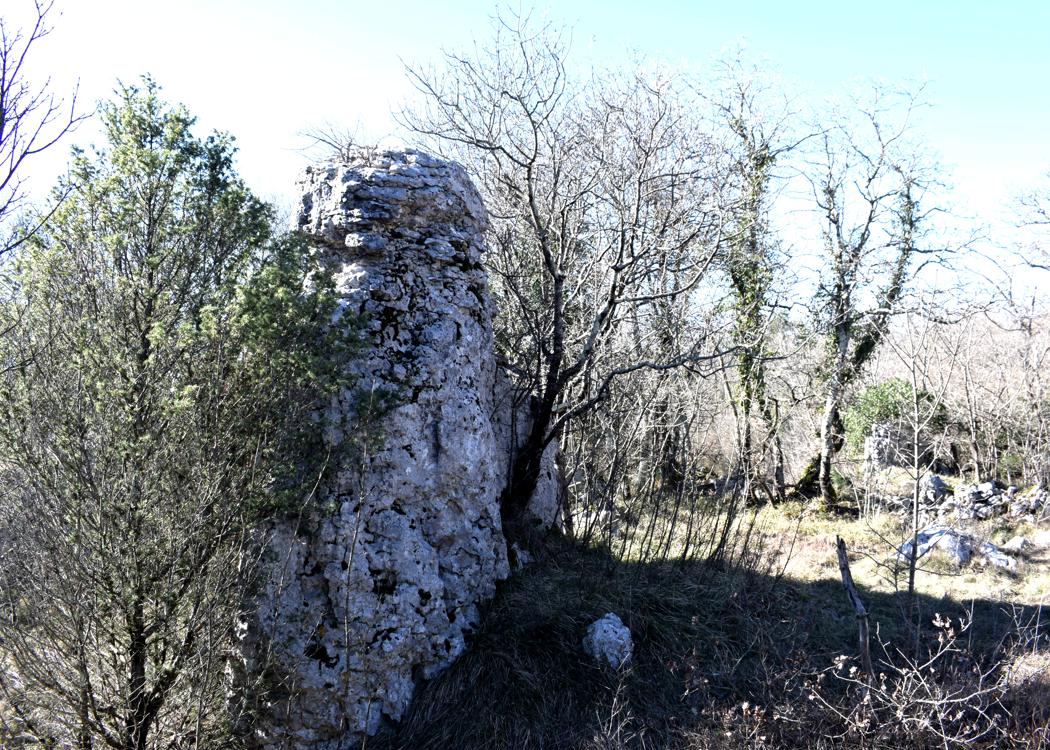
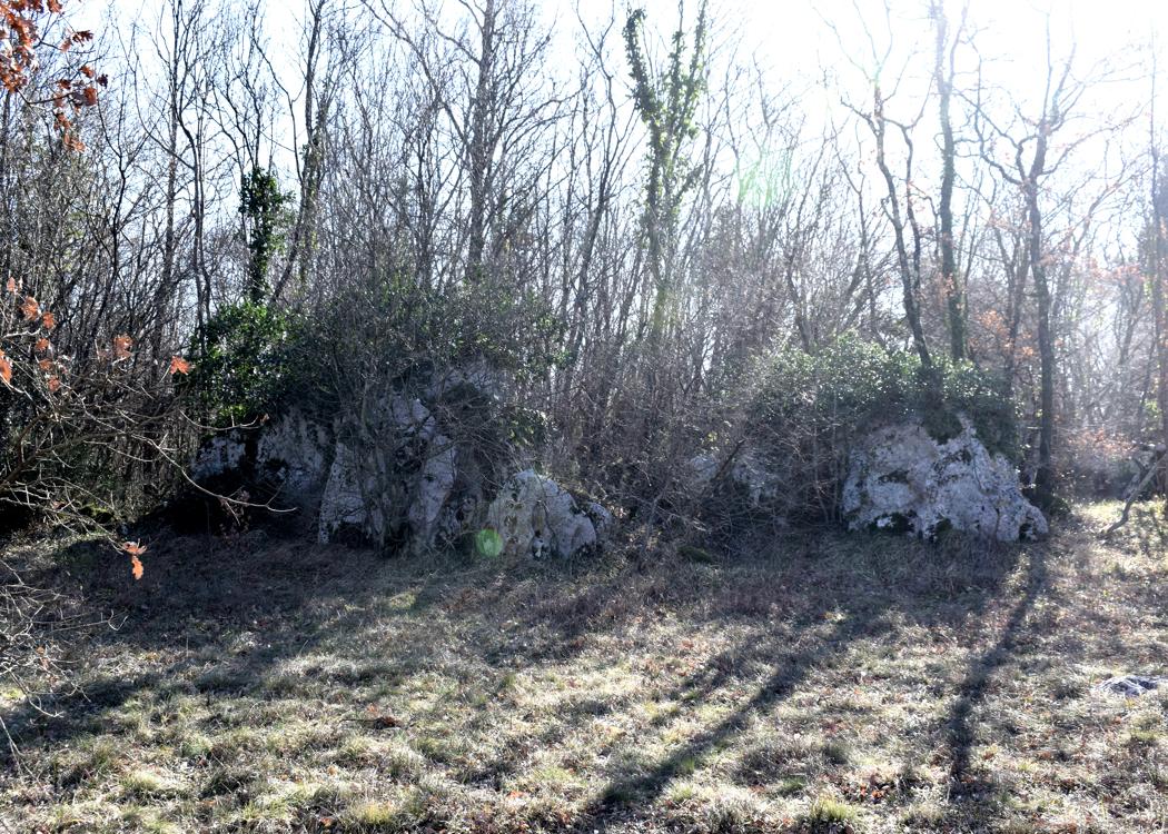
Name: Blaskovići
Place: Blaskovići (Sumber) – Sveta Nedelja.
Coordinates: 45. 15977 N – 14.09699 E.