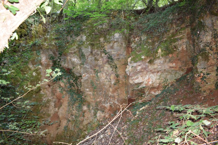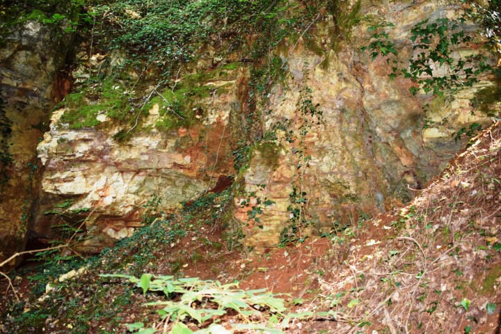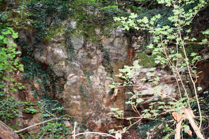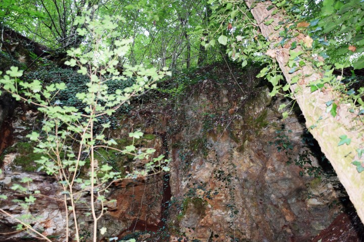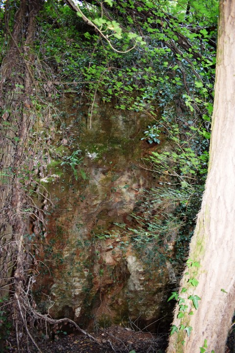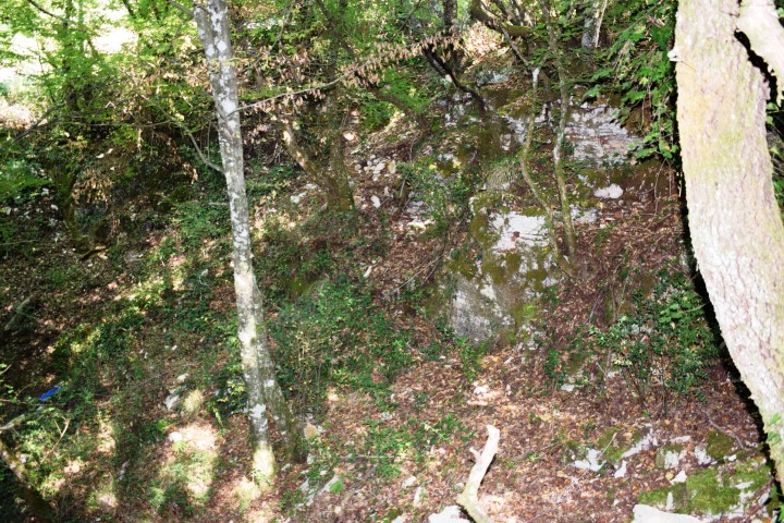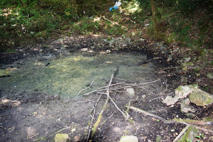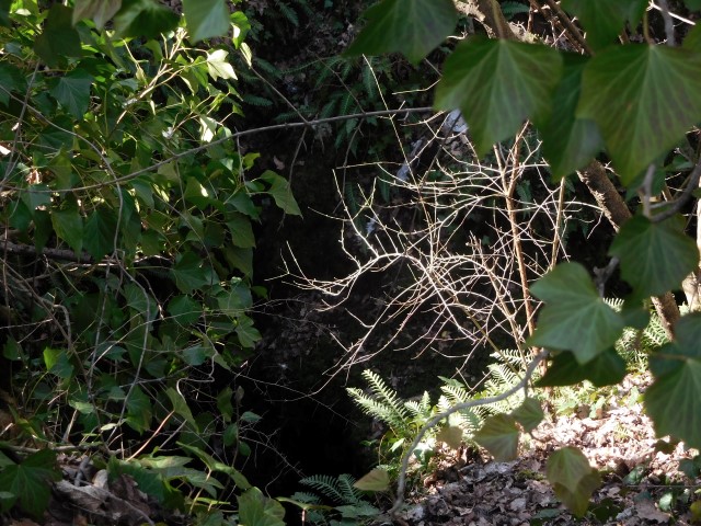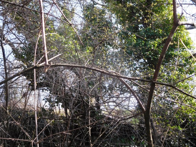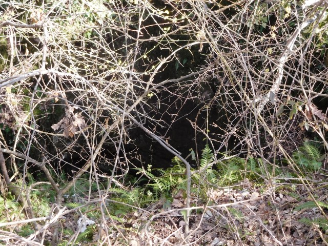


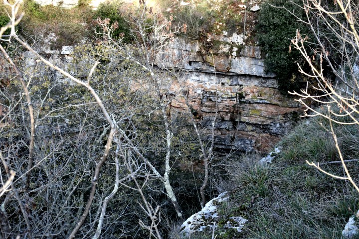


Name: Barošnica
Place: Kanfanar
Coordinates: 45.09962 N – 13.81653 E
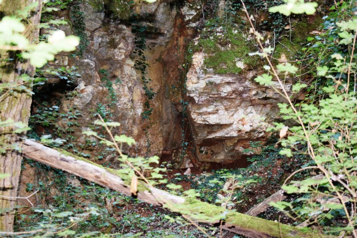
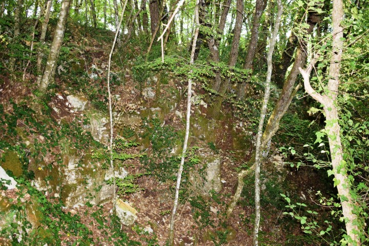
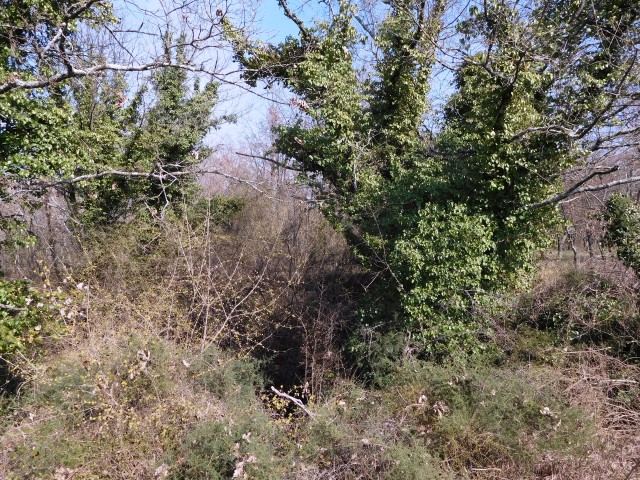
Name: Babićeva
Place: Near Frnjolići – (Sv. Lovreč)
Coordinates: 45.14788 N – 13.76533 E.
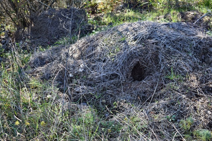
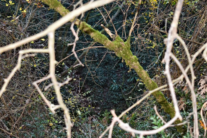
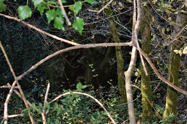
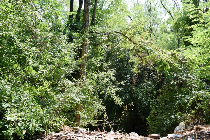
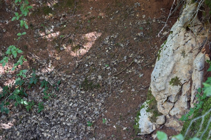
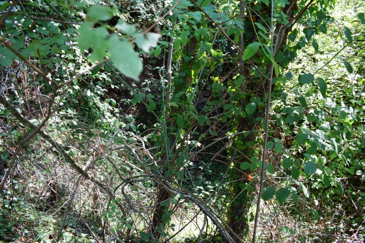
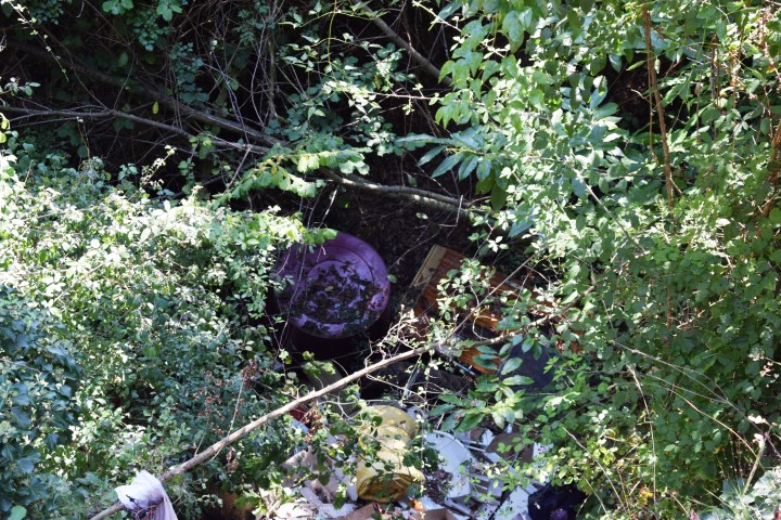
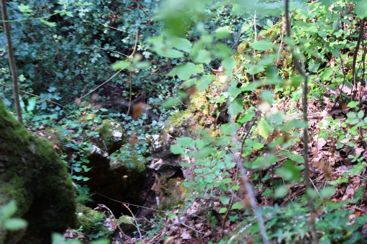
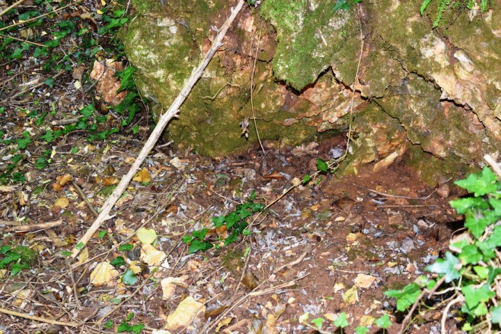
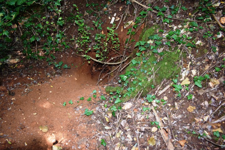
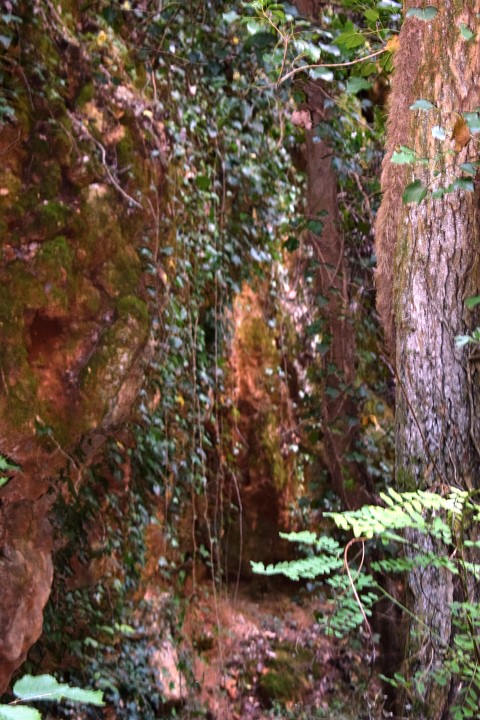
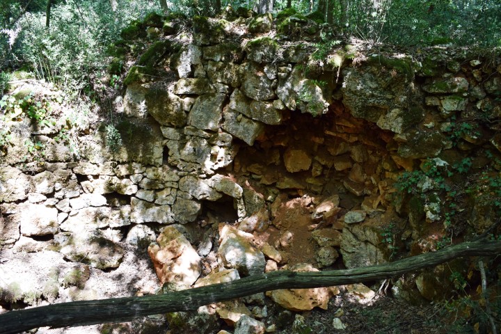
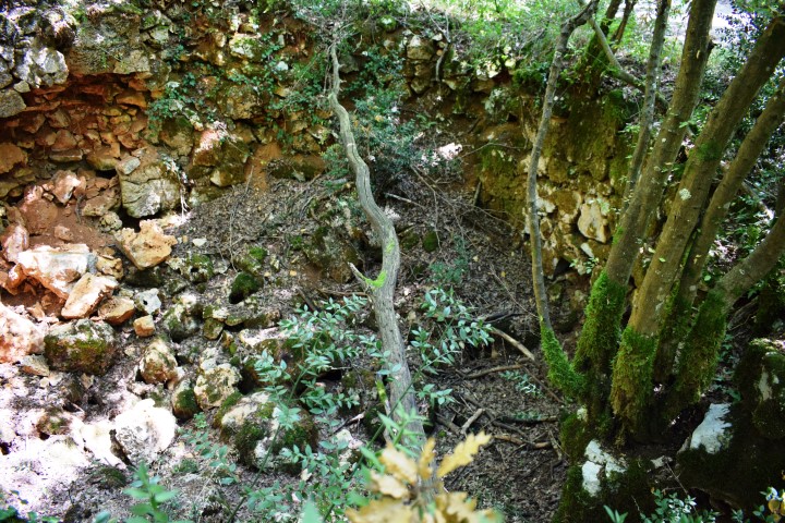
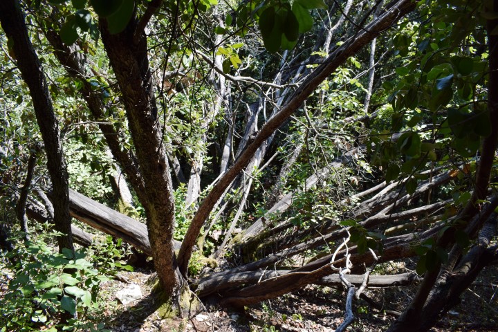
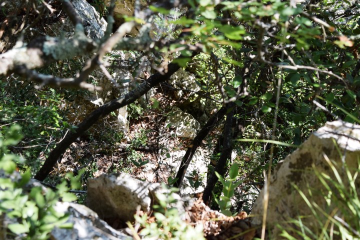
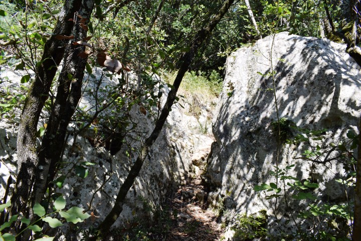
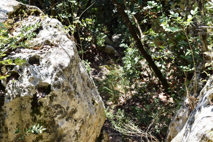
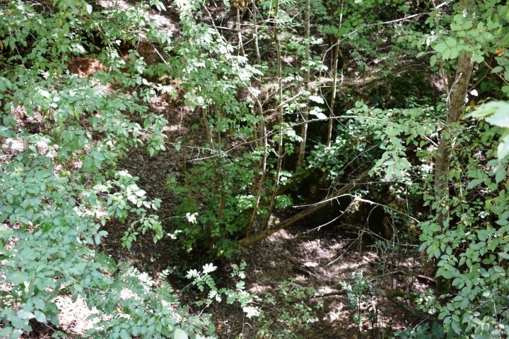
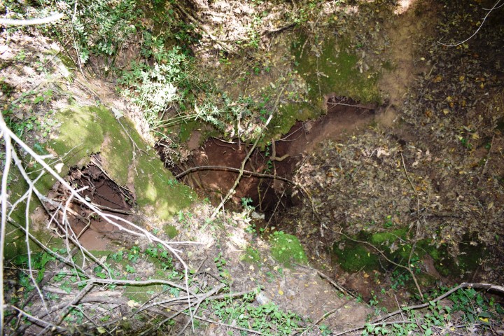
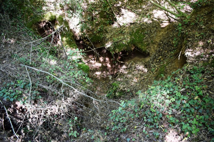
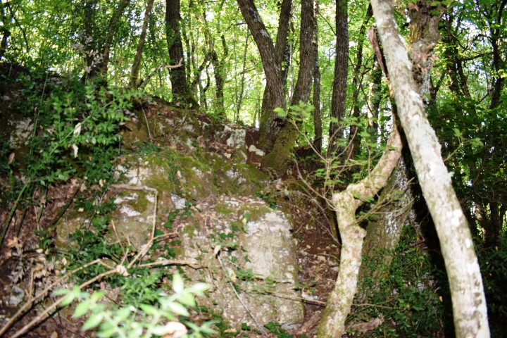
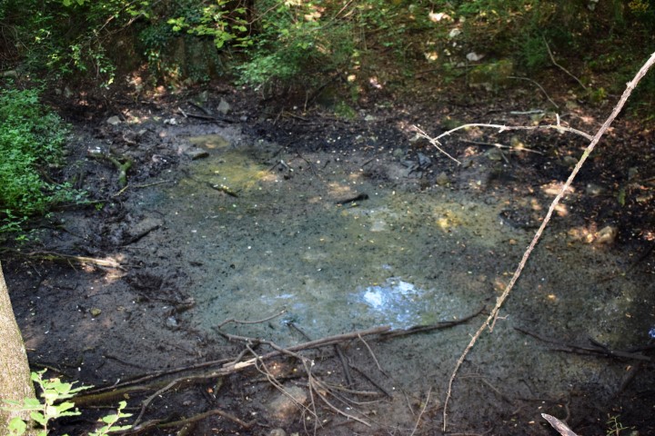
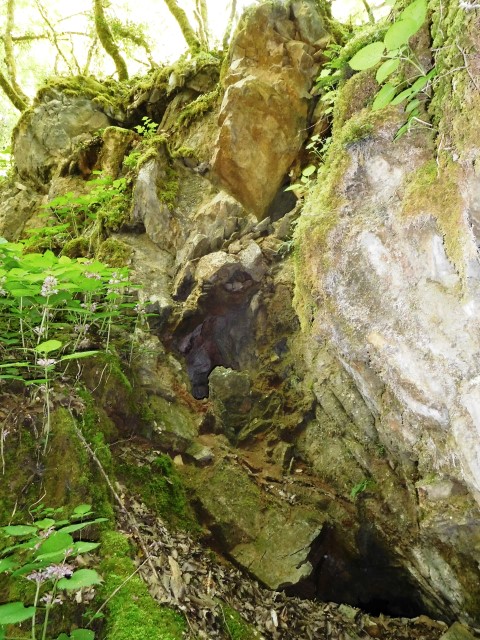
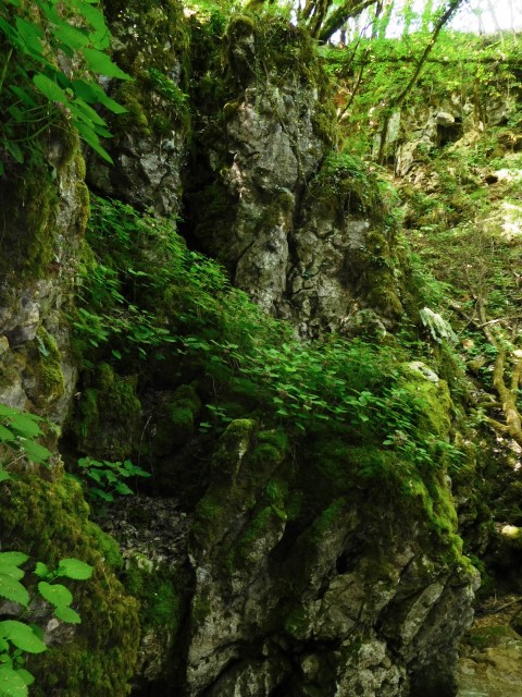
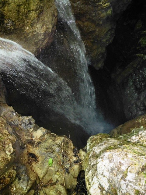
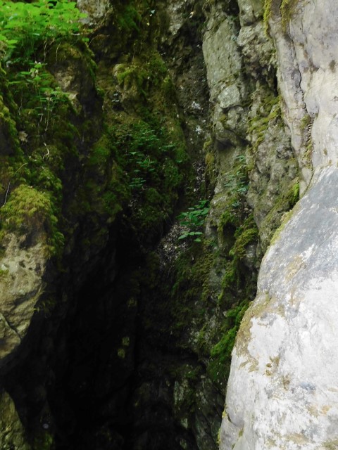
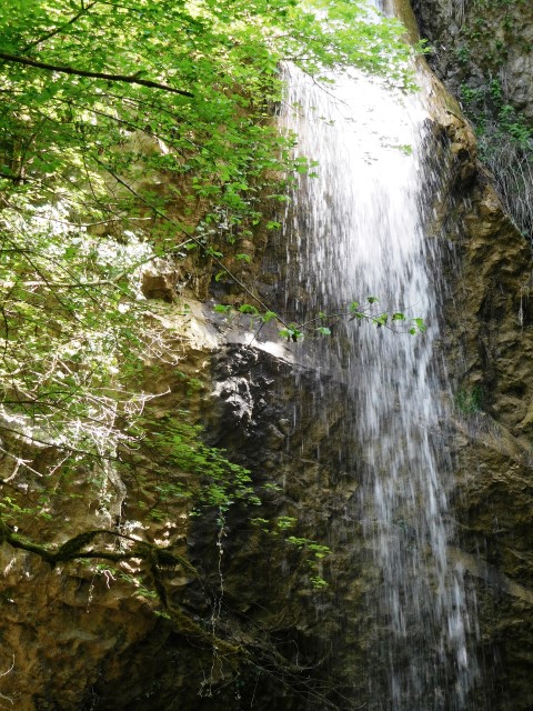
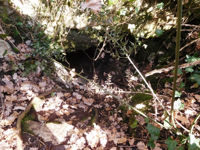
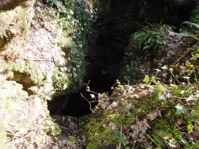
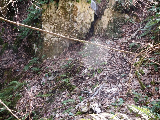
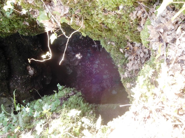
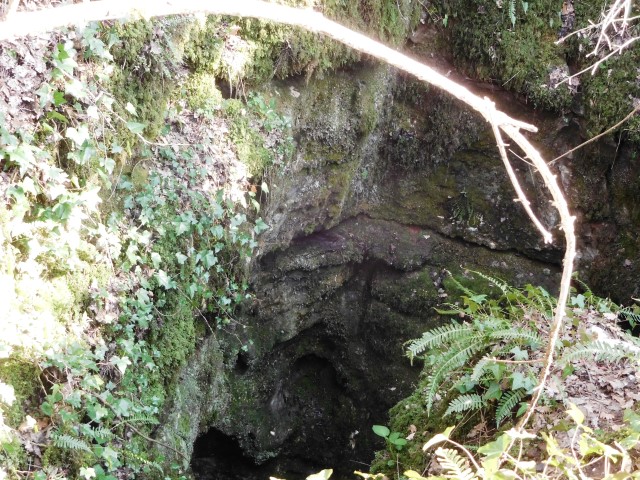
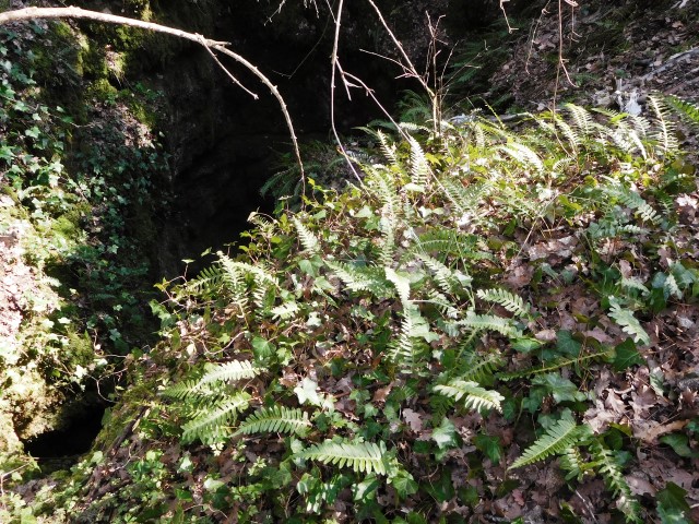
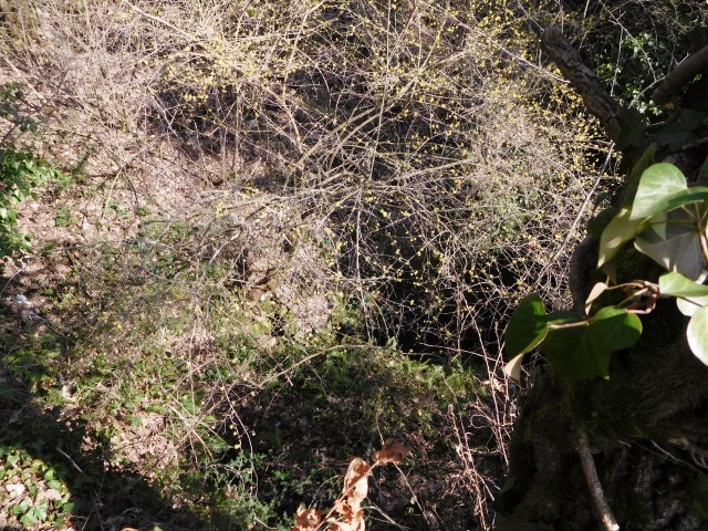
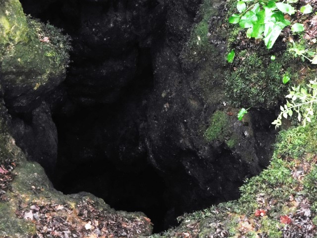
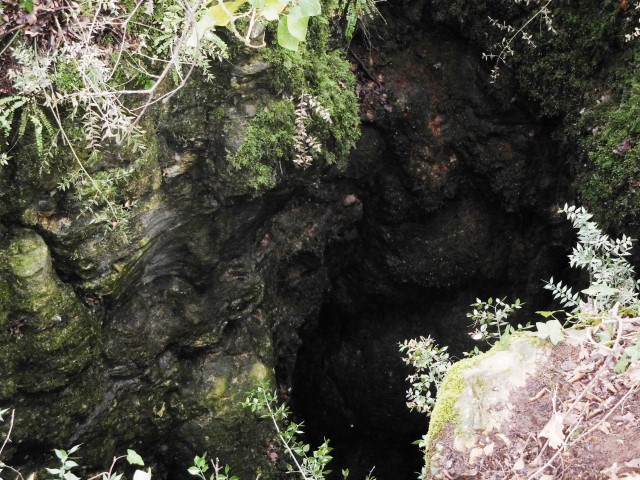
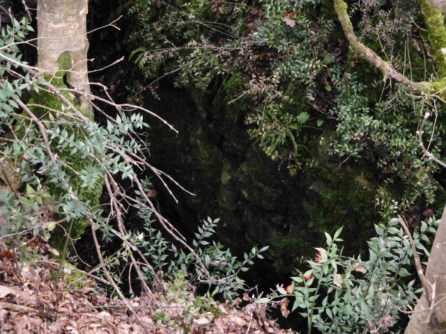
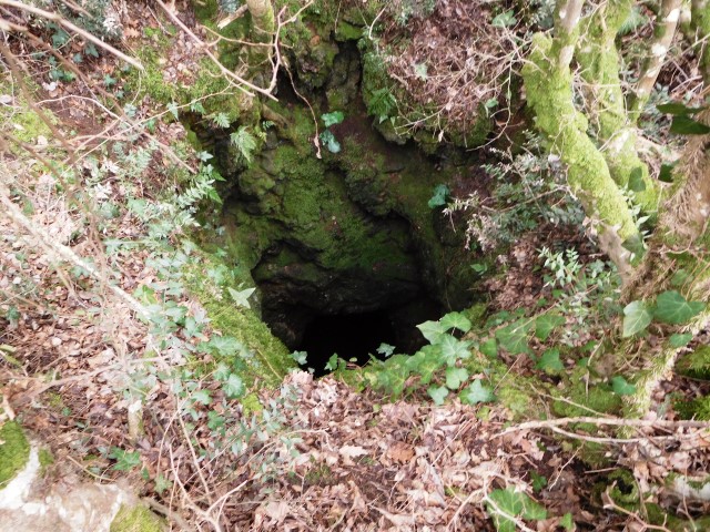
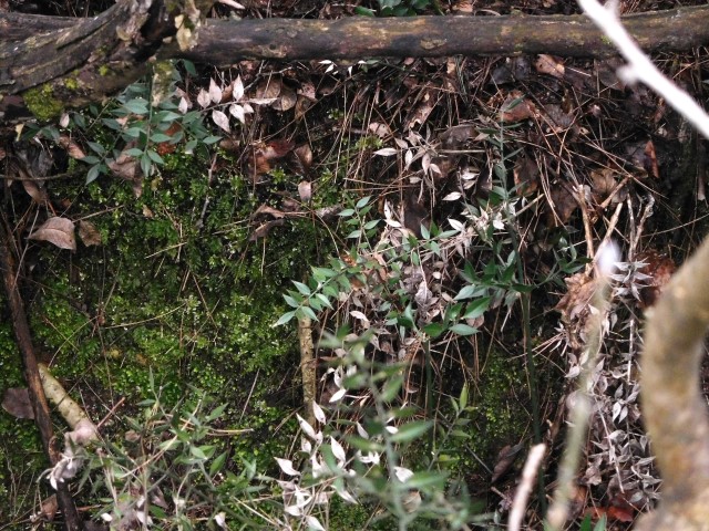
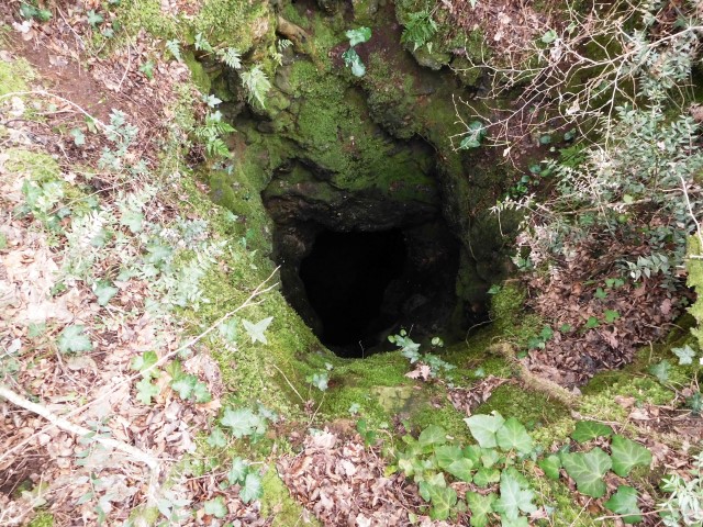
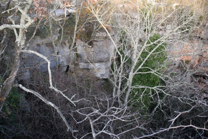
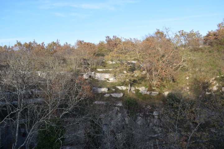
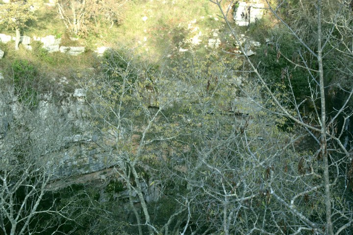
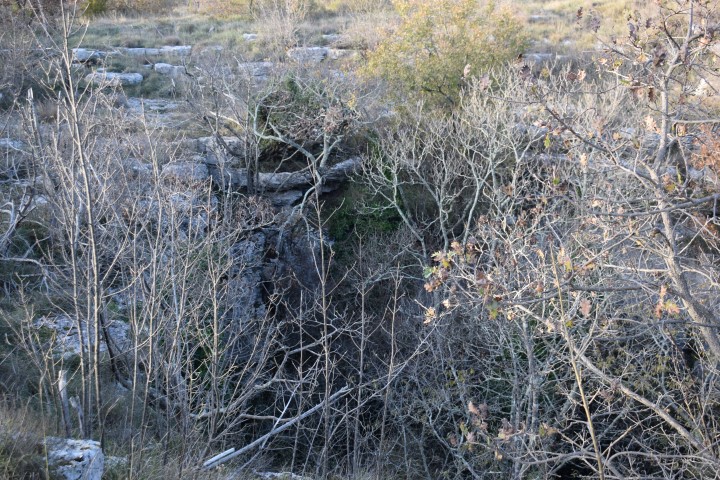
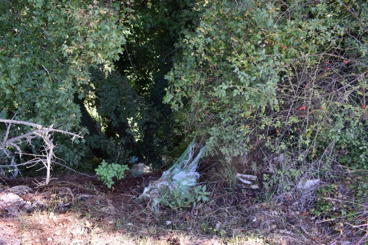
Along, and south of the agricultural road from Velići to the church St.Vital, are in the nature reserve several pit caves. A number of these have been contaminated by (recent) waste dumping.
The pictures with visible waste are not included in this post.

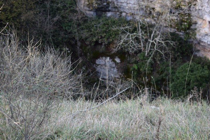
Name: Caves/pits near Veliće.
Place: Veliće – Vižinada.
Coordinates: Agricultural road (unpaved): 45.31143 N – 13.76148 E (several pits). Other pits/caves: 45.31098 N – 13.76563 E, 45.31180 N – 13.76543 E, 45.31211 N – 13764.92 E, 45.31161 N -13.76487 E
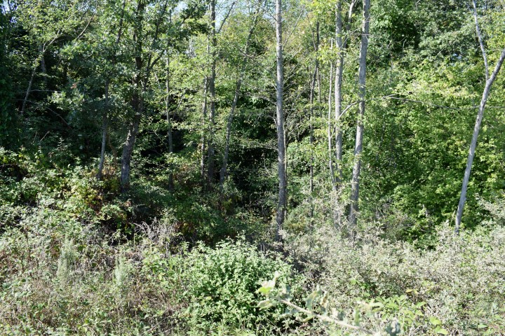
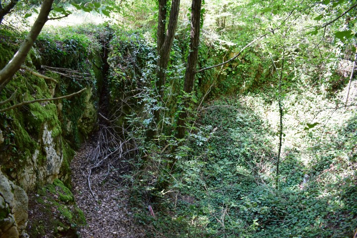
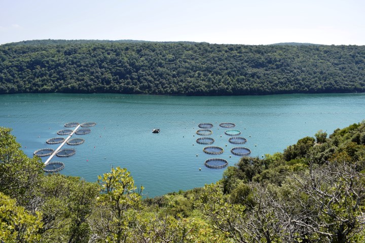
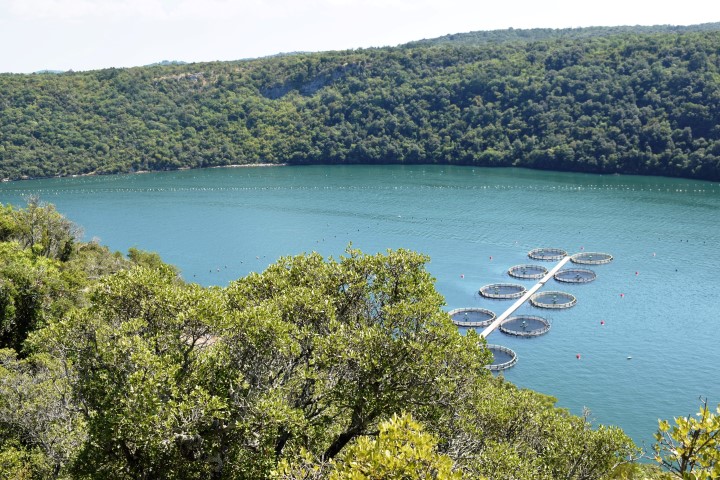
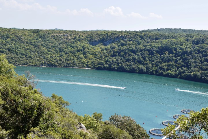
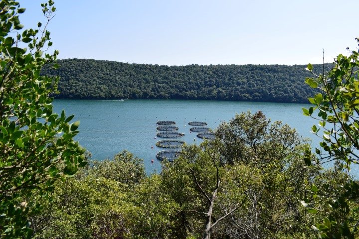
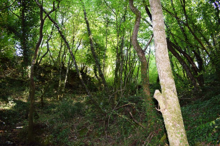
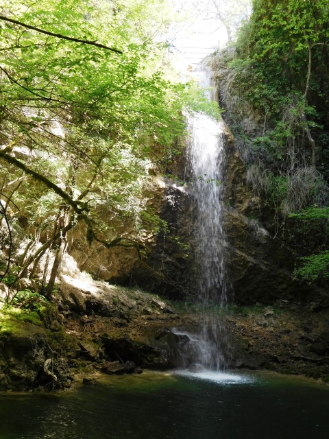
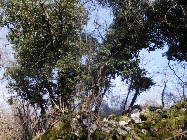
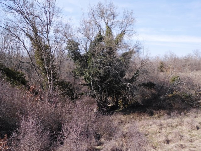
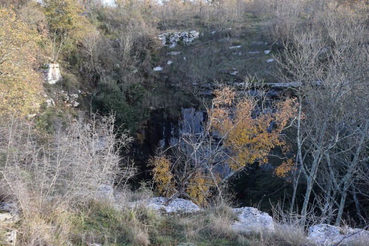
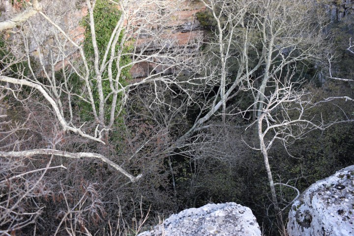
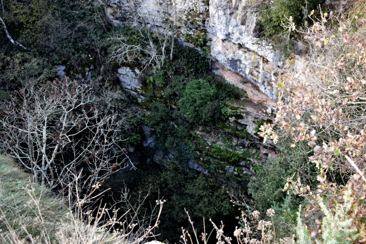
Nature park Kontija is located between the sea and the villages of Kloštar, Gradina, Flengi and the Lim Channel. It has an area of 65 ha. In 1964, this 140 year old forest was declared a reserve in connection with the wide variety of tree species, shrubs and plants.
In this area there used to be a prehistoric settlement with several caves along the Lim Channel, including the Romualdo Cave.
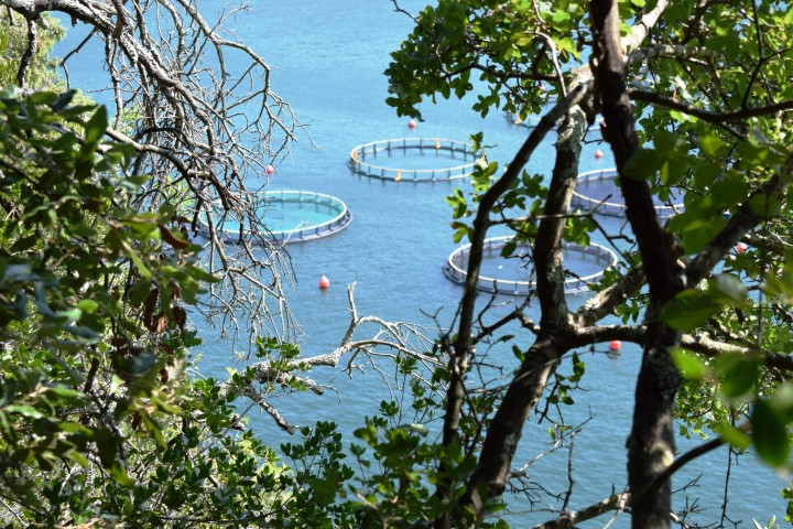
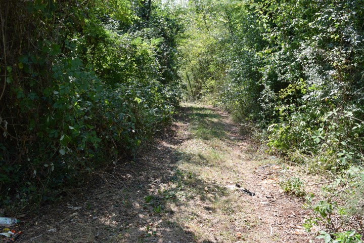
Name: Hiking path Kontija Nature Park
Place: Kloštar – (Vrsar)
Coordinates:
Starting point: Former Benedictine monastery Kloštar: 45.1422 N – 13.7033 E. Pit caves Kontija forest: 45.14058 N – 13.69501 E, 45.14616 N – 13.72021 E and 45.13839 N – 13.67723 E. Viewpoint Lim Channel: 45. 13435 N – 13.68135 E. Entrance path descent to Lim Channel: 45.1346 N – 13.6720 E.

Name: Cave near Putini – Maklavun
Place: Putini – (Kanfanar)
Coordinates: 45.1088 N – 13.7560 E

Name: Cave near Anžici
Place: Anžici – (Višnjan)
Coordinates: 45.25906 N – 13 76824 E
Name: Cave near Stancija Spin
Place: Spin – (Tar)
Coordinates: 45.31701 N – 13.62164 E