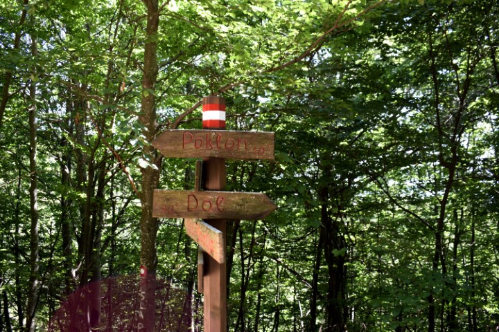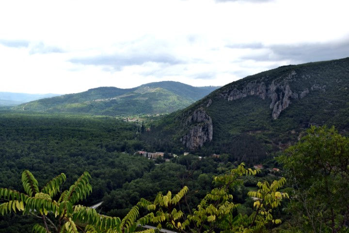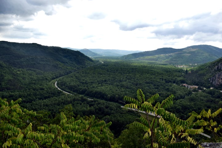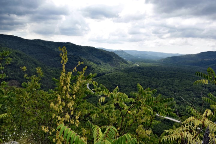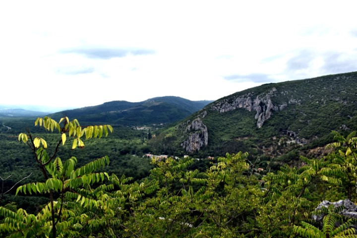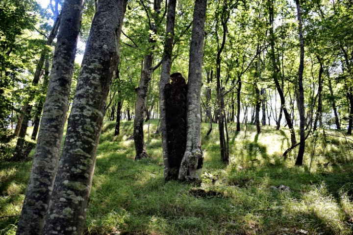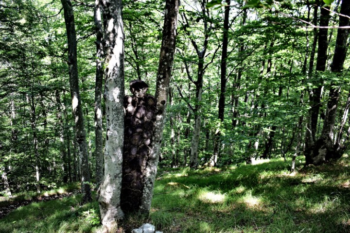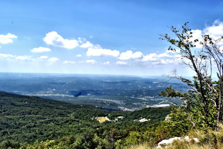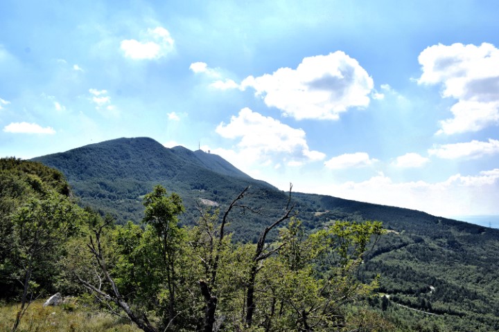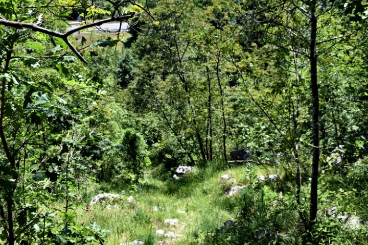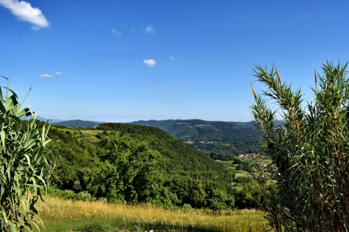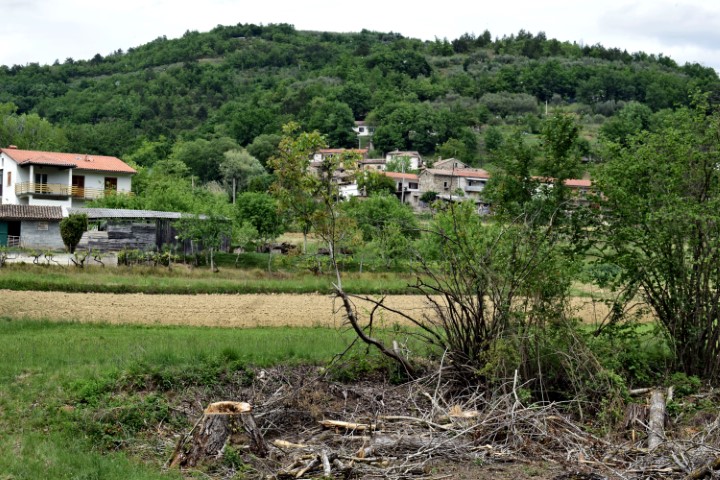

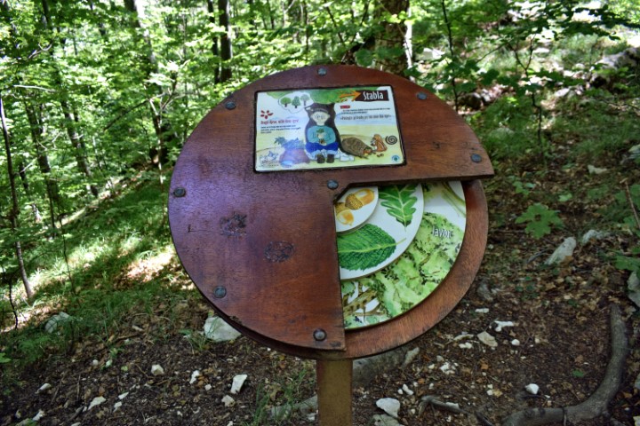

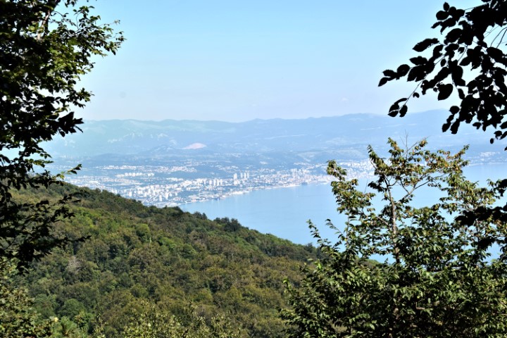
Name: Hiking trail from Poklon (Učka) to Ranch Bubach.
Place: Naturepark Učka.
Coordinates; Poklon 45.30790 N-14.21589 E, Ranch Bubach 45.29780 N – 14.22377 E.
Name: Hiking trail from Poklon (Učka) to Ranch Bubach.
Place: Naturepark Učka.
Coordinates; Poklon 45.30790 N-14.21589 E, Ranch Bubach 45.29780 N – 14.22377 E.
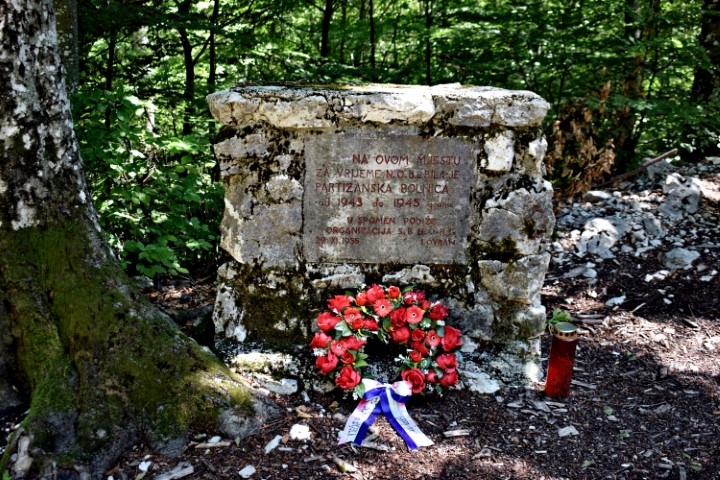
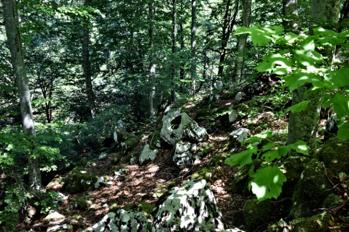
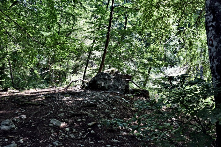
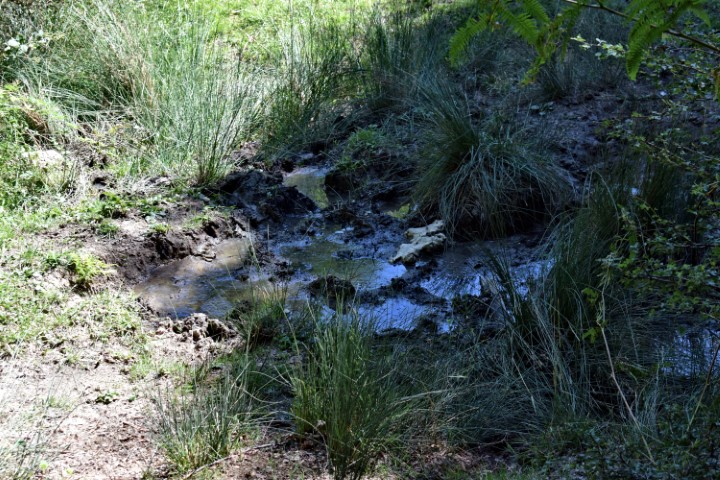
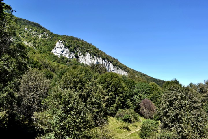
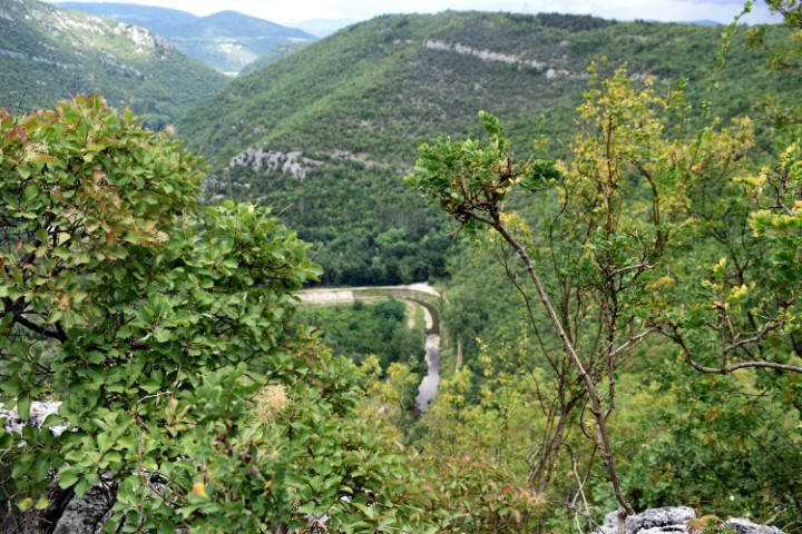
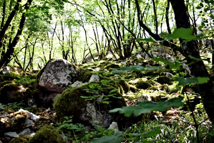
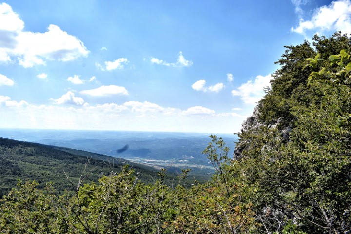
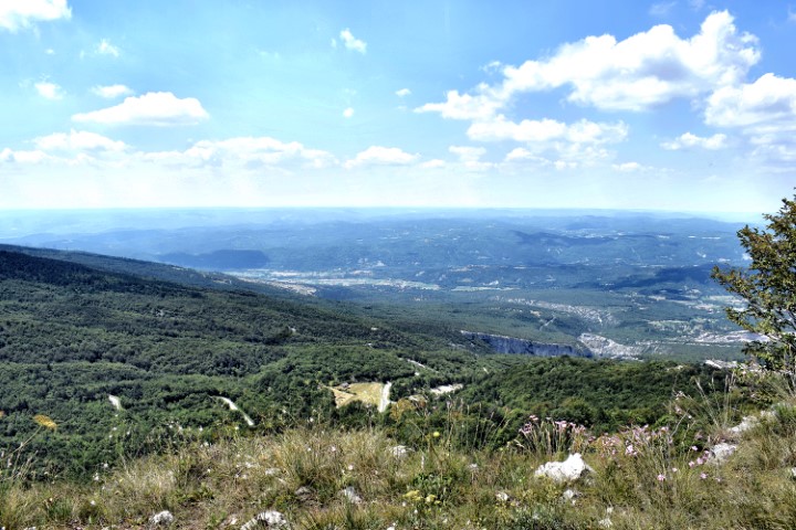
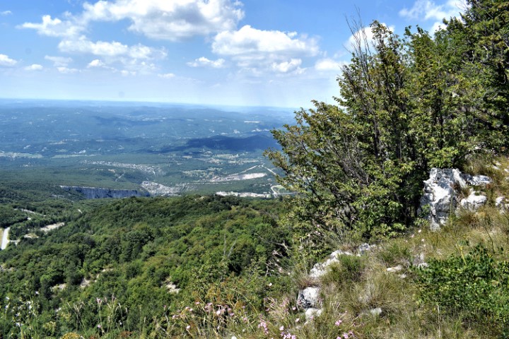
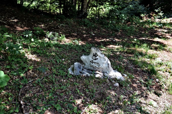
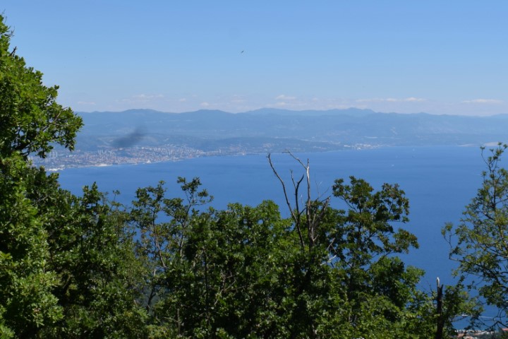
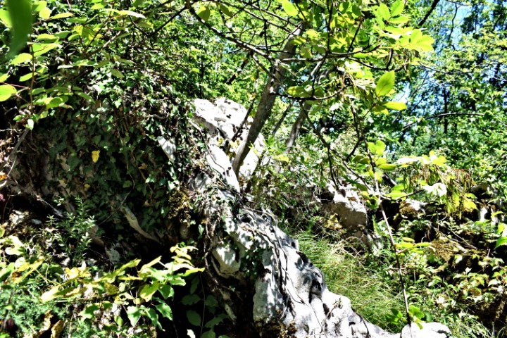
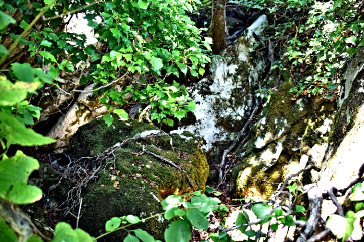
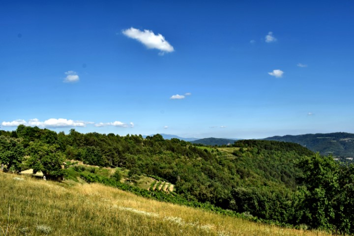
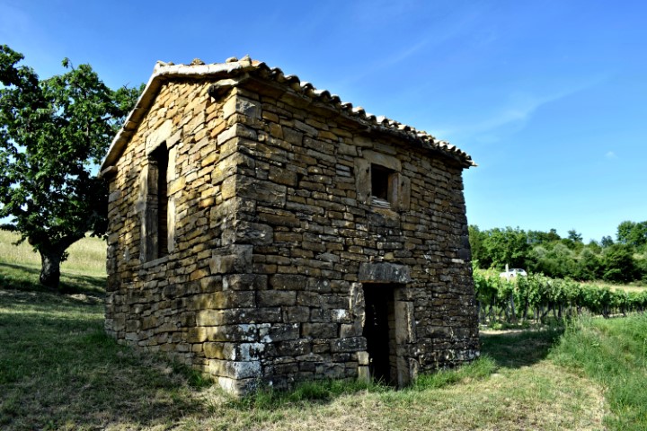
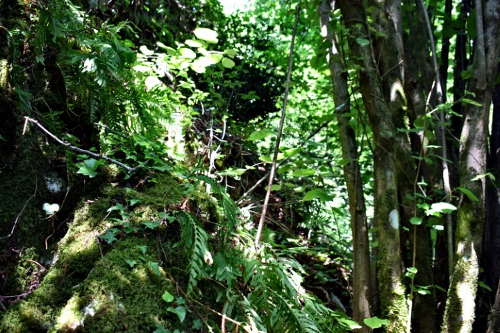
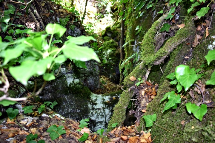
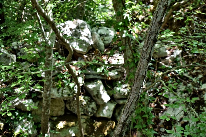
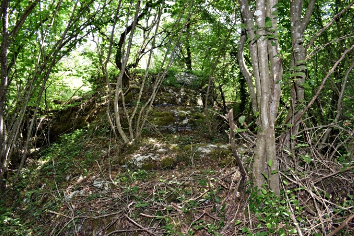
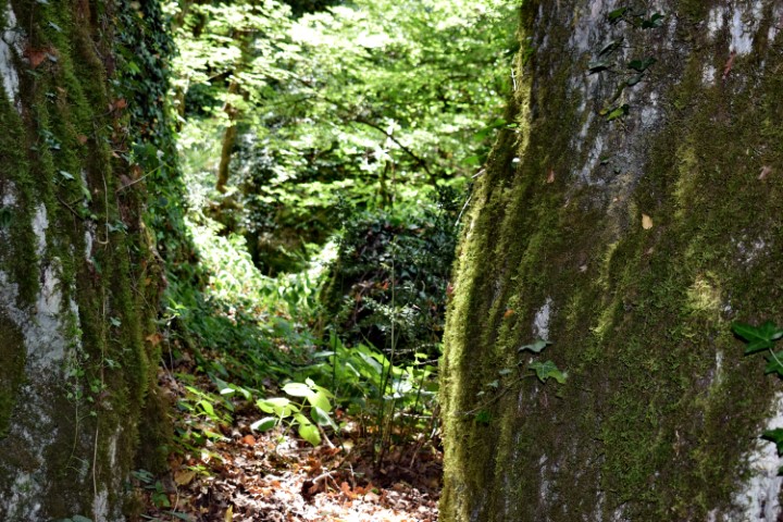
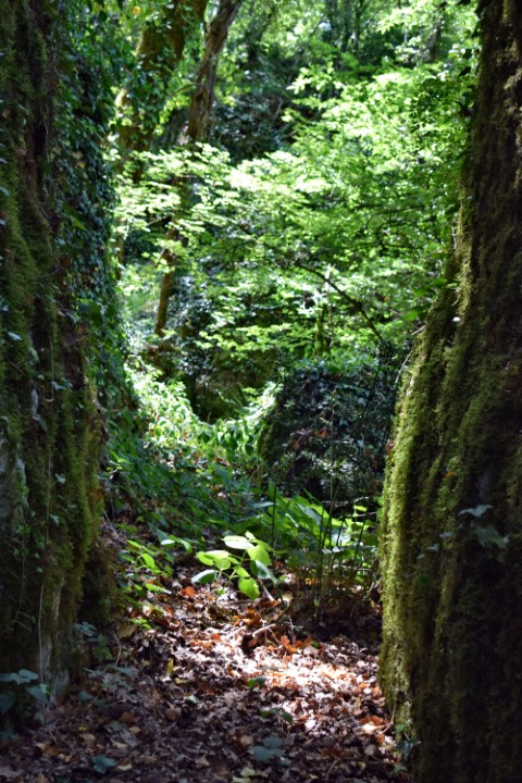
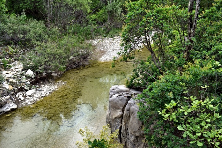
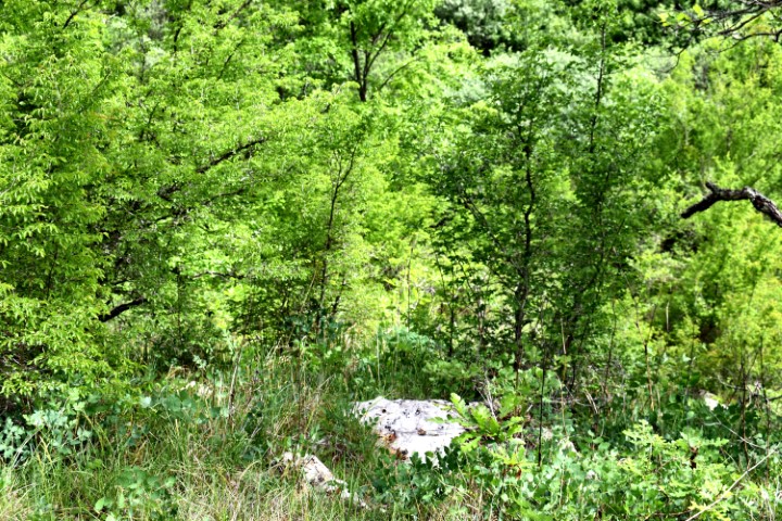
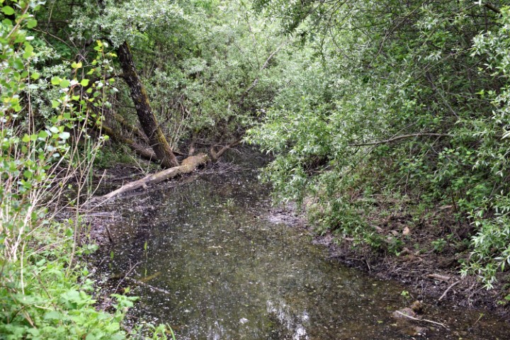
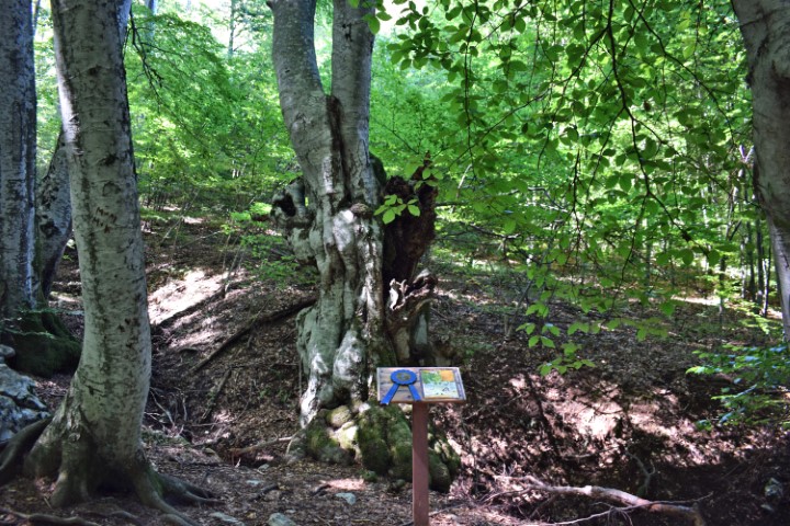
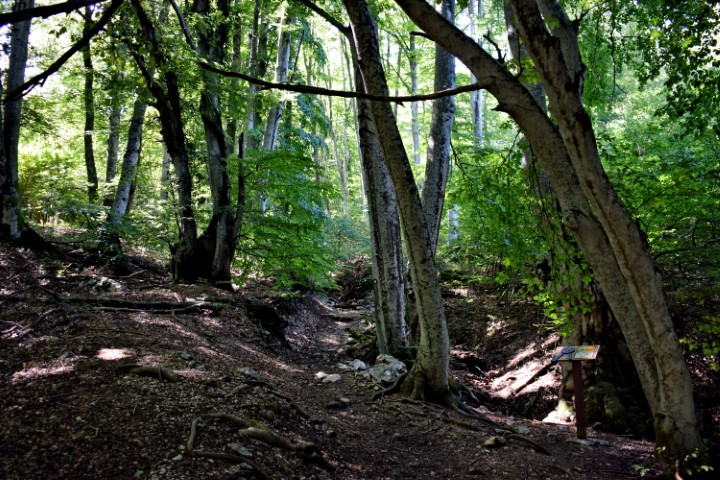
Name: Hiking trail Poklon to the monument Partisan hospital and Ugly stream.
Place: Lovran – (Učka).
Coordinates: Poklon: 45.30790 N – 14.21569 E,Partisan hospital 45.294.64 N – 14.21638 E, Ugly stream 45.28907 N – 14.21861 E.
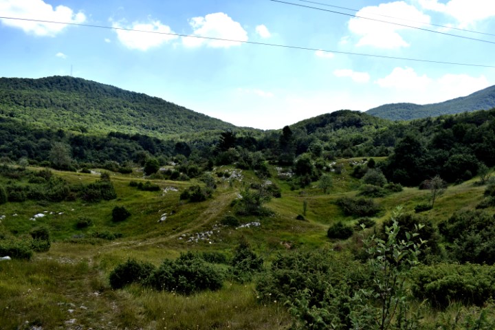
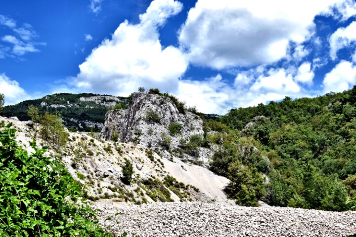
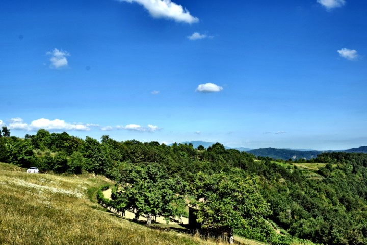
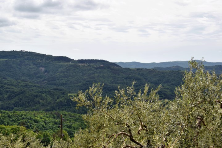
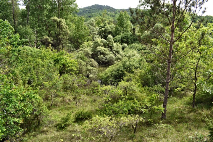
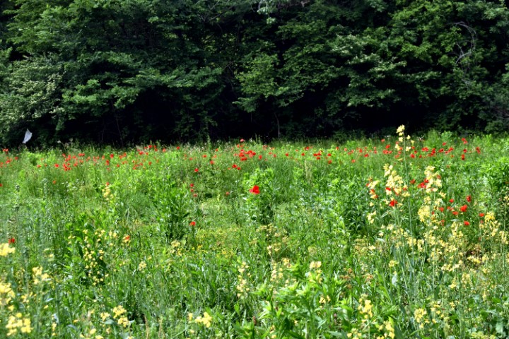
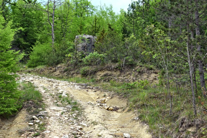
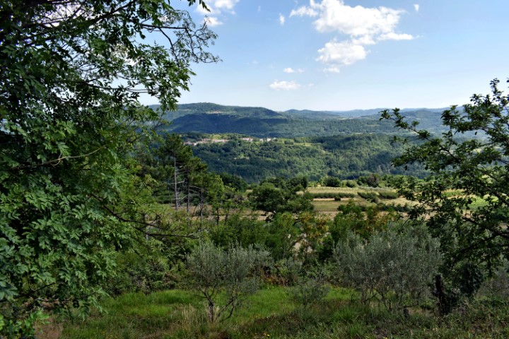
Name: Hiking trail to the top Mt. Kuk near the village Pračana.
Place: Near Pračana – (Buzet).
Coordinates: Kuk 45. 37838 N – 13.89524 E.; Top: 202 meters.
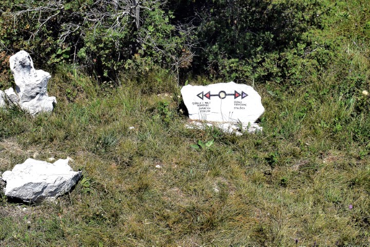
This trail, with a length of about 6,5 km, and a height difference of approximately 110 meters was an idea of the artist Boris Pećigoš and has been opened in 2016. A combination of land and rock arts, and the natural features of Cićarije. i.e. the southern areas around the cliffs of Stražica and the Sapaćica pastures.

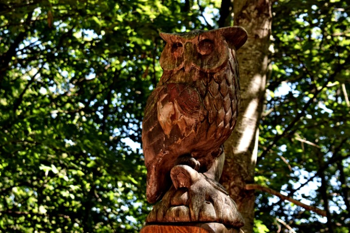
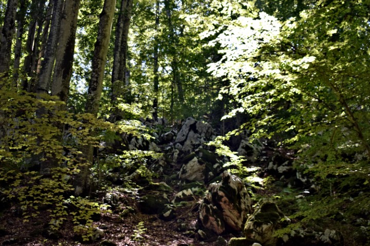
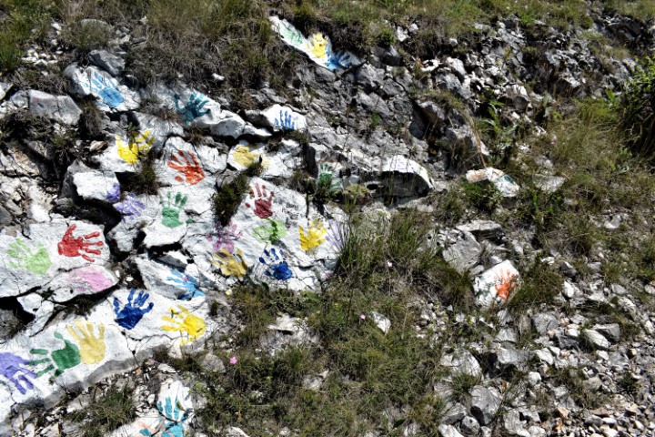
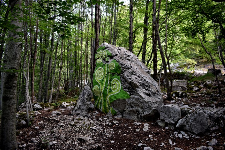
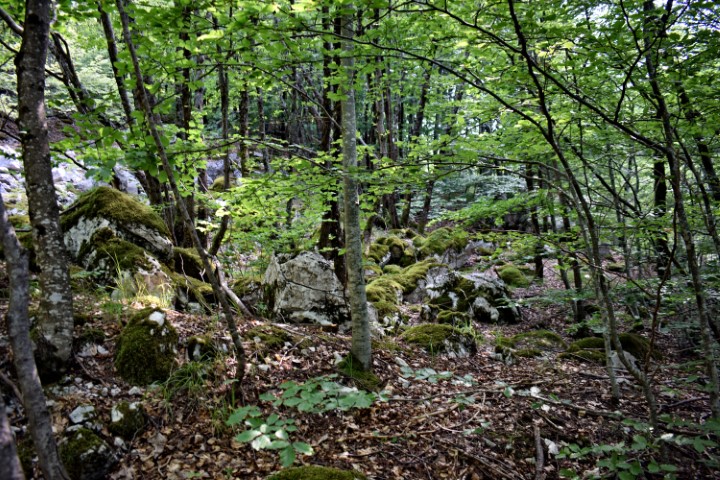
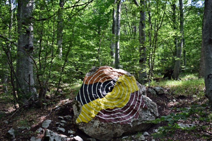
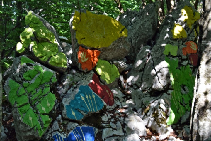
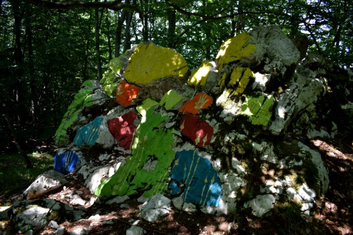
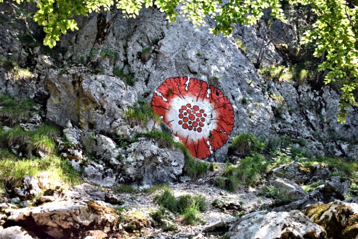
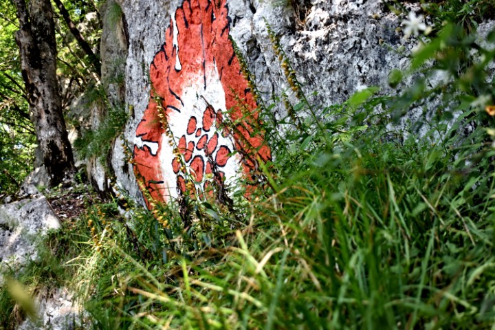
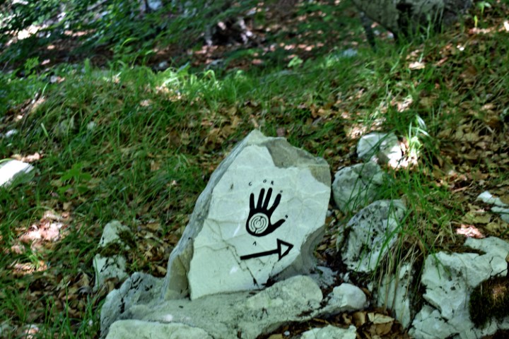
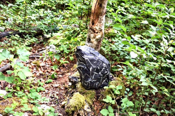
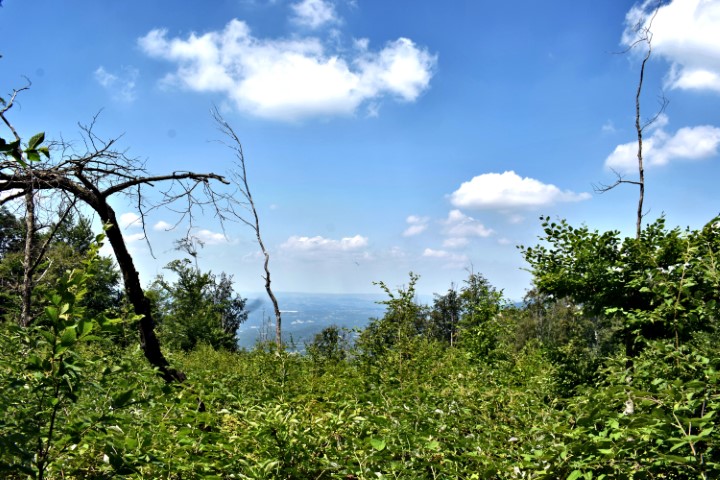
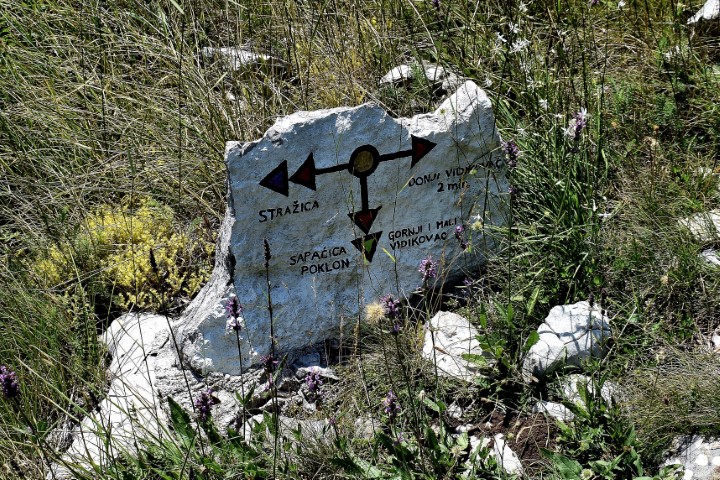
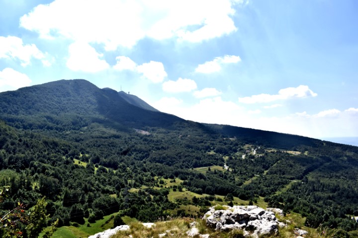
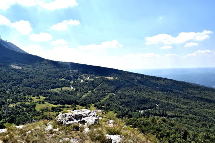
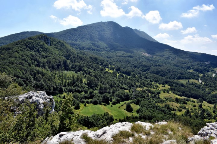
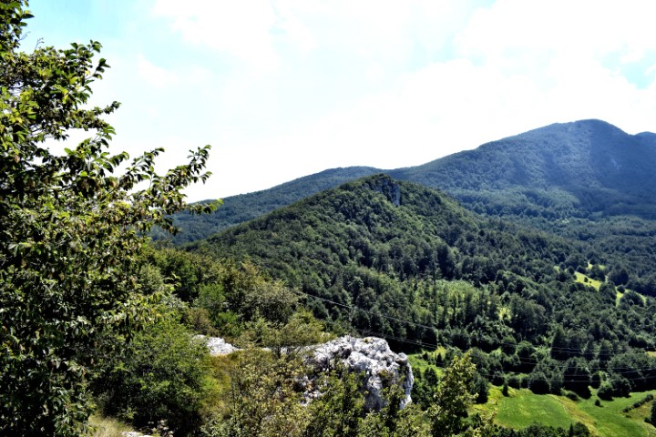
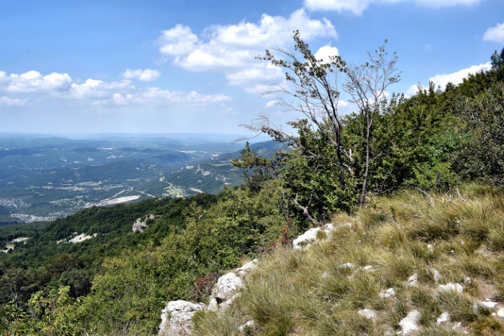
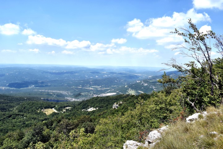
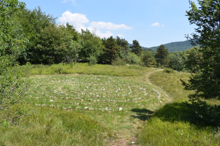
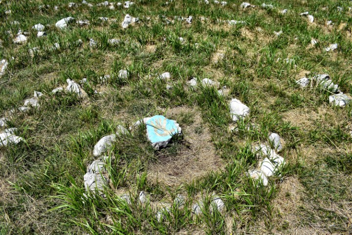
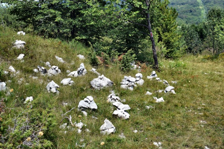
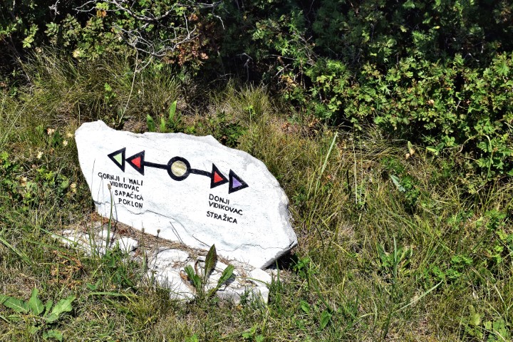
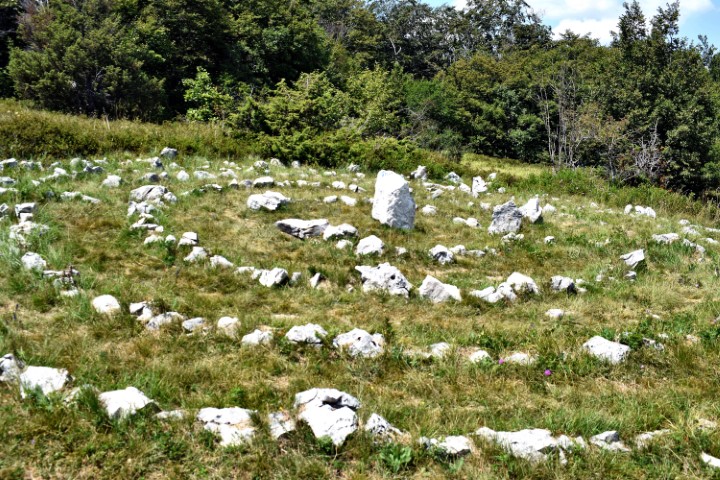
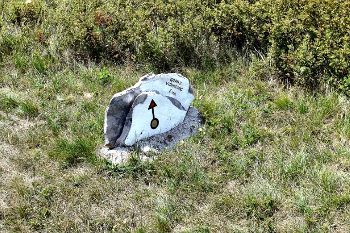
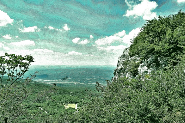
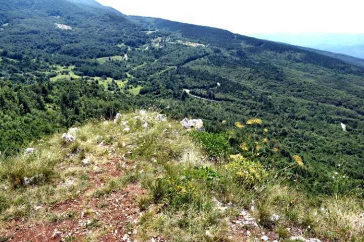
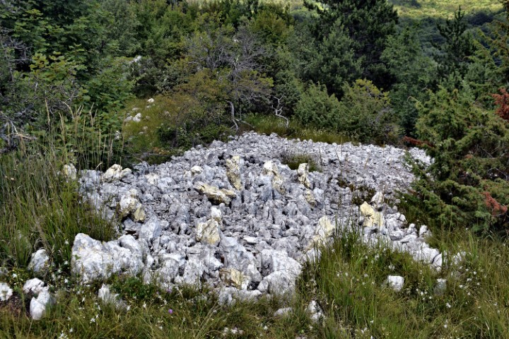
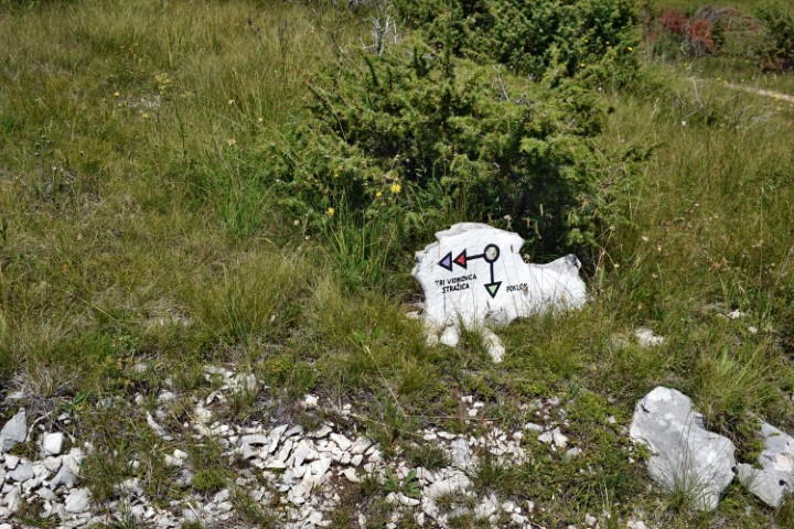
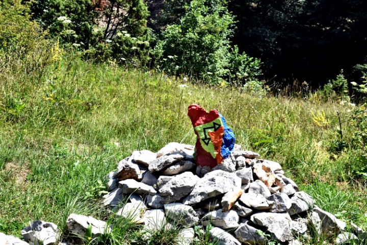
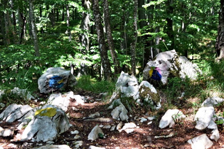
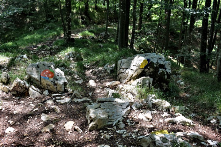
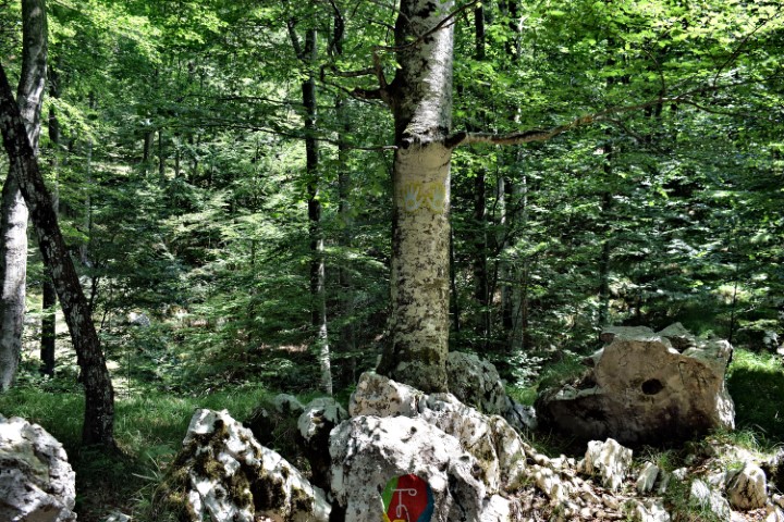
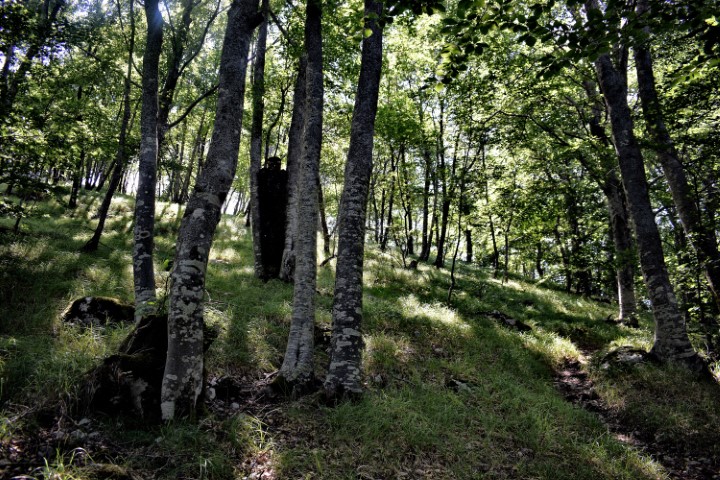
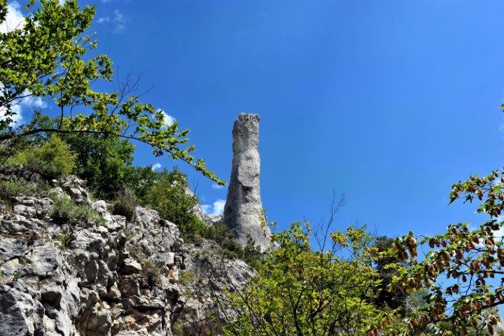
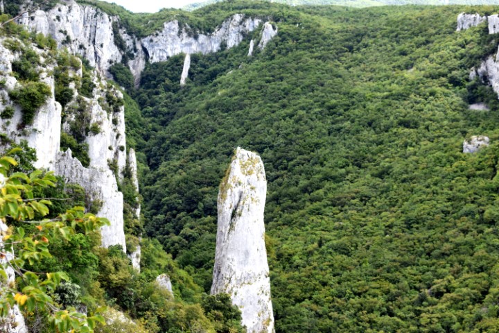
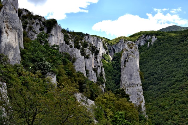
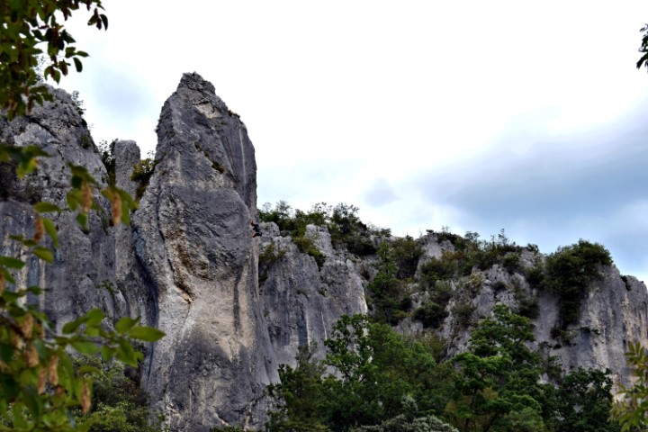
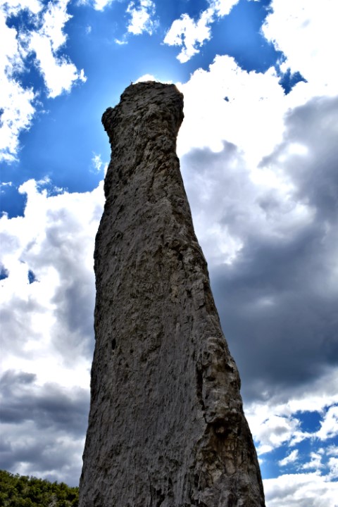
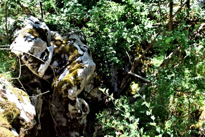
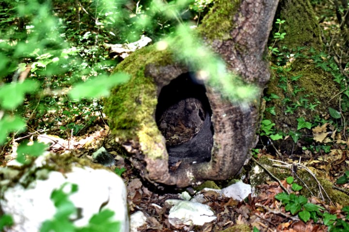
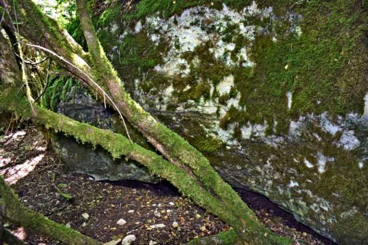
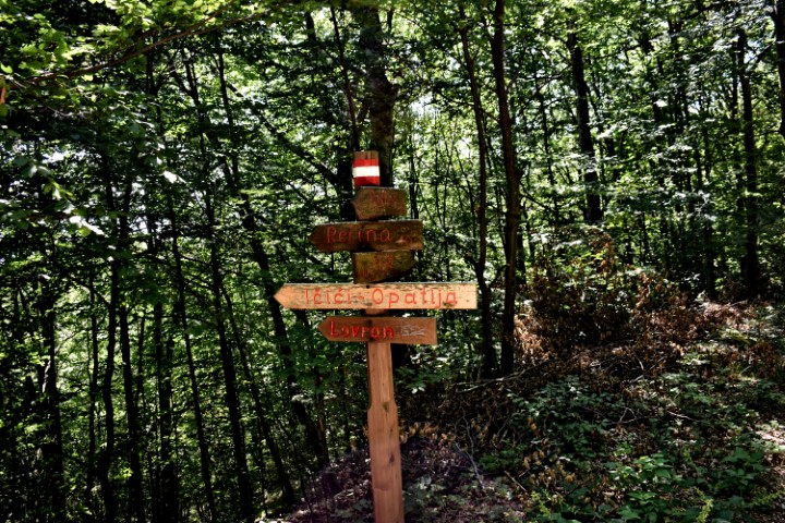
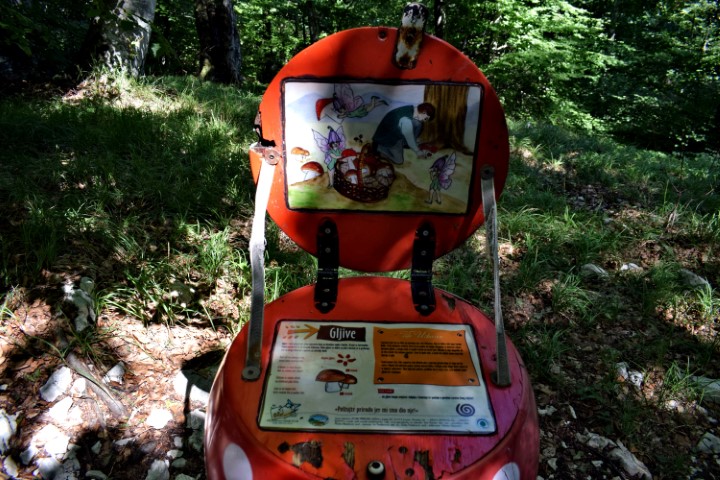
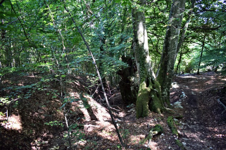
Name: Land art trail Stražica – Sapaćica in the natural park Učka.
Place: Učka
Coordinates: Start Point opposite the road to the peak Vojak 45.30683 N – 14.20492 E.
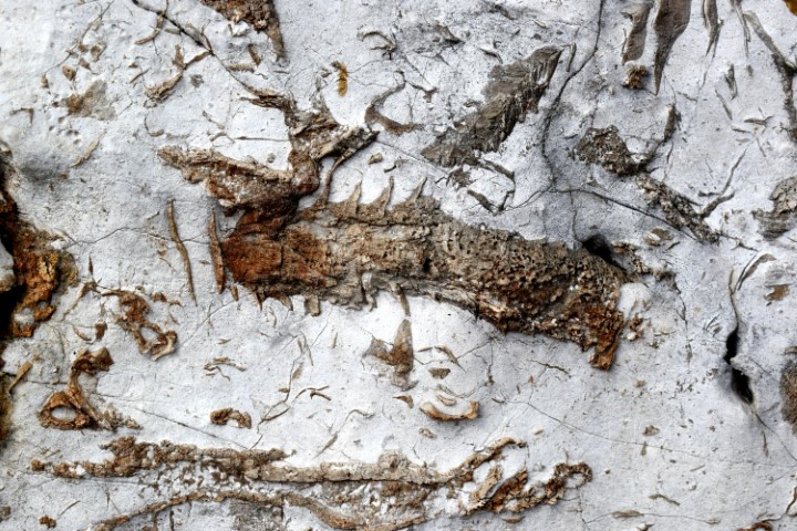
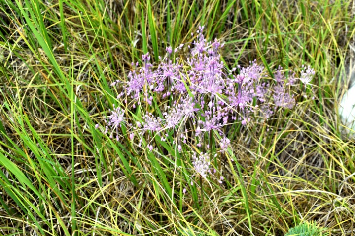
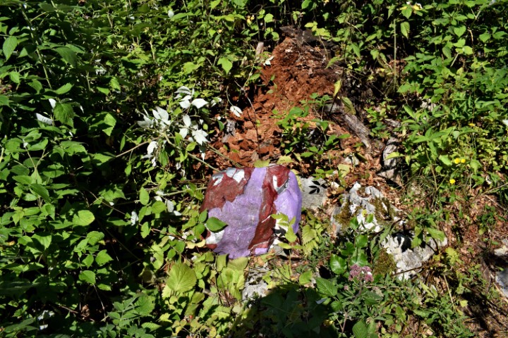
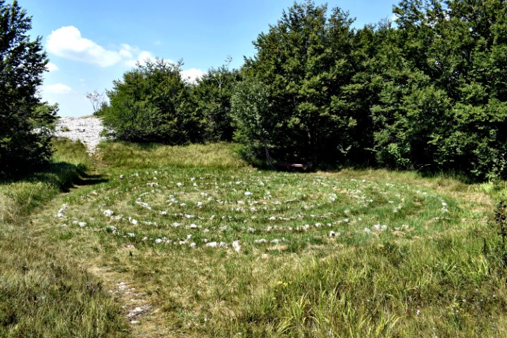
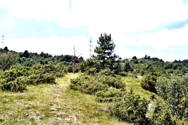
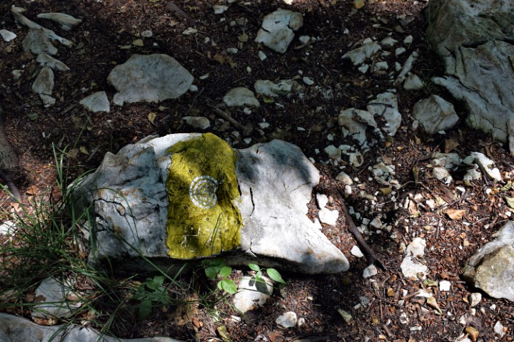
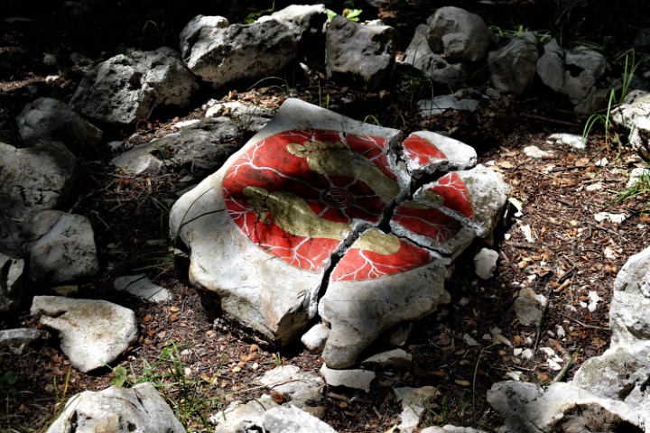
Name of the arts/views: Monolith with a spiral motif, Moss, Rock paintings on a cliff, Stone forest, Spiral geoglyph, Stone playground, Labarint, View top Vidikovac, Triangle glagolitic rock, Stone teeth, Red tree, Sheep geoglyphs, Prints of palms, A bunch of stones. Fairy seat, Grassy top, Grass plateau, Lower view top Vikovac, Guard, View round Vidikovac.
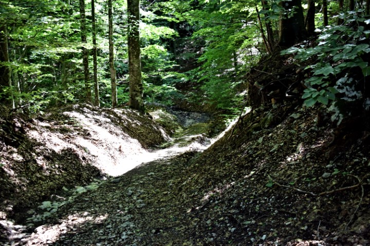
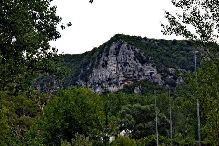
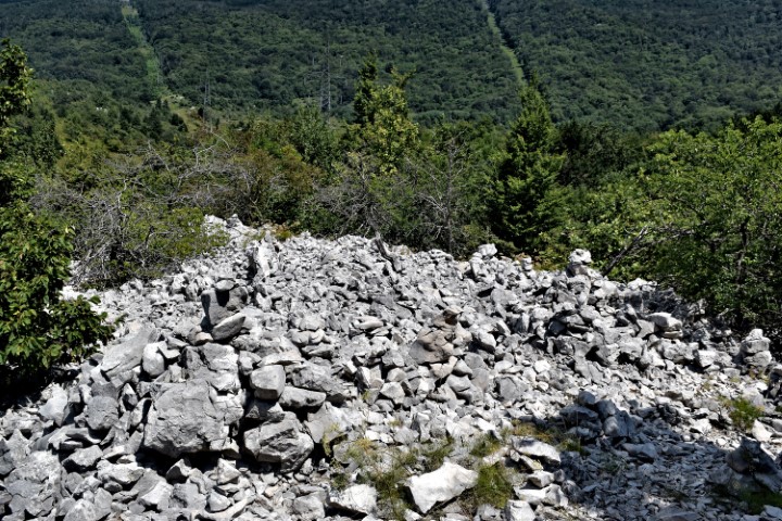
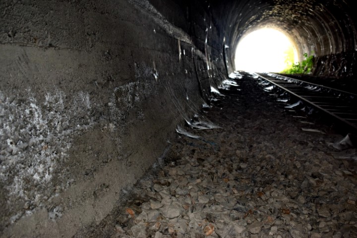
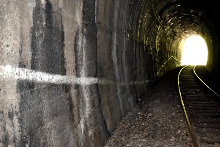
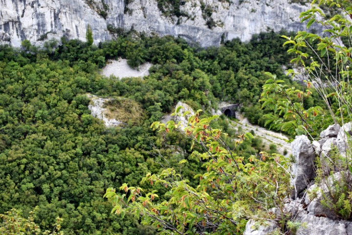
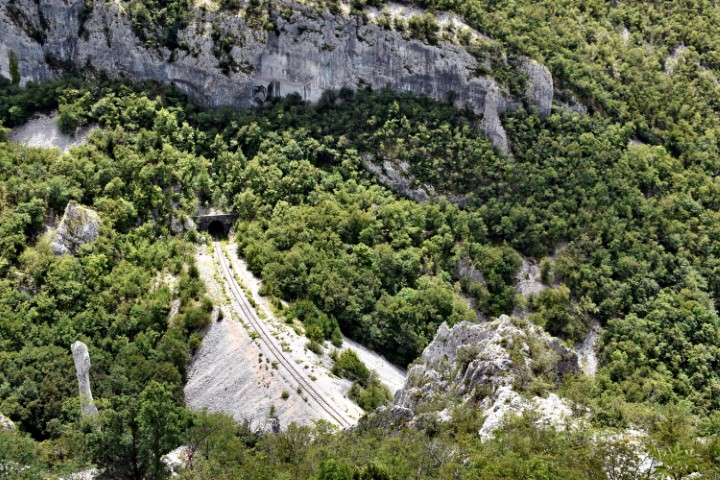
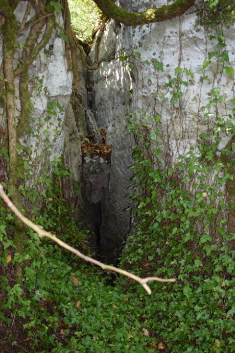
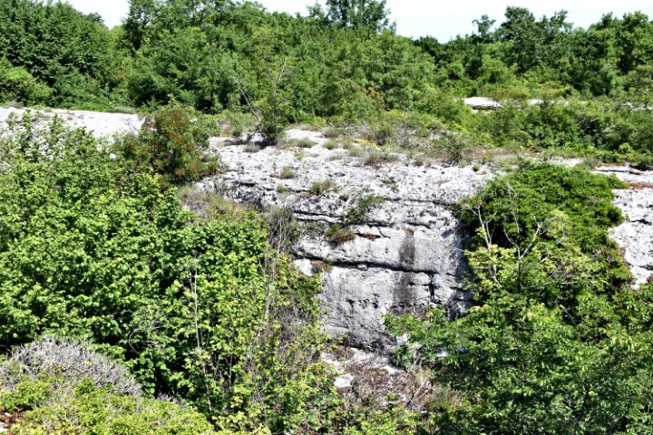
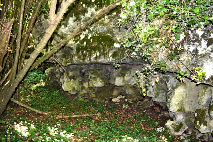
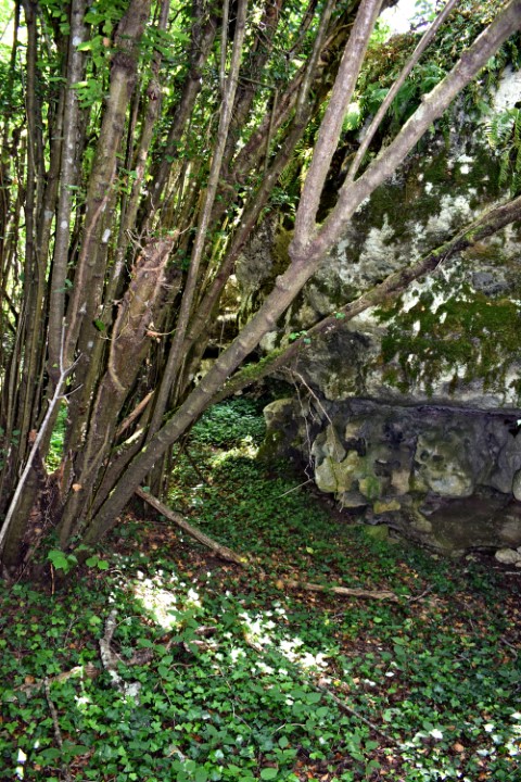
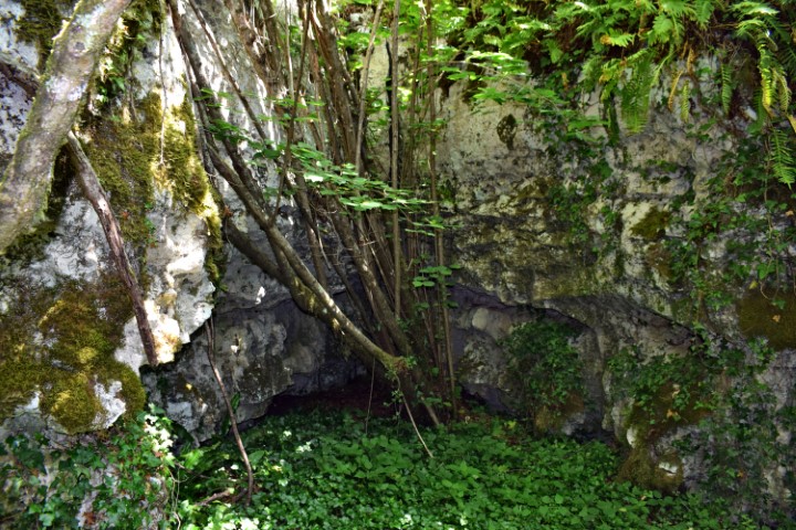
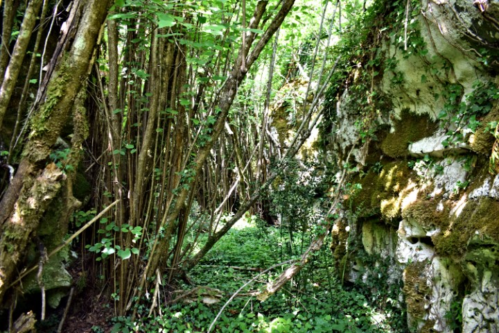
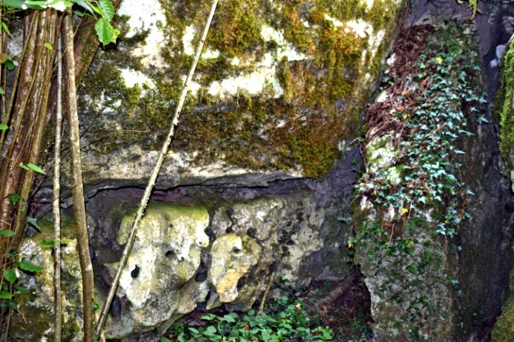
From the quarry near Bančevici through the railway tunnel, and then to the cave Toranji.

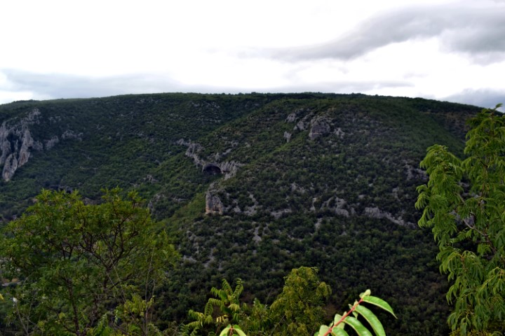
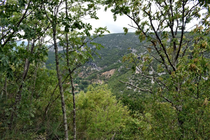
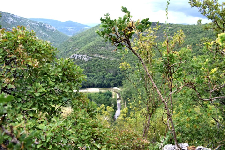
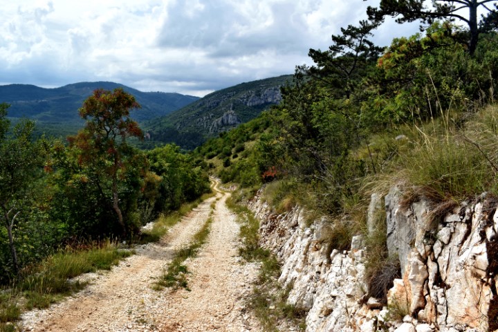
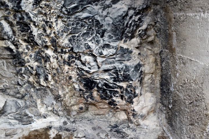
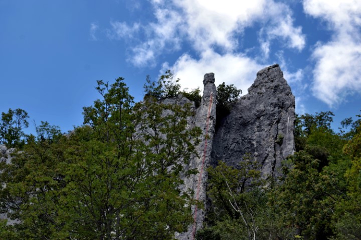
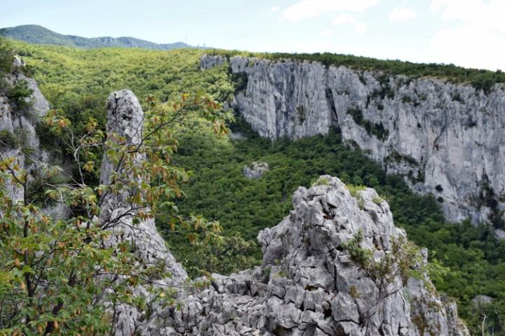
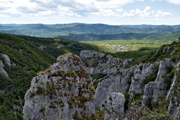
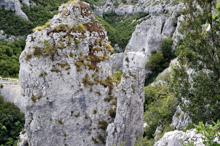
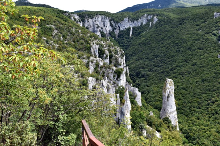
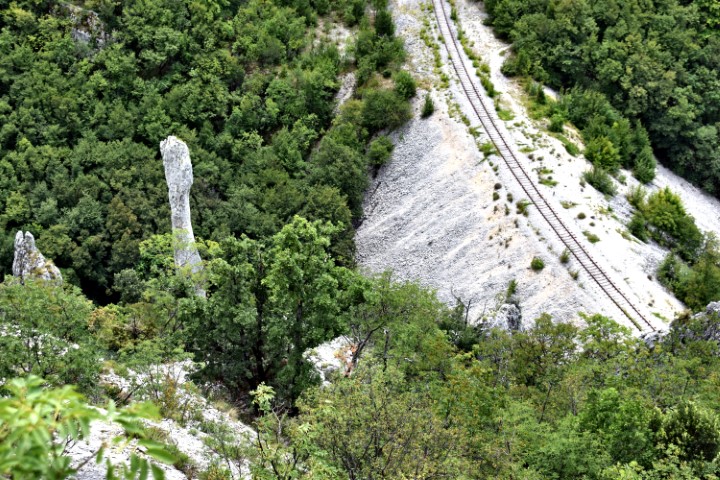
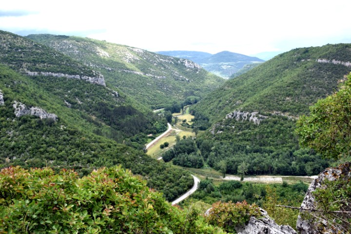
Name: Hiking trail Vela Draga (Učka).
Place: Učka – (Lupoglav).
Coordinates: Starting point 45.31847 N – 14.15770 E, after tunnel 45.31547 N – 14.16642 E to the cave Torenji (350 m. a.s.l.): 45.31540 N – 14.16902 E.
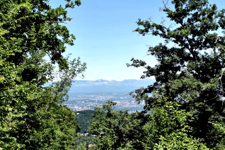
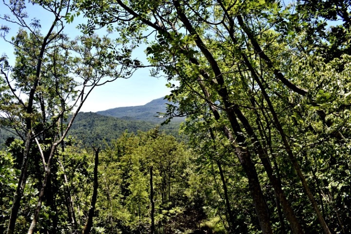
Name: Hiking trail to the top of Petnički Vrh.
Place: Nature Park Učka.
Coordinates: Start: 45.31360 N – 14.24968 E (495m) , top Petnički Vrh 45.31867 N – 14.25326 E (641 m).
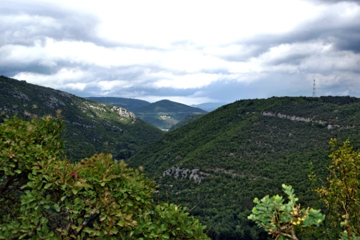
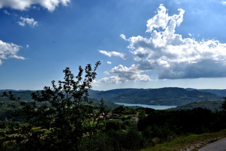
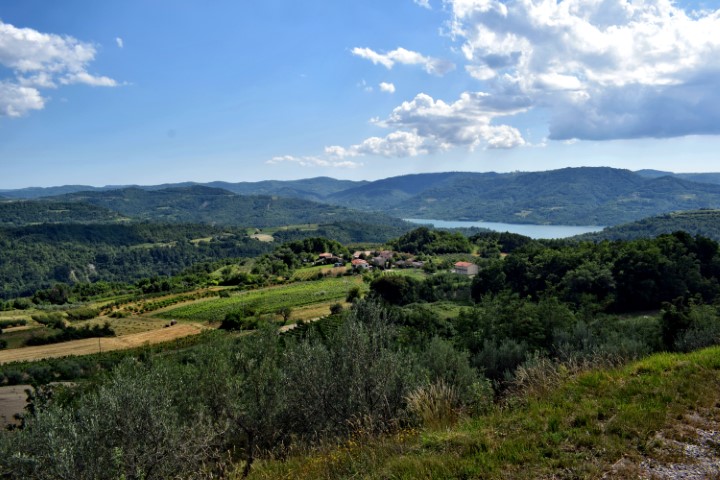
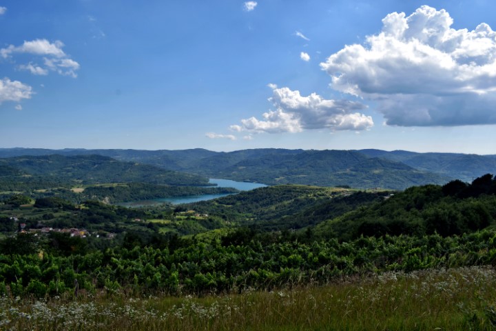
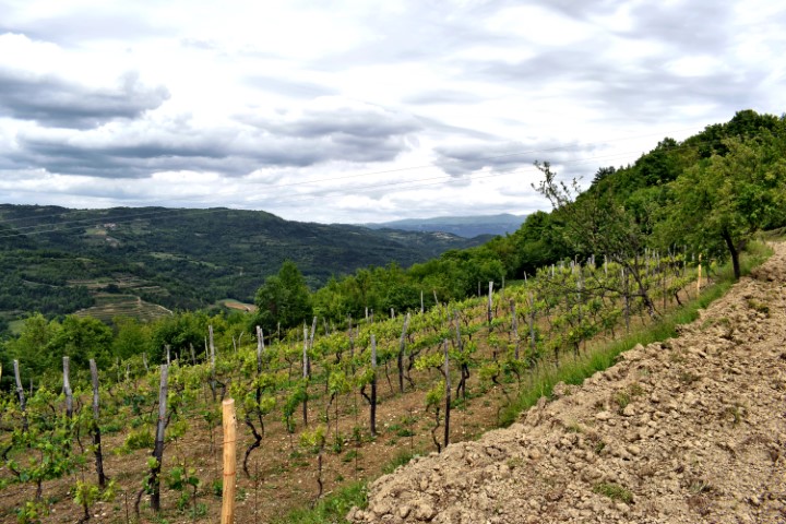
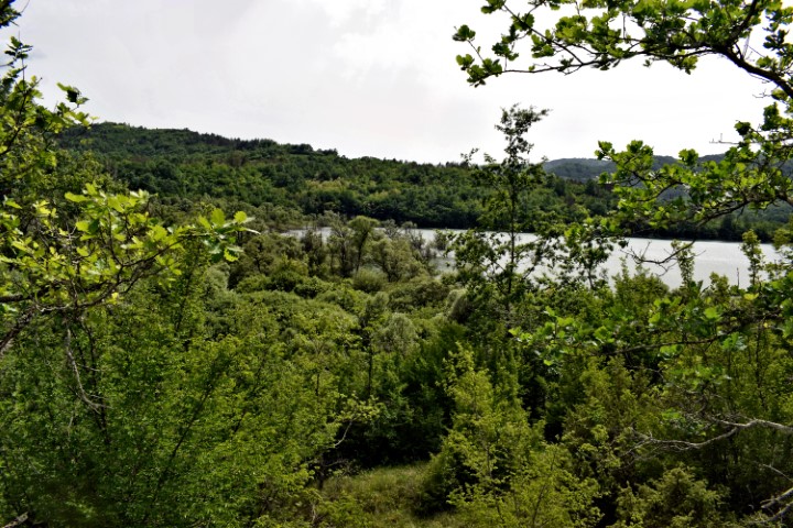
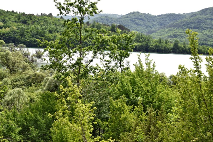
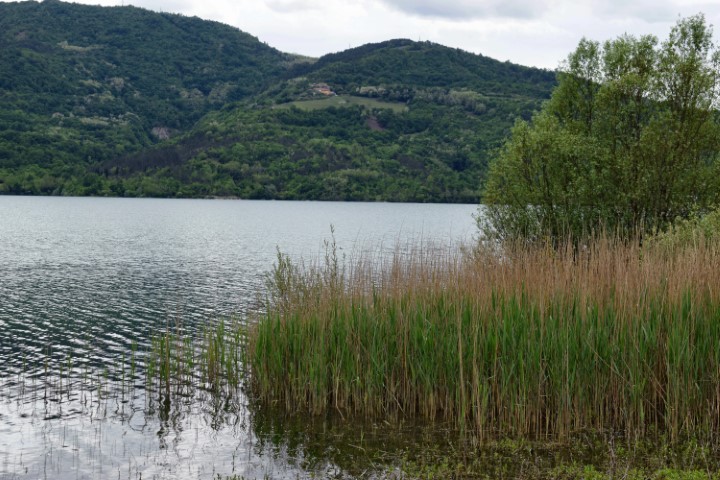
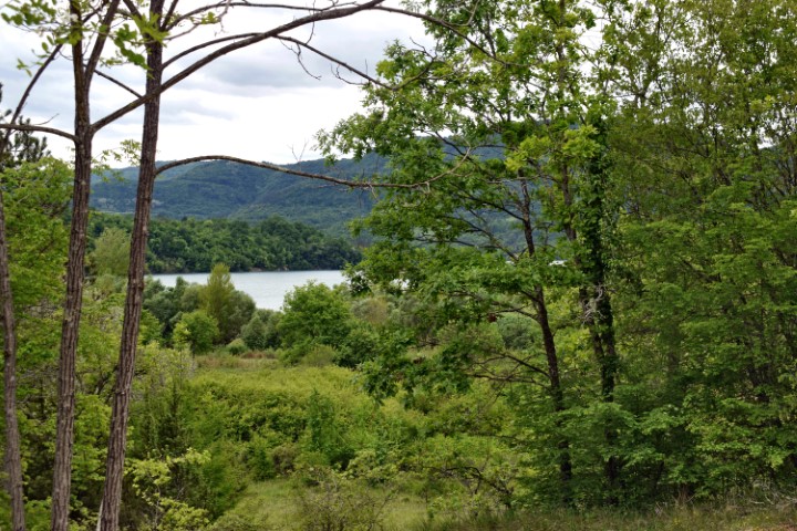
Name: Views split Vrh to Marčenegla / Paldine on Butoniga lake.
Place: (Buzet).
Coordinates: 45.35526 N – 13.94401 E.

Name: Prehistoric settlement Škrače (II).
Place: Korenici – (Kanfanar).
Coordinates: 45.13648 N – 13.79779 E.
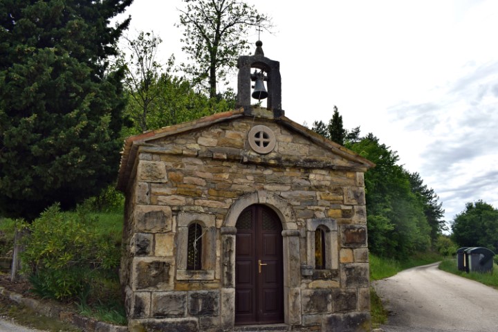
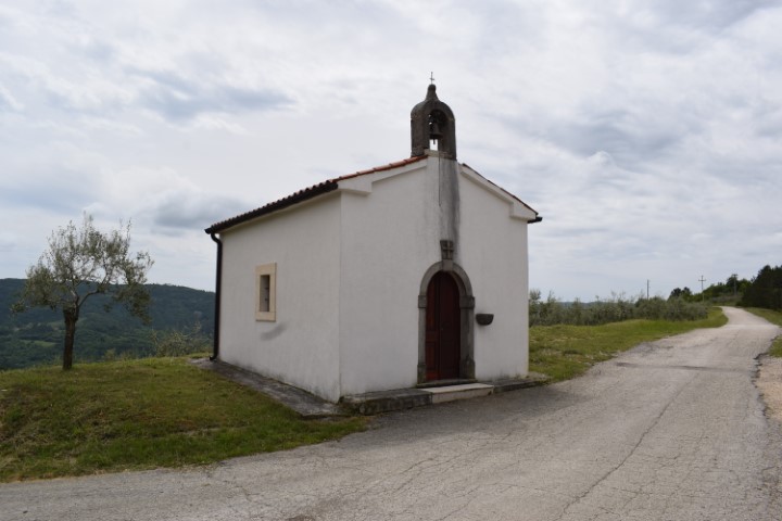
The church near Kontići is the Sv. Ivan i Pavo from 1929.
Near Zajerći is the church named Sv. Ivan Kristelj from 1998.
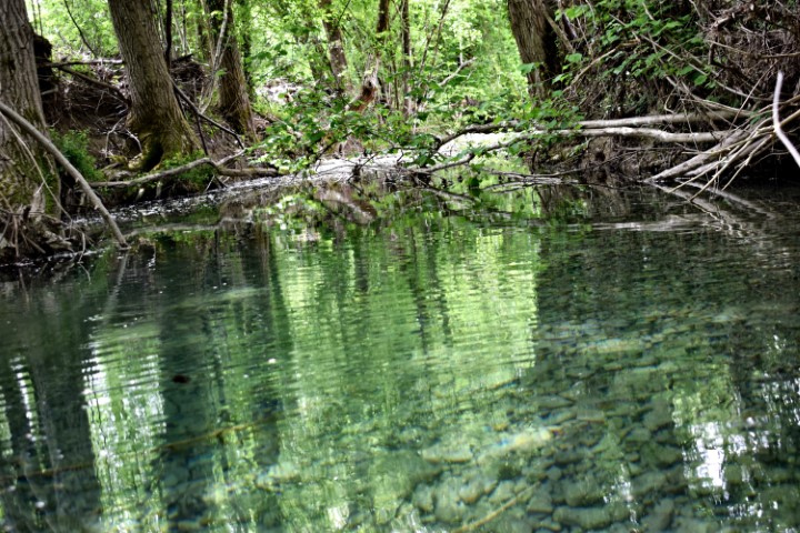
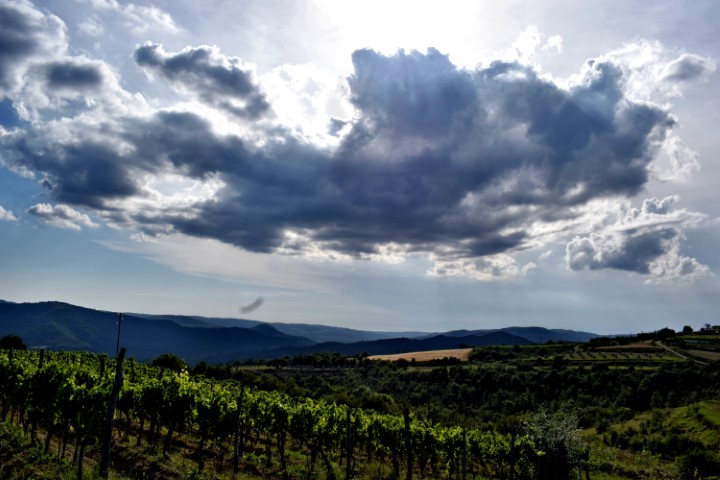
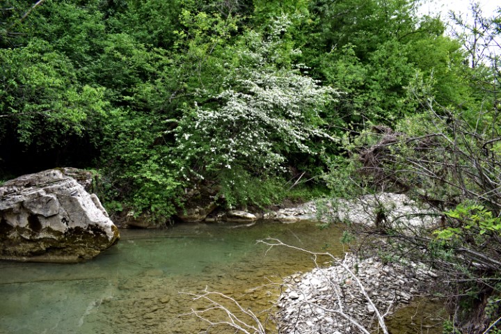
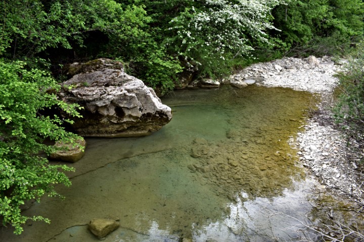
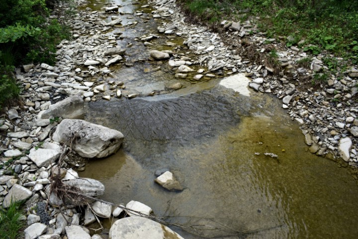
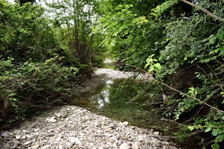
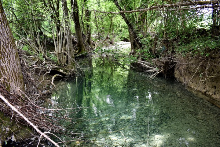
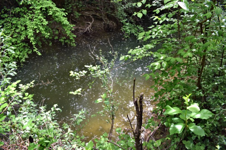
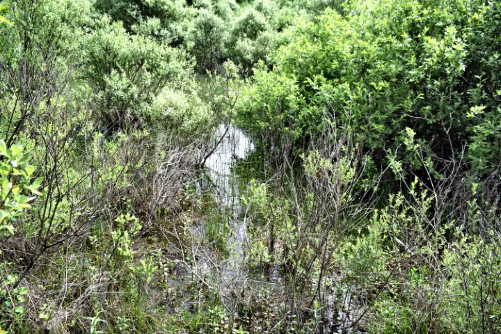
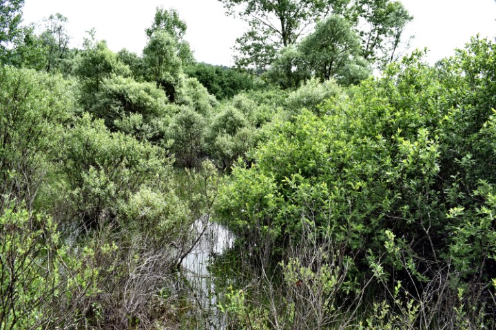
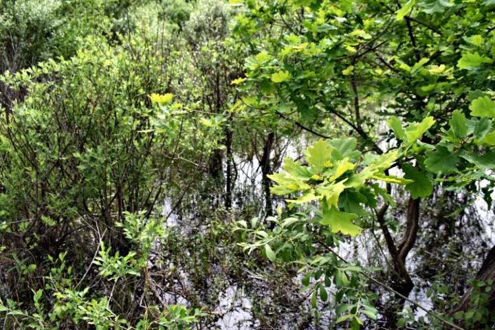
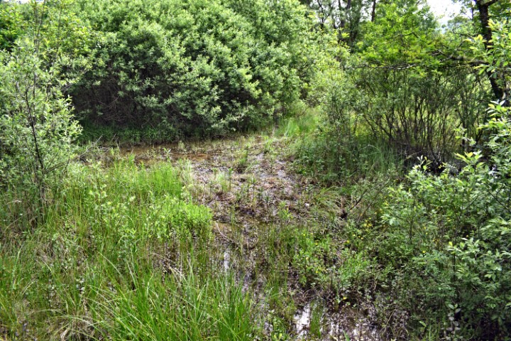
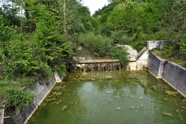
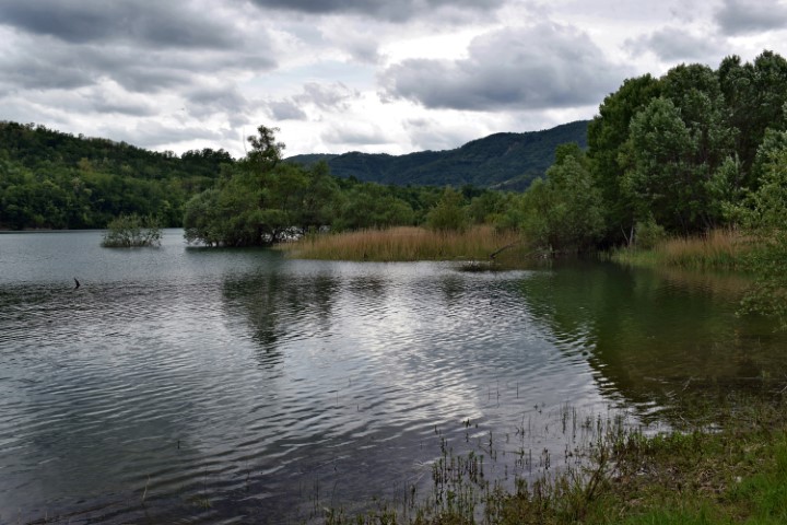
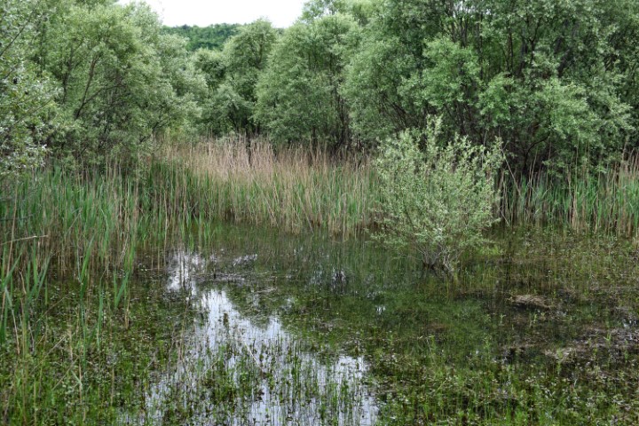
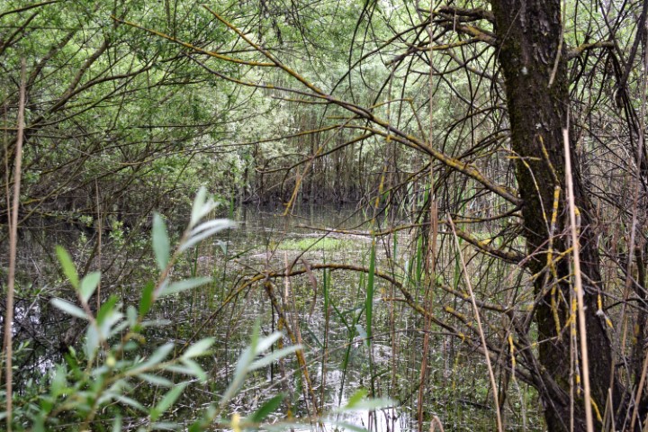
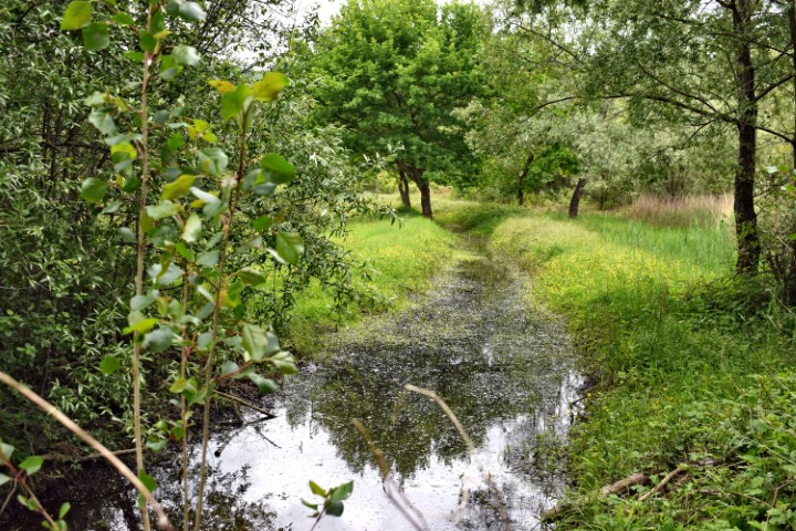
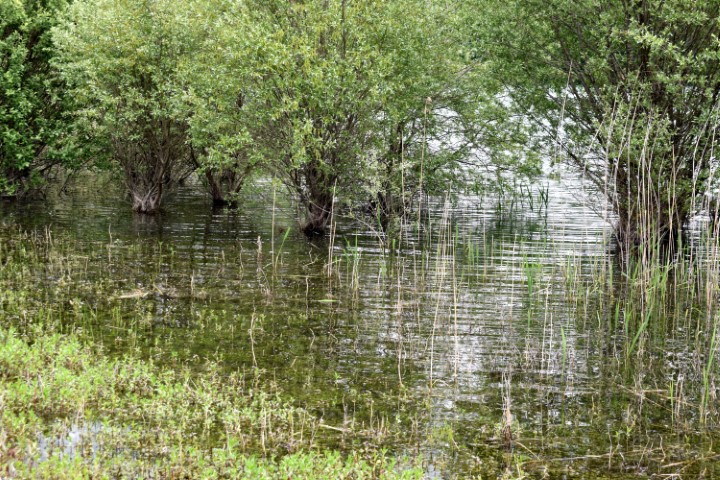
Name: Dragućki stream from bridge Bijančići to wetland Jezero.
Place: (Buzet).
Coordinates: Starting point near bridge 45.331200 N – 13.97261 E., wetland 45.32343 N – 13.93909 E
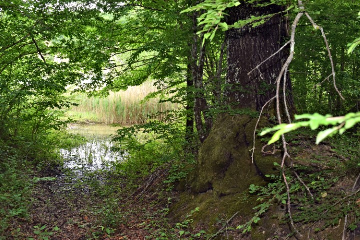
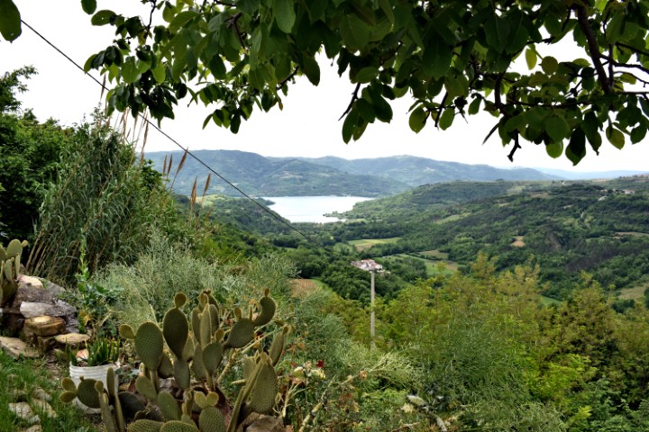
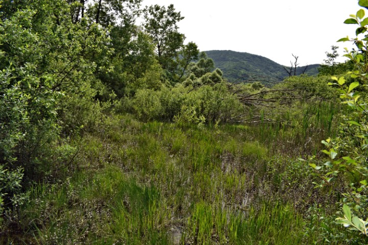
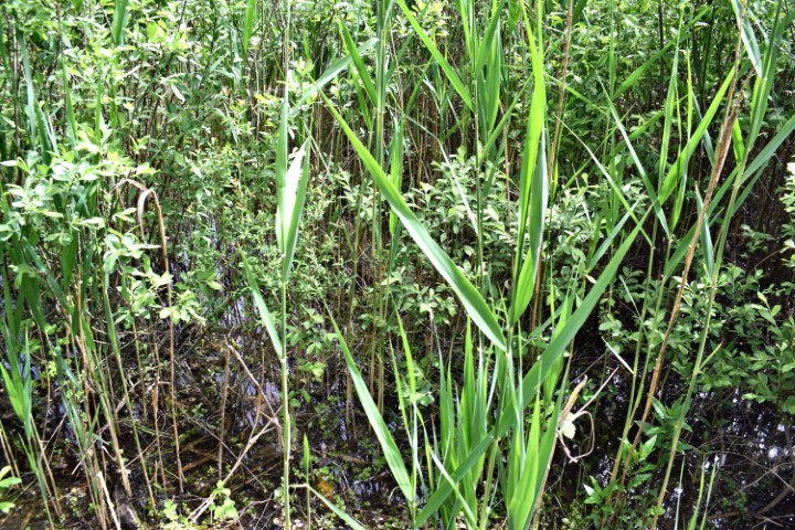
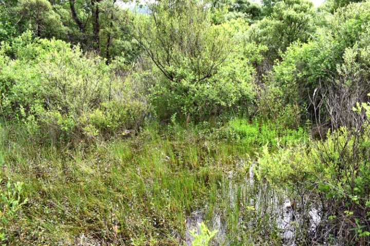
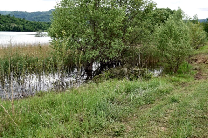
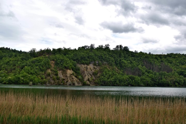
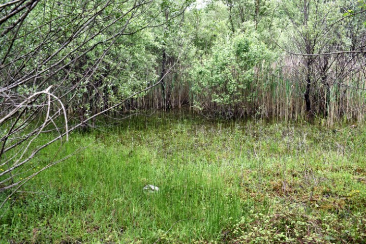
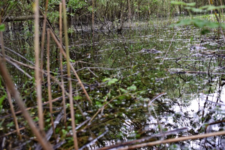
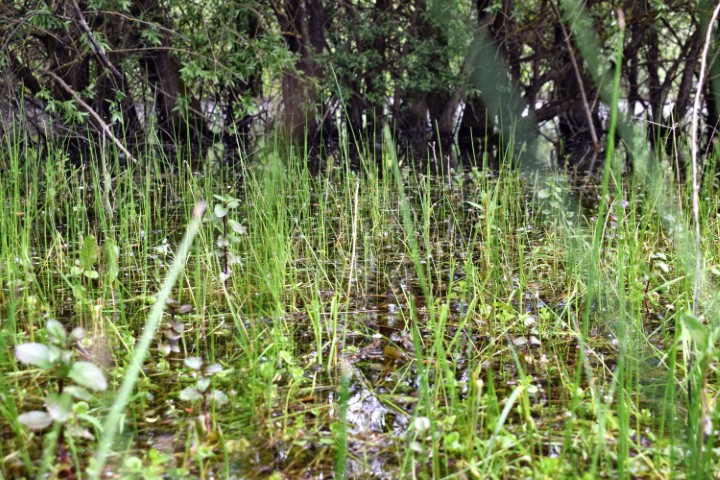
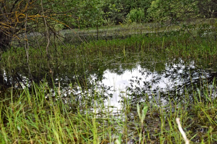
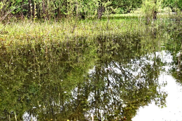
Name: Wetland Butoniga.
Place: Near Negnar – (Buzet).
Coordinates: 45.33441 N – 13.93931 E.